The Tudors in Alfriston
By Ian Mulcahy
This article first appeared in the December 2020 edition of Tudor Life, the magazine of the Tudor Society.
Old Britain Home | Historic curiosities of Alfriston
|
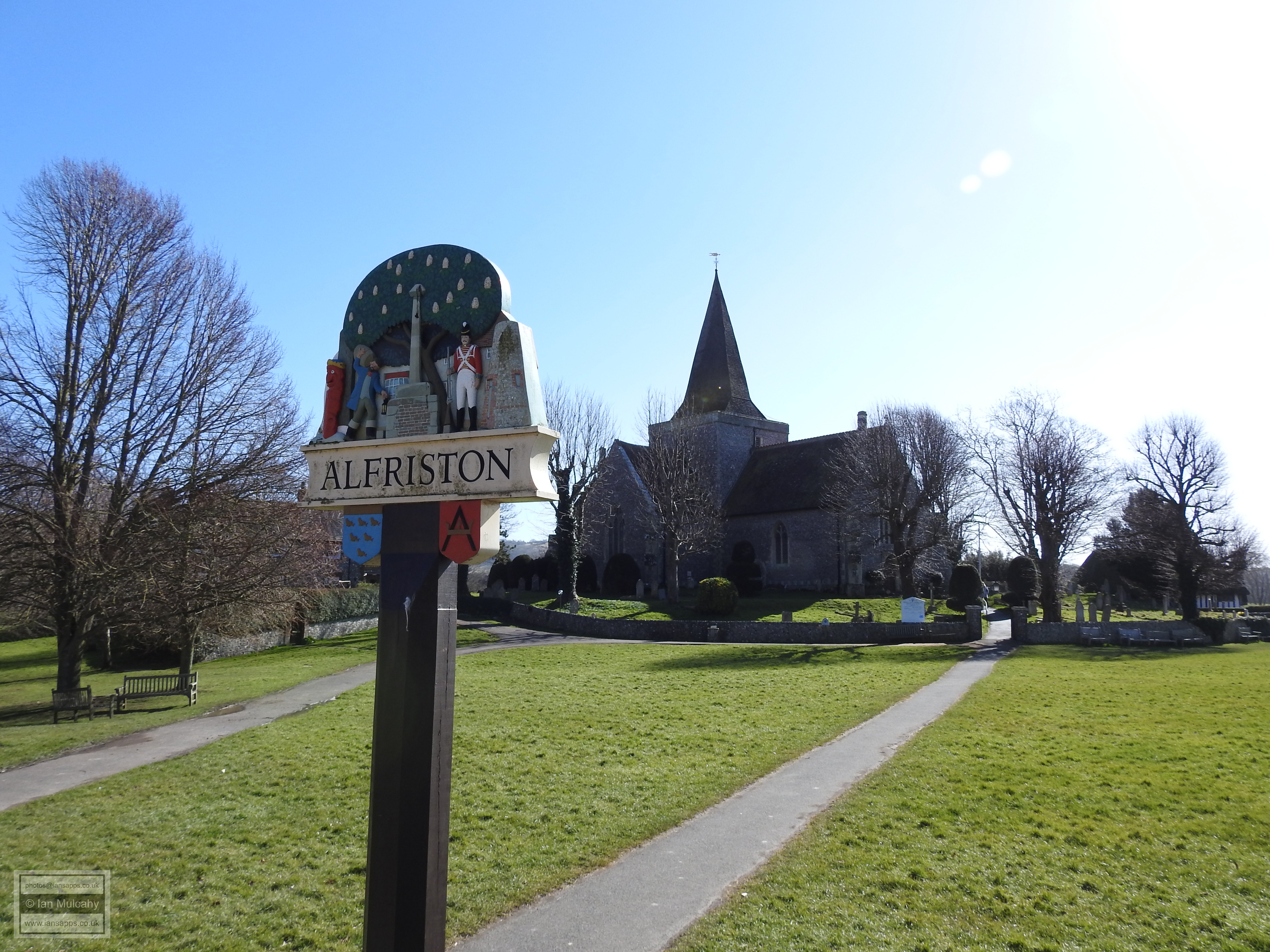
For this month’s Tudor walk I’ve been in East Sussex looking around Alfriston, a picturesque village of just over 800 inhabitants within the South Downs National Park. Located 3.5 miles inland at a gap in the downs through which the River Cuckmere flows on its way to the English Channel, the village’s name derives from Tun, a farm, and Aelfric, a South Saxon (Sussex) name. We are visiting Aelfric’s Farm. Humans have been active within the area for millennia with numerous ancient hill forts and burial sites existing within a few miles of the village, the closest being a 5,000 year old Neolithic Long Barrow of 56 metres in length, 20 metres wide and standing to a height of 1.5 metres. Positioned high on the downs half a mile to the west of the village, archaeological excavations suggest it was later reused during the Bronze Age. Earlier archaeological evidence from the lower ground in the village includes a Lower Paleolithic (150,000 – 500,000 years ago!) hand axe and Mesolithic (6,000 – 12,000 years ago) flint workings including 25 axes and over 200 blades. The earliest evidence of settlement within the parish comes by way of the remarkable discovery of an early Saxon cemetery 500 metres north of the village during building works in 1912. The find included 120 graves complete with grave goods including axes, knives, spearheads, shields, glass drinking horns, 5th century pottery and Roman coins and beads. There is no evidence of continuity of settlement from those who populated the 6th century cemetery (nor, indeed, any evidence that those interred lived in the area) and the Domesday entry for Alfriston records just 2 villagers and 7 smallholders. During the 12th and 13th century the Abbots of Battle were keen traders of land in the Parish, as recorded in the charters of The Abbey and records exist of five weavers working in the parish towards the end of the 13th century. By 1406 the population of the village had grown to around 200 people, including bakers, brewers, smiths, butchers, tanners, weavers and cobblers and Henry IV granted Alfriston a charter to hold a weekly Tuesday market. During the 16th century cloth making was a major local source of income, but the decline in this industry during the latter part of the century contributed to a corresponding decline in the fortunes of the village, which saw the population fall to around 120 by the end of the Tudor period, before rising again in the second half of the 17th century.
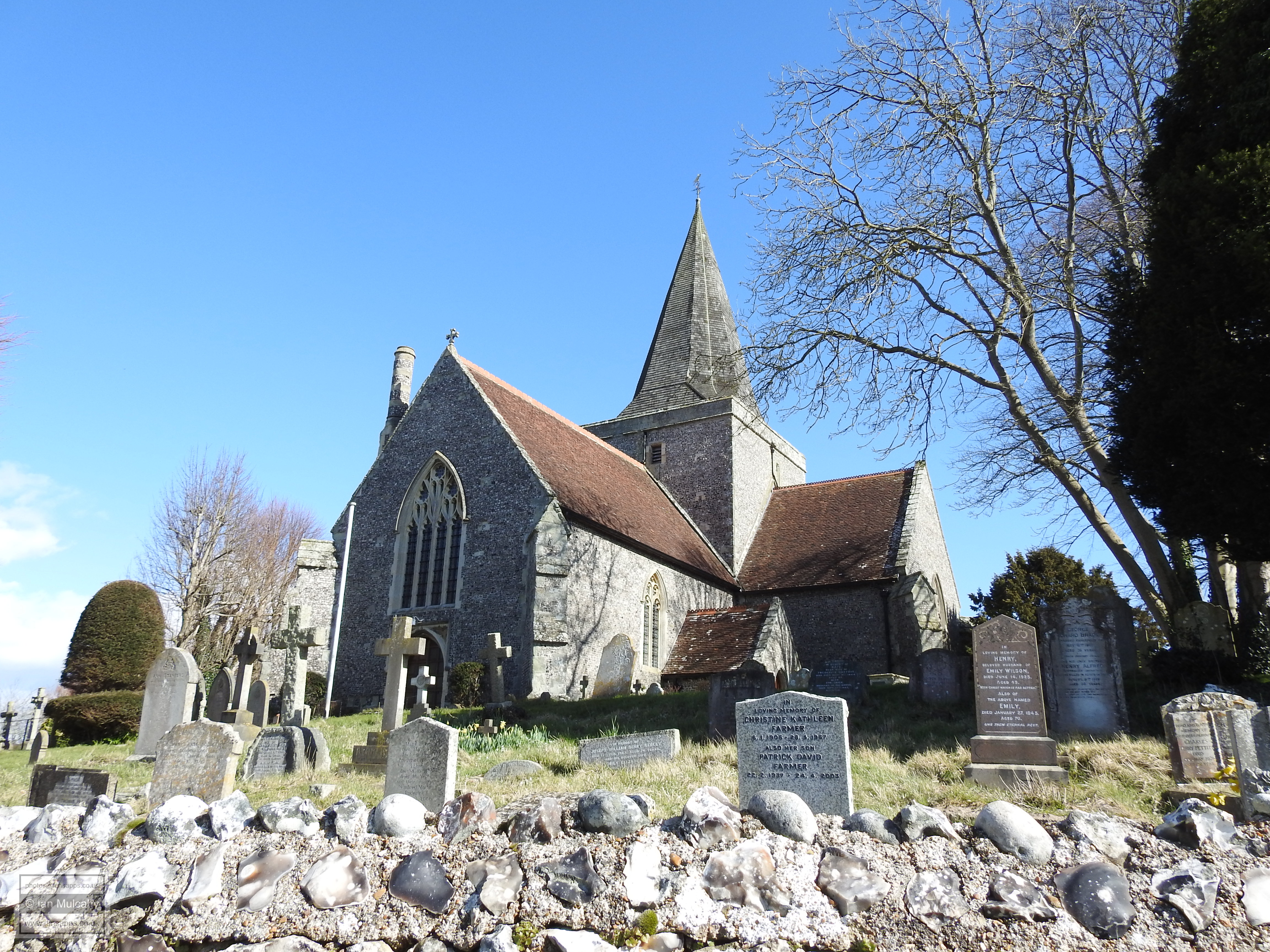
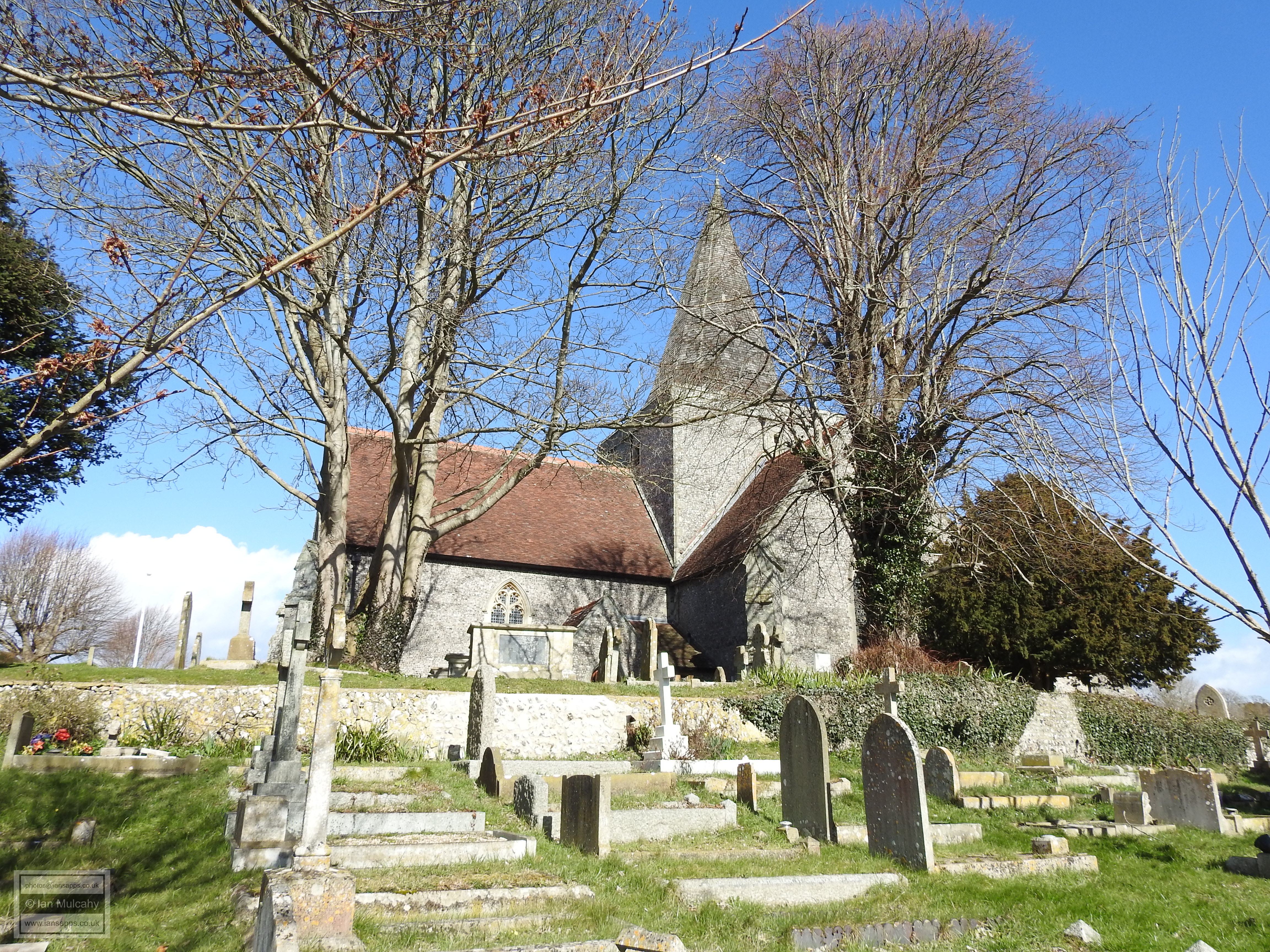
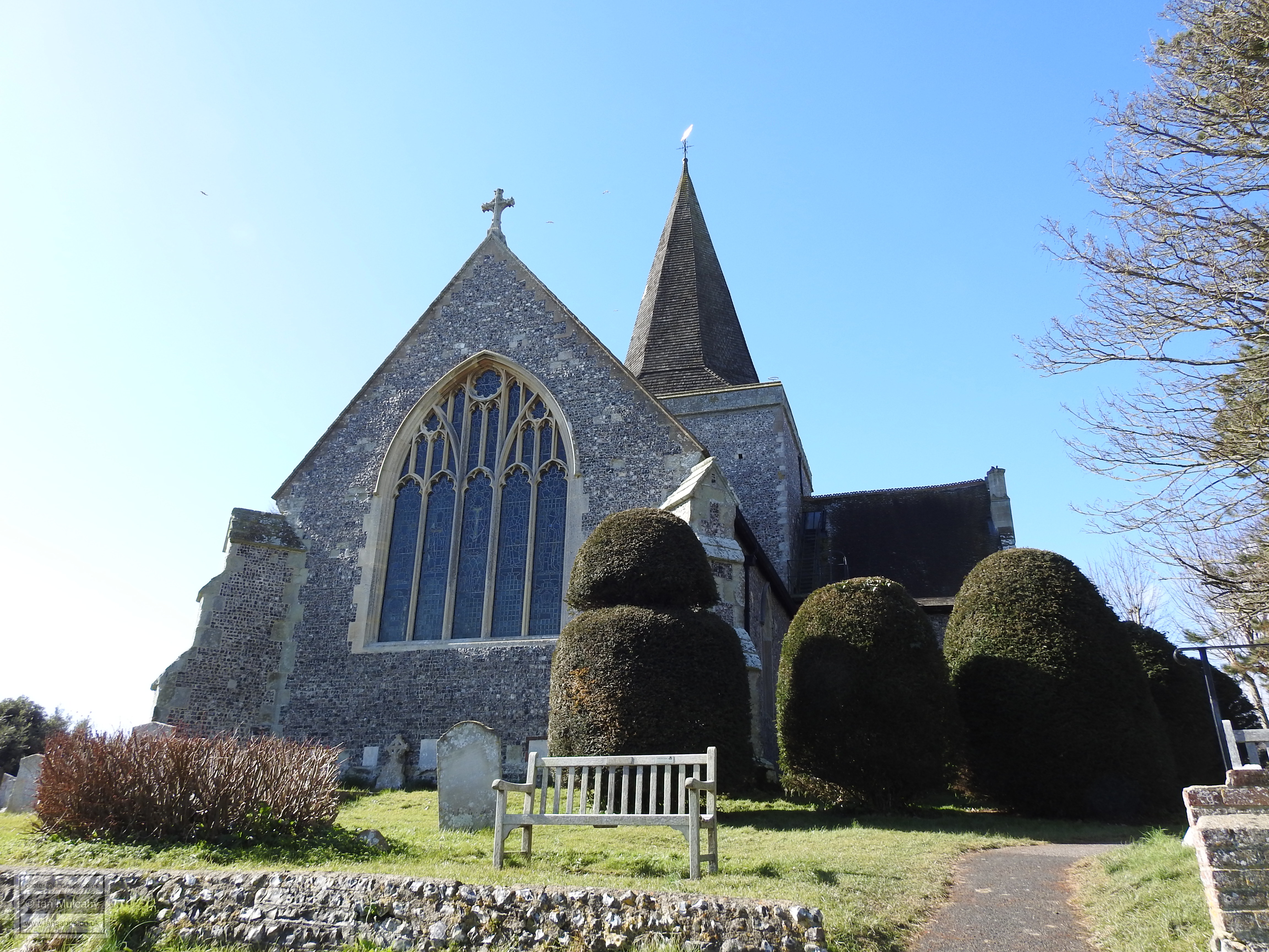
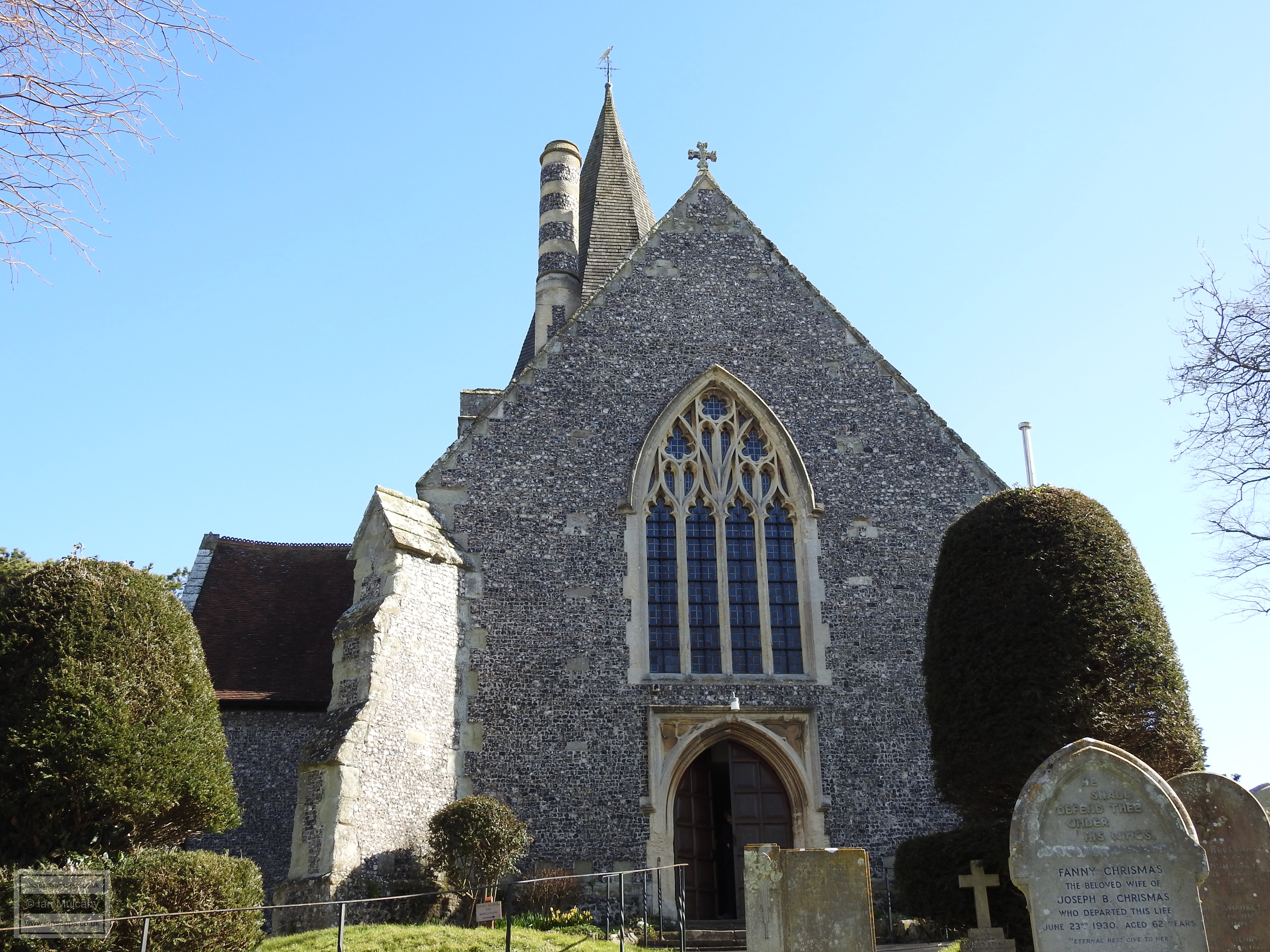
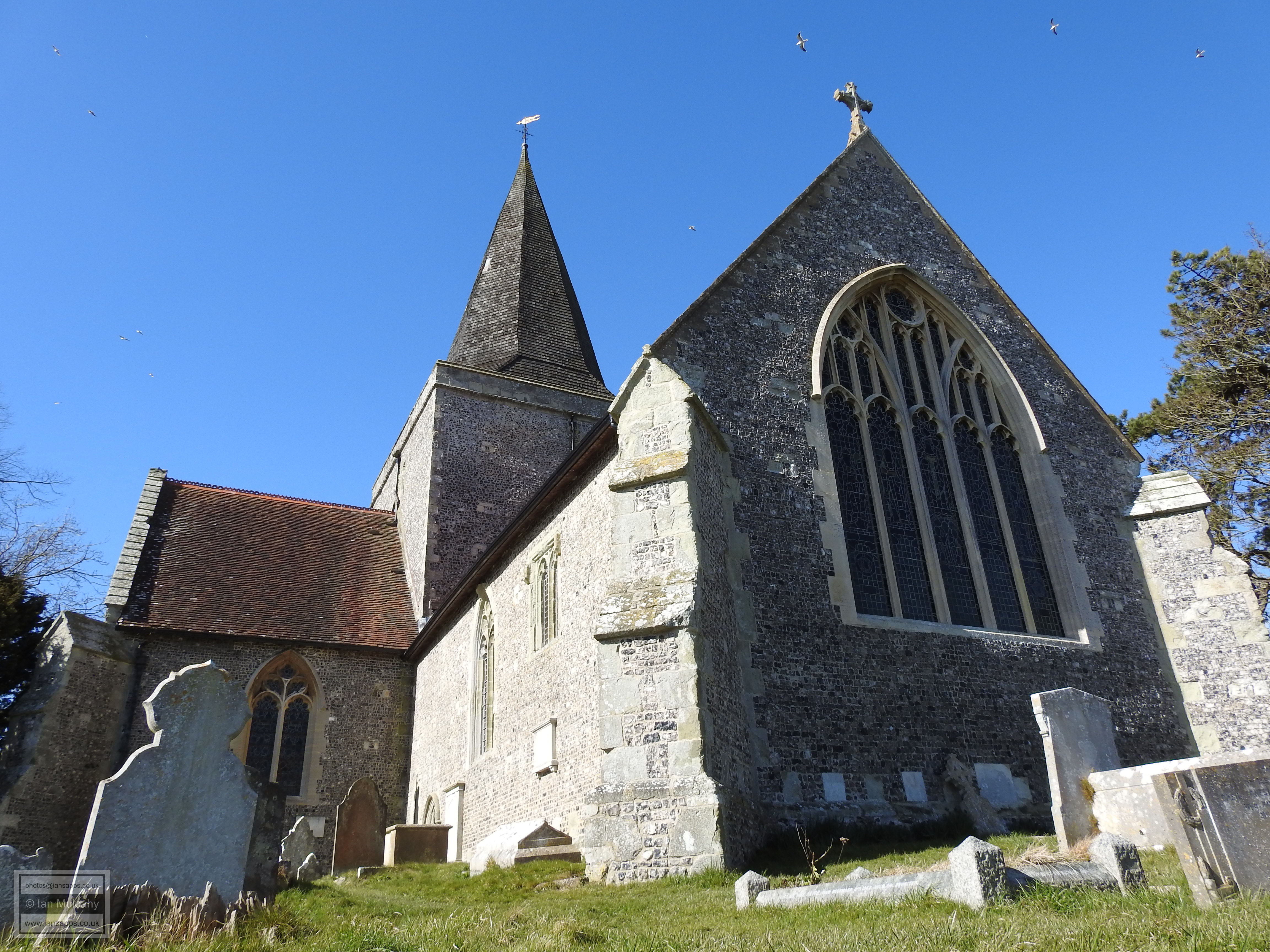
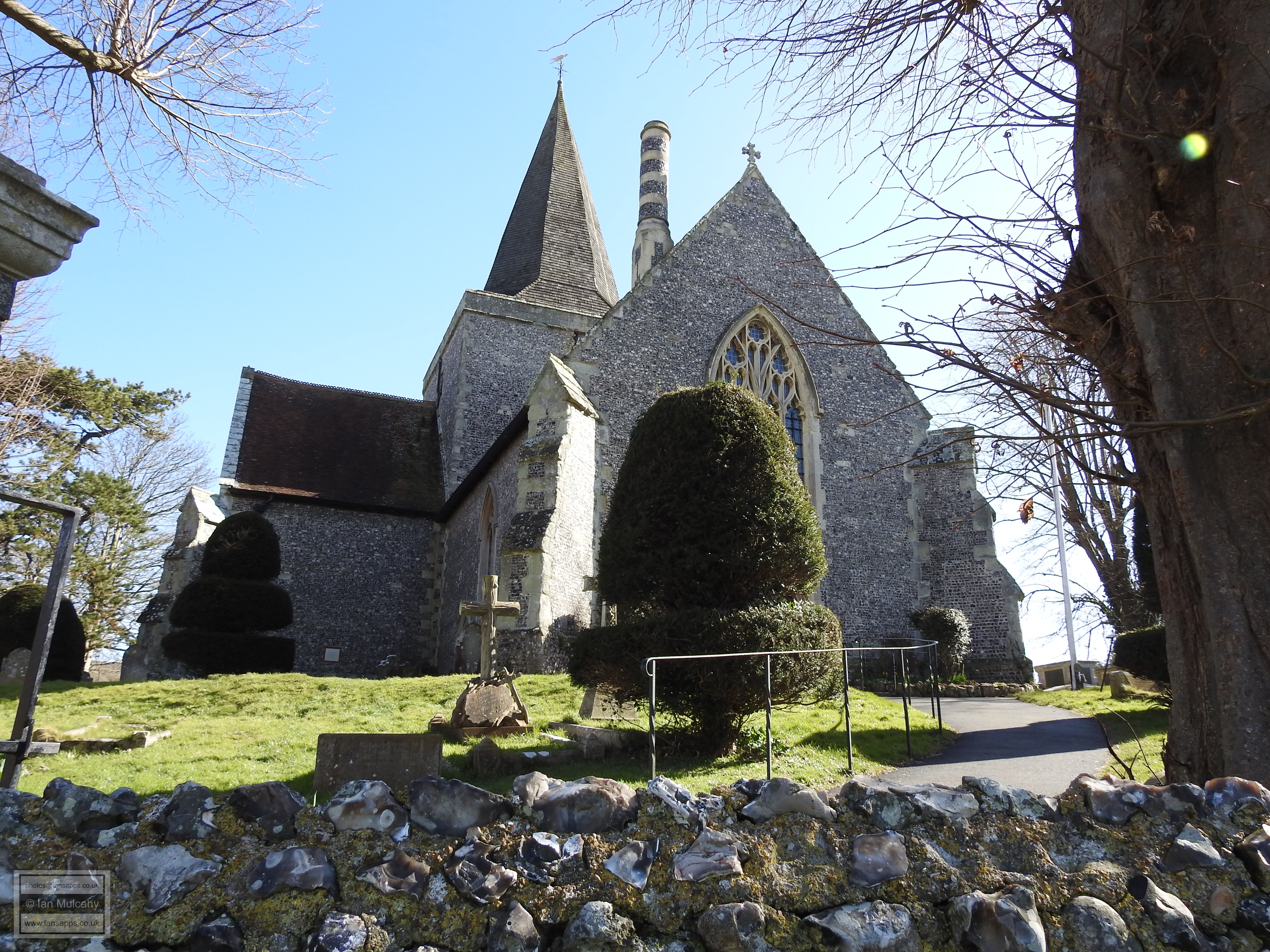
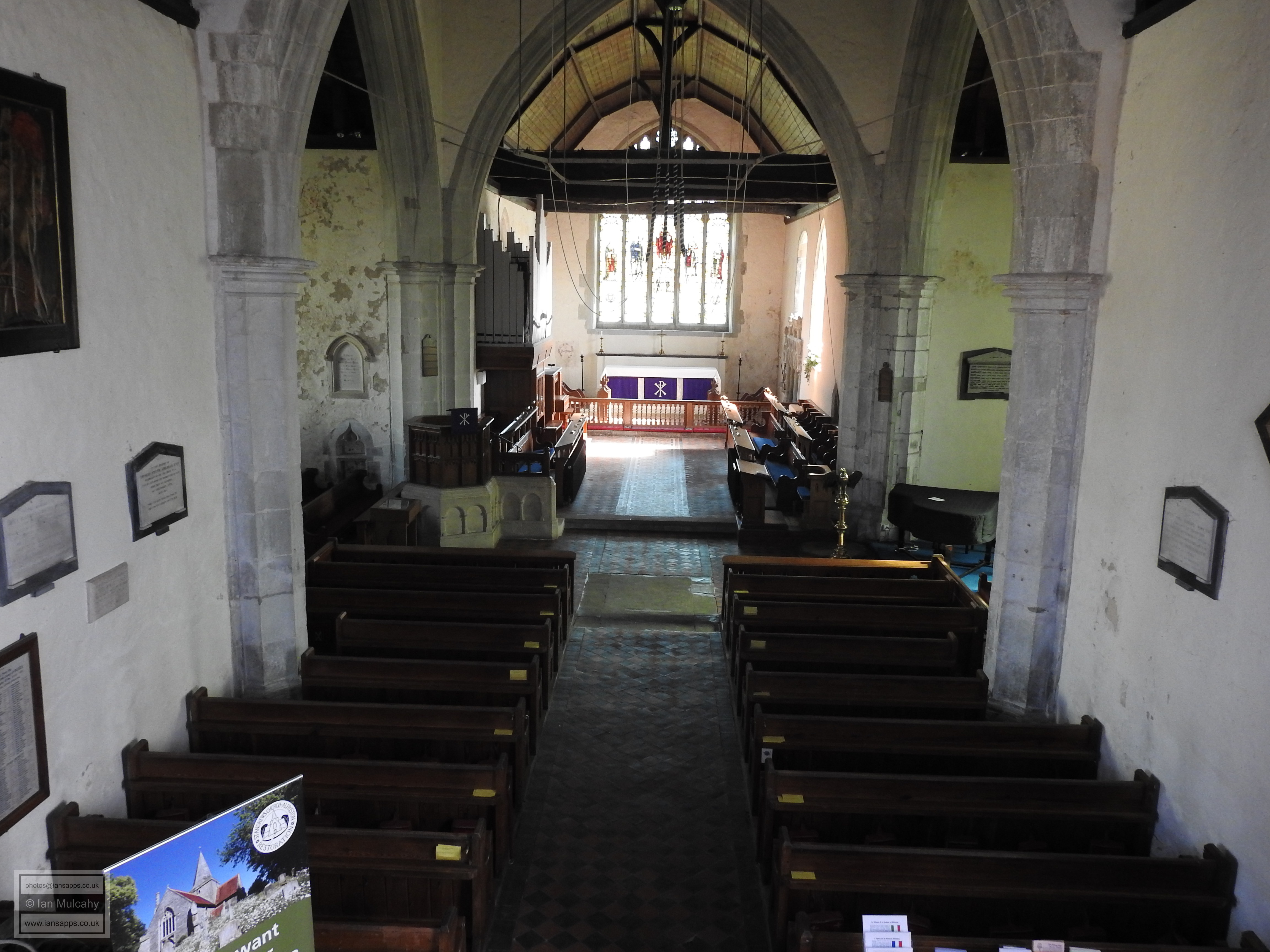
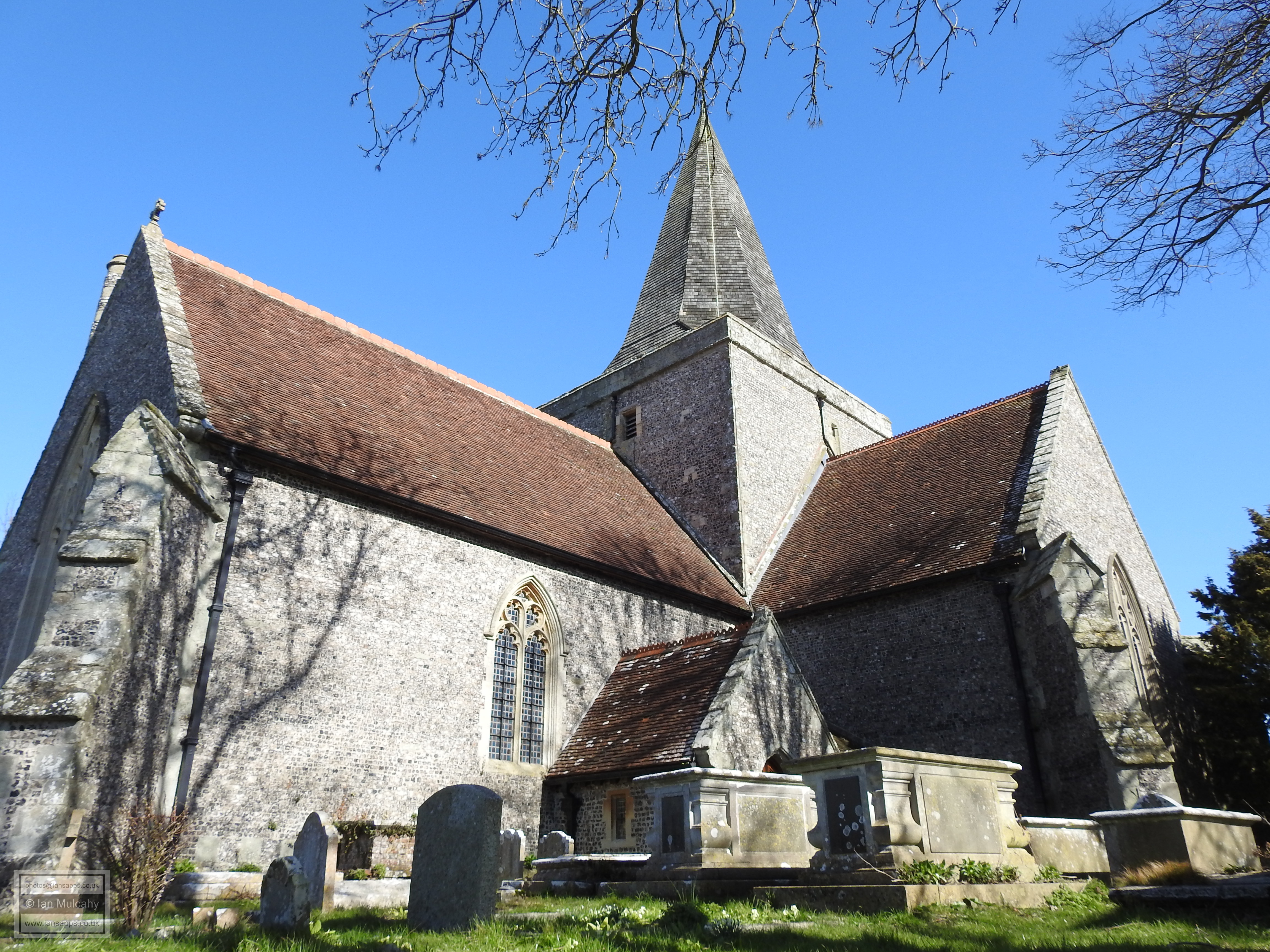
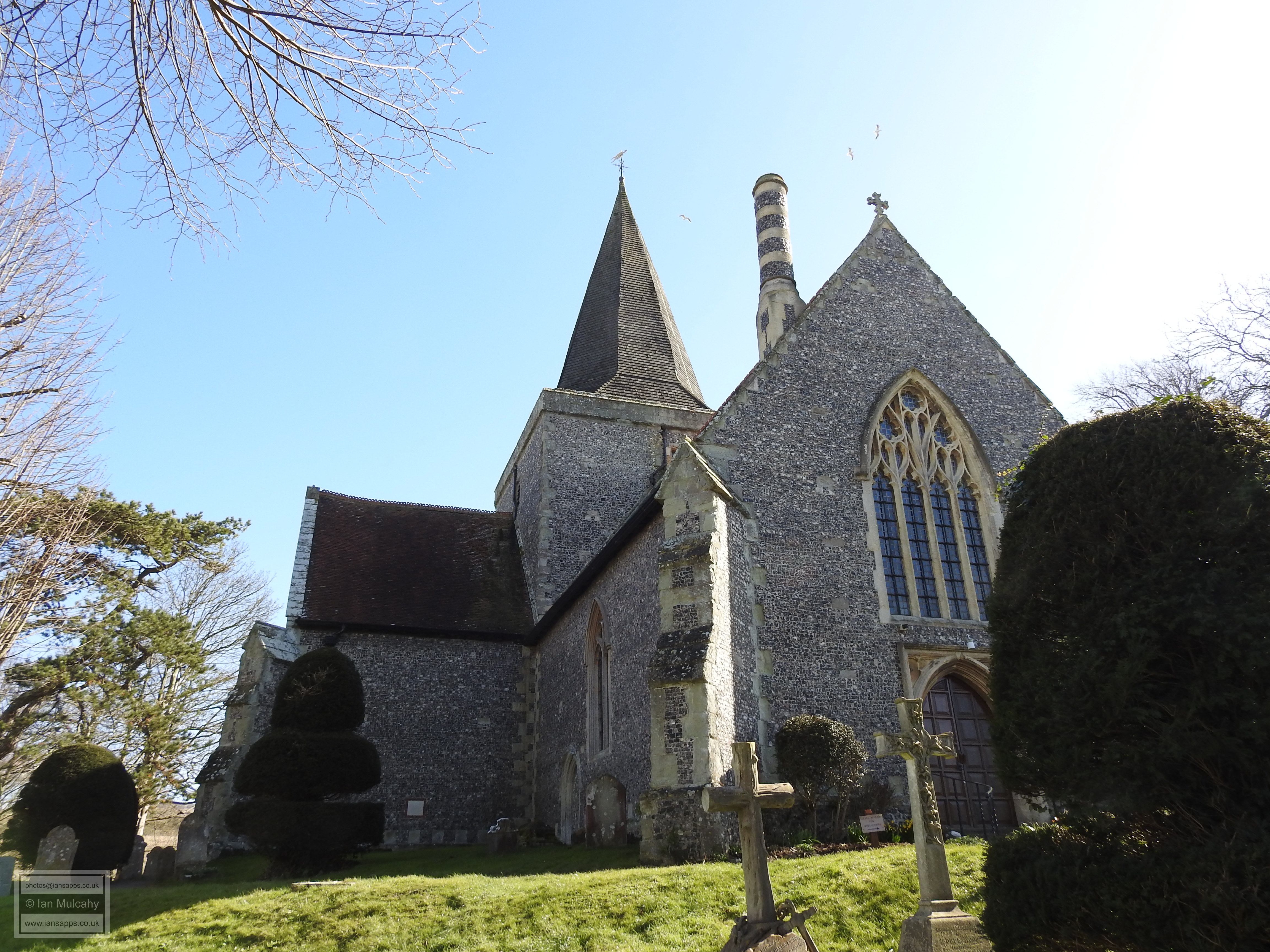
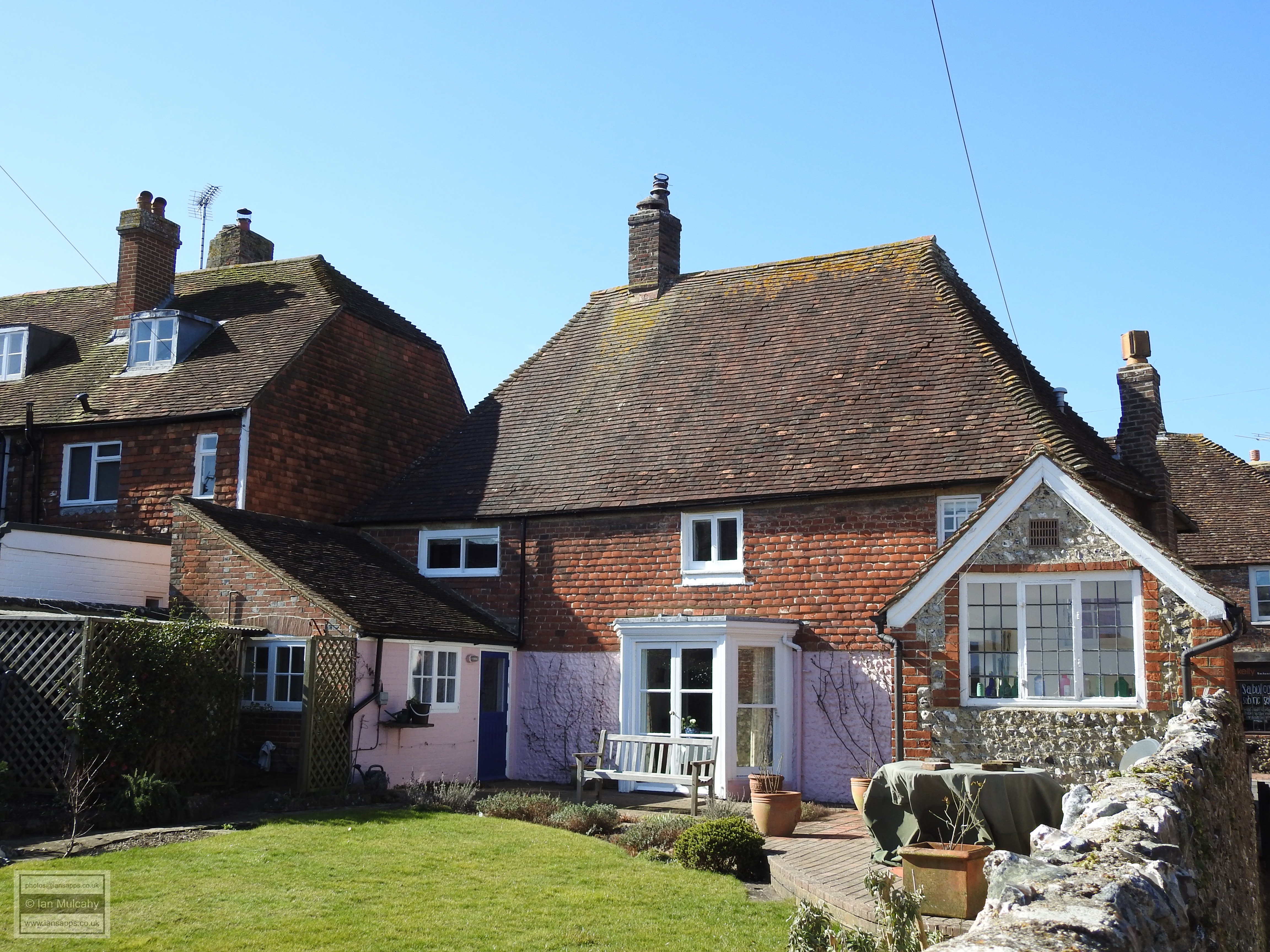
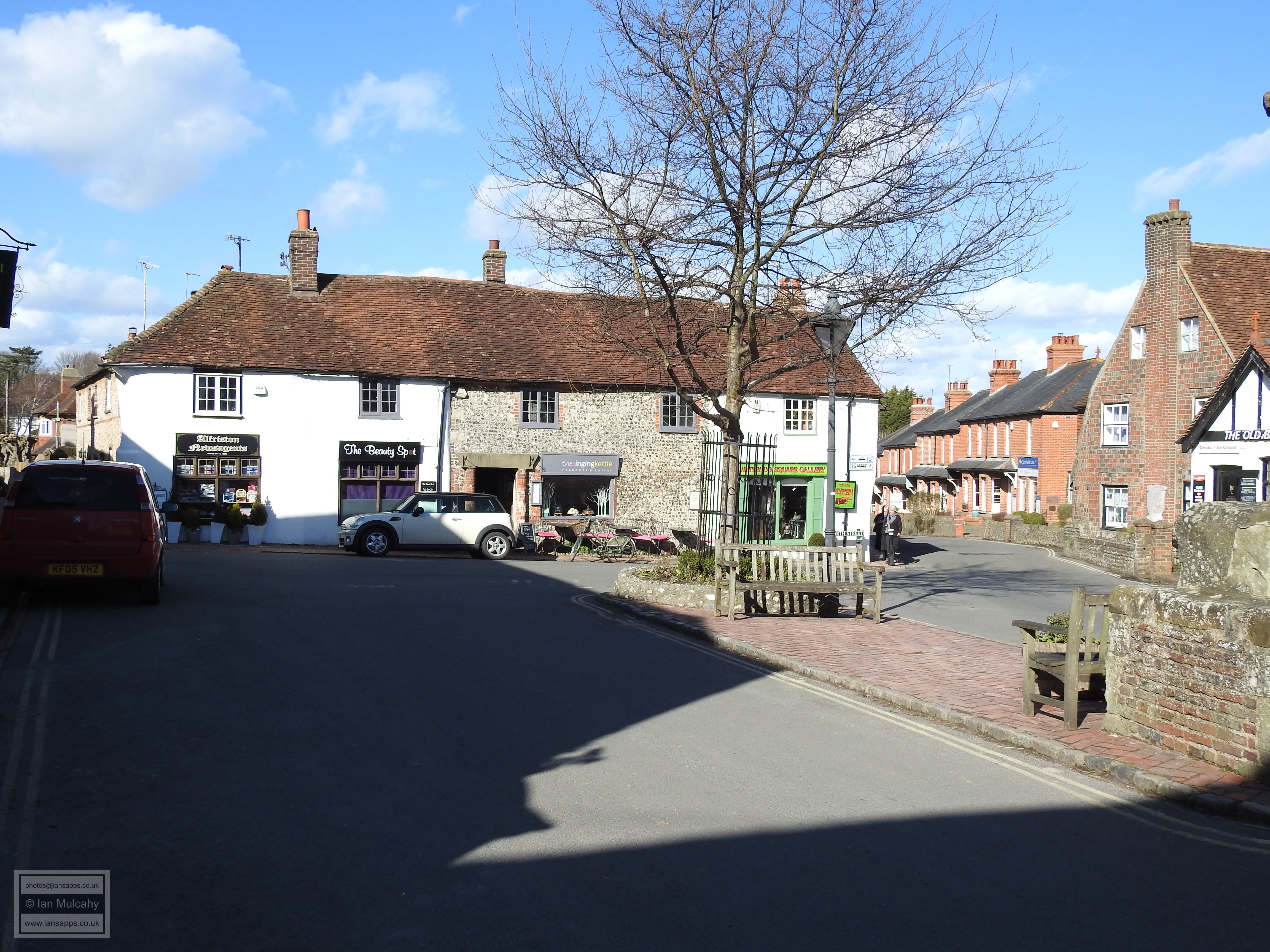
With the mass development and expansion of towns and villages across Sussex in the period from the mid 1800s to the outbreak of World War 2 having passed the village by, the layout of the centre of modern day Alfriston is broadly similar to that which the Tudor inhabitants of the village would have known and one can confidently say that this layout hosts one of the best preserved groups of medieval and Tudor buildings in Sussex. Having parked the car in a tourist car park a little north of the village, we will start our walk on The Tye (the village green) to the west of the village and close to the river where the oldest identified building in the village, St Andrew's Church, stands on a small man made mound enclosed by a flint wall; earthworks which predate the current church. The first documented evidence of a church at Alfriston is in Pope Nicholas IV Taxatio, a record of ecclesiastical property in England and Wales compiled in 1291/2. No evidence remains, or has been found at least, of this church though the assumption must be that it stood on the site of the current structure. Known as ‘The Cathedral of The Downs’, the huge building was constructed in 1360 and has changed little since. Who commissioned such a large church to serve such a small village, and why, remains unknown. The Church was granted to the nearby Michelham Priory in 1398 before being taken for the Crown in 1536 following the dissolution. In common with many Sussex towns and villages, Alfriston had a Protestant Martyr and theirs was Richard Hook, who was burnt to death in Chichester late in 1555.
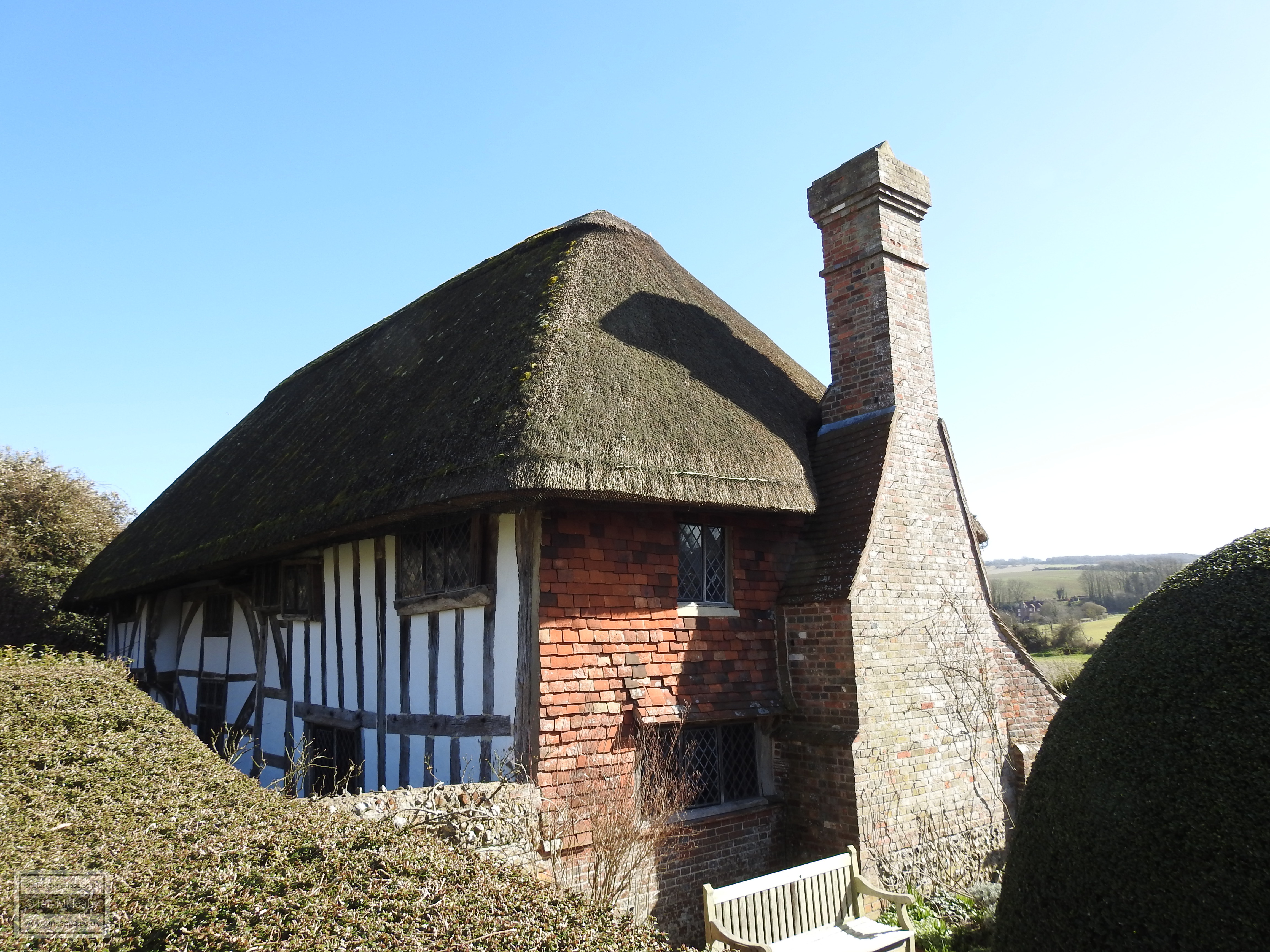
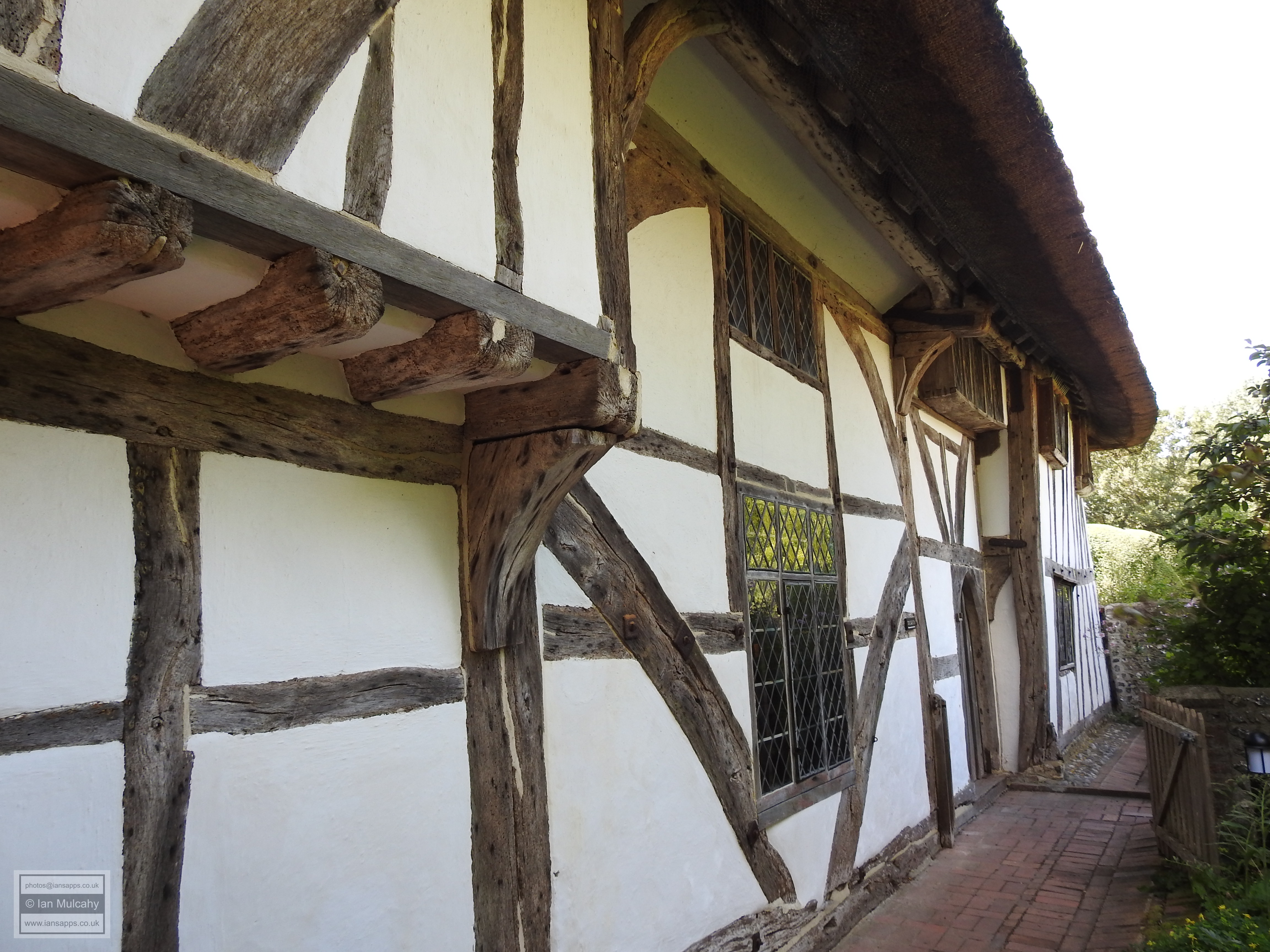
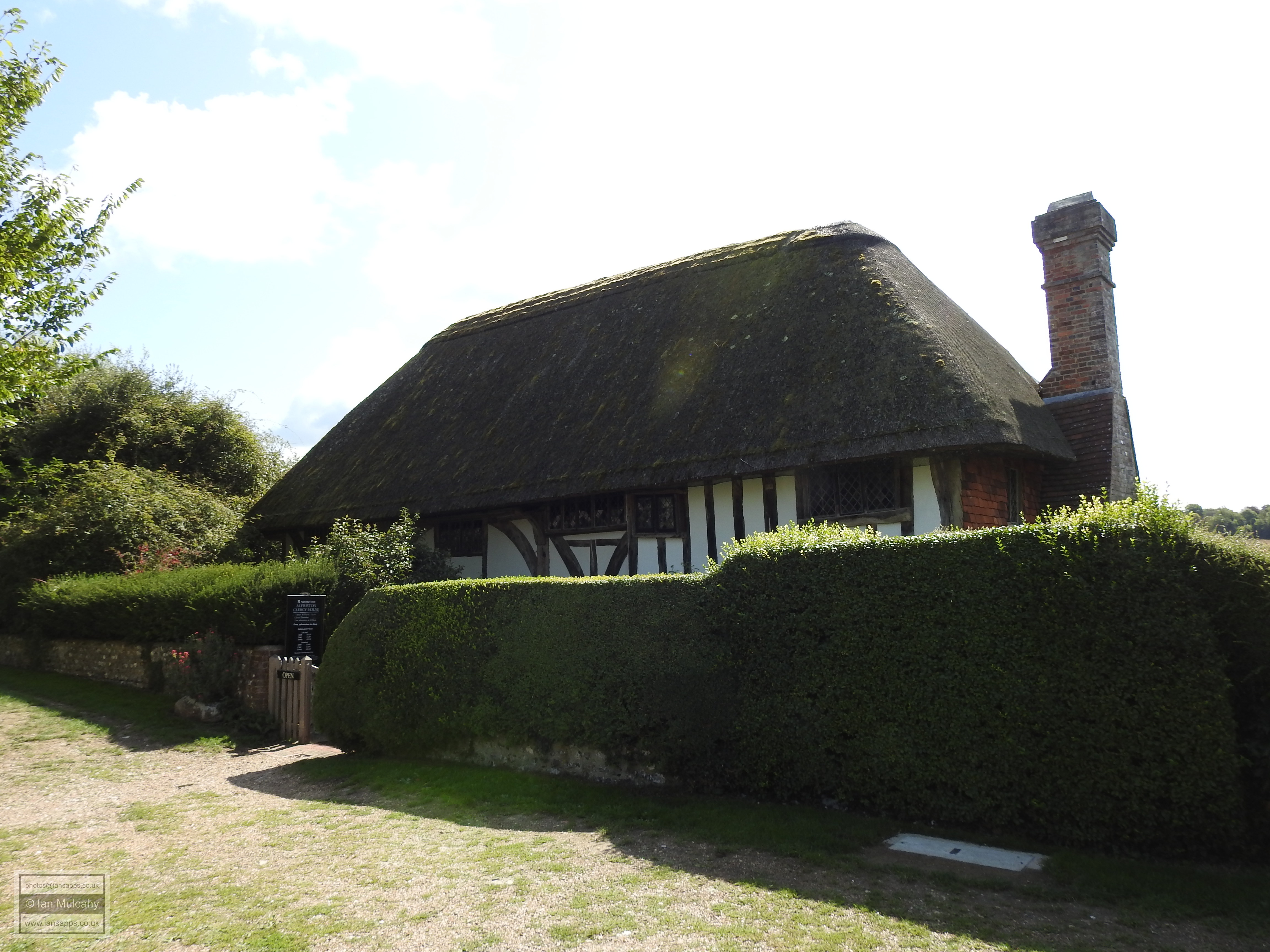
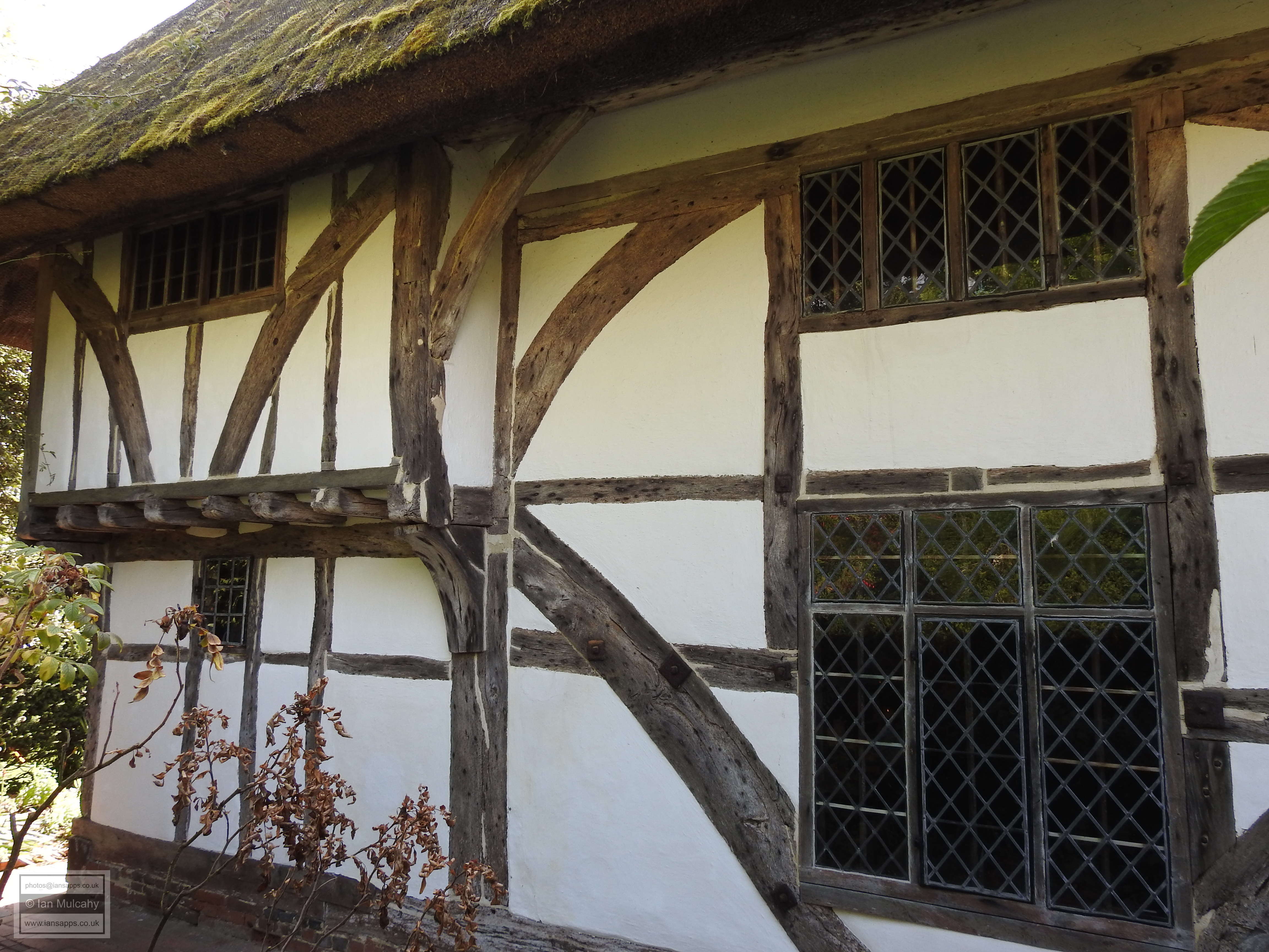
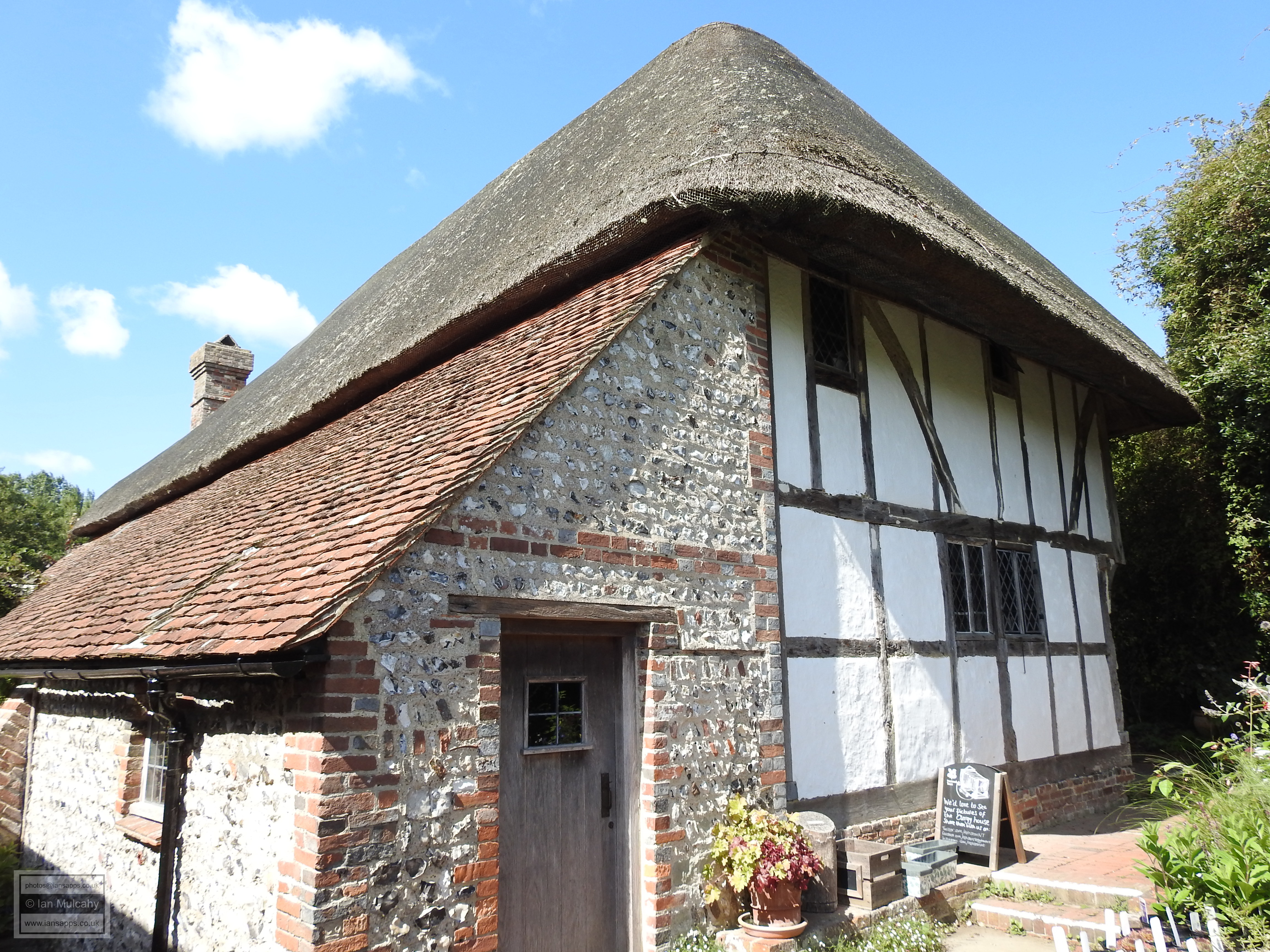
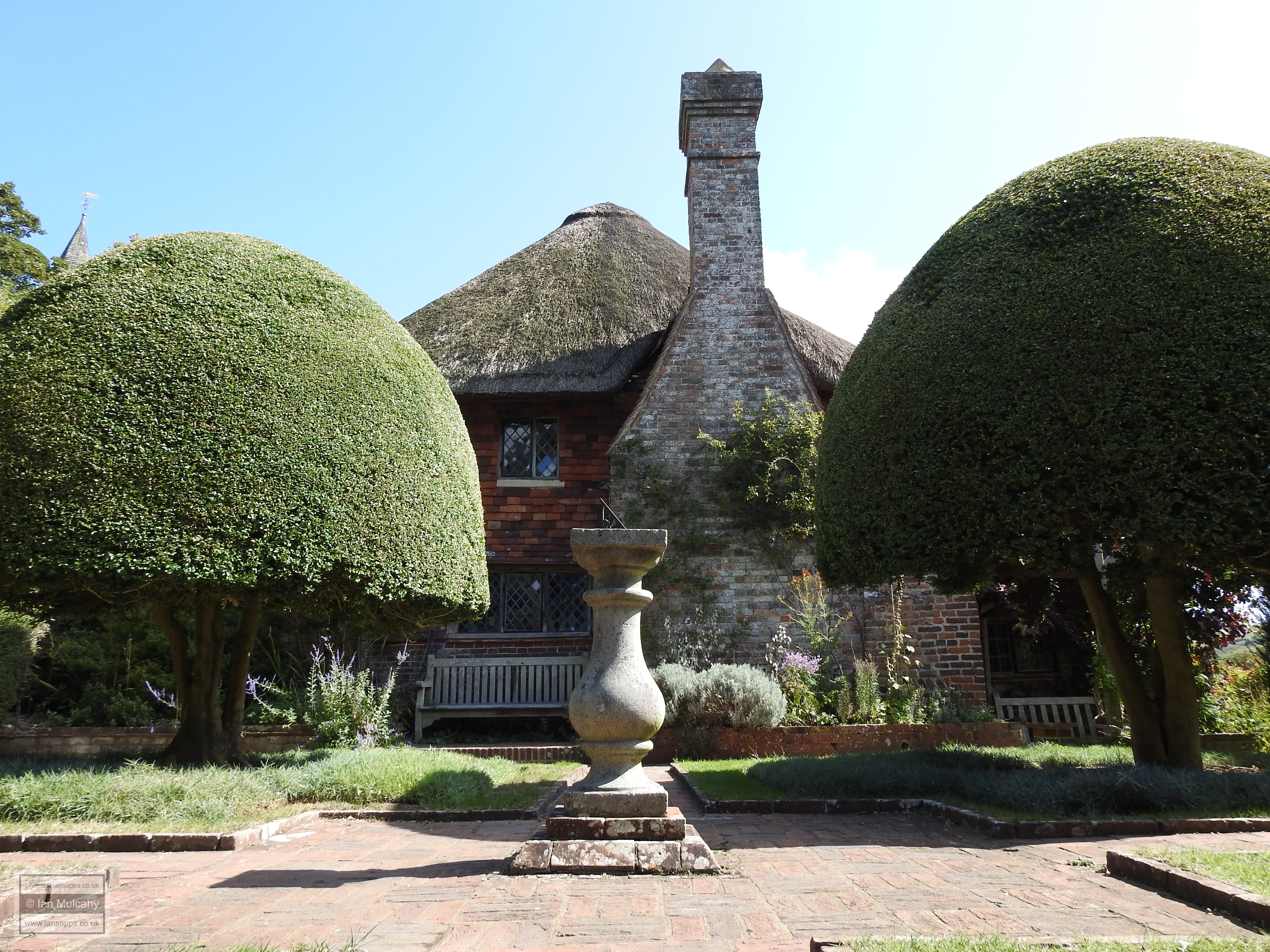
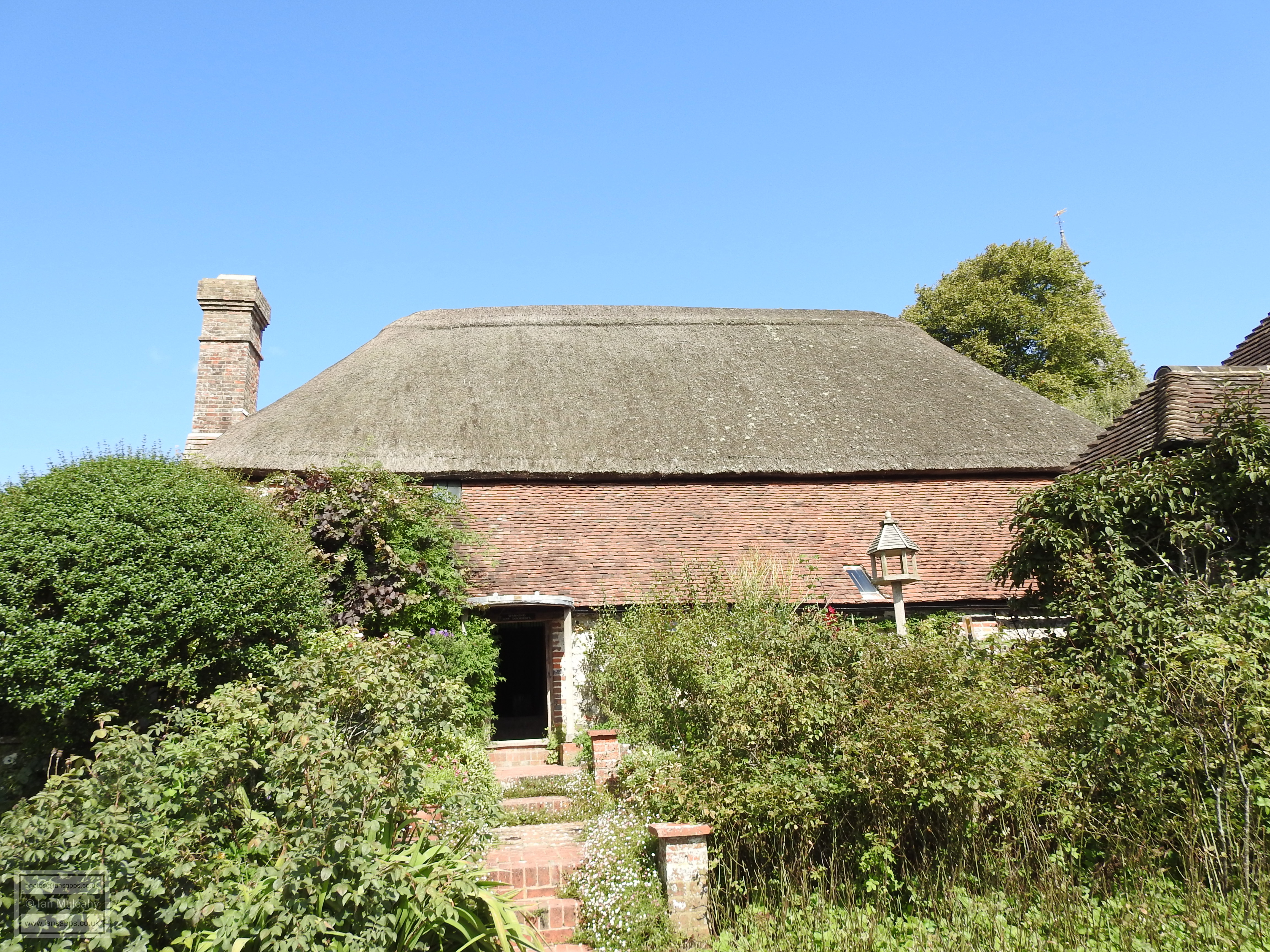
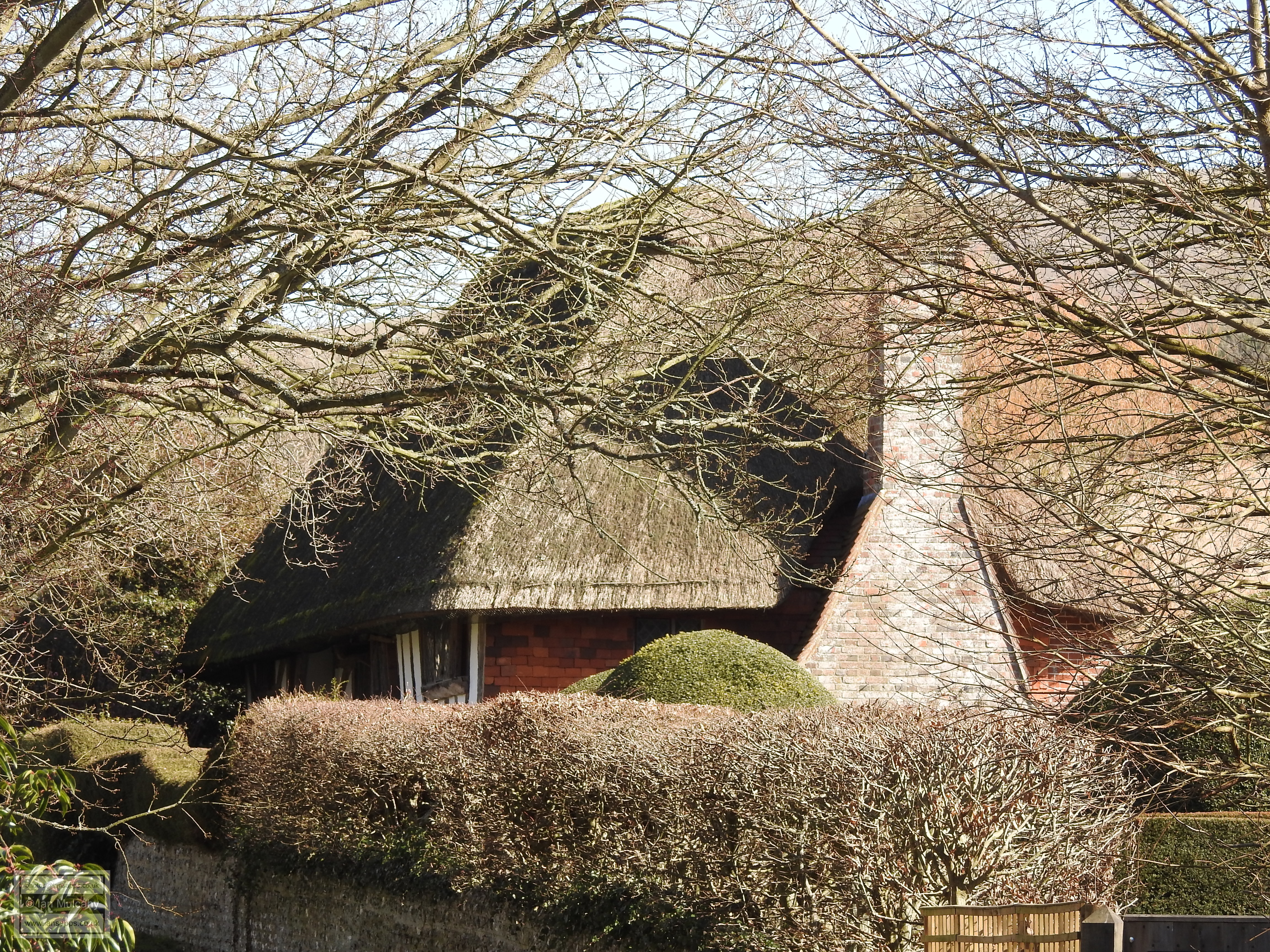
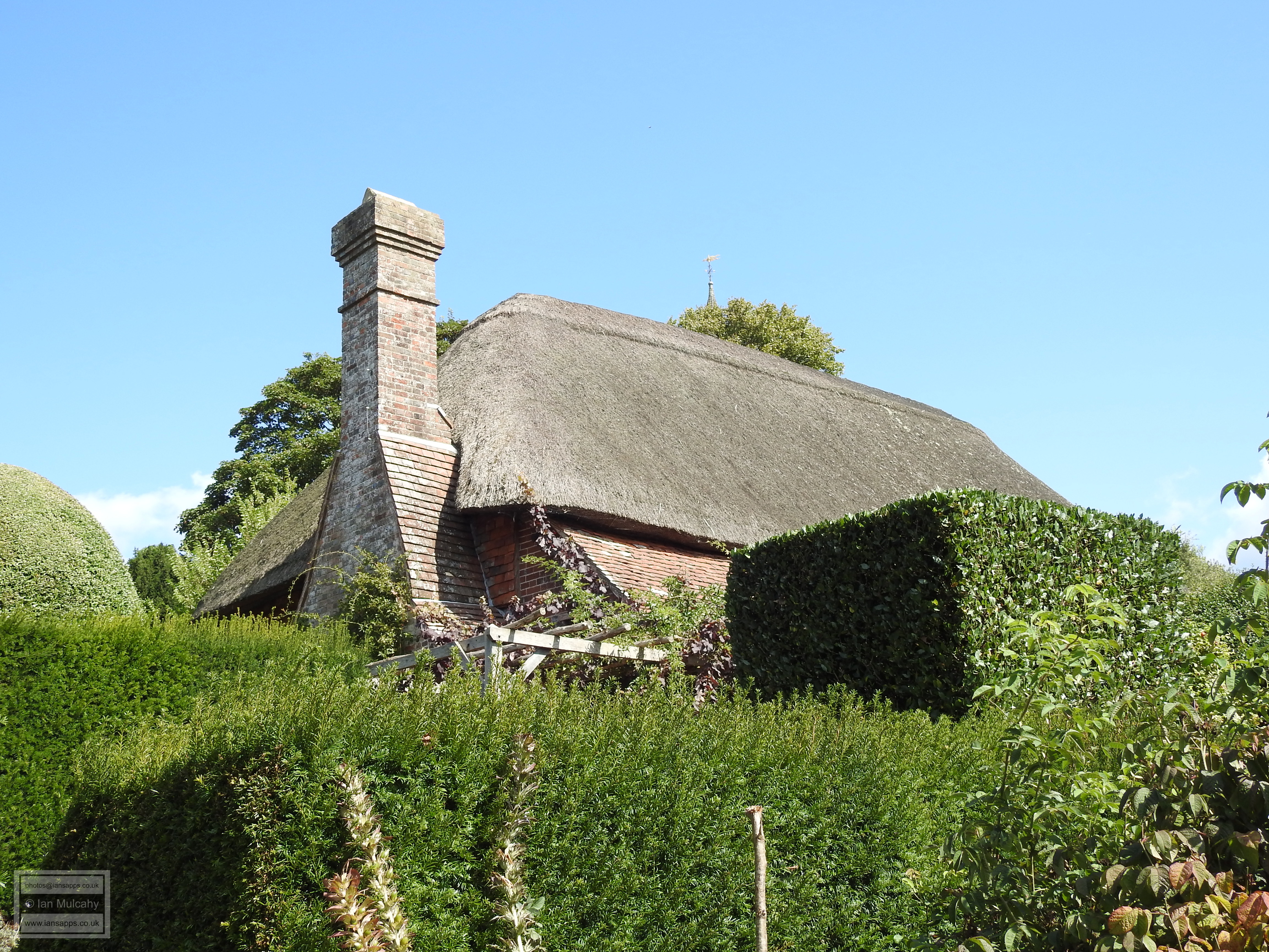
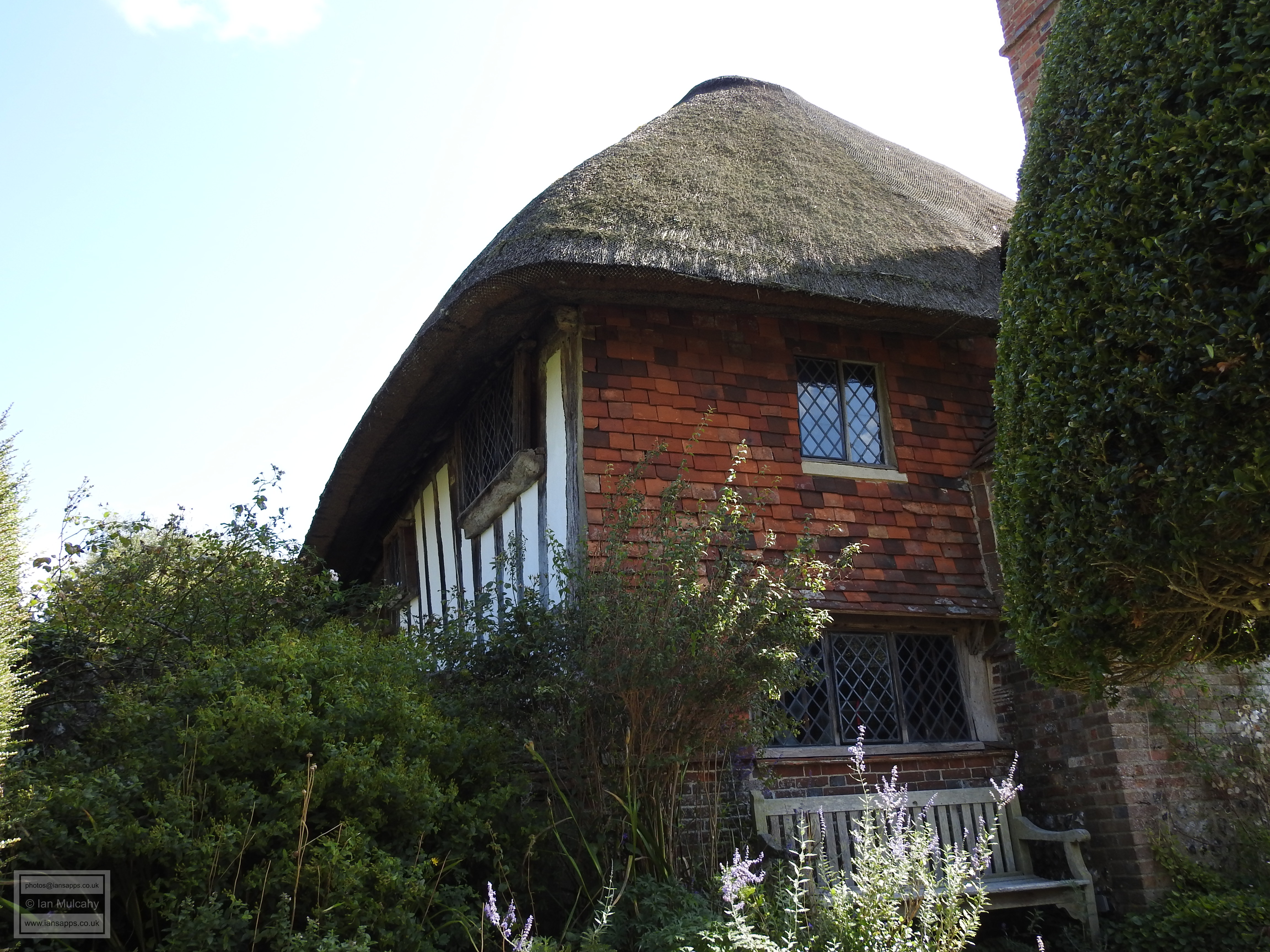
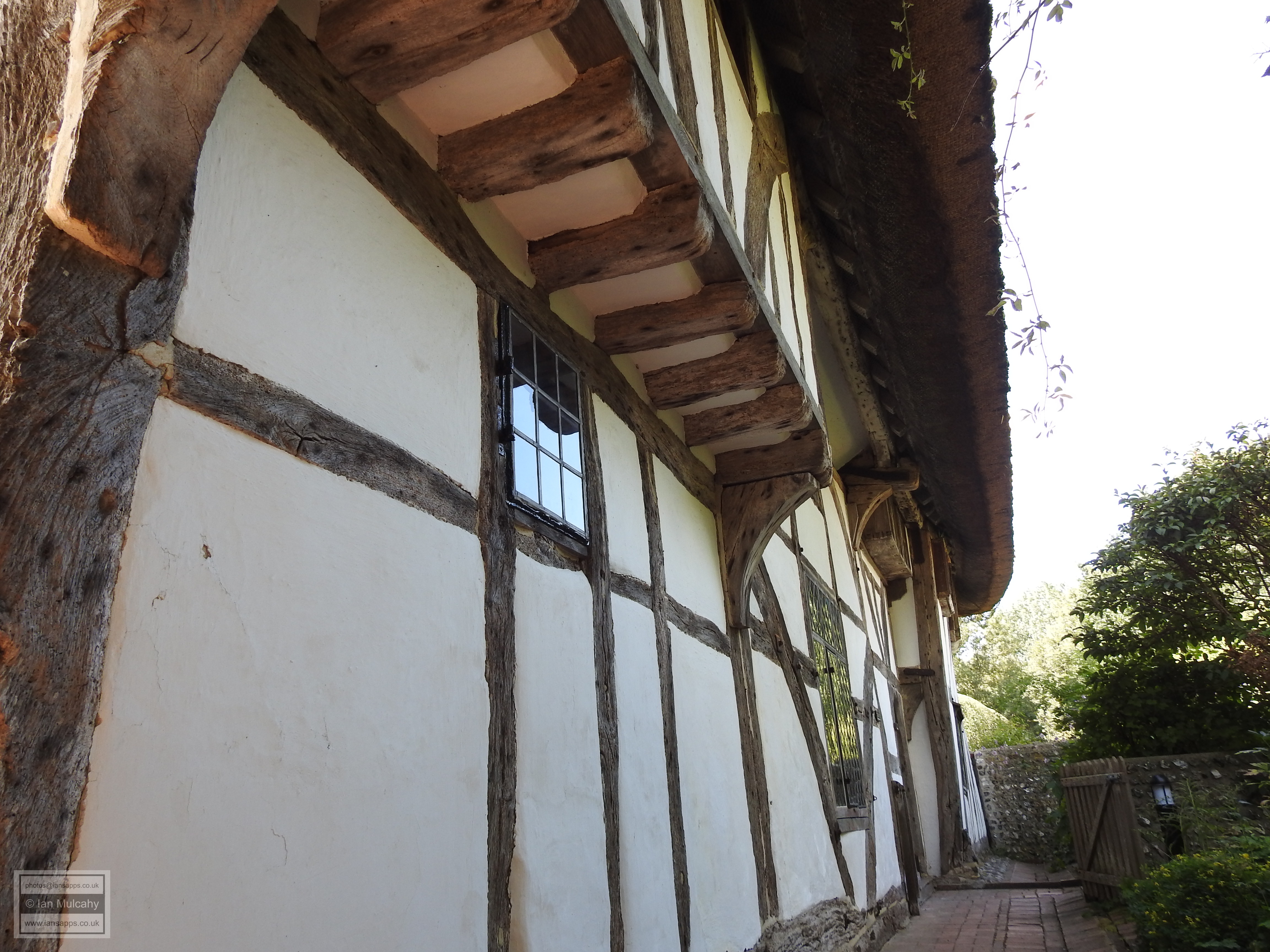
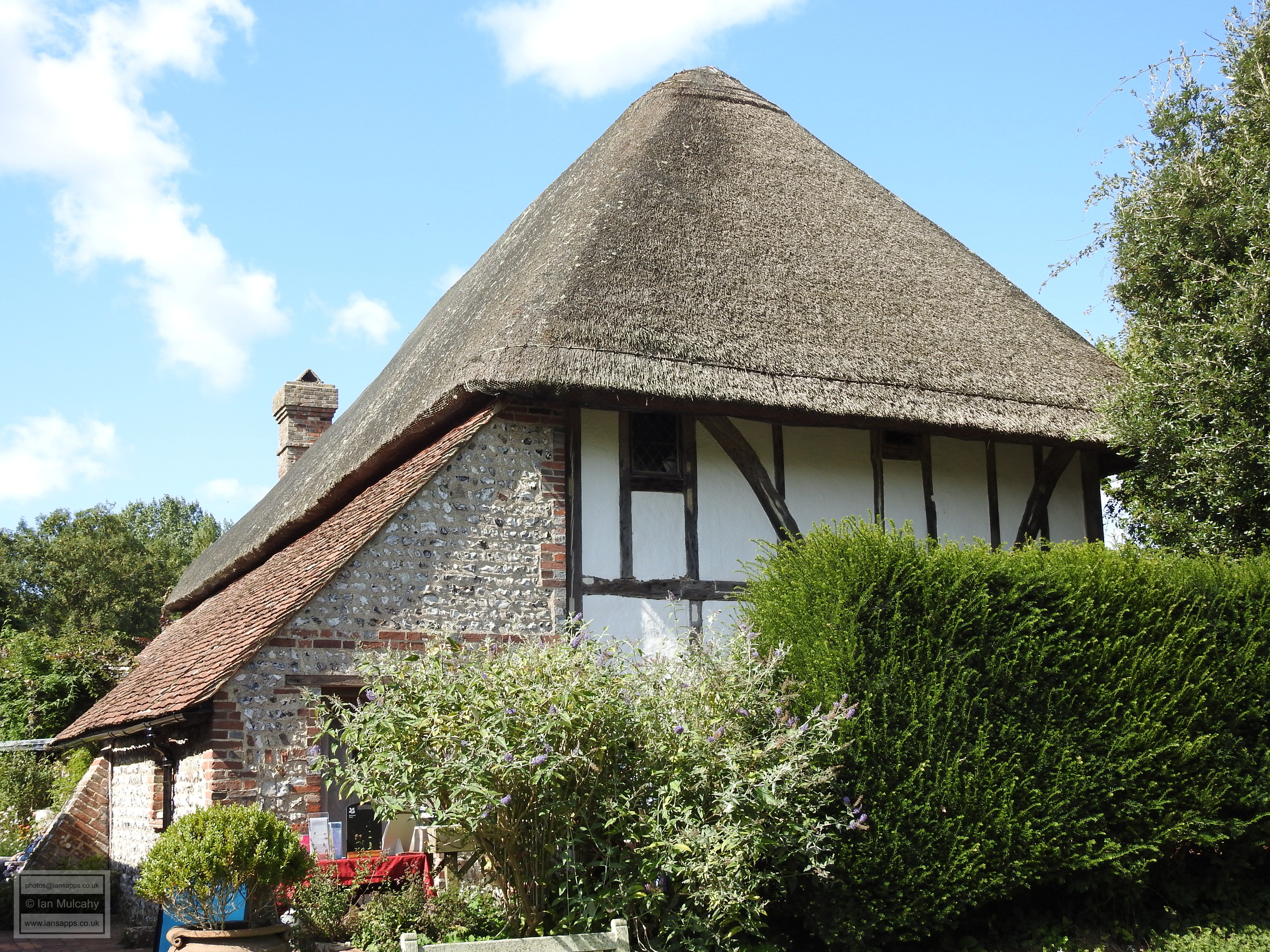
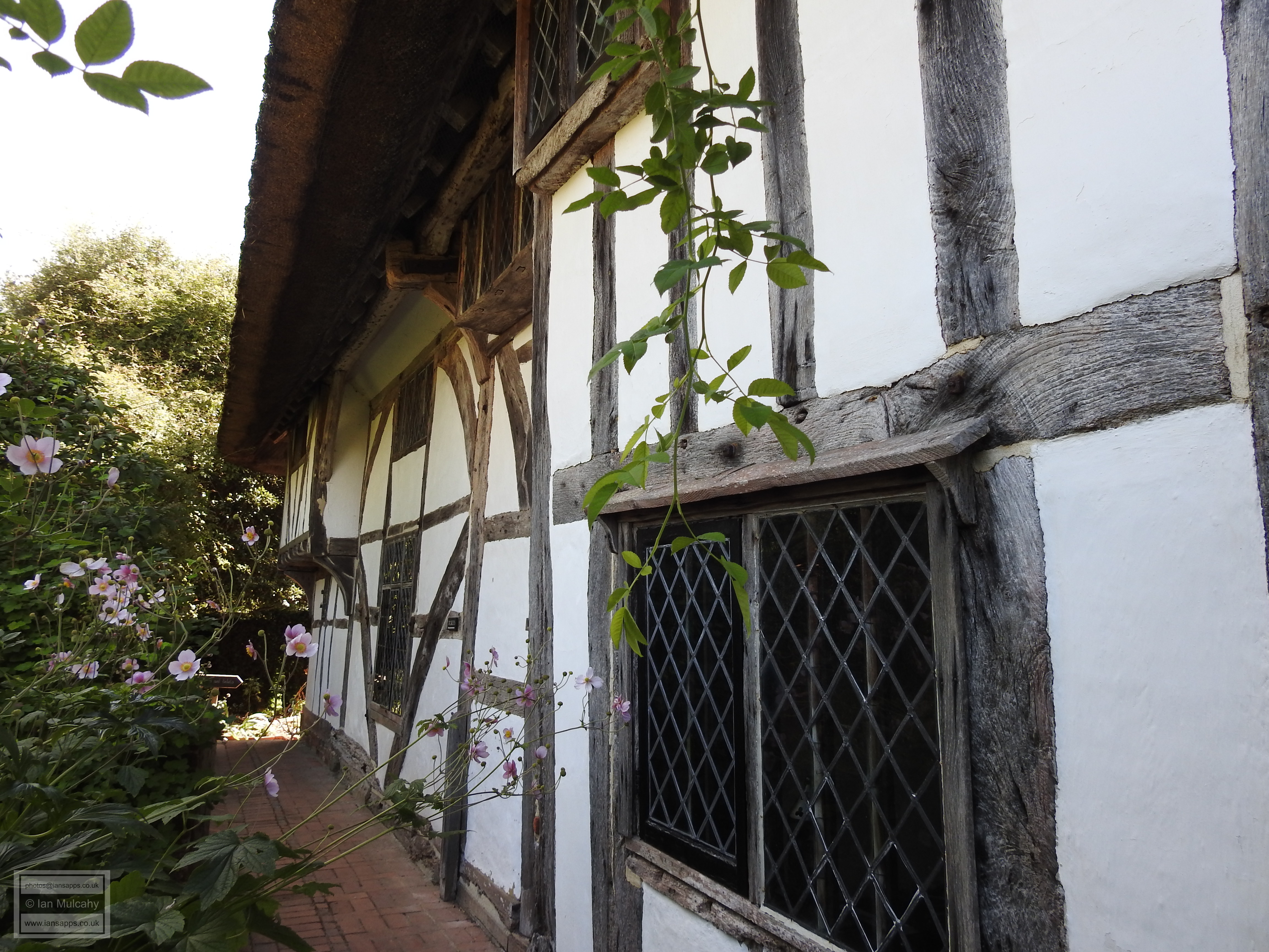
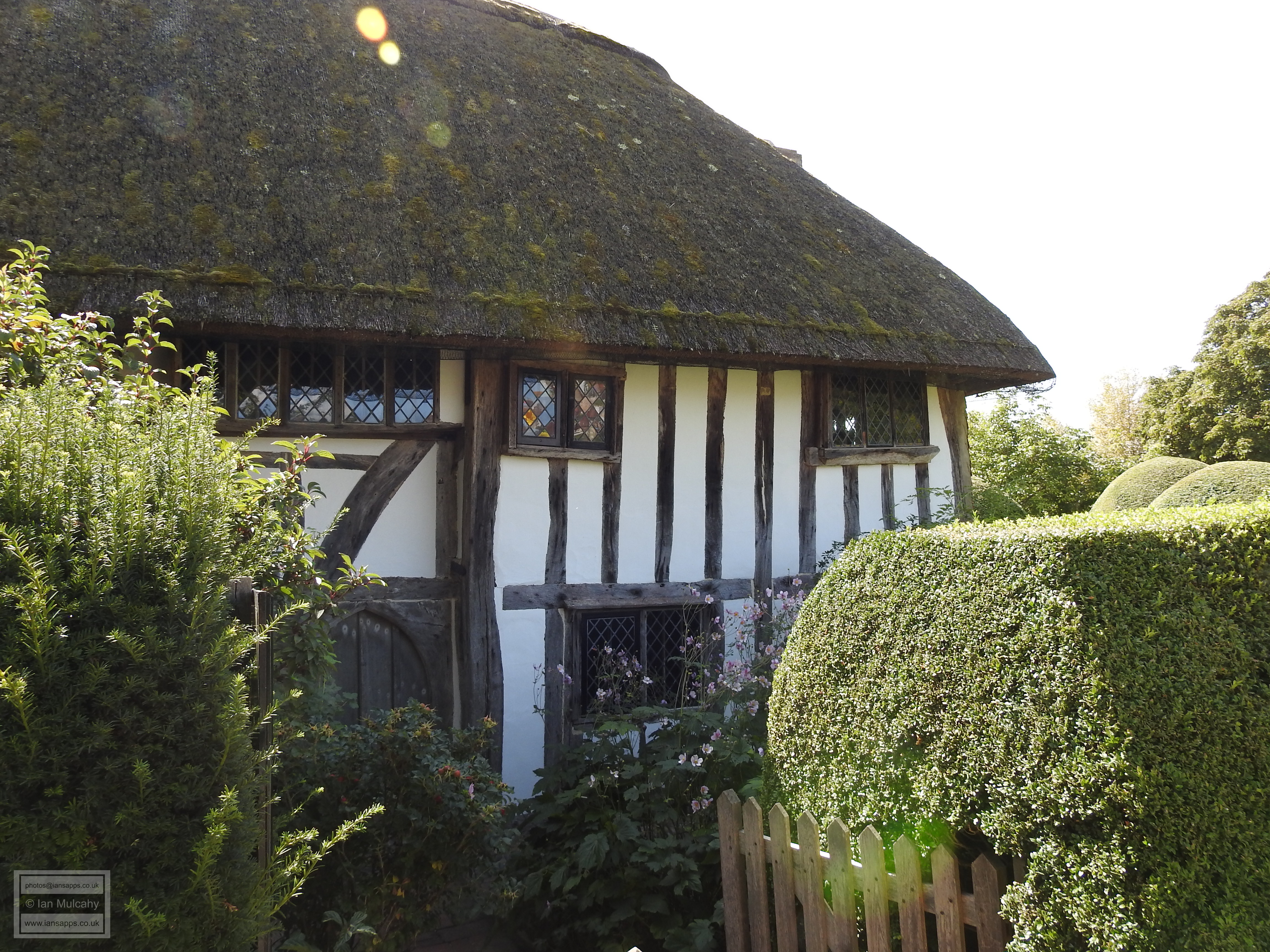
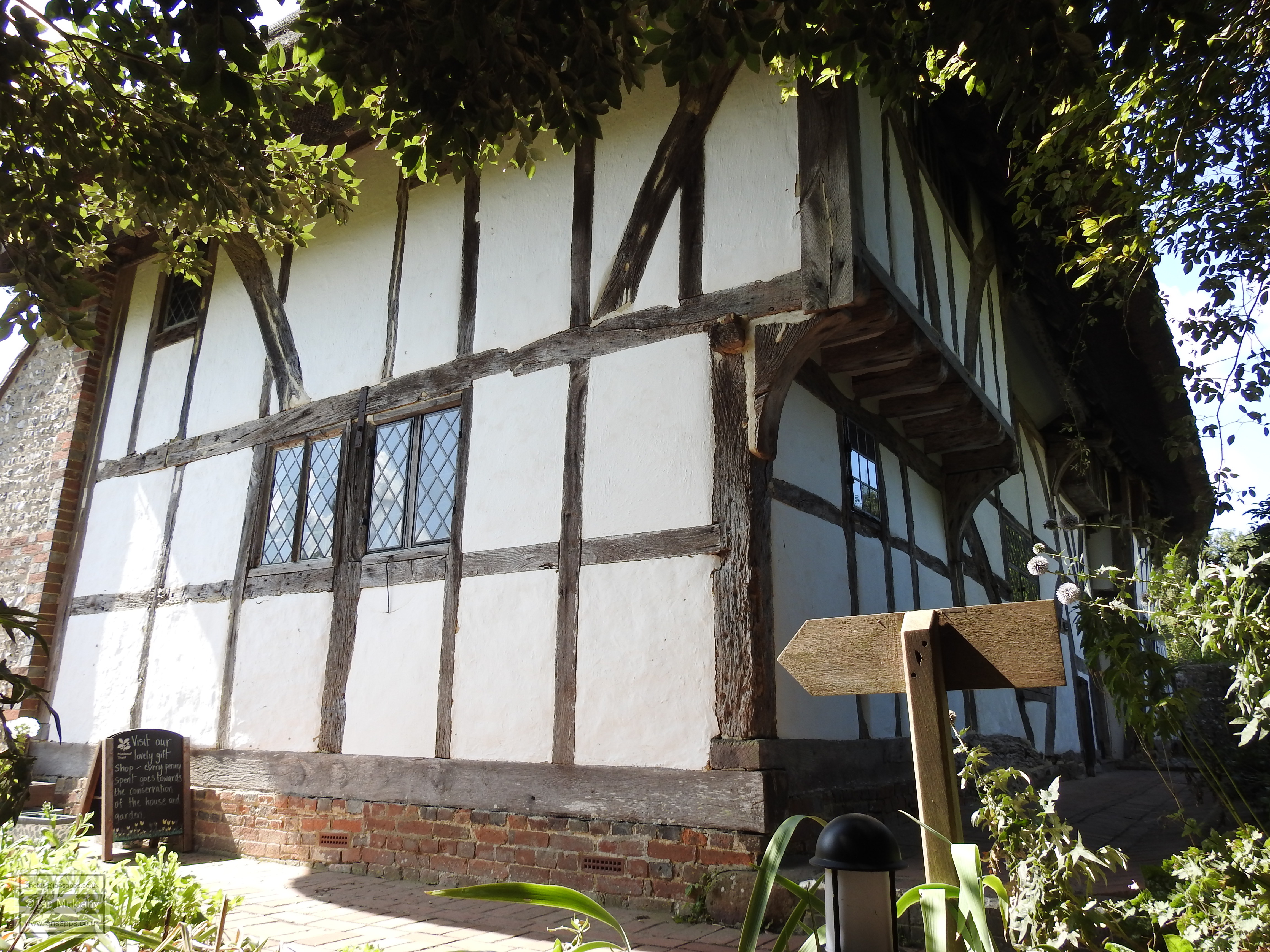
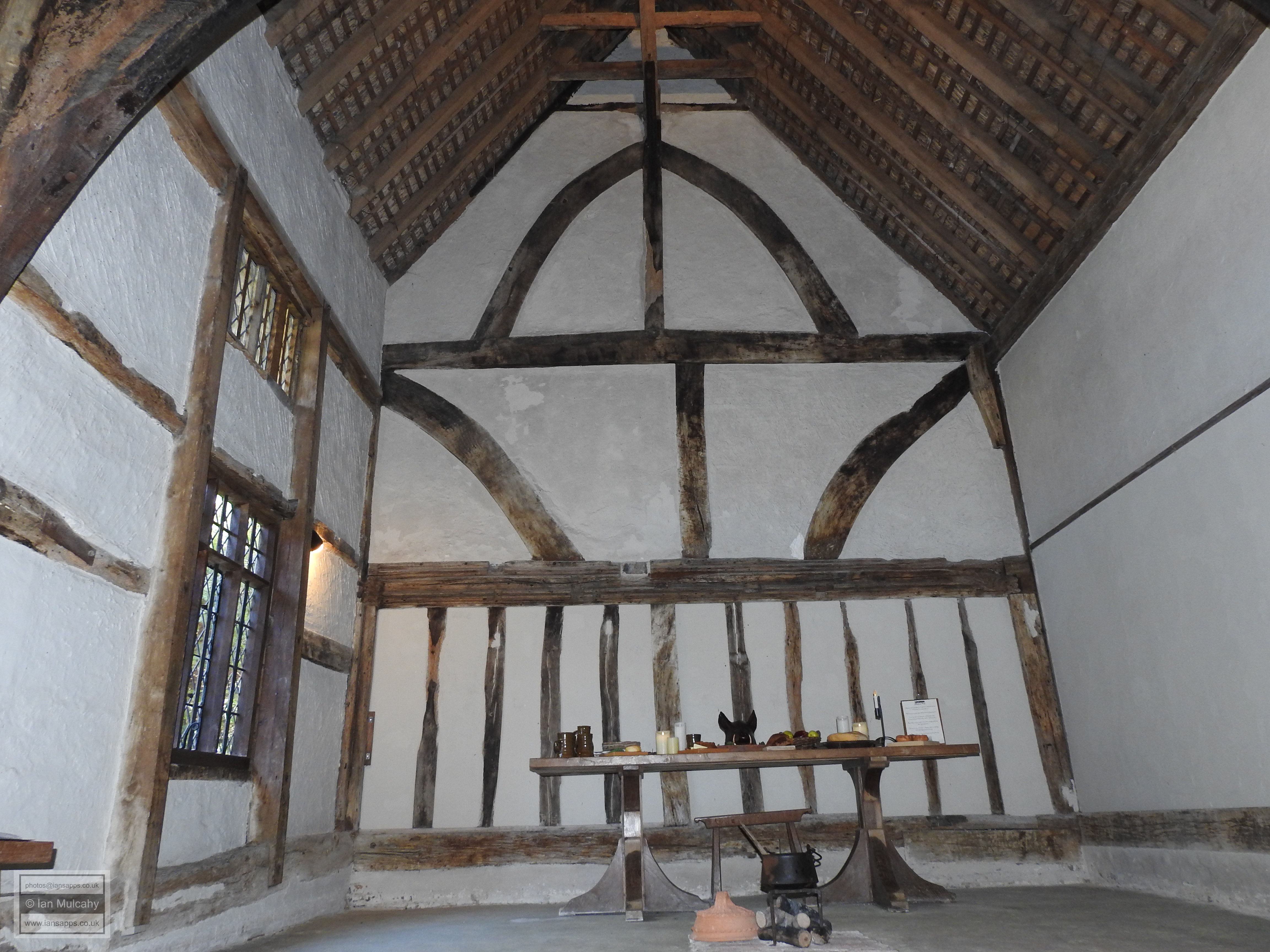
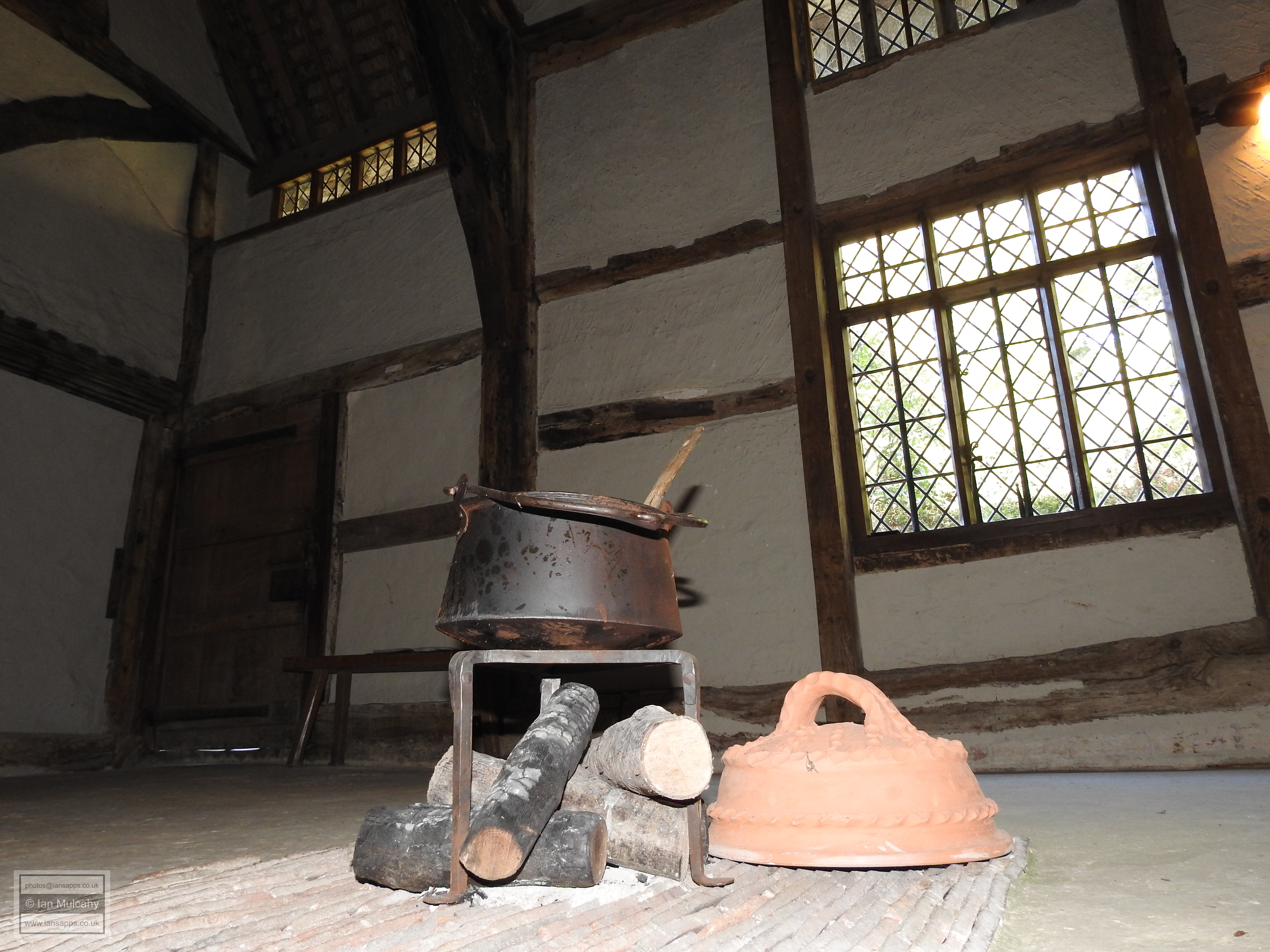
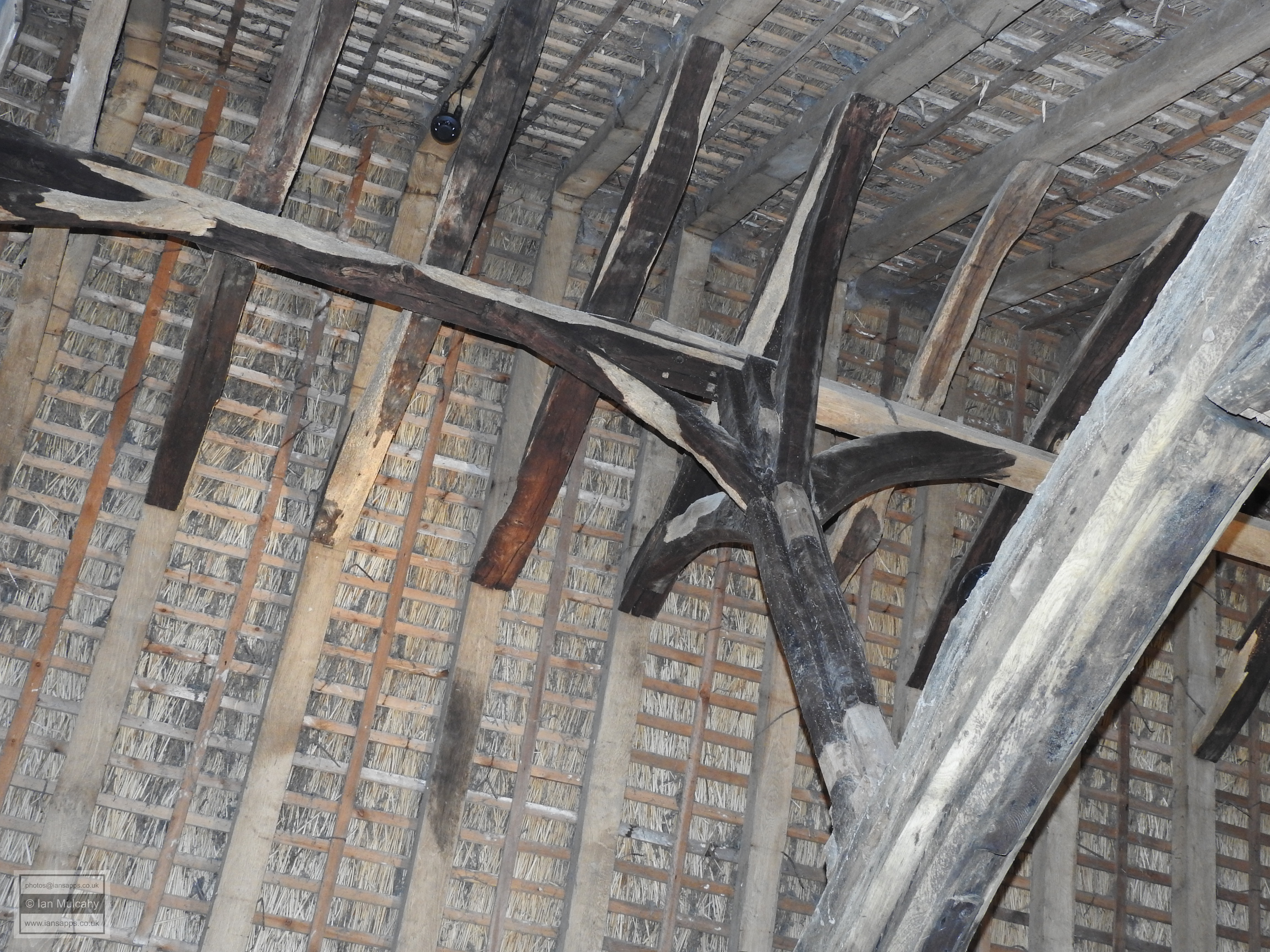
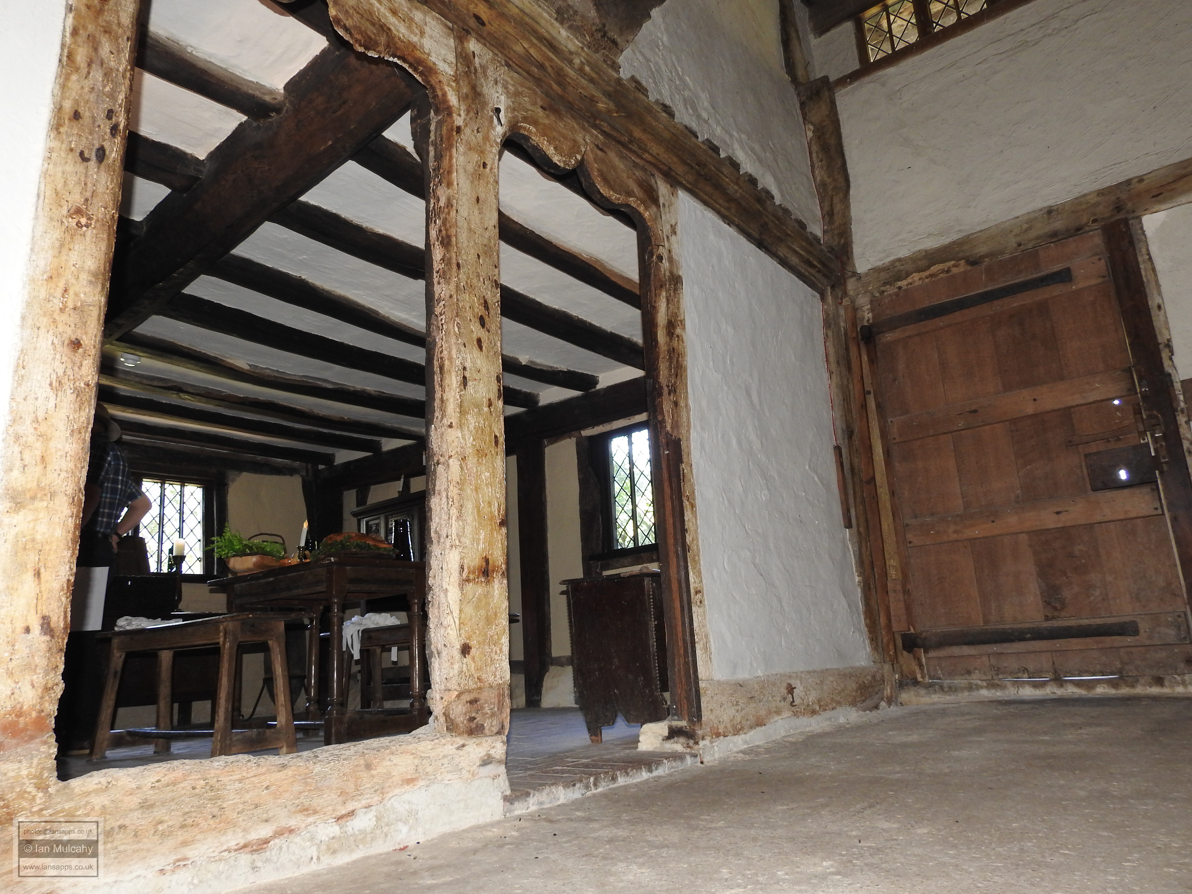
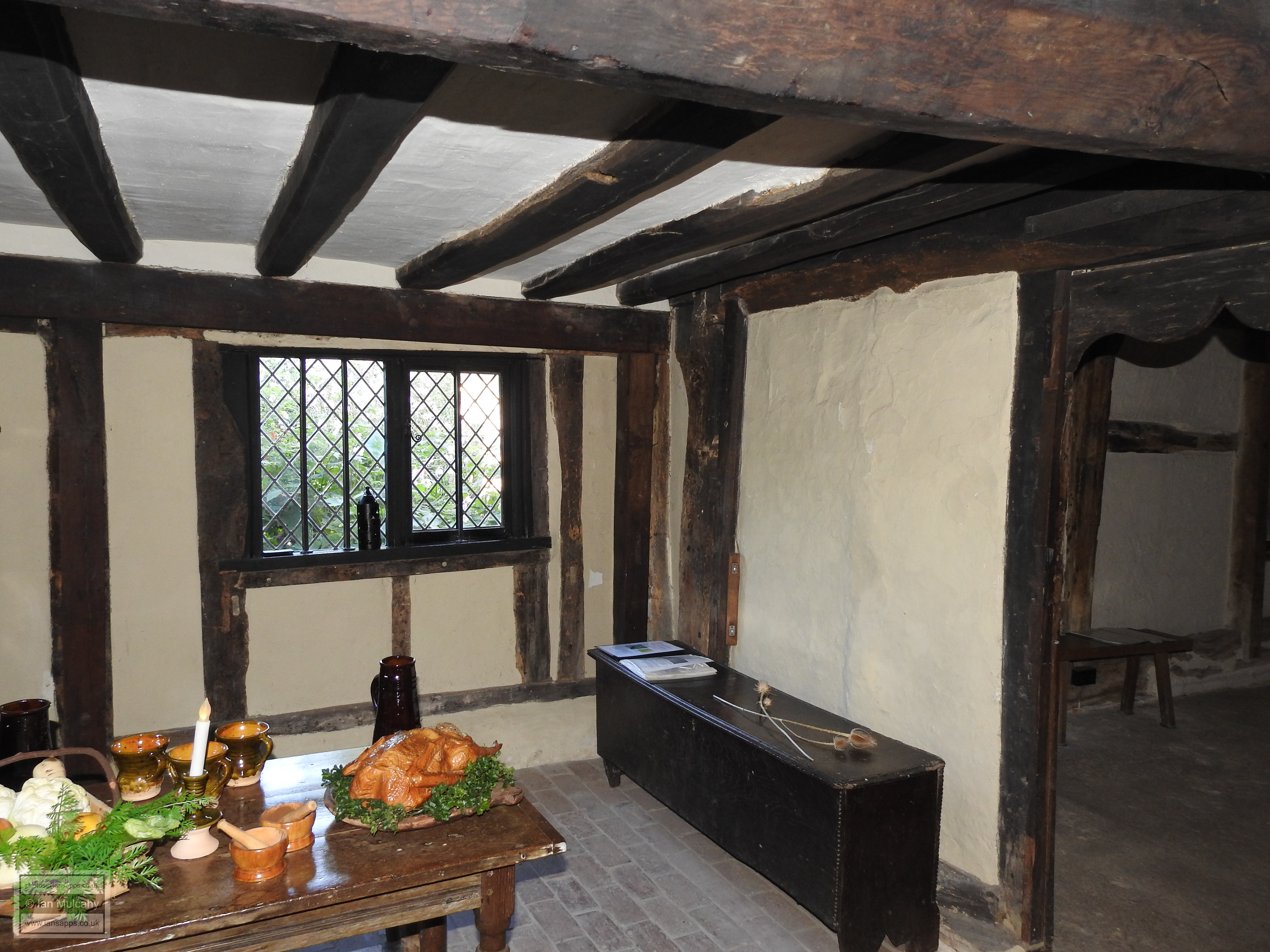
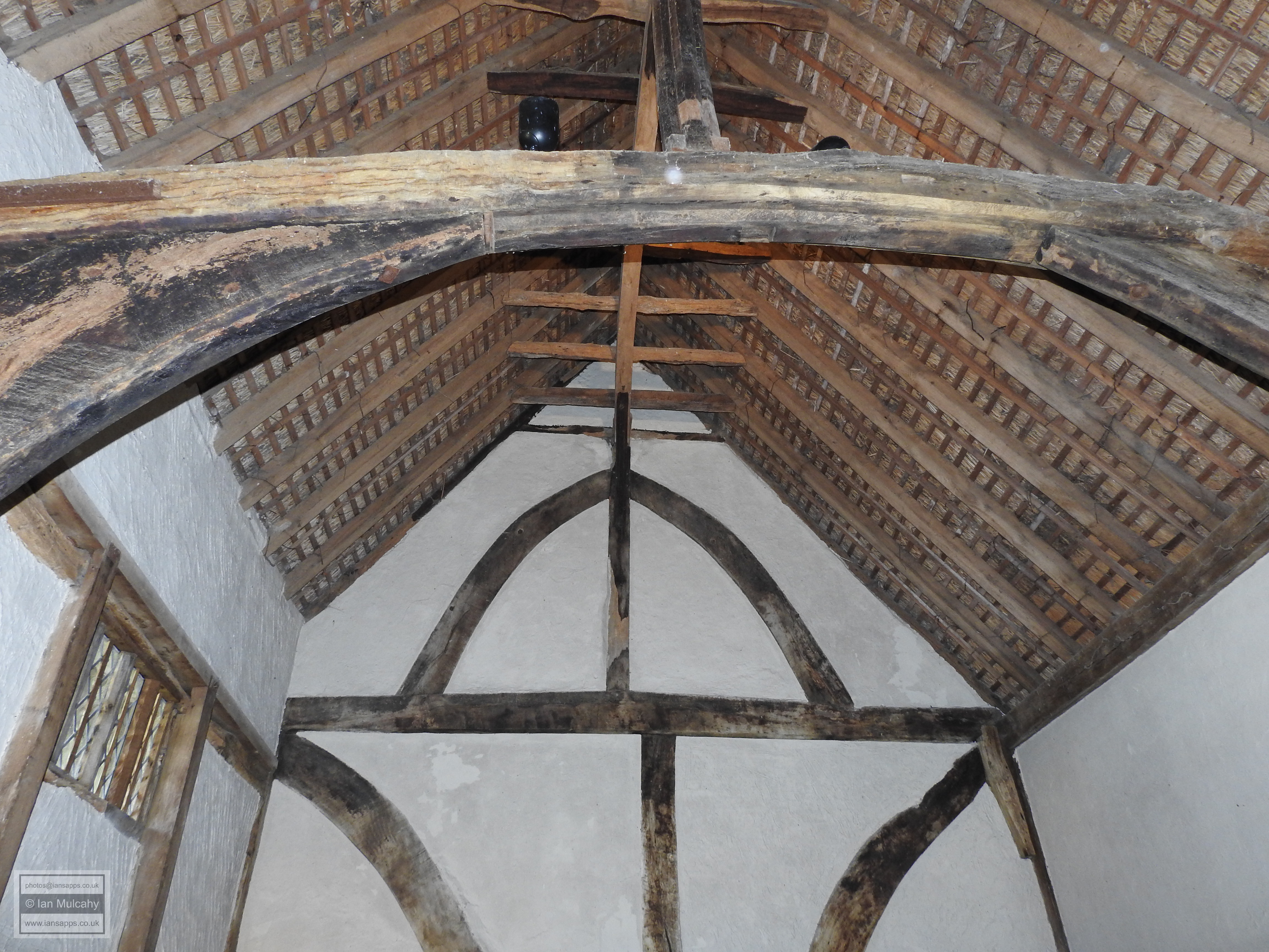
A stone’s throw to the south of St Andrews is the rather special Clergy House. A typical 4 bay Wealden Hall House, the property has a central hall open to the roof, projecting end bays and a thatched roof and remains one of the few Wealden Hall Houses that can be seen in pretty much its original form, though it does now have a chimney at one end which was probably added in around 1550. Recent dendrochronological analysis has confirmed that the house was constructed between 1399 and 1407. Dilapidated and on the verge of collapse, permission was granted in 1879 for the demolition of the house, but the work was not carried out and in 1896 The National Trust purchased the Clergy house for £10, making it the first building to fall under the custody of the fledgling organisation. Now restored, the house is open to visitors.
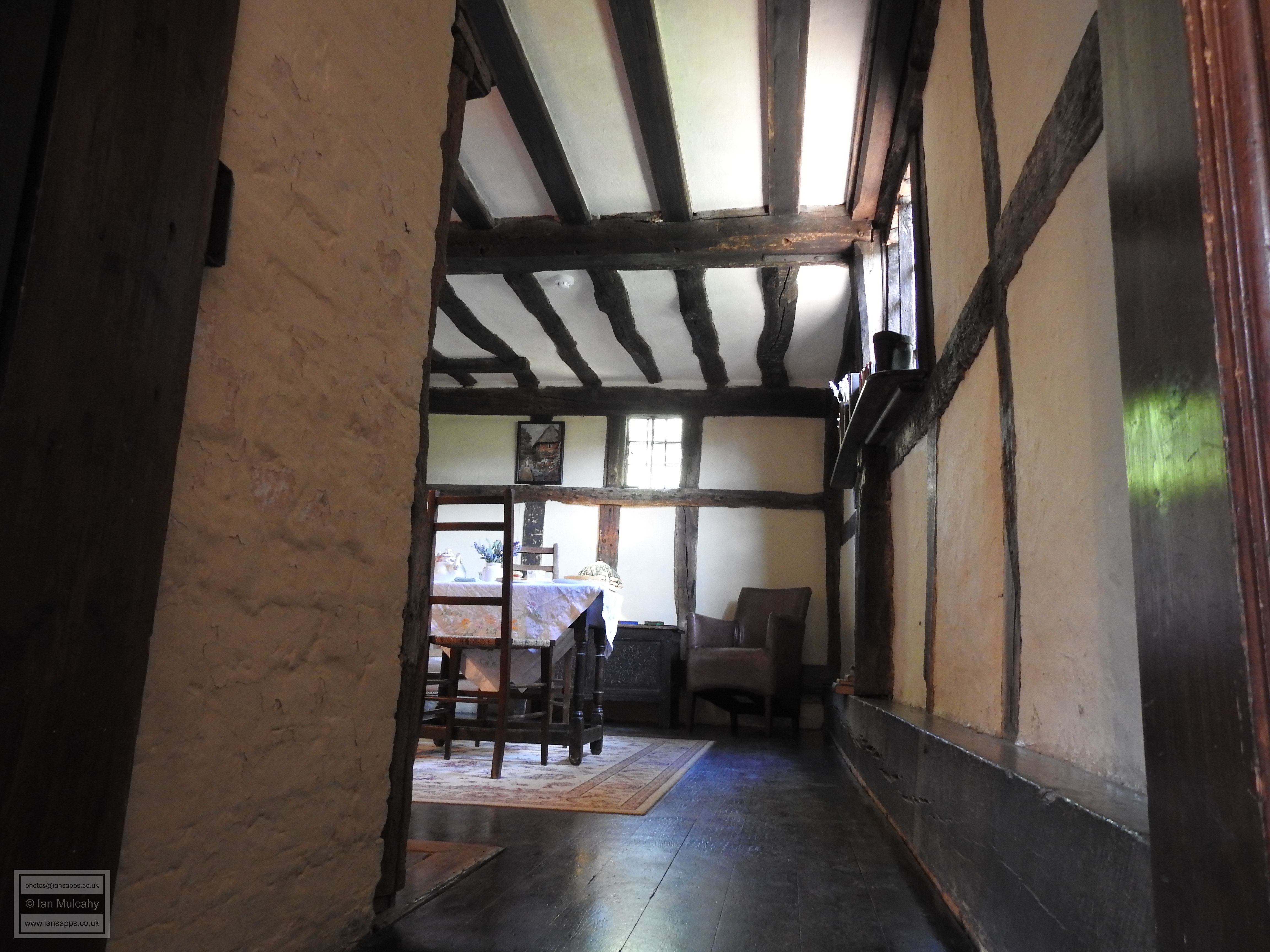
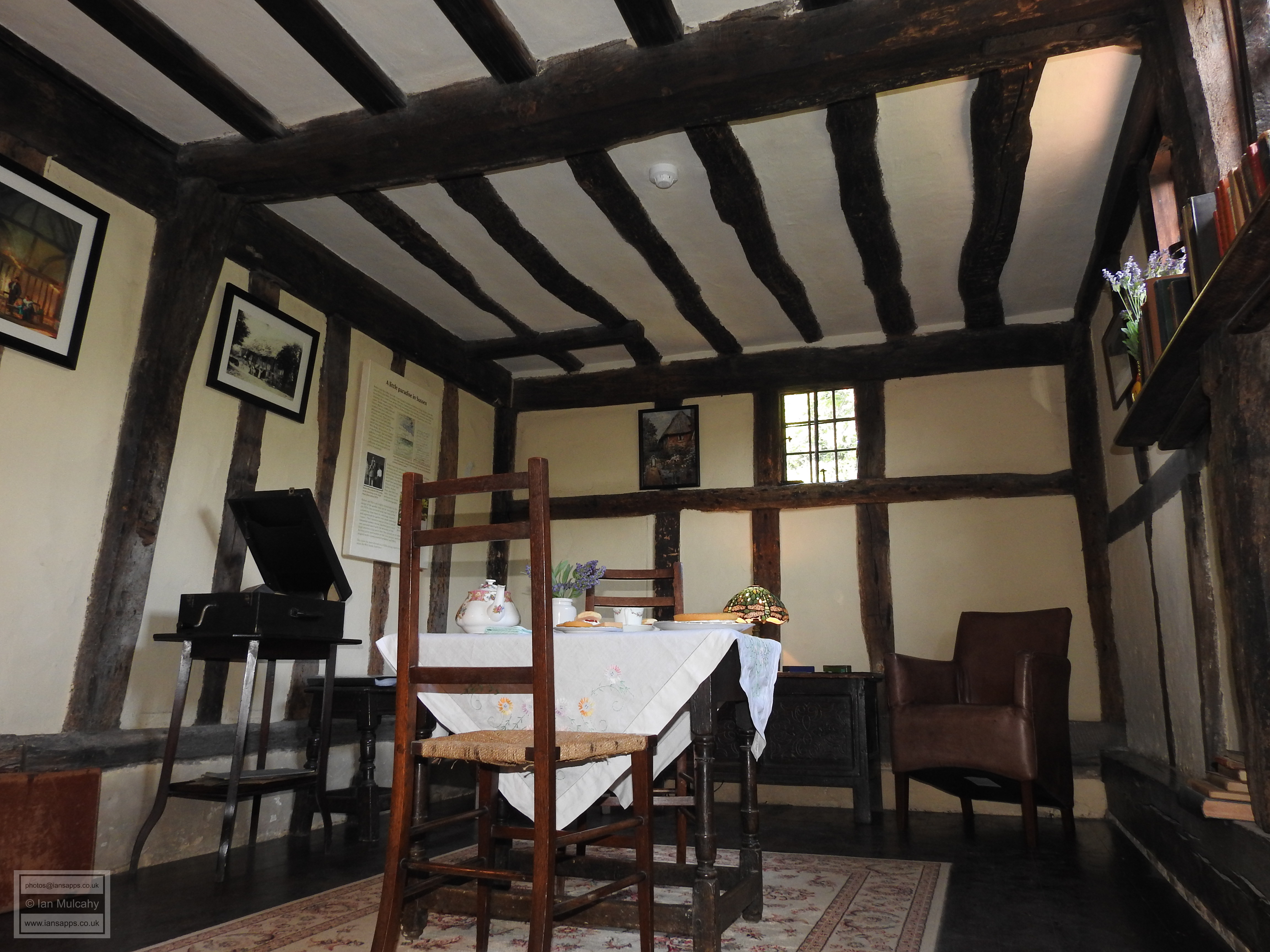
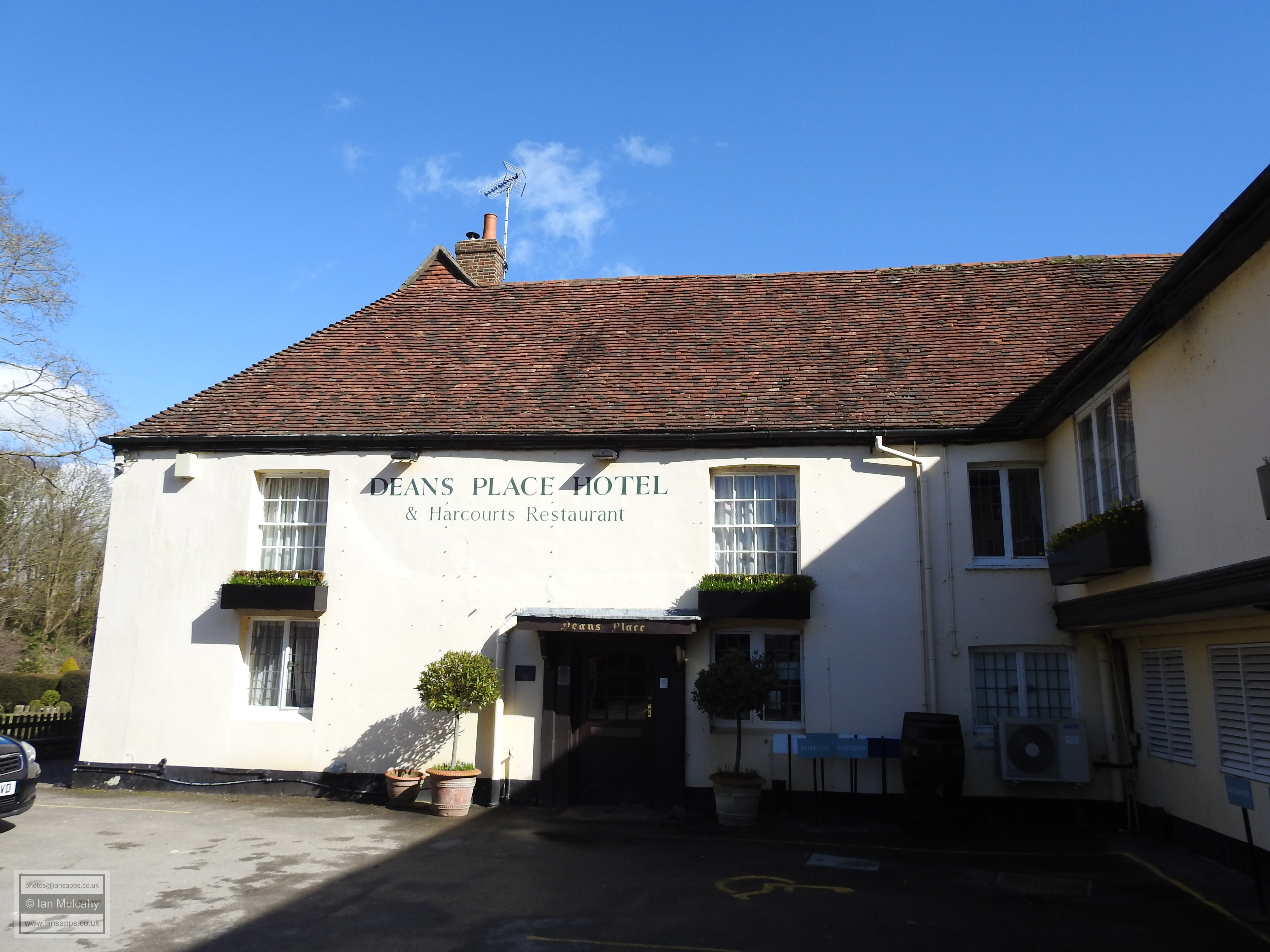
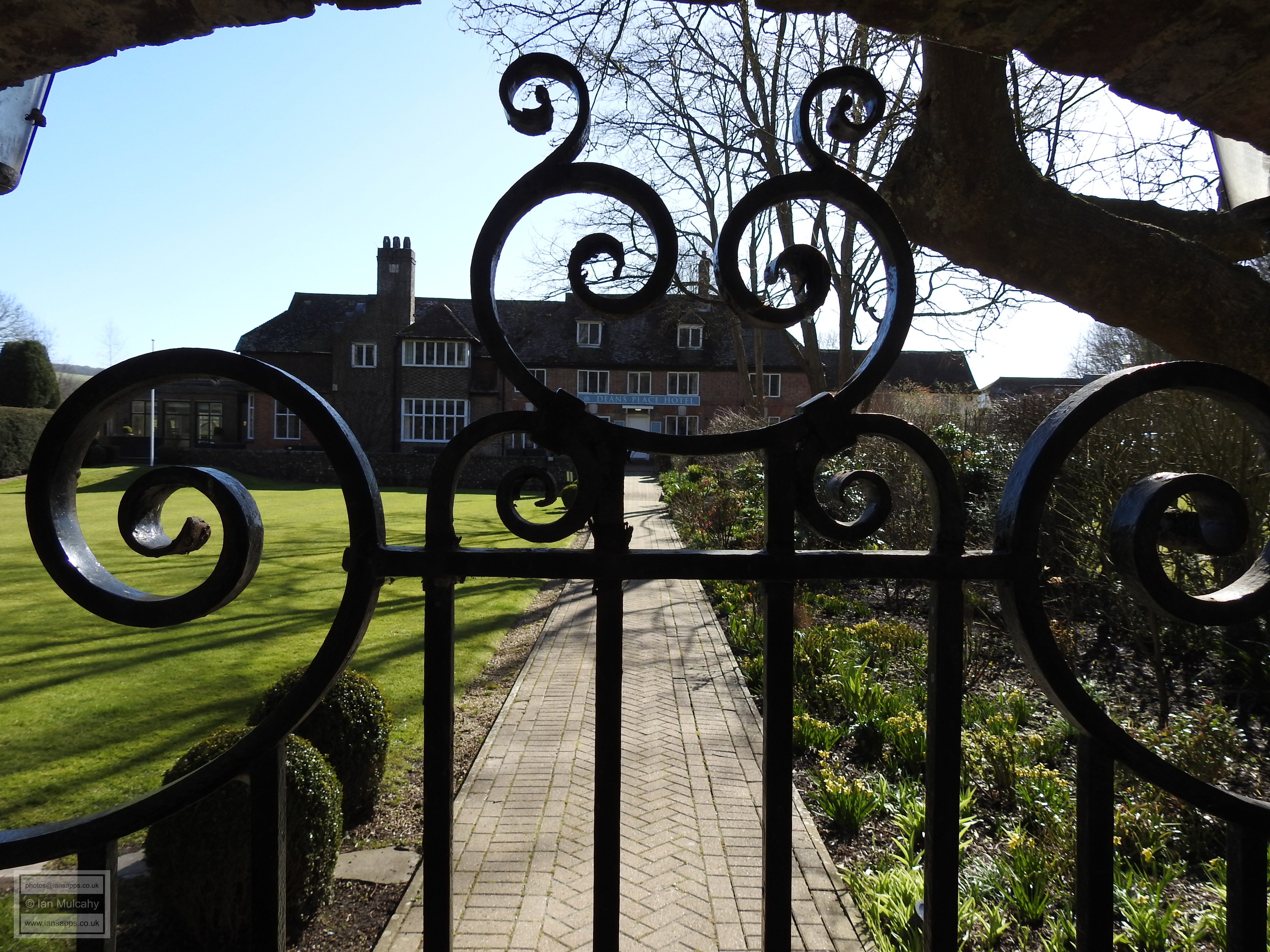
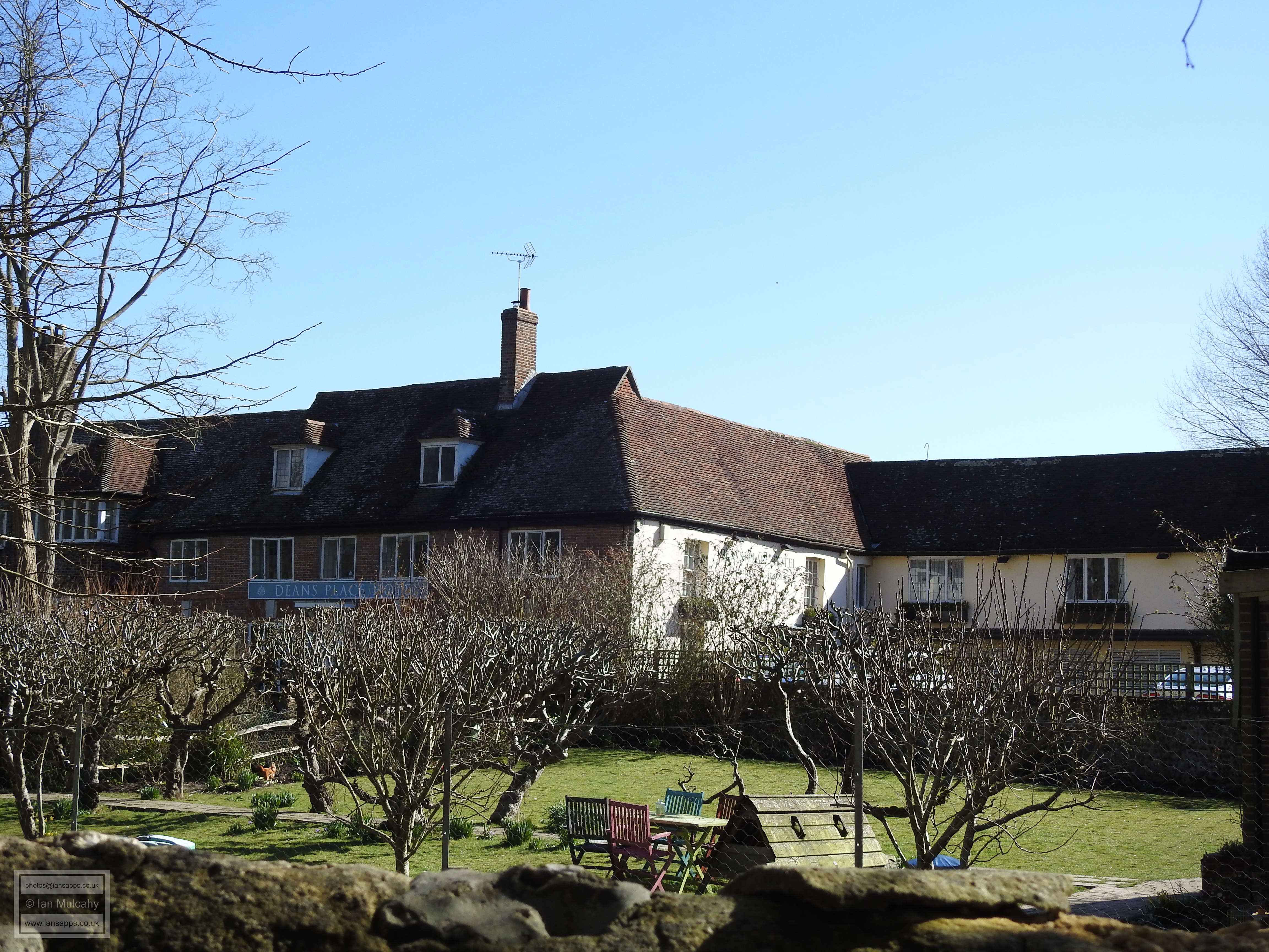
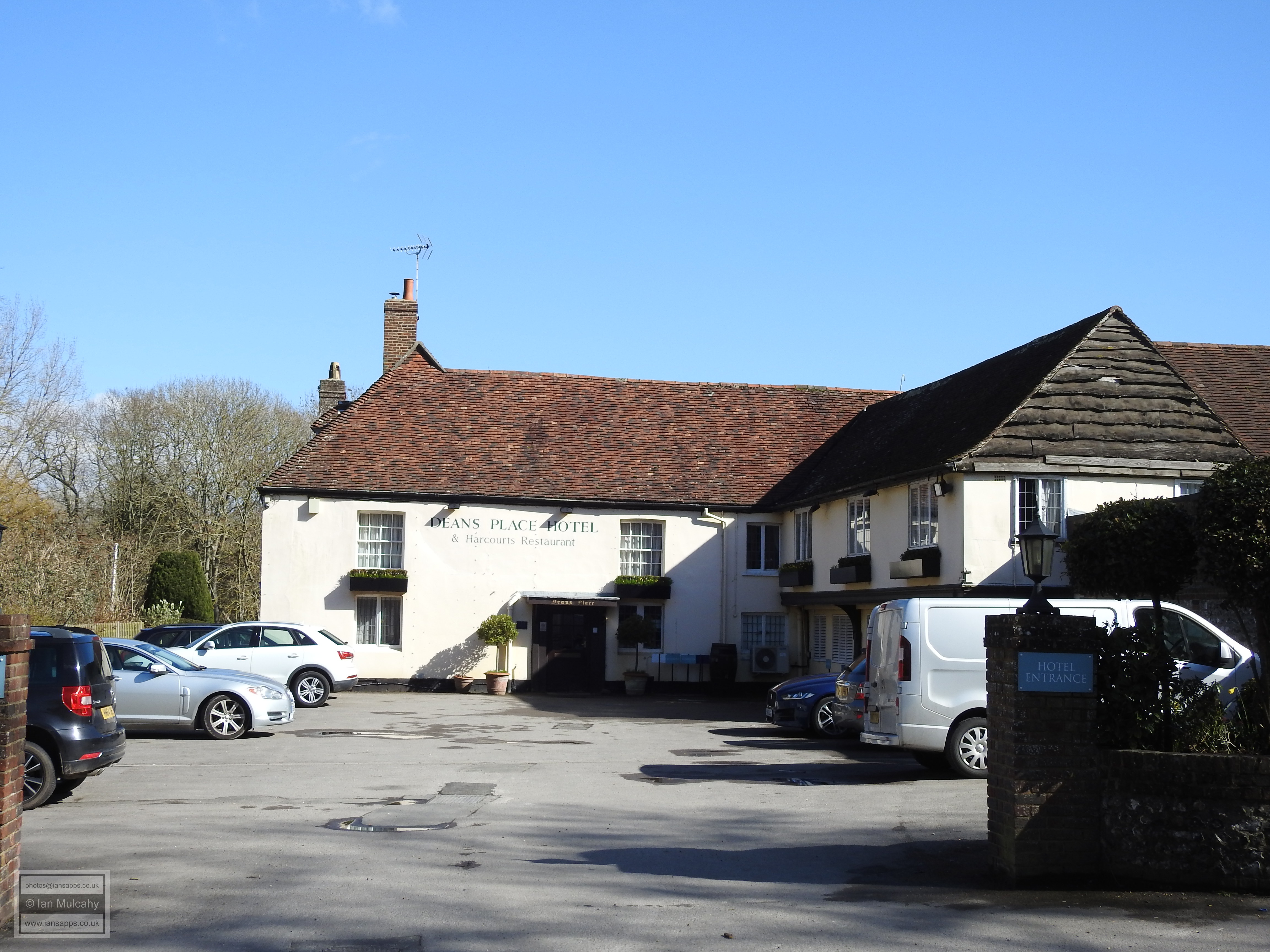
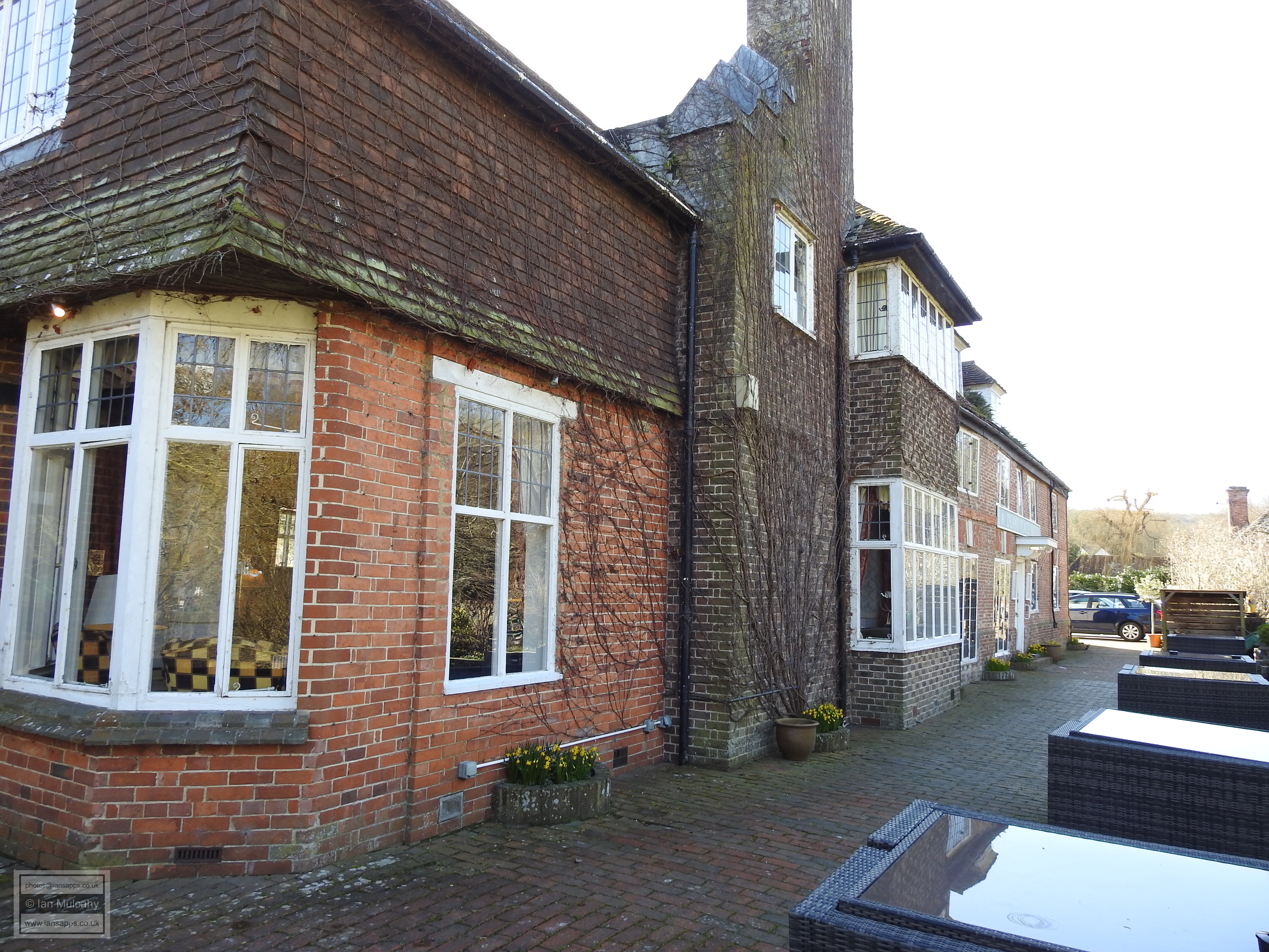
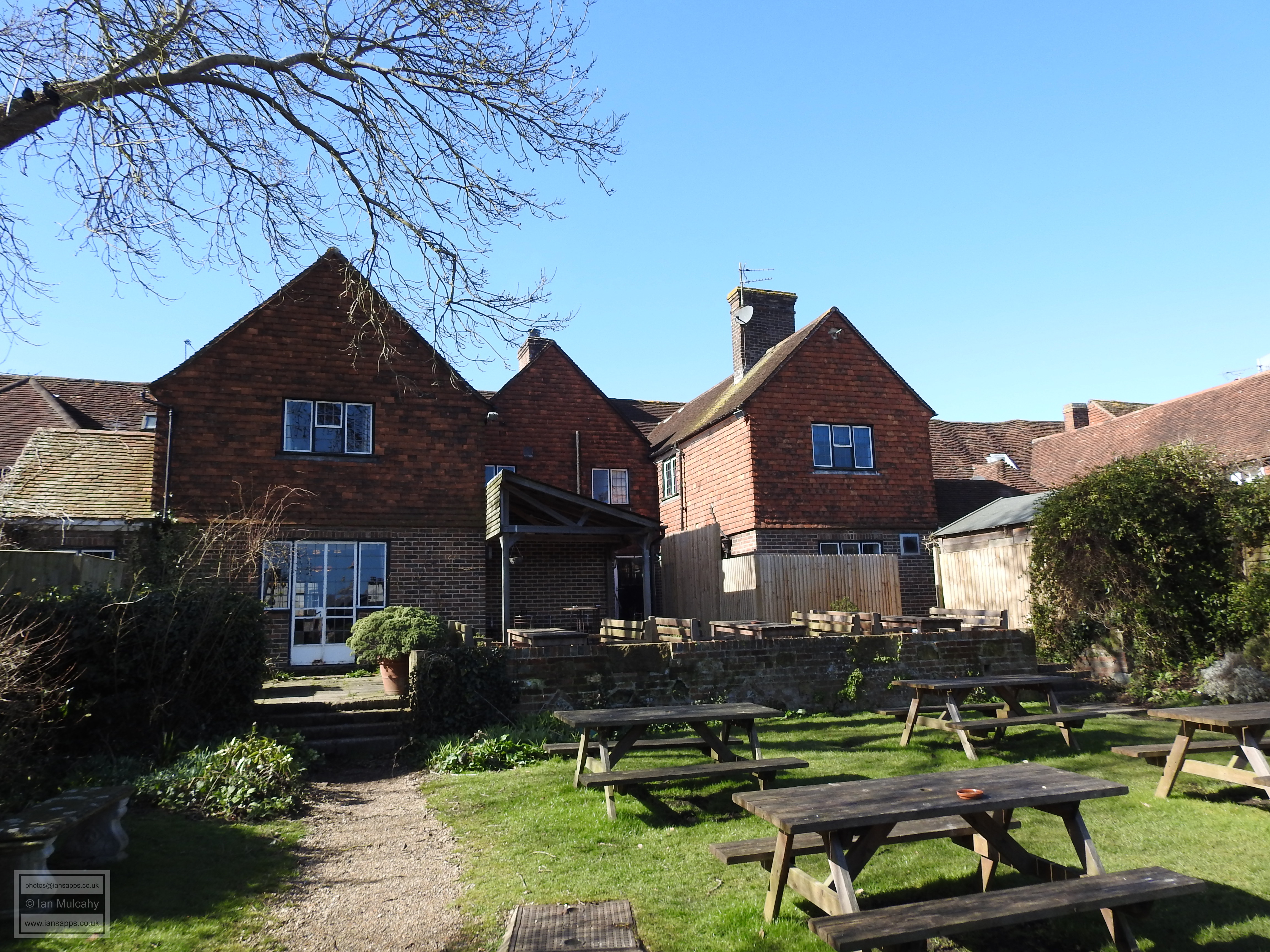
Three hundred metres to the south west of the Clergy House is Deans Place, of which the two bay western crosswing is of a similar age to the Clergy House and represents the surviving portion of what was originally a much larger medieval house. The main portion of the current building dates to around 1600 and was probably built on the footprint of the lost portion of the late 14th/early 15th century structure. The entire building has an 18th century brick façade, rendered in places, and there have been considerable 20th century extensions to facilitate its current use as a hotel.
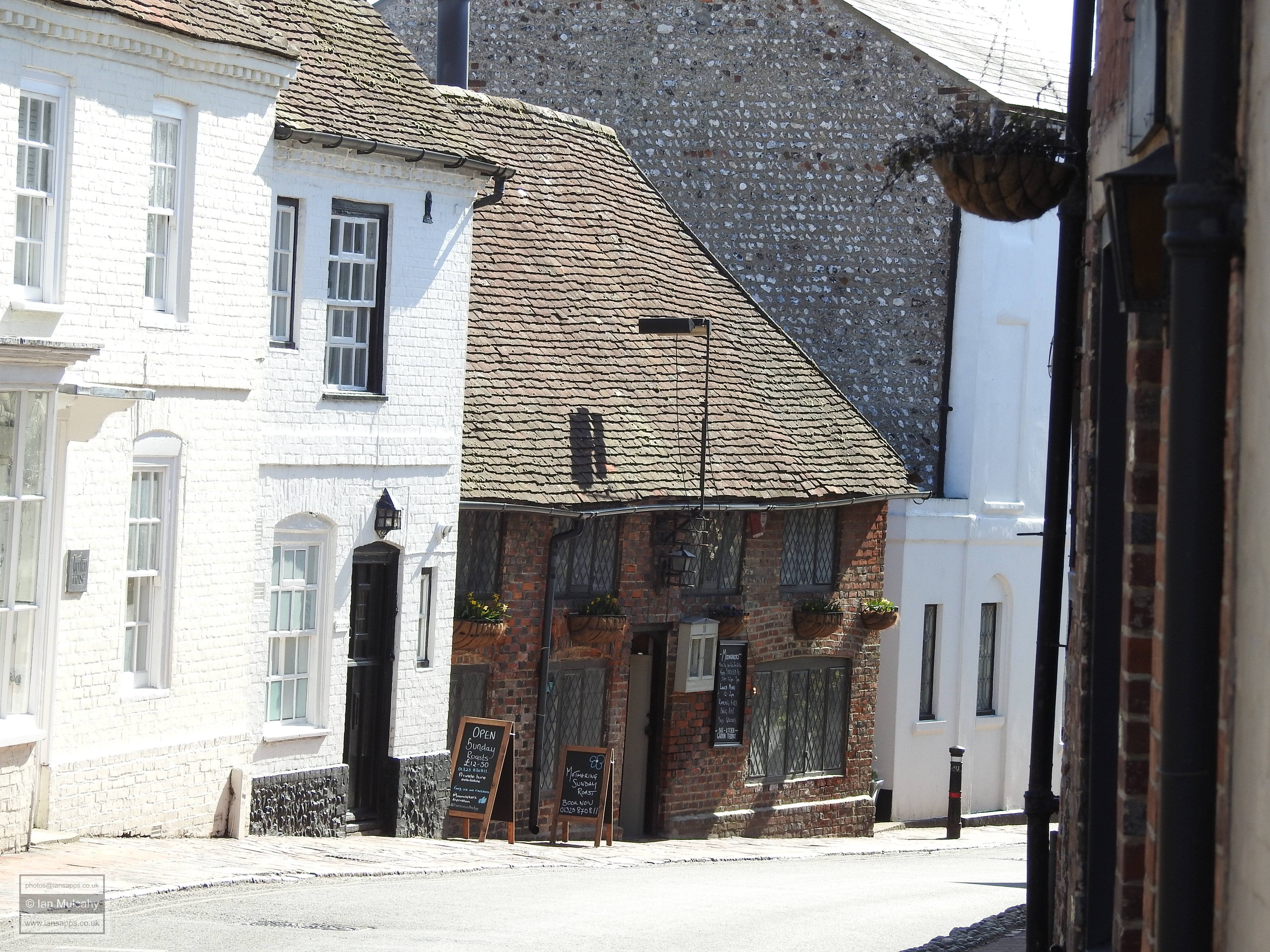
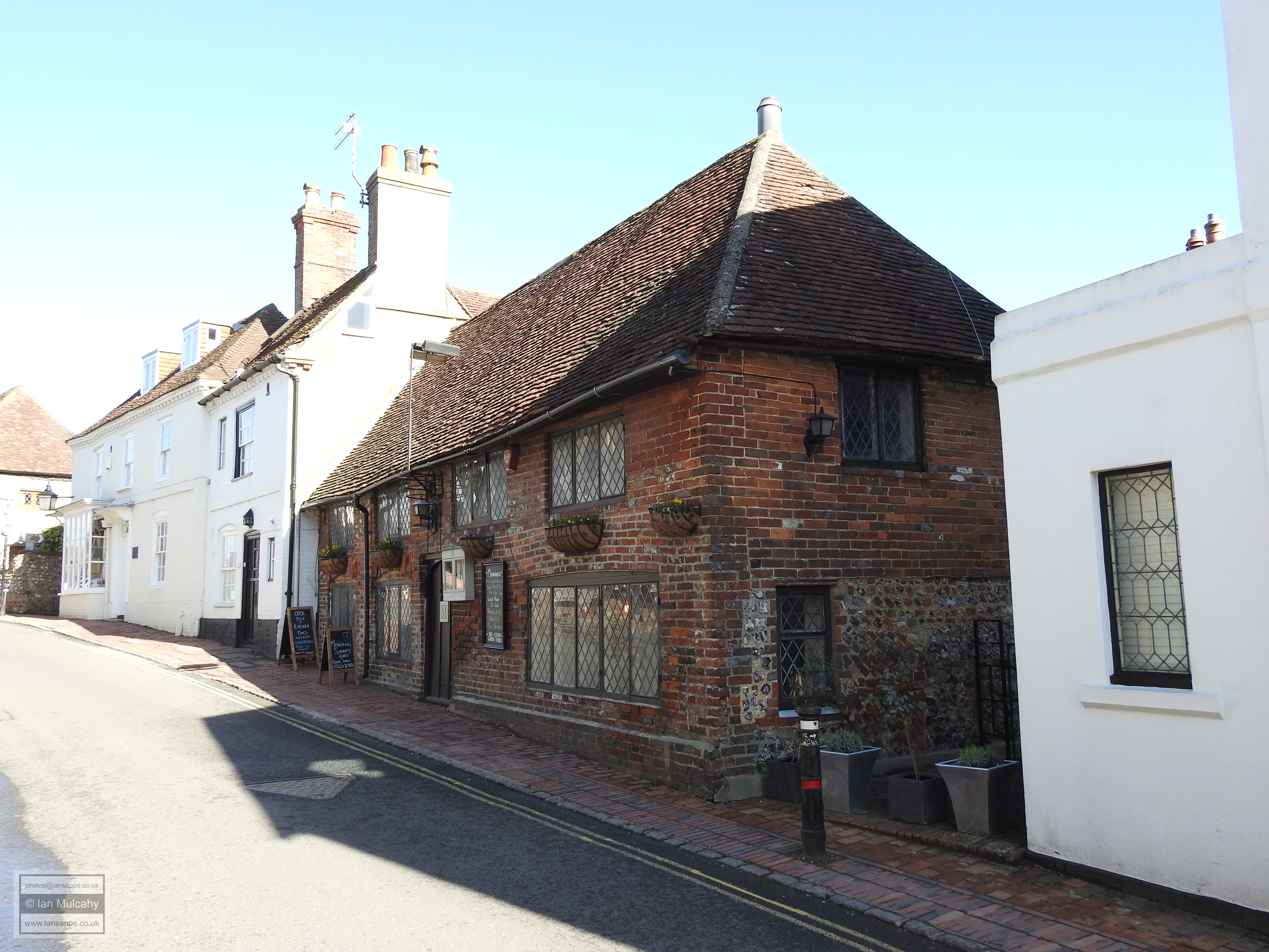
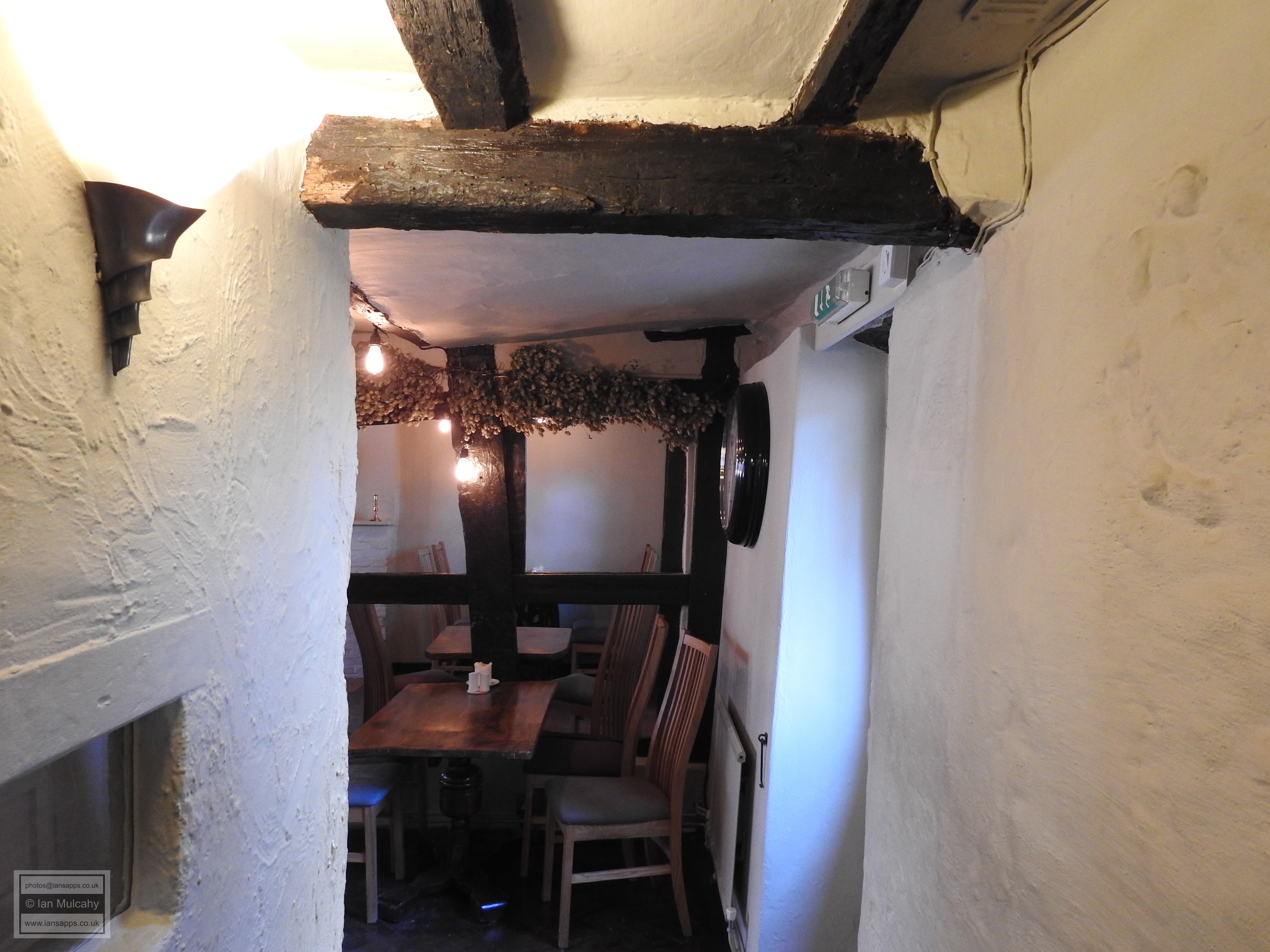
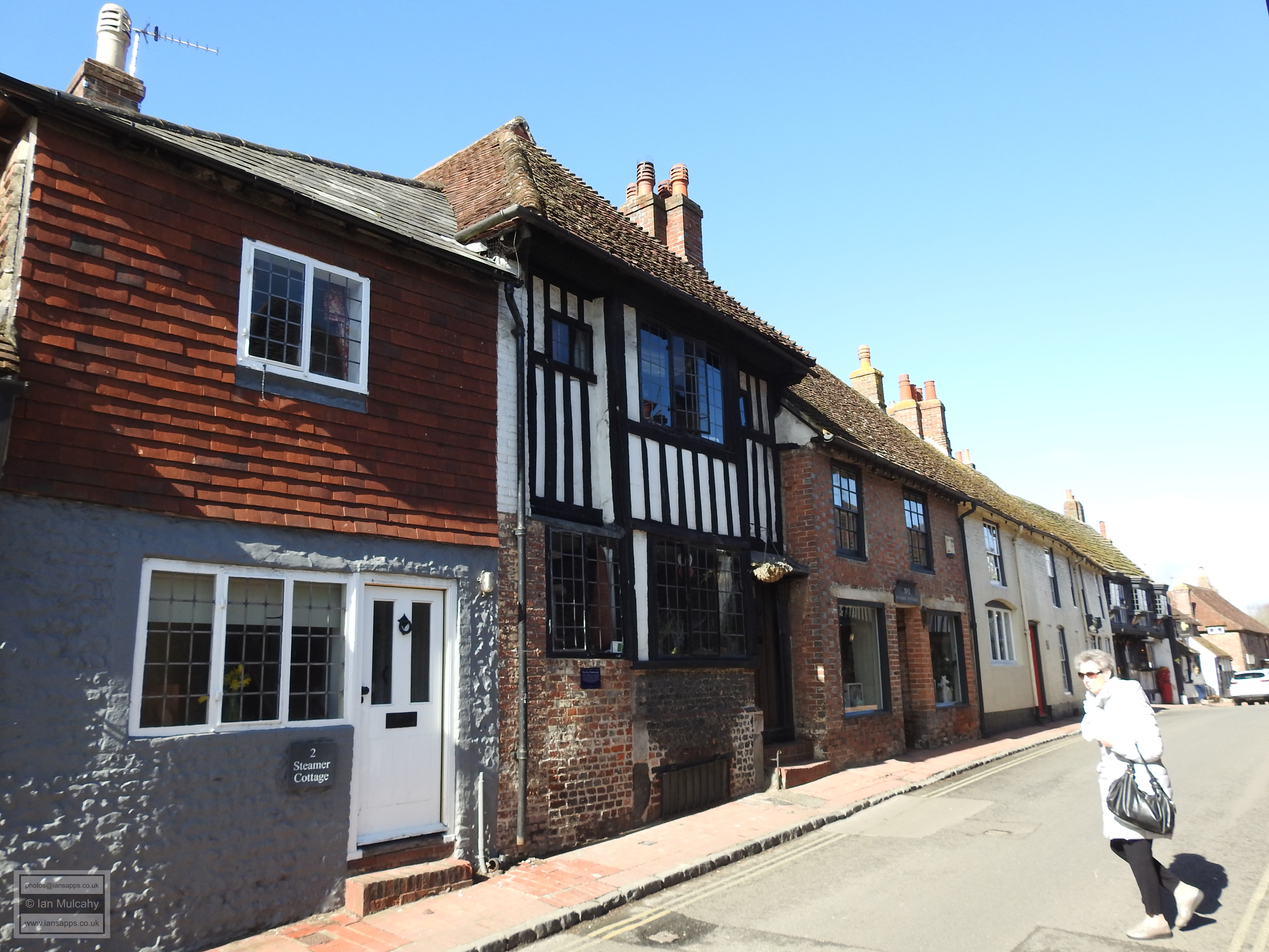
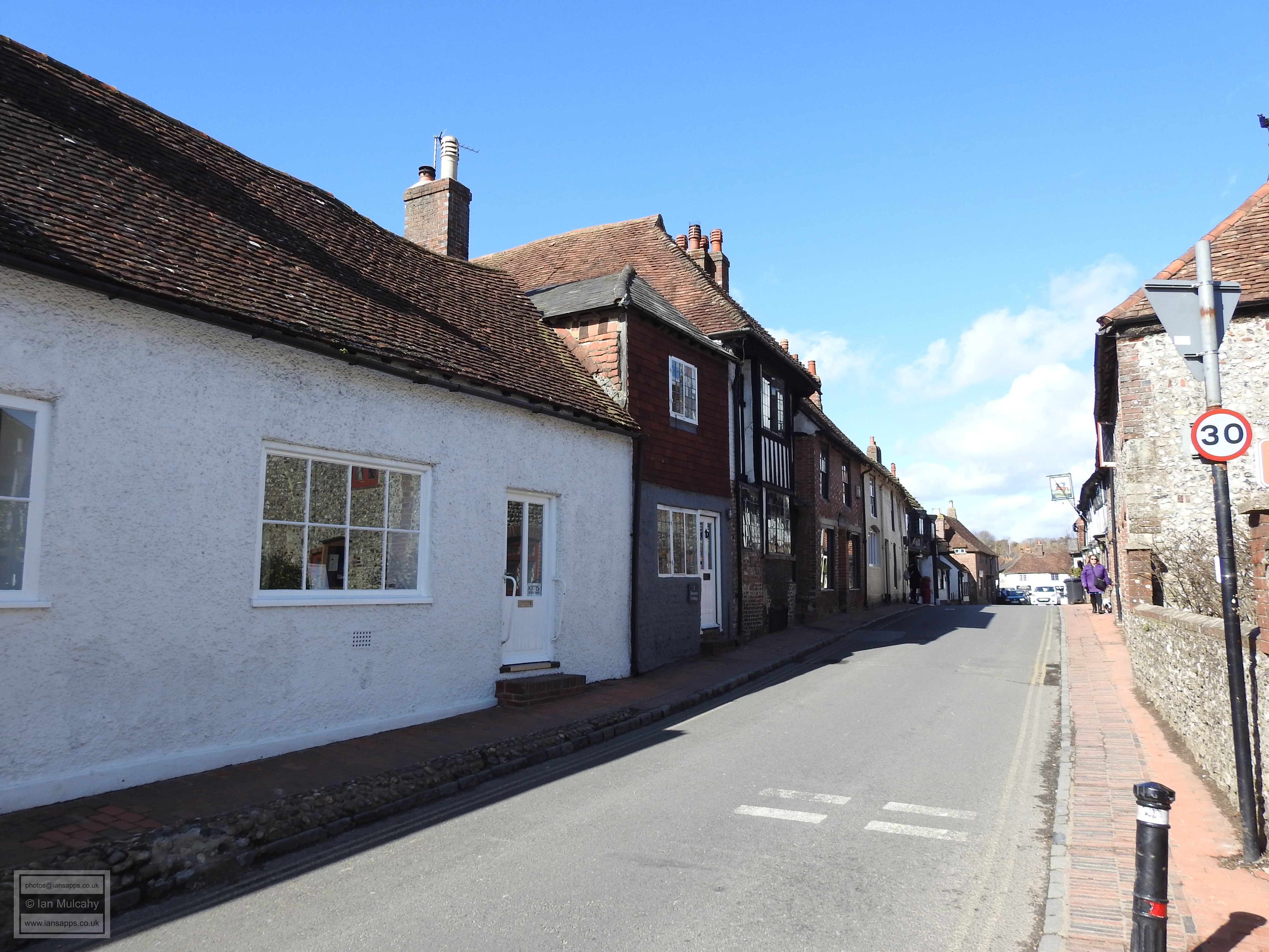
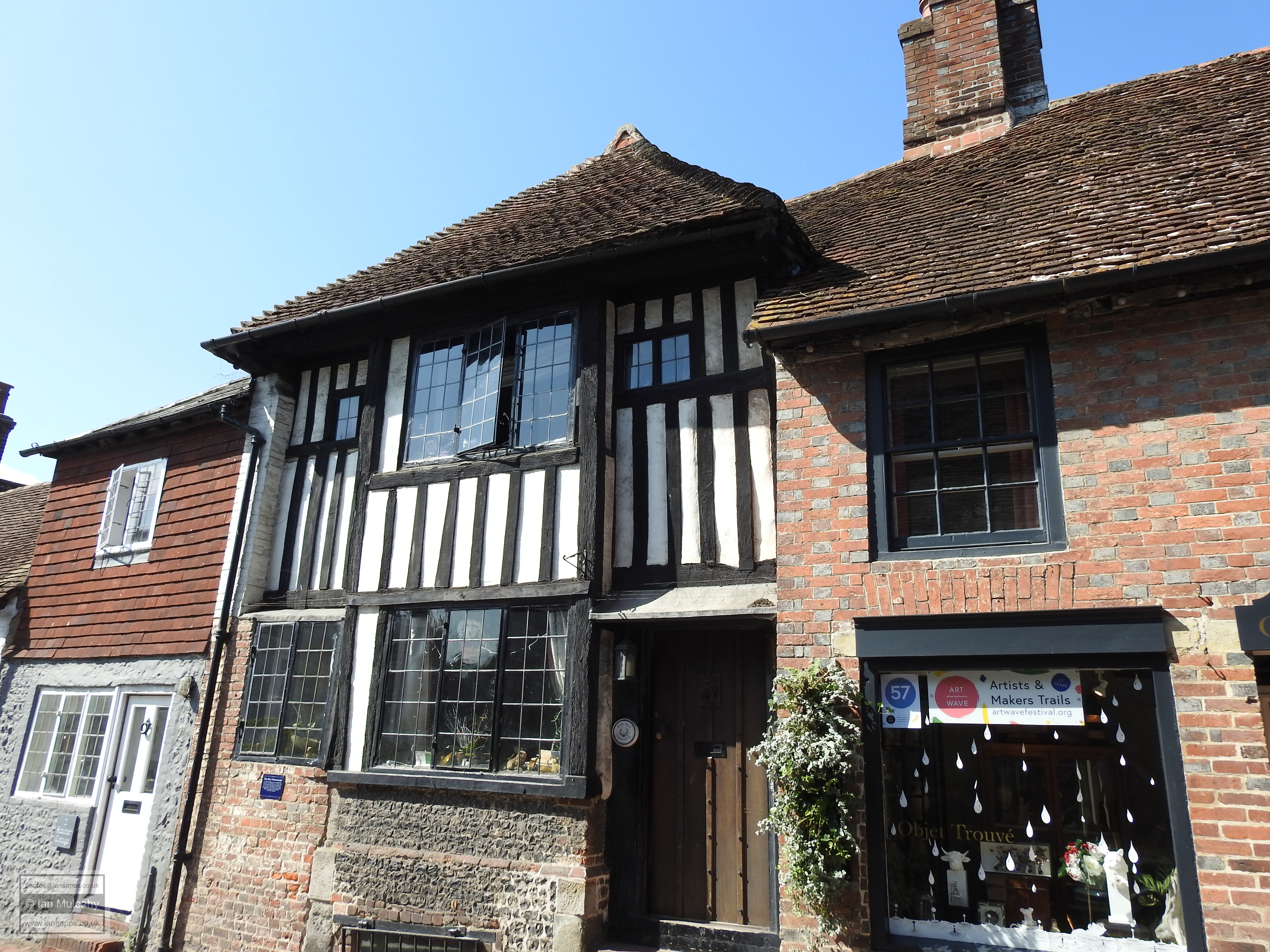
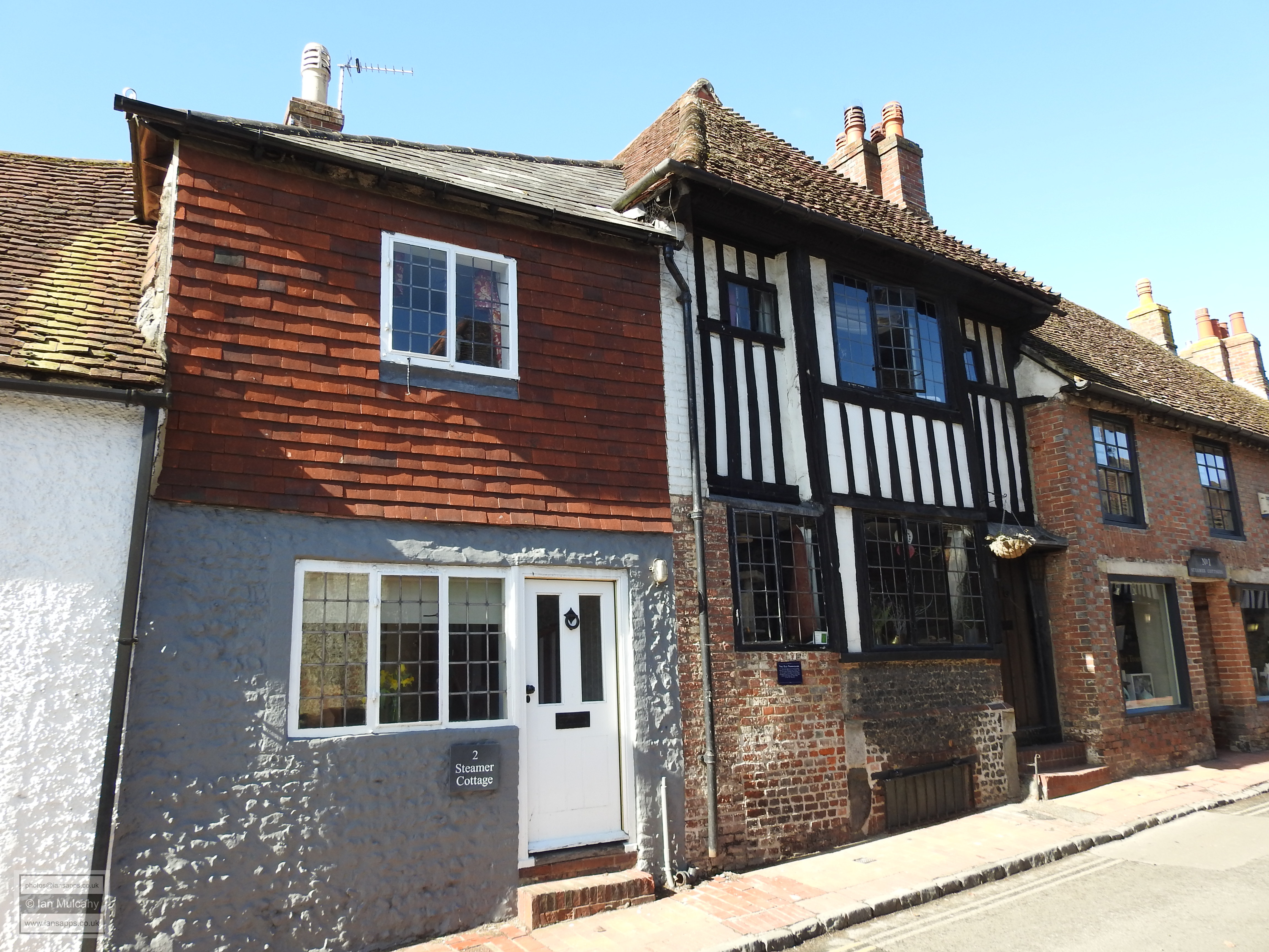
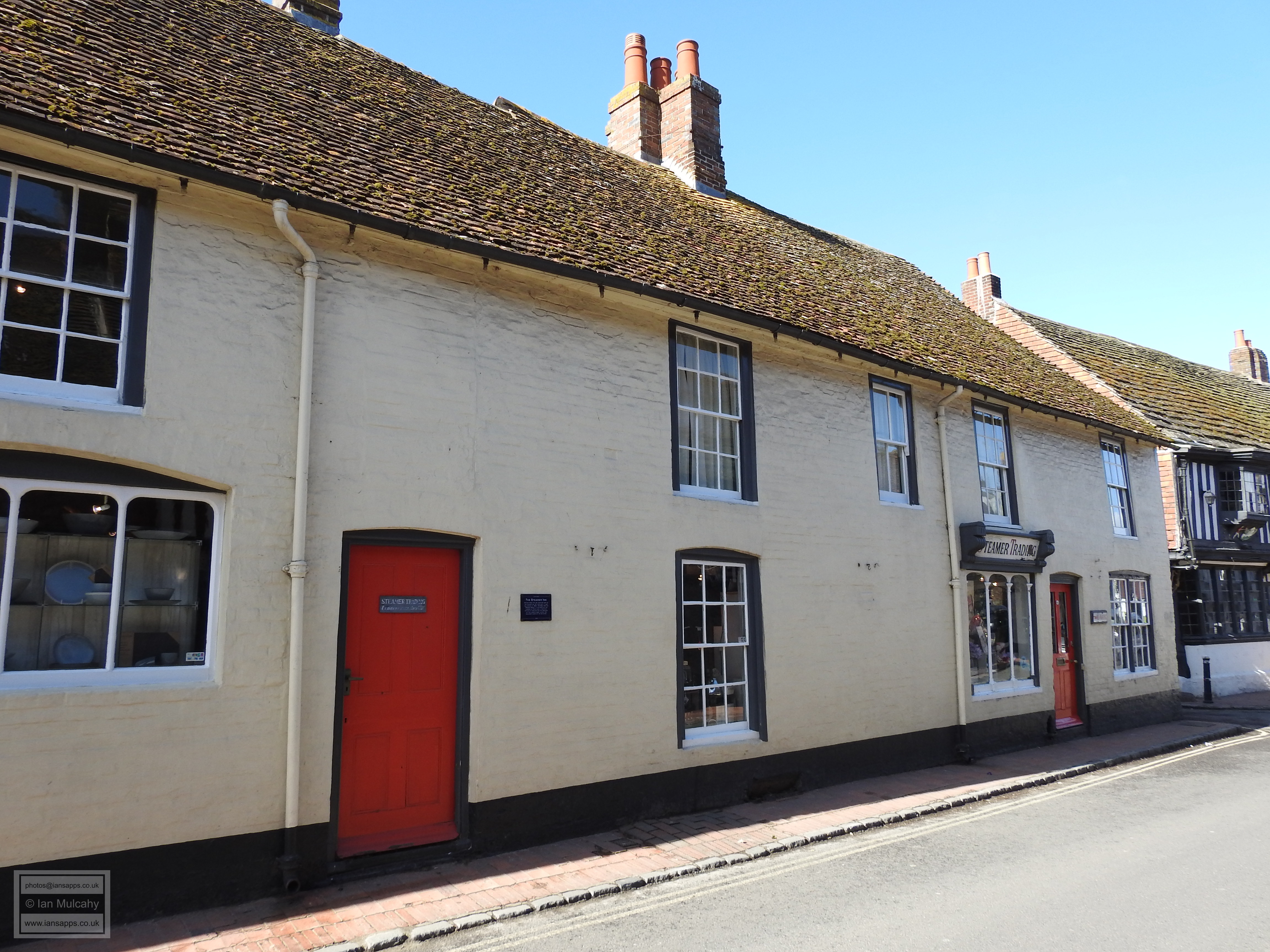
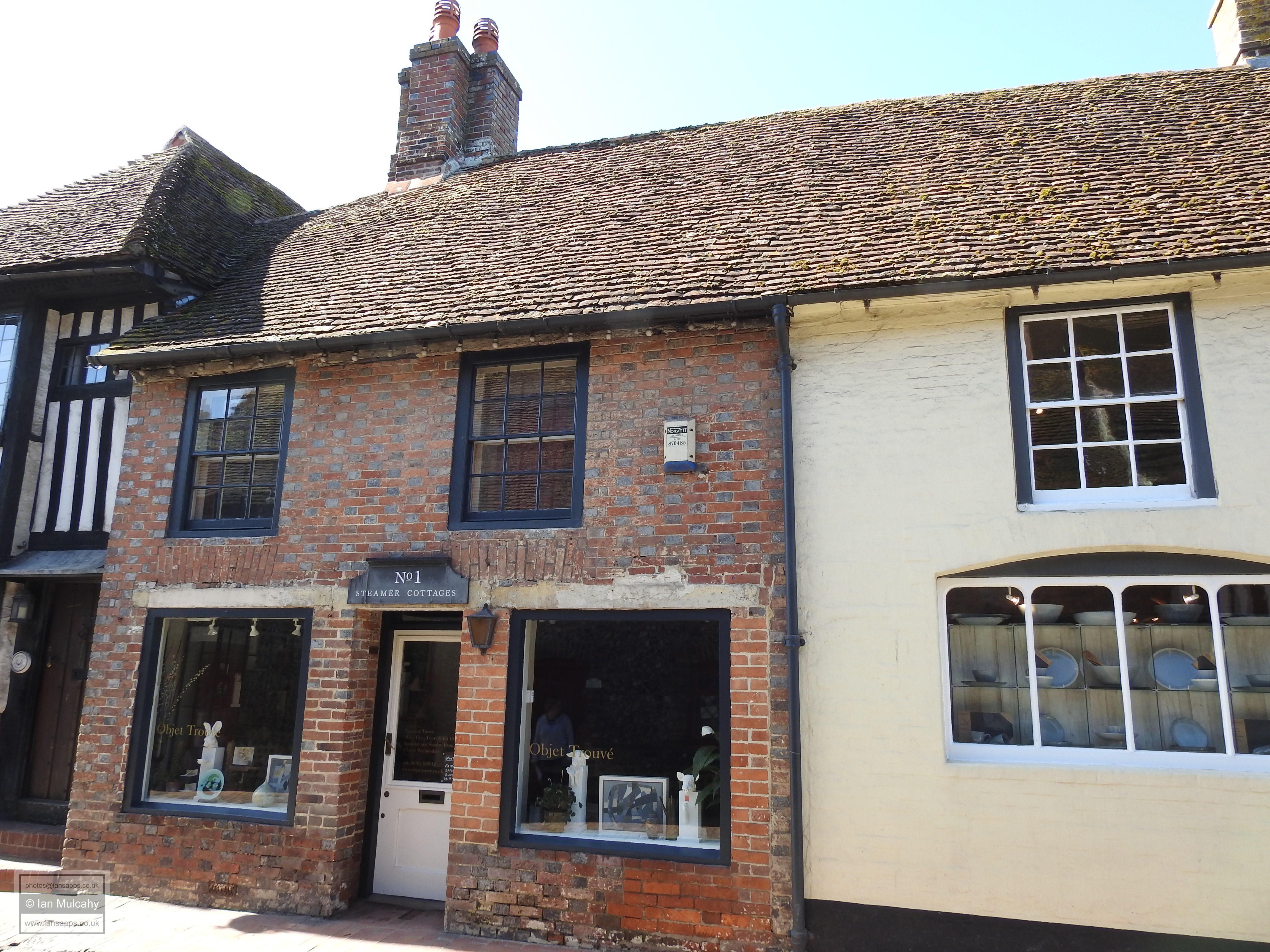
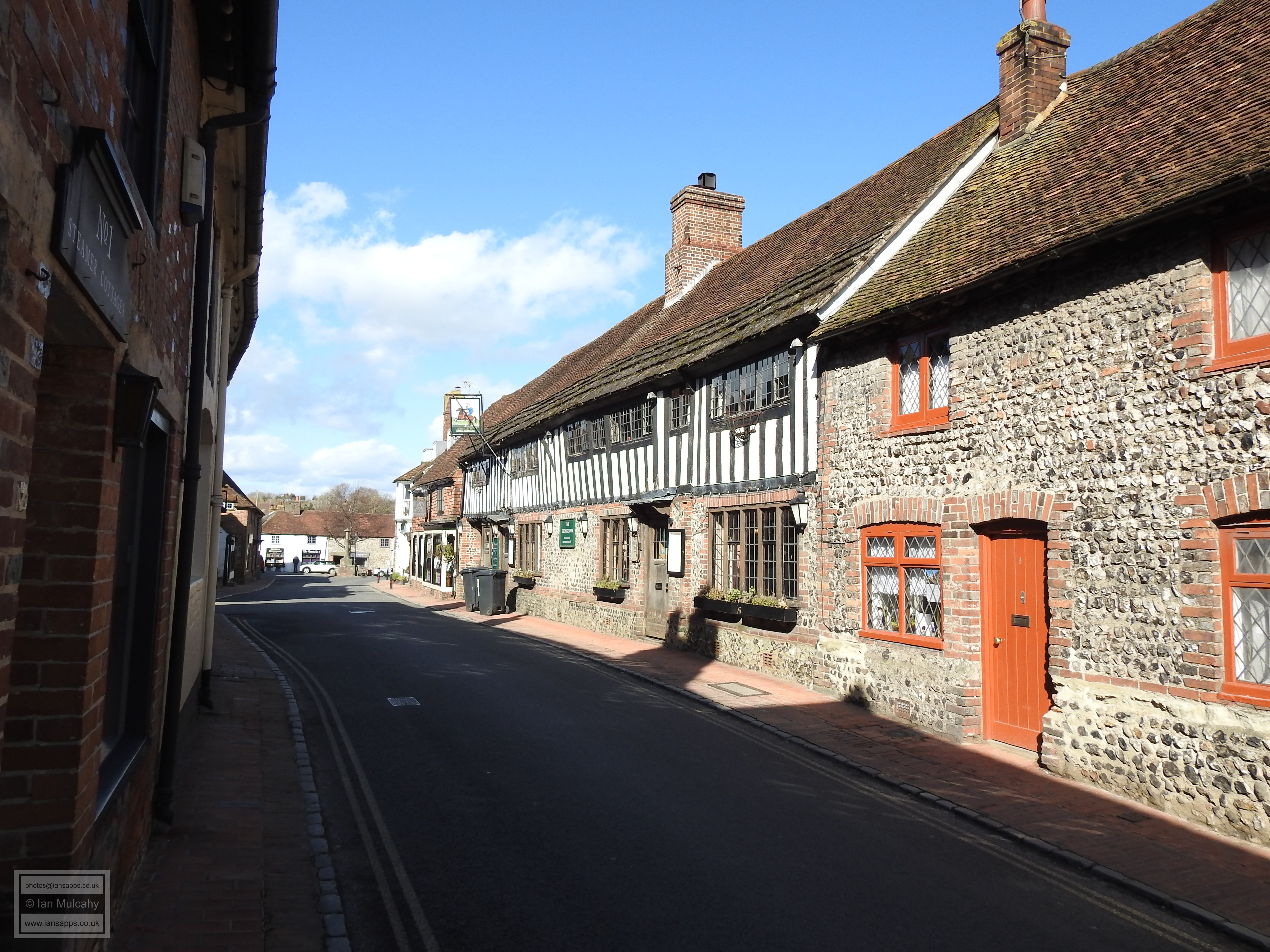
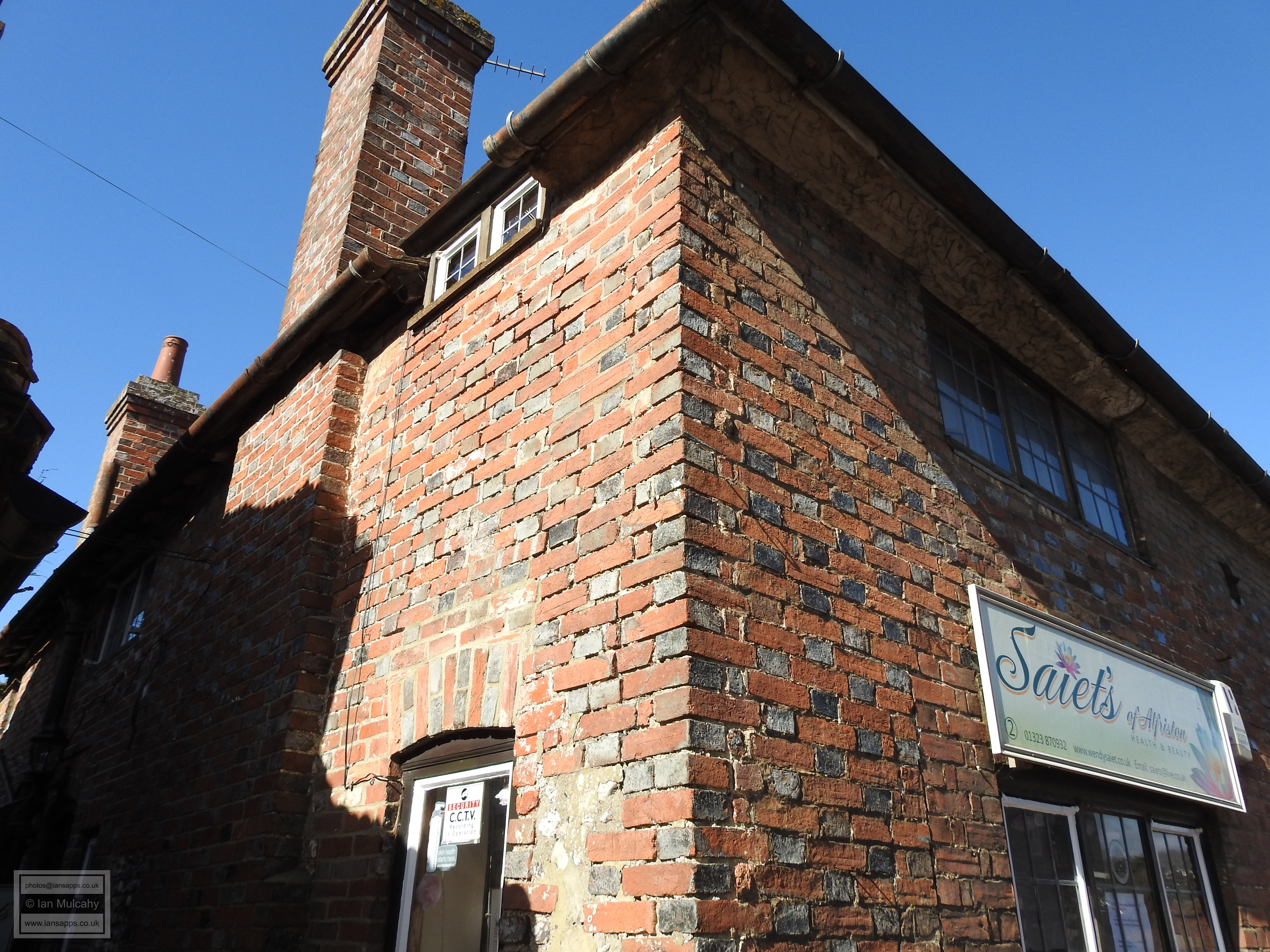
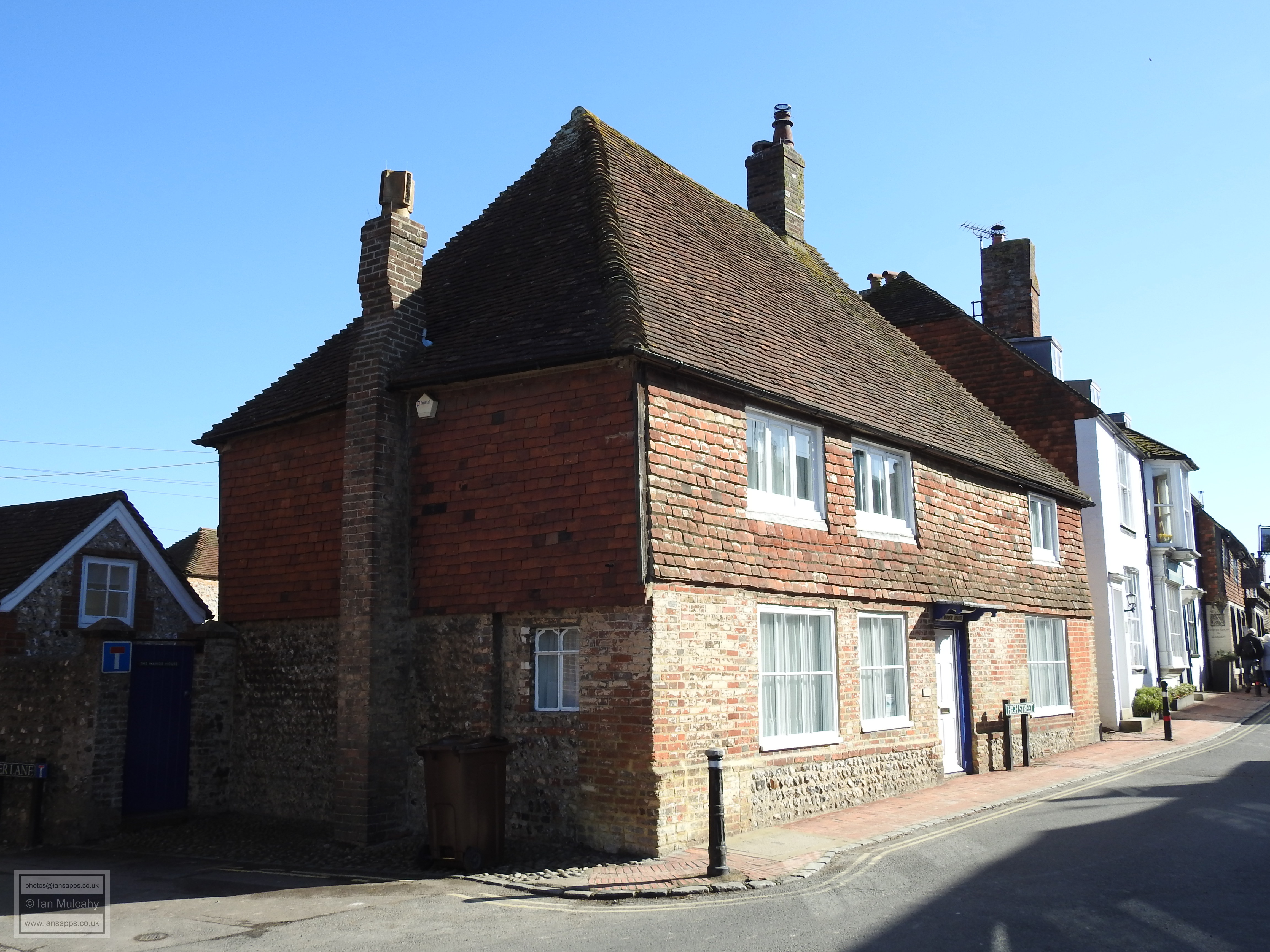
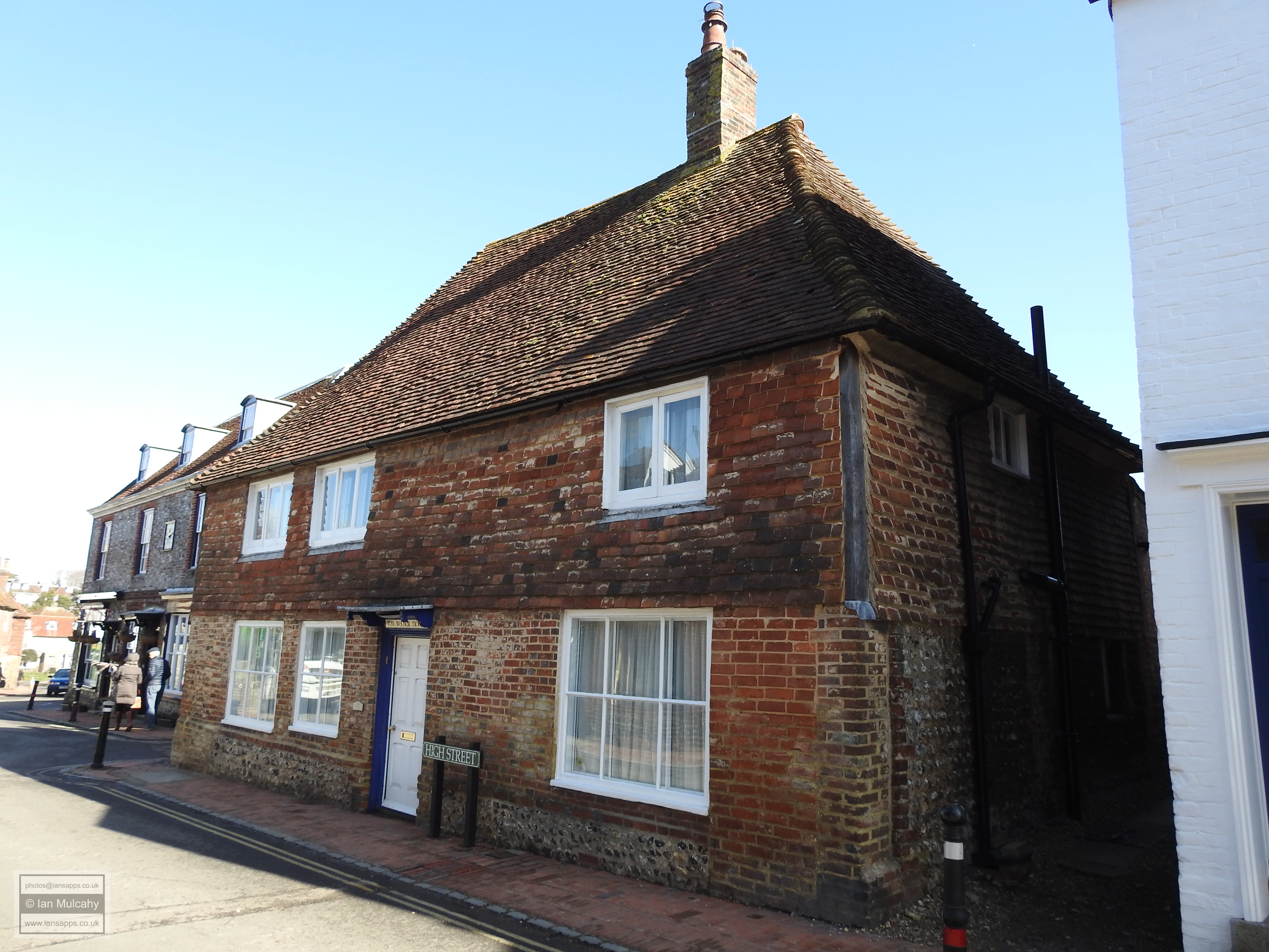
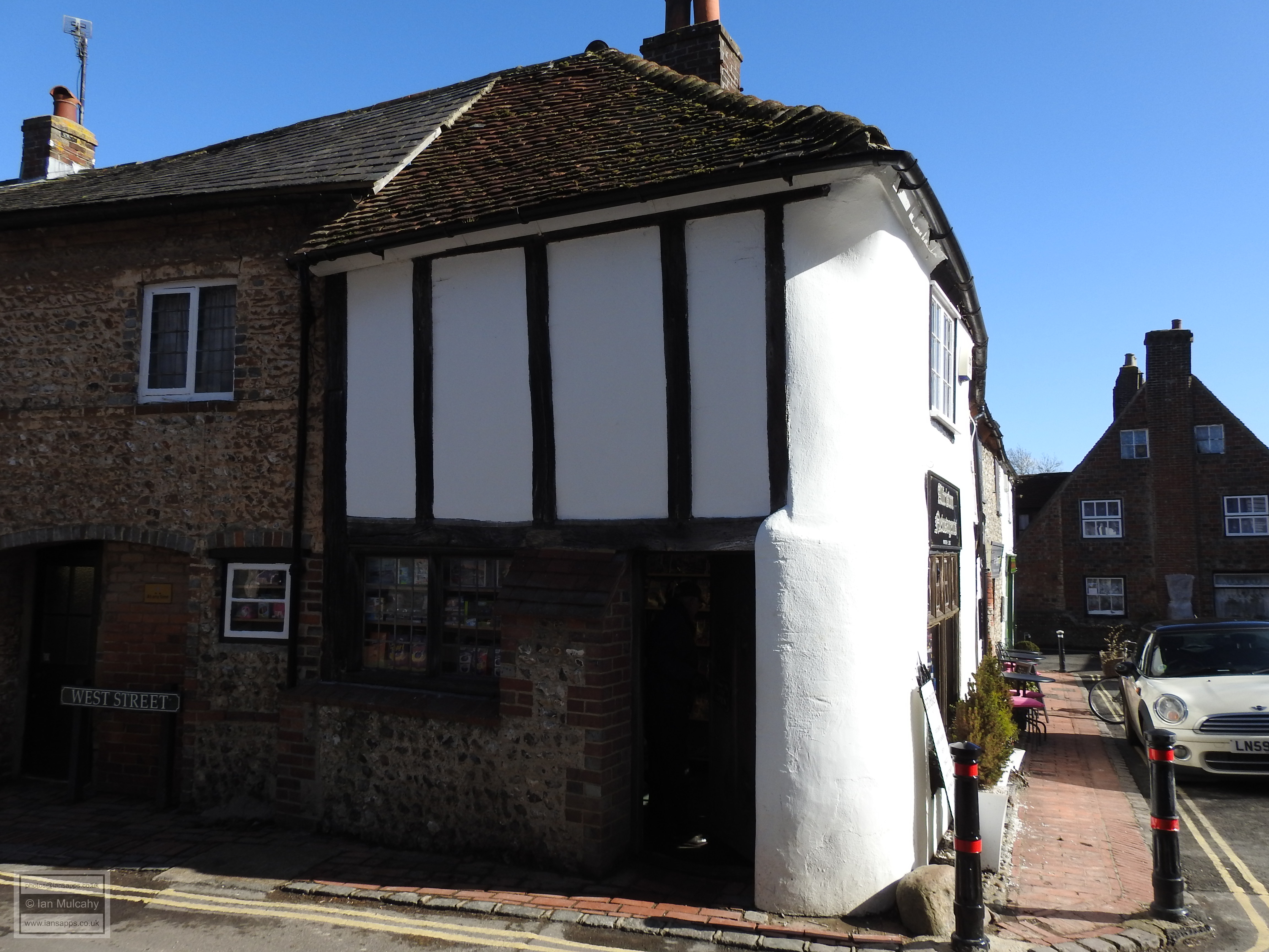
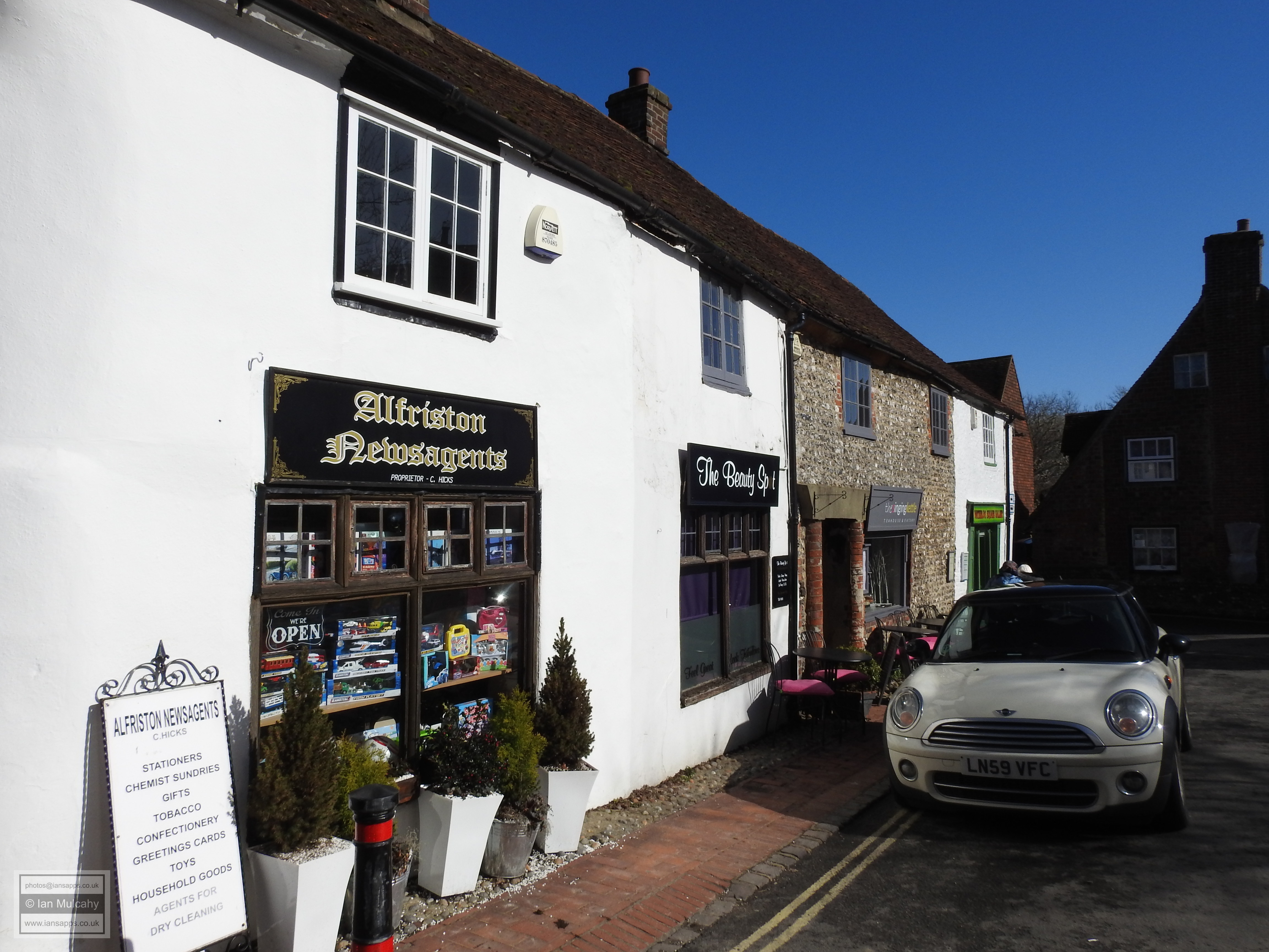
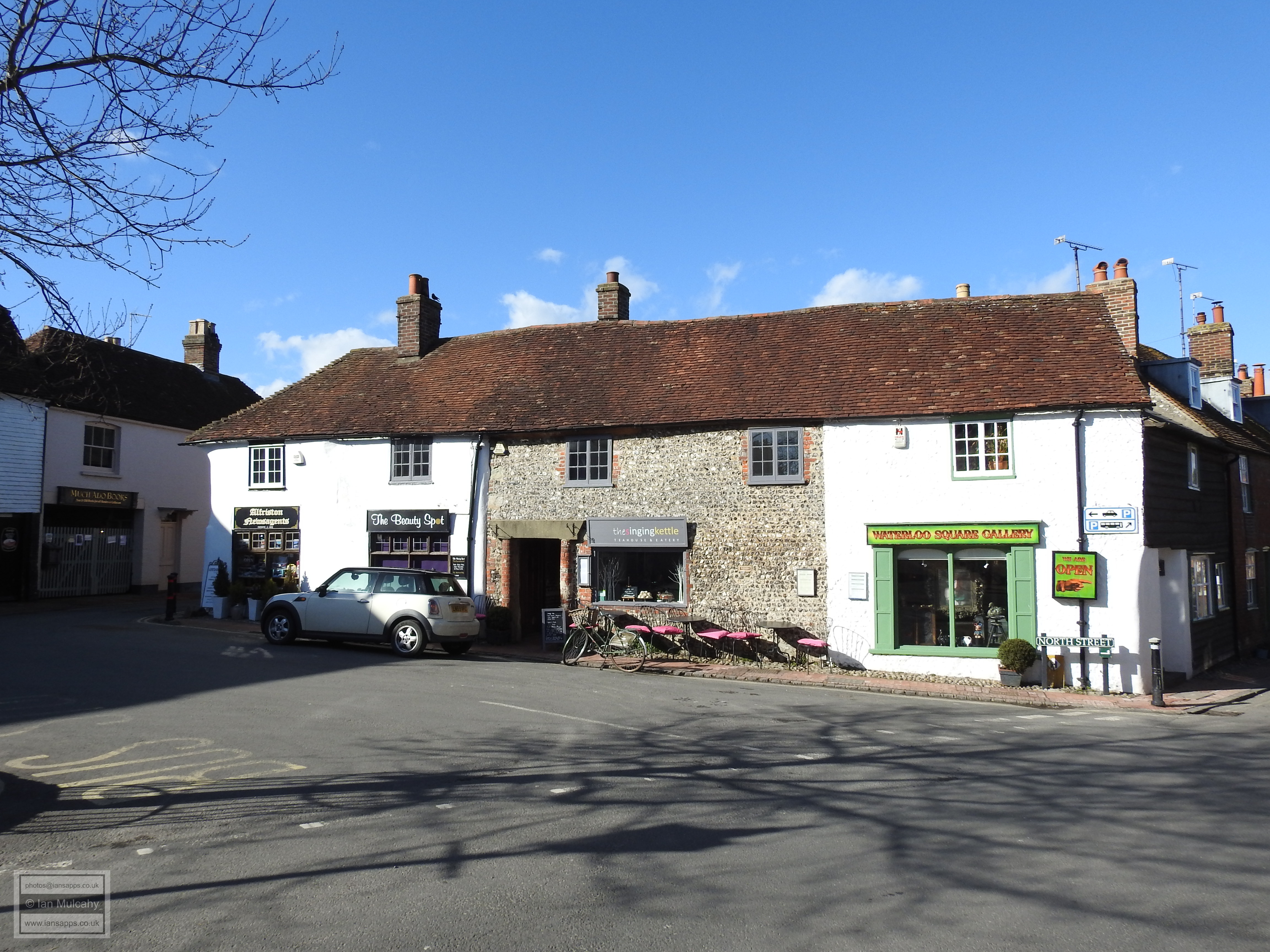
Heading back north to the High Street, the first building of Tudor interest that we come to is Moonrakers, a very late Tudor period timber framed house with low ceilings that has been refaced in brick. The building now operates as a restaurant and I would highly recommend their omelette and chips for lunch, but mind your head on the way in and out! On the opposite side of the road and a little closer to the market is Steamer Cottage and the Old Farmhouse; the much altered remains of a 15th century Wealden Hall House. Next door is another 15th century Wealden Hall House, the confusingly named Steamer Cottages, which is well disguised behind a painted 18th century frontage.
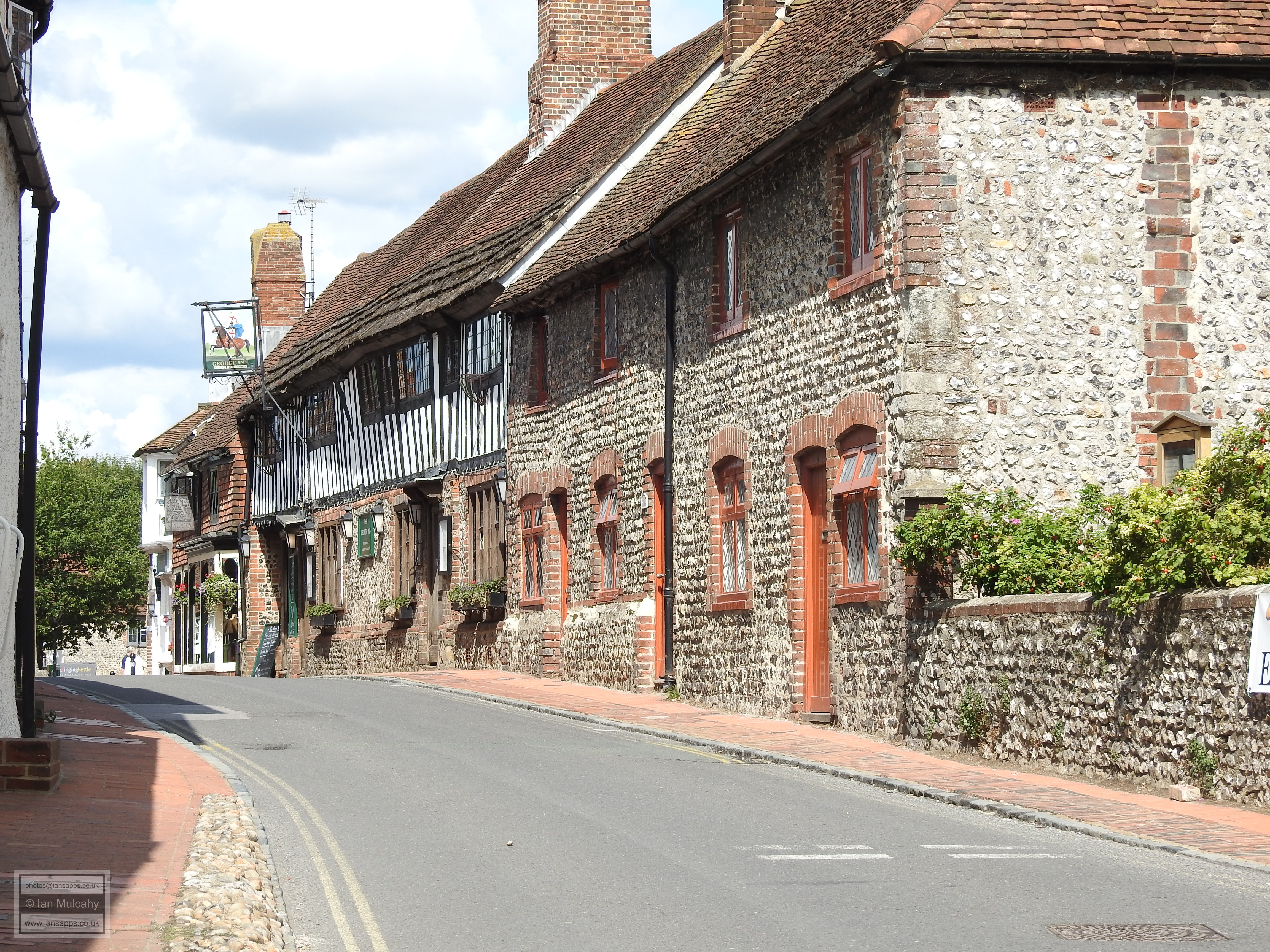
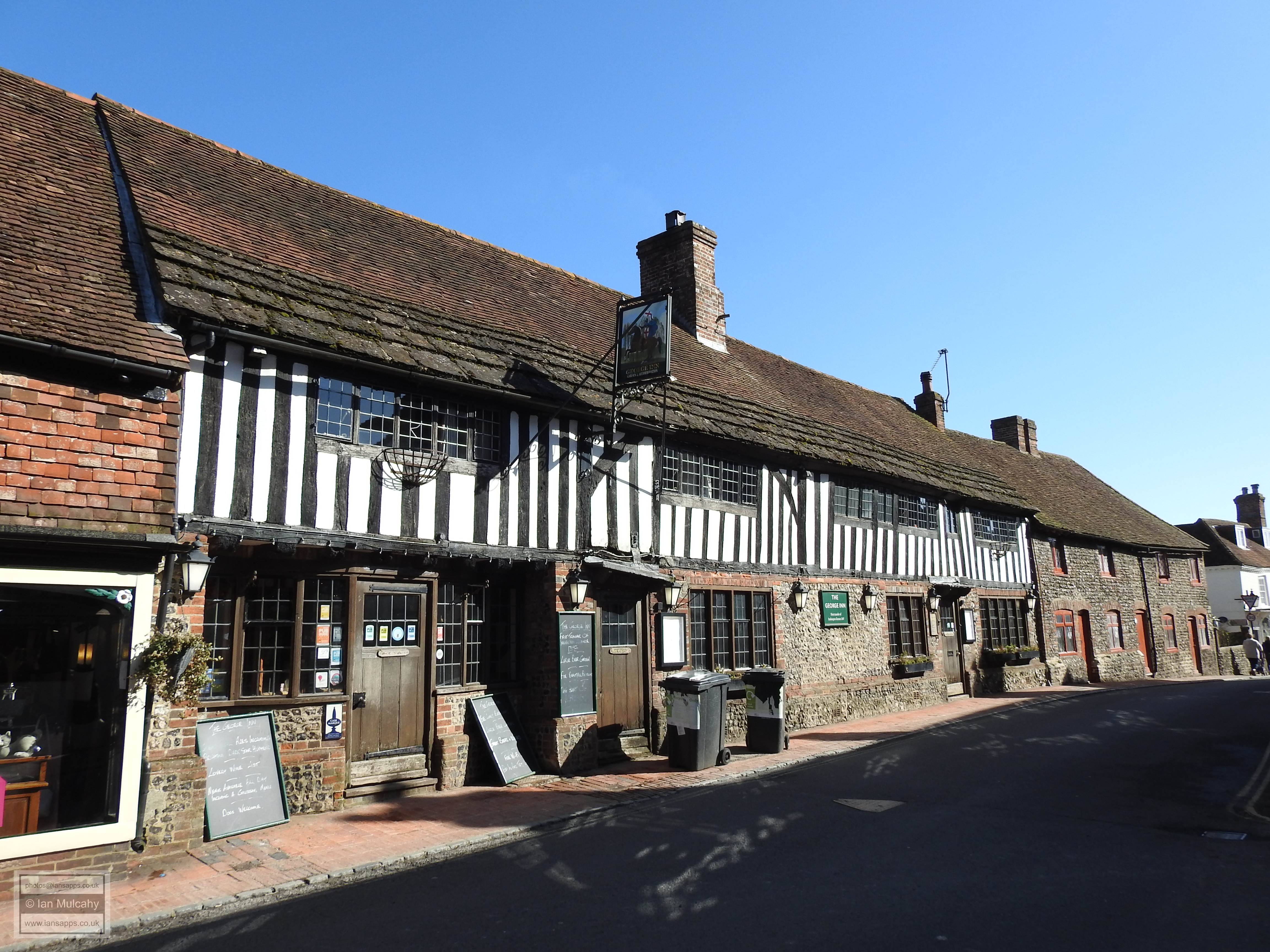
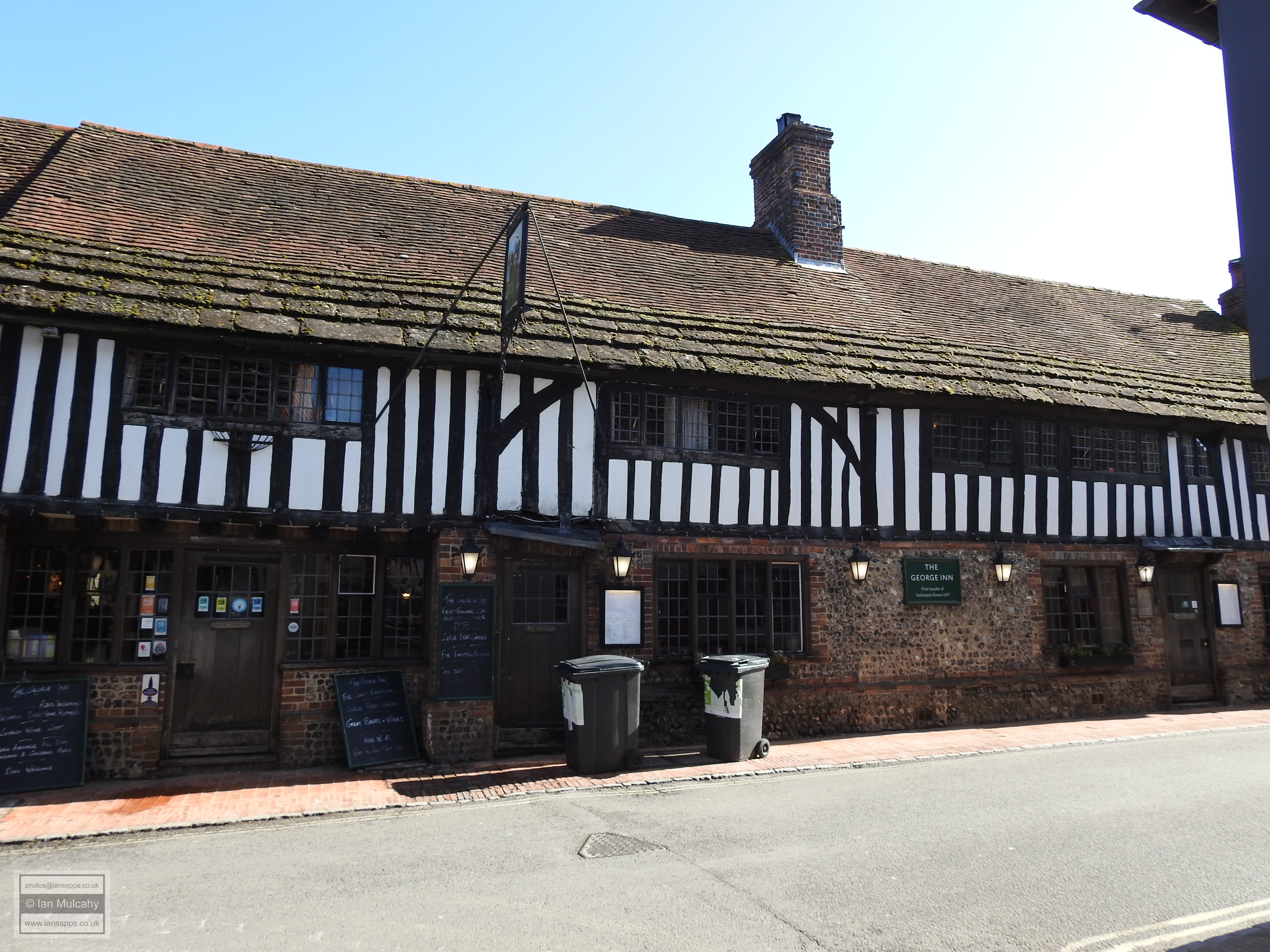
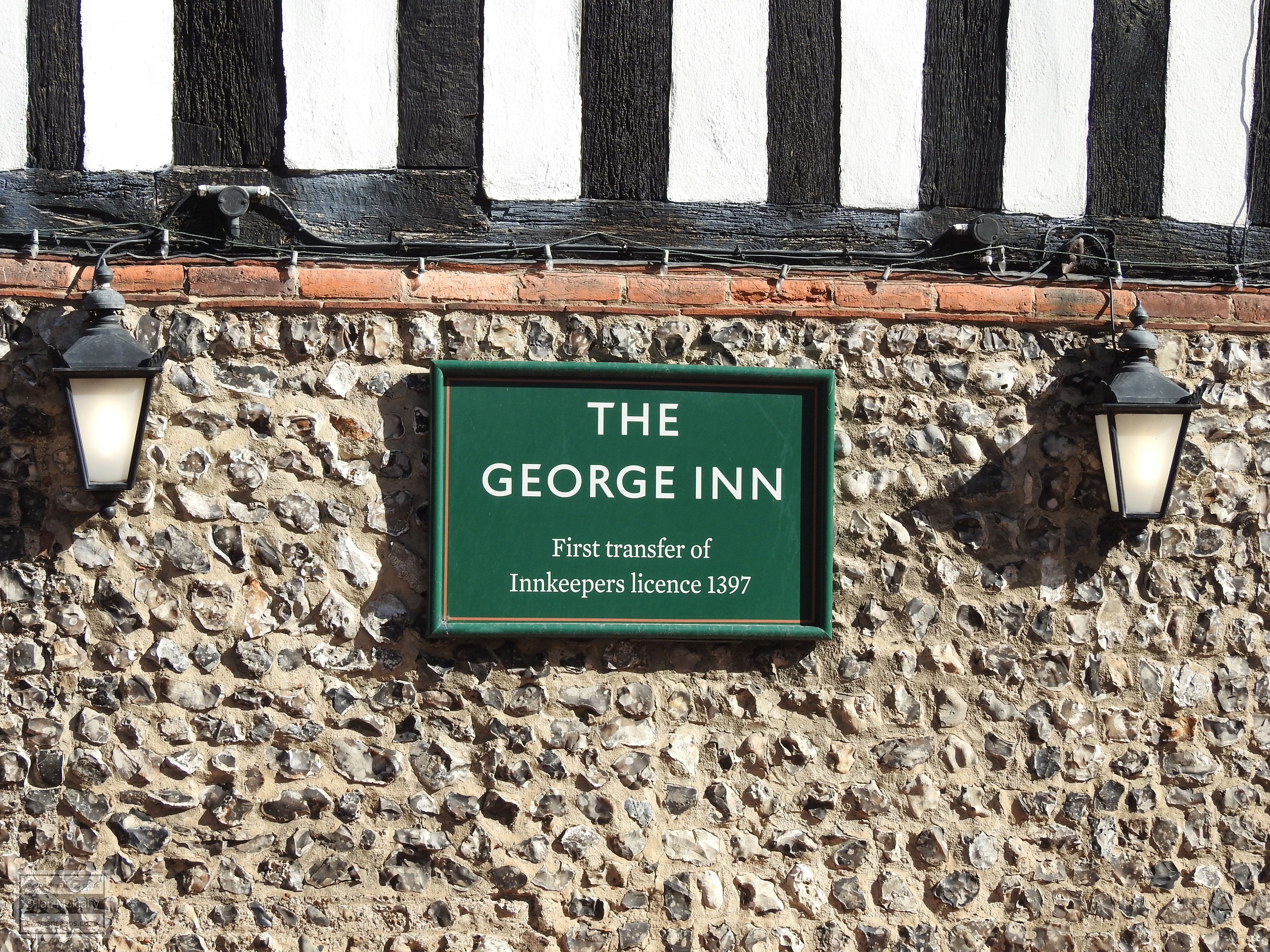
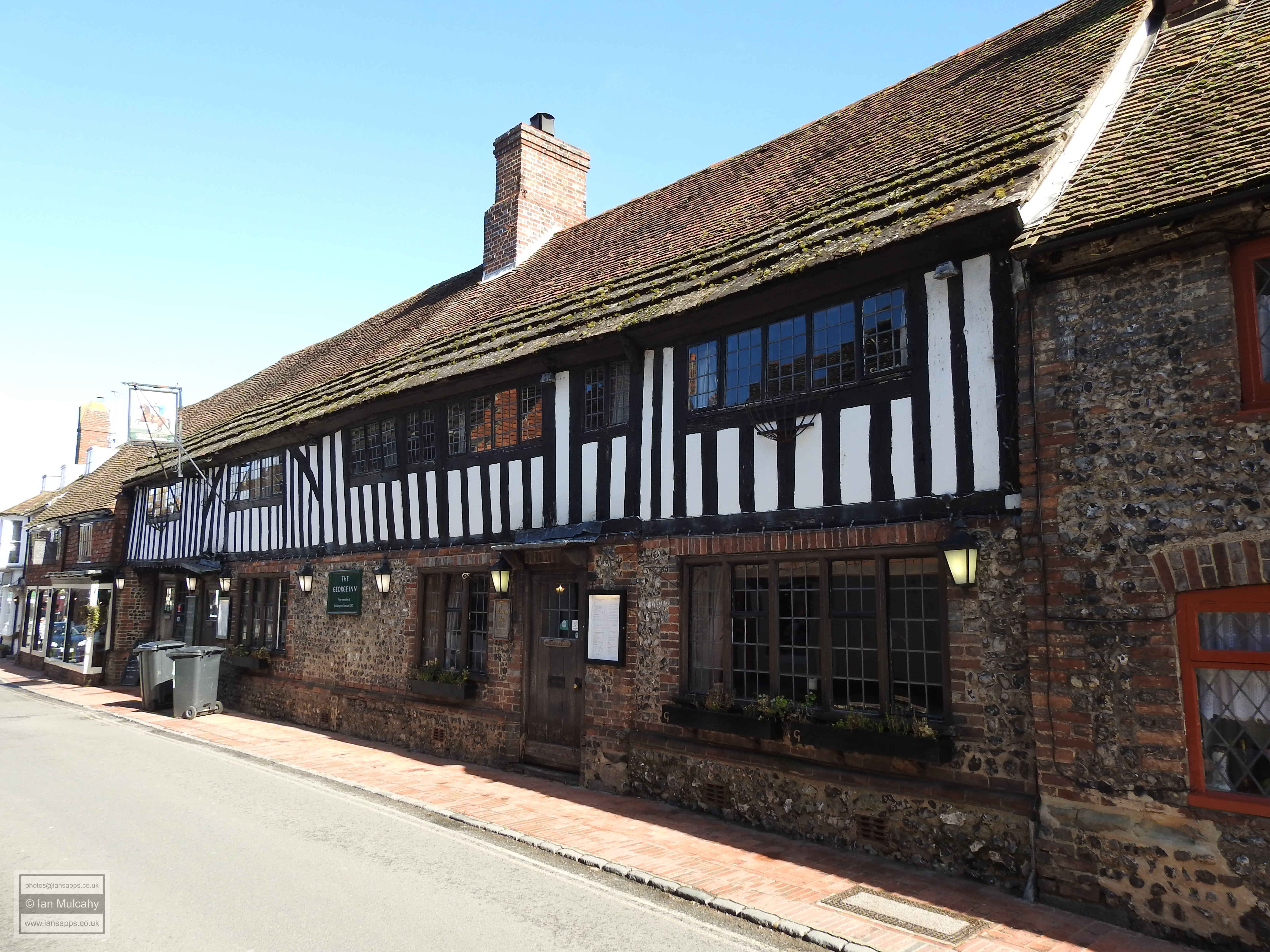
Opposite is the George Inn, yet another 15th century Wealden Hall House. The timber framing is still visible for the (quite considerable) length of the first floor, but the jetties were underbuilt in brick and flint during the 19th century. The building has an unusually large service bay and it is known that the southern end once had a covered wagon way leading to the rear which leads us to conclude that The George was purpose built as an inn. Next to The George is Tudor House, a late 16th century or early 17th century timber framed building with a modern shop front on the ground floor and tile hung walls above.
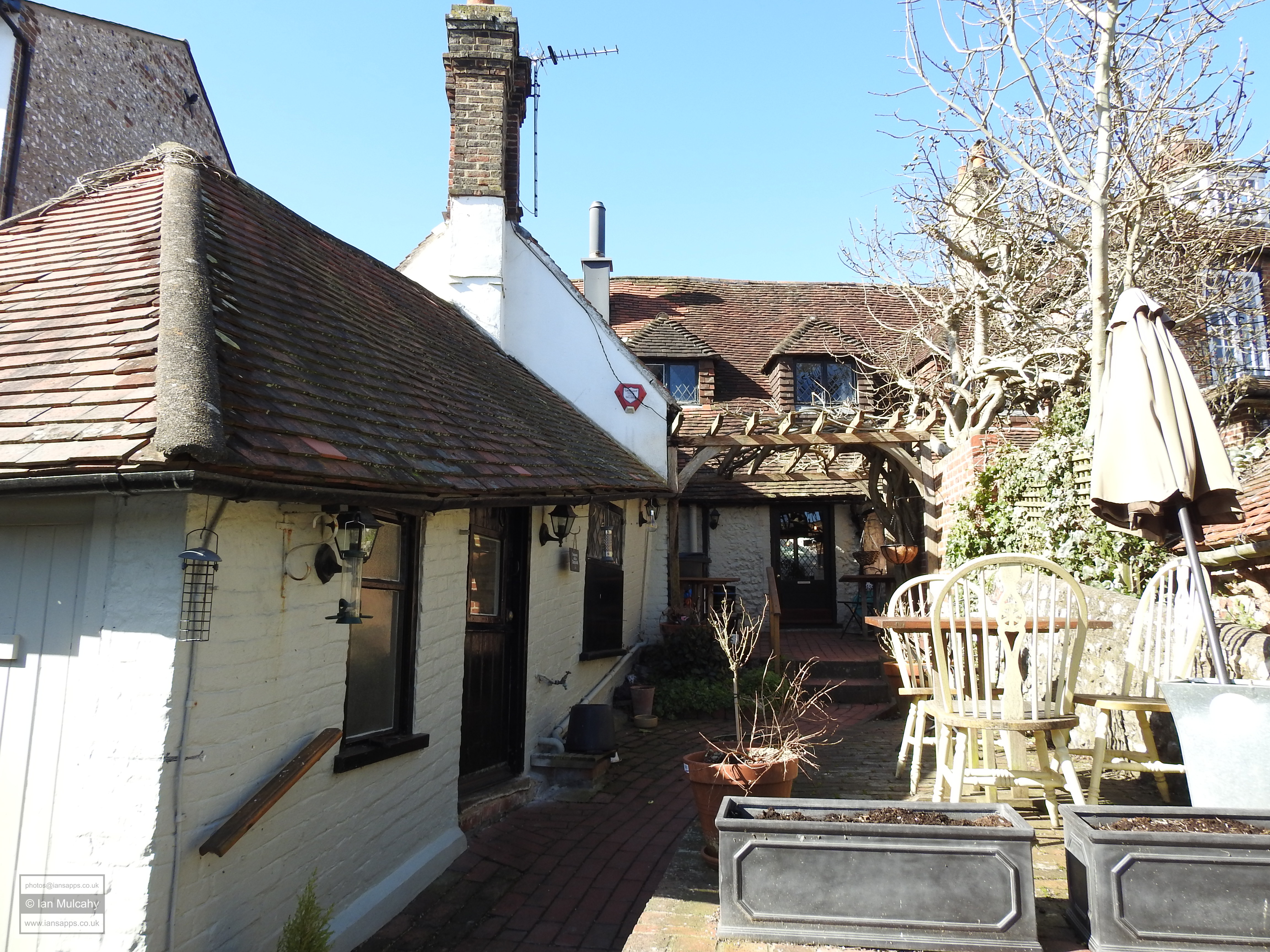
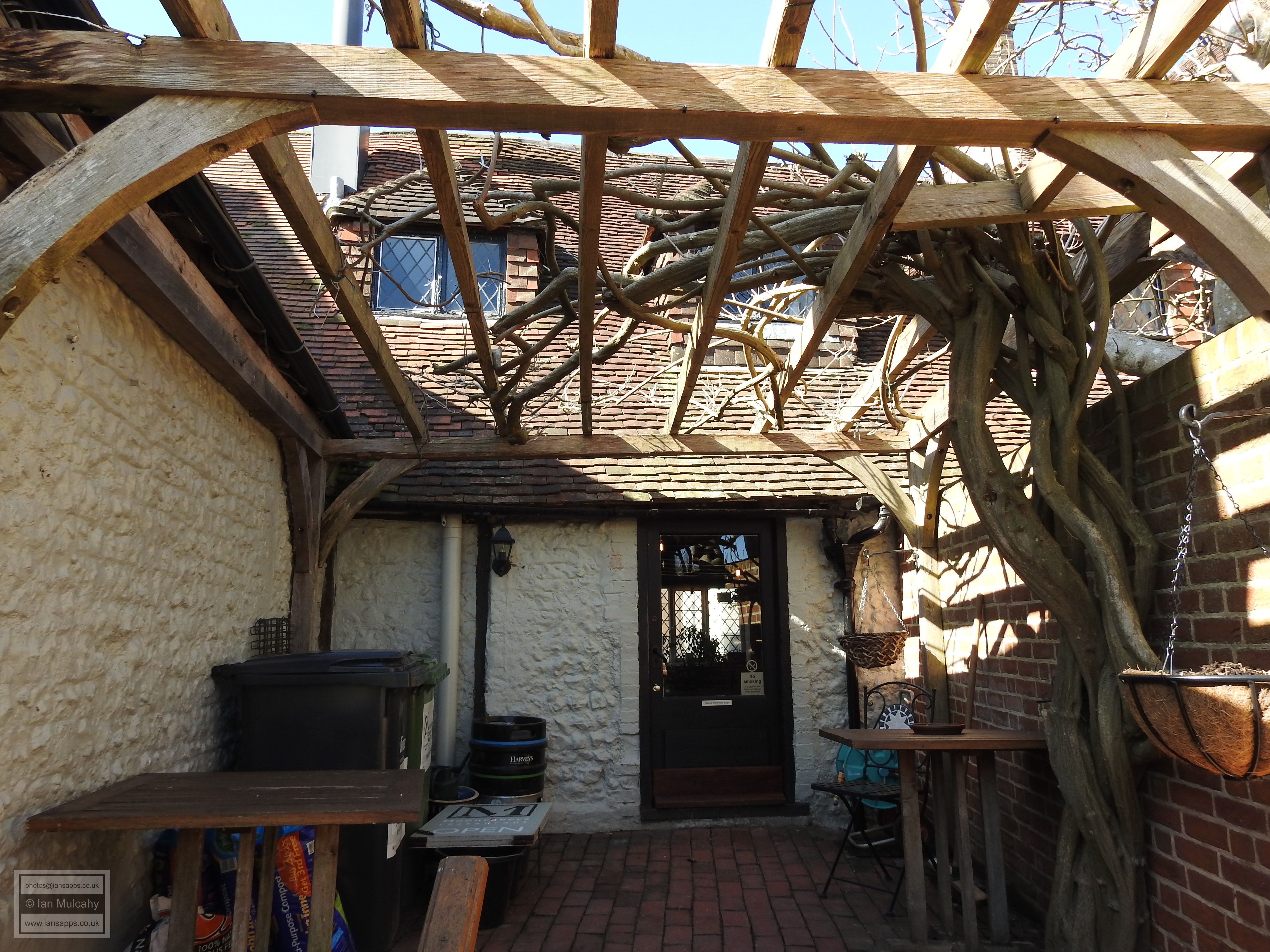
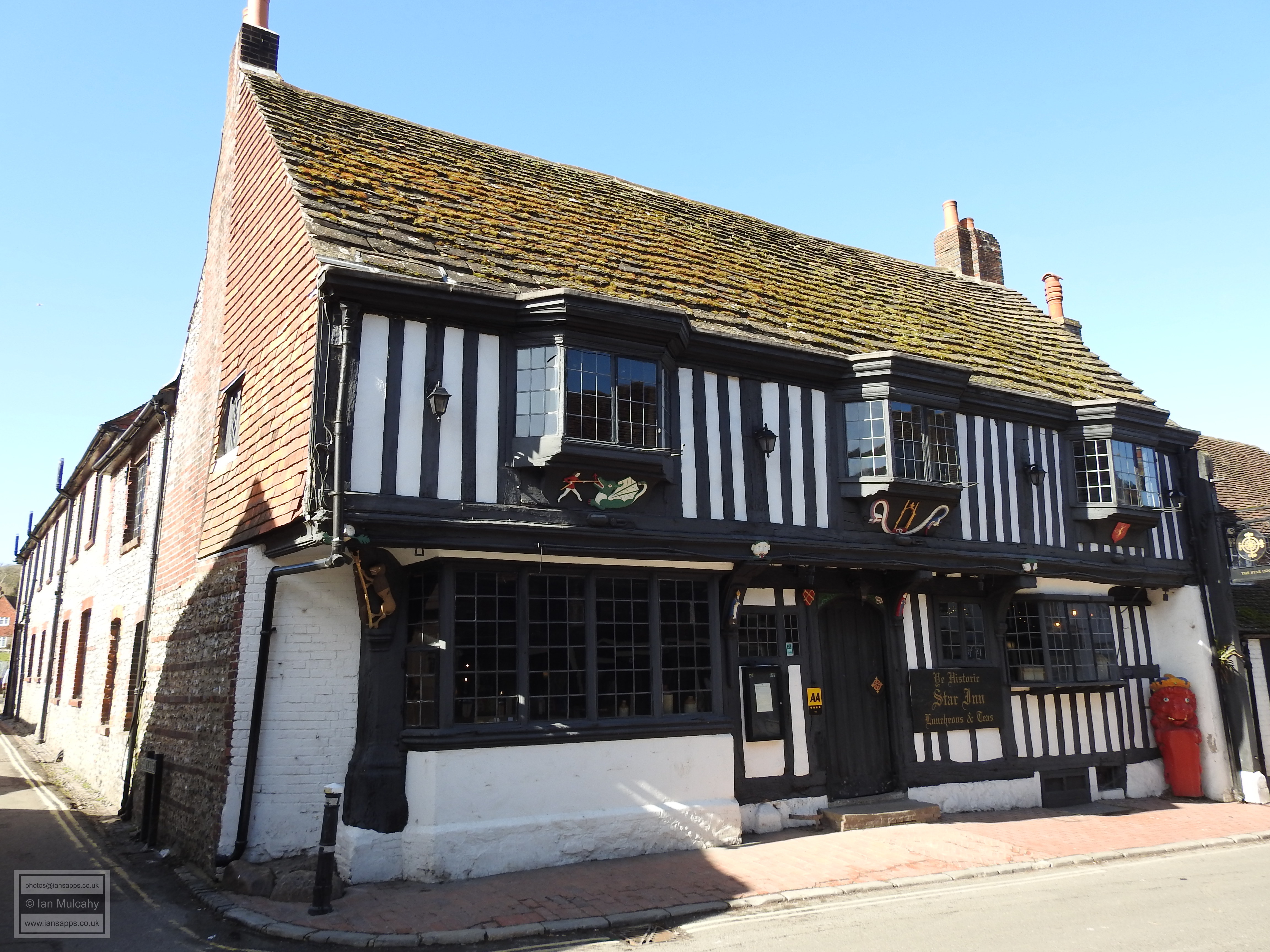
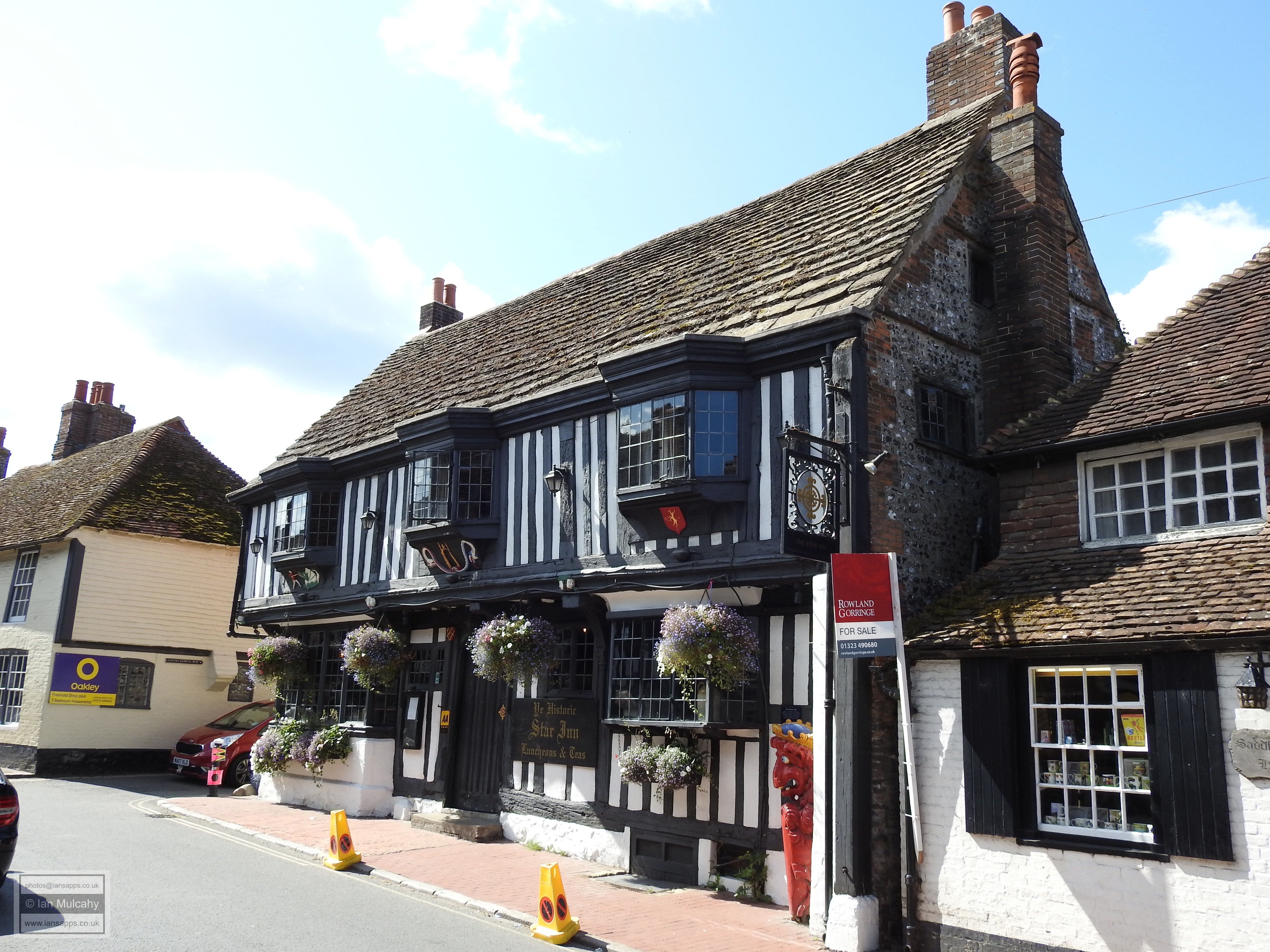
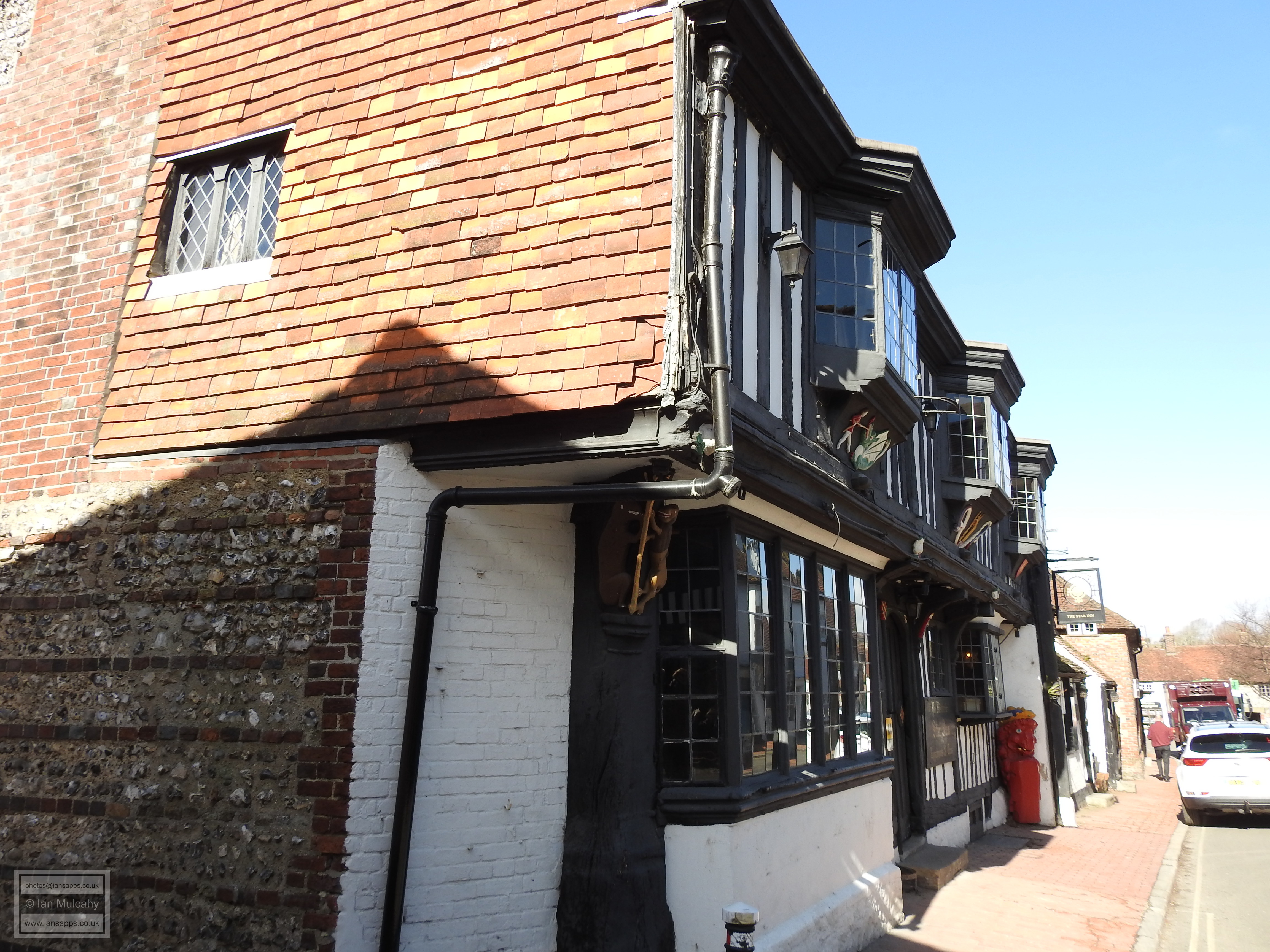
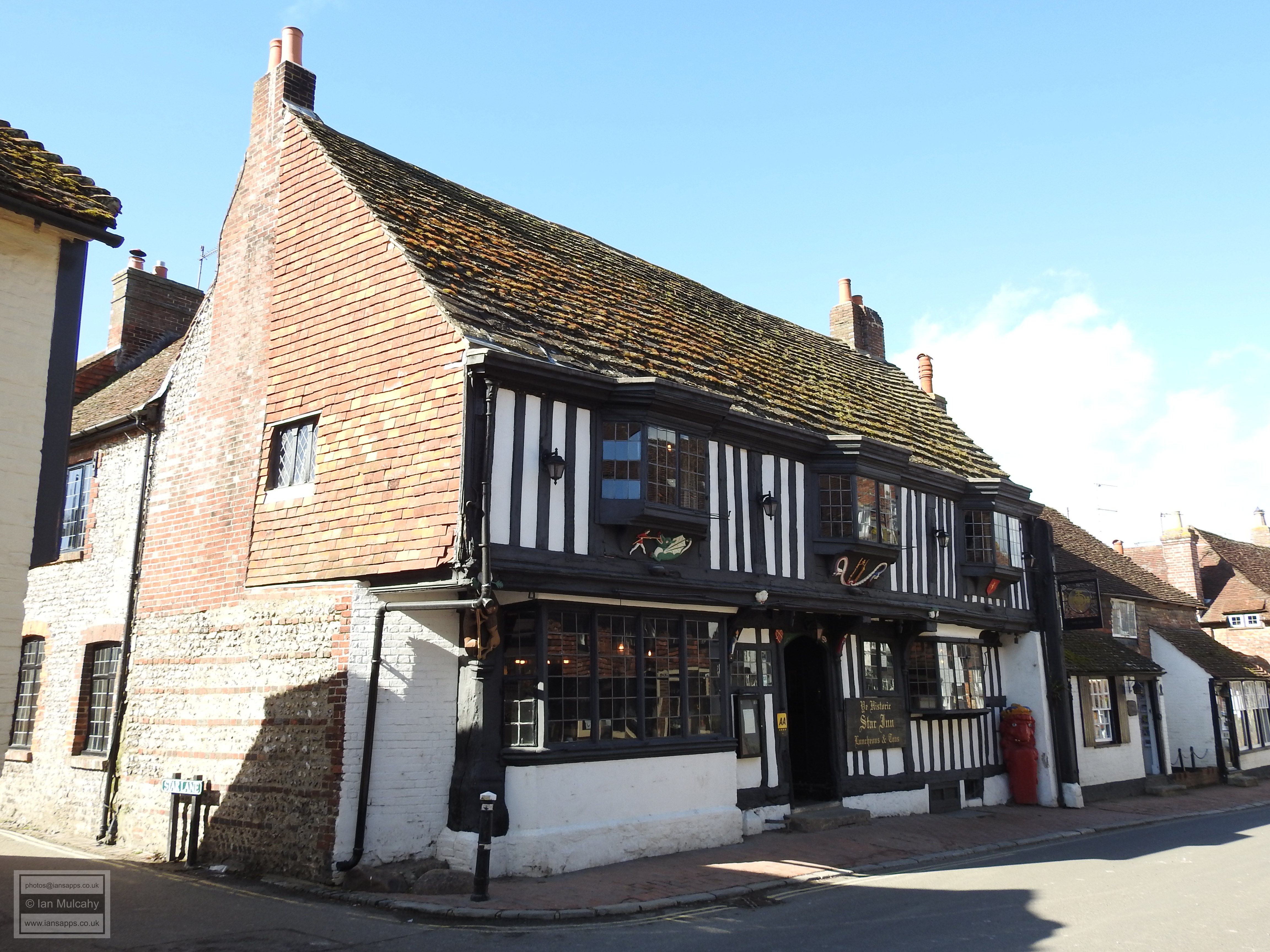
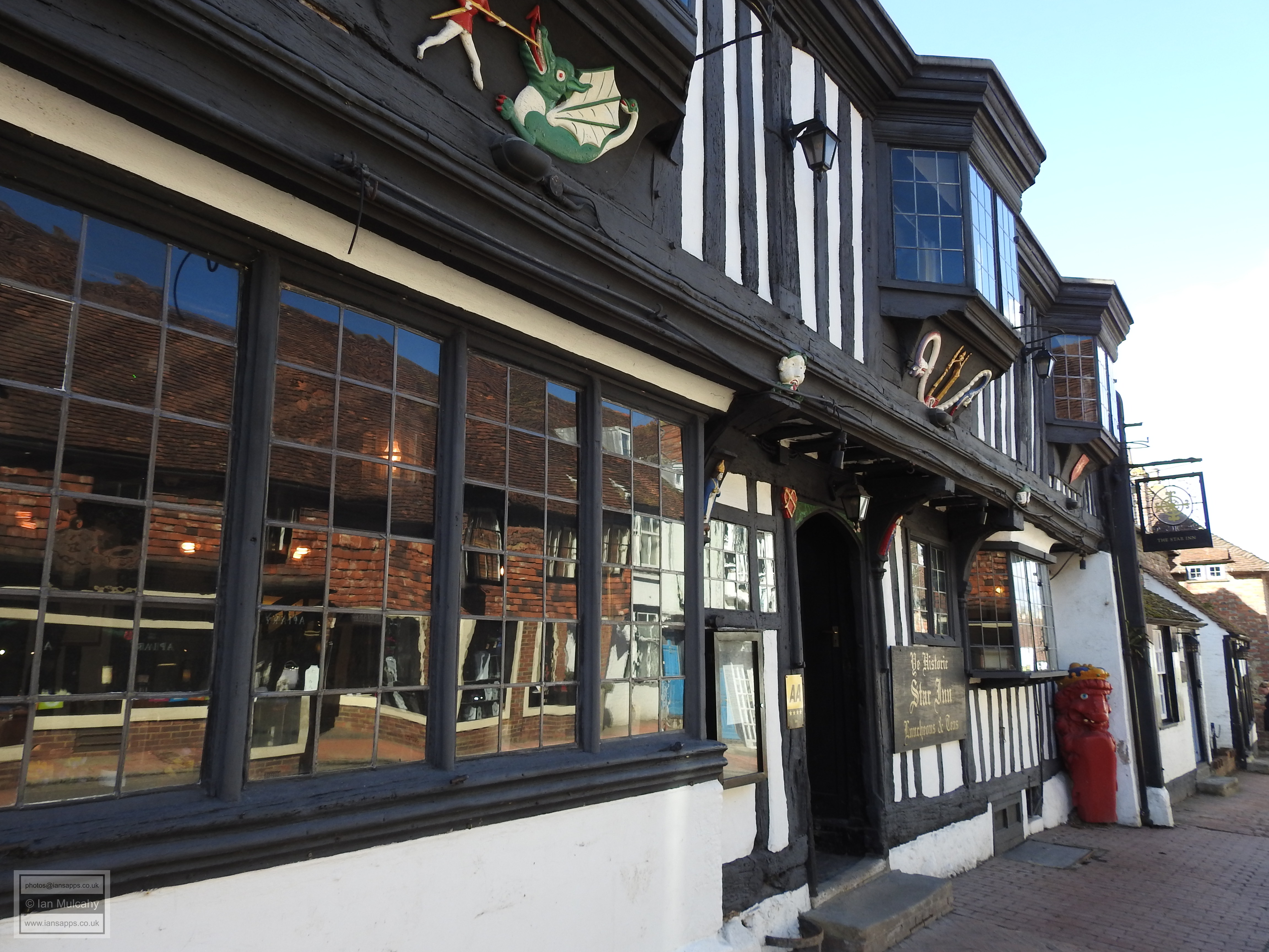
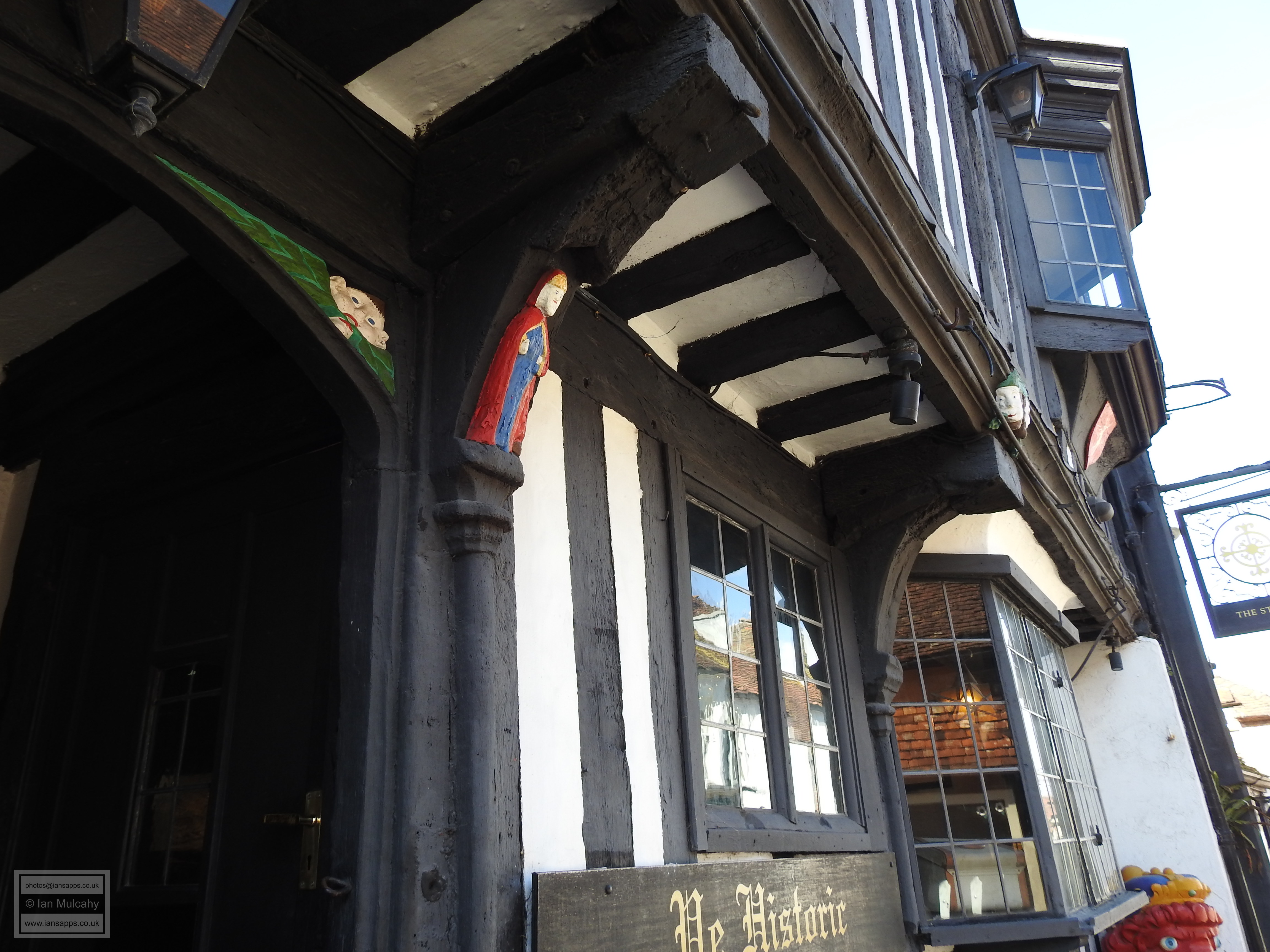
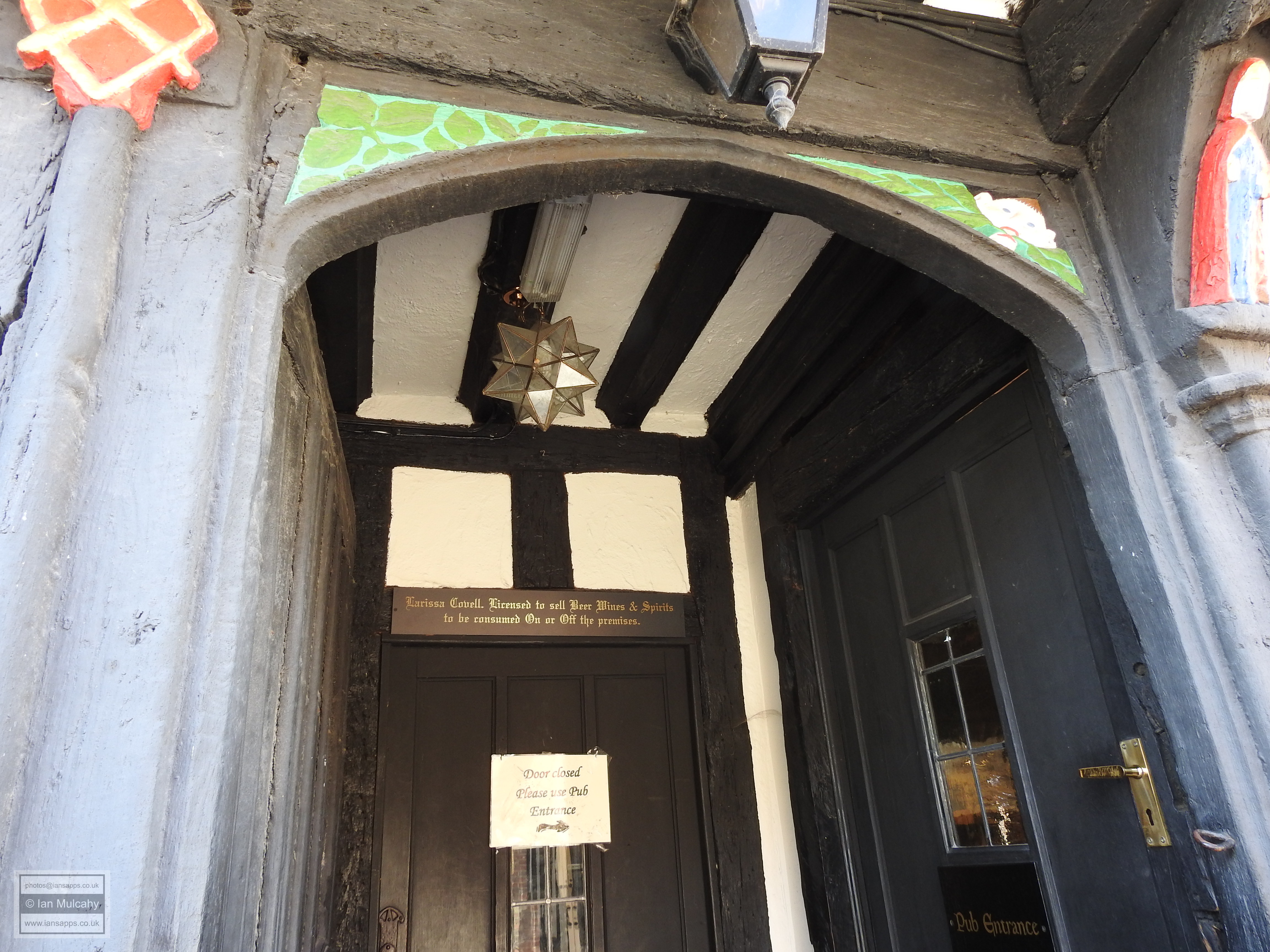
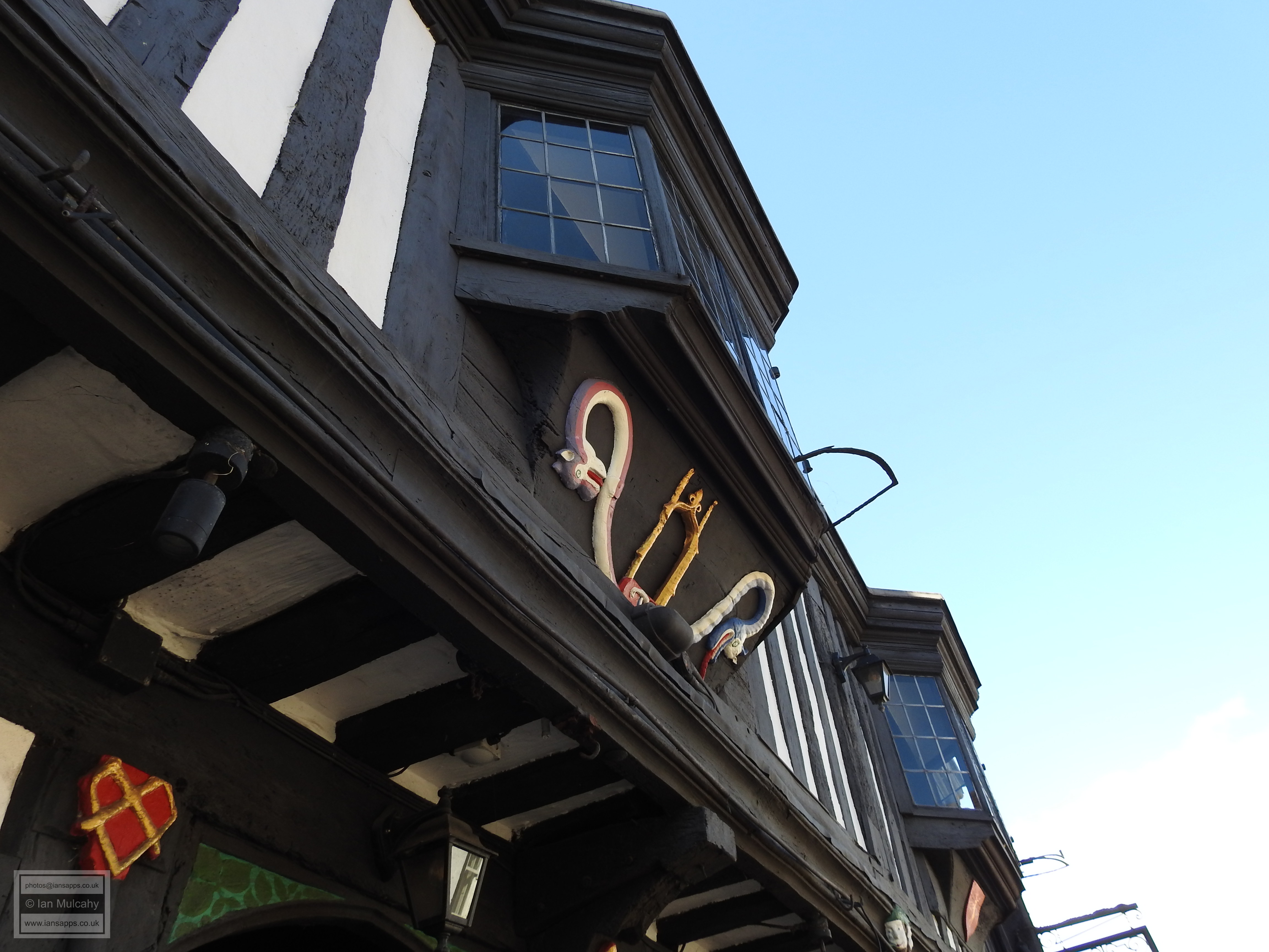
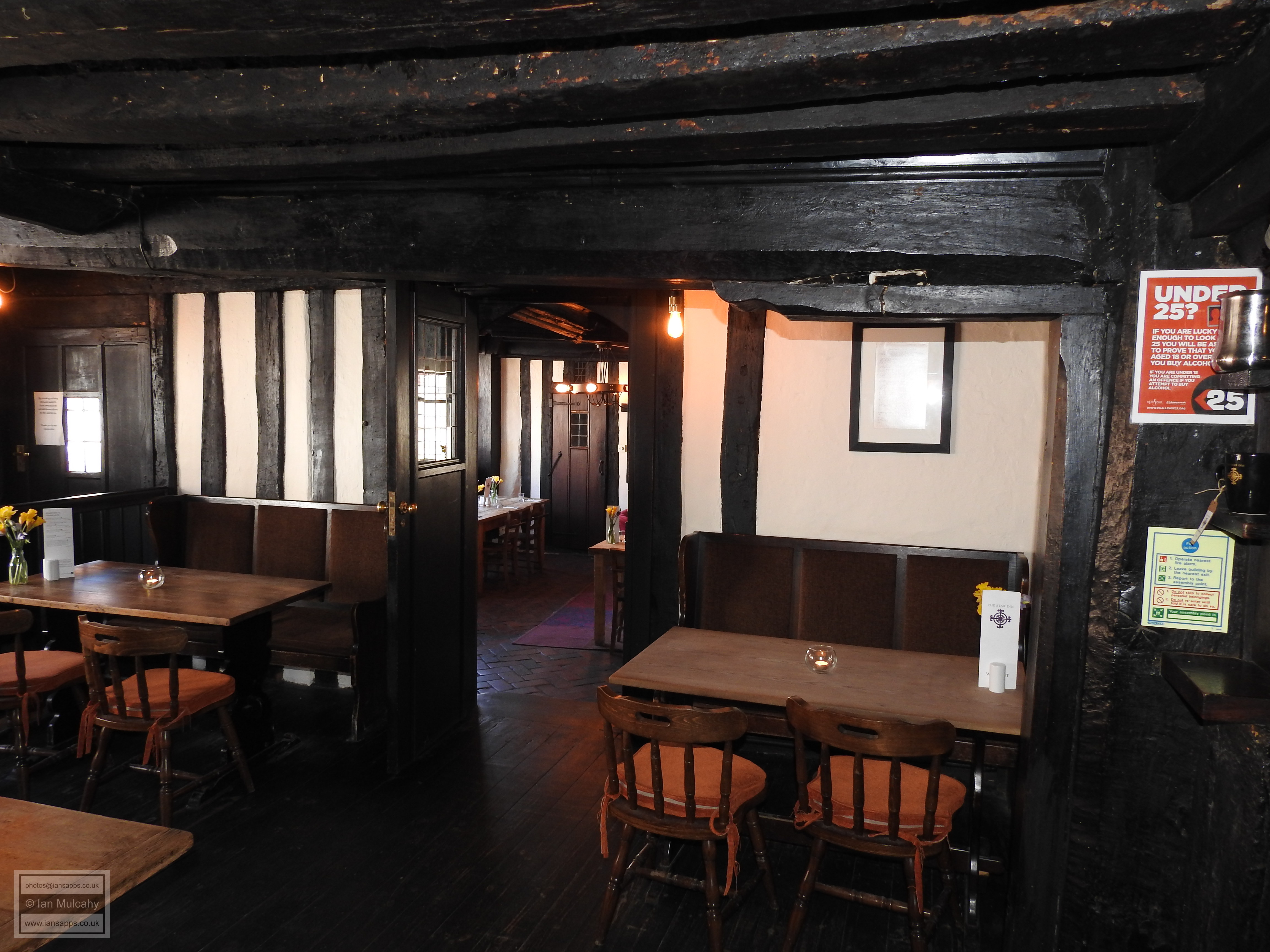
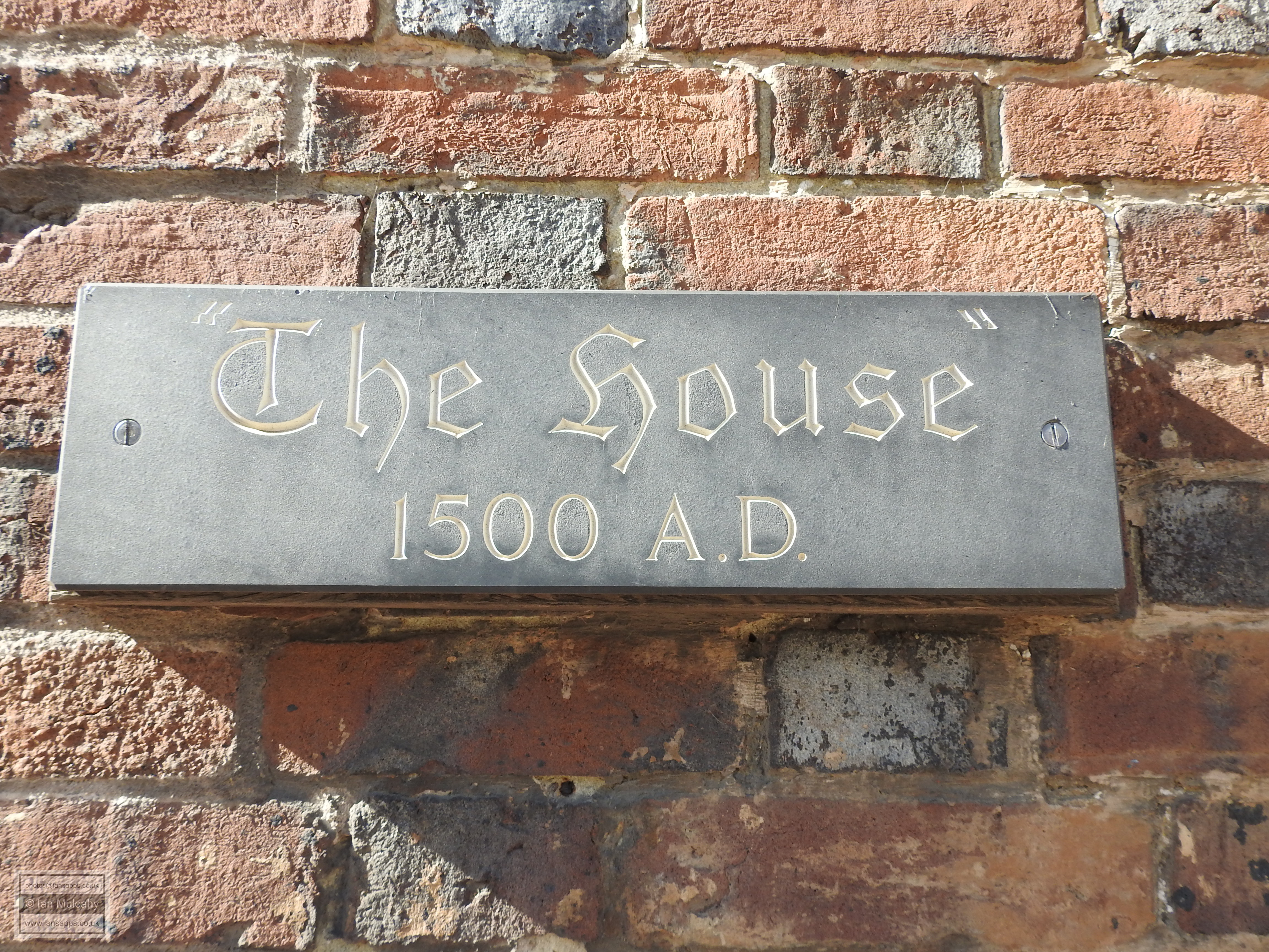
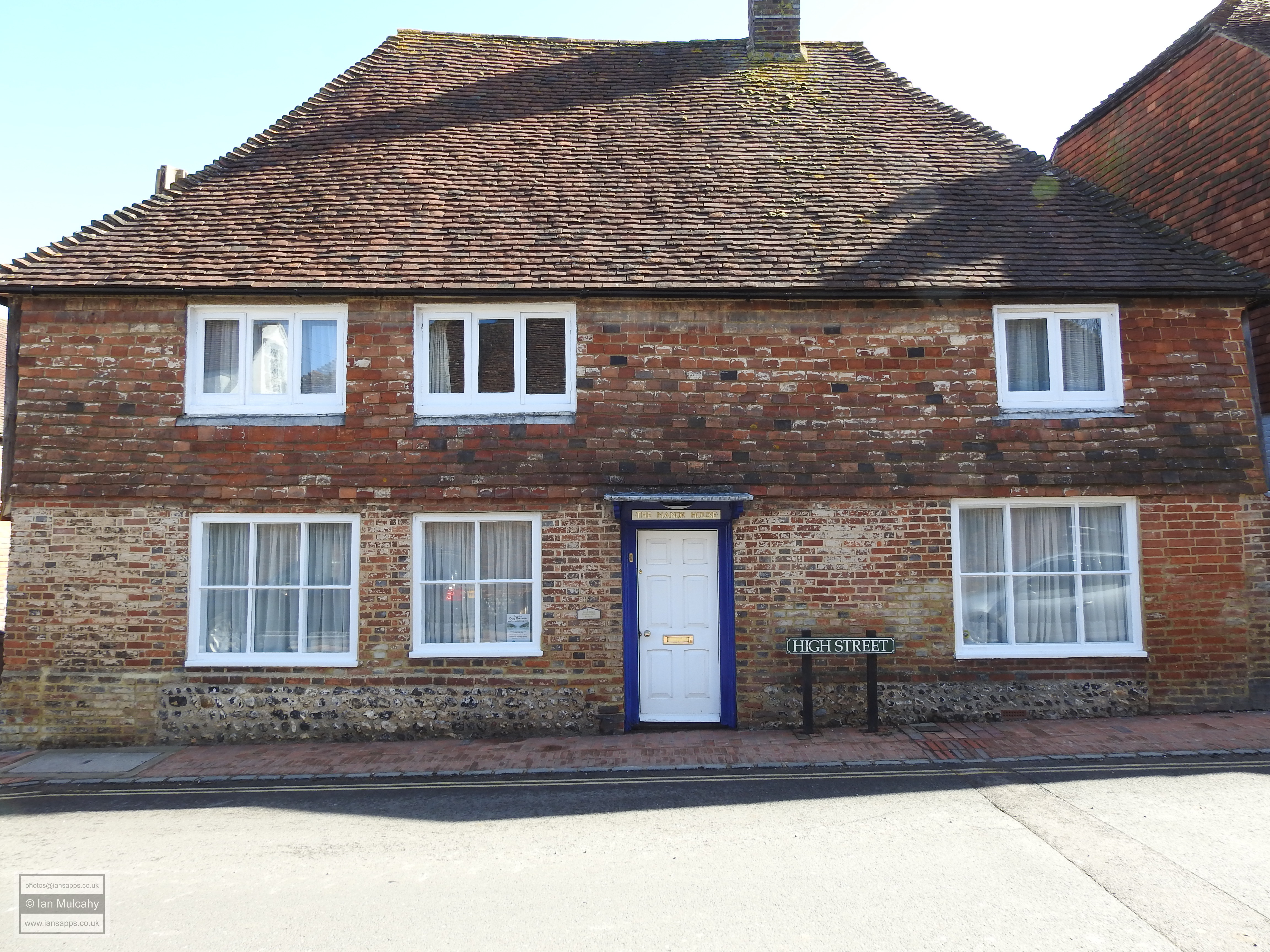
Opposite the Tudor House is the brilliantly unique Star Inn. Dating from around 1520, the Star was built by the Abbot of Battle to serve as a hostel for friars and has a full length jetty and timbers decorated with carvings including a depiction of St. George slaying the dragon, St. Giles & St. Julian either side of the door and lots of little faces, said to be green men symbolising rebirth. At the end of the block is The Old Manse, the left hand portion of which is claimed to date back to 1500 and opposite is the grandly named, but modest in appearance, Manor House. Built in the mid 16th century, this house had a floored hall when built, but utilised a smoke bay.
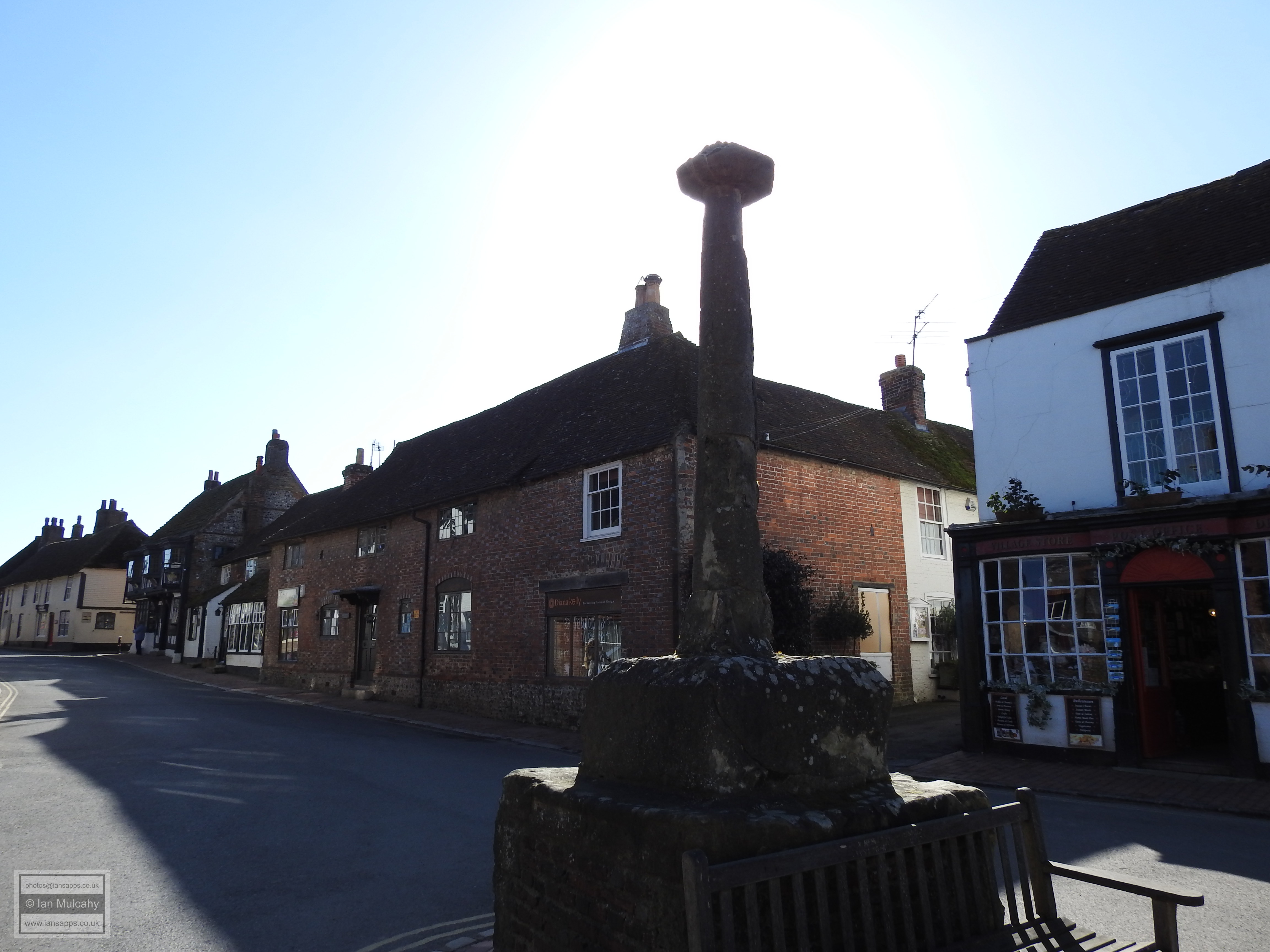
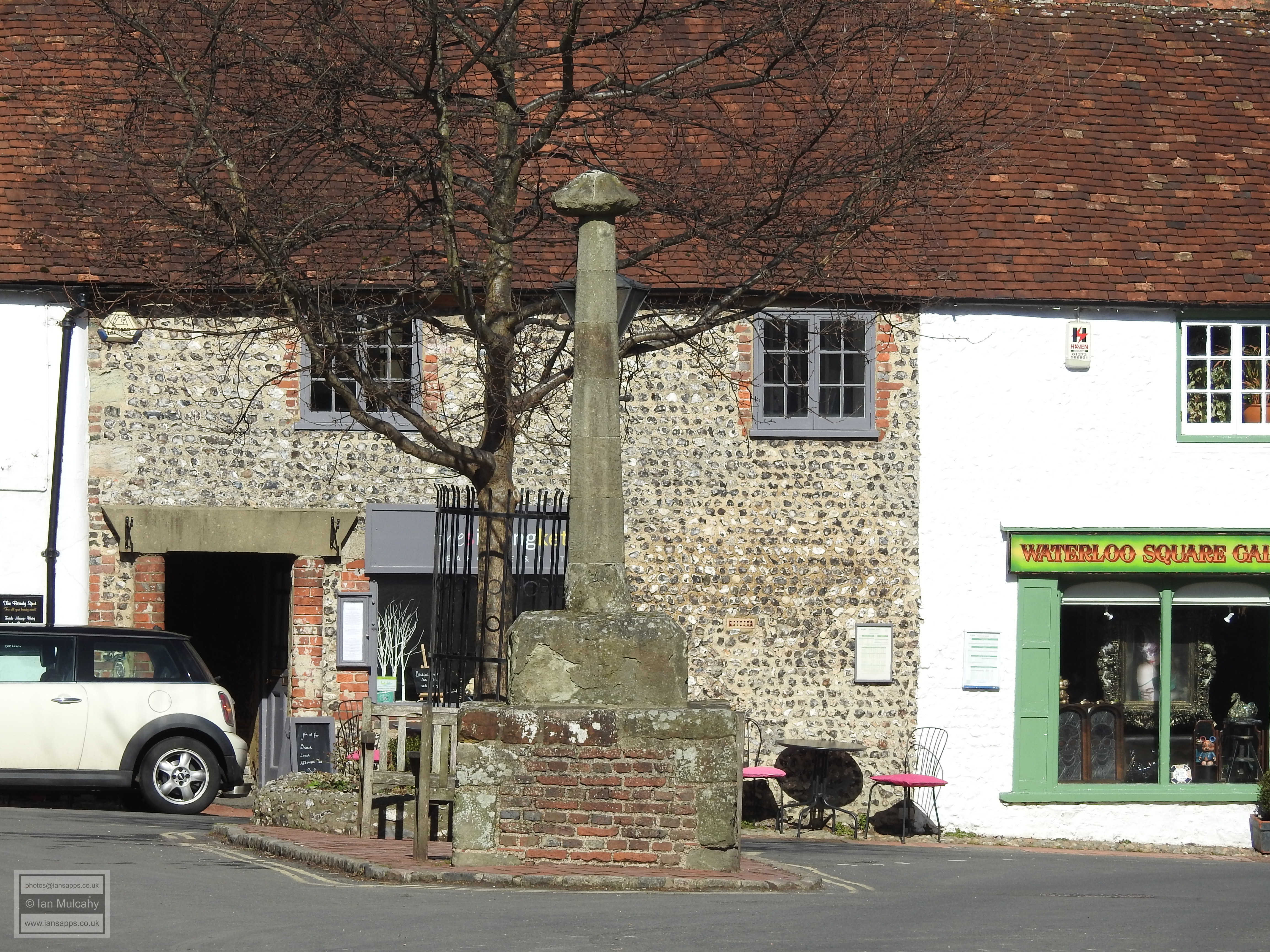
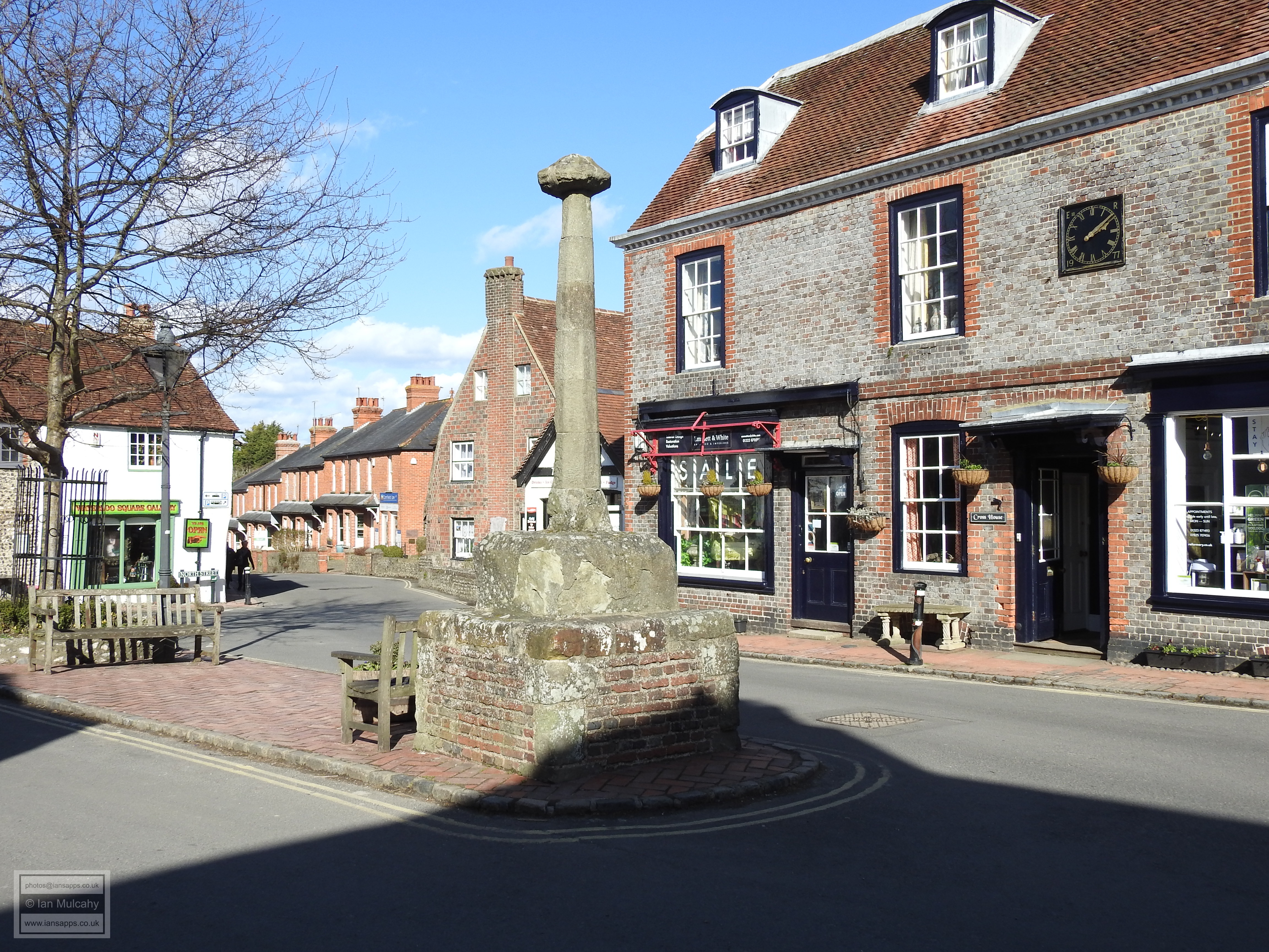
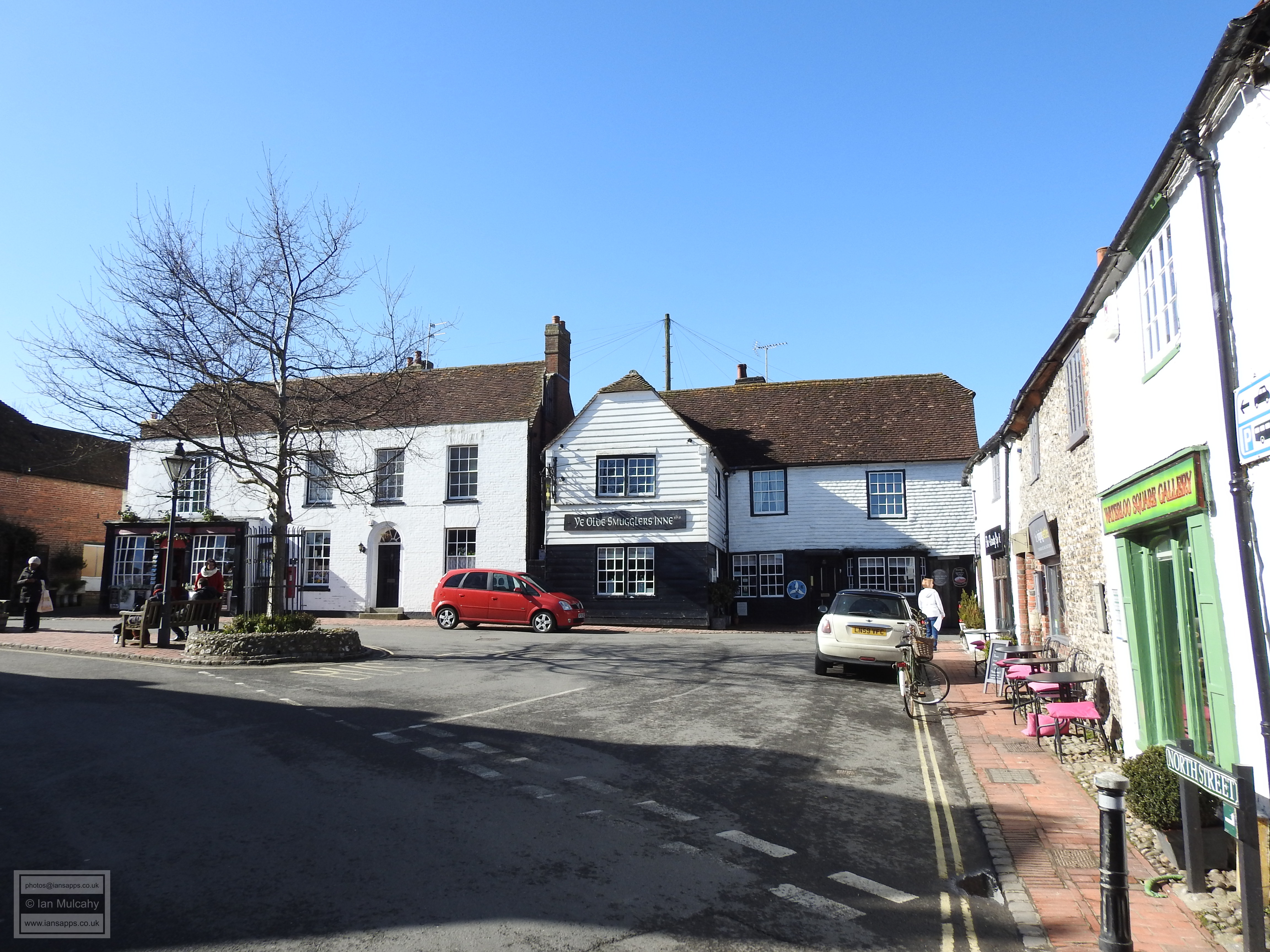
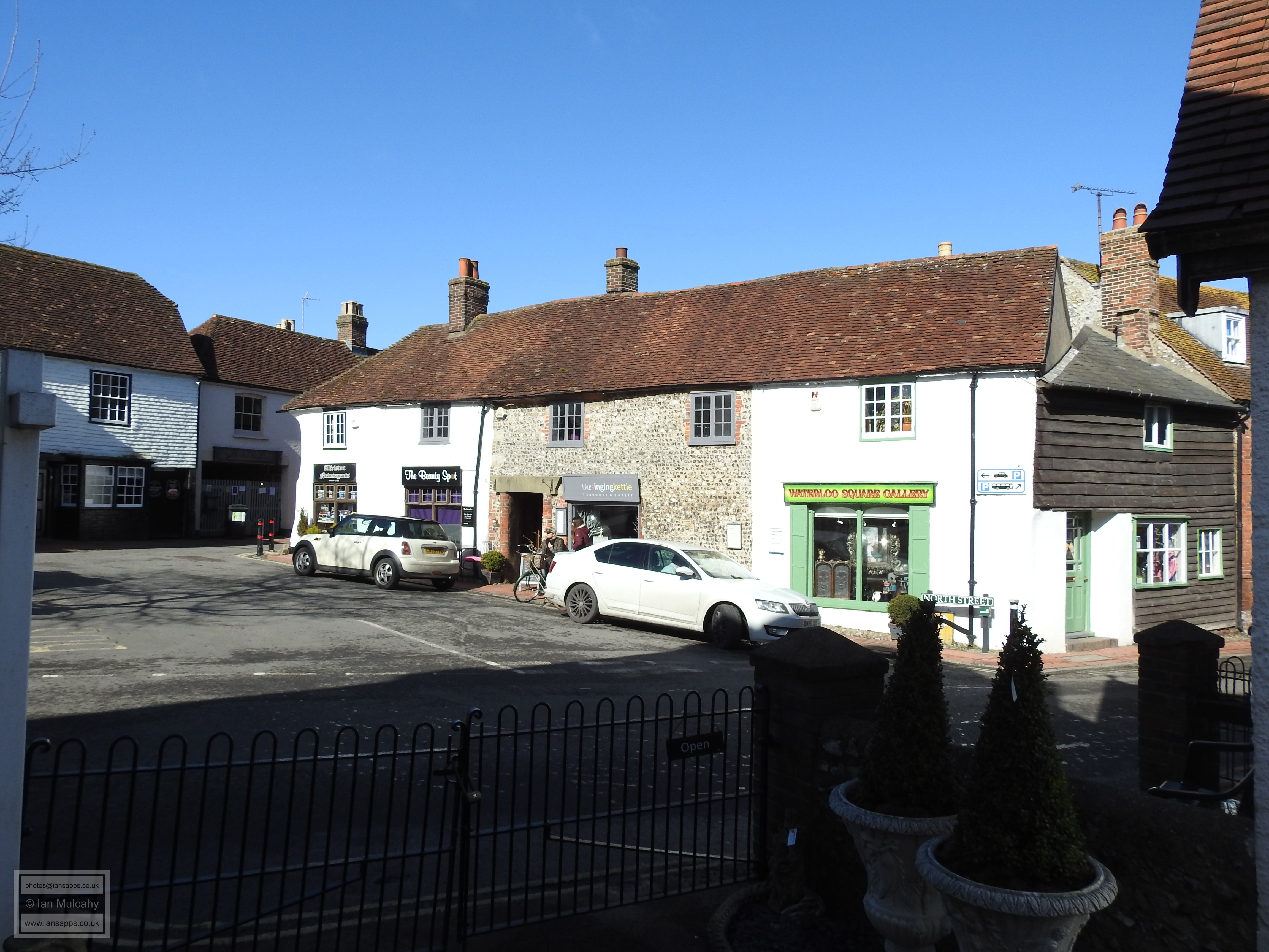
Into the Market Place, now known as Waterloo Square, and The Market Cross Dominates the centre of the space. First erected in 1406, just the socket stone and lower part of the shaft are original; the current base was added in the mid 19th century (replacing a more typical stepped base) and the top portion of the shaft required replacement in 1955 following an argument with a passing lorry! The cross itself was broken off and smashed beyond repair by a drunken Canadian soldier in 1919.
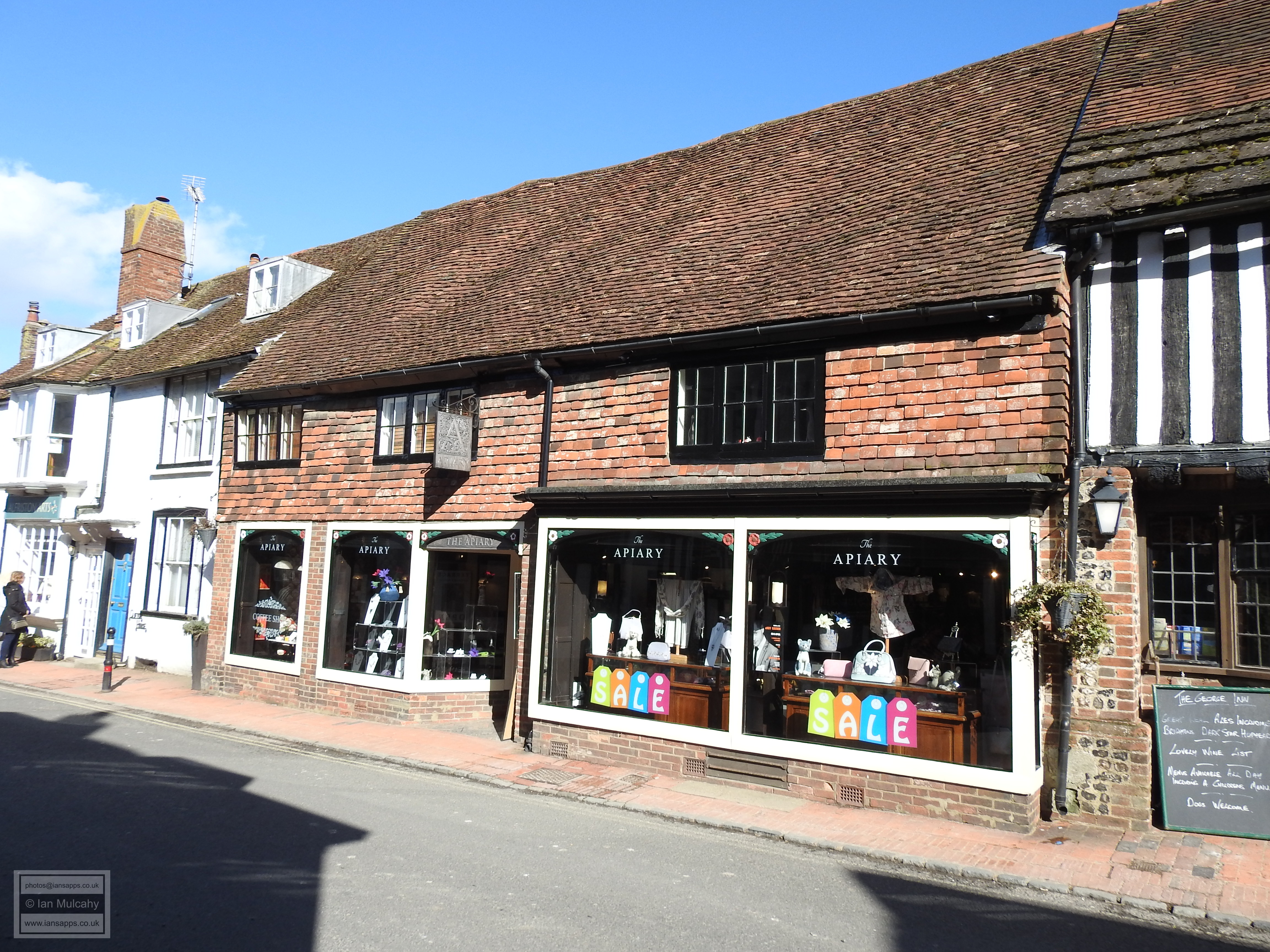
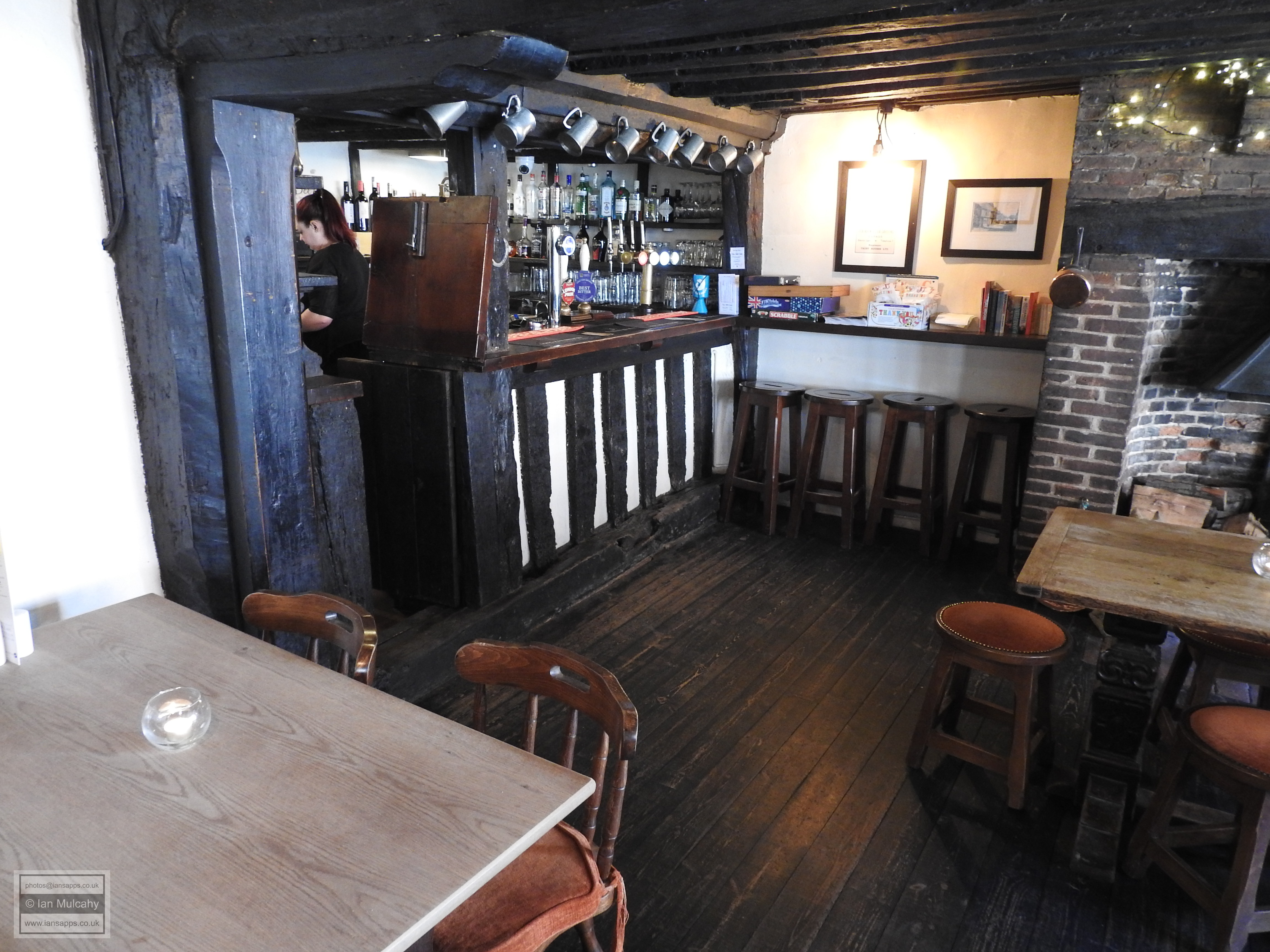
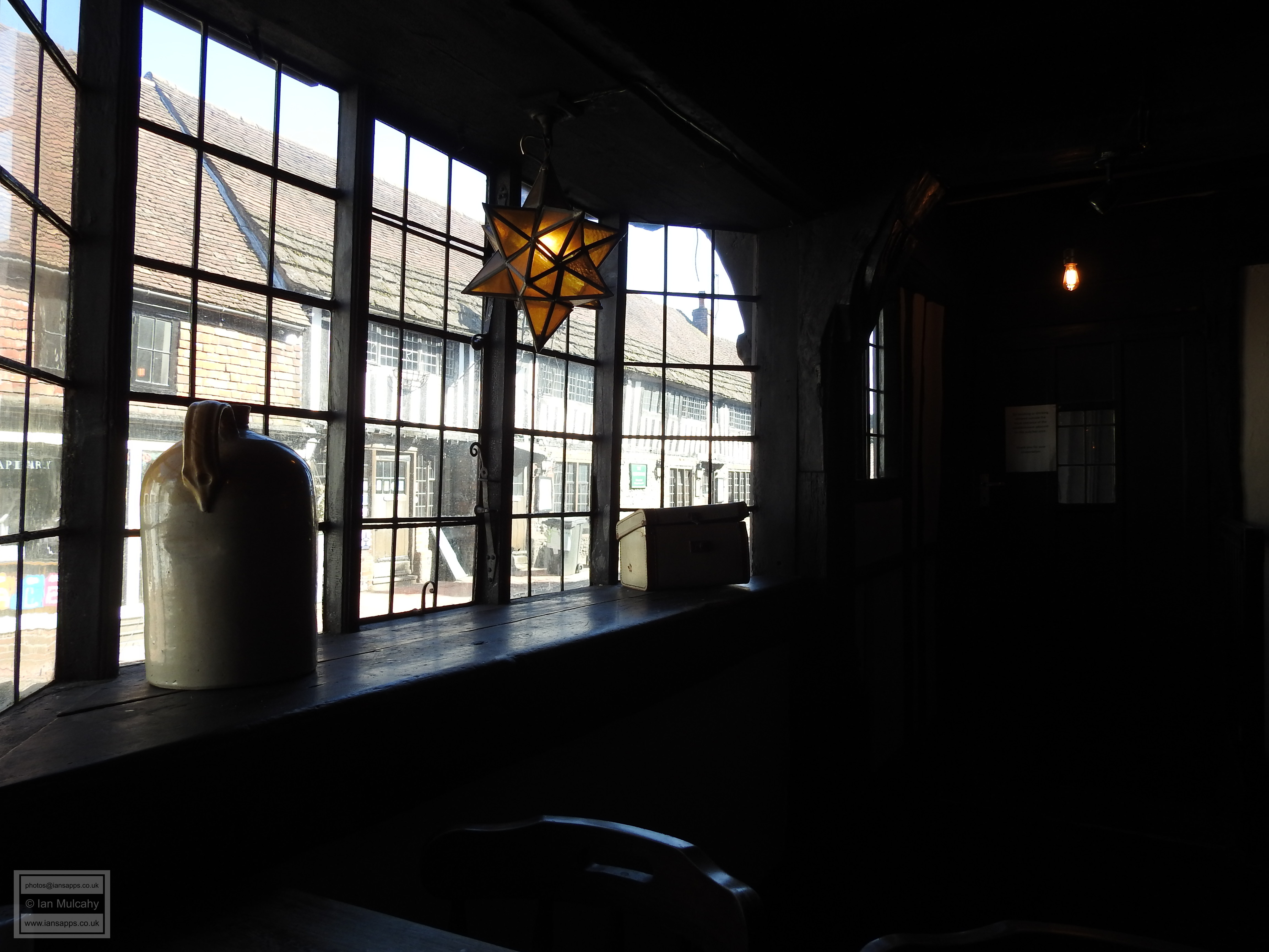
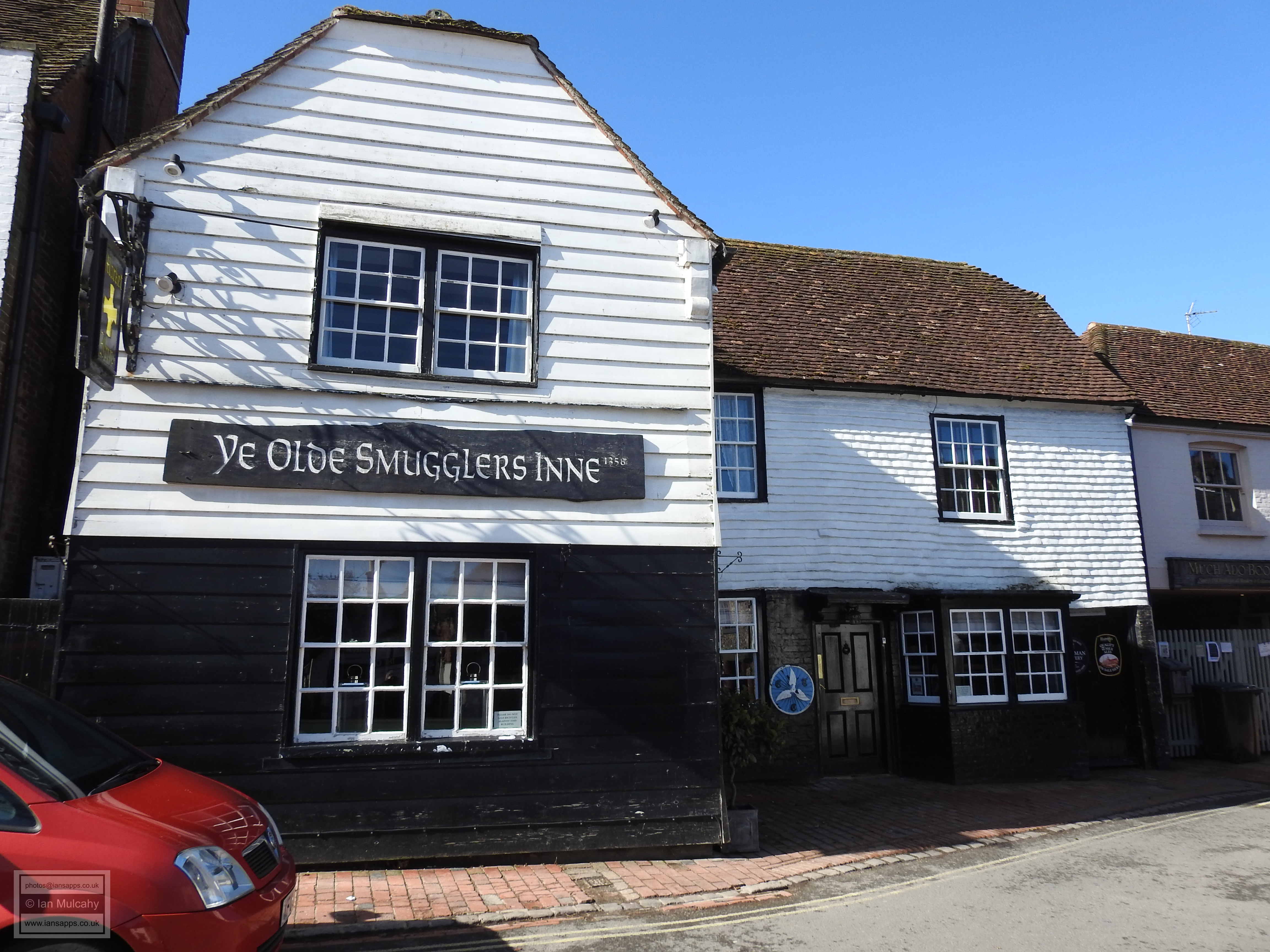
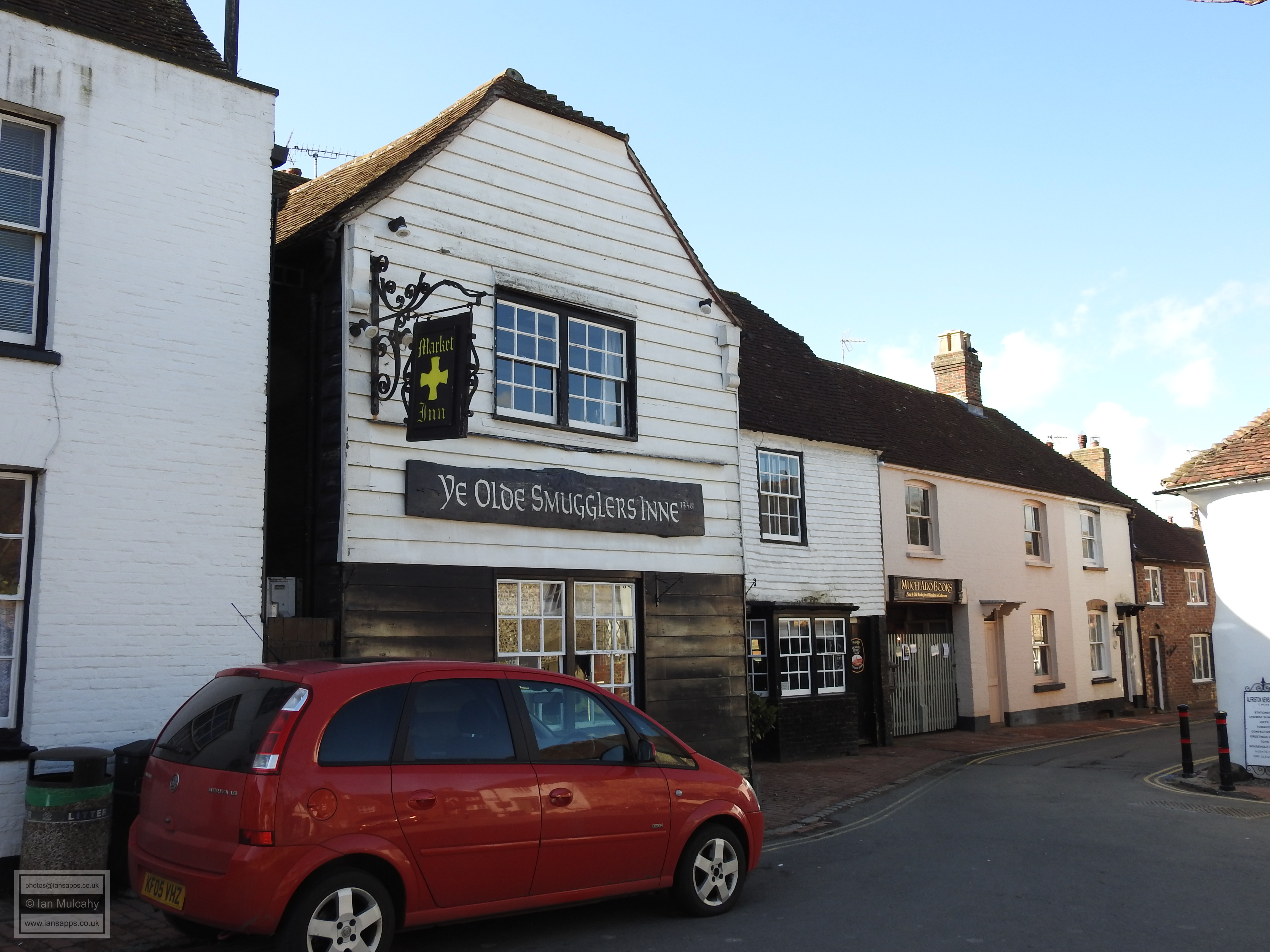
To the west of The Market Cross is Ye Olde Smugglers Inn, said to have been in existence since 1358. The current building isn’t that old, however, with the oldest part being the weather boarded timber framed crosswing encroaching onto the market square which was built in approx. 1600. The crosswing was an extension to the original medieval inn which was replaced by the rest of the extant building using the original timbers in the 17th century. The modern name is appropriate as it was owned by Stanton Collins, the leader of a notorious local smuggling gang during the early 19th century when it was known as The Market Cross Inn. The building has 21 rooms, 47 doors and 6 staircases along with various hiding places, all designed to confuse any excise men who may have come knocking.
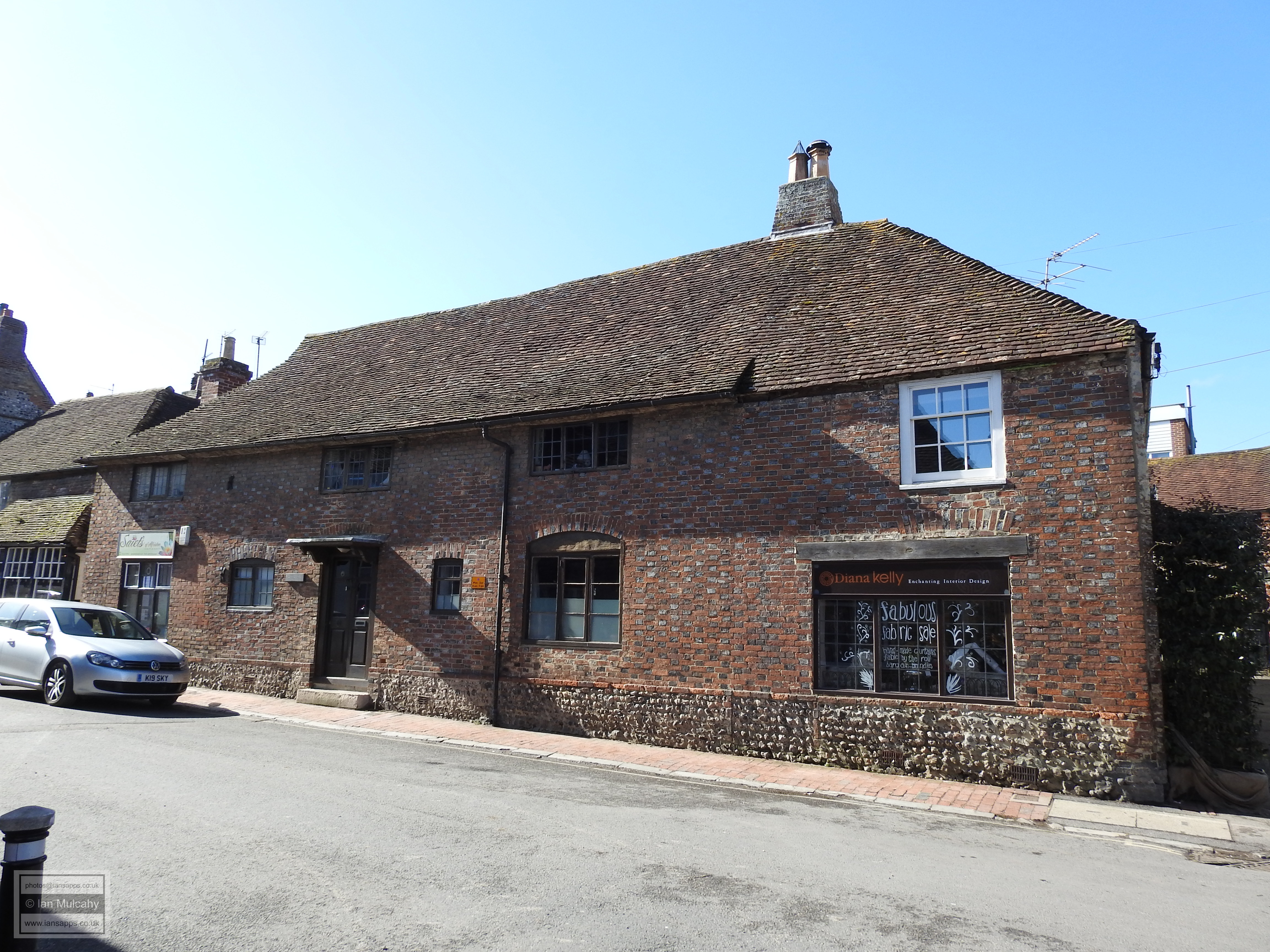
To the north of the cross is 3 – 8 Waterloo Square, a late Tudor building which is now home to several shops, but was the parish workhouse between 1743 and 1789 and later served as a barracks for troops heading off to the continent to fight in the Napoleonic Wars (hence Waterloo Square?). The front of the building is now faced in various materials, but the timber framing is visible on the western aspect as you head out of the centre of the village towards Winton Street, 500 metres to the north of the village and accessed via West Street.
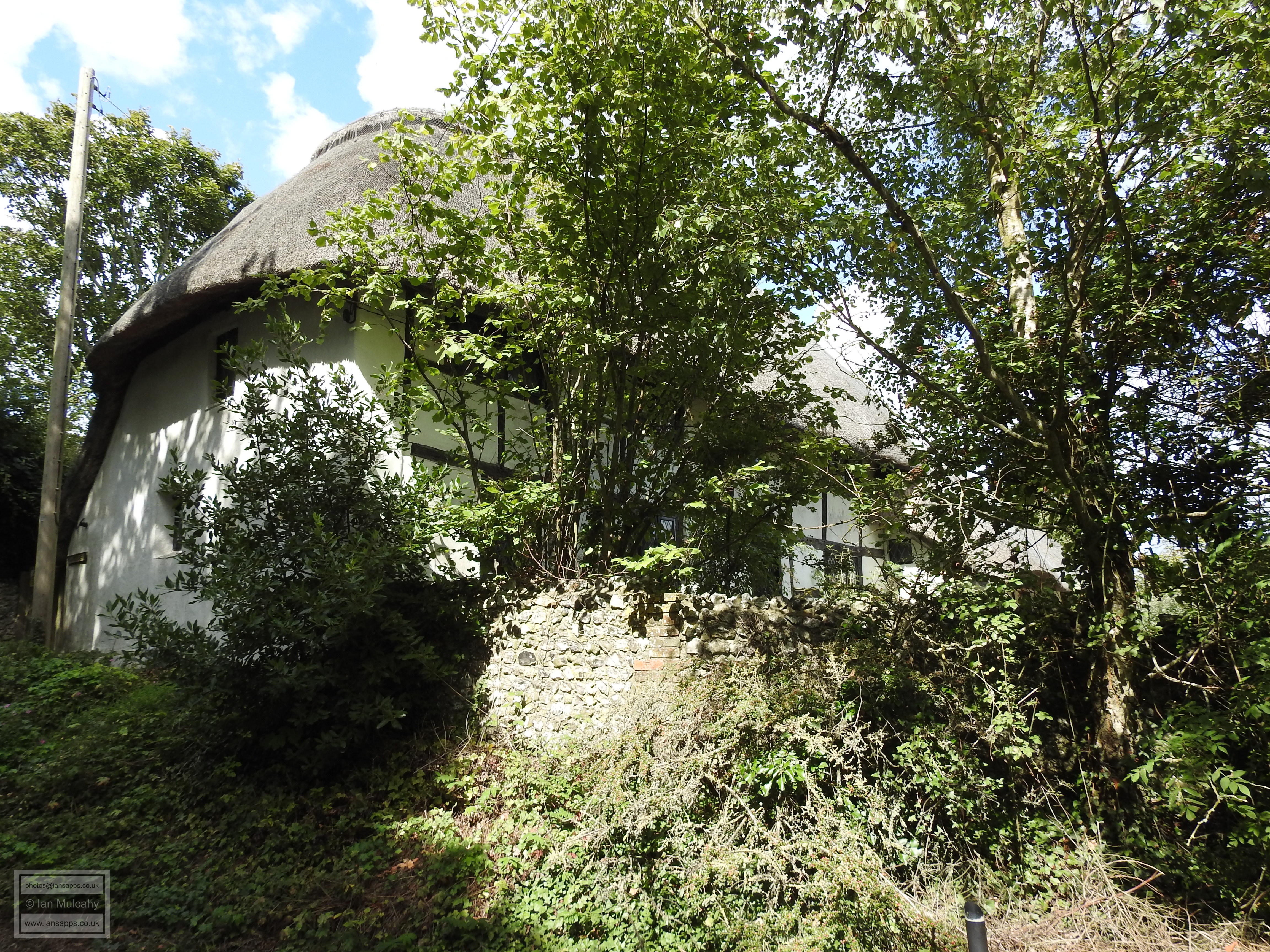
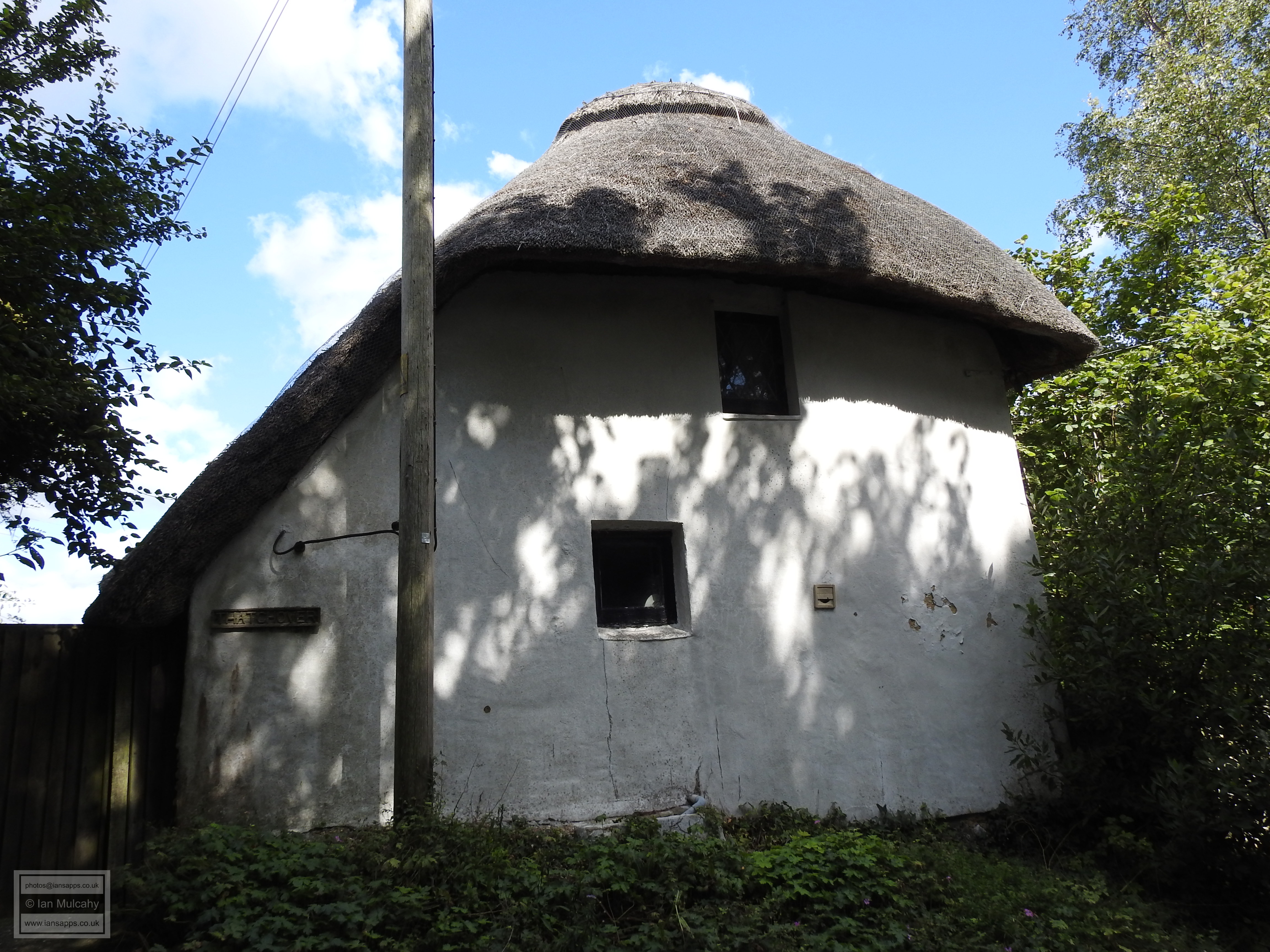
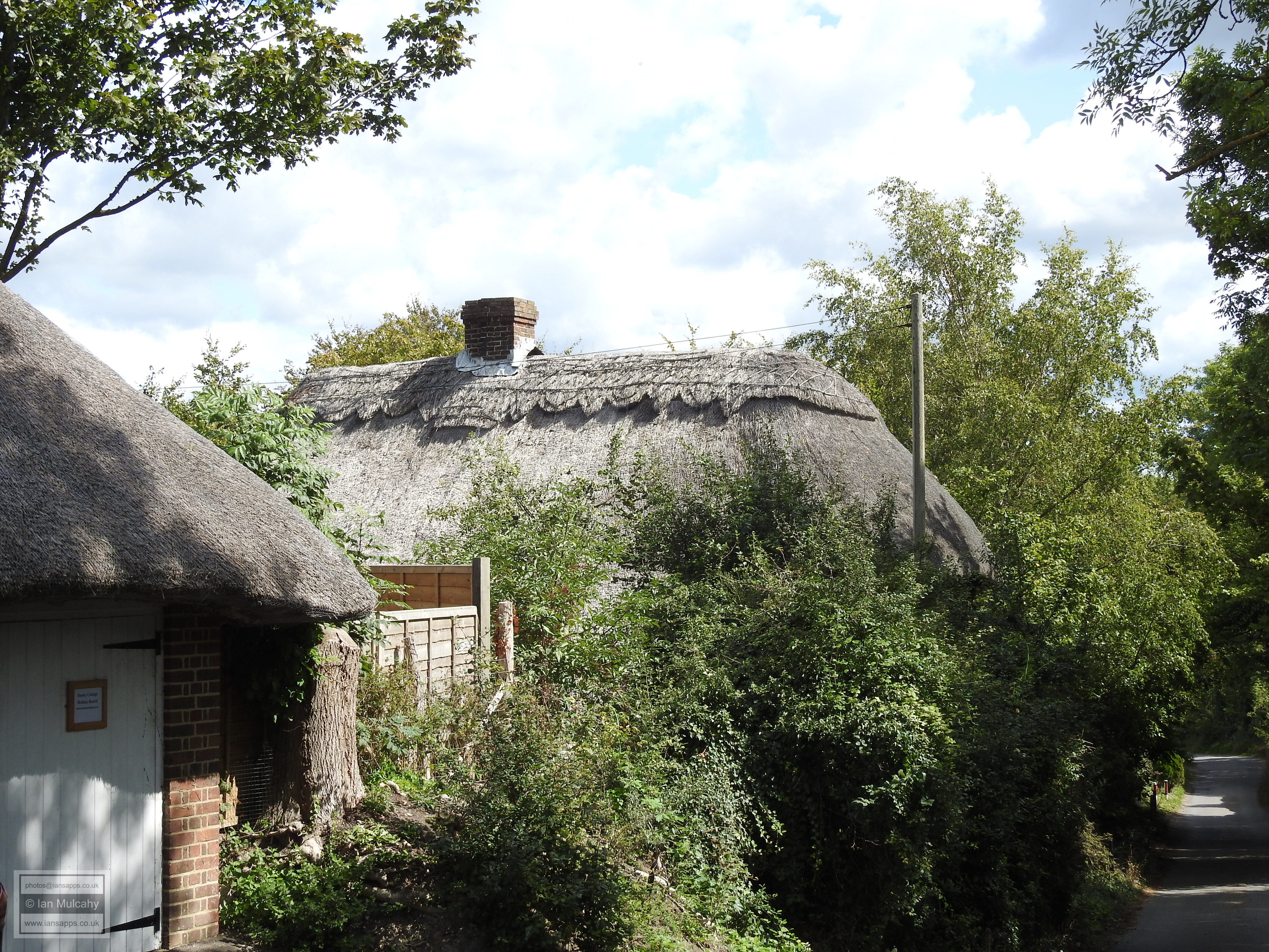
Towards the top of West Street you will pass a crucifix erected in 1919 which marks the site of the Saxon cemetery discovered 7 years previously and if you turn right at the crossroads into Winton Street you will soon see Thatchover, a chocolate box thatched and timber framed late Tudor cottage, possibly containing remnants of an earlier structure. Almost opposite is Well Cottage, another late Tudor structure with probable earlier origins hidden away in the fabric of the building.
Next to Well Cottage is a public footpath which takes a short scenic countryside route on high ground back to the village where the temptation will surely be to visit one of the three historic inns to rest your feet and have a relaxing drink whilst reflecting on your exploration of Alfriston.
Sources
Text & photographs © Ian Mulcahy. Contact photos@iansapps.co.uk or visit my 'Use of my photographs' page for licensing queries (ground level photographs only). |
pictures taken with and |