Woldhurstlea Estate, Gossops Green
Then and now
By Ian Mulcahy
|
Information on Woldhurstlea is thin on the ground to say the least, but I believe the Mansion to be a late Georgian or early Victorian build which was at one time occupied by a horse breeder named Mr Bell. Along with many other grand mansions in the area, the house was demolished in the 1950's as Crawley new town began to take shape.
Using modern roads as a reference point, the house stood on the southern side of Buckswood Drive where Woldhurstlea Close is on the top of the hill, looking south across the valley towards Pease Pottage and the formal gardens, to the south of the property, were left to go wild when the house was demolished and are now known as Woldhurstlea Woods which is a local wildlife site. The terracing of the gardens can still be seen in the woods, towards the top of the hill and behind the properties in the Close.
The house was accessed by one of two driveways, each with a lodge at the entrance. These can be sene on the Ordnance Survey map from 1939, reproduced below. The first was on Gossops Green Lane and the gateway to the drive still exists (see photos below), though the lodge itself was demolished in approximately 2013. Dower Walk was laid on the footprint of the old driveway. The second entrance was at the end of the Old Horsham Road and no evidence of it remains.
The modern photos, on the first half of the page, were taken on 4 March 2017, many of which show the remaining evidence of the formal gardens.
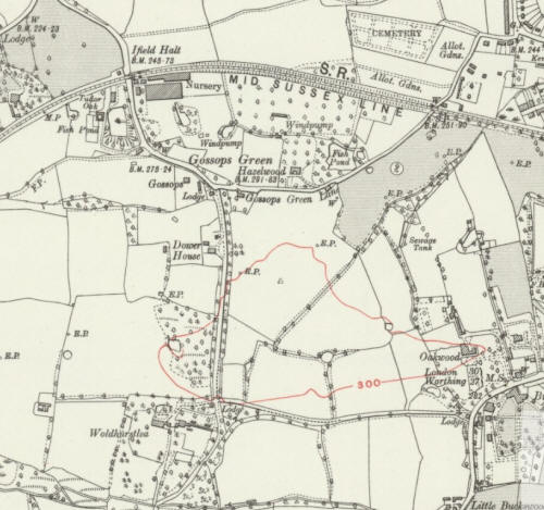 Map from 1935 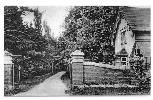
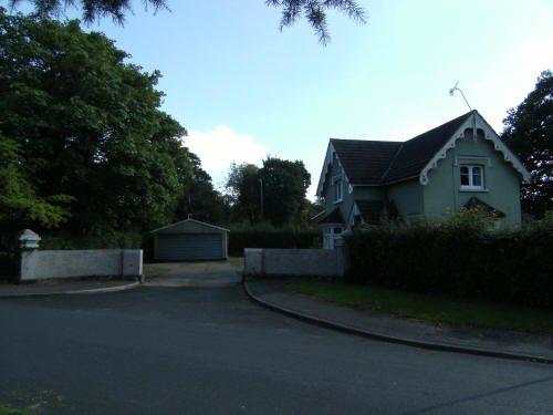
The North lodge: Pre new town, 2010 (courtesy of https://www.flickr.com/photos/_notes/4945648905) and 2017 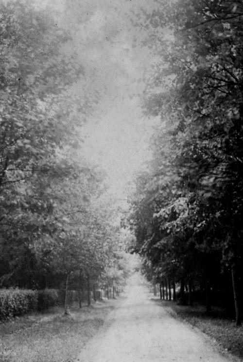
The driveway from North Lodge. Now Dower Walk. 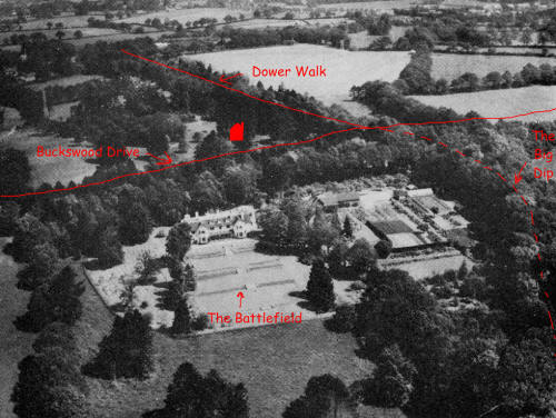
A pre war aerial view of the house, with annotations added to show the modern lay out. 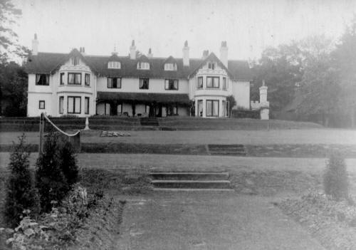
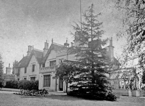
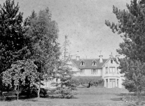
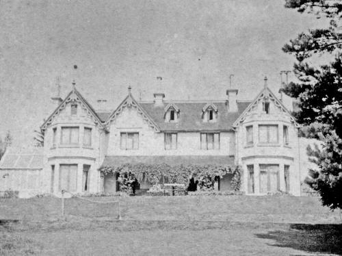
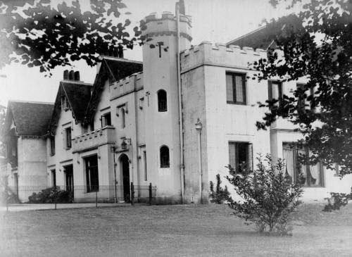
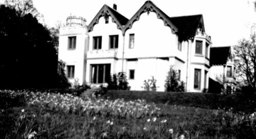
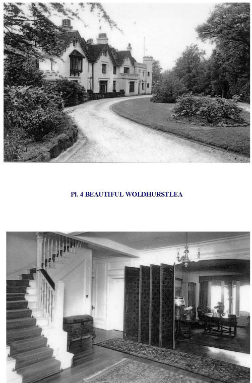 Various images of the old house 
A view south towards Pease Pottage/Cottesmore. The terracing to the lawns in the foreground is still visible in the woods.
Text & contemporary photographs © Ian Mulcahy. Contact photos@iansapps.co.uk or visit my 'Use of my photographs' page for licensing queries (ground level photographs only). Historical photos found at https://www.flickr.com/photos/45126727@N03/with/8120994219/ |
pictures taken with |