
A Tudor tour of Godalming
This article first appeared in the July 2021
edition of
Tudor Life, the magazine of the
Tudor Society.
By Ian Mulcahy
Old Britain Home | Historic curiosities of Godalming
|
This month’s Tudor tour takes us to the small medieval market town of Godalming in Surrey. Home to a little under 25,000 inhabitants, Godalming is located some 4 miles south west of Guildford, the county town of Surrey, and 30 miles from Central London. Two tranchet axes, a thumbscraper and other flint implements and flakes dating back to the Mesolithic period have been found within the immediate area providing evidence of human activity stretching back almost 12,000 years and artefacts including a polished flint axe, various types of flint arrowheads and an antler pick are consistent with a Neolithic settlement, though no clues as to its location have ever been found. Bronze Age finds include an axe, pottery and a form of wood chisel known as a gouge. The earliest irrefutable evidence of a settlement is on a promontory in the north of the wider parish close to the world famous Charterhouse School where evidence of a late Iron Age and Romano-British settlement has been found. Among the coins, pottery, quern stones, bricks and tiles found were a set of urns containing the remains of human cremation. The name Godalming derives from the Saxon Godhelms Ingus, which translates as ‘The Clan, or Family, of Godhelm’. It can be assumed that Godhlem was a Saxon chief who had control of the area, quite probably overseeing the manor from a 7th or 8th century Saxon settlement located at the eastern end of the modern High Street, a site which was discovered by archaeologists during a pre-development excavation in 1991. A church has existed on its present site, 400 metres to the north-west of the settlement, since the 9th century and it is probable that another small settlement was clustered around the church, though no evidence from this period has been found. It’s easy to draw the conclusion that the archaeology lies underneath the 15th-19th century buildings which now fill the space. Godalming is mentioned in the will of Alfred the Great in 880 and, just as he did with Steyning in West Sussex (see Tudor Life no.74, Oct 2020), Alfred bequeathed the manor to his nephew, Æthelwold. The Domesday Book of 1086, where the name is recorded as Godelminge, tells us that there were 98 households, including 2 of slaves, and that the manor was held by William the Conqueror himself. Ownership was retained by The Crown until 1221 when the Kings Manor was granted to the Bishop of Salisbury. With the town an already well developed trading
post on the main London to Portsmouth route, the Bishop was awarded a
charter to hold a weekly market in 1300, though this merely formalised
an already long-standing event. Ownership returned to The Crown in
around 1541 as a result of the Dissolution and in 1575 Queen Elizabeth
granted Borough status to the town by way of a Charter of Incorporation.
During the Tudor era Godalming was, like Midhurst in West Sussex (see
Tudor Life no.81, May 2021), dependent upon the textile trade for its
wealth and it was said at the time of the Queens charter that trade was
flourishing. It was during this period that several fine buildings, many
of which still stand today, were constructed along both Church Street
and the High Street. 
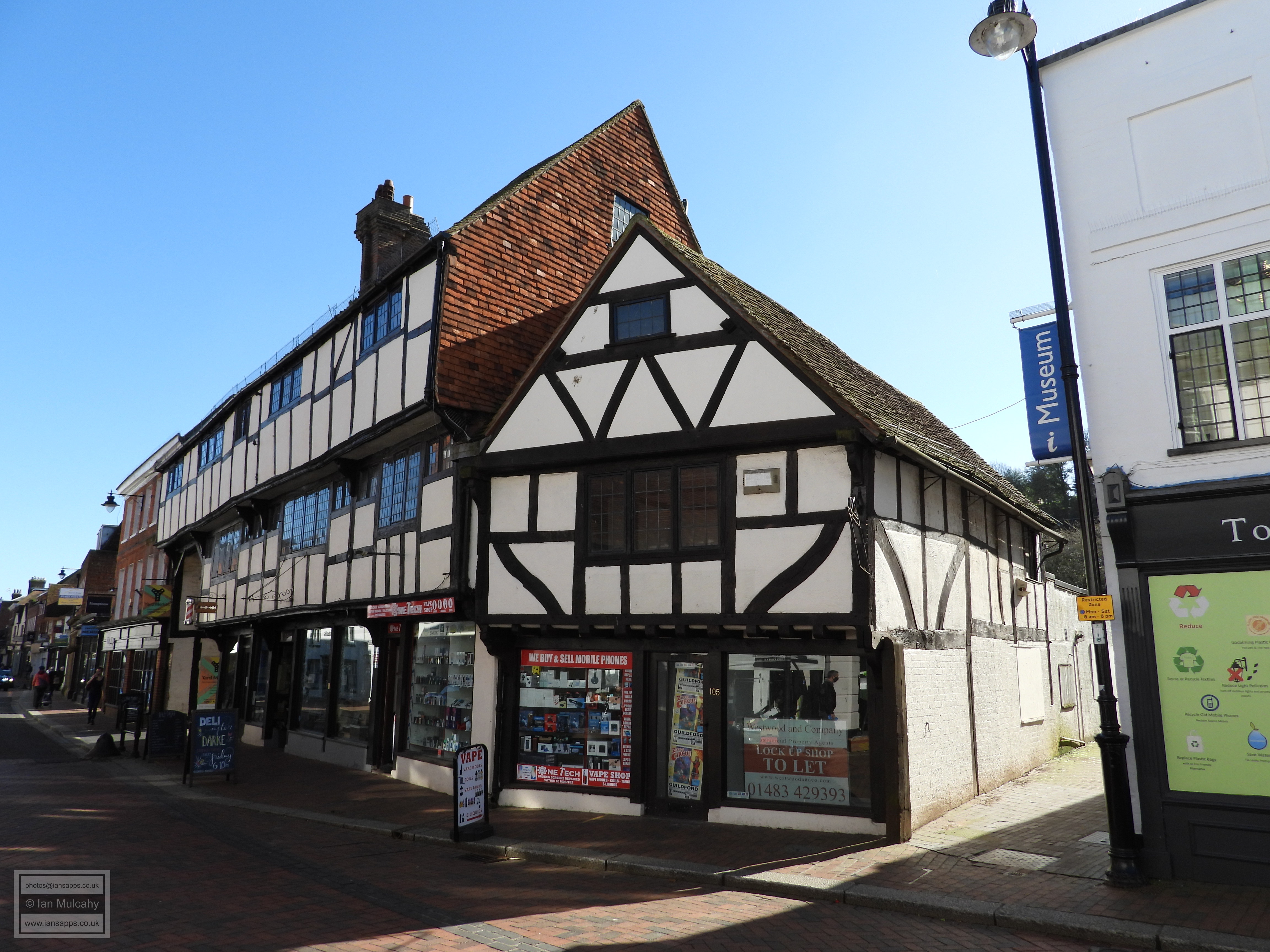
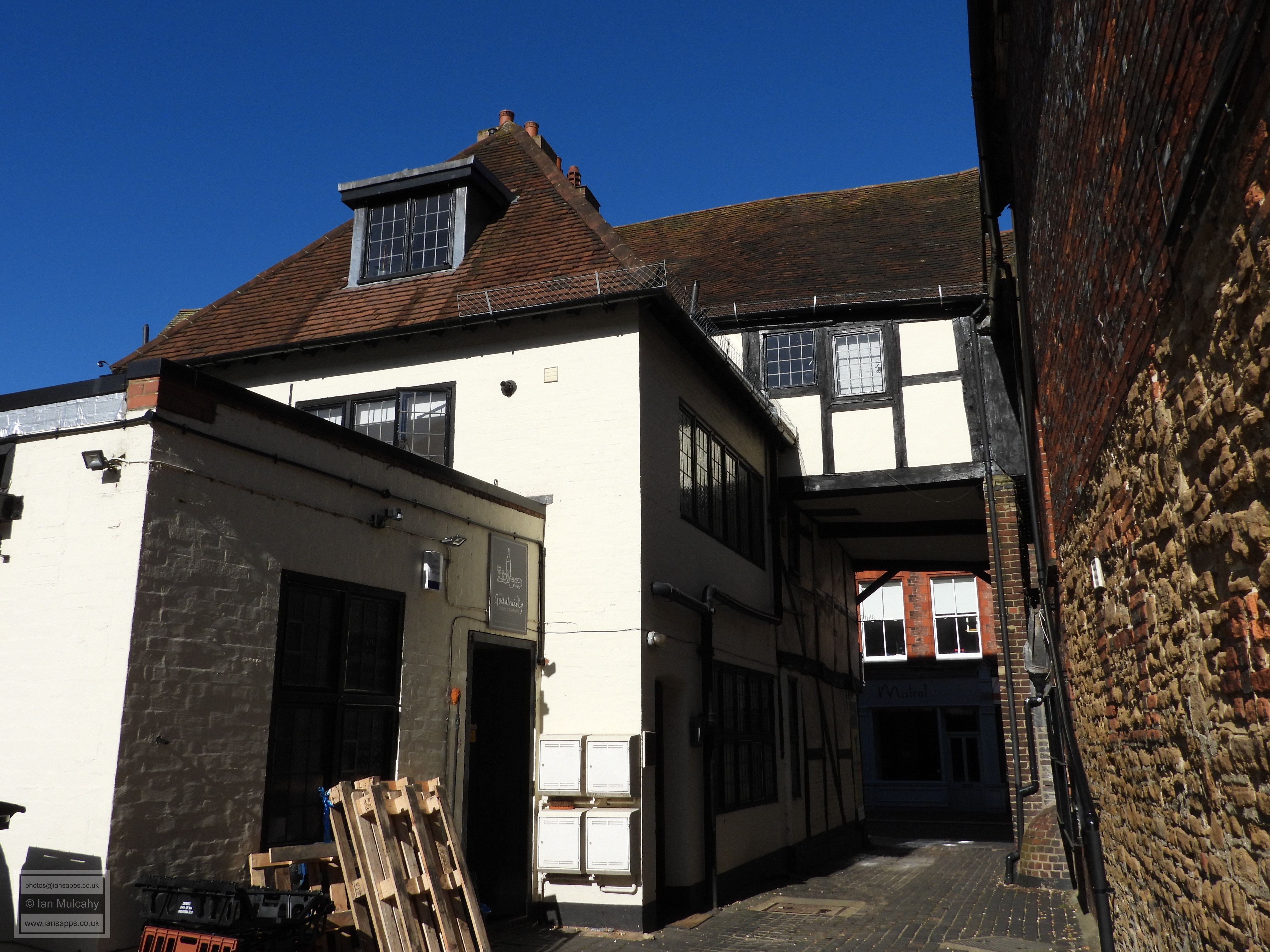
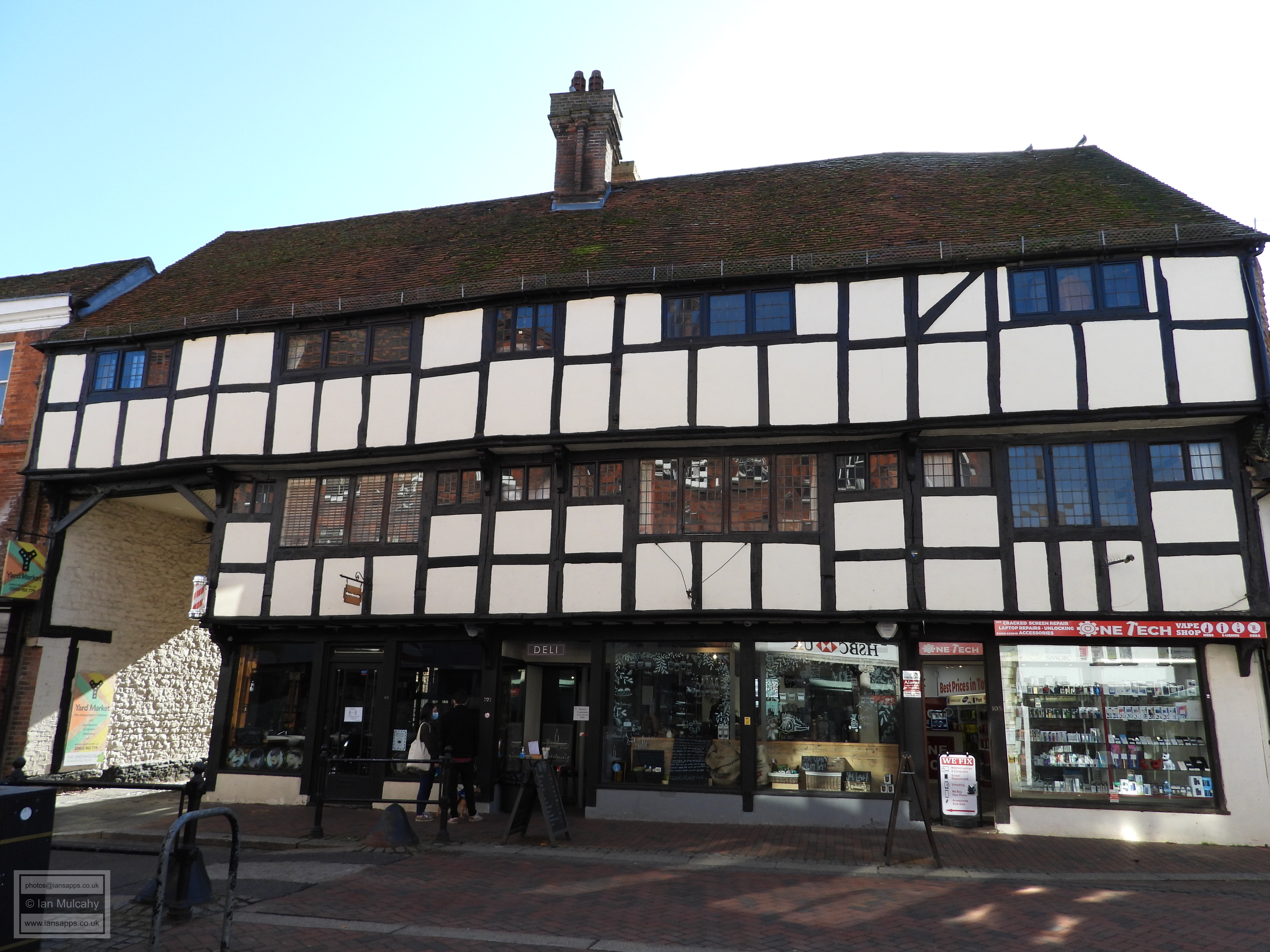
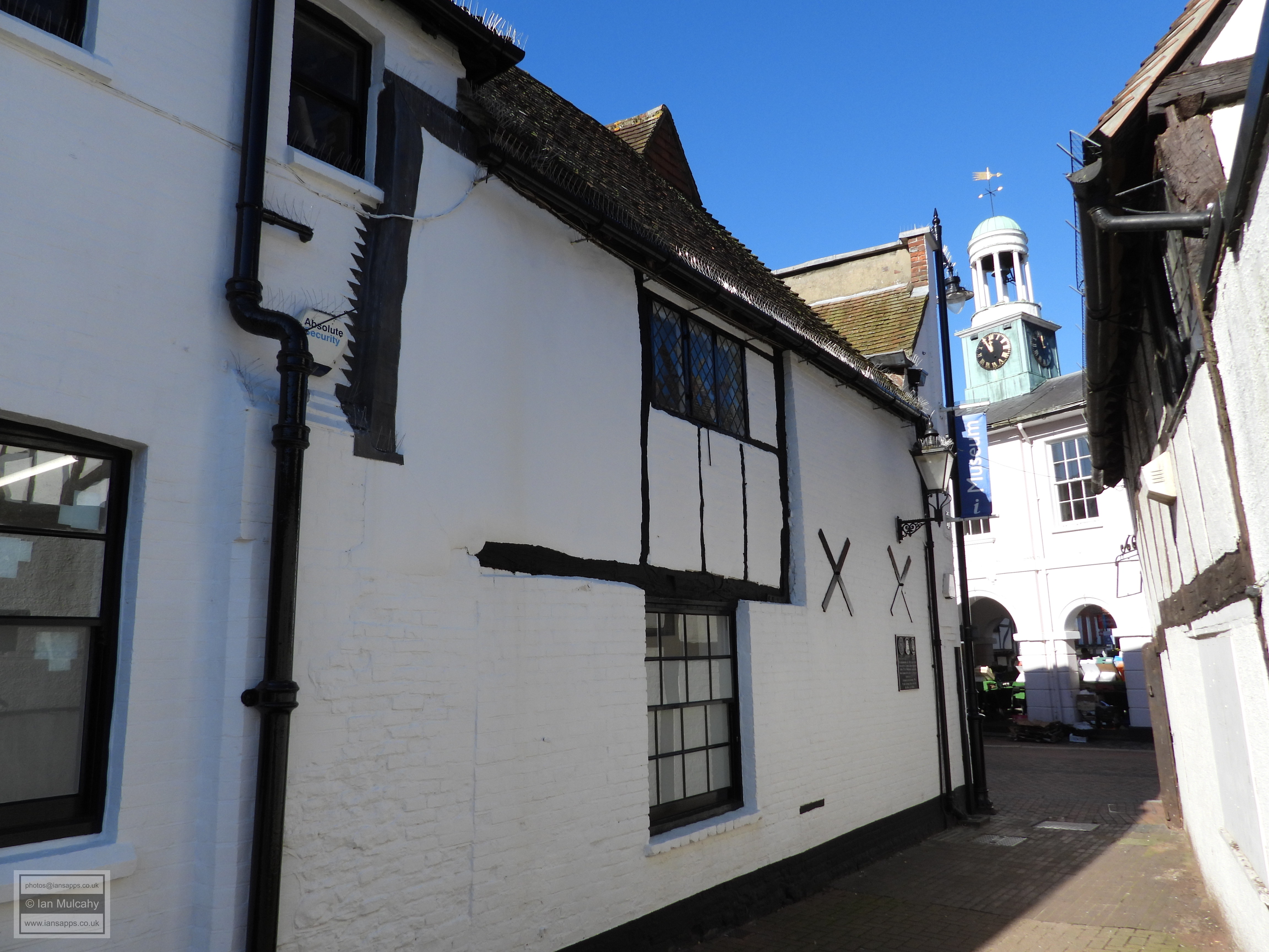
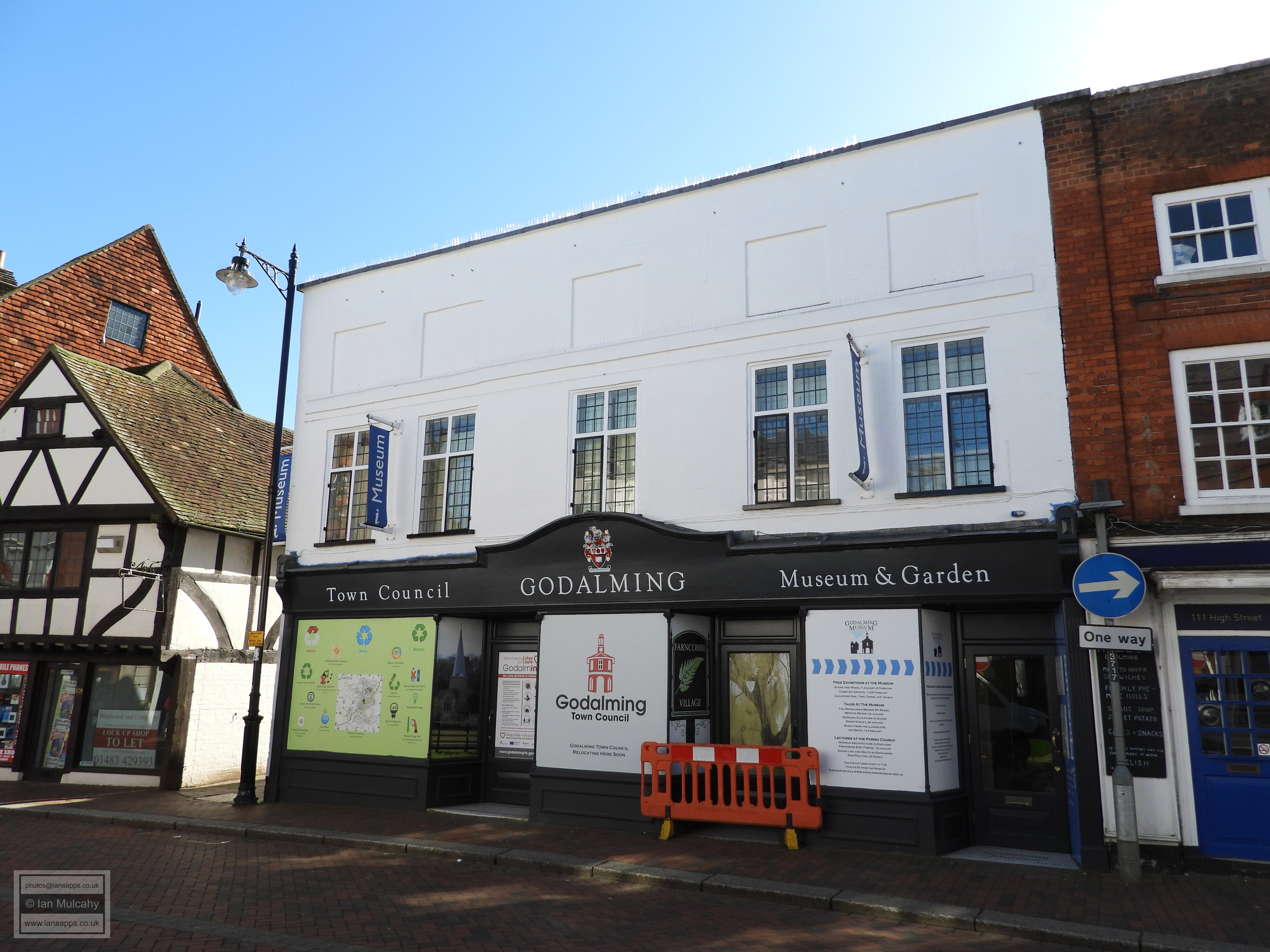
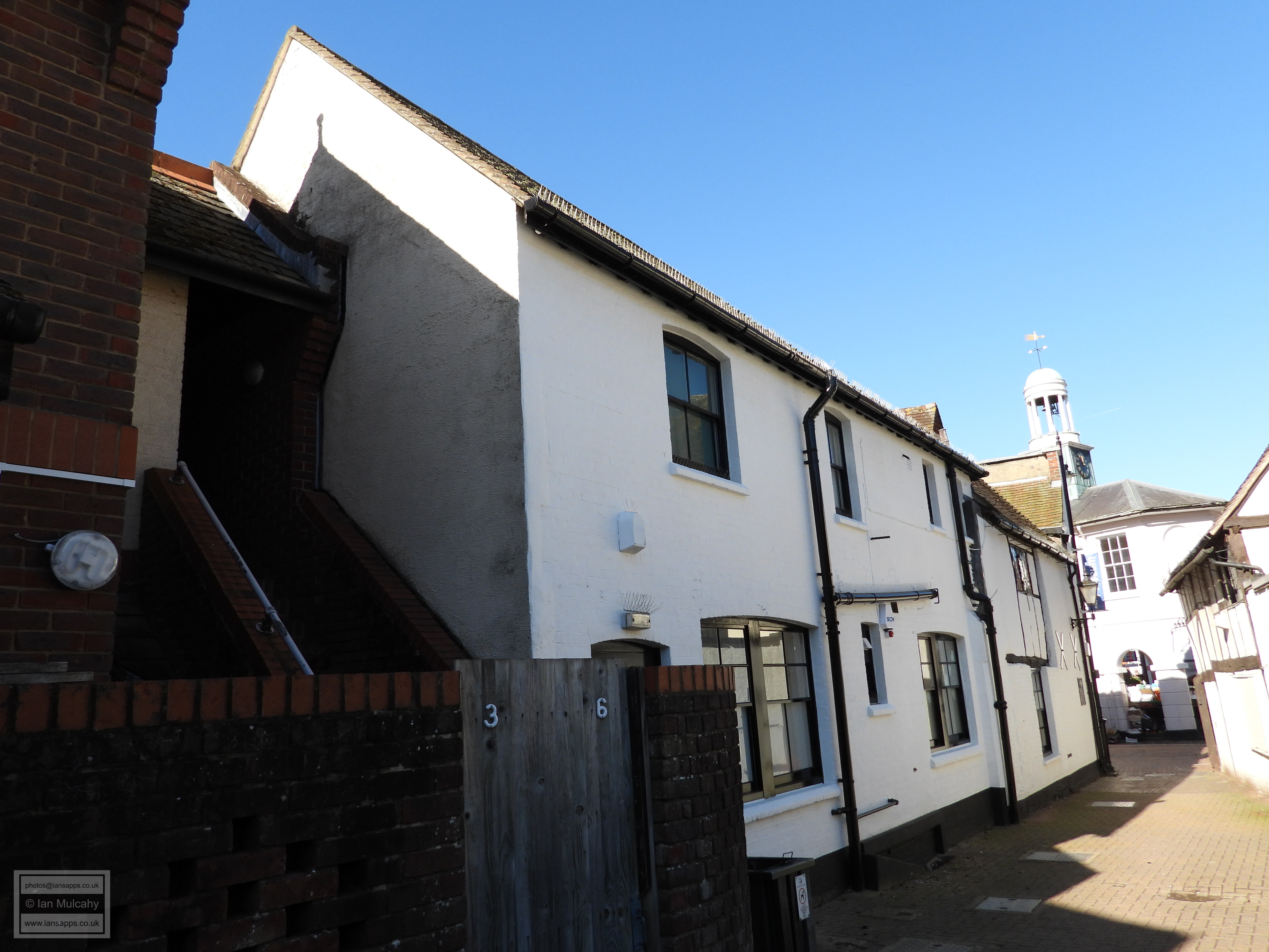
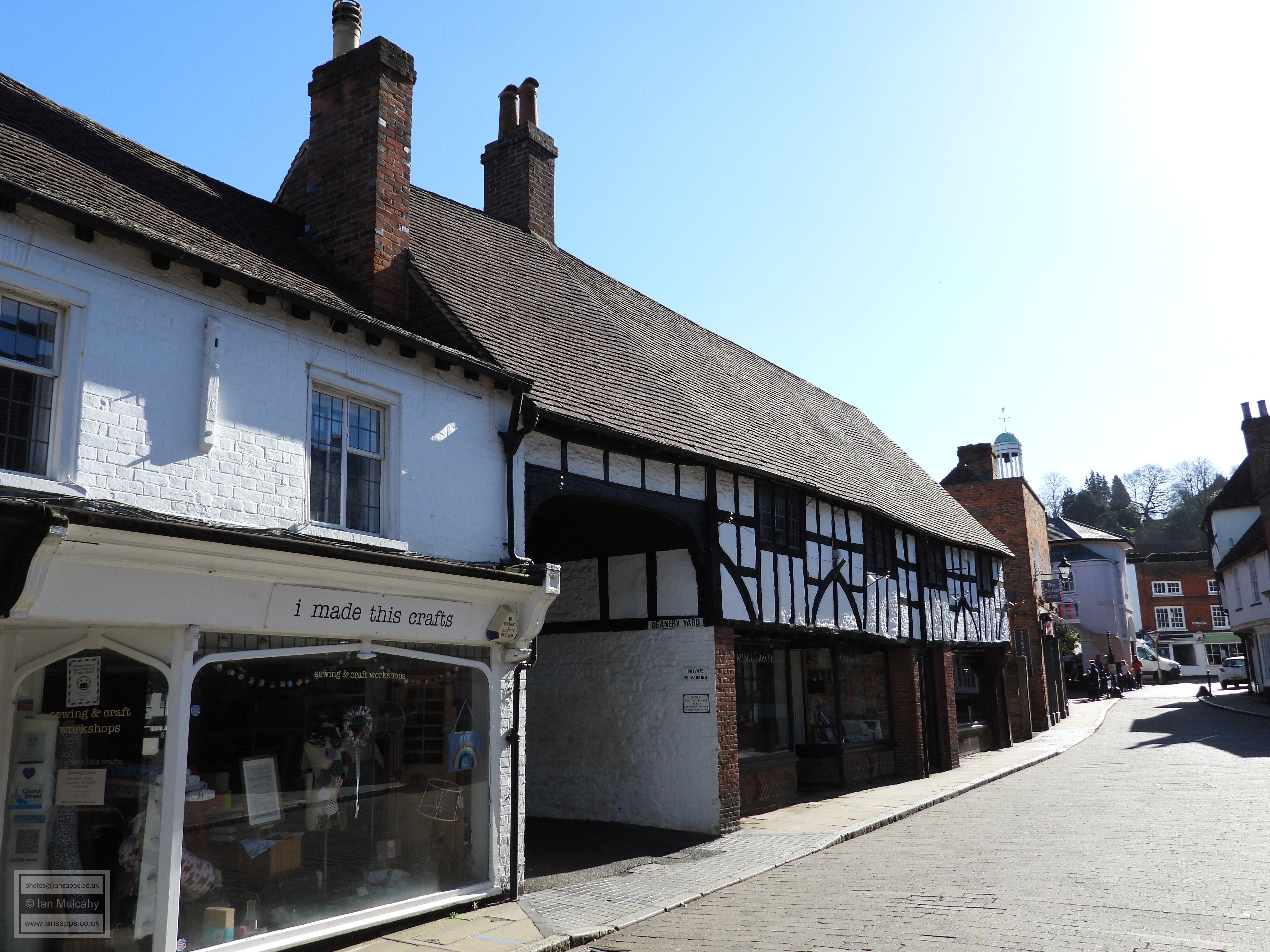
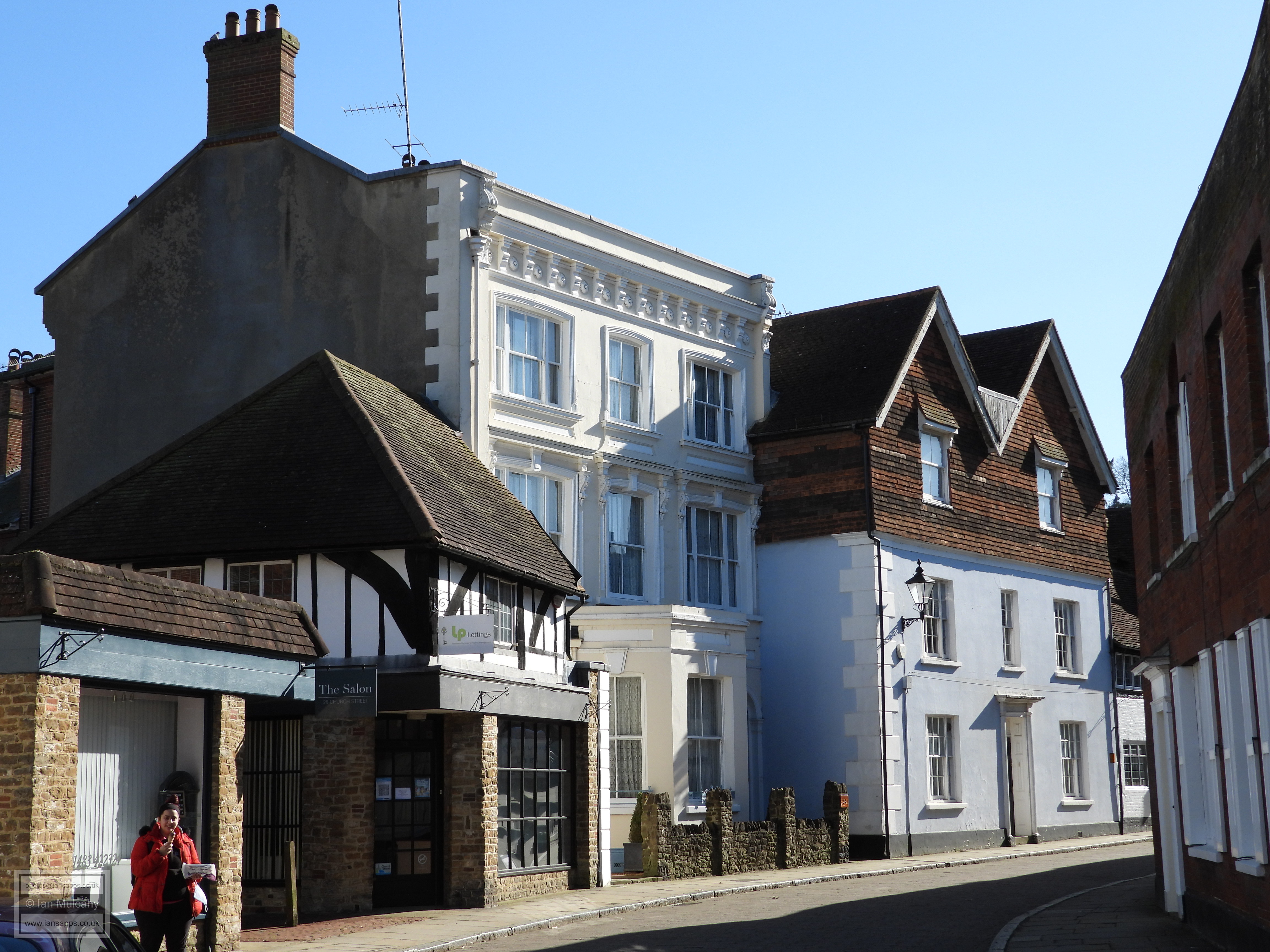
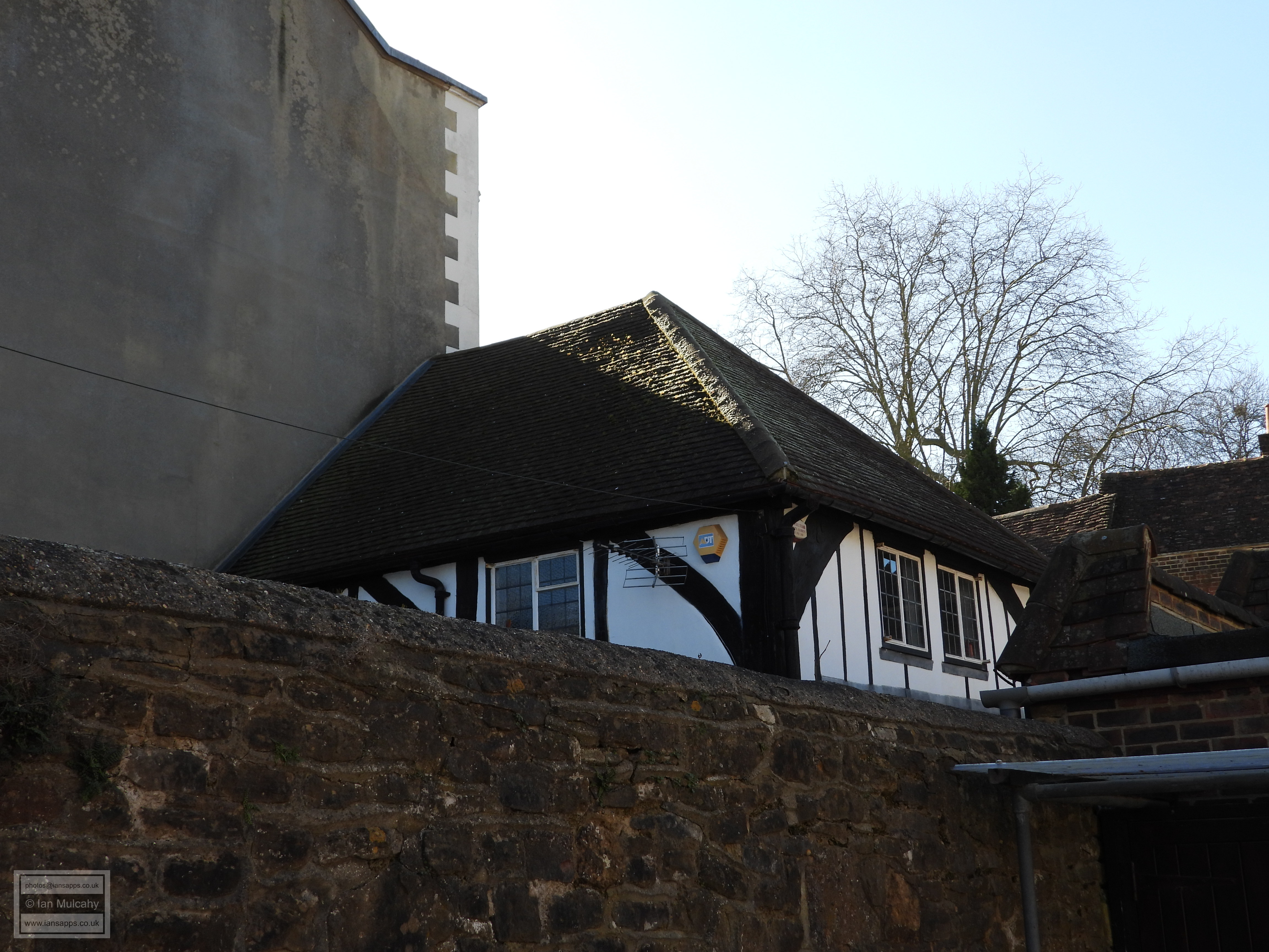
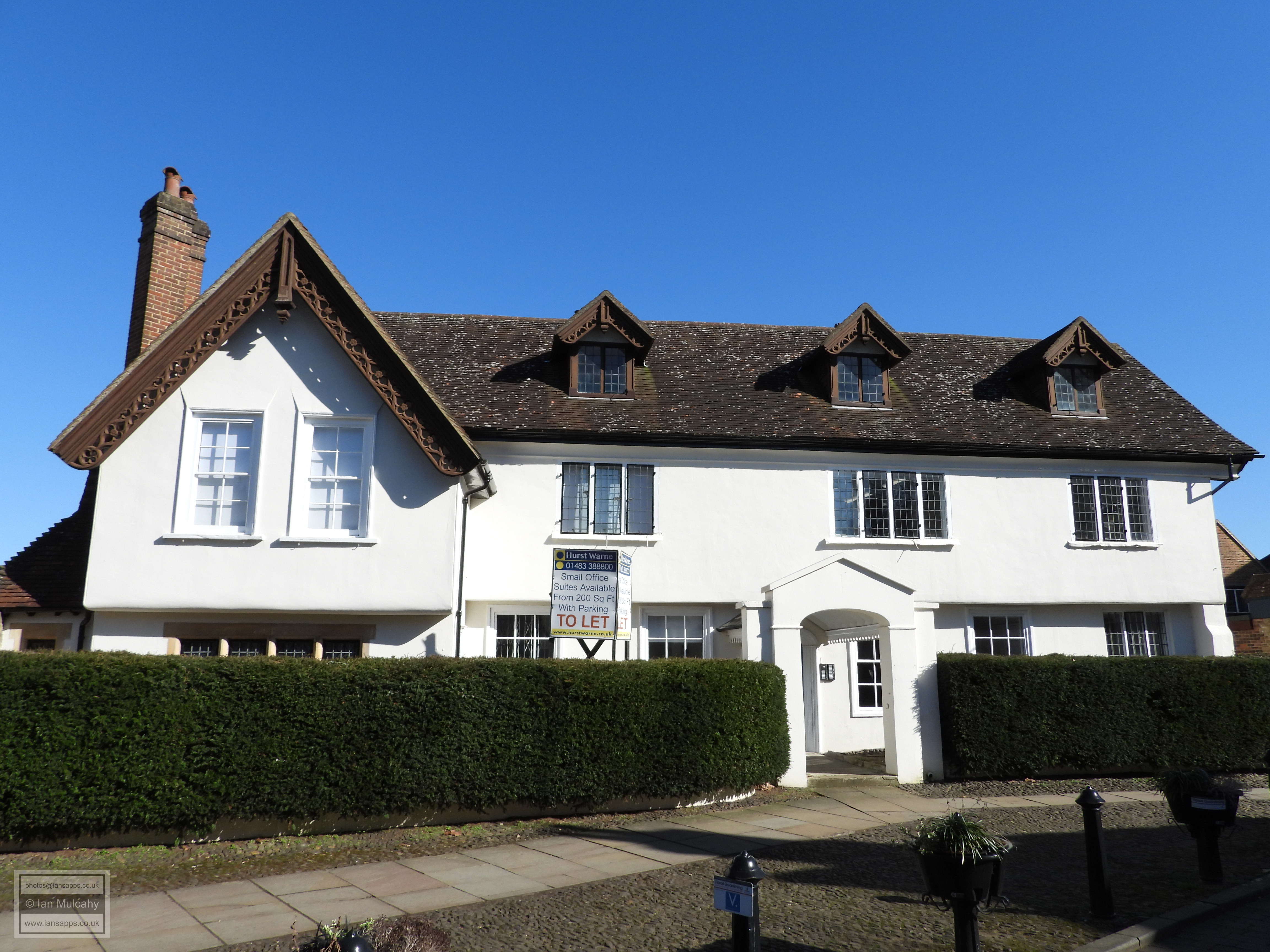
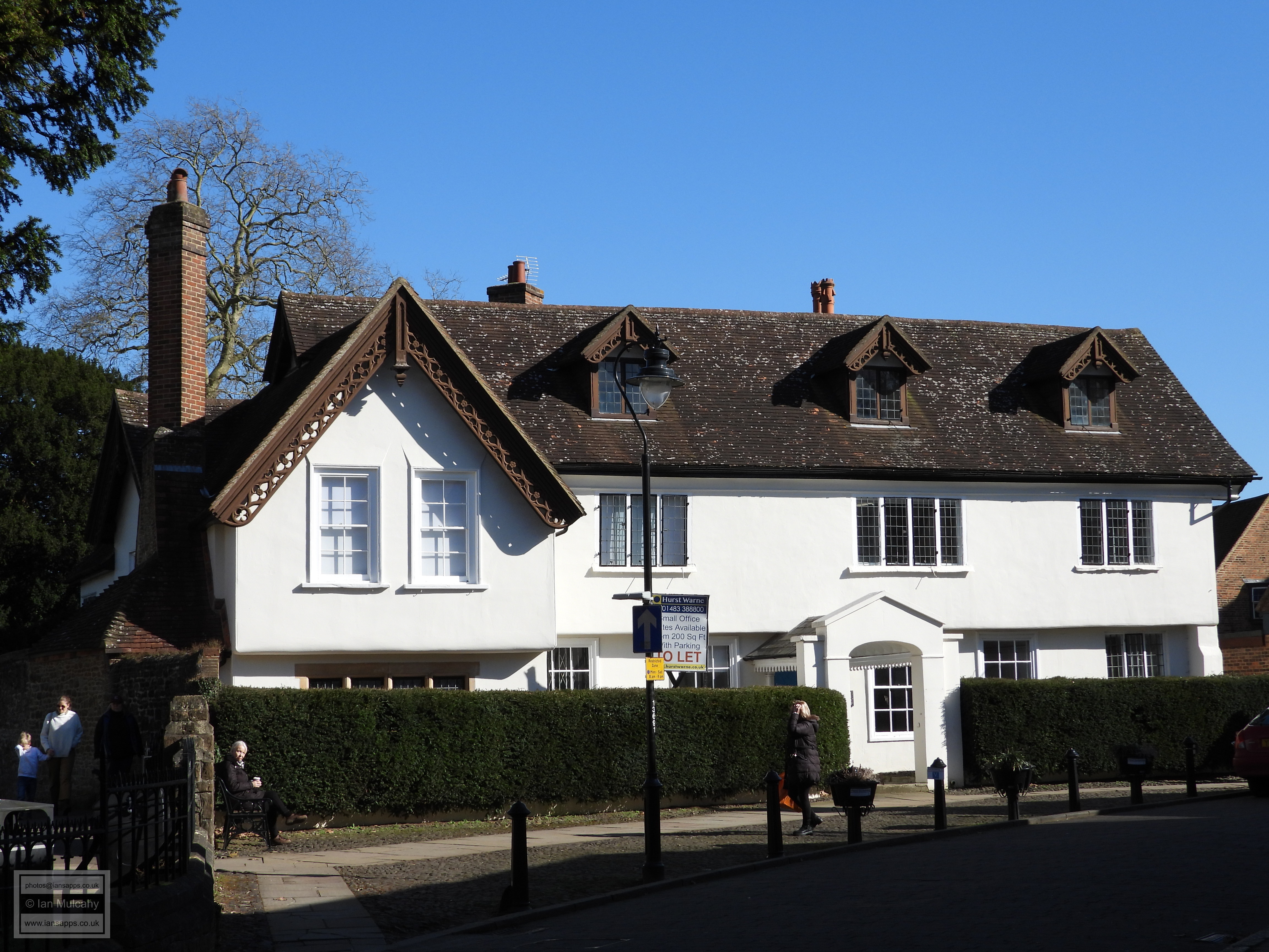
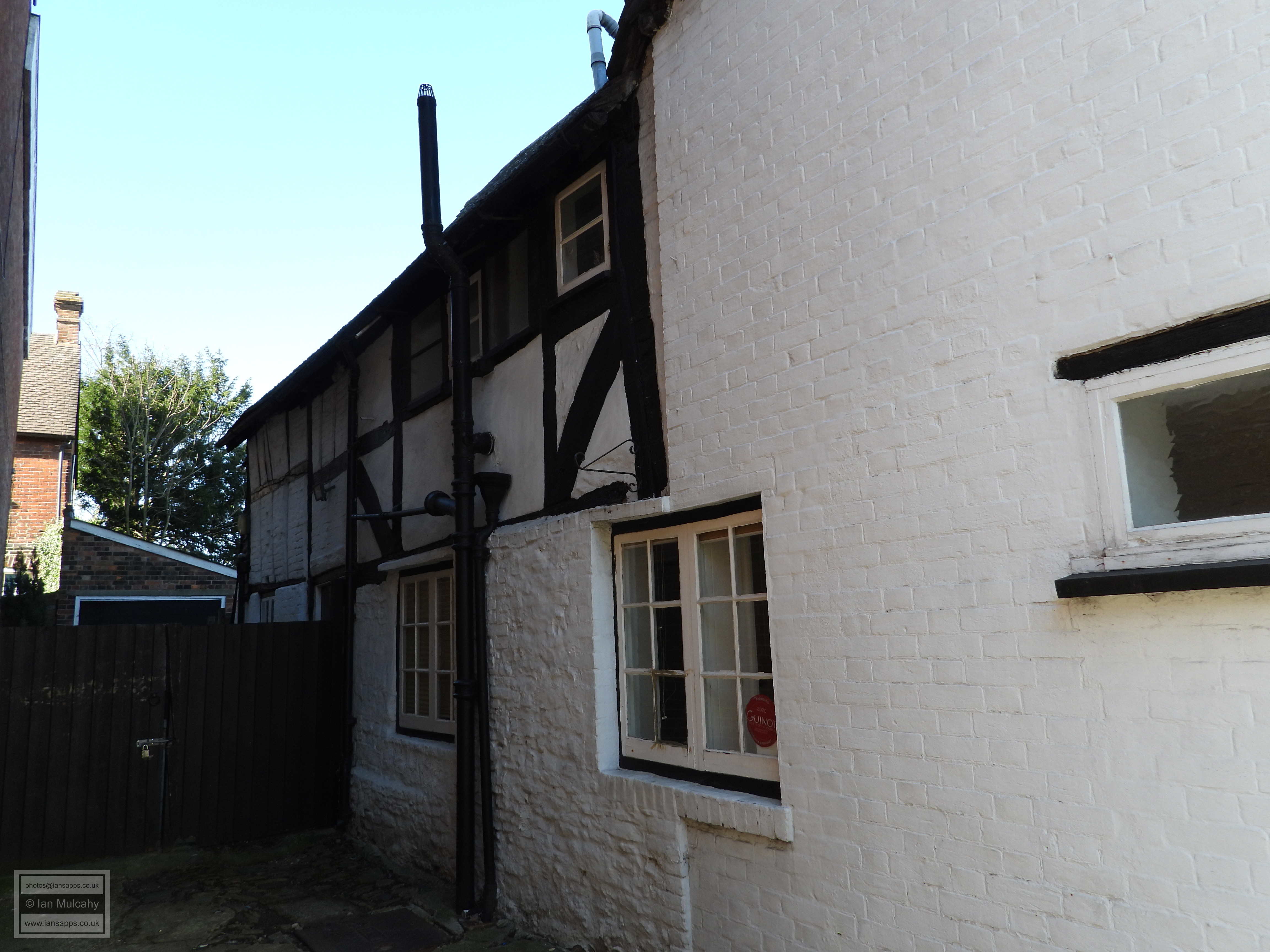
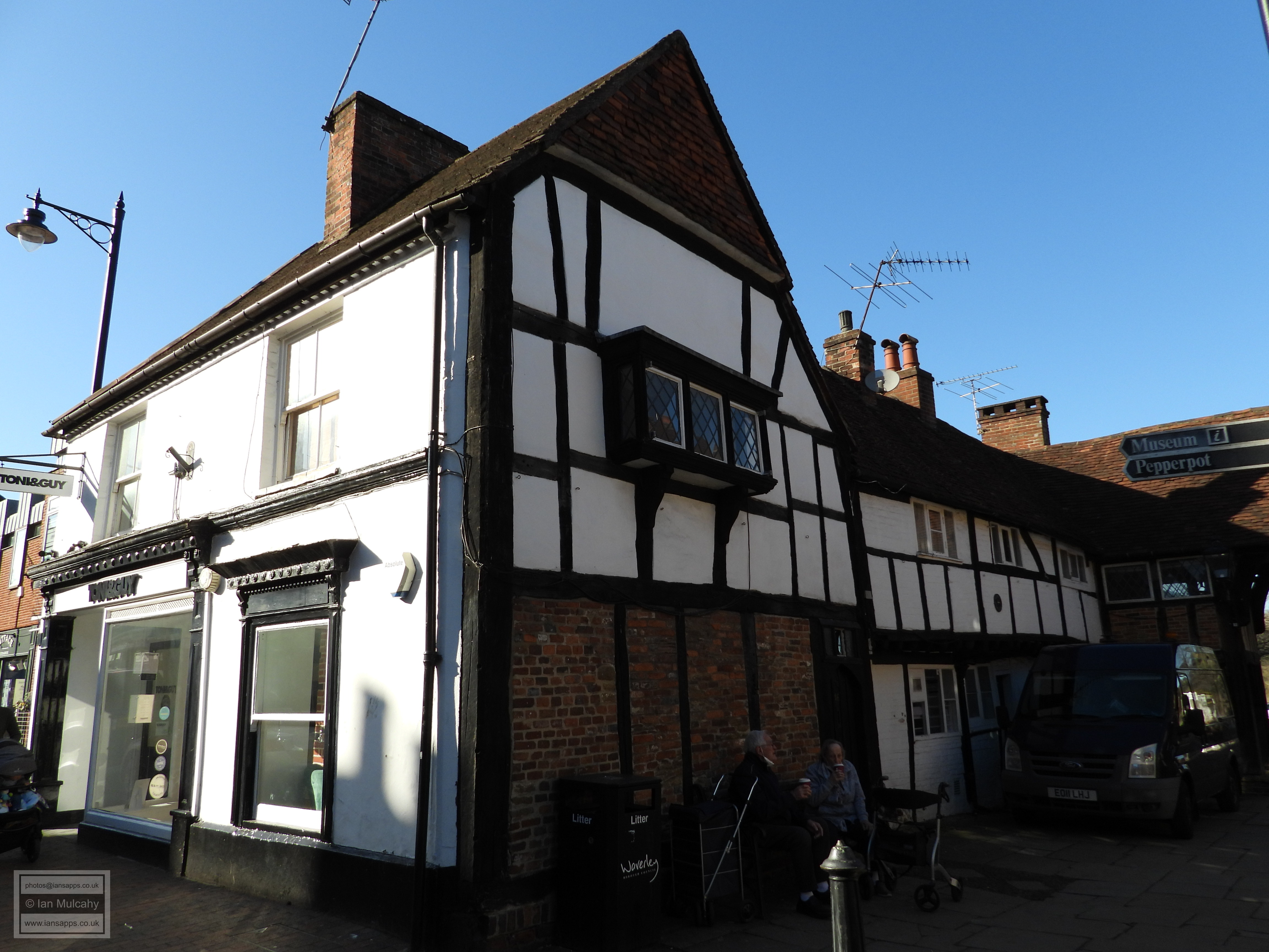
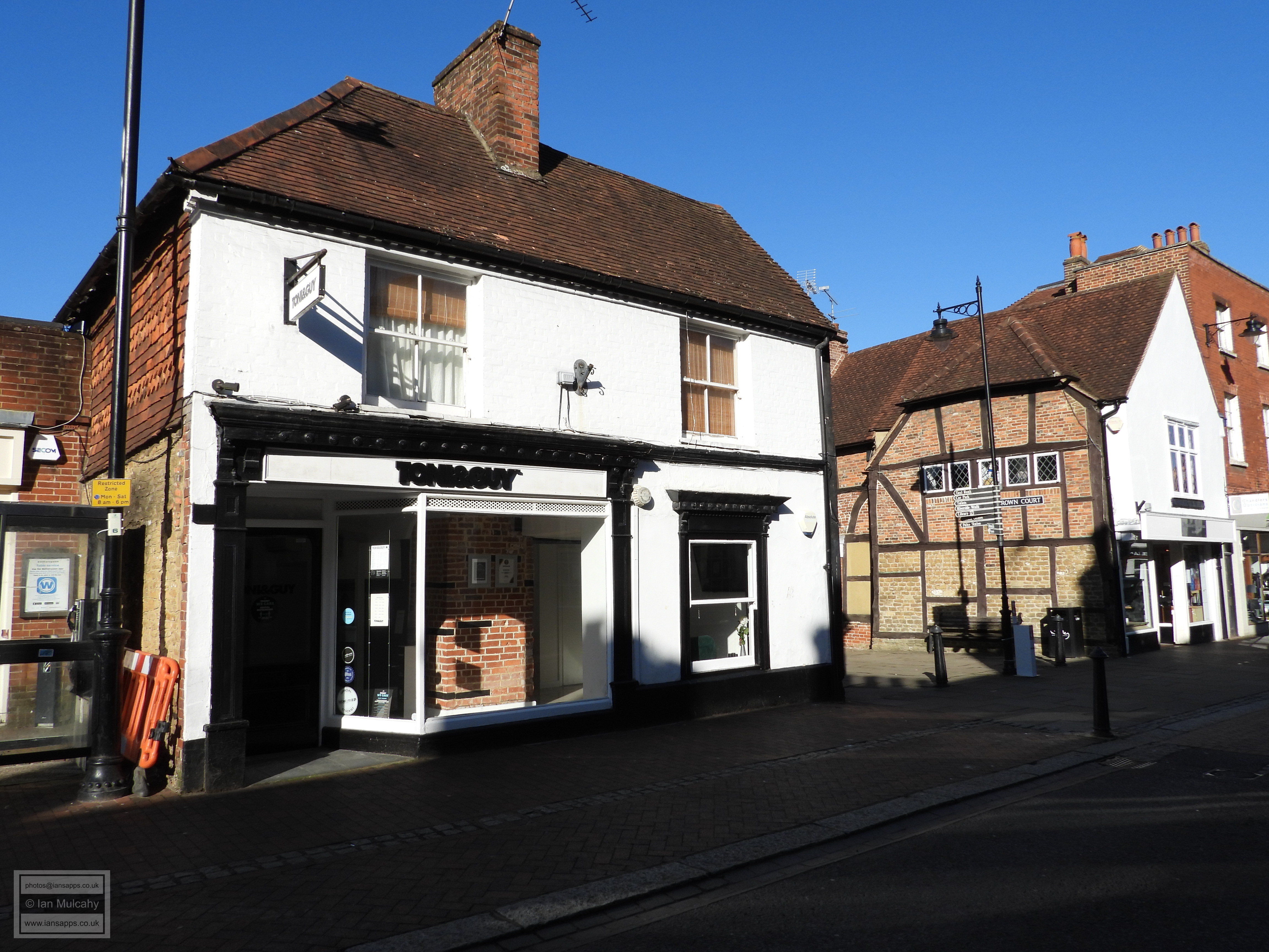
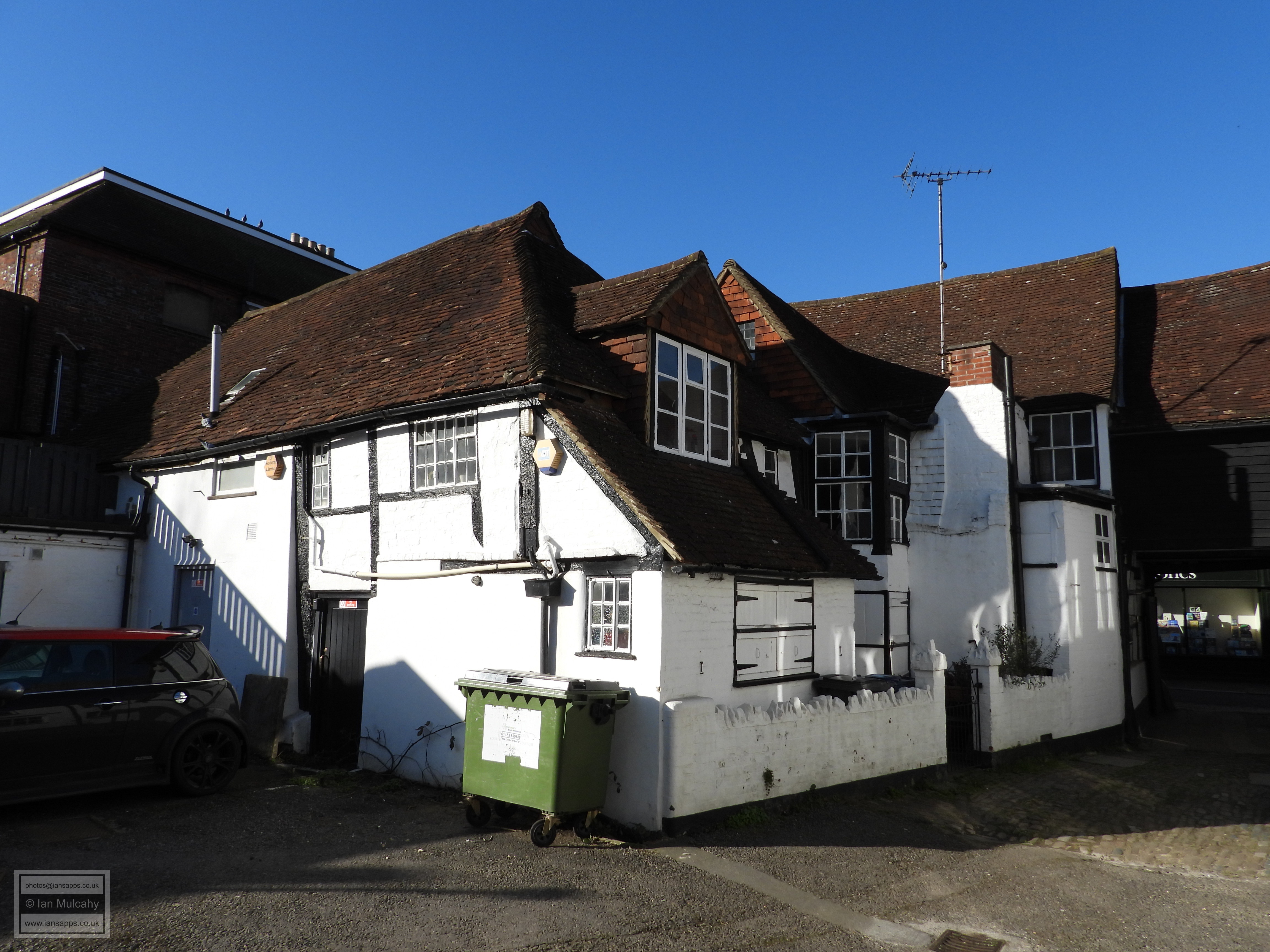
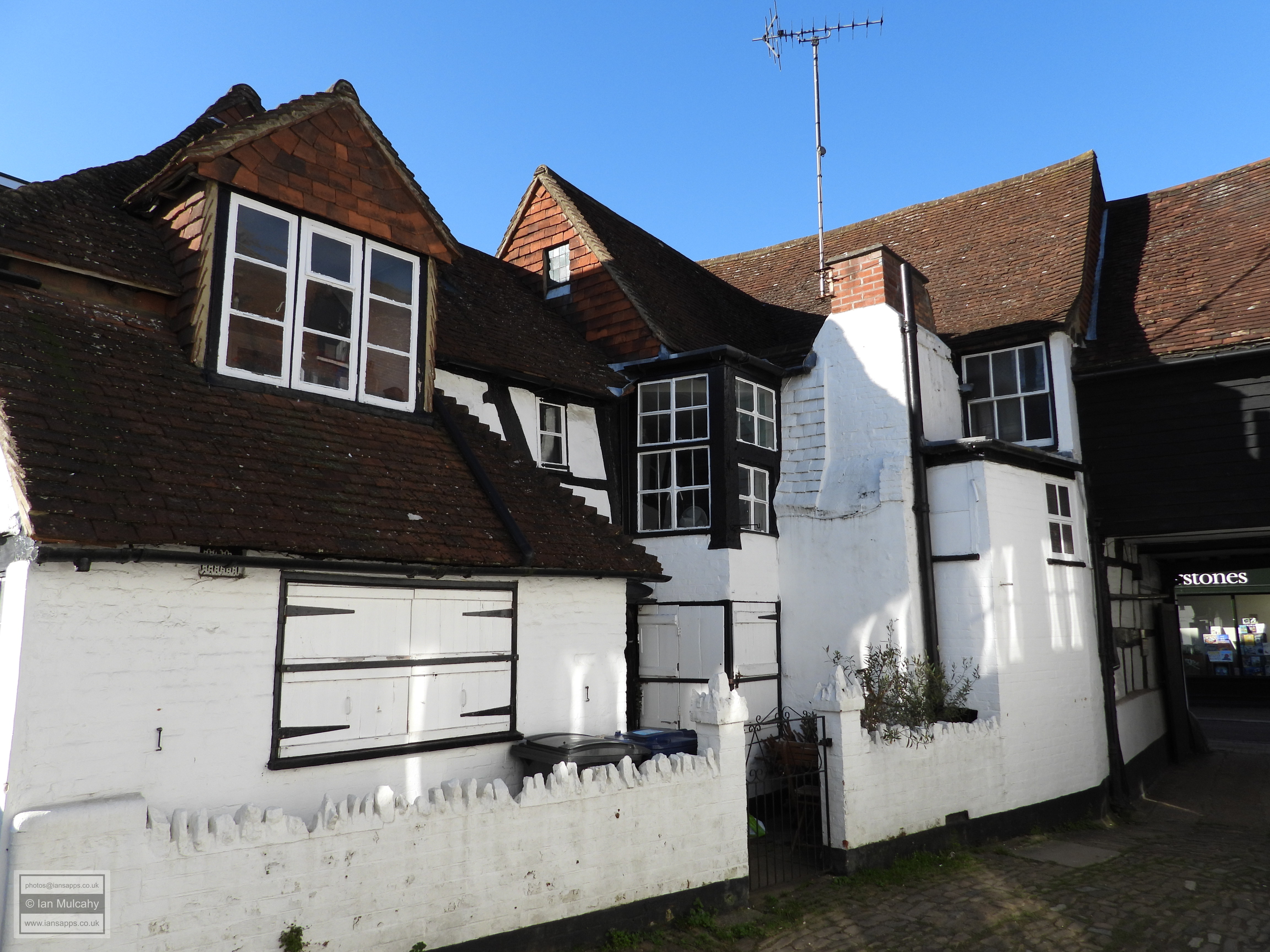
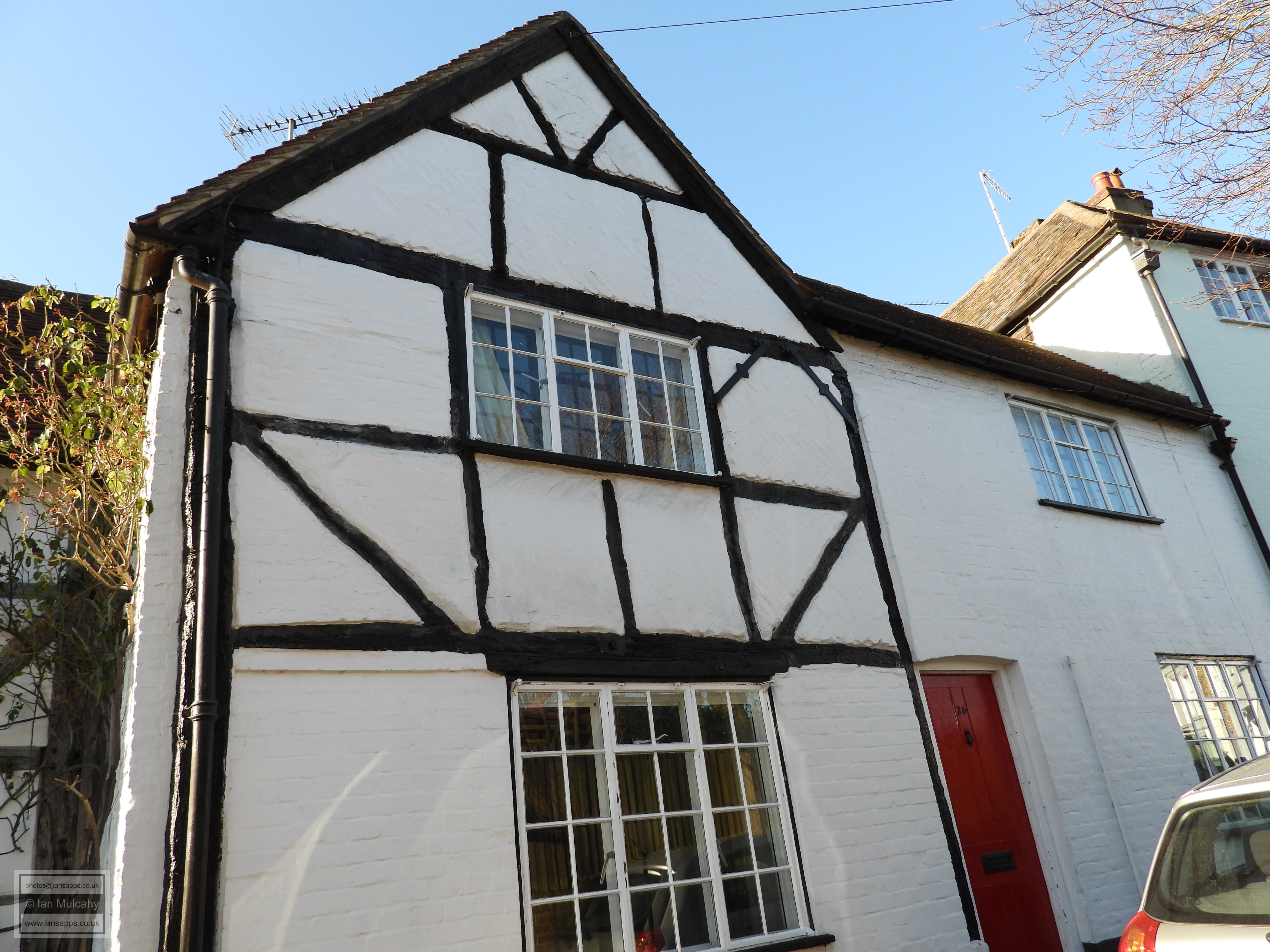
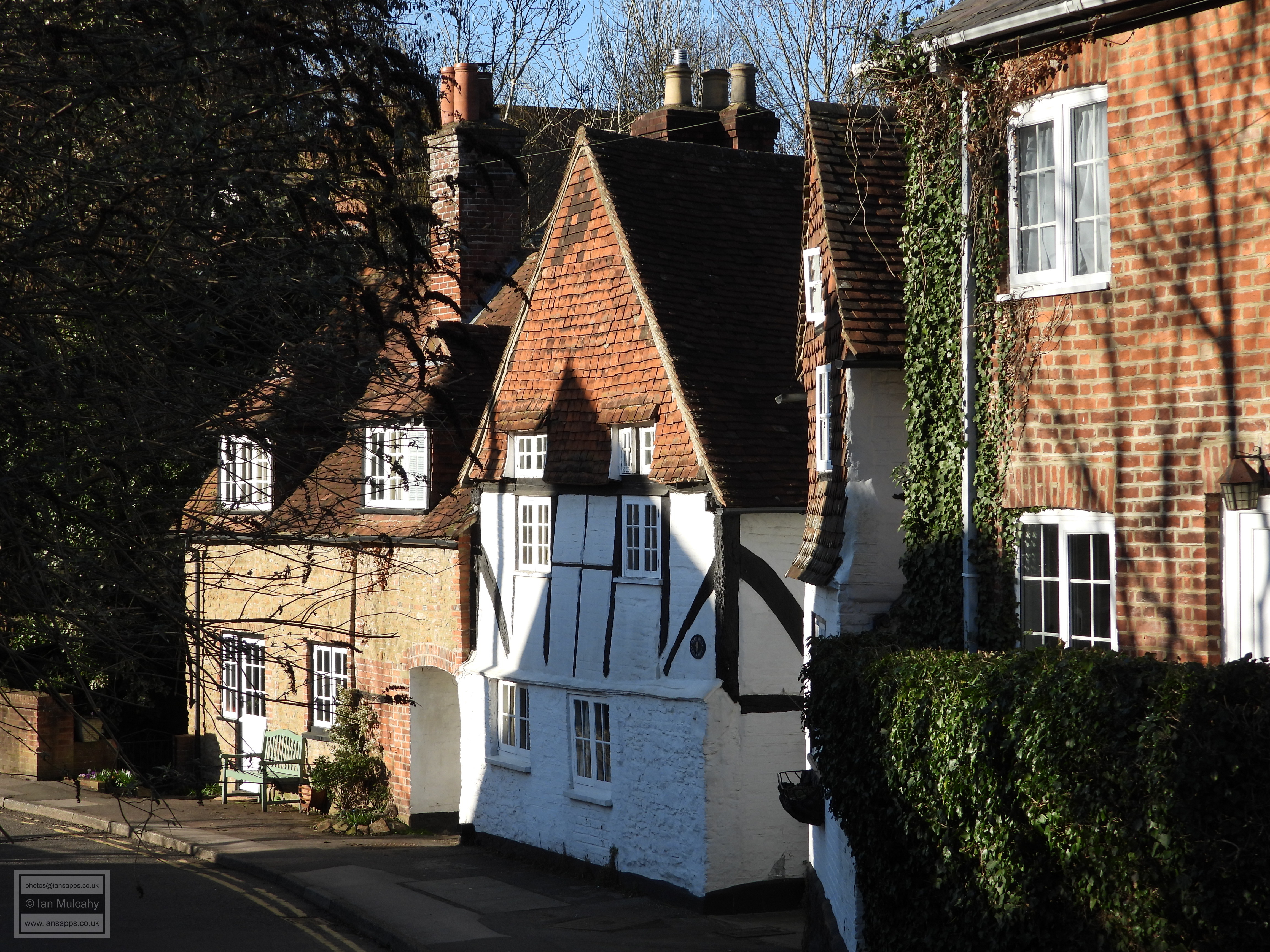
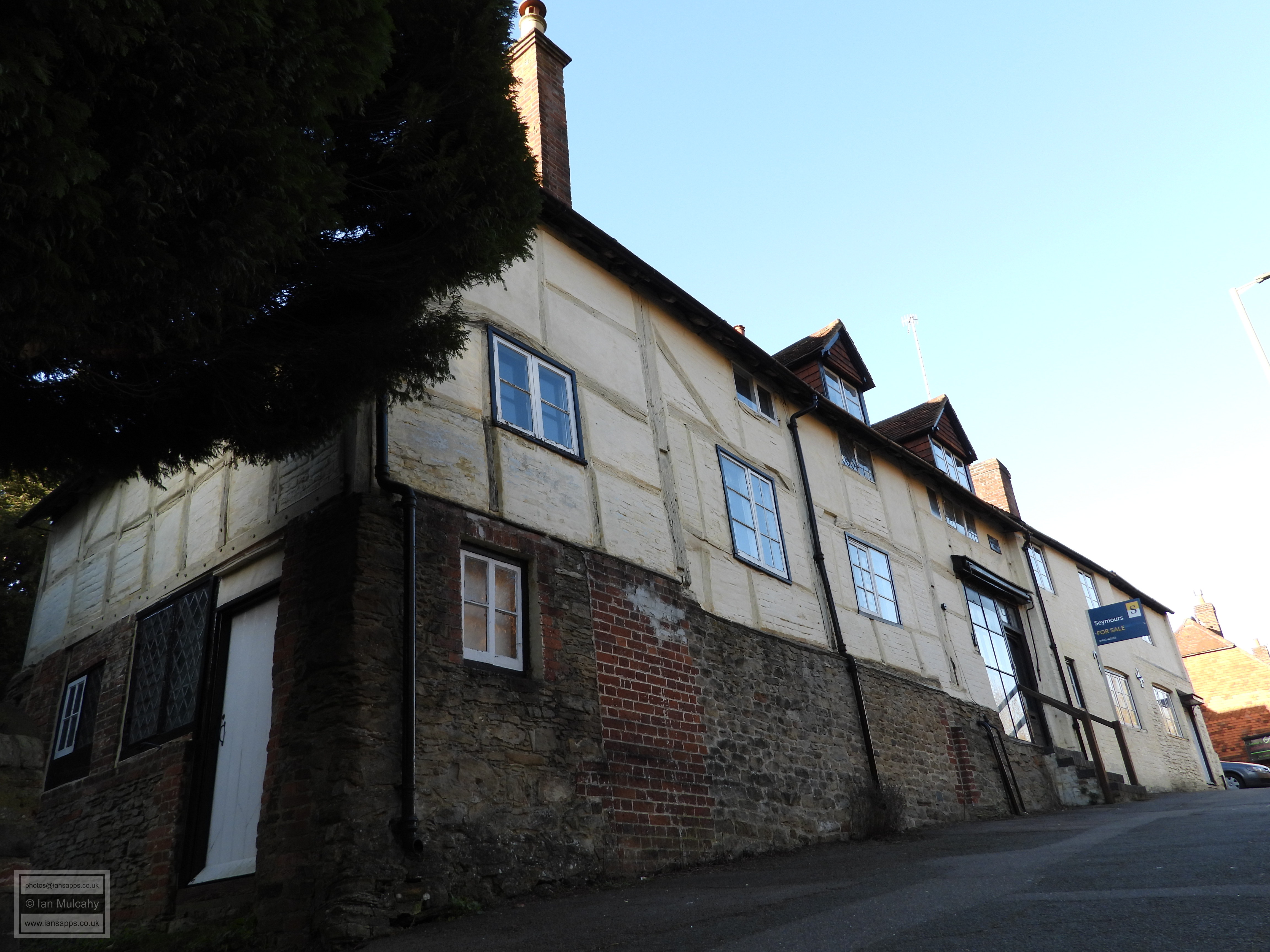
99-103 High Street and 105 High Street
To my right as I walk along the alley, and to my left when I face them
from the High Street, are the conjoined 99-103 High Street and
105 High Street. 99-103 is probably my favourite of all of
Godalming’s buildings; a large imposing double jettied three storey
timber framed house of 1570 that originally served as an inn. Number
105, end on to the High Street and at a slight angle to its much larger
neighbour, is of the late 16th century. To the other side of the alley
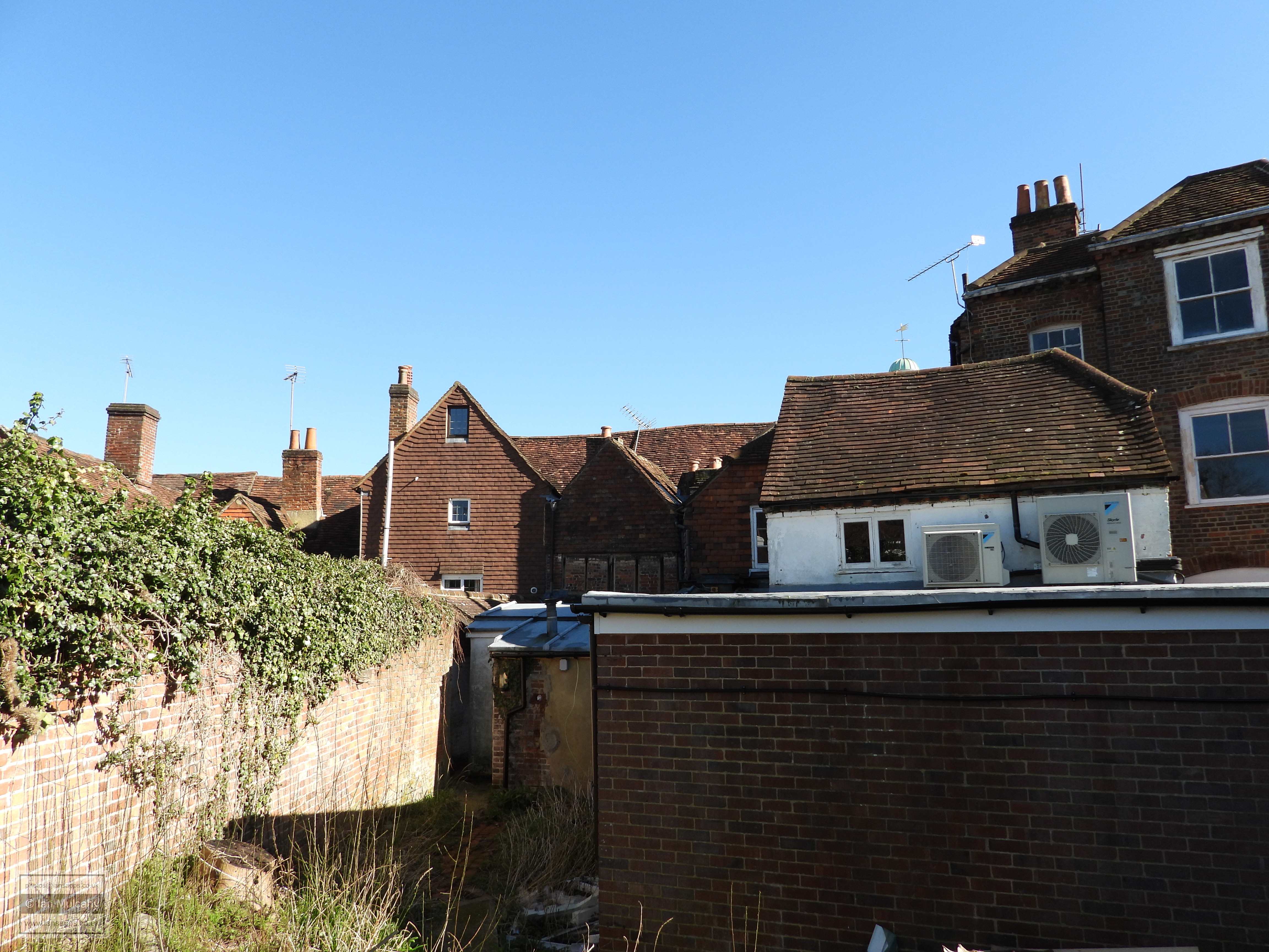
is 107 & 109 High Street, a timber framed house with wattle and daub
infilling that has been dated to 1446. The age of the building, which is
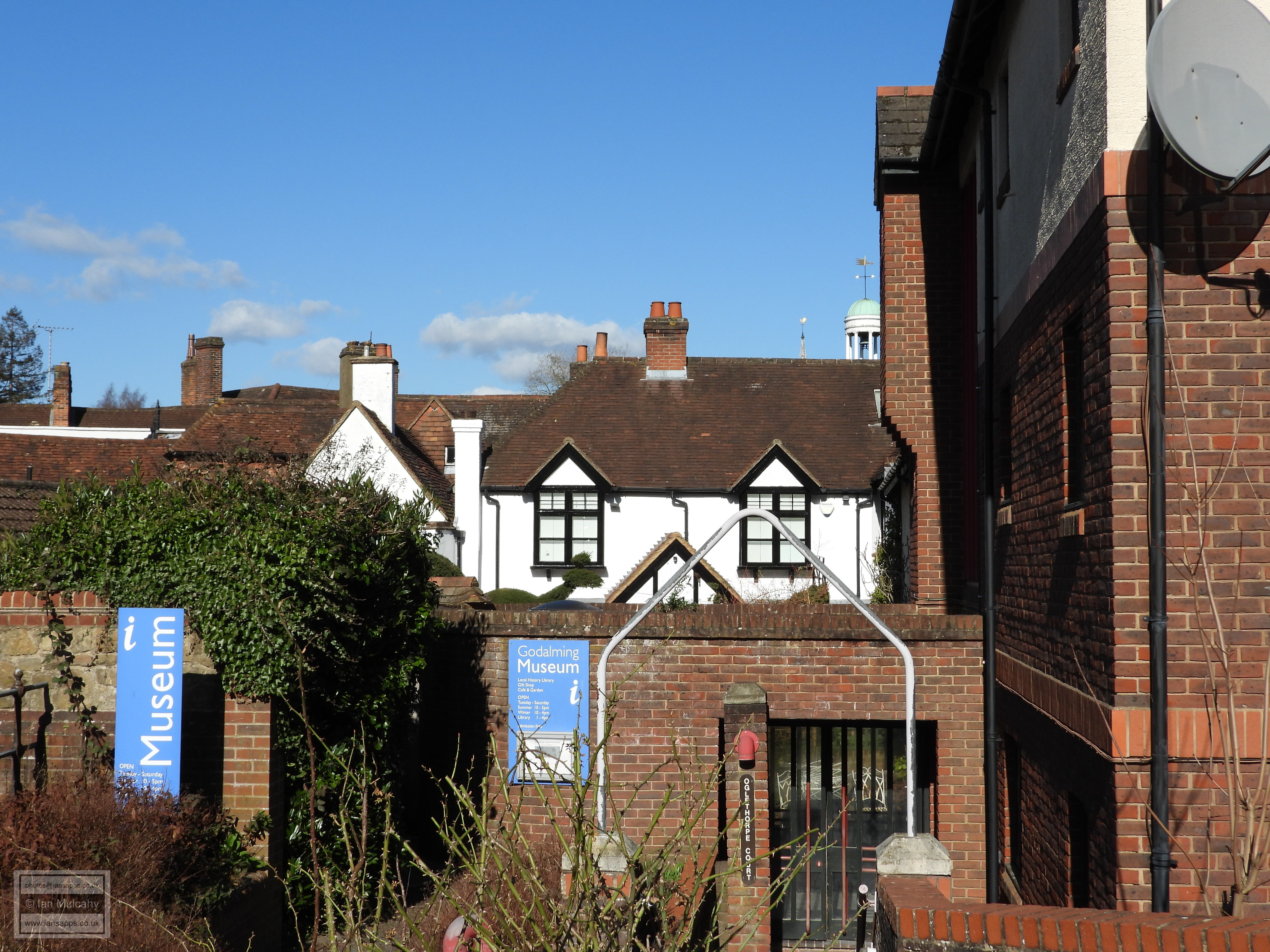
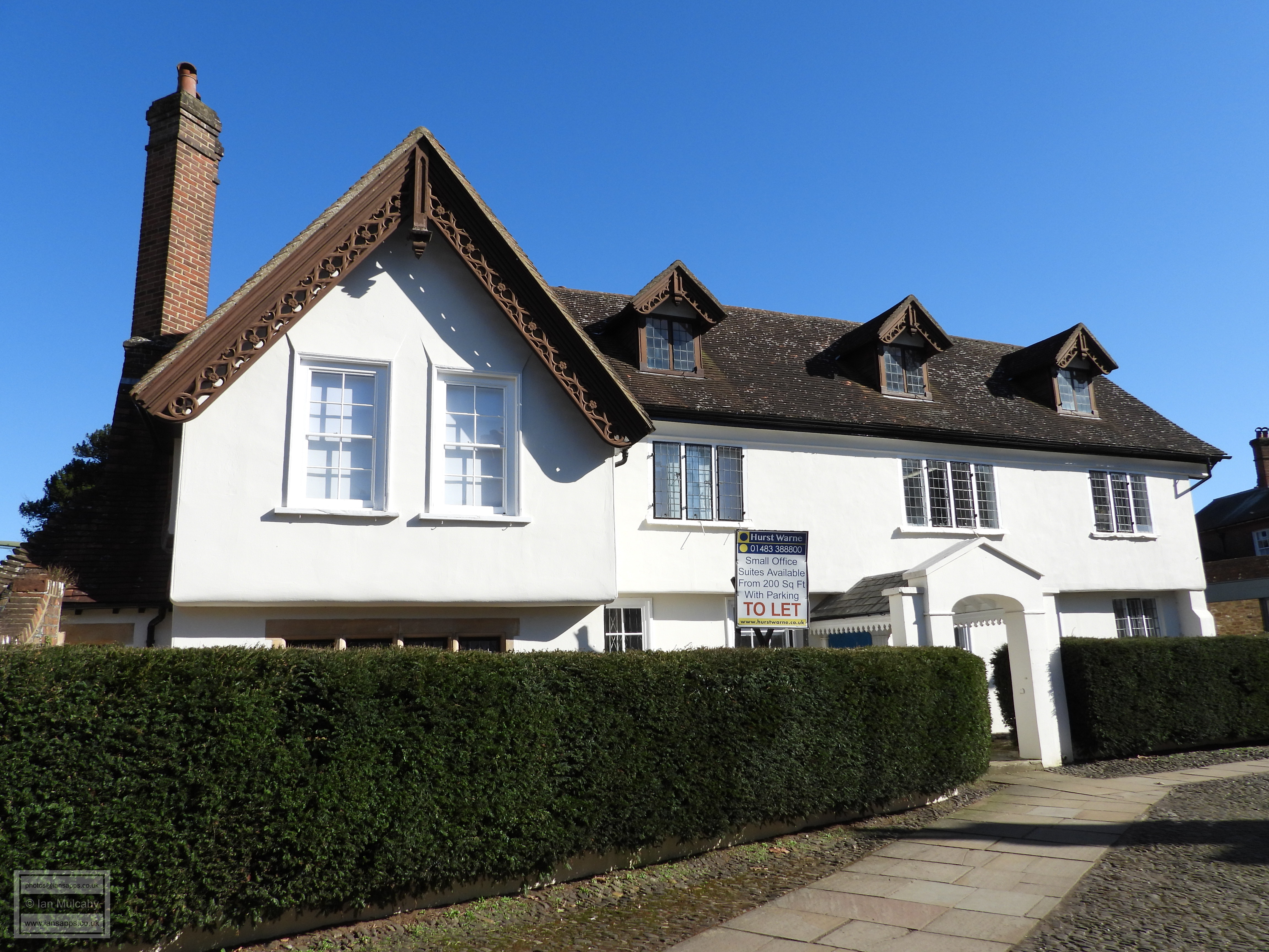
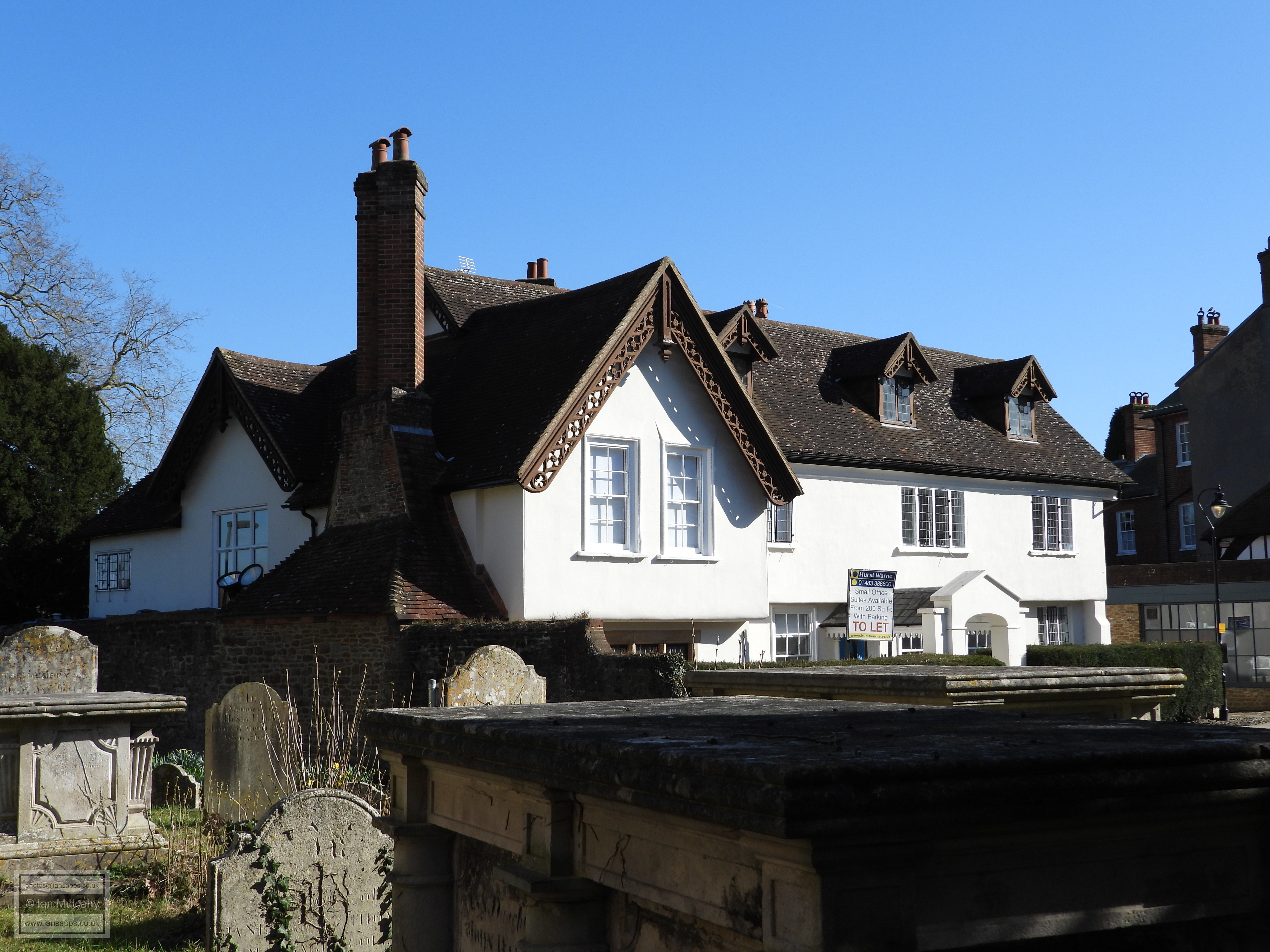
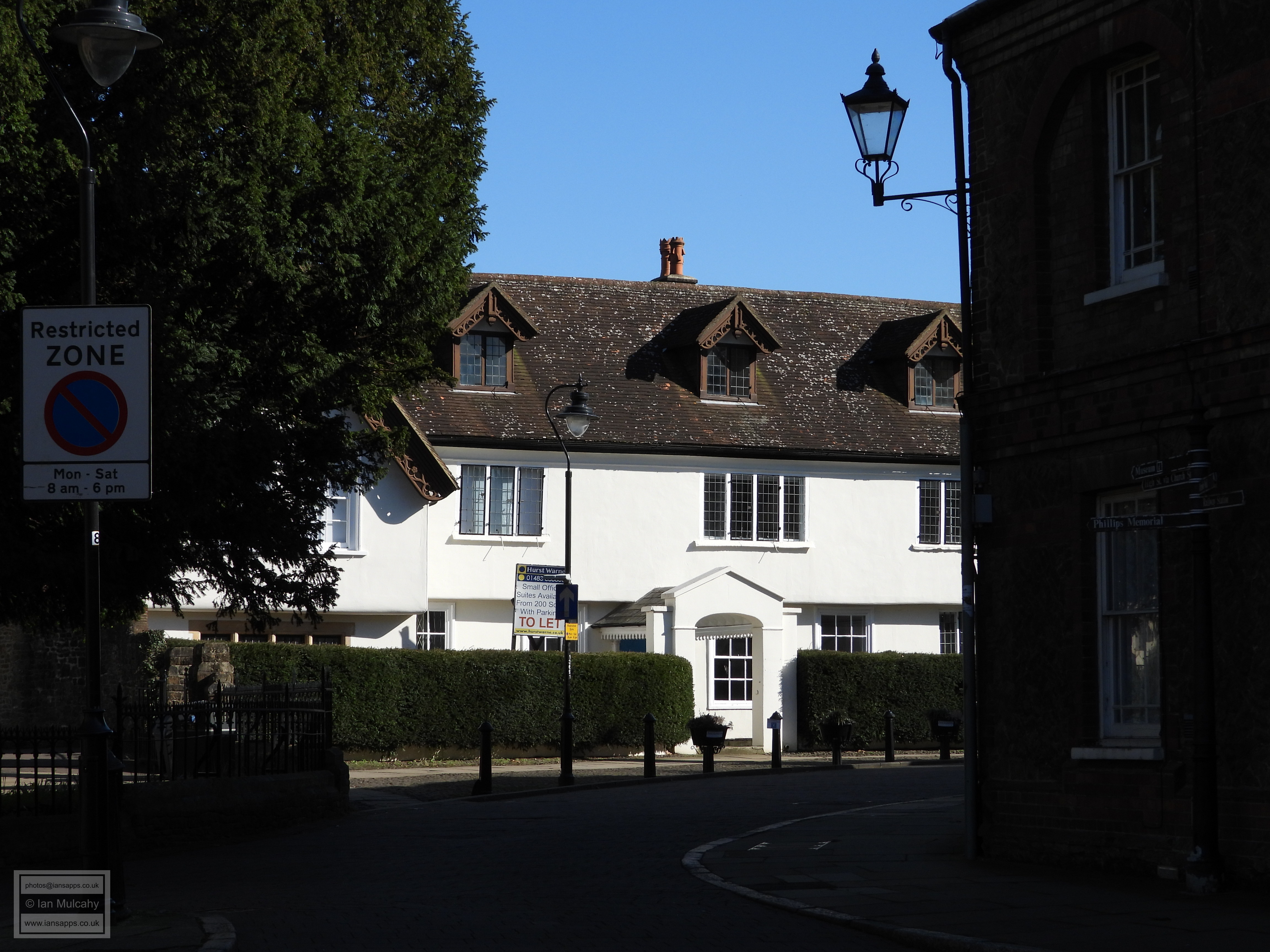
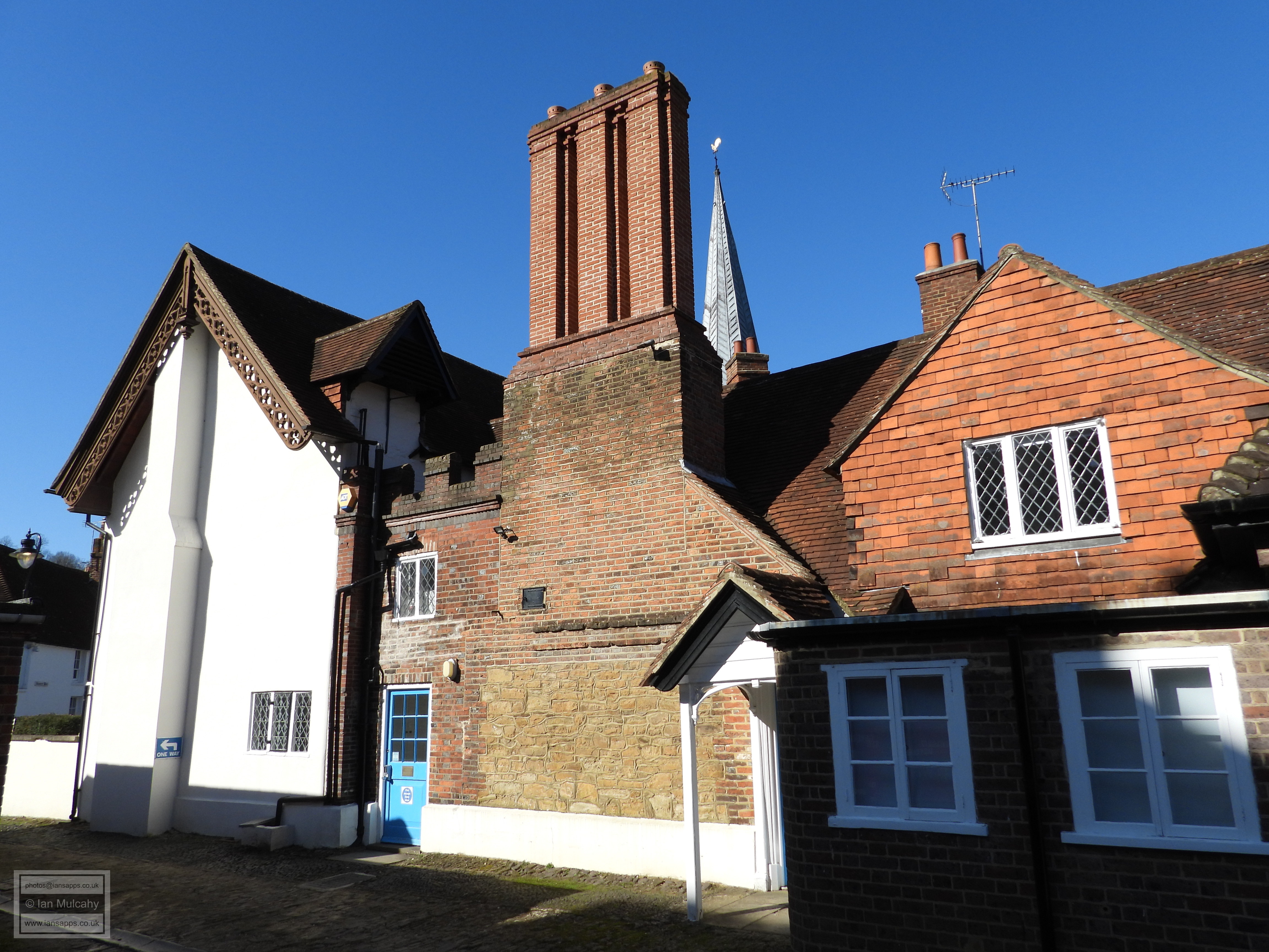
now home to Godalming Museum, is well disguised by a mid-18th century
refronting, though some of the original fabric remains visible from the
alley way.
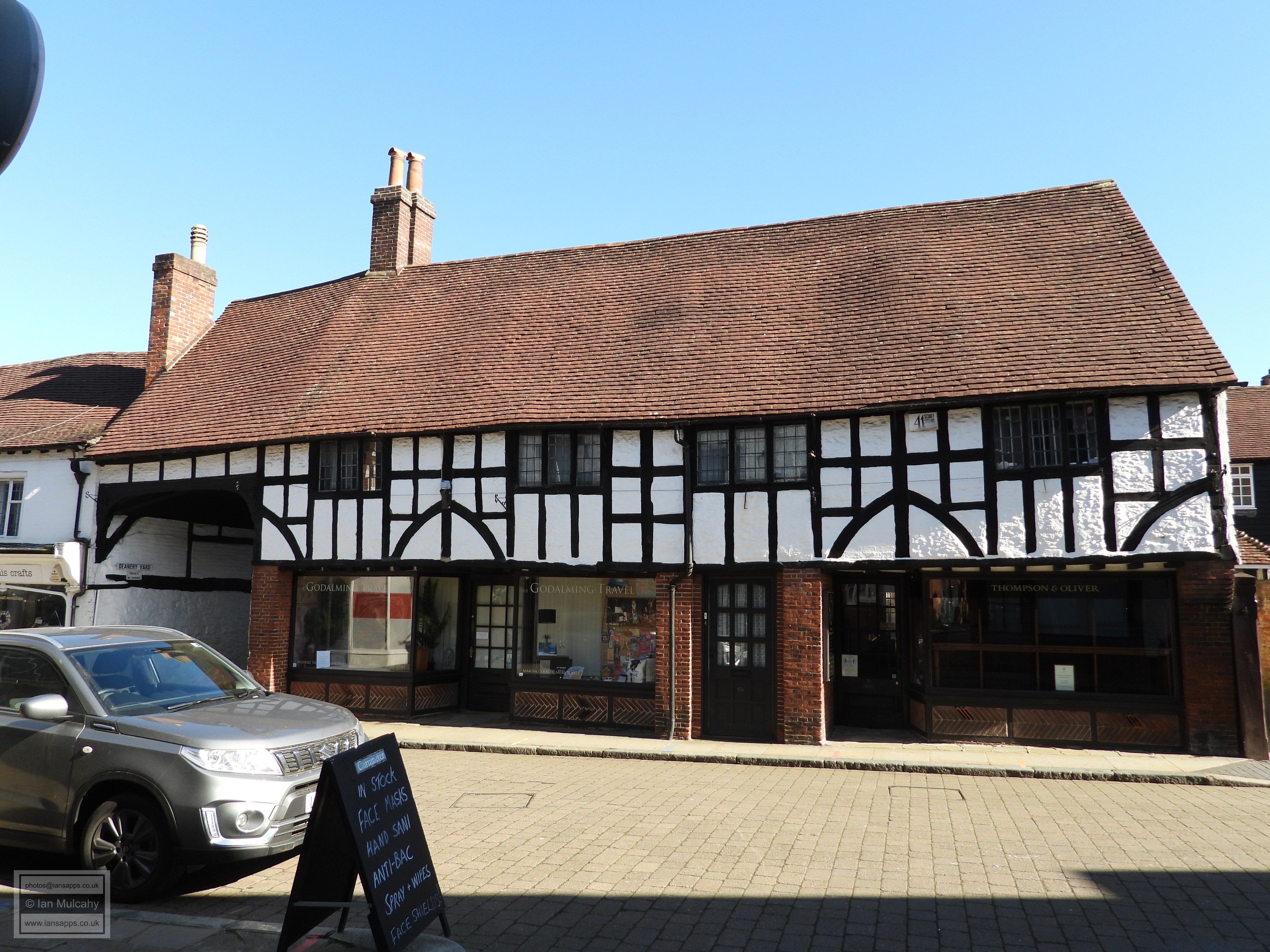
These two buildings face directly onto the Medieval and Tudor market
place and behind the ‘Pepper Pot’, the Market Hall built in 1814 to
replace an earlier 15th century structure, is 112 High Street,
a shop of the 2nd half of the 16th century which was refronted in the
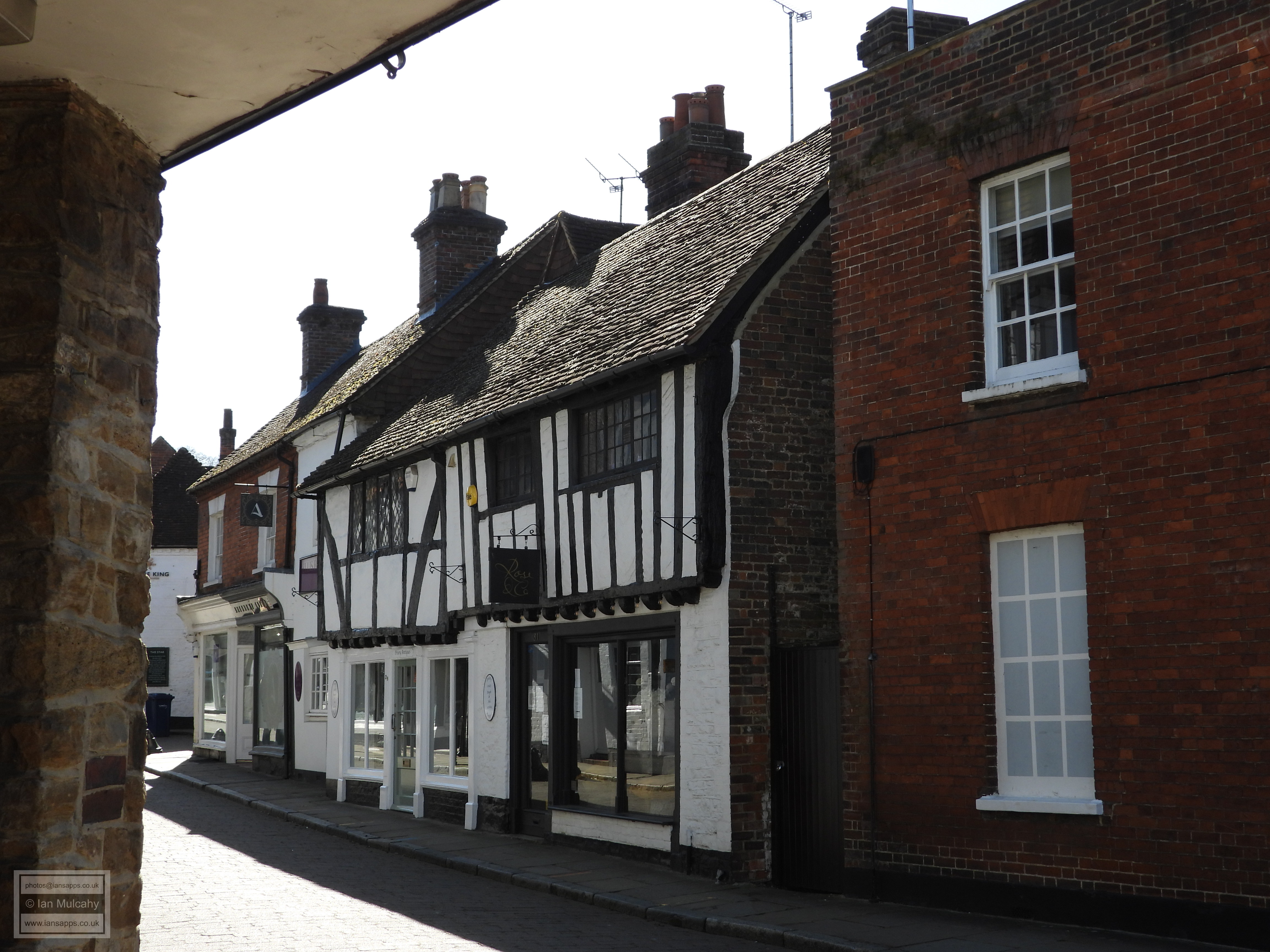
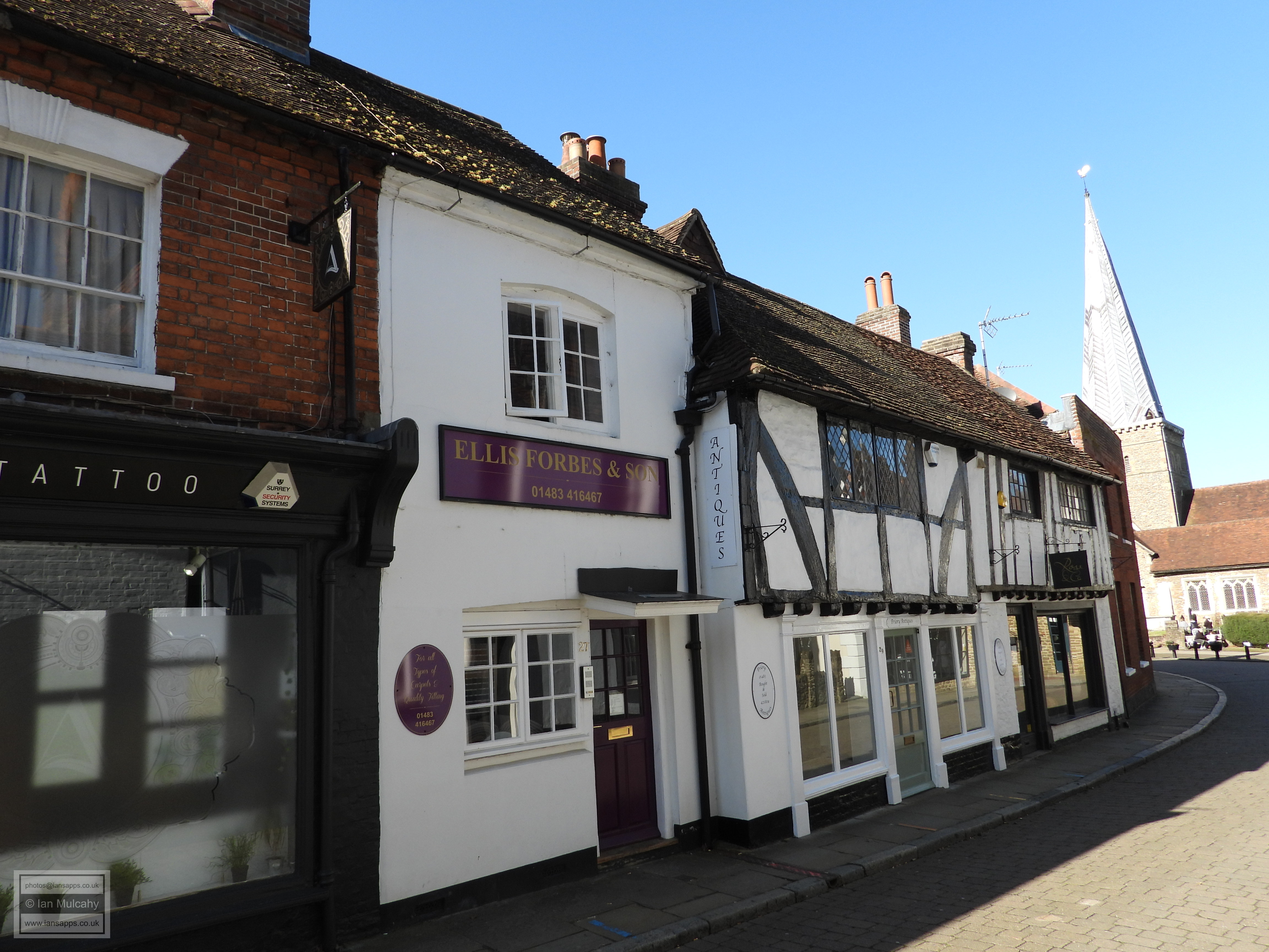
early 1700s. To the west of here is 1 Church Street, a
late Tudor house with intricate timber framing on its jettied first
floor. In common with many houses of the era, the timber framing had
been plastered over during the 18th century, but during late 19th
century repairs a piece of this plaster fell off and revealed the
delights that were hidden underneath, prompting the owners of the
property to restore the upper floor to its former glory. Next door is
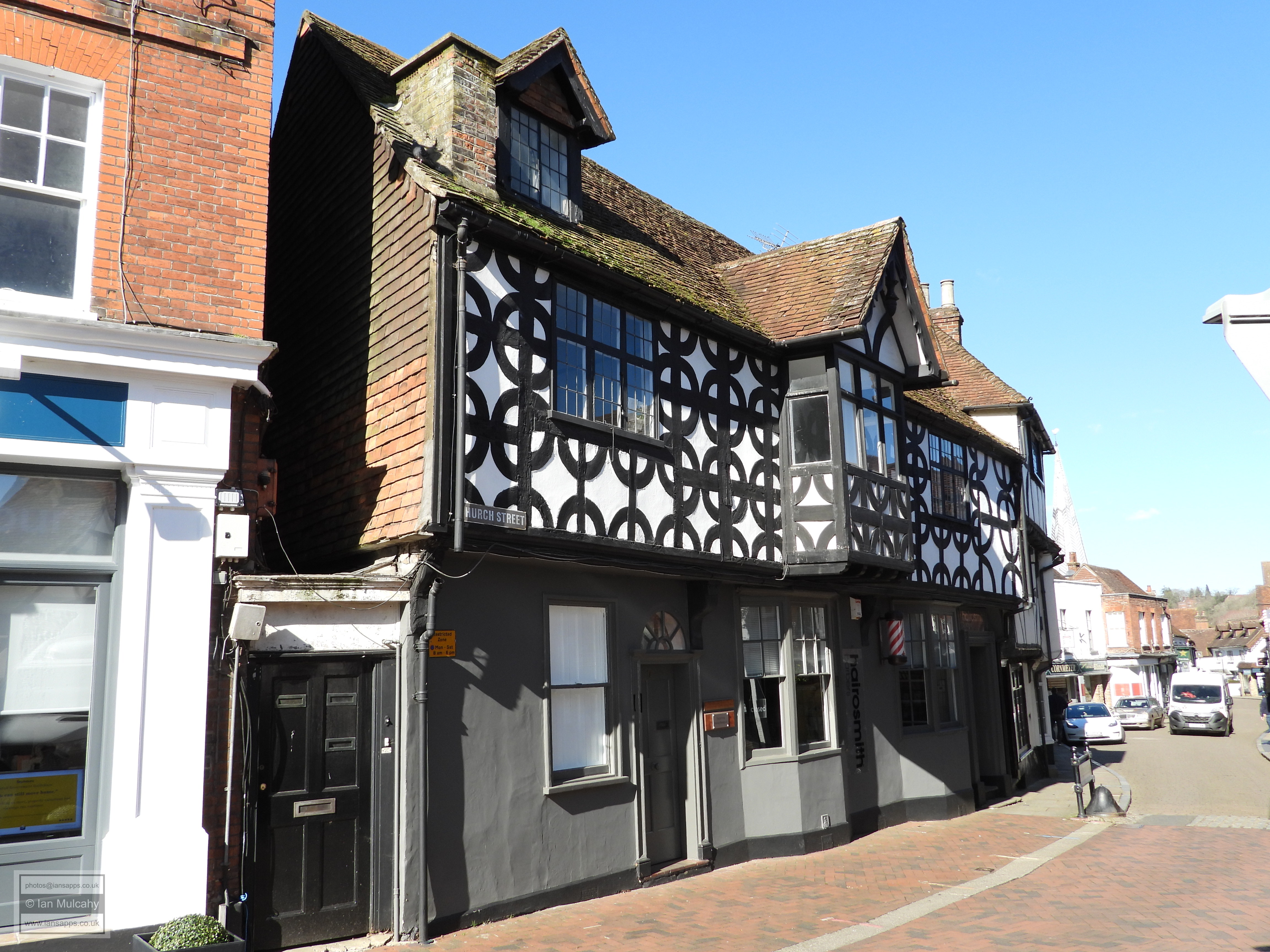
3 Church Street, a typical narrow 3 storey double
jettied shop of the late 1500s. 
112 High Street
1 Church Street
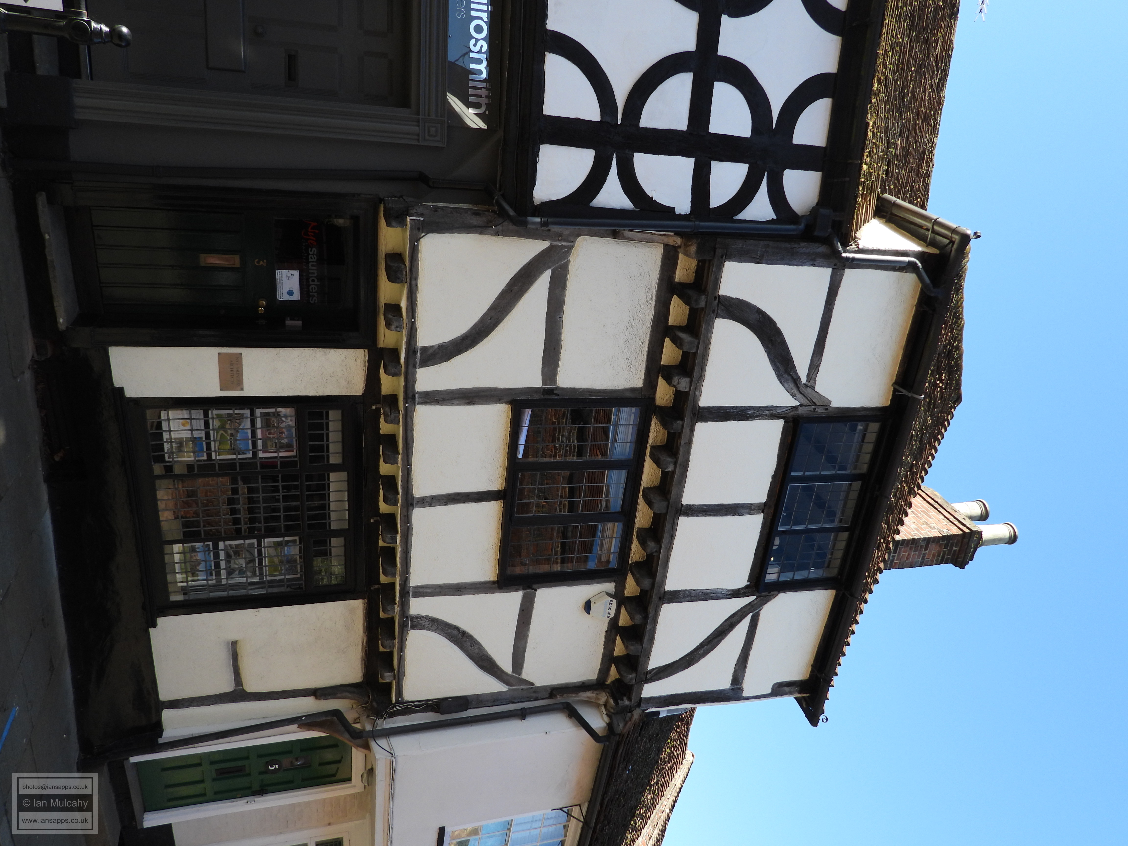
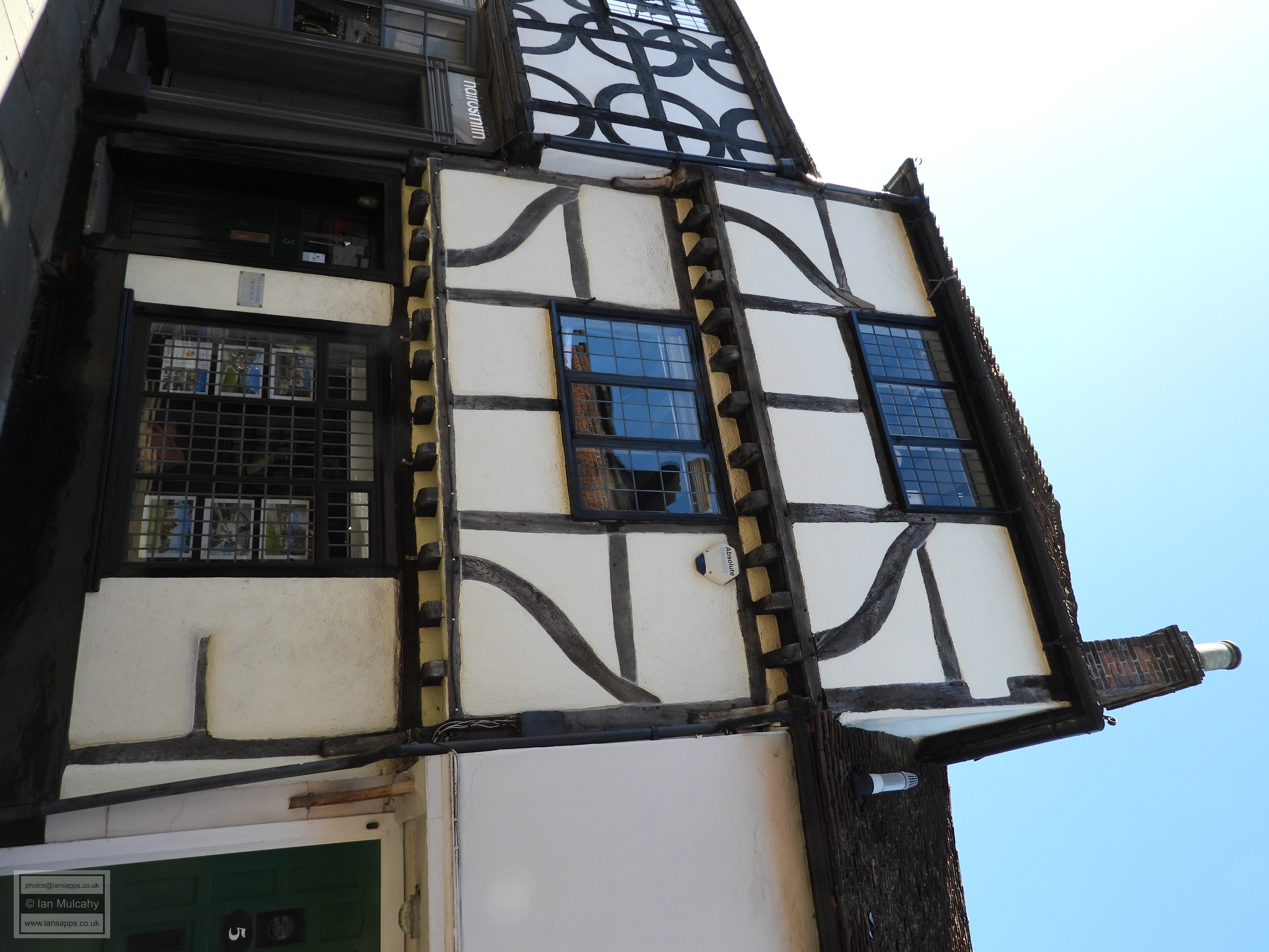
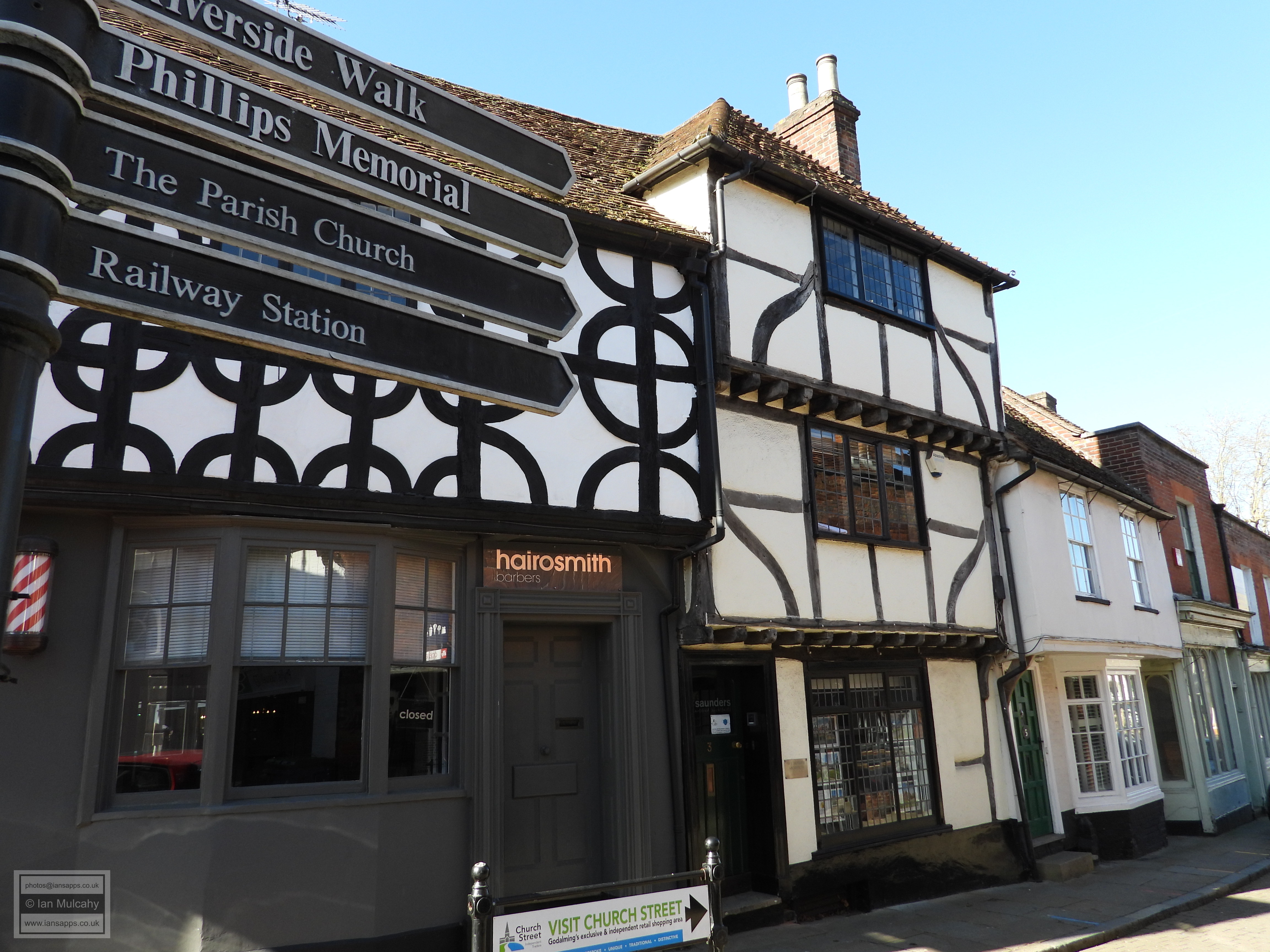
3 Church Street
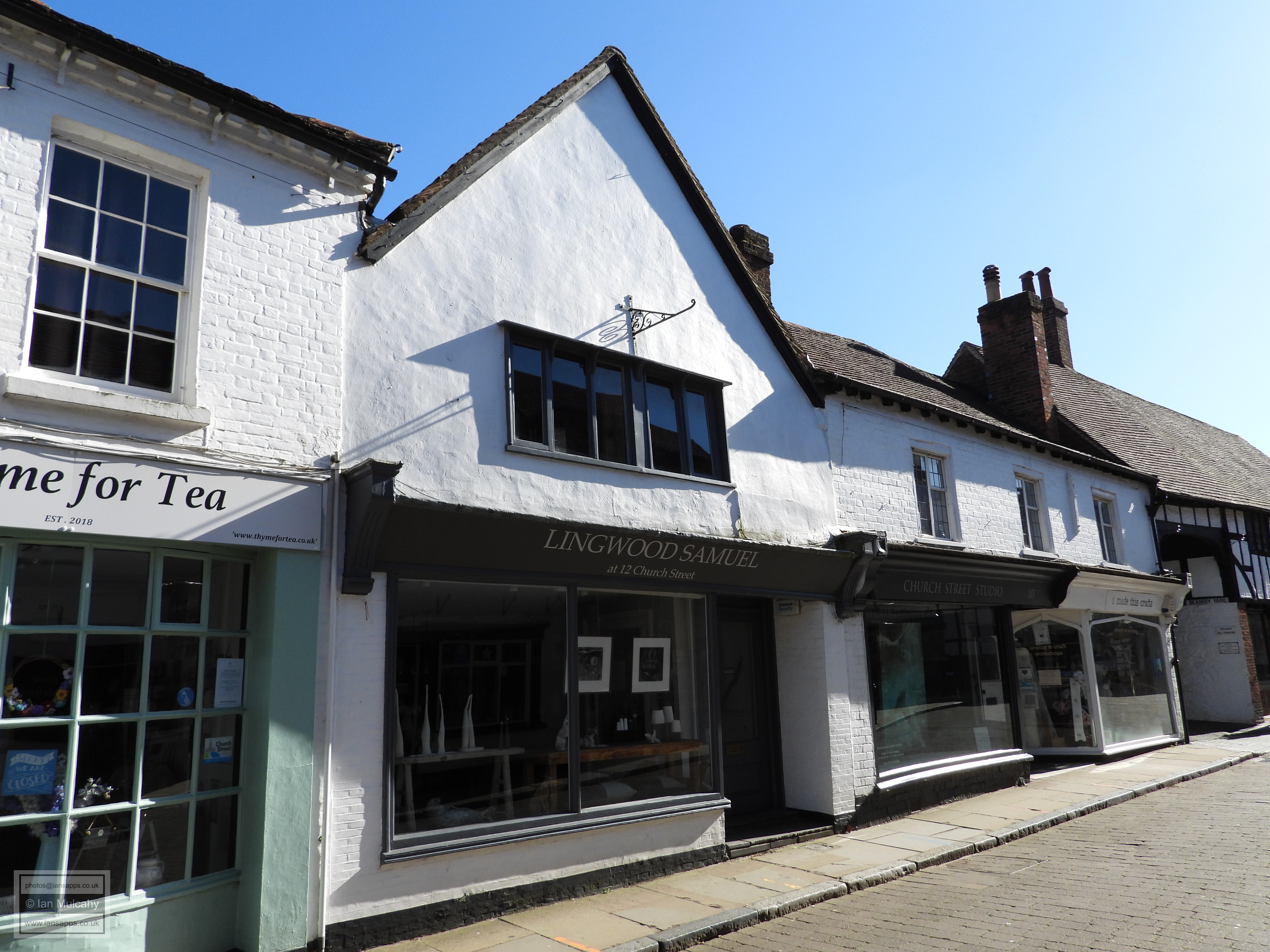
As we walk towards the church the early 17th century 11 Church
Street is on the corner of Mint Street, an area in which 12th
and 13th century pits, discovered during the construction of a car park,
provide the earliest actual evidence of occupation in the area around
the church. Opposite is 6-8 Church Street, a late Tudor
timber framed building with an unusual painted rubble infill whose left
bay, above the archway, is a later addition. Next door is 10
Church Street, a mid-16th century house with a 19th century
reface whose central bay was originally constructed as a smoke bay,
prior to the later insertion of a chimney stack. 12 Church
Street is its late 16th century crosswing. 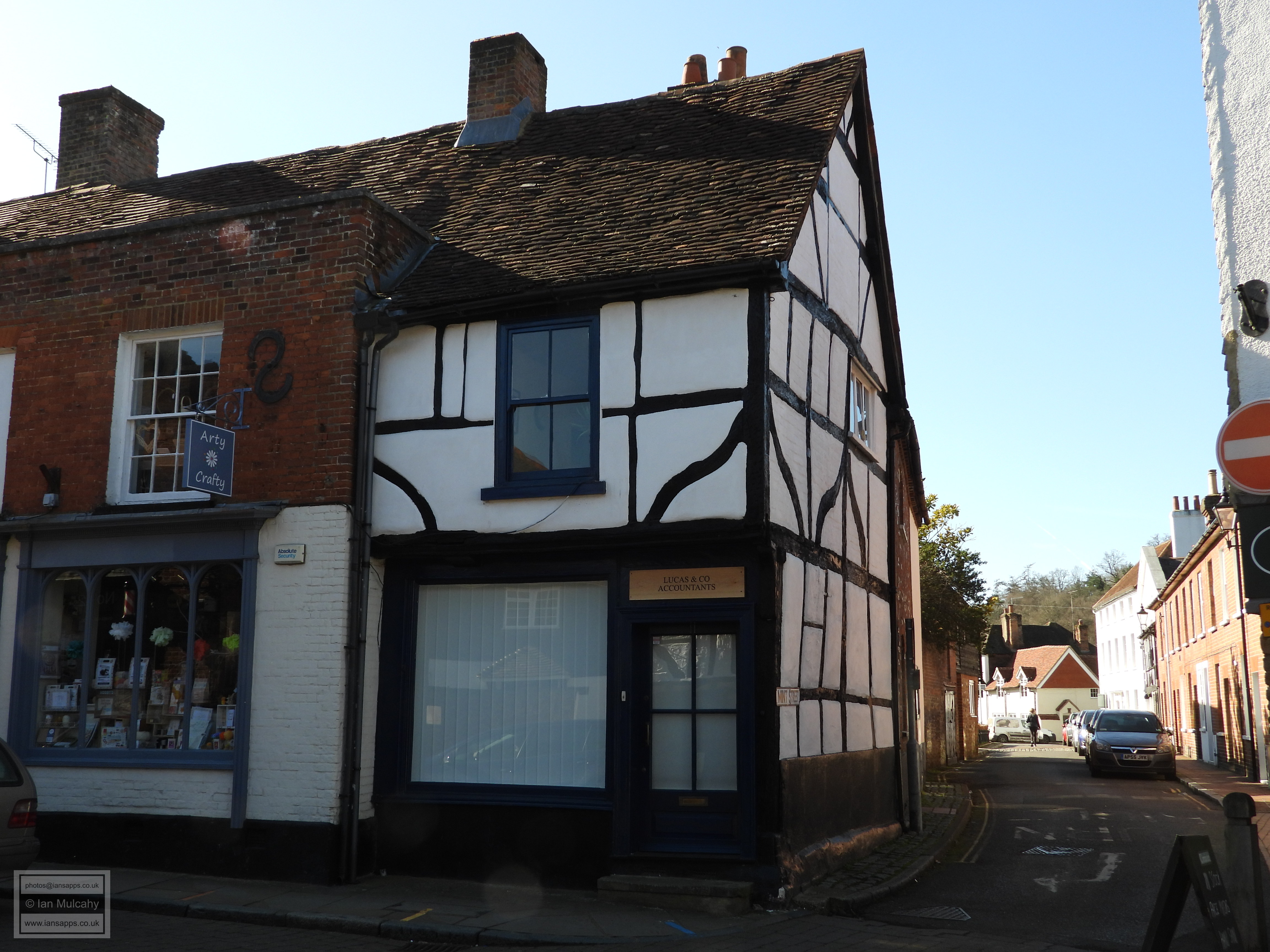
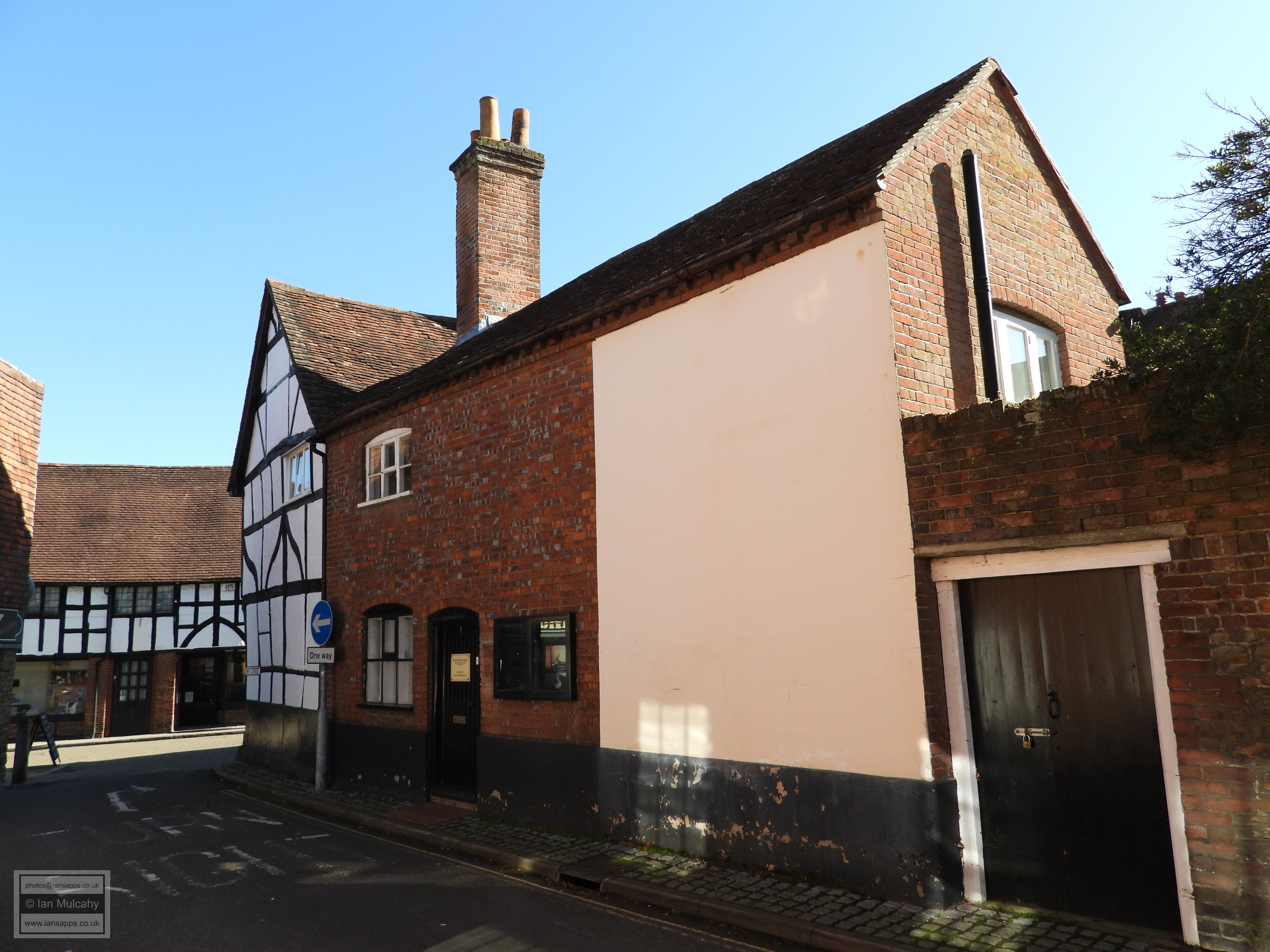
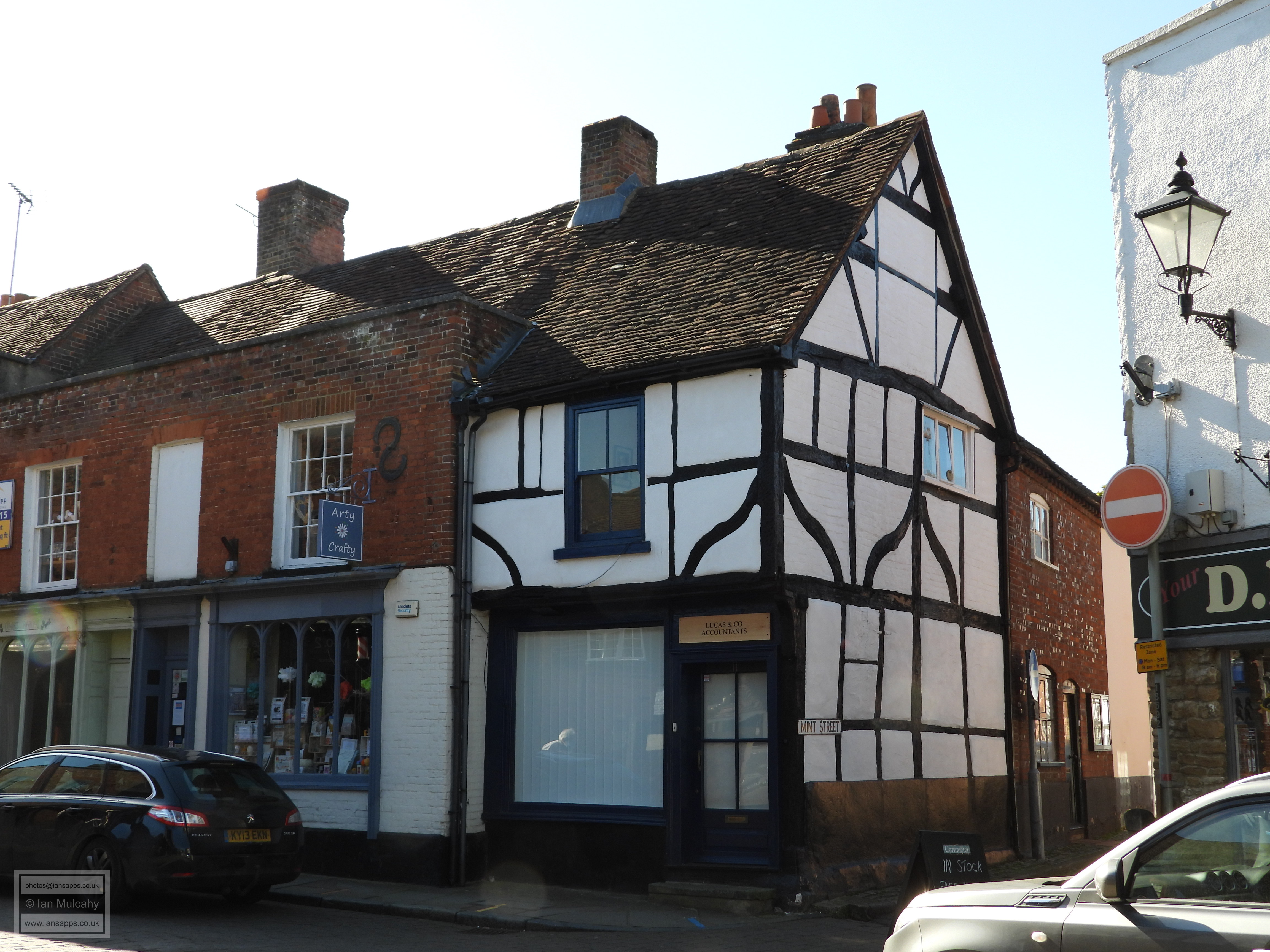
11 Church Street
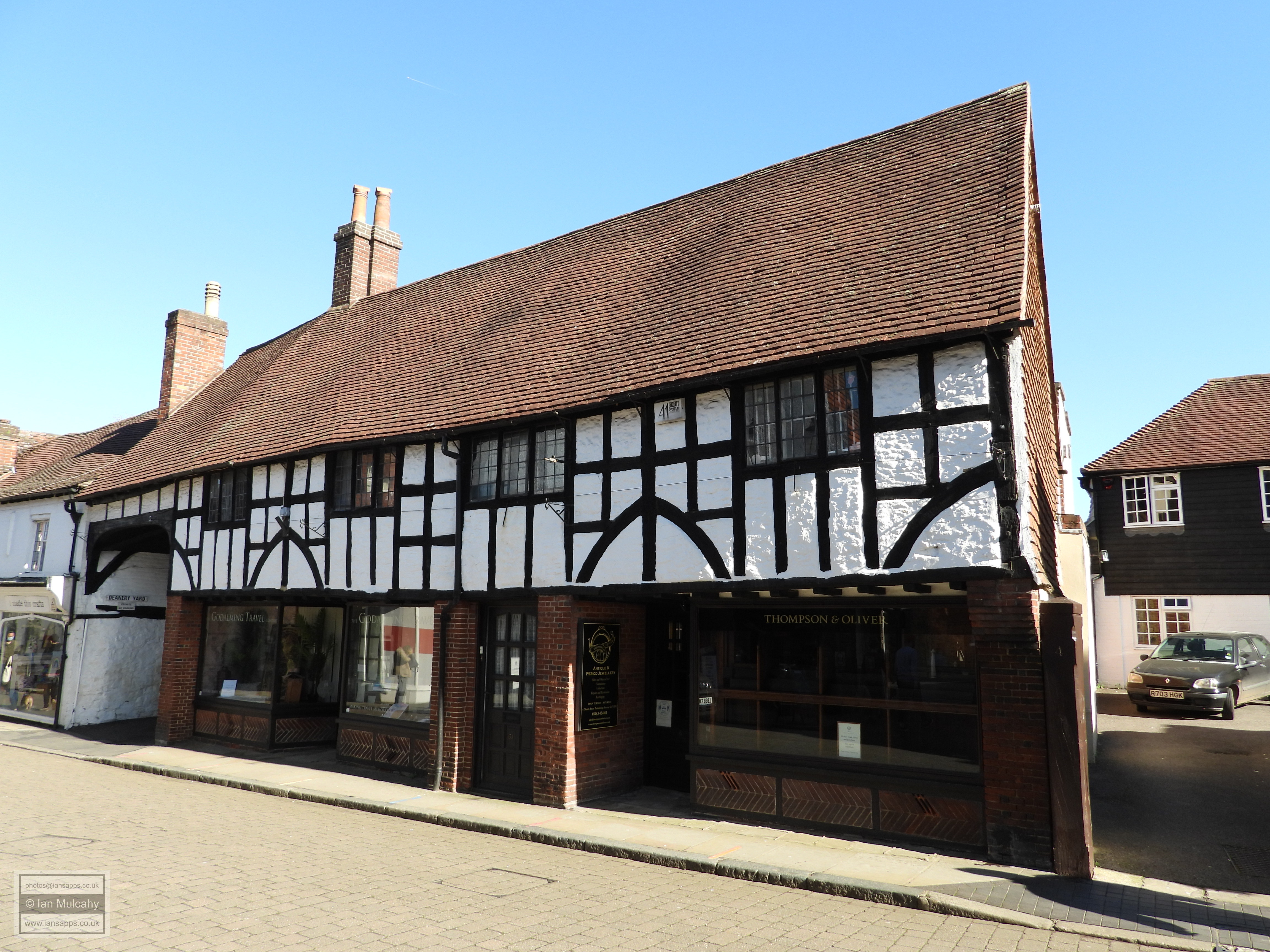
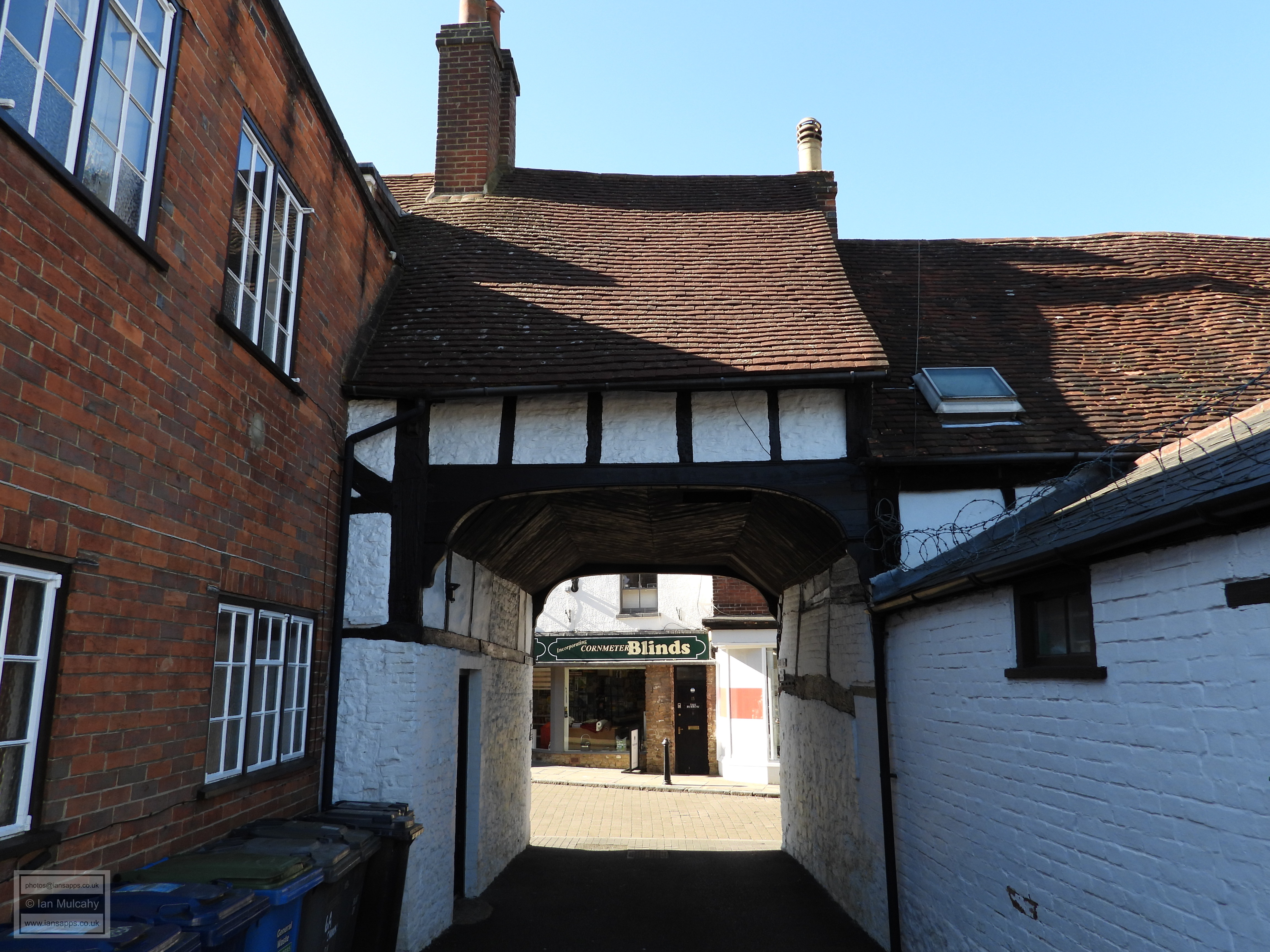
6-8 Church Street
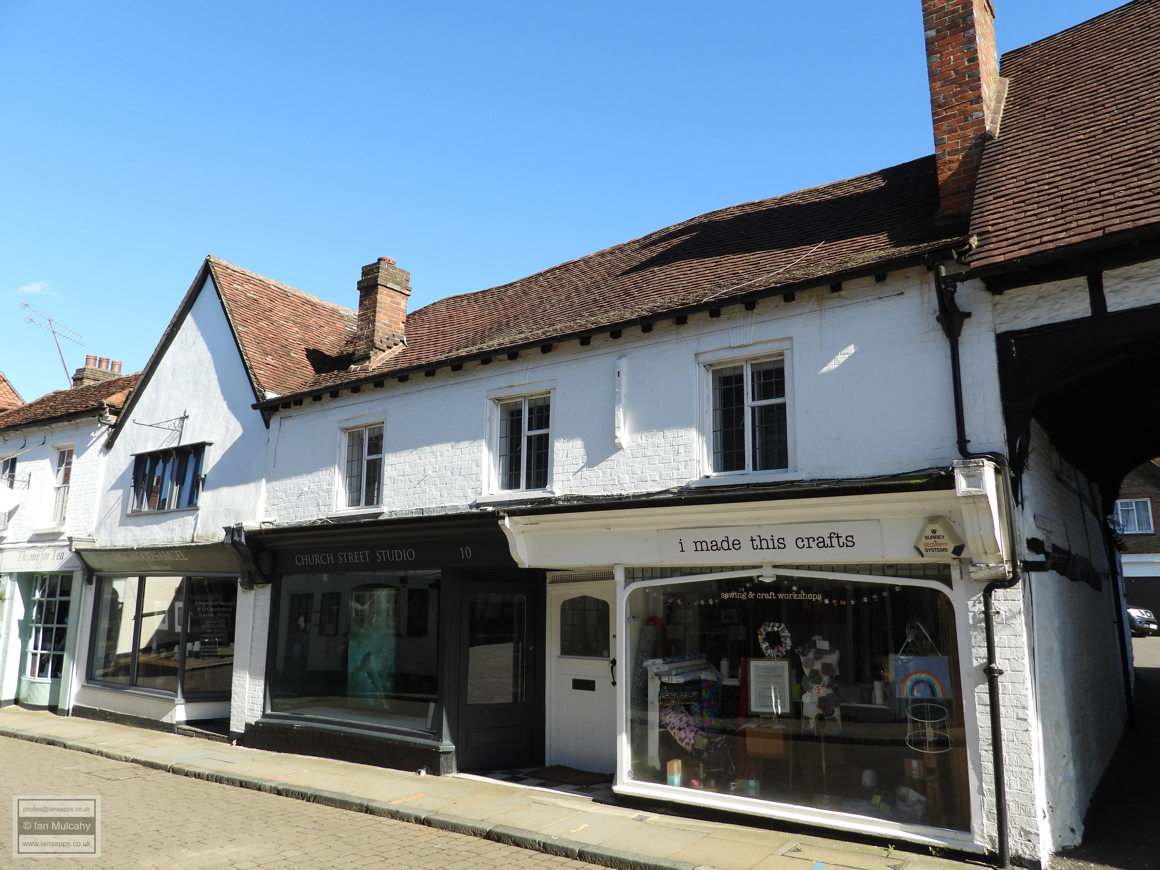
10 & 12 Church Street
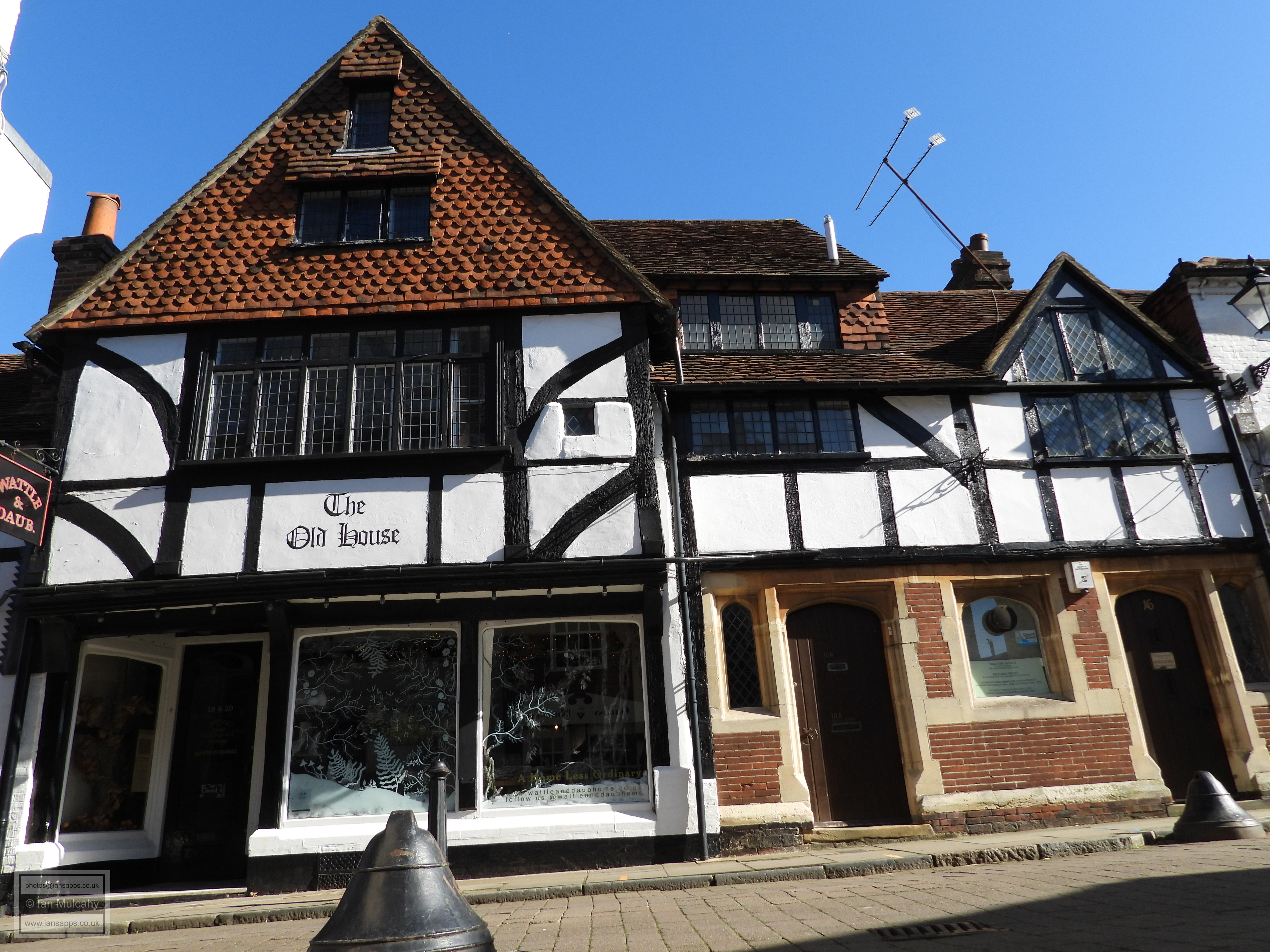
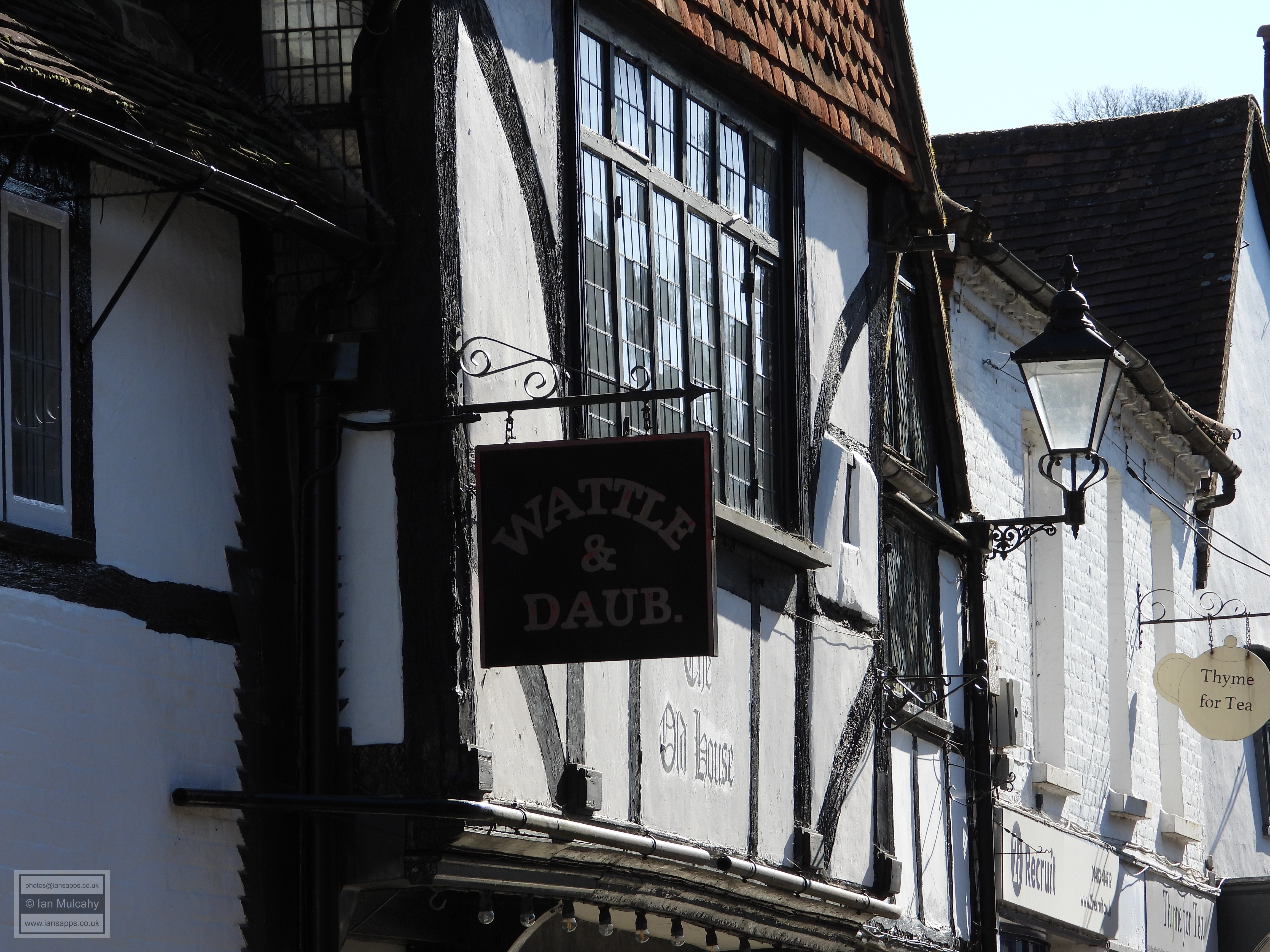
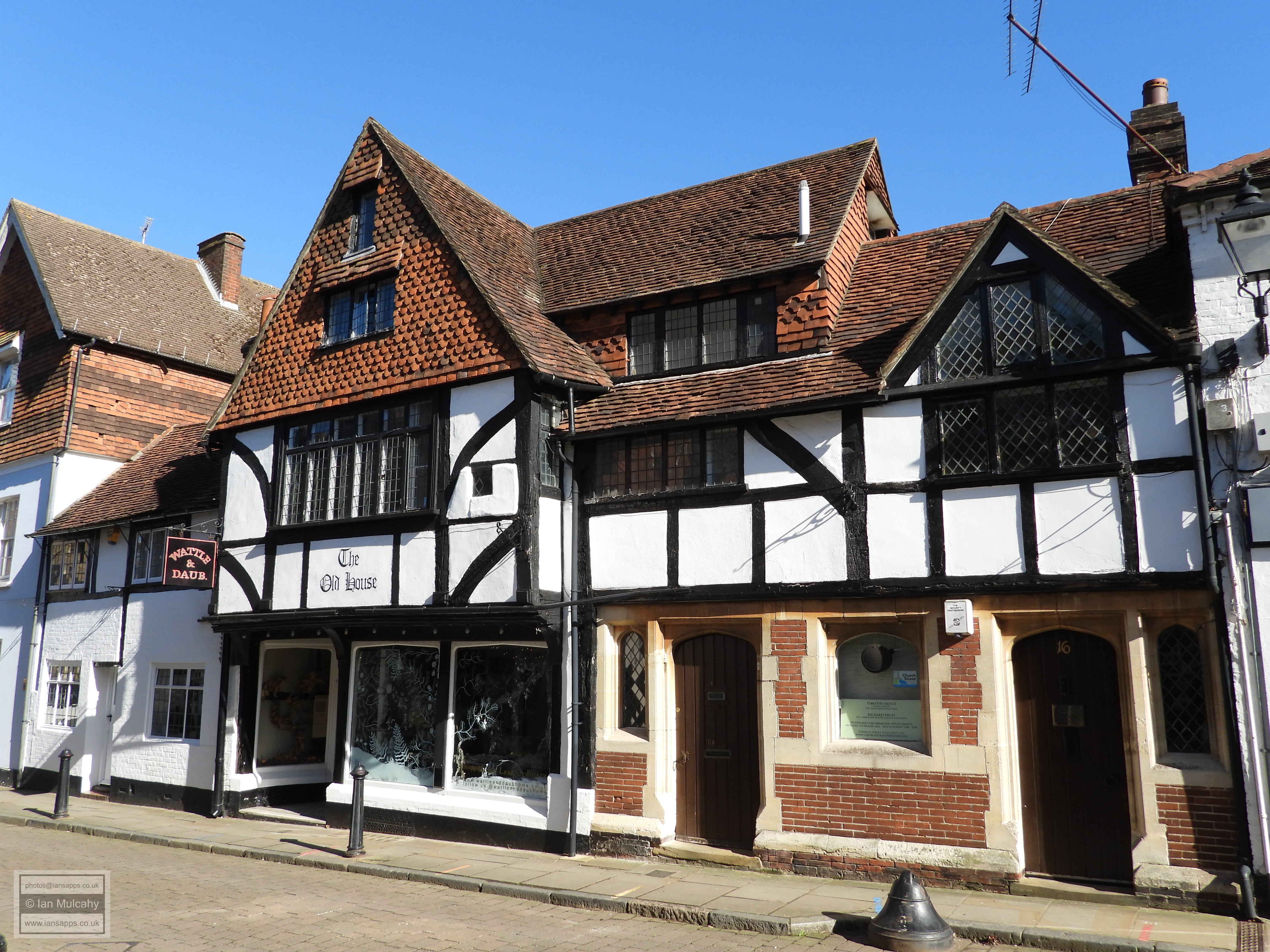
16-20 Church Street is an interesting mix of three
different timber framed buildings of the 1500s with wattle and daub
infill. To the right is number 16 which was formerly an open hall and
number 18, in the centre, is a jettied crosswing addition. Number 20, to
the left, is the latest of the three parts and much of its timber
framing is hidden behind a painted brick dressing. On the opposite side
of the street are the conjoined 29-31 Church Street.
Number 29 is a 15th century open hall with 16th century additions and
wattle and daub infilling. Number 31 is slightly later, dating to the
late 1500s, with painted brick infilling. The whole range is jettied,
though this is much shallower than would have originally been seen due
to a 19th century shop front being inserted. 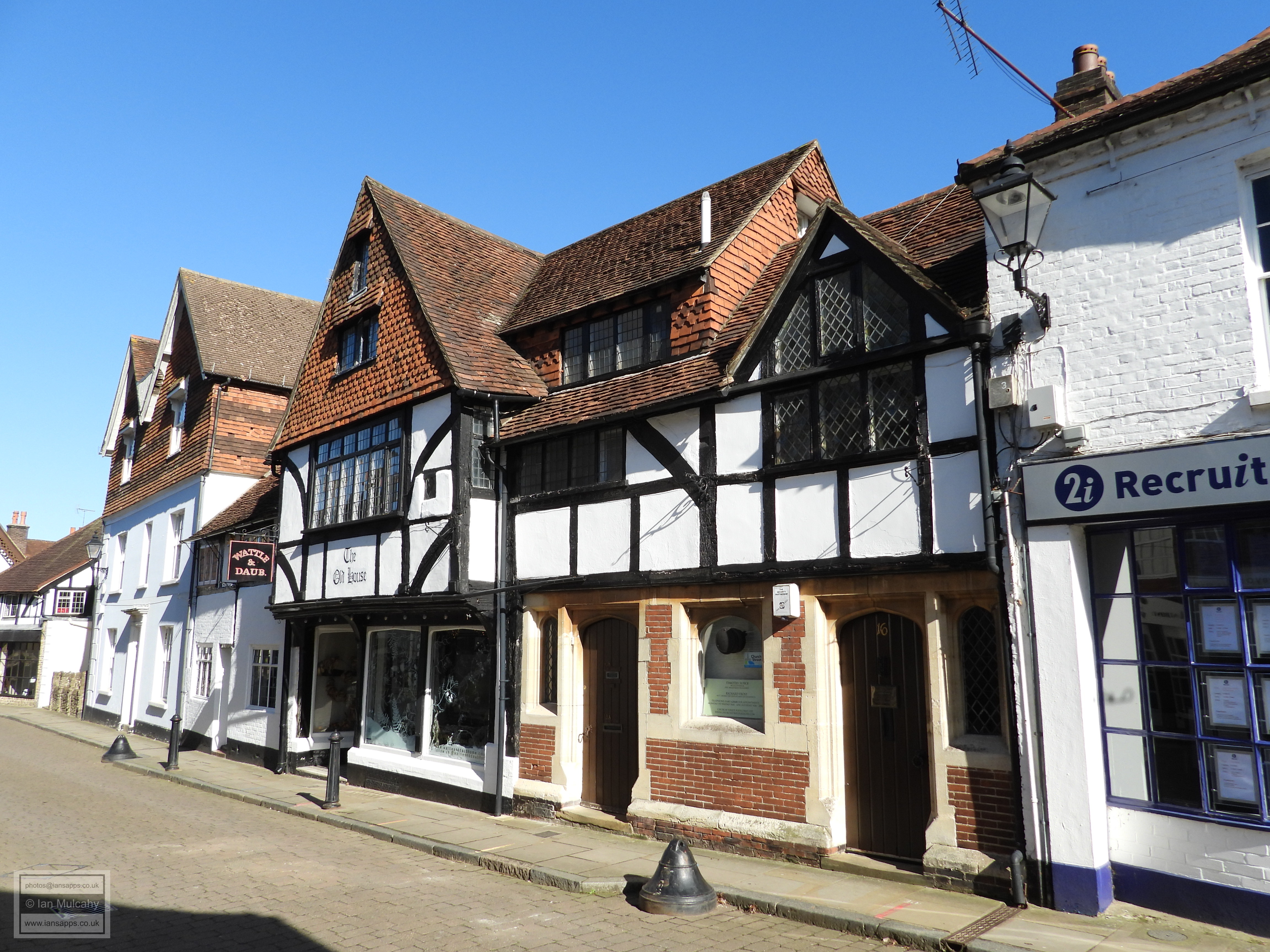
16-20 Church Street 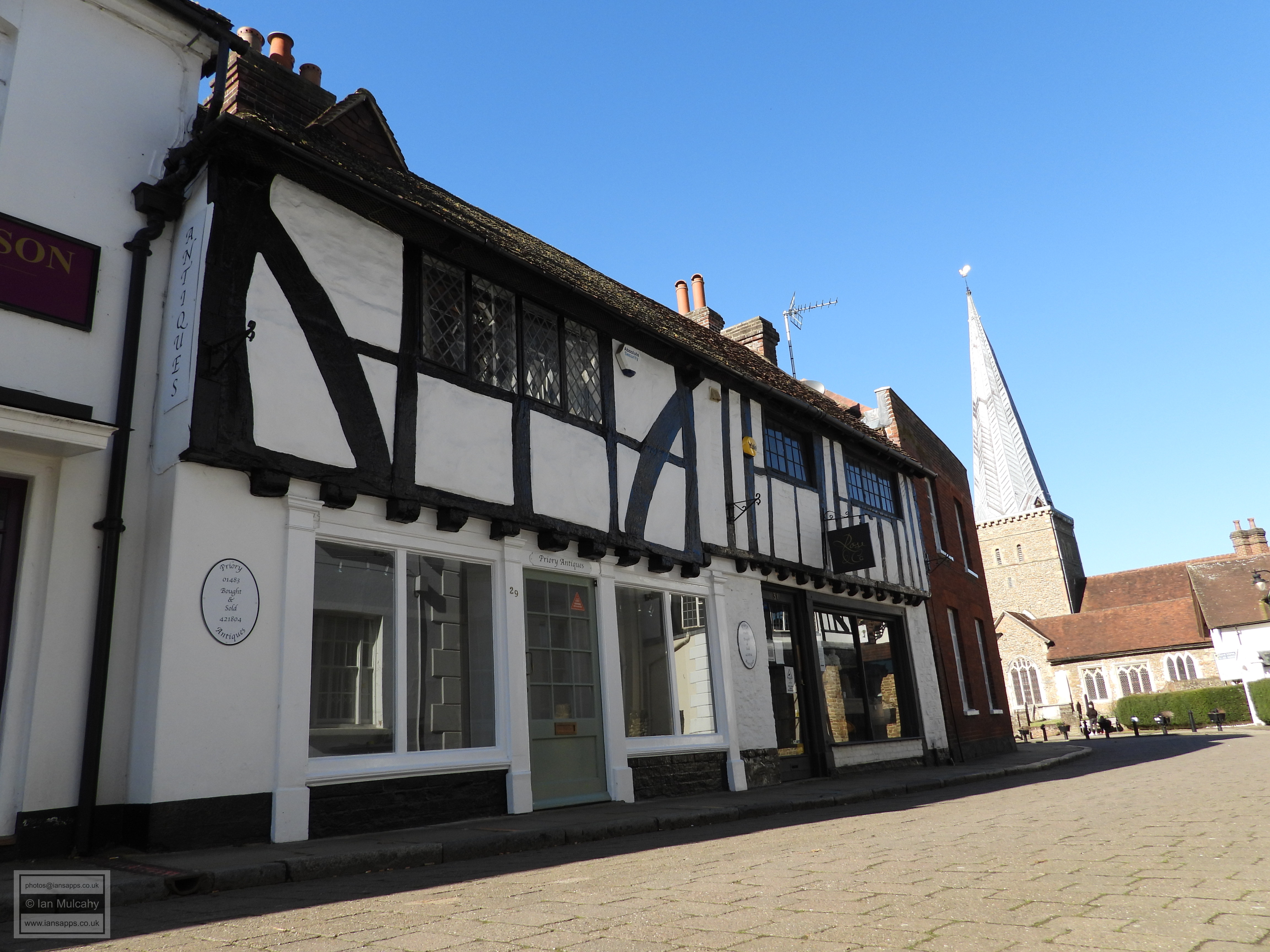

29-31 Church Street
Opposite once again is 26 Church Street a late 16th
century house whose ground floor was rebuilt in stone during the early
20th century. The house was originally much larger, but was chopped in
half in order to accommodate the substantial, mid-19th century, Deanery
House to the south. A little way to the north and guarding the western
entrance to the churchyard is 30 Church Street, a large
house of the 16th century with 17th century additions and many later
alterations. The street side timber framing is well hidden by 19th
century refacing, but the front jetty survives and some of the timbers
are still visible from the car park at the rear of the building. It is
said that the stone fireplaces are of Tudor origin and are particularly
elaborate in the crosswing. Immediately opposite on the corner of Church
Street is 7, 8 and 9 Deanery Place, a 15th century hall
house which, once upon time, boasted a pair of jettied end bays in
typical Wealden style. A 19th century refurbishment which included
refronting and the removal of the jetties has sadly rendered the
building, no pun intended, as completely unrecognisable as a Wealden
example. 
26 Church Street 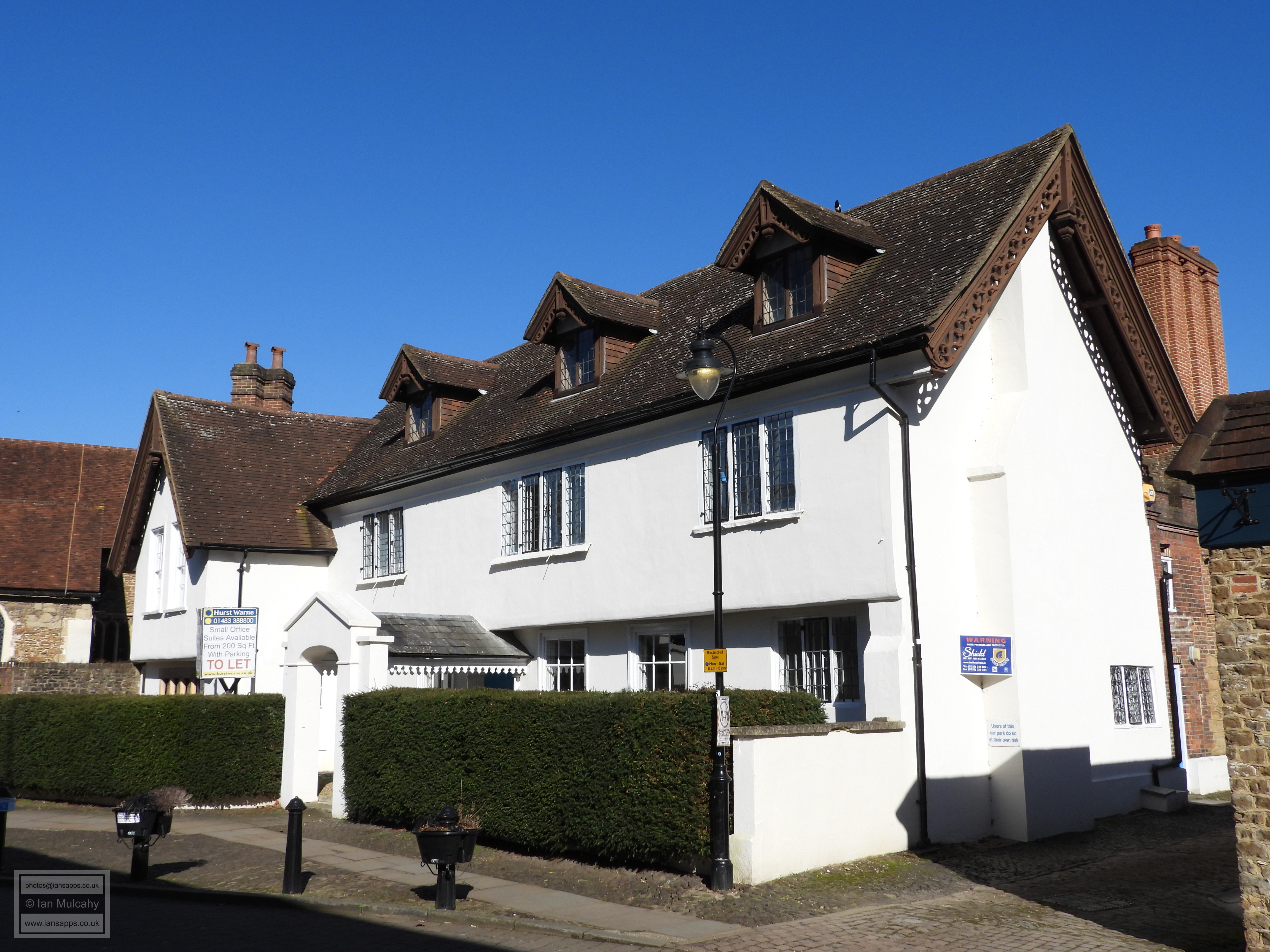
30 Church Street 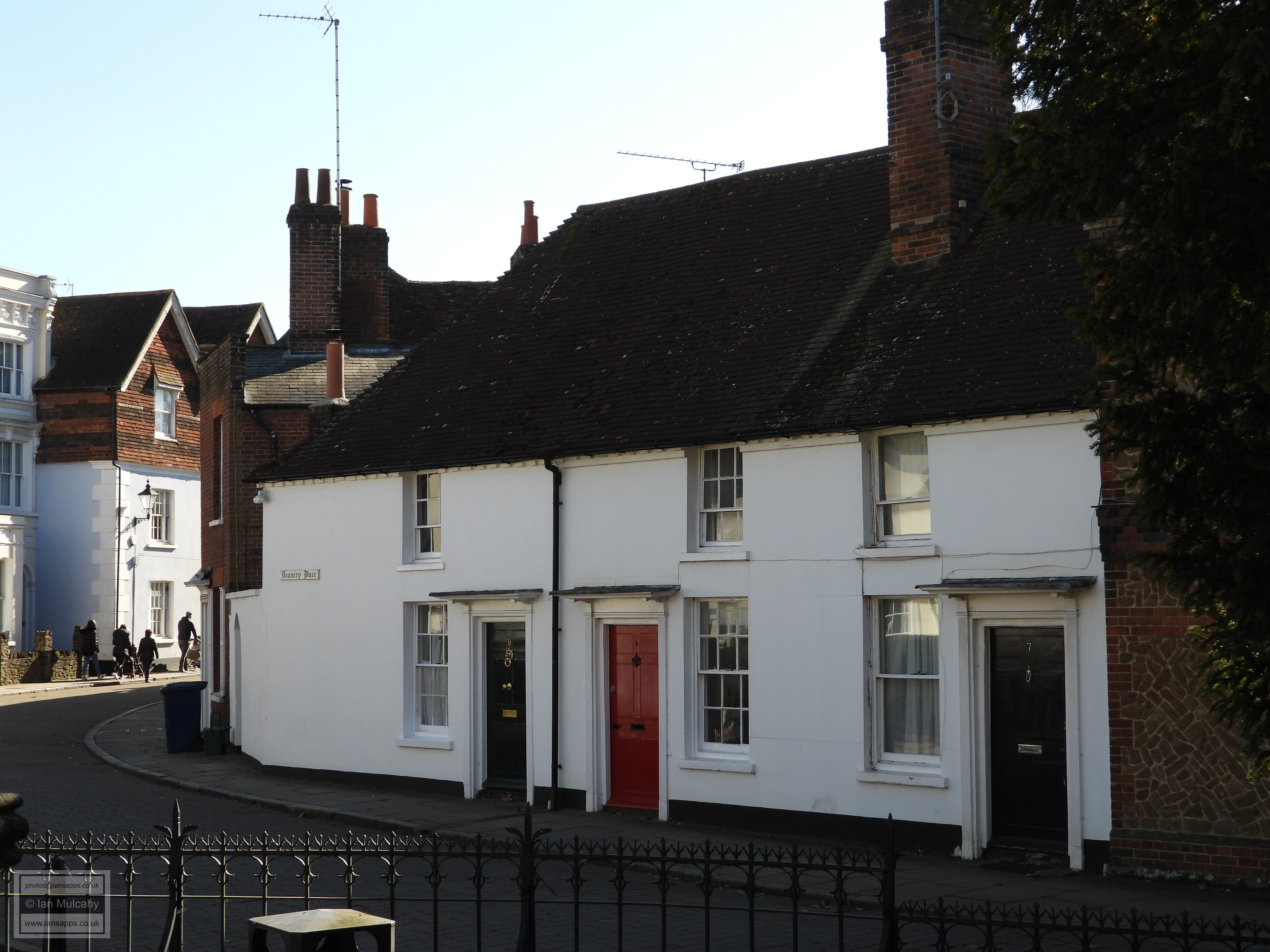
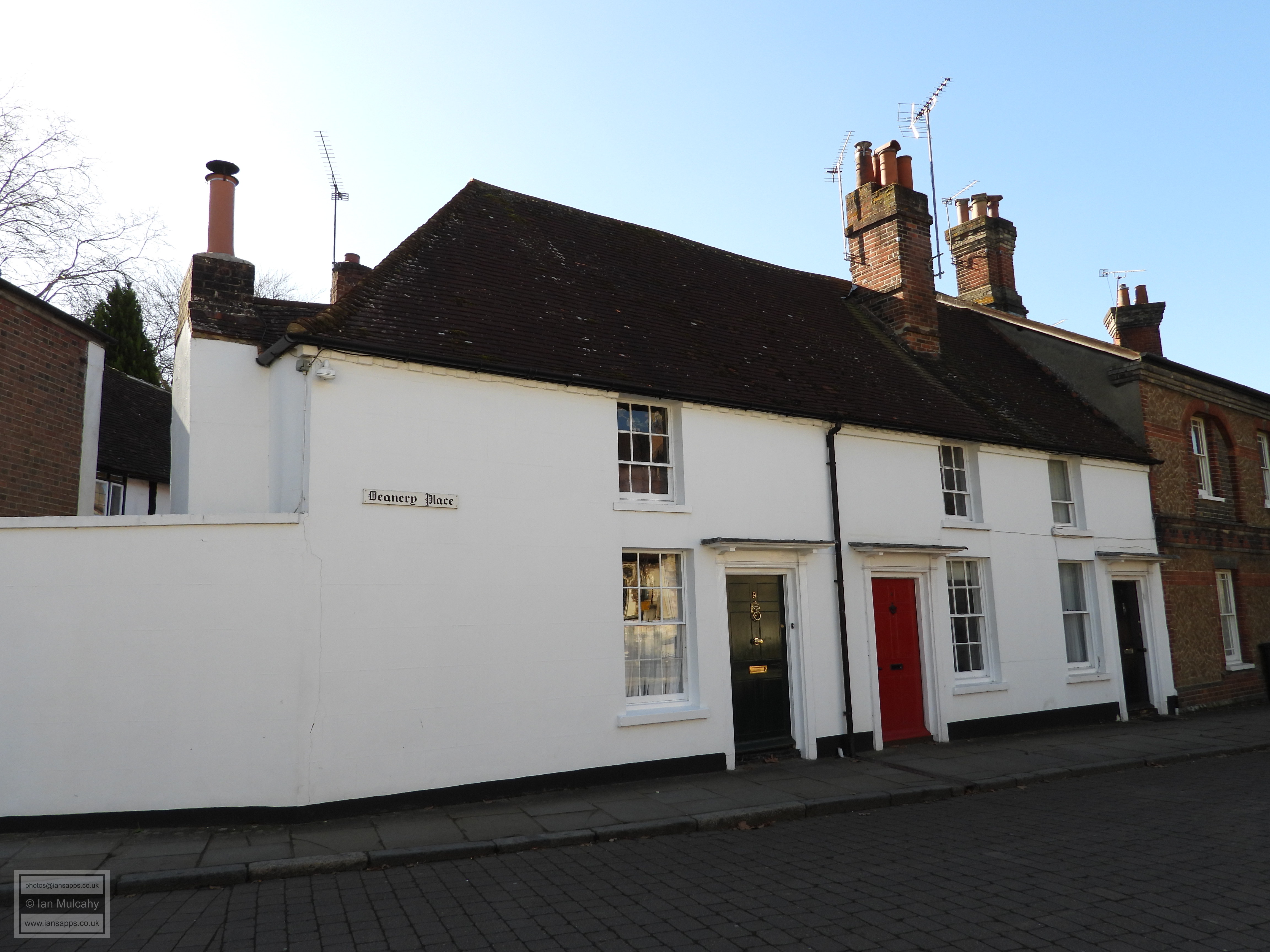
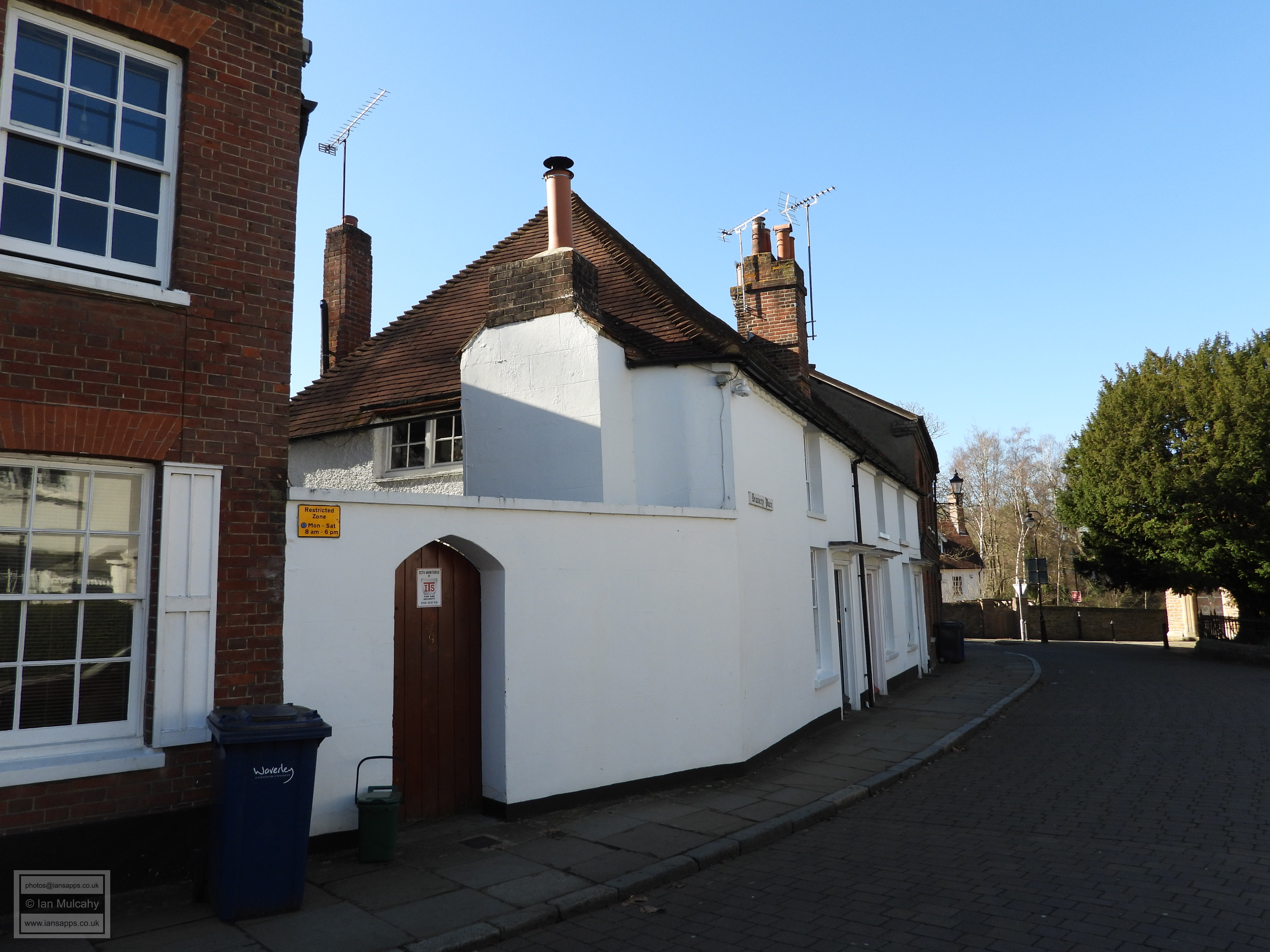
7, 8 and 9 Deanery Place
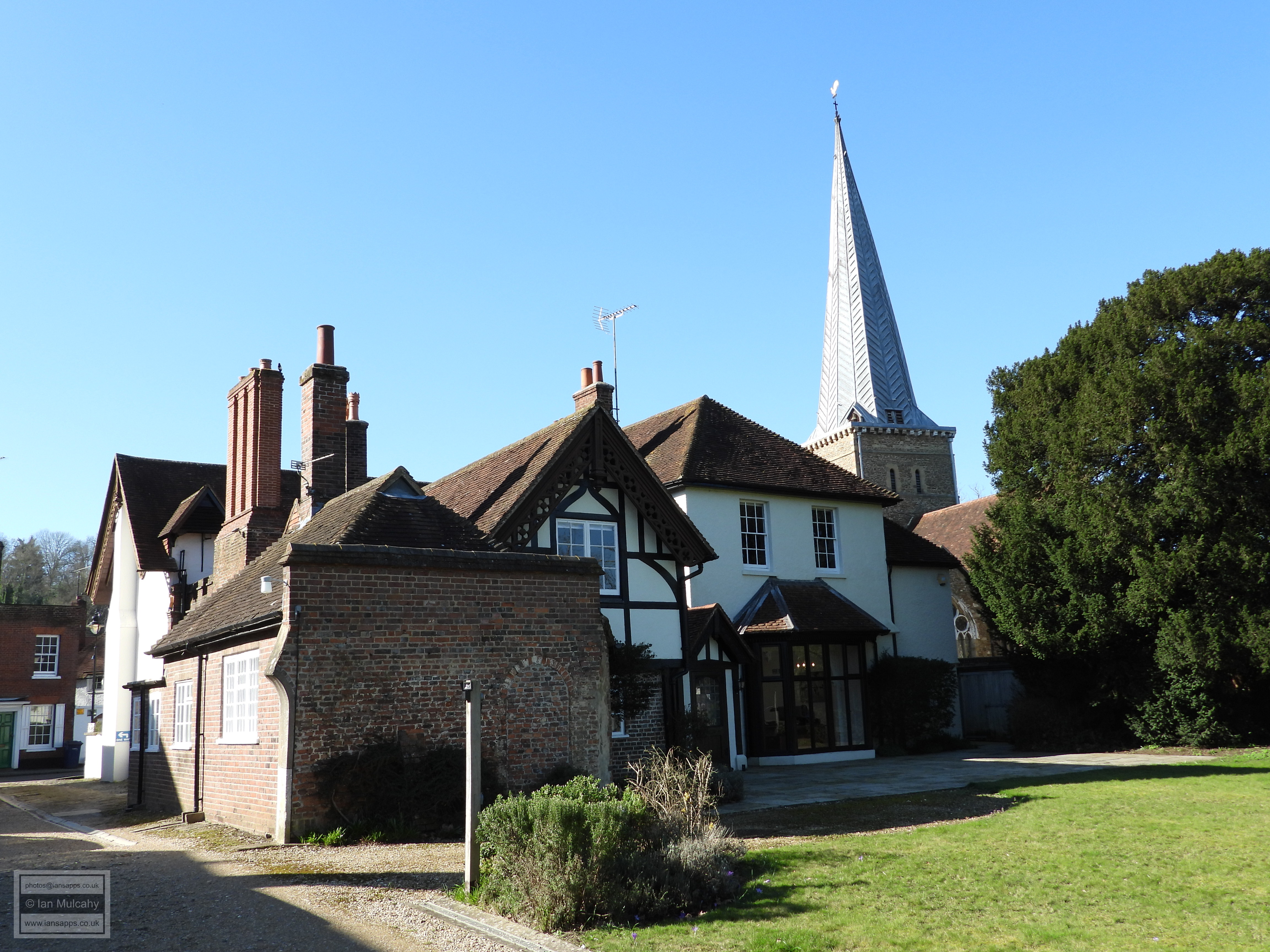
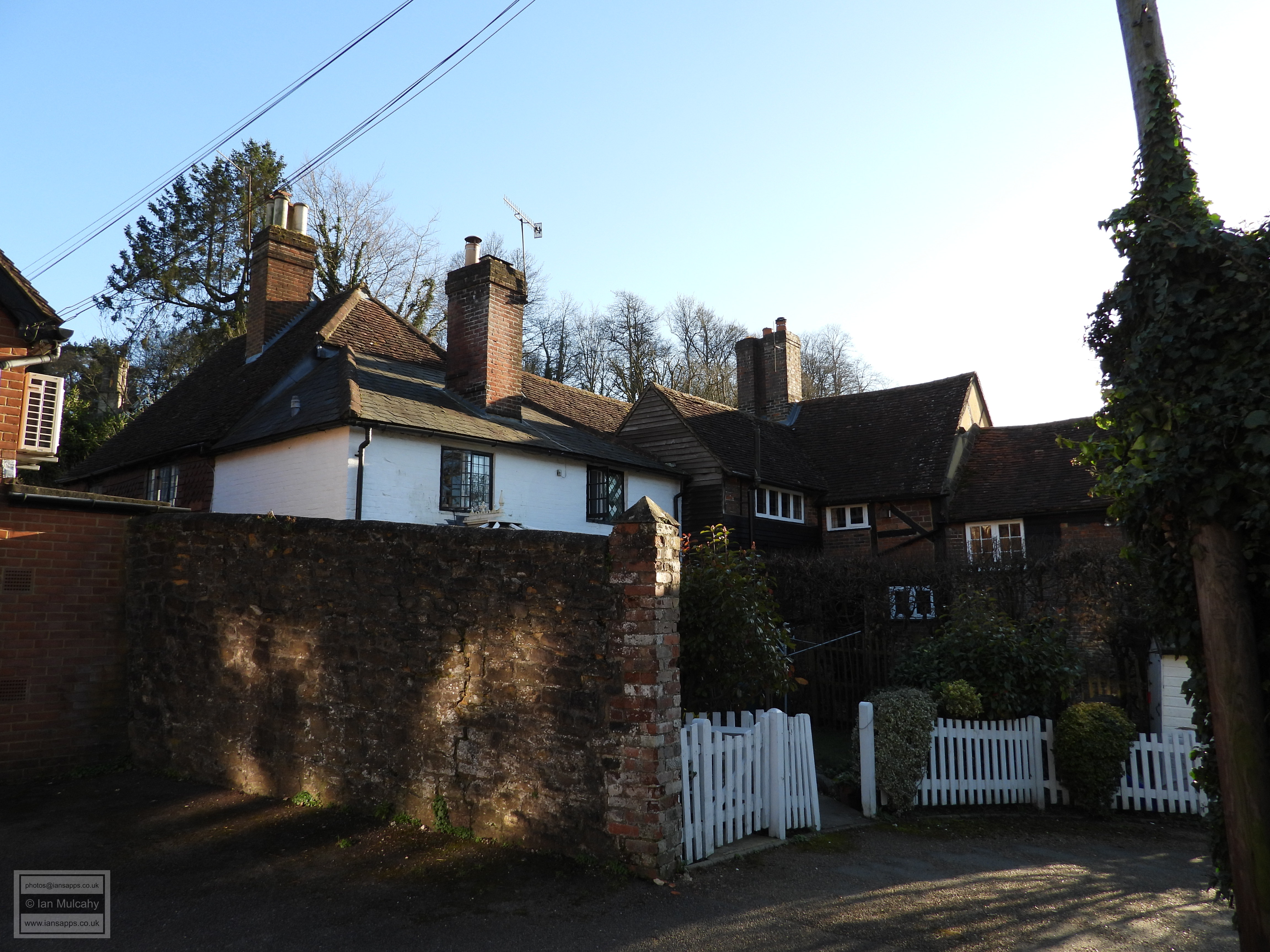
Our last structure of interest at this end of the town is the
Church of St Peter and St Paul. The church has pre-conquest
origins though most of the Saxon fabric has been hidden or rebuilt
during the course of an estimated twelve phases of significant work at
the church. Some of the Saxon masonry work remains visible from inside
the church around the tower area. The first major work occurred in the
early 12th century when a Norman nave, chancel, transepts and the lower
part of the tower were built and in the late 12th century the aisles
were added. In the 13th century came the lead coated spire; a rare
example in the south east of England. The Tudor period saw minor
additions and alterations, including the construction of the extant
Elizabethan pulpit which, unfortunately, I was unable to see as the
church was closed during my visit. At this point of our tour I would
normally share with you details of what happened to the church as a
result of the dissolution, but it seems that there is nothing of note to
tell you about or, if there was, it was not recorded. Significant
restoration work was carried out in 1840 and again in 1879, when some of
the architecturally unsympathetic work of 1840 was undone. 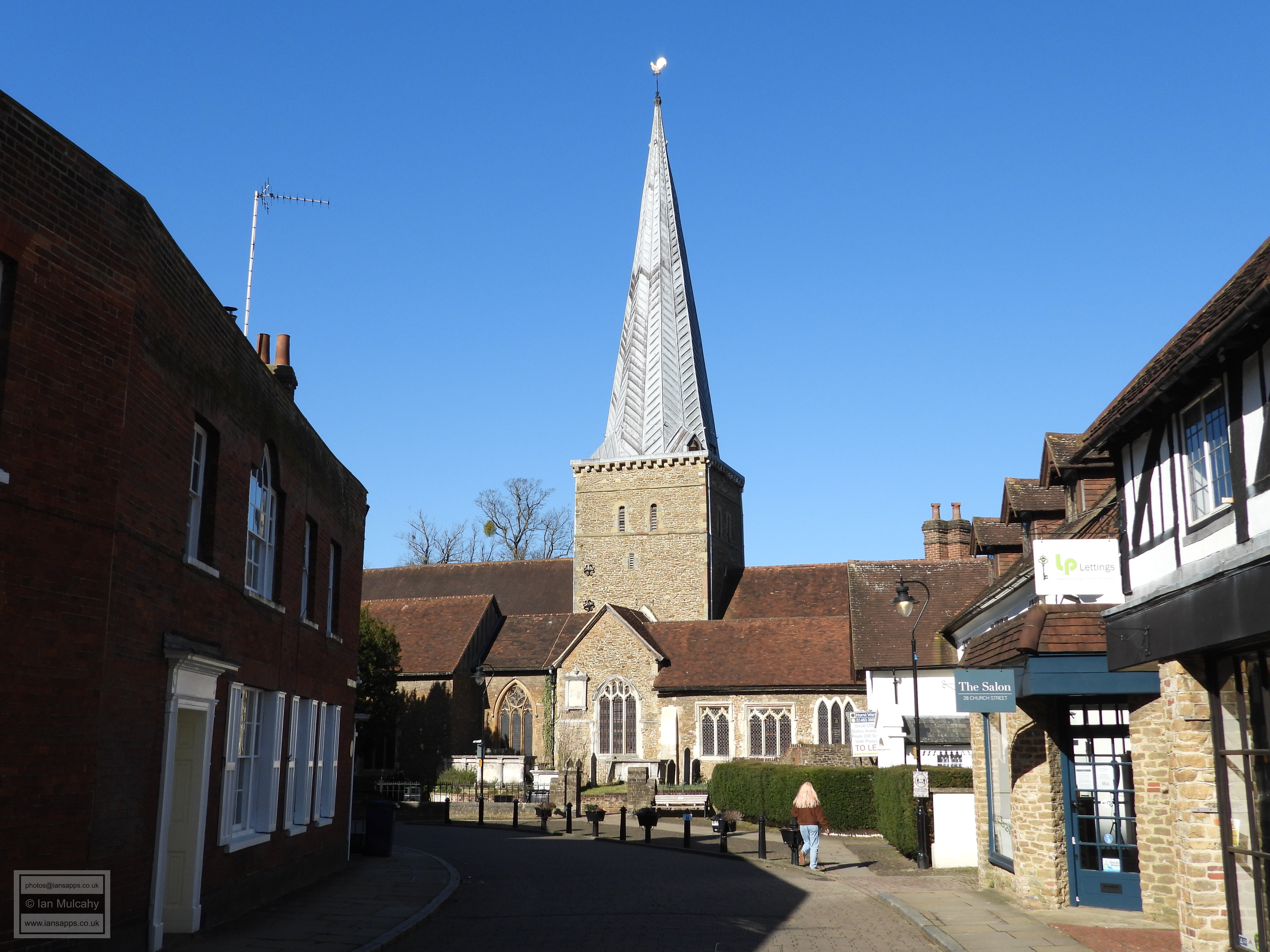
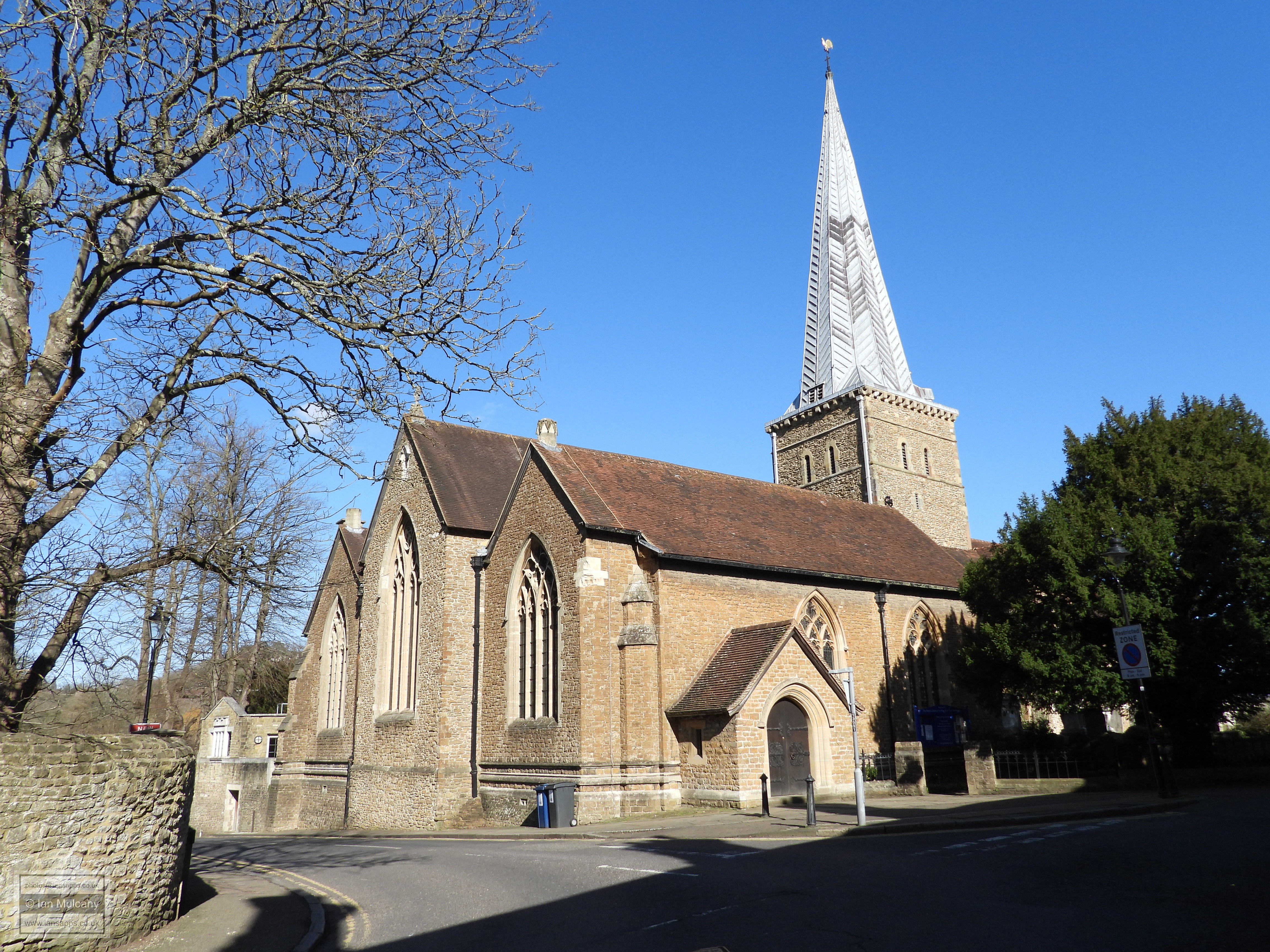
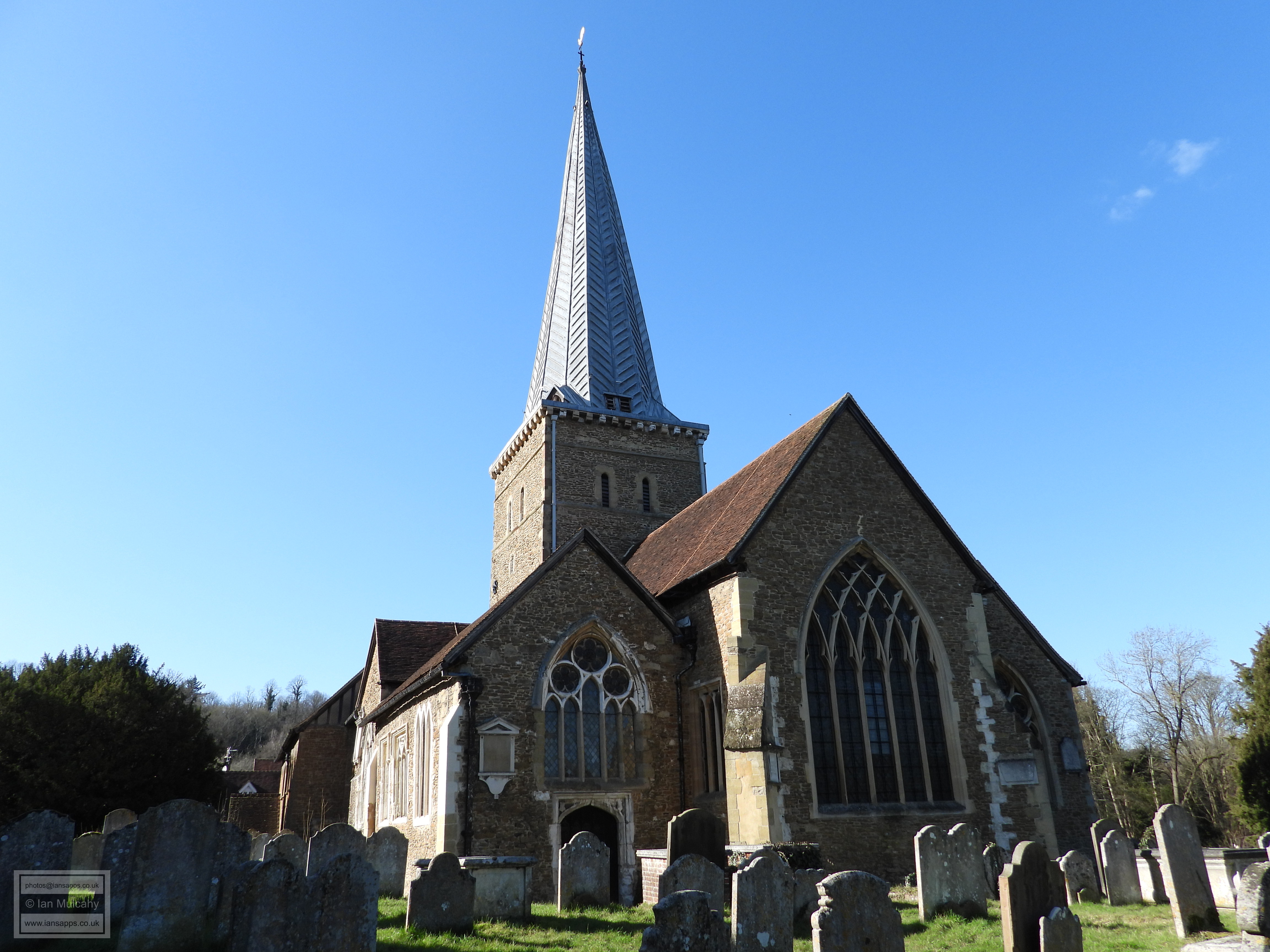
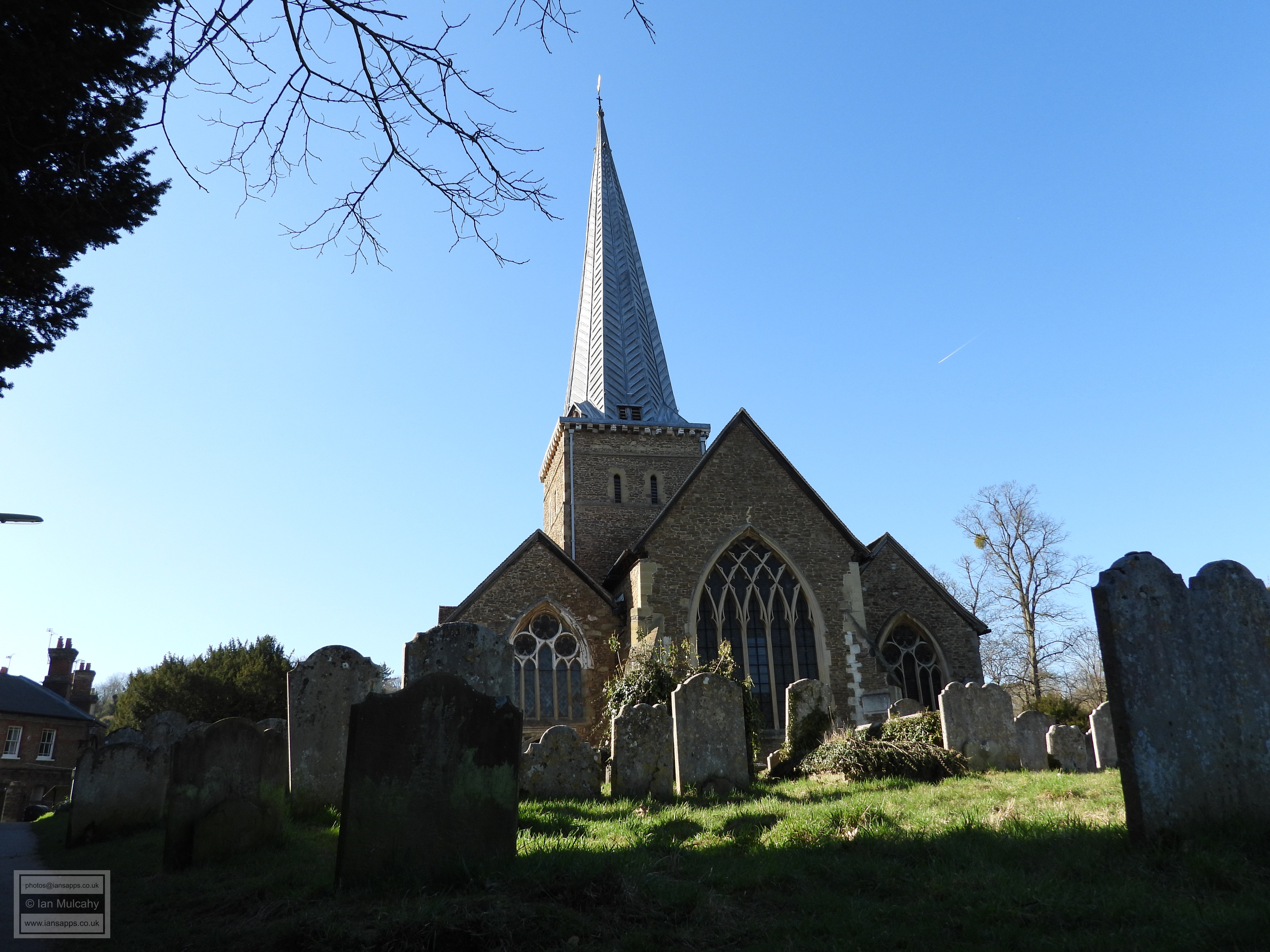
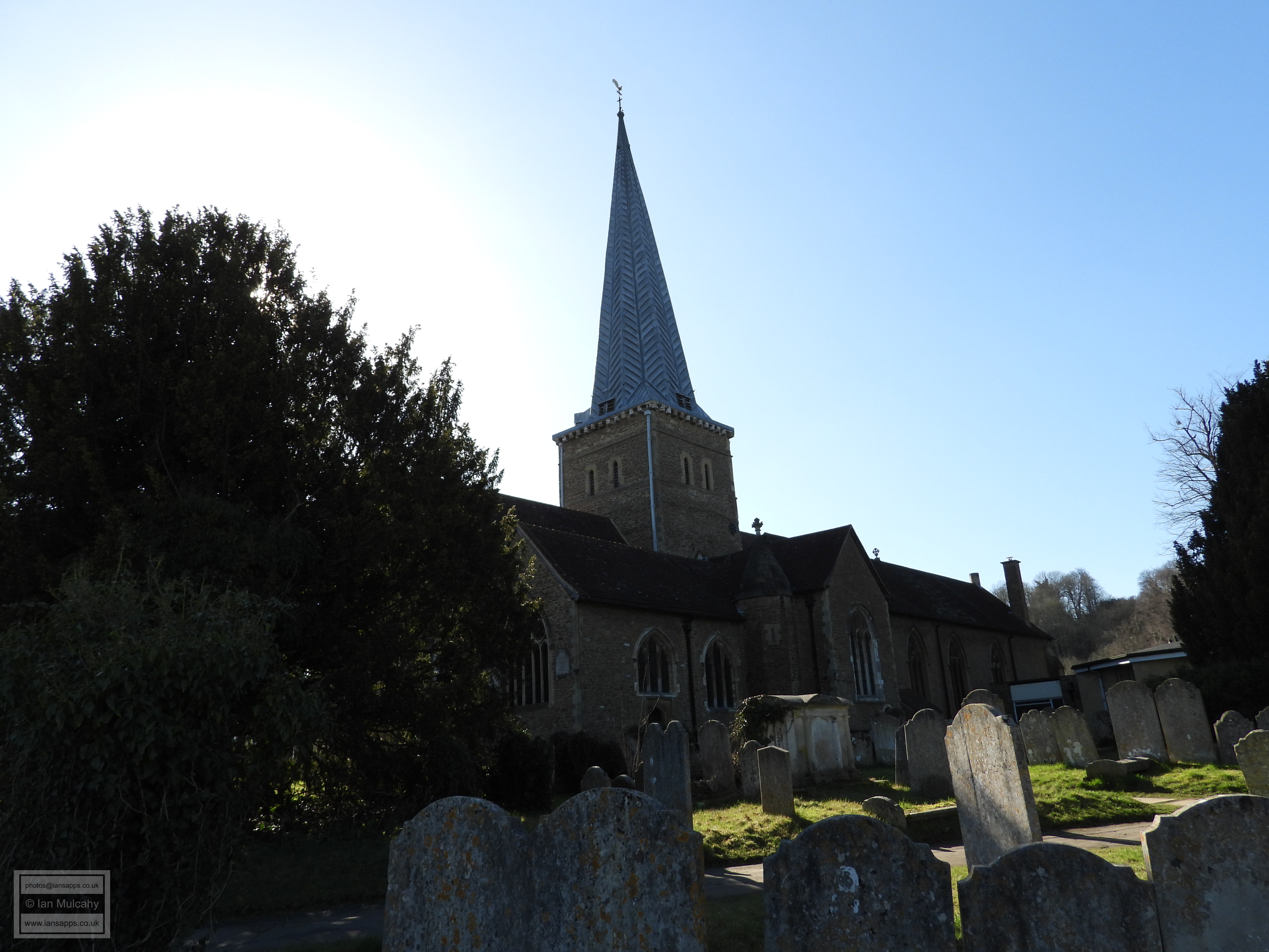
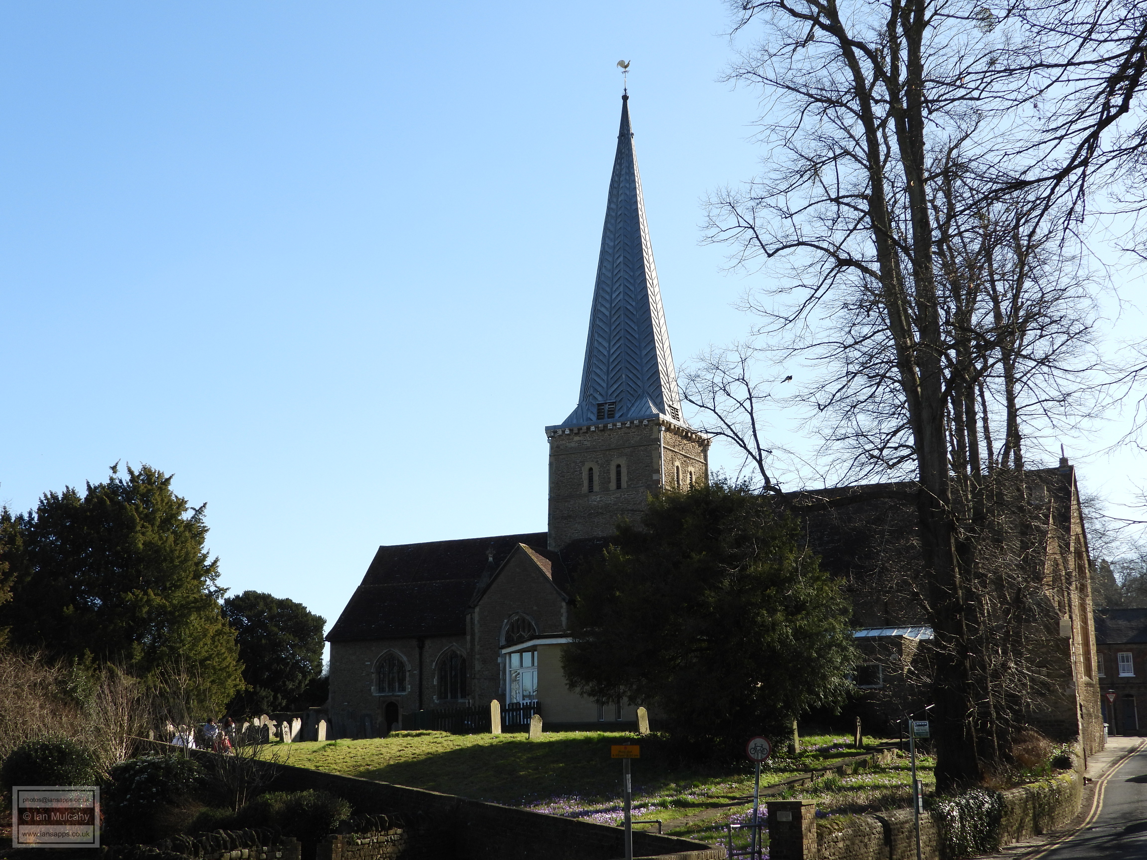
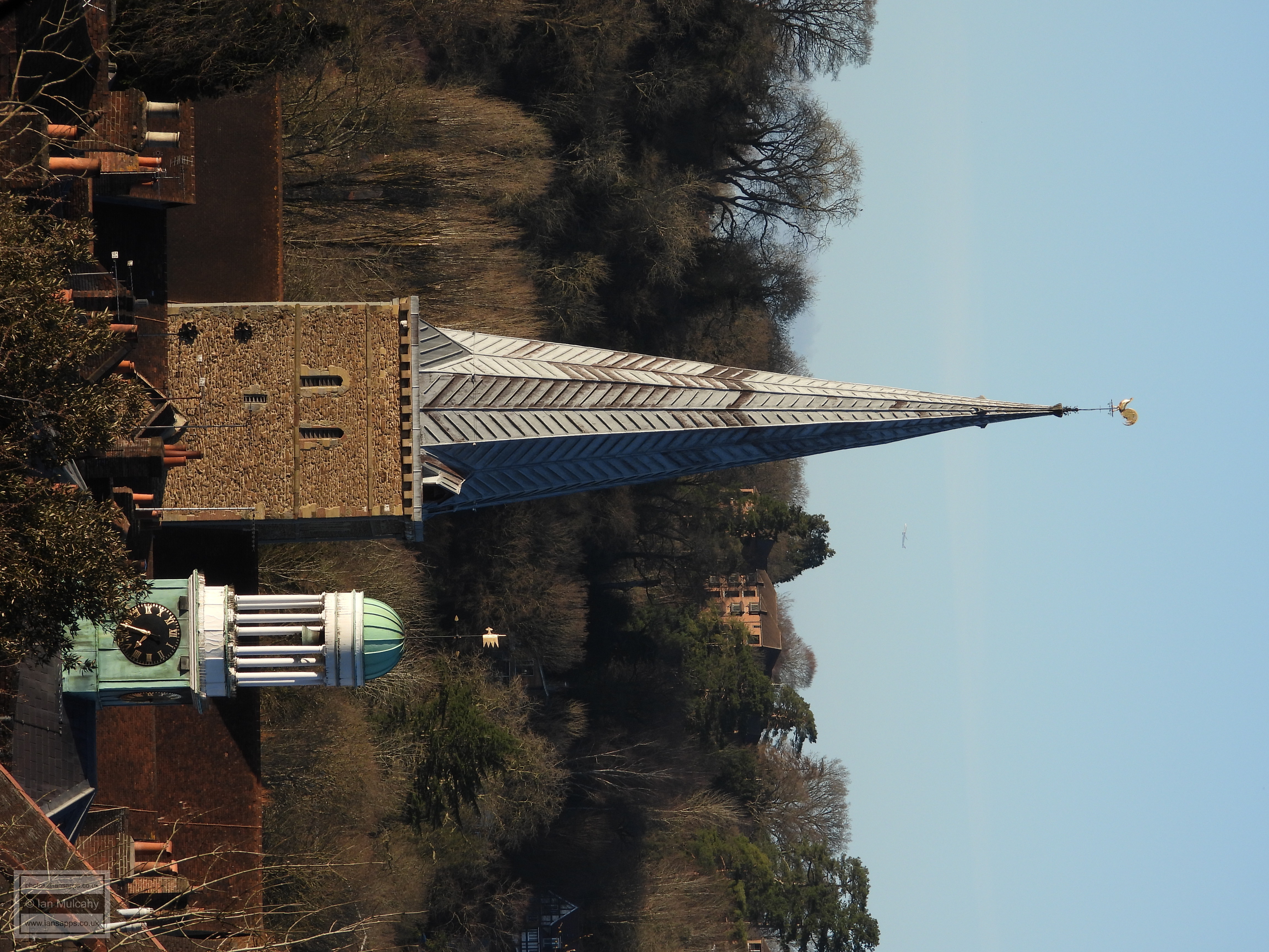
the Church of St Peter and St Paul
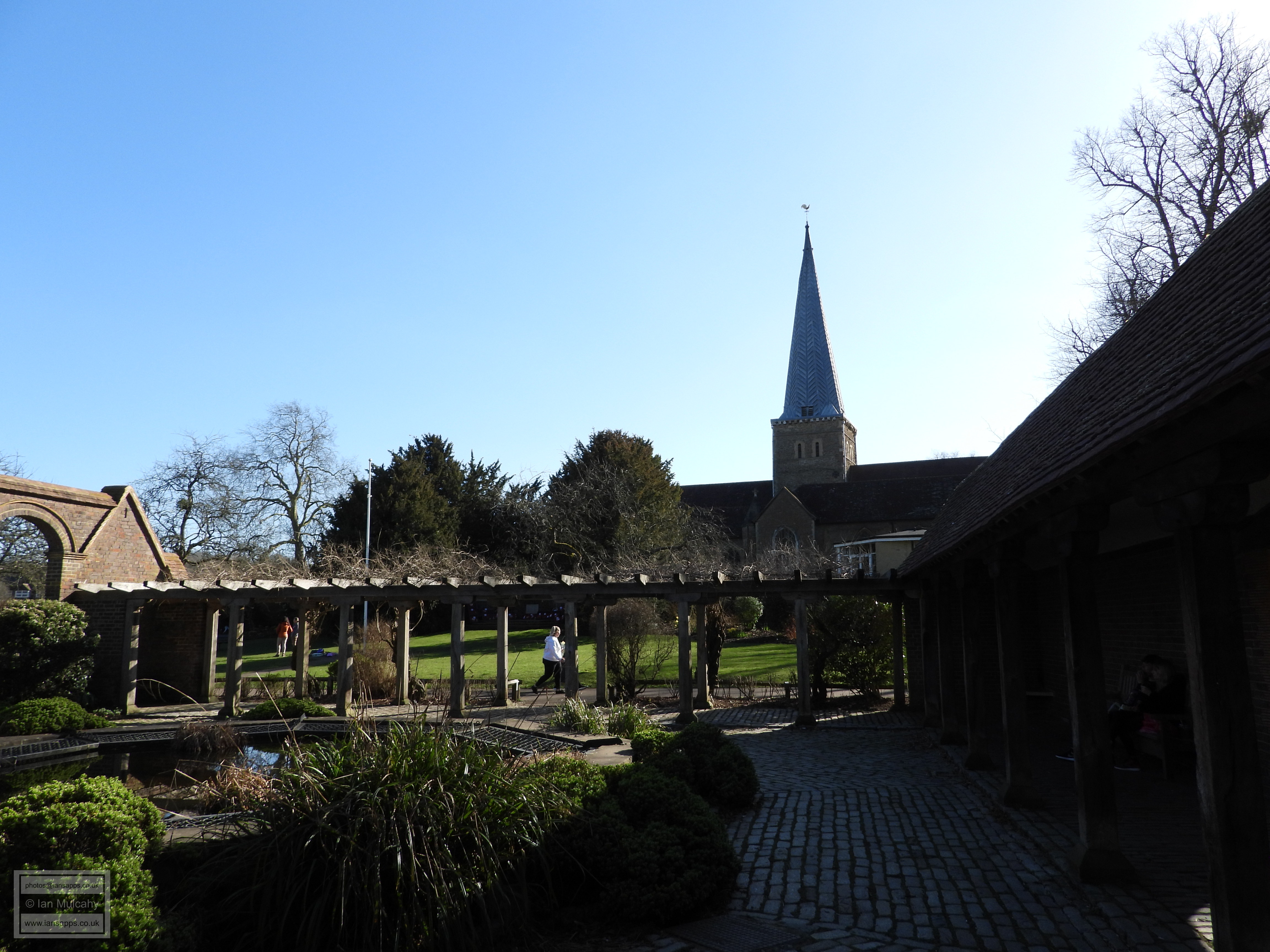
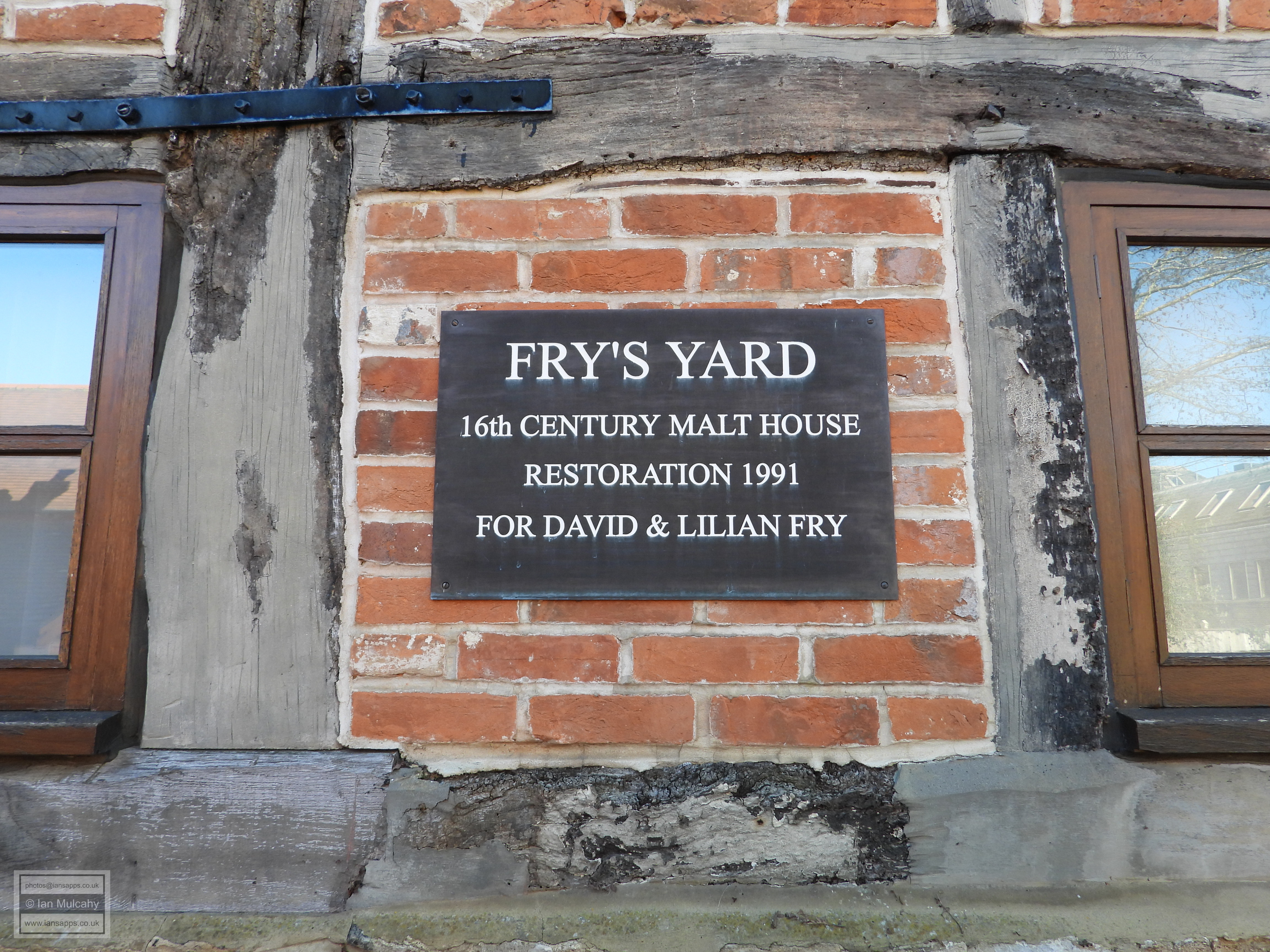
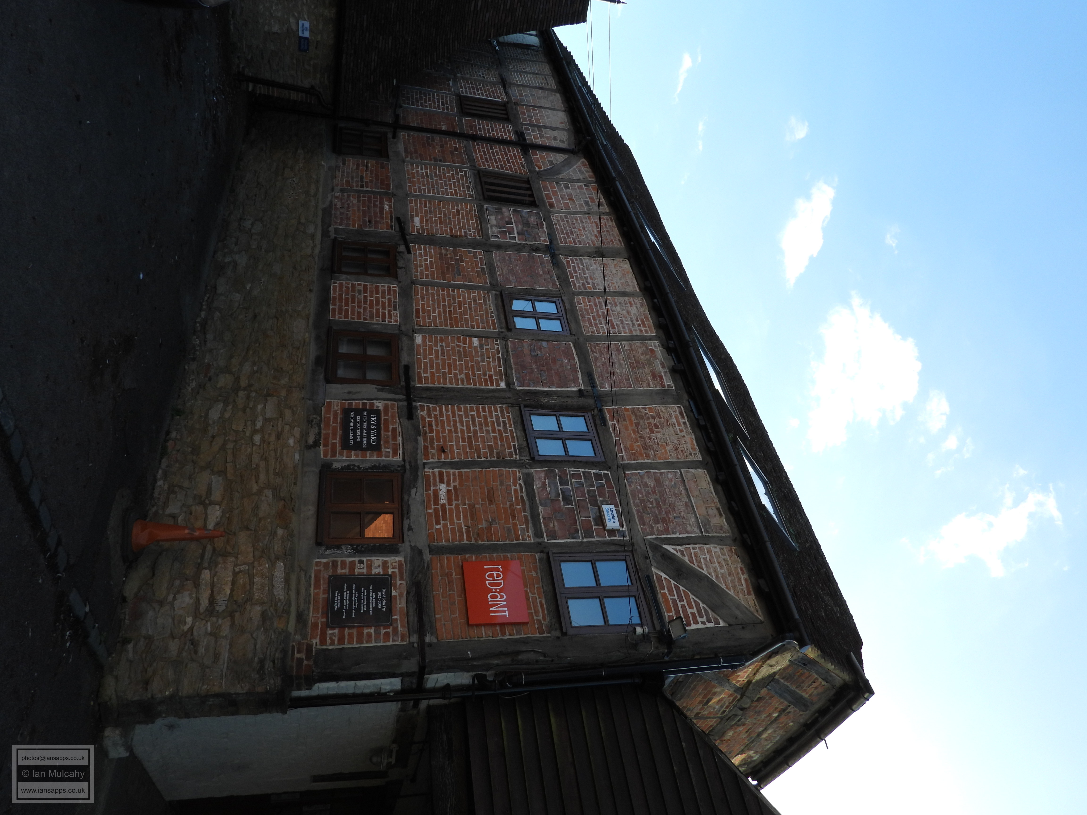
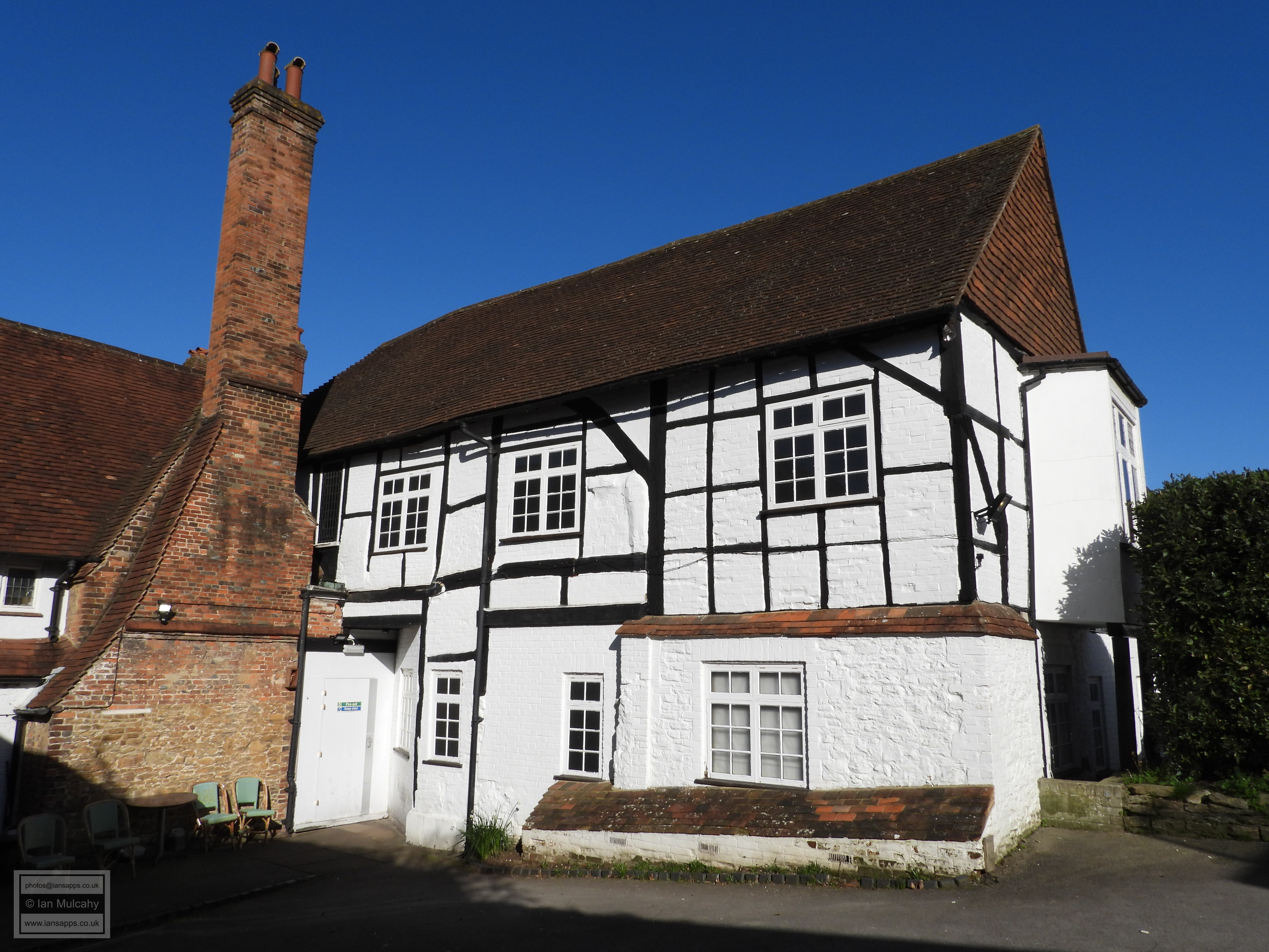
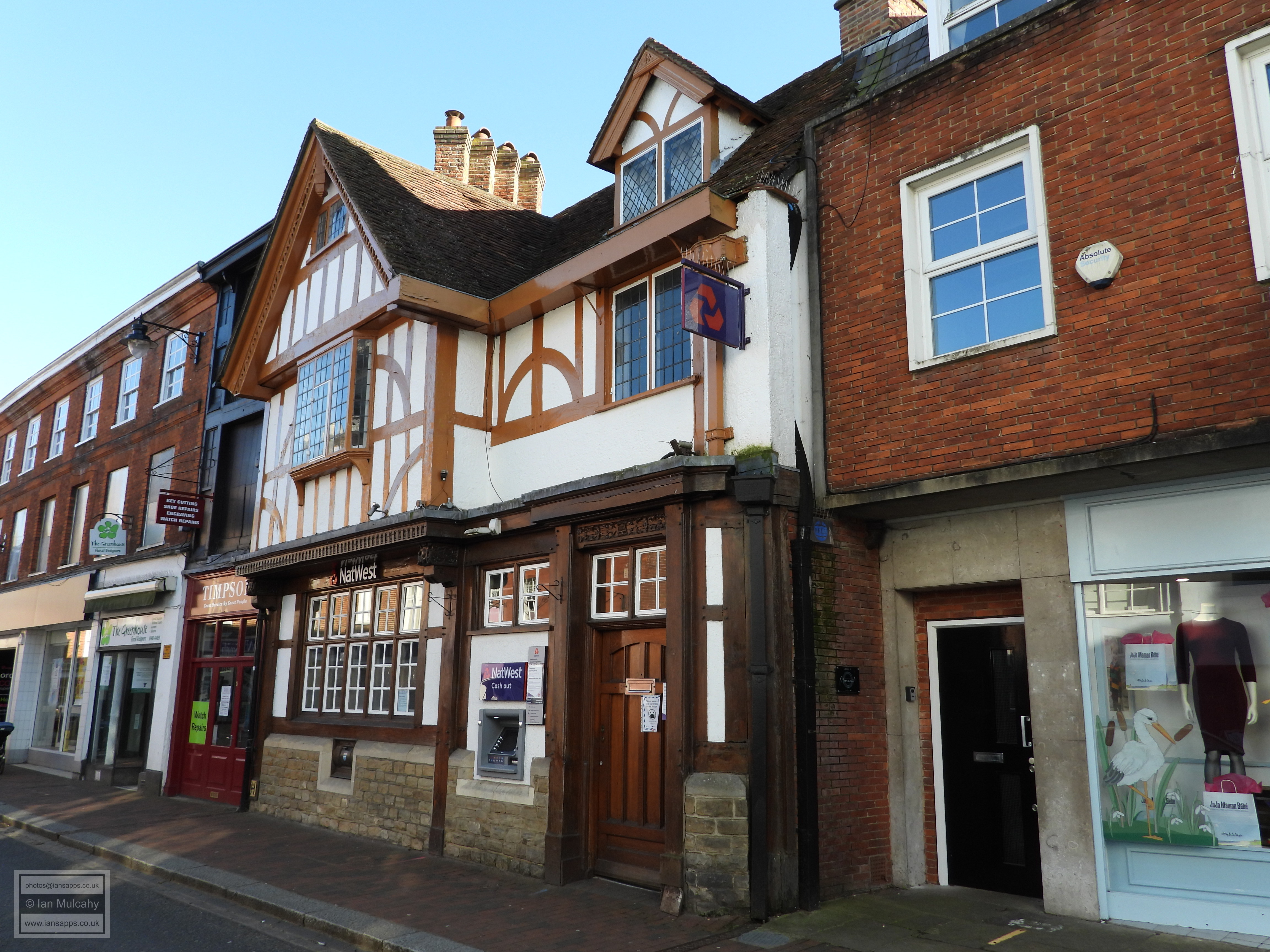
From the far north-west of the medieval town boundaries we are now going to head to the eastern end. You could simply retrace your steps along Church Street and turn left at the market place, following the High Street into Bridge Street, but there is a far more pleasant, albeit longer, riverside route to be taken from the north-west corner of the churchyard and past the Phillips Memorial Cloister. The Cloister was constructed in 1913 to commemorate the life John George Phillips, a local man and the senior radio operator aboard the Titanic on its ill-fated maiden voyage. Simply follow the path from here alongside the River Wey until you reach Bridge Road, where you should turn right. Before long you will come to 37 and 38 Bridge Road, a timber framed house of the early 17th century with painted brick infill, and 39 and 40 Bridge Road, a 3 storey 16th century grain store built with the same materials as its neighbour. The rear of both of these buildings can be seen from Fry’s Yard, accessible to the side of 37 & 38, where the grain store presents a quite different appearance. A little further towards the market place, and at the junction with the High Street, is 47 Bridge Road, a late 16th century house that has been refaced to the road, but retains its timber framing to the rear. Inside, the partition to the smoke bay is said to be the original wattle and daub walls. This house is adjacent to the site of the Saxon settlement at the eastern end of the High Street which was discovered in 1991. 
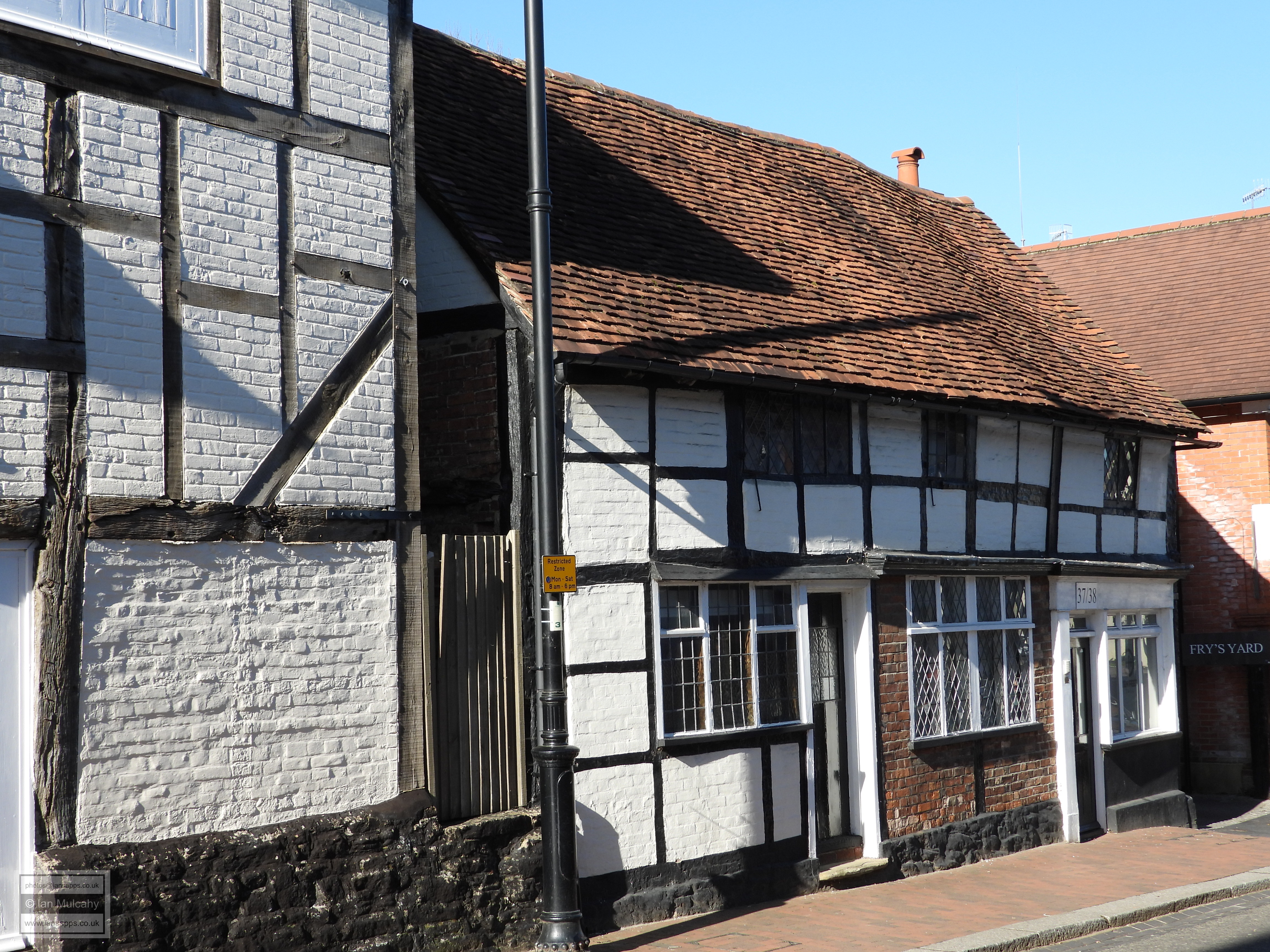
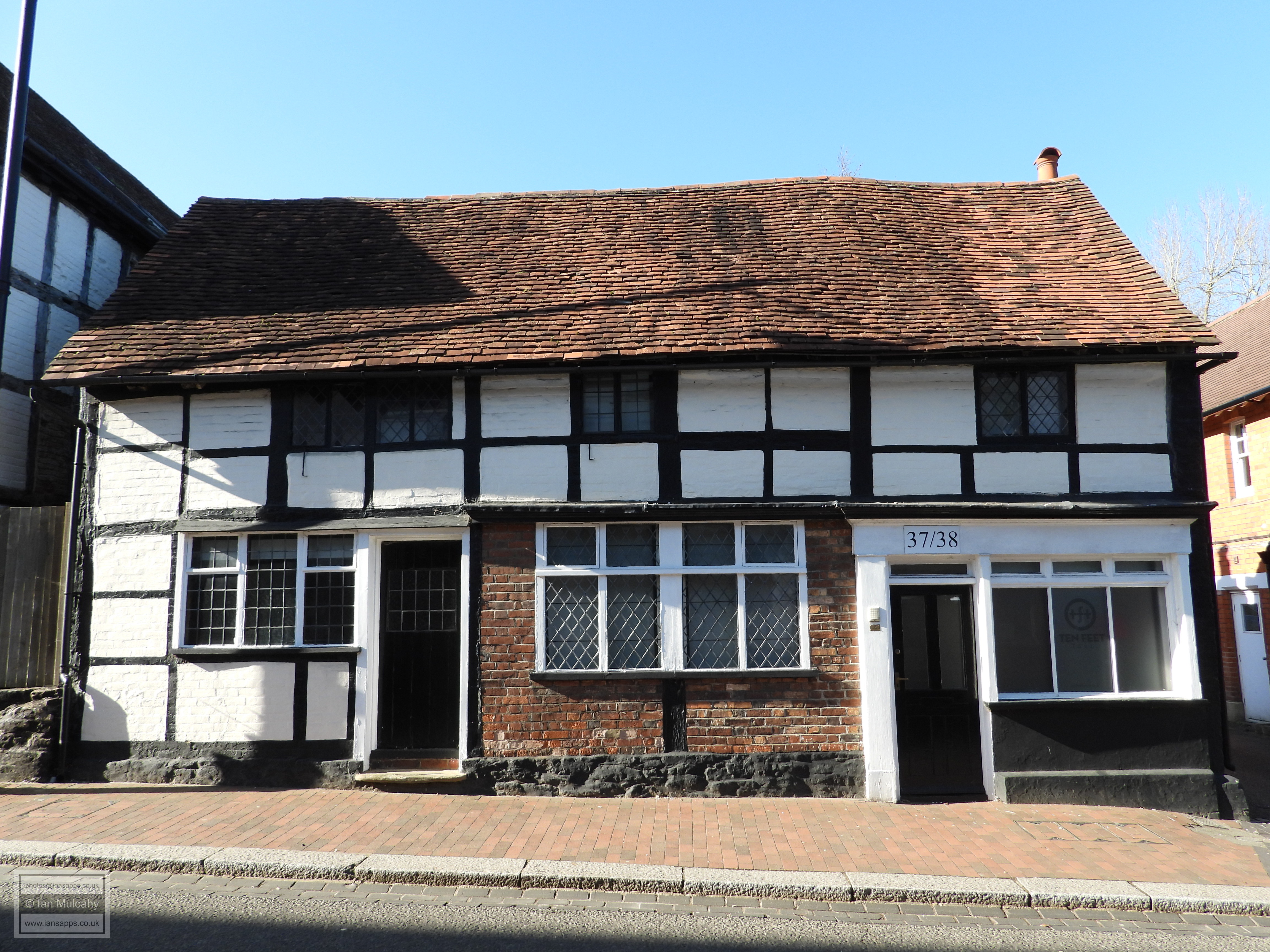
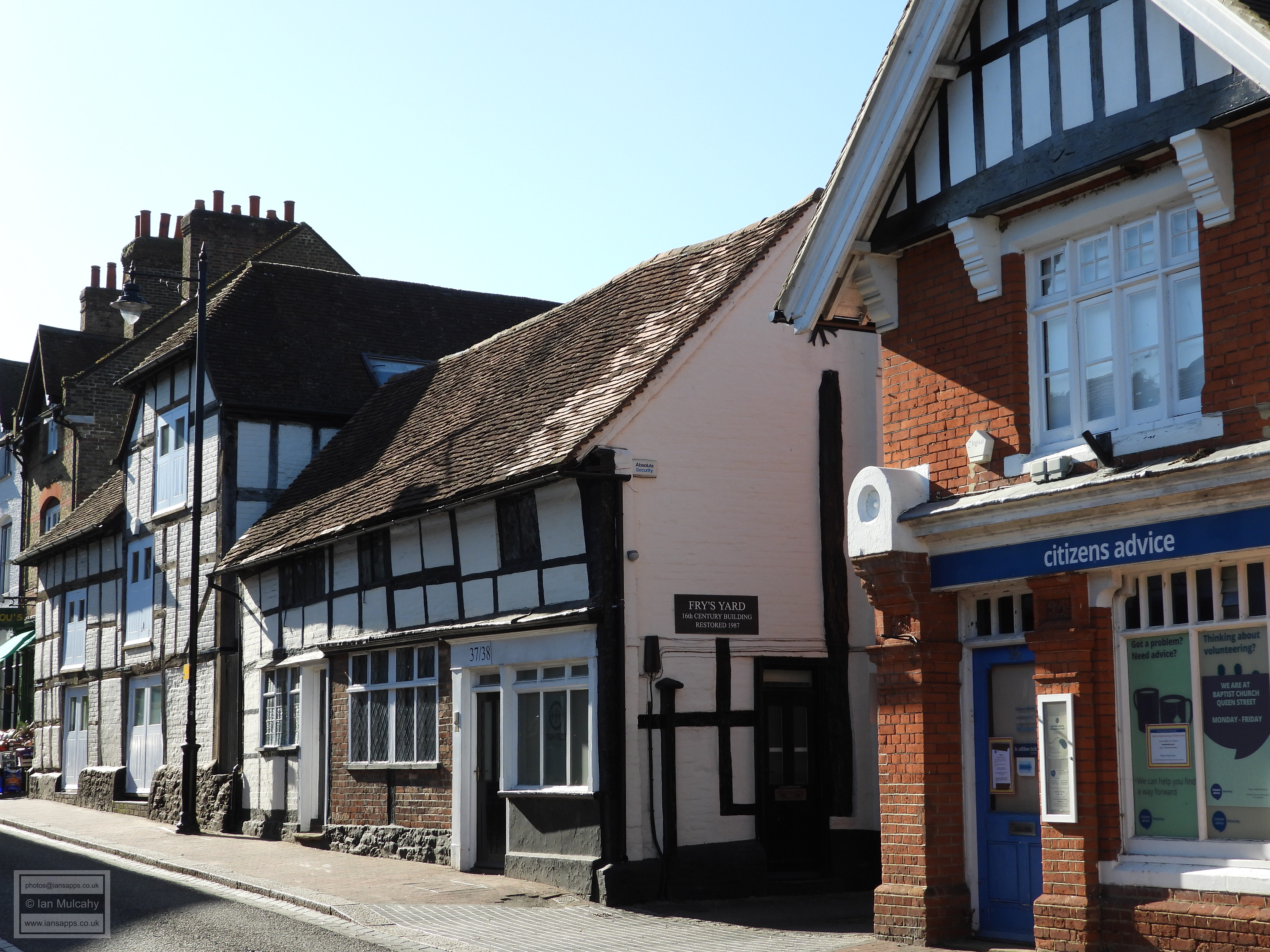
37 and 38 Bridge Road 
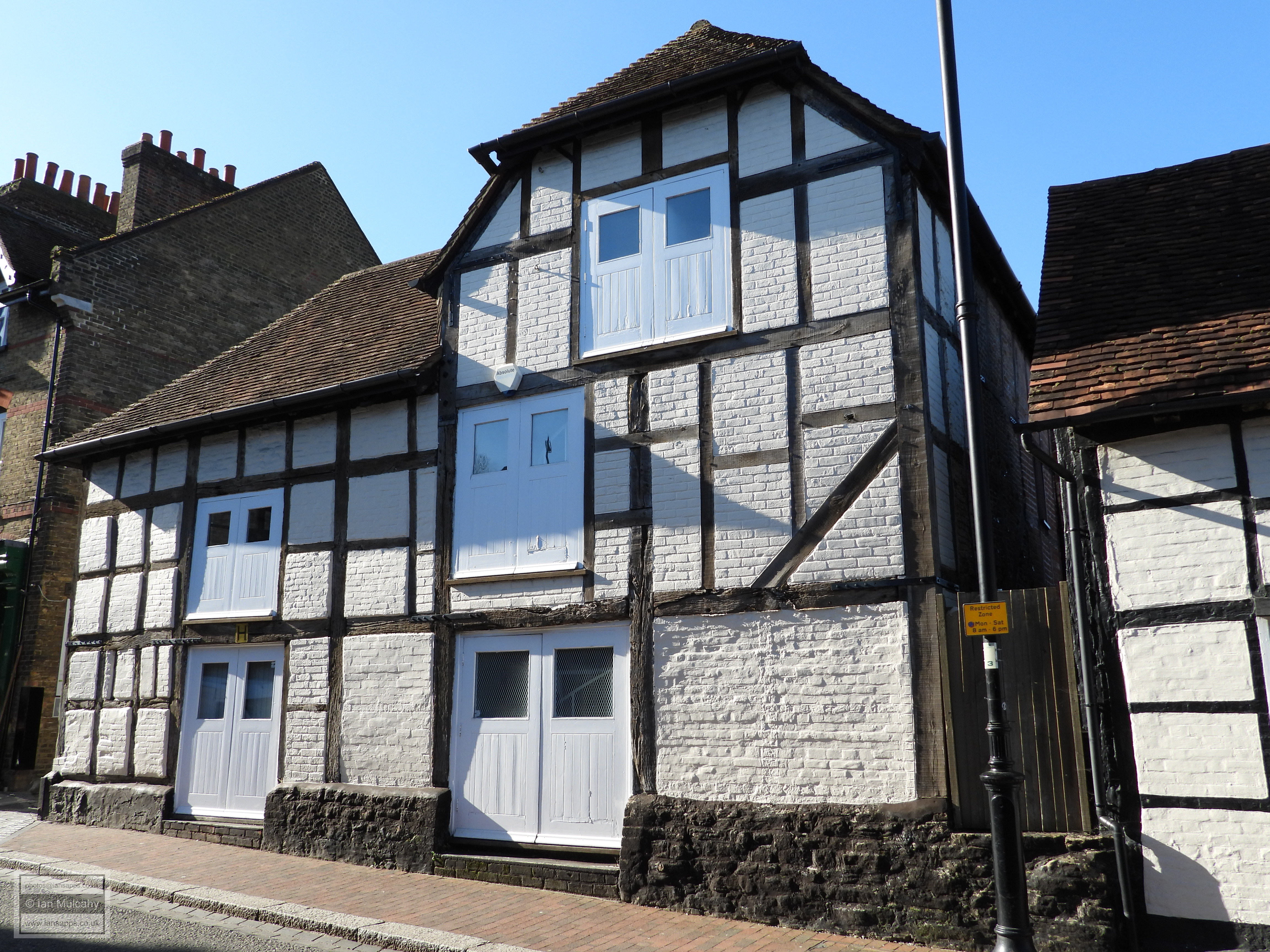
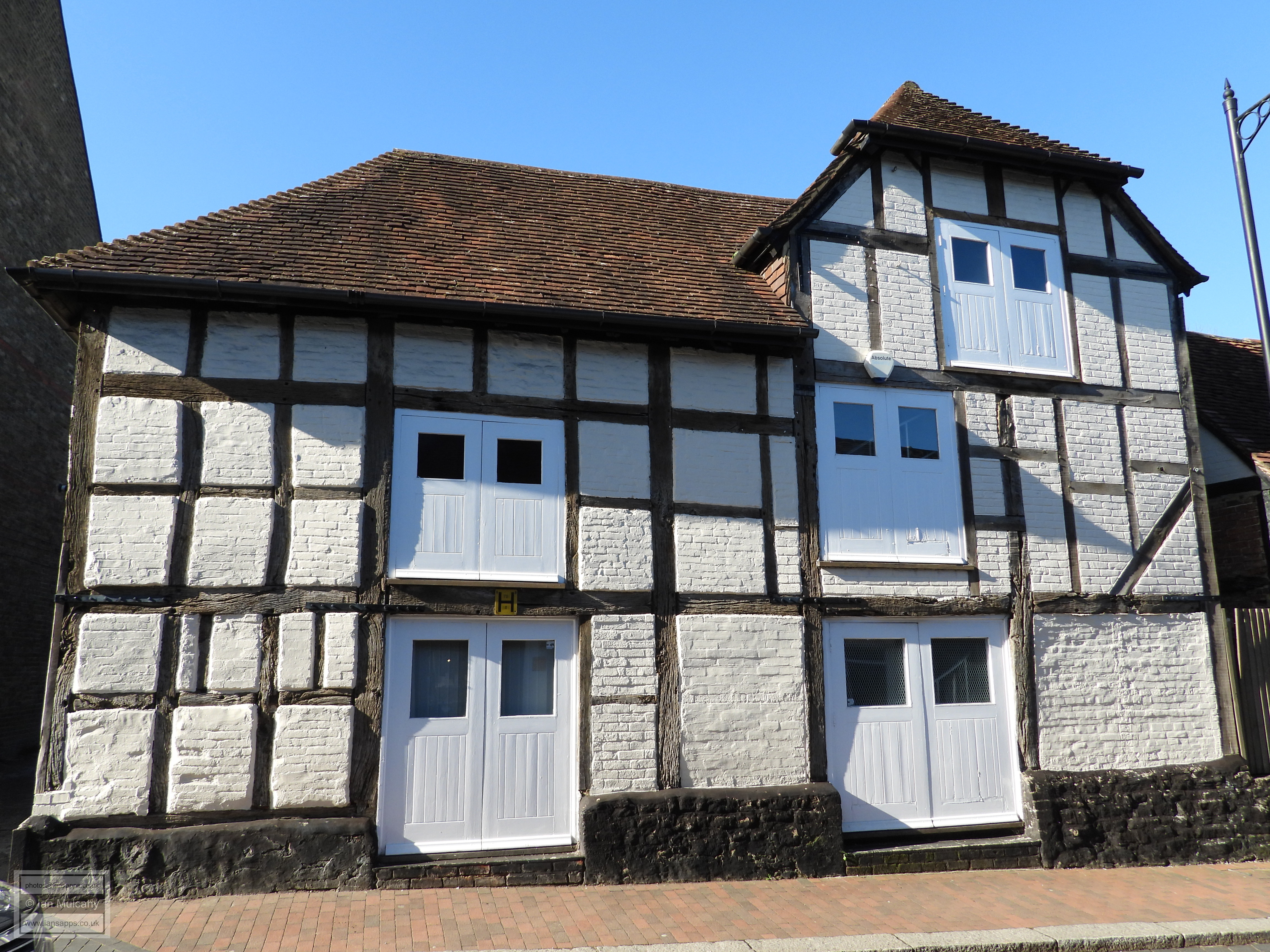
39 and 40 Bridge Road 
47 Bridge Road
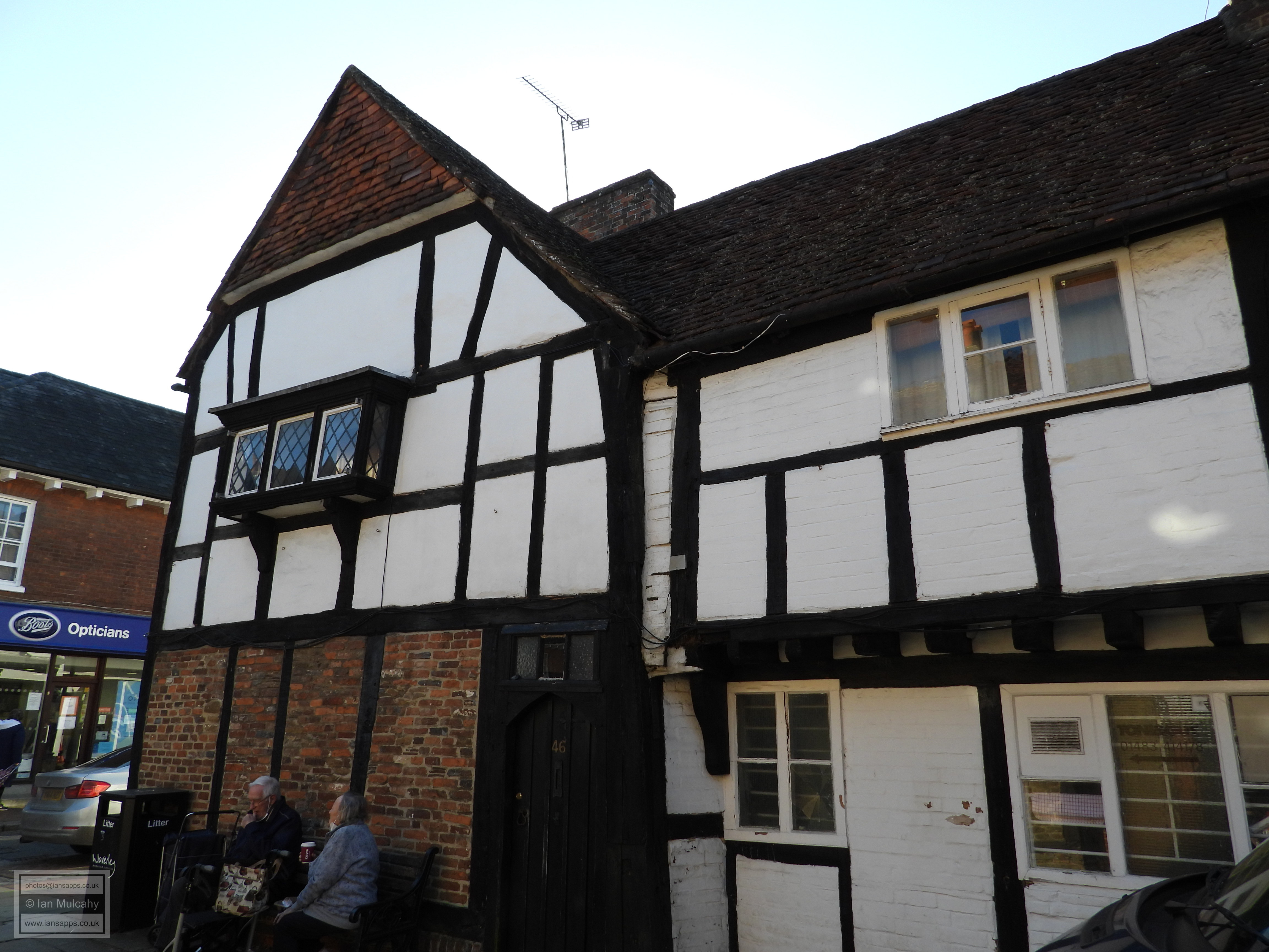
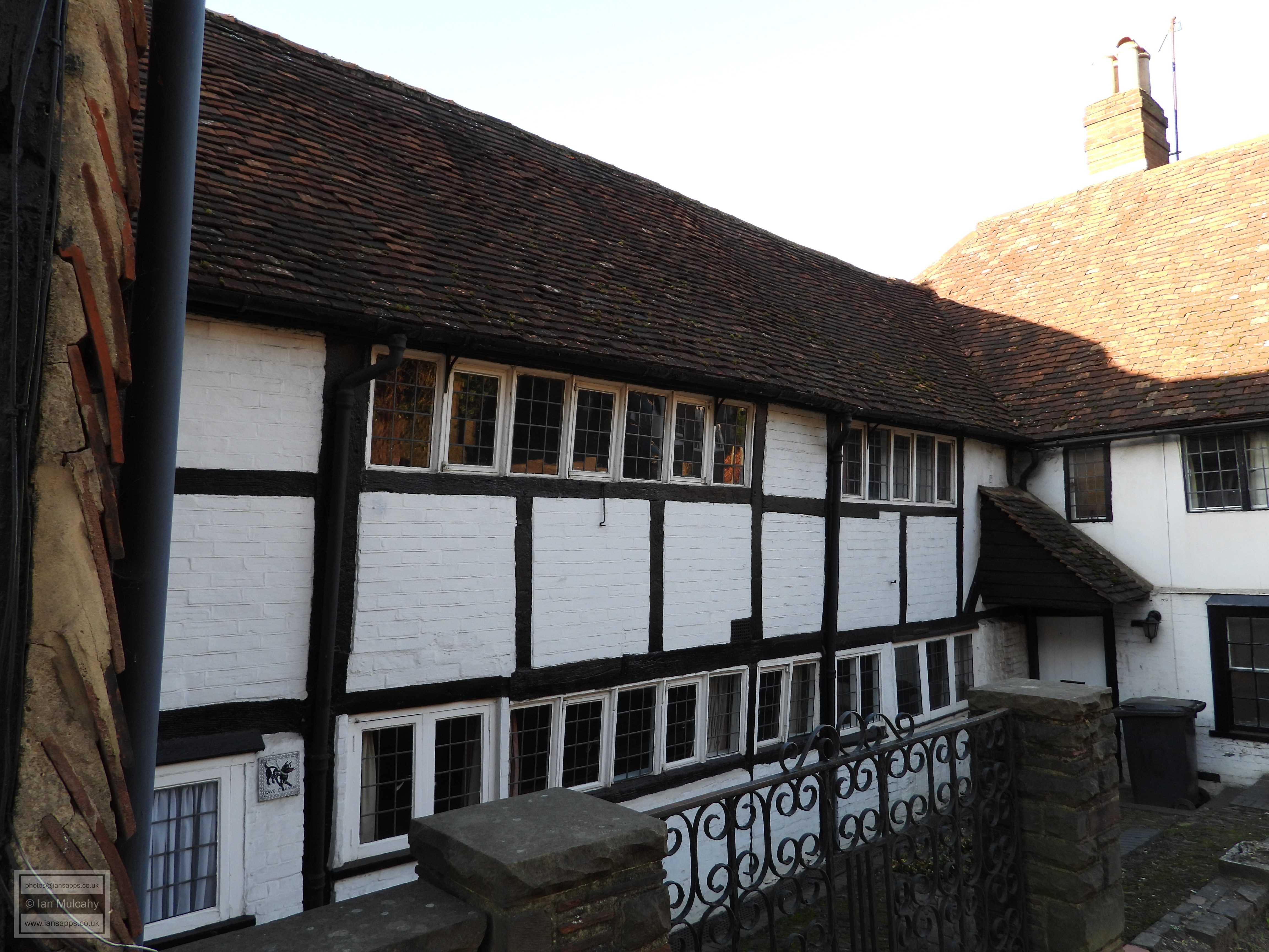
As we make our way into the High Street, set back to the south is 7-11 High Street. To the right it takes the form of a 15th century hall house, refaced in 18th century, and to the left is a cross wing of the early 1600s. To the rear, where the shape of the hall is considerably clearer, is a further early 17th century two bay crosswing with a third bay to the right which was added later in that century. One hundred yards further west, and back on the northern side of the High Street is Crown Court, a picturesque courtyard of 16th and 17th century timber framed buildings. The courtyard was originally enclosed on all four sides, but the High street facing range was sadly demolished to facilitate a car park. The rear archway range was carefully rebuilt in the 1950s using the original 16th century materials. 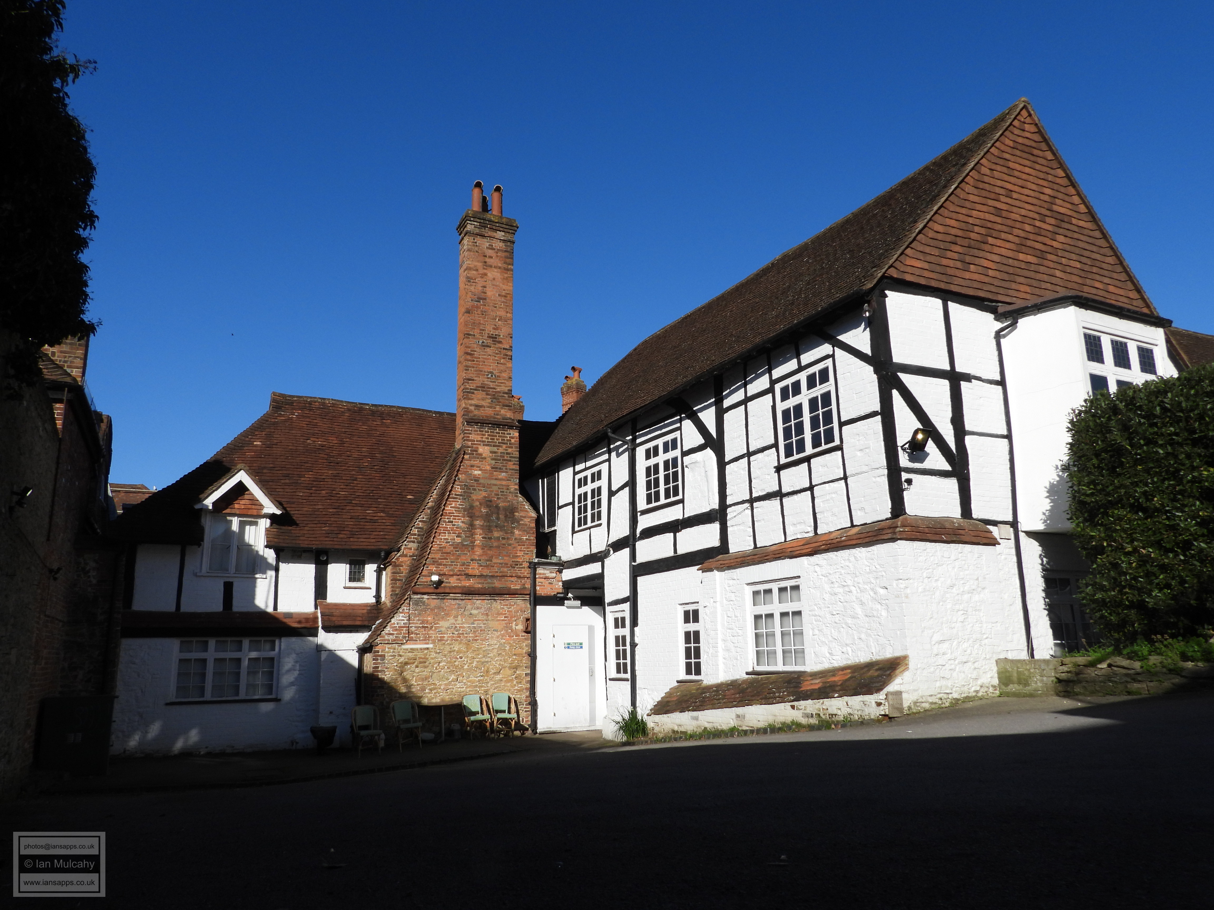
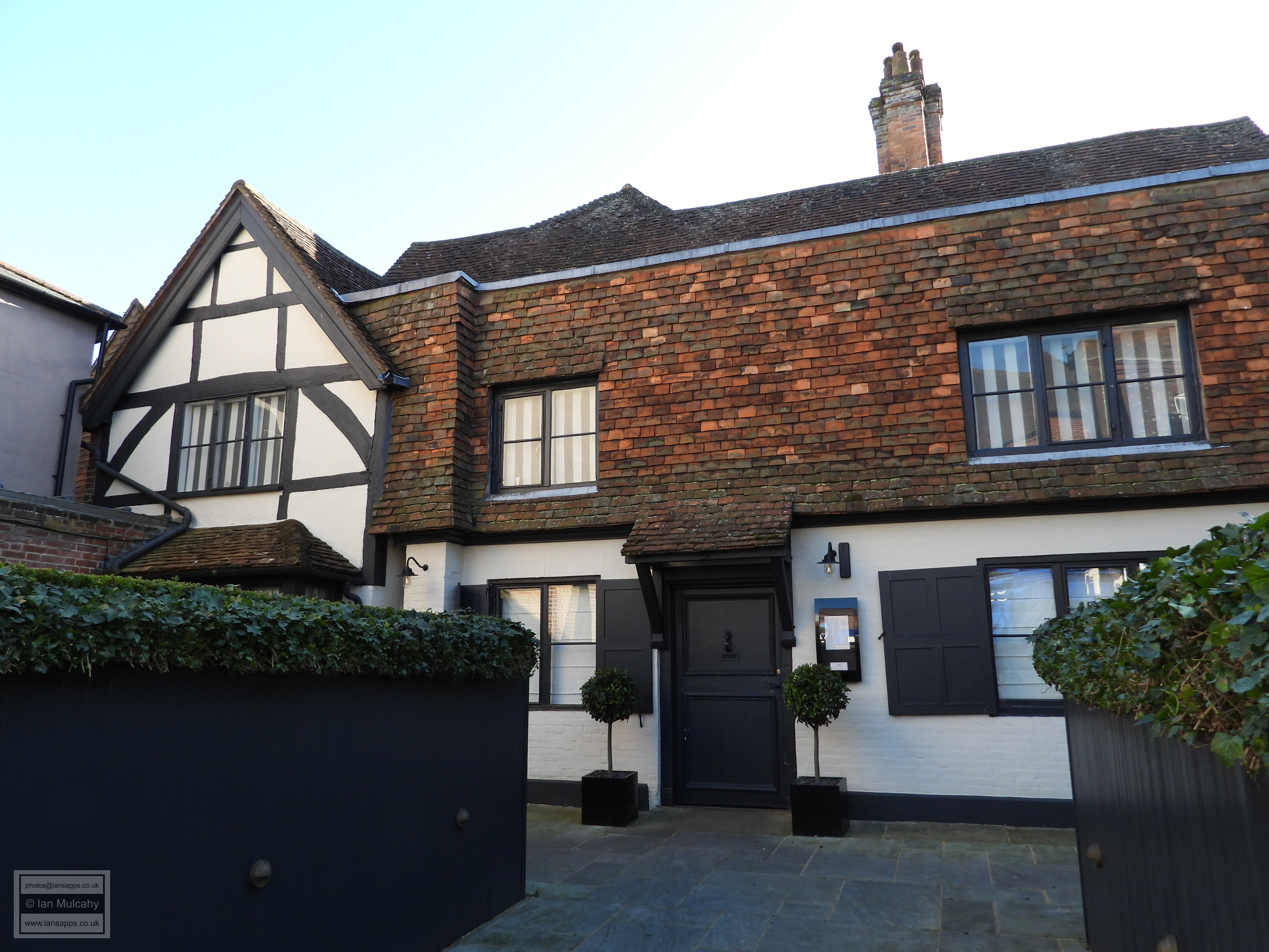
7-11 High Street 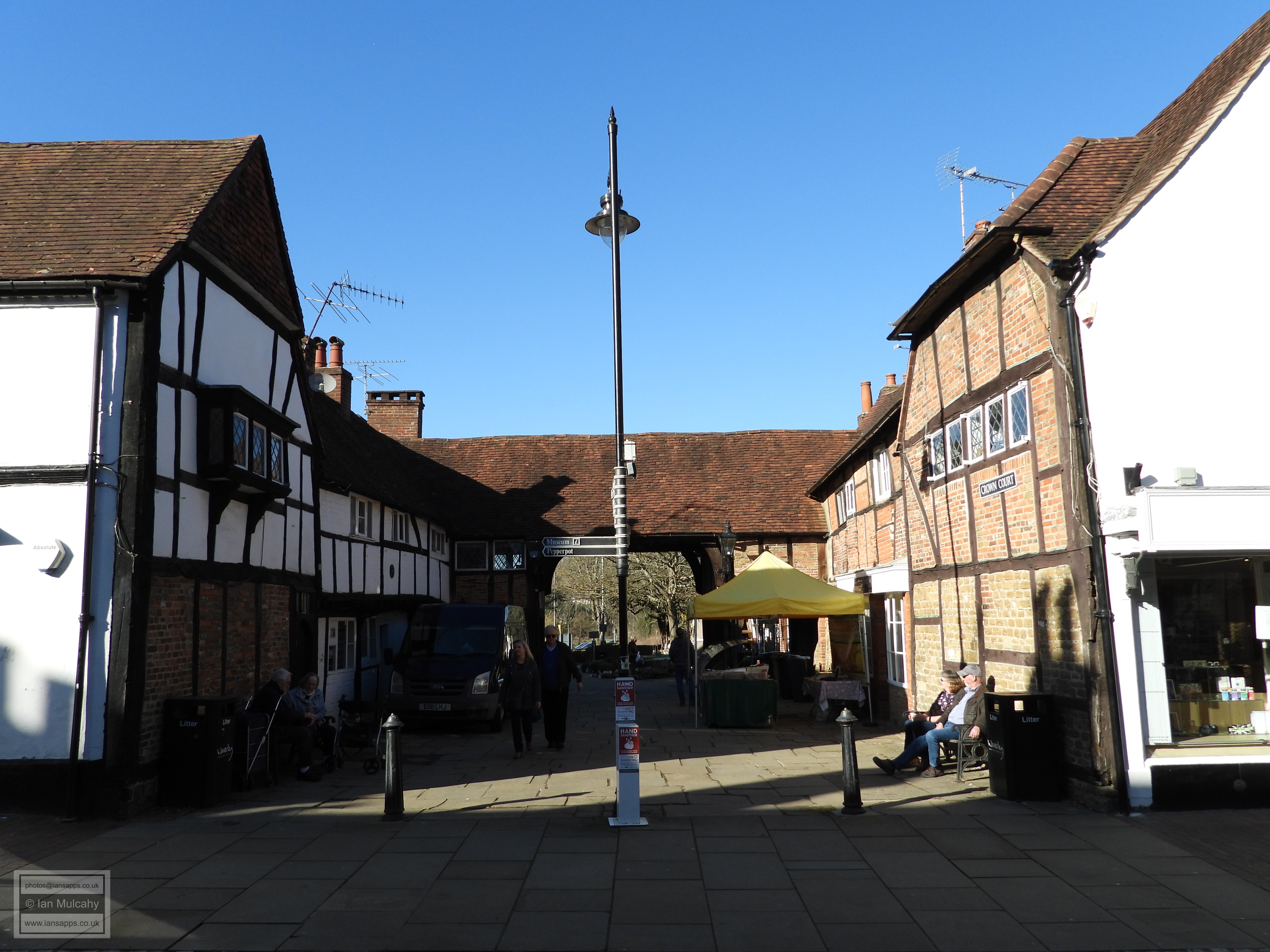
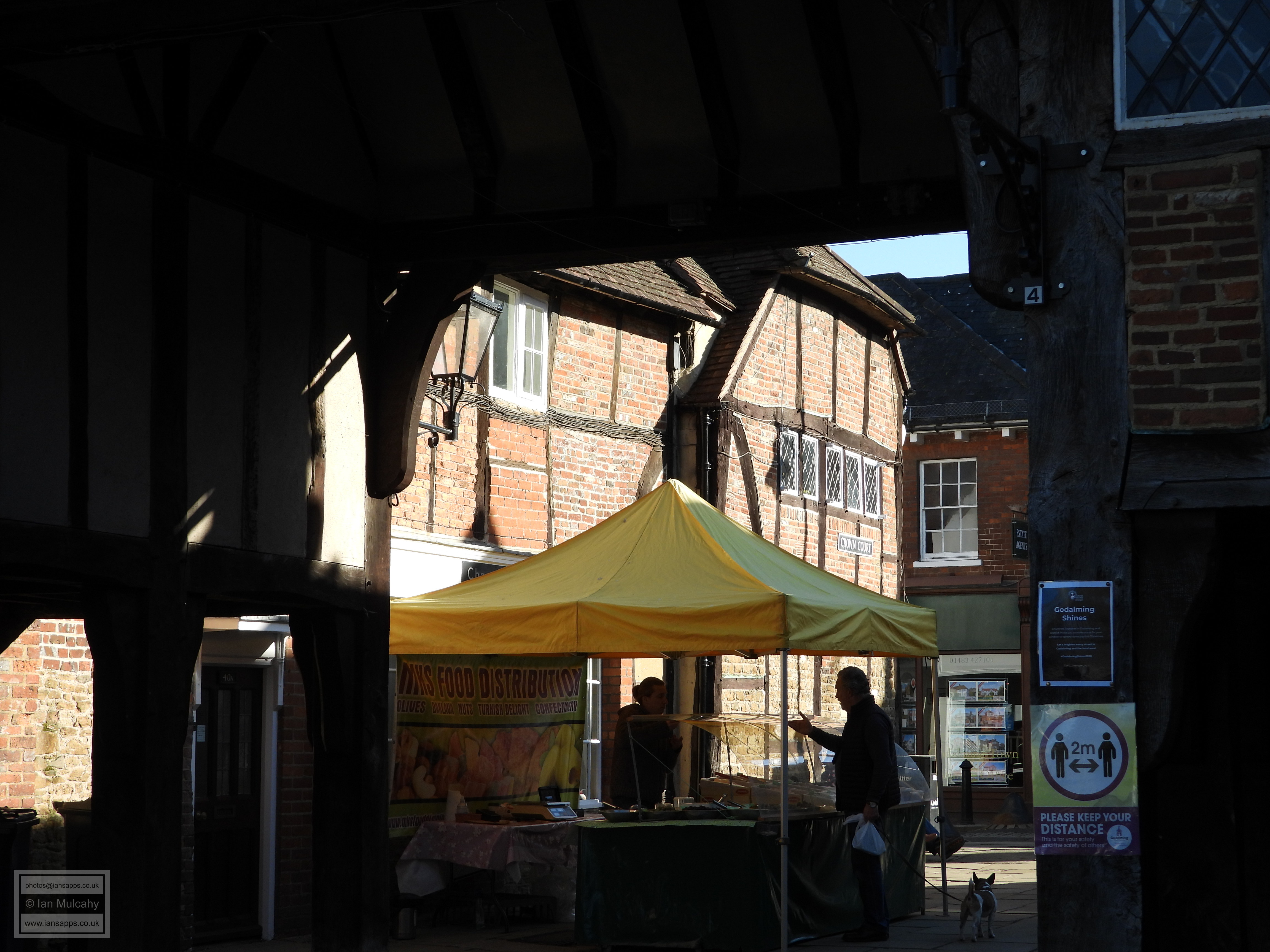
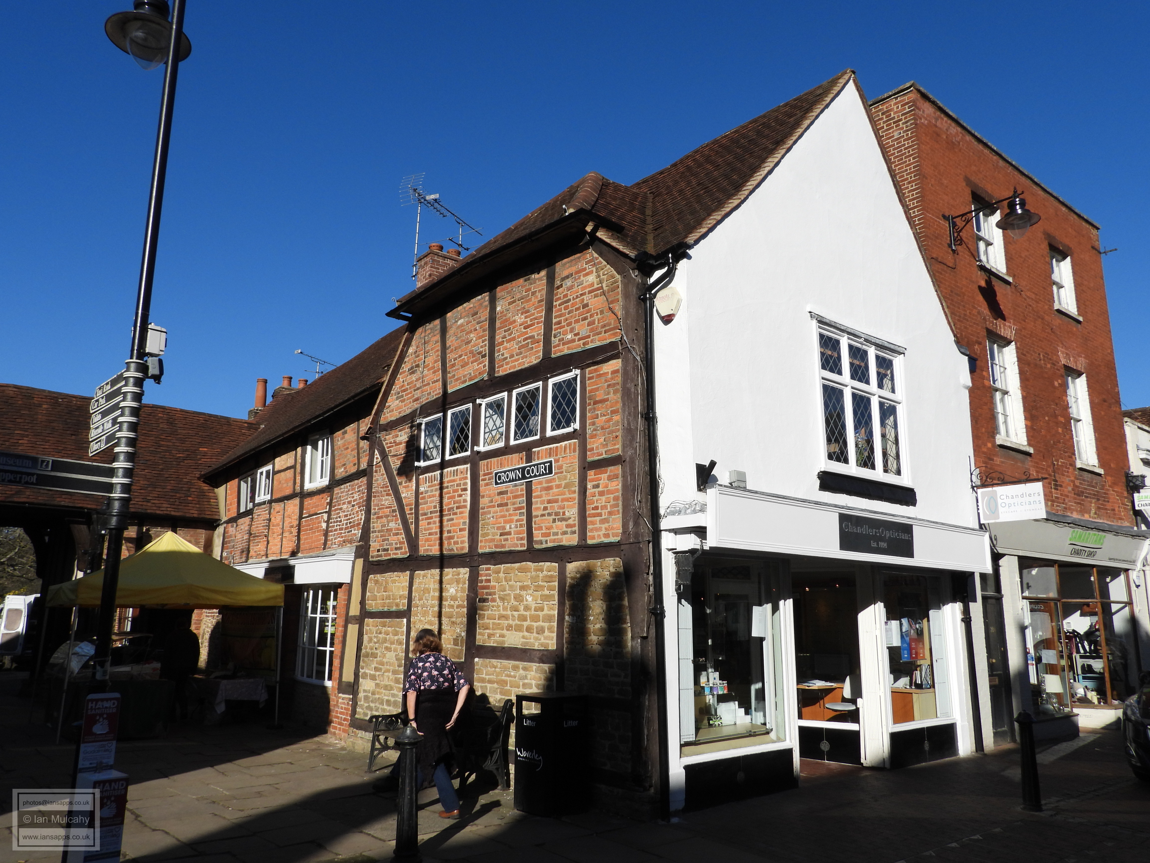
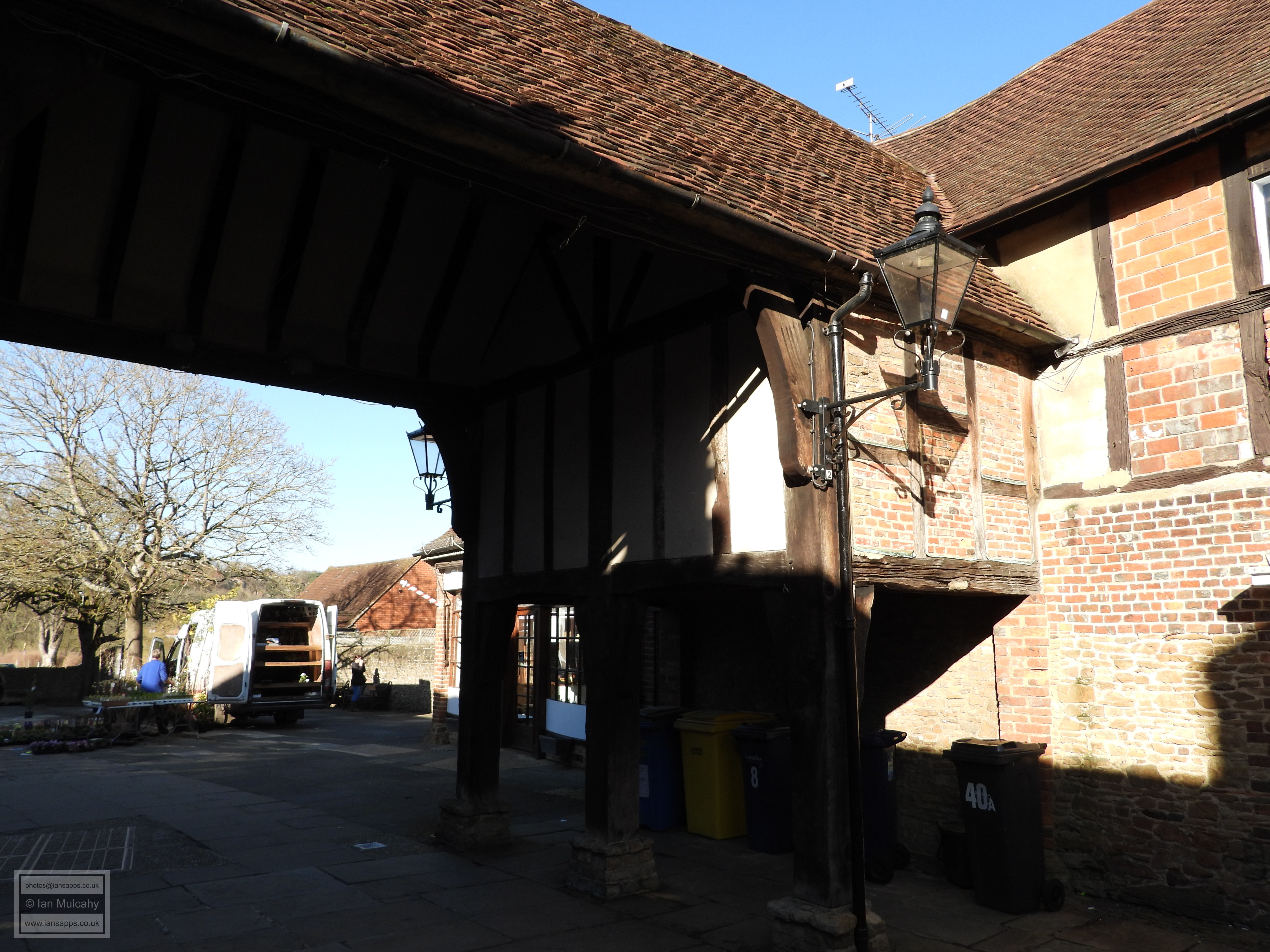

Crown Court
Another hundred yards along, and back on the southern side, is
53-55 High Street, a low 16th century commercial premises whose
large modern shop frontage makes the building look slightly odd and out
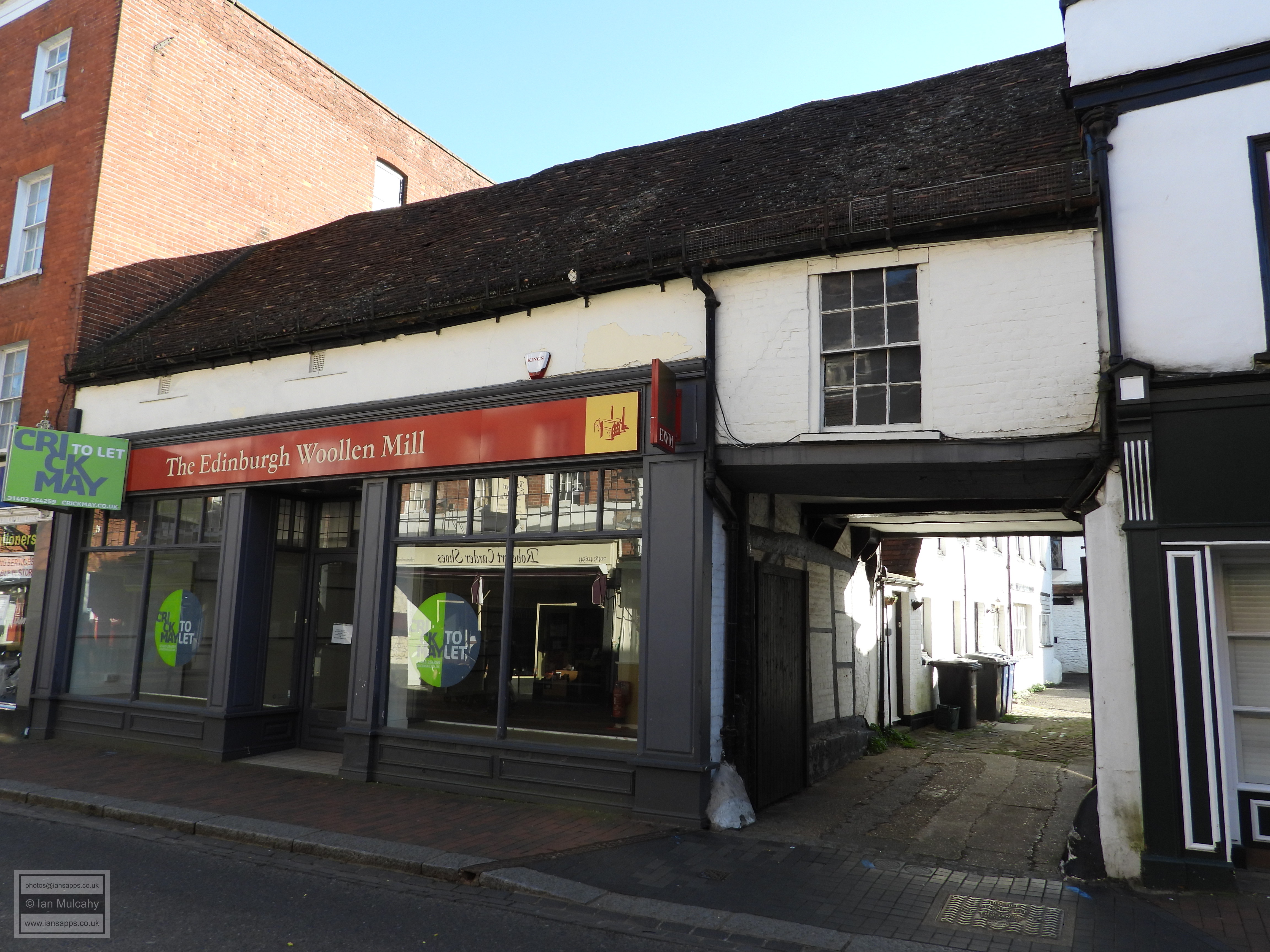
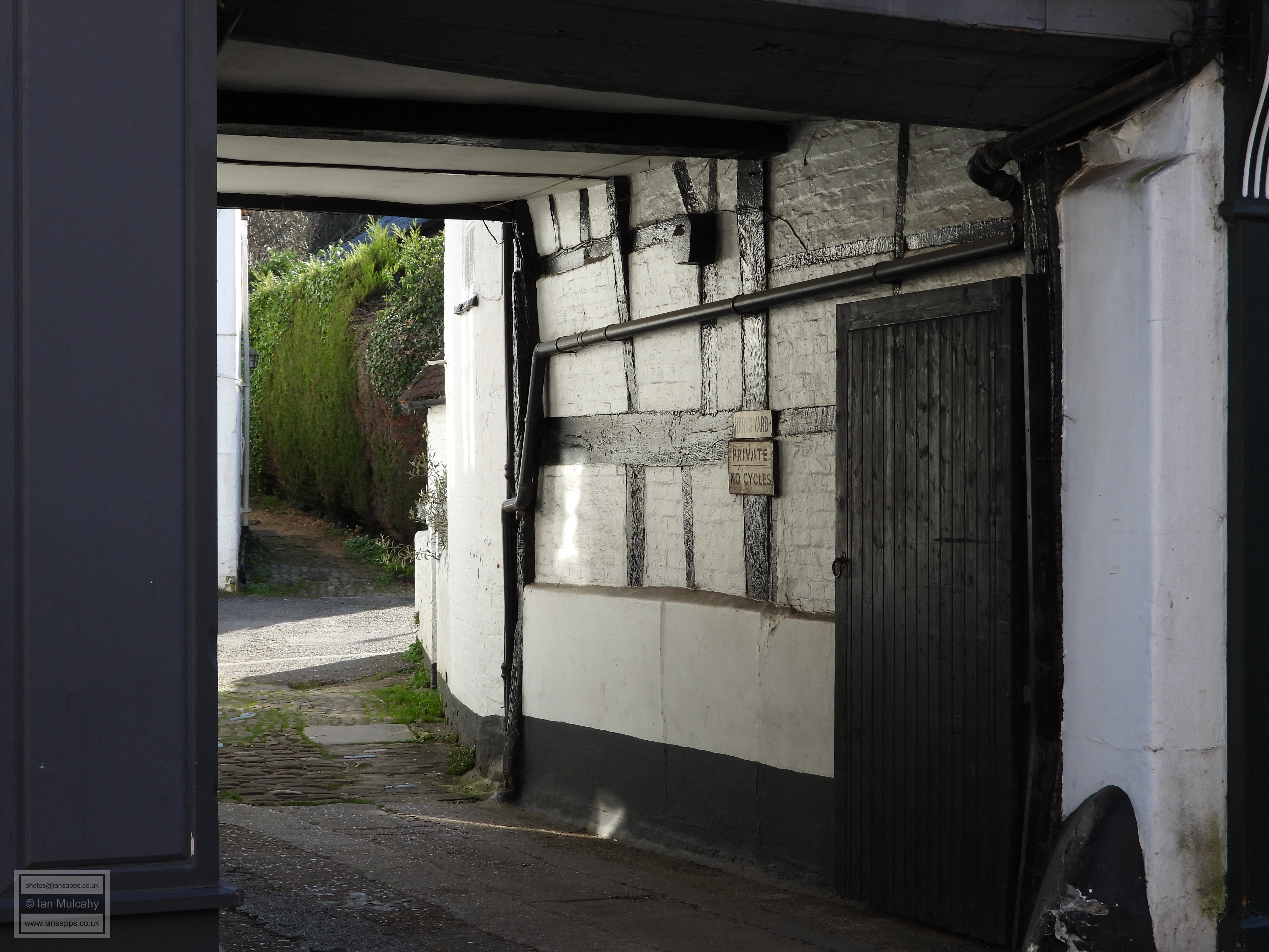
of proportion. Next door is 57-59 High Street which is
formed of a late 16th century structure to right and a 17th century
addition, with later alterations, to the left. No. 59 has an unusual
jettied timber framed first floor with no windows. To the rear, accessed
via the carriageway underneath the end of no.55, is an early 16th
century hall with wattle & daub filled timber framing. Our final
building of interest in the centre of the town is 77 High Street,
a much restored timber framed house of the late 1500s with a cross wing
to the left. 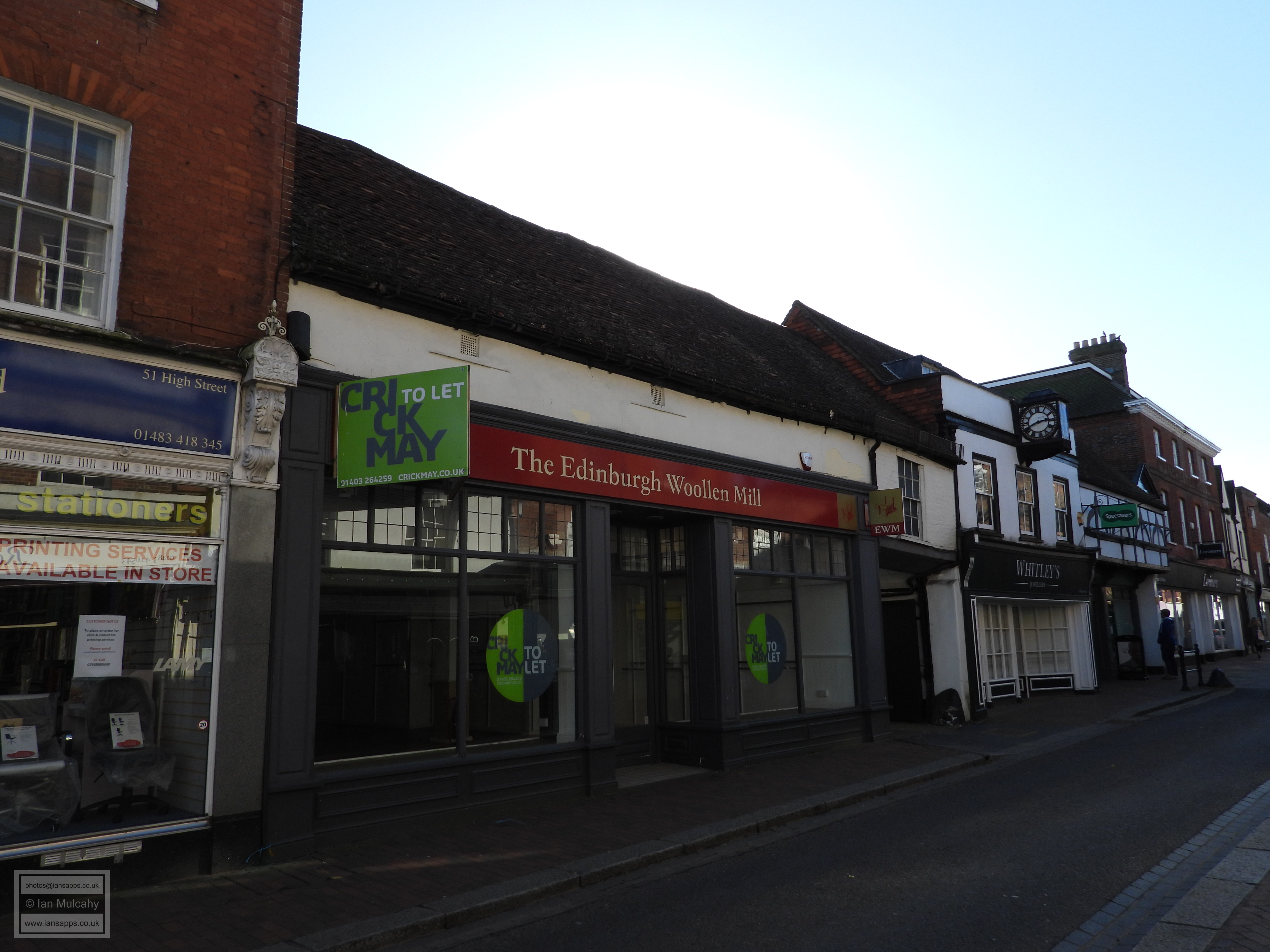
53-55 High Street 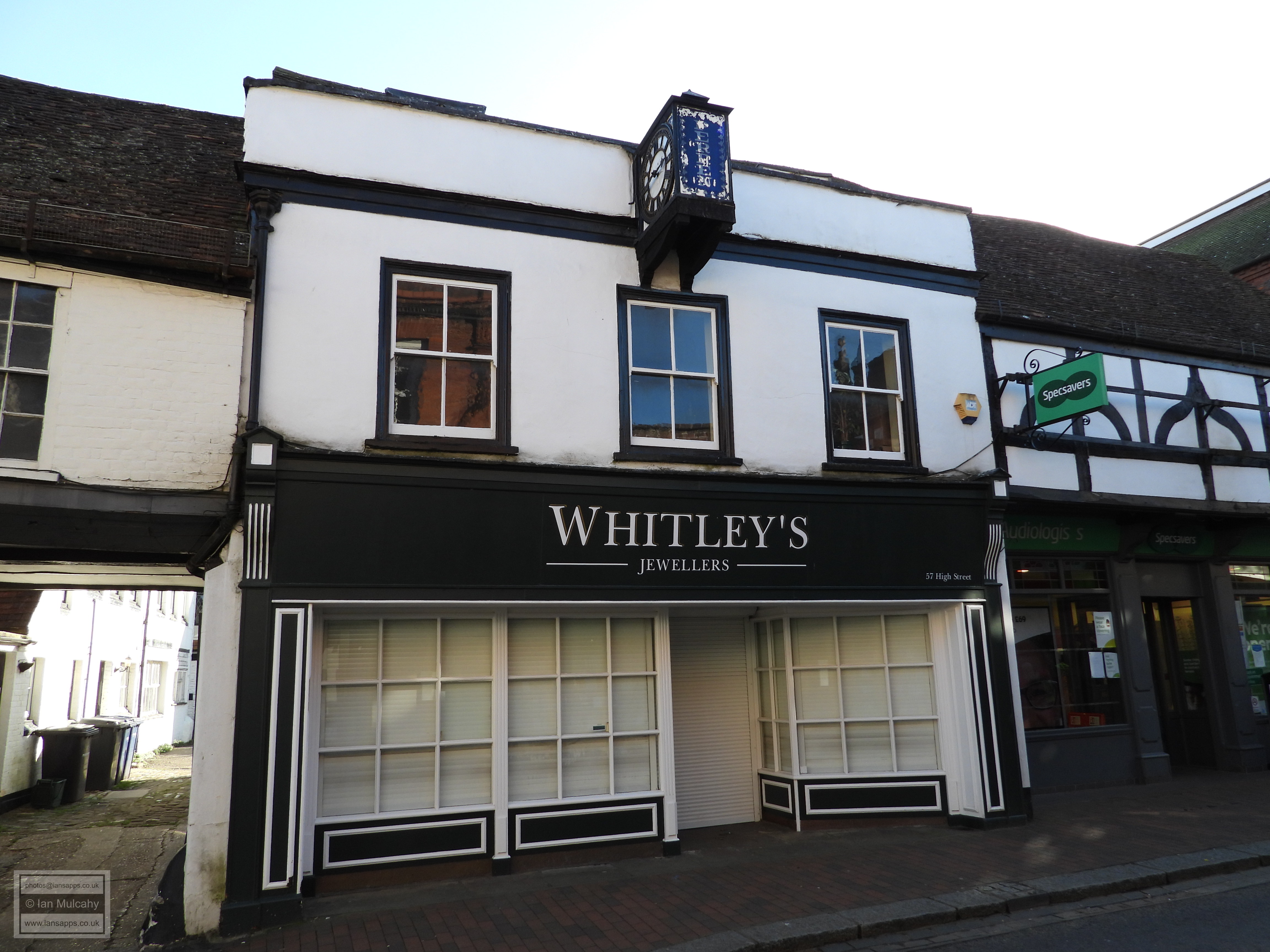

57-59 High Street 
77 High Street
We are now almost back to where we are started, but there are still some
more Tudor buildings to see! Walking past the market place we pass by
Church Road and instead, just before the old Post Office building,
branch right into Mill Lane which, until the relief road was built in
the 1990’s, was the main route to the towns railway station. The lane is
now cut in two by the new road, with the High Street end pedestrianised
and the western end having the air of a quiet country back lane. Having
crossed the relief road and continued along Mill Lane, on the corner at
the other end of Mint Street is The Rose and Crown Public House,
a hall house of around 1500 with additions made in every century since.
The original hall was floored over and had a chimney added in the second
half of the 16th century and the building is now mainly refaced, though
some timber framing remains visible at the rear. Pottery finds on the
site dating from the 13th to 19th centuries show continuous occupation
of at least 800 years. Prehistoric flint flakes were also found here. 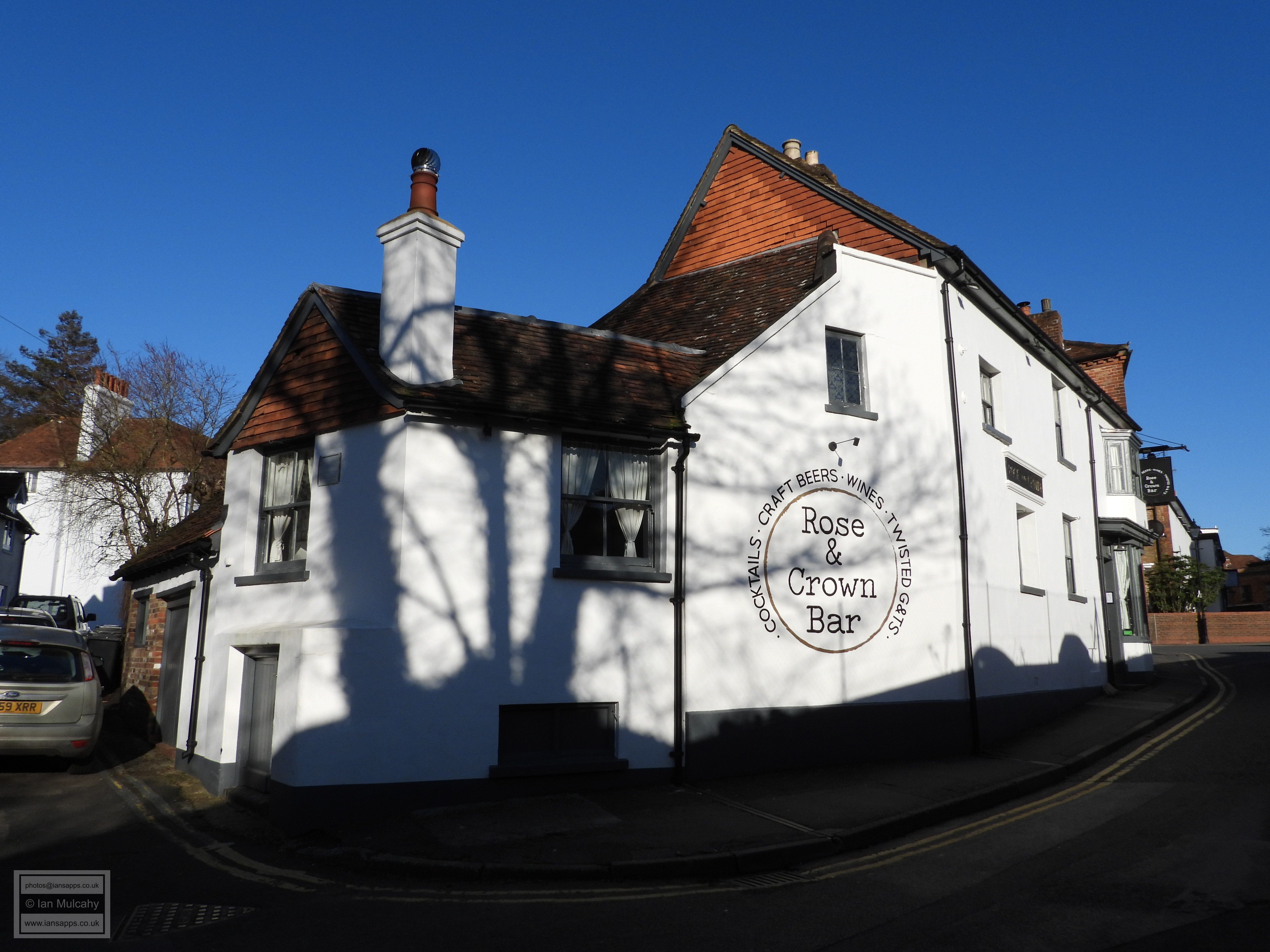
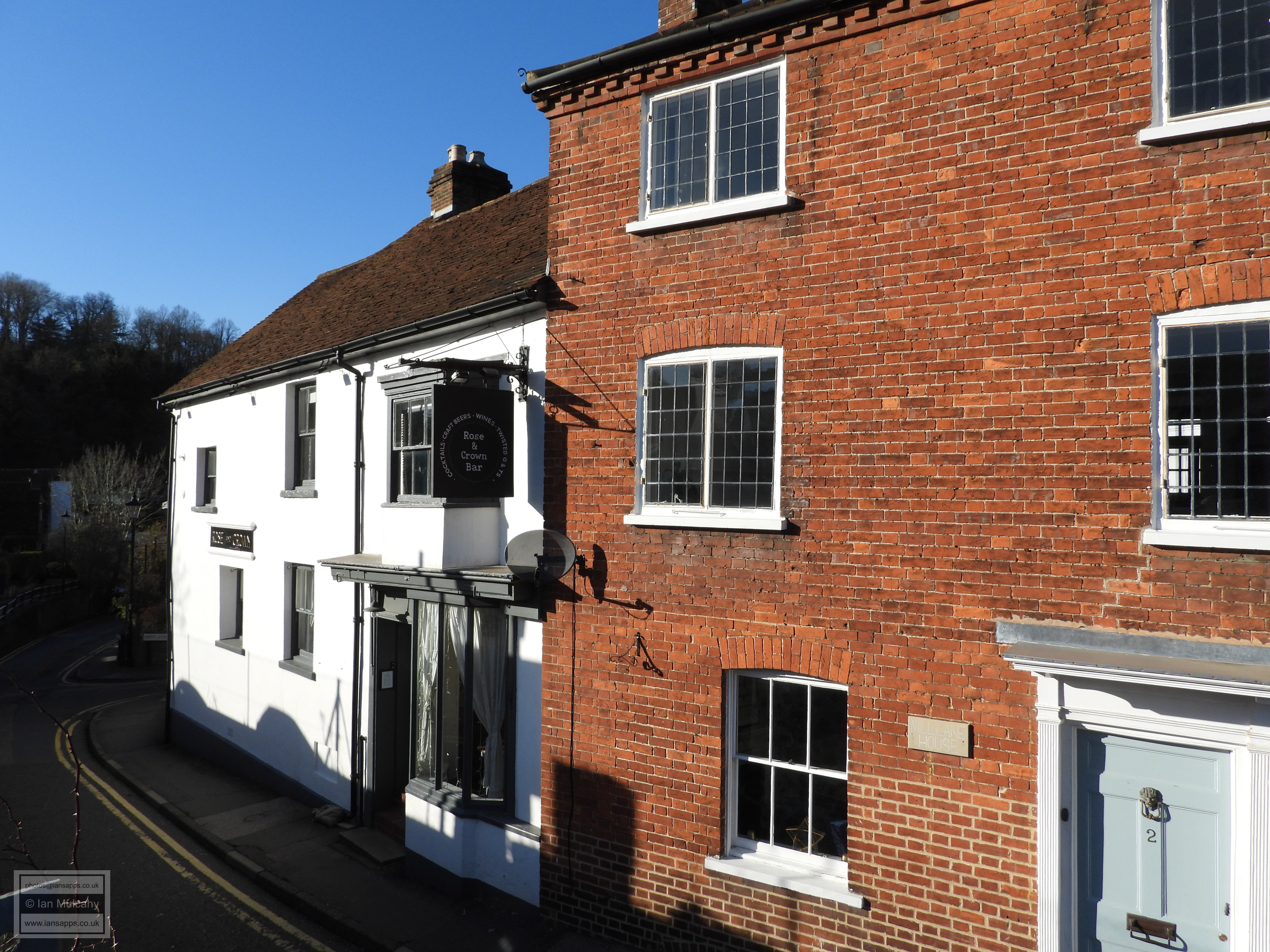
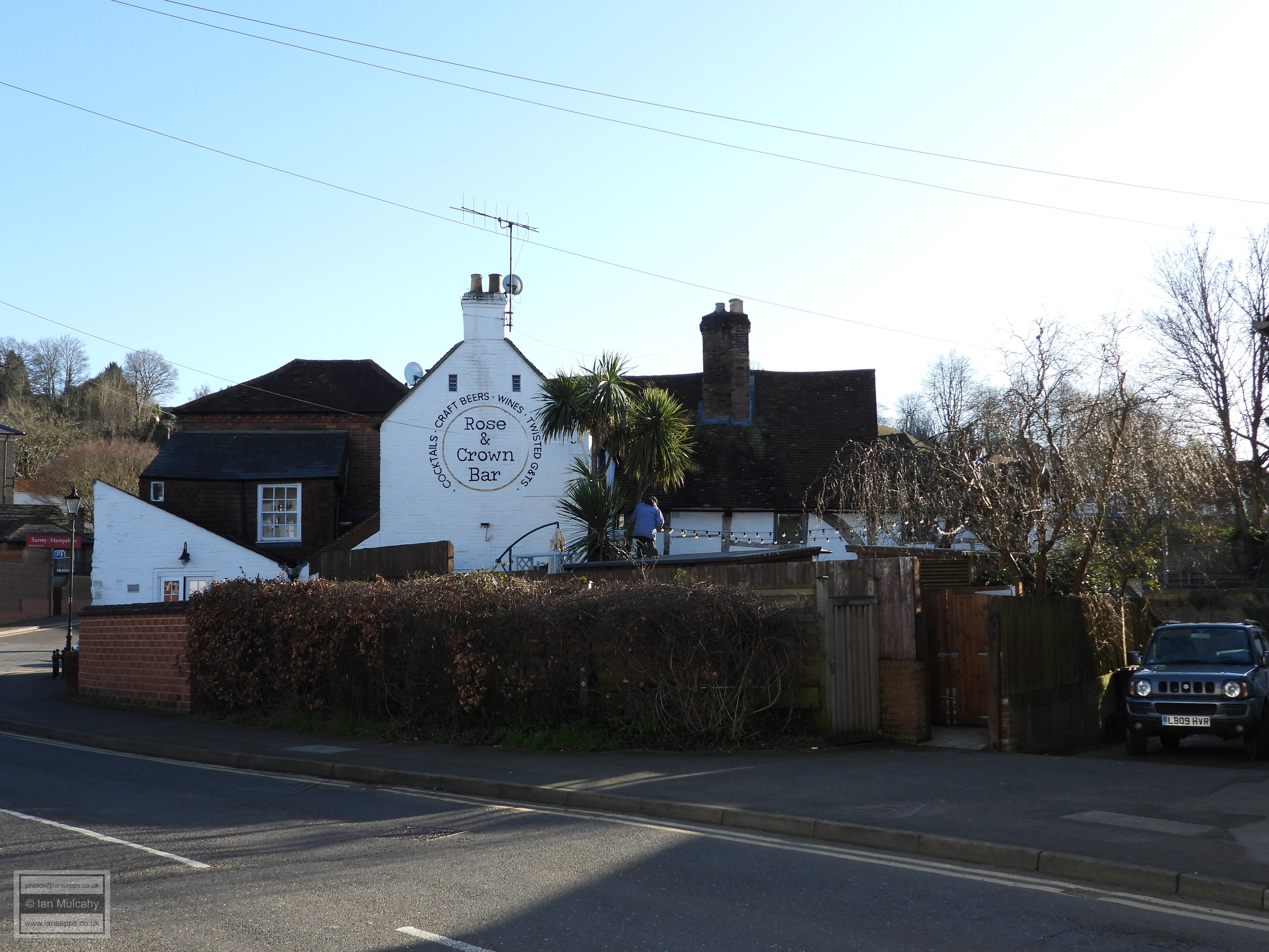

The Rose and Crown Public House
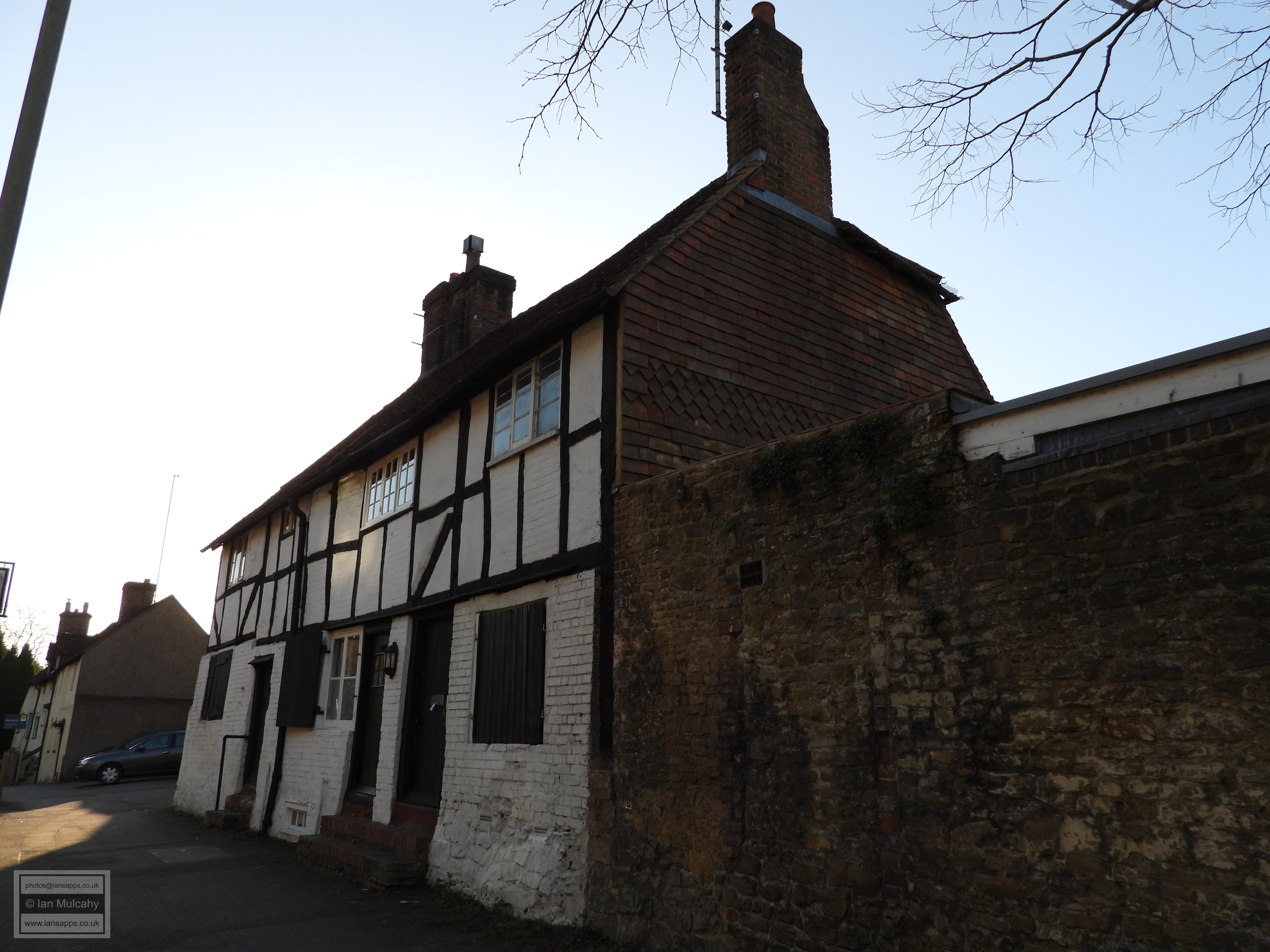
On the opposite corner of Mint Street is Whitehall, an
early 17th century cottage with wattle and daub infill on the first
floor which, together with the adjoining and contemporary 26
Mint Street, makes for a pretty Tudor era street scene,
especially when viewed from the raised Mill Lane car park to the south. 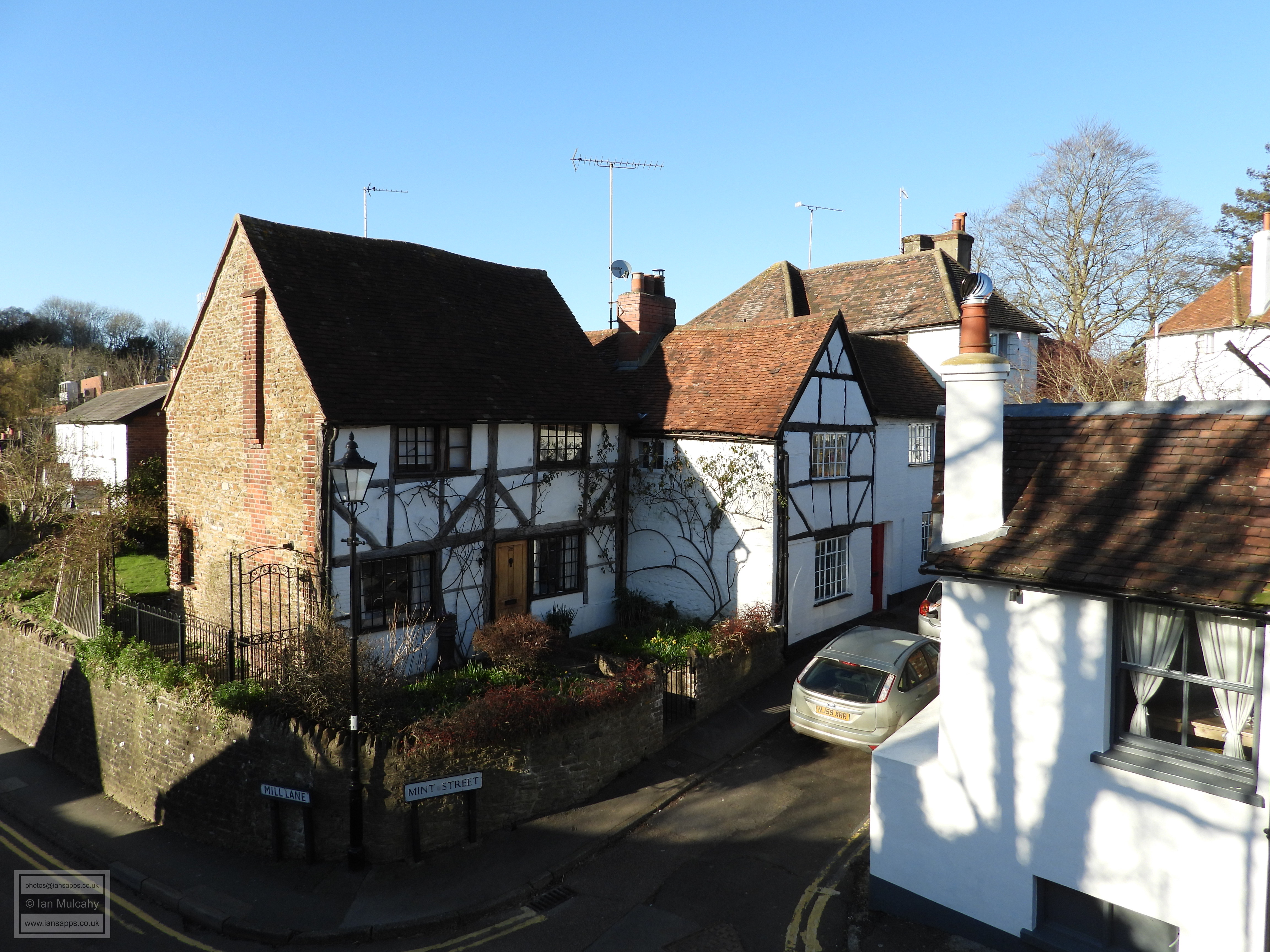
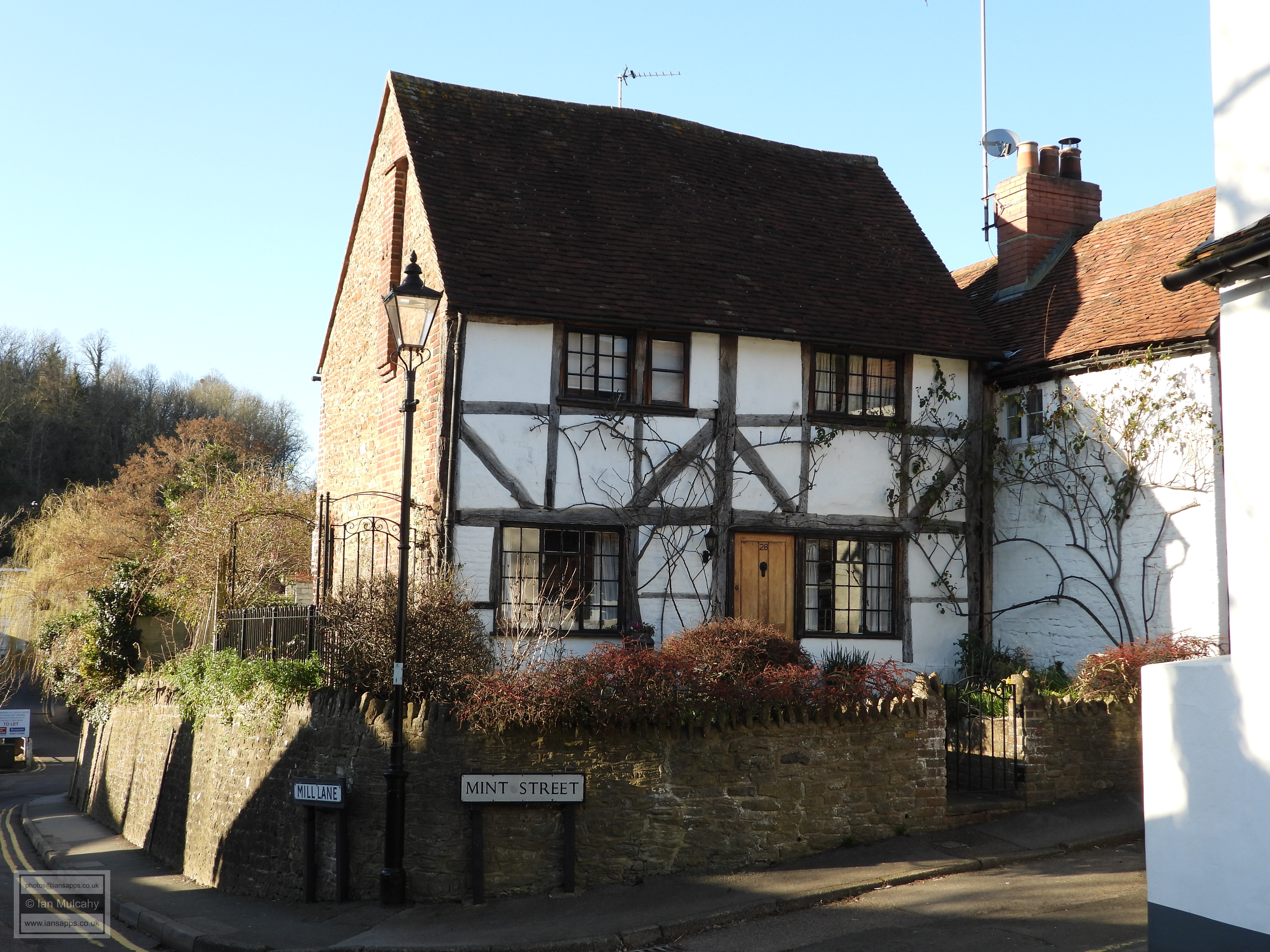
Whitehall & 26 Mint Street
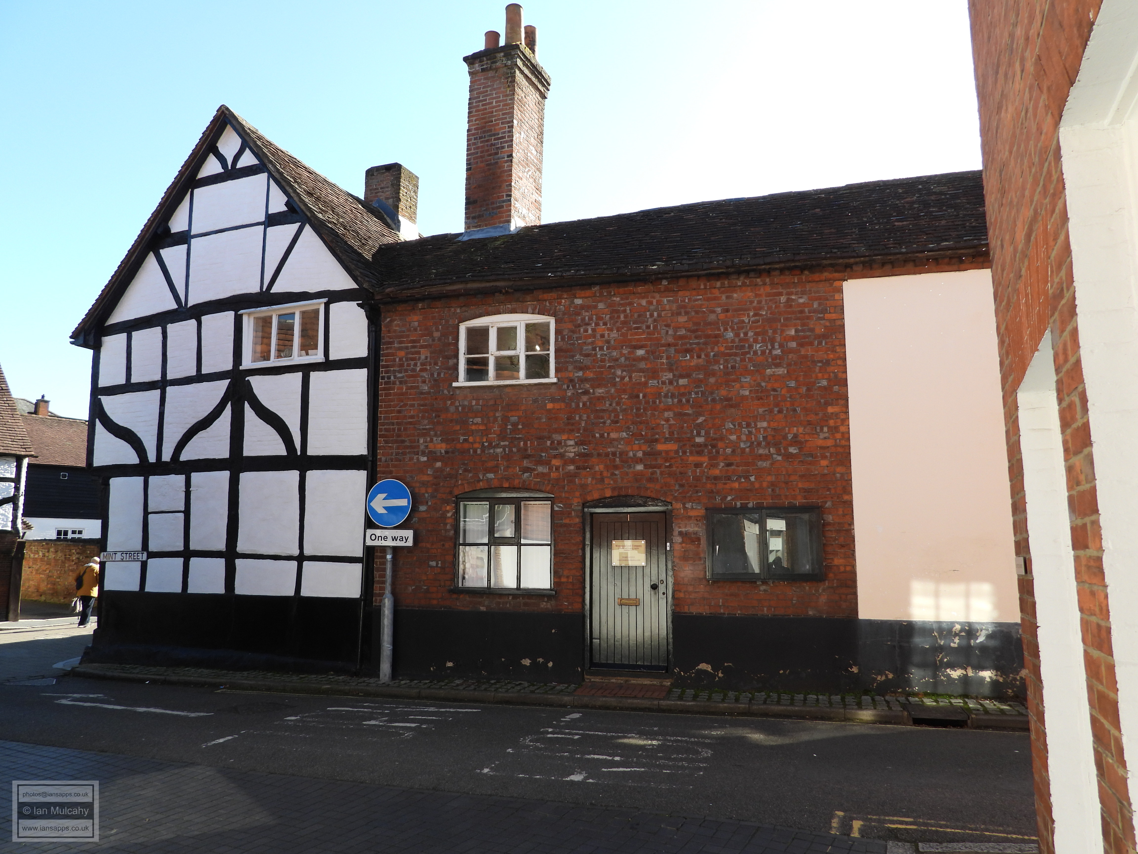
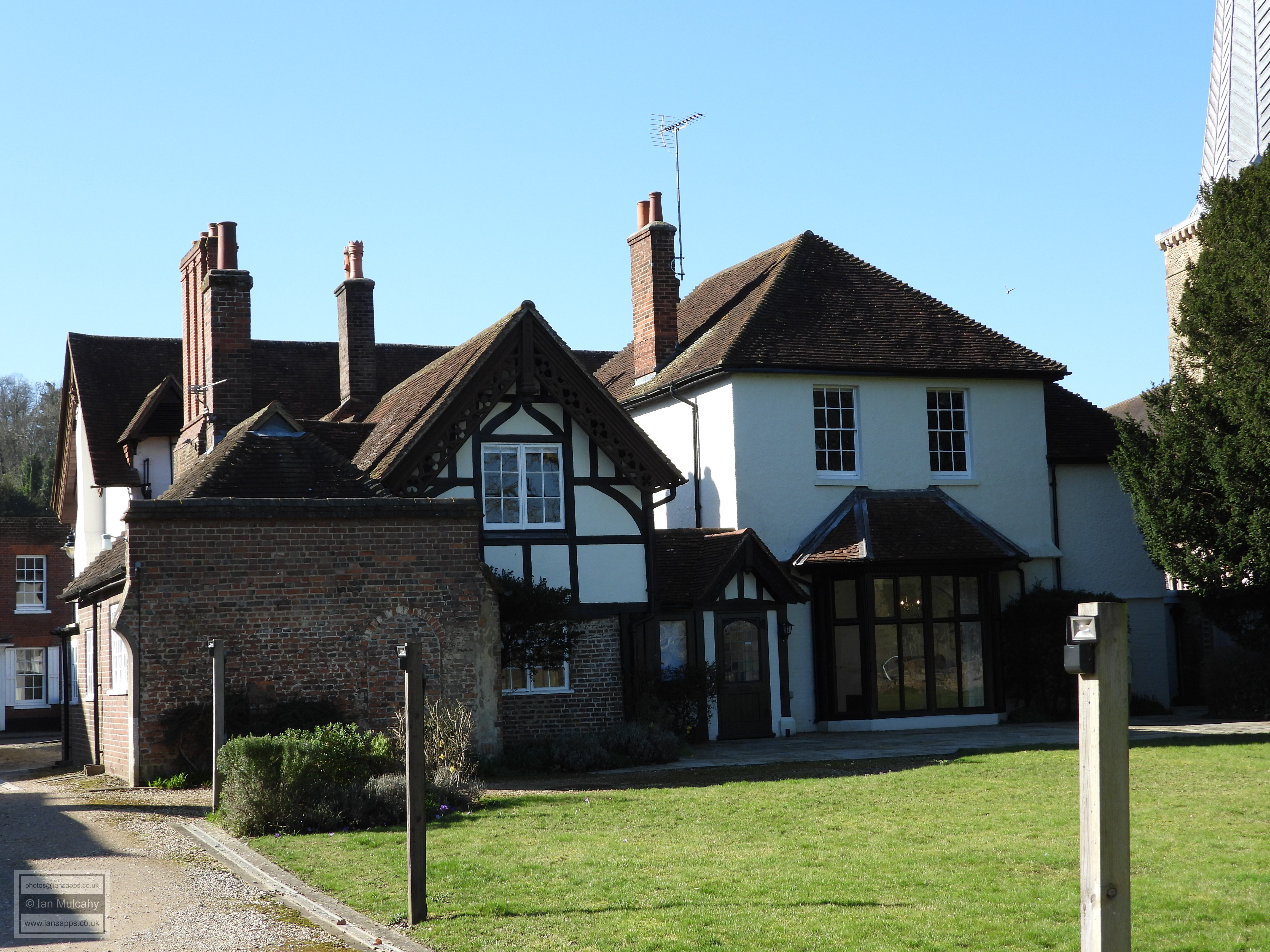
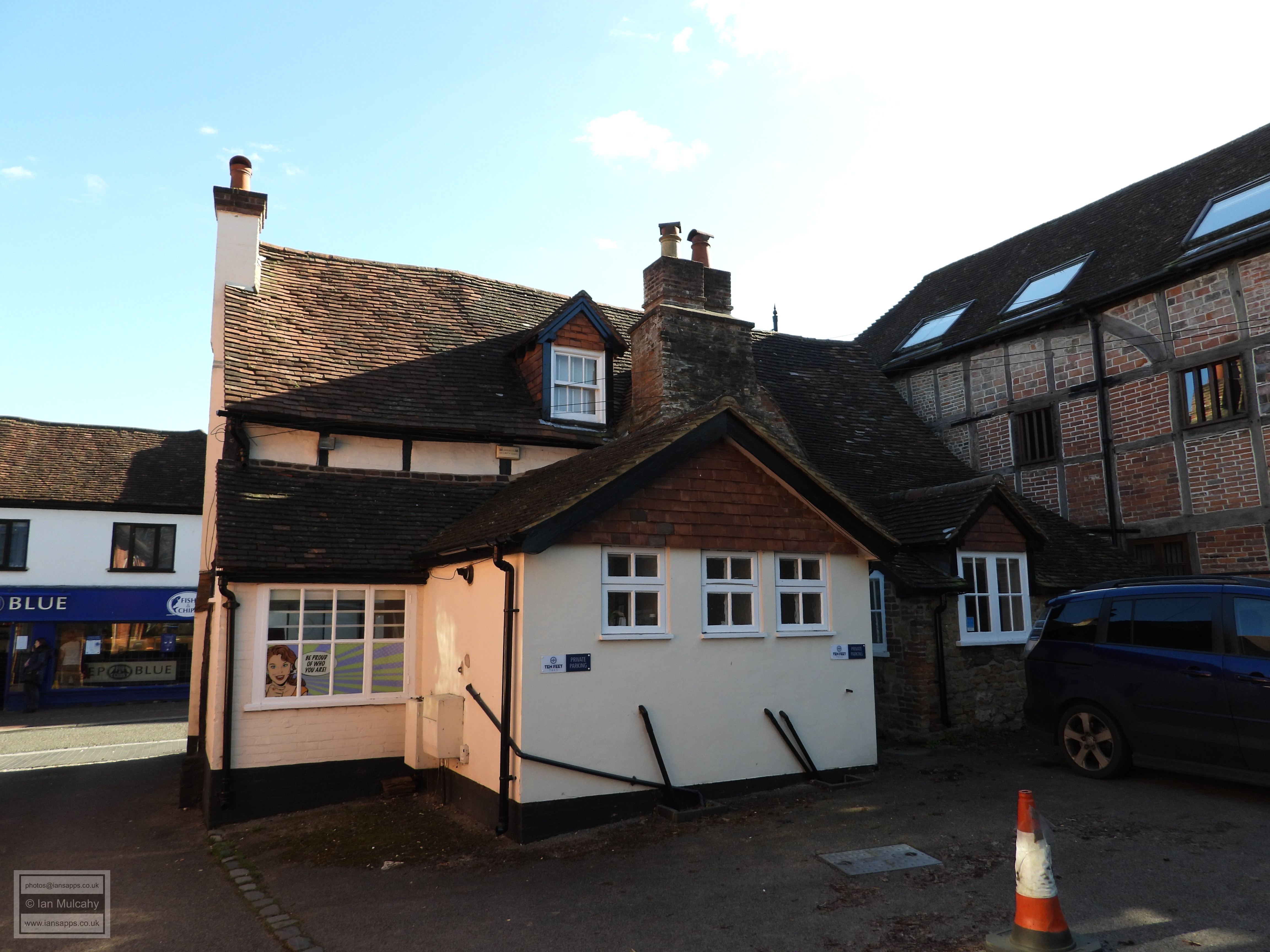
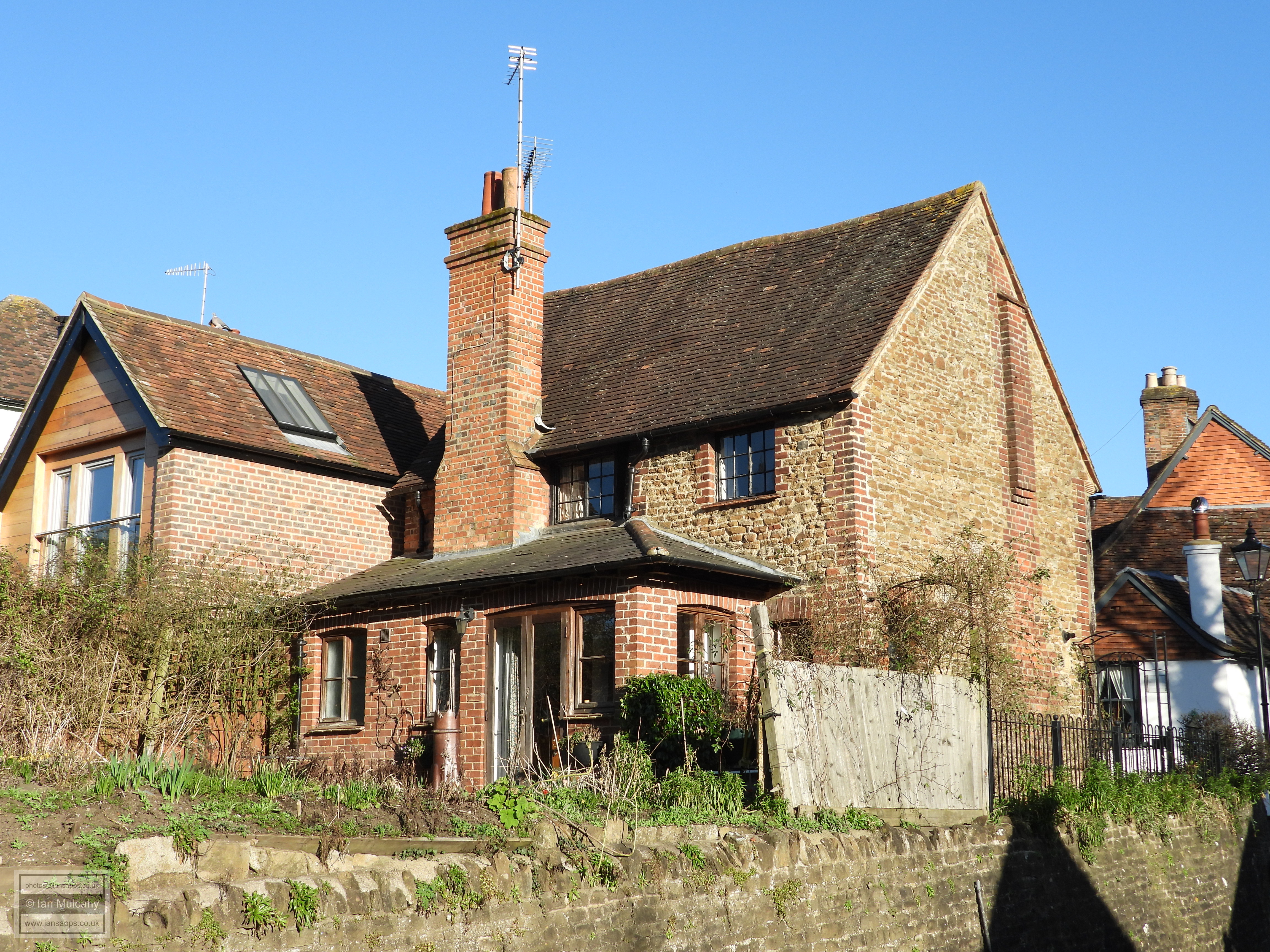
Mill Lane is, unsurprisingly, so named because a mill was located here
and it was one of three Saxon mills in the Godalming area that are noted
in the Domesday survey. The Saxon mill is of course long gone and the
current structure, being of the early 1700s, now serves as offices. Next
to the bridge which crosses the mill race is the 17th century timber
framed Old Granary which has now been converted into a
house. 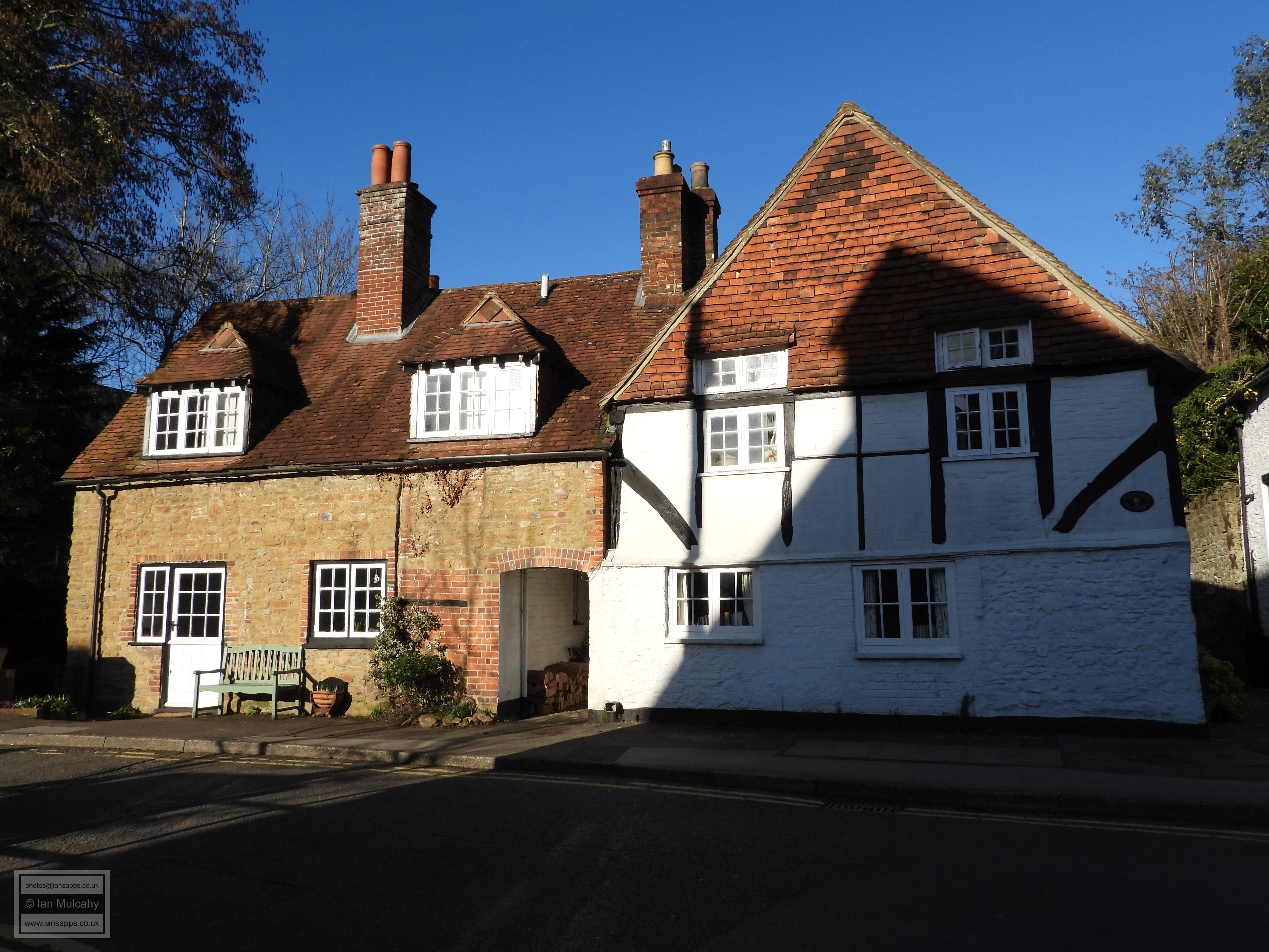

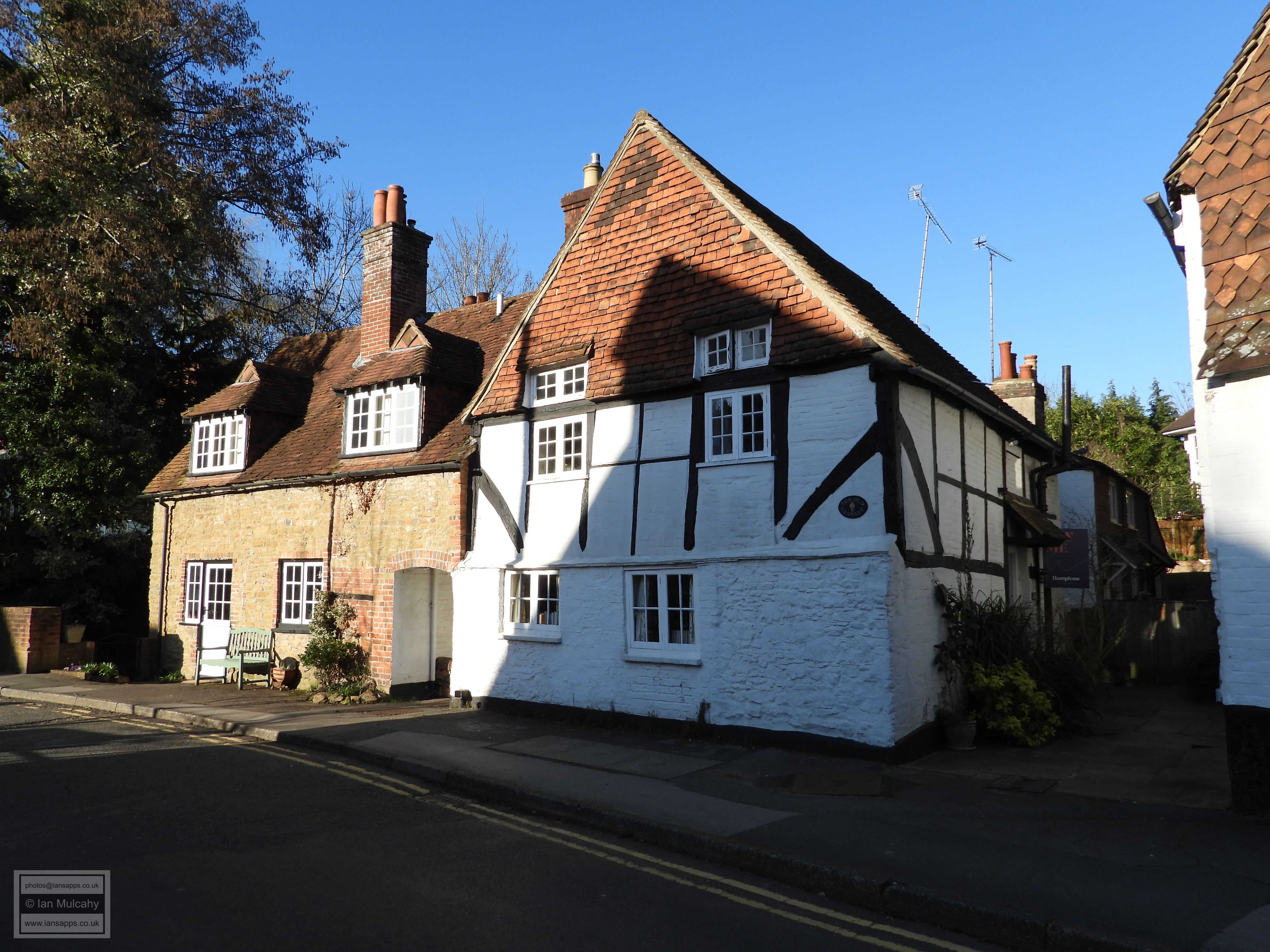
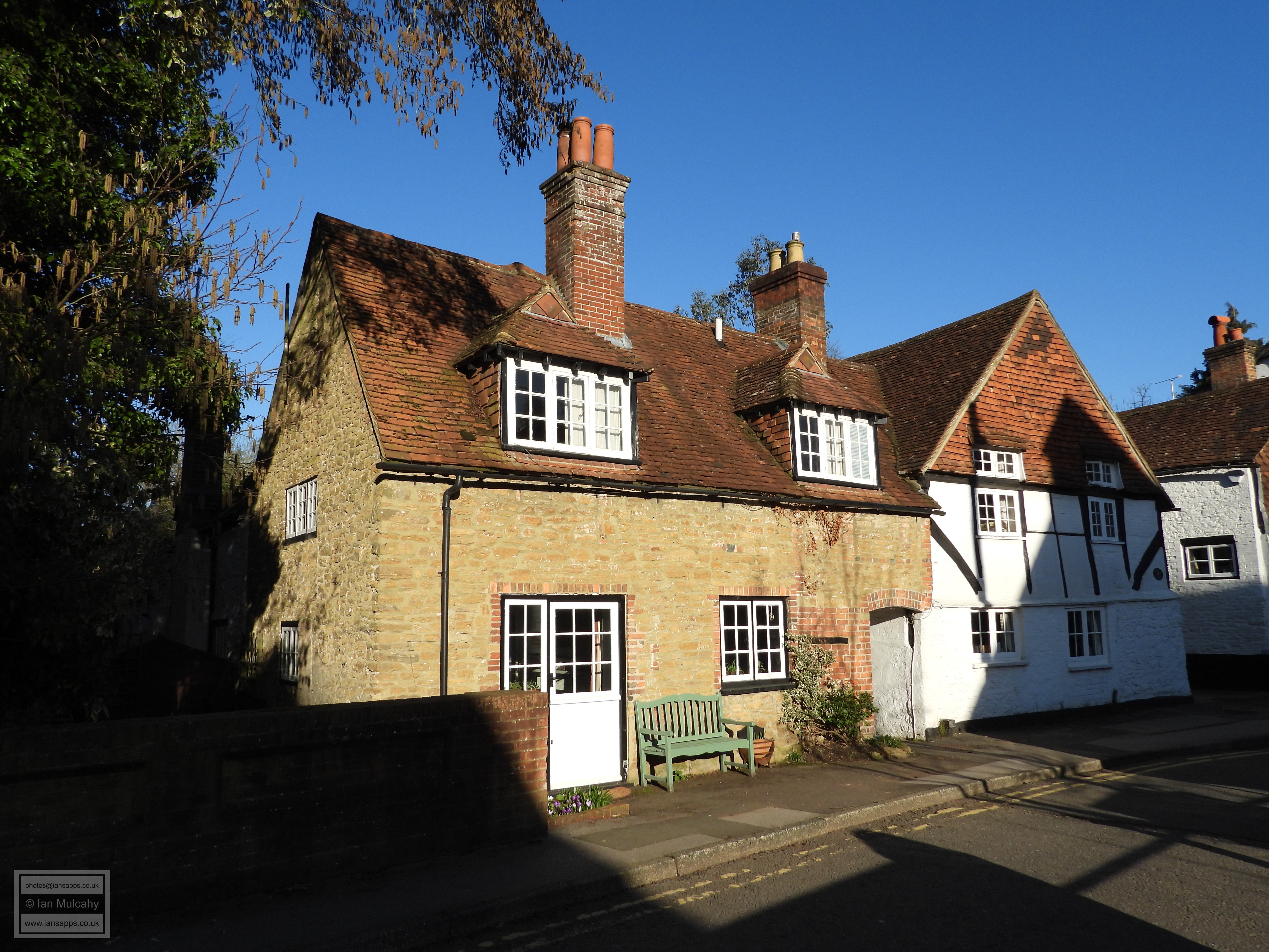
Old Granary
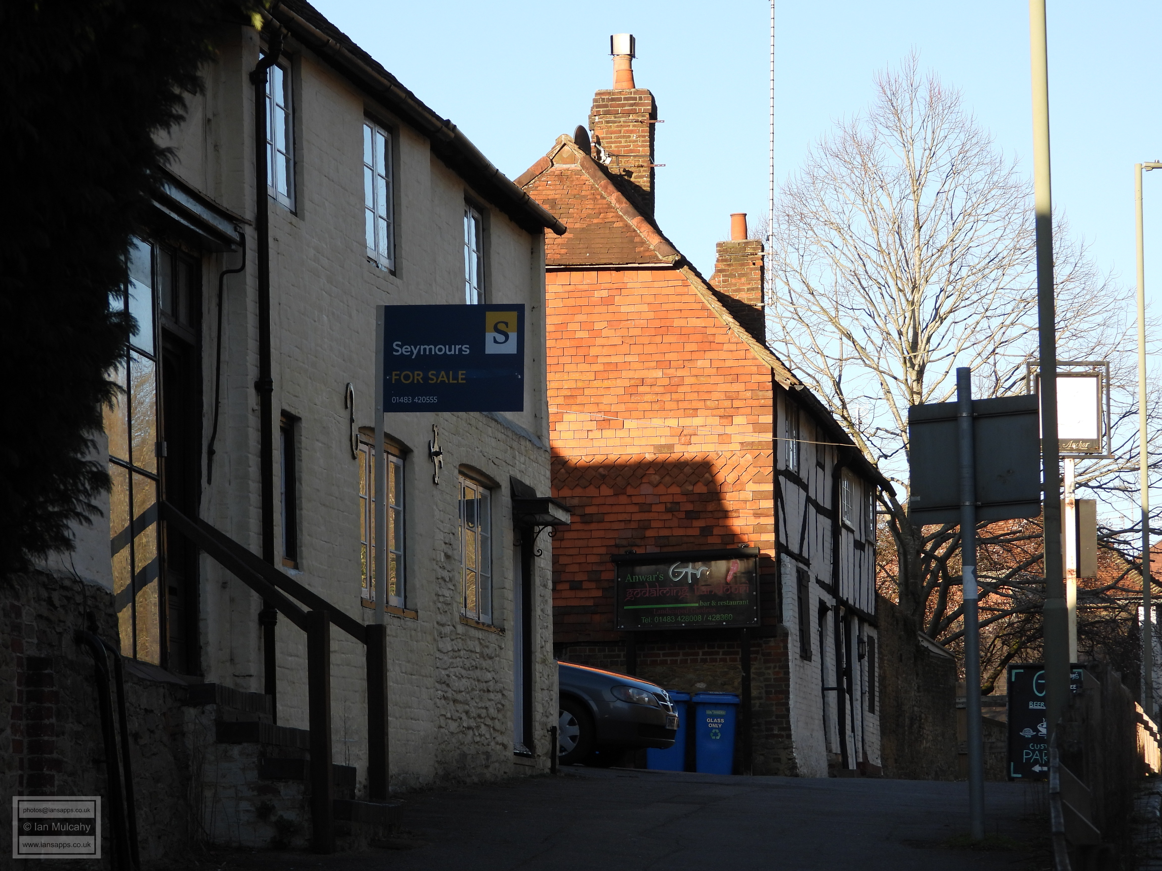
Before returning to the car I wanted to take a quick walk along the busy
Ockford Road, the main road out of the town to the south west, where a
fair number of Tudor buildings survive. First is 10-18 Ockford
Road, more popularly known as The Waggoners, a sprawl of early
17th century brick filled timber framed homes which have previously
served as both a pub and a stocking (as worn on the leg) factory! A
further two hundred and fifty yards along the road is 68-72
Ockford Road, a large late 16th century building with 17th
century additions. Hidden behind a 19th century refacing of render and
painted brick is a wattle and daub infilled timber frame. 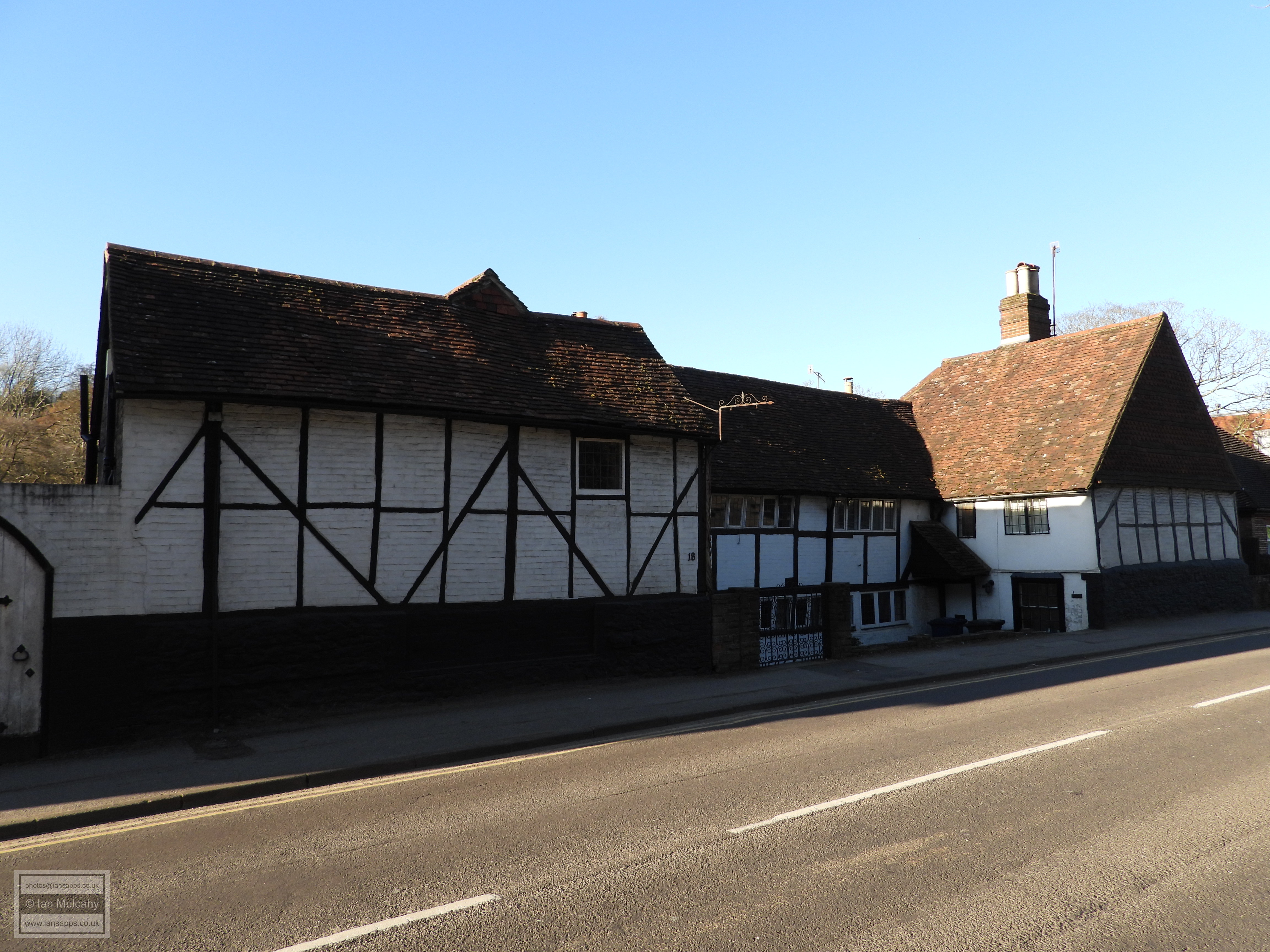
10-18 Ockford Road (The Waggoners) 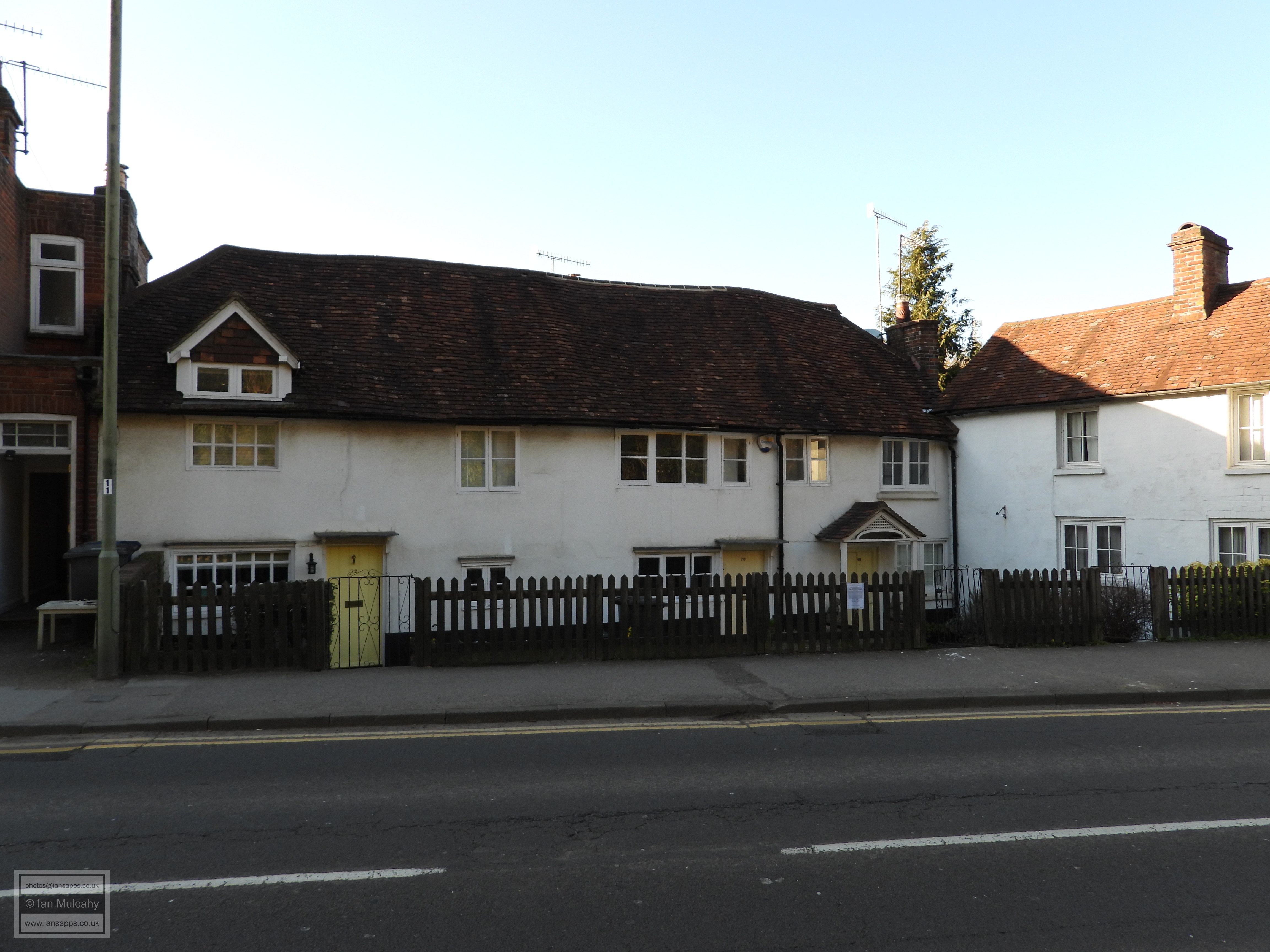
68-72 Ockford Road
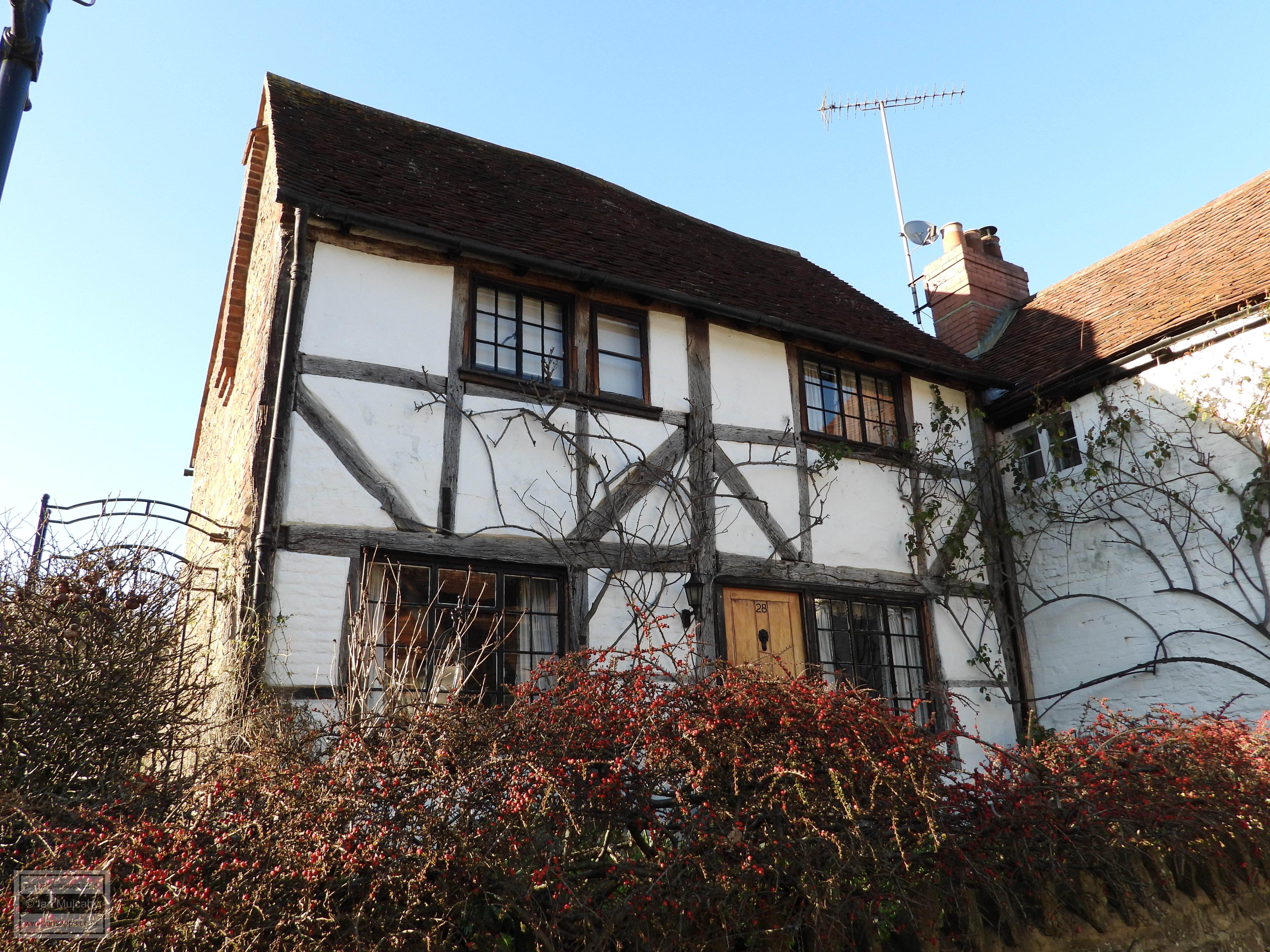
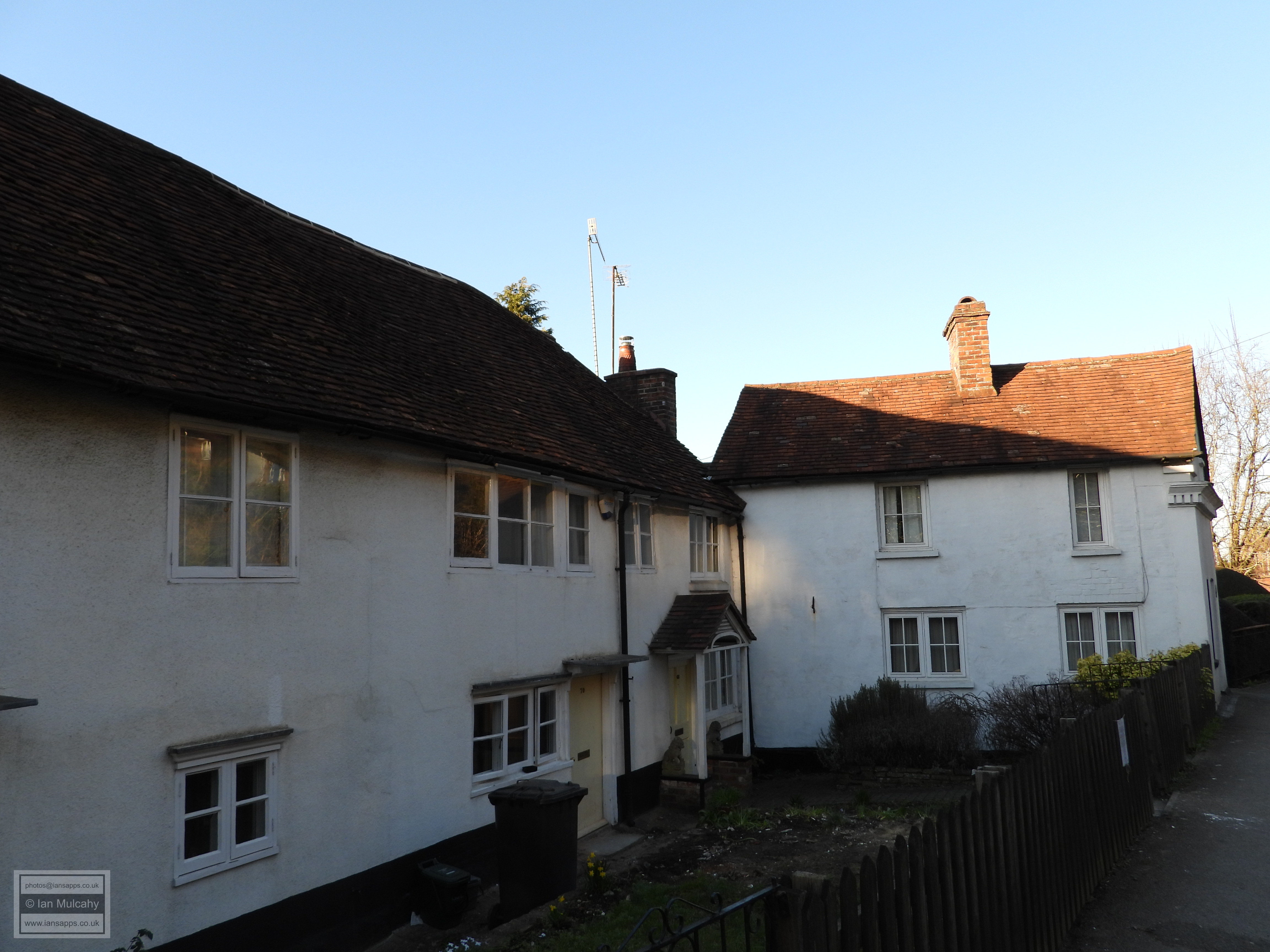
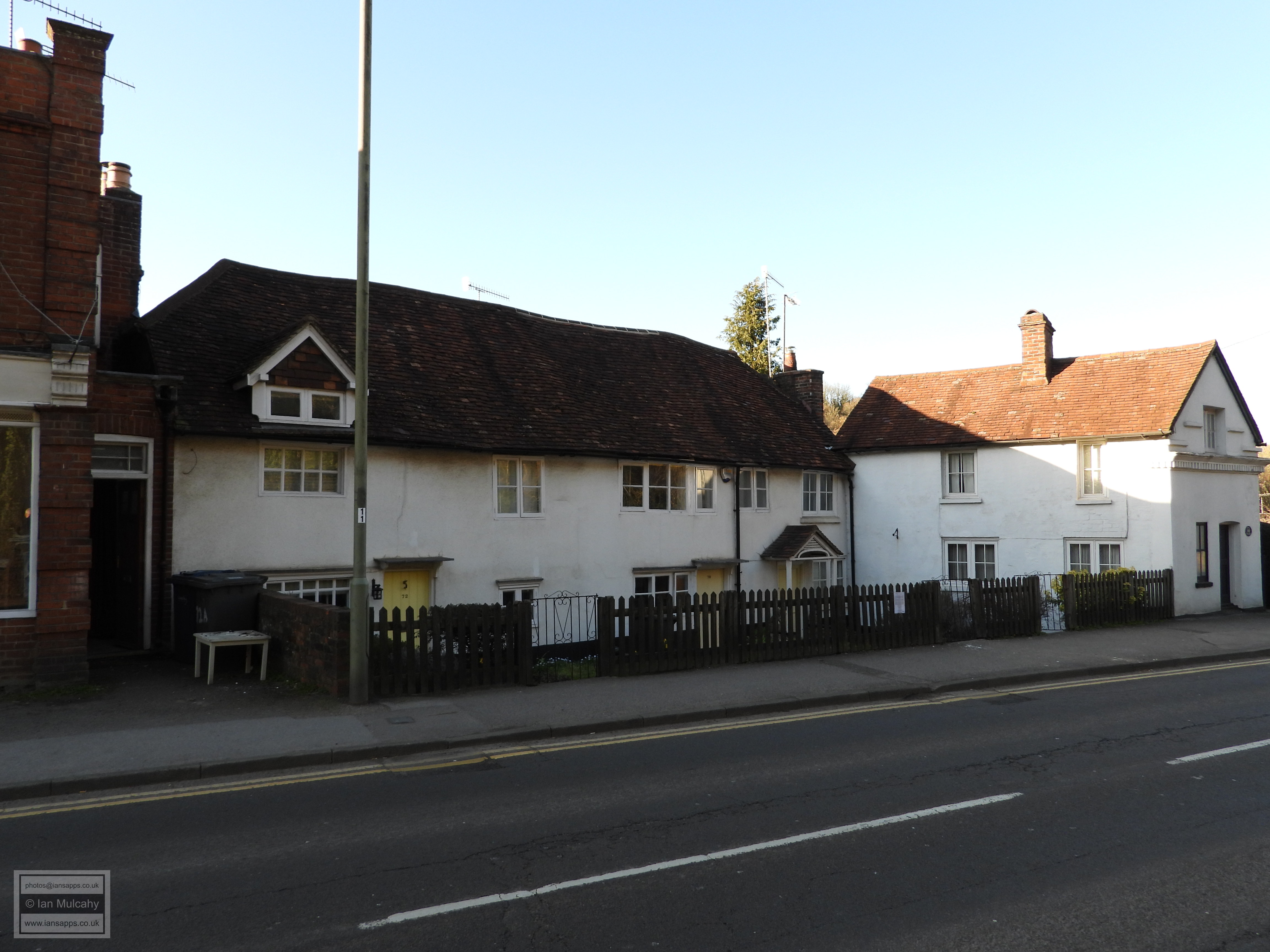
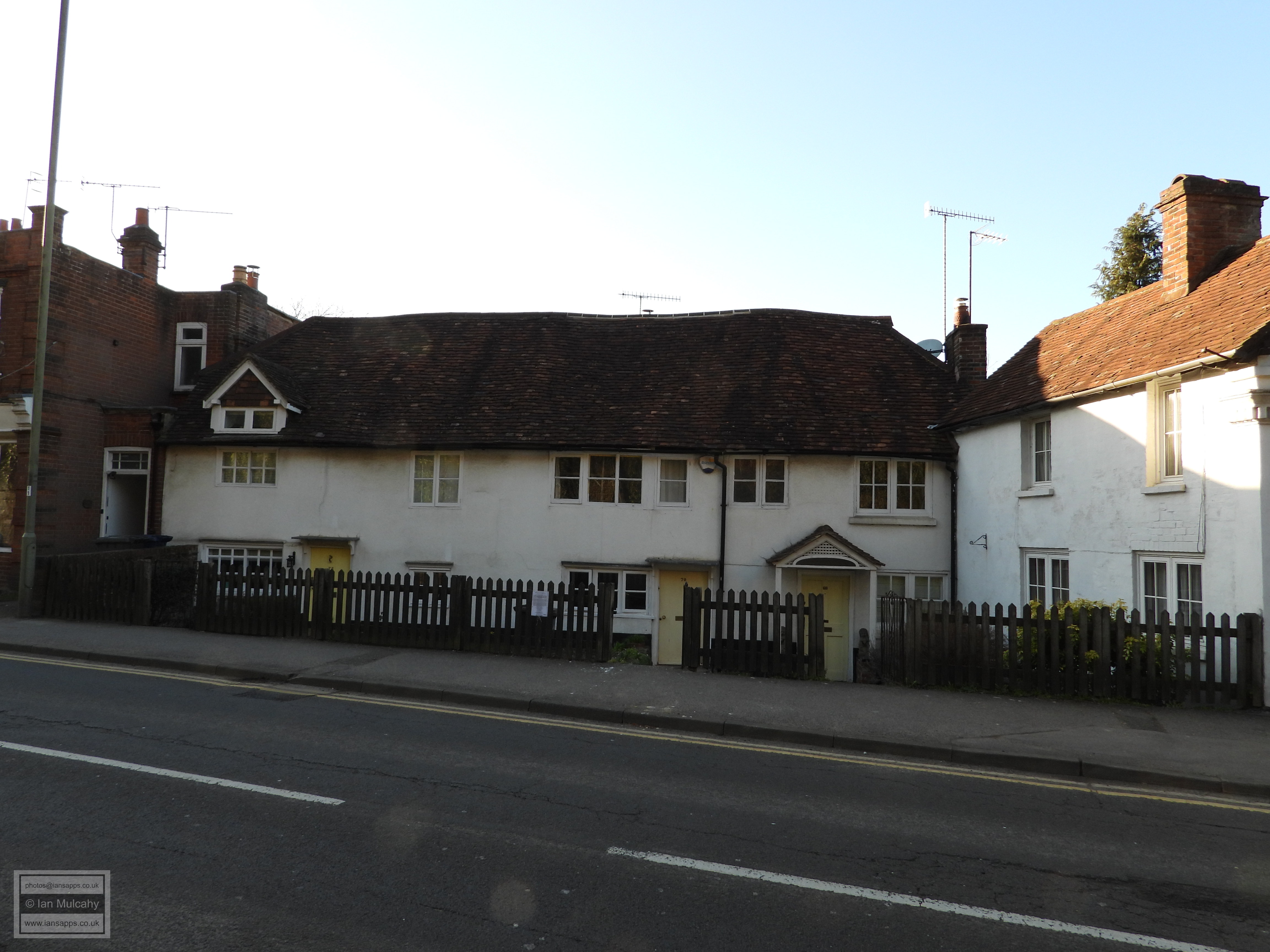
86-92 Ockford Road is a long range of Tudor cottages.
Numbers 86 & 88 are of the late 16th century and are constructed with
painted brick in a timber frame. 90a, 90 and 92 form an open hall house
from the early 1500s with a wattle and daub infill of its timbers. The
hall was floored and a chimney added in the late 16th century,
presumably when 86 & 88 were added. 104-108 Ockford Road
is a late 16th century timber framed house which has now been split into
three homes and 120-122 Ockford Road are two late 16th
century houses, with additions made a century later, which have now been
converted into one residence. The house is built on a steep hill and the
huge rubble and brick plinth to the left forms the walls of an above
ground basement. 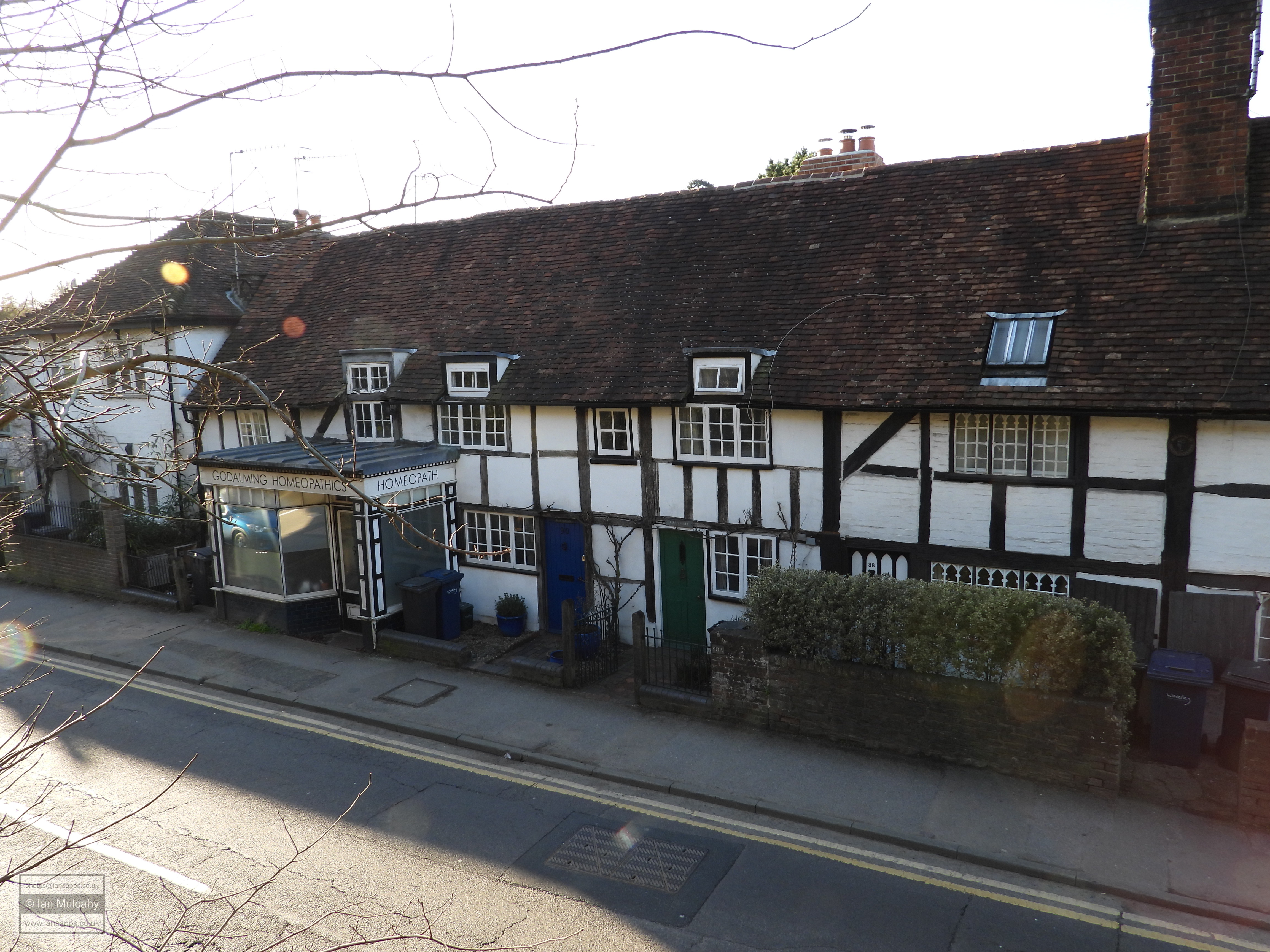
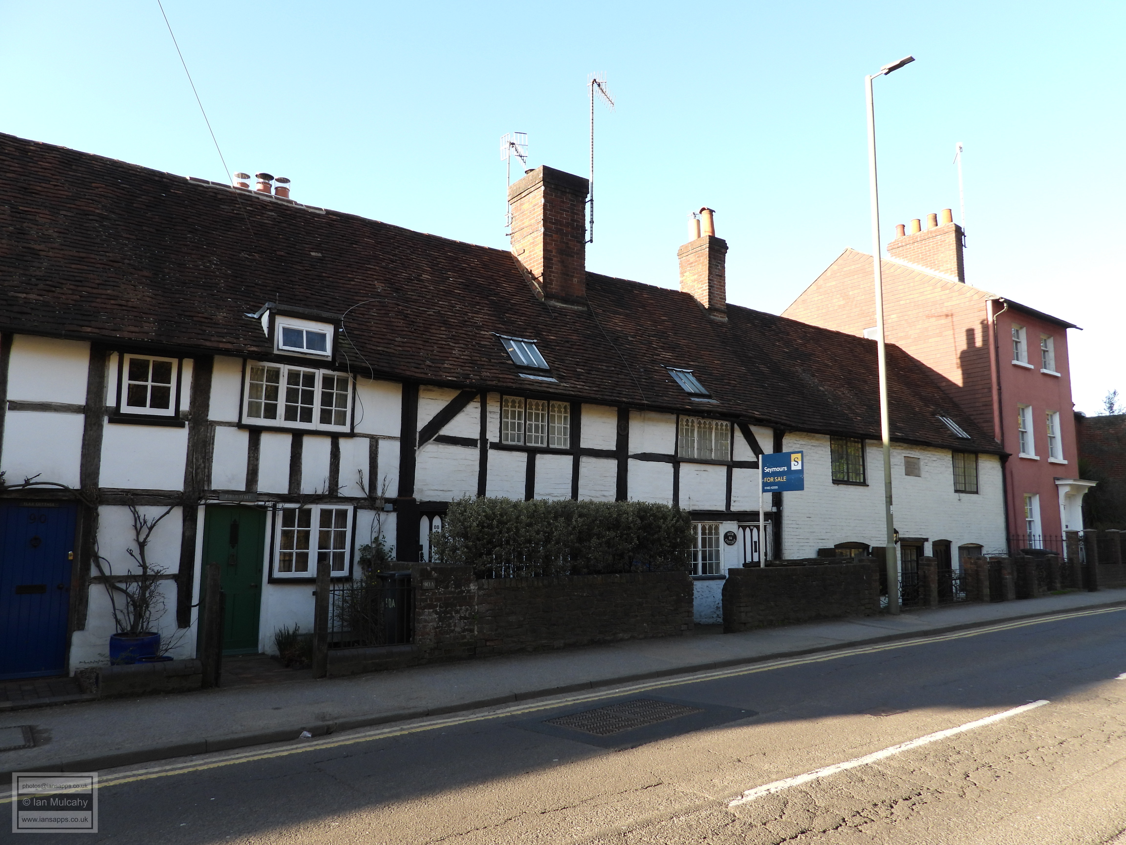
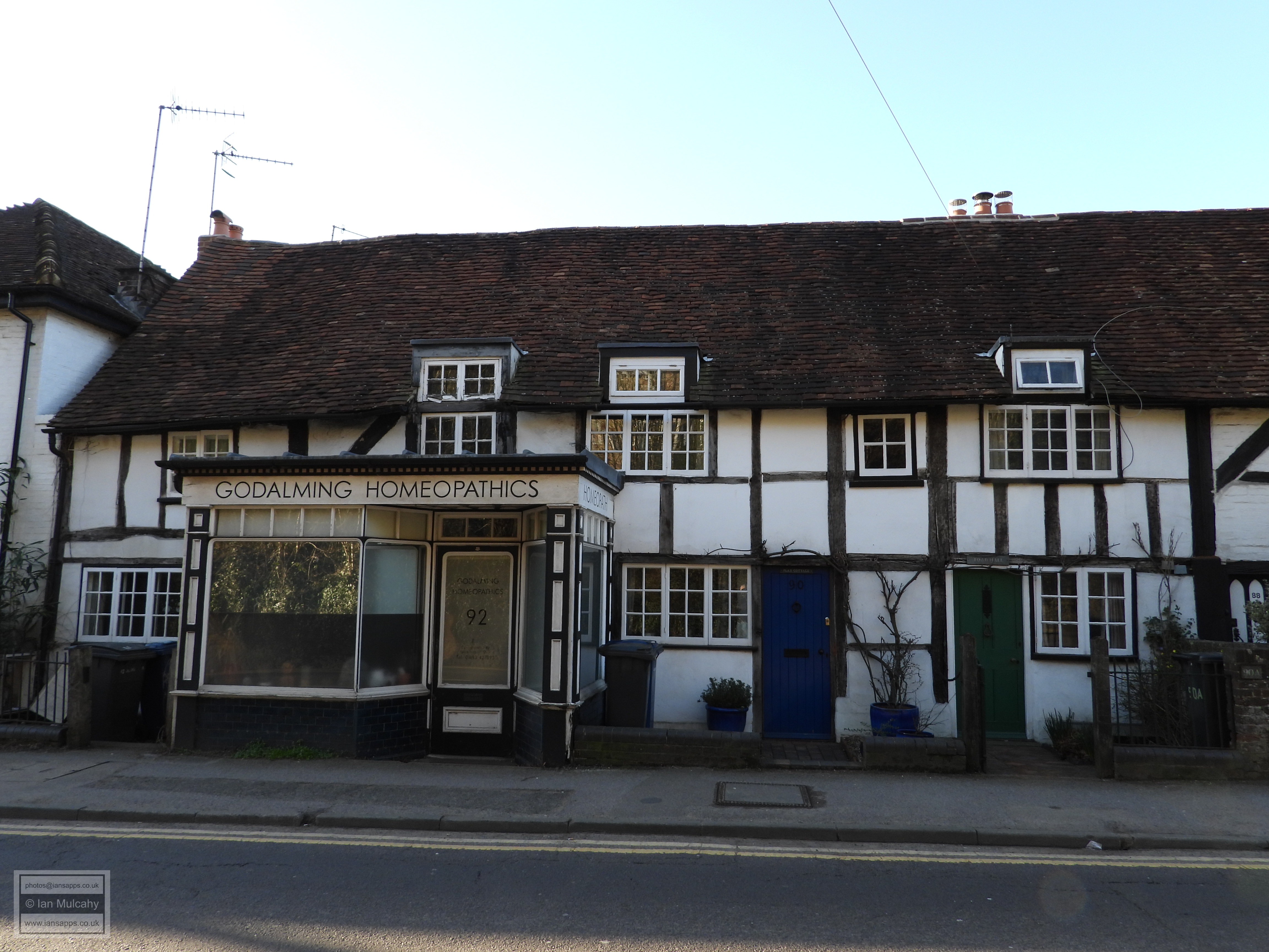
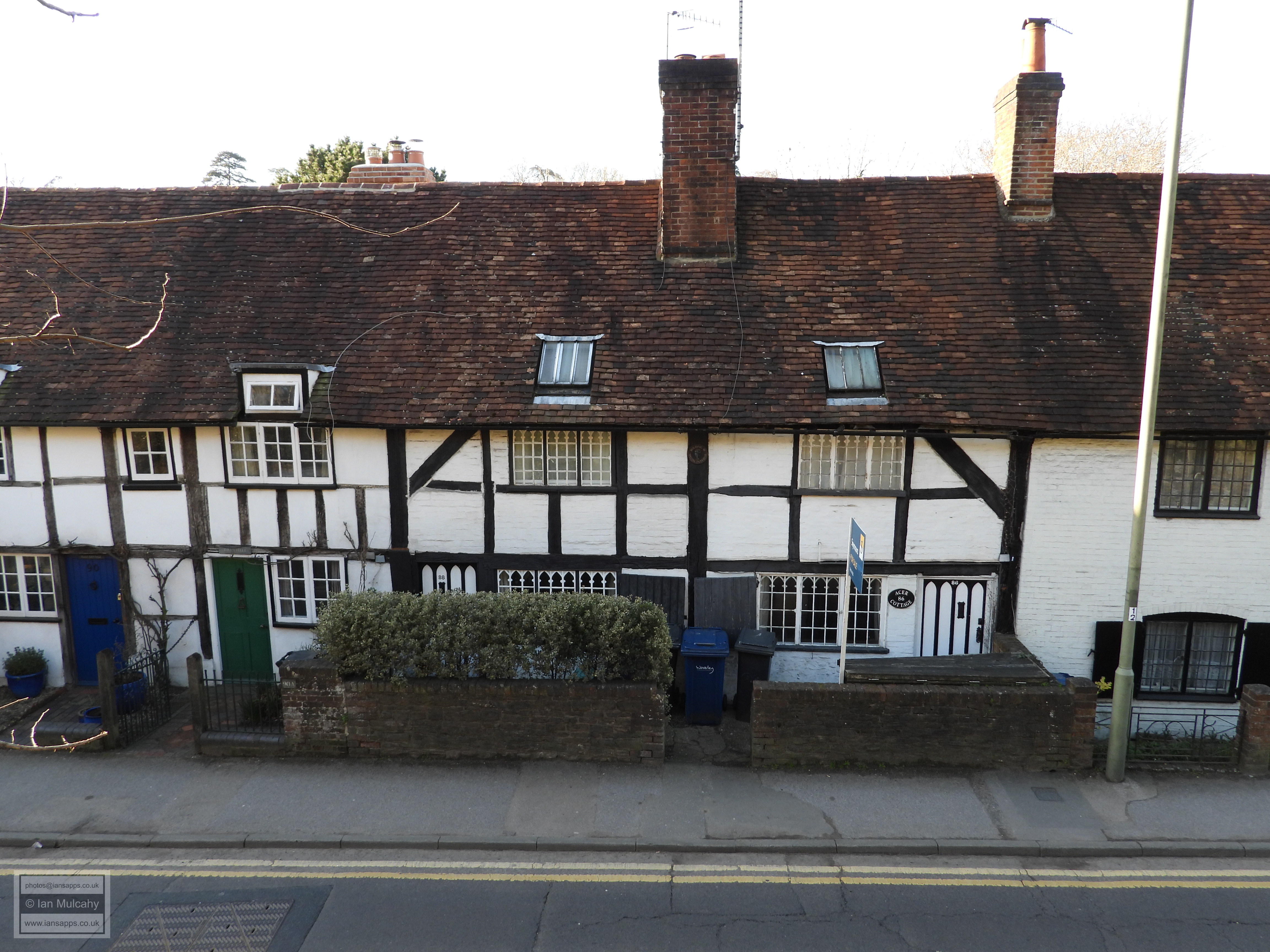
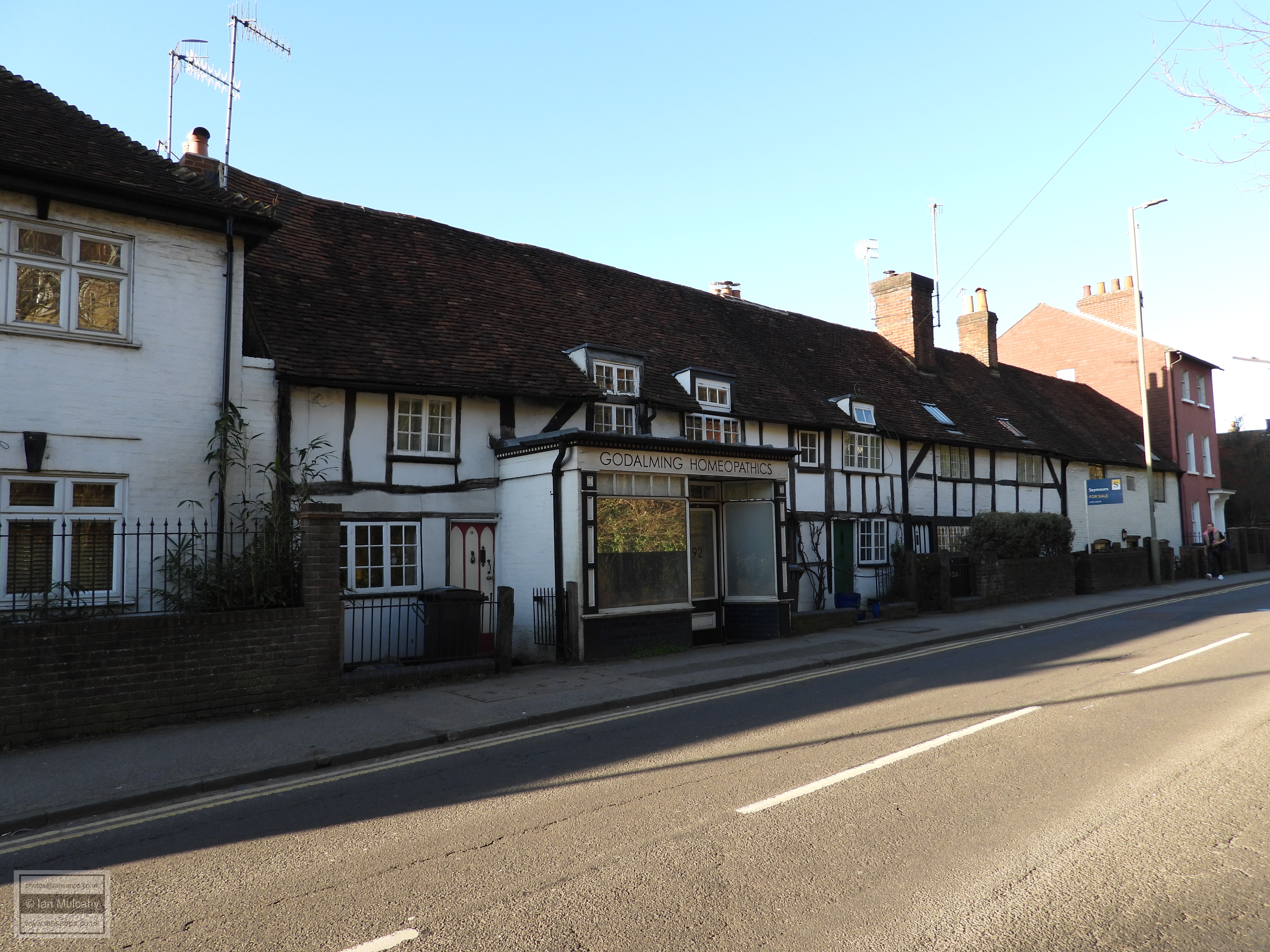
86-92 Ockford Road 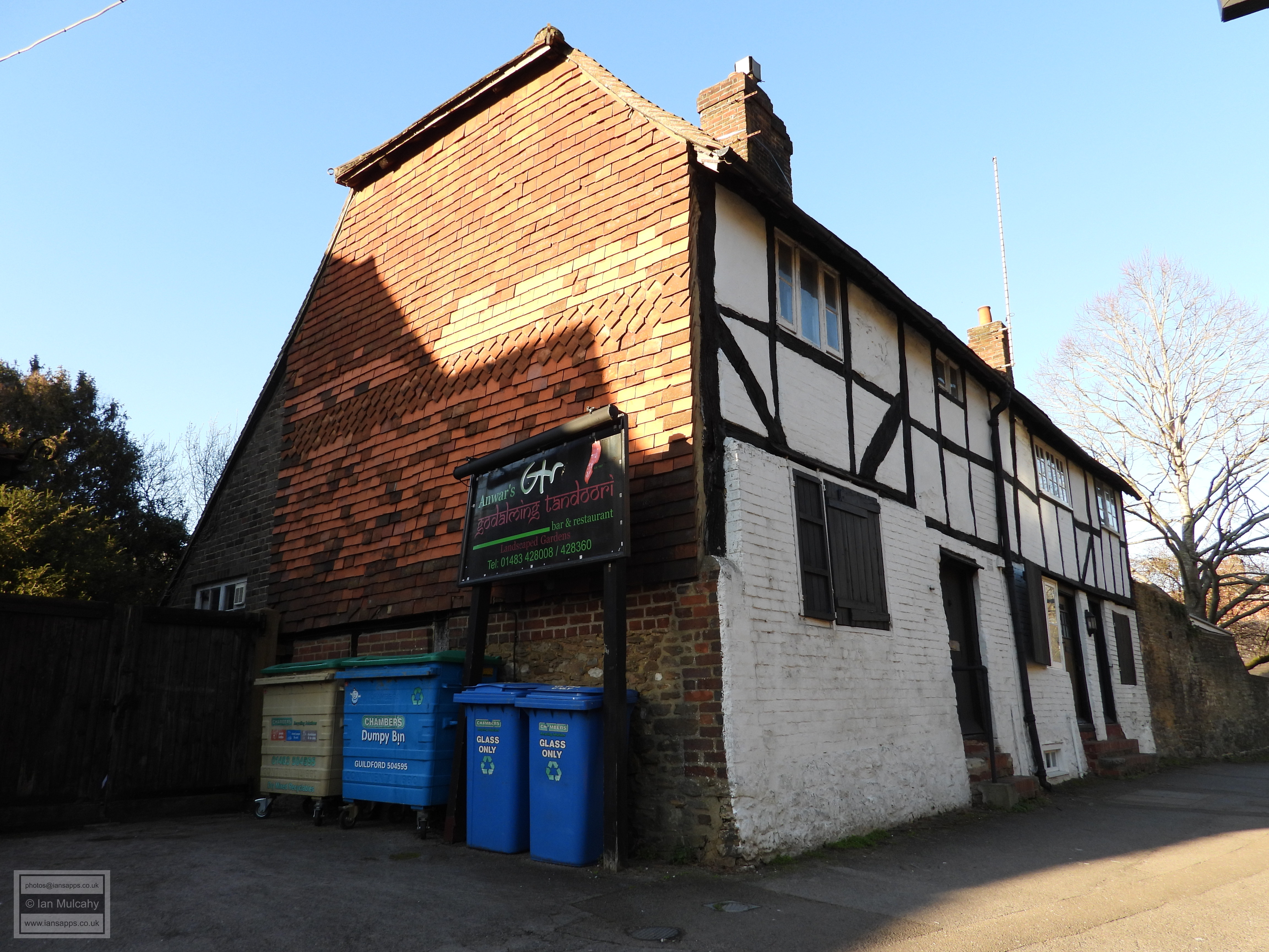
104-108 Ockford Road 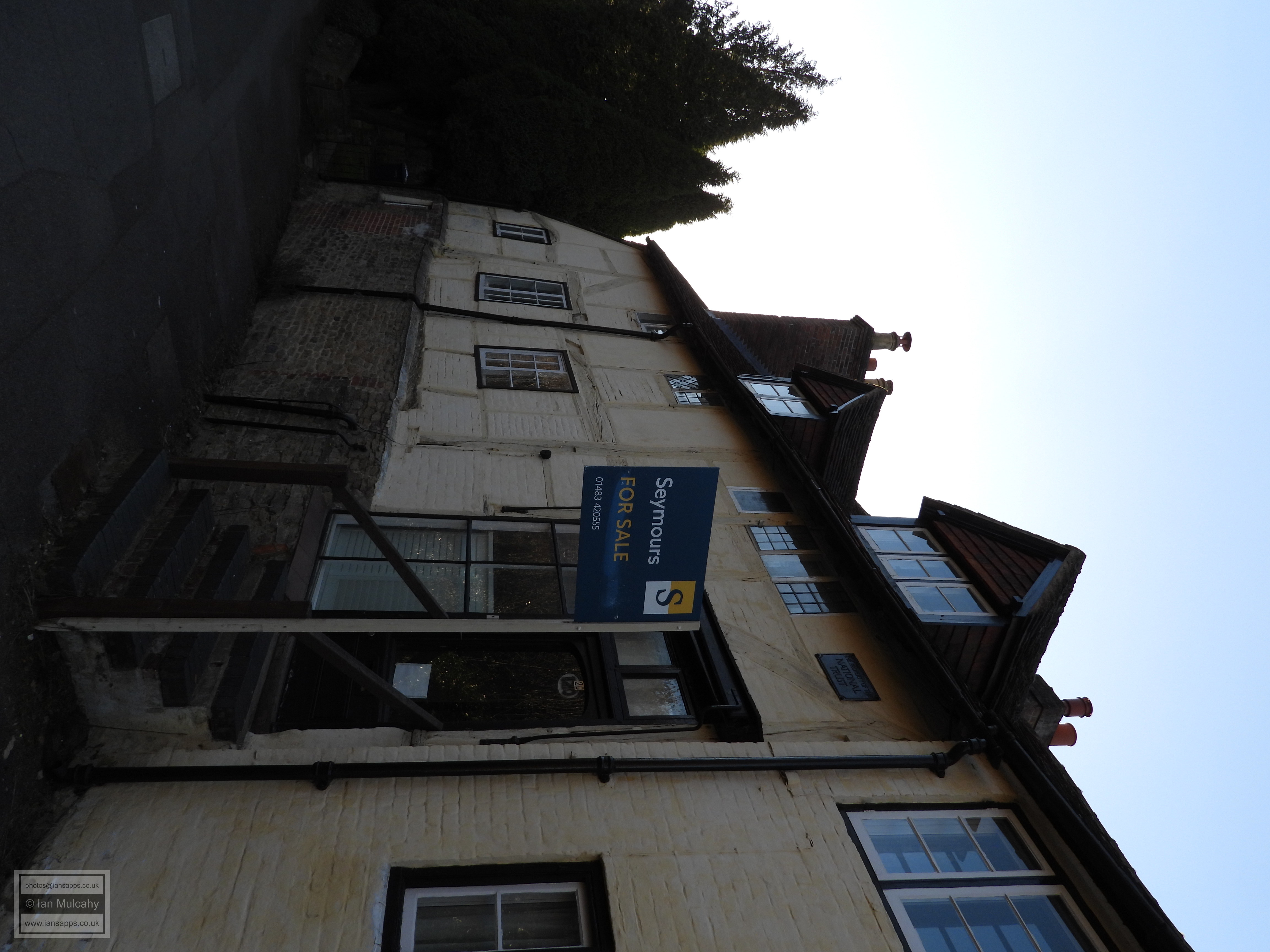
120-122 Ockford Road With the 4 hour time limit on the parking ticket almost up, it was now necessary to make the brisk 5 minute walk back to the car. I hope you enjoyed this Tudor tour of Godalming as much as I did. Sources
Text & photographs © Ian Mulcahy. Contact photos@iansapps.co.uk or visit my 'Use of my photographs' page for licensing queries (ground level photographs only). |
pipictures taken with |