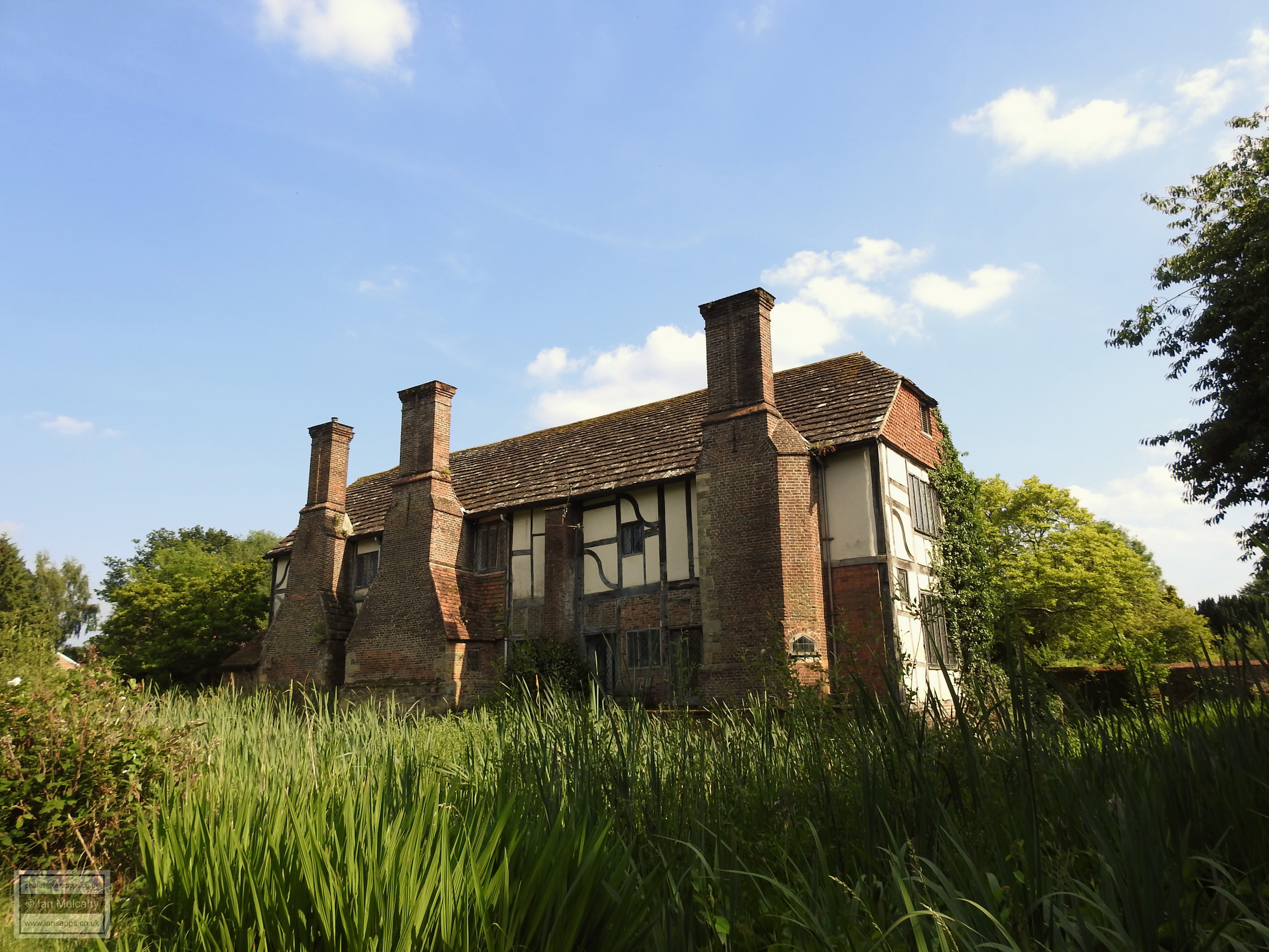
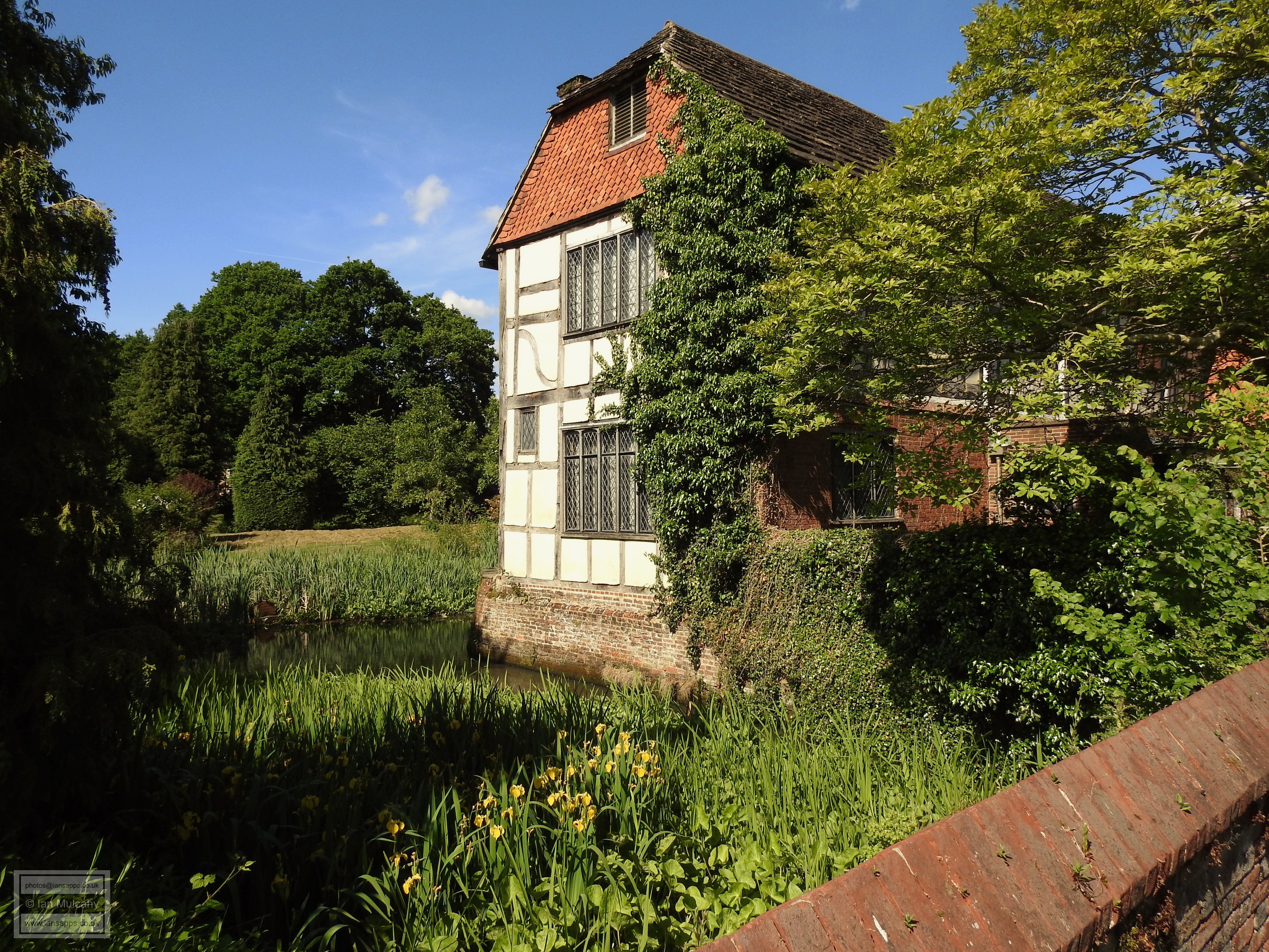
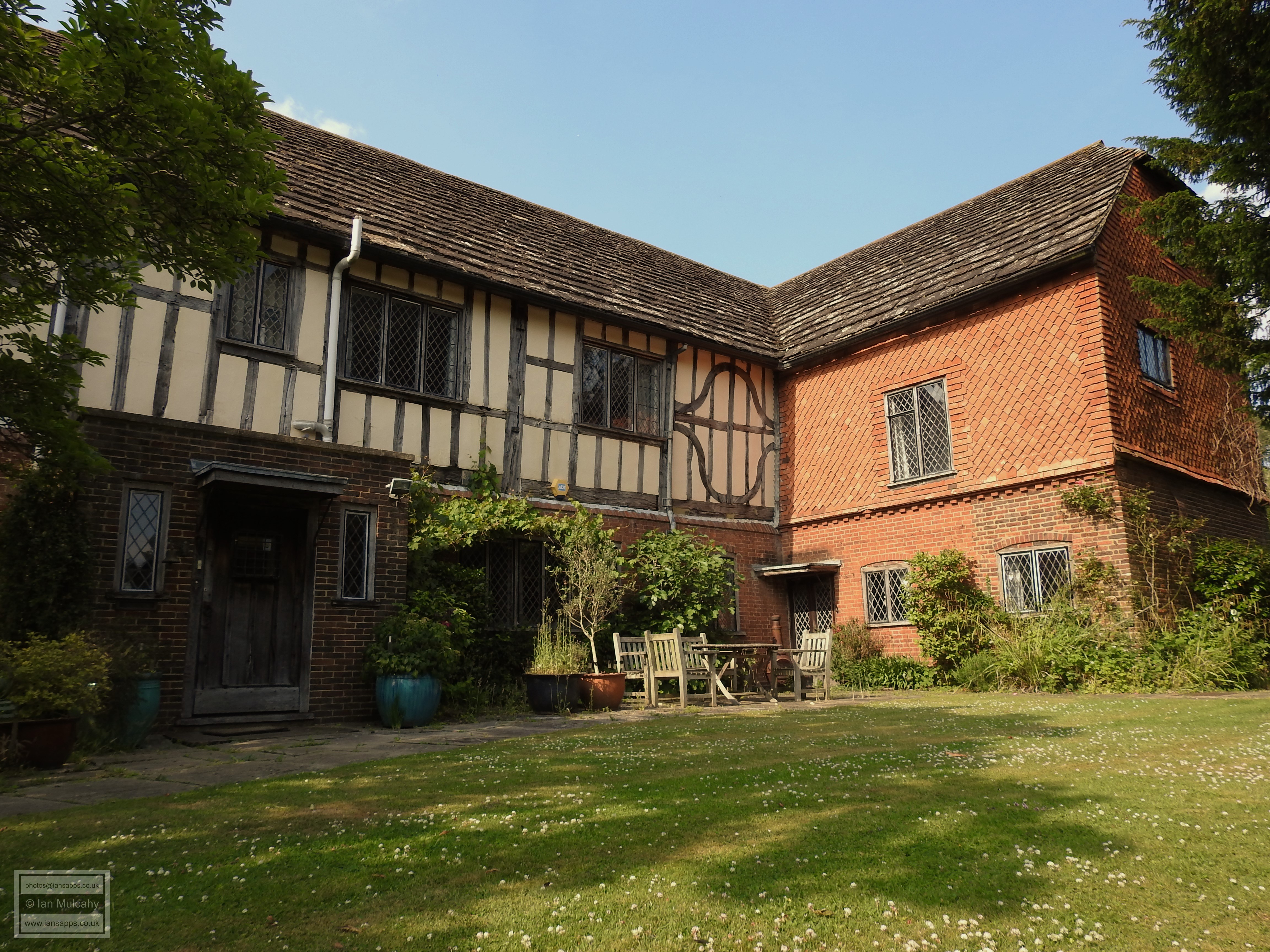
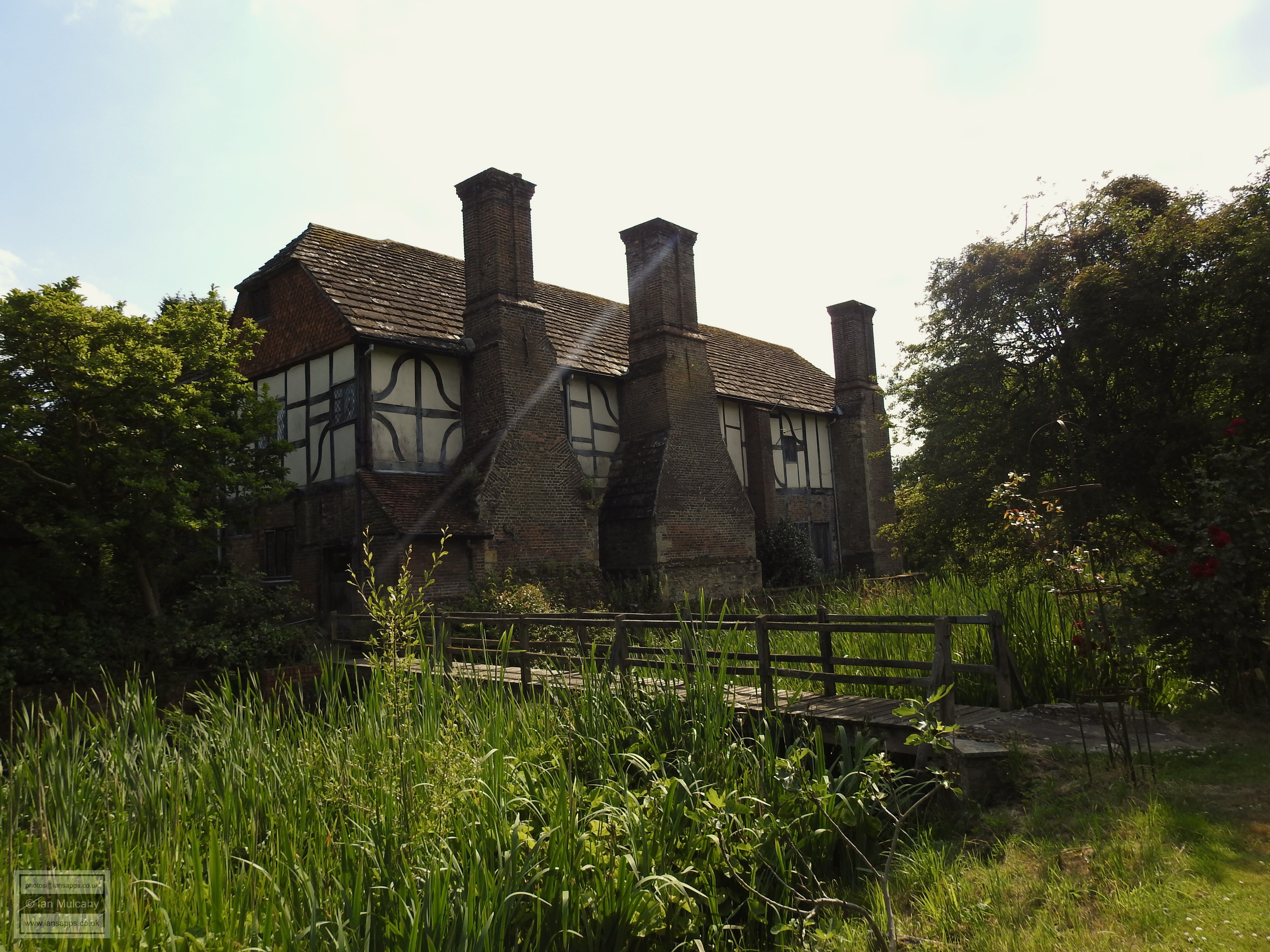
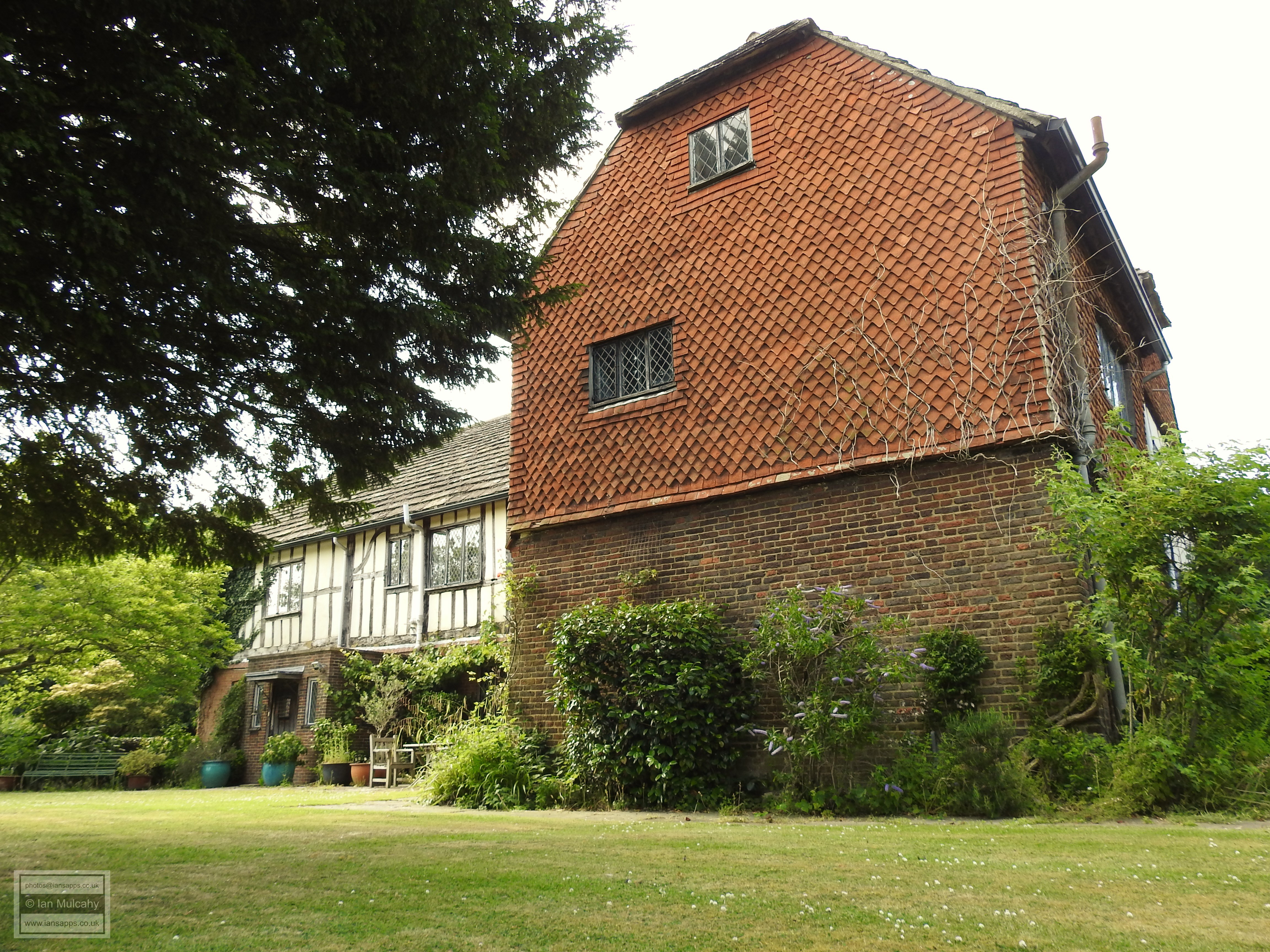
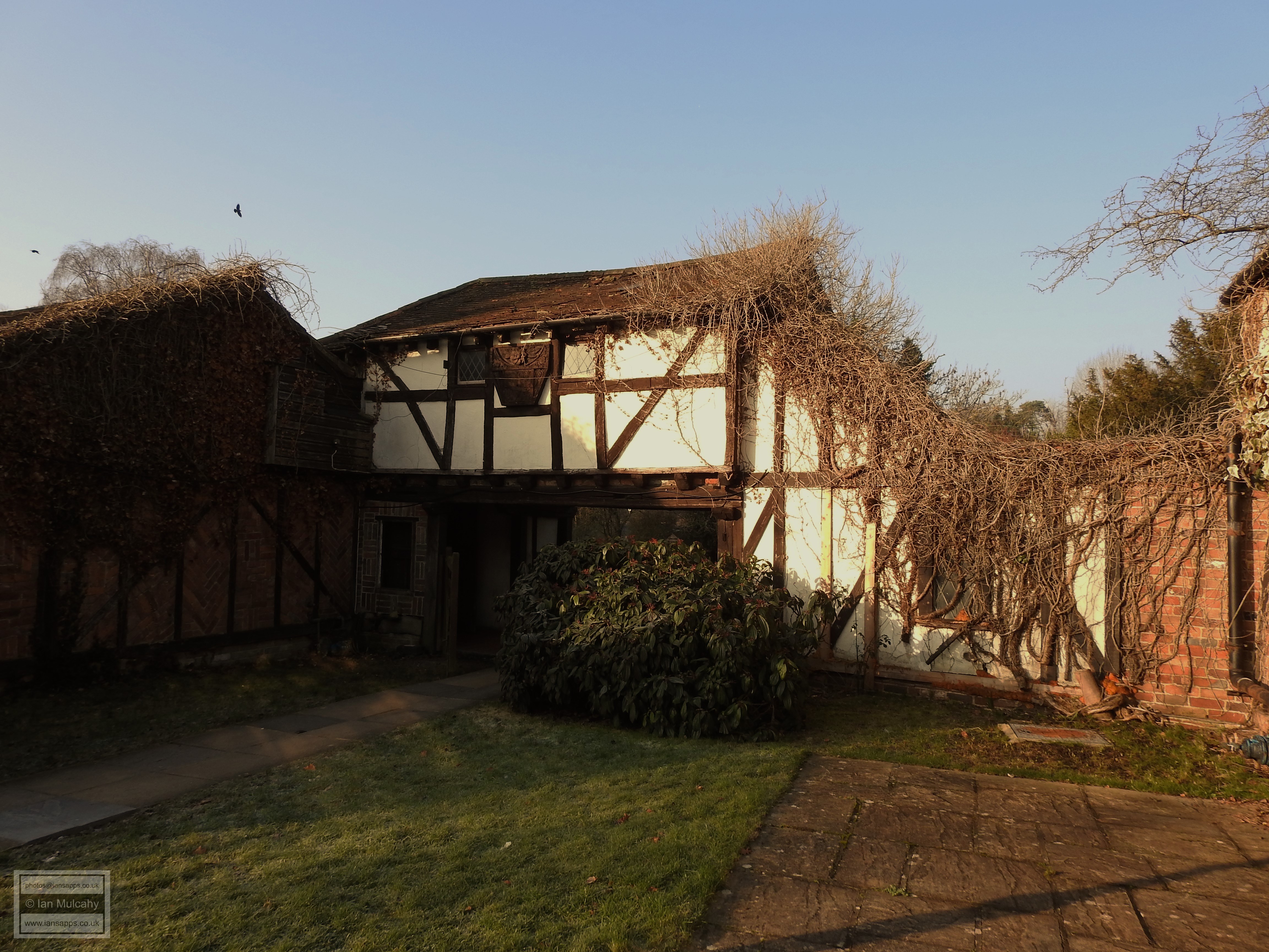
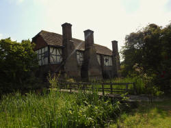
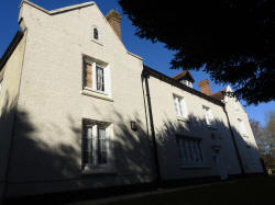
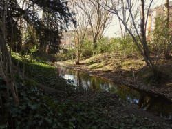
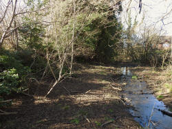
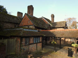
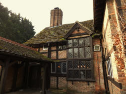
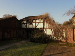
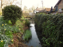
Ewhurst Place, Ifield
The name Ewhurst ("Yew Wood") is one of the area's oldest farm names and
the site may have originally had a smaller outer ditch which could have
pre-dated the main moat.
Various members of the Ewhurst family (hereditary surnames didn't widely
exist until the late 14th century and given names were embellished with reference to their
farm or their trade; the original source of many surnames that we still
see today) were recorded locally in the medieval period, including
William, who was dealing with ½ yardland (a land tax unit) in Ifield in
1273, Thomas, who was taxed in Ifield in 1332 and another William who
held a 'quarter fee' in Ifield in 1368, a fee (or 'fief', from where we
derive fiefdom) being a unit of land deemed sufficient in size and
productivity to support a knight! In 1447 a William Sidney was farming
800 acres at Ewhurst in Crawley and elsewhere. Whilst no physical
evidence of a previous building on the site has ever been discovered
(though the Victoria County History of Sussex suggests foundations from
an earlier building exist in the northern section of the moat) it is
clear from documentary evidence that a Ewhurst has existed since at
least the 13th century and, indeed, most moated sites date from between
1250 and 1350.
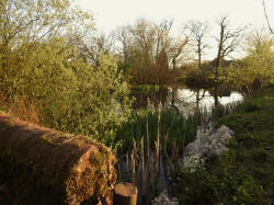
Ewhurst Place is the only complete
survivor of the six moated manors, that is the complete moat and the house still exists.
The current building is a grade 2* listed L-shaped timber-framed house of 2 storeys and
attics occupying the north-west angle of the moated enclosure with the
main range lying east to west which was probably built in the late 1500s. The south side, or the 'tail' of the L is
faced with 18th century brick and it is believed that this marks a small
extension of perhaps 3 metres at the point of the original entrance to
the house. An external door frame can still be seen inside the building.
It was
previously thought that this wing was originally significantly larger before being destroyed by fire in the
1700's, but the foundations against the southern side of the moat, some 15 metres away from the wing
and in direct line with the house and which were thought to provide
evidence of this, are more likely from a long since lost walled garden,
for which a small amount of evidence exists in the area east of the
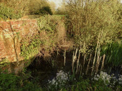
house. A visible portion of scorched wall on the edge of the moat is now
believed to be the remains of a lime kiln and recent analysis has
suggested that the scorching is consistent with sustained high
temperatures over a long period of time, rather than being caused by a
house fire. The area where the supposed wing would have stood hosts two
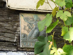
yew trees which likely pre-date the supposed wings destruction. The old firemark
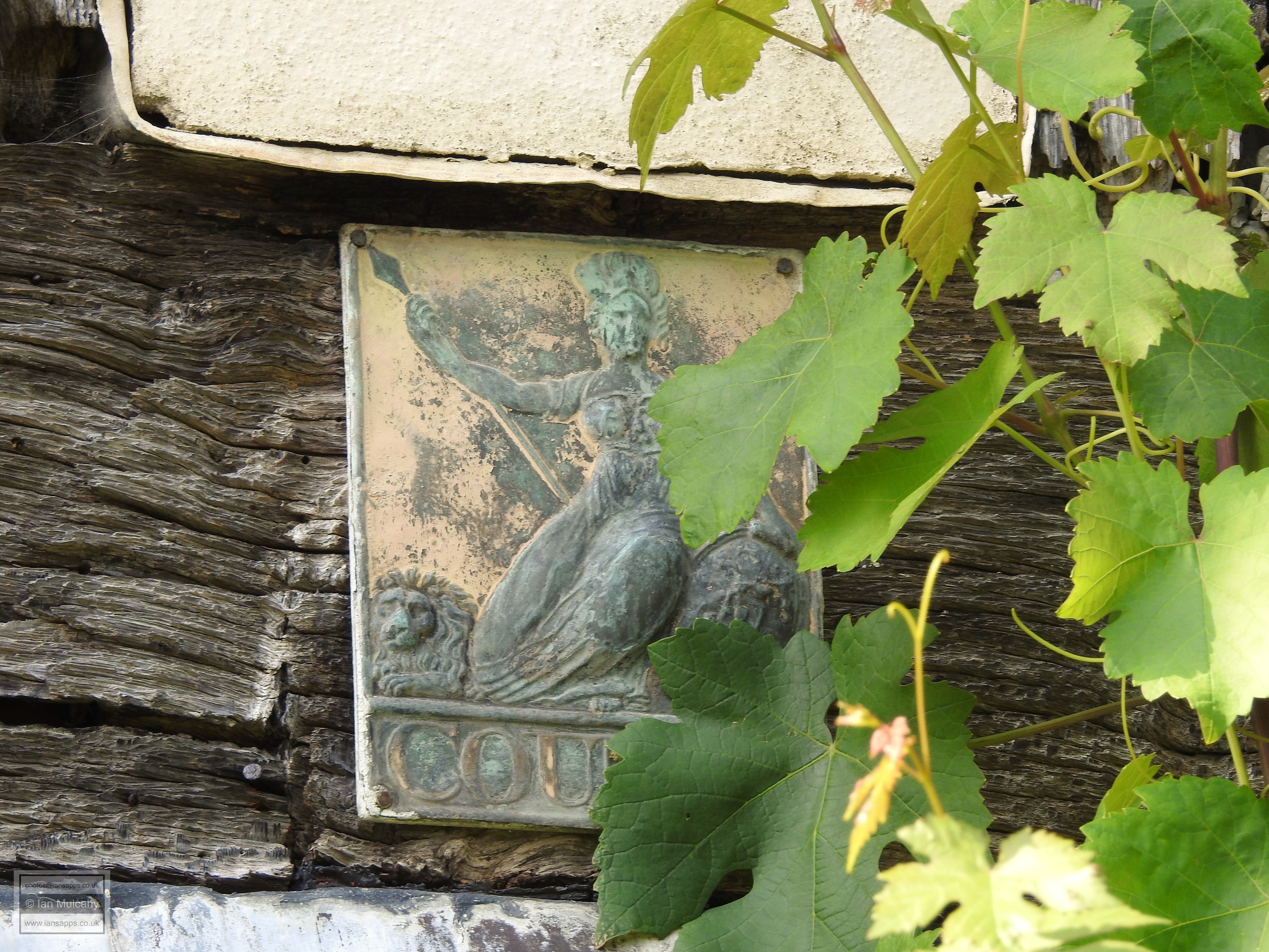
attached to the house (the original of which is pictured
below) issued by early insurance companies to be displayed on insured
houses to demonstrate to attending fireman
that the house was insured (and they could therefore attempt to
extinguish a fire!) probably gave legs to the now discounted theory for
a larger house.
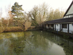
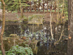
At the western end of the house, submerged in the moat, are foundations
of approximately a bays length and which are contemporary with the
extant house suggesting that if the house was indeed larger in the past
then it was from the main range that a portion has been lost, rather
than the wing. The foundation wall on the north side of the house slopes
slightly into the moat whereas at this western end the wall is straight
and of a different brickwork.
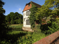
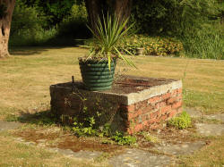
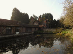
The main current access to the island is via a (grade 2 listed) single
arched brick bridge of the 18th century. On the island is a functioning well, partly fed by an
original lead drainpipe descending from the roof, from which clean and
unpolluted drinking water can still be drawn.
Other names that the site has been known by include 'Fewhurst' (on a map
from 1610) and 'Hewards' (on a map dated 1816) These
are phonetic spellings used by the cartographer in an age when most
people were unable to read or write. If you imagine an old Sussex accent
saying 'Ewhurst' quickly, it's easy to see how 'Hewards' is heard.
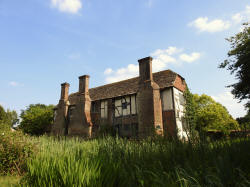

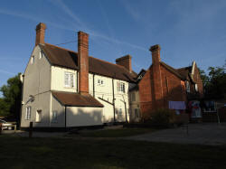
Ewhurst Place
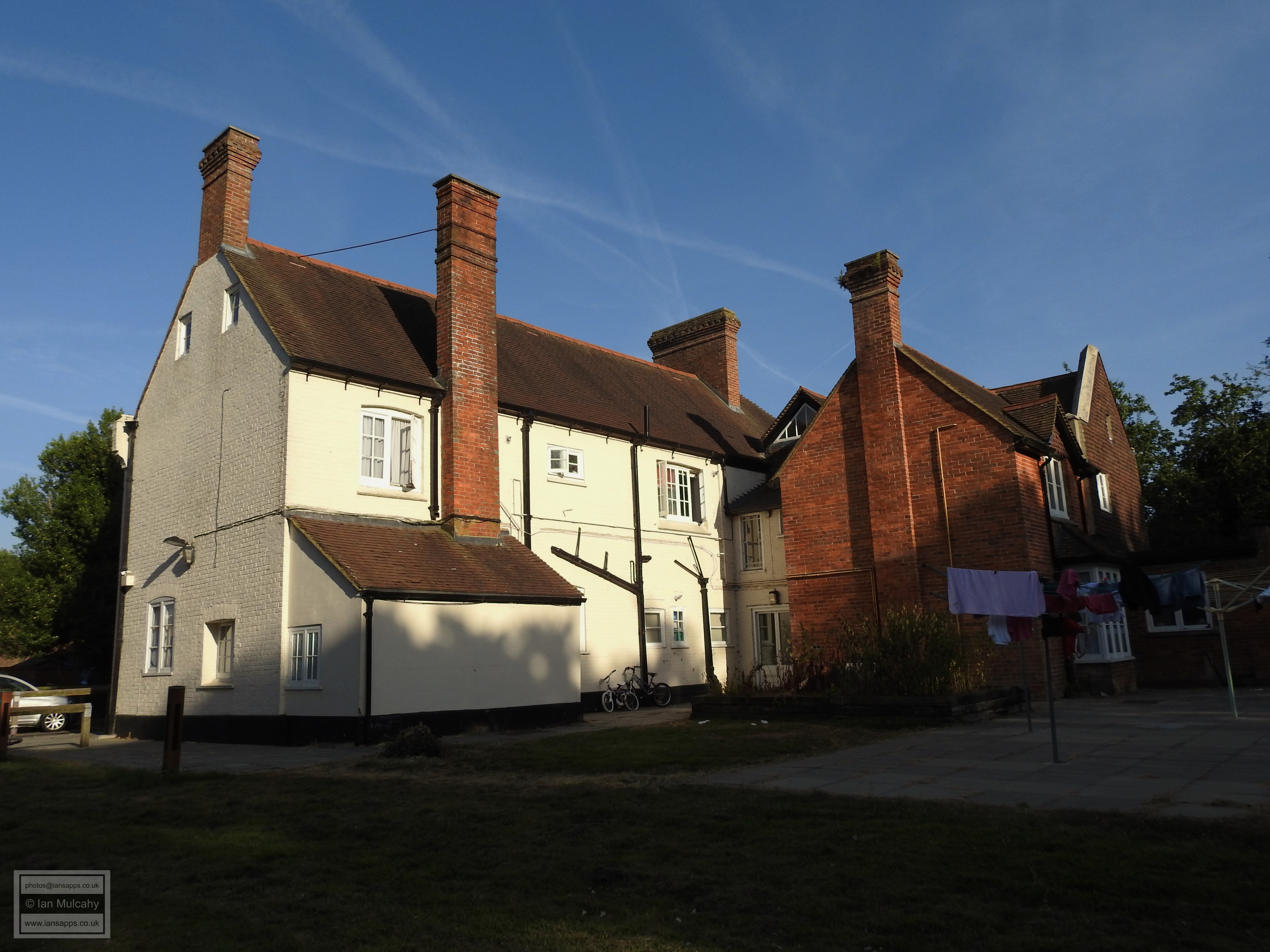
Bewbush (Beaubush) Manor
Local people will recognise Bewbush Manor as
the big white house in Francis Edwards Way that is owned by the council
and used as a hostel for those in need of housing, but the white painted
brick (which was erected in approx. 1850) encases a late 15th or early
16th century timber framed house containing a 17th century staircase.
The first mention of Beaubusson (French for
'beautiful bush') in land transfer papers can be traced to 1315 and by
1413 the spelling has been amended to Beaubush. The first owners were
the De Braose family who were Normans, which explains the French name
given to the manor. It is likely that the first building on the large
moated site was a hunting lodge - the Vale of Bewbush was a place at
which animals would congregate - before the existing (hidden) building
was constructed, most likely as a farmhouse.
Approximately half of the moat still exists -
to the north and west - whilst the southern part exists as a shallow
depression approximately 20cm deep. The eastern part can be assumed to
be buried under the road.
The following passage is taken from "A
History of the Castles, Mansions, and Manors of Western Sussex", written
by Dudley George Carey Elwes and published in 1879:
"On the northern side of St. Leonard's were
several extensive enclosures. The largest of these was Beaubush, which,
after having been enjoyed by the Braoses and Mowbrays, was granted by
Henry VII, in 1486, to Thomas West, Lord de la Warr, to hold during the
King's pleasure. From him it was transferred to Maurice, 8th Lord
Berkeley, who died seized of it in 1523. The next grantee was Sir Thomas
Seymour, Lord Sudeley, brother of the Protector Somerset, and himself a
man of no mean ambition. He had married Queen Catherine Parr, Henry
VIII's widow, and at her death ("not without suspicion of poison," says
Burnet) became a vehement suitor for the Princess Elizabeth's hand. As
Lord High Admiral of England and a favourite with the young king he was
able for awhile to prosecute his suit with some chance of success, but
his unscrupulous designs being discovered he was committed to the Tower,
and condemned to death, without his defence being heard. By his
attainder Beaubush reverted to the Crown, and was granted successively
to Philip, Earl of Arundel, and Arthur Middleton. The latter, by letters
patent, dated 4 June 1588, obtained a lease for 21 years, which he
bequeathed to his son, John Middleton, who had it in 1608. The next
grantee was Edward, Earl of Sandwich, who acquired possession of it in
1663, and from him it descended to Edward Wortley Montagu (husband of
the celebrated Lady Mary), who, by will dated 22 May 1755, left it to
the second son of his daughter, the Countess of Bute. It accordingly
devolved to the Hon. James Archibald Stuart (afterwards Wortley), who
sold it, in 1786, to James Baird, and he to Lord Chancellor Erskine, who
resided on the estate and took much interest in its improvement. At Lord
Erskine's death it was purchased by Thomas Broadwood, who, in 1823,
built the mansion of Holmbush on the northern verge of the Forest and
near the site of an older house."
The observant reader will note previous
owners who are remembered in road names around the town - Seymour
(Road), Broadwood (Rise) and Middleton (way).
For a wider study of the 'Hidden History of Bewbush' please visit
http://www.iansapps.co.uk/oldbritain/crawley/bewbush.html
Bewbush Manor
Hyders Hall (Gatwick Manor)
Only part of the moat still exists, as an
ornamental pond in front of the building, but the building and it's
barn are still very much in existence. Originally built in the 15th
century as 2 two bay open hall-house (though the current owners,
Chef & Brewer claim that the earliest building dates back to the
middle of the 13th Century) , it has been extended multiple times
(in roughly 1600, 1700 & 1850). With parts of the walls being up to
three and half feet thick and some of the original internal oak
paneling surviving, this former farmhouse was certainly built to
last.
The barn to the north was built later
than the main hall and a room from a former inn in nearby Reigate
was moved to Crawley and used as the basis of a structure which
connects the two.
A family, De la Hyde and Atte Hyde,
(hence Hyders Hall) occurs in documents of 1263, 1332 and 1378. That
this appears in 1263 gives some substance to the claims of the
present owners, though it is more likely that a previous building
was replaced in the 1400's.
The moat is not a scheduled Ancient Monument, but the building is, of course, listed.

Hyders Hall (Gatwick Manor)
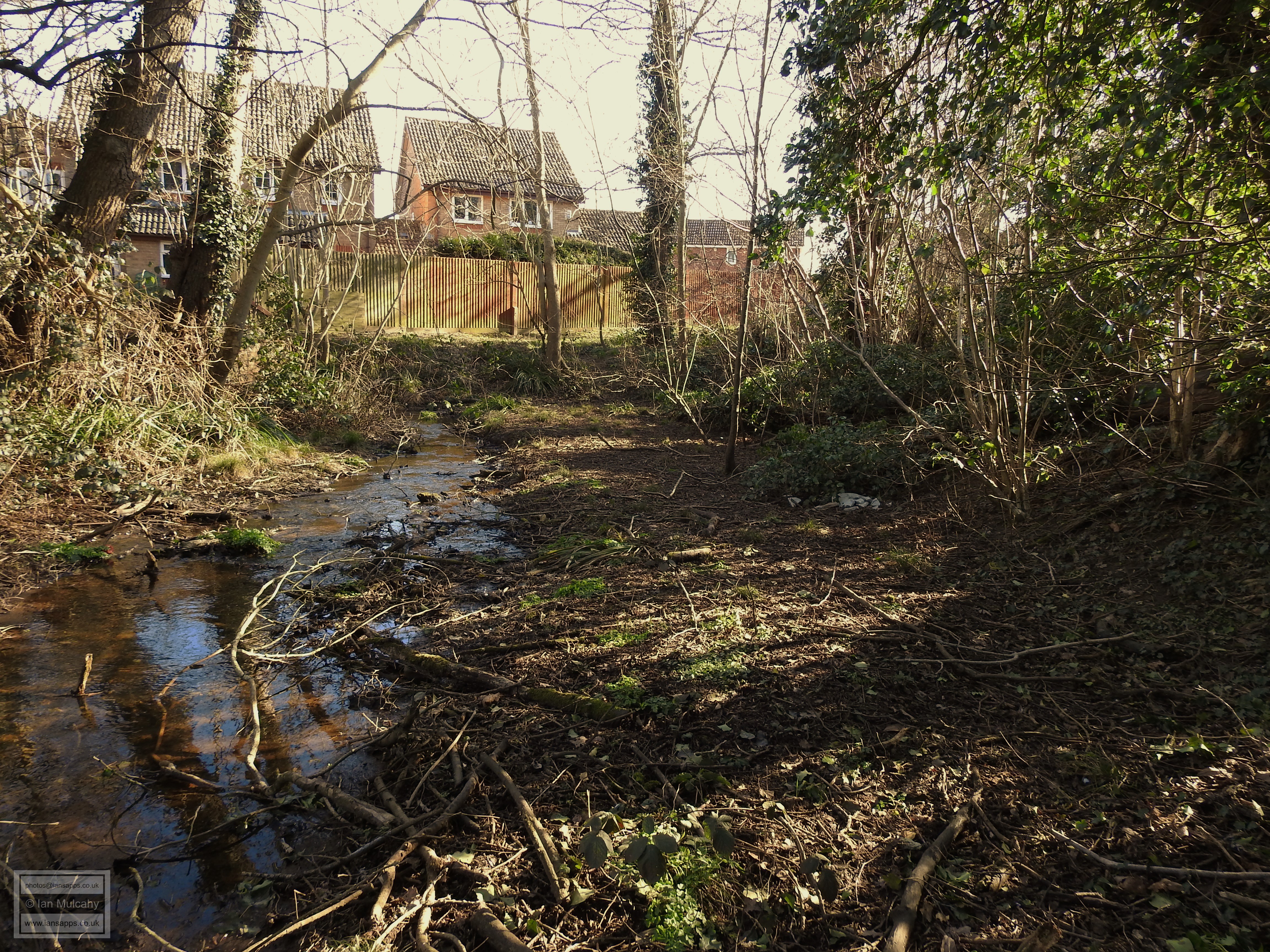
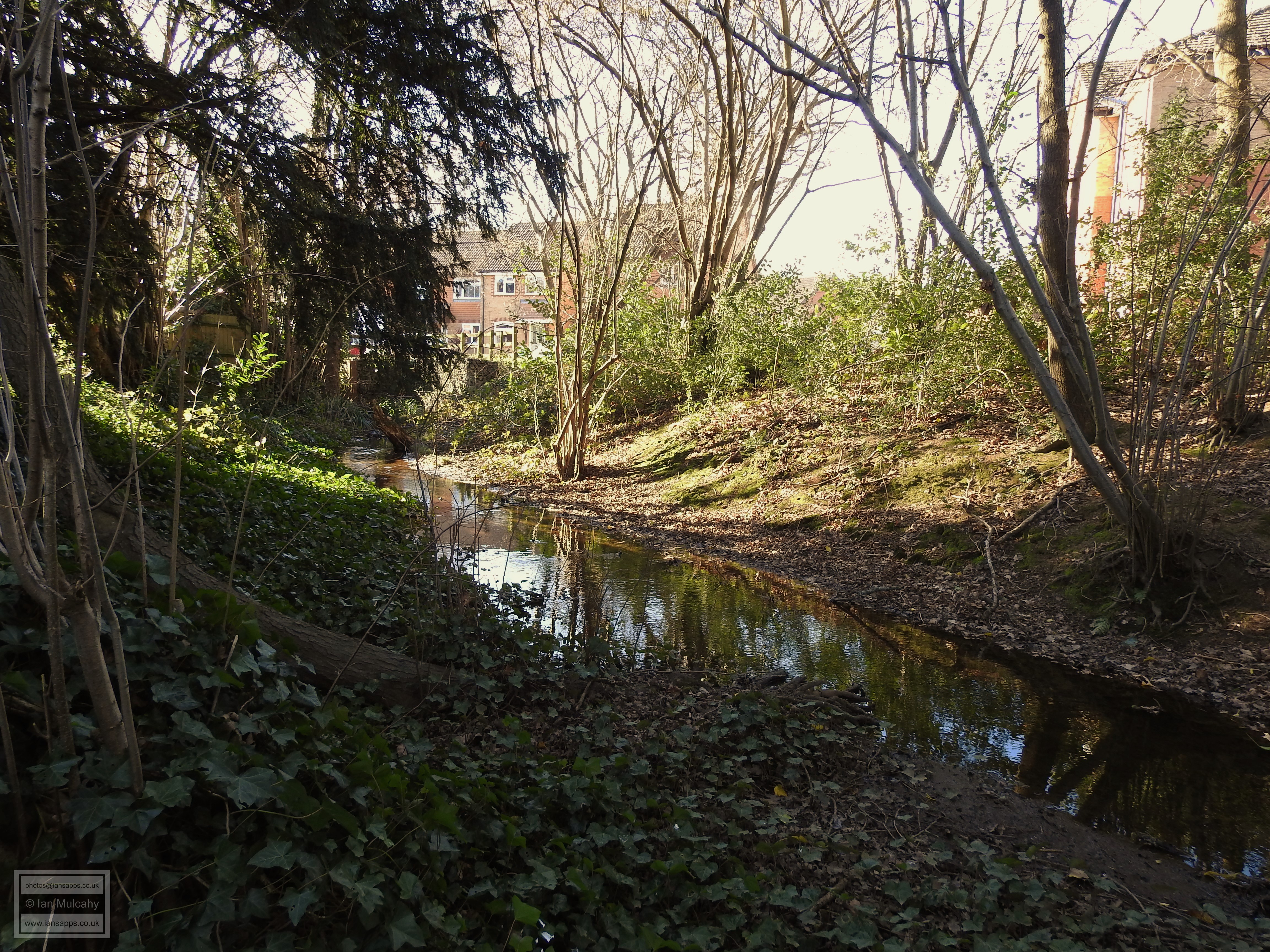
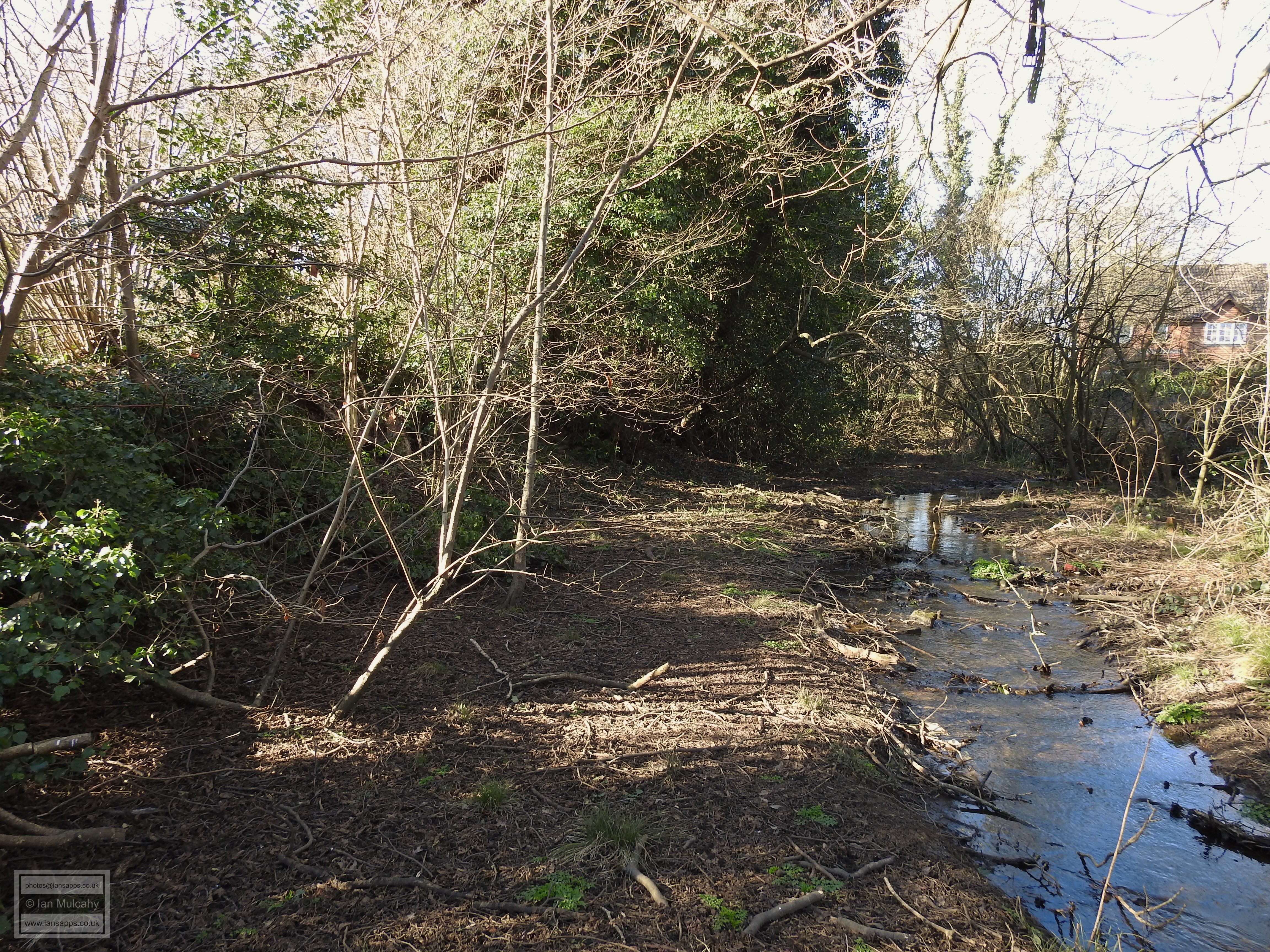
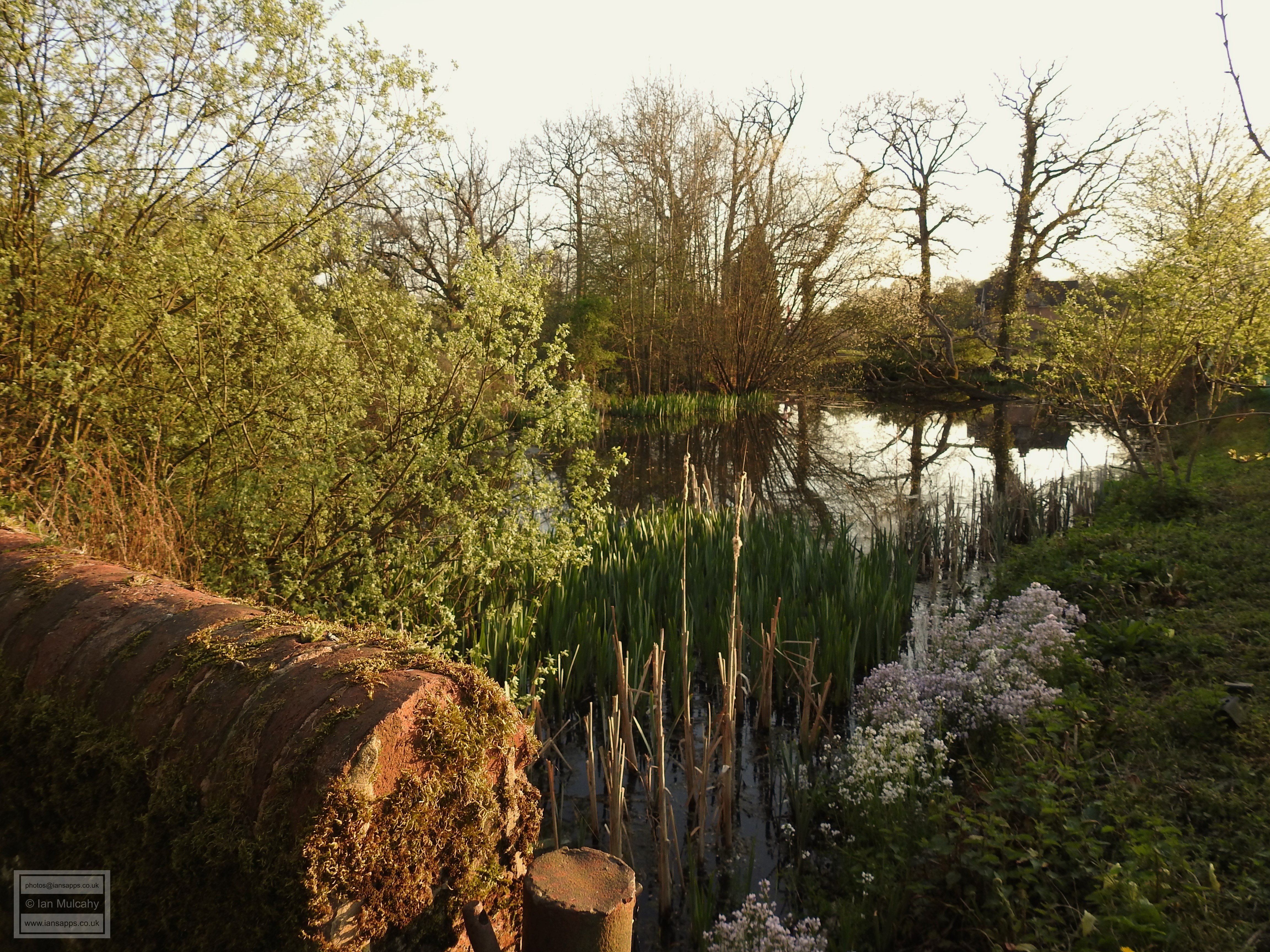
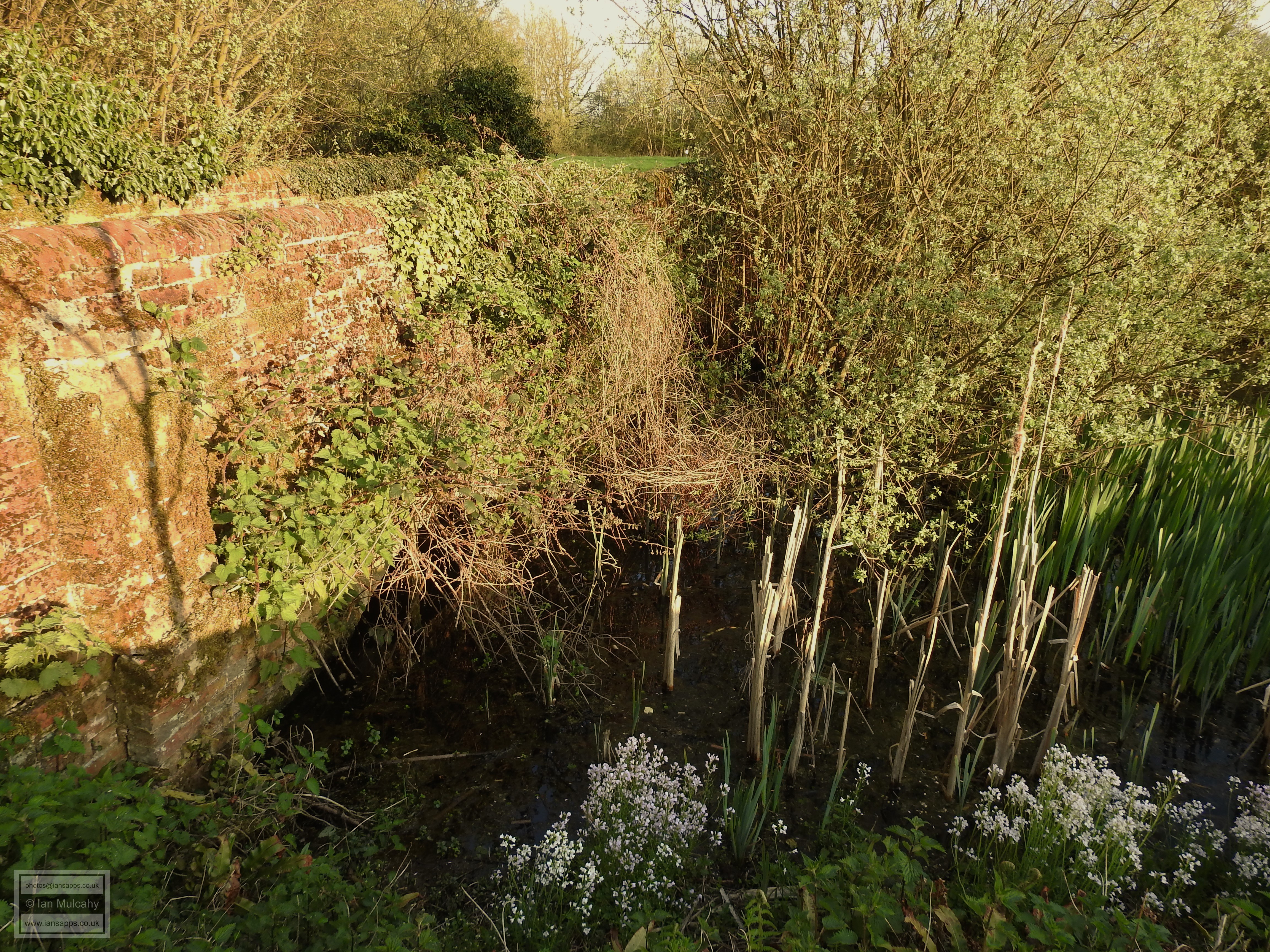
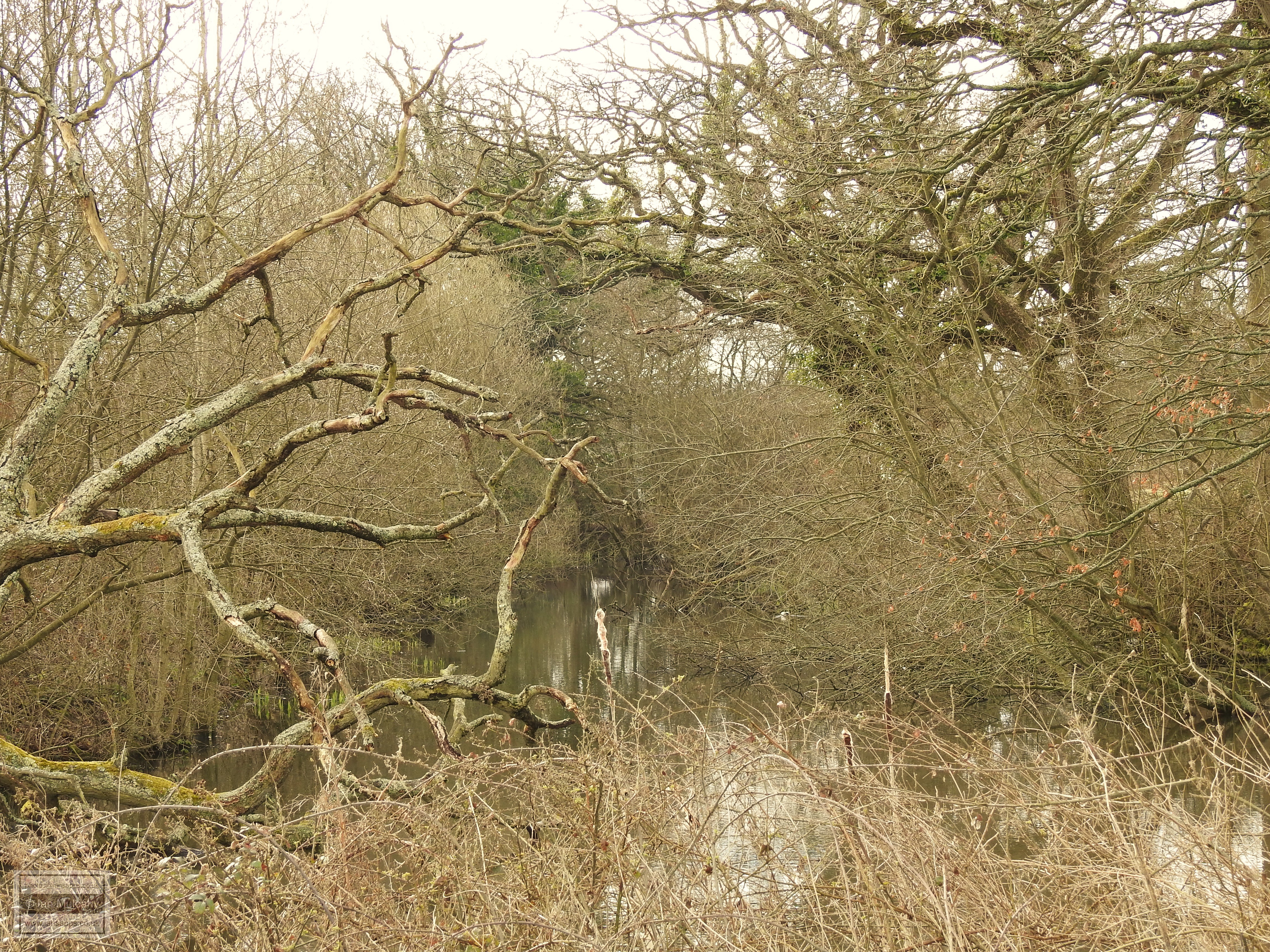
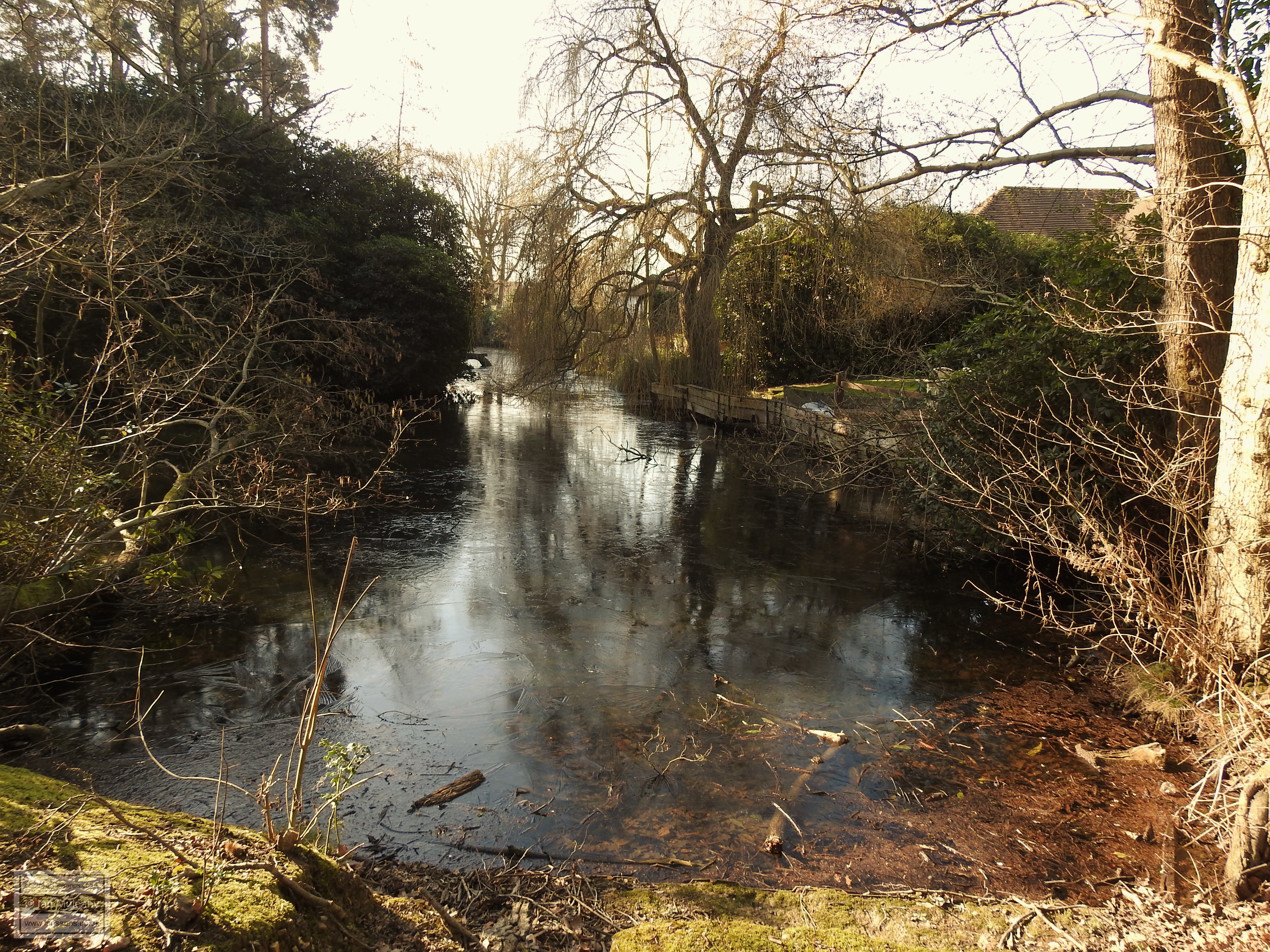
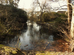
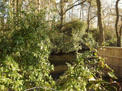
Ifield Manor
Ifield Manor, to the north of Ifield Green has a complete moat, but
there are no surviving buildings on the island and little is known
about what was there. English Heritage state that 'the remains of
the manor house itself and ancillary buildings such as a kitchen,
stables and storehouses are considered likely to survive', but these
have long since been buried. Maps as far back as 1870 show no buildings existing on
the site.
A house at Ifield manor is first documented in 1387 in the will of Sir Richard Poynings, who was then Lord
of the Manor, though undoubtedly existed before this and an Ifield
Manor was mentione din the Domesday Book of 1086. A moated house was
documented in 1529 when the Manor was still in
the hands of the Poynings and by 1835 it had become a farmhouse called
Ifield Court occupying the northern corner of the island. This is
clearly shown on the Ifield tithe map, published in 1841. By 1870,
the house had been destroyed by fire and was no more having been
replaced by a new house east of the moat, which is shown on the map of 1870,
and which is what we now know as Ifield Court.
I have been informed that an English Heritage excavation of part of
the moat many years ago turned up some medieval artefacts. If I can
obtain any further details then I will update.
Ifield Manor
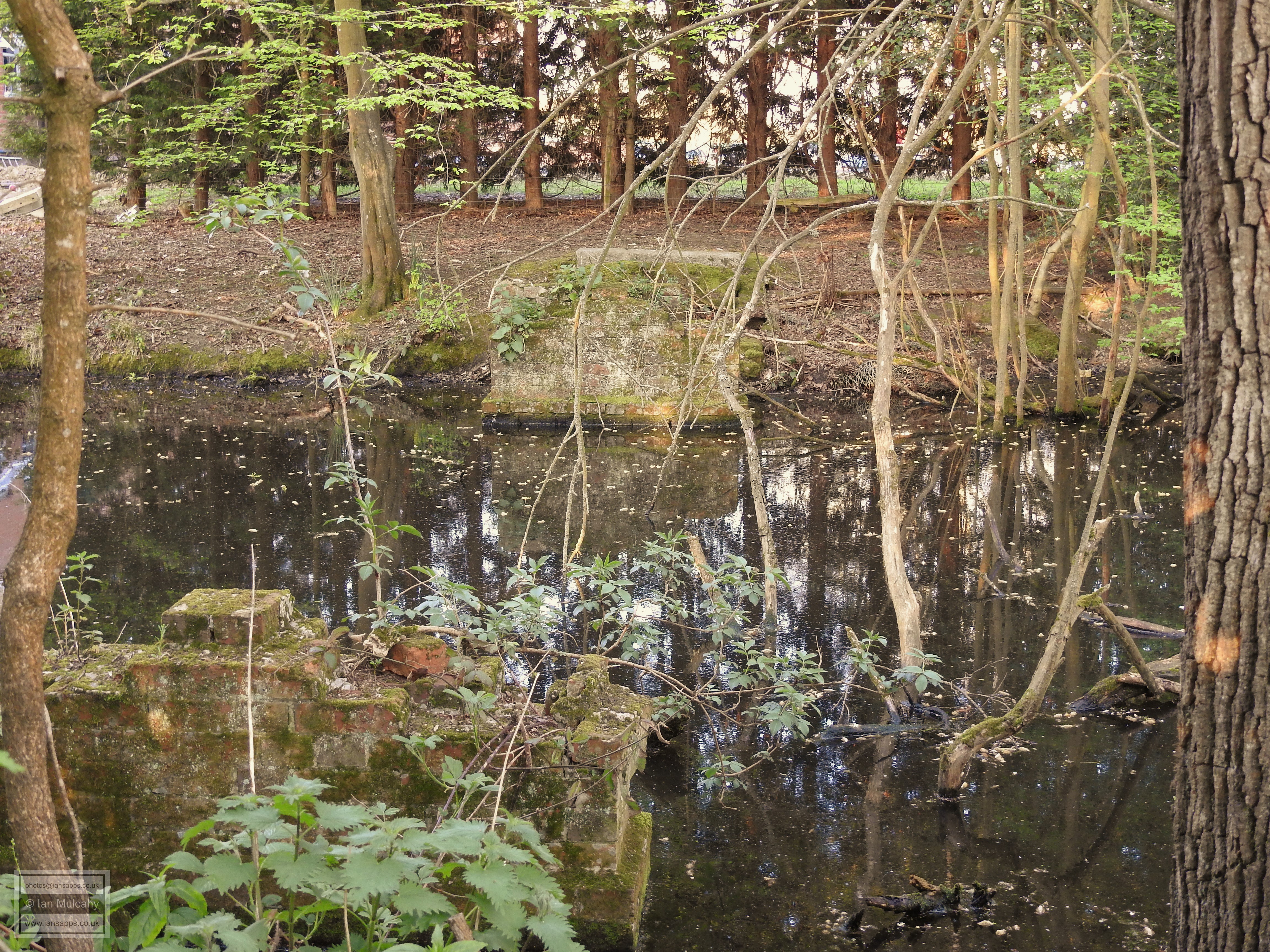
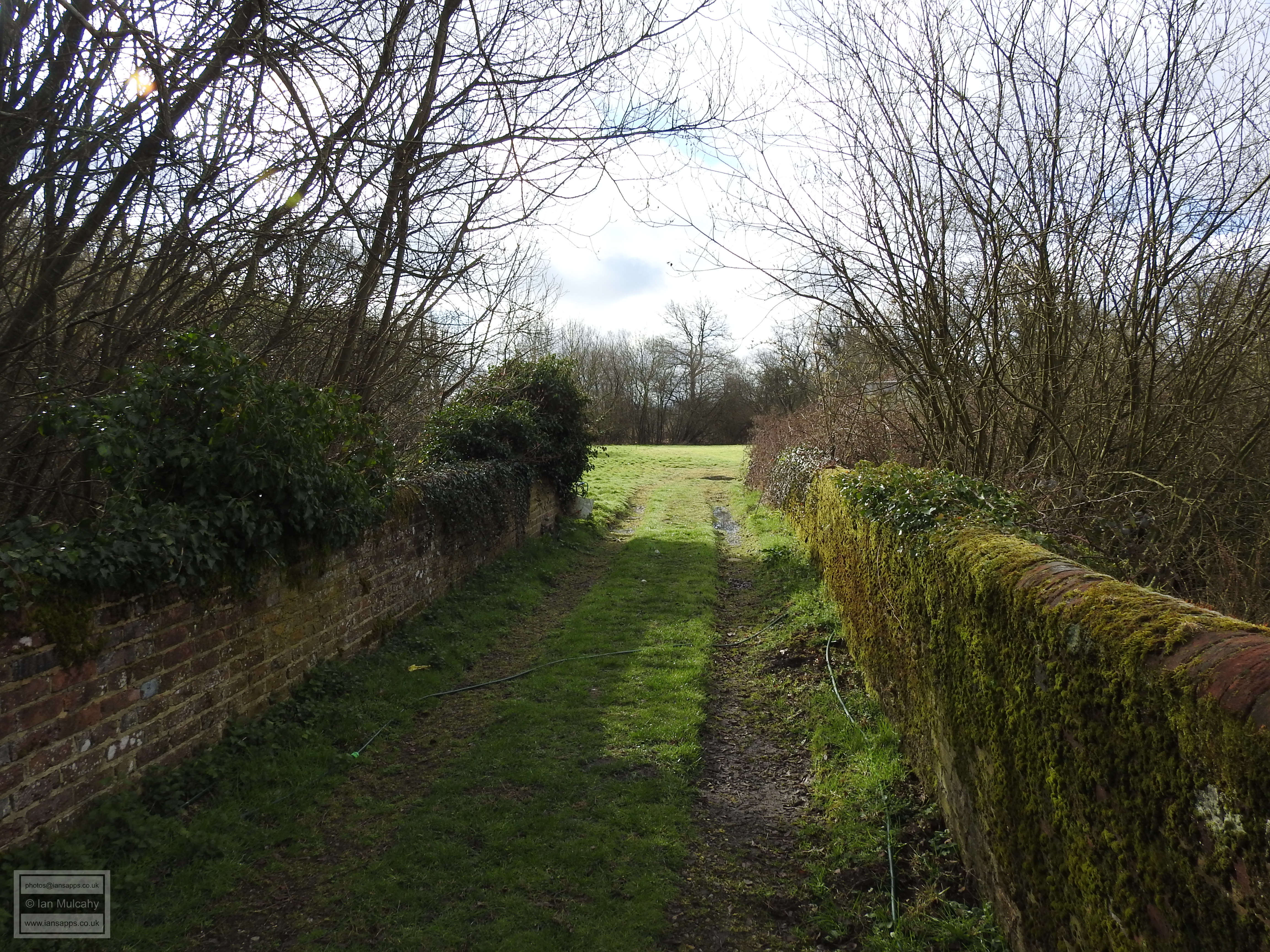
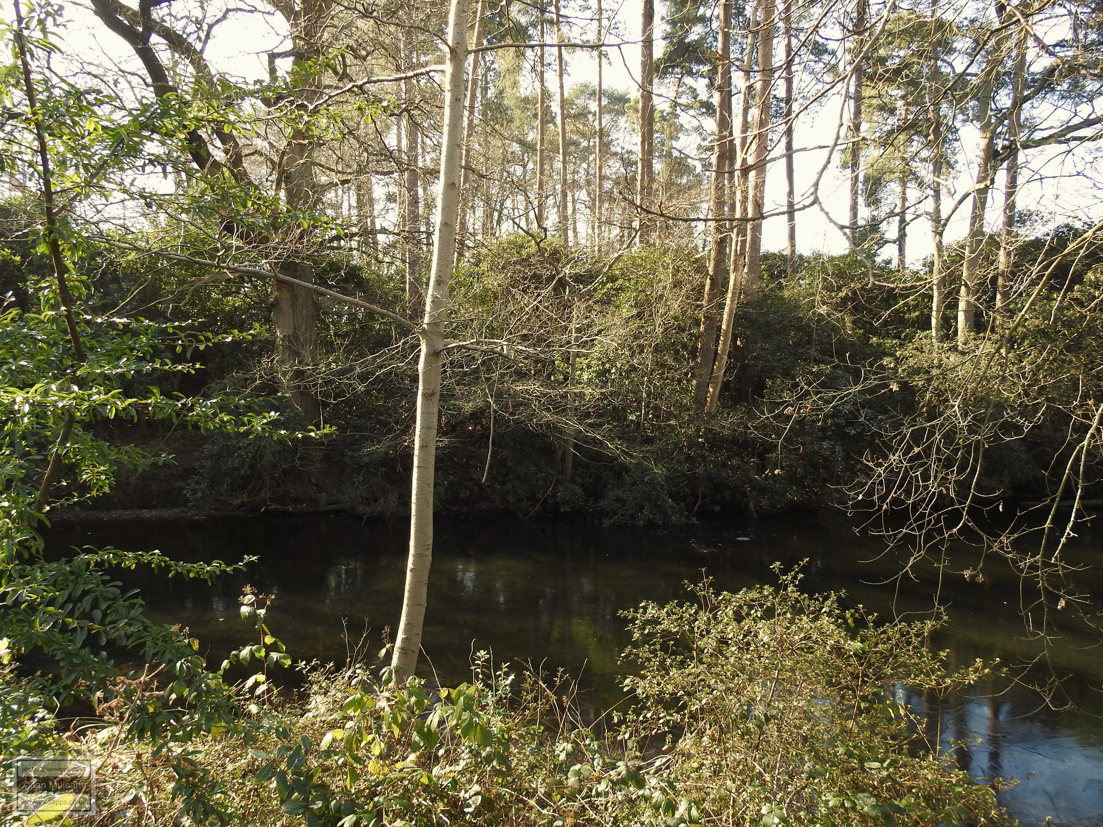
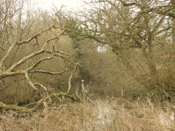
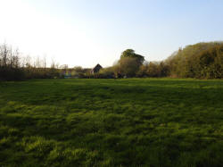
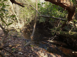
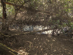
Pound Hill Moat
This is similar to Ifield Court in that whilst the moat is complete,
there are no surviving buildings or visible foundations and nothing
is really known about what was there. In 1955 tile fragments where
found which suggests, at least, that a man made building did exist
at some point. A field survey also noted the remains of claypits
just to the north of the moat and determined that these were
probably related to brick making. Given the small size of these
claypits, it is quite possible that the bricks of any building which
stood on this site were made from clay sourced from these pits.
Unfortunately, the island is inaccessible because the 3 metre wide
causeway is now in the back garden of a house in the appropriately
named Moat Walk.
Pound Hill Moat
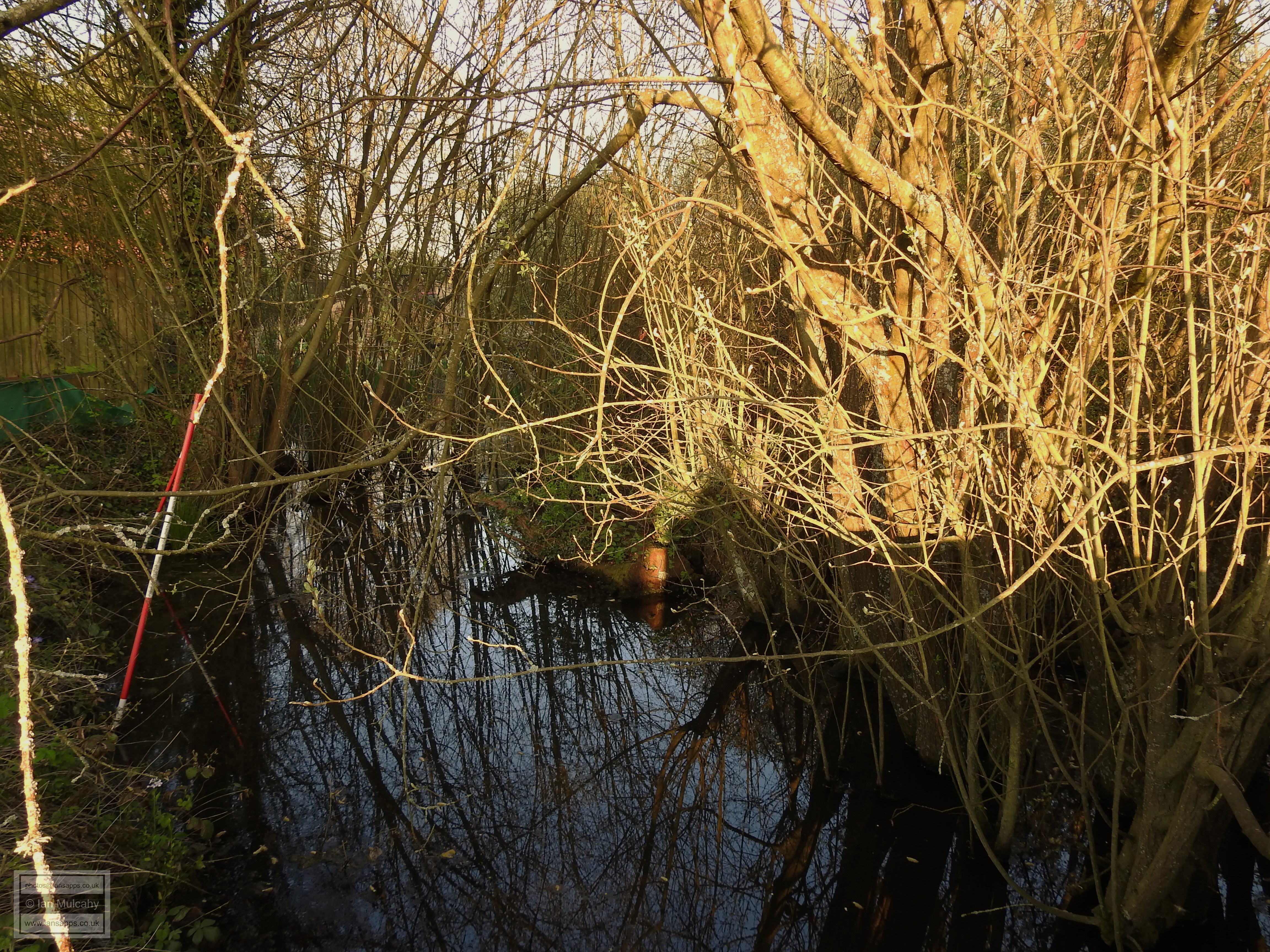
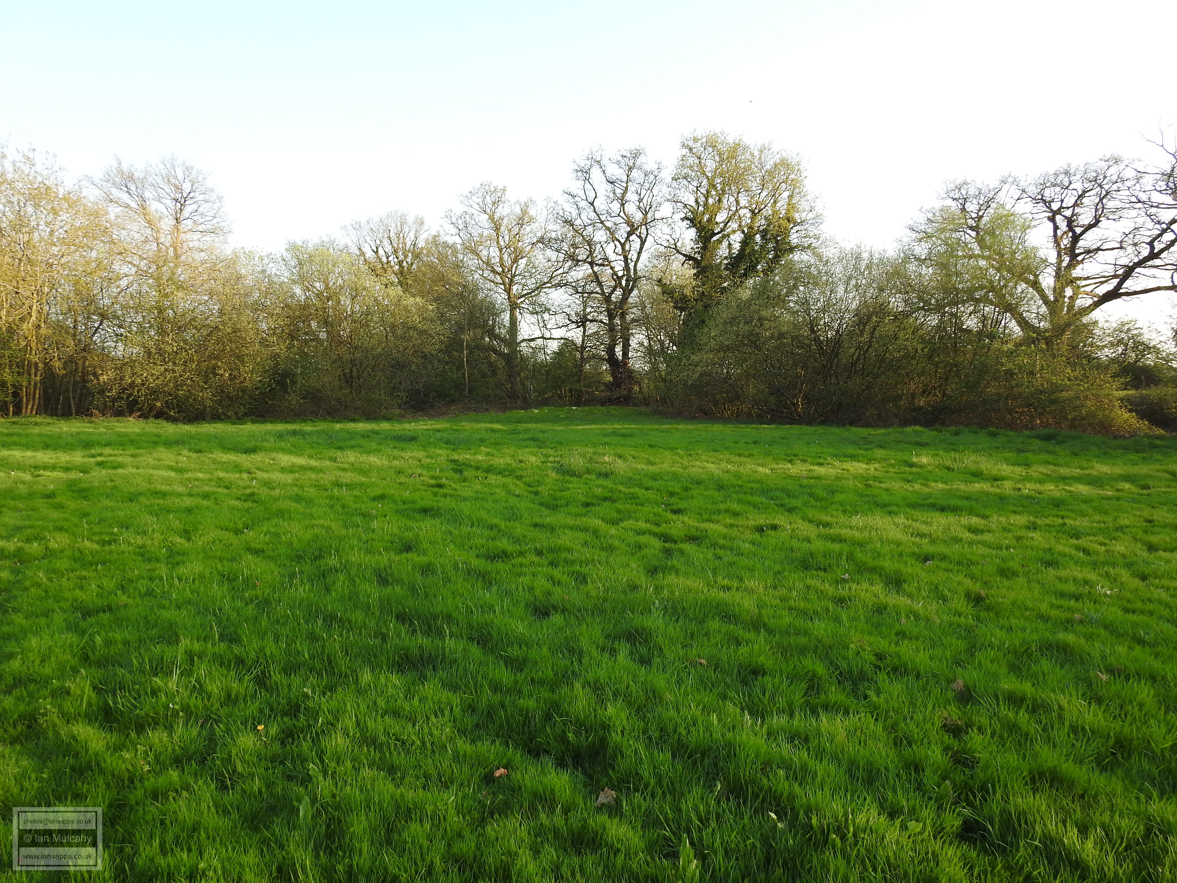
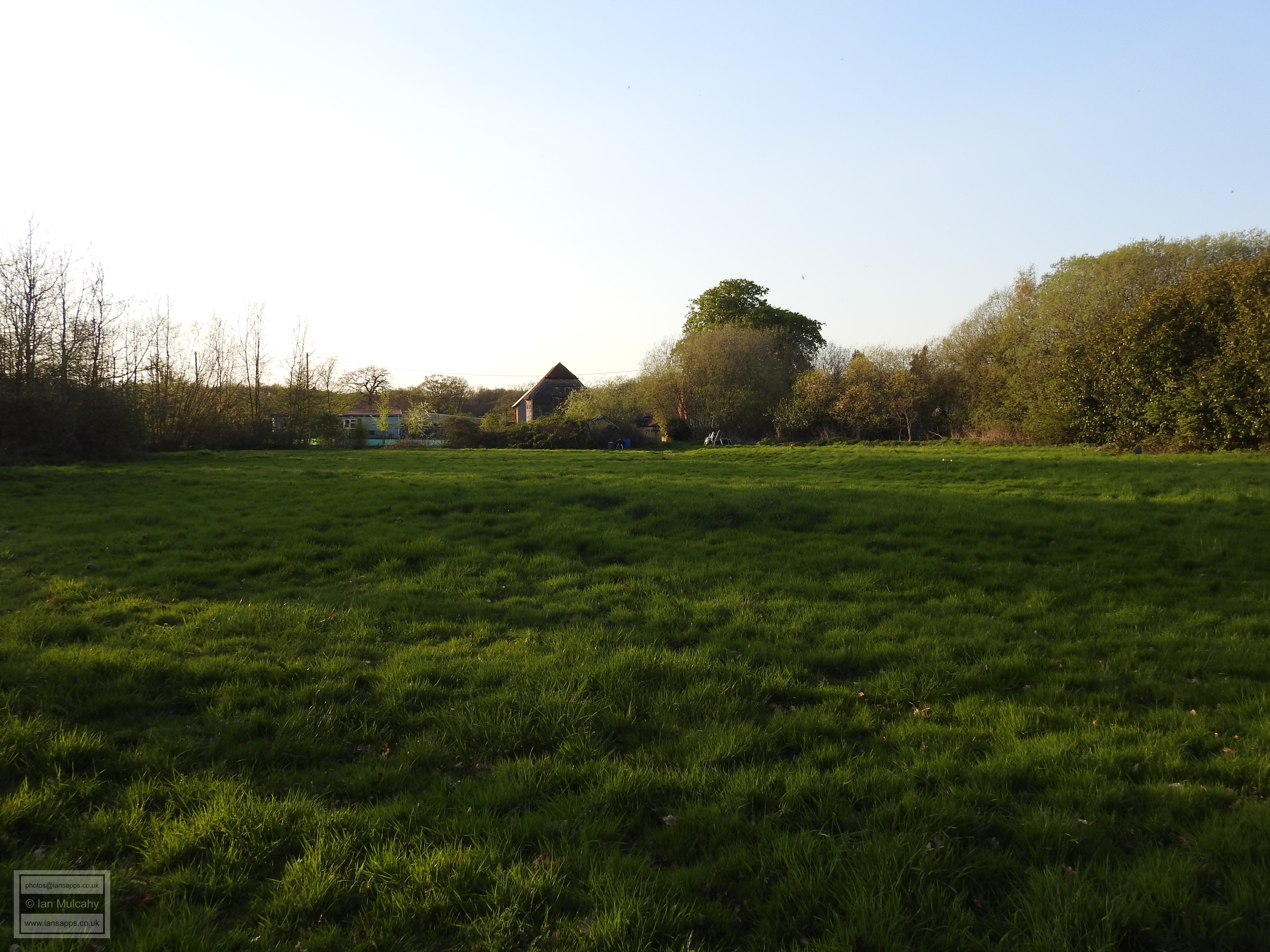
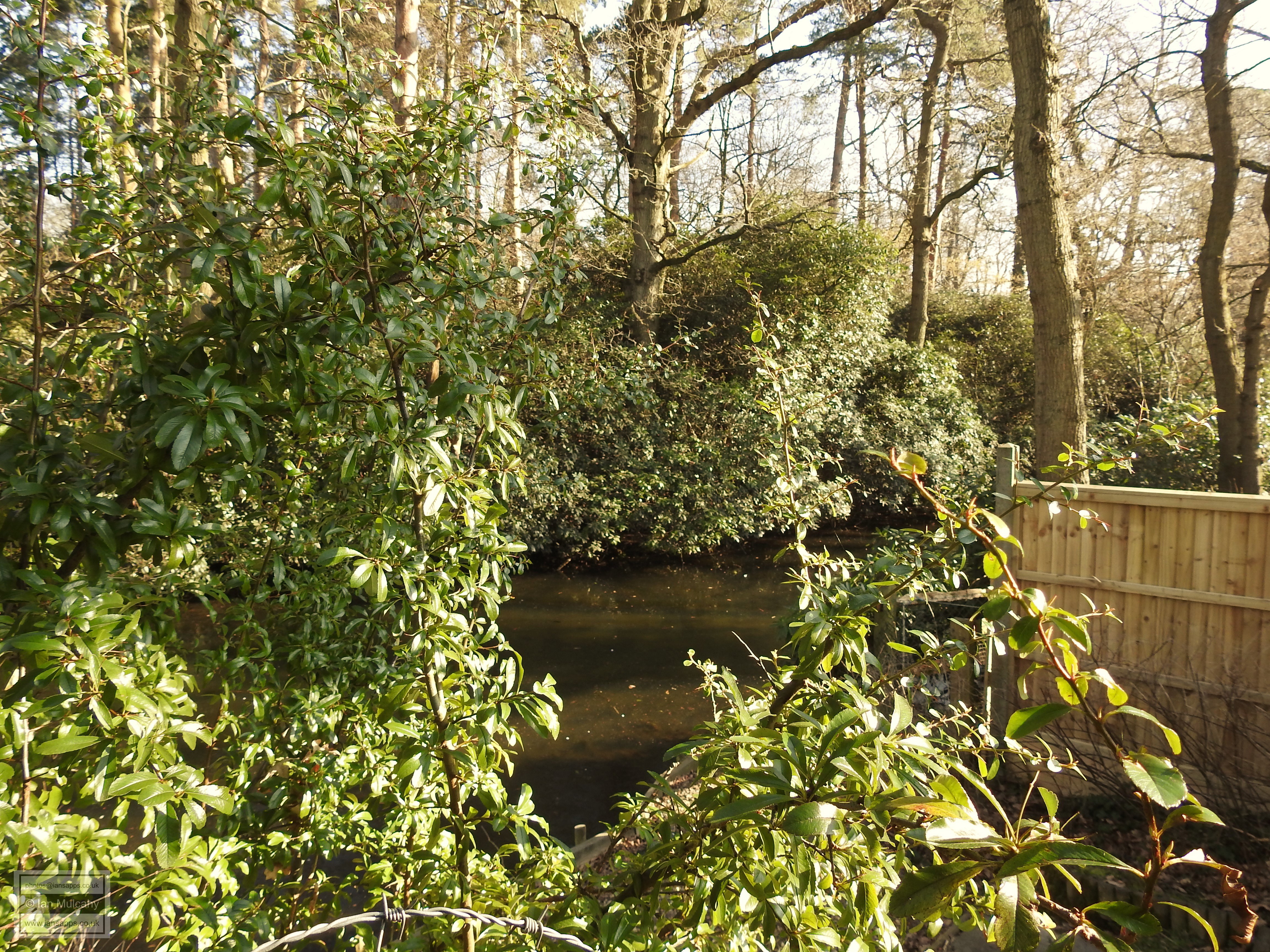
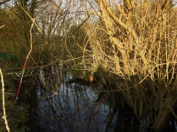
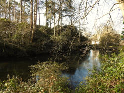
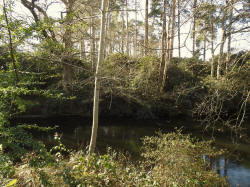
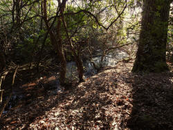
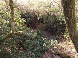
Worth
Moat
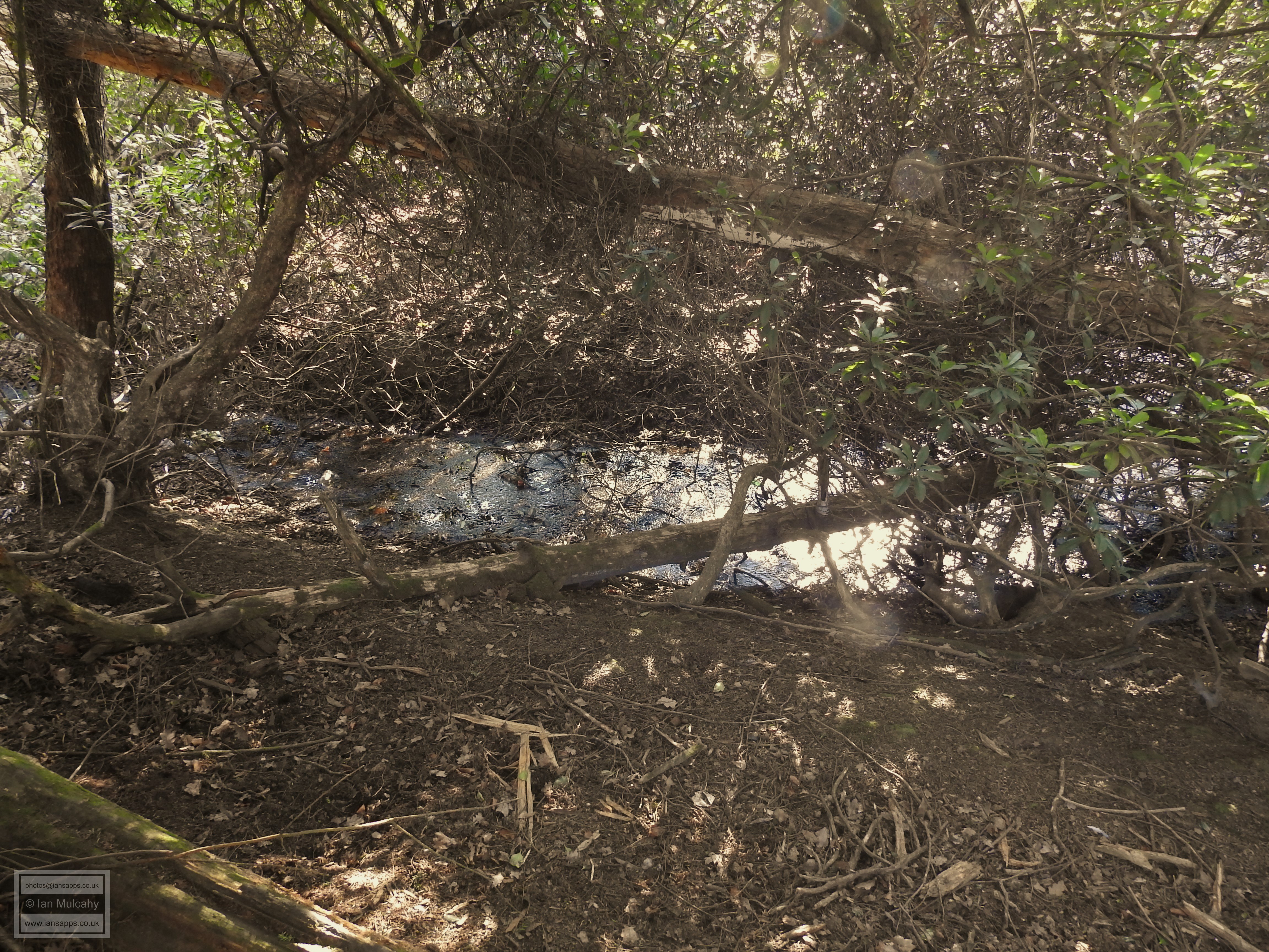
Sited in the Worth Conservation area, approximately 225 metres south
of St Nicholas Church, the moat at Worth is perhaps the least
impressive of all six. Although it is a complete moat, the water is
stagnant and shallow and the surroundings are overgrown. If you
didn't know that it was there, or what it was, you wouldn't pick
this as an ancient moated site. There is no surviving bridge or
causeway though there are a couple of fallen trees for the brave to
use for access and a very shallow soggy area to the north east which
may have once been the causeway.
There is very little information available, but The West Sussex
County Council Historic Environment Record describes the medieval
moat at Worth as a small, square, water-filled homestead moat
situated in a rhododendron copse, 30 metres north of a stream. The
moat measures 30 metres across, with arms measuring approximately
four to five metres in width. It is likely that the moat originally
enclosed a medieval hunting house, and latterly an orchard.
The final insult for poor old Worth Moat is that, like that at
Gatwick Manor, the moat is not designated as a scheduled Ancient Monument.
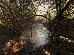
Worth Moat
Further reading:
Ewhurst Place:
https://historicengland.org.uk/listing/the-list/list-entry/1009754
Bewbush Manor:
https://historicengland.org.uk/listing/the-list/list-entry/1011583
Ifield Manor:
https://historicengland.org.uk/listing/the-list/list-entry/1012464
Pound Hill Moat:
https://historicengland.org.uk/listing/the-list/list-entry/1013770
Sources
The Victoria County History of Sussex
https://www.familysearch.org/
For photographs of Crawleys historic buildings please visit my blog:
http://crawley-old-town.blogspot.co.uk/2017/03/crawley-old-town-home-page.html
Text & photographs
© Ian Mulcahy. Contact photos@iansapps.co.uk or visit my 'Use of my photographs' page for licensing queries.
|
Pictures taken with
Some books related to the history of
Crawley
|