
A Tudor Tour of Shere in Surrey
This article first appeared in the December 2021 edition of
Tudor Life, the magazine of the
Tudor Society.
By Ian Mulcahy
|
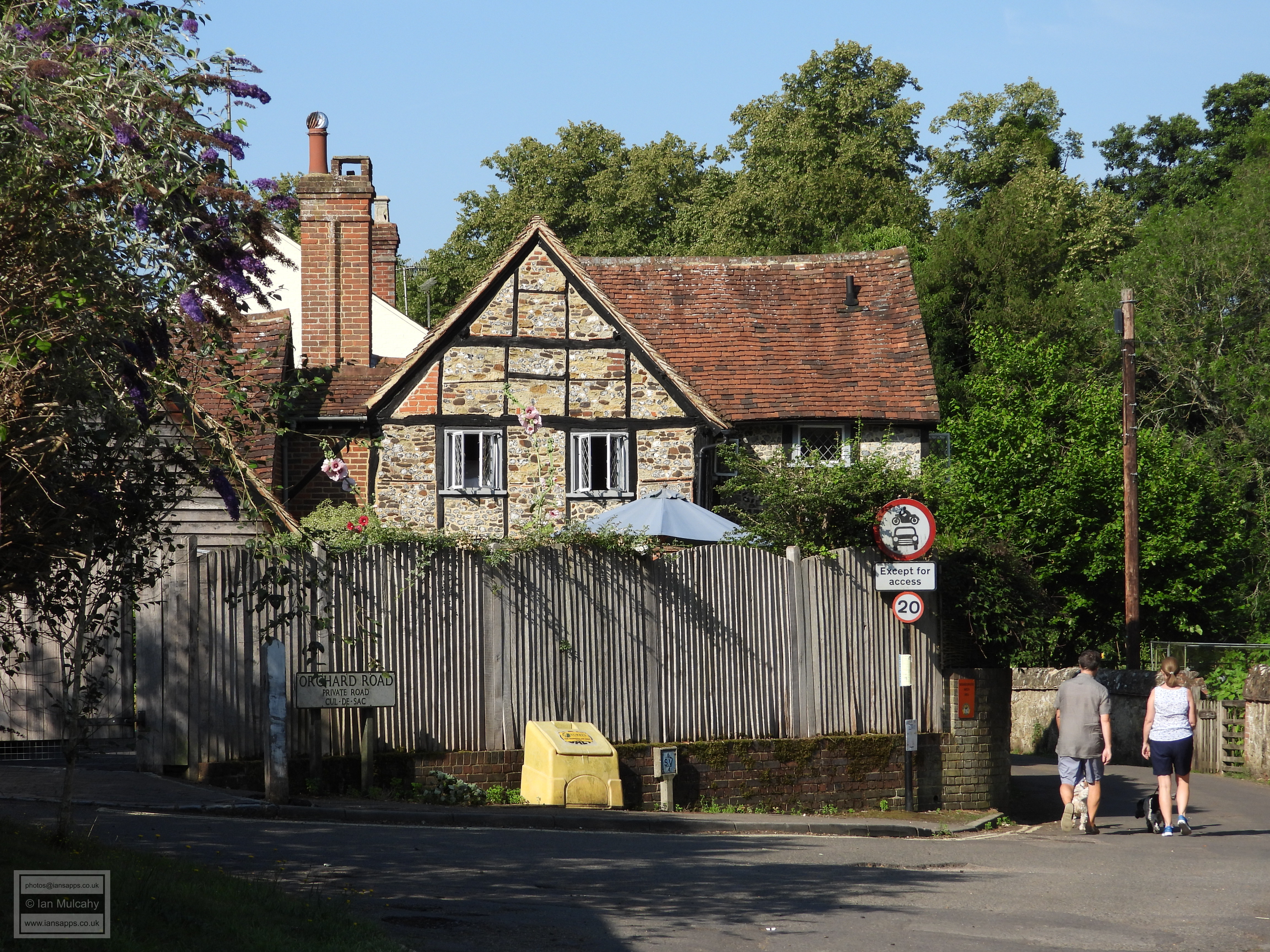
Shere is a small Surrey village of a little over 1,000 inhabitants
located 5 miles to the south-east of Guildford in the Surrey Hills, a
designated Area of Outstanding Natural Beauty. Shere is recorded in the
Domesday Book of 1086 as Essire and consisted of 31 households, 19 of
villagers, 6 smallholders and 6 slaves. Prior to the Norman Conquest,
the manor was owned by Queen Edith of Wessex, wife of Edward the
Confessor, but by 1086 the area was under the control of William the
Conqueror.
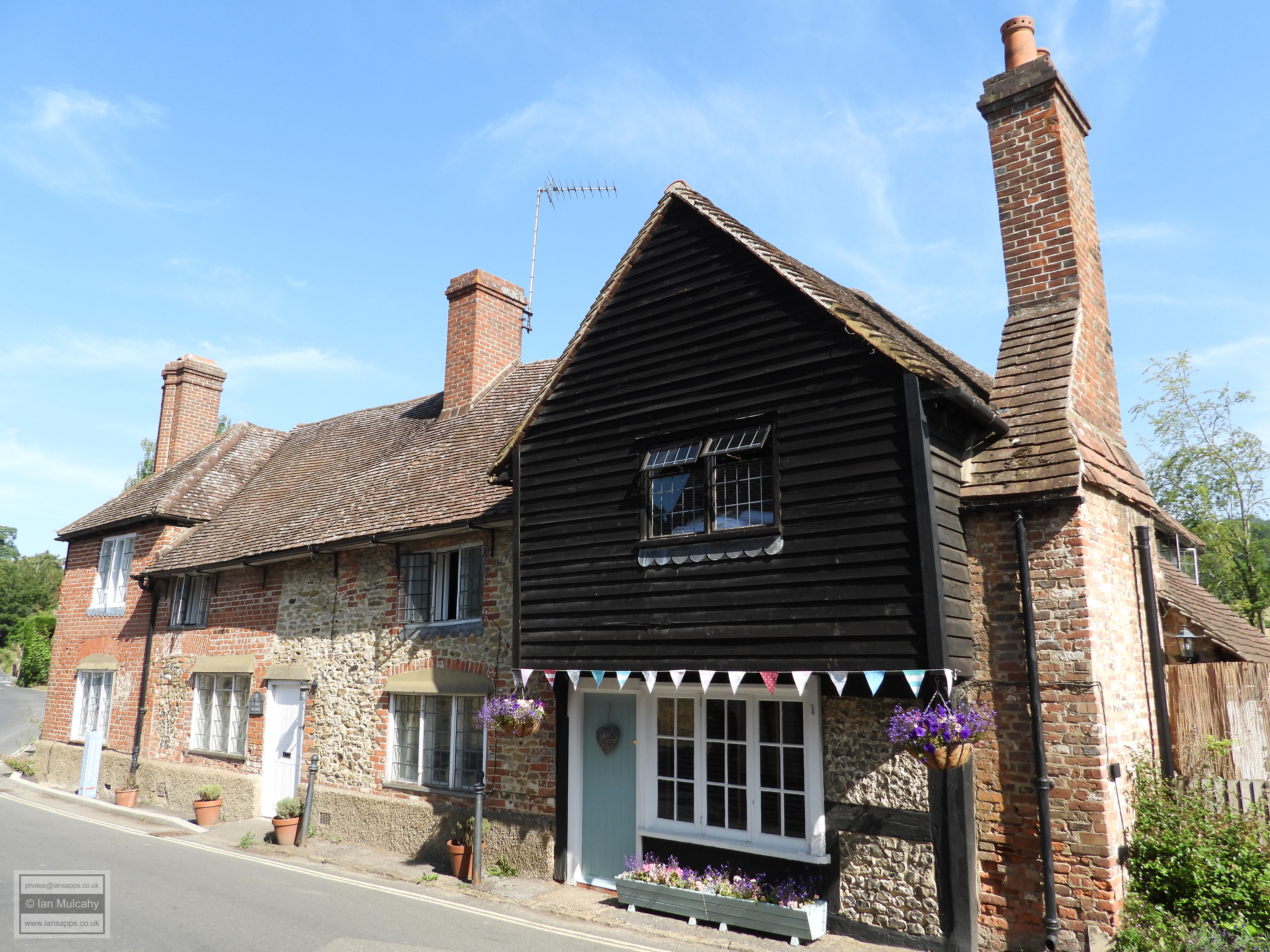

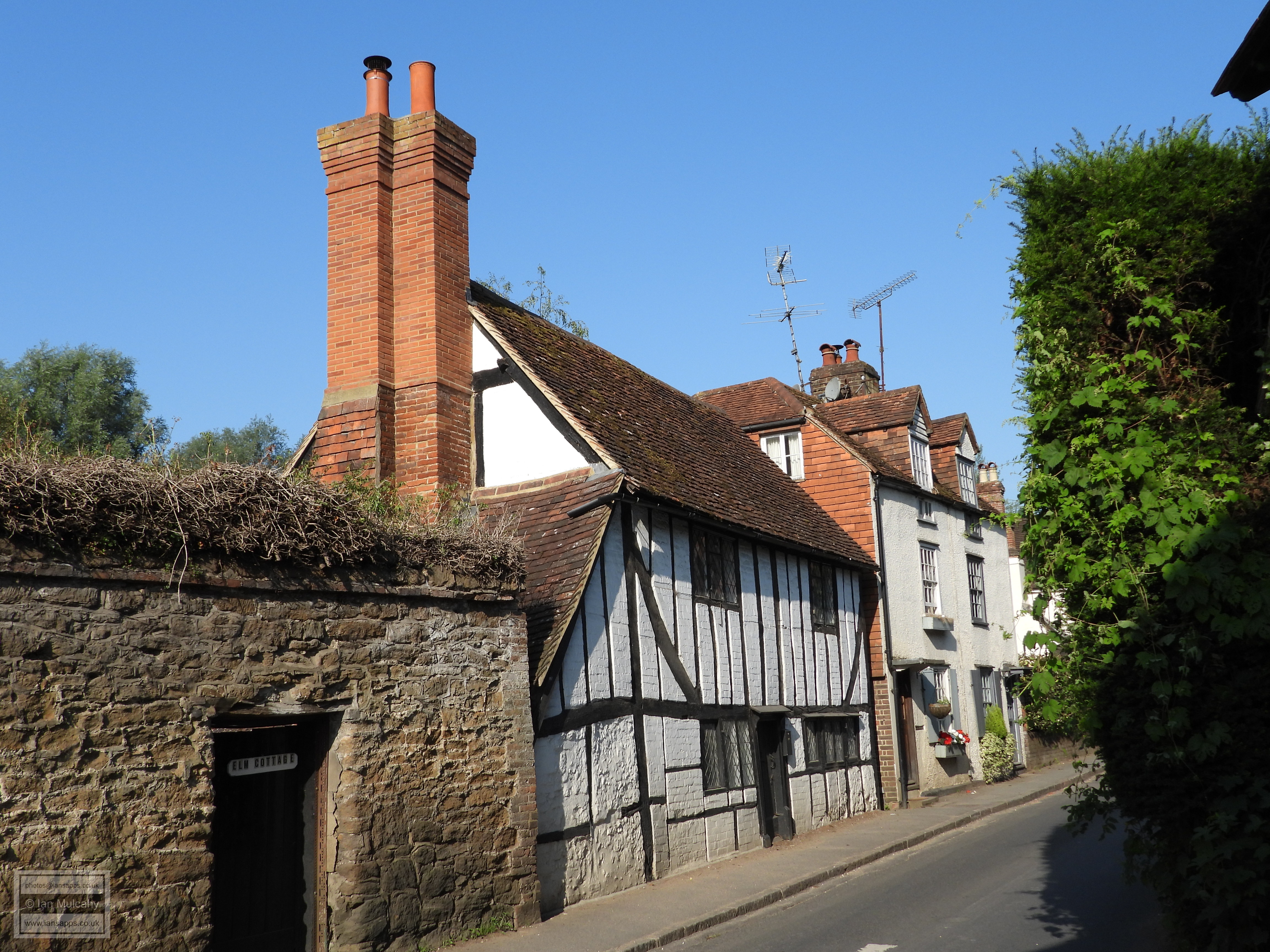
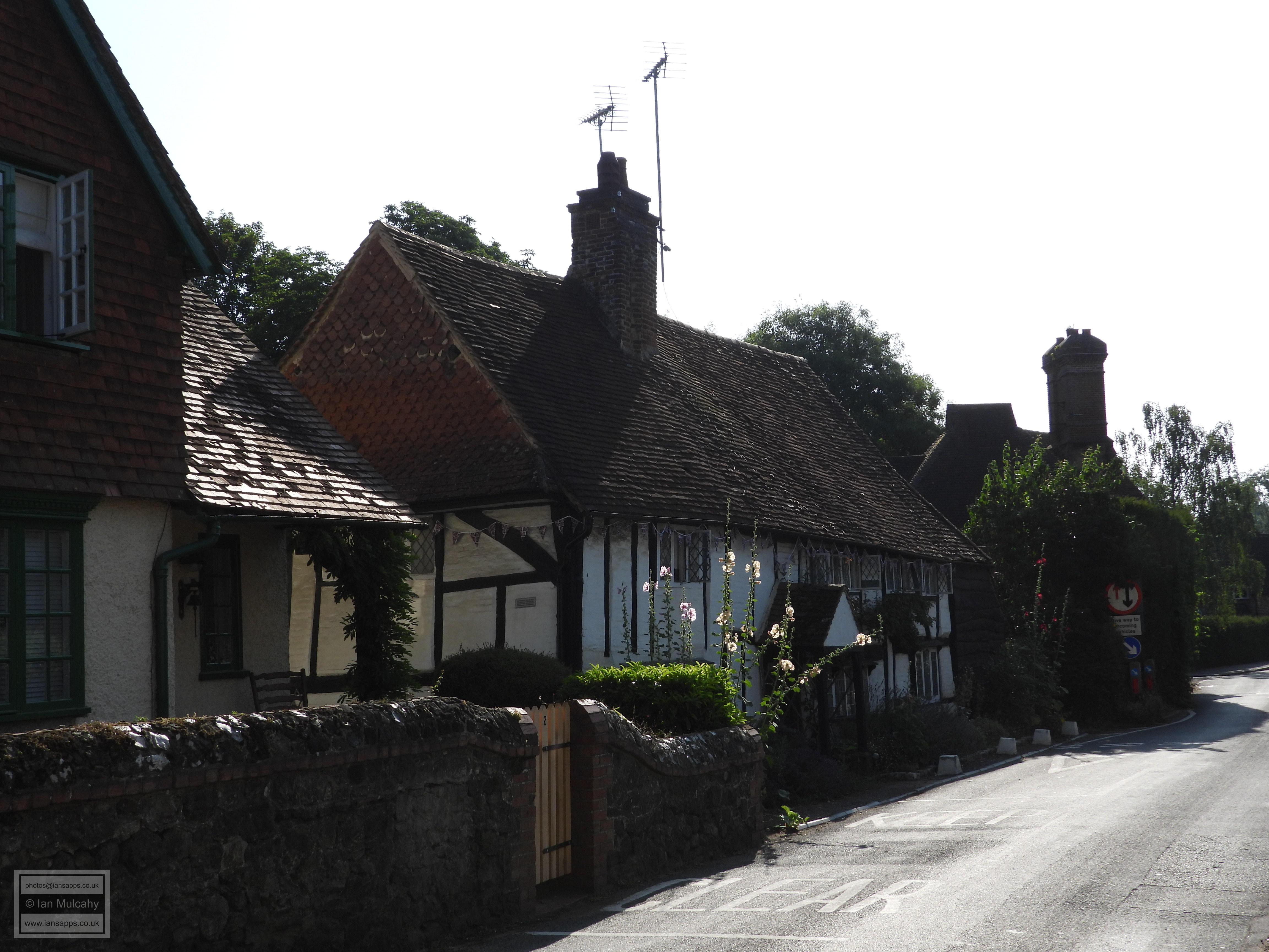
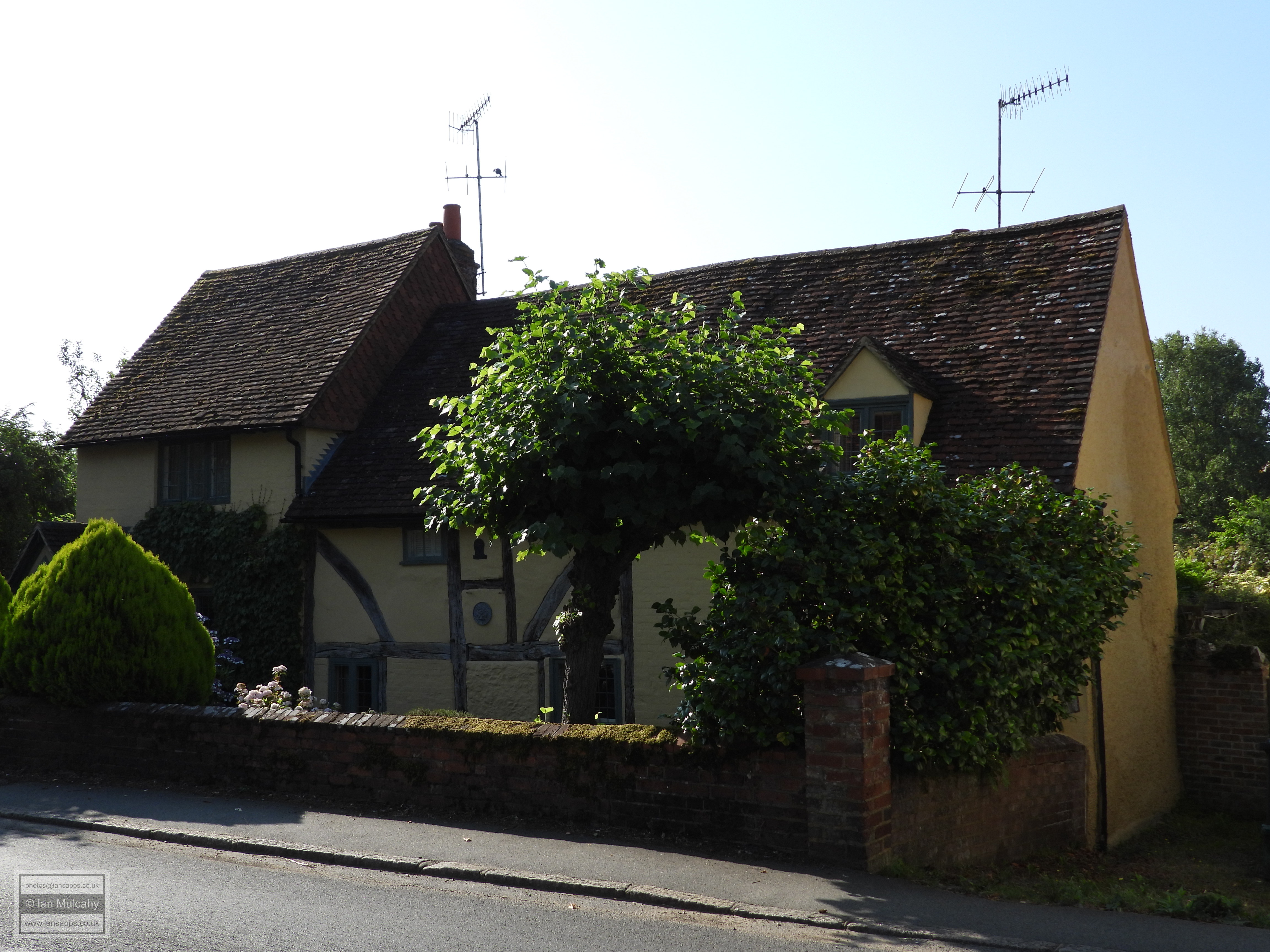
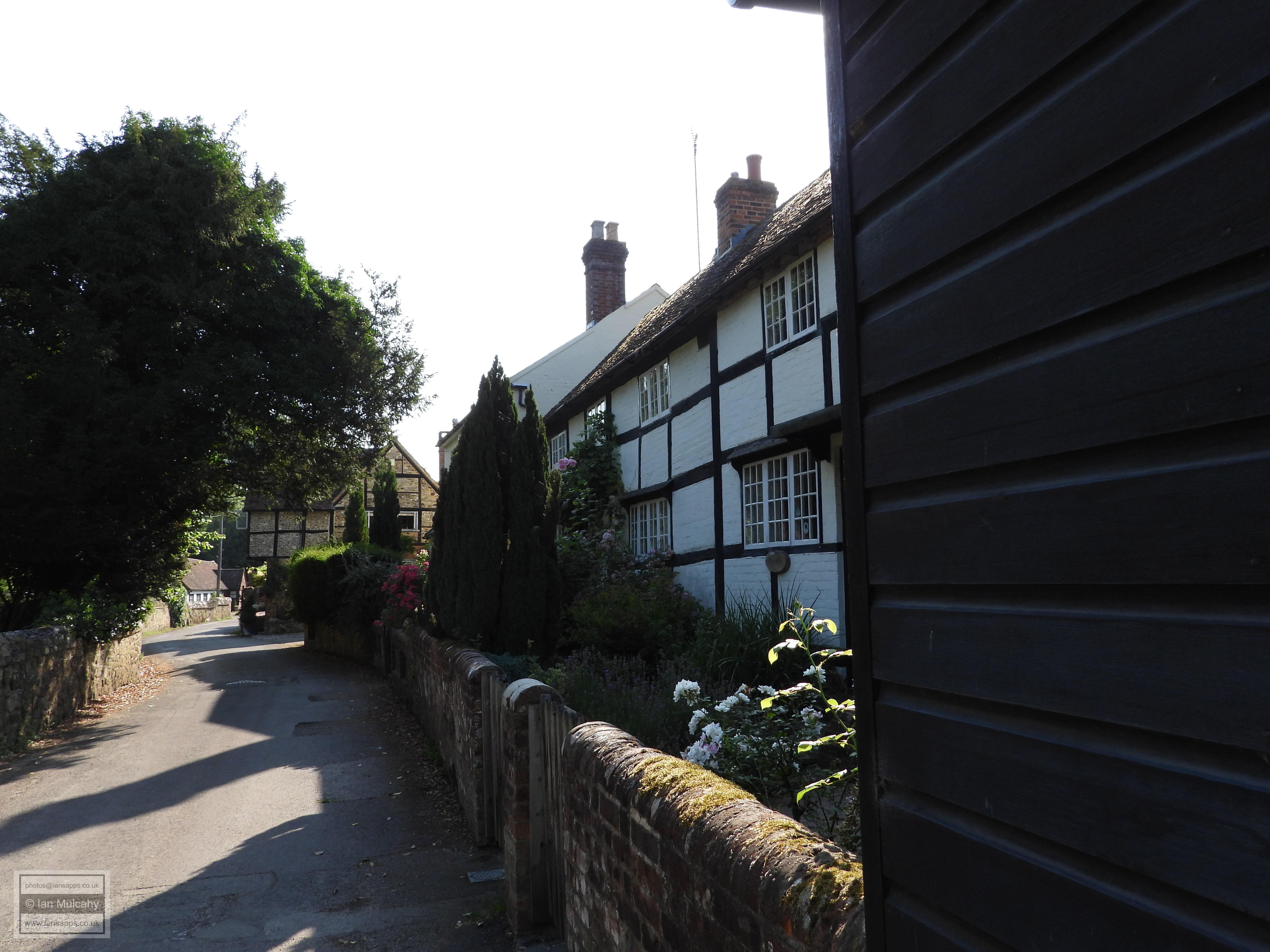
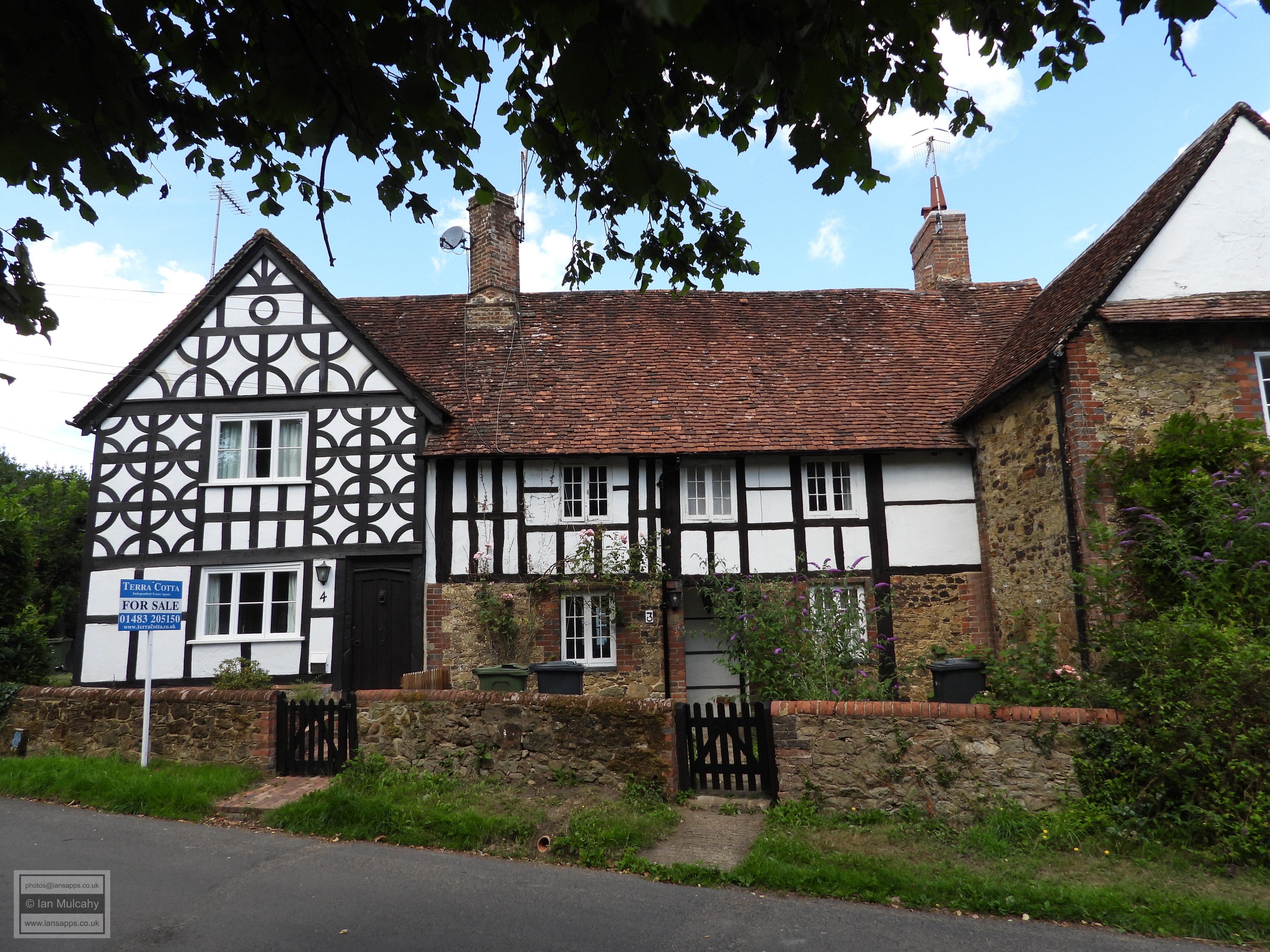
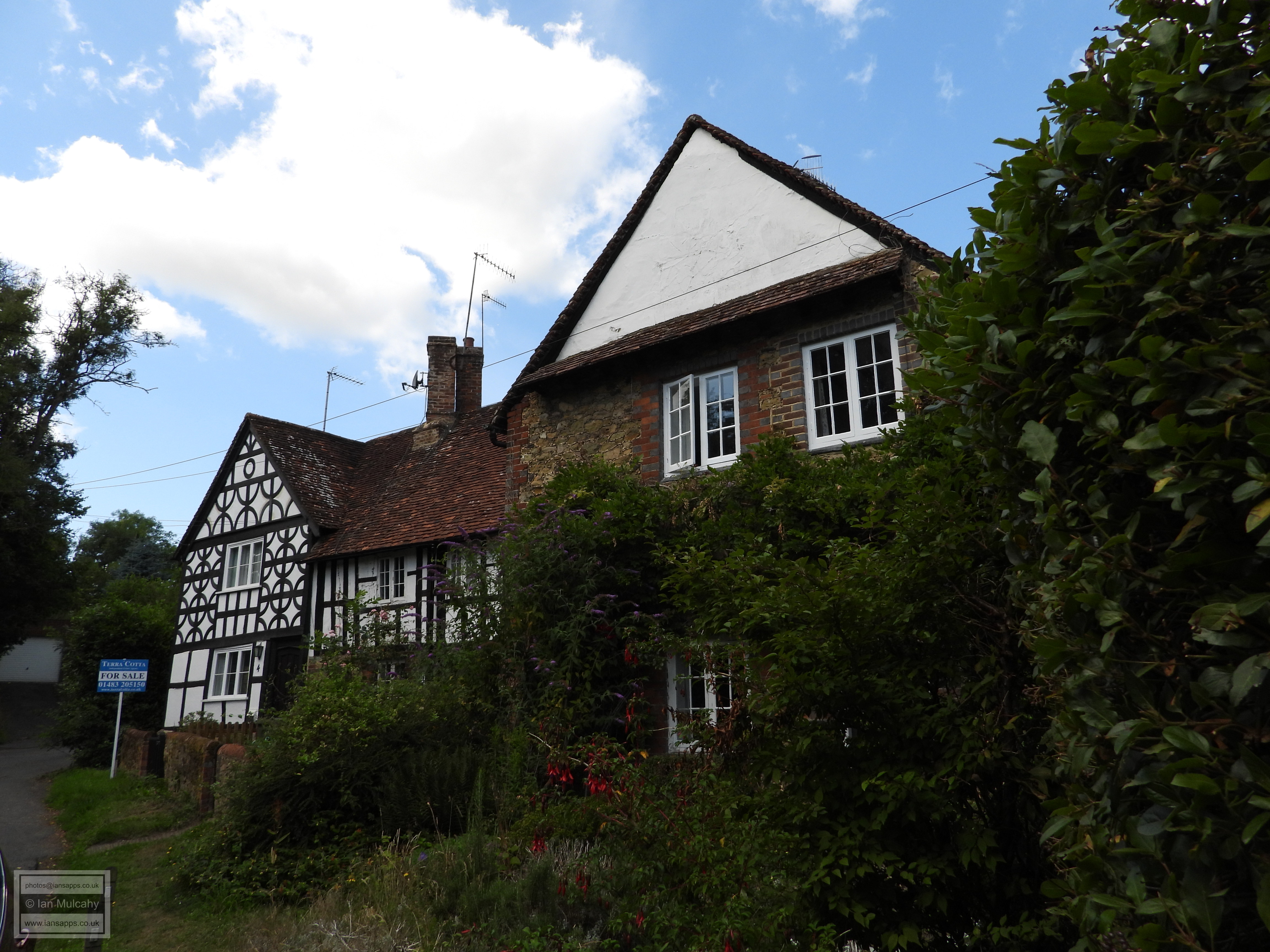
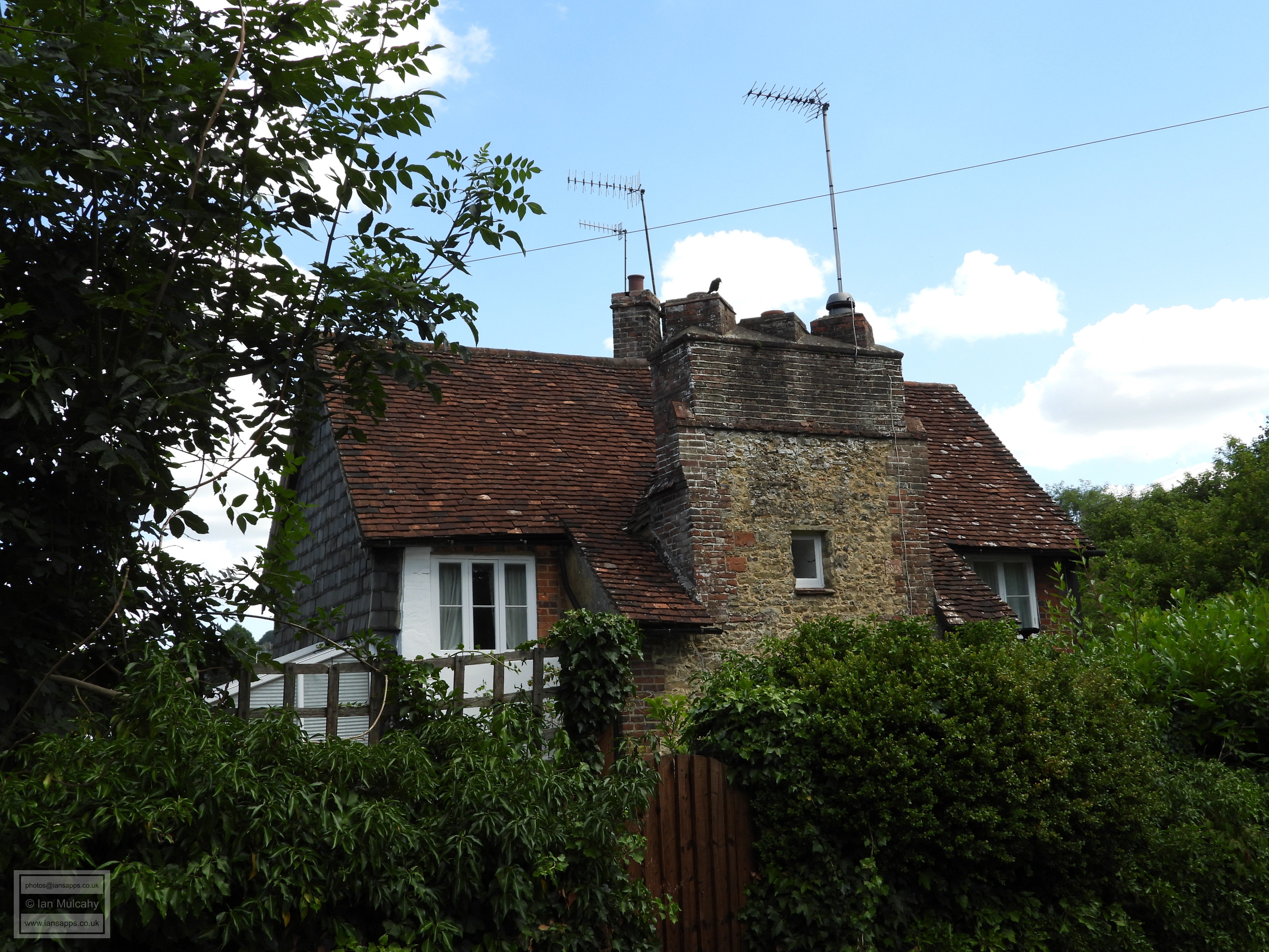
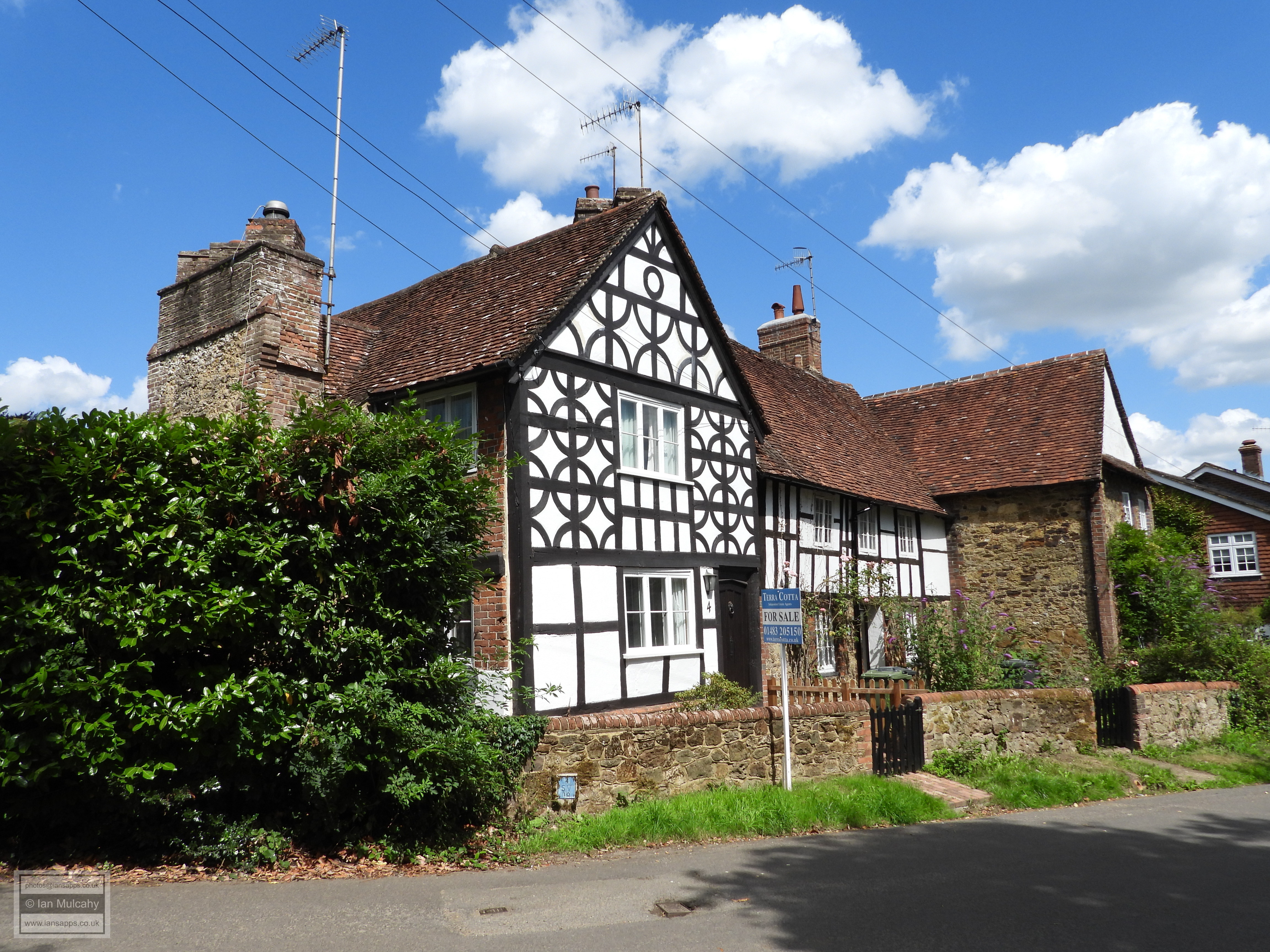
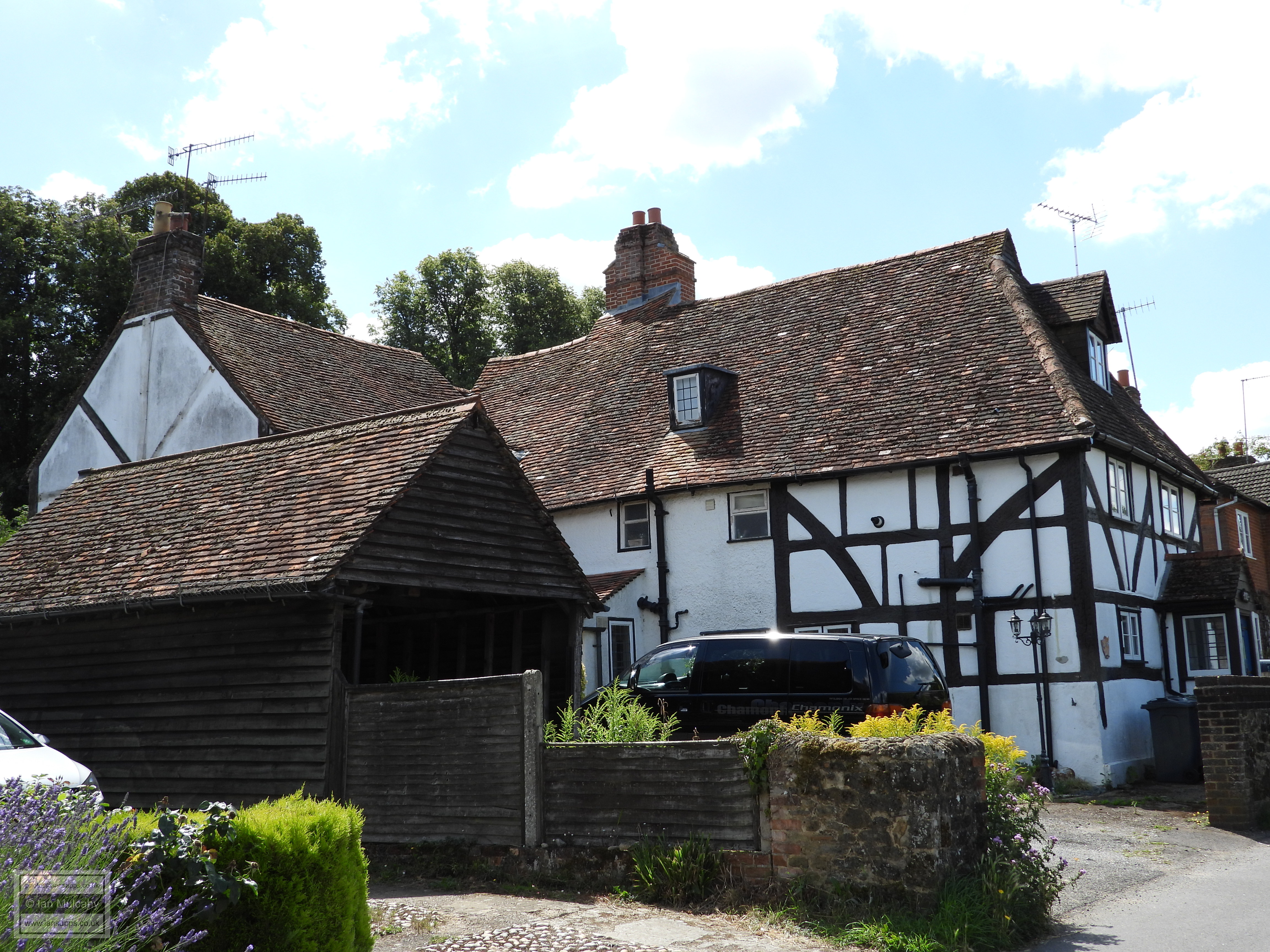
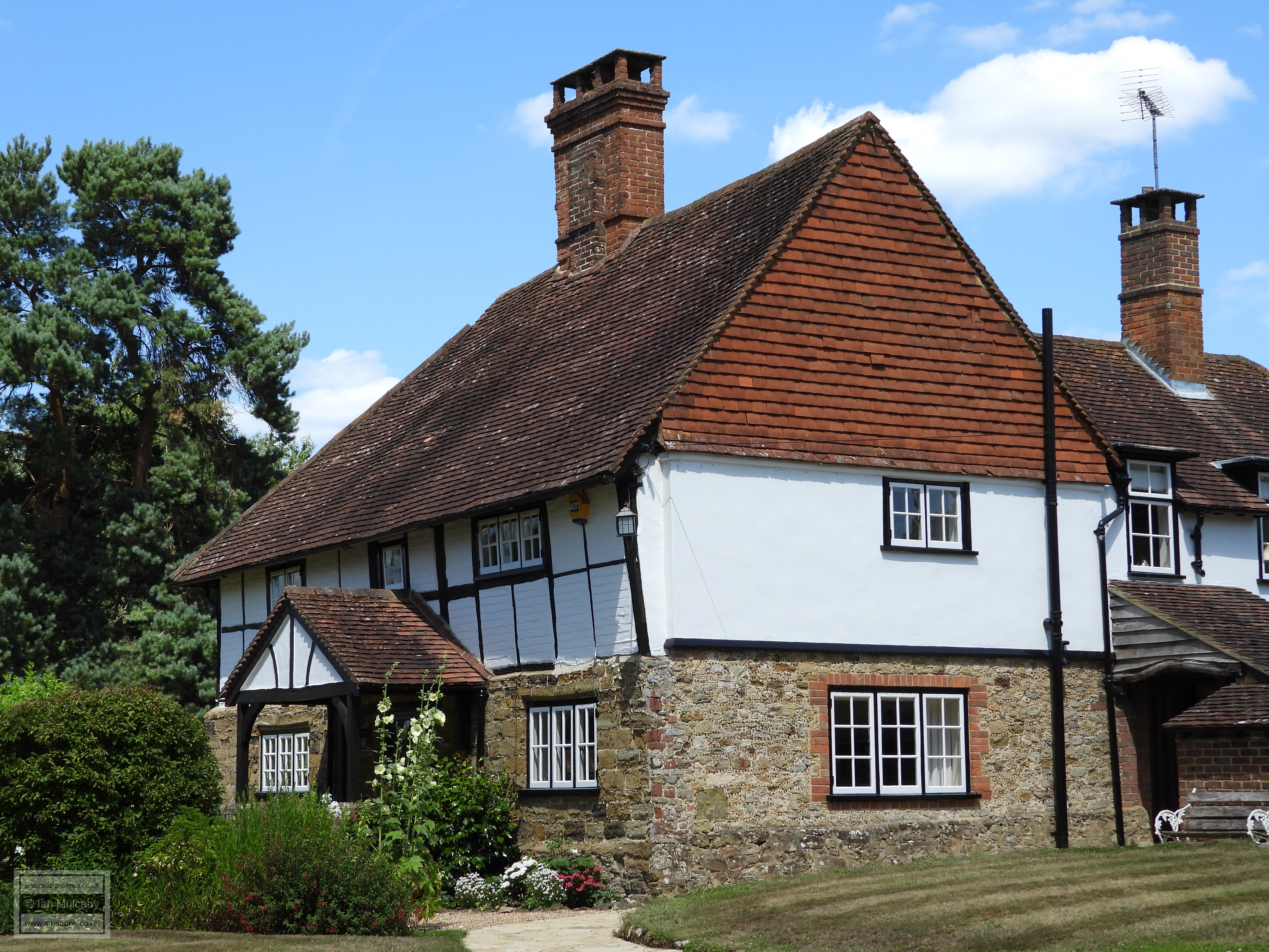
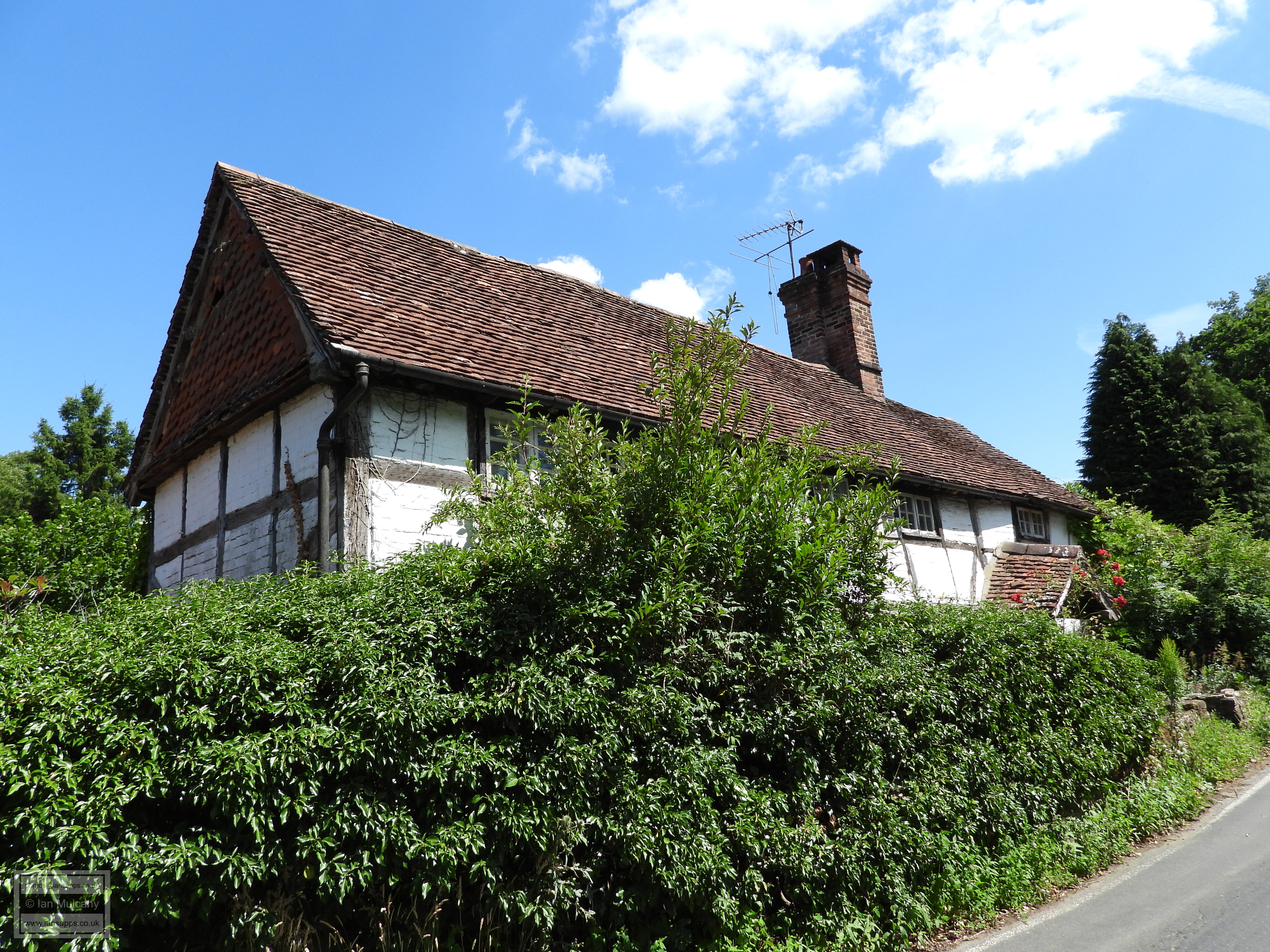
Vine Cottages
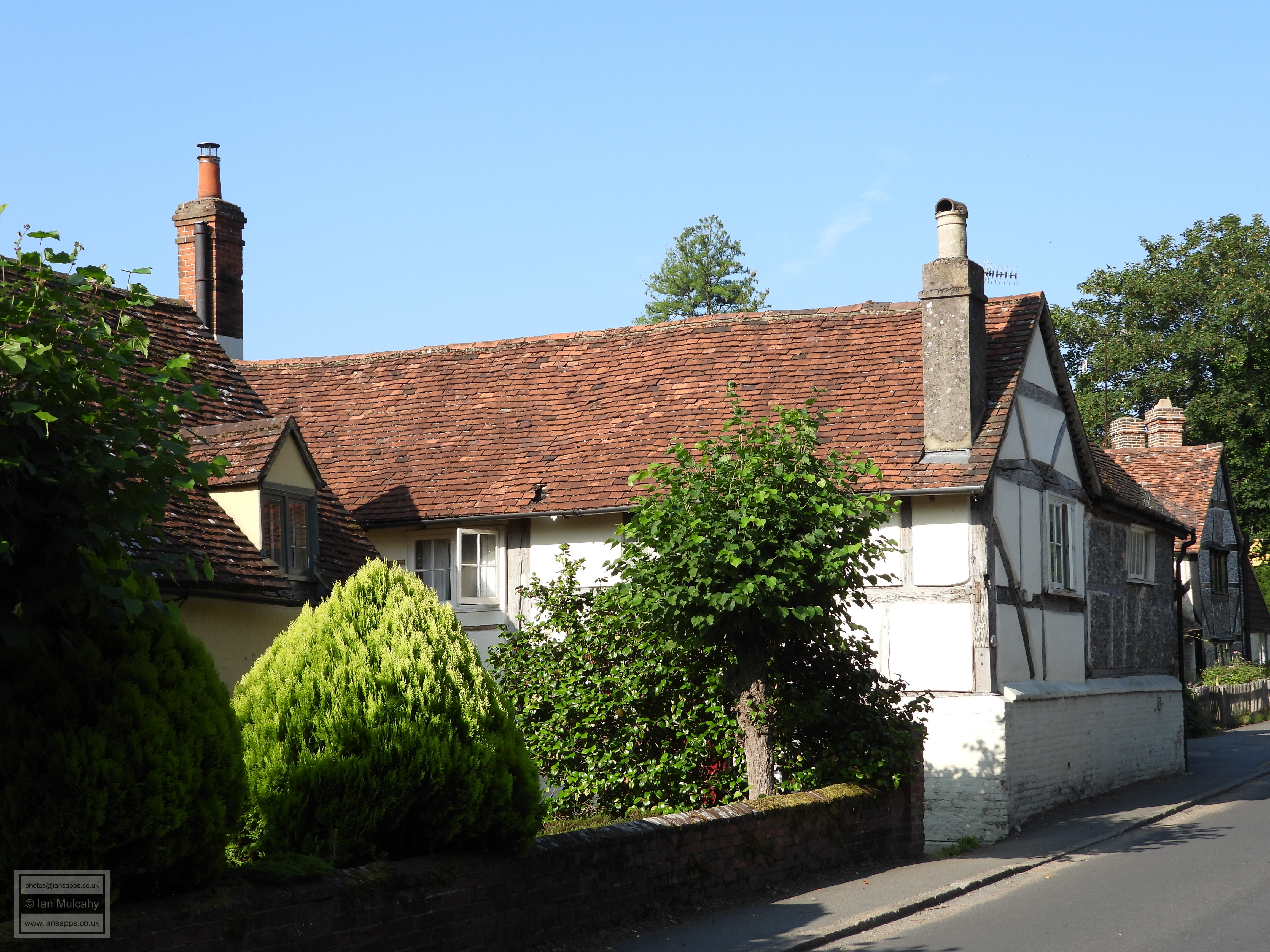
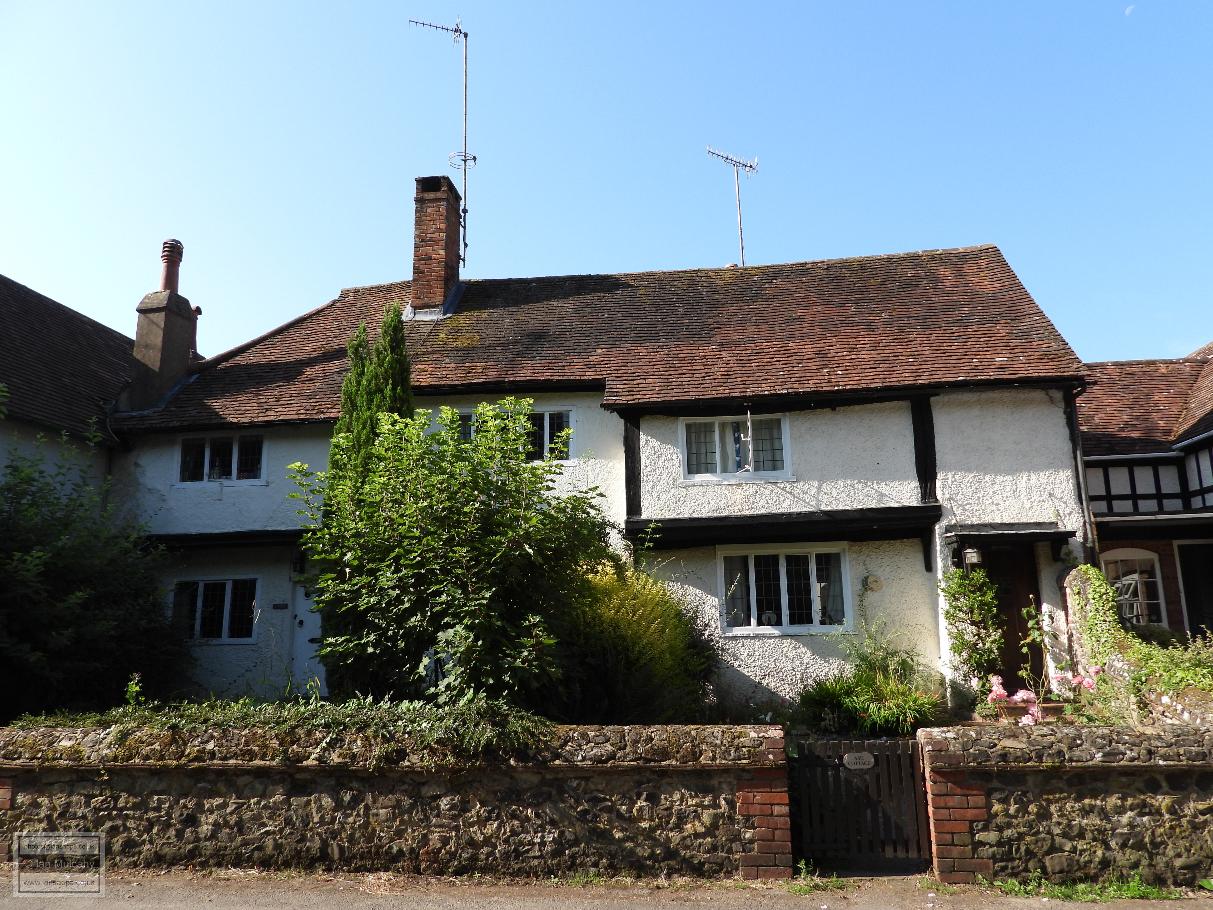
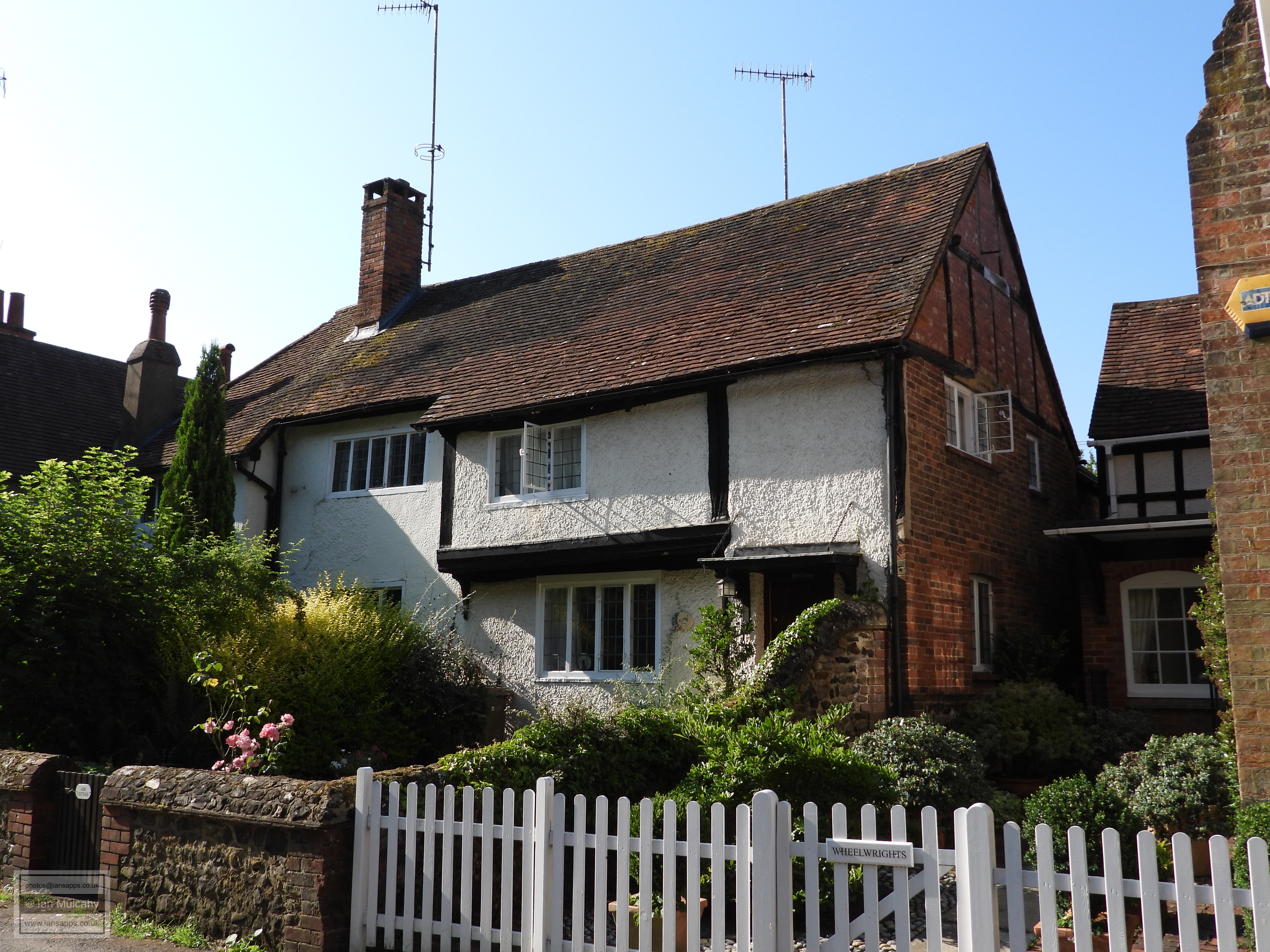
Heading westwards from the junction along Upper Street we traverse a short stretch of road, no more than a quarter of a mile in length, that is rich in Tudor architecture and we soon reach Elm Cottage, a late Tudor cottage whose timber framing is infilled with whitewashed brick and rubble. Almost opposite are the appropriately named Tudor Cottages, a divided timber framed house of the mid-16th century whose western wall slopes alarmingly inwards. Heading further west up the hill along Upper Street is East & West Burdens, a particularly wide 16th century timber framed house, now divided, which was sadly refaced in whitewashed brick during the 19th century. Next door is Anchor Cottage, a late Tudor timber framed cottage whose timbers remain visible only on the upper floor of the eastern cross wing, the rest hidden behind a brick refacing of the mid-19th century.
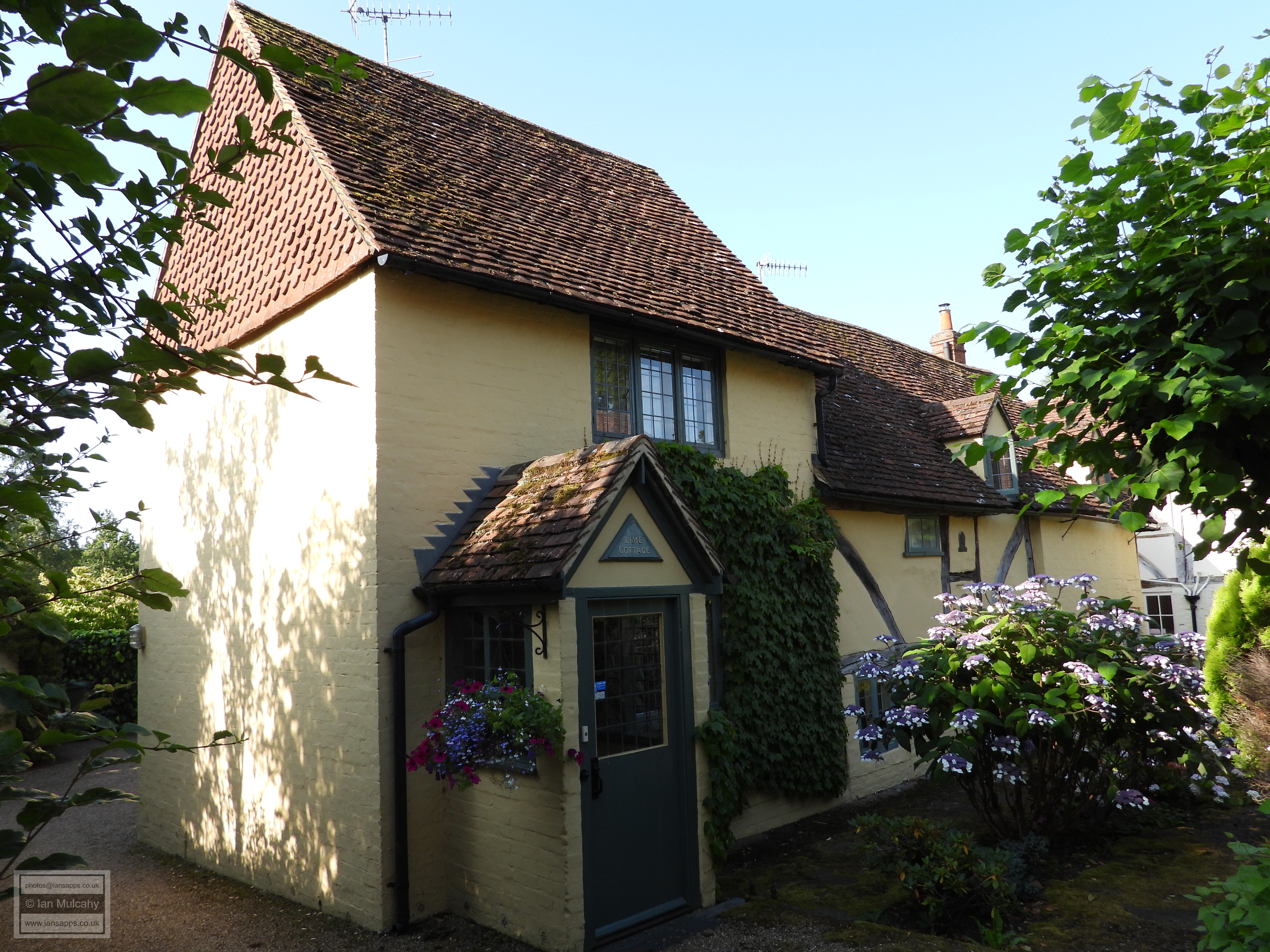
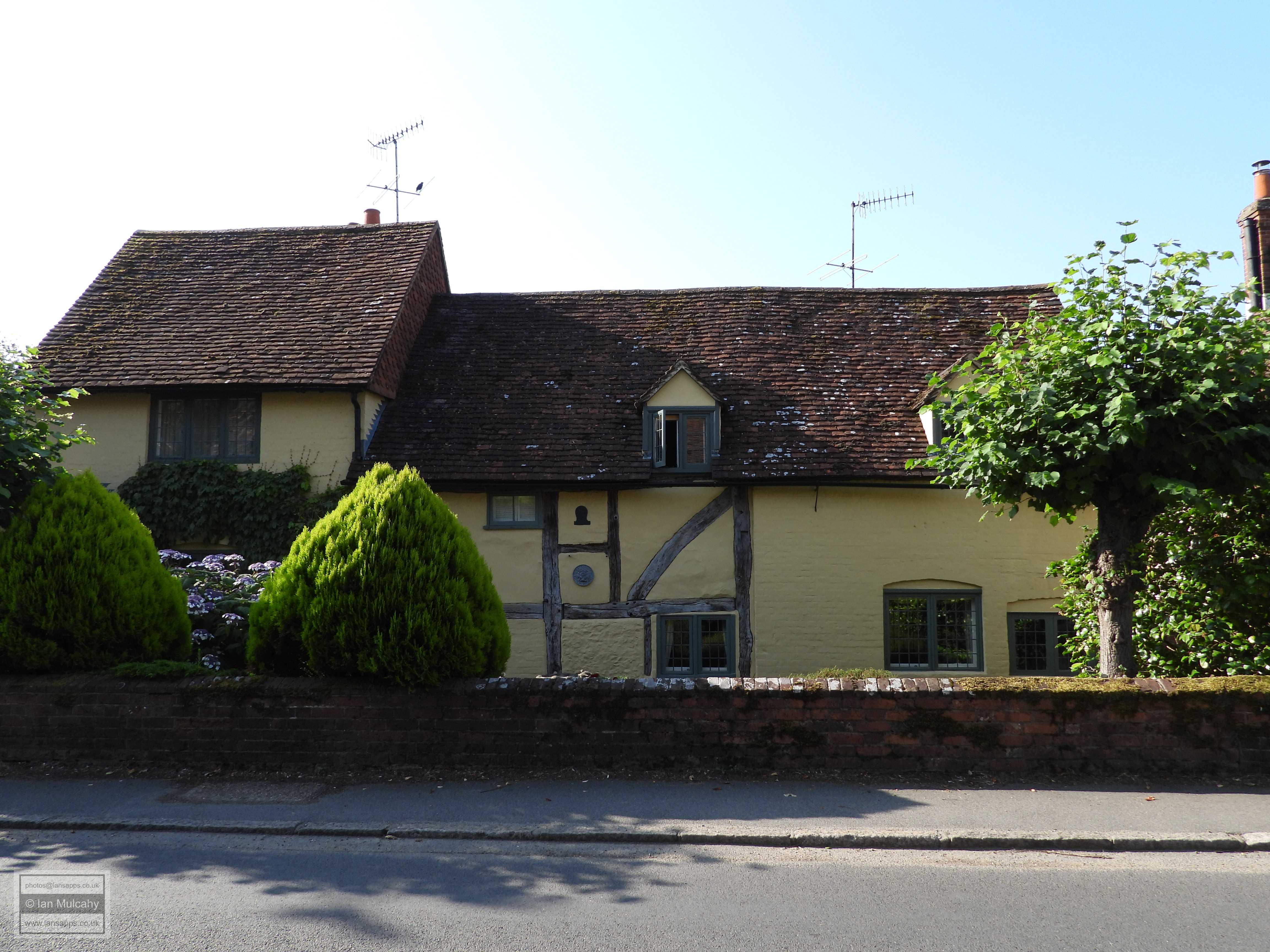
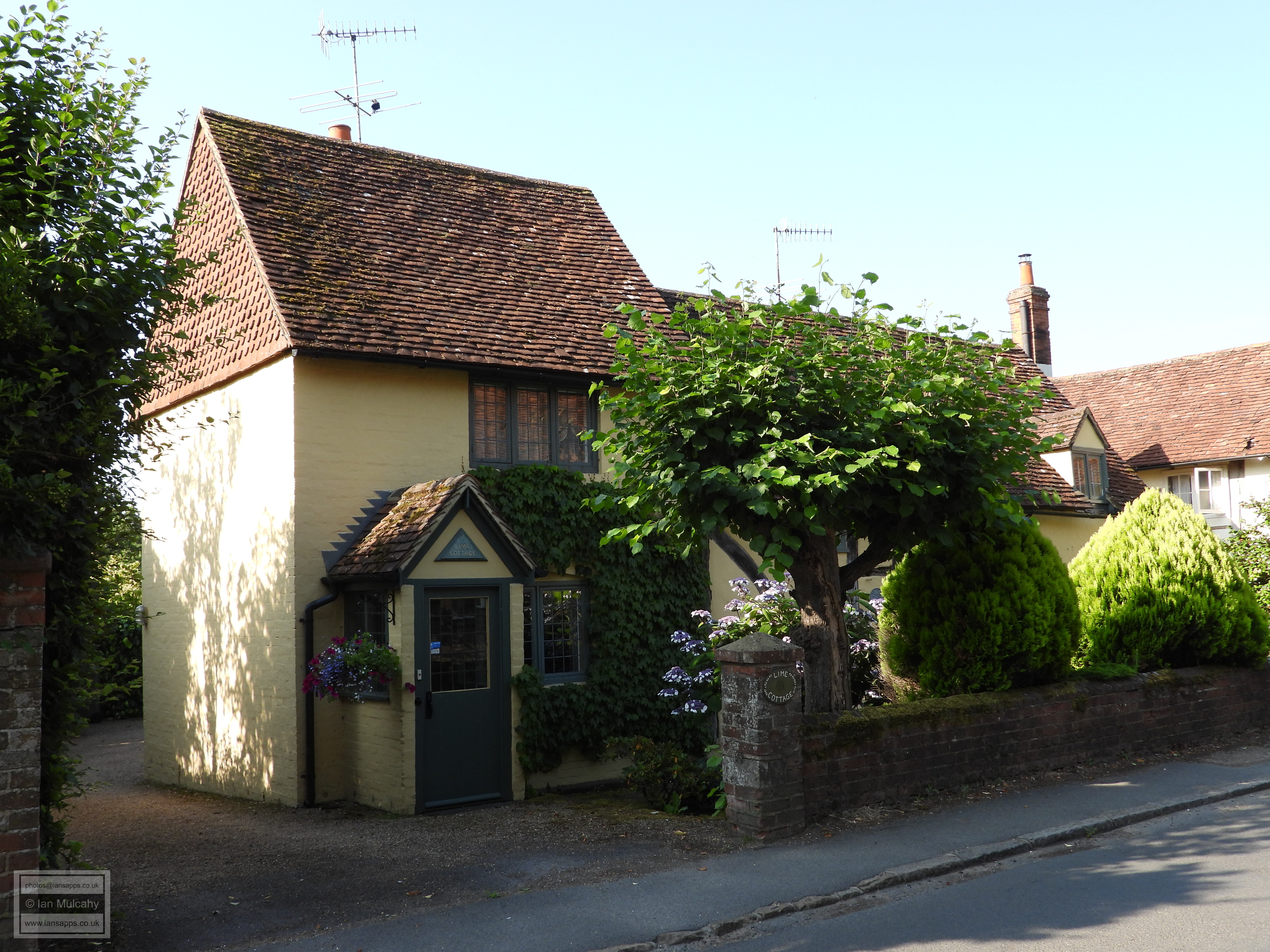
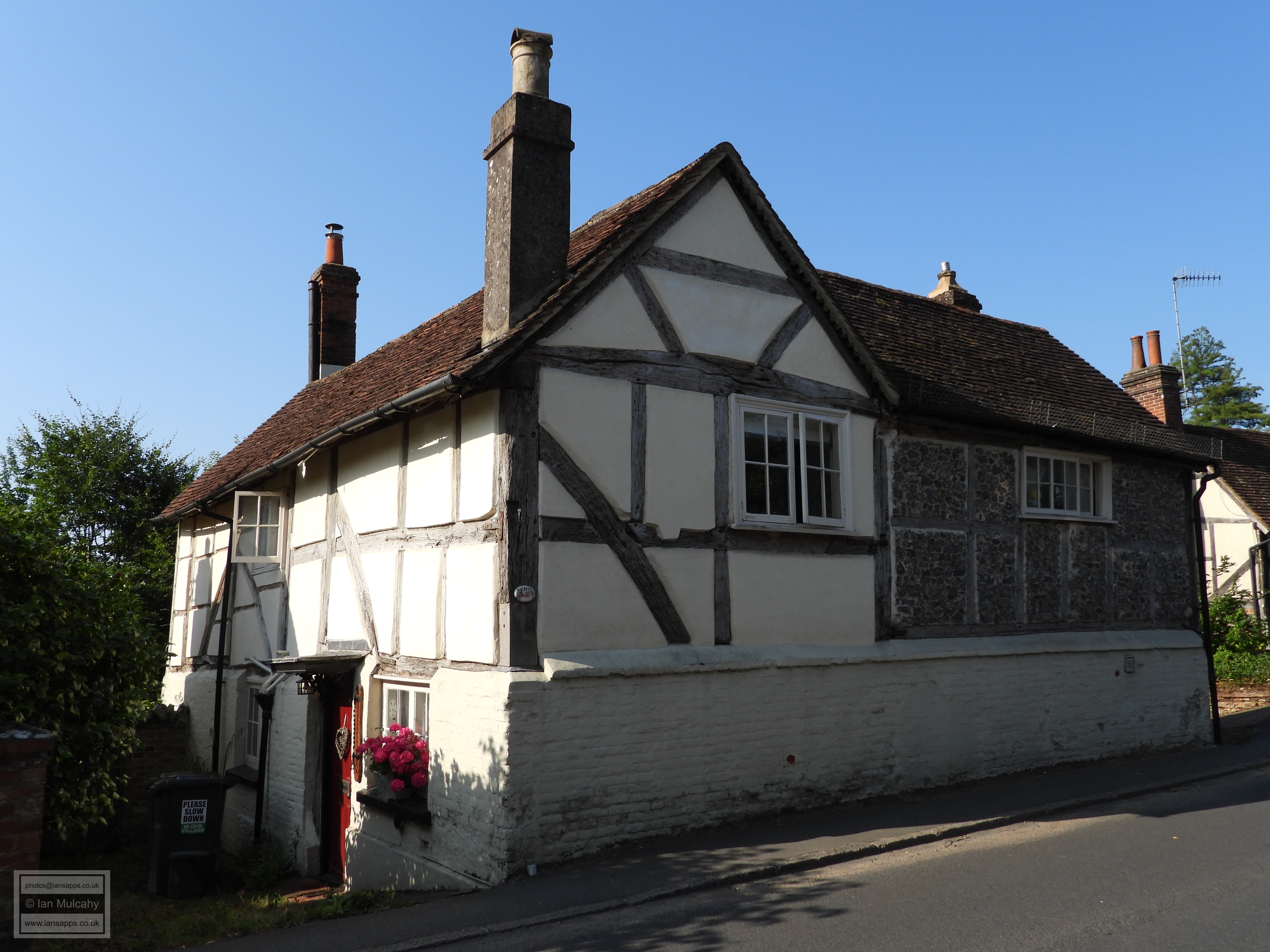
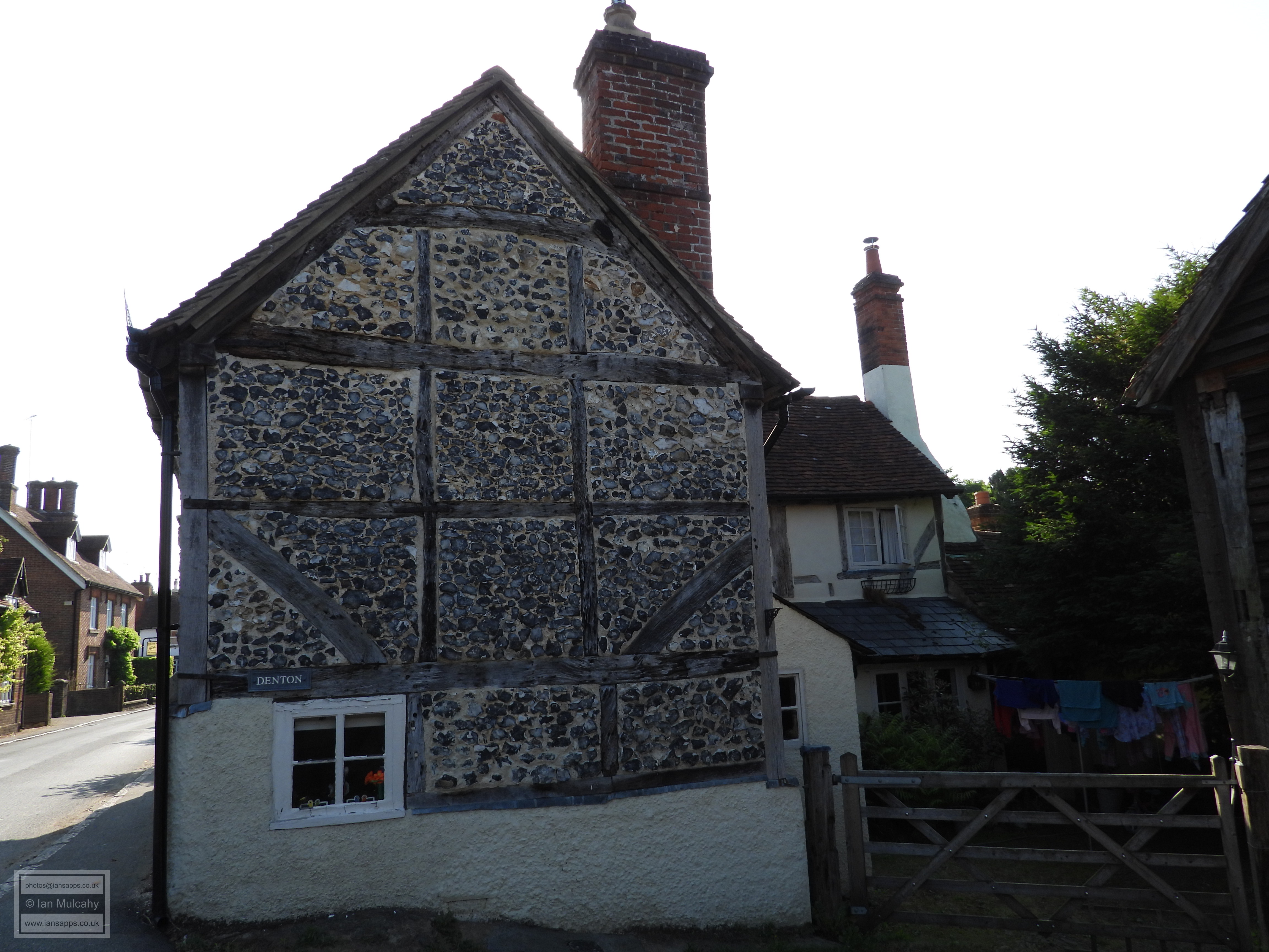
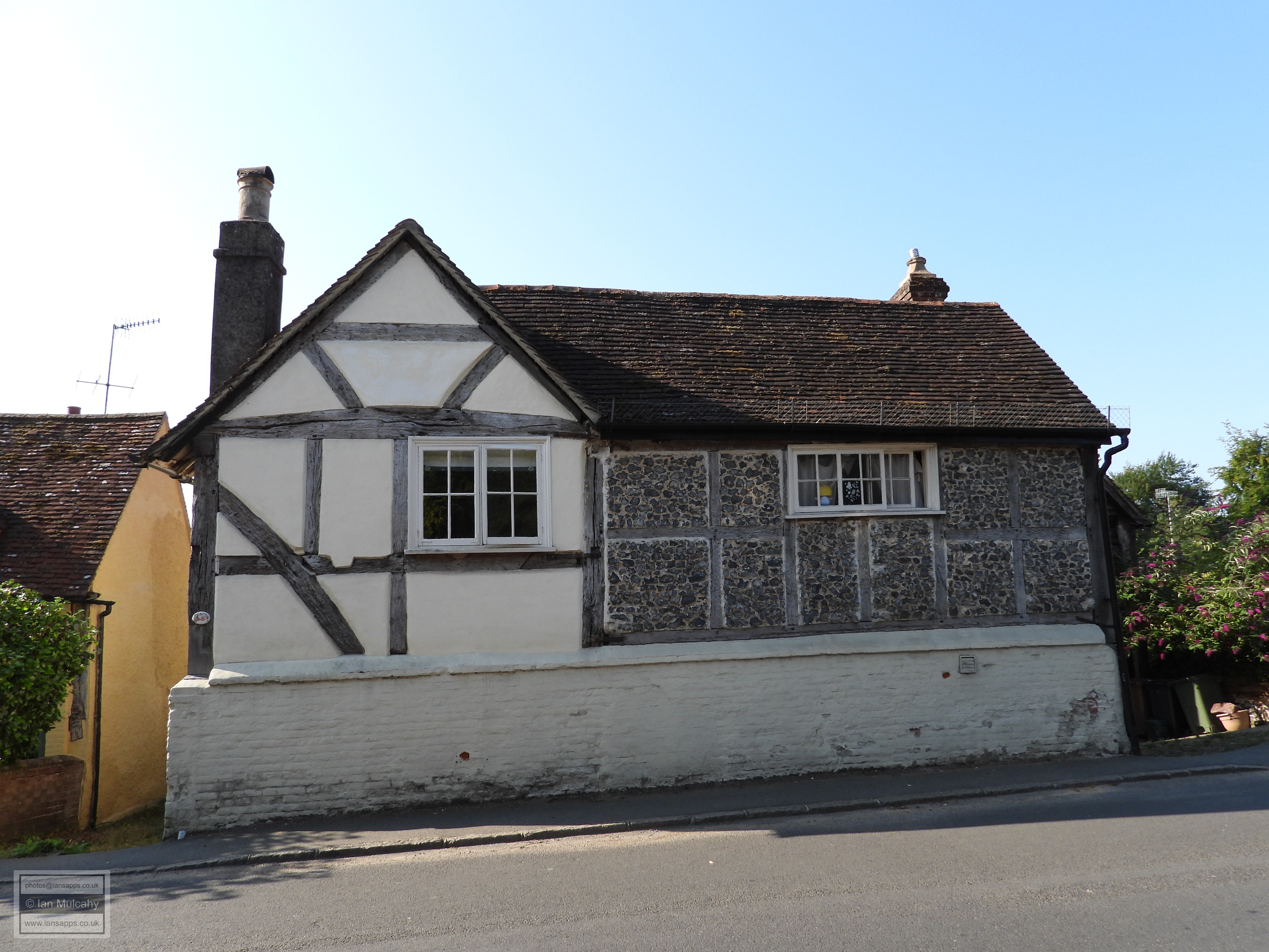
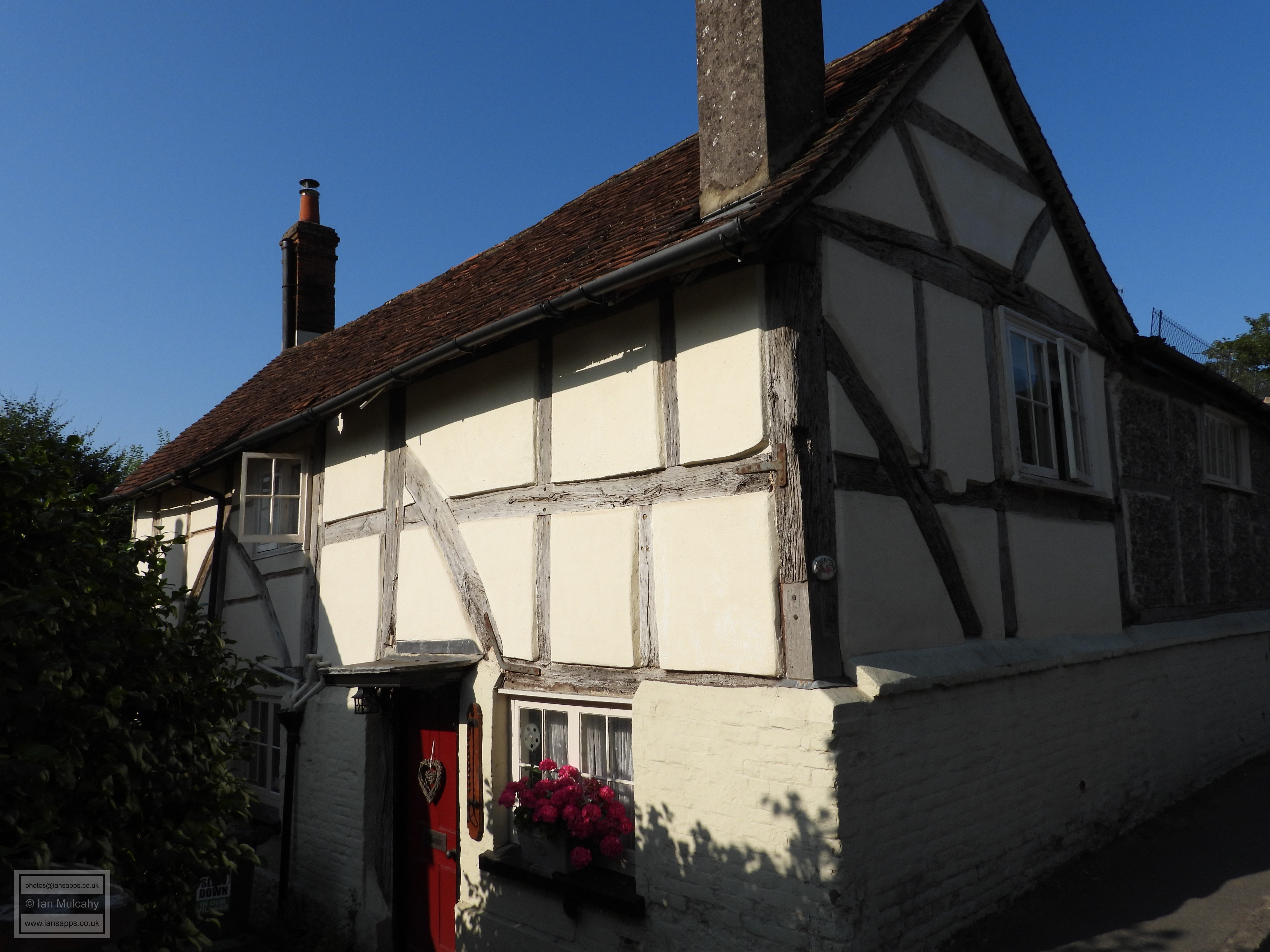
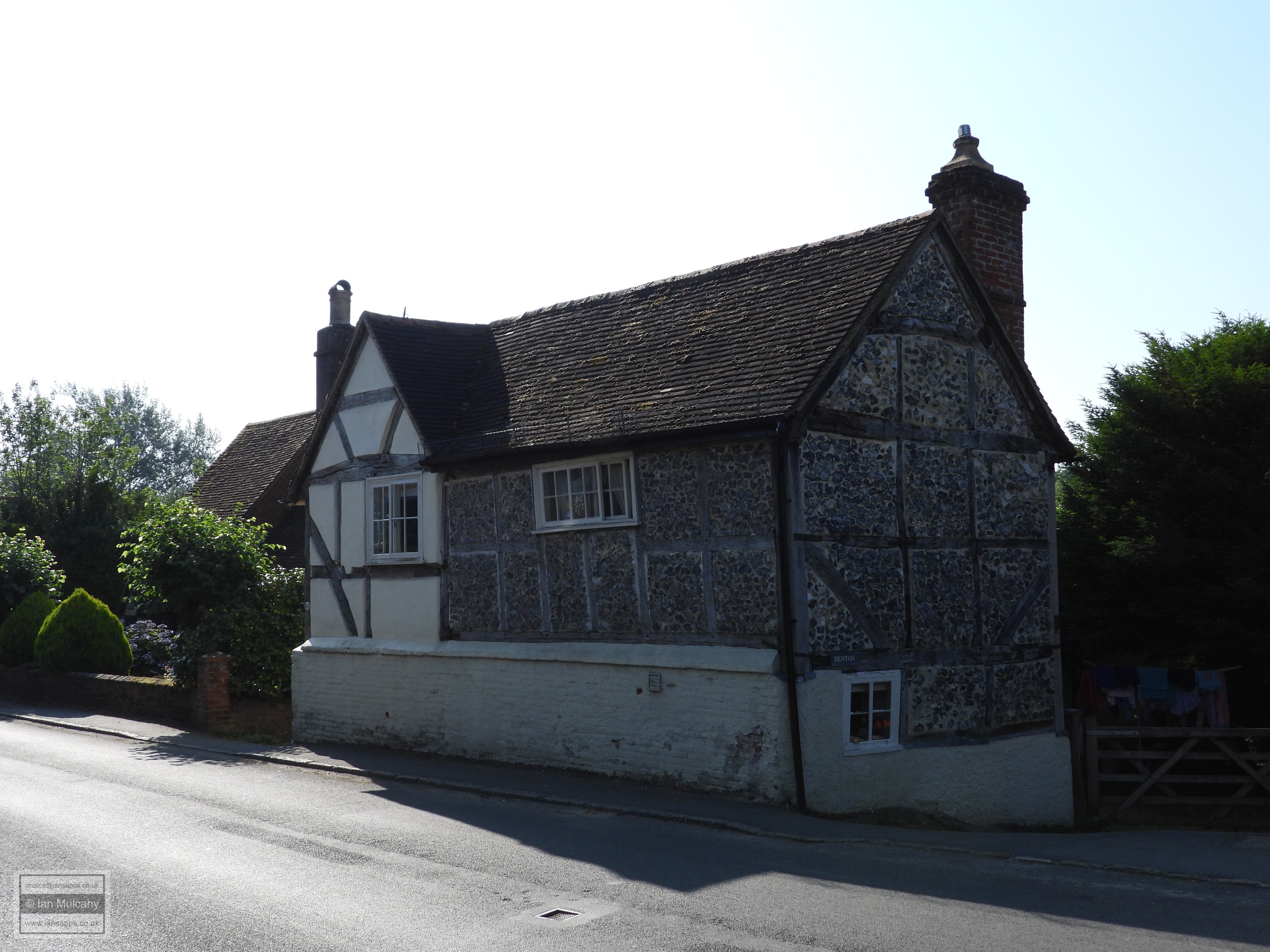
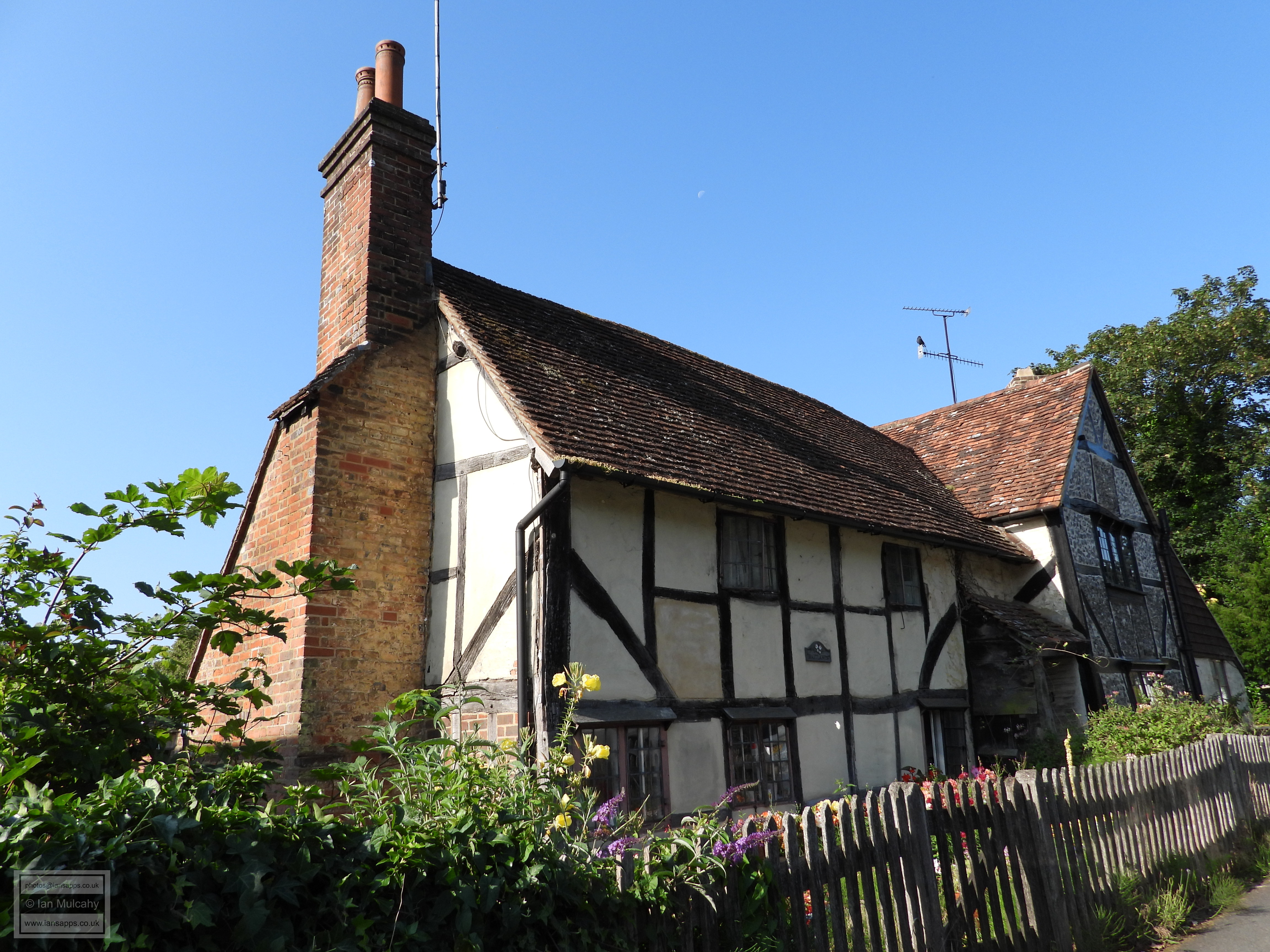
Denmarke is an early 16th century house whose jetty is still partially visible, despite the layers of rendering that have been applied and Lime Cottage is a quaint little 16th century cottage whose brick infilling of the timbers has been washed in yellow. The taller bay to the left is a 19th century extension. Next door is the 16th century Denton where the exposed timbers of the upper floor sit on a sturdy brick plinth. Completing this run of Tudor buildings is Knapps Cottage and Waitlands, a mid-16th century house which has now been split into two. To the left the square whitewashed panels remain visible between the timbers and to the right is a 17th century crosswing where the framing is infilled with flint.
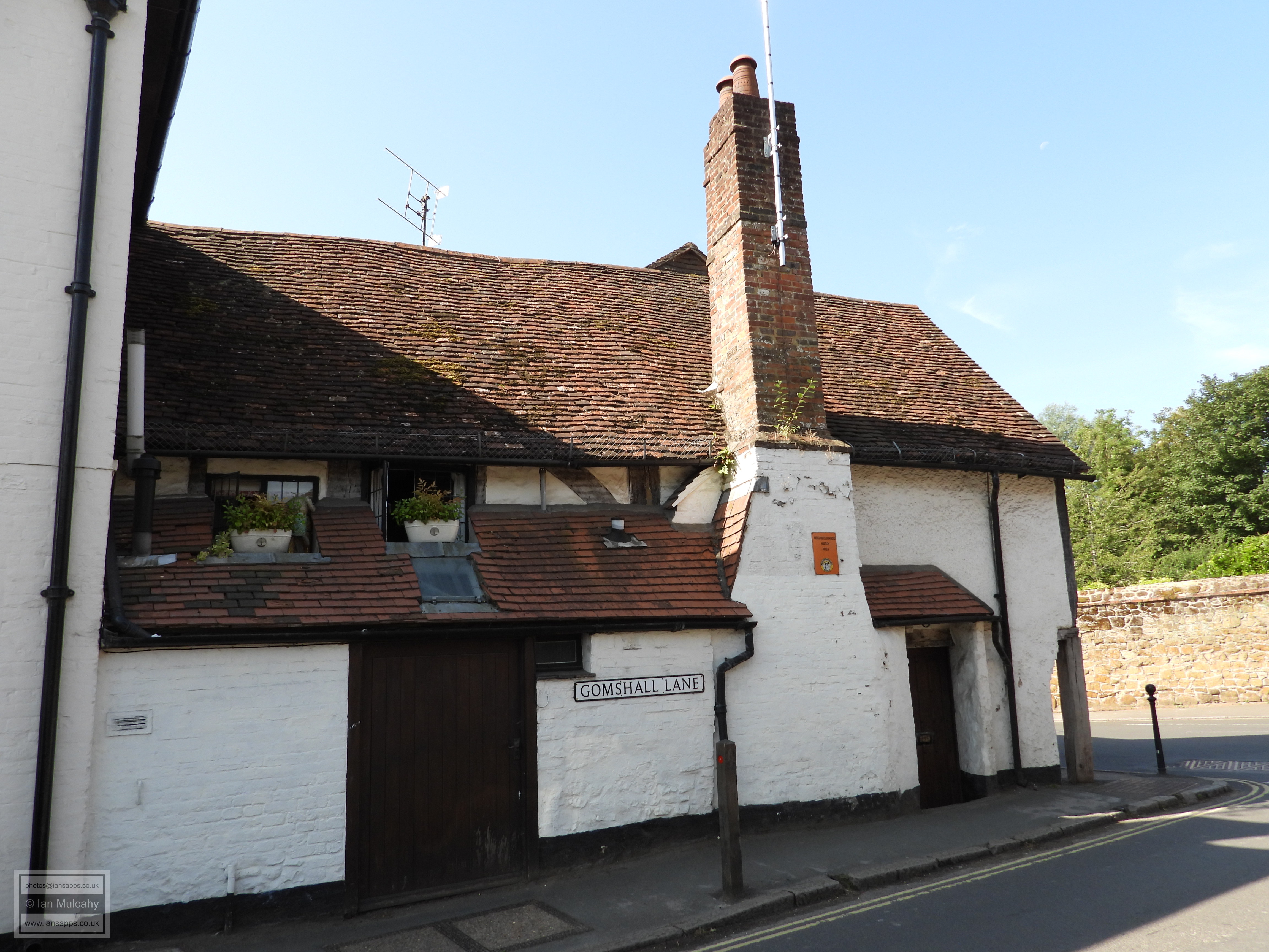
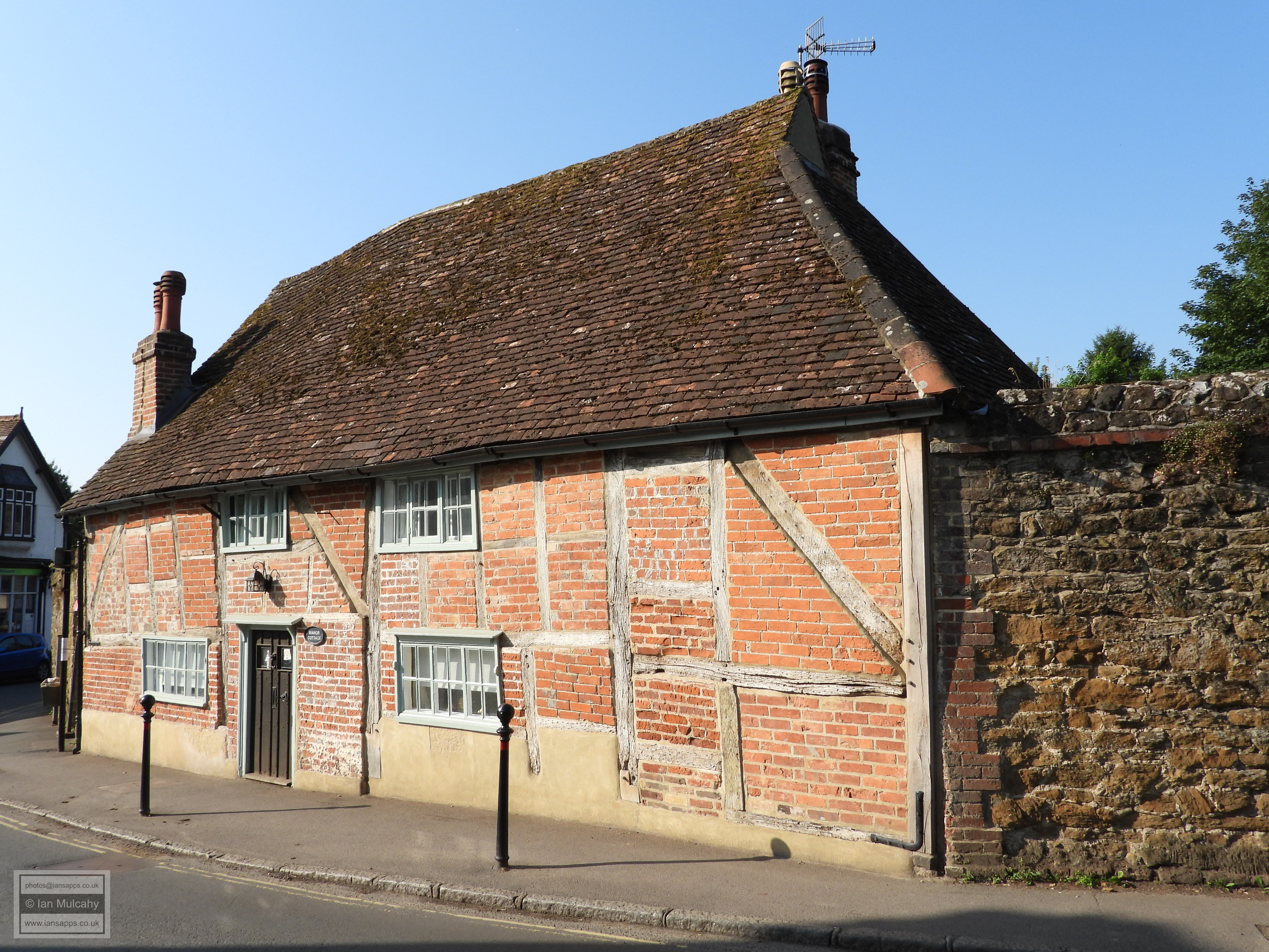
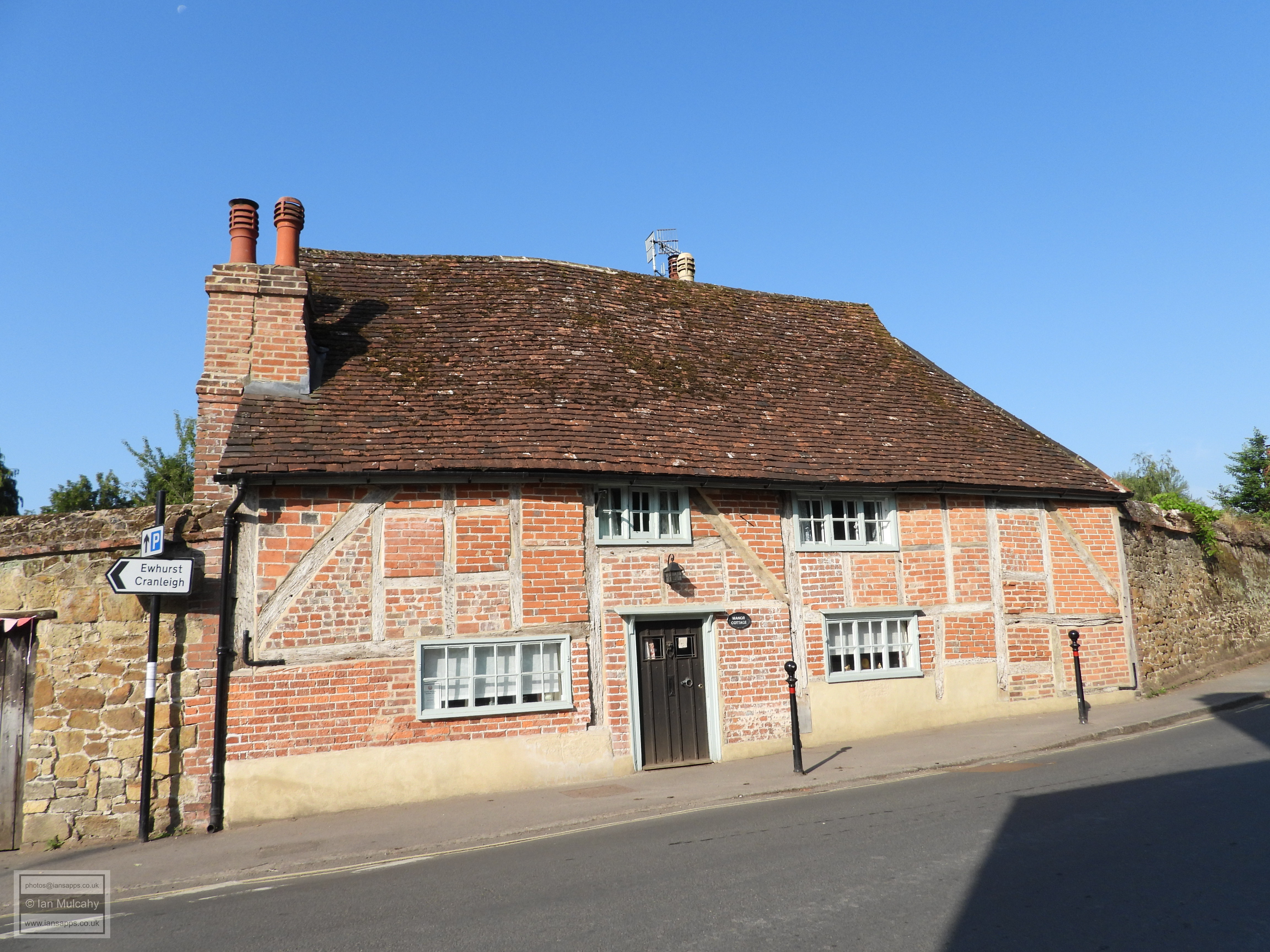
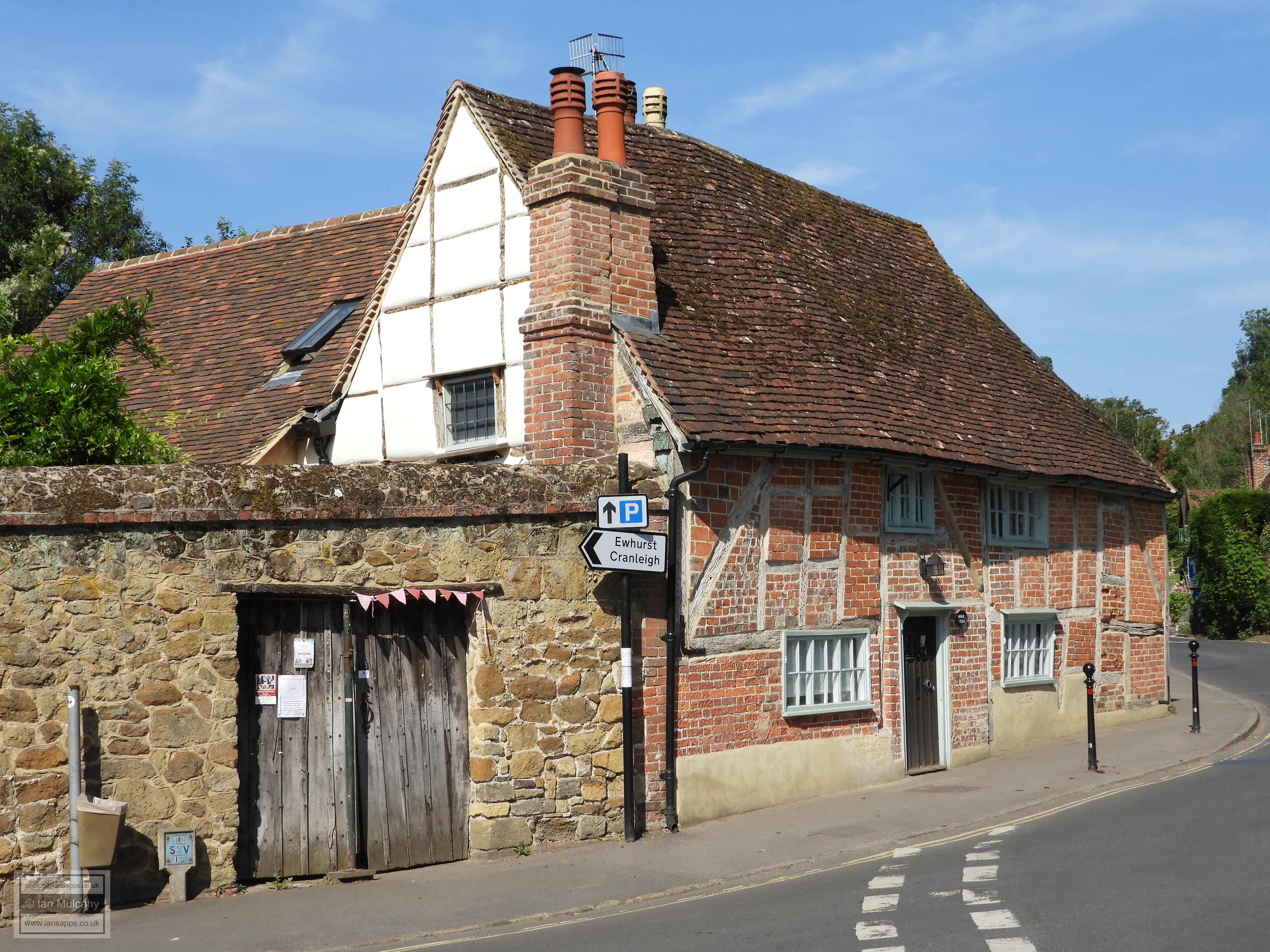
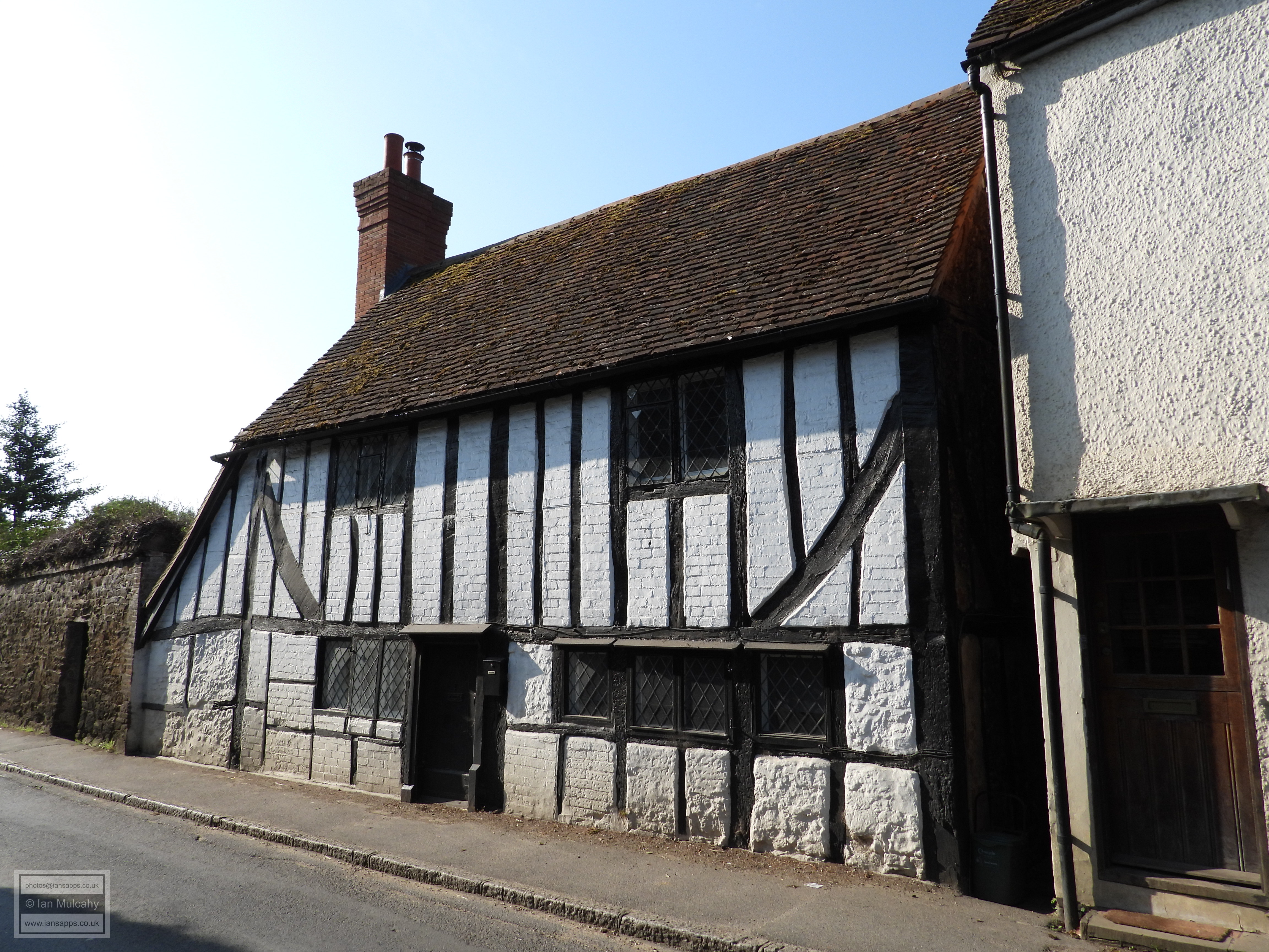
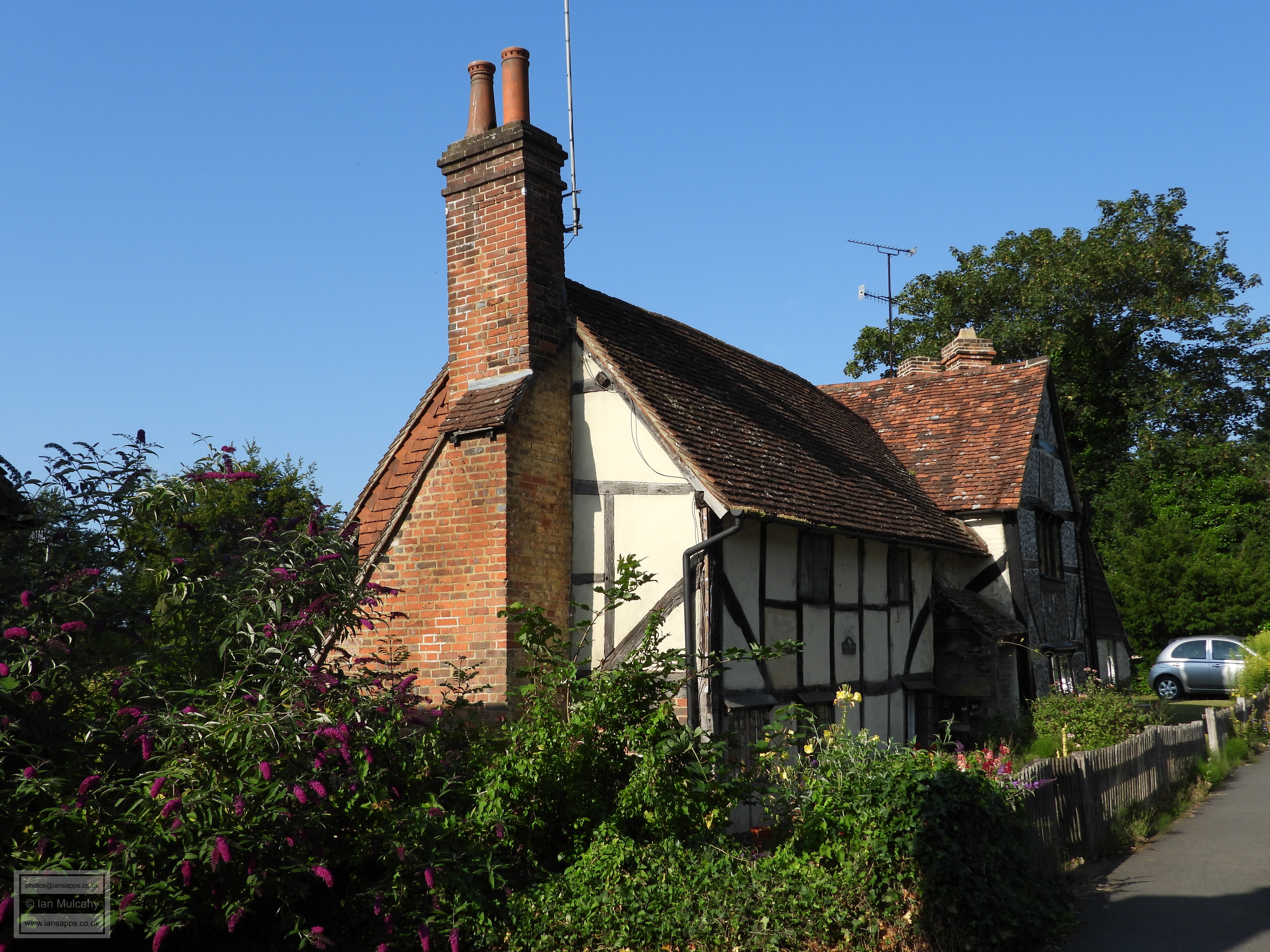
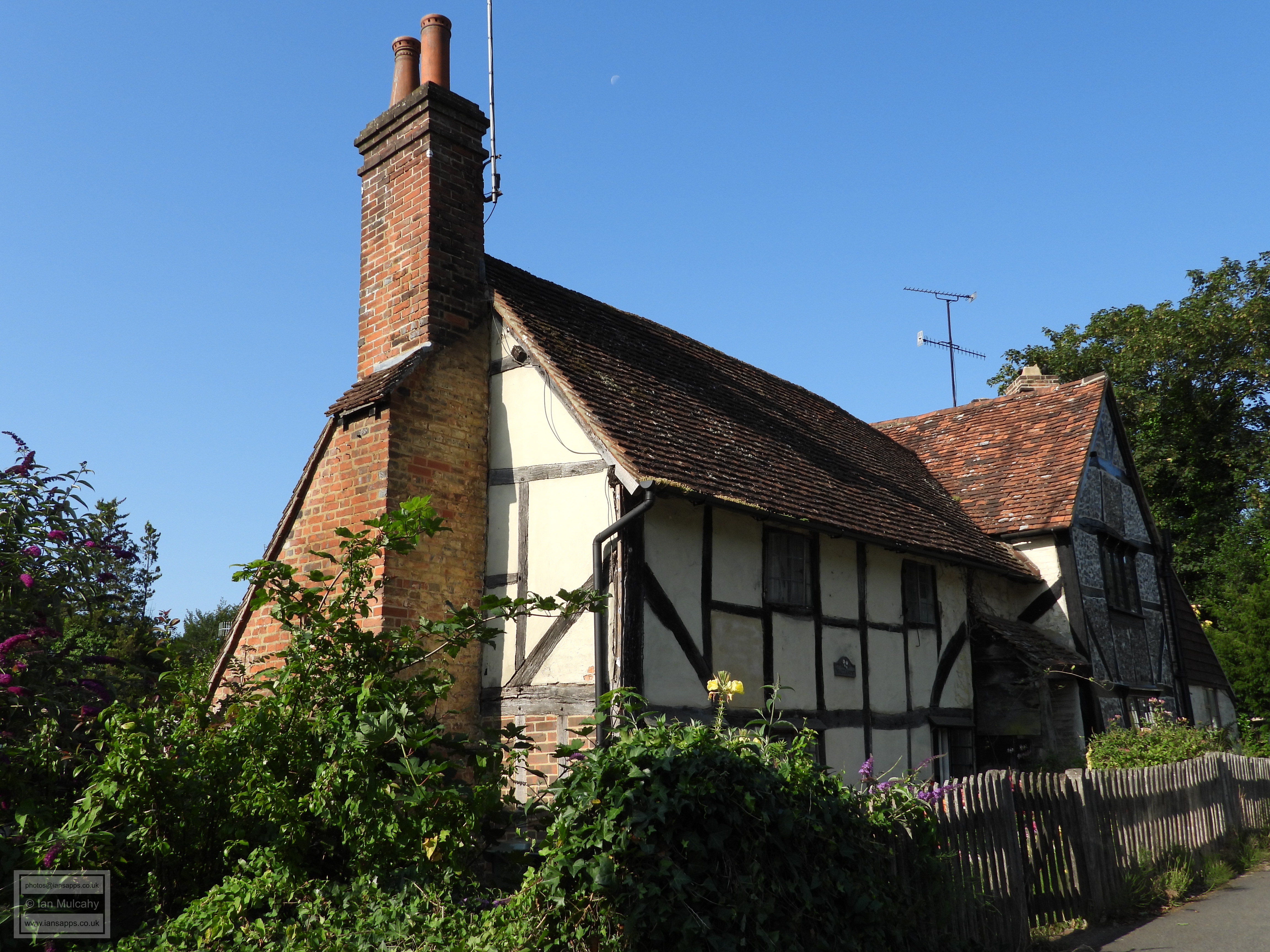
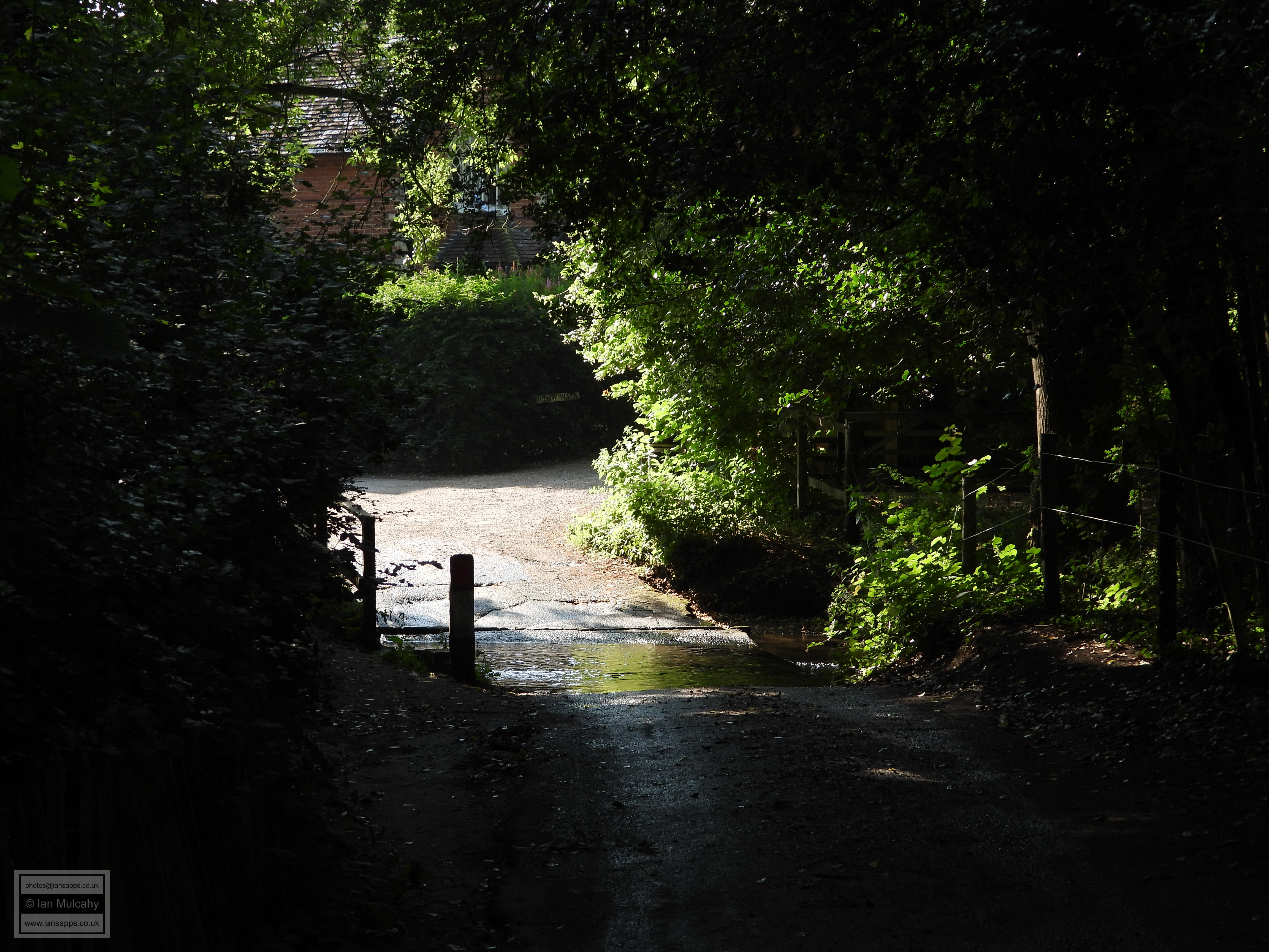
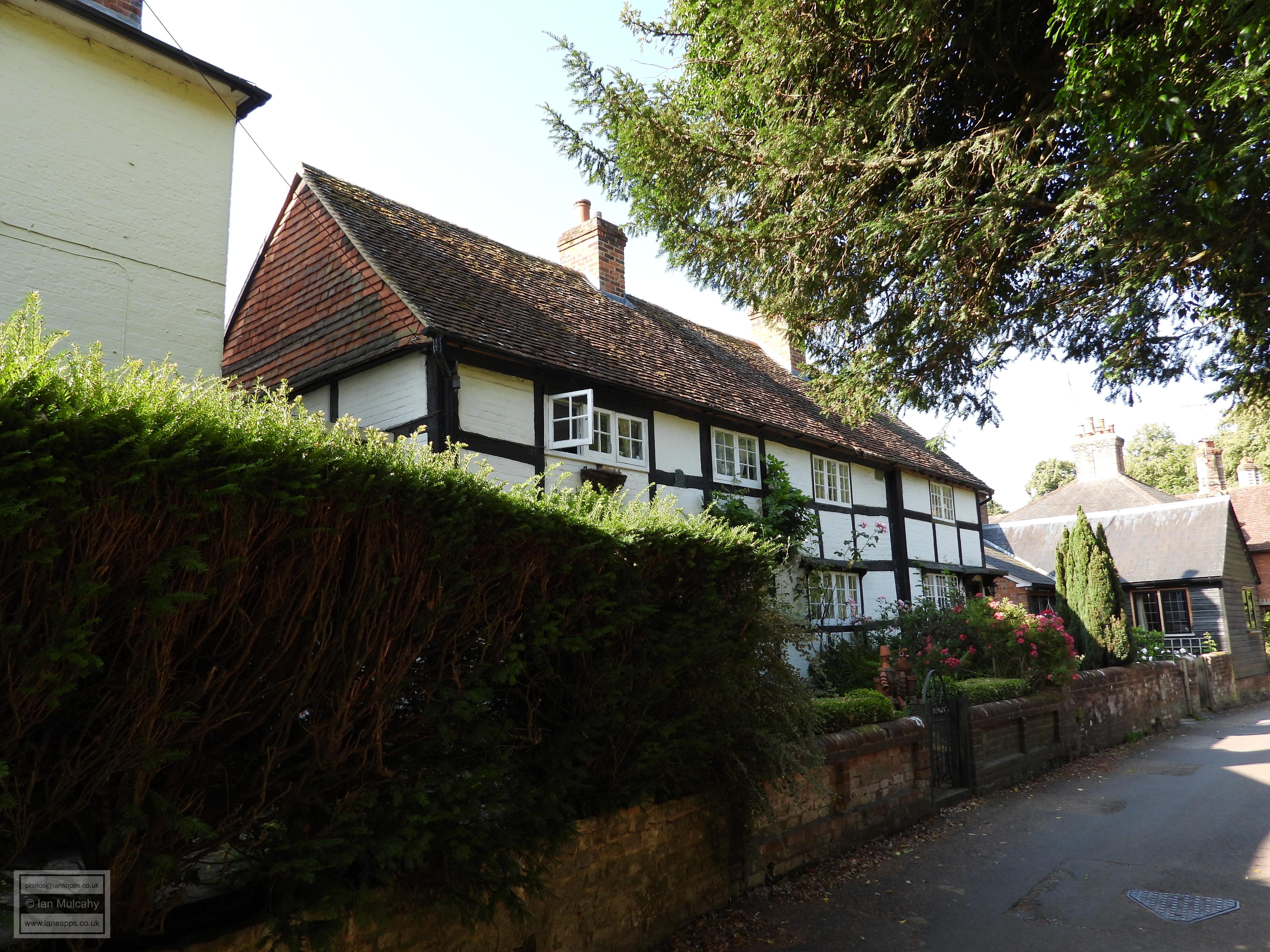
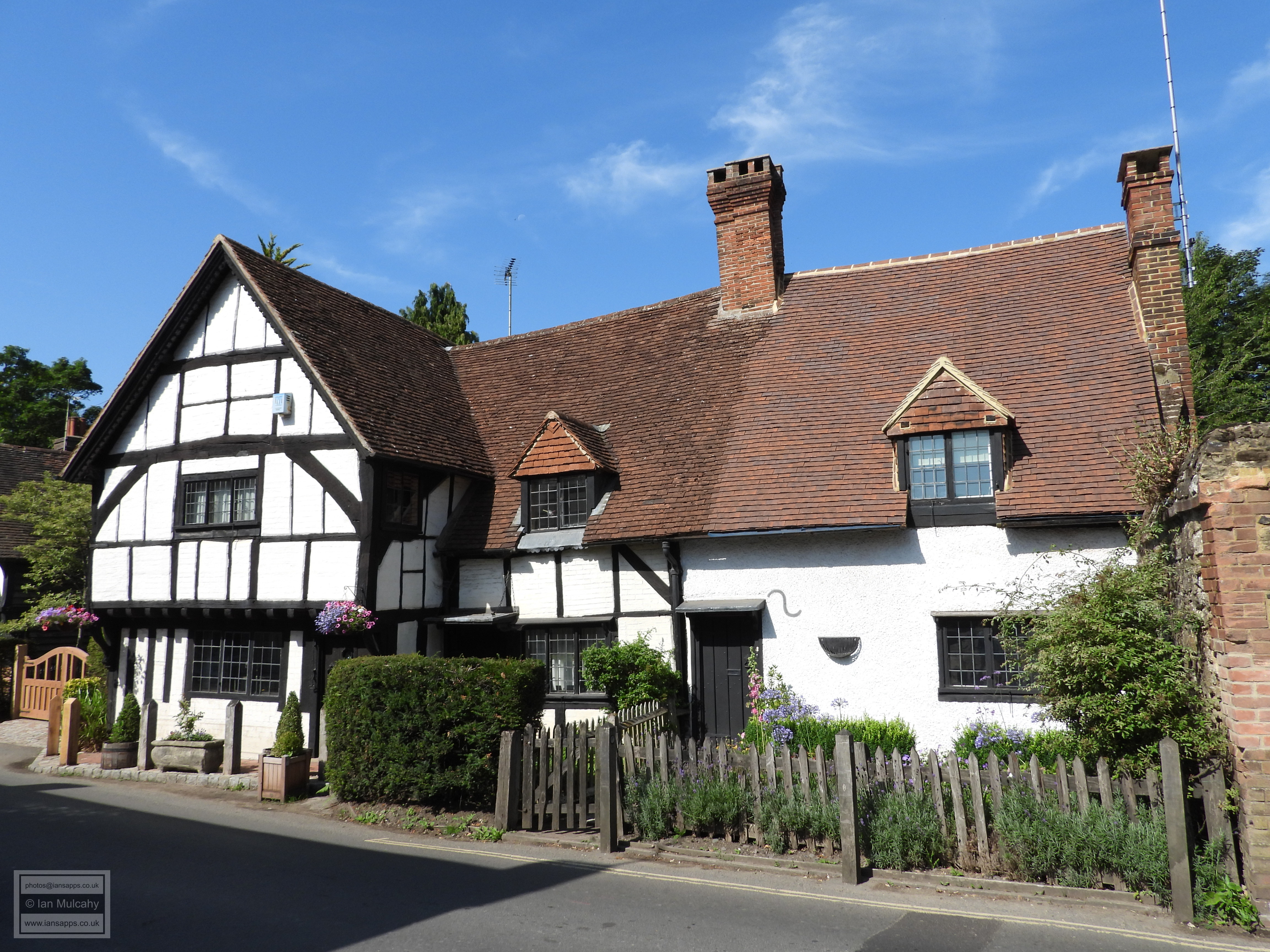
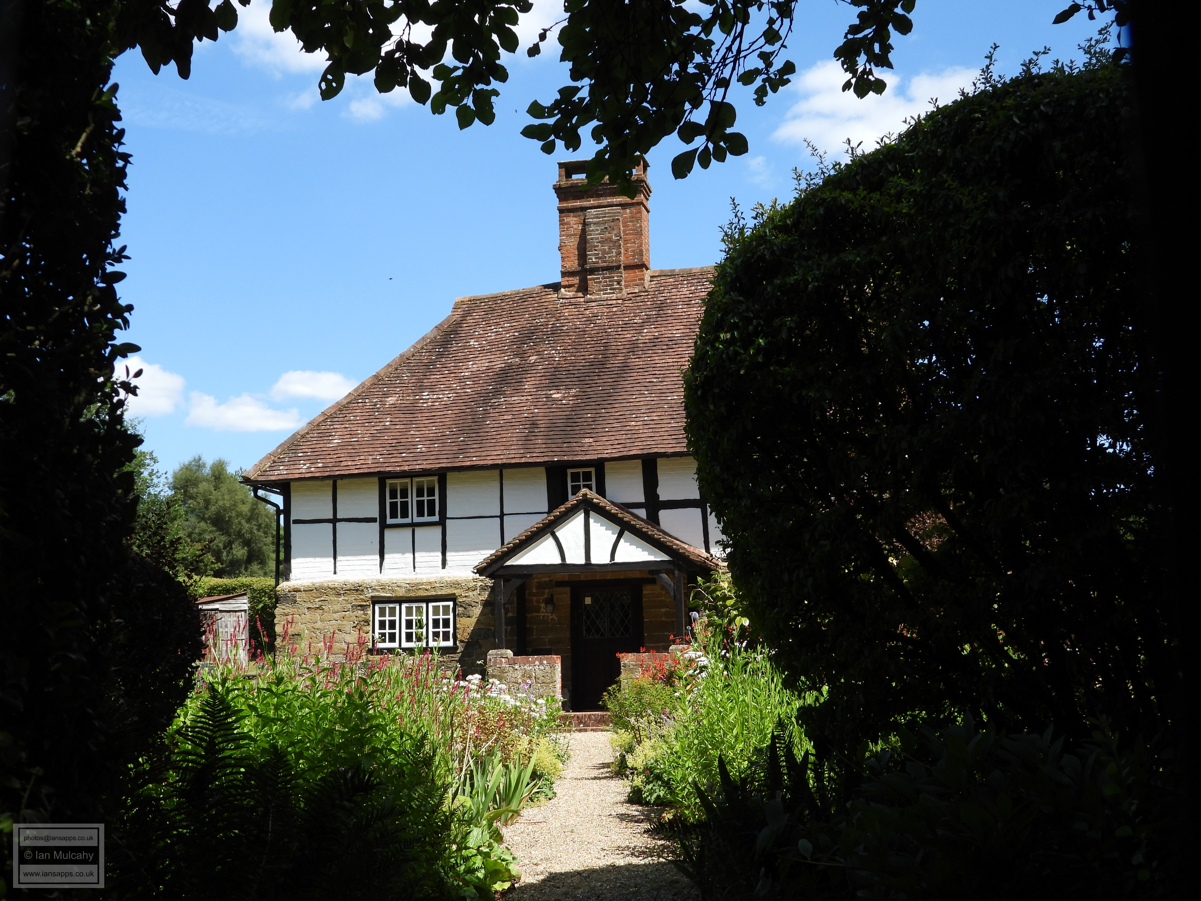
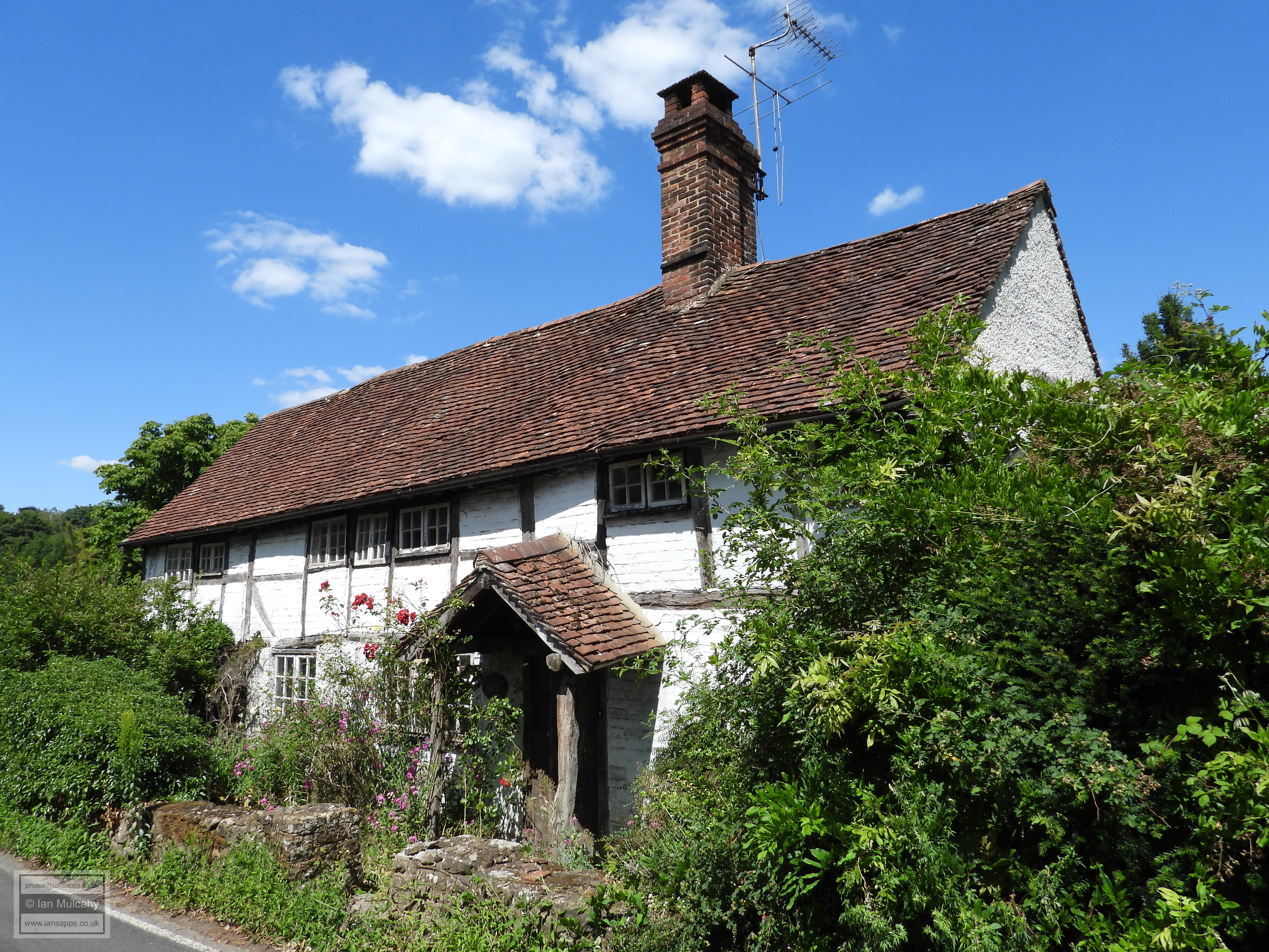
Turning south and walking downhill along the narrow Rectory Lane, we soon cross an ancient ford across the River Tillingbourne before turning left into Lower Street. After just 60 yards is the late Tudor Delmont and Wayside a timber framed building that was originally jettied to the left, but has now been underbuilt in whitewashed brick. The bay to the right is a late 19th century extension, evidenced by its perfectly straight timbers. A further 25 yards along Lower Street is The Old Prison, a late 16th century structure whose timber frames have been infilled or refaced with a mosaic of flint rubble and brick. Willow Cottage and Ash Cottage, towards the eastern end of Lower Street, are a divided 15th century Wealden Hall House, now sadly rendered leaving few timbers visible externally.
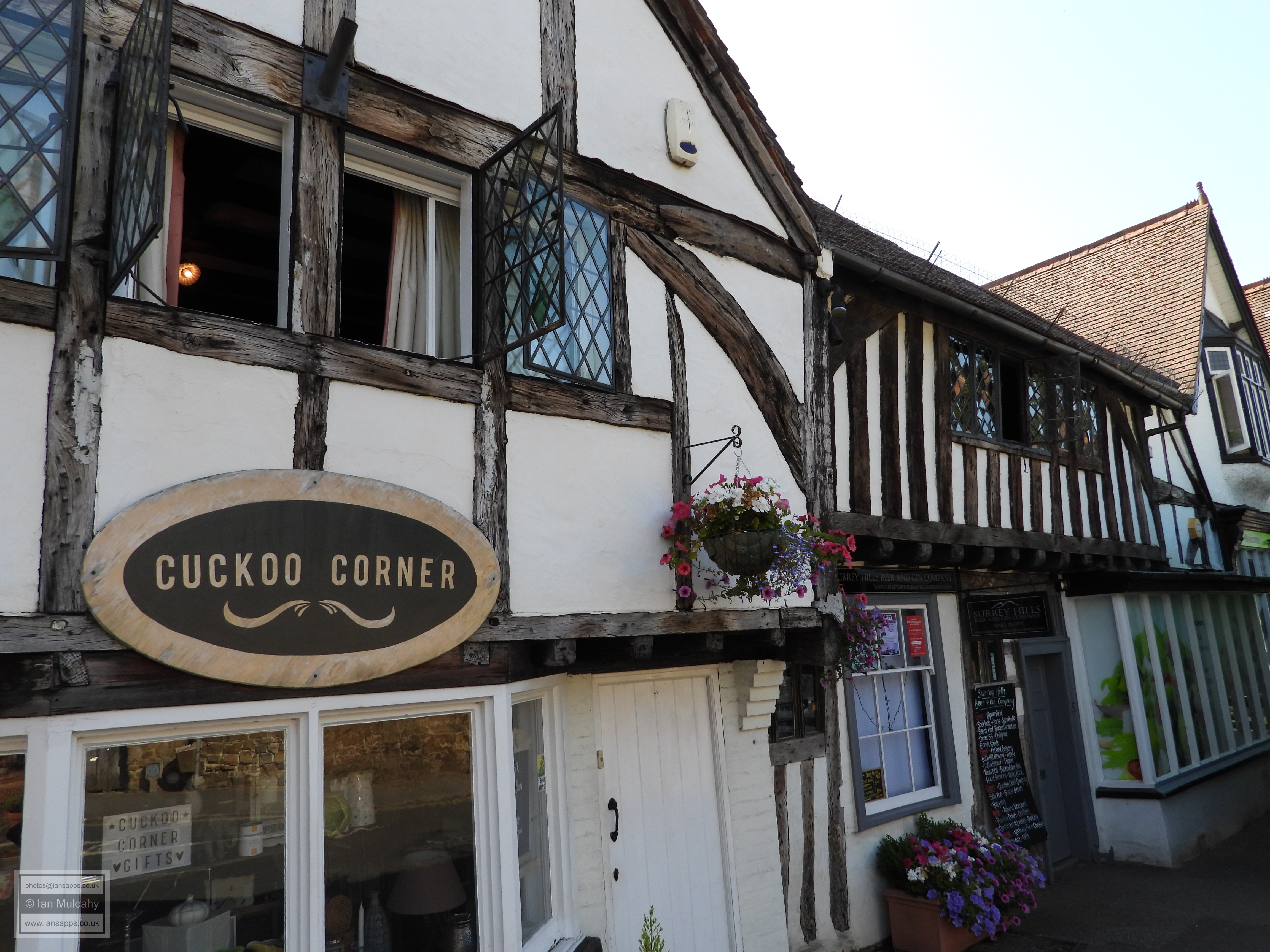
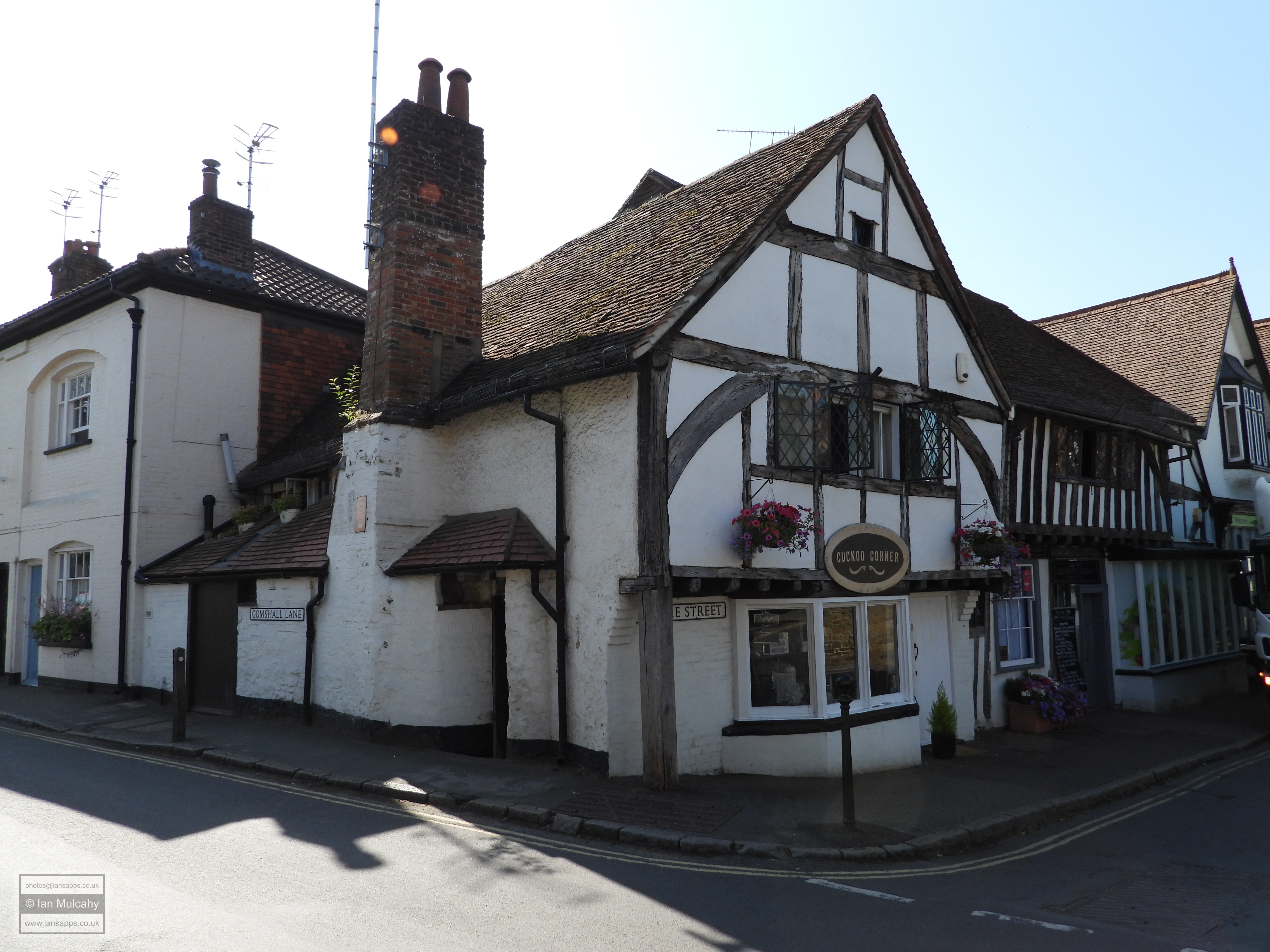
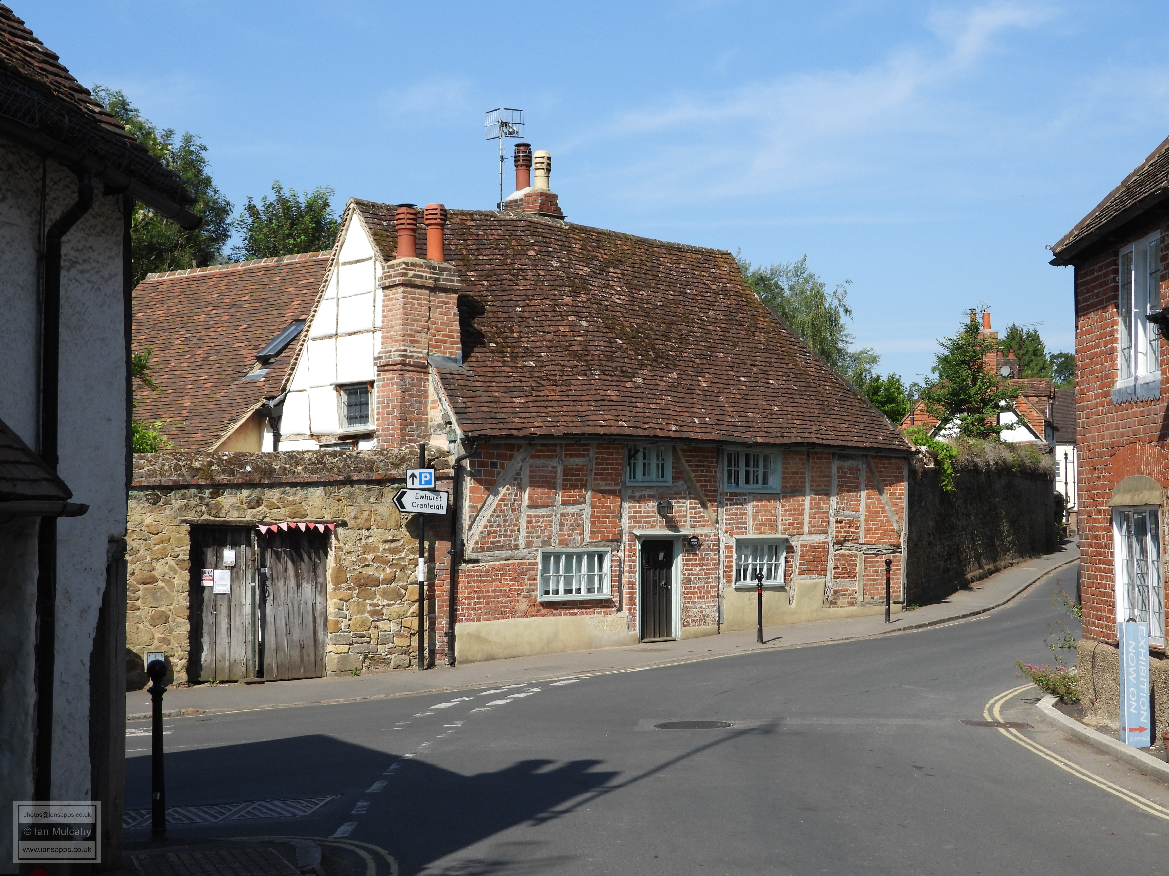
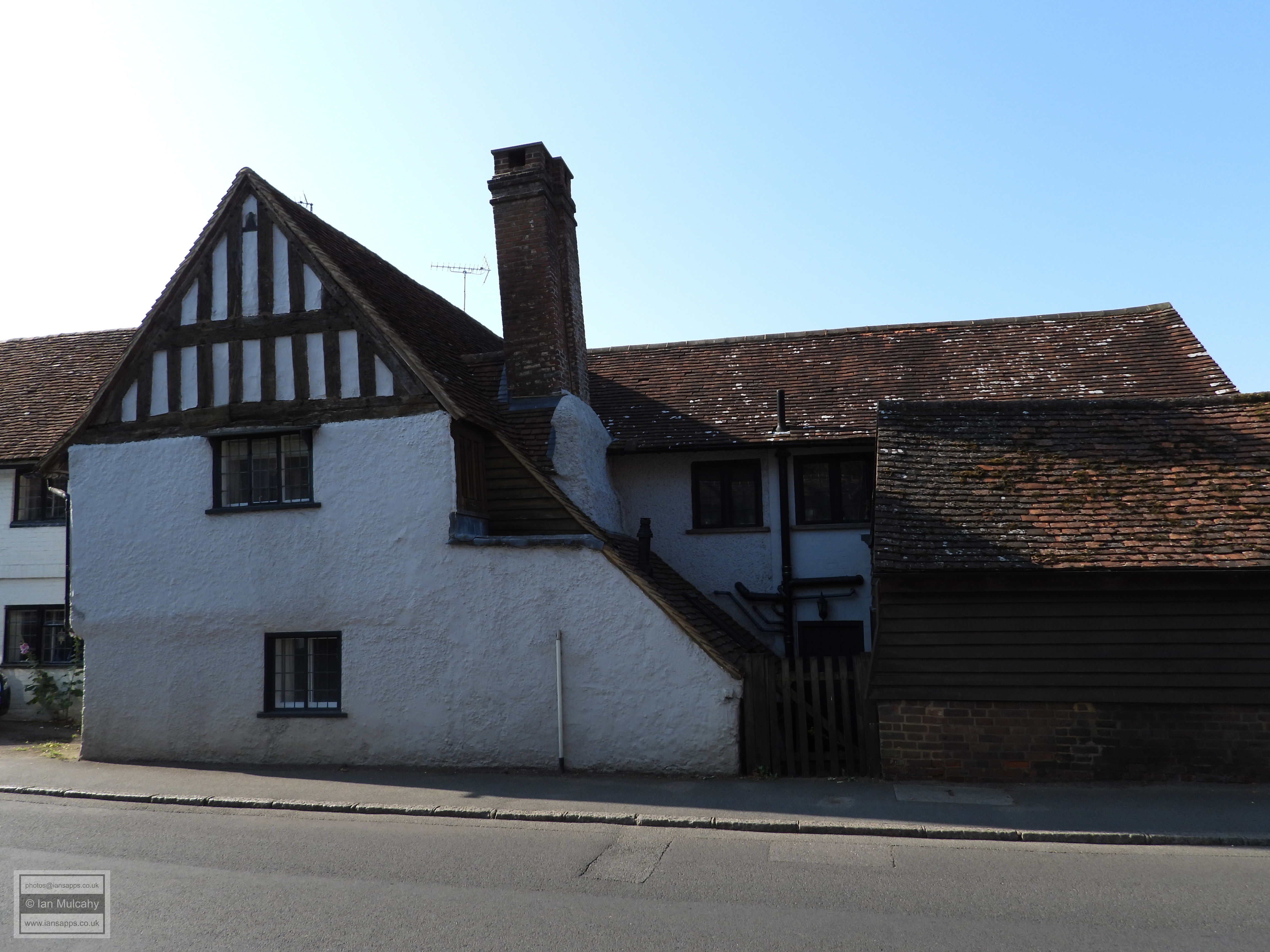
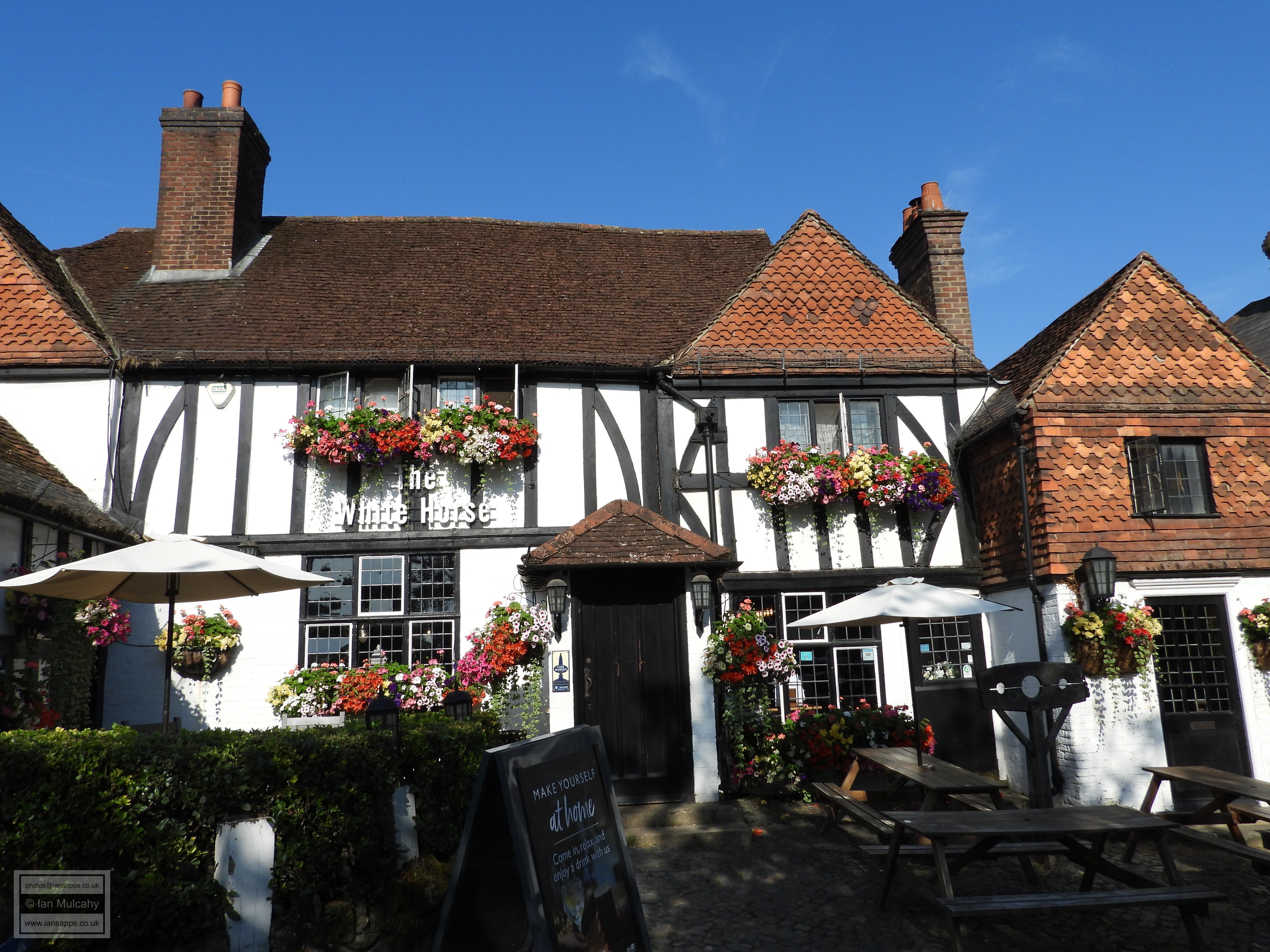
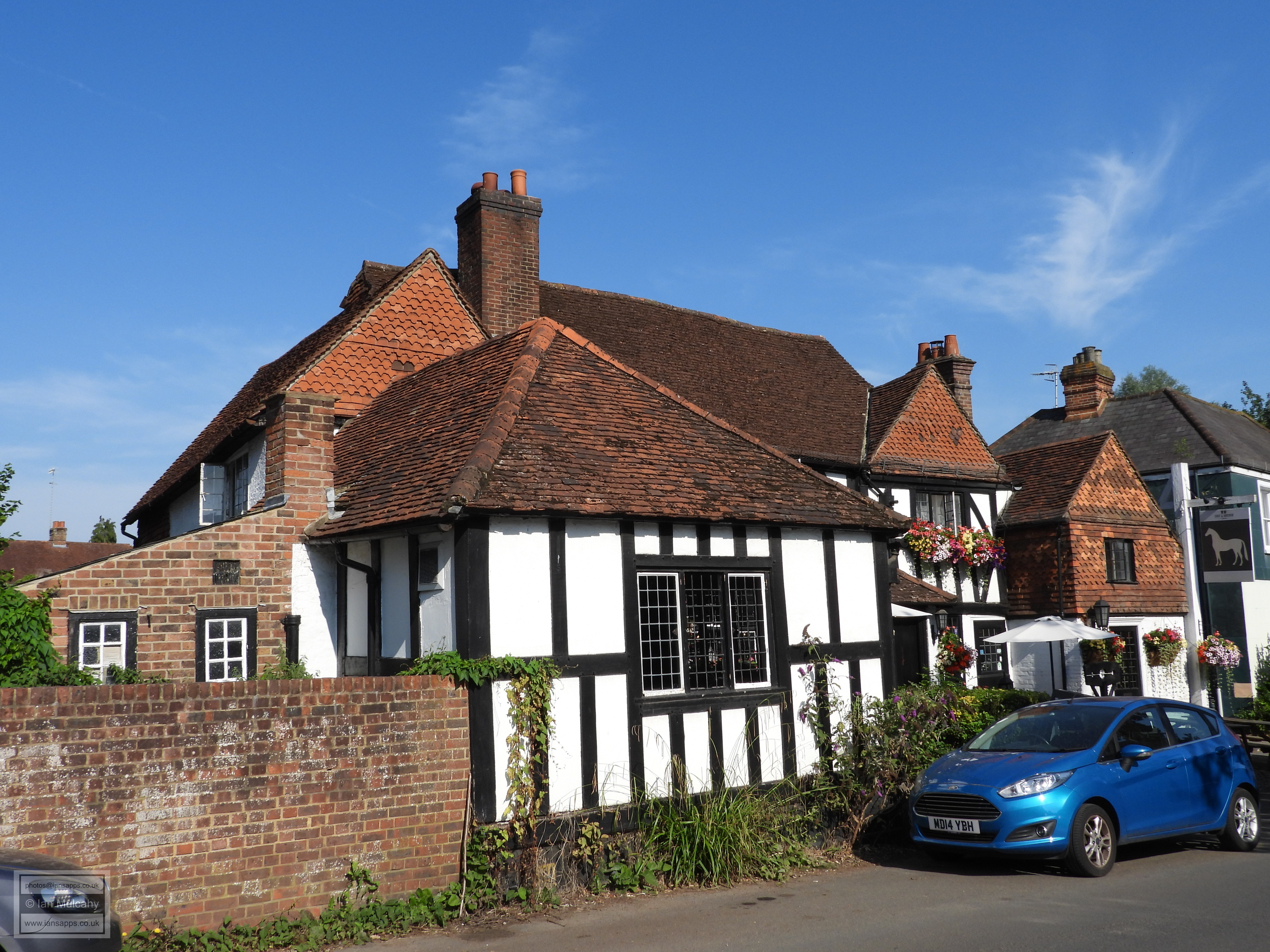
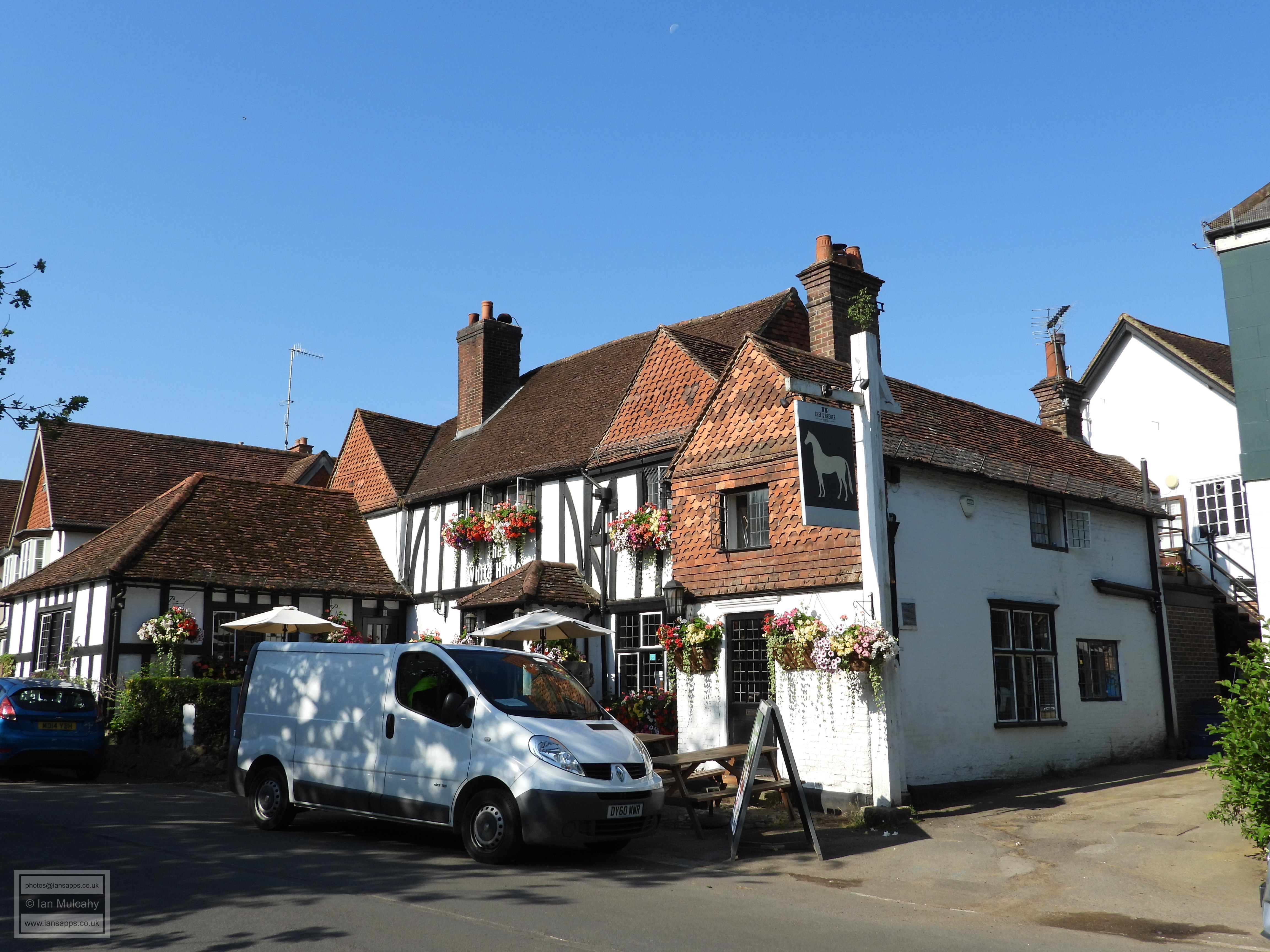
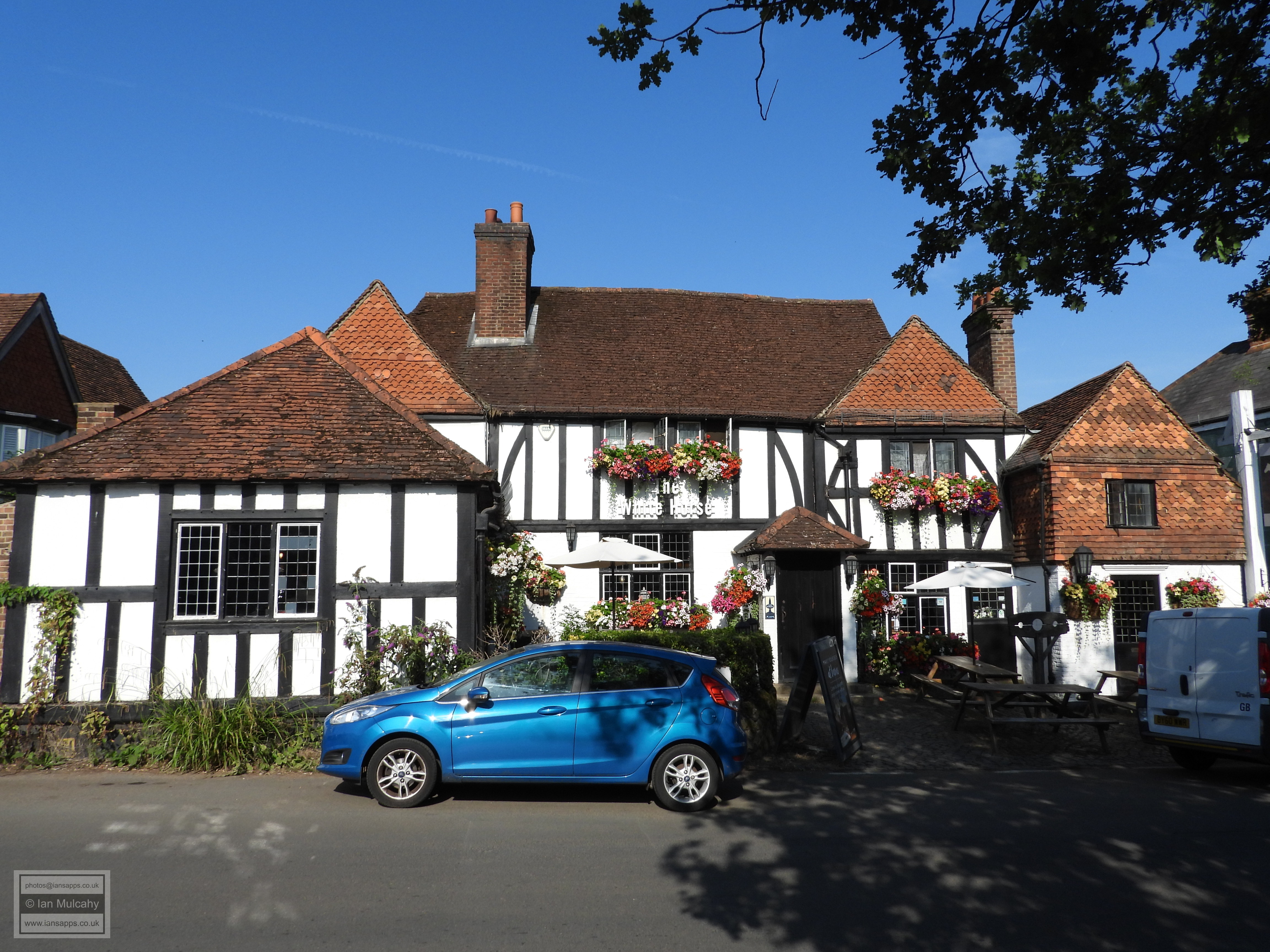
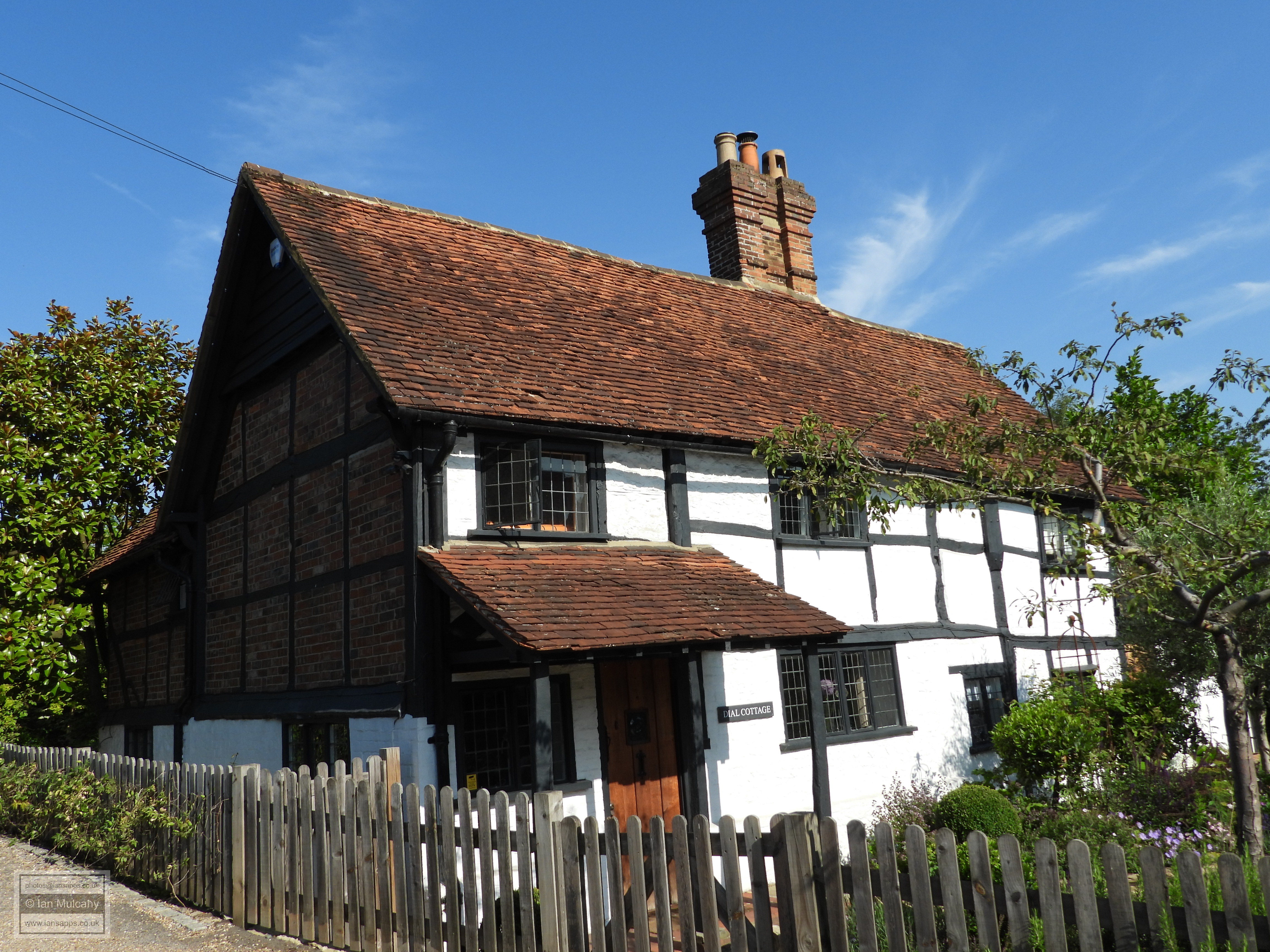
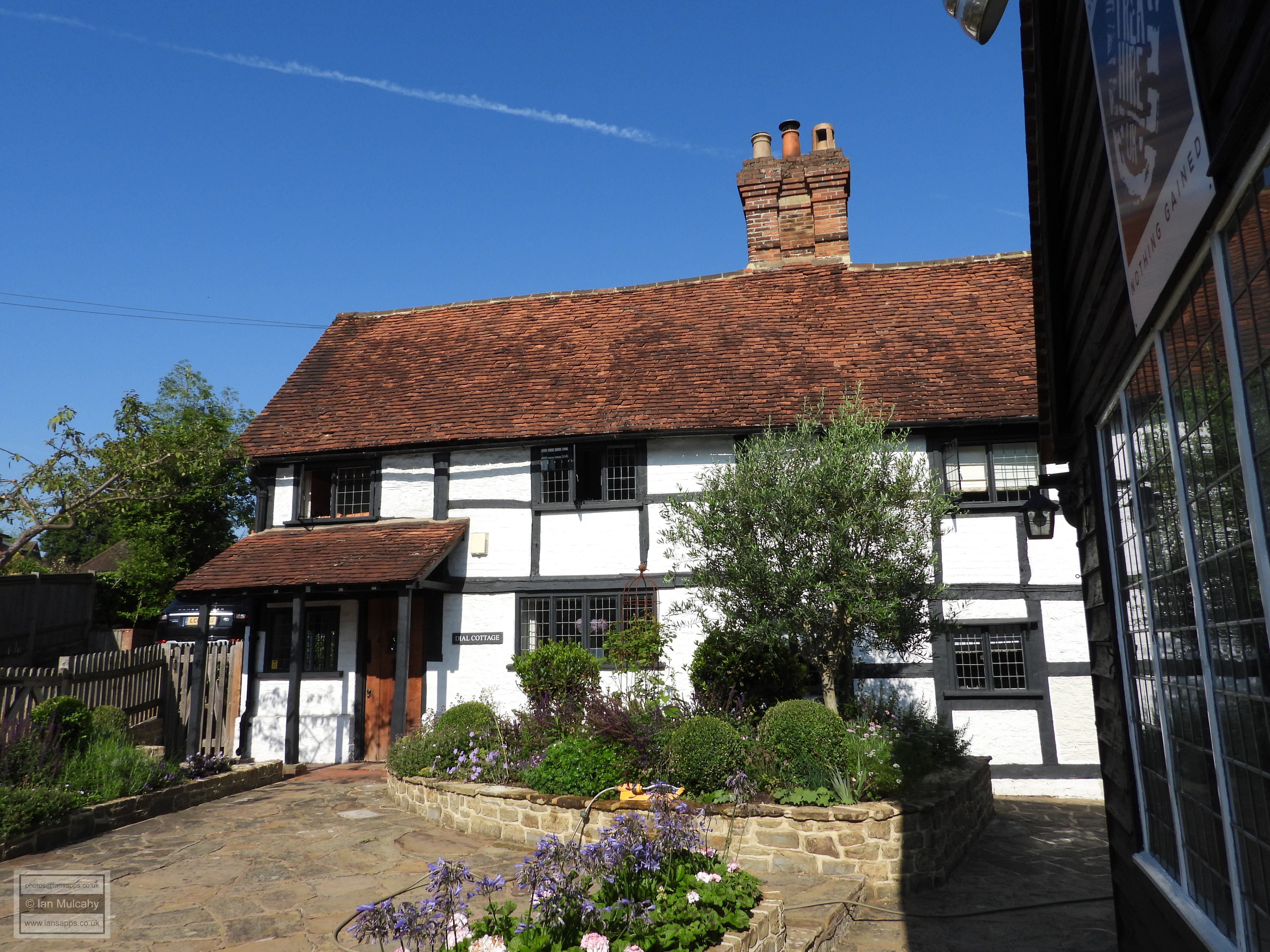
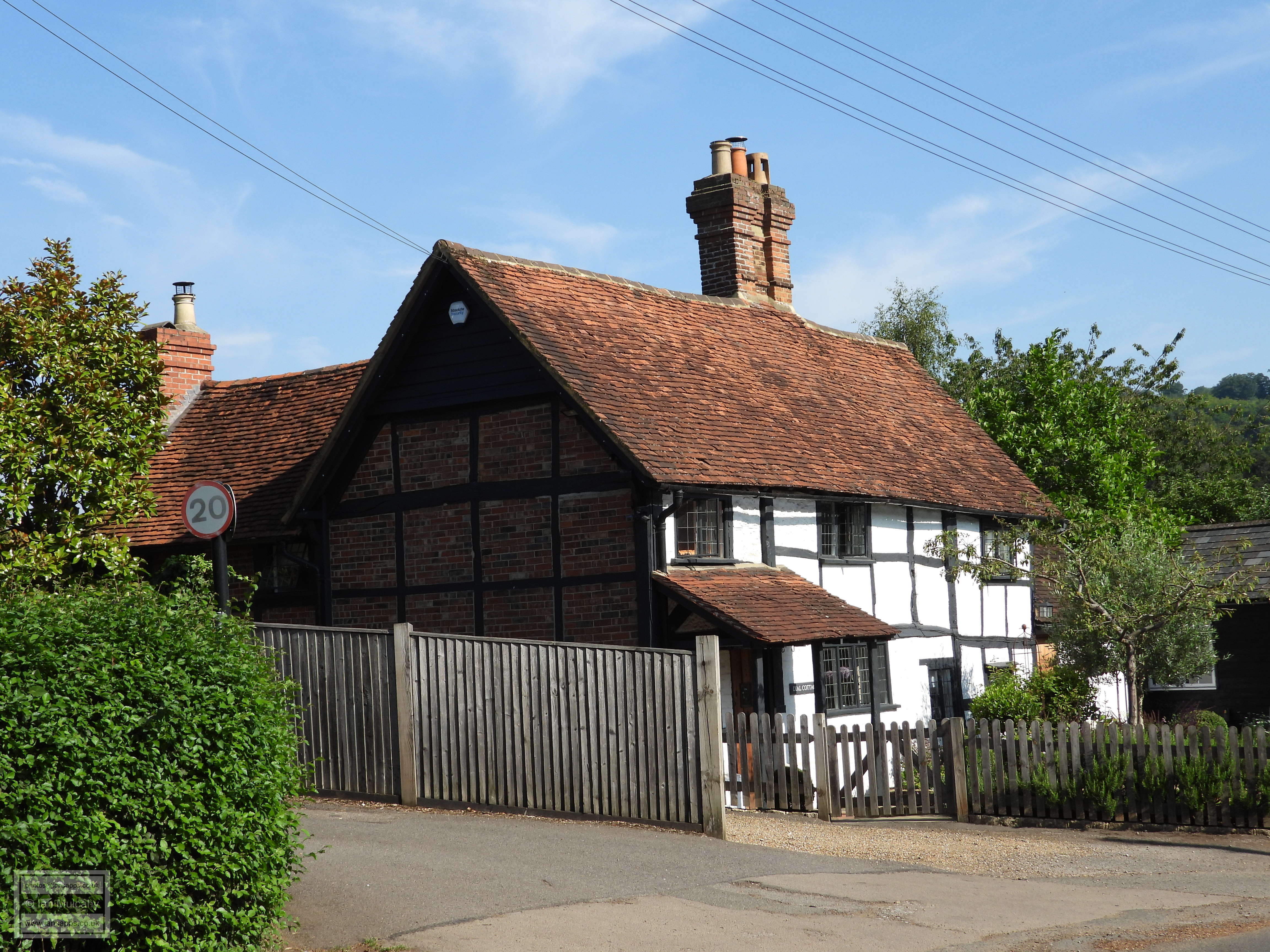
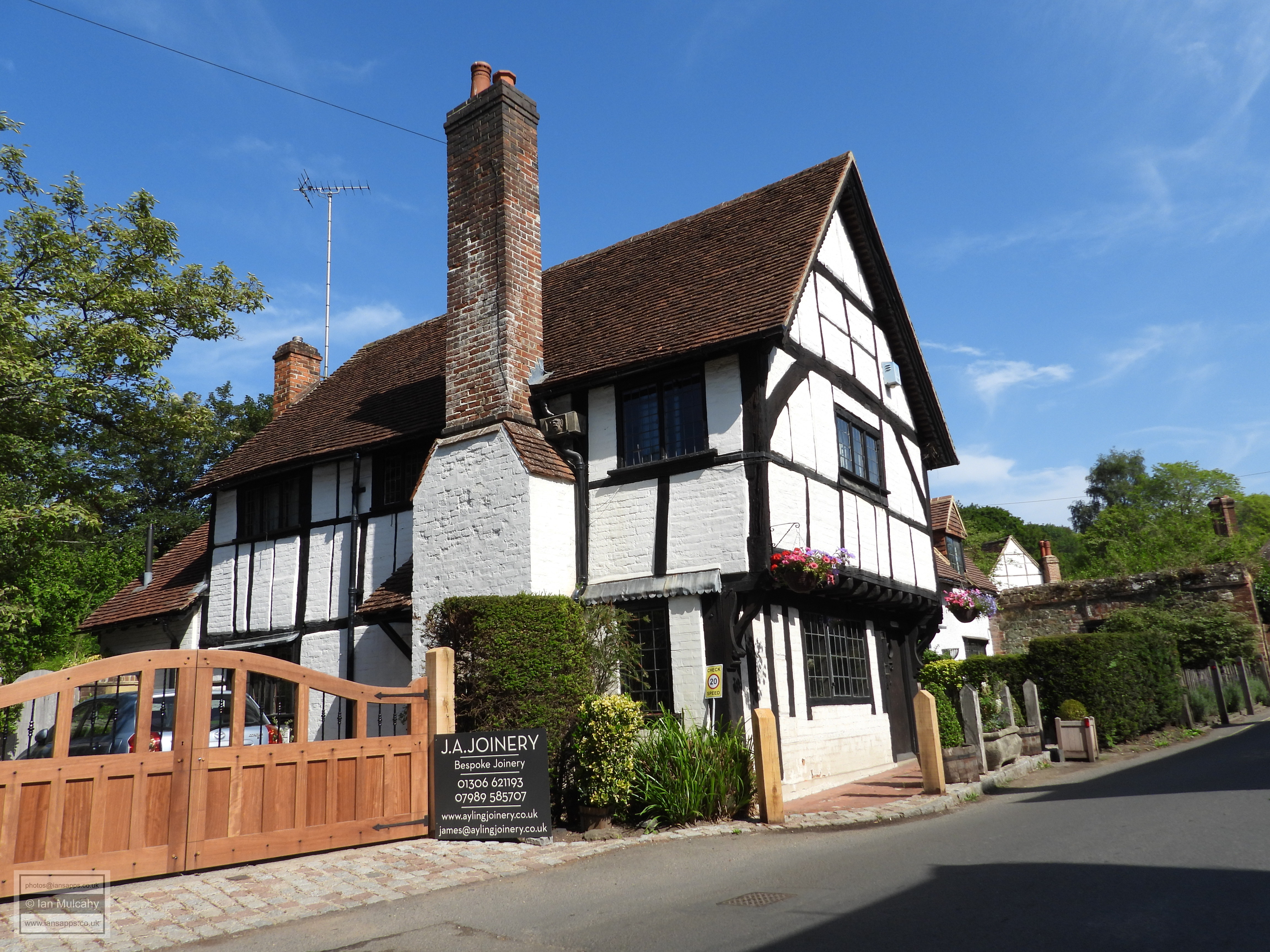
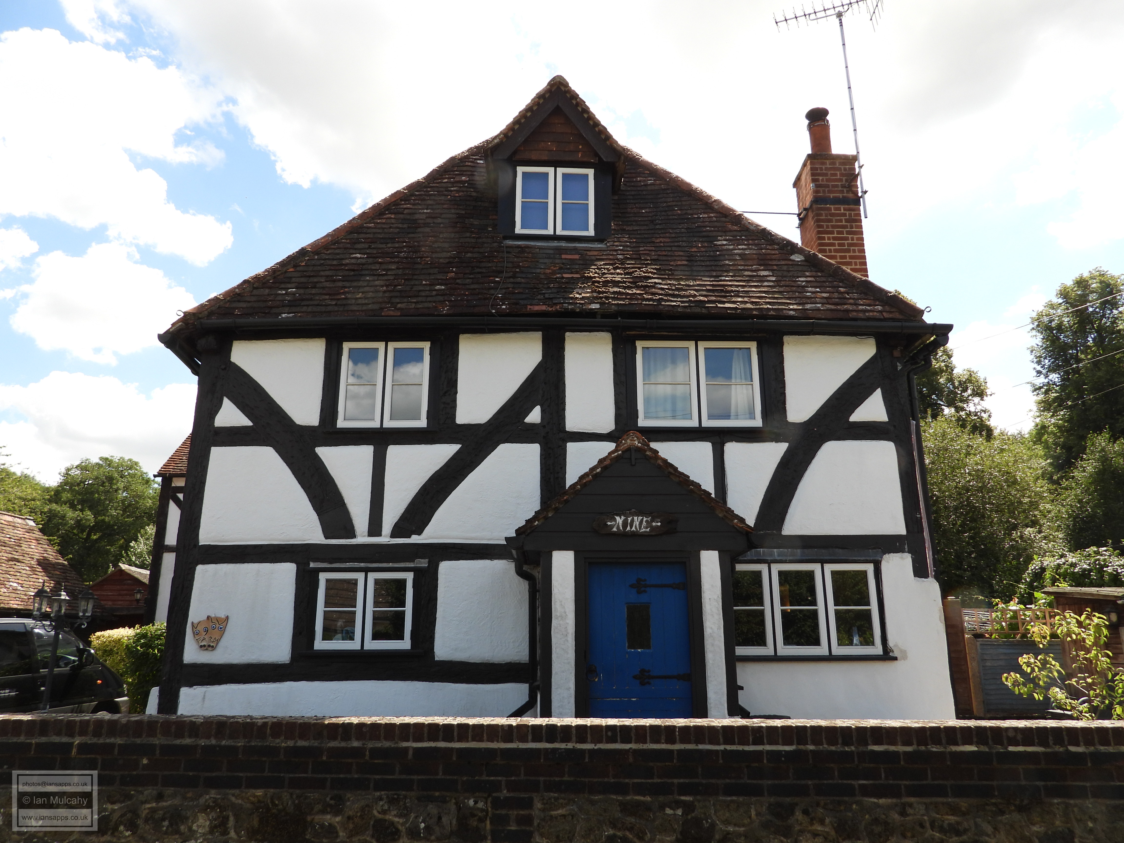
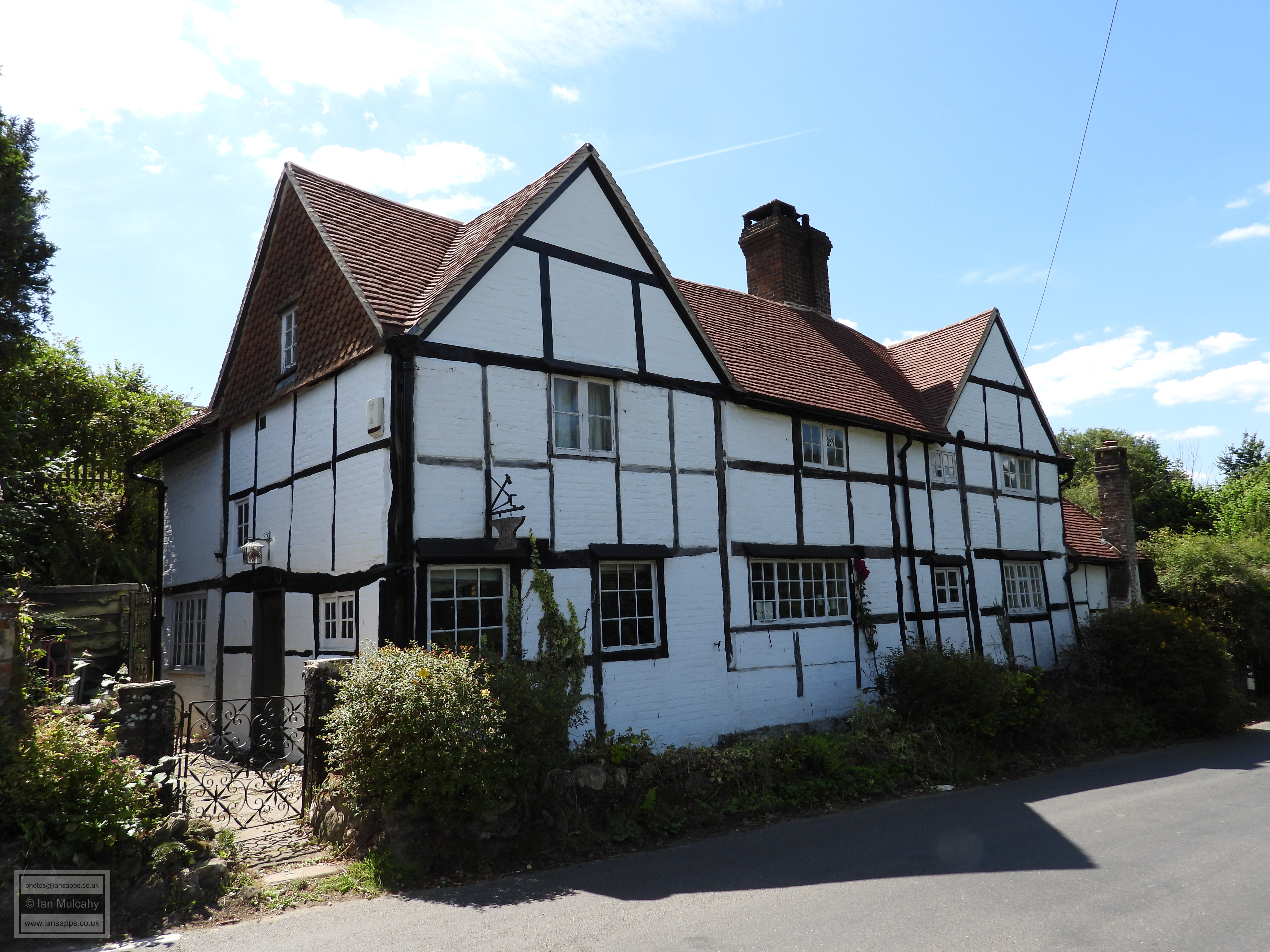
At the end of Lower Street is a staggered crossroads that forms the centre of the village and on the corner is The White Horse Public House, a building that started life in the 15th century as a crosswing to a much older, now lost, hall House known as Cripps. The building has accrued many additions over the subsequent 550 years including the central section and southern (left) crosswing, which were added in the mid and late 16th century respectively. The shallow crosswing to the right and single storey projection to the left are 19th and 20th century extensions. This building has been an inn since the late 1600s. Dial Cottage, a little way to the south on the western side of Shere Lane, is a cottage of 1622 and, whilst not of the era, is heavily influenced by Tudor architecture and well worth admiring.
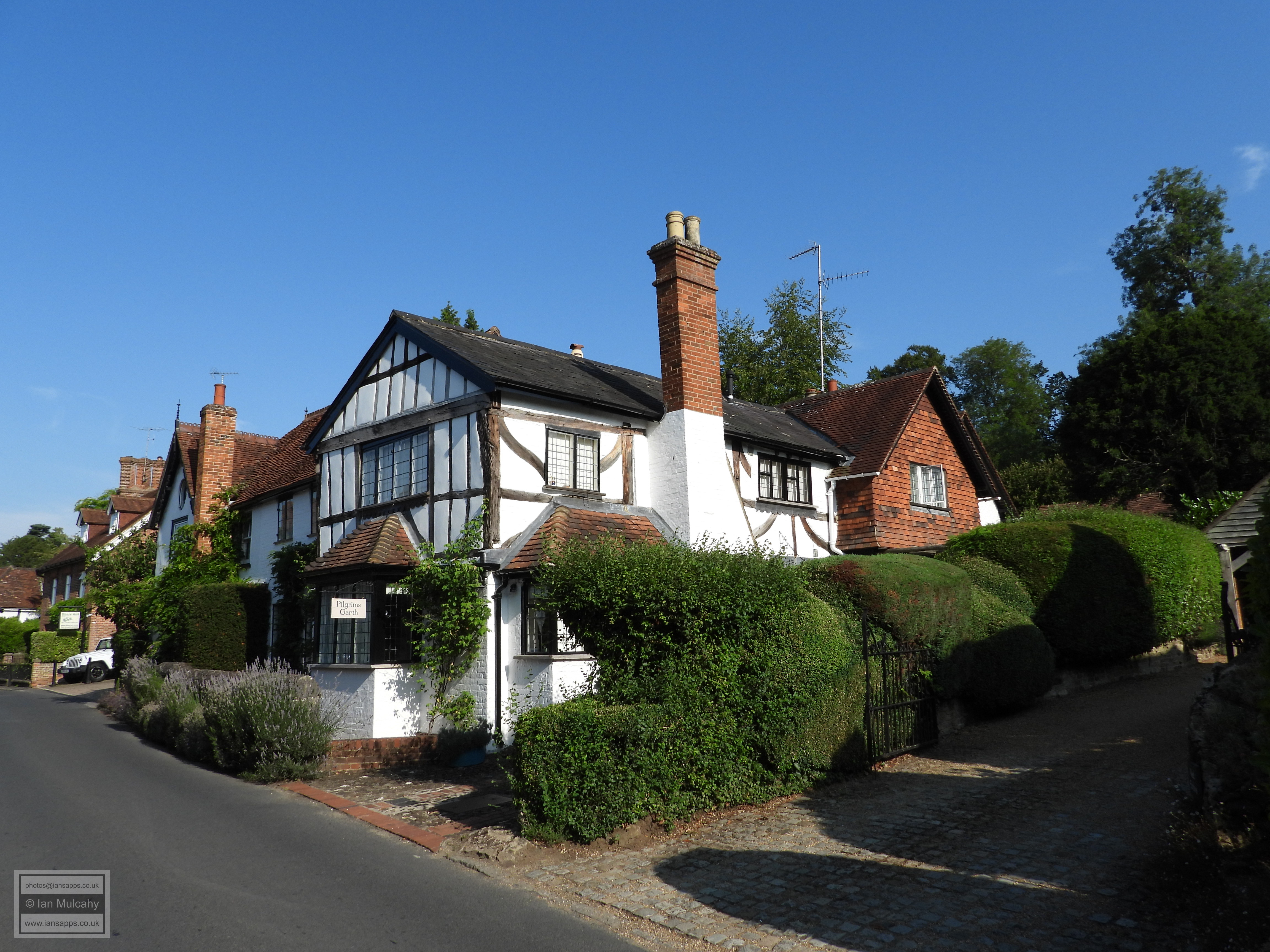
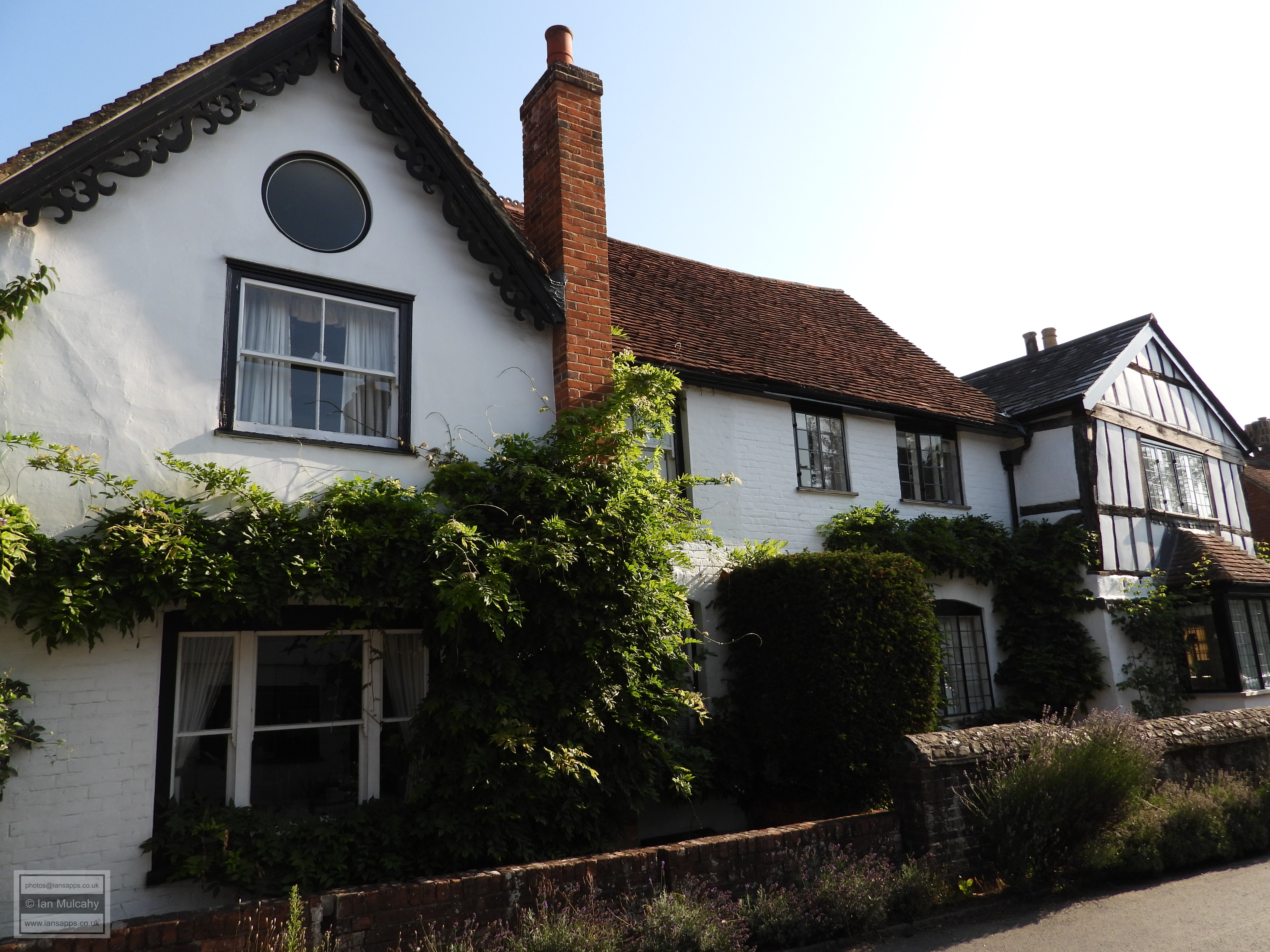
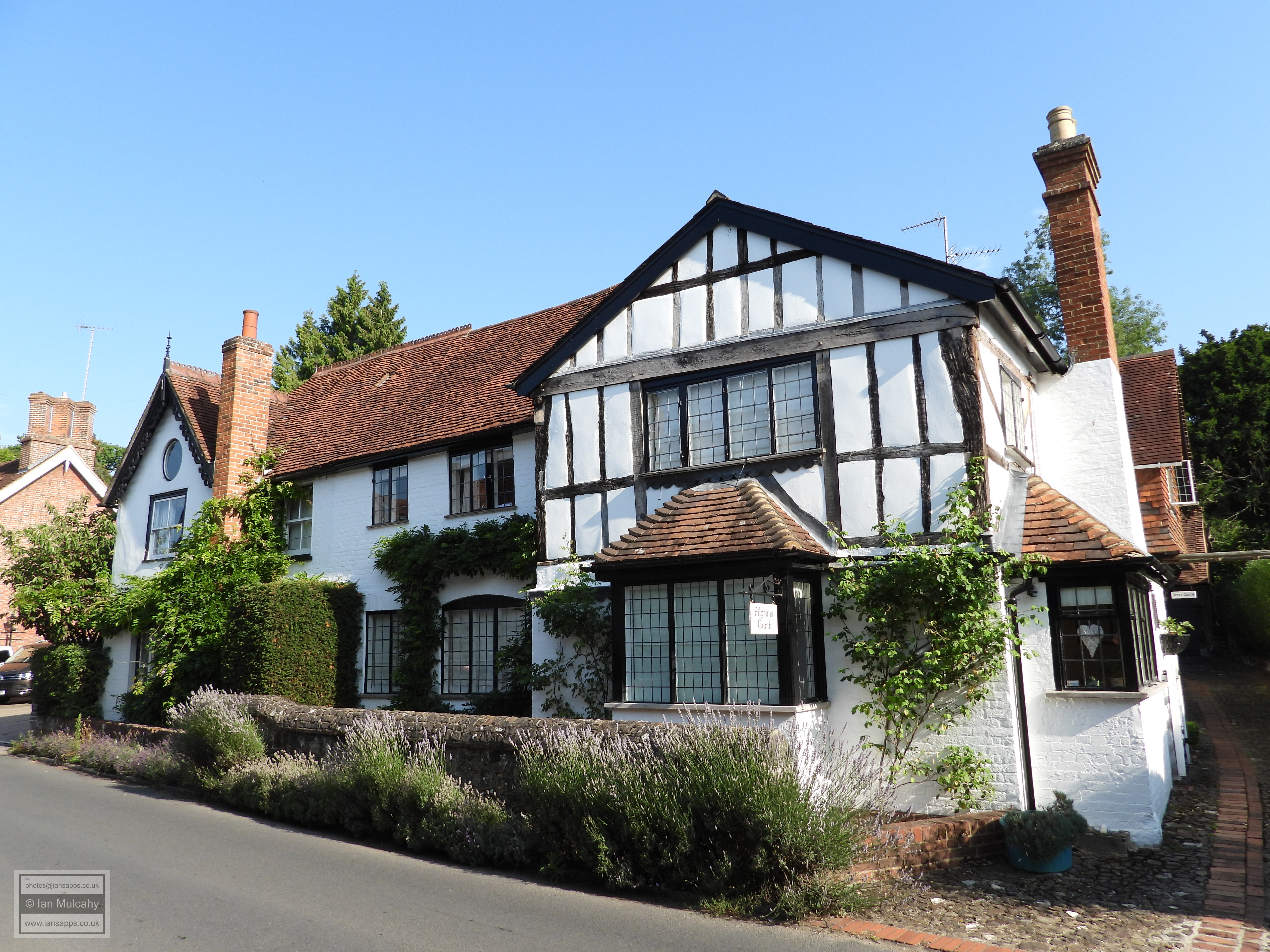
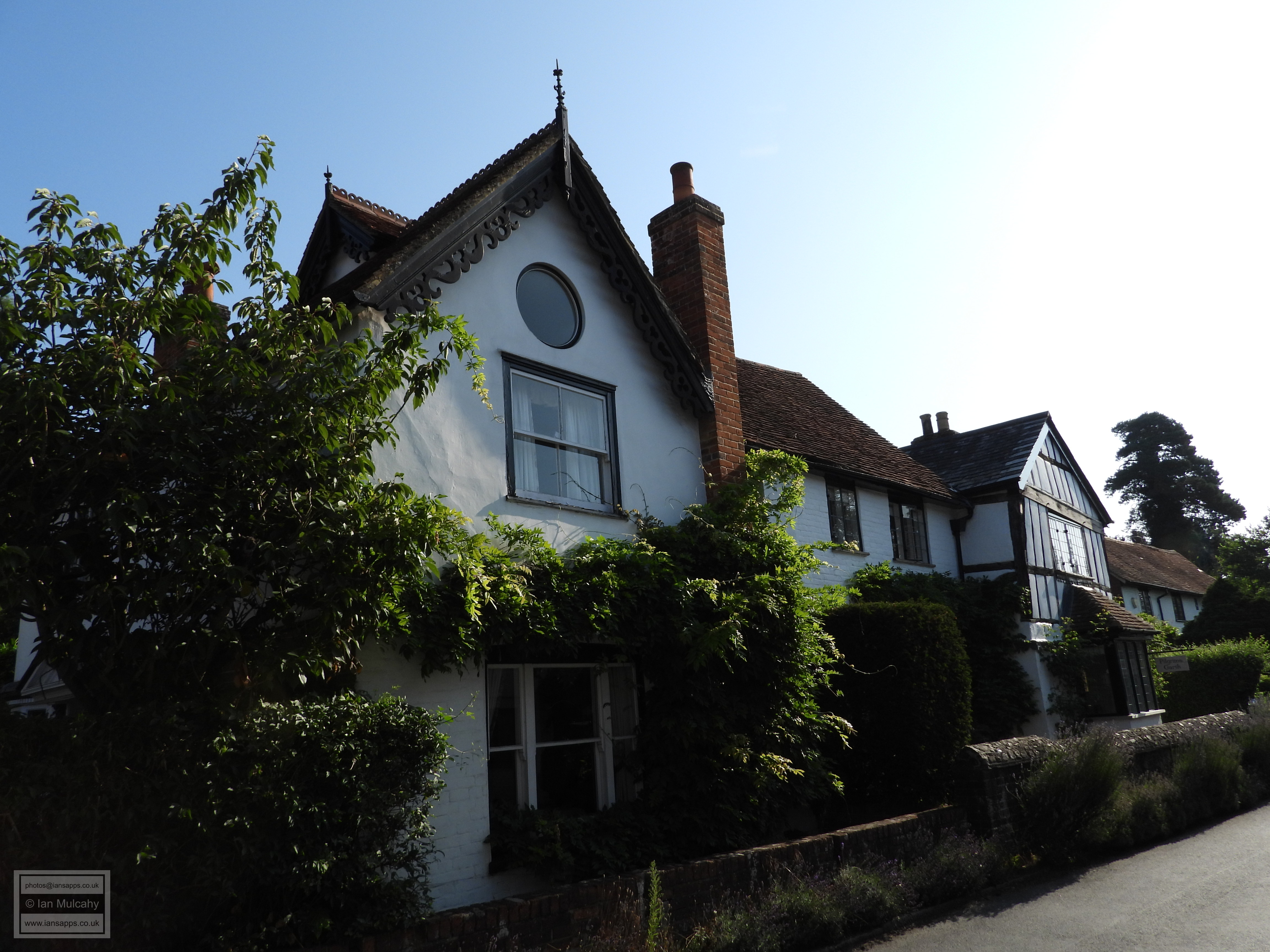
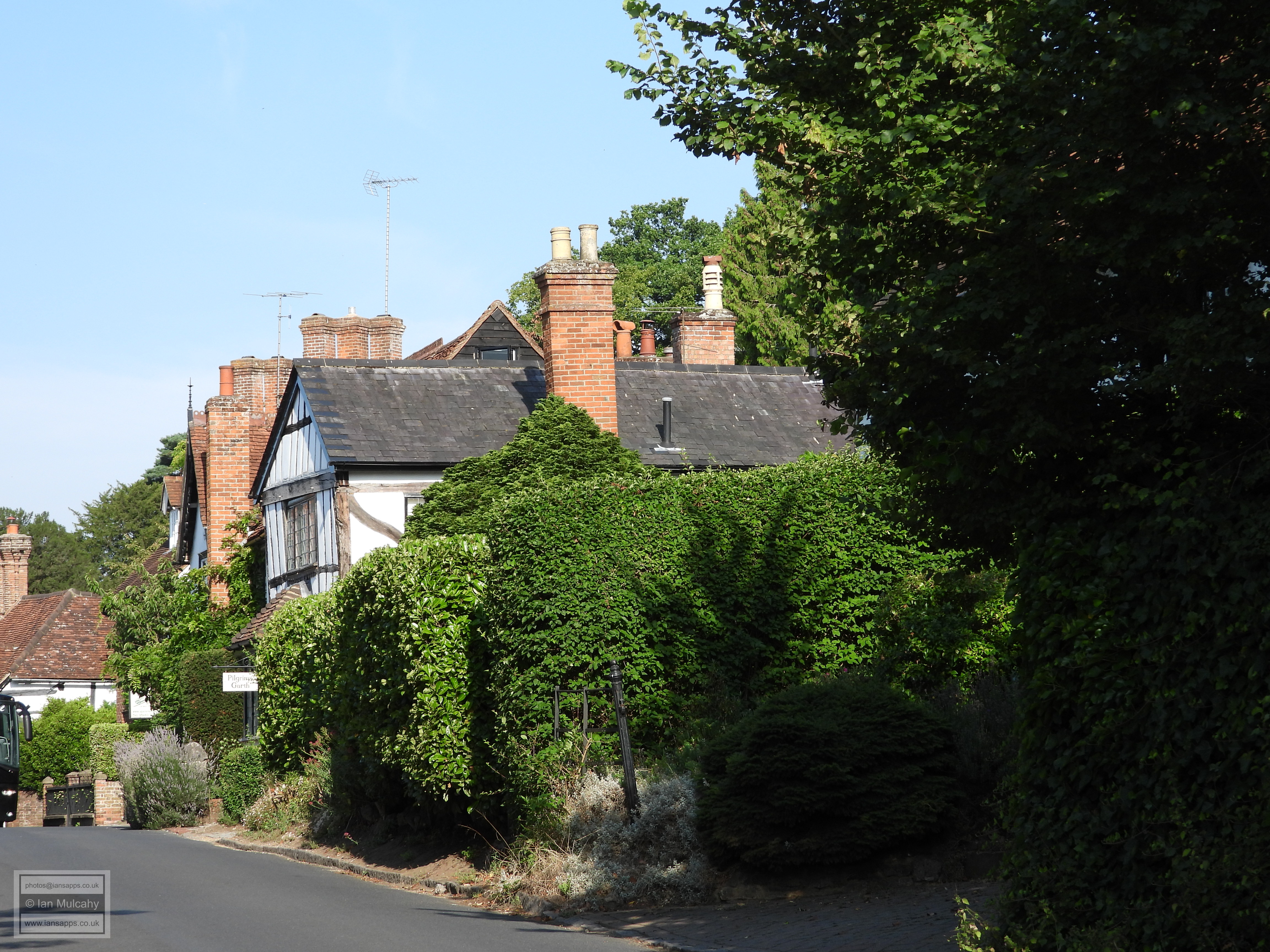
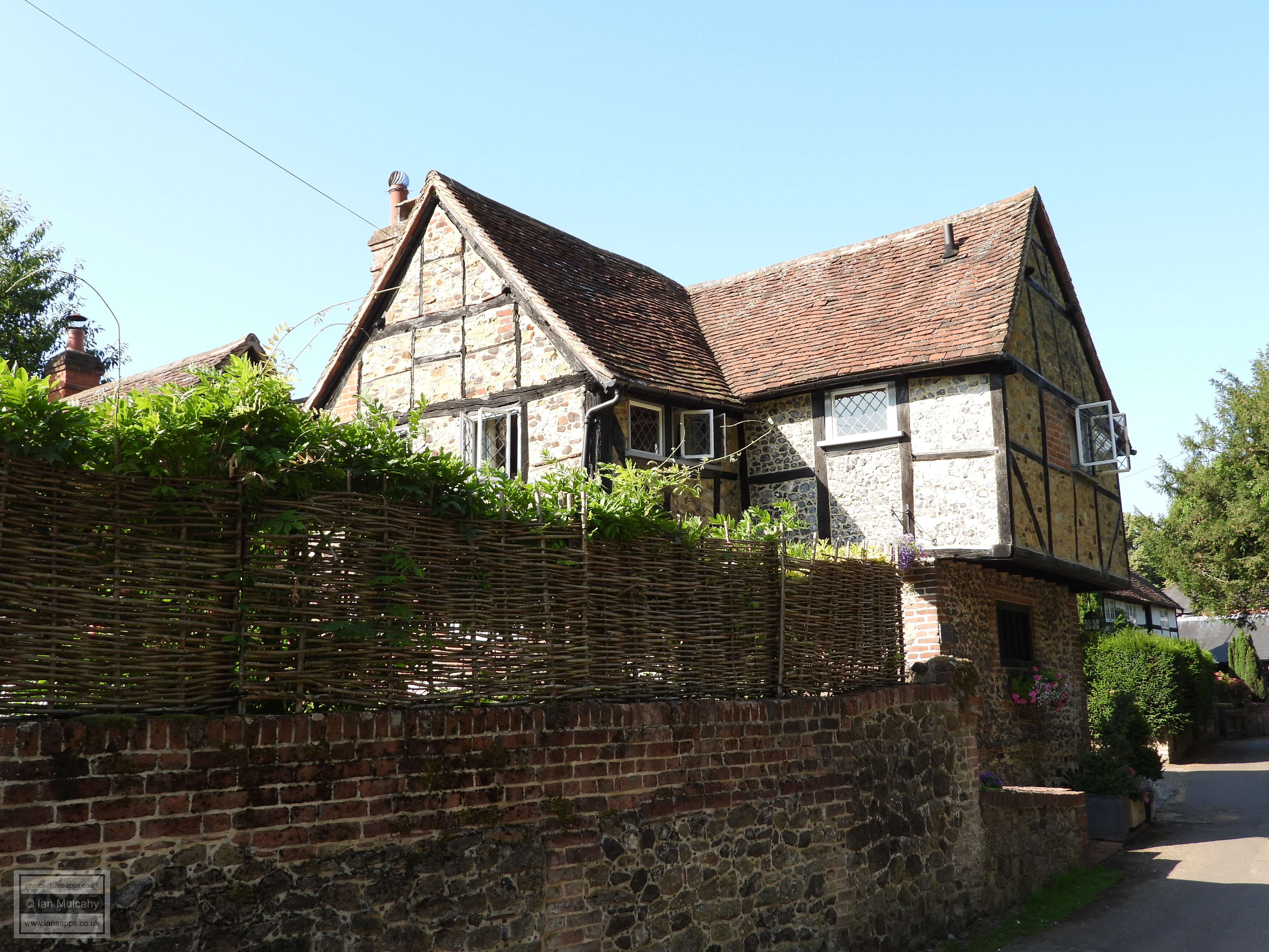
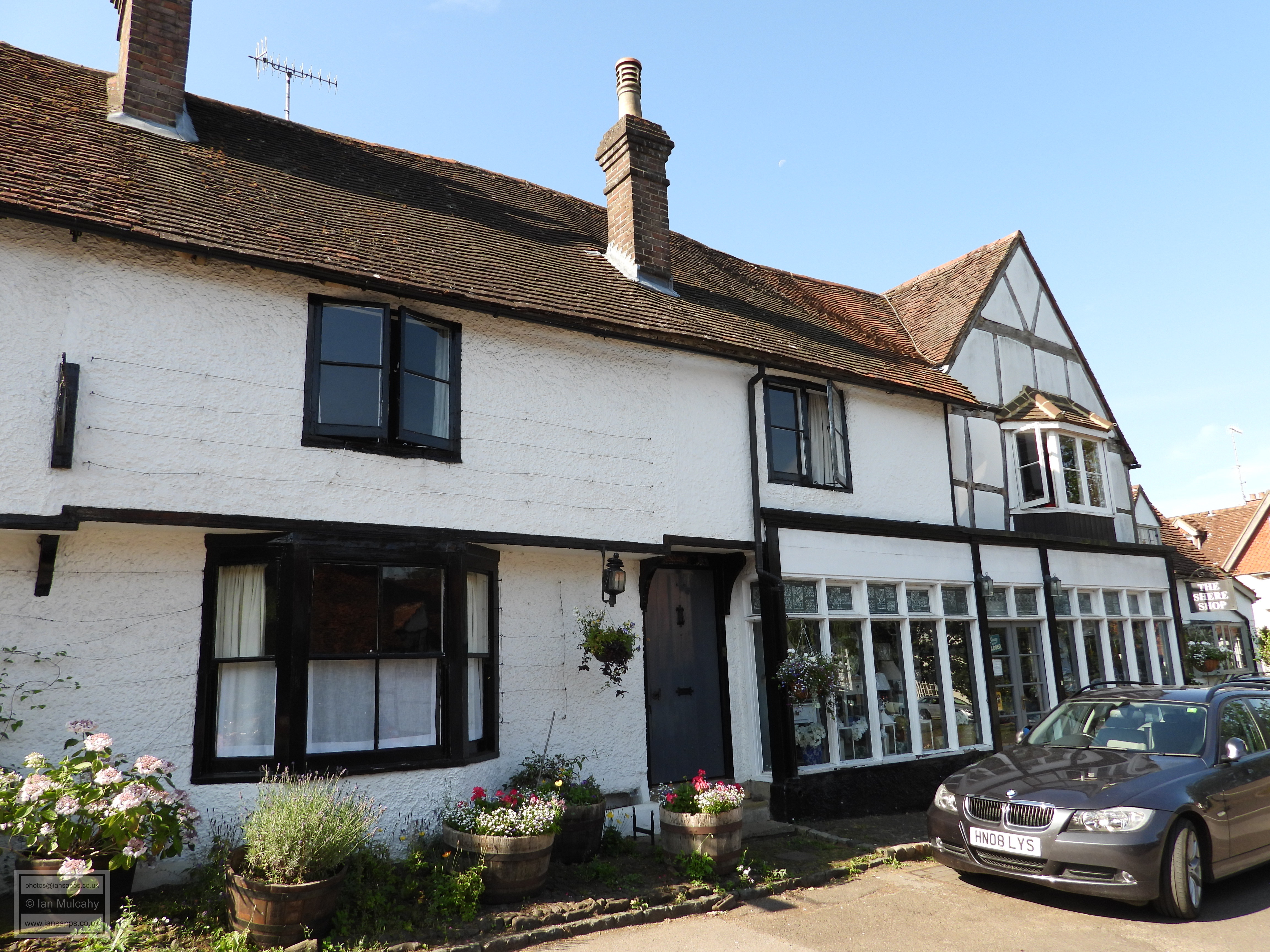
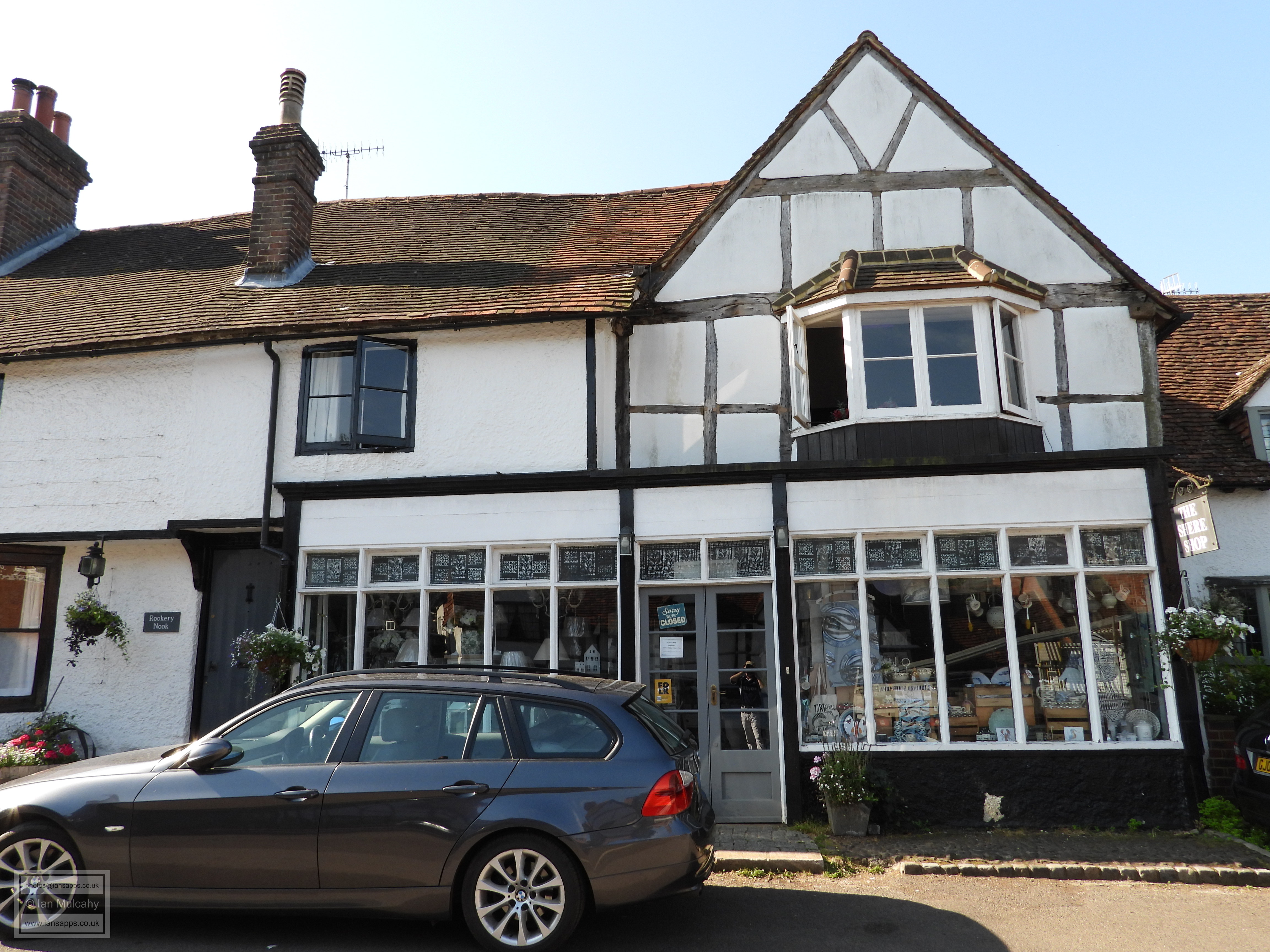
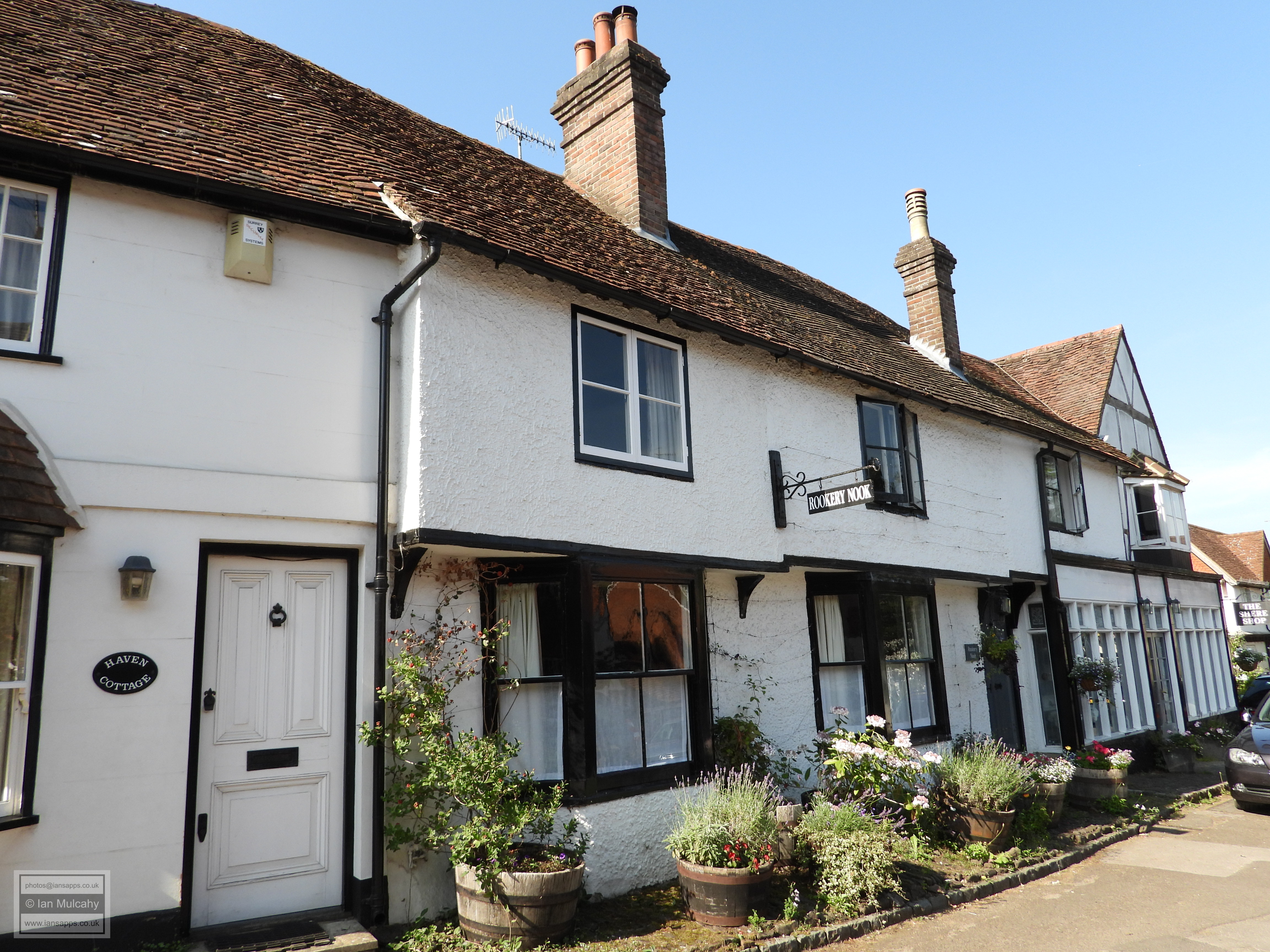
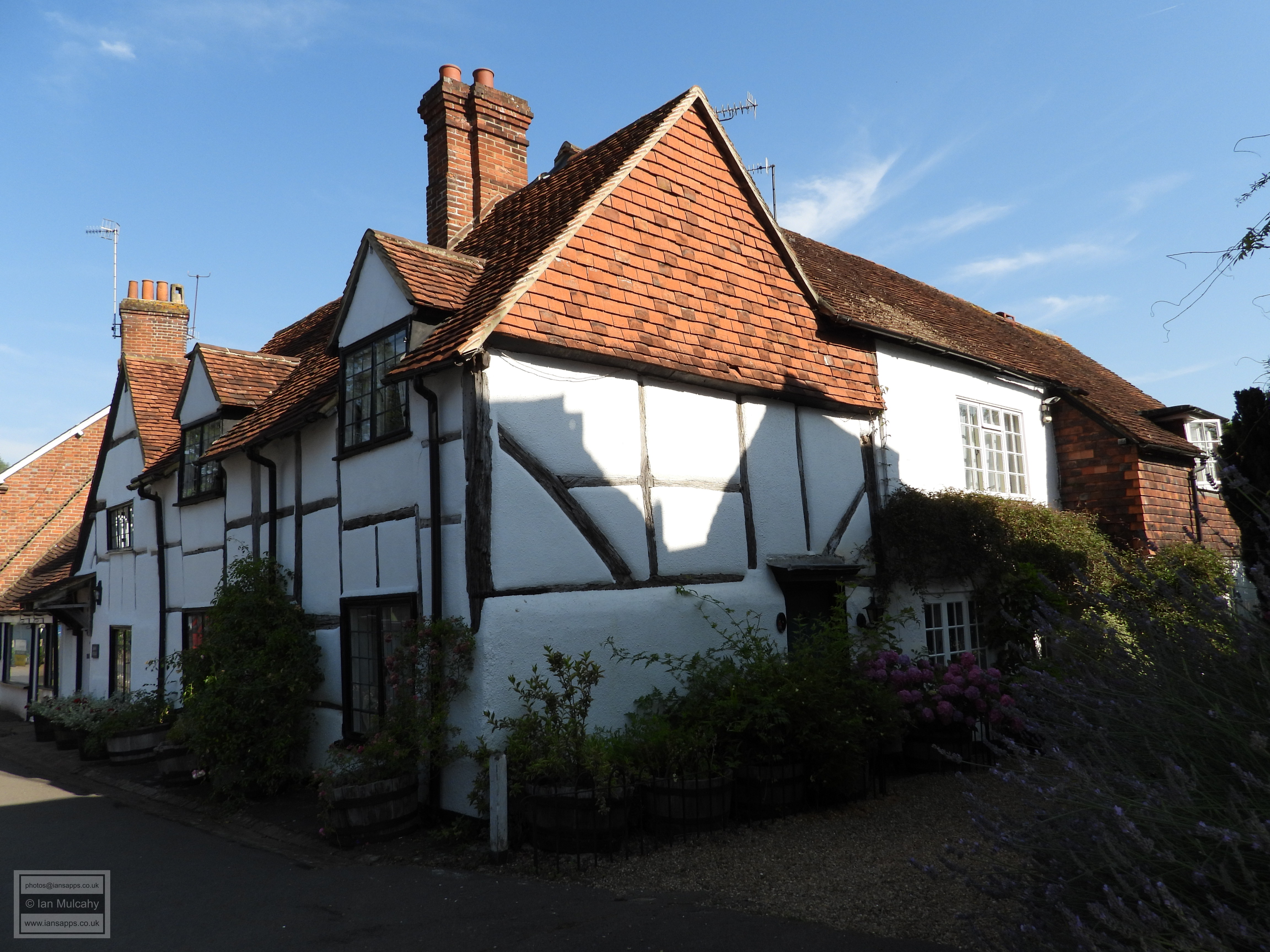
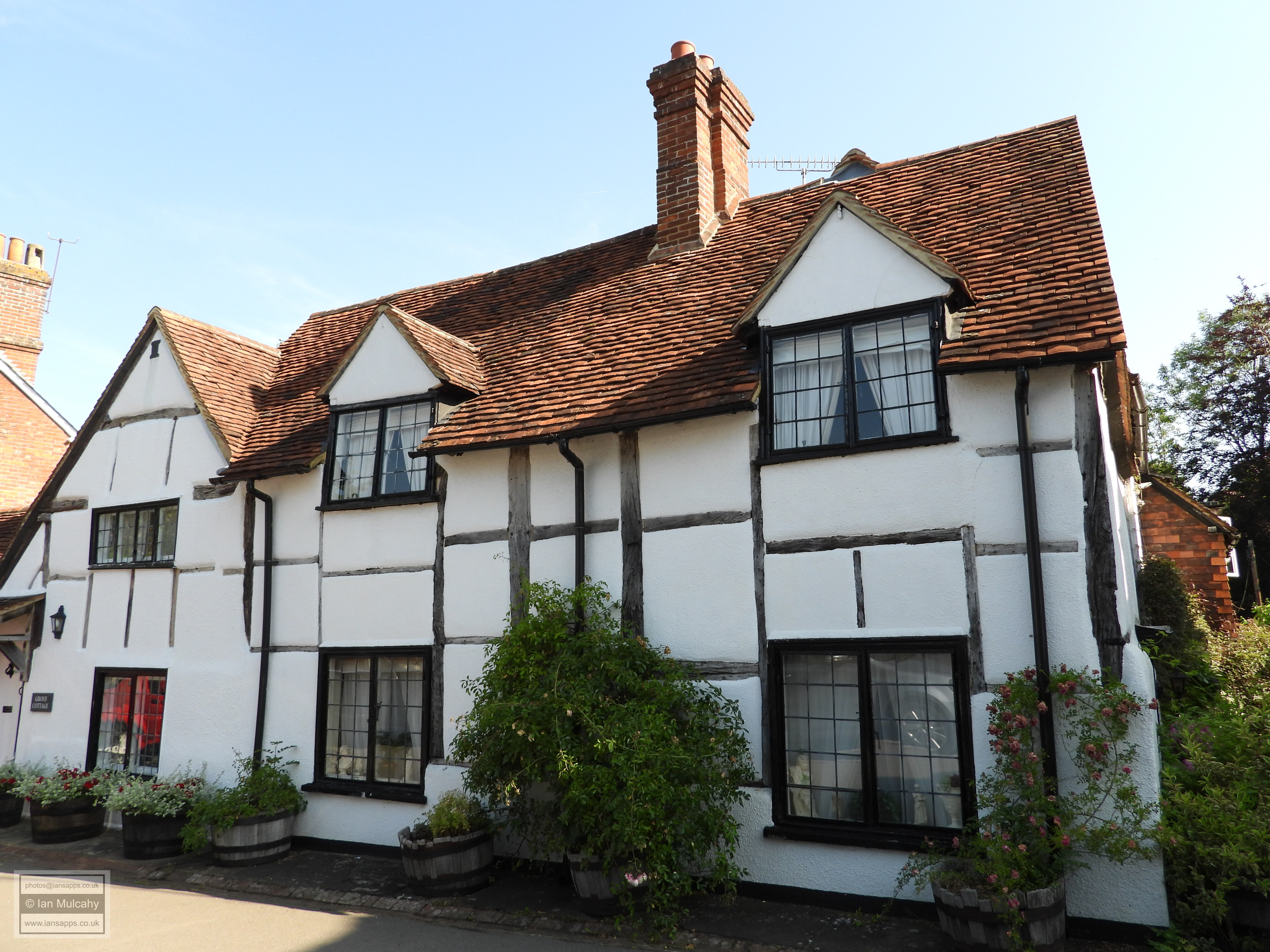
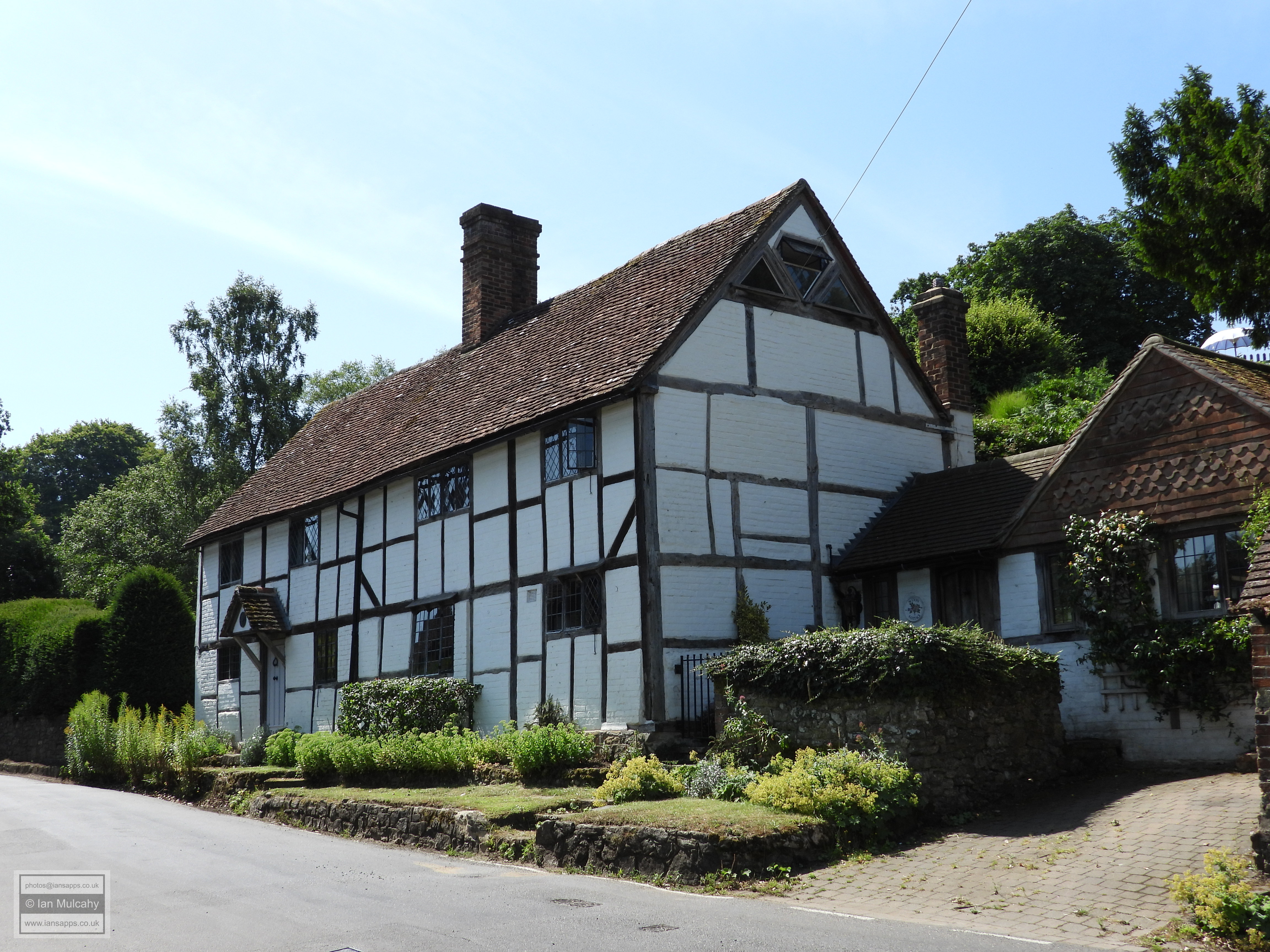
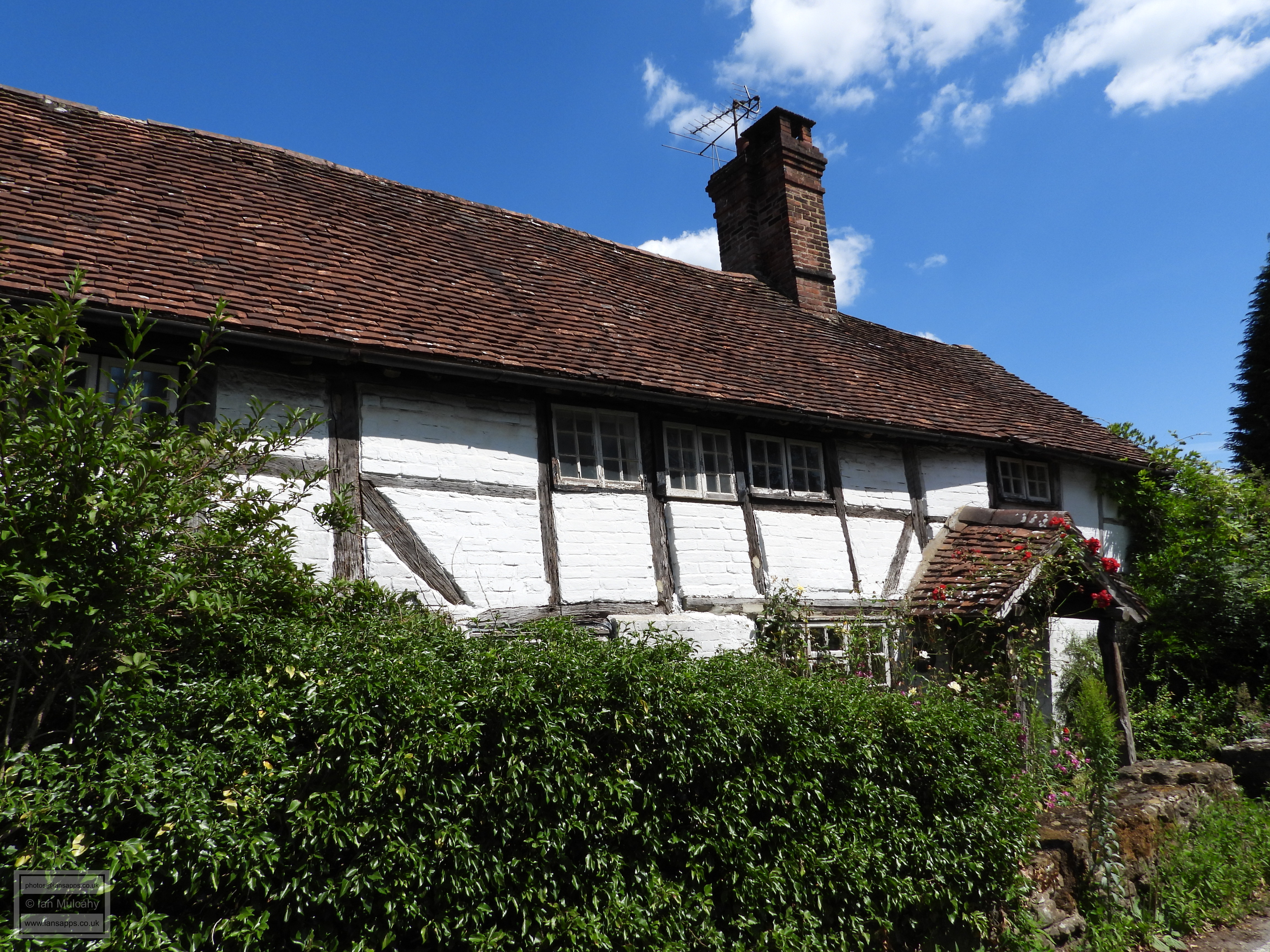
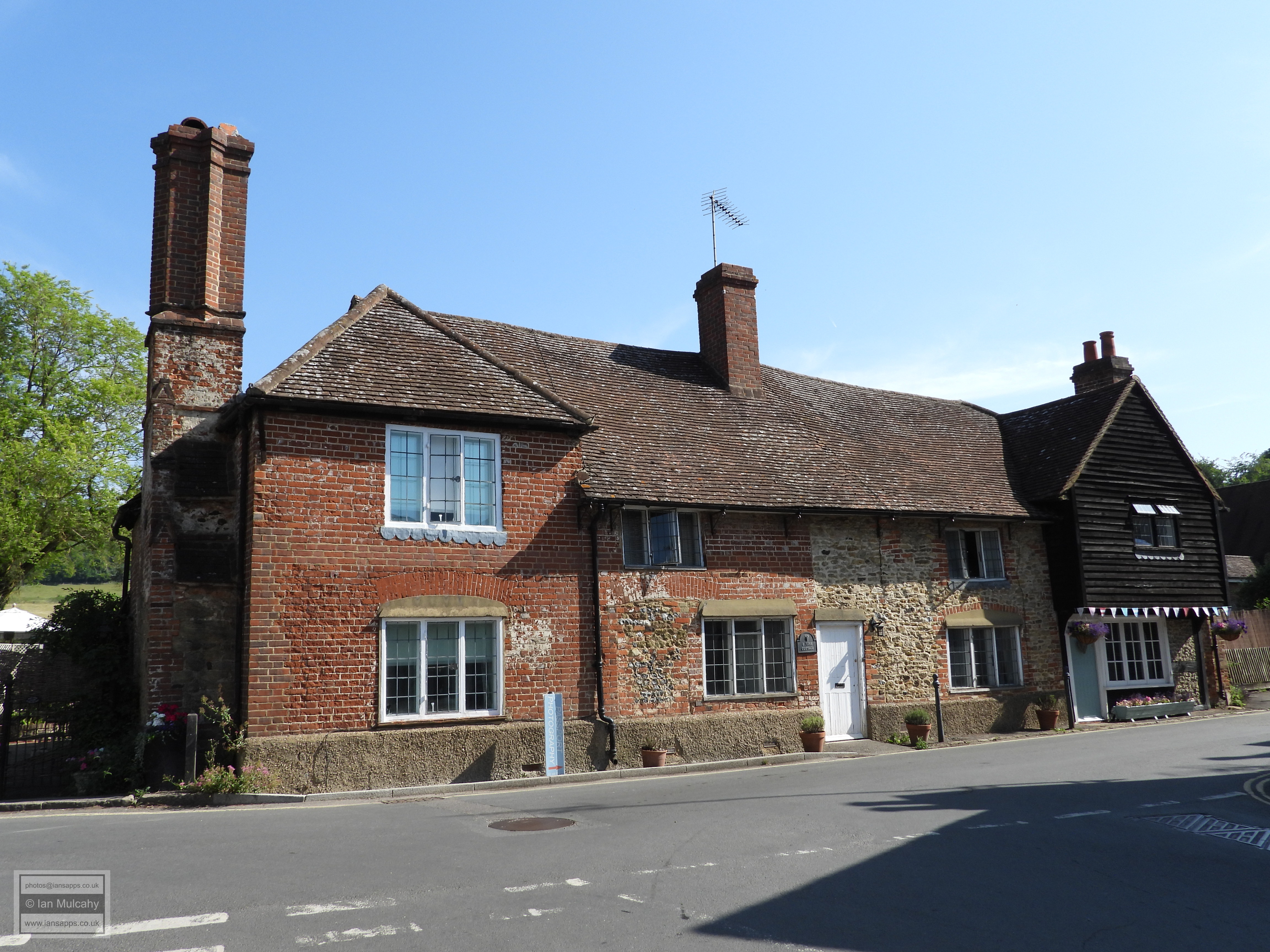
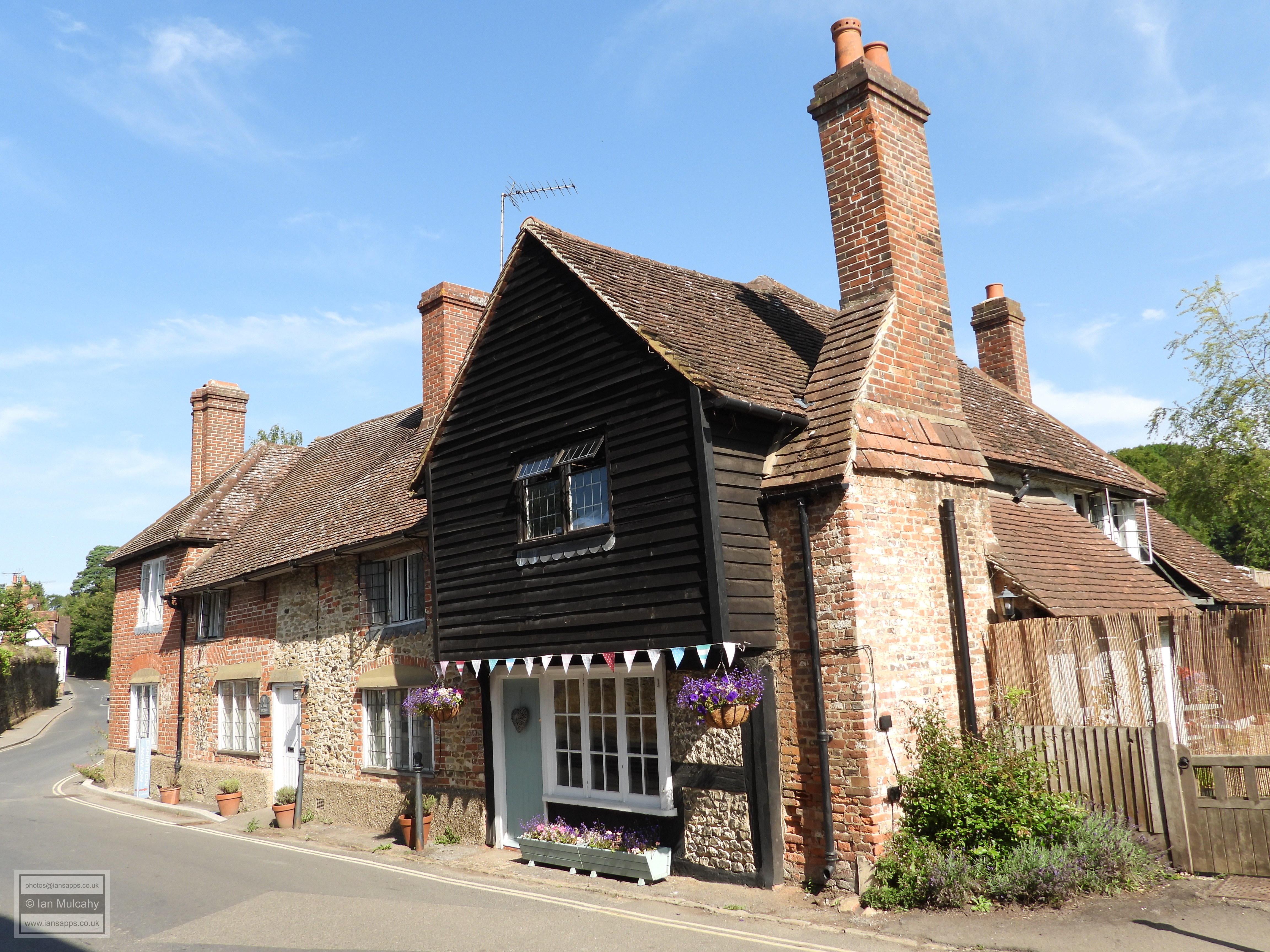
Returning to The Square in the centre of the village, Rookery Nook, a rendered Wealden Hall House of the early 16th century is sited on the southern side, with its timbers only visible in the gable of the crosswing. The conjoined and picturesque late Tudor Grove Cottage, Old Way Cottage & Pantylla Stream Cottage are opposite, and their timbers are proudly on display.
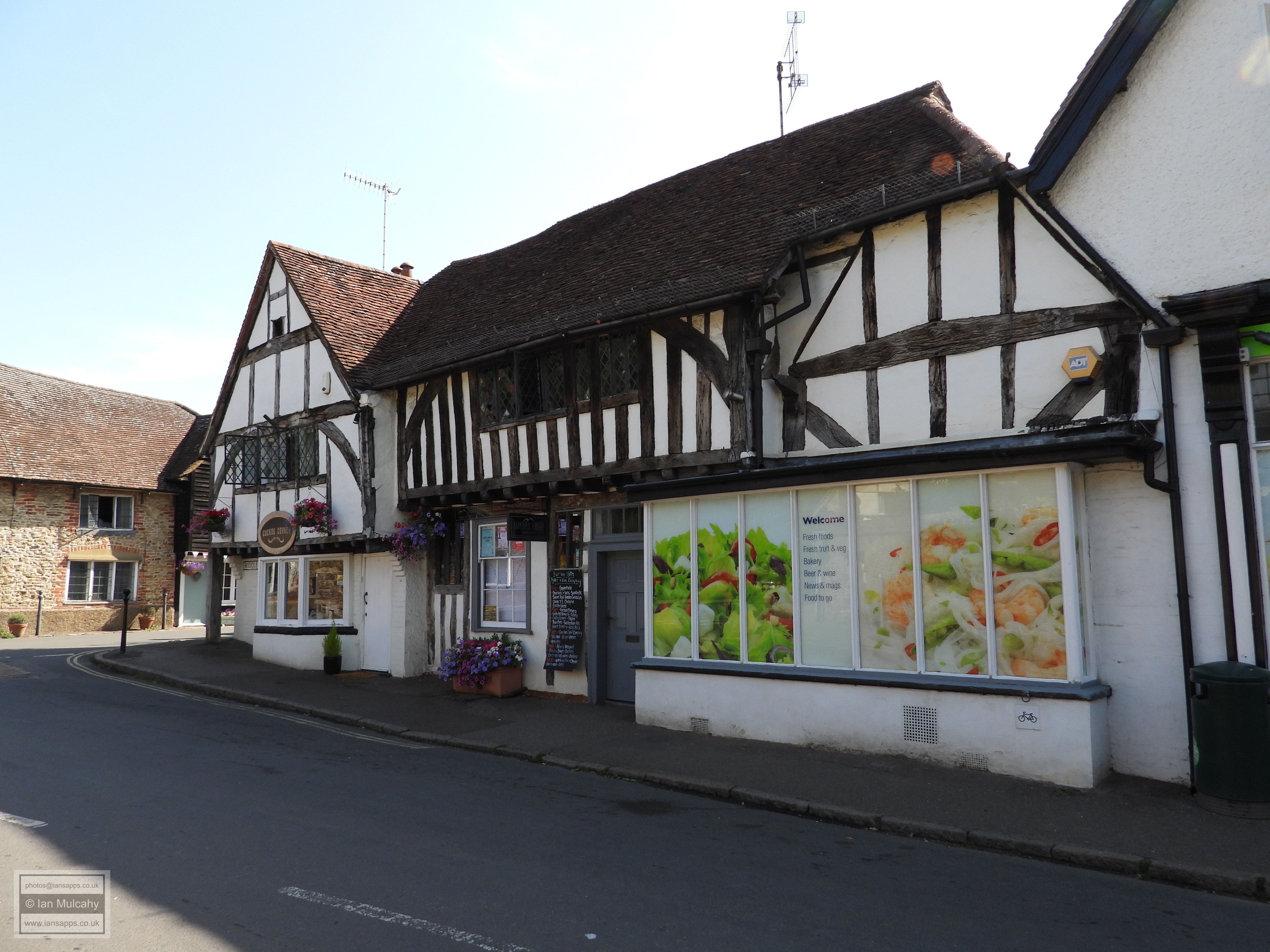
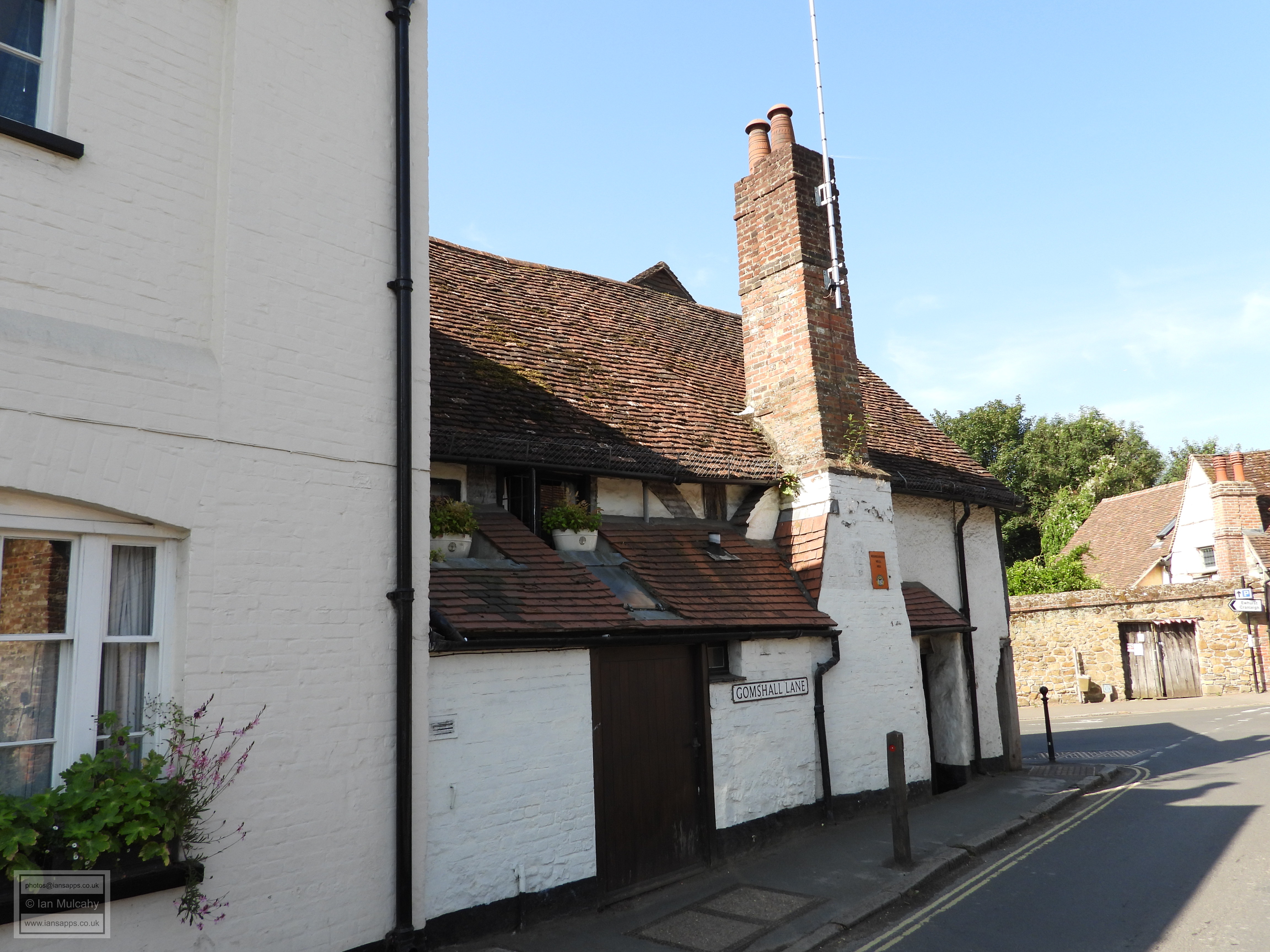
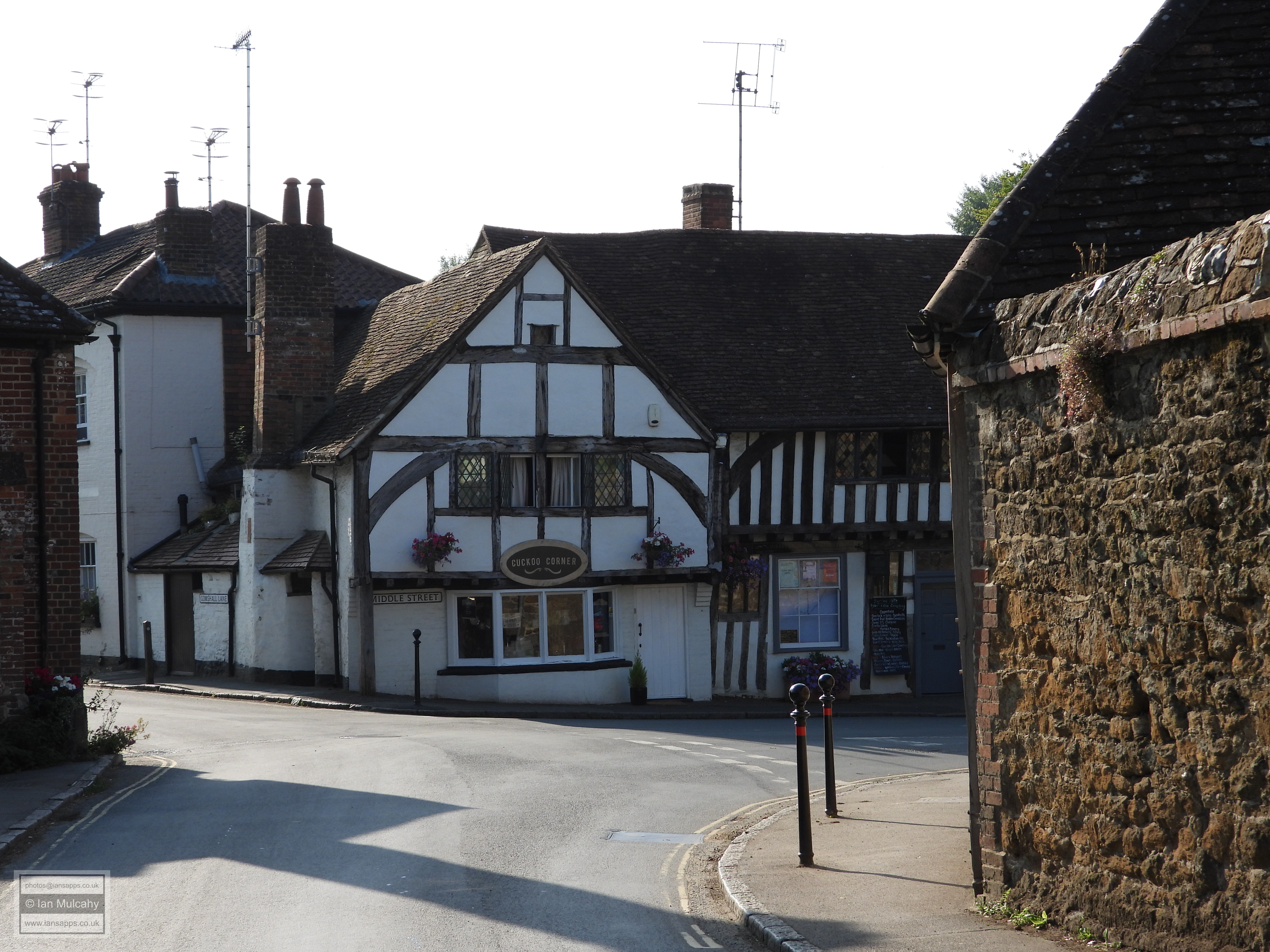
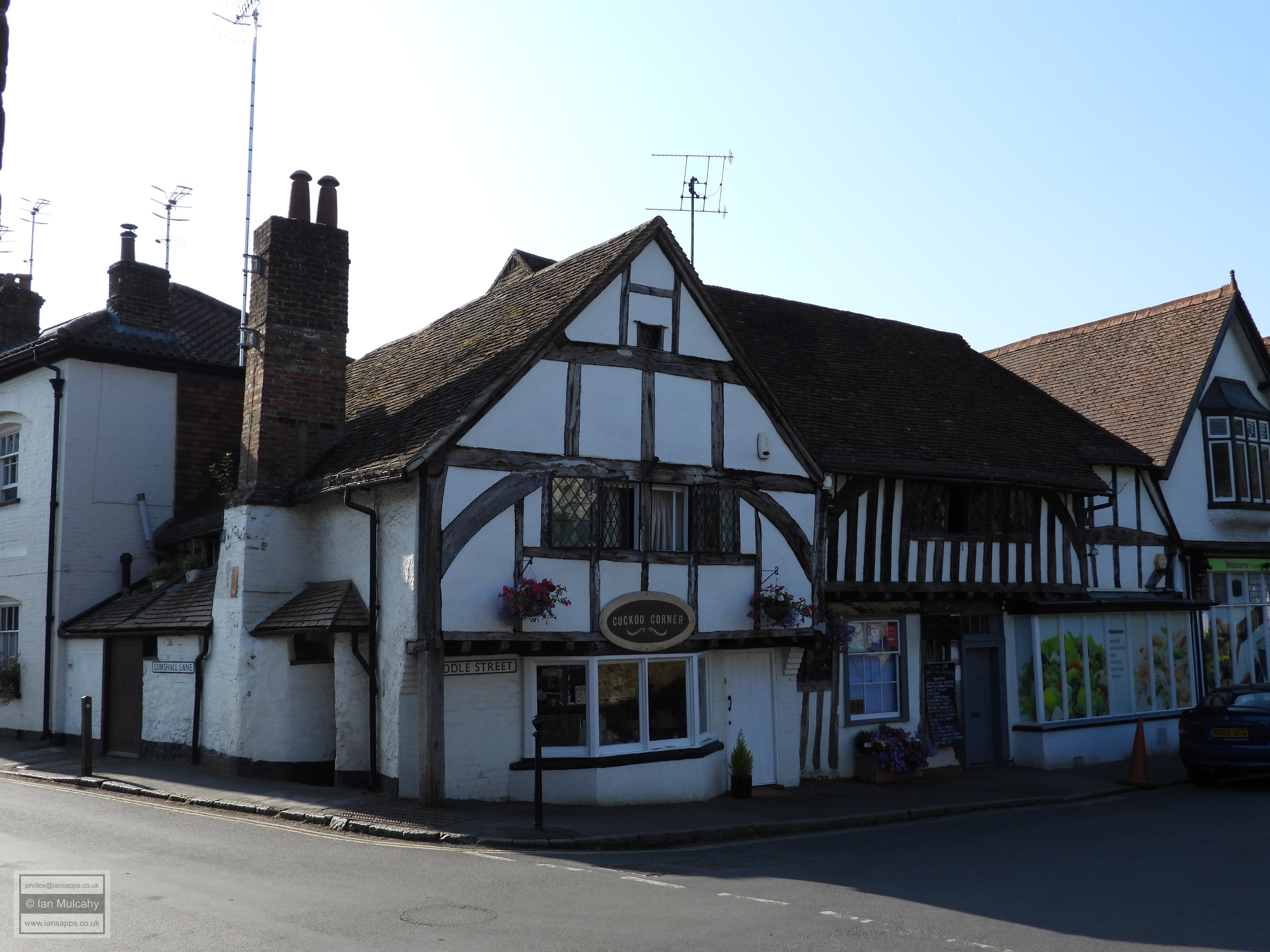
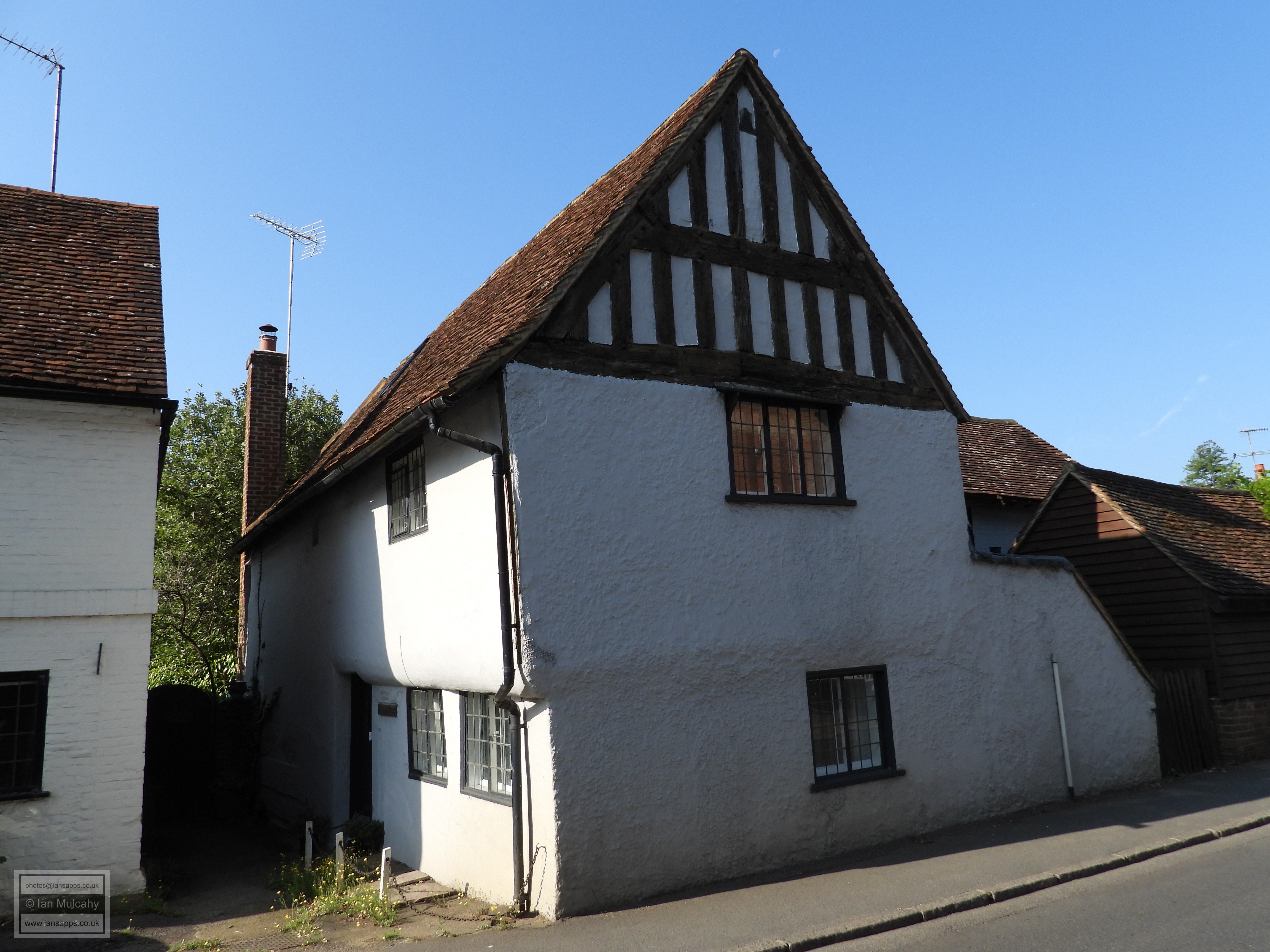
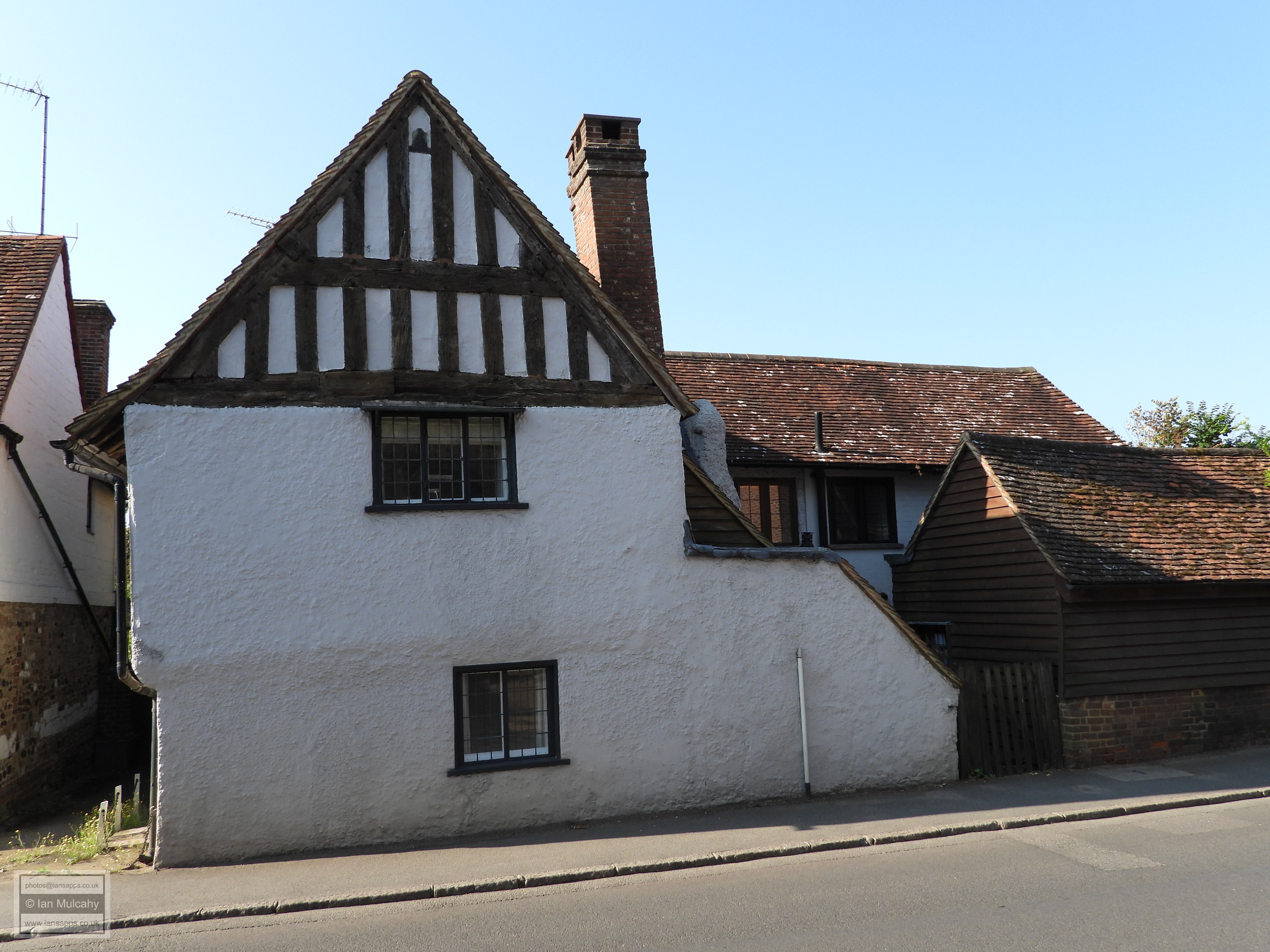
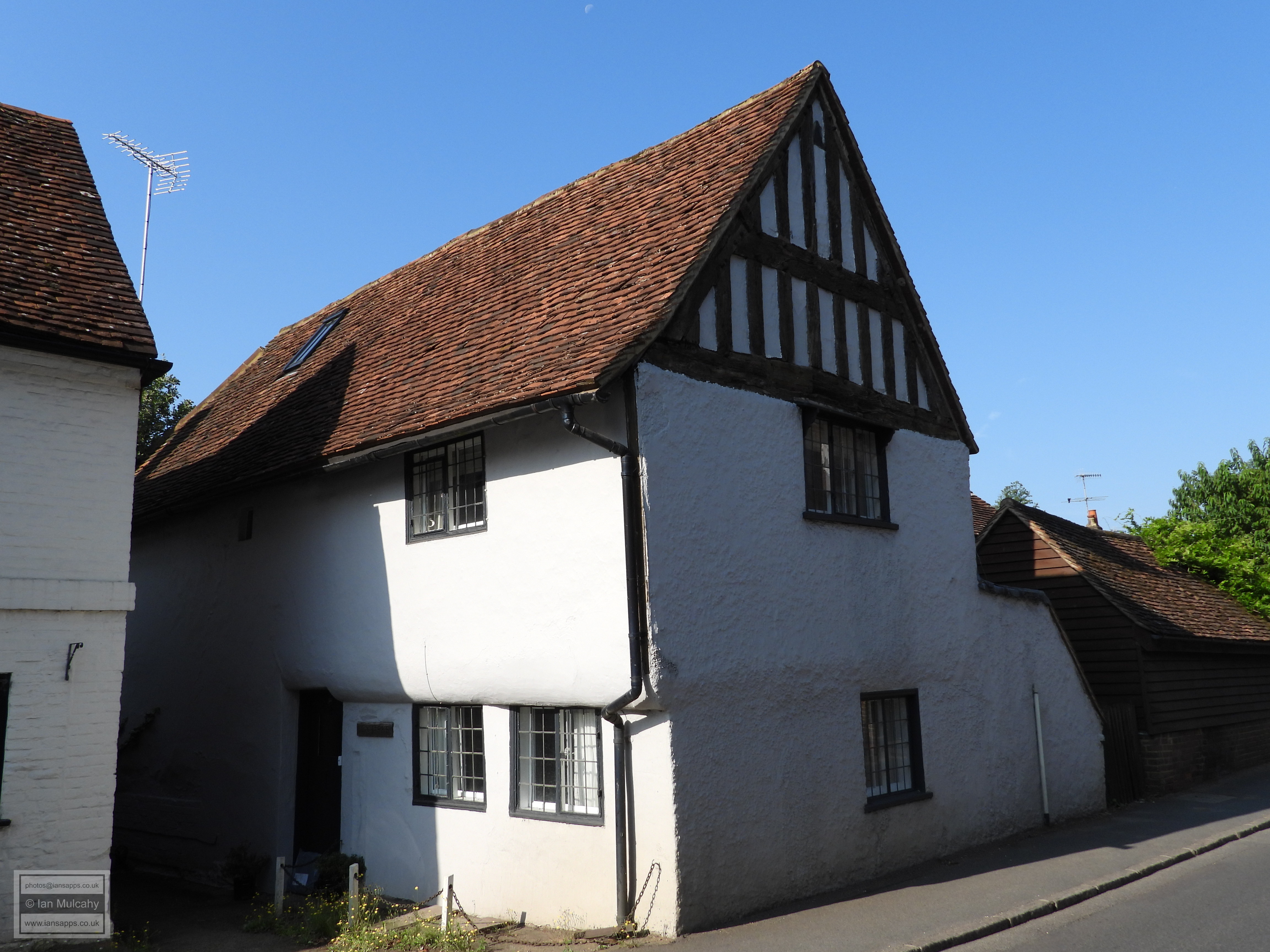
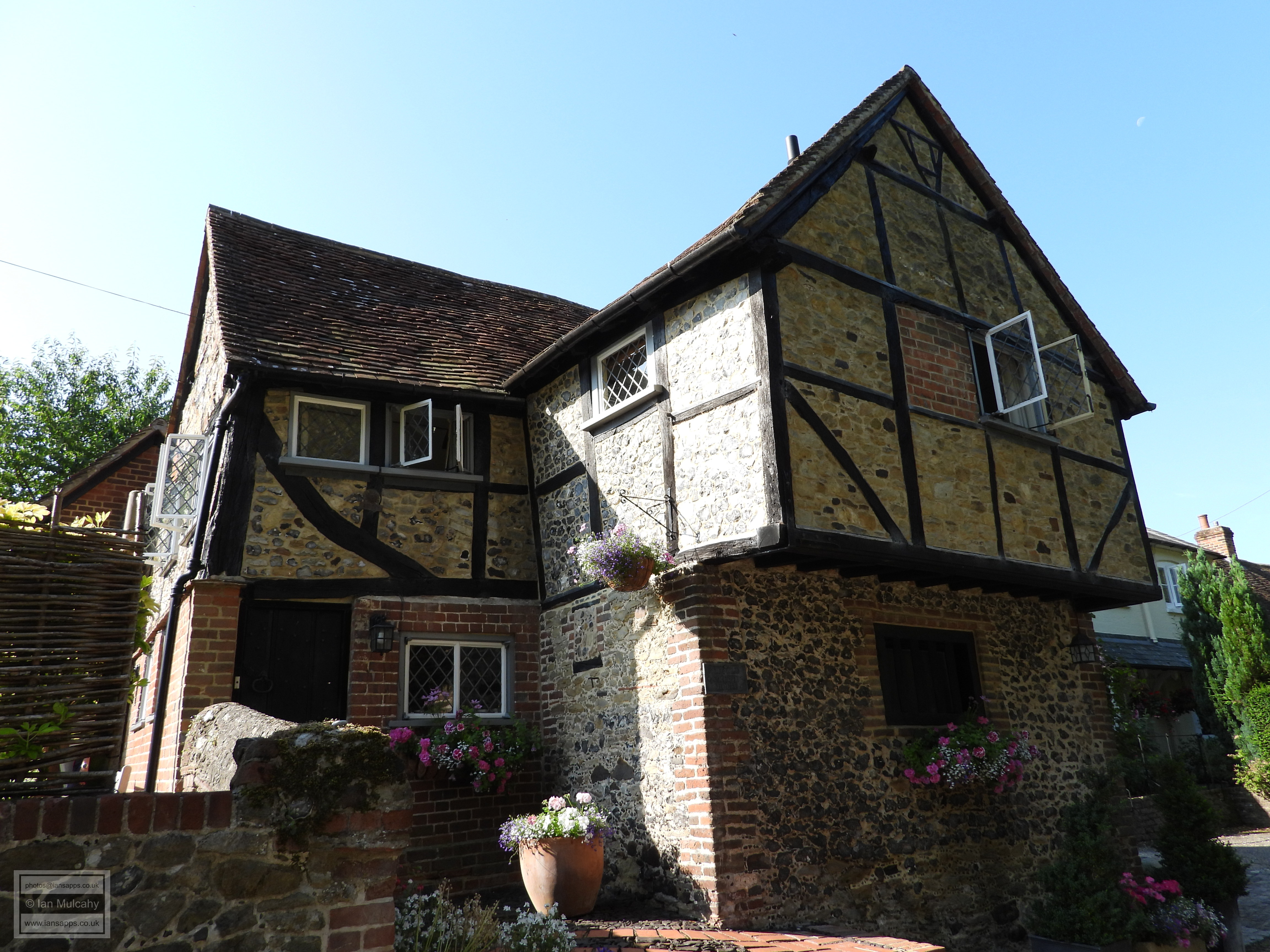
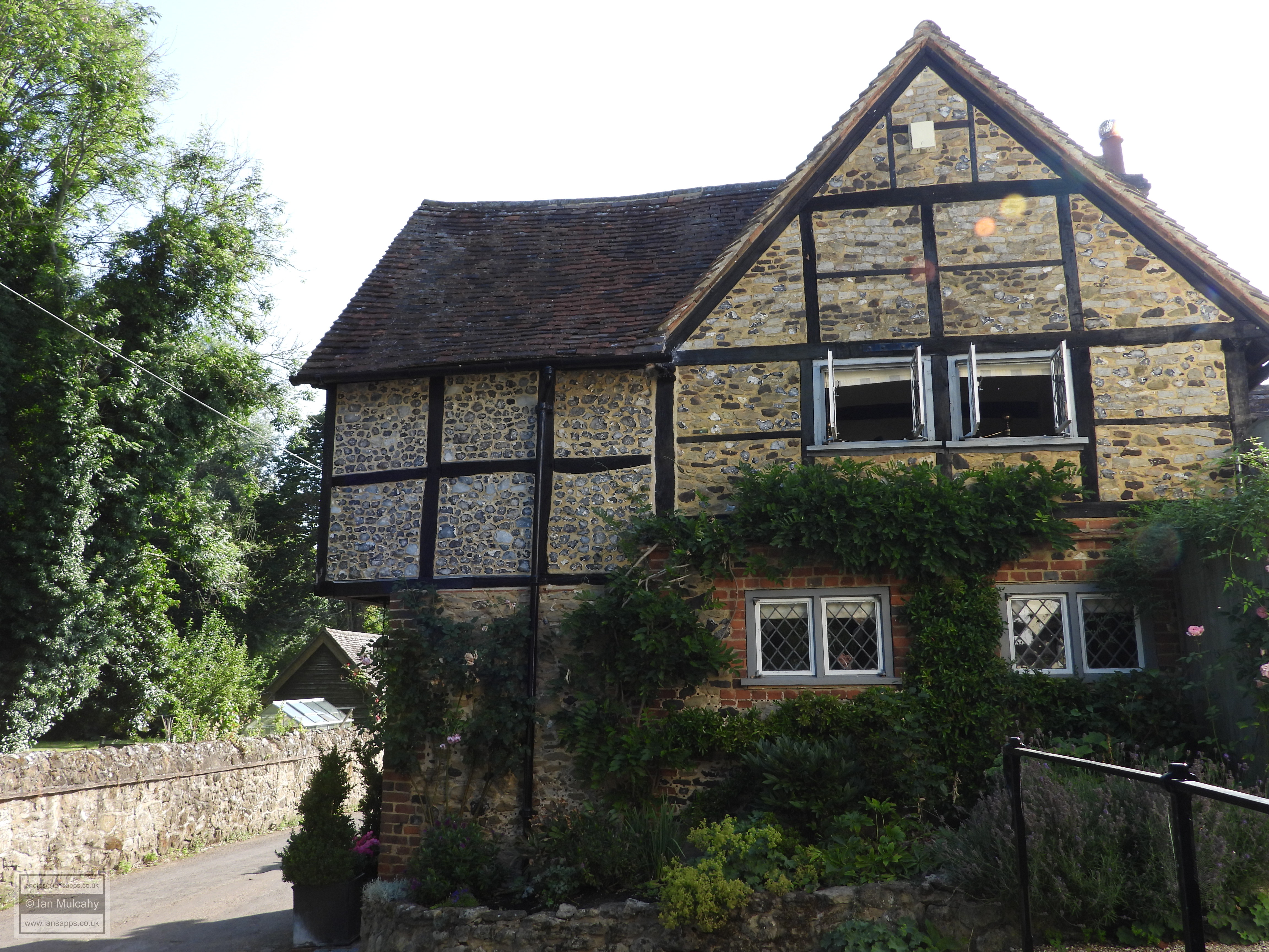
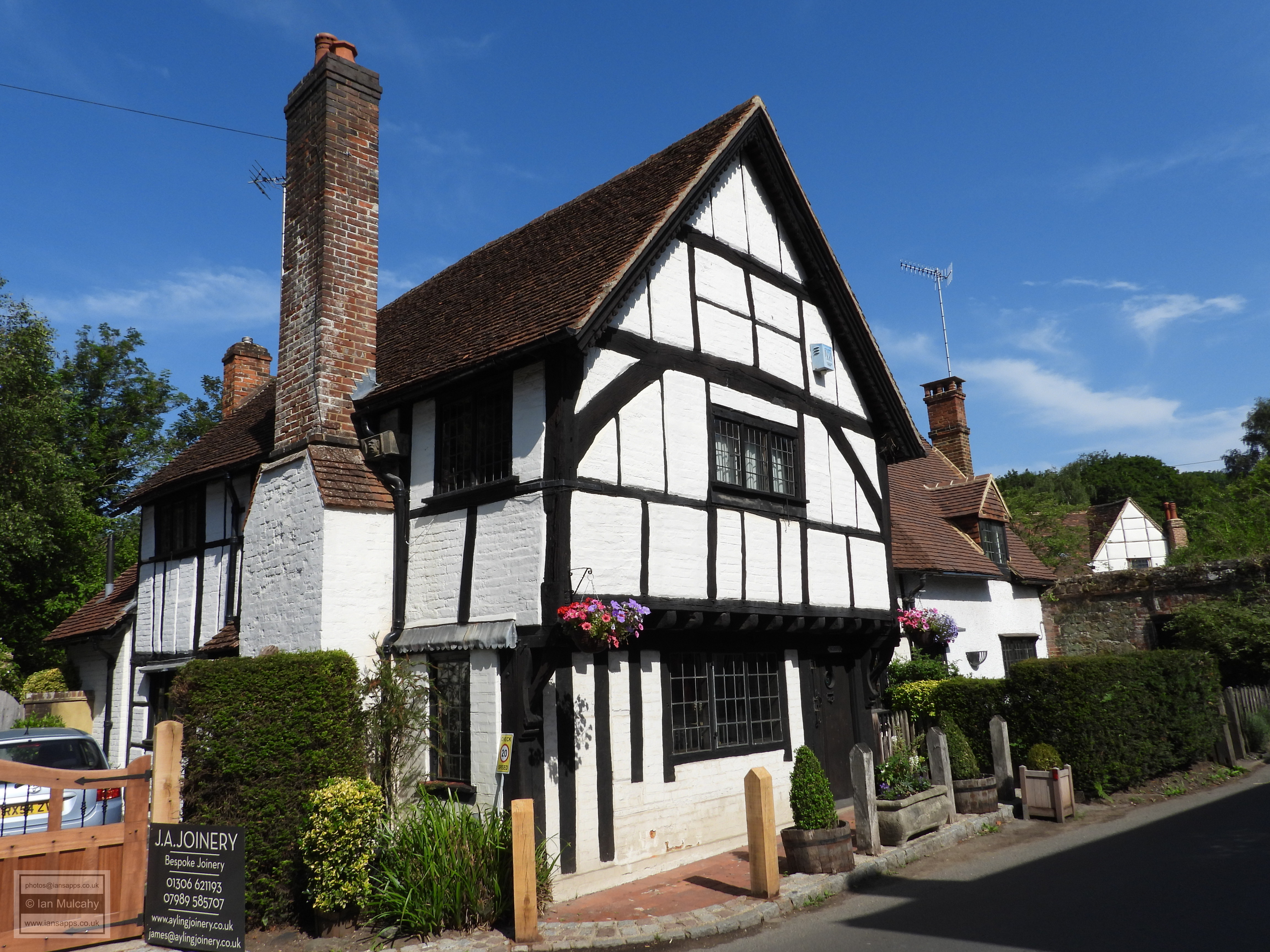
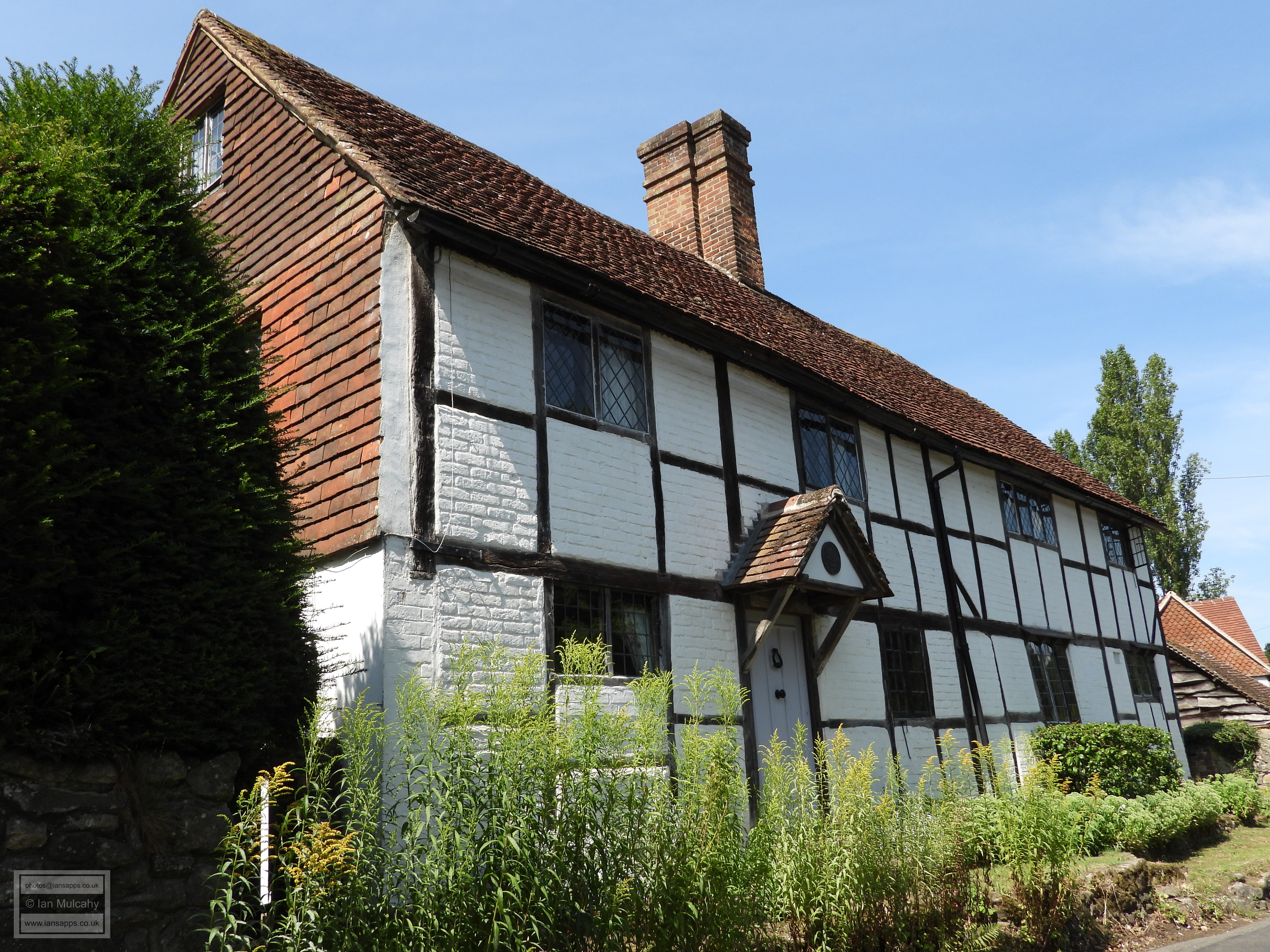
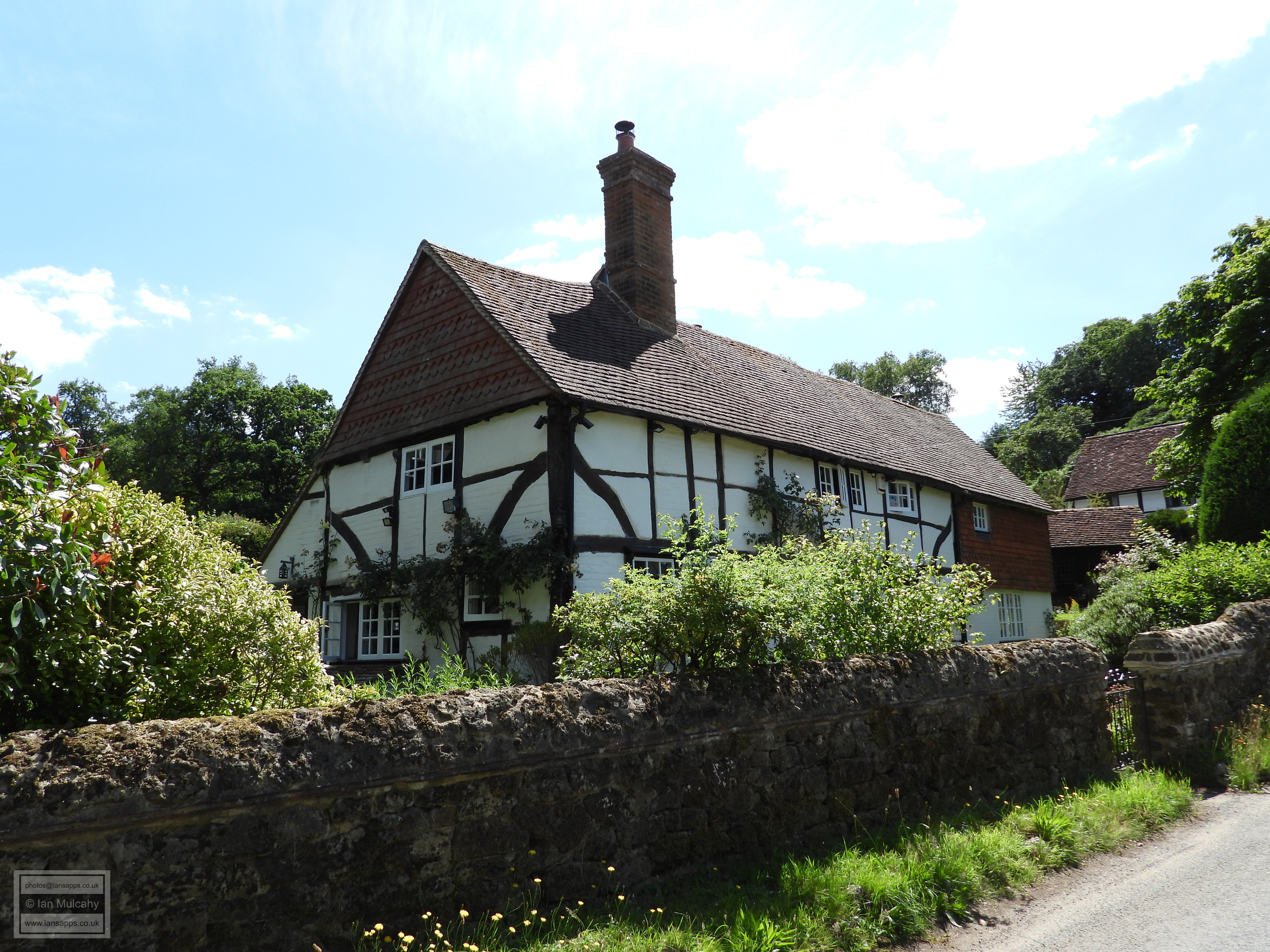
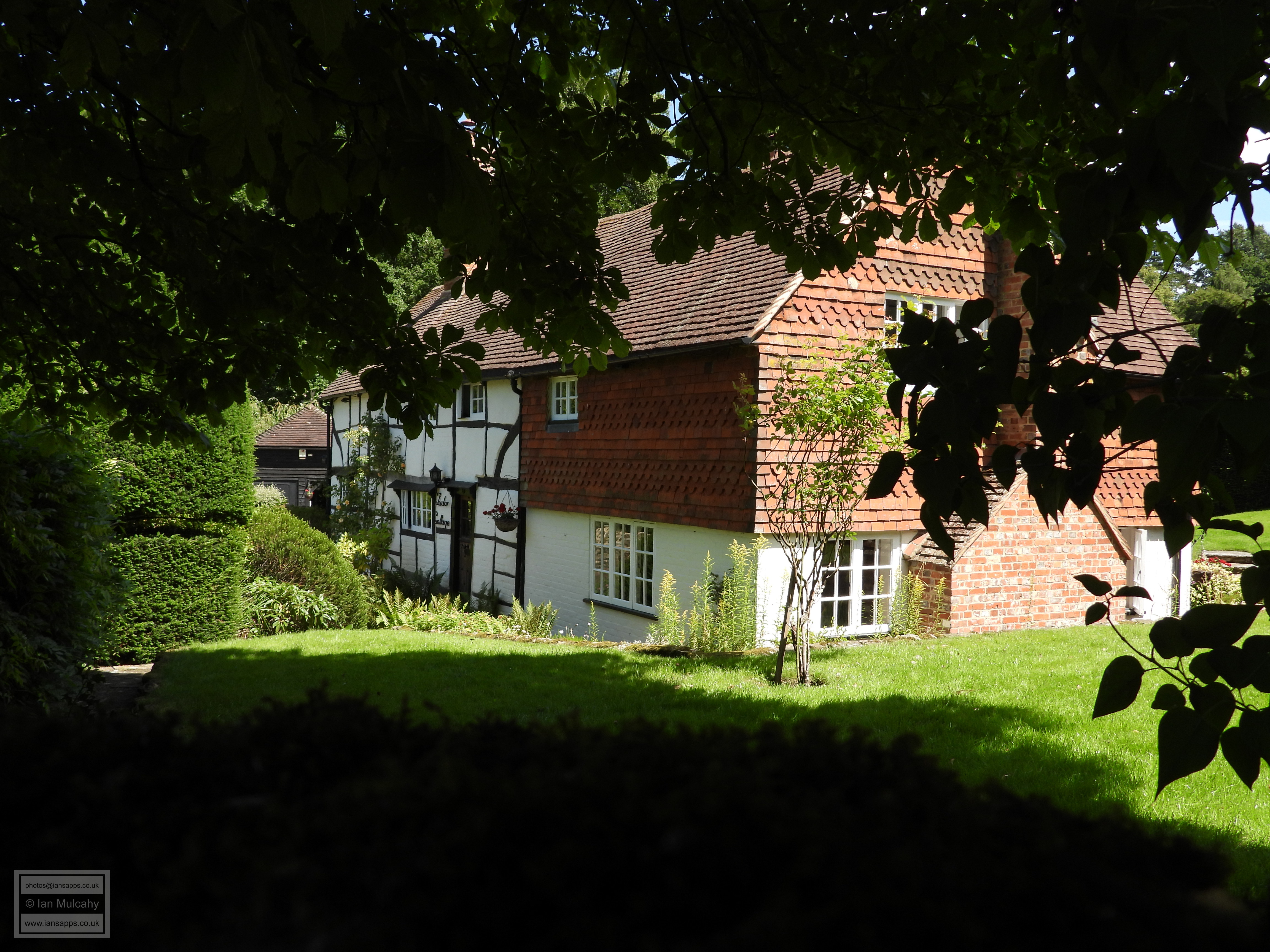
To the east of the square is the lychgate to the churchyard and The Church Of St James. A Saxon church is recorded in the Domesday Book, but the structure we see now was probably starting to take shape in the late 12th century. The oldest surviving parts of the church are the Tower and northern wall of the nave which are said to date from this period, though some sources speculate that the nave could be 100 years or more older. The rest of the church dates mainly to the 13th and 14th centuries and was restored in 1895. Walking back through The Square and turning north into Middle Street, our final building in the village itself is Bodryn Cottage & Forge Cottage, a late 15th century hall house with a late Tudor jettied crosswing.
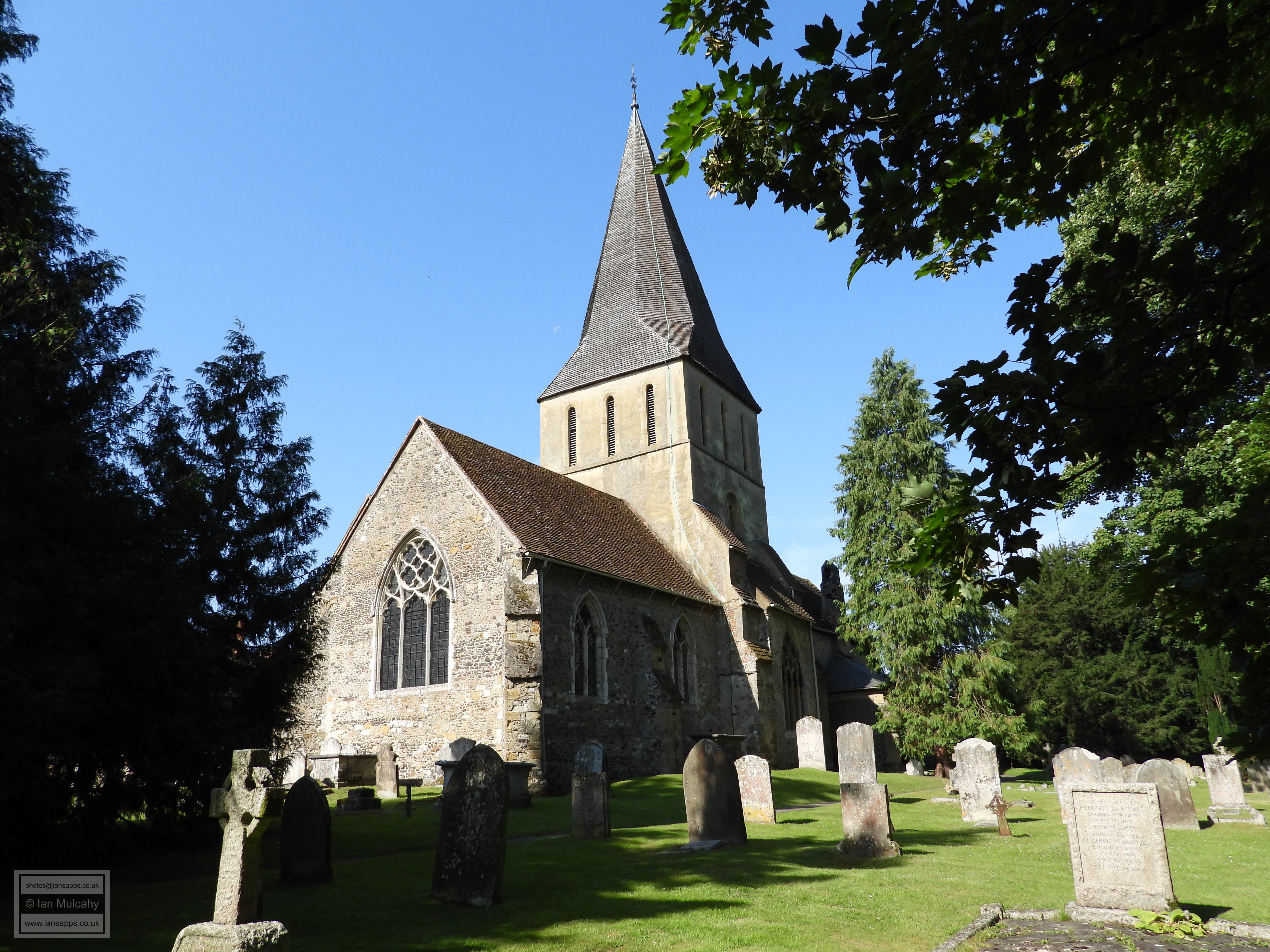
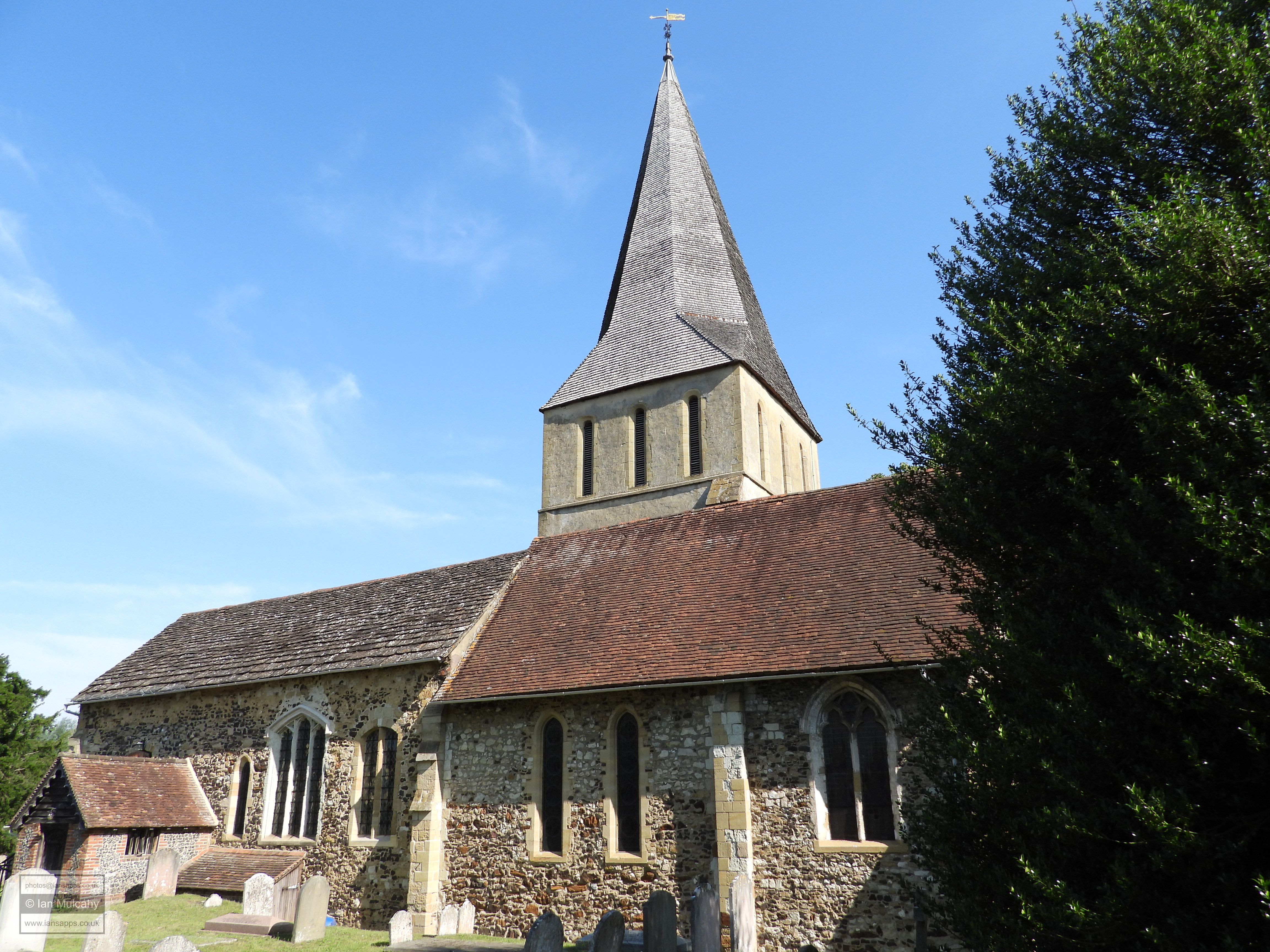
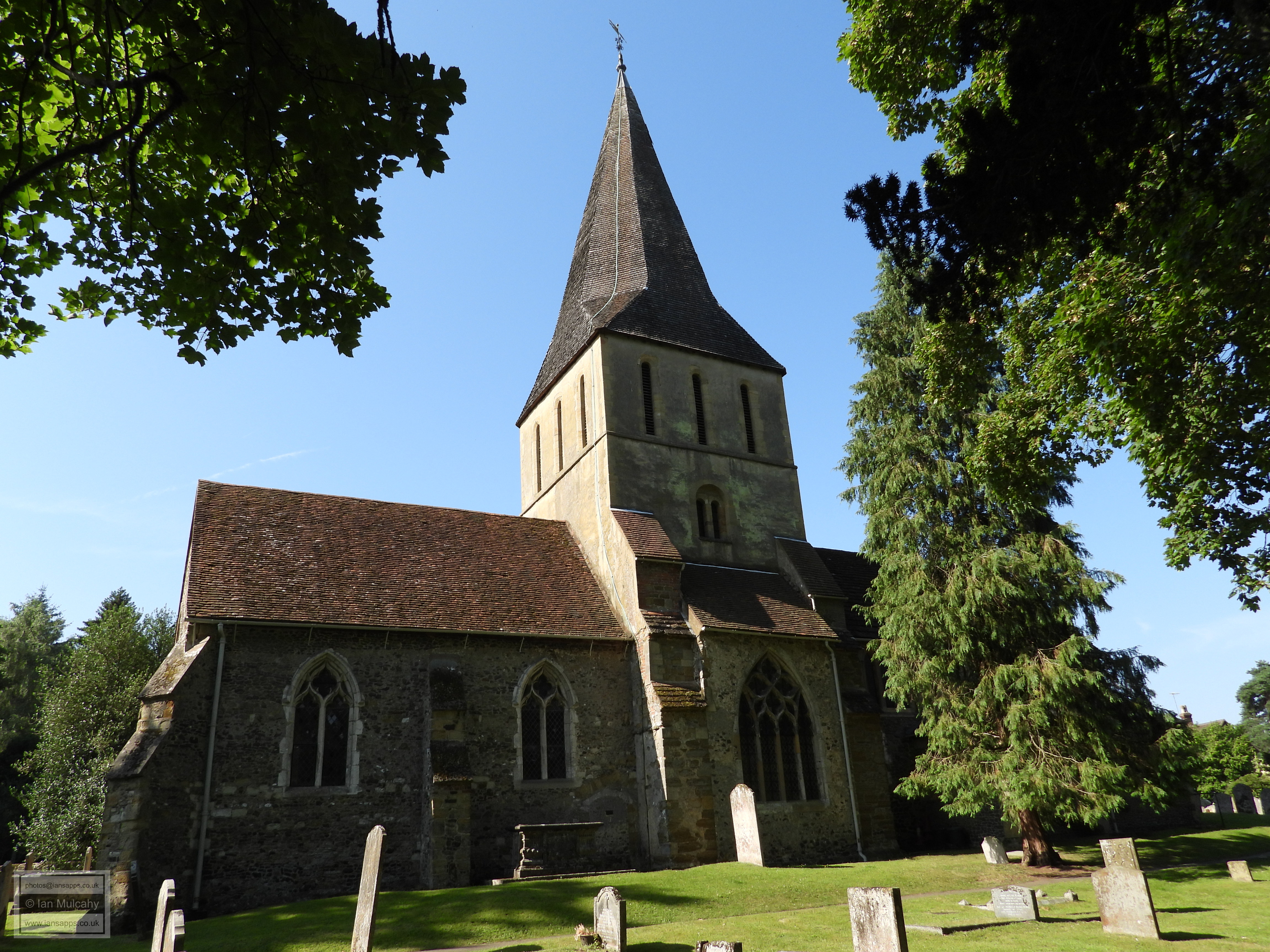
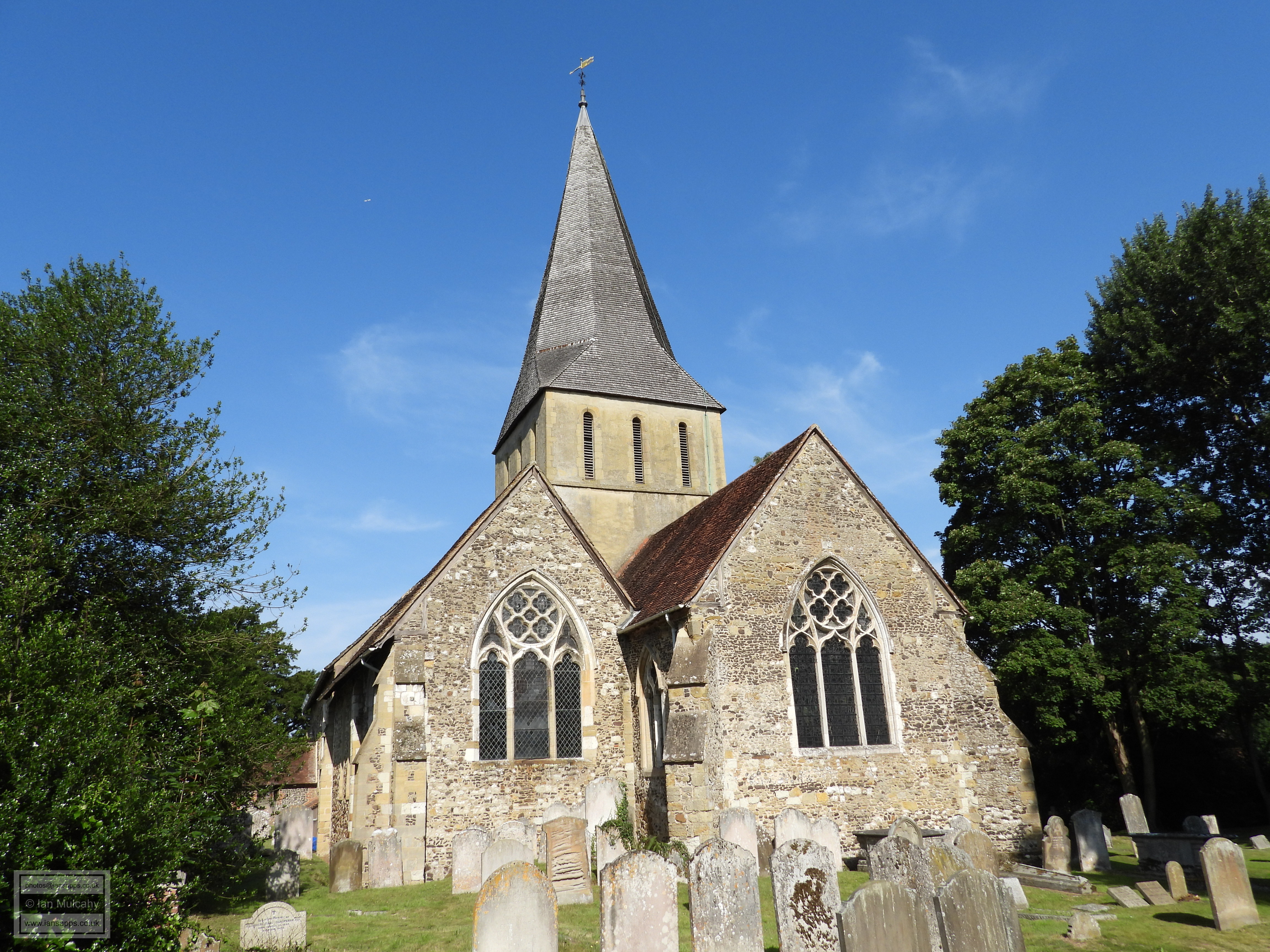
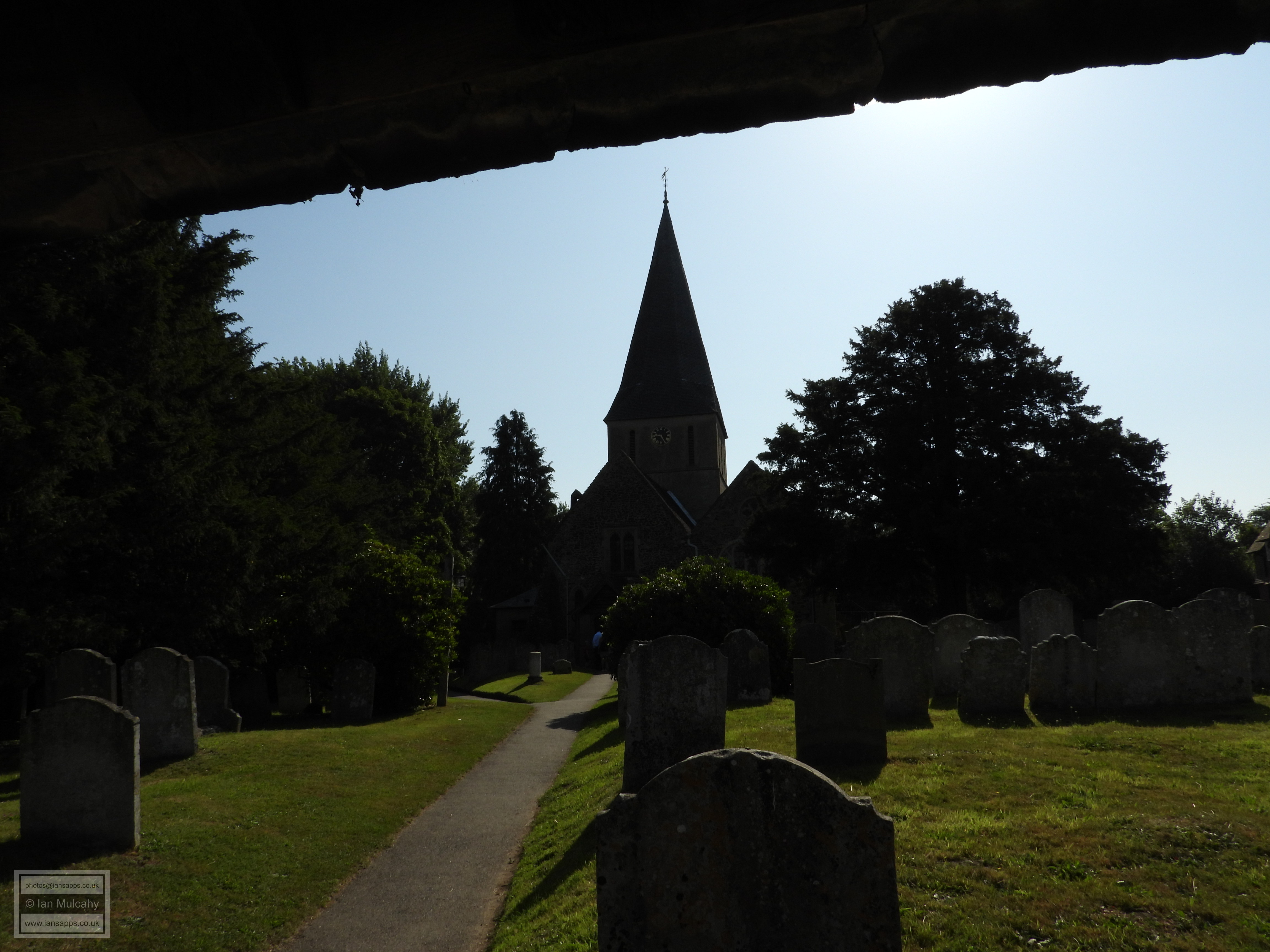
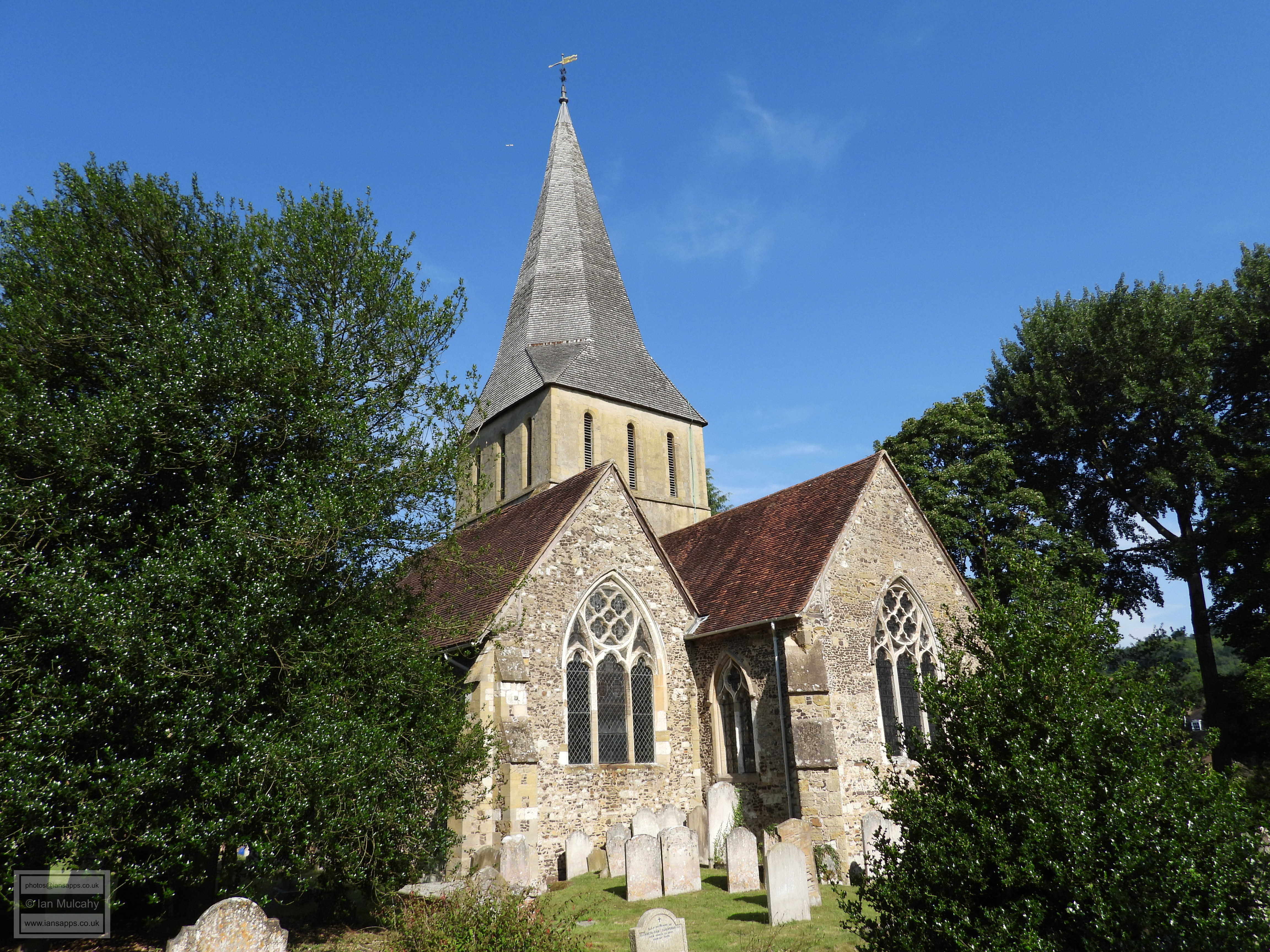
The Church Of St James
As well as being a village in its own right, Shere is also a wider civil parish with a total over 3,000 residents dispersed across smaller villages, hamlets and isolated farms in an area of approximately 6500 acres. Whilst I was in the area I also visited some of these and although the intrepid walker would find enjoyment in using shanks pony to navigate between them I elected to drive between the areas and then walk locally.
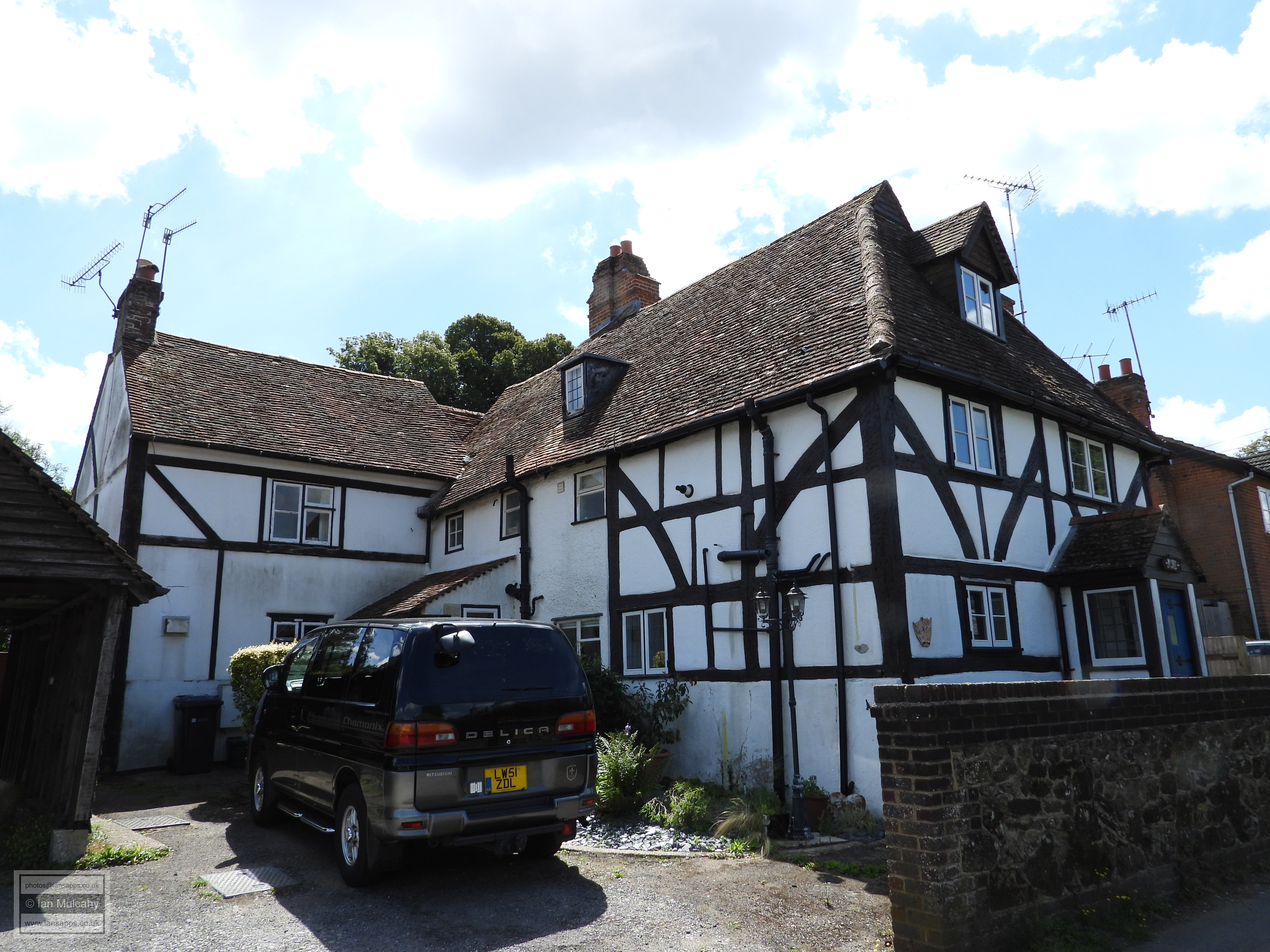
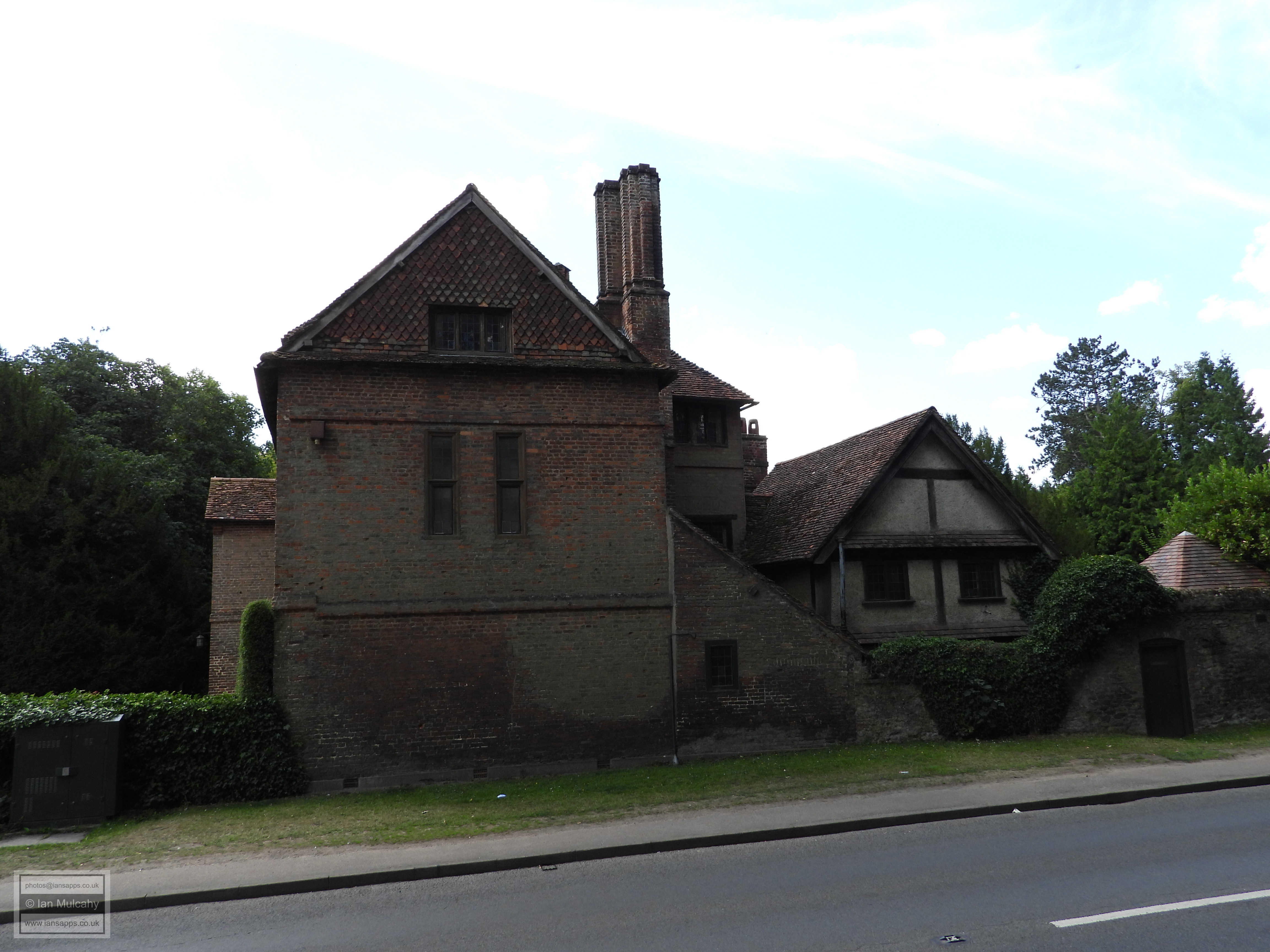
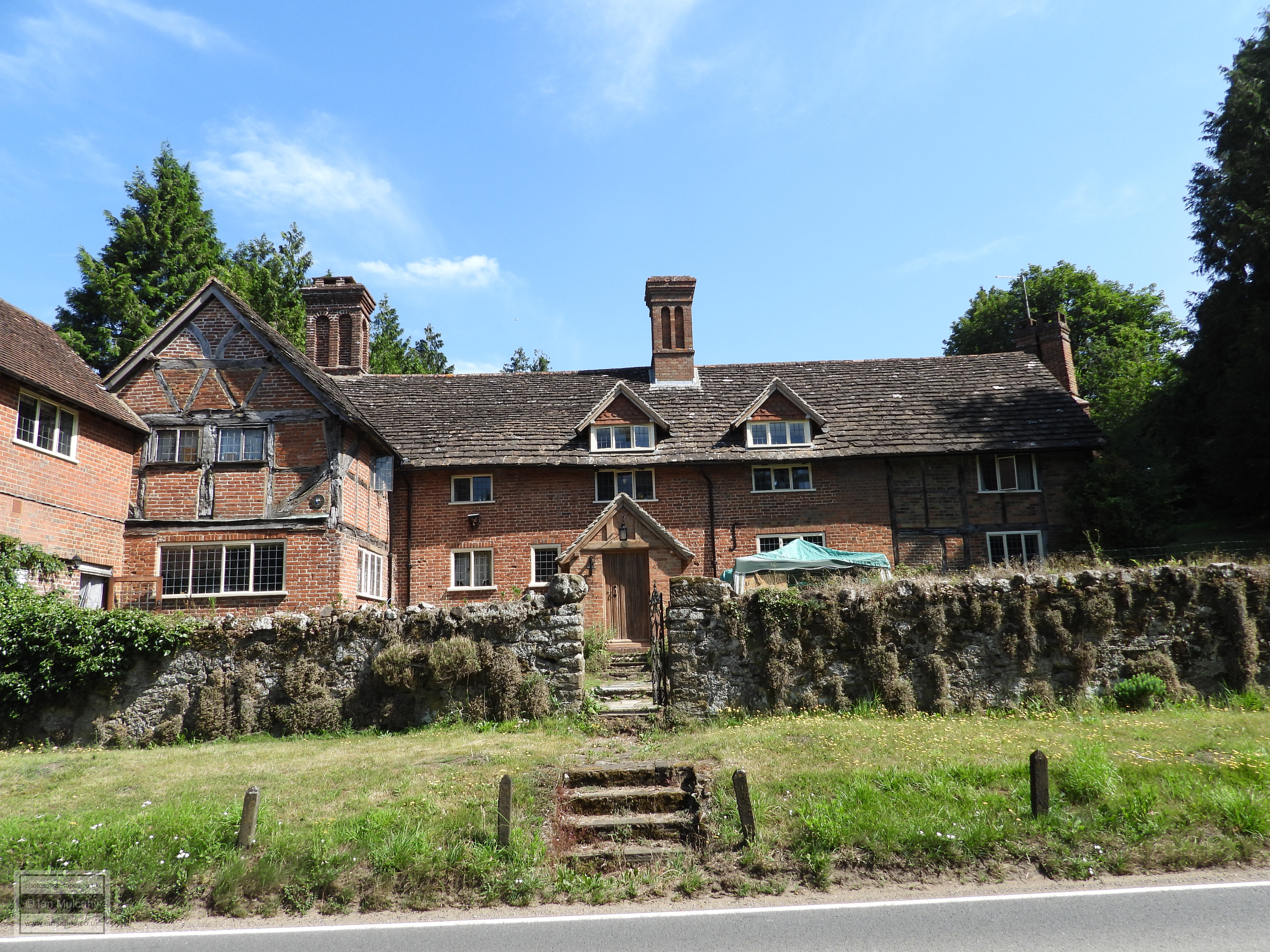
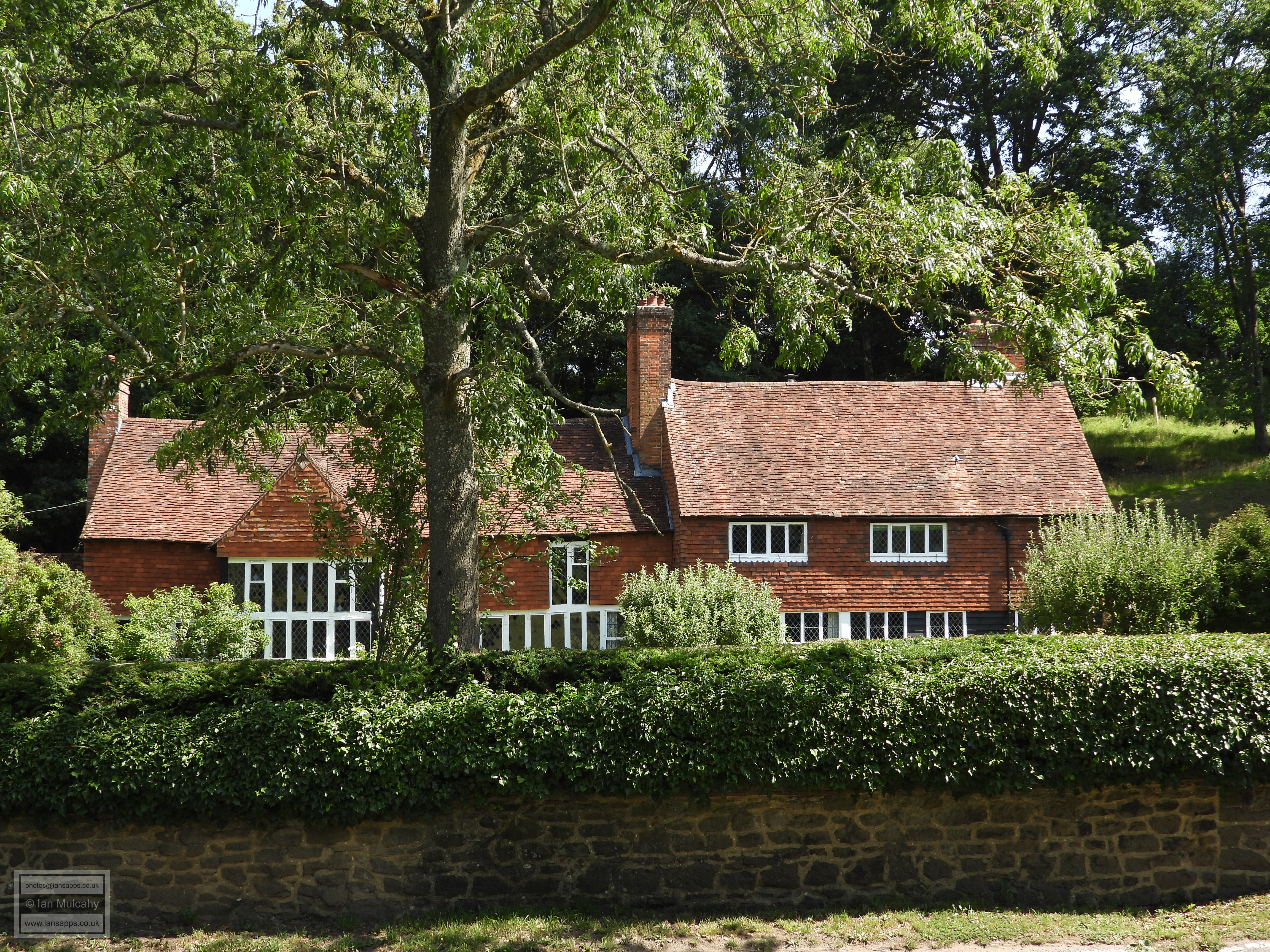
First on the list, located a mile to the east of Shere on the busy A25, is the village of Gomshall. Gumesele was originally a Saxon manor and is recorded in the Domesday Book as Gomeselle. The village plays host to five structures of interest to Tudor aficionados and these are to be found on a convenient circular walk of approximately one mile. Having parked close to the firestation I walked south along Goose Green until I came to the railway bridge across Tower Hill. Opposite the bridge are Malthouse Cottages, a range of 4 cottages formed of a mid-16th century hall house with an early 17th century cross wing at each end. Just south of the railway is Tower Hill Manor, a grand 16th century Tudor Manor House, now thoroughly modernised and refronted in brick.
Turning back under the arch of the railway bridge and heading
westwards, and then northwards along Queen Street we soon reach
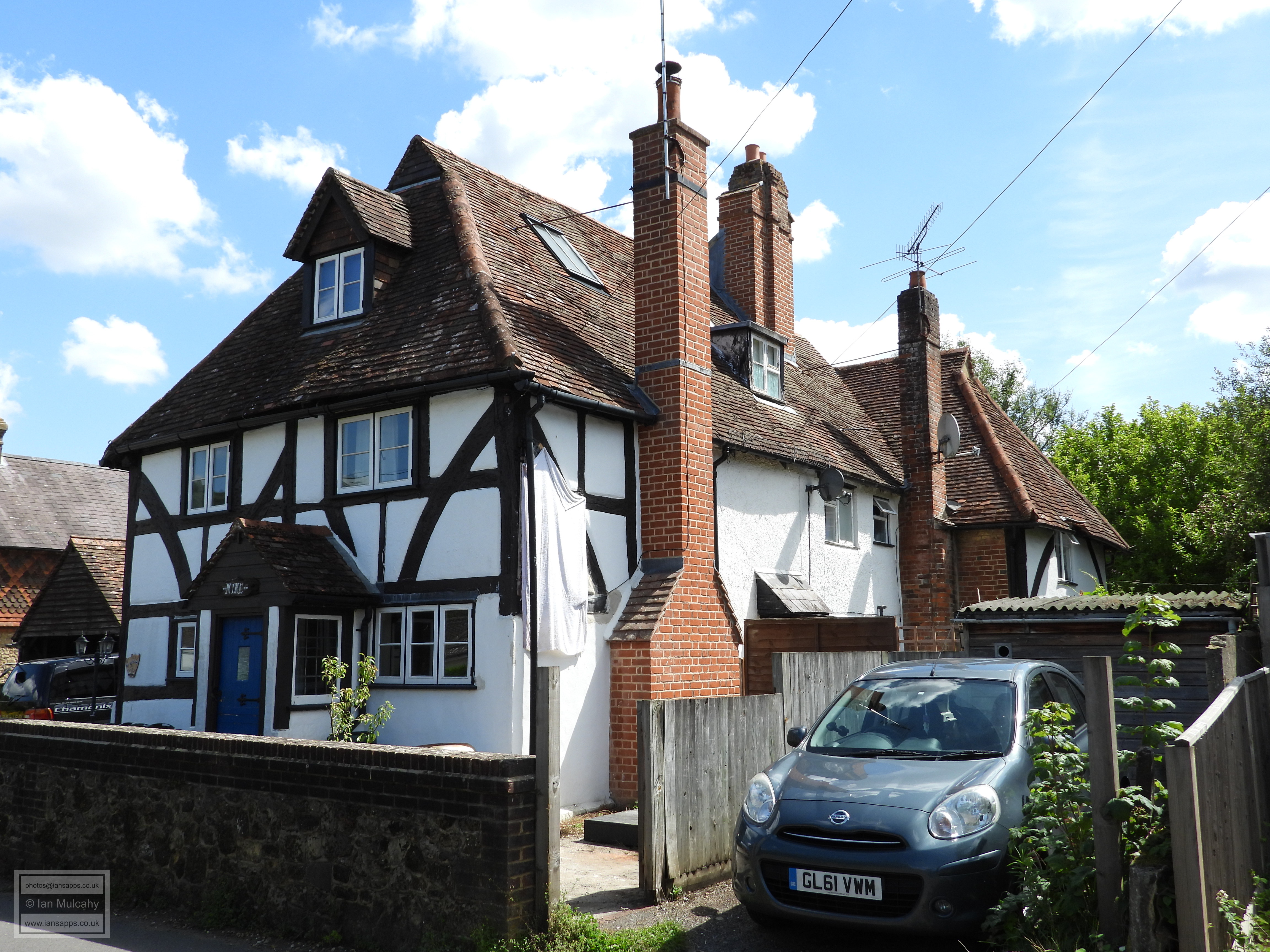
9-12 Queen Street, a mid-16th century house that
was extended in each of the 17th, 18th & 20th centuries, though
plenty of original timber framing is visible at the front of the
property. Continuing north, on the corner of the main road is
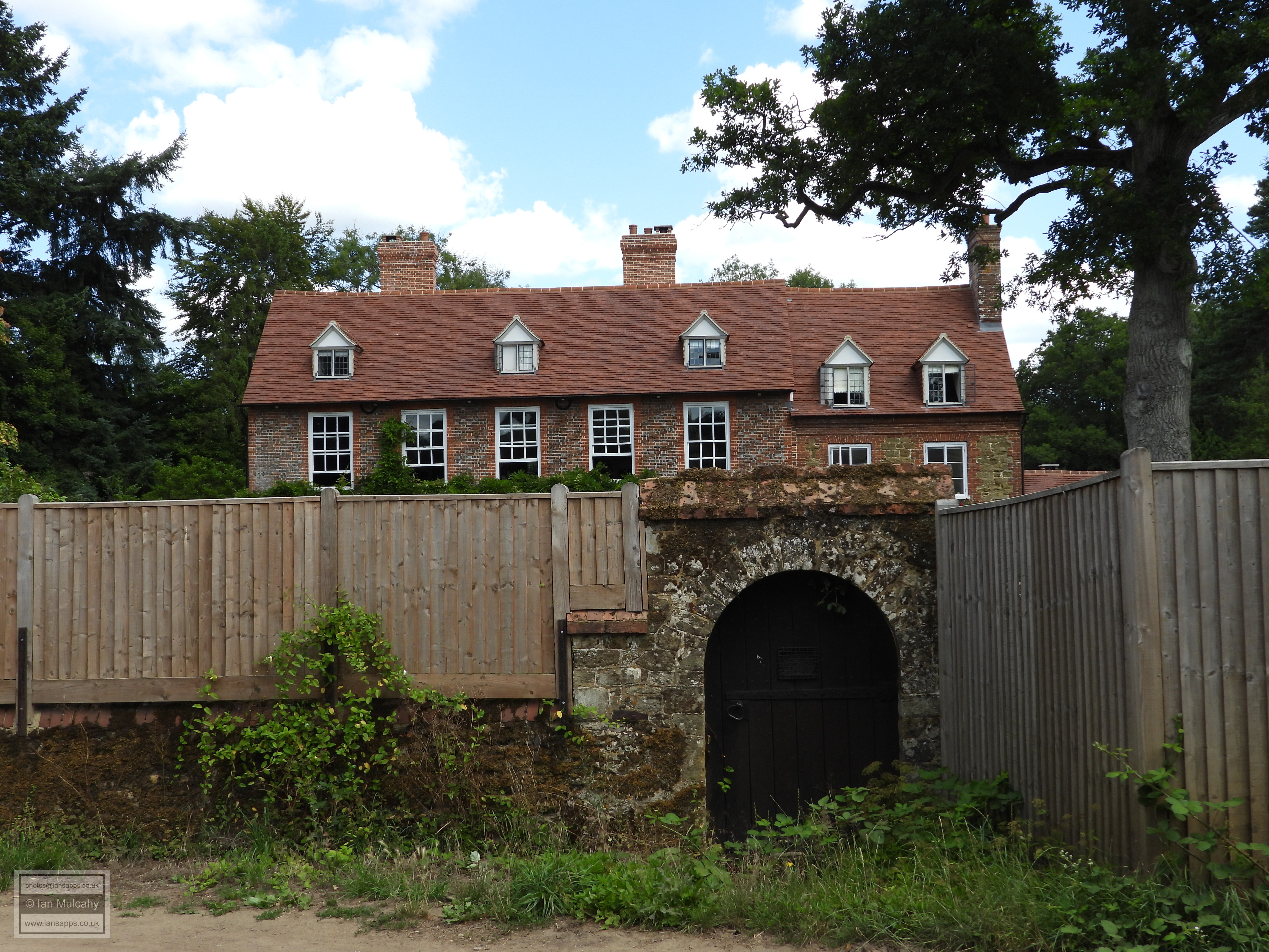
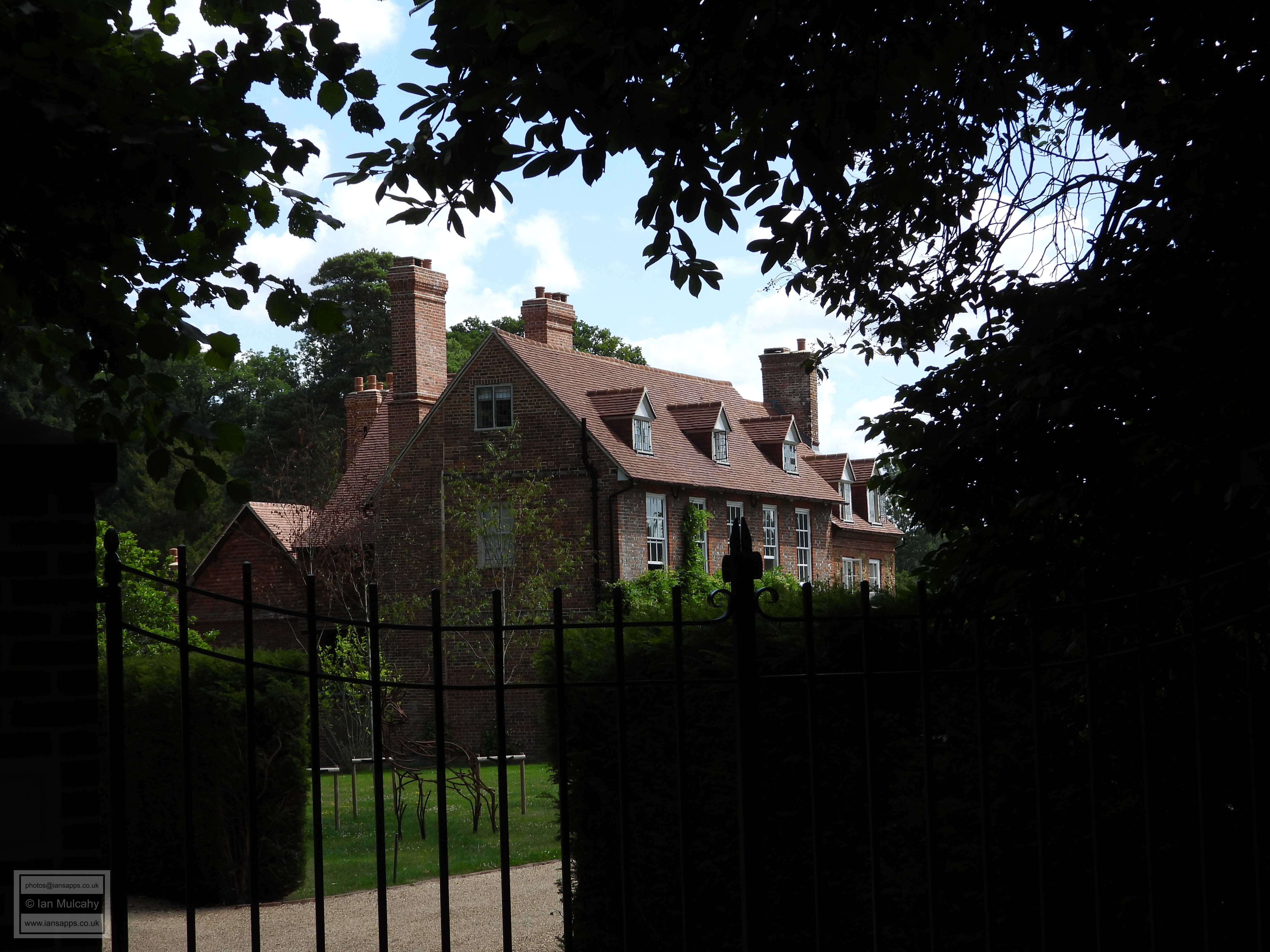
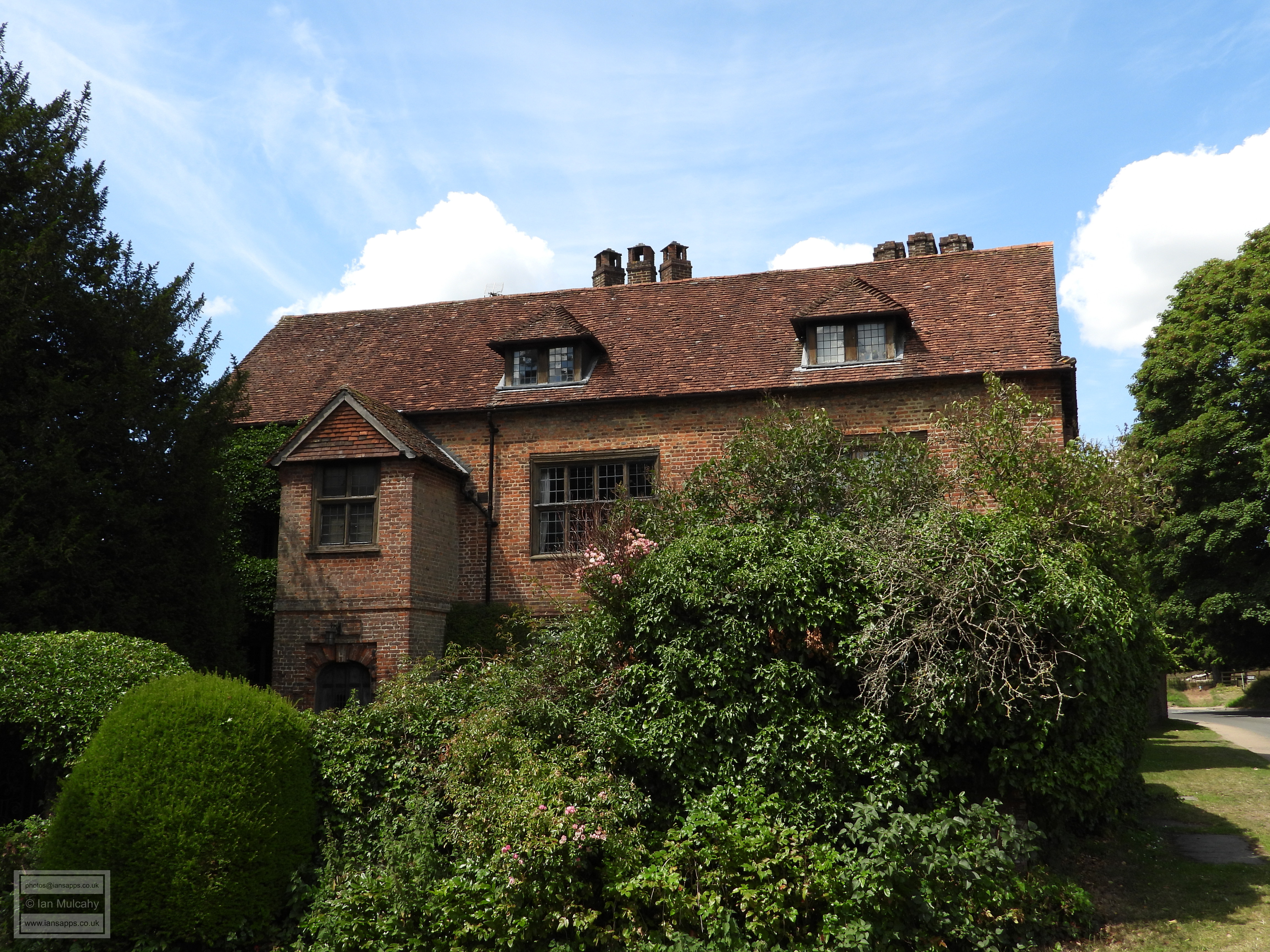
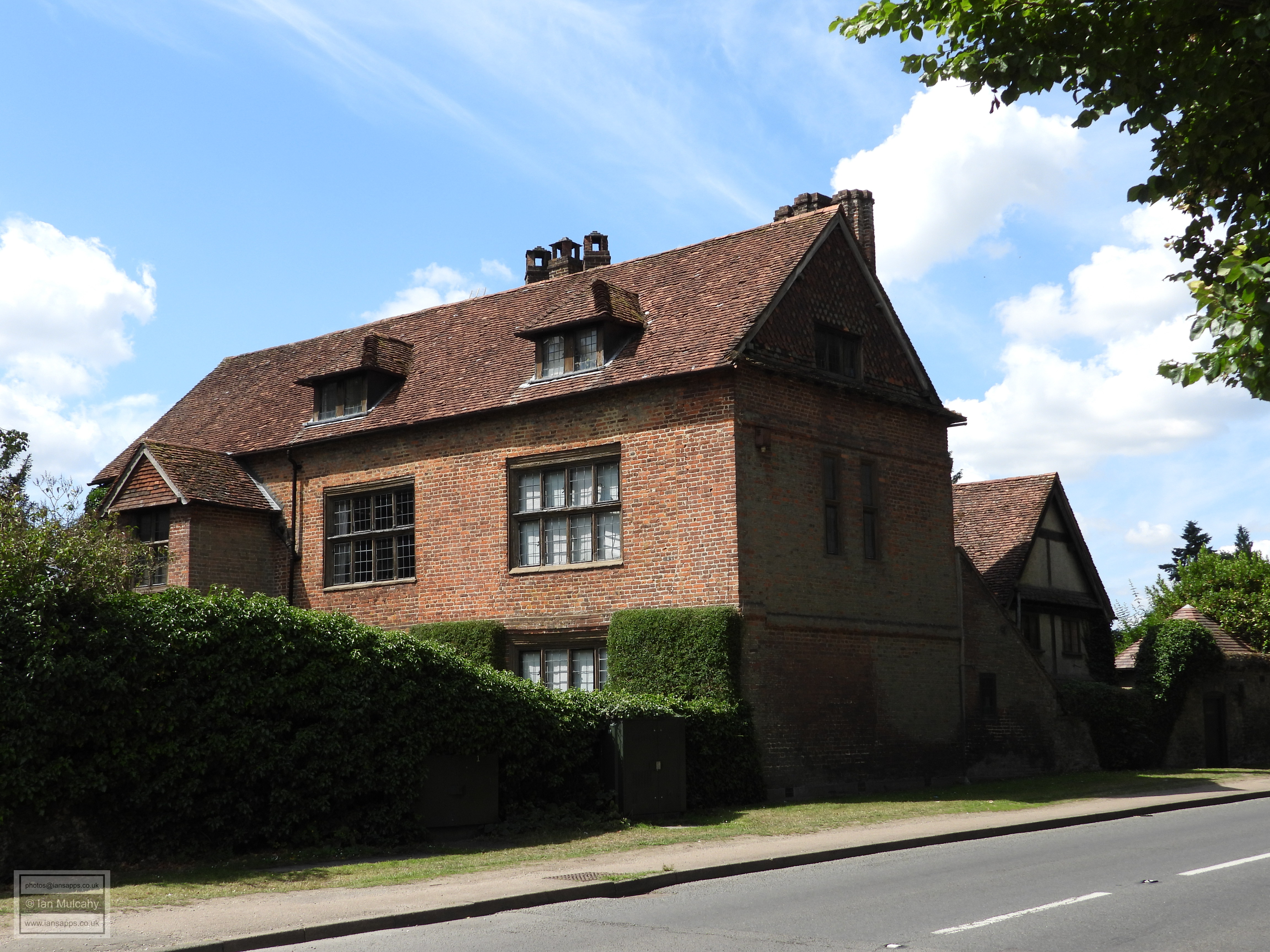
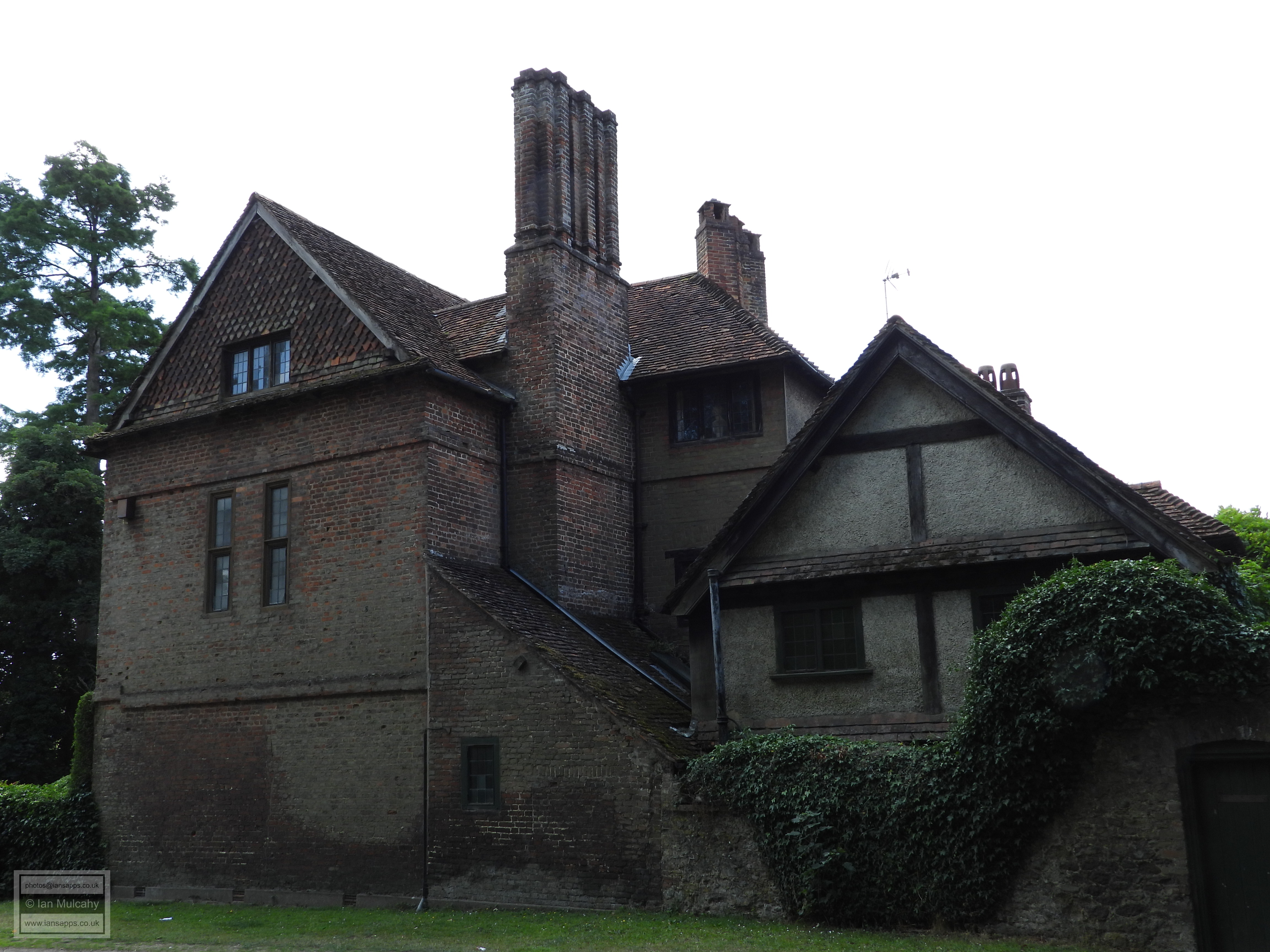
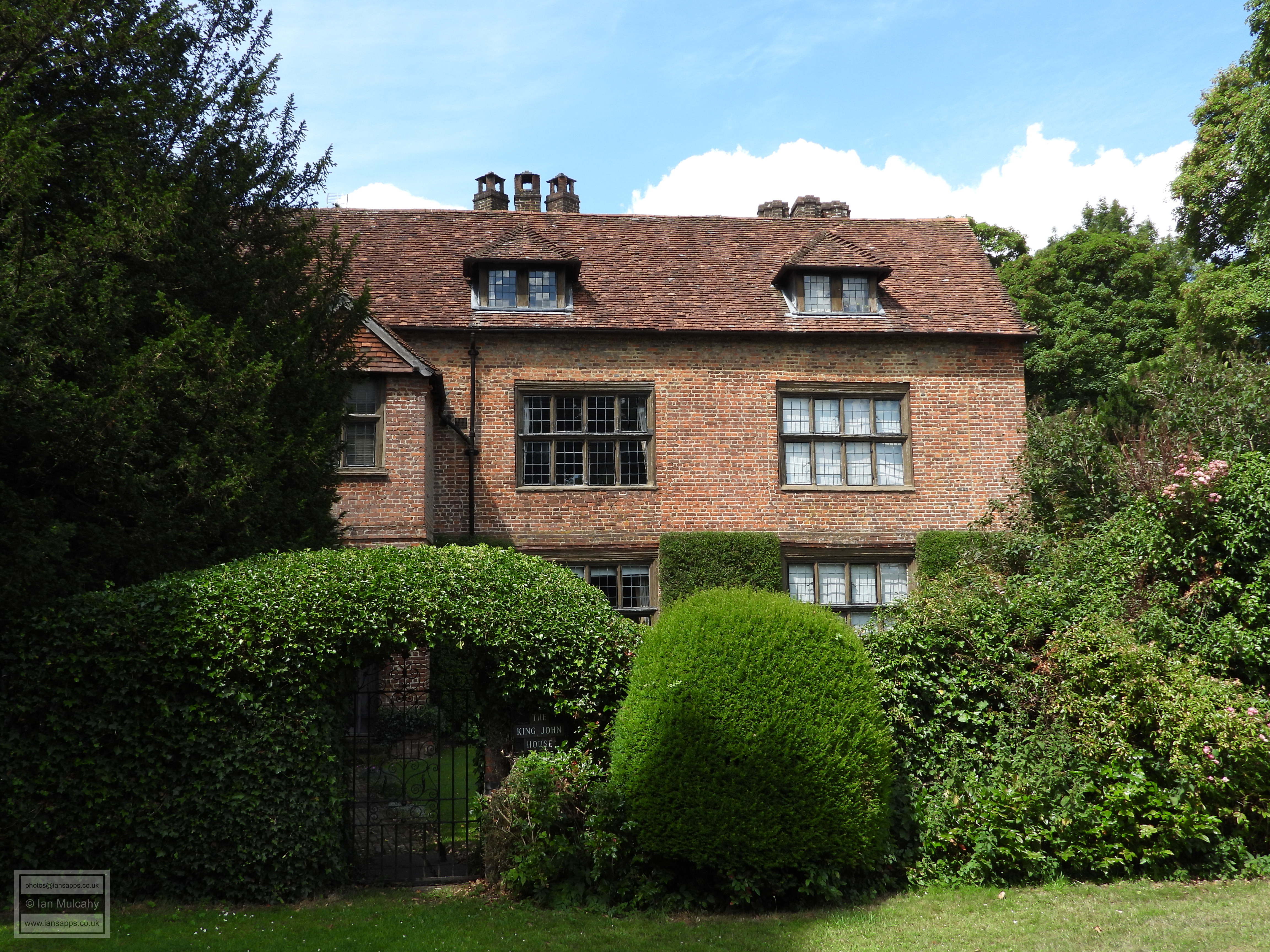
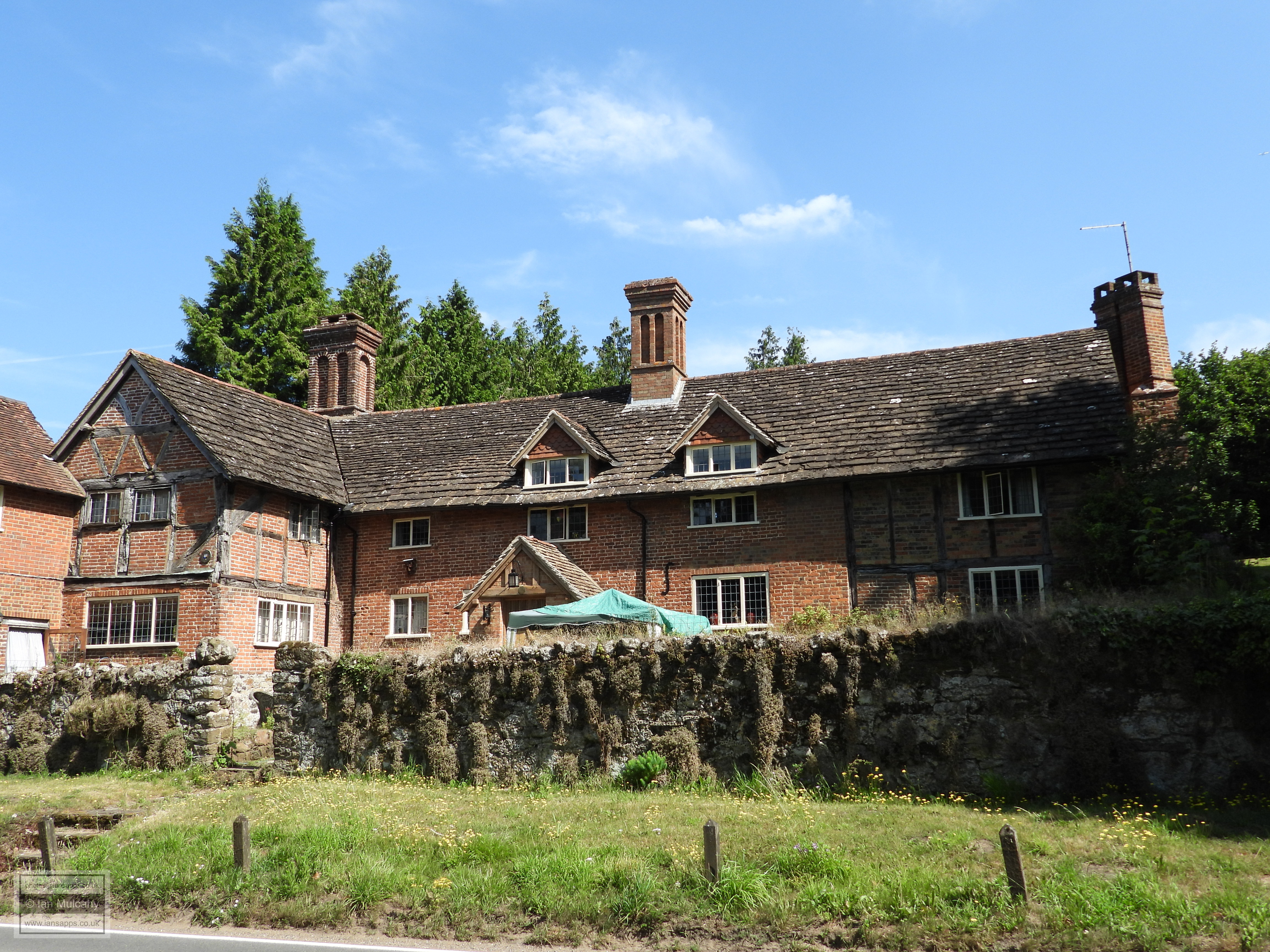
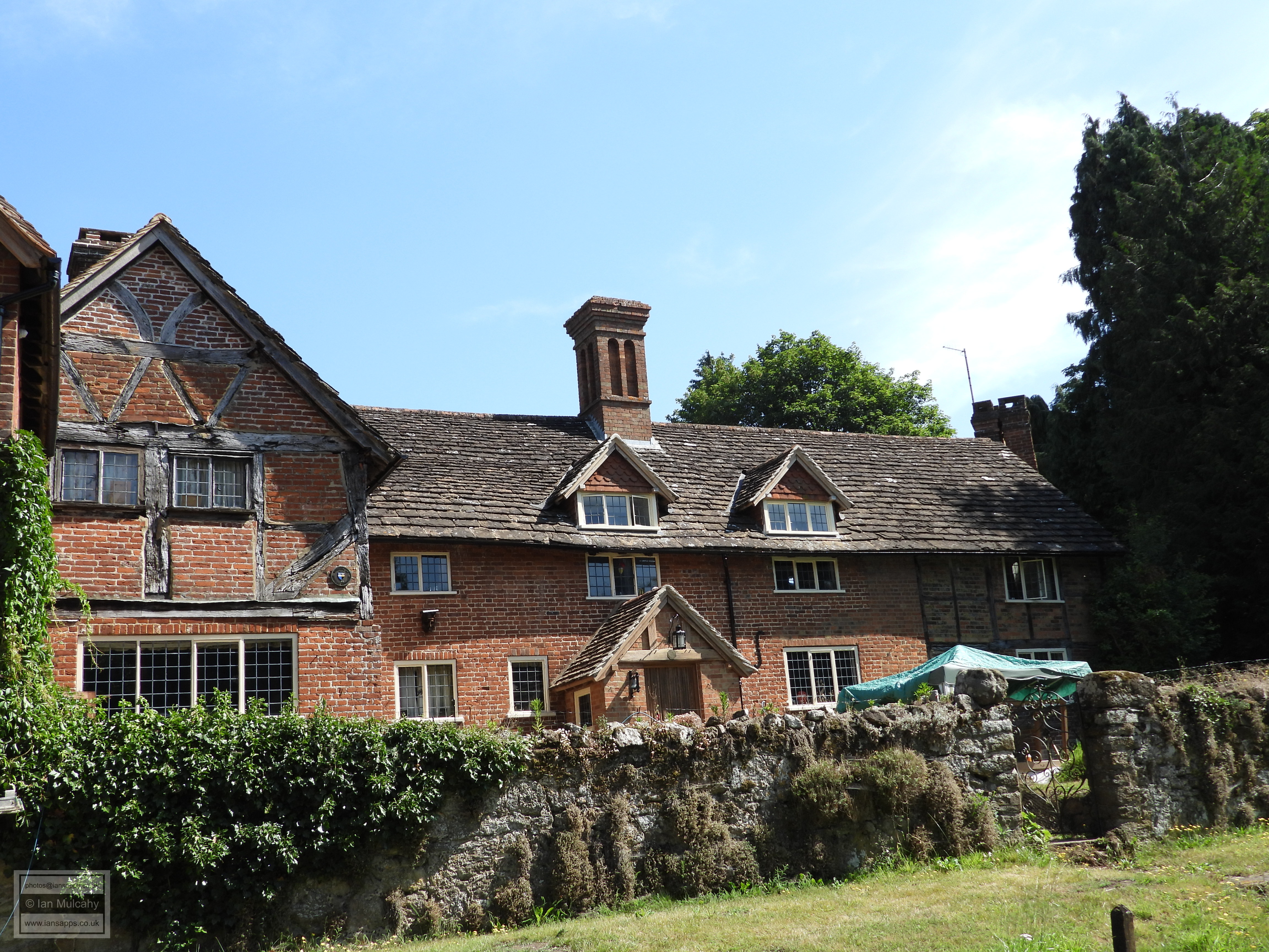
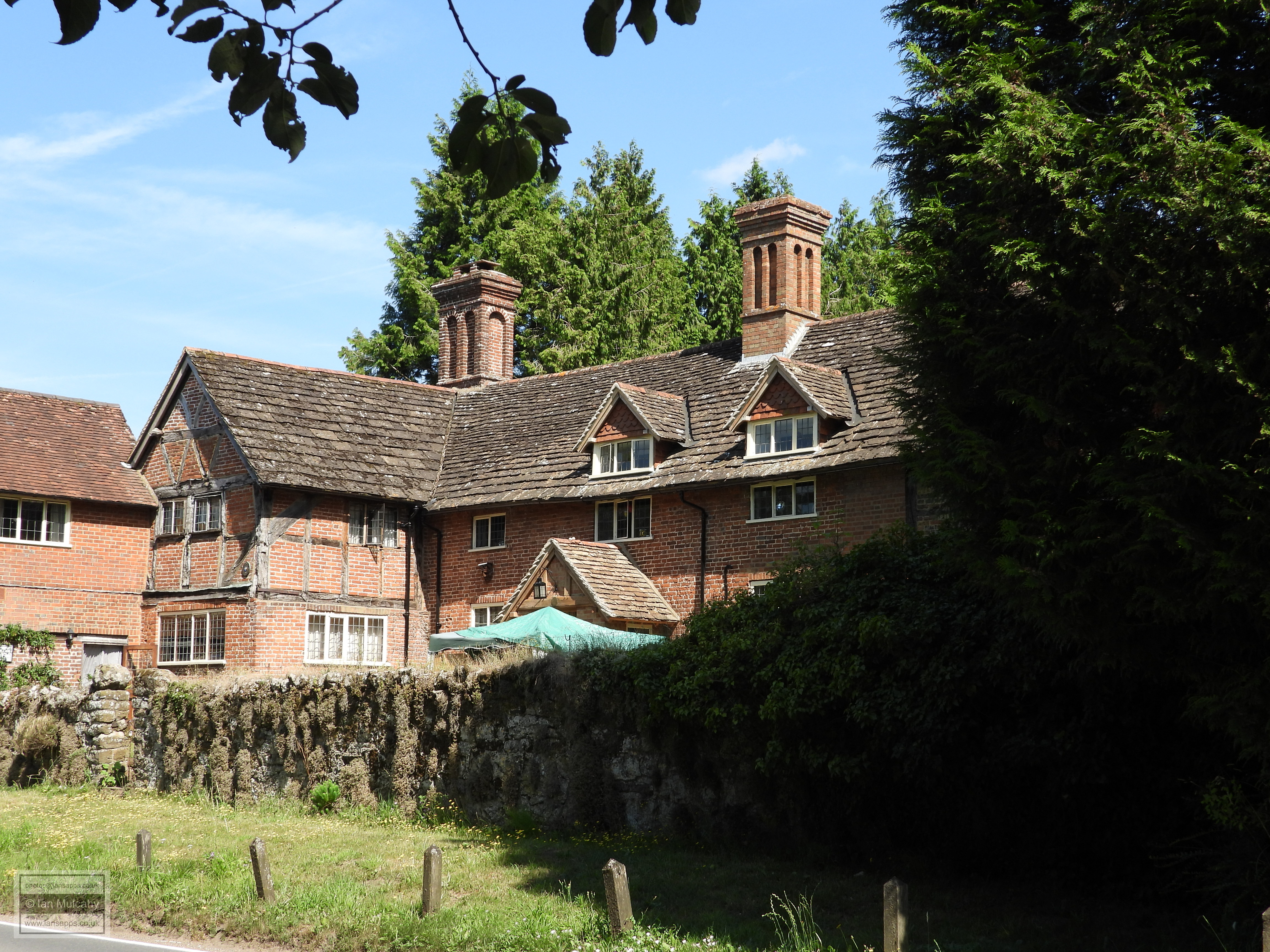
The King John House. This large and imposing brick
building dates mainly to the 16th century, though it has undergone
major restoration, and served as the manor house of the ancient
manor of Gomshall Netley until about 1640. It is thought to have
been built on the same site as the original Saxon era Aula, or
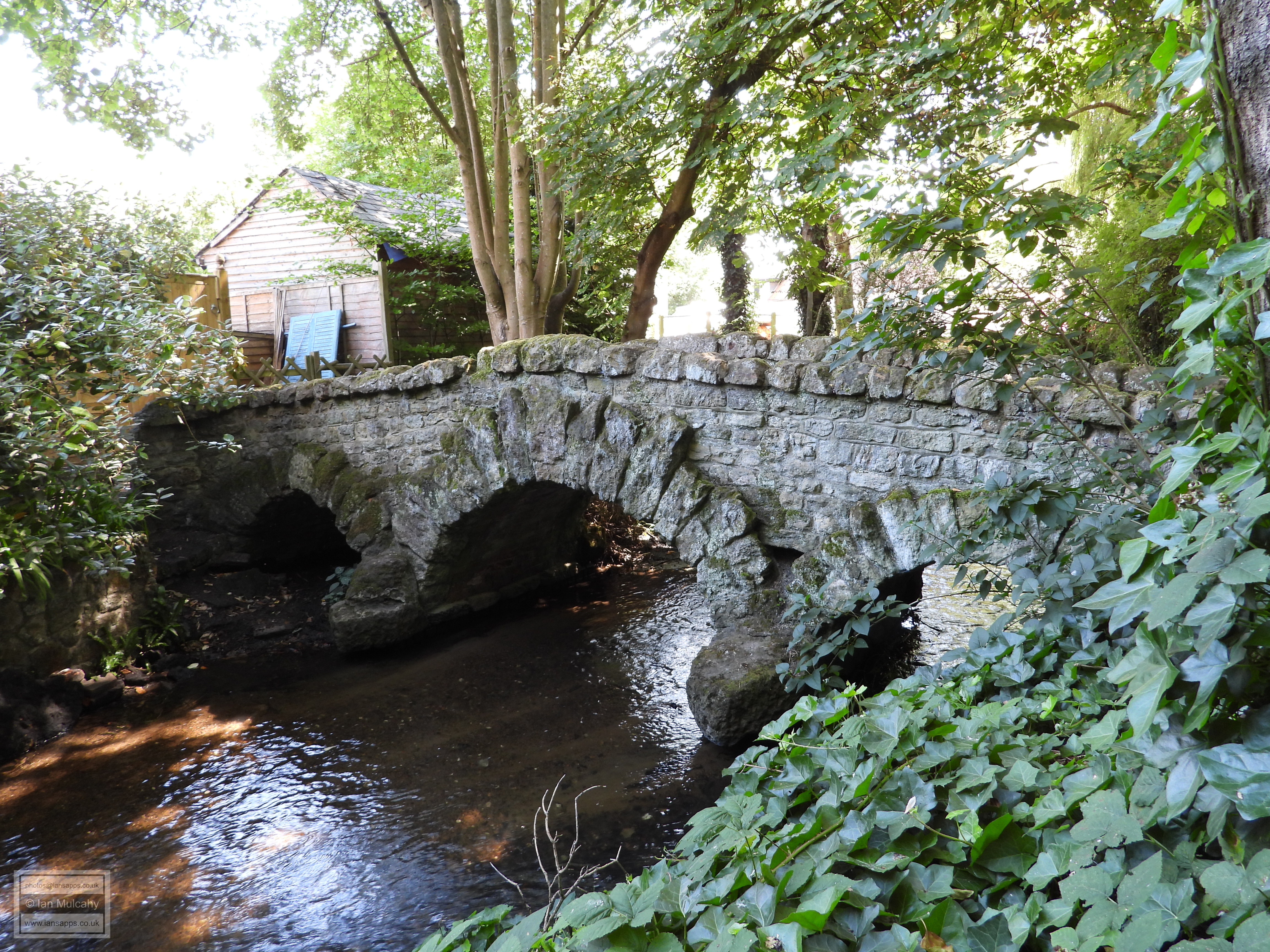
centre of administration. A quick about turn from here, and a left
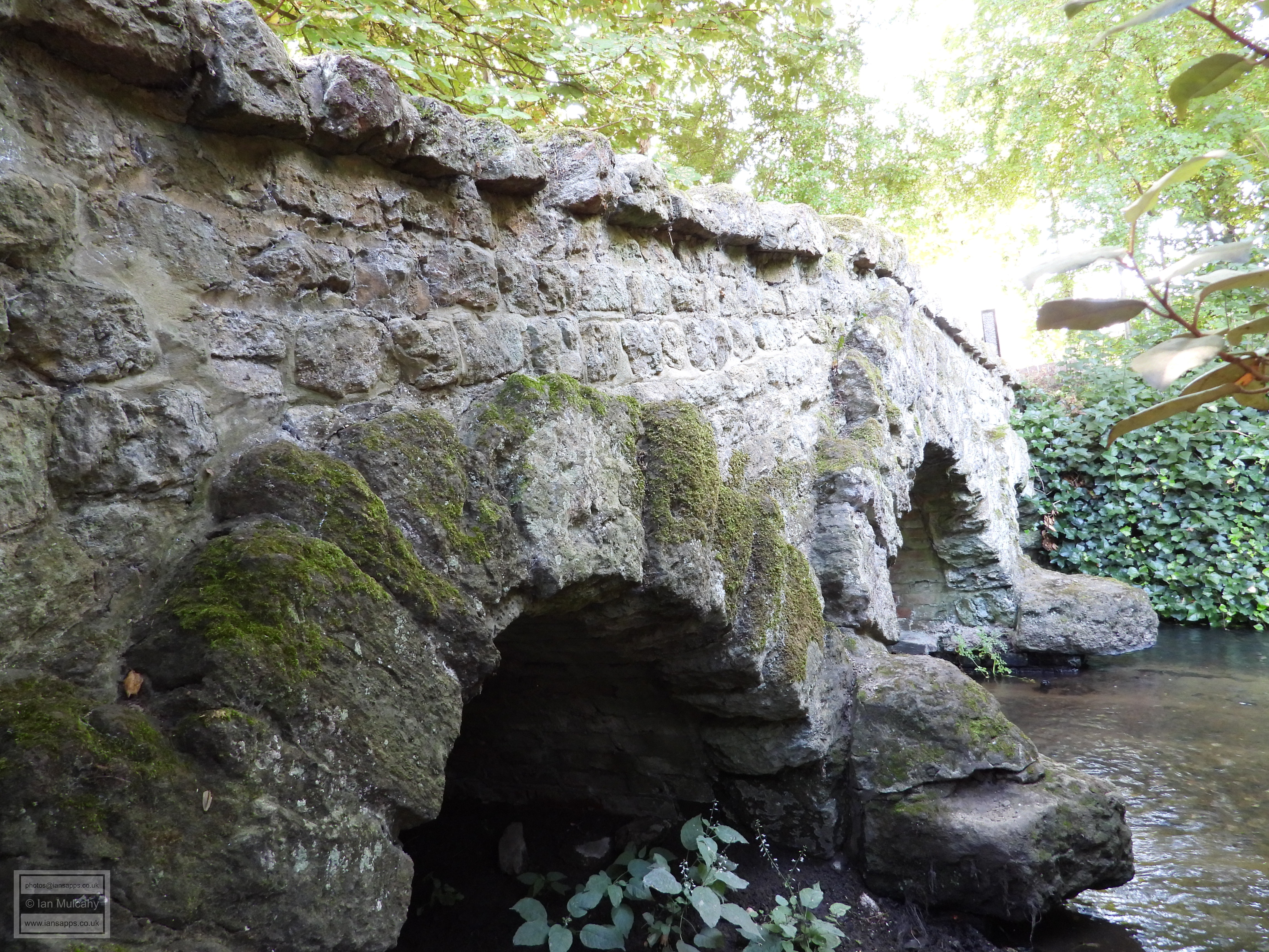
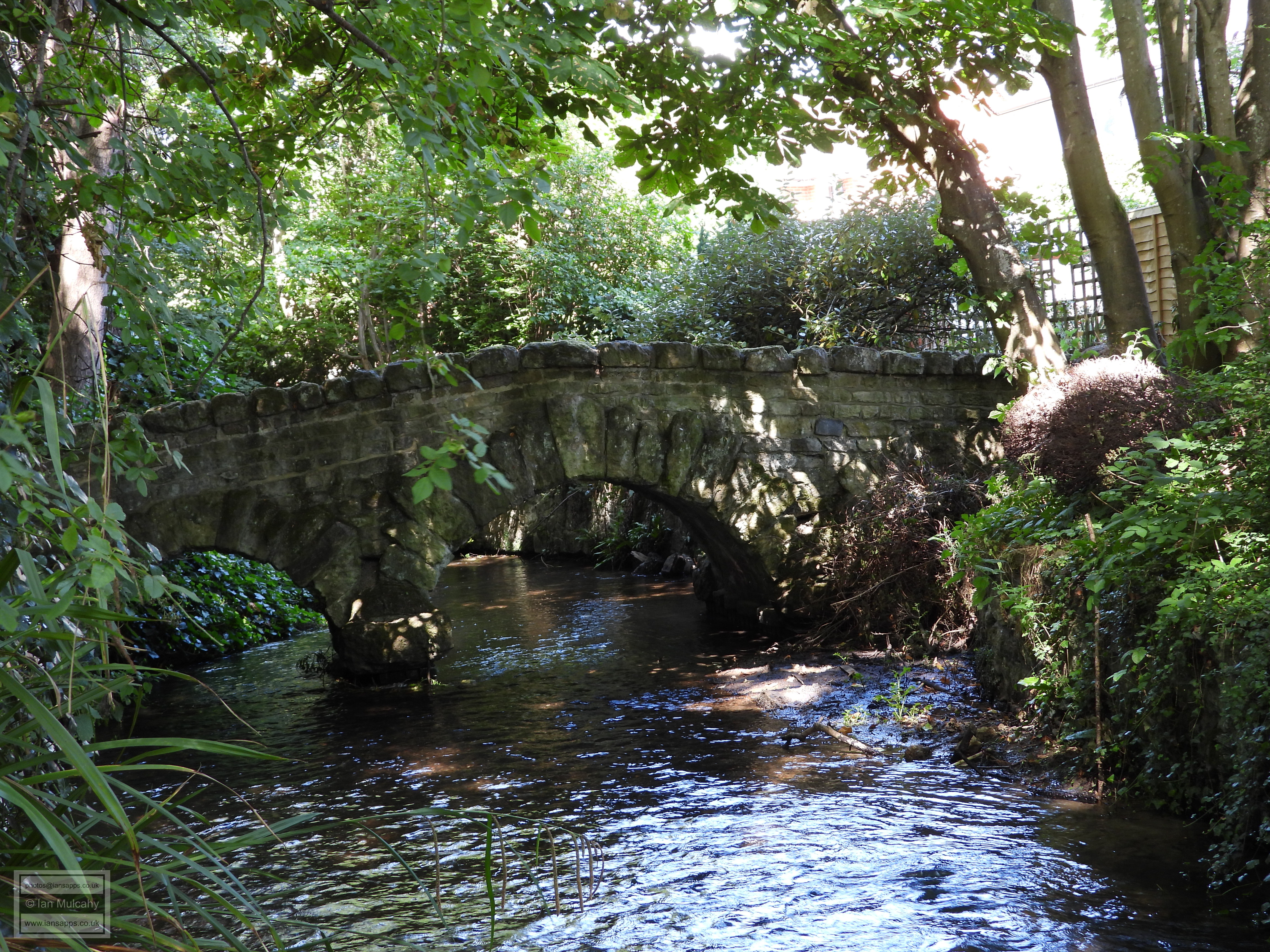
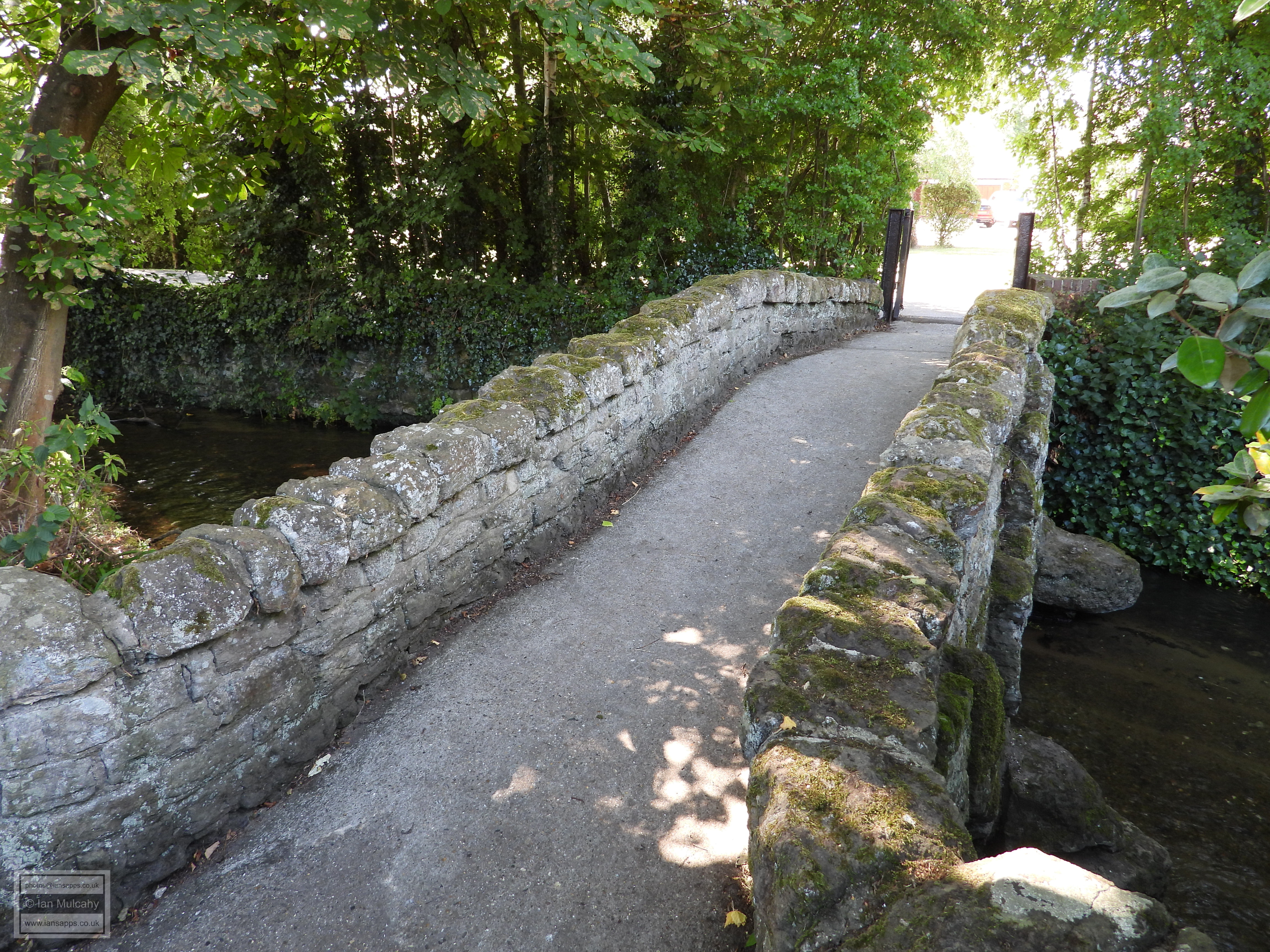
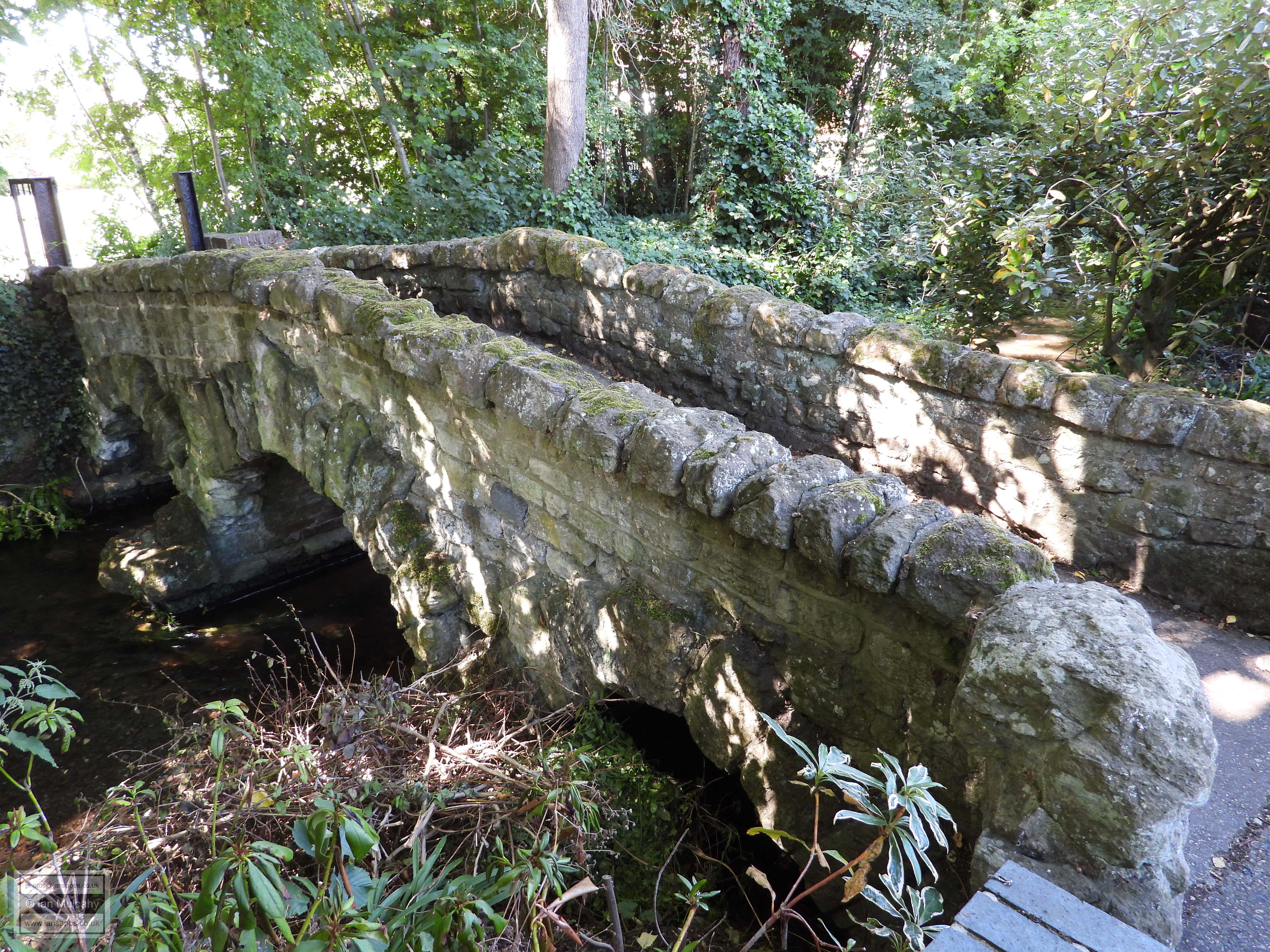
turn along a public footpath will bring you to the Packhorse
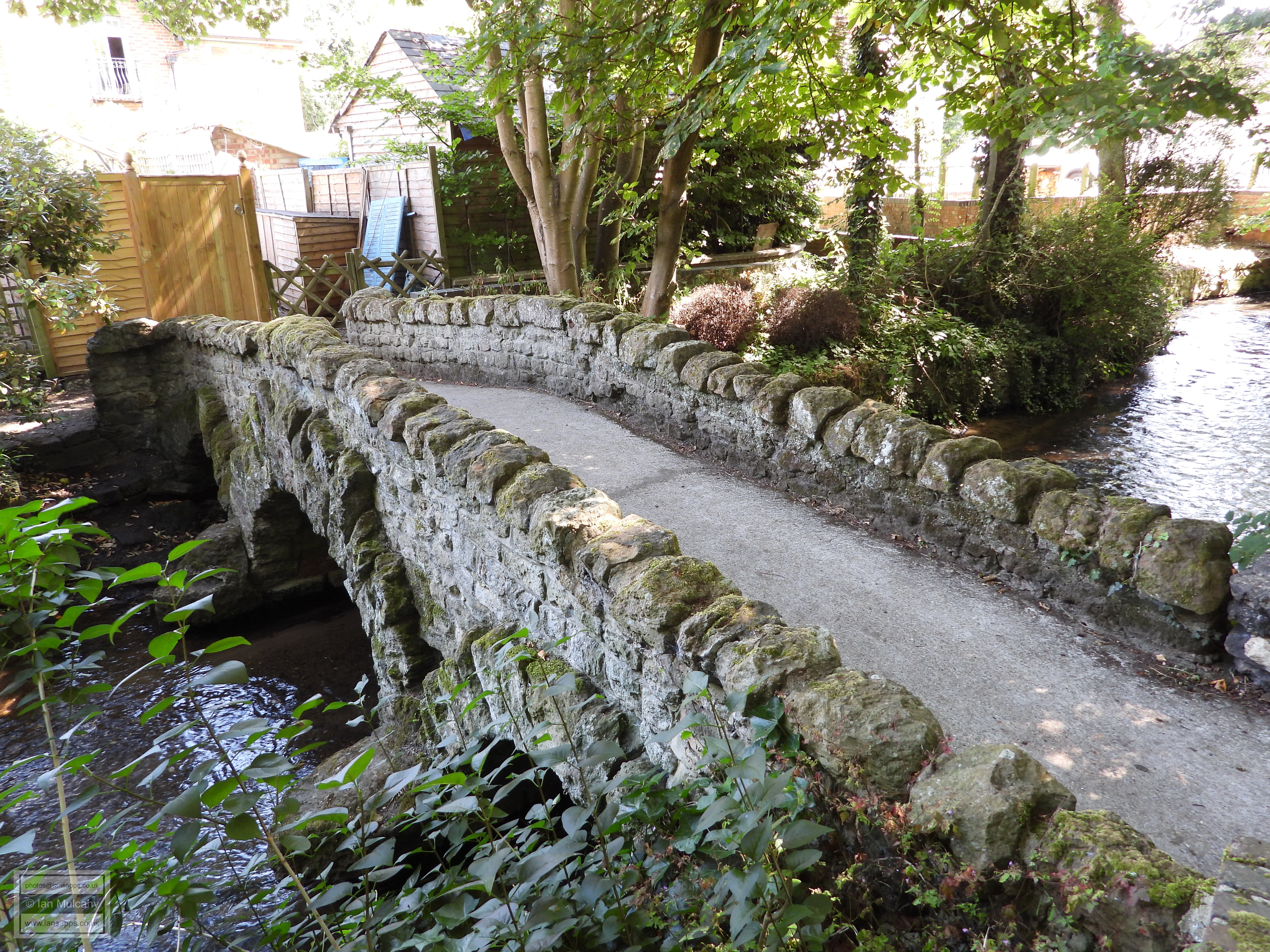
Bridge, a three arched 15th century sandstone bridge across
the River Tillingbourne. Packhorse bridges were designed with
particularly low side walls so as not to interfere with the side
bags (packs) of a fully laden packhorse and are typically wide
enough to carry a single horse.
A further mile eastwards along the A25 is the village of Abinger Hammer, named after the forge which was built here in 1557 to work Sussex produced pig iron. The 400kg (880lb) hammer was powered by the water stored in the hammer pond, created by damming the River Tillingbourne. 180m (590ft) of this dam remains, standing to a height of up to 3 metres (10ft). Just before entering the village you will pass Old Hatch Farm House, a large timber framed house, with extensive brick refacing and infill, that is contemporary with the forge. Just south of the village, on Felday Road, is Fulvens Barn, a barn of c.1600 that was converted in to a house and extended to the right in the early 20th century. The space previously occupied by the full length cart doors of the barn can be easily spotted.
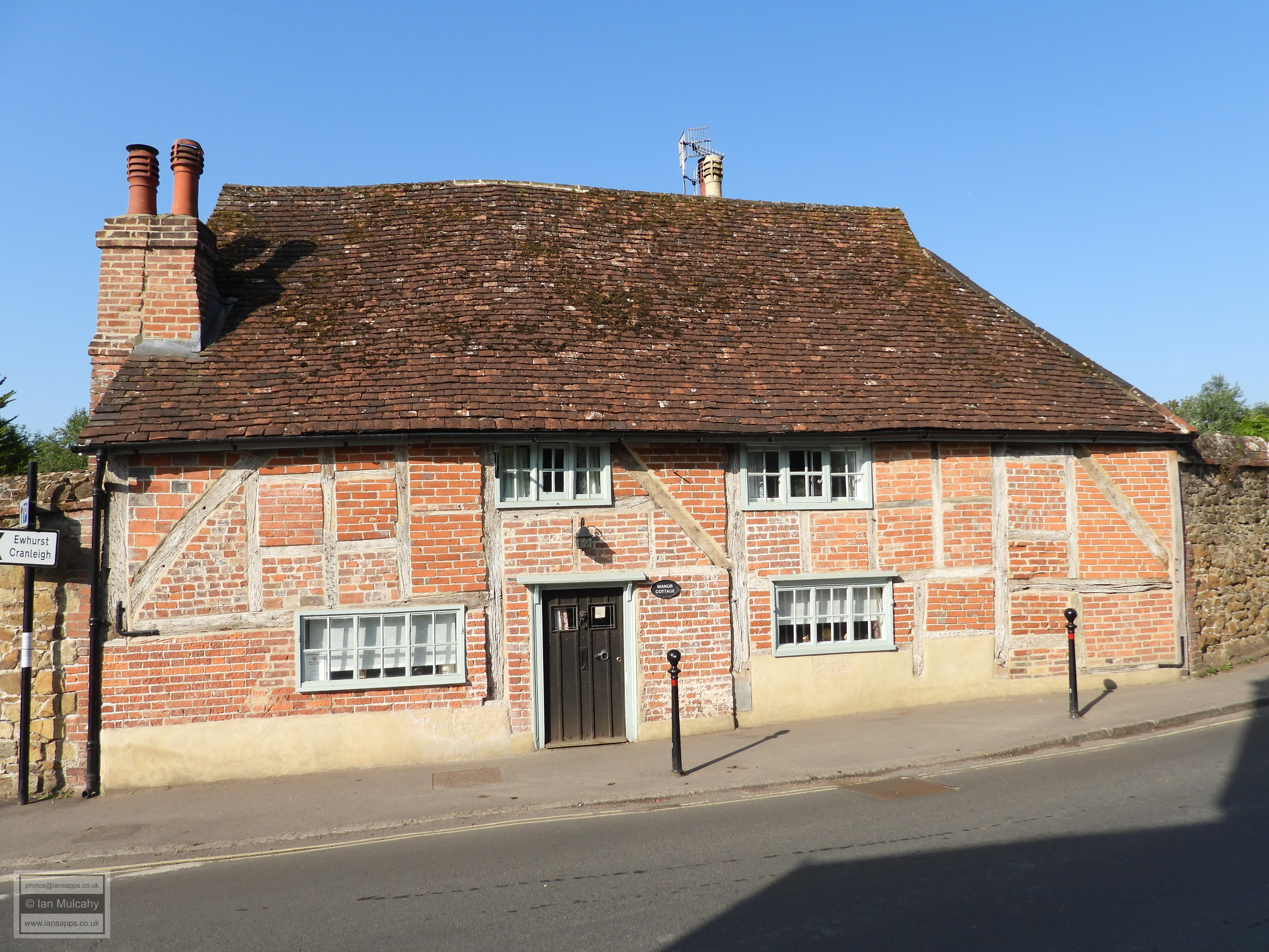
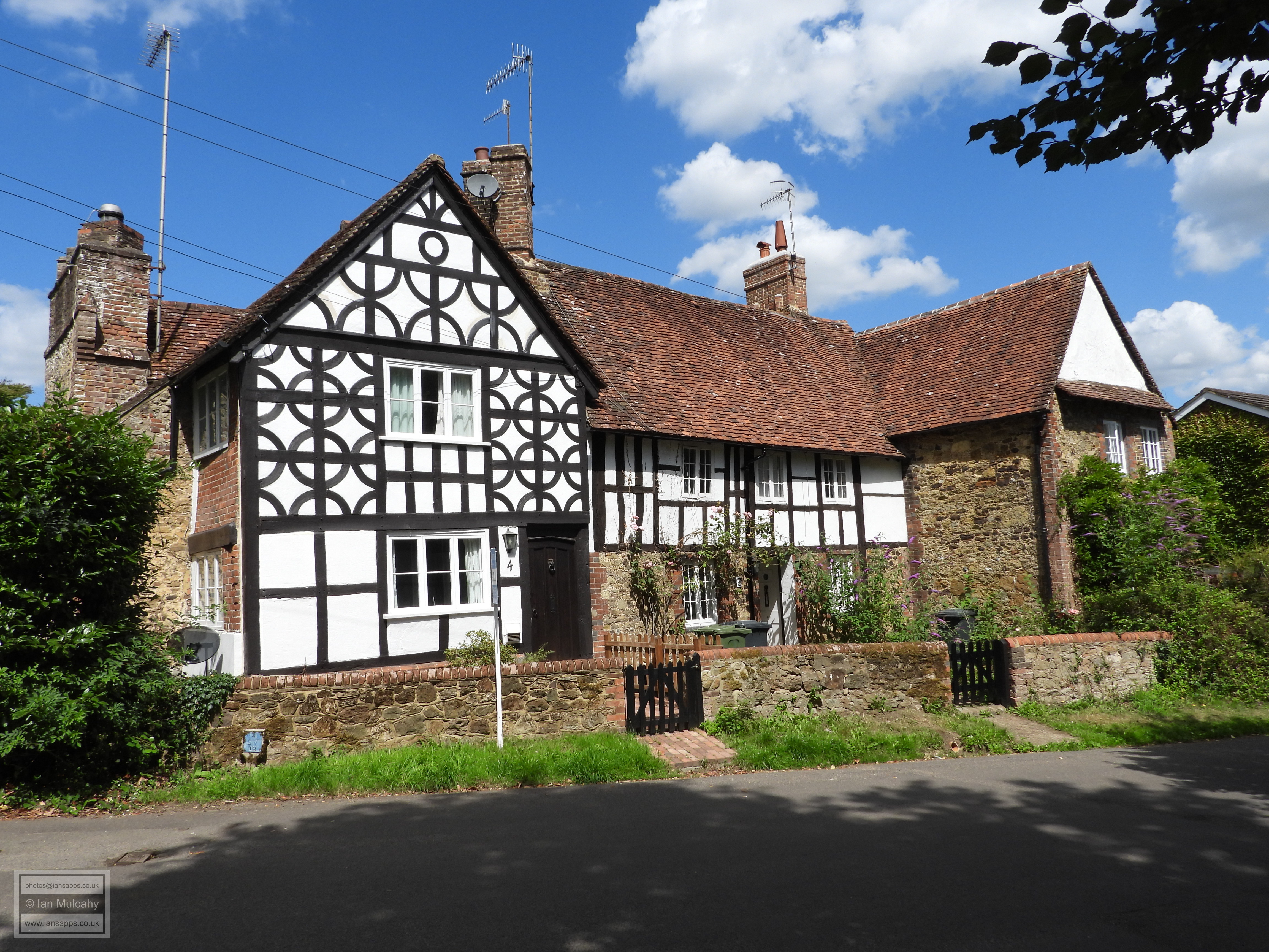
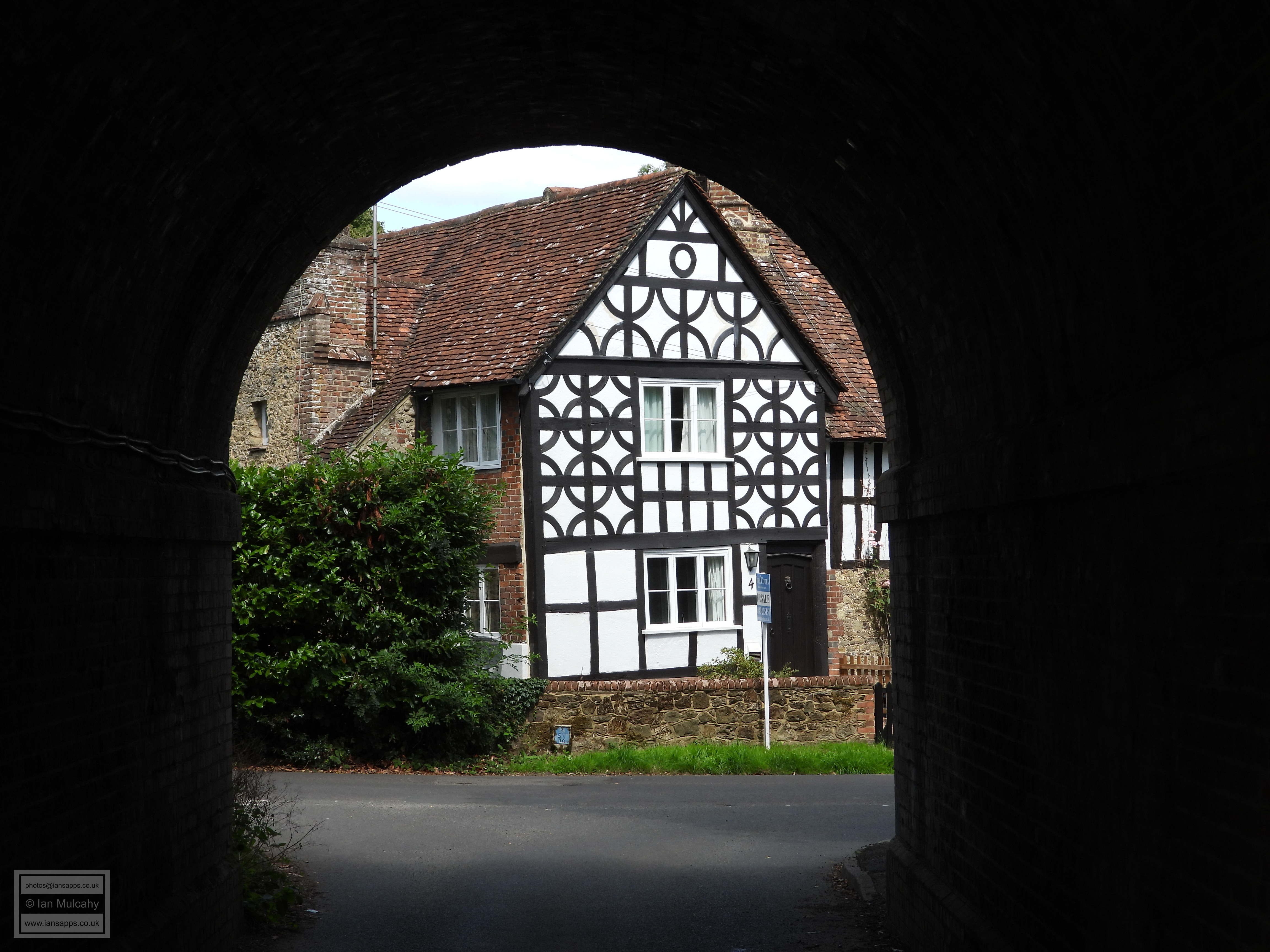
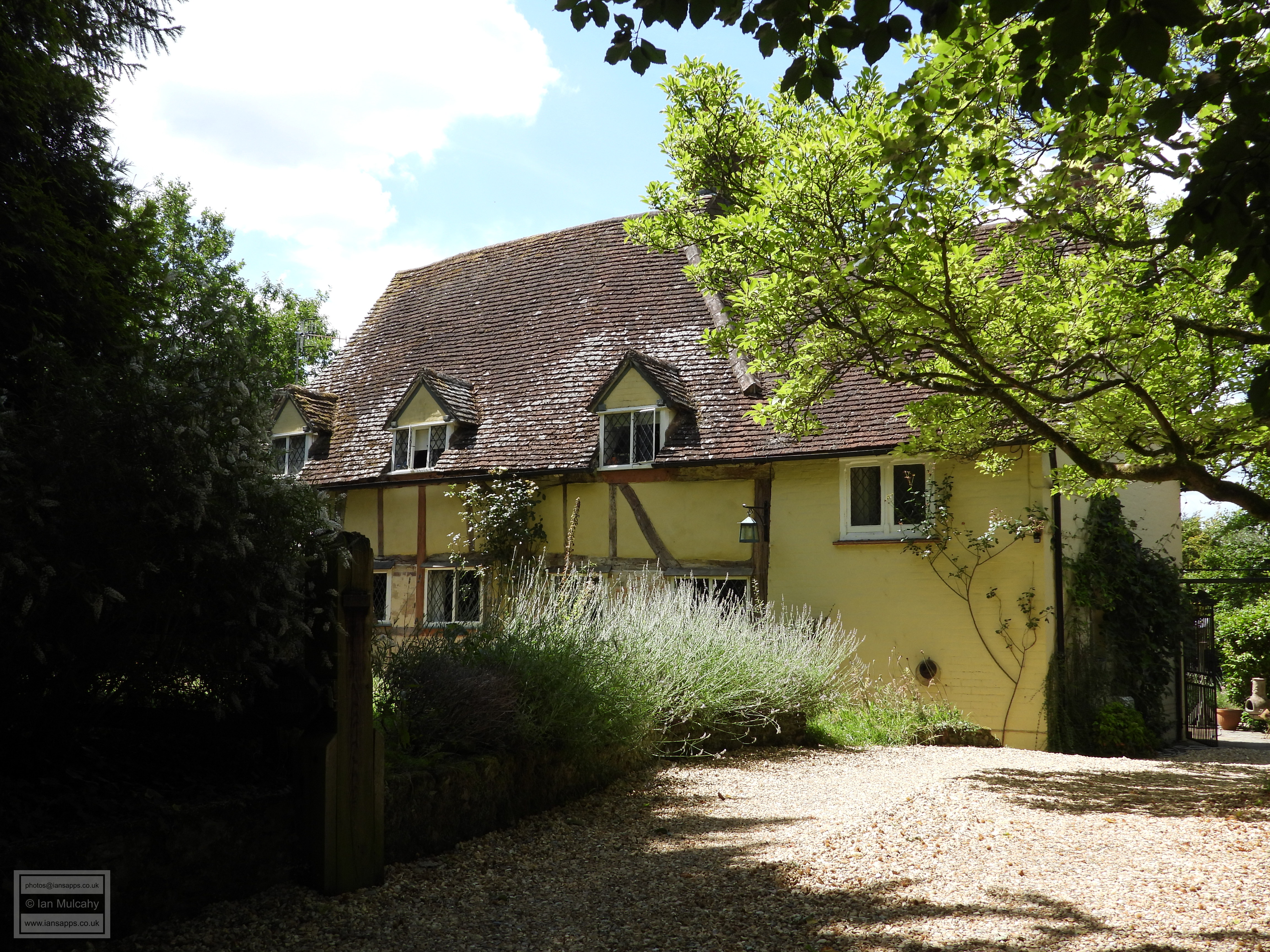
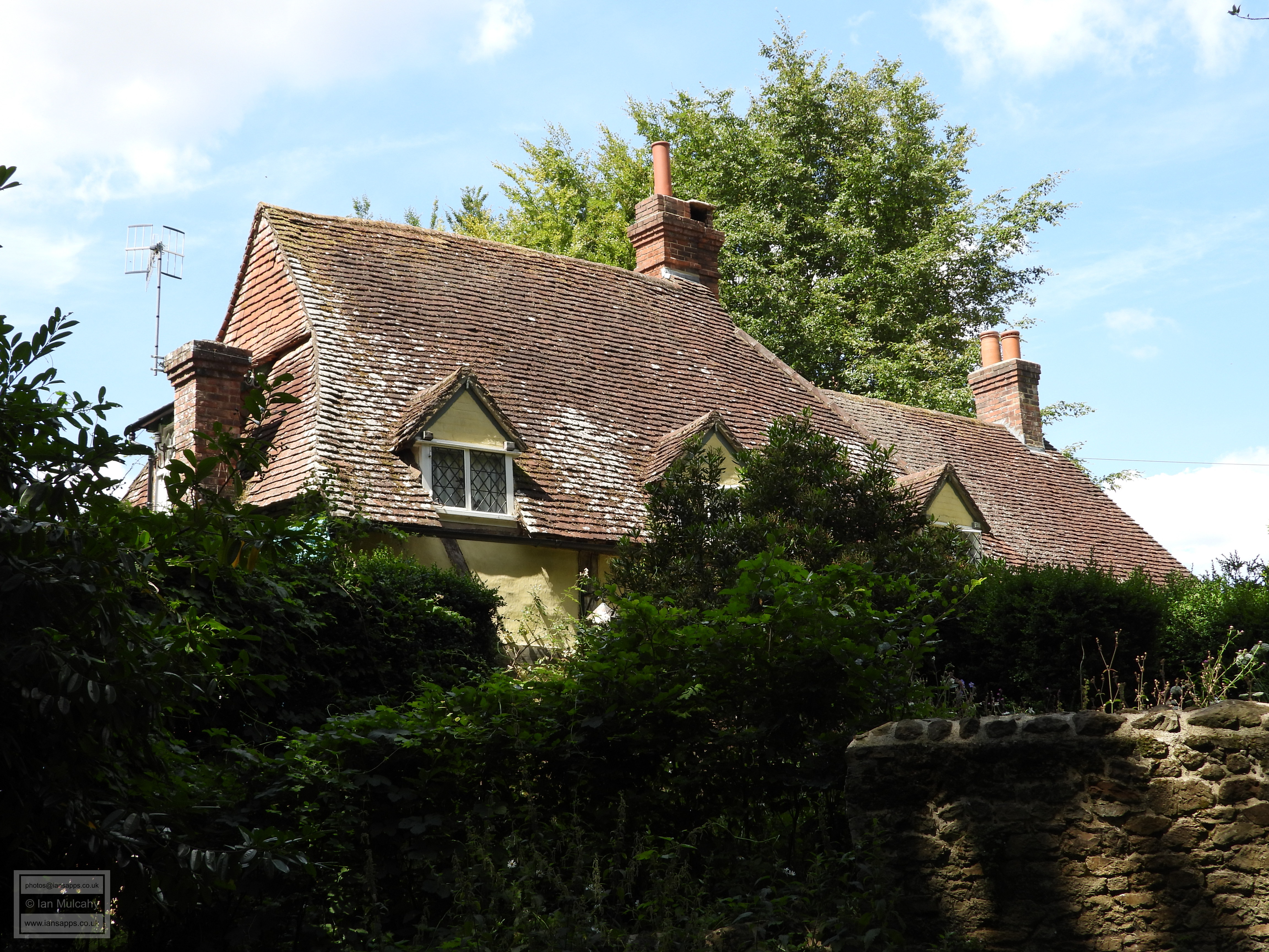
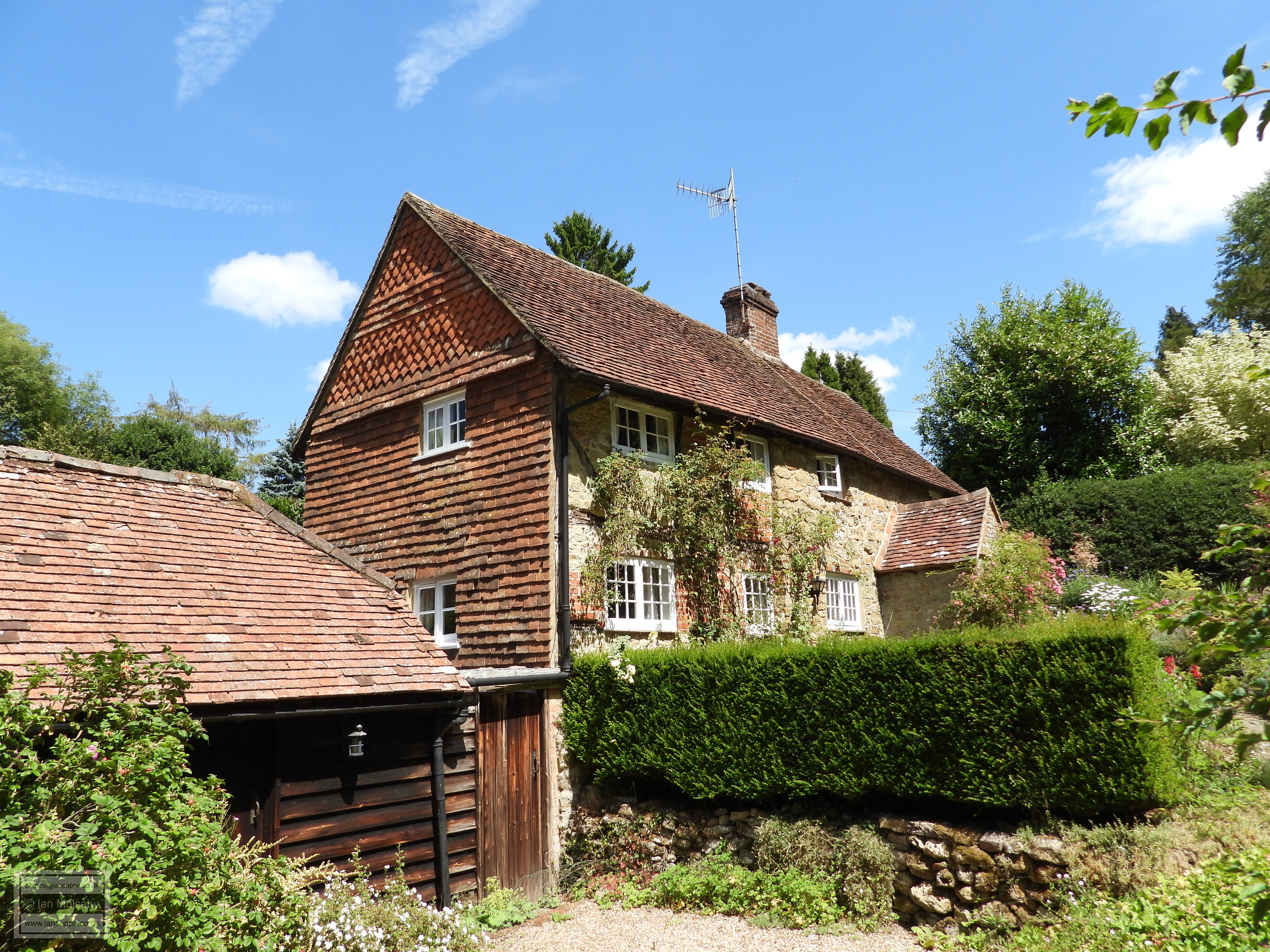
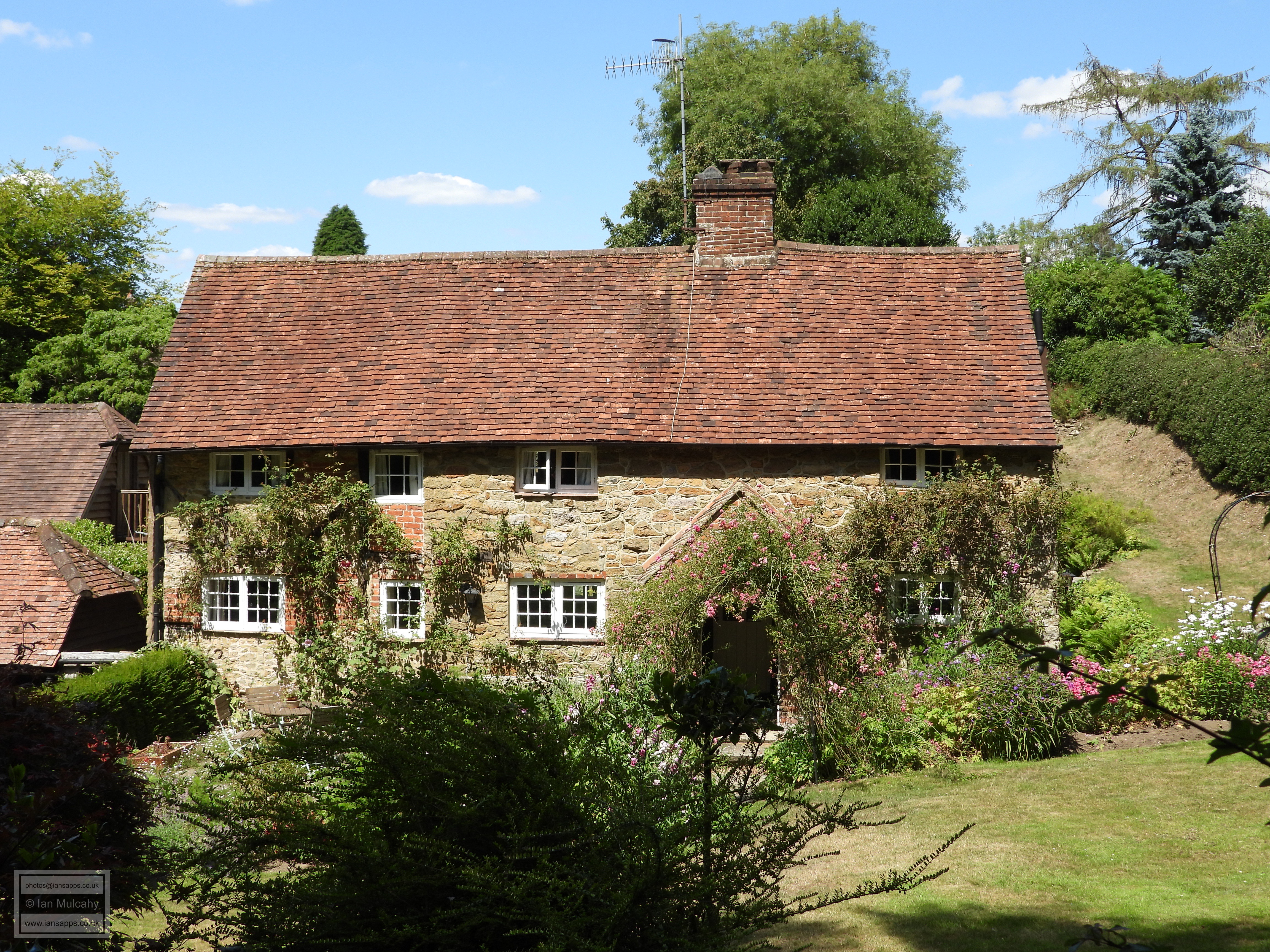
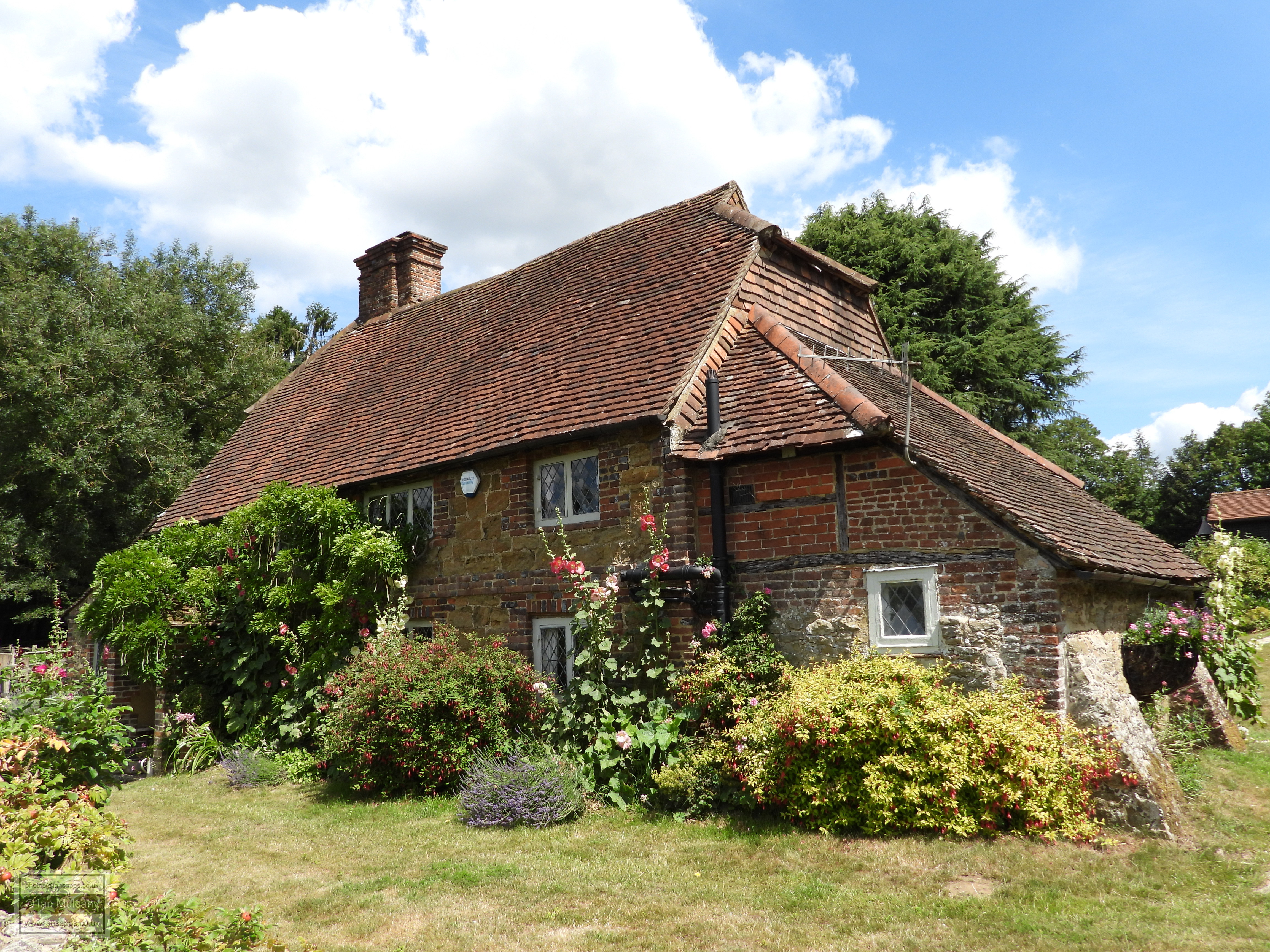
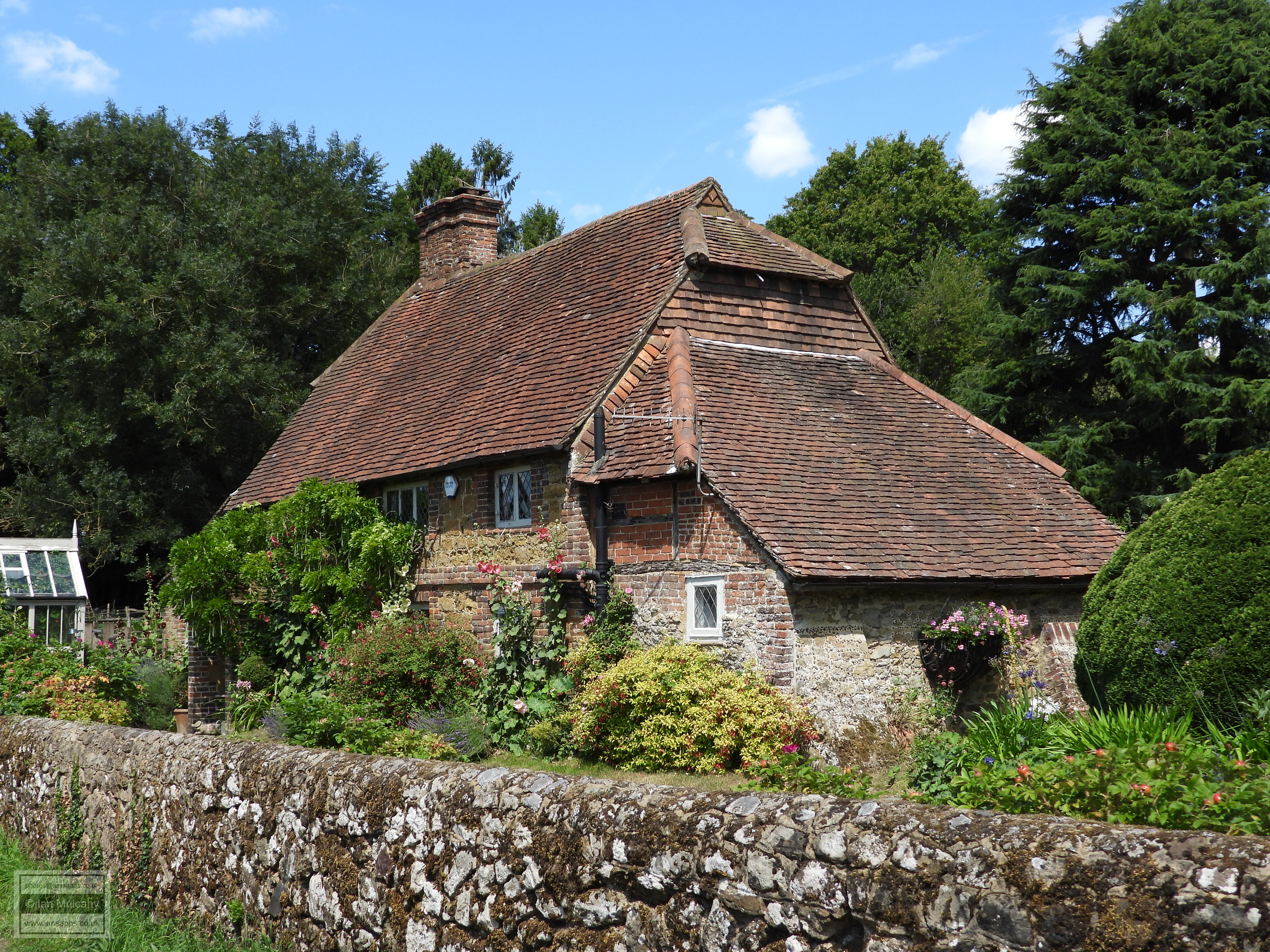
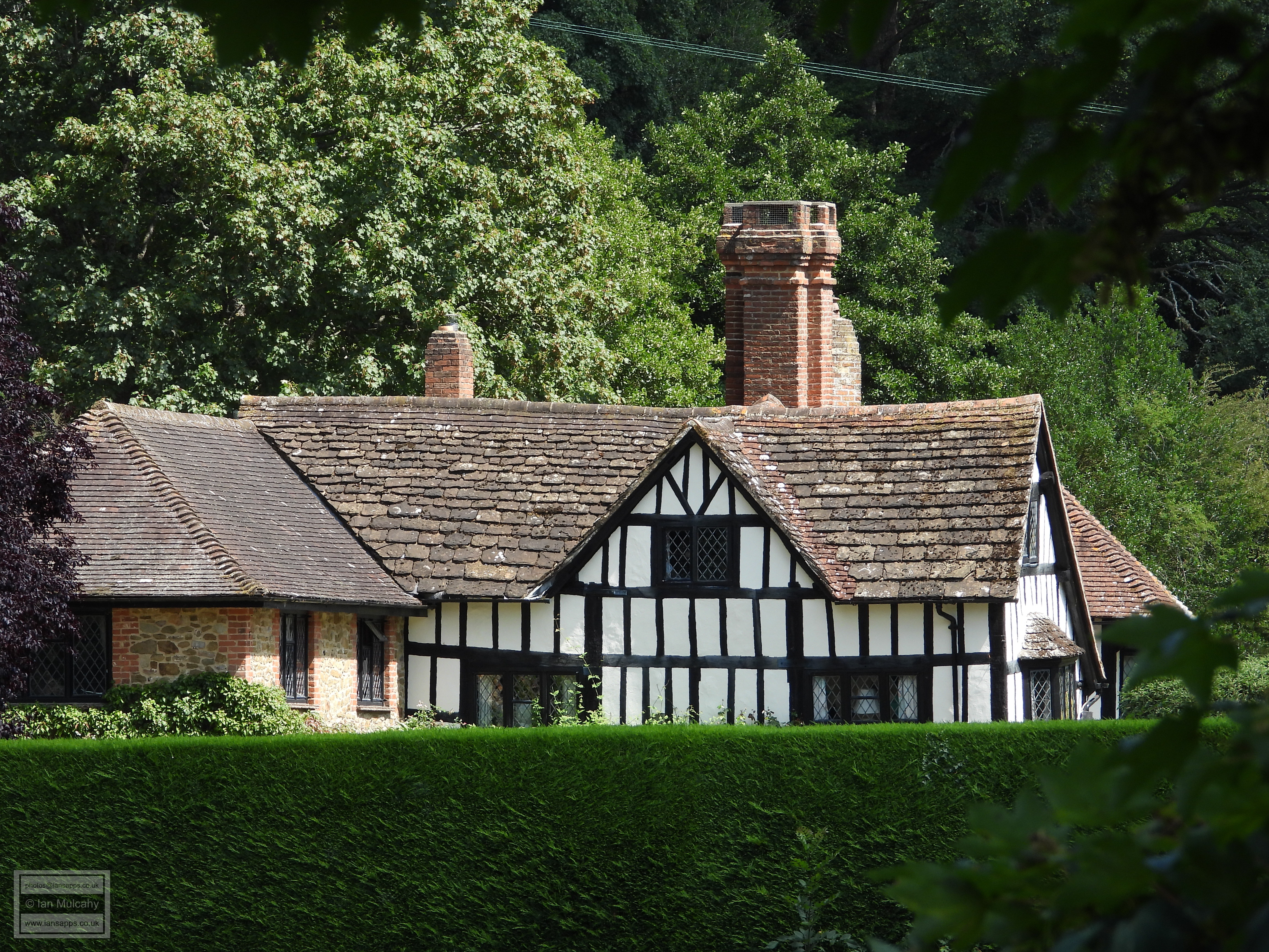
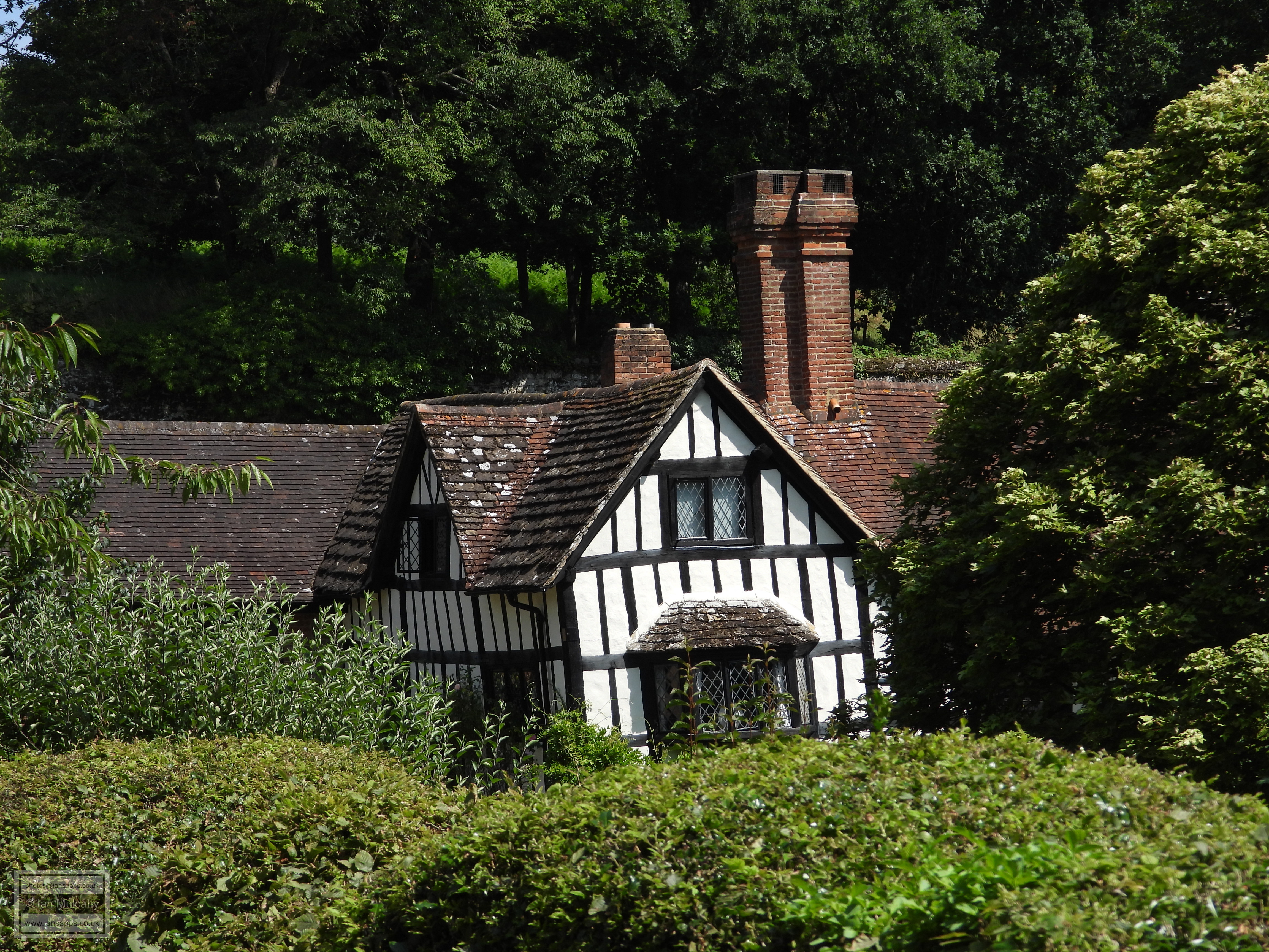
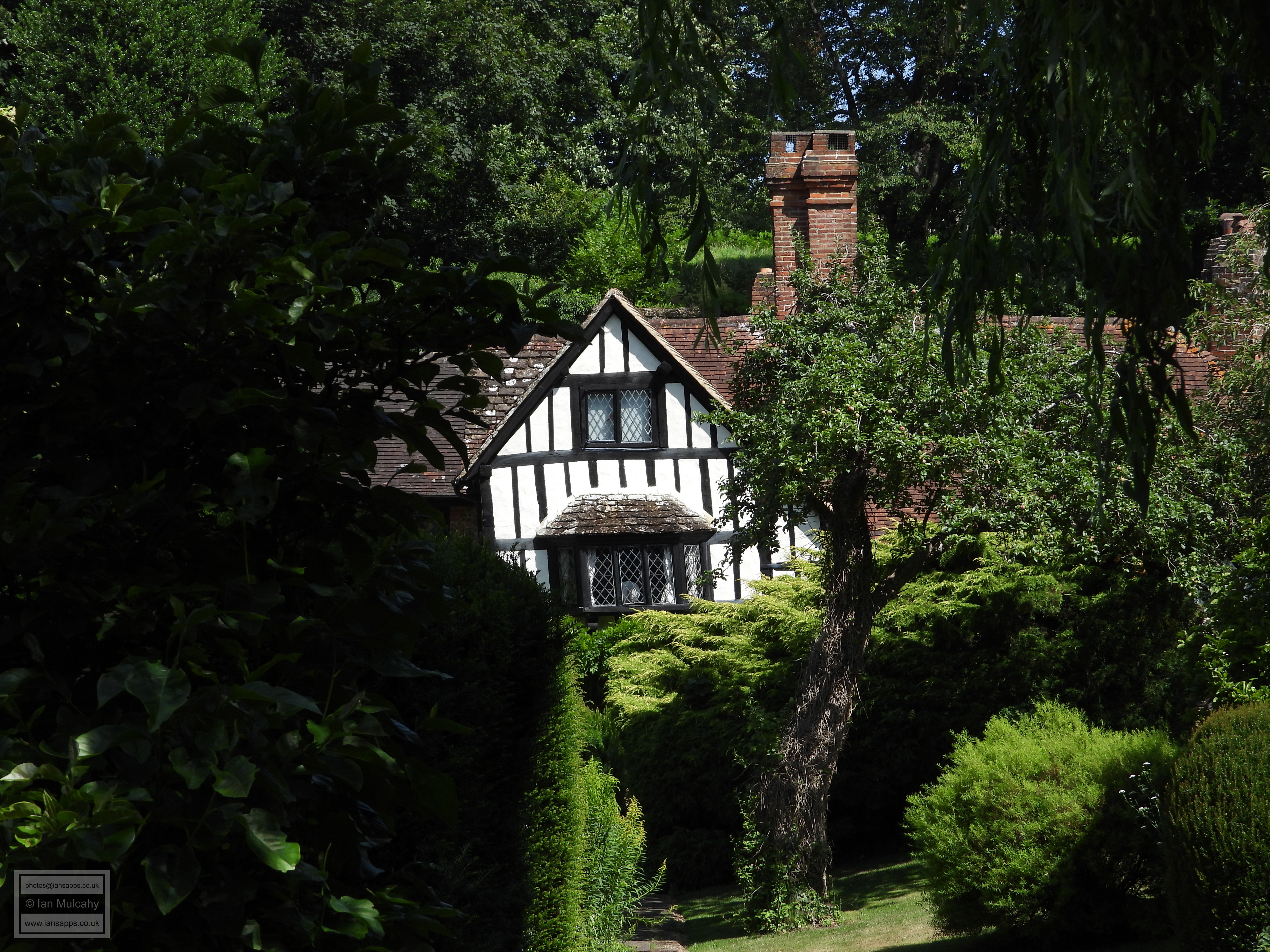
Our next port of call takes us southwards to the village of Peaslake, a small village boasting a handful of isolated Tudor houses within its confines which are, again, on a convenient circular walk. Of Peaslake, H E Malden observed, in The Victoria History of the County of Surrey (1911), “It has been more recently brought into the circle of civilization, and a road from Ewhurst, practicable for wheels, has been brought into it”. Having parked in the area known as Hoe, to the north-east of the village centre, our first building of interest is Old Well Cottage, an early 16th century hall house with the rendered brick infill of the timber framing painted a soft yellow. Just around the corner in Hoe Lane is Hoe Farm House, a beautiful early 16th century farmstead with thick warped black timber framing and whitewashed plaster infill.
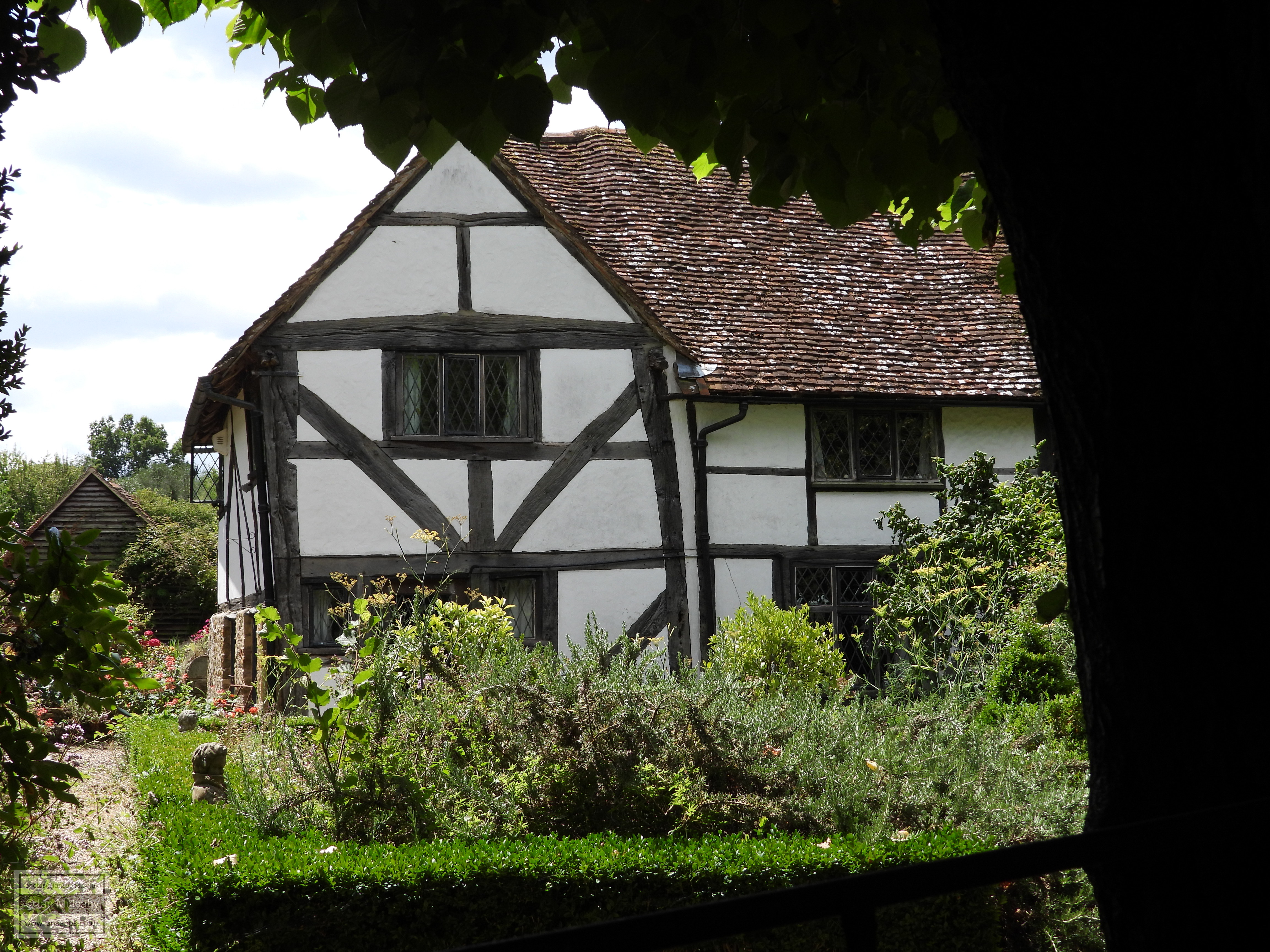
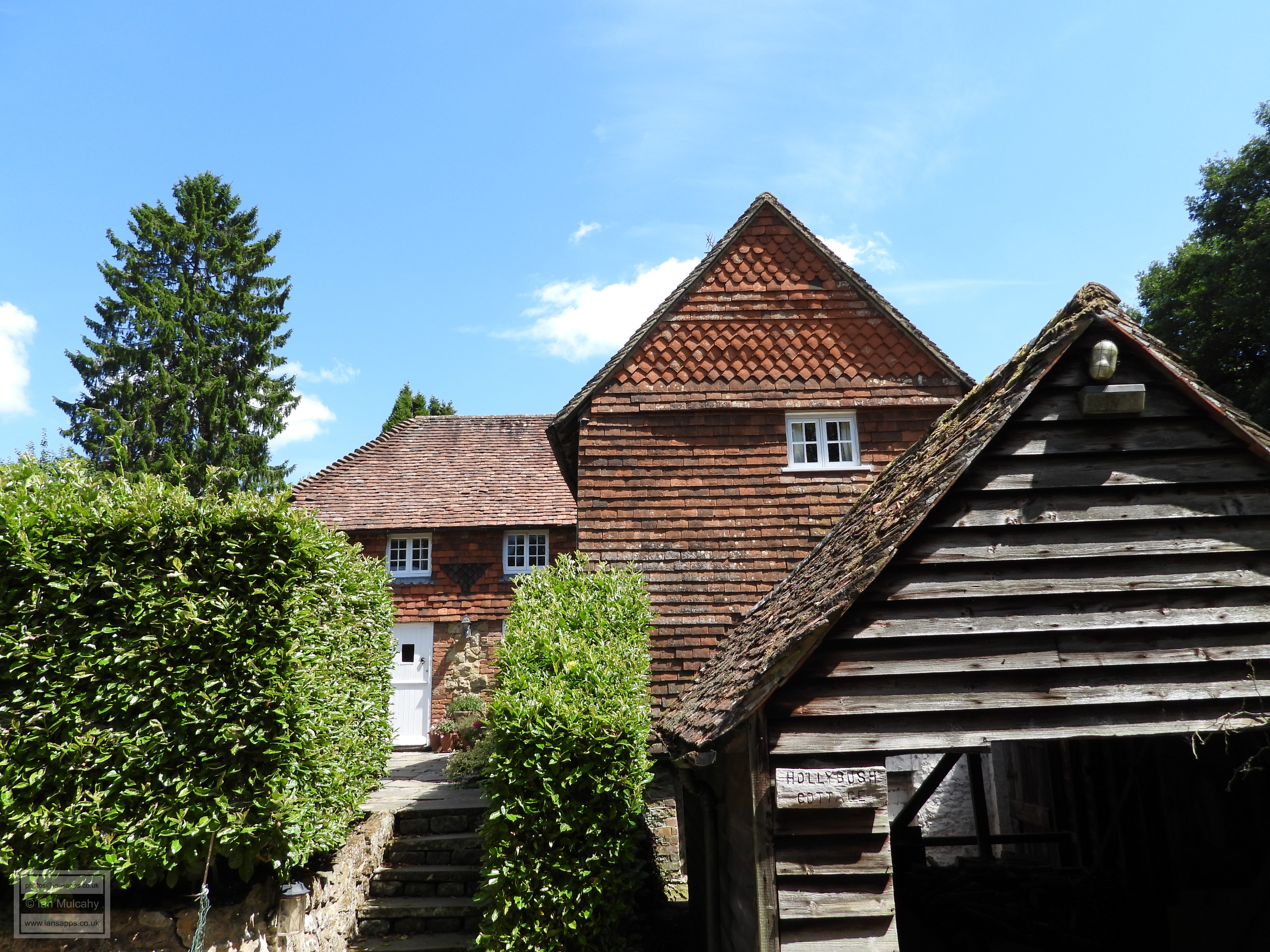
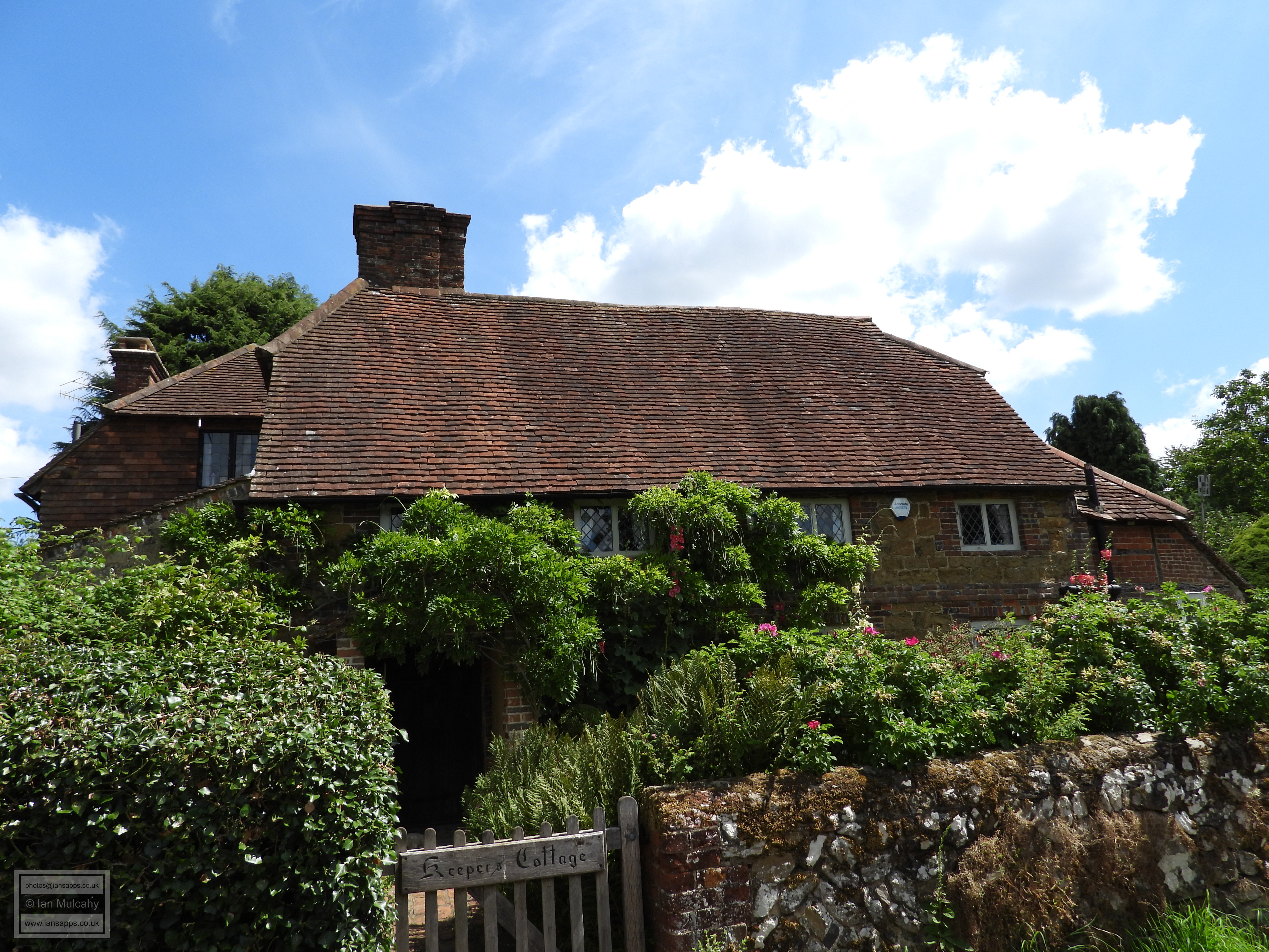
A little further south amongst the ancient and narrow lanes Is Holly Bush Cottage a late 16th century sandstone clad farmhouse with a traditional timber frame hidden within its fabric. Turning north to complete the circle we find, in a lane known as Franksfield, Oak Hill, the surviving portion of a considerably larger 16th century house with an early 20th century extension to the rear. Our final building in Peaslake is Keepers Cottage, a 16th century home which, despite its 18th century sandstone and brick refronting, still exudes ‘chocolate box’ quality.
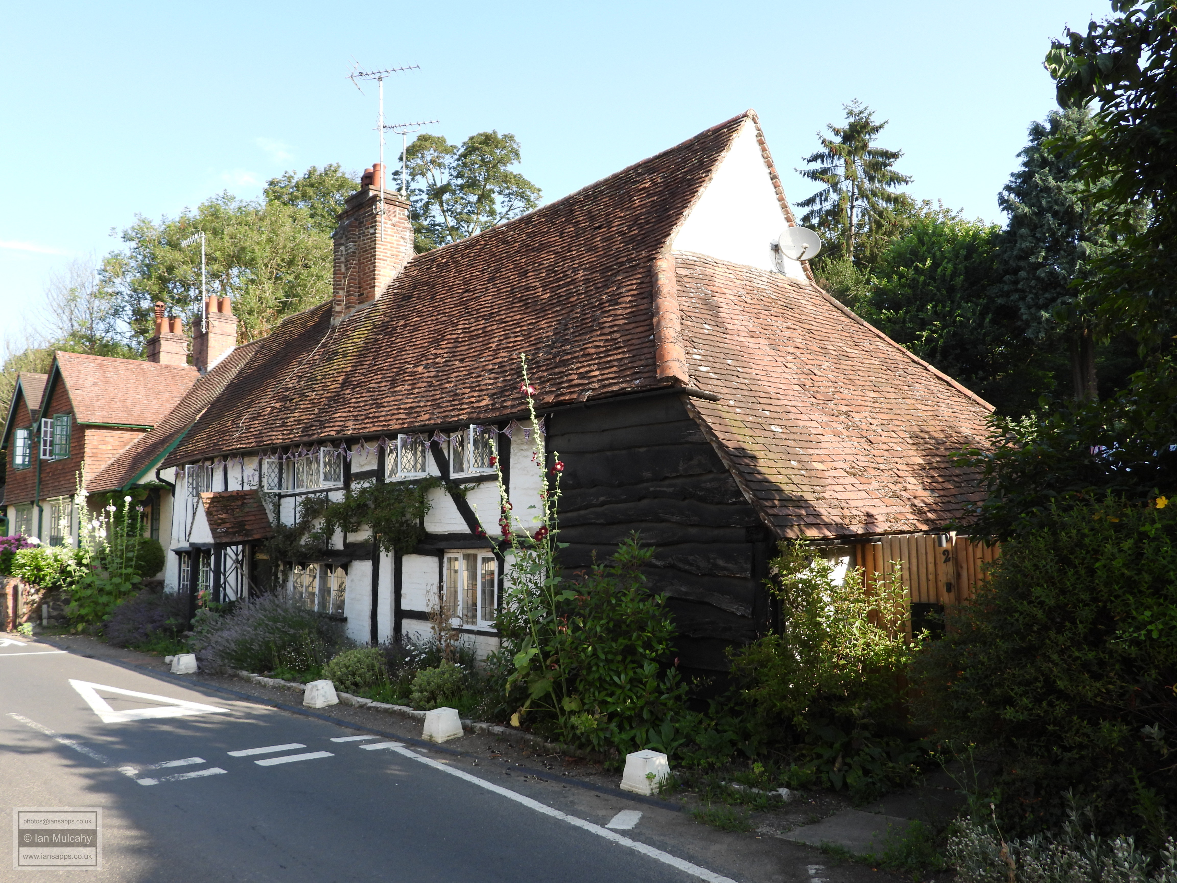
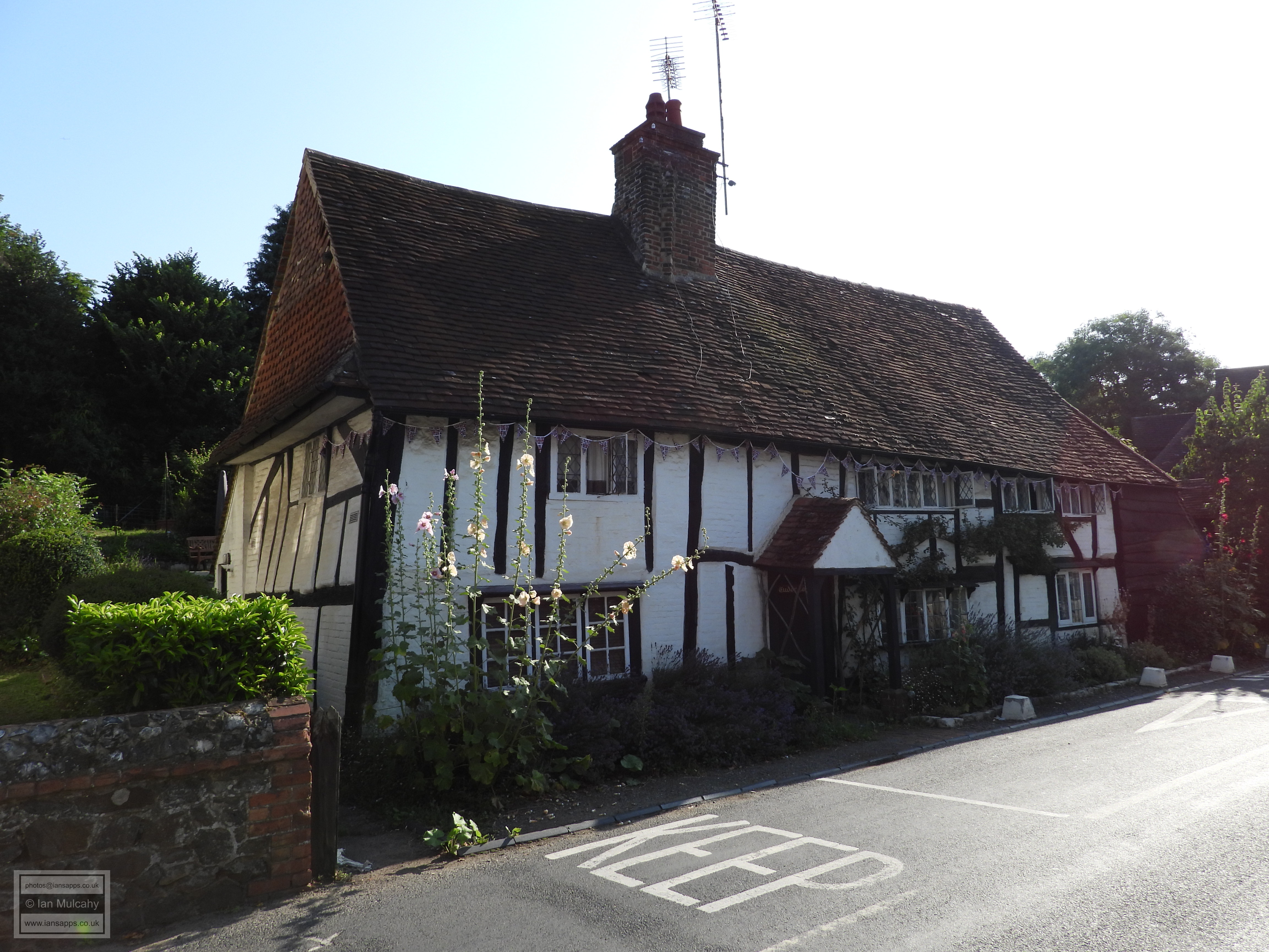
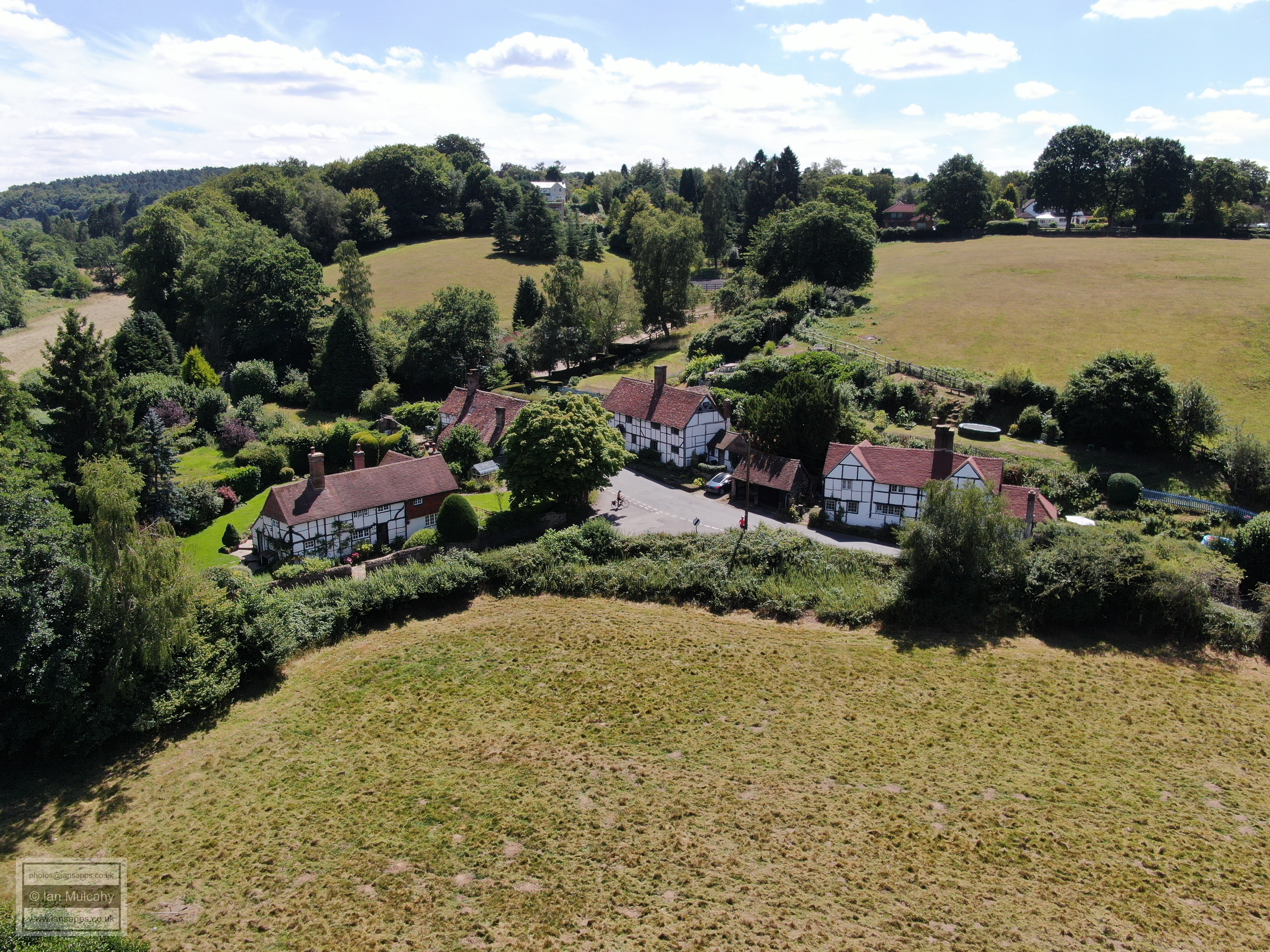
Our final stop is at the hamlet of Sutton Abinger, or Sudtone as it was known at the time of Domesday, in the eastern reaches of the parish. This small settlement is made up almost entirely of late 16th and early 17th century buildings, the first of which can be viewed on the approach to the hamlet. Set back from the Horsham Road, to your left, is Sutton Hayes, a large and typical late Tudor timber framed manor house.
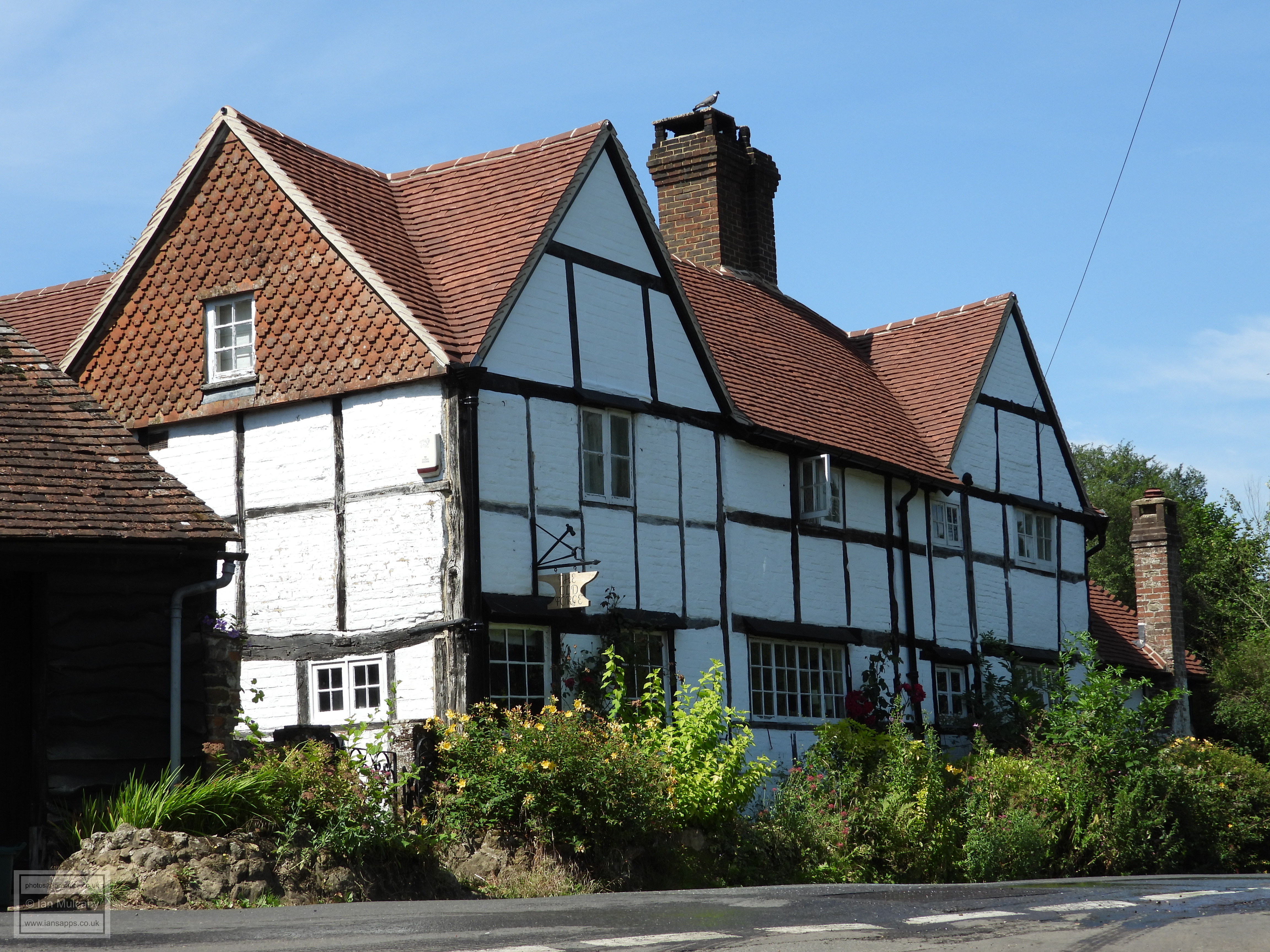
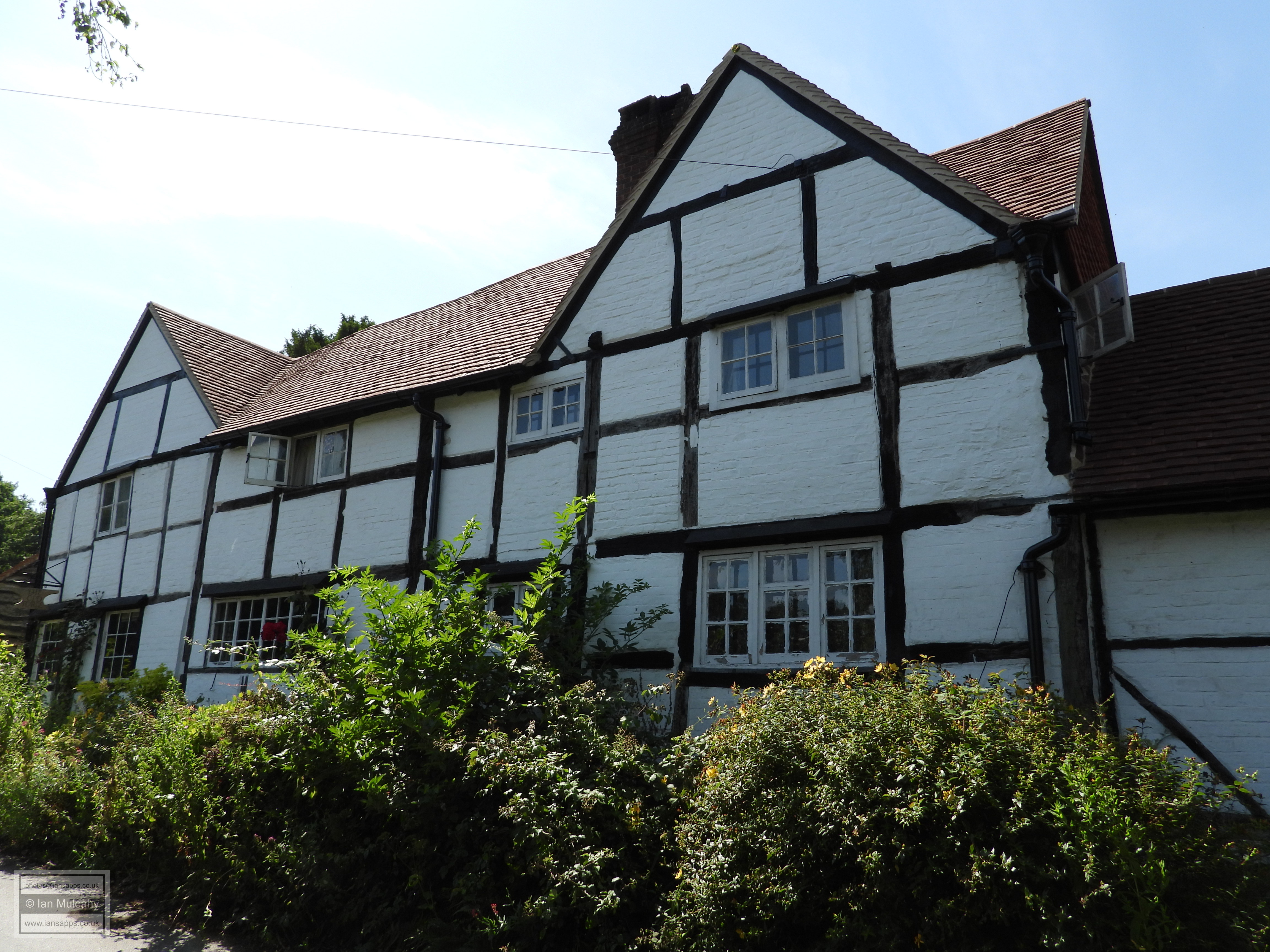
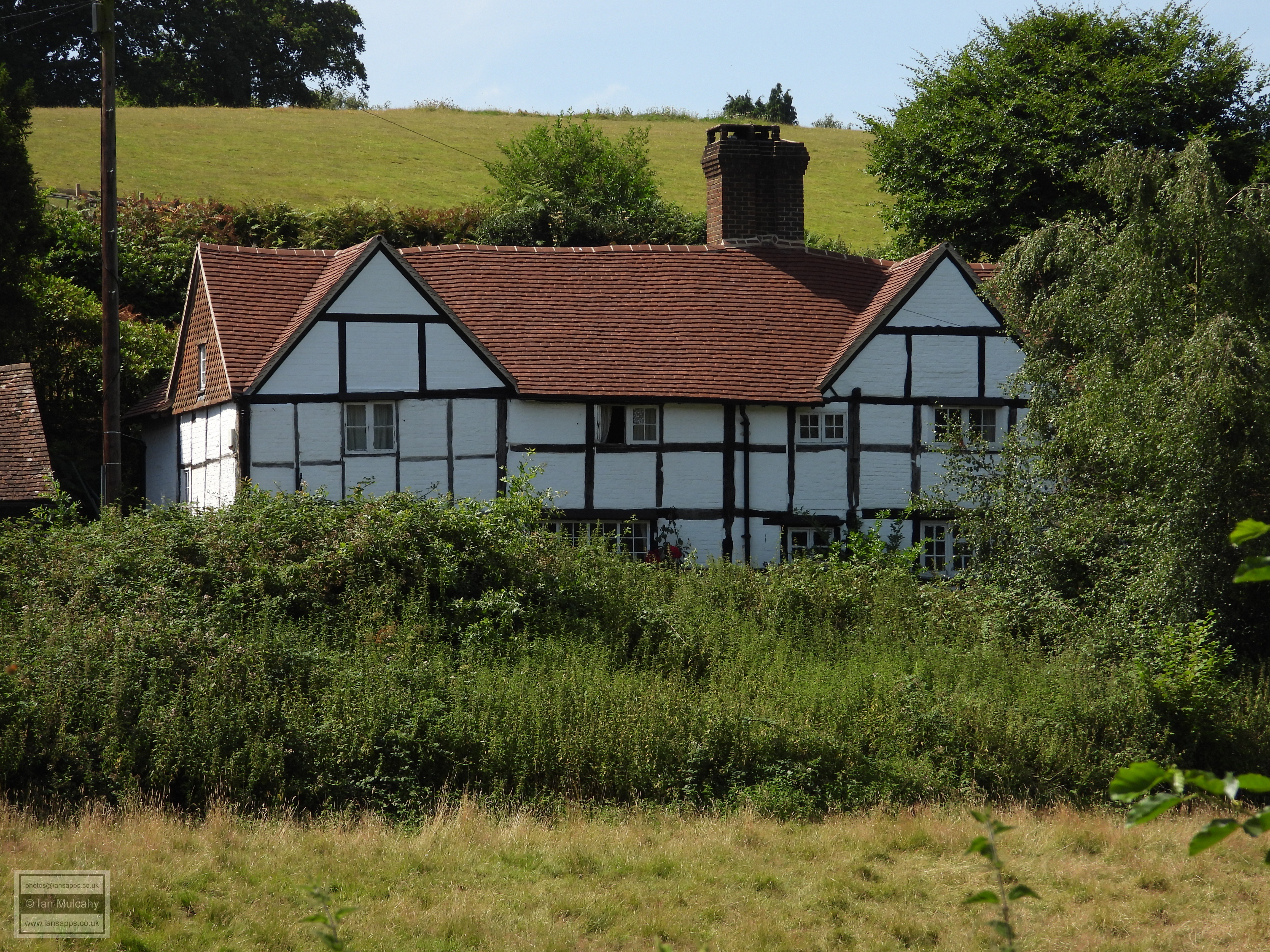
A quarter of a mile further along the road you will reach a cluster of four black and white Tudor era houses, three of which front directly onto the road. The fourth is on a small side road, but still completes a VERY Tudor street scene. The Old Forge is a large double gabled house and next door is Sutton Cottage another large house. Opposite is the smaller Walnut Tree Cottage while just a stone’s throw away, in Raikes Lane, is Tudor Cottage, with a 20th century tiled extension to its right.
After a very long day, all that is left to do now is retire to the nearby The Volunteer public house, who very kindly allowed me to fly my drone from their land in order to capture the aerial photos of the Tudor hamlet of Sutton Abinger, for a pint and a snack before heading home.
Sources: Text & photographs © Ian Mulcahy. Contact photos@iansapps.co.uk or visit my 'Use of my photographs' page for licensing queries (ground level photographs only). |
pictures taken with and |