|
North east across the golf course and Ifield Brook Meadows towards Gatwick
North east across the golf course and Ifield Brook Meadows towards Gatwick
Eastwards across the golf course, Ifield & Gossops Green. Bewbush is to
the right of centre with Broadfield beyond and the cluster of white
buildings to the far left is Crawley Town Centre
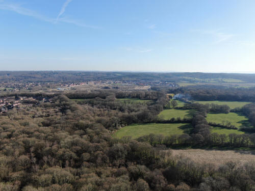
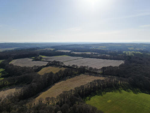
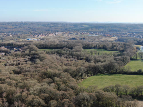
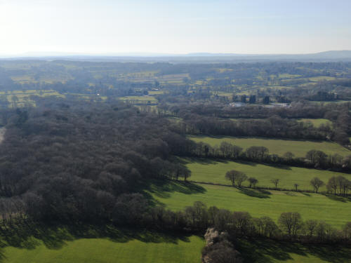
South towards Kilnwood Vale. The first houses going upwards on the far left are
in Ifield West with Bewbush beyond. The radar at Cottesmore is beyond.
South west towards Faygate (not visible)
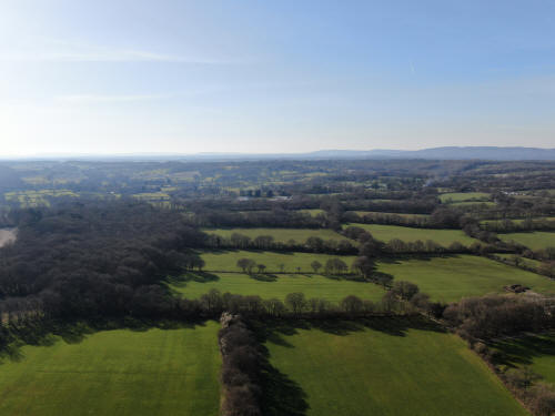
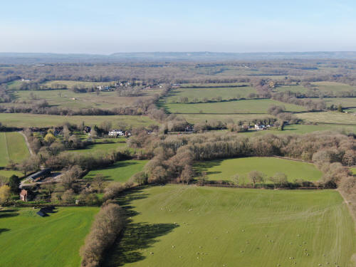
West across Lambs Green (centre)
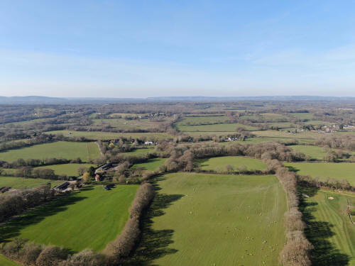
North towards Box Hill. Stumbleholme Farm is on the bottom left quarter.

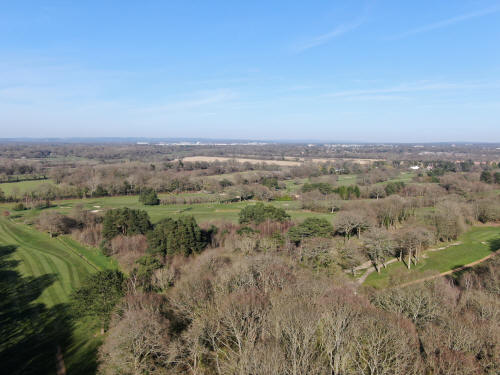
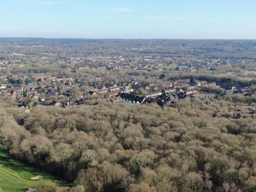
North east towards Gatwick (top left) and Manor Royal (top centre). In the
foreground is Ifield Golf Course with the Brook Meadows behind. In the top right
quarter the Sandman Hotel and Milton Mount flats are visible.
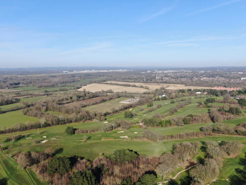
Looking eastwards. In the foreground is Ifield Golf Course. Ifield West is to
the right, with Bewbush above, and Gossops Green is in the centre above the
millpond. Crawley Town Centre is top left.
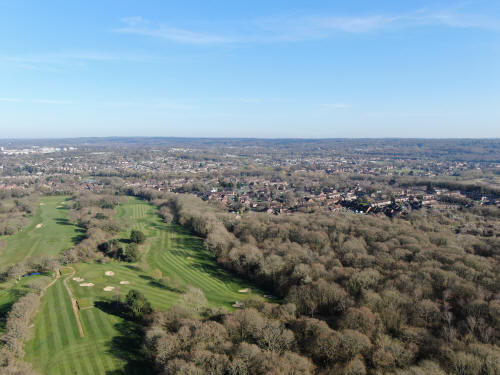
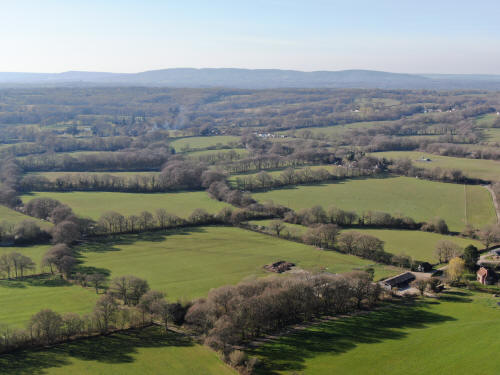
South east across Ifield West, with Bewbush above and Broadfield beyond. The
towers of Cottesmore school are in the top right corner of the land part of the
photo, just to the left and below the radar.
South towards Kilnwood Vale. Cottesmore school and the radar are top
left.
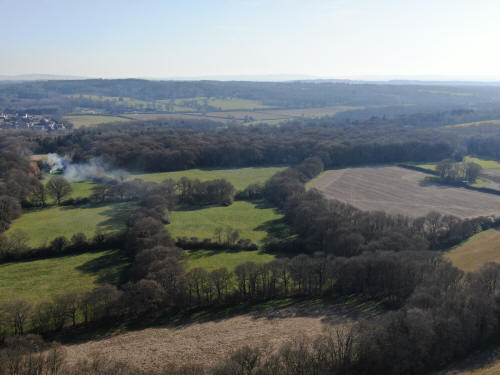
South towards Holmbush, with the house itself just visible through
the smoke (top centre)
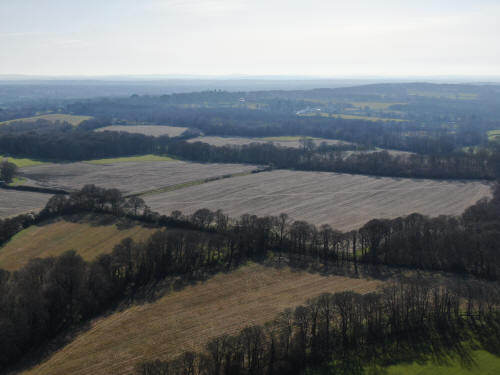
South west towards Faygate
West towards Lambs Green (just right of centre)
North west towards Leith Hill, which fills the horizon. Stumbleholme Farm is
bottom right
North towards Boxhill. Stumbleholme Farm is on the bottom left and The Mount is
just above and to the left of centre.
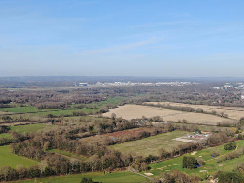
North east towards a very quiet Gatwick.
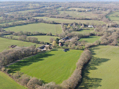
Stumbleholme Farm (centre). The Mount is towards the top right
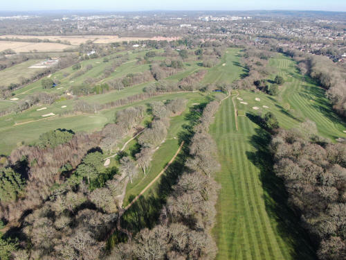
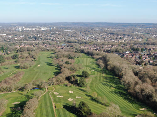
Ifield Golf Course
Text & photographs © Ian Mulcahy. Contact photos@iansapps.co.uk or visit my 'Use of my photographs' page for licensing queries (ground level photographs only).
|


