|
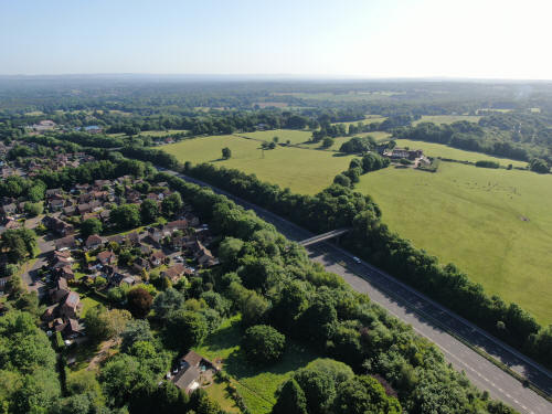
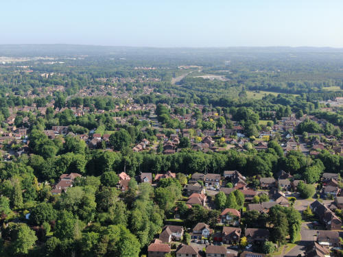
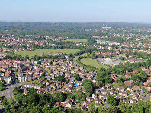
Westwards view towards the Town Centre, via Maidenbower and Three
Bridges Station

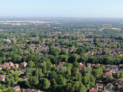
Northwards view towards the airport. The M23 can be seen in the top
right and Milton Mount flats are just visible in the trees a little
below the top in the centre.
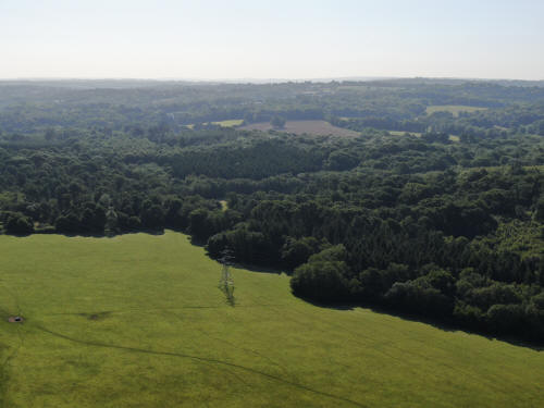
Eastwards across Worth Lodge Farm
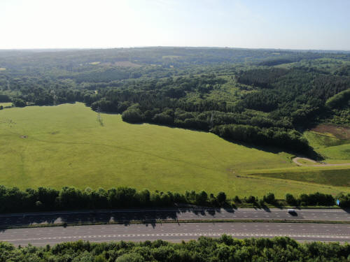
South eastwards across Worth Forest
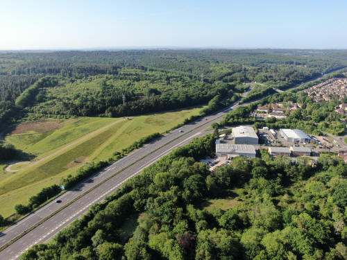
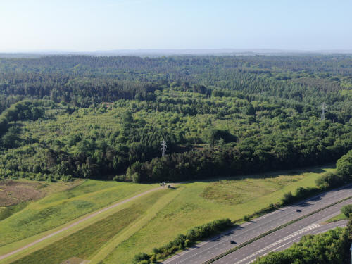
Southwards across the M23 and Worth & Tilgate Forests. The Audi garage and the
Europa Hotel are centre right with Junction 10a just beyond.
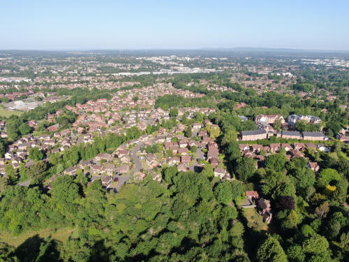
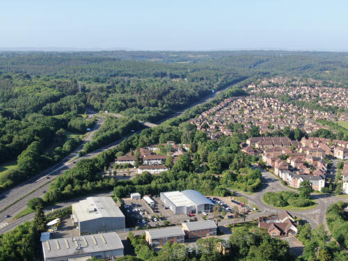
South westwards across the southern end of Maidenbower towards Pease Pottage.
Maidenbower playing fields are just above the centre and the radar at Pease
Pottage can just be seen on the horizon in the centre.
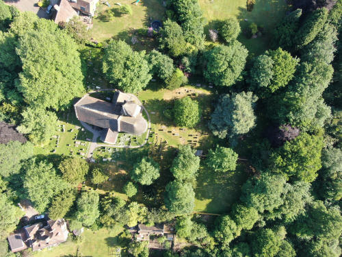
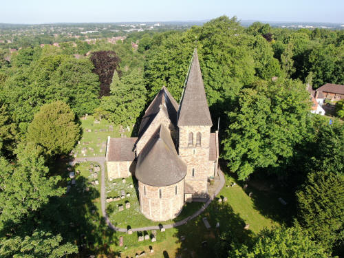
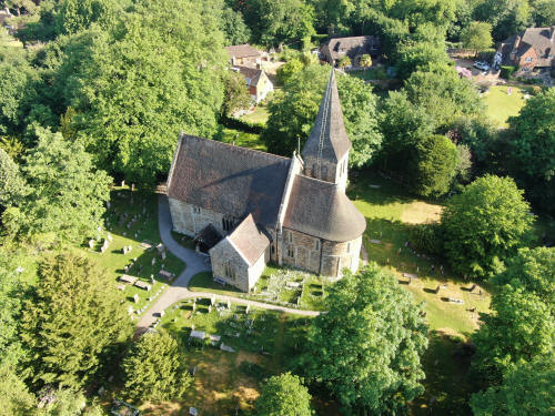
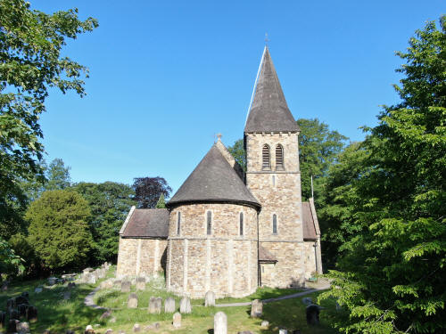
Worth Church and churchyard
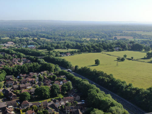
Northwards, with the M23 just above centre.
North eastwards across the fields to the north of Worth Lodge Farm
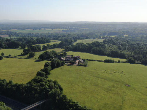
Worth Lodge Farm
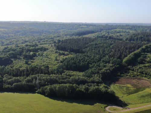
South eastwards across Worth Forest
Southwards across Worth Forest
Southwards across Worth Forest
Southwards across the M23 and Worth & Tilgate Forests. The Audi garage and the
Europa Hotel are in the foreground with Junction 10a just beyond.Maidenbower is
to the right
South westwards across the southern end of Maidenbower towards Pease Pottage.
Maidenbower playing fields are left of centre and Oriel to the right and a
little higher. and the radar at Pease Pottage can just be seen on the horizon in
the centre. In the trees to the right of the radar, on the hill, is Broadfield.
K2 is also visible as is the main stand at the Broadfield Stadium
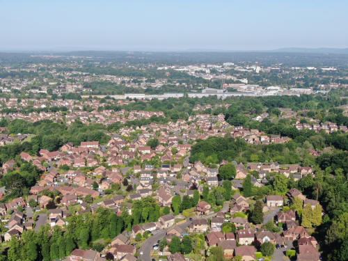
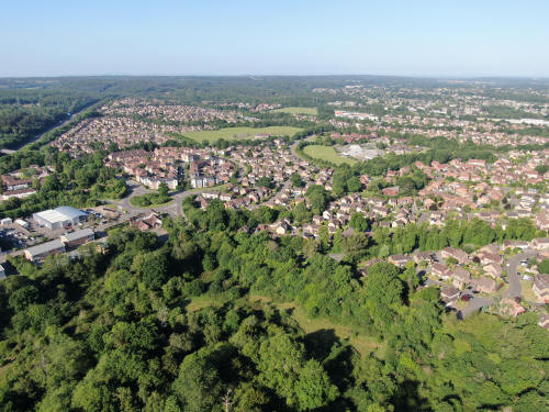
Westwards view towards the Town Centre, via Maidenbower and Three Bridges
Station
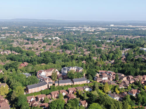
North westwards view towards the Industrial Estate, with Pound Hill (right) and
Three Bridges (left) in the foreground.
Northwards towards the airport. The M23 is towards the top right
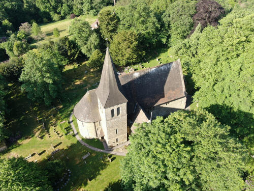
Worth Church, on descent.
Text & photographs © Ian Mulcahy. Contact photos@iansapps.co.uk or visit my 'Use of my photographs' page for licensing queries (ground level photographs only).
|


