|
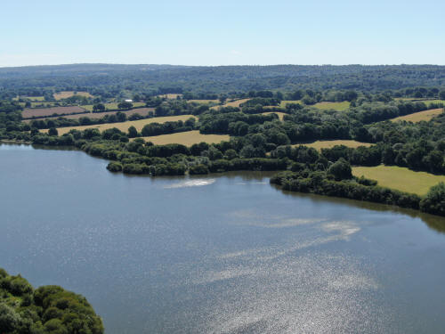
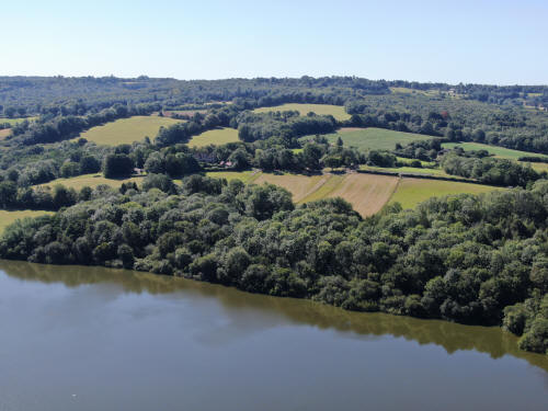
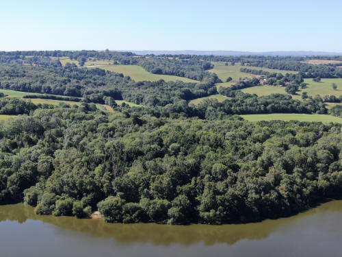
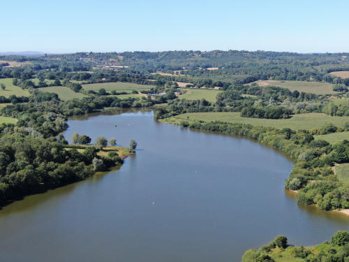
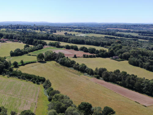
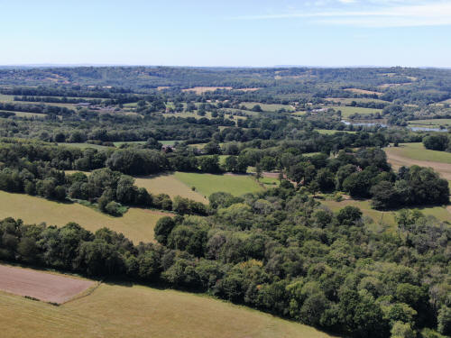
The following 112 photographs were taken from six locations around Weir
Wood reservoir. I will not commentate in as much detail as usual due to
not knowing the area as well as I would like and the sheer volume of
photographs. I will however highlight landmarks of note where
applicable.
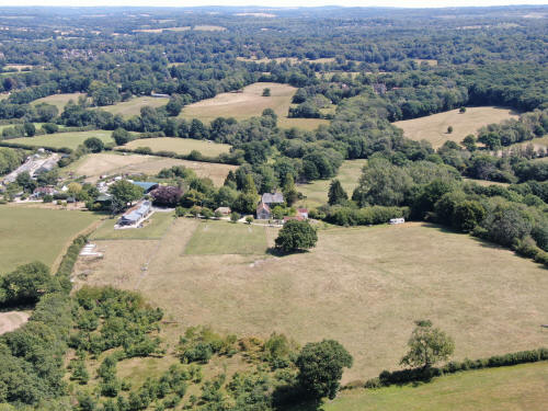
From close to Neylands Farm, between Legheath Lane and Grinstead Lane
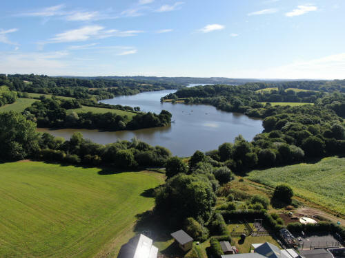
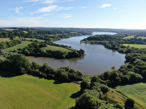
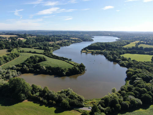
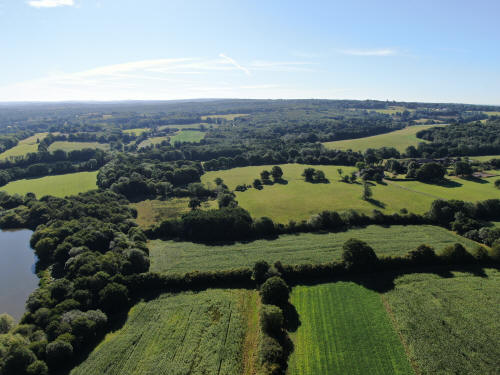
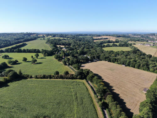
The buildings in the top right corner are in Sharpthorne.
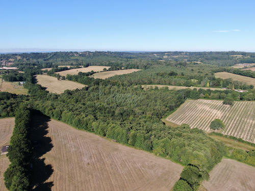
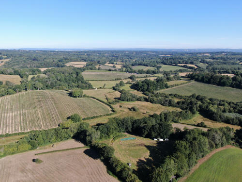
Gatwick airport just visible in the top left quarter.
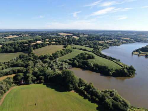
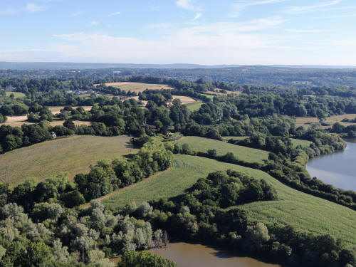
East Grinstead is in the top left quarter
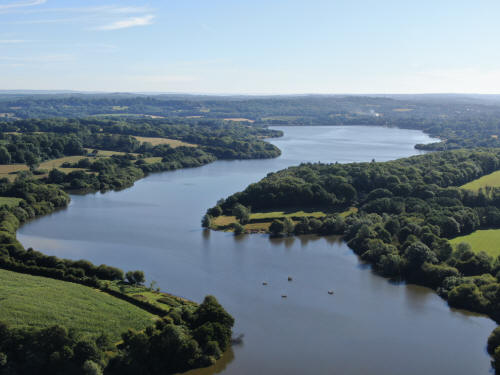
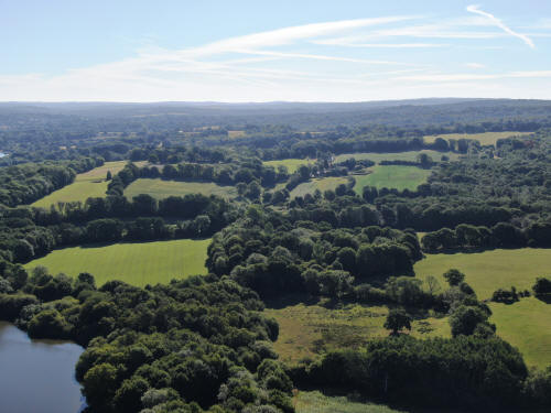
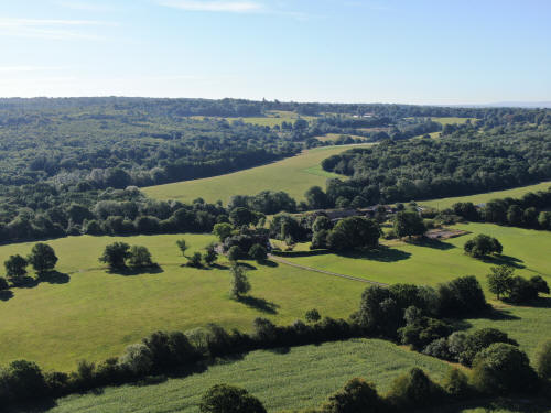
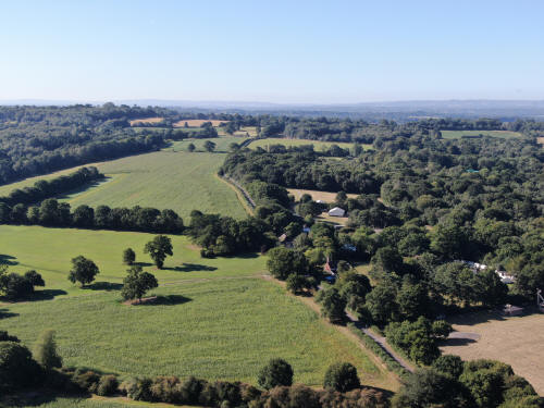
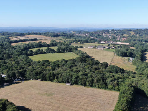
Sharpthorne is as at the top. On the right, just below and with straight lines
of trees either side, is Ibstock brick, close to the old West Hoathly Railway
Station. The Bluebell railway is in the line of trees beyond and the tunnel can
*just* be made out on full zoom.
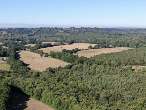
The house son the hill are those at West Hoathly and the church spire can just
be seen, halfway between the houses and the left side of the image.
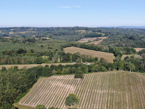
Gravetye Manor can just be seen through the trees in the top left quarter.
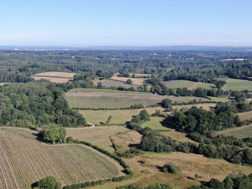
Gatwick is in the top left quarter.
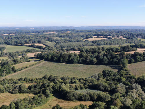
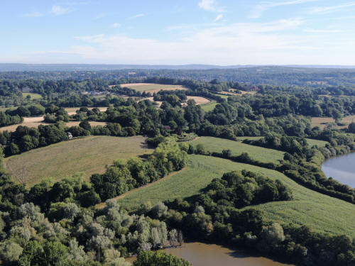
East Grinstead is just visible, top centre.
West of Mill Place and the Bluebell
Railway bridge
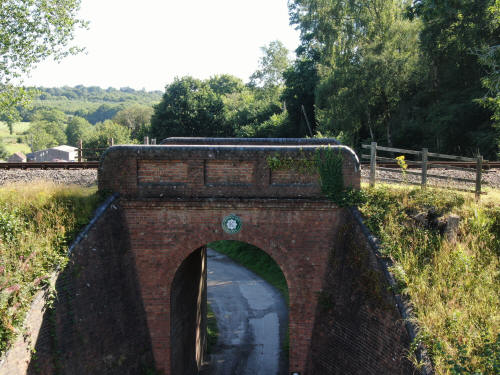
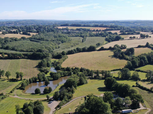
East Grinstead is just visible in the top left quarter
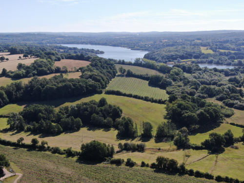
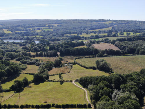
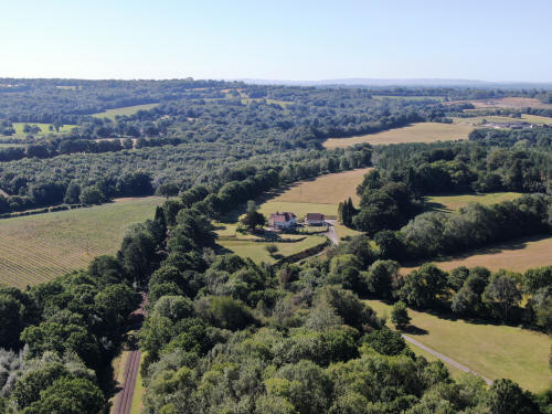
Bluebell Railway line, heading south
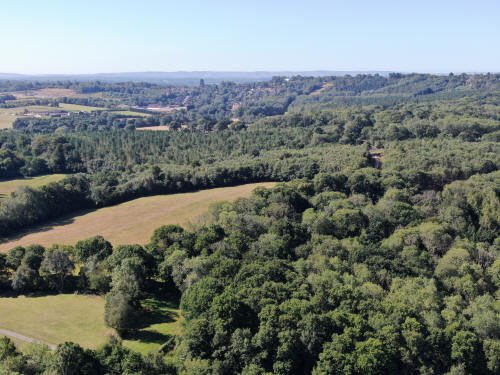
Sharpthorne at the top of the picture on the side of the hill. The spire of St
Margaret's at West Hoathly is in the top right corner.
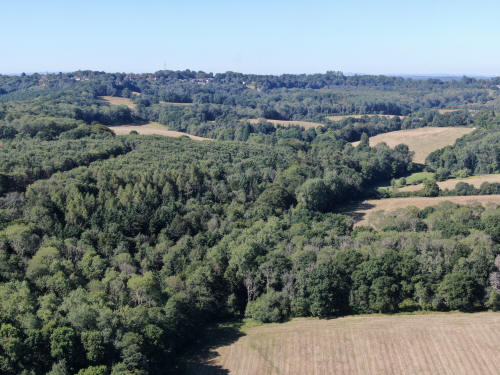
West Hoathly on the hill and the spire of St Margaret's at West Hoathly is now
in the top left corner
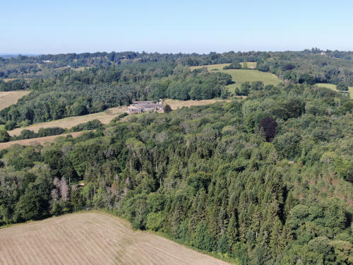
The chimneys of Gravetye Manor can just be seen in the trees on the far left of
the photo, just above the triangular field.
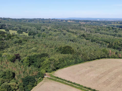
Gatwick at the top right
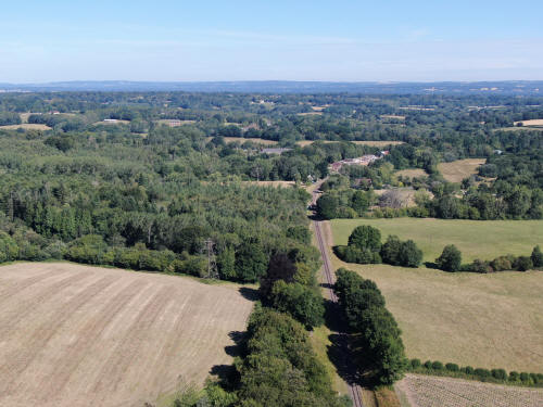
Bluebell Railway and Kingscote Station.
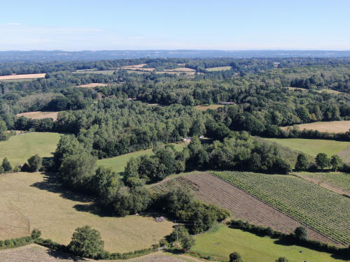
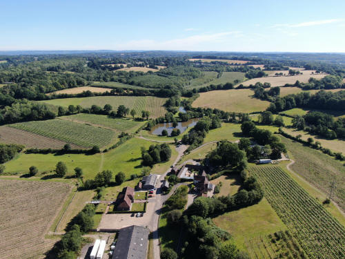
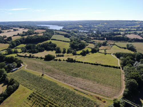
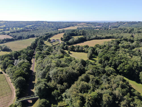

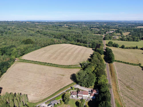

South east of Standen, close to the
northern shore of the reservoir
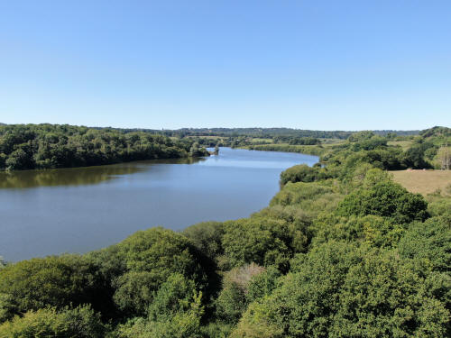

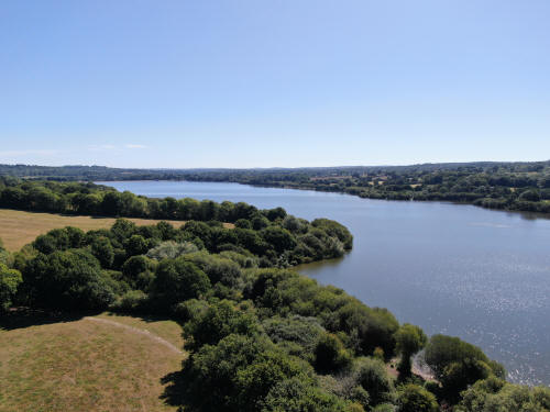
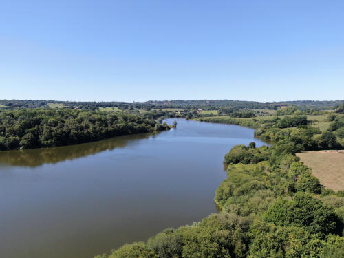
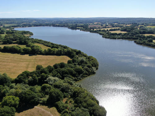
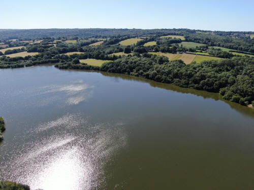
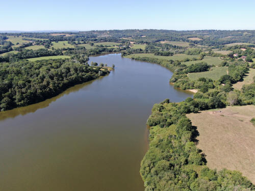
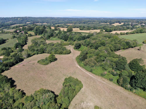
Saint Hill Manor in the top right corner
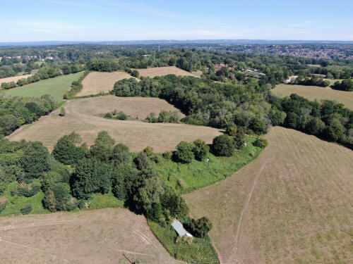
Standen in the top right quarter with East Grinstead beyond.
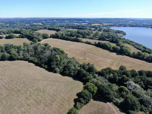
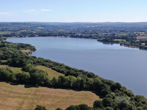
Sharpthorne and West Hoathly on the ridge
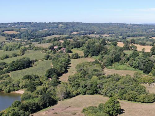
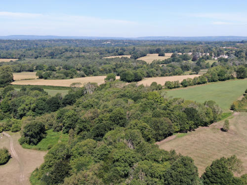
Saint Hill Manor in the top right quarter
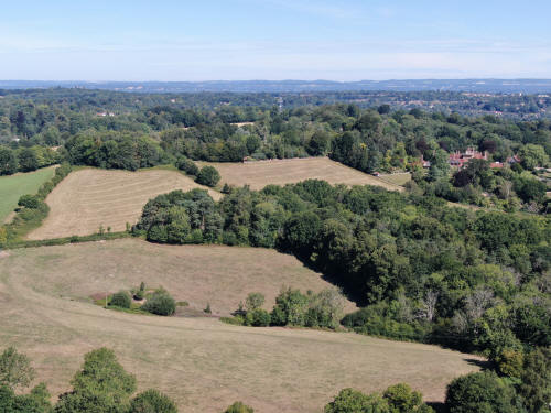
Standen in the top right quarter
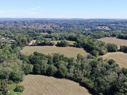
East Grinstead in the top left quarter
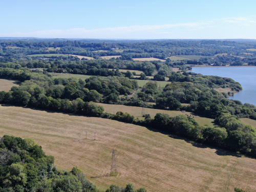
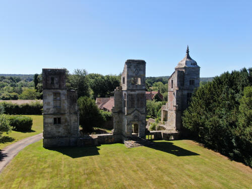
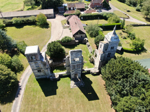
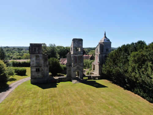
Close to the Brambletye Ruins
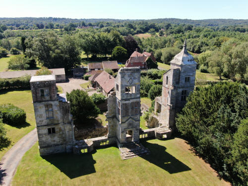
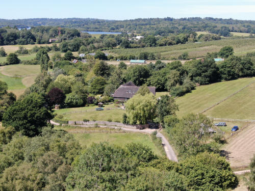
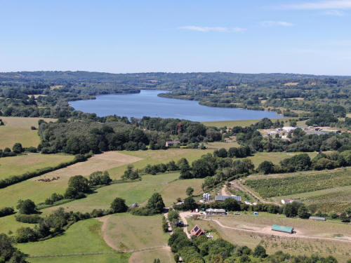
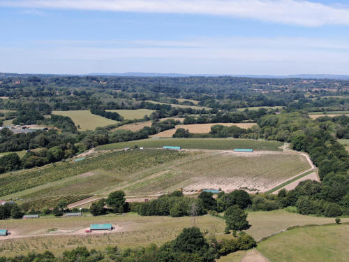
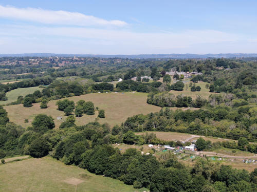
Brambletye School, just right and above centre.
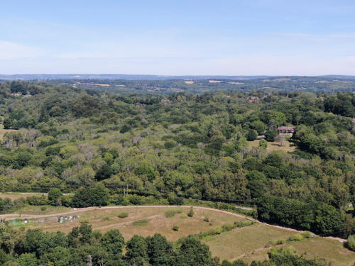
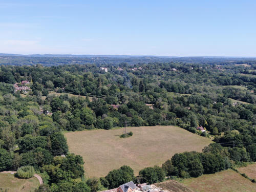
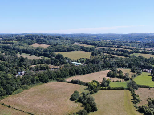
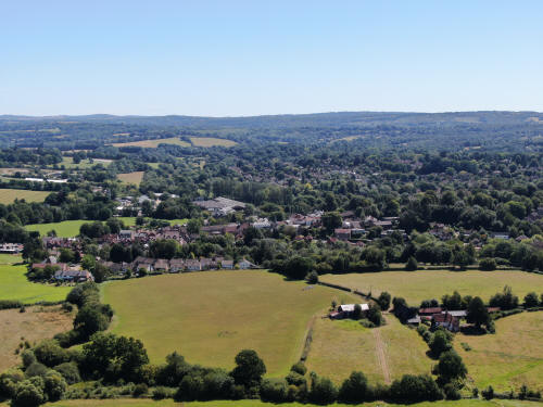
Forest Row
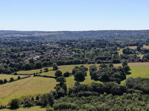
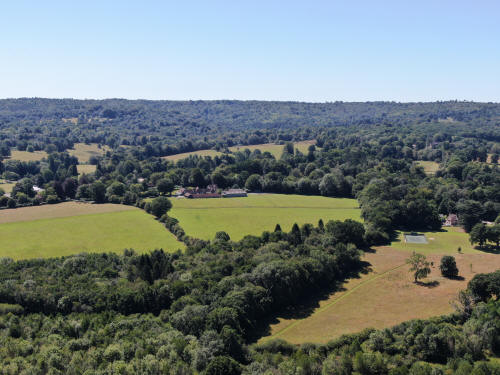

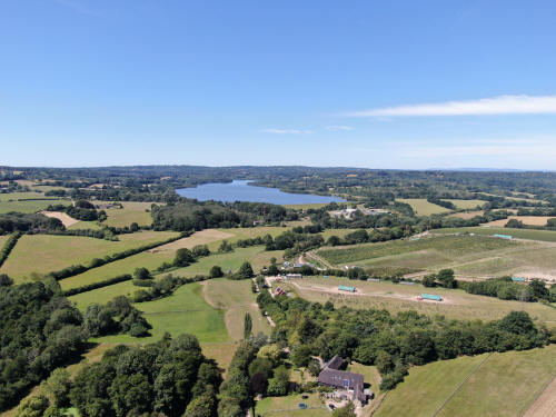
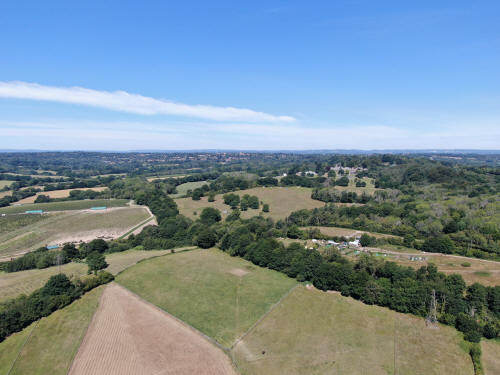
East Grinstead across the centre
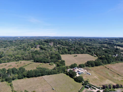
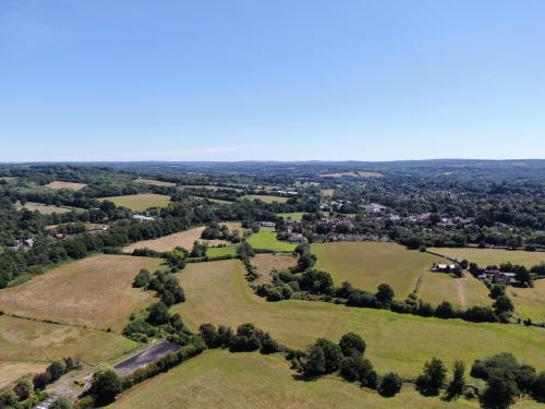
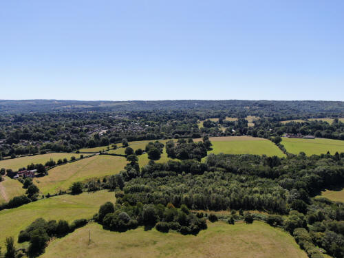
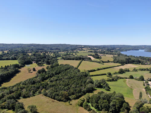
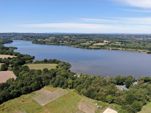
South west of South Park Farm on
the southern side of the reservoir
Western edge of East Grinstead in the top right quarter
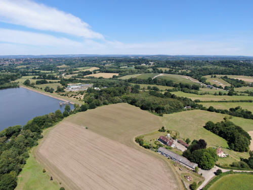
East Grinstead in the top left quarter
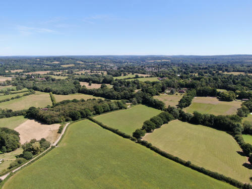
Forest Row above centre
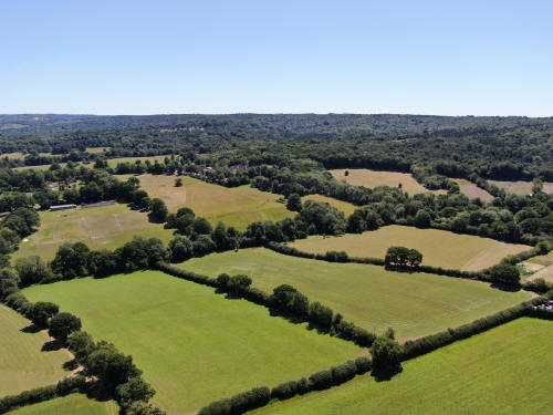
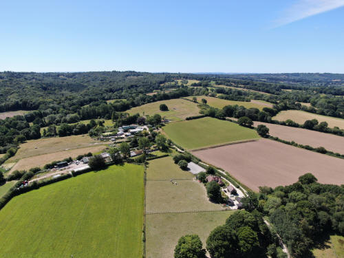
Mudbrooks House in the centre with the old quarry viewpoint just above and to
the right, next to the single Oak.
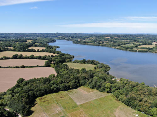
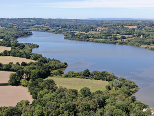
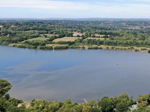
Western edge of East Grinstead in the top right quarter
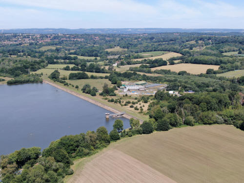
East Grinstead in the top left quarter
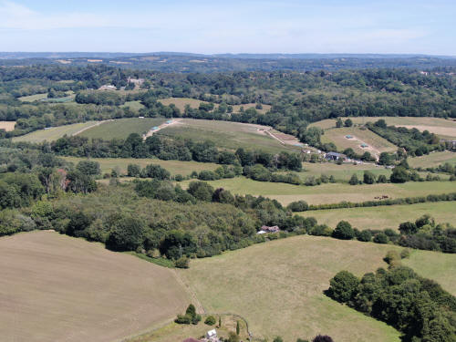
Brambletye School in the top left quarter
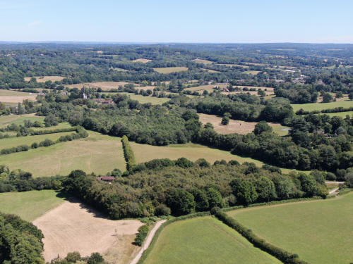
Brambletye ruins in the top left quarter
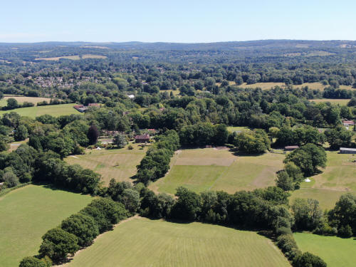
Forest Row in the top left quarter
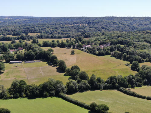
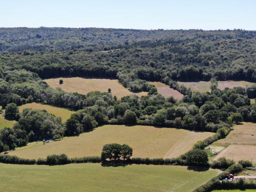
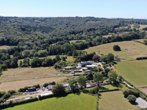
Mudbrooks House in the centre with the old quarry viewpoint just above and to
the right, next to the single Oak.
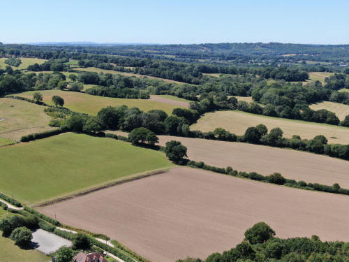
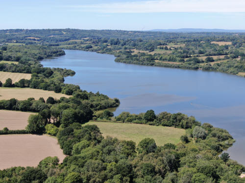
Half a mile west of Mudbrooks House
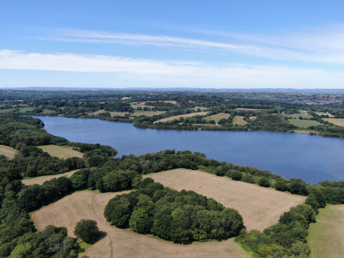
East Grinstead in the top right corner
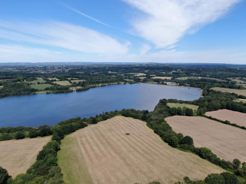
East Grinstead in the top left corner
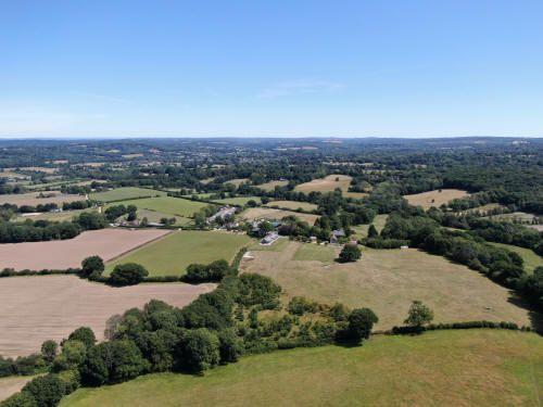
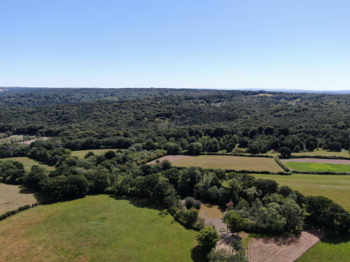
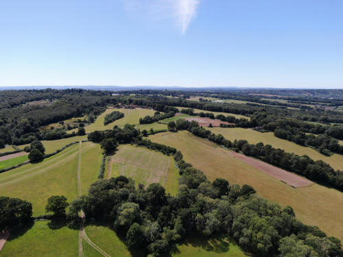
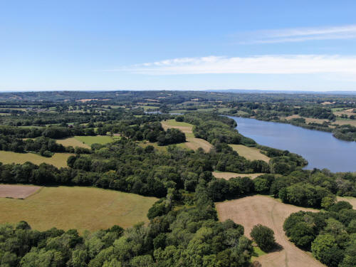

Gatwick in the top right quarter

Standen just above centre
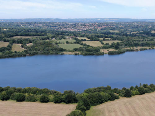
East Grinstead
Text & photographs © Ian Mulcahy. Contact photos@iansapps.co.uk or visit my 'Use of my photographs' page for licensing queries (ground level photographs only).
|