Kilnwood End, beyond Ifield West
14 July 2024
|
I'm very excited to share these 54 aerial photographs taken from above a field at Kilnwood End, just beyond Ifield West on 14 July 2024.
These are from my first flight with a new drone whose camera has a far longer focal length, affording a different view of familiar buildings and natural features. As well as the local landmarks, also visible, though not clearly, are Christs Hospital, Warnham Court, the Jack & Jill Windmills, Lancing College, St Johns Church at Earlswood, St Peters Church at Newdigate, the tower blocks at Stubs Hill in Dorking and the chimney at Shoreham Cement Works.
I've annotated some of the photos to help with your bearings.
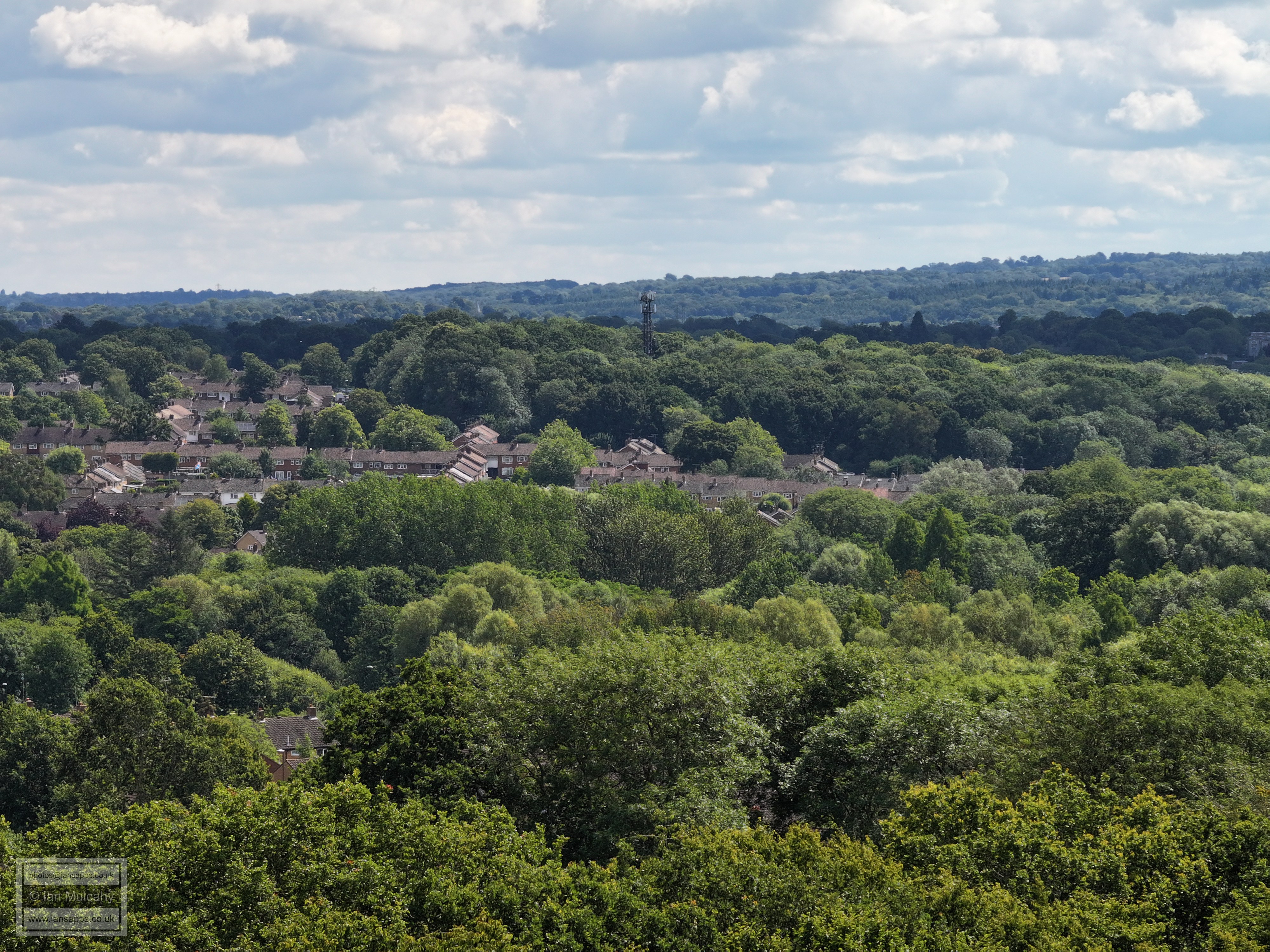
Gossops Green and phone mast at Woldhurstlea
Gossops Green (Shops visible on far right just above the middle) with the Hospital, Woodhall Duckams and the new Town Hall beyond.
Gossops Green (Shops and Windmill visible on far right in the middle) with the Hospital, Telephone Exchange, Woodhall Duckams, the new Town Hall and college beyond.
Ifield Mill just below centre, Ifield Park above and to the right. The long white strip to the right is ICC and just to the left of that The Mill Primary school is visible through the trees. Above ICC after the trees is the Crowne Plaza at Tushmore and to the left of that are various industrial estate buildings.
Southgate West on the hill just above centre middle and Holy Trinity below and to the right.
Part of Kilnwood Vale with Holmbush on the hill behind
After some lower level shots I have now flown higher. Most of the following photos are from 110 metres.
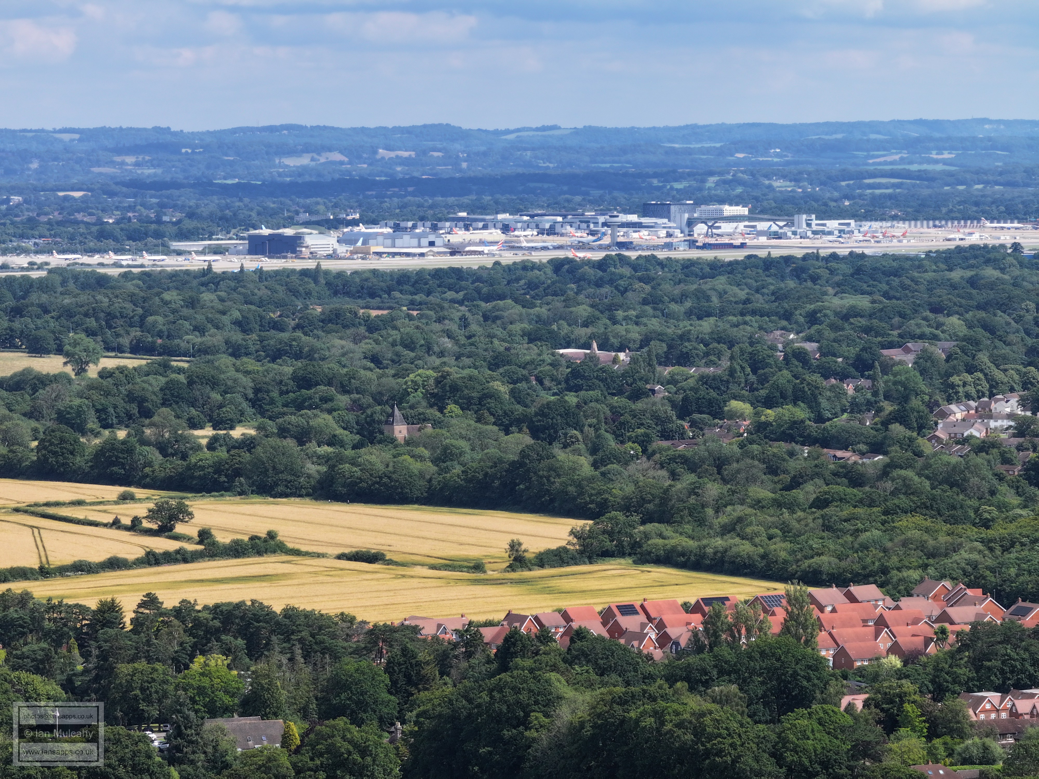
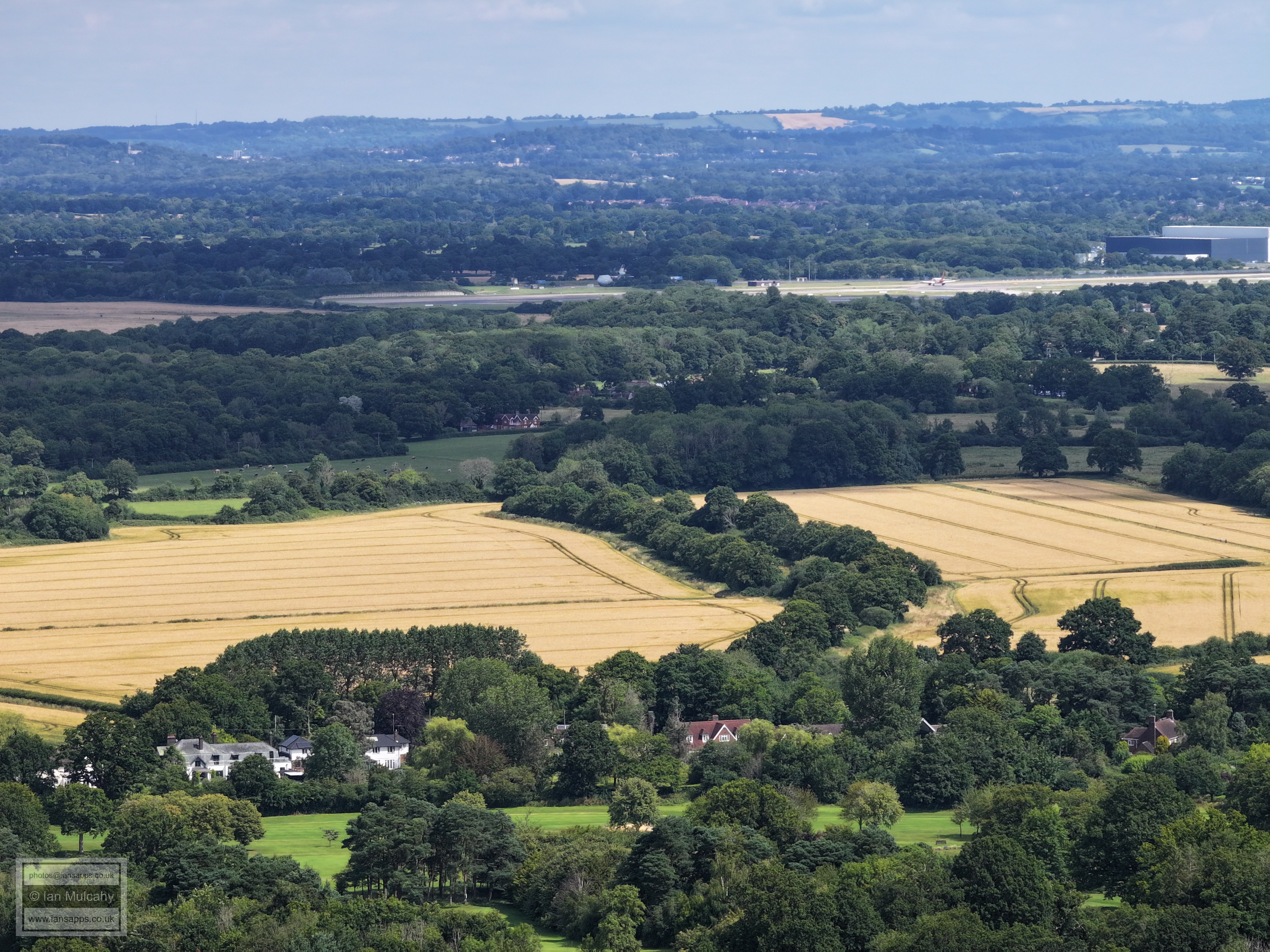
Ifield Brook Meadows, St Margaret's Church, Gatwick Airport, the North Downs. The houses bottom right are 'The Maples' opposite Ifield Golf Club. The car park for the golf course is just visible bottom left.
The green clearing just below centre is Rusper Road Playing Fields. Just above the right side of this area you can see Ifield Drive and Ifield Parade. Above and to the left the new looking houses are on the site of the old Ifield Junior and Infants schools on the corner of Rusper Road and Ifield Green. On the far right close to the top is Astral Towers.
Similar to a previous lower level photo. Ifield Mill and pond are bottom right and on the far right behind, Ifield Park Care Home, The Mill Primary is far more visible. The new looking houses left of centre are Beaufort Place on the site of the old ICC. Astral Towers is top left with various industrial estate buildings to its right.
Ifield Millpond is bottom left, with the Mill and ICC above. The solar panel reflection is from Southwater Close. Top right is the Sandman Hotel and below that is the Leisure Park. The bottom right quarter is Gossops Green.
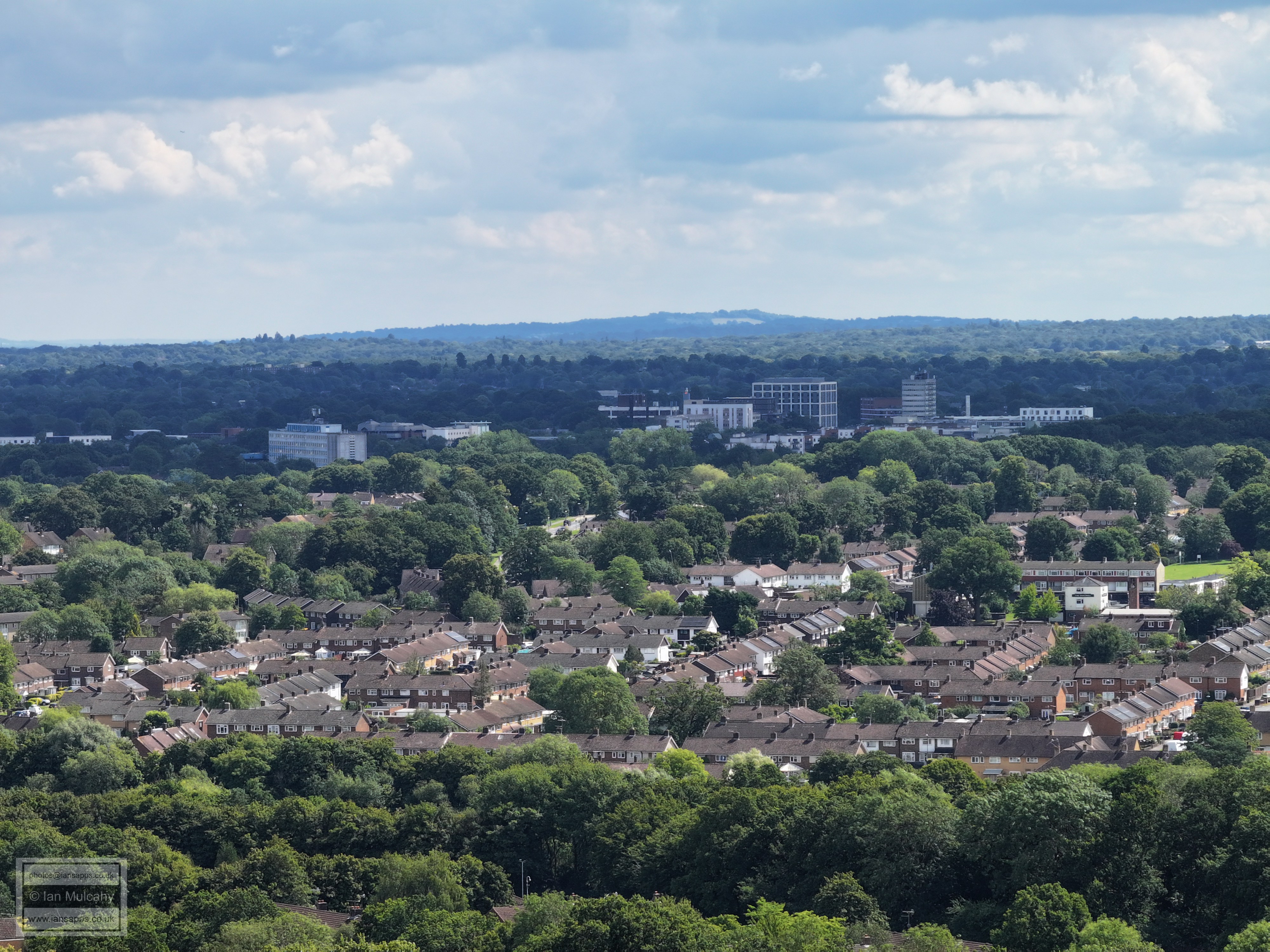
Gossops Green in the foreground with The Windmill on the far right just below centre. The hospital and Town Centre buildings are now clear. The road up the centre is Gossops Drive, with the mini roundabout with Overdene Drive visible.
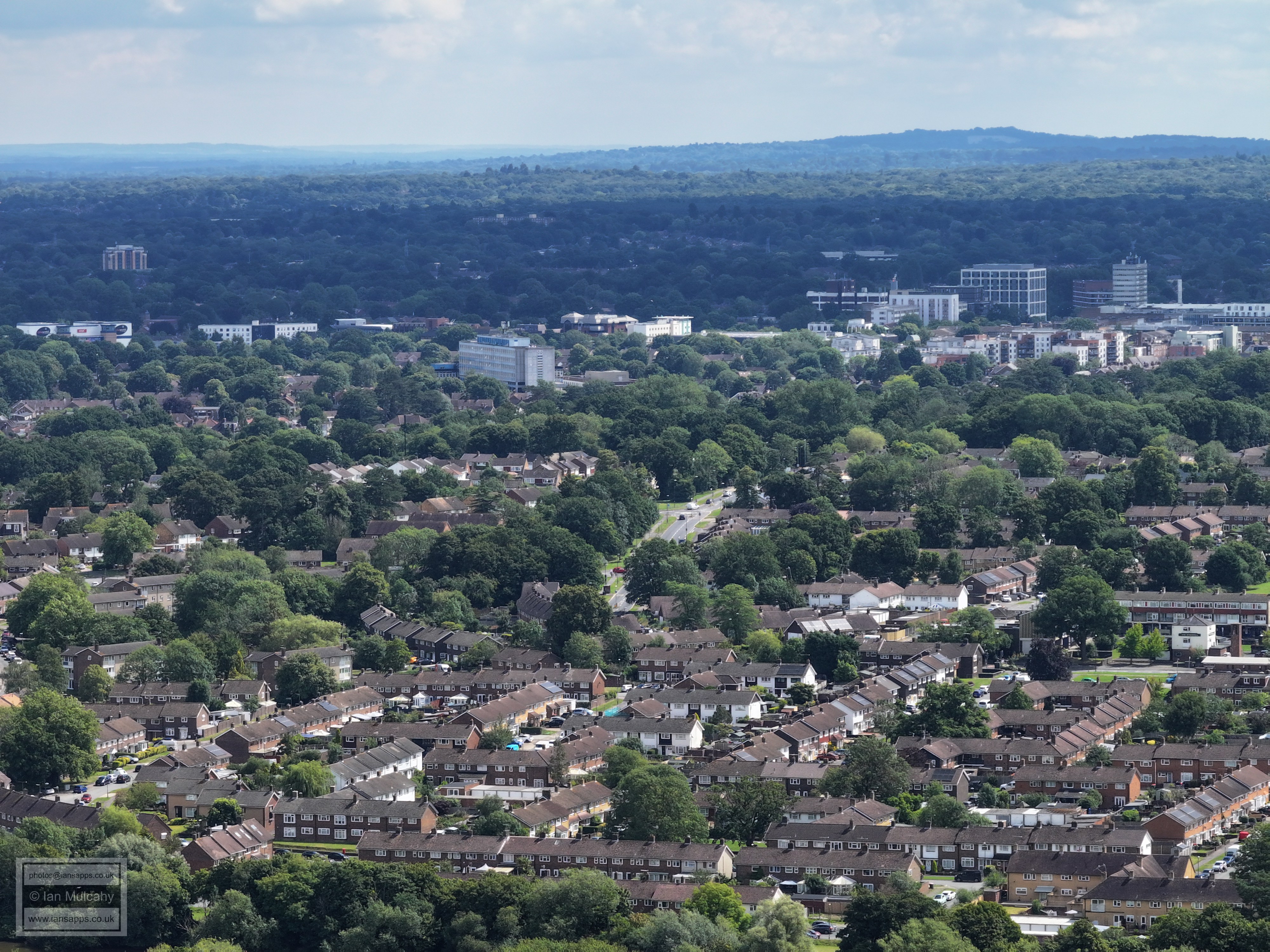
Only a slight shift to the right to show most of the town centre. On the very far right partially out of shot is County Mall with St Johns Church just to the left and the roof of Asda below.
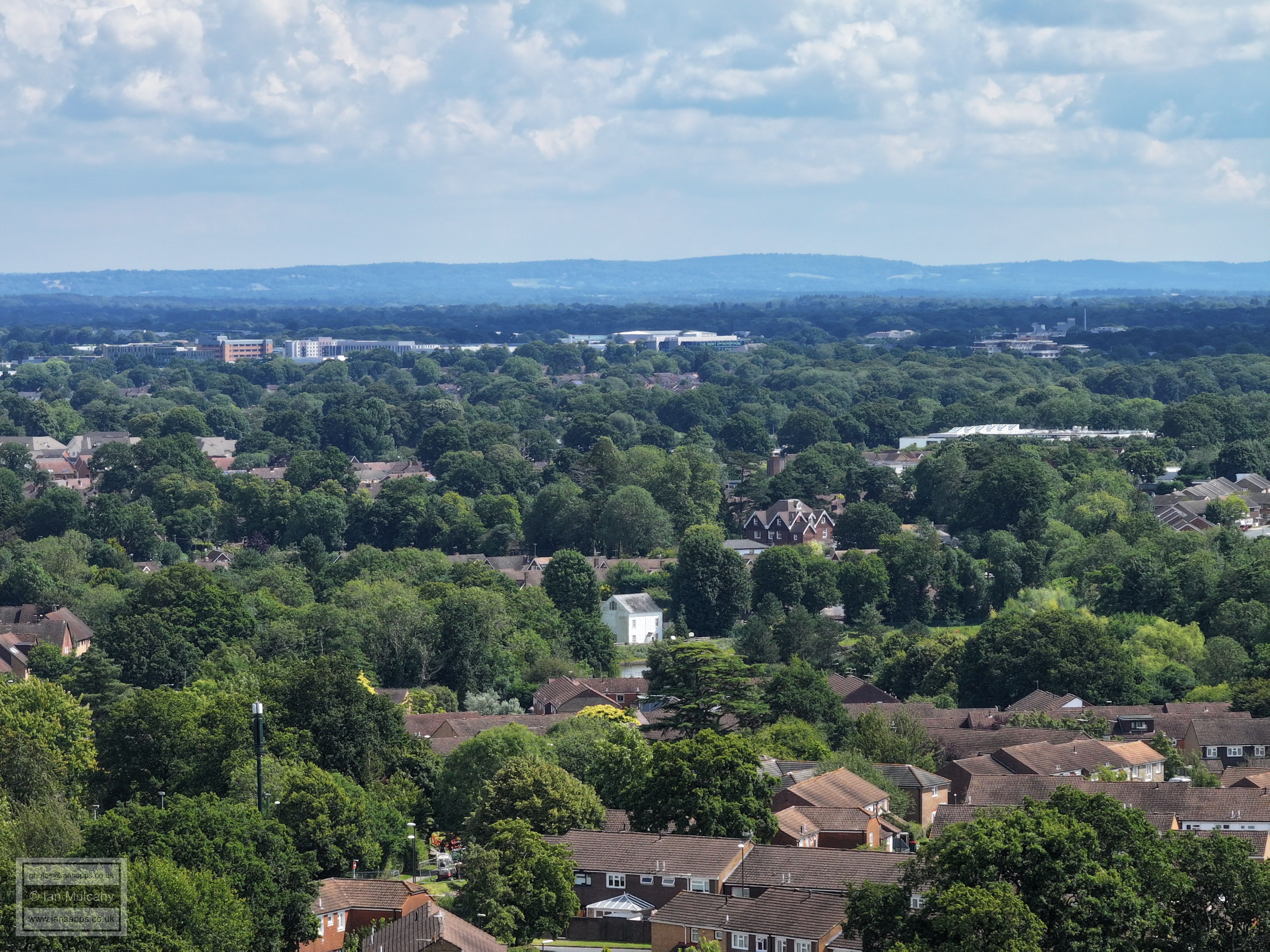
On the town centre band is The Mall, Overline House & The Arora Hotel. In the top right, the spire of St Nicholas Church at Worth is visible with Maidenbower below. The school left of centre is Gossops Green and the white building a little way above is St Wilfreds. The vertical road right of centre is Buckswood Drive with the mast at Woldhurstlea to the right.
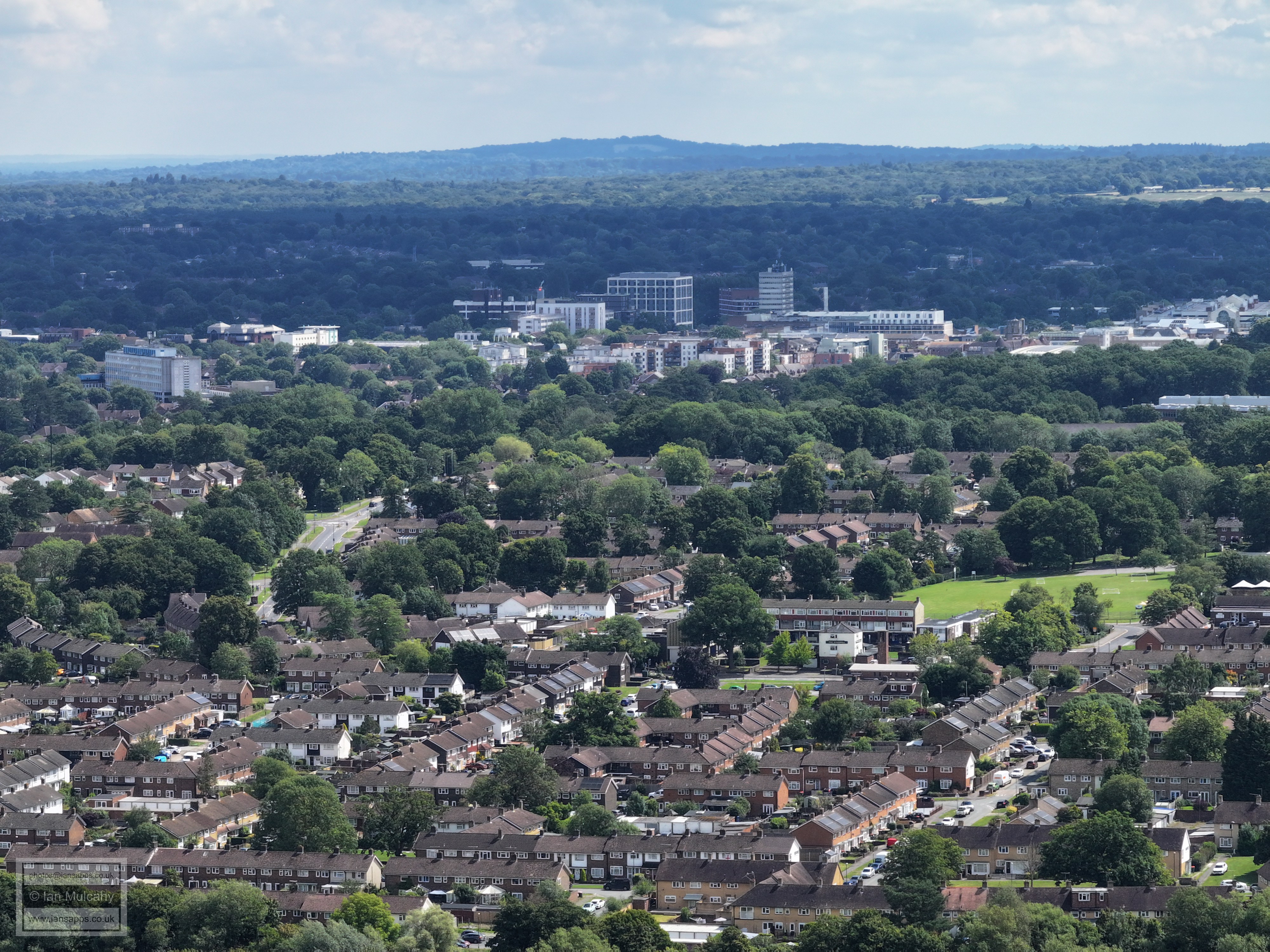
In the bottom left quarter is the Millpond car park at the bottom of Gossops Drive with Woldhurstlea woods above and to the left. Just right and above centre is Southgate West, with the spire of St Mary's at Southgate just visible above it and Holy Trinity is on the far right.
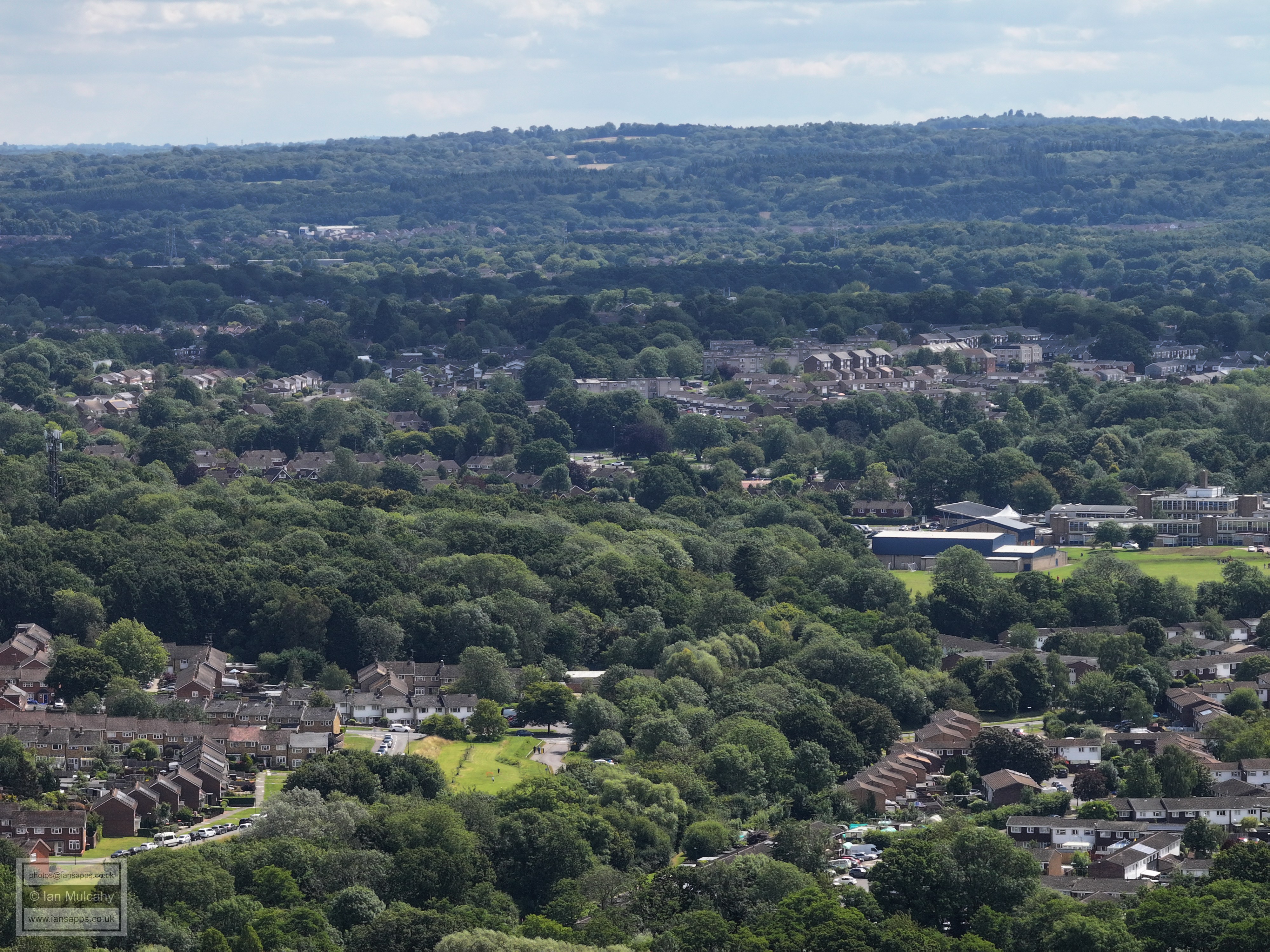
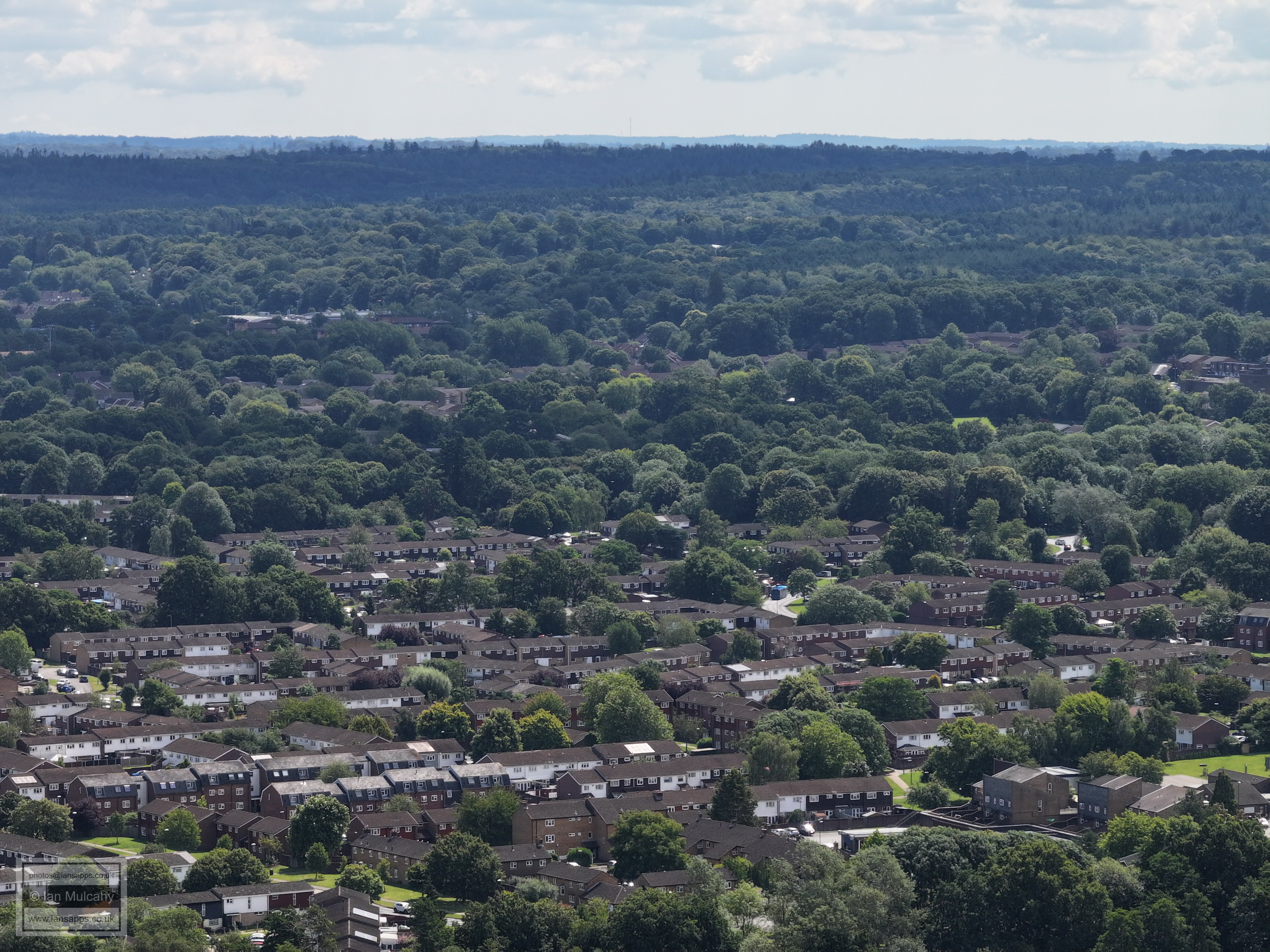
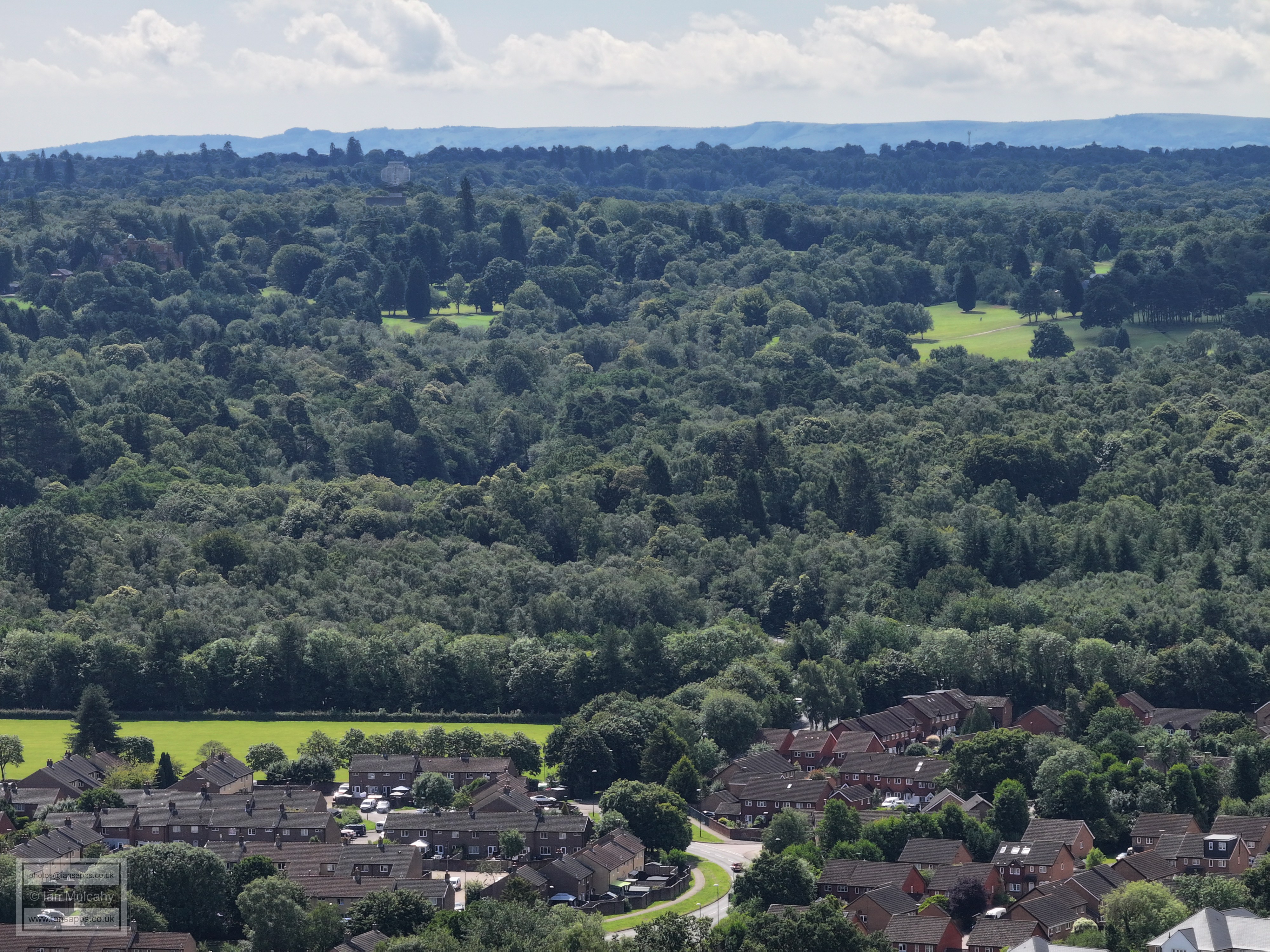
Holy Trinity to the left with Bewbush filling most of the bottom half of the photo. In the top right quarter is Broadfield. The roofs of Maidenbower can be seen nestled in a valley at the foot of the hill near the top. In the top right quarter, the white buildings are Thomas Bennett (Tilgate behind) and just to the right, part of the red roof of the east stand at the Broadfield Stadium is just visible between the trees.
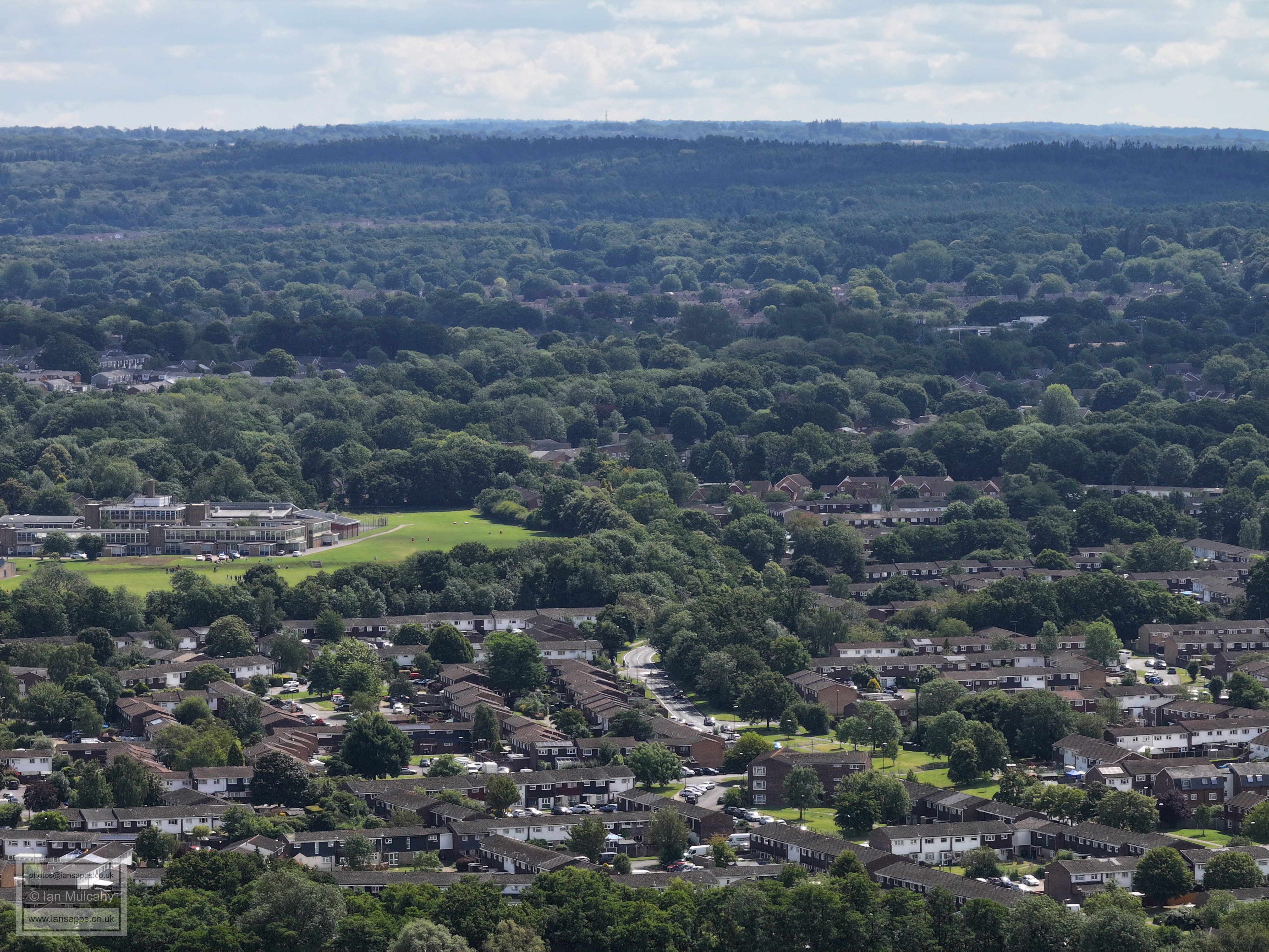
K2 (and the track floodlights) can be seen in the top left quarter and Broadfield is across the width of the picture just above centre. Bewbush once again fills the bottom half of the picture with Dorsten Square bottom right.
Bewbush and Broadfield. Dorsten Square, Bewbush school and the community centre are bottom right. Broadfield Barton is far left a little above centre.
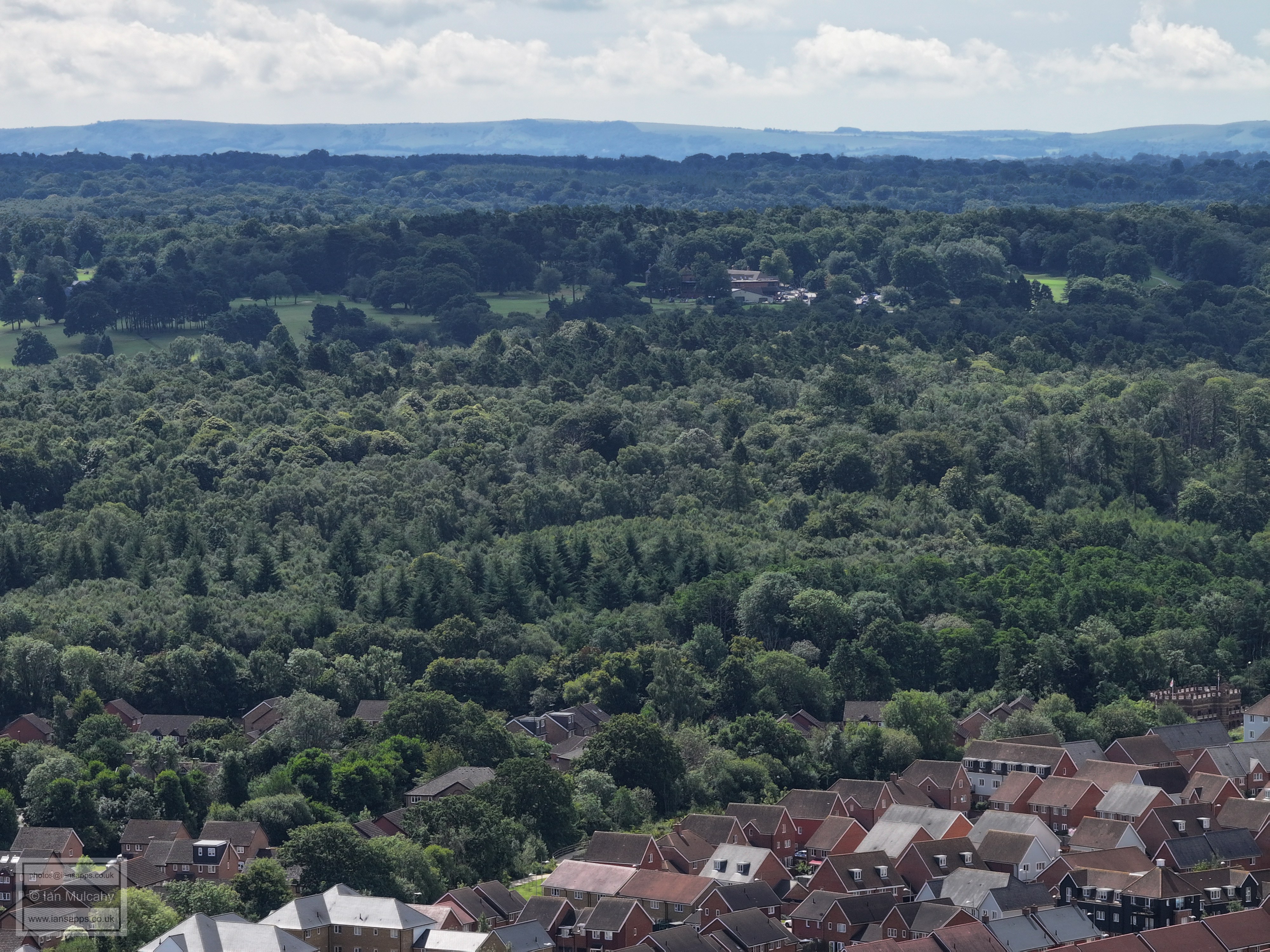
Bewbush in the foreground. The road on the right is the South Western Bypass. The bridge from Bewbush to Buchan Park is in the bottom right quarter.
Bewbush and Buchan Park. Cottesmore School is top right a little way above and to the right of the small green clearing. Hopefully this building will be clearer on an evening flight when the sun isn't behind it. On the horizon, at the top left, I'm 99% certain that the dramatic drop away to the left of the Downs at Wilmington Hill, 5 miles to the north-west of Eastbourne and famous for it's Long Man, which we can't see.
Cottesmore School is now top left and the radar is above to the right. Bewbush Manor estate is across the bottom, with the roof of Bewbush Manor itself just visible on the far right about 15% up from the foot of the picture. The clear areas in the top half are part of Cottesmore Golf Club. The South Downs are on the horizon.
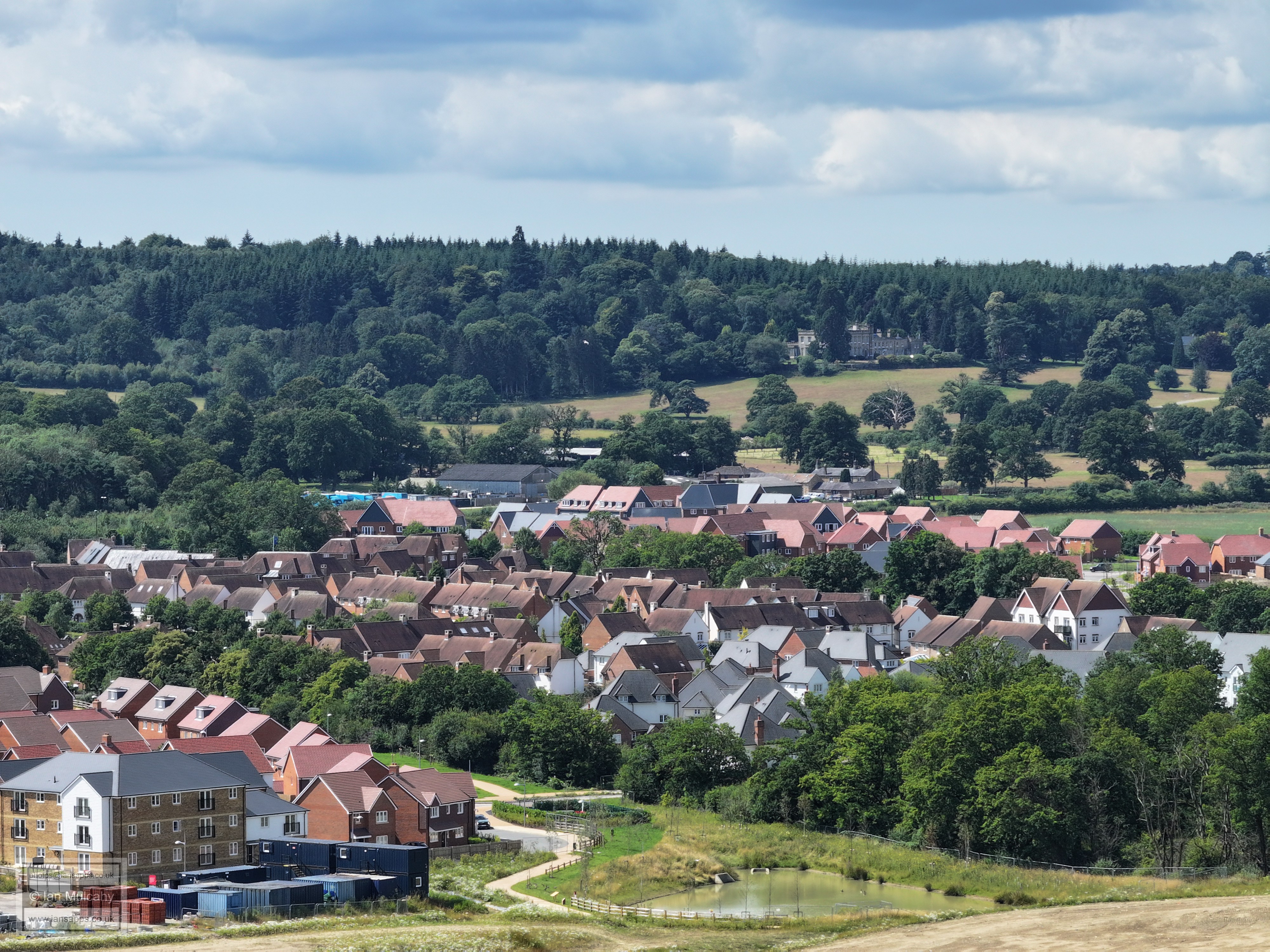
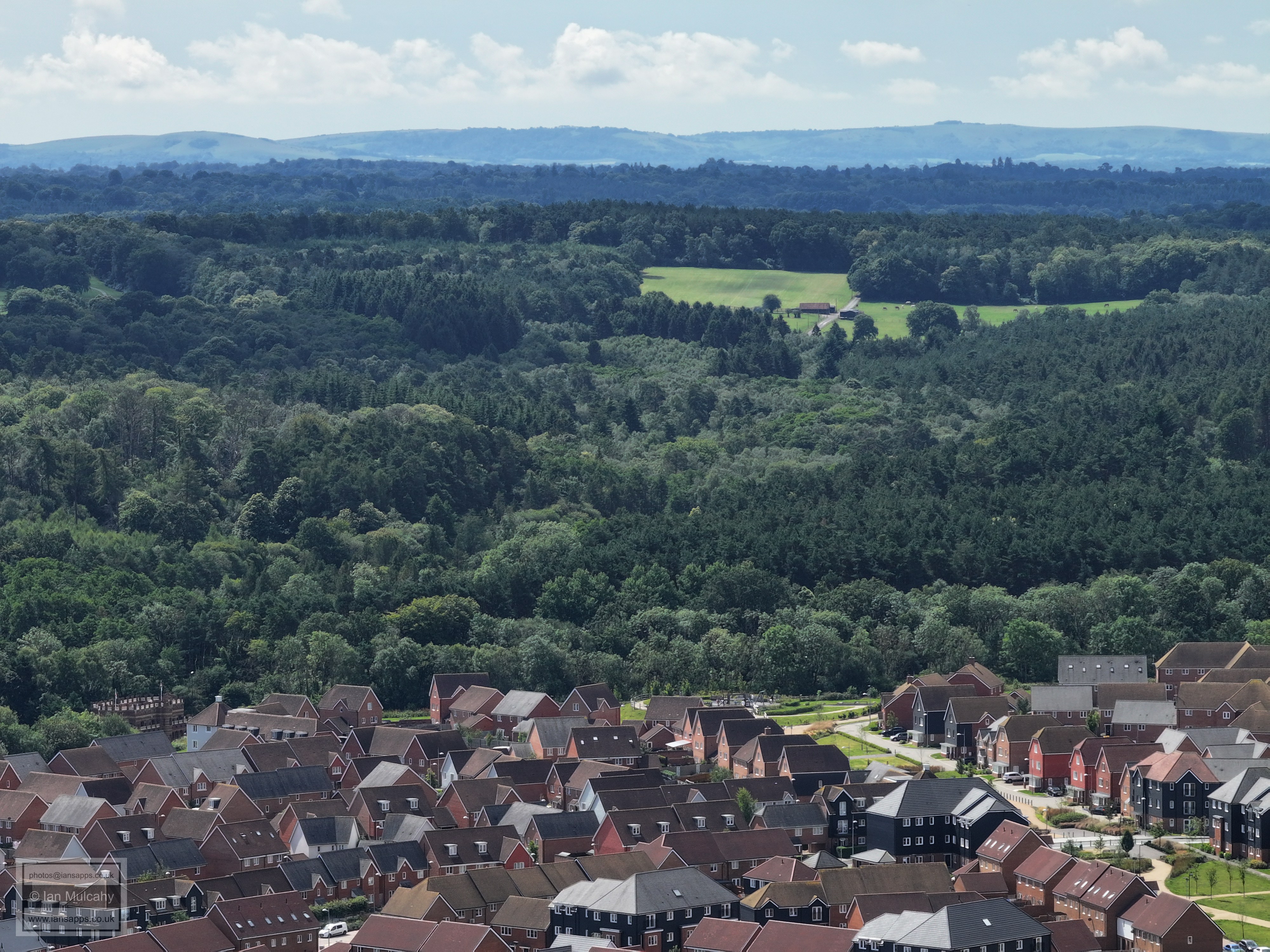
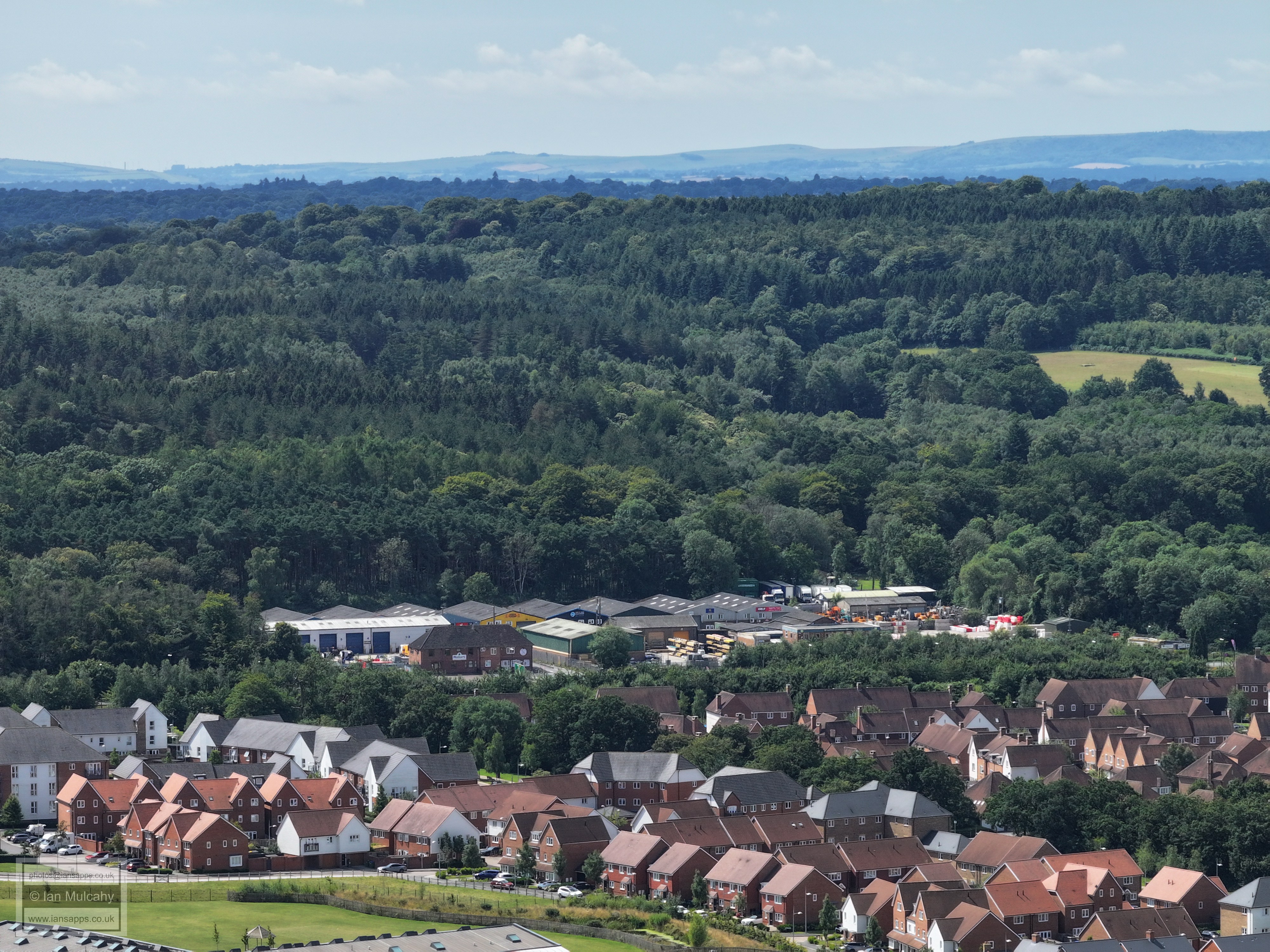
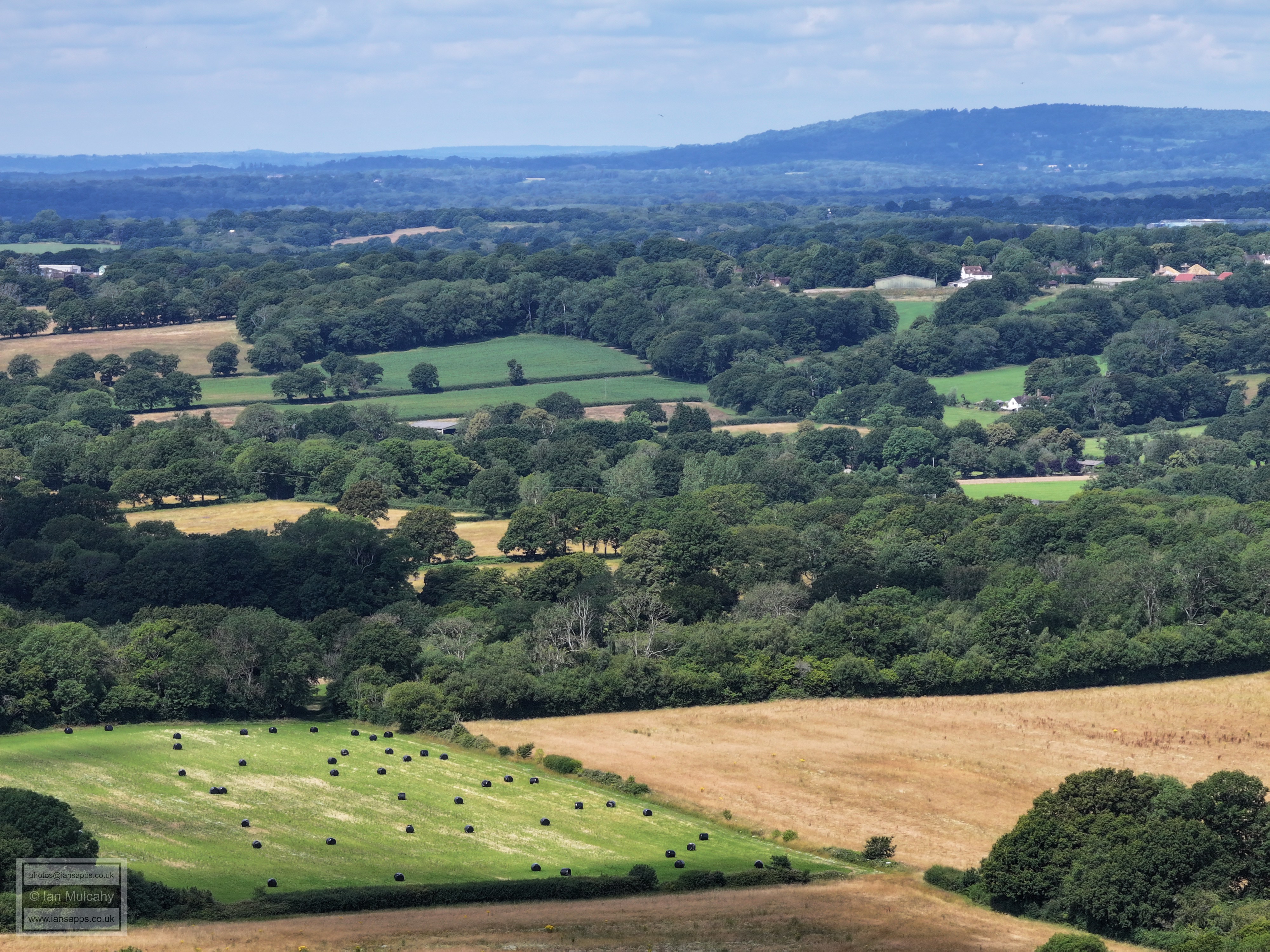
Bottom right is Kilnwood Vale, separated from Bewbush by the diagonal line of trees. Close to the top is Cottesmore Hotel & Golf Club. On the top of the Downs, almost immediately above the Cottesmore Jack & Jill Windmills can be seen, just to the left of a clump of trees.
Kilnwood Vale in the foreground with the track to Yew Tree Cottage and some outbuildings visible in the clearing between Buchan Park (left and below), and St Leonards Forest (beyond)
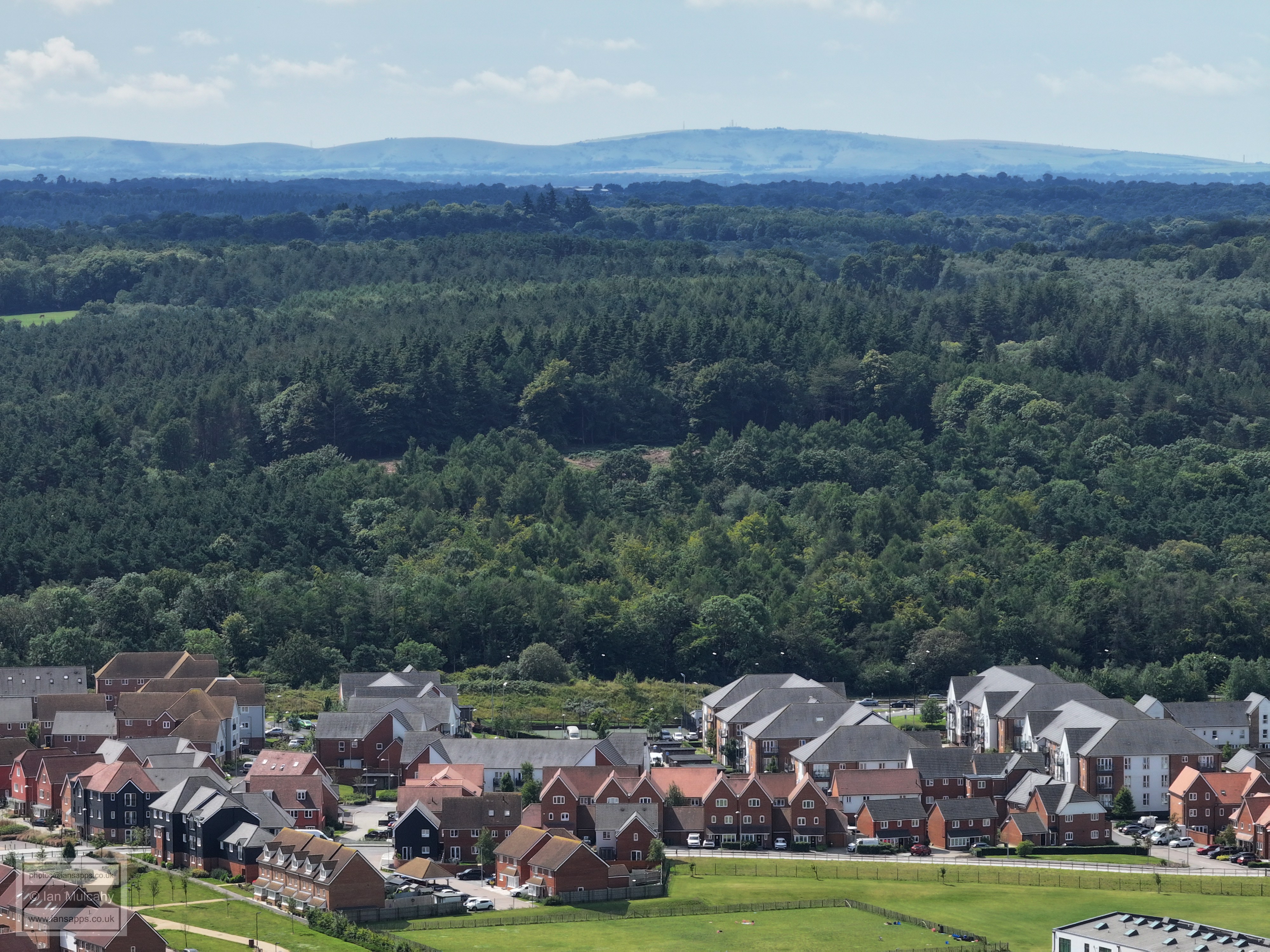
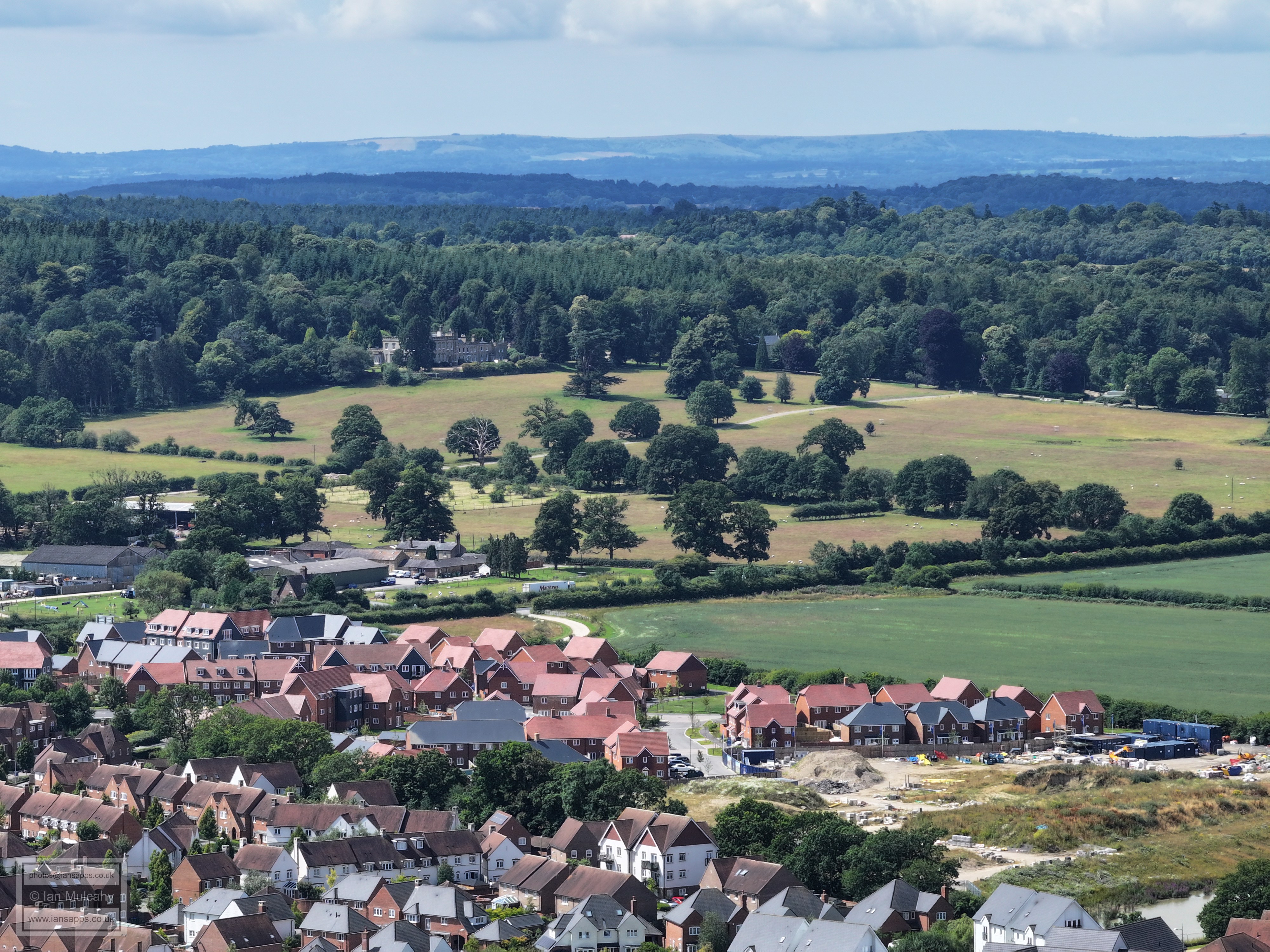
Kilnwood Vale with Silver Hill and Holmbush Forest behind. The masts on the downs are at Truleigh hill, just east of Upper Beeding. On the very far right on the Downs is the chimney at Shoreham Cement Works.
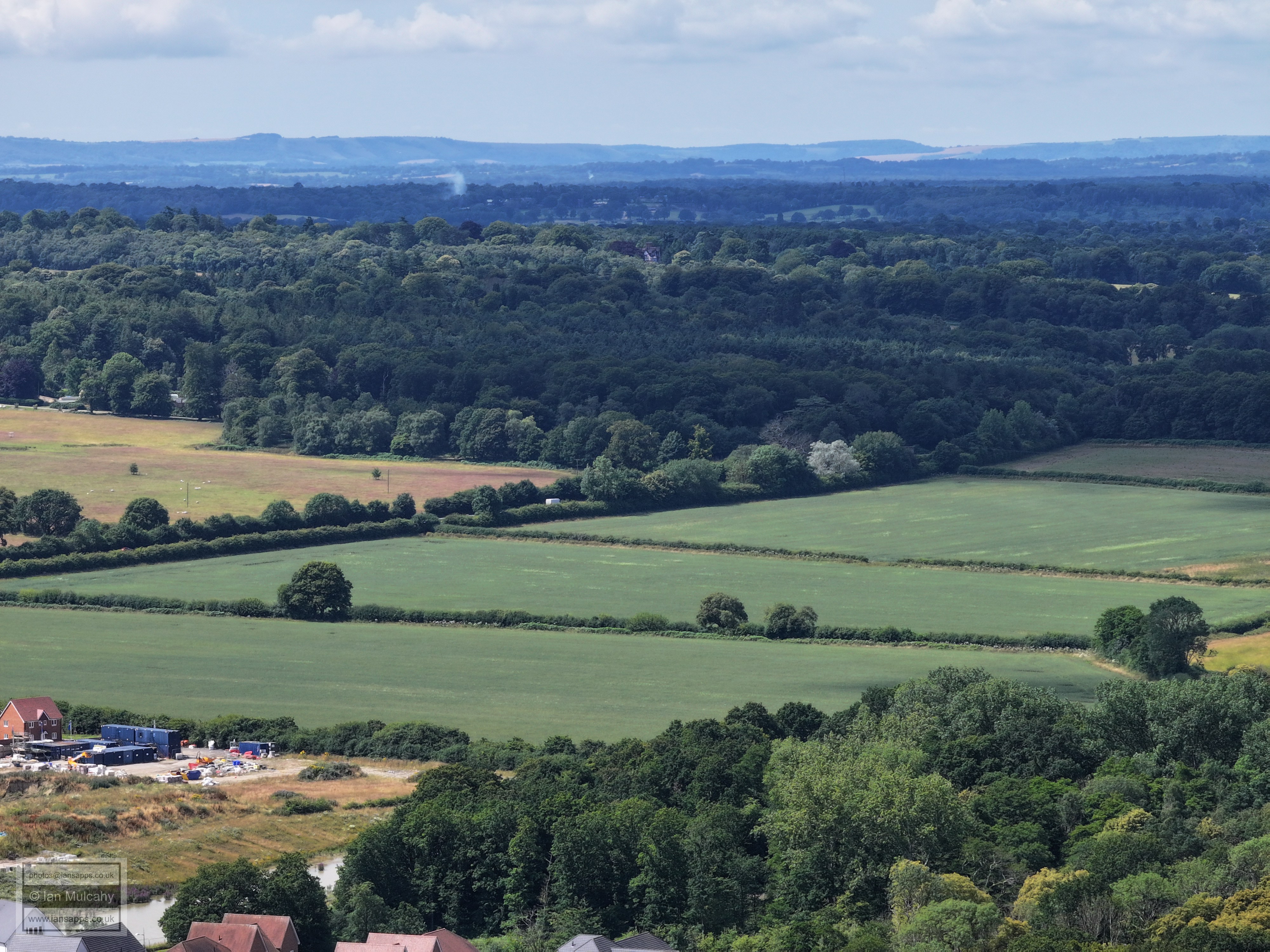
Kilnwood Vale and Holmbush Potteries Industrial Estate. On teh far left of the downs is Downs is the chimney at Shoreham Cement Works and to the right of that is Lancing College.
Kilnwood Vale and Holmbush Farm Industrial Estate. On the Downs, almost in the centre, is Chanctonbury Ring.
Kilnwood Vale and Holmbush Farm Industrial Estate, with Holmbush beyond.
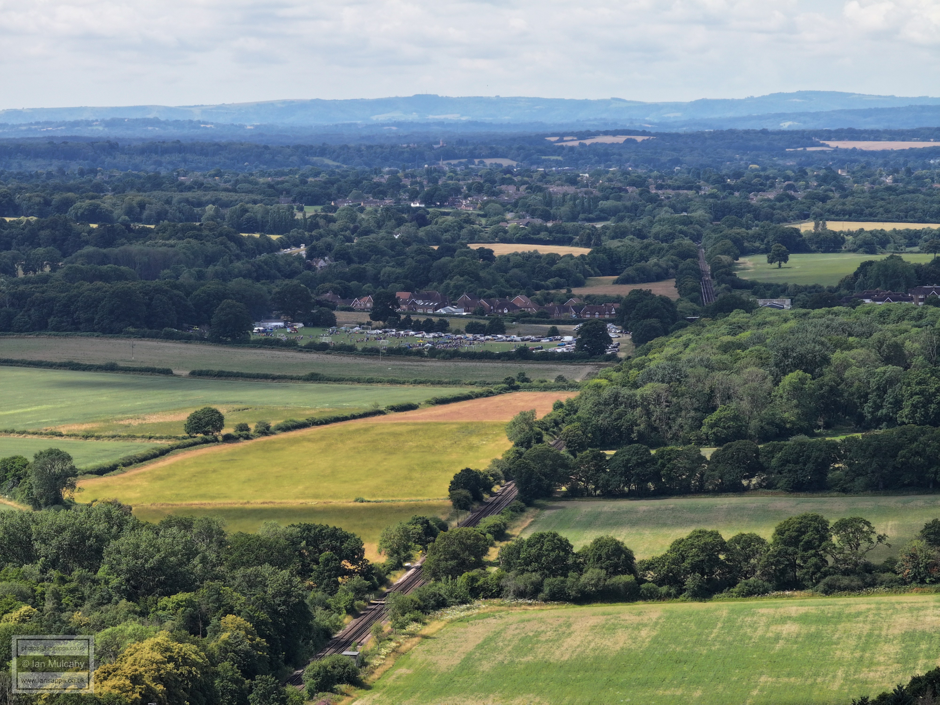
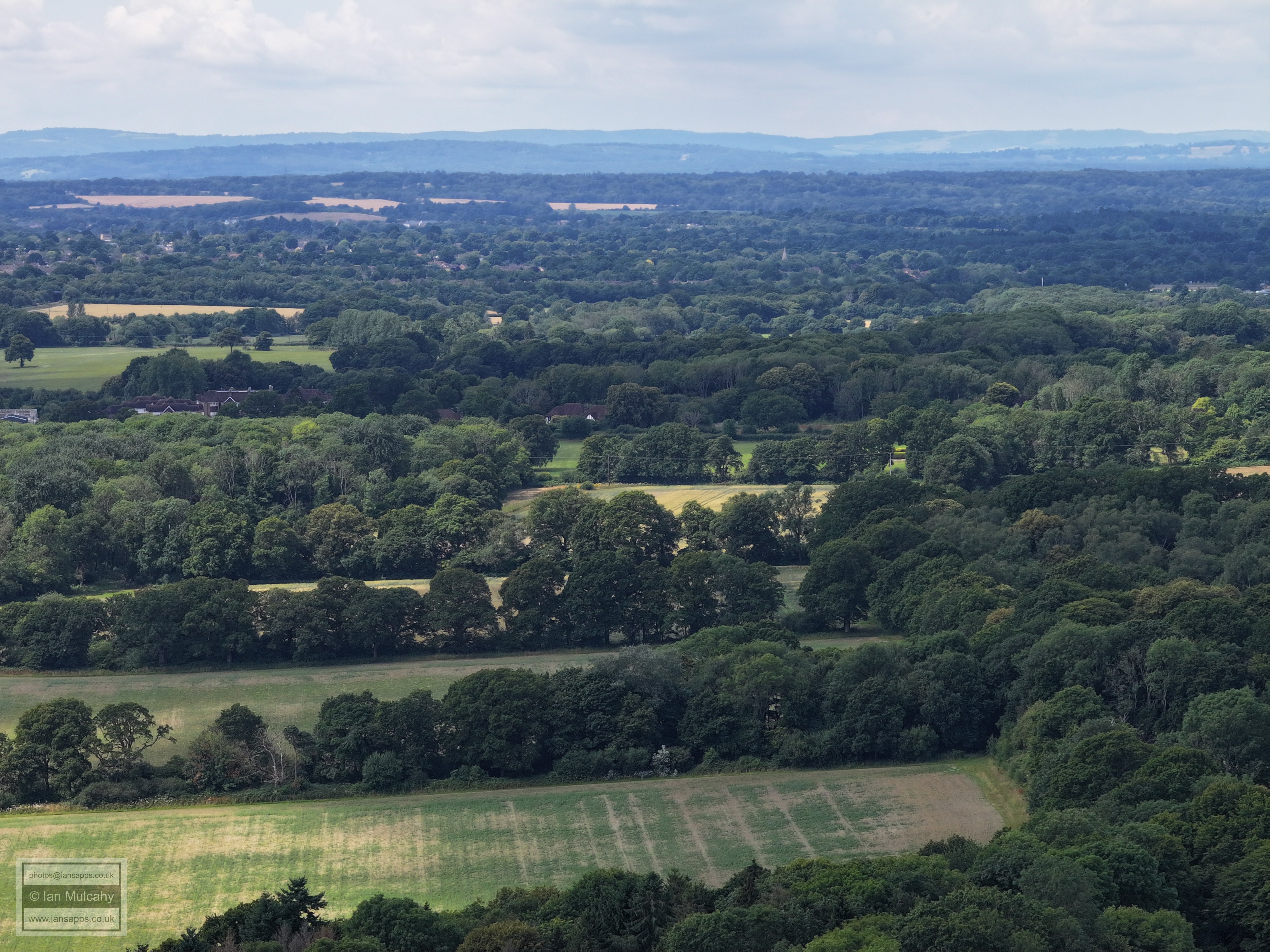
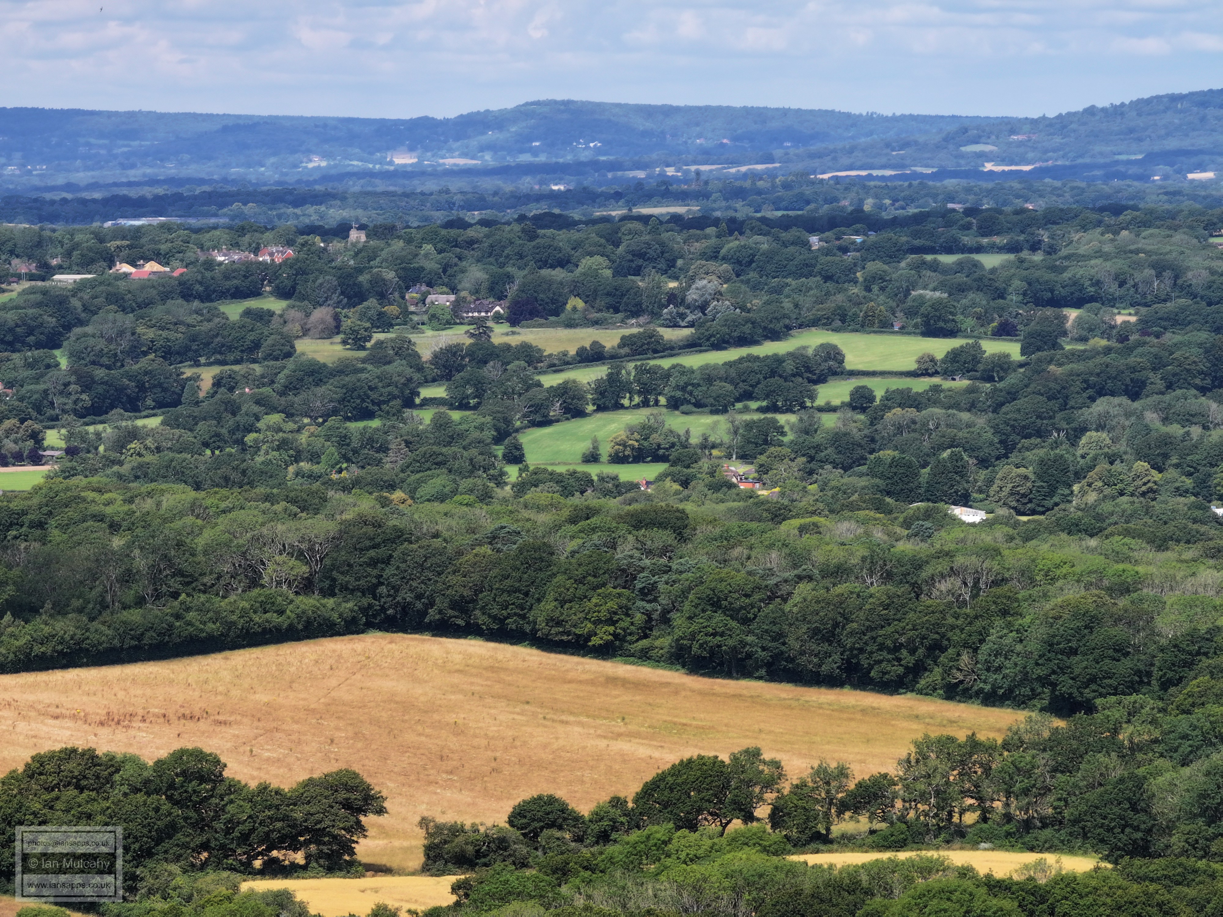
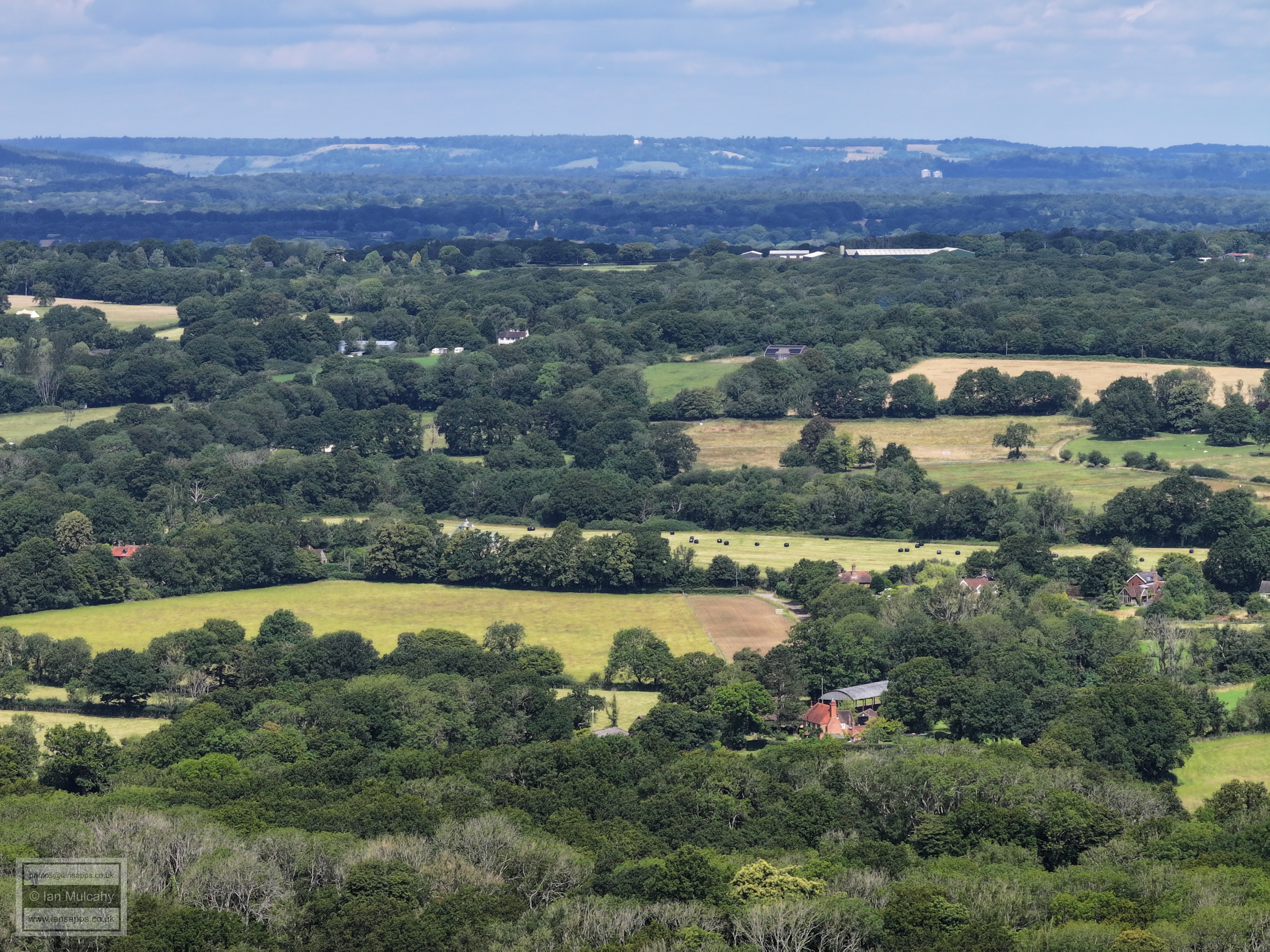
A football tournament is being played out on Faygate playing fields. The masts in the clump of trees on the downs are at Glatting beacon, 1.5 miles south west of Bignor. Horsham is beyond and buildings in Crawley Road and New Moorhead Drive can be picked out. The Spire is St Mary's in The Causeway and Christs Hospital is immediately above the spire.
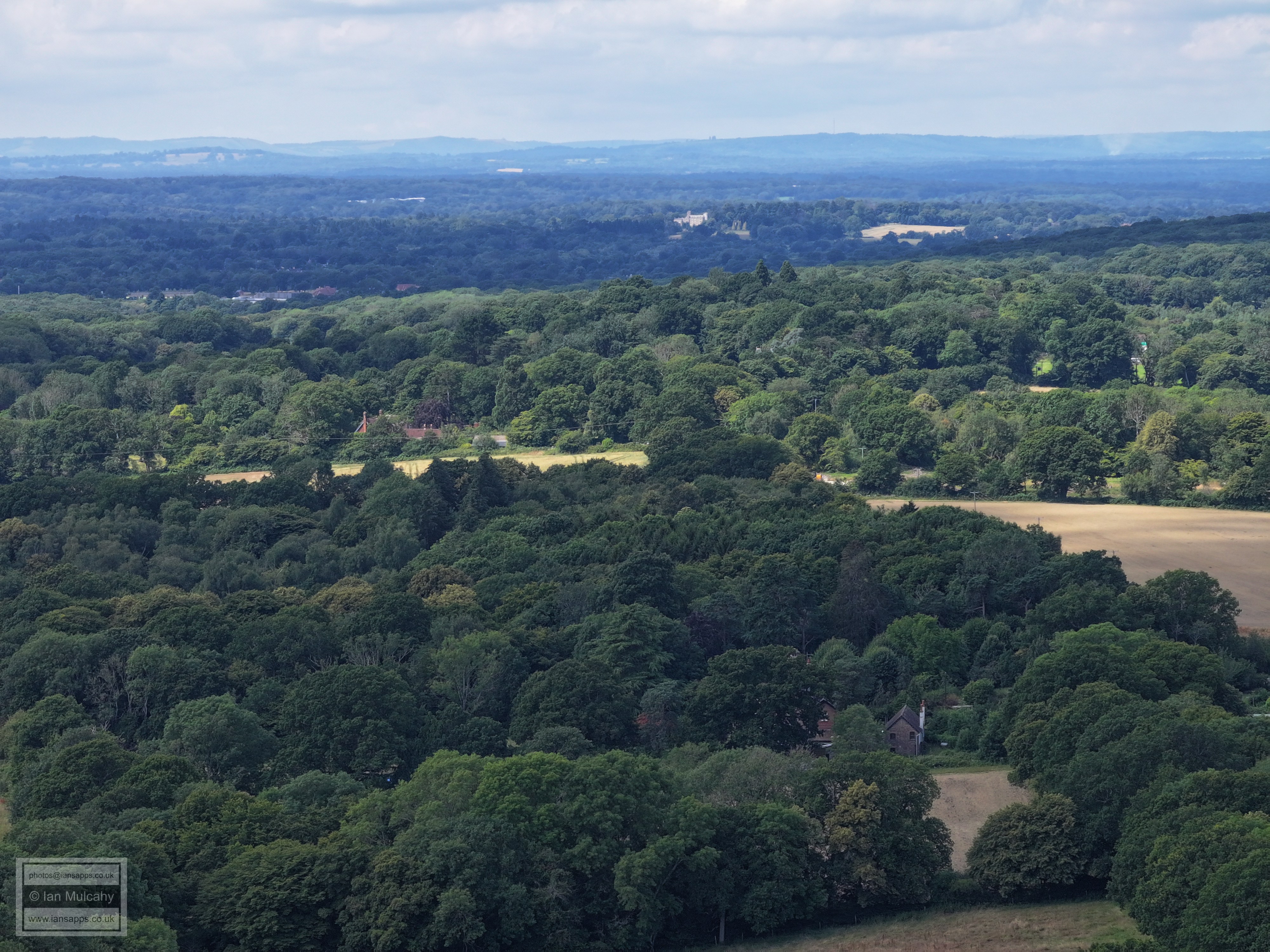
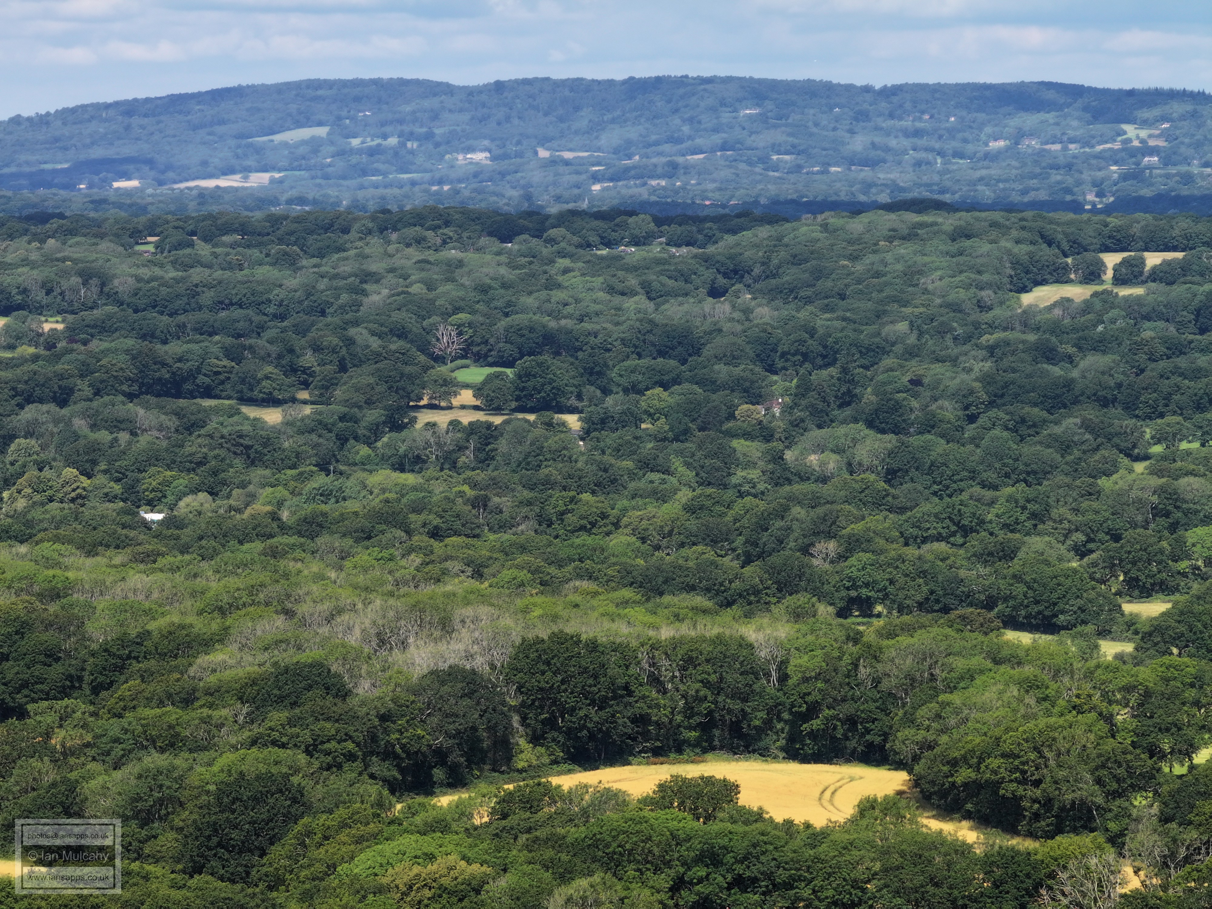
Not much to pick out here besides the spire of St Marks Church in North Heath Lane, Horsham right of centre and about 20% from the top and the roof turrets of Holbrook Park on the far right and slightly lower.
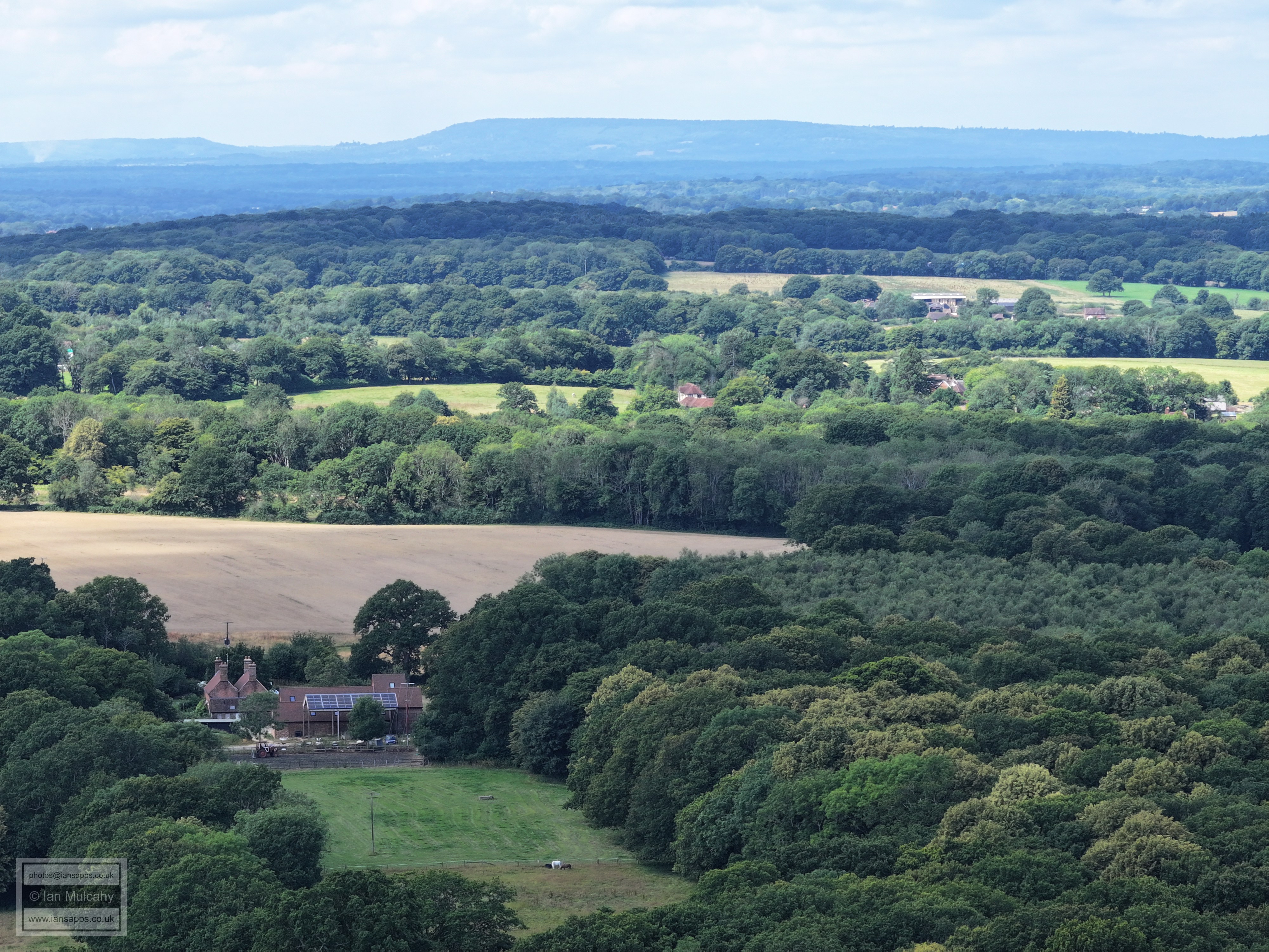
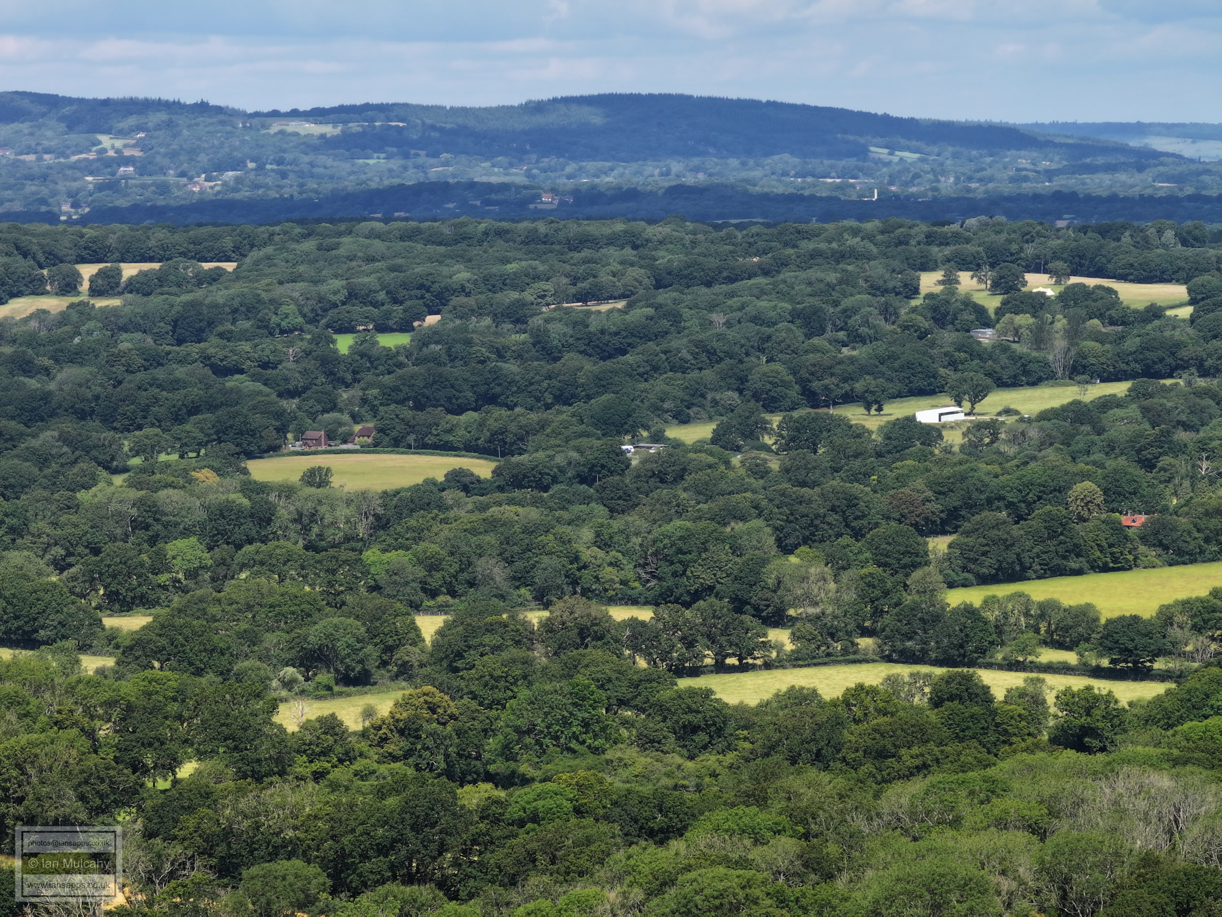
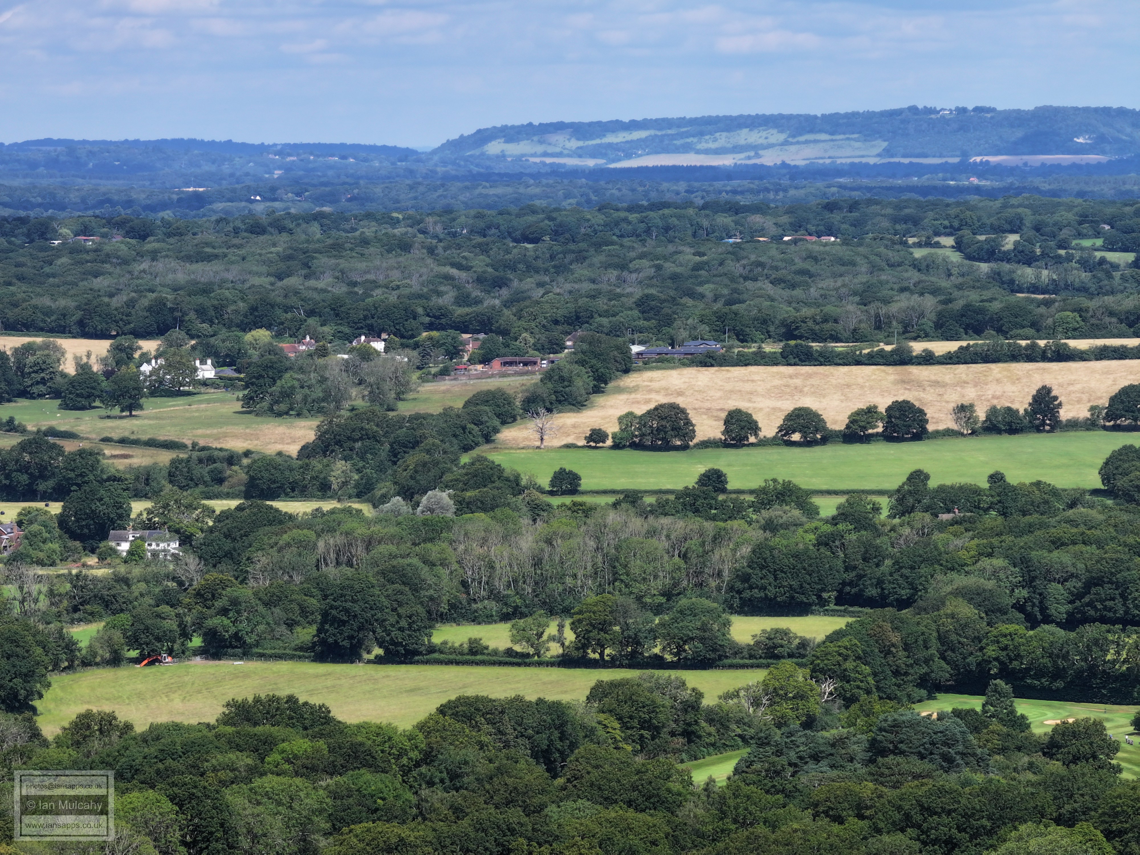
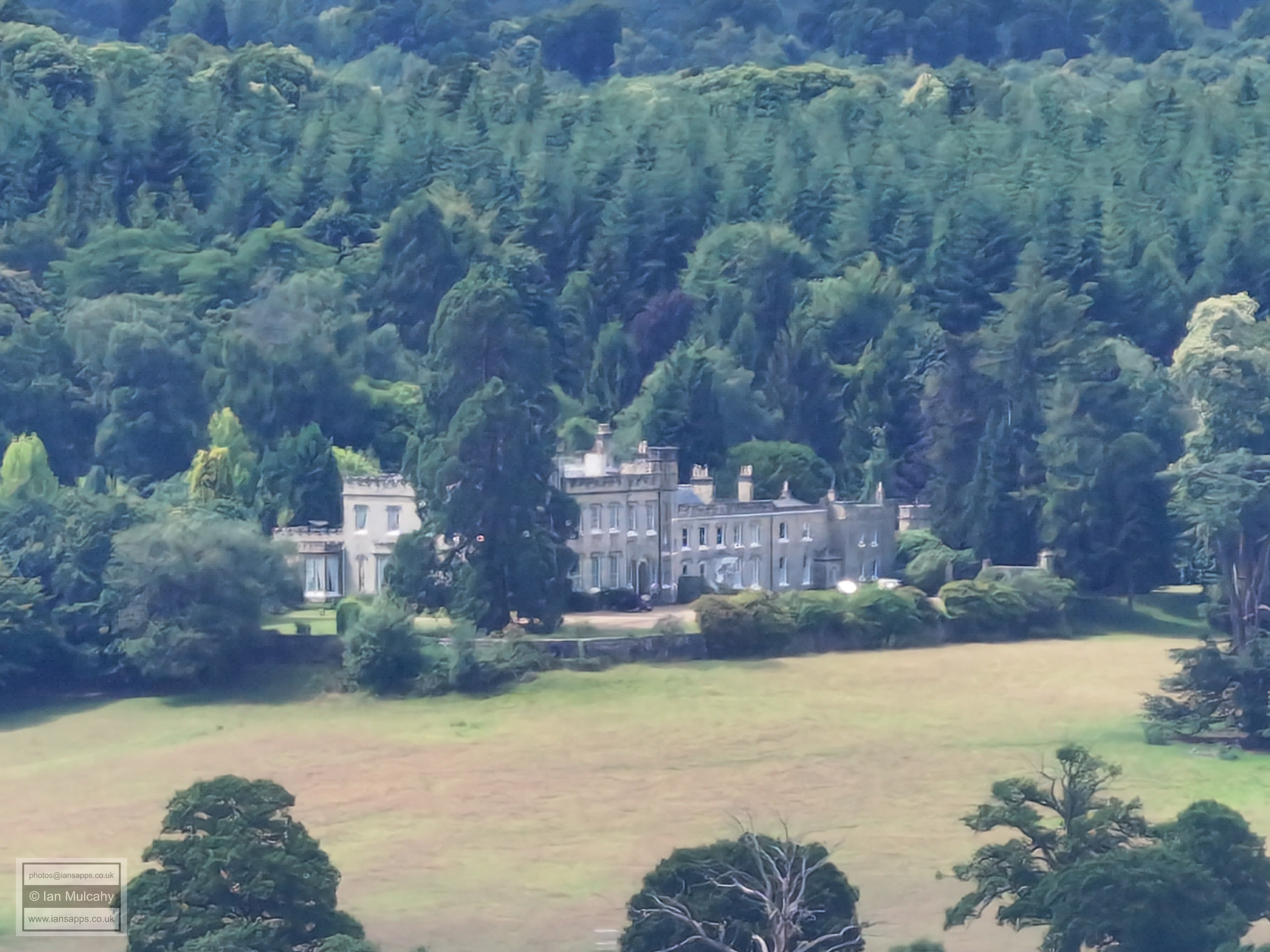
Just to the right of centre, about 15% from the top, is Warnham Court.
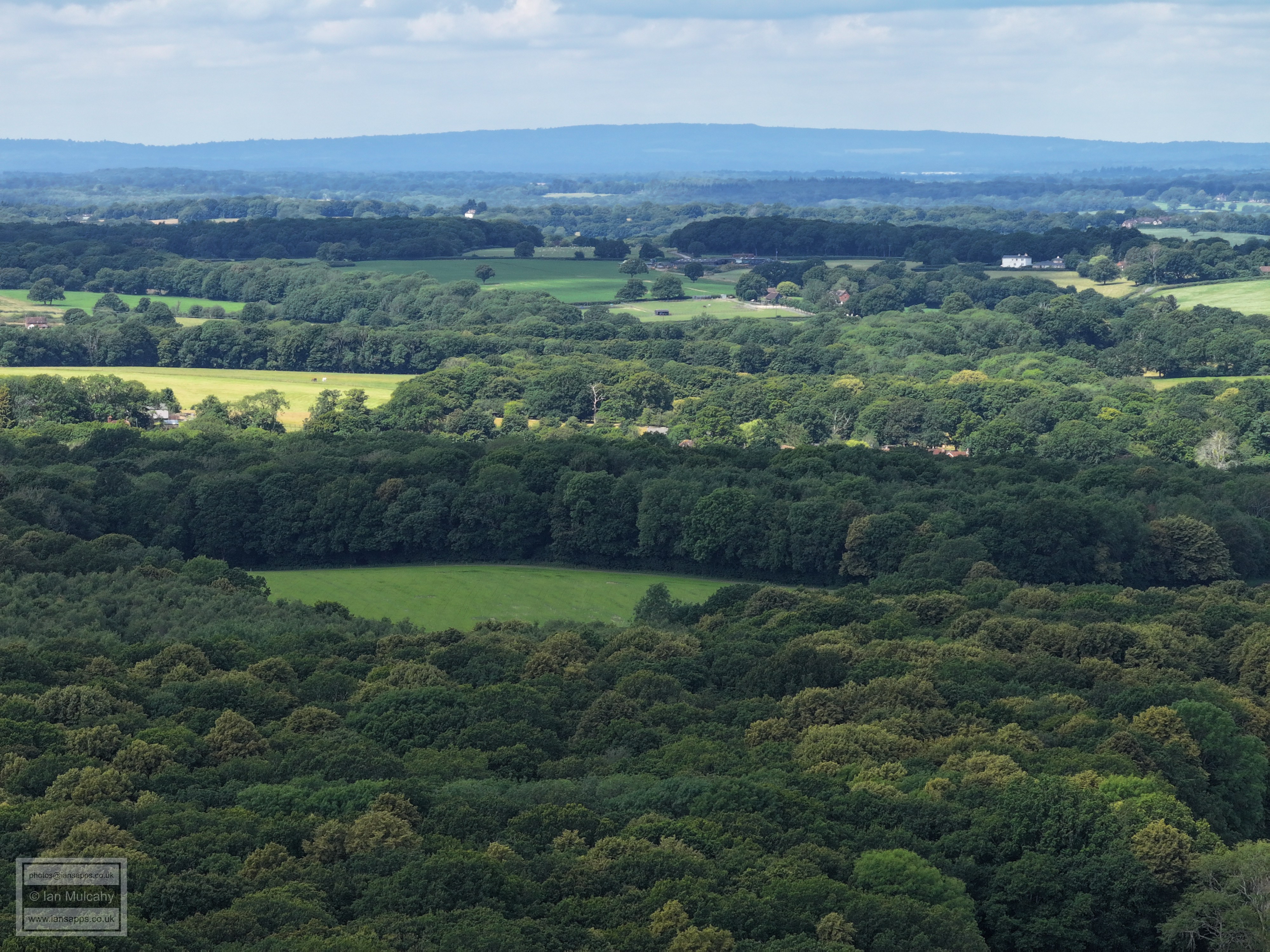
The large white building in the top right quarter is at Old Park Farm on the Rusper to Horsham Road and Nelsons Farm is to the left. The white building in the top left quarter is Morriswood (Horsham Swim School) on Old Holbrook.
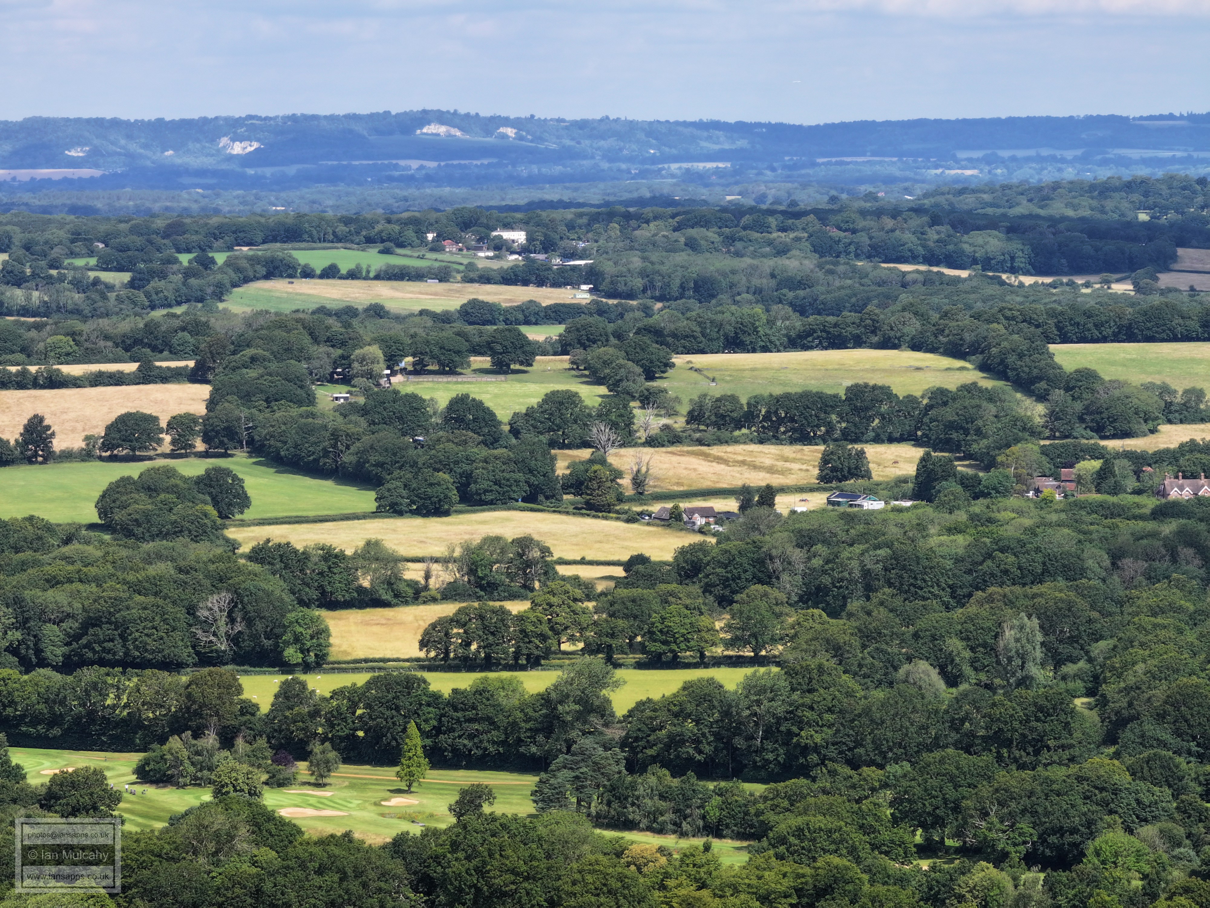
The house centre left is Seers Croft in Faygate Lane. The long white buildings and other units are at Dial Post Farm south of Rusper.
The little gabled white building about a third of the way down on the right is Rusper Court Cottages on Faygate Lane and the large barn in the top right quarter is at Millfield House in Rusper, just behind the Star on the footpath to Rusper Court.
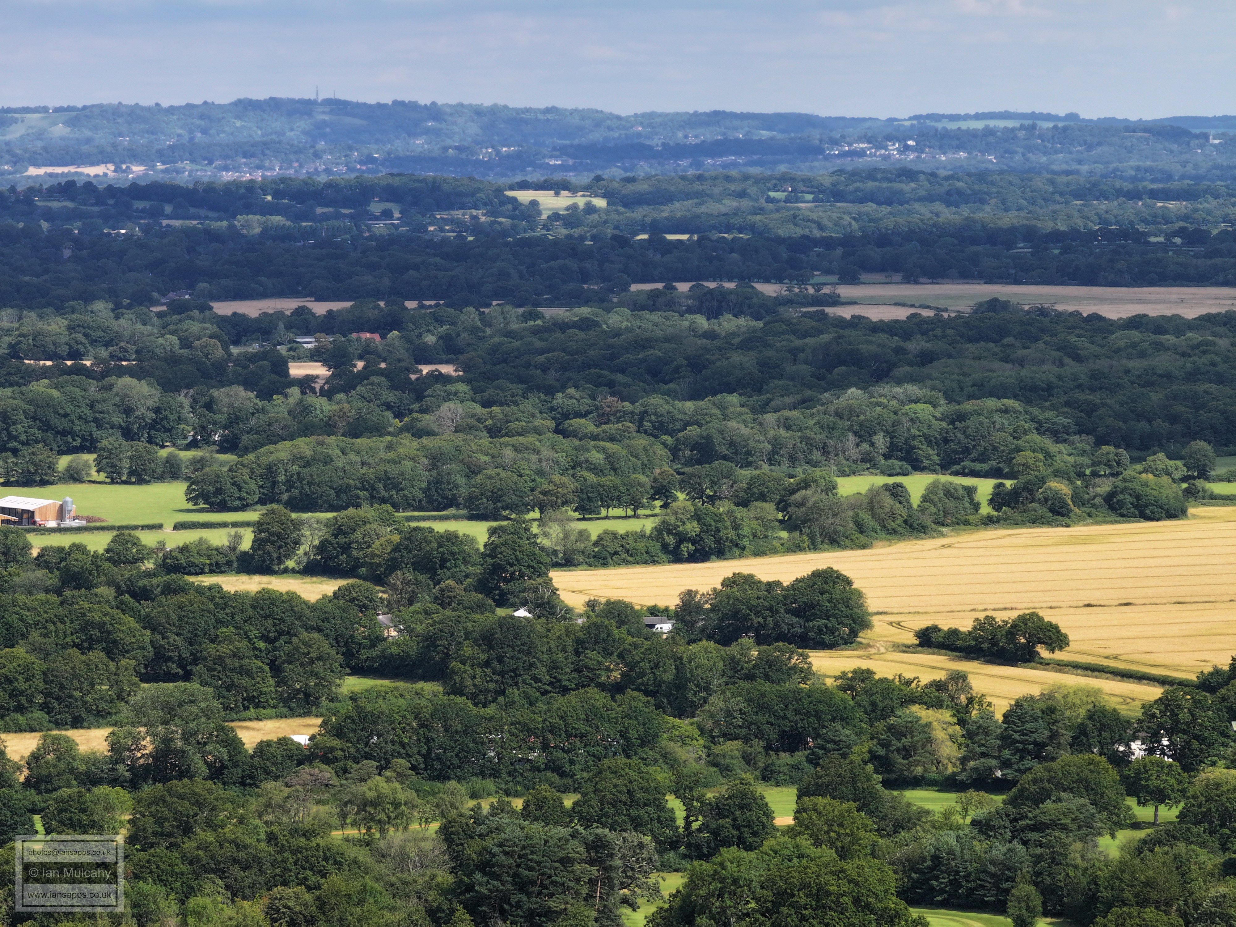
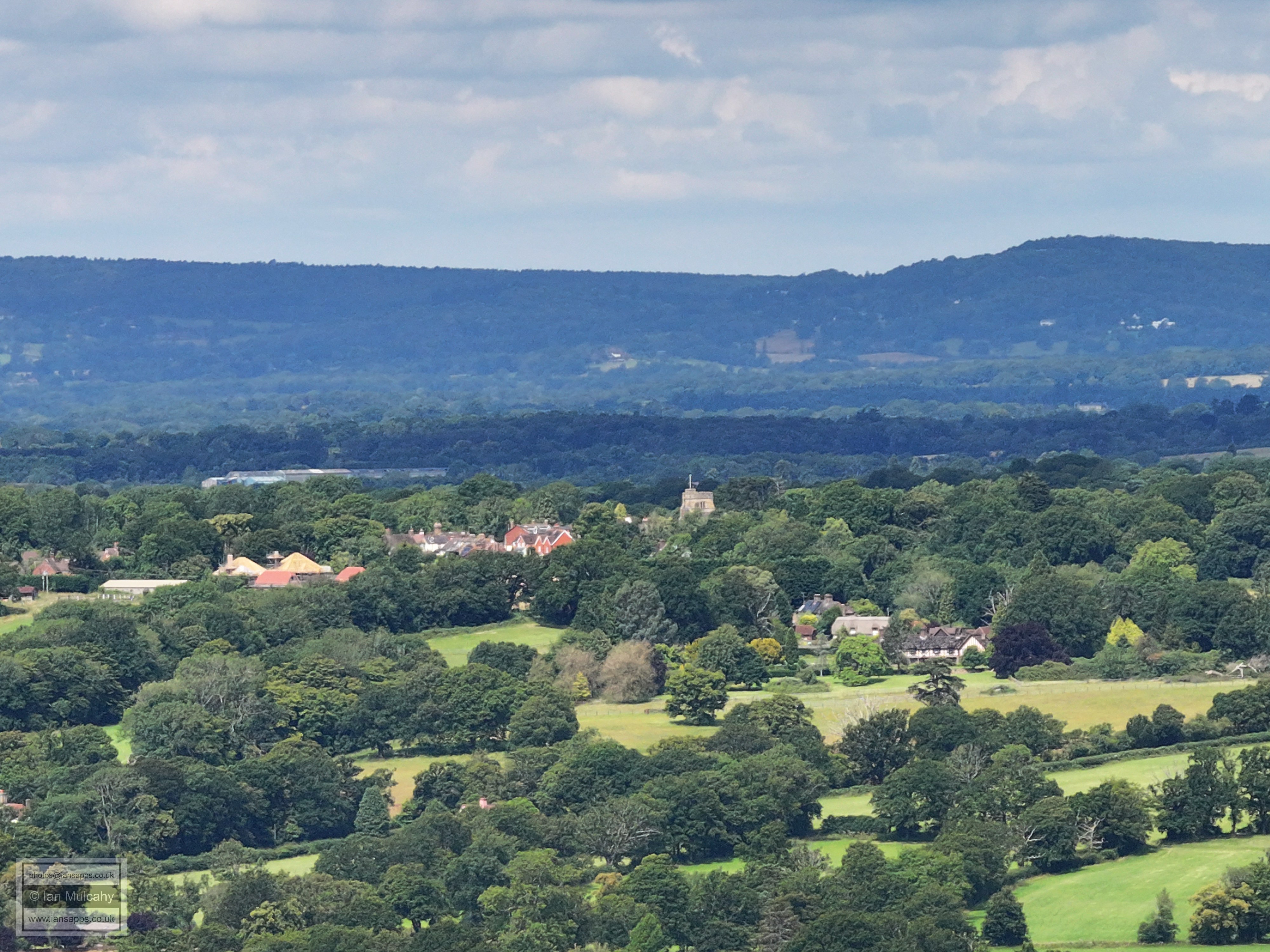
The top left quarter shows the centre of Rusper Village with the church being the most prominent feature. Below and right of the church is 'Normans'. To the right of centre is part of Lambs Green.
Leith Hill
Left or centre are the two houses at the junction of Burnt House Lane, Langhurst Lane and Rusper Road.
In the bottom right quarter are Stumbleholme Farm and some of the properties along Rusper Road, close to the junction with Ifield Wood. The large barns in the top right quarter are at Ivy House Farm on Partridge Lane. A little to the left of the barns is the spire of St Peters Church, Newdigate.
Box Hill is on the horizon and The Mount is the large white building in the top left quarter.
The large white building about a fifth of the way down and to the left of centre is Russ Hill Hotel. On the very far right and central, only partially in shot, is Bonwycks place in Ifield Wood.
Bonwycks place is now On the left and central. The new looking barns are in the field behind Wood End in Ifield Wood. Look very closely and you'll see the tower of St Nicholas church in Charlwood in shadow in the top right quarter.
Reigate under Reigate Hill in the distance
Parts of field Golf Course are visible at the foot of the photo, with the houses on Rusper Road just before Furlong Farm above. Ifield Brook Meadows fills the middle portion of the picture, with Druids just above and the western end of the runway beyond. St Johns Church at Earlswood is in the top left corner on the side of the hill.
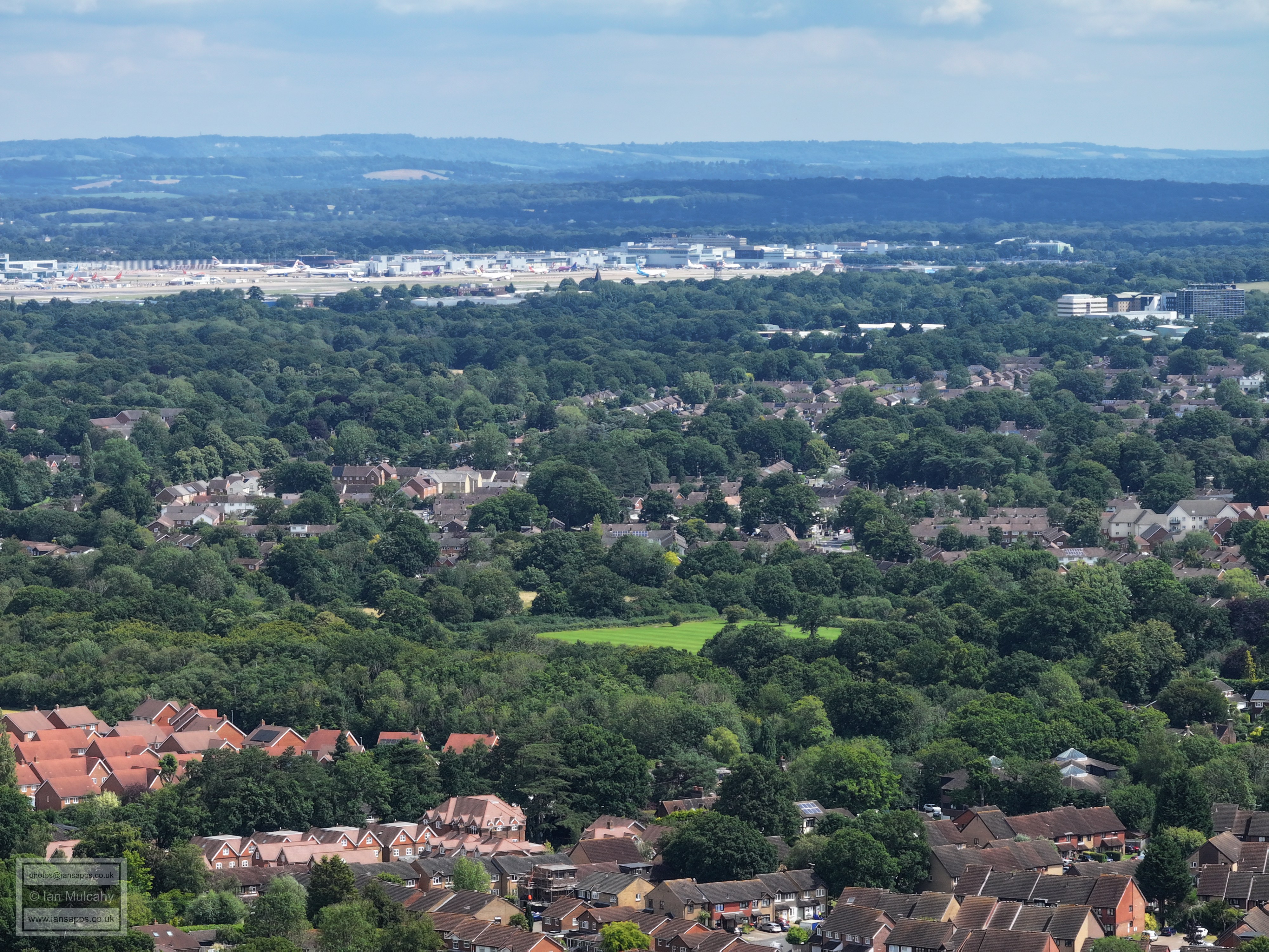
Almost back to where we started, with St Margaret's church just right of centre with the Hindu Temple tower visible above and to the right.
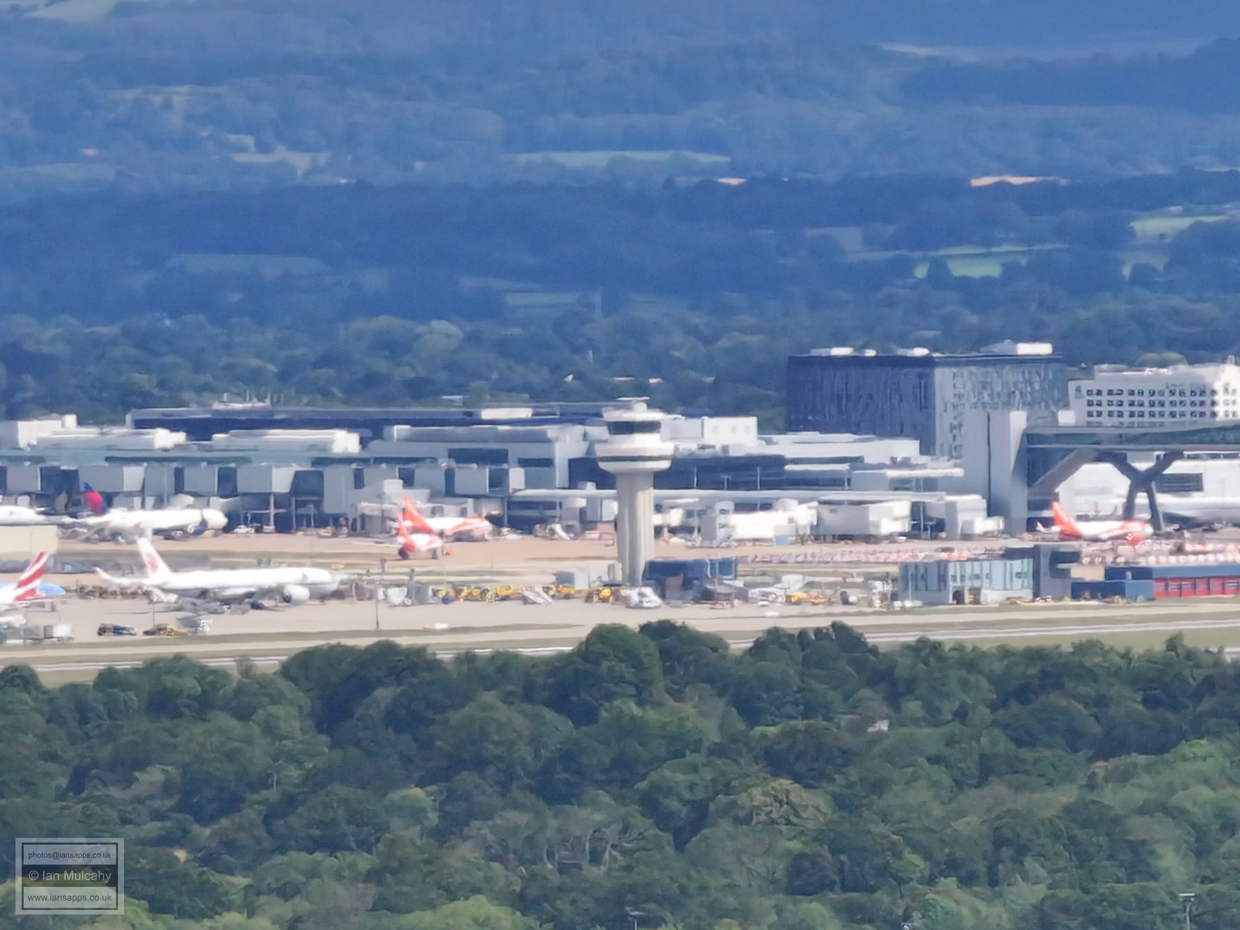
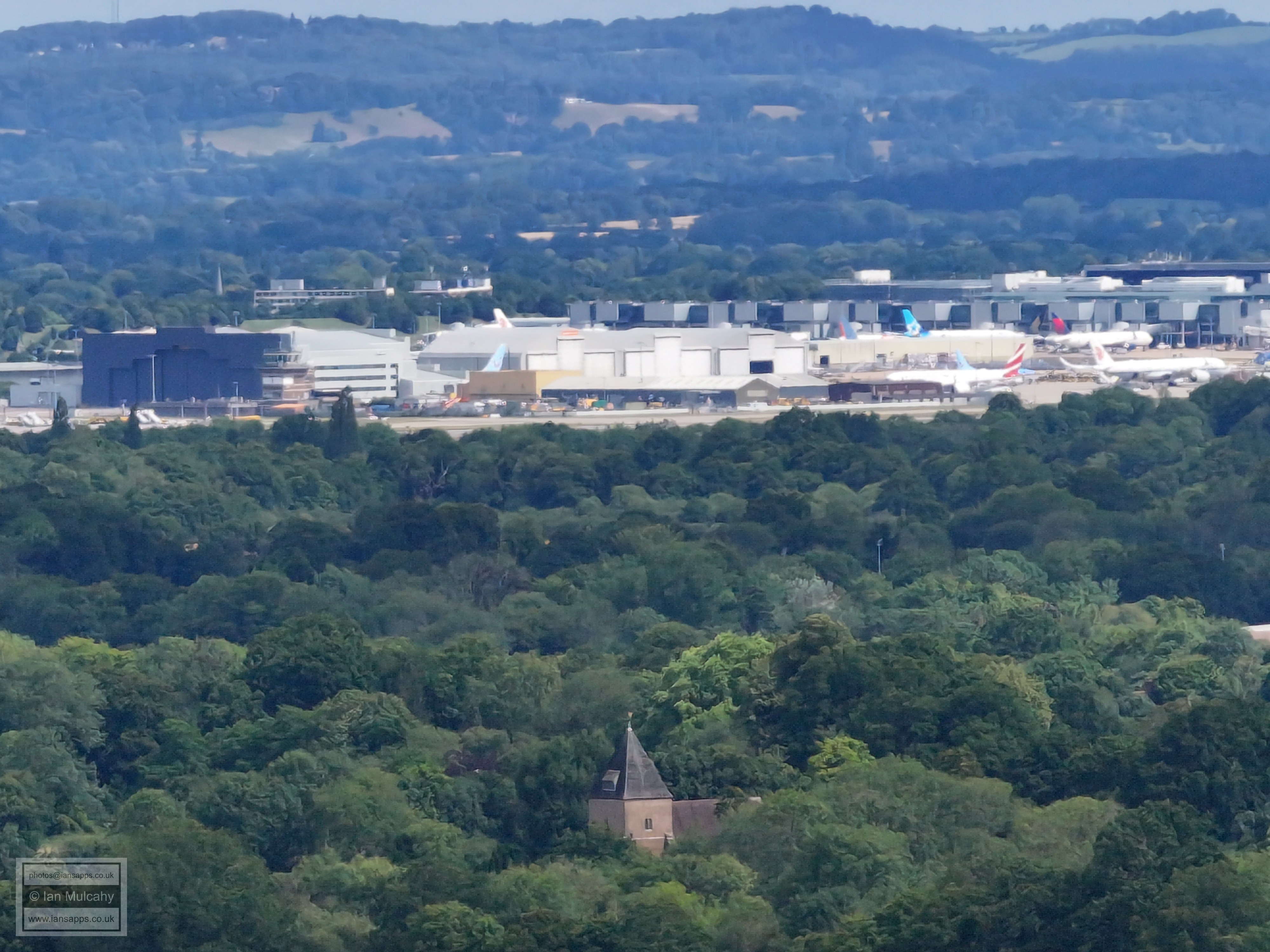
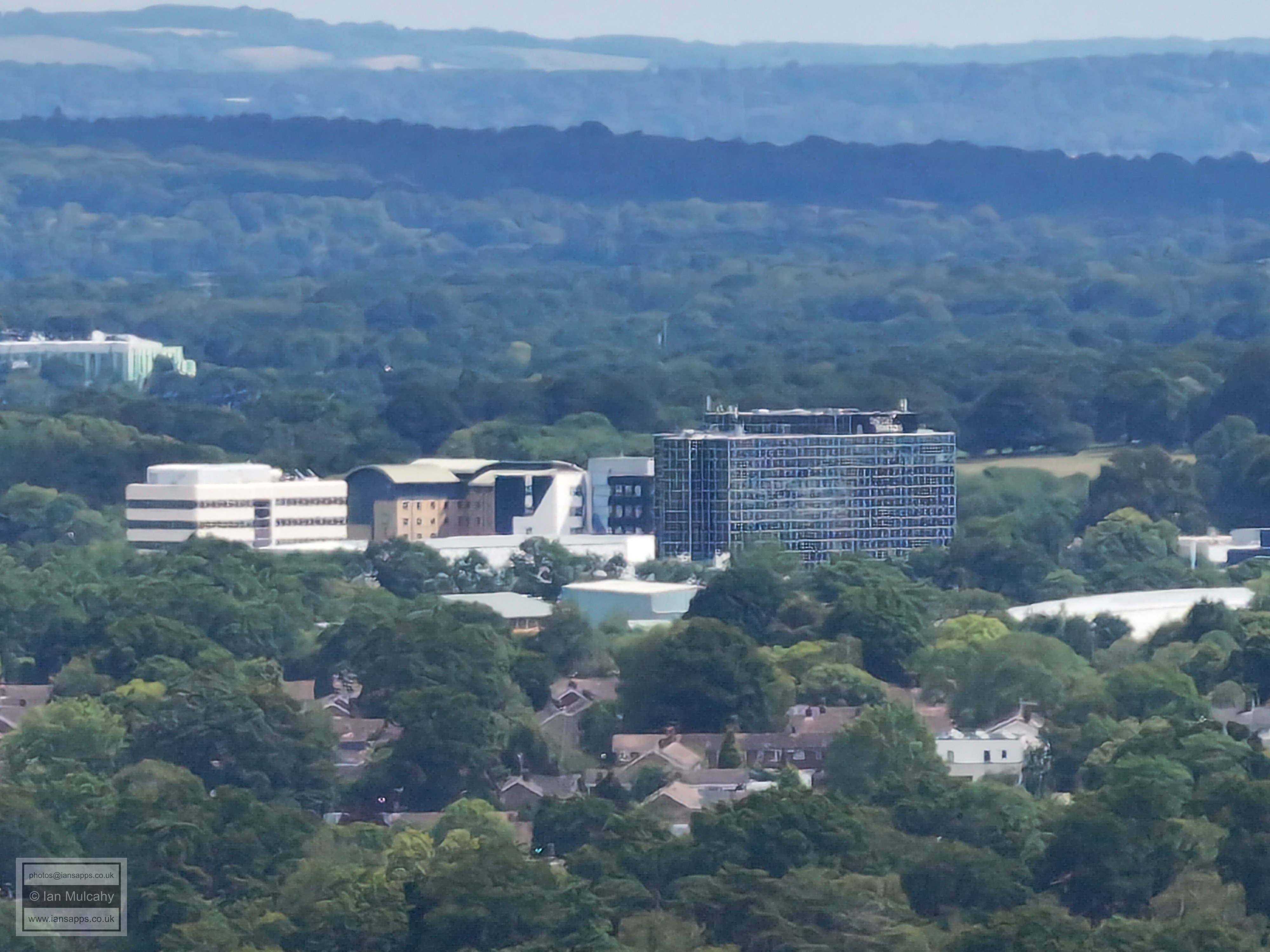
The following pictures have used enhanced digital zoom and have been included for interest, rather than quality of photo.
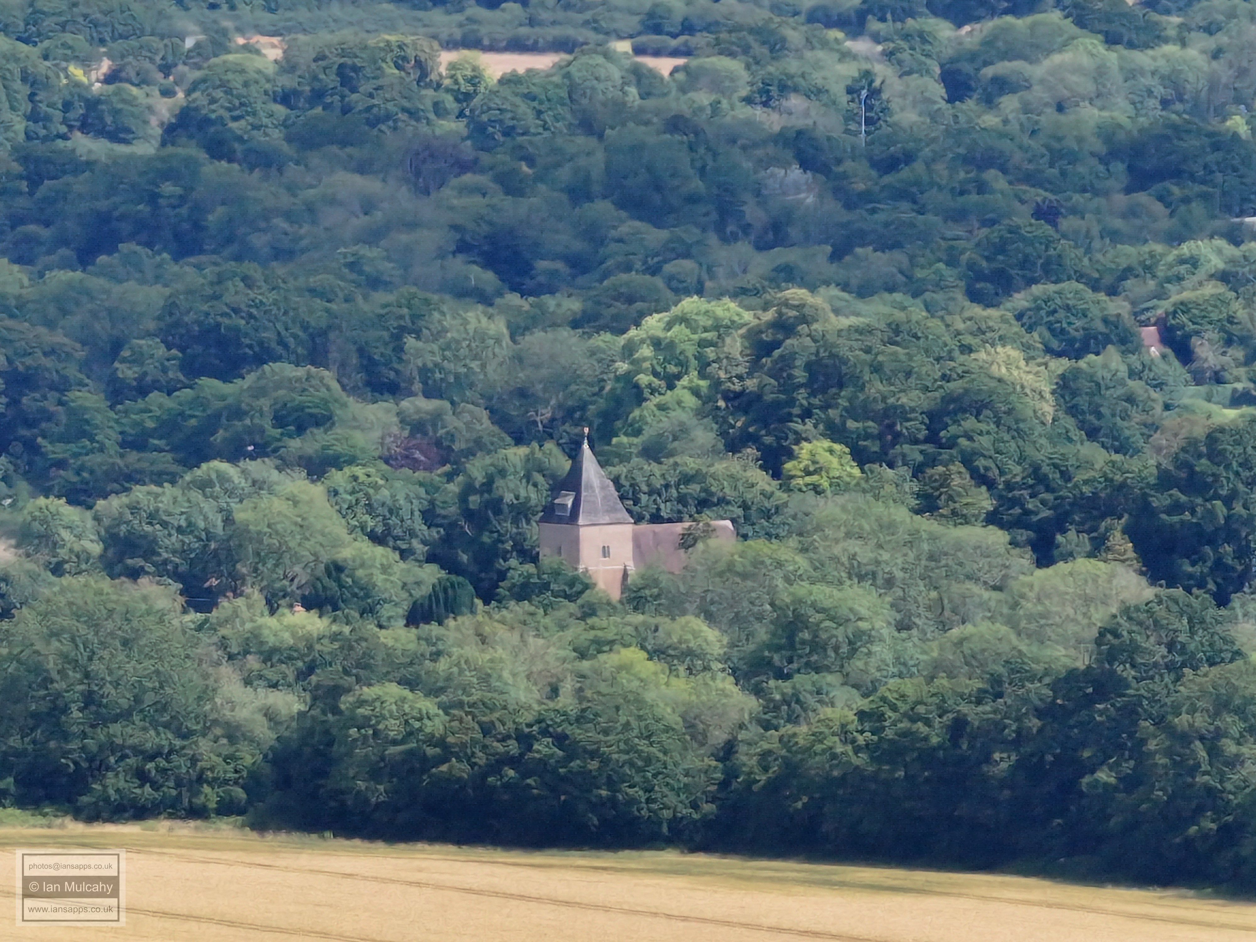
St Margaret's church, Ifield
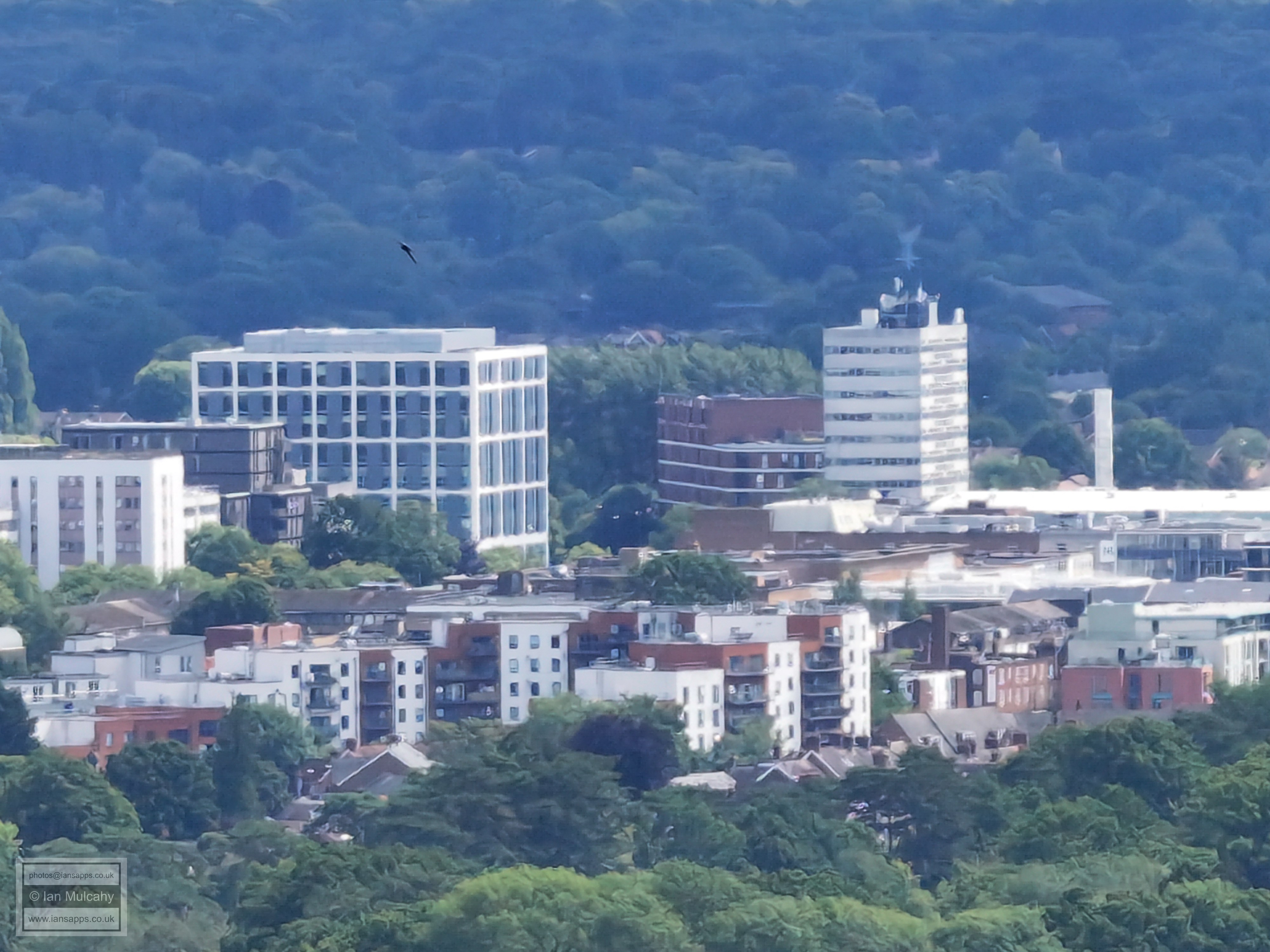
Town Hall and College
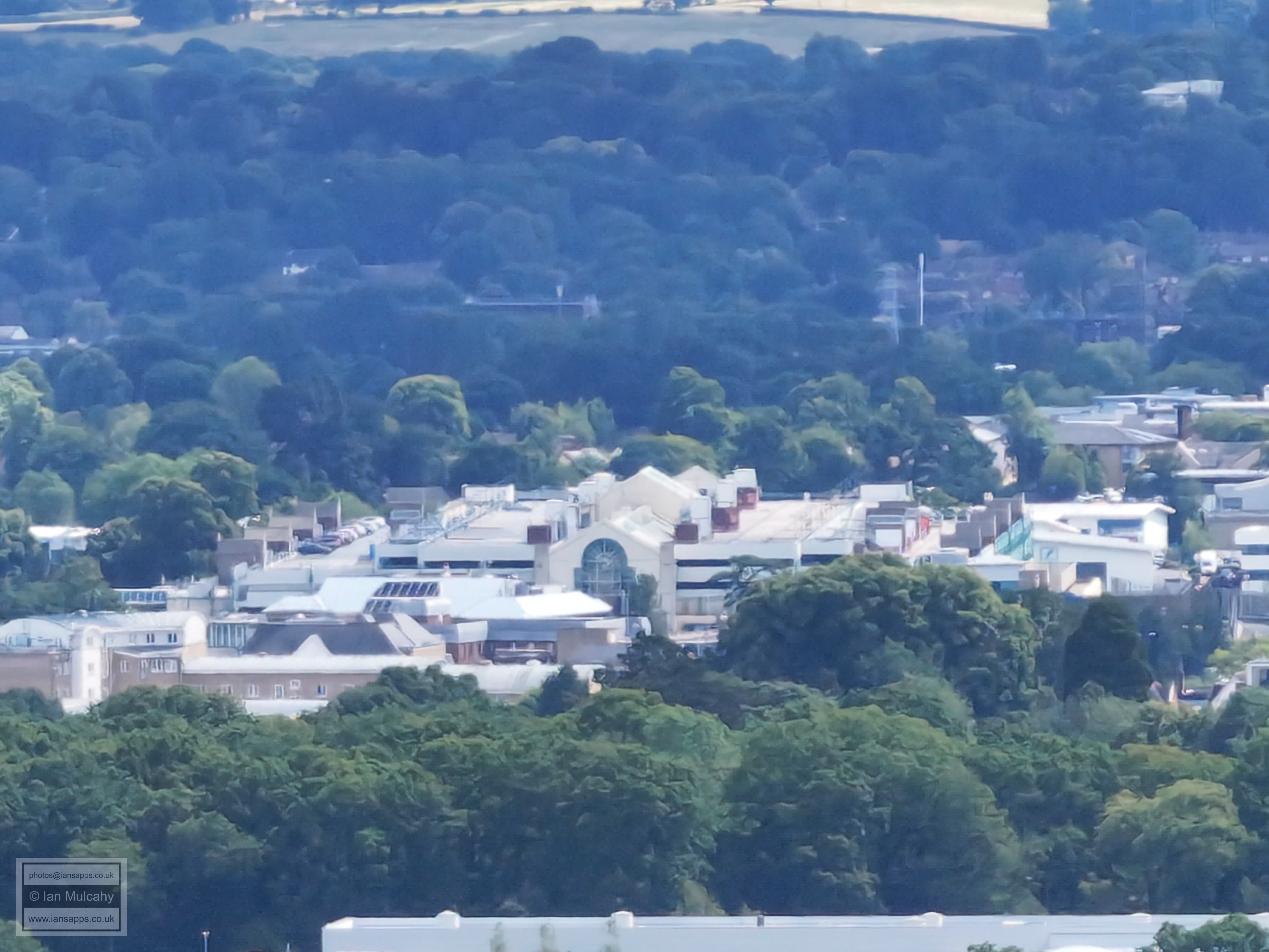
County Mall
Holmbush
Rusper
Rusper
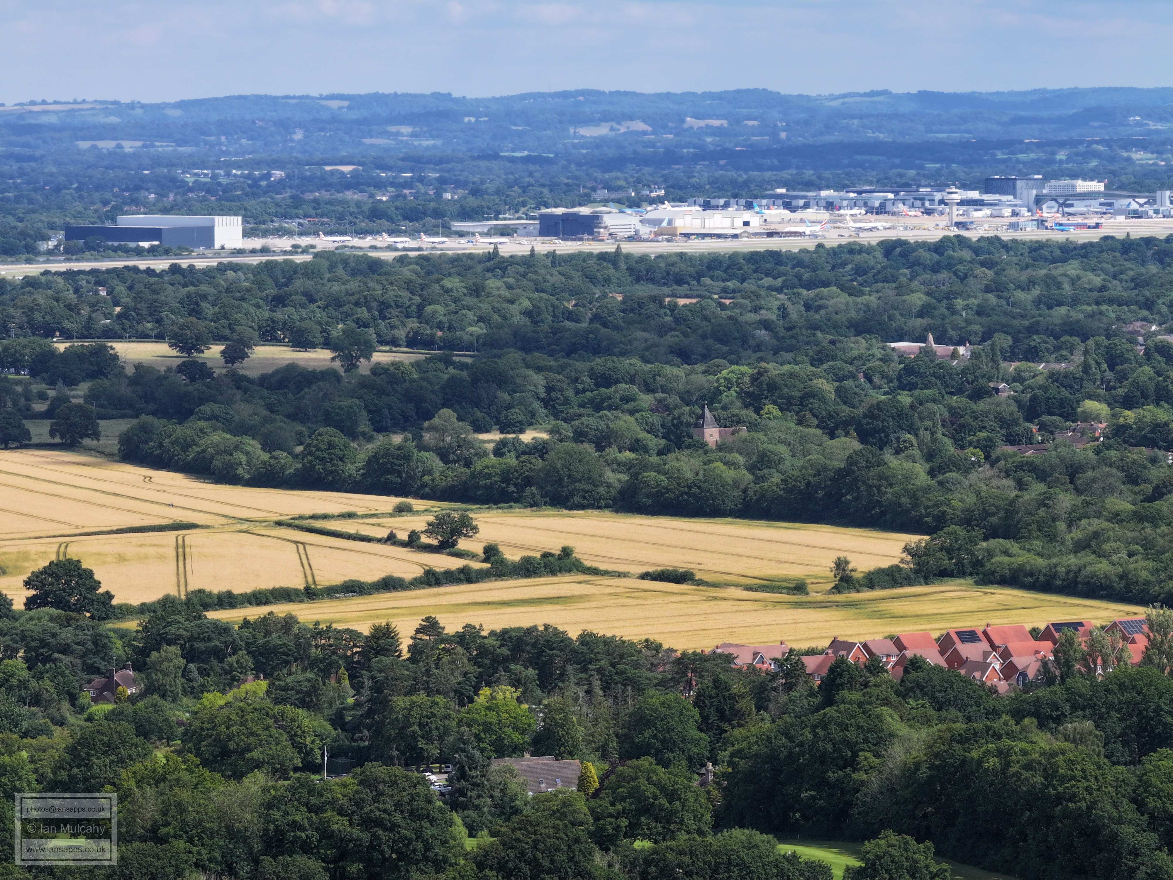
St Margaret's and Gatwick
Astral Towers. The roof of the dump is to the right.
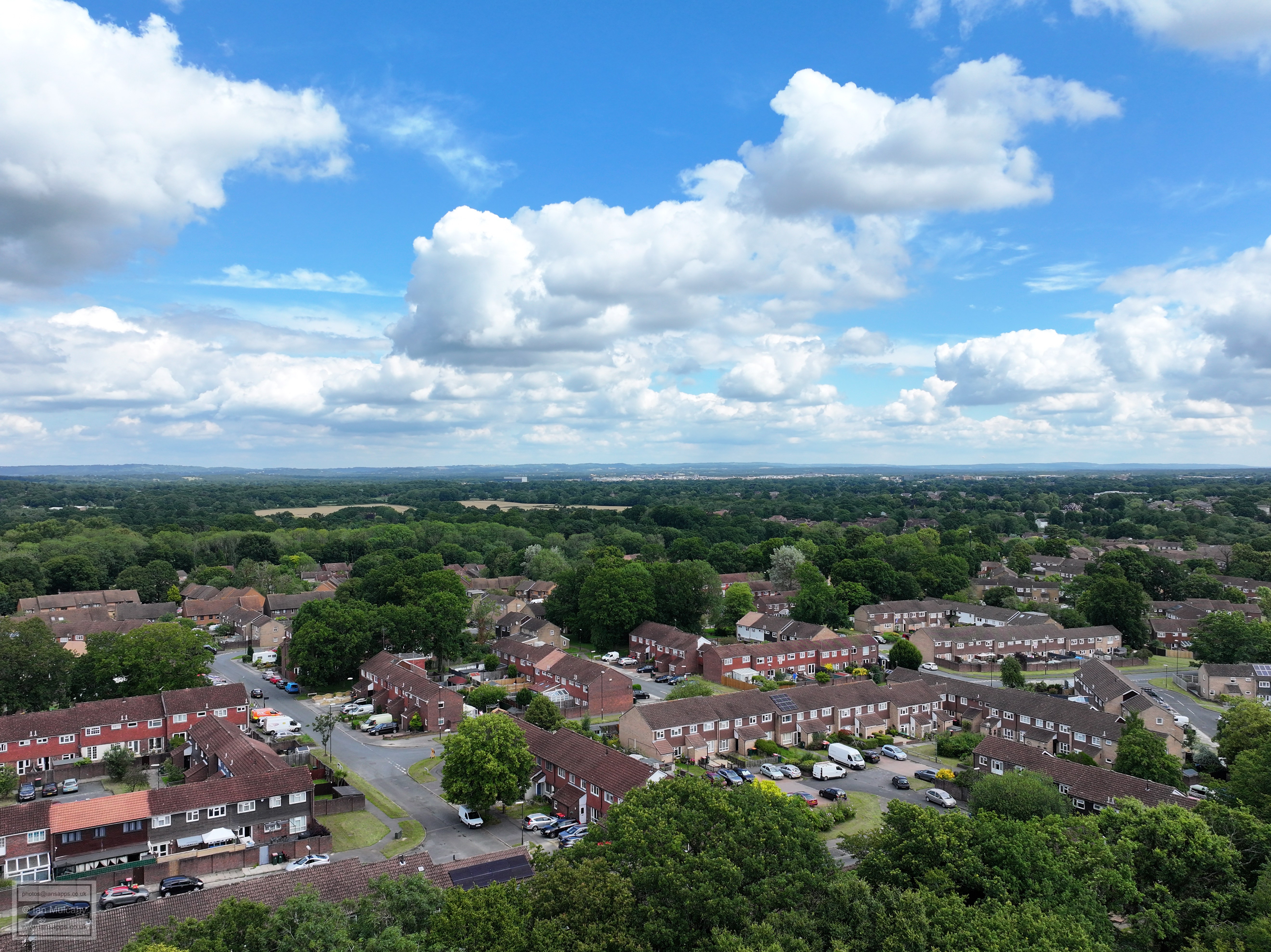
On the way down with no zoom at all, just for context of distance. Fairway and Langdale Road in the foreground.
Text & photographs © Ian Mulcahy. Contact photos@iansapps.co.uk or visit my 'Use of my photographs' page for licensing queries (ground level photographs only). |
|