Broadfield Park
27 July 2024
57 aerial photographs of varying focal lengths
|
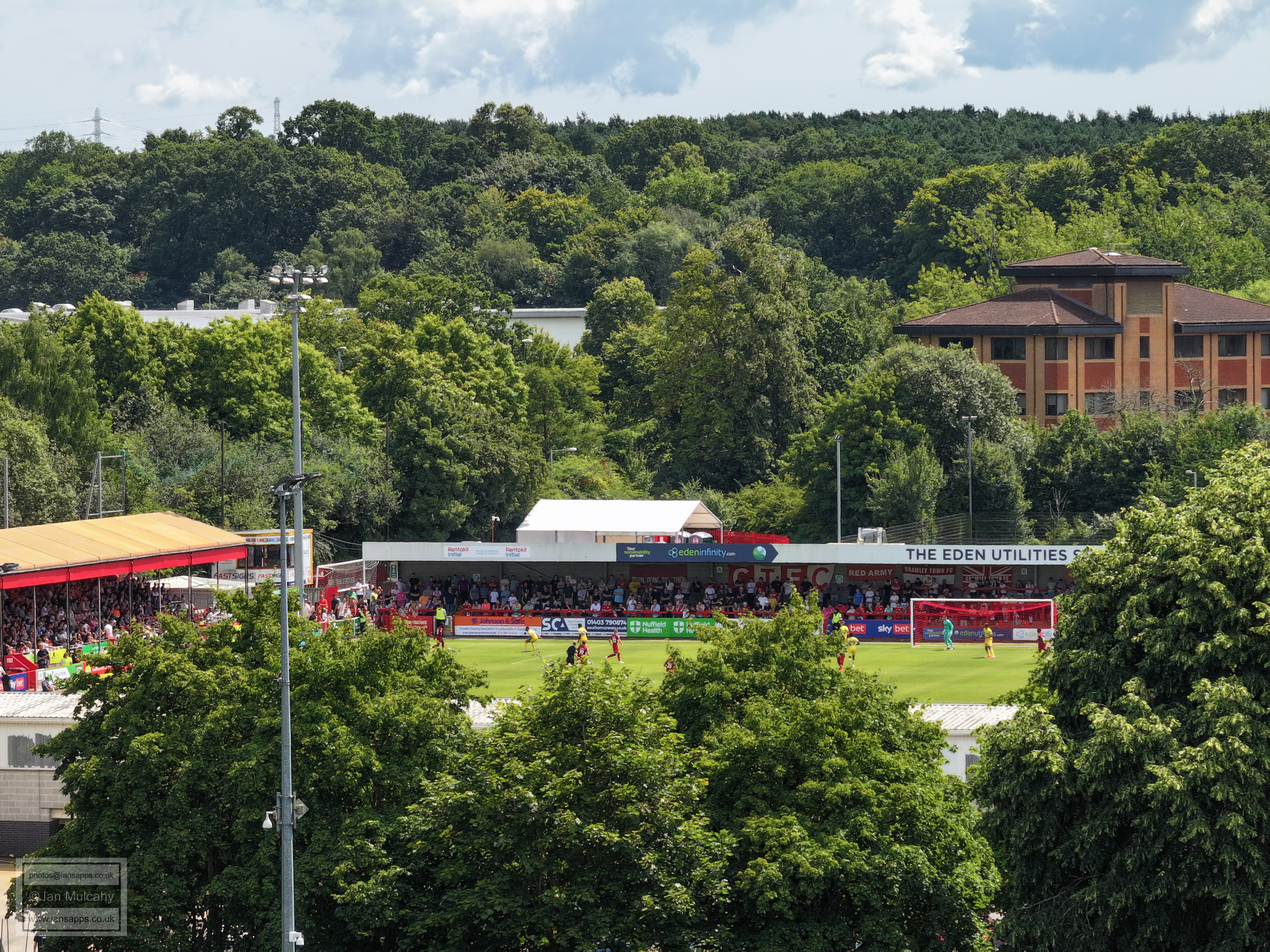
57 aerial photographs, 54 of which were taken from above Broadfield Park during the Crawley Town v Crystal Palace friendly match on on 27 July 2024 using varying focal lengths. The final three photos were taken from Rathlin Road fields, beyond the 3g pitches, a short while later.
I've added brief annotations to some of the photos to help with your bearings.
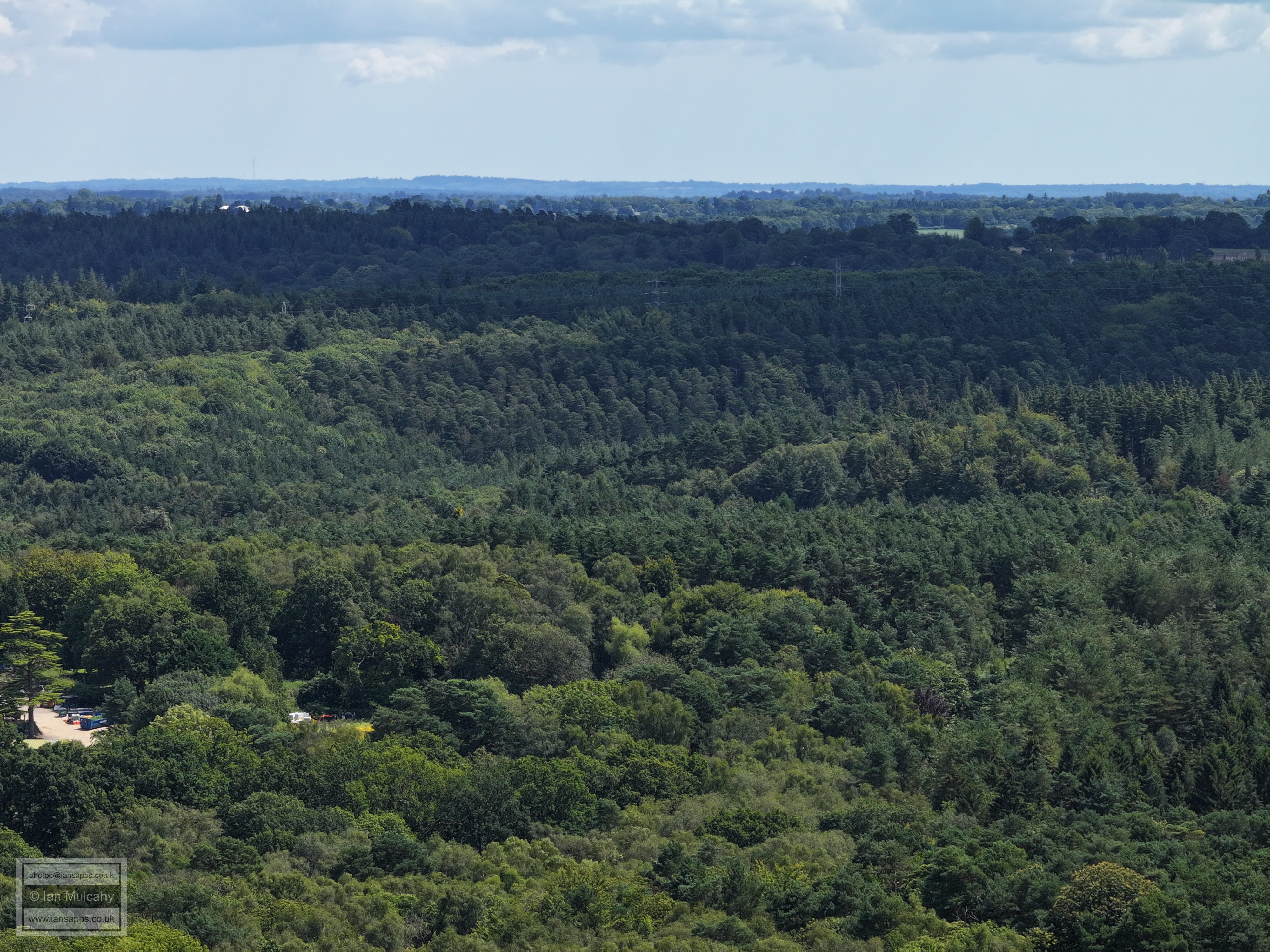
The following photos have a 35mm equiv. focal length of 70mm - 3 times zoom.
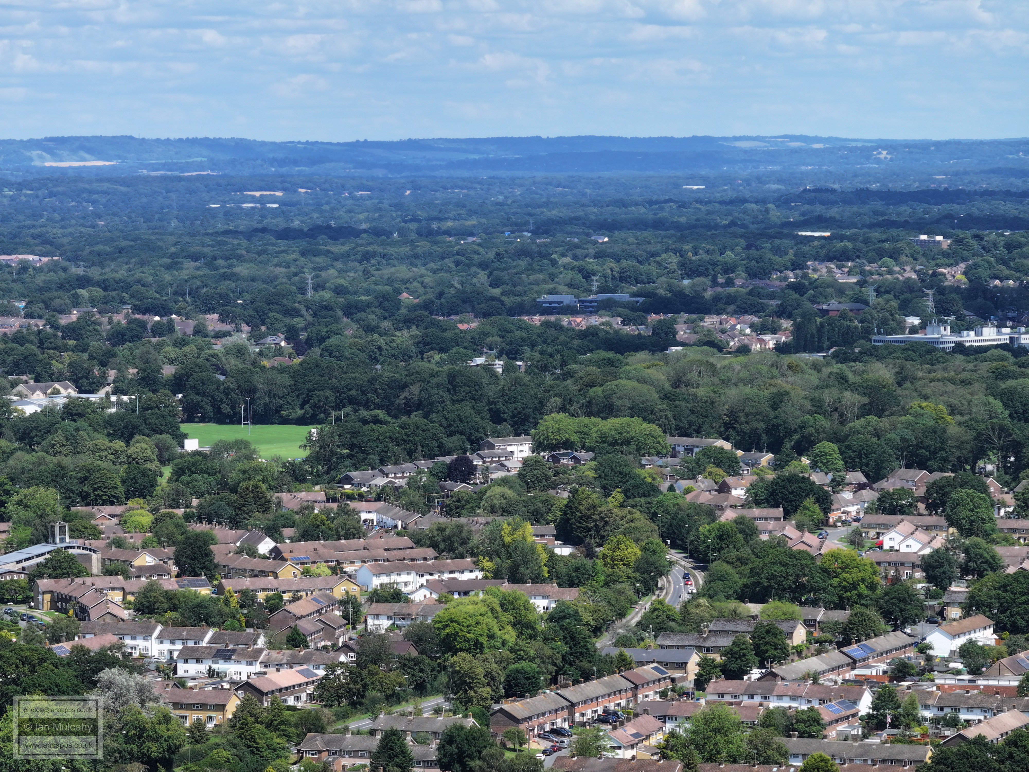
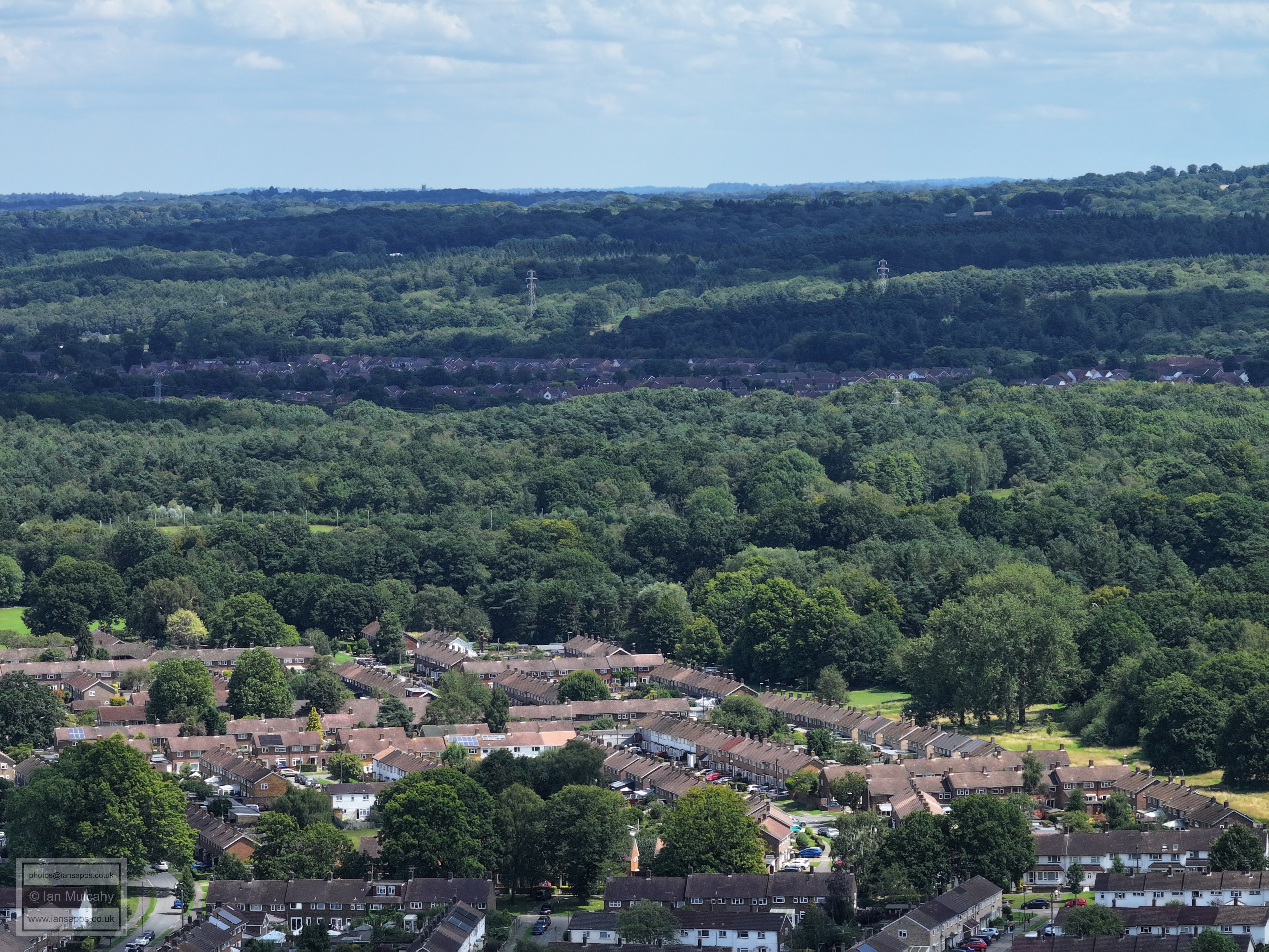
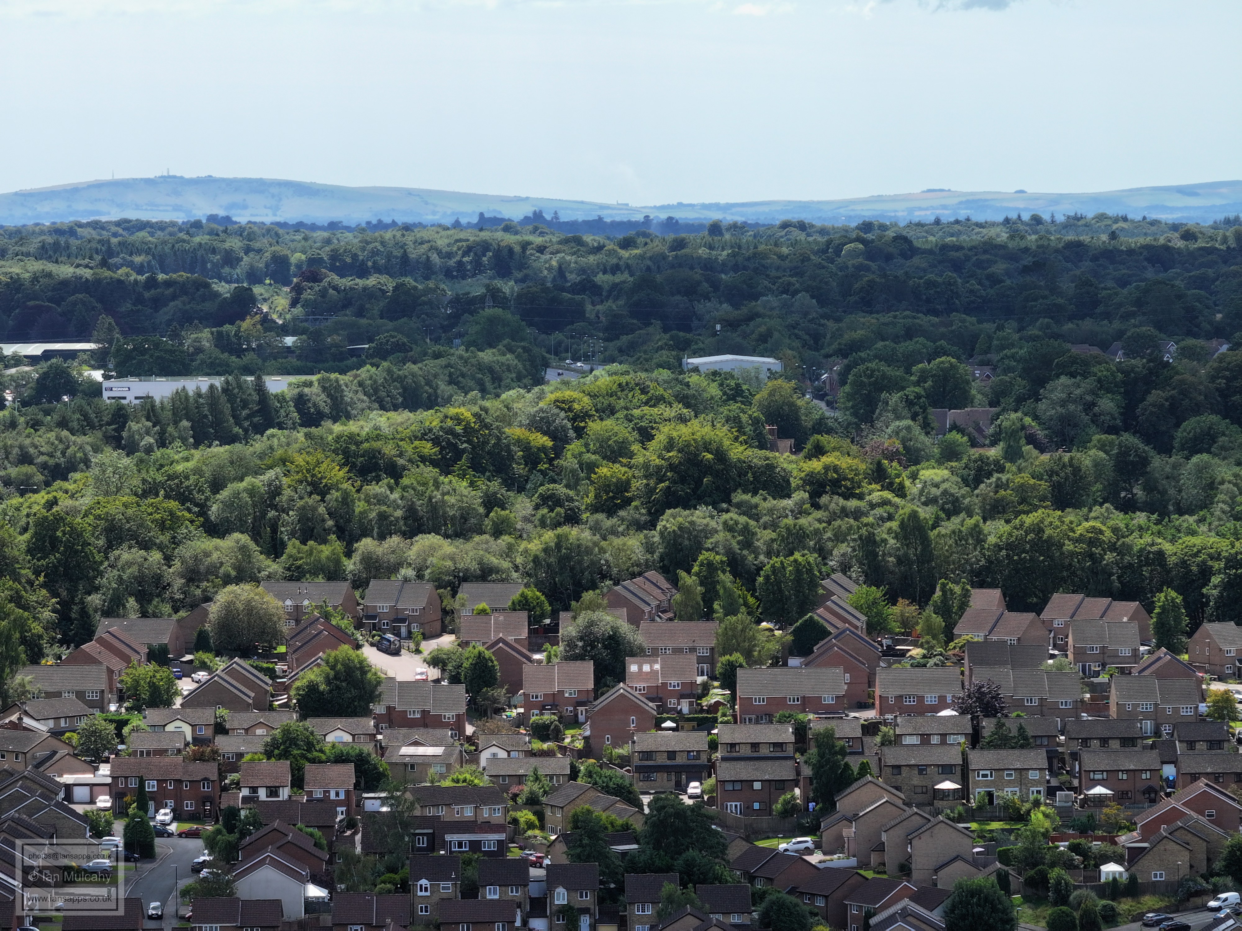
Thomas Bennett in the foreground with Tilgate (right) and Southgate (left) beyond. The wooded area just above centre is the Hawth and the field to the left of The Hawth is Southgate Playing Fields - spot the rugby posts! Above the Hawth is Sutherland House (Paymaster).
K2 and Tilgate
Tilgate Huts in the centre. Maidenbower can be seen top left.
In the top left quarter is the Wildlife centre at Tilgate Park
Tilgate Forest Business Centre
A23 up Pease Pottage Hill and Woodgate in the distance.
Woodgate Top left, the A23 on the left and Hollingbourne Crescent filling the bulk of the photo.
Tollgate Hill. In the top right, in shadow, are the Radar and Water Tower at Buchan Hill
Creaseys Drive. In the centre, close to the top, is Buchan House/Cottesmore School.
Broadfield. The bus is on coachmans Drive, having just passed the medical centre. The first line of trees are those in the centre of the housing area encircled by Creaseys Drive and the second group of trees, with houses above, is where Creaseys Brook runs and separates the Seaford Road area from the Broadwood Rise area.
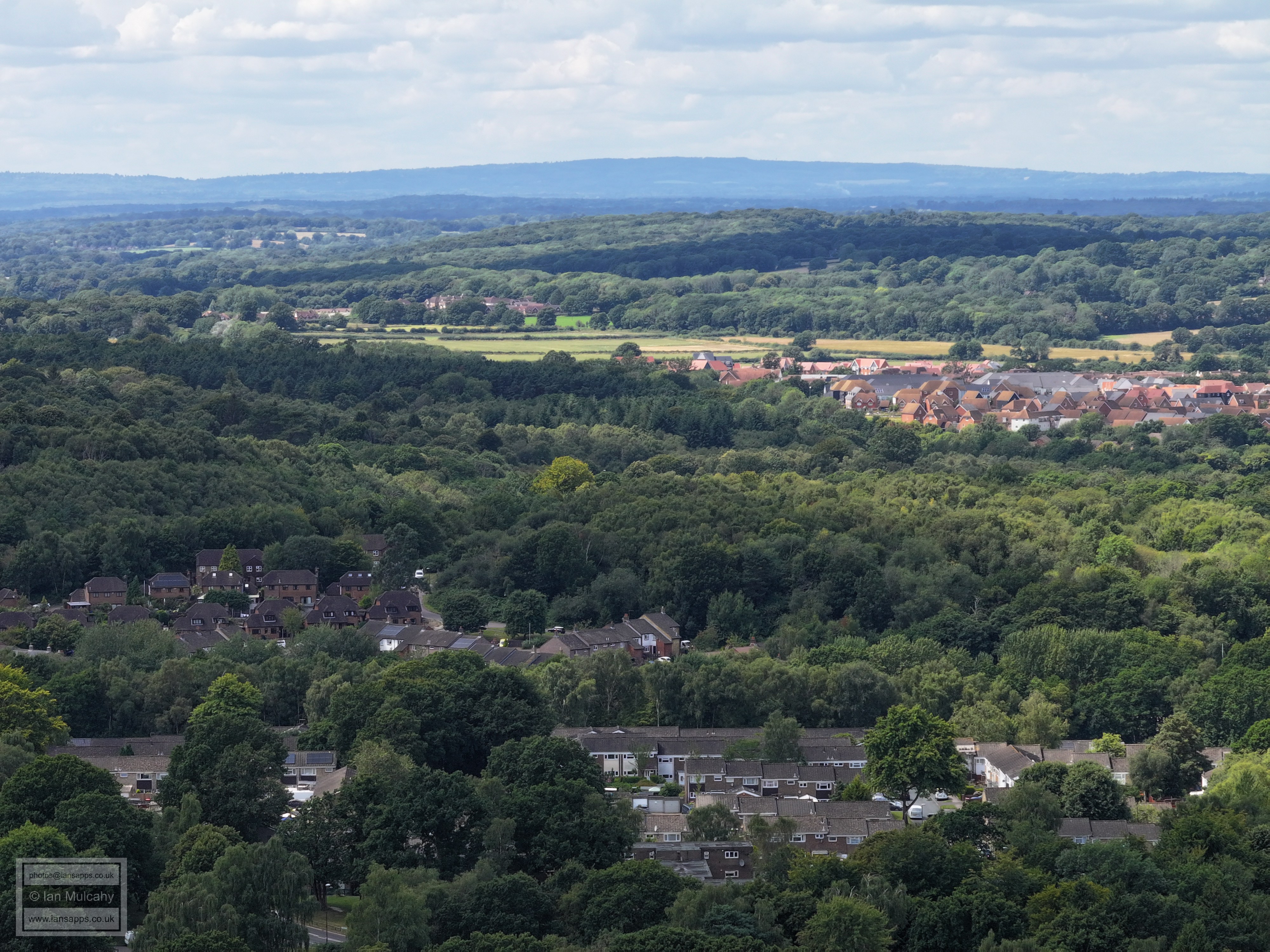
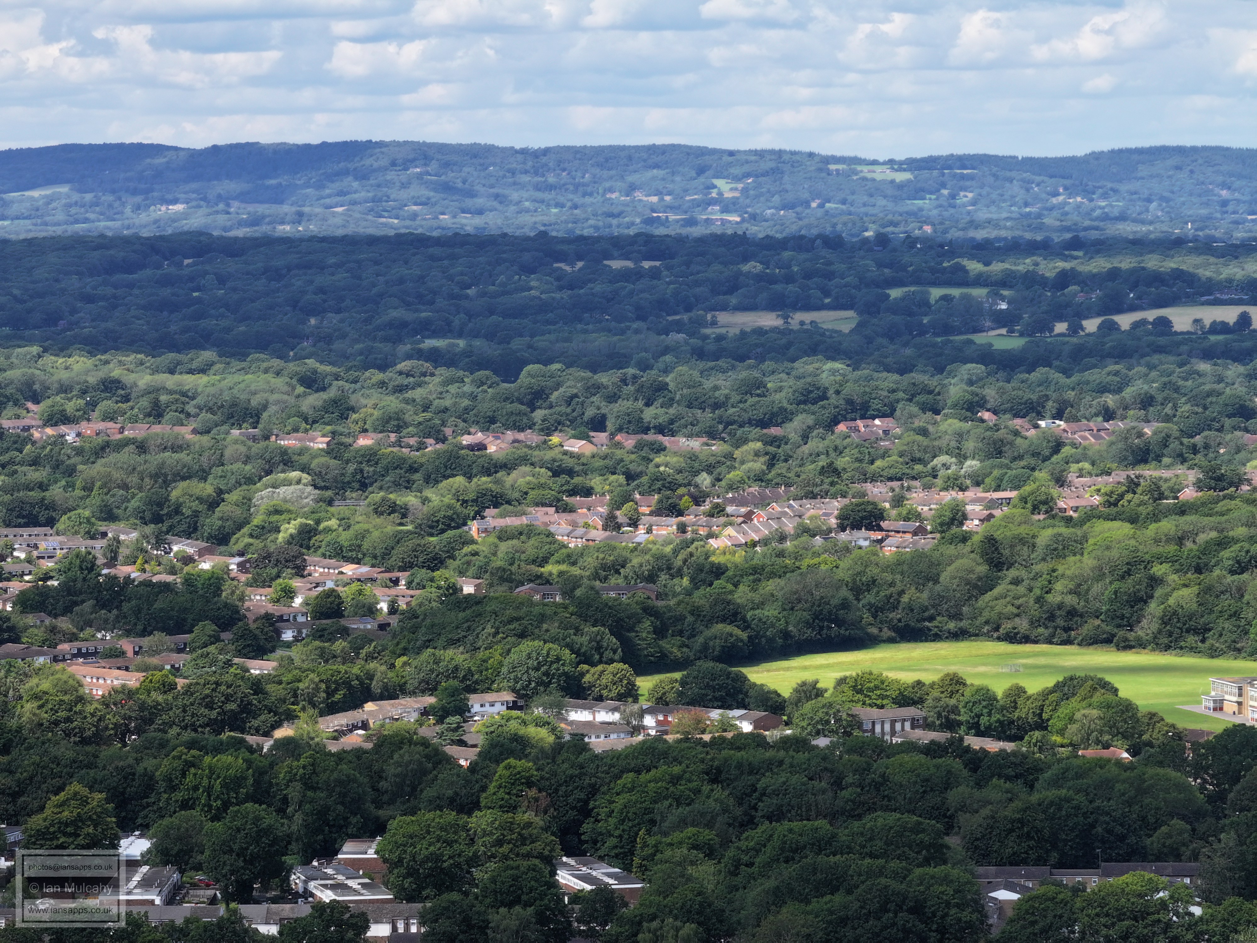
Broadfield Barton in the Centre, Breezehurst Pavilion a way above and Kilnwood Vale in the top left quarter. The tip of Ifield West is in the top right quarter.
Across the top between two bands of trees is Ifield West and the phone mast at Woldhurstlea is visible in the top right quarter, just above Holy Trinity and their playing fields. Much of Bewbush and lots of Gossops Green are in shot and Broadfield is in the foreground. If you look really closely in the right place, in the tree filled area at the point where Ifield West, Gossops Green and Bewbush converge, then you'll just be able to make out the boardwalk across the Millpond.
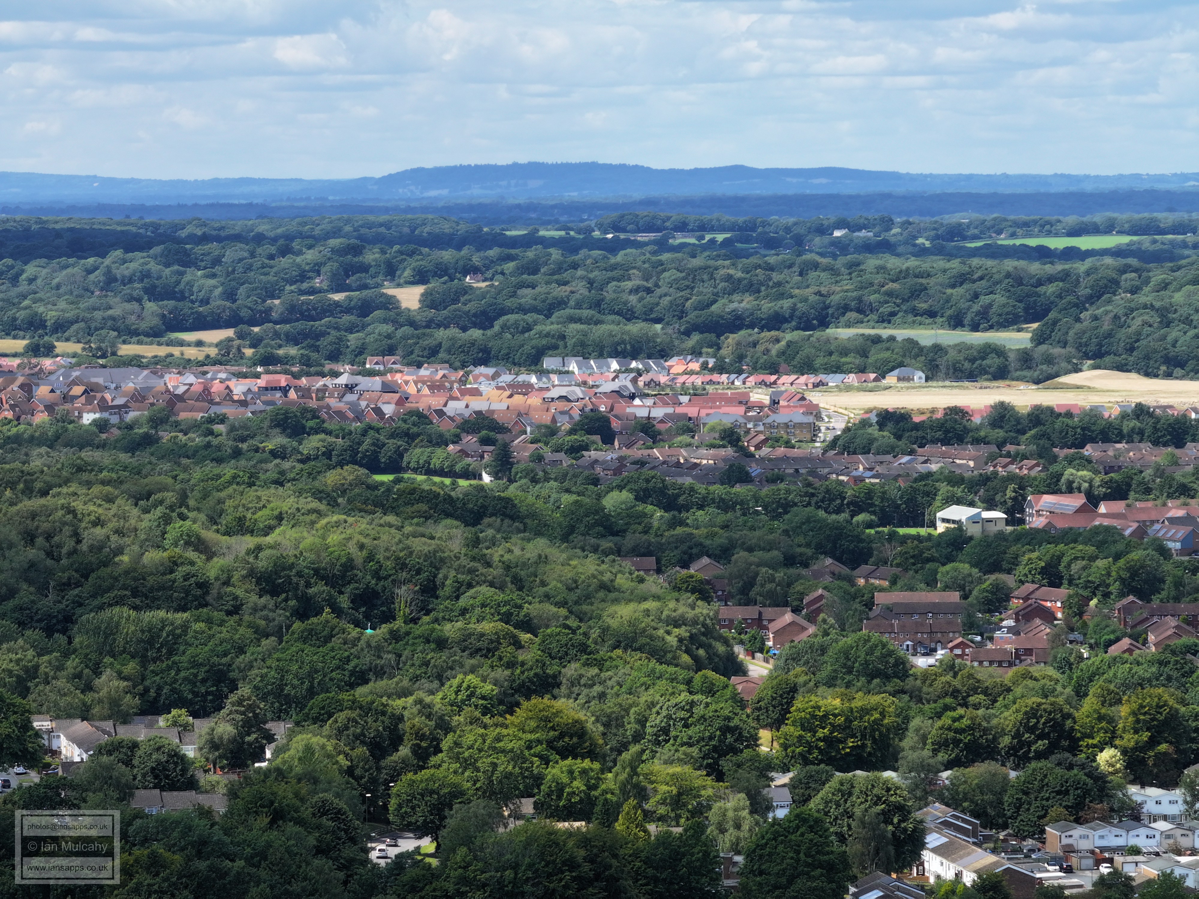
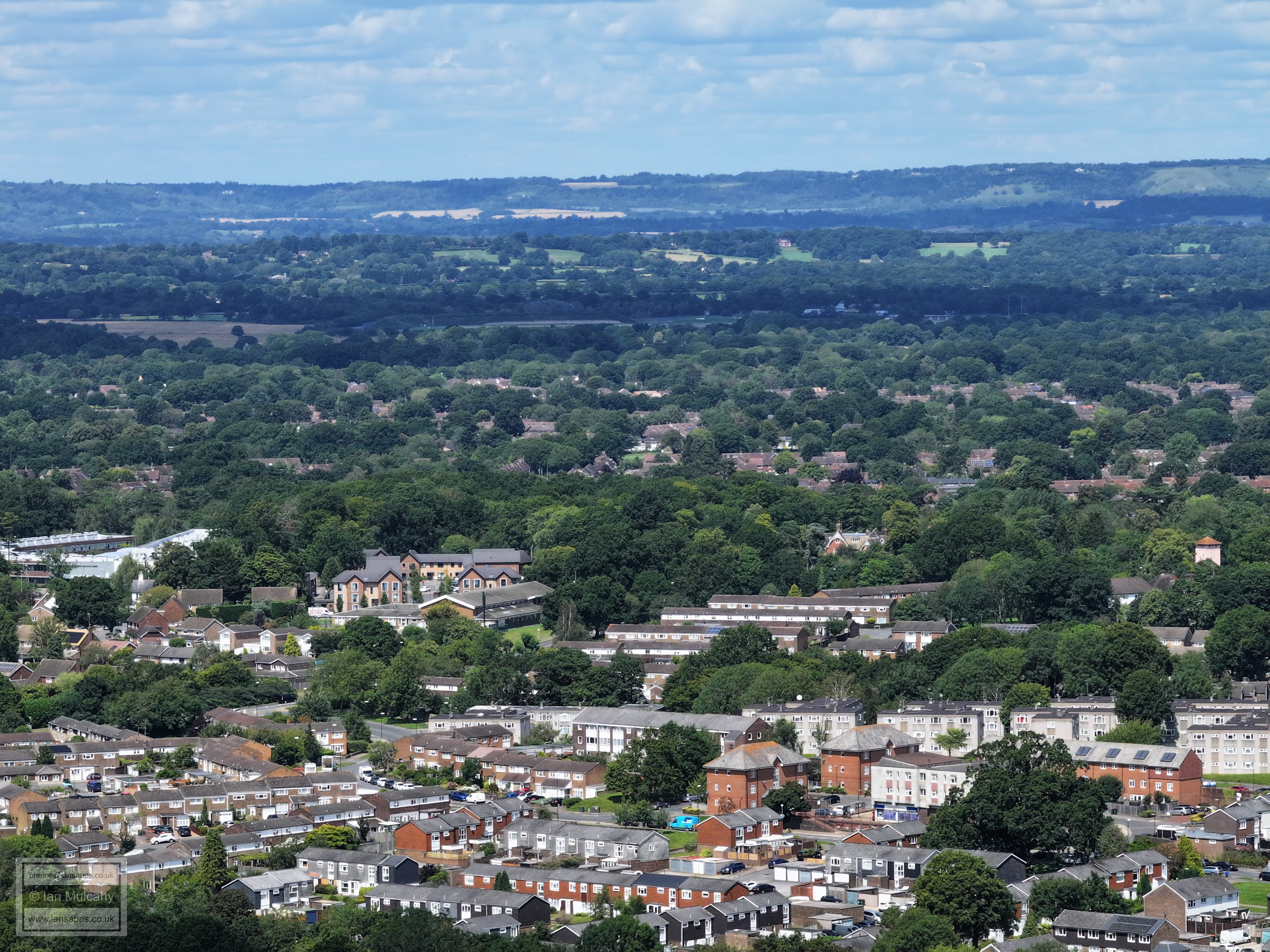
Broadfield in the foreground with the relatively new flats at Rathlin Road just below the wooded area in the centre. The road just above the woods is Kingscote Hill with Buckswood Drive to the left and the A23 from Cheals up to Gossops Green traffic lights to the right. You can just see Cheals roundabout! Ifield is beyond, topped by St Margaret's Church, with Druids above and to the right in a gap between trees. The white building in the centre on the ridge is Russ Hill Hotel. In the lower part of the top right quarter are Southgate West and St Wilfreds.
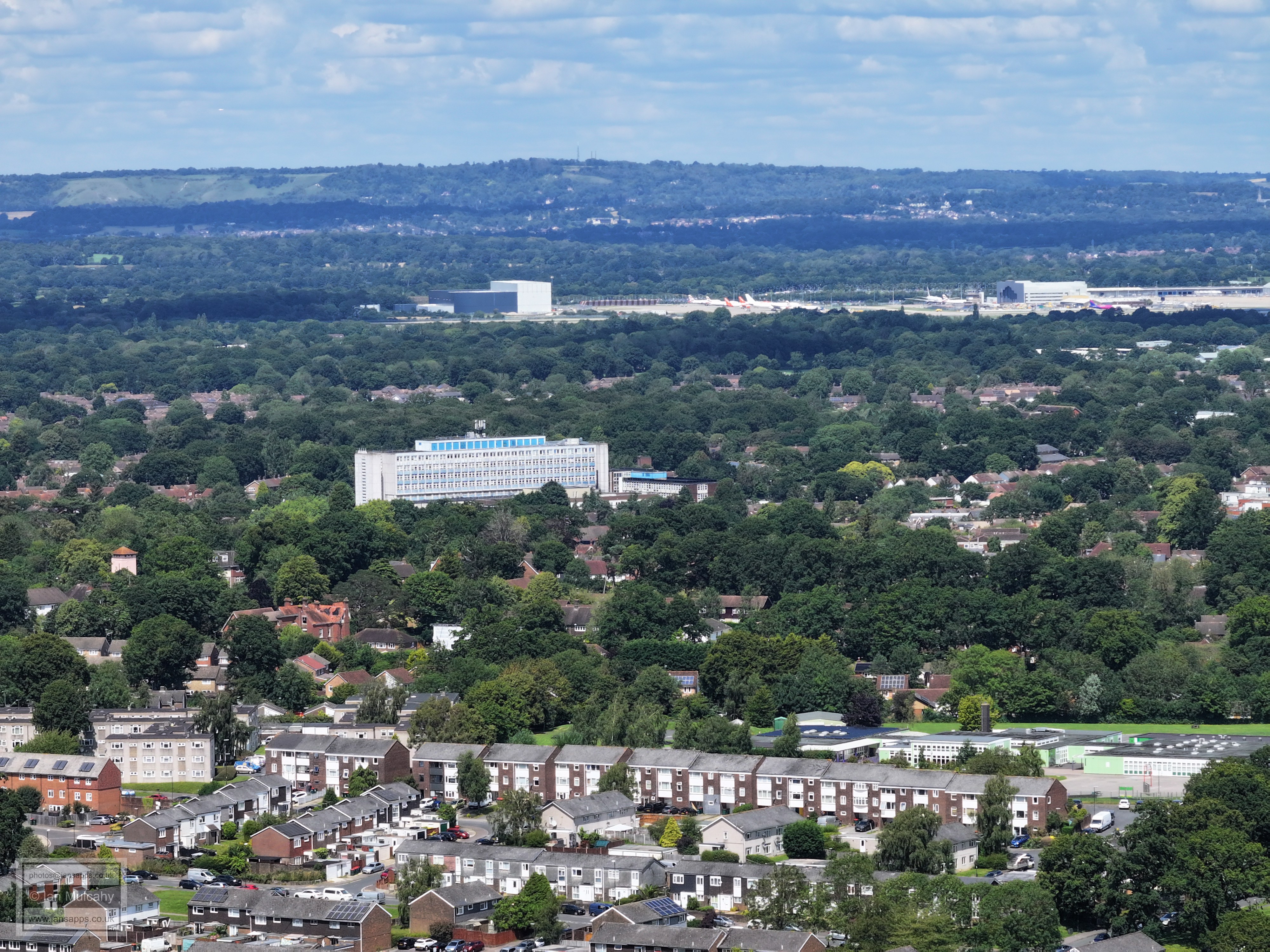
Hospital in the centre with Southgate West below. The eagle eyed will spot Goffs Park House and the tower attached to the house on the corner of Horsham and Goffs Park Roads. In the Town Centre area to the right you can see Cineworld and the roof of Asda and to the left of Cineworld is the Crowne Plaza, just below Astral Towers.
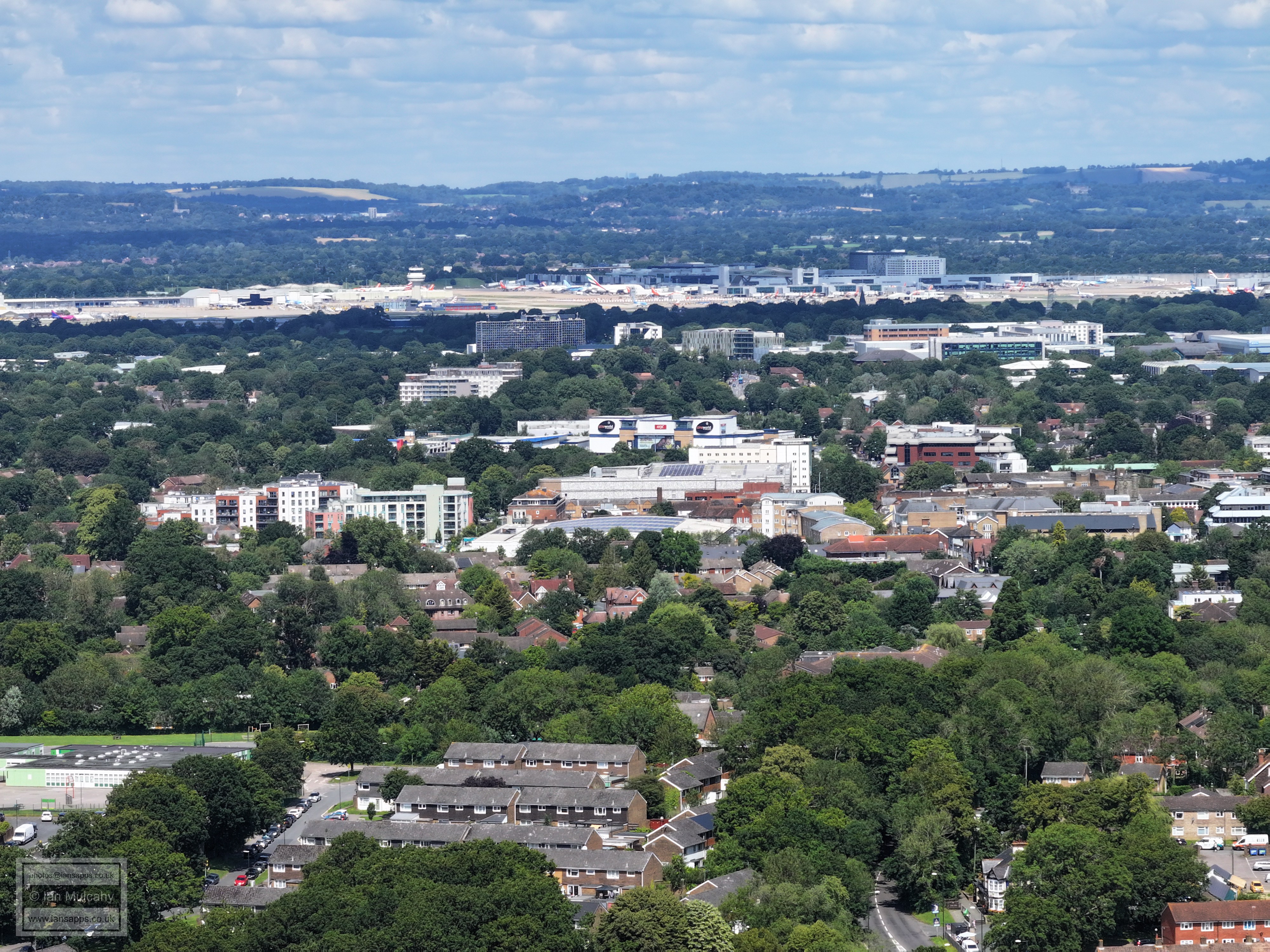
Broadfield stadium, Southgate and the Town centre. St Michaels Church at Lowfield Heath can be seen just below the white cube shaped building in the top left quarter.
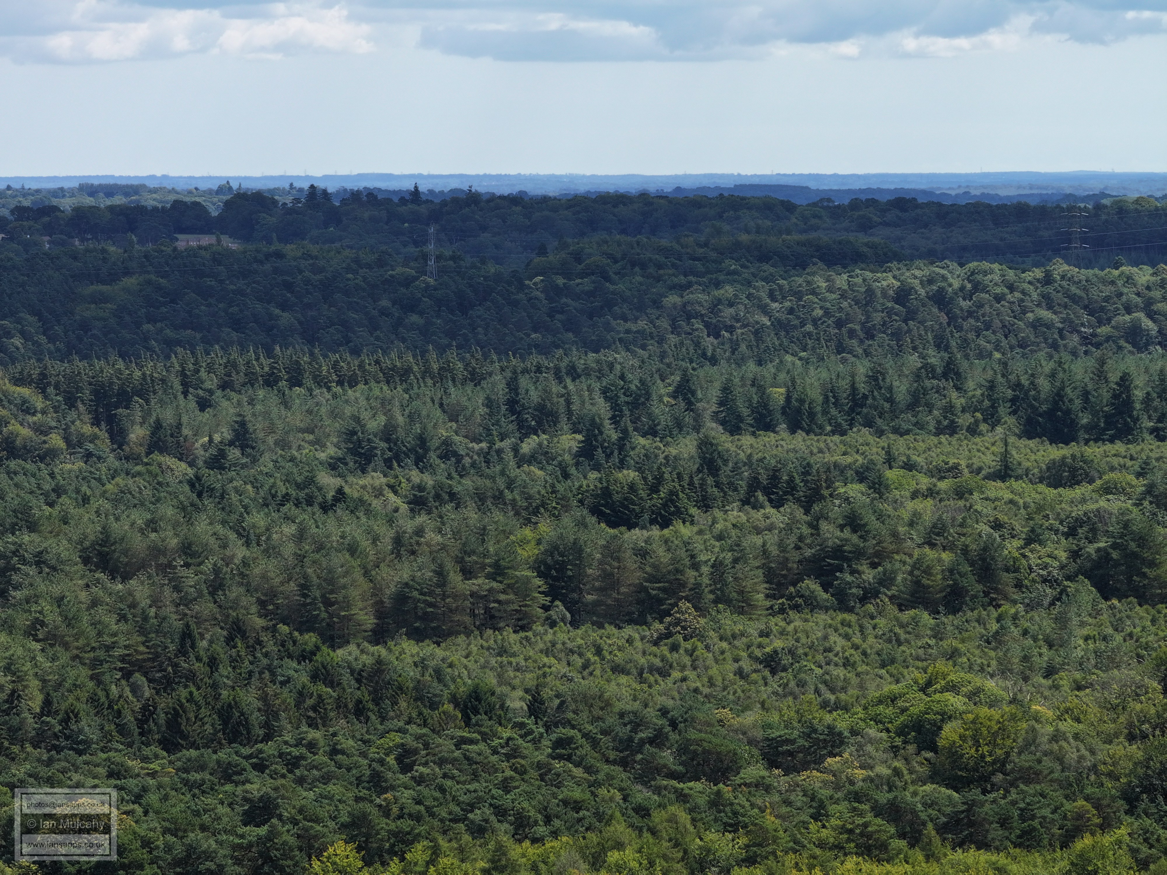
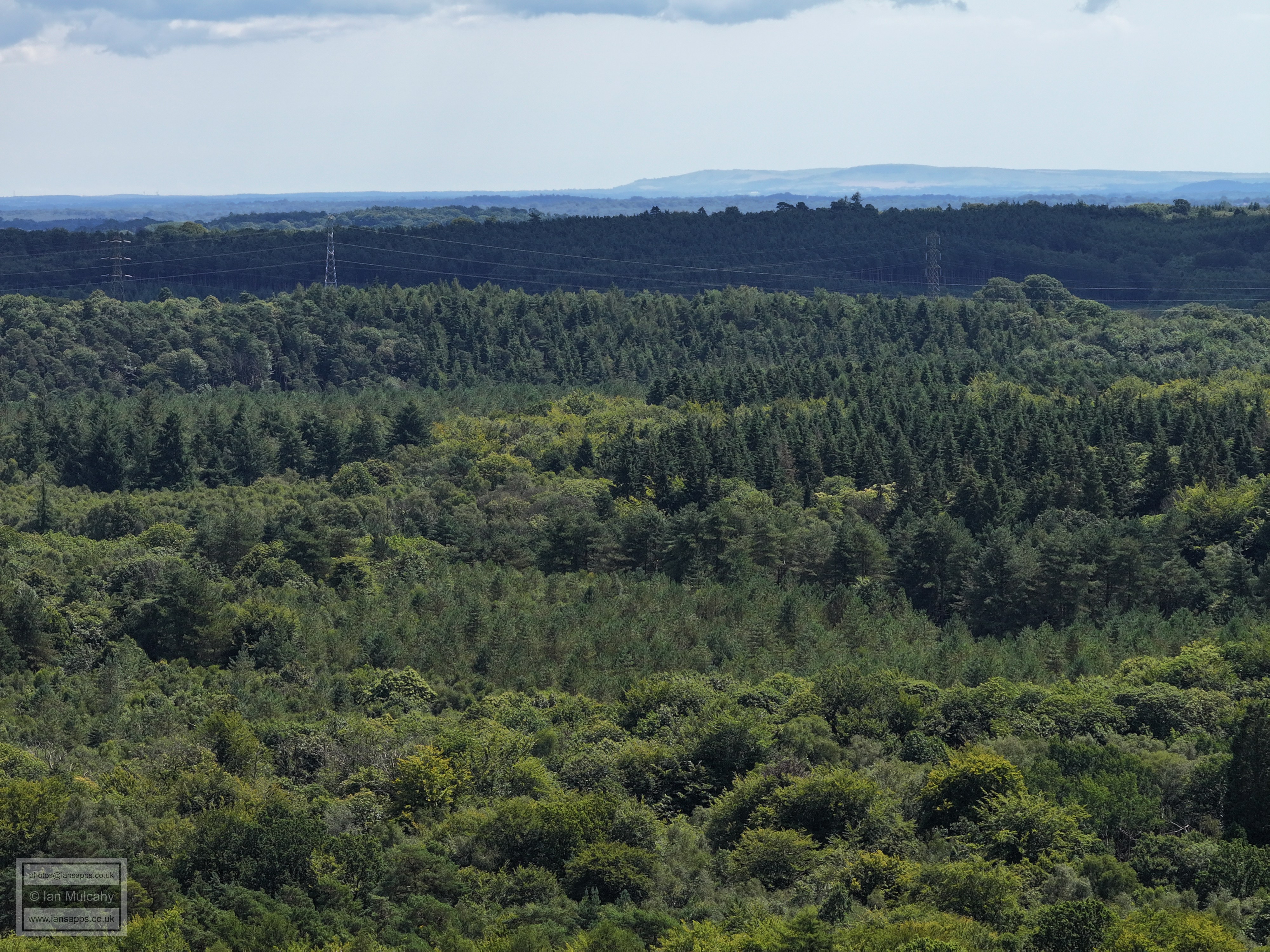
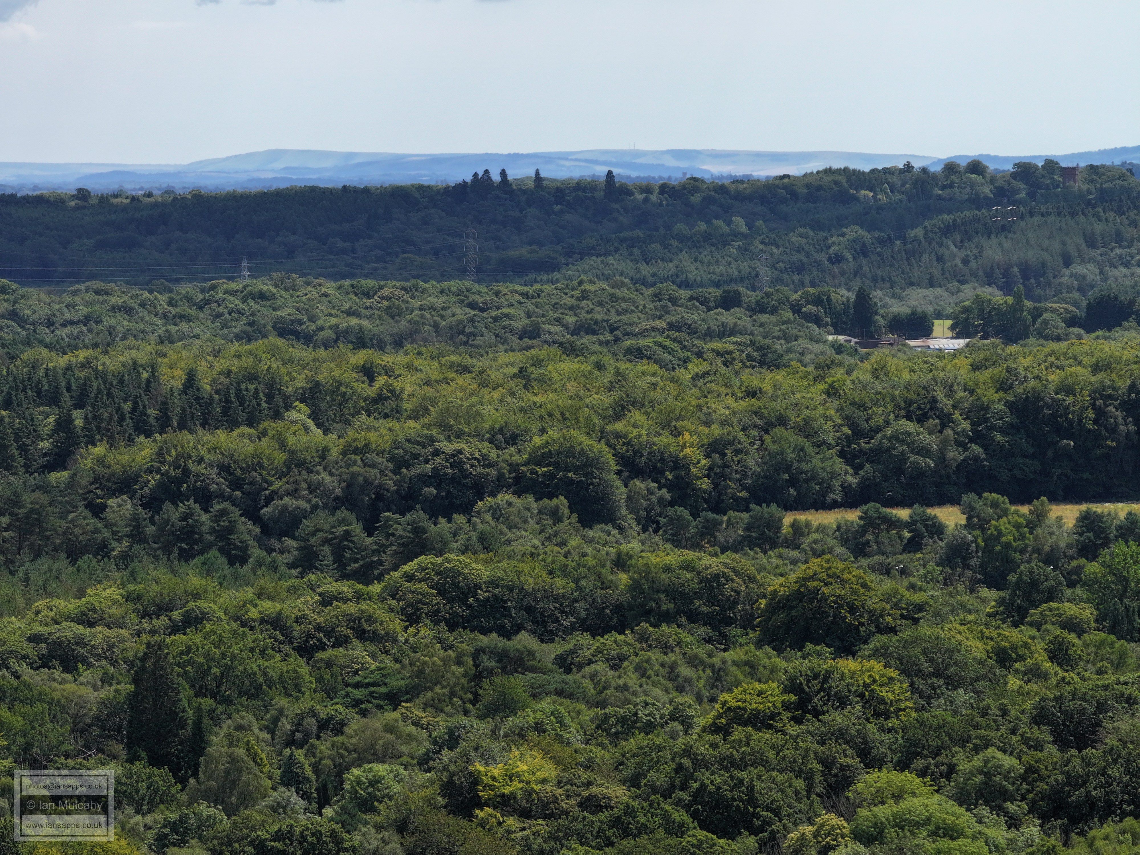
The following photos have a 35mm equiv. focal length of 166mm - 7 times zoom.
Southgate, with the school in the bottom right quarter, and Town Centre. The Half Moon is in the bottom left quarter adjacent to my watermark.
Southgate in the foreground, with St Mary's Church to the right. The Sandman Hotel at Hazelwick is clear, as is the Arora Hotel to the left of centre. In the top left quarter you'll be able to spot one of the white domes at Tinsley Green sewage works.
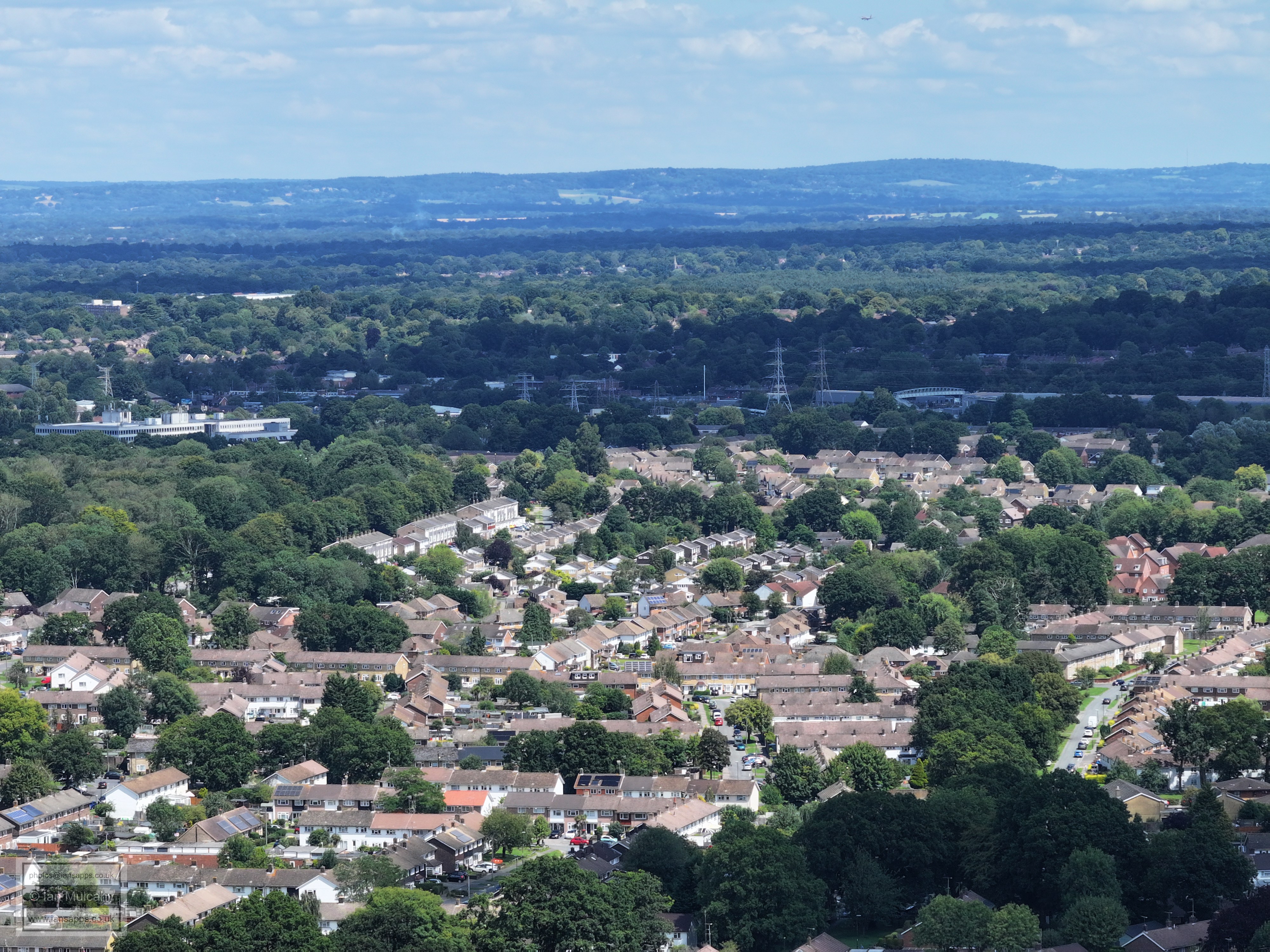
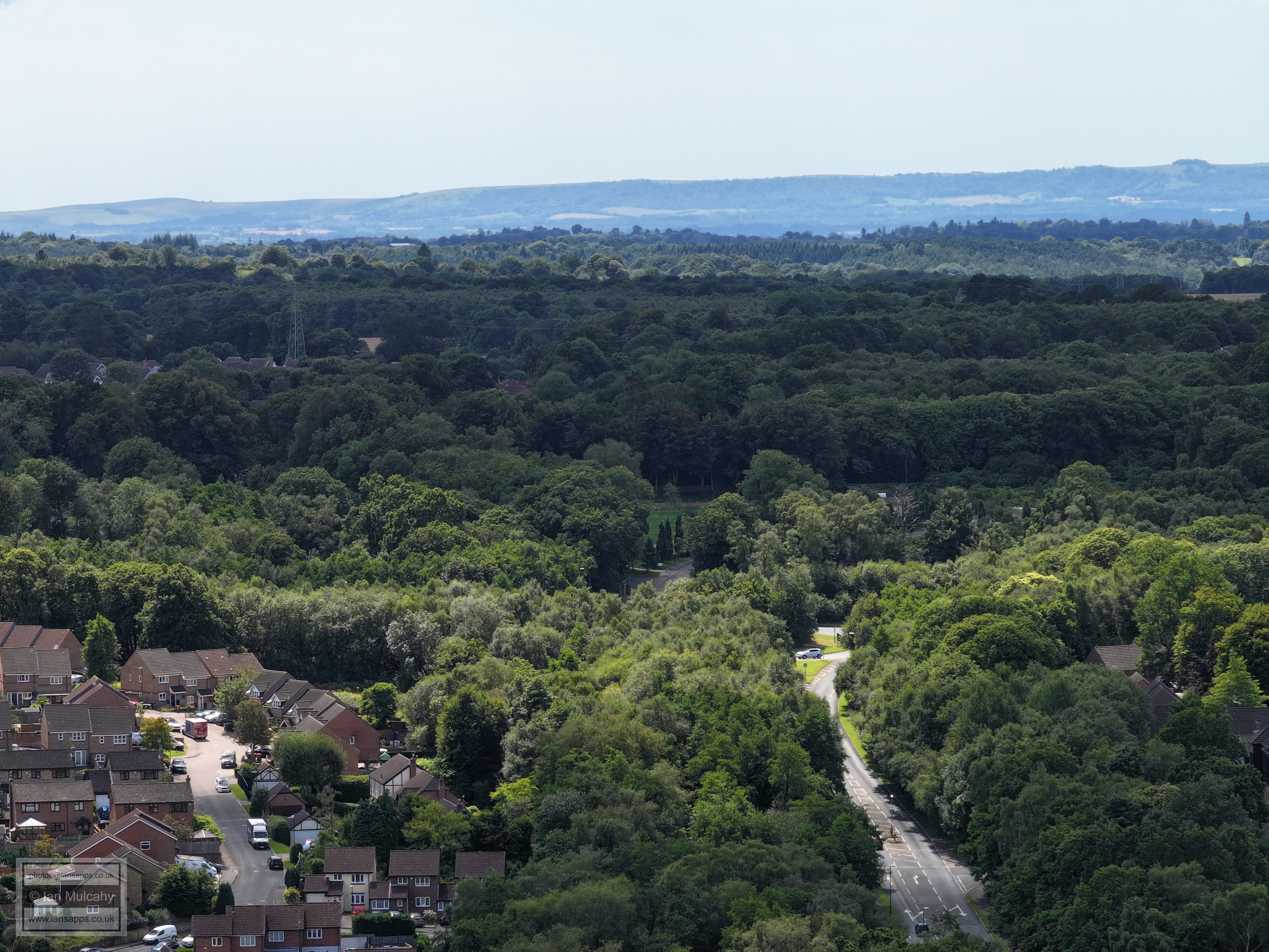
Southgate playing fields left of centre with the Hawth to the right. Right of centre in the lower half is Southgate Avenue with Southgate to the left and Tilgate to the right. Sutherland House is far right, just above centre, with Milton Mount flats beyond. One of the pyramid roofs of Hazelwick Tesco can be spotted through the trees above and left of centre.
To the left, a little above centre is Sutherland House and right of centre is the staff bridge over the tracks near the goods shed at Three Bridges. If you look between the two and move your eyes upwards you'll see a church spire. This is St Johns at Copthorne.
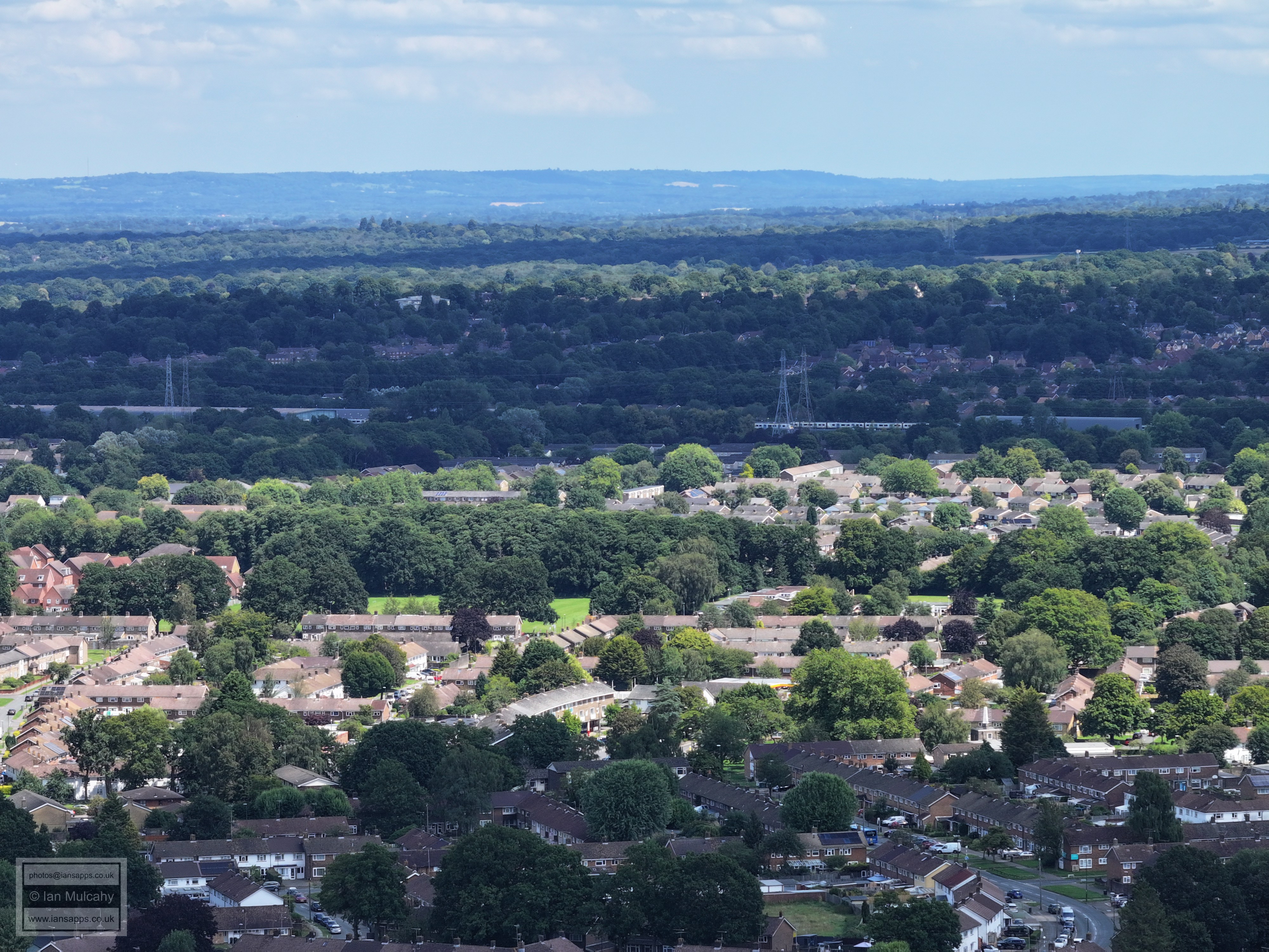
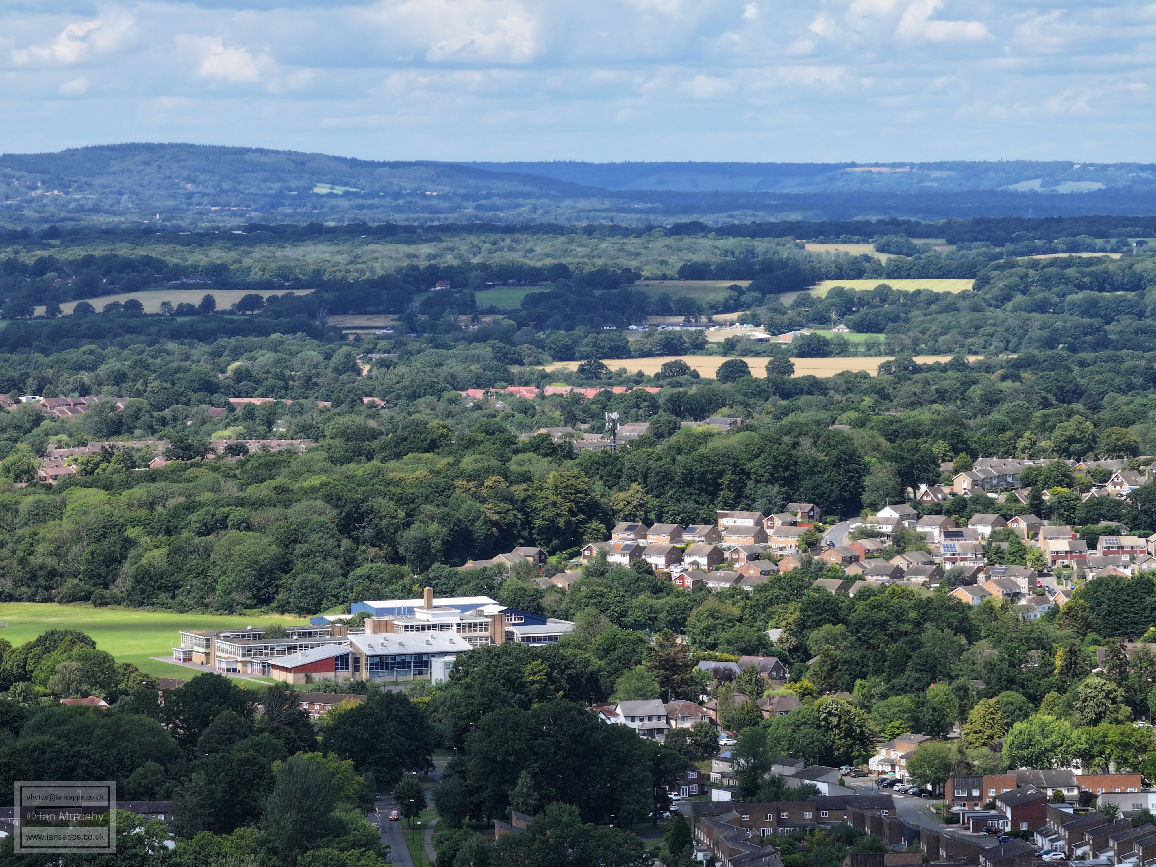
The large white building in the top left quarter is the flats at the corner of Balcombe and Turners Hill Roads, where the shop used to be. Below that is Pound Hill and to the right Maidenbower.Furnace Green is below the railway and left of centre is Loppets Road playing fields with Tilgate in the foreground.
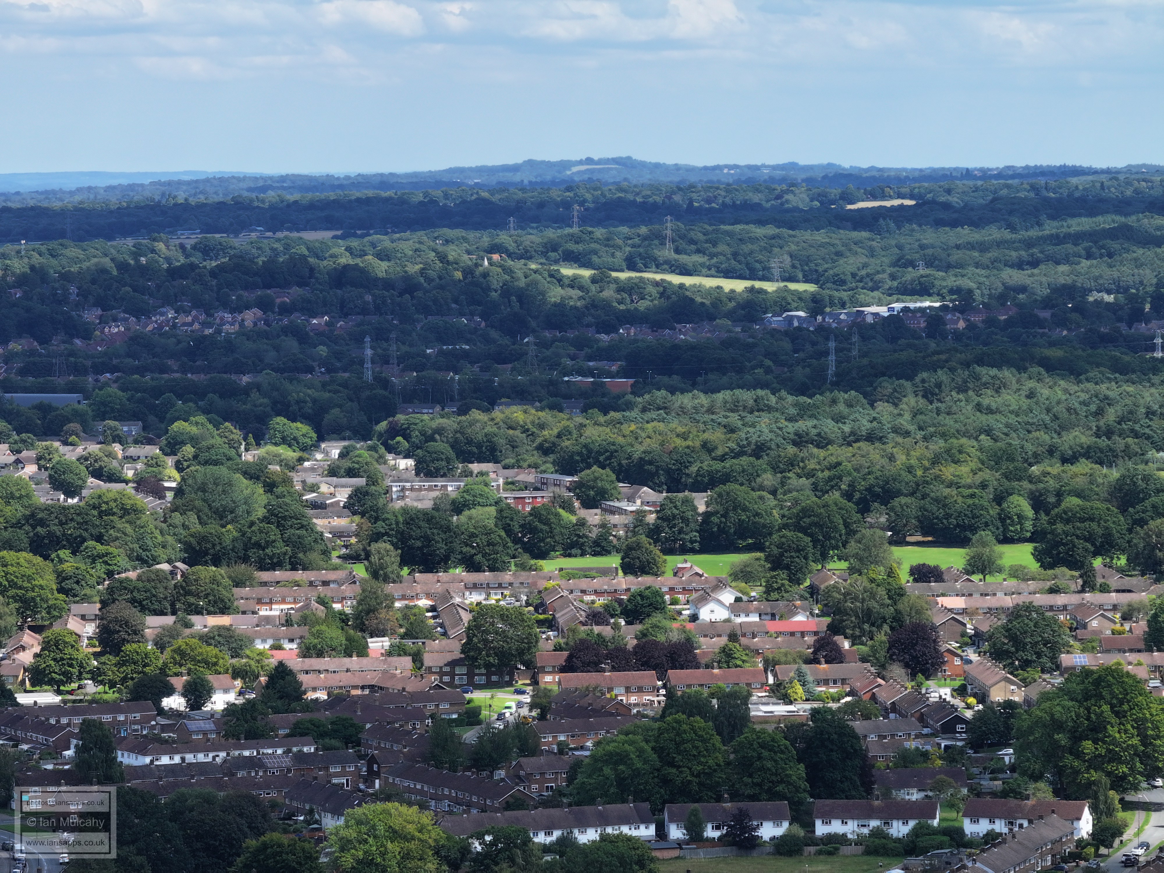
Sticking with the church theme, St Nicholas at Worth is just left of centre about a 5th of the way down from the top, to the left of the large bright grassy area. Maidenbower is above the railway line, with Furnace Green, Gainsborough Road playing fields and Tilgate below.
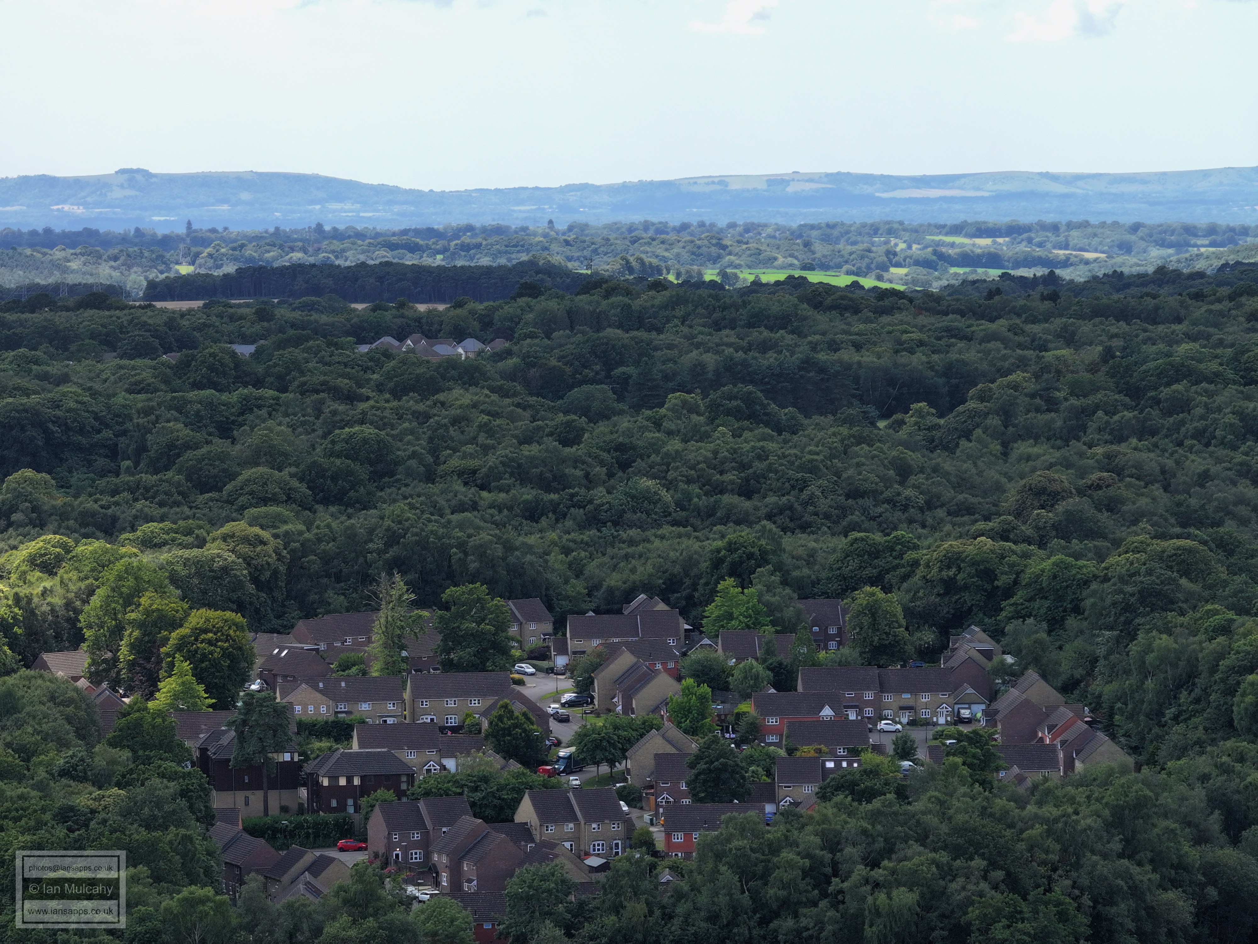
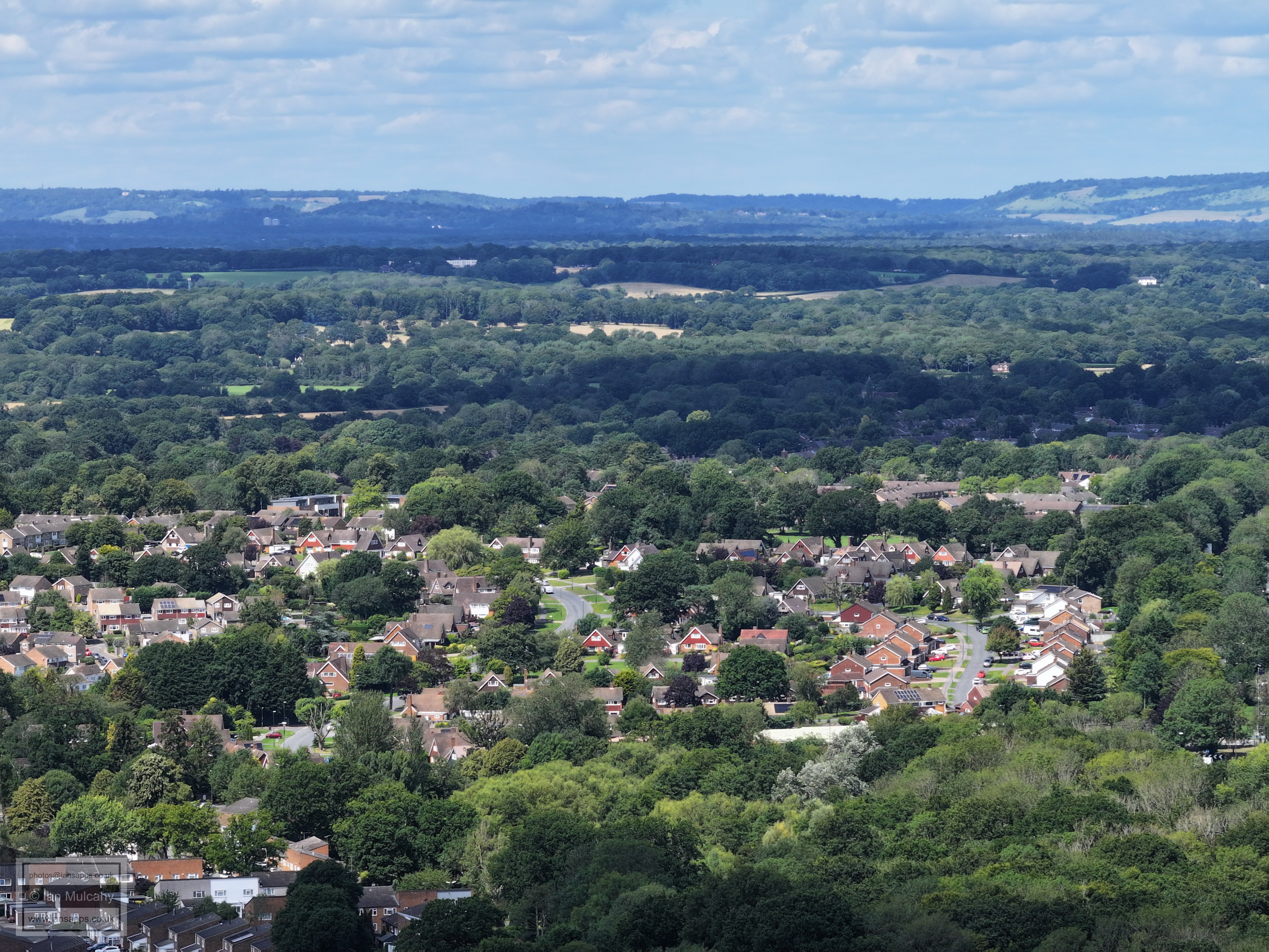
Maidenbower is the band of houses in shadow across the top half with Worth Forest beyond. Tilgate is in the foreground.
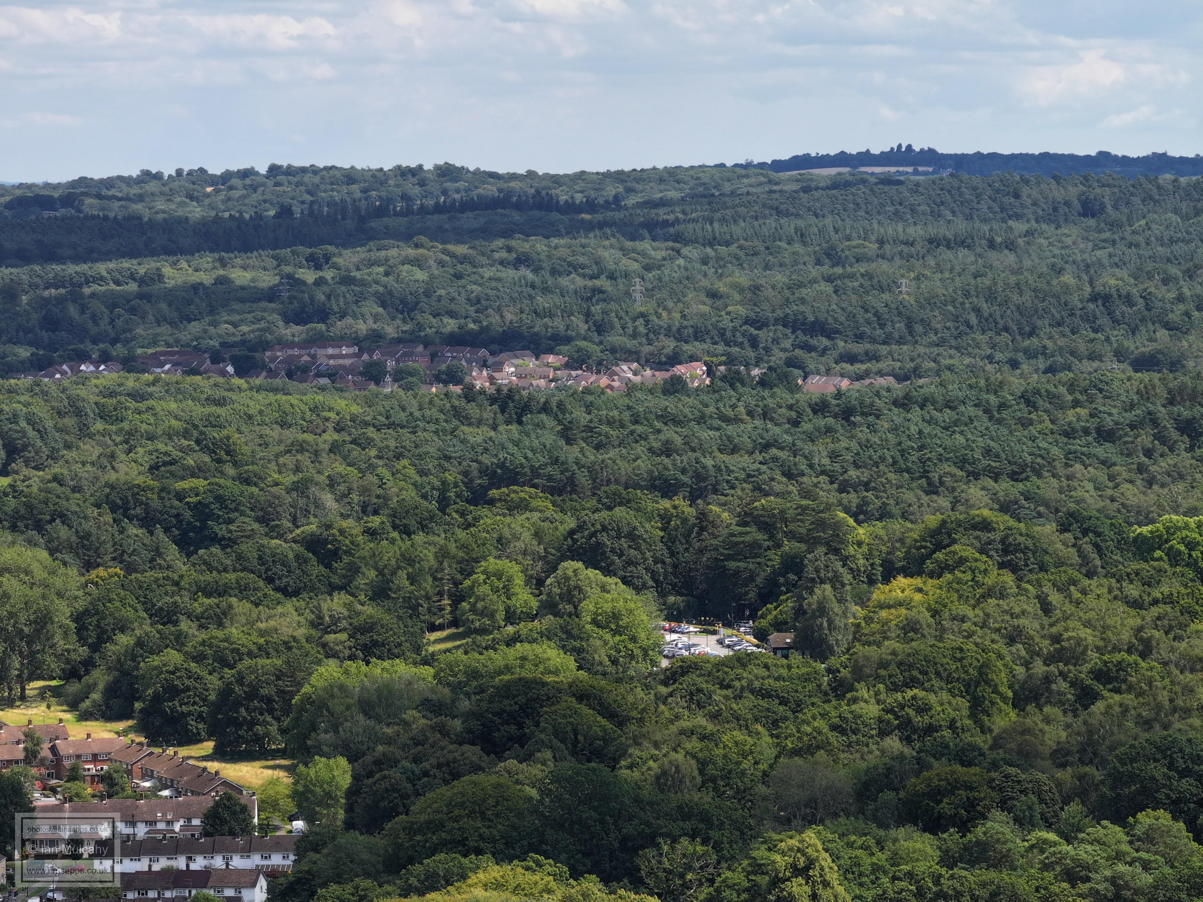
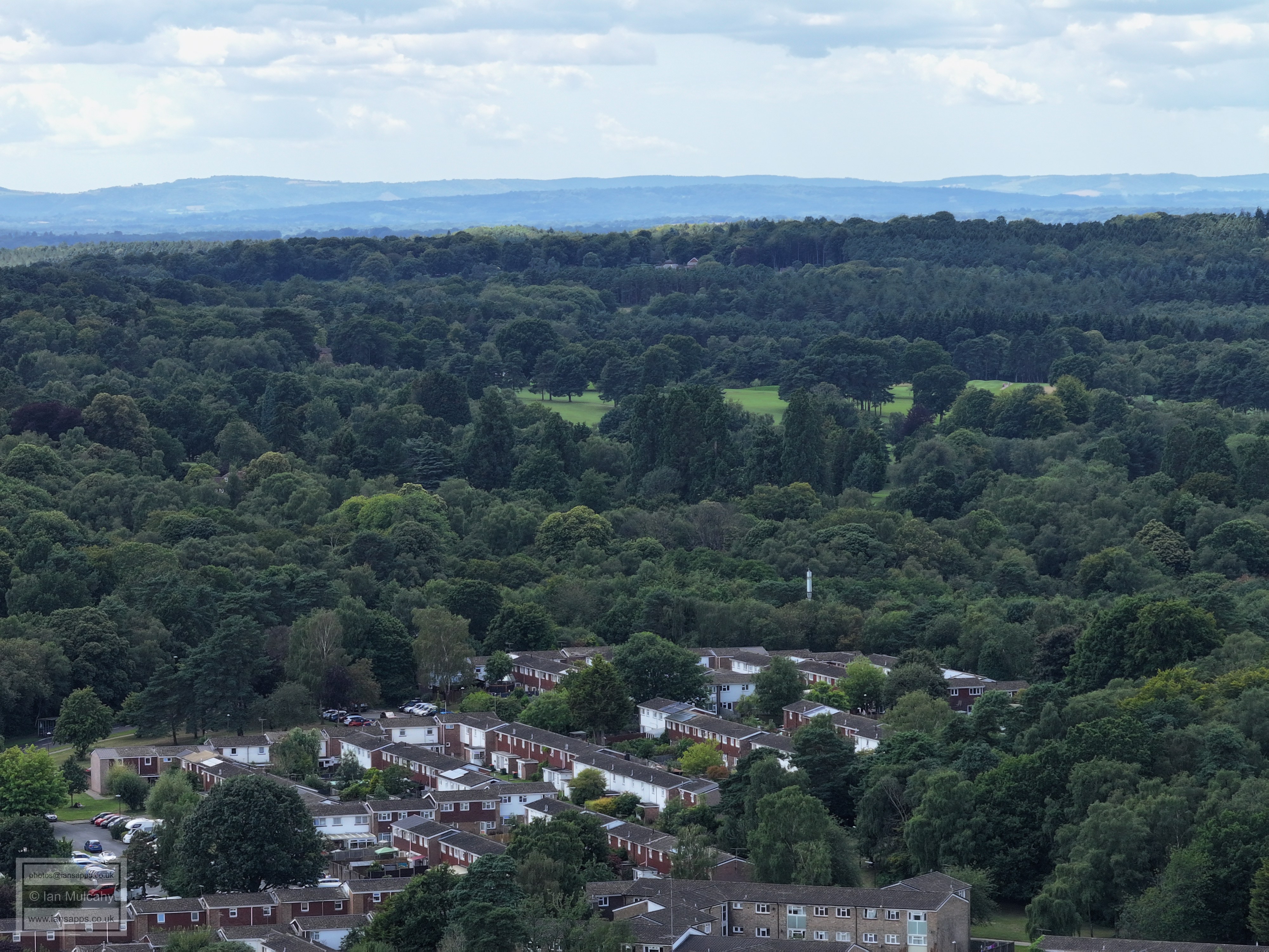
The main car park at Tilgate park is clear in the bottom half and a band of Maidenbower is across the middle with Oldhouse Warren in the top right quarter.
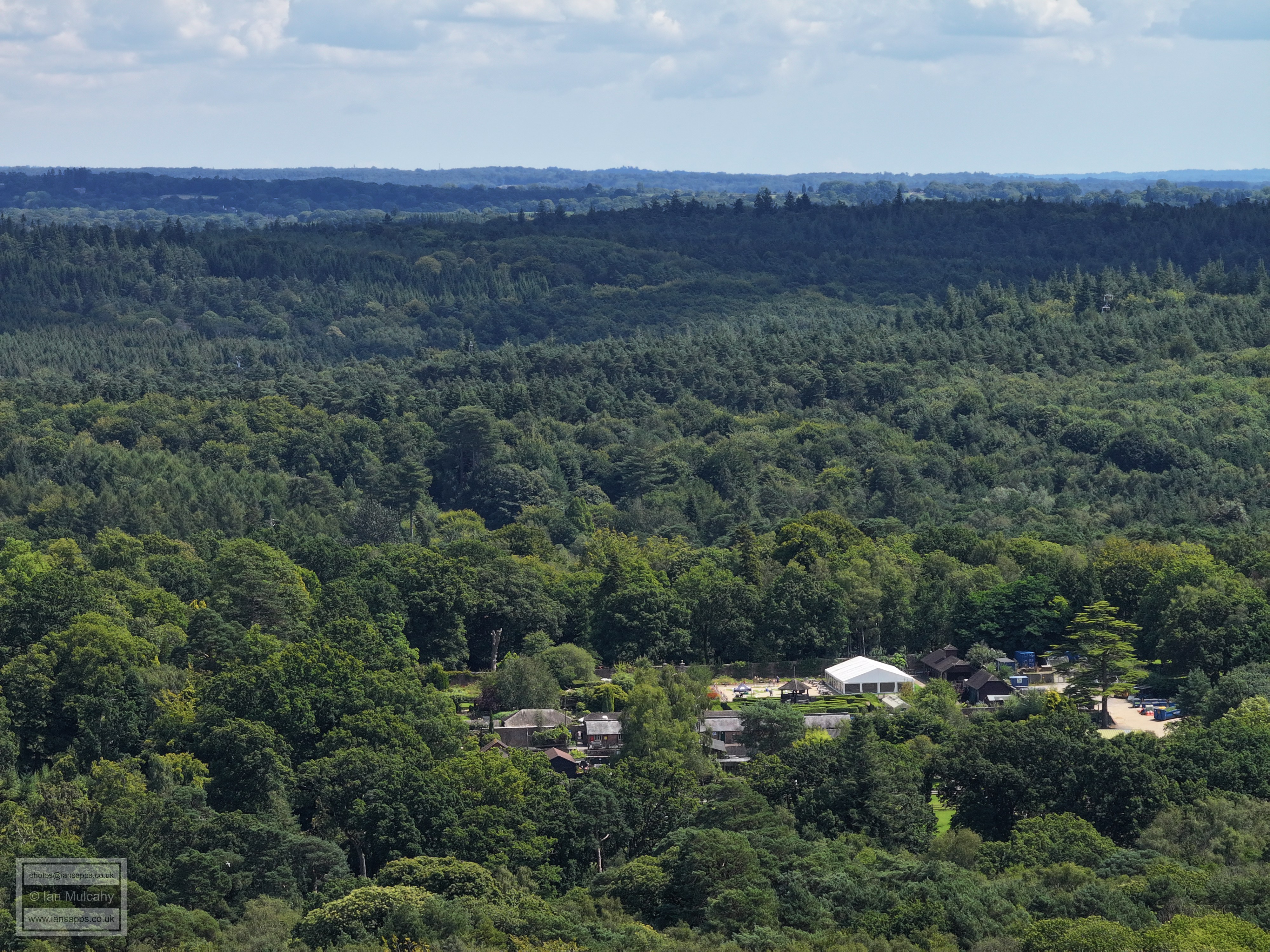
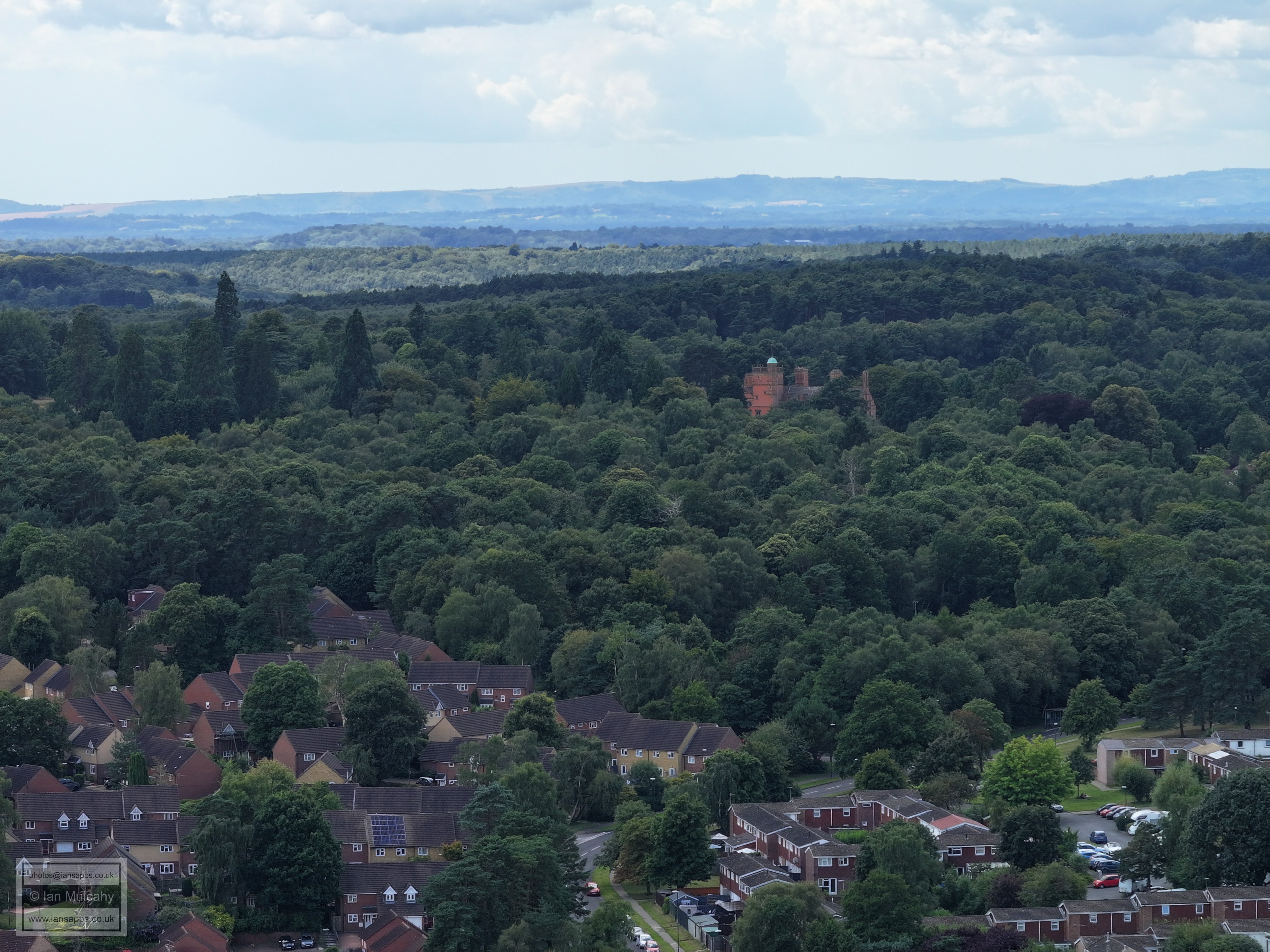
Tilgate Nature Centre
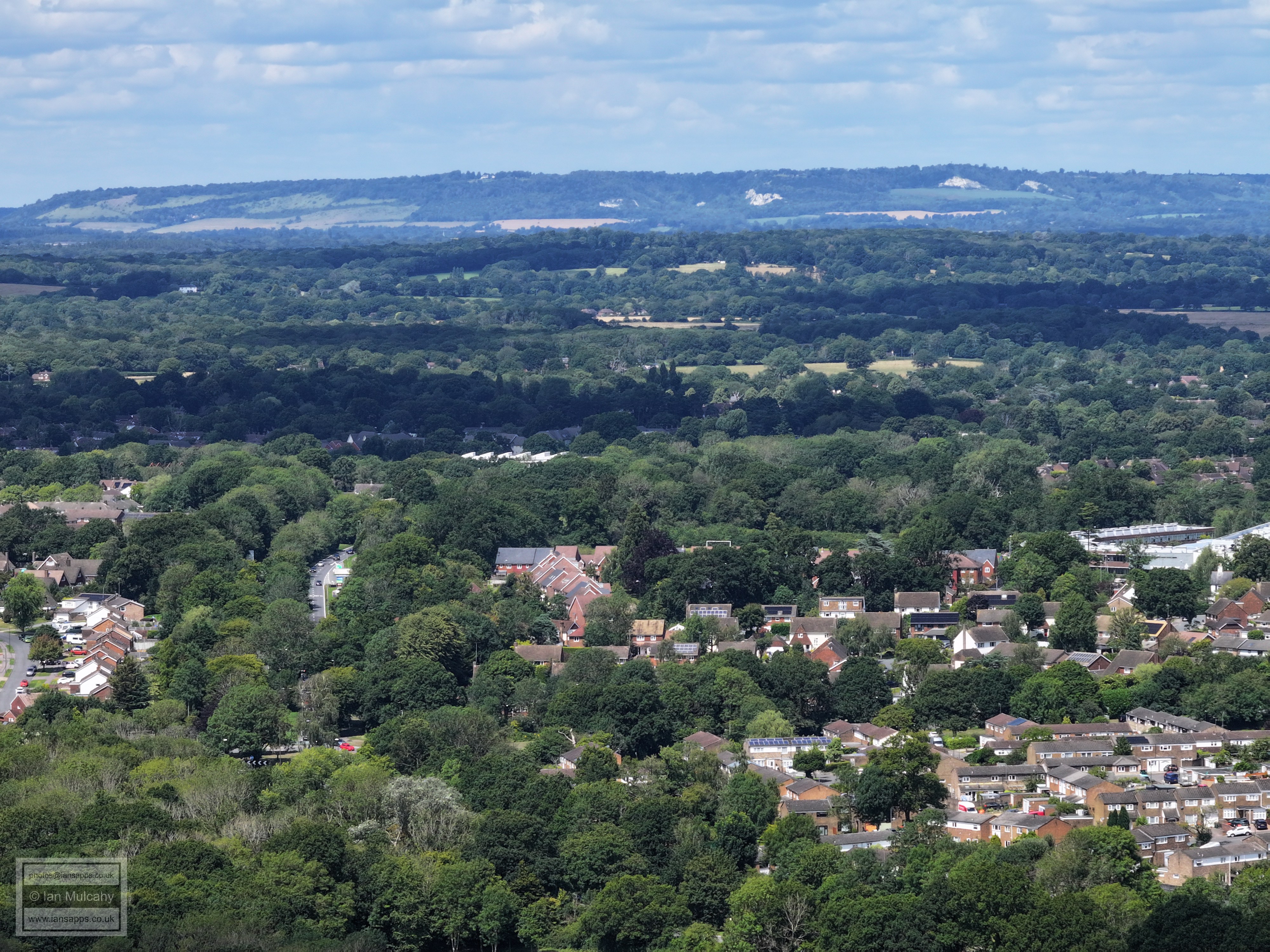
I've yet to work out, with certainty, what the cluster of buildings in teh top right are, but I think they may be at Greentree Farm, which is about 500 metres east of where the railway disappears into Balcombe Tunnel.
Woodgate on the right
Woodgate
Woodgate. The new St Catherines Hospice is on the left.
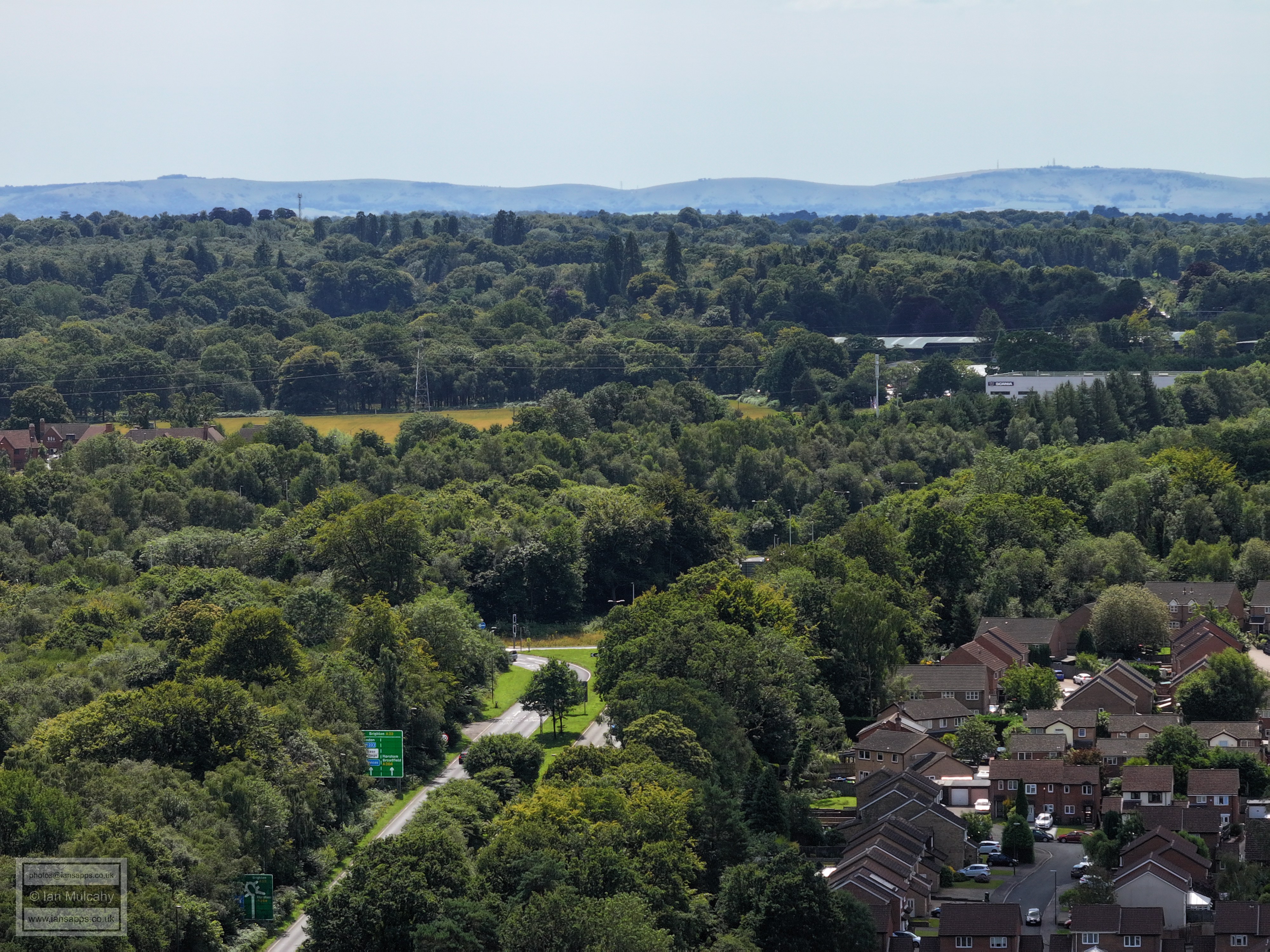
The approach to Pease Pottage roundabout with Hollingbourne crescent on the right
Hollingbourne Crescent with Pease Pottage beyond. On the Downs , in the centre, is Lancing College with the Chimney at Shoreham Cement Works appearing to be part of the College due to the angle.
Top right is Chanctonbury Ring. Closer to home is Tollgate Hill with the new cemetery above the roundabout.
Hammond Road area.
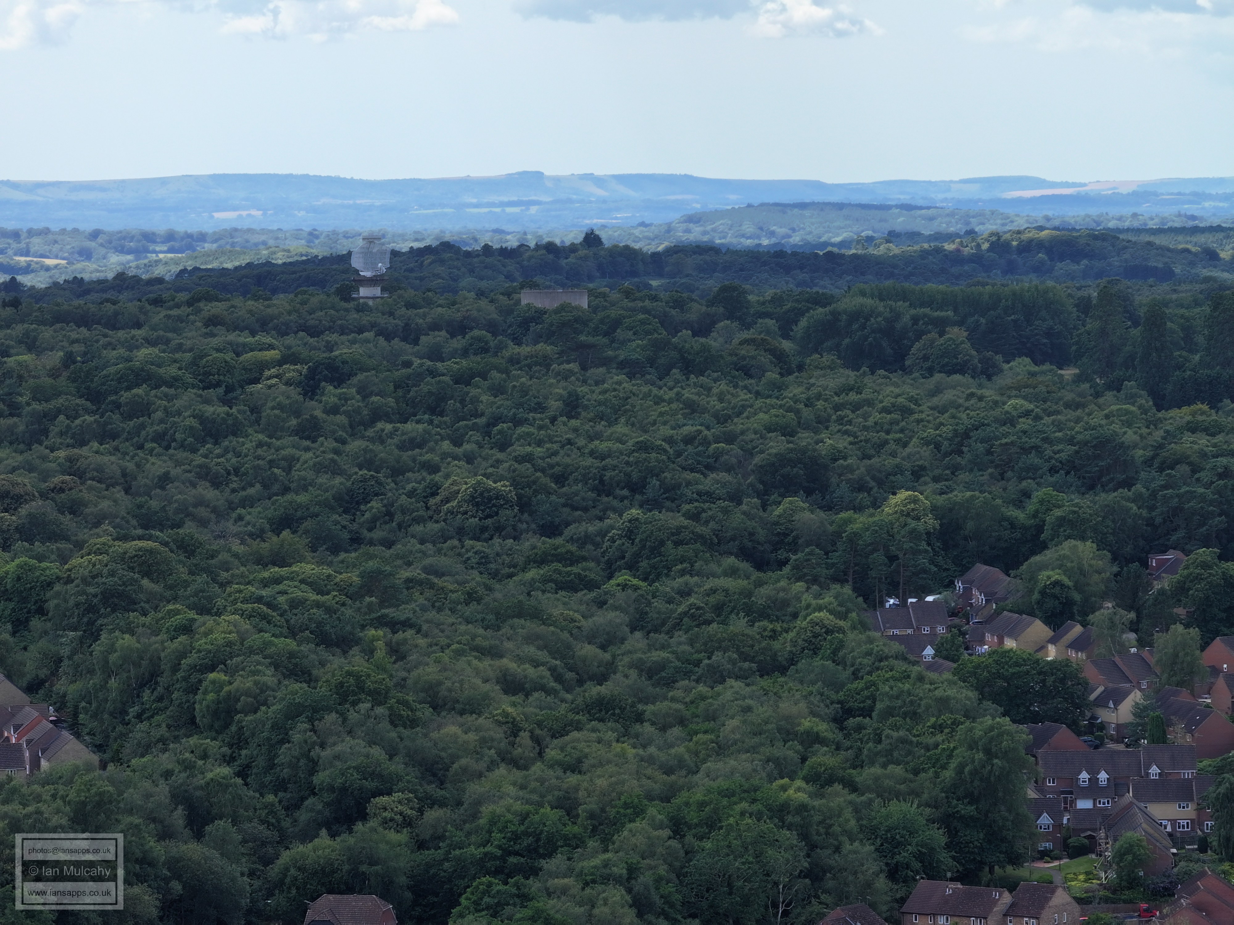
Radar and Water Tower on Buchan Hill
Buchan House/Cottesmore School. The main road bending round the bottom right quarter is Creaseys Drive.
Creaseys Drive area and Cottesmore Golf Course above.
West of Creaseys Drive with Broadwood Rise beyond.
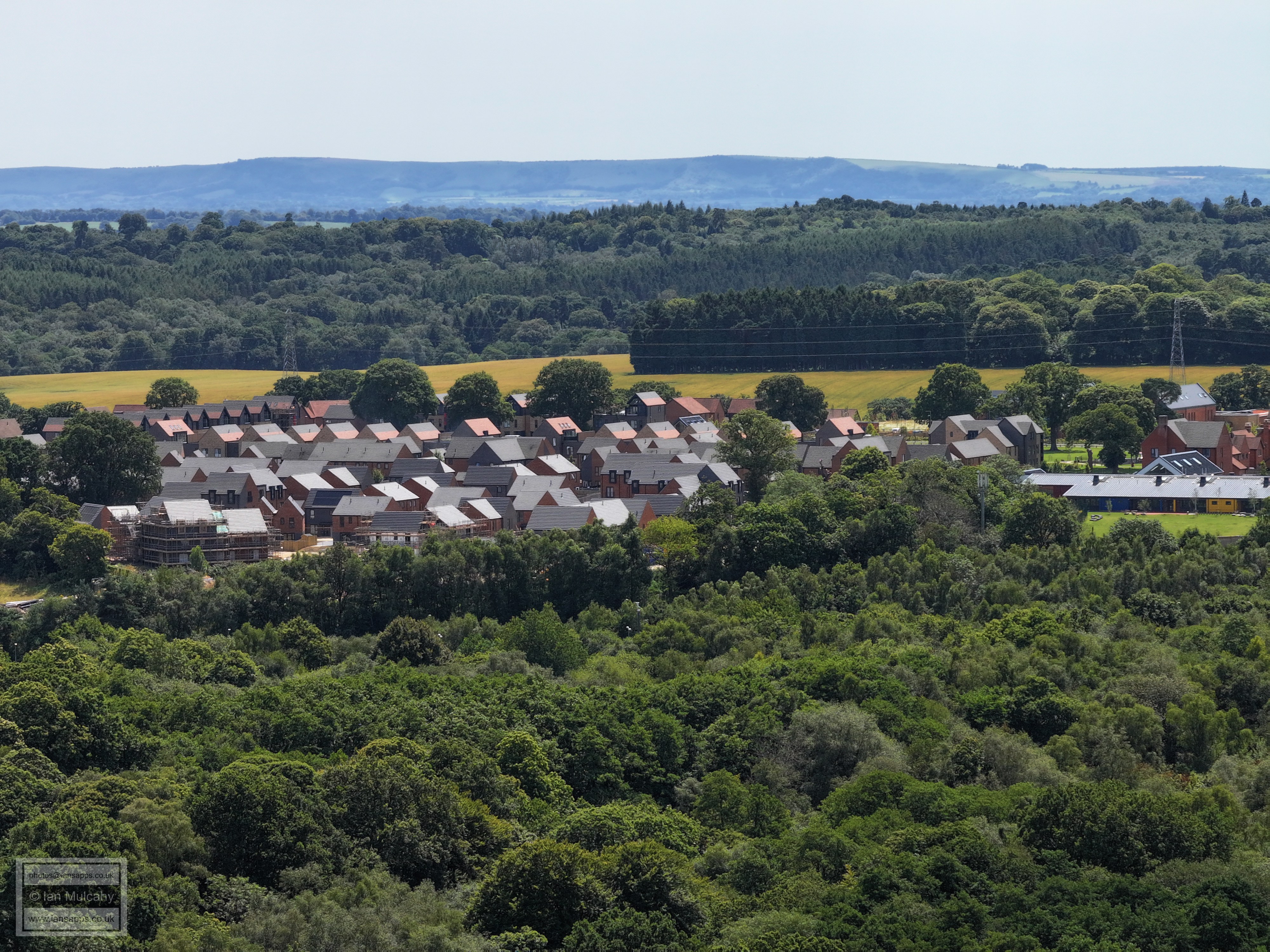
Seaford Road at the bottom with Broadwood Rise above to the left. In the top left quarter is Faygate and top right is Kilnwood Vale, both sitting neatly in the Vale of Bewbush.
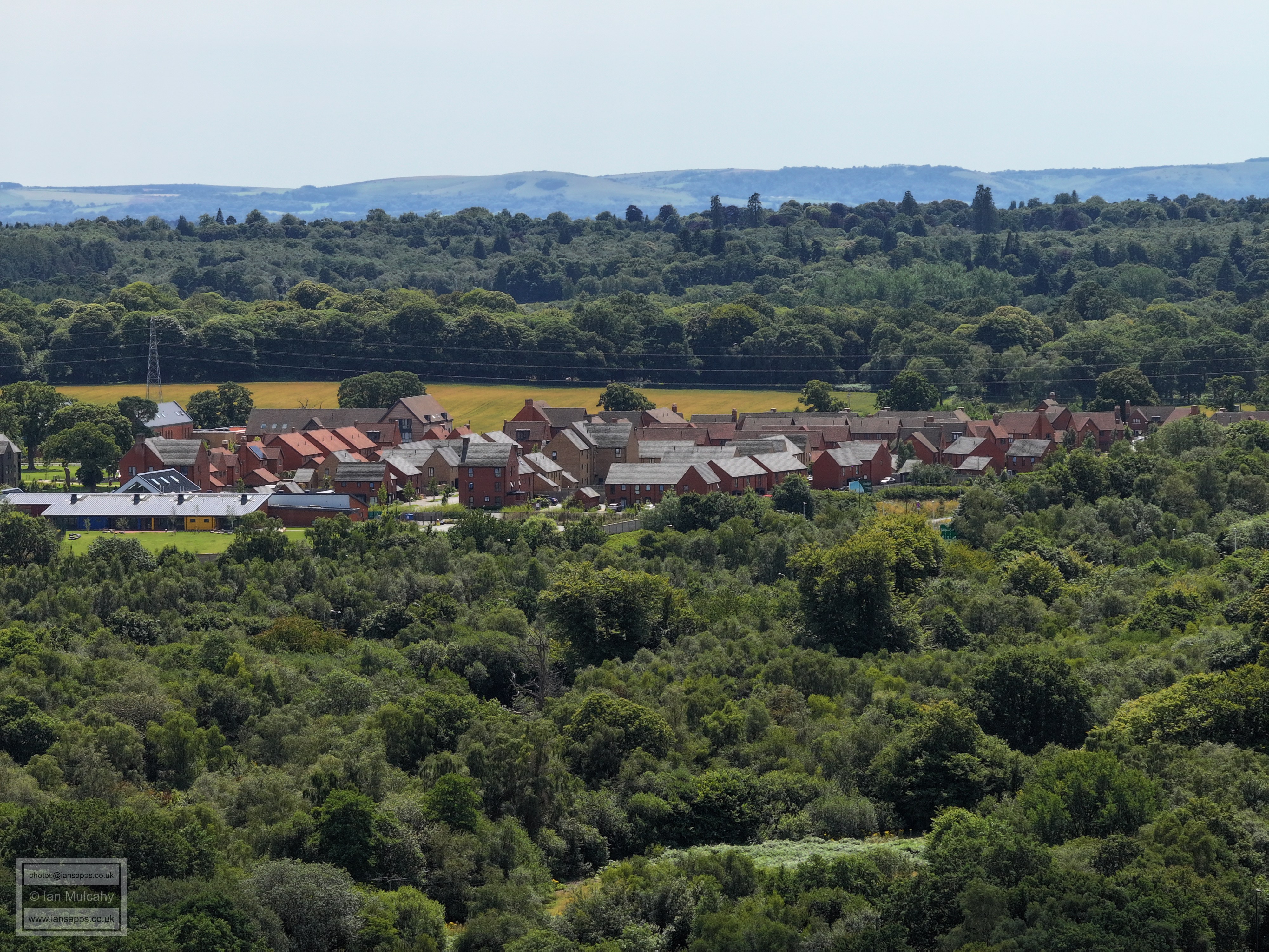
Kilnwood Vale. Breezehurst Pavilion is right of centre and Broadfield in the foreground.
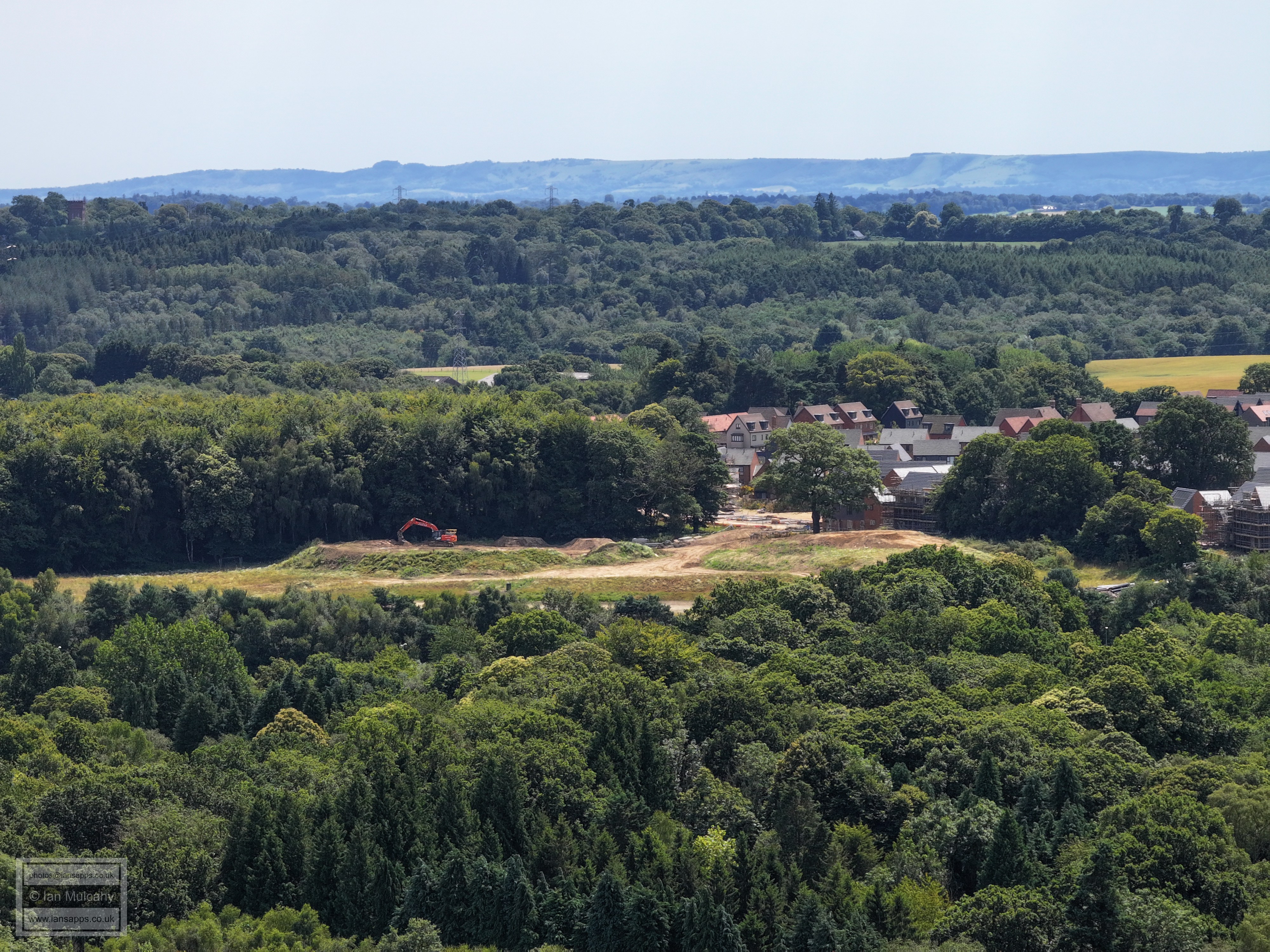
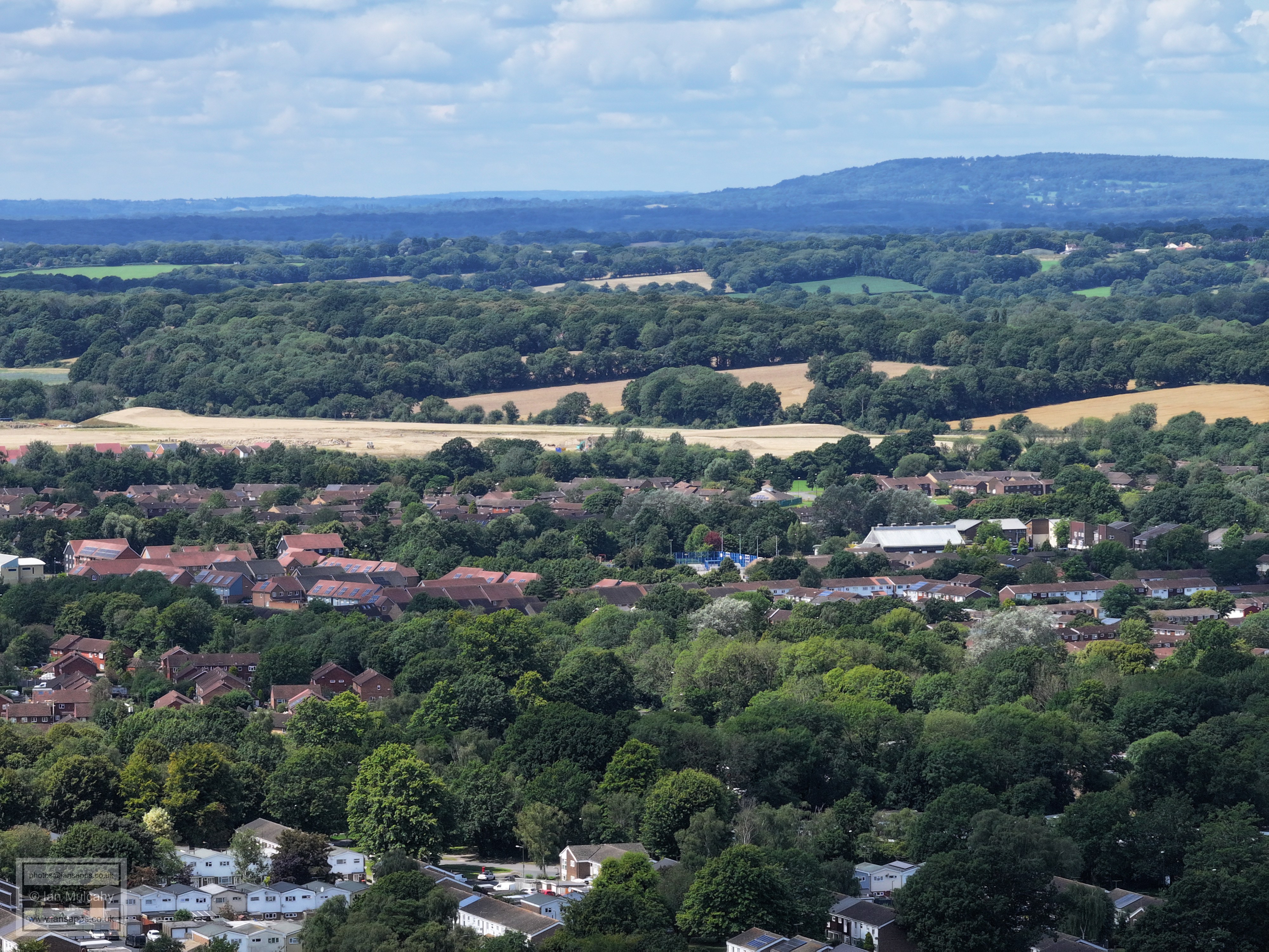
Mostly Bewbush, with the neighbourhood centre right of centre (spot the blue fenced ball court) with Bewbush Green cricket pavilion just above. The three large open field areas filling the entire width of the picture just above centre are all earmarked for development as part of Kilnwood Vale, with the largest, to the left and south of the railway line where once lay Bewbush Millpond, already being prepared.
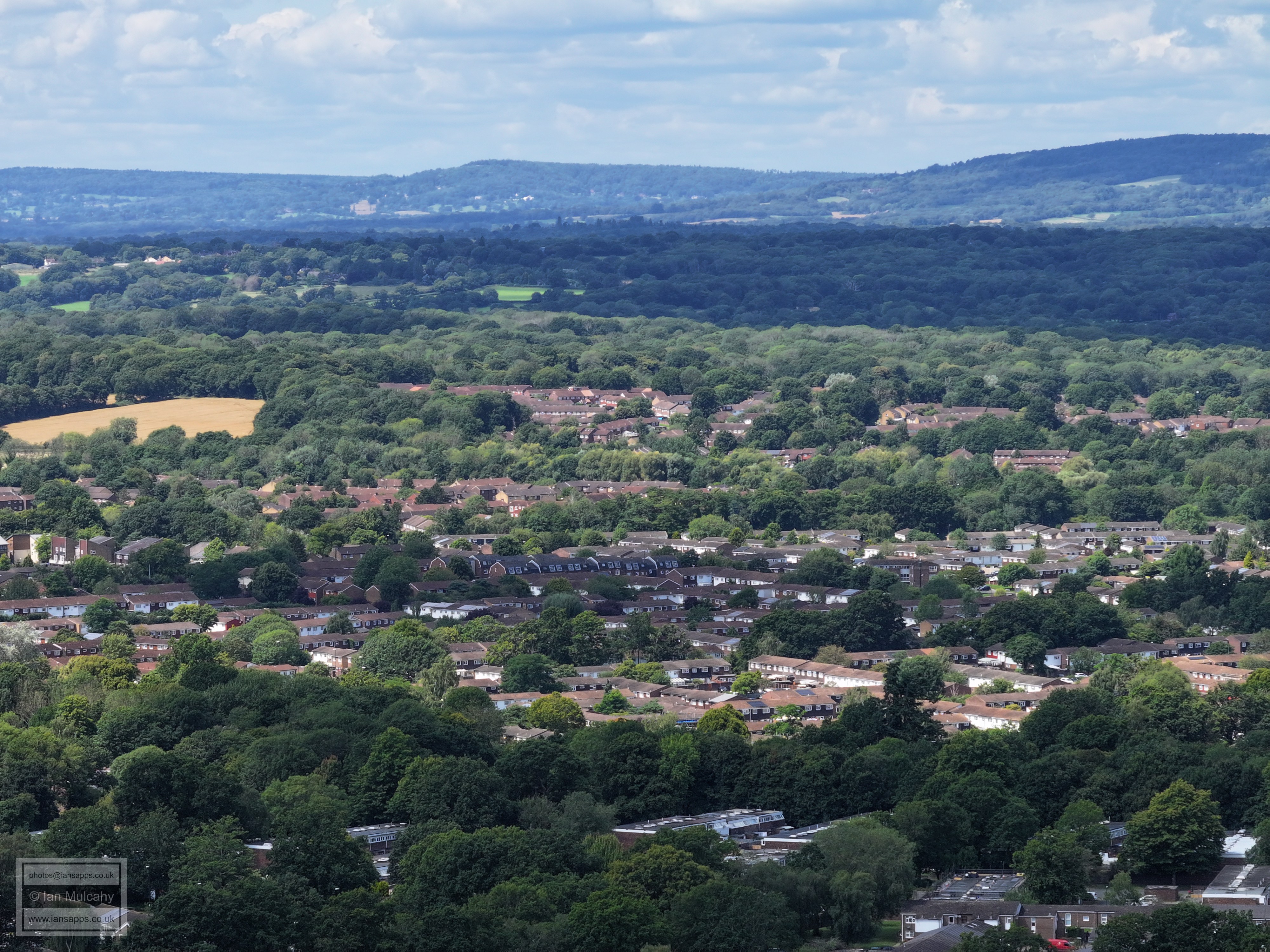
At the foot of the photo is the Plantain Crescent area with Bewbush beyond. The last group of houses before the open country are in Ifield West.
Holy Trinity playing field are bottom right with Gossops Green and Ifield West beyond and Bewbush to the left. The white building in the top right quarter is The Mount in Ifield Wood.
Holy Trinity with the Tintern Road area to the right and Woldhurstlea Woods above. Ifield Brook Meadows and Ifield Wood are beyond the trees.
Buckswood Drive up the middle and Kingscote Hill to the right.. St Margaret's Church is in shadow to the right of centre. In the top right quarter is Russ Hill Hotel.
The A23 is left of centre with the roof of ICC and Ifield above. Southgate West and St Wilfrids to the right.
Southgate West and West Green. The Tower on Goffs Park Road is far right.
Southgate West and Hilltop Primary in the foreground with the hospital and West green beyond. Above the hospital is Langley Green.
Half moon is bottom right and immediately above, just below centre, is the Rocket (or Railway, as it is now). Other major buildings were covered in the 70mm version of this and are all recognisable.
The Final three photos are from Rathlin Road fields, west of the 3g pitches.
Text & photographs © Ian Mulcahy. Contact photos@iansapps.co.uk or visit my 'Use of my photographs' page for licensing queries (ground level photographs only). |
|