Ifield Millpond
30 July 2024
|
58 aerial photographs taken from the Millpond area in Ifield at lunchtime on 30 July 2024 using varying focal lengths. I've added brief annotations to some of the photos to help with your bearings.
Ifield Mill
Ifield Mill
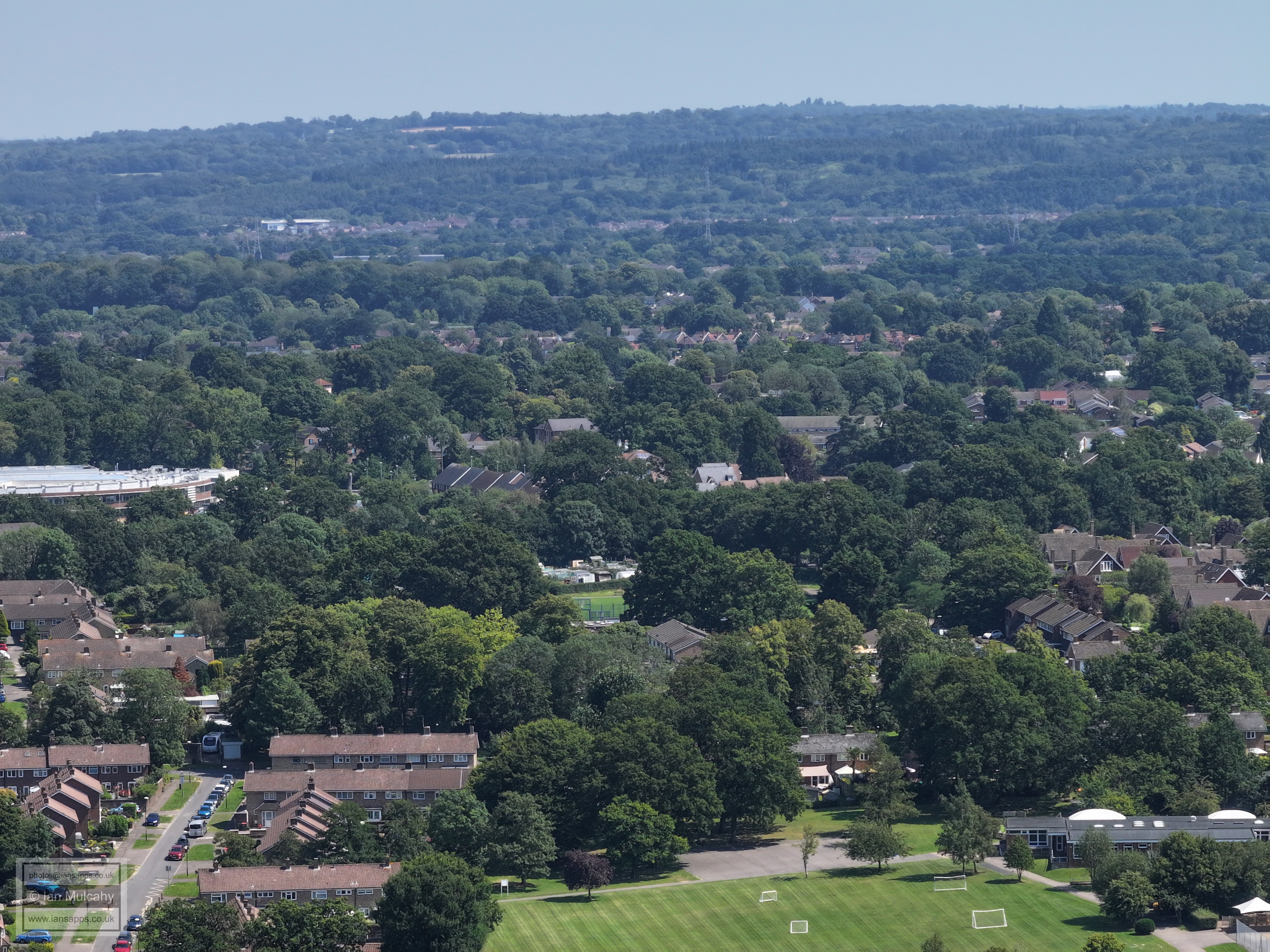
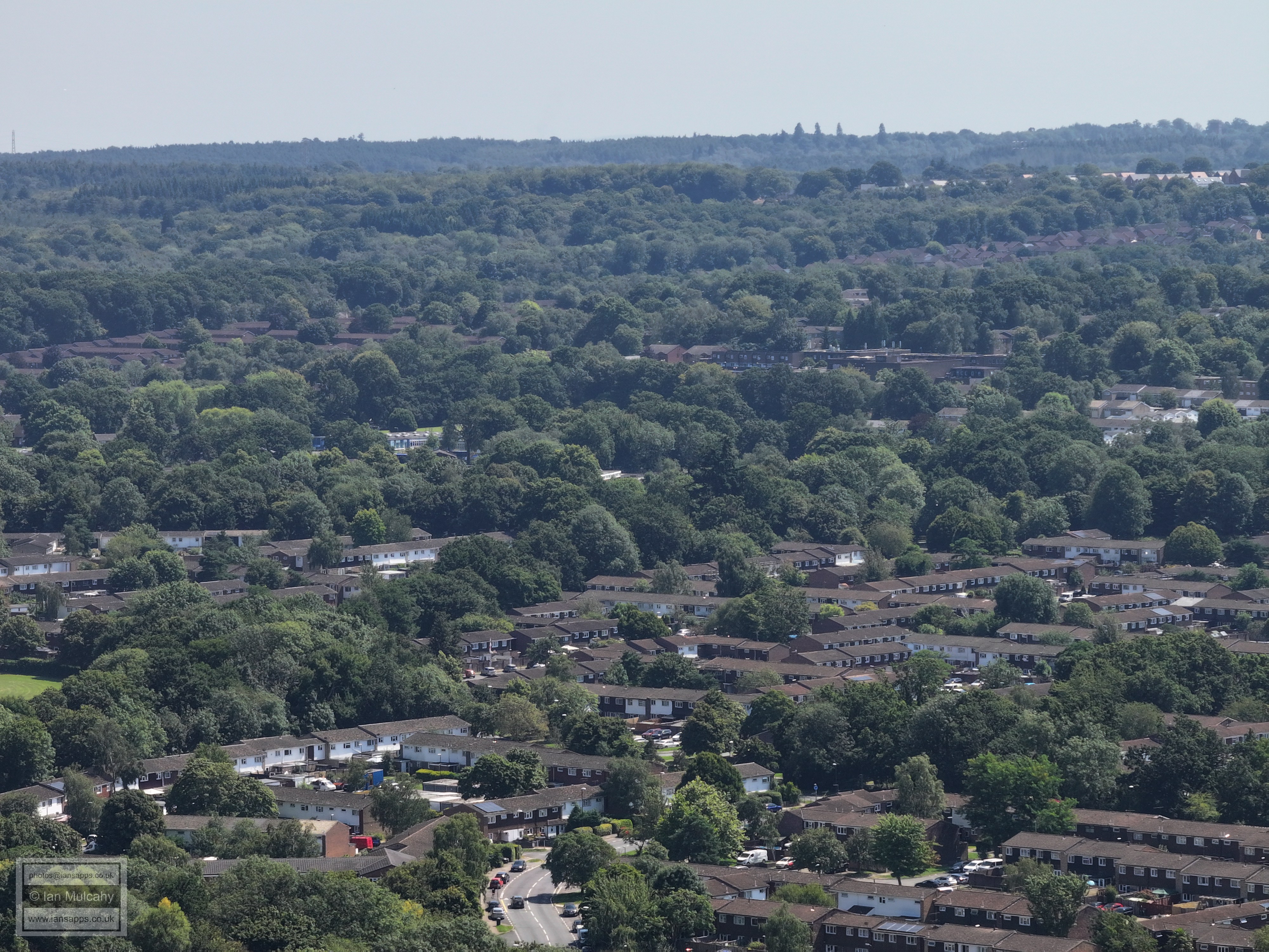
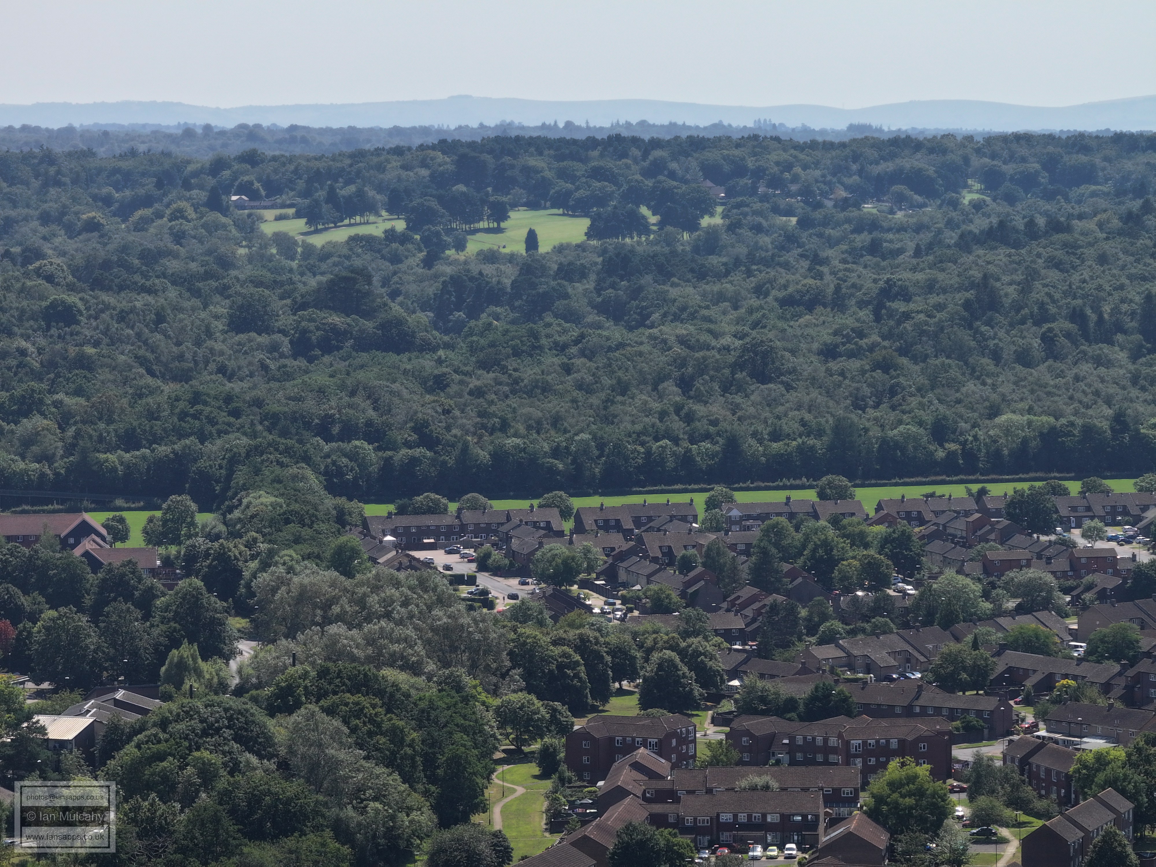
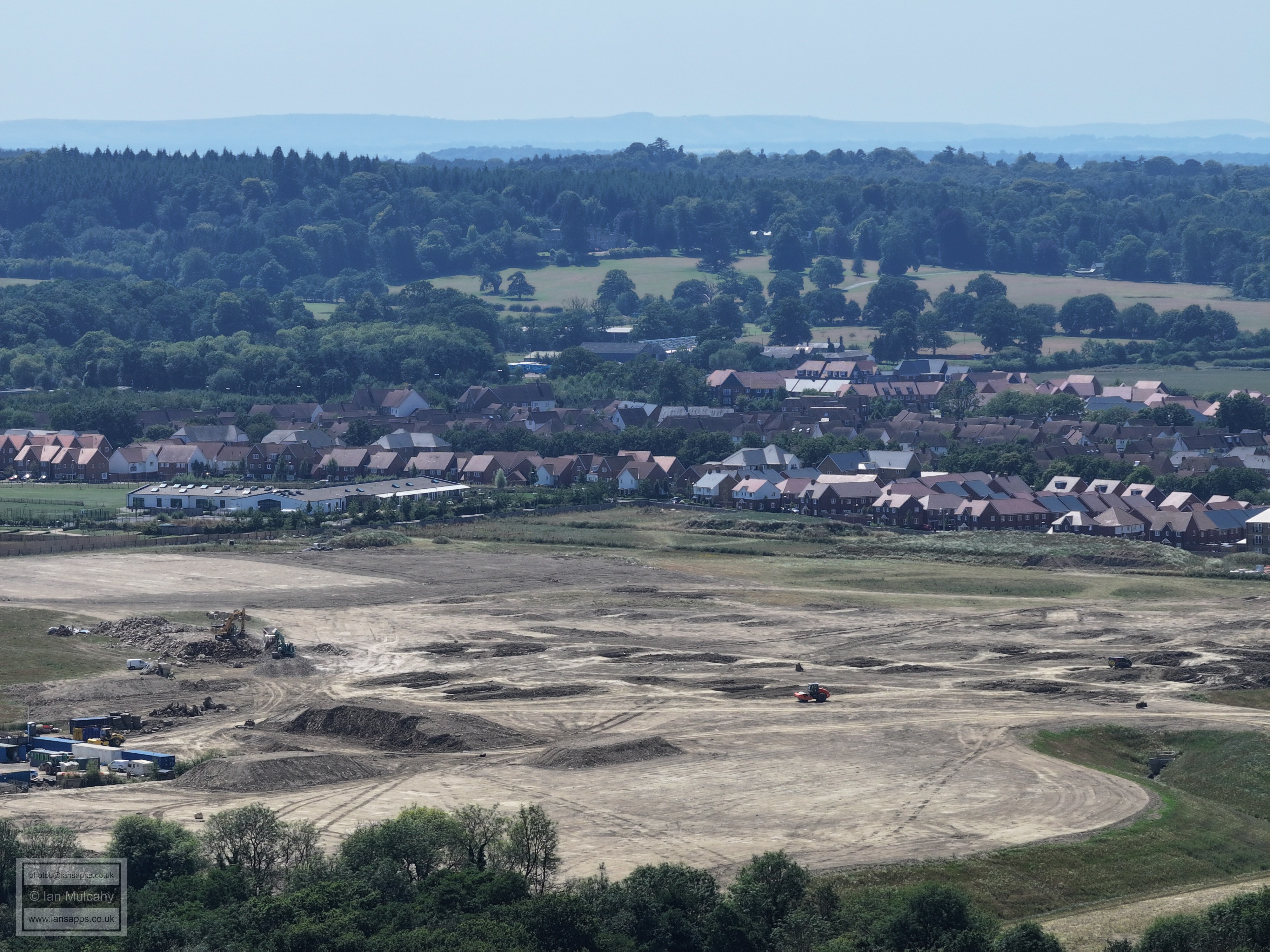
Ifield Park. The Mill primary is right of centre and the industrial Estate is across the top, with Langley Green below.
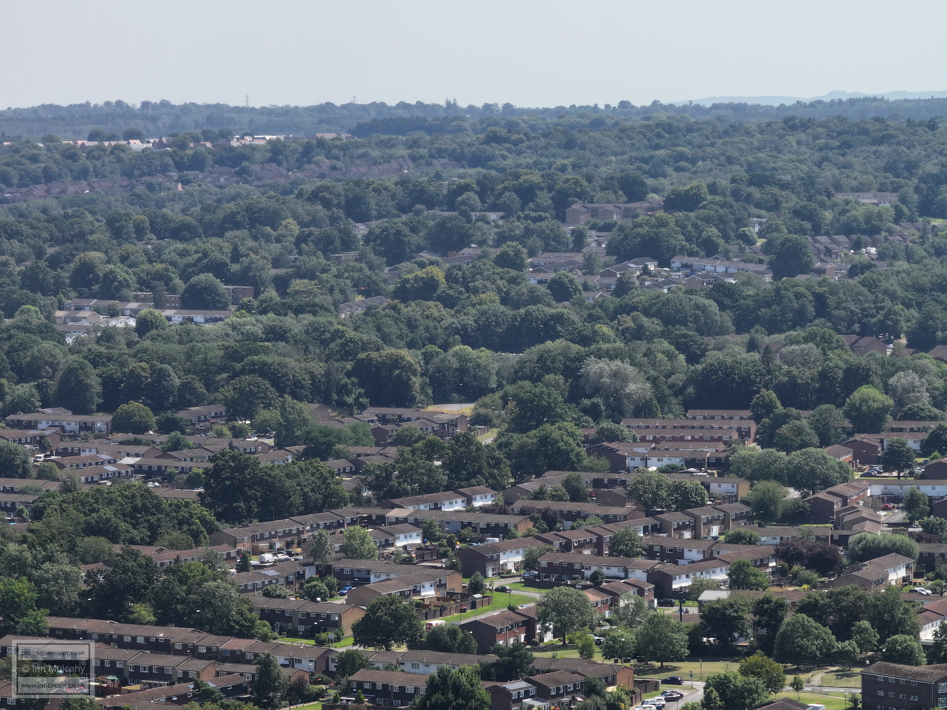
Bonwyckes Place in Ifield Wood, centre, with Pound Cottages, Rusper Road, in the bottom right quarter.
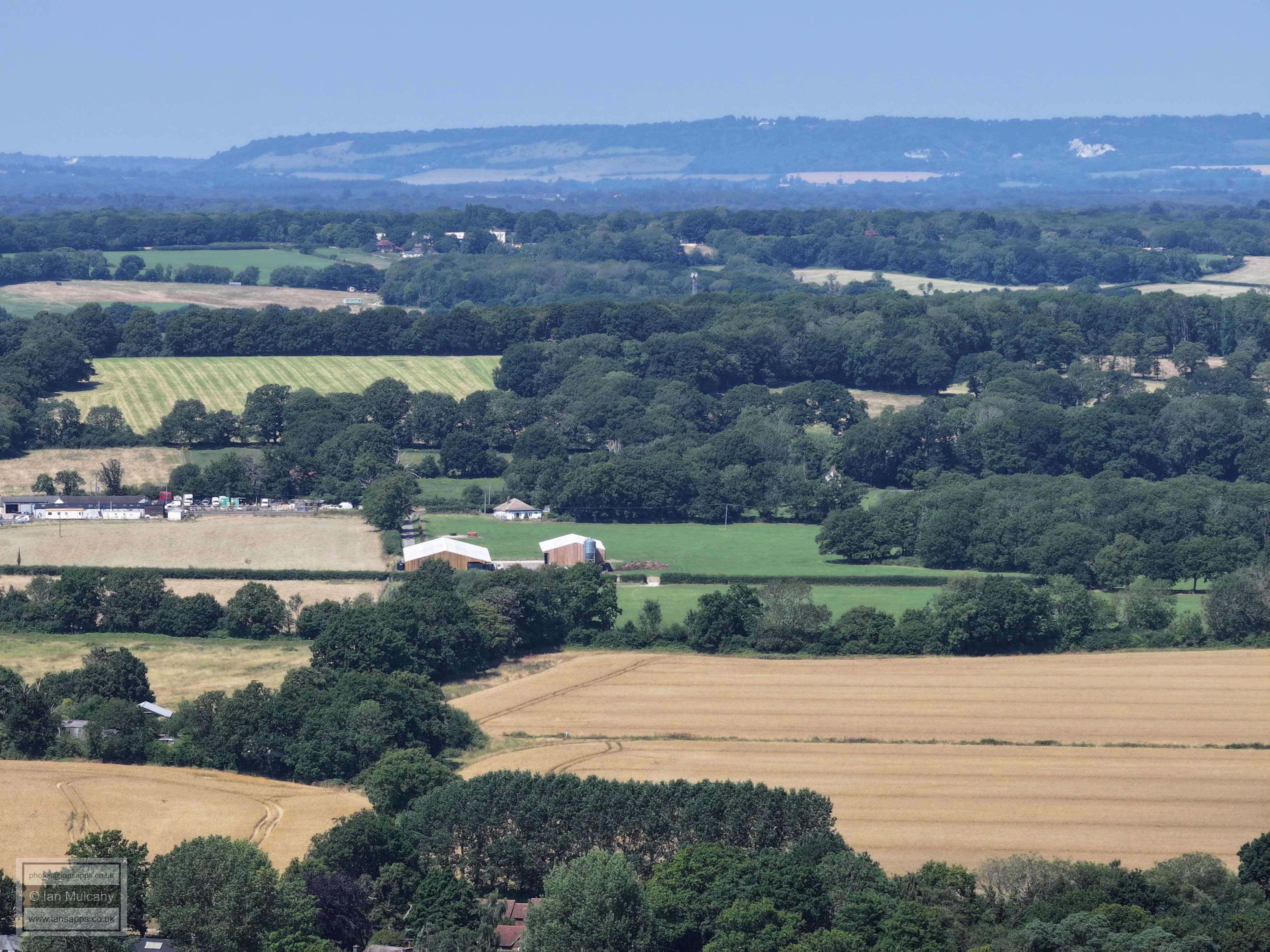
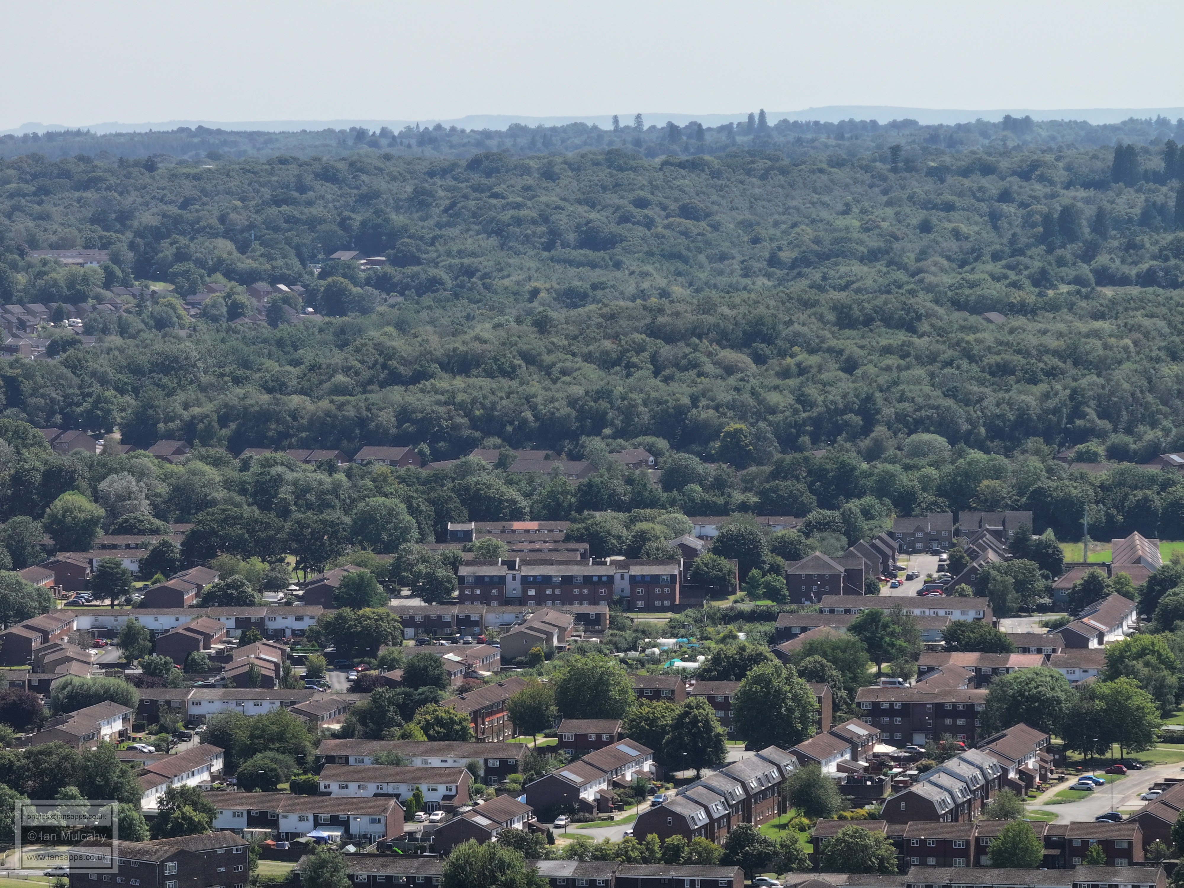
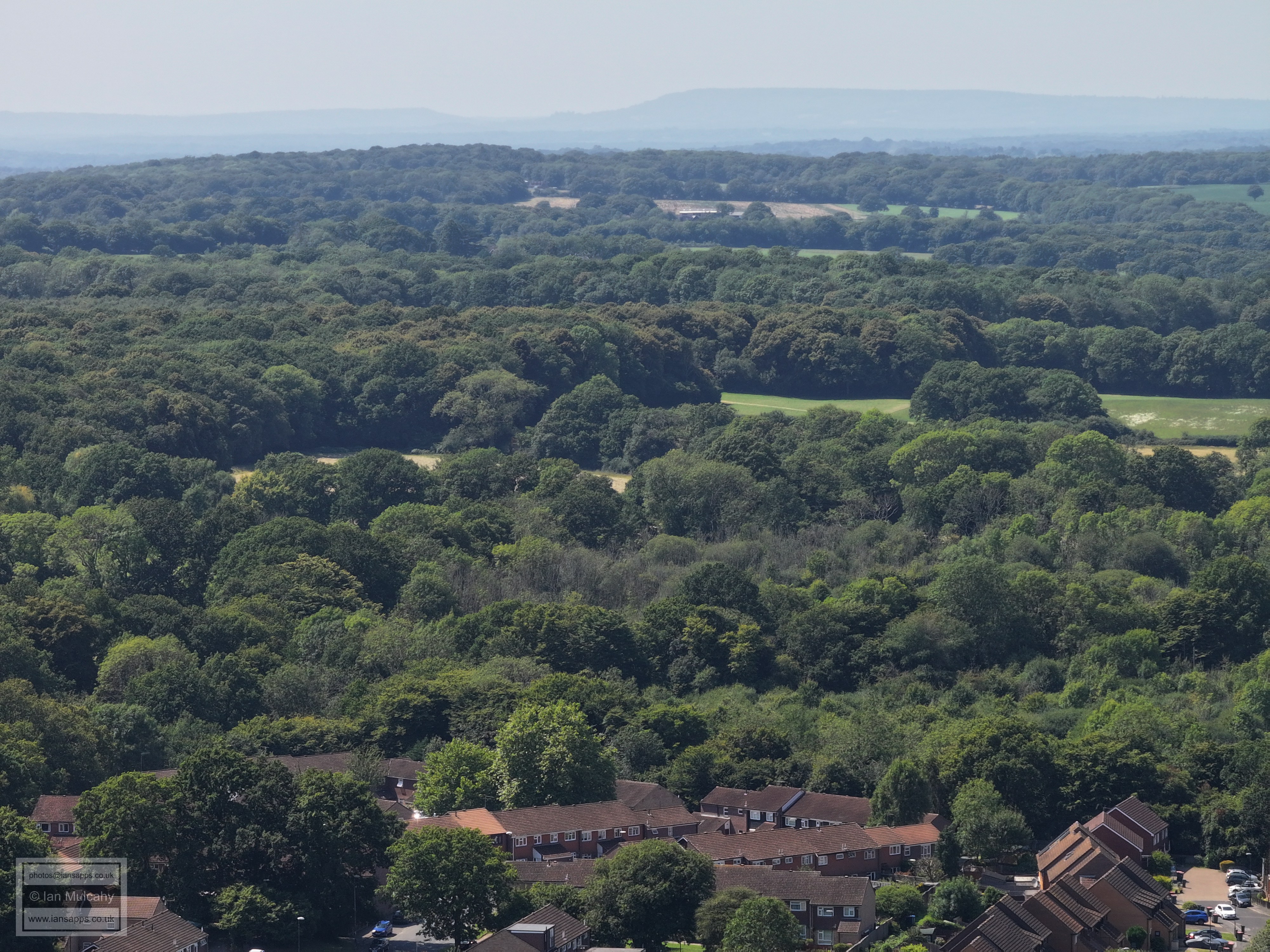
Ifield Brook Meadows and Ifield Wood. The white building in the top left quarter is Russ Hill Hotel. Box Hill is in the background.
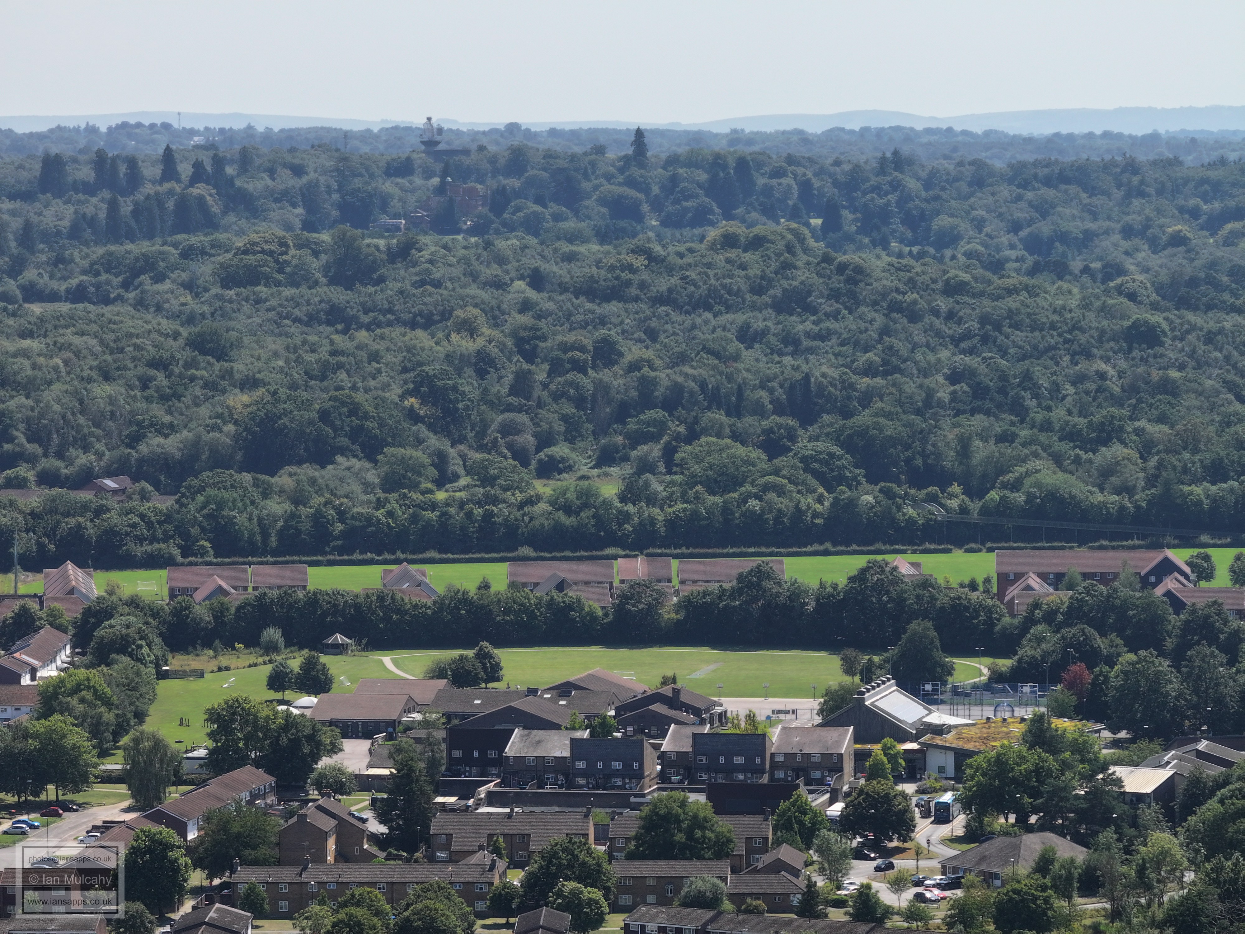
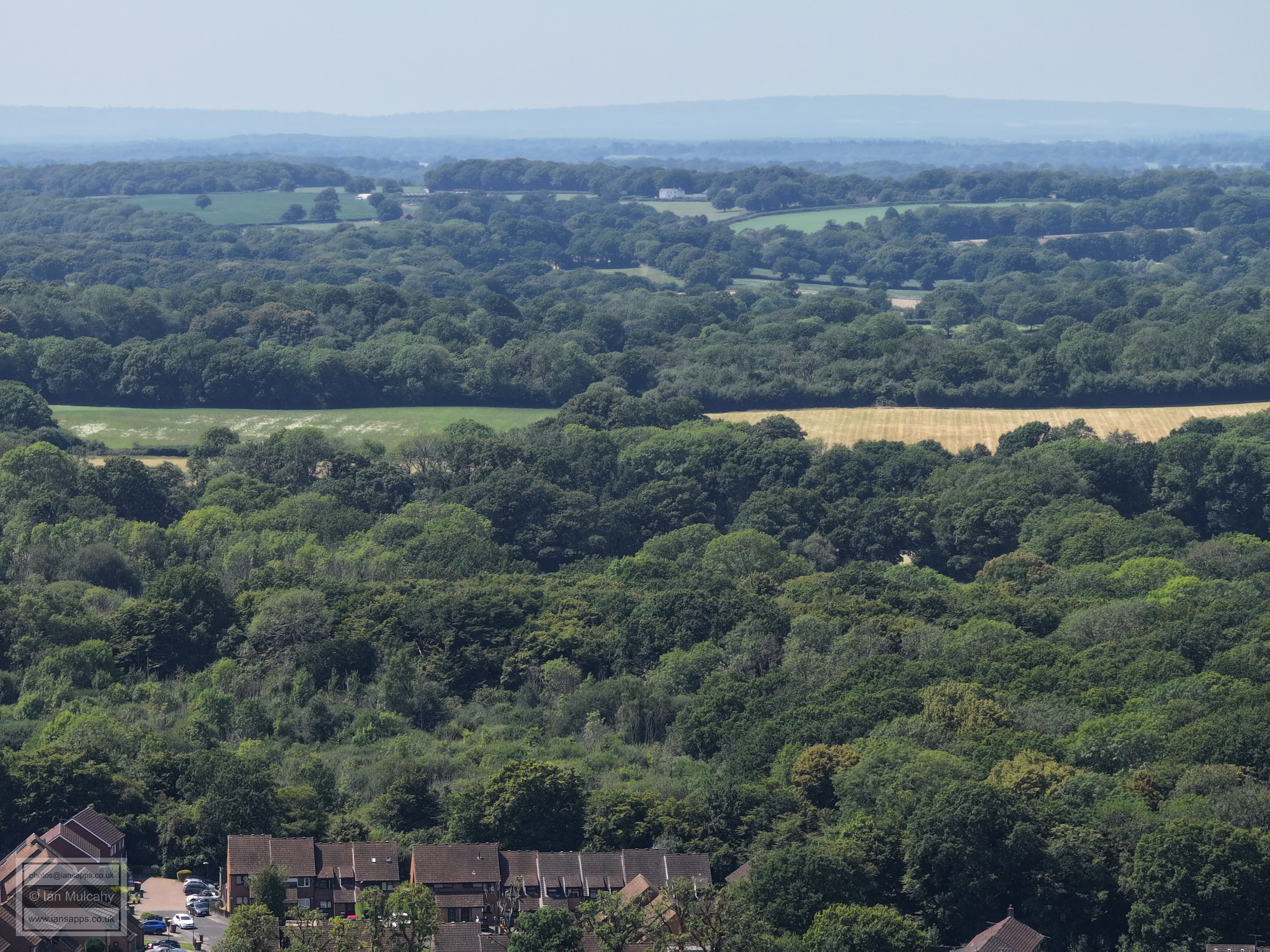
Ifield Brook Meadows are in the foreground. The white house near the top centre is close to the Lowfield Heath Windmill, now sited on Russ Hill and the white V shape to the right of the house is the sails of the Windmill.
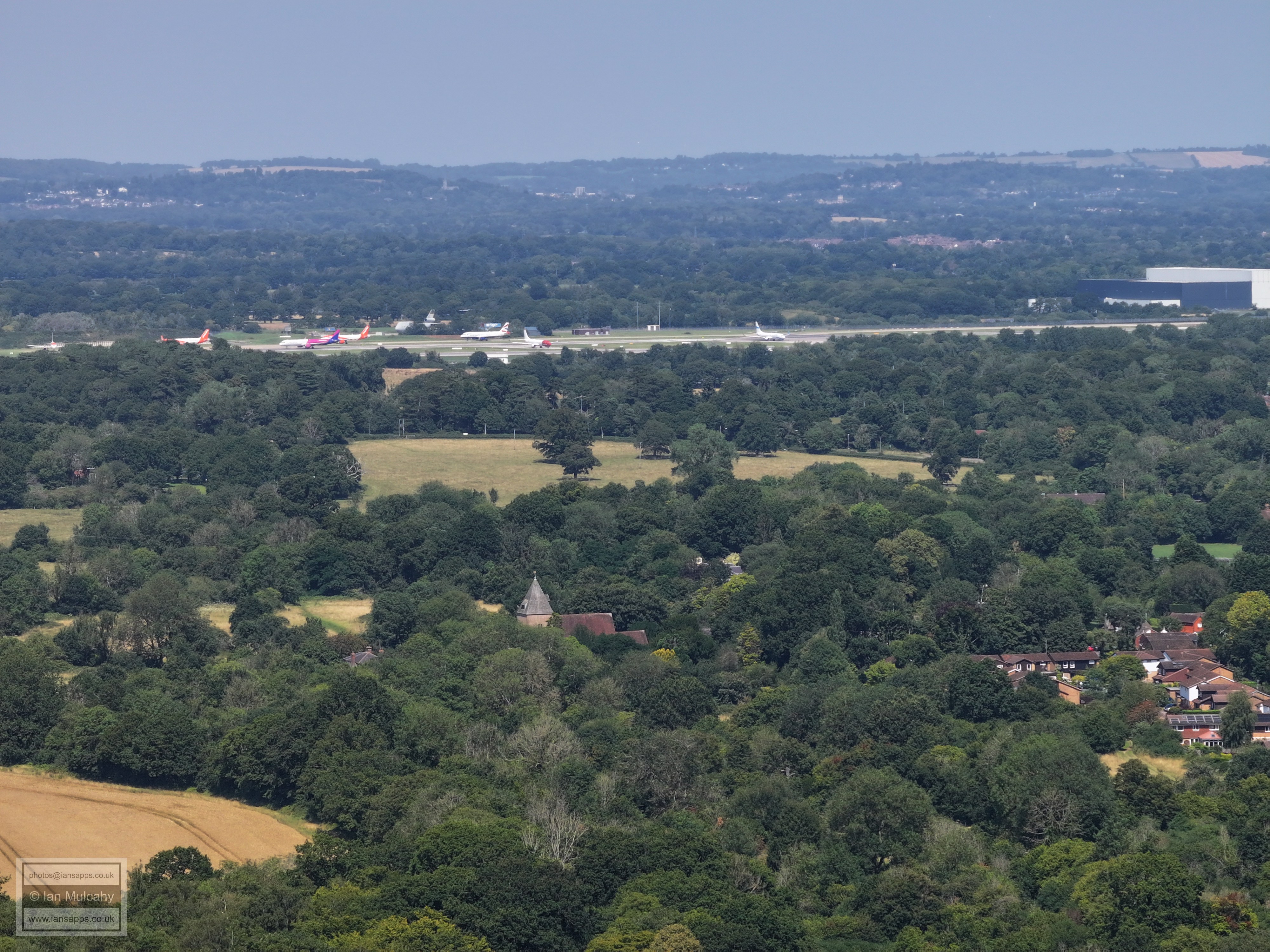
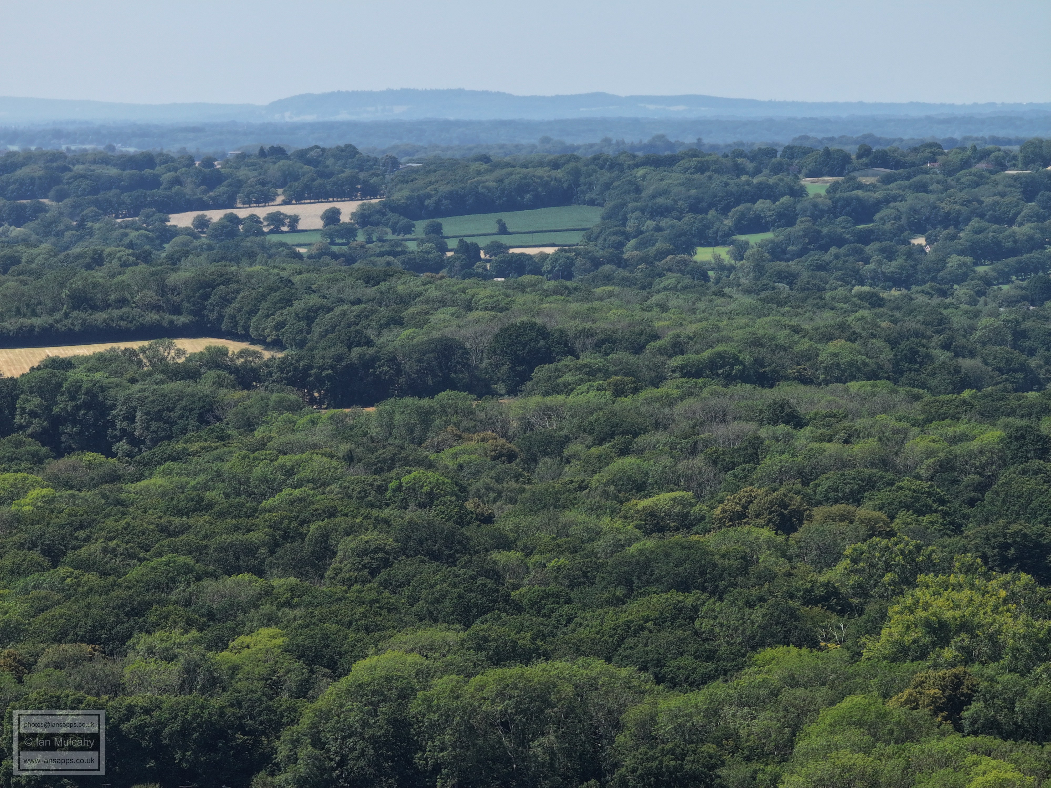
Ifield Brook meadows, with the odd glimpse of Charlwood, including the tower of the church in the centre of the top left quarter, beyond.
Ifield Brook meadows and church with the airport beyond. Reigate and Redhill are across the top of the photo, including St Johns Church at Earlswood in the top right.
Just a slight turn fo rthis one, to centre St Margarets Church. The houses bottom right are Aldingbourne Close
Ifield Green, including the temple at Apple Tree Farm, a little left of centre. The newish houses just below and right of centre are on the old school site at the junction of Rusper Road & Ifield Green and below is the Parham Road area.
At the very bottom centre of the picture is Rusper Road with Ifield Drive above. Ifield Parade is below and left of centre and road section of road just above is Warren Drive. The new houses in the bottom right quarter are on the old ICC site. Langley Green is above Ifield and in the top right quarter you can see one of the cricket screens at Cherry Lane playing fields. In th etop right quarter is the spire of St Michaels Church at Lowfield Heath.
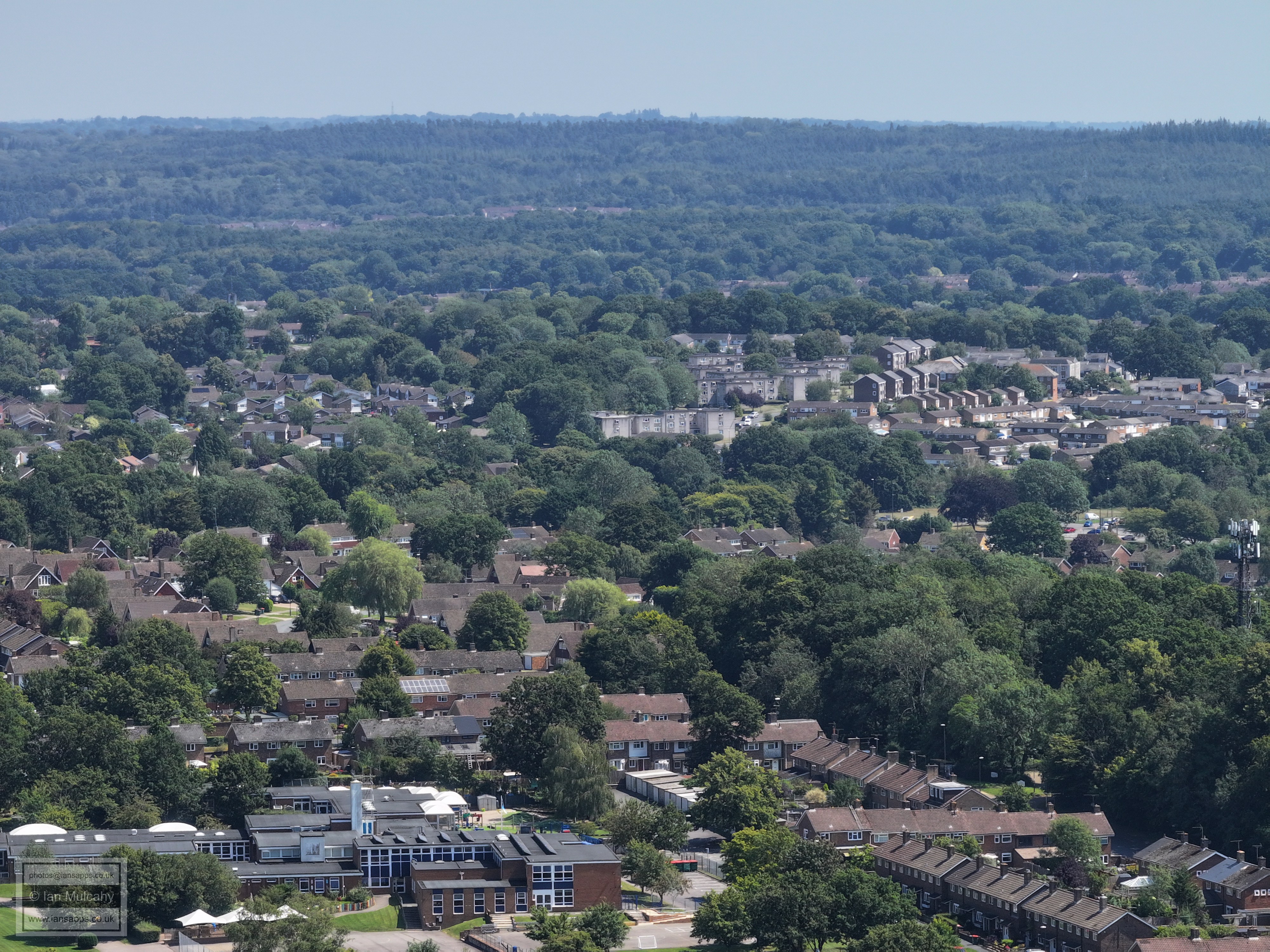
Ifield Drive is across the foot of the picture and the Mill Primary is just visible bottom right. the green area above is the playing fields at ICC and Manor Green, which can be seen just above. A little way abive Manor Green you can see the timbers and half hipped roof of the moated Ewhurst Place. In the centre of the pic is a turquoise building; part of Langley Green Primary School, and just to the left is Langley Parade.
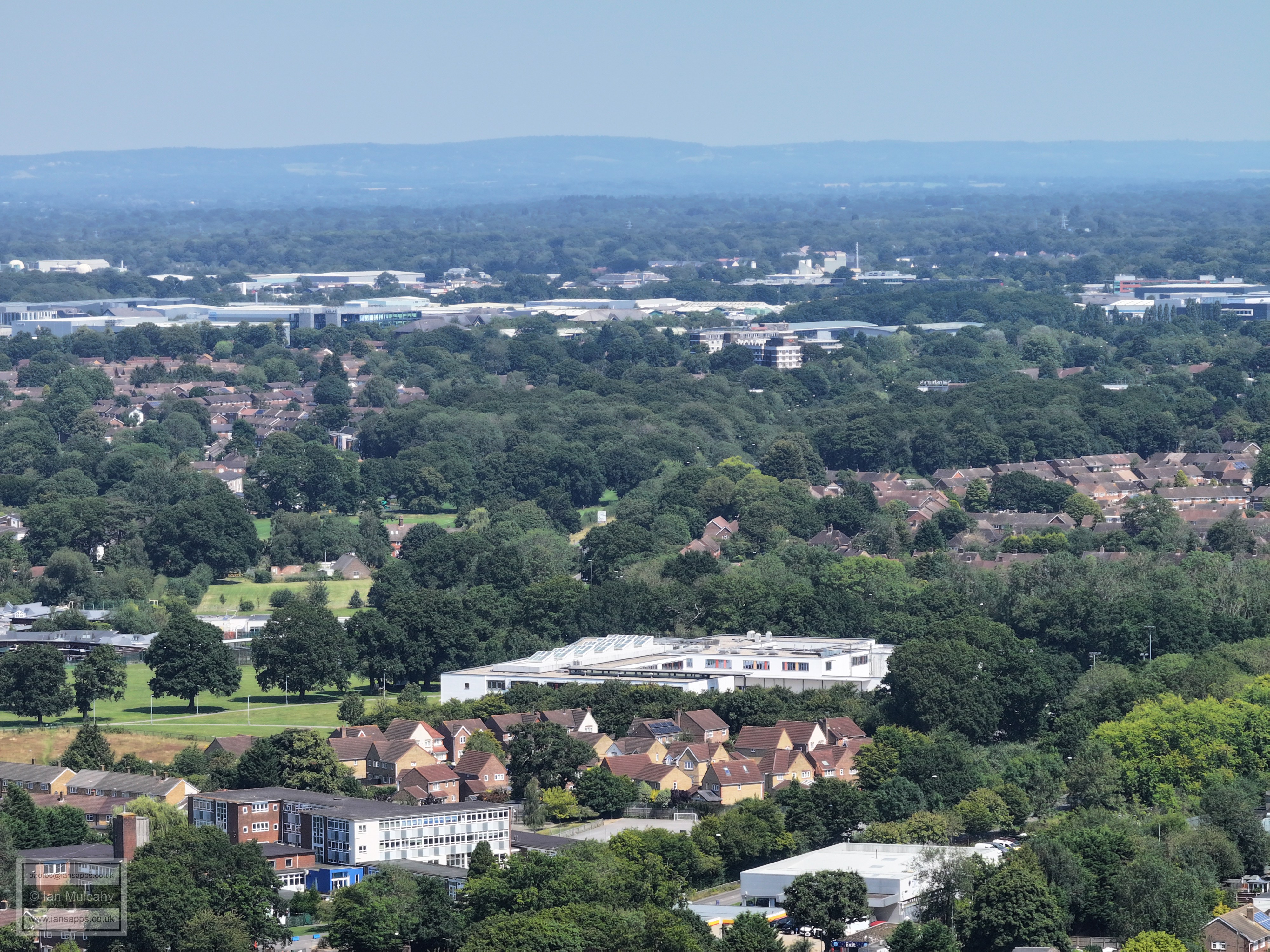
Bottom right is the Shell Petrol Station and Eurovans dealership next to Ifield Station with The Mill Primary, Southwater Close and ICC to the left and above. Right of centre is The Dingle area of West Green and the Crowne Plaza is above the trees in the centre.
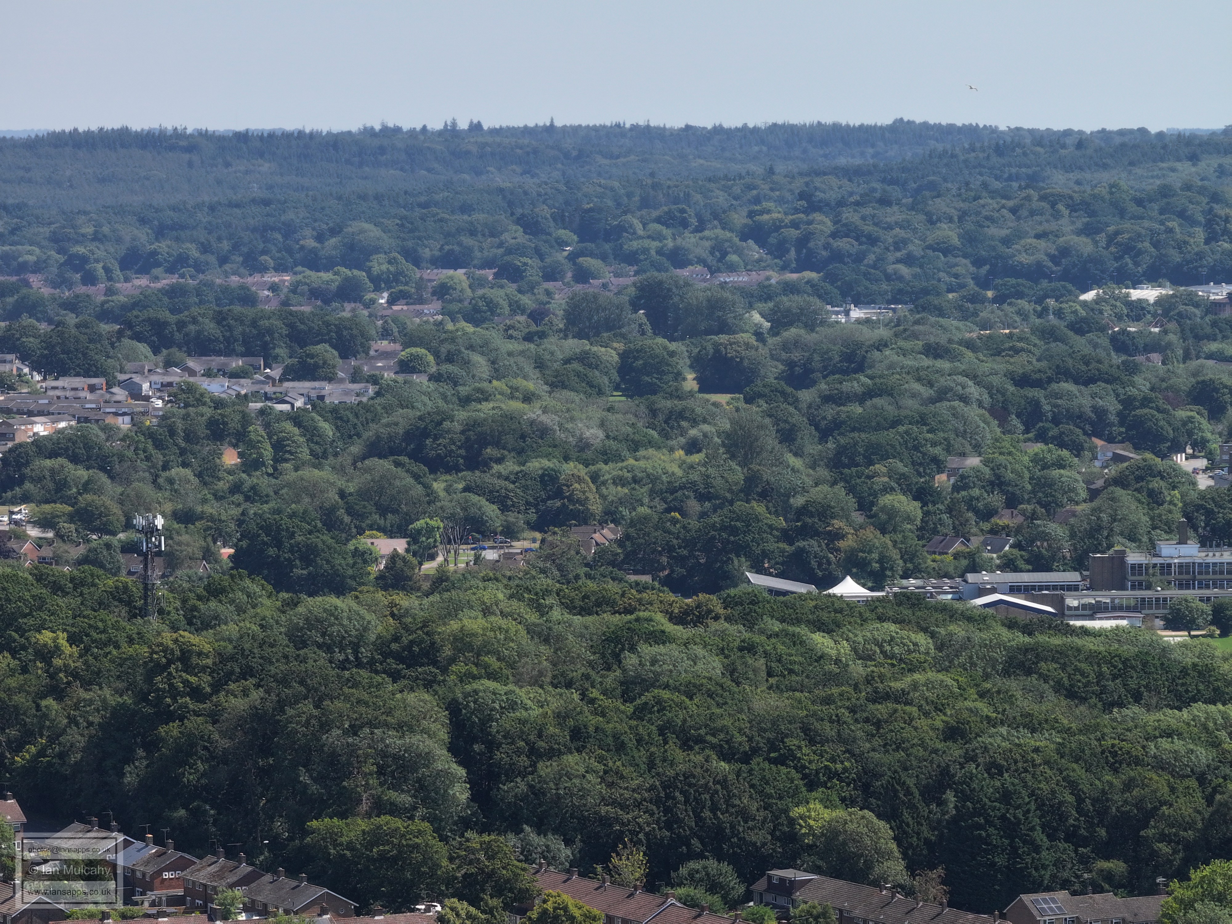
In the bottom left quarter in the trees is Overdene Drive crossing the railway and the unfinished temple close by. In the foreground is Gossops Green with West Green and Cineworld beyond. Close to the top is the recognisable Sandman Hotel at Hazelwick and in the top right quarter the white lift shaft tops at Milton Mount Flats are clear.
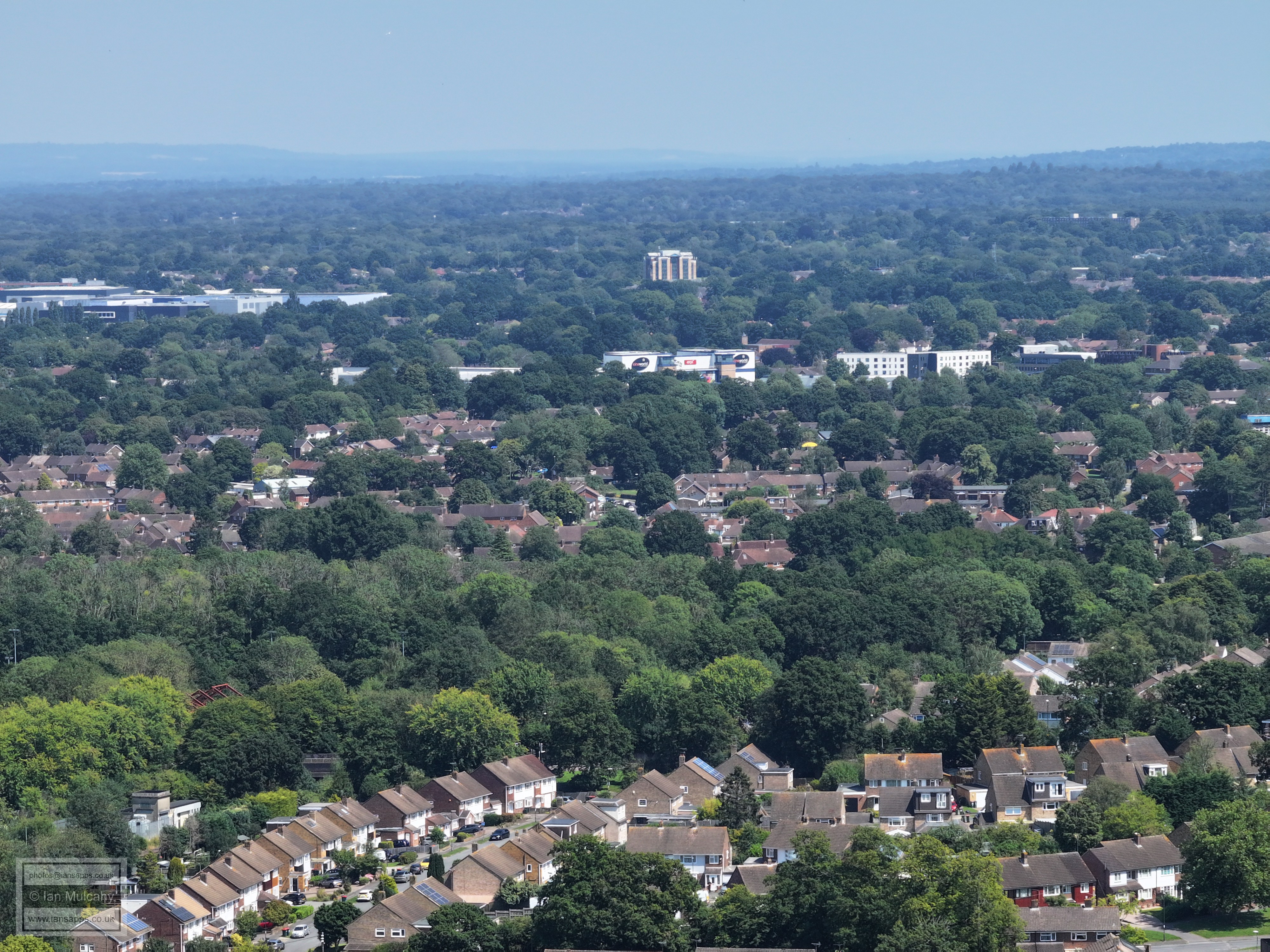
In the bottom right quarter, close to the far edge, is Gossops Drive and the Gossops Green junction of the A23. The hospital and town will be recognisable, and the M&S sign on the Queensway Store is visible if you look closely enough! The white blocks on top of flats to the far right in town are on top of the new development at the south end of the Broadway.
Gossops Green is in the foreground, enclosed by Gossops Drive on the far left and Paddockhurst Road on the far right.The trees across the centre are Goffs Park and St Wilfreds is on the right. Beyond the trees to the left are St Johns Church and Asda with The Mall beyond. The prominent white box building beyond the Mall is Sutherland House (Paymaster). Pound Hill is behind Sutherland house and in the top right quarter is a part of Maidenbower and St Nicholas Church at Worth.
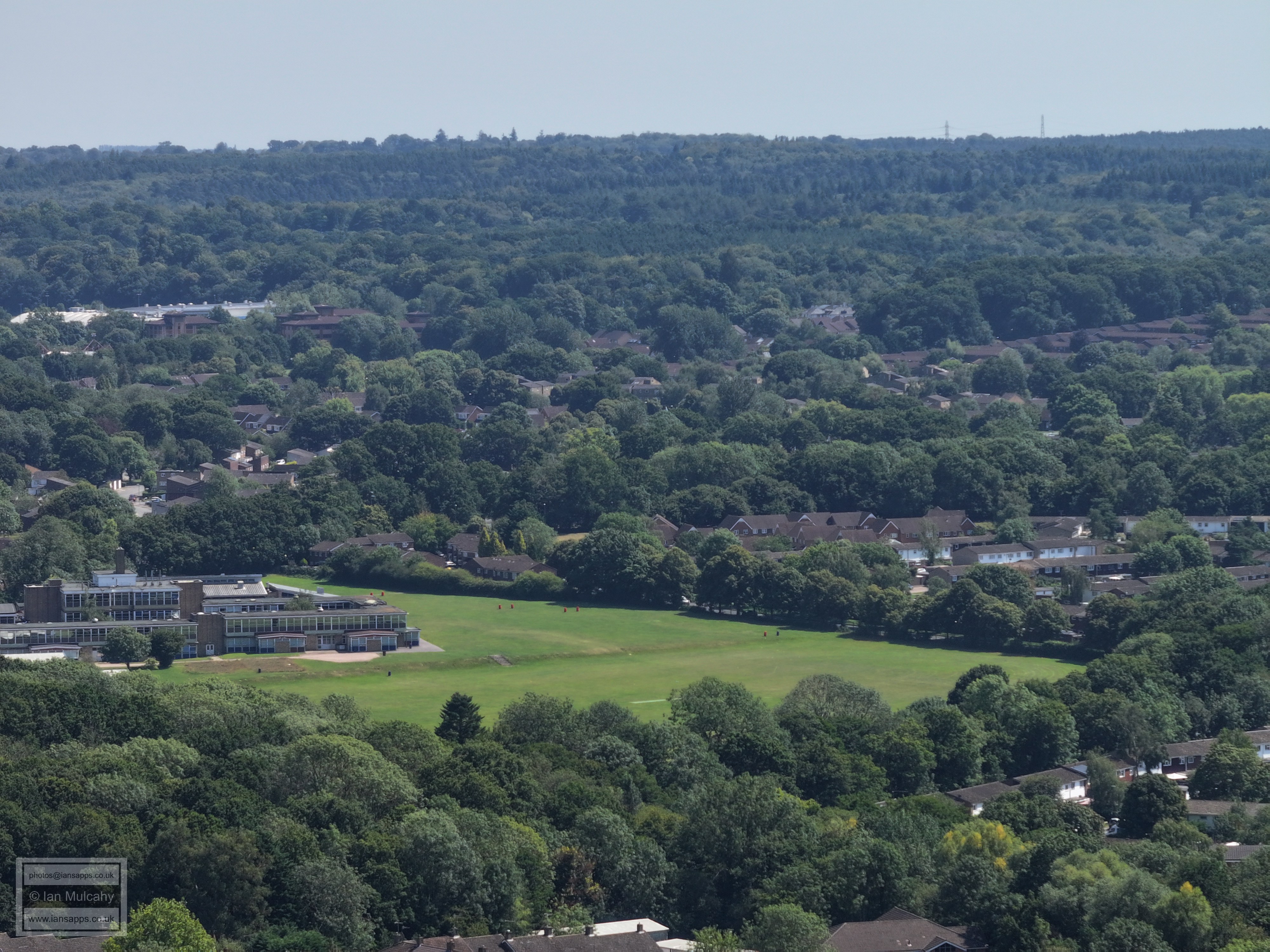
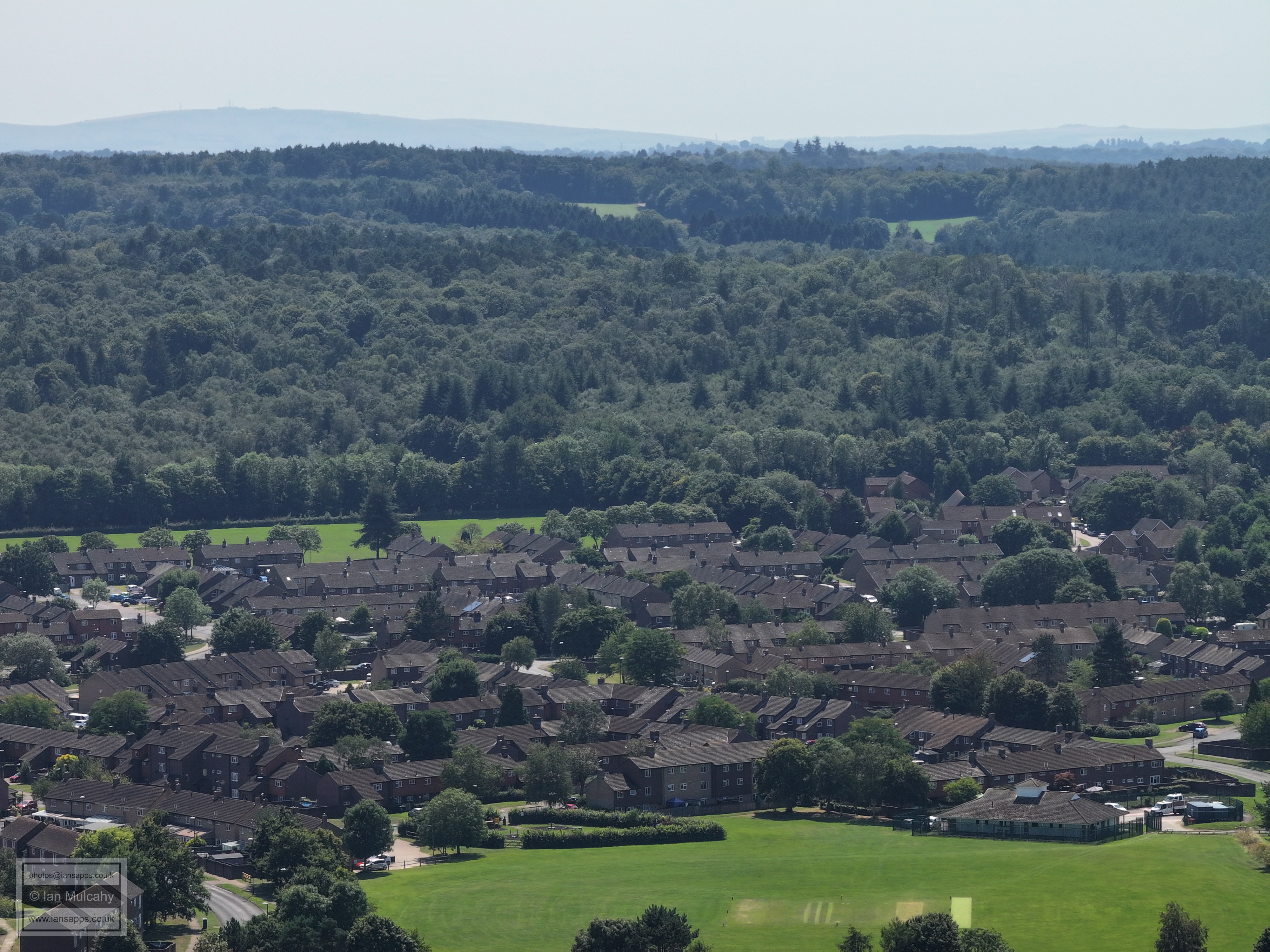
The playing fields of Gossops Green primaryare at the foot of the picture with the top of Buckswood Drive to the right. Beyond, going up the picture, is Southgate West (right) Southgate, Furnace Green (right) and Maidenbower.
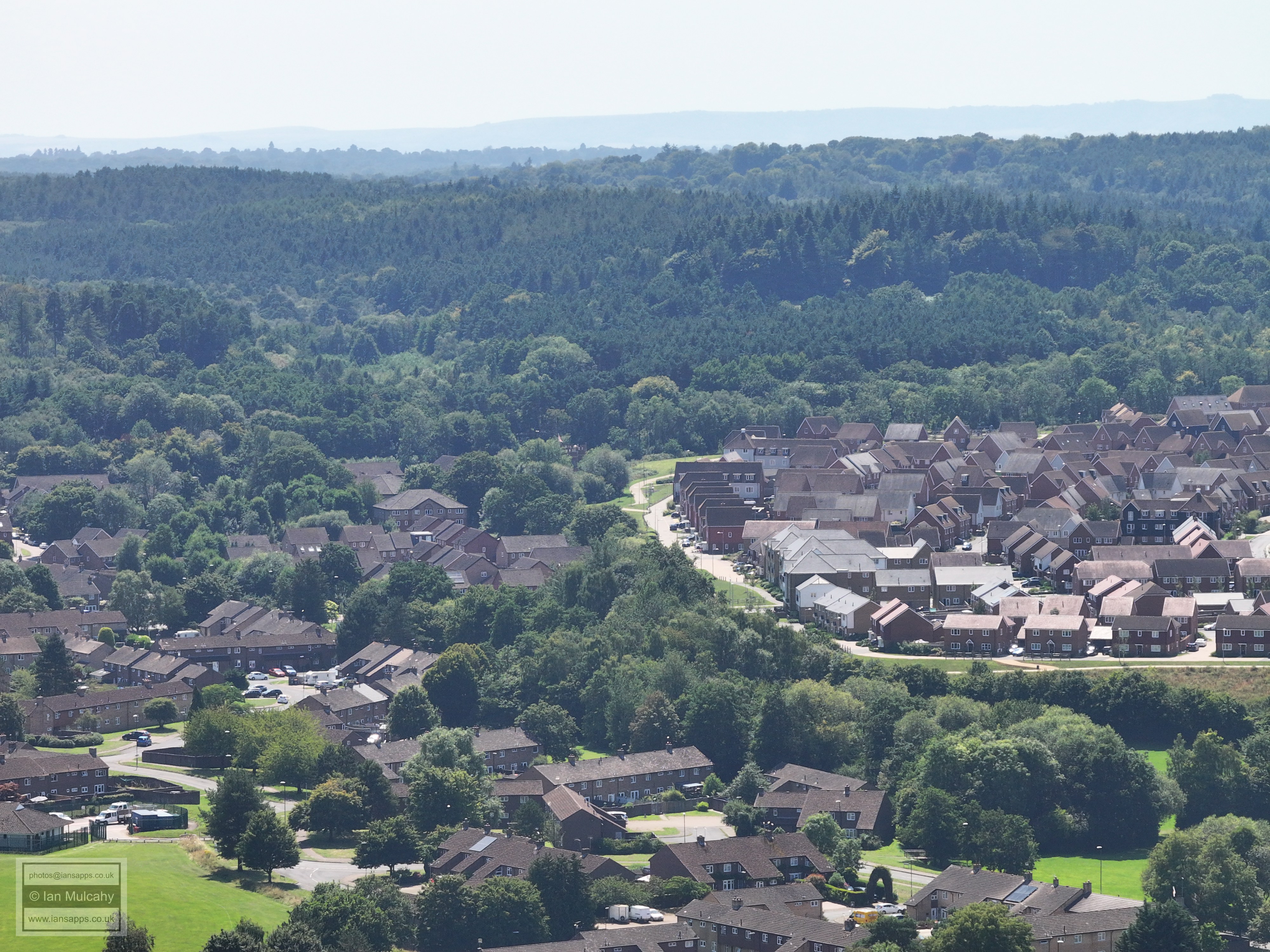
Gossops Green in the foreground with Southgate West prominent on Hogs Hill across the middle.
Woldhurstlea woods fills the bottom of the picture with Holy Trinity on the right. Southgate West is left of and above centre and just below centre to the left, in a gap in the trees, is the Horsham Road and Buckswood Drive junction. On the far right, a quarter of the way down from the top, is the white roof of K2, with the roof structure of the Broadfield stadium visible below.
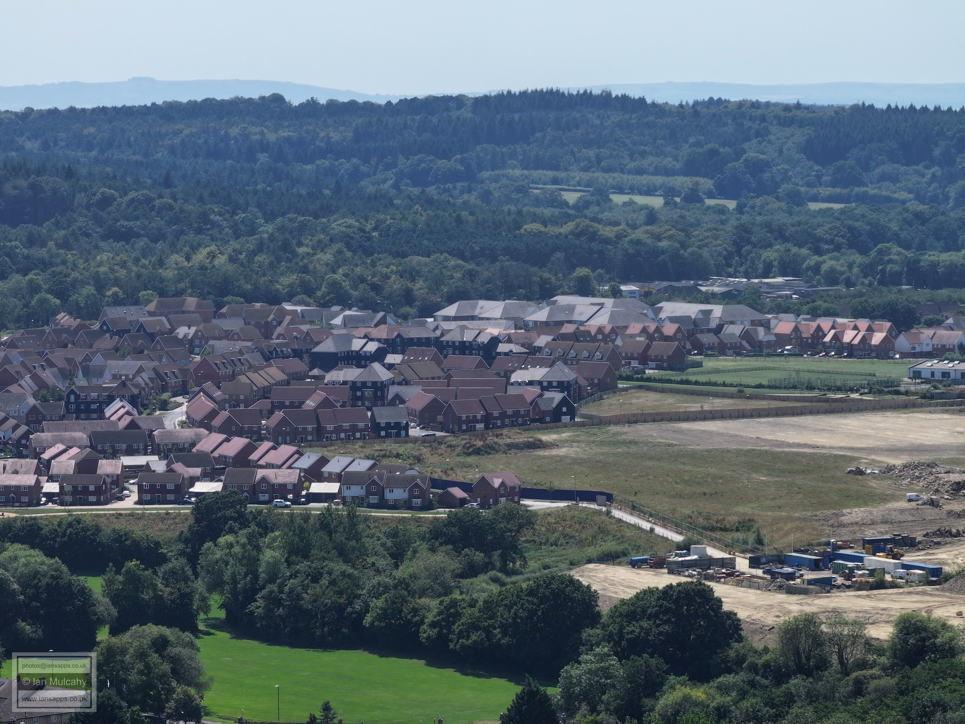
Holy Trinity and Bewbush across the bottom and Broadfield across the centre.
Bewbush in the foreground and Broadfield on the hill beyond. Broadfield Barton is prominent just right and above centre. The roofs of Woodgate at Pease Pottage are just visible in the top right.
Bewbush and Broadfield. For bearings, at the bottom right is the Bewbush Drive/Ellman Road junction.
Mainly Bewbush
Bewbush and Buchan Hill, with the radar station, water tower and Cottesmore School.
Sullivan Drive area of Bewbush with Cottesmore Golf course on the hill.
Sullivan Drive area of Bewbush with Bewbush Green Cricket Pavilion in the bottom right.
Bewbush to bottom left, Kilnwood Vale to the right. Crawley & Horsham border separating them. Bewbush West Playing fields bottom right.
Bewbush West Playing fields & Kilnwood Vale
Kilnwood Vale with Holmbush beyond. In the bottom right is Bewbush Brook, now several metres below the level of the surrounding ground which has been built up on the site of Bewbush Millpond.
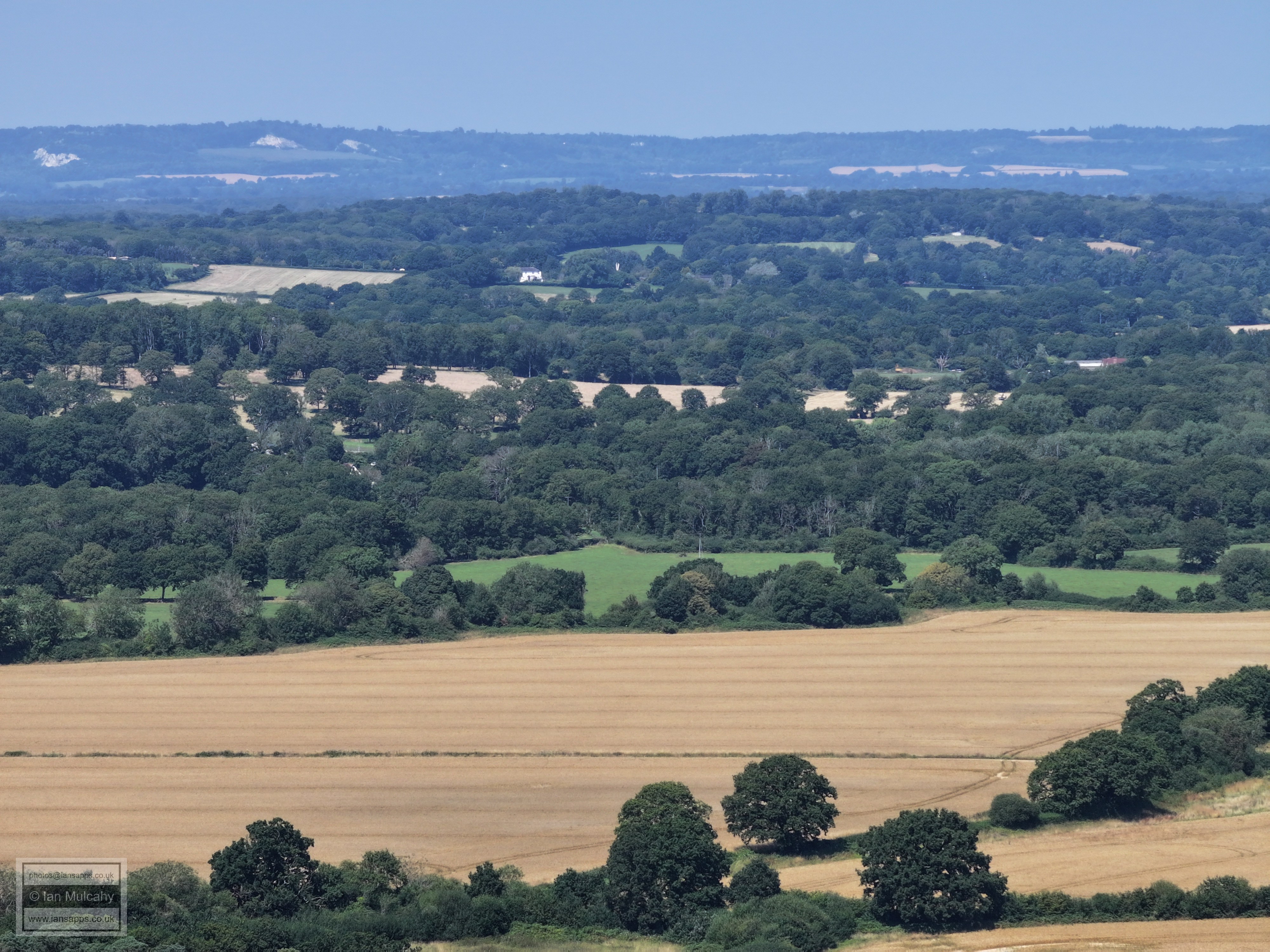
A wider view of Bewbush Brook and the western end of Kilnwood Vale. Faygate is in the top right quarter.
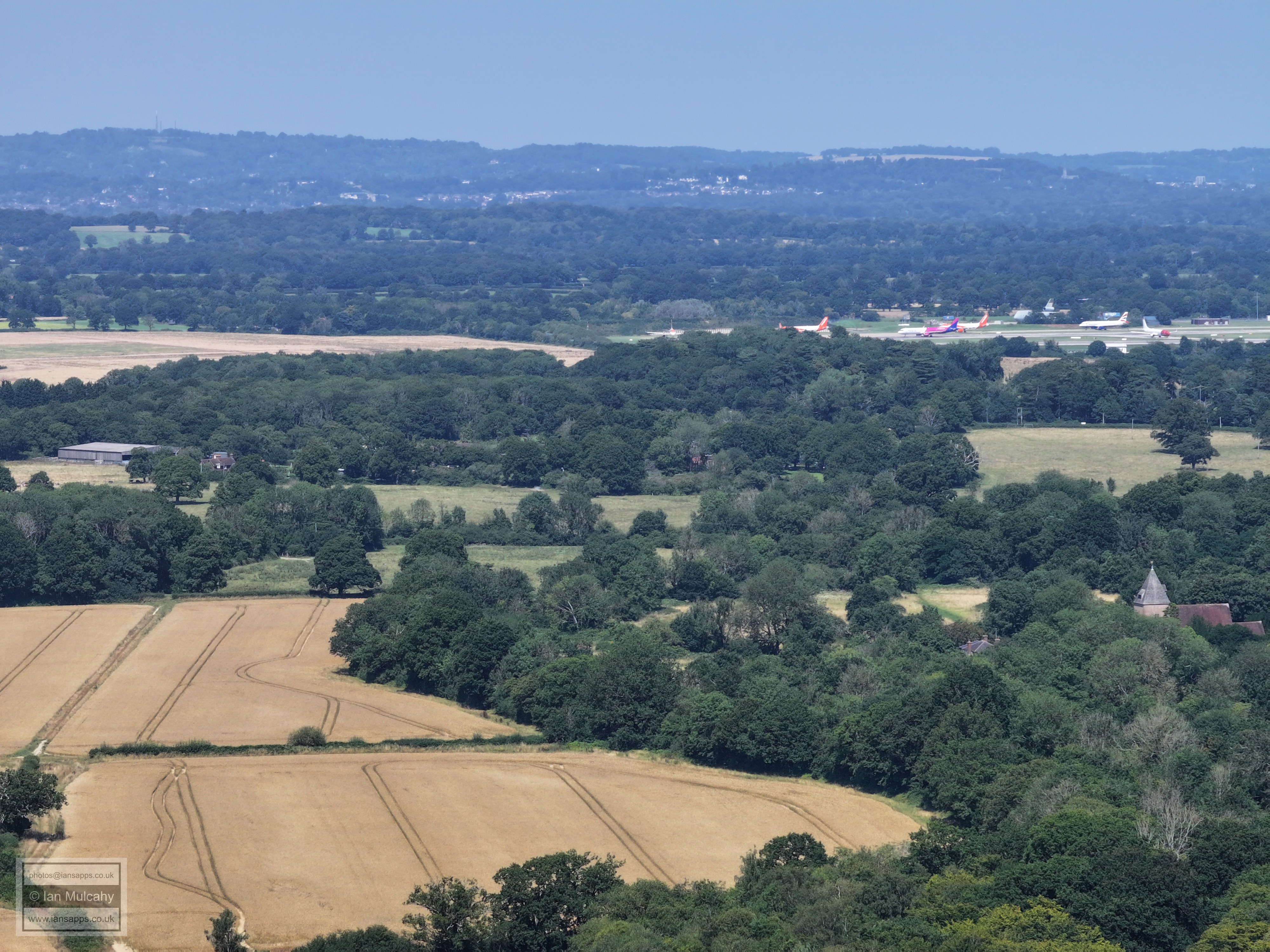
Looking along the Railway tracktowards a hazy Horsham. Faygate is in the top left quarter in at the bottom right is the Langdale Road area of Ifield West.
Coniston Close and the areas either side of Kilnwood Lane
Ambleside Close, bottom centre
Moor Park Crescent at the foot of the image. The white building in the centre near the top is at Park Farm on the Rusper to Horsham Road
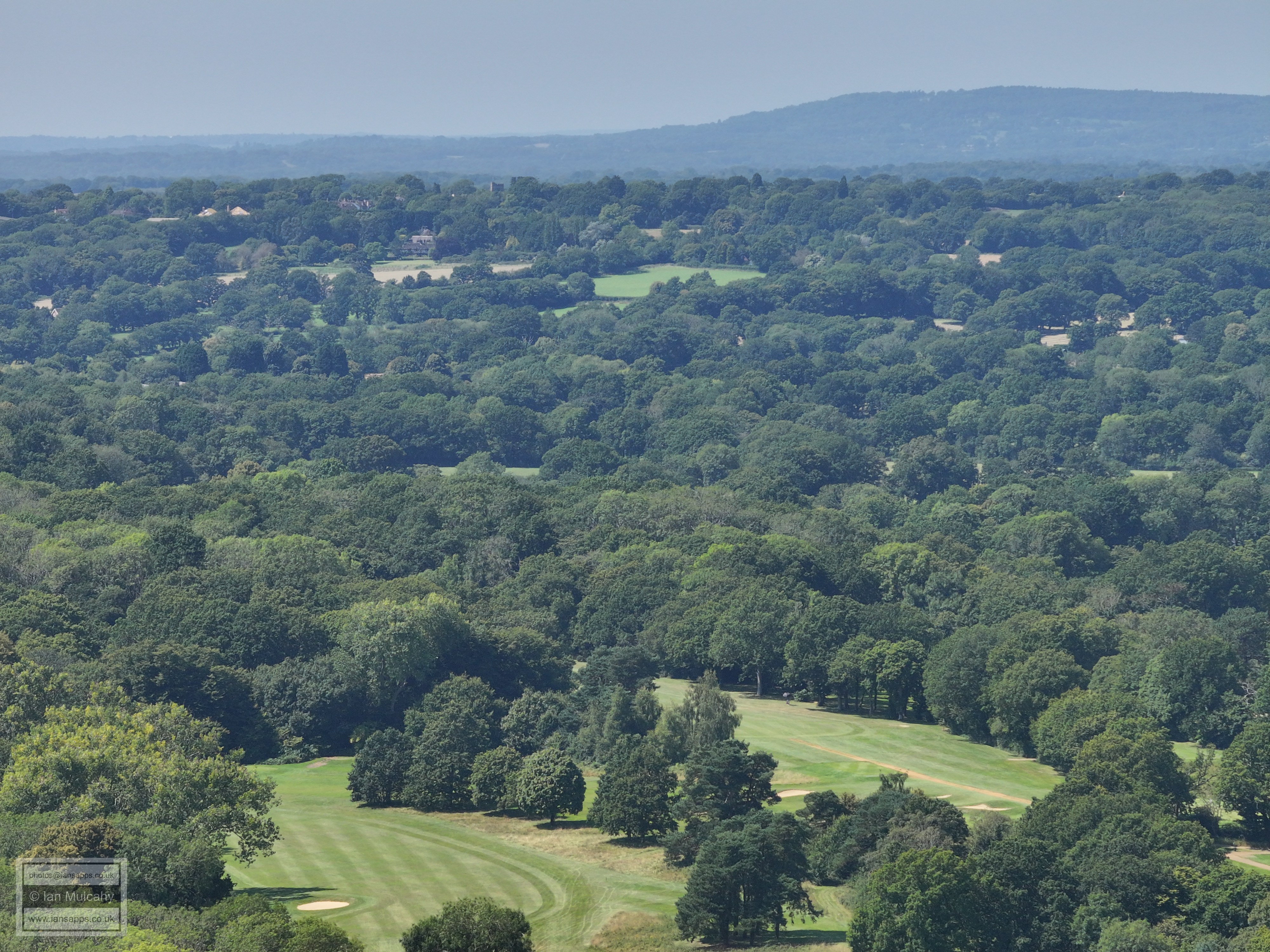
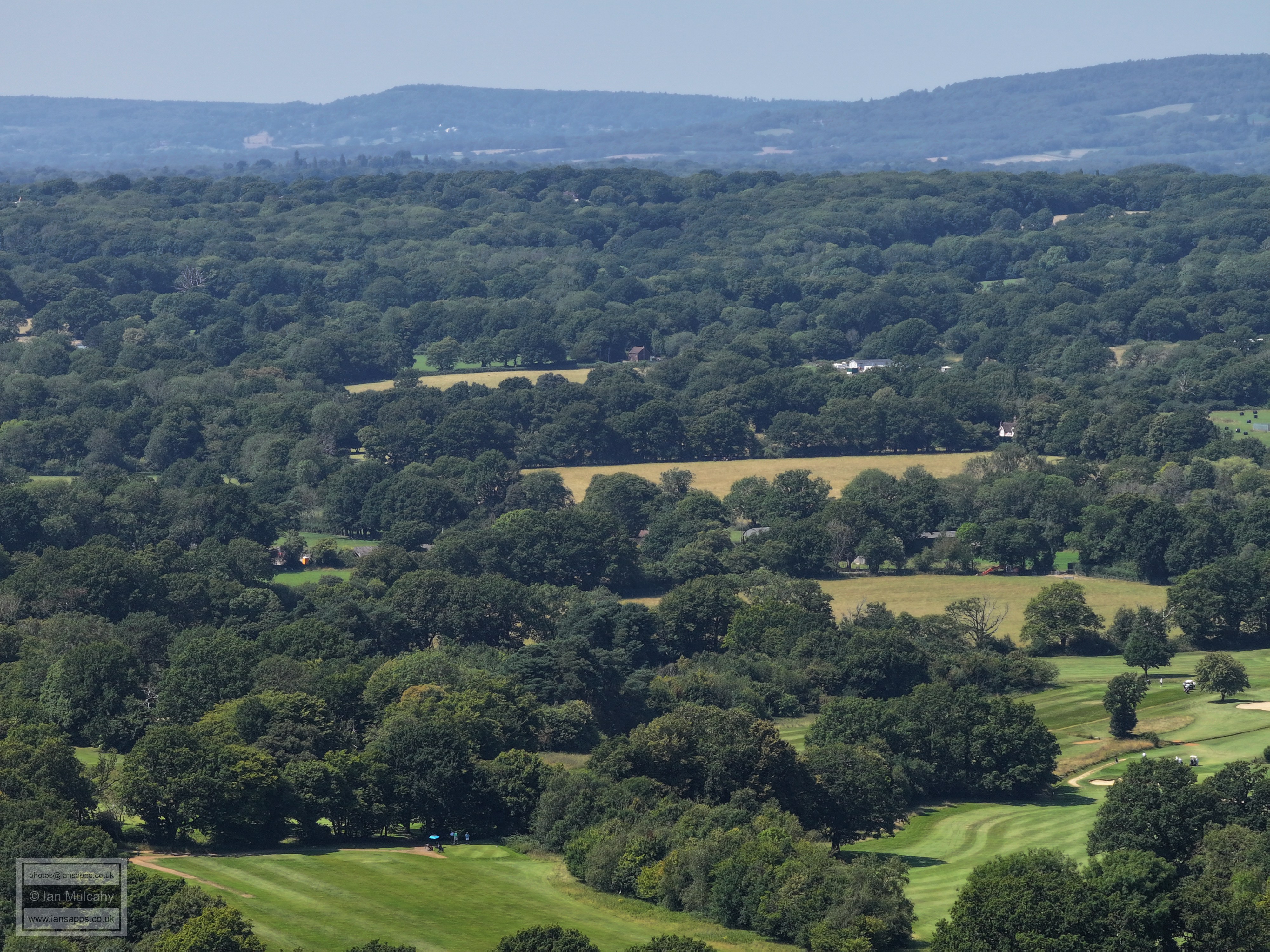
Ifield Golf Course in the foreground. Rusper is in the top left quarter.
Ifield Golf Course in the foreground. To the right of centre is a gabled building; this is the (former) Gate public house.
Mor golf course and the communications tower behind The Gate is left centre. The curving track in the top right quarter is the driveway to The Mount.
At the top of the near ridge, the long white roof is a barn at Ivy House Farm on Partridge Lane. The Mount is just above centre, with the main house hiding behind trees to the left.
The house left of centre is Hillybarn Farm.
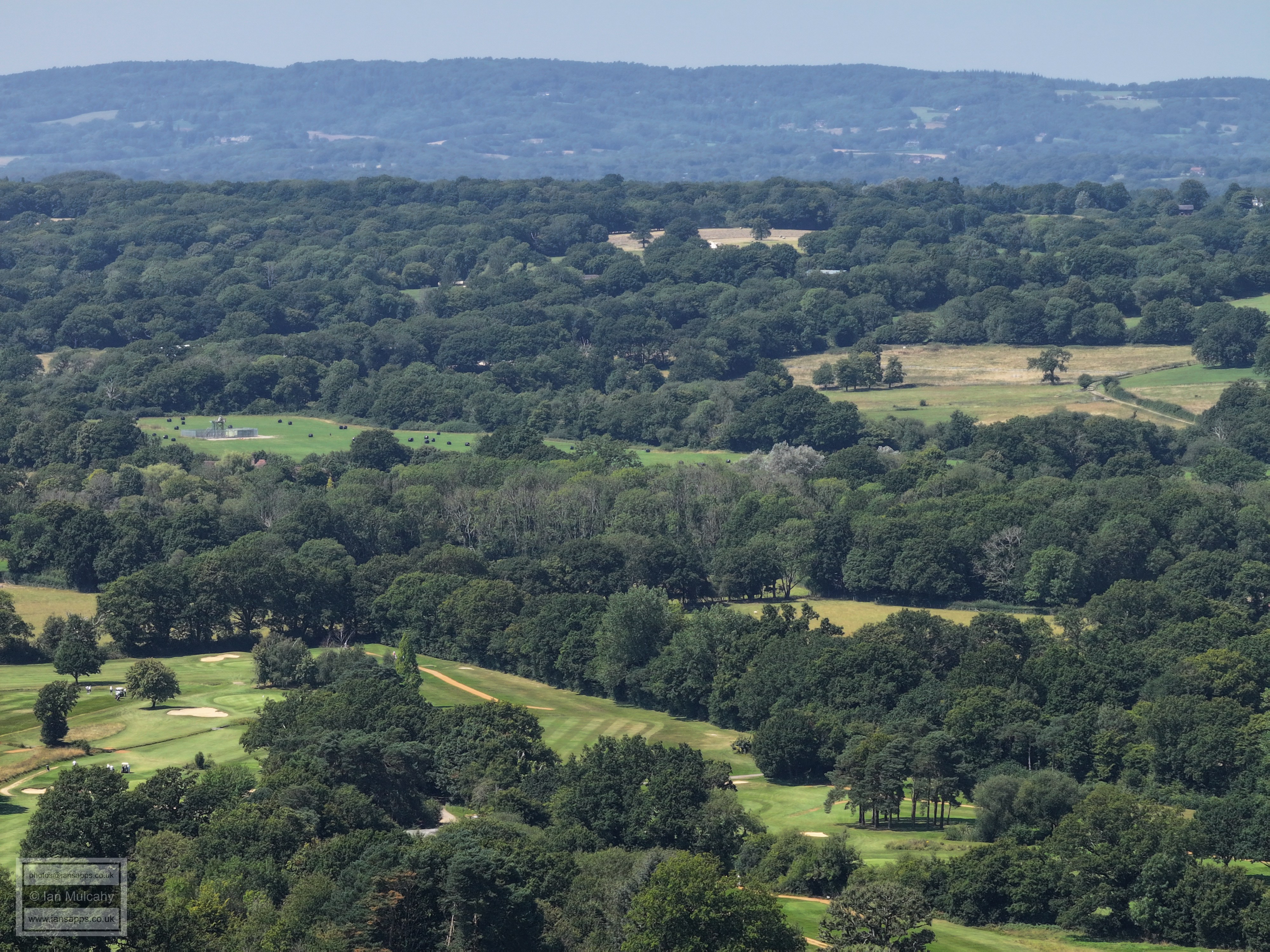
Golf course. Rusper again visible in the top left quarter.
Golf course. The Mount, Hilly Barn and Bonwyckes are almost in a line from left to right about 20% down from the top
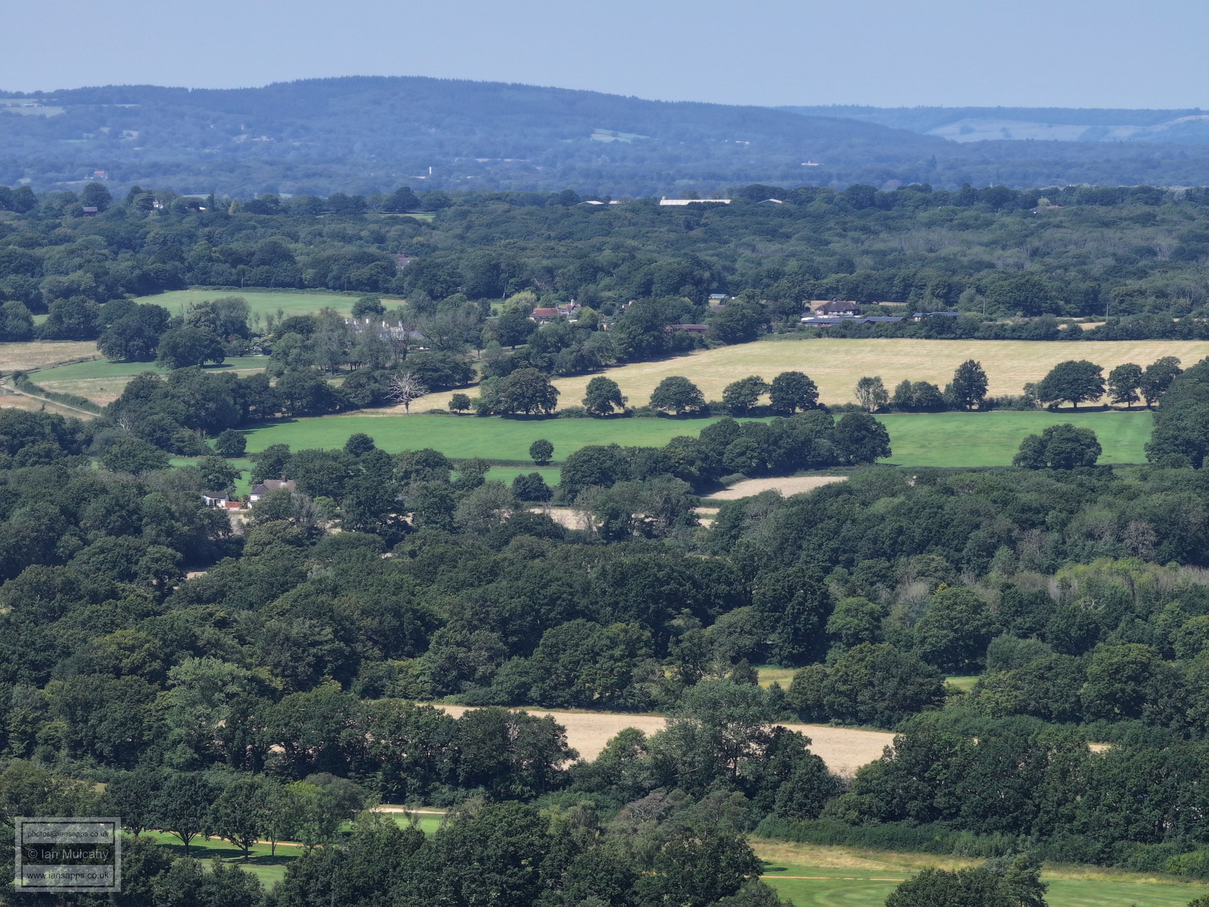
Ifield West and Brook Meadows. The new houses to the right, beyond Capsey Road and below the trees, are at Summerwood/Hightrees and those beyond the trees are at The Maples opposite the golf club entrance.
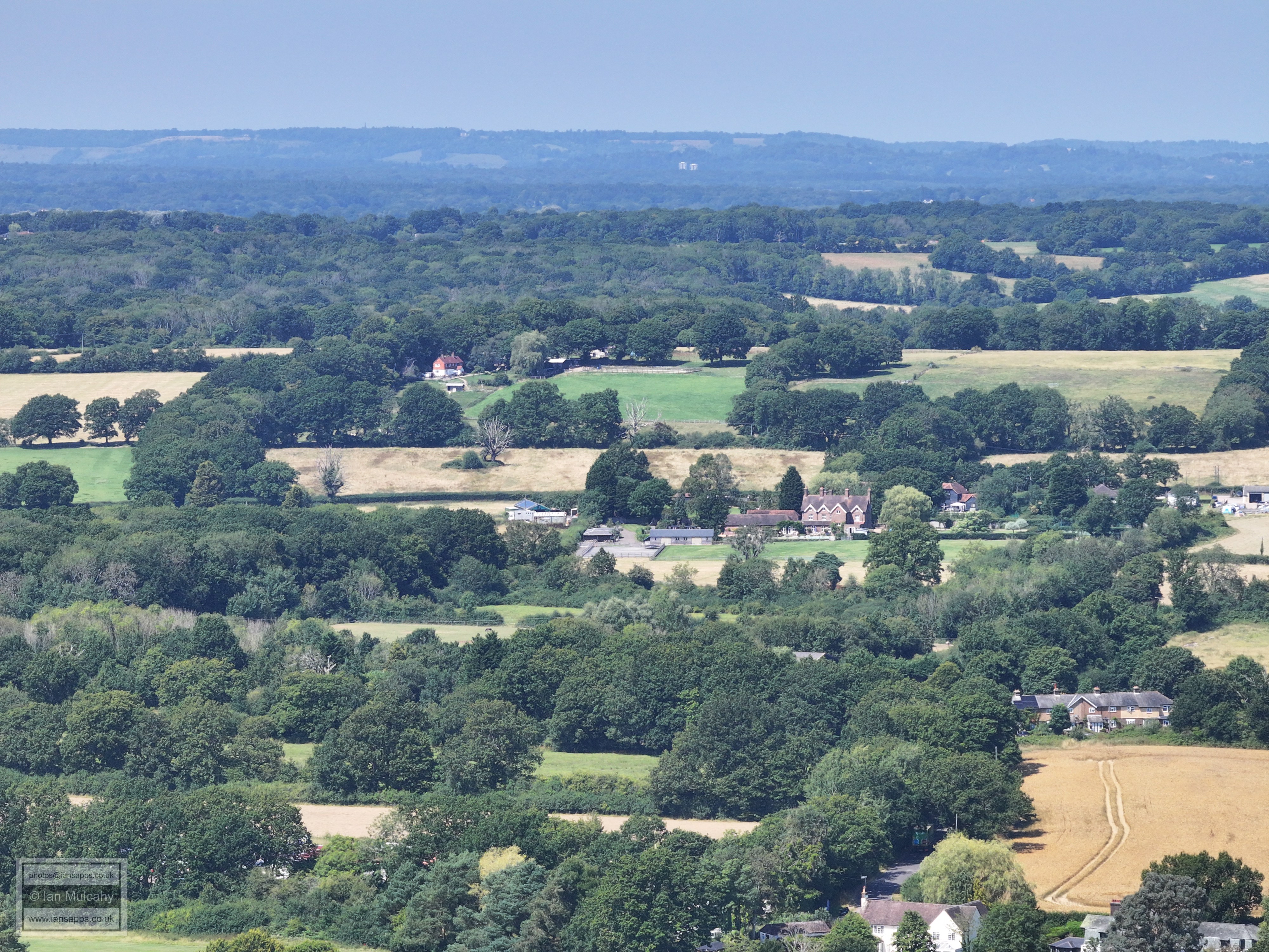
Camelot Court is bottom right with the Brook Meadows and church beyond.
The Millbank is in the foreground. The green space at the lower part of the top left quarter is Rusper Road playing fields. Ifield & Langley Green are beyond.
Four neighbourhoods! Ifield bottom left, Langley Green top left, Gossops Green bottom right and West Green top right. The footbridge at Ifield Station is in the centre.
Gossops Green in the bottom three quarters. Goffs Park at St Wilfrids above and the town centre beyond.
Gossops Green and Southgate West
Gossops Green and Bewbush, with Broadfield looking down from the hill beyond as the High Weald become the Low Weald.
Millpond, Bewbush & Buchan Hill. Bewbush Green cricket pitch on the right.
Water Gardens, Bewbush West and Kilnwood Vale
Another one straight down the tracks to Horsham. Berrymeade Walk is at the foot of the image.
Ifield West, Hyde Hill and the ridge that Kilnwood Lane follows. The bus is turning left into Fairway from Hyde Drive and Old Wybourn Community Centre at Dobbins Place is in the bottom right quarter.
Tesco Express is in the bottom left quarter. From bottom right to above Tesco is Poynings Road with Birkdale Drive and St Andrews Road in the centre and Hyde Hill Woods beyond. Golf course on the right. Rusper isin the top right quarter.
Gossops Drive, Goffs Park and Town centre. Sutherland House in Three Bridges is just above County Mall.
Golf Course
Back to Ifield Mill.
Text & photographs © Ian Mulcahy. Contact photos@iansapps.co.uk or visit my 'Use of my photographs' page for licensing queries (ground level photographs only). |
|