Faygate Playing Fields
6 August 2024
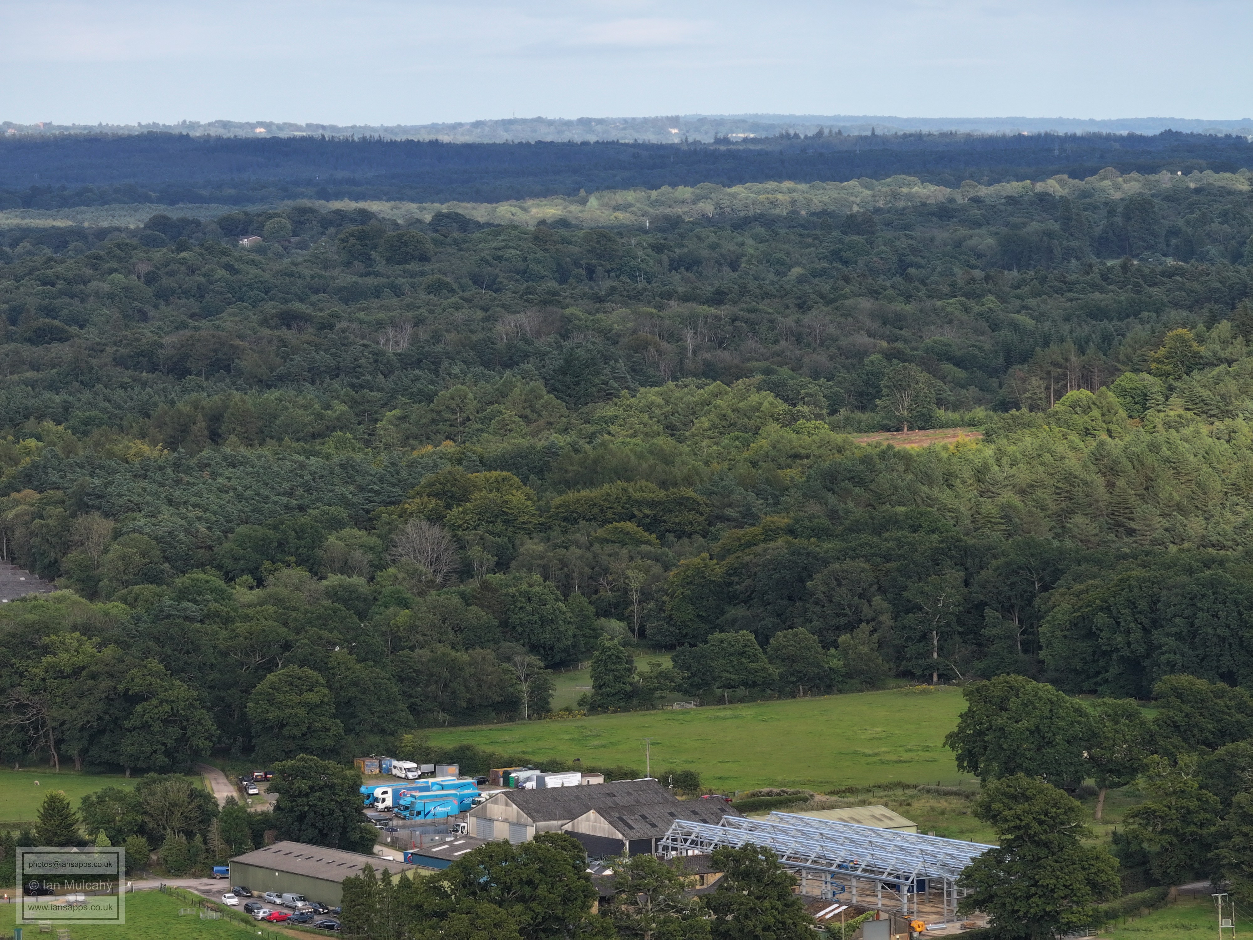
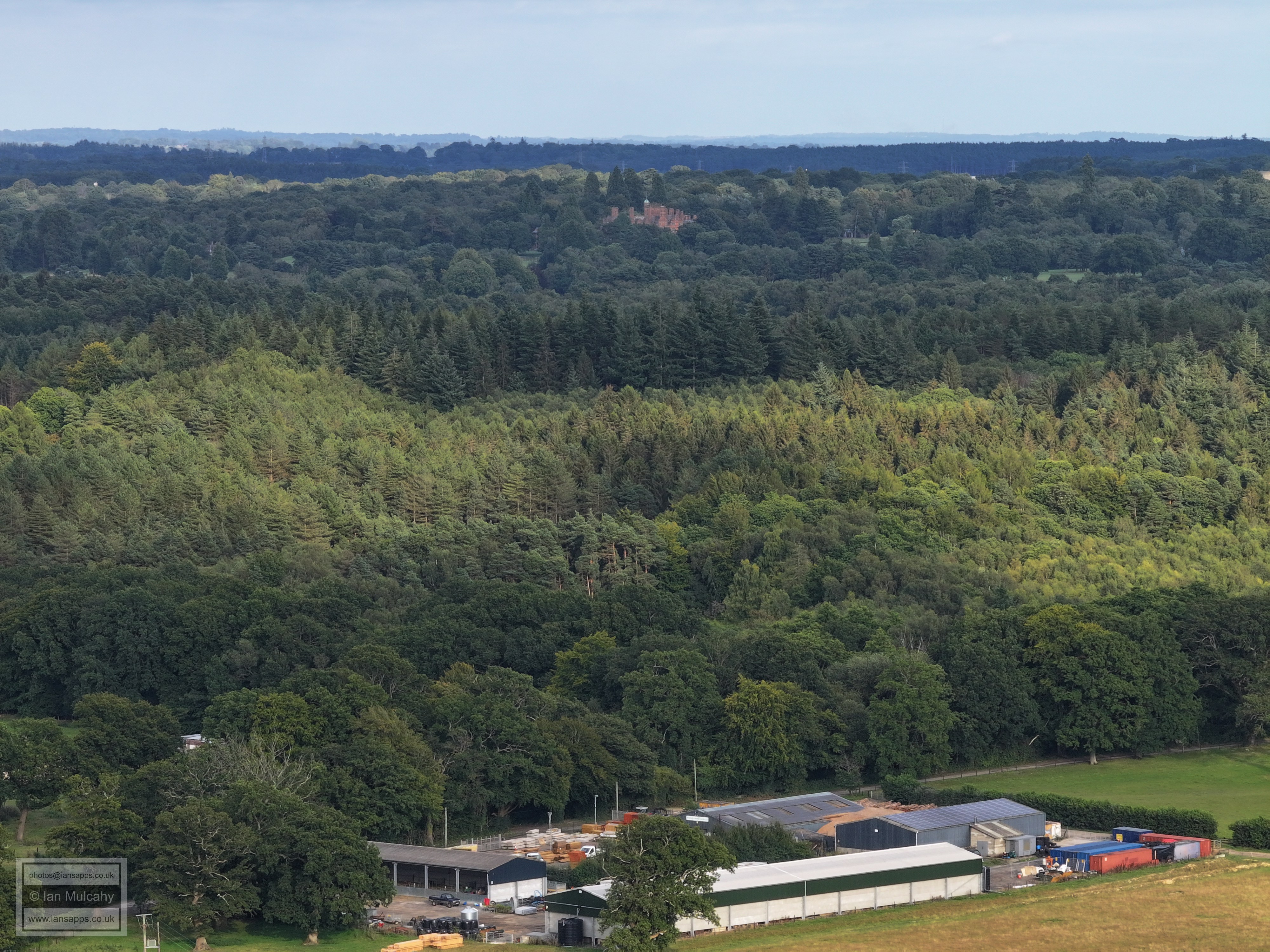
56 aerial photographs of varying focal lengths
|
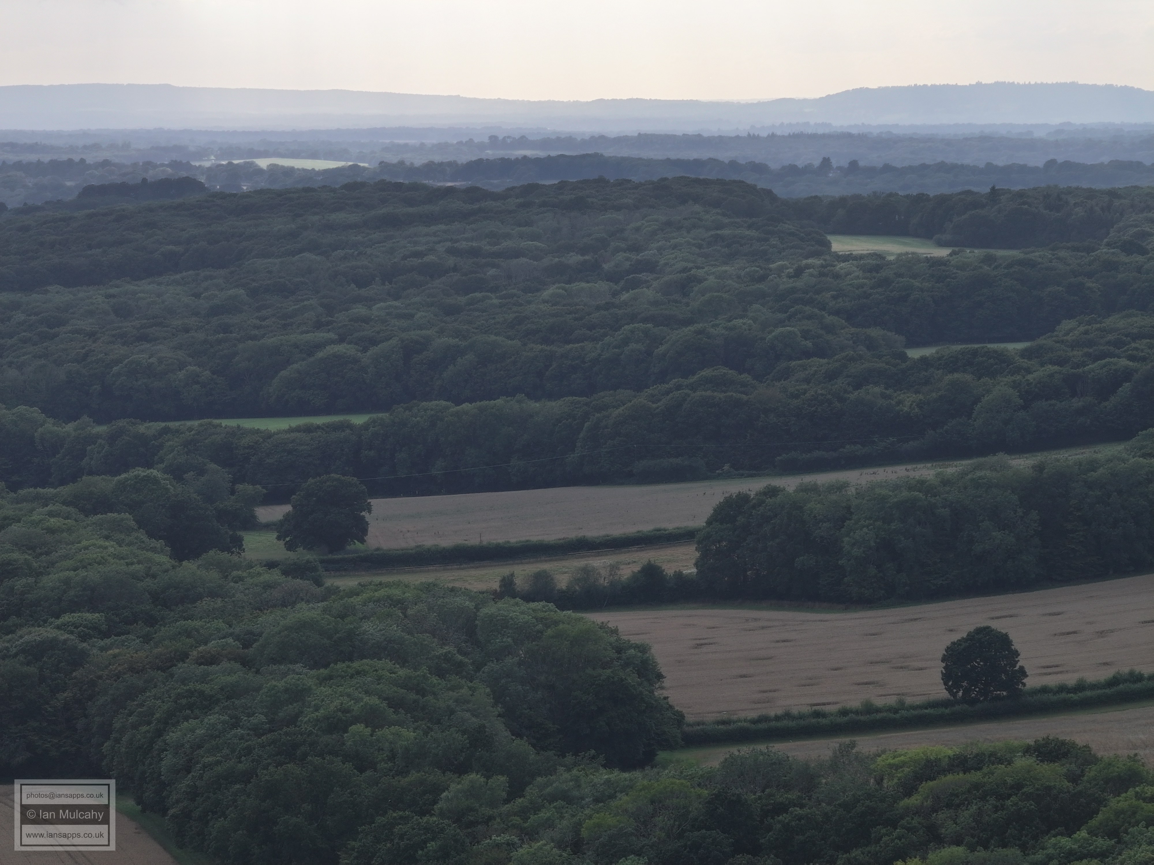
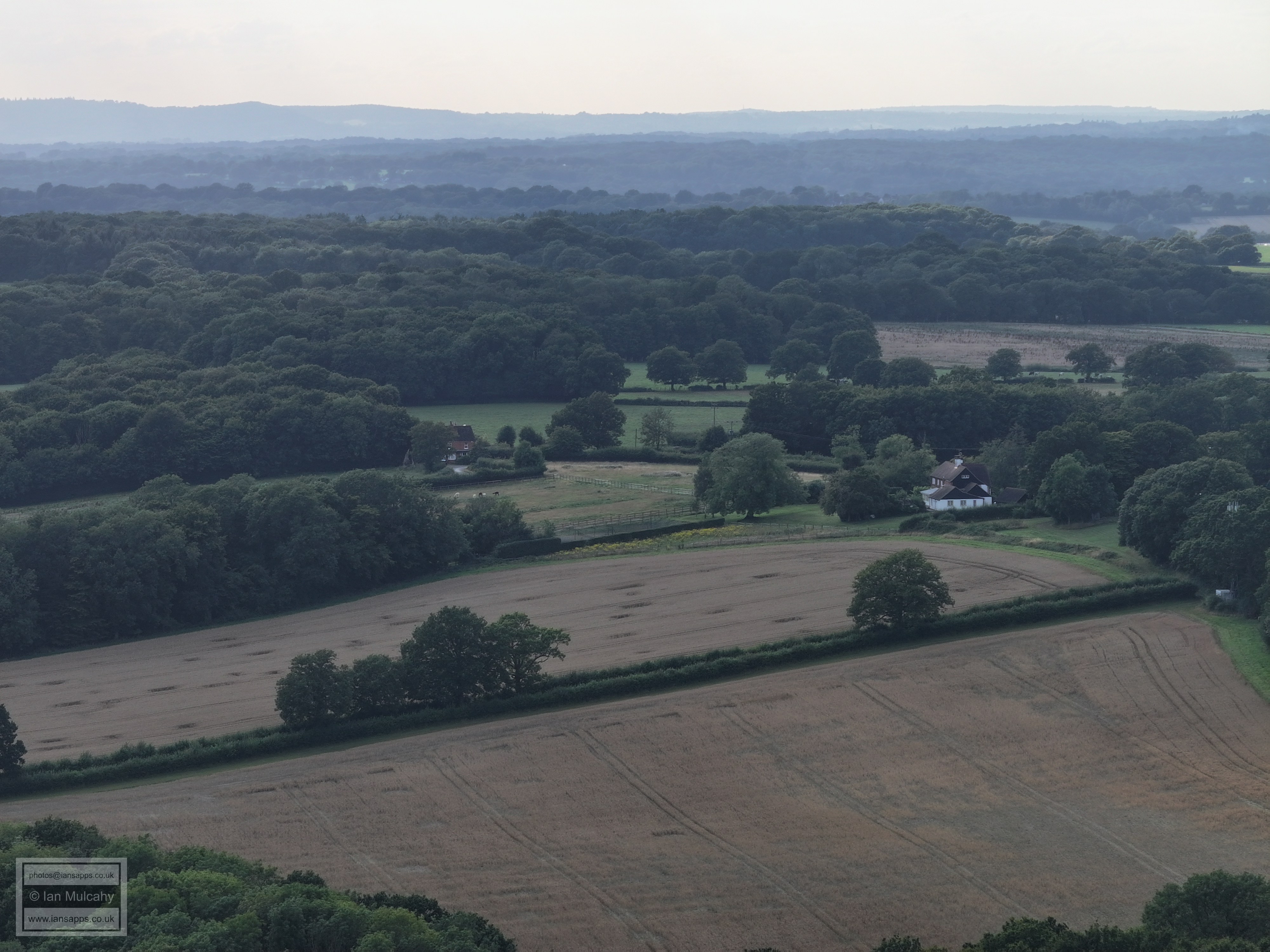
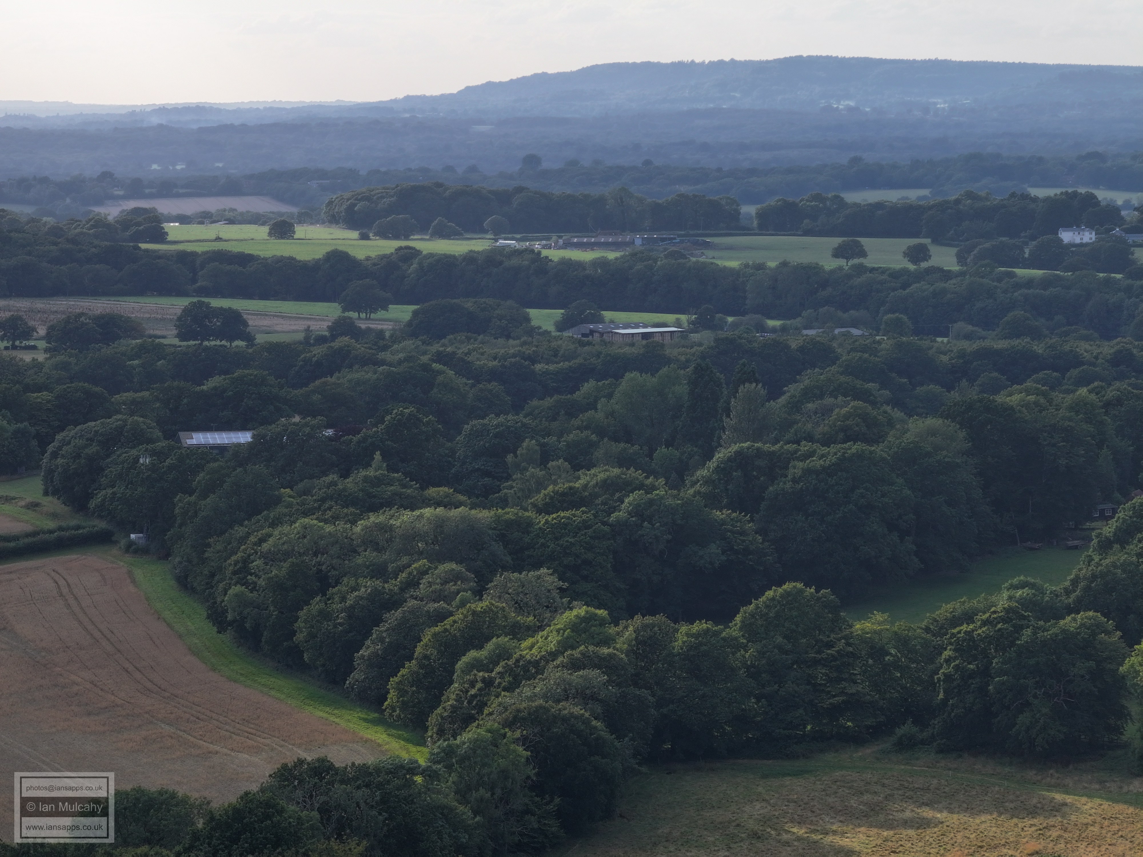
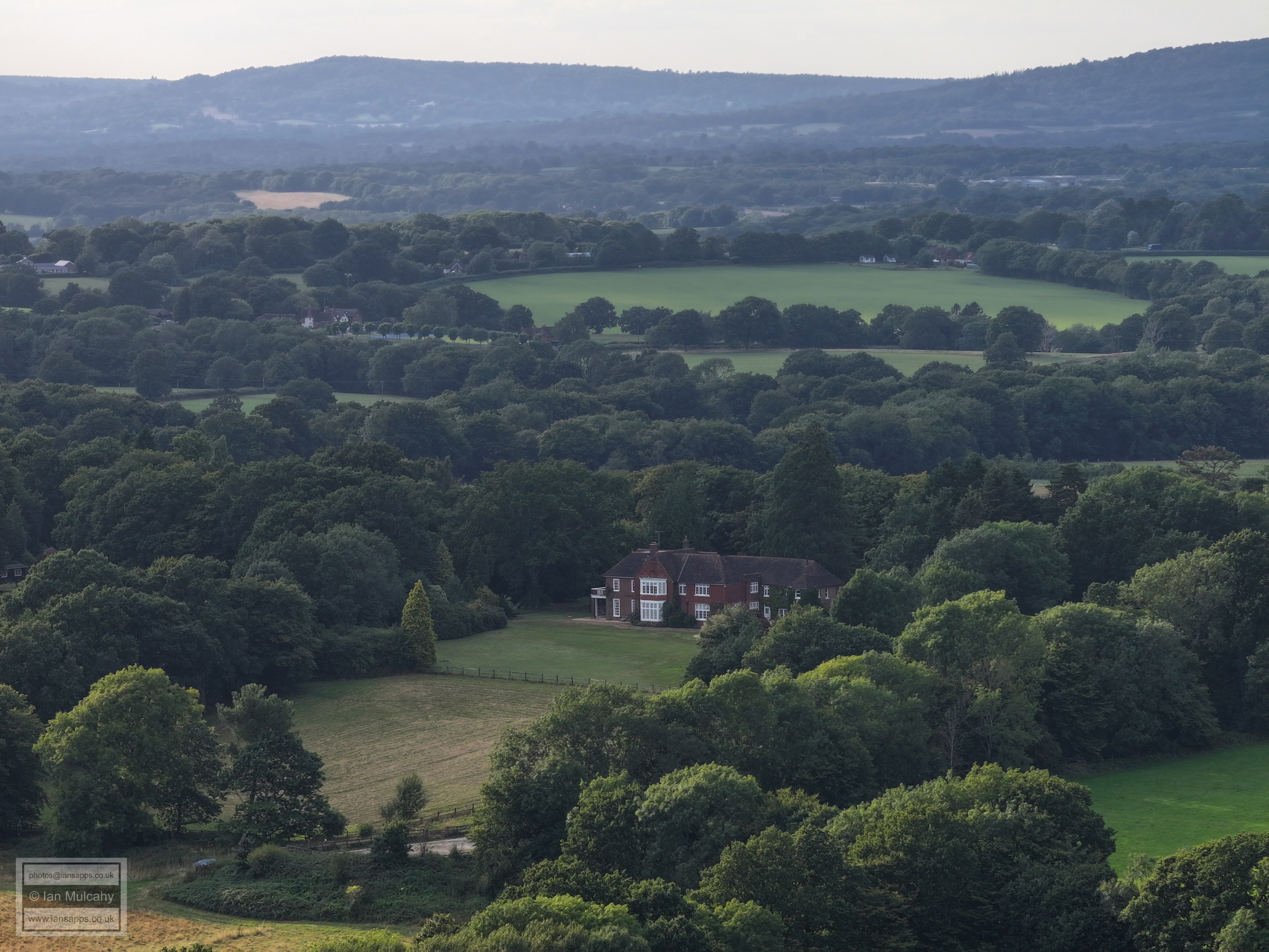
The evening of 6 August 2024 was a pleasant one, so my daughter and I jumped on our bikes and did the 5 mile round trip to the playground at Faygate, pausing for 15 minutes on the playing field to take these 56 aerial photographs using varying focal lengths. I've added brief annotations to some of the photos to help with your bearings.
Holmbush. The A265 is just behind the hedge at the foot of the picture. Note the lodge to Holmbush just above the hedge.
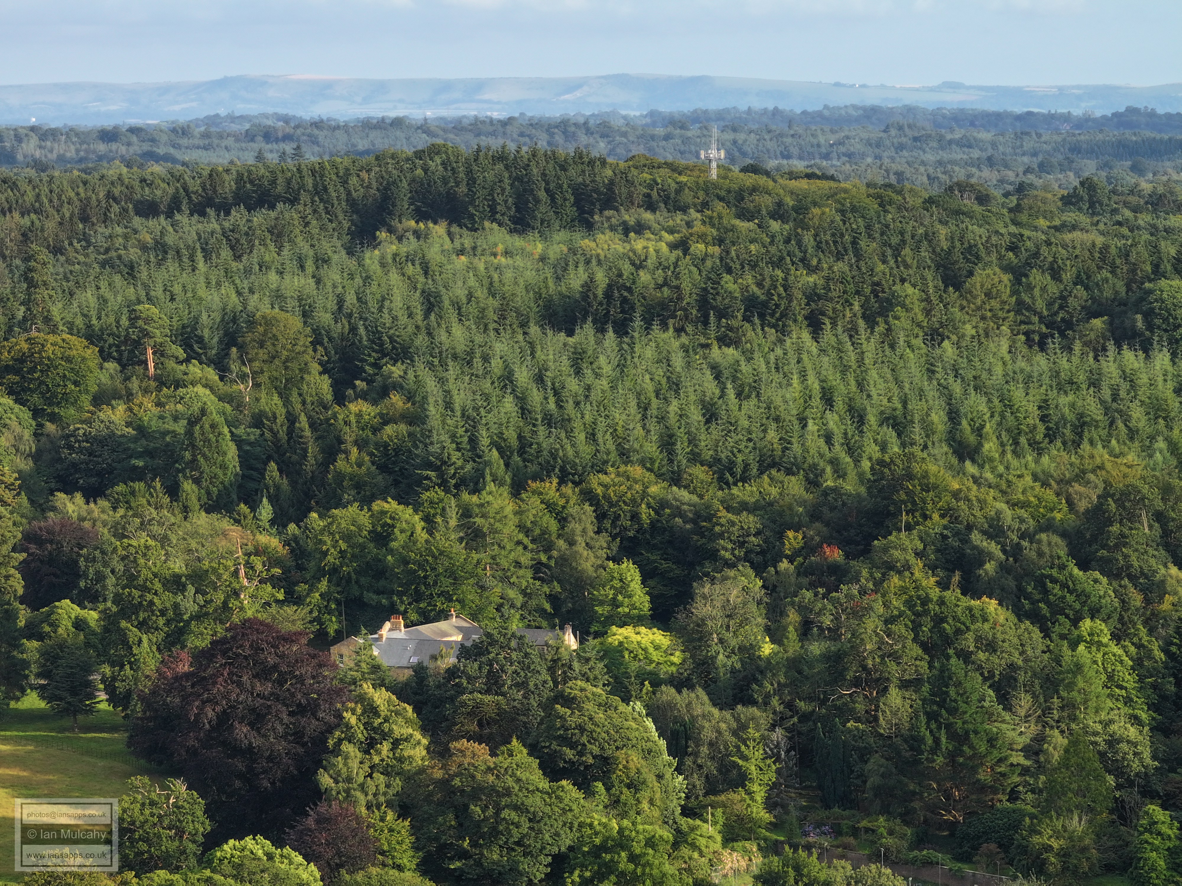
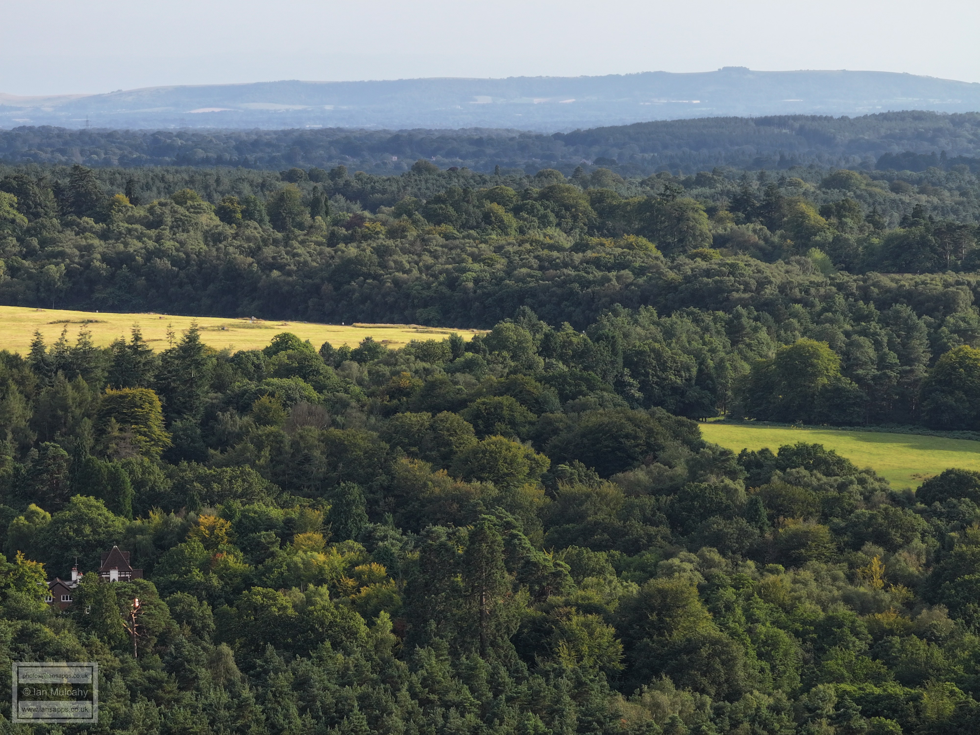
Holmbush
Holmbush
The house with the tower in the centre of the pic is just east of the vets on Tower Road.
Faygate
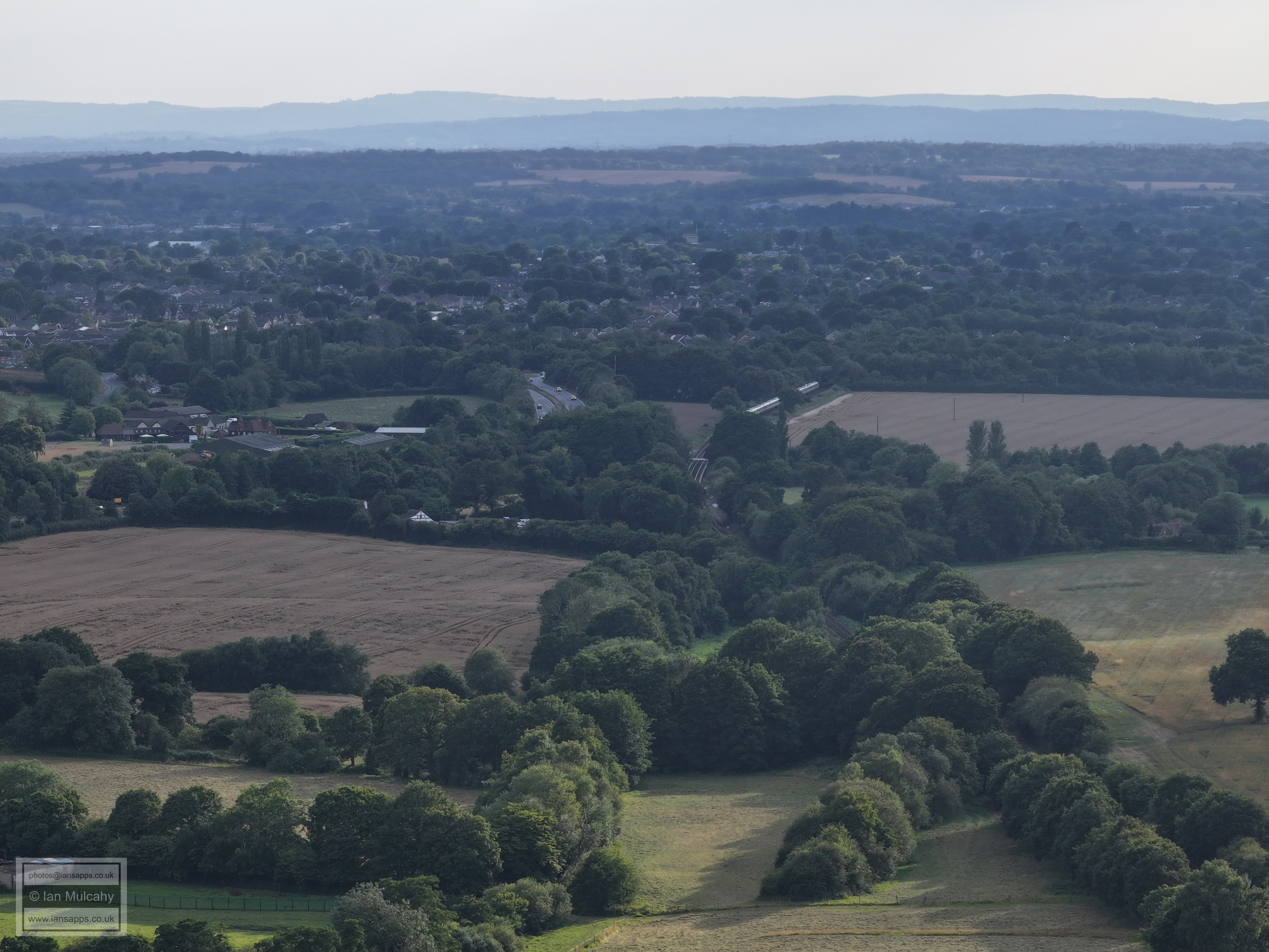
Looking towards Horsham. The diagonal line of trees from the bottom left marks the railway line. In the top left corner is the Moorhead Roundabout on the A264 and the level crossing on Wimlands Road can be seen just to the right of the A264, between trees. The white house and derelict barn in the top right quarter are on Wimlands Road between the crossing and the Frog & Nightgown pub. Above and to the right of these is the footbridge at Rusper Road roundabout. The spire a little above the white house is St Marks in North Heath Lane.
In the top left corner is Bohunt schol and in the top right the slope of Hurst Hill. Durrants Village, Faygate, is in the foreground.
The bulidng in the centre, about 20% from the top above the two fields, is Wimlands Farm on Wimlands Lane. To the left are the cottages just south of the junction with Wimlands Road on the bend before the hill.
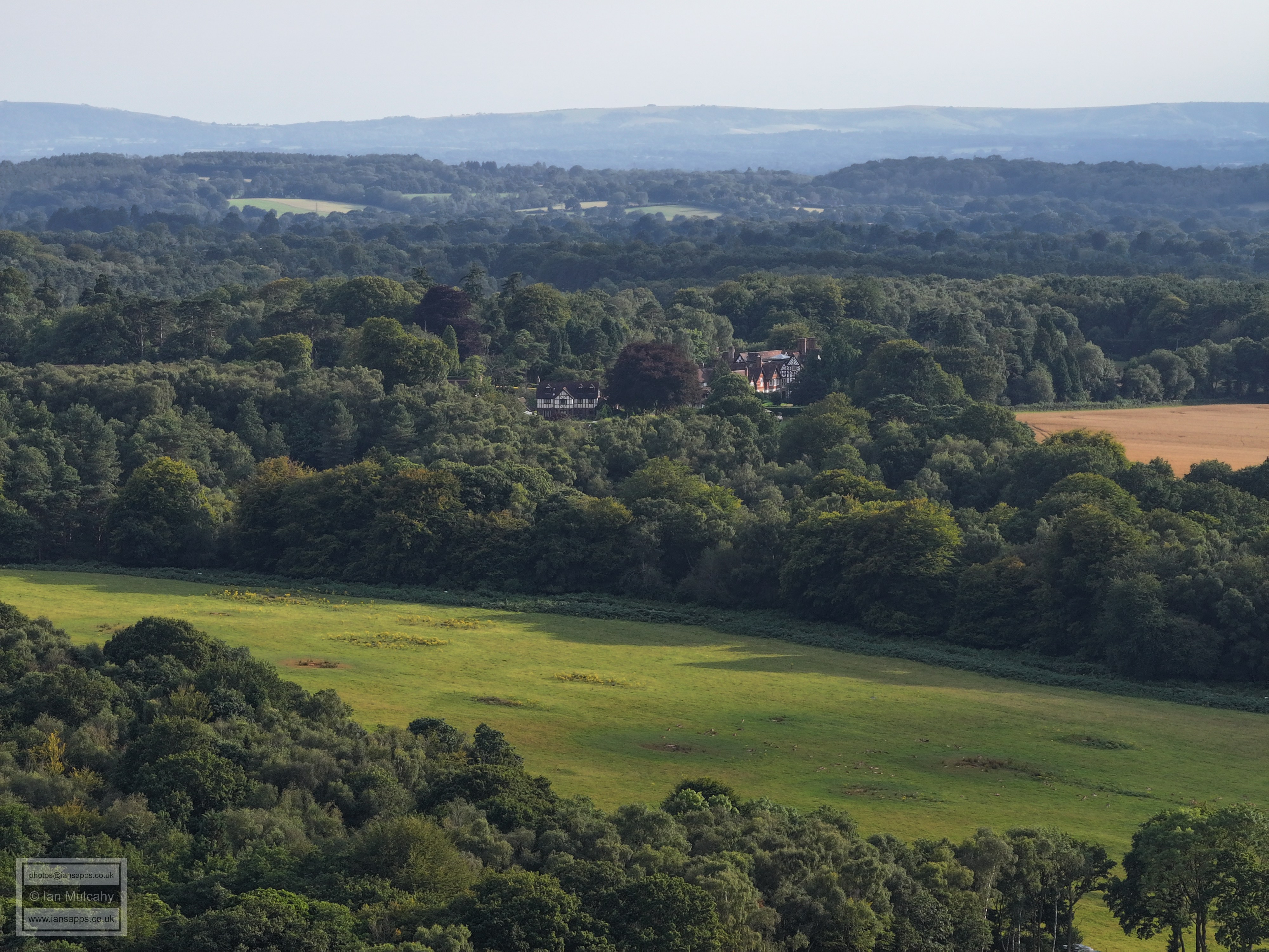
The big house top left is Culross Manor on Wimlands Lane. The road across the picture from bottom left is Faygate Lane.
Carylls Lea Farm in the centre, with Carylls Lea out to the left, Rusper is in the the top left quarter and Box Hill on the horizon to the right.
The white house in the centre of the top right quarter is The Mount.
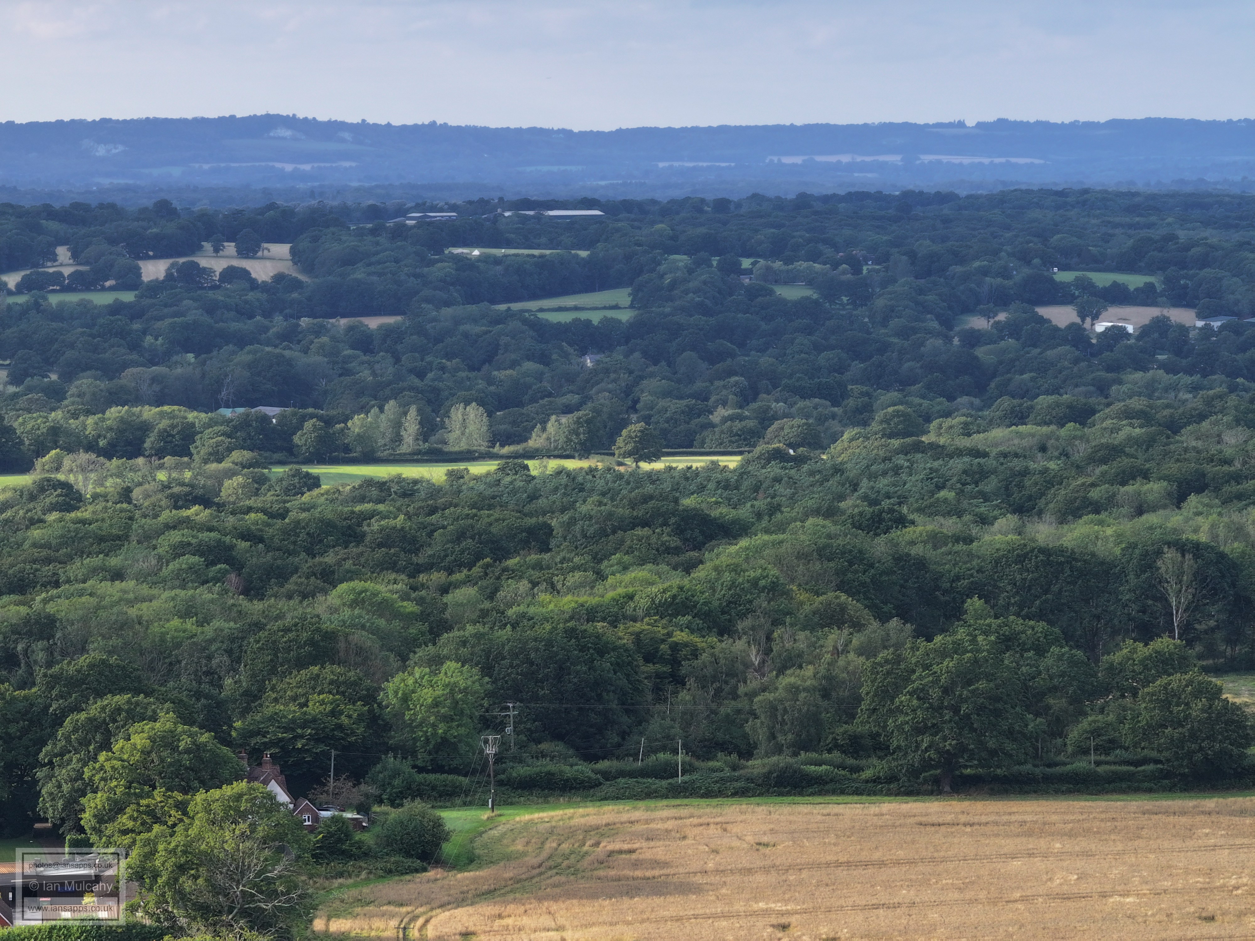
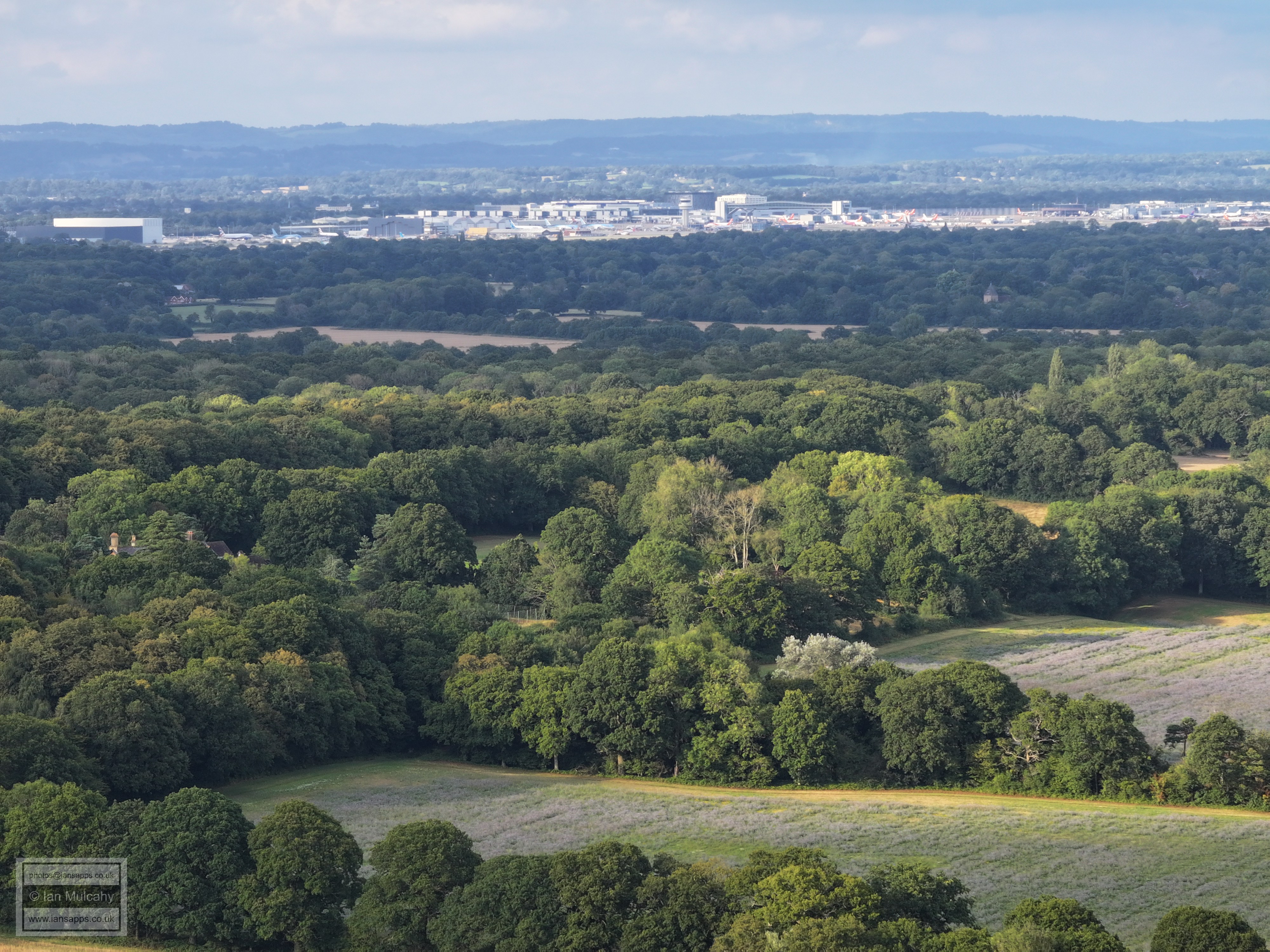
Looking across towards the Airport. A little way below the large is Druids in Ifield Wood and St Margaret's Church in Ifield is on the very far right about 15% down the photo.
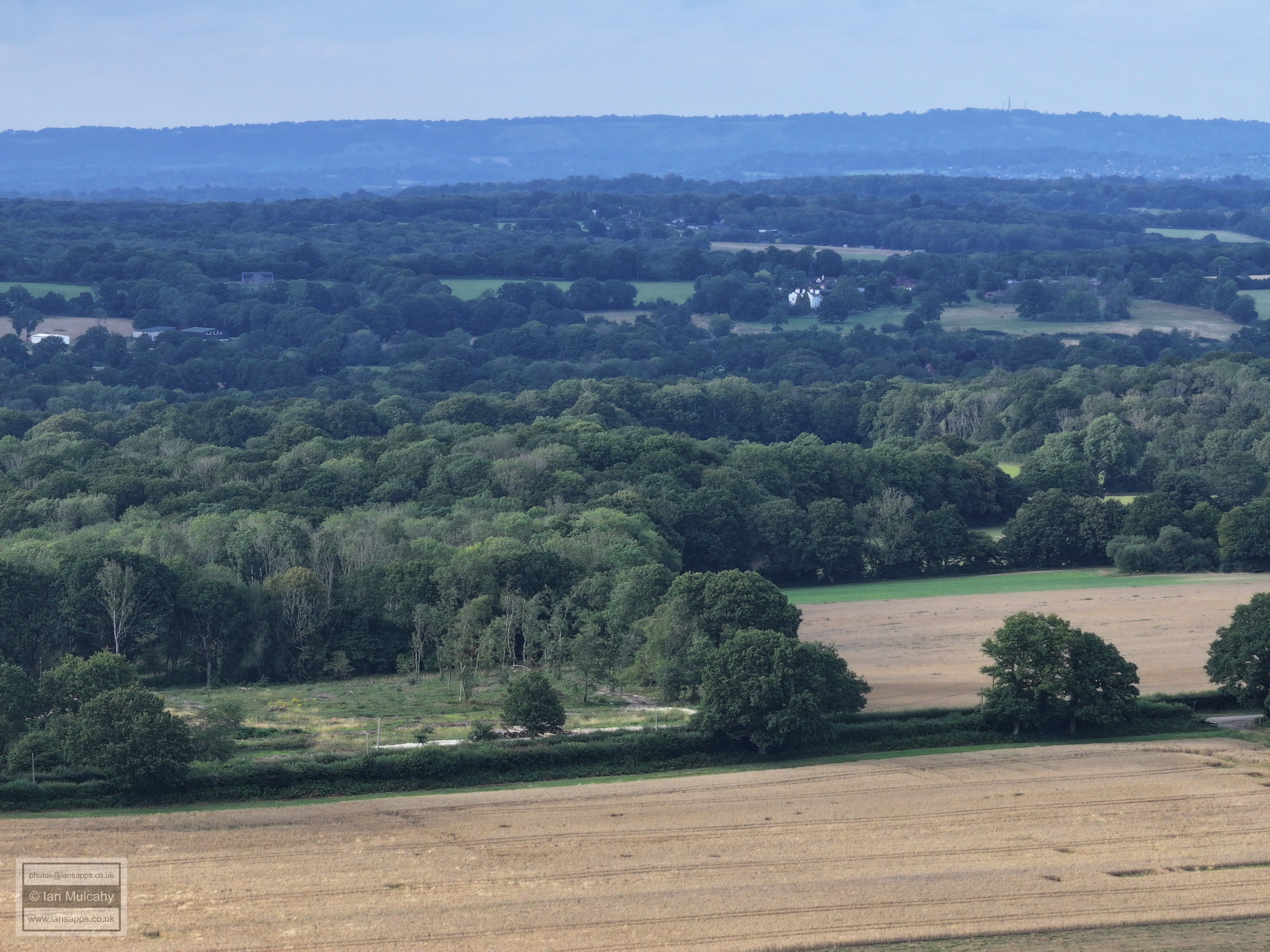
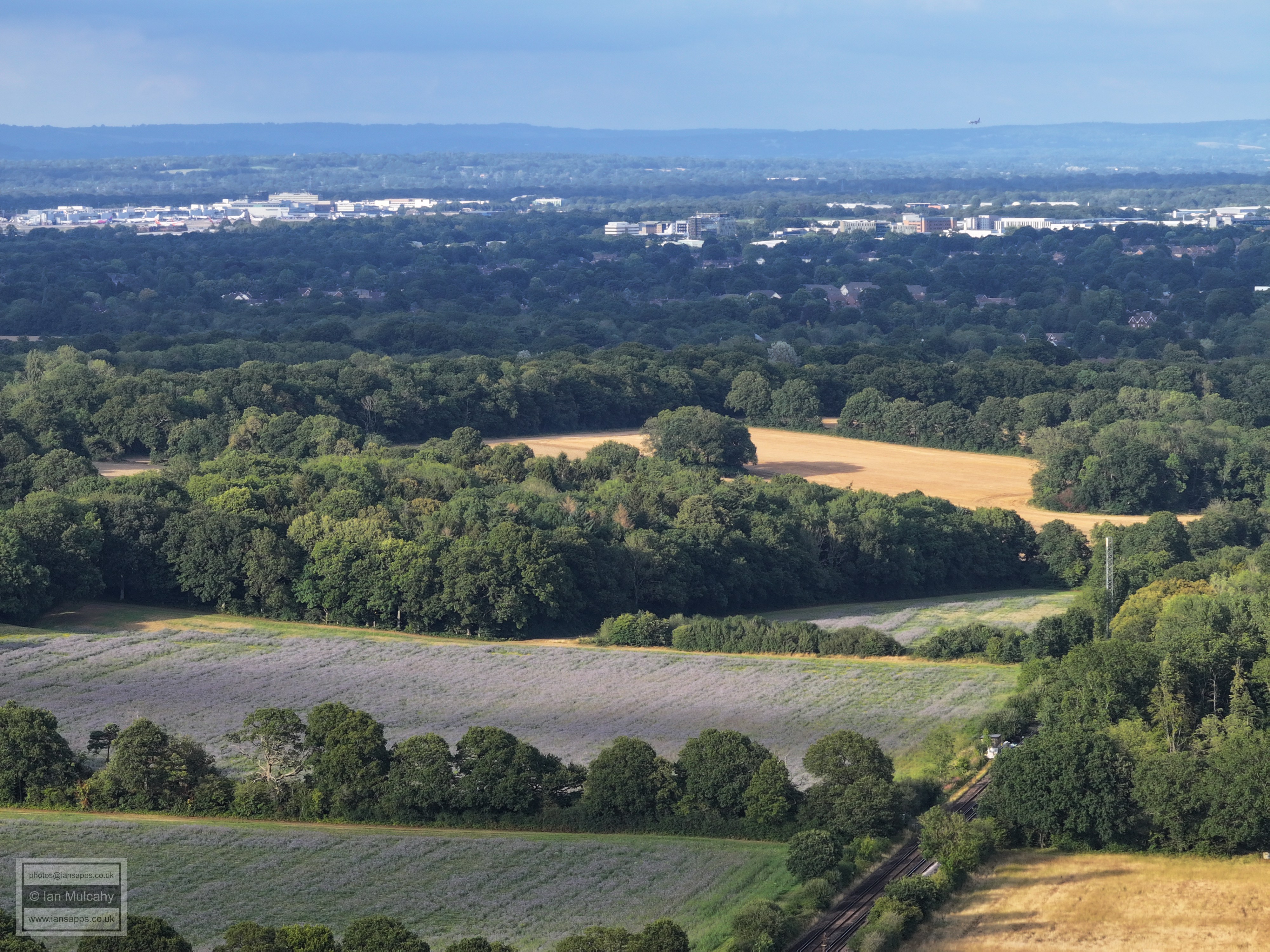
Looking up the railway line with Hilnwood Vale, bewbush & Gossops Green to the right and Ifield & Langley Green to the left. The eagle eyed will spot Ifield Park nursing home and the very eagle eyed will spot a small bit of Ifield Mill just to it's left
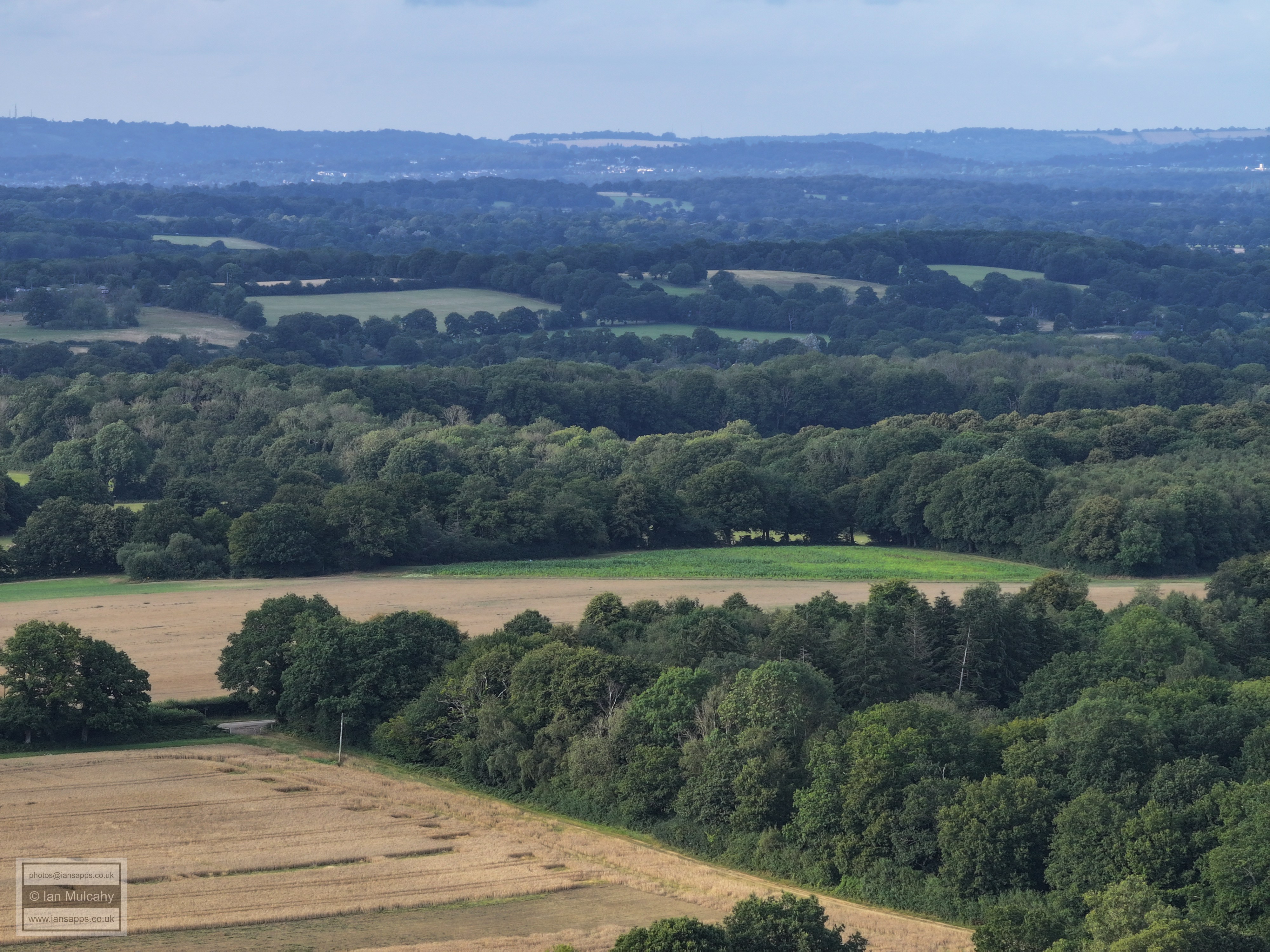
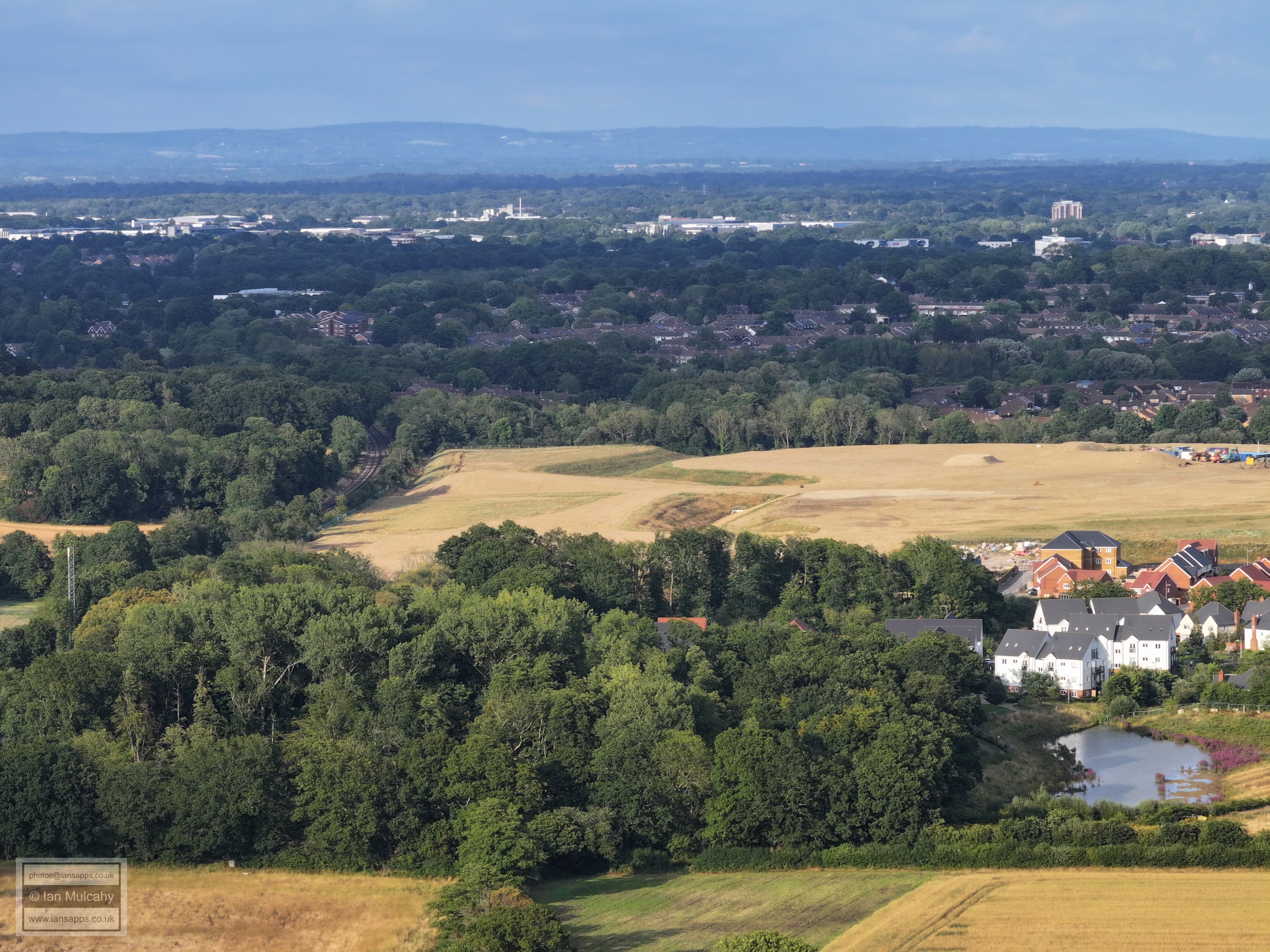
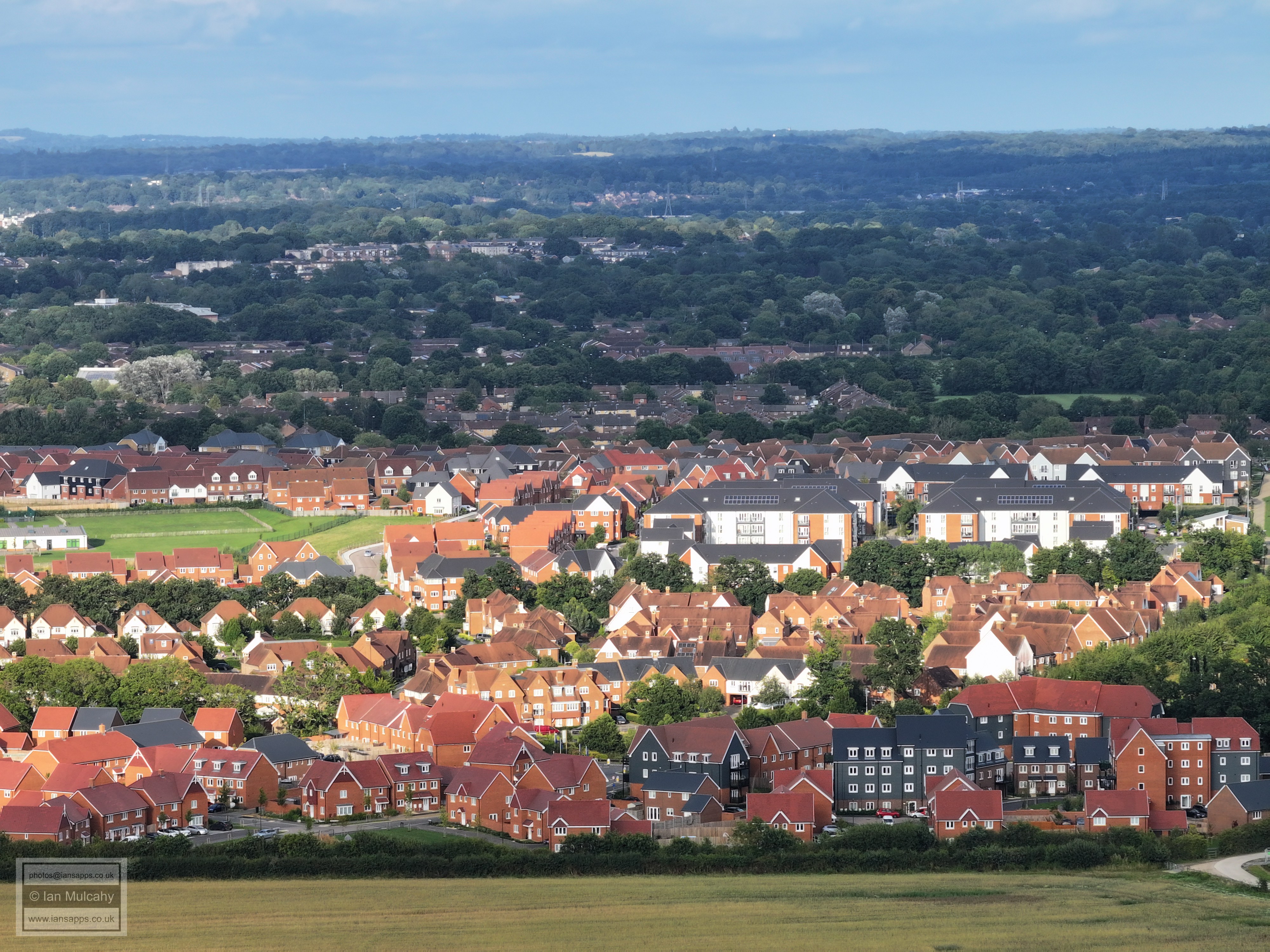
Kilnwood Vale with bewbush beyond. Top left quarter is Gossops Green, Town Centre and the Sandman Hotel. Noe how the Town Centre is partially hiding behind Goffs Hill from this angle.
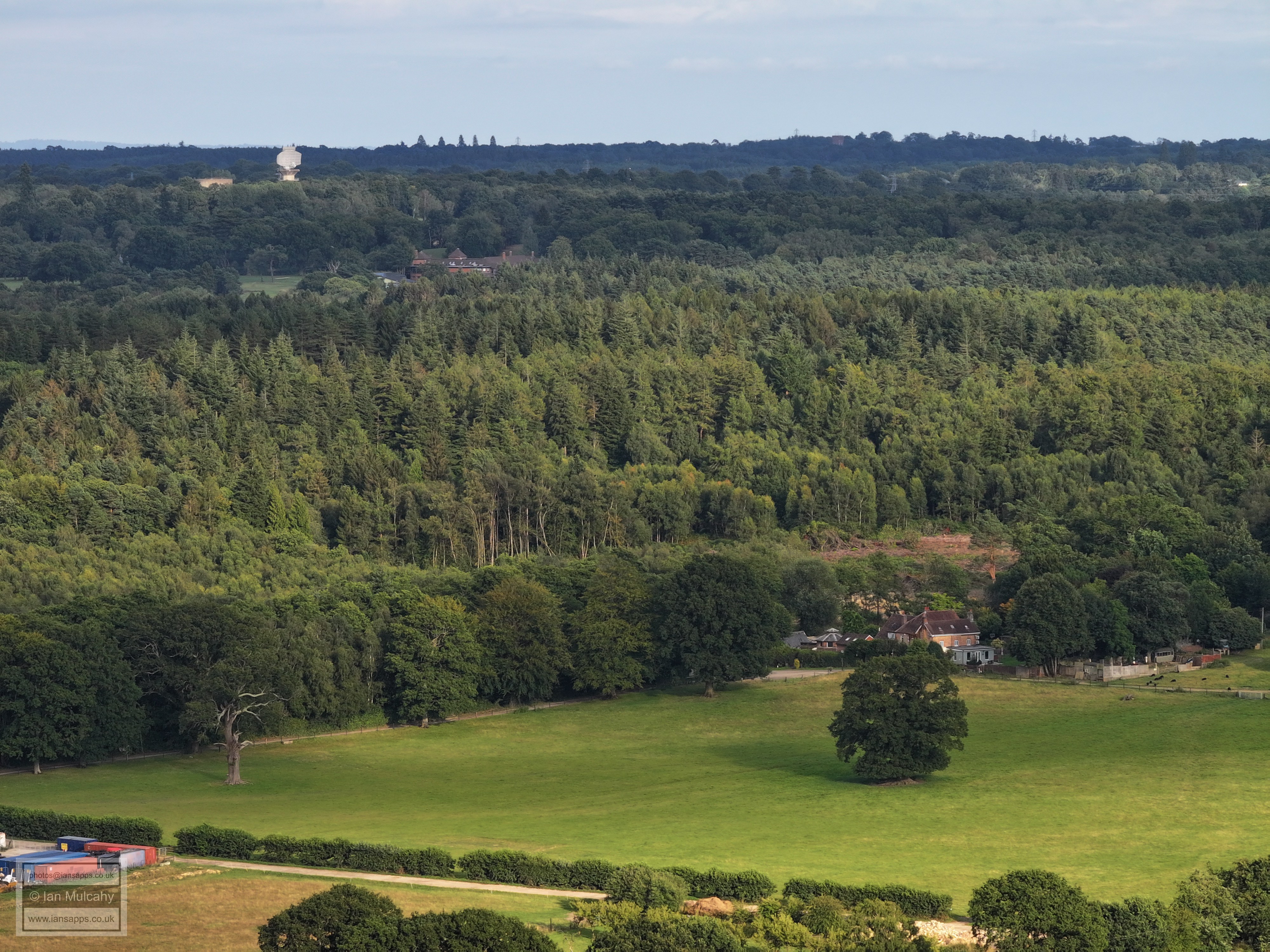
A264, Holmbush Potteries and Holmbush Farm. Buchan House (Cottesmore School) is in the top right quarter.
Buchan House (Cottesmore School) is in the top left quarter along with the water tower, radar station and Cottesmore golf club
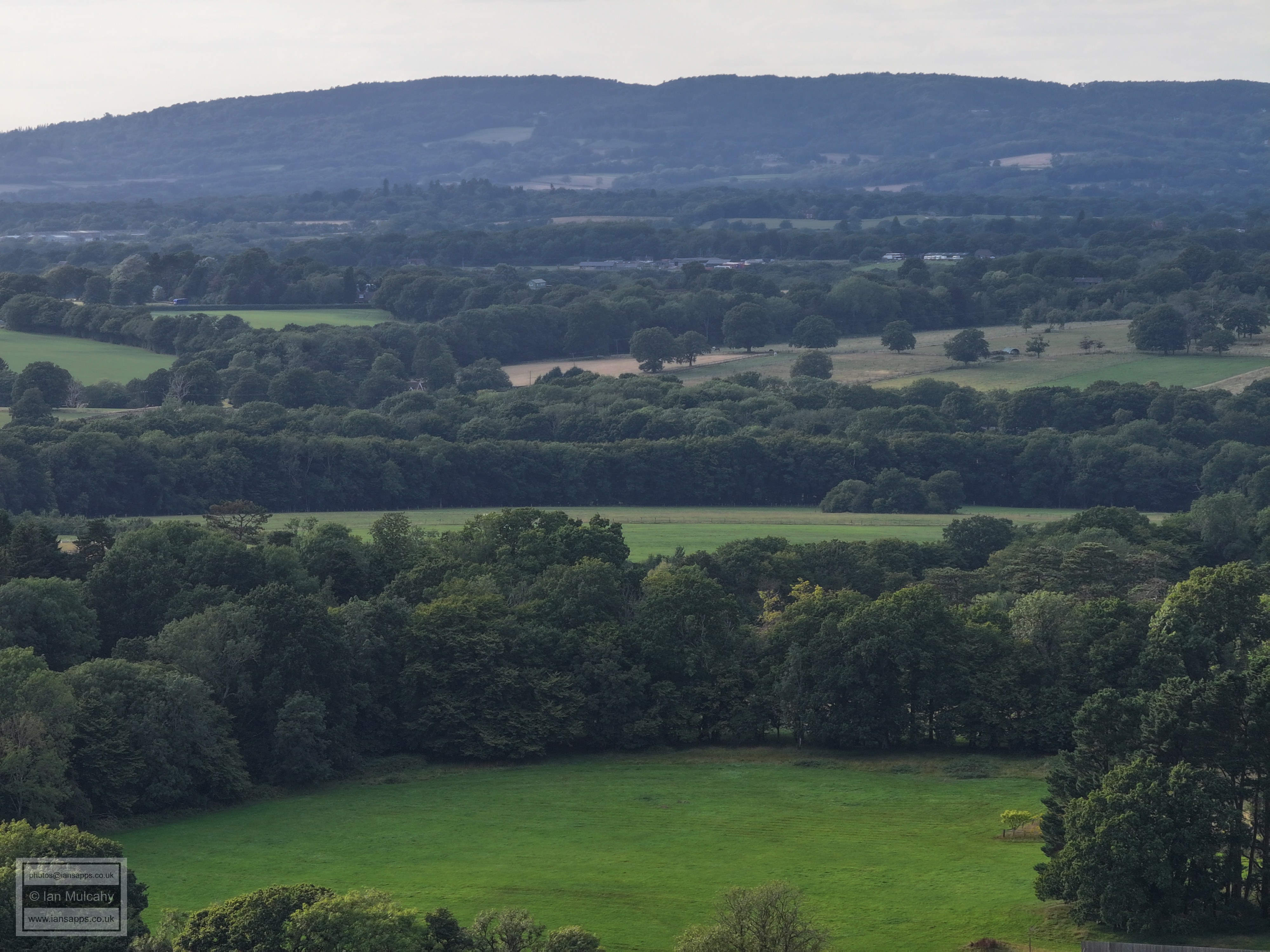
Holmbush, with the sun kissed South Downs in the Lewes area on the horizon 22 miles away.
Lancing College on the horizon in the top left quarter.
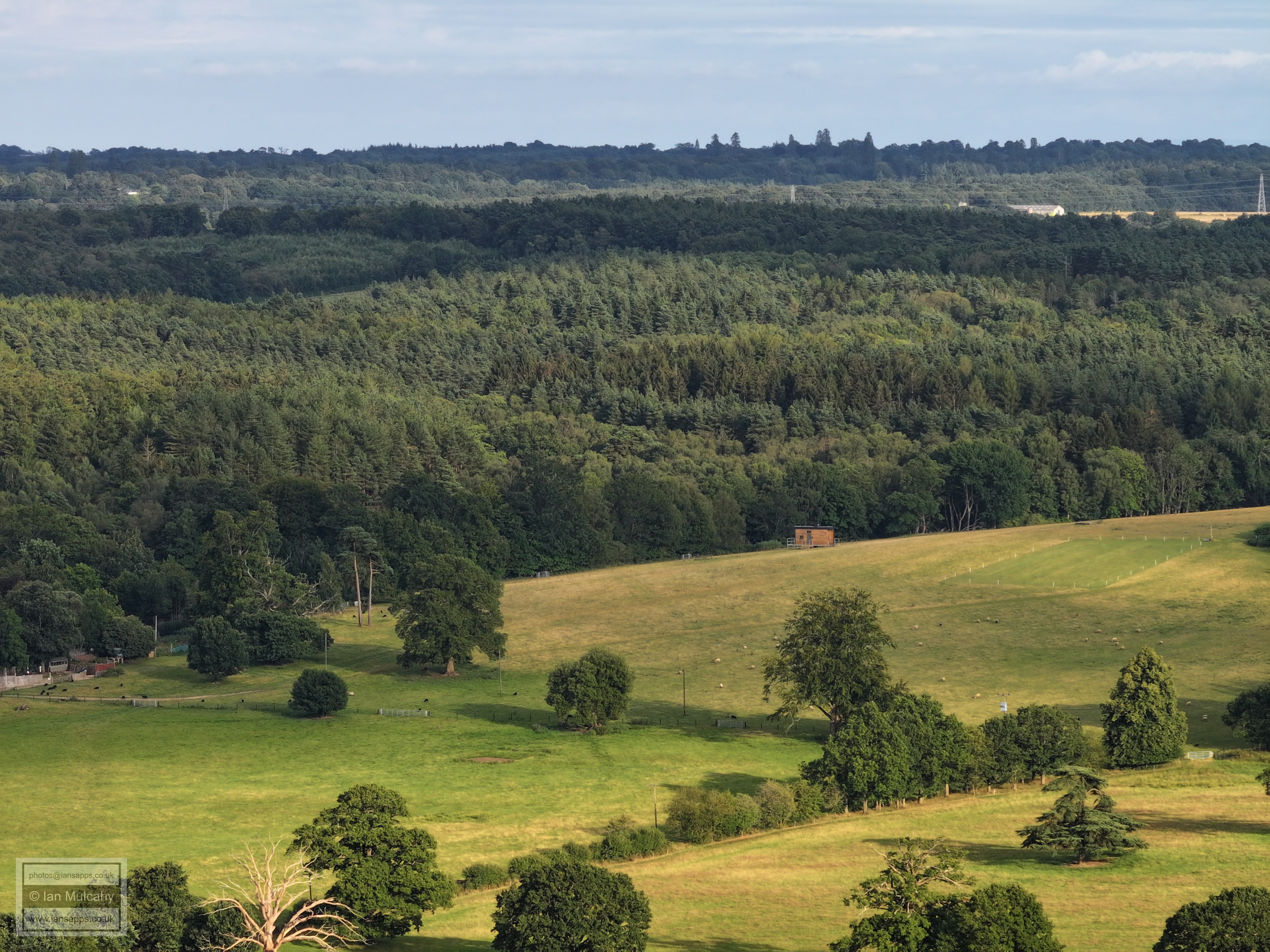
Roffey Park, just right of centre.
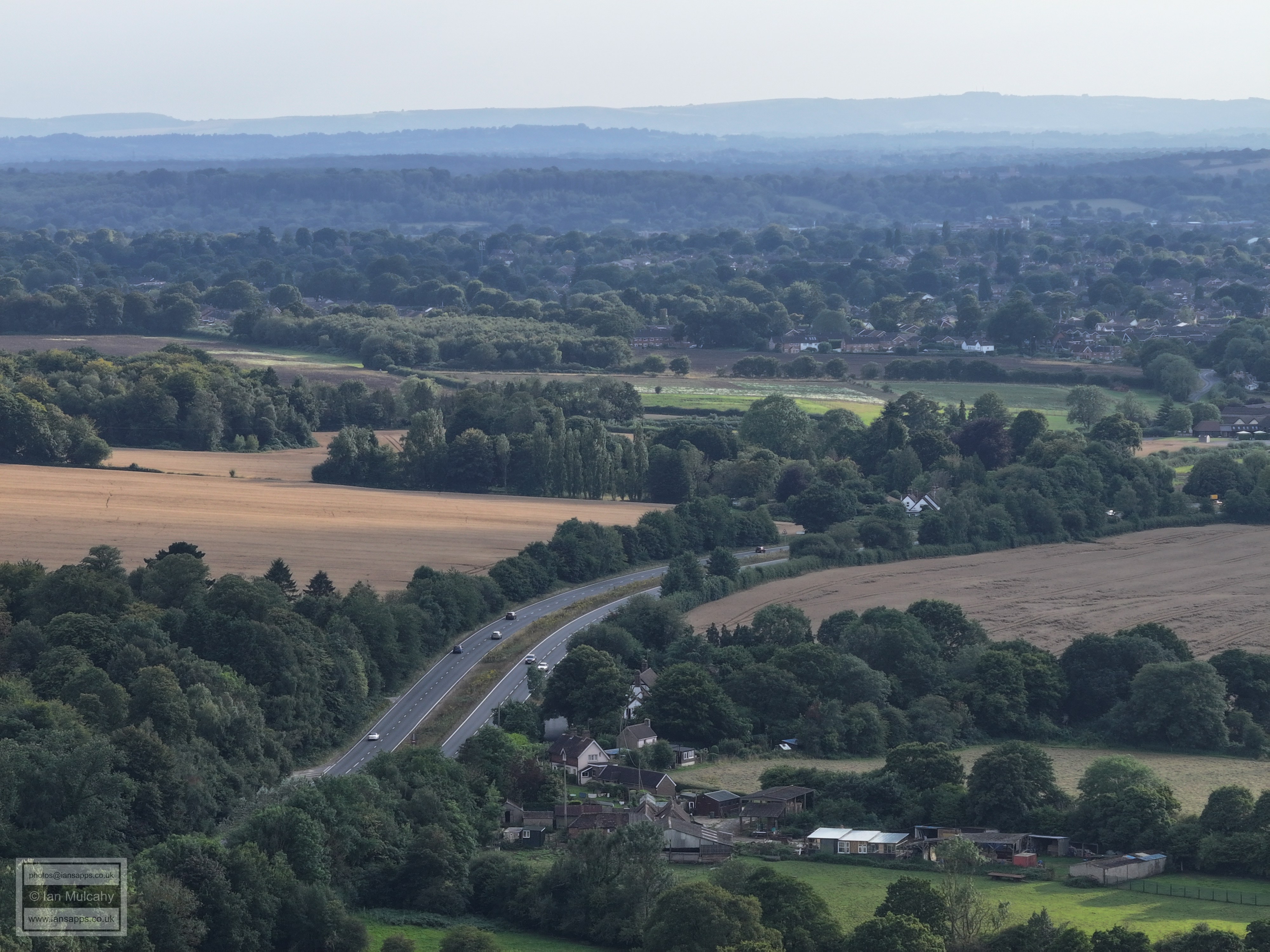
A264 towards Horsham with the Cherry Tree three quarters of the way down in the centre. Horsham i sin the top right quarter.
Railway and A264 in the centre. Newhouse farm is to the left and Horsham beyond.
Wimlands Road crosses the centre. The latest works on the A264 east of Rusper Road roundabout are marked by the red and white barriers above the white house and the roundabout and bridge are on the far right. The spire of St Marks church in North Heath Lane is just above the barriers.
Bohunt school is the standout feature and above and to the left is Warnham Court.
The slopes of Hurst Hill to the right. Warnham Church is just visible in the haze if you know where to look in the top left quarter, but will be much clearer from a morning flight! In the foreground is Budds Farm in Wimlands Road.
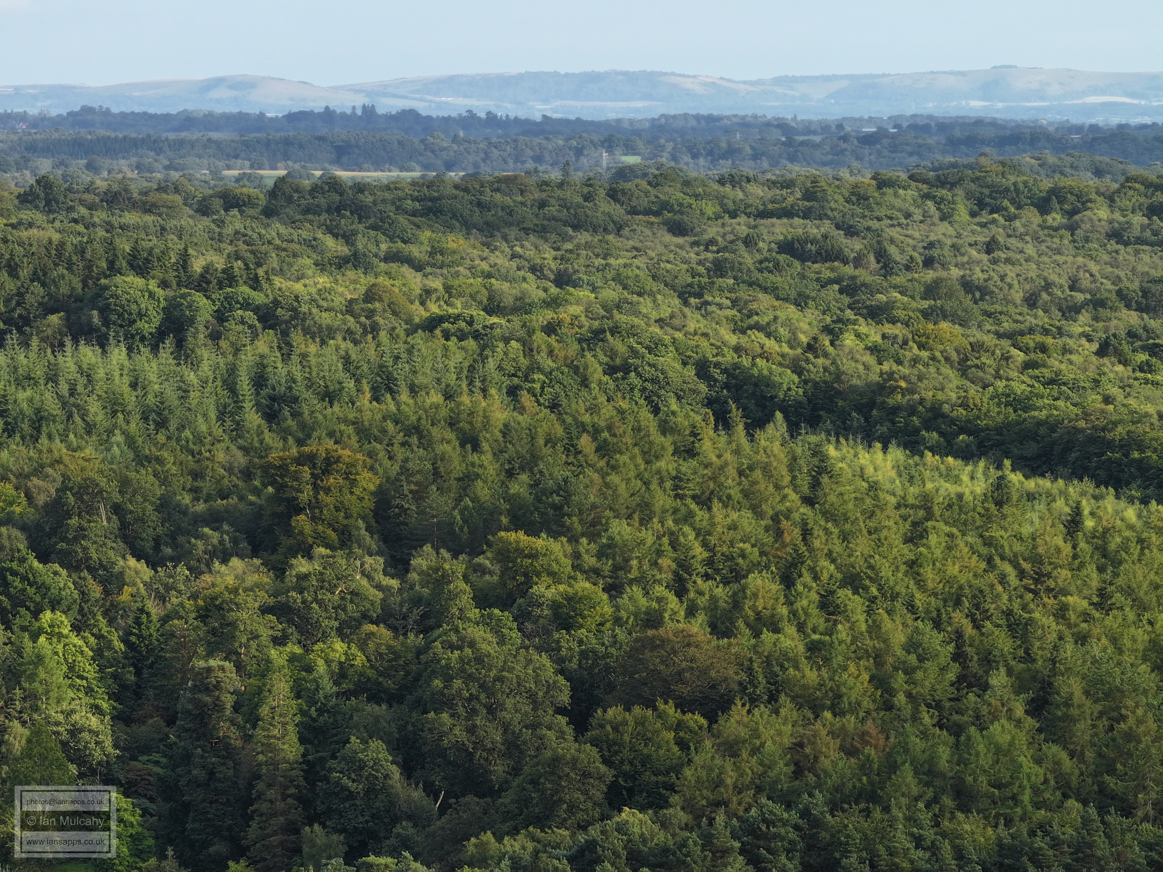
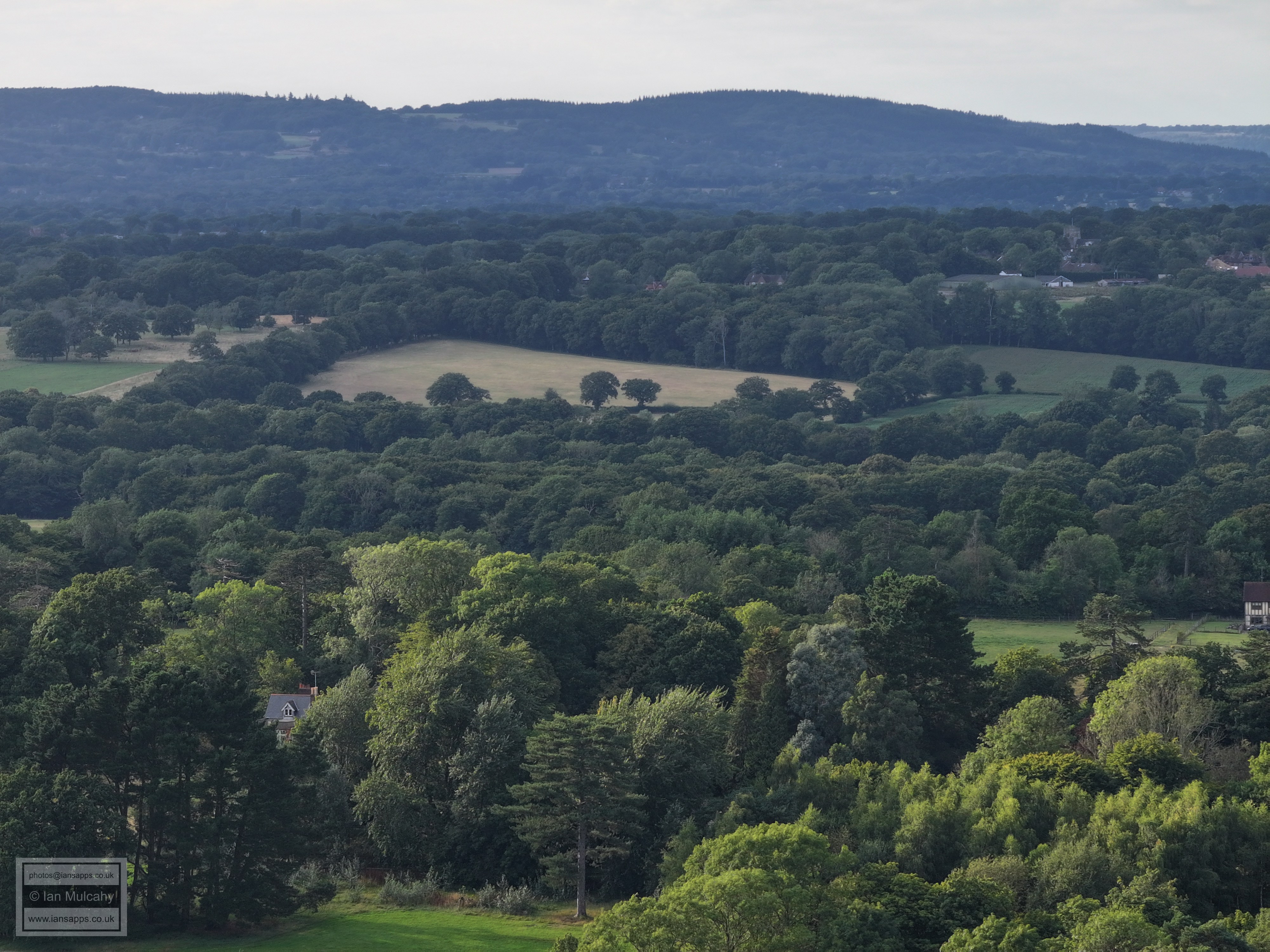
Hurst Hill
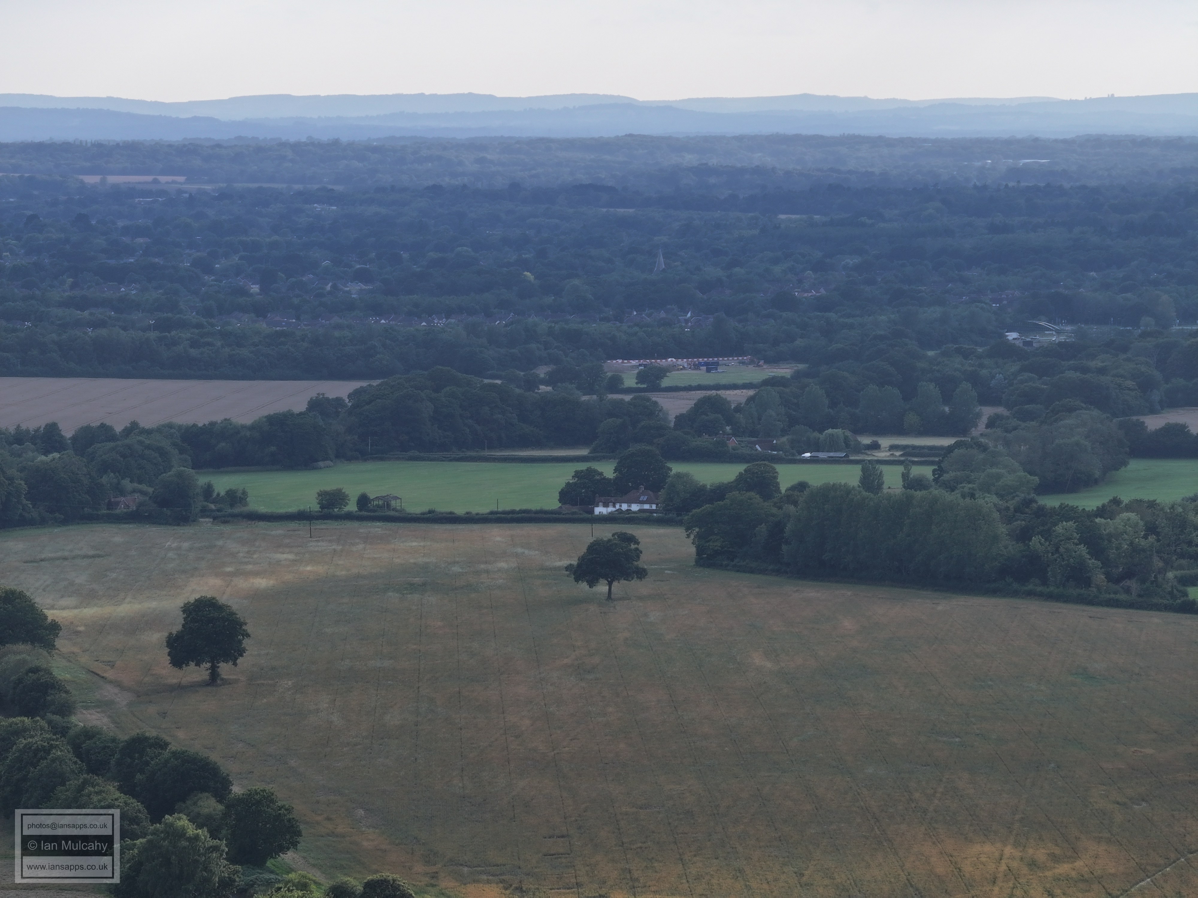
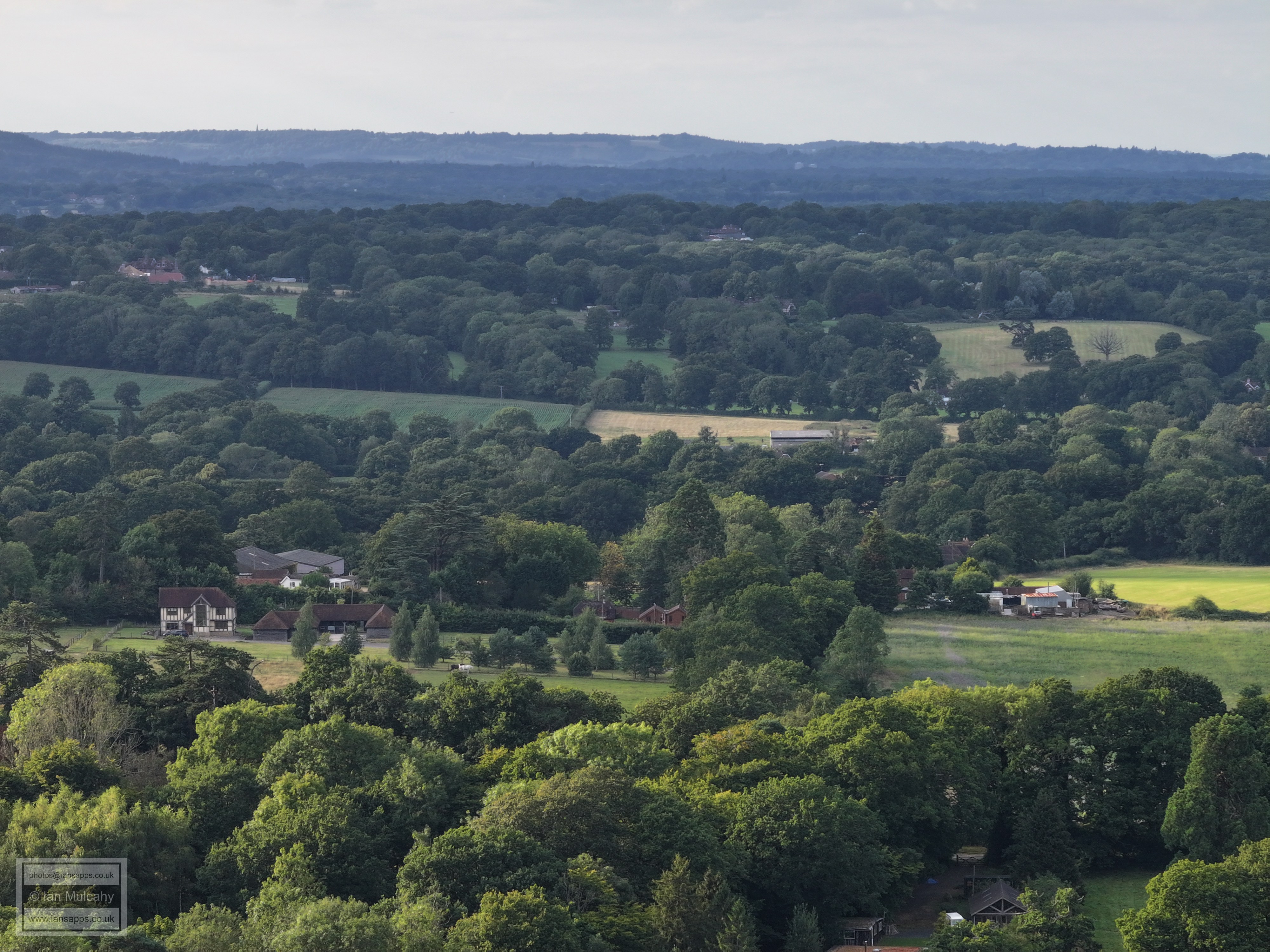
Wimlands Farm, to the right, on Wimlands Lane
Above centre, seemingly in the middle of a field, is Nelsons Farm, south of Rusper. The white building to the right is Old Park, near the Wimlands/Horsham Roads junction.
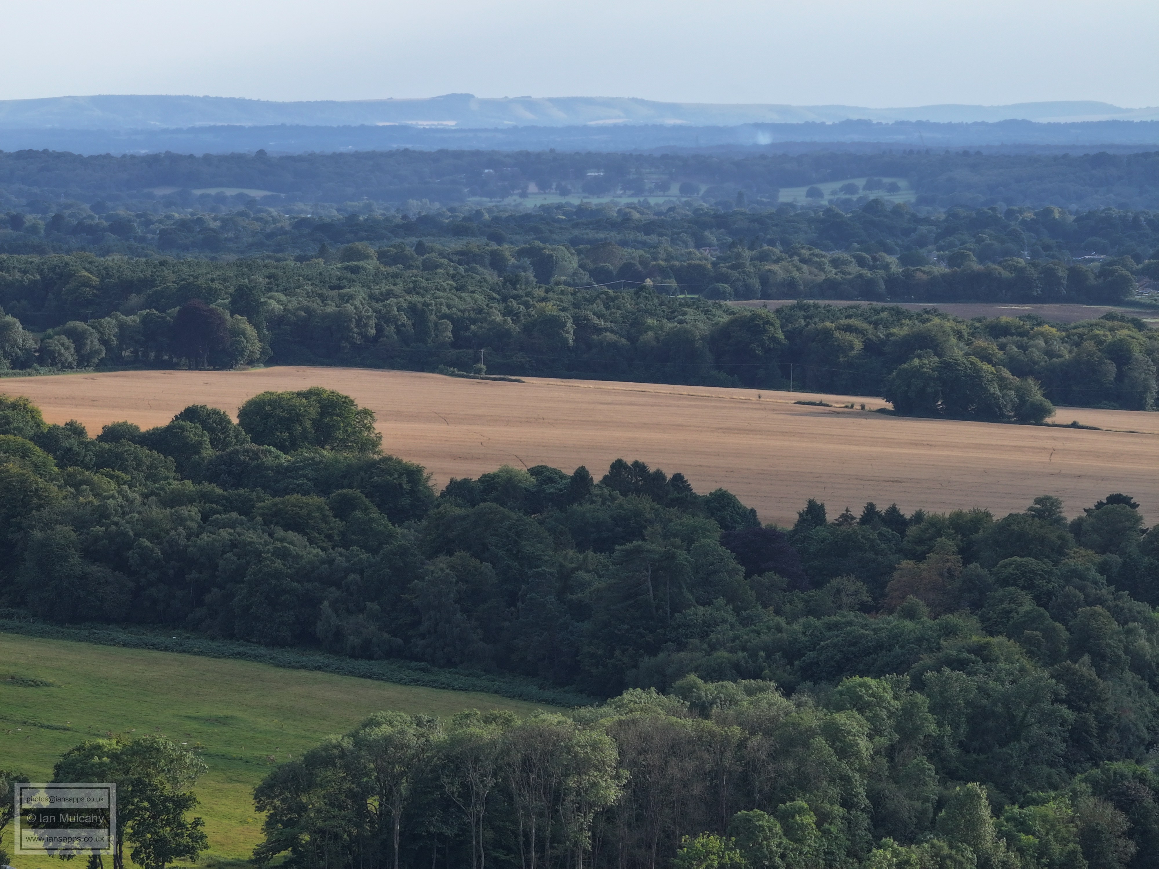
Culross Manor. Beyond and left is Westons House on Wimlands Road near to Baldhorns. In the top right quarter is Clockhouse Brickworks on the A24 between Kingsfold and Capel.
Rusper is in the top right quarter
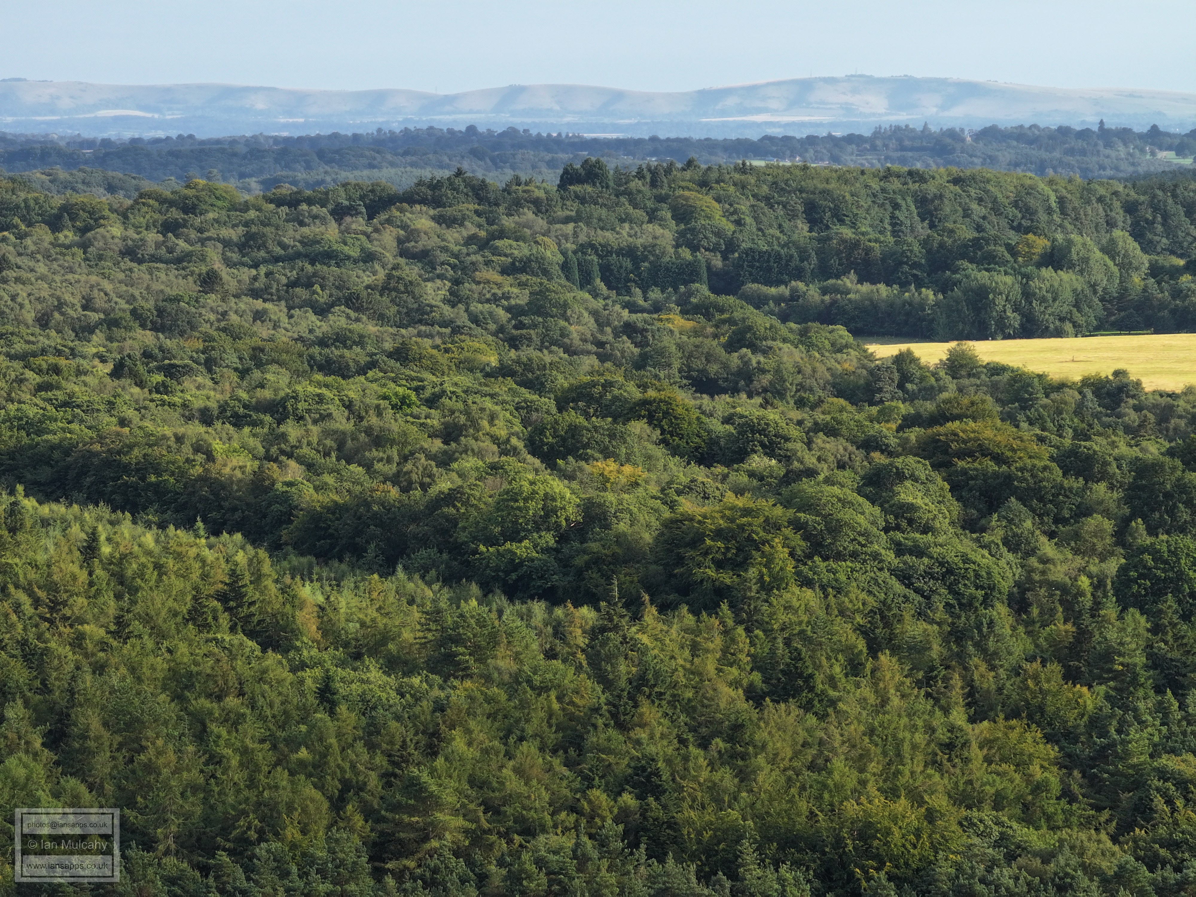
Box Hill
The white roofs close to the top, just left of centre, are at Ivy House Farm in Partridge Lane near the confluence of Rusper, Newdigate and Charlwood Parishes.
The Mount is just right of, and above, centre.
Reigate is in the background underneath the downs and St Johns Church at Earlswood can just be seen at the end of the ridge to the right of Reigate.
The rood of Bonwyckes Place in Ifield Wood can just been seen in the top left quarter.
The chimneys of Kilnwood House can be seen above the trees on the far left of centre. St Margarets Church, ifield is in the top right quarter.
The airport and Manor Royal are across the top half of the photo with Langley Green and Ifield below.
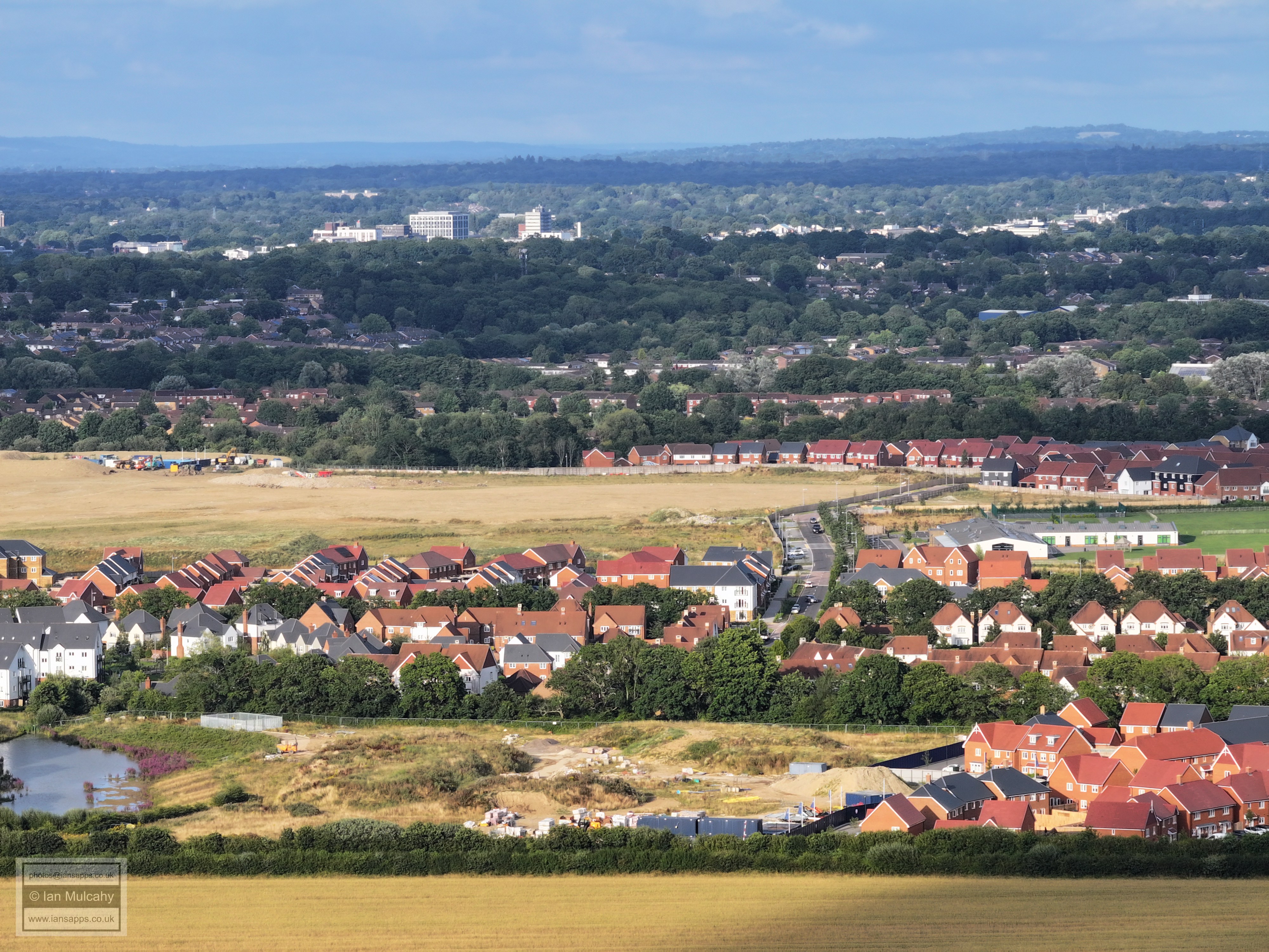
Bewbush Brook snakes through a much built up Kilnwood Vale with Bewbush and Gossops Green beyond. the Hospital is directly below the Sandman Hotel and to the left is Crawley Leisure Park.
Kilnwood Vale, Bewbush & Gossops Green, Goffs Hill and Town Centre. Milton Mount flats are just above and to the left of the Town Hall.
Kilnwood Vale, Bewbush, Southgate West & Maidenbower. At full zoom the tower of Turners Hill Church can just be seen on the top of the hill just a little to the right of centre.
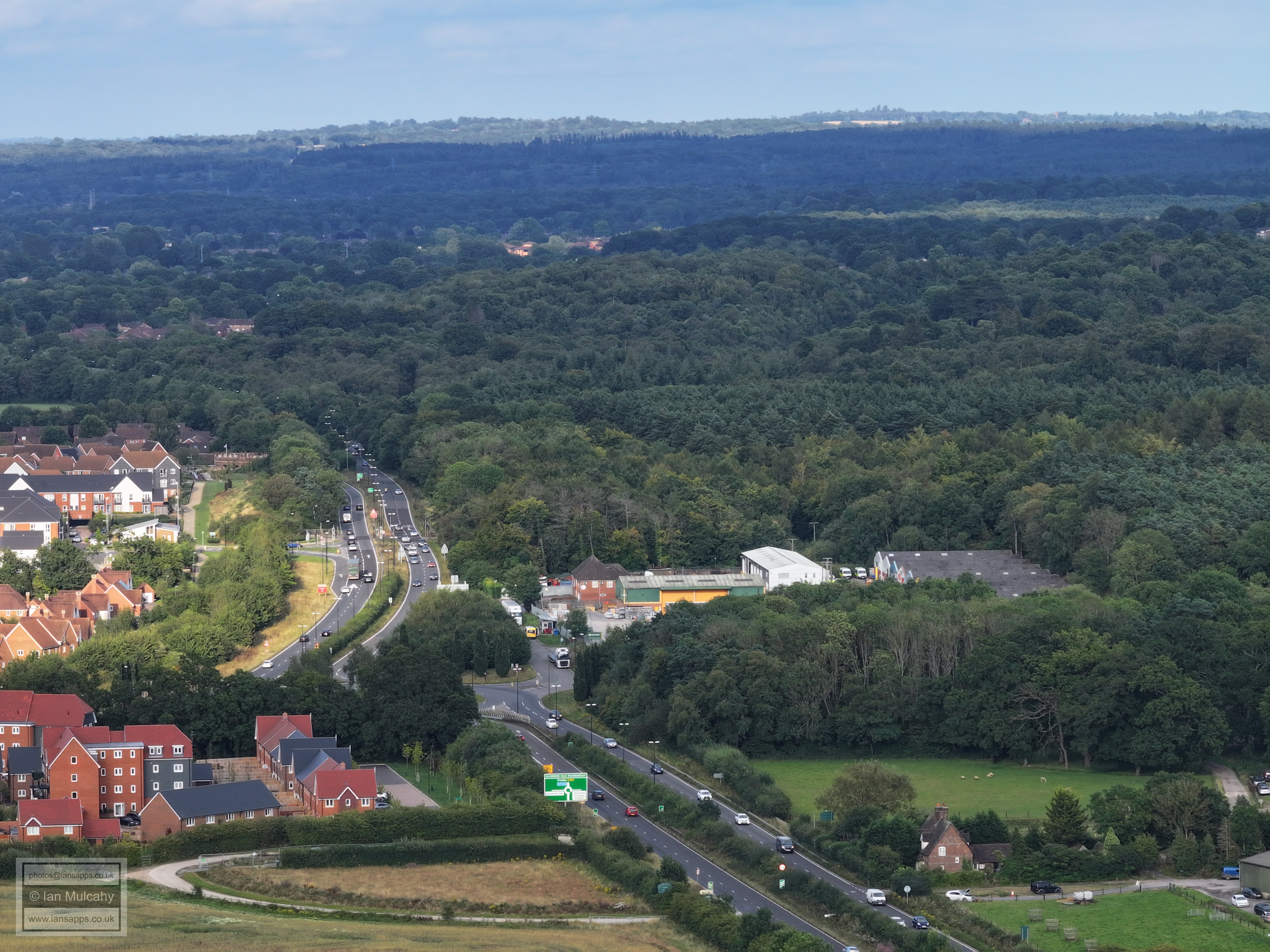
A264 and Kilnwood Vale Roundabout. Just to the left of centre near the top, the lit up brick buildings are of Broadfield business park and the stadium floodlights and mobile mast can be seen just to the left.
Buchan House/Cottesmore school in the centre near the top.
The radar on Buchan Hill catching the sunlight in the top left quarter.
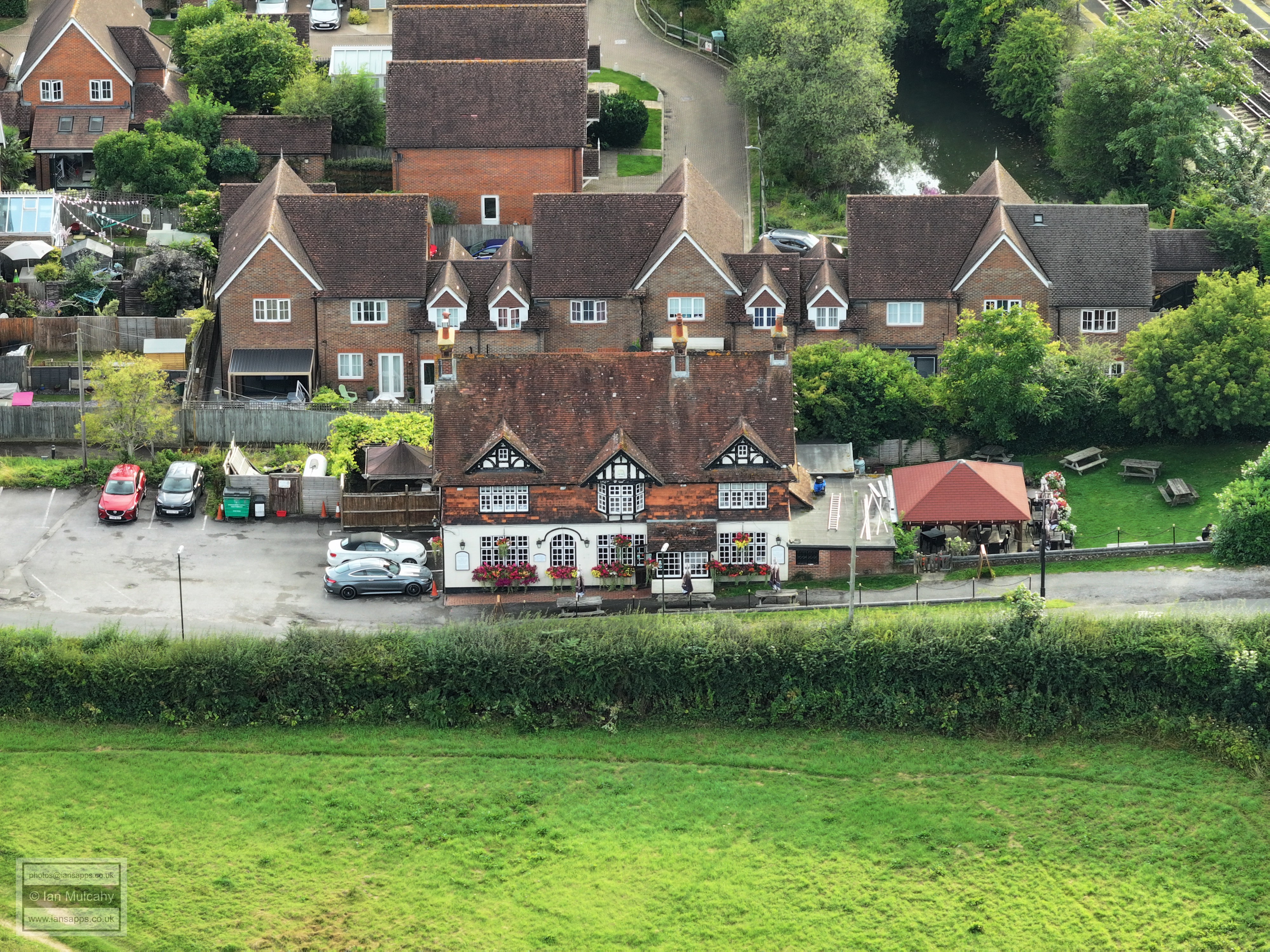
Holmbush Inn
Holmbush Inn and Faygate station from a shorter lens.
Faygate Playing Field.
Text & photographs © Ian Mulcahy. Contact photos@iansapps.co.uk or visit my 'Use of my photographs' page for licensing queries (ground level photographs only). |
|