Two locations in the parish of Rusper
West of Peters Farm and west of Venters
Sunday 11 August 2024
|
106 aerial photographs from two locations in the parish of Rusper on Sunday 11 August 2024.
The first 53 were taken from just outside of the Flight Restricted Zone in a field to the west of Peter's Farm and The Mount on Langhurst Hill. The second 53 were taken west of Venters on the path up the hill to The Plough Inn.
I've added brief annotations to some of the photos to help with your bearings.
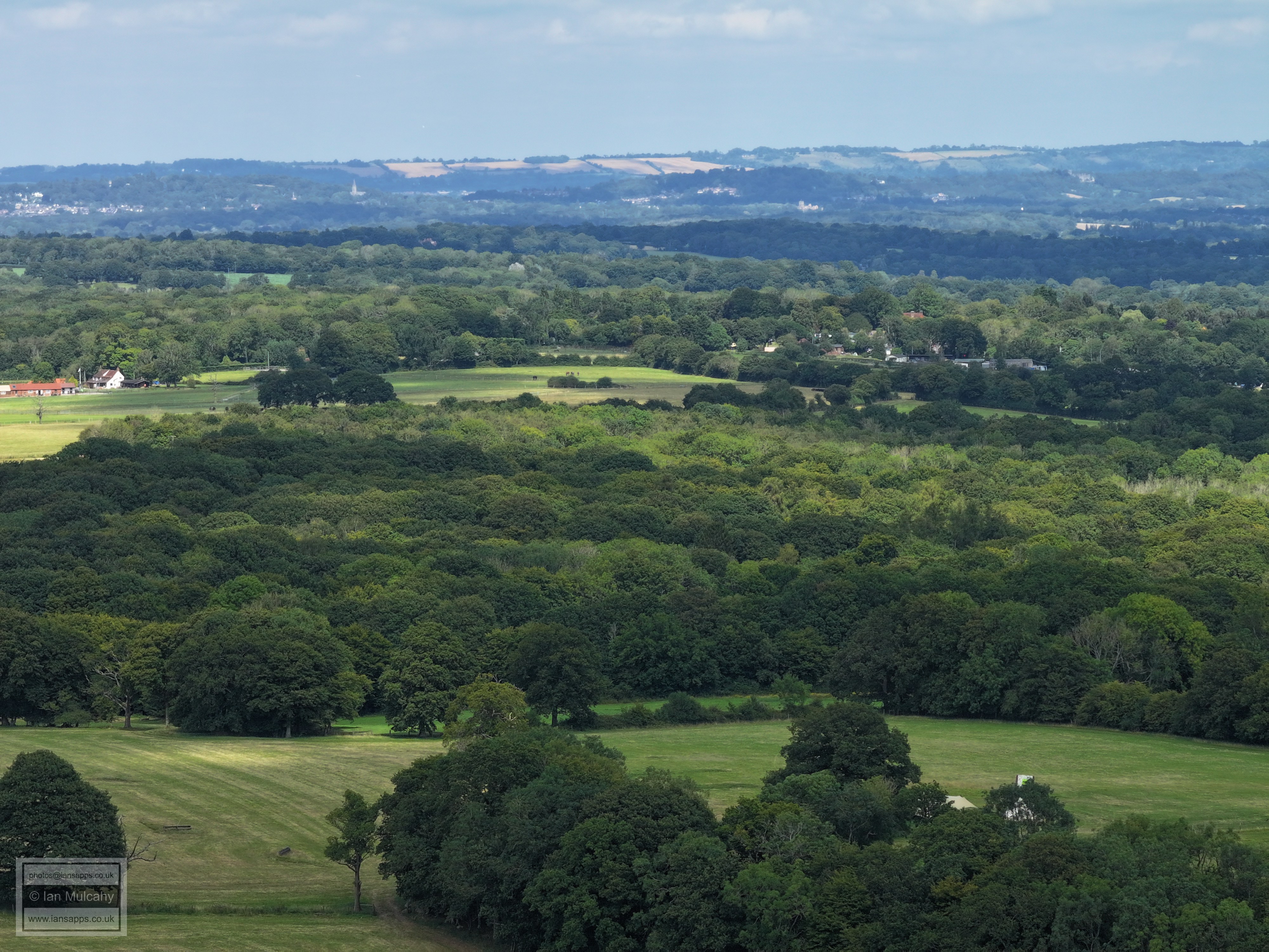
West of Peters Farm
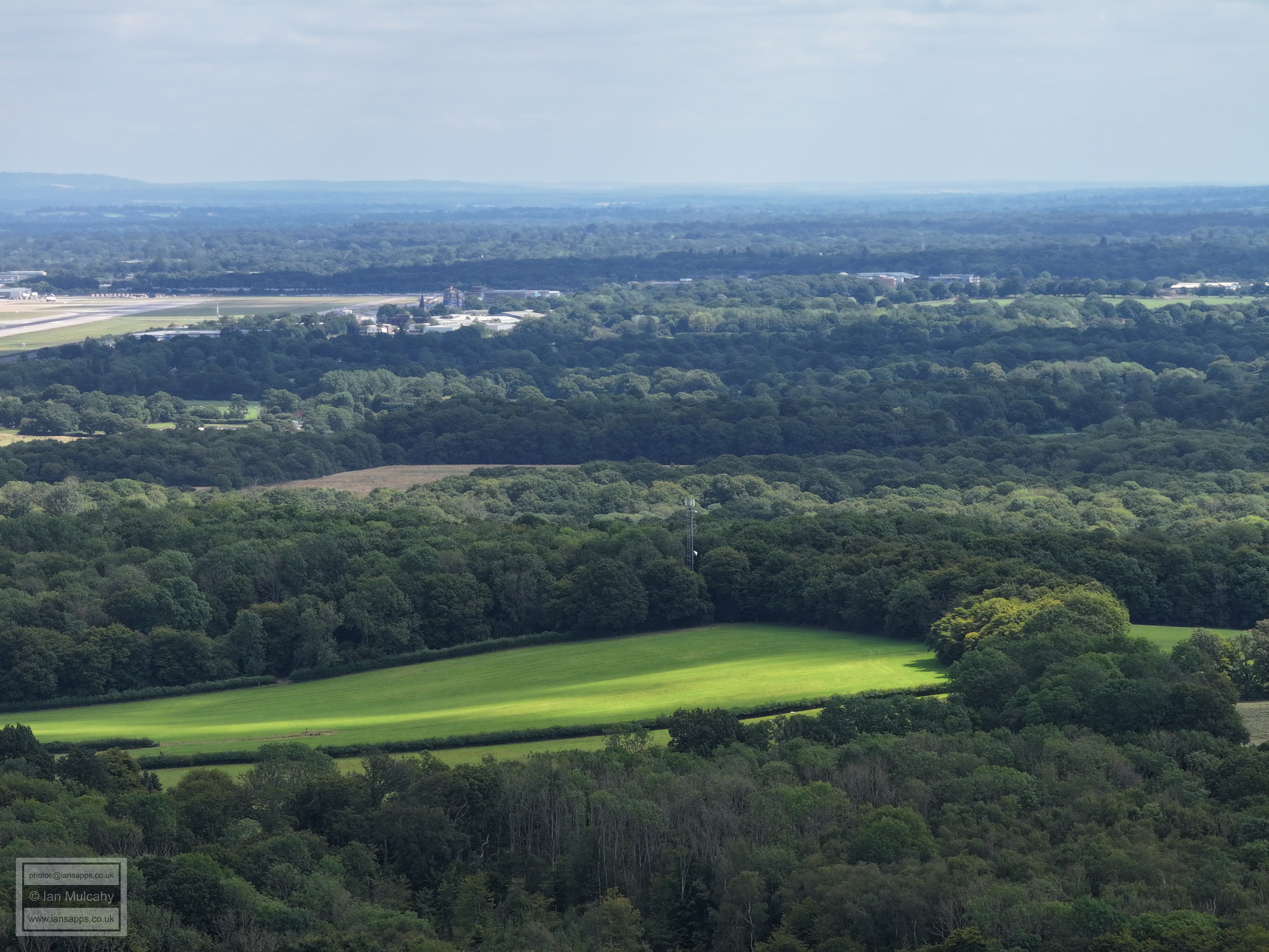
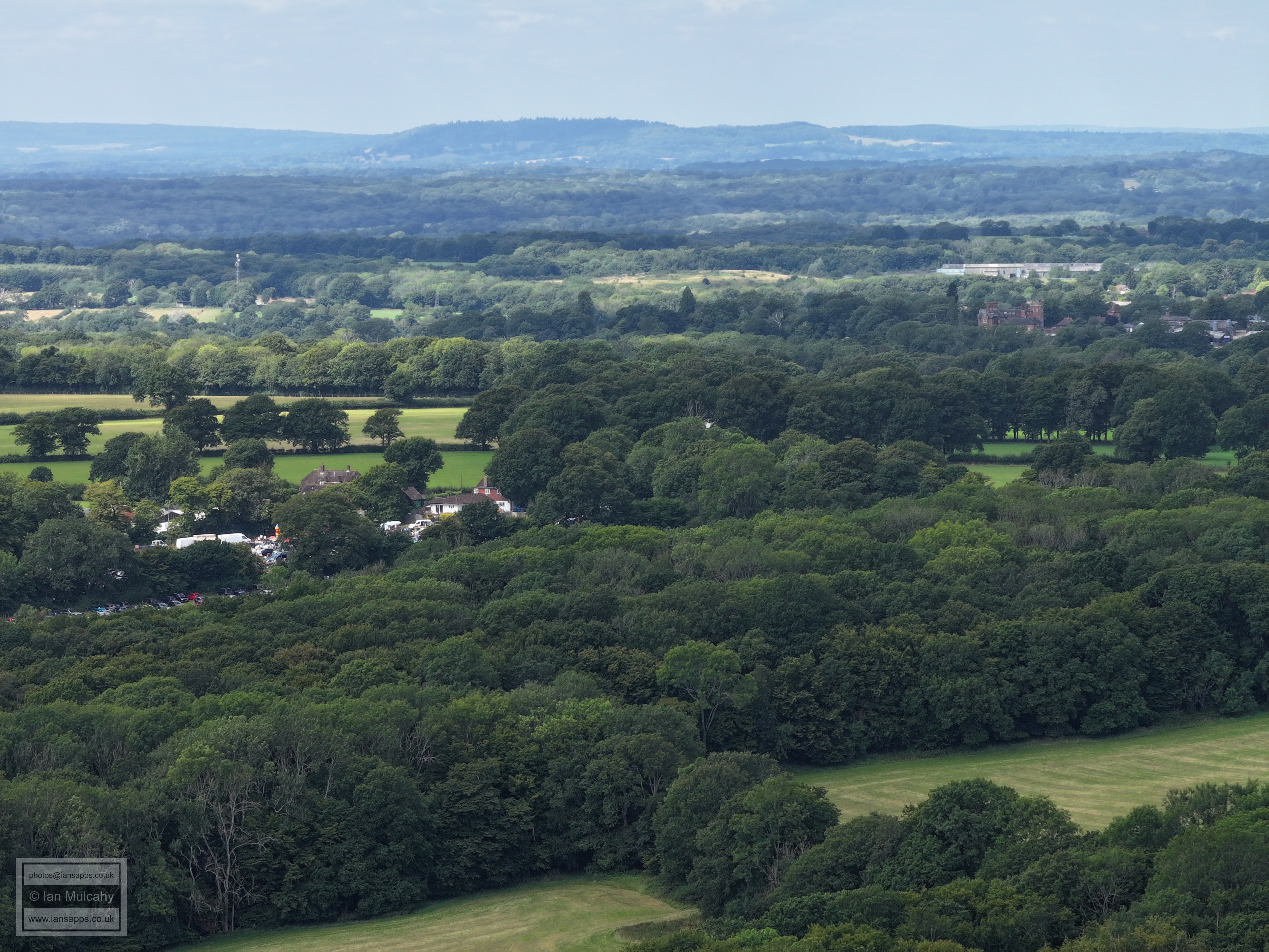
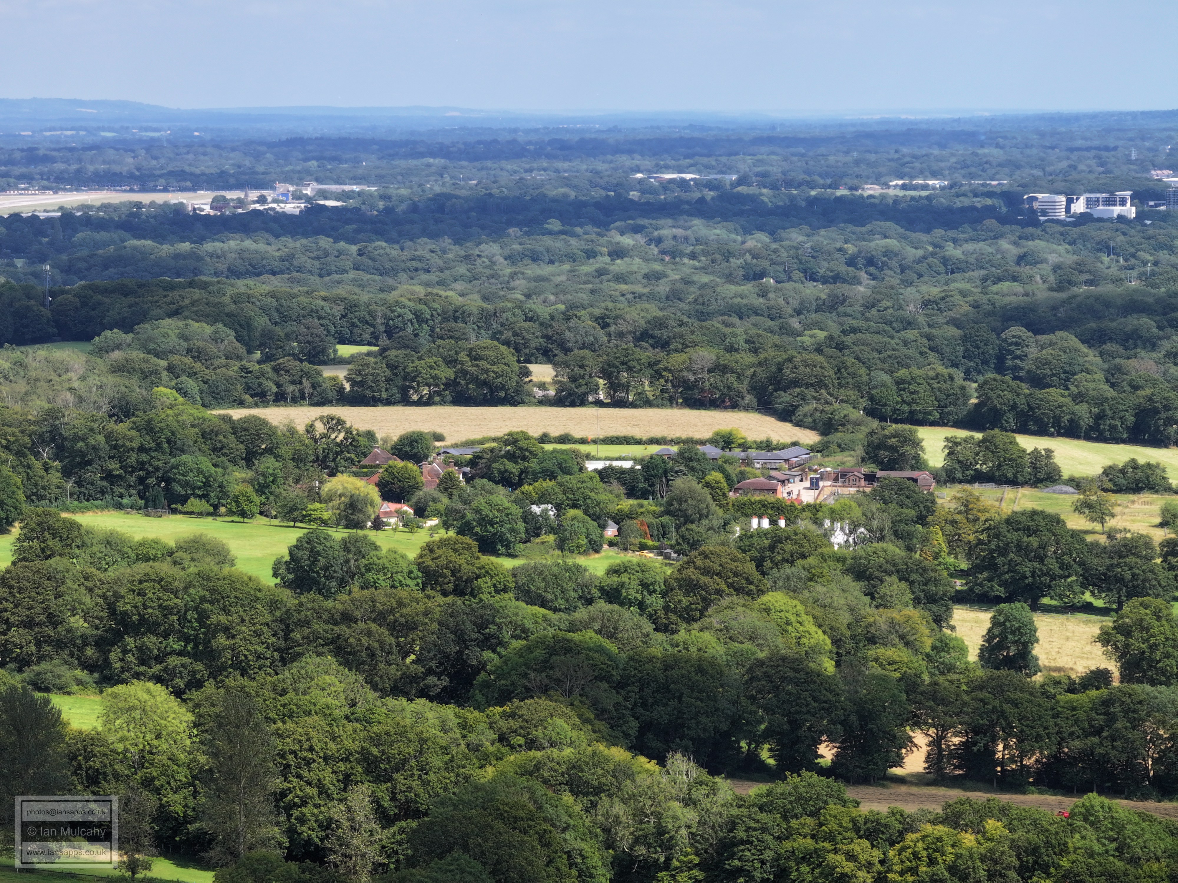
Gatwick Airport. The house bottom left is Keepers Mount Kennels & Cattery and the barn/unit just left of centre is in Prestwood Lane. The house with 4 flagpoles above the barn is Waterhall Country House hotel in Prestwood Lane and just above this the throng of cars is at Purple Parking on Lowfield Heath Road
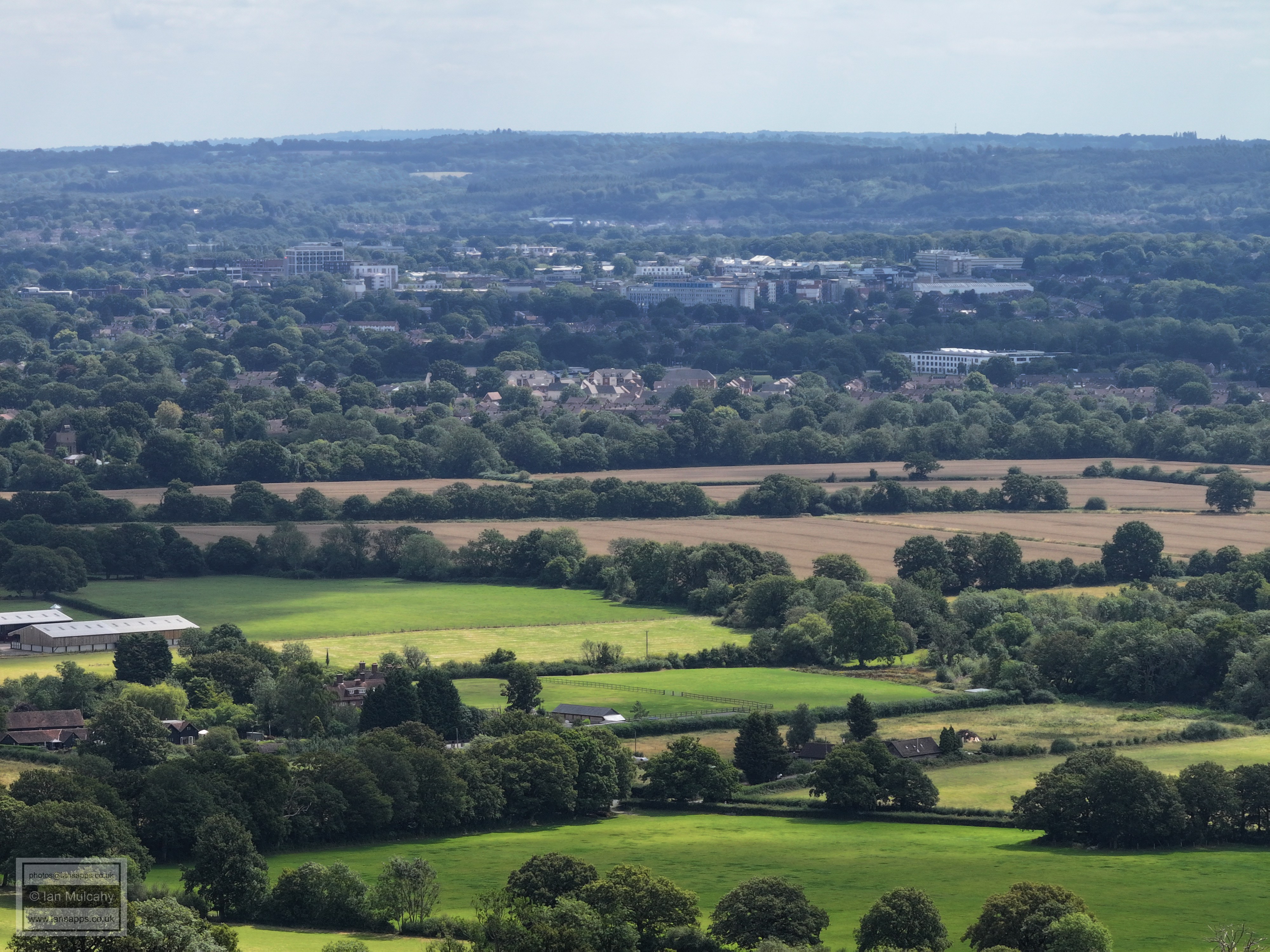
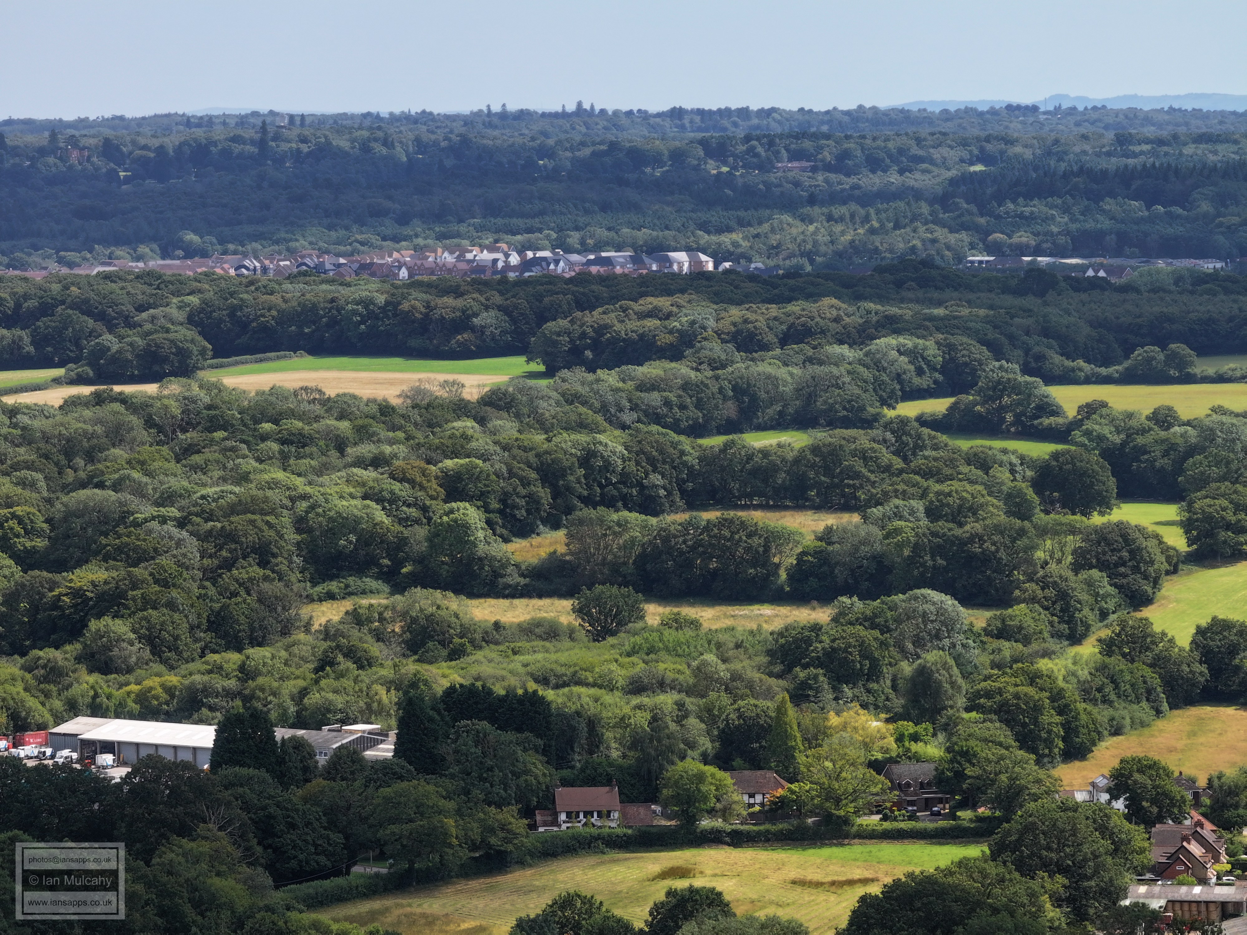
In the top right quarter is Manor Royal Industrial Estate and to the right is Langley Green. The houses in the Bottom Right quarter are around Mount Farm on The Mount.
The Mount is in the foreground. Just right of centre (below and right of the two large barns) is the upper floors and chimneys of Bonwyckes Place. Above the two barns and immediately beyond the browning wheat fields is St Margaret's, Ifield. In the top left quarter is Langley Green and the south eastern corner of Manor Royal. Crawley Town centre is a quarter of the way down the pic from the centre and across to the right with West Green & Ifield below.
Across the top is Gossops Green, Ifield West & Bewbush. The brown fields in the top left quarter are at Ifield Brook Meadows and the green slopes in the top right quarter are at Ifield Golf Club.
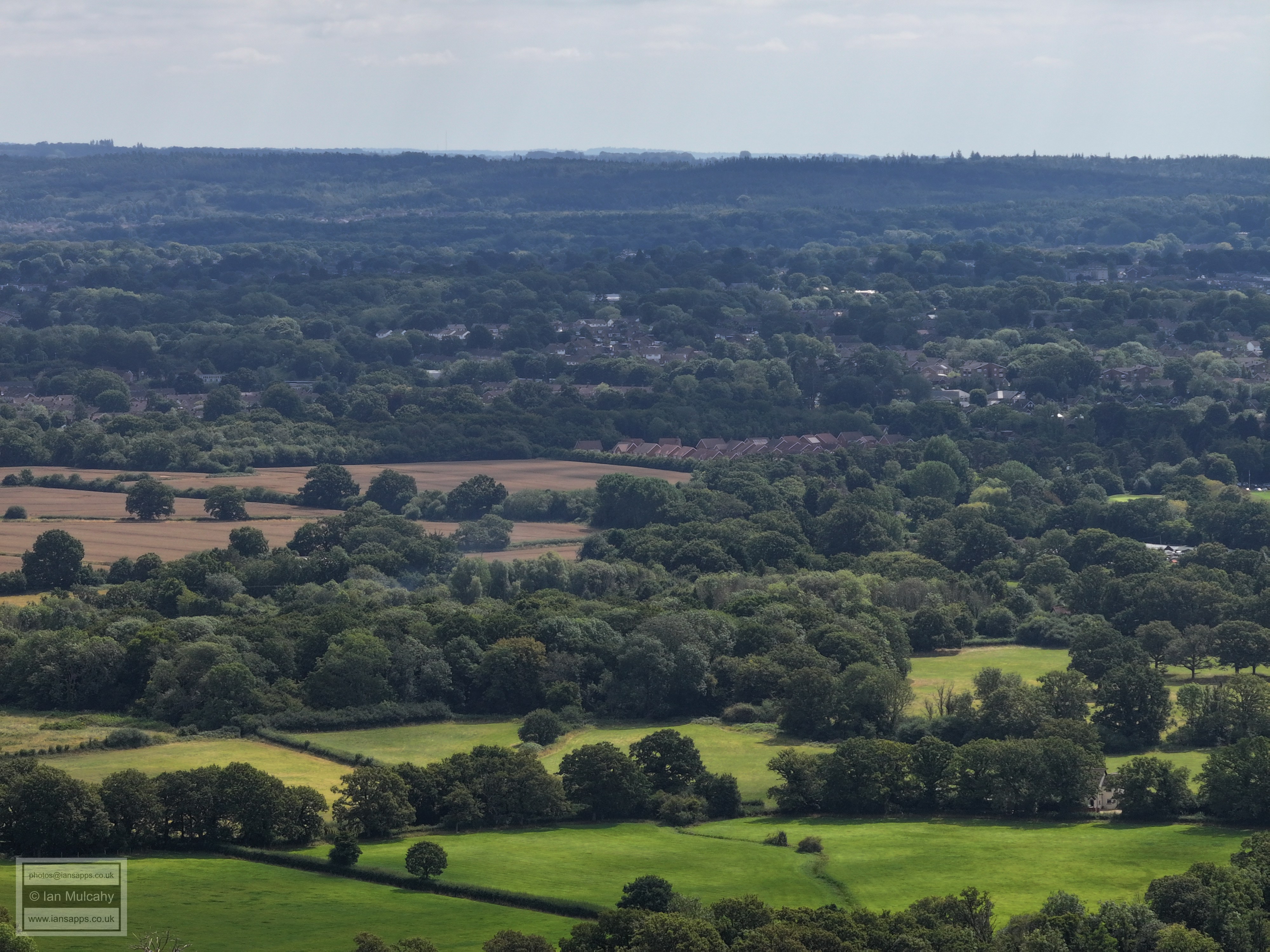
Stumbleholme Farm is left of centre, Kilnwood Vale is in the top right quarter. The little stripe in the centre of the top right quarter is the A264 Crawley South Western bypass.
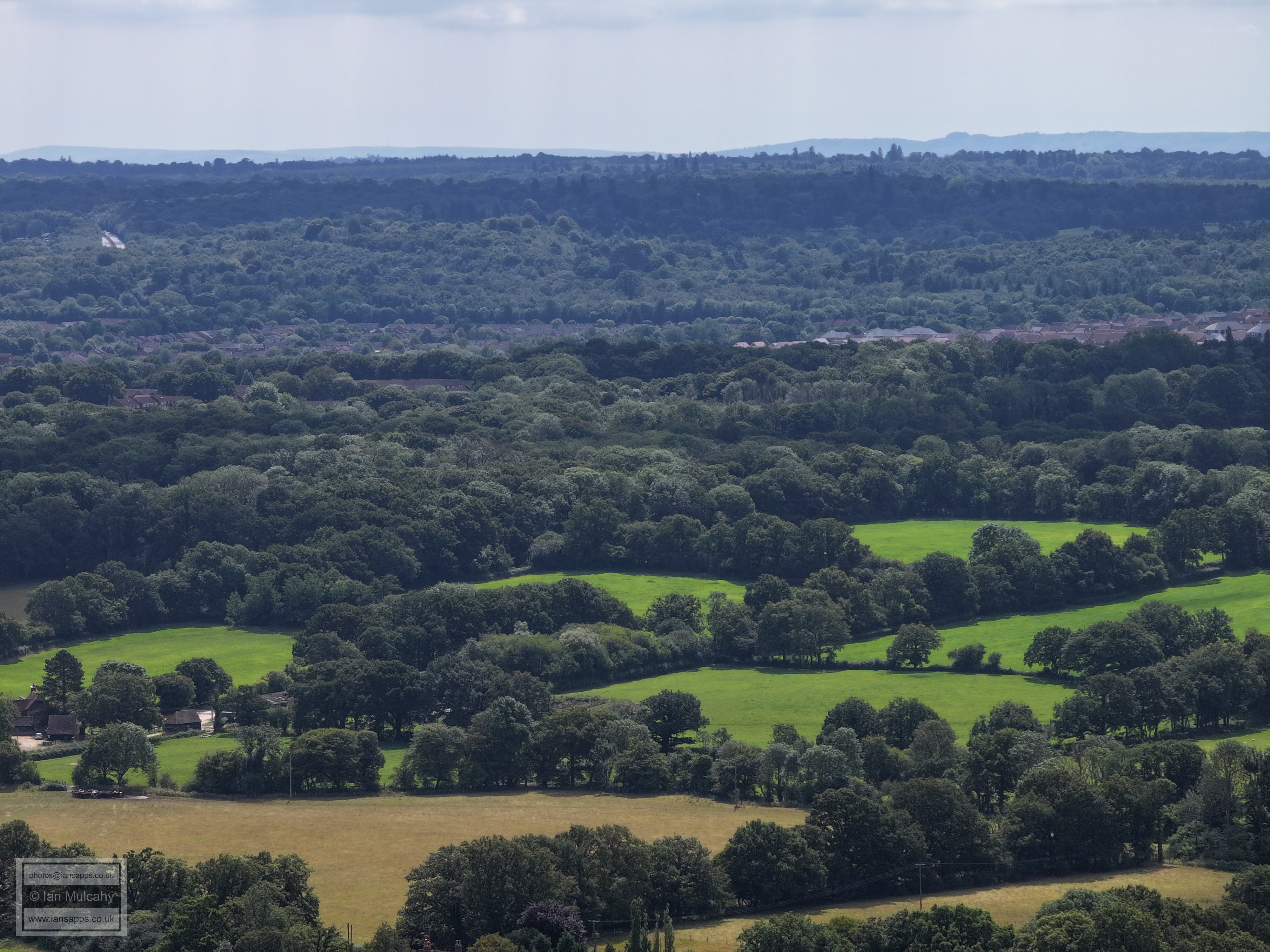
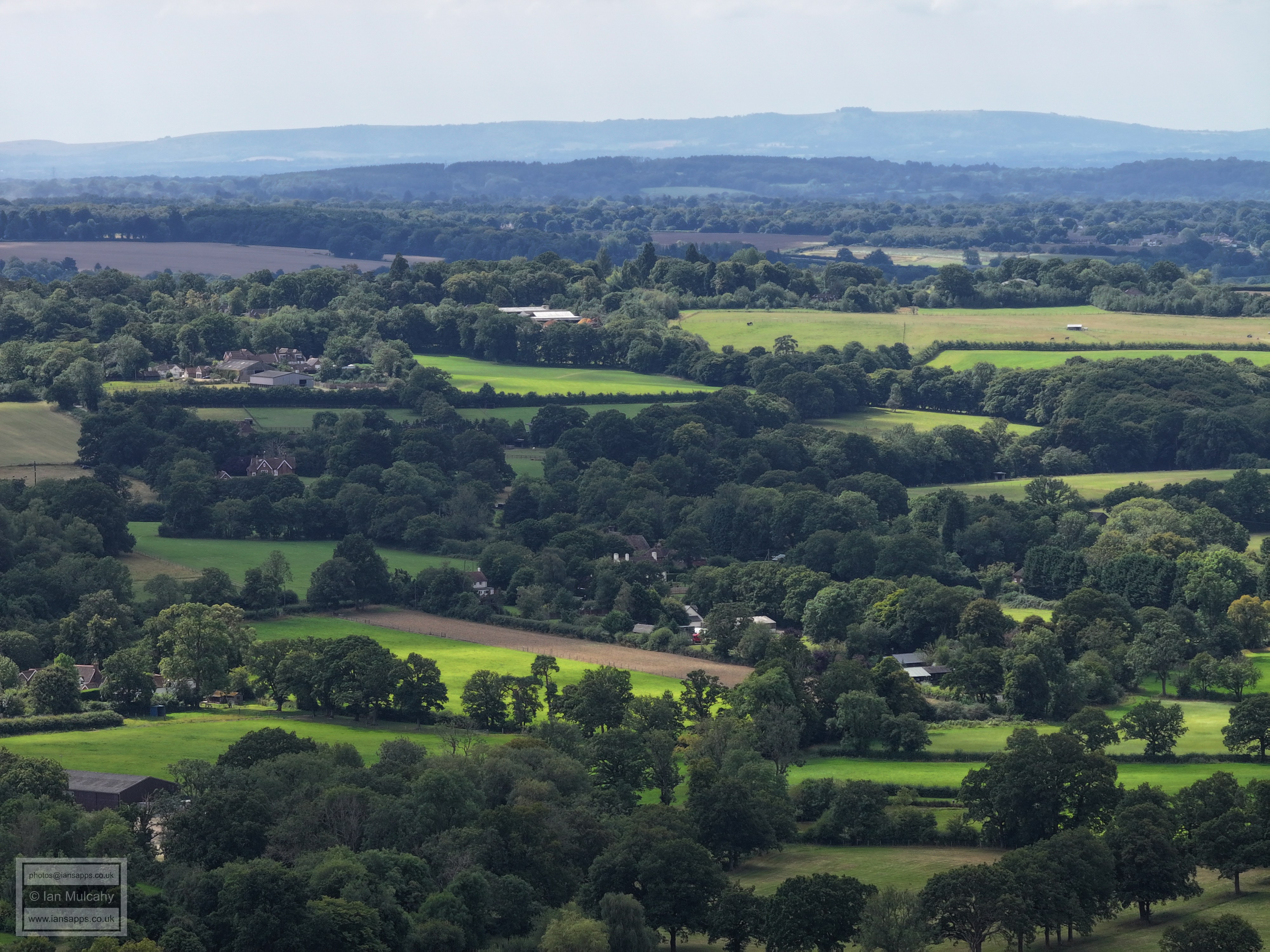
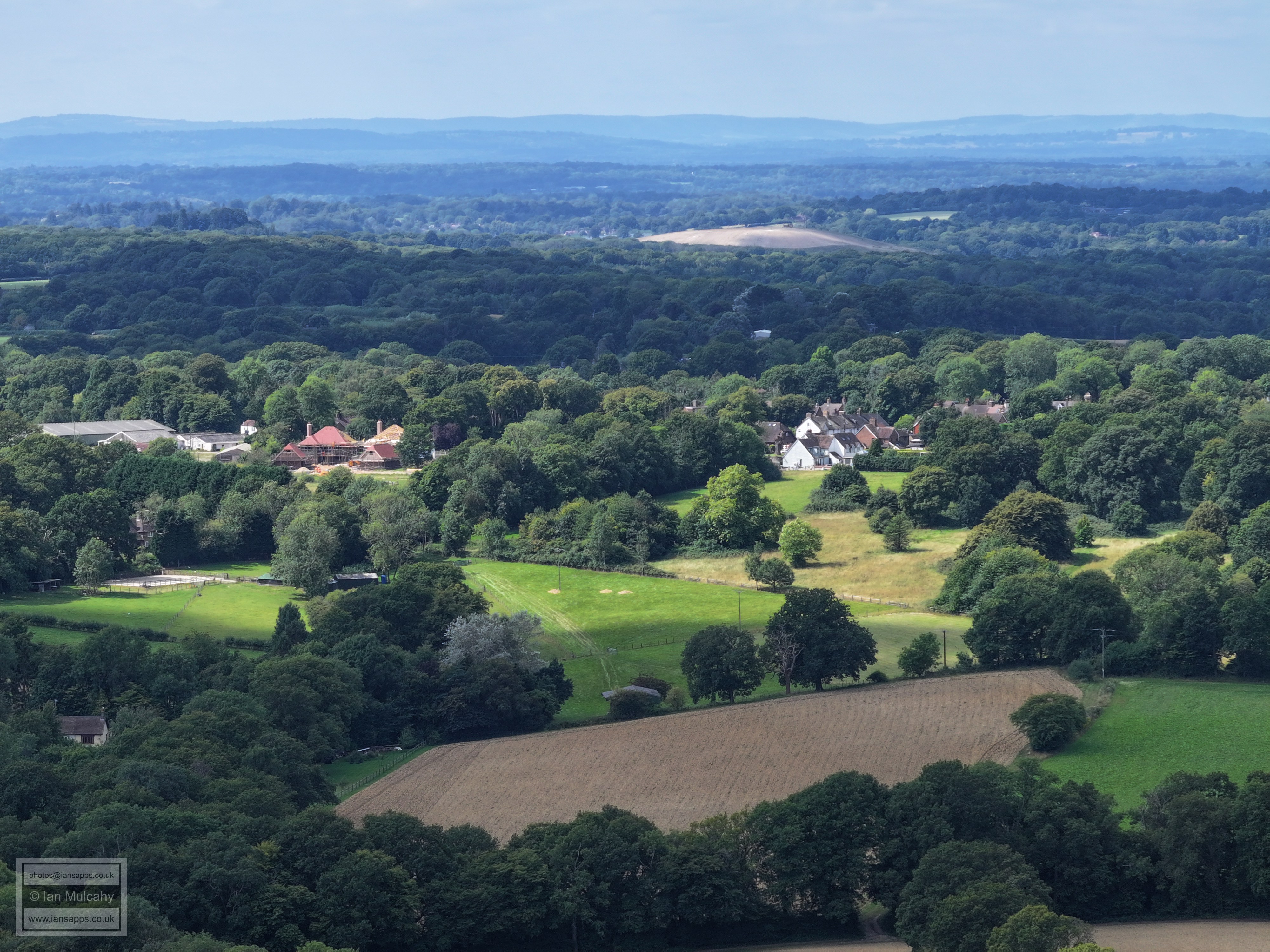
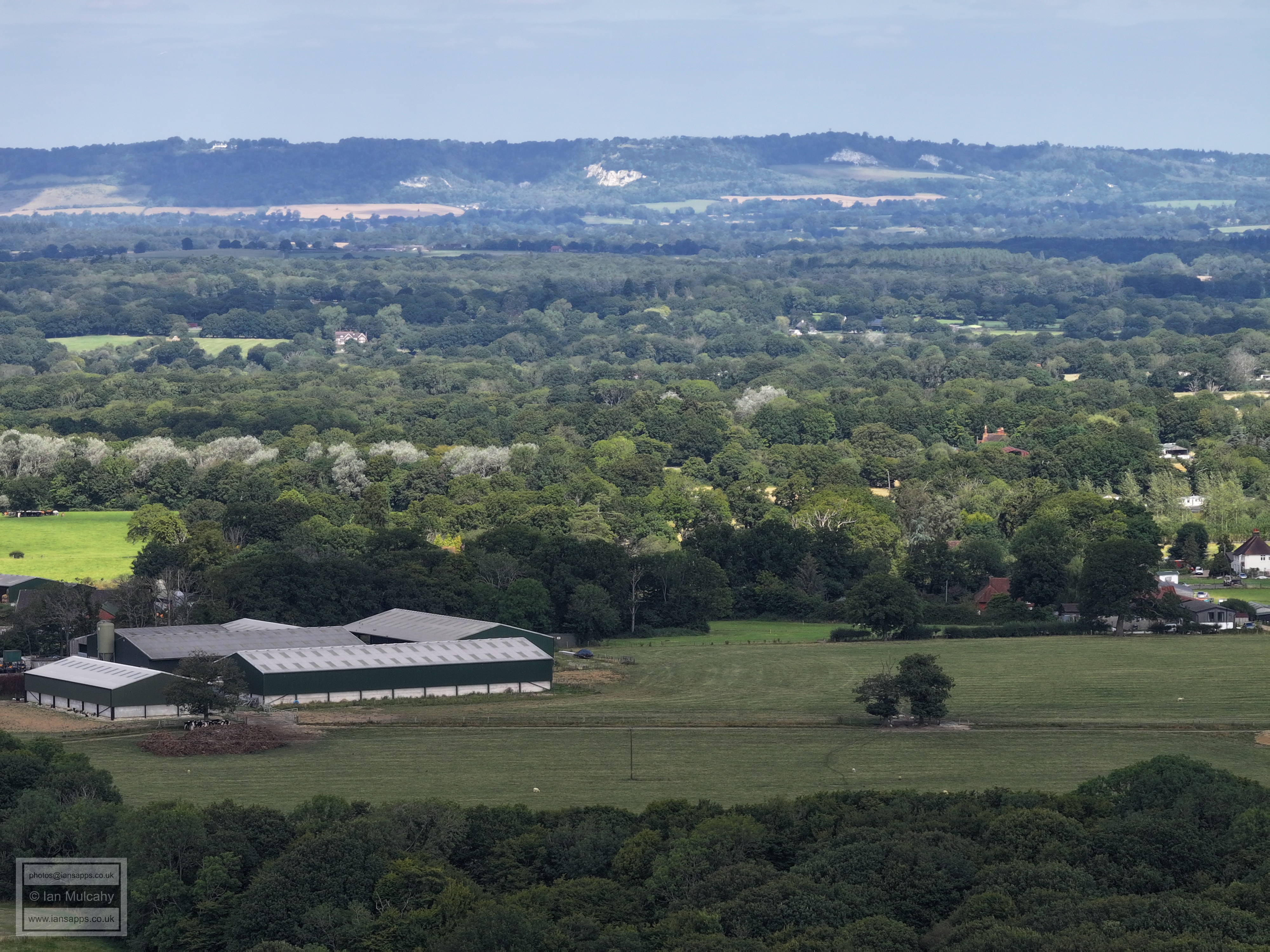
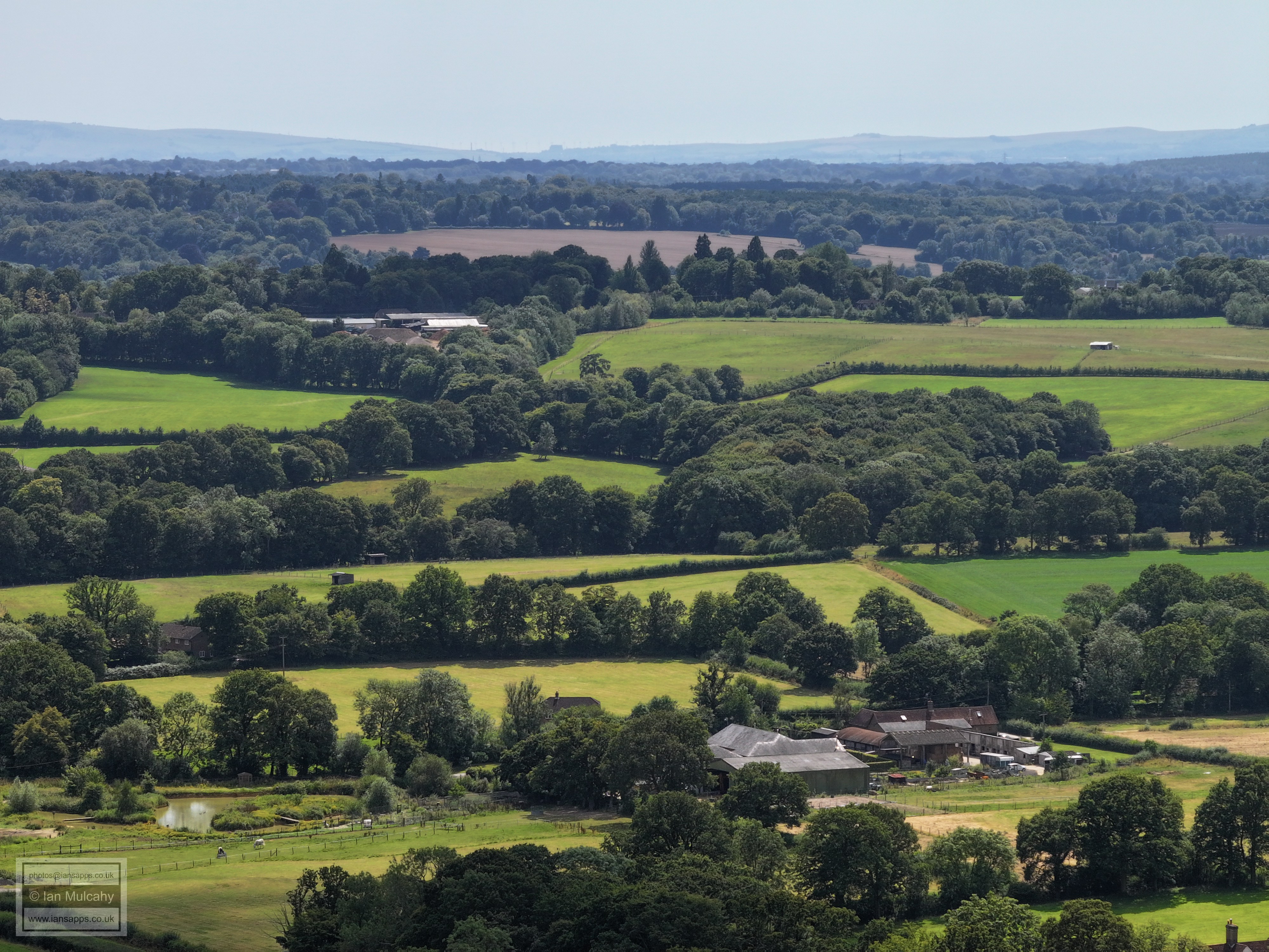
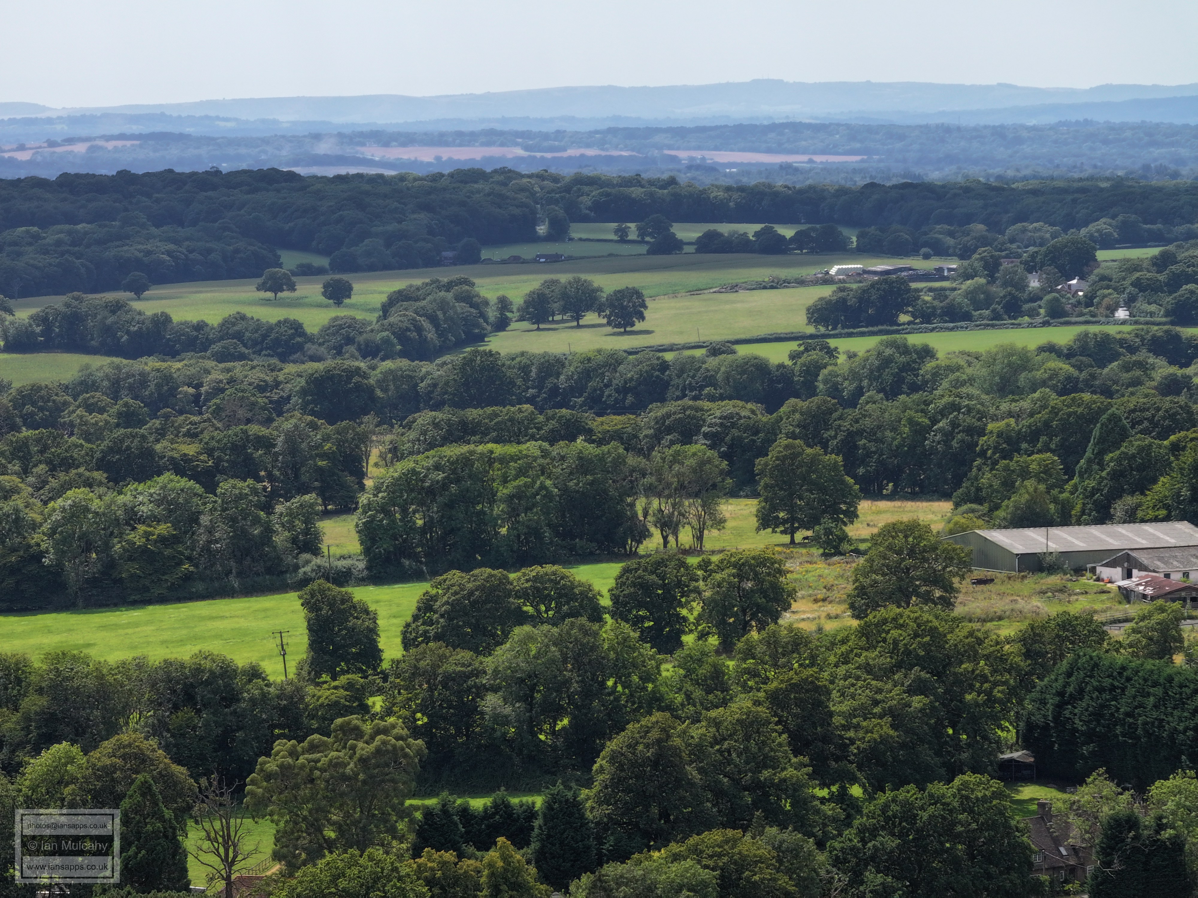
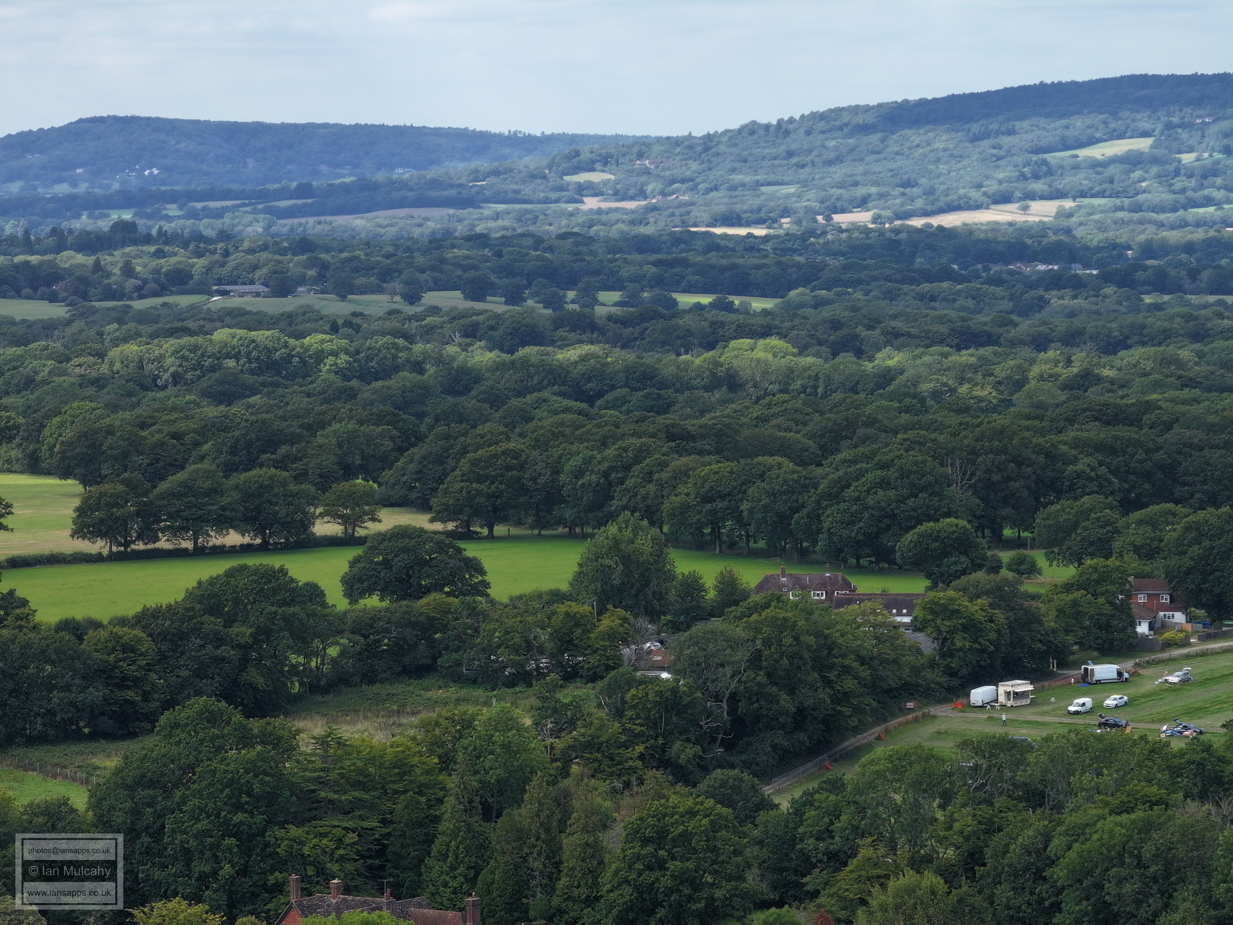
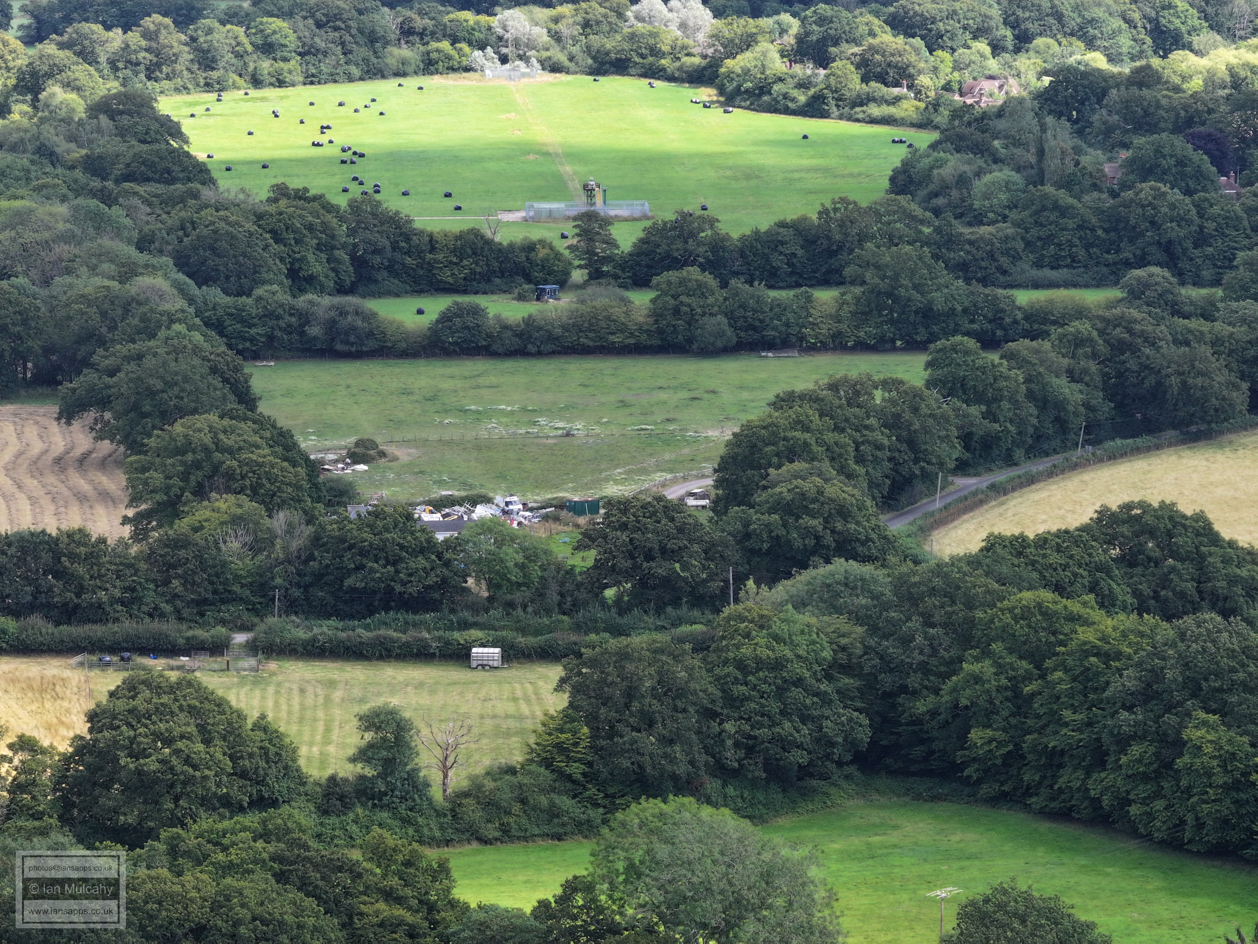
To the right of centre near the bottom is the junction of Rusper Road/Burnt House Lane/Langhurst Lane. Just right of centre is Croudace, formerly Rusper Hire, at Lambs Green. The Lambs Green road can be seen just to the right
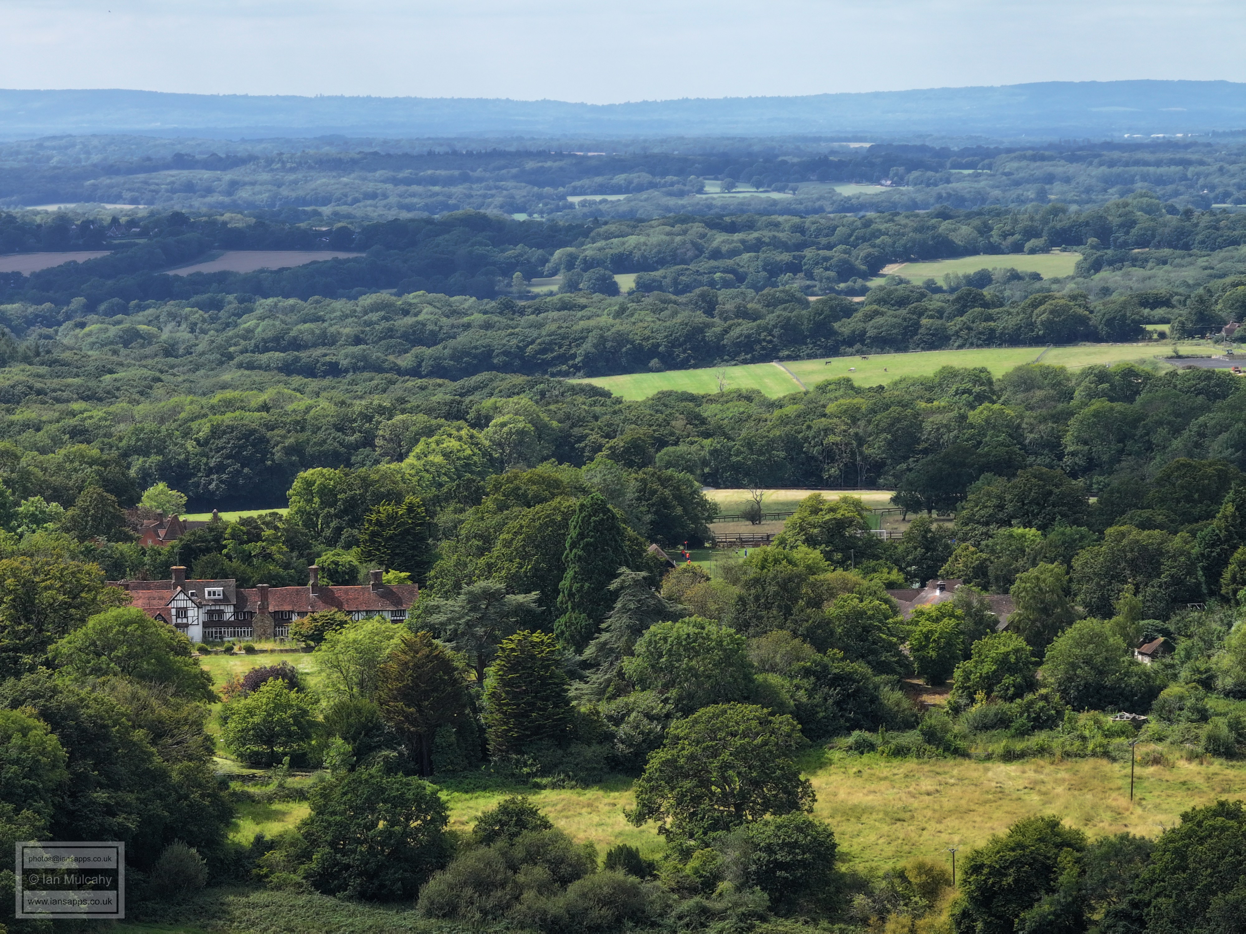
In the top left quarter is Carylls Country House (with two large barns) and Seers Croft is just below. On the far right about a quarter of the way down is Coombers Farm on Wimlands Road. The valley between the two ridges through which The Mole runs is clear in the centre of the photo.
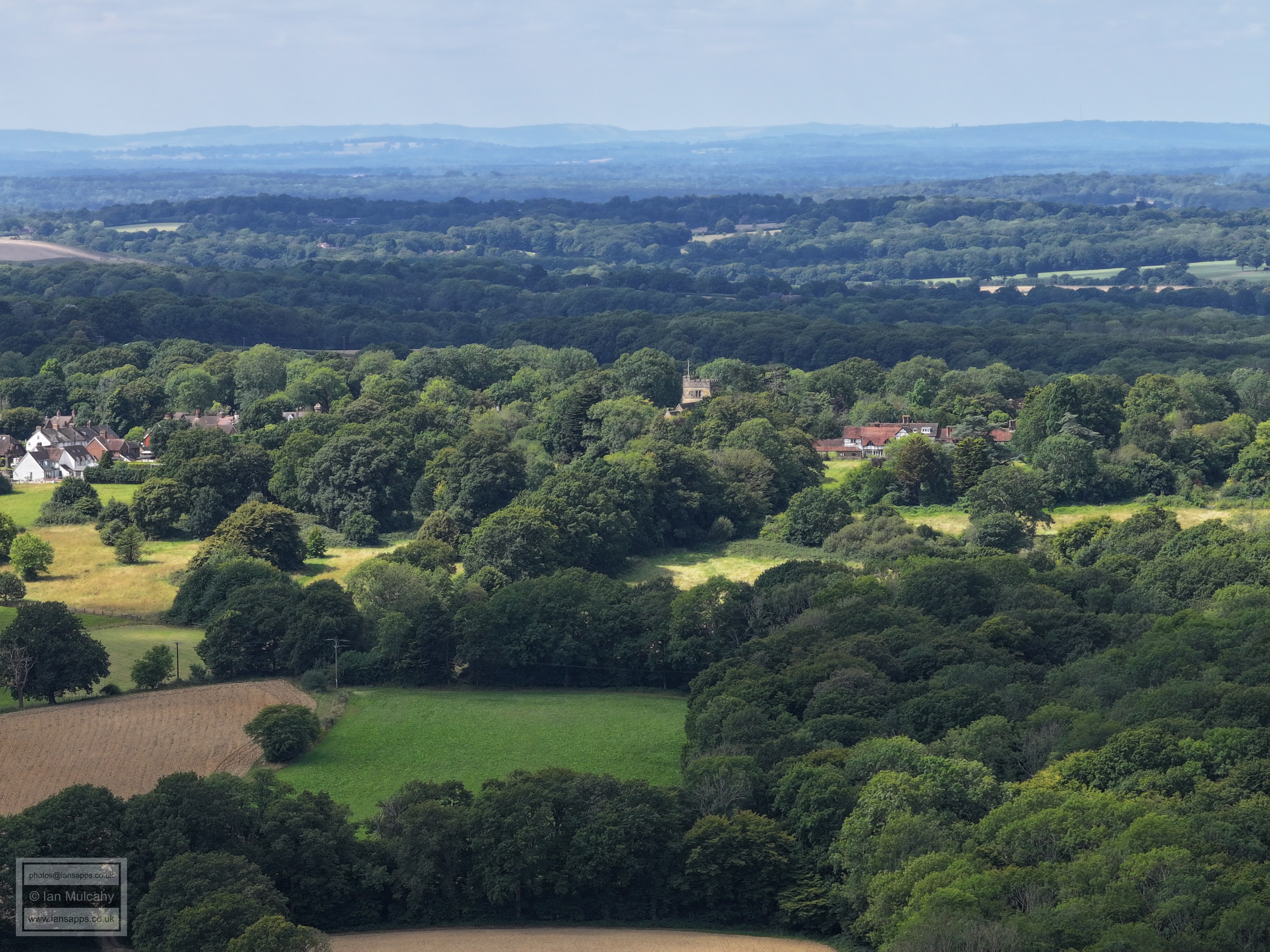
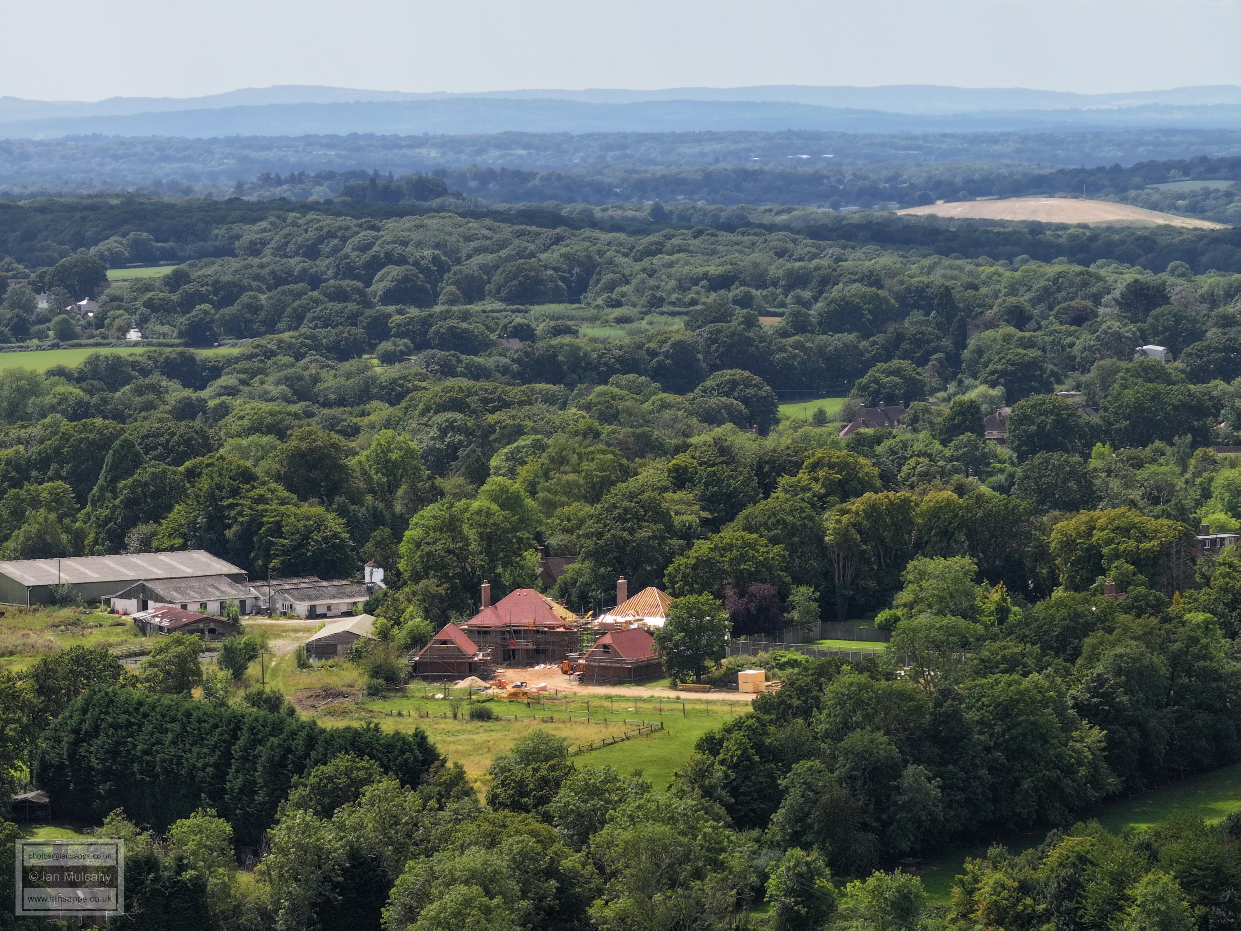
Venters is in the bottom right quarter and to the right of centre is Normanhurst. East Street can be traced down the photo from here. Millfield House and the new builds off East Street in the village are in the top right quarter.
St Mary Magadelene's and Ghyll Manor are in the top left quarter and the white houses in East Street are clear further to the right. The timbers and Horsham stone roof of Rusper House are just visible on the very far right about a third of the way down.
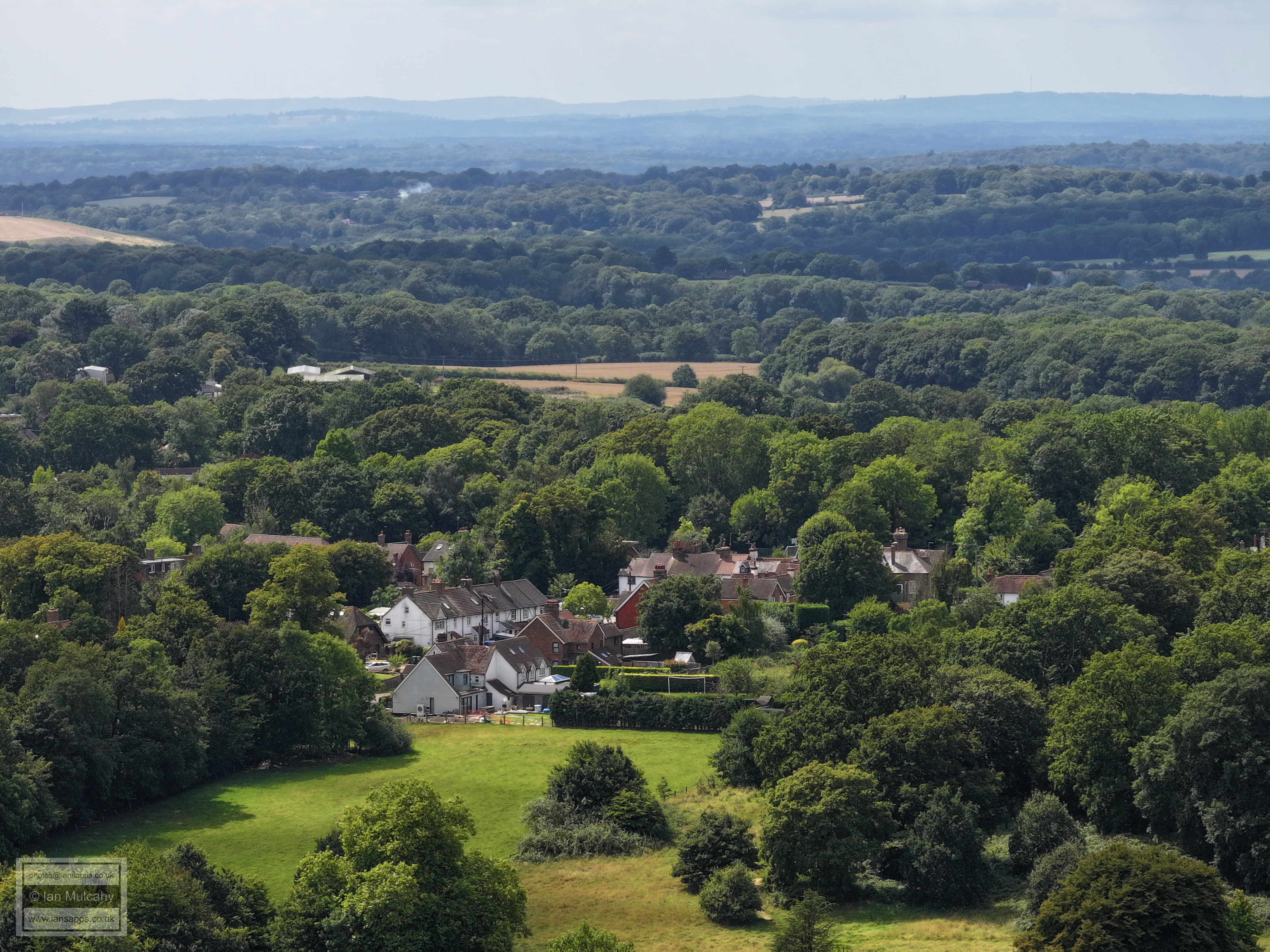
Rusper Car Boot is just above centre with Rusper House to the left. In the top right quarter is Lyne House.
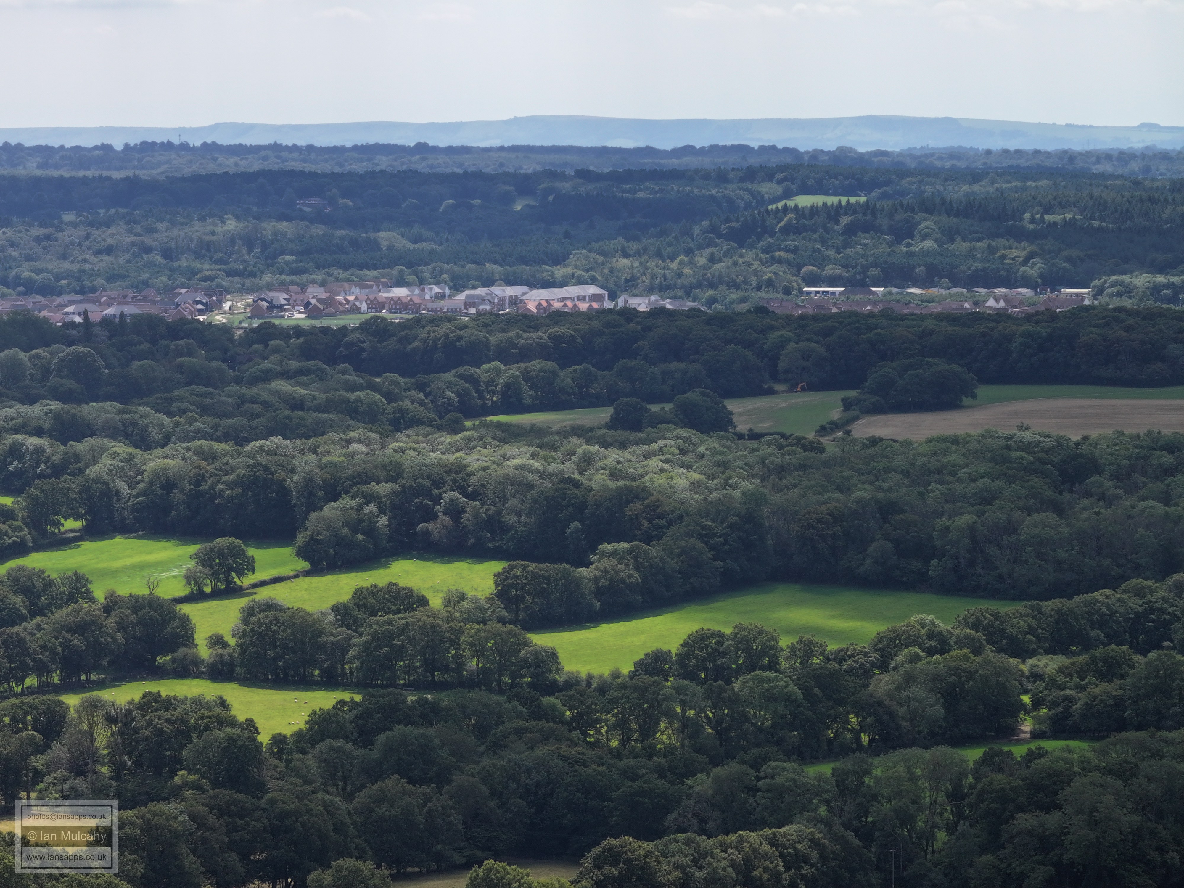
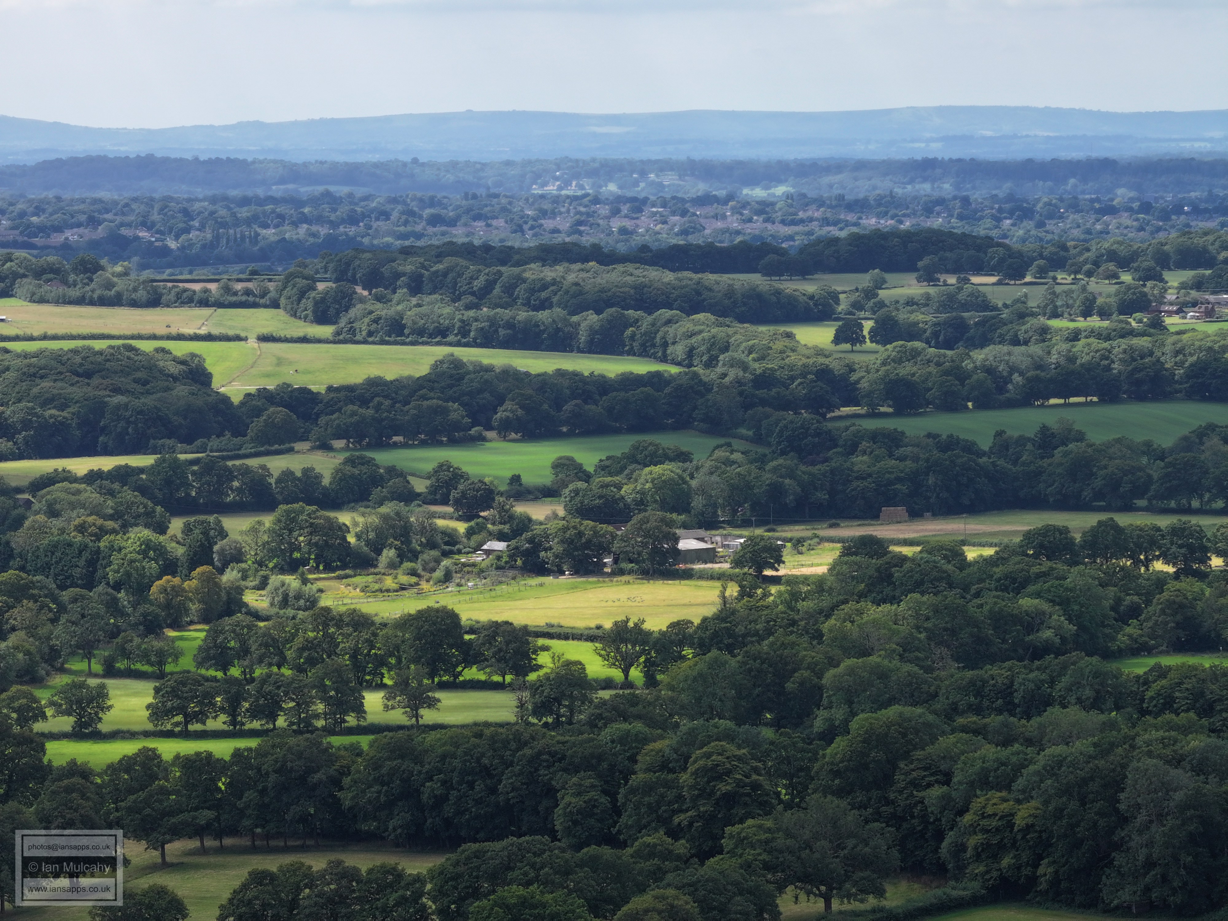
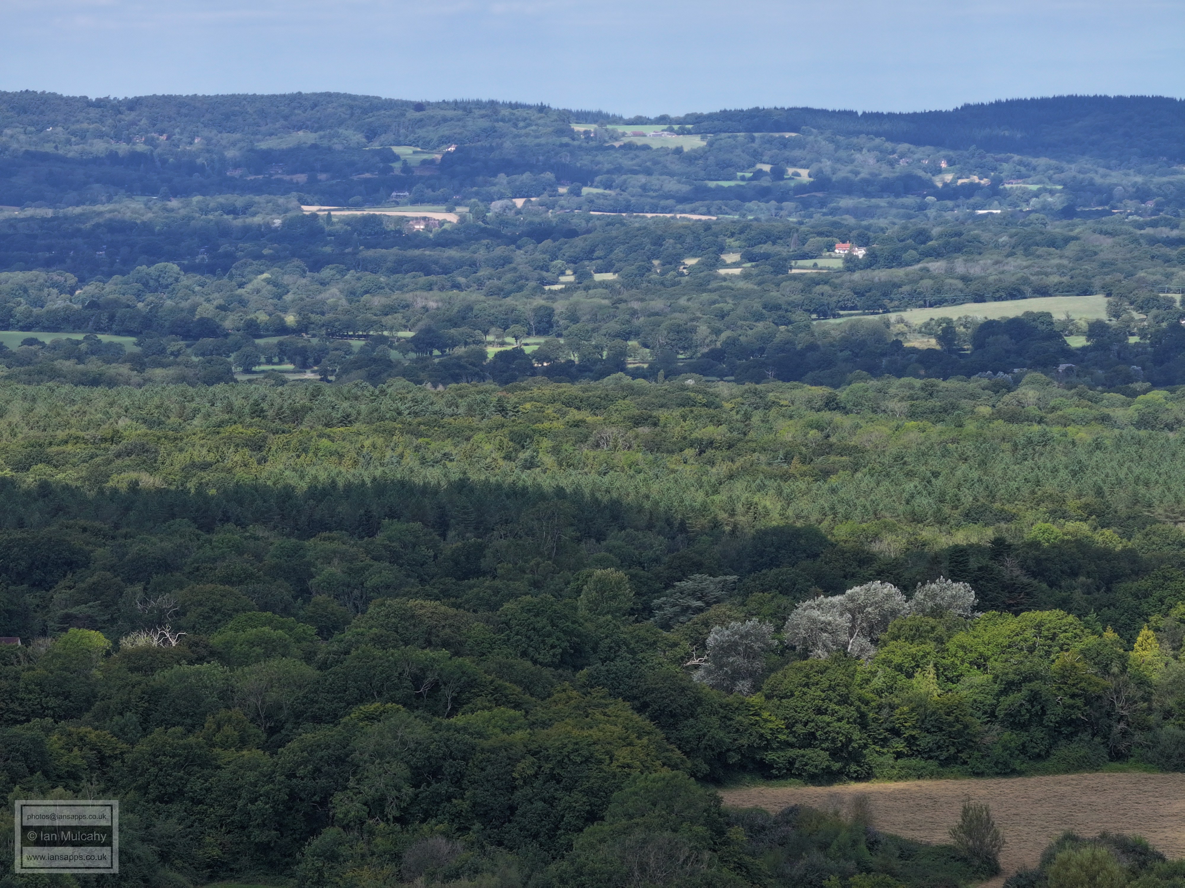
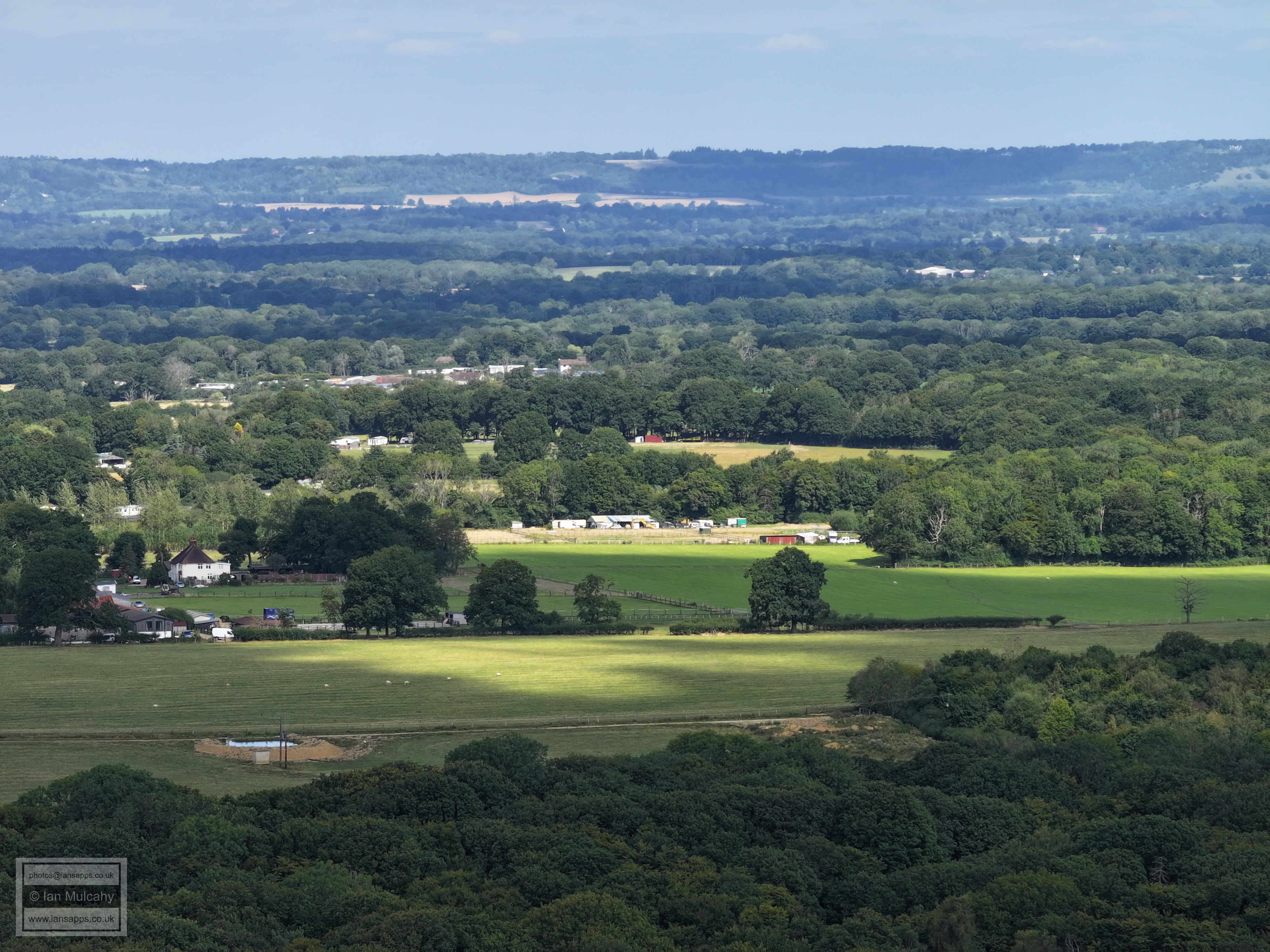
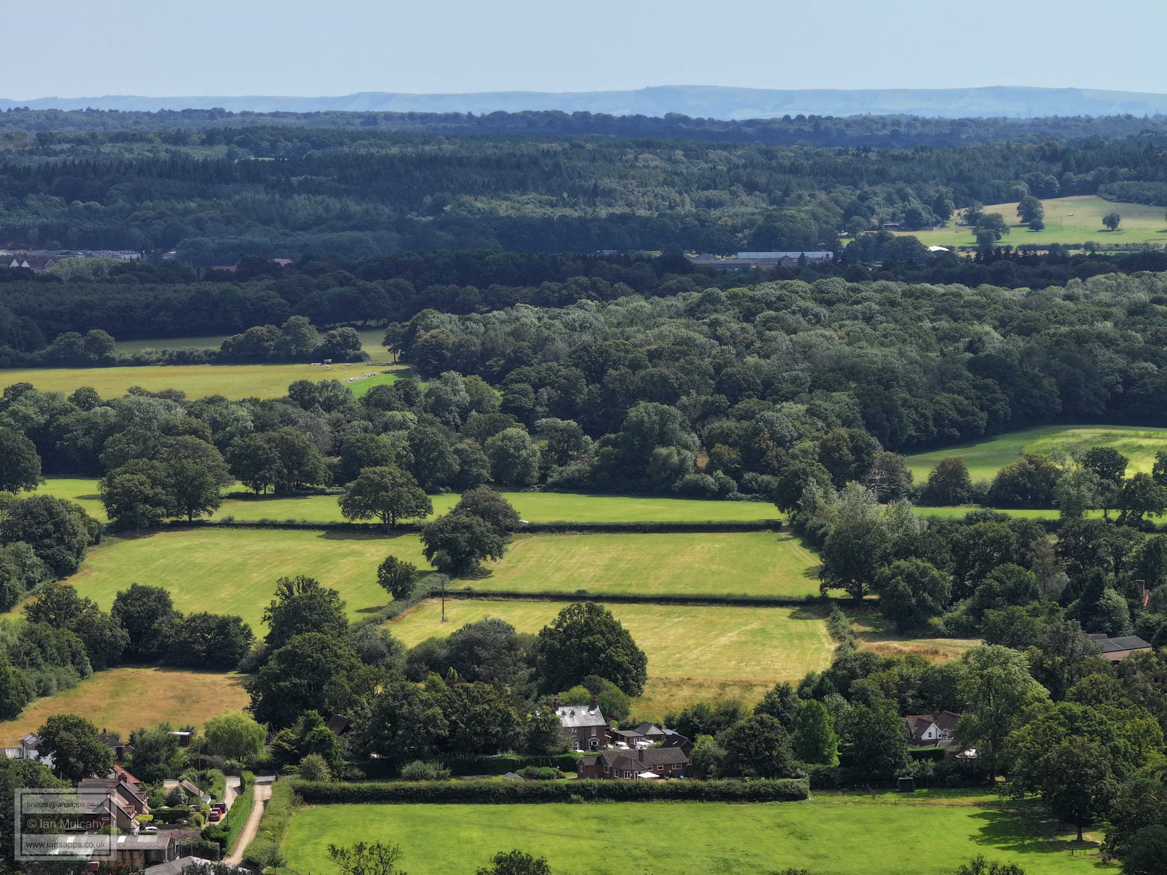
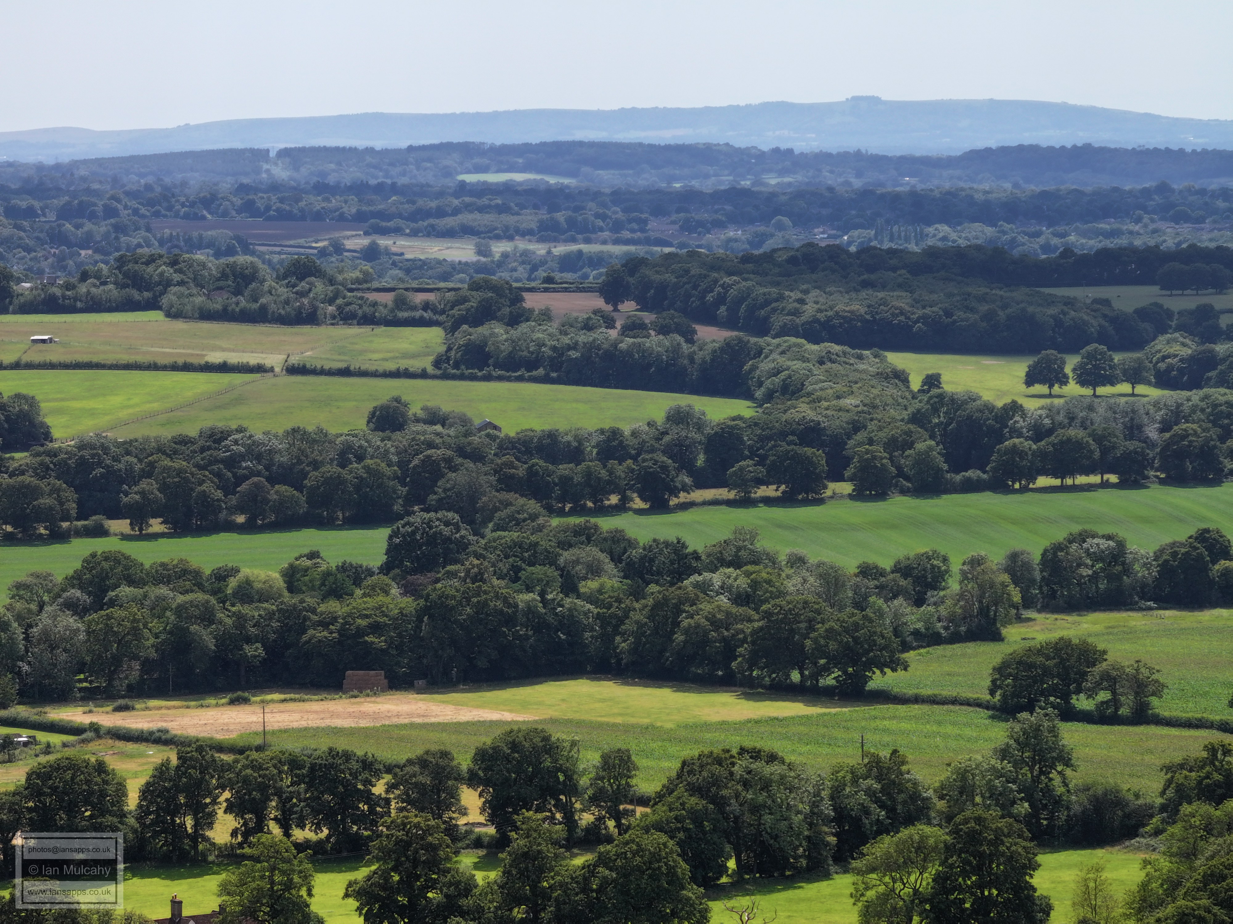
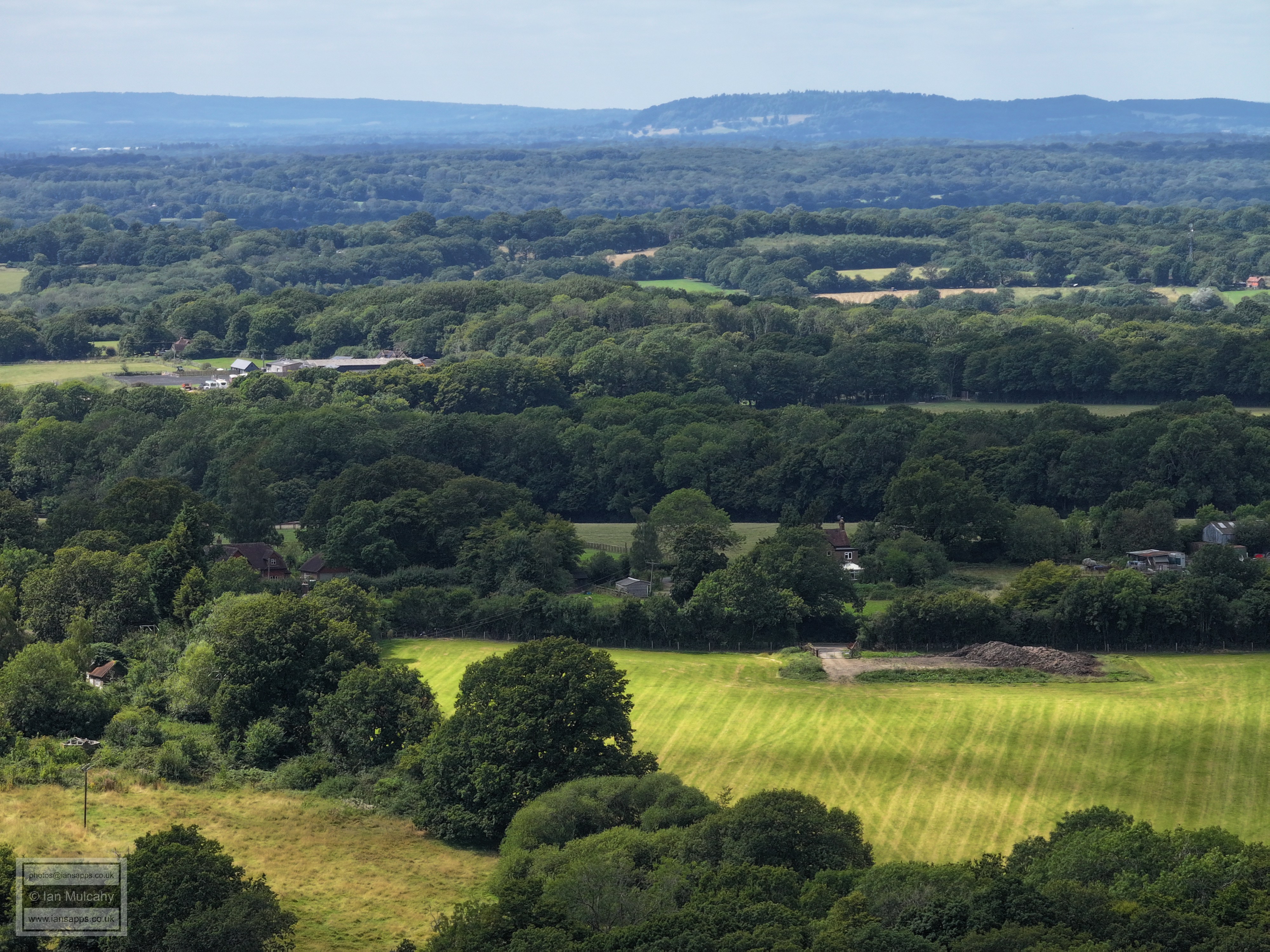
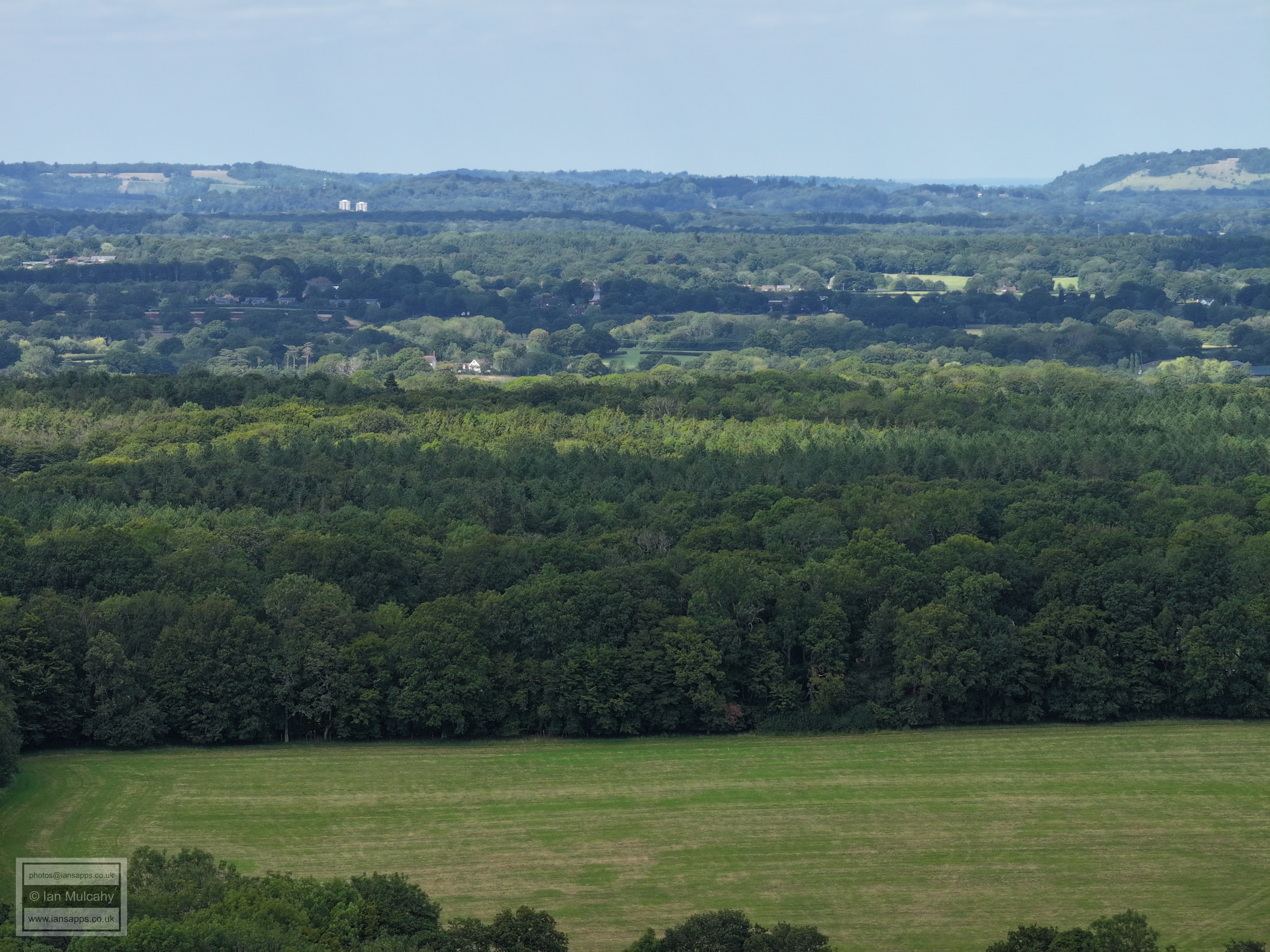
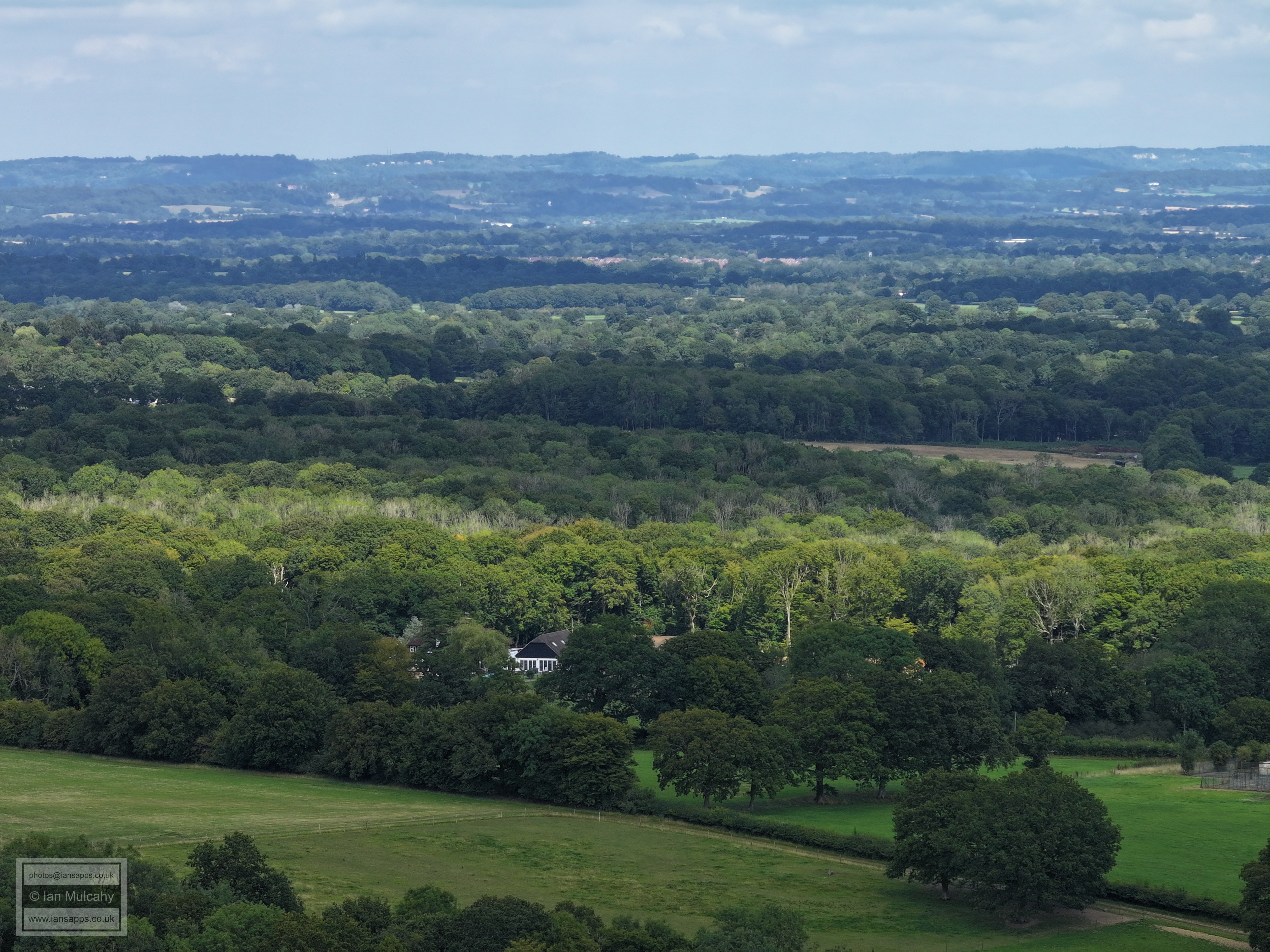
The only notable feature I can identify here is Chaffolds Farm near the Partridge Lane junction on the road to Newdigate. Rooftops in Capel can be seen in the band of cloud shadow at the foot of the hills in the top right quarter.
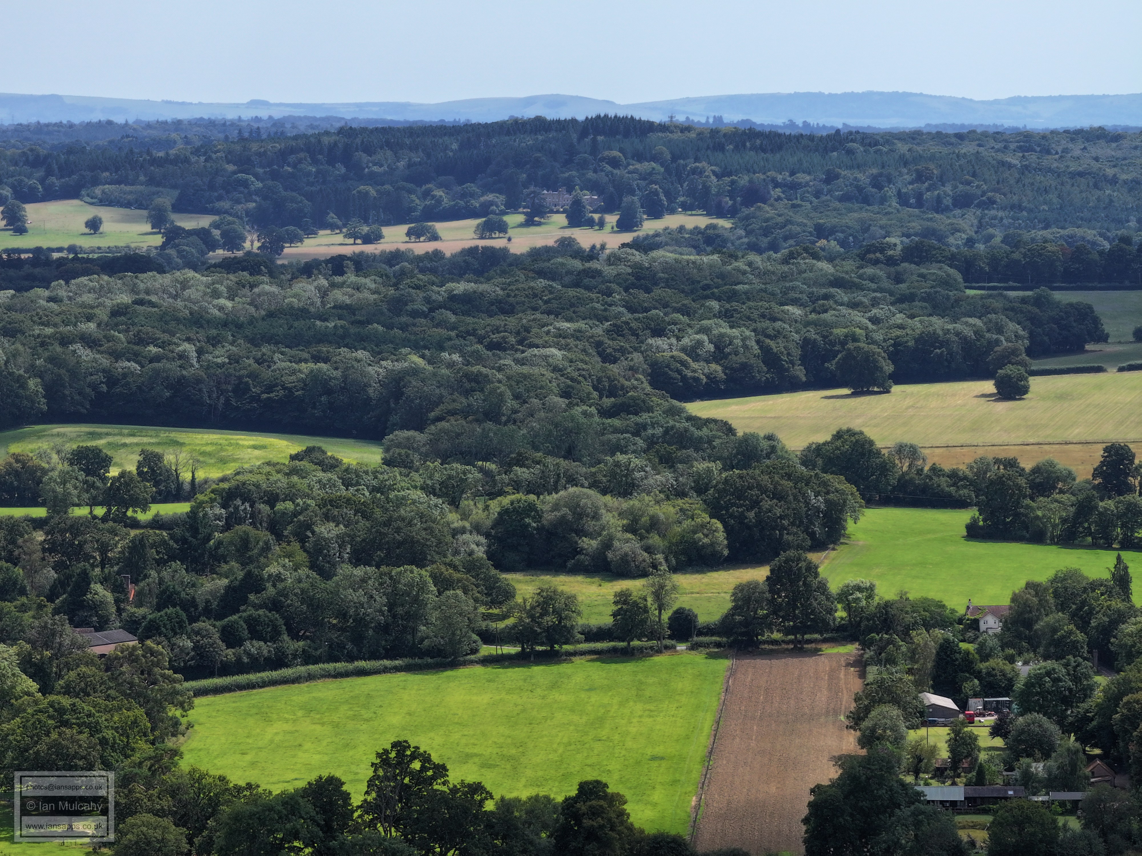
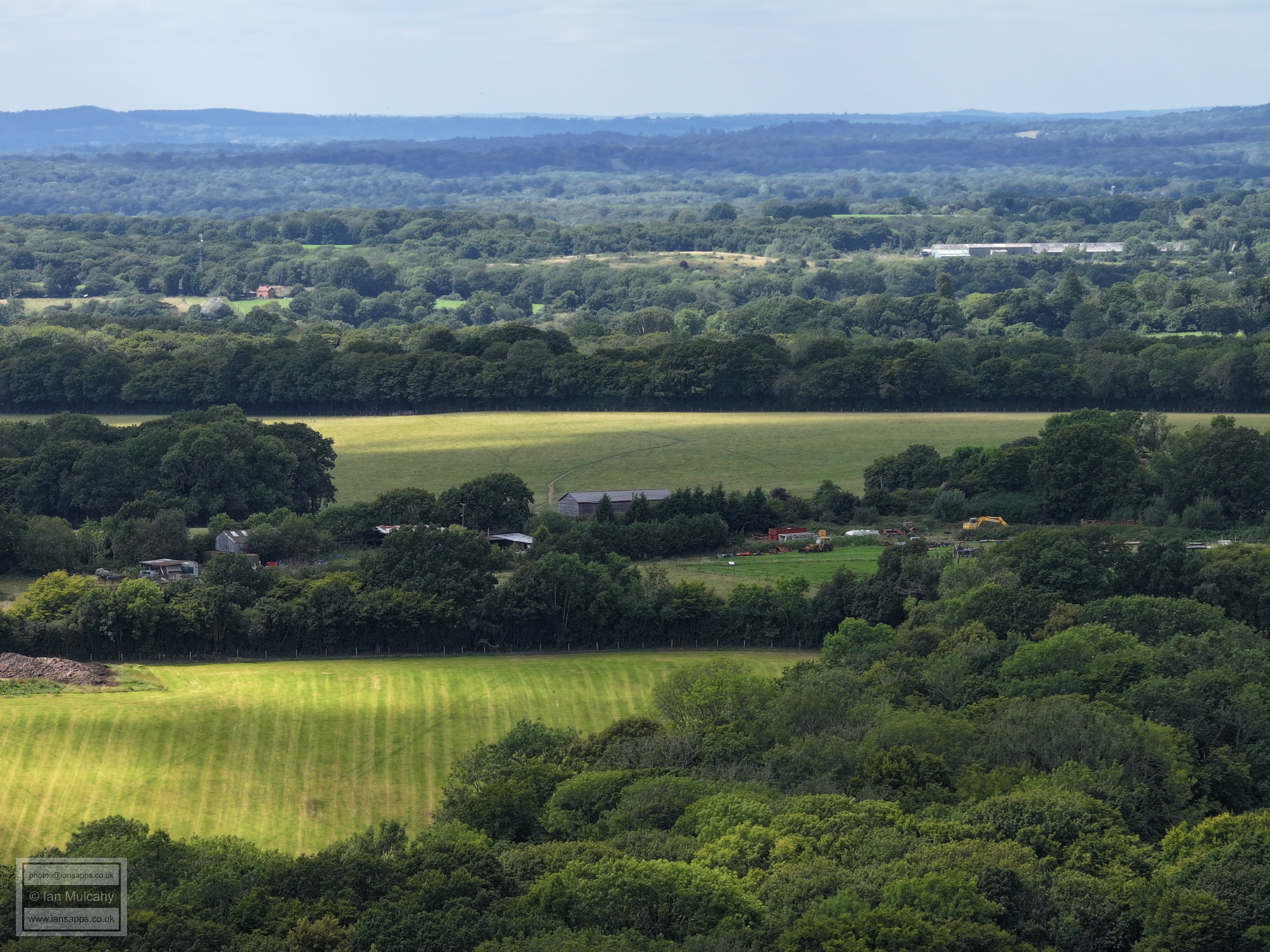
On the far right in the centre is the junction of Orltons Lane and Partridge Lane - spot Orltons Barn. Orltons itself is hidden behind a fir tree. In the top right quarter the church spire is at Newdigate and just to the left are the goalposts on the playing fields there. The chimney to the left of Newdigate, almost central, is presumably from the brickworks north of Trig Street between Newdigate and Beare Green.
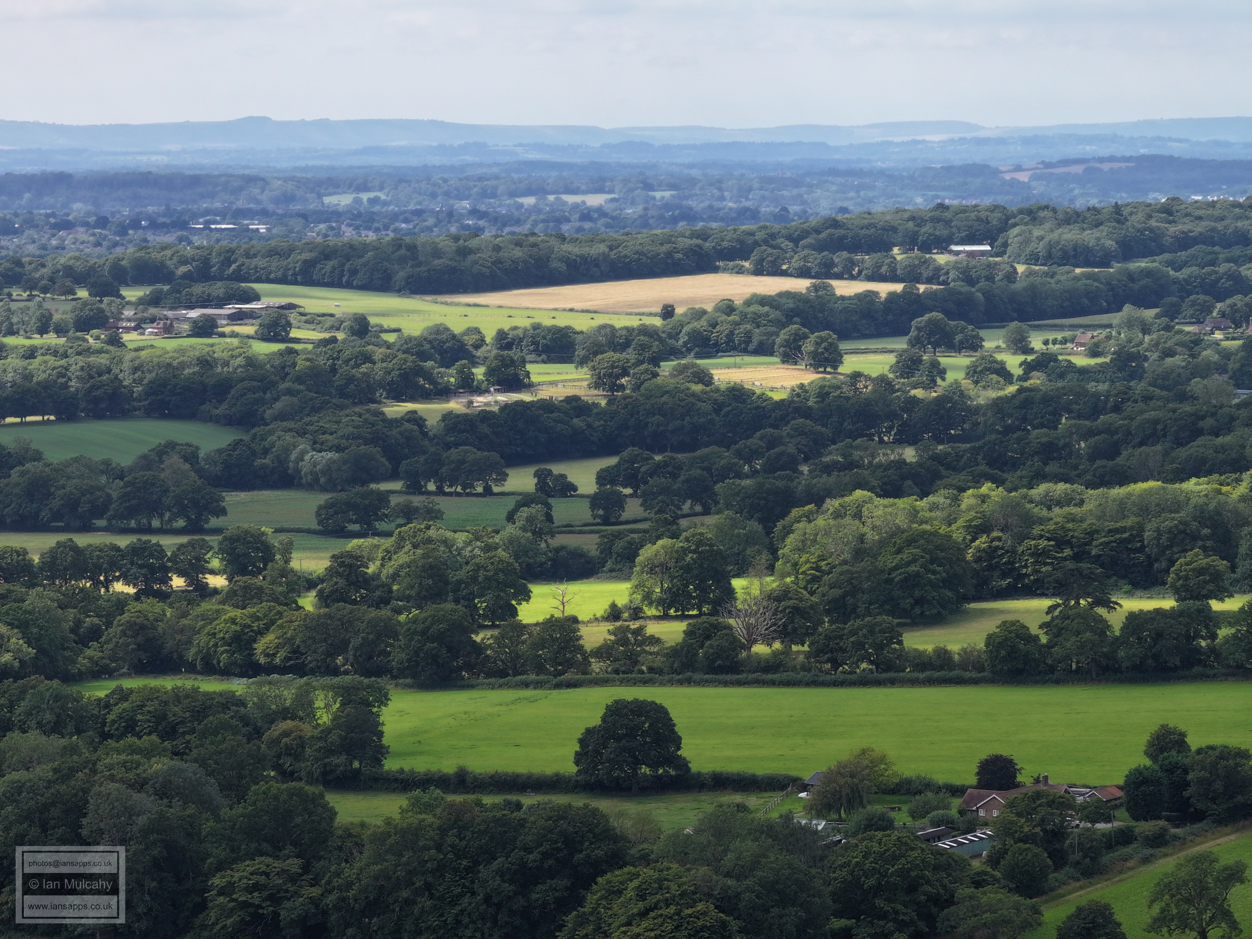
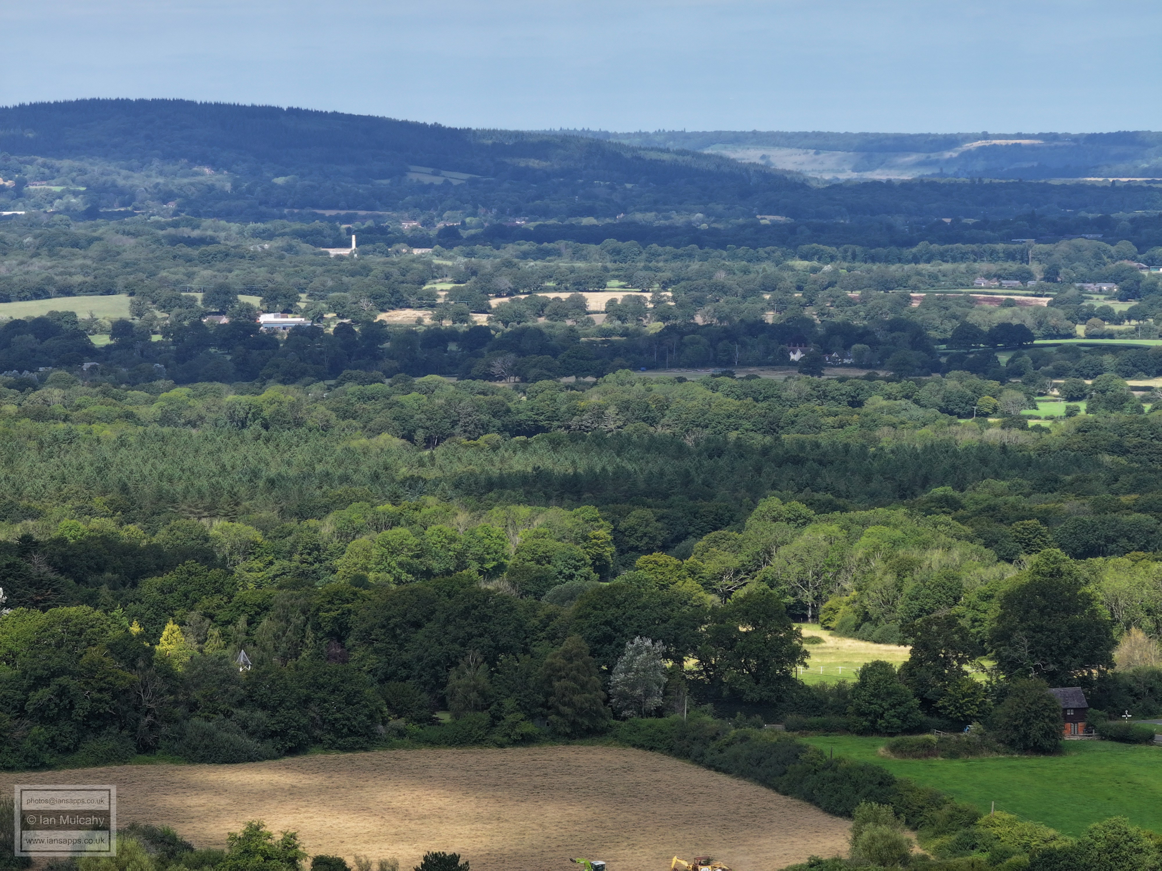
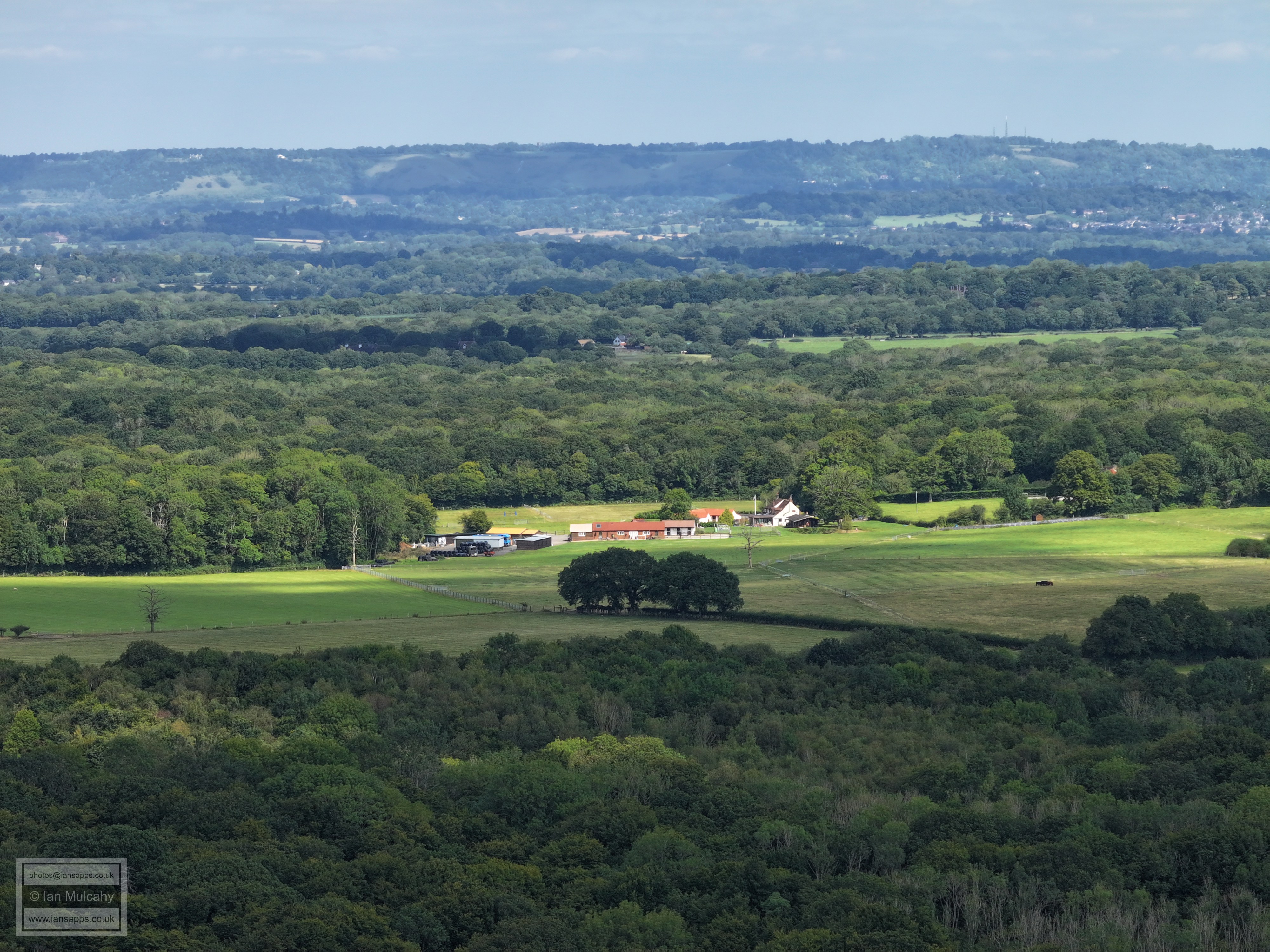
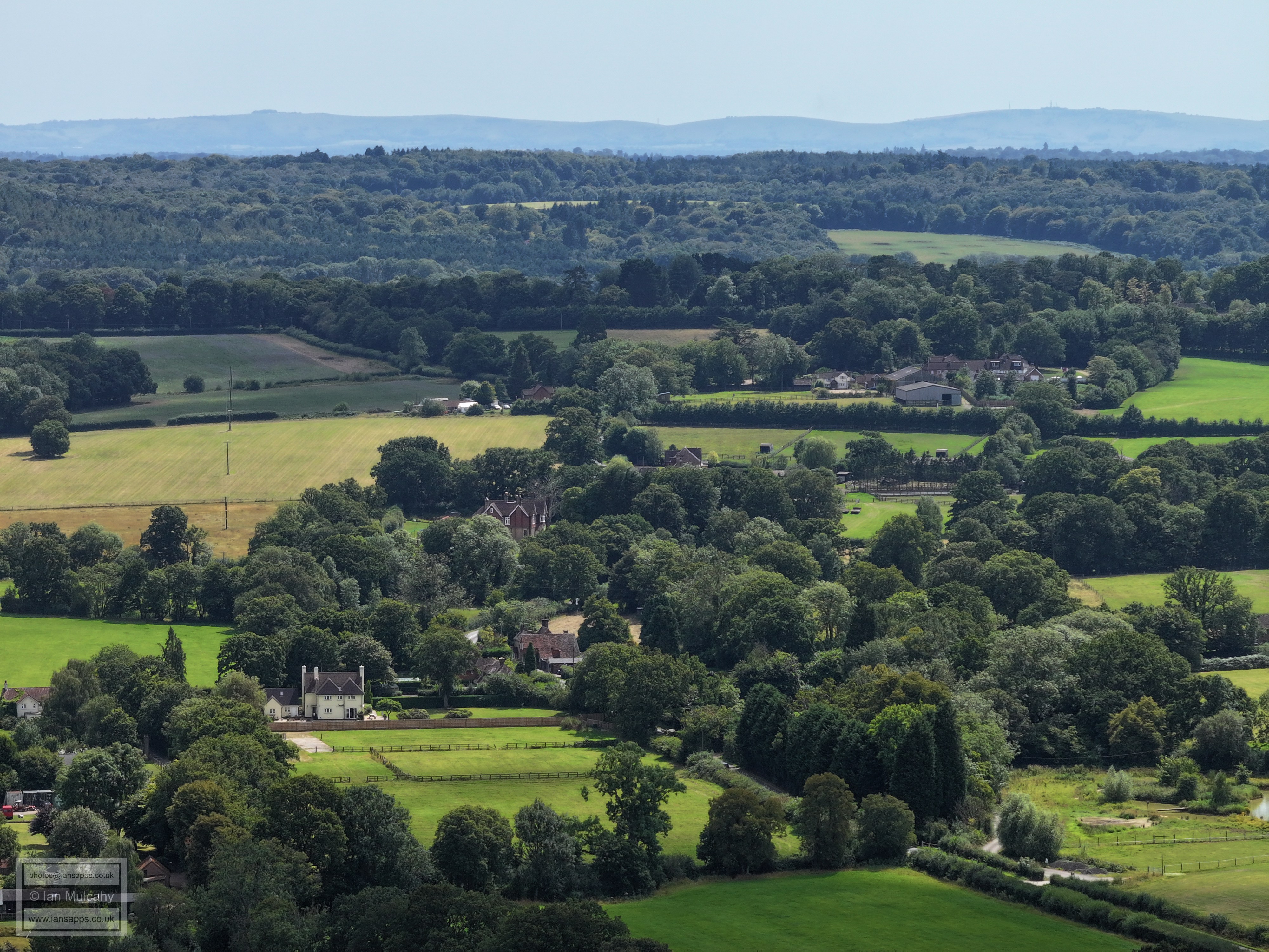
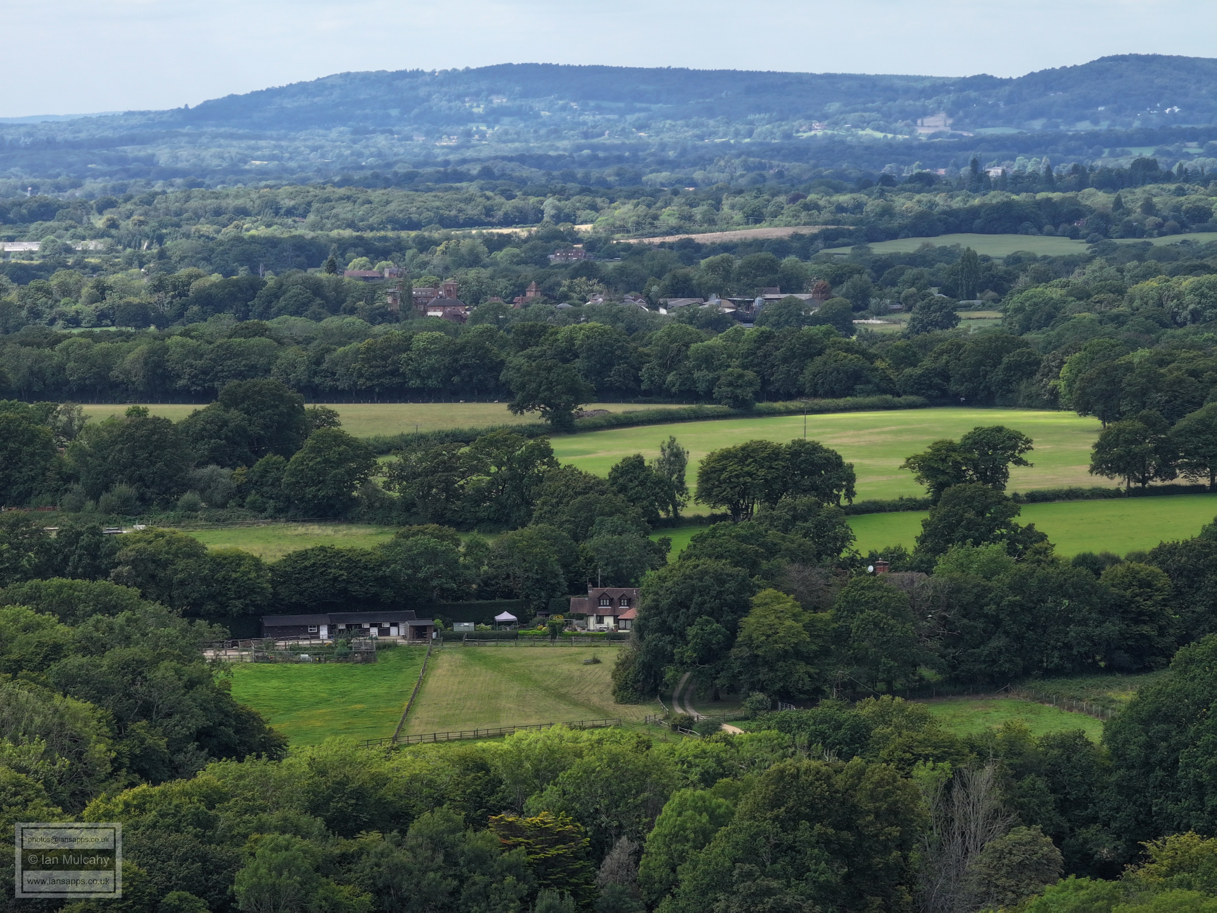
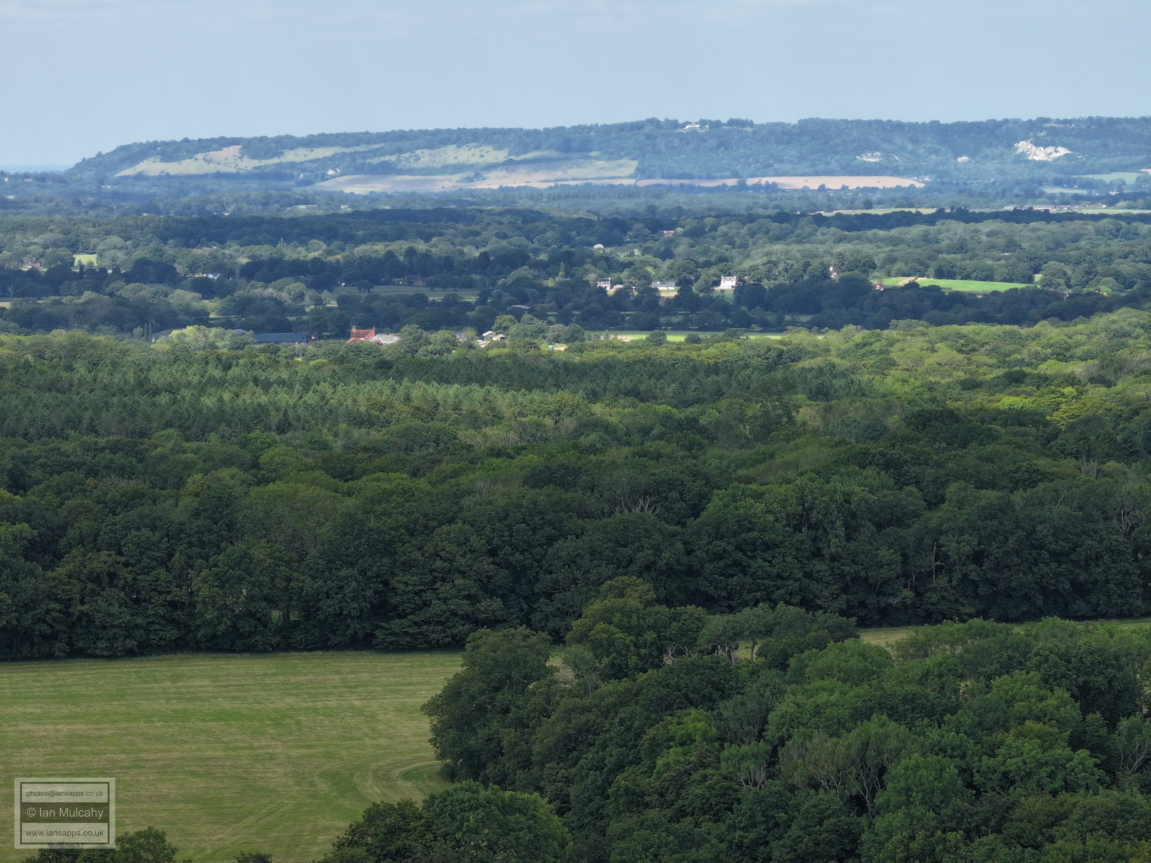
Newdigate is now top left, in the centre of the top left quarter are the tower blocks (Goodwyns) south of Dorking. On the horizon are the unmistakable slopes of Box Hill and right of centre is Ivyhouse Farm in Partridge Lane.
The slope from left to right is Russ Hill. The hotel is pretty much hidden behind trees in the top left quarter, but the car park betrays its location.
Gatwick
The ridge (marked by the communications mast) in Ifield Wood with Lowfield Heath (look for the spire at St Michaels) in the top left quarter.
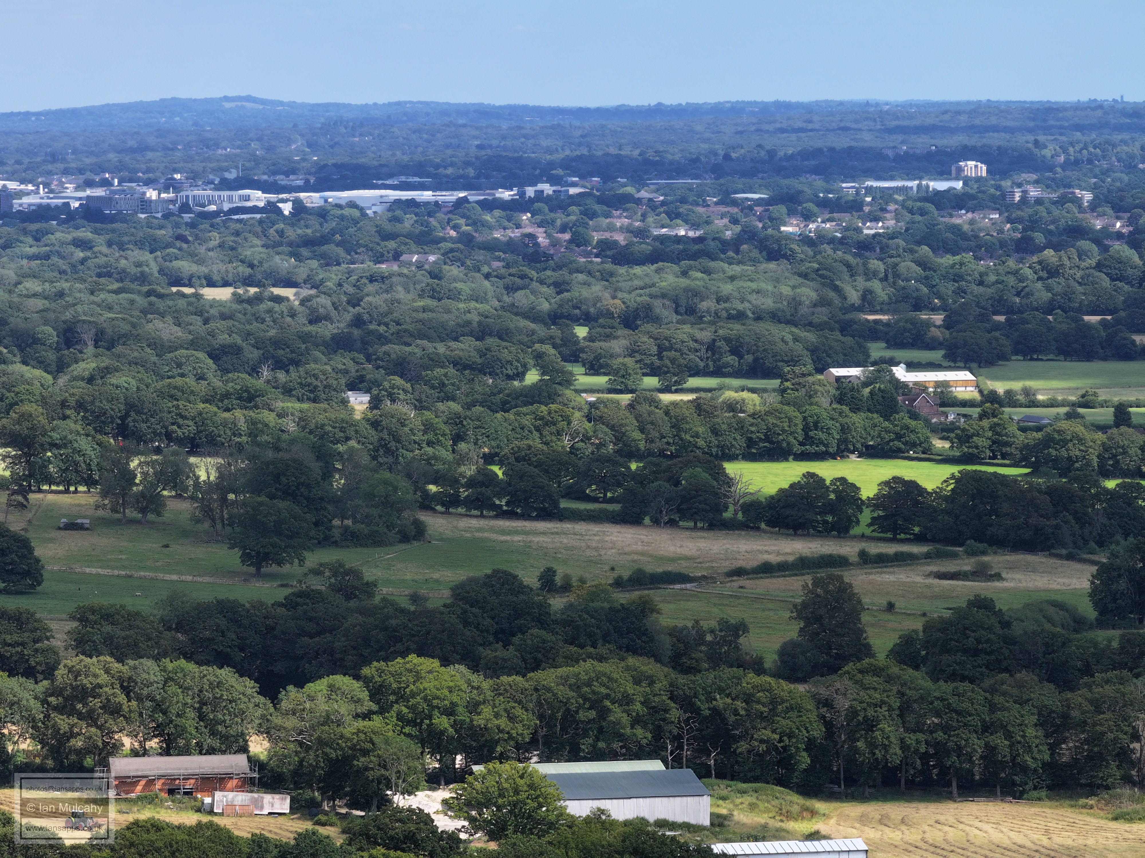
The northern end of Manor Royal. The little set of floodlights to the right of centre, below the Elekta buildings, is the ball court at Cherry Lane Adventure Playground.
Langley Green above centre with the southern end of Manor Royal beyond. The Sandman Hotel at Hazelwick is visible, as ever, as is the Crowne Plaza at Tushmore in the top right quarter.
Bonwyckes is in the bottom right quarter and St Margaret's is immediately above the barns. In the centre towards the top is the white Megaplex on Crawley Leisure Park. The new Town Hall is hiding the college.
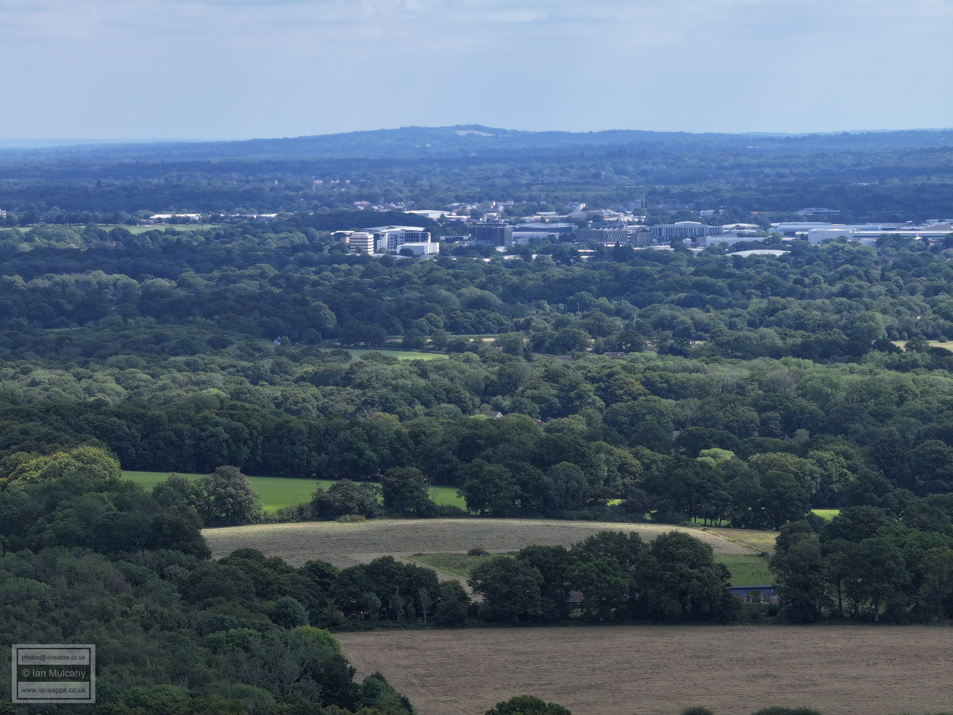
An incomplete turn to capture Crawley Town Centre in one, putting St Margaret's on the far left of centre. The town centre band shows, from left to right, the Telephone Exchange, the Town Hall, Woodhall Duckhams, The hospital, County Mall (spot St Johns tower to the left of the main gabled entrance) and Asda, with Overline House and the Arora Hotel just above. The whie three storey building with lots of windows below Asda is Ifield Community College.
Mainly Ifield and Gossops Green with a little bit of Southgate West in the top right quarter and a little bit of Maidenbower in the top left.
The white band near the top in the centre is K2. Left of centre is Ifield Golf Club car park and the slopes of the course are to the right. The white chimney and field to the left in the top left quarter is at Gossops Green Primary School
Stumbleholm Farm is in the bottom right quarter and Ifield golf course is to the left of centre. Bewbush is beyond.
The A264 SW Crawley bypass is in the top left with Bewbush below. Kilnwood Vale is poking through the trees to the right.
Kilnwood Vale and Holmbush Potteries. The line of trees marks below the houses Kilnwood Lane and Mill Lane. The clump of trees to the right of centre marks the water filled pit to the south of the Lambs Green to Ifield West footpath.
The western end of Kilnwood Vale is to the left with Holmbush Farm just above centre.
Holmbush is in the top left quarter and Croudace at Lambs Green is near the bottom.
Lambs Green near the foot of the photo
In the top left quarter is Carylls Country House (with two large barns) and Seers Croft is just below. In the centre of the photo are the houses around the Junction of Lambs Green and Faygate Lane.
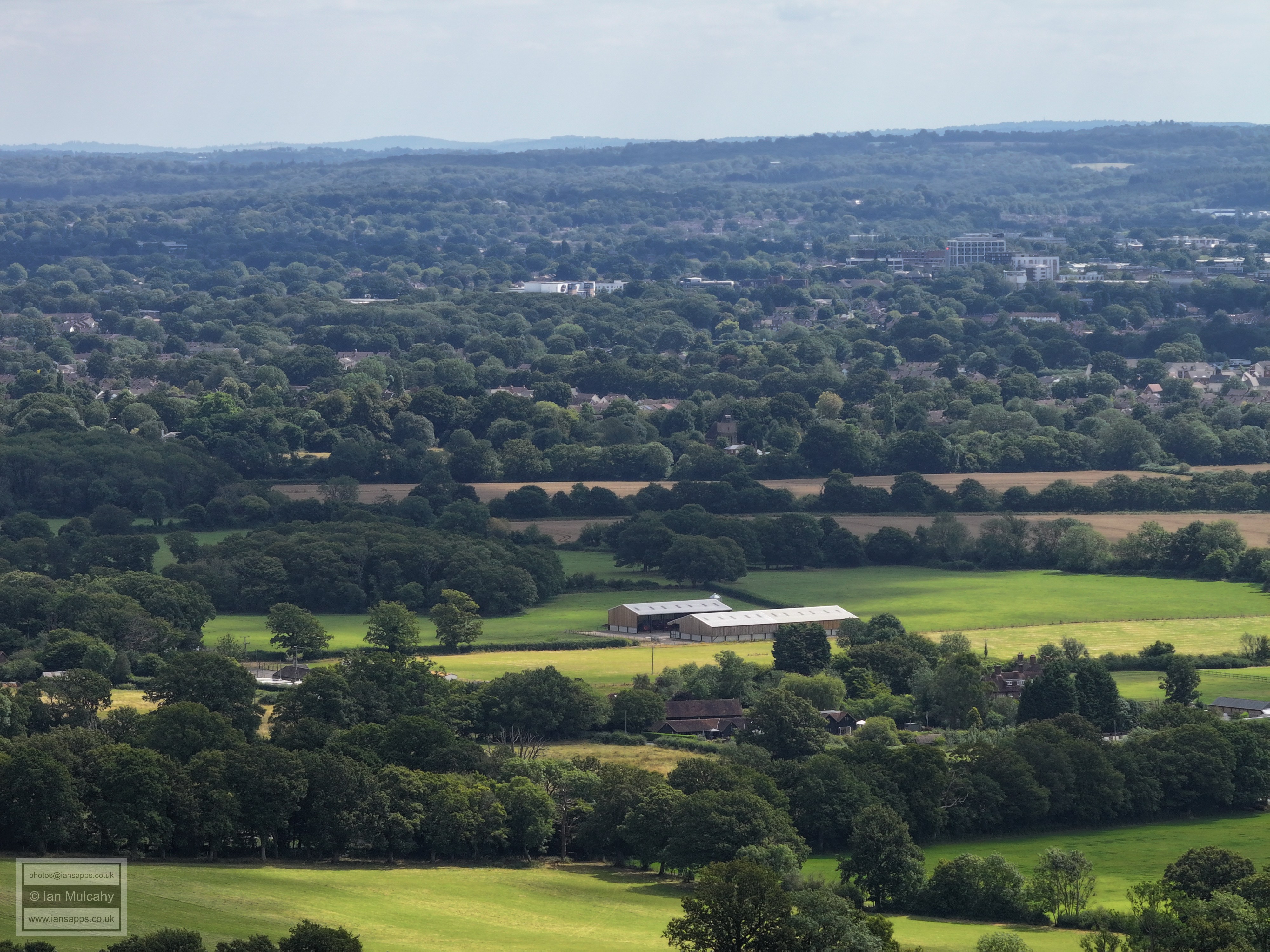
Rusper Court is just to the left of centre, but hidden by trees. Rusper Court Farm is in the centre, with it's pond visible to the left. A band of Horsham is visible near the top, with the Earles Meadow area near Moorhead roundabout in the top left and Bartholomew Way/Lemmington Way area in the centre.
In the top left quarter is Coombers Farm on Wimlands Road. The Barn in the top right quarter , just before the trees behind which the land falls away, is Allingham Farm on Hurst Hill. In the bottom right is East Street, Ifield Side of the Faygate Lane junction.
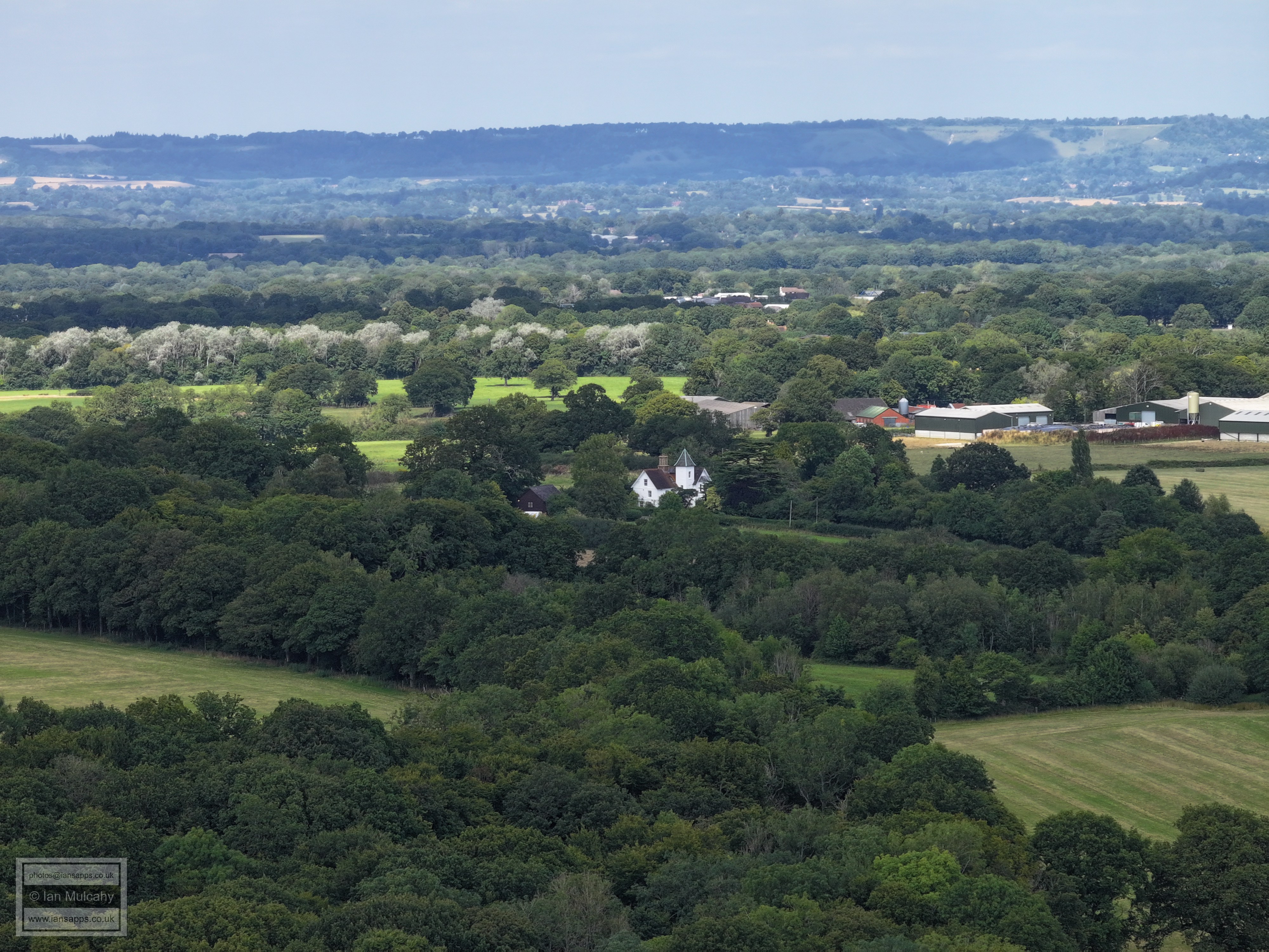
Normanhurst is below centre and in the top left quarter is Westons on Wimlands Road. The barns right of centre are being Millfields.
Across the centre is Millfields, the new builds off East Street and the white houses in East Street in the village. Nearer the top is the landfill site near Warnham Station.
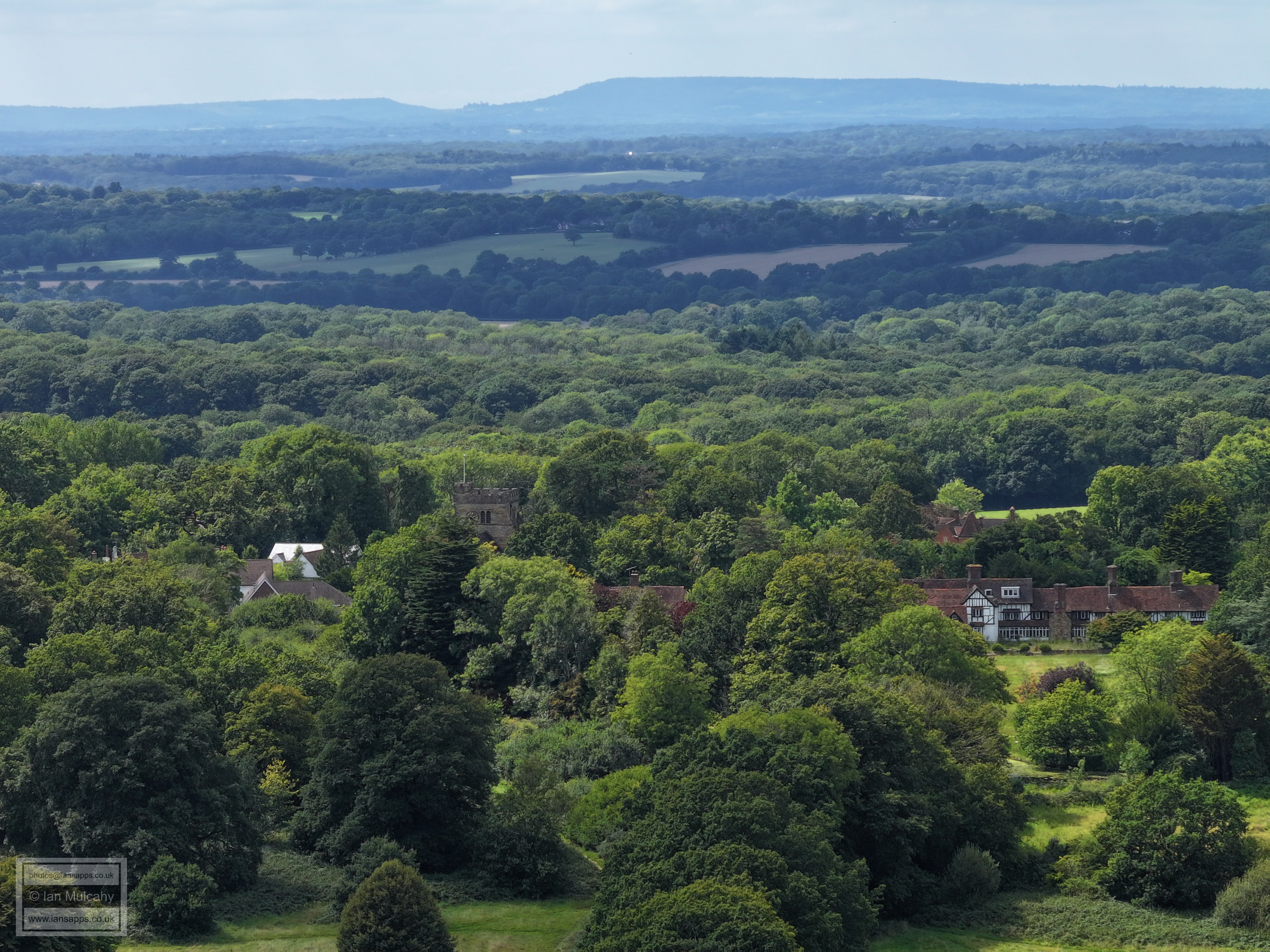
The church and Ghyll Manor just to the right of centre
The two houses in the centre are either side of Capel Road, just after the turning.
Rusper House, left of an below centre.
Rusper Car boot is on the left and virtuallin the centre you can just see the top of the water tower off Newdigate Road. Lyne House is on the far right just above centre and just beyond is Clock House Brickworks
Chaffolds Farm, left of centre. In the top right quarter is the Clarkes Green end of Capel.
At the foot of the hill, just below the line of Shadow, is Capel. To the left is the Spire of St Johns in Capel.
The Chimney at the Brick Works north of Trig Street, Newdigate/South Holmwood, is in the top left quarter.
In the top left quarter is the spire of Newdigate Church, with the football pitch and cricket pitch further to the left. The tower blocks south of Dorking are top centre and bottom left is Orltons Barn and the junction of Orltons Lane and Partridge Lane.
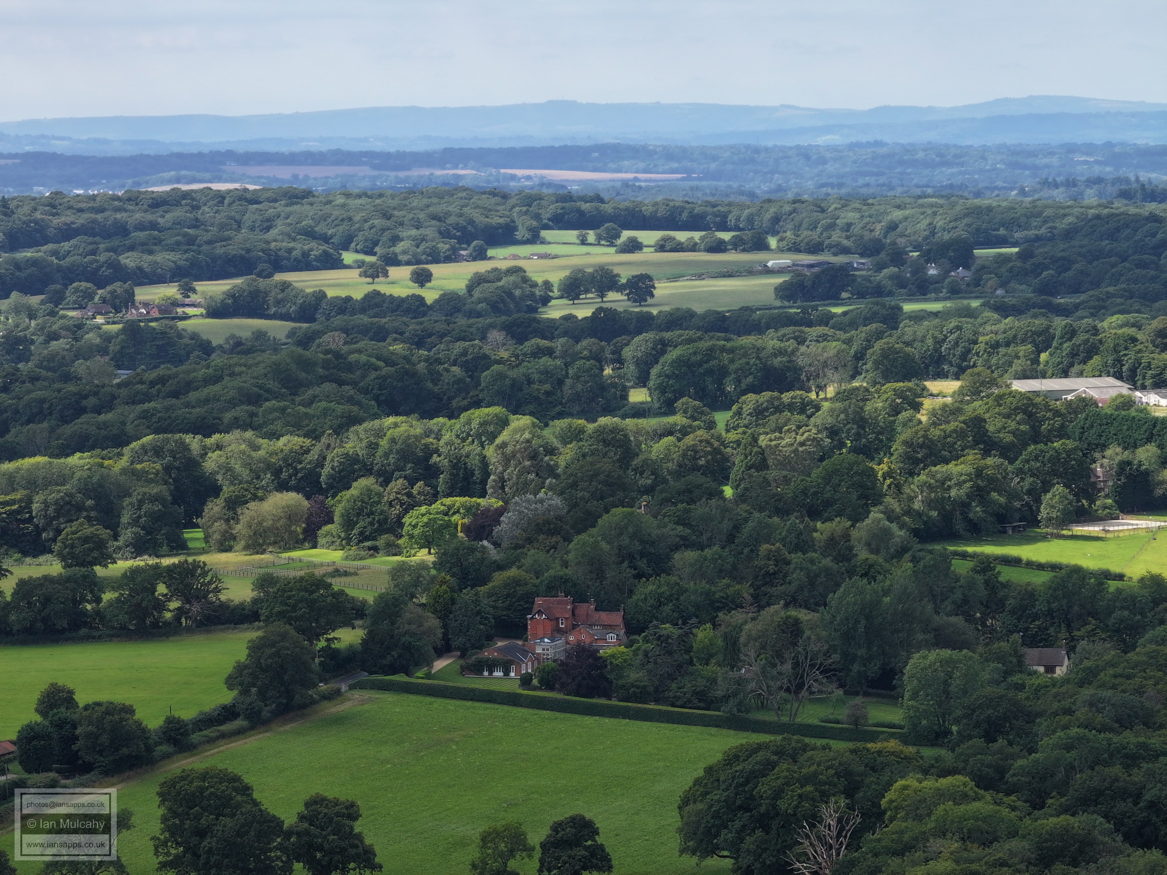
Ivy House Farm to the right and Boxhill on the horizon, with a hazy view through the Mole Gap. The white house in the top right is Brockham Warren. I'm yet to work out what the big white building on the hill in the top left quarter is.
Ivy House Farm
Ivy House Cottages are on the left just below centre
Westlands Farm, on Russ Hill
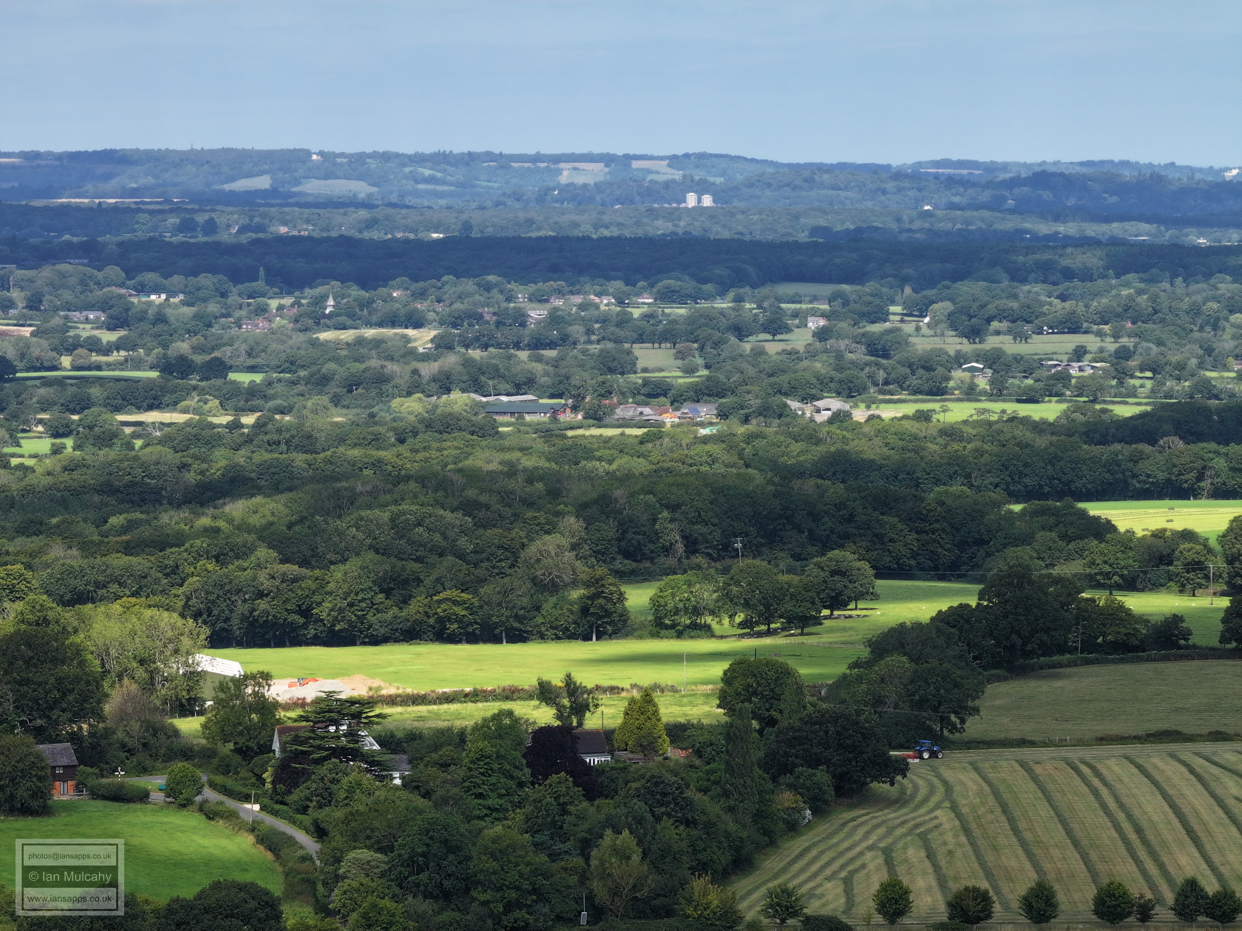
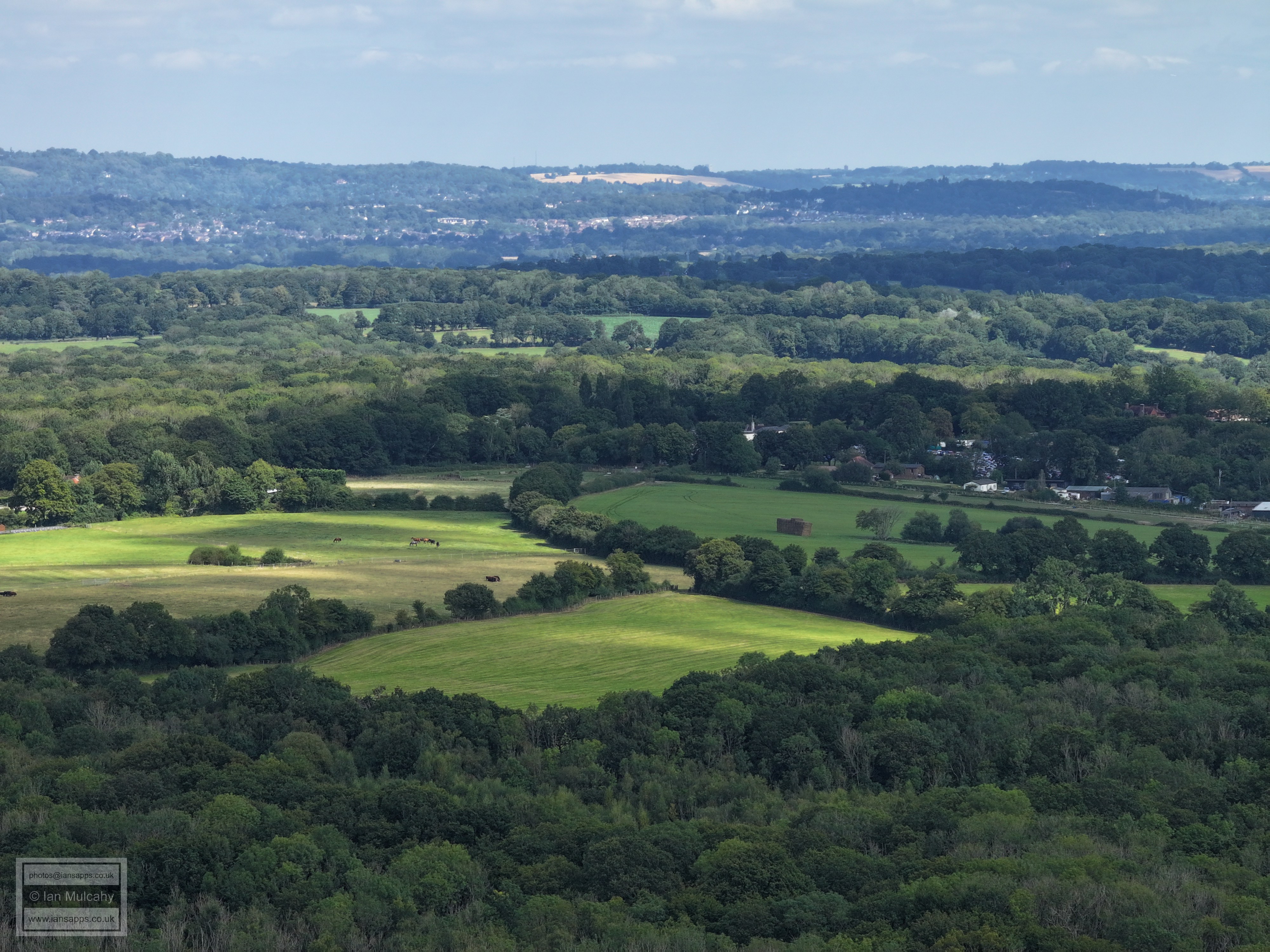
There is a glimpse of the white of Russ Hill Hotel just to the right of centre, with the full car park just to the right of it. Reigate and Earlswood is beyond, with St Johns Church at Earlswood on the right of the hill in shadow in the top right quarter.
The slopes of Russ Hill in the centre. Redhill near the top on the left and Nutfield Priory is in the centre on that top band.
St Nicholas at Charlwood is just visible through the trees to the left of centre, but you really need to know where to look. The new build houses about 20% down from the top in the centre and to the left are at Meath Green, Horley.
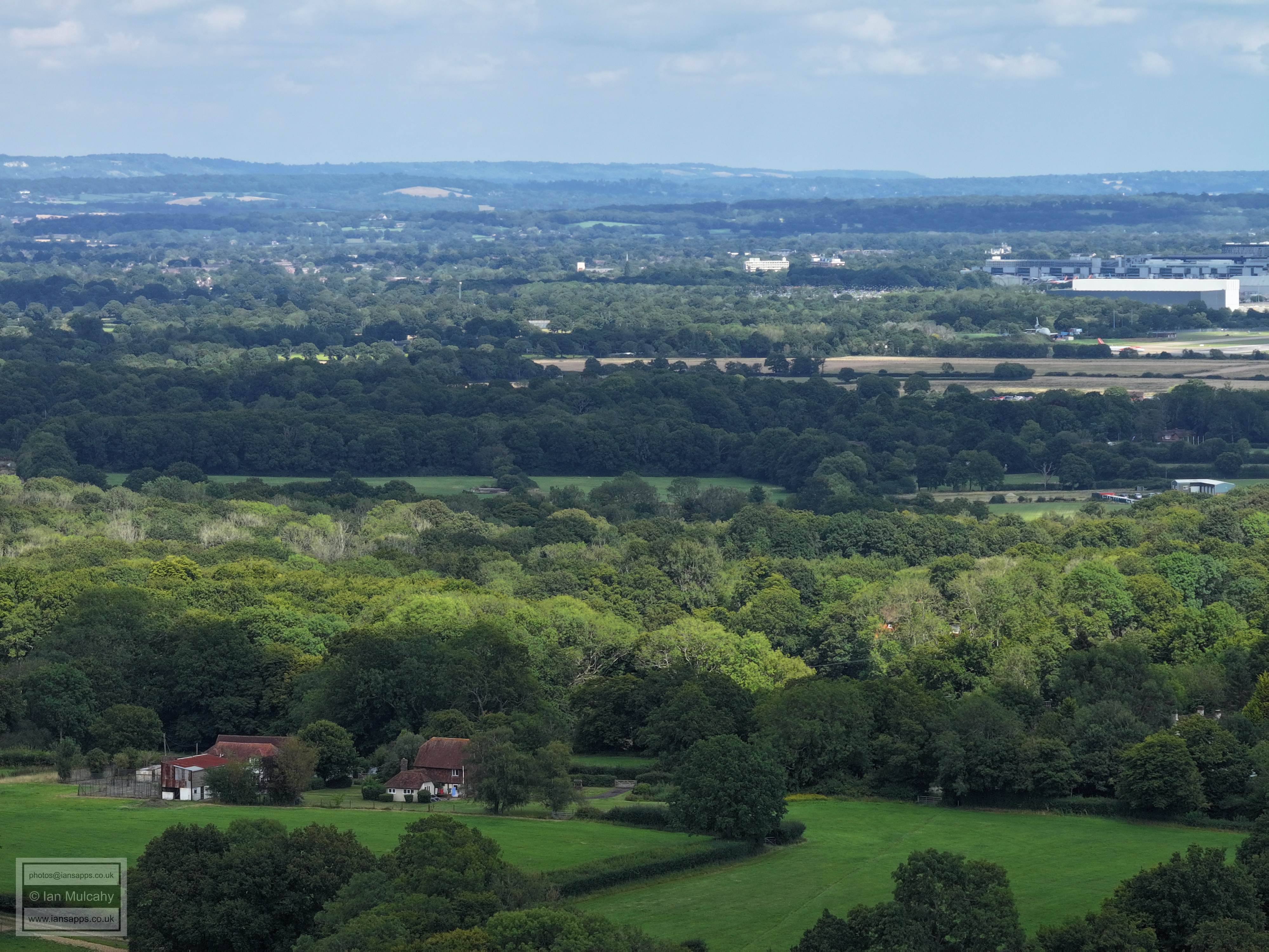
Gatwick, with Prestwood Lane in the foreground
West of Venters
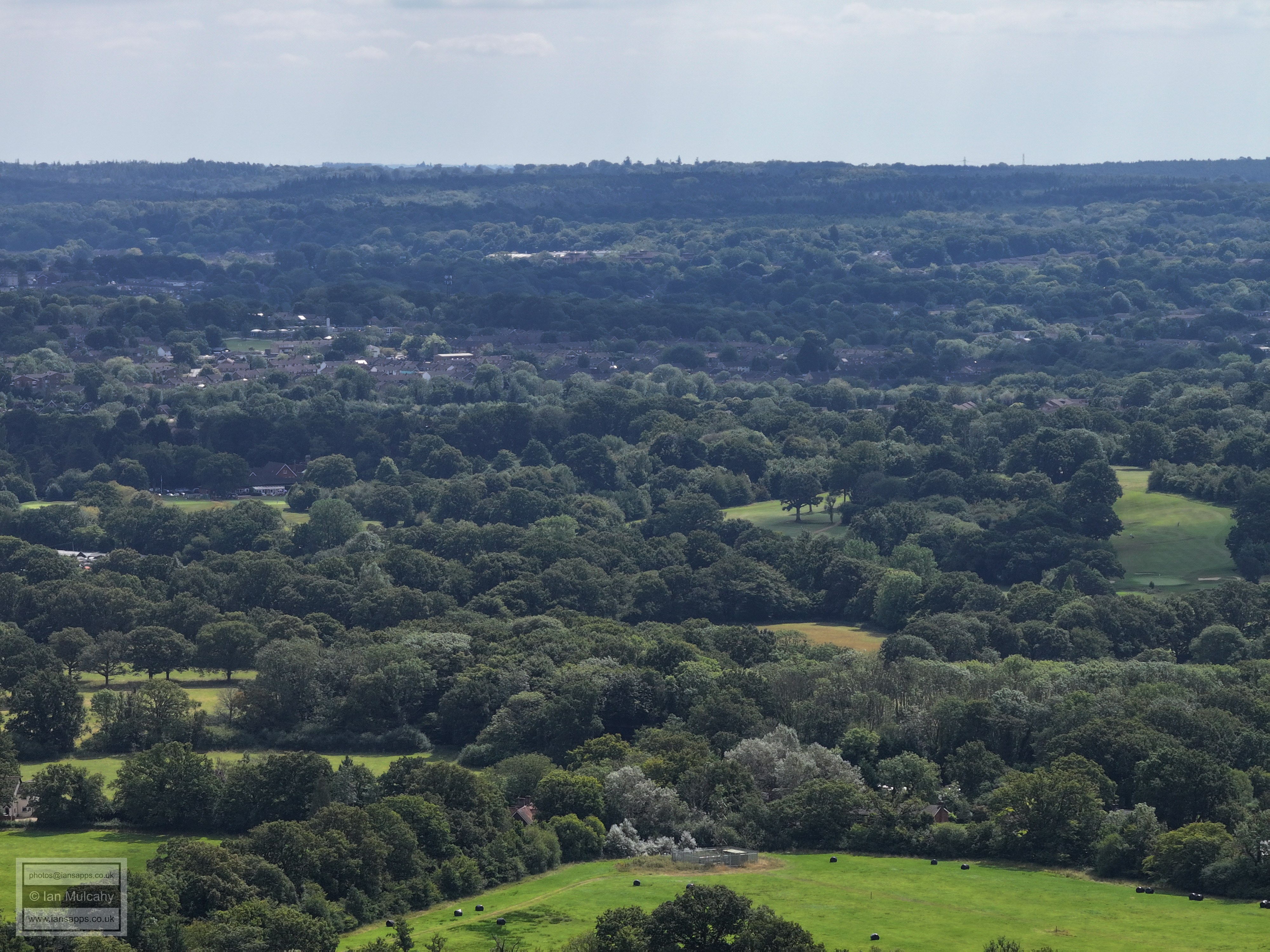
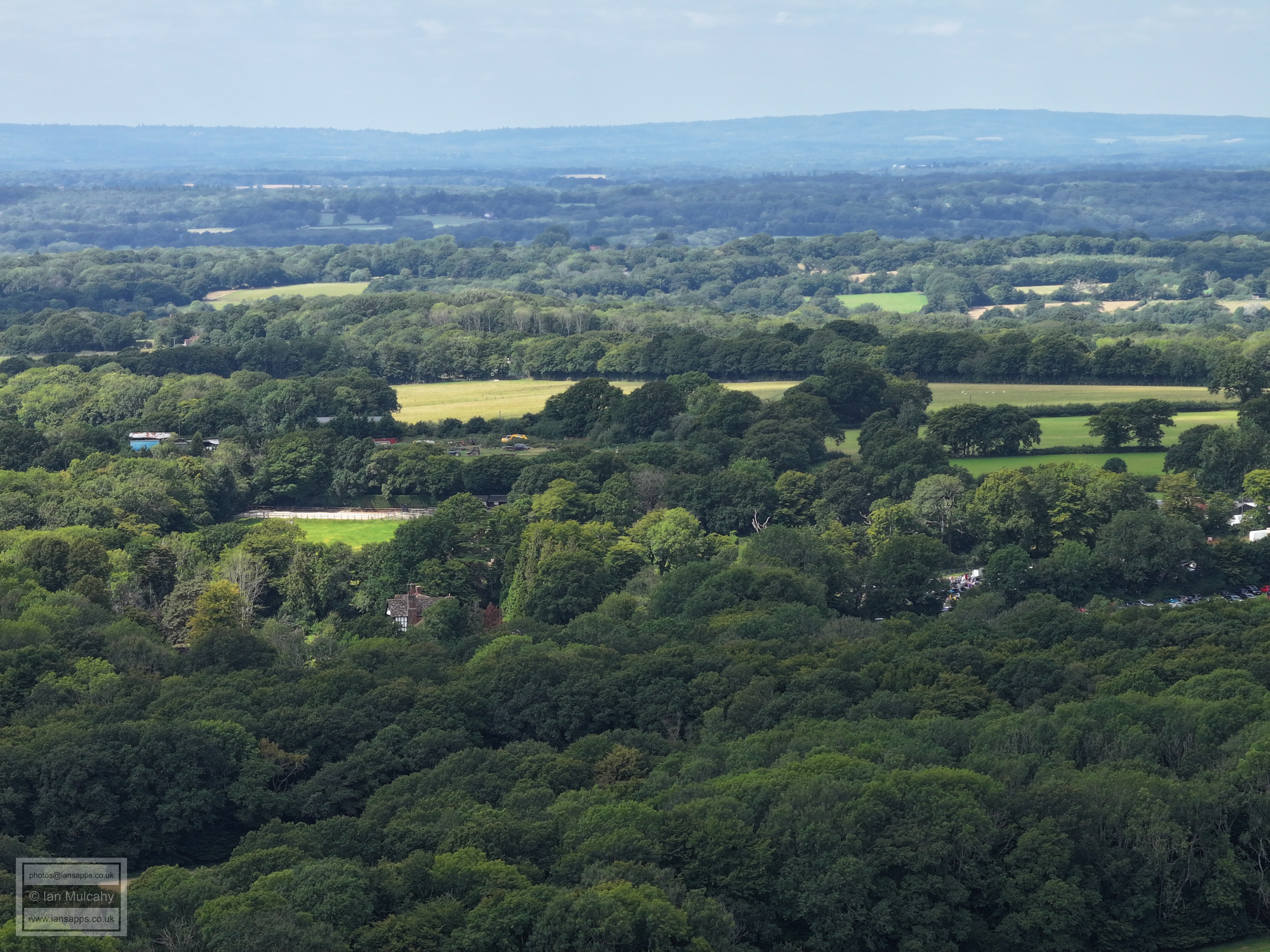
Chowles Barn. Also in the bottom left quarter you can trace the 'n' shape of Burnthouse Lane, with Rusper Road in the centre on the left. In the top left quarter is ICC, Crawley Hospital and some of the Town centre. Top centre is Gossops Green and Southgate West on top of Hogs Hill. Below the houses are the slopes of Ifield Golf Course and lower still Stumbleholm Farm
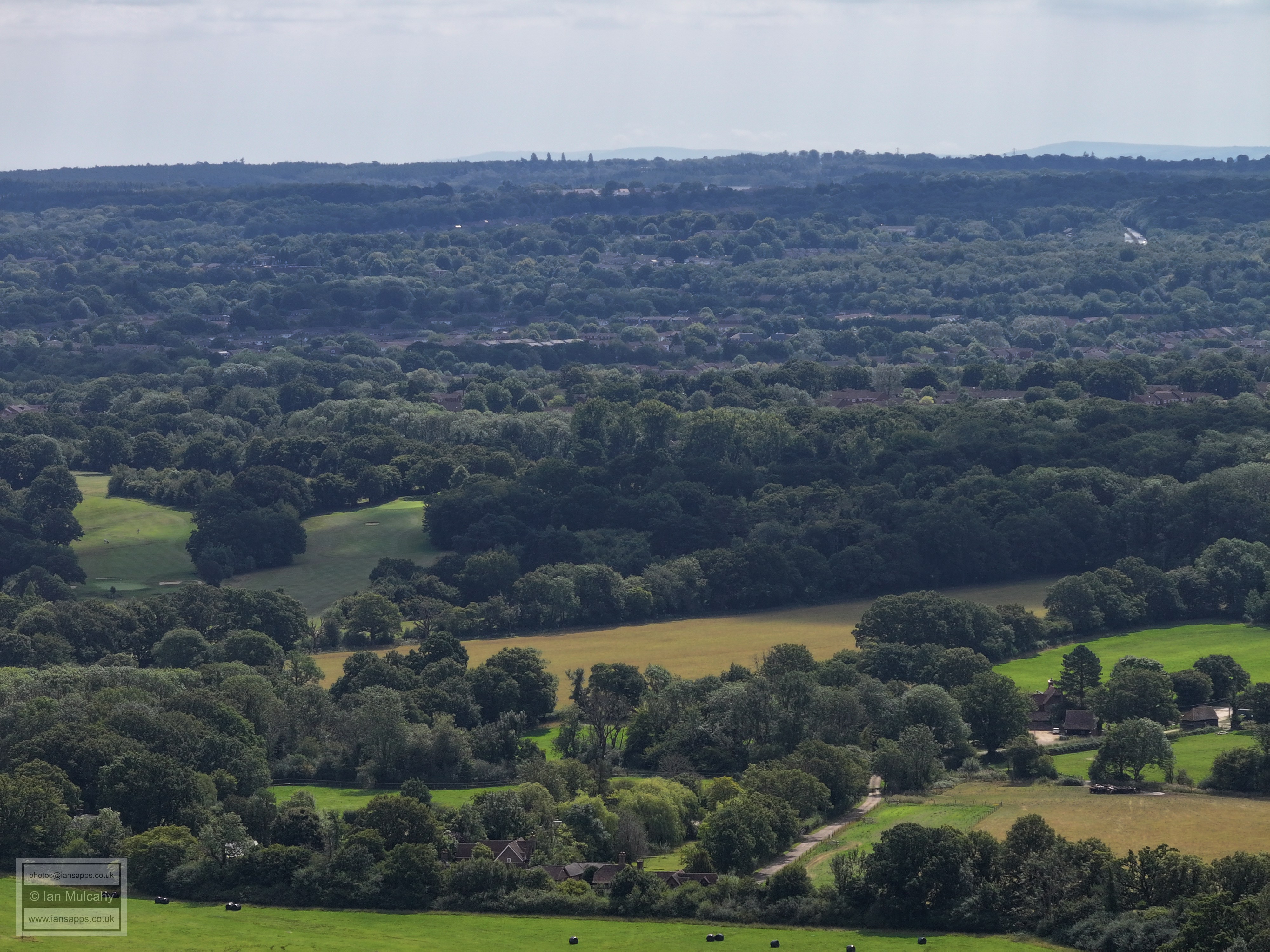
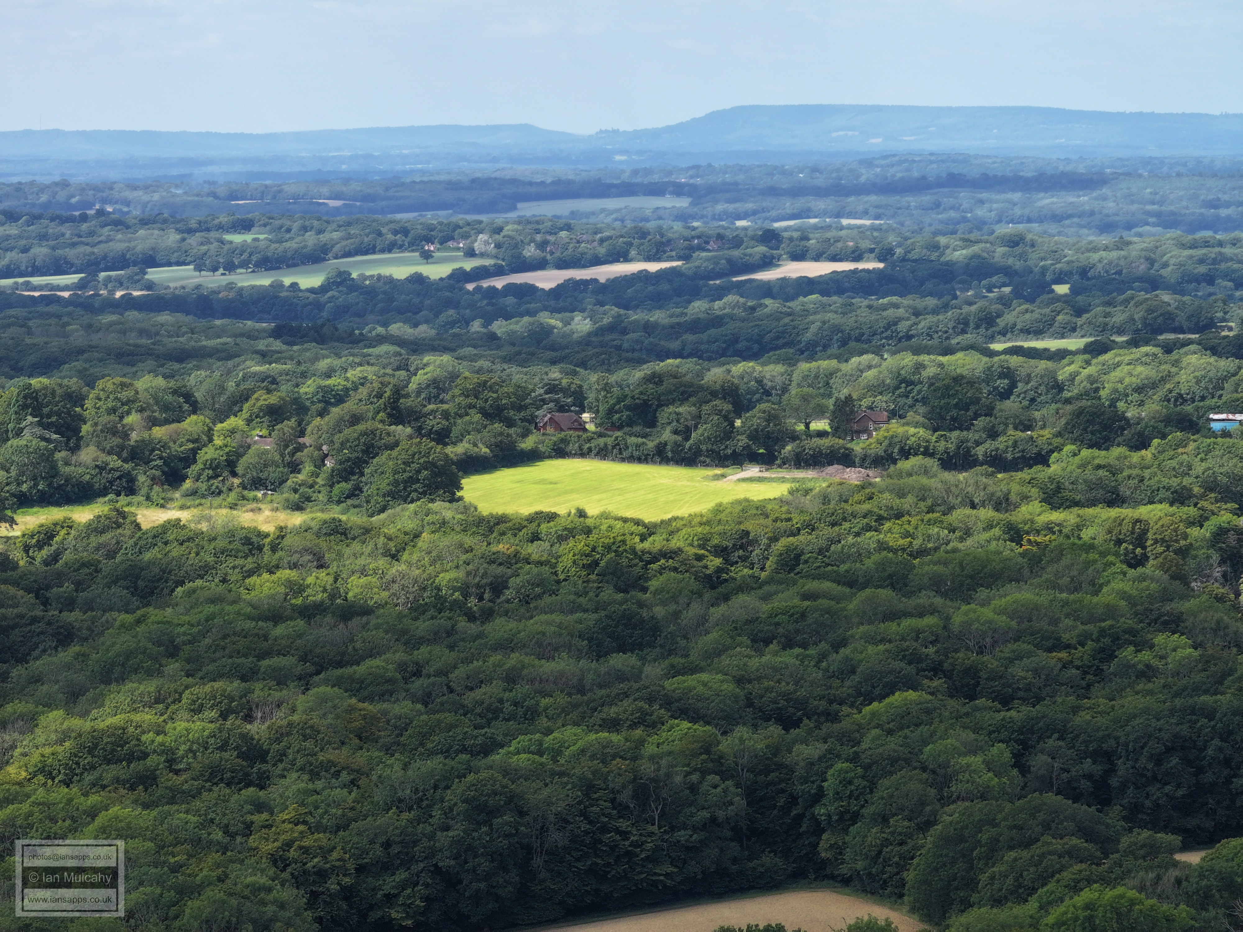
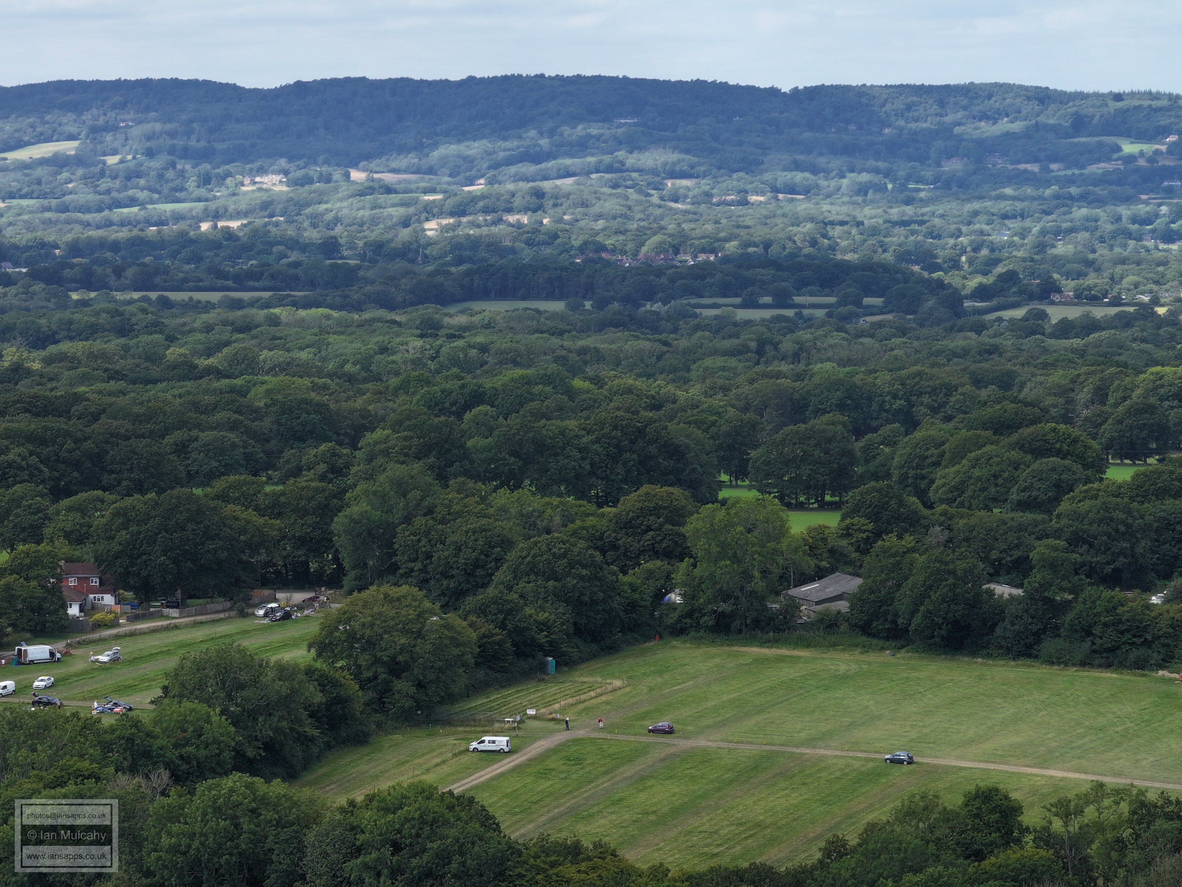
The north-eastern half of Lambs Green fills most of the picture. Bewbush (left) and Kilnwood Vale (centre & right) are at the top.
The south-western half of Lambs Green fills most of the picture. Seers Croft on Faygate Lane is in the top right quarter.
Faygate Lane forms a diagonal line from top left to bottom right and Rusper Court Farm is in the centre. East Street is in the bottom right quarter.
Normanhurst. The roof of Normans is visible right of centre.
Millfields on the left and East Street on the right.
St Mary's and Ghyll Manor
Lyne House is in the top right quarter
Rusper House, left of centre, and a now clearing boot sale site.
Box Hill on the horizon
Orltons, now visible, and Ivy House Farm are in the top left quarter.
Looking back towards peters farm, just right and above centre, and the field from above which the first set on this page were taken on the far right.
Gatwick and Manor Royal in the distance. The white chimneys of The Mount can be seen through the trees in the top right quarter. Left of centre is Martins Farm on Langhurst Lane
Manor Royal and Langley Green are in the top left quarter, St Margaret's at Ifield is in the centre near the top and Ifield and Crawley Town centre are in the top right quarter.
Southgate West is top centre with Gossops Green below (Look for the Windmill pub in the centre!). Stumbleholm Farm is just below centre.
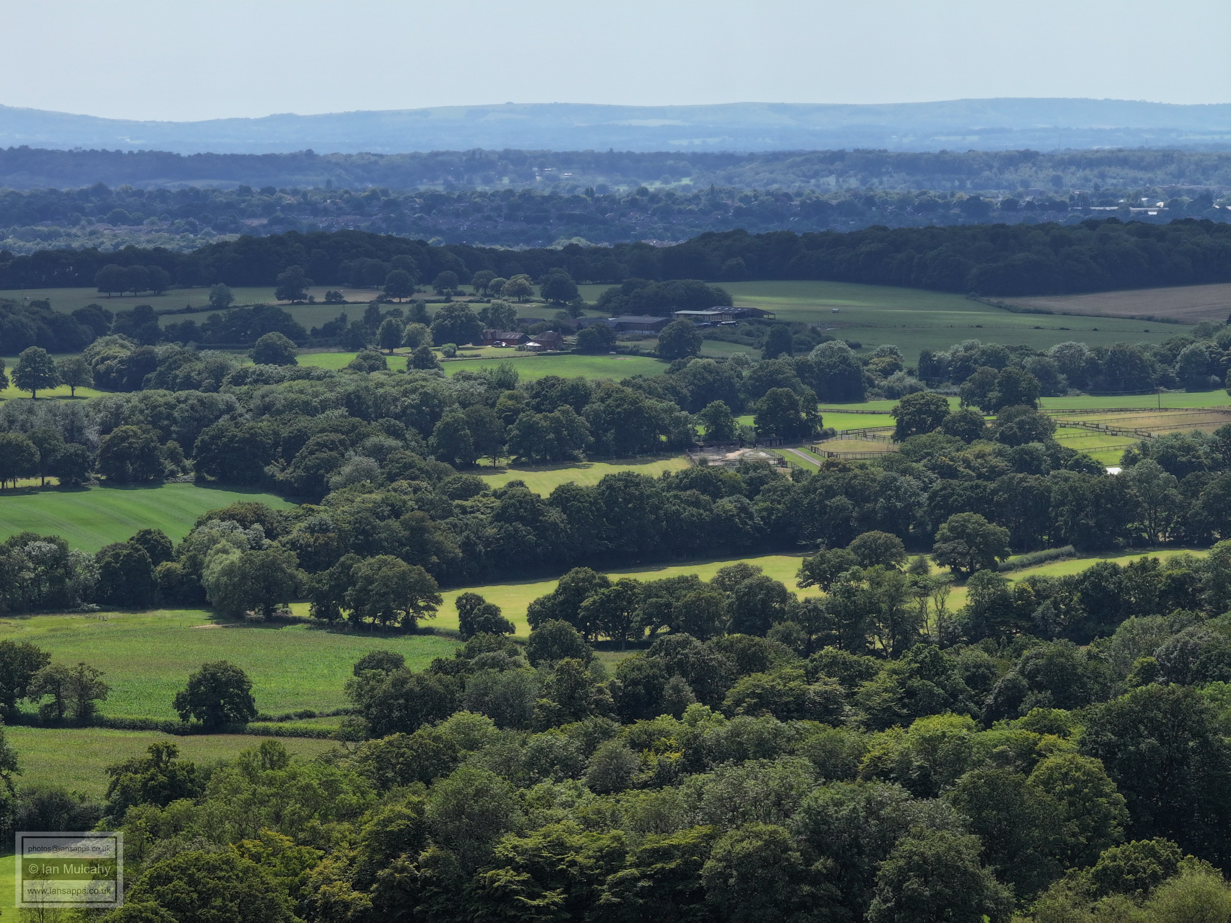
The slopes of Hyde Hill with Bewbush beyond Hyde Hill Woods
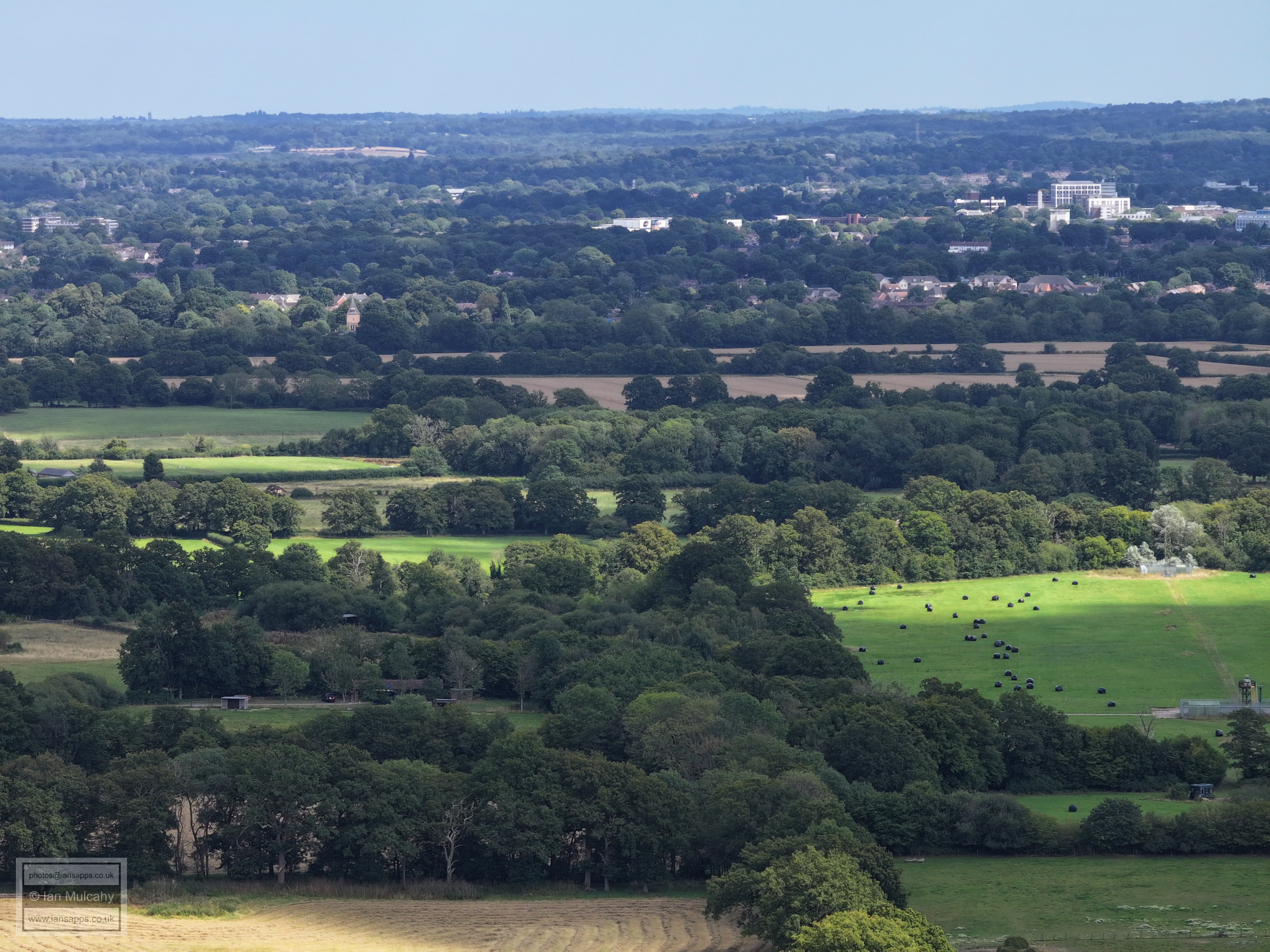
Croudace at Lambs Green is bottom right and Bewbush & Kilnwood Vale form a band of houses whose roofs just show above the trees near the top. Near the top right is Buchan House (Cottesmore School).
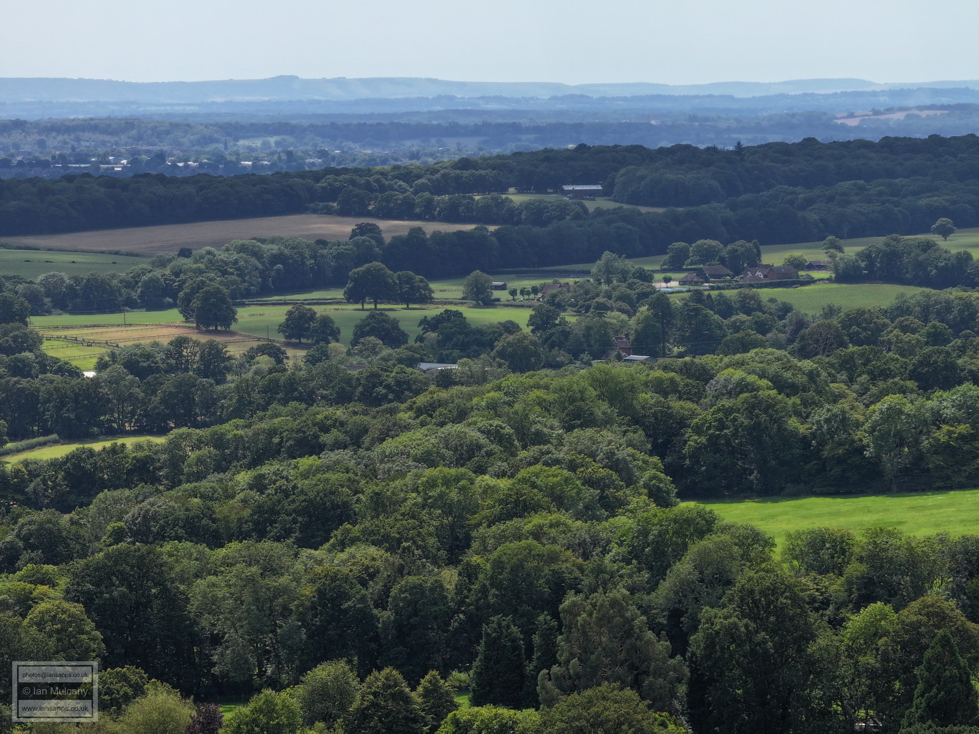
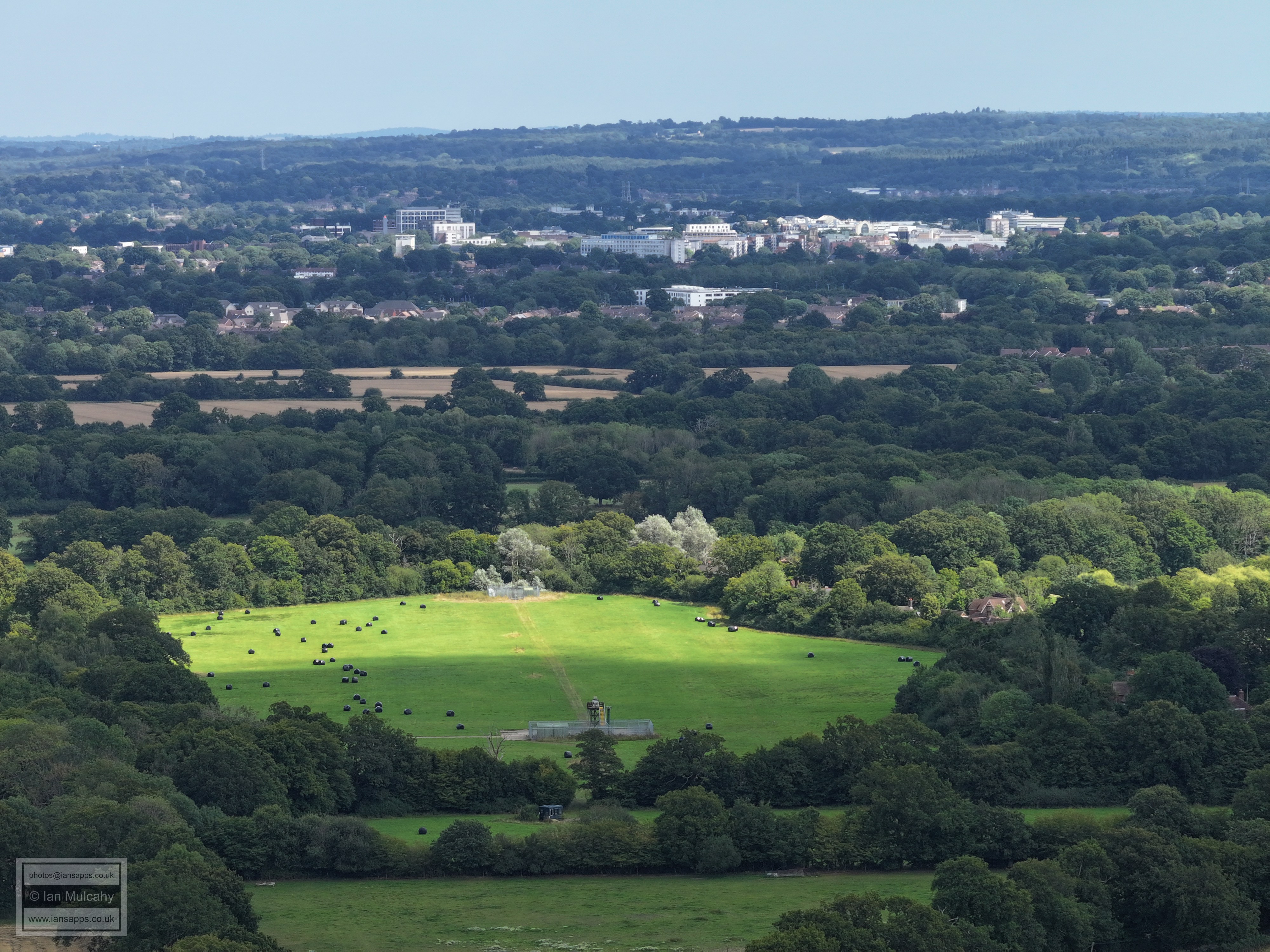
At the bottom is Croudace, The Lamb Inn and the timber framed Lamb Cottages. Kilnwood Vale is near the top.
Holmbush Farm is behind the woods in the centre.
The woods filling the centre of the pic are Furzefield and Burnt Stubbs, north of Kilnwood Lane. Holmbush House is in the centre near the top of the picture.
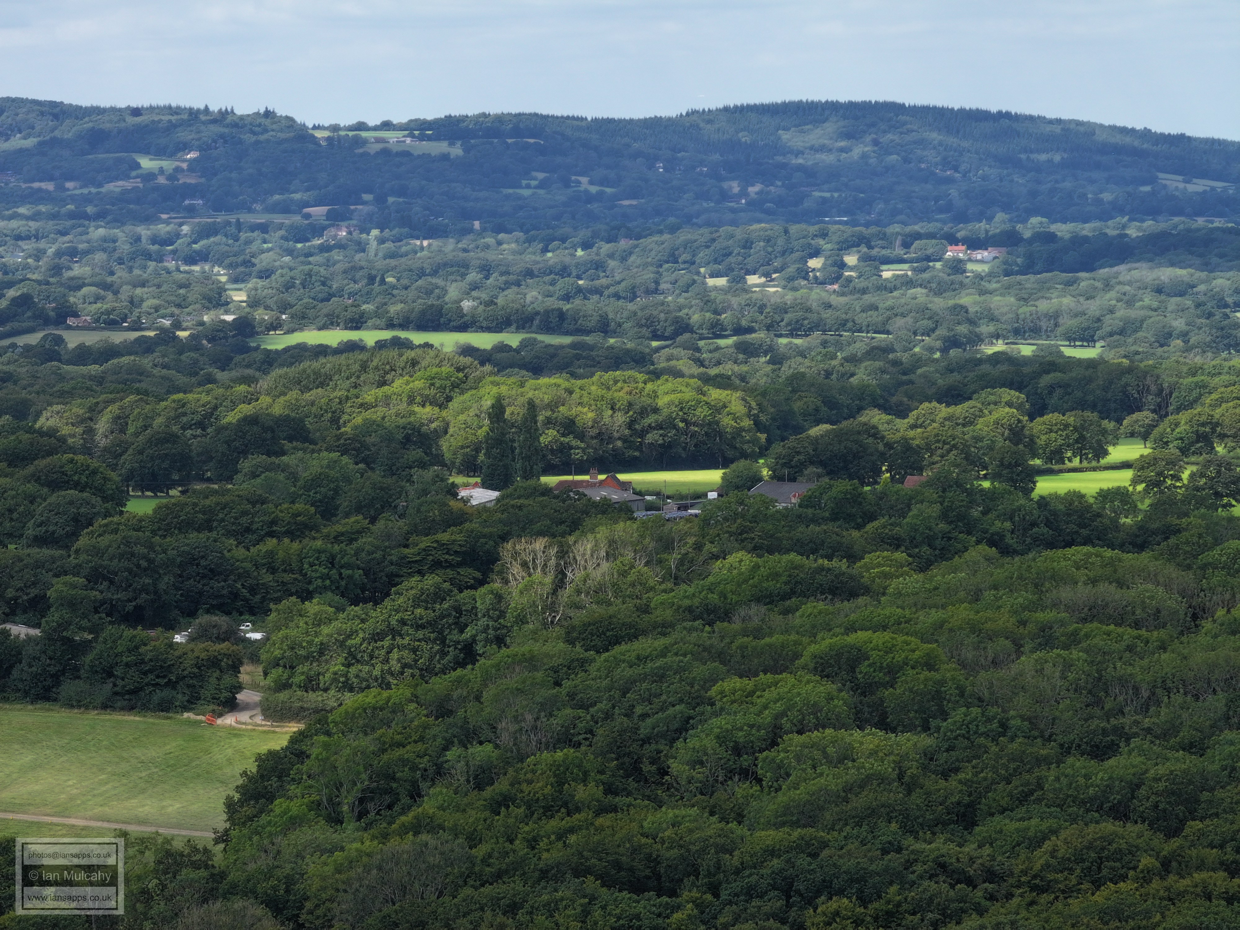
Seers Croft is left of centre and Faygate Lane can be traced in the tree line up the hill to the junction with Kilnwood/Wimlands Lanes. Carylls Country House (with two large barns) is just above centre to the right. Below Seers Croft is Saykers and Axmas Cottage, separated by Faygate Lane which can also be traced diagonally across the bottom right quarter.
Rusper Court Farm is in the foreground
Coombers Farm, on Wimlands Road, is just above centre.
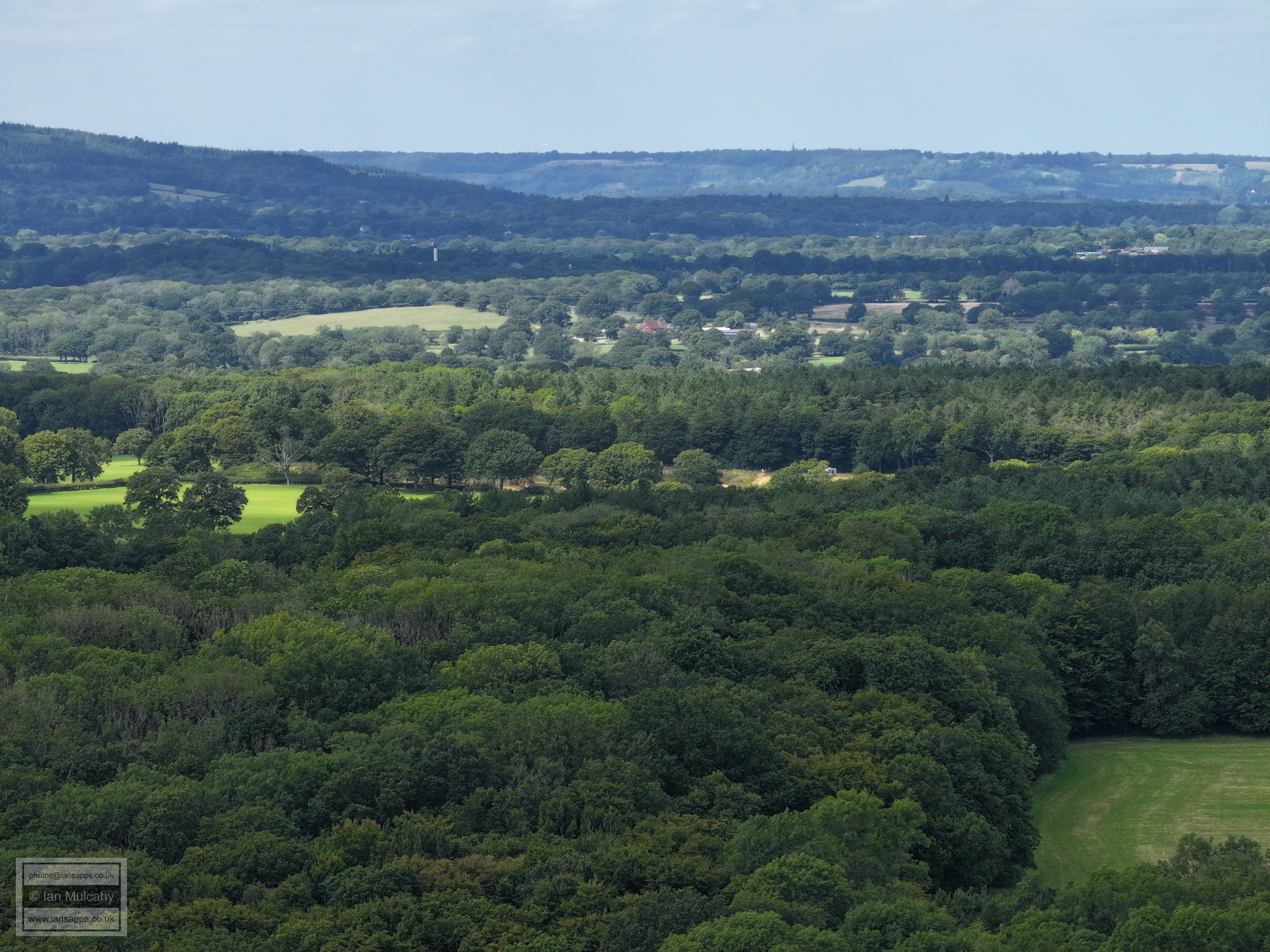
Just above centre and to the right is Westons House on Kilnwood and parts of Baldhorns can be seen in the centre.
Millfields and the new builds on East Street.
Rusper Village. Spot the MUGA at Rusper primary at the top of the buildings just to the right of centre.
St Mary's and Ghyll Manor
Ghyll manor and a game of football on the sports field!
On the far left just above centre is New Barn Farm on the Capel Road
Clockhouse Brickworks is in the top right quarter.
Lyne House, just above centre.
Rusper Boot Sale, bottom right
Boot Sale, with Capel beyond. I believe the large house in the centre of the top left quarter to Broome Hall on leith Hill
Chaffolds Farm in the centre.
Newdigate church is in the centre towards the top, just below the large band of trees in sunlight. The Dorking tower blocks are clear in the top left quarter and the western end of Boxhill is at the top right.
Box Hill
Orltons in the centre, Ivy House Farm to the right.
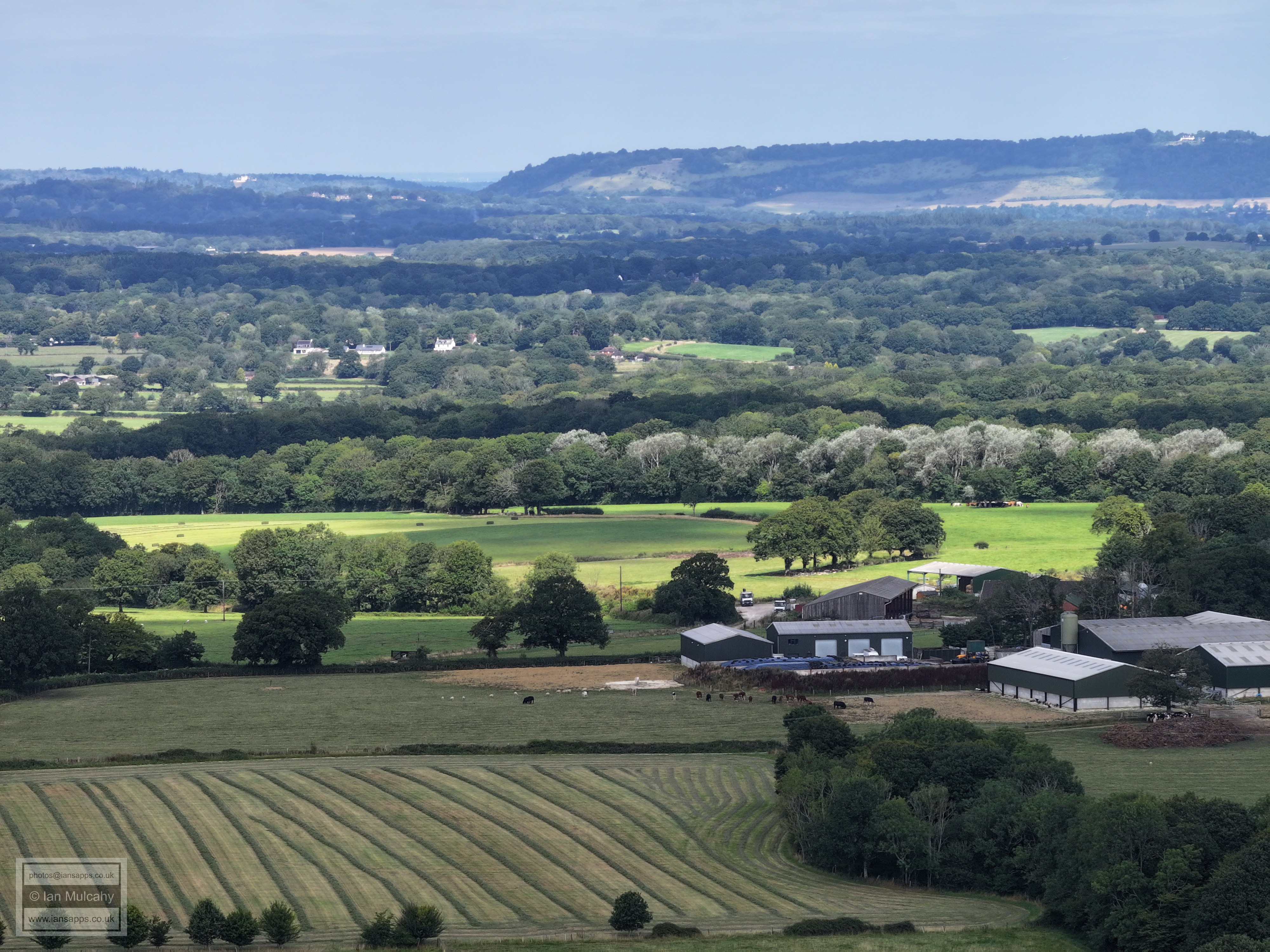
Reigate Hill, with the town below.
St Johns at Earlswood is very clear in the top left quarter and Nutfield Priory is at the same level, just to the right of centre. Russ Hill Hotel is also hidden in the trees in the cluster of buildings to the right of centre, about a third of the way down.
Peters Farm is in the bottom left quarter, and the field over which the first set of photos on this page was taken is in the bottom right.
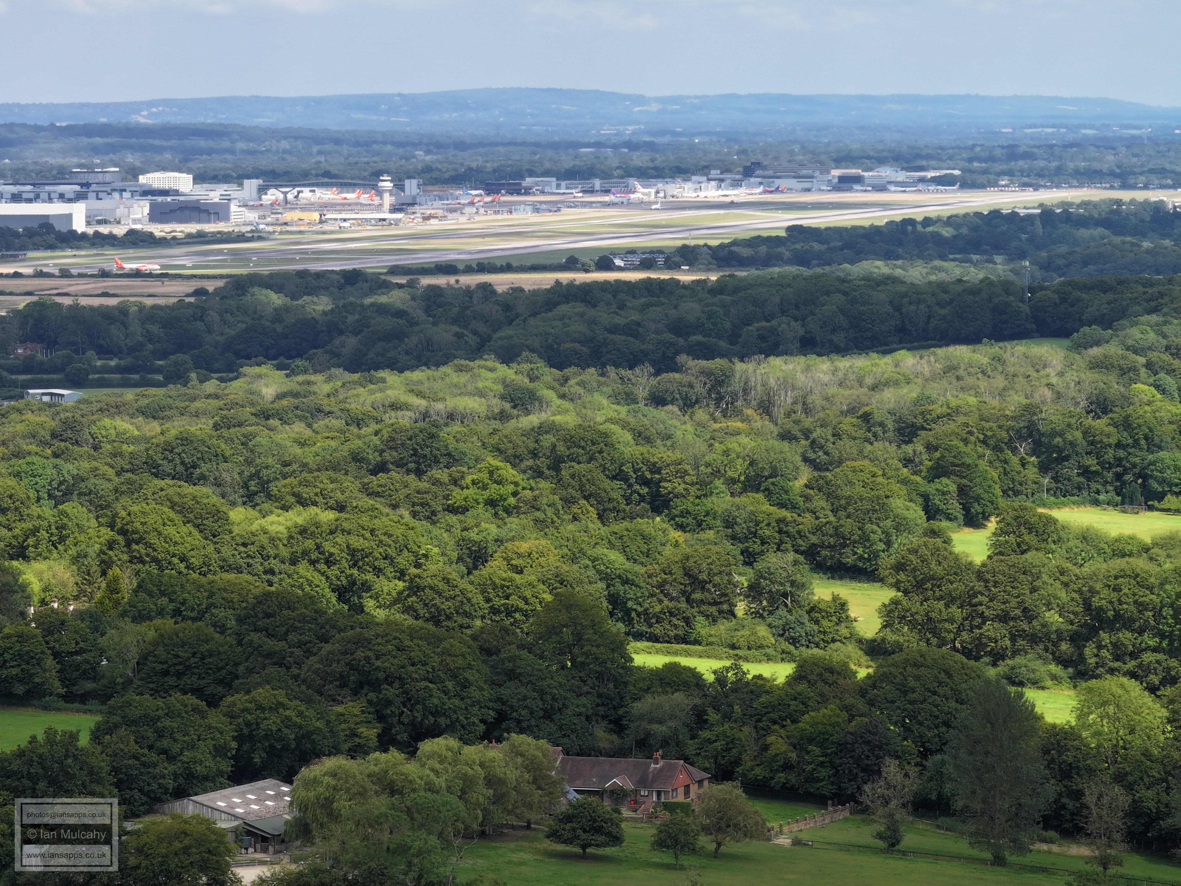
Gatwick Airport
The Mount and the northern edge of Manor Royal
Langley Green and Manor Royal. Milton Mount flats in Pound Hill are in the top right quarter, just above The Sandman Hotel. In the very top right is, remarkably, what I believe to be St Swithin's church in East Grinstead High Street, with the water tower outside Chequers Mead just to the left of it.
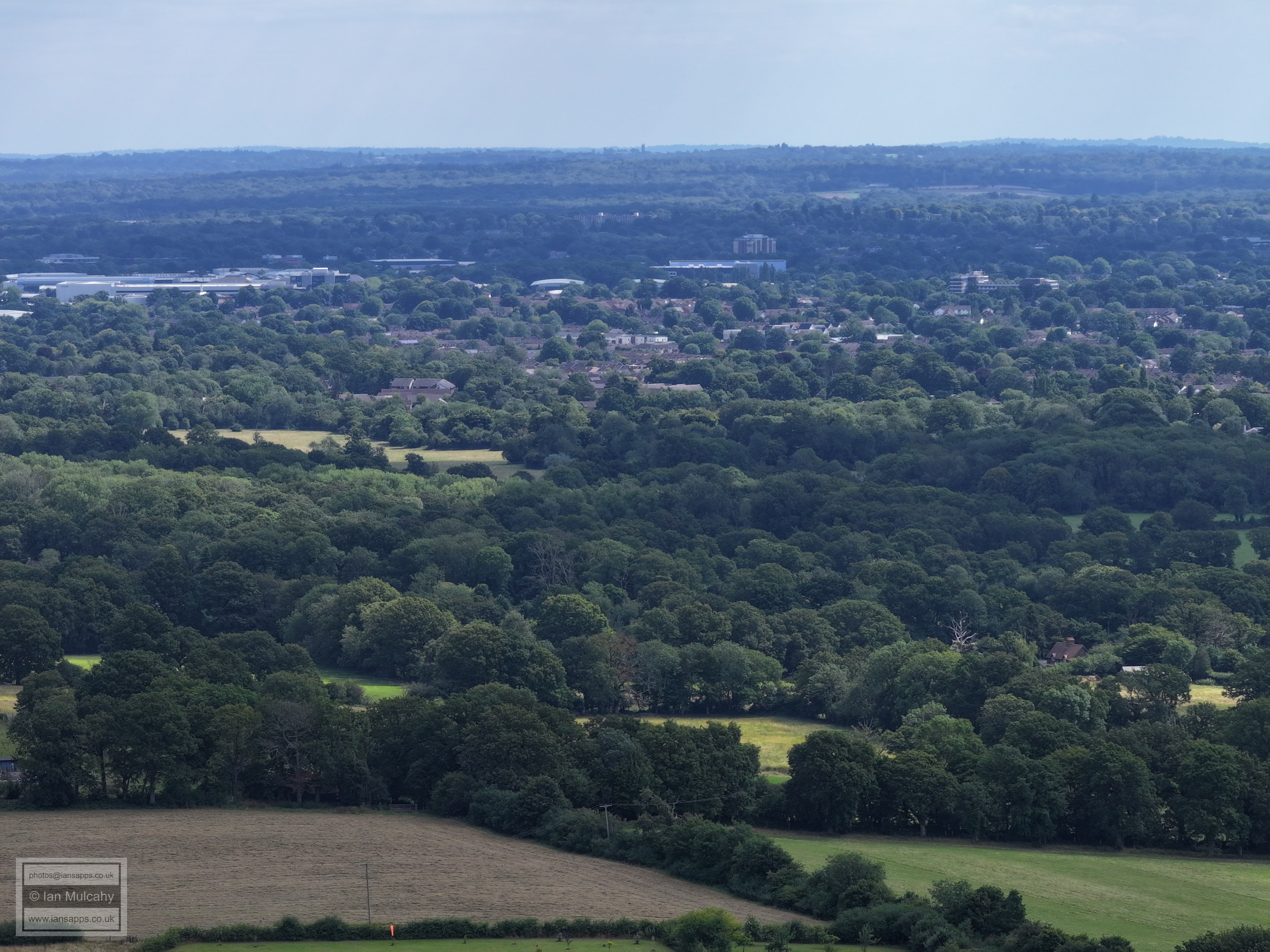
Above the centre is Ifield Brook Meadows and St Margaret's Church, with Crawley Leisure Park in sunlight and peeking out from between trees in the centre towards the top. The new looking houses seemingly just beyond Ifield Brook meadows are on the site of the old Ifield Community College. The Northern end of the Town Centre is clear.
Crawley Town Centre. ICC and the Mill Primary, as well as the roof tops of Ifield, are below.
Lanhurst lane going left to right near the bottom and Rusper Road peeling off to Ifield to the right of centre.
Ifield Golf Course, Gossops Green and Southgate West
Text & photographs © Ian Mulcahy. Contact photos@iansapps.co.uk or visit my 'Use of my photographs' page for licensing queries (ground level photographs only). |
|