Mitcham Common
London Borough of Merton
5 October 2024
66 aerial photographs of varying focal lengths
|
66 aerial photographs taken from above Mitcham Common in the London Borough of Merton* next to Croydon Athletic Football Club on Saturday 5 October 2024 including full 360 degree panoramas from each of a 24mm, 70mm and 170mm lens. All the London sights are visible including the City, the Docklands, the Millennium Dome (O2 Arena), Wembley Stadium, Selhurst Park and Croydon Ikea!
Some of the photos are annotated.
*The first three photos were taken from within the London Borough of Croydon.
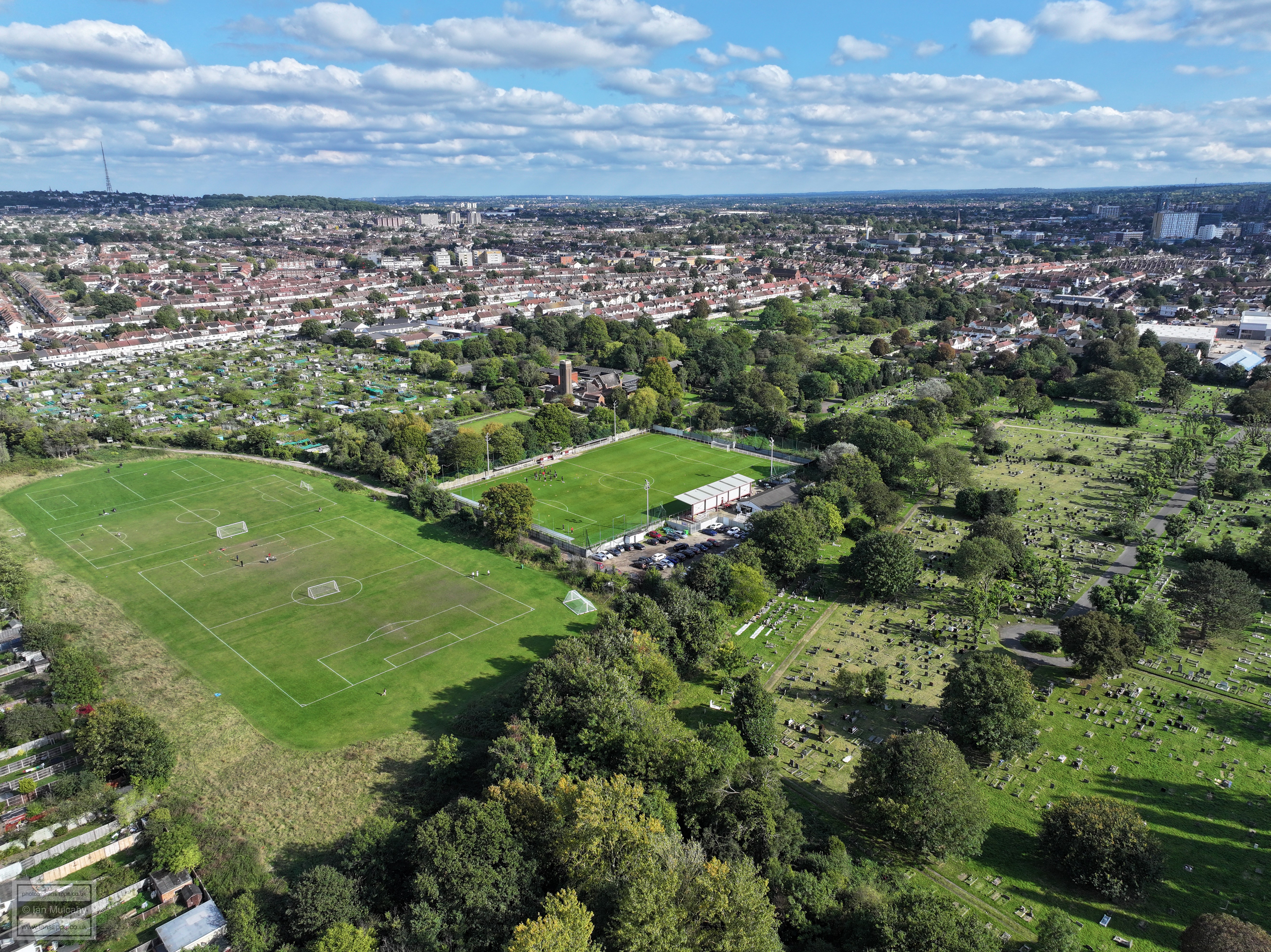
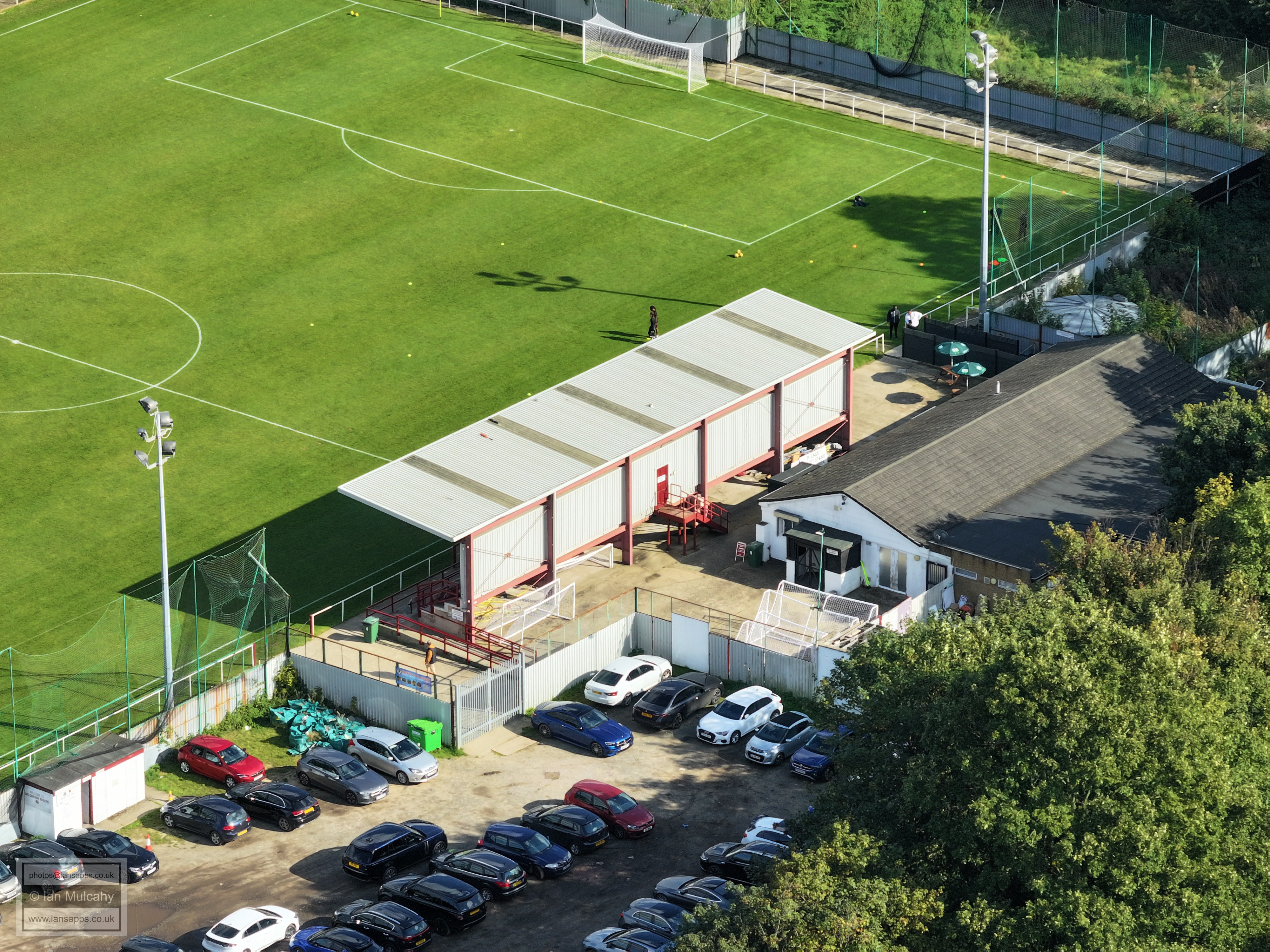
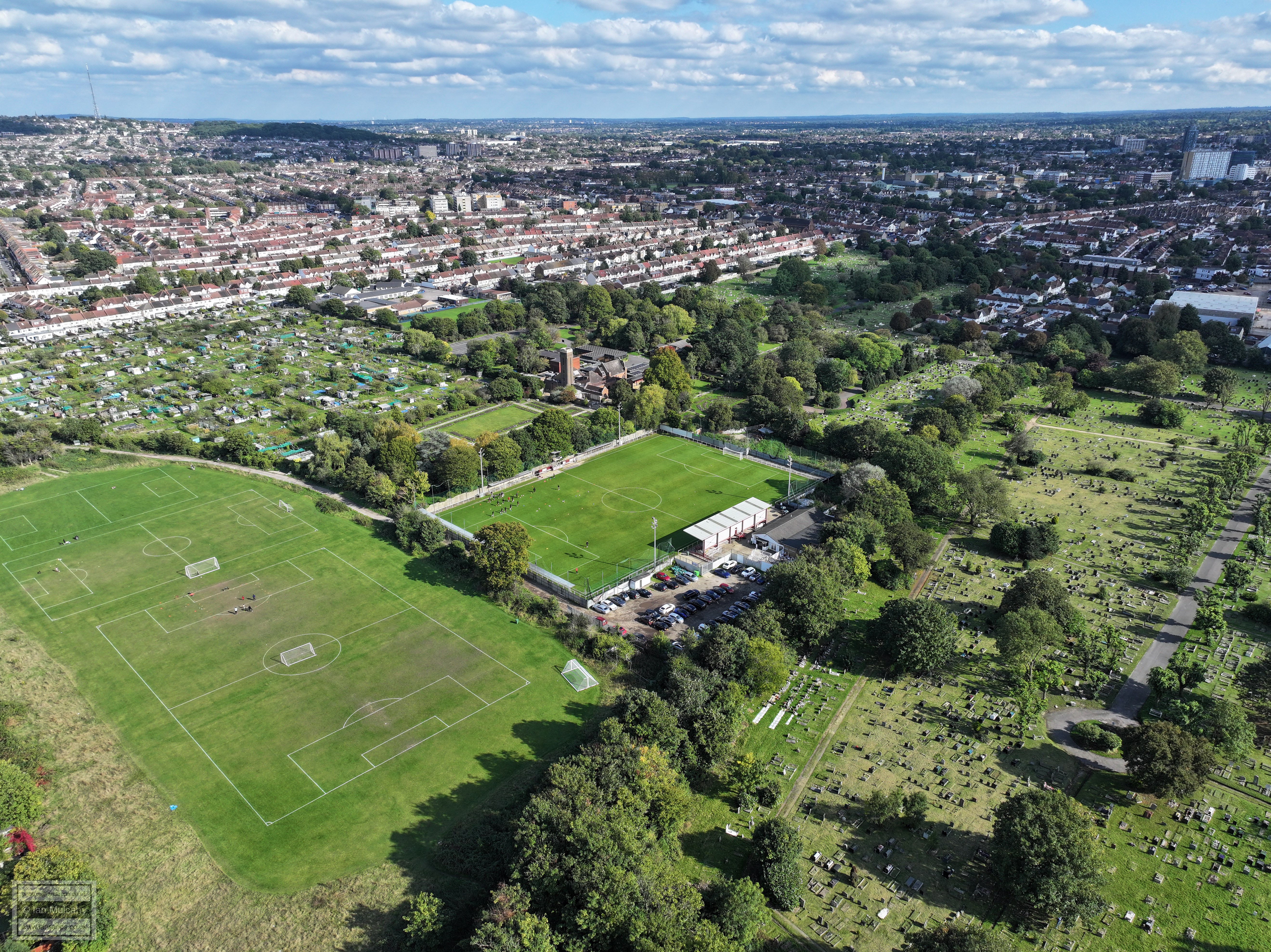
Croydon Athletic Football Club
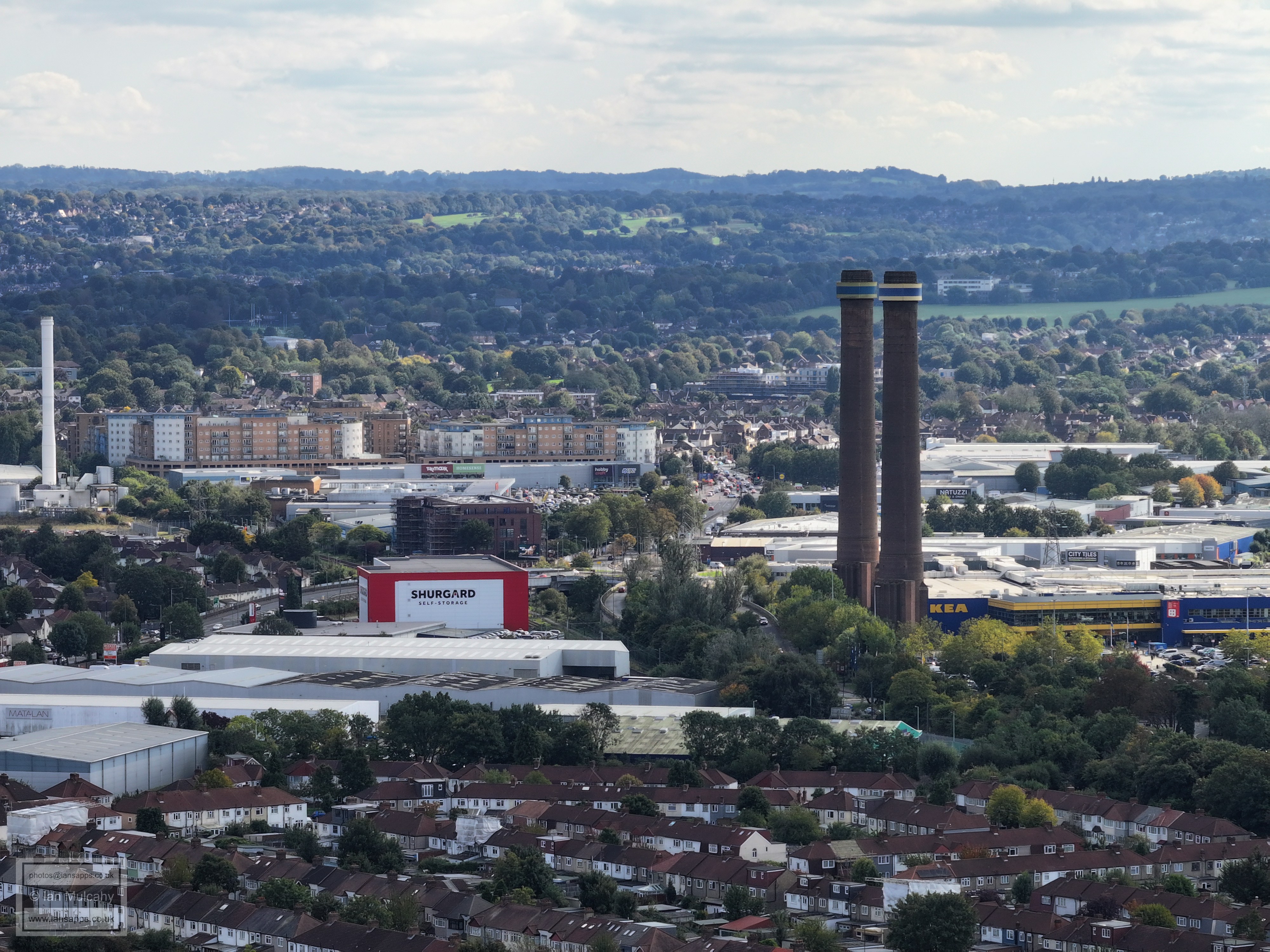
Croydon Athletic Football Club and the chimneys of 'Croydon B' power station, now the site of Ikea.
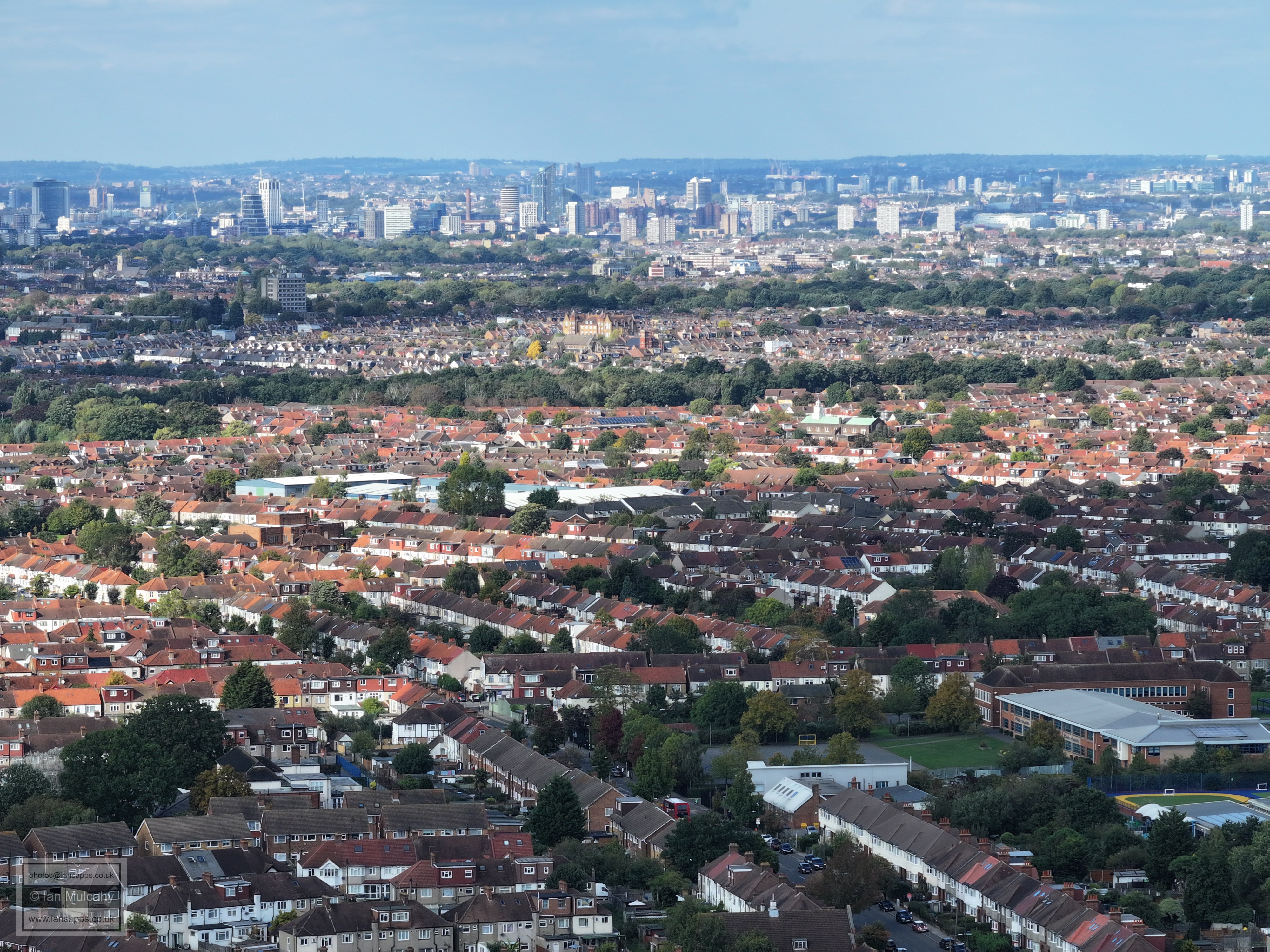
Croydon Athletic Football Club with Selhurst Park, Crystal Palace Football Club, in the top left quarter.
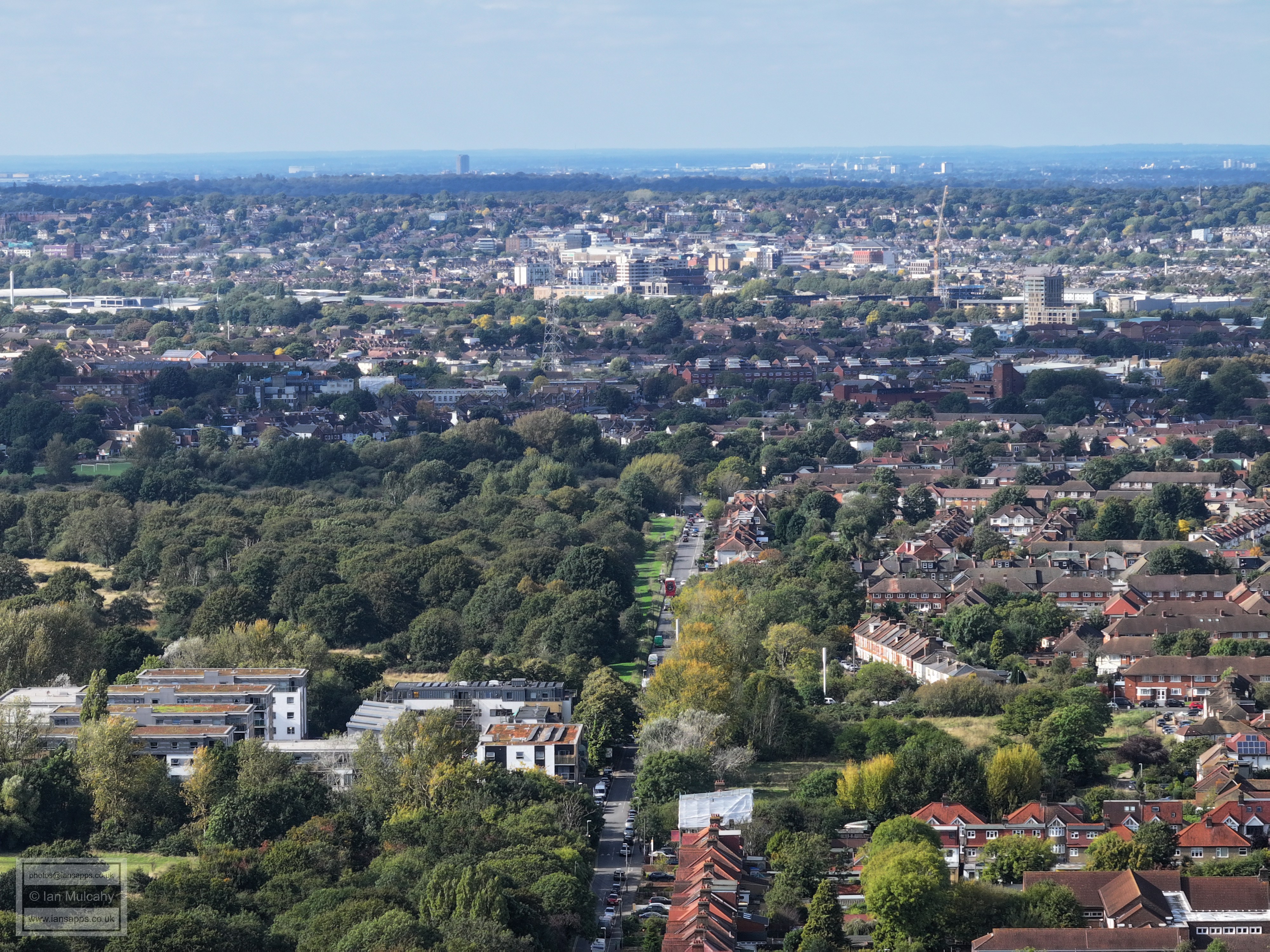
Croydon Athletic Football Club, Croydon Cemetery and a wider view of Thornton Heath
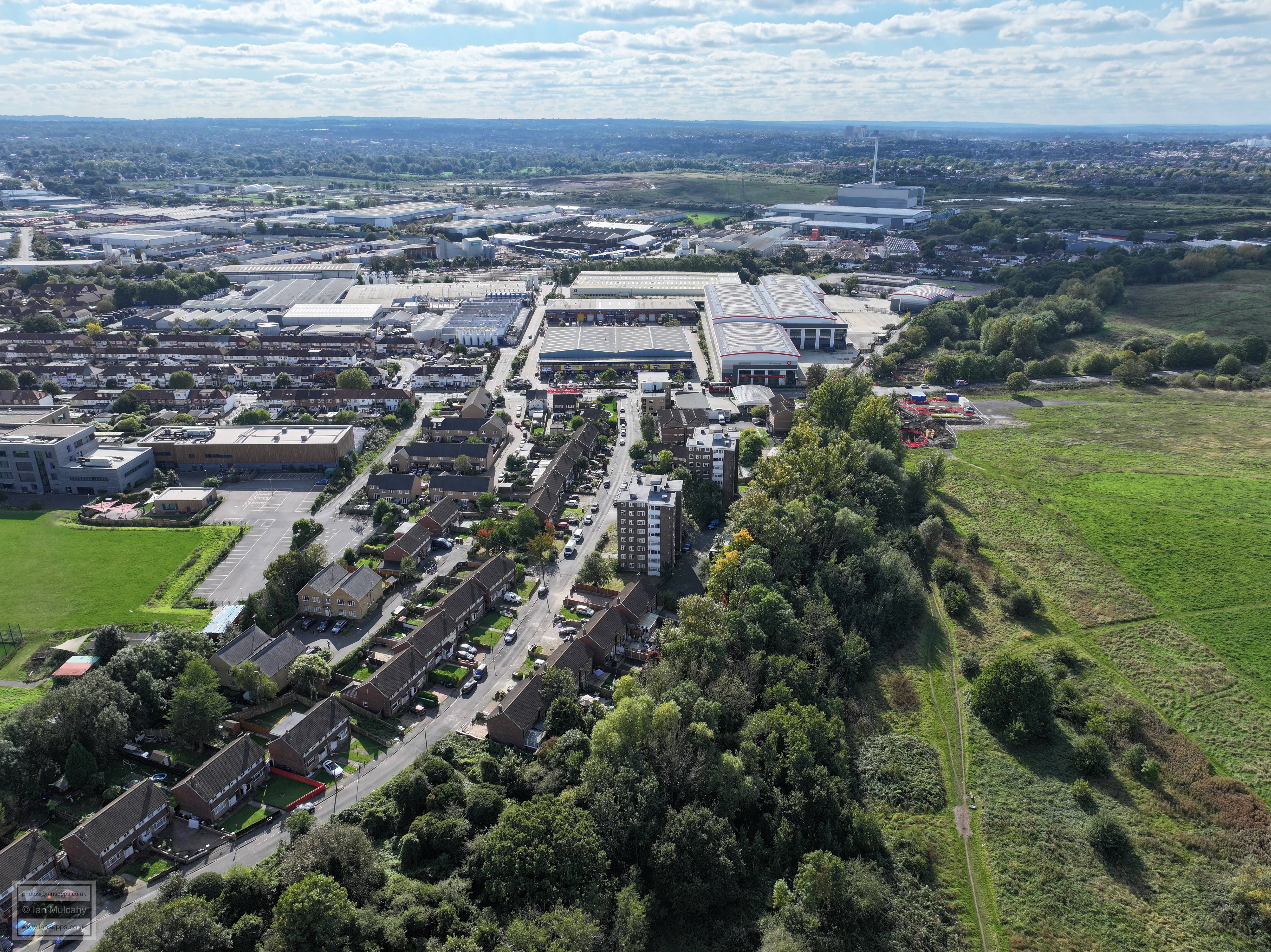
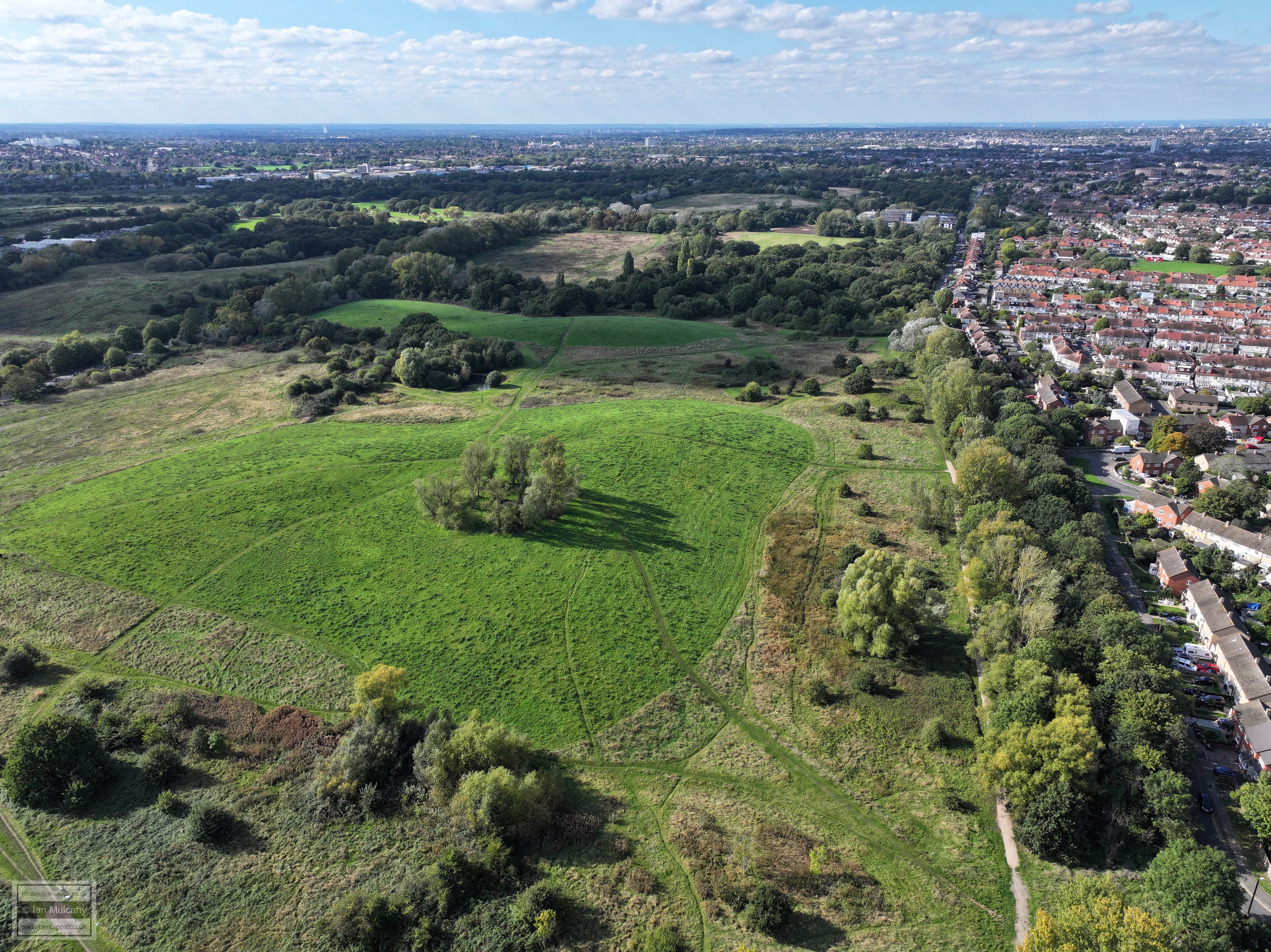
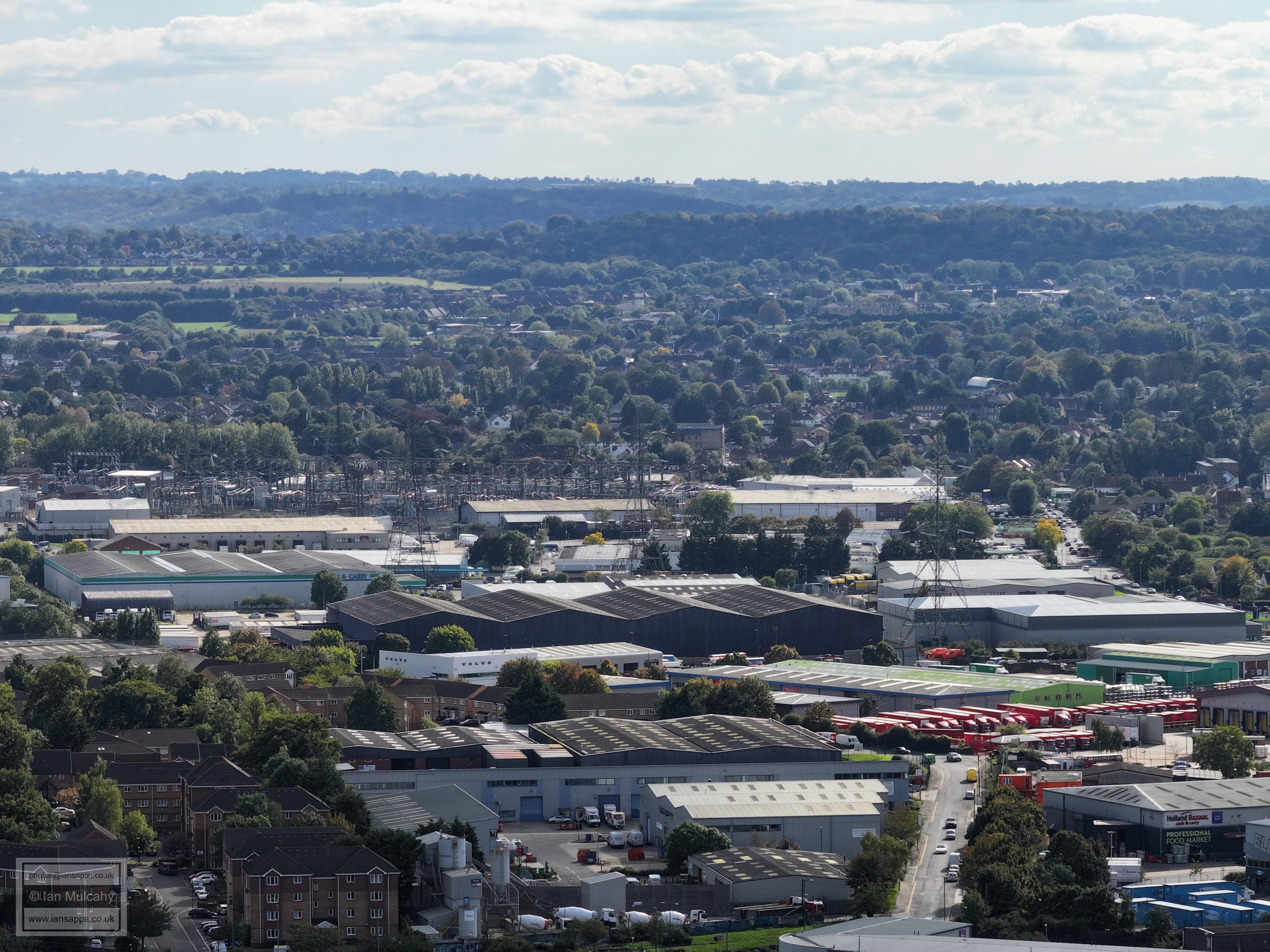
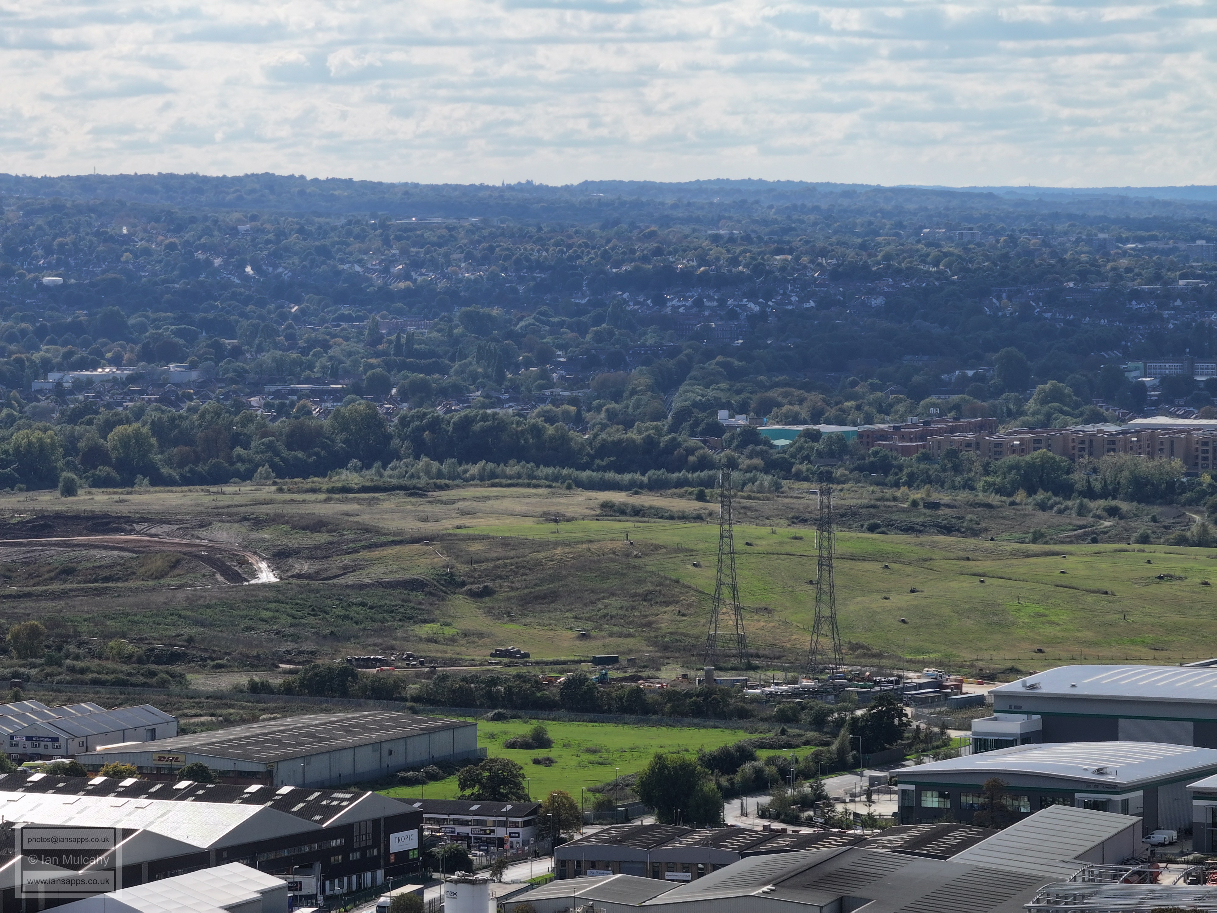
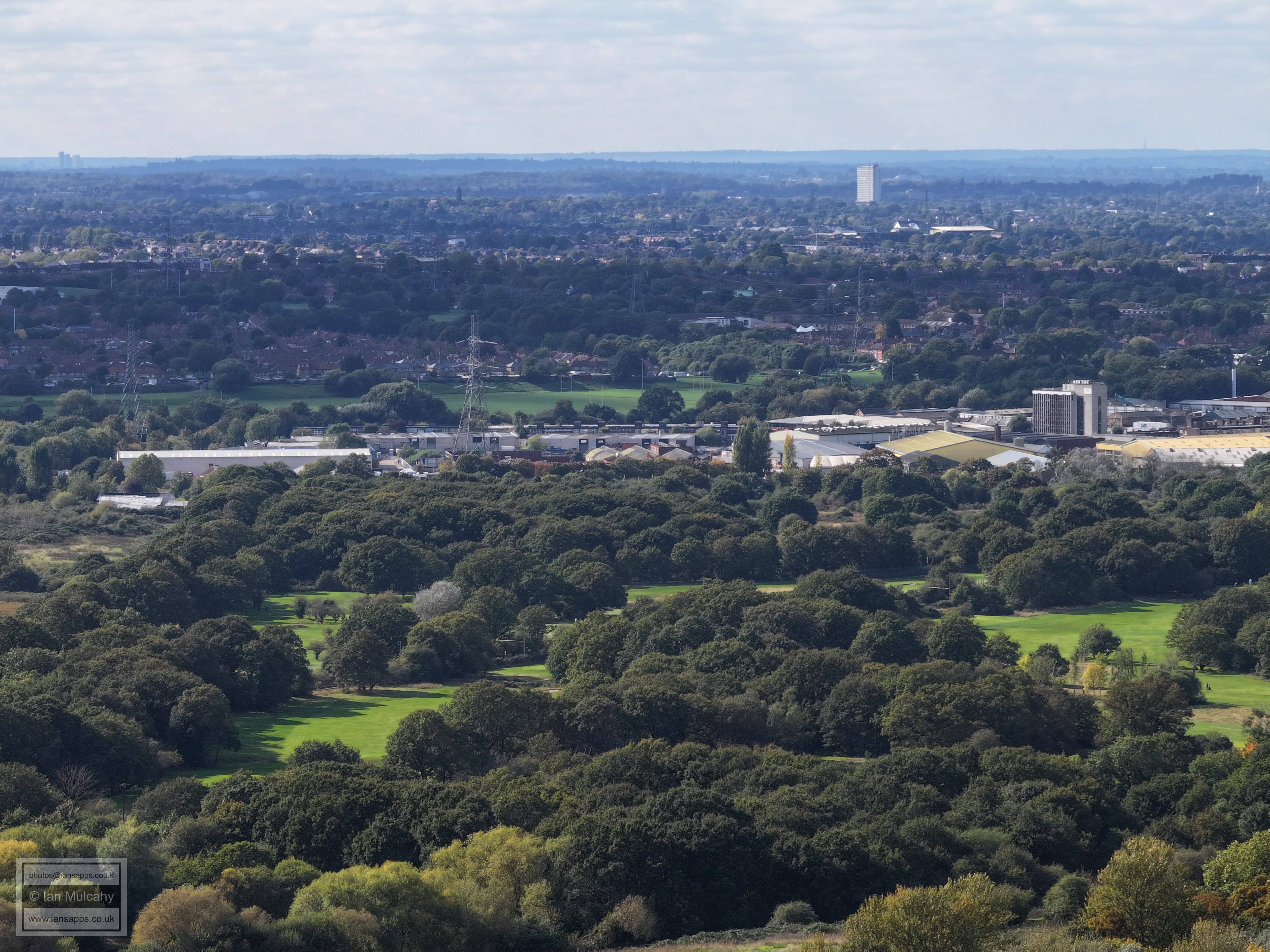
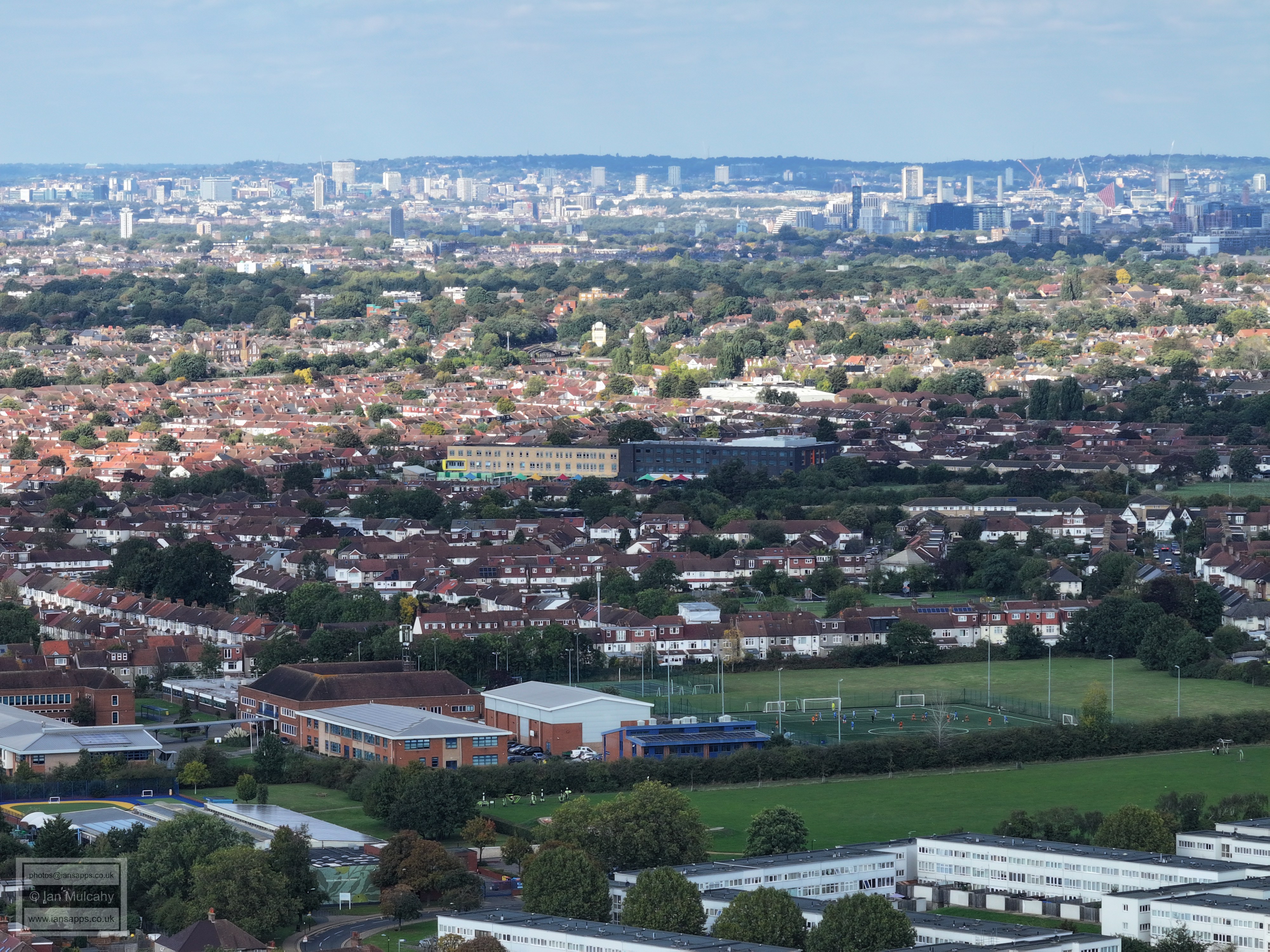
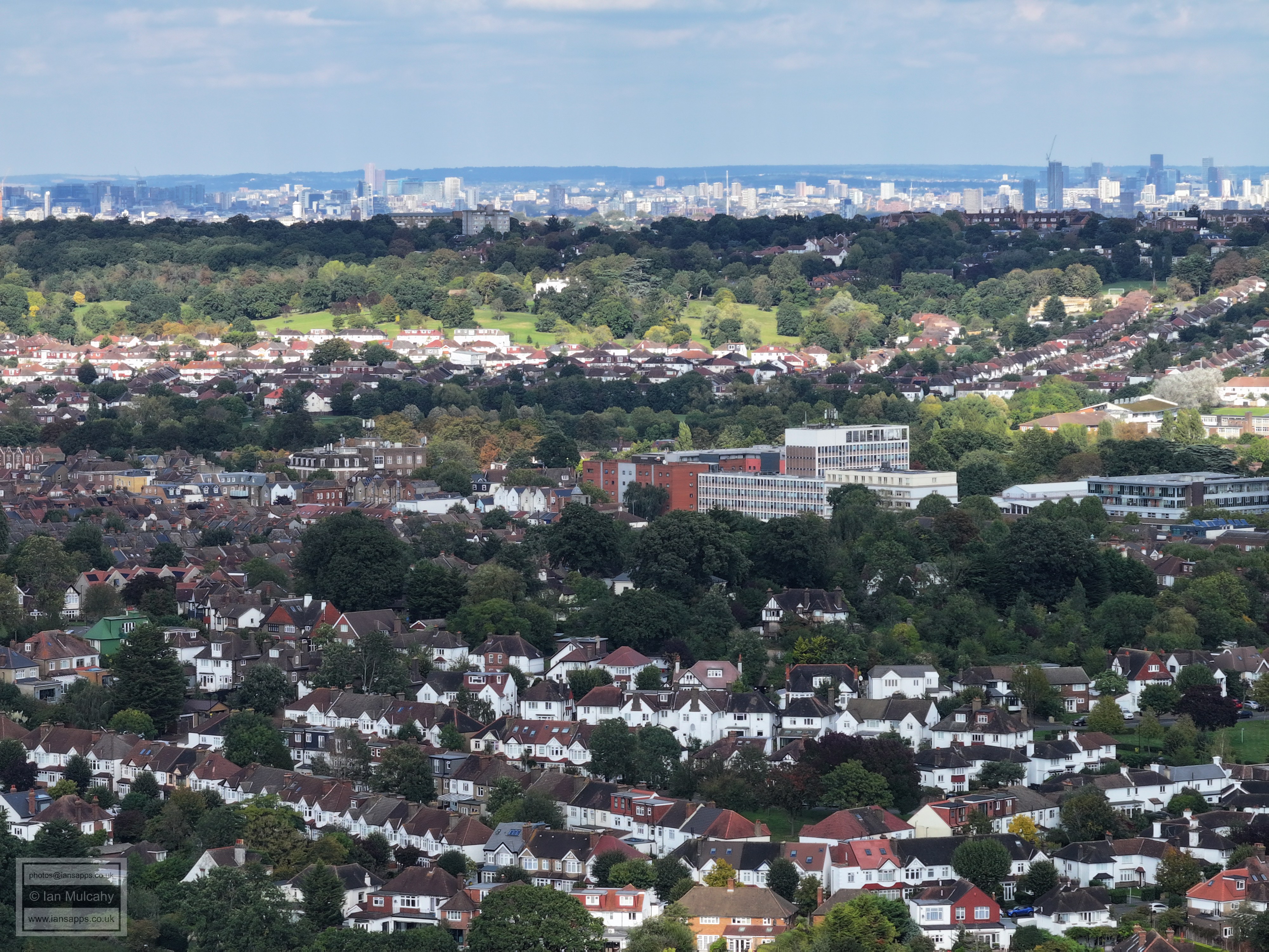
Mitcham Common
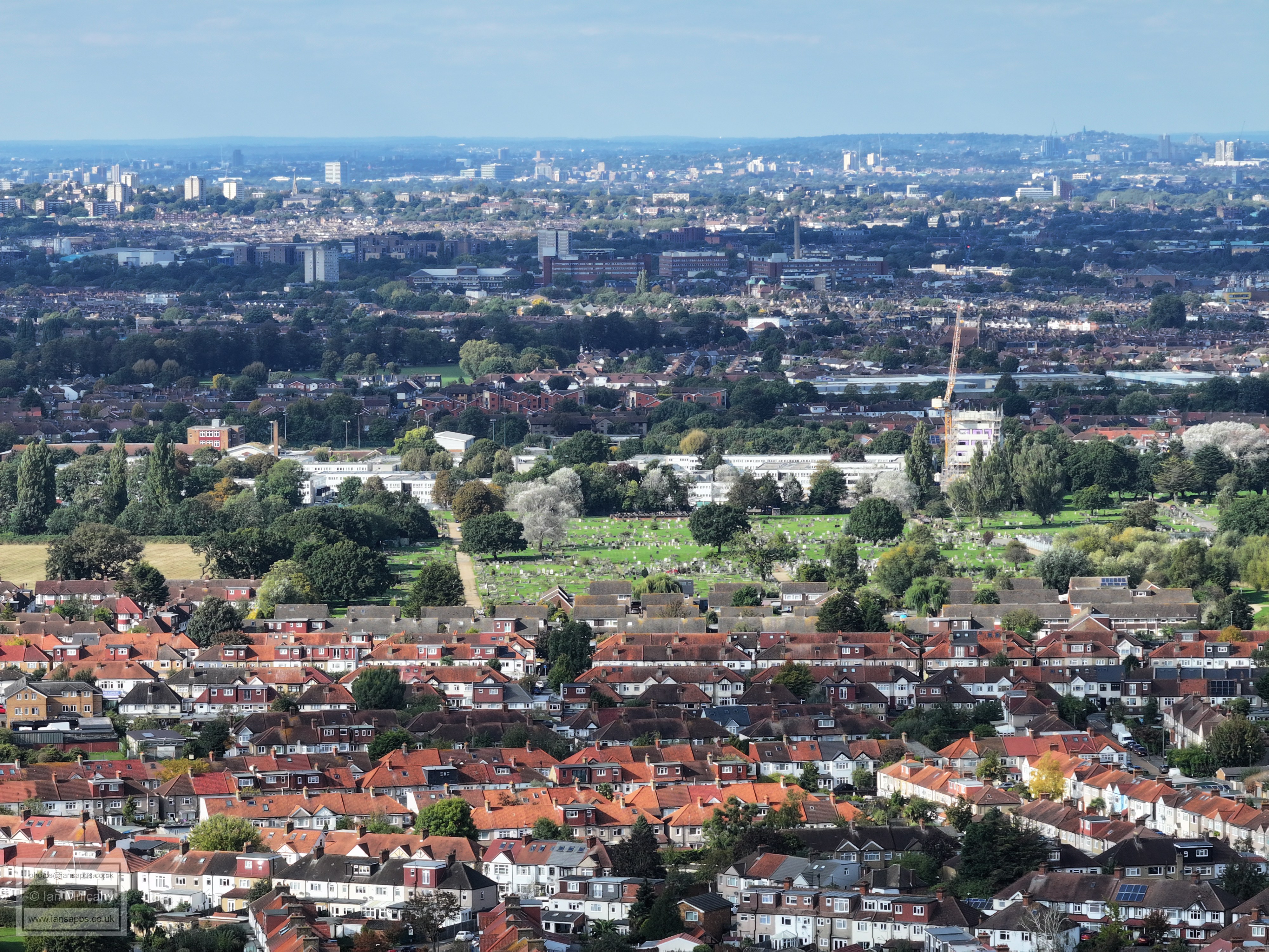
Croydon Crematorium, bottom left
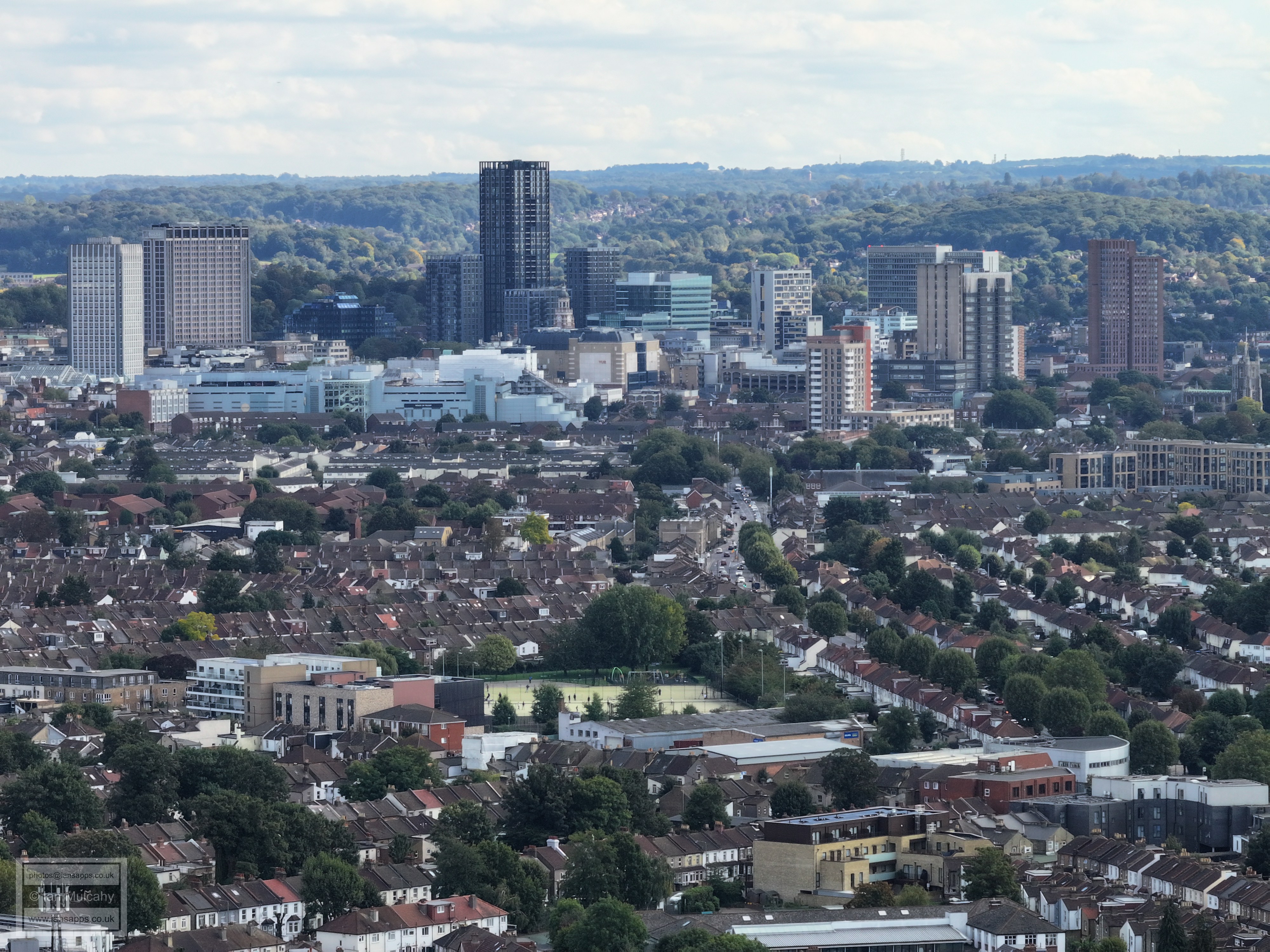
Croydon
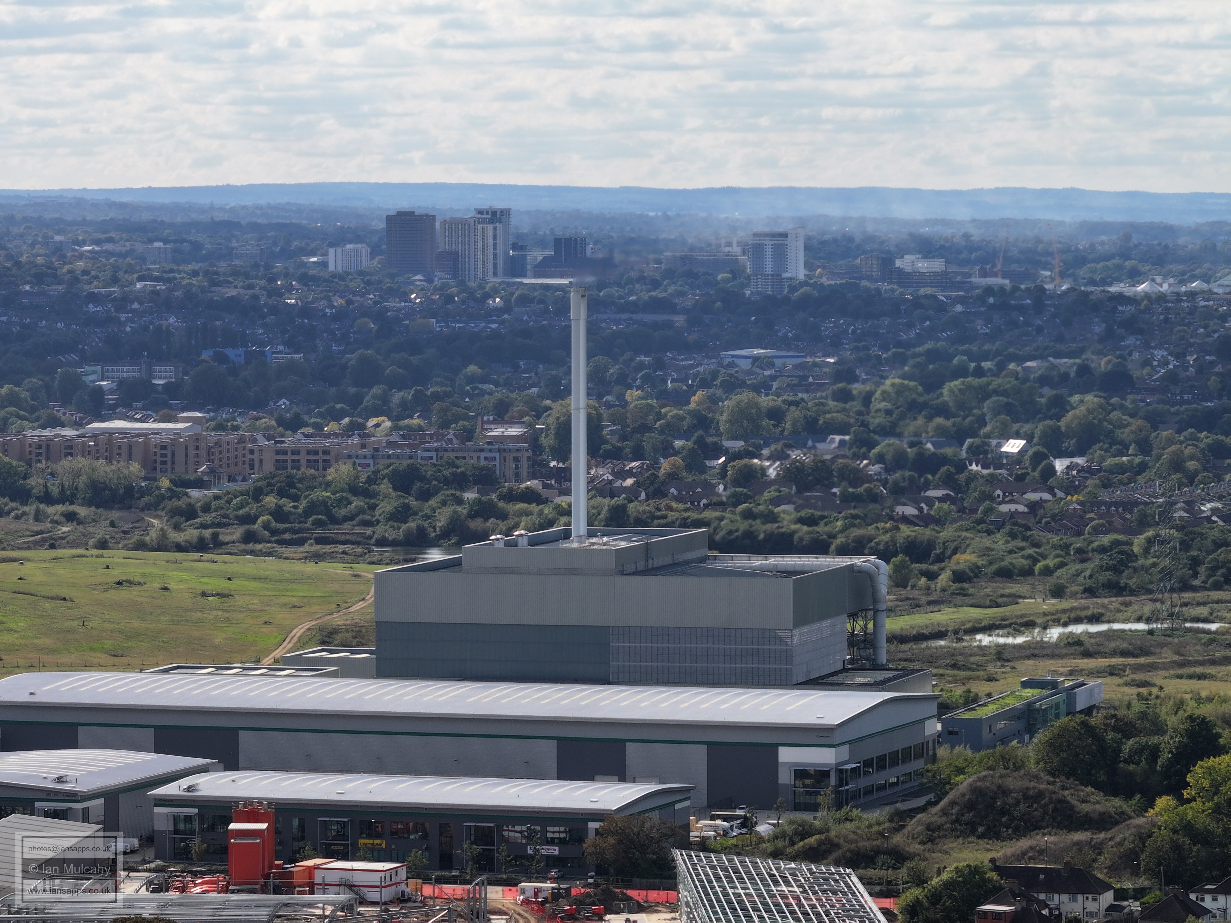
Beddington Power Plant
The road running up the centre is Commonside East
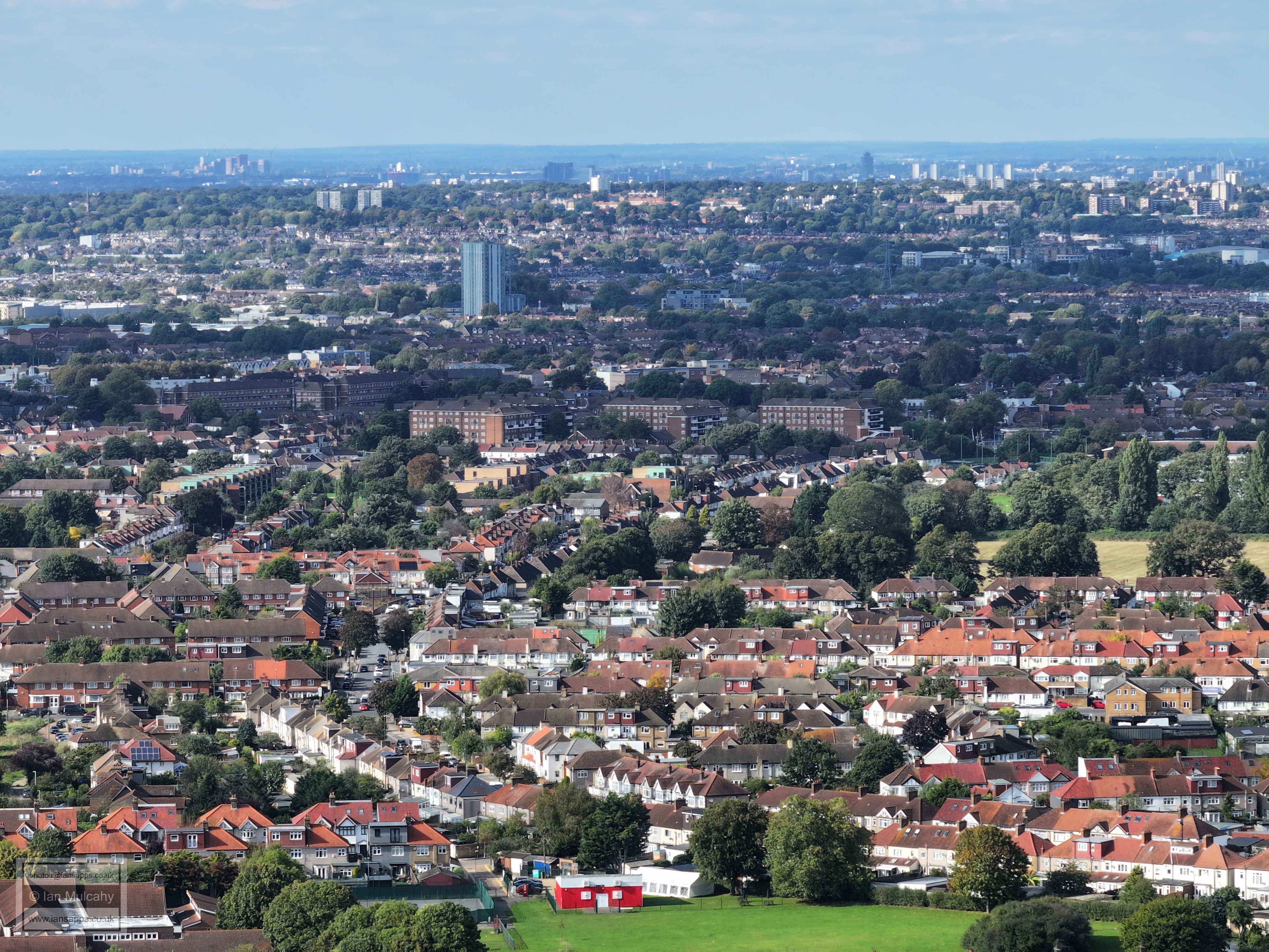
The white blocks are the flats either side of South Lodge Avenue
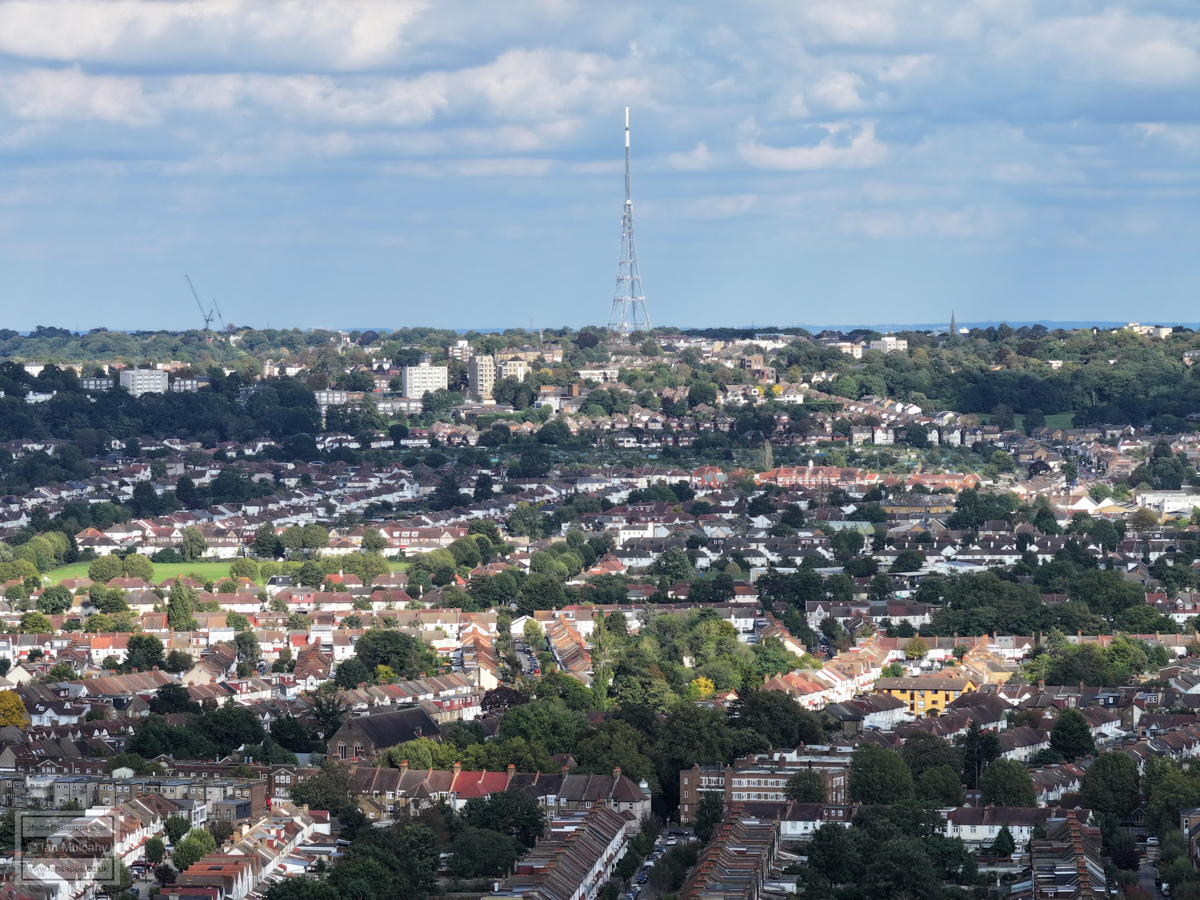
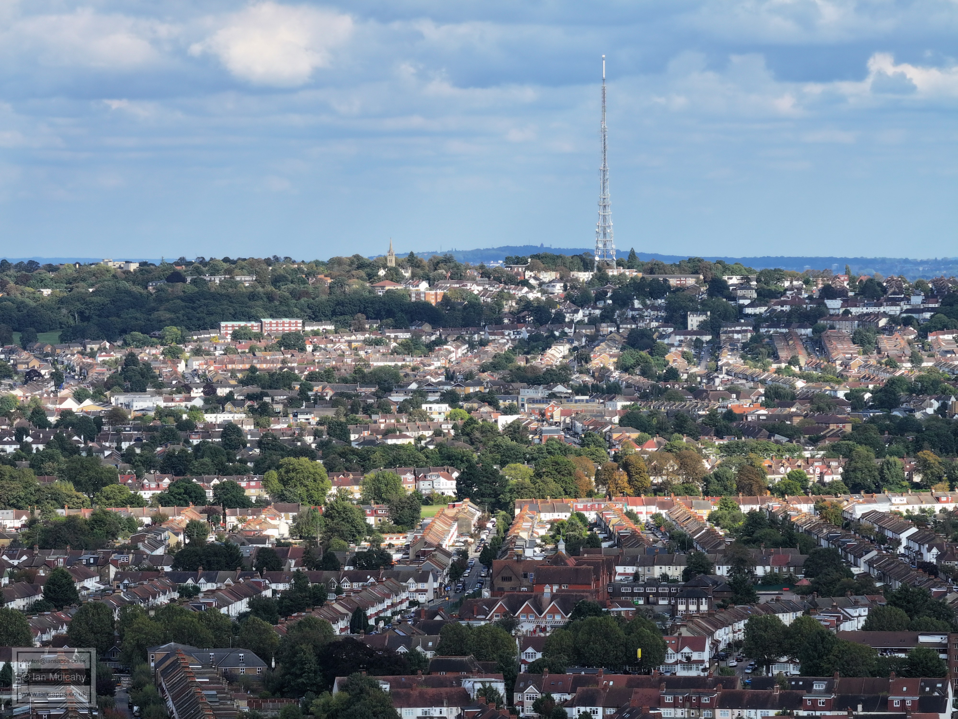
The Arqiva Transmitter on Norwood Hill
Selhurst Park, Crystal Palace
In the top left quarter is the Selhurst train depot
The spire is that of the Holy Saviour Church in Croydon
The church spire in the centre of the pic marks The Life Tabernacle Church on the London Road and the white building dwarfing it is City House
The area between East & West Croydon stations
The area around the Whitgift Shopping Centre
The church tower on the far left is that of Croydon Minster. The bright yellow building (Factory Lane Reuse and Recycling Centre), the large white building behind (Tesco distribution centre) and the white chimney (White Tower Energy) are in the industrial area between the Mitcham Road and Purley Way
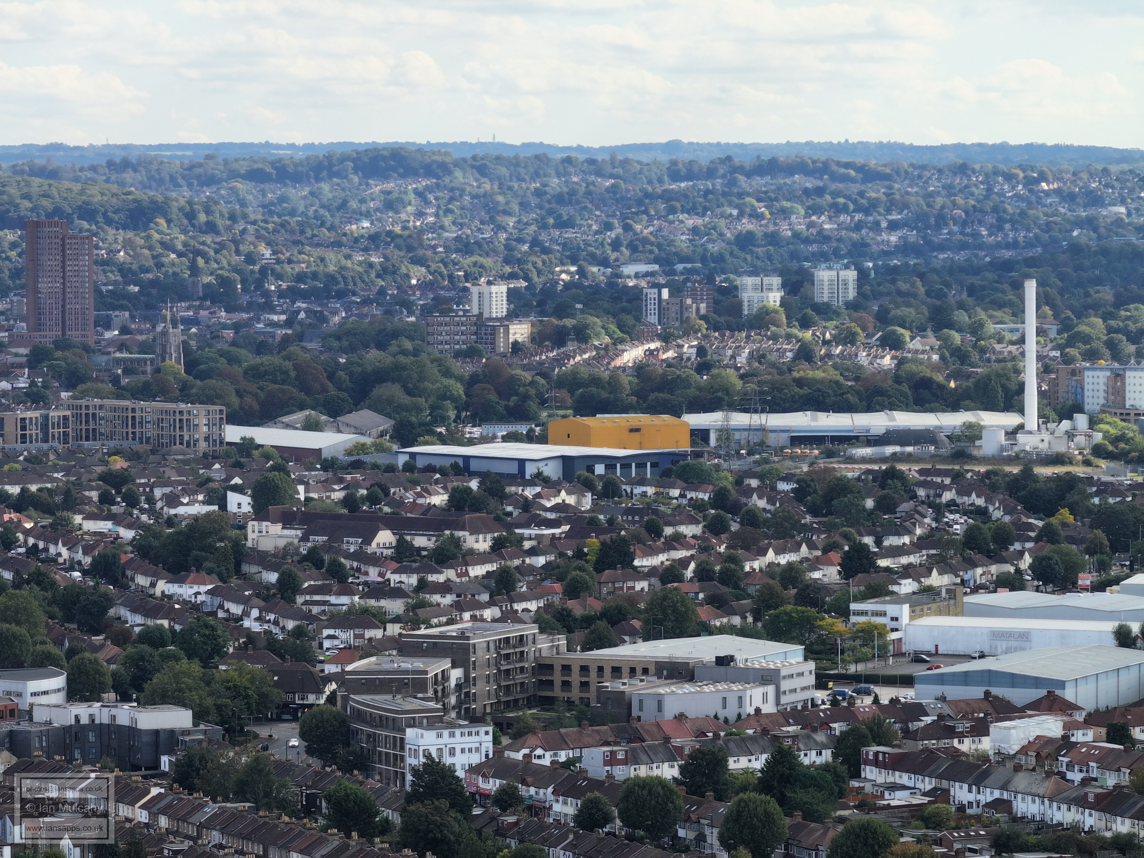
Purley Way, the retained chimneys of Croydon B Power Station, and the Ikea store that was built on the site.
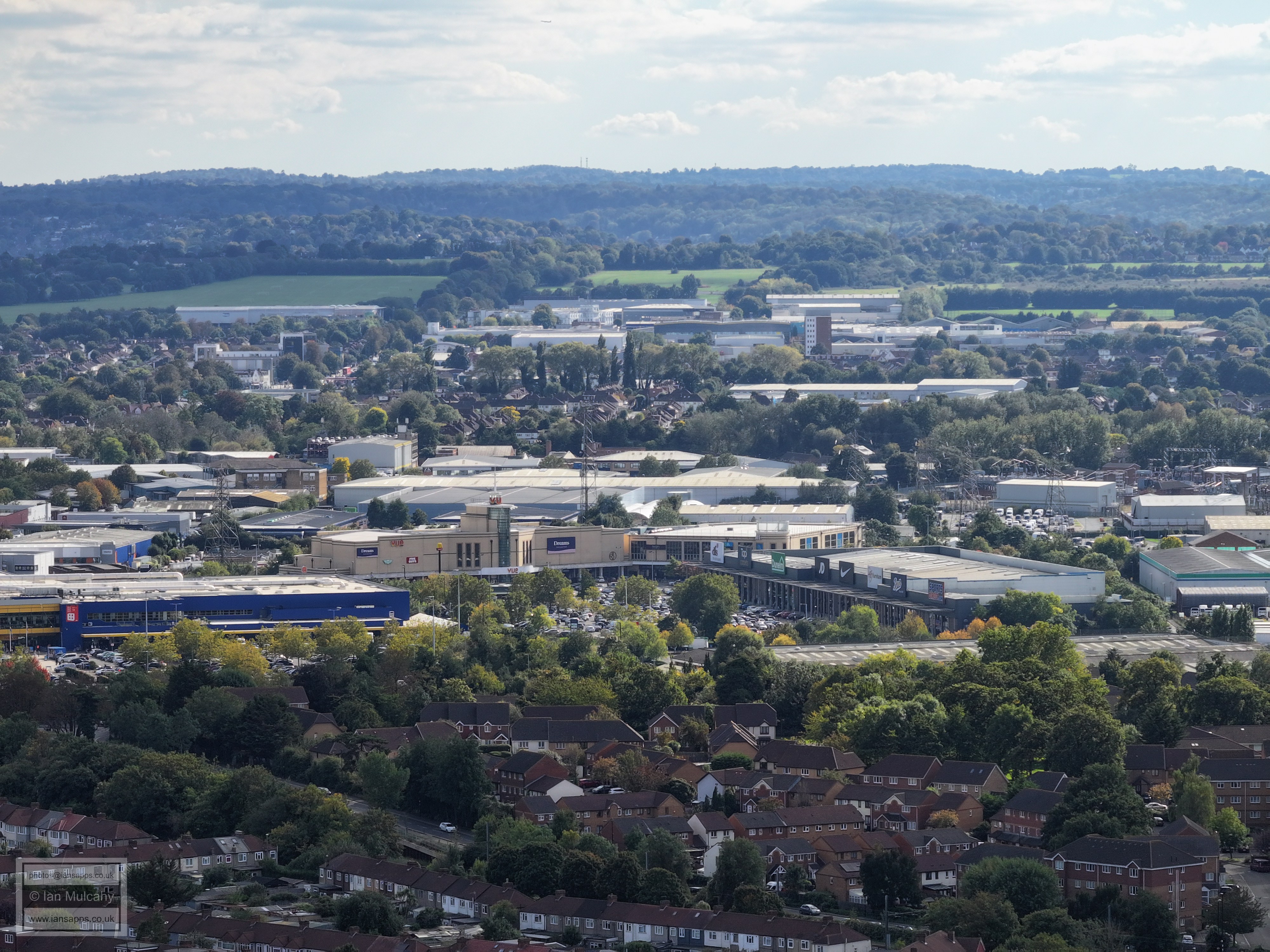
Valley Park retail complex
Croydon Mail Centre, right of centre
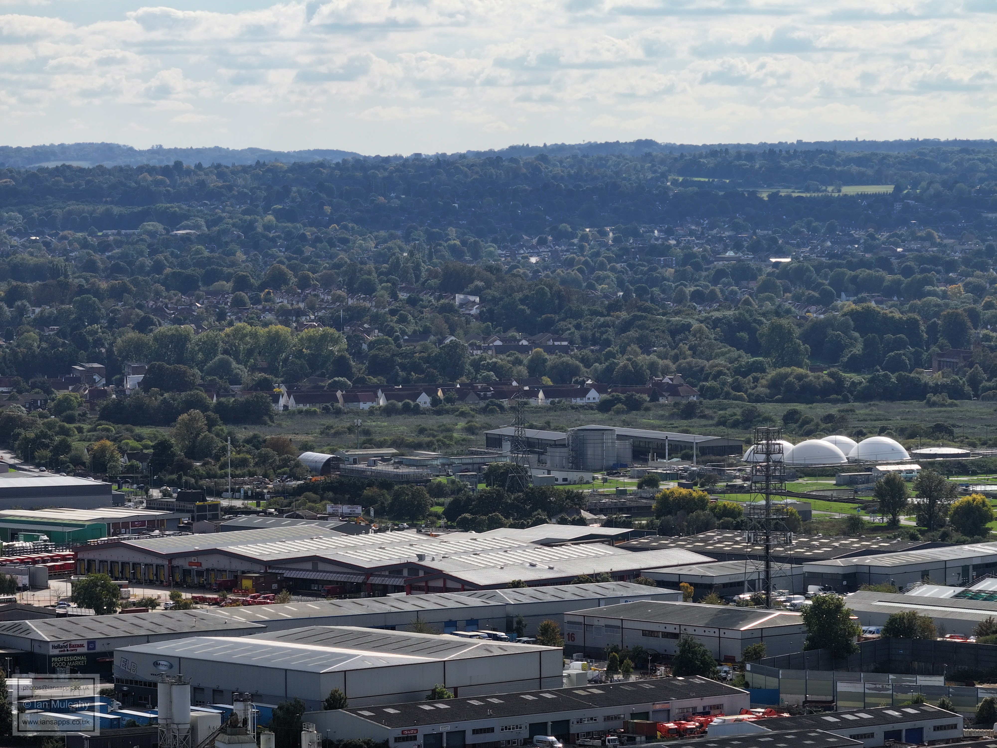
Beddington Sewage Treatment Works (and next)
Beddington Power Plant. The high rise buildings immediately beyond are clustered around Sutton Station and the southern end of Sutton High Street
The large block of flats to the right are on Chaucer Gardens, a quarter of a mile to the north-east of Sutton United Football Club
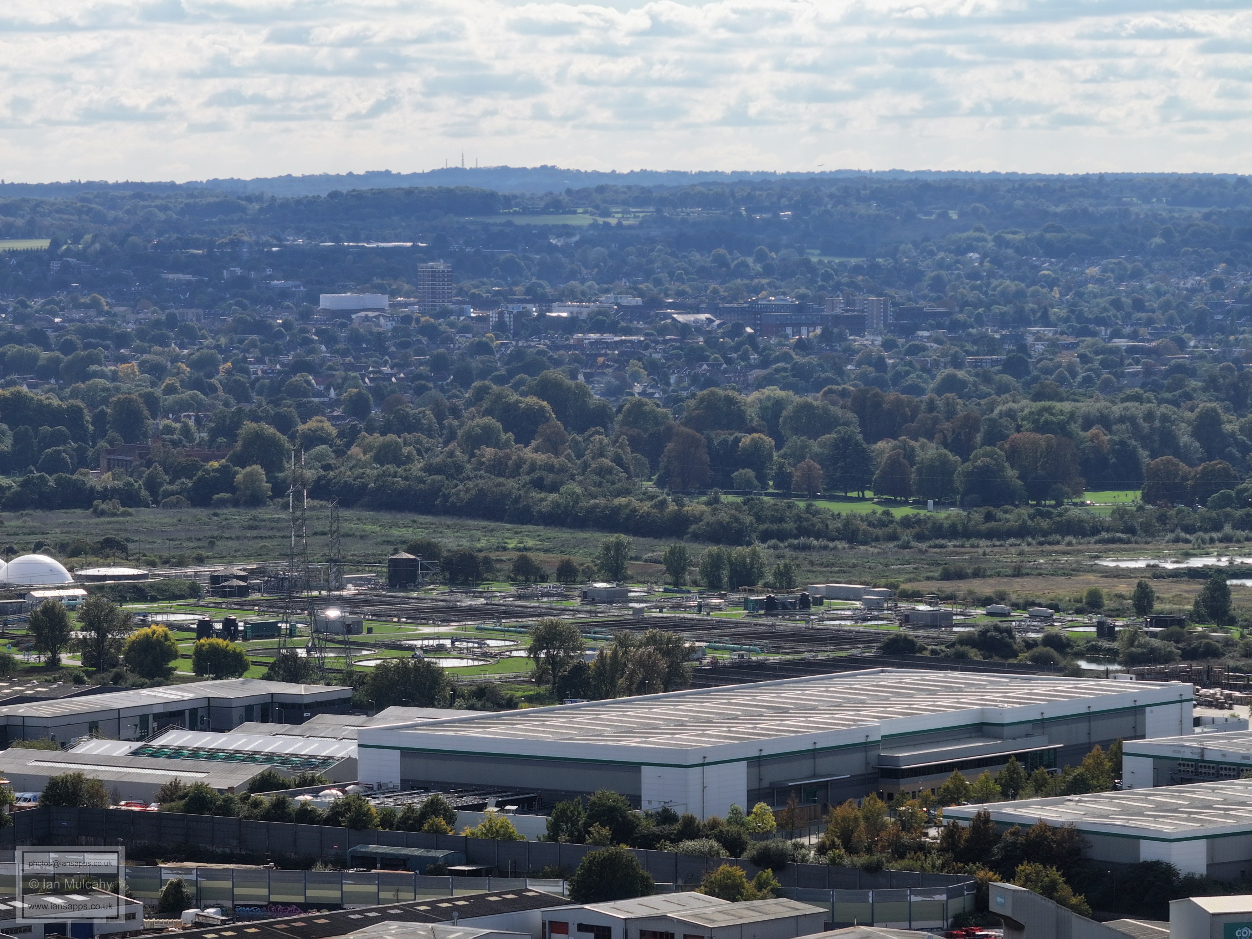
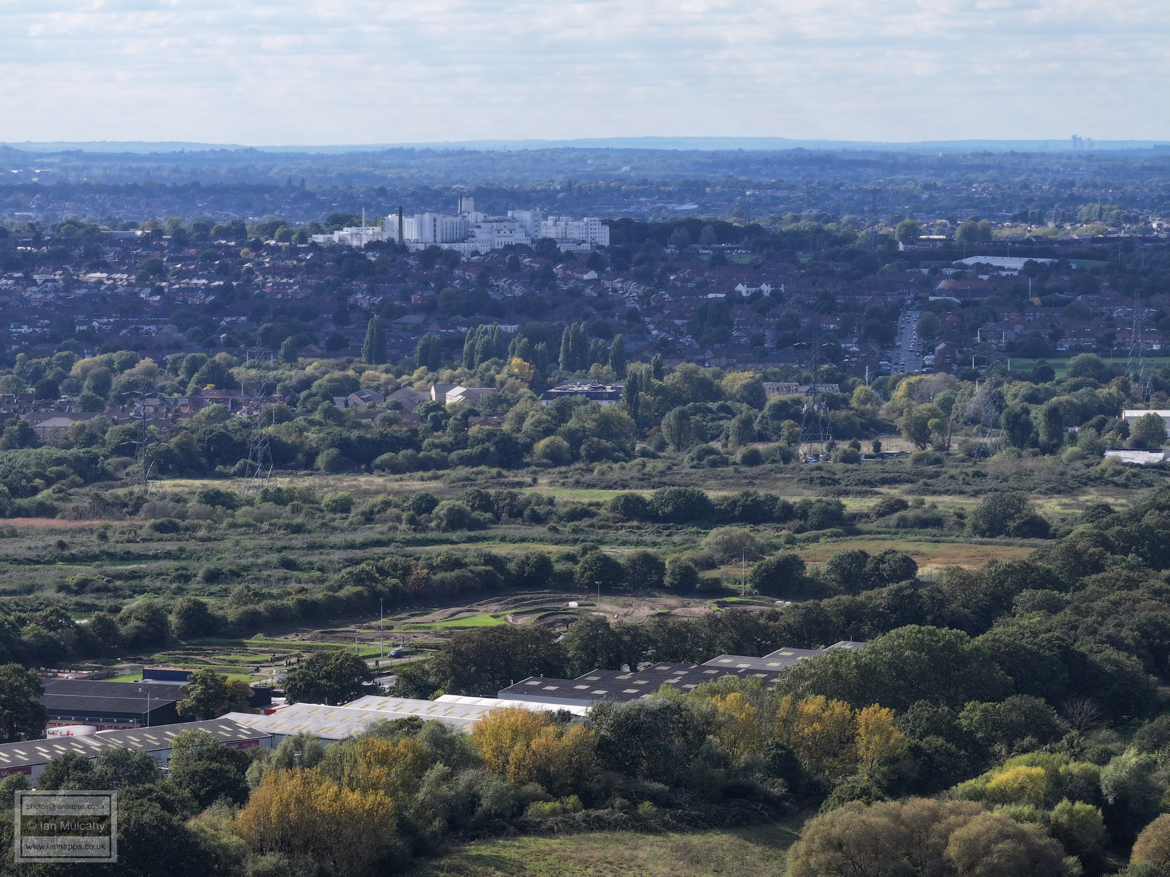
St Helier's Hospital in Carshalton is the main feature.
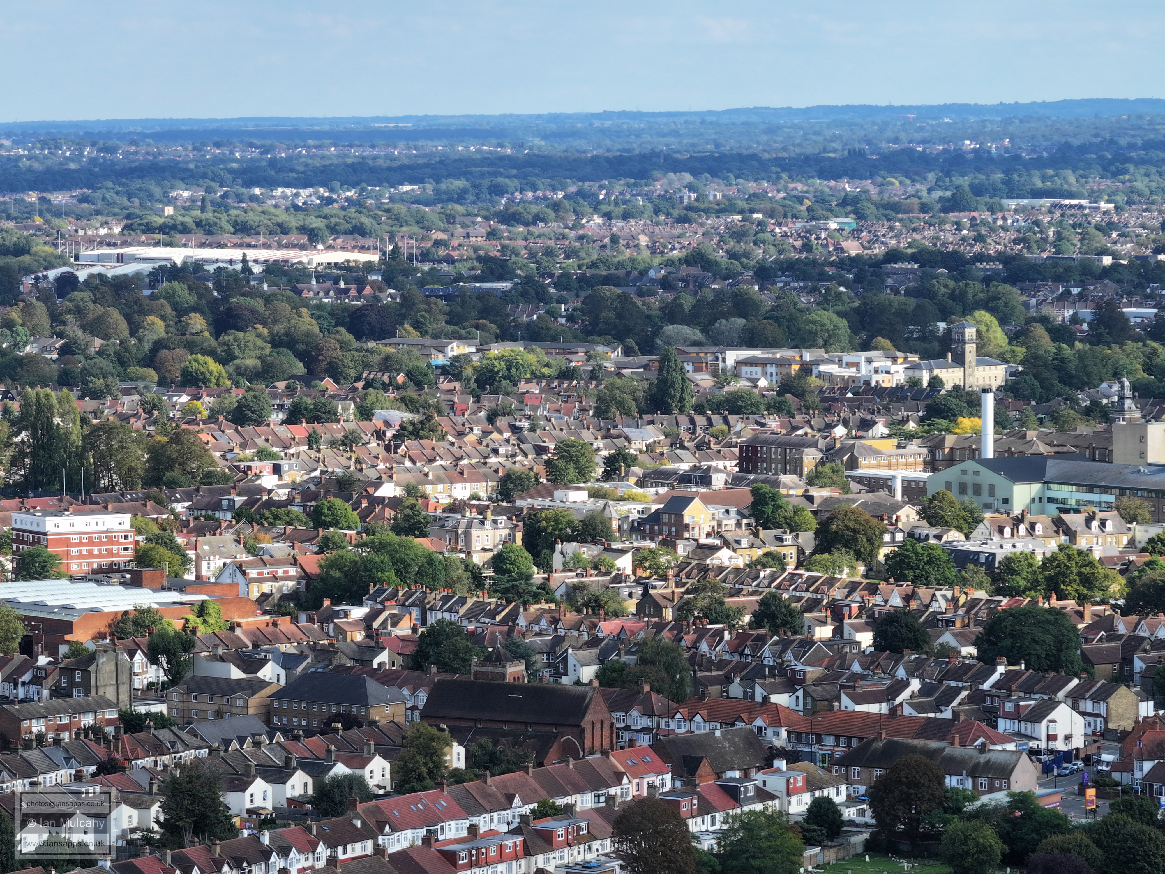
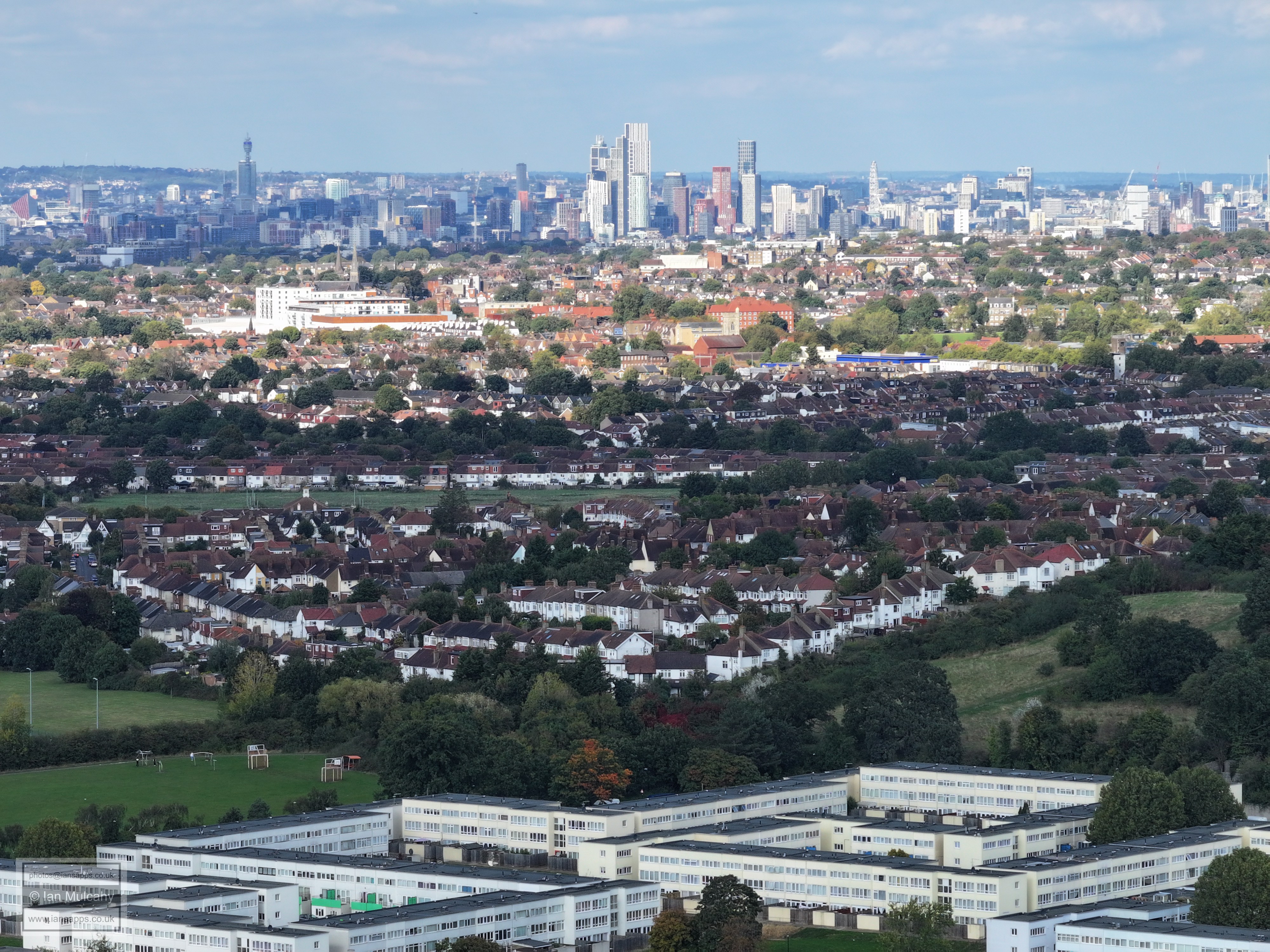
The tall building on the right of the centre of the photo is the Baitul Ehsam Muslim Centre in Mitcham and the rugby field to the left are at Poulters Park. The High rise in the distance (top right quarter) is Northpoint Tower on the Tolworth Roundabout
In the top right quarter is the Baitul Futuh Mosque next to Morden South Station
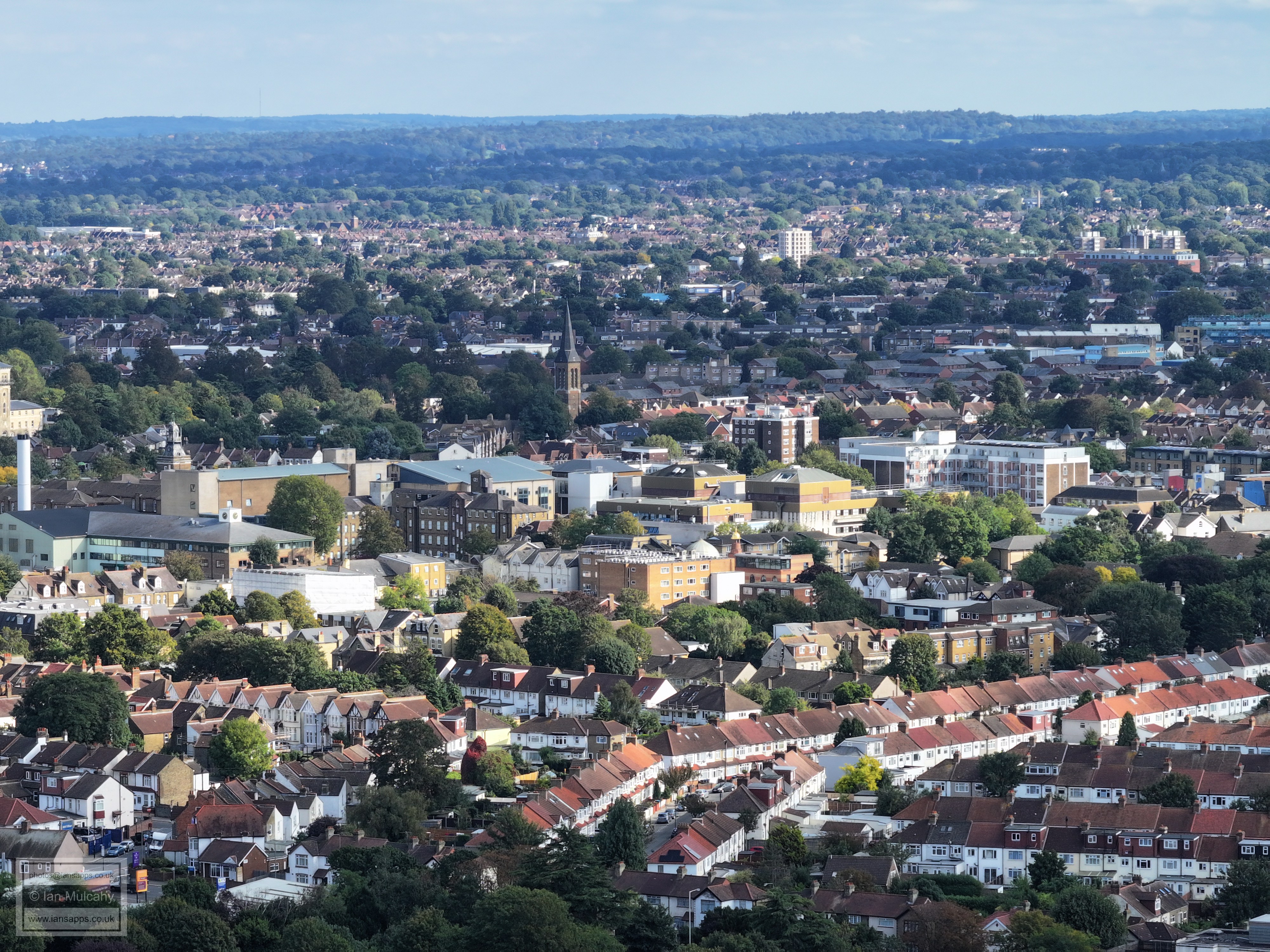
The tall building, just to the right of centre in the top half, is Merton Civic Centre
The cluster of tall Buildings just above centre are at South Wimbledon Station
The tall building just to the left of centre in the top half is Britannia Point next to Colliers Wood Station
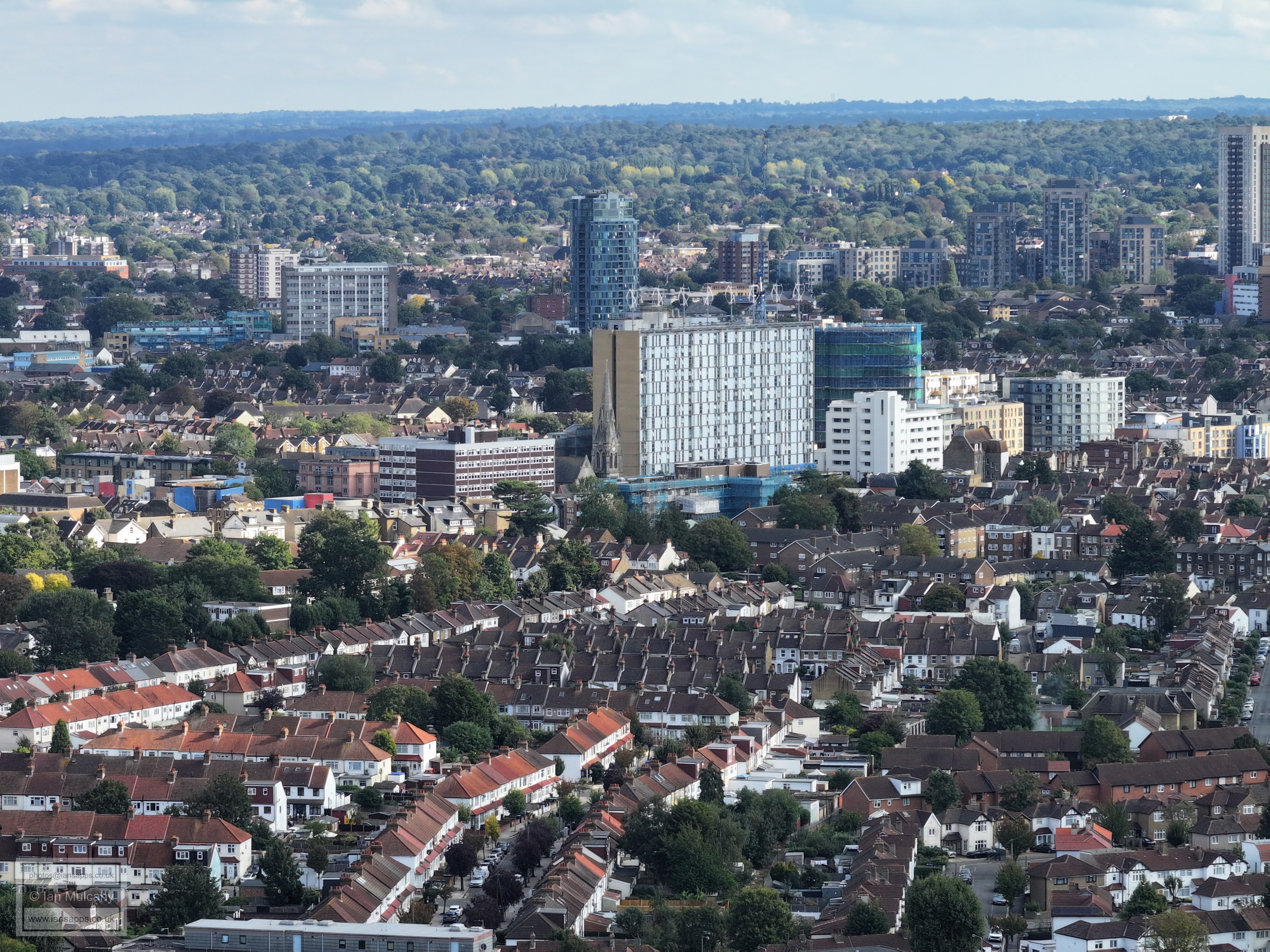
In the top left quarter, just behind the grey cuboid tower block, are the brown coloured flats which form part of AFC Wimbledons ground's southern and eastern sides. The roof of the main stand can just be seen when viewing the photo full size.
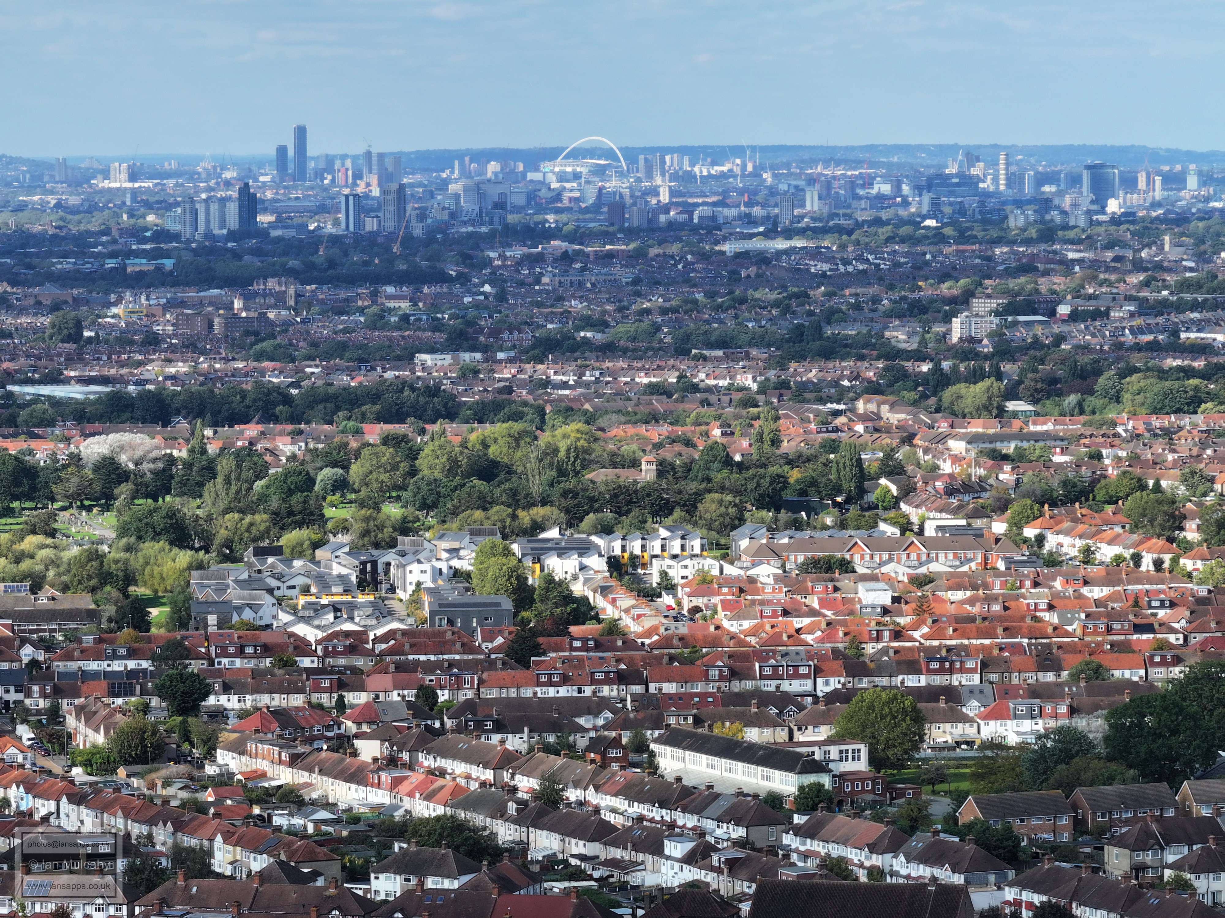
Wembley Stadium
Imperial Wharf and surroundings. In the top left quarter, towards the centre, one of the chimneys of the now derelict Lots Road Power Station is visible. Also in the top left quarter, far to the left and just below the thin tower which appears to have a green heart on the top, are the roof supports of Stamford Bridge (Chelsea)
The chimnesy of Battersea Power Station are visible in the centre of the top right quarter. The tall building just to the left of the power station is the Park Lane Hilton and the red triangular shaped building to the right is 160 Victoria Street.
To the left is the unmistakable Post Office Tower and the buildings in the centre are at Vauxhall. Between the two the US Embassy is visible if you know what you're looking for and to the right is the Millennium Wheel. Just to the left of the red coloured tower is the tip of the Queen Elizabeth Tower (Big Ben), but the clock face is hidden behind the shorter red building.
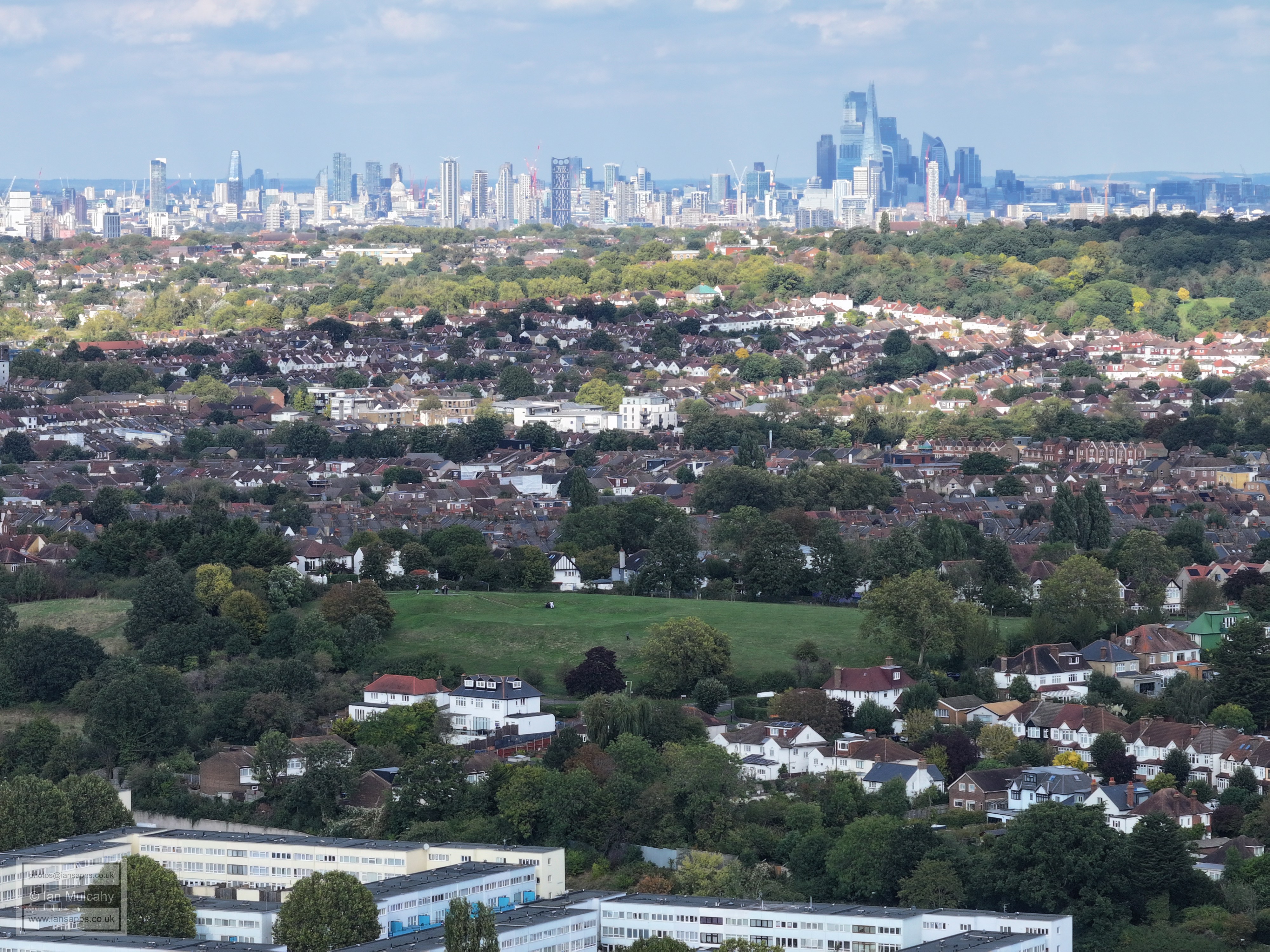
City of London. St Pauls Cathedral is midway across the top left quarter and the financial district is to the right, with The Shard in front. Virtually in the centre is Strata SE1, the block of flats with the three wind turbines on the roof at Elephant & Castle though, as with most green ideas which look good on paper, they aren't practical in reality and don't get used due to the excessive noise and vibrations that they caused.
Tower Bridge is on the very far left at the top, just above the tree line.
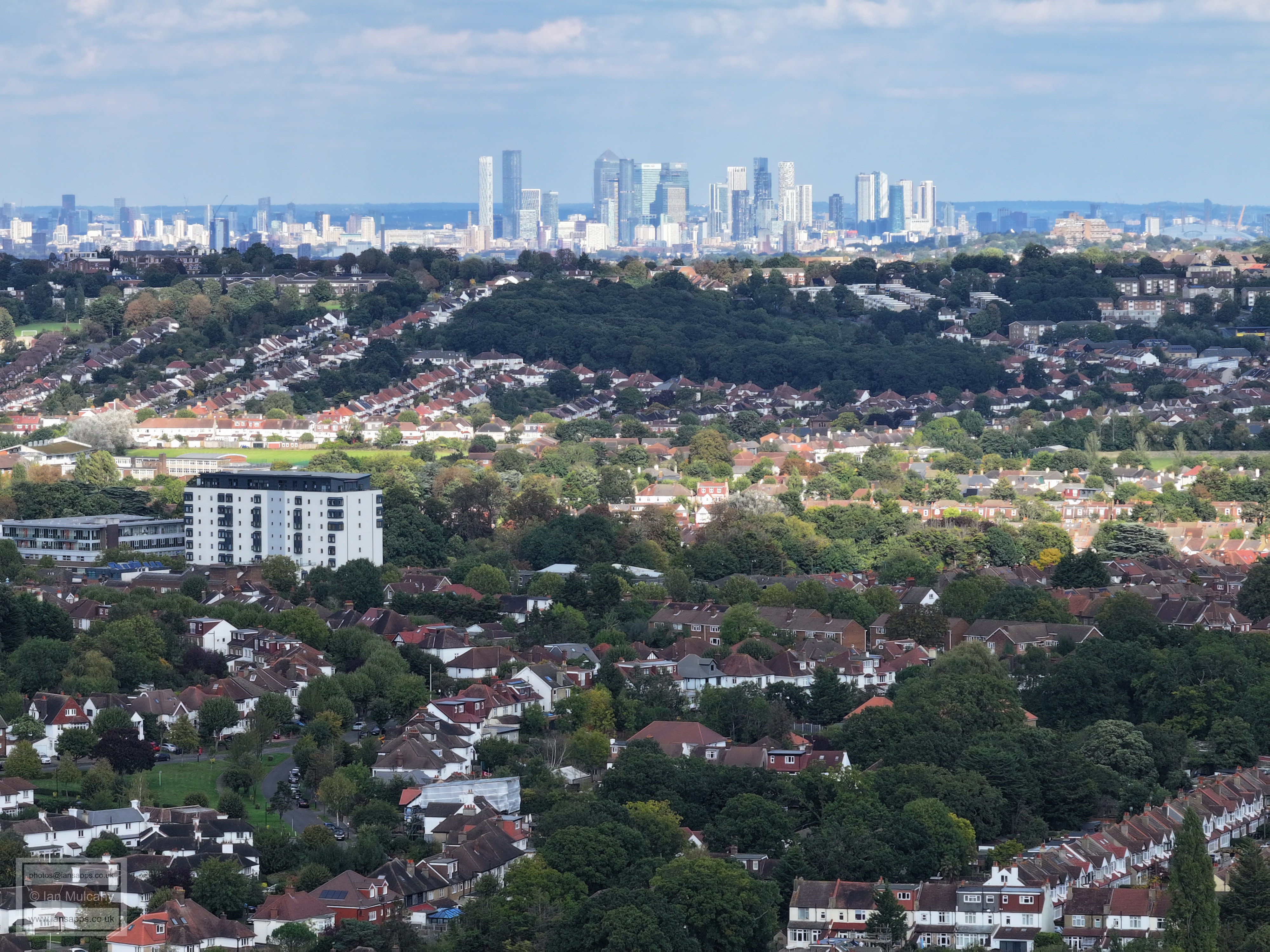
Docklands
Sydenham Hill. The Millennium Dome (O2 Arena) is in the top left corner.
Crystal Palace Transmitter
Back to the Arqiva Transmitter on Norwood Hill
Text & photographs © Ian Mulcahy. Contact photos@iansapps.co.uk or visit my 'Use of my photographs' page for licensing queries (ground level photographs only). |
|