Target Hill
Broadfield
27 October 2024
65 aerial photographs of varying focal lengths
|
65 aerial photographs from the site of the old kennels on Target Hill, Broadfield on Sunday 27 October 2024 including full 360 degree panoramas from each of a 24mm, 70mm and 170mm lens.
I've added brief annotations to some of the photos to help with your bearings and highlight points of interest.
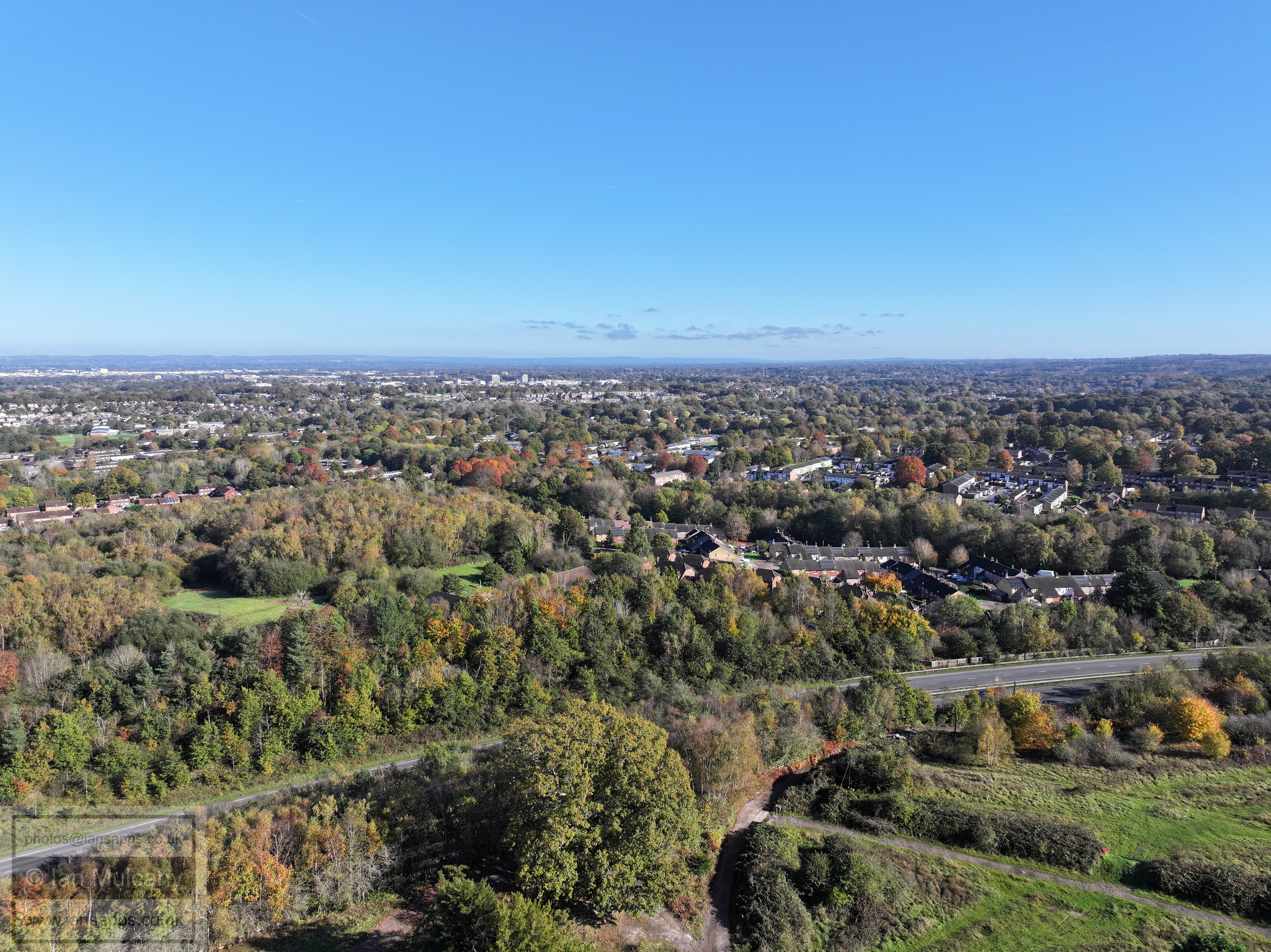
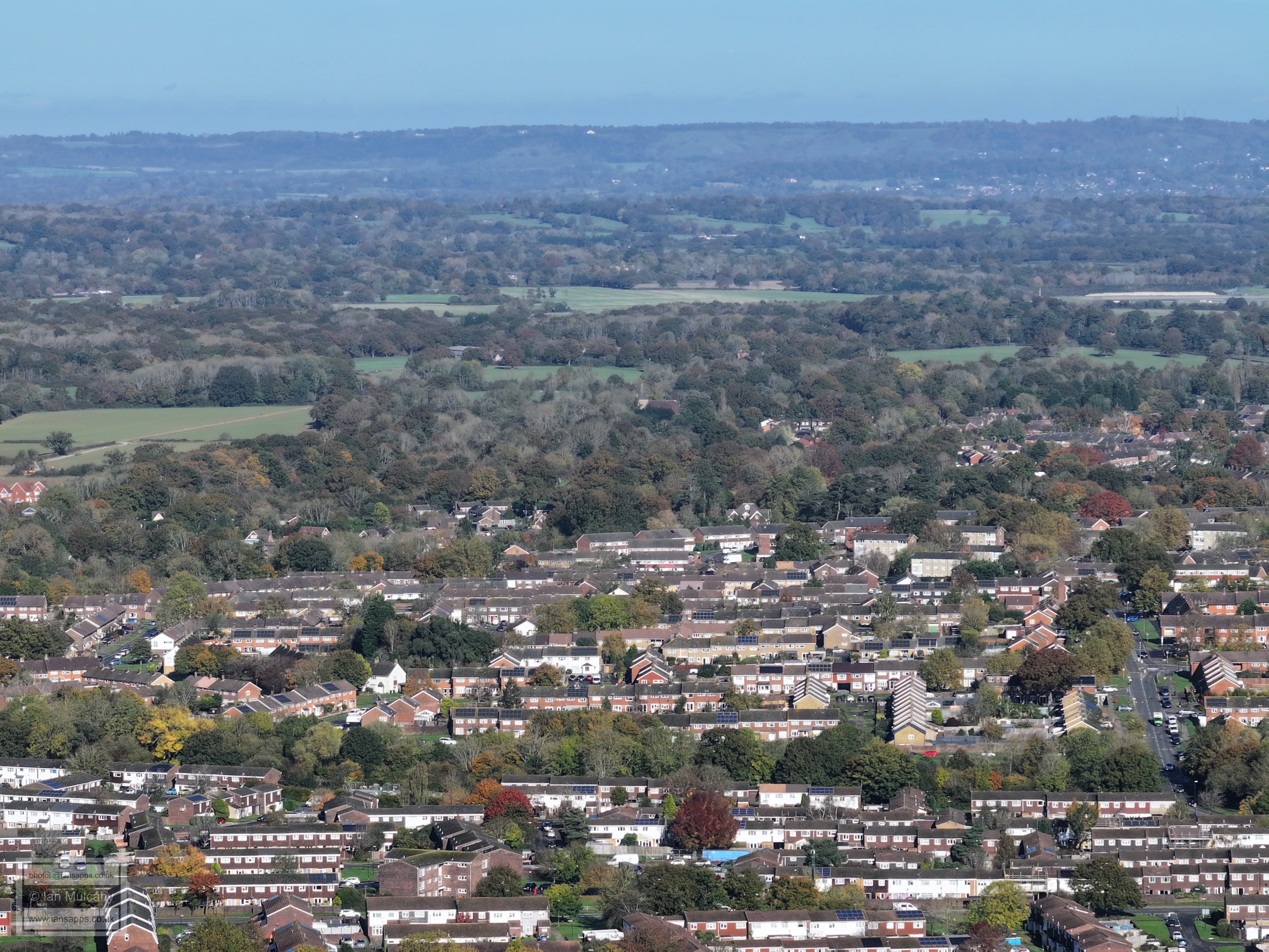
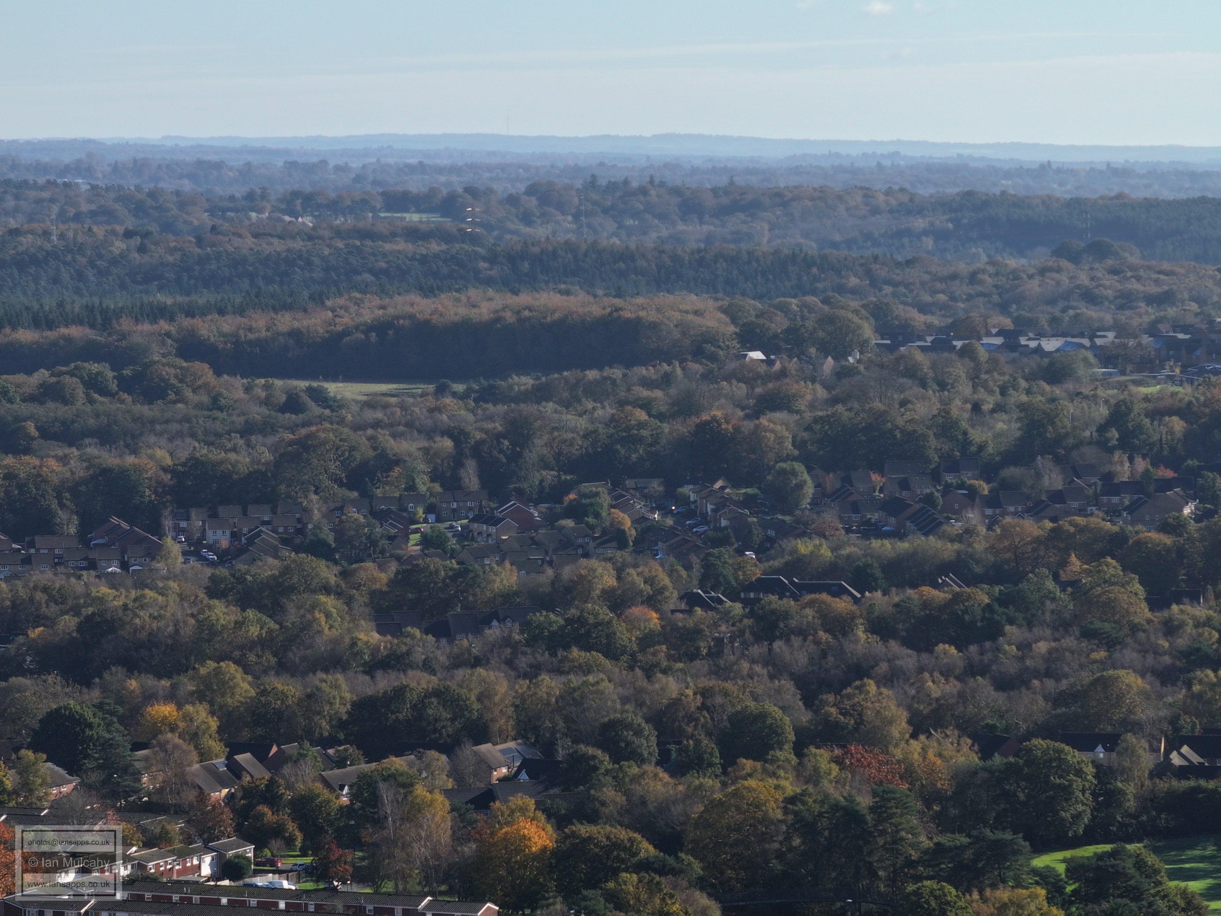
The Broadwood Rise and Hobbs Road area is closest.
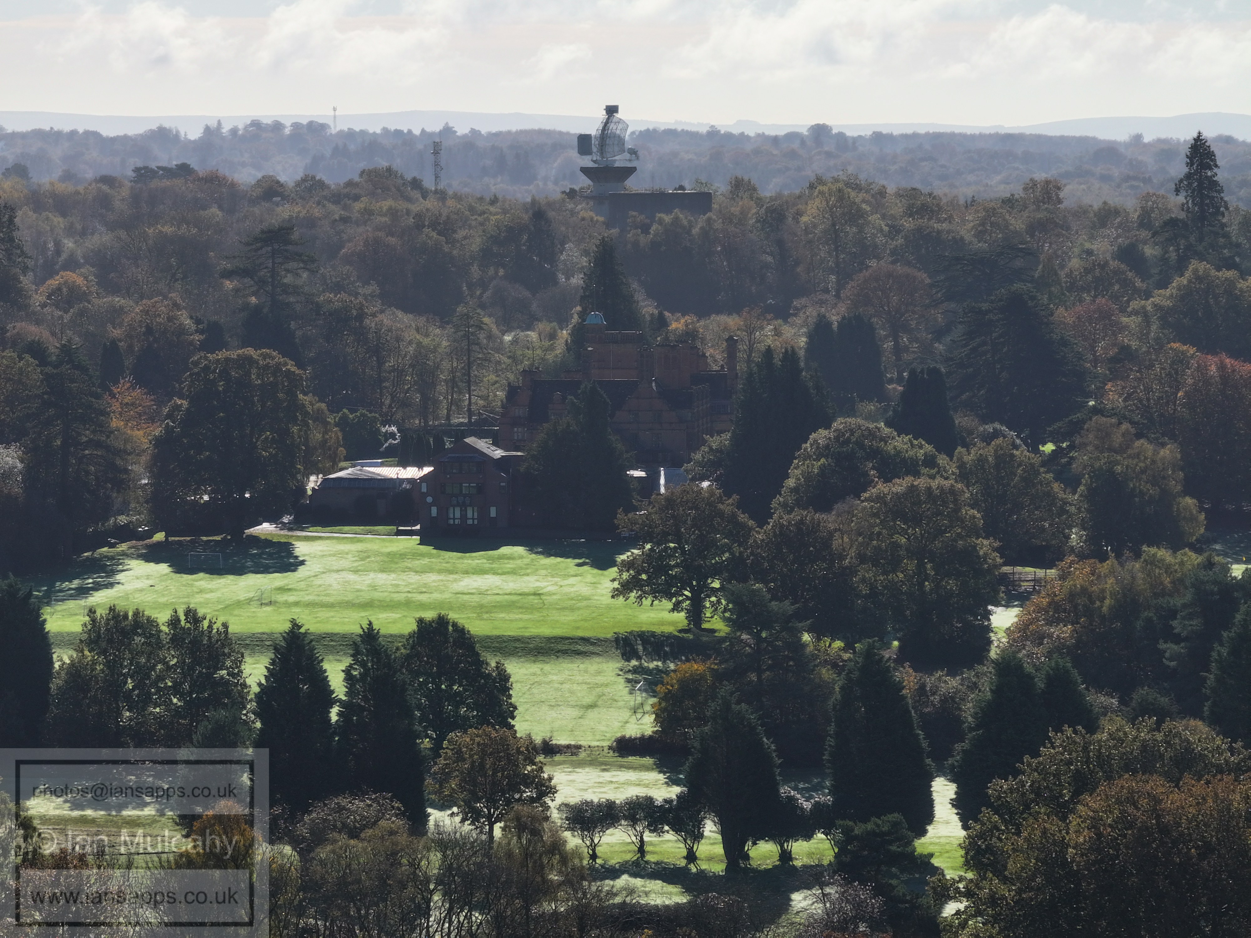
Cottesmore School, the radar and the water tower. This would have been much better with the sun higher (or in the east or west) and a less hazy day, but such is October...
School grounds
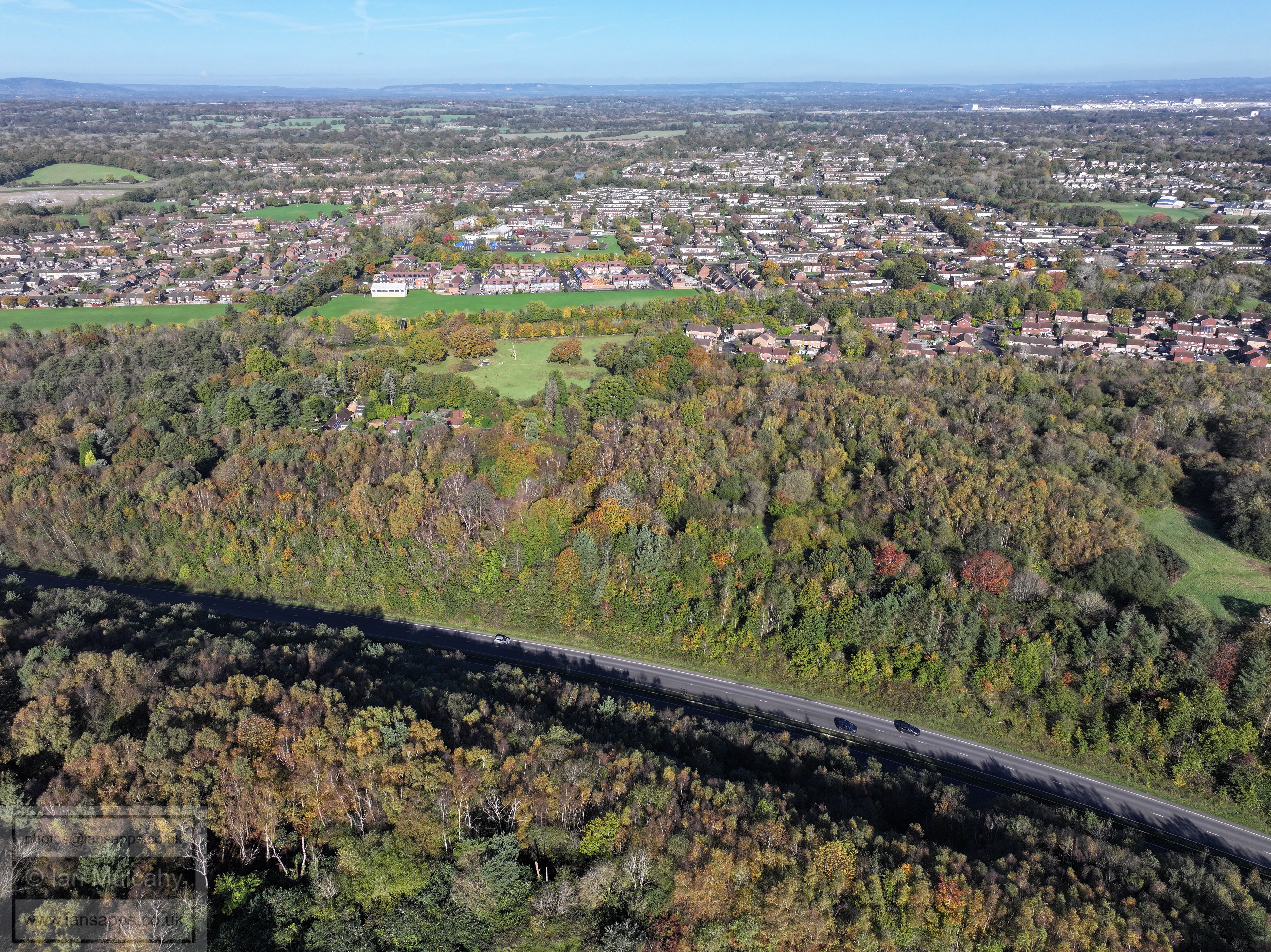
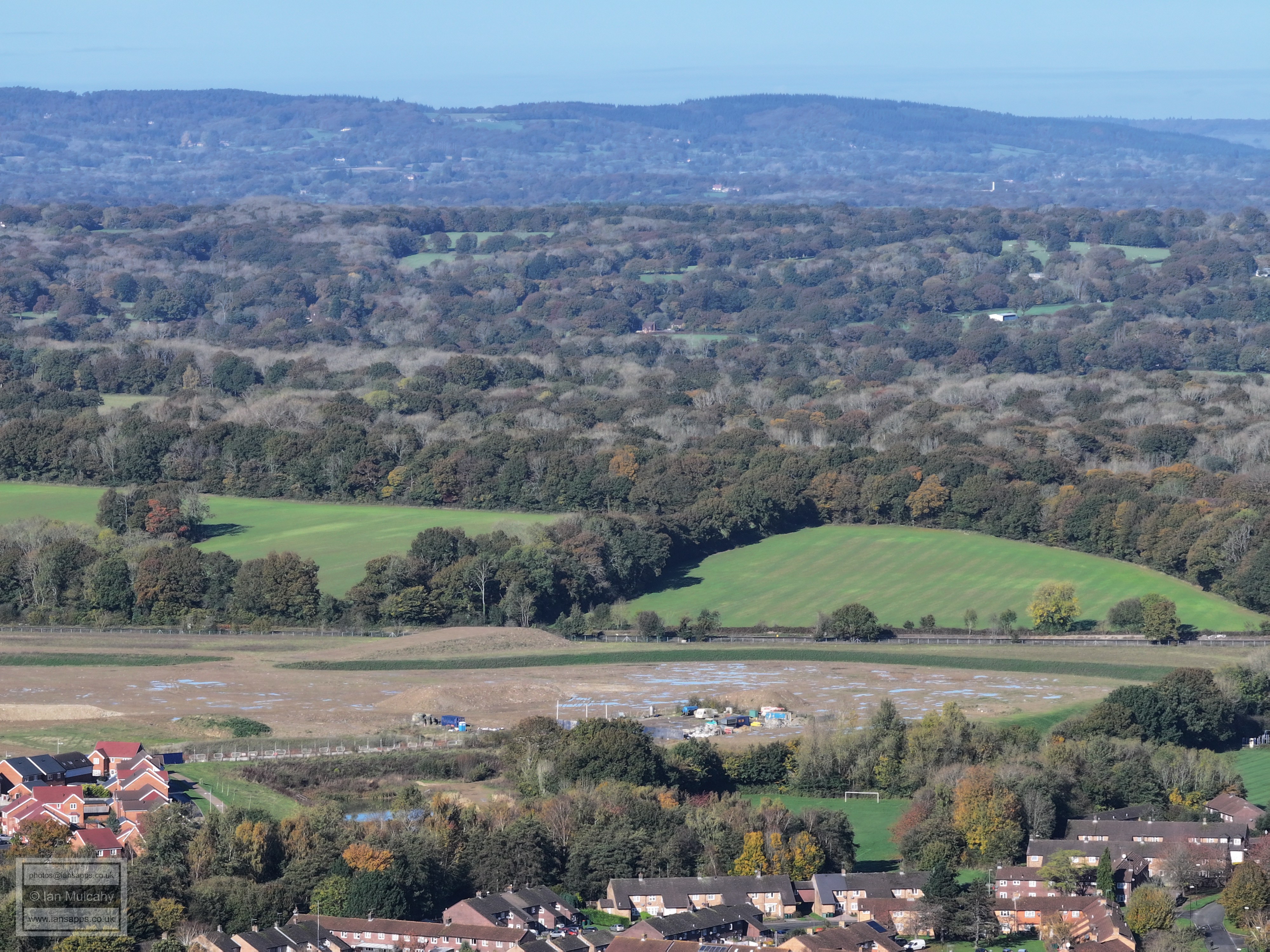
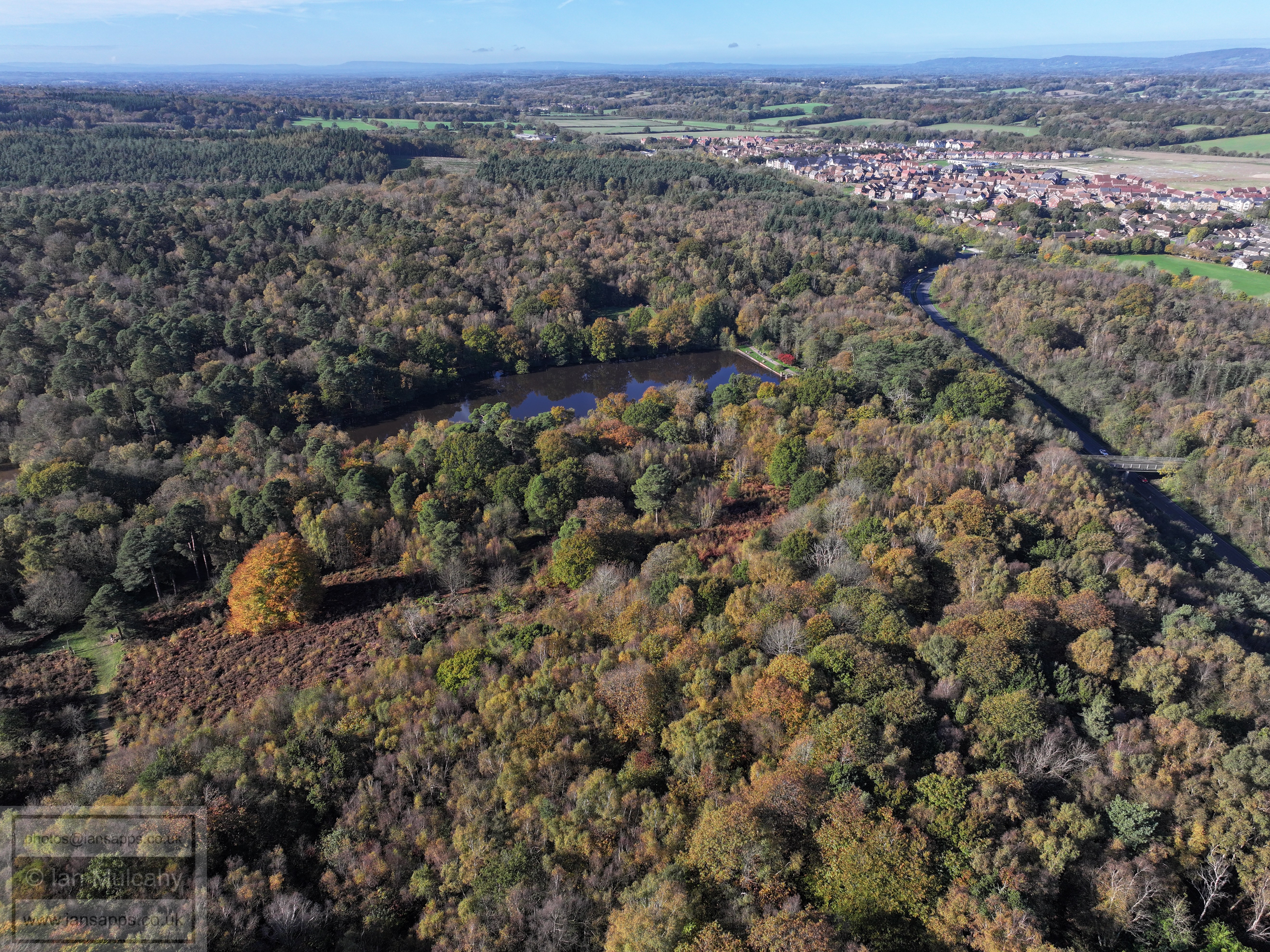
Buchan Lake, the south western bypass and Kilnwood Vale
Bewbush, Ifield & Gossops Green
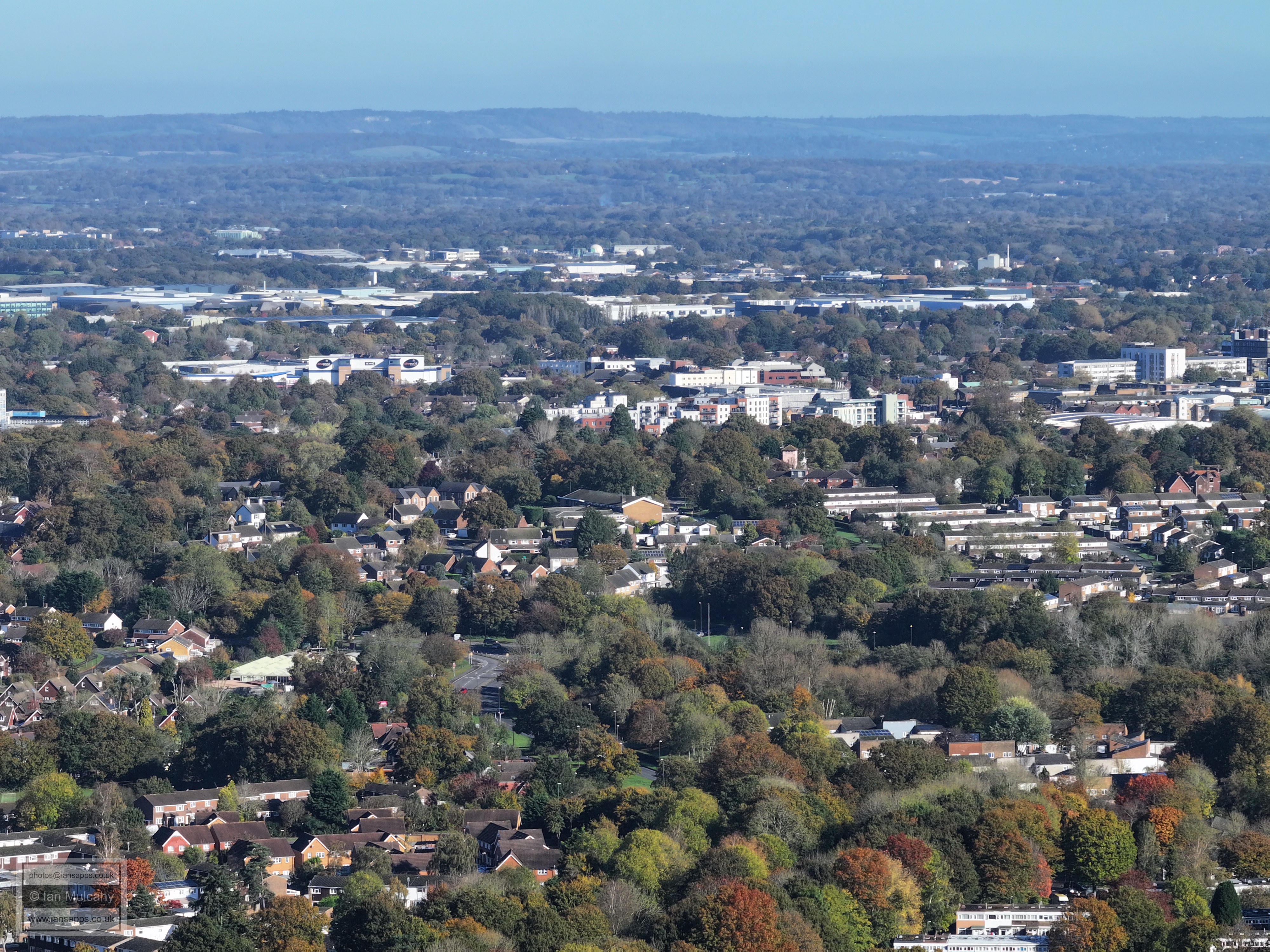
Broadfield, Tilgate, Southgate & the Town Centre
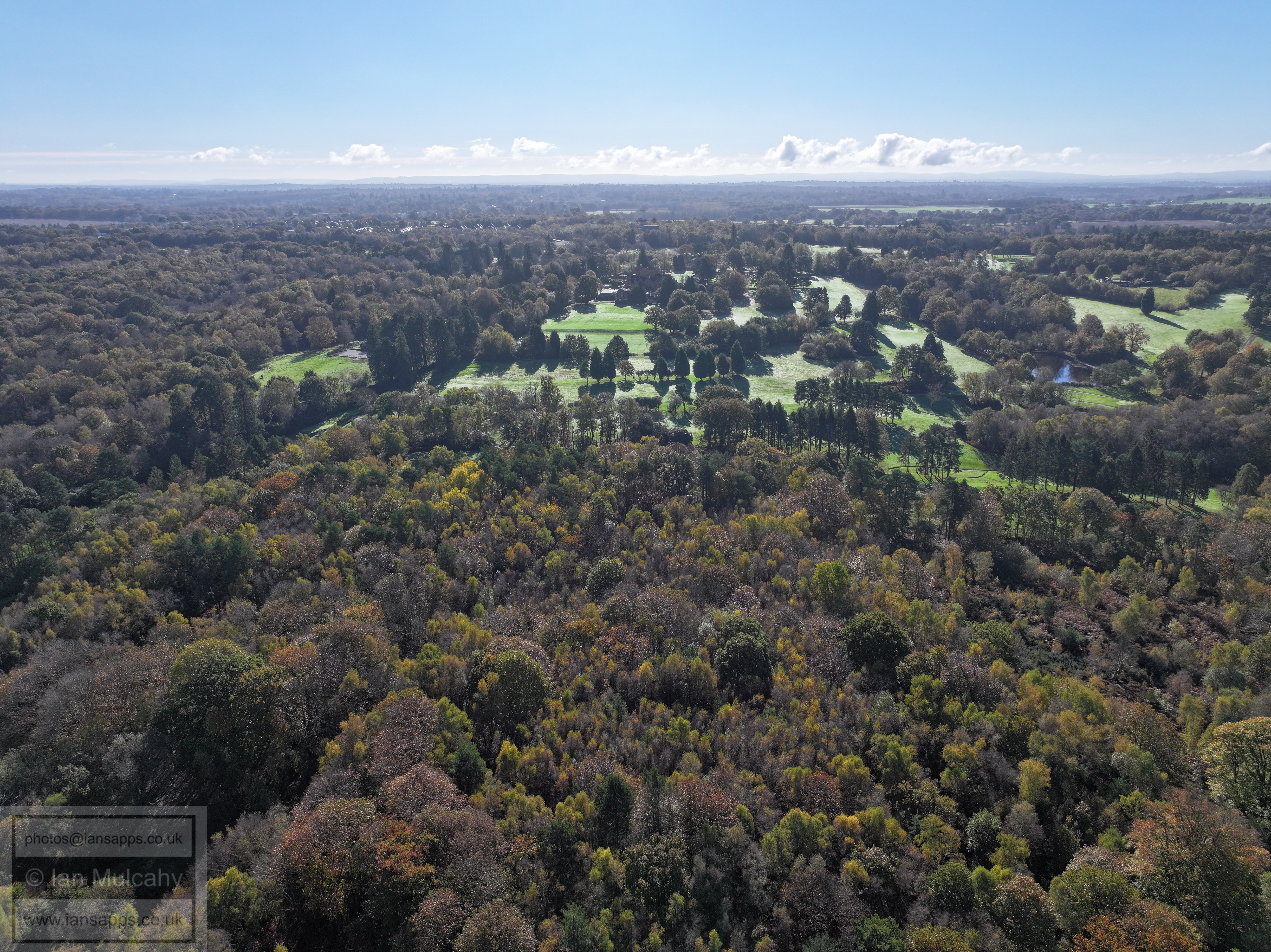
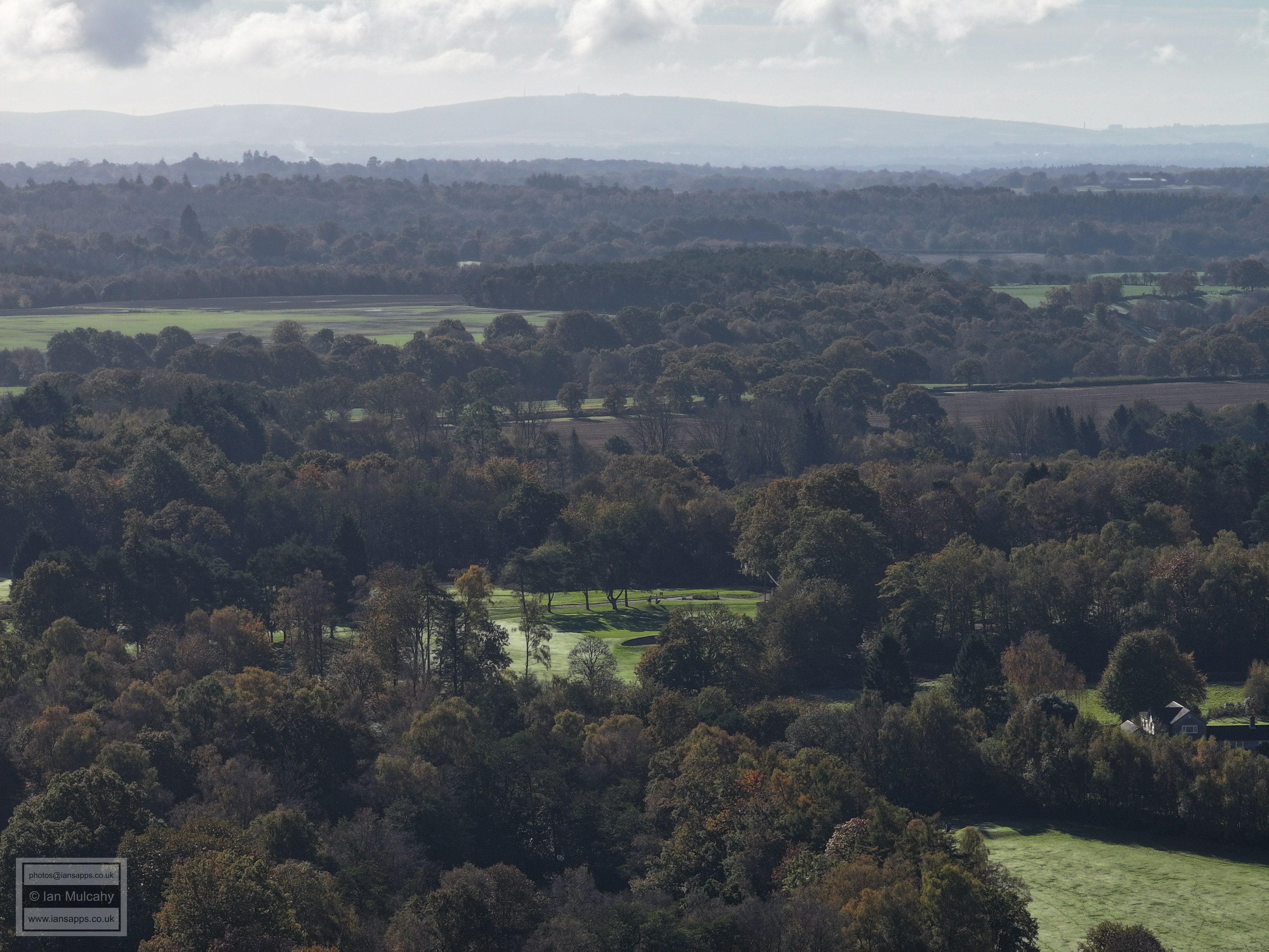
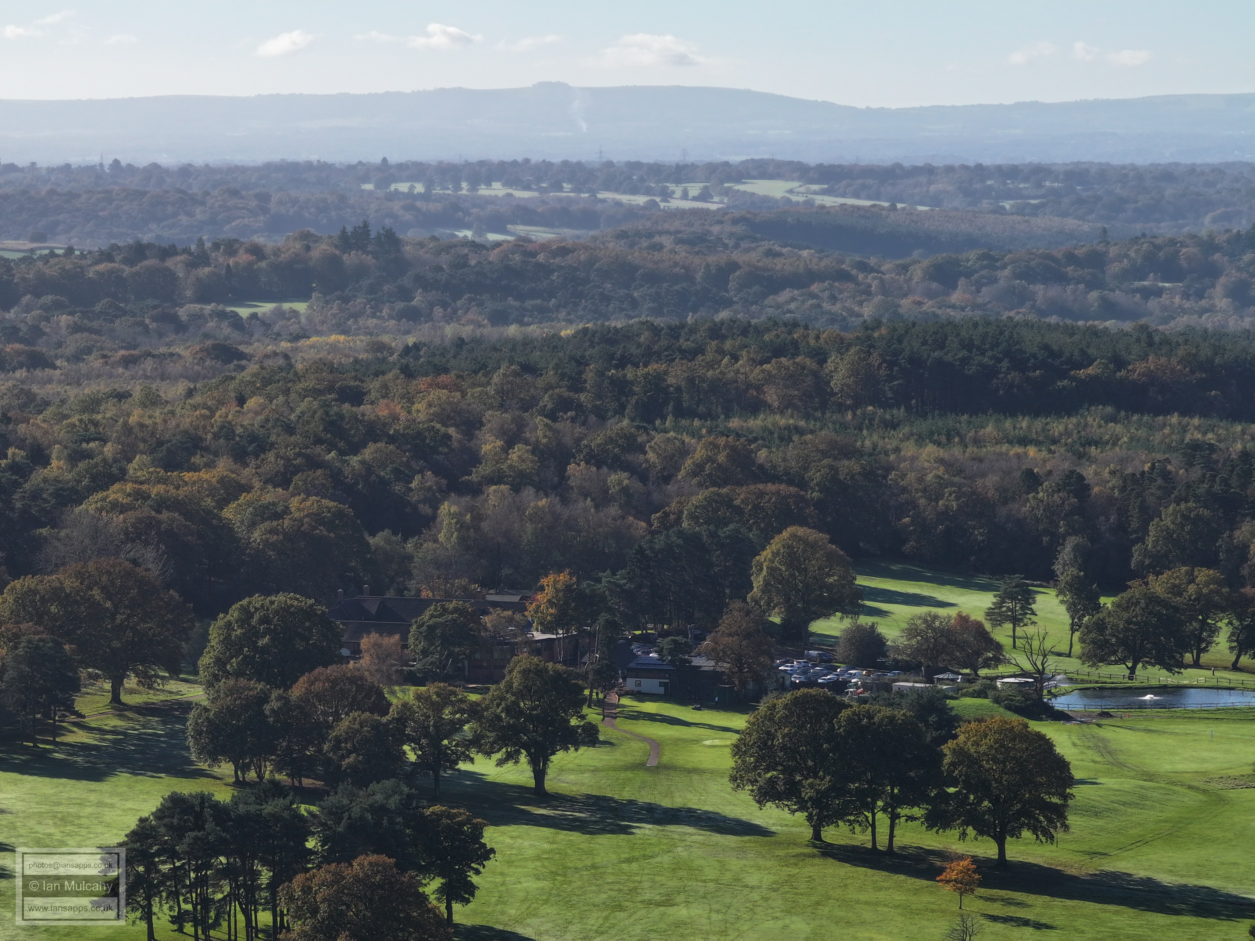
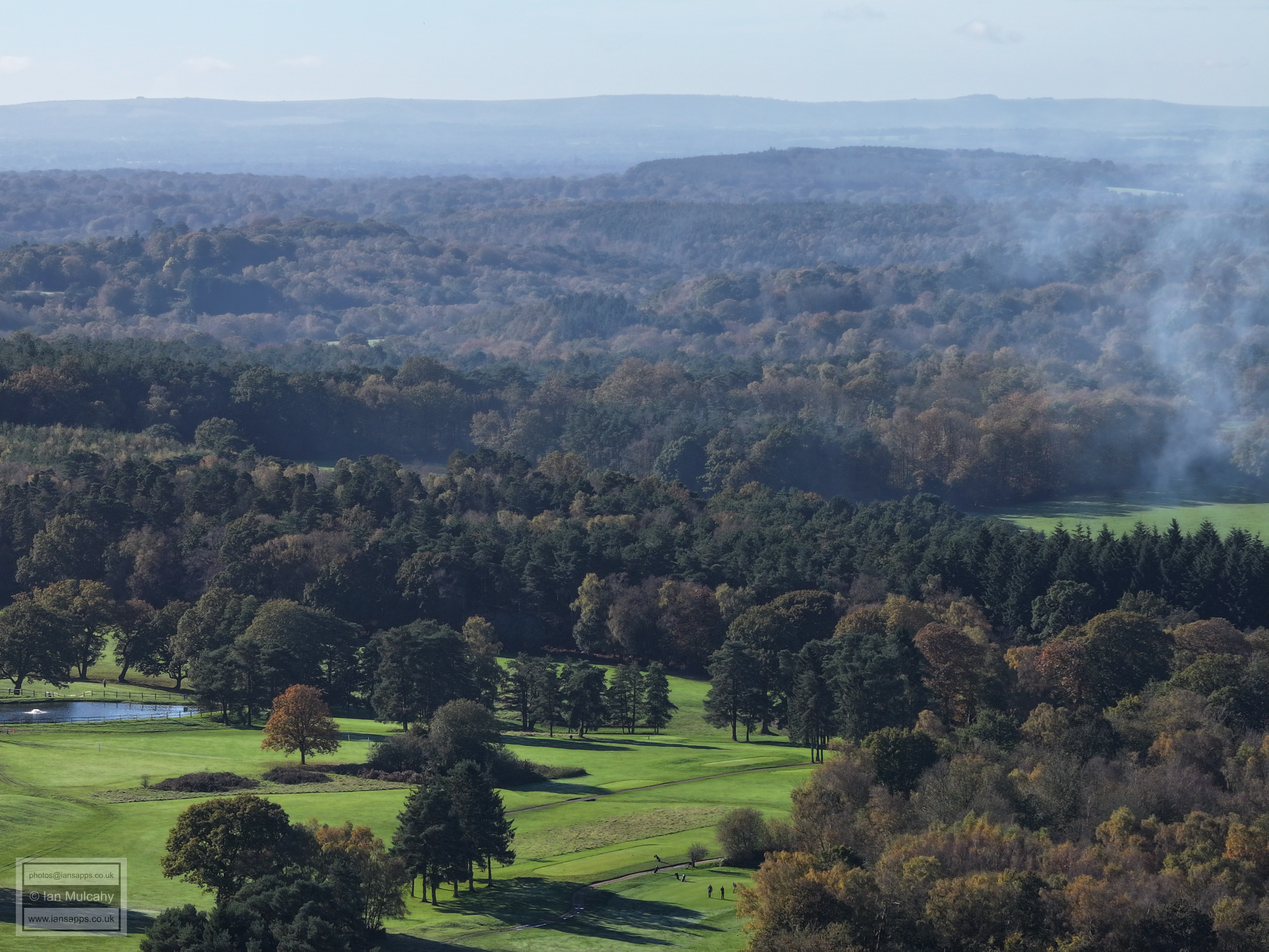
Cottesmore Golf Club
The green open space is the lawns to the north of Holmbush
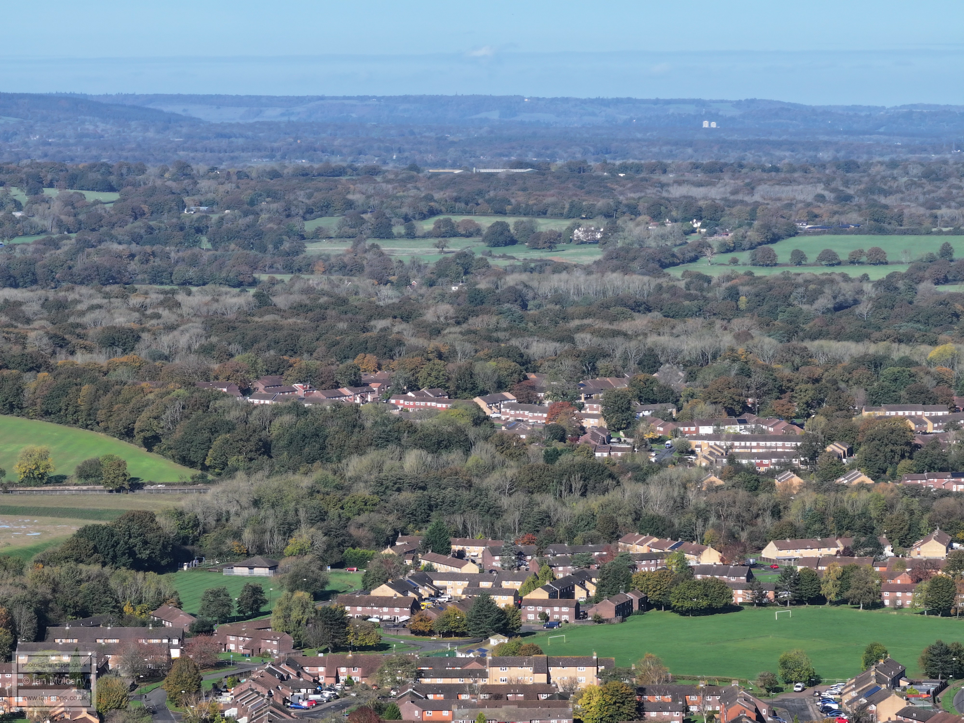
Bewbush & Ifield West
Bewbush and Gossops Green. The millpond is on the left of the top left quarter with Ifield Brook Meadows beyond.
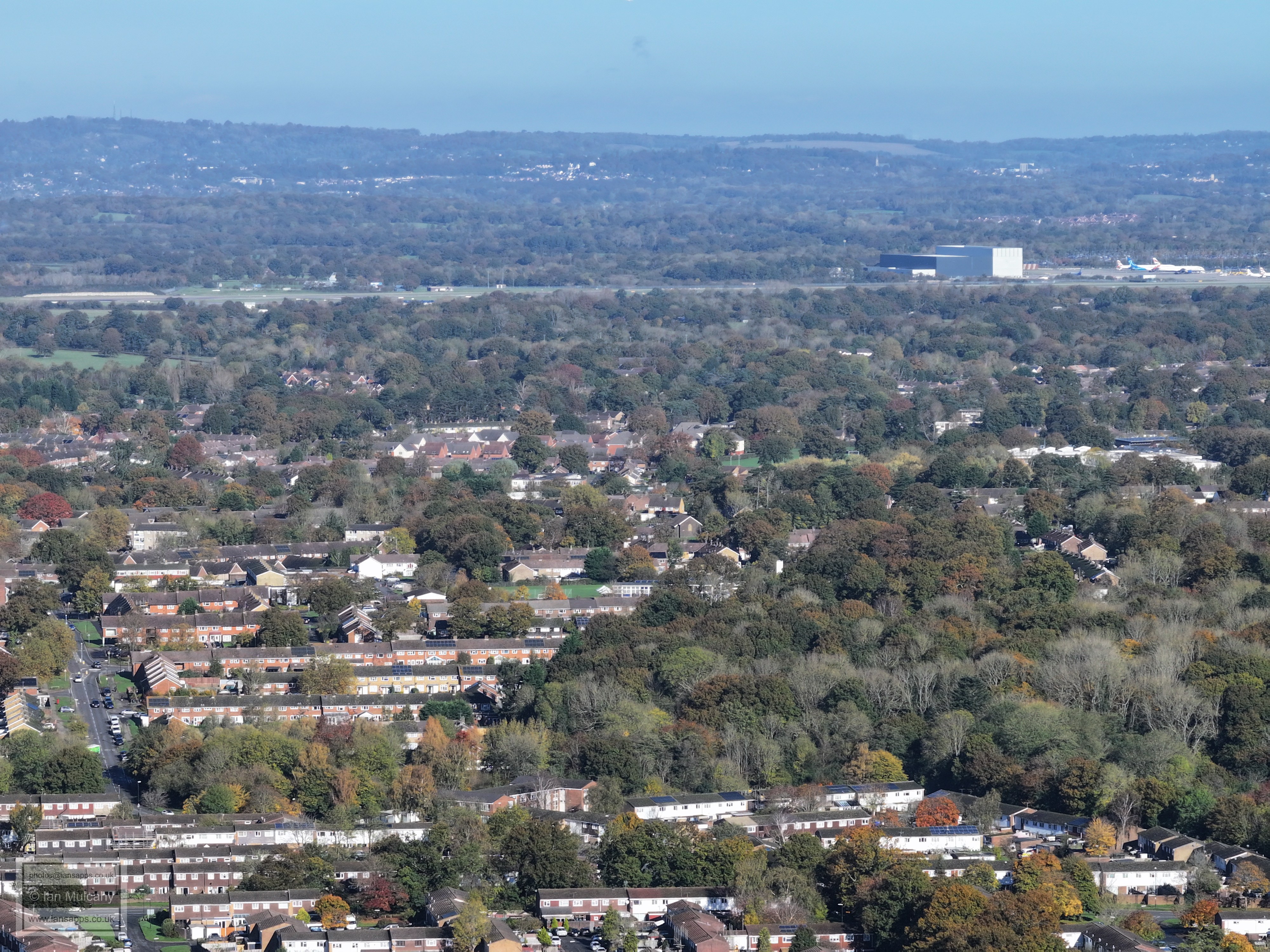
Holy Trinity in the centre, Gatwick at the top. You'll also spot the hospital.
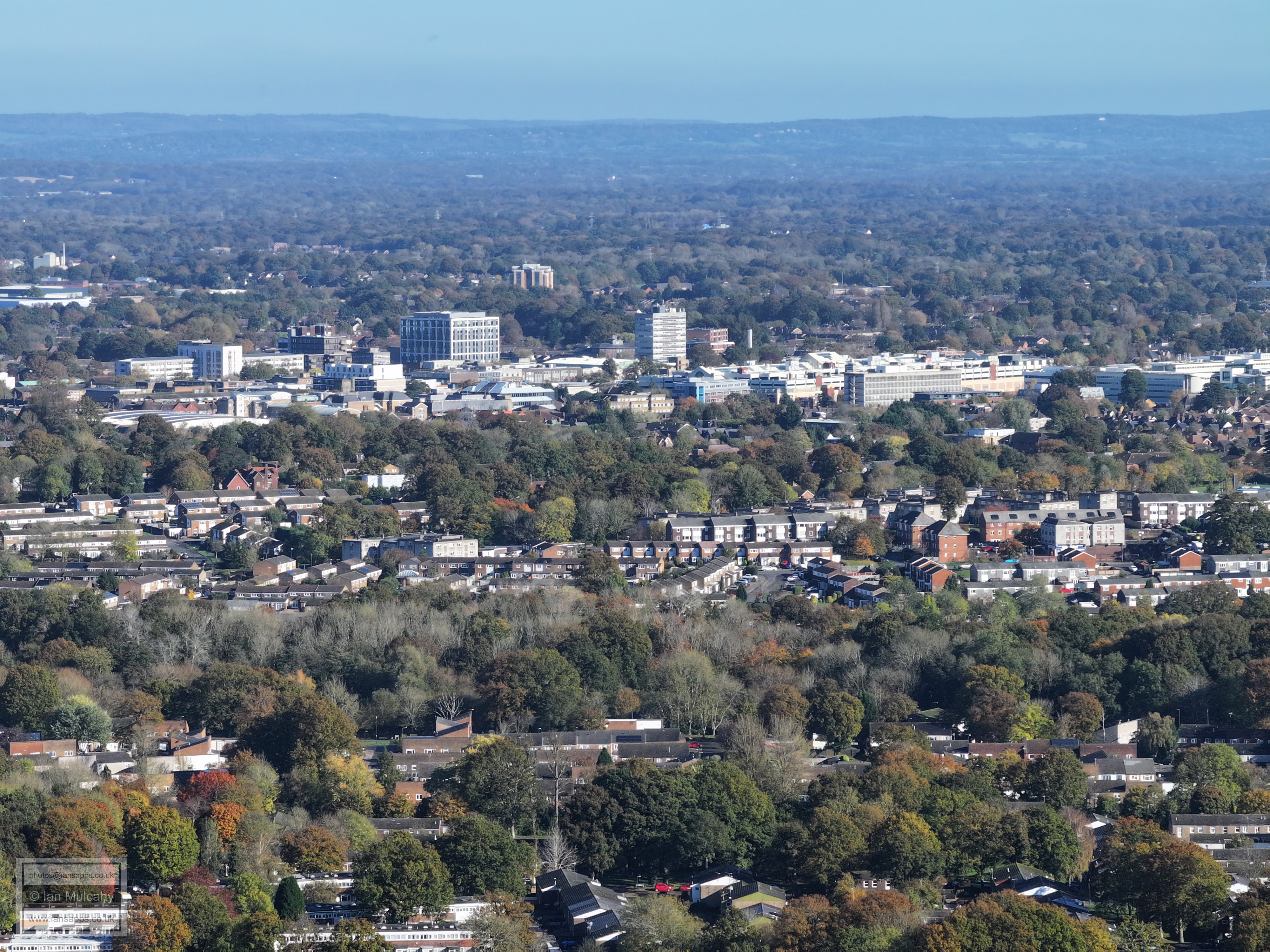
Broadfield, Southgate West & the Town Centre
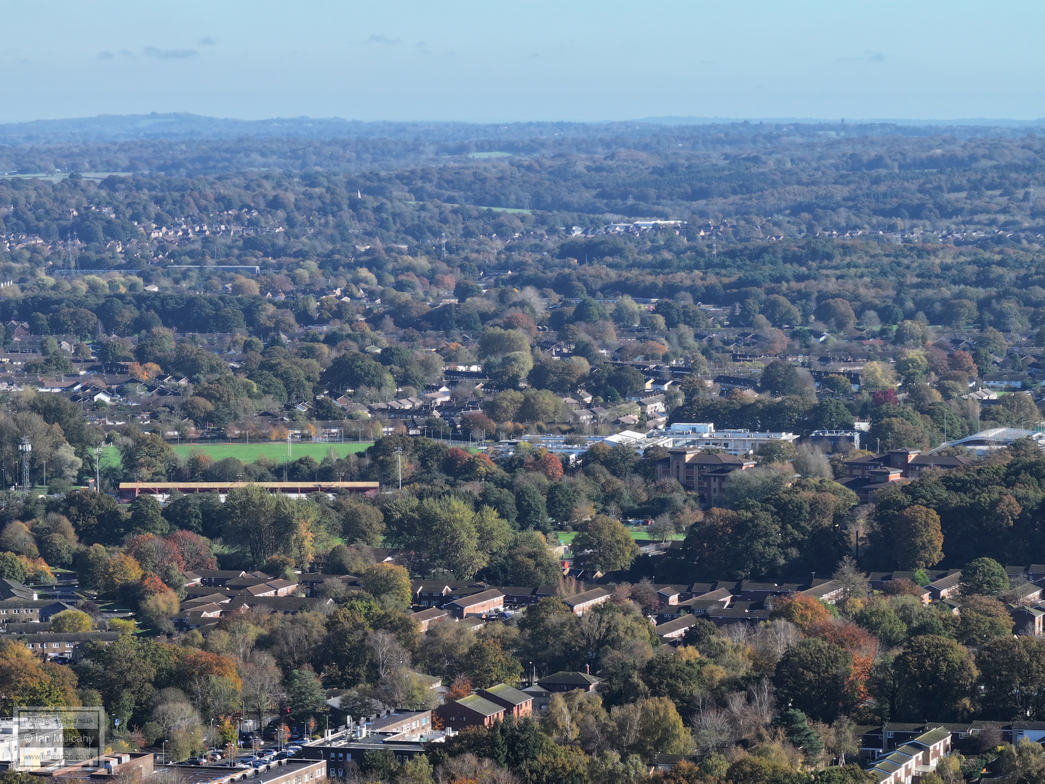
Broadfield Barton in the centre with Seaford Road and Creaseys Drive areas below. A little way above the Barton is the roof of the Gazebo Stand at Crawley Town Football Club with K2 to the far right of the stadium.
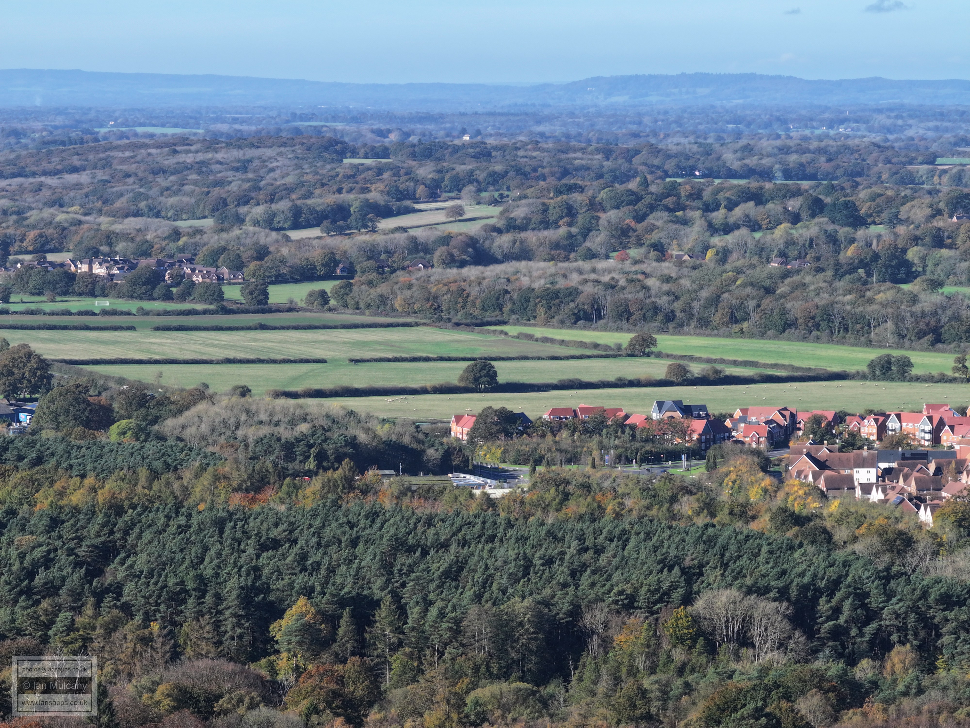
In the centre is Creaseys Drive playing fields. Going up the hill from left to right in the top left quarter is the Tollgate Hill area and Woodgate at Pease Pottage is in the centre (and the haze) near the top.
In the haze, in front of the Downs just to the right of centre, is the spire and chapel at St Hugh's Charterhouse Monastery in Cowfold.
Cottesmore golf club and hotel
To the right of centre behind Denne Hill is the water tower at Christs Hospital.
In the top left quarter are the spires of St Mary's and St Mark's in Horsham
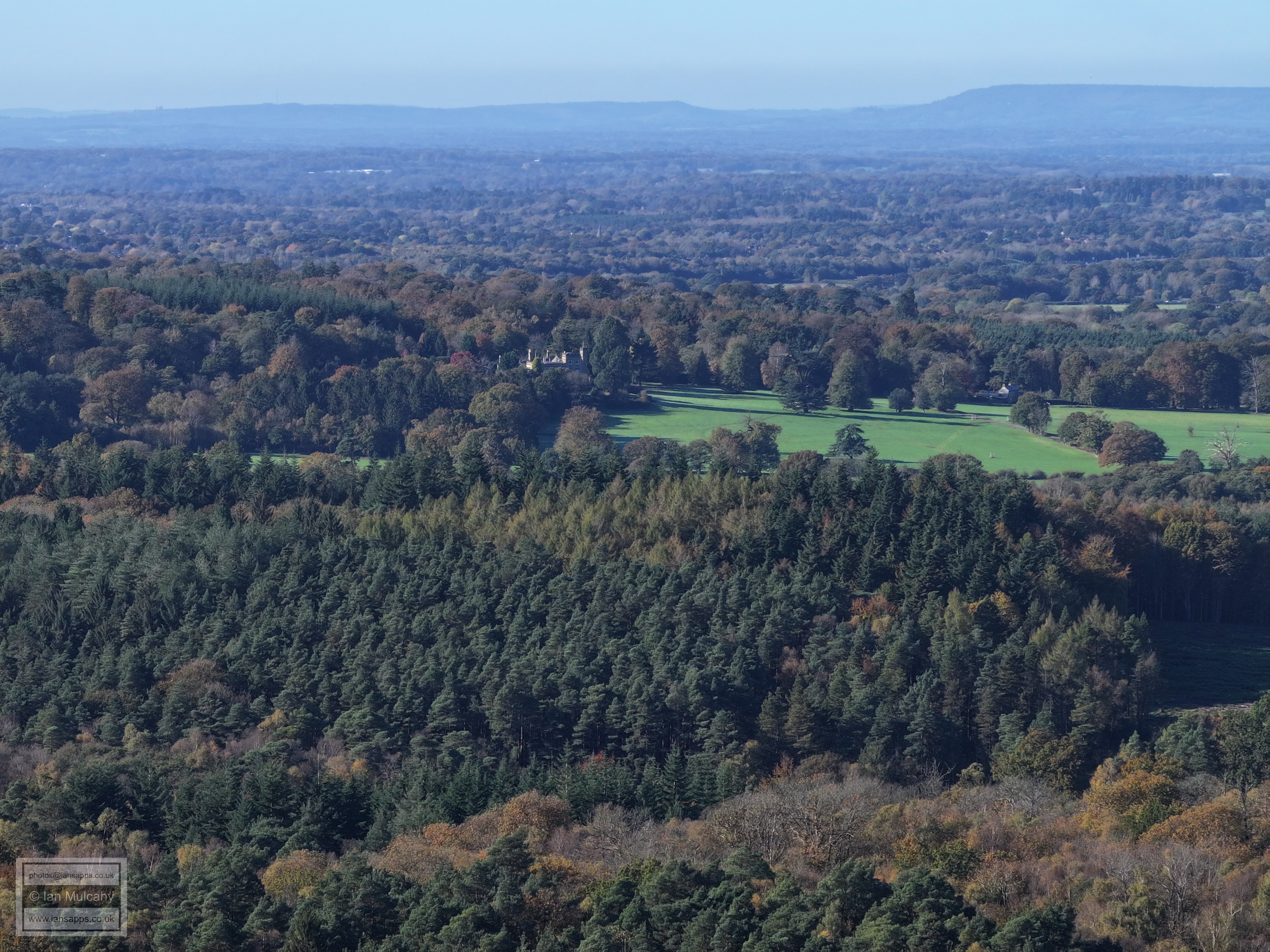
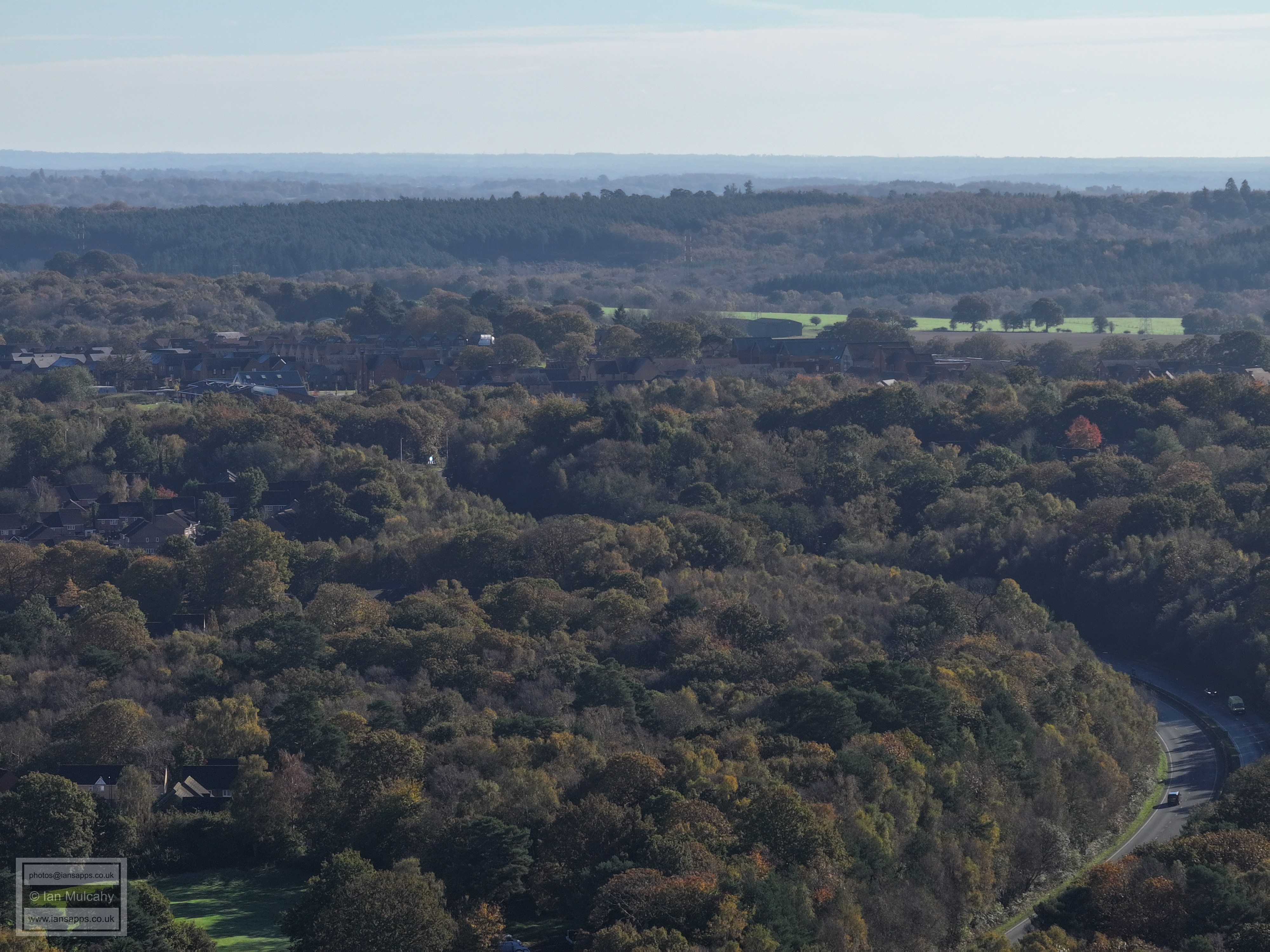
Just above centre is Holmbush
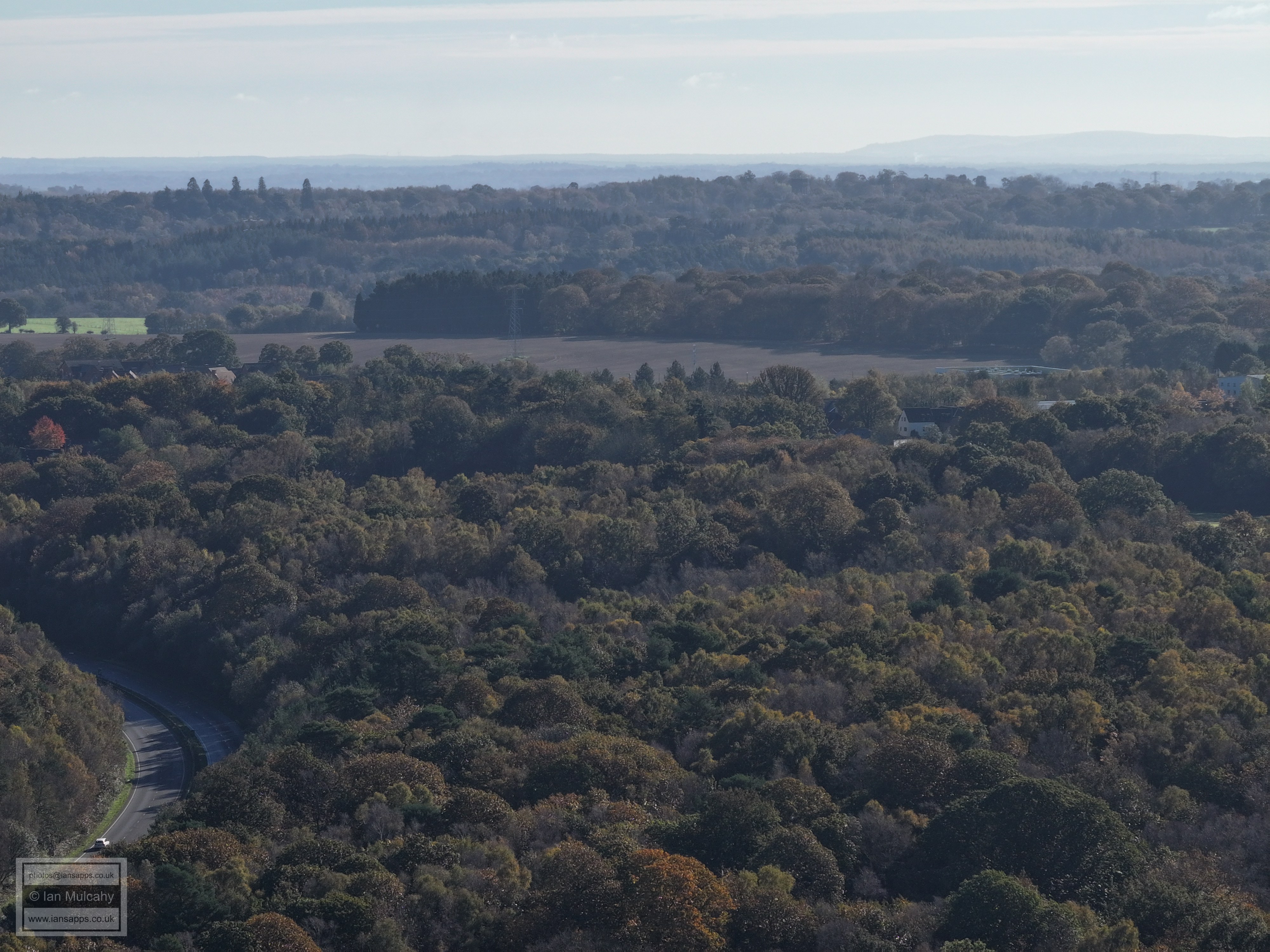
Right of centre are the goalposts on Faygate playing fields
The white building in the centre near the top is Park Farm on the Rusper to Horsham Road near the Nunnery. In the bottom of the vale, which is well illustrated here and running horizontally across the centre of the picture is the railway line between Ifield & Horsham
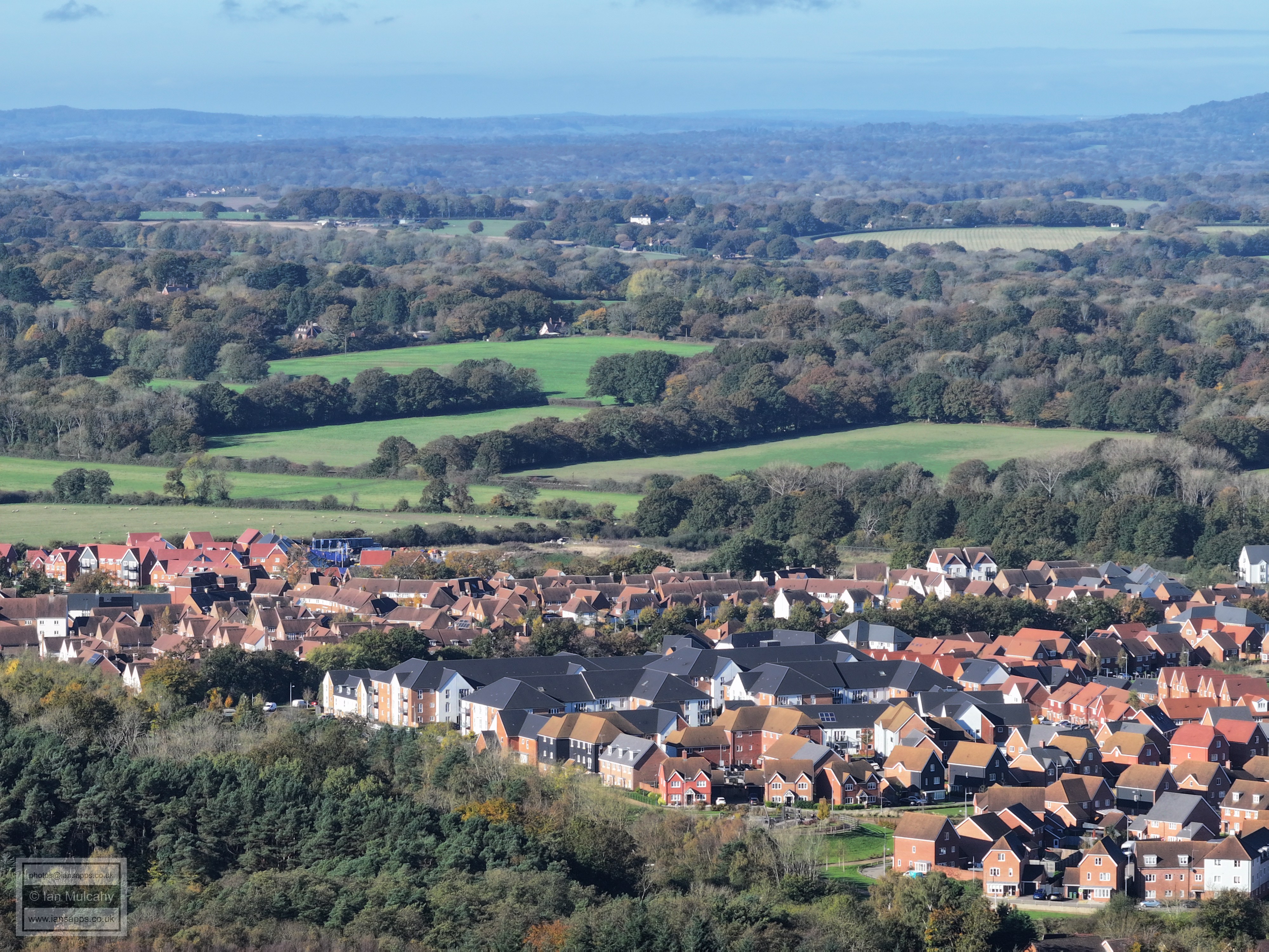
Pondtail Shaw, with the the three storey buildings of Kilnwood Vale encroaching into it.
In the top left quarter is Rusper (spot the church) and Normans is just below, towards the centre. On the far left, just below centre, is the prep work for one of the two road bridges over the railway which will link the northern part of Kilnwood Vale with the rest of the estate and the Horsham Road.
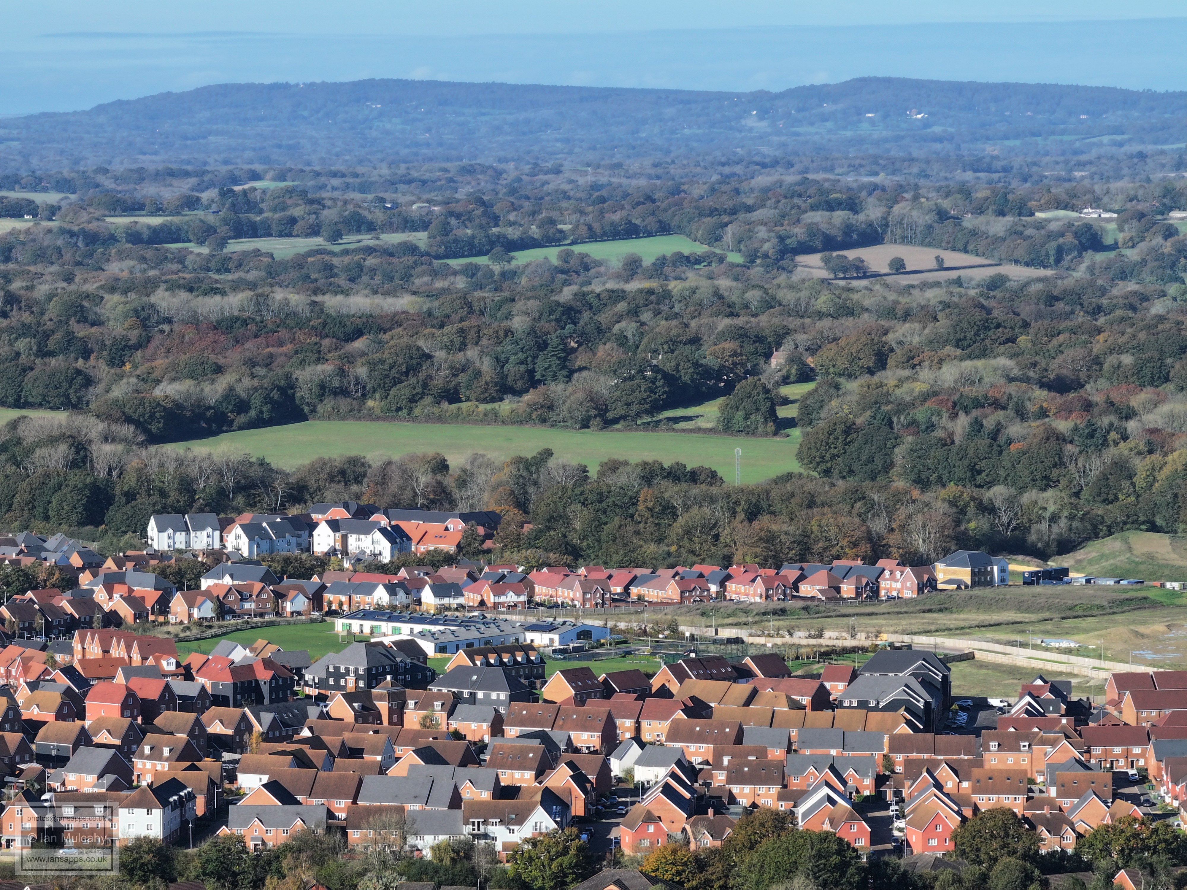
The house just above centre are at the junction of Rusper Road, Langhurst Lane and Burnthouse Lane. Just below centre and the railway is the prep work for the second bridge. The football pitch in the bottom right quarter is the southern pitch Bewbush West
In the bottom left quarter is the other pitch at Bewbush West and on the right is Bewbush Green. Beyond the railway is Ifield West and the White house just to the right and above centre is The Mount. To the top right quarter are the two tower blocks south of Dorking.
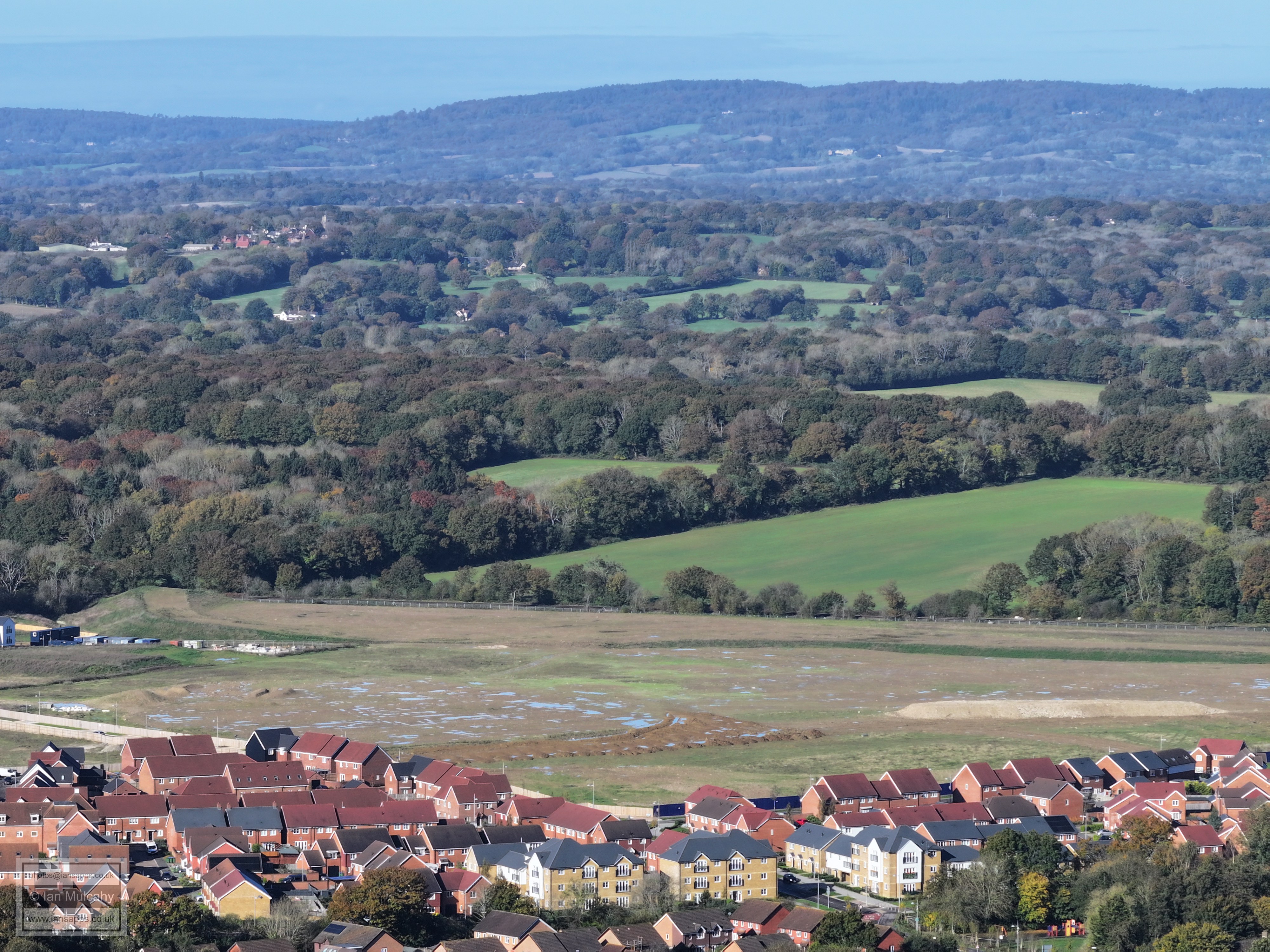
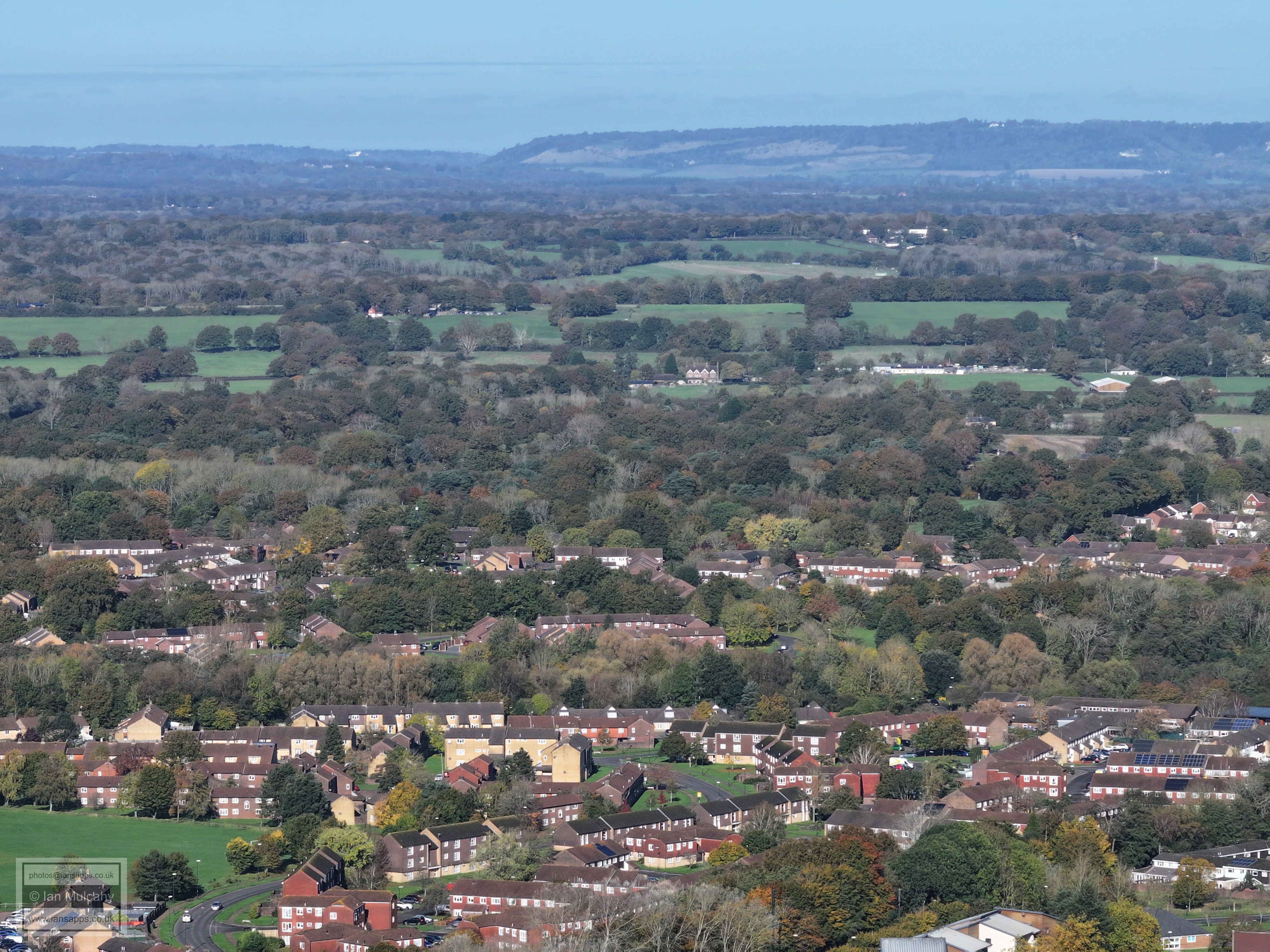
Bewbush and Ifield West Bonwyckes Place is on the centre and Box Hill on the horizon. In the top right quarter is (the white) Russ Hill Hotel.
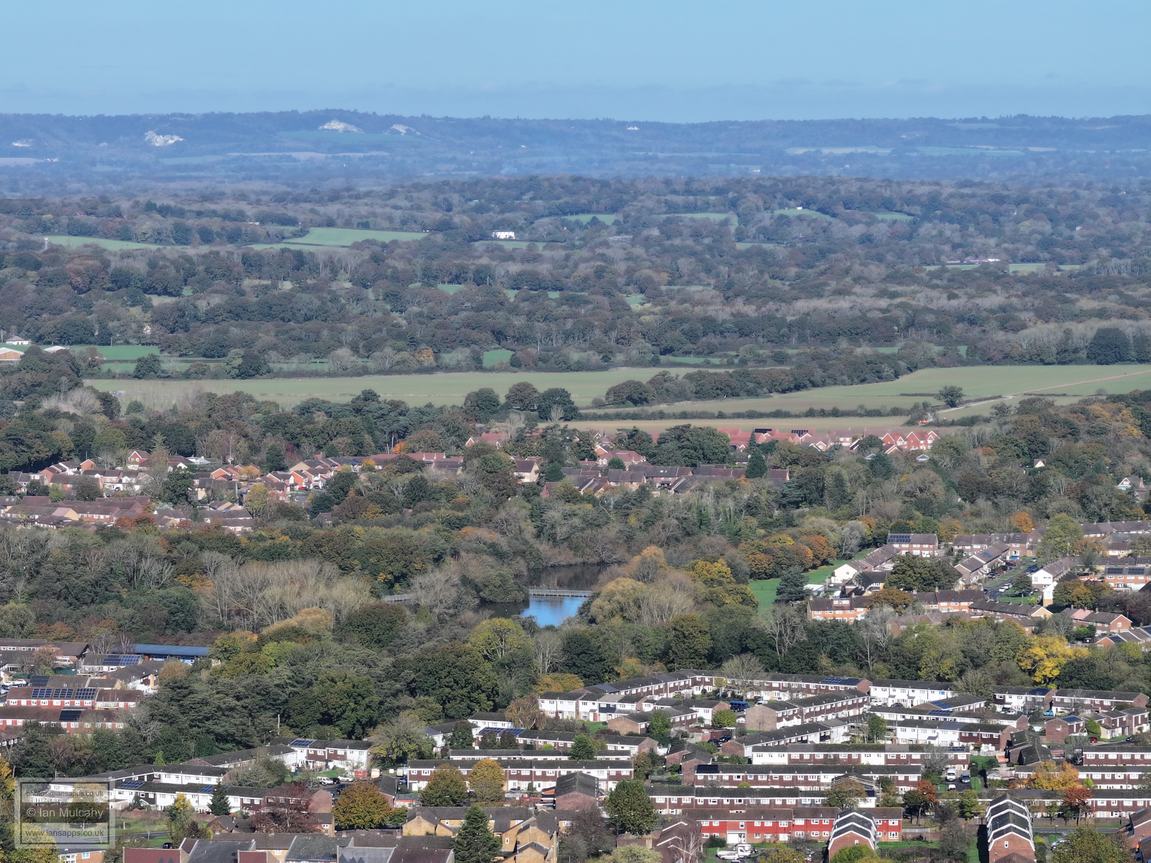
Ifield Millpond and the brook meadows beyond. The large white building above centre is on Russ Hill close to the windmill.
Bewbush, Gossops Green and Ifield. St Margaret's Church is centre.
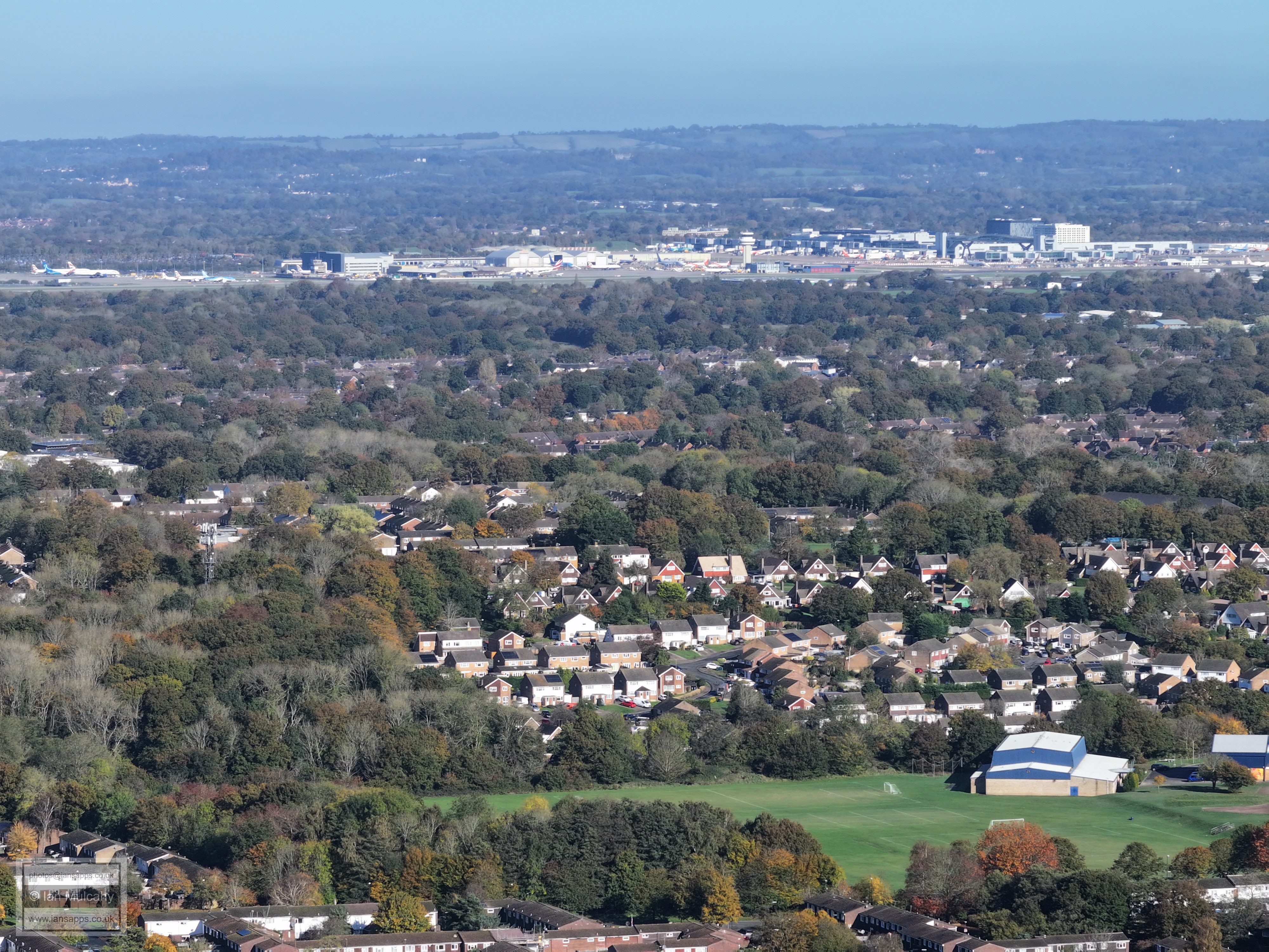
On the right is the wooded hill of Woldhurstlea. The airport, Reigate & Redhill are in the distance
Woldhurstlea is on the left and Holy Trinity is in the bottom right
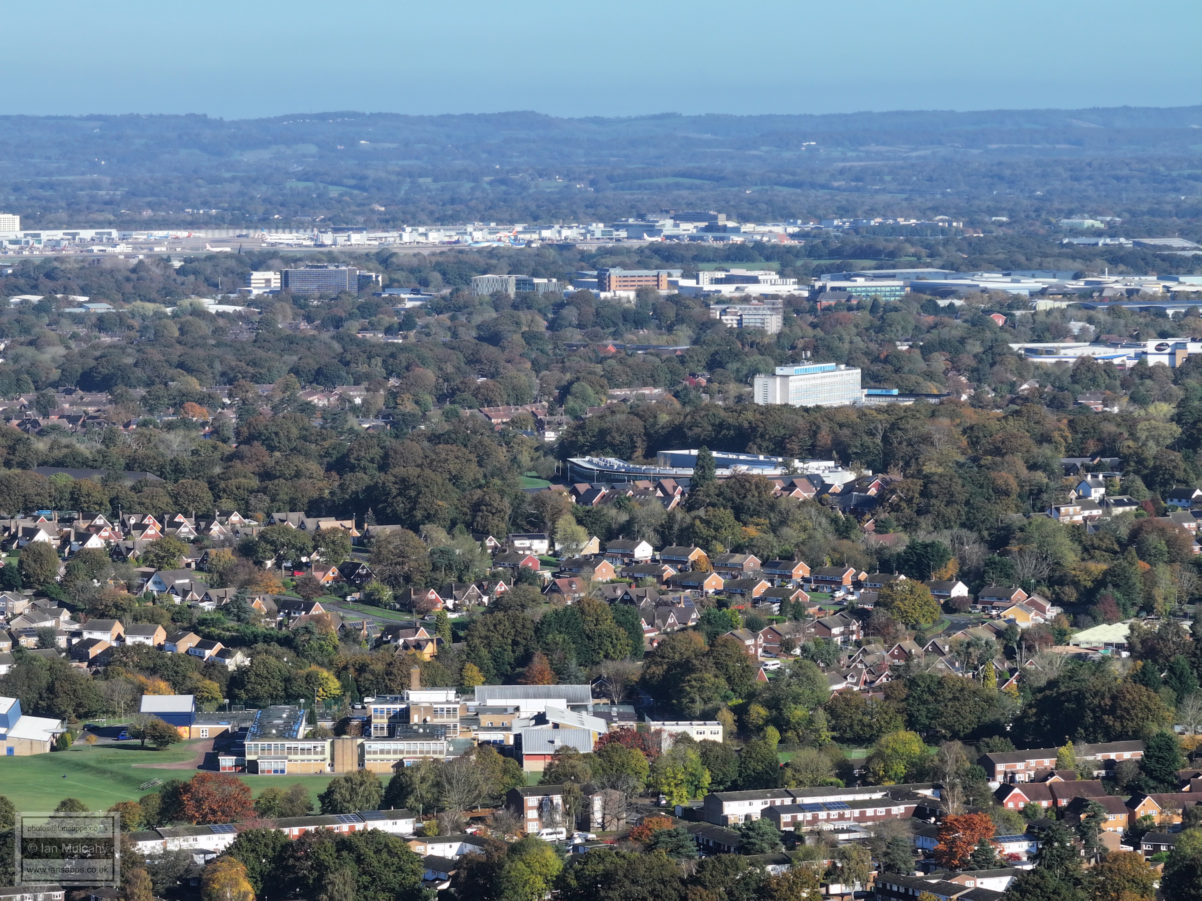
From the bottom is Holy Trinity, St Wilfred's, the hospital and most of the Industrial Estate. To the right of the hospital is Crawley Leisure Park.
Lots going on here! In the bottom left quarter is Cheals Roundabout and in the very bottom right are the houses of Plantain Crescent. Dead centre is the Mormon Church on the corner of old Horsham Road and Horsham Road and to the right is the tower of Masons Hall at the end of Goffs Park Road, below which are the neat rows of houses in Clayton Hill. In a line above the church from left to right are Crawley Leisure Park, the flats around the Ifield Road/Peglar Way roundabout and the roof of Asda, above which is Woodall Duckhams, or 'Platform' as it's now known as. Beyond is the southern end of the Industrial Estate.
From thebottom up, Broadfield, Southgate West, Town Centre, Sandman Hotel
Milon Mount flats are in the top left quarter and just above and to the right of centre is Southgate playing fields, with Hawth Woods and the Paymaster Building (Sutherland House) behind.
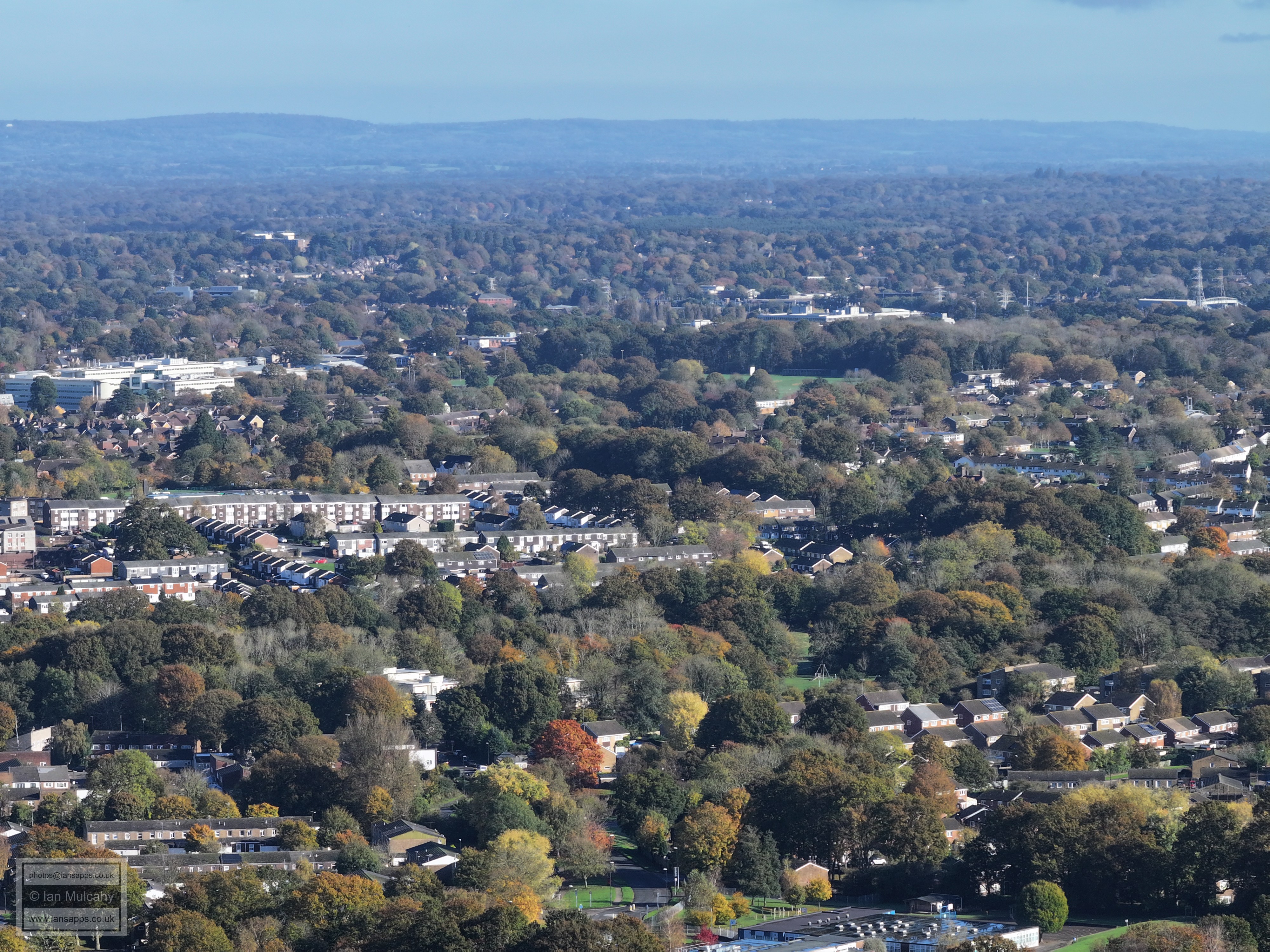
The London to Brighton Mainline runs horizontally across the photo about a quarter of the way down (spot the train!) with Maidenbower above and Furnace Green, Tilgate & Southgate below. The spire of St Nicholas at Worth can be seen on the far right about 15% down from the top.
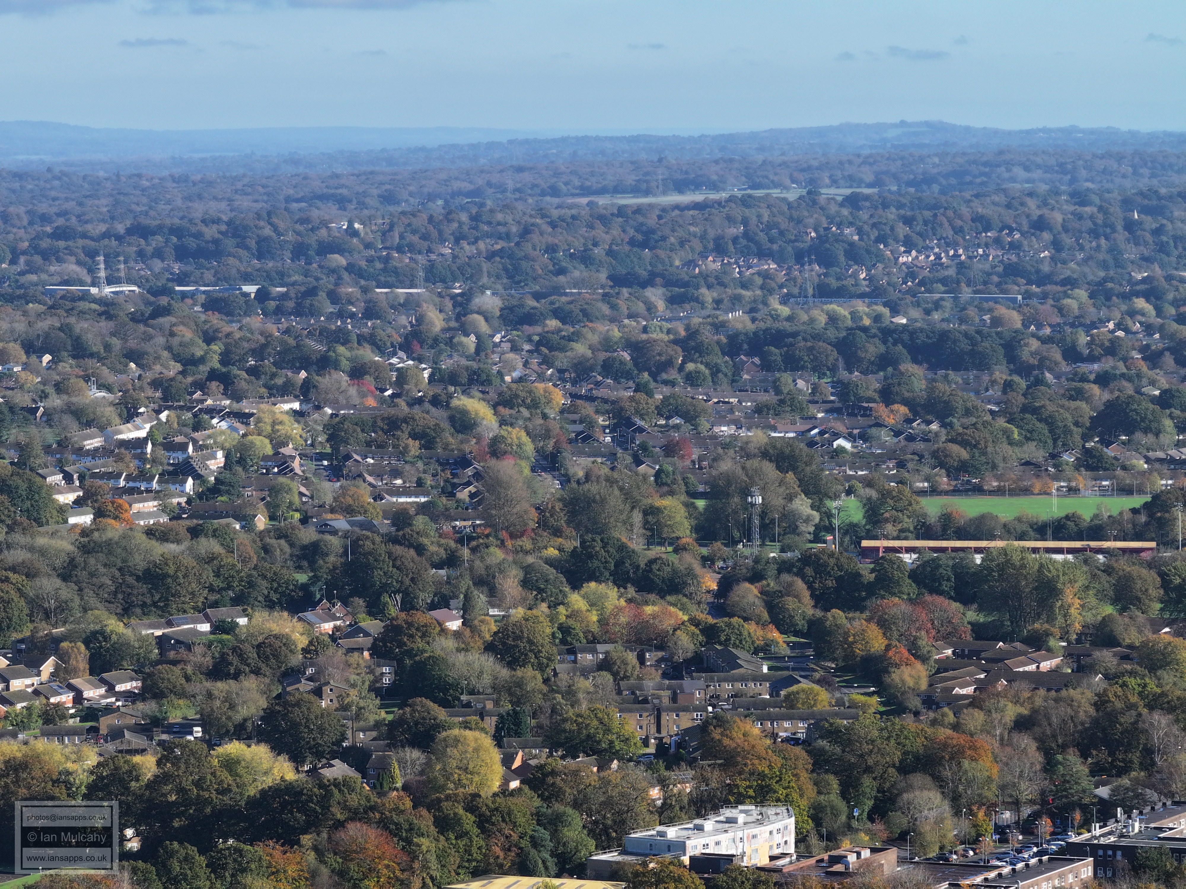
The Broadfield Stadium is on the left with Thomas Bennett Playing fields above the East Stand Roof and the school to the right.
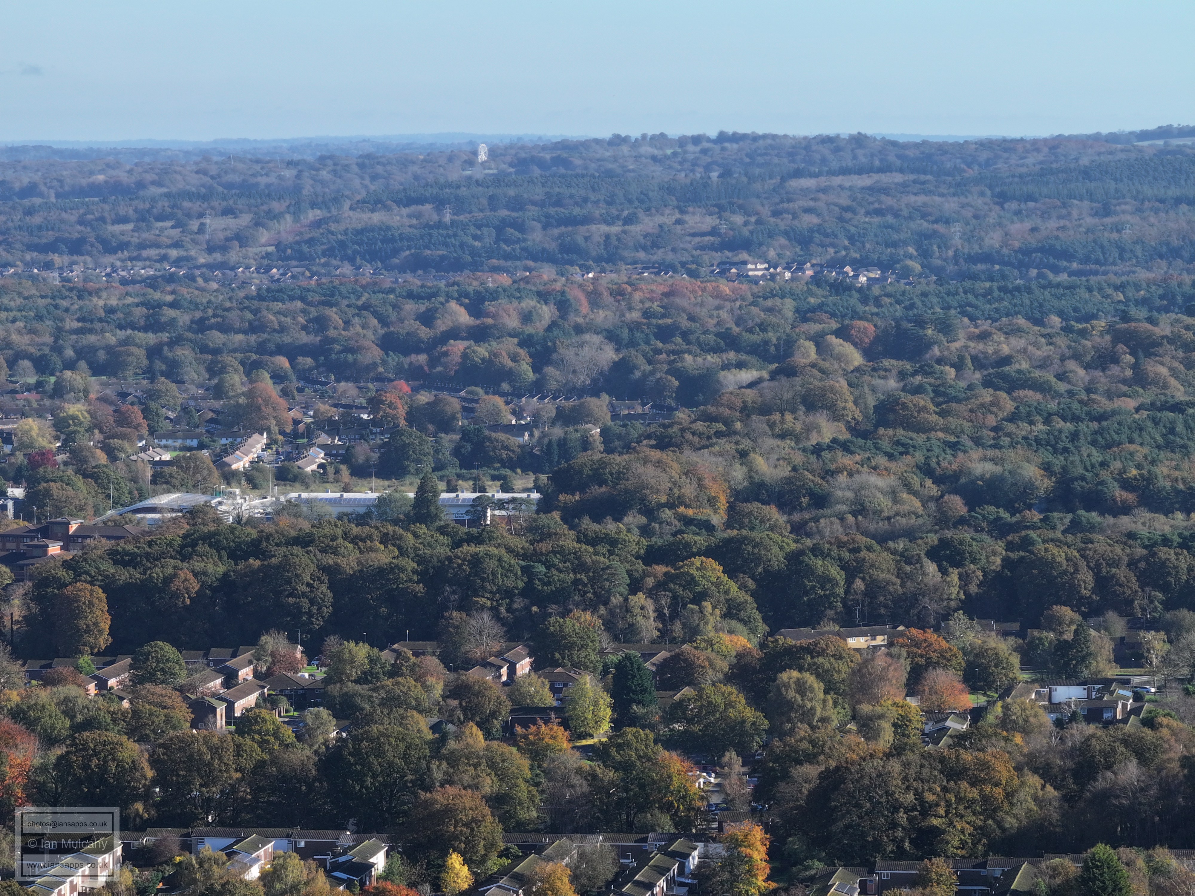
In the distance is the big wheel at Tulleys Farm 'Shocktober Fest' . K2 is on the left, just below centre
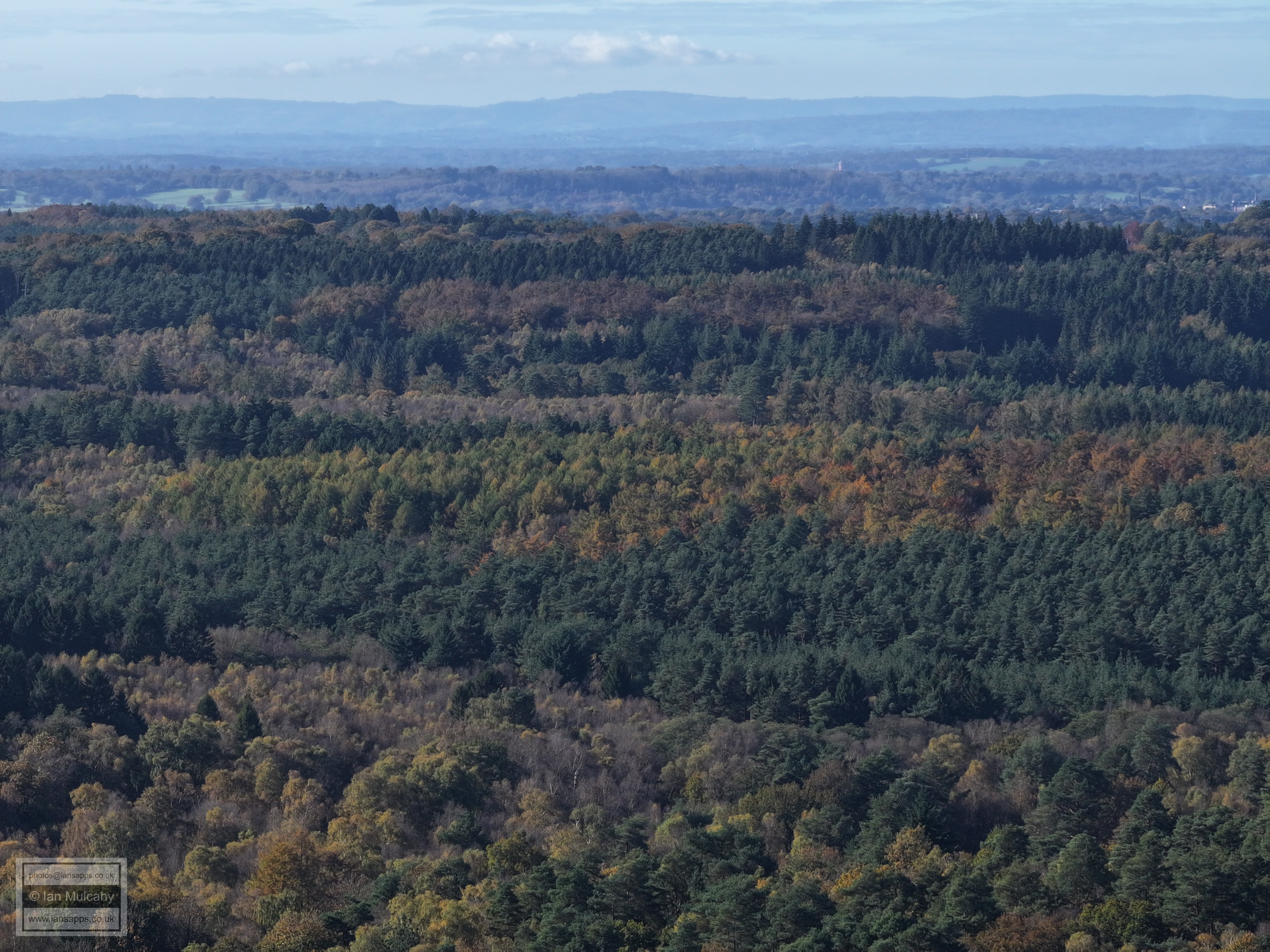
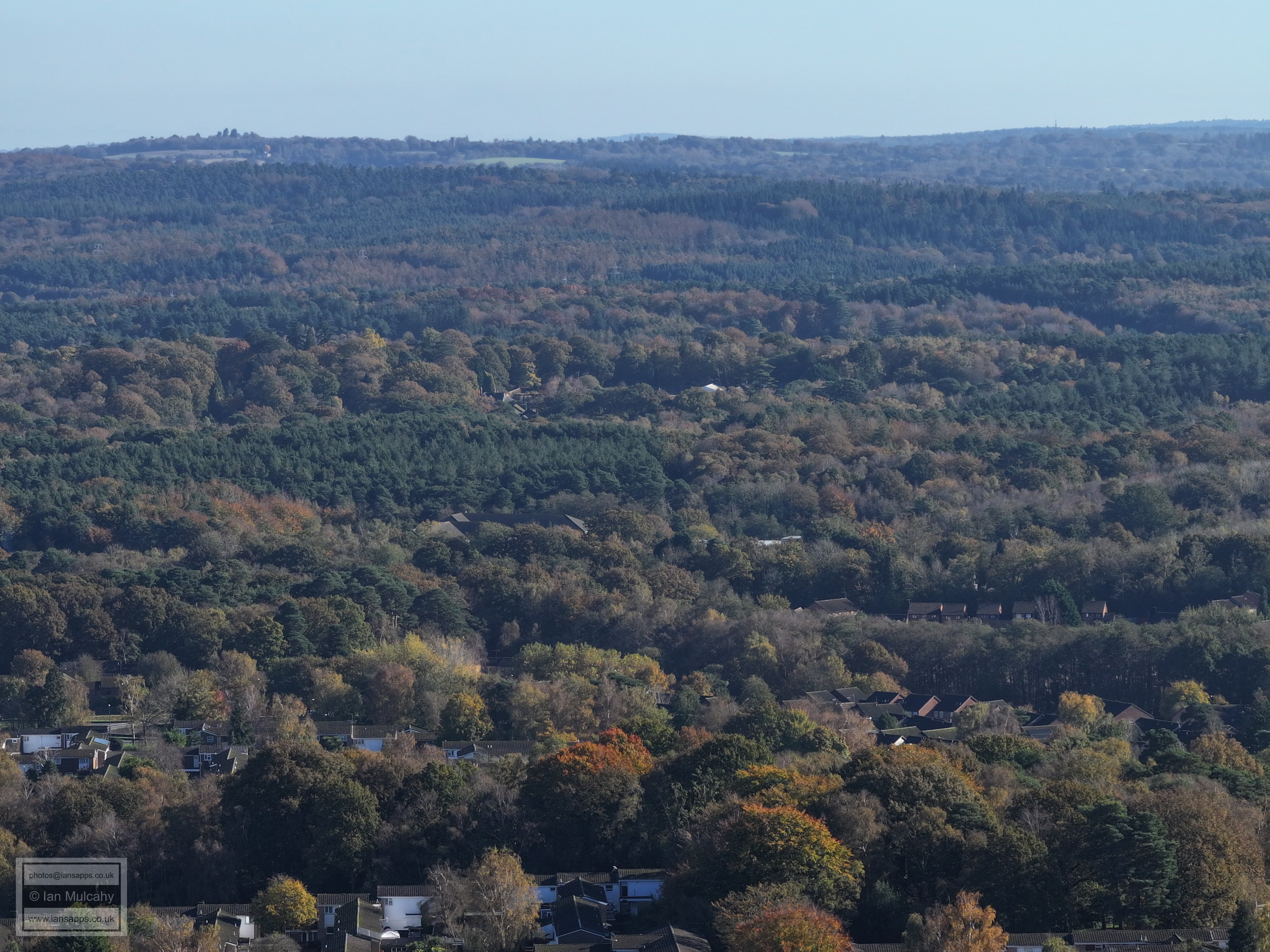
Just left and above centre, above the particularly green section of Tilgate Forest, is the walled gardens by the nature centre at Tilgate Park. Just left of centre, on the top of the hill, is the water tower at Selsfield Common between Turners Hill and West Hoathly.
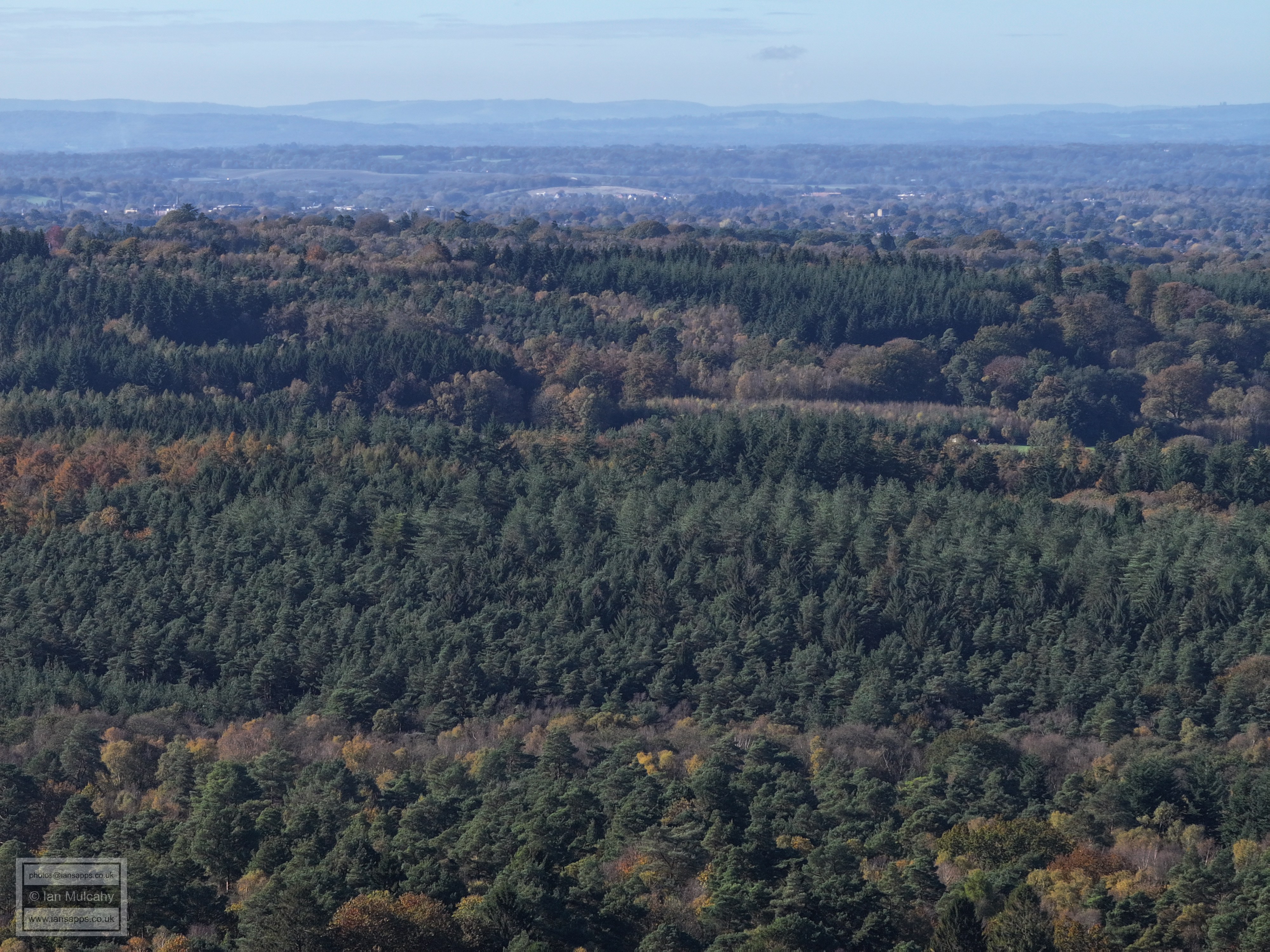
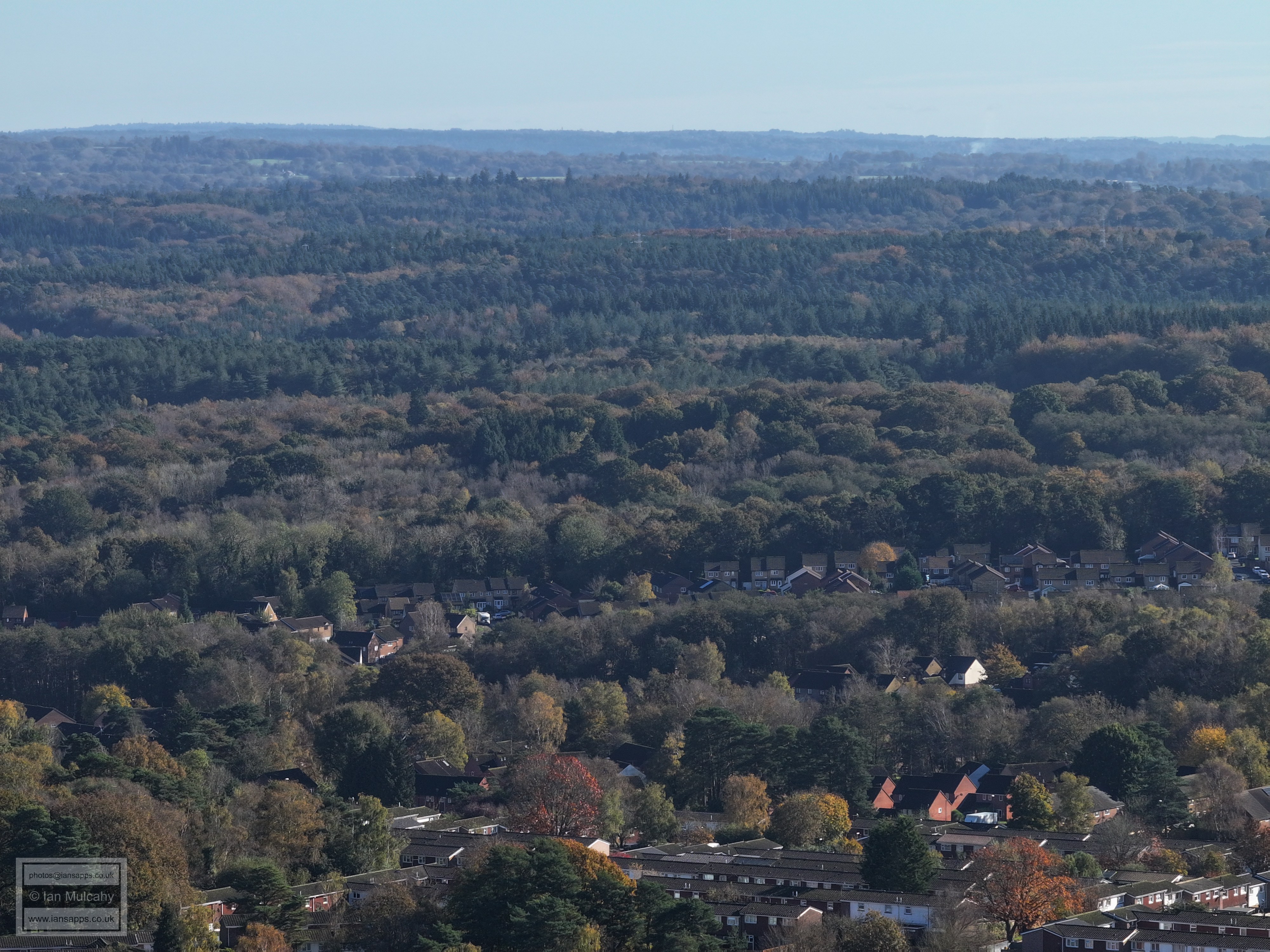
The last group of houses before the forest, climbing from left to right just below the centre, are in Tollgate Hill.
Tollgate Hill across the centre and Woodgate beyond on the right
Just to the left of the centre is the M23 junction at Pease Pottage with Woodgate beyond.
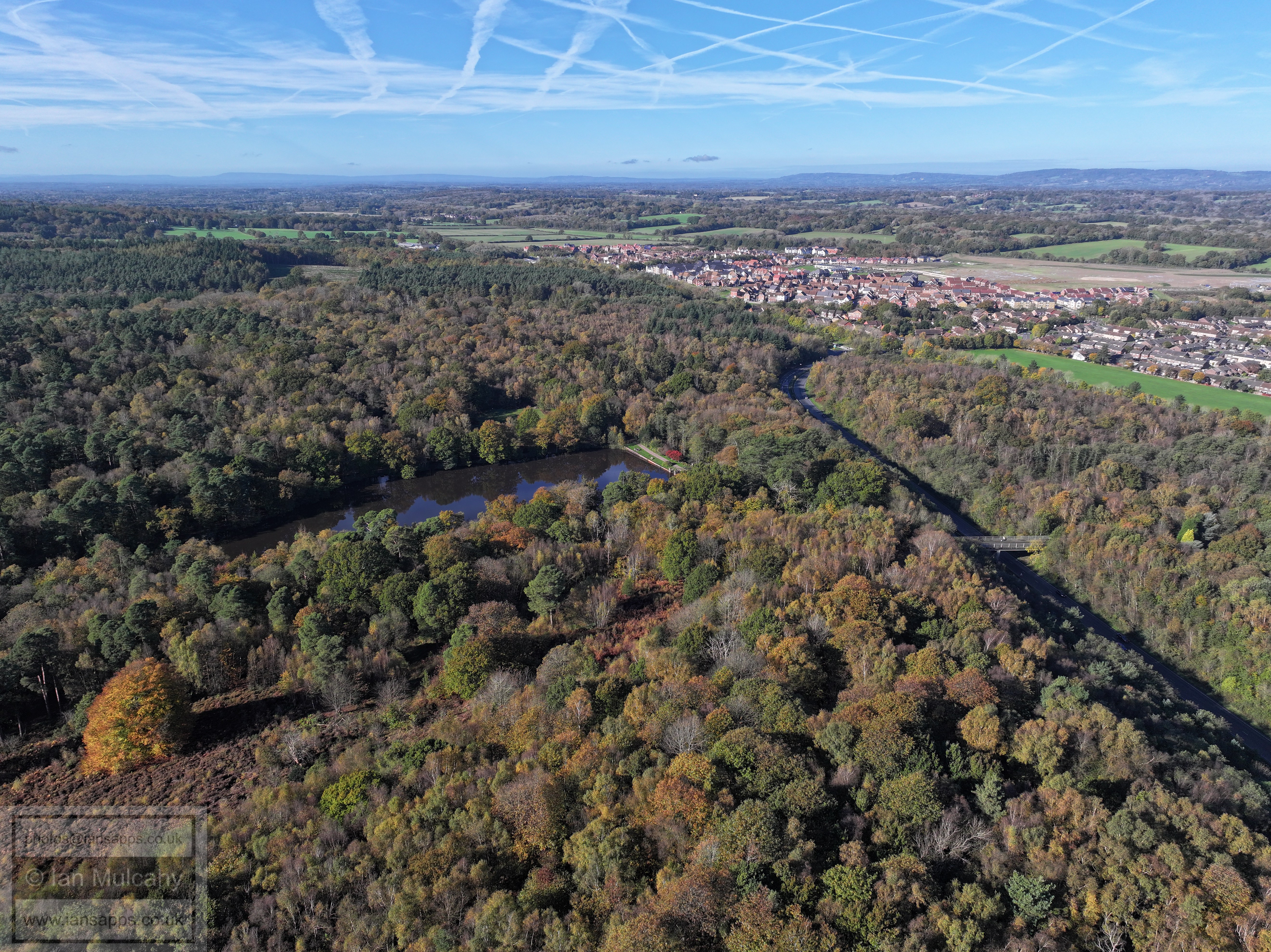
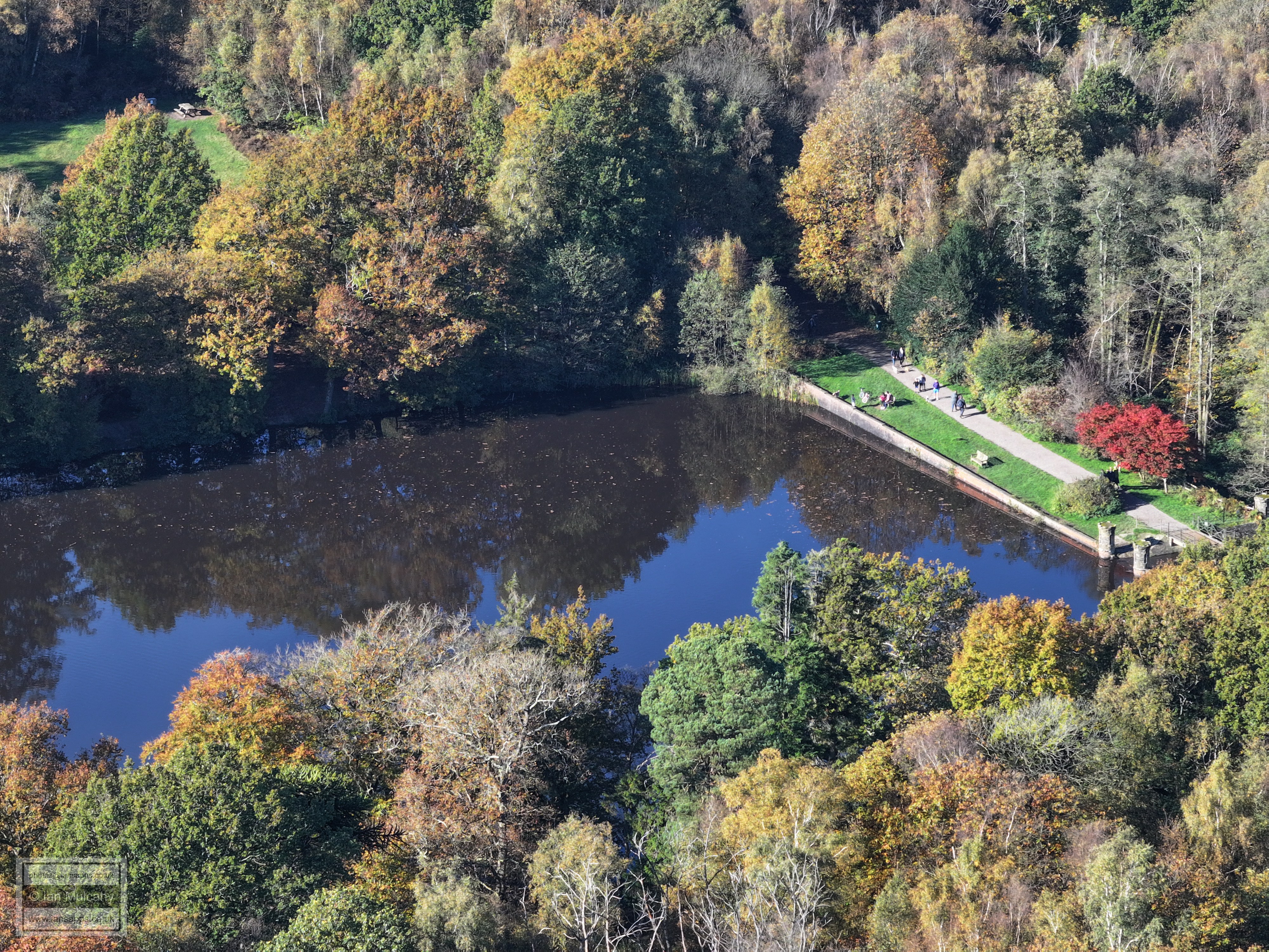
Buchan pond
Buchan pond
Buchan pond
Buchan pond
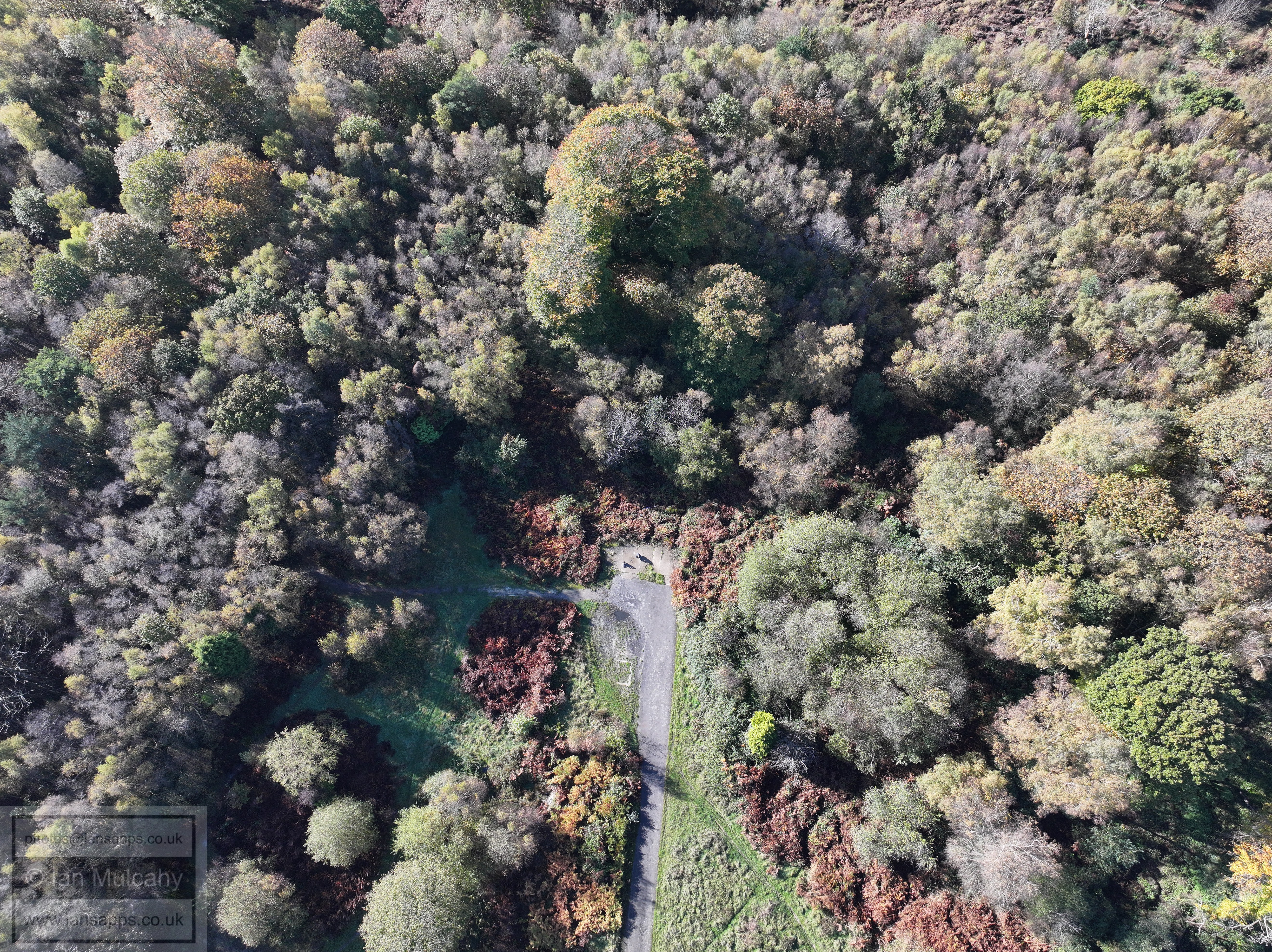
The old kennel site, plus my daughter and me at the end of the road!
Text & photographs © Ian Mulcahy. Contact photos@iansapps.co.uk or visit my 'Use of my photographs' page for licensing queries (ground level photographs only). |