Bewbush Green
27 October 2024
66 aerial photographs of varying focal lengths
|
66 aerial photographs from Bewbush Green on Sunday 27 October 2024 including full 360 degree panoramas from each of a 24mm, 70mm and 170mm lens. I've added brief annotations to some of the photos to help with your bearings and highlight points of interest.
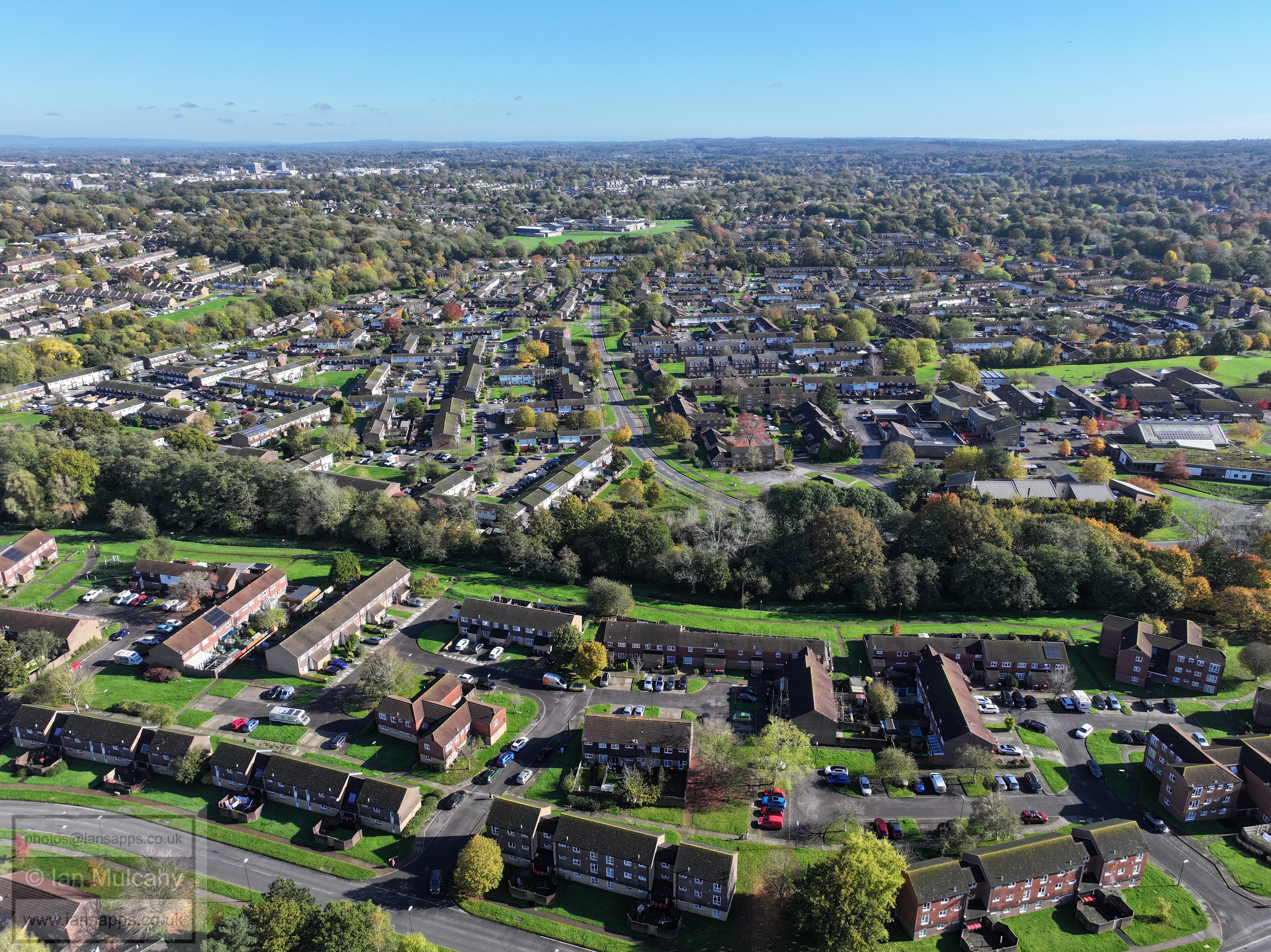
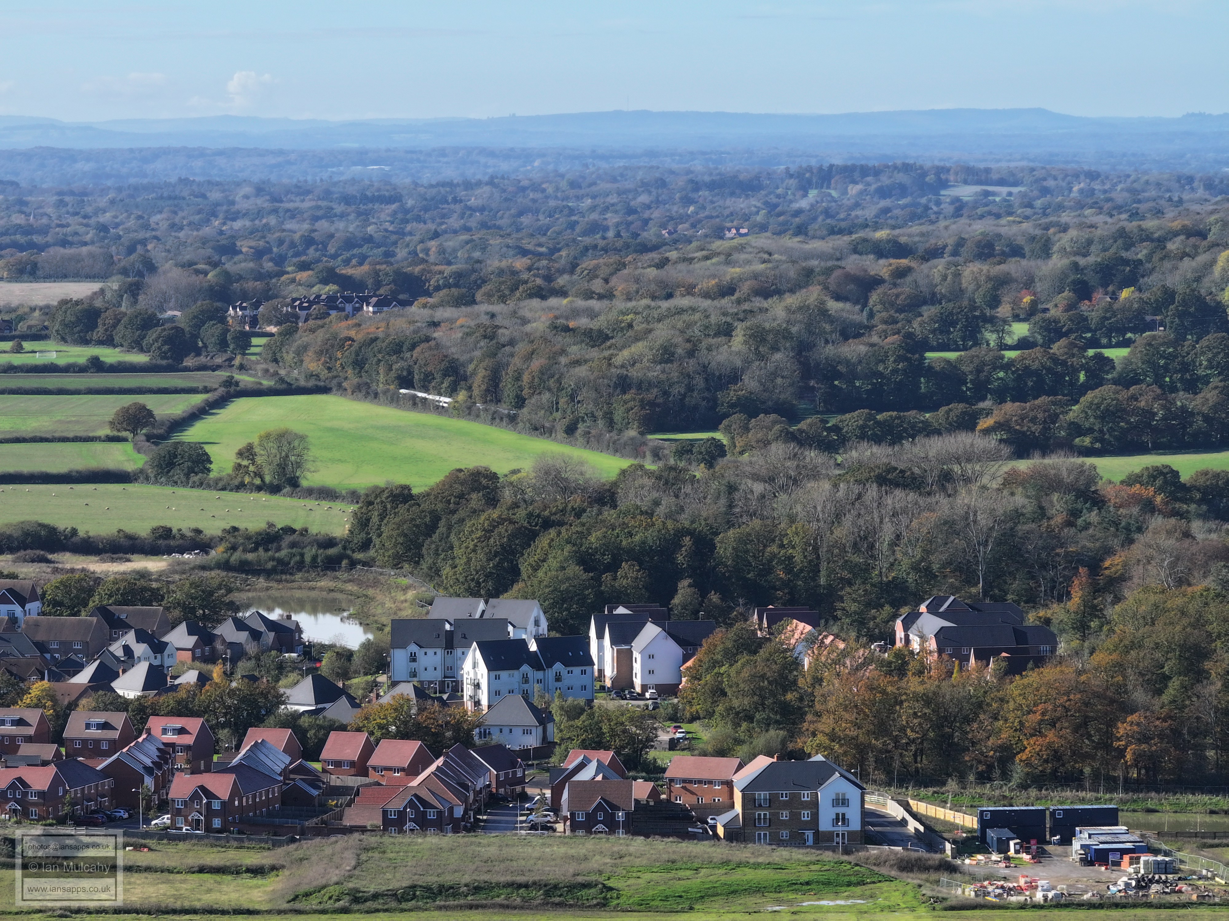
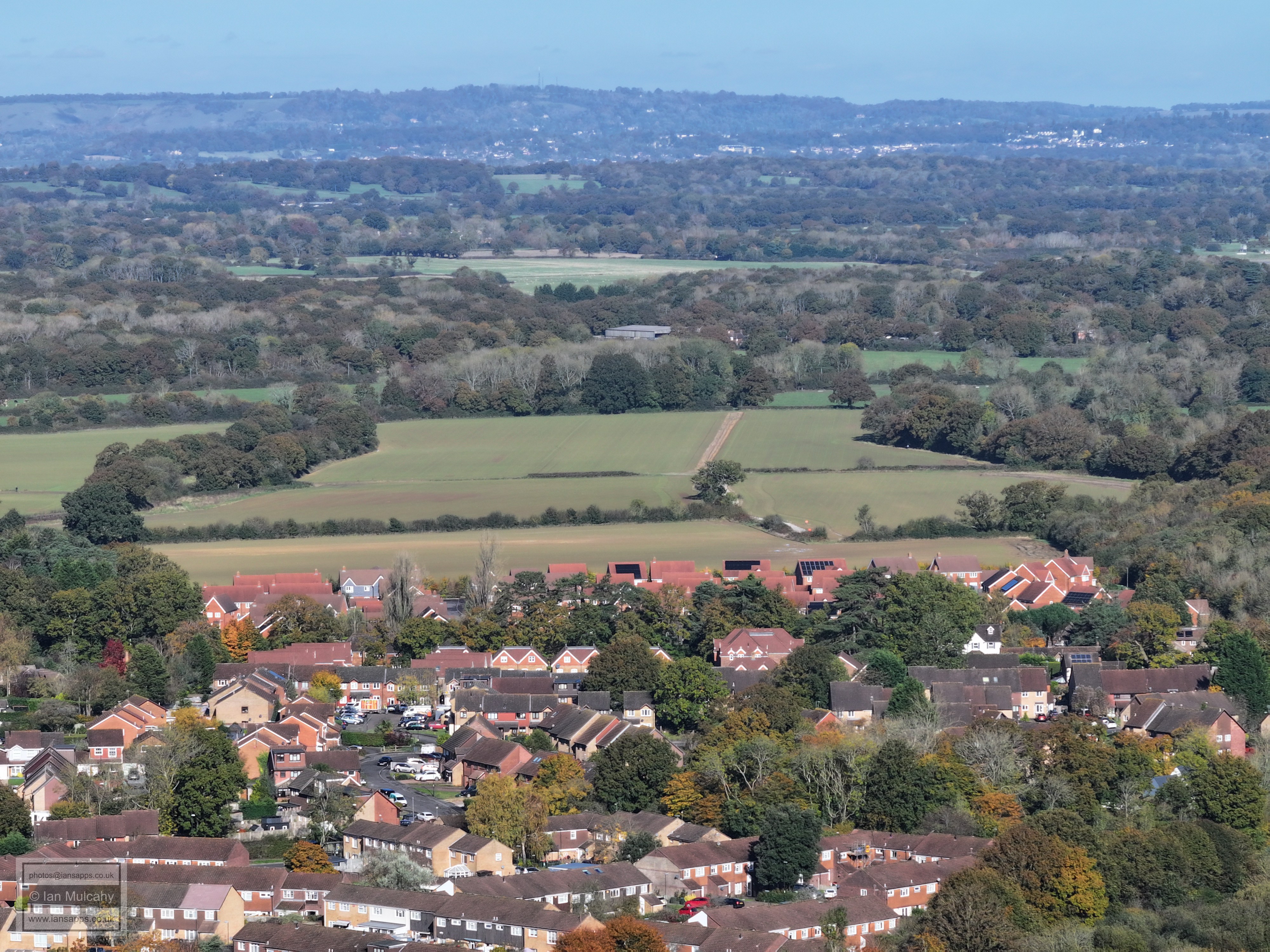
Kilnwood Vale and Bewbush West
Left of centre is the prep work for one of the two bridges which will provide access over the railway to the northern areas of Kilnwood Vale. The green section is the, now high, banks of Bewbush Brook following the building up of the land on which once lay Bewbush Furnace/Mill pond. In the top right corner is Rusper Village.
Ifield Mill at the bottom and St Margaret's Church on the far left just above centre.
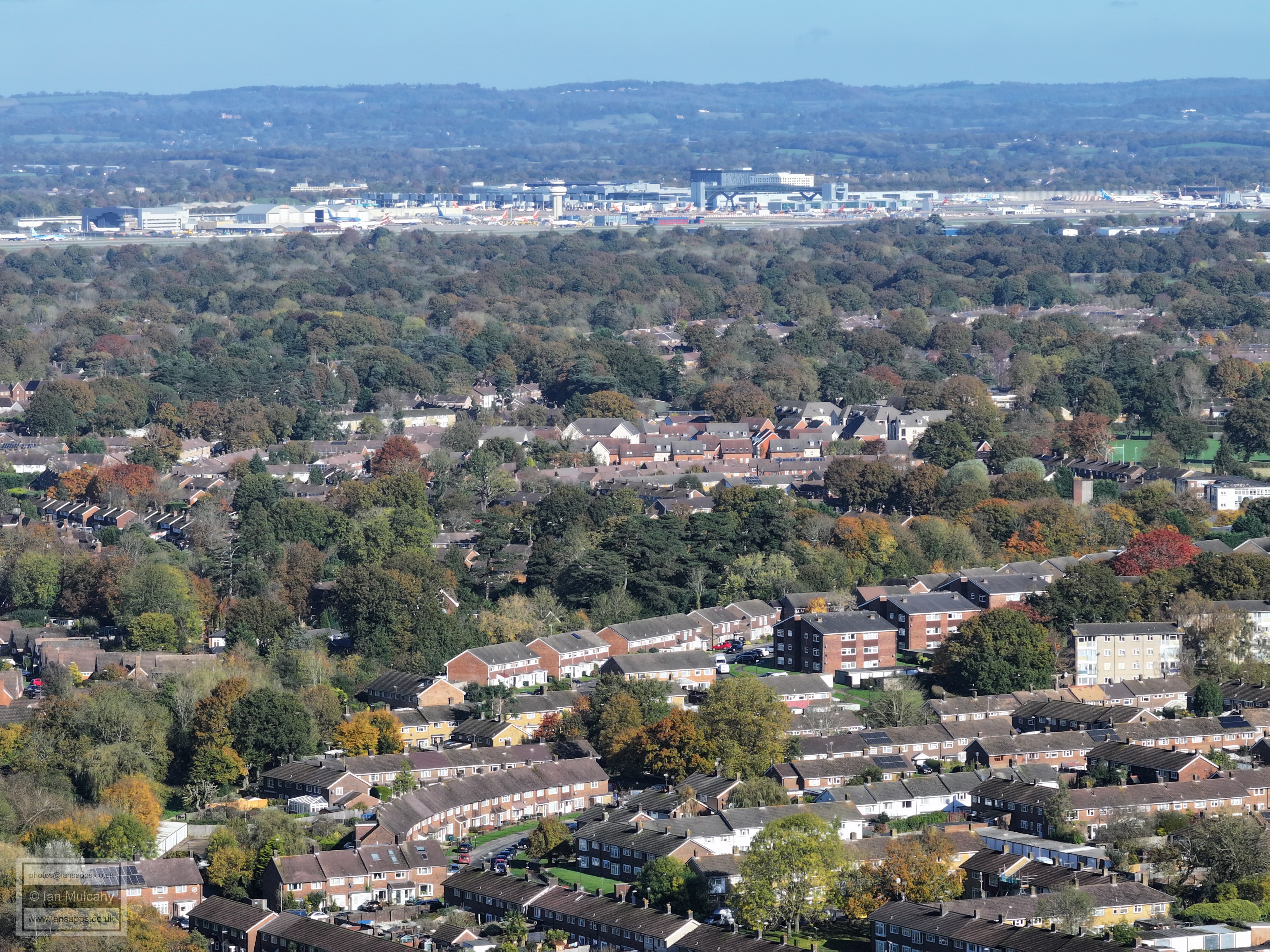
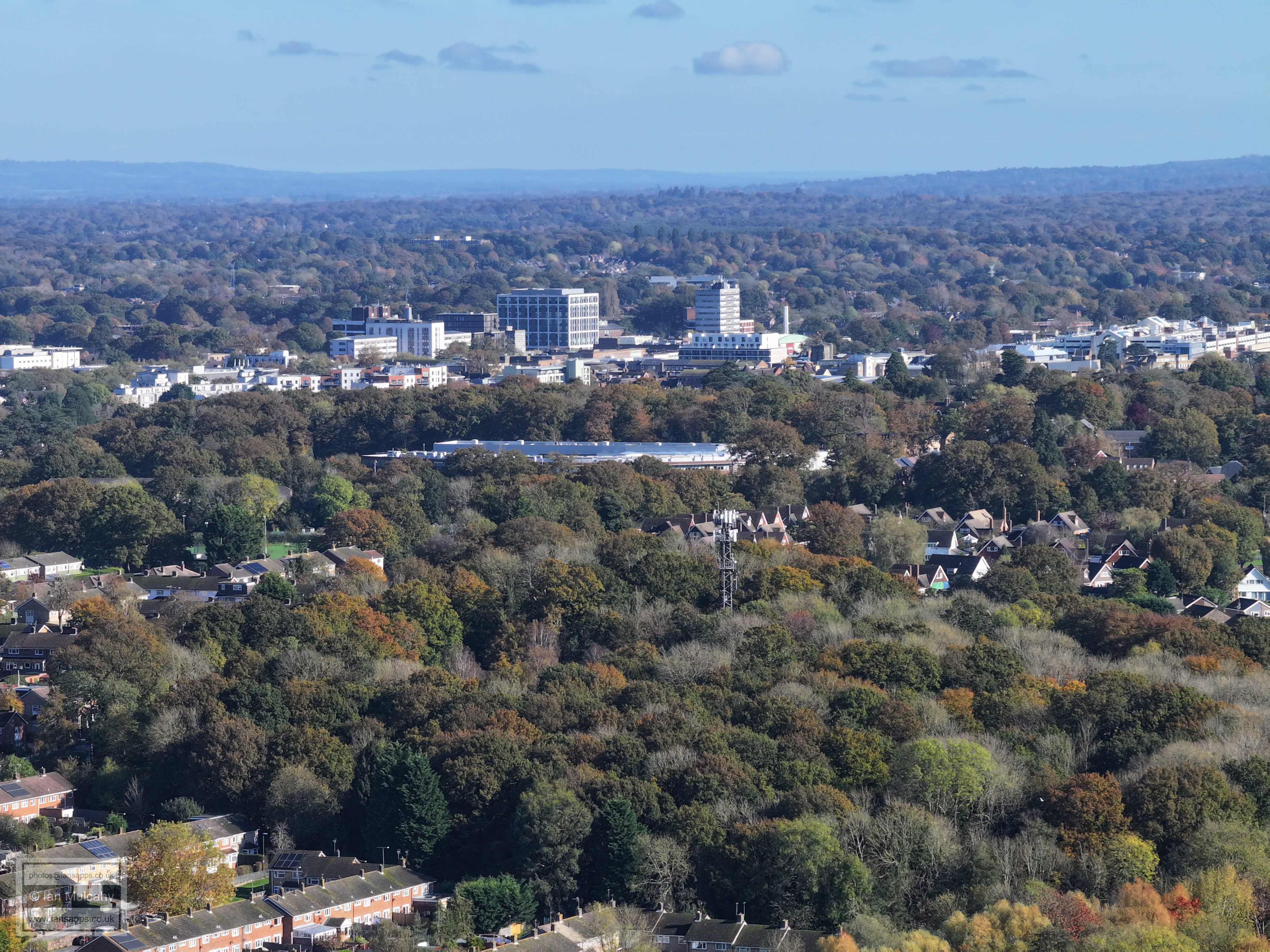
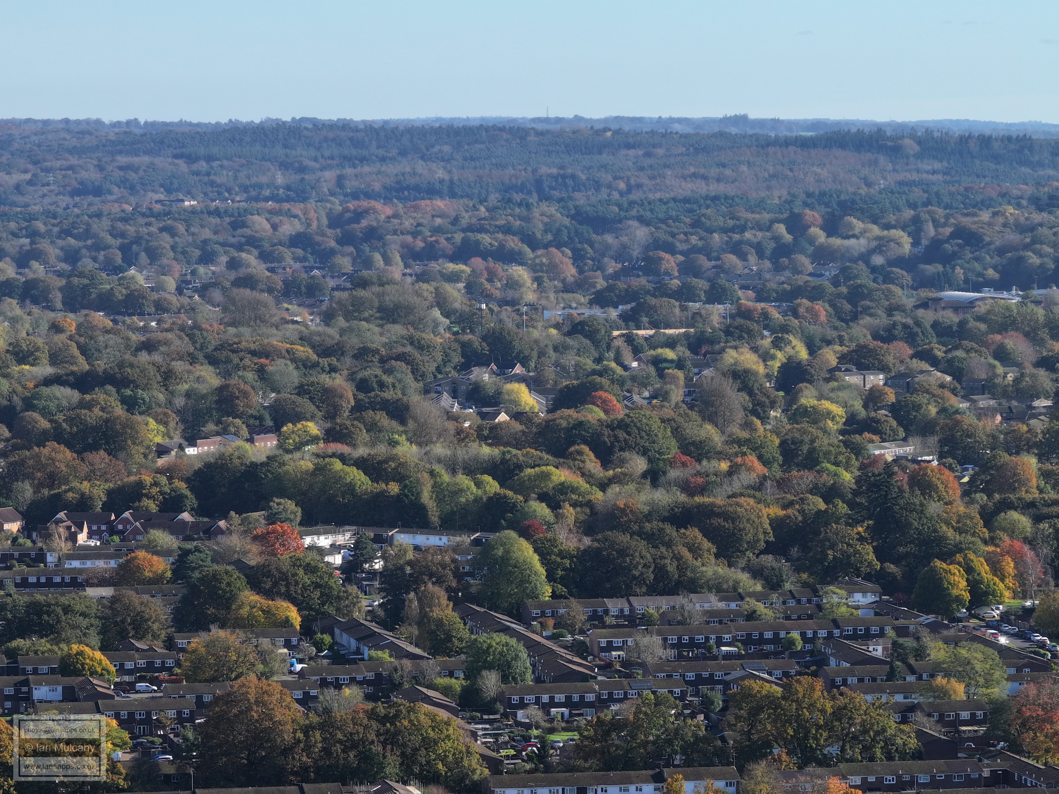
Gossops Green, Ifield (The chimney stack of The Mill Primary can be seen a little way in from the right about half way up) and Langley Green. Gatwick & the North Downs beyond.
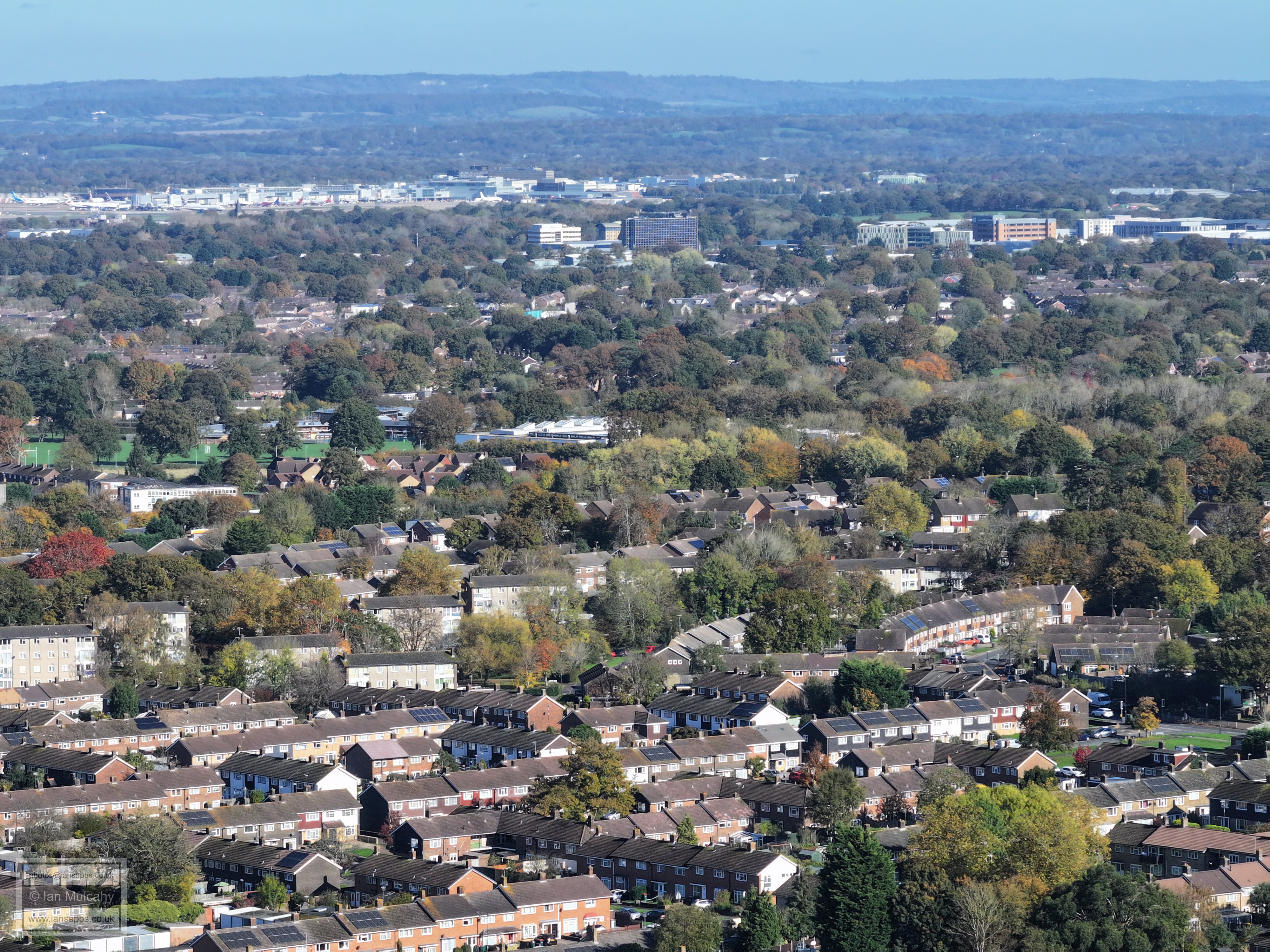
Gossops Green in the foreground, ICC in the centre and Langley Green and the Industrial Estate beyond.
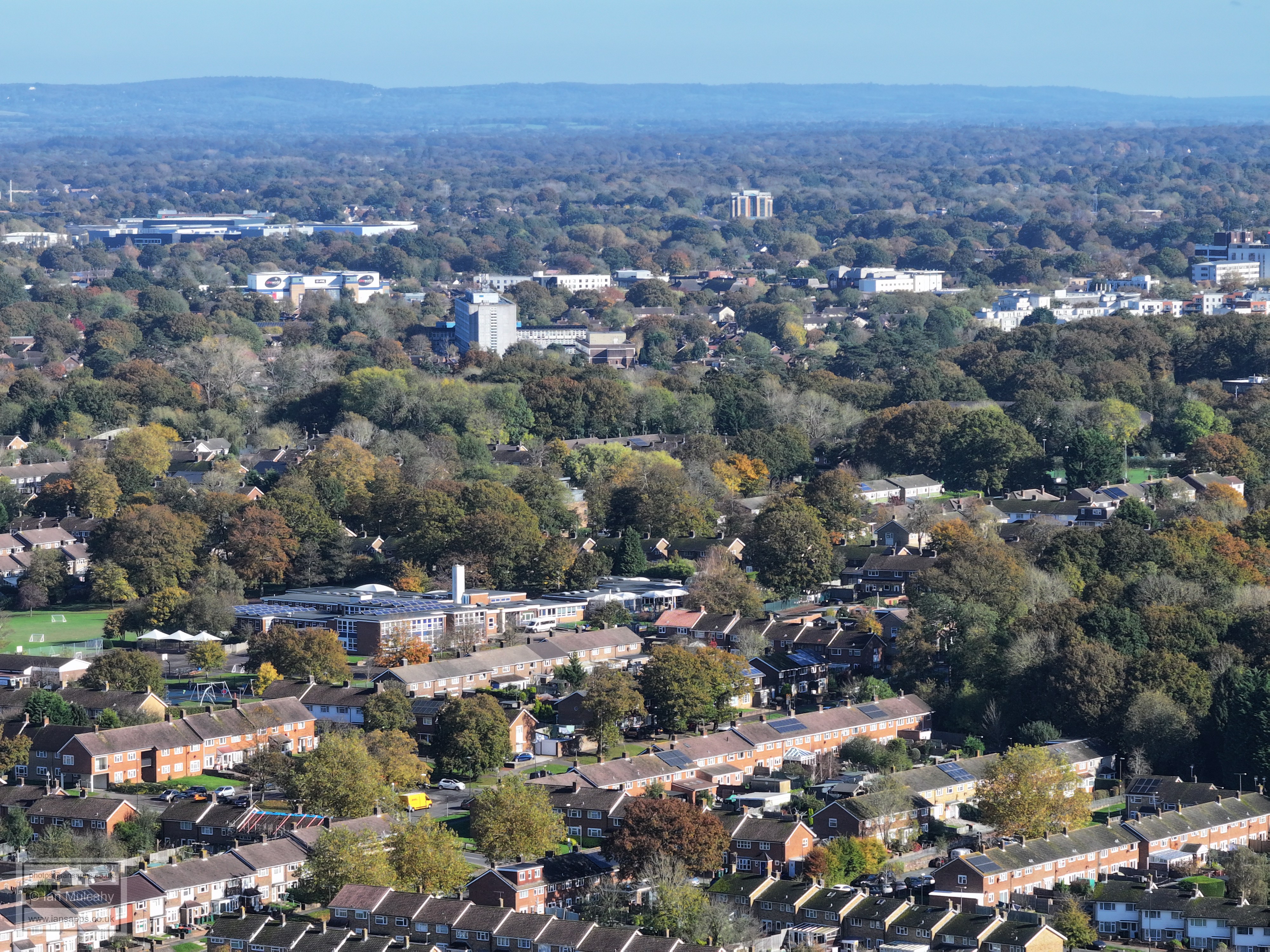
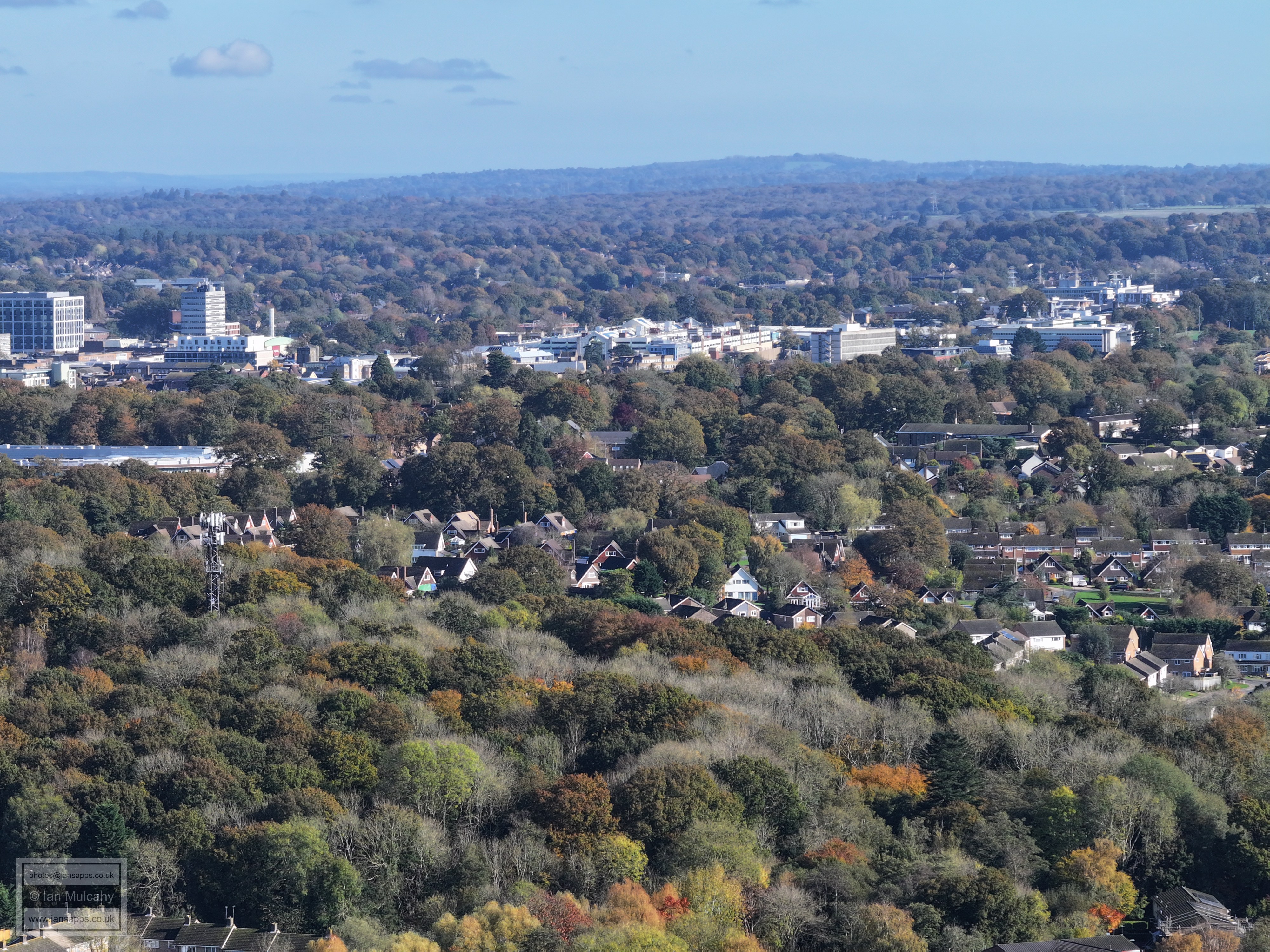
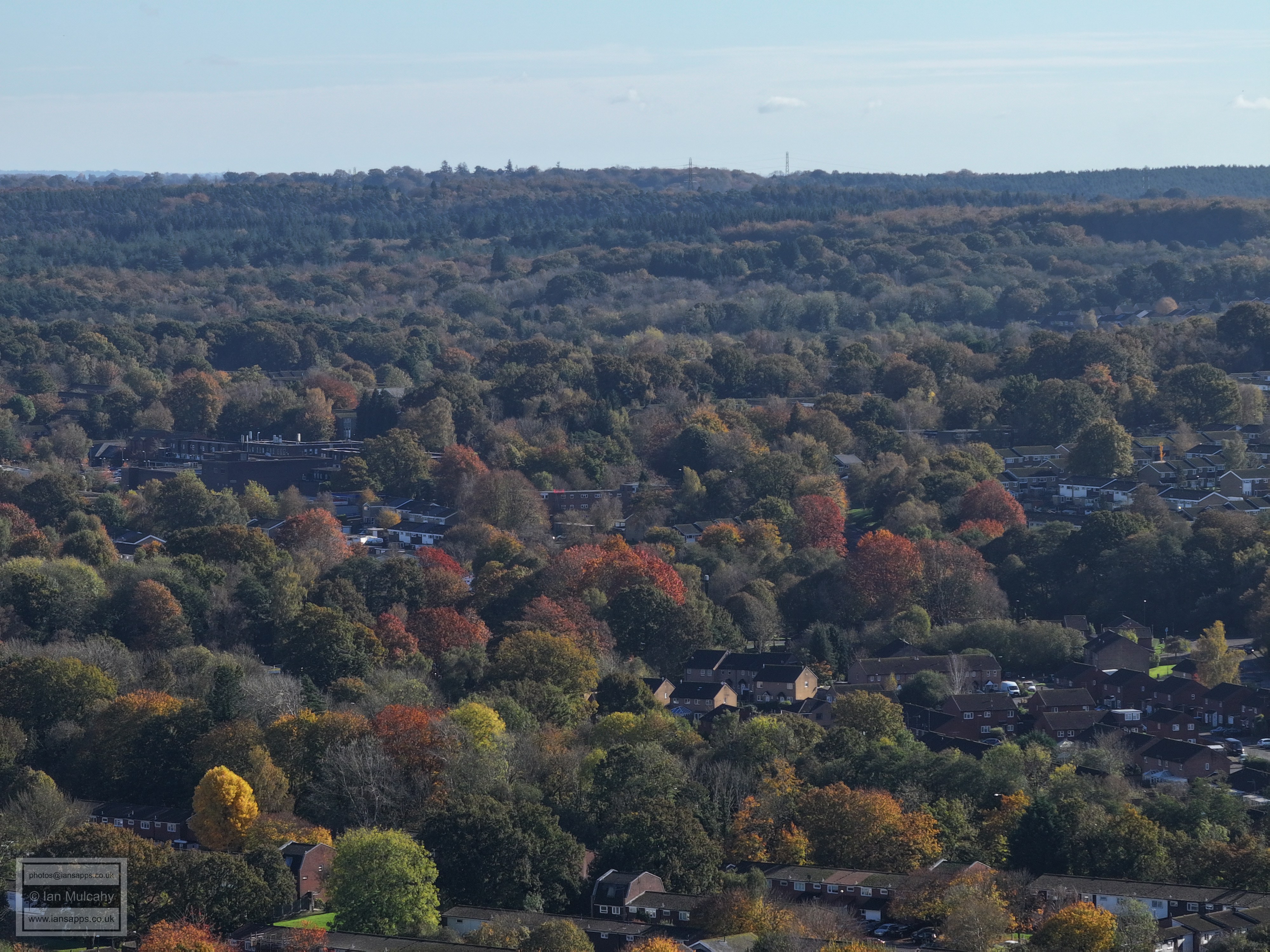
Gossops Parade is in the bottom left quarter and above centre is the Crowne Plaza Hotel.
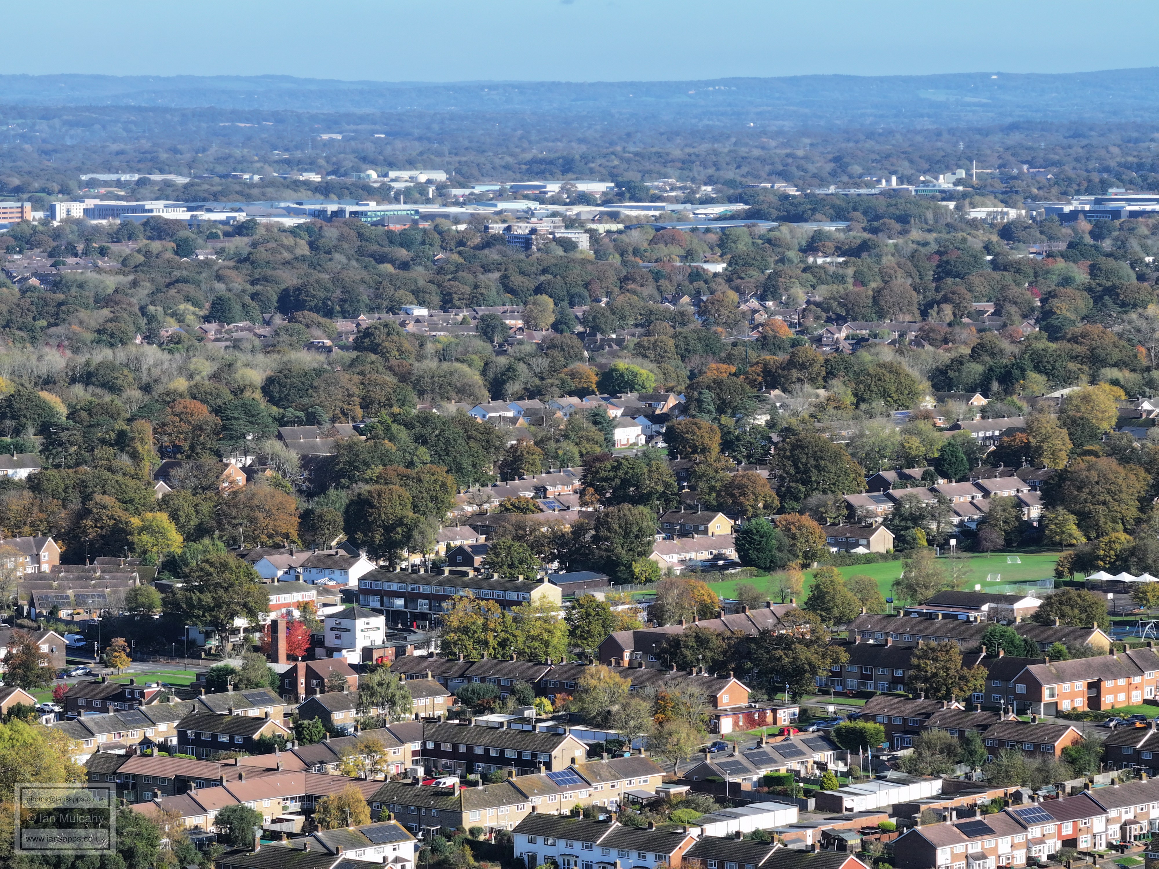
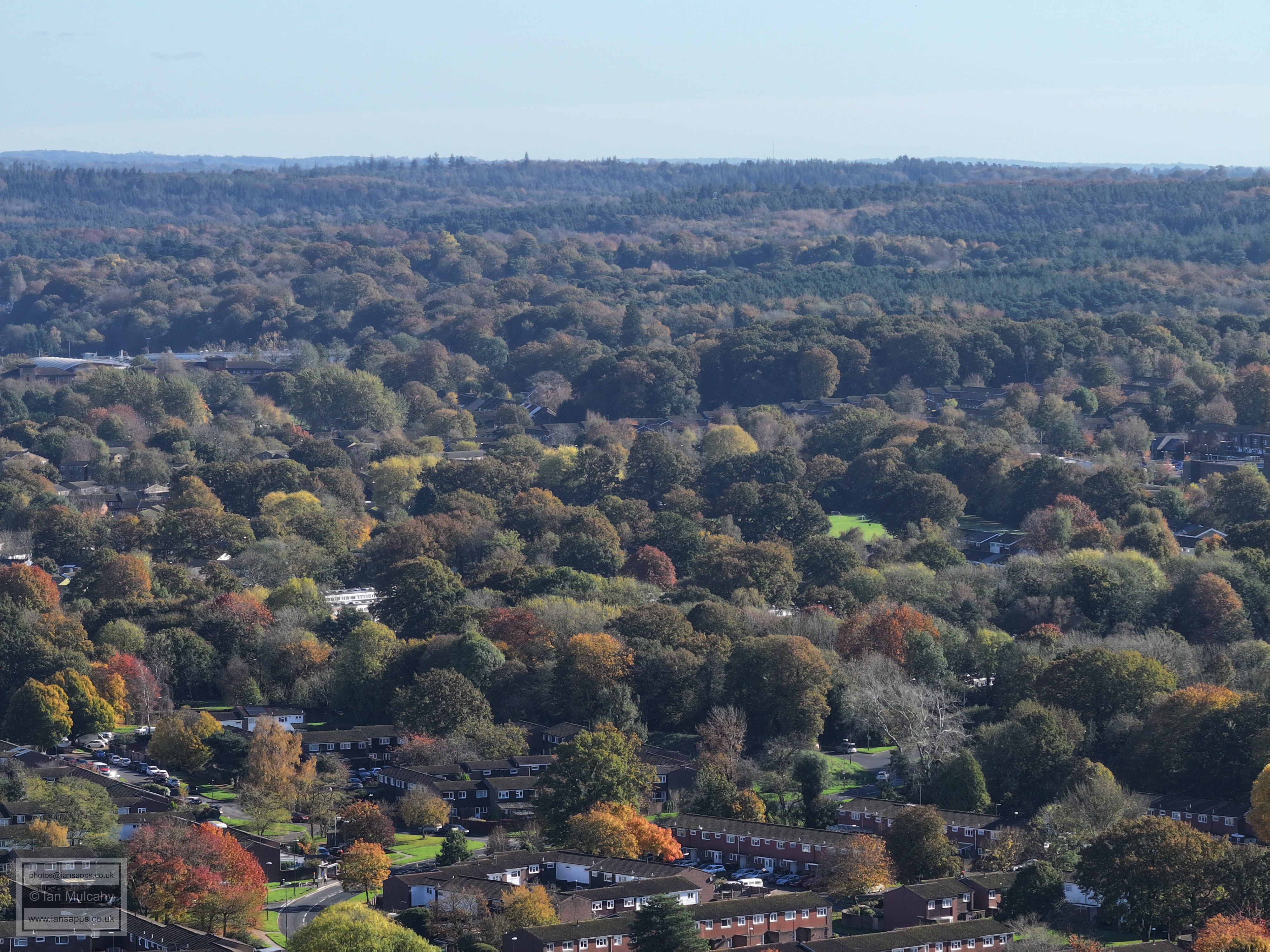
Gossops Green primary School is just below and left of centre and the Hospital is a little way above this. To the left of the hospital is Crawley Leisure Park. The Sandman Hotel is near the top.
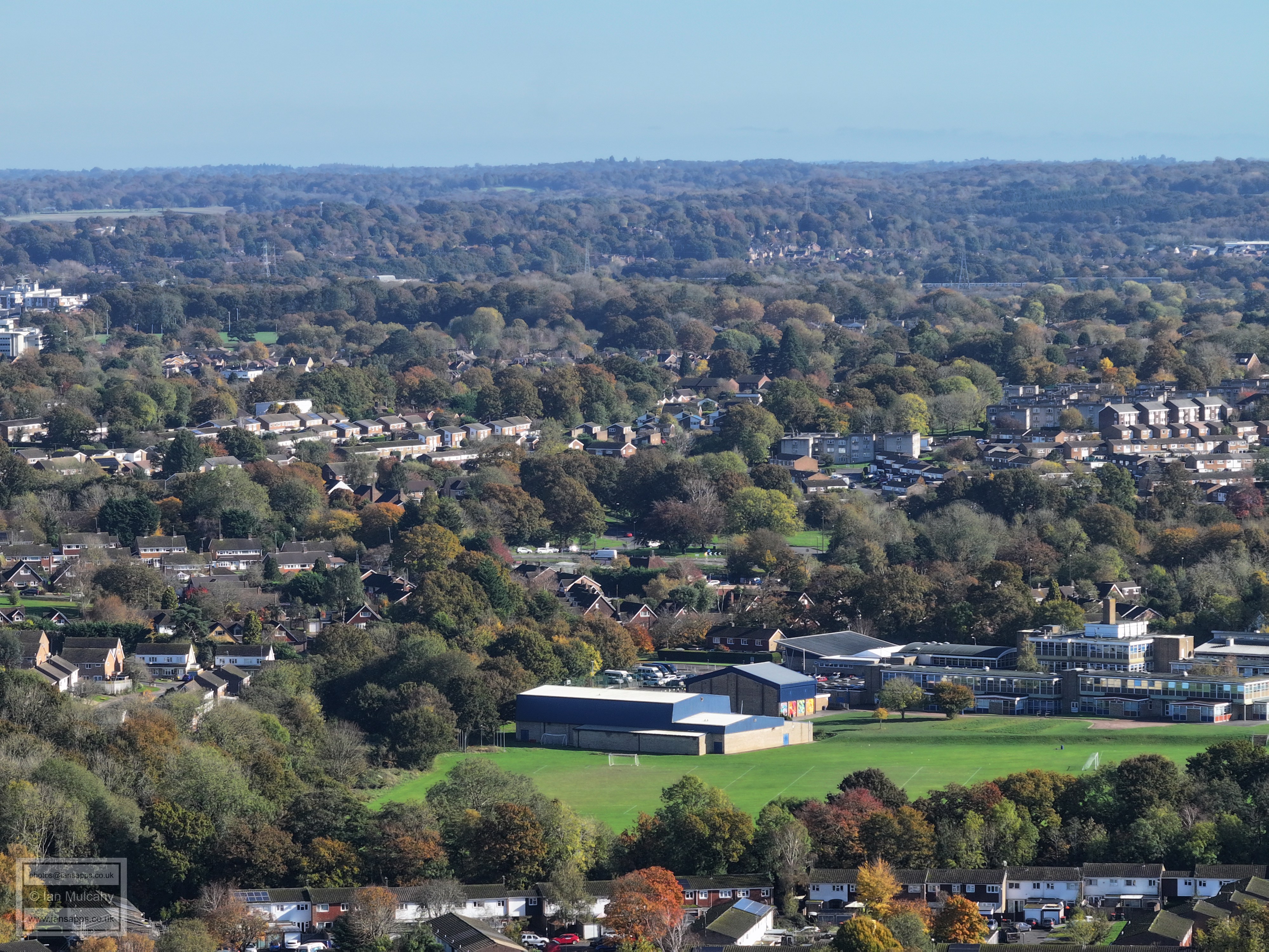
Town Centre, with St Wilfreds below. Woldhurstlea Woods is in the foreground. Milton Mount flats in Pound Hill are just to the left and above the Town Hall.
County Mall and Overline House
Holy Trinity and Southgate West
Holy Trinity, Southgate West and the big wheel at Tulleys Farm on the hill in the top left quarter
The red roof the Broadfield Stadium's East Stand can be seen right of centre, with Thomas Bennett behind and K2 off to the right
The houses of Tollgate Hill climbing from the centre out to the right.
Broadfield Barton left of centre
Broadfield.
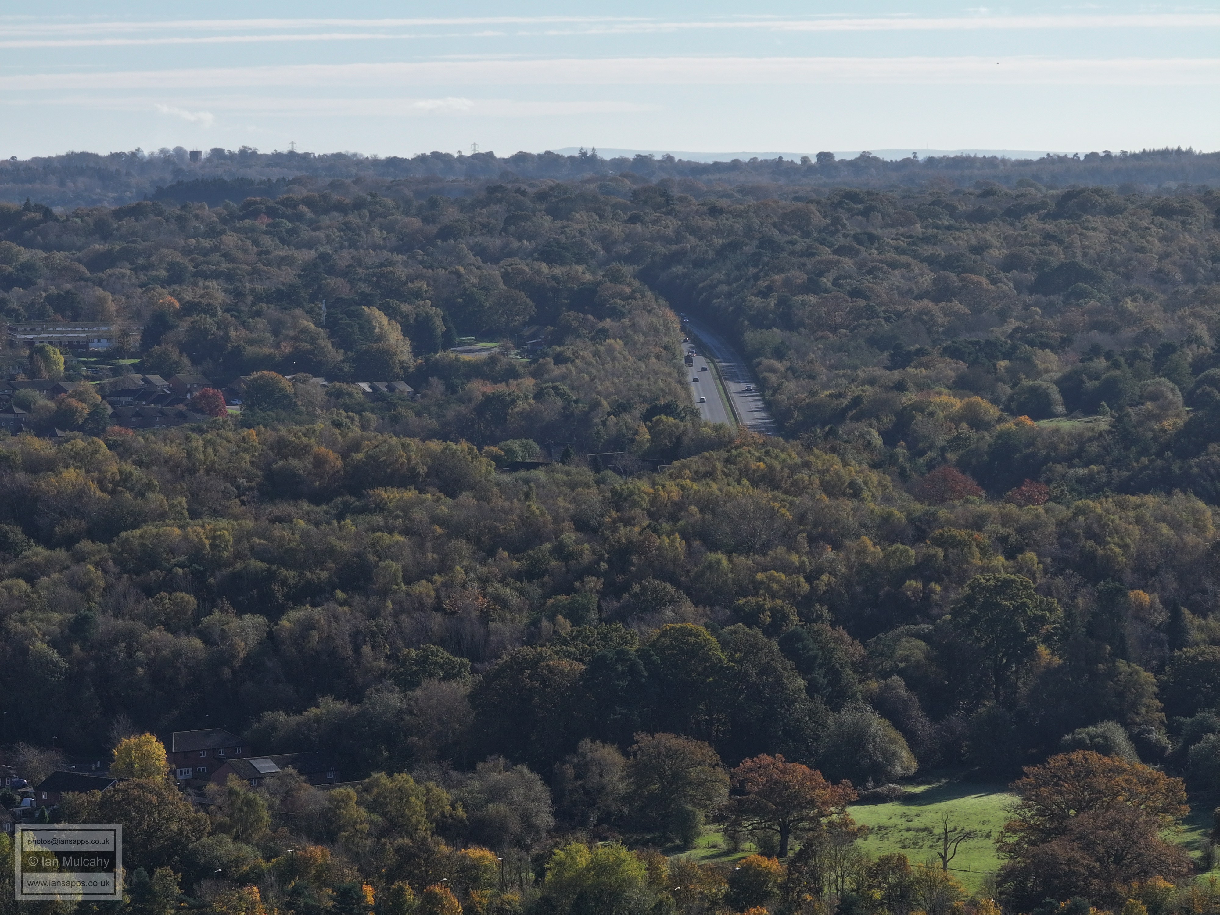
South western bypass
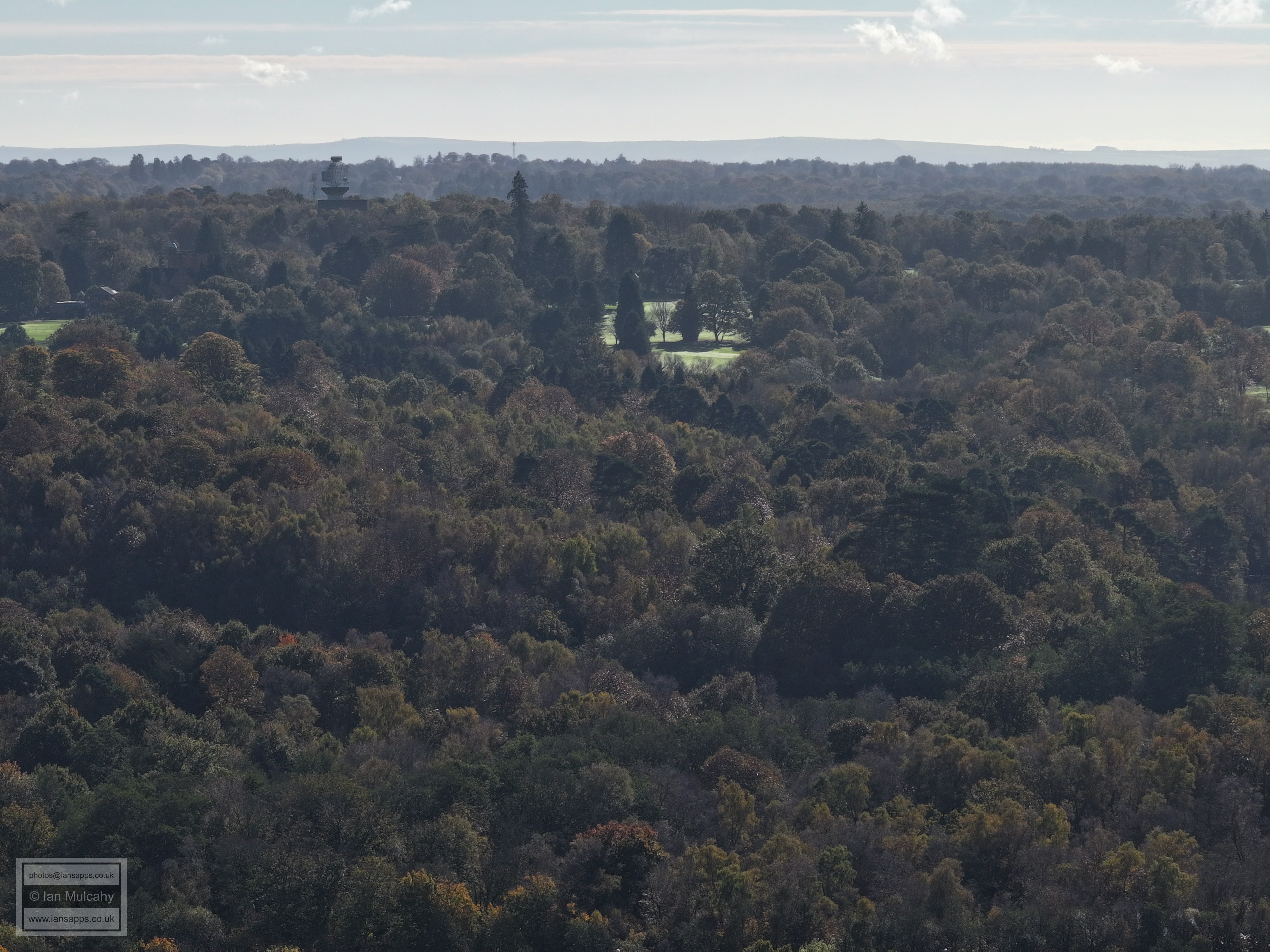
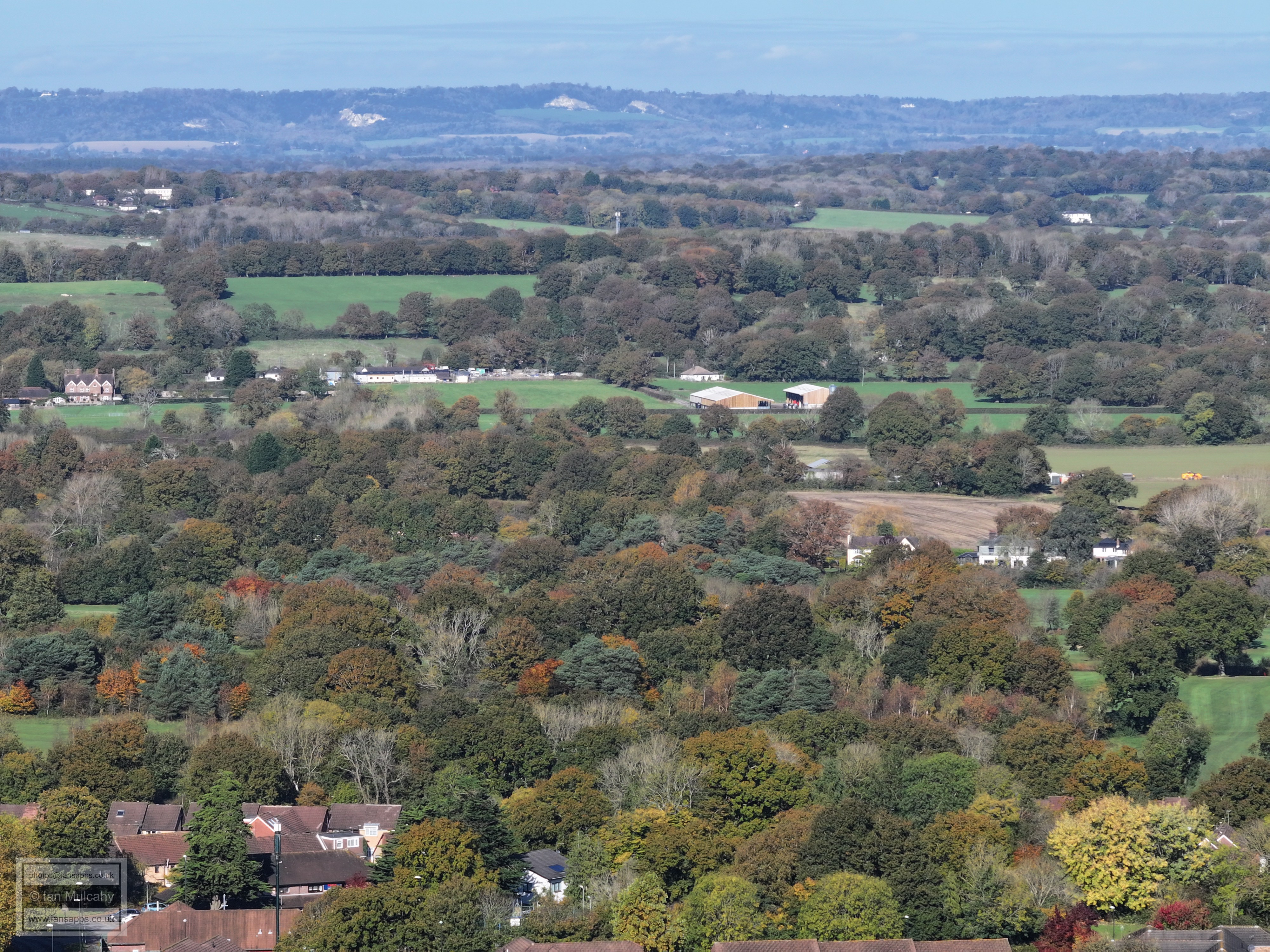
The radar station and water tower at Cottesmore are in the top left quarter.
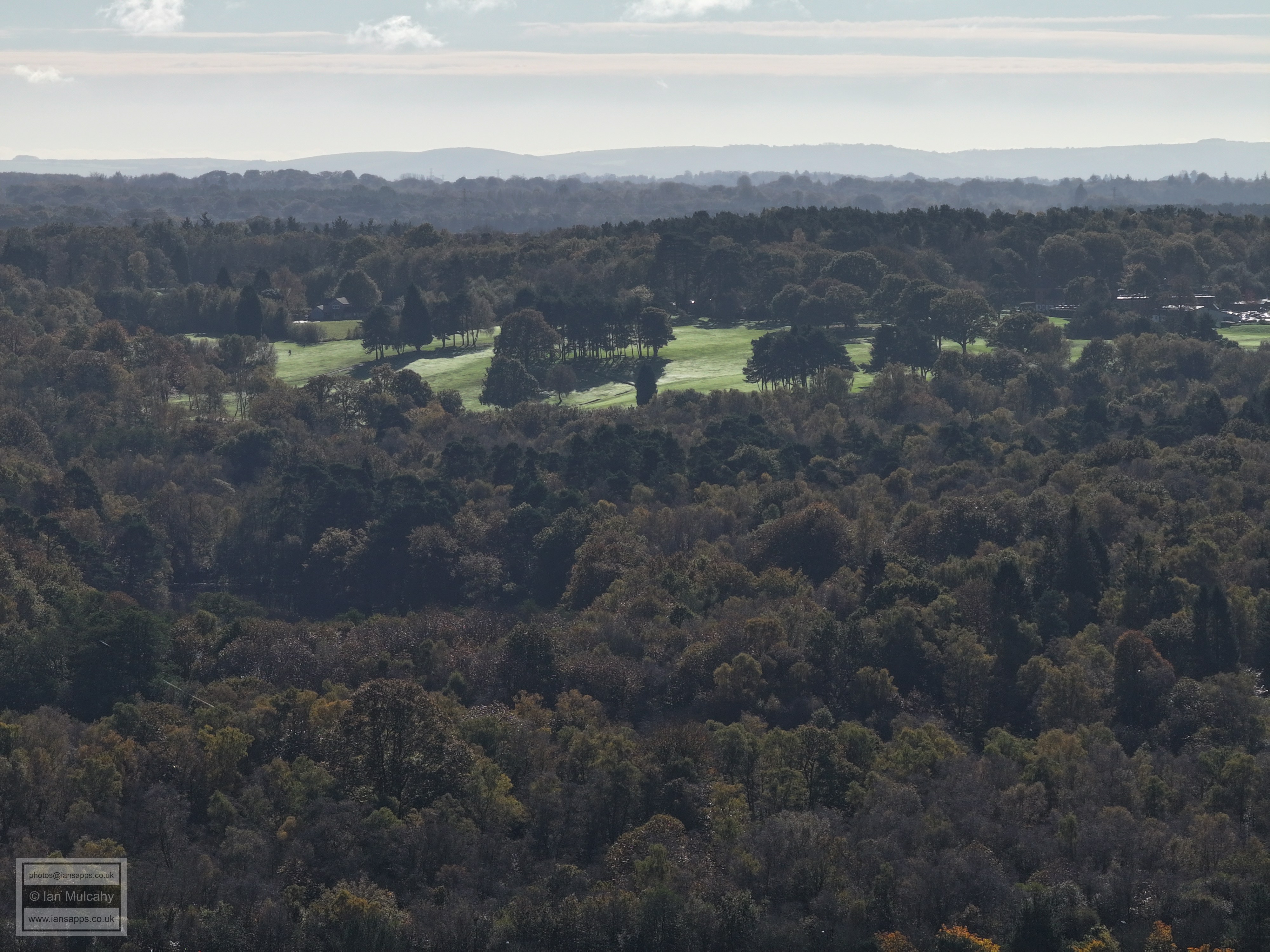
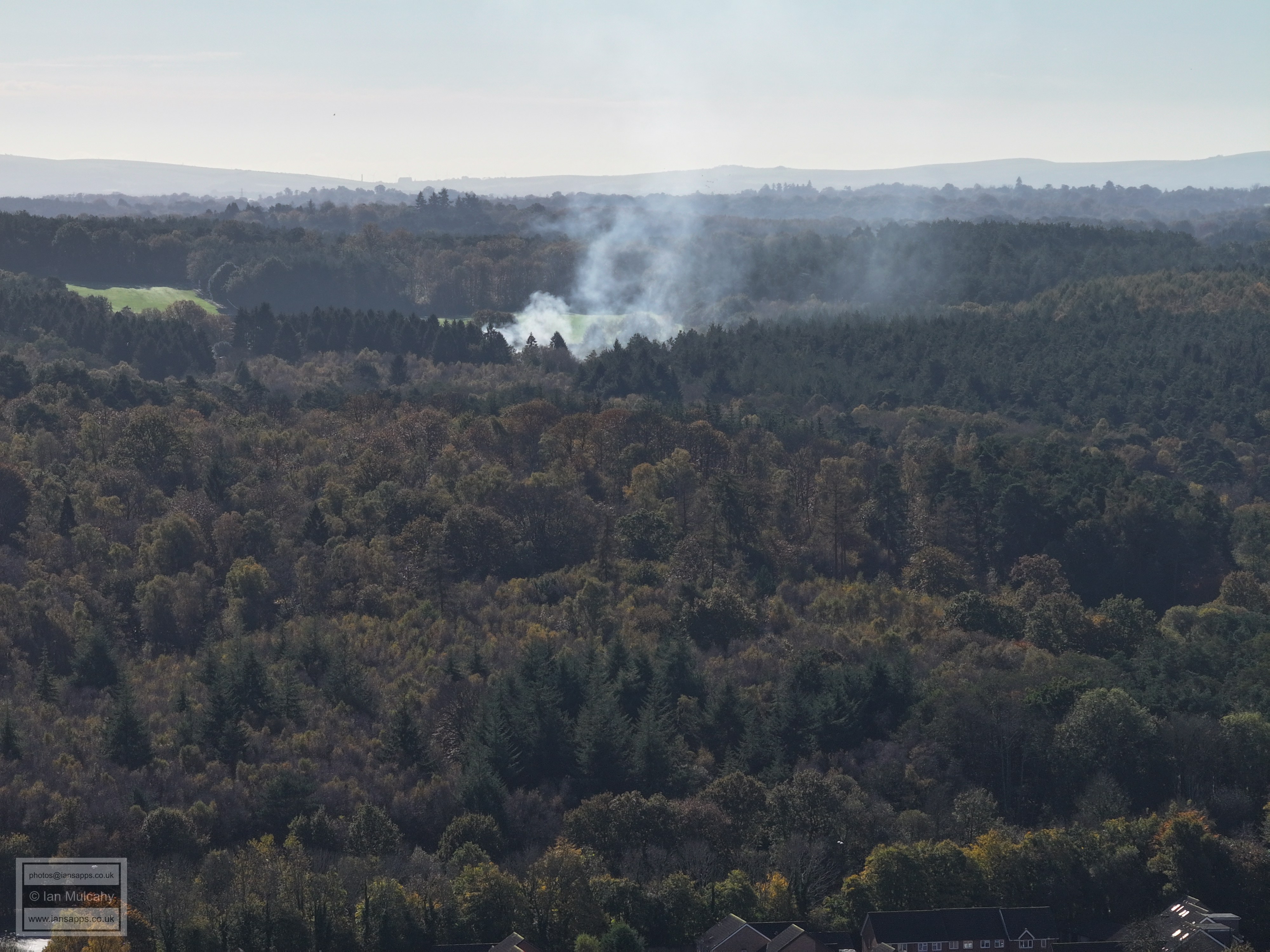
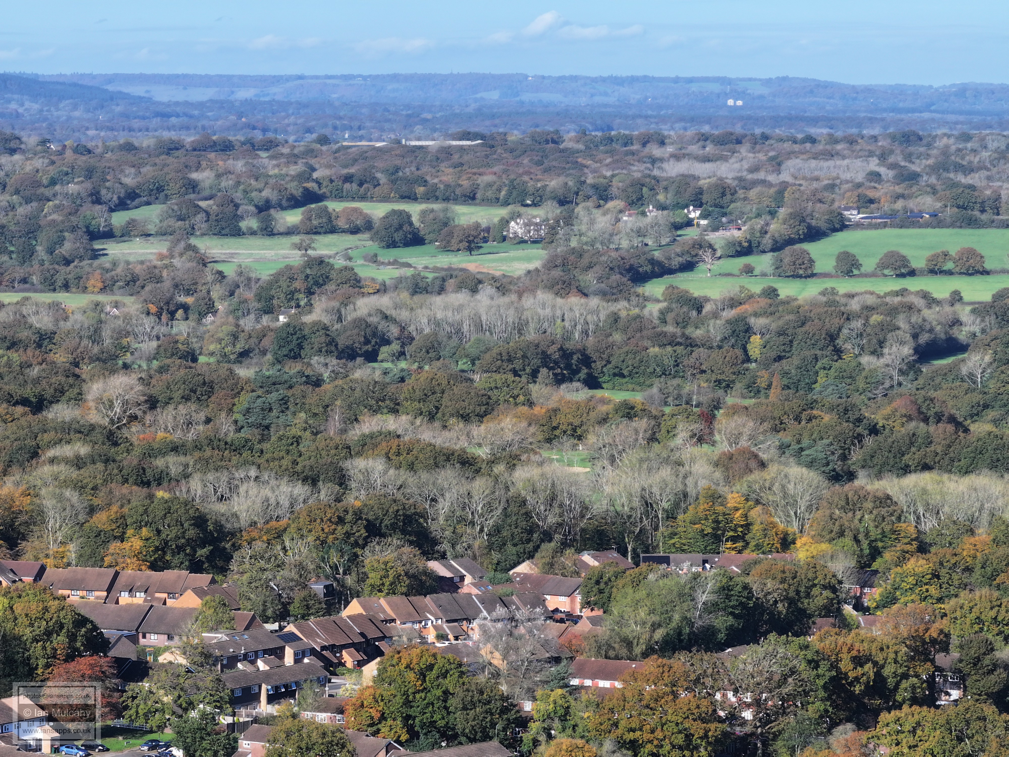
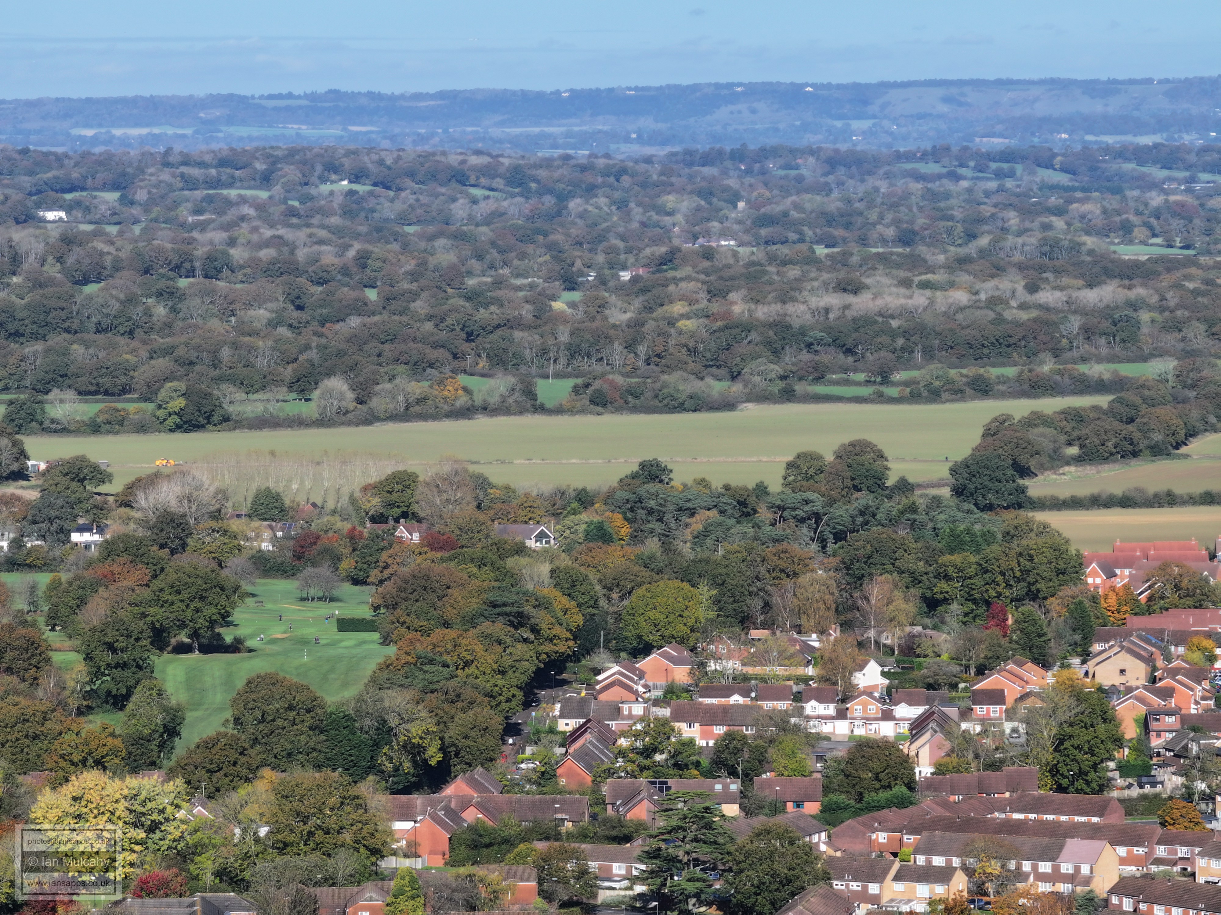
Cottesmore golf club and course
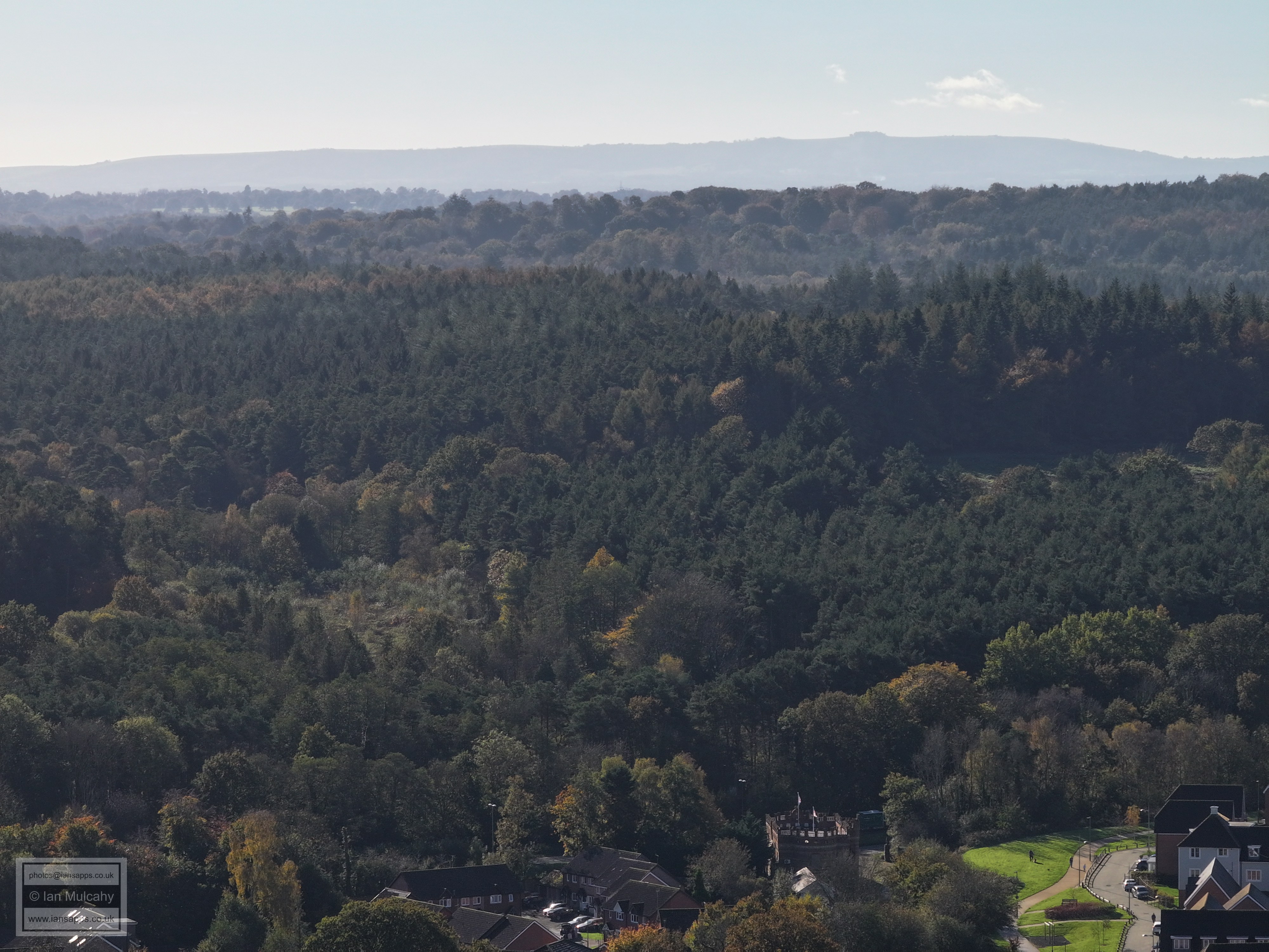
Bewbush 'Castle' at the foot of the photo.
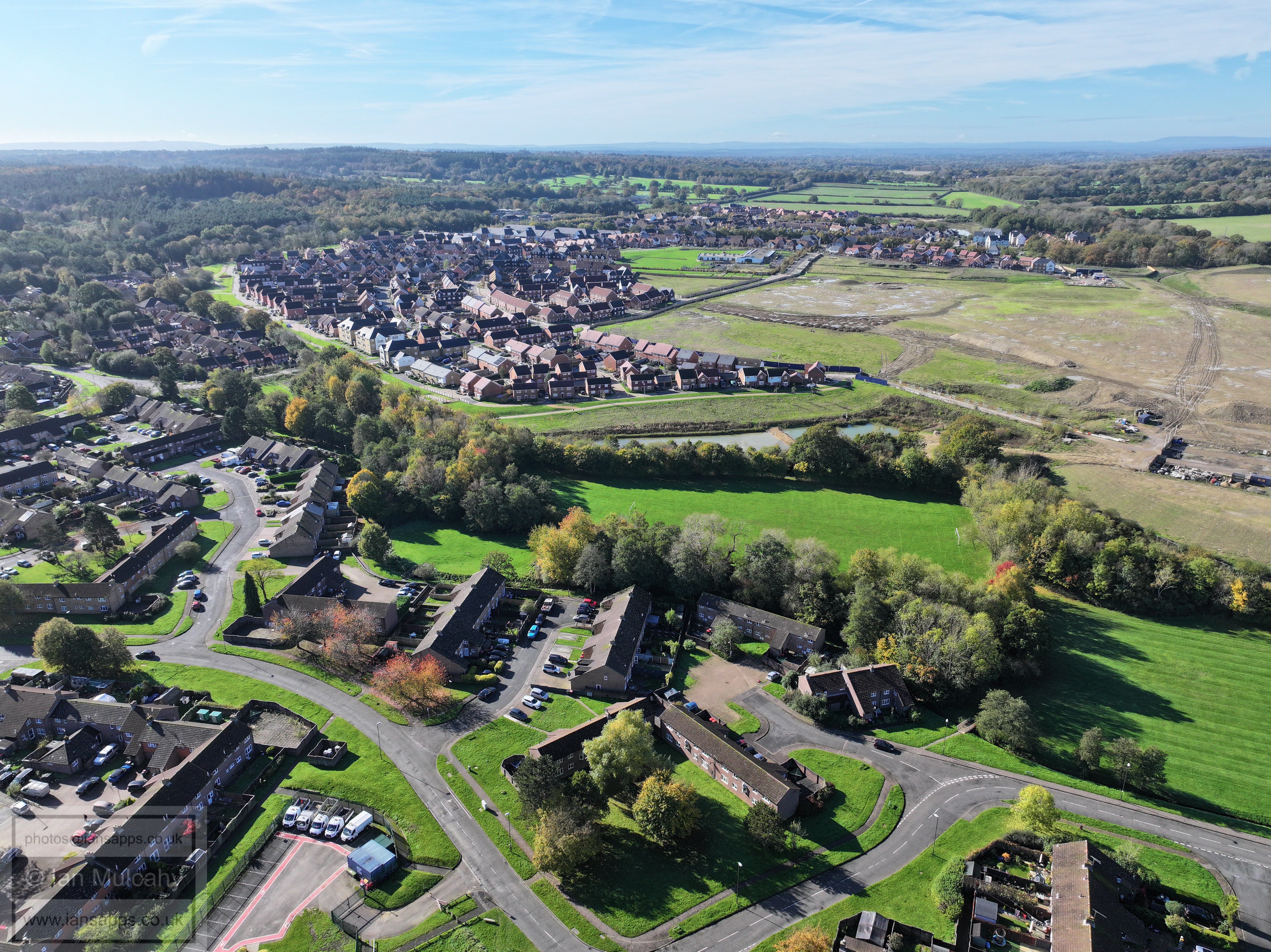
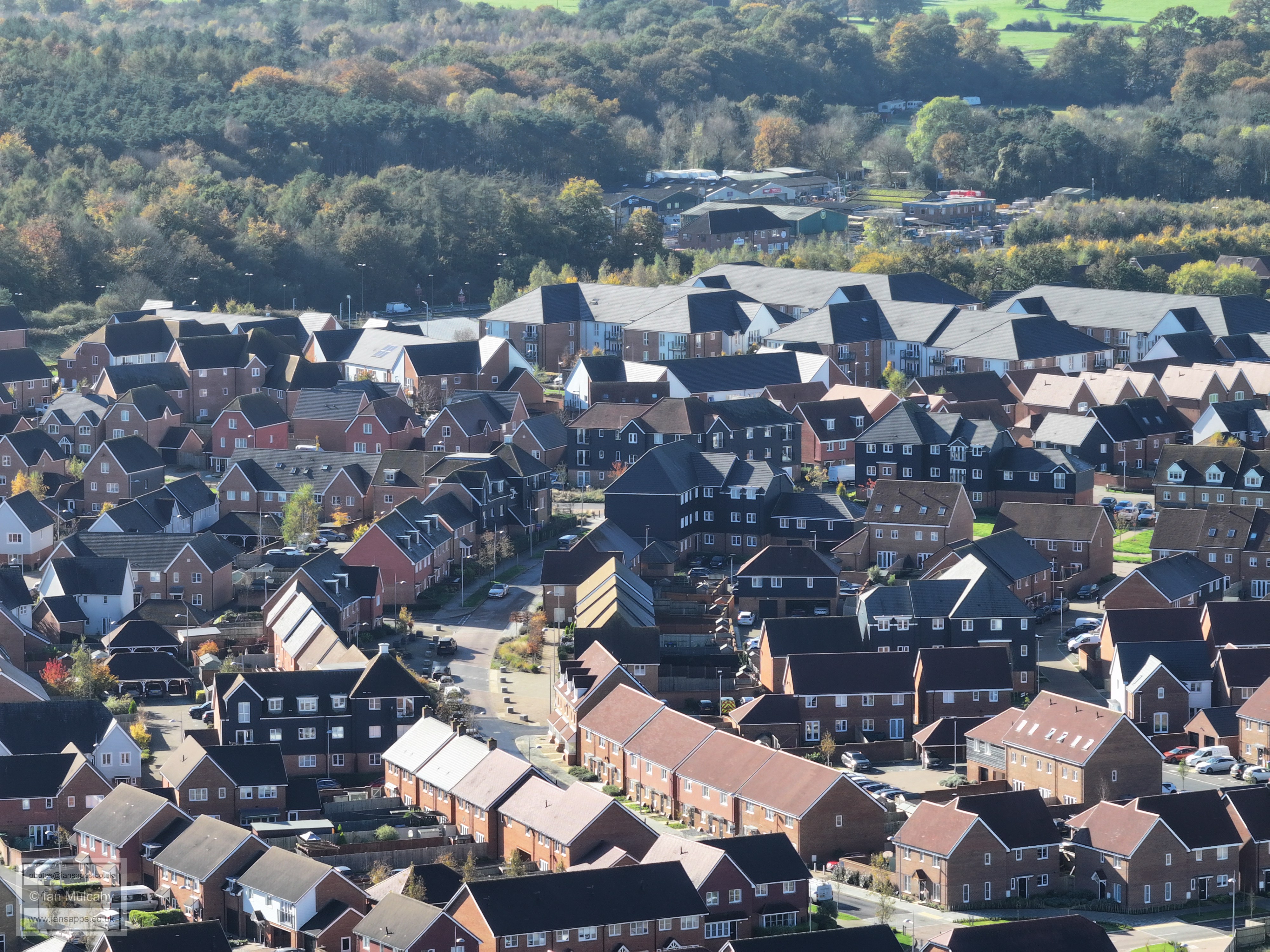
Kilnwood Vale
Kilnwood Vale
Kilnwood Vale
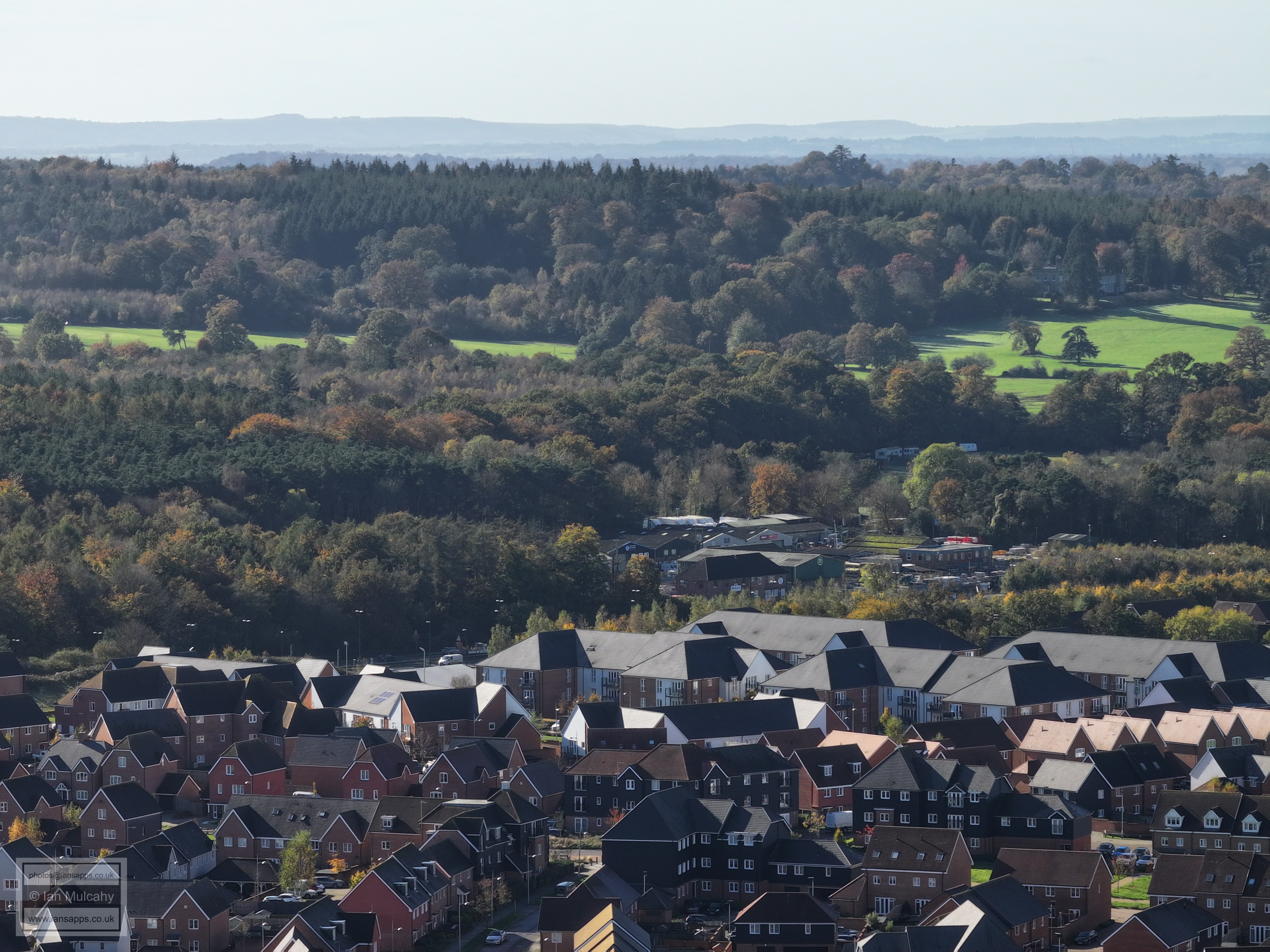
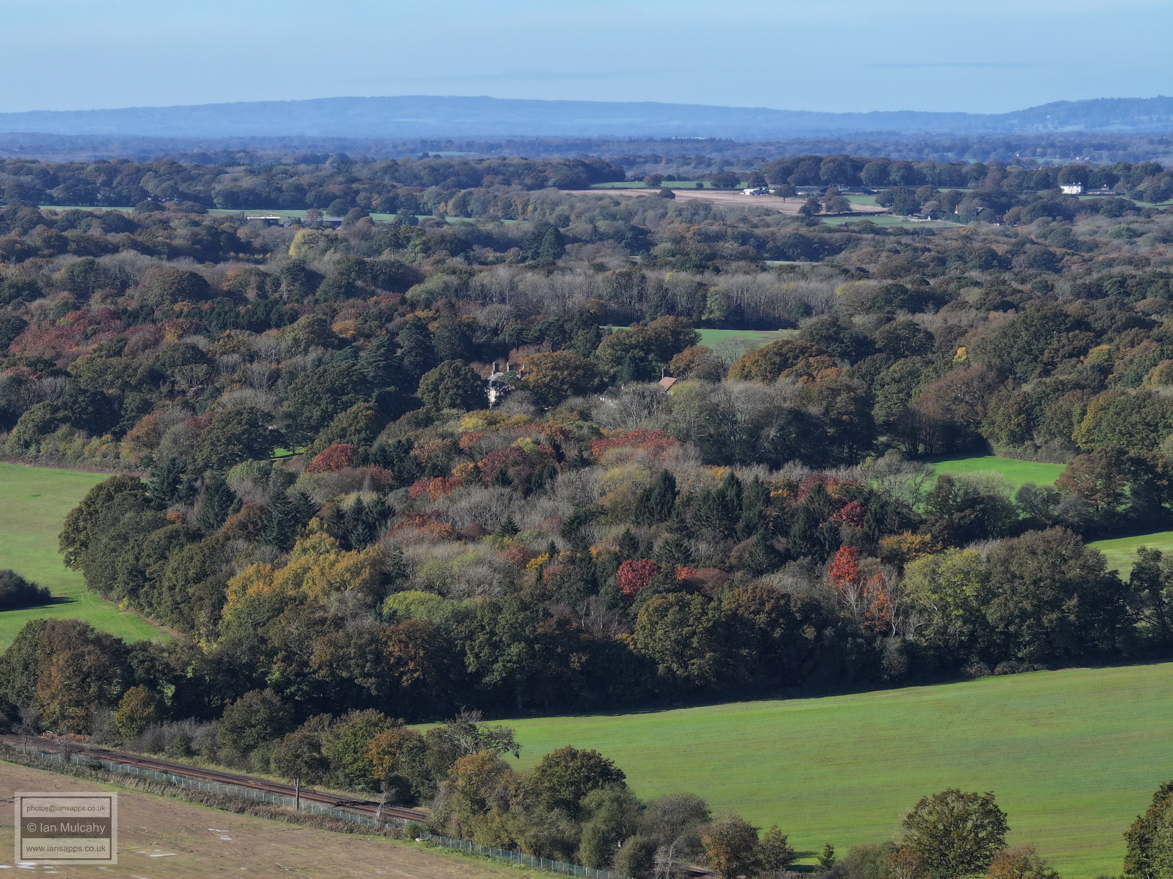
Kilnwood Vale with Faygate playing fields in the distance.
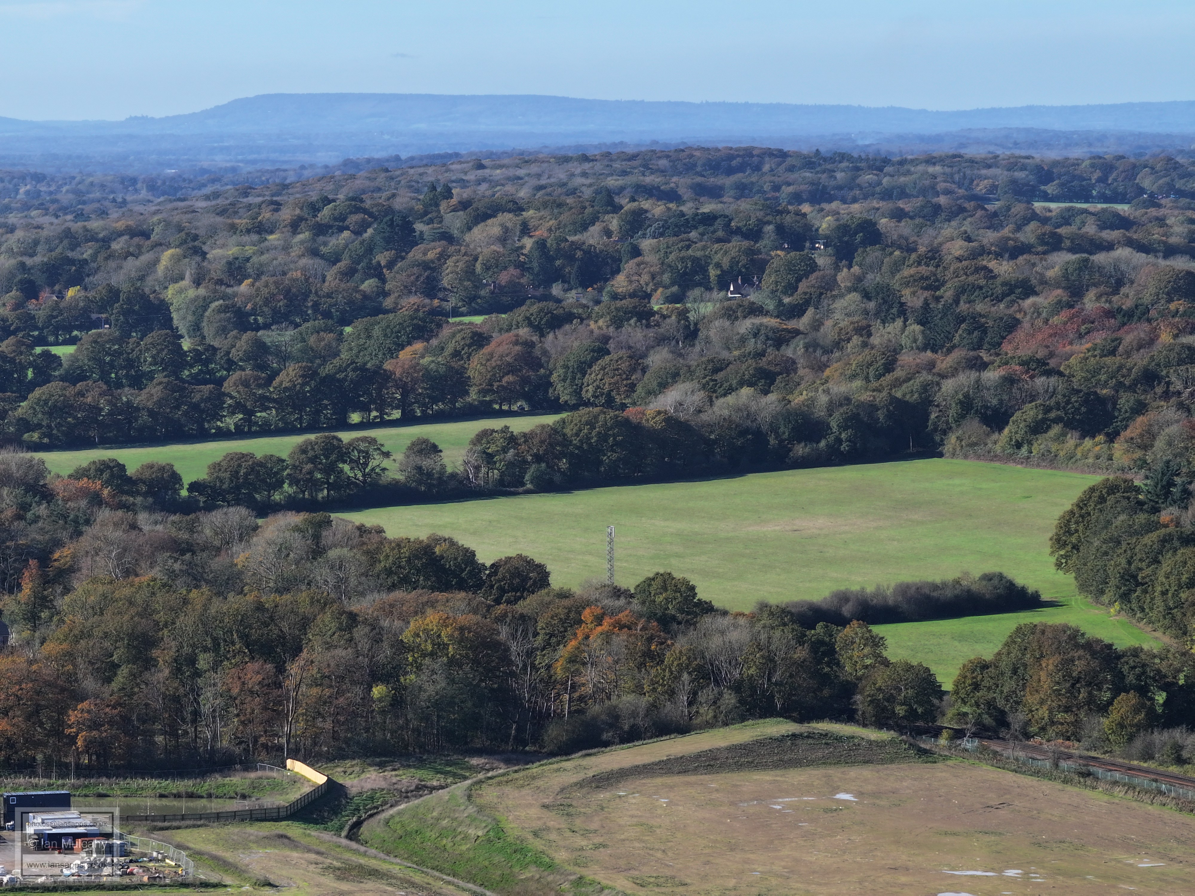
Prep work for the second of the two bridges which will provide access to the northern areas of Kilnwood Vale
Top centre is Rusper, with Normans just below and to the right.
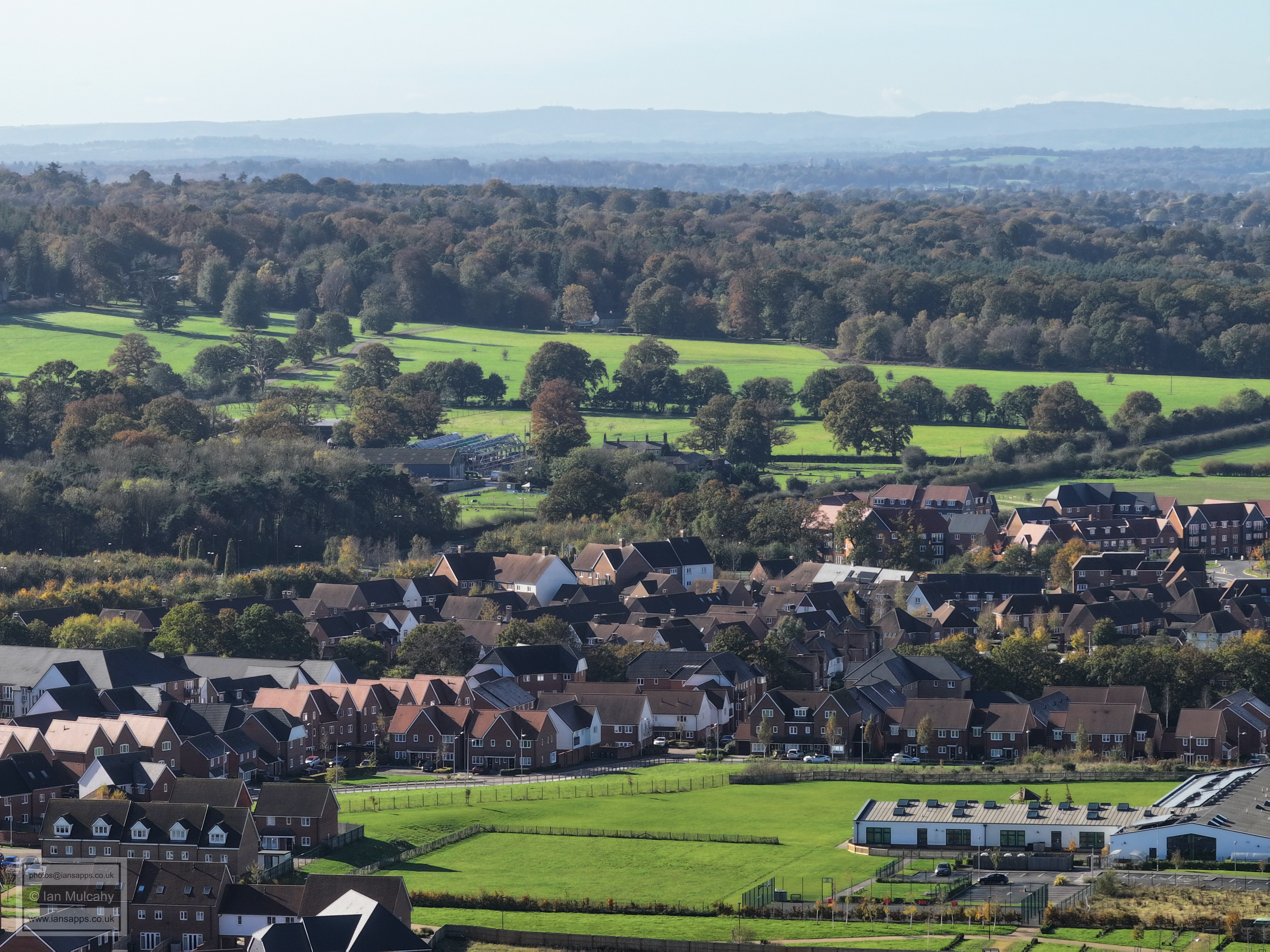
In the centre, in the gap between the two large areas of trees, is The Mount.
Bonwyckes on the far right, just above centre
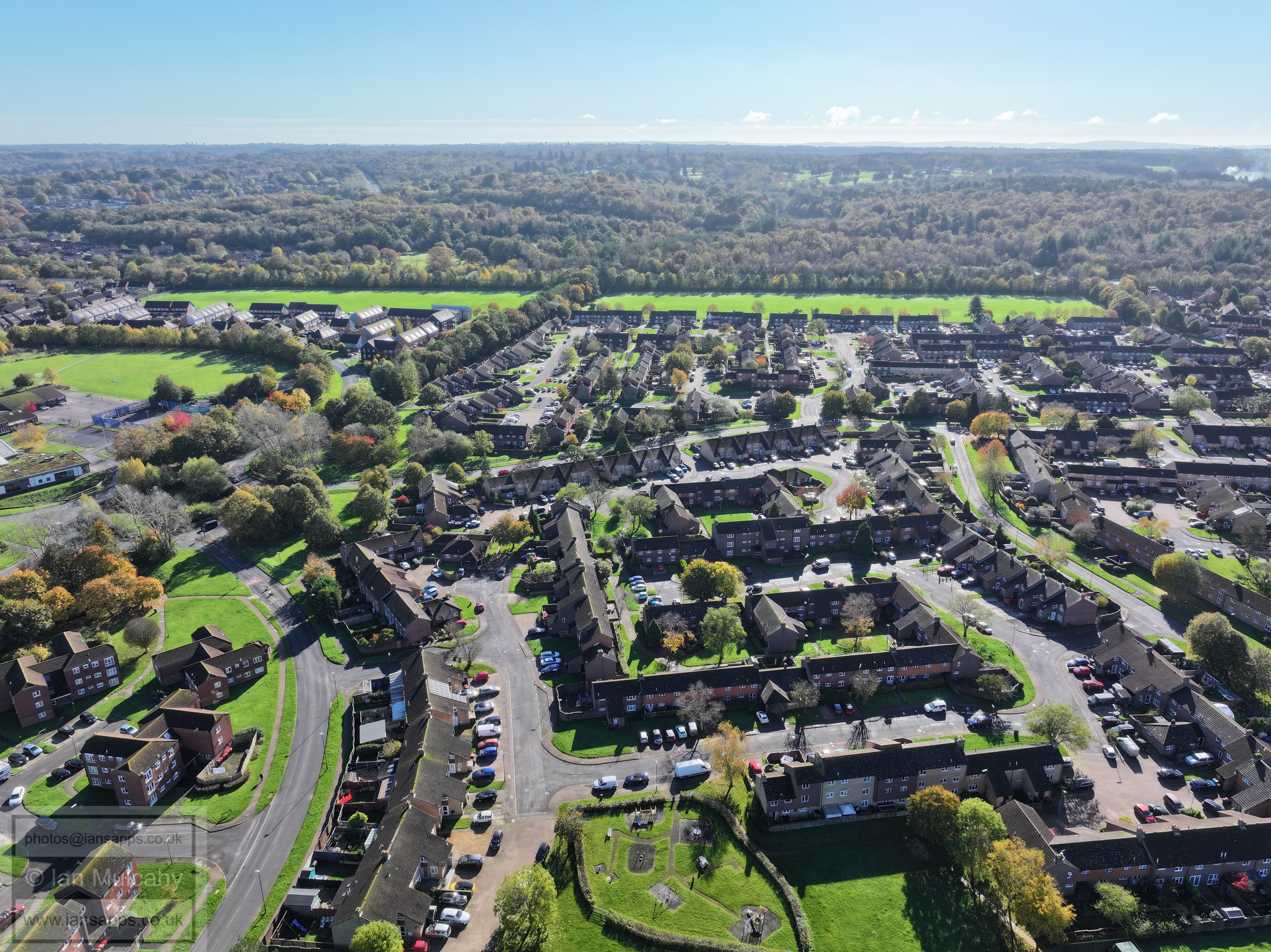
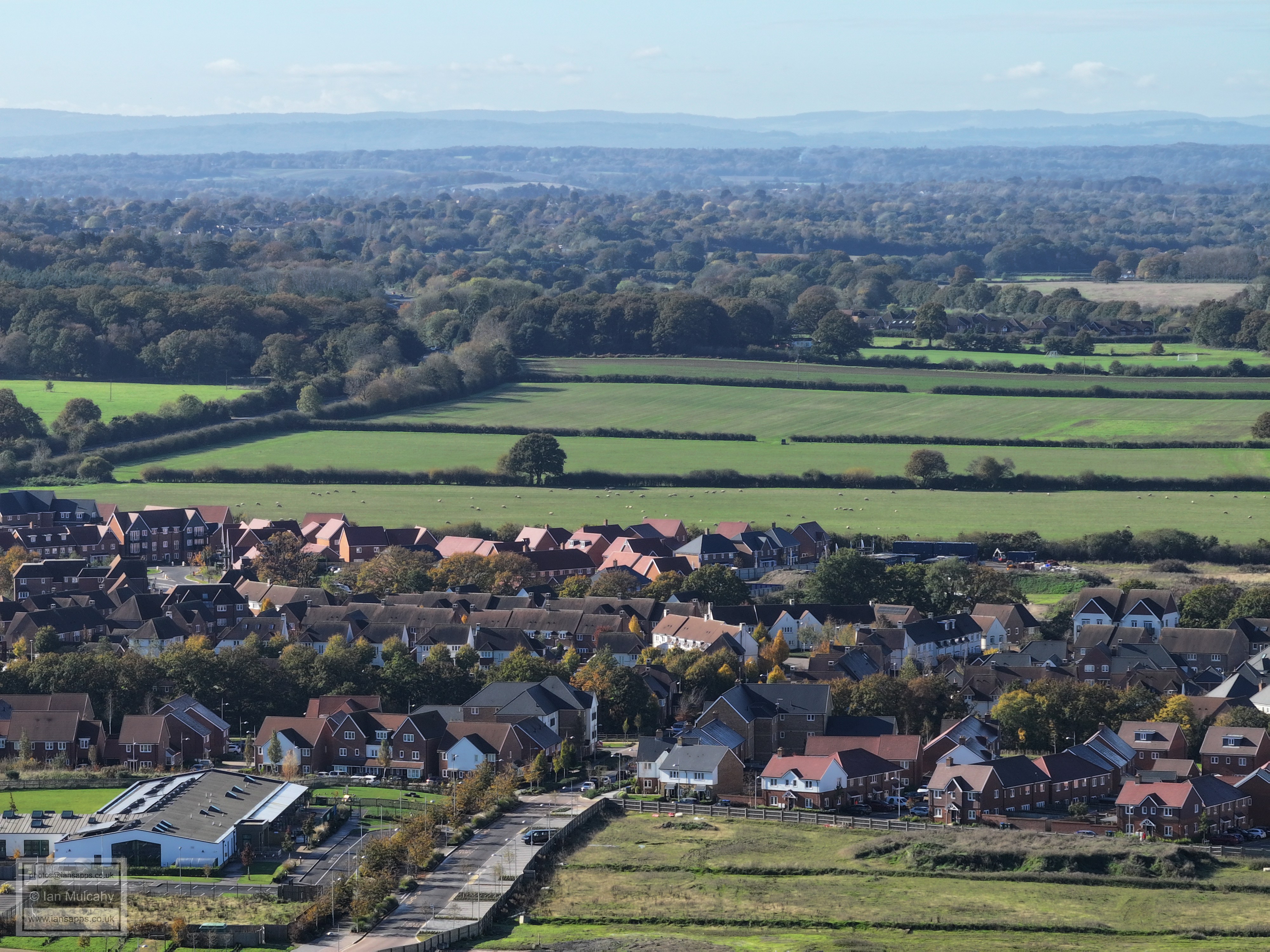
Ifield West and Ifield Brook Meadows.
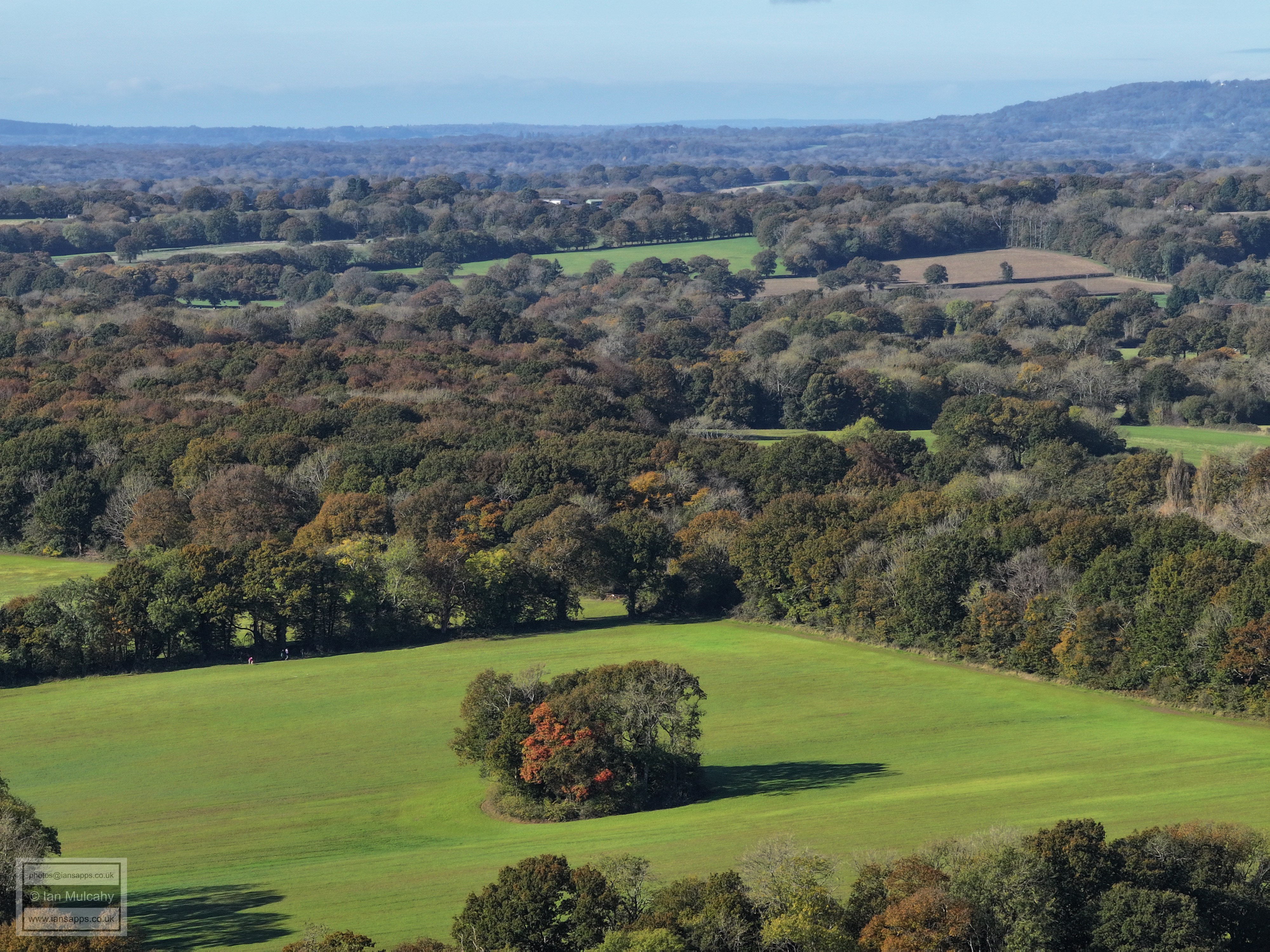
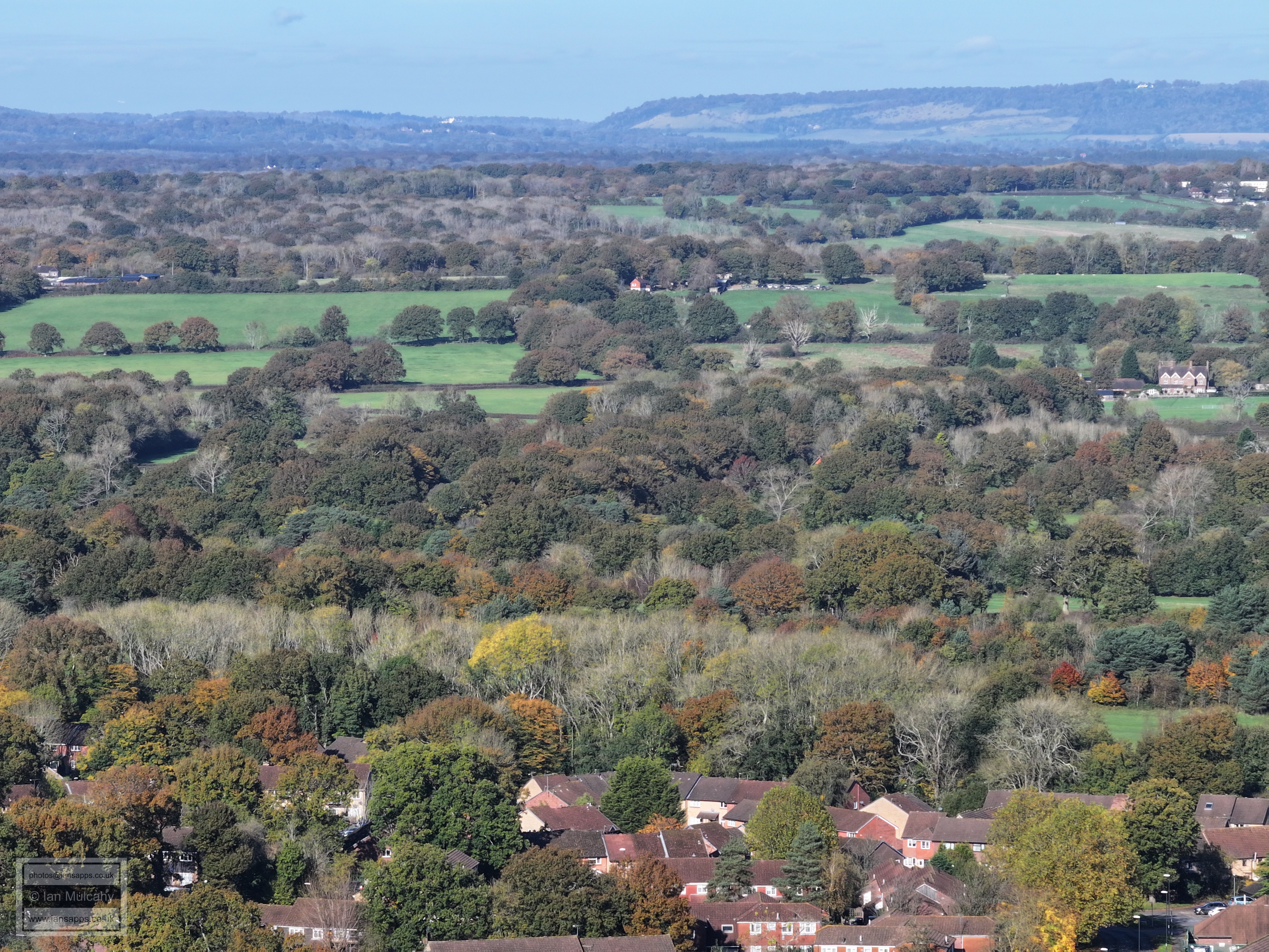
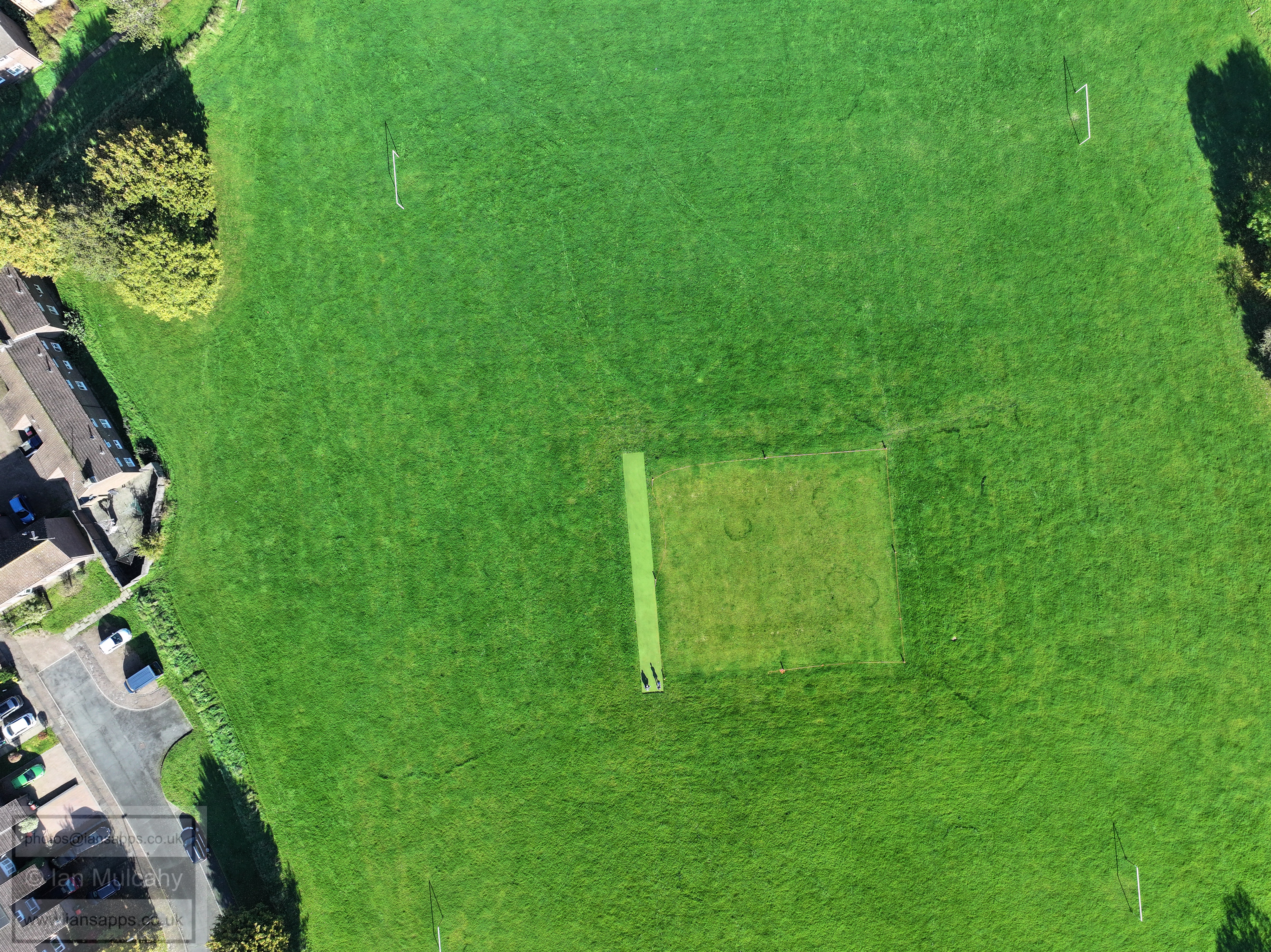
Long shadows
Text & photographs © Ian Mulcahy. Contact photos@iansapps.co.uk or visit my 'Use of my photographs' page for licensing queries (ground level photographs only). |