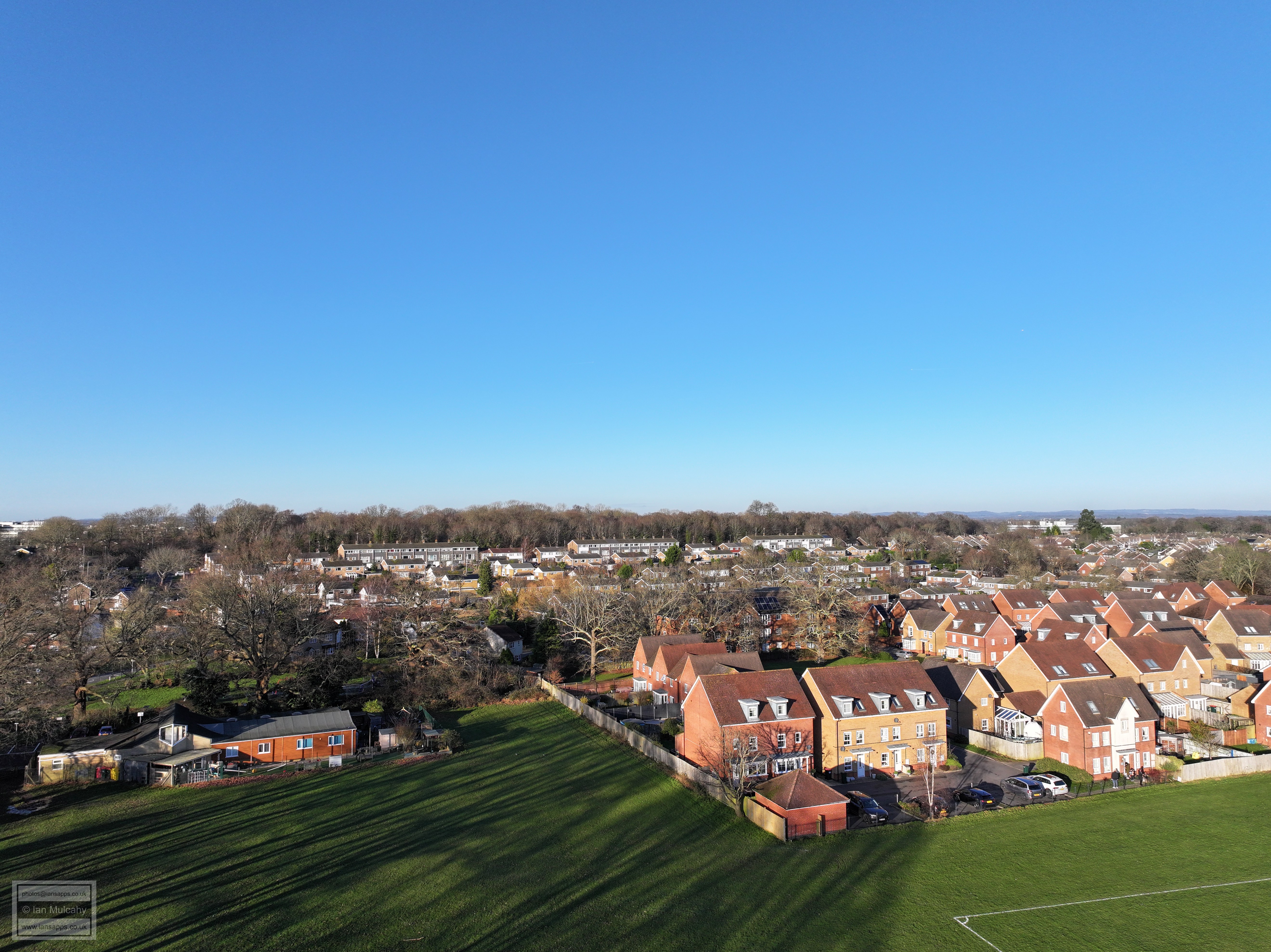
Loppets Road, Tilgate
3 January 2025
62 aerial photographs of varying focal lengths
|
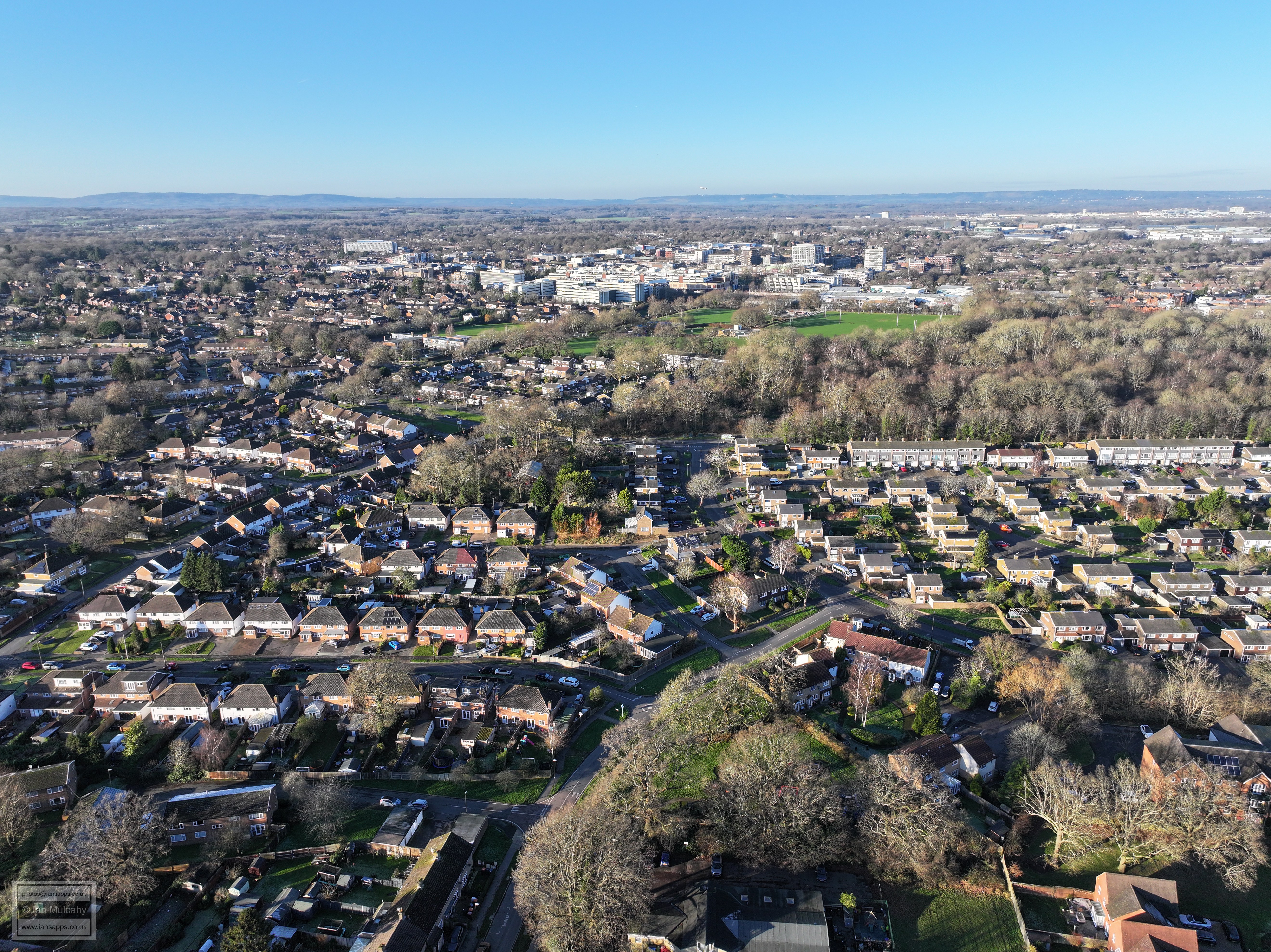
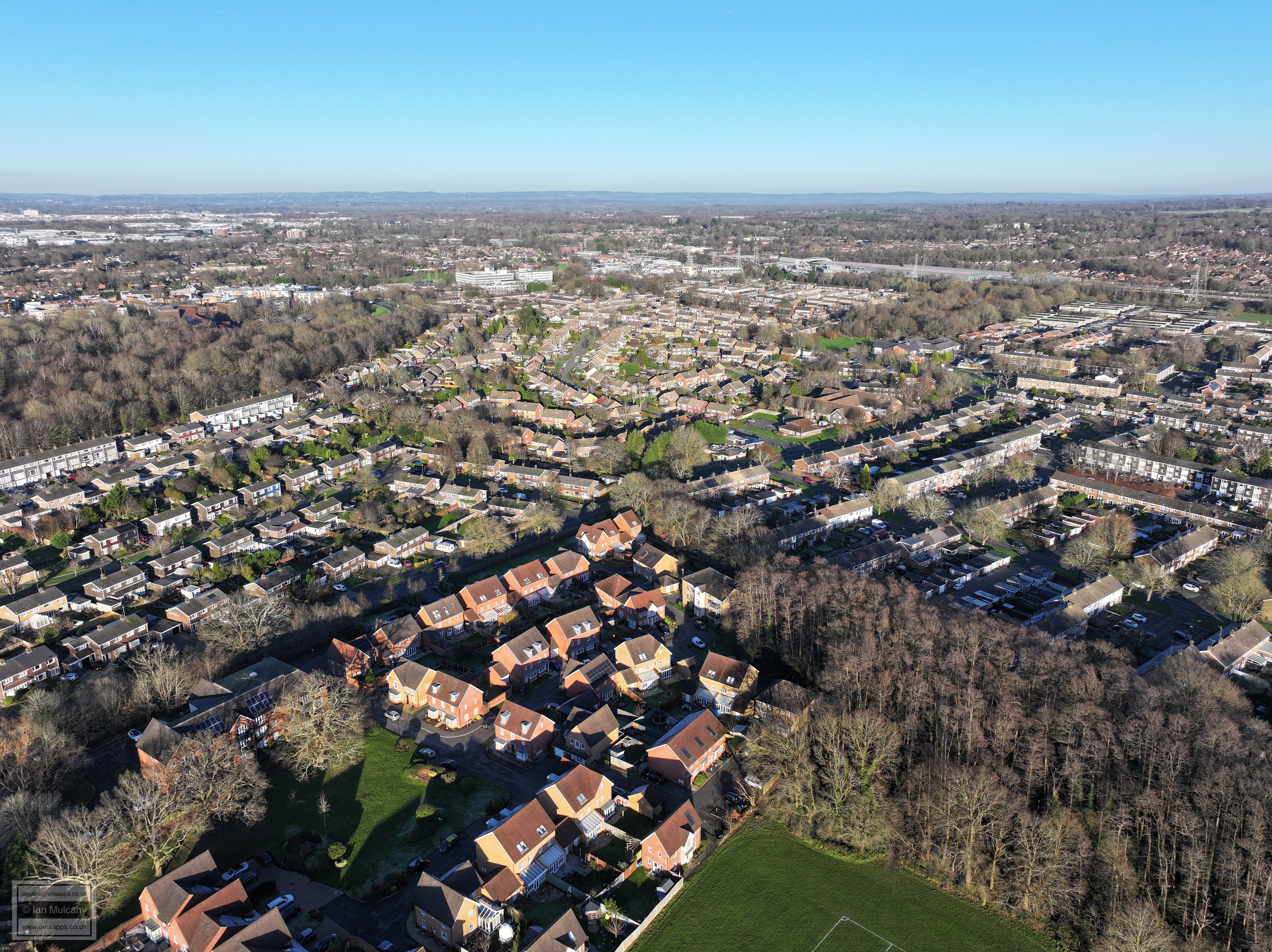
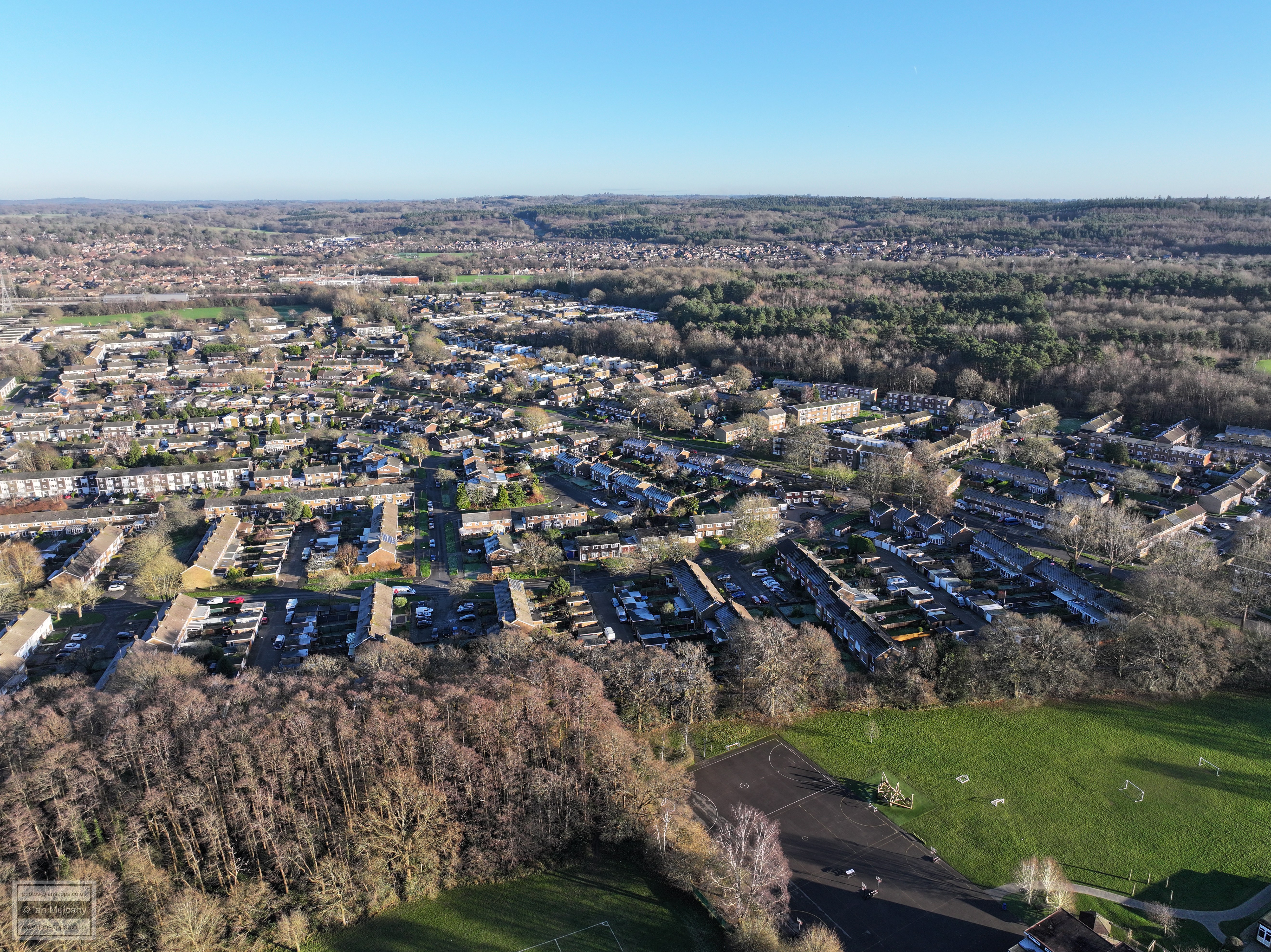
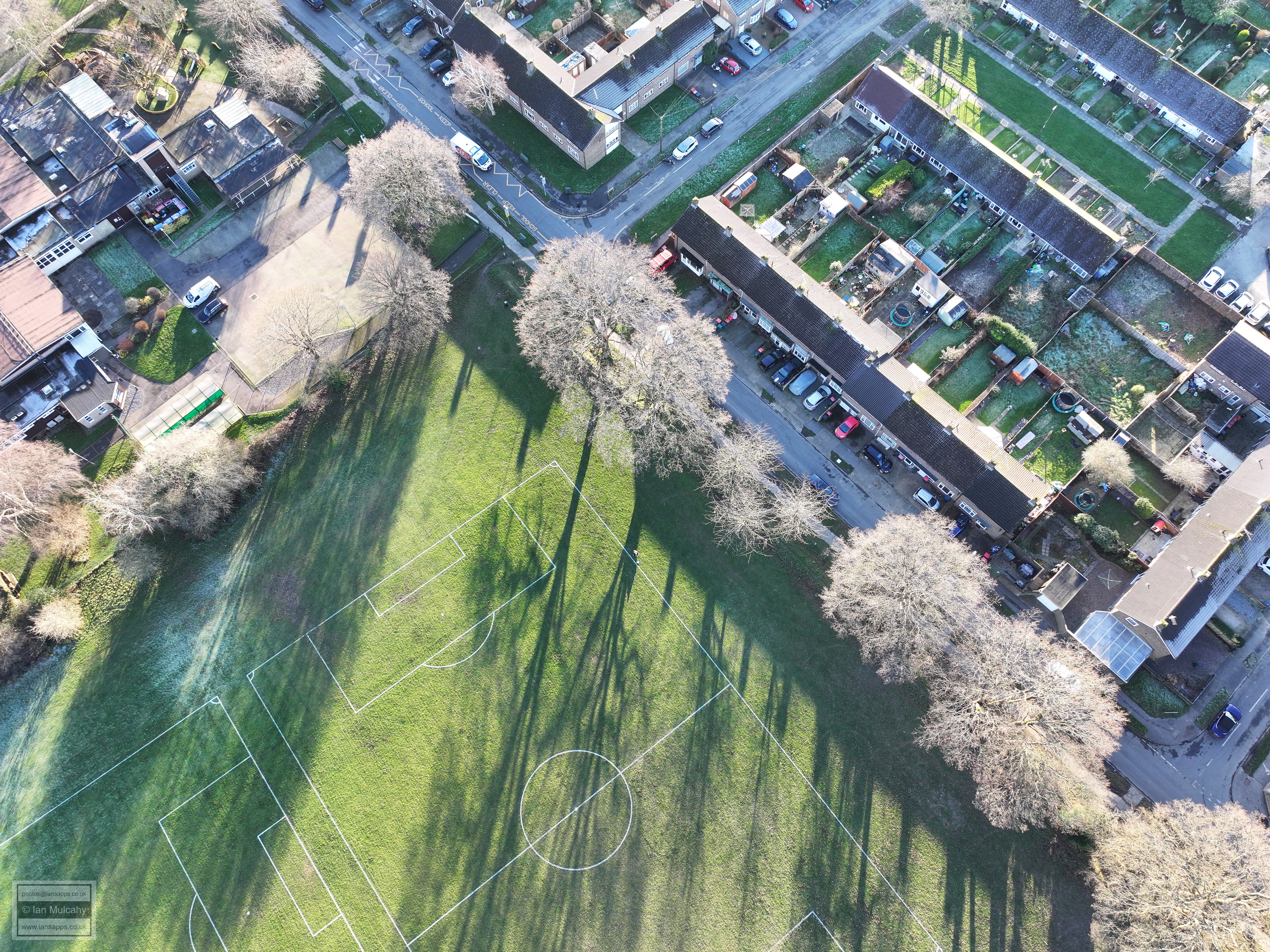
62 aerial photographs taken from Loppets Road playing fields in Tilgate on 3 January 2025 including full 360 degree panoramas from each of a 24mm, 70mm and 170mm lens. I've added brief annotations to some of the photos to help with your bearings and highlight points of interest.
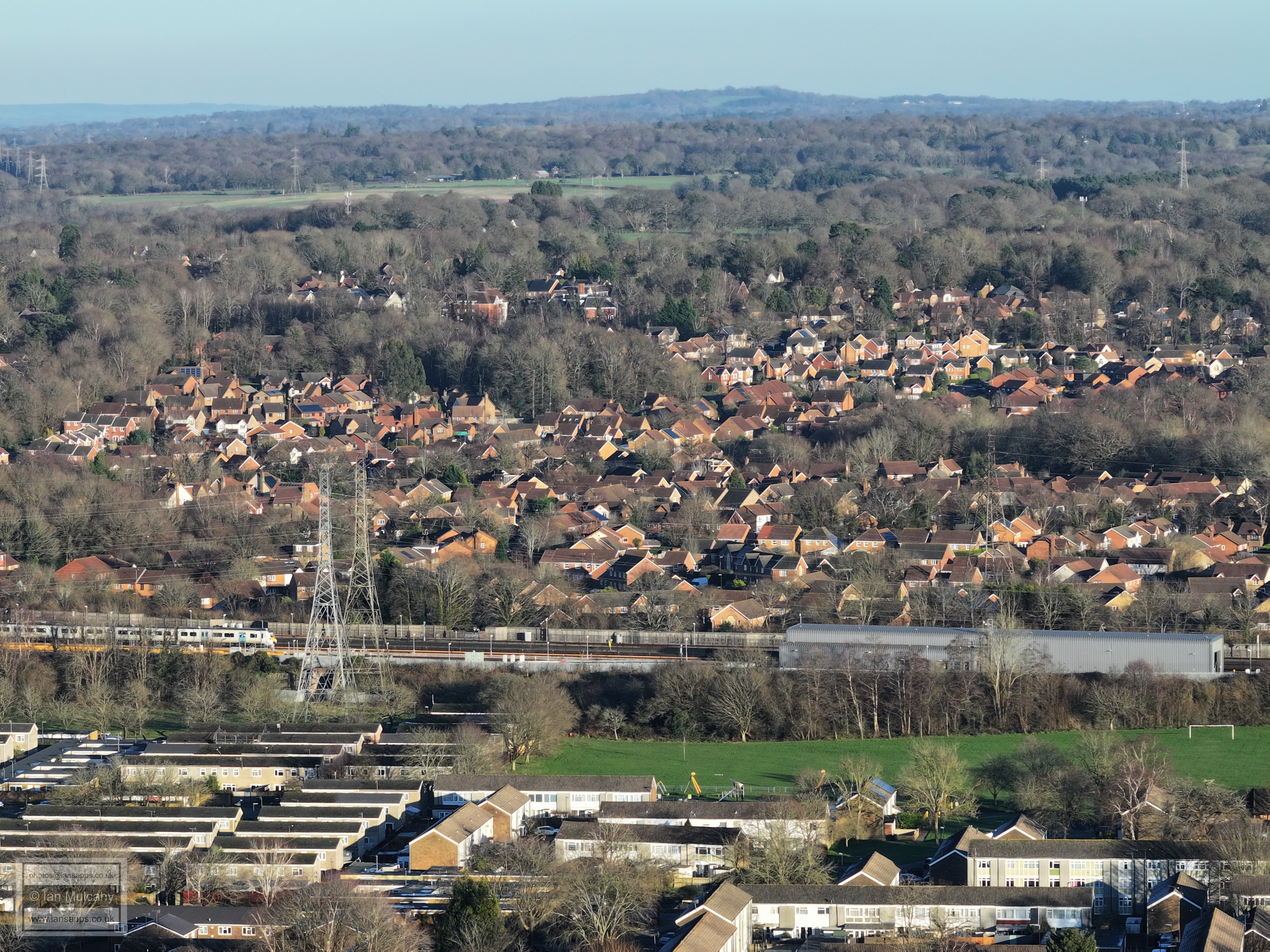
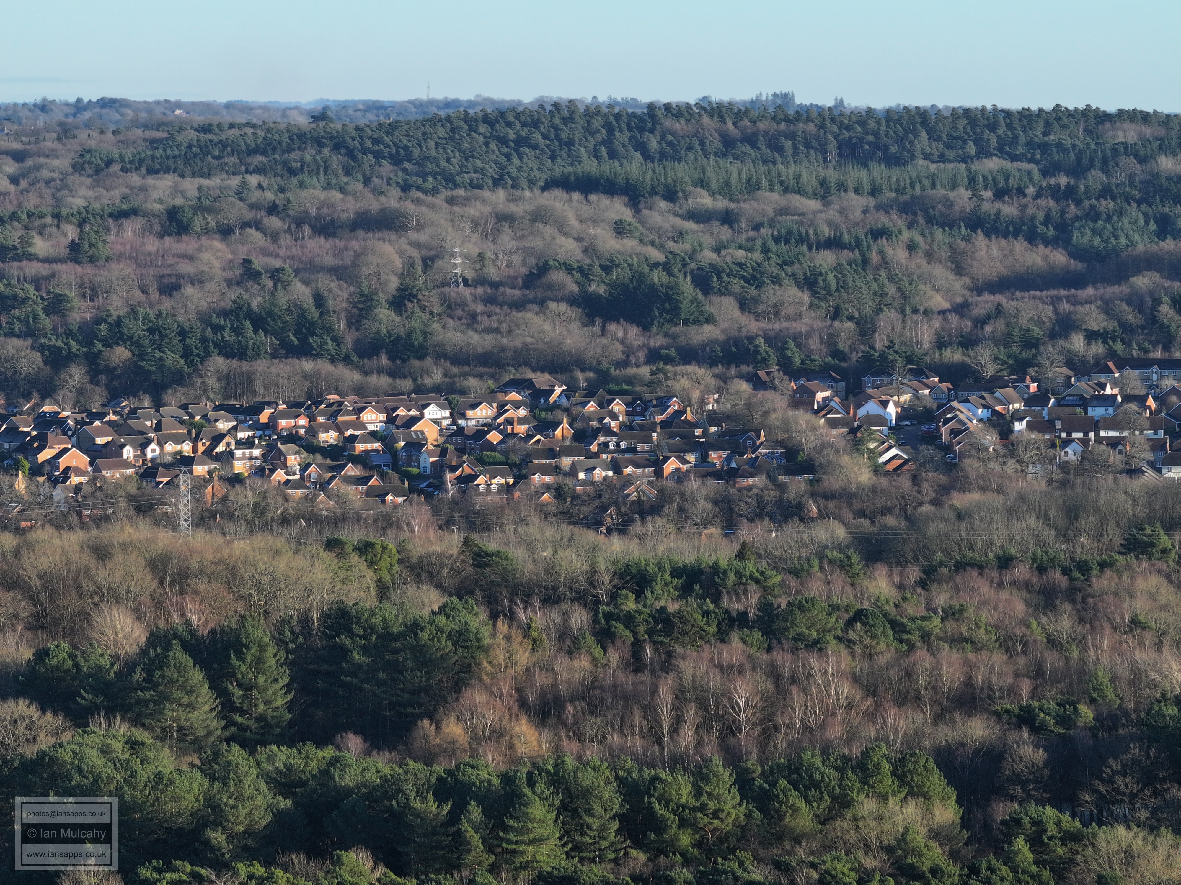
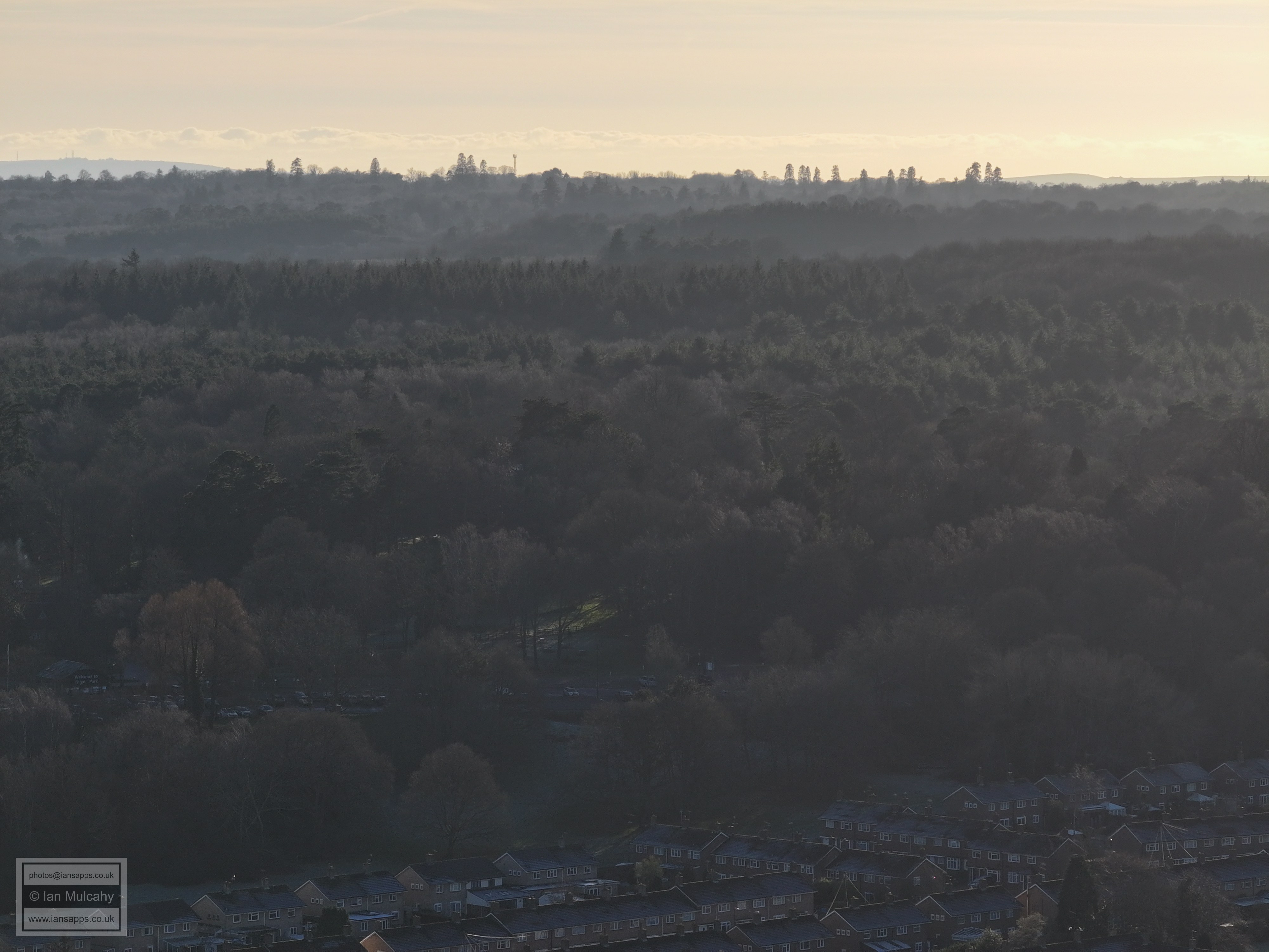
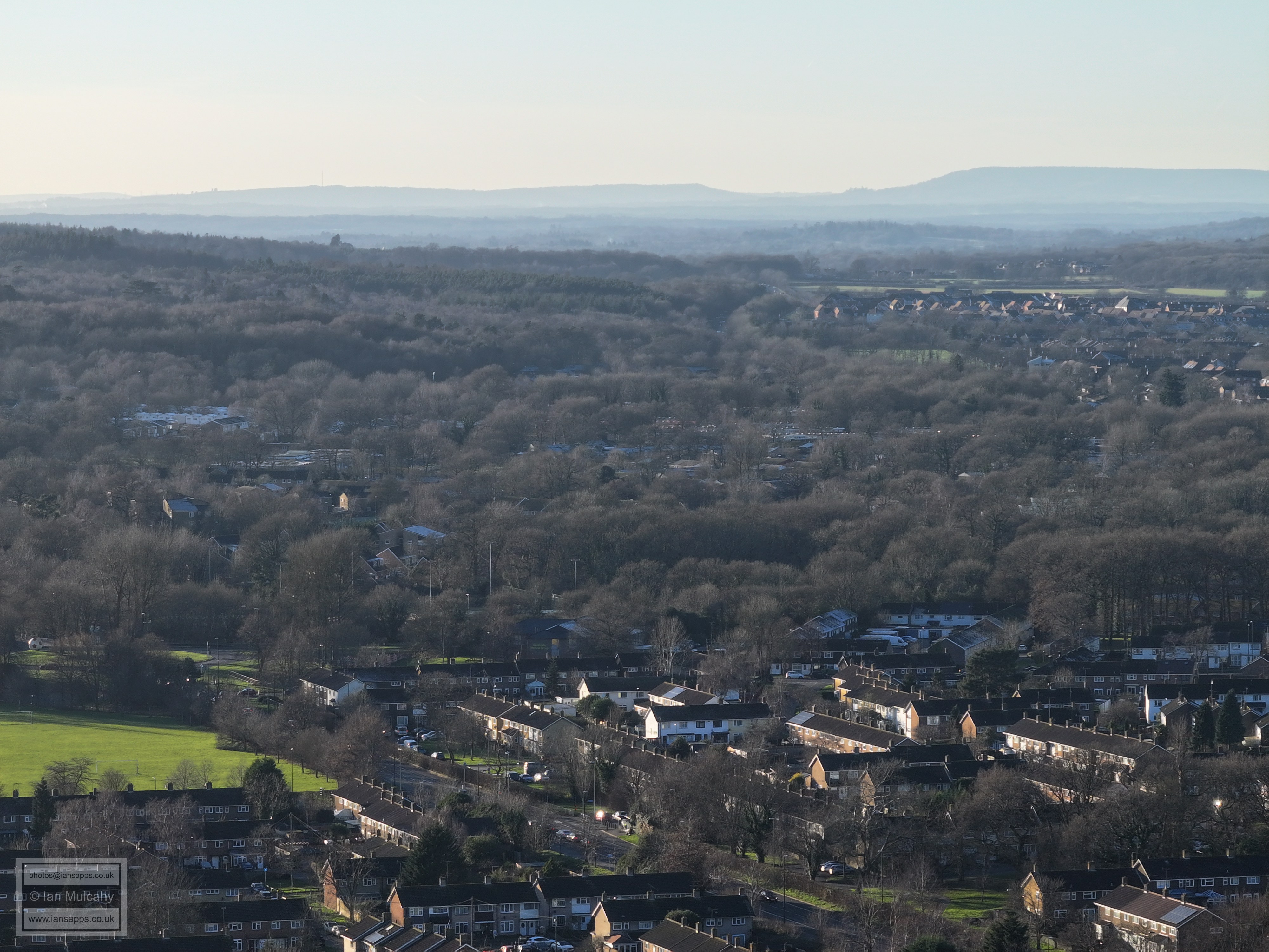
Wychwood Road, on the site of Robert May School, with Hawth Woods on the hill beyond
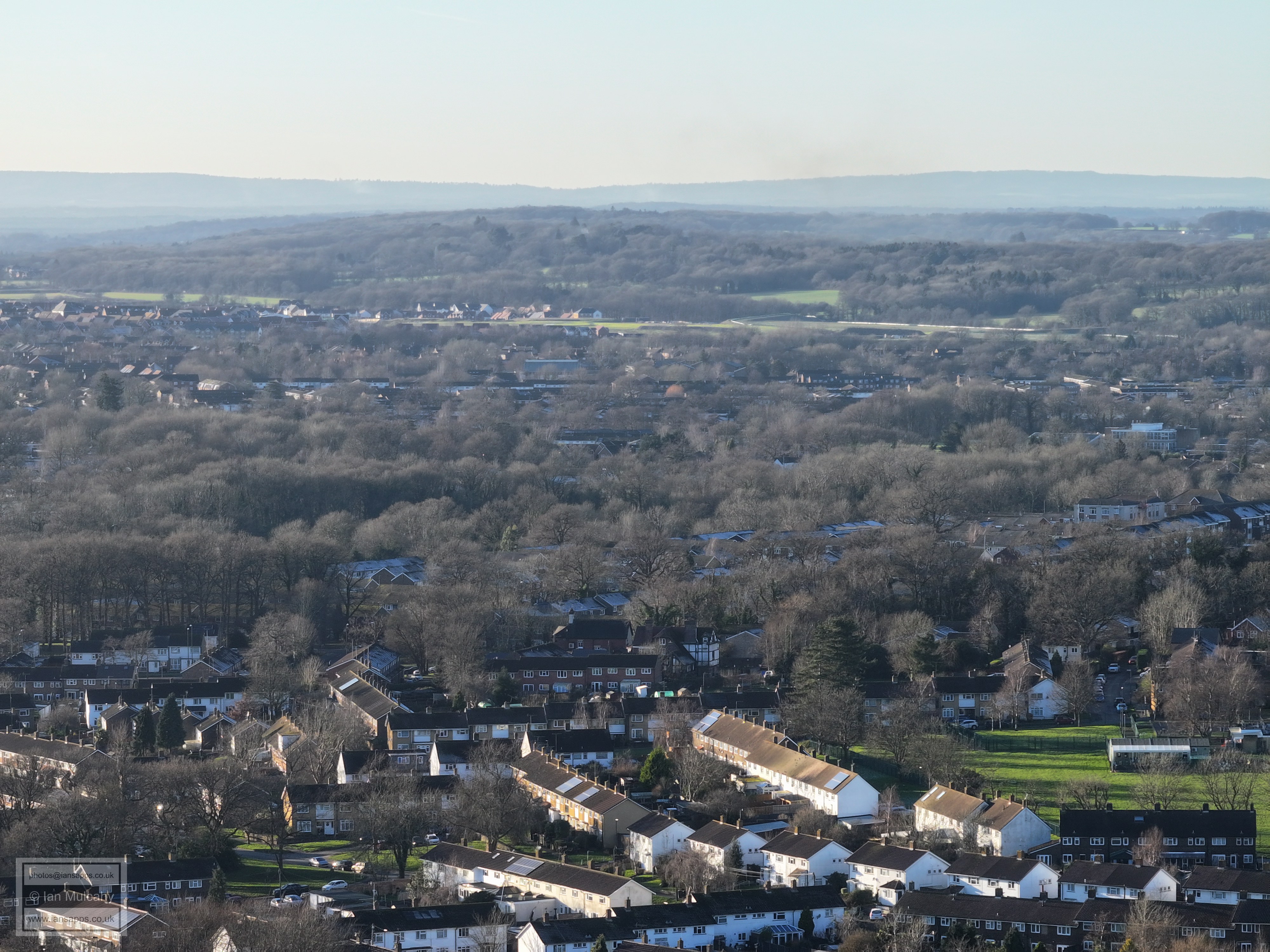
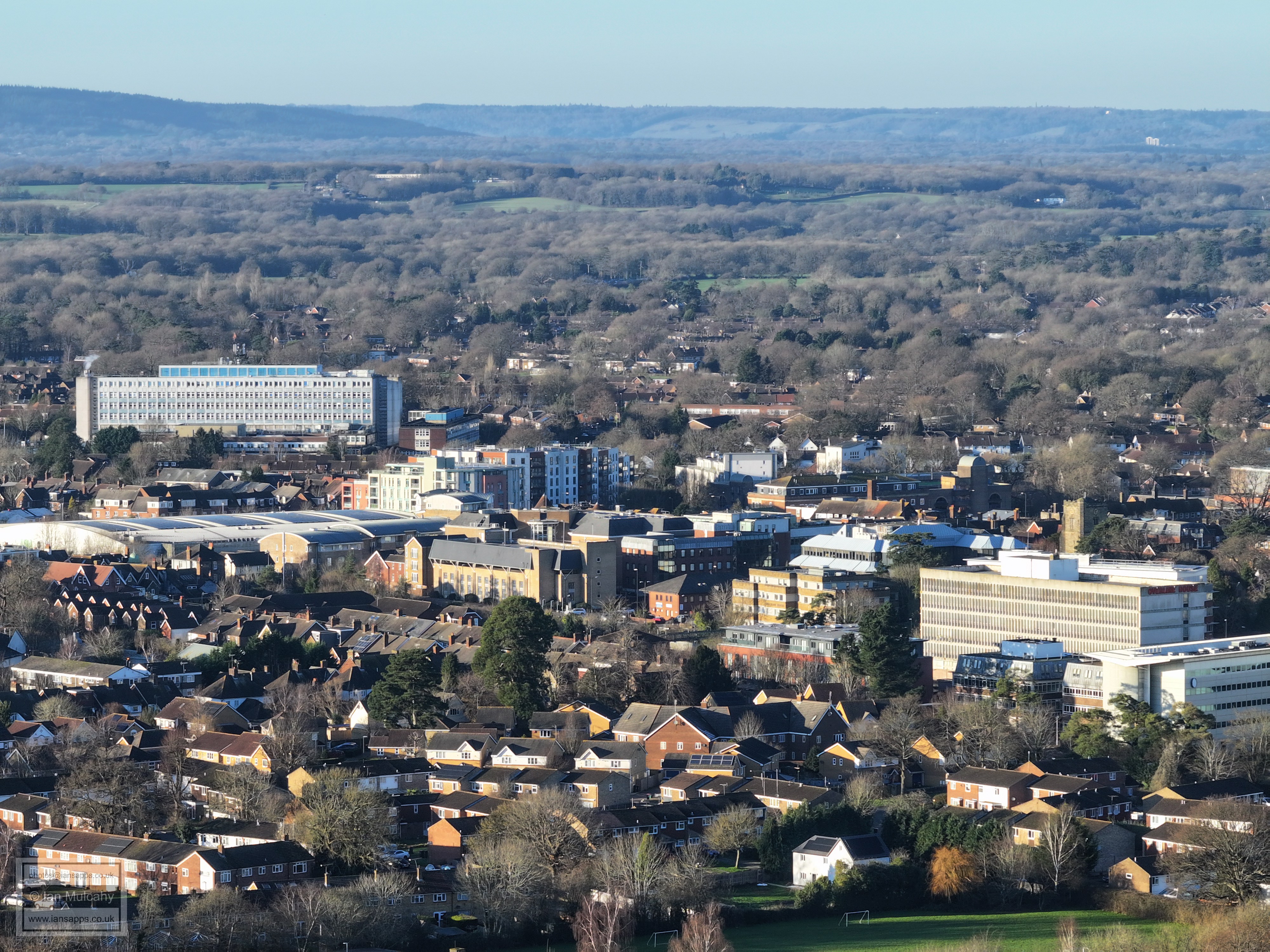
Town Centre, with Southgate Playing Fields in the foreground.
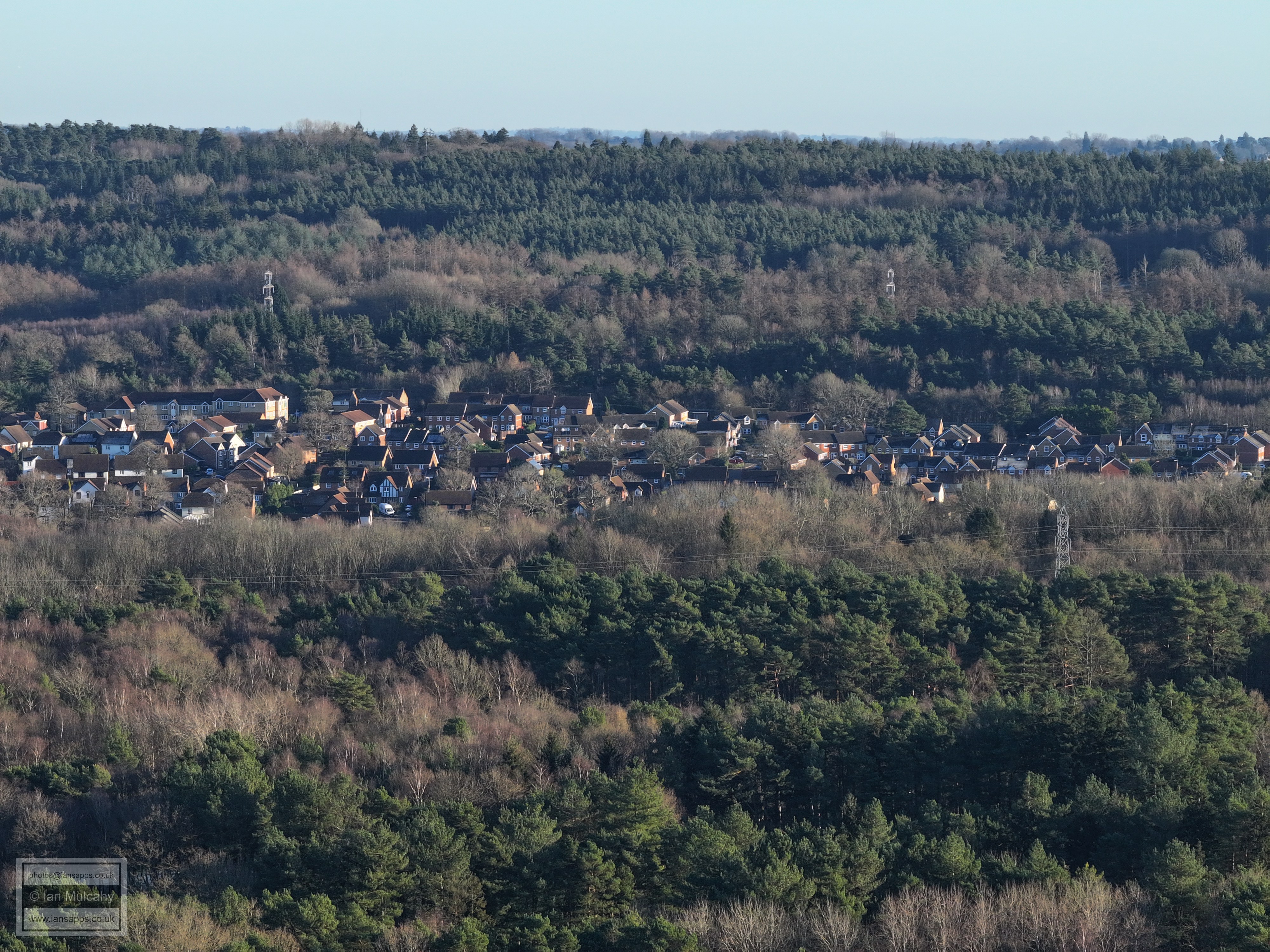
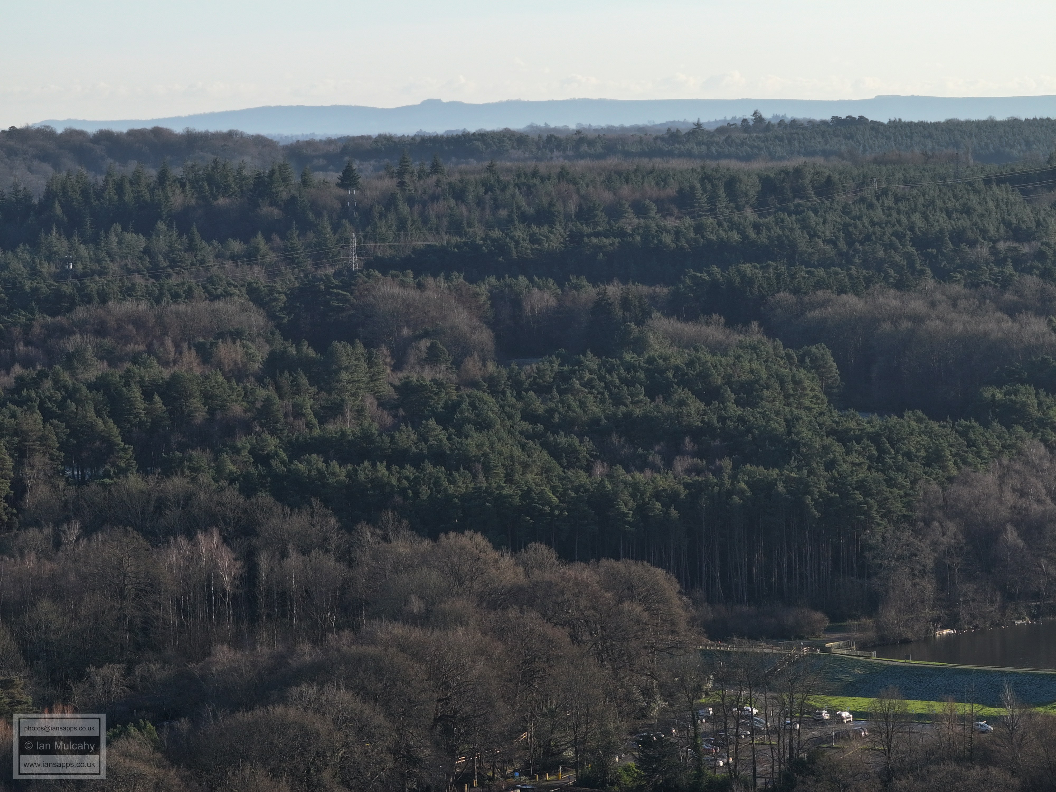
Hawth Woods
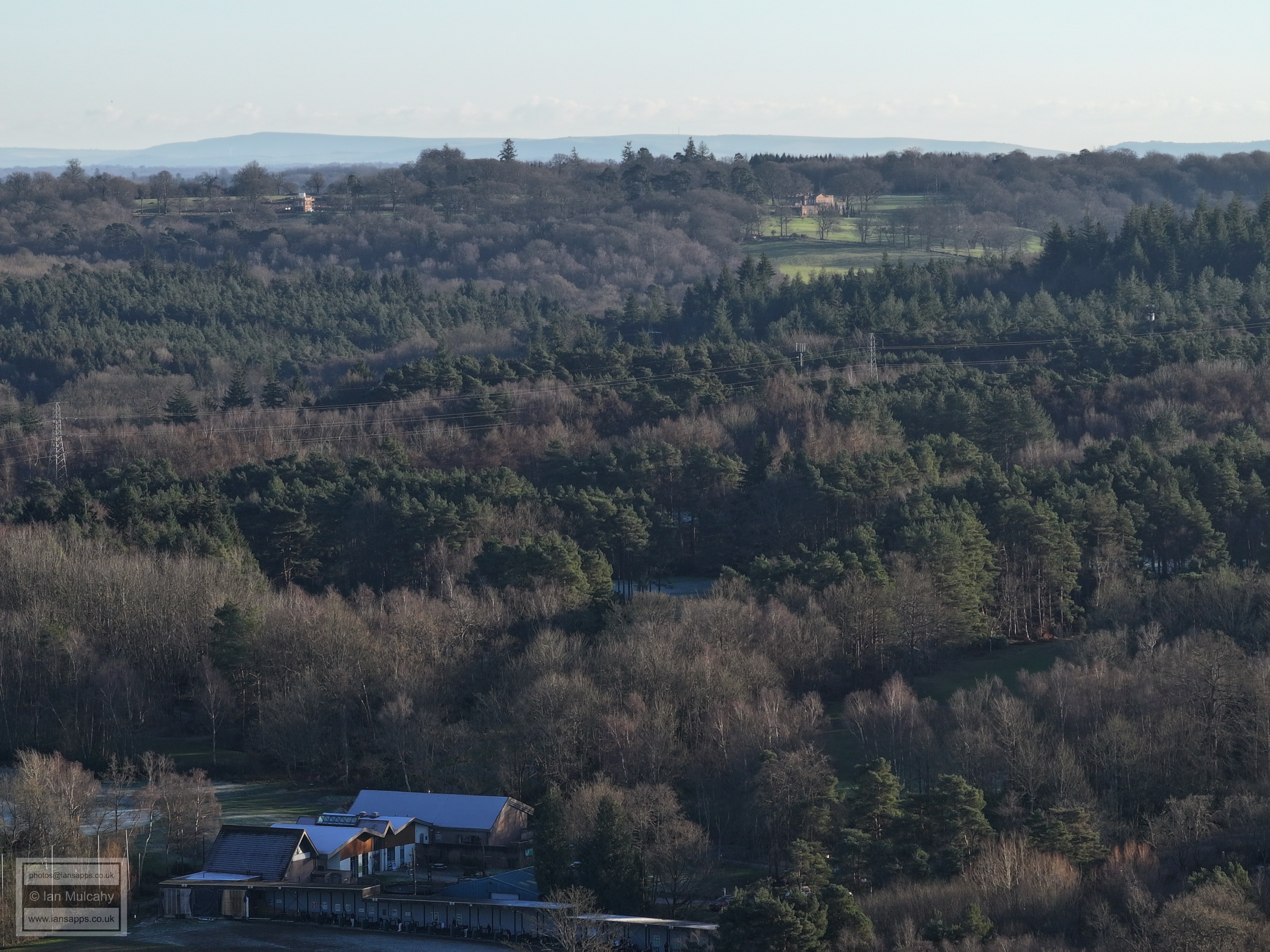
Driving Range at Tilgate Golf Course in the centre
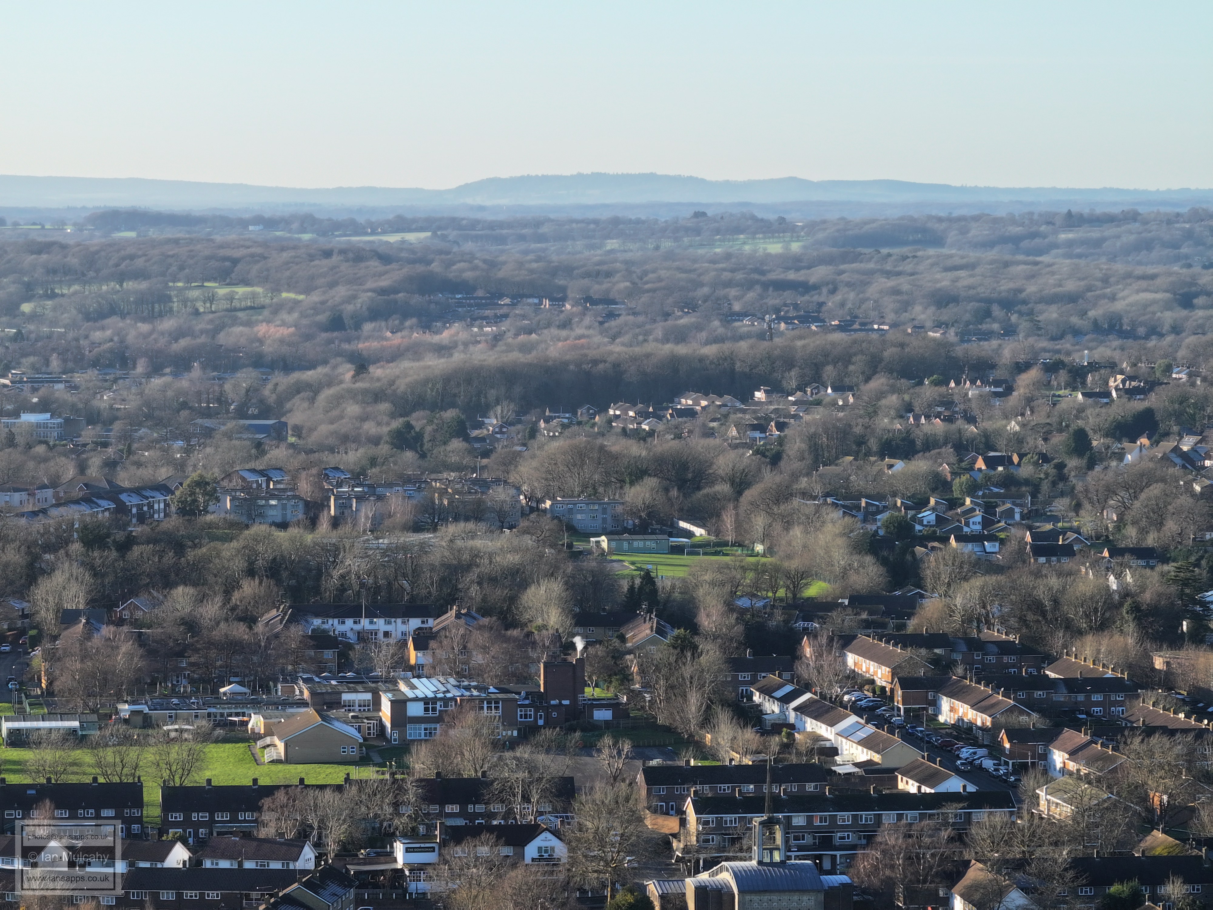
St Mary's at Southgate is just left of centre
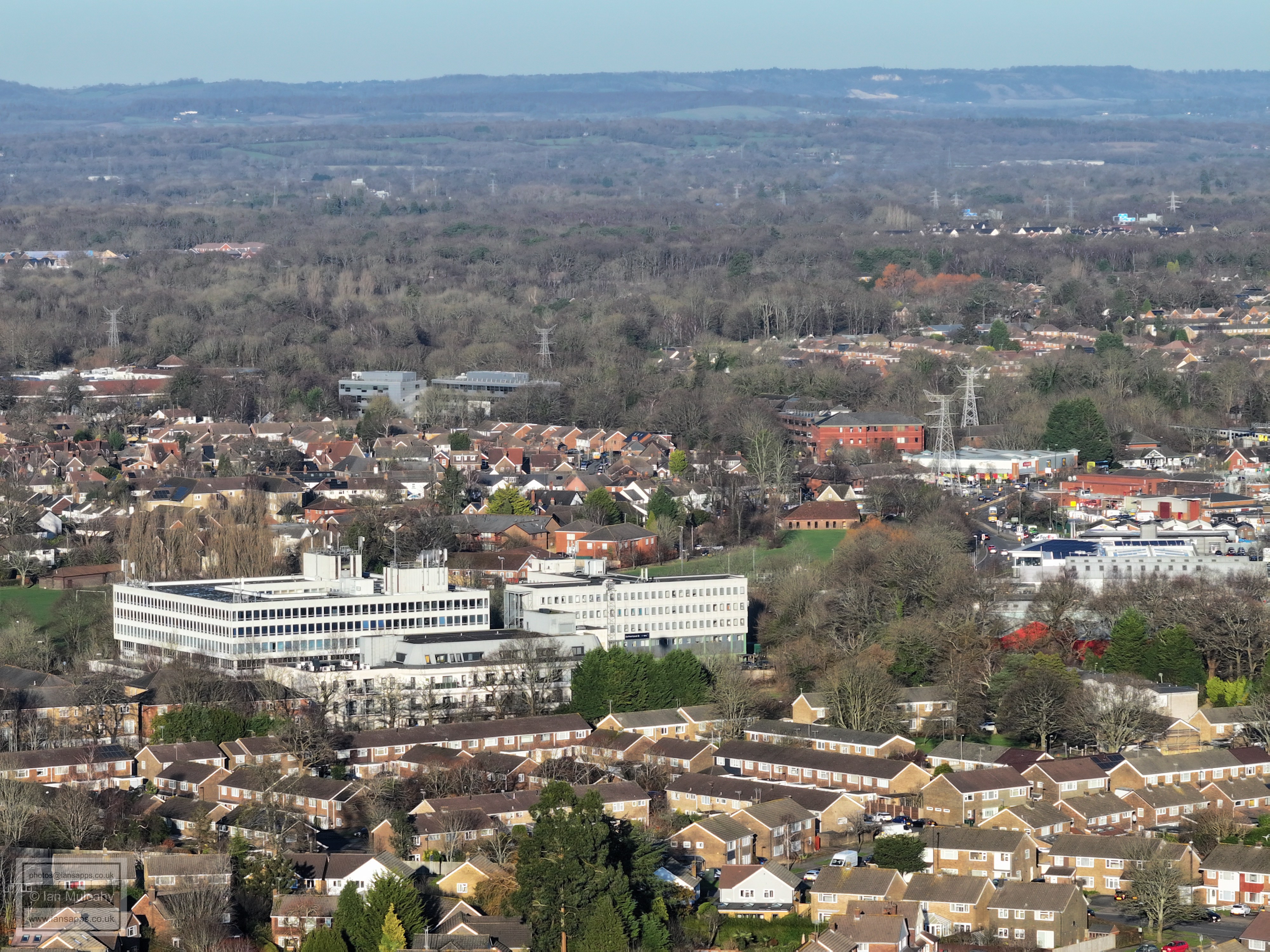
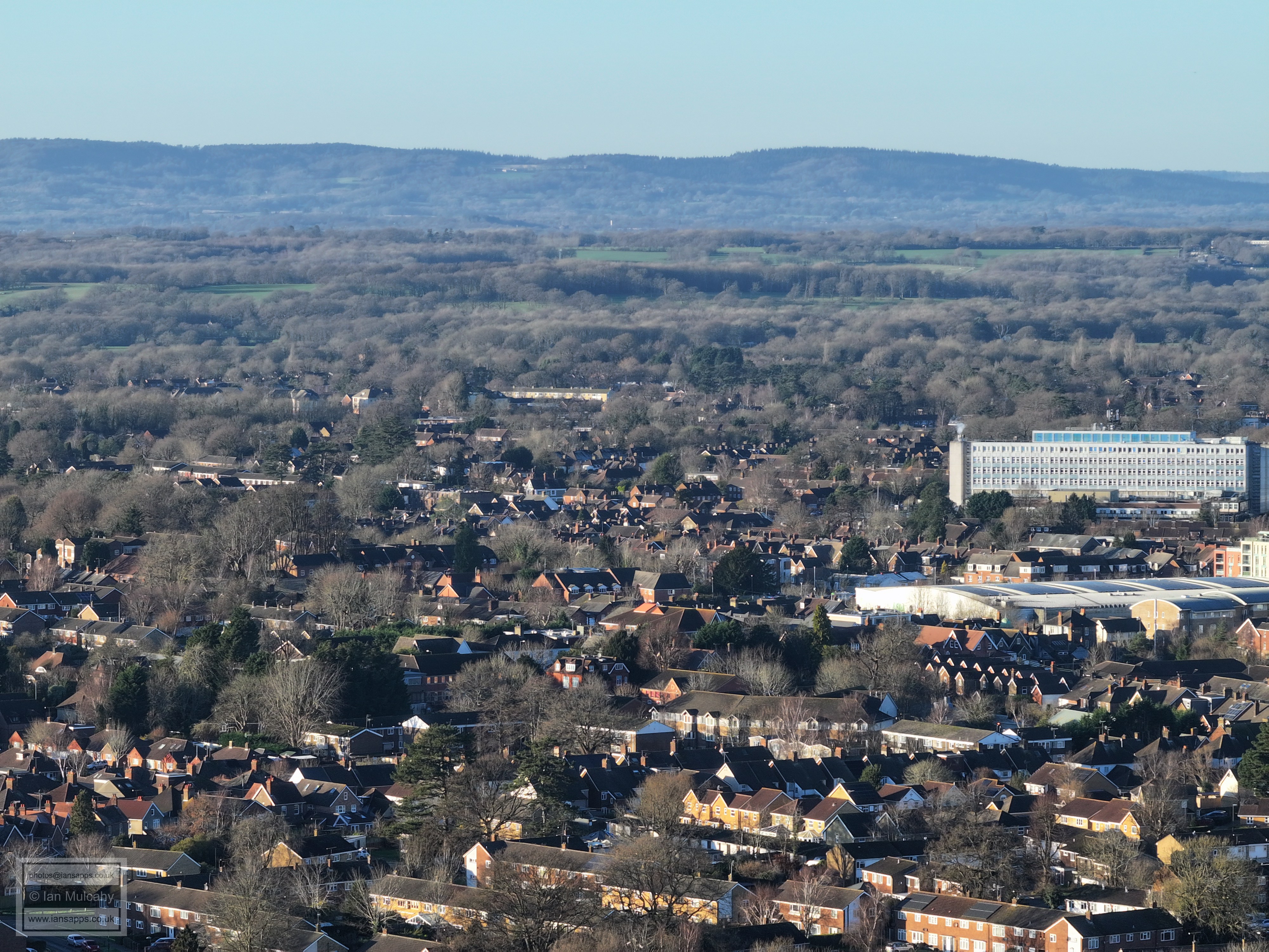
Town Hall, with the Crowne Plaza beyond to the left. The skate park at Southgate Playing Fields is at the bottom centre with the library just above.
Bridgefield House in Northgate Avenue is left of centre and Astral Towers is in the top left quarter.
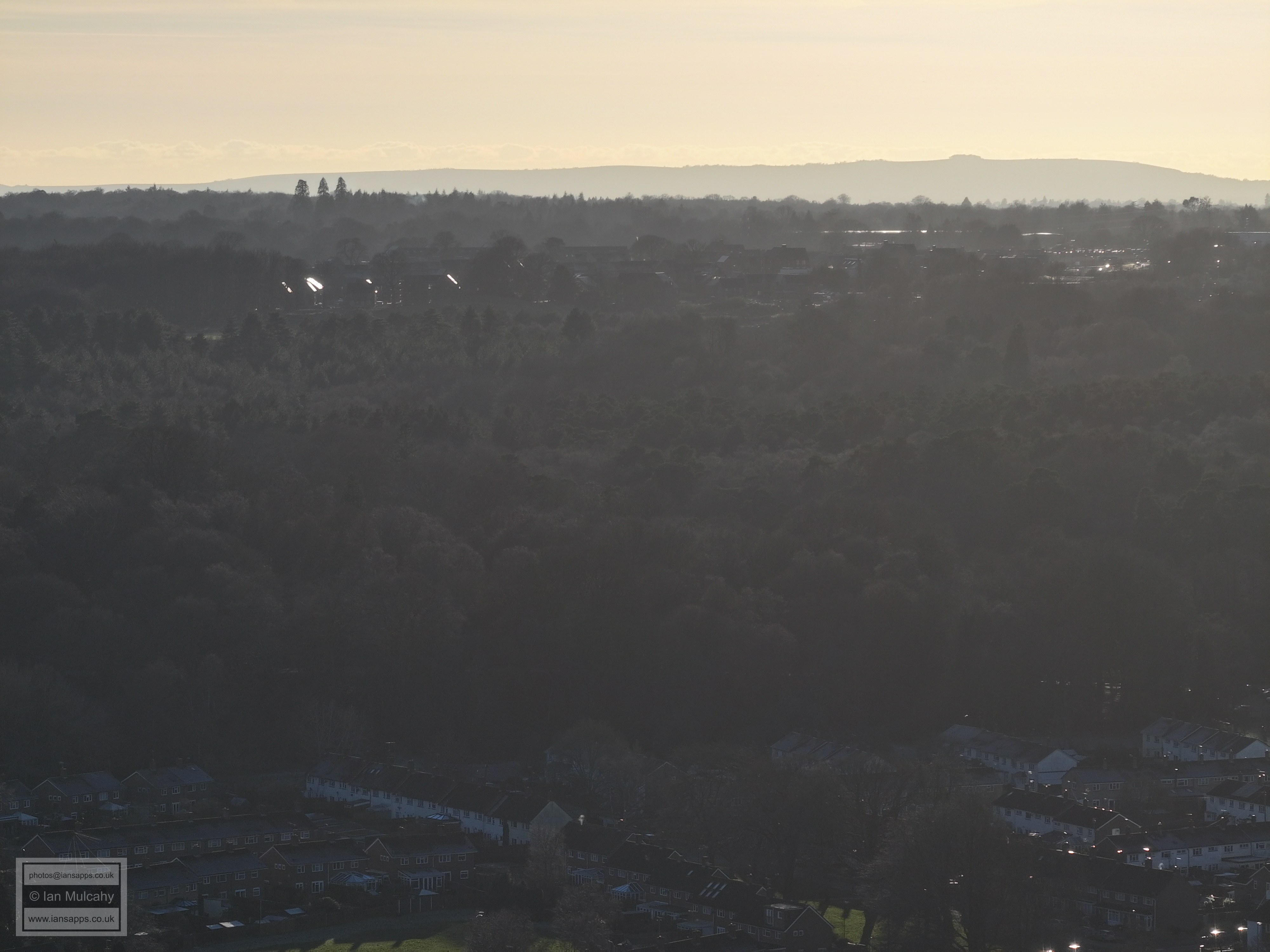
Hawth Woods and Commonwealth Drive are at the foot of the image. At the top, nestled below the north downs, Reigate is to the left and Redhill to the right, with the spire of St Johns on Earlswood Common splitting the two
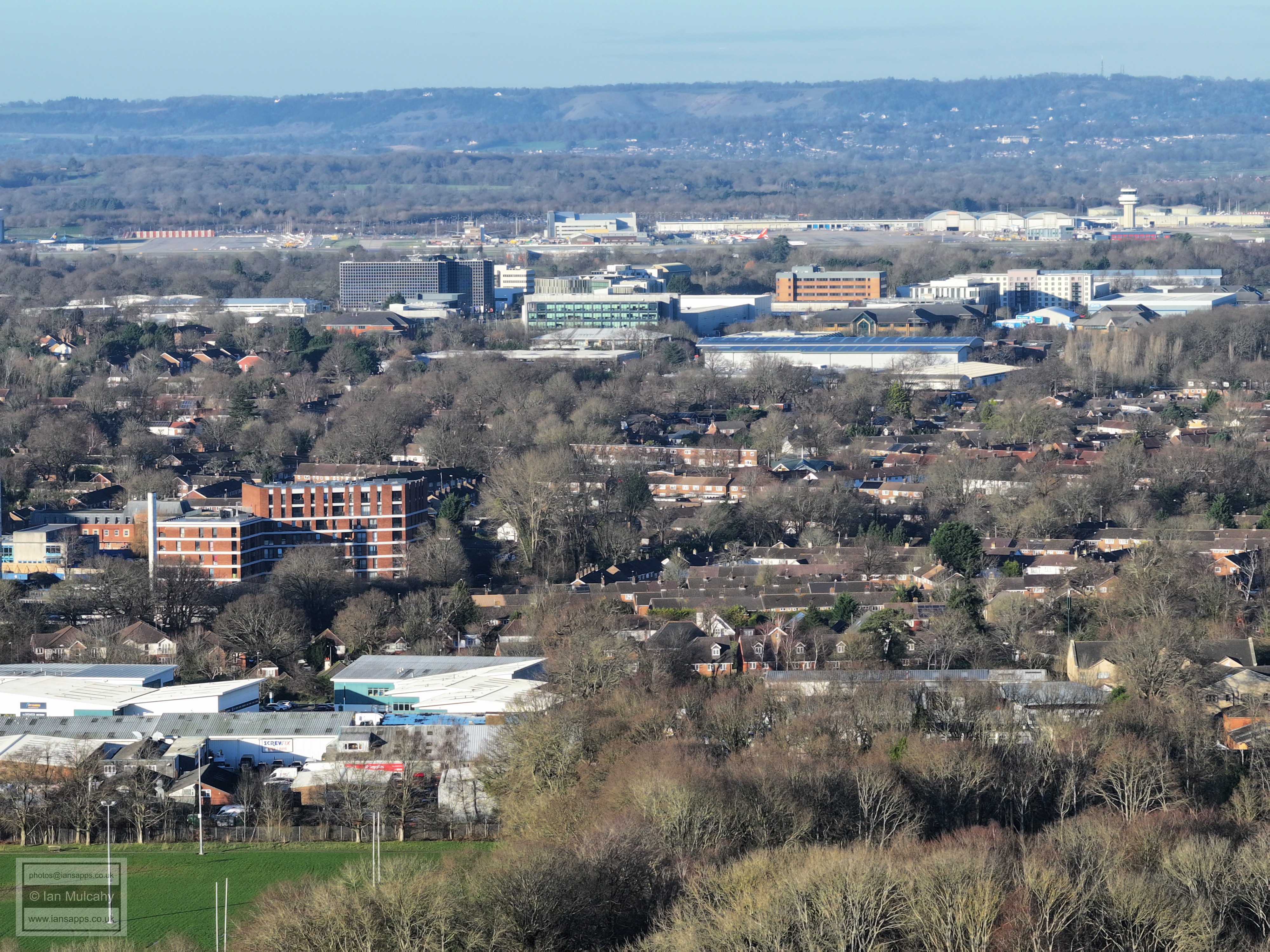
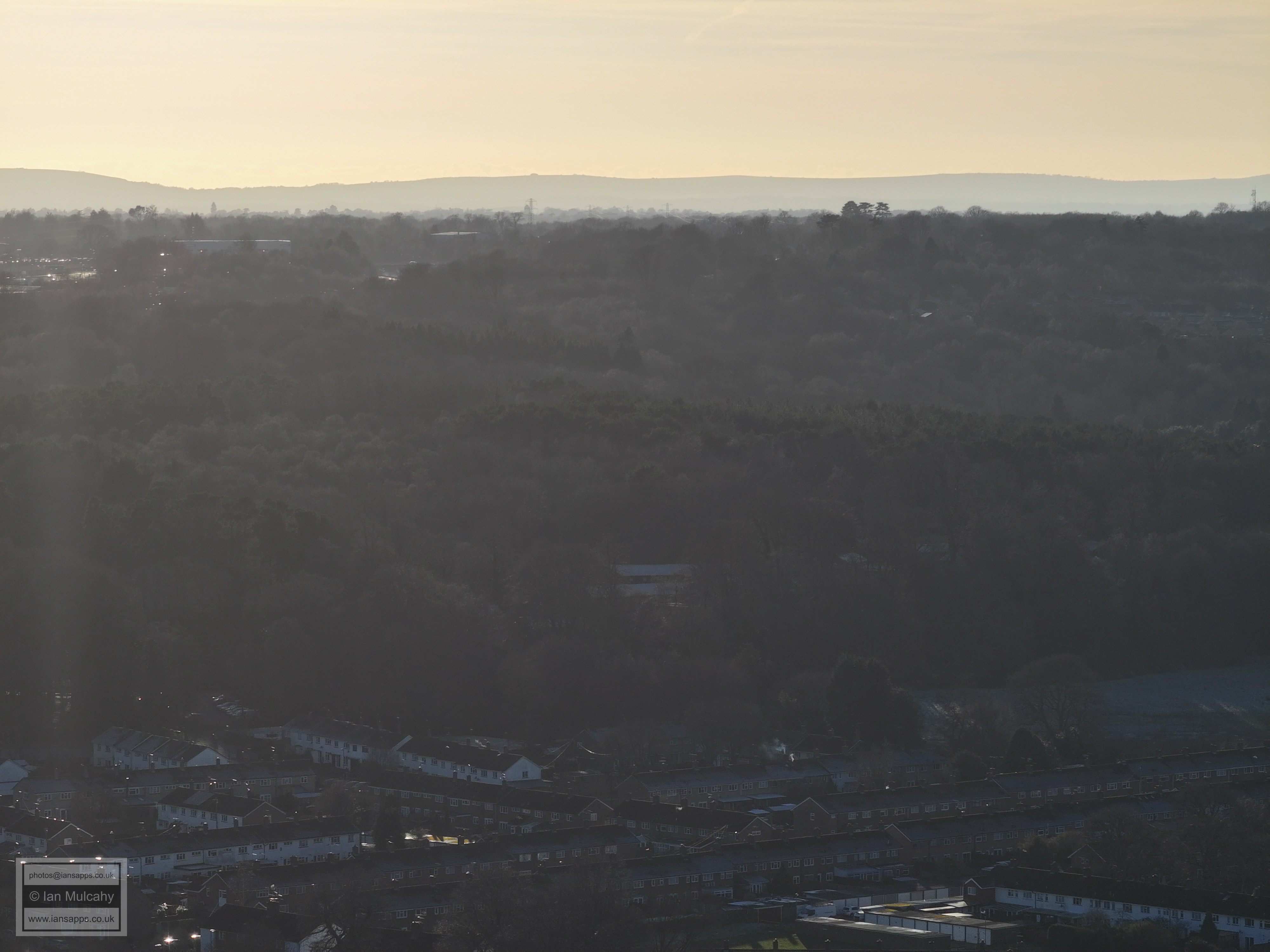
Three Bridges parade in Gales Drive is just below centre, above another section of the Commonwealth Drive Estate. In the top right quarter, on full size, you can see the archway at the entrance to the South Terminal from the M23 spur next to McDonalds. Also in the top right quarter, towards the centre, the very eagle eyed will spot the top floor of The Beehive.
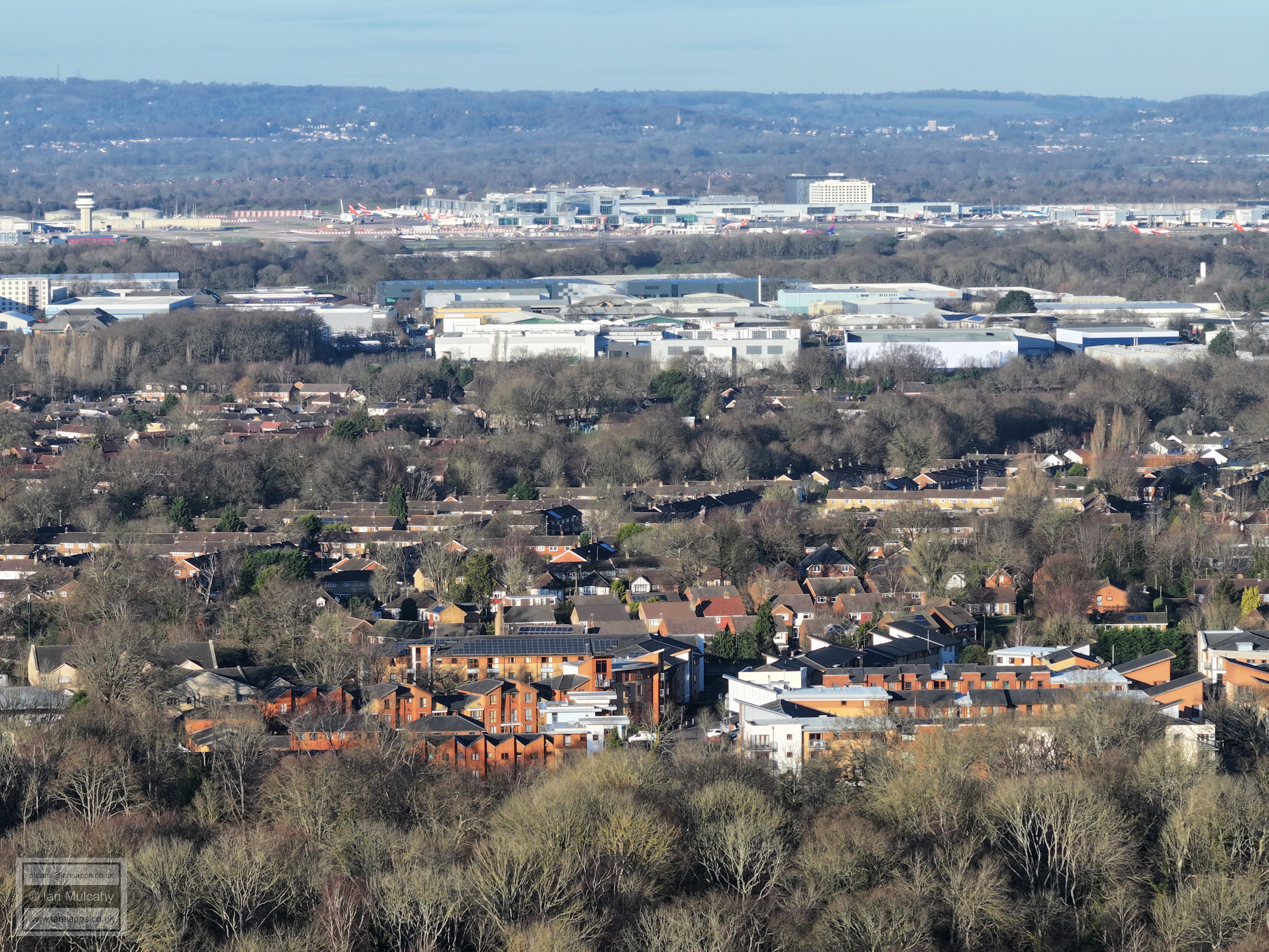
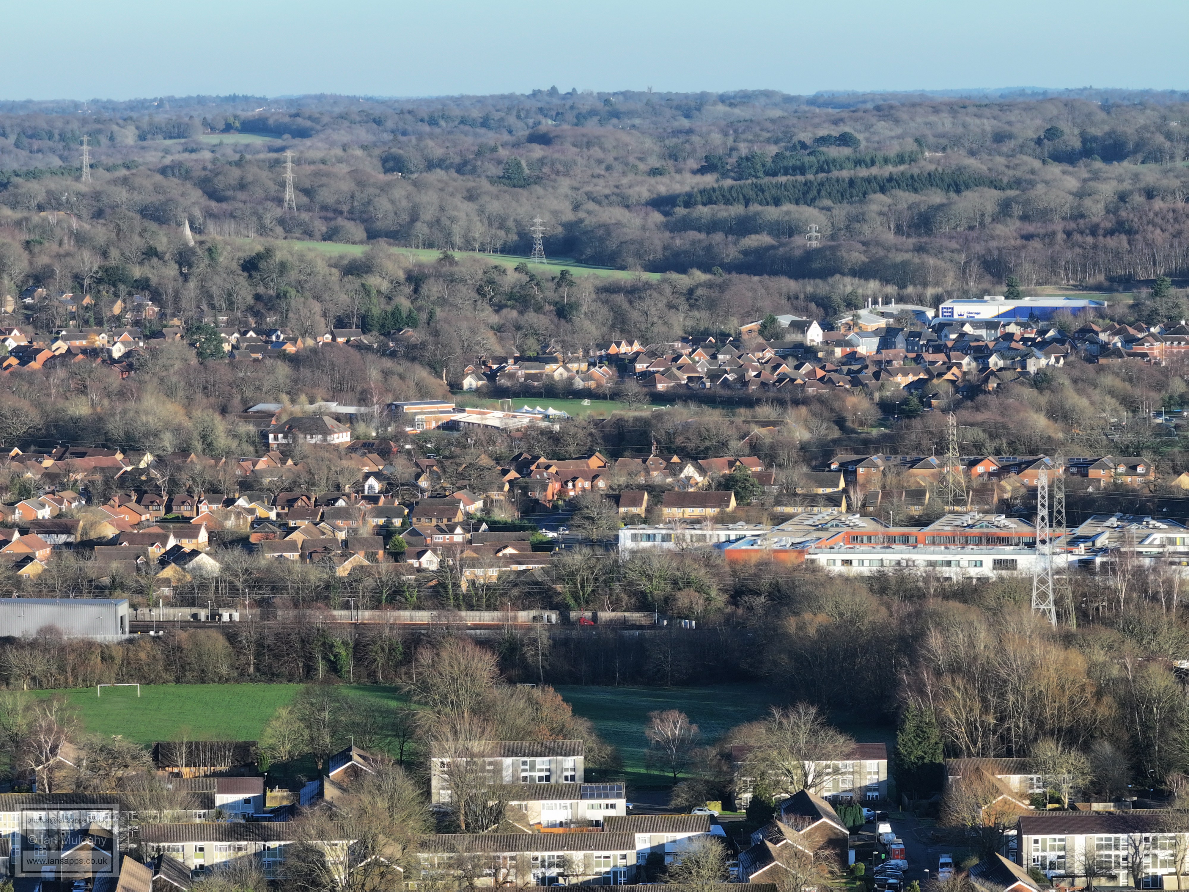
The rugby posts just above centre are on Hazelwick School fields and Tesco is just to the right. The green area to the left of Sutherland House (the Paymaster Building) is Three Bridges Playing Field. Beyond Hazelwick's field is Forge Wood as well as the floodlights at Oakwood Football Club.
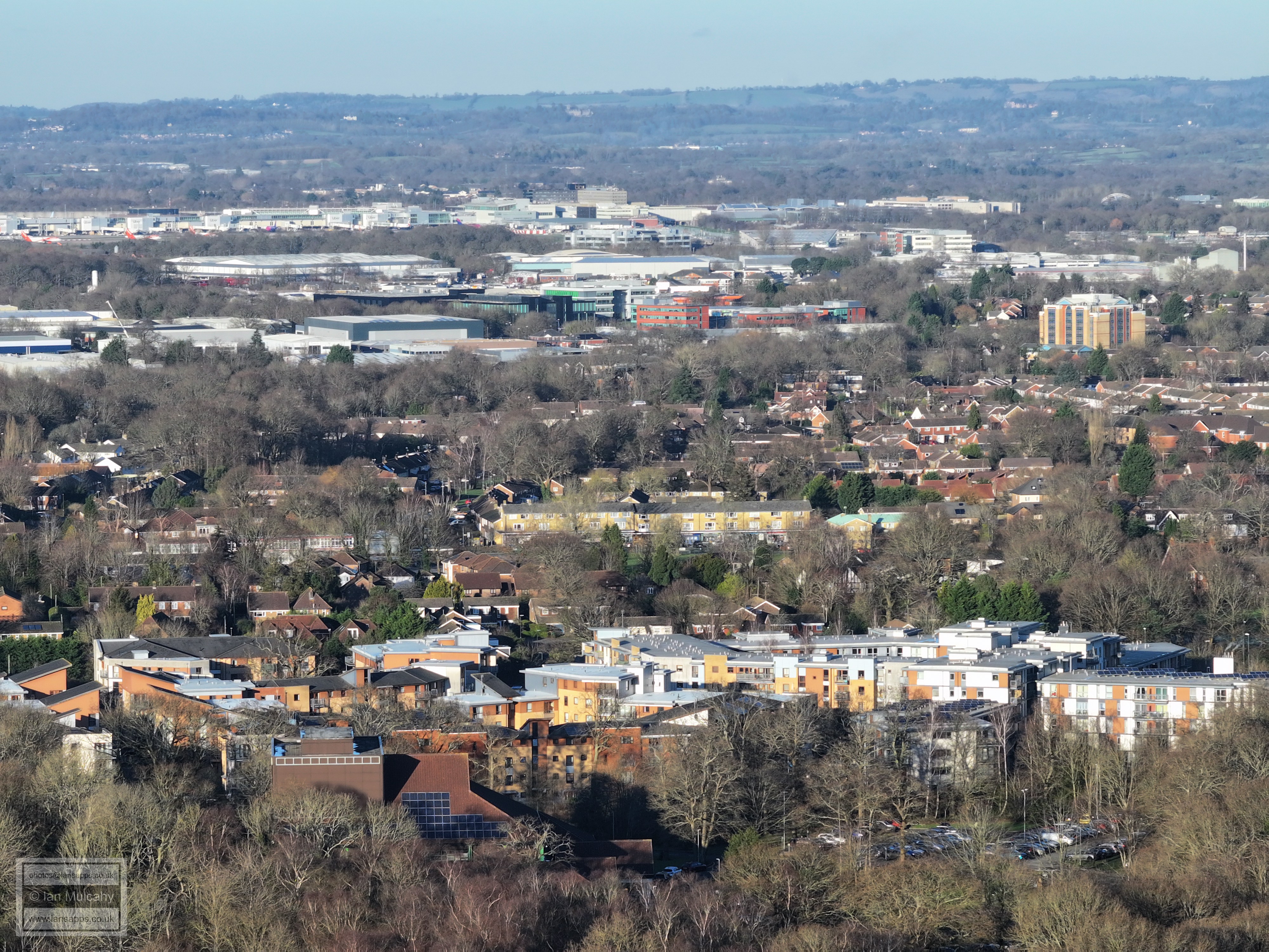
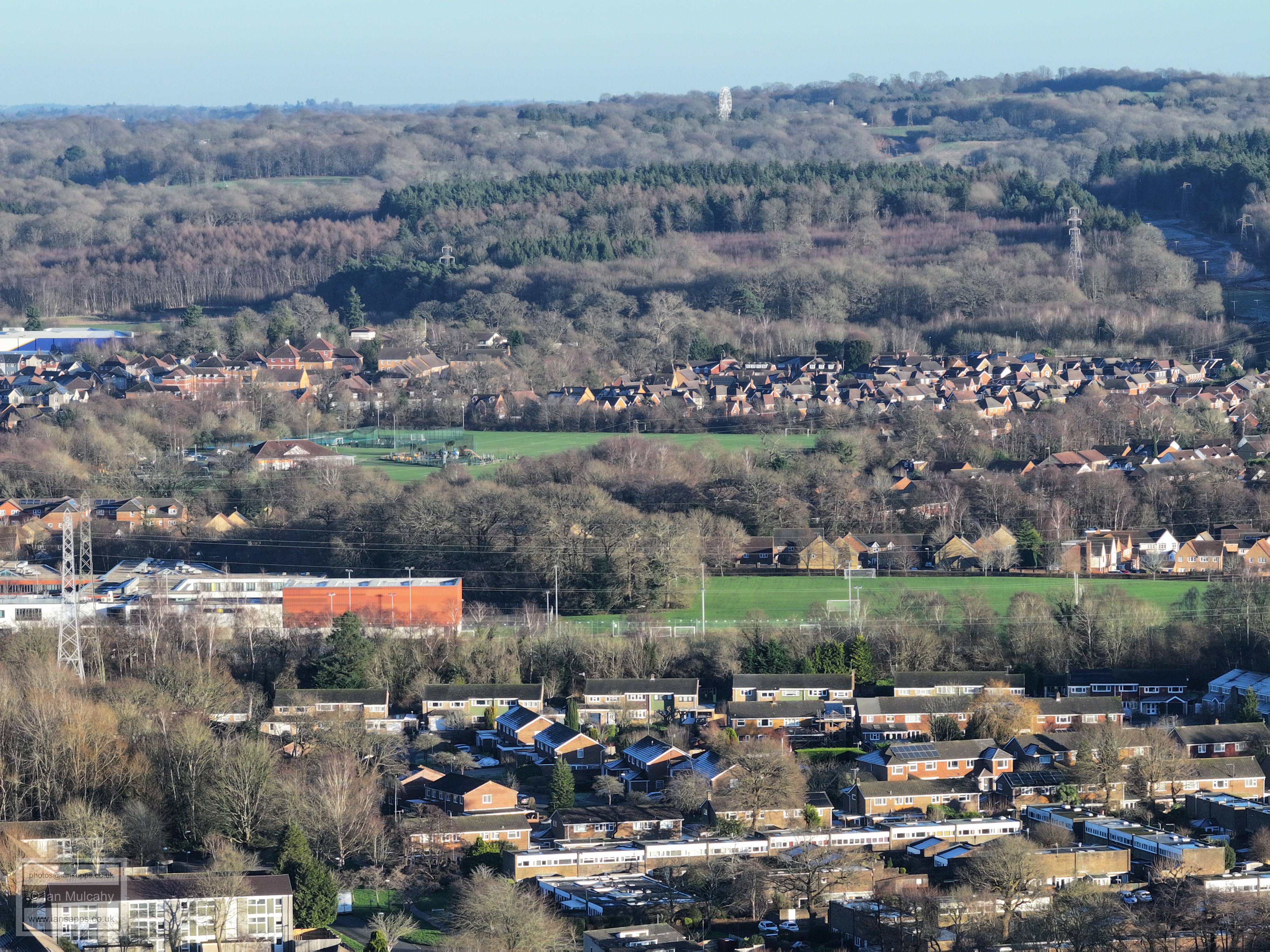
Sutherland House (the Paymaster Building) with Iceland, Lidl and the Snooty Fox to the right. In the top right quarter is the Heathy Farm side of the Forgewood development, along with some signs for Junction 9 of the M23.
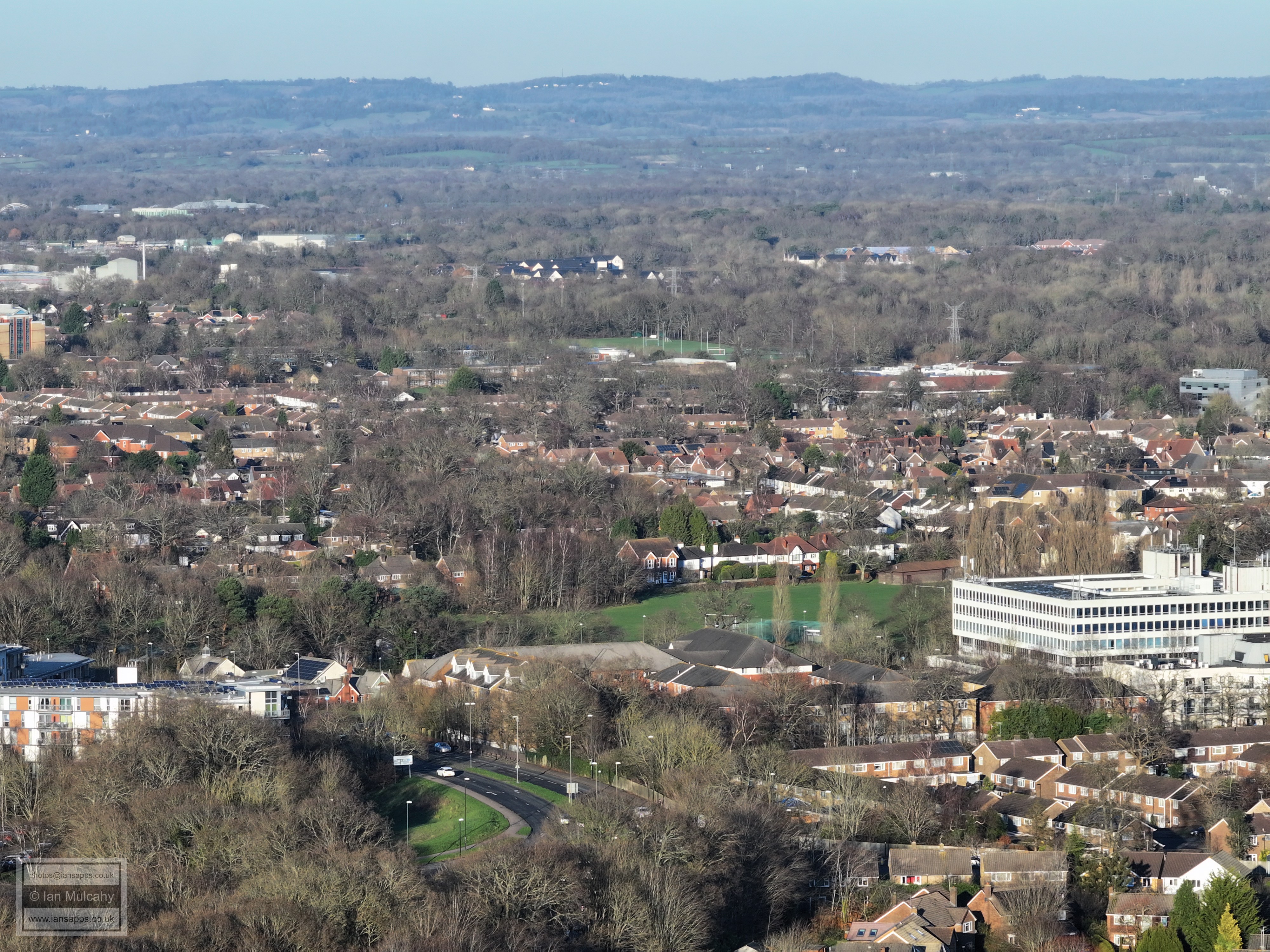
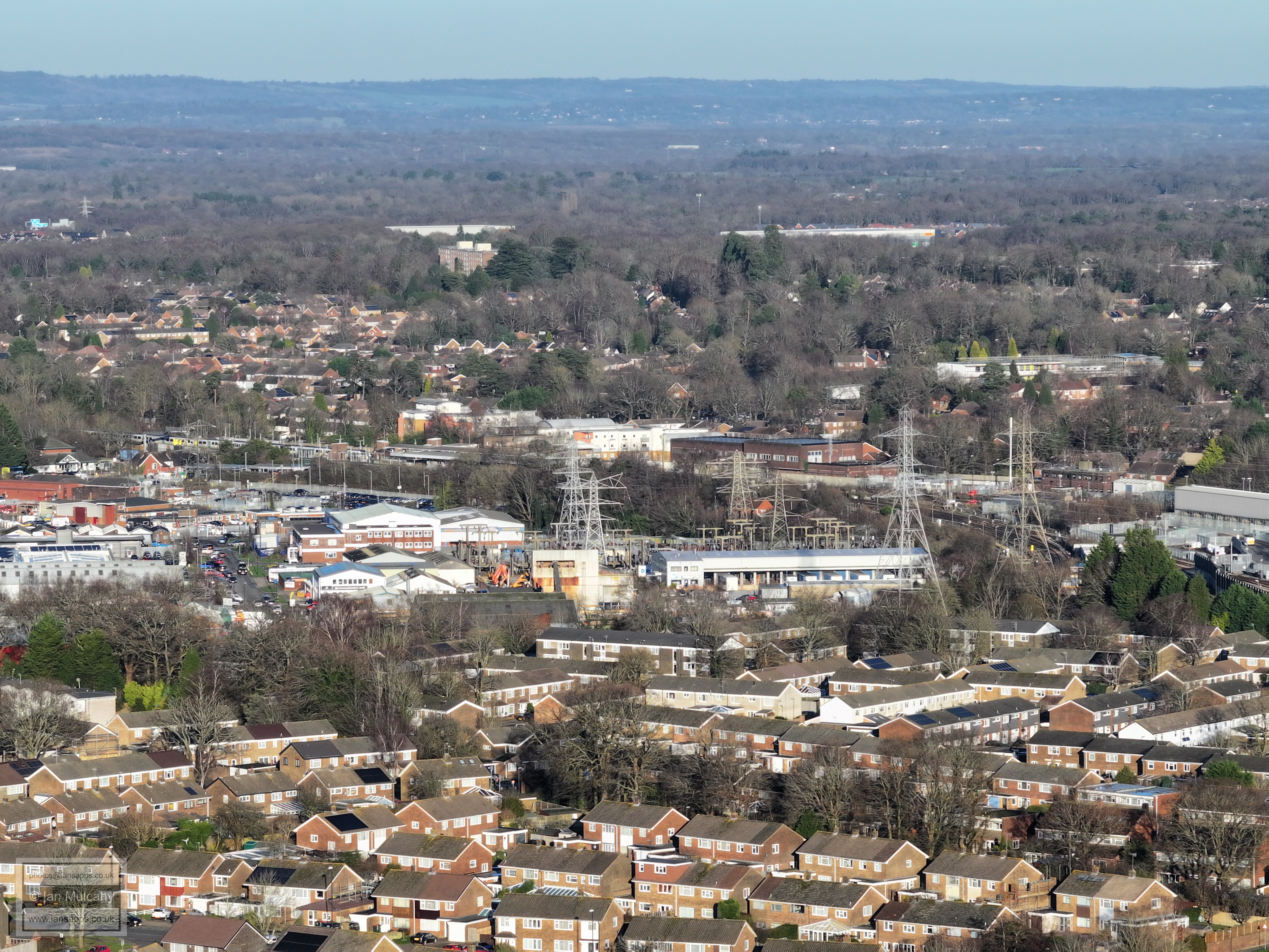
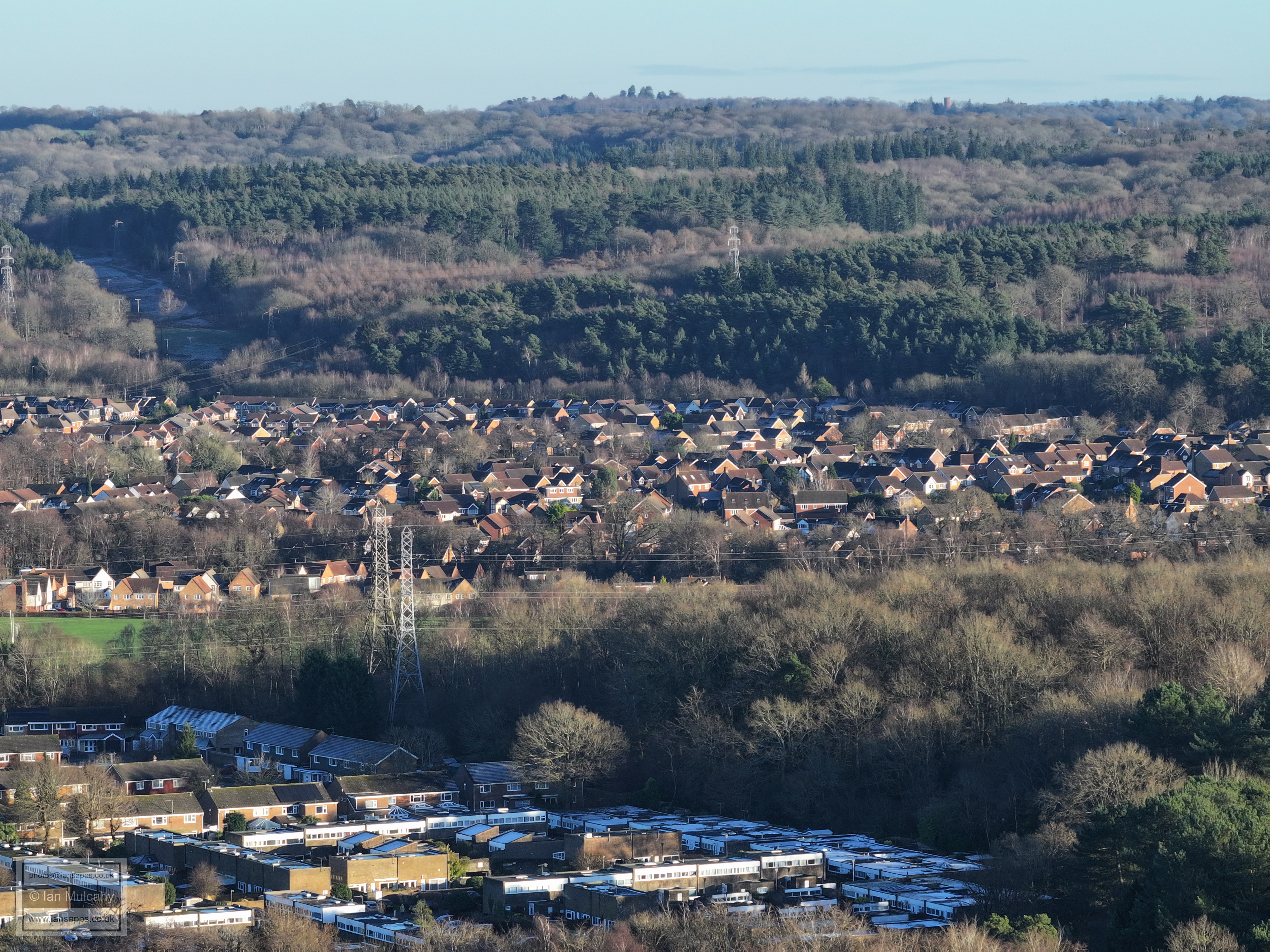
From the bottom up: Furnace Green, Stephenson Way Industrial Estate, Three Bridges Station, Pound Hill, Milton Mount Flats. Over to the right of Milton Mount Flats in the top right quarter is the new DHL warehouse at Copthorne.
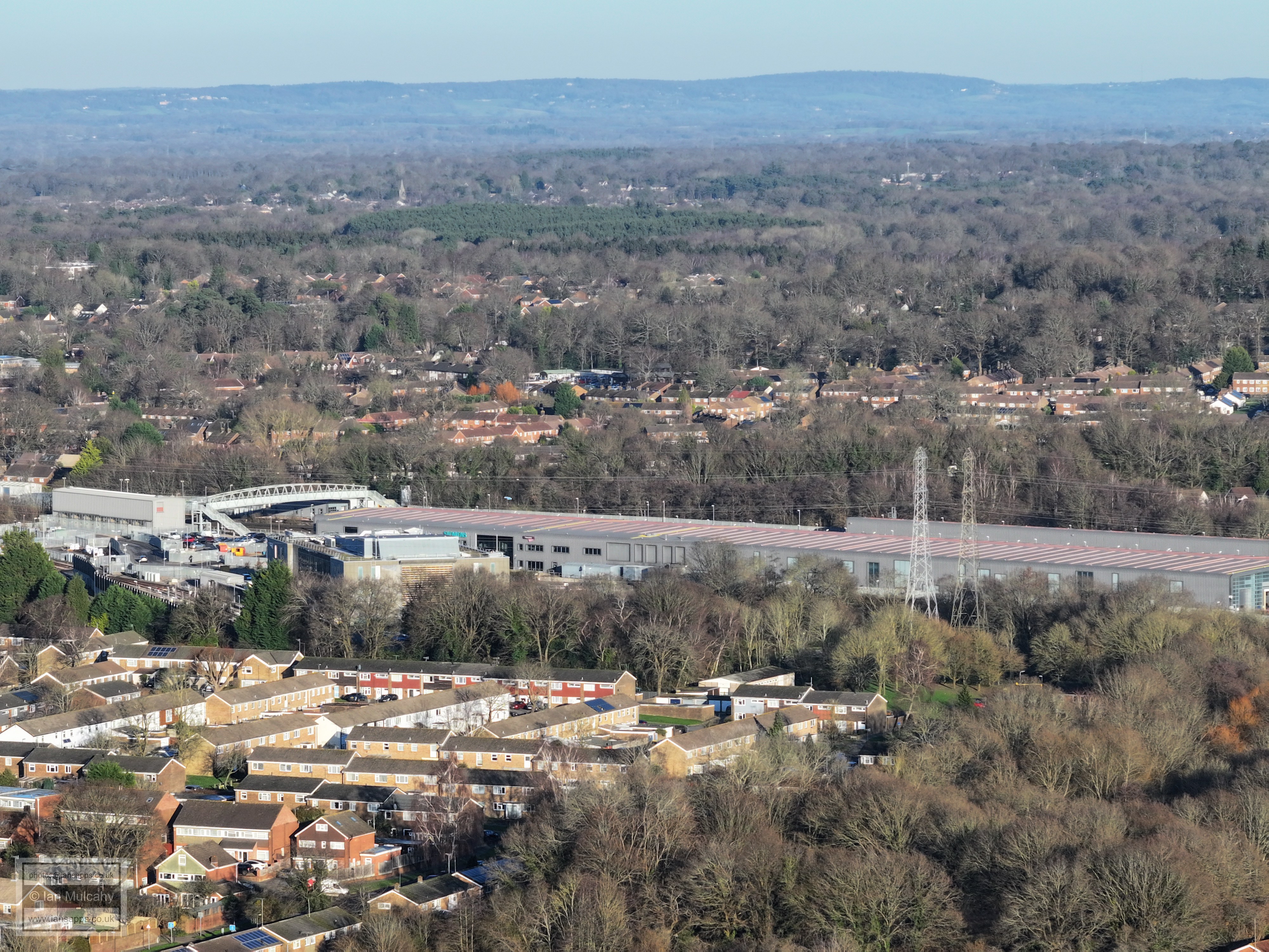
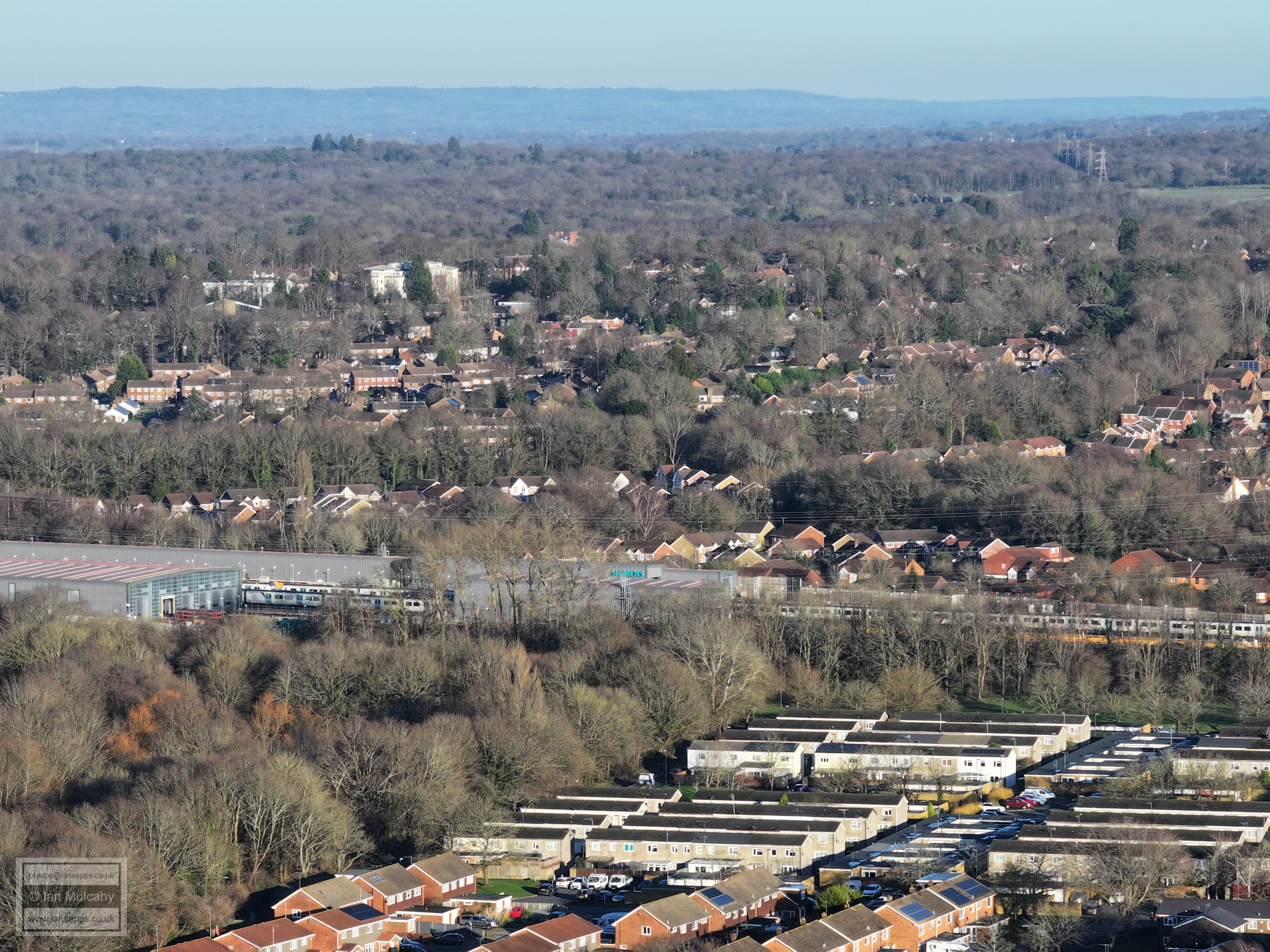
In the bottom right quarter are the water gardens and the Thameslink depot is in the centre. The spire in the top left quarter is St Johns at Copthorne.
Worth way can be seen bending away from the mainline from the far left (centre) up into the top right quarter, marked by a line of trees. The large white building in the top left quarter is on the south eastern side of Worth Corner and the convent is the smaller white building to the left of it. Just below the convent is the roof of The Church of Edward the Confessor in Hillcrest Close. Bottom right is the Norwich Road area of Furnace Green.
Mostly Maidenbower
Furnace Green Playing Fields in the foreground, Oriel & Maidenbower beyond. In the top left quarter is the spire of St Nicholas at Worth and in the top right is the large Storage King facility next to junction 10A
Oriel playing fields and Maidenbower Park and the obligatory Ferris Wheel at Tulleys near the top.
Furnace Green at the foot of the image, with Maidenbower beyond. At the top of the hill in the top right quarter is the water tower on Selsfield Common, between Turners Hill & West Hoathly.
Maidenbower
Maidenbower
Maidenbower
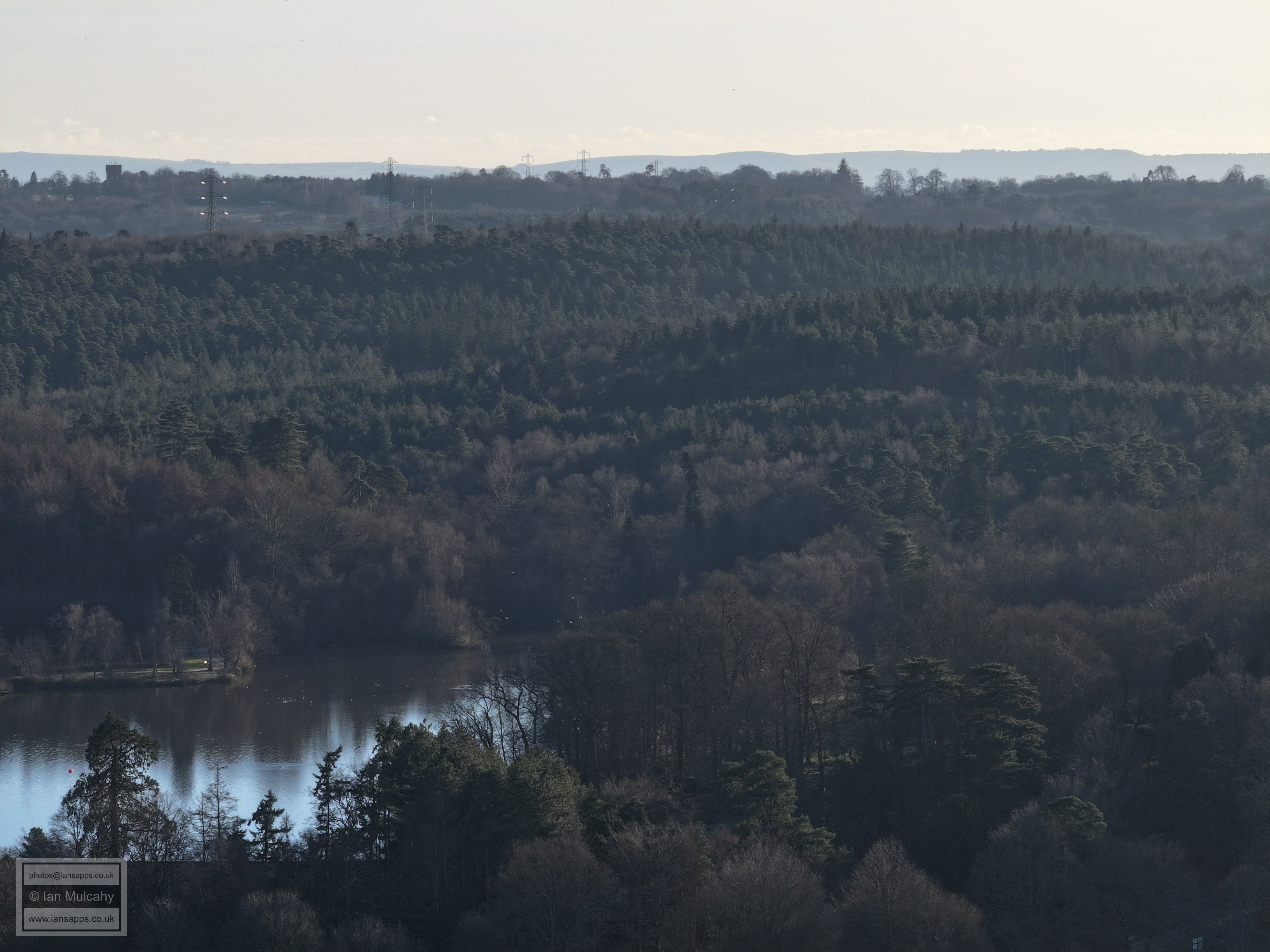
Tilgate Golf Centre, bottom left, with 'Greentrees', in High Beeches, in the top right quarter.
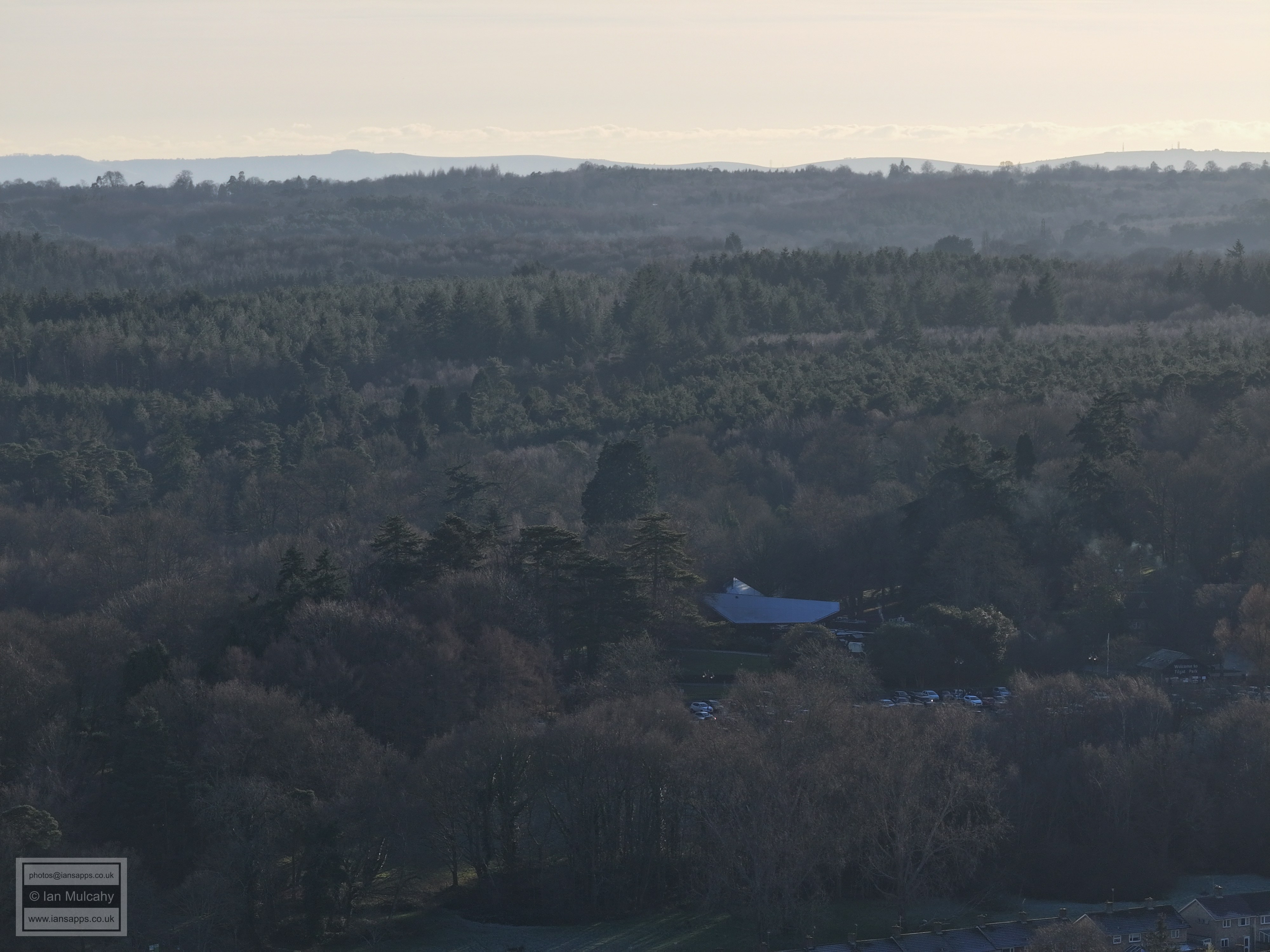
Fishermans car park at Tilgate in the bottom right quarter.
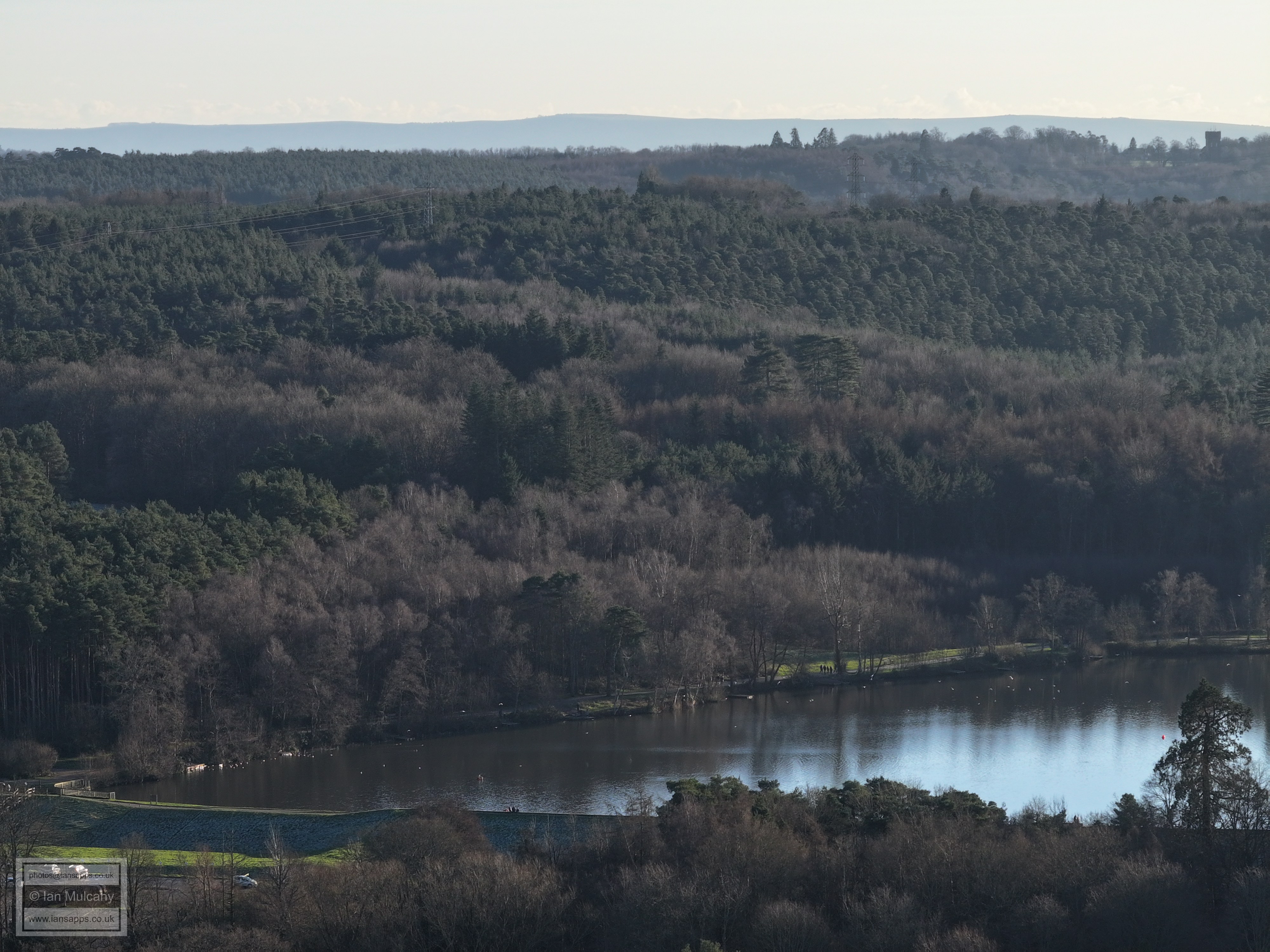
Tilgate Lake.
Smith and Western
Woodgate at Pease Pottage in the sun haze at the top of the photo
K2 and the new Desmond Anderson School. The Radar at Cottesmore is in the centre atop the ridge.
Thomas Bennett with Broadfield beyond
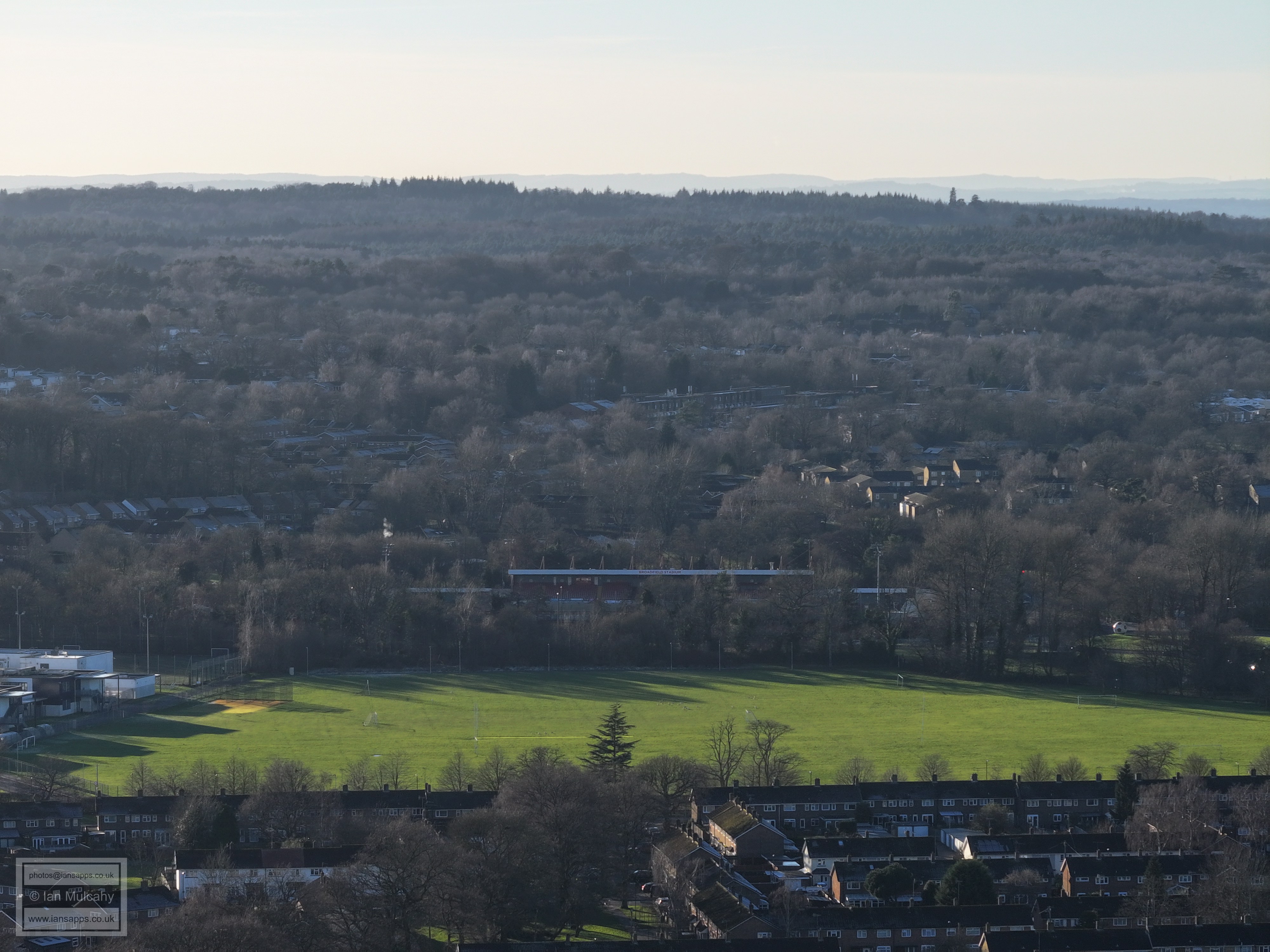
Broadfield Stadium with Broadfield Barton a little way above.
Southgate West shops on the far right in the centre
Southgate Primary in the bottom left and Hilltop Primary in the centre. The Trees and phone mast just above centre mark Woldhurstlea in Gossops Green
Goffs Park right of centre and the Goffs Park Road area to the right and below
The Mount and Bonwyckes place in Ifield Wood can be seen across the top half of the picture on the lower ridge. The Malthouse Road area is at the foot of the image.
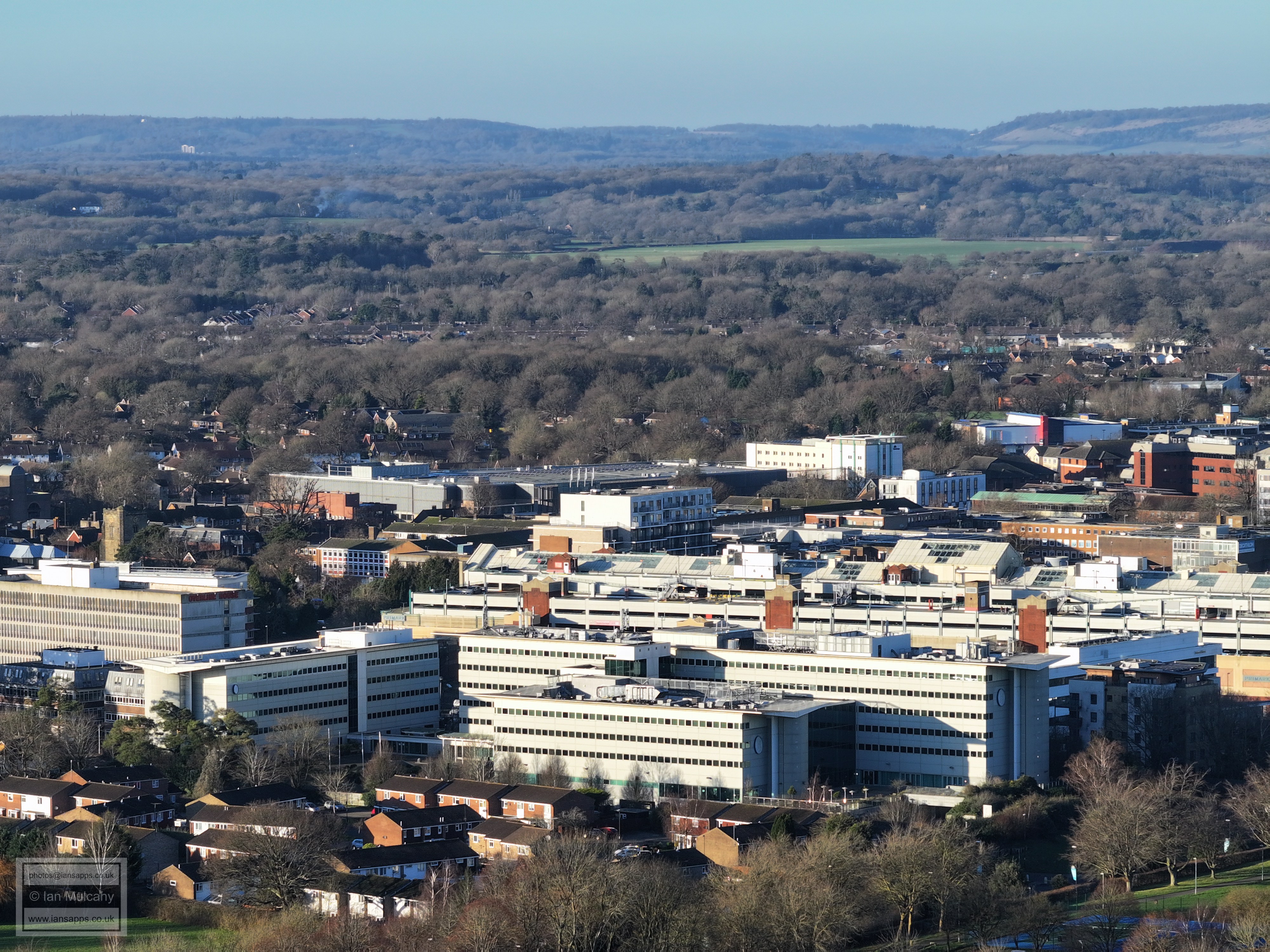
Ifield Parade is above and to the left of centre. Asda is just below the hospital.
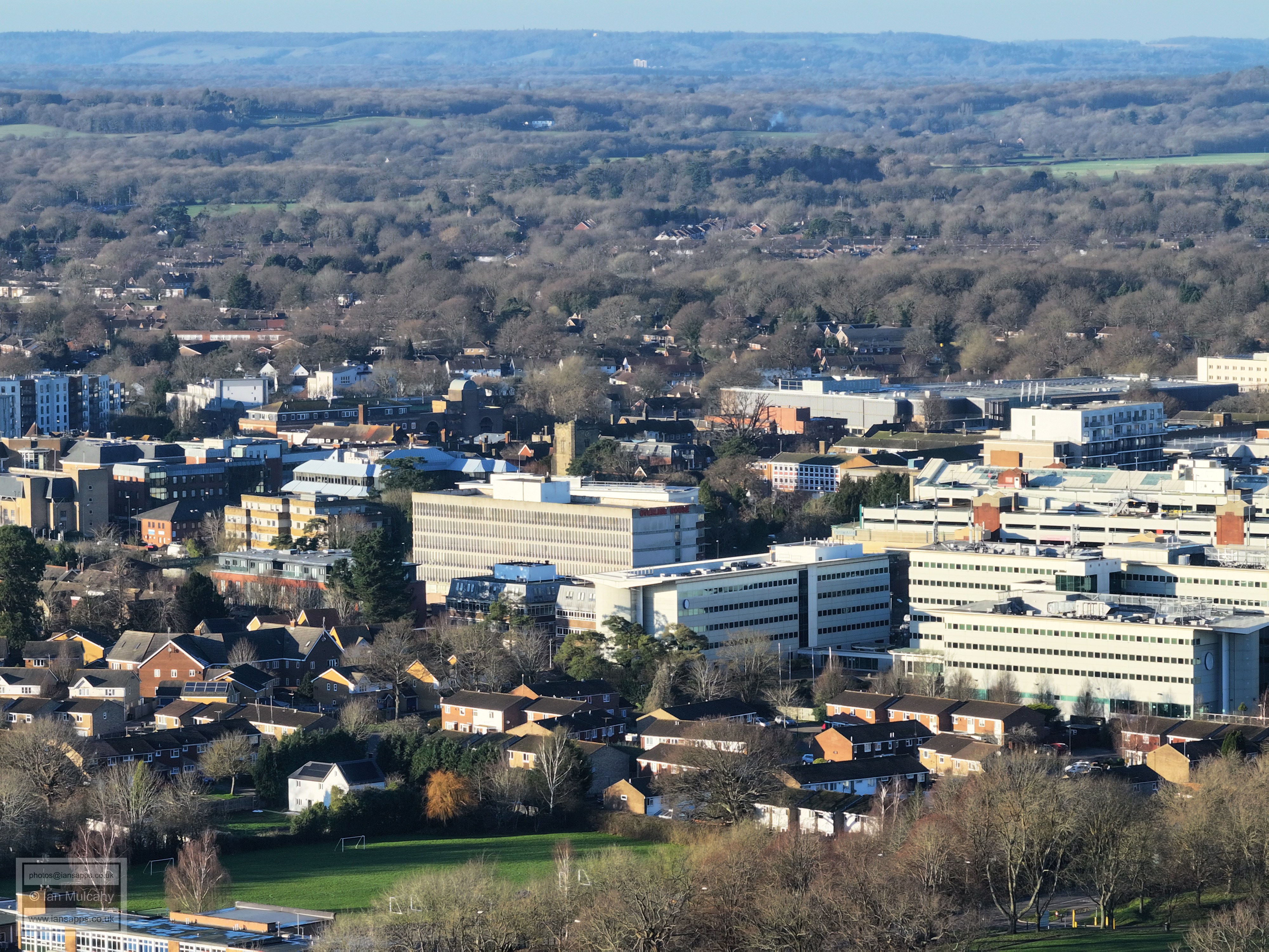
Russ Hill Hotel is on the ridge above the Hospital. Malthouse farm, now all rendered in white, is just right of centre at the foot of the image. St Johns Church is just above Overline House.
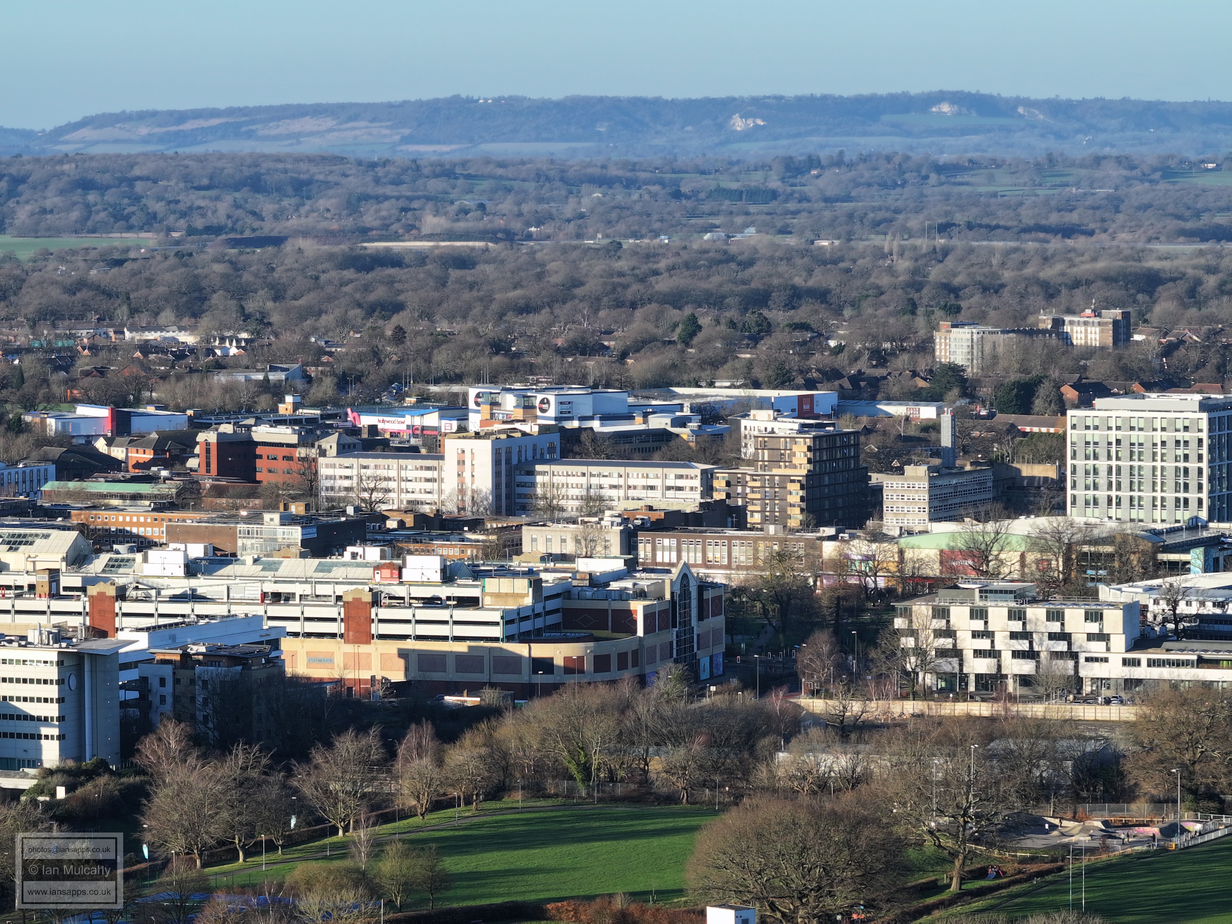
The Arora Hotel and County Mall, with the western side of the town centre beyond. Langley Green is above the Town Centre on the right, the white painted parade standing out.
County Mall, with Queens Square, Woodhall Duckhams and the Leisure Park behind.
Text & photographs © Ian Mulcahy. Contact photos@iansapps.co.uk or visit my 'Use of my photographs' page for licensing queries (ground level photographs only). |