Canterbury Road, Tilgate
3 January 2025
69 aerial photographs of varying focal lengths
|
69 aerial photographs taken from the old Thomas Bennett Lower School site in Canterbury Road, Tilgate on 3 January 2025 including full 360 degree panoramas from each of a 24mm, 70mm and 170mm lens. I've added brief annotations to some of the photos to help with your bearings and highlight points of interest.
K2
K2
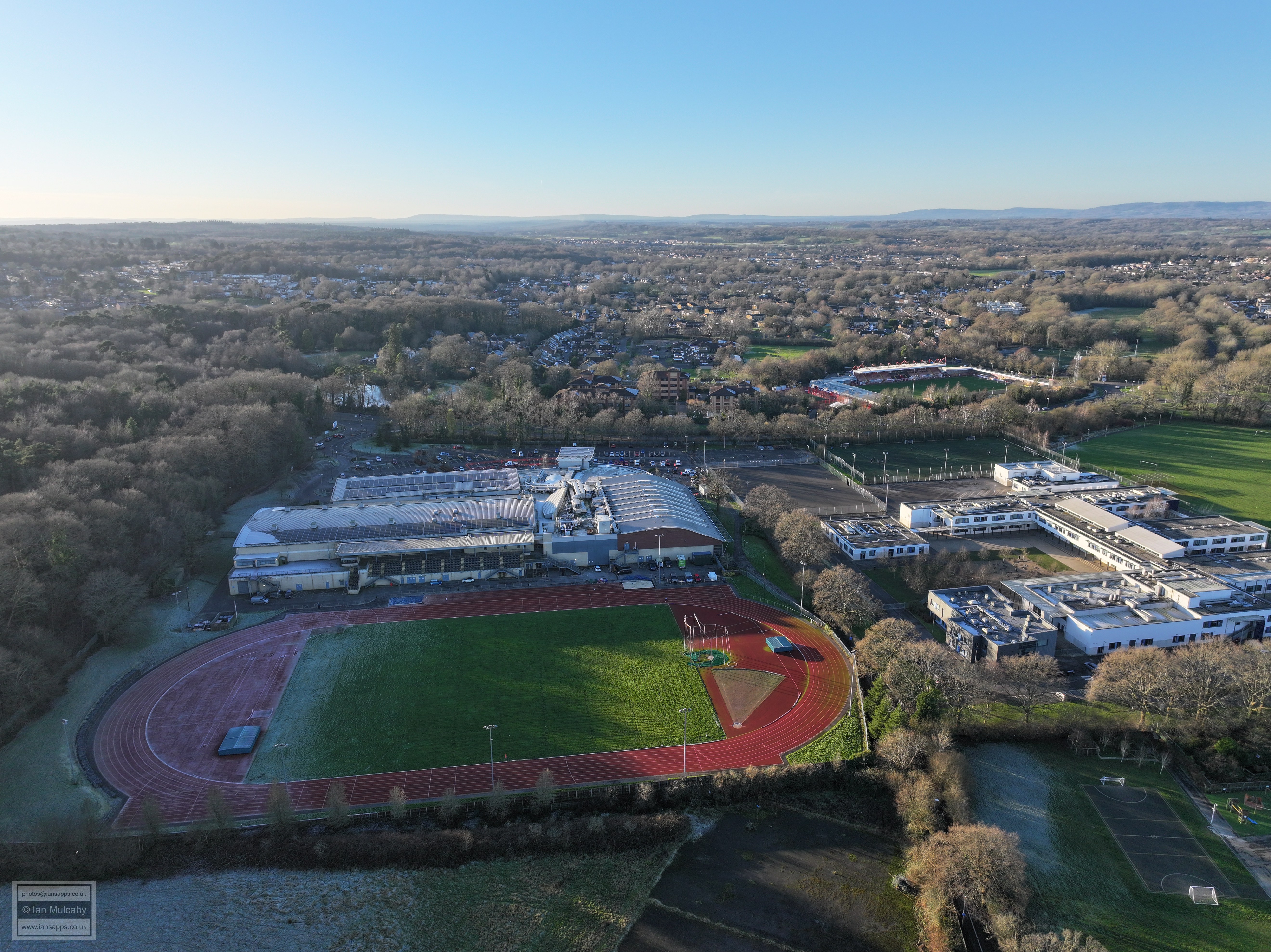
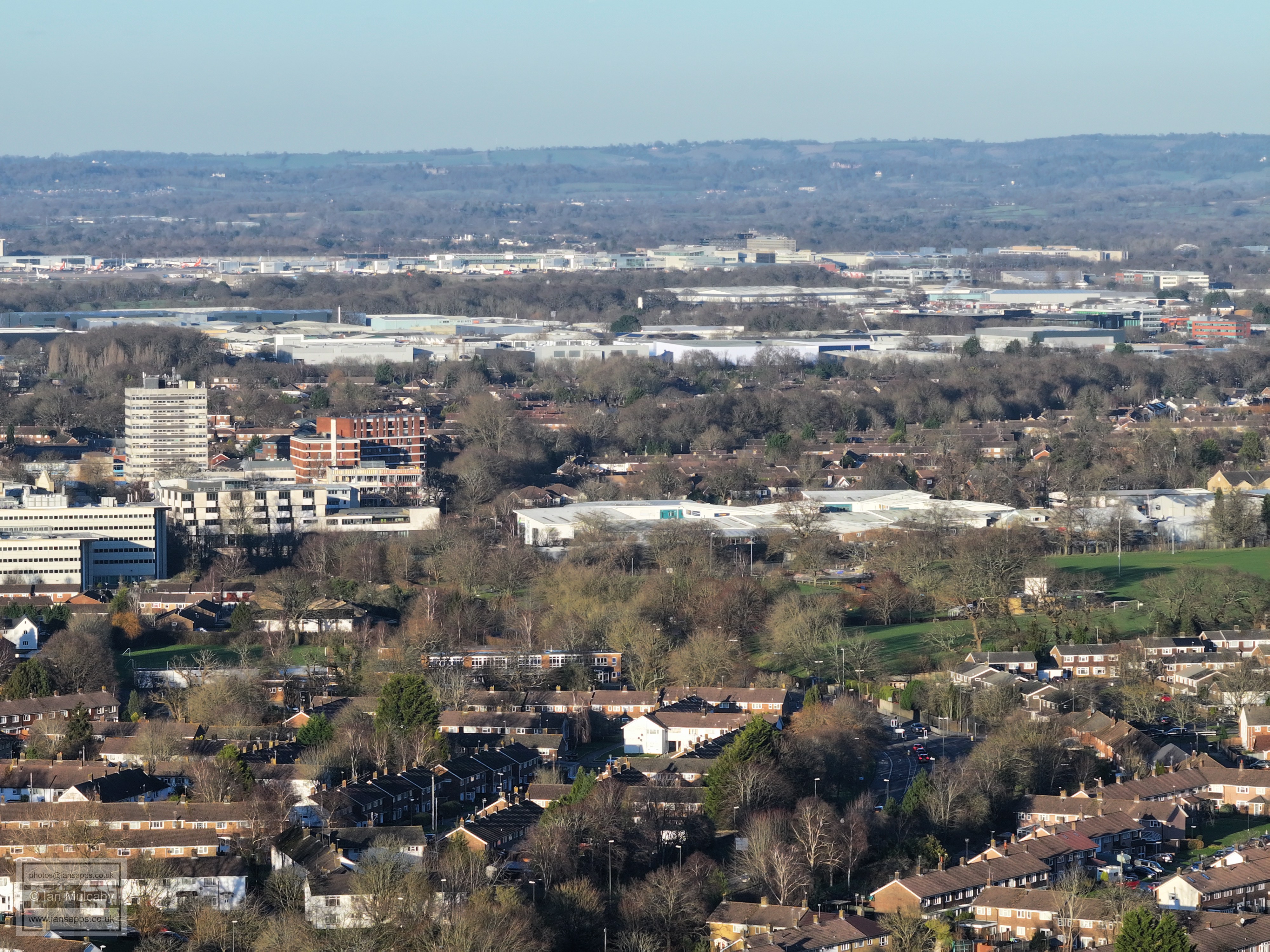
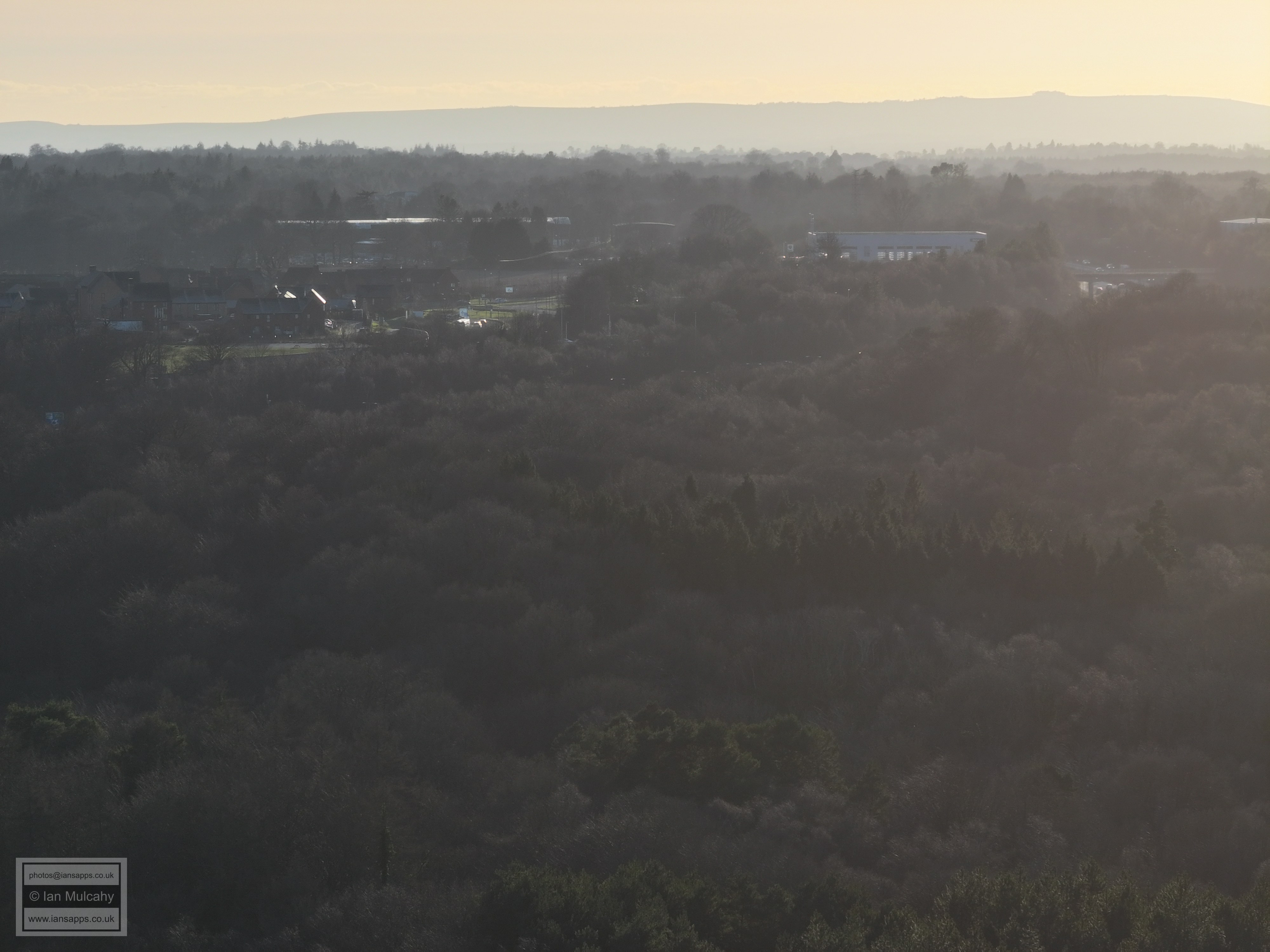
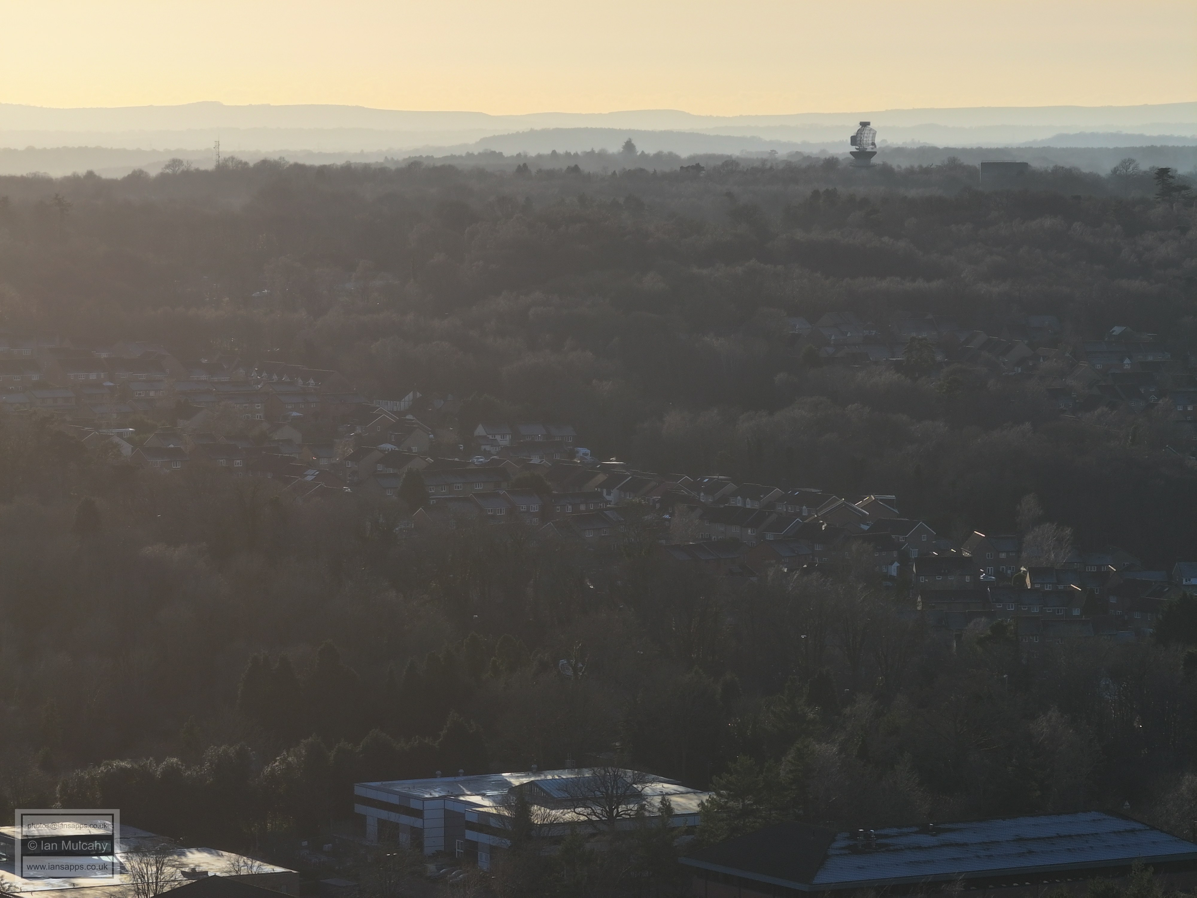
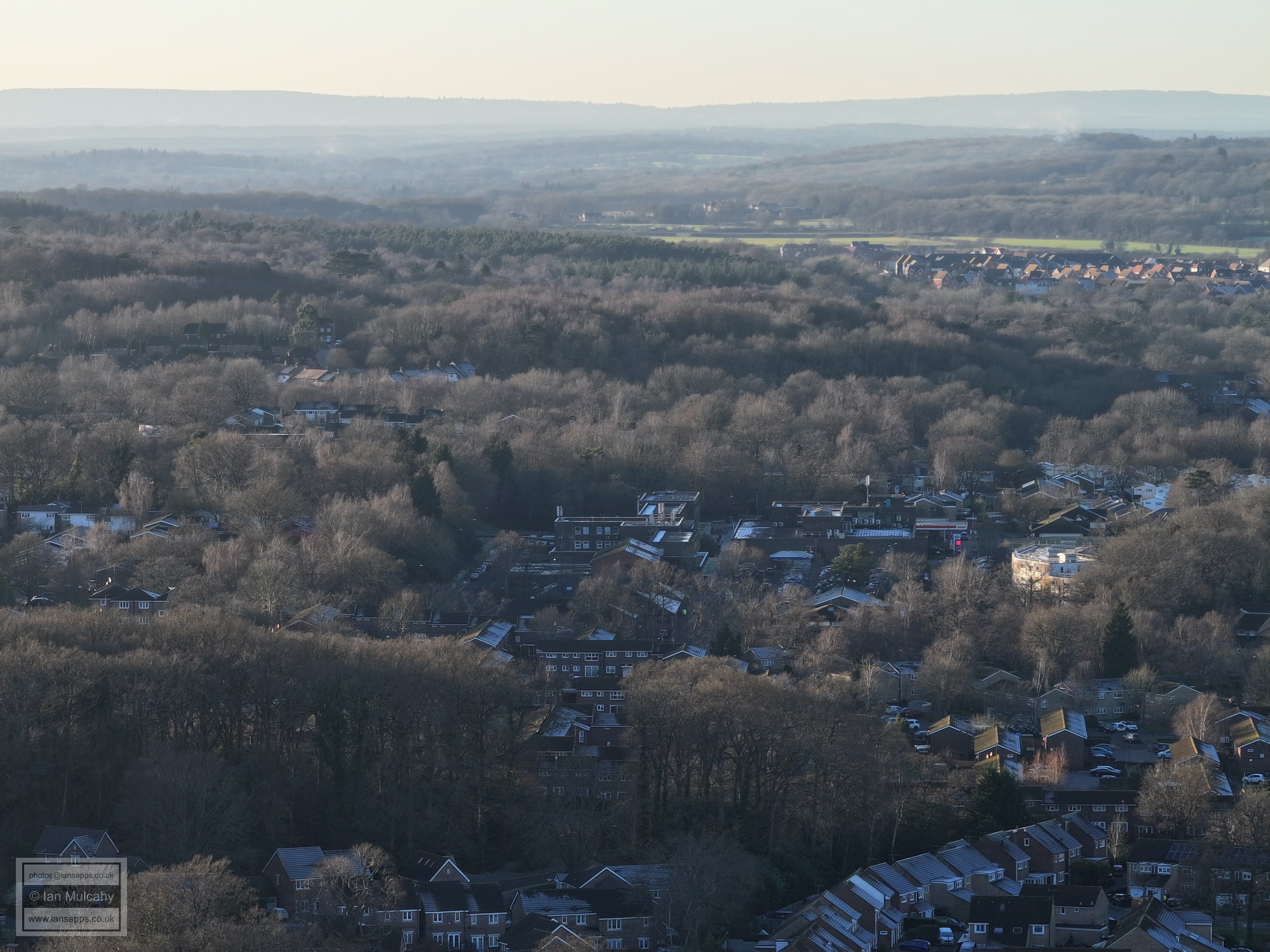
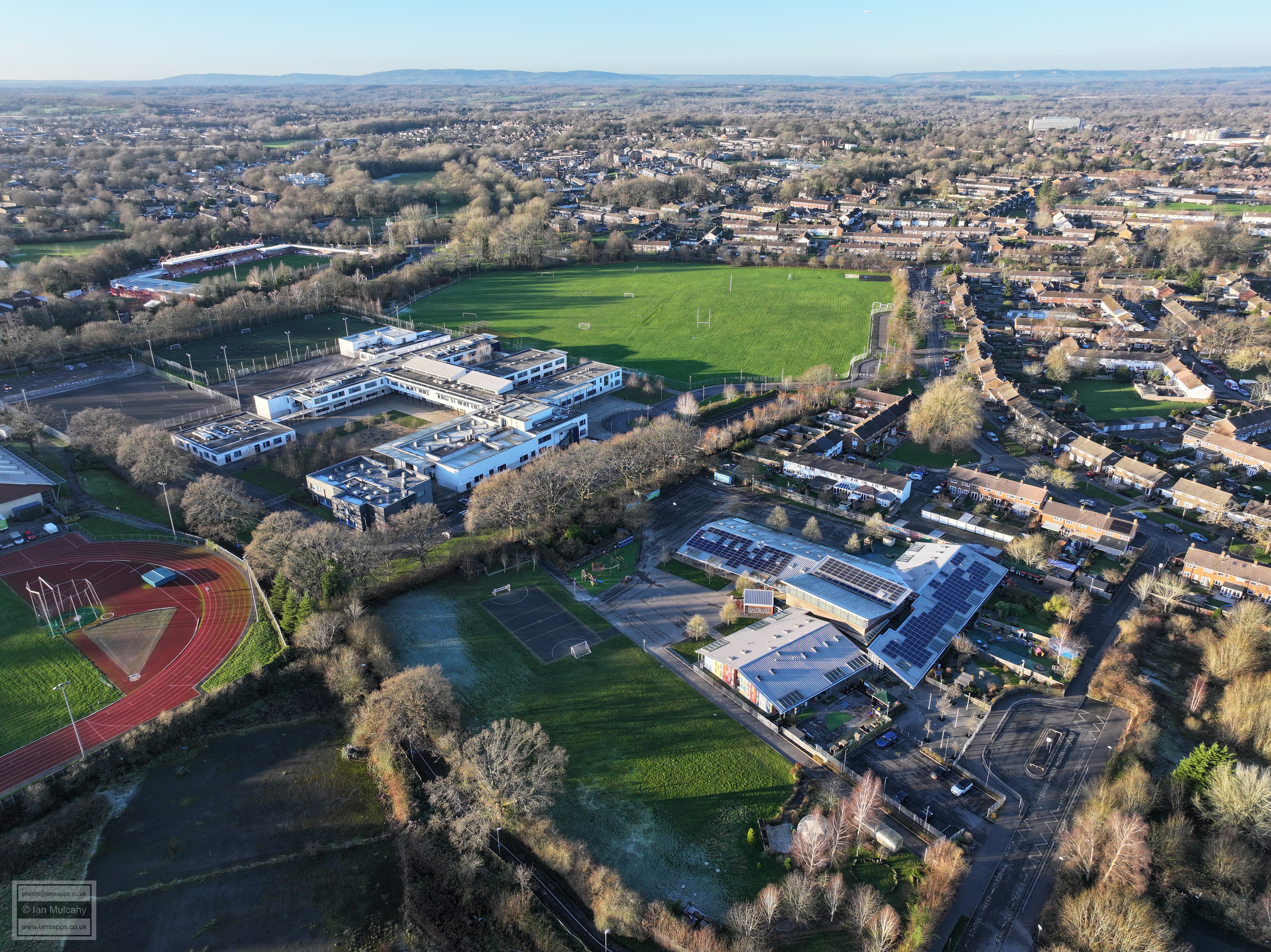
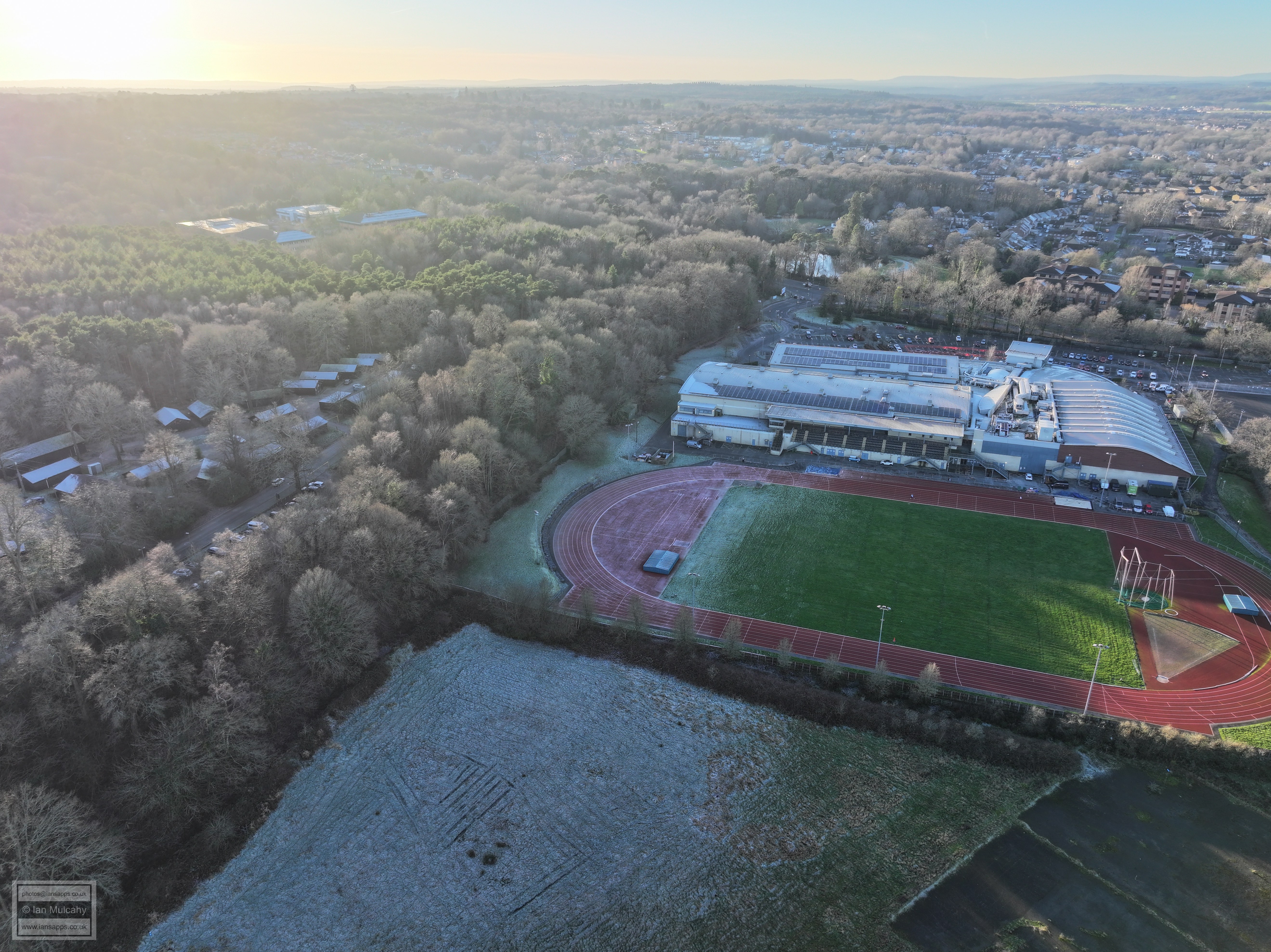
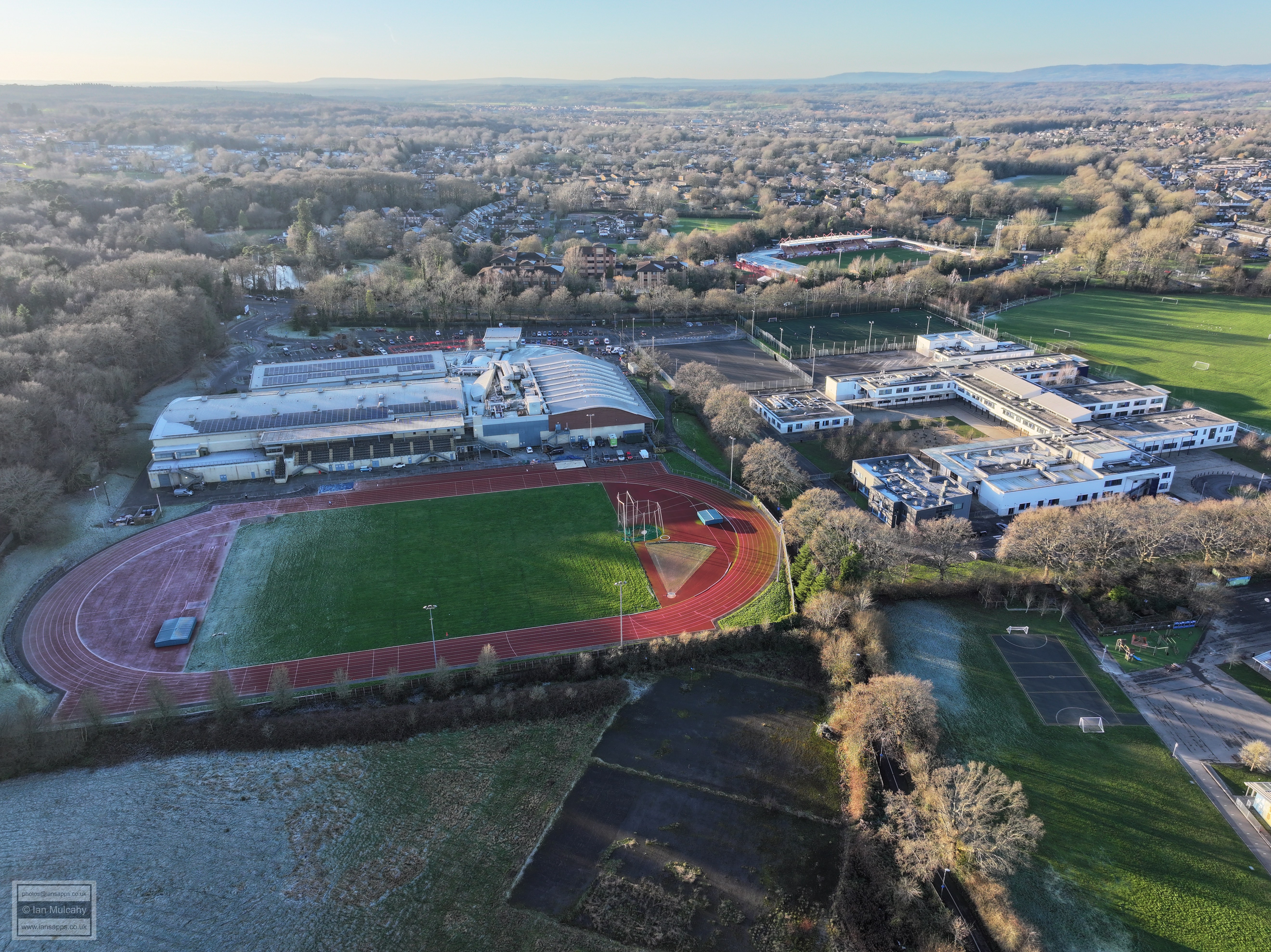
K2, Thomas Bennett and The Broadfield Stadium
The Broadfield Stadium
Broadfield Park
K2
The Broadfield Stadium
K2, Thomas Bennett and The Broadfield Stadium
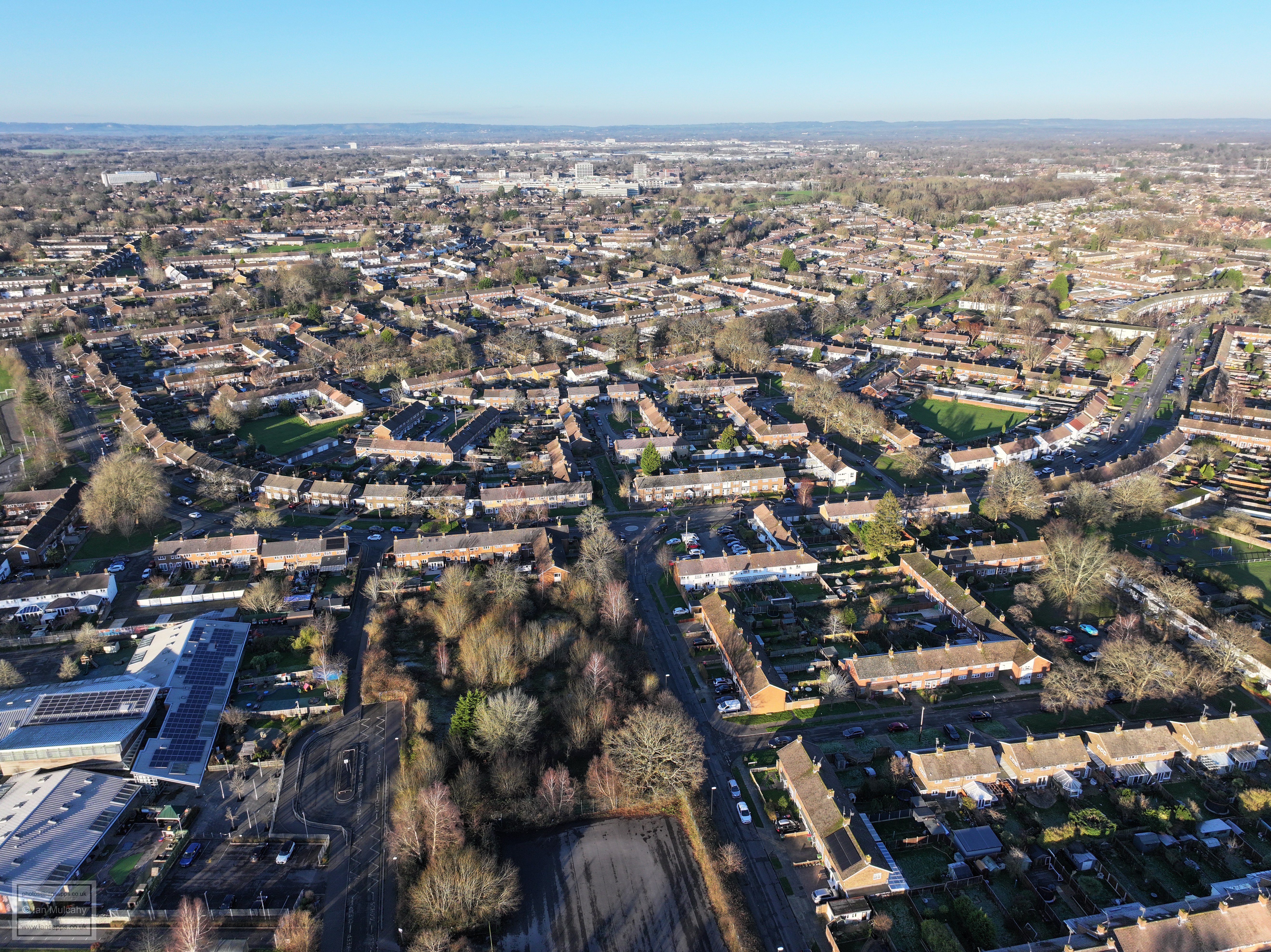
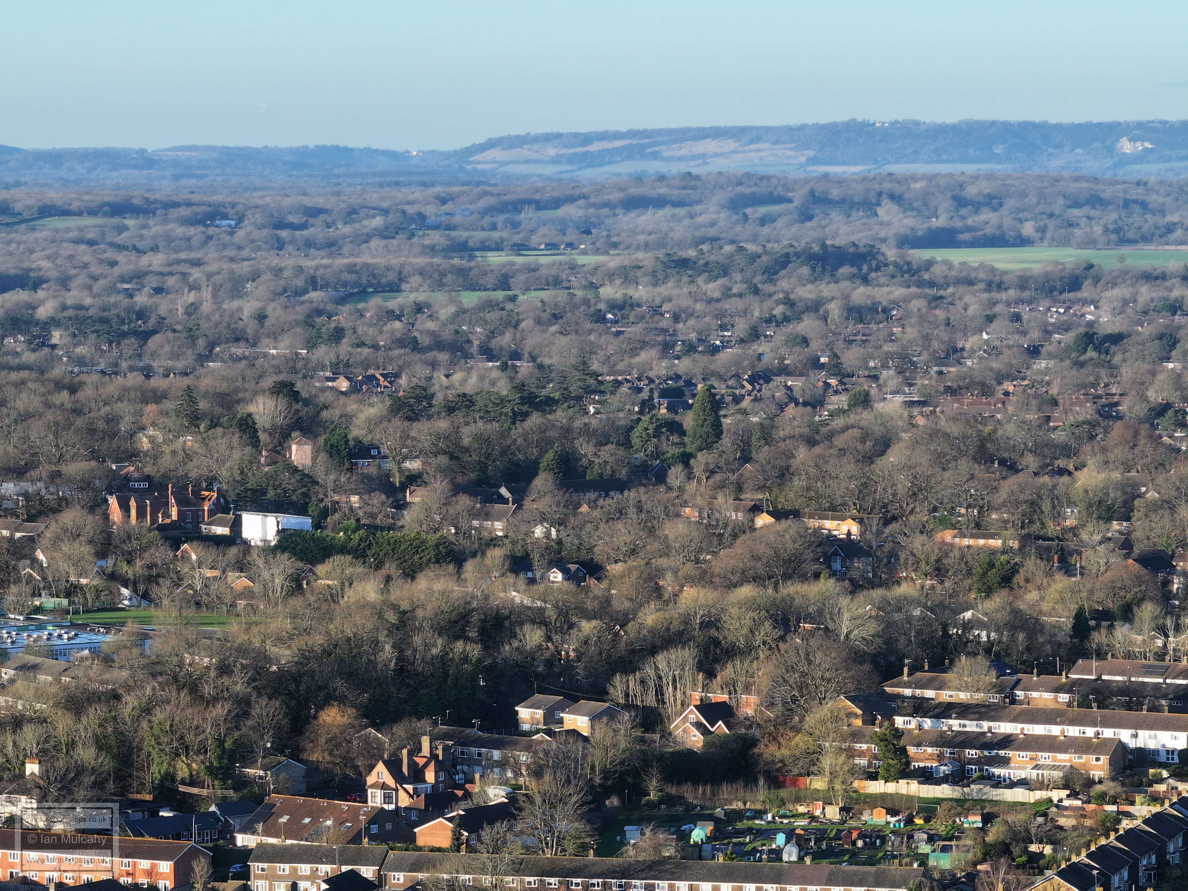
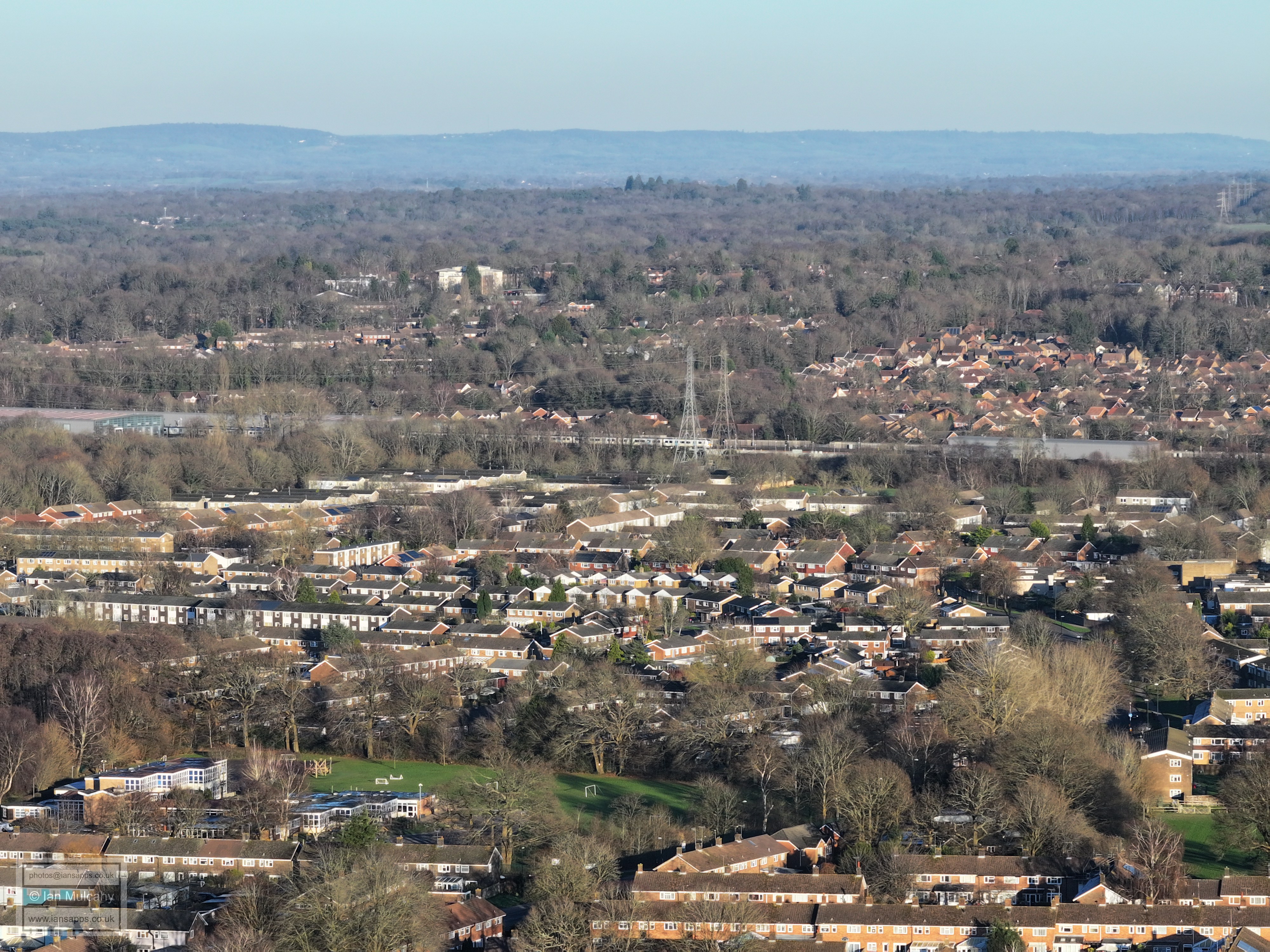
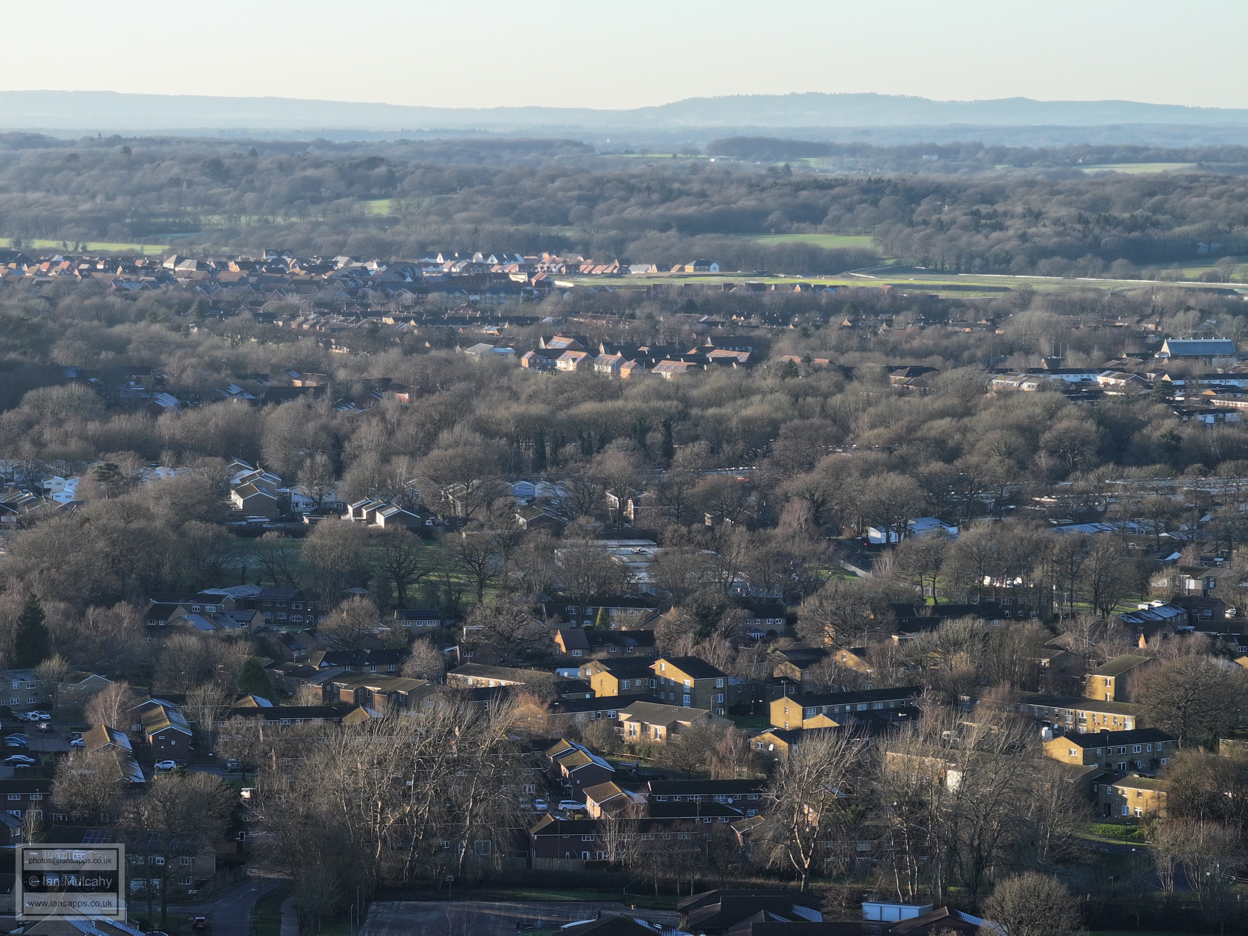
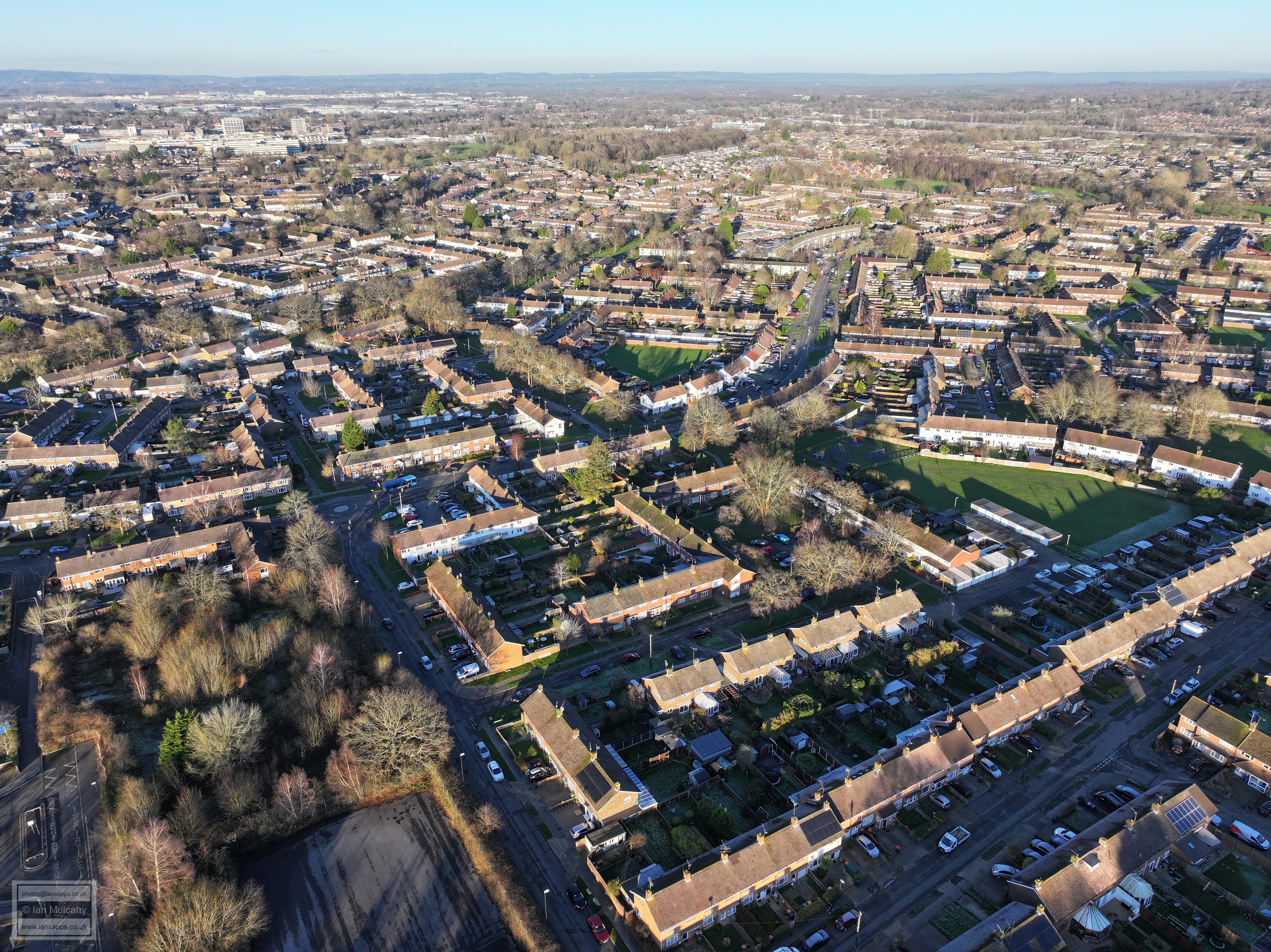
Tilgate, Southgate and the Town centre
Southgate West in the foreground and Ifield Wood on the first ridge.
Southgate West. St Wilfrids School is in the centre and Russ Hill Hotel in the centre near the top. The Dorking tower blocks are in the distance. You'll also spot St Margaret's Church at Ifield in the sun.
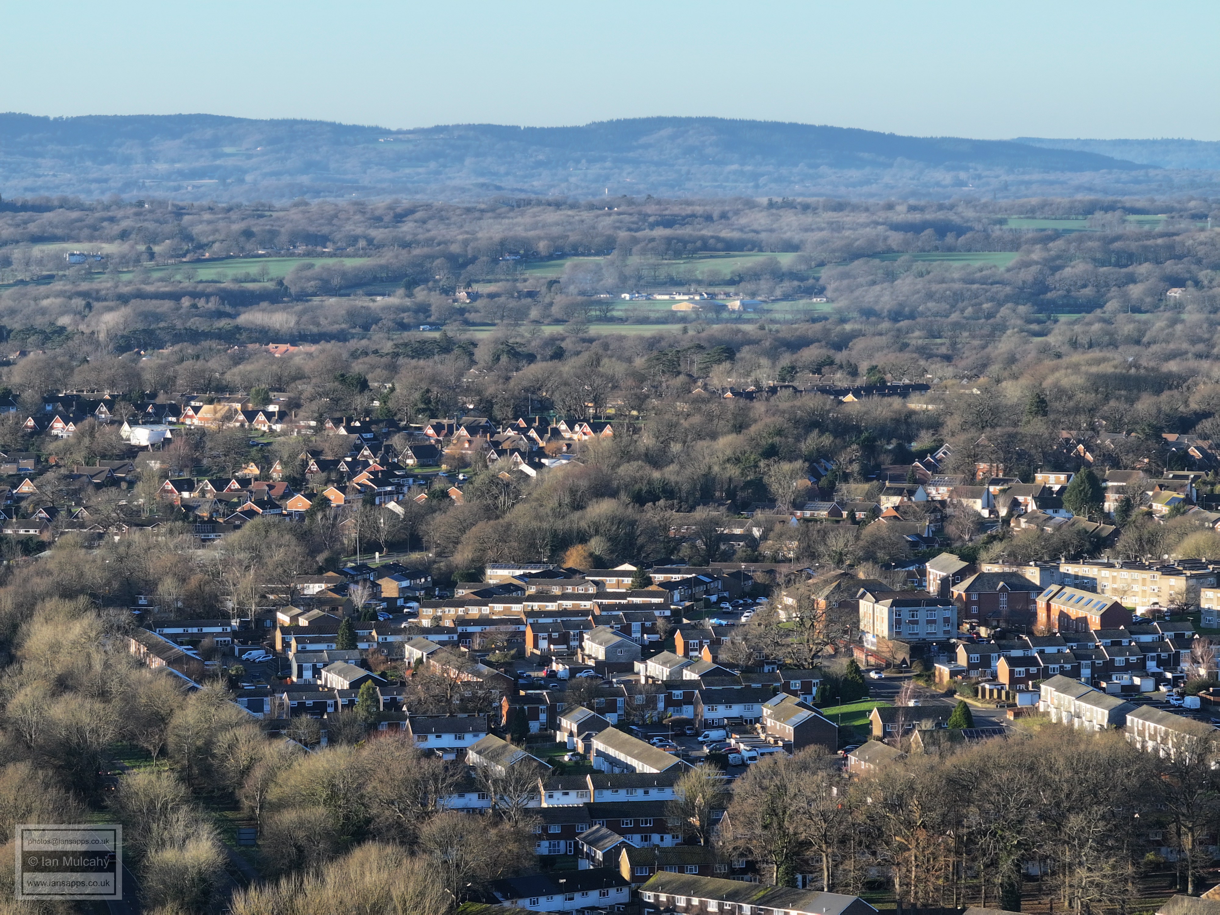
Hunter Road Allotments at the foot of the image. Brockham Warren on the top of Box Hill in the distance.
Southgate Primary School bottom right
Asda left of centre, St Johns Church right of centre and the leisure park beyond.
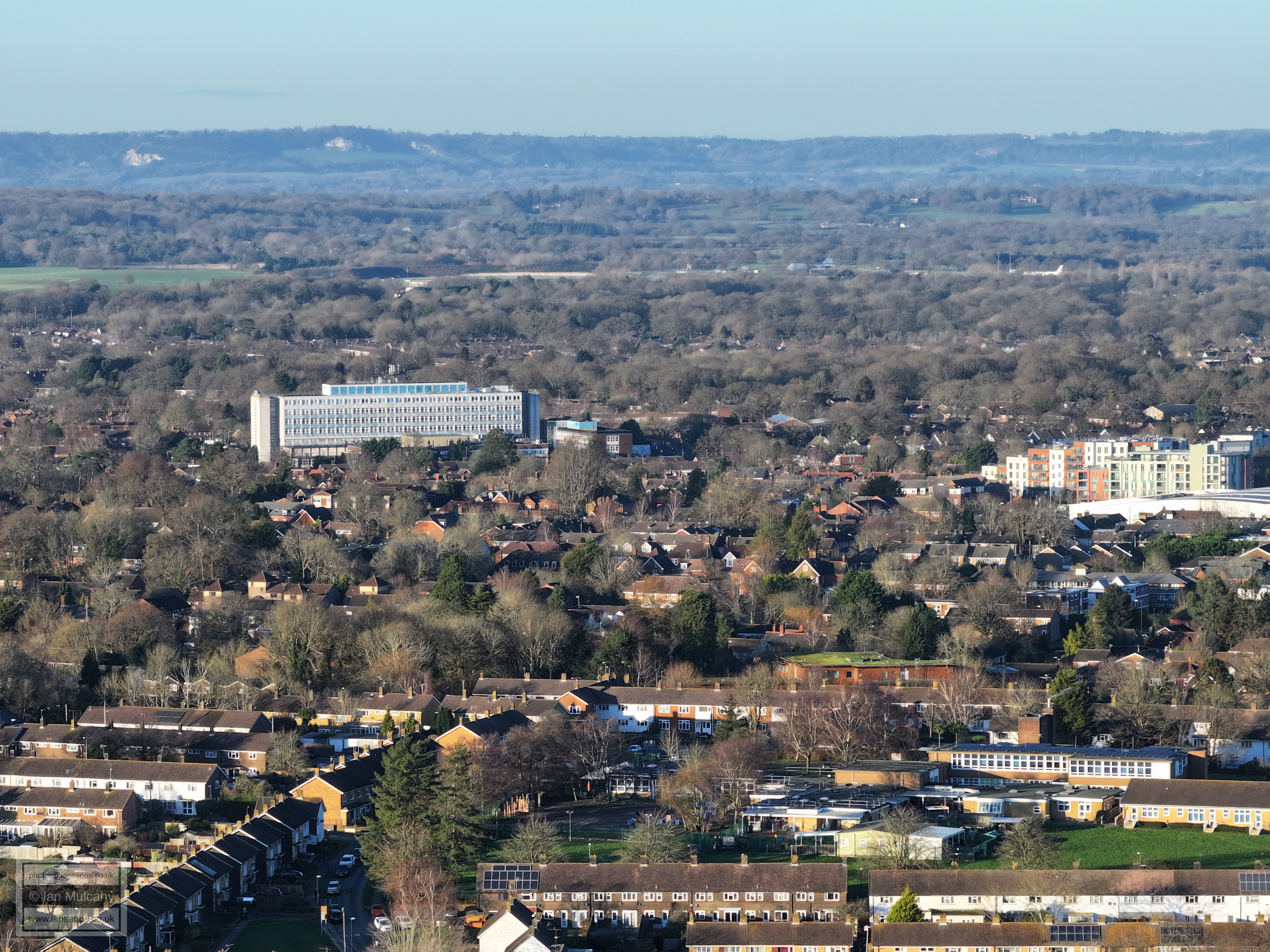
St Mary's at Southgate in the foreground and Town Centre across the middle.
Library and college to the left, Southgate Playing fields and Denvale Trading Estate in the centre and to the right. In the bottom right quarter is the Southgate Avenue/Hawth Avenue junction.
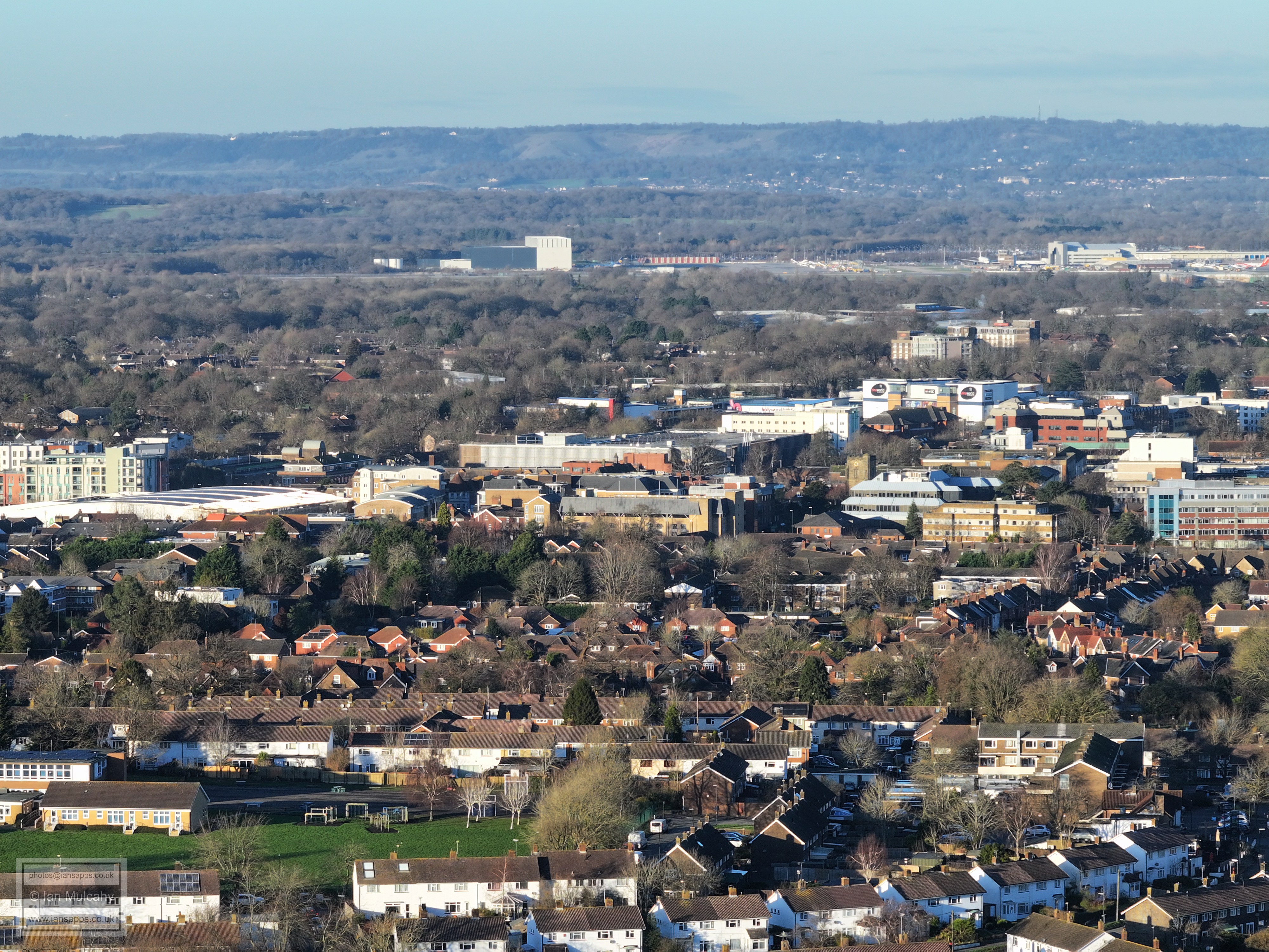
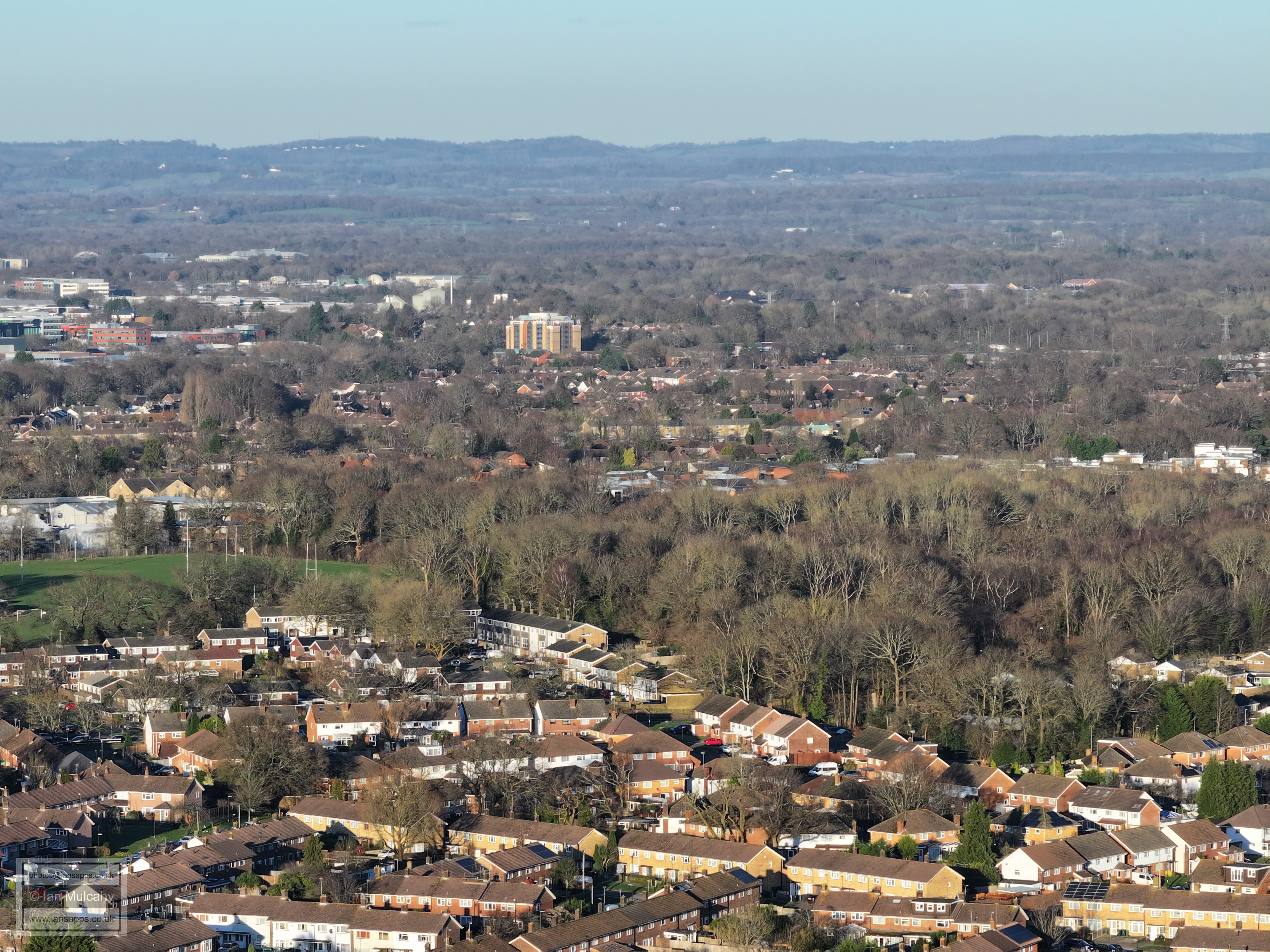
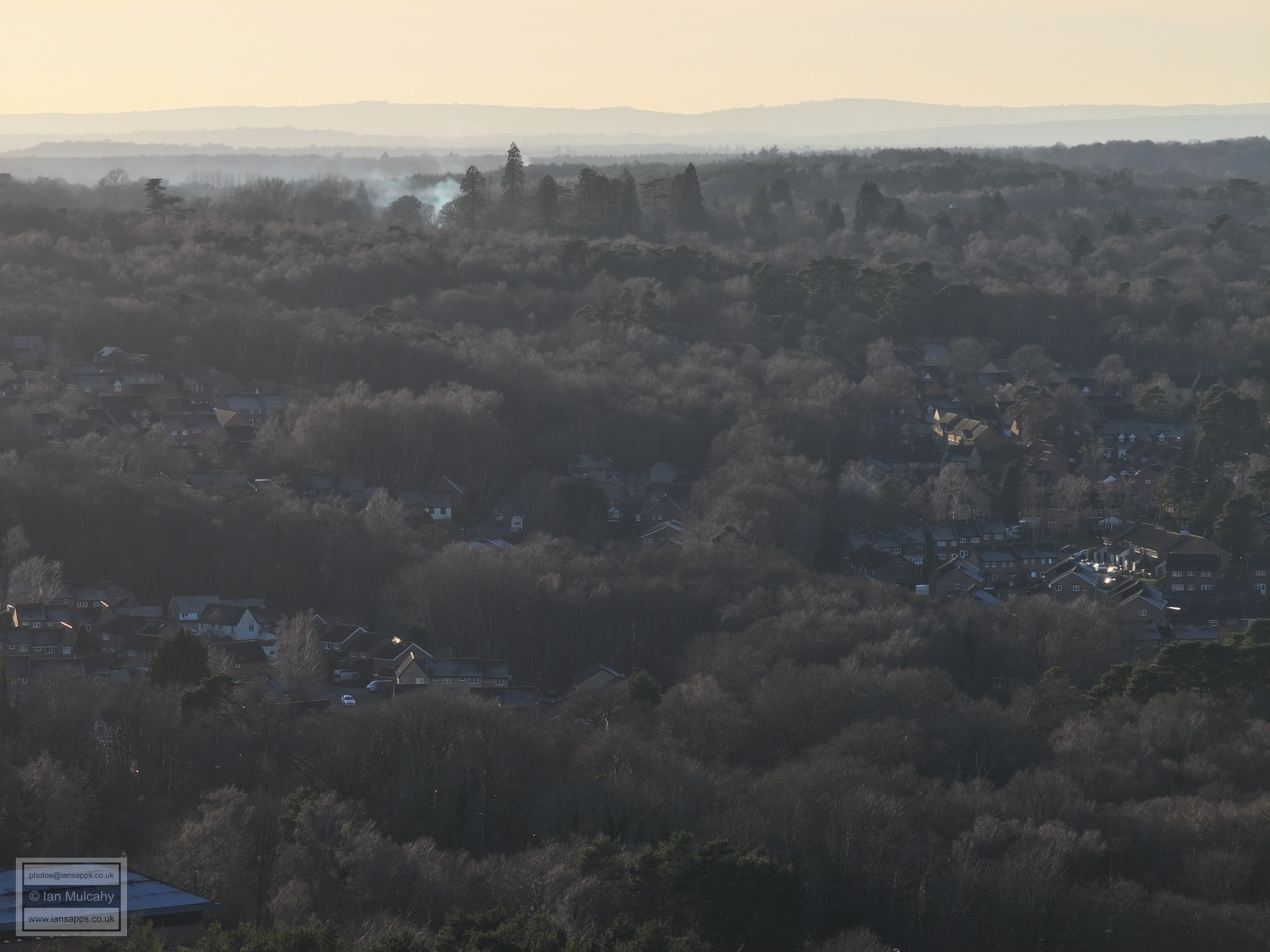
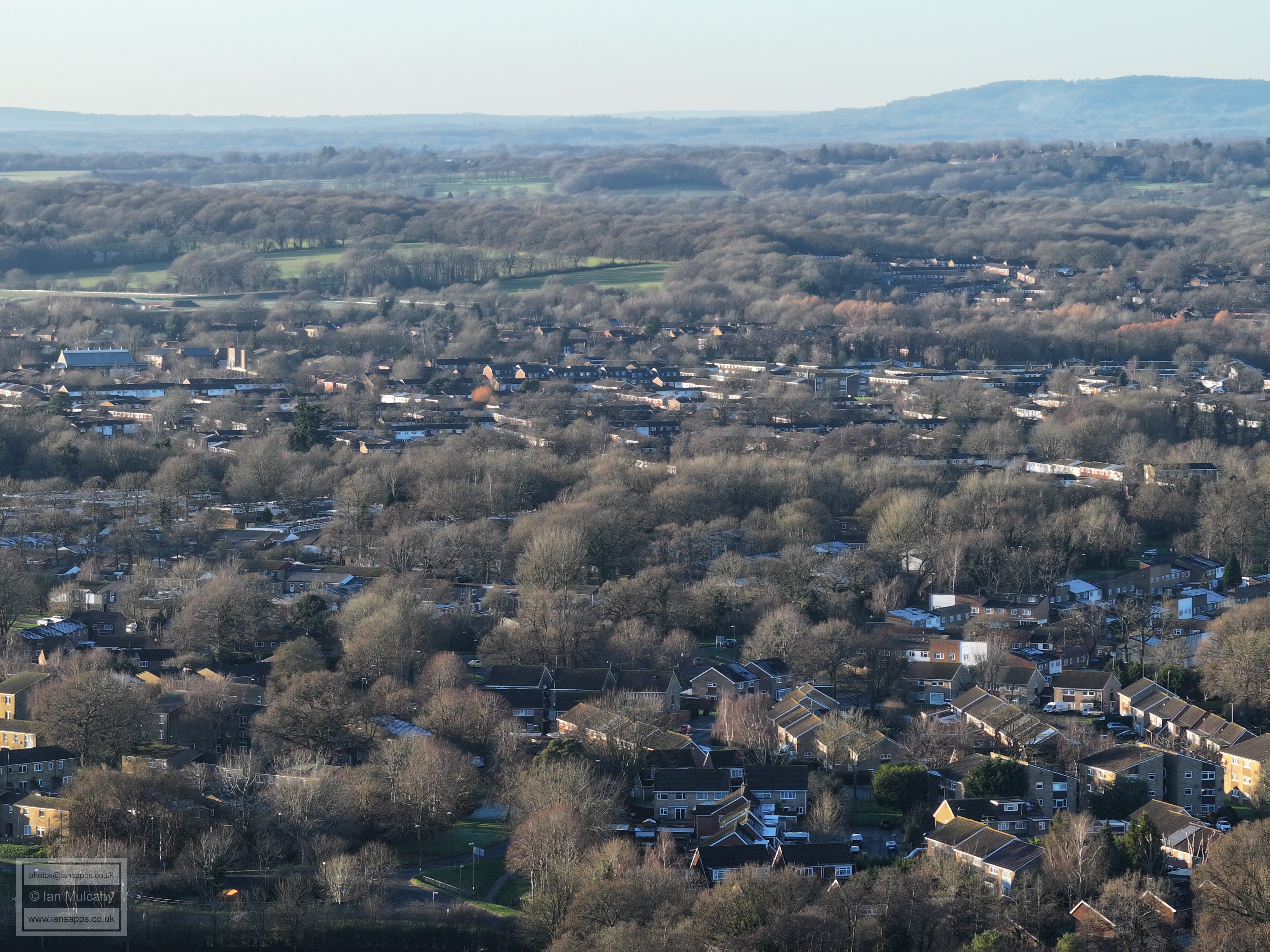
Hawth Woods on the right
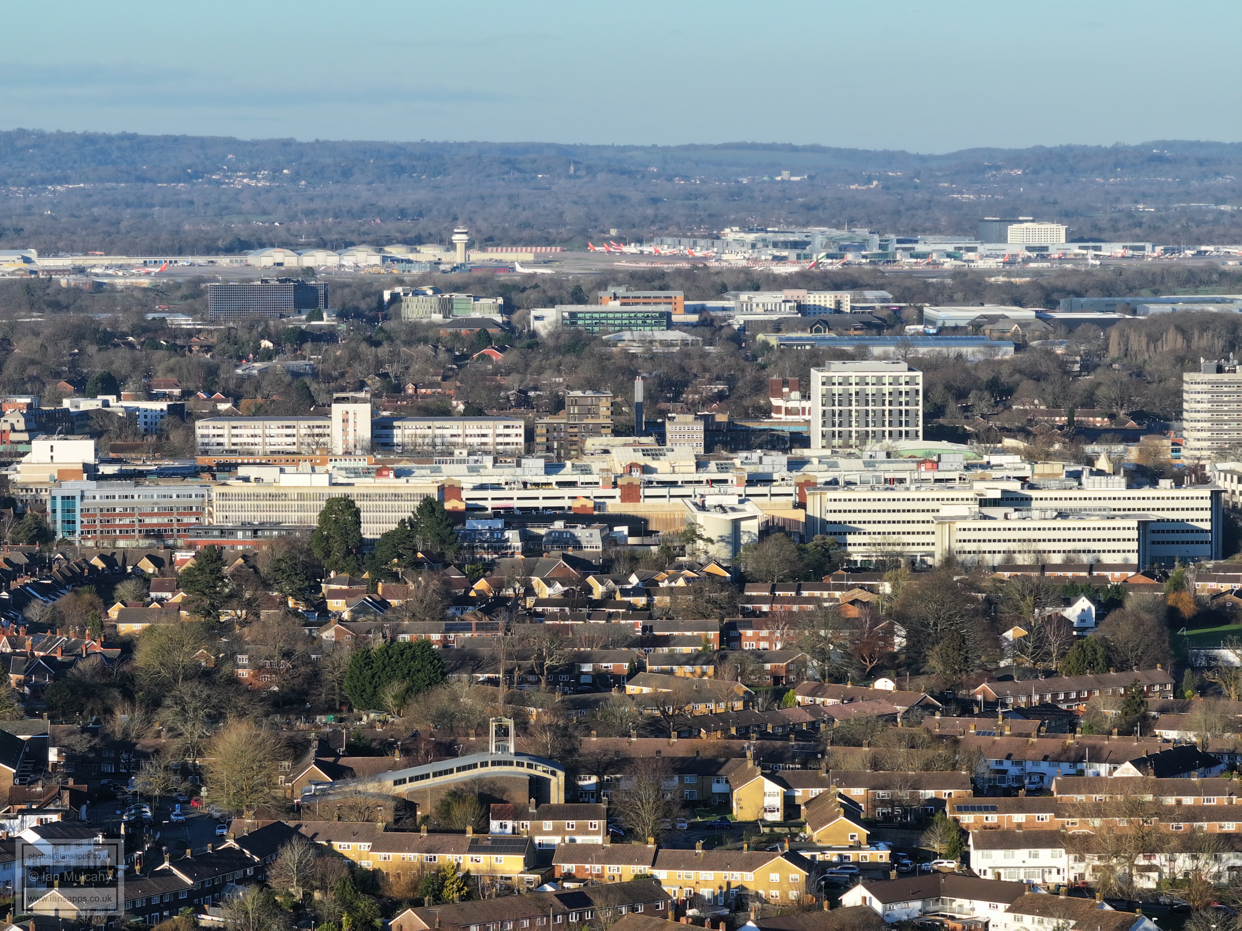
Sutherland House in the centre with Hawth Woods to the left. Three Bridges Station and Milton Mount are to the right.
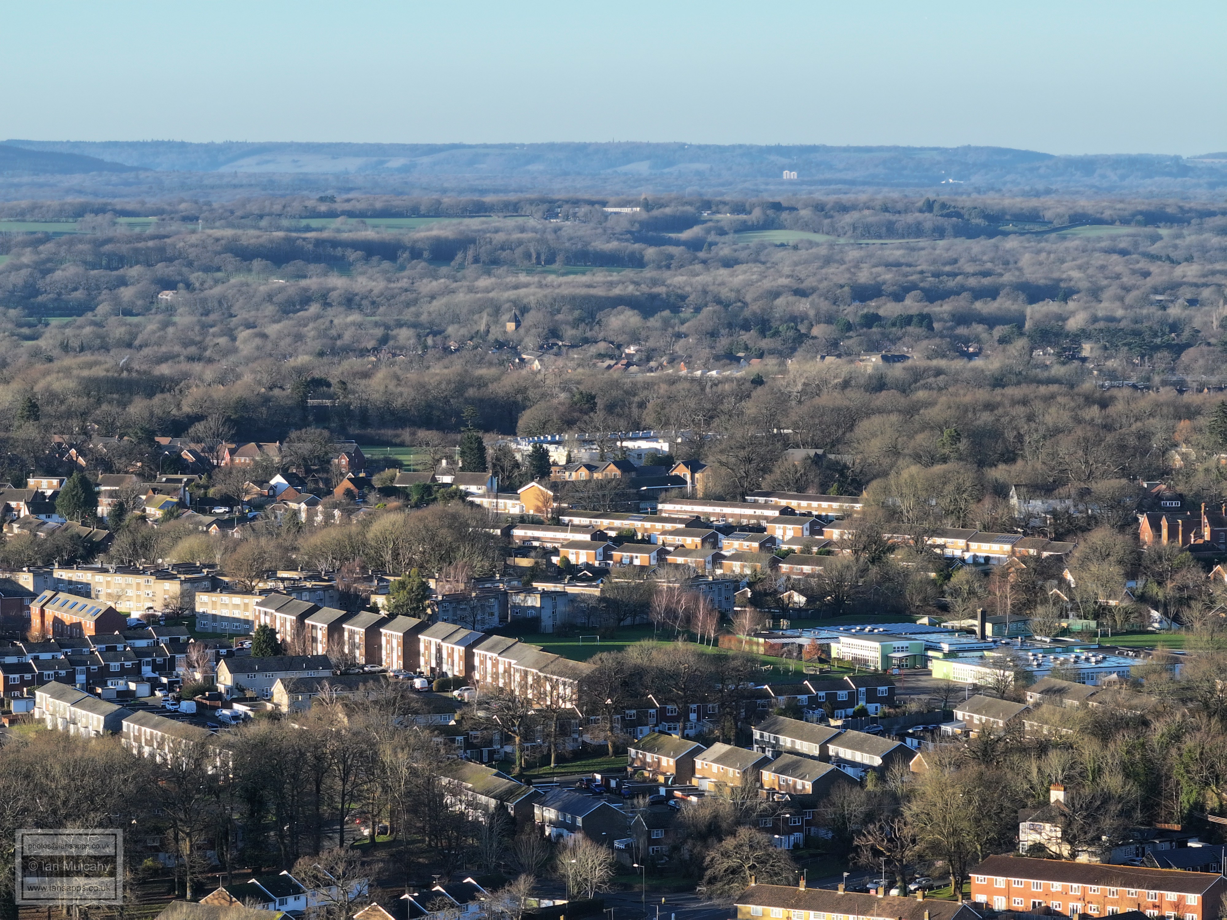
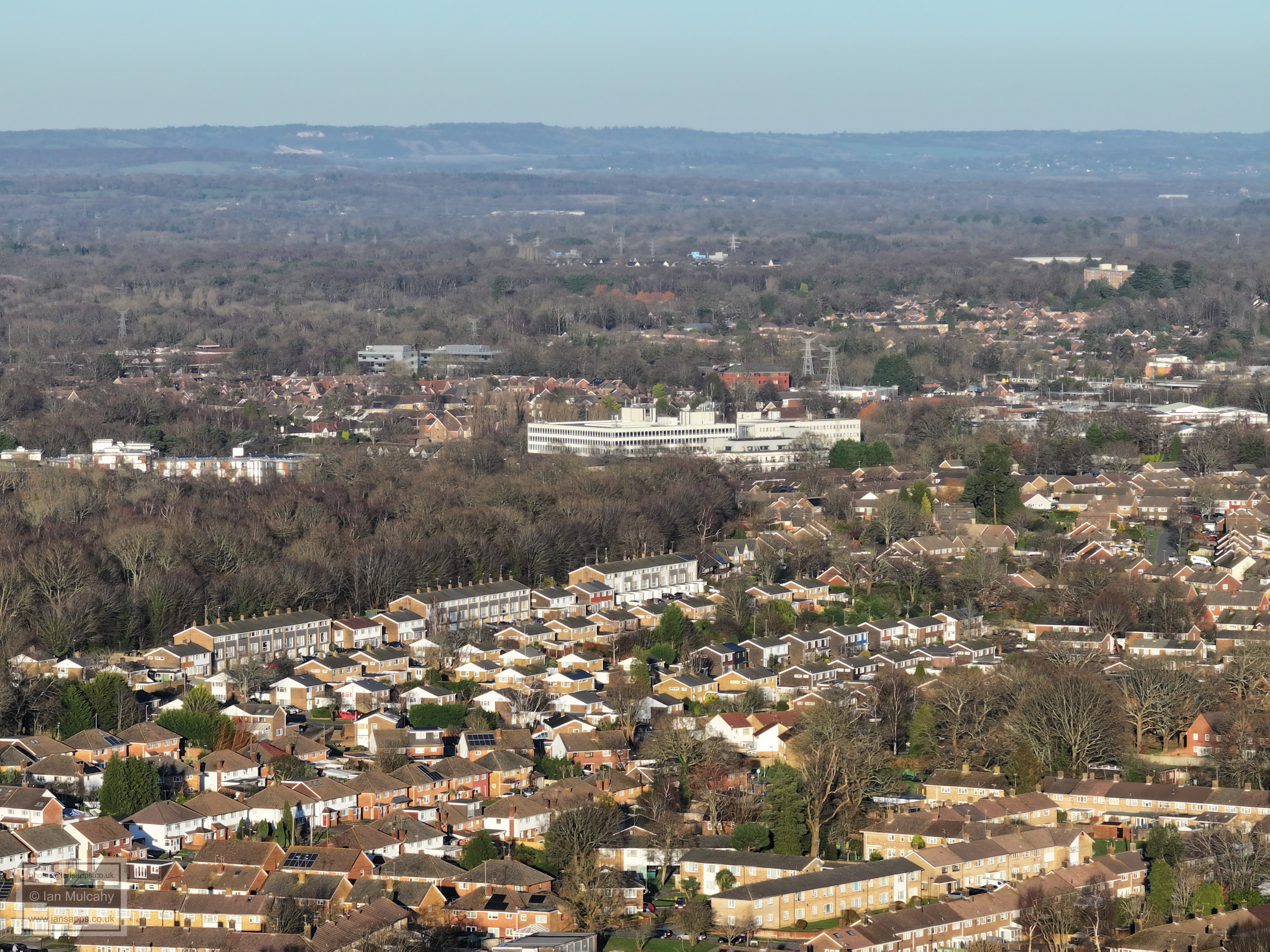
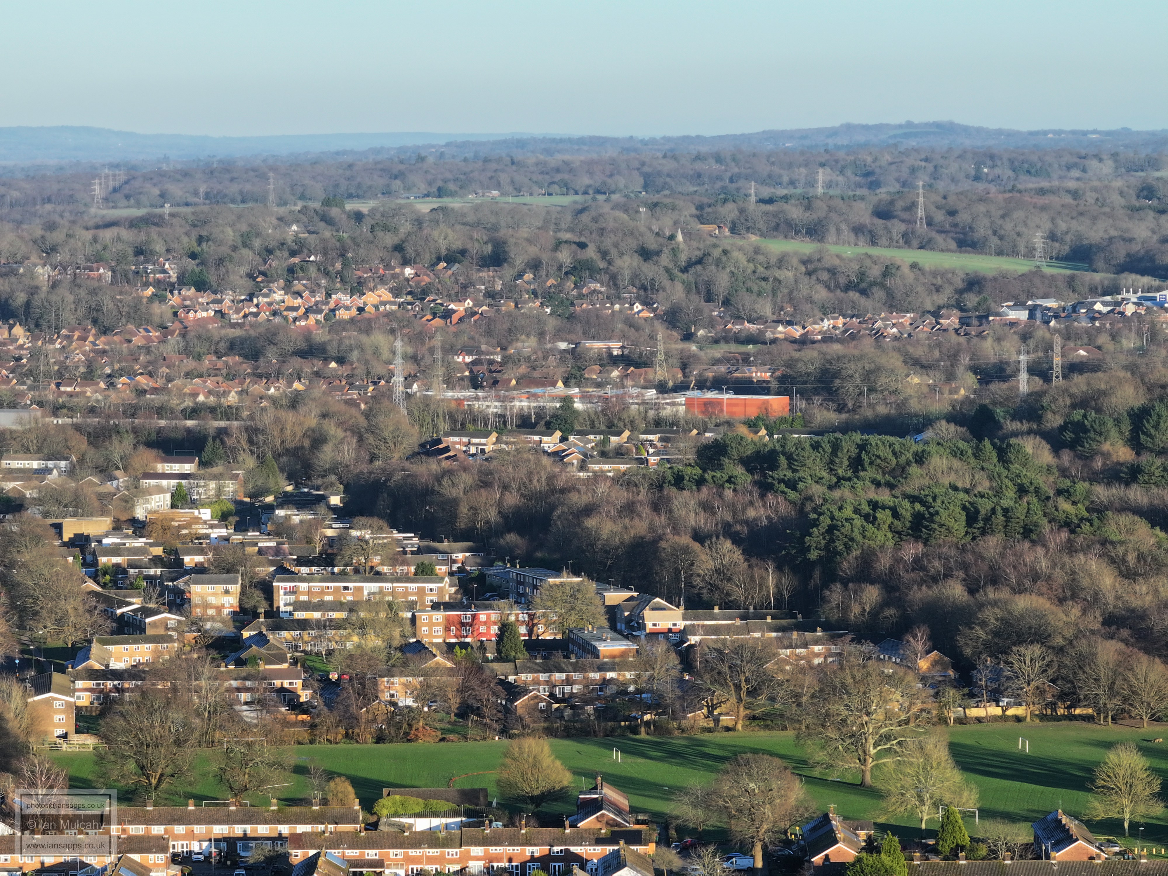
Loppets Road Playing Field bottom centre, Furnace Green and Pound Hill beyond. Copthorne Church spire is also visible
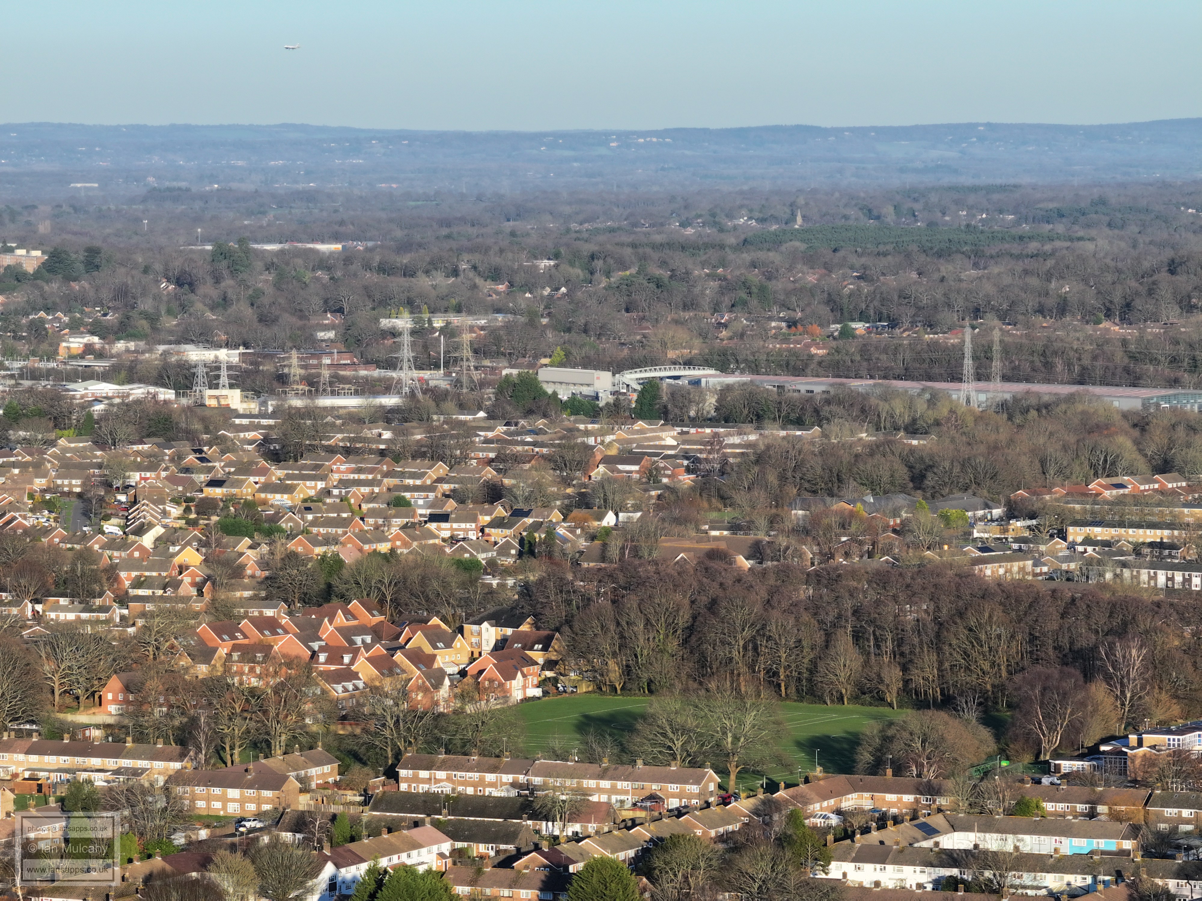
Furnace Green (bottom) with Pound Hill (left) and Maidenbower (right) beyond.
Gainsborough Playing Fields bottom centre with Furnace Green, Oriel and Maidenbower beyond. St Nicholas Church spire at Worth is also visible with Worth Lodge Farm just behind it.
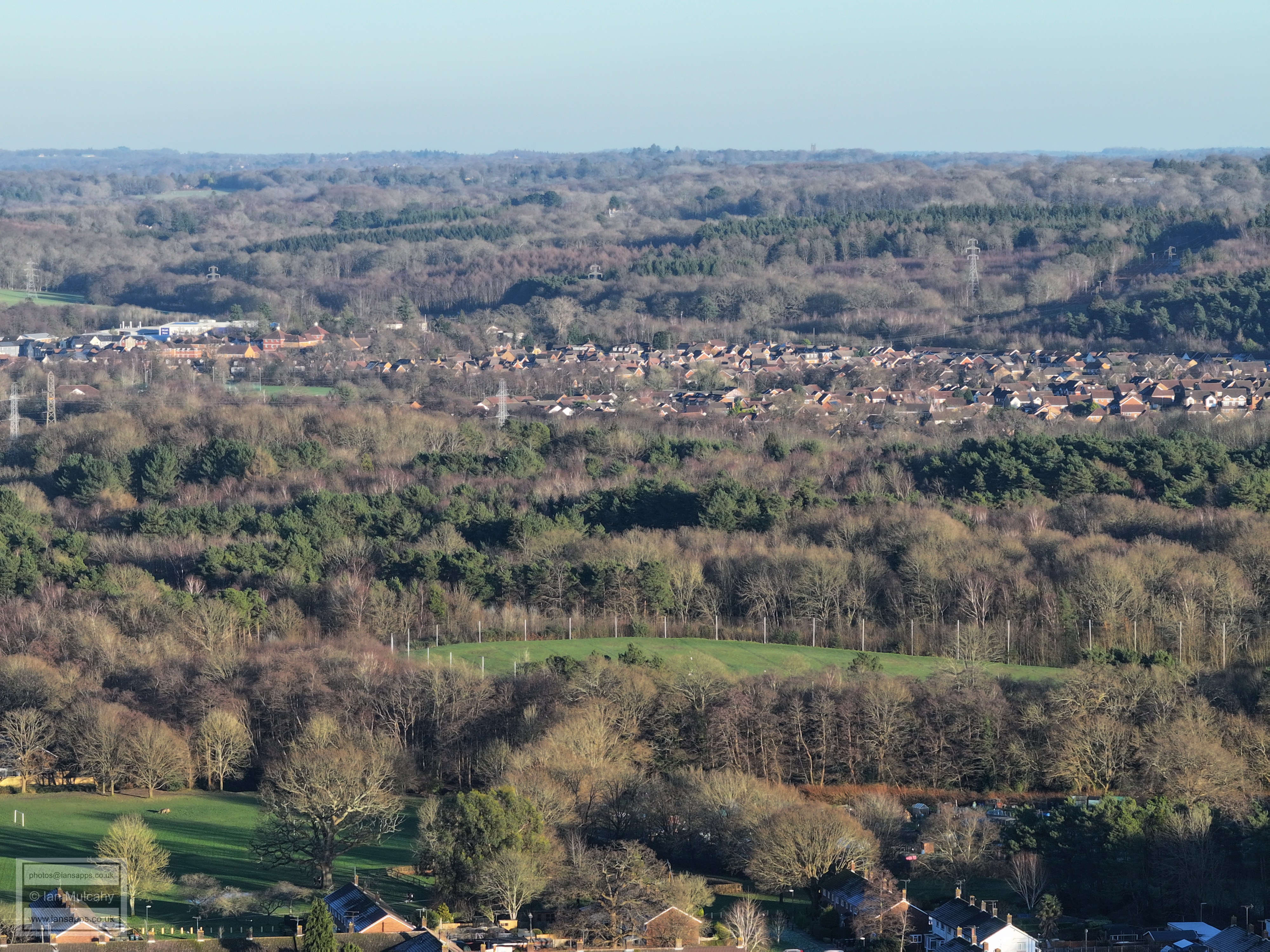
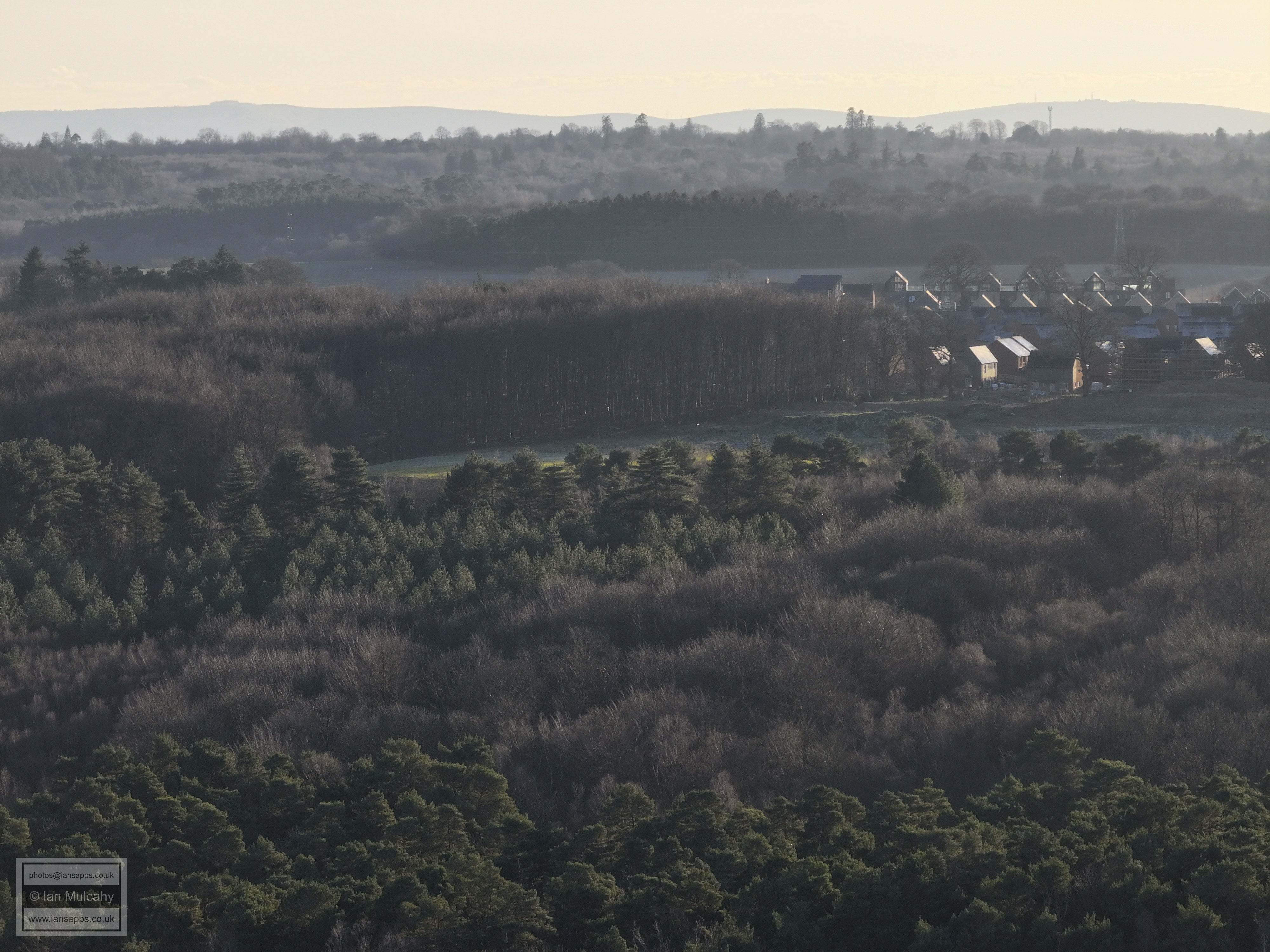
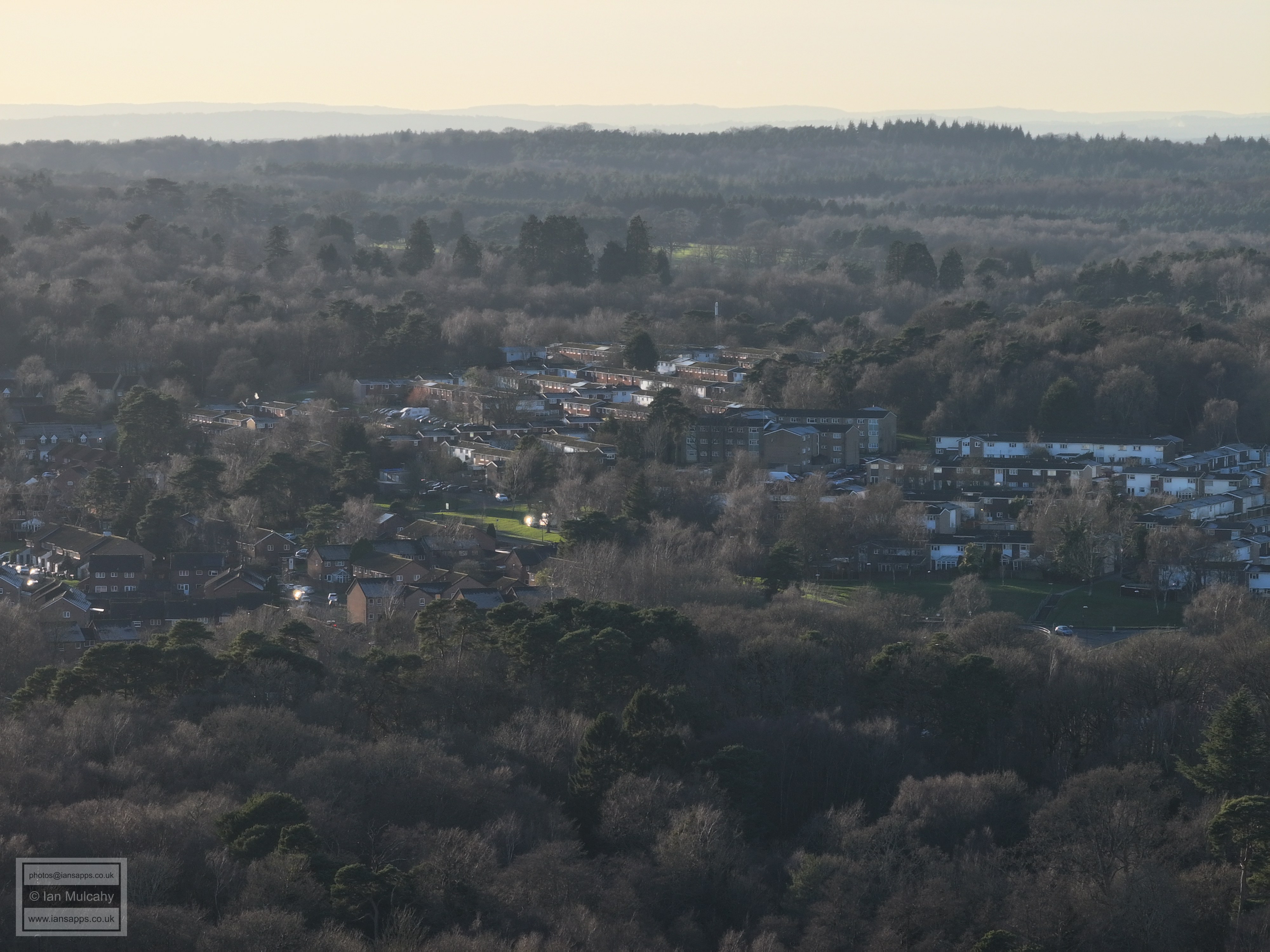
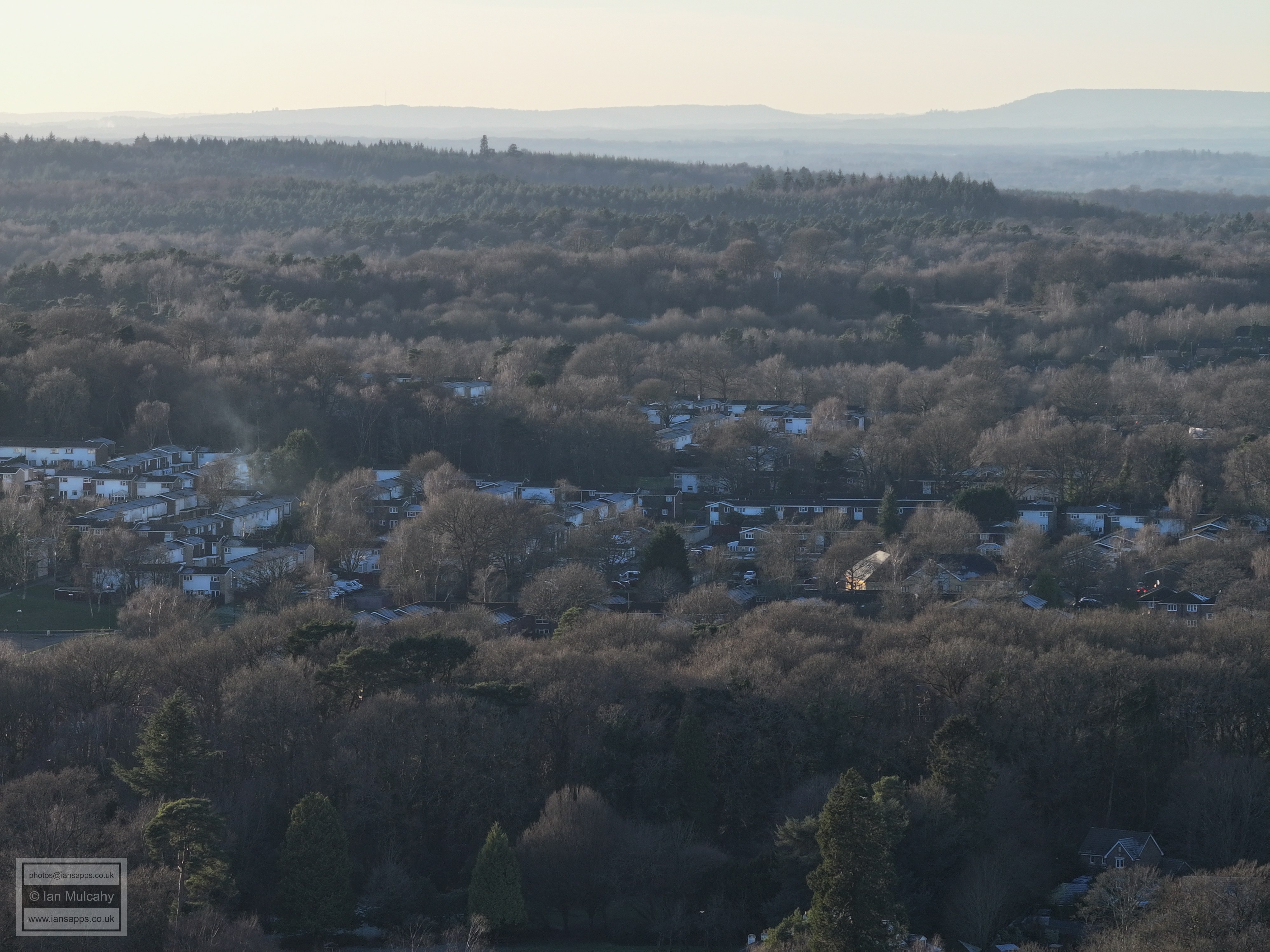
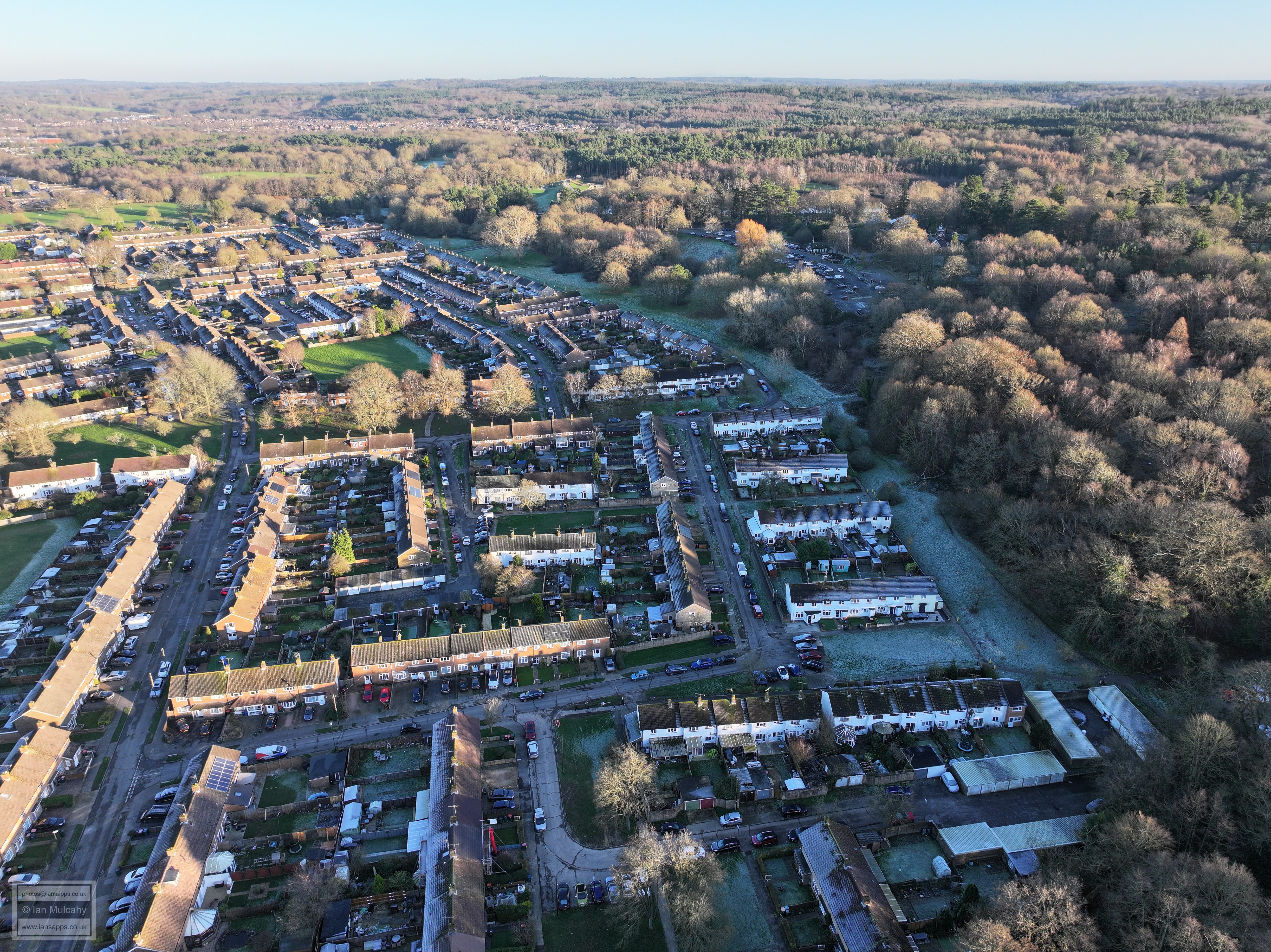
Tilgate driving range and Maidenbower
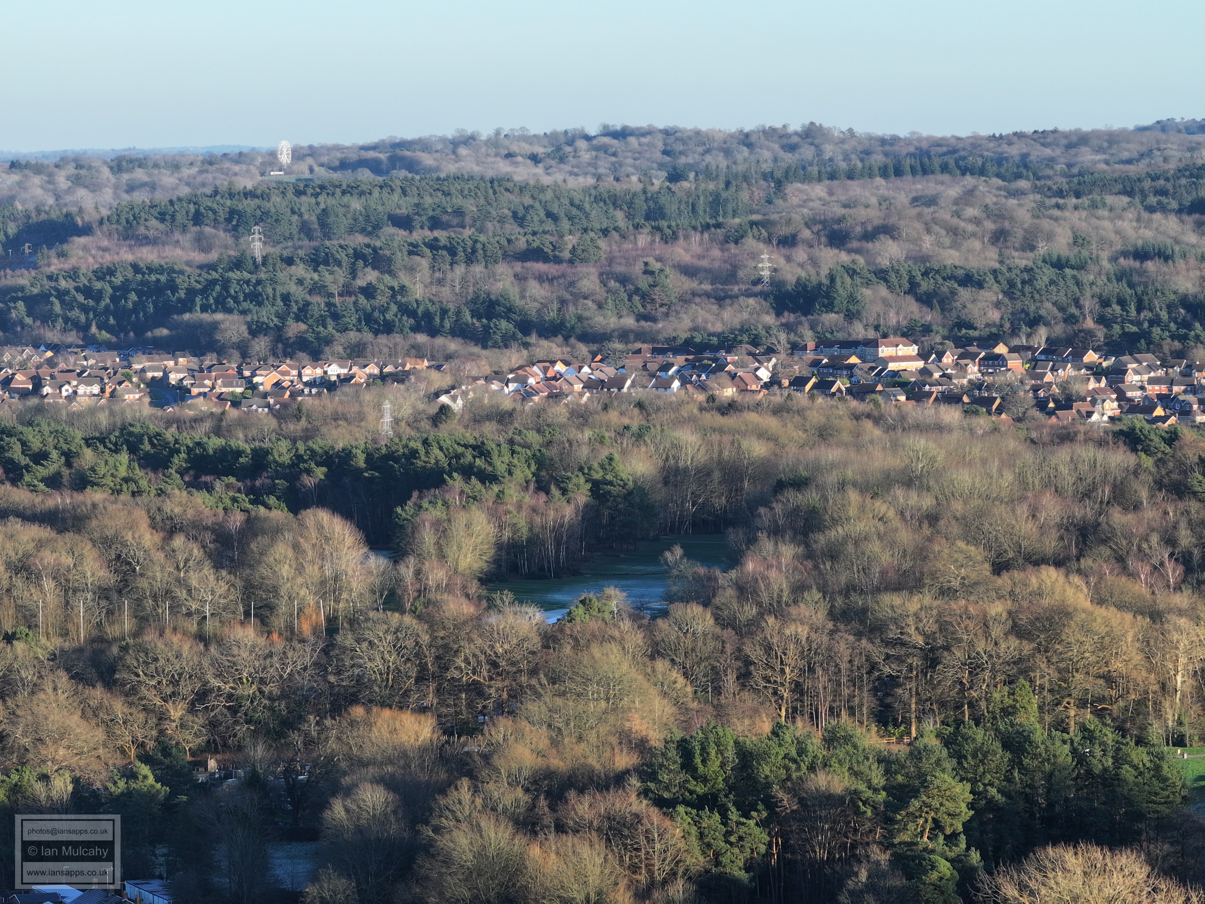
Tilgate golf course, Maidenbower and Tulleys big wheel.
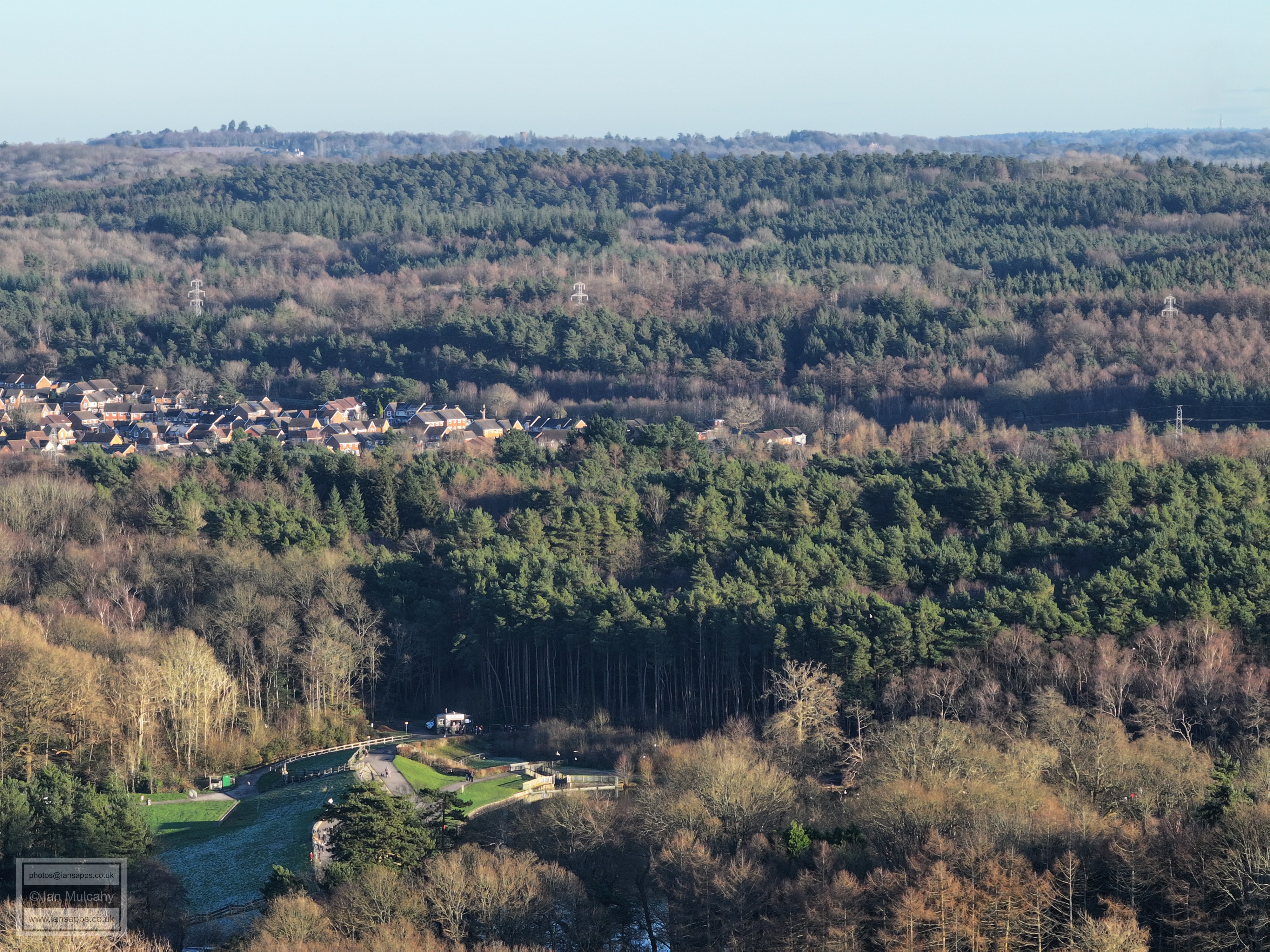
The dam and spillway at Tilgate Lake. Selsfield Common Water Tower is visible on the top of the hill, just to the left of centre.
Tilgate Lake, hiding behind trees!
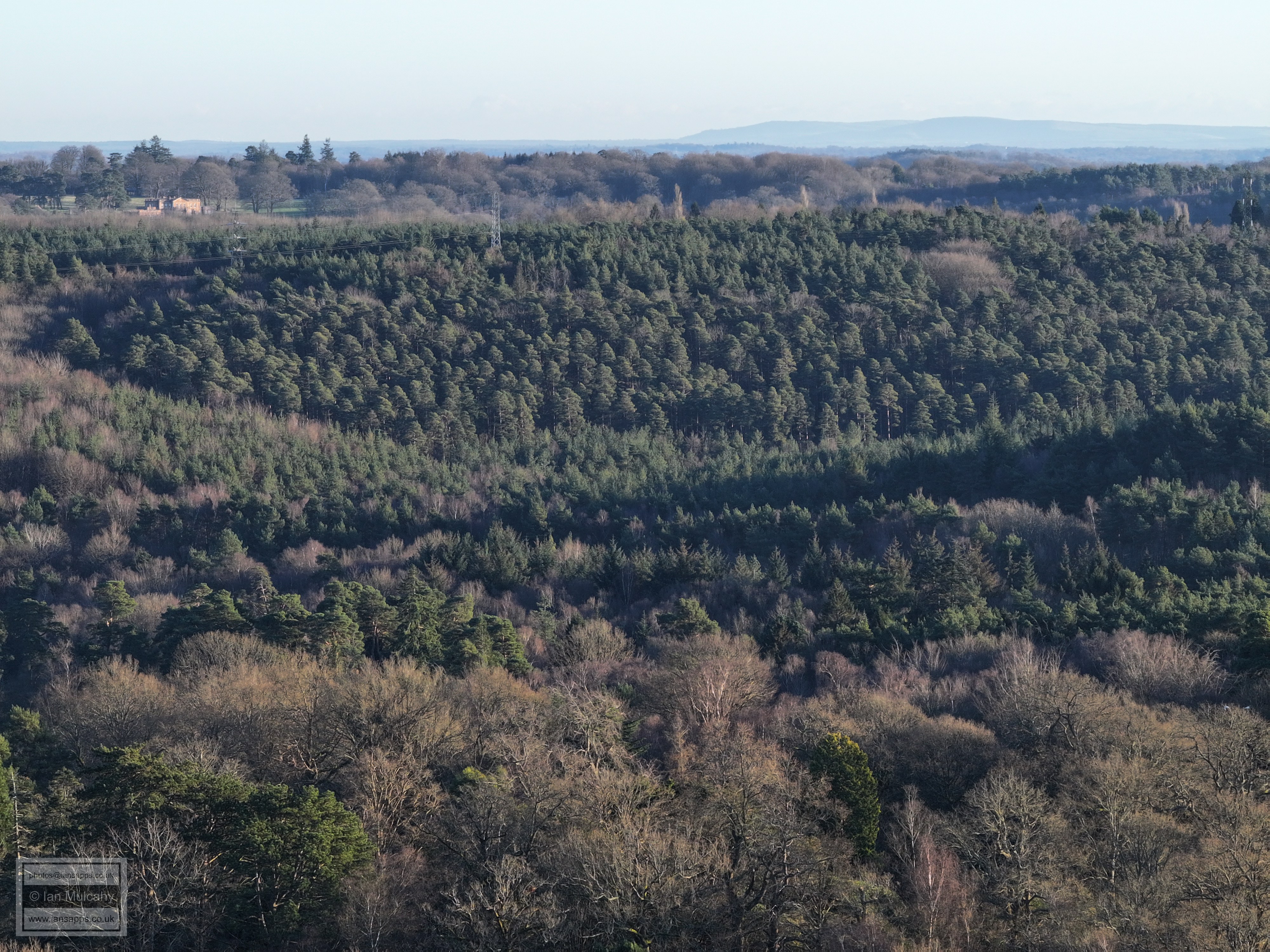
'Greentrees', in High Beeches, in the top left
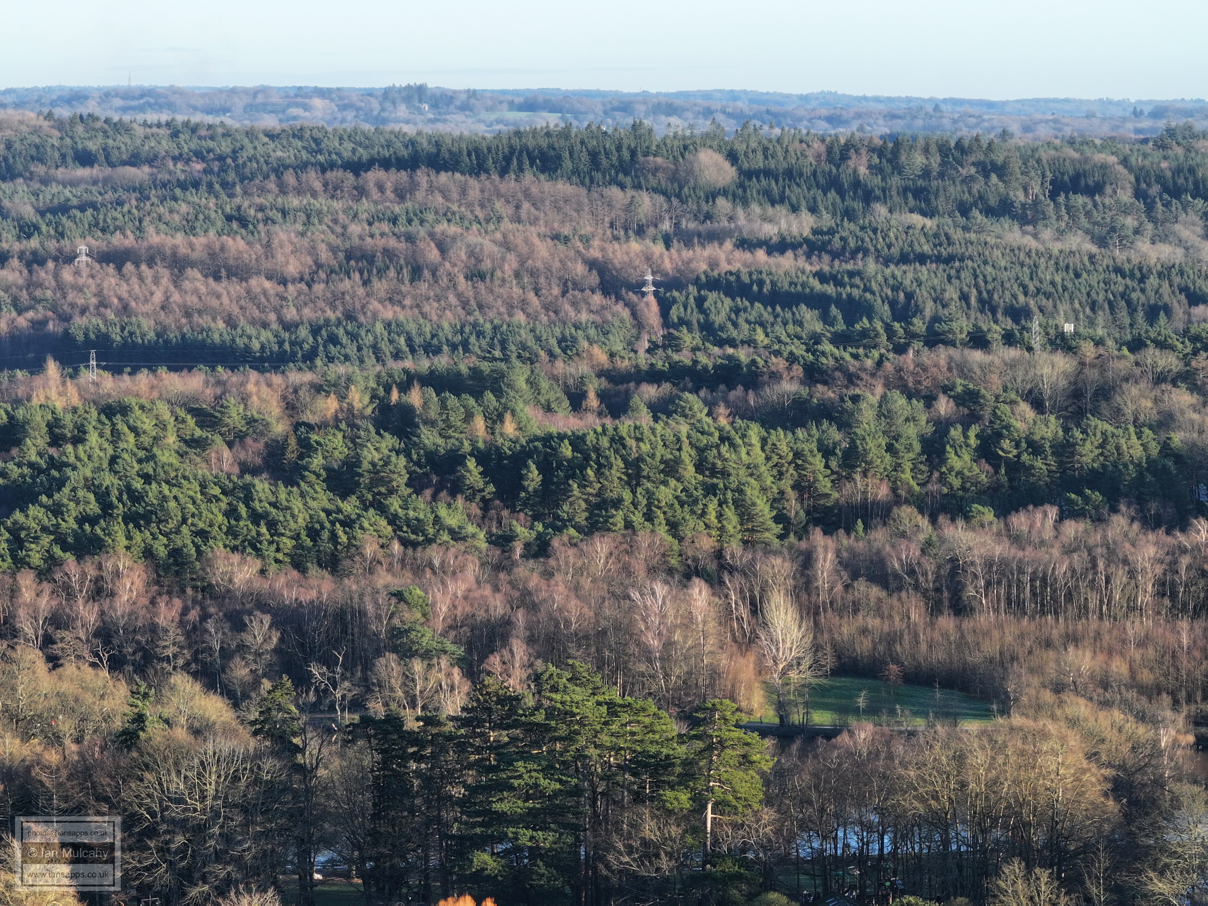
Part of the nature centre in Tilgate Park at the bottom
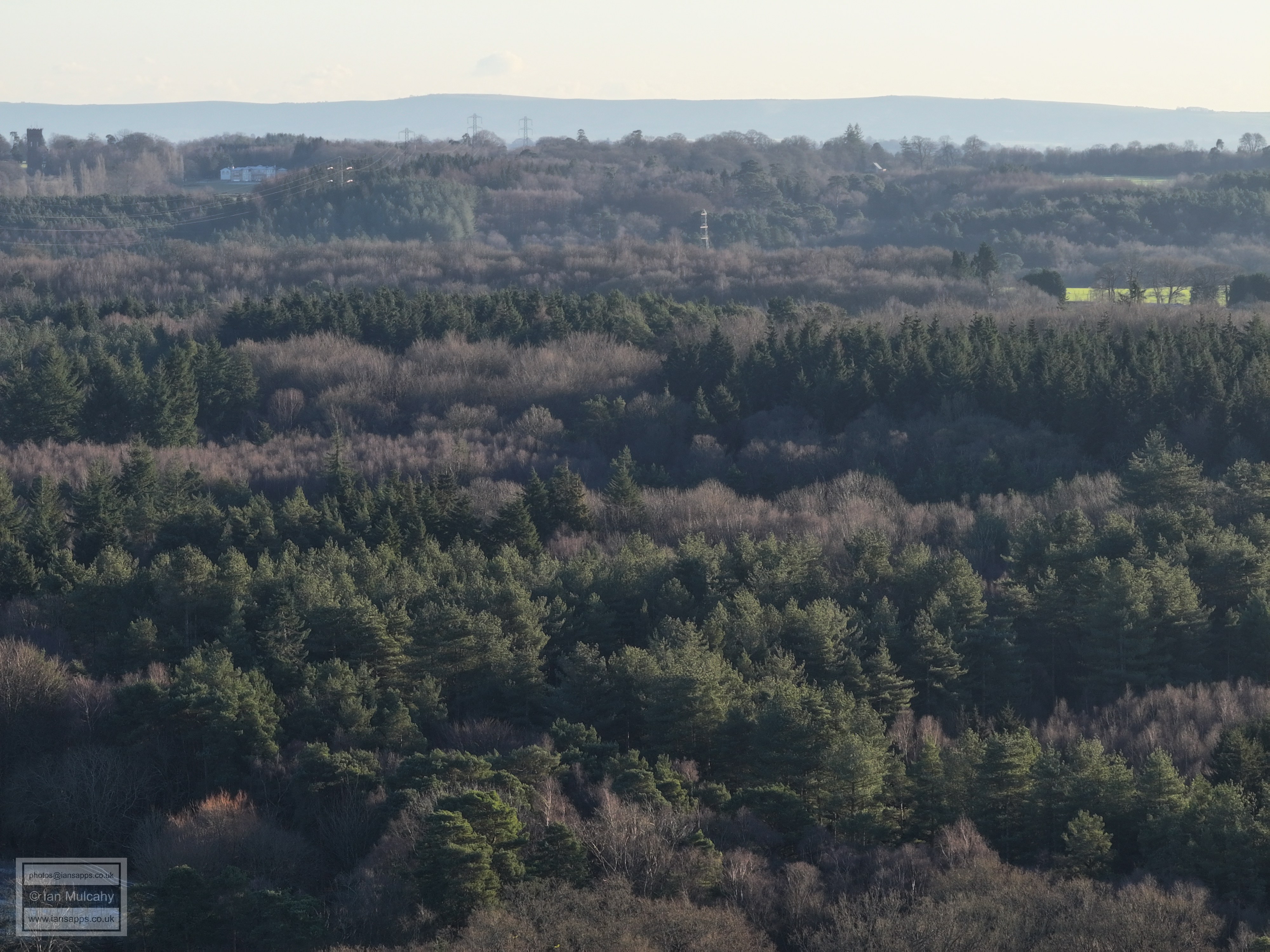
Slaugham Water Tower, top right.
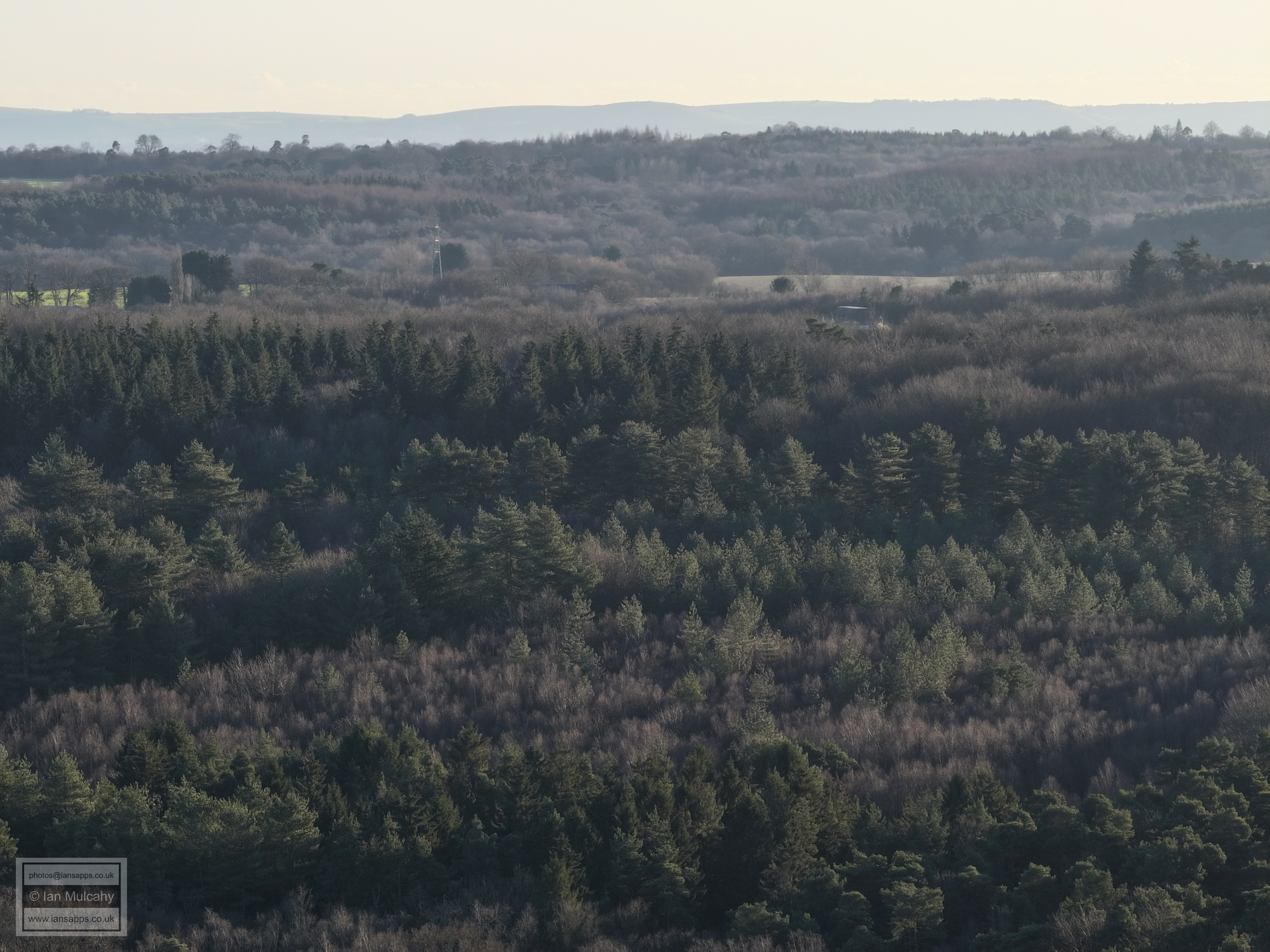
Slaugham Water Tower, top left, with Brantridge Hall just to the right.
Woodgate at Pease Pottage
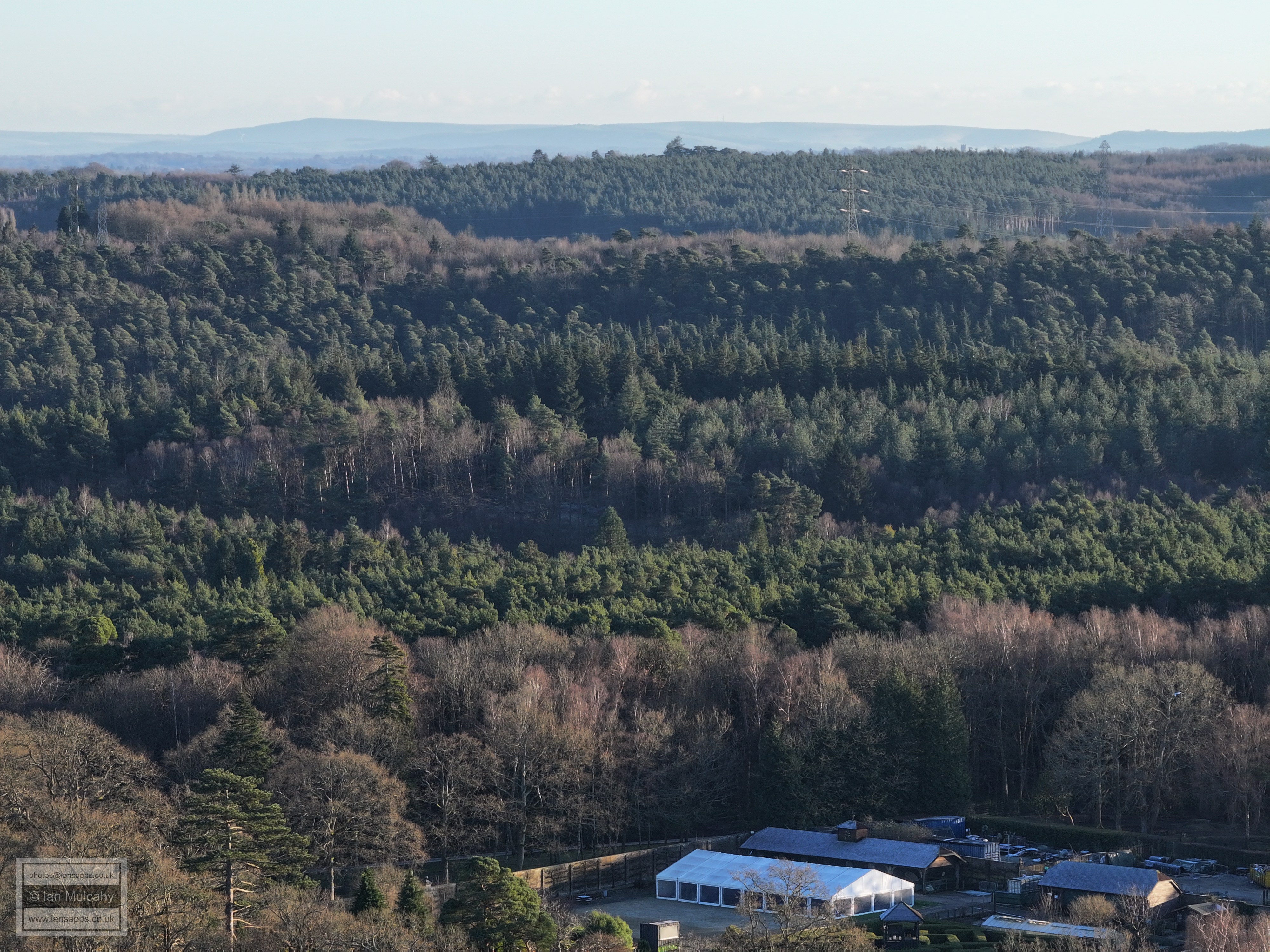
Tilgate Forest Business centre (bottom) and Hollingbourne Crescent
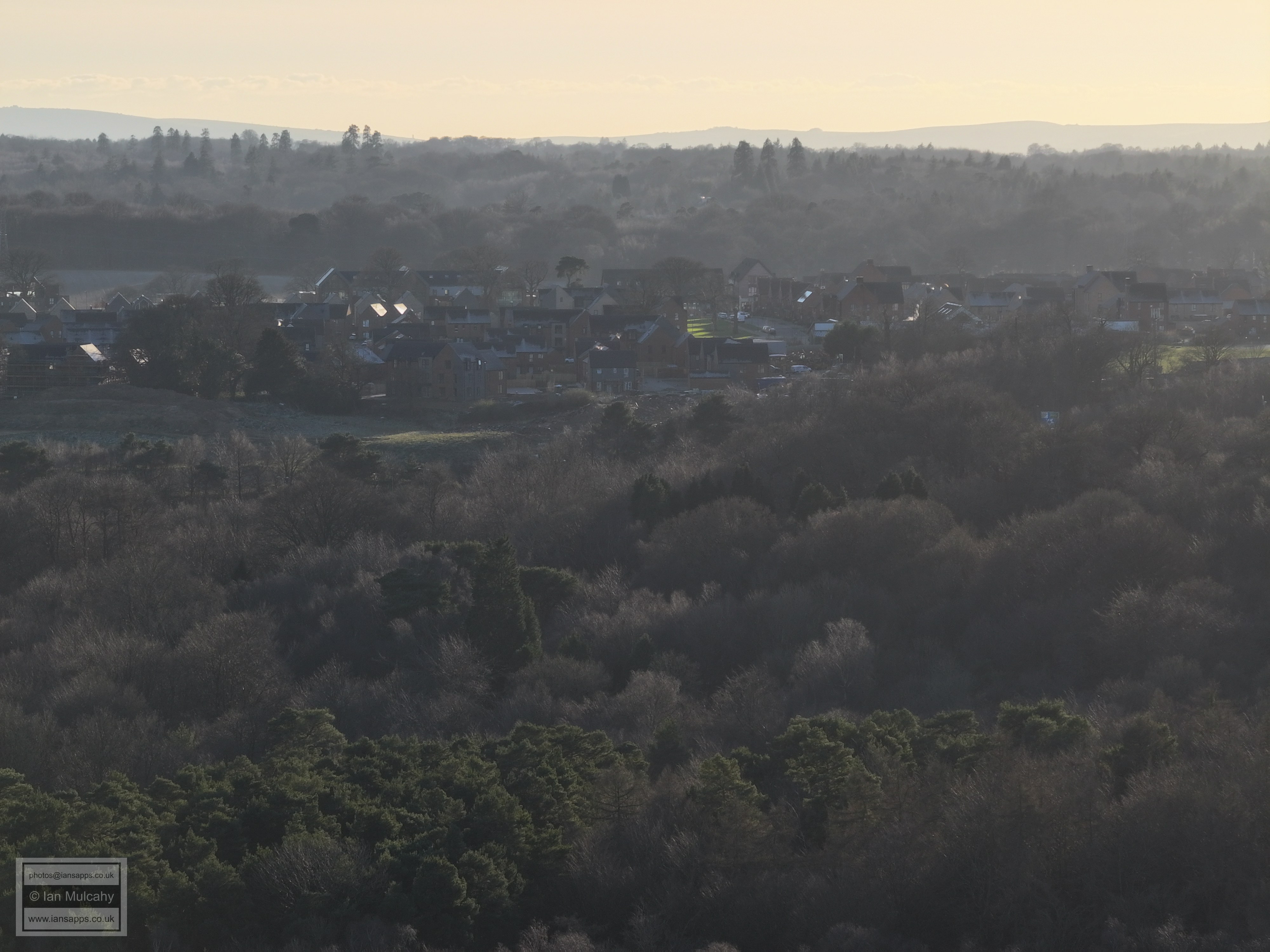
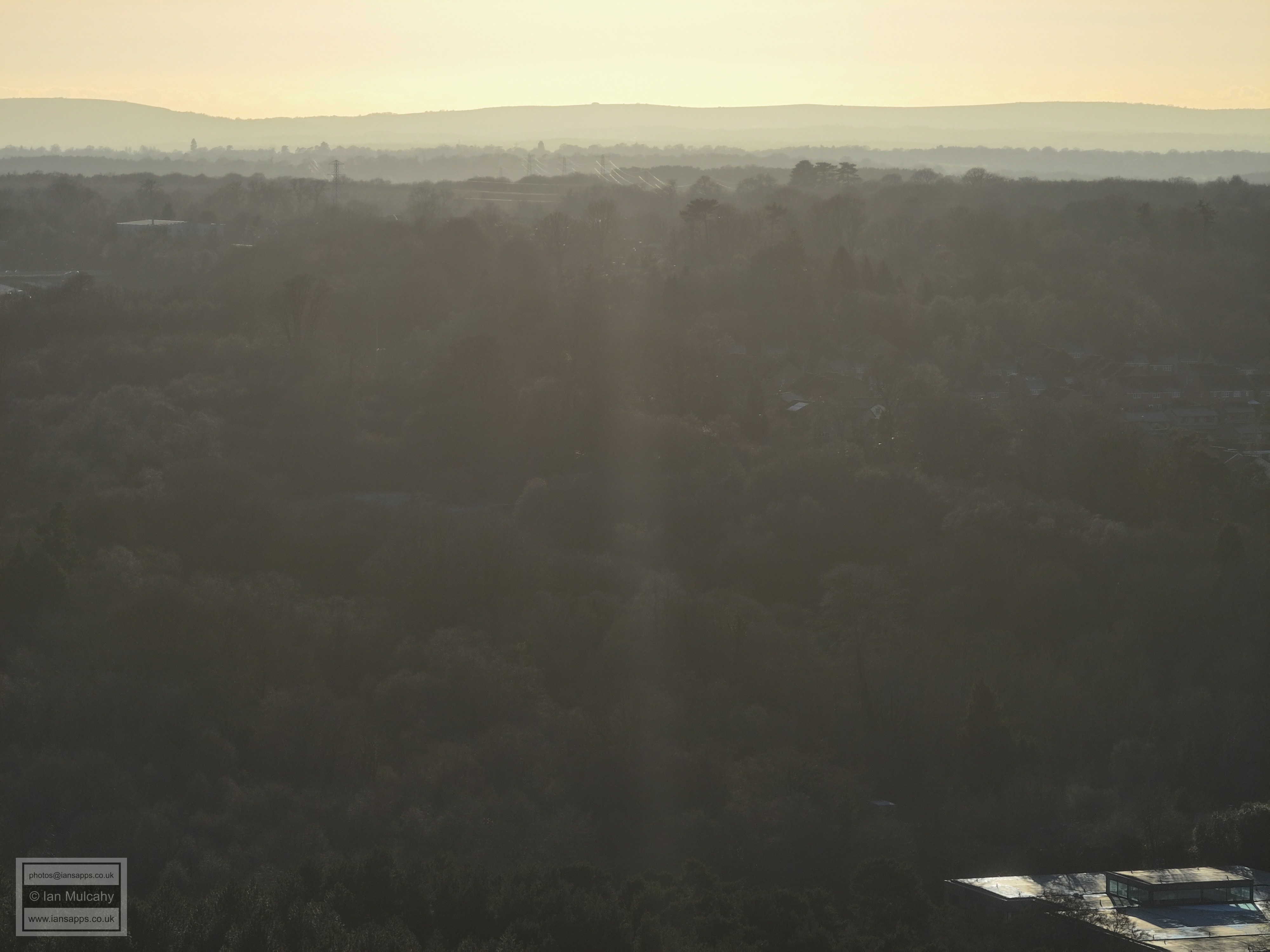
Broadfield
Broadfield
Broadfield
Broadfield Barton (centre). Kilnwood Vale in the distance
Broadfield, Kilnwood Vale & Bewbush
Broadfield, Bewbush & Ifield West. In the top right quarter is Rusper
The green left of centre is Holy Trinity's fields with Woldhurstlea climbing up to the right. The Millpond is hidden in the trees above the playing field with Ifield West beyond. The flats in the foreground are at Rathlin Road
Southgate West in the bottom right with the Buckswood Drive area of Gossops Green across the middle. The Mount and Bonwyckes Place in Ifield Wood are beyond.
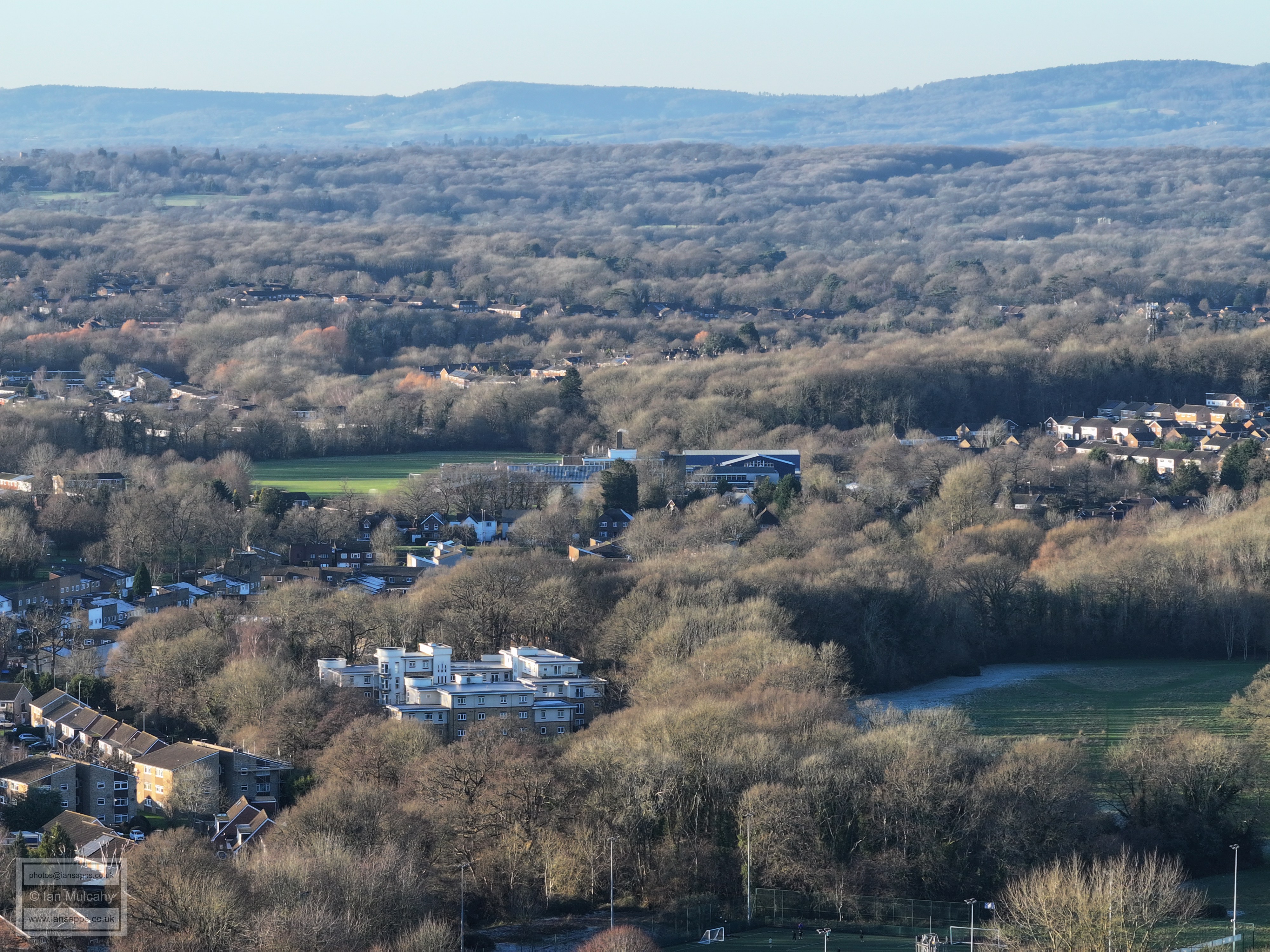
Thomas Bennett playing fields in the foreground
Tilgate Parade
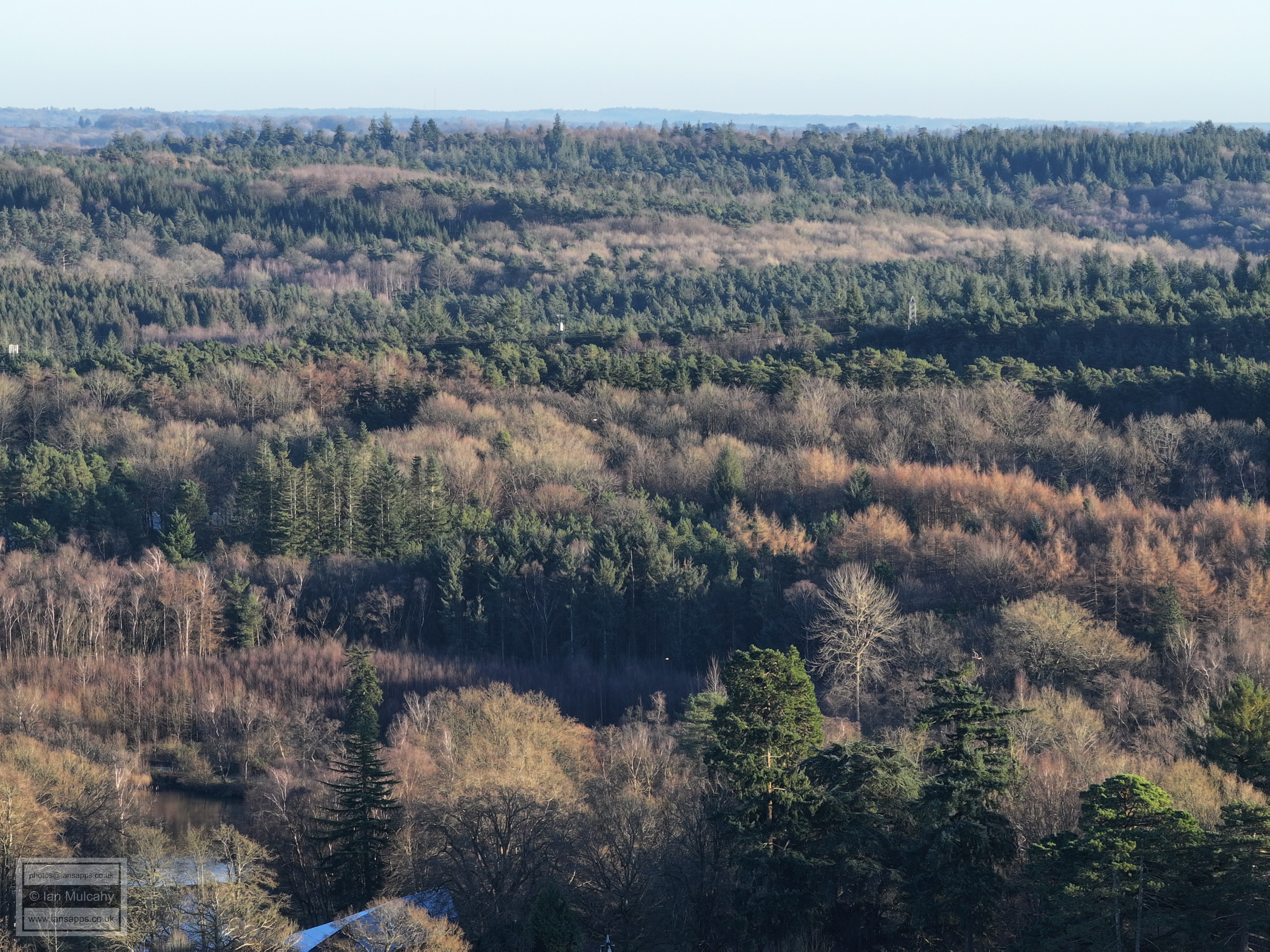
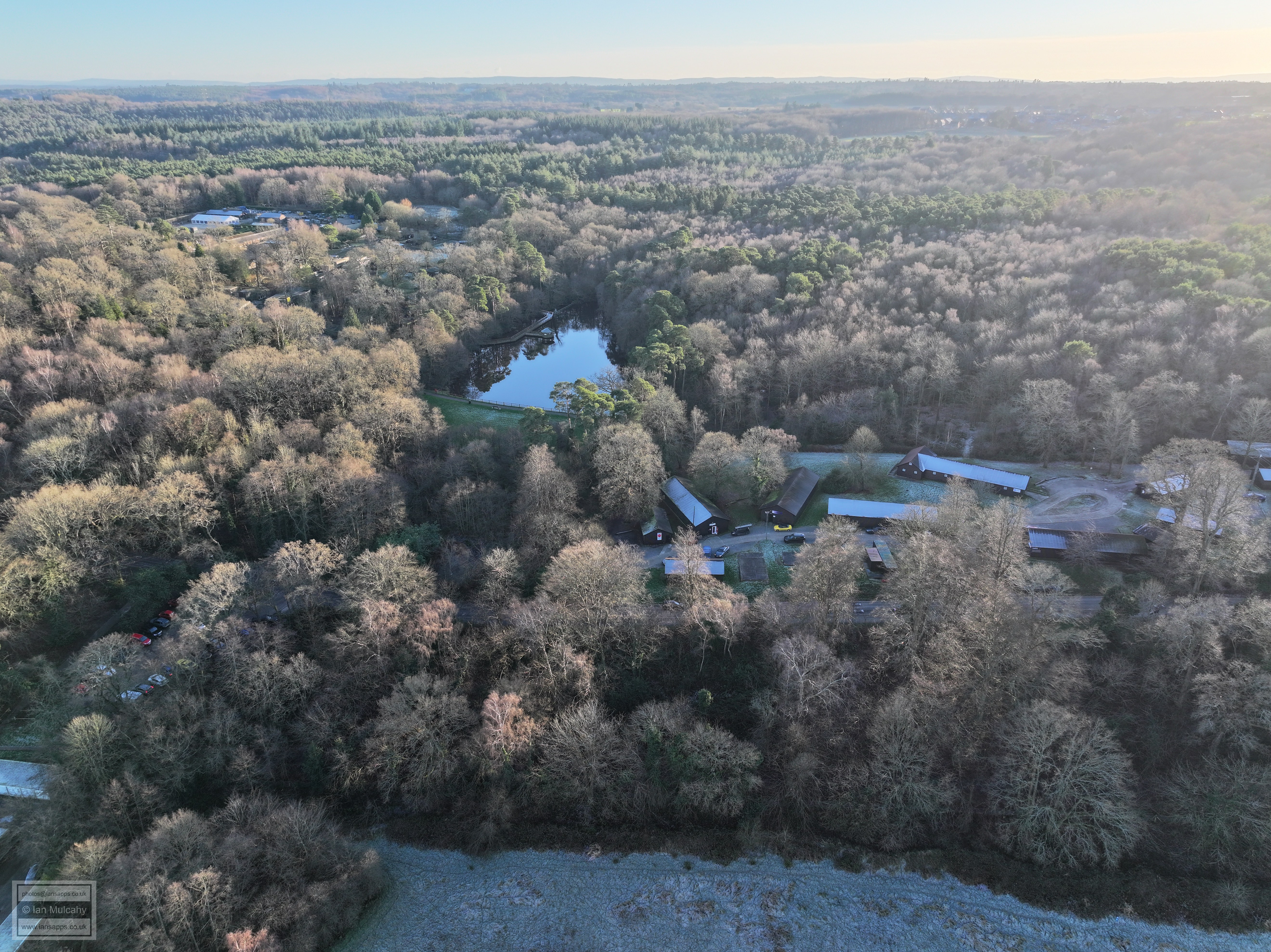
Tilgate Nature Centre
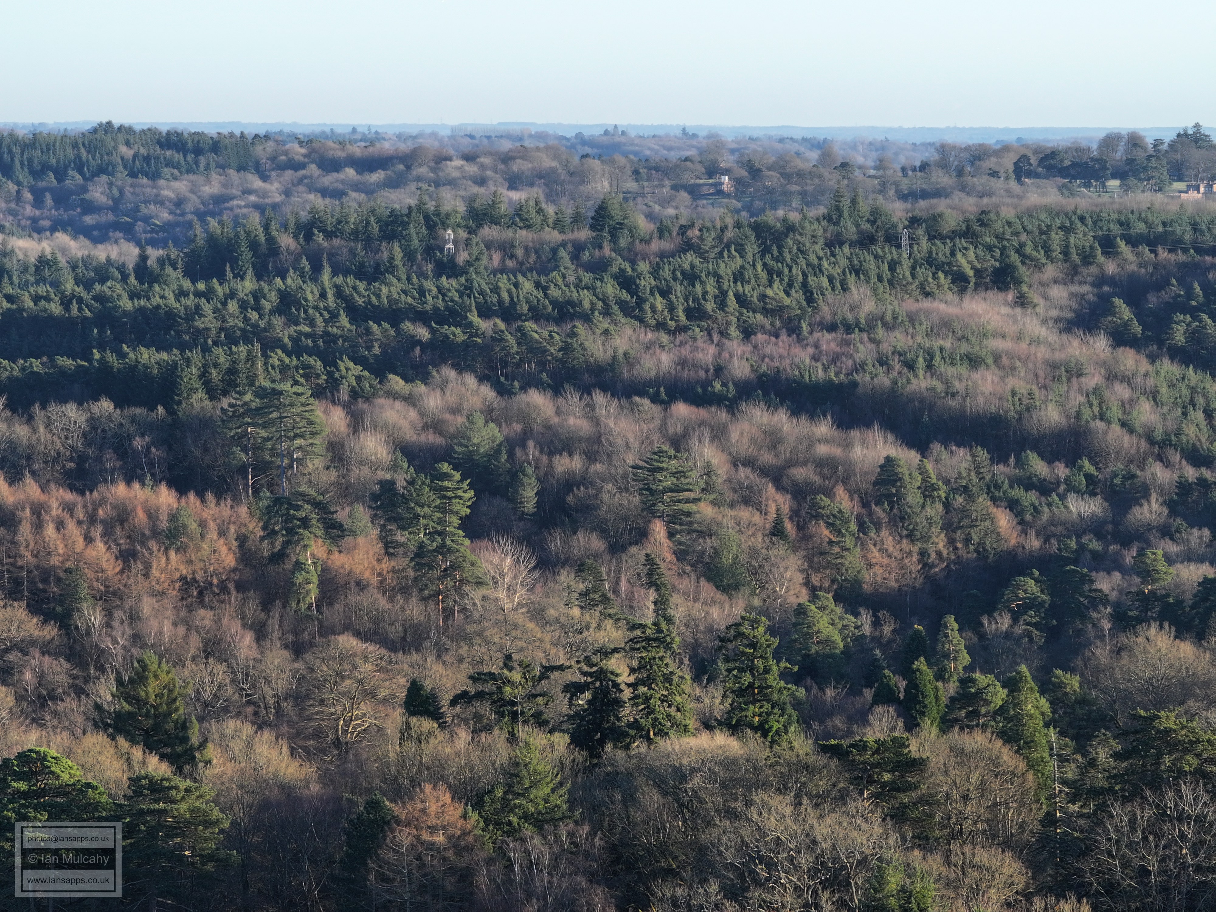
Titmus Lake
Desmond Anderson & Thomas Bennett
The Nature Centre, Titmus Lake and the huts
Text & photographs © Ian Mulcahy. Contact photos@iansapps.co.uk or visit my 'Use of my photographs' page for licensing queries (ground level photographs only). |