North Horsham development and wider views
80 aerial photos from Bush Lane
2 February 2025
|
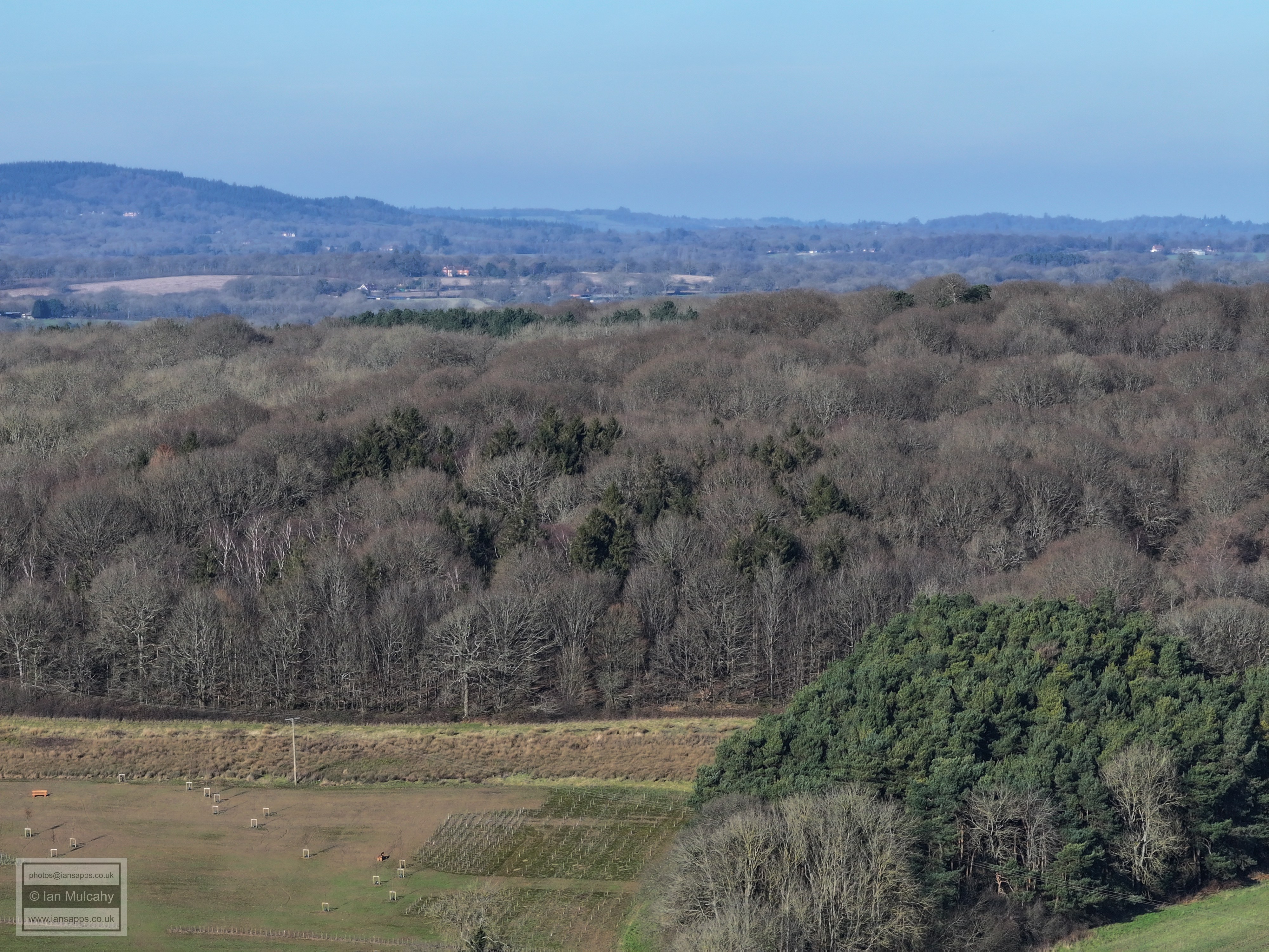
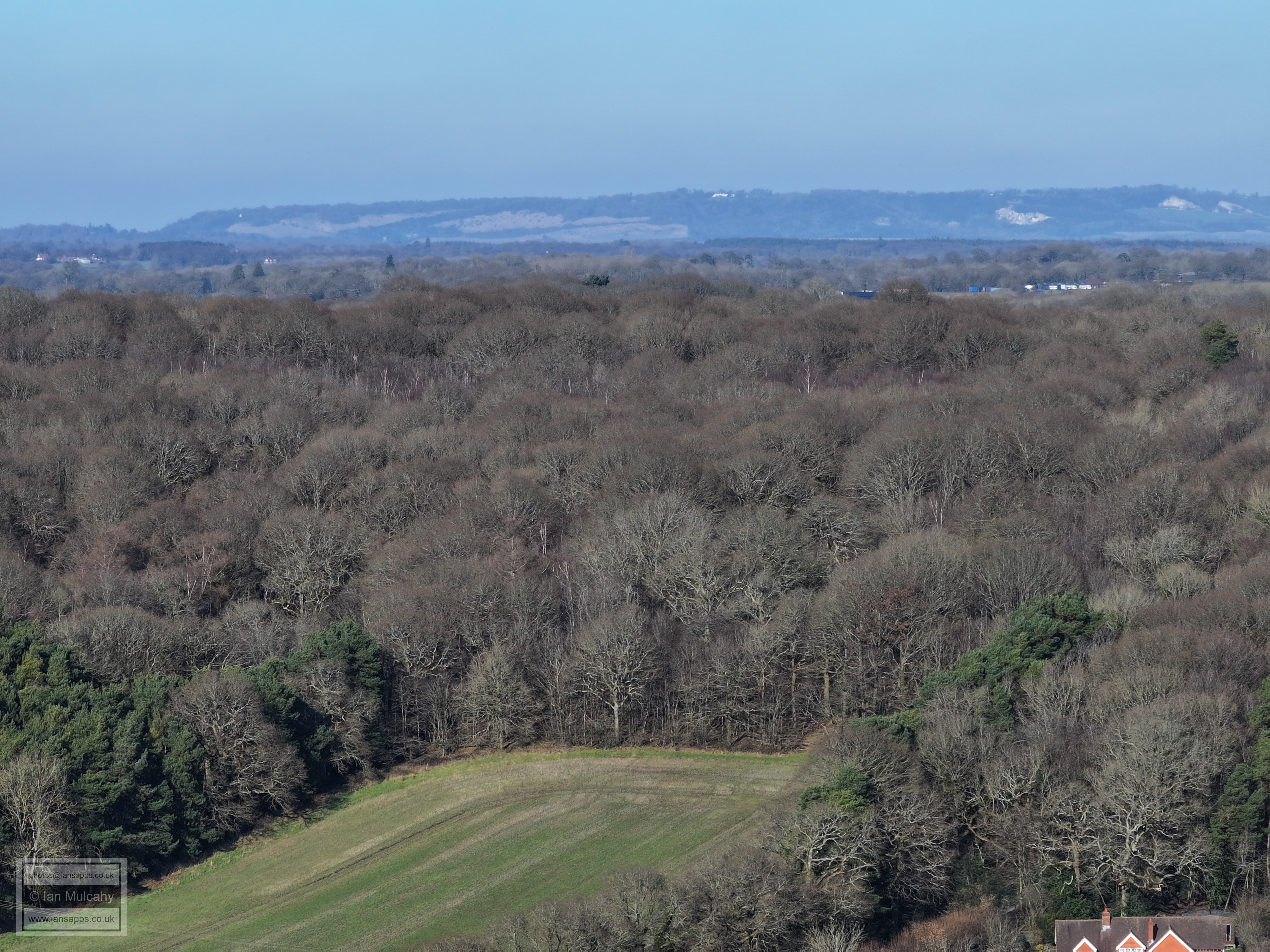
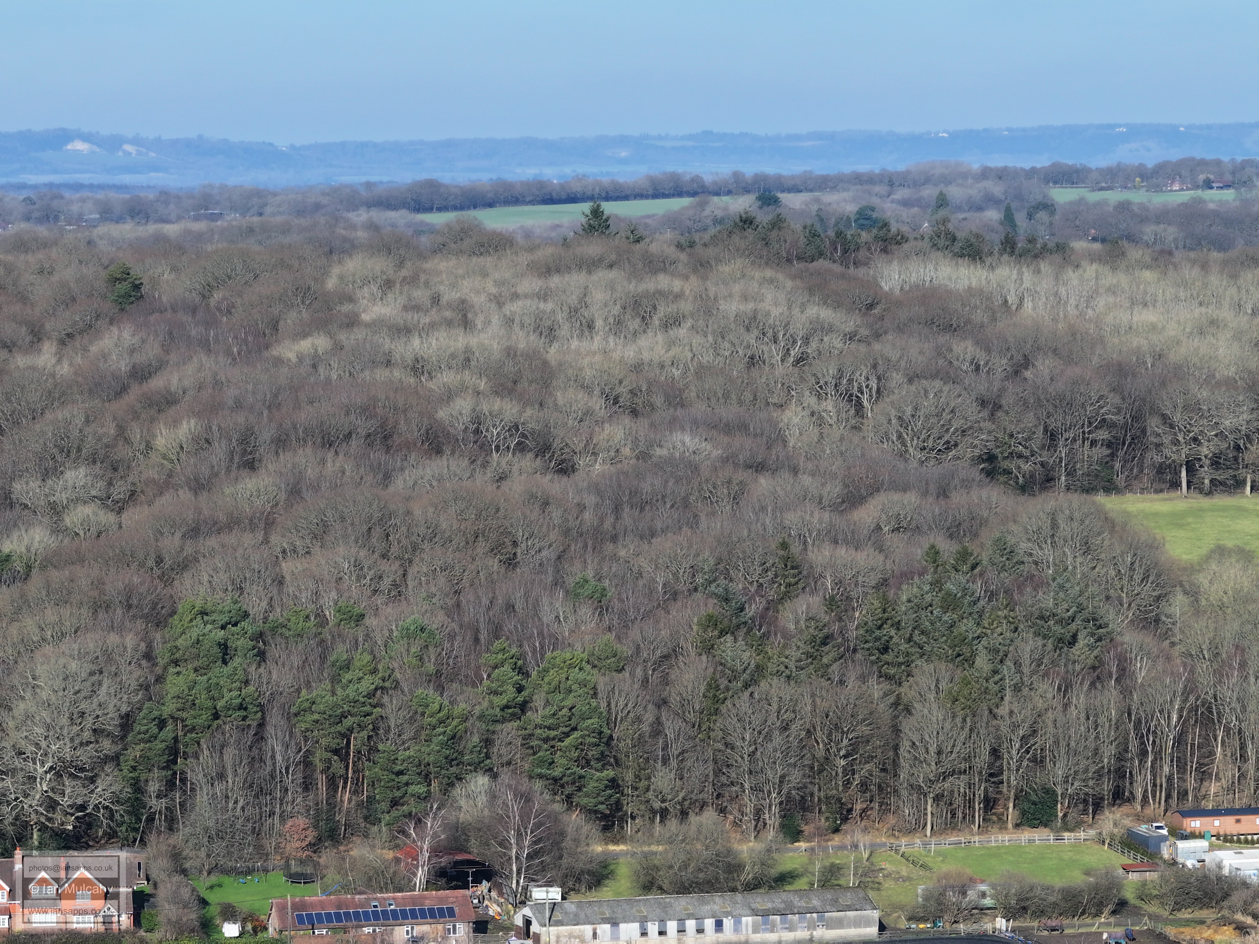
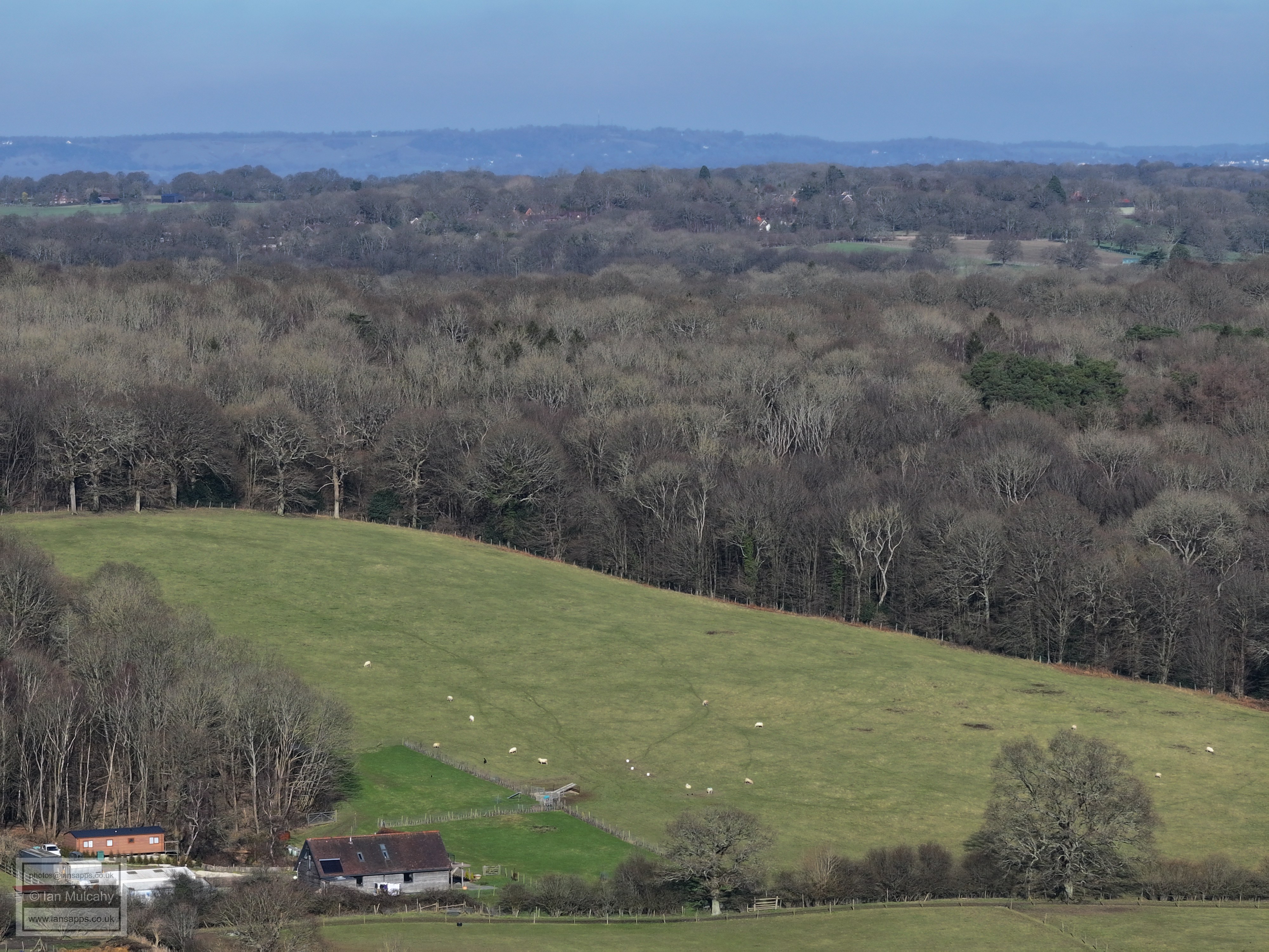
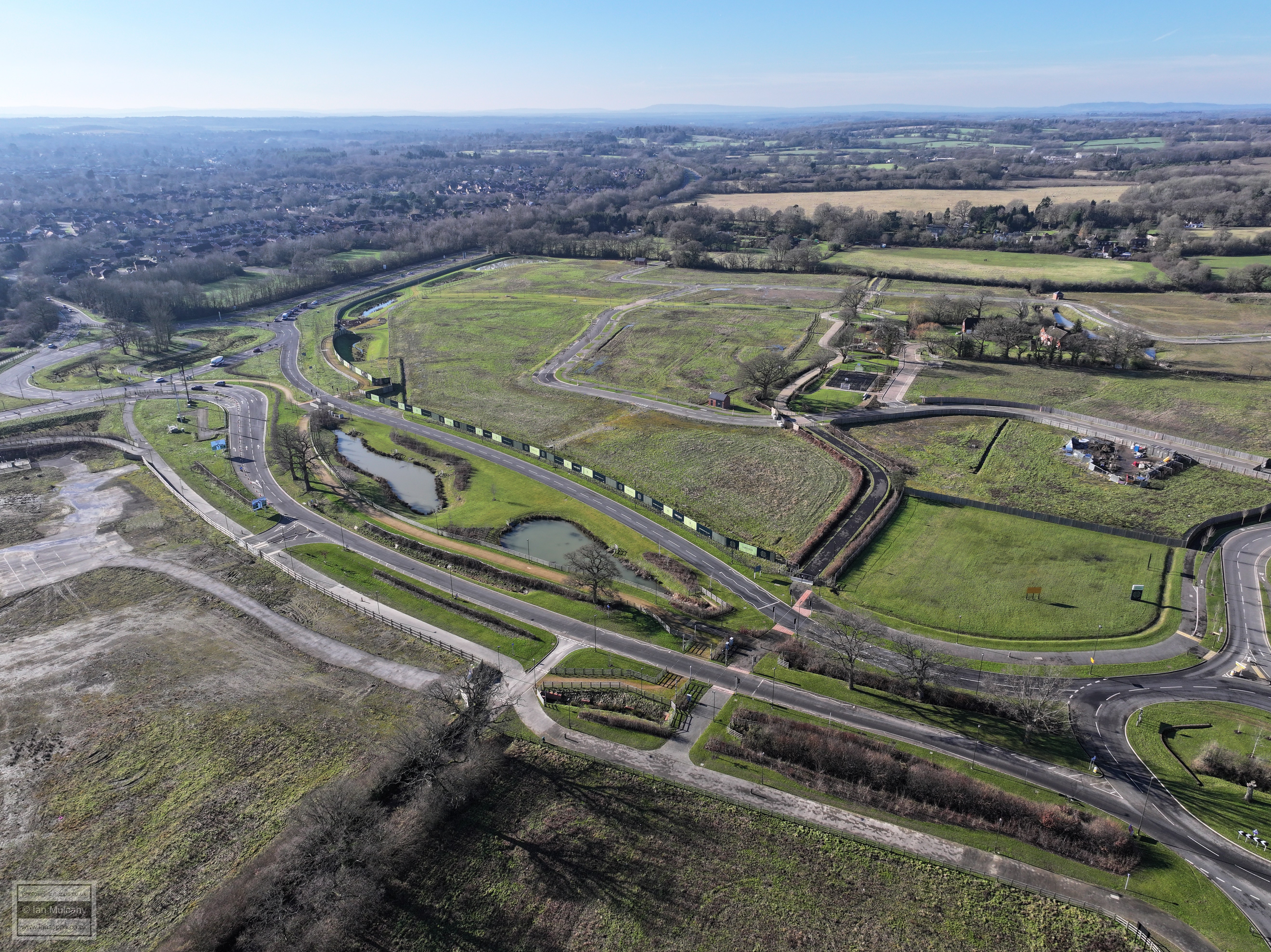
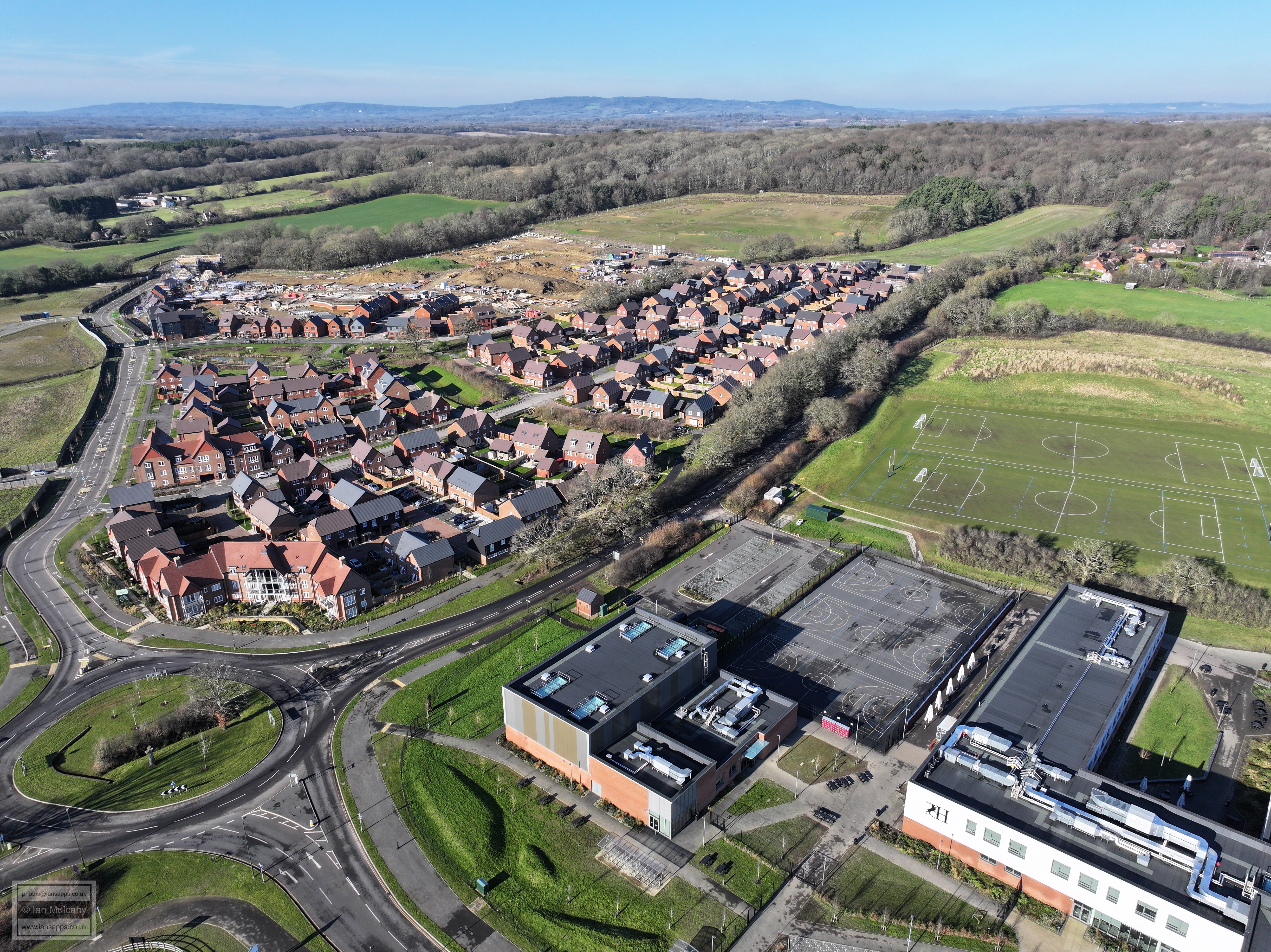
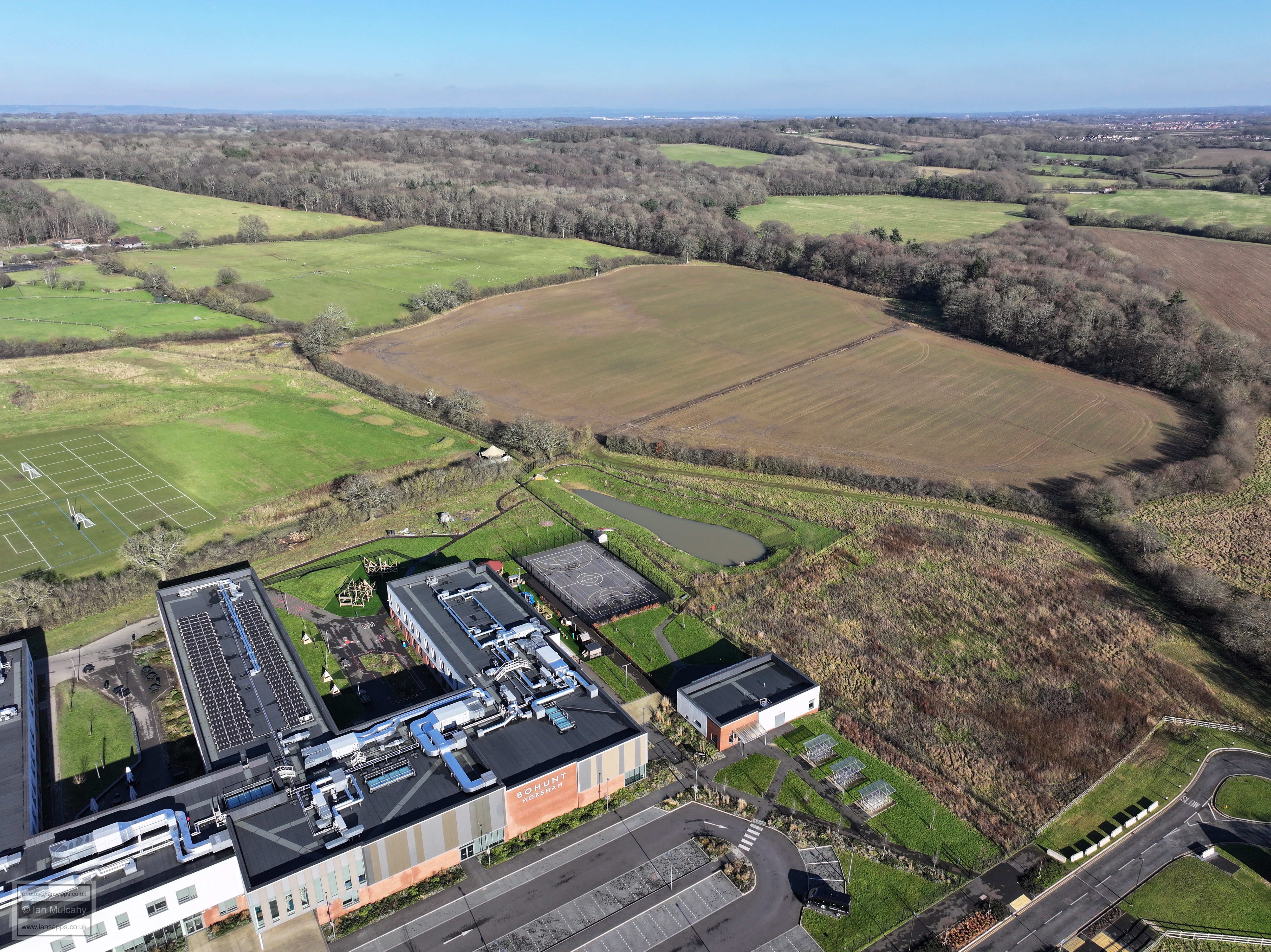
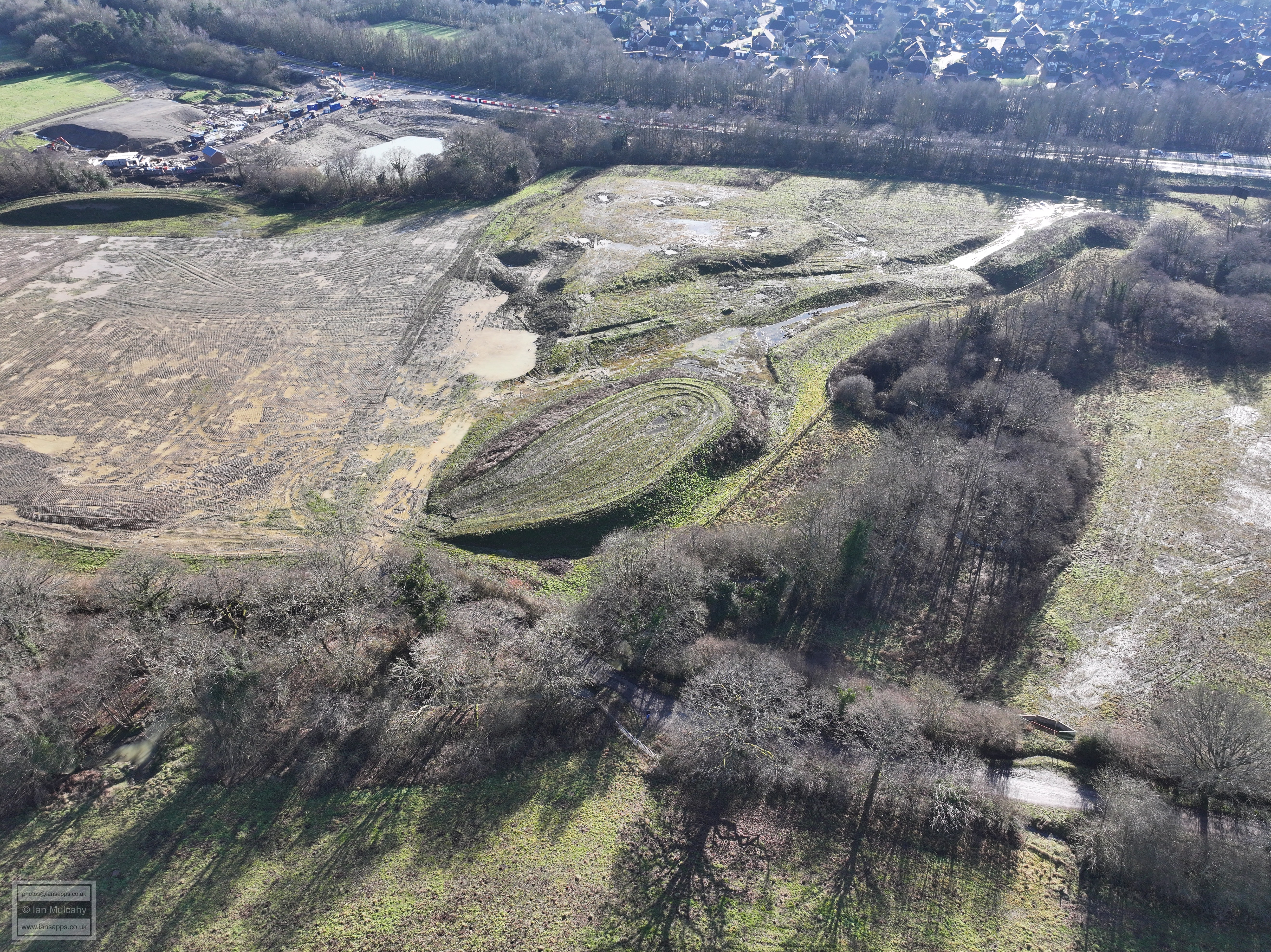
80 aerial images of varying focal length taken on 2 February 2025 from Bush Lane on the Rusper/North Horsham parish boundary looking at the areas being developed as part of the 'North Horsham' development, including Bohunt School, as well as wider views across Horsham, Crawley, Gatwick and the surrounding countryside. Most of the pictures are taken from south of Bohunt school, but there are a handful taken from the midway point of Bush Lane close to Owlscastle Farm.
Some of the photos have been annotated.
The first 14 photos are from the mid-point of Bush Lane near Owlscastle Farm and do not constitute the usual full panorama due to poor light. (A full panorama is included in the photos from the second location, from 400 yards west)
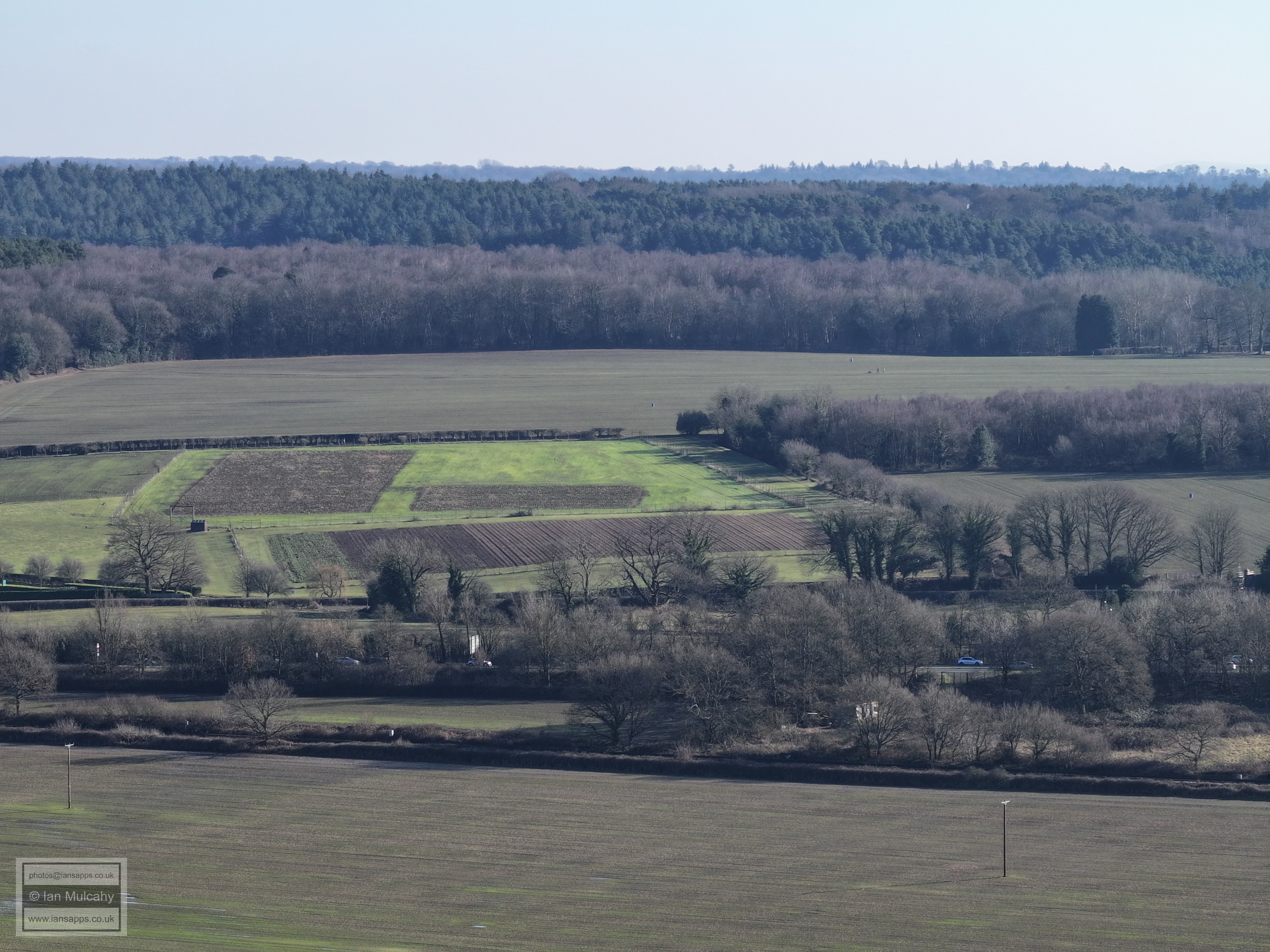
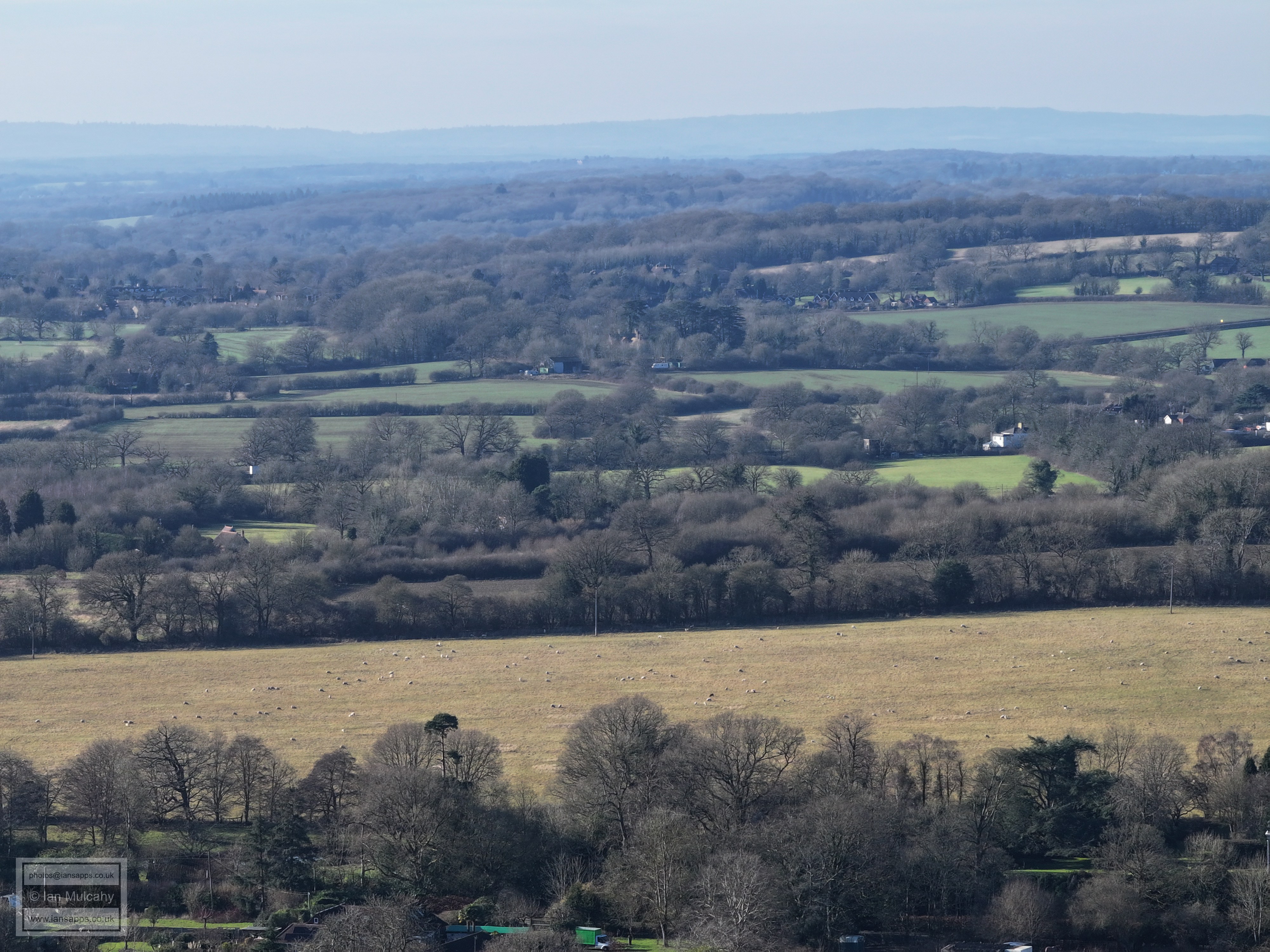
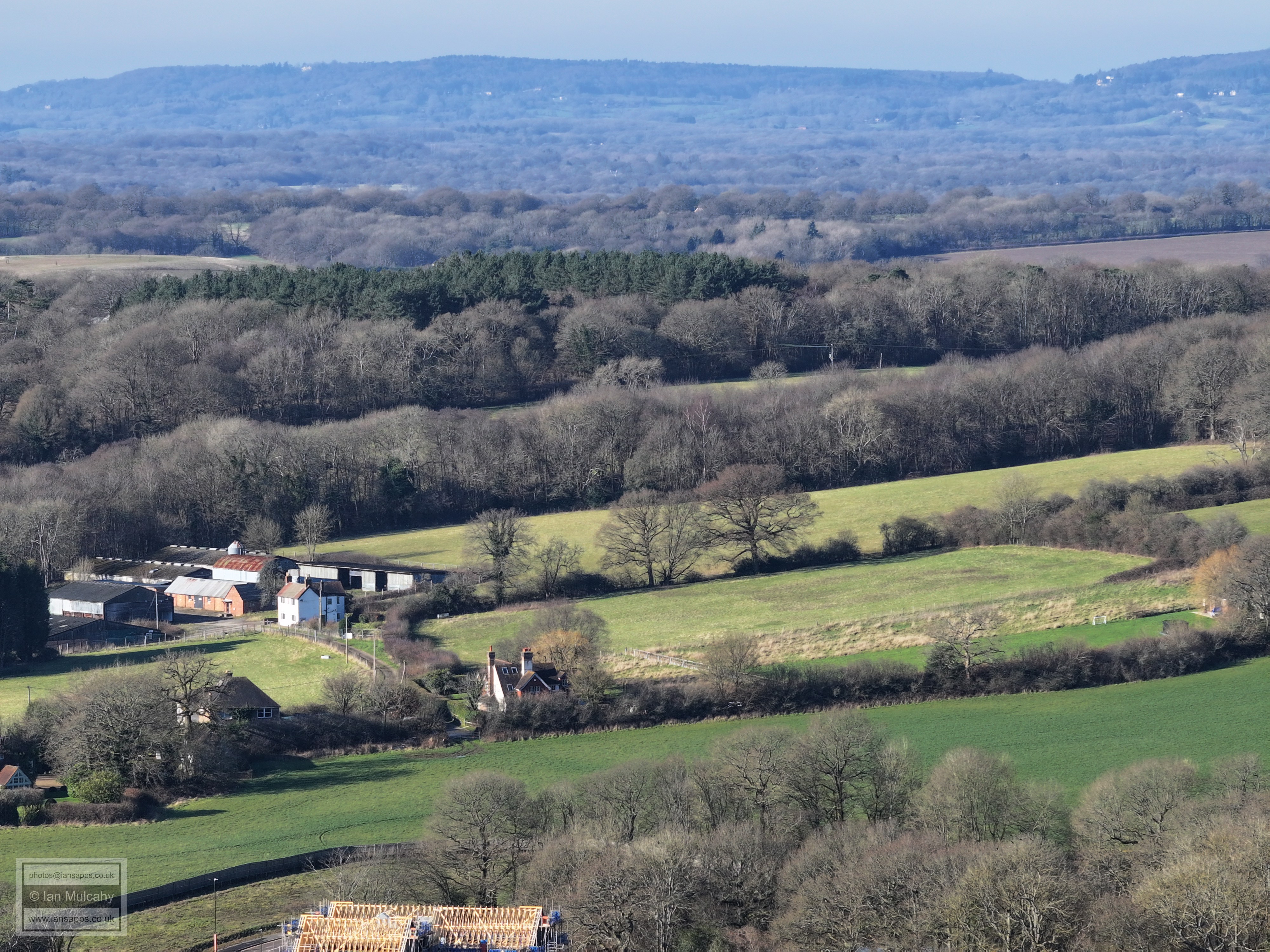
Holbrook Park in sunlight just below centre
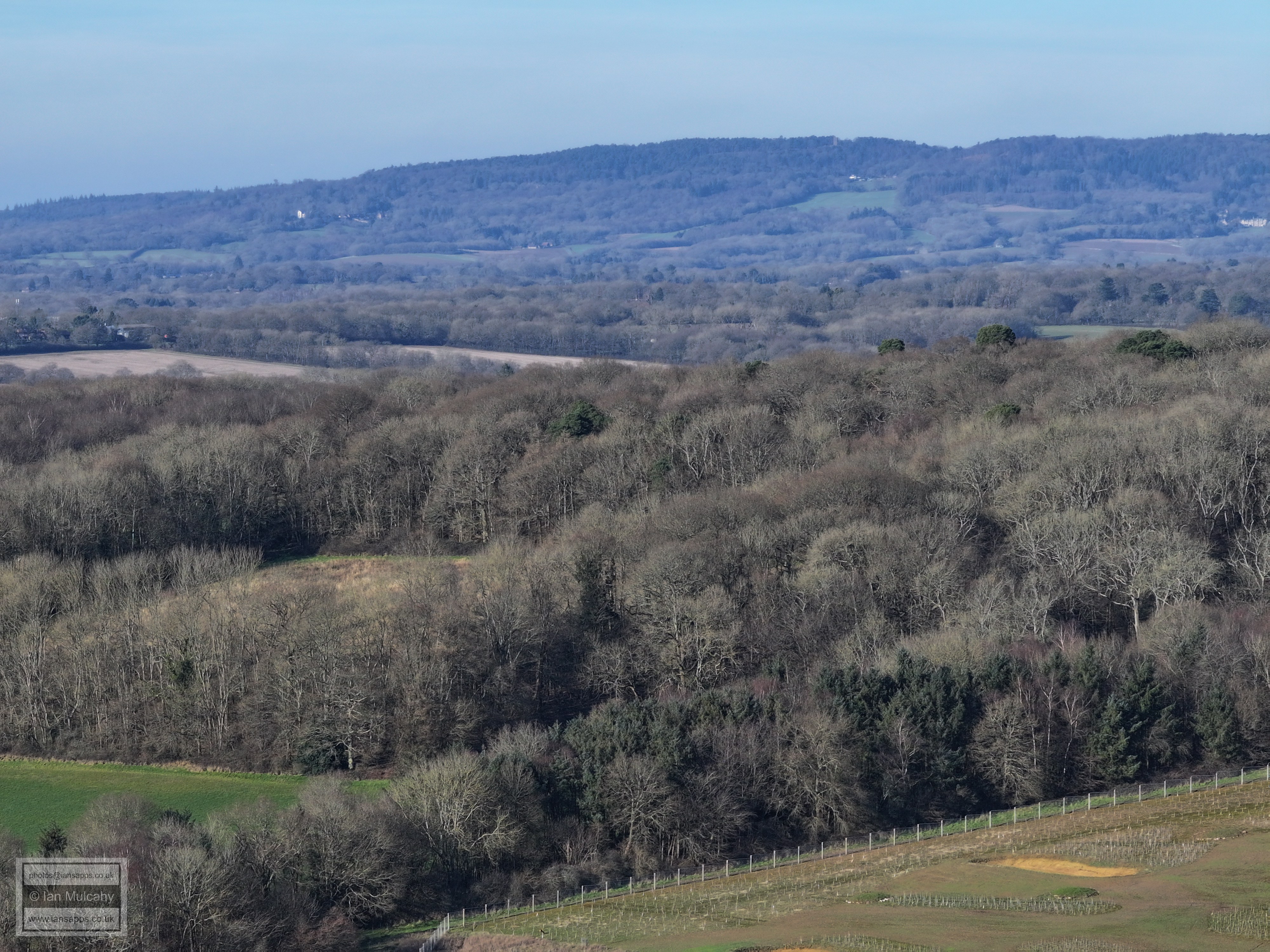
Hurst Hill in shade whilst Leith Hill basks in the sunshine. When viewed at full size, Leith Hill tower is visible just to the left of centre.
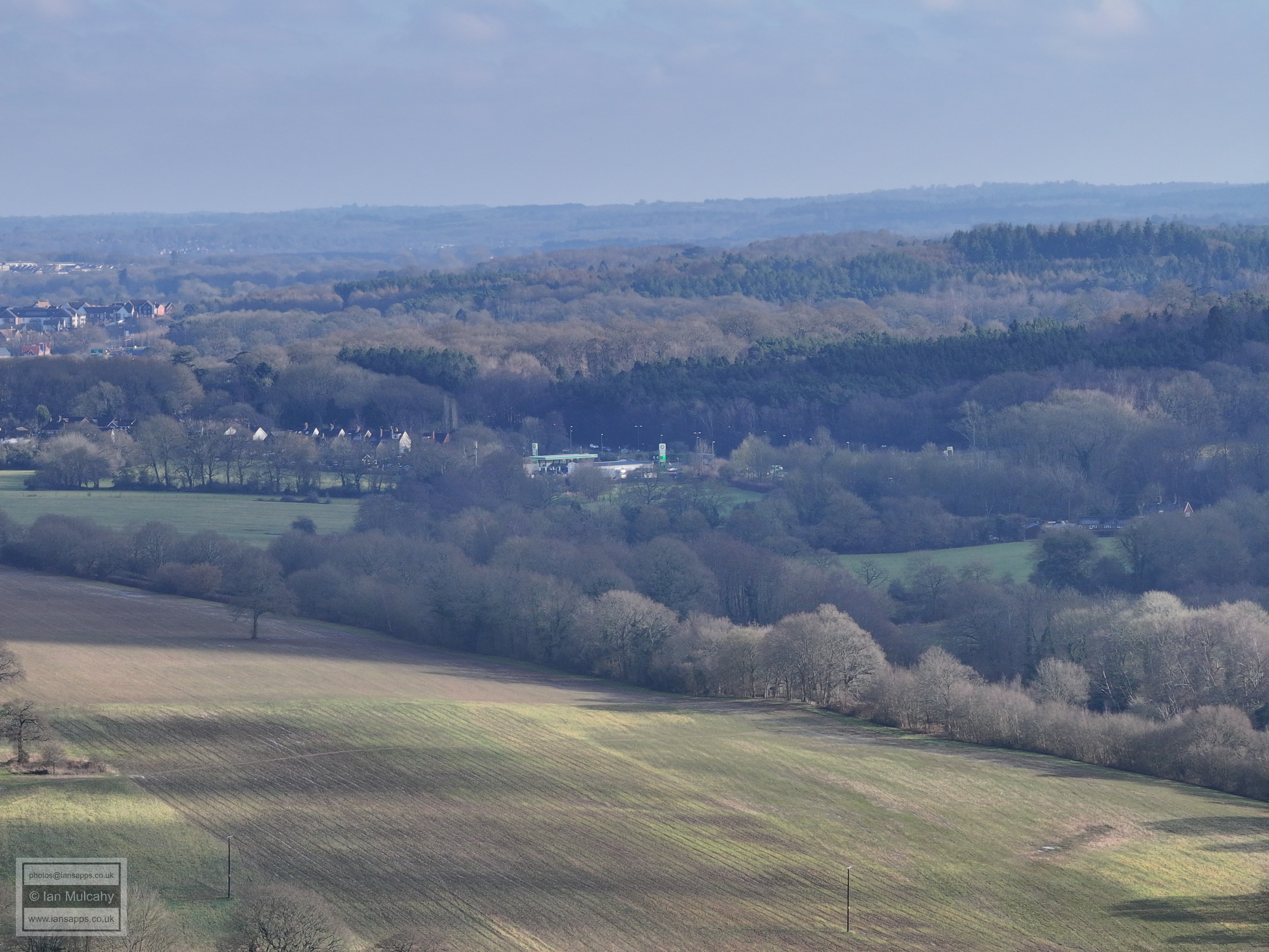
BP petrol station at Faygate in the centre.
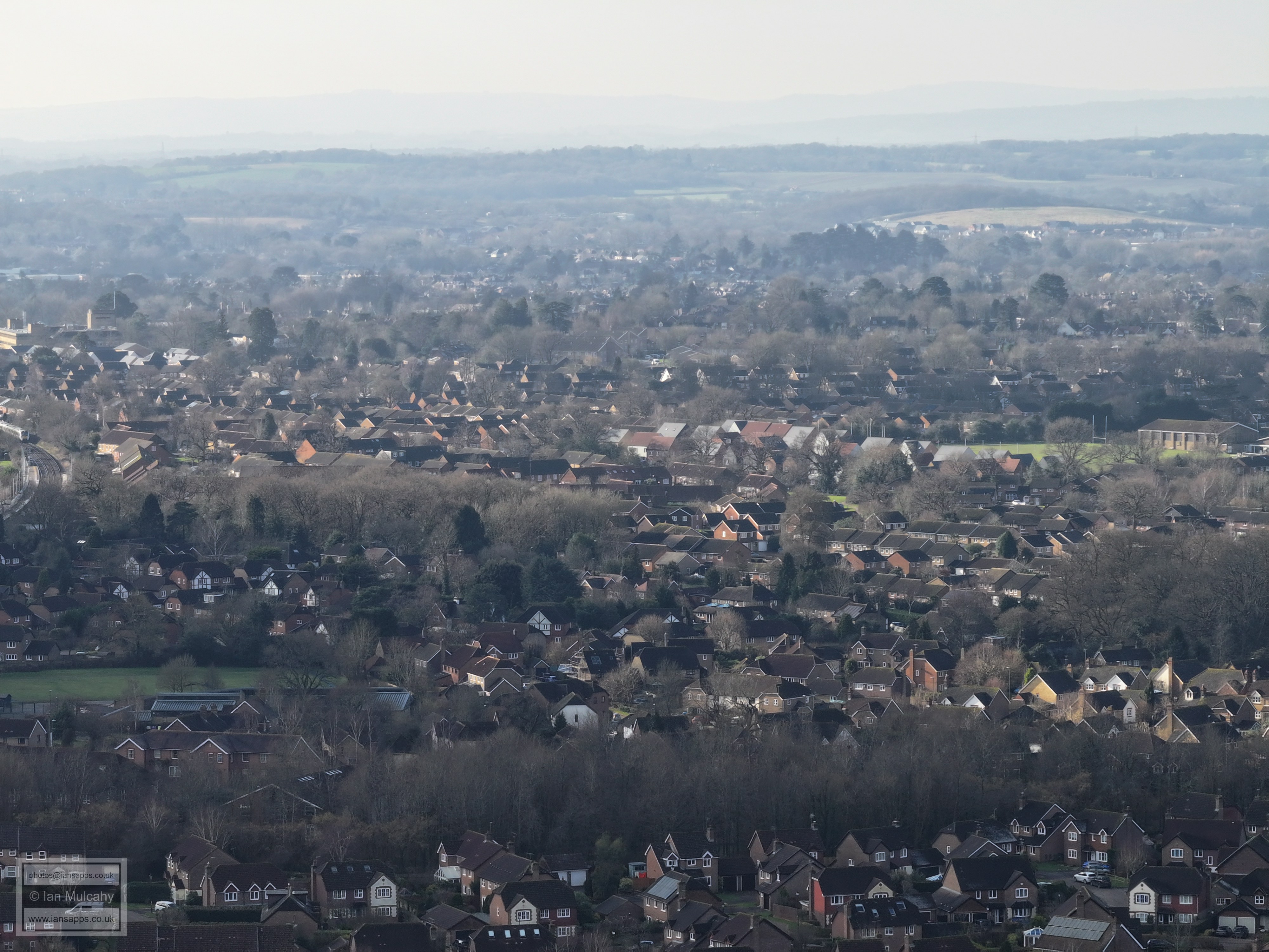
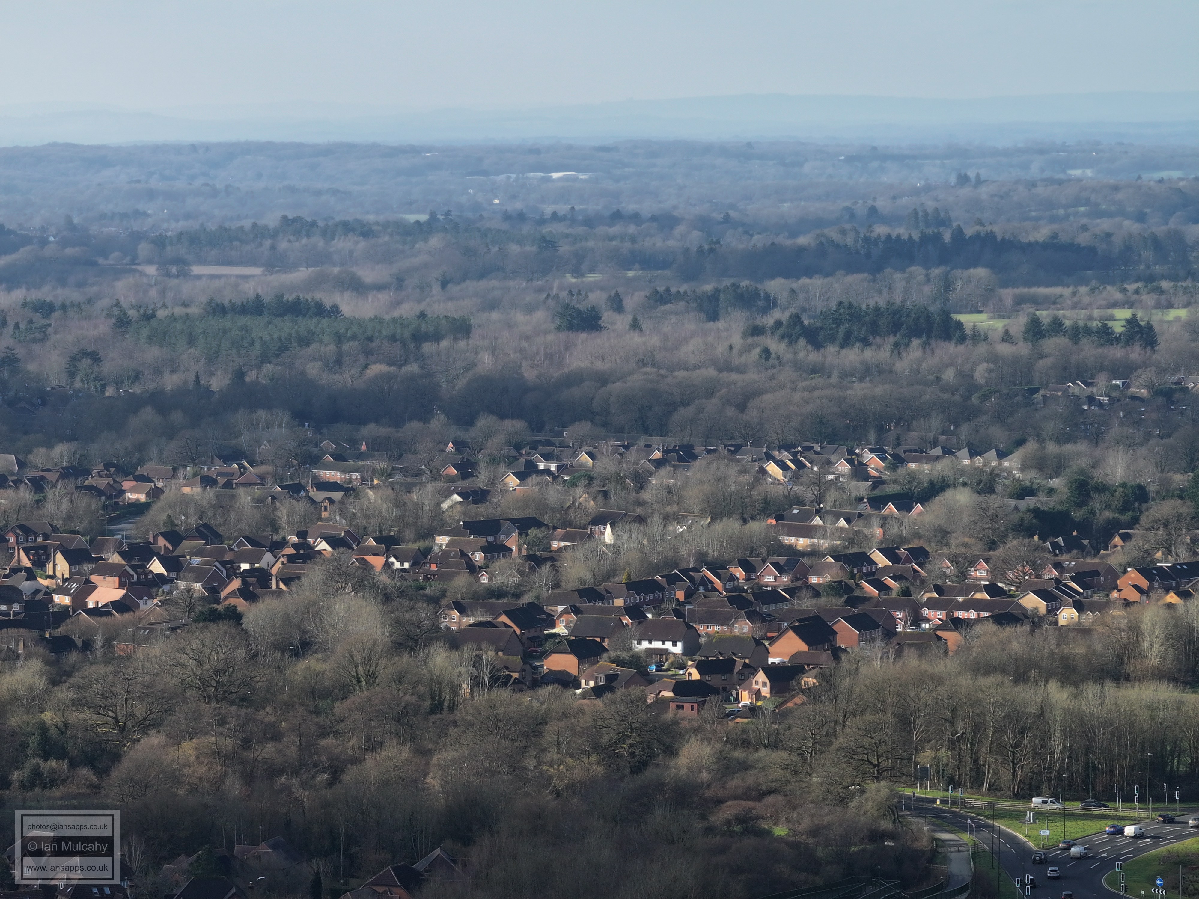
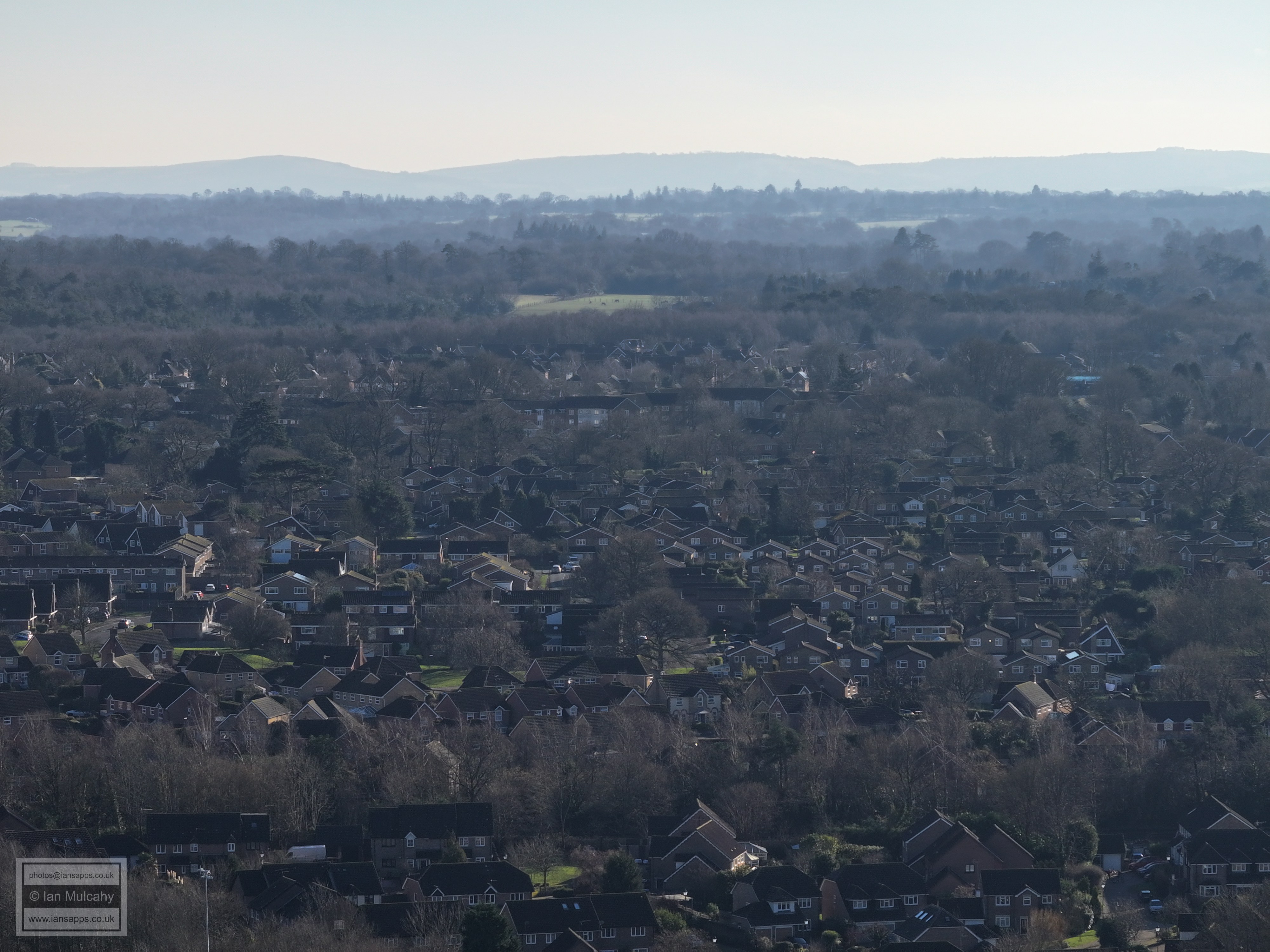
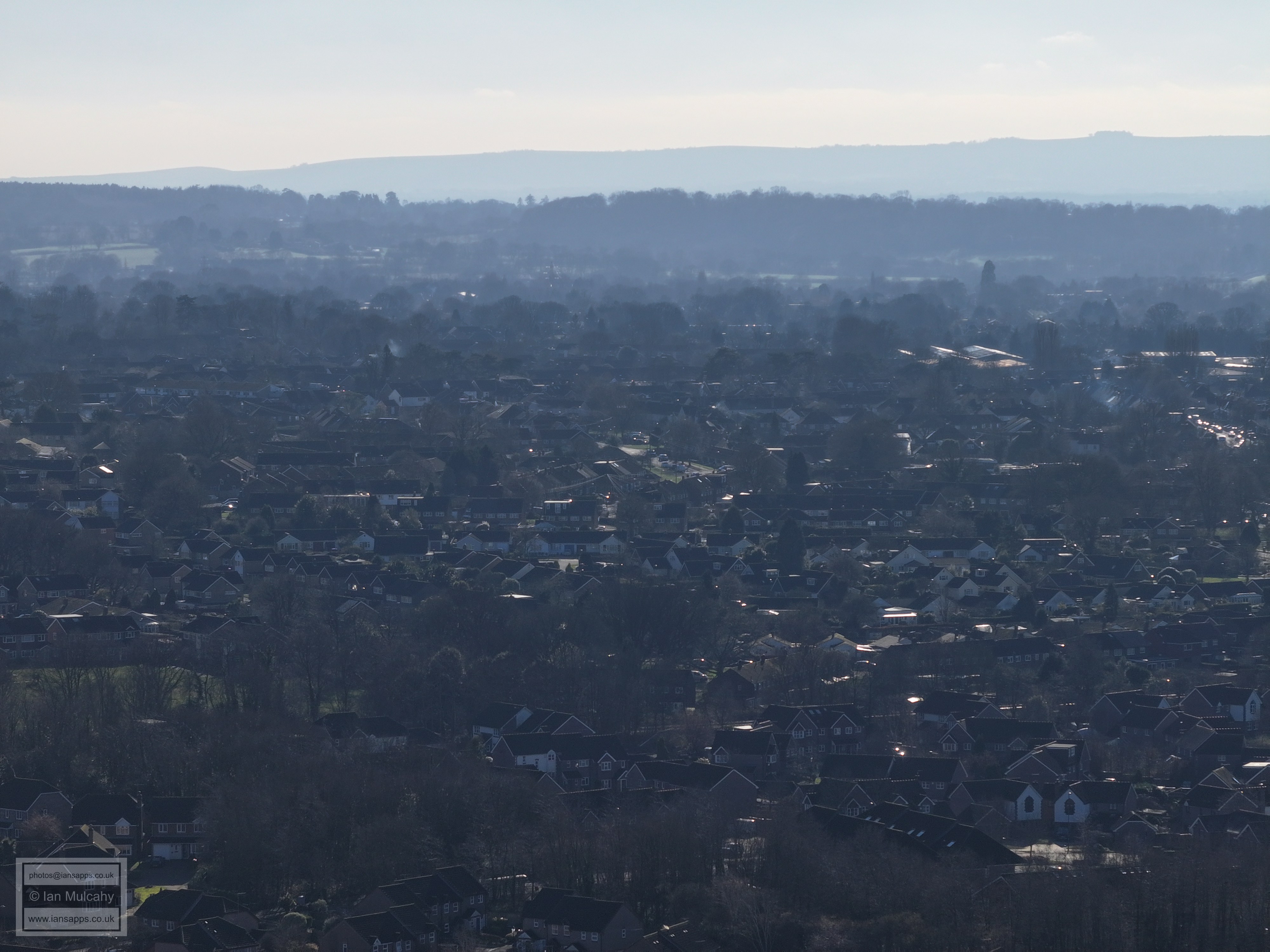
Littlehaven area. The Novartis/Ciba Geigy building is just visible on the far left about 30% from the top of the image and the Holbrook Club field and sports hall is visible far right of centre.
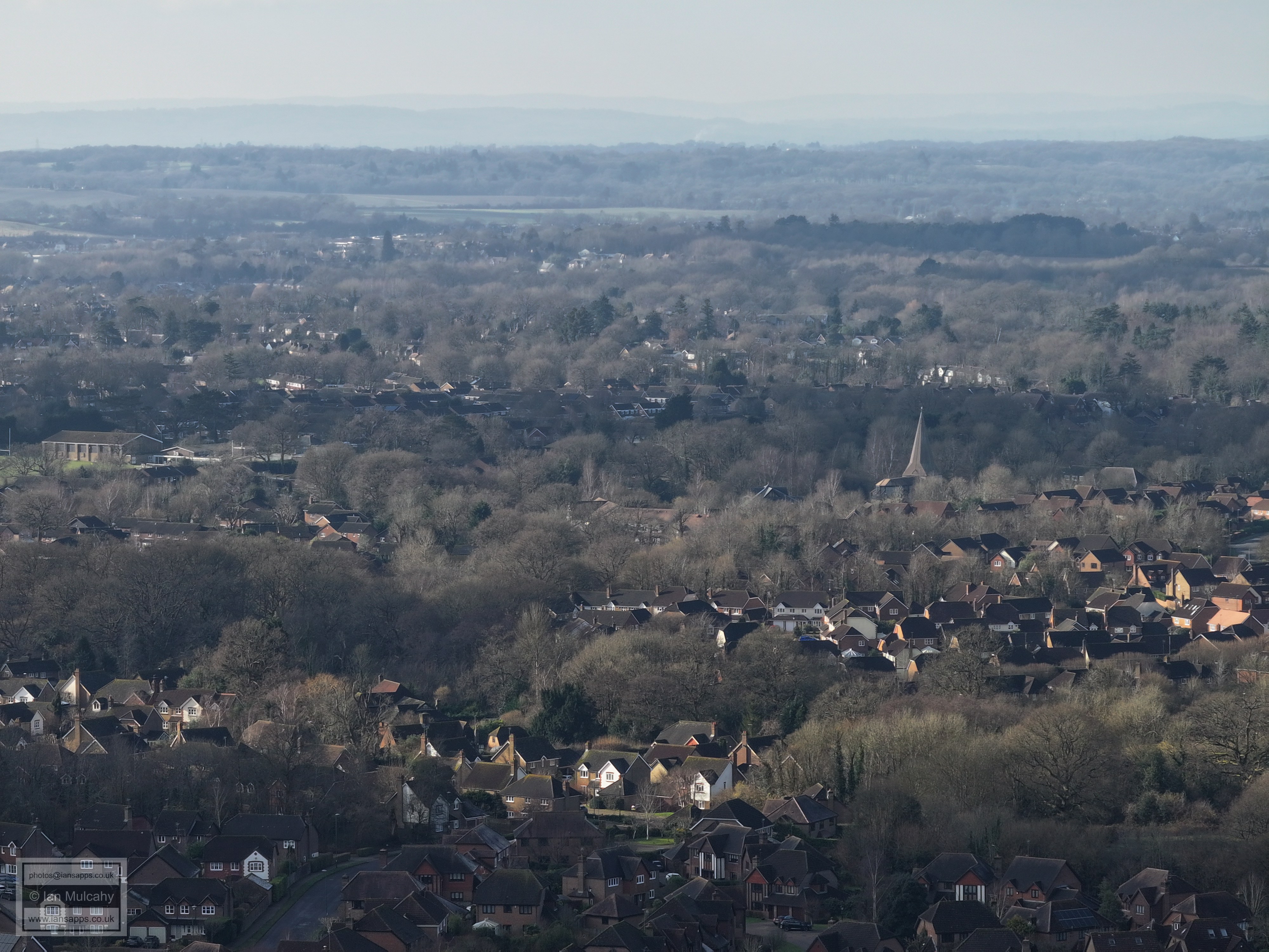
Holbrook Club sports hall is now far left of centre, and (the new) St Marks Spire in North Heath Lane is clear, though the light makes it look wonky!
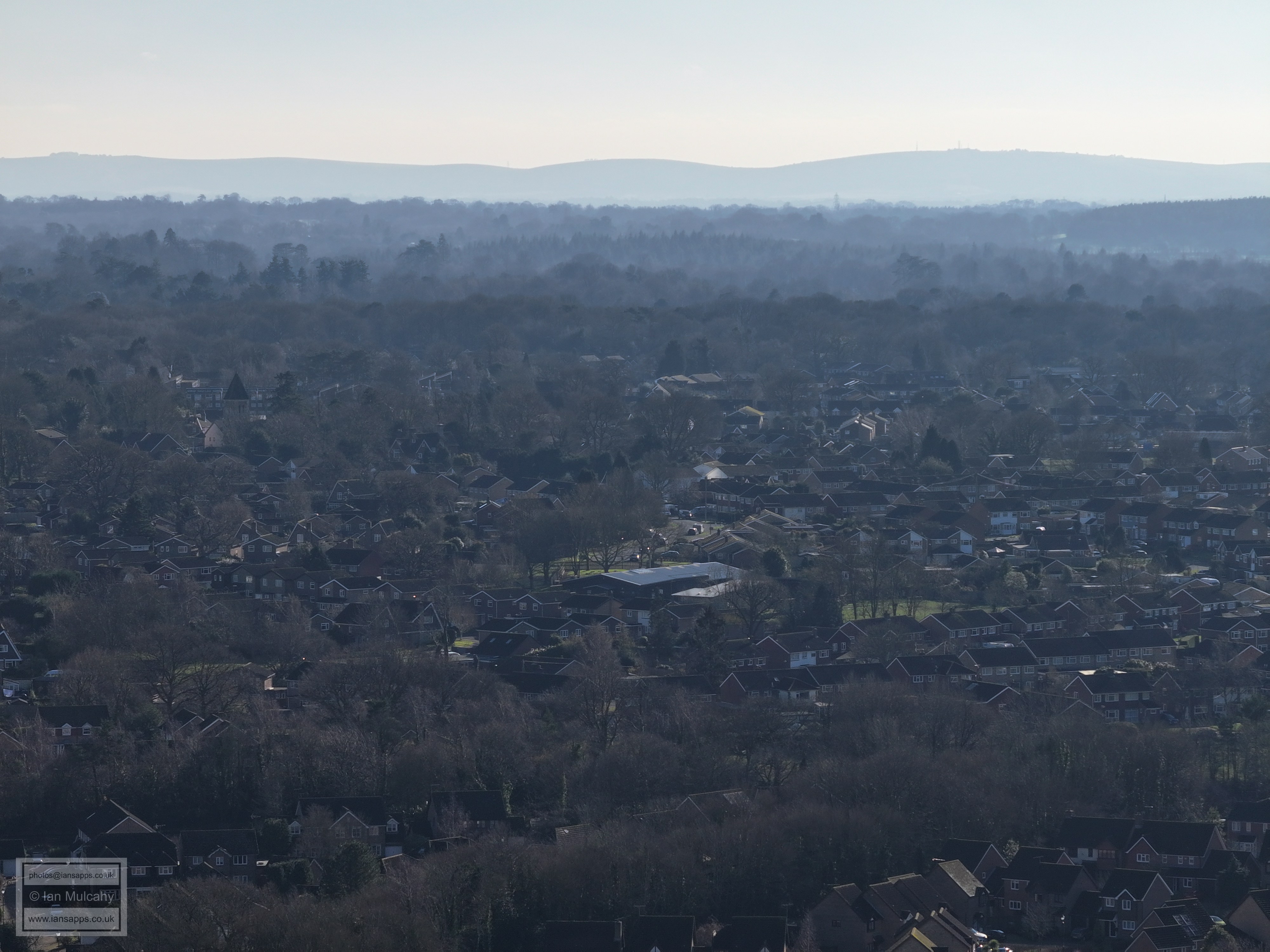
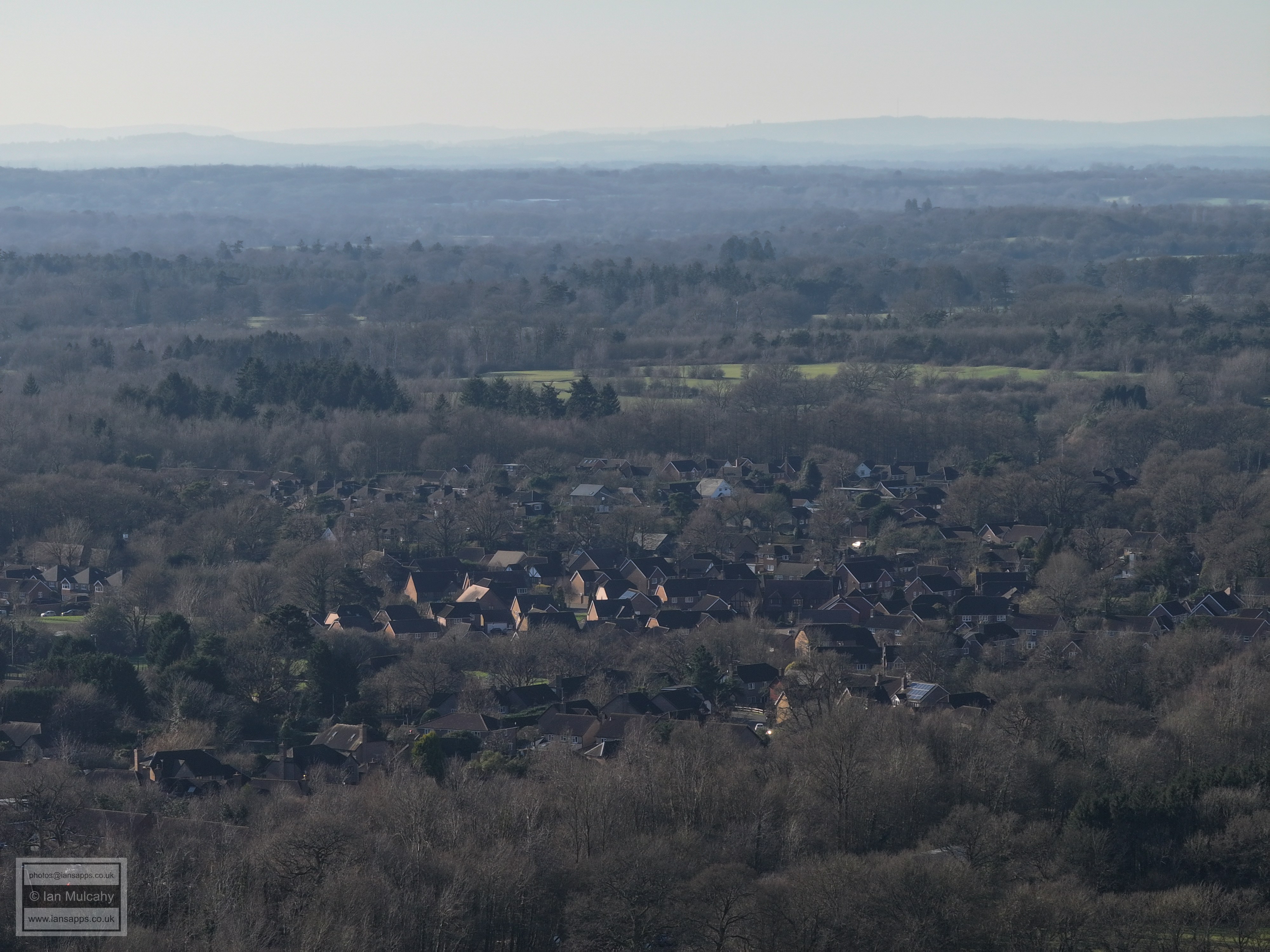
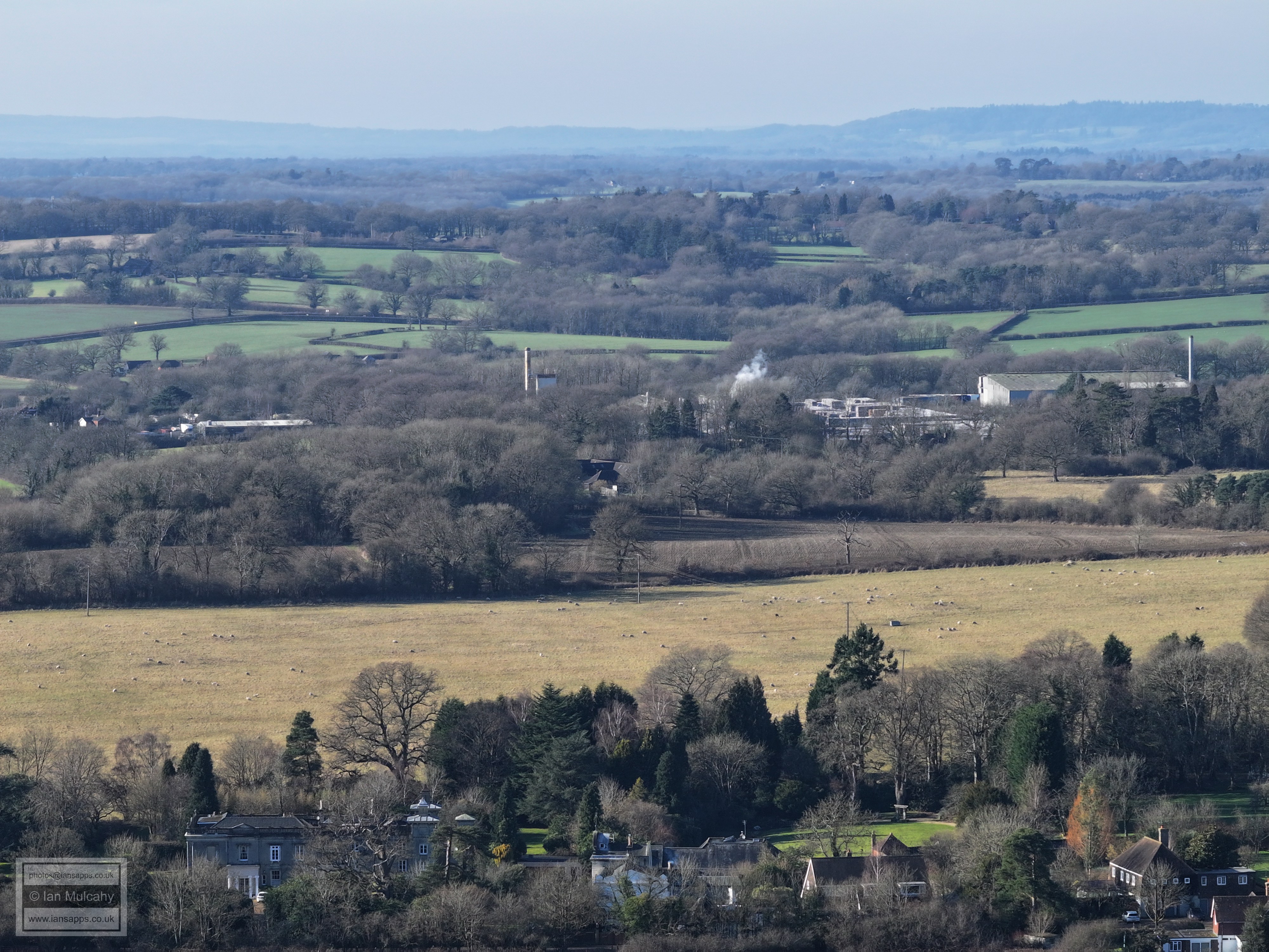
Holbrook area
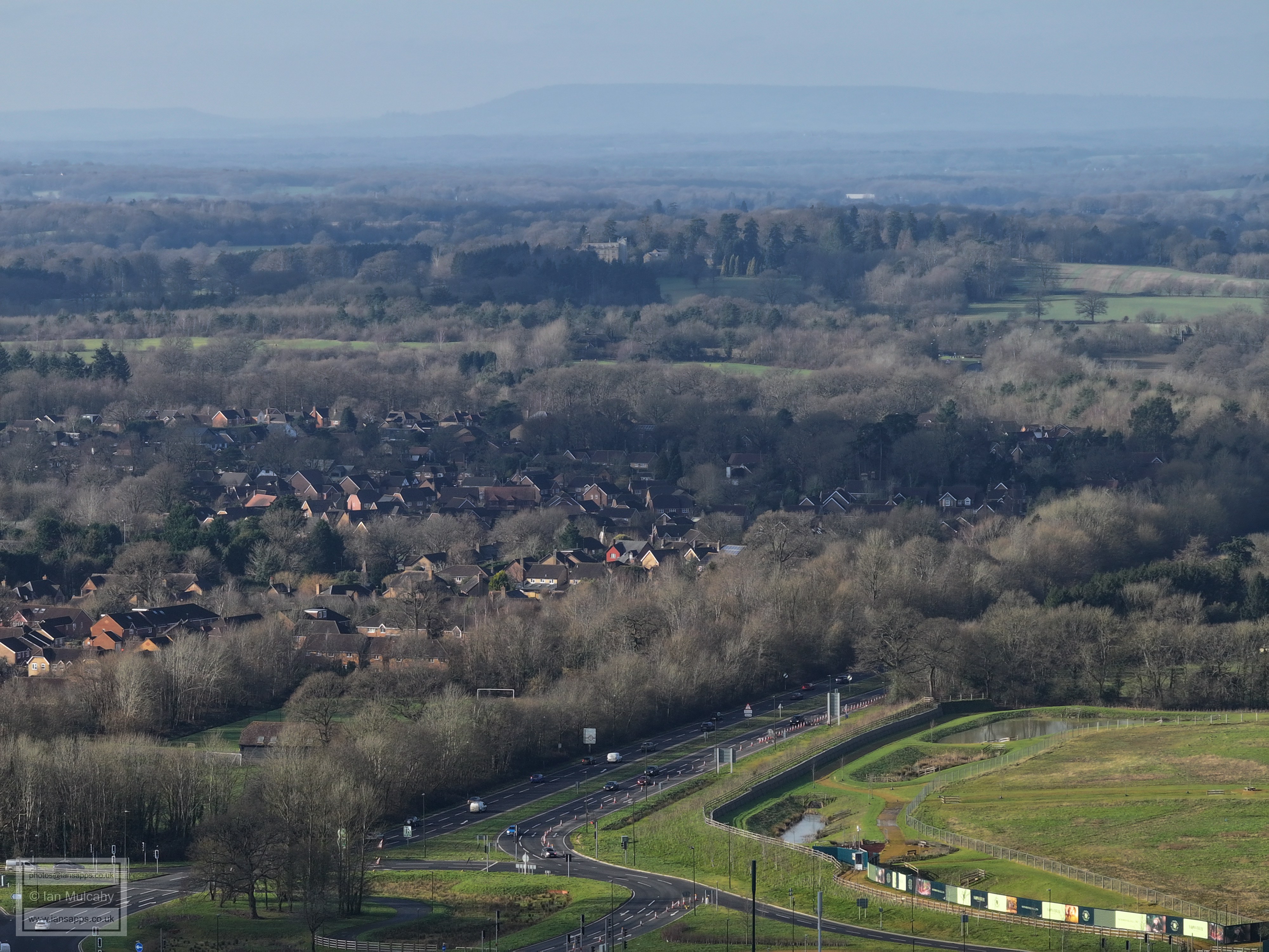
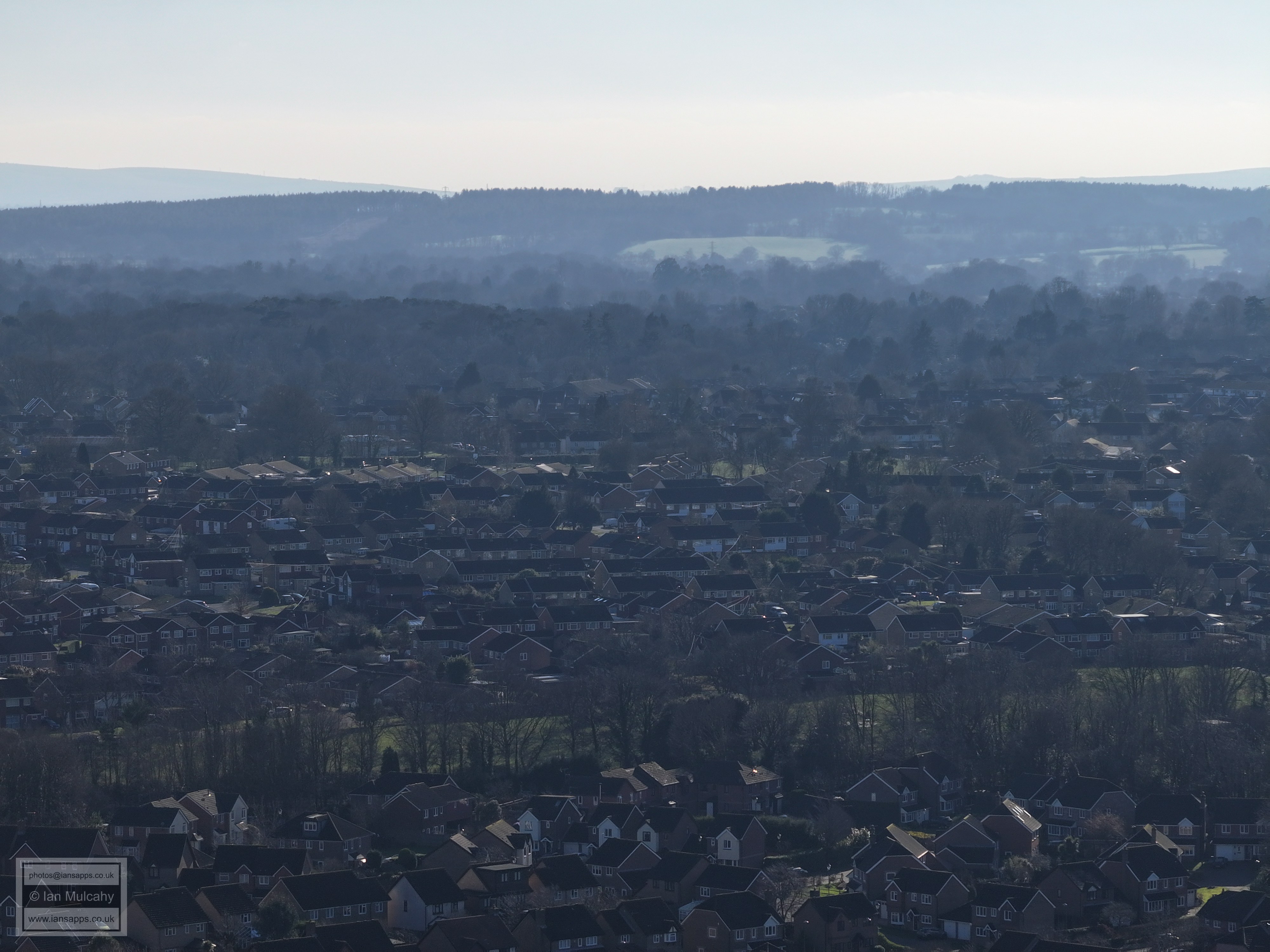
Warnham Court in the centre of the pic close to the top.
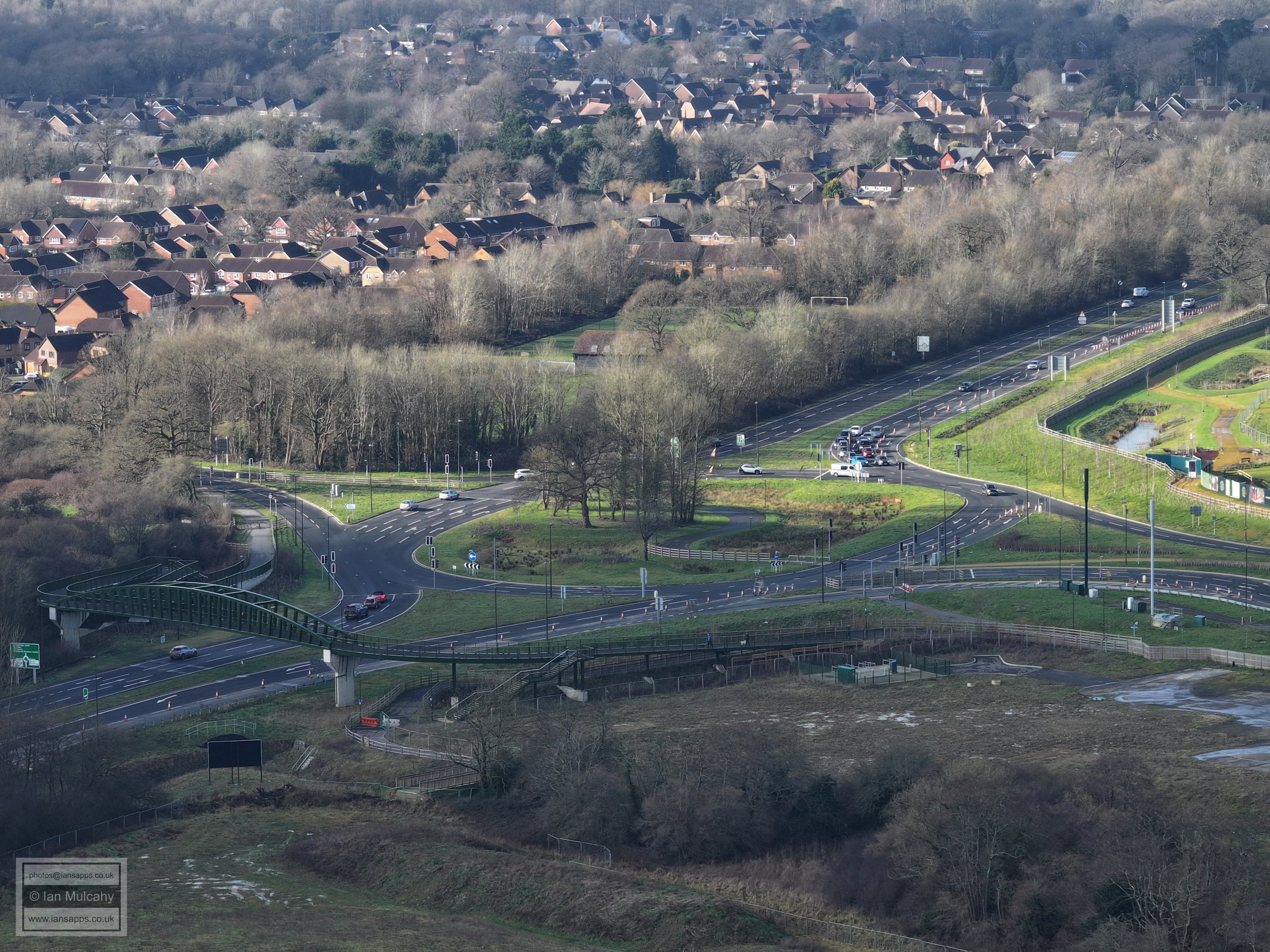
The much loved Rusper Road roundabout.
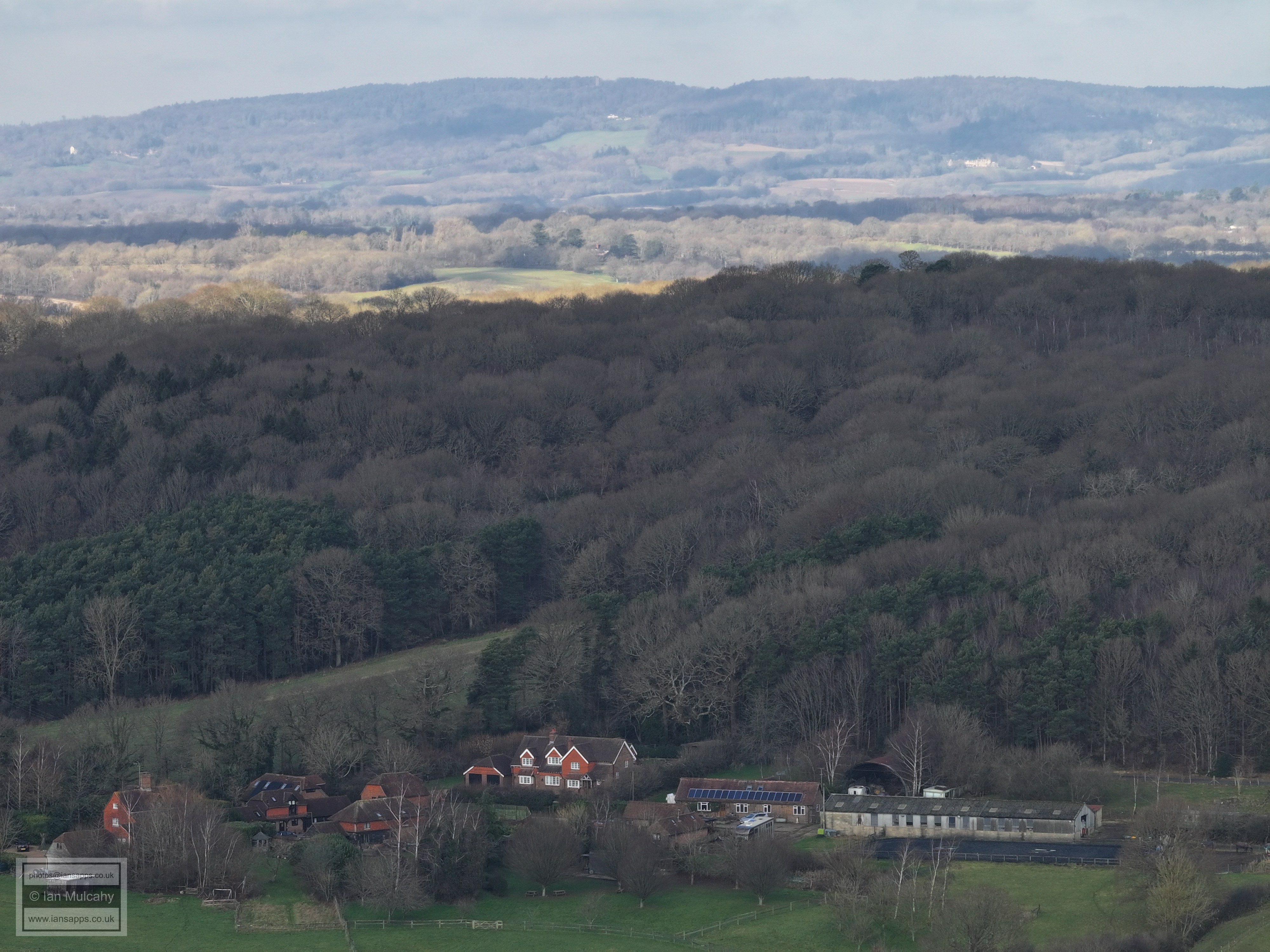
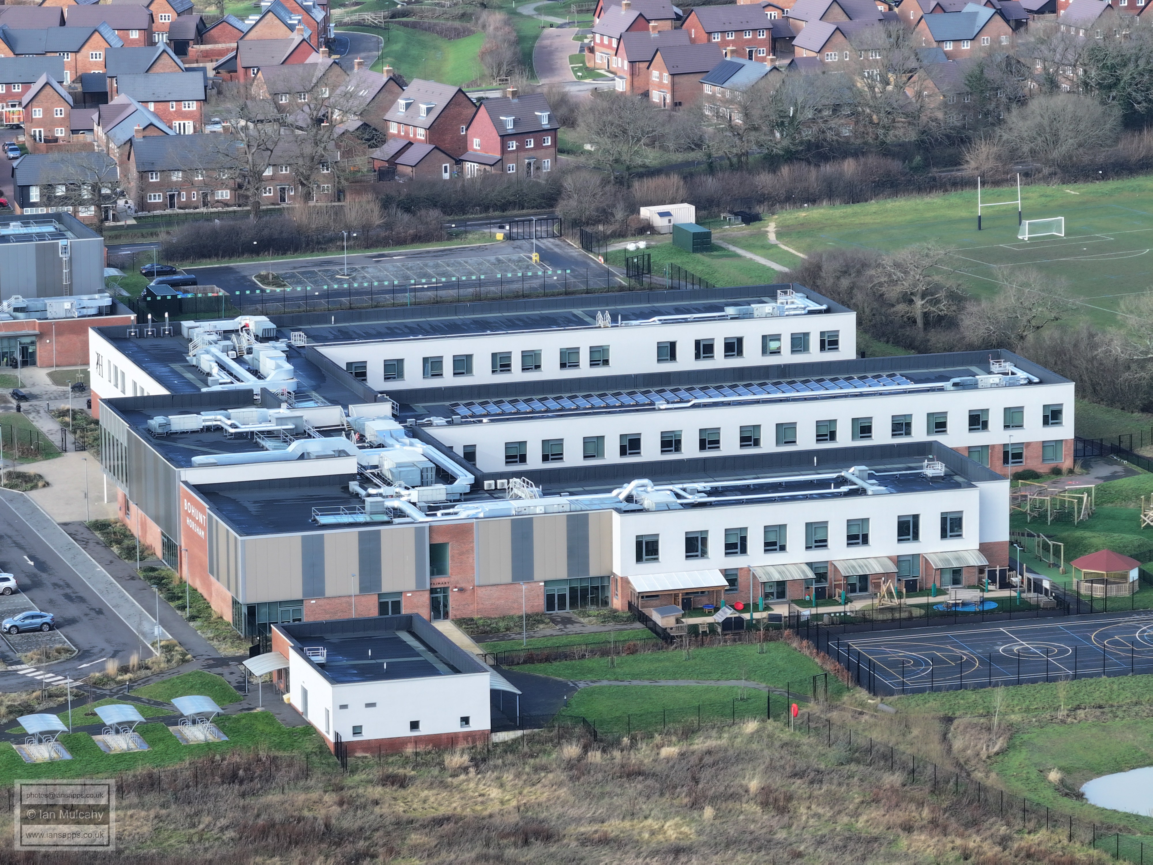
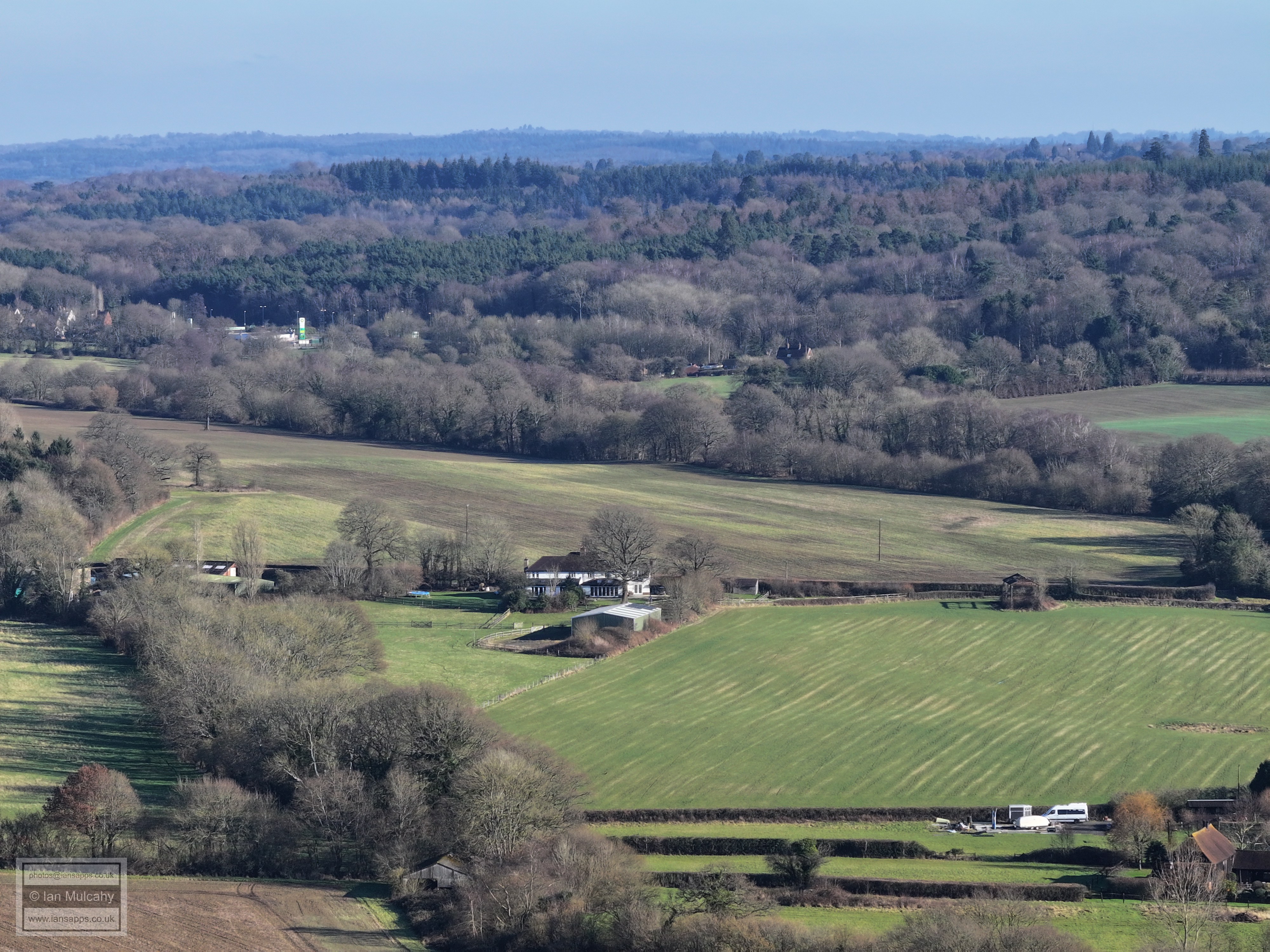
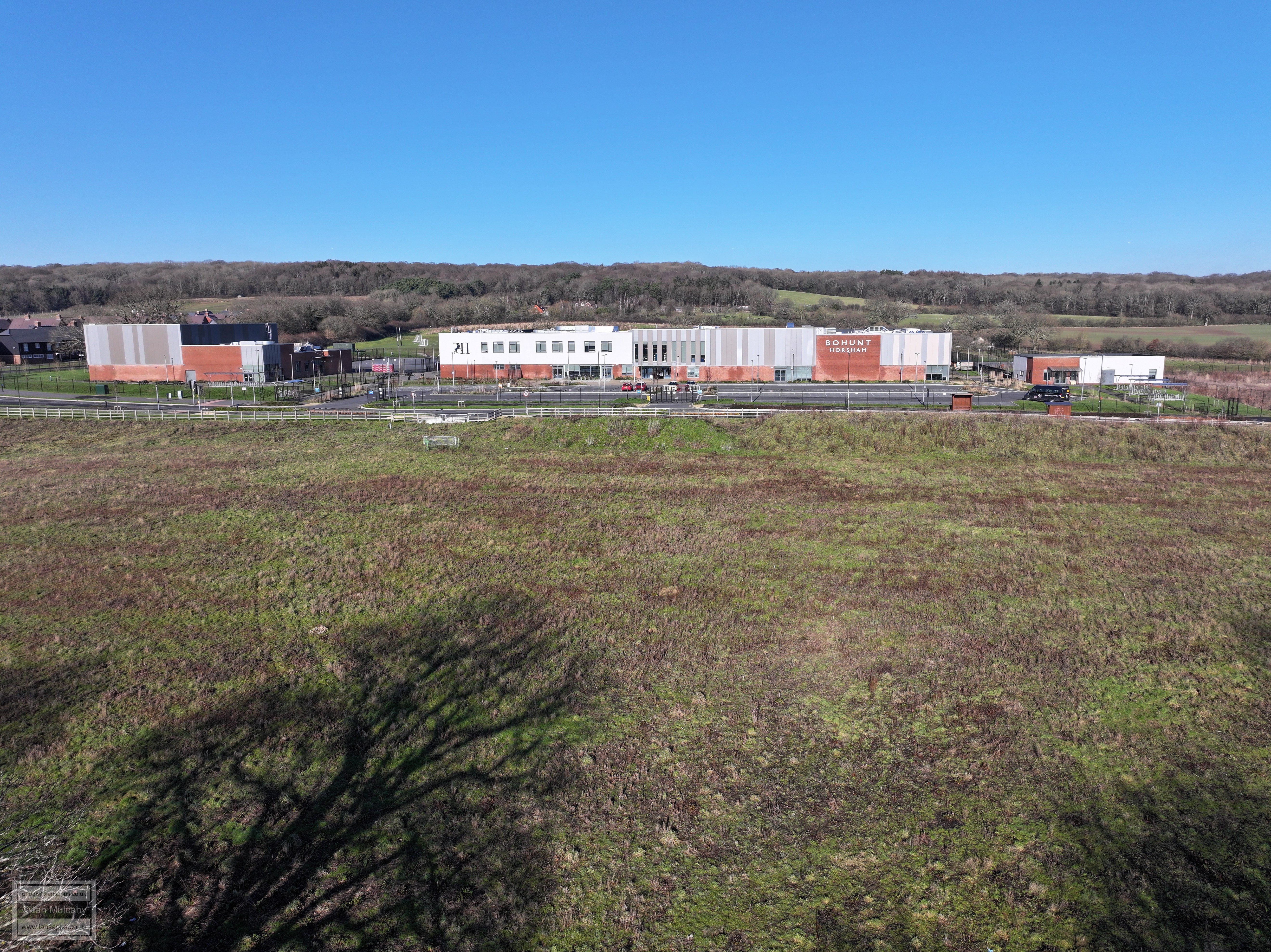
Bohunt
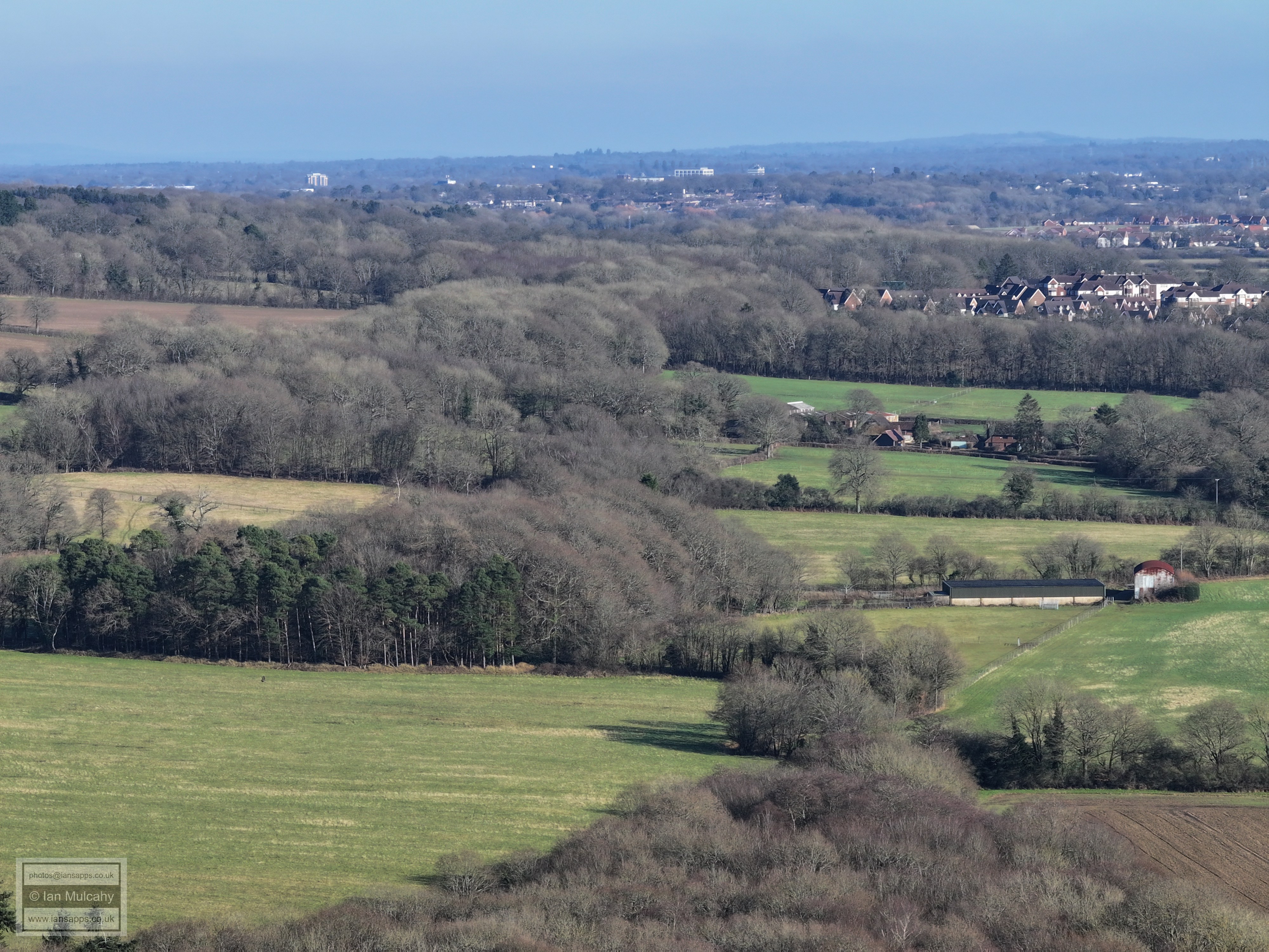
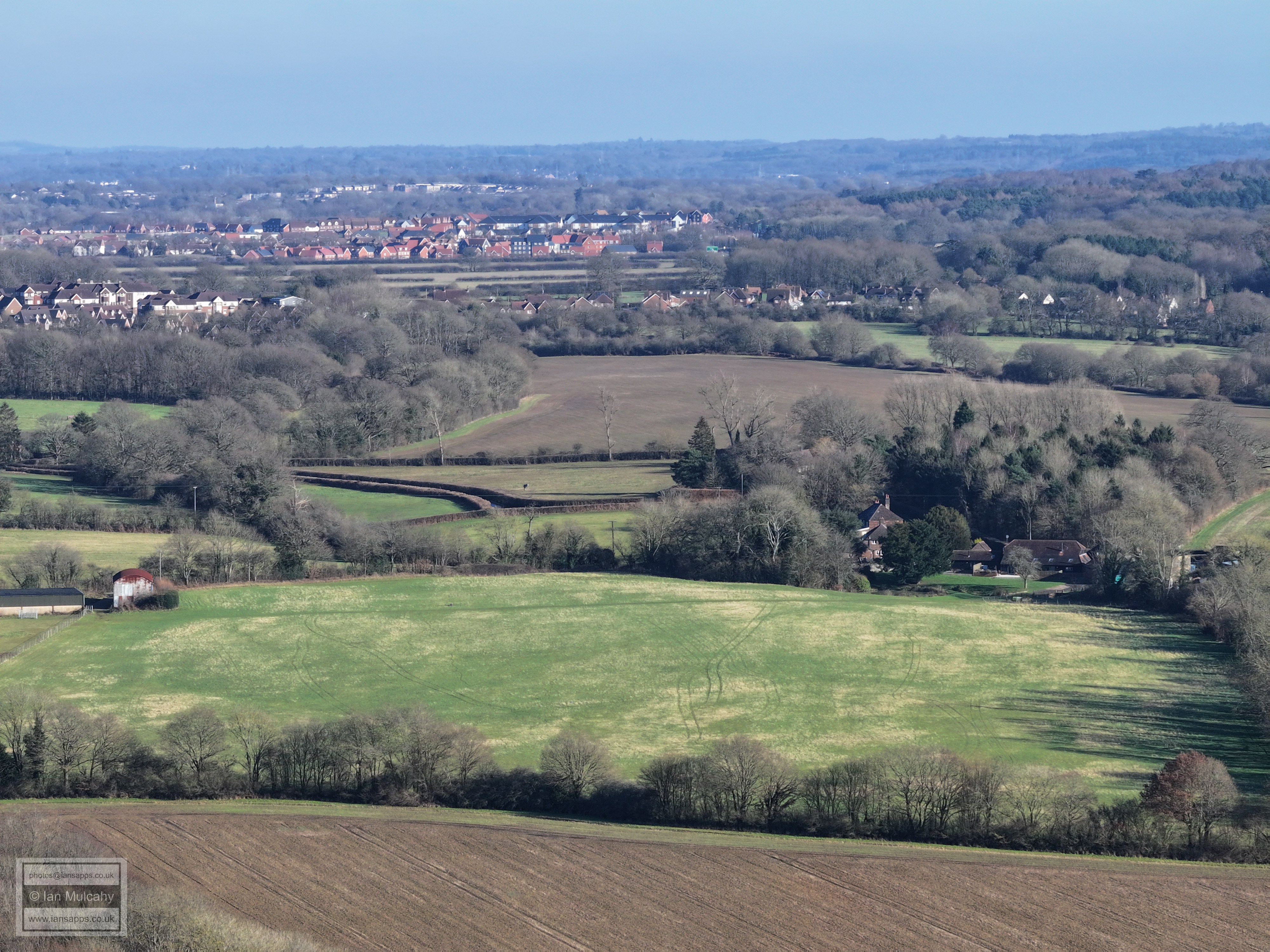
The rest of the photos are from 150 metres from the Rusper Road end of Bush Lane
The Moated House, having lost it's rural surroundings.
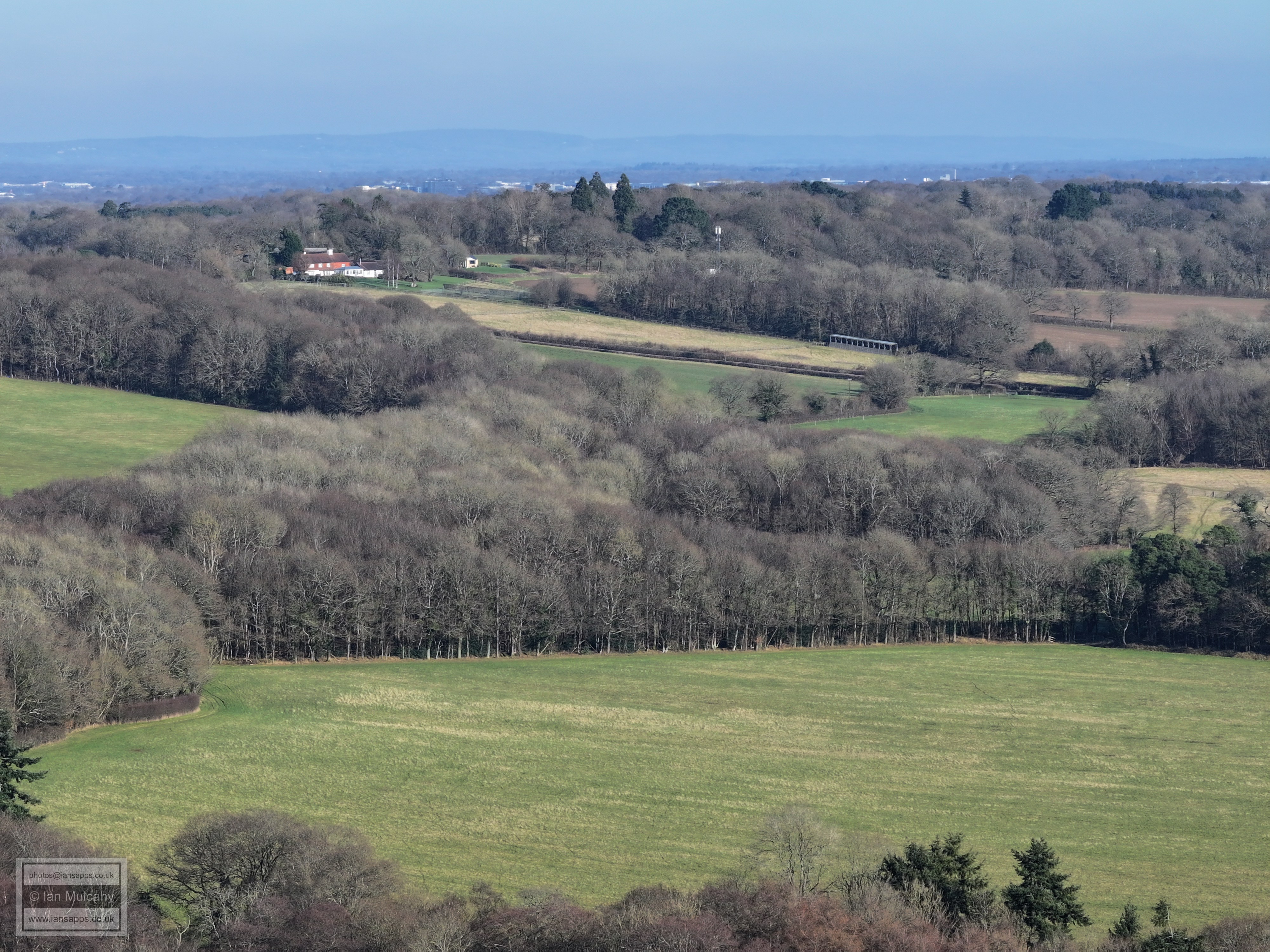
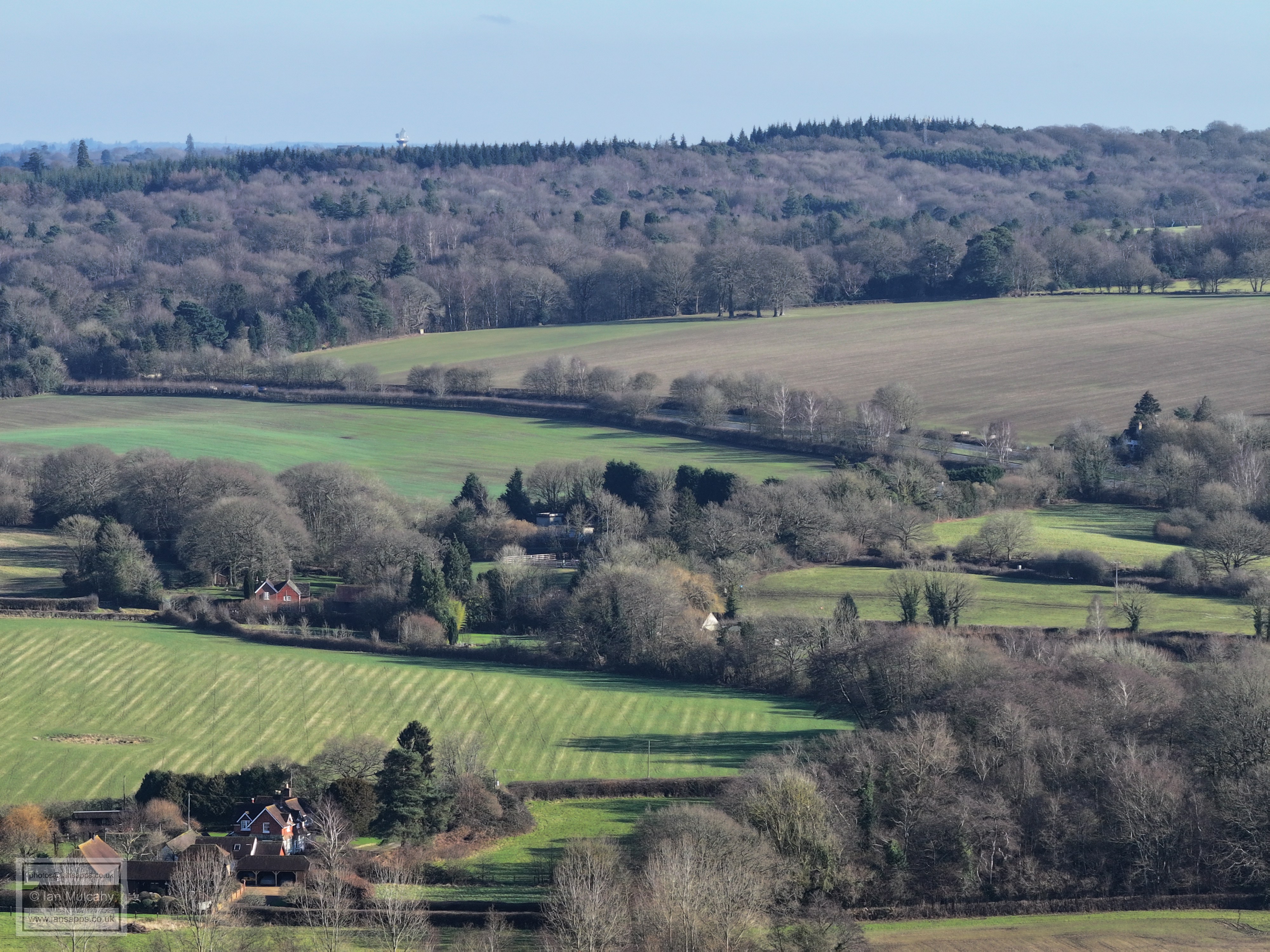
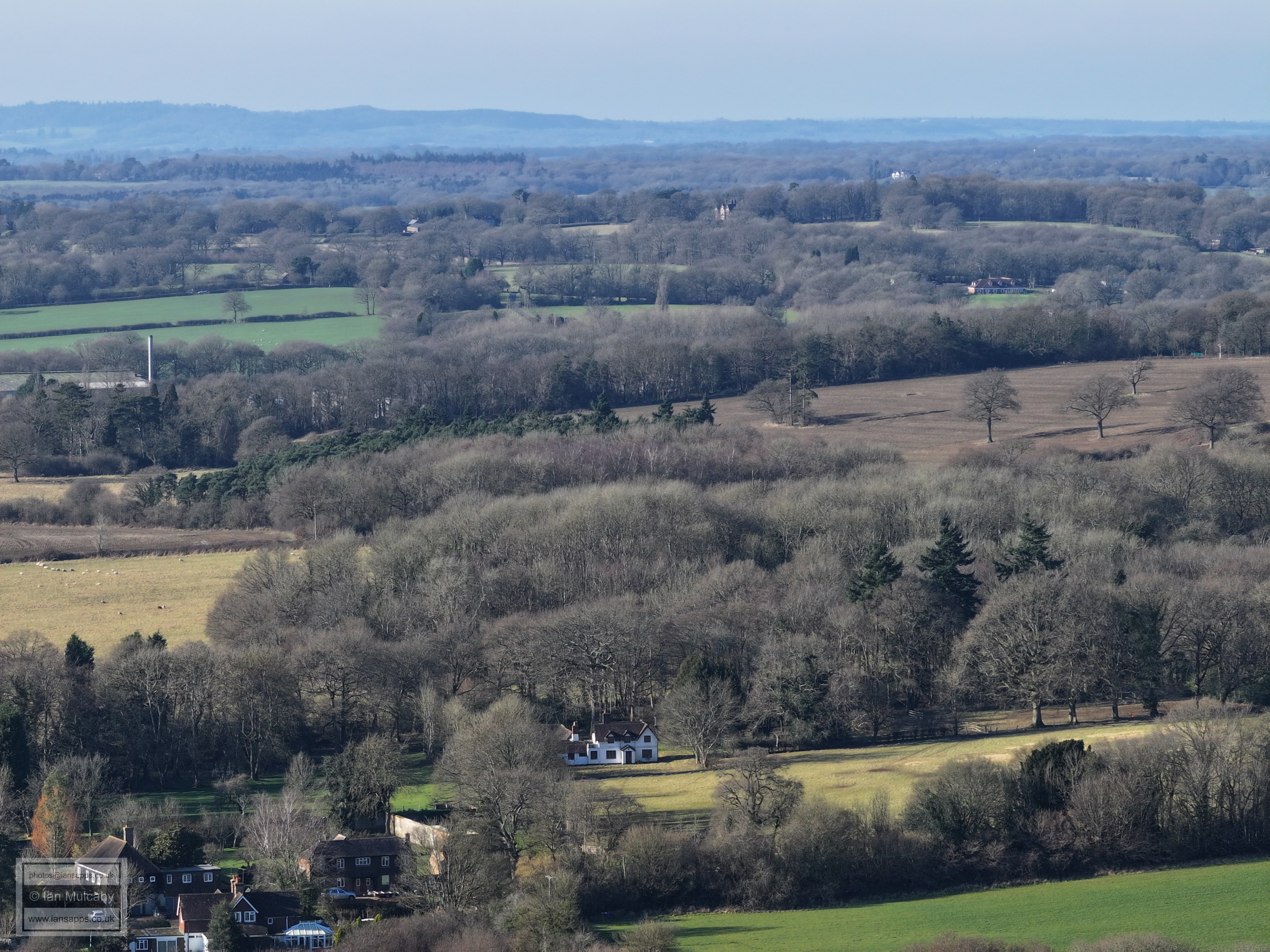
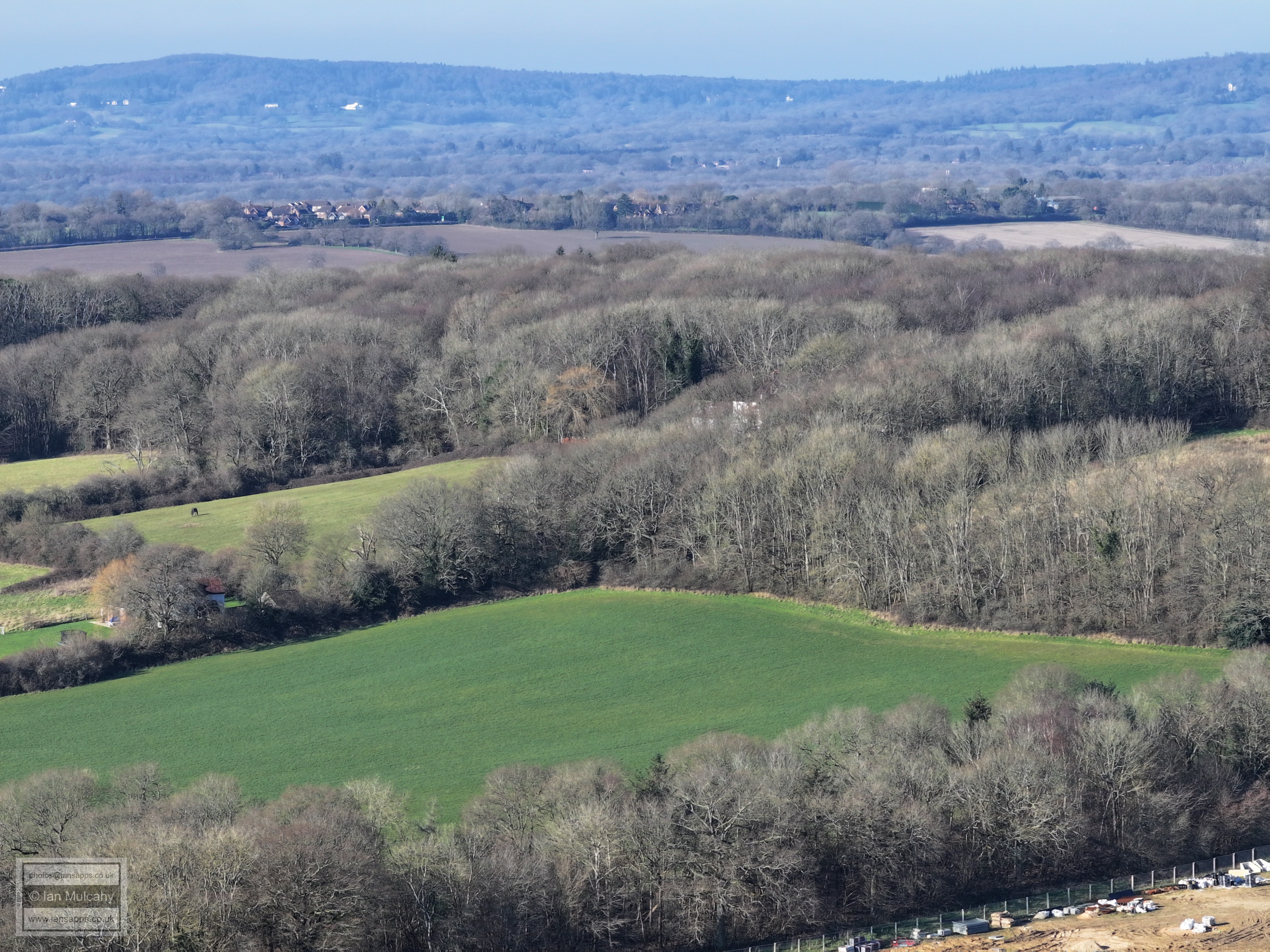
Holdbrook Park
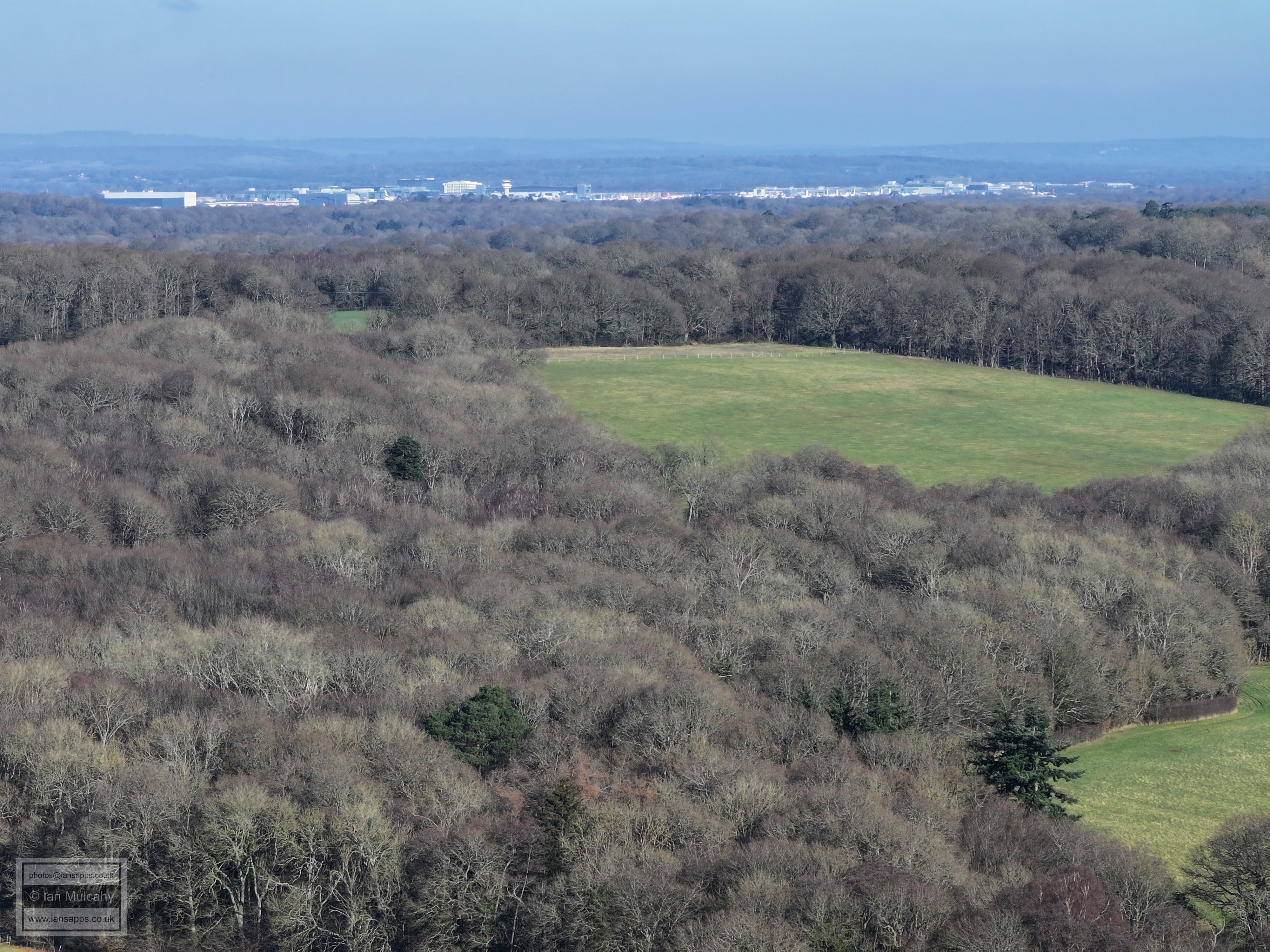
Gatwick
The house on the ridge to the left is Wimlands Farm, in Wimlands Lane.
The Sandman Hotel at Hazelwick is in the top left quarter and Crawley Town Hall and College can be seen towards the centre at the same height. On the right is Durrants Village at Faygate with Kilnwood Vale beyond
The three groups of settlement, working upwards, are Faygate, Kilnwood Vale and Southgate West
On the left, just below centre, is Brook House in Wimlands Road with the Arun Valley rail line just behind. The section of the A264 between Moorhead and Faygate curves across the centre of the picture.
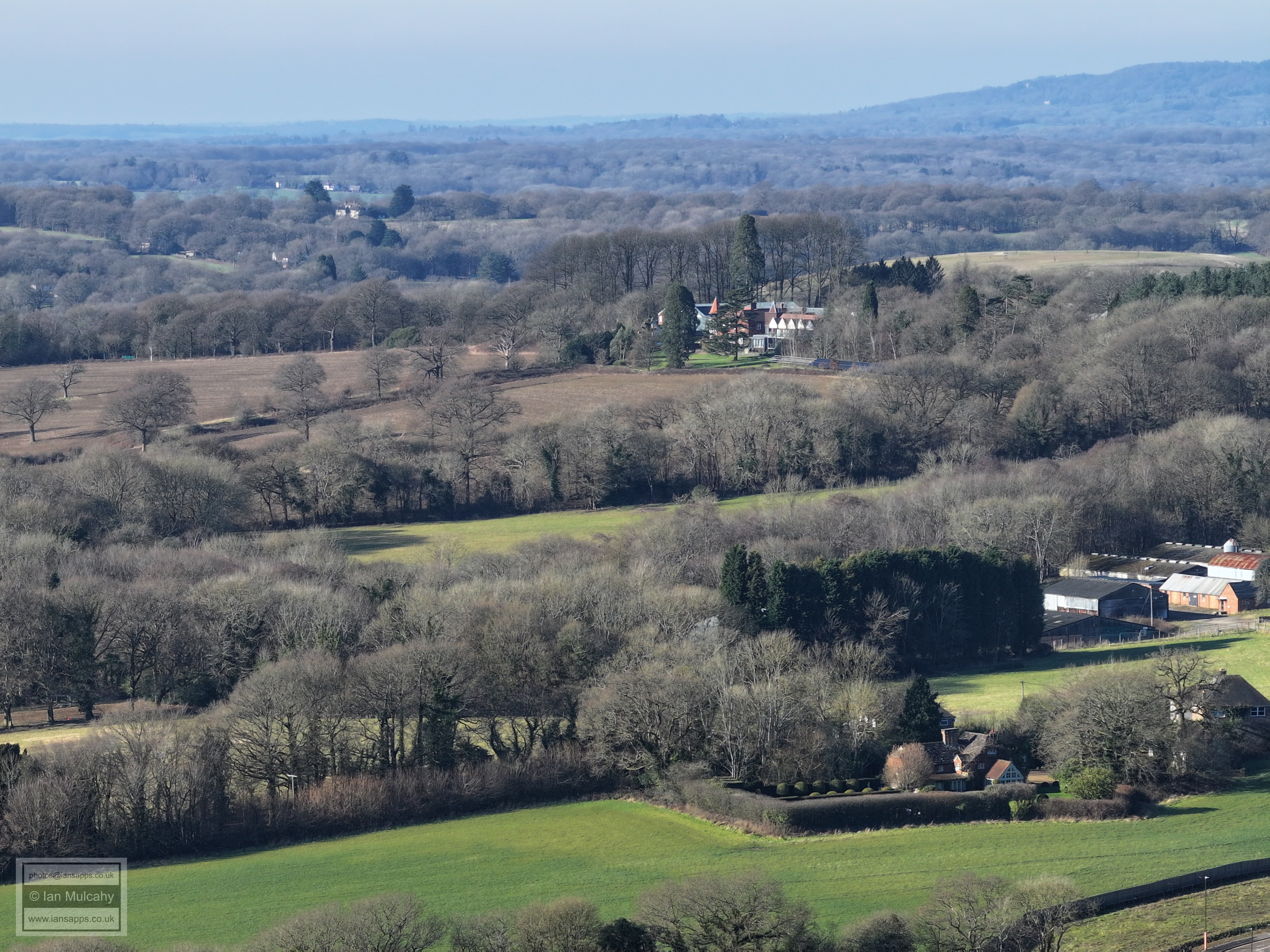
Roffey Park near the top, Wimlands Road (Roffey Halt!) level crossing to the right just below the green barn of Newhouse Farm
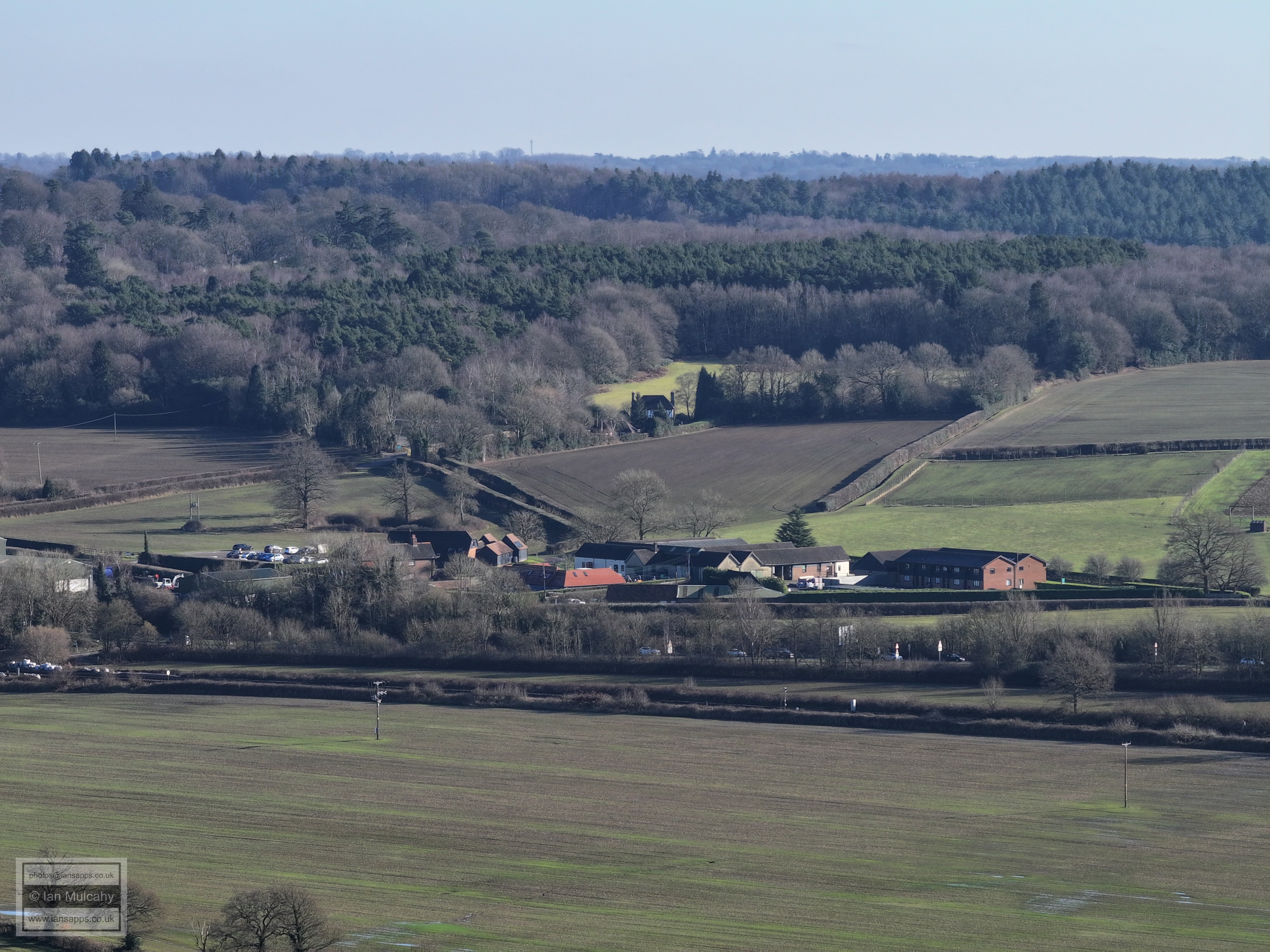
Newhouse Farm
Moorhead roundabout just below centre
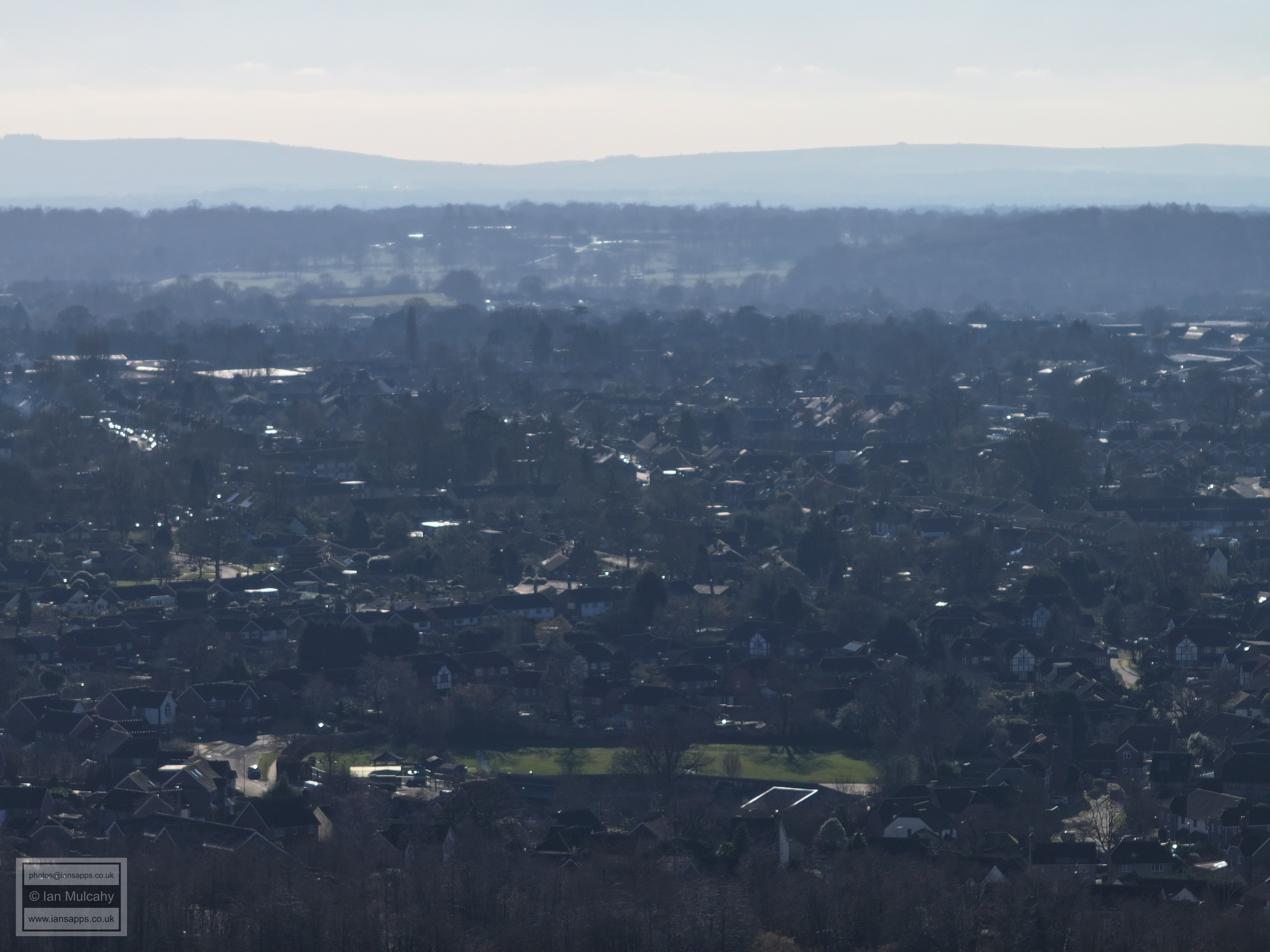
Beech Road & Church Road area
Lambs Farm Road area
99% sure the large pitched roof just below centre is Robert Southwell Primary in Lambs Farm Road
The green area across the entire width of the image near the bottom is Amberley Close Play area
Batholomew Way area in the foreground, Farhalls Crescent beyond.
The green area across the low centre is the playing field at All Saints School in Tylden Way
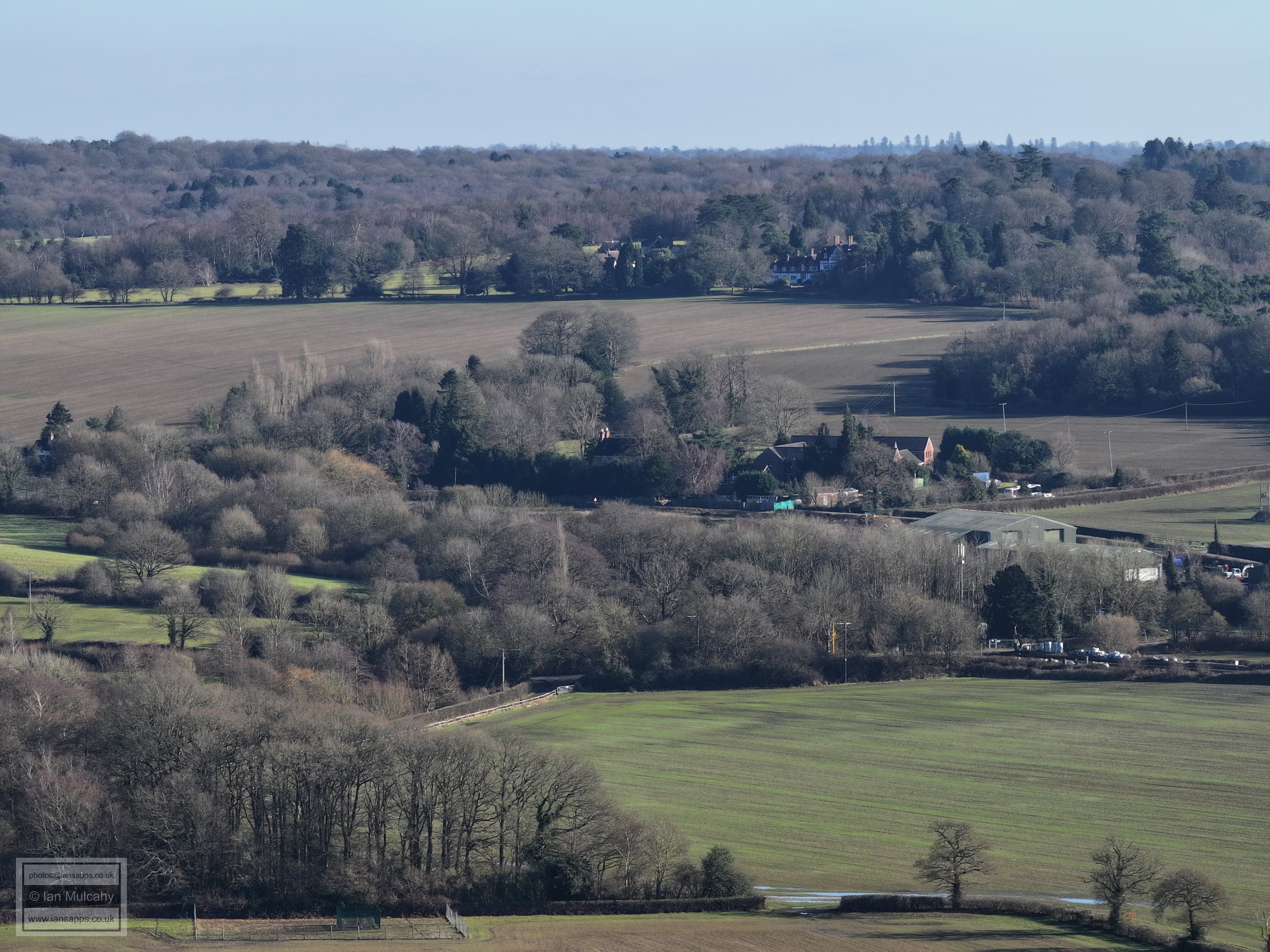
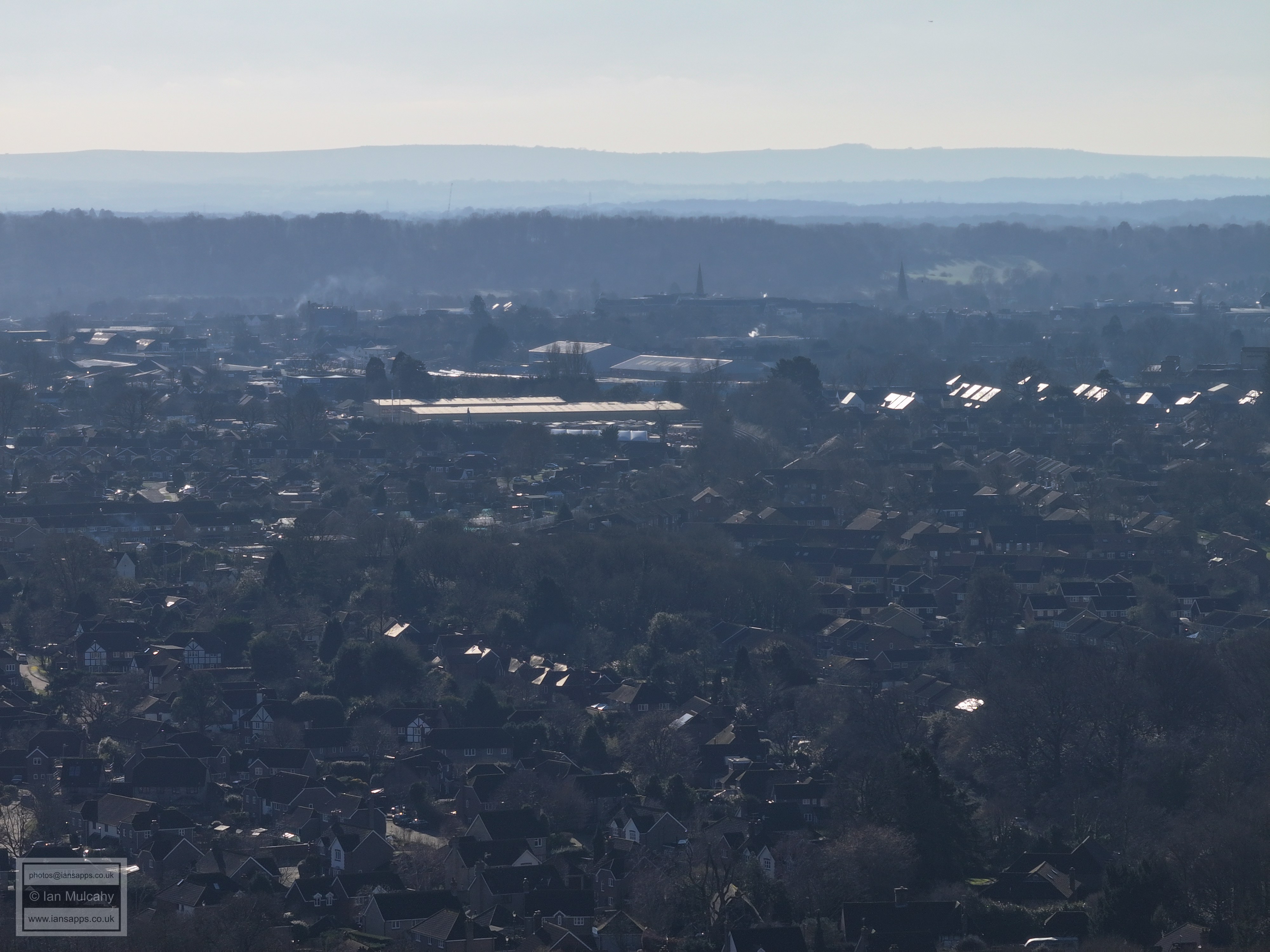
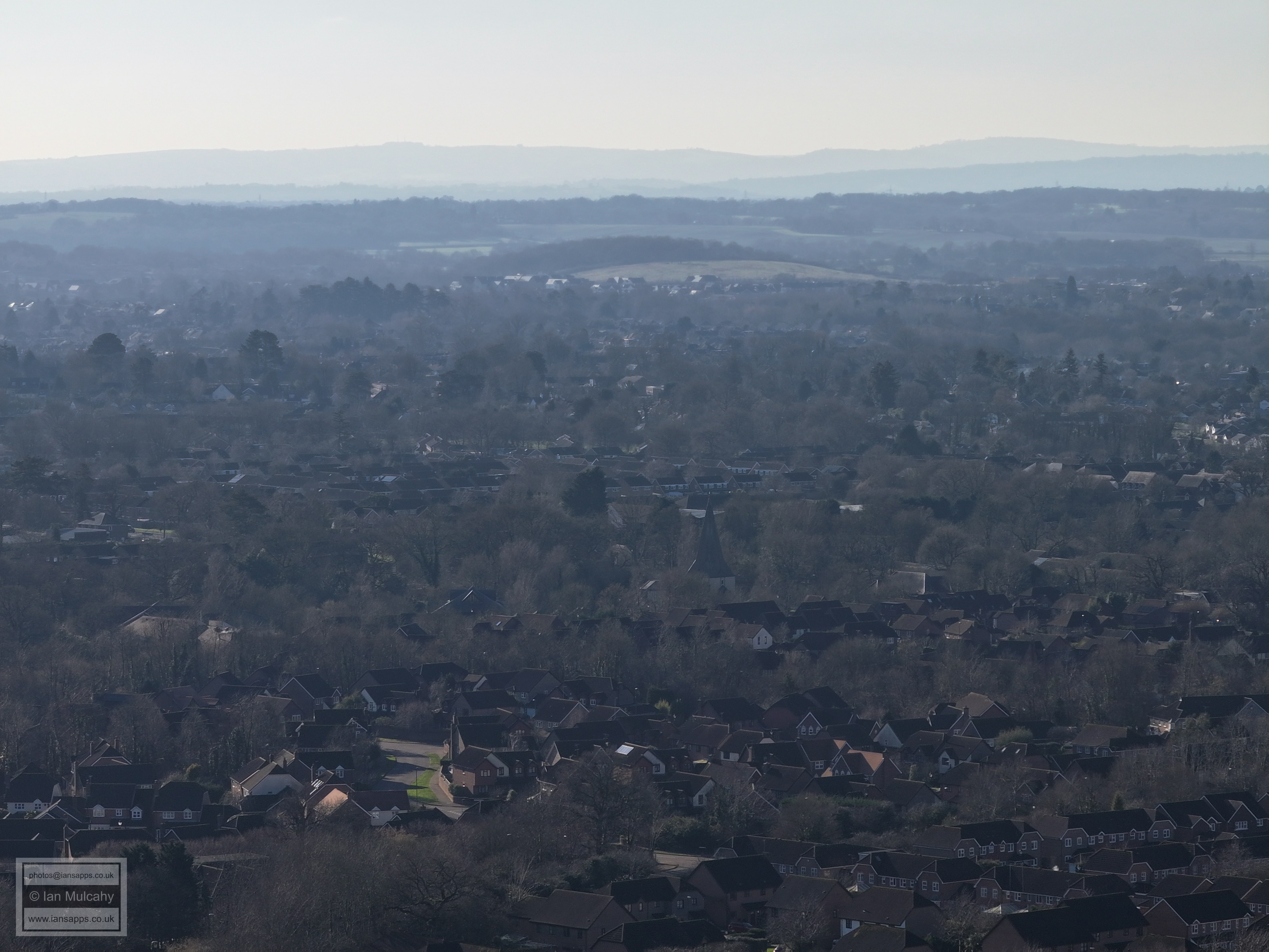
St Mark's (left) and St Mary's spires. The largest warehouse roofs are at Parsonage Farm and the ones just beyond in Nightingale Road
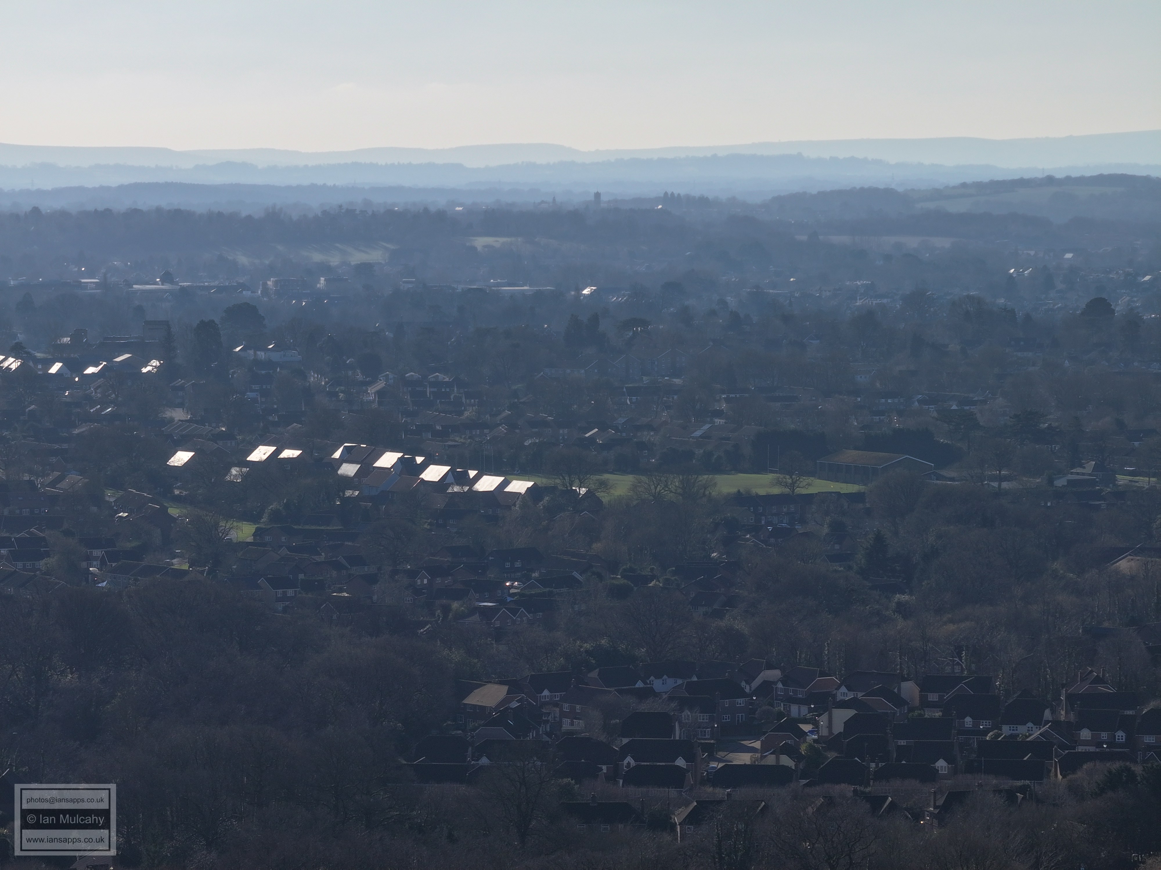
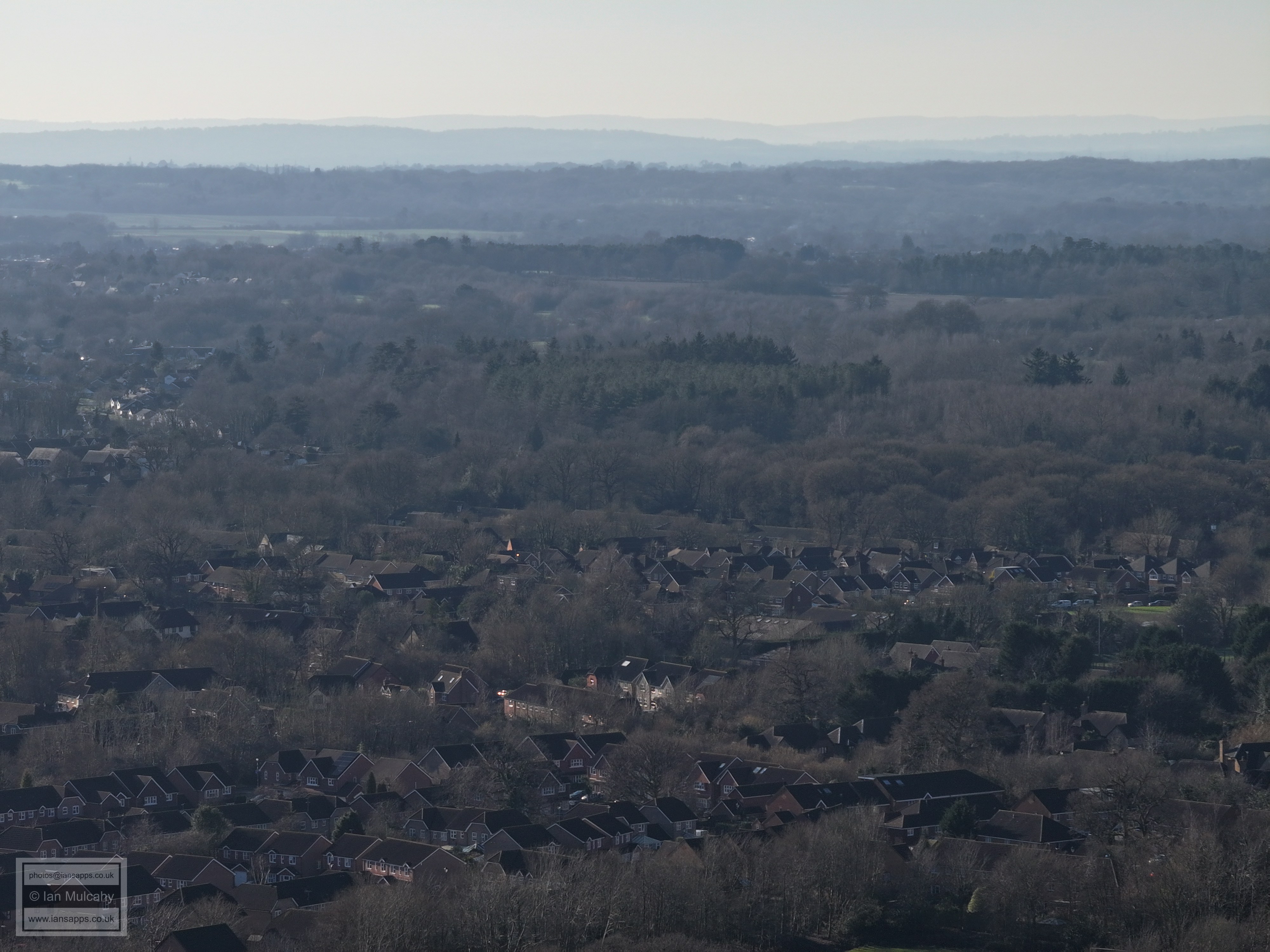
Holbrook Club sports field in the centre
(new) St Marks' spire just below centre
Holbrook area
A264. Great Daux roundabout is just above centre
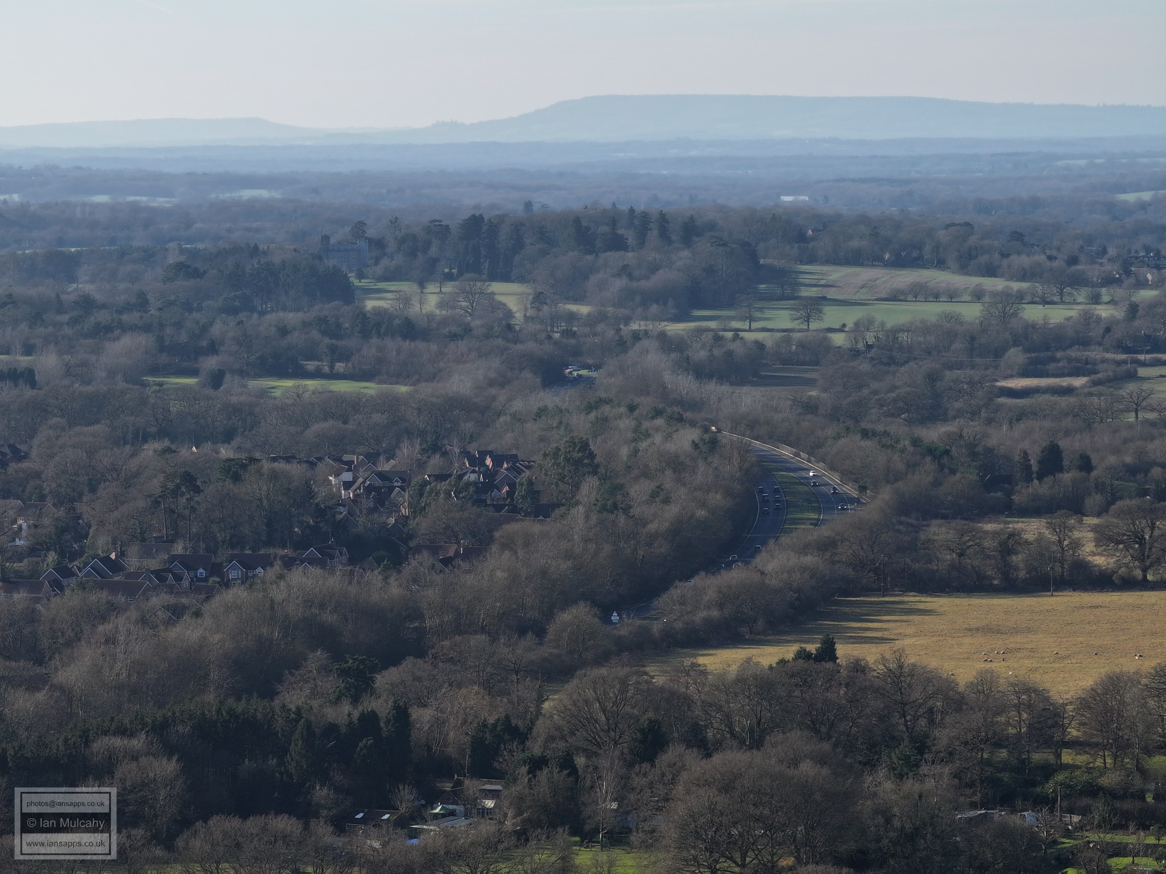
Holbrook Park, bottom left, and the works at Langhurstwood Road across the middle
Graylands, just above and right of centre
Leith Hill tower, just right of centre
Roffey FC, in Bartholomew Way, to the right of centre
Text & photographs © Ian Mulcahy. Contact photos@iansapps.co.uk or visit my 'Use of my photographs' page for licensing queries (ground level photographs only). |