From the top of Wimlands Hill
60 aerial photos of varying focal length
2 February 2025
|
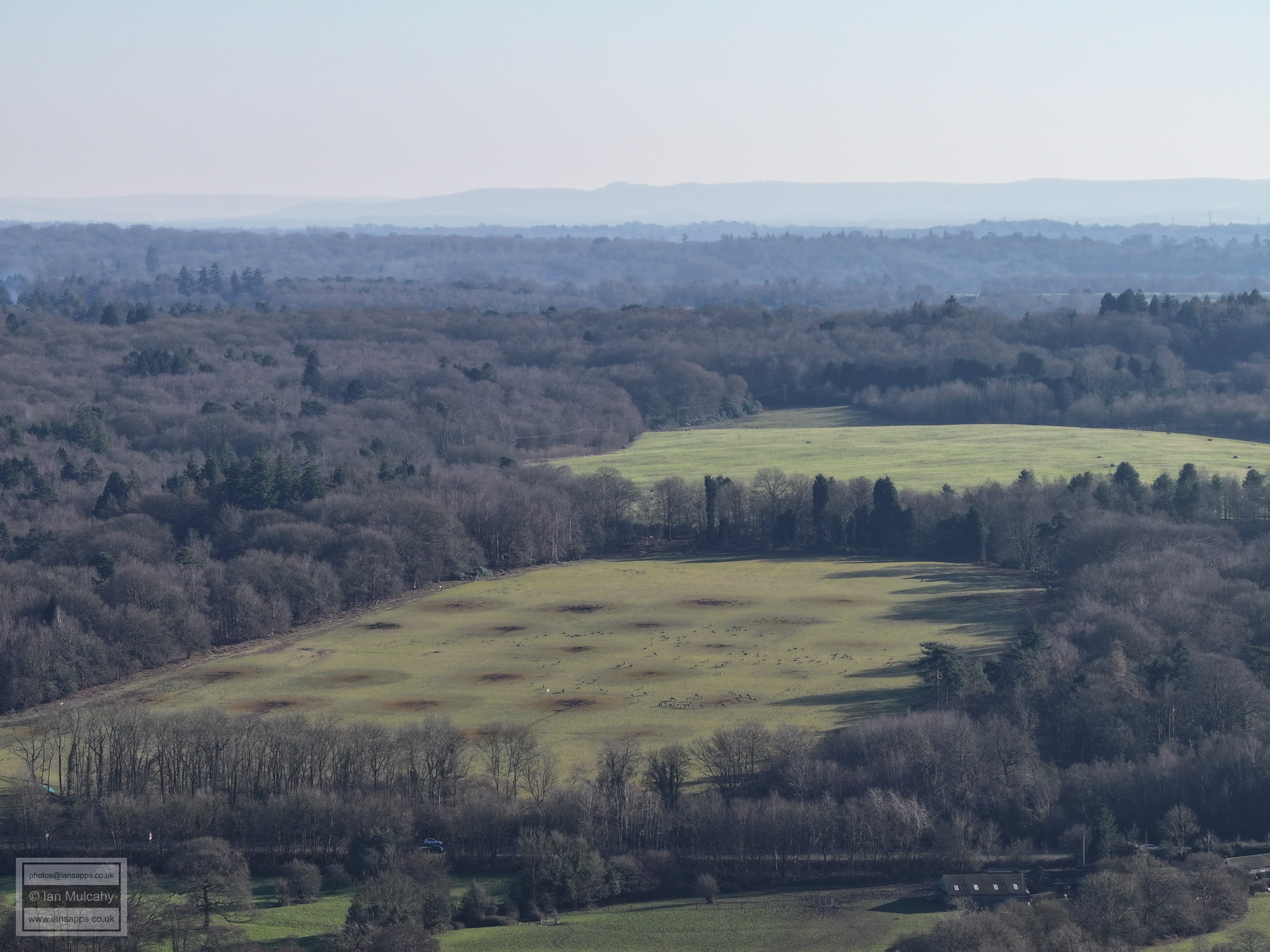
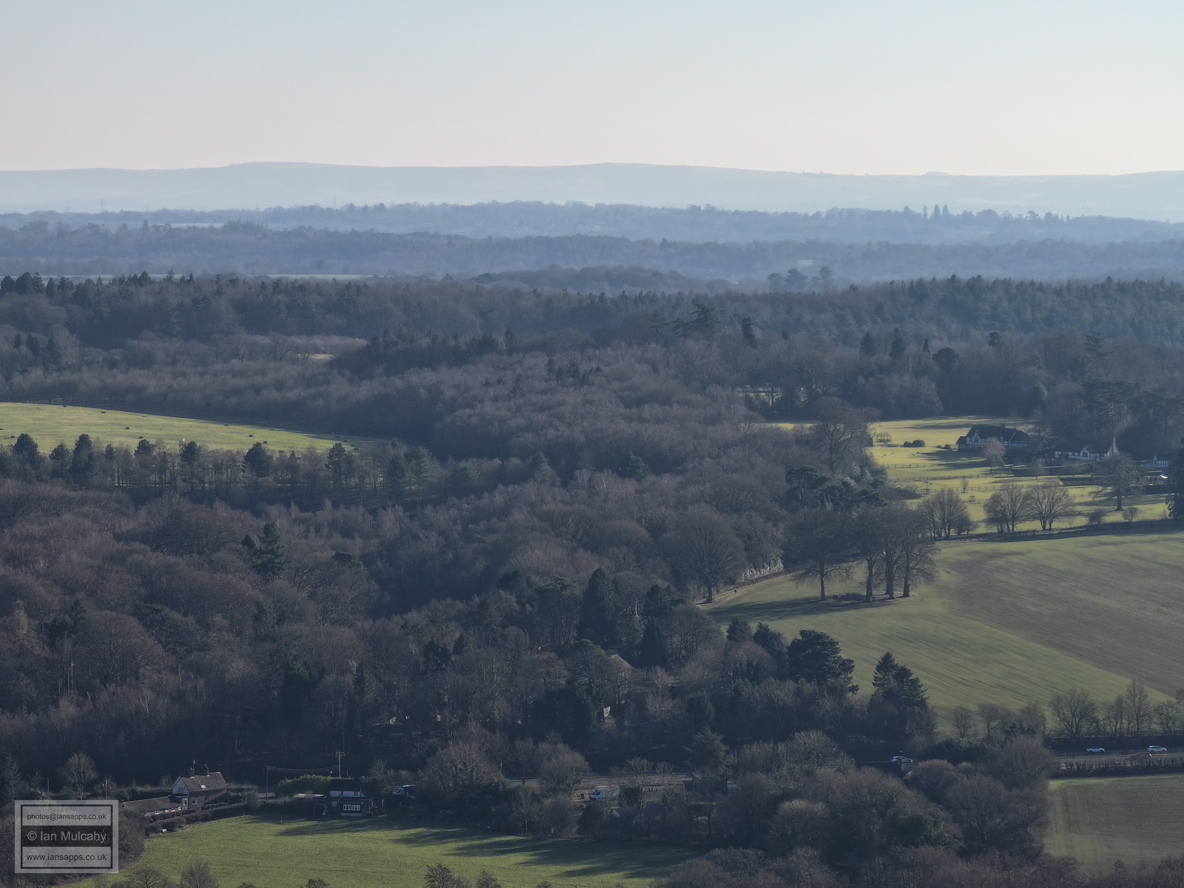
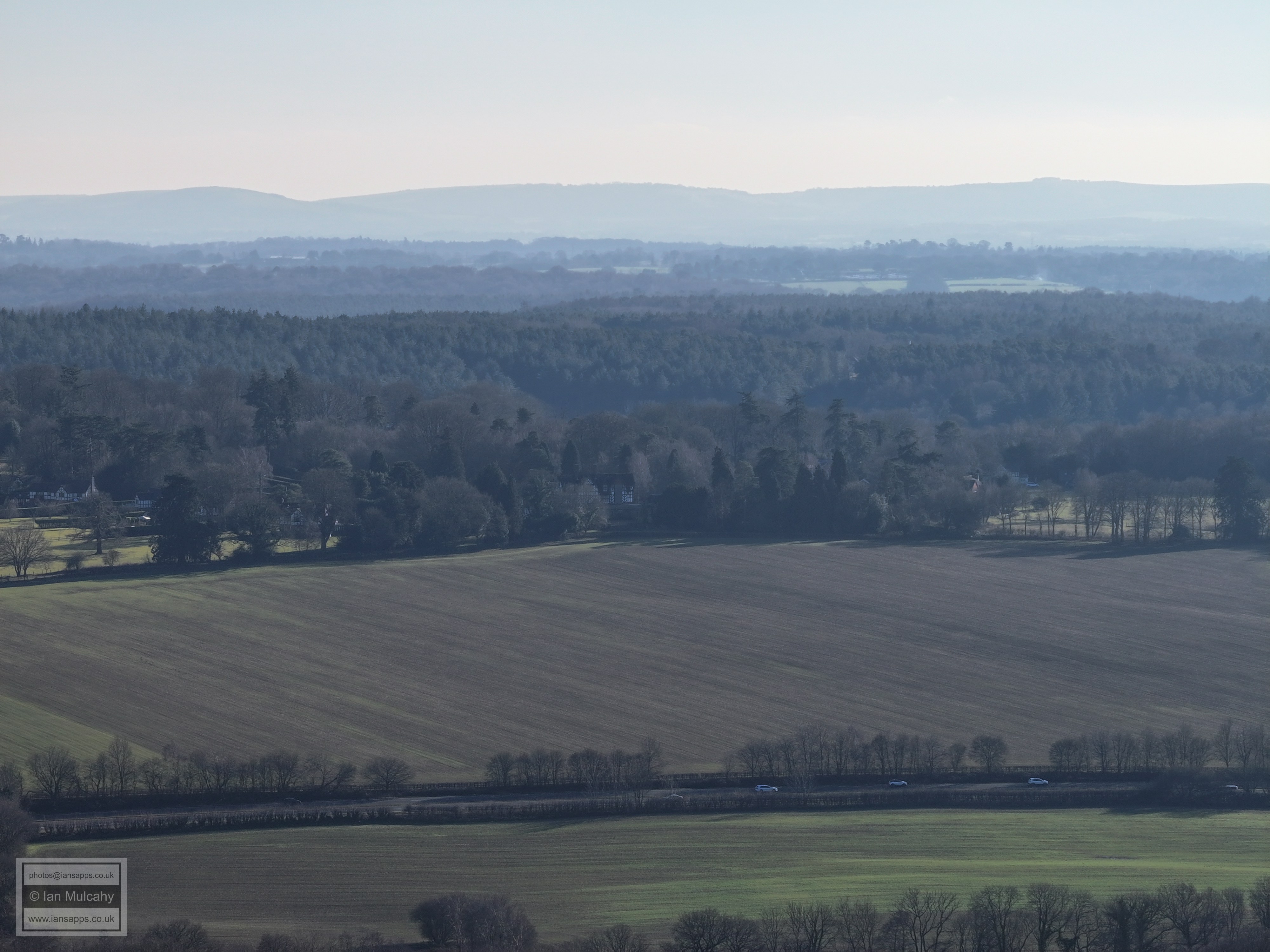
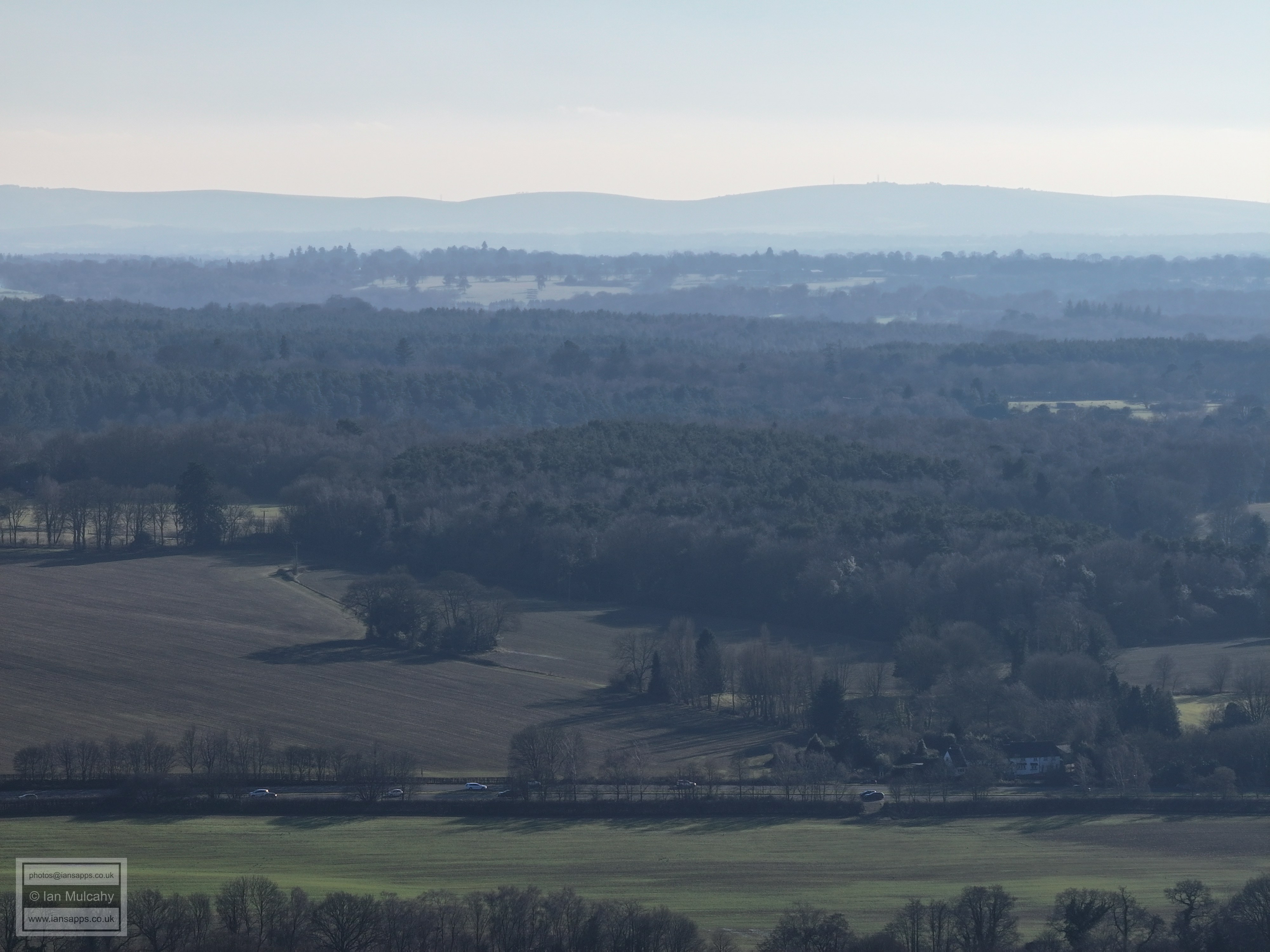
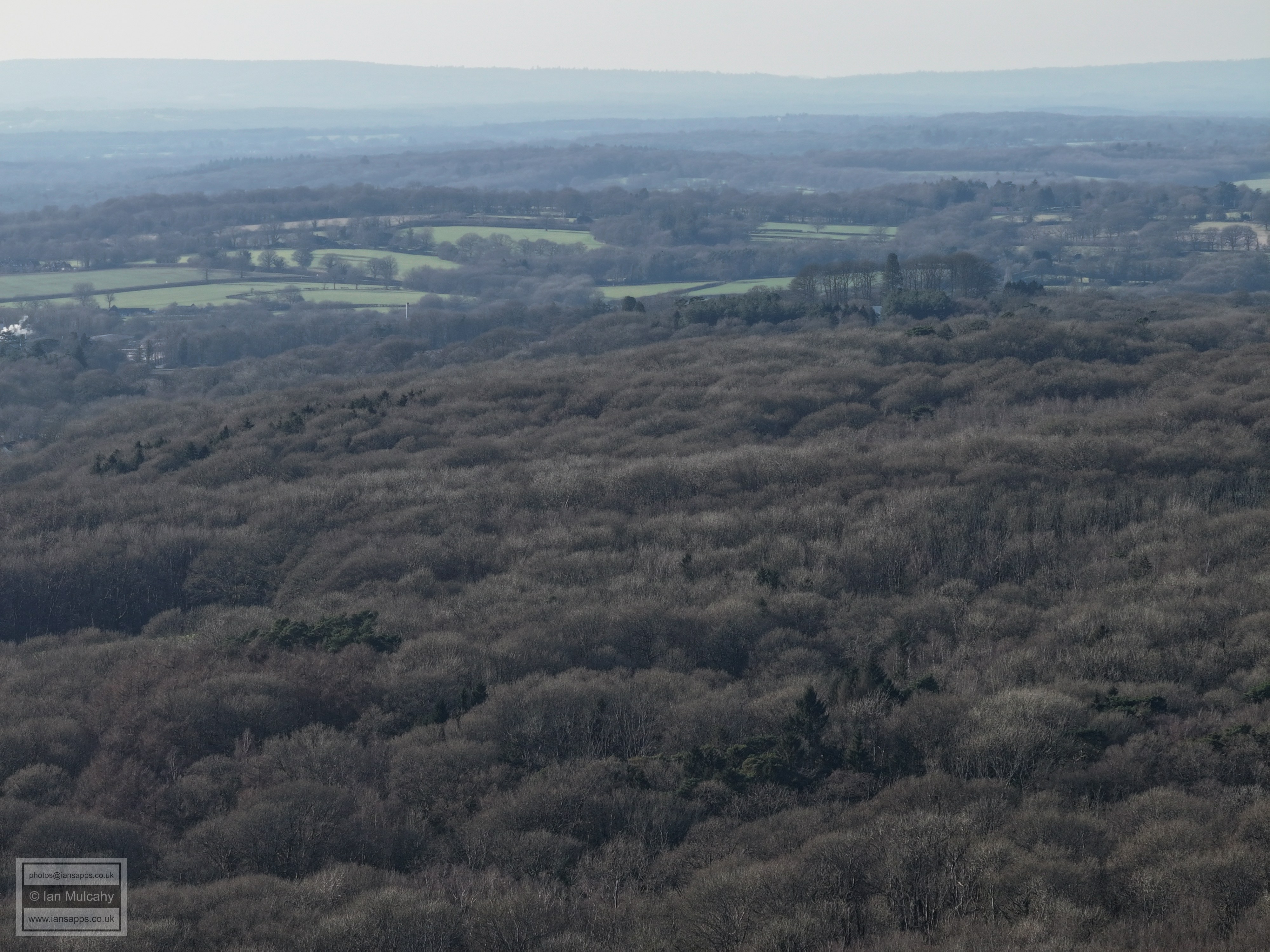
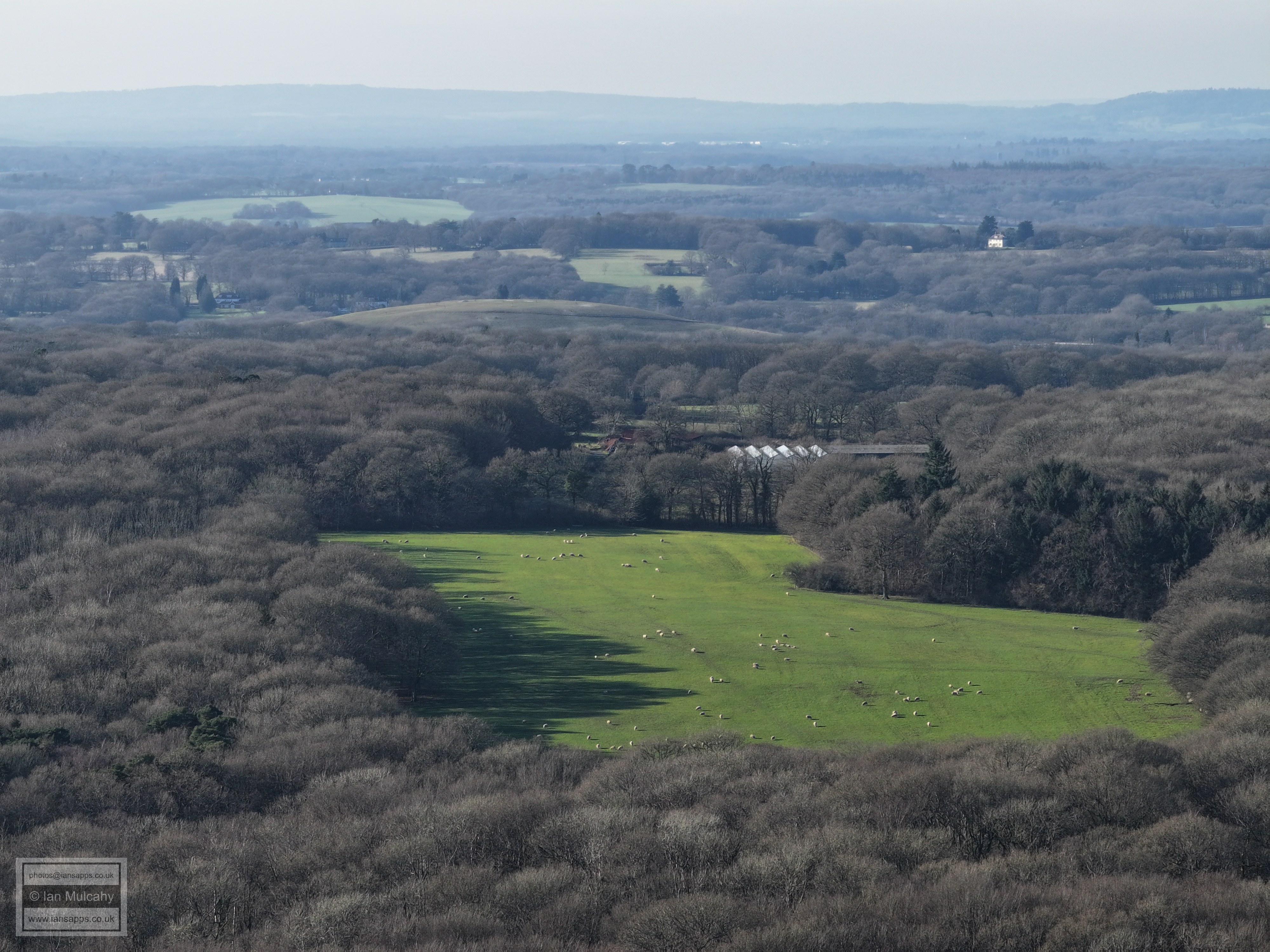
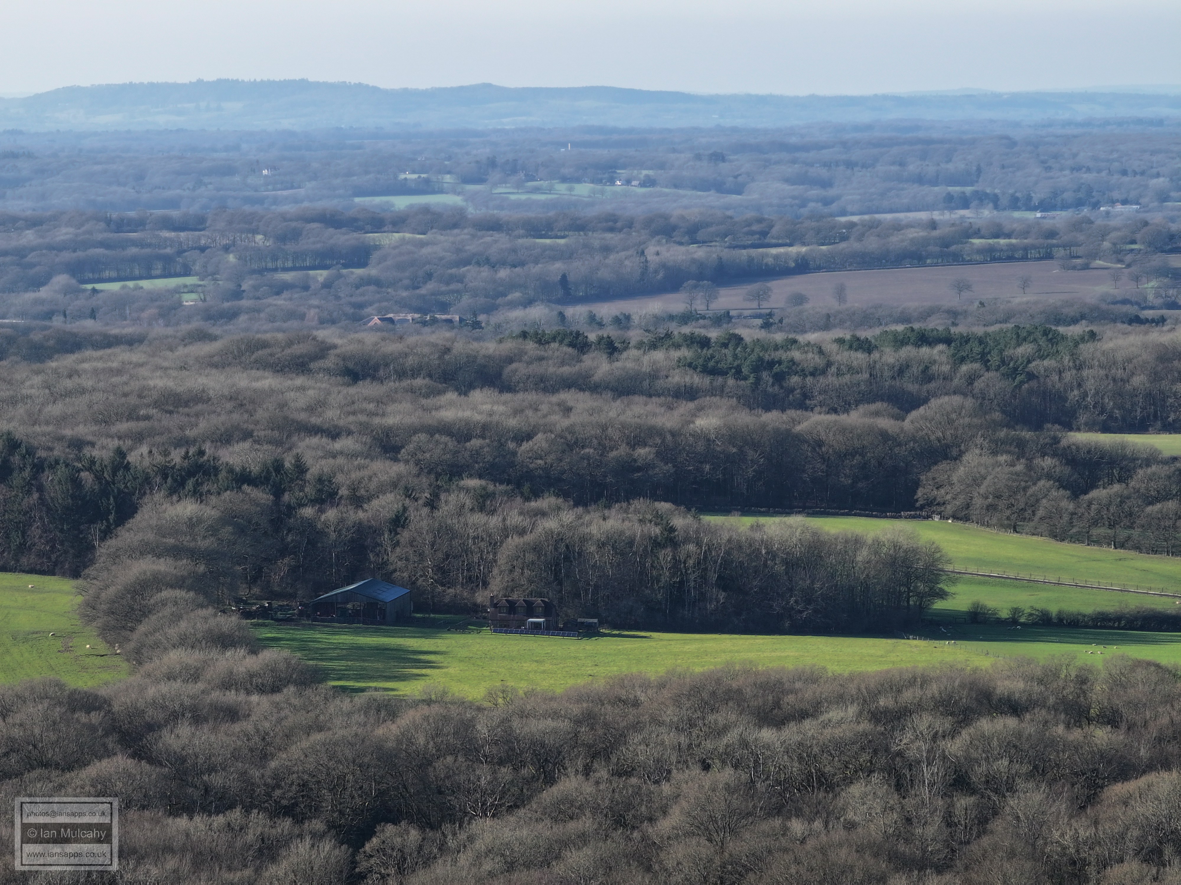
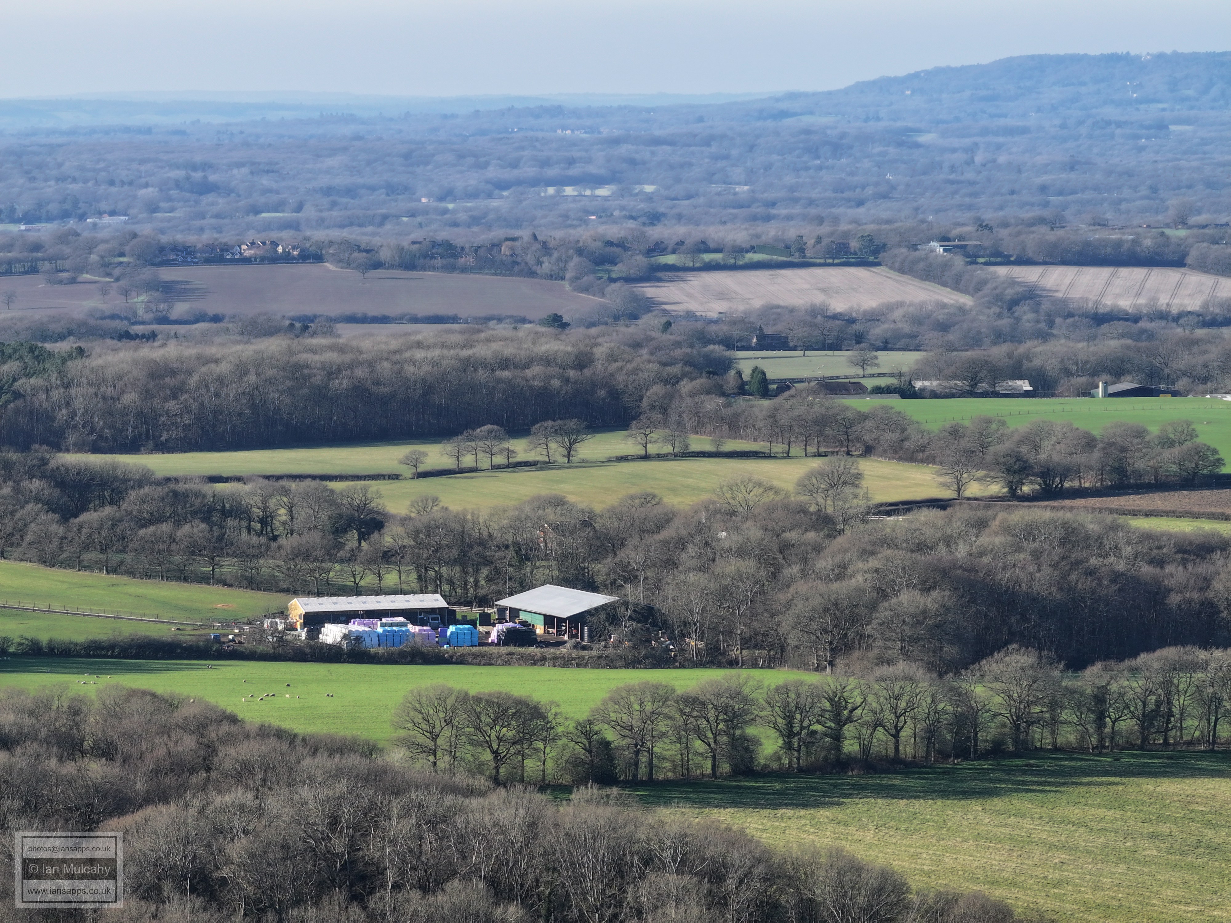
60 aerial images of varying focal length taken on 2 February 2025 from the top of Wimlands Hill close to Wimlands Farm of views across Horsham, Crawley, Gatwick and the surrounding countryside.
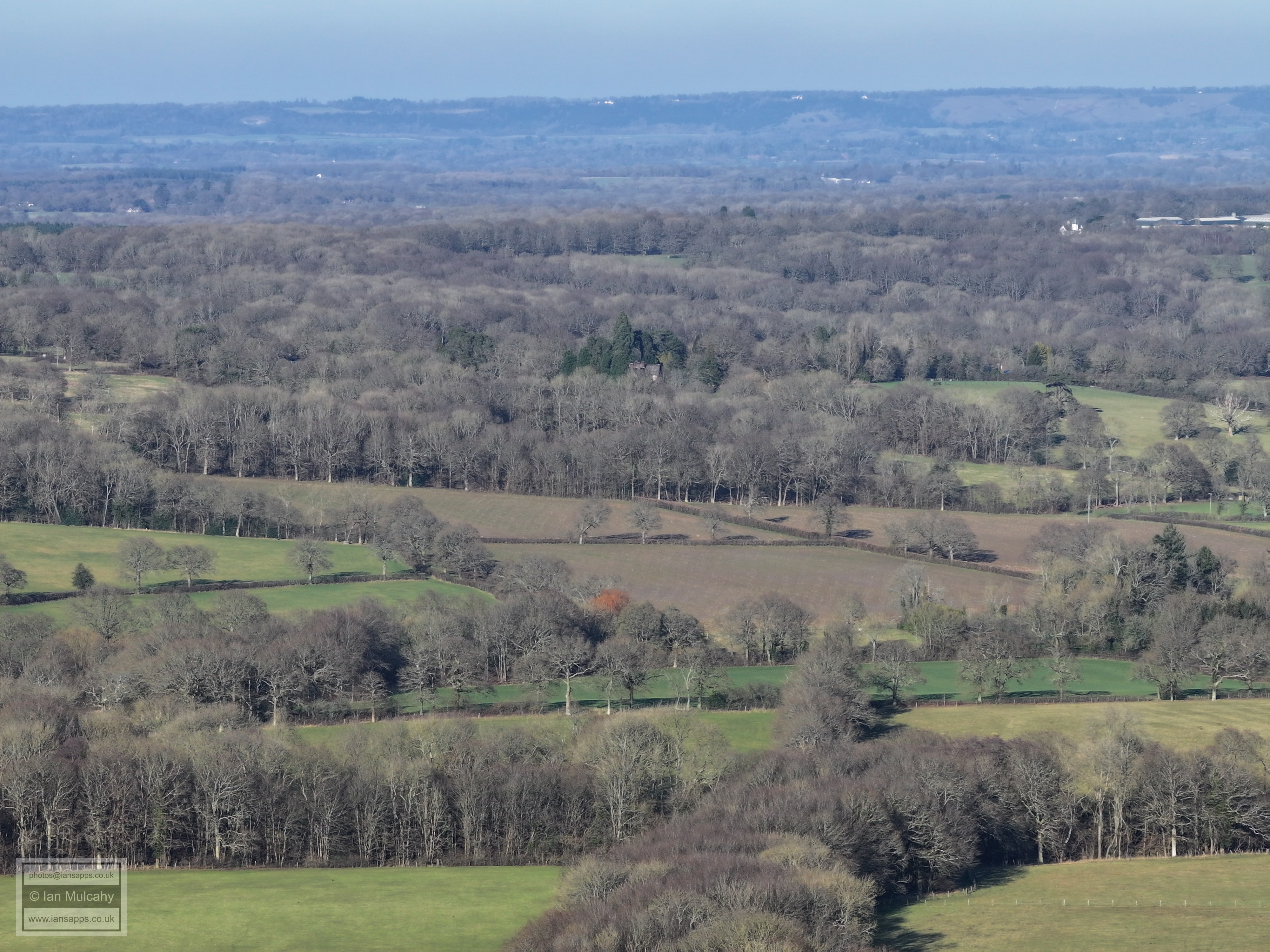
Some of the photos have been annotated. Those looking south and west towards Horsham are not good quality due to the low sun and winter haze, but have been included for interest and completeness.
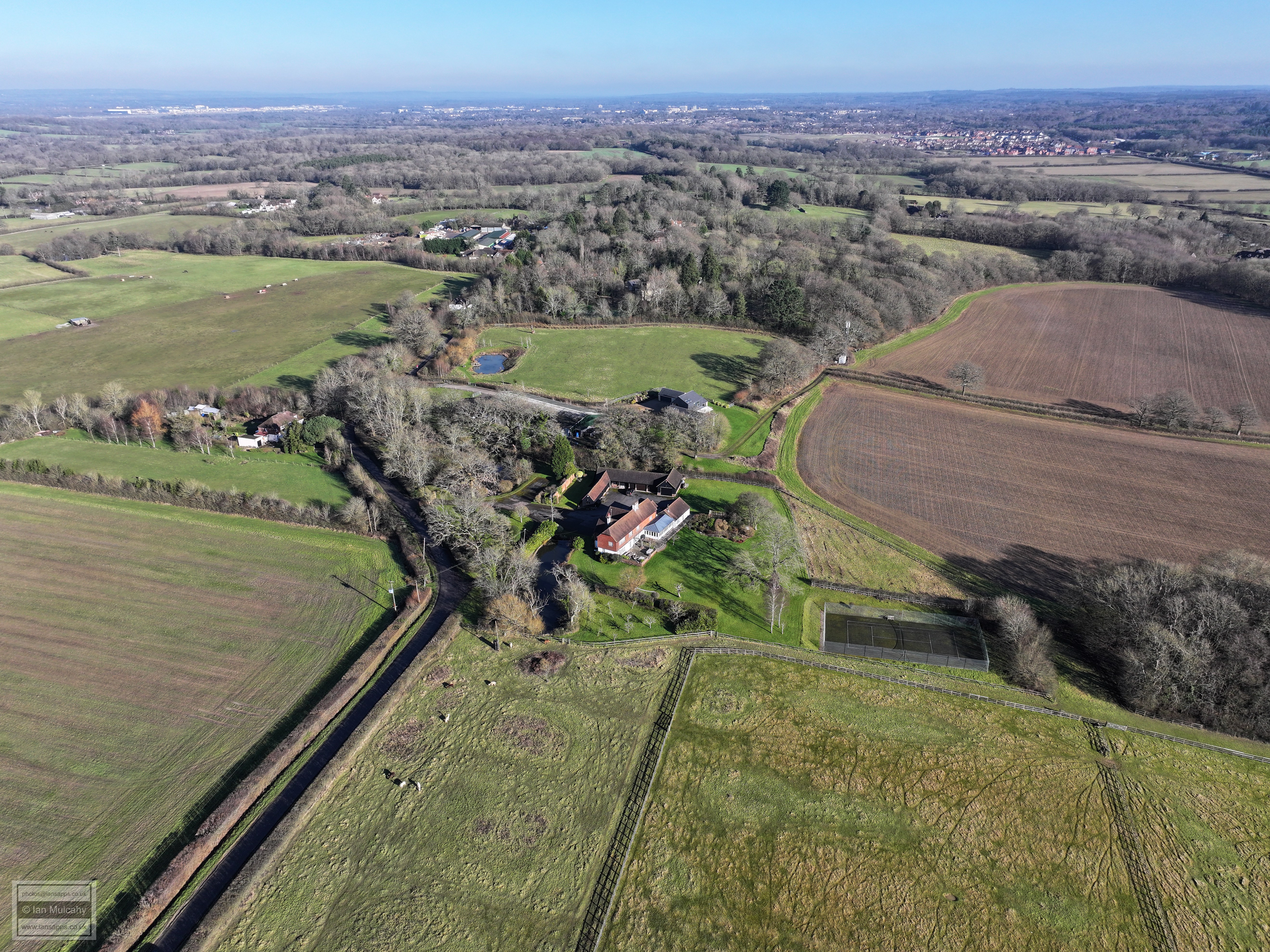
Gatwick, Crawley & Kilnwood Vale. Wimlands Farm in the foreground
Faygate to the left, Wimlands Road from bottom to central right
Looking towards Horsham
Hurst Hill
Towards Rusper
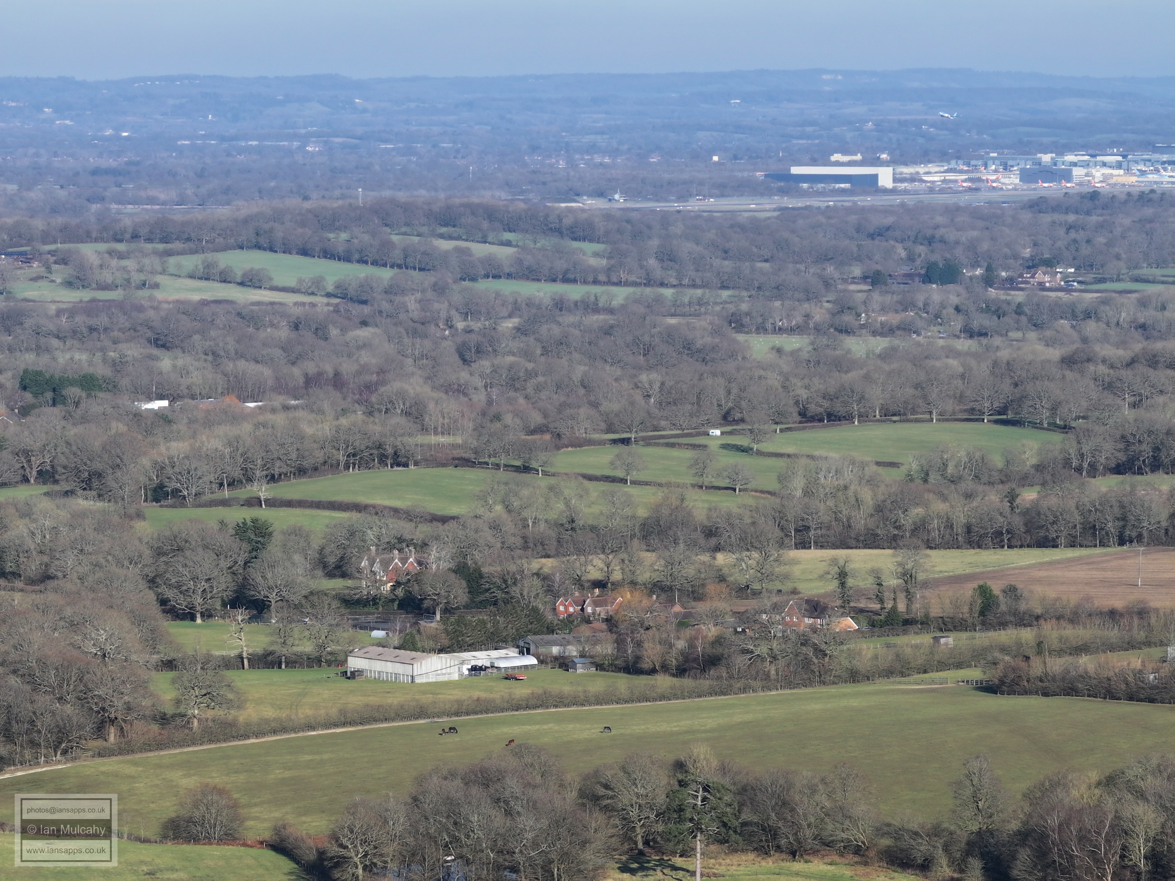
Gatwick Airport
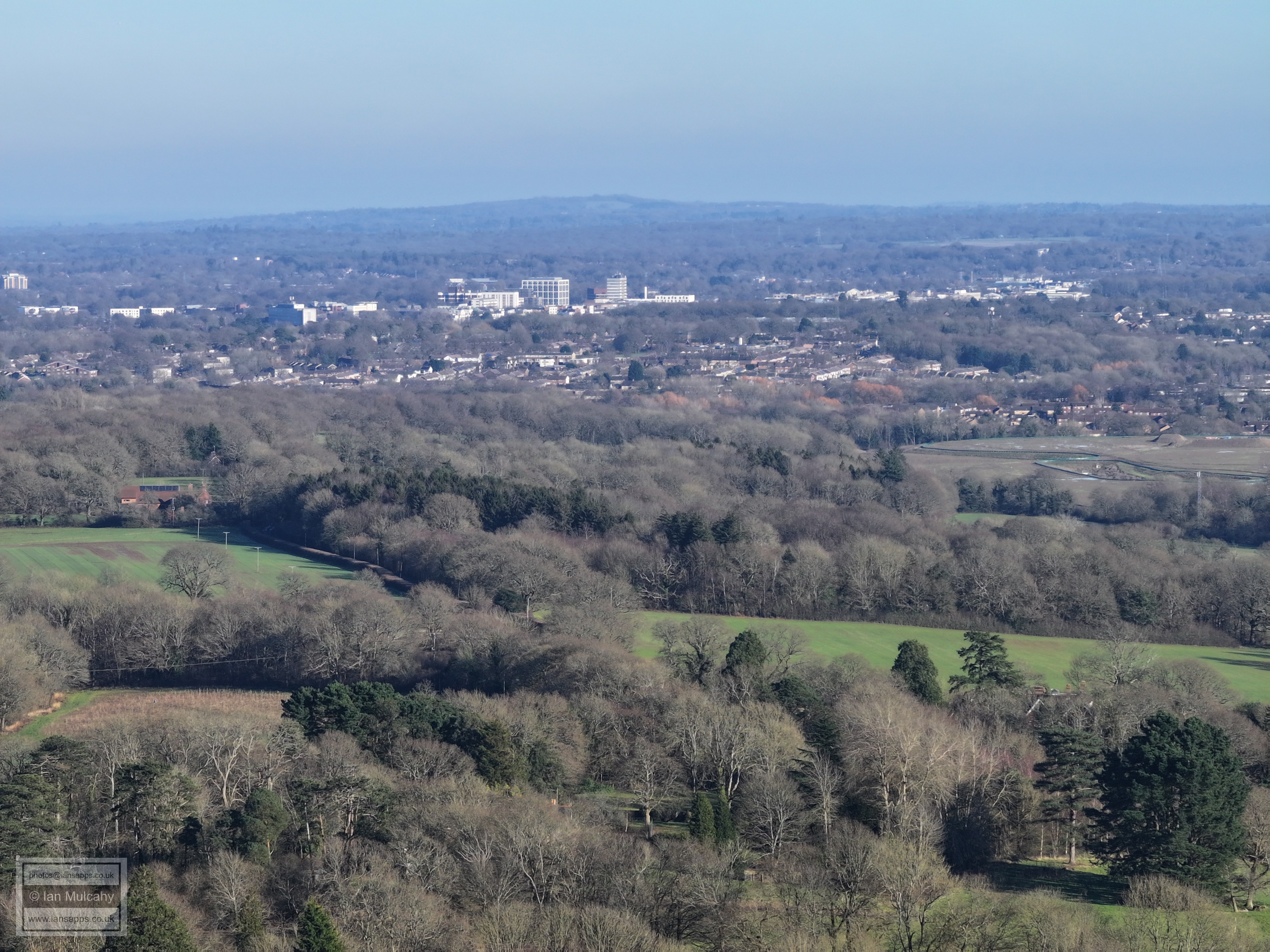
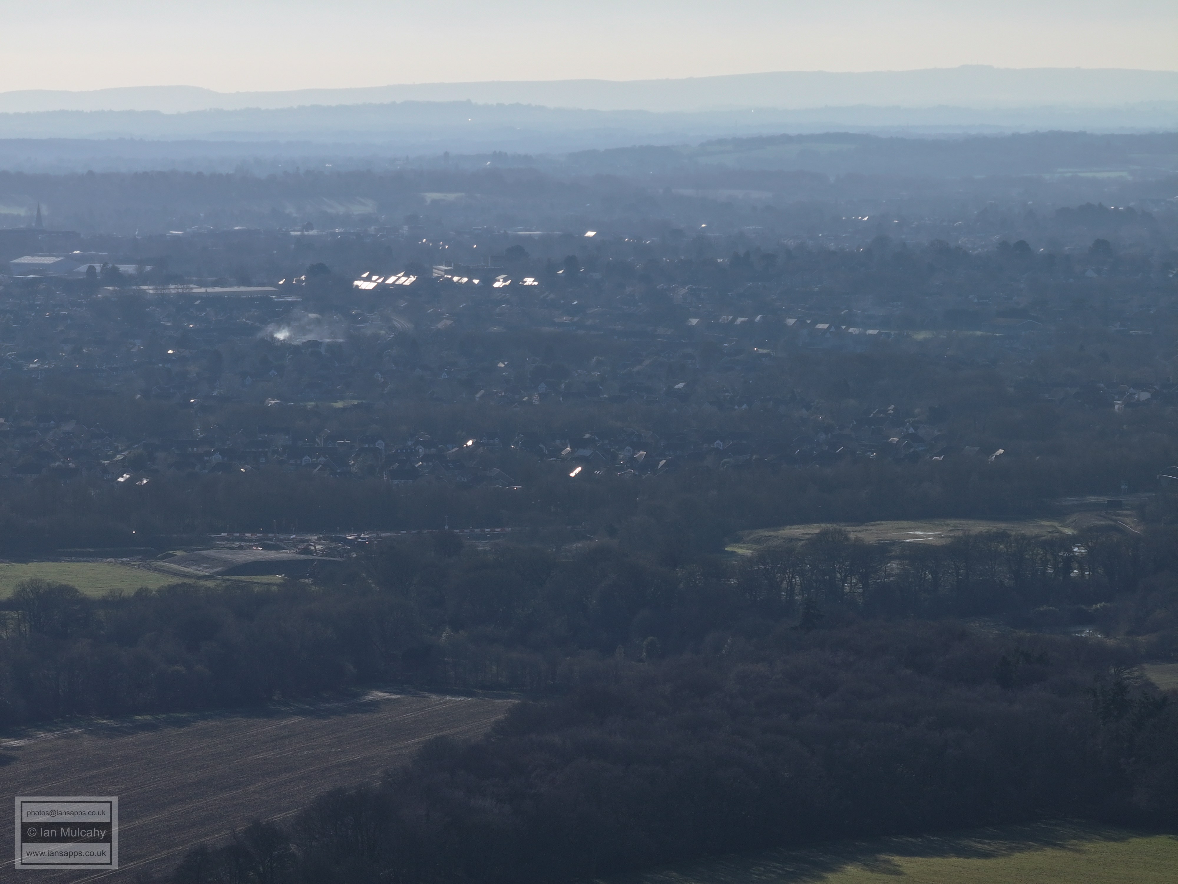
Manor Royal, Crawley Town centre, Langley Green, Ifield, Gossops Green, Bewbush, Southgate West
Kilnwood Vale (top left) & Durrants Village (Faygate, centre right)
Faygate
Hurst Hill
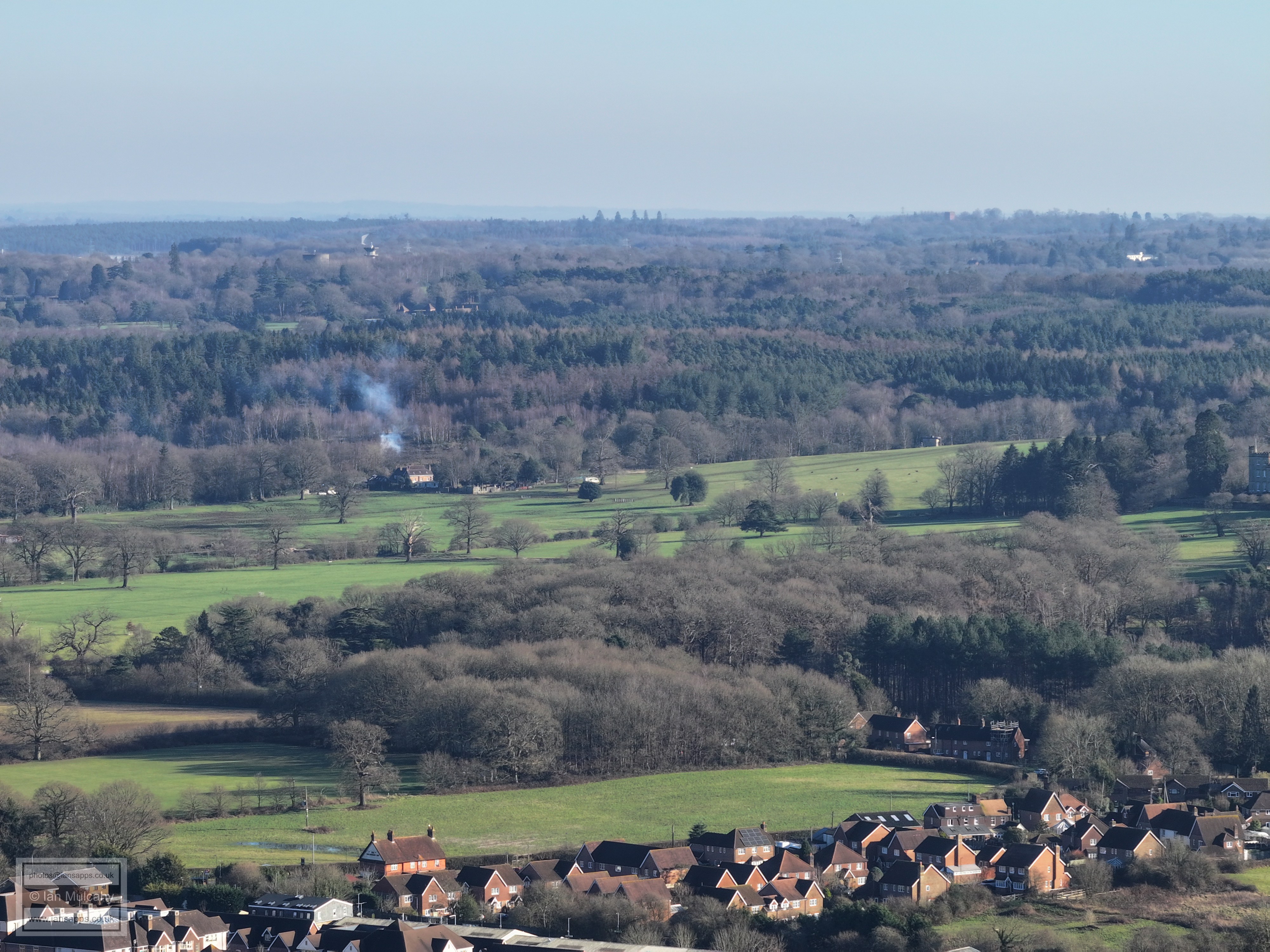
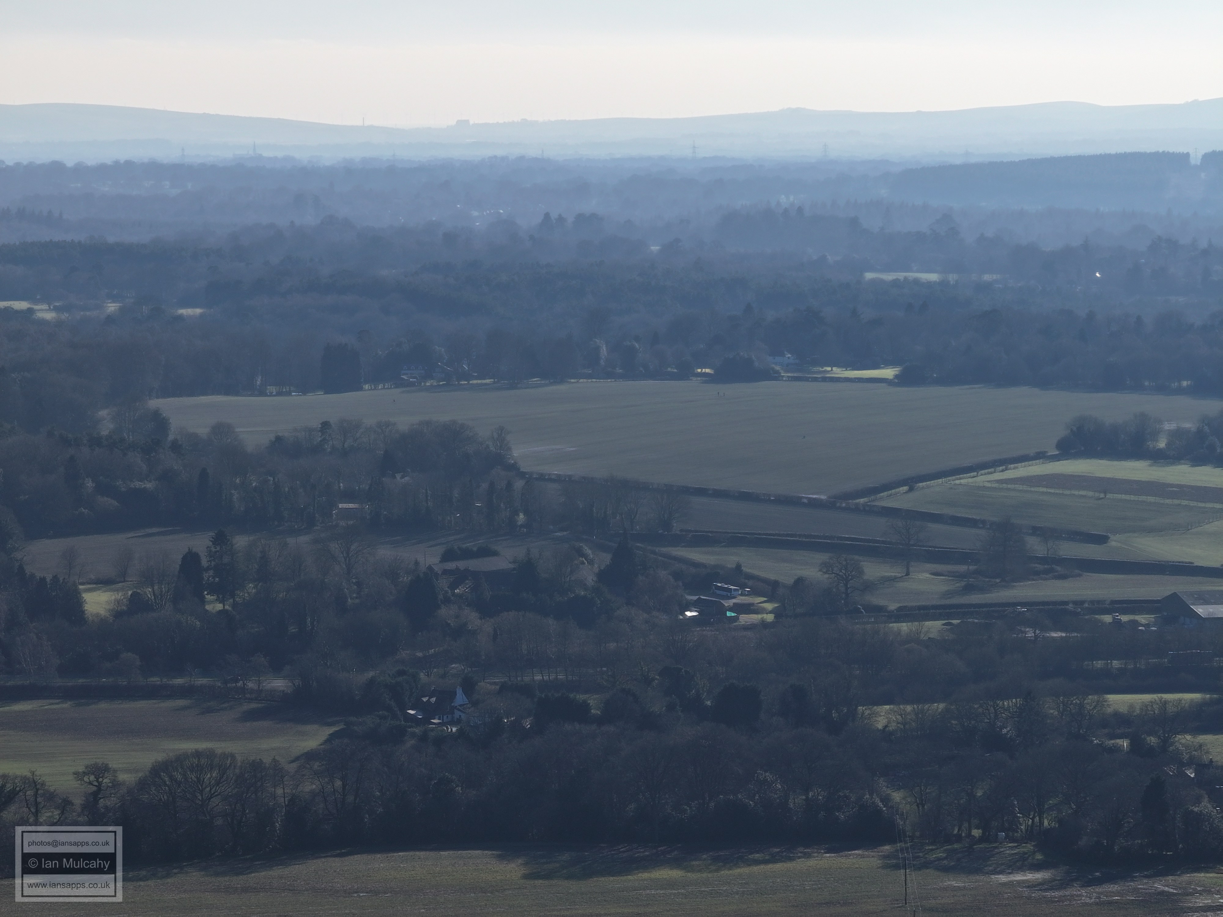
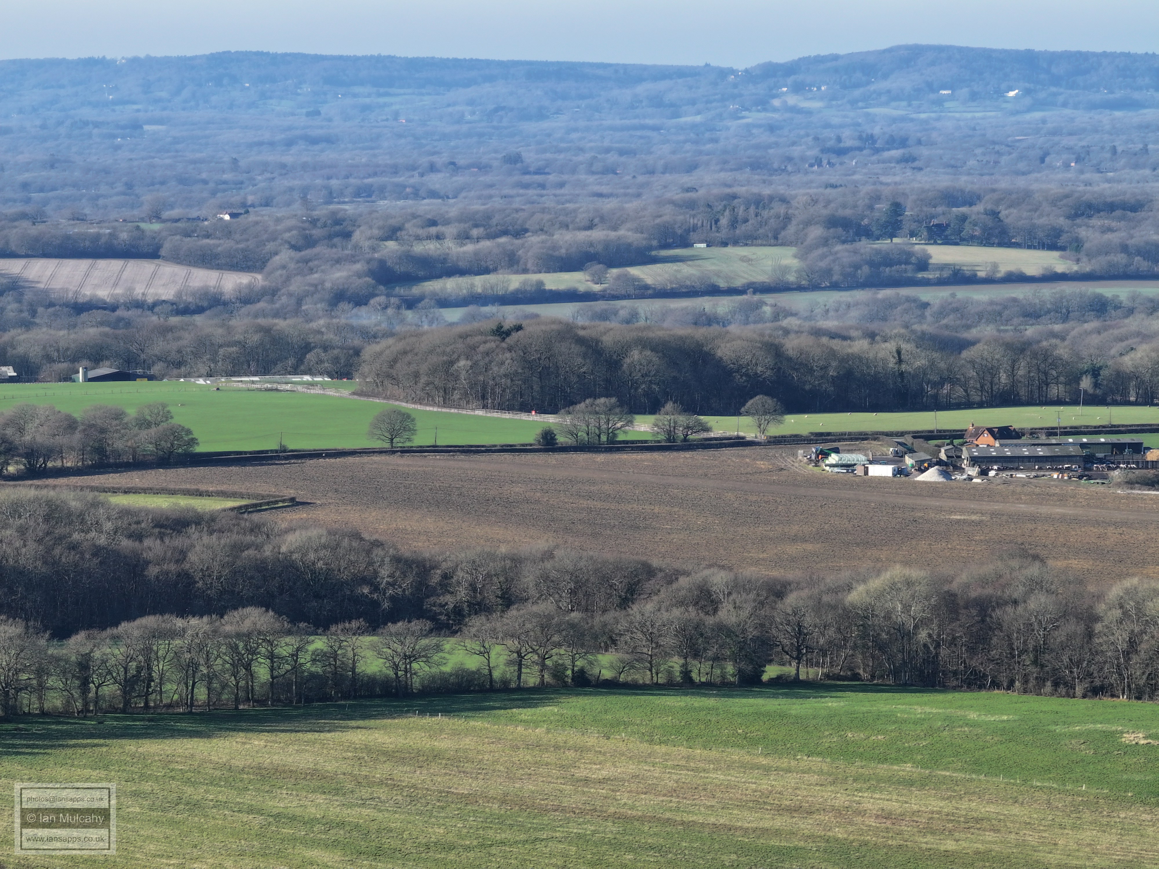
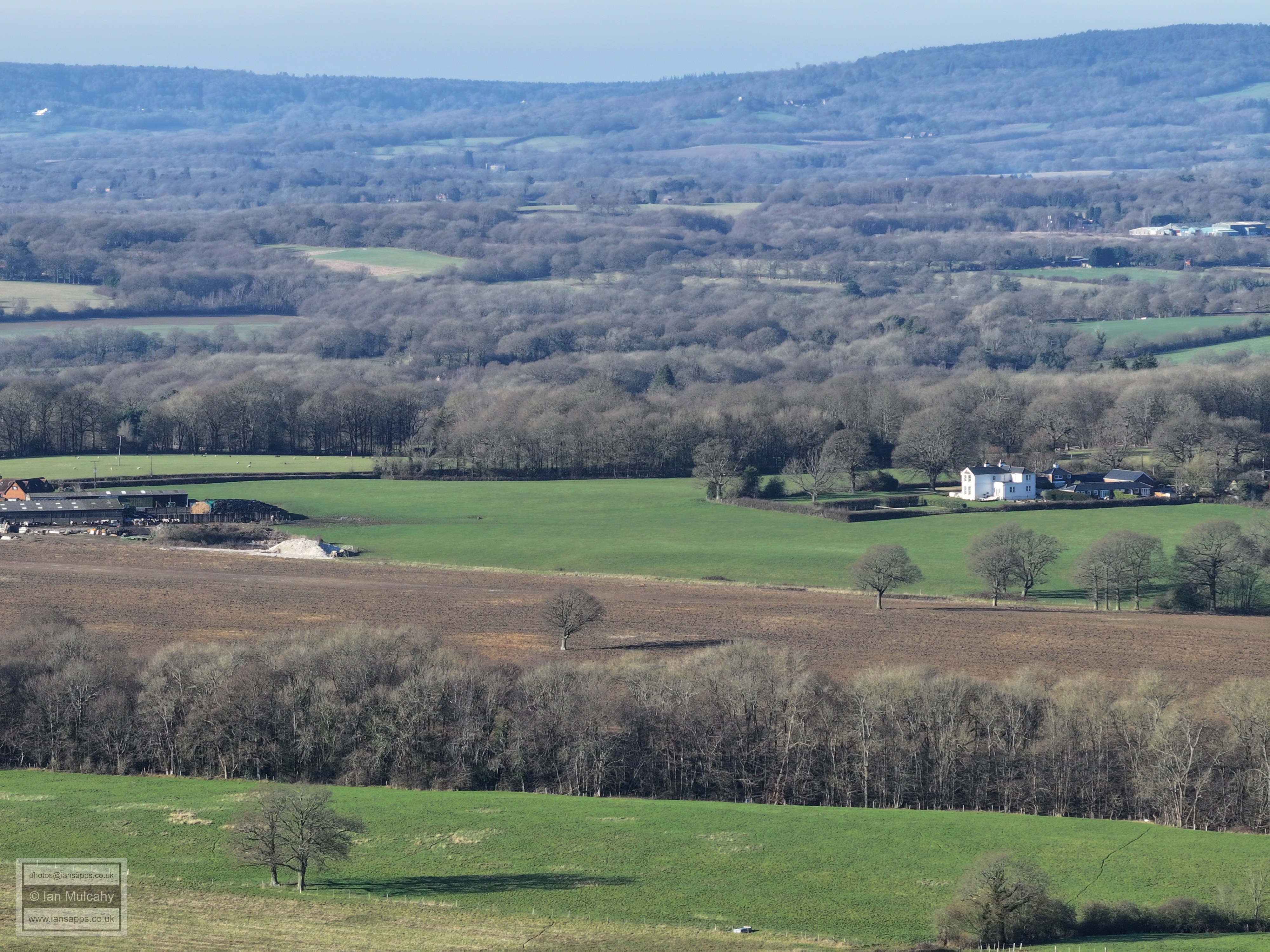
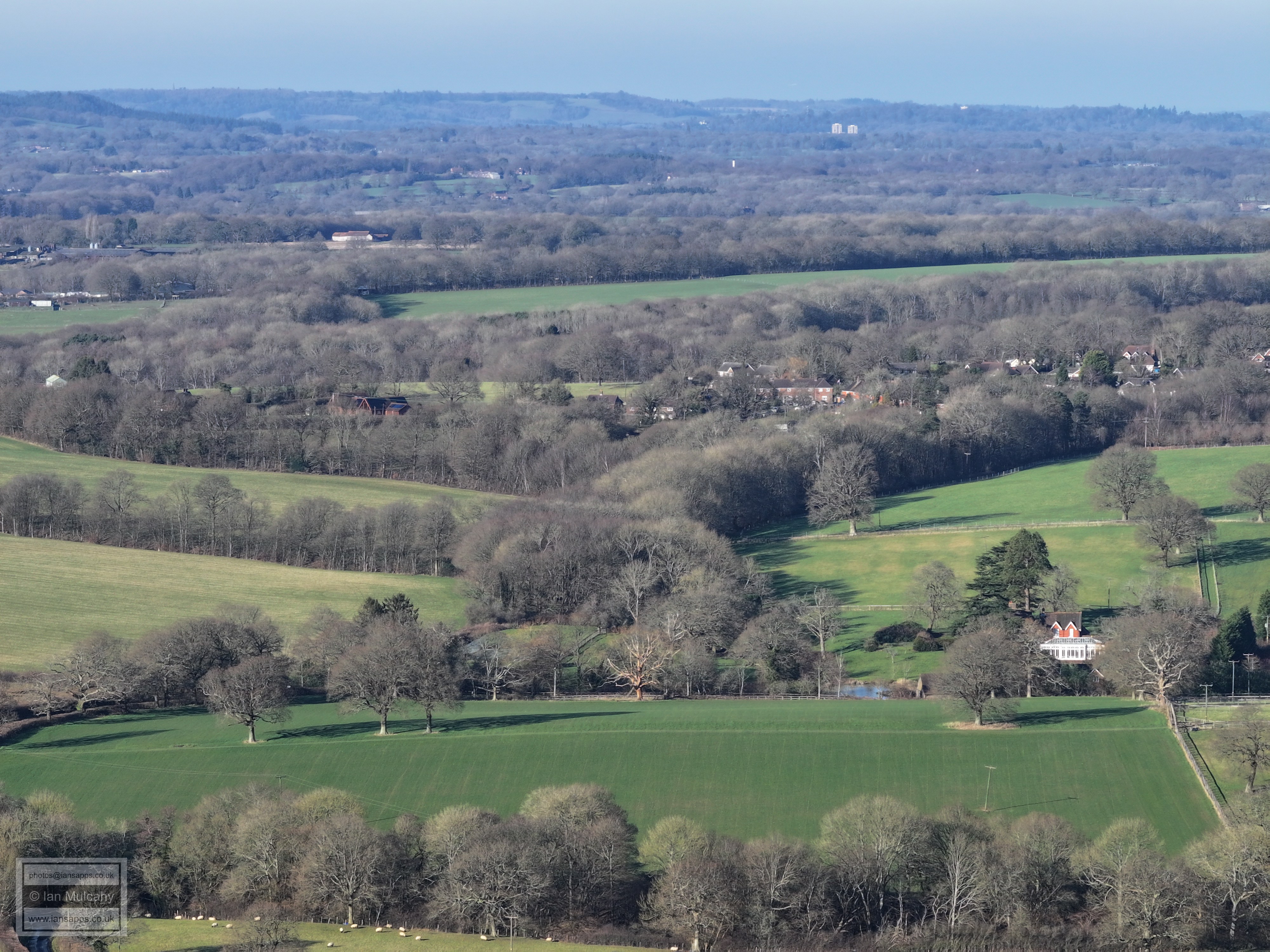
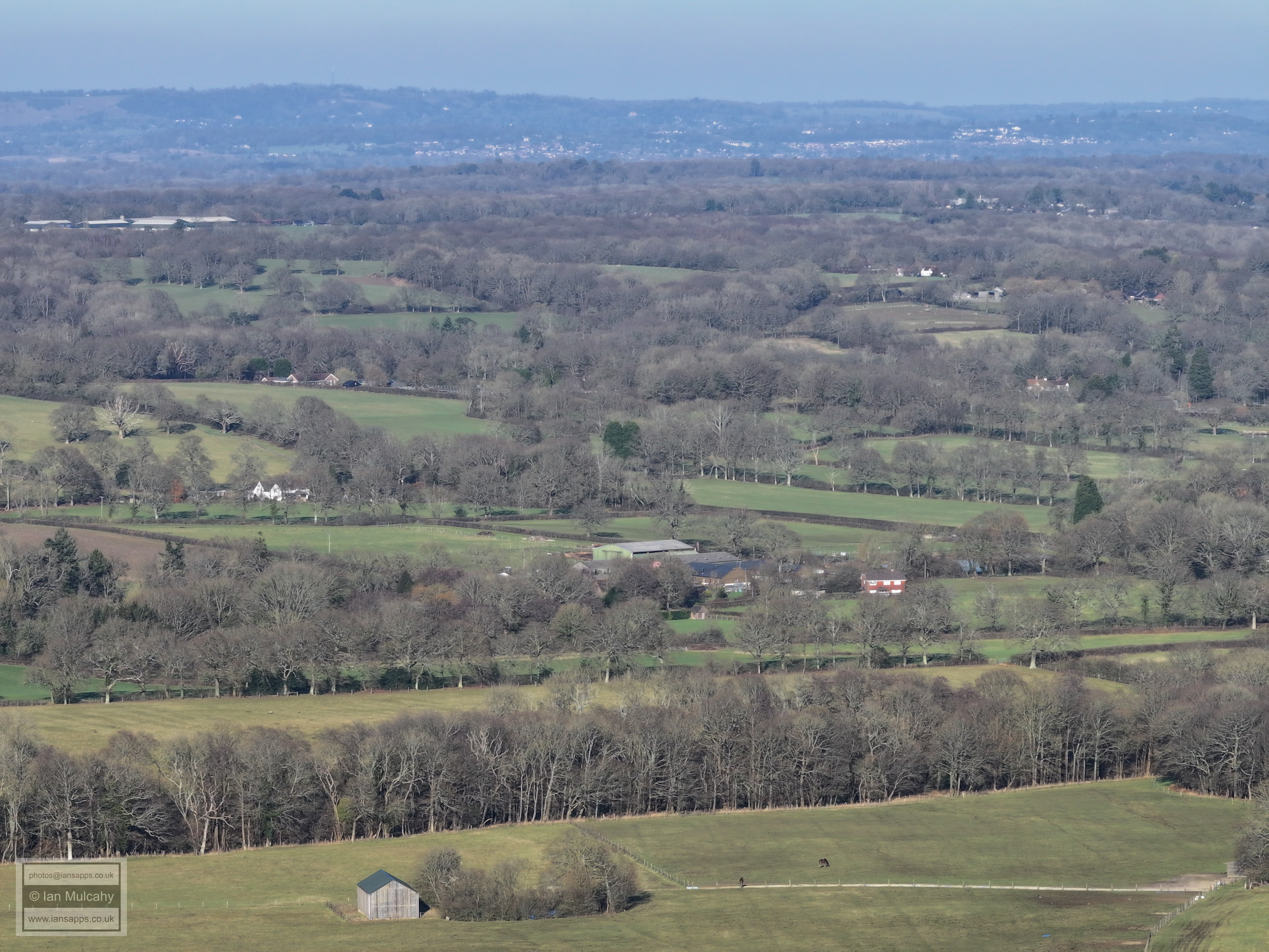
Old Park Farm (left of centre) and Old Park (white building to right)
Wimlands Road, winding it's way towards Rusper.
Rusper. The Church and Water Tower near the boot sale site can be seen left of centre towards the top.
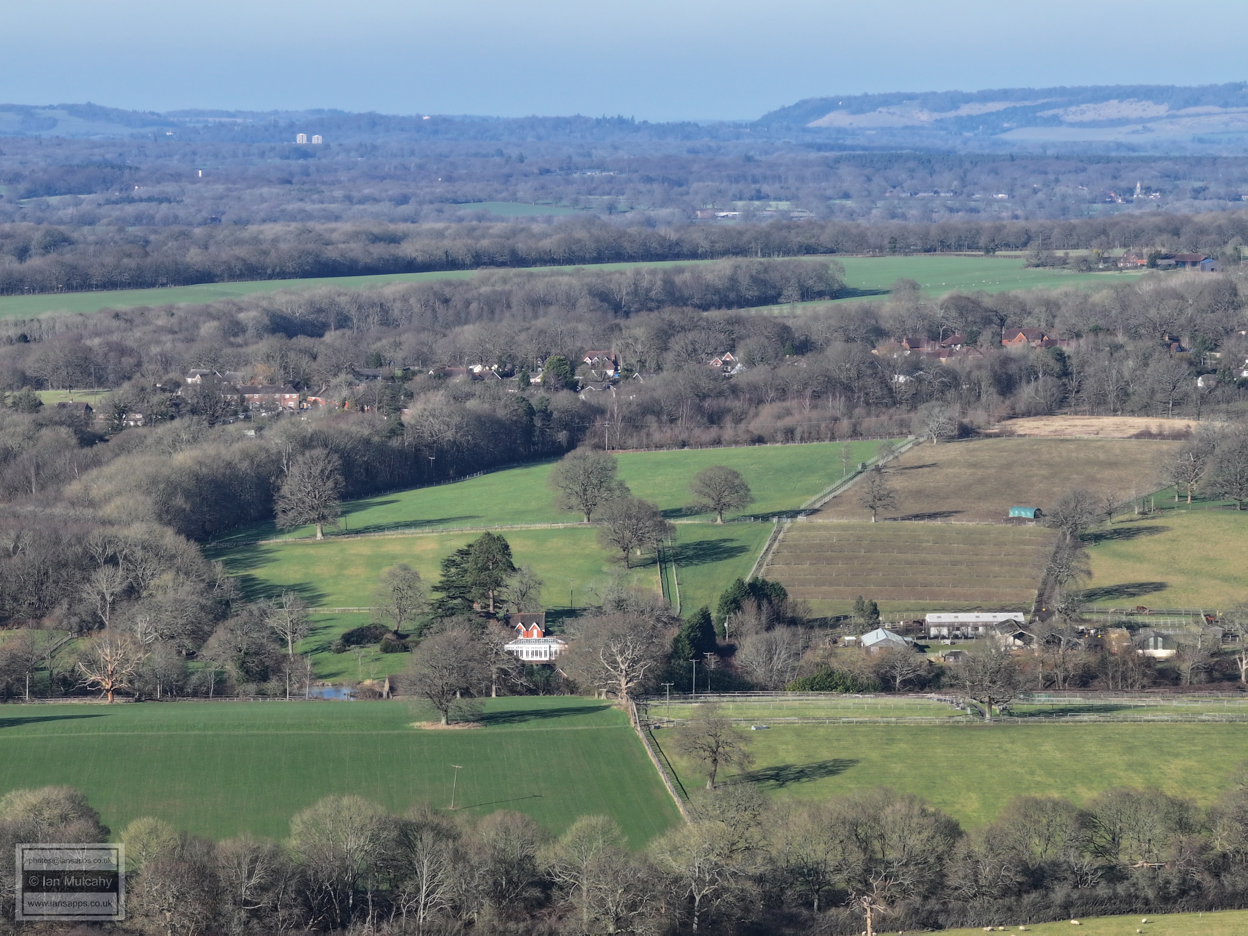
Gatwick. In the foreground is Carylls Country House
Manor Royal. St Margaret's Church at Ifield is below and left of The Atrium & Astral Towers
White building just above centre is Ifield Community College and to the right is Gossops Green. Also clearly visible is the Sandman hotel at Hazelwick with the leisure Park just below, Crawley Hospital and the Telephone Exchange
Crawley Town Centre
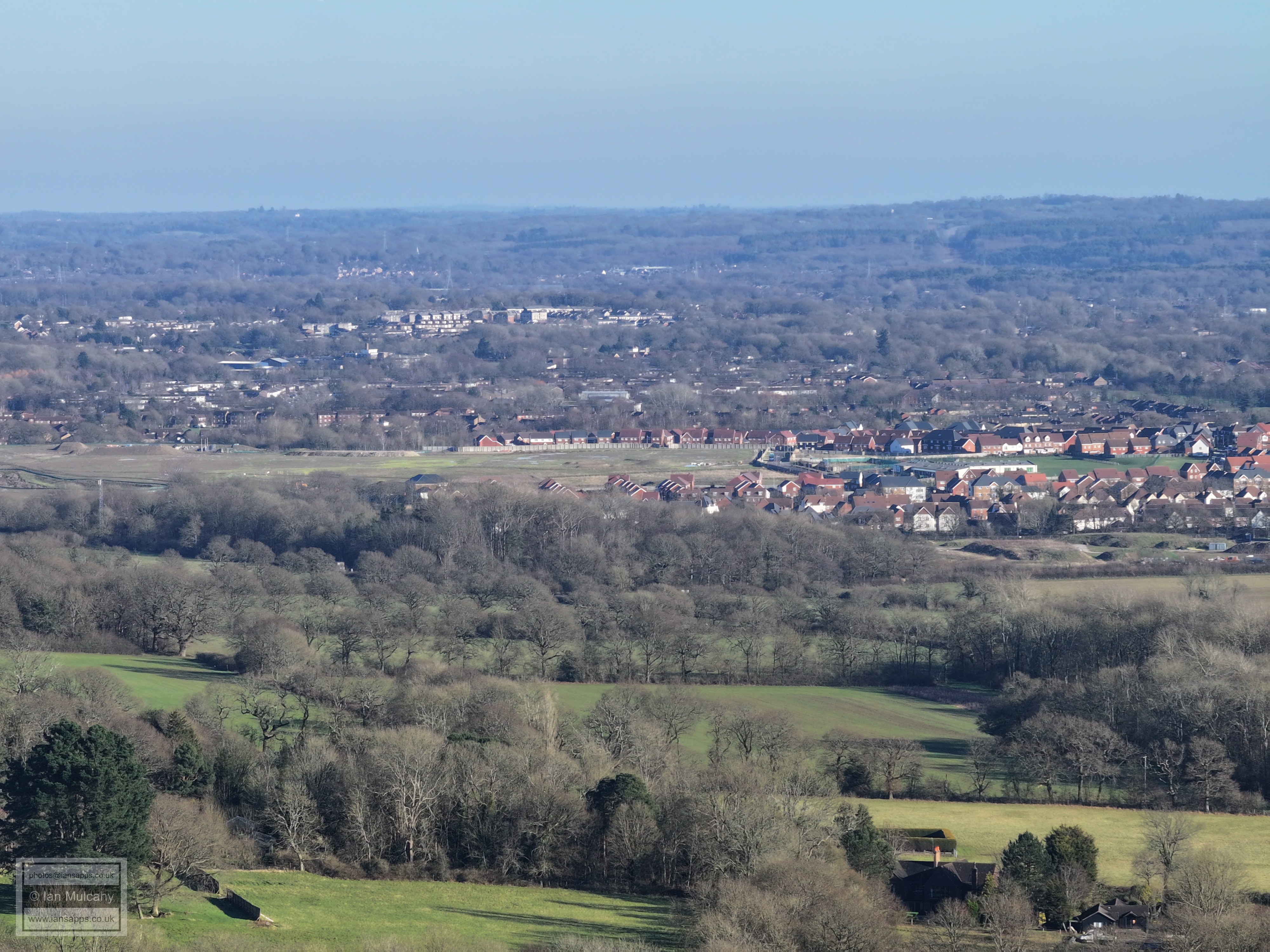
On the high ground just to the left of an above centre is Southgate West, on Hogs Hill. Bewbush is below and Kilnwood Vale to the right
Kilnwood Vale
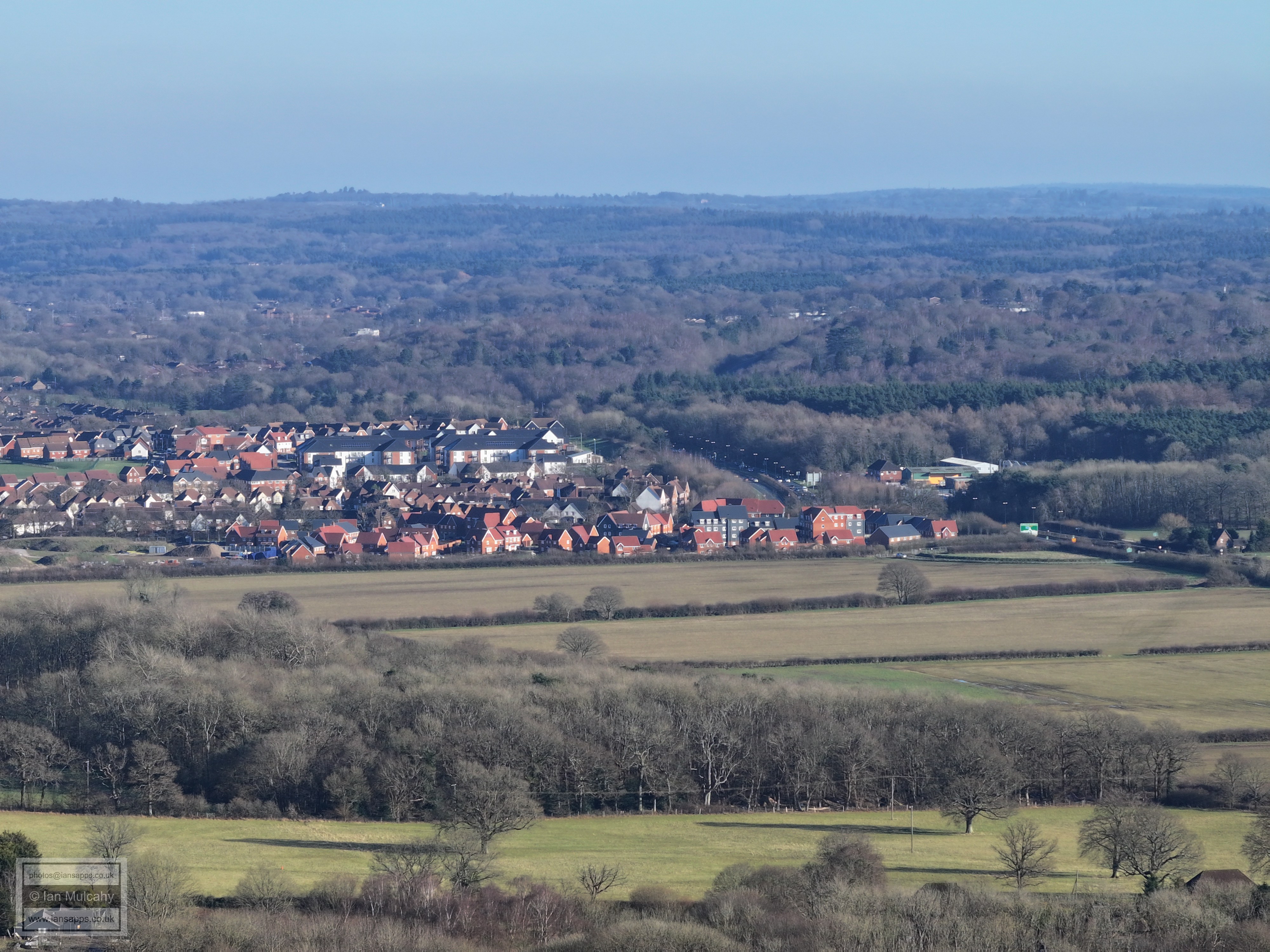
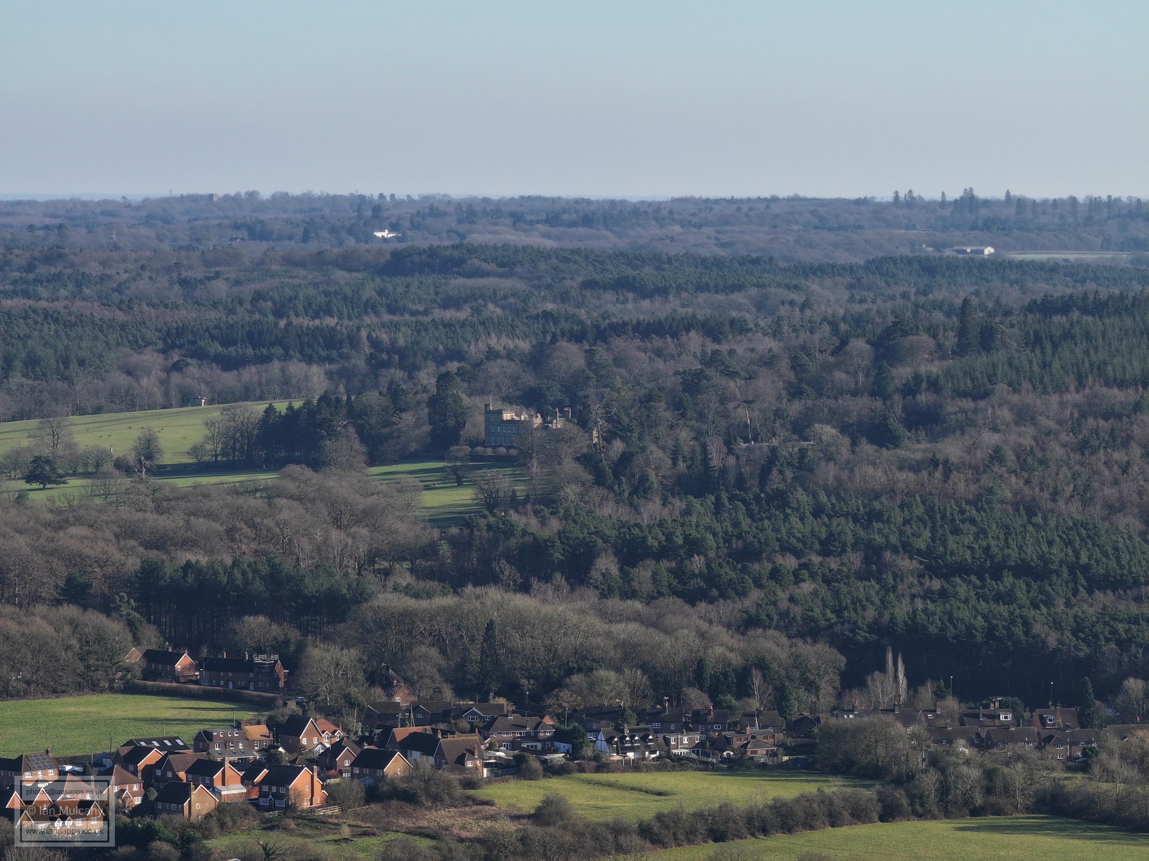
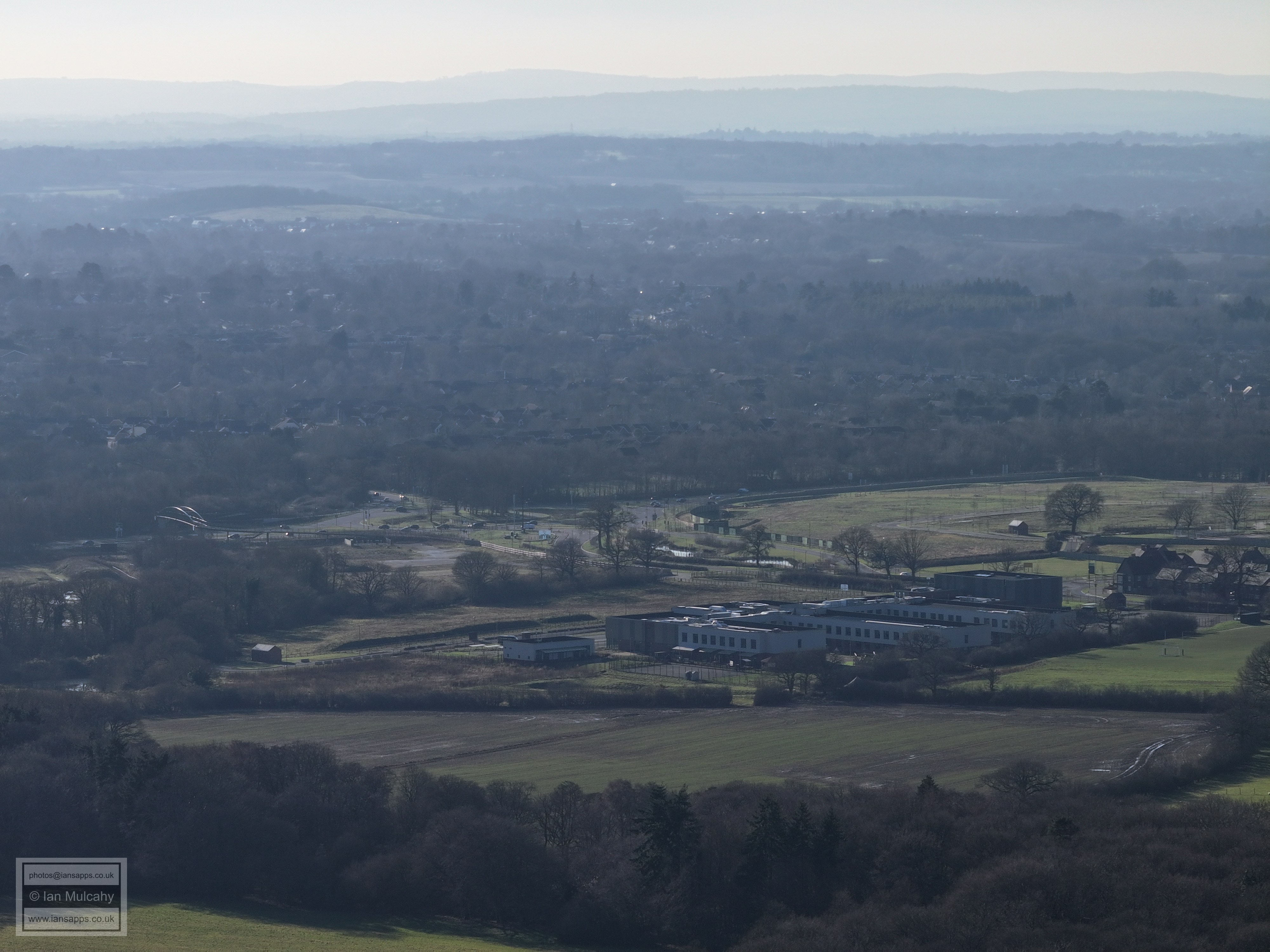
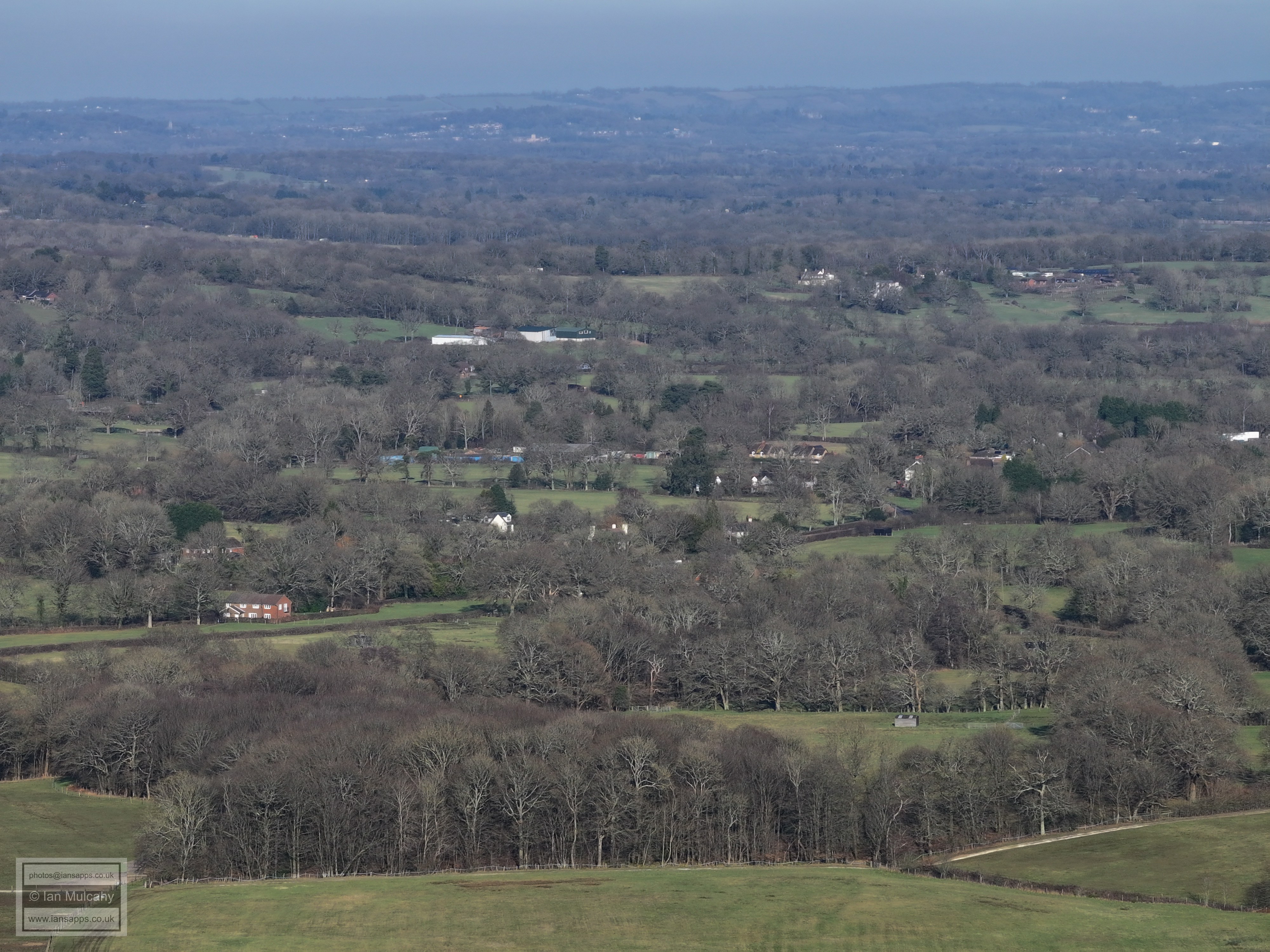
Buchan House (Cottesmore School) protrudes from the trees in the top right quarter. Holmbush Farm is in the centre.
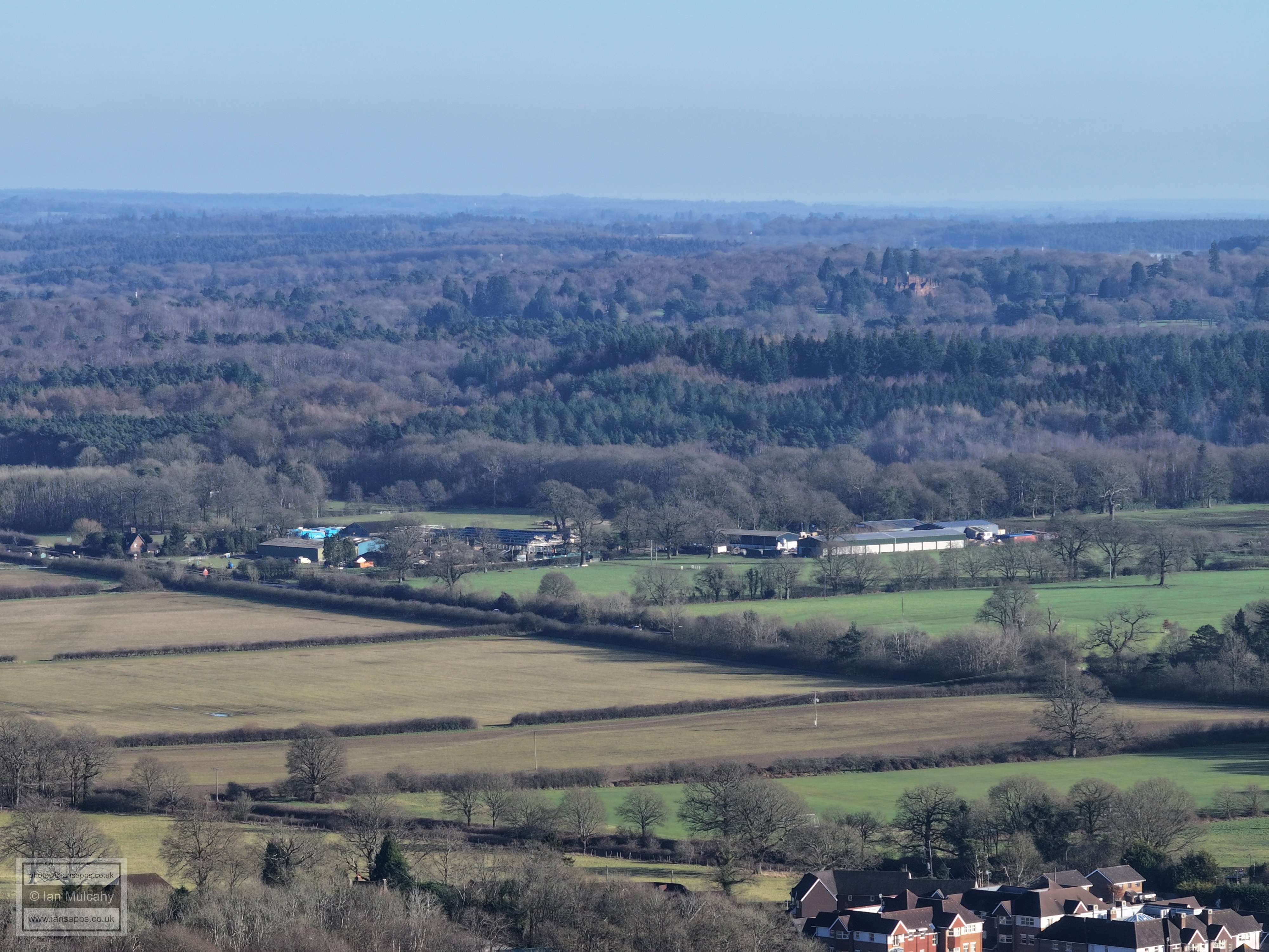
Faygate in the foreground.On the hill, in the top left quarter, is the radar station and water tower on Buchan Hill
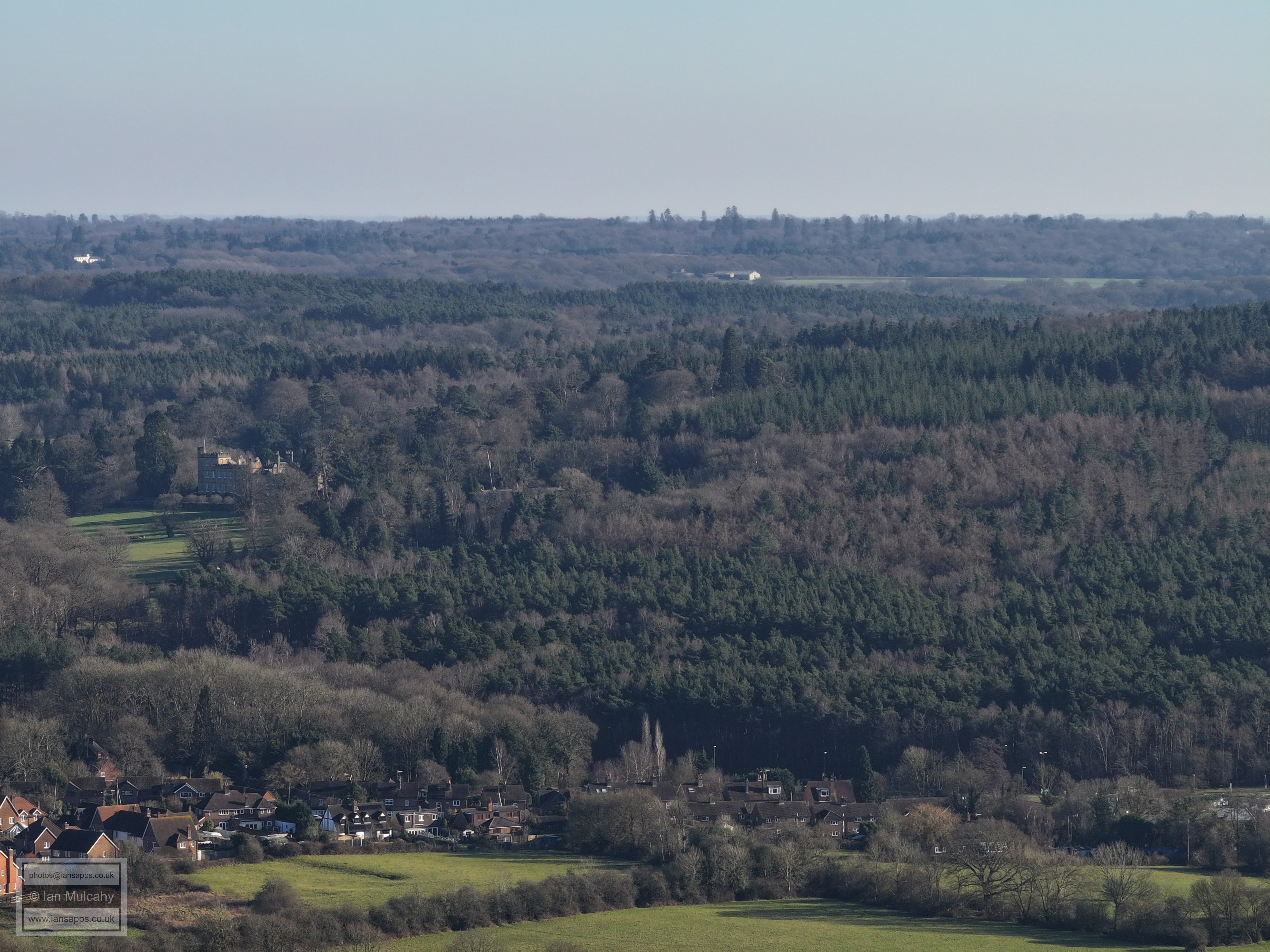
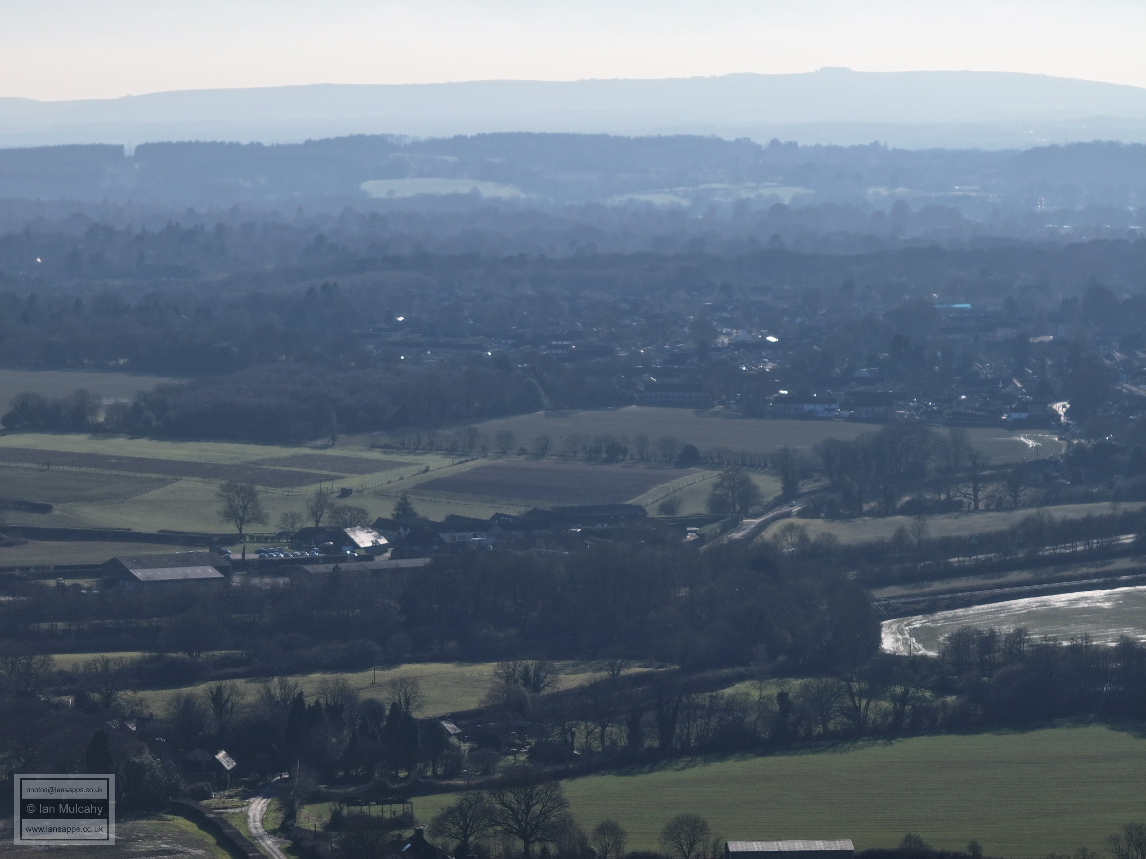
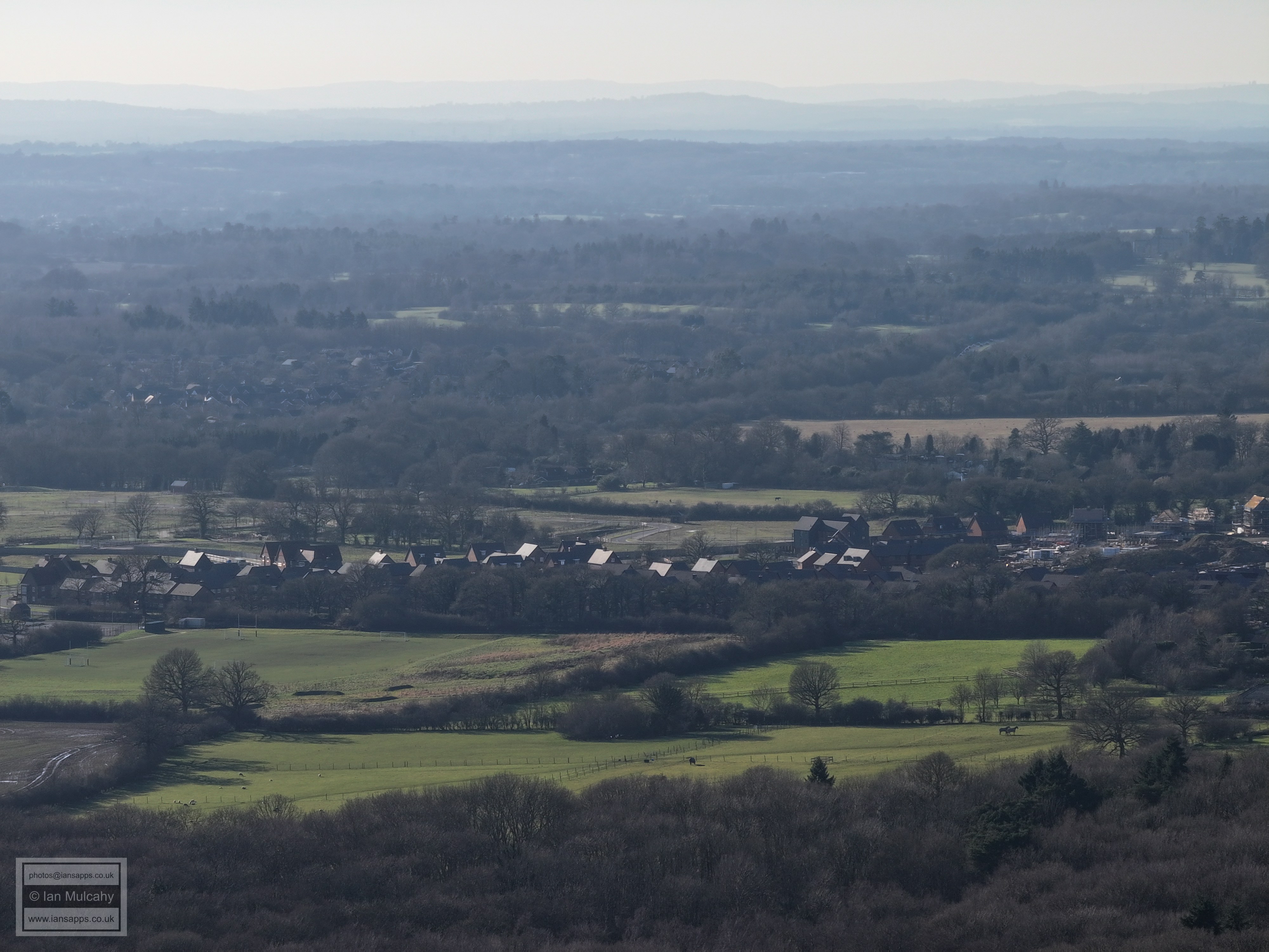
Faygate in the foreground and Holmbush in the centre.
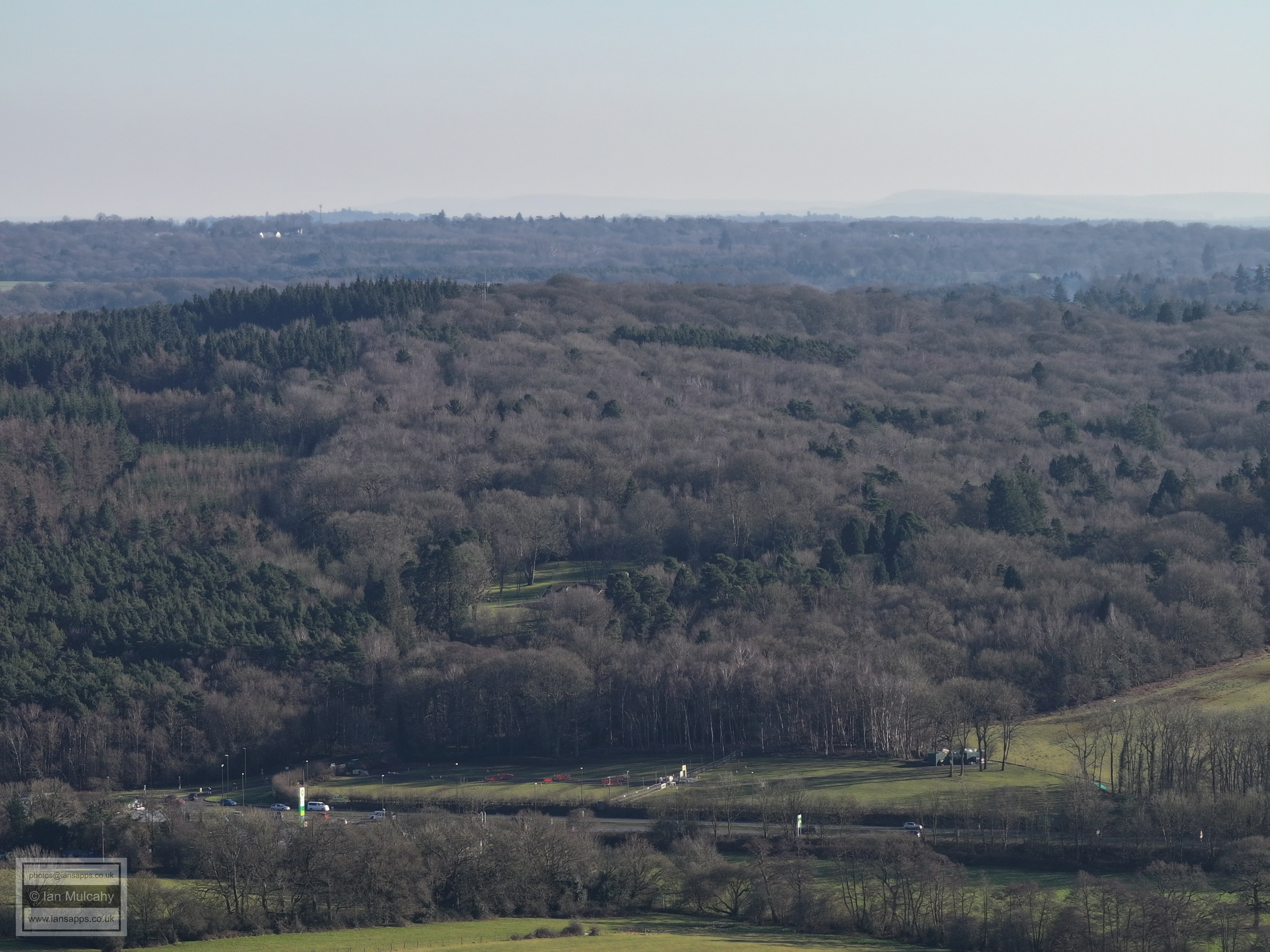
Faygate car boot sale site.
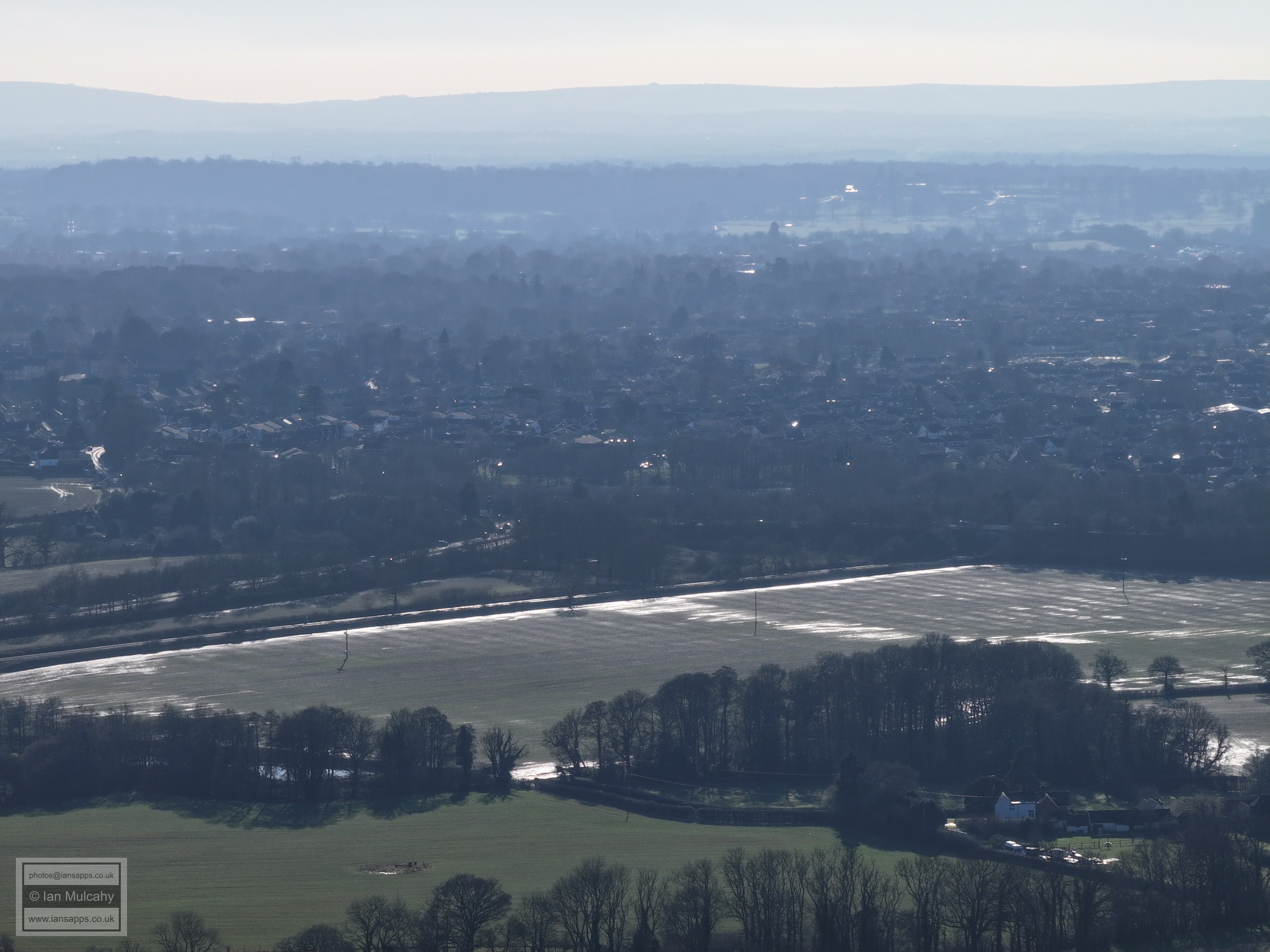
Roffey Park in the centre. A264 across the bottom.
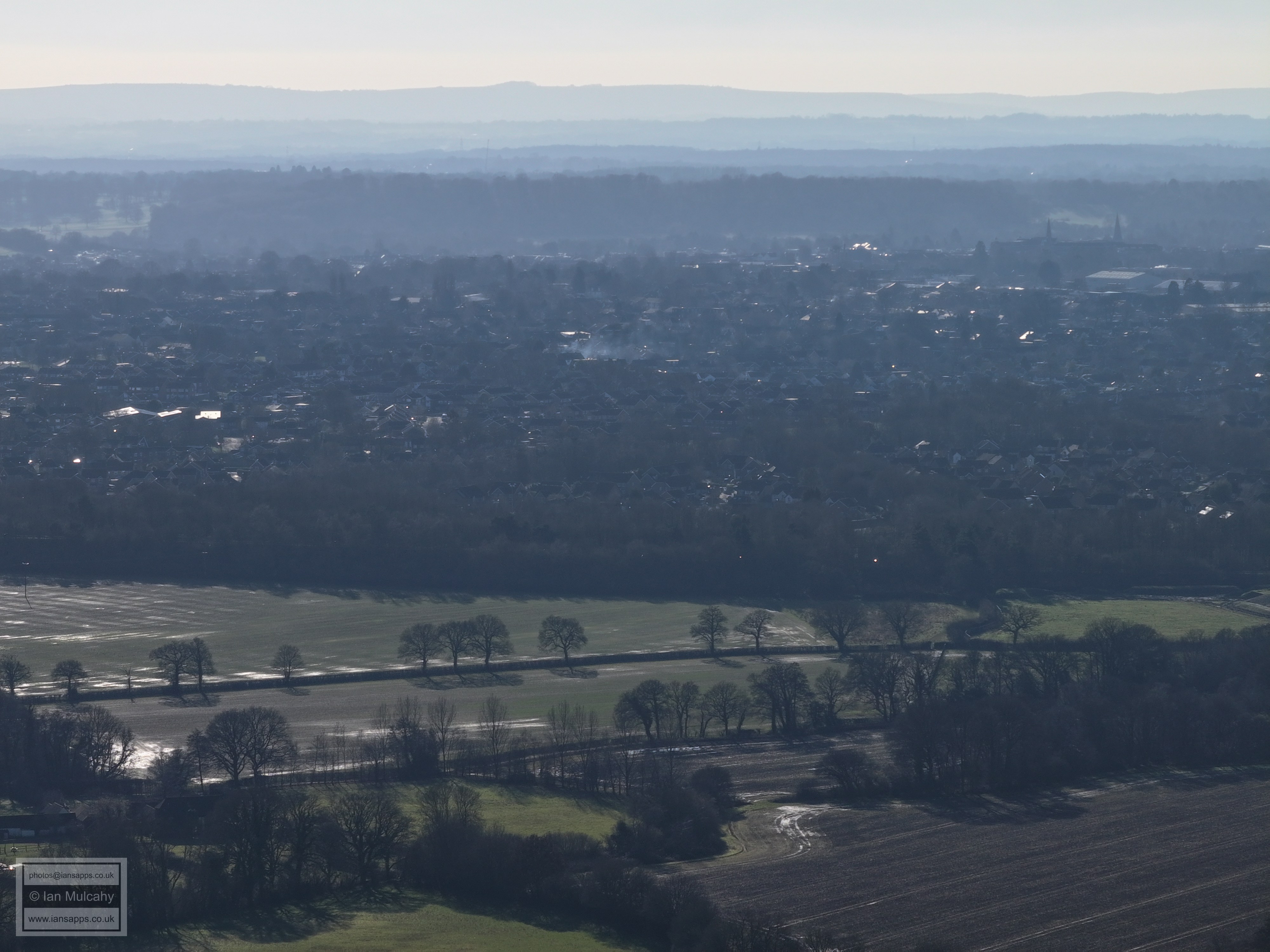
St Marks and St Marys spires in the top right quarter.
Bohunt and Rusper Road roundabout.
Mowbray
Hurst Hill
Old Park Farm (left) and Old Park (white house, right)
Old Park (left) Leith Hill Tower (top, left of centre) and Wimlands Road (right)
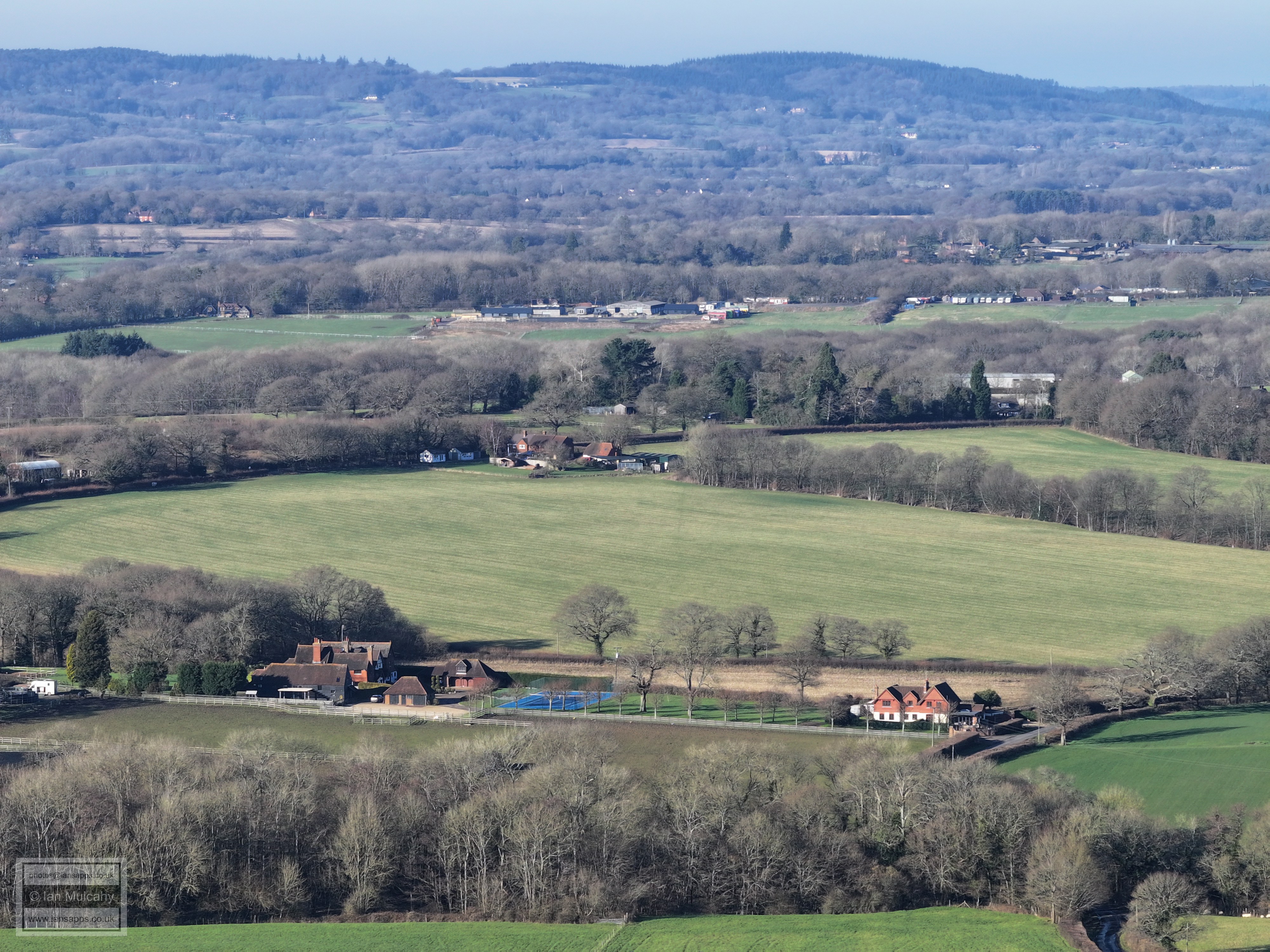
Westons House on Wimlands Road (left foreground). The buildings above centre are at Newhouse Farm on the Capel Road
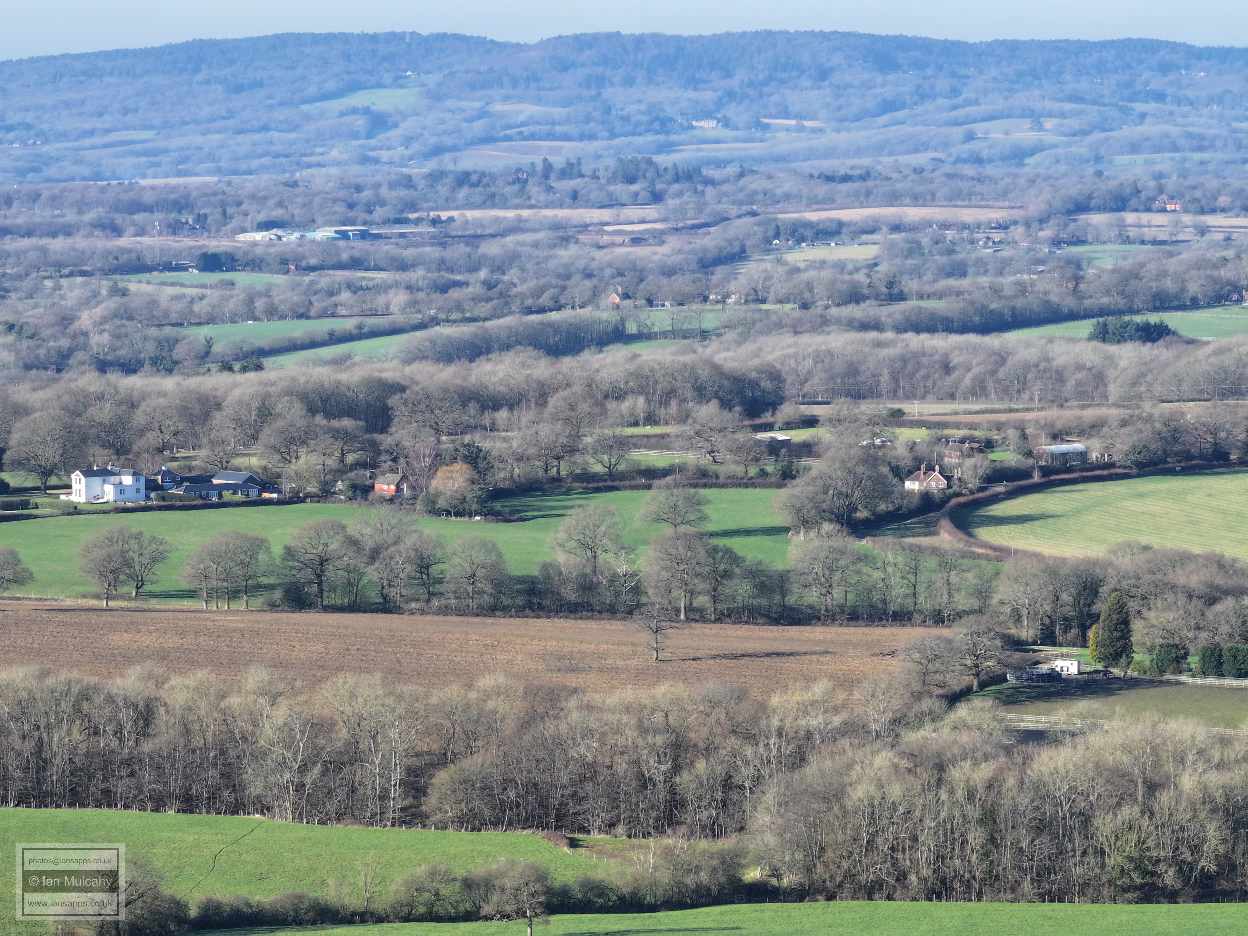
Baldhorns Park (bottom right) and Gardners Green (right of centre) in Rusper
Baldhorns Park (bottom centre) and the southern areas of Rusper
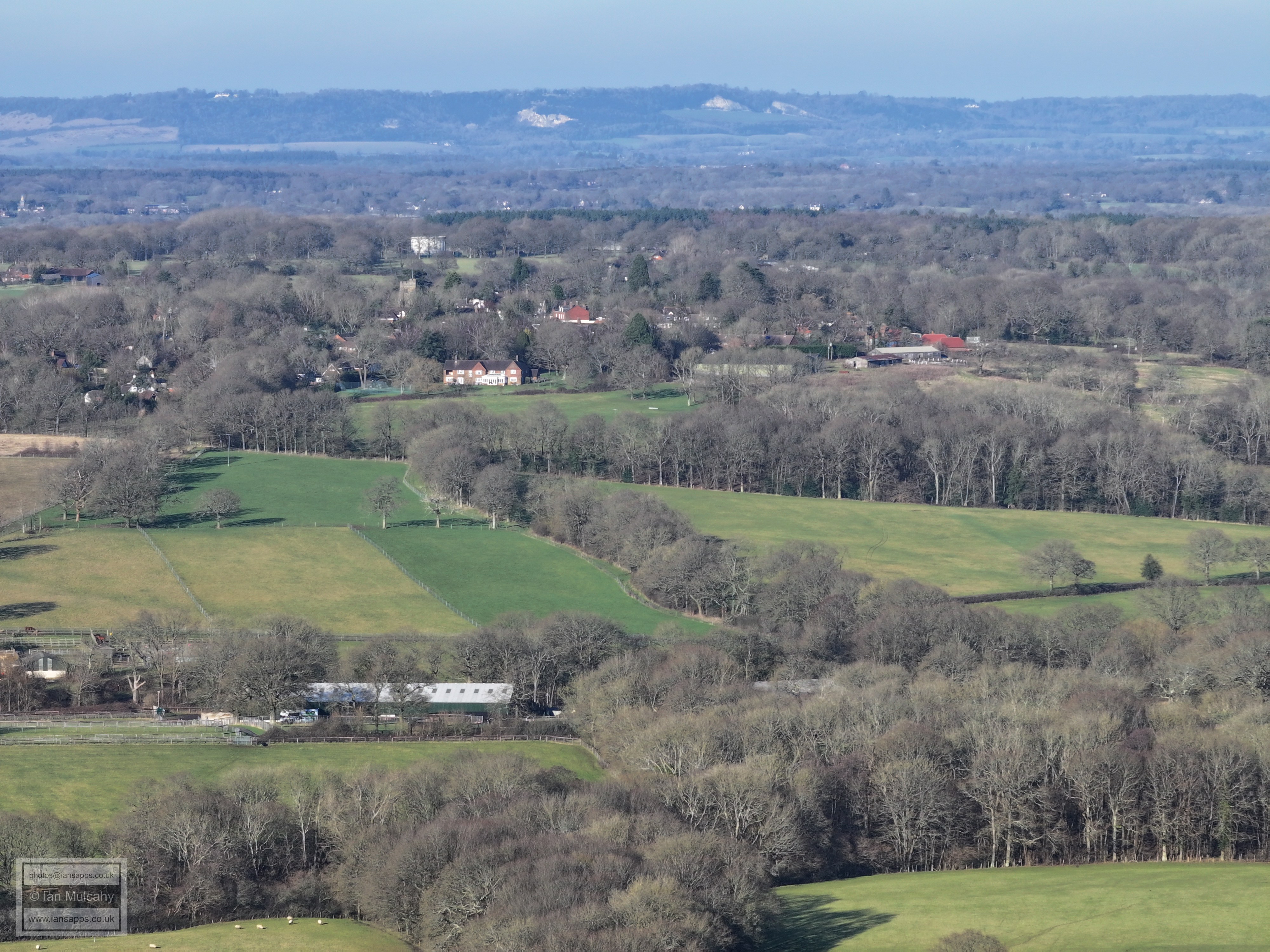
Rusper
The farm buildings in the top left are Ivy House Farm on Partridge Lane. Russ Hill Hotel is at the same height on the right. Reigate nestles on the North Downs beyond.
Text & photographs © Ian Mulcahy. Contact photos@iansapps.co.uk or visit my 'Use of my photographs' page for licensing queries (ground level photographs only). |