West of Ifield Golf Course
30 March 2025
65 aerial photos of varying focal length
|
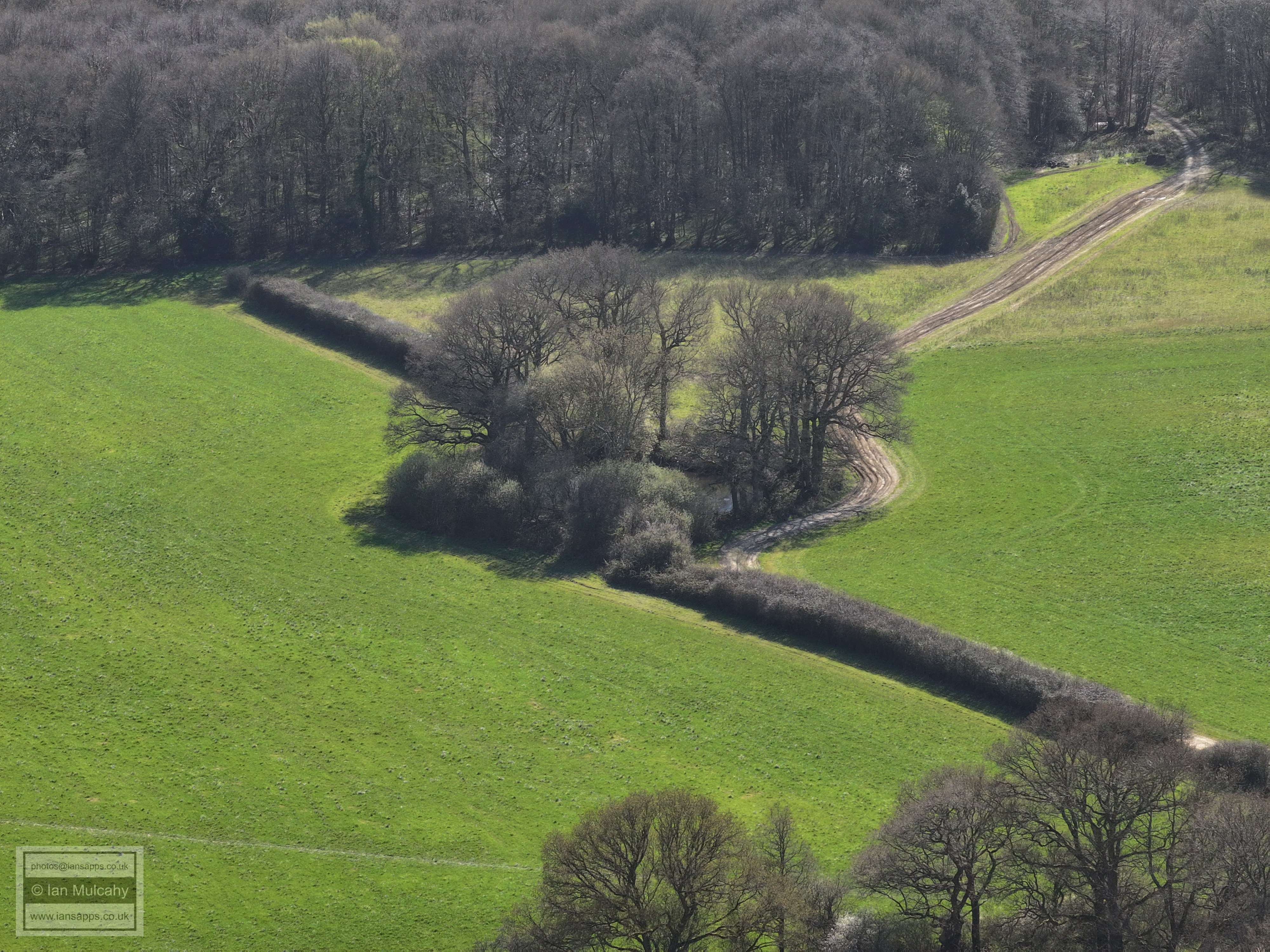
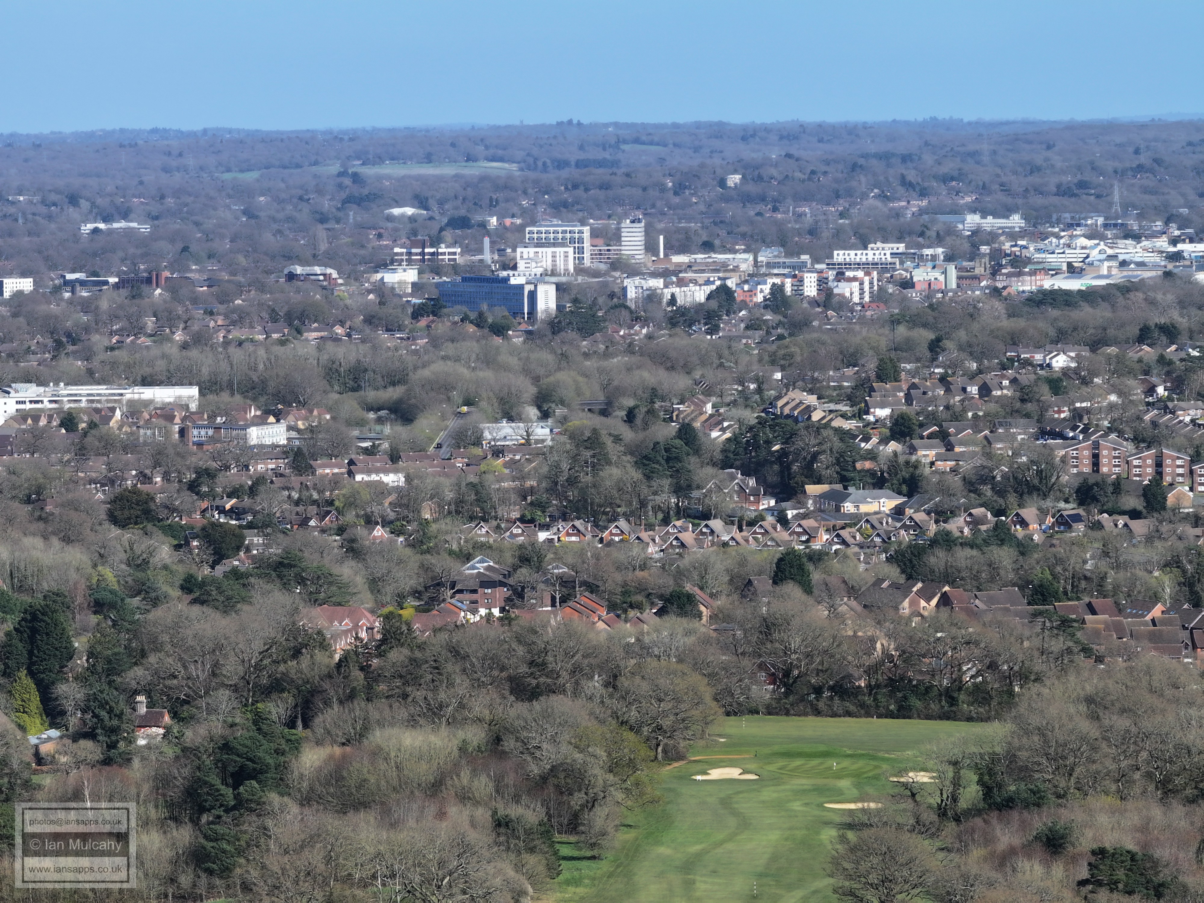
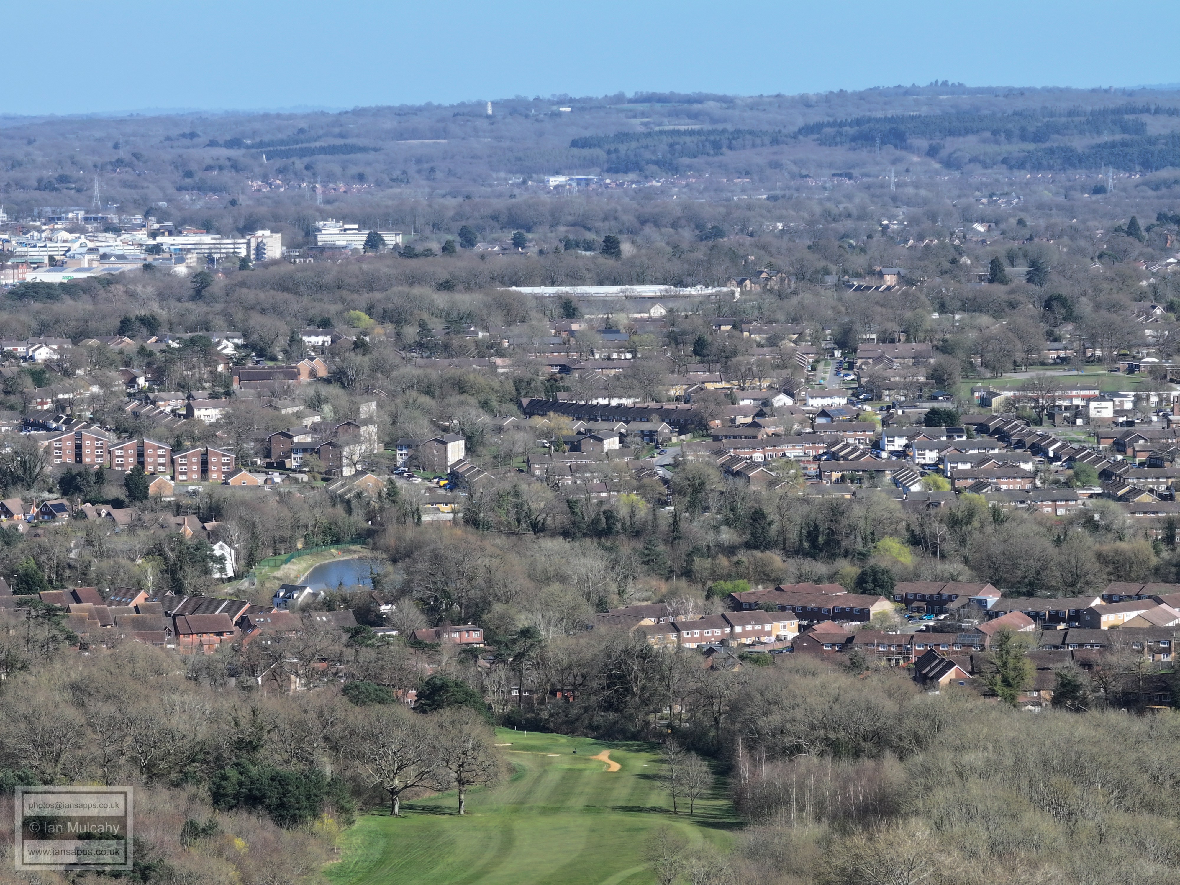
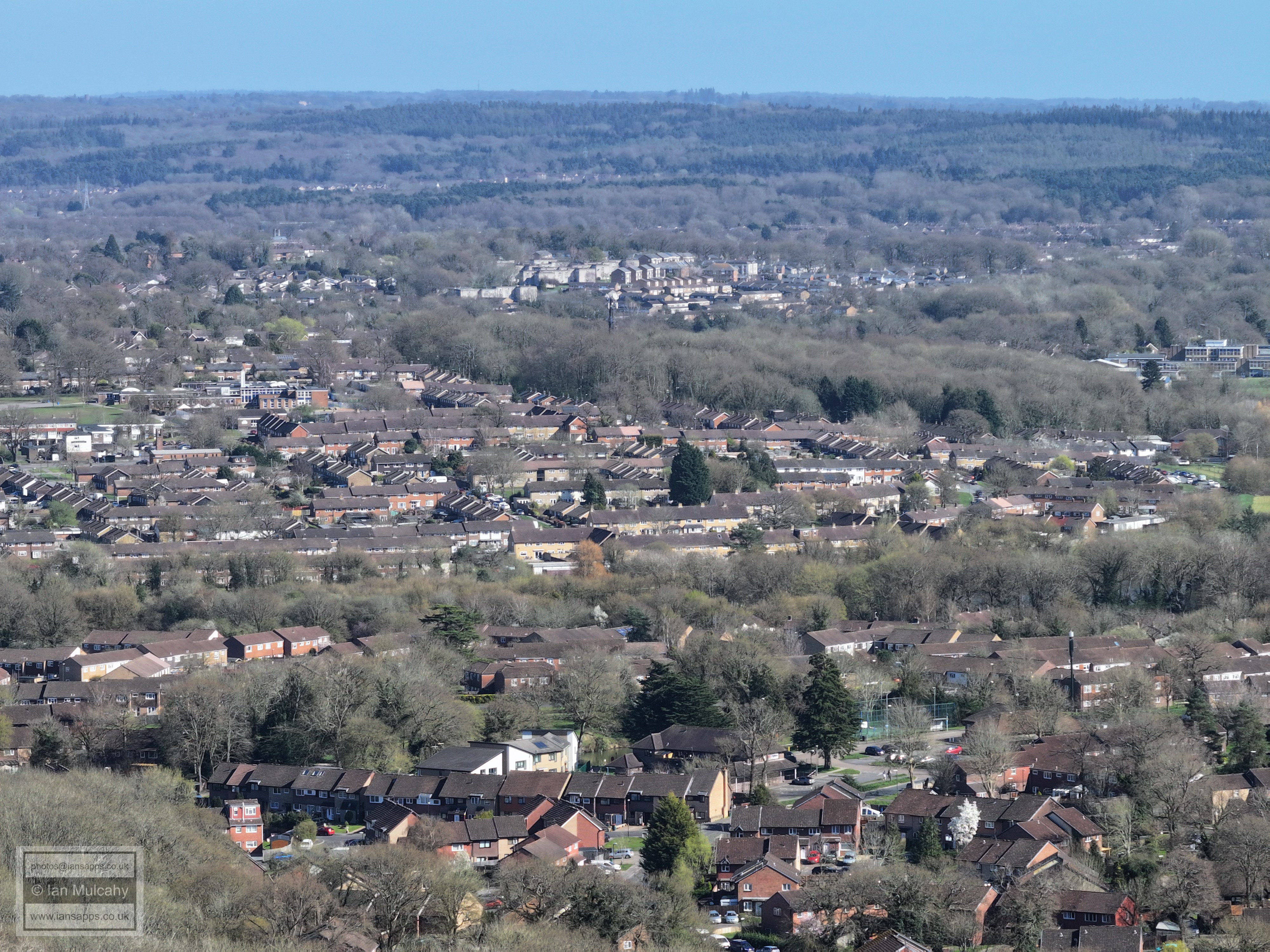
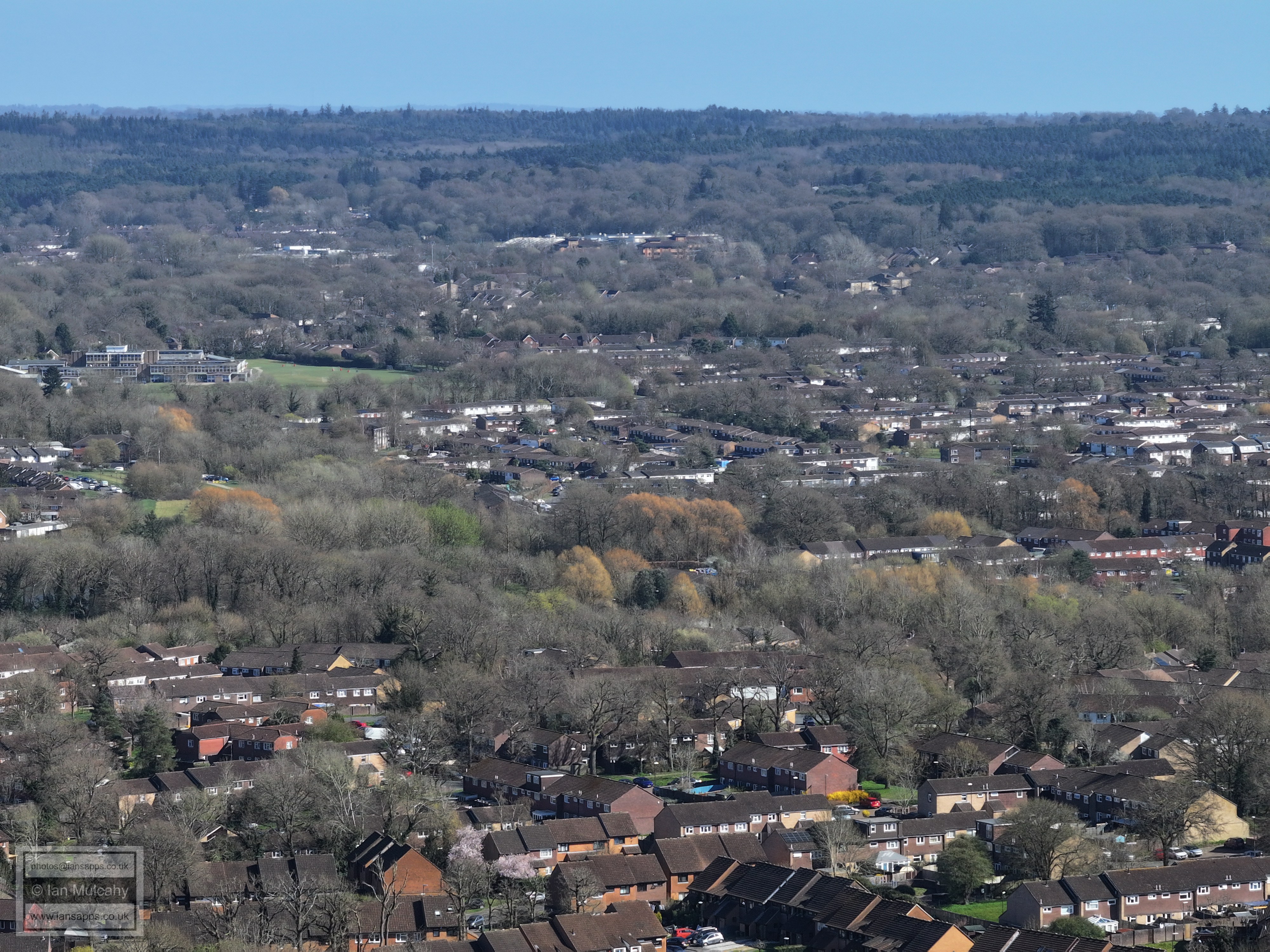
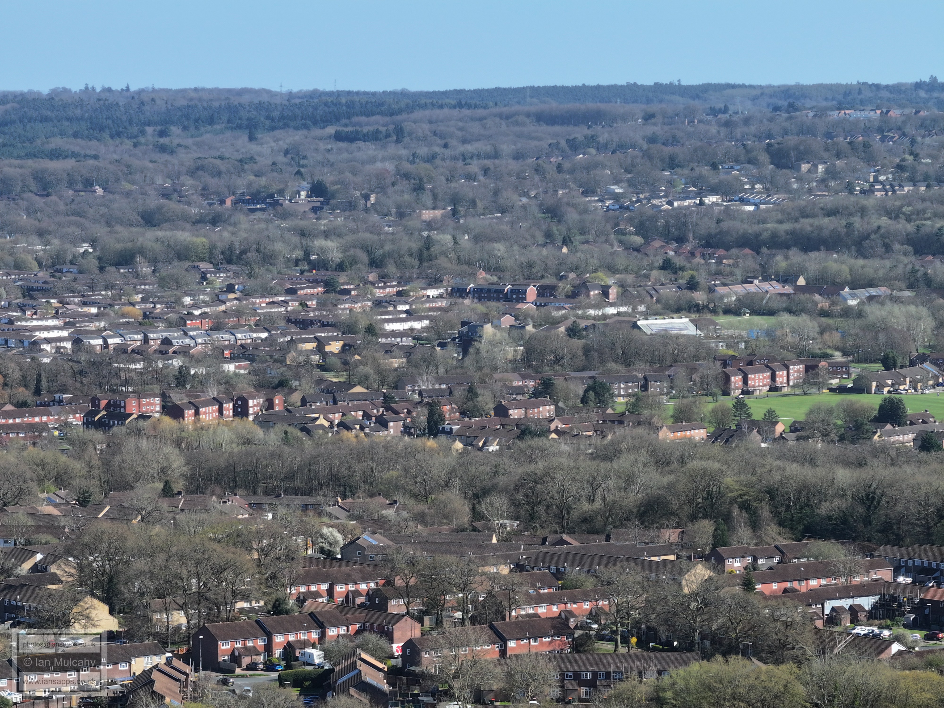
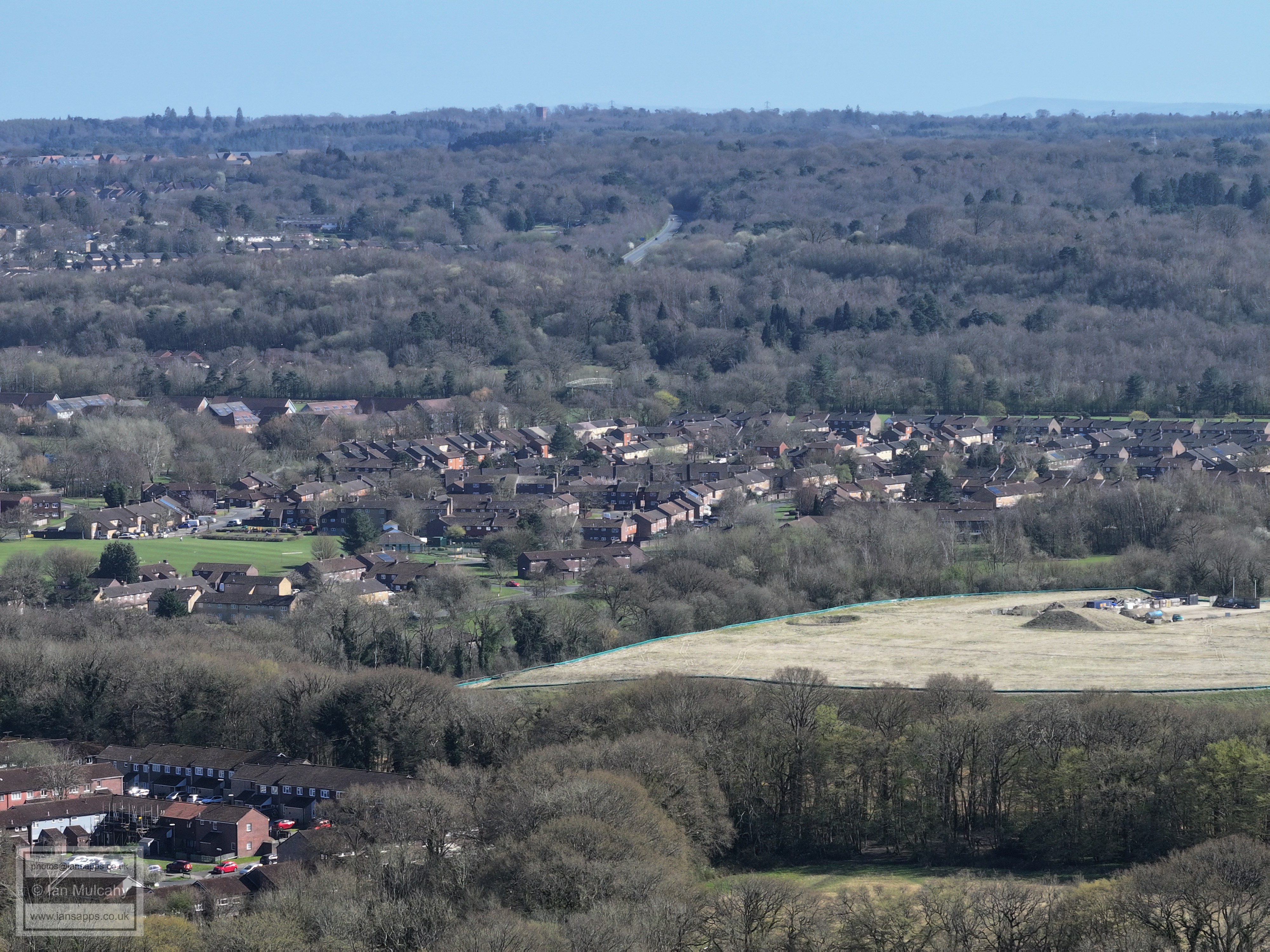
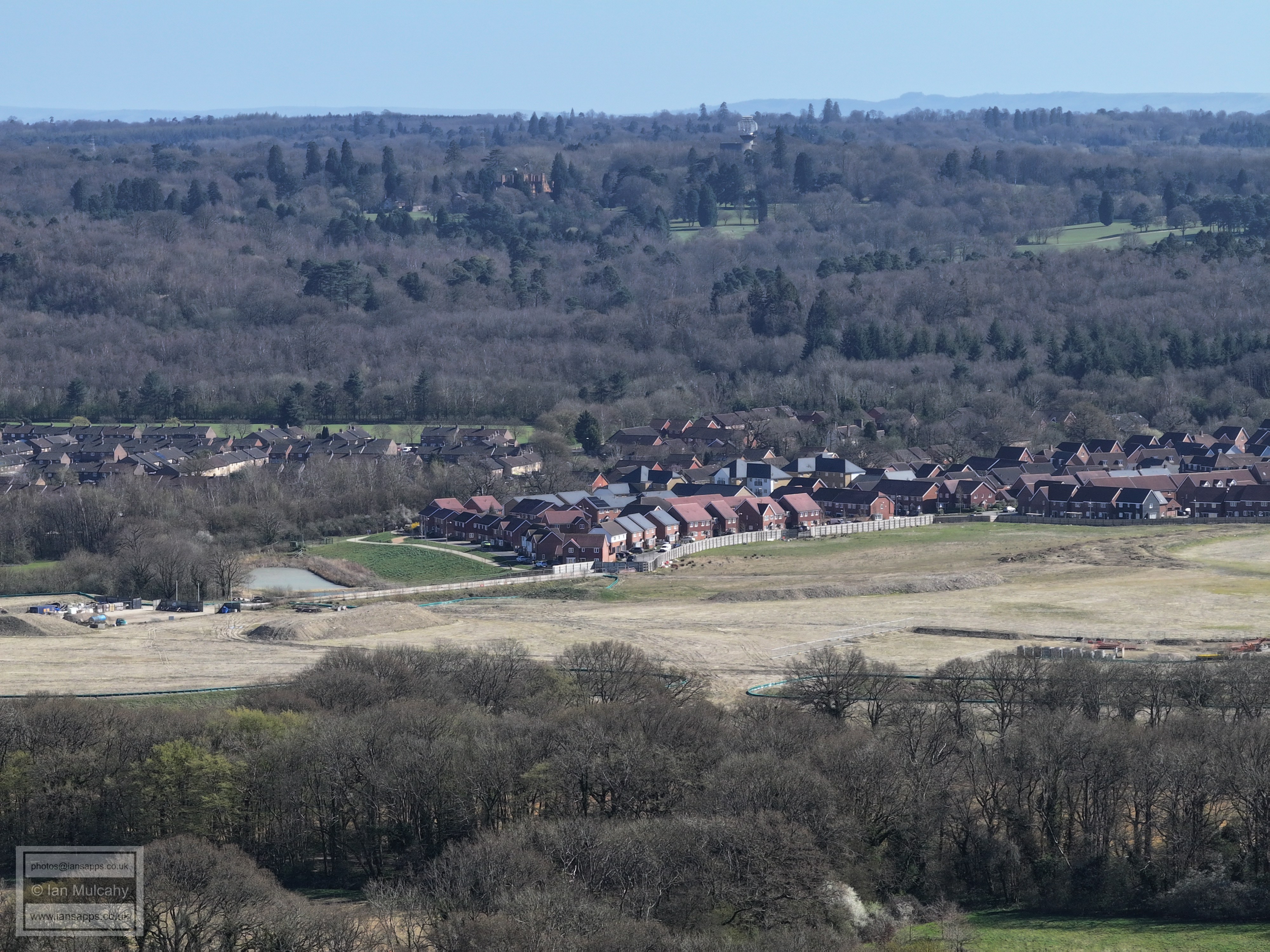
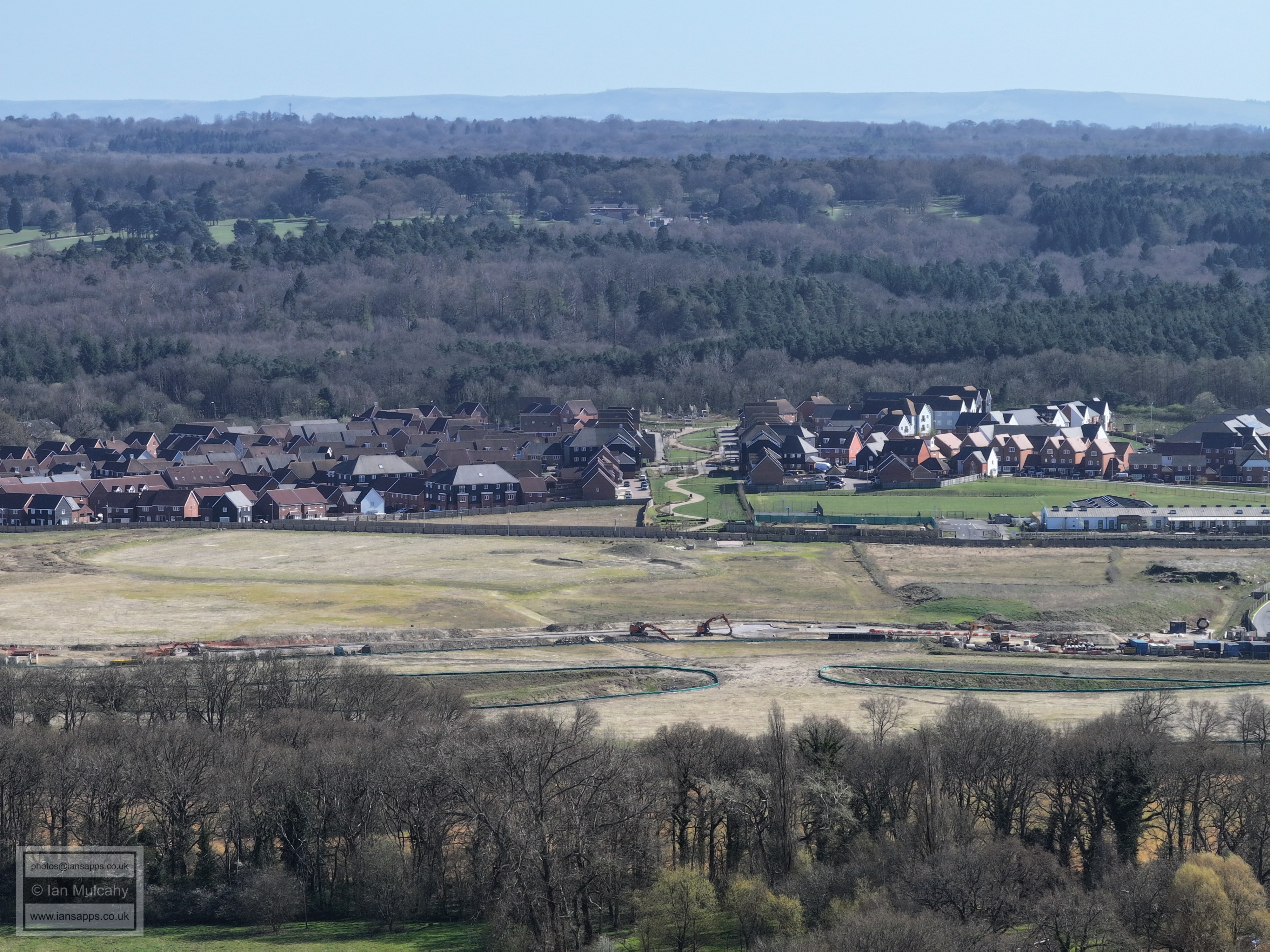
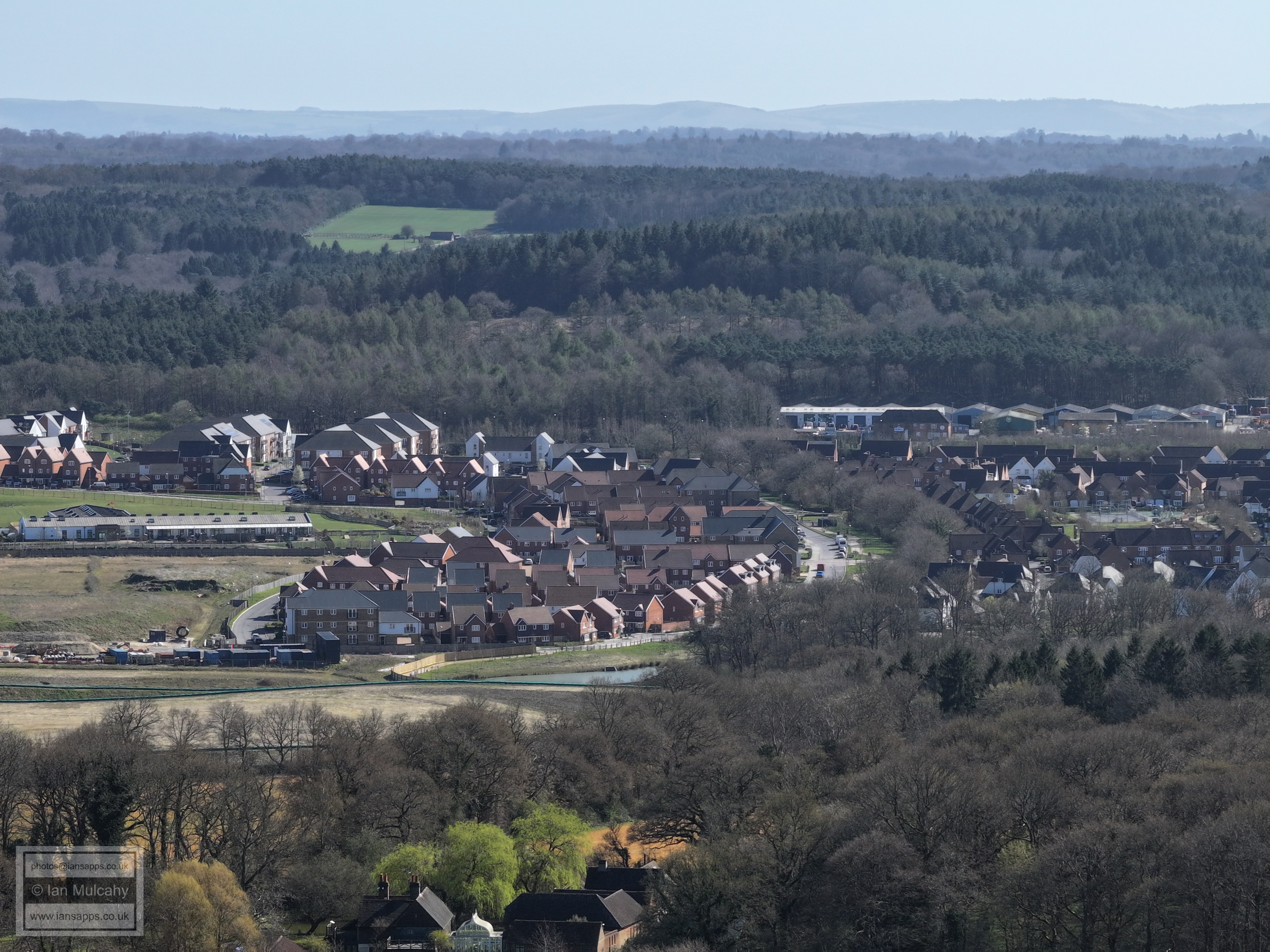
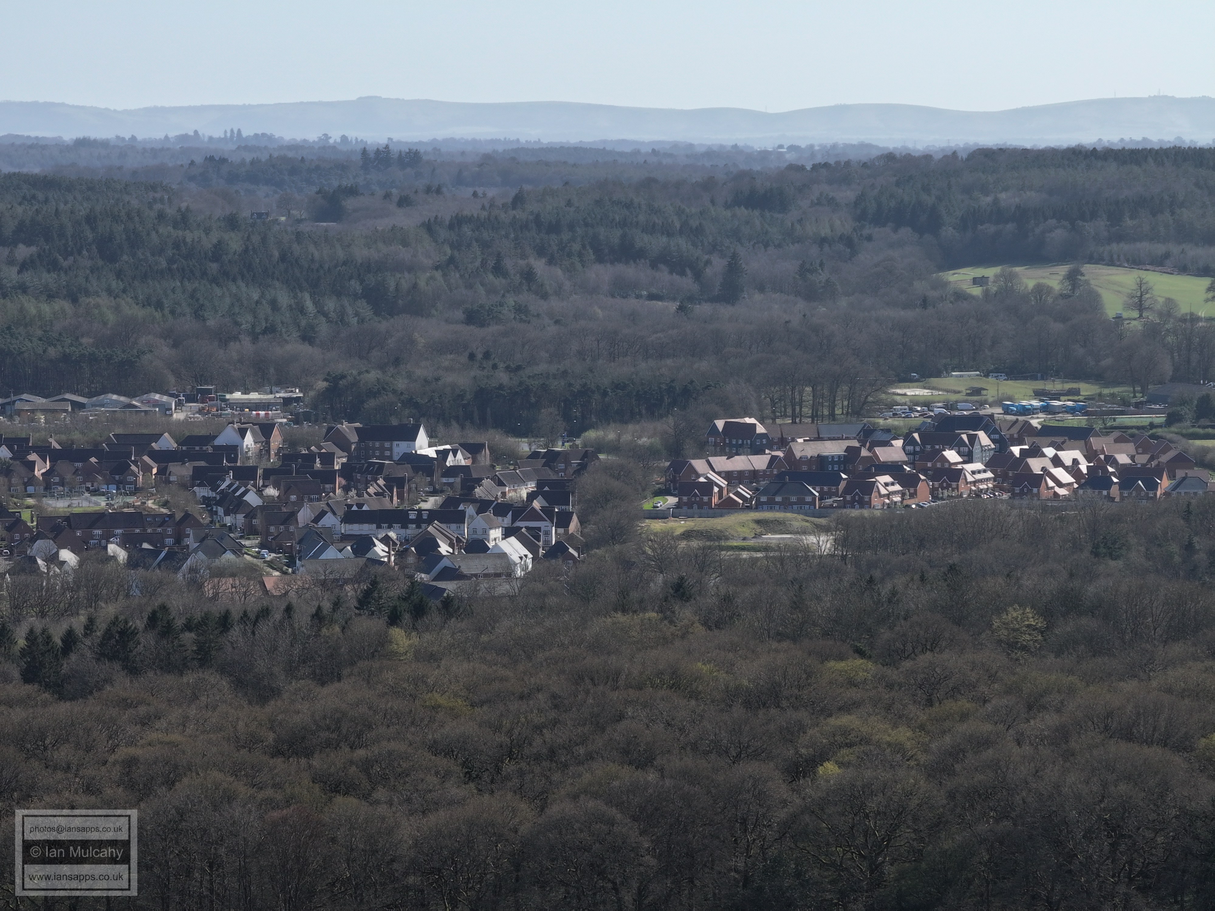
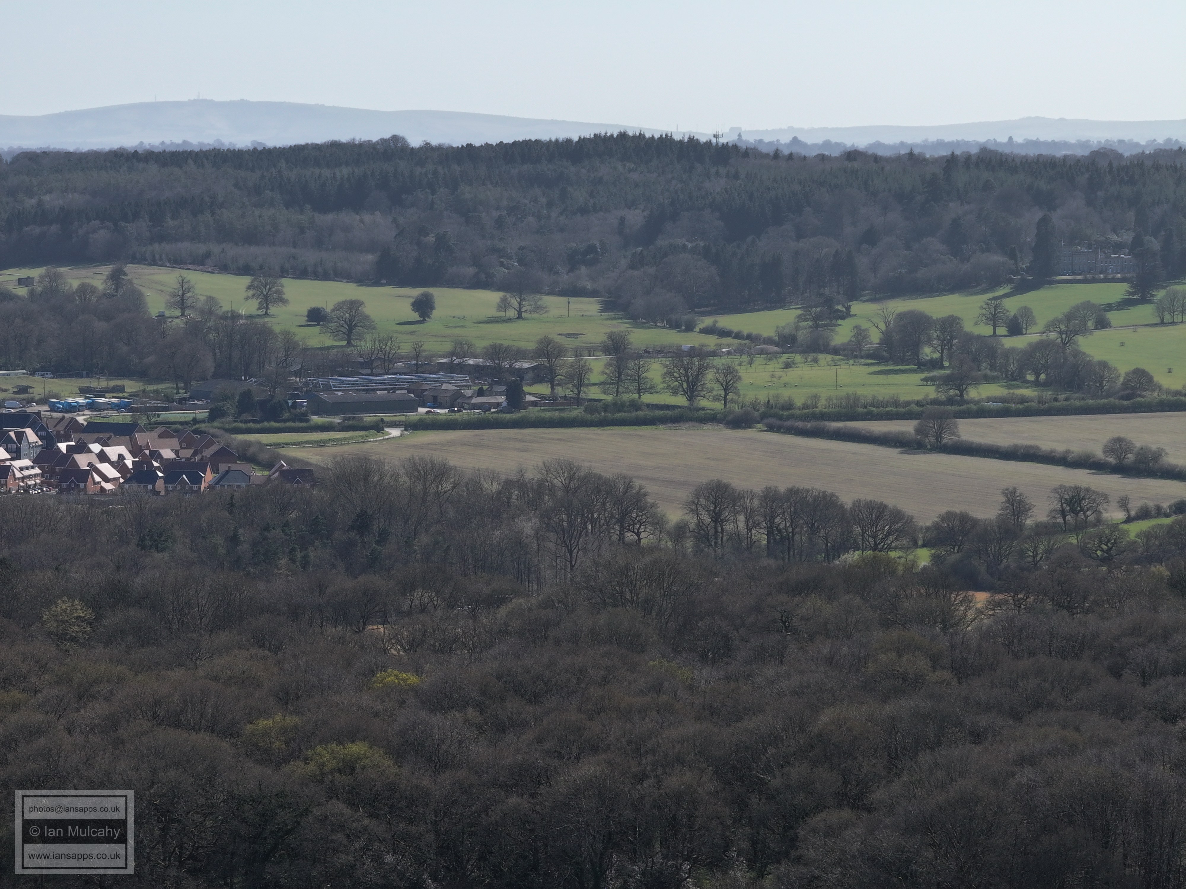
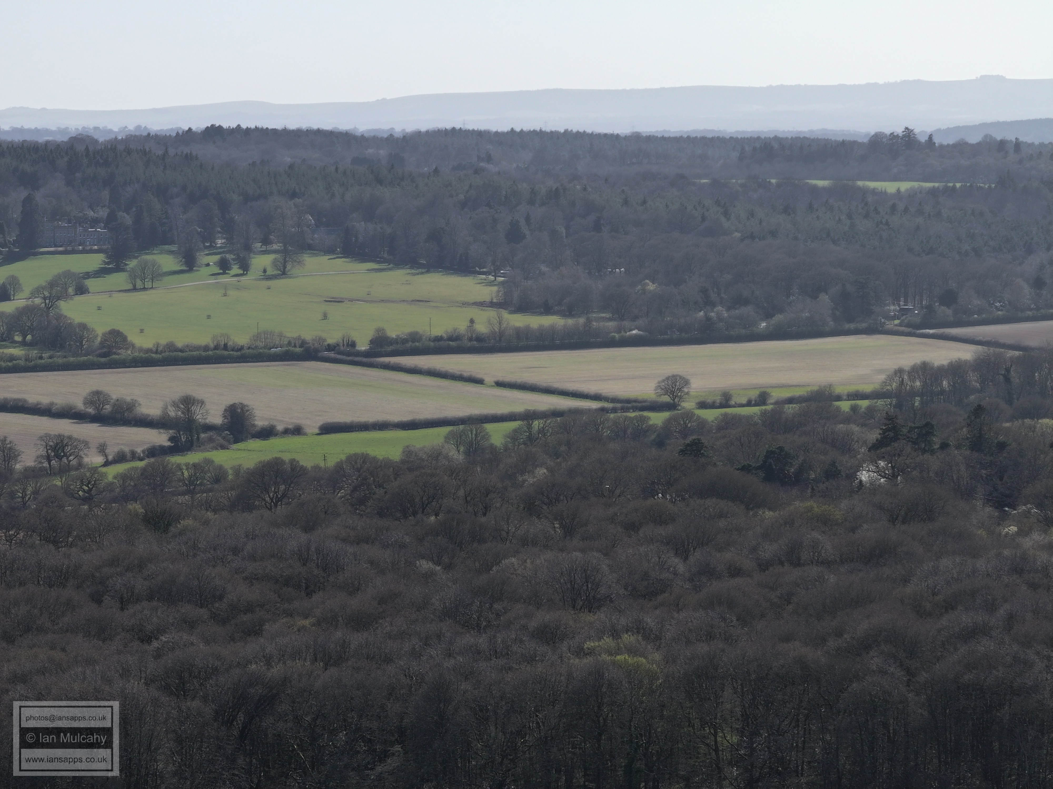
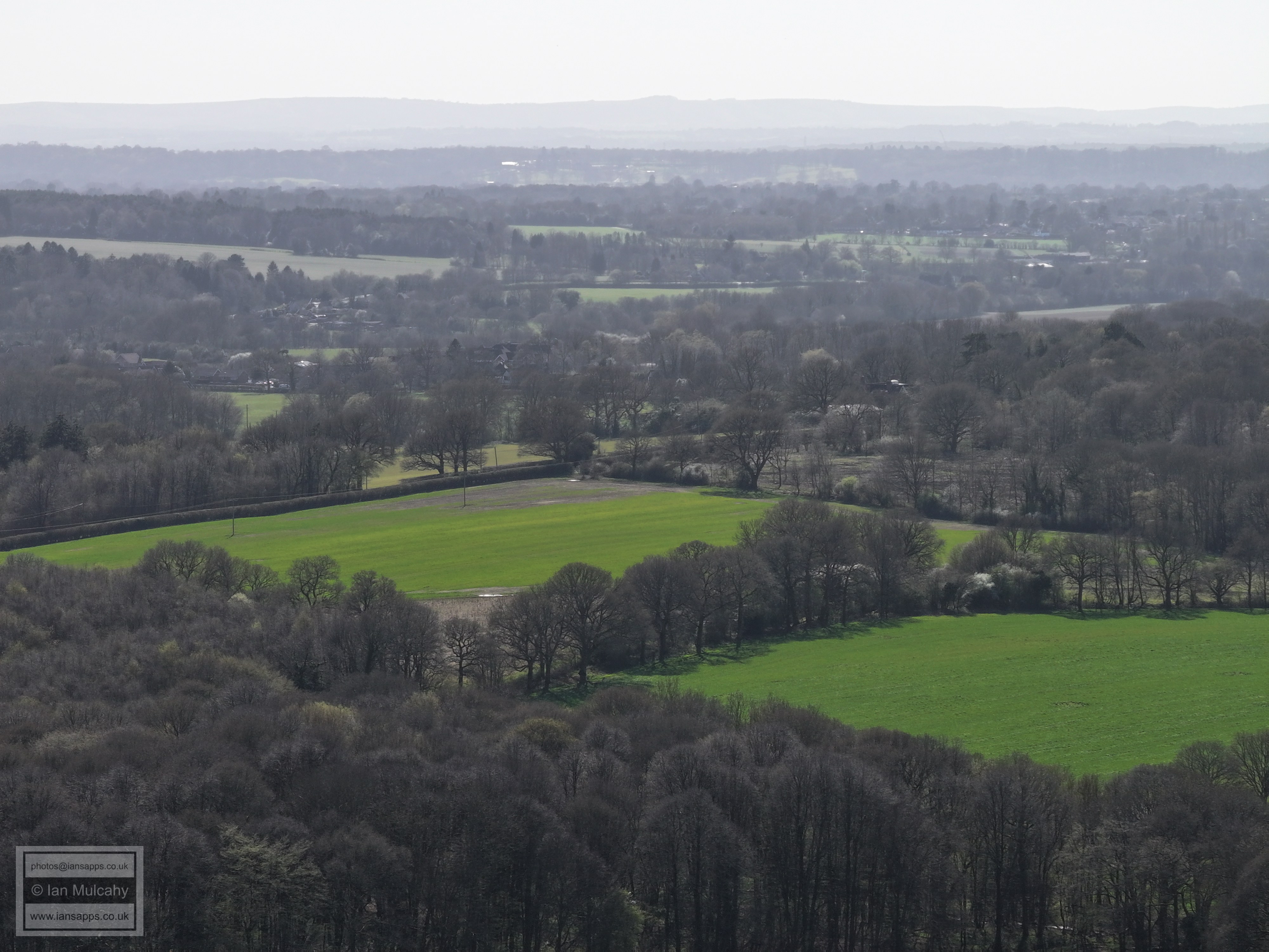
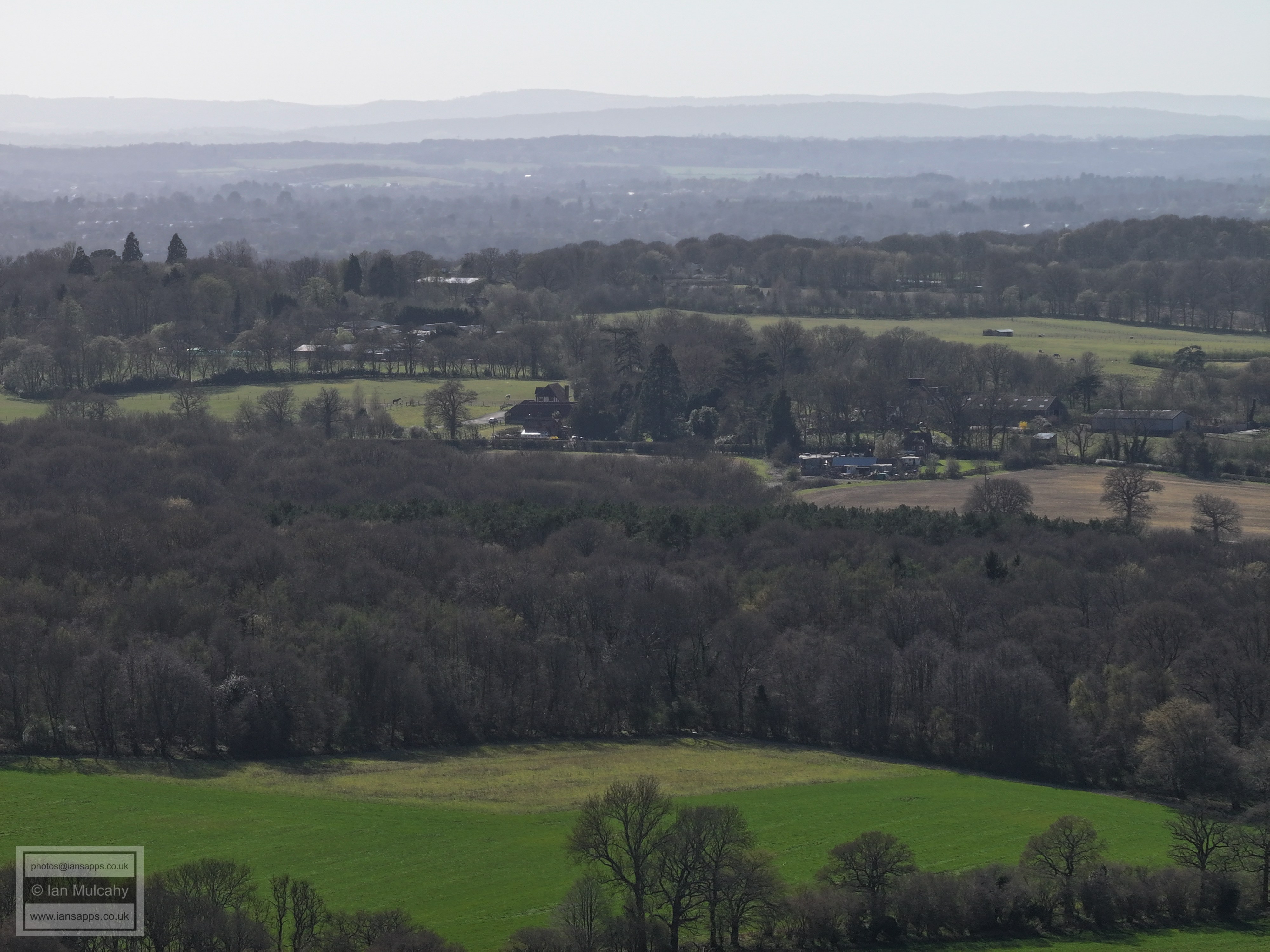
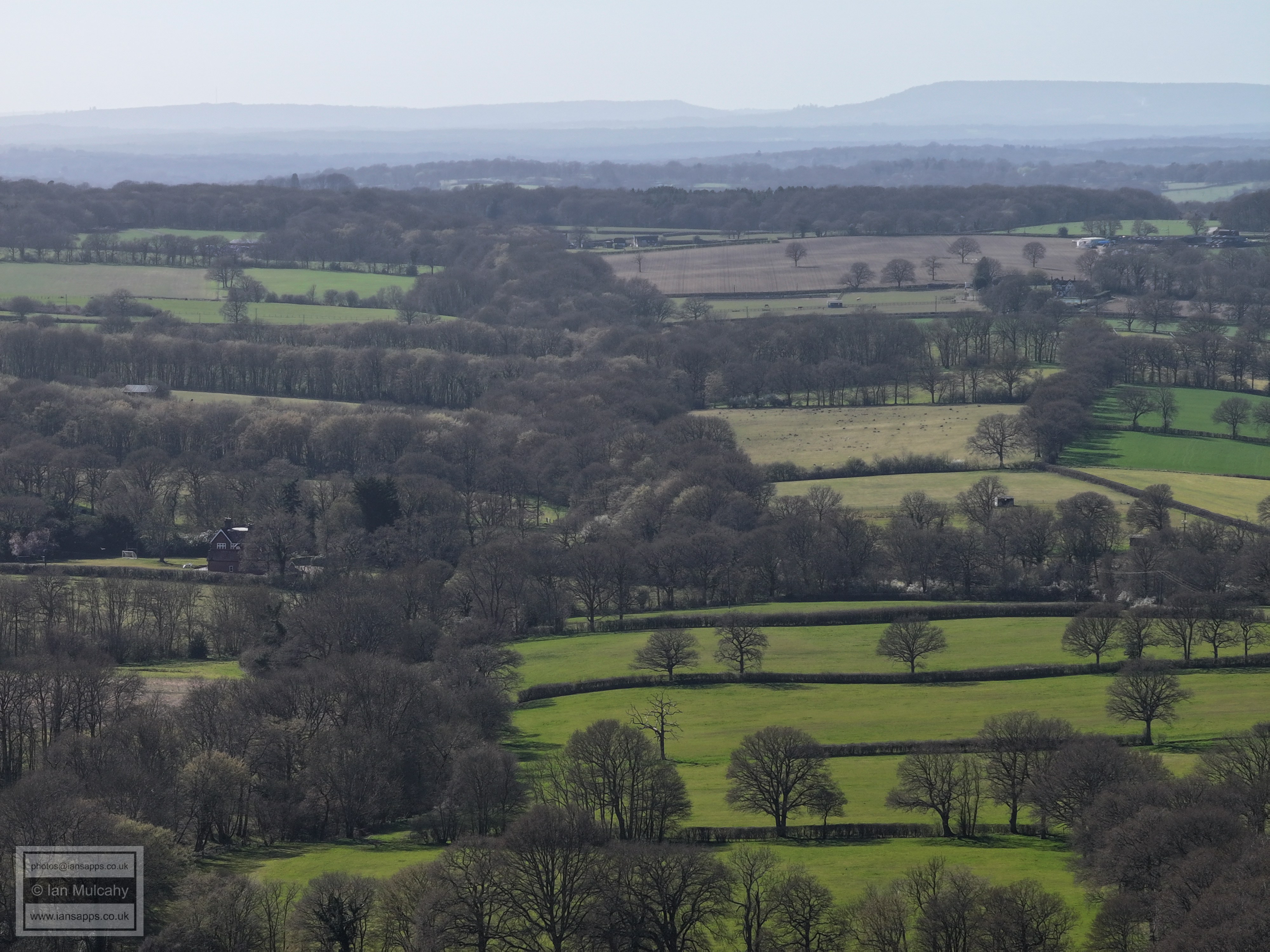
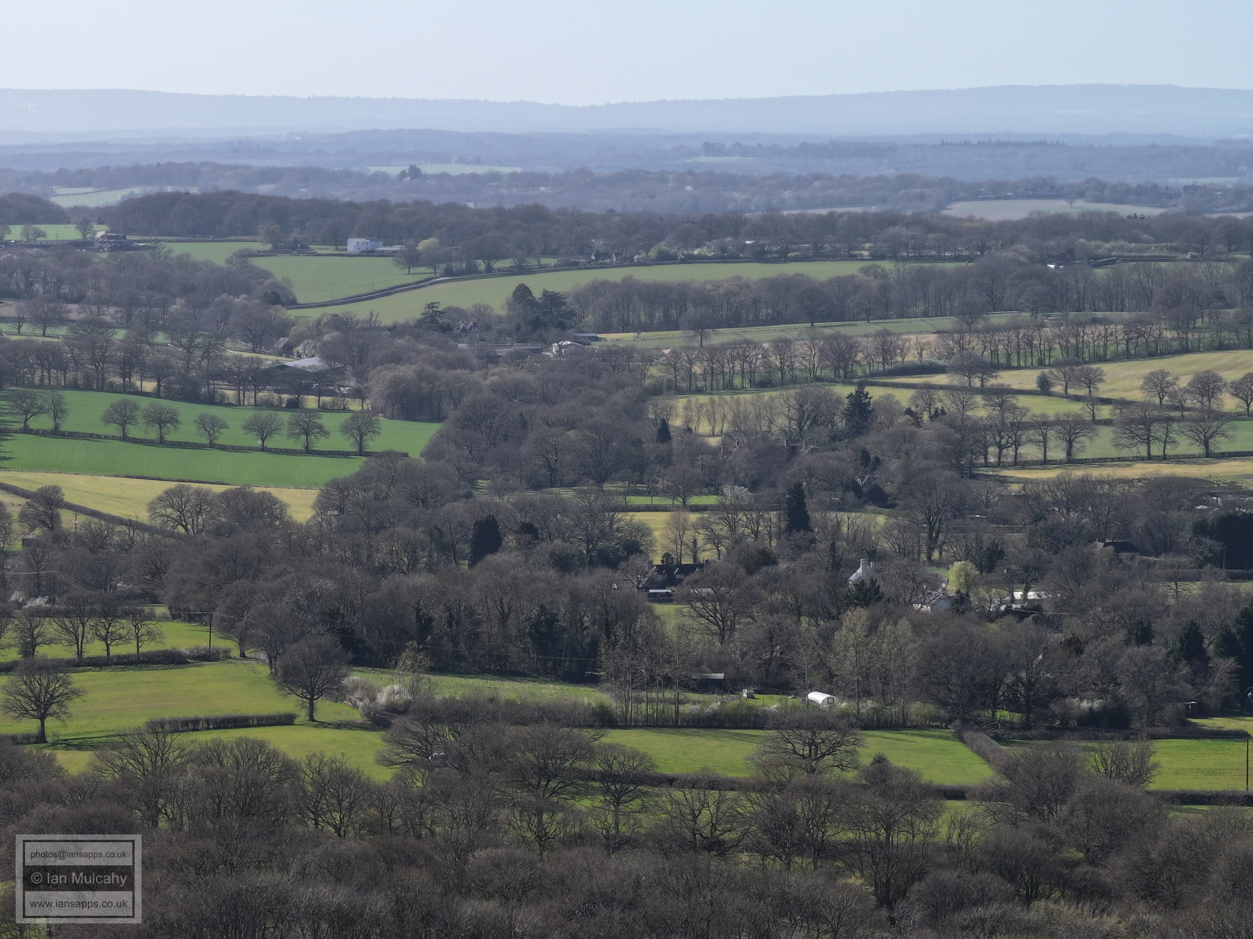
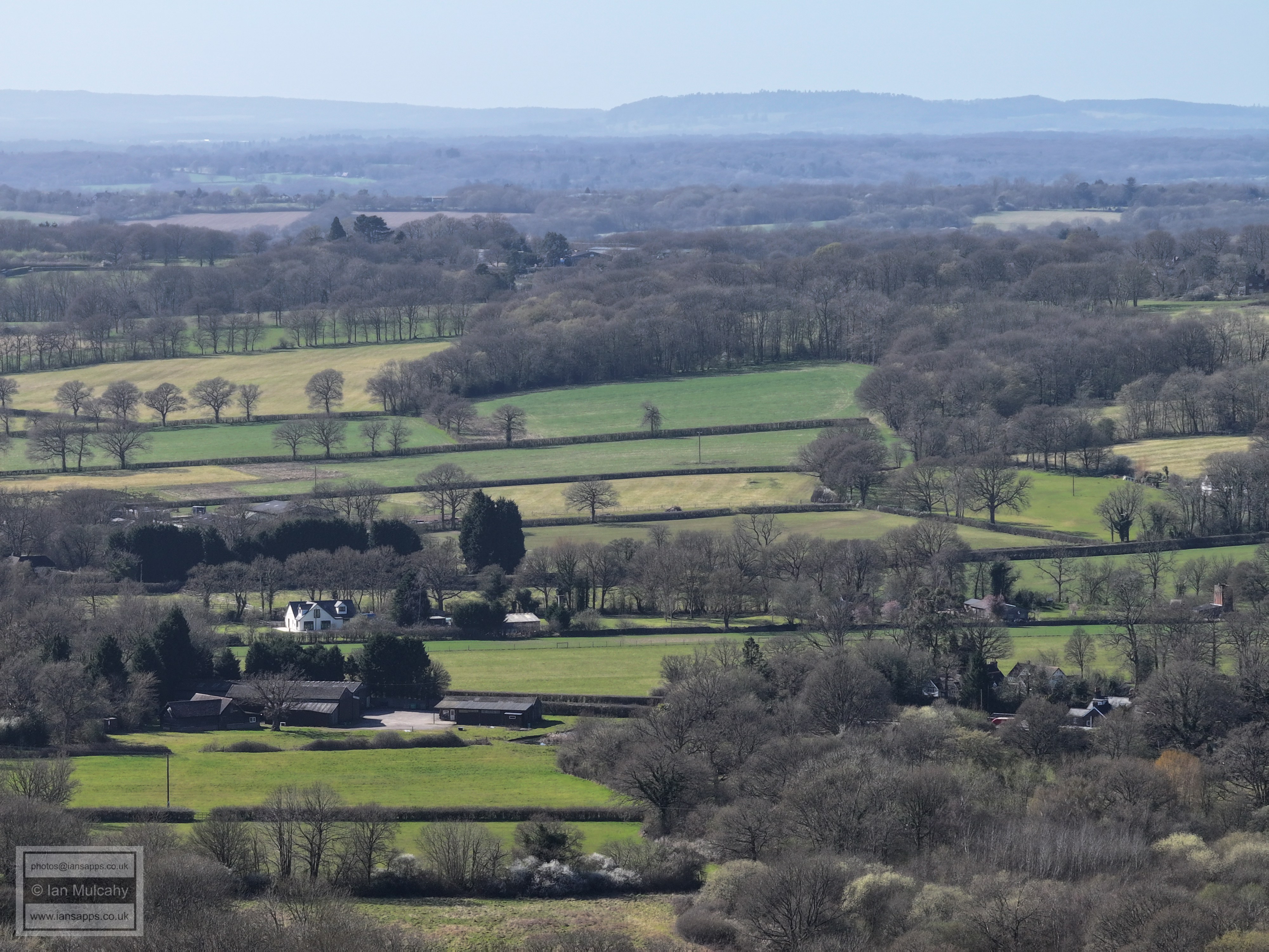
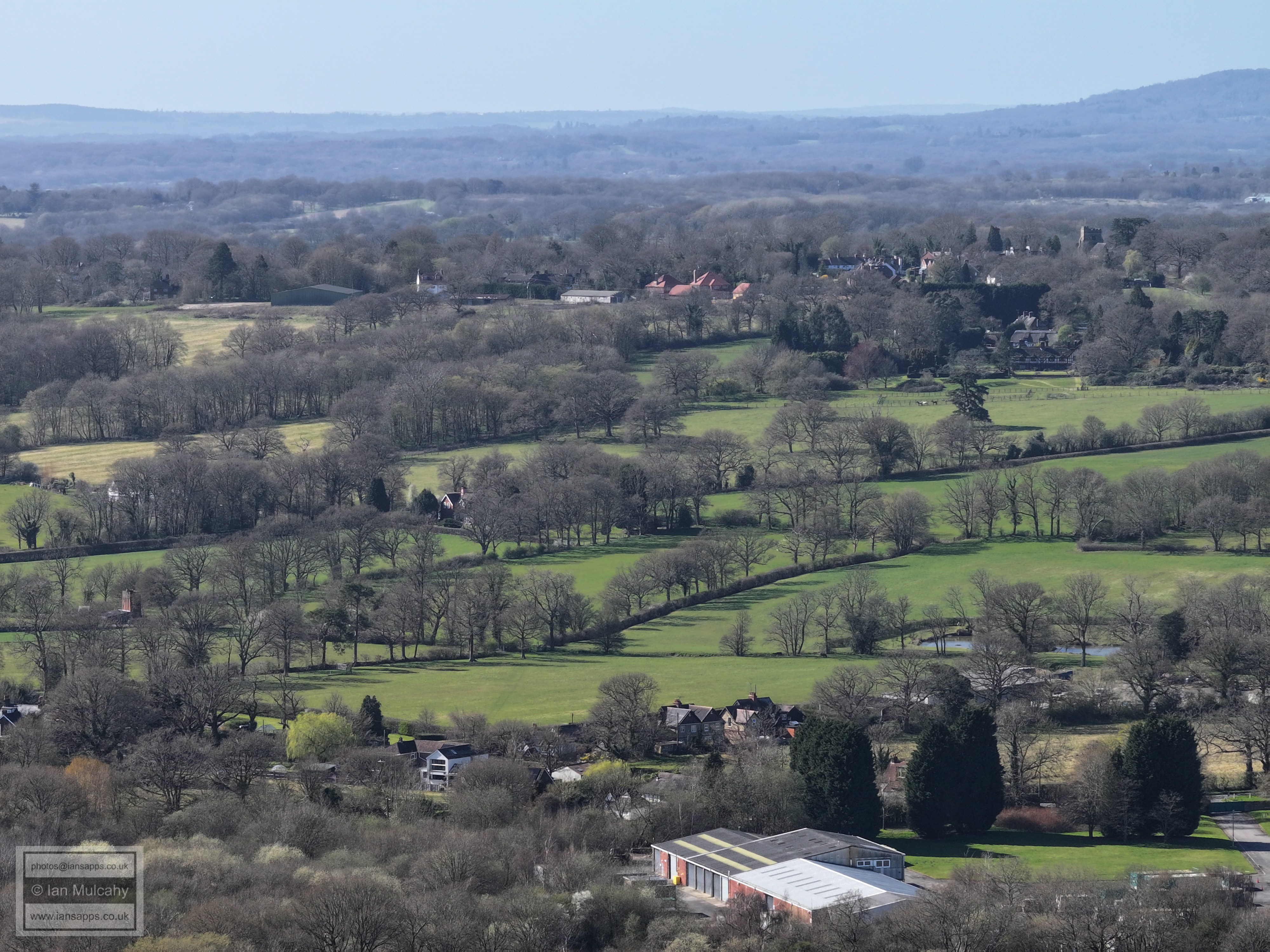
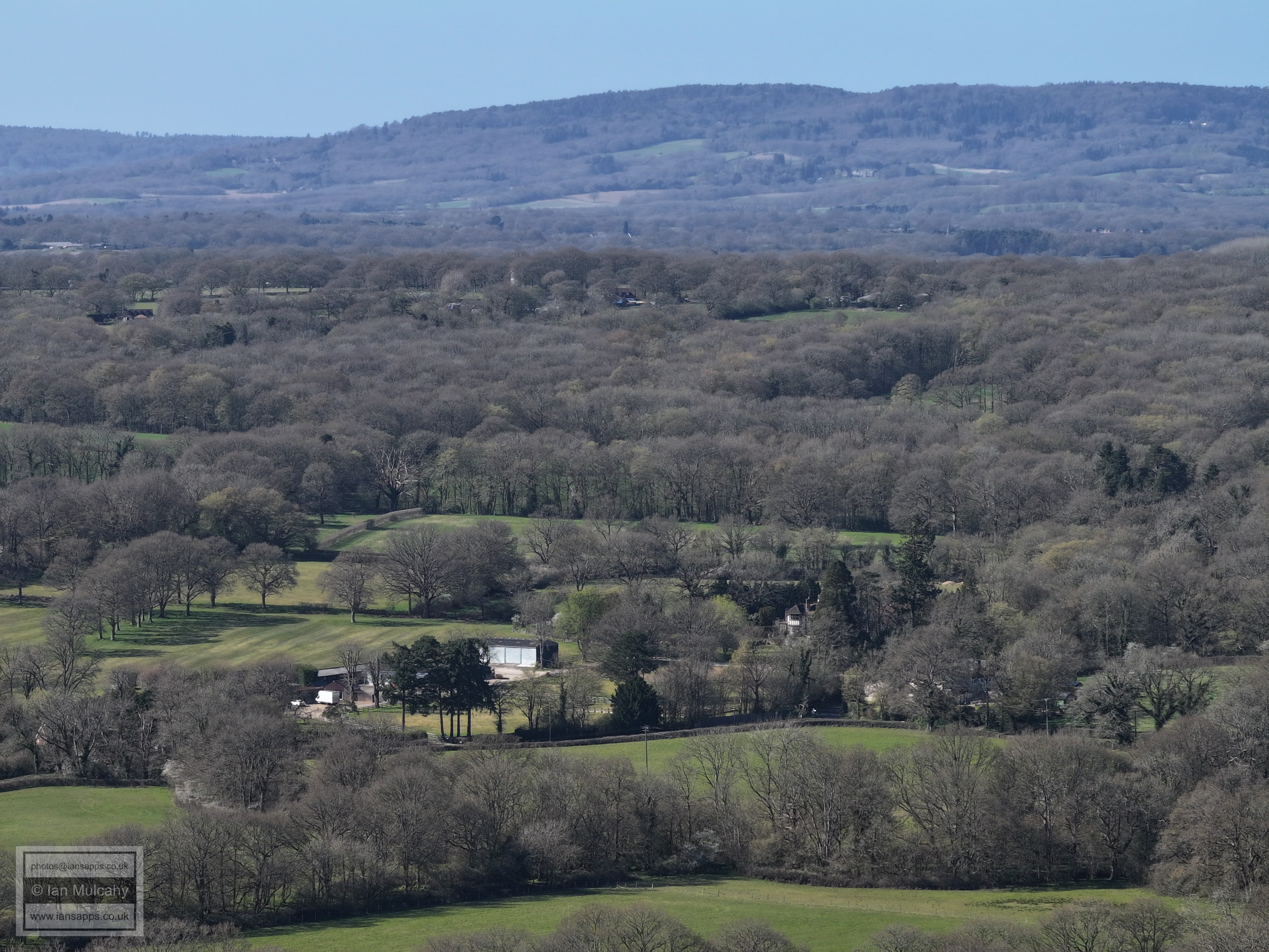
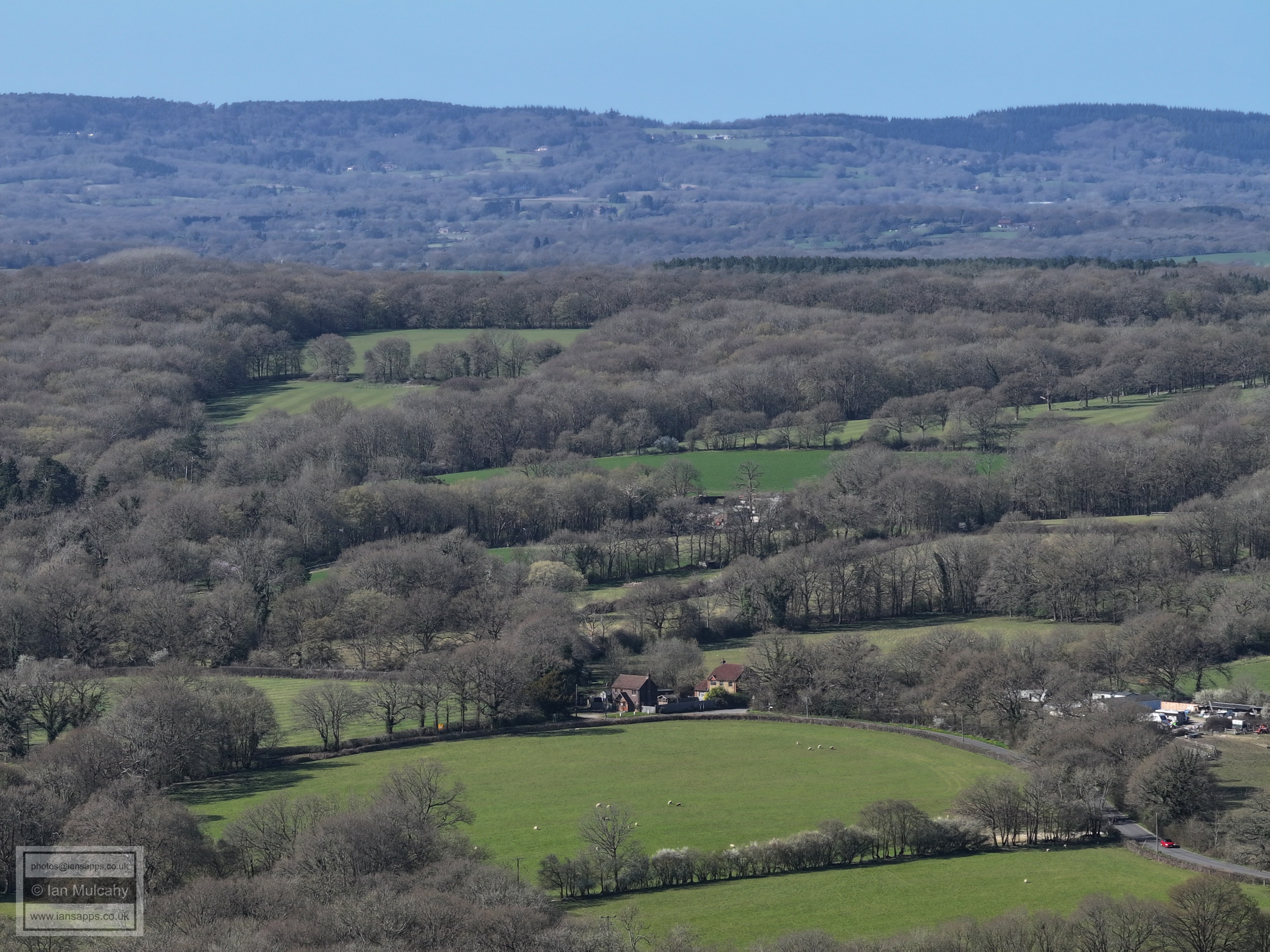
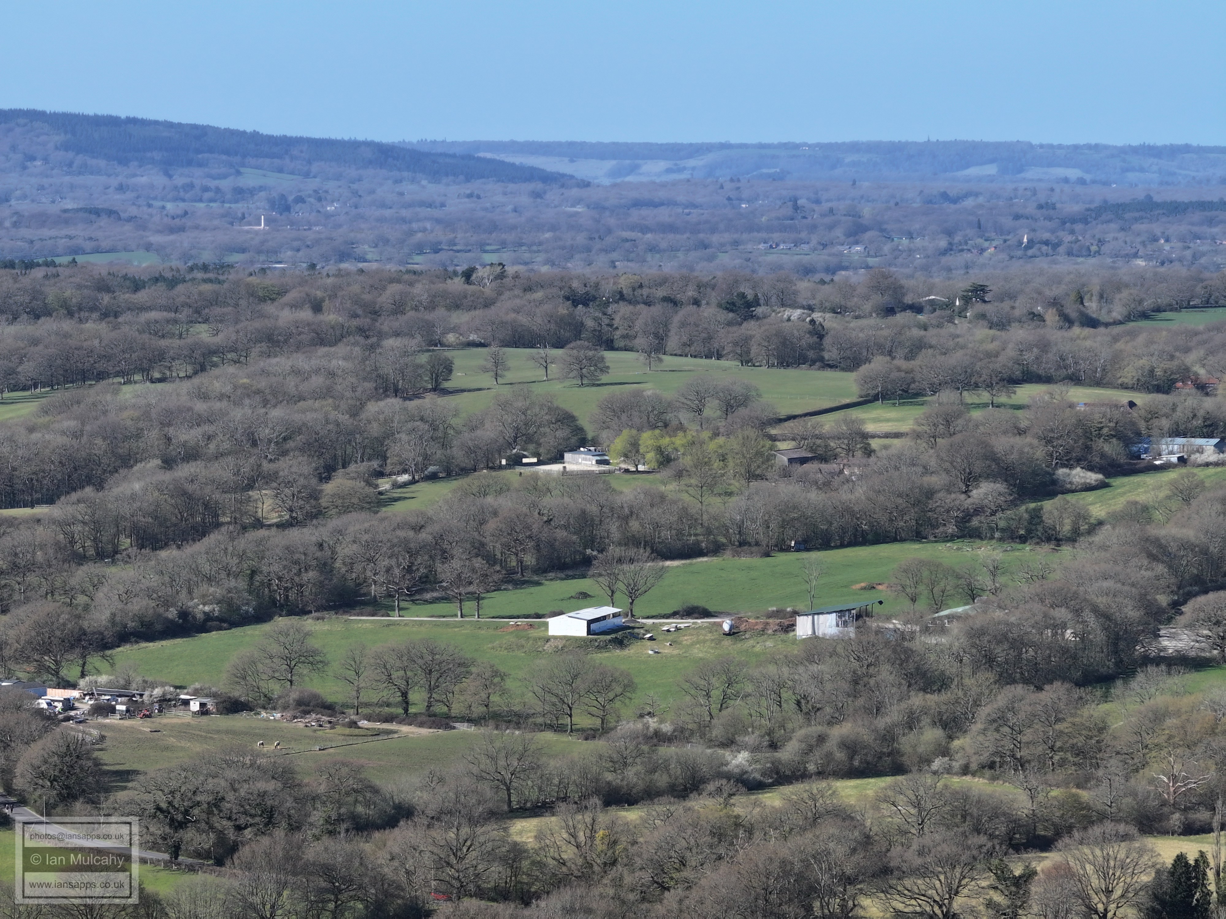
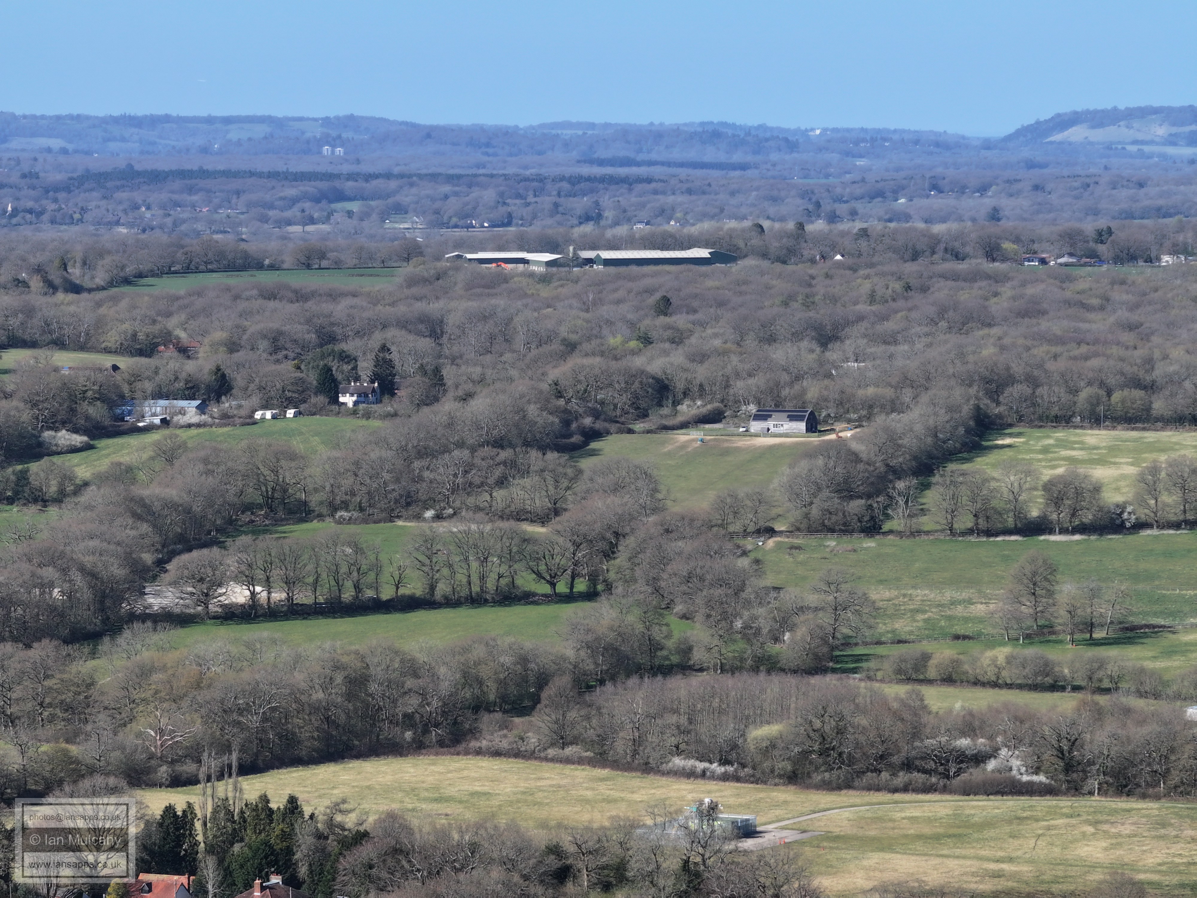
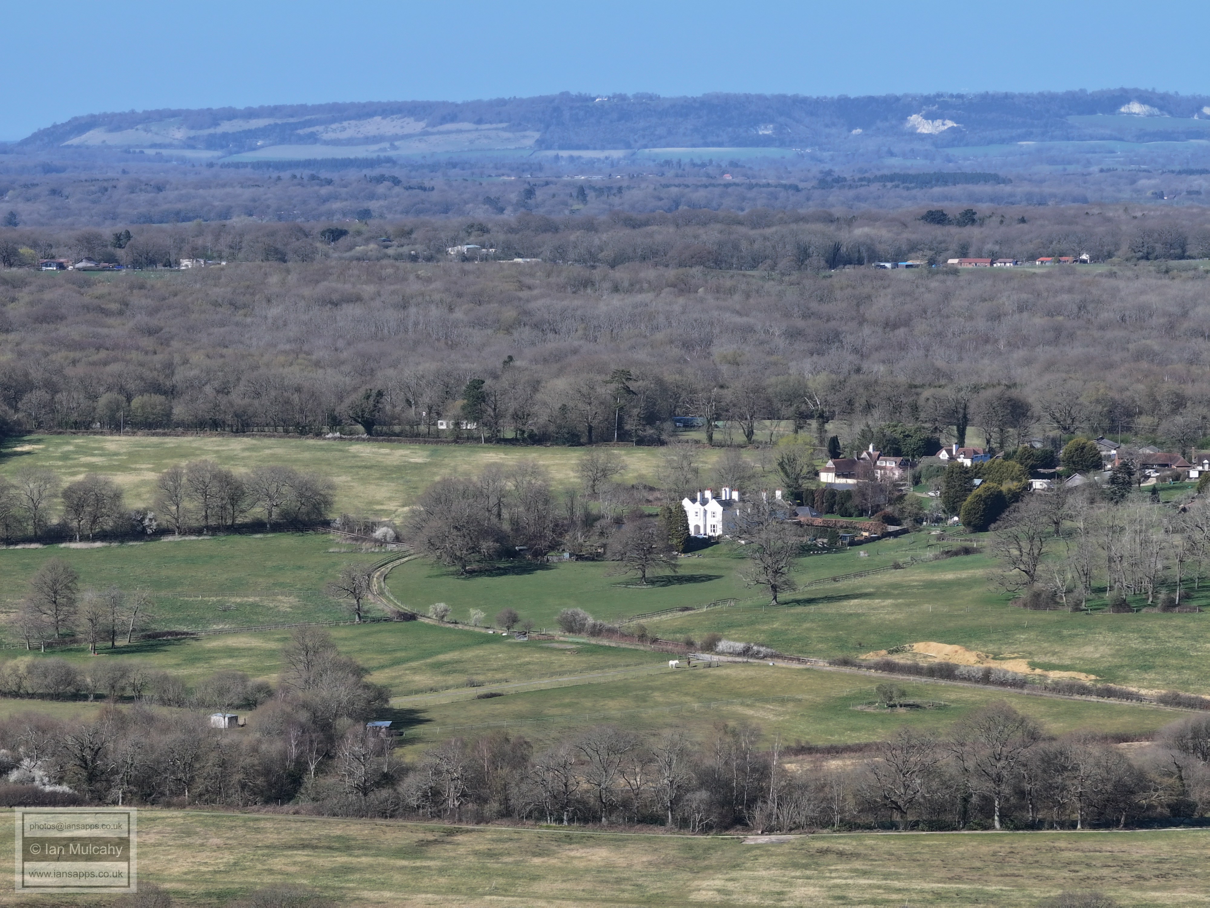
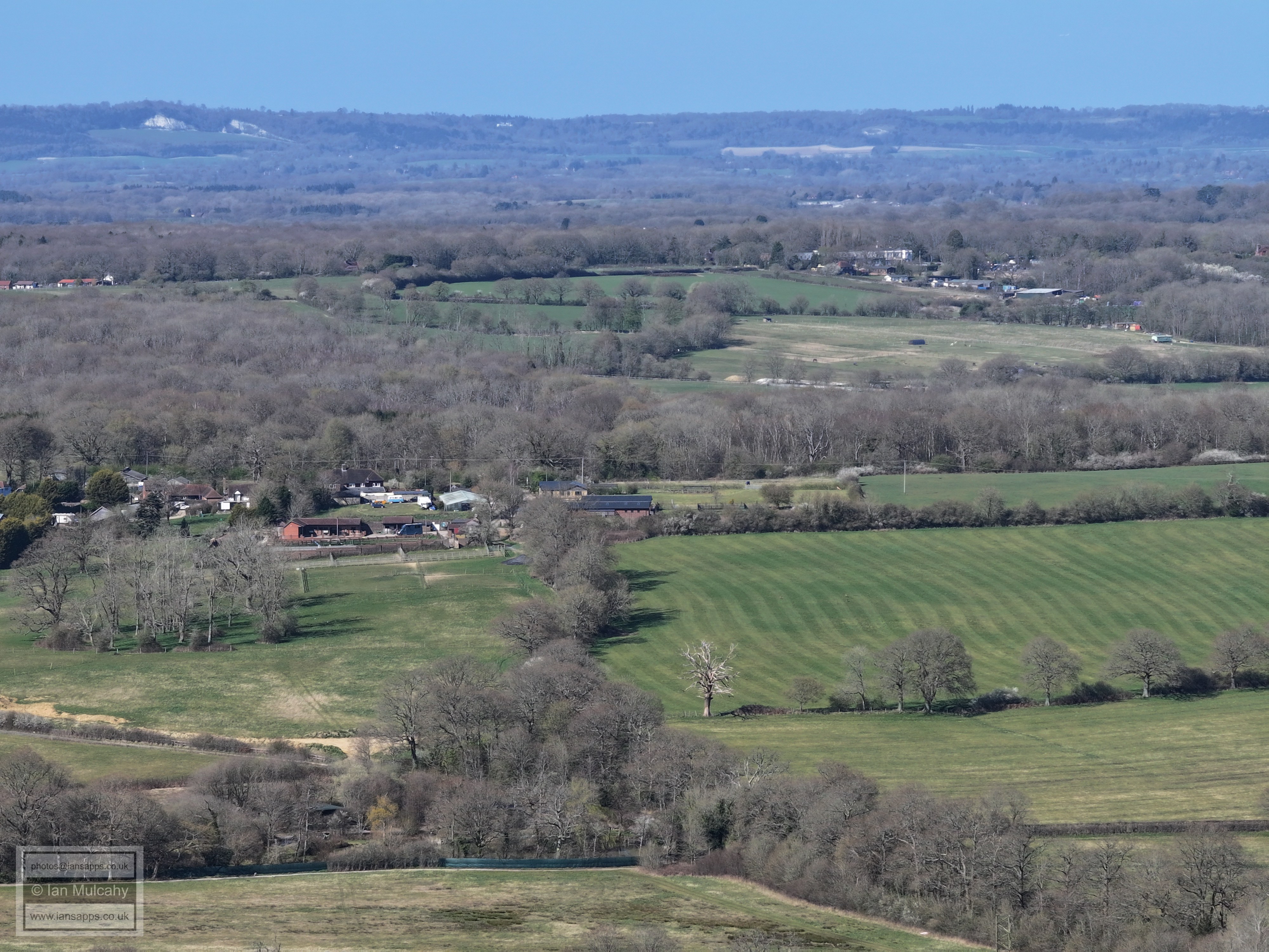
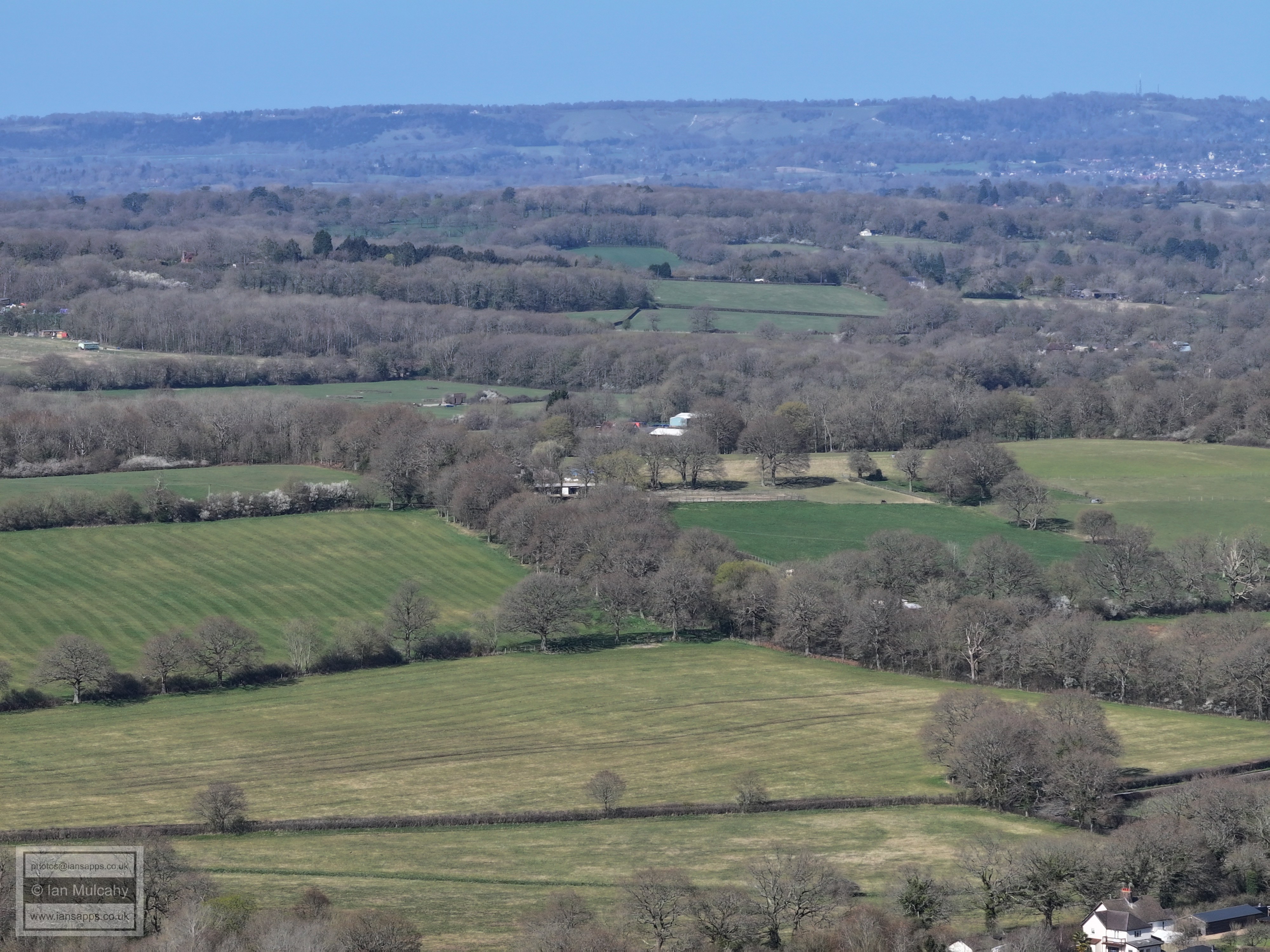
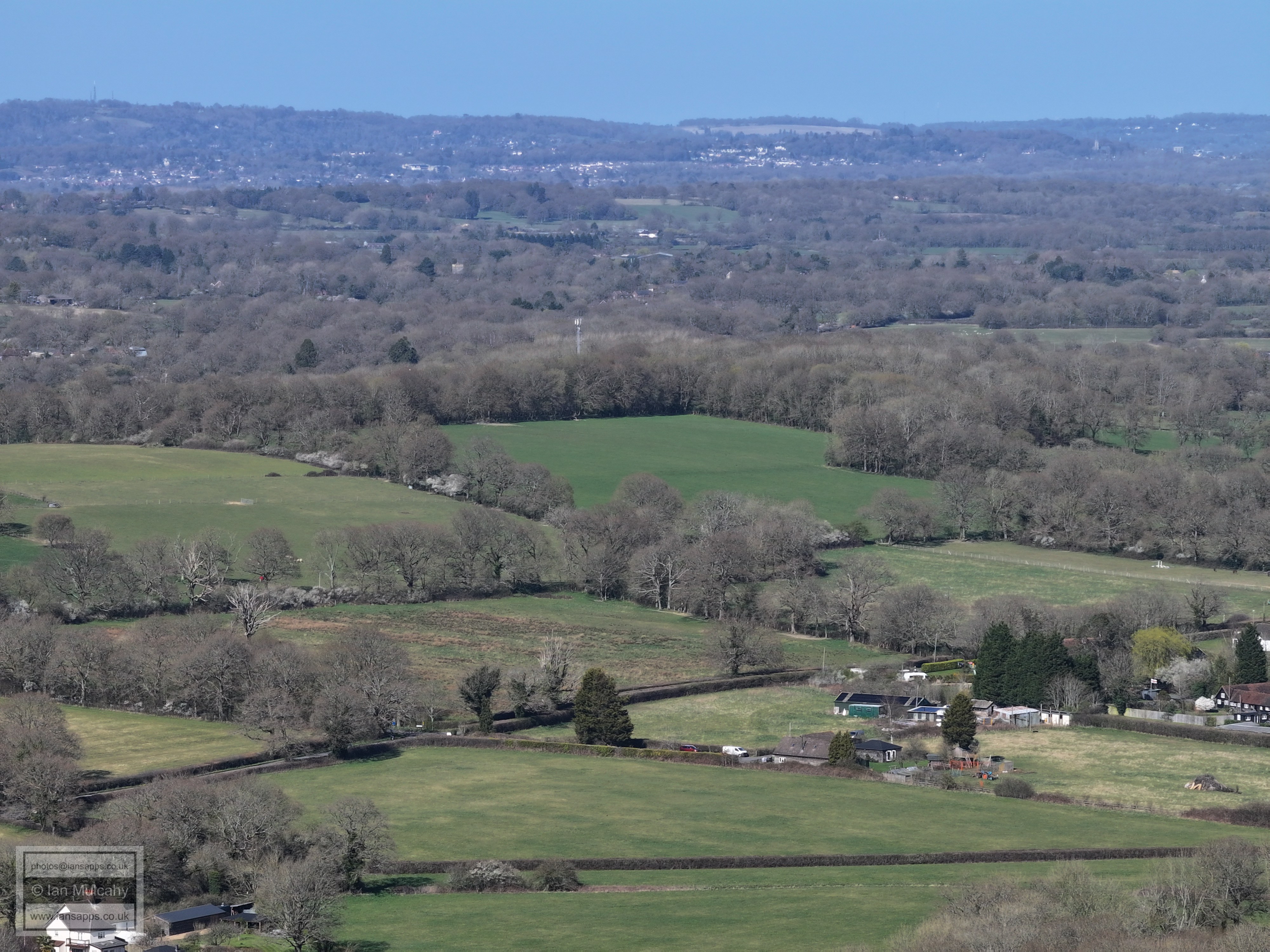
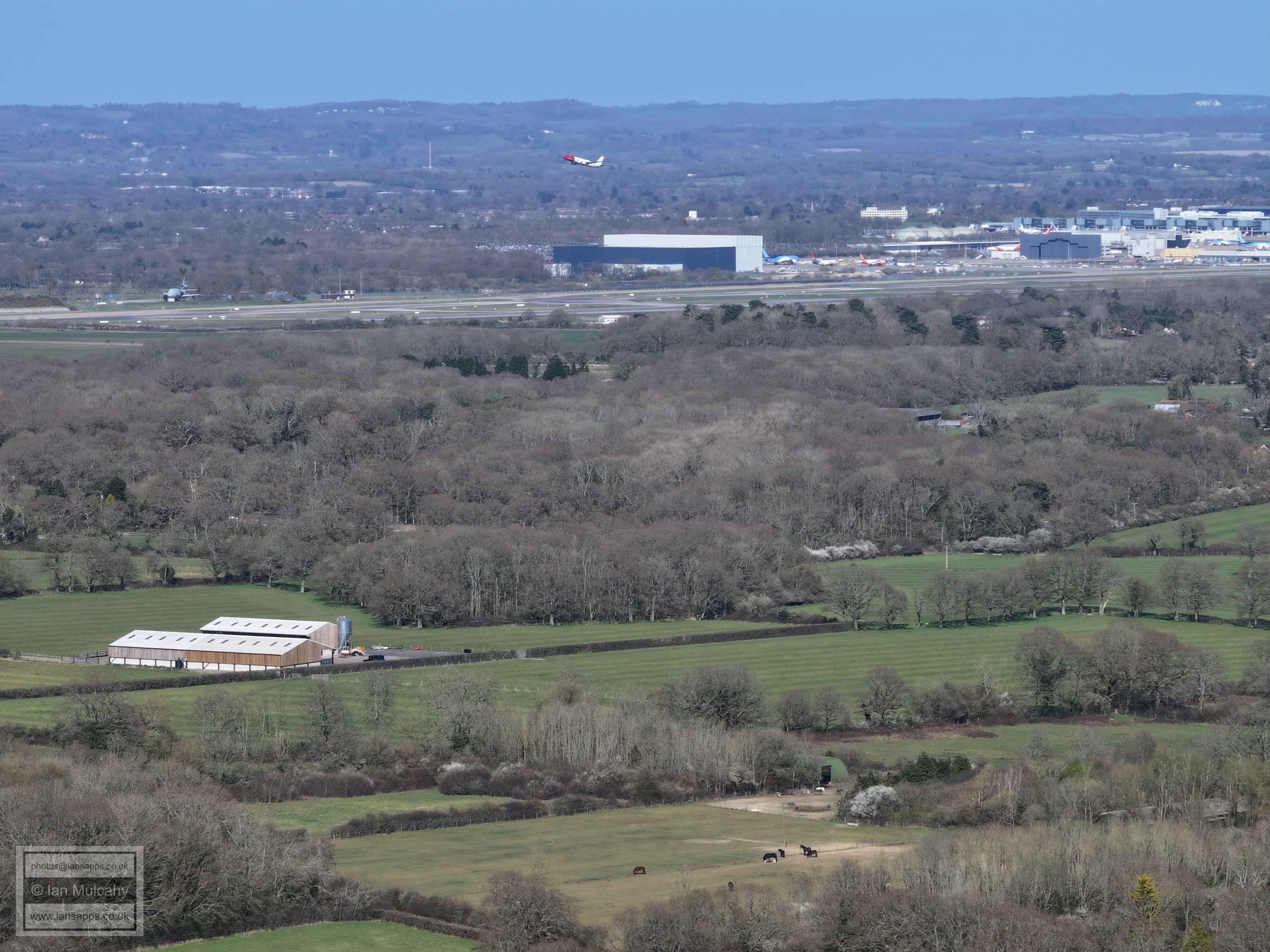
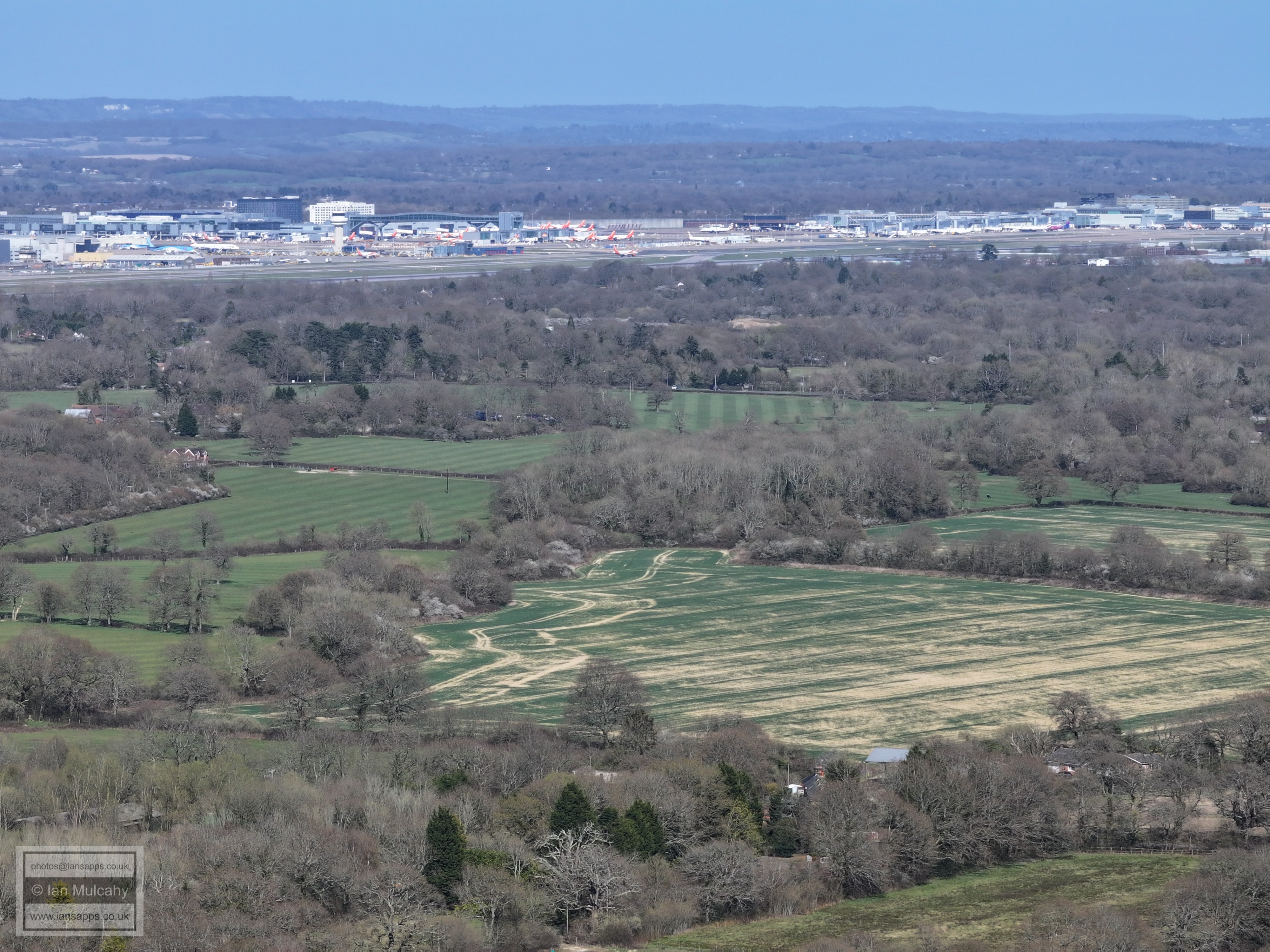
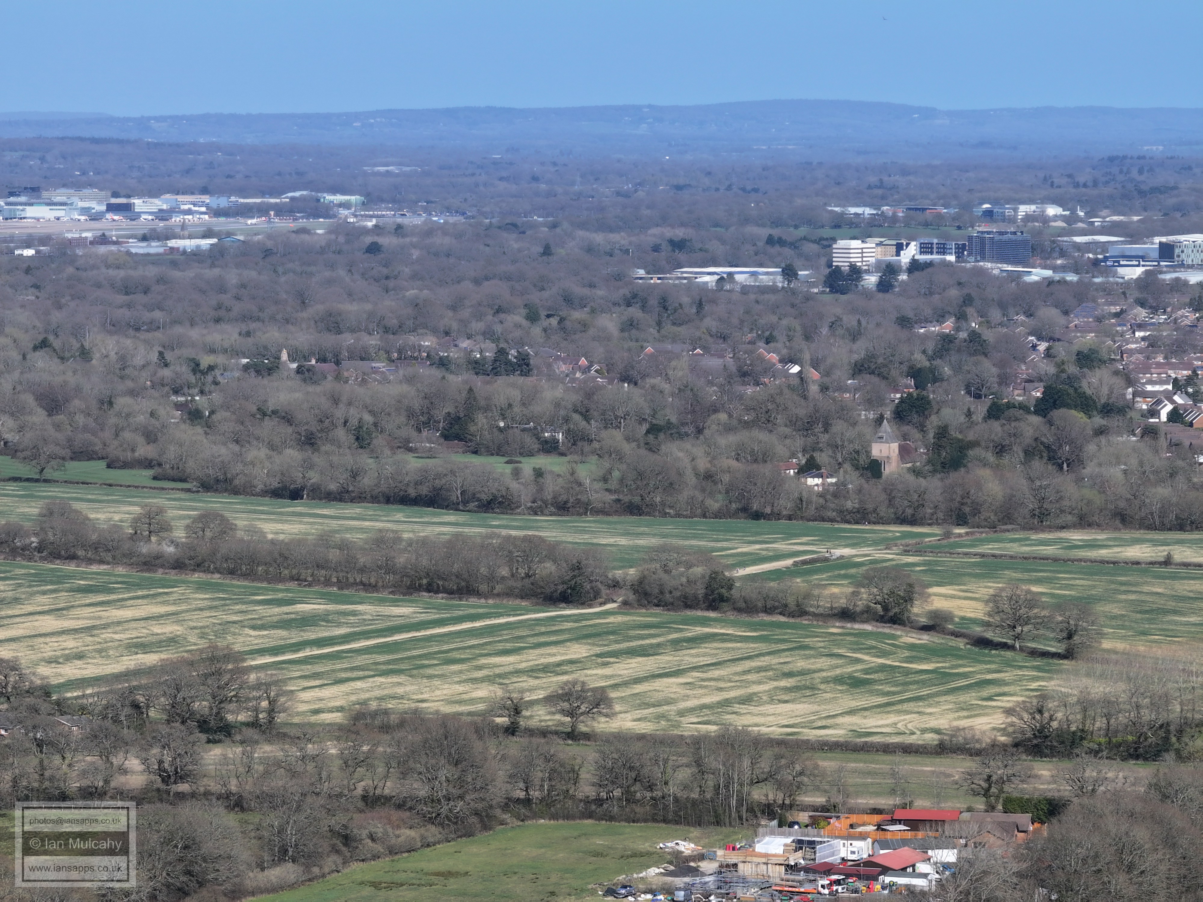
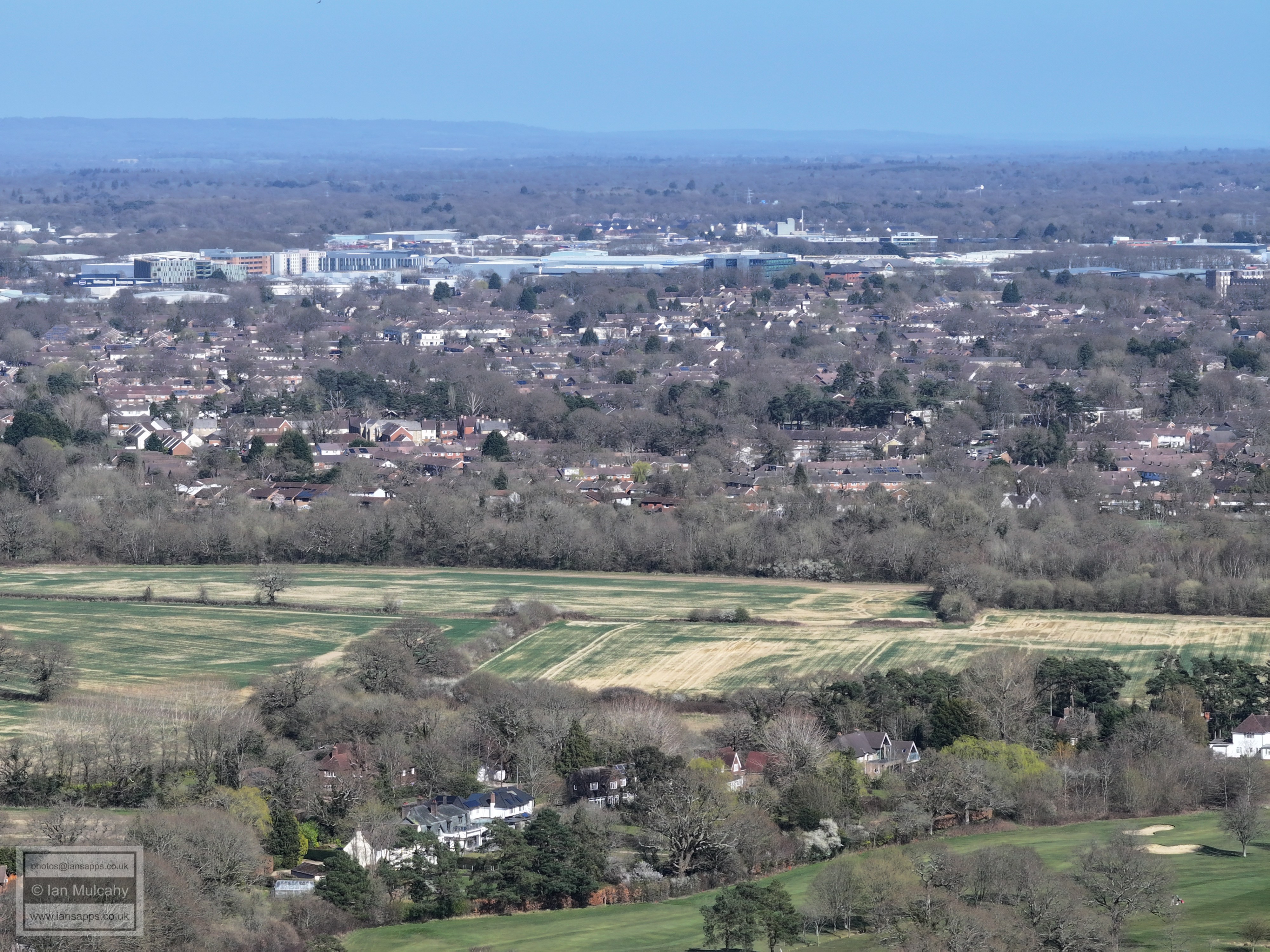
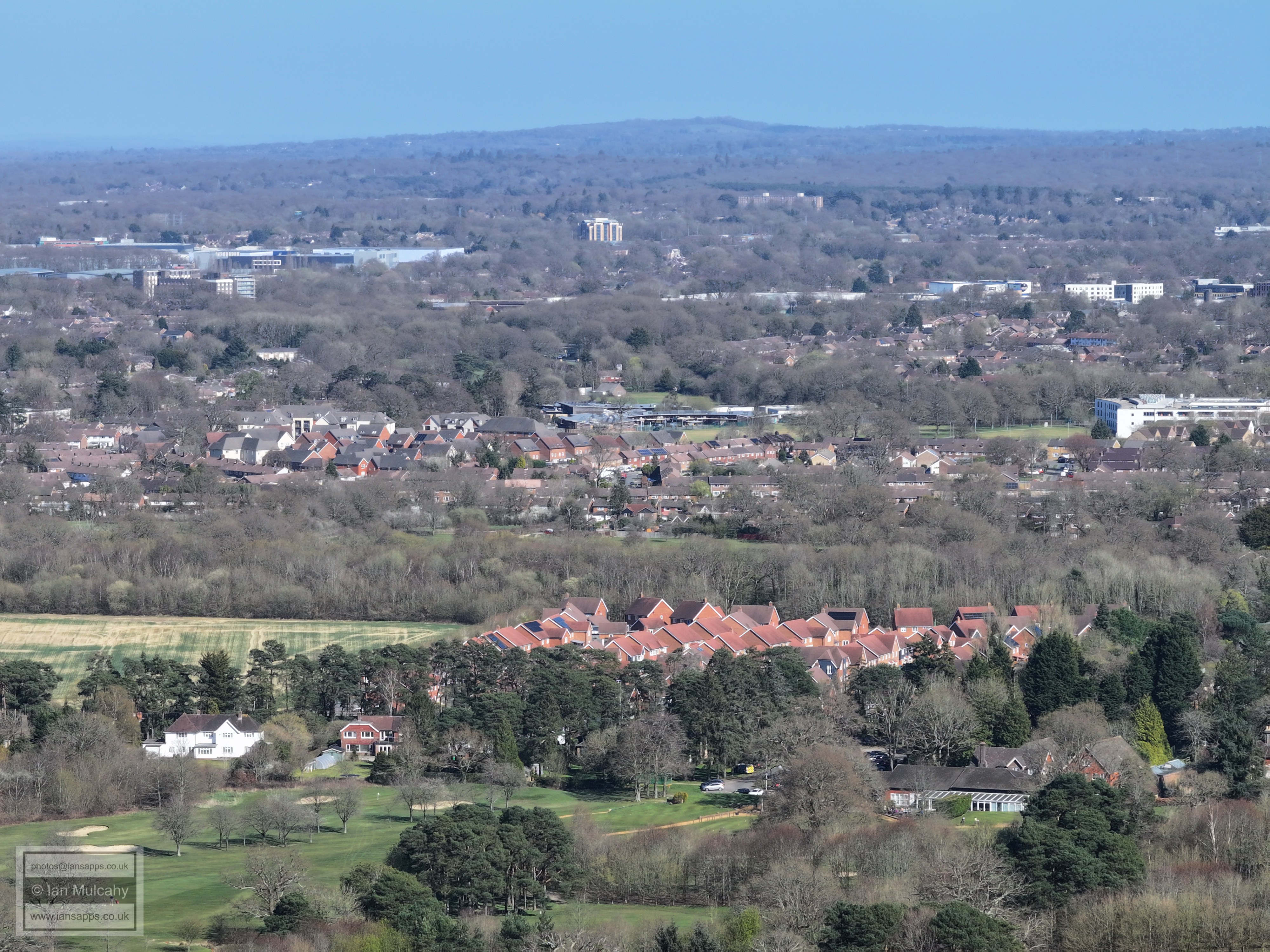
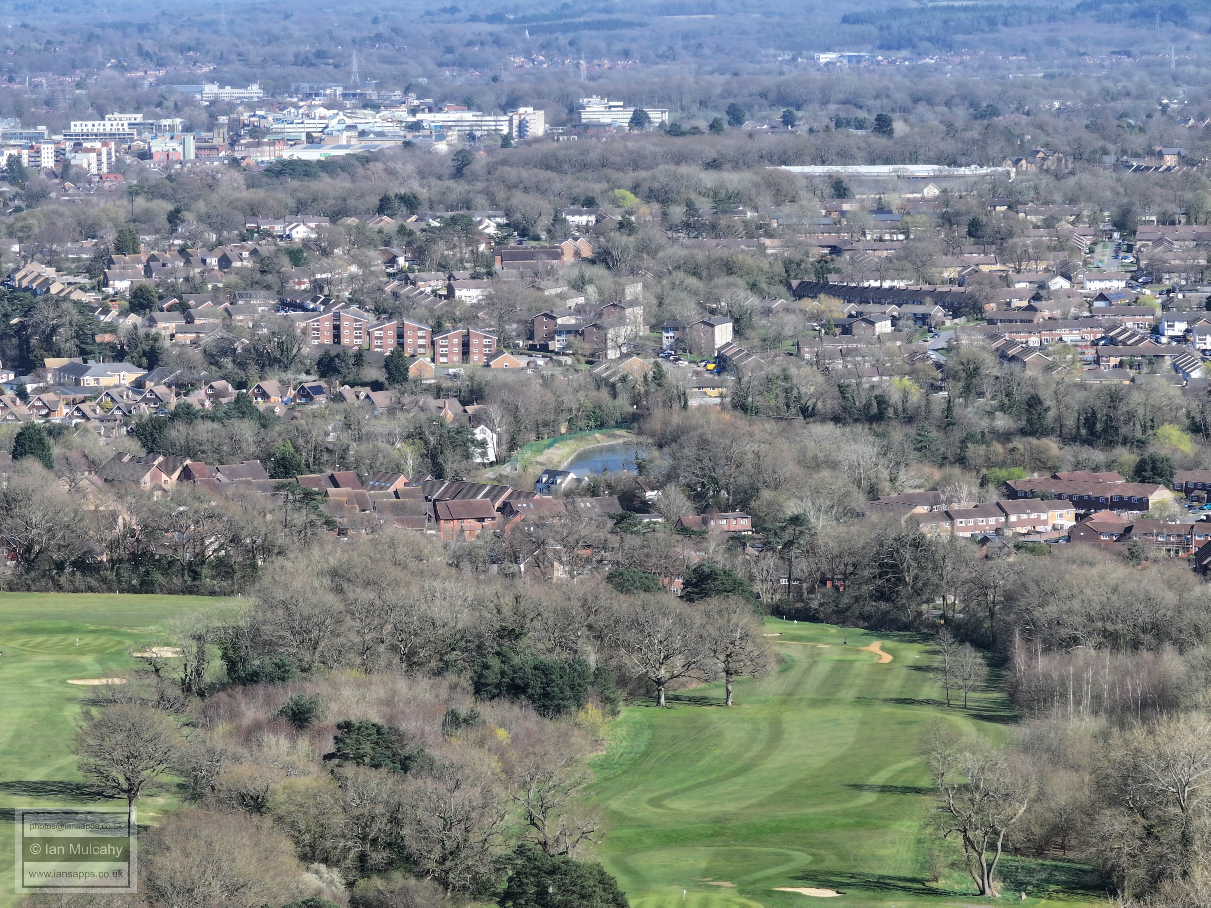
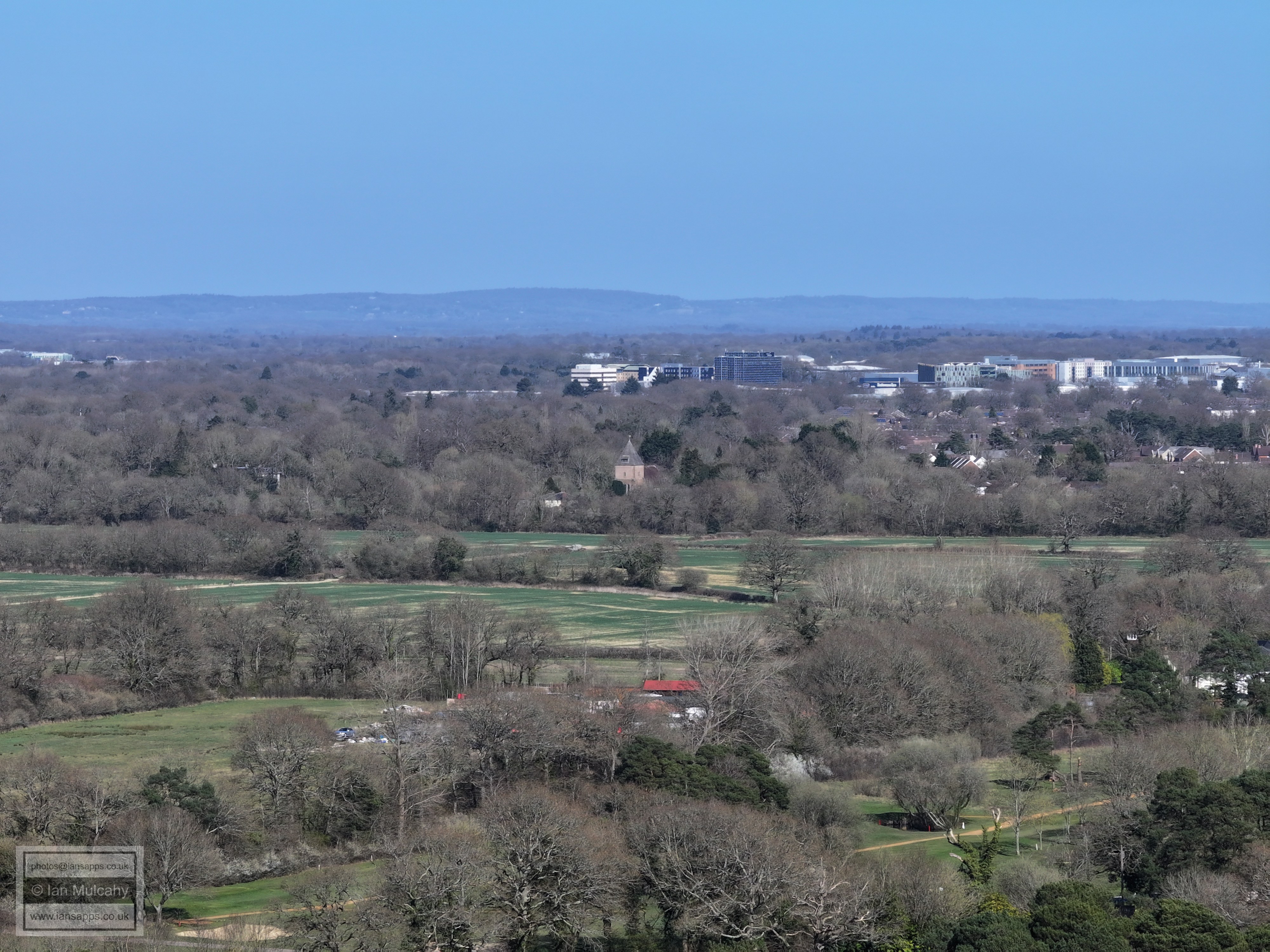
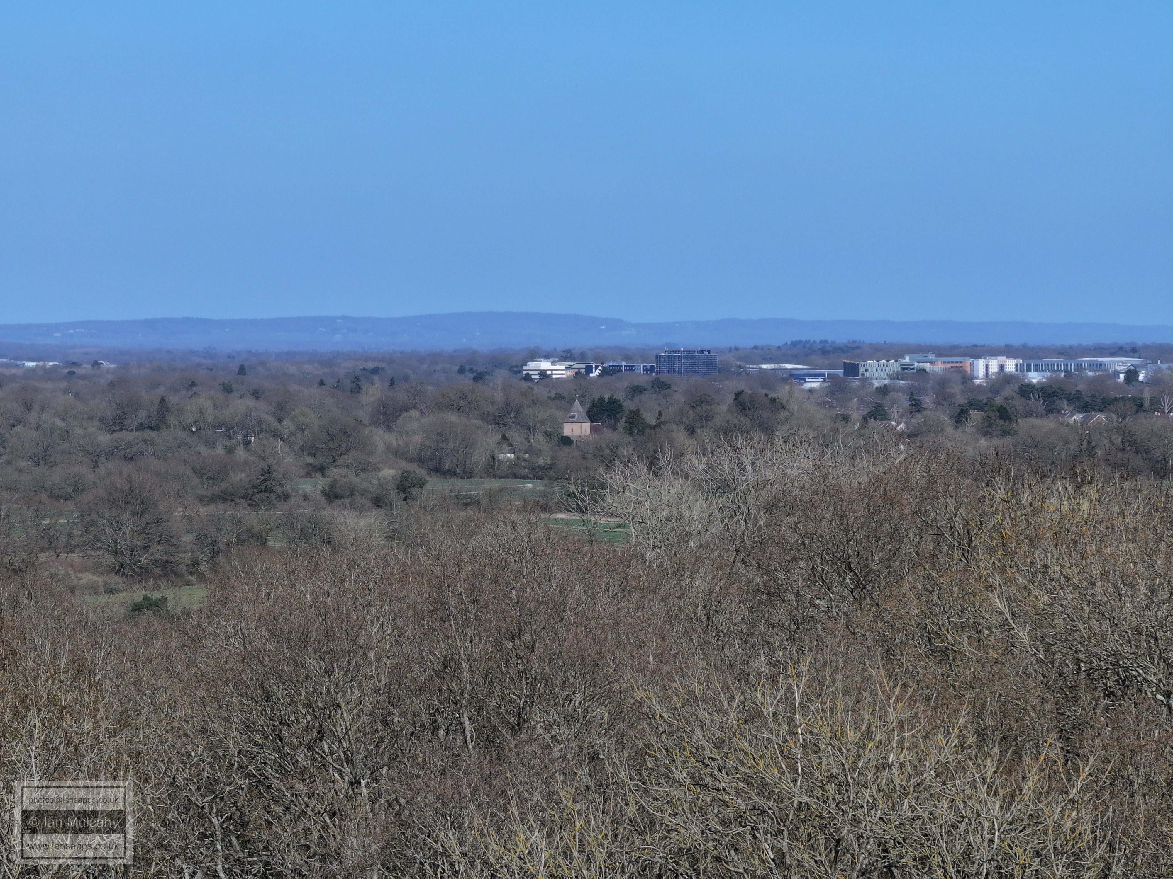
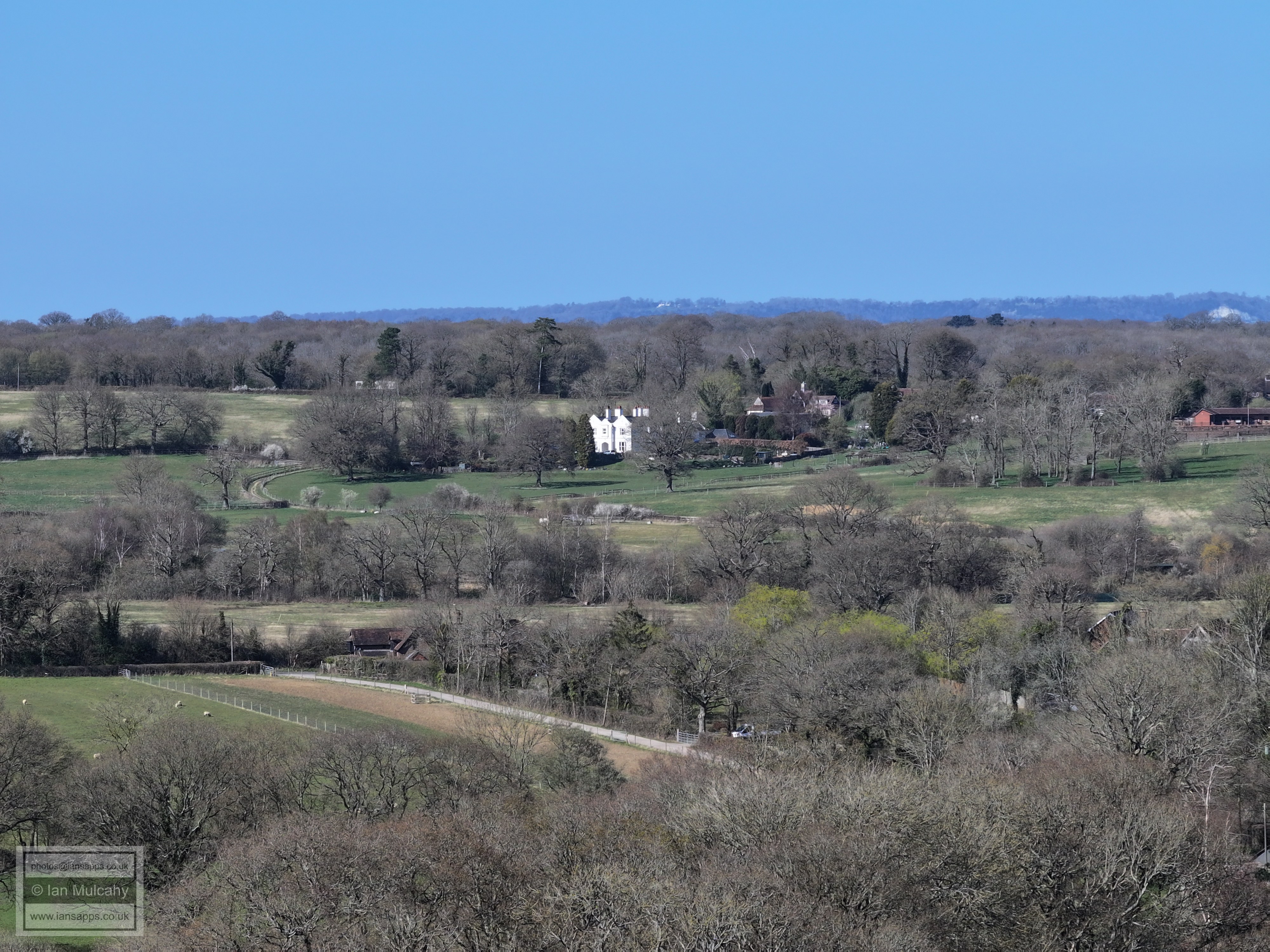
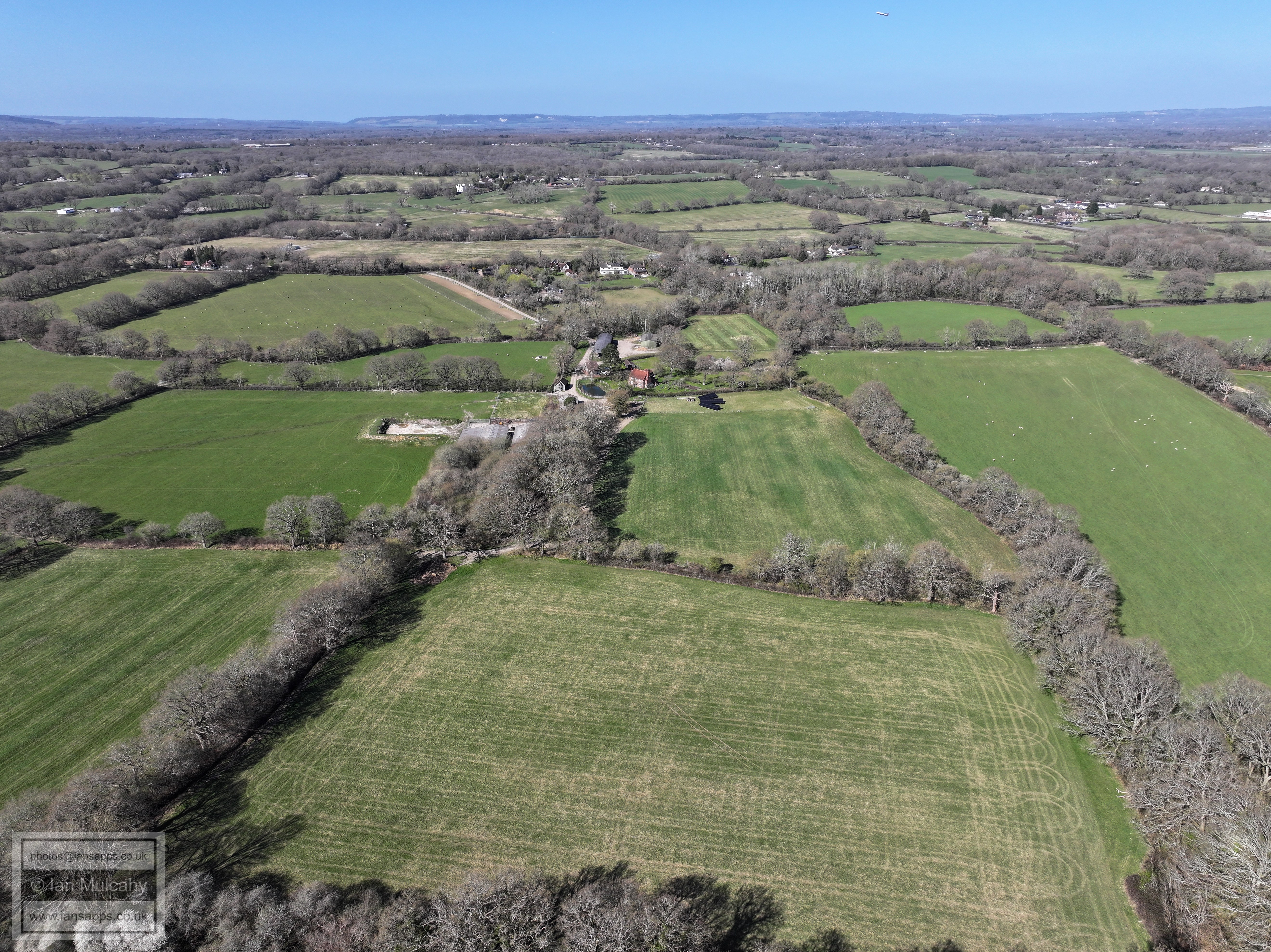
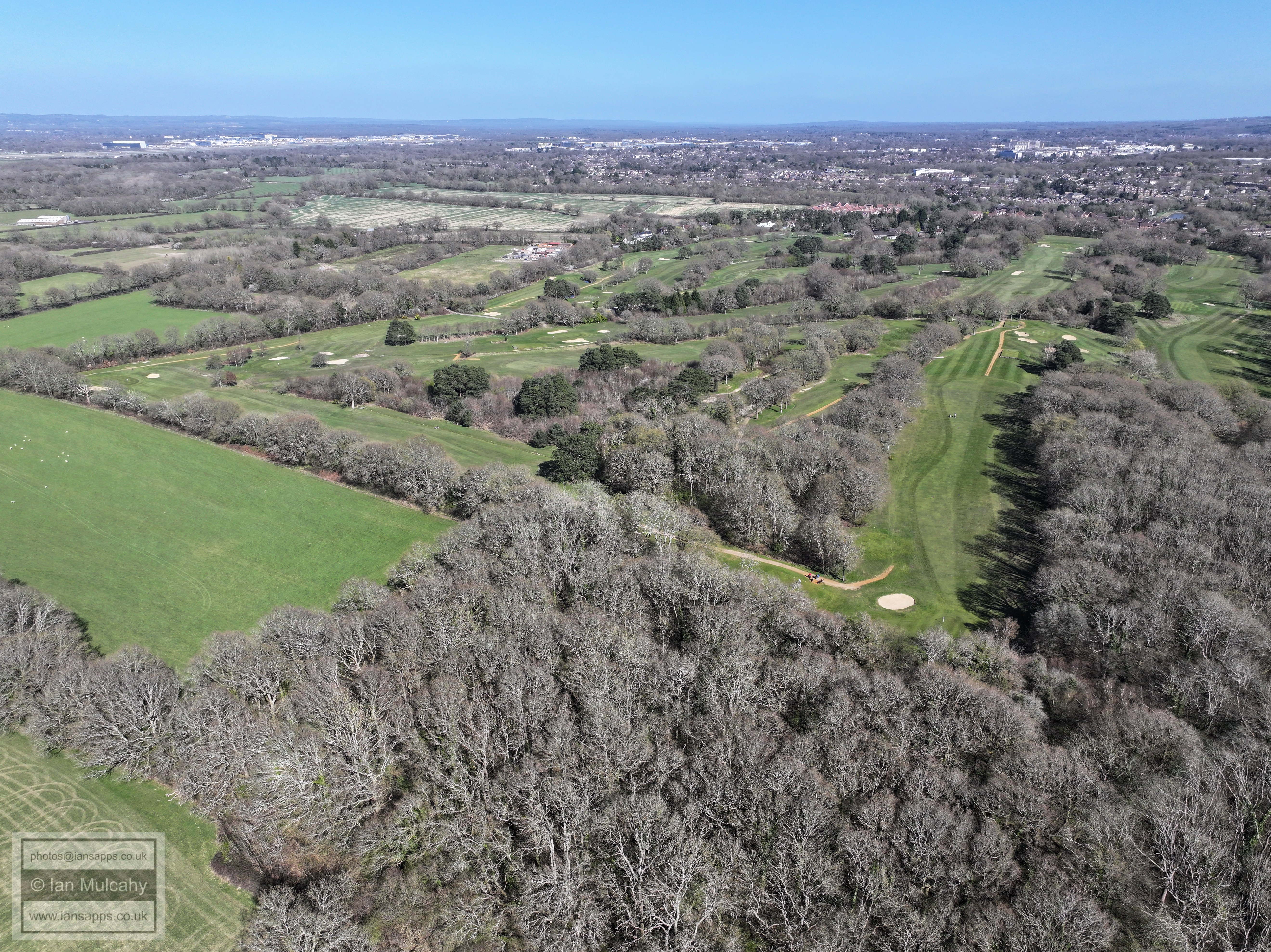
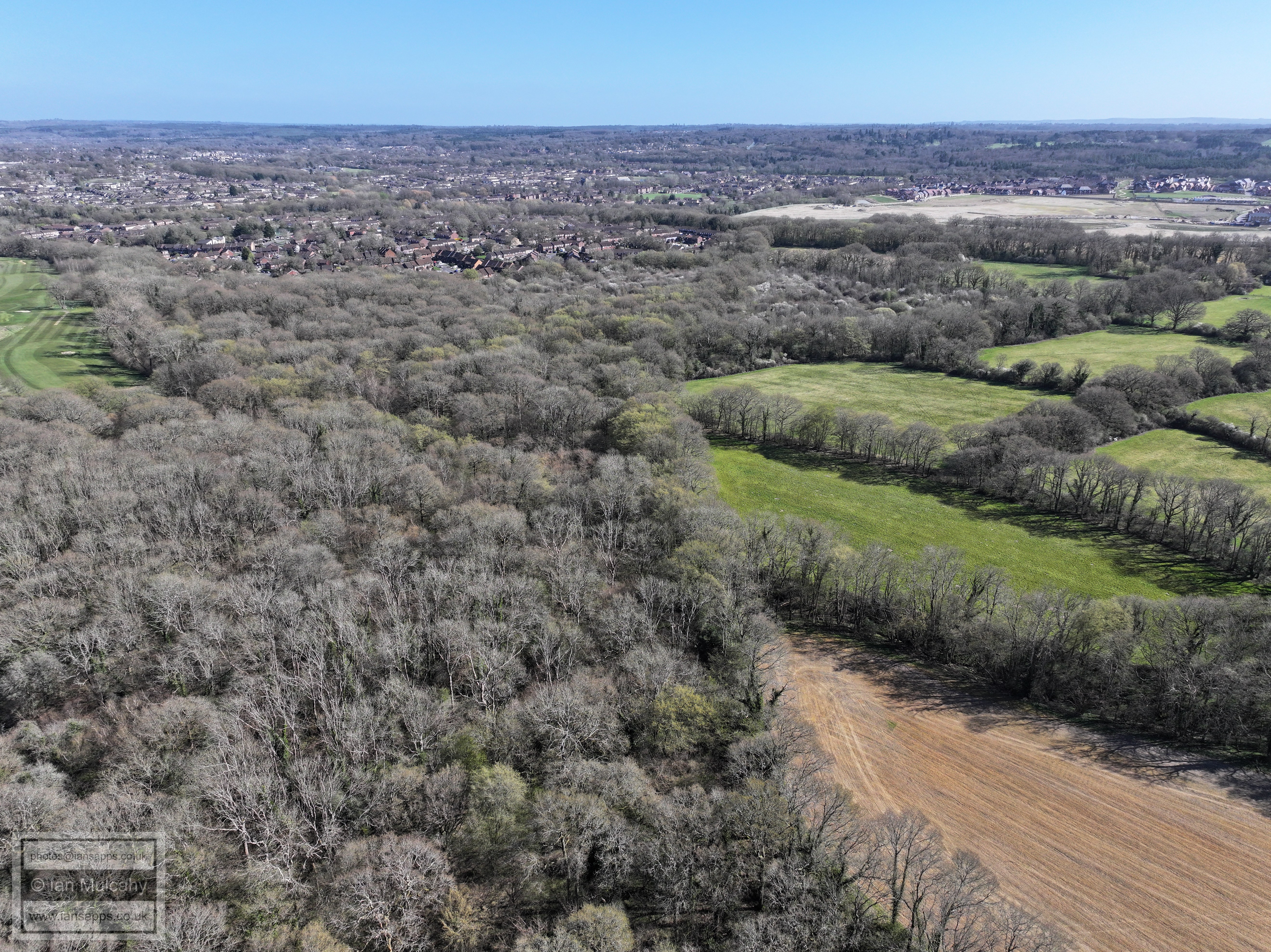
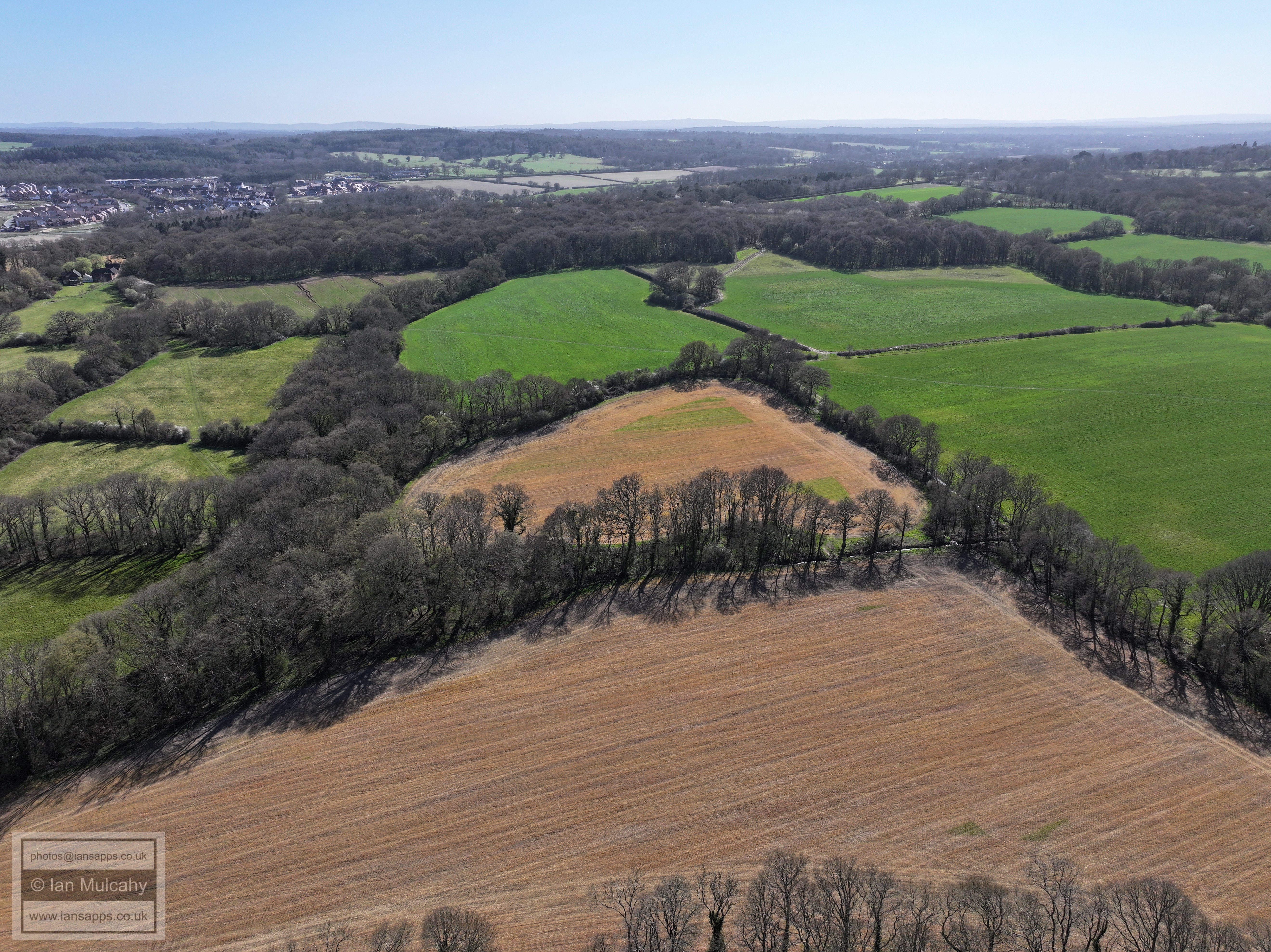
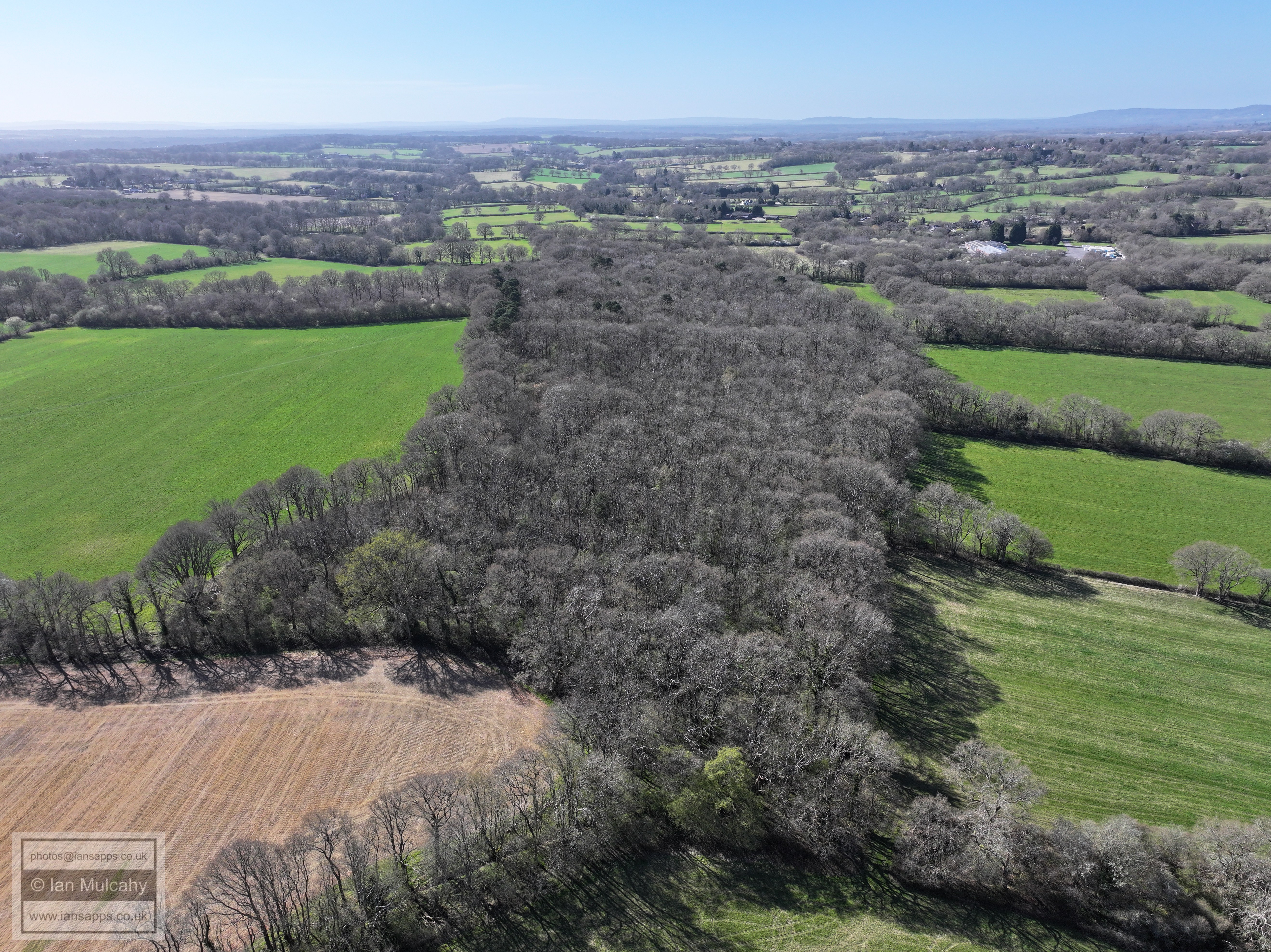
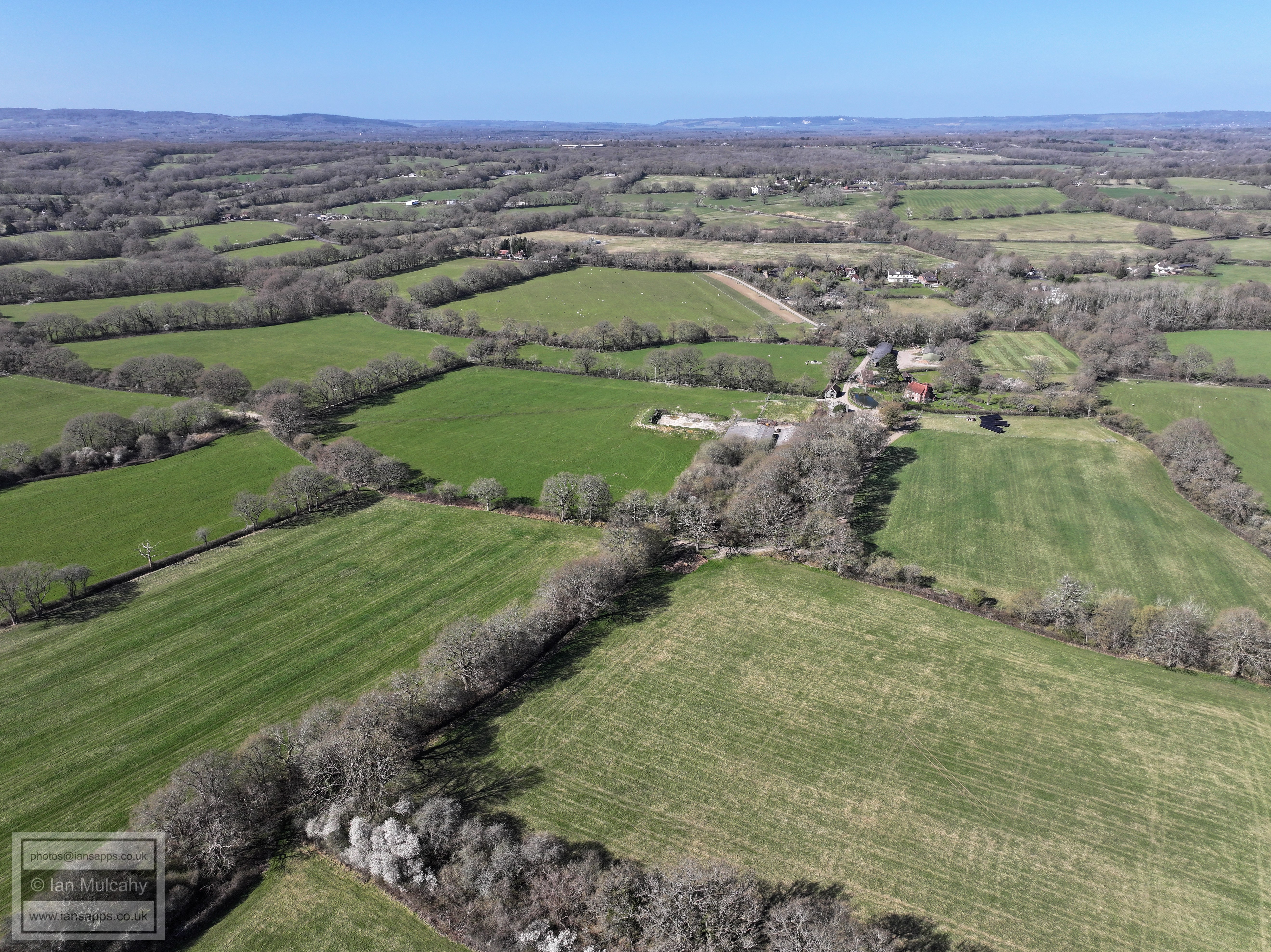
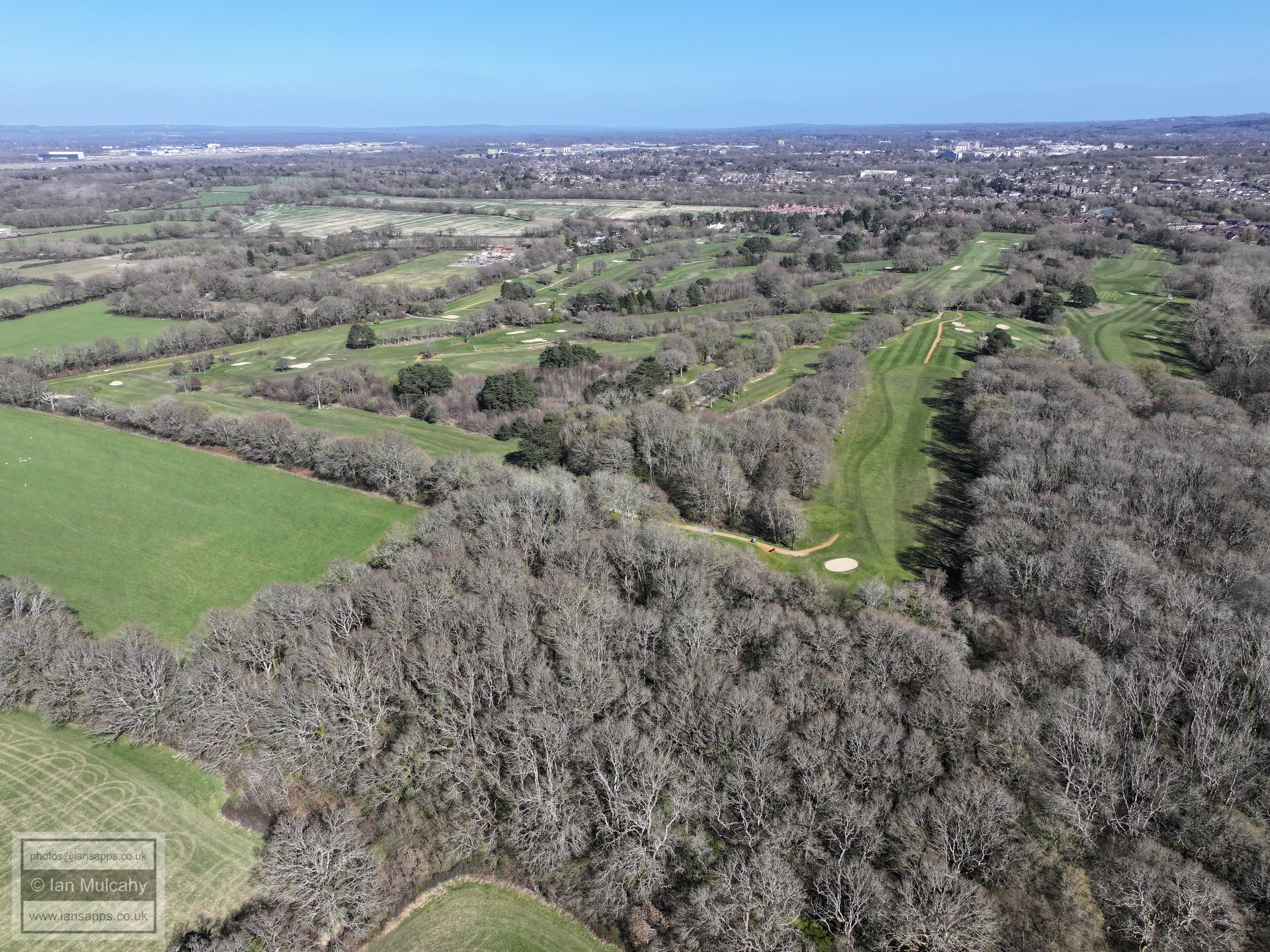
65 aerial images of varying focal length taken on 30 March 2025 from a field west of Ifield Golf Course with views across Crawley, Gatwick, Rusper and the surrounding countryside.
Some of the photos have been annotated.
Ifield Golf course in full, as well as much of the land included in Horsham District Councils local plan as being a suitable place to park their housing allocation, well away from their core voters.
St Margaret's Church, Ifield in the centre
Town centre
Note Ifield Mill in the bottom left quarter.
Rusper Village in the top right quarter, with 'Normans' below it.
The house in the centre nerathe bottom are at the junction of Rusper Road, Langhurst Lane and Burnt House Lane, just before the Lambs Green turn off.
The Mount near centre and Box Hill on the horizon.
Bonwyckes Place bottom left.
Ifield Mill
St Margaret's Church, Ifield
St Margaret's Church, Ifield
The Mount
Text & photographs © Ian Mulcahy. Contact photos@iansapps.co.uk or visit my 'Use of my photographs' page for licensing queries (ground level photographs only). |
.JPG)