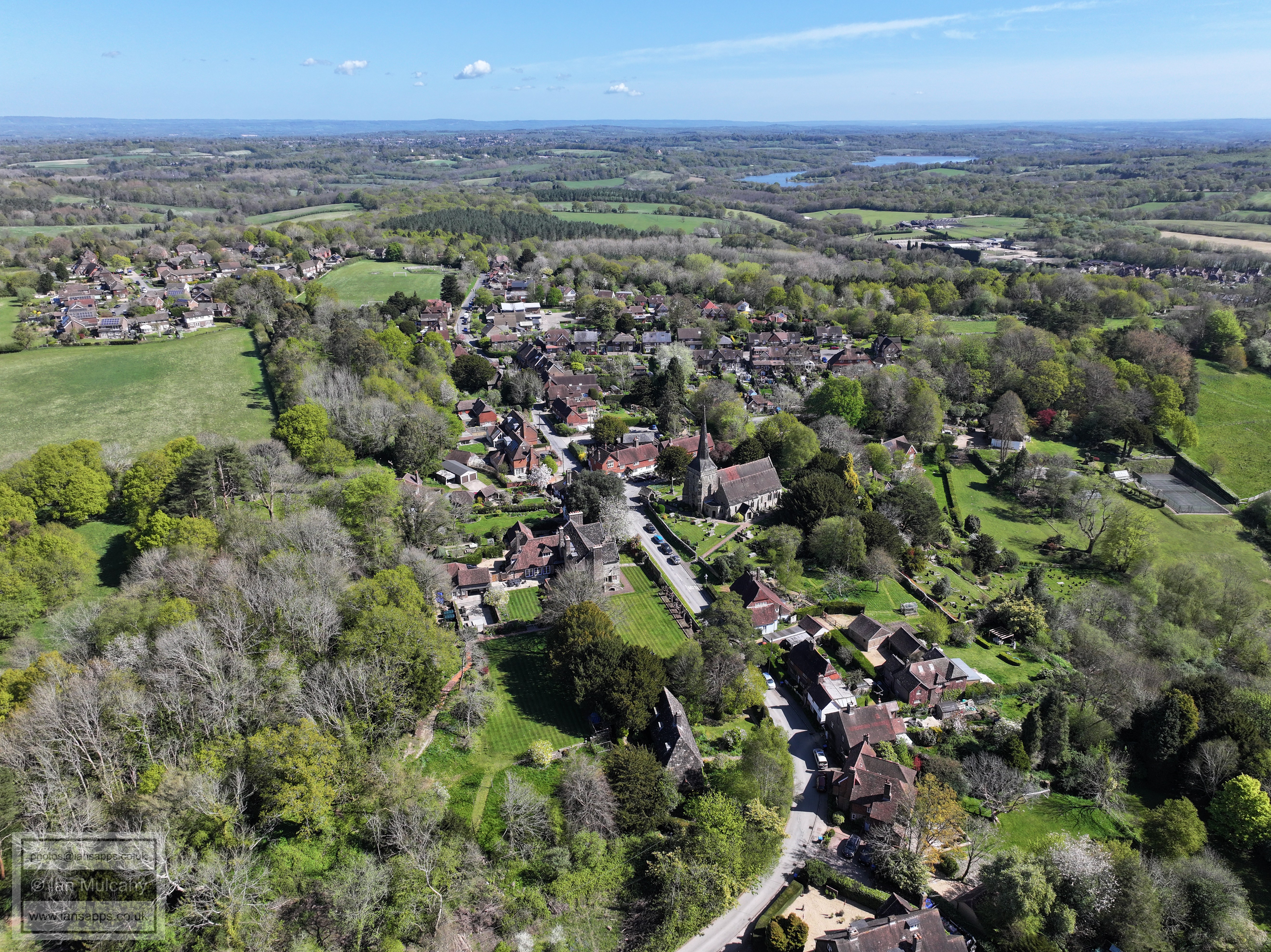
In, around and above West Hoathly
17 April 2025
85 aerial photos of varying focal length taken from in and around the village
|
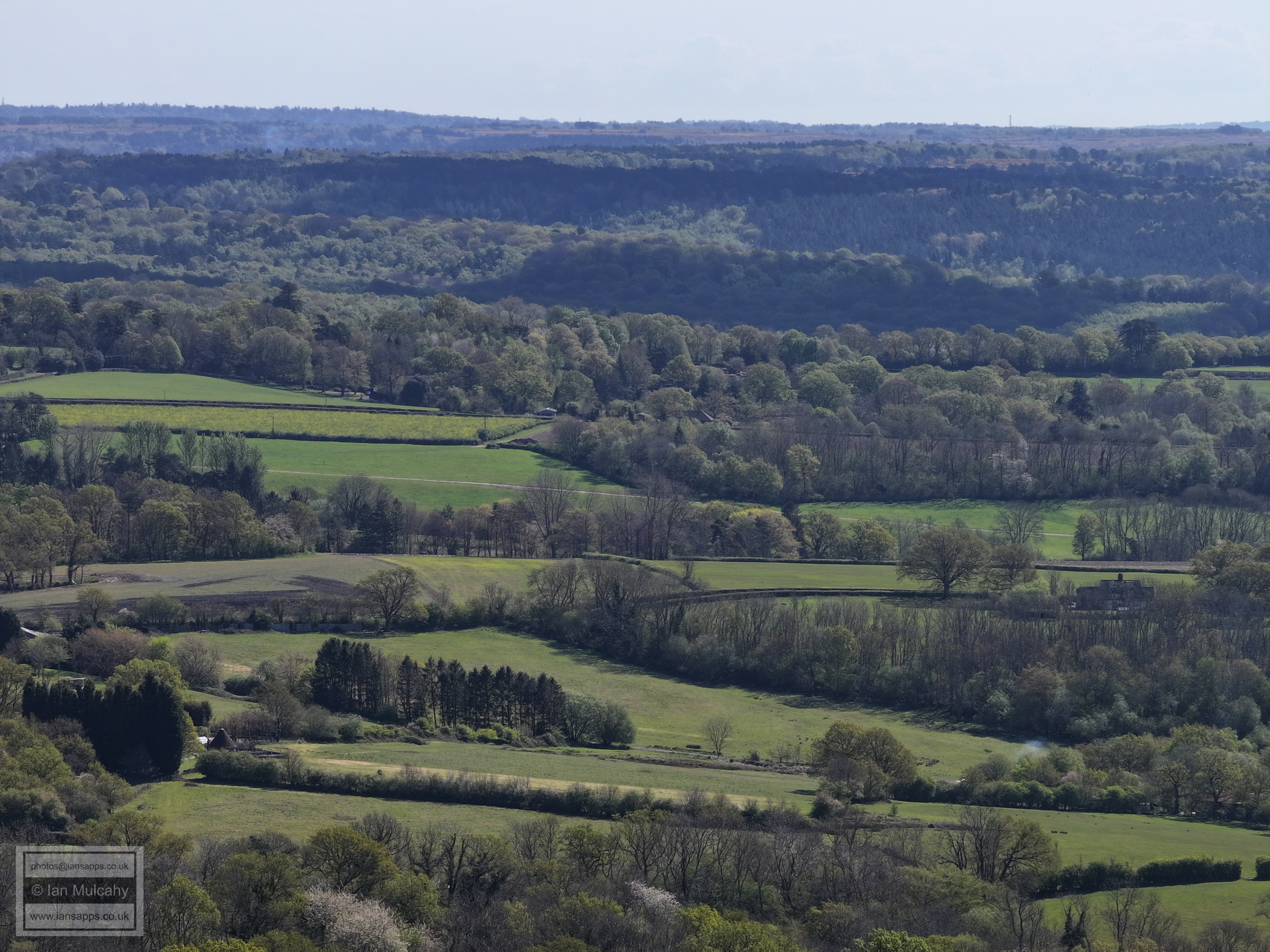
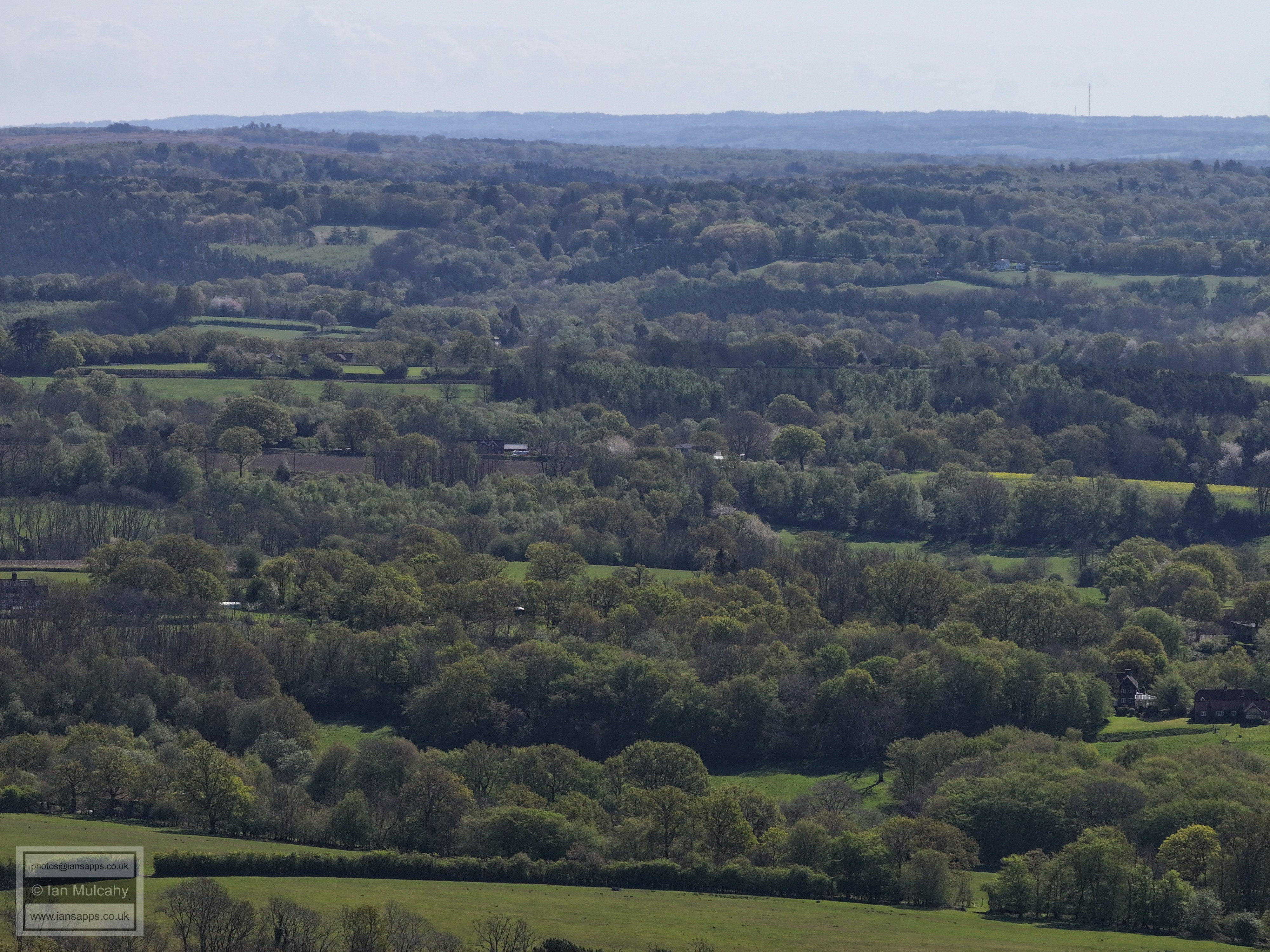
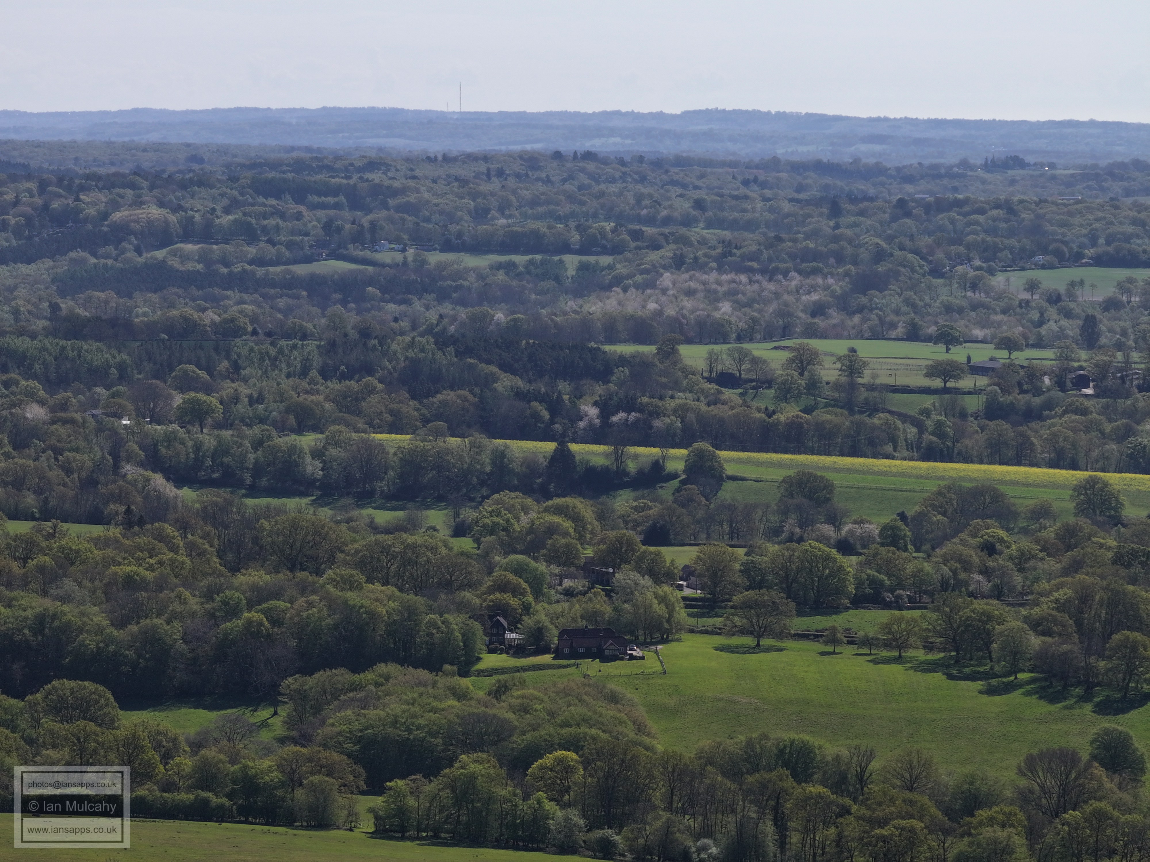
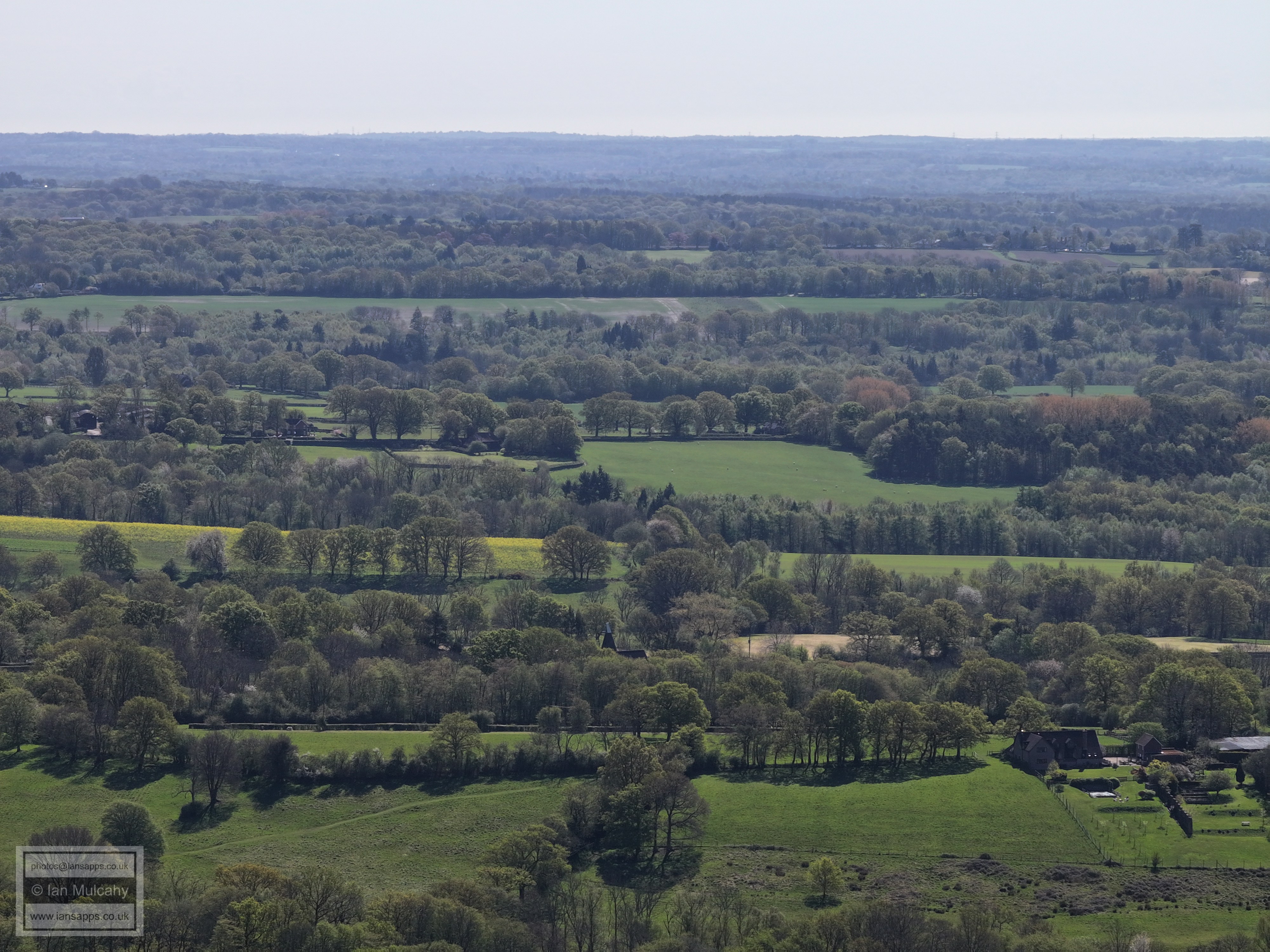
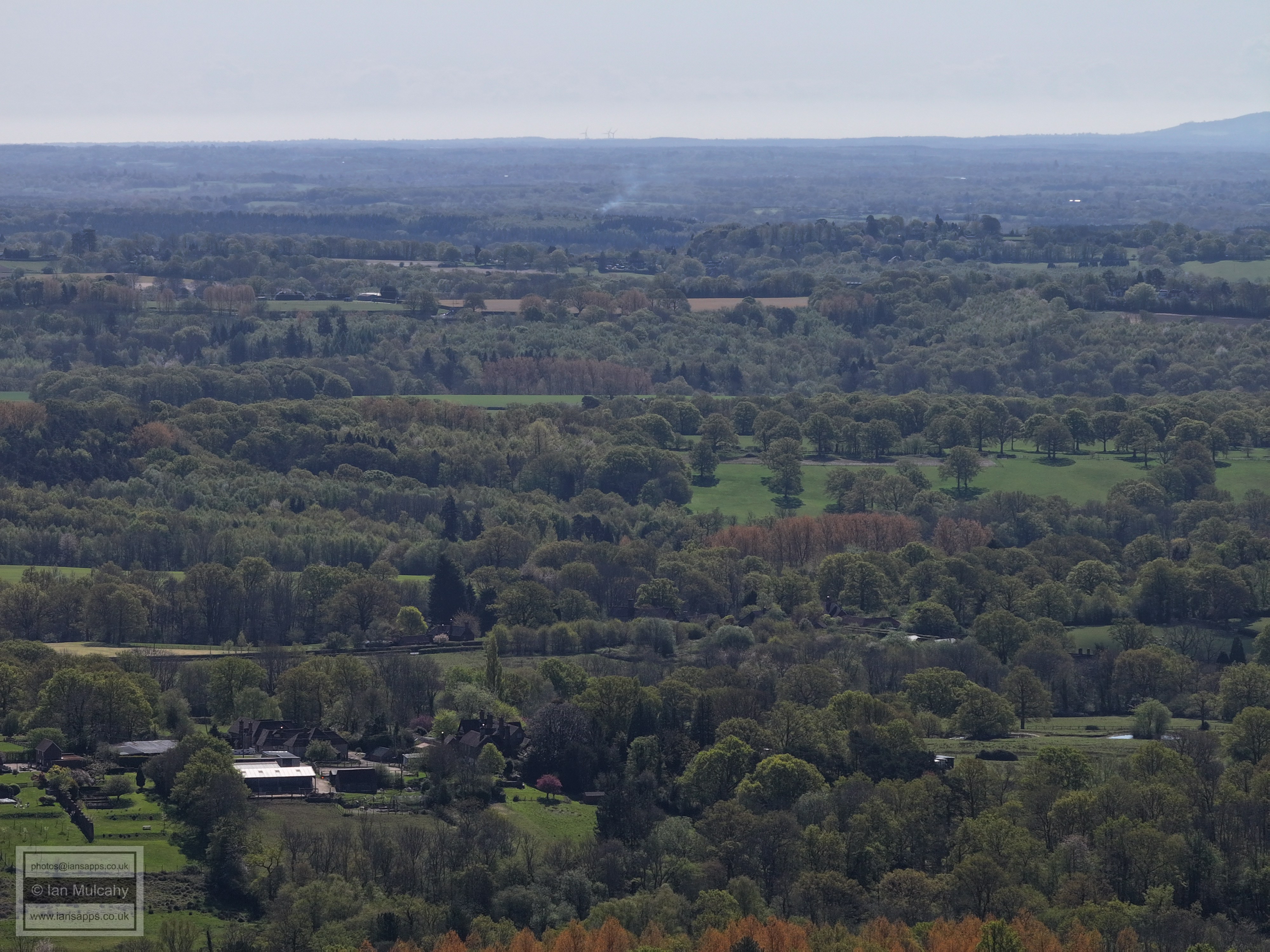
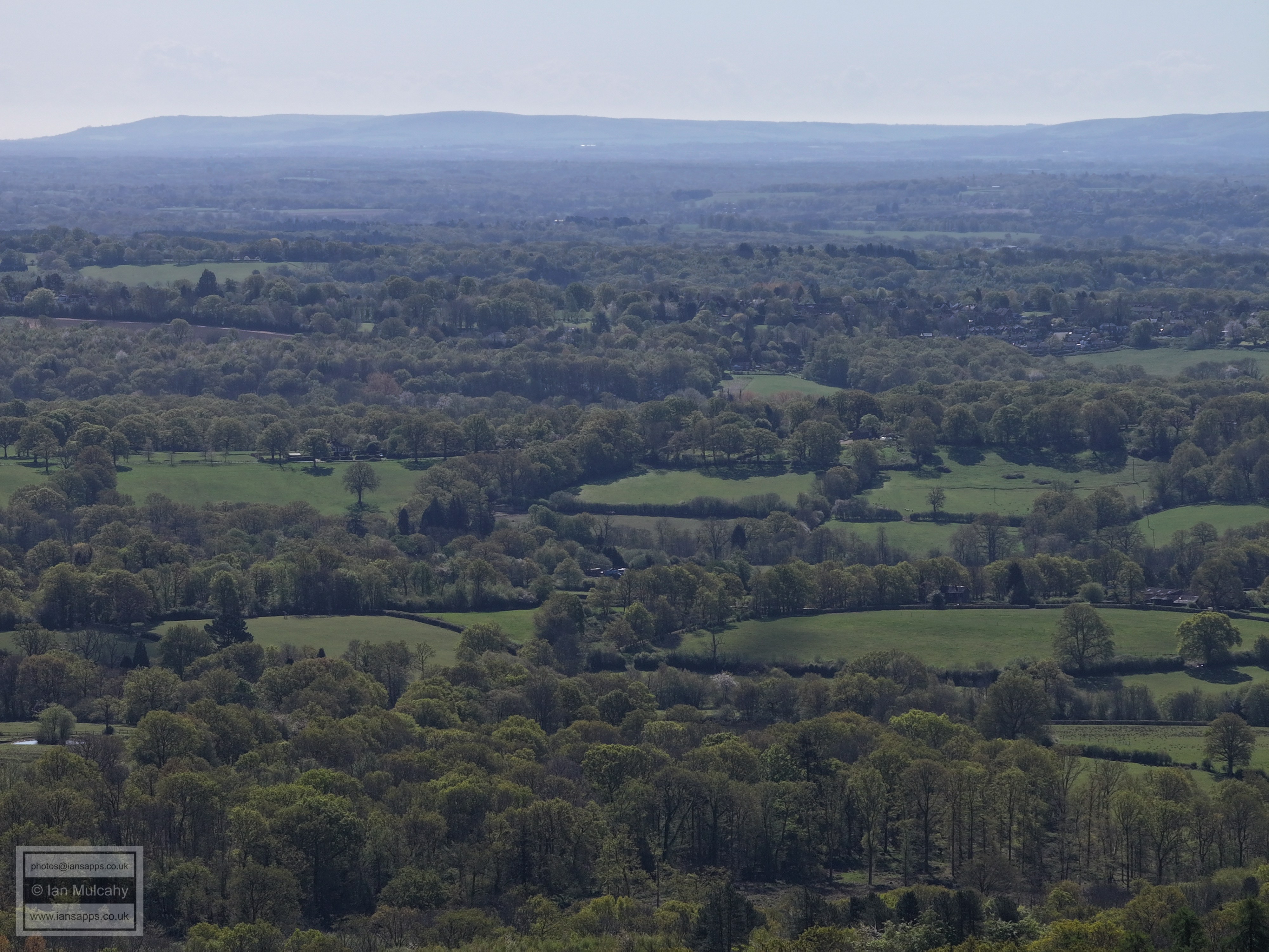
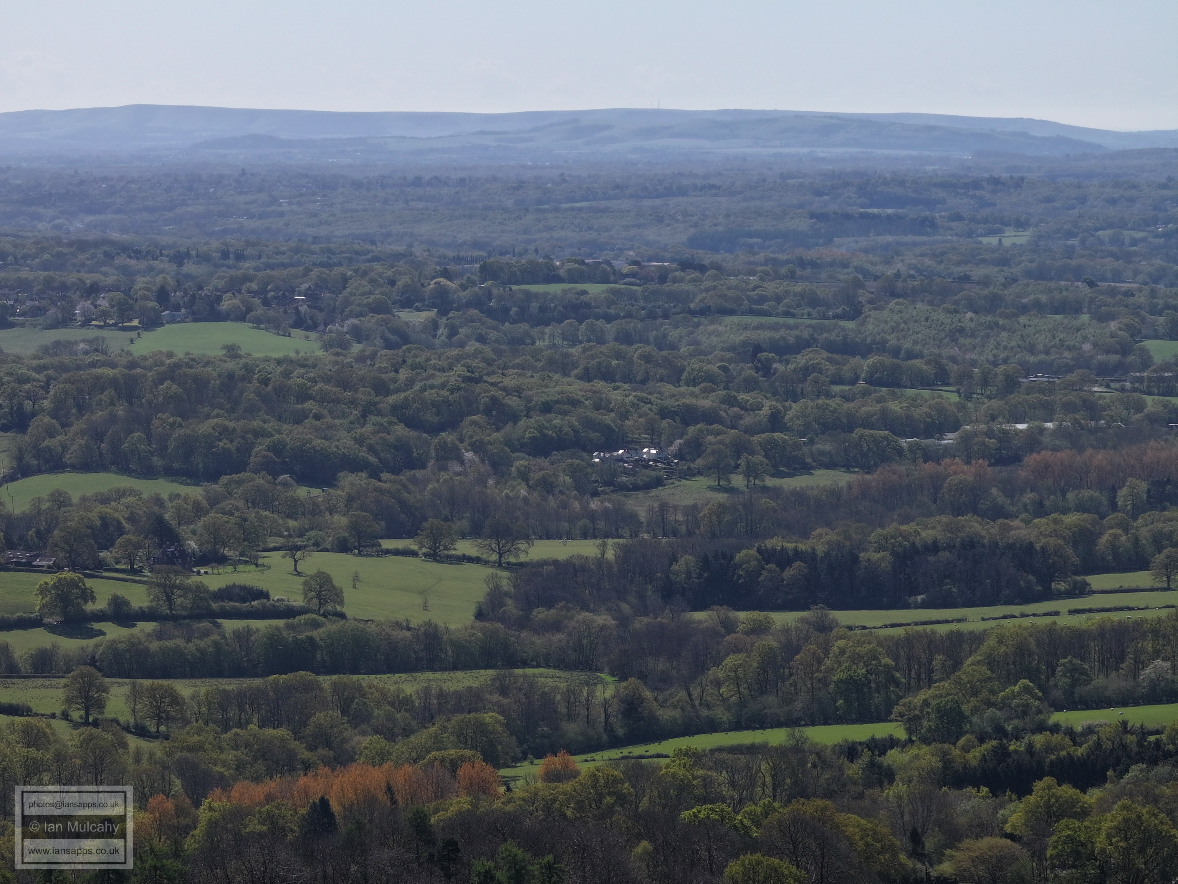
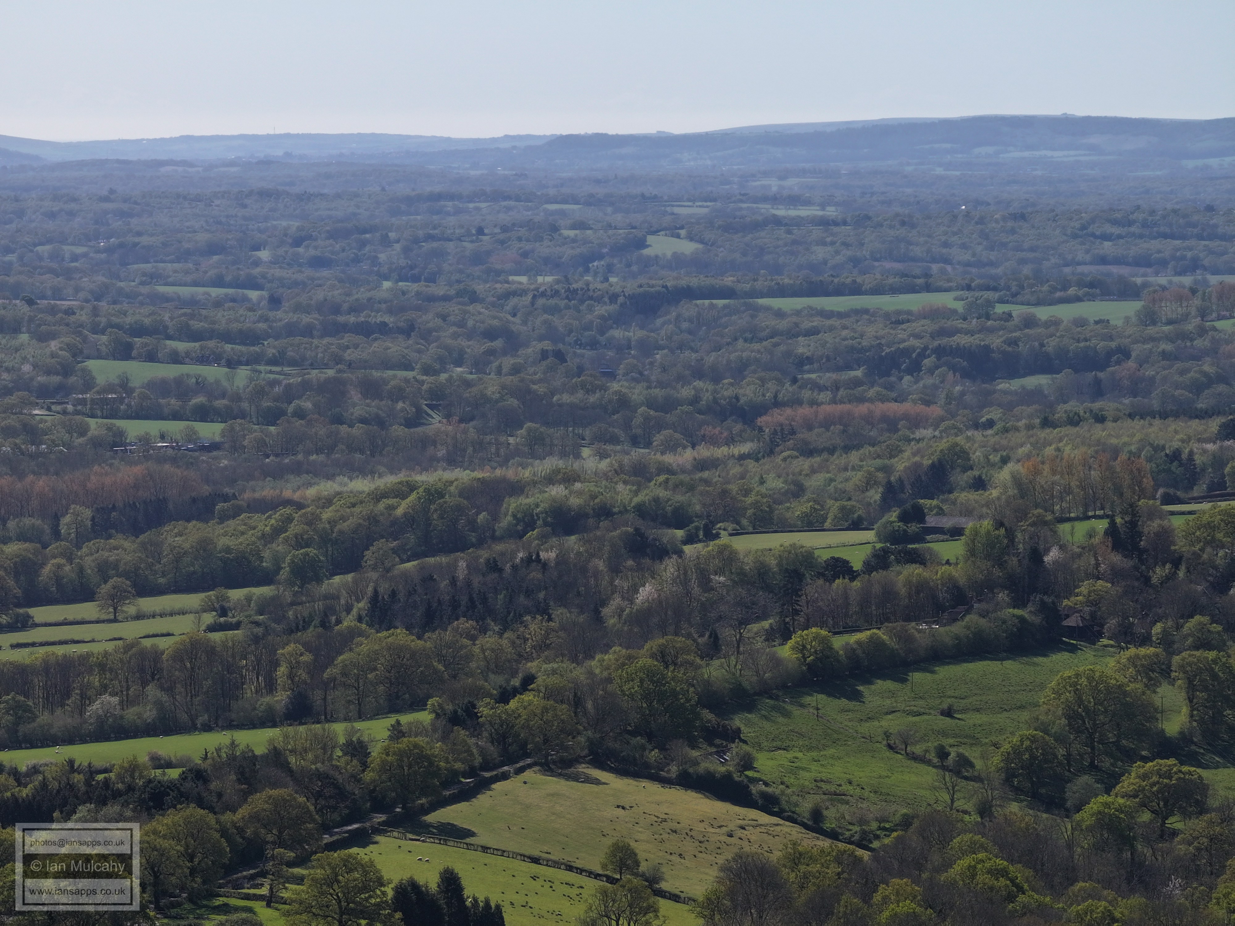
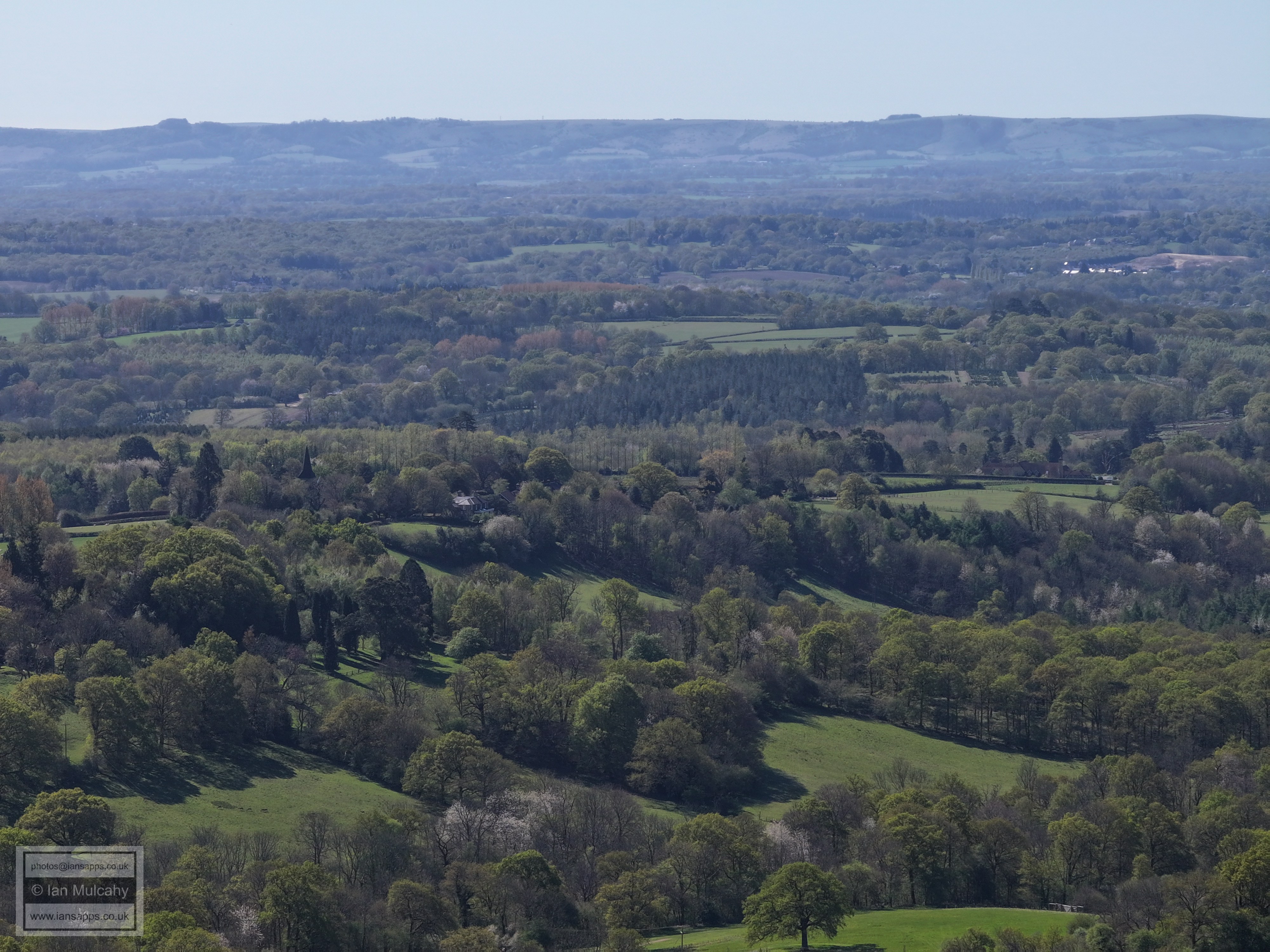
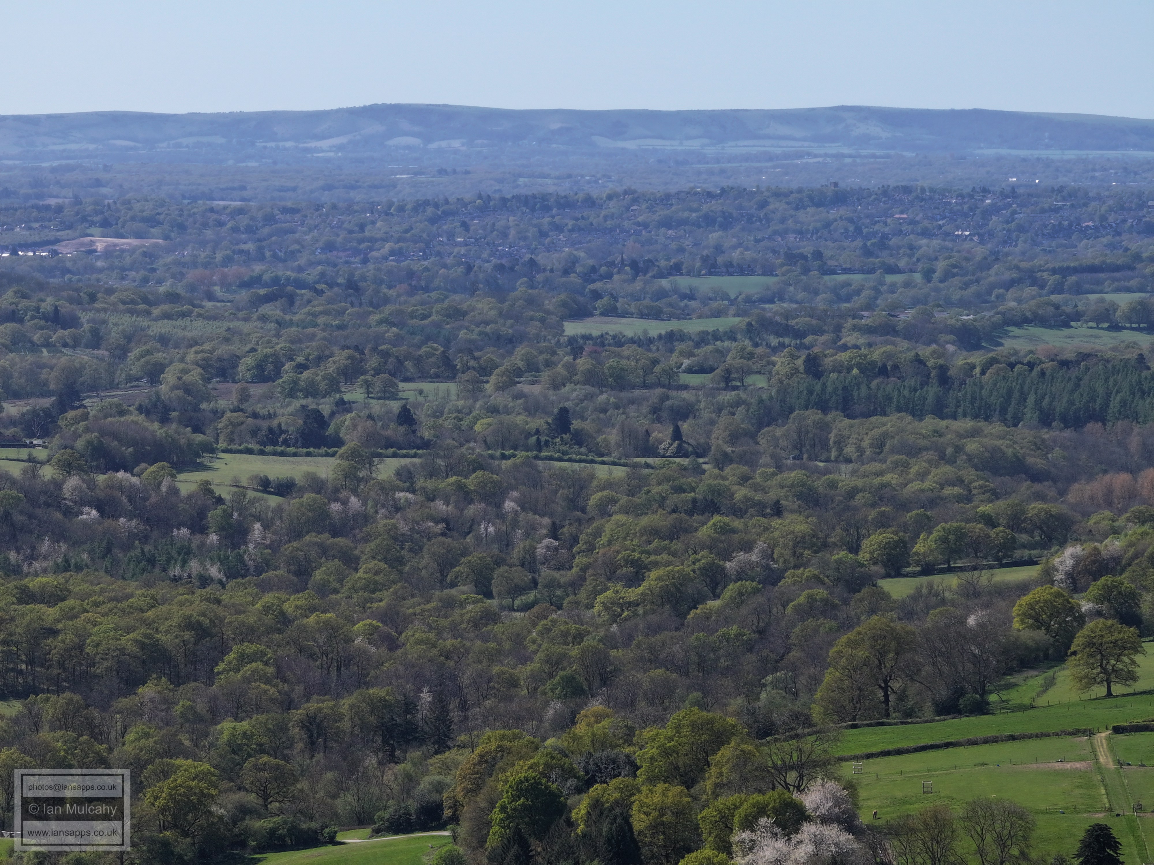
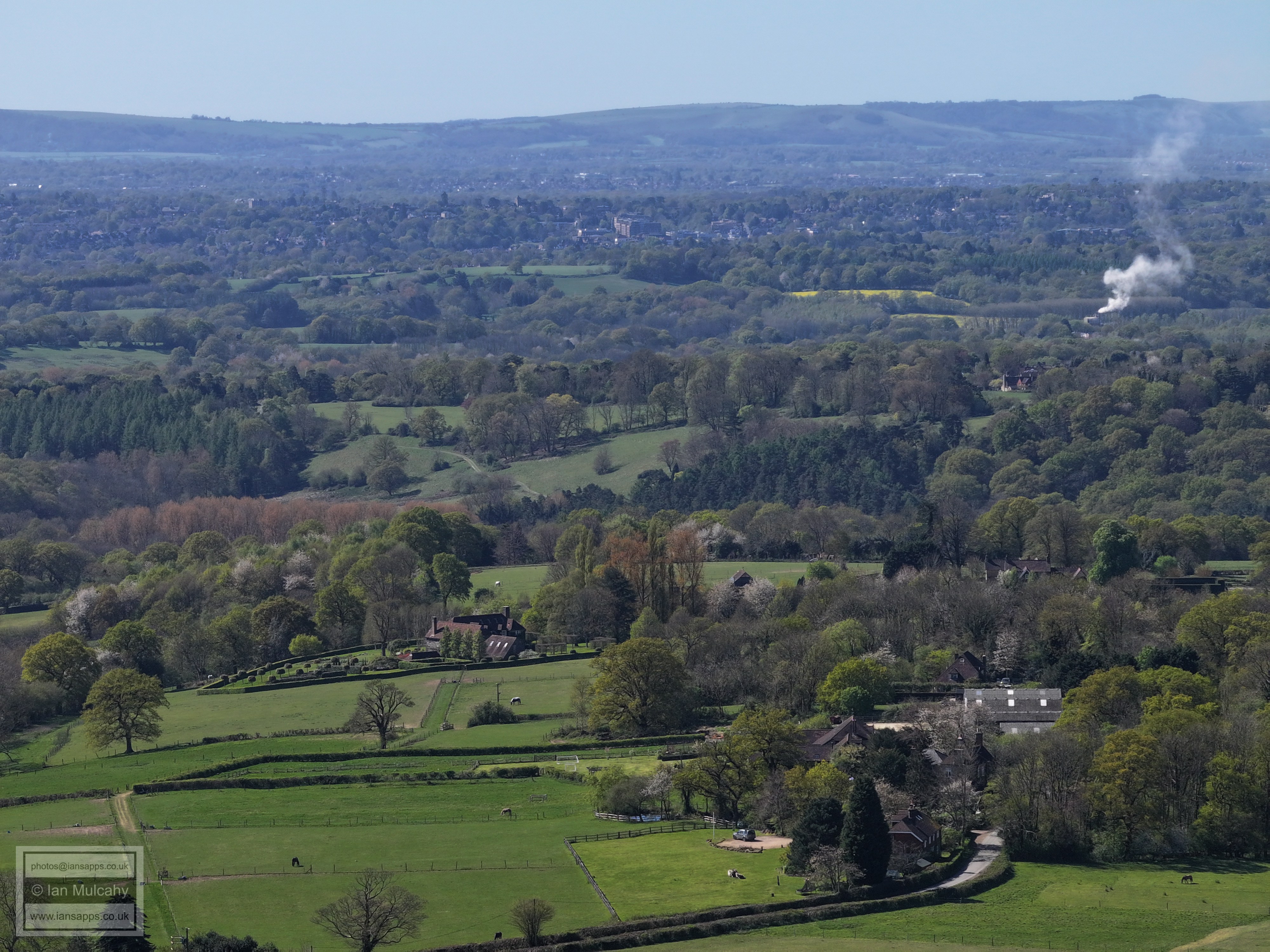
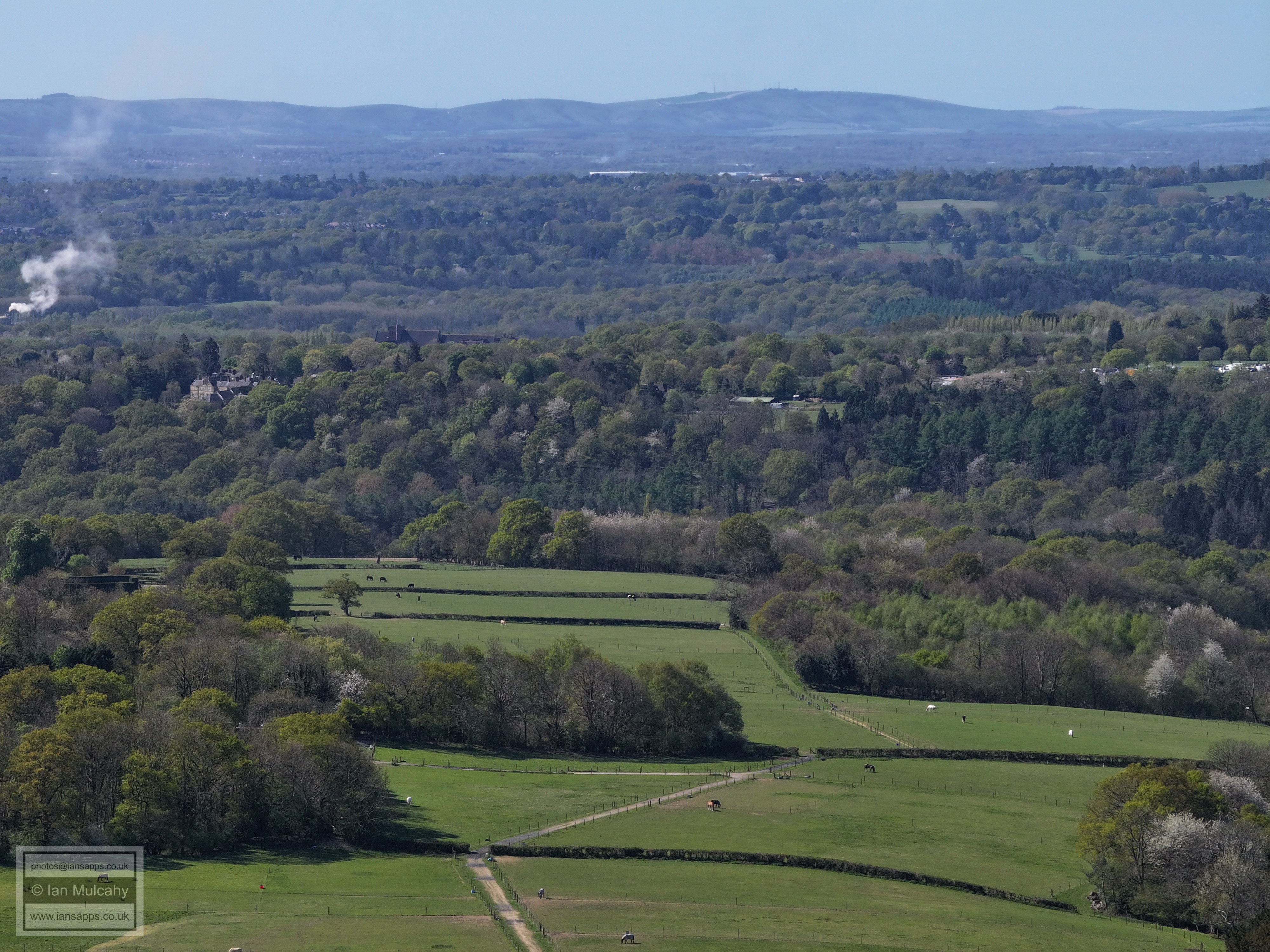
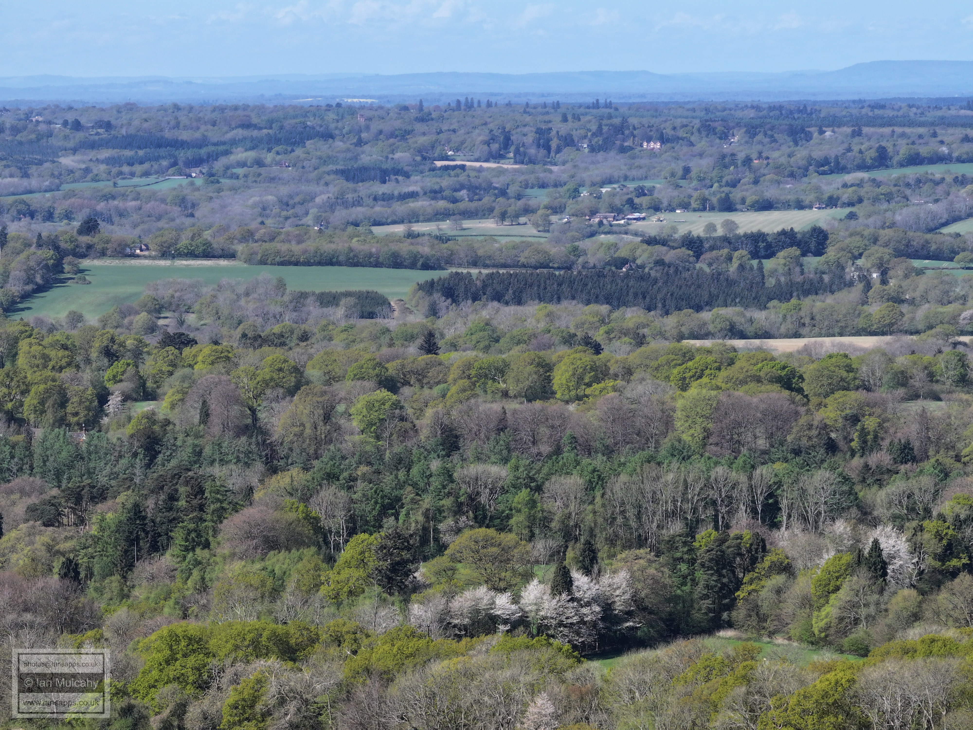
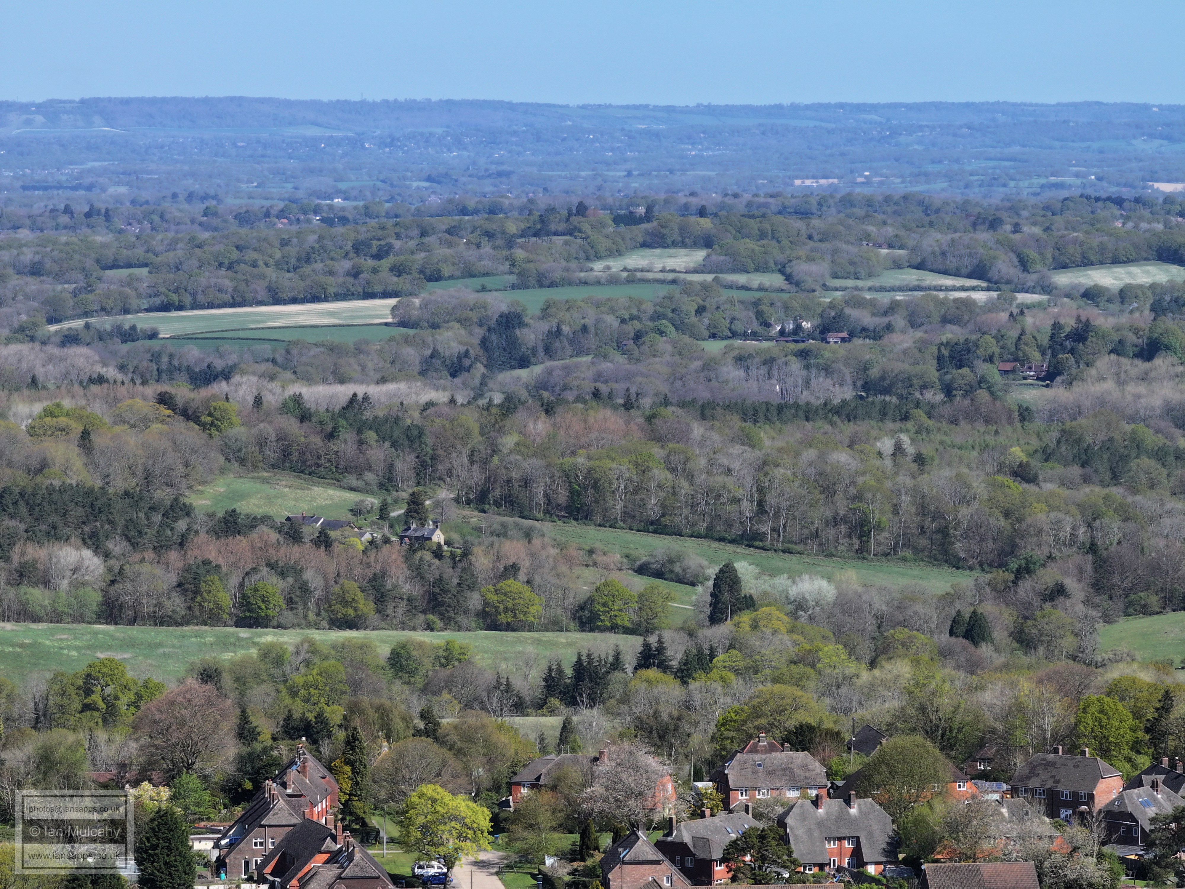
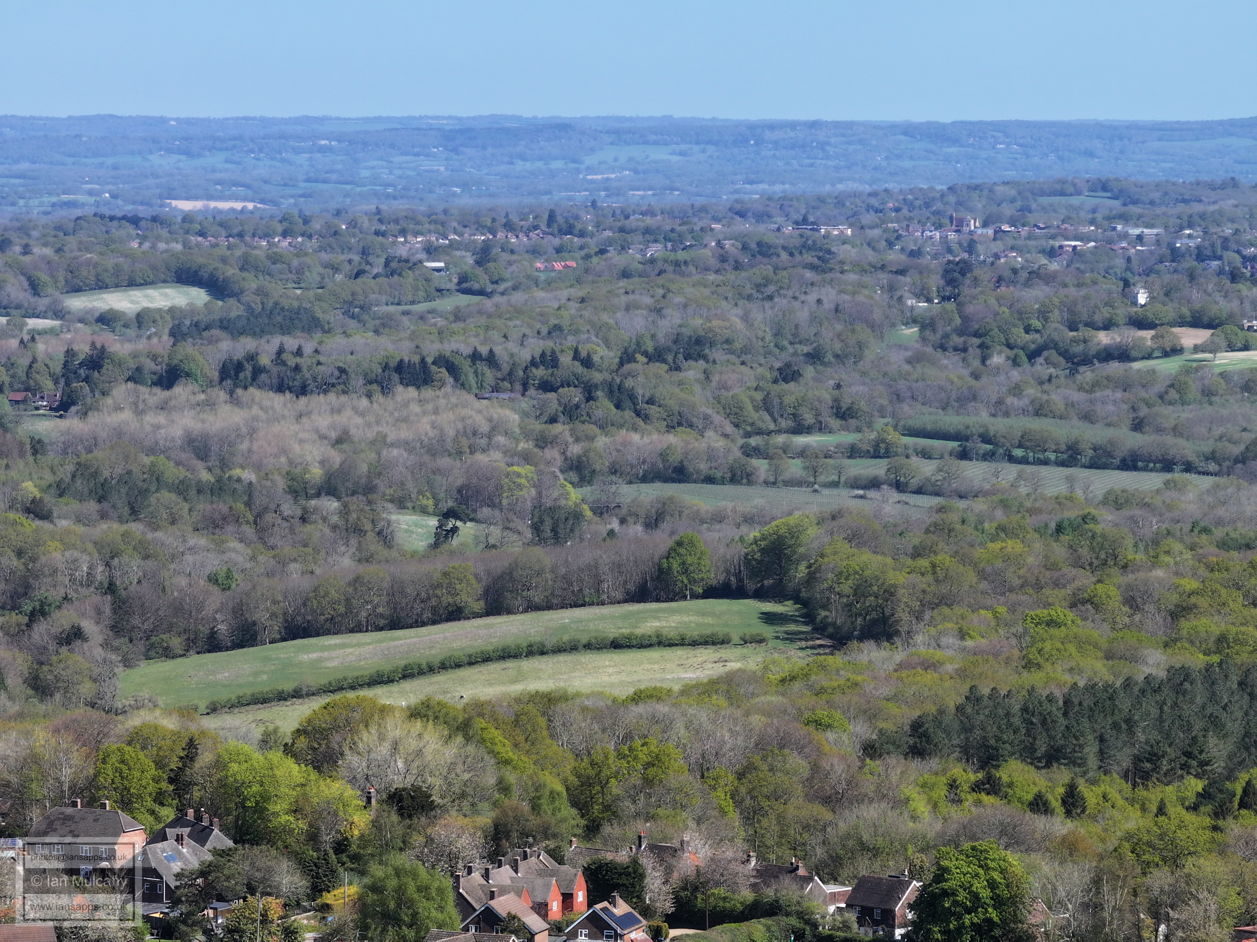
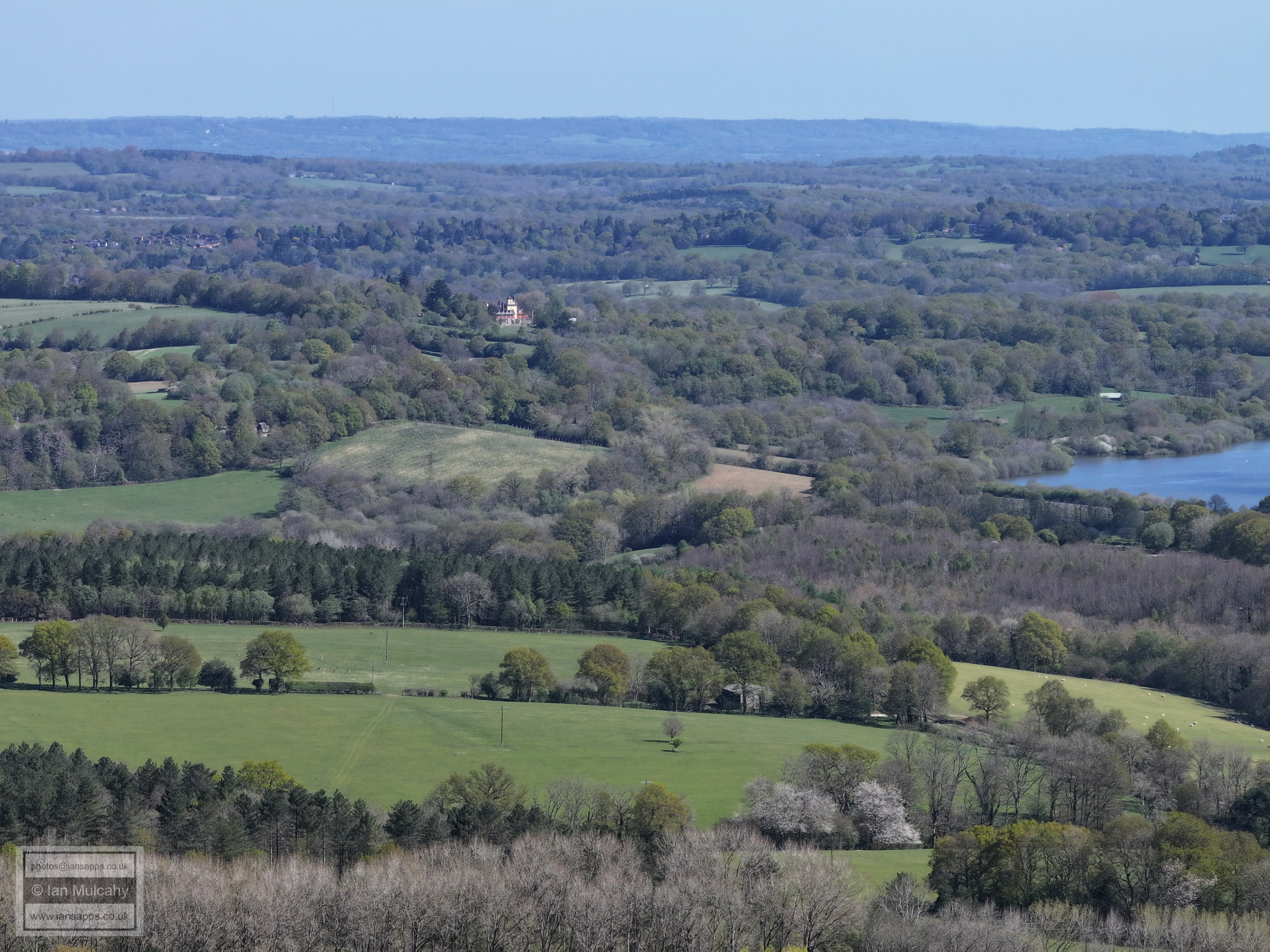
85 aerial images of varying focal length taken on 17 April 2025 in and around the High Weald village of West Hoathly in West Sussex. The photos were taken from 3 broadly fixed points just outside of the village; behind the church, Hook Lane Rec and Finche Field, using a drone with three different cameras of varying focal lengths. Those around the village centre were taken using a sub 250g drone.
Some of the photos have been annotated.
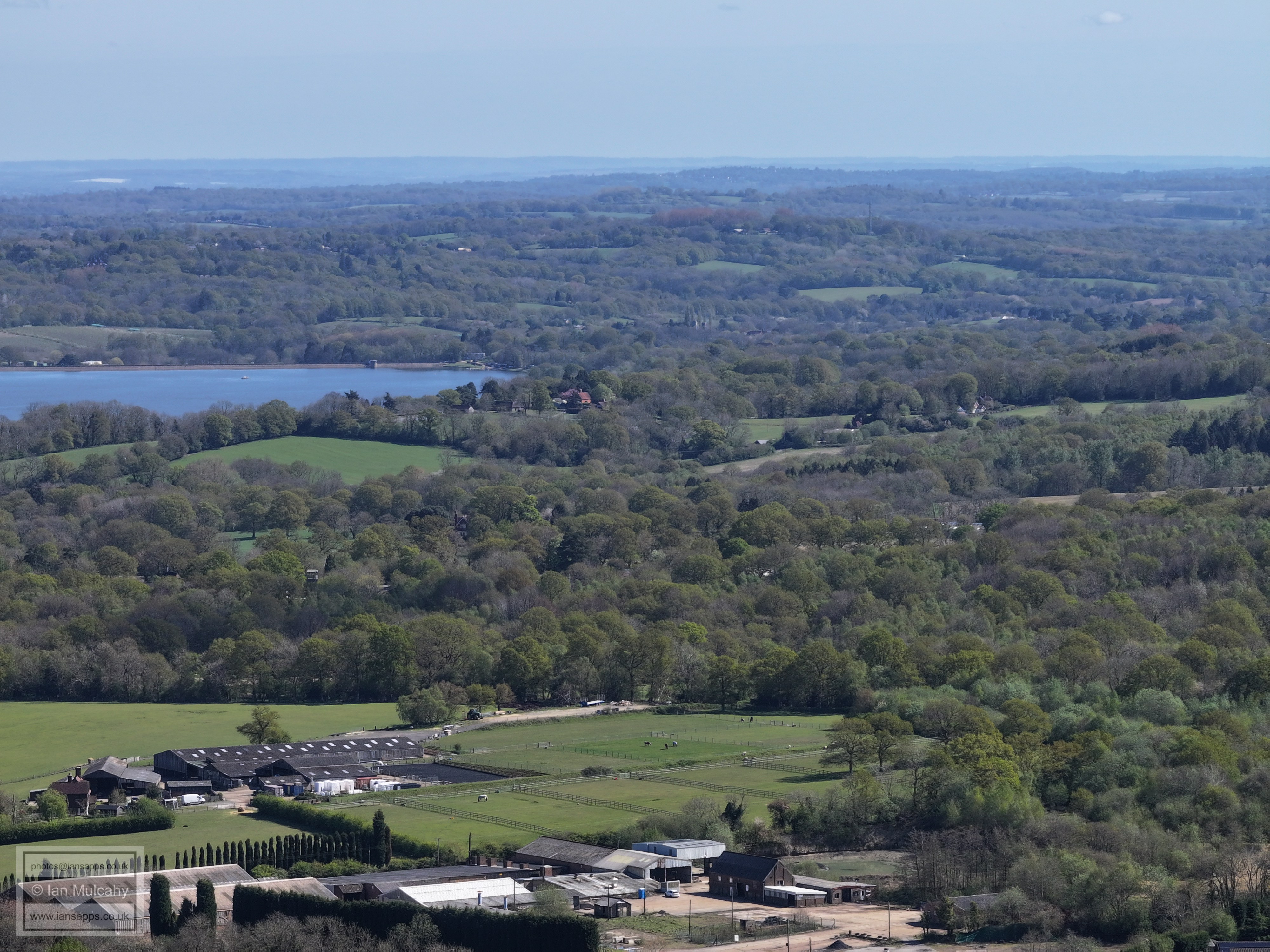
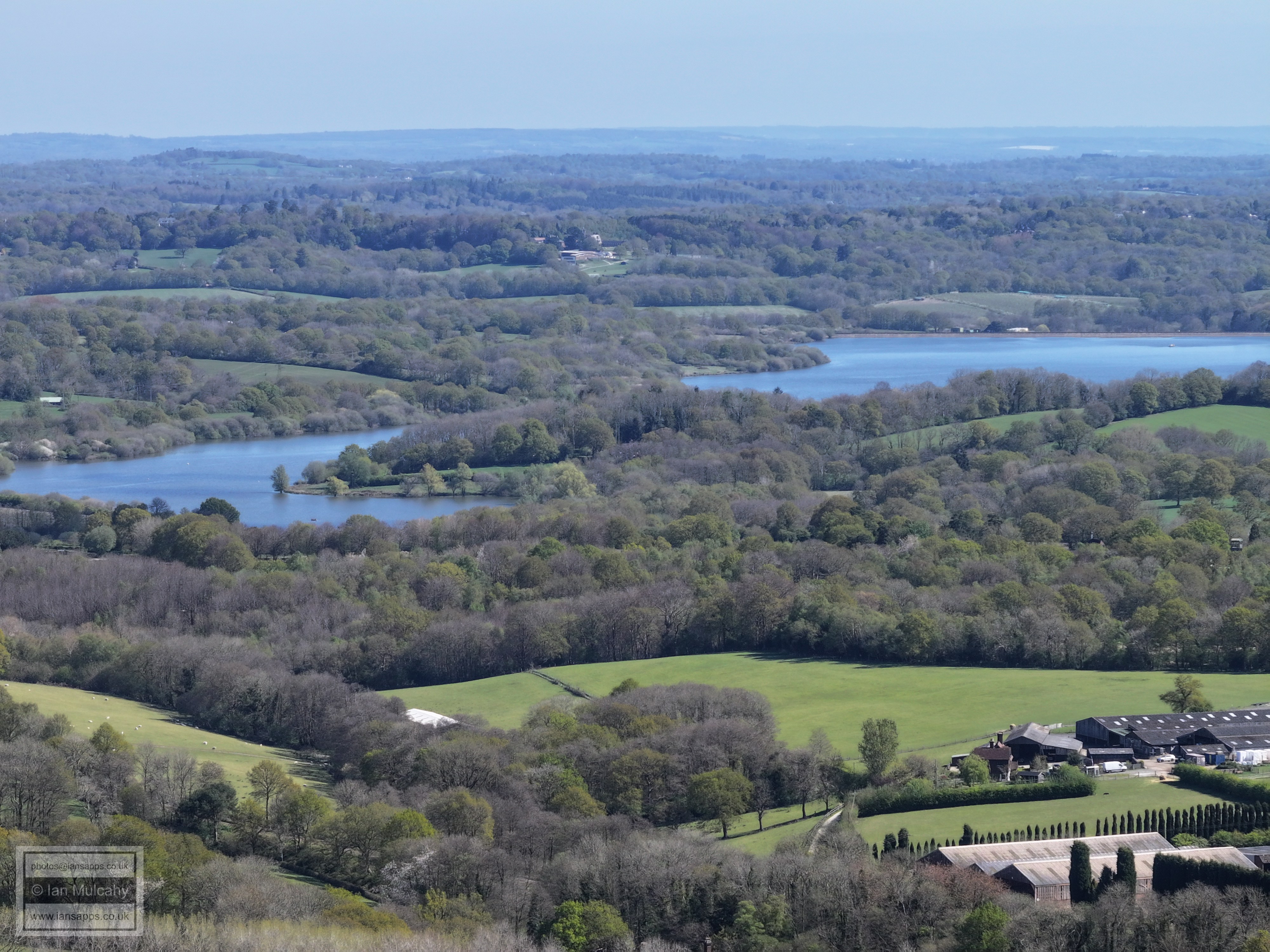
Weirwood
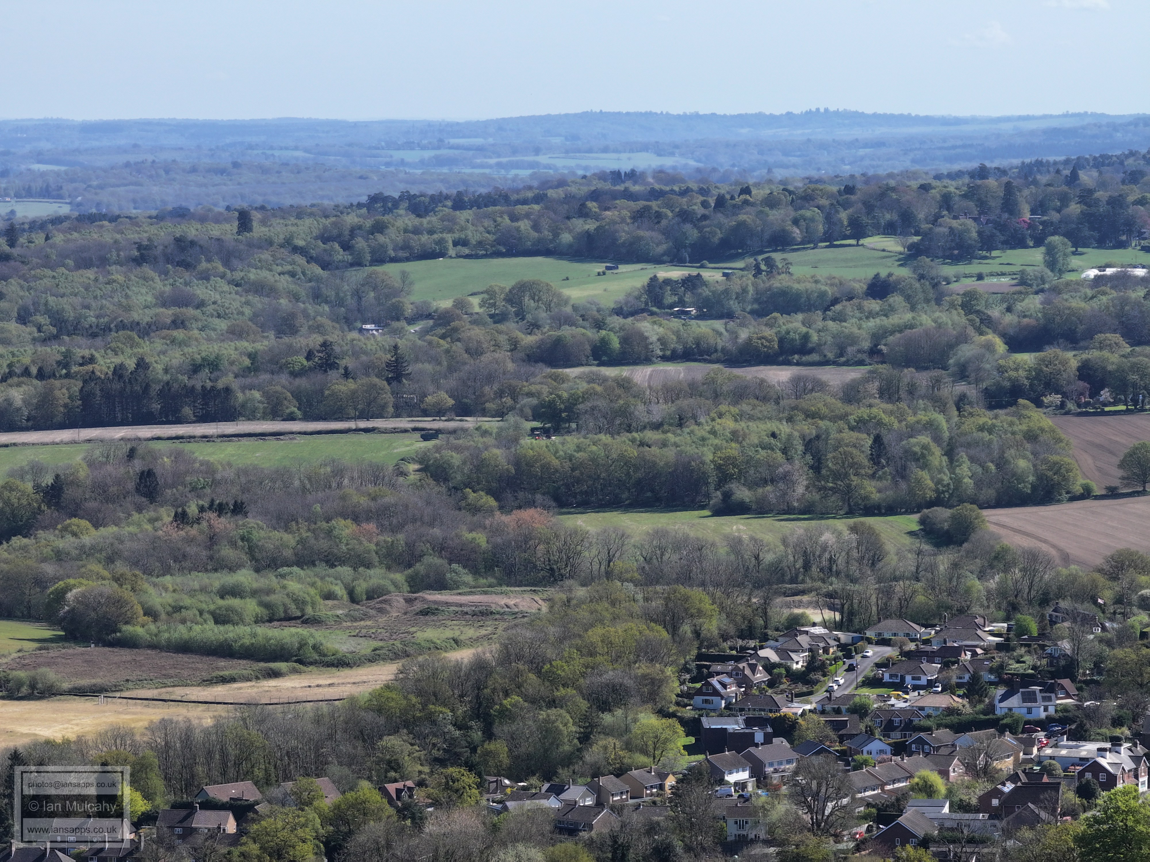
Highcroft Road in Sharpthorne, bottom right
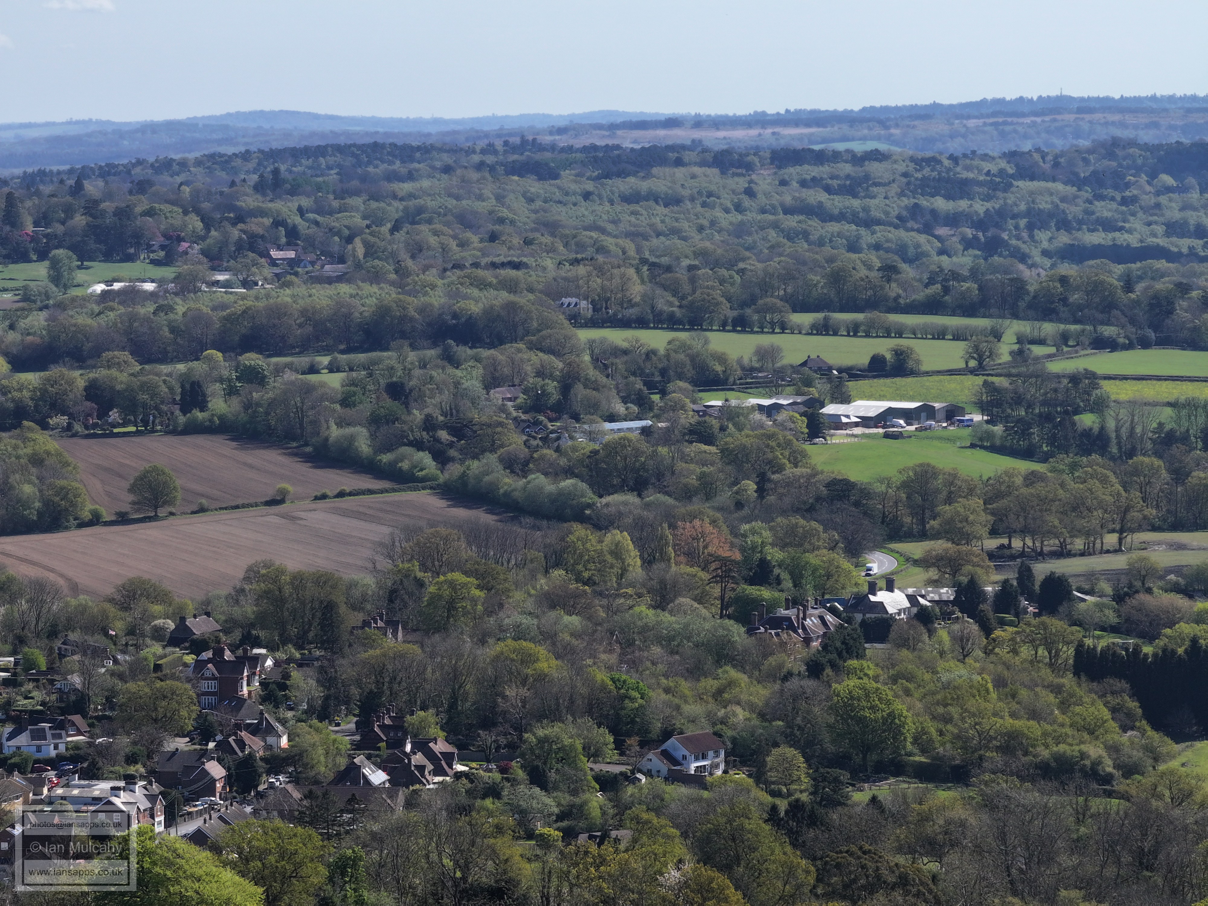
Sharpthorne at the foot of the photo
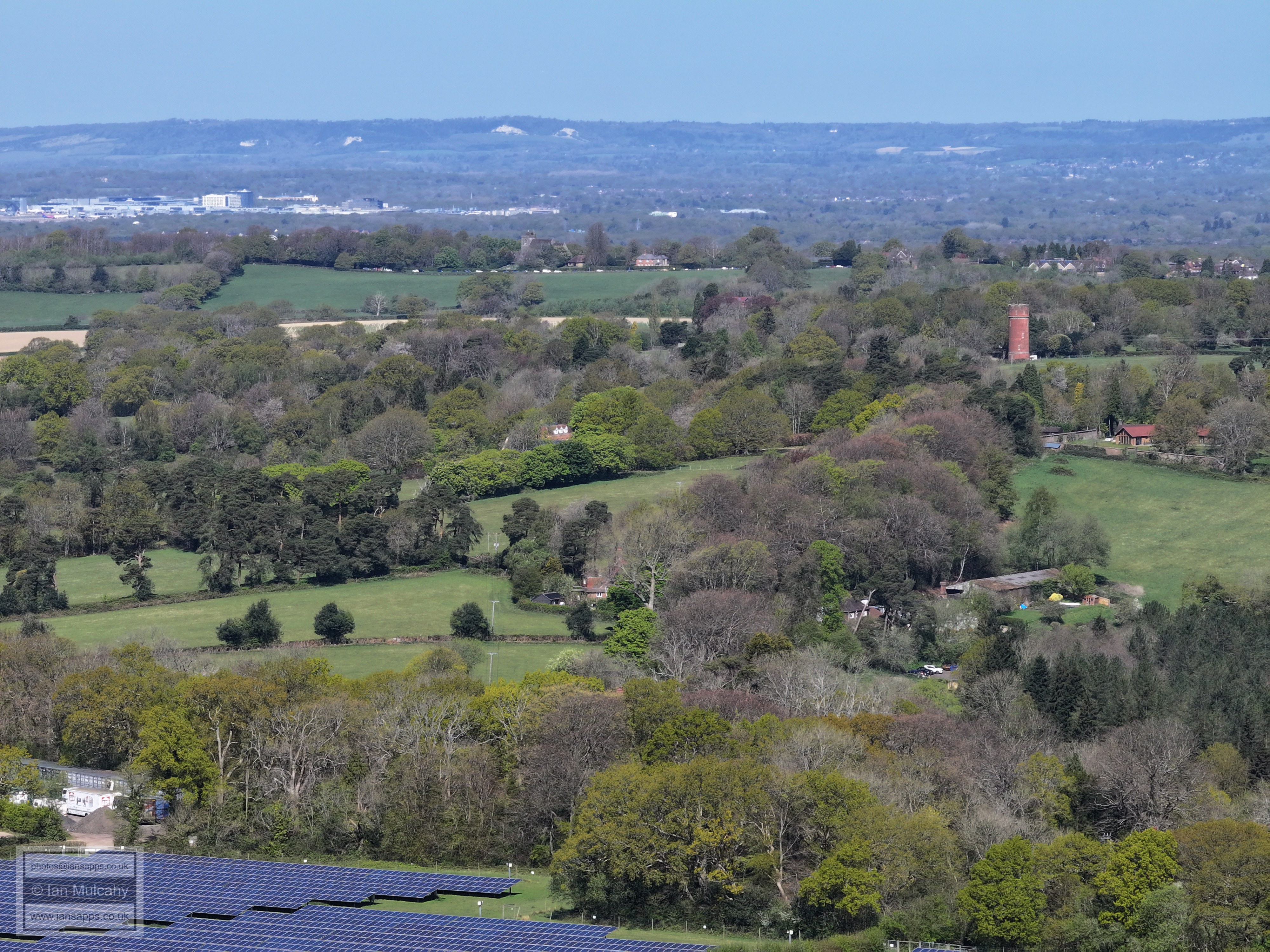
In the top right quarter, the most conspicuous building is the Water Tower at the Princess Royal hospital.
Haywards Heath. St Wilfred's Church and the high rise flats on Perrymount Road south of the station are the two obvious focal points. Jack and Jill Windmills are in the first clump of trees from the left on The Downs.
The masts are on Truleigh Hill
Ouse Valley Viaduct with Ardingly Showground below.
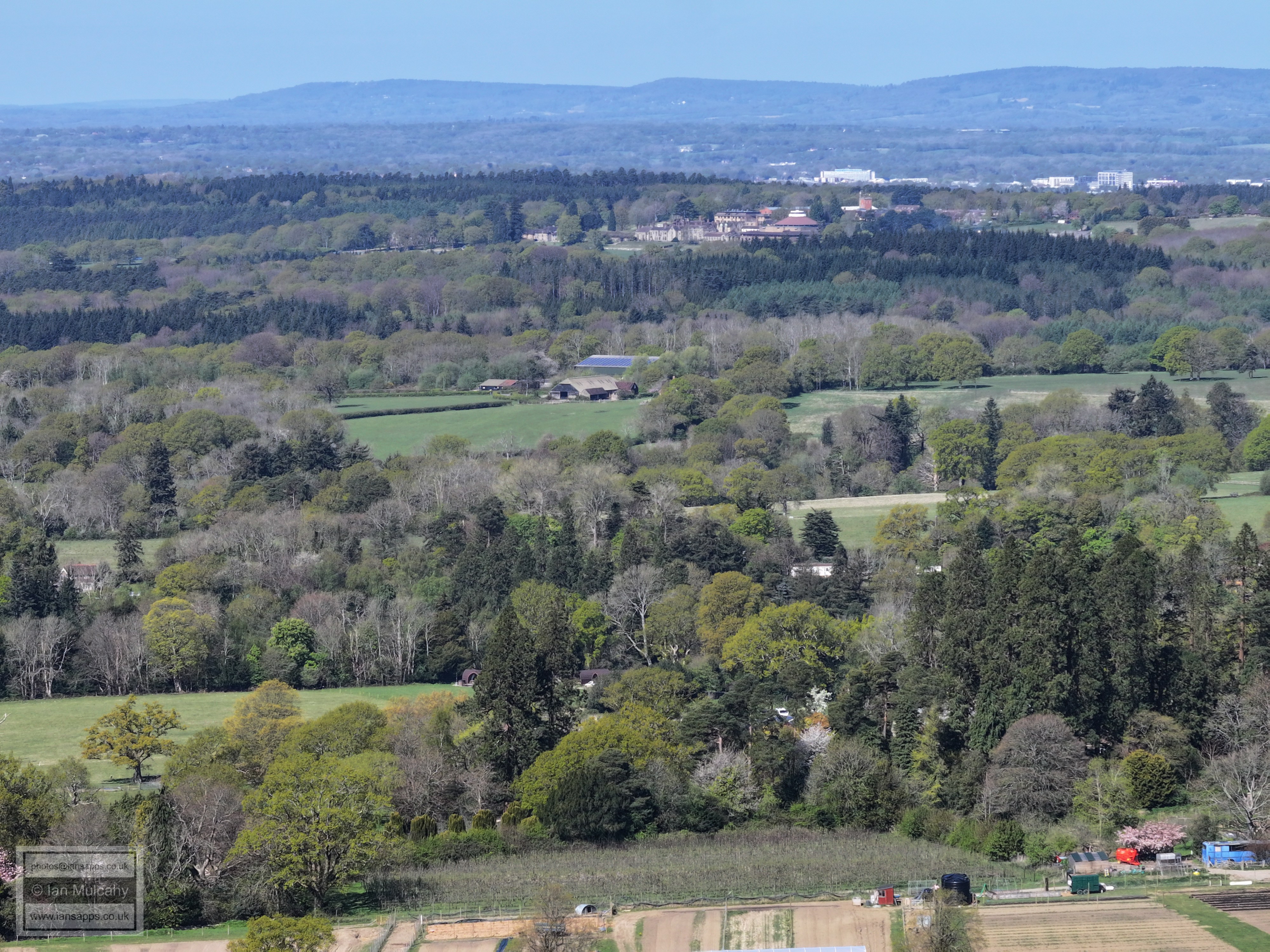
On the far right is 'Stonehurst', opposite the entrance to Wakehurst (not visible).
In the centre towards the top is Balcombe
Towards the centre from left, near the top of the first ridge, is Slaugham Water Tower
In the top right quarter is the Cottesmore Radar, the Scania showroom and the Woodgate development at Pease Pottage.
Southern areas of Crawley nestling below the ridge across the top
The main feature of this photo is Worth Abbey, with the recognisable buildings of Crawley including the Hospital, the Town Hall & The college. On the first ridge is the Mount, in Ifield Wood and beyond is Leith Hill, some 15 miles away.
The big house in the centre on the ridge is 'Tremaines', at the junction of Paddockhurst Road and Back Lane near Worth Abbey. In the top left quarter is the Crowne Plaza at Tushmore.
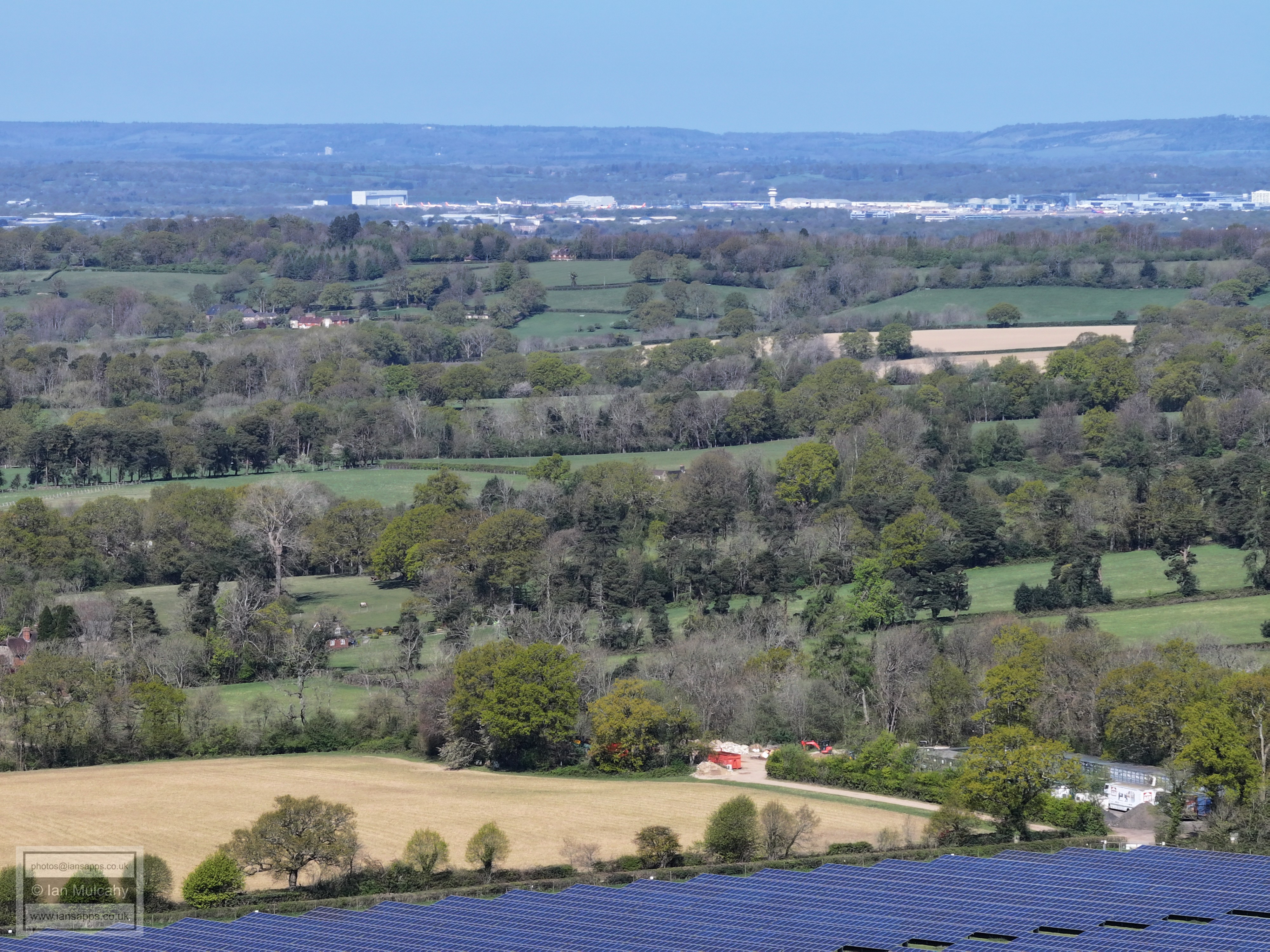
Gatwick. Box Hill is in the top right quarter.
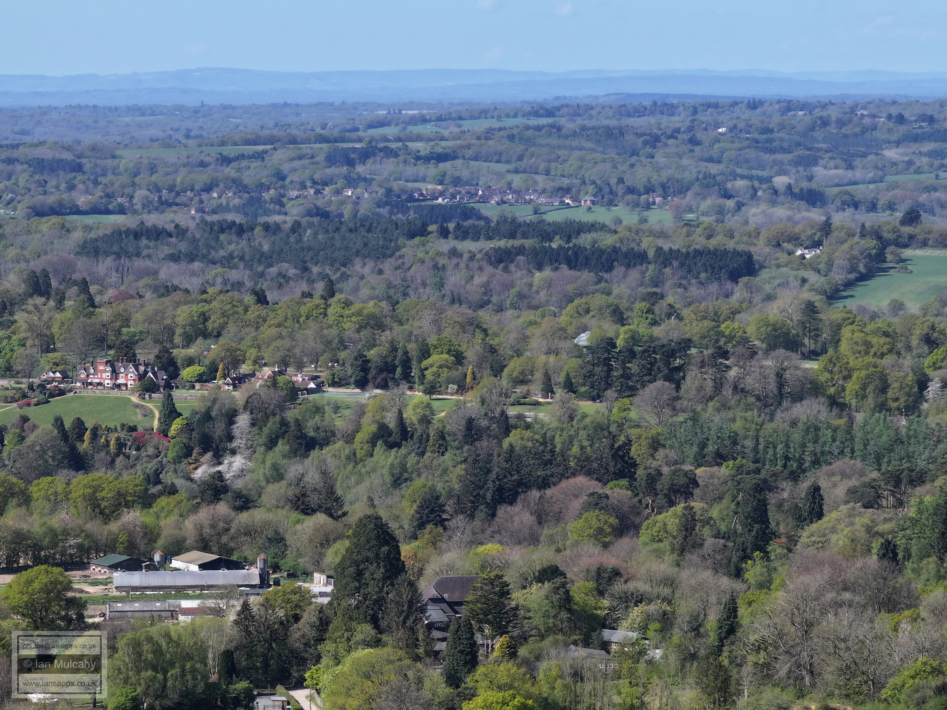
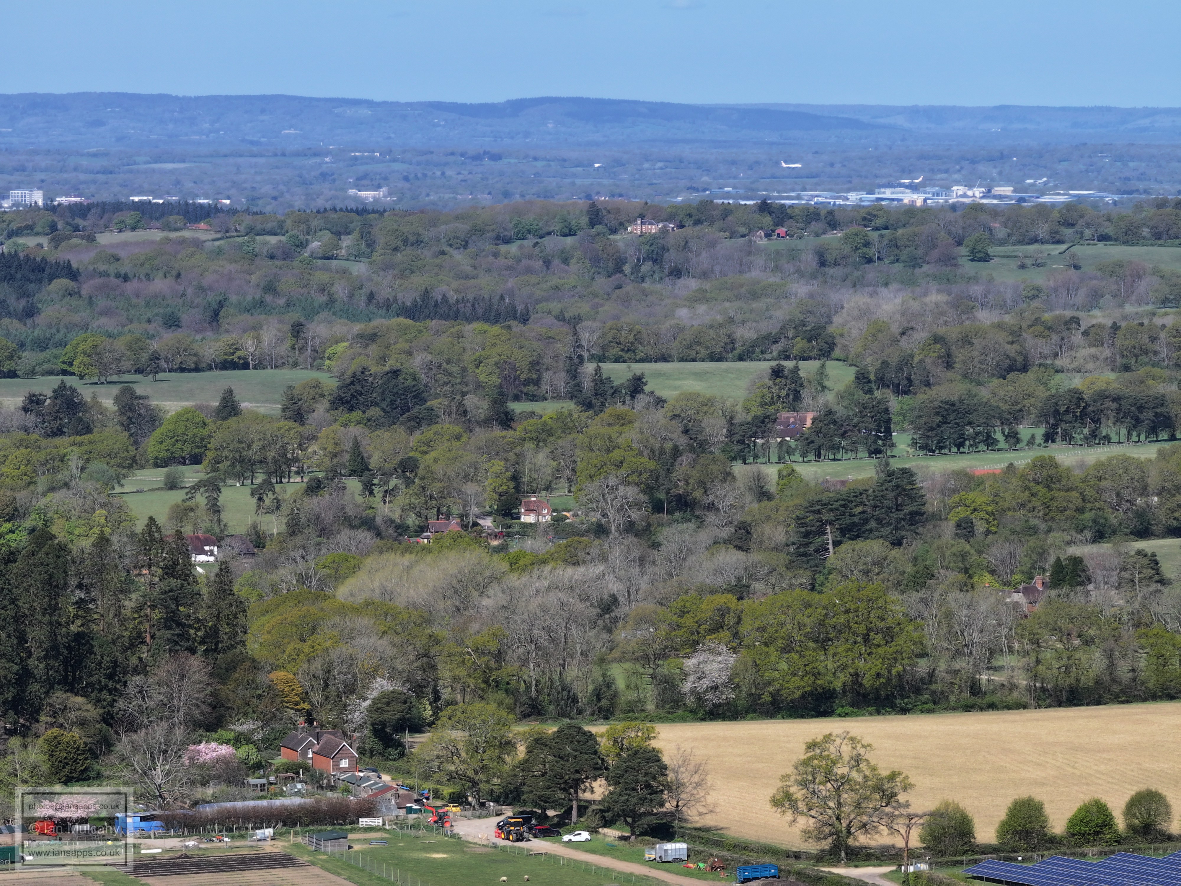
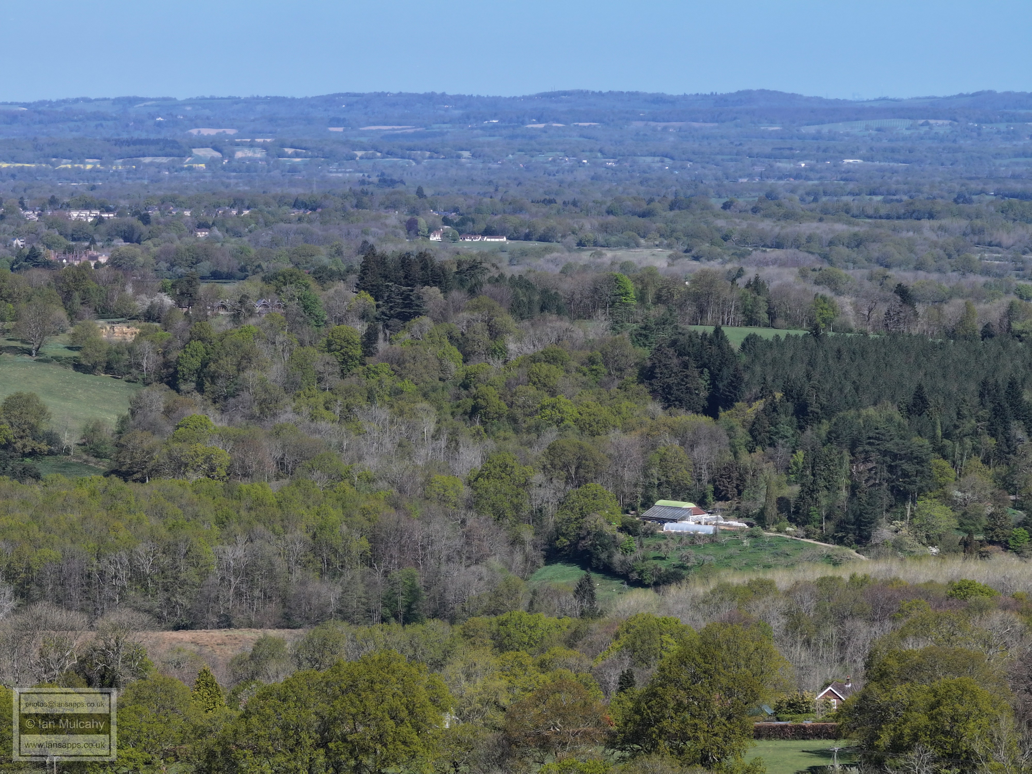
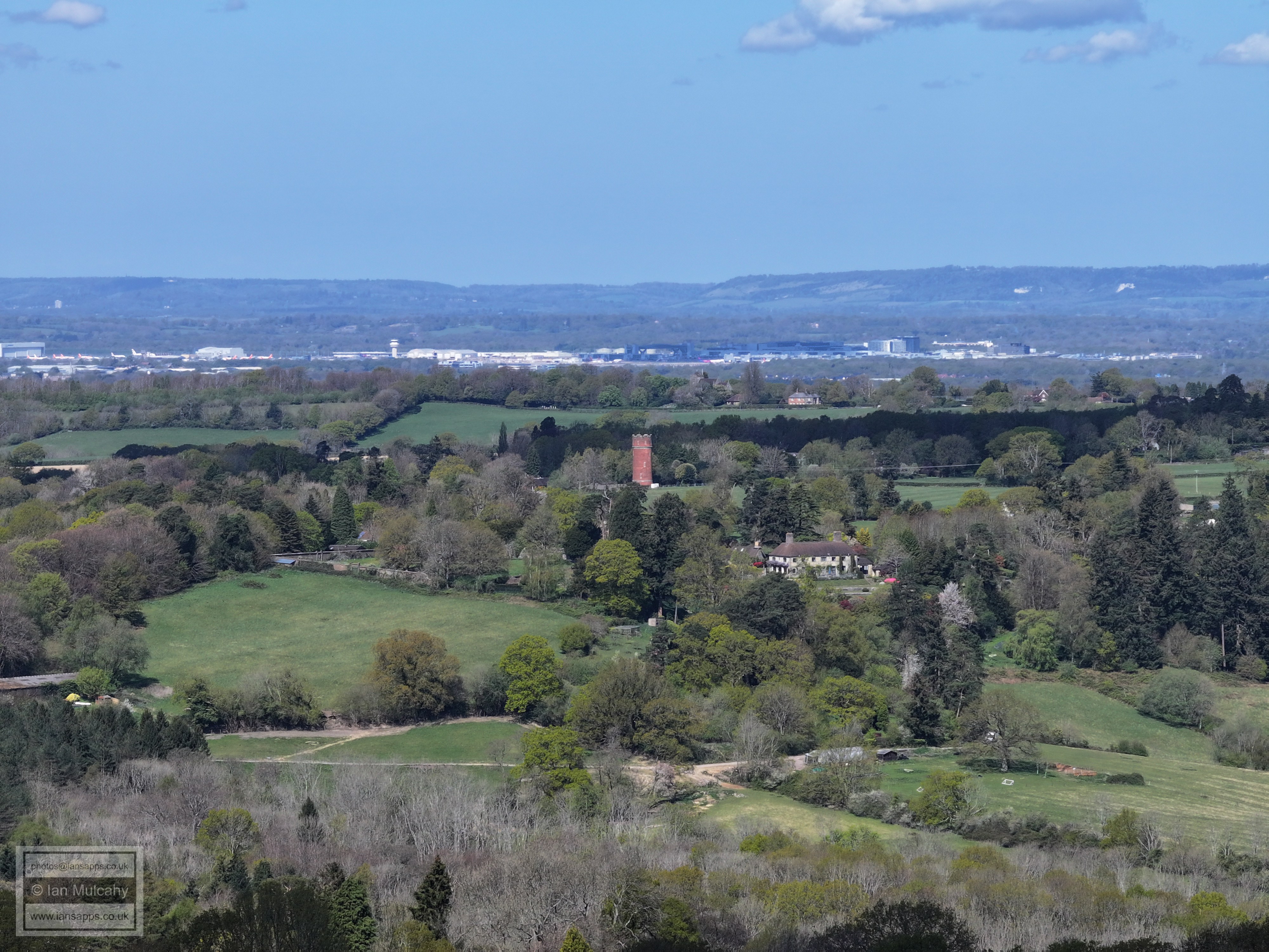
St Leonards at Turners Hill in the centre, The Water Tower at Selsfield Common is to the right
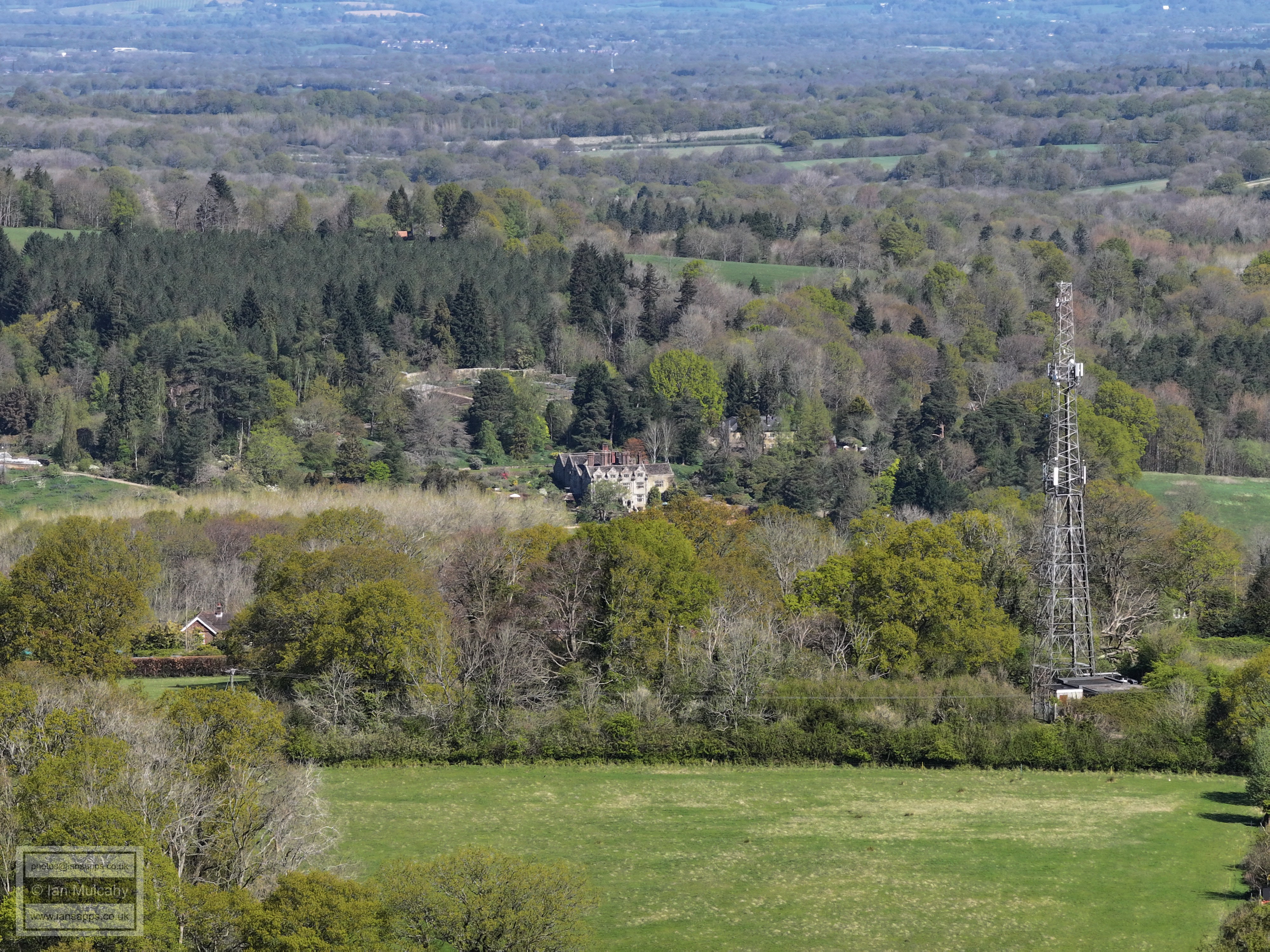
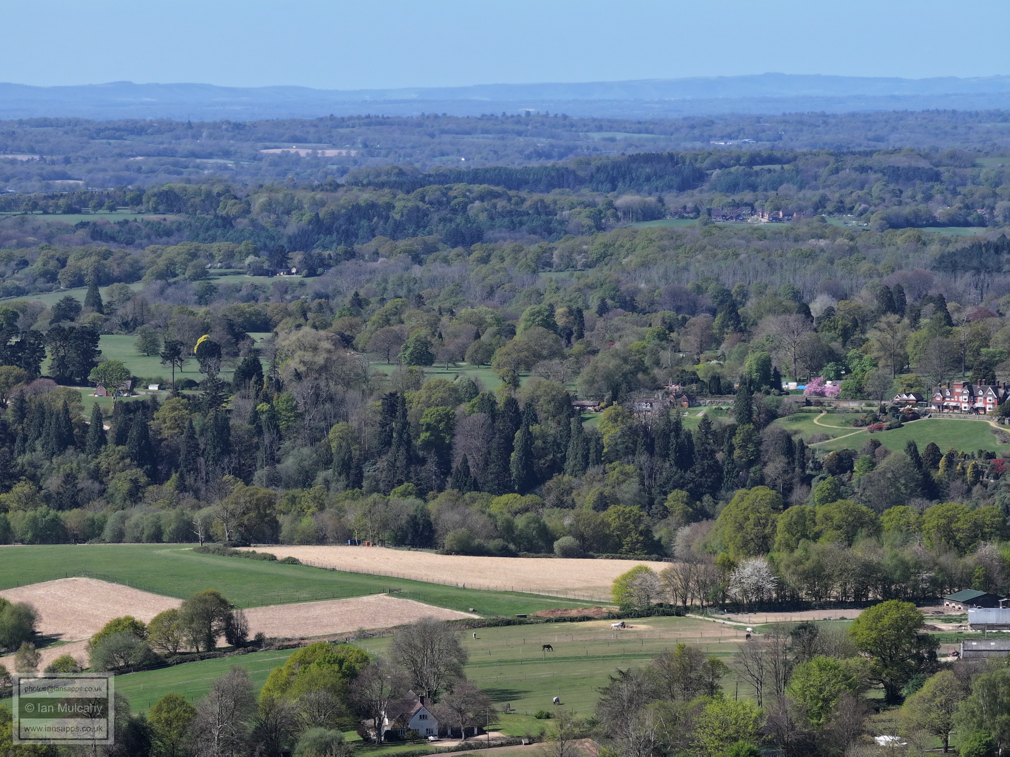
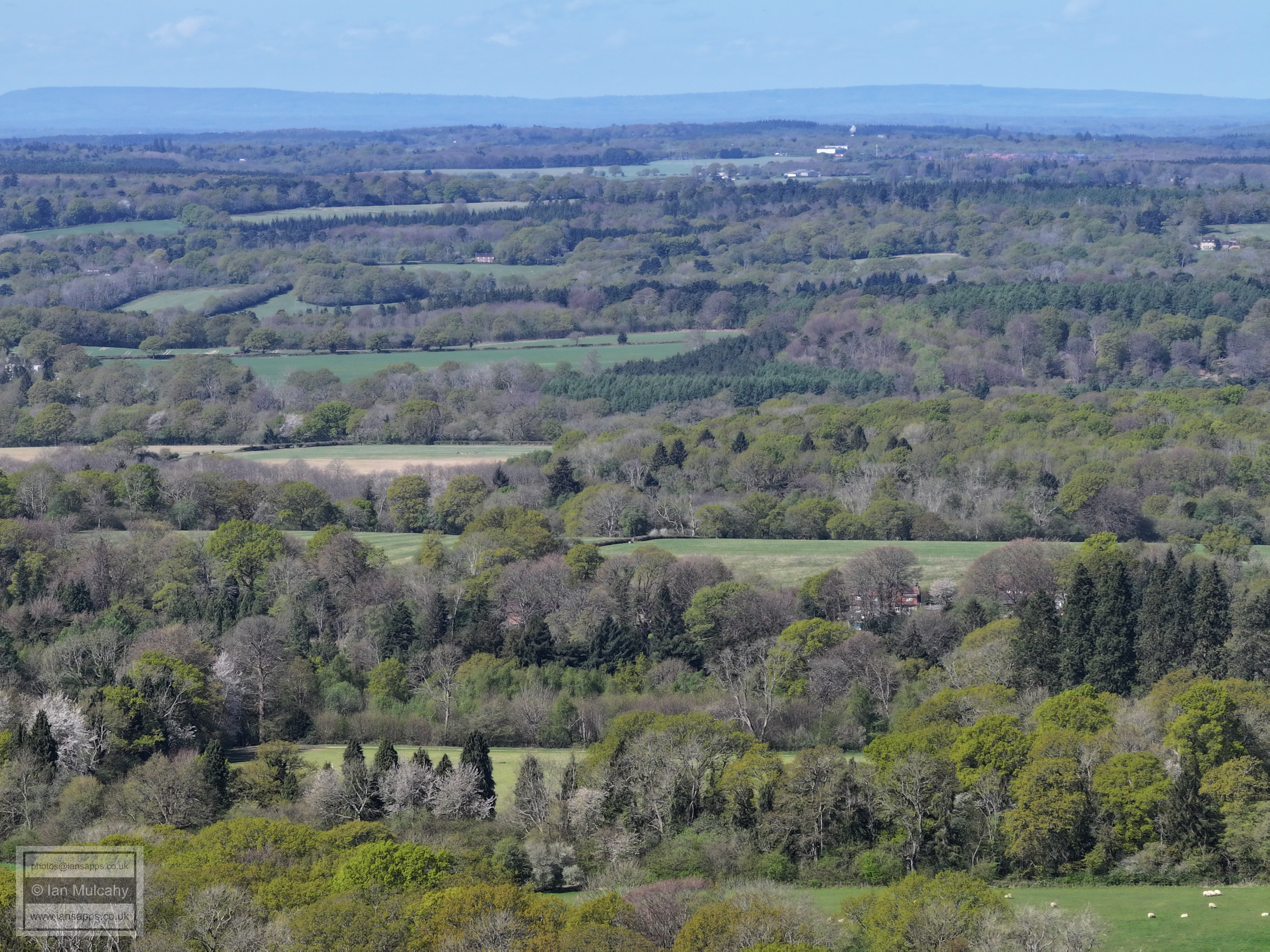
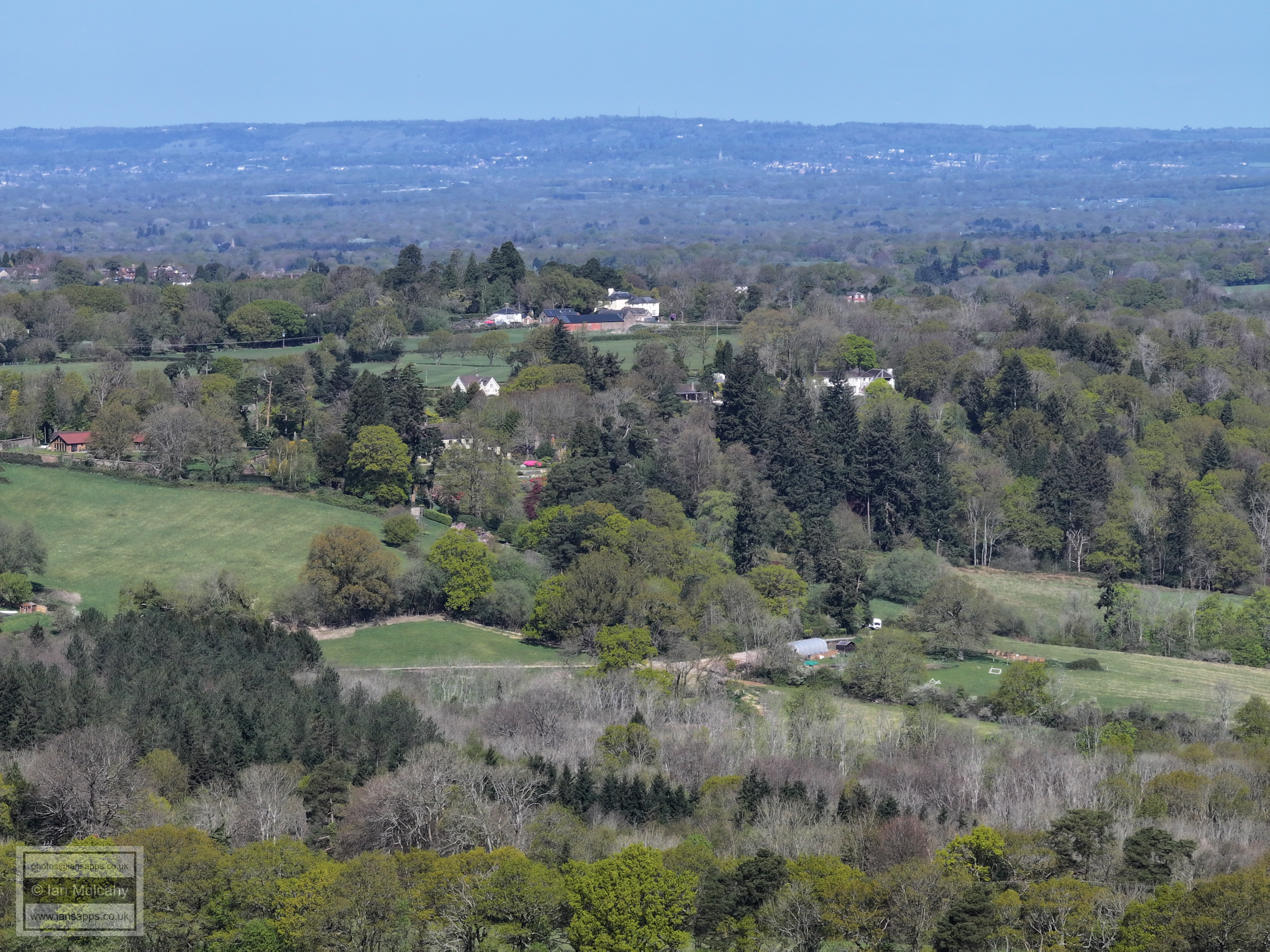
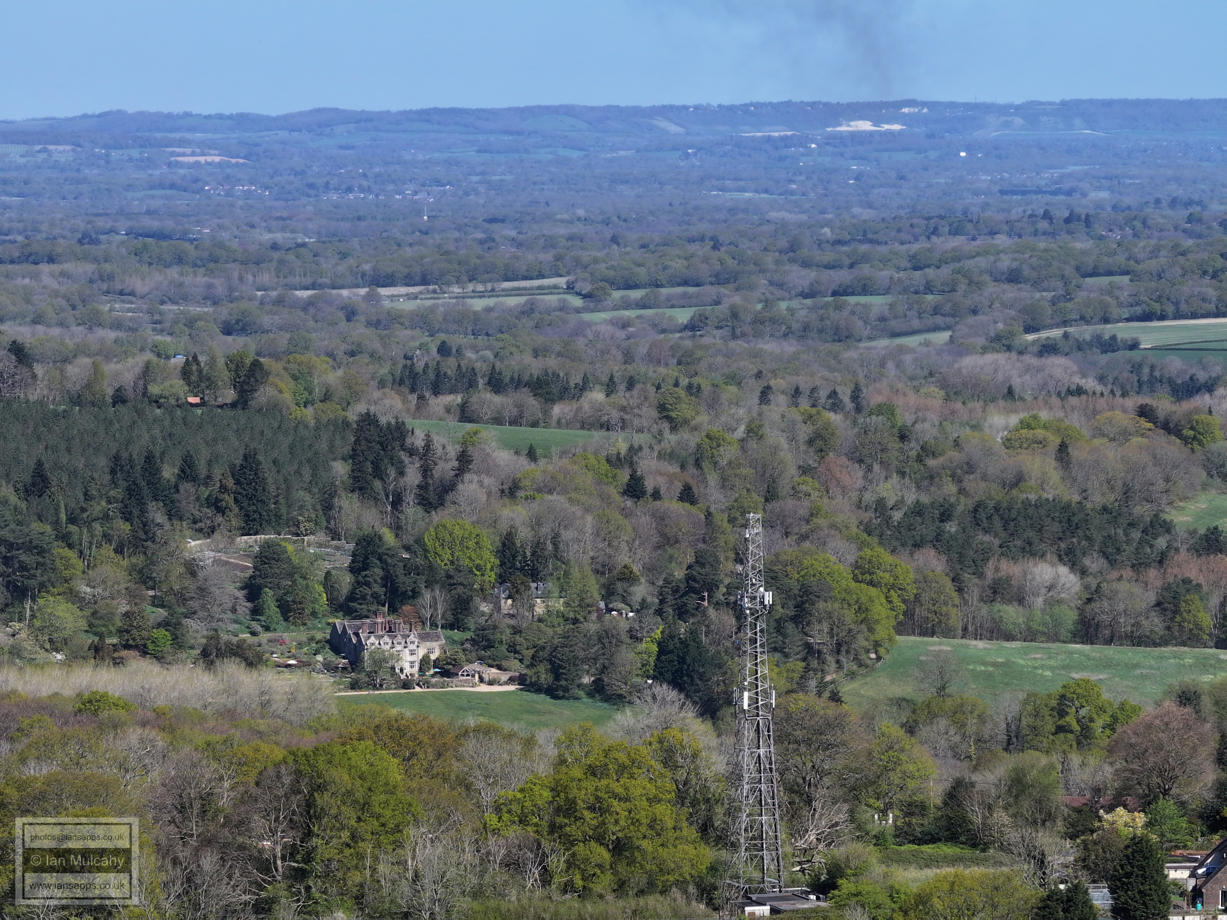
Gravetye Manor in the bottom left quarter.
East Grinstead. Saint Hill is a little below and left of the church of St Swithun.
Standen House
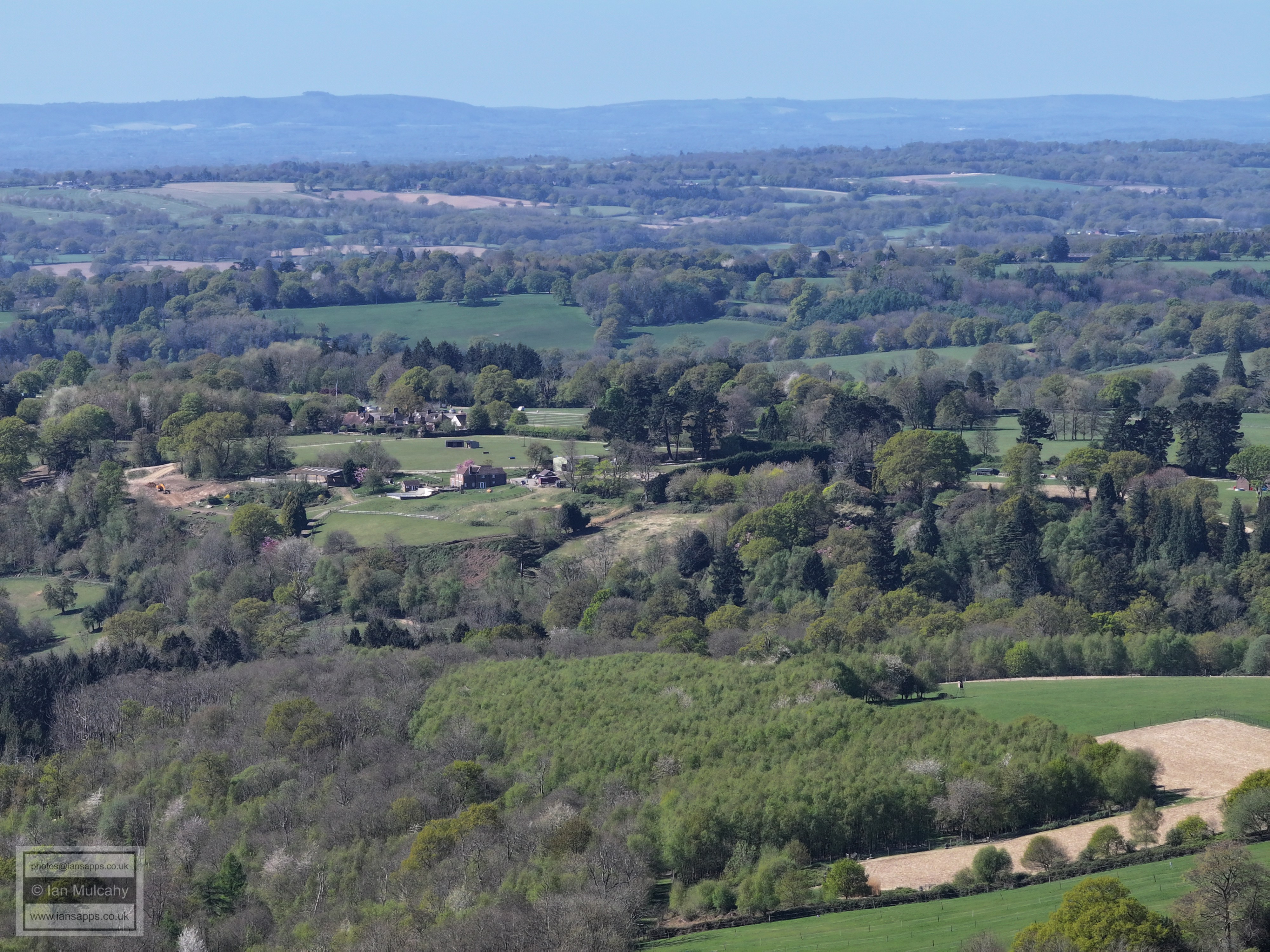
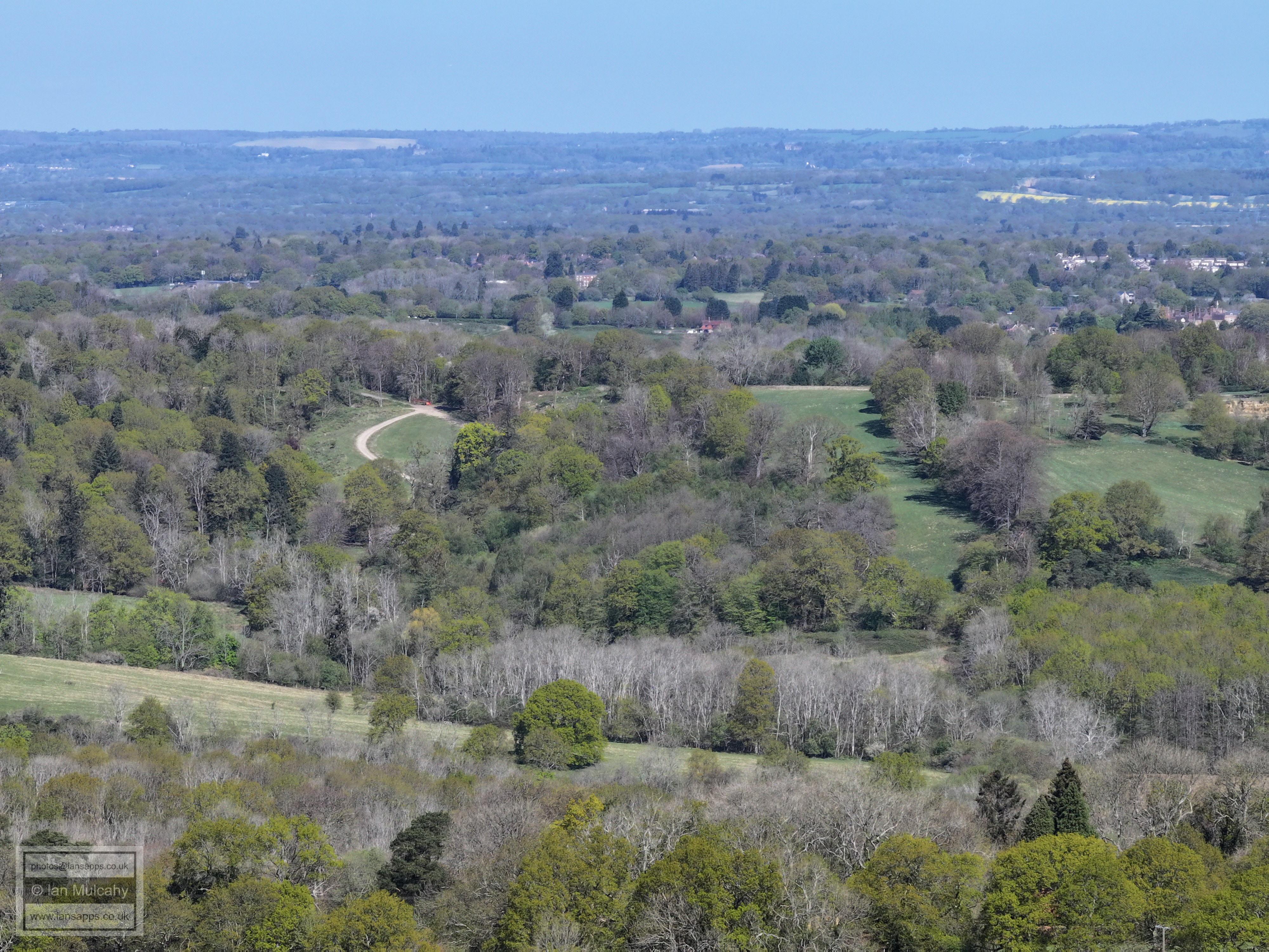
Brambletye School
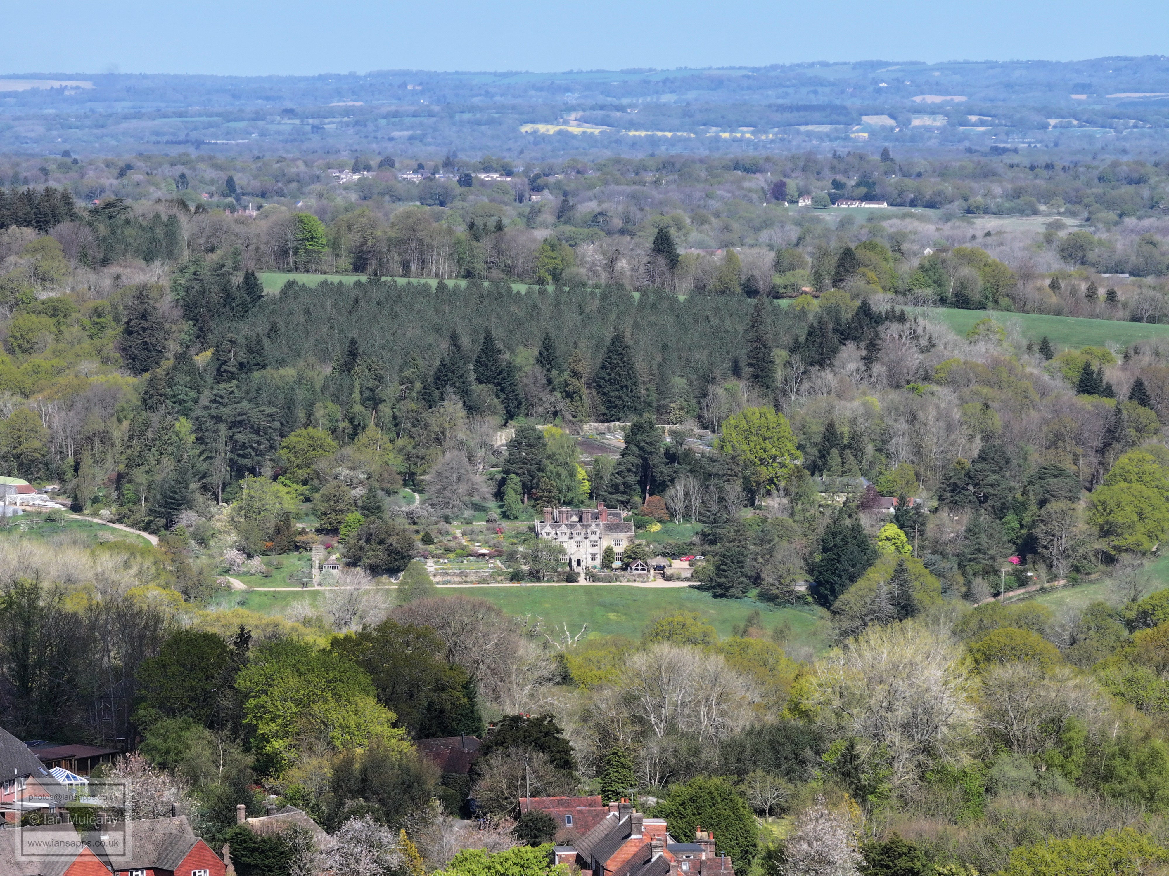
Gravetye Manor
The Water Tower at Selsfield Common and St Leonard's at Turners Hill is to the right of the tower. Gatwick beyond.
Text & photographs © Ian Mulcahy. Contact photos@iansapps.co.uk or visit my 'Use of my photographs' page for licensing queries (ground level photographs only). |