Faygate Playing Fields
27 April 2025
66 aerial photos of varying focal length
|
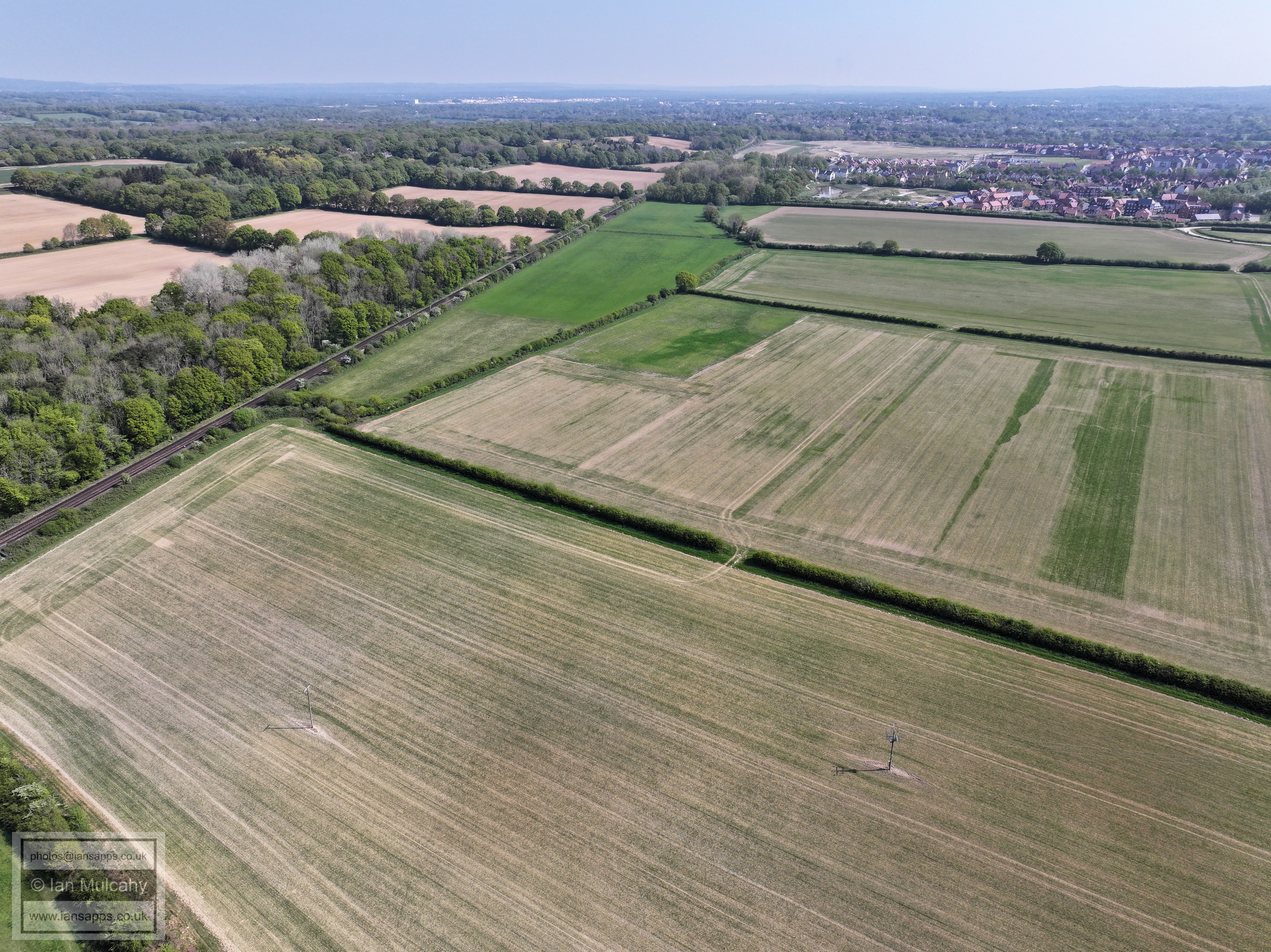
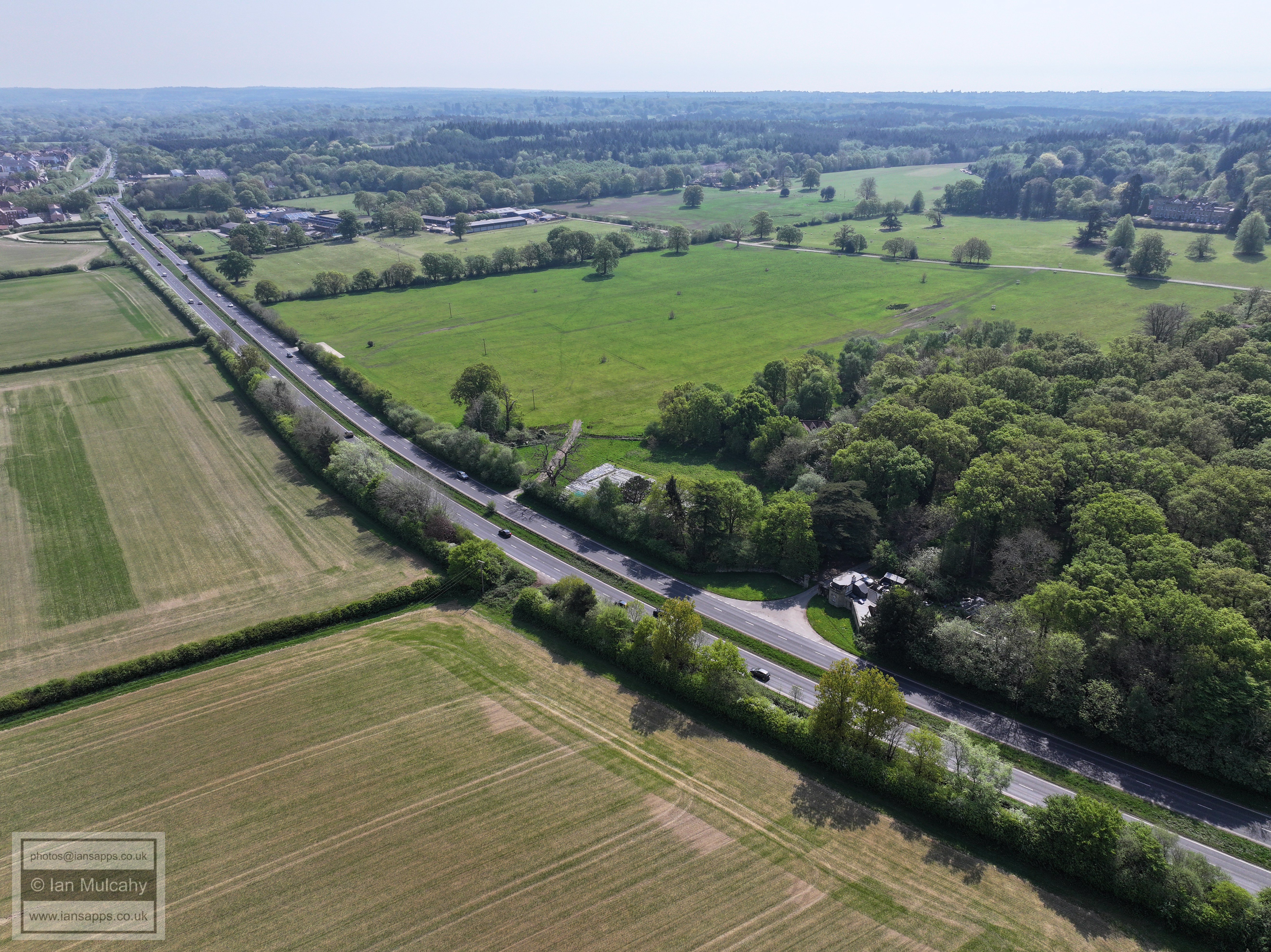
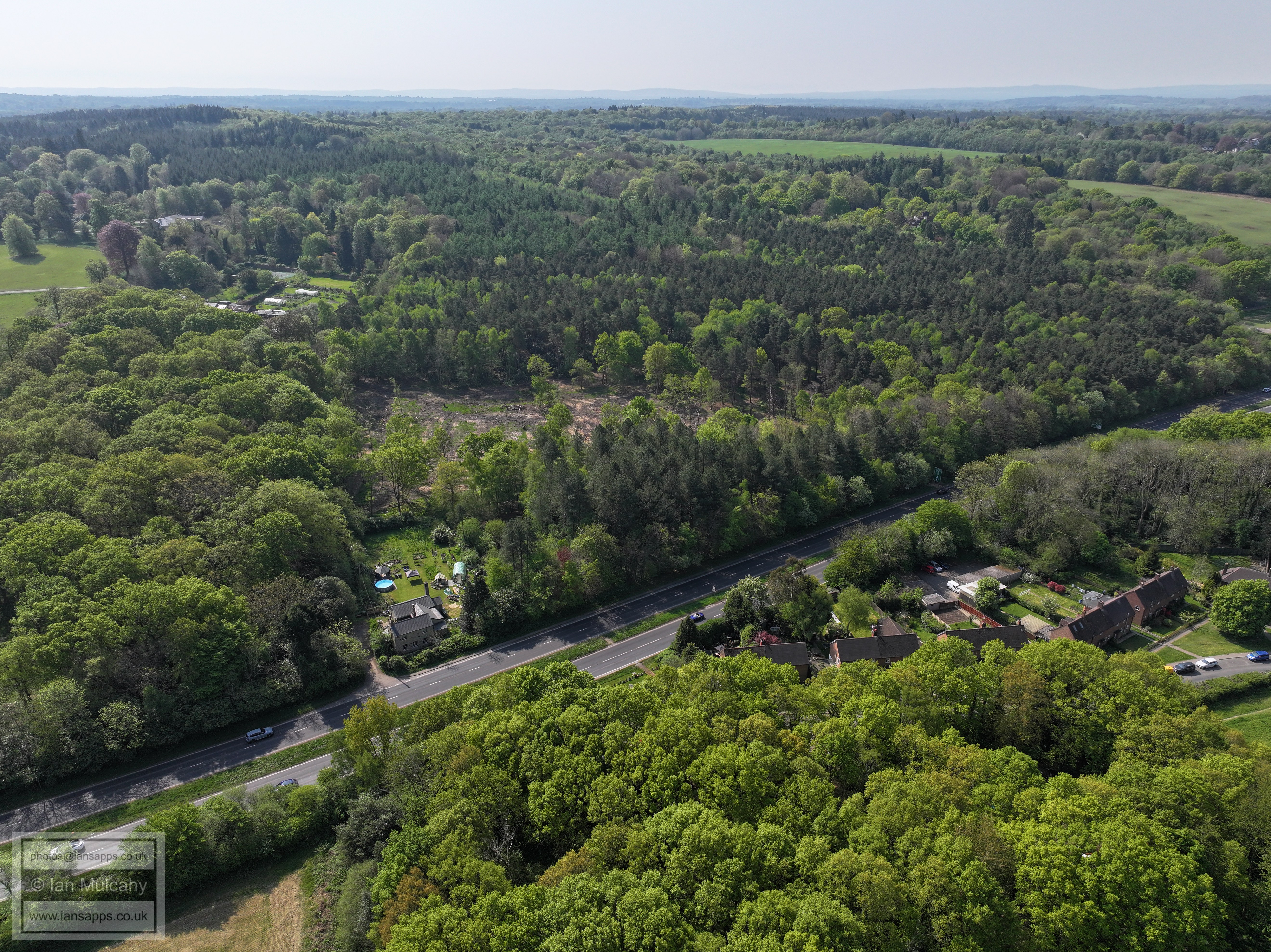
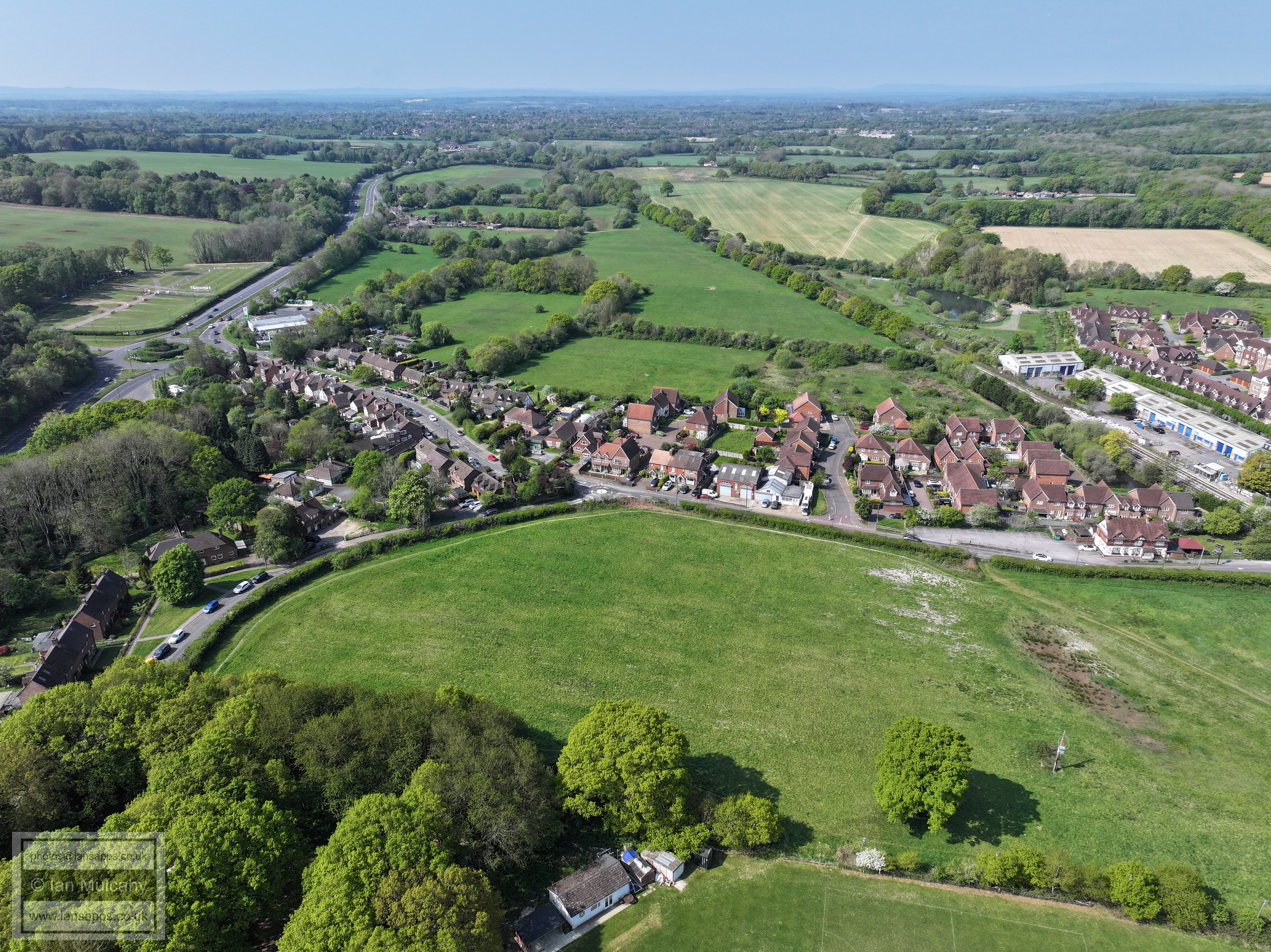
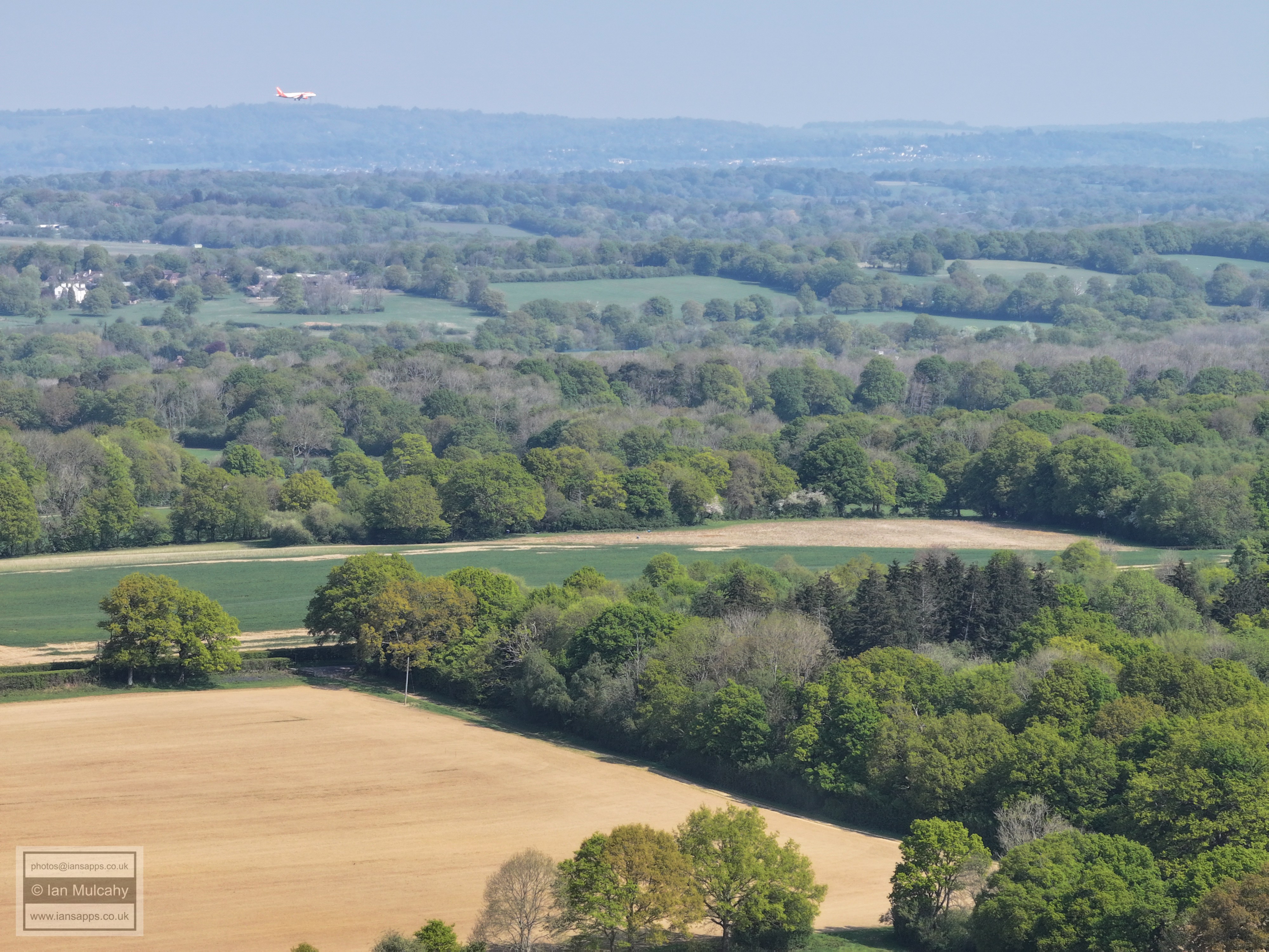
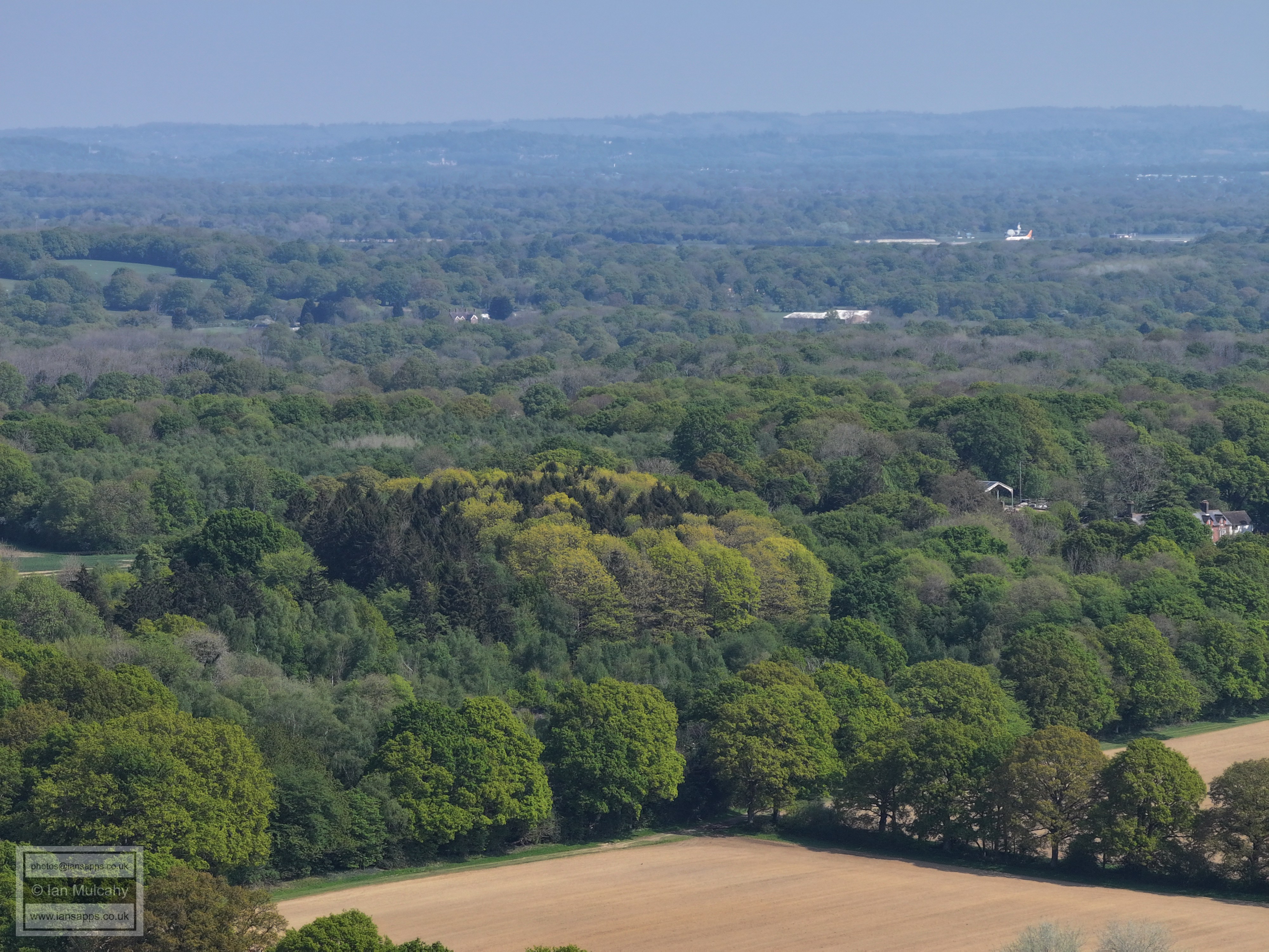
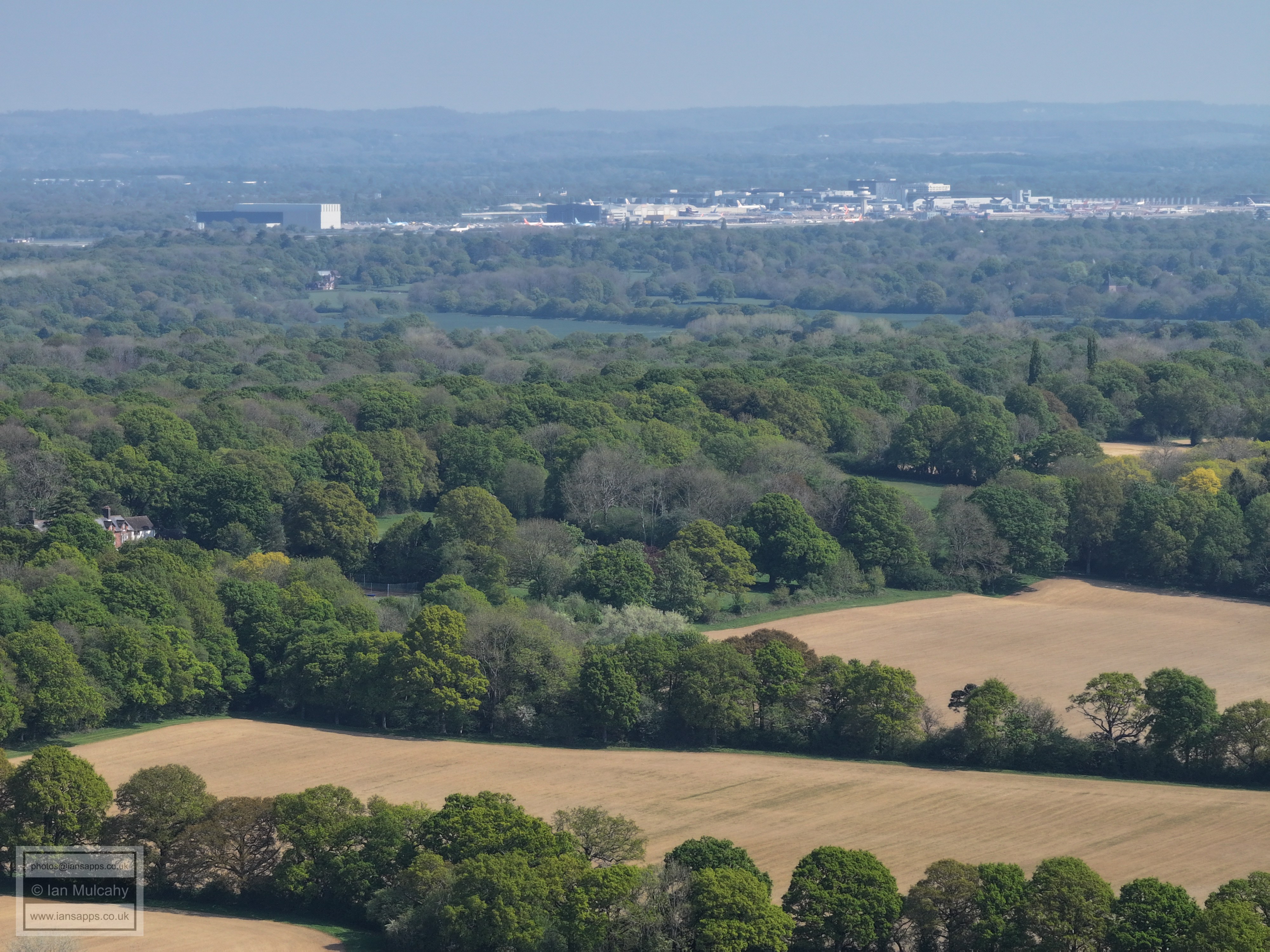
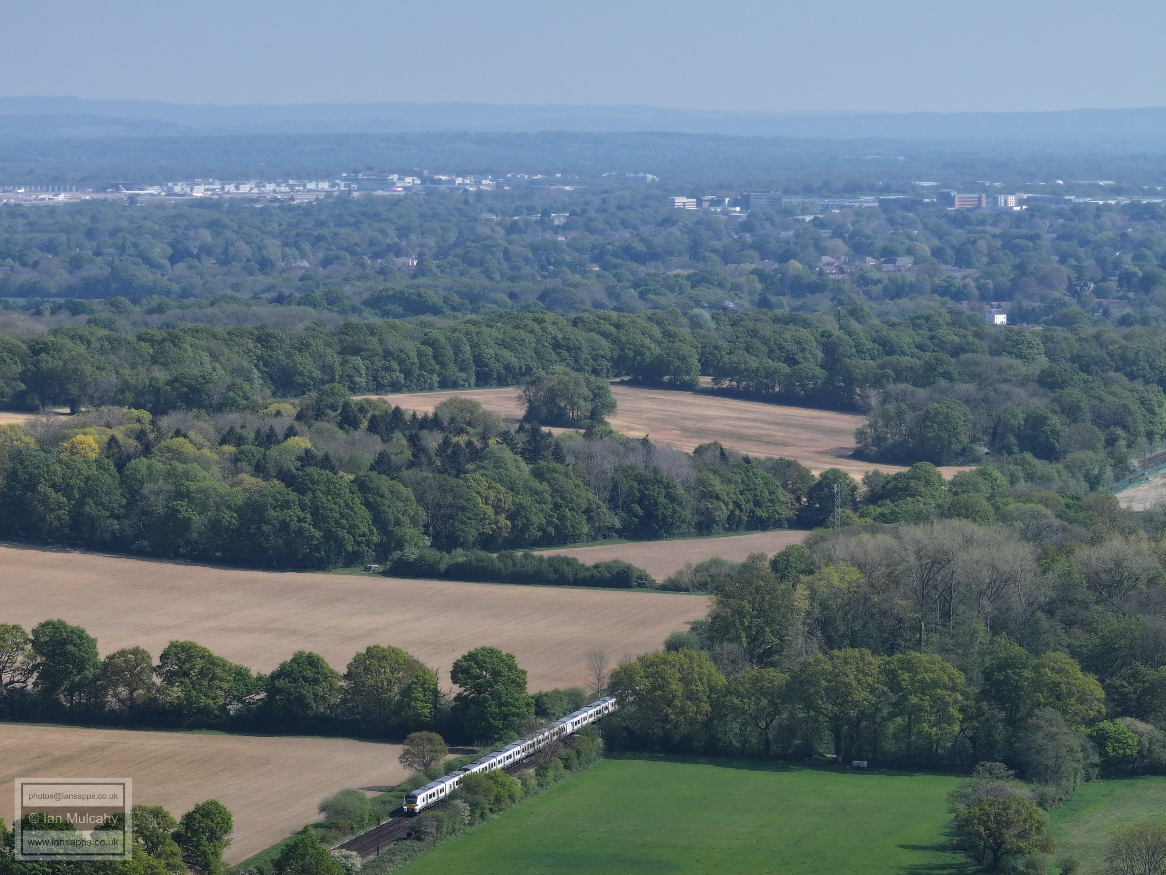
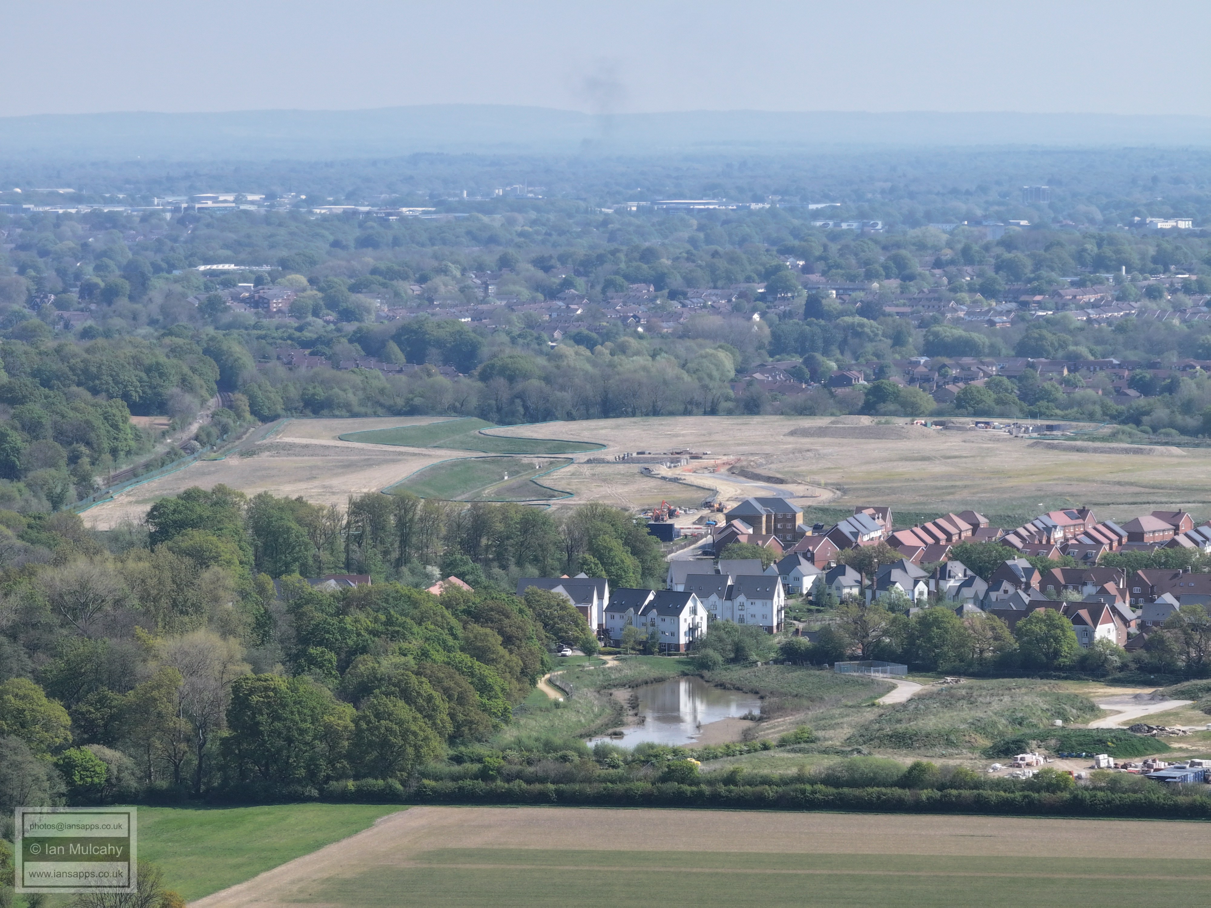
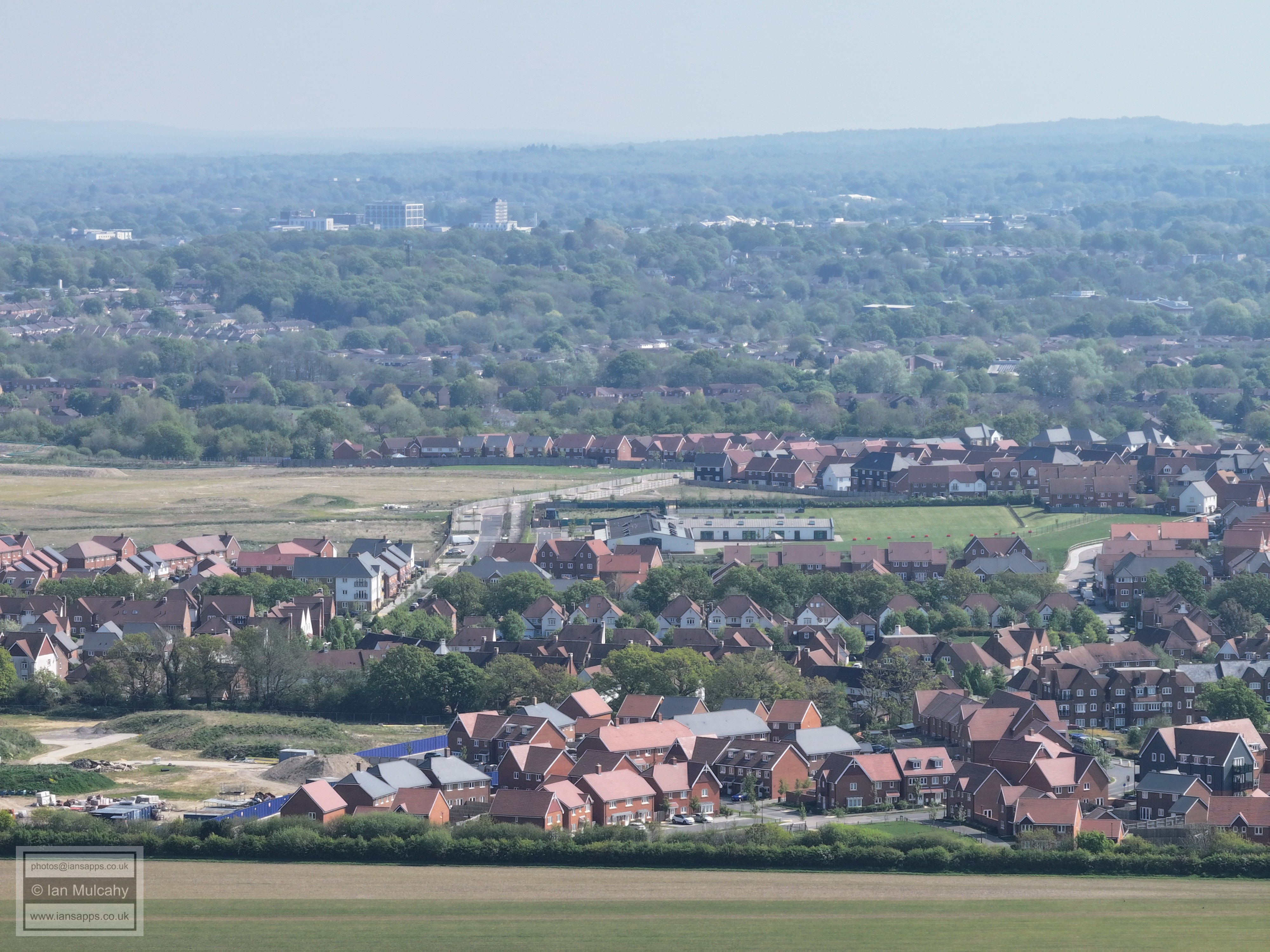
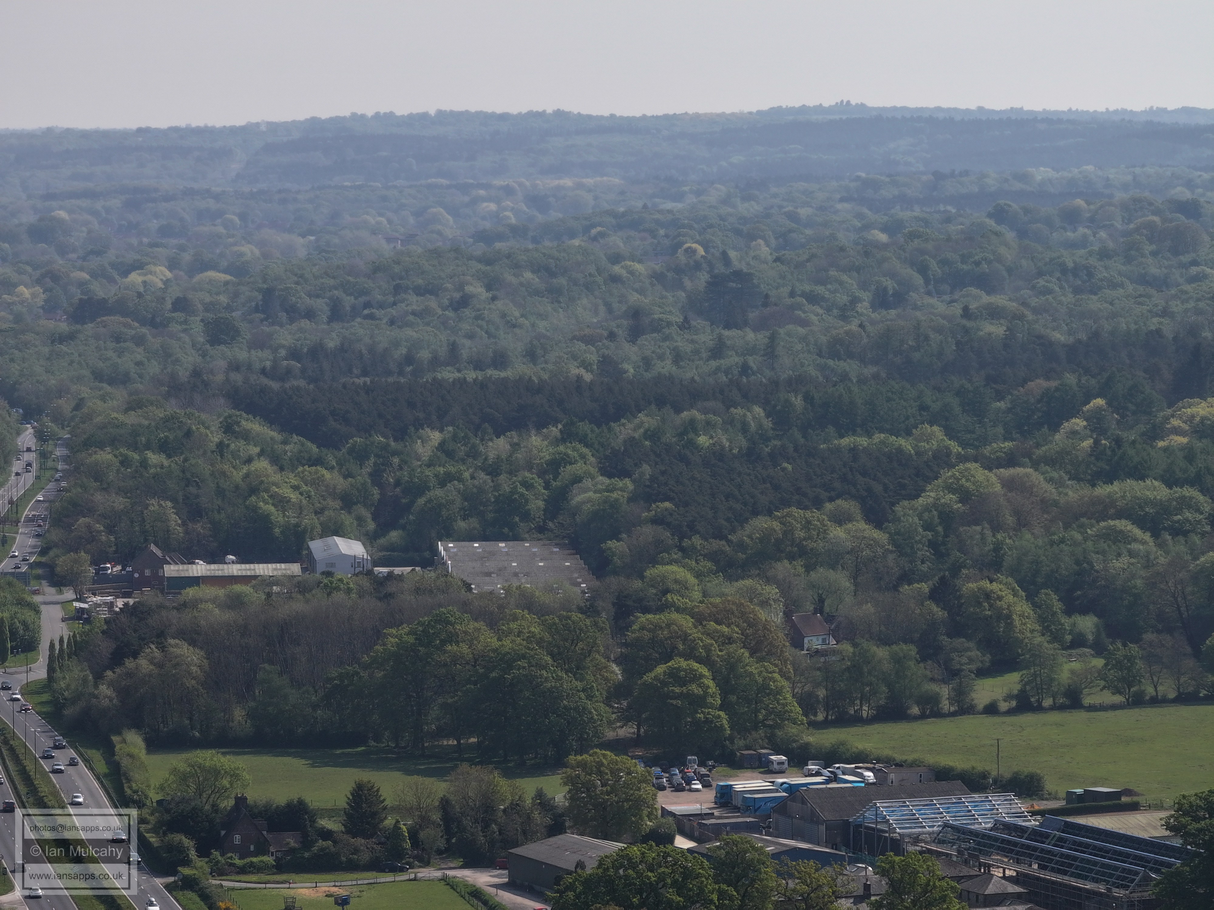
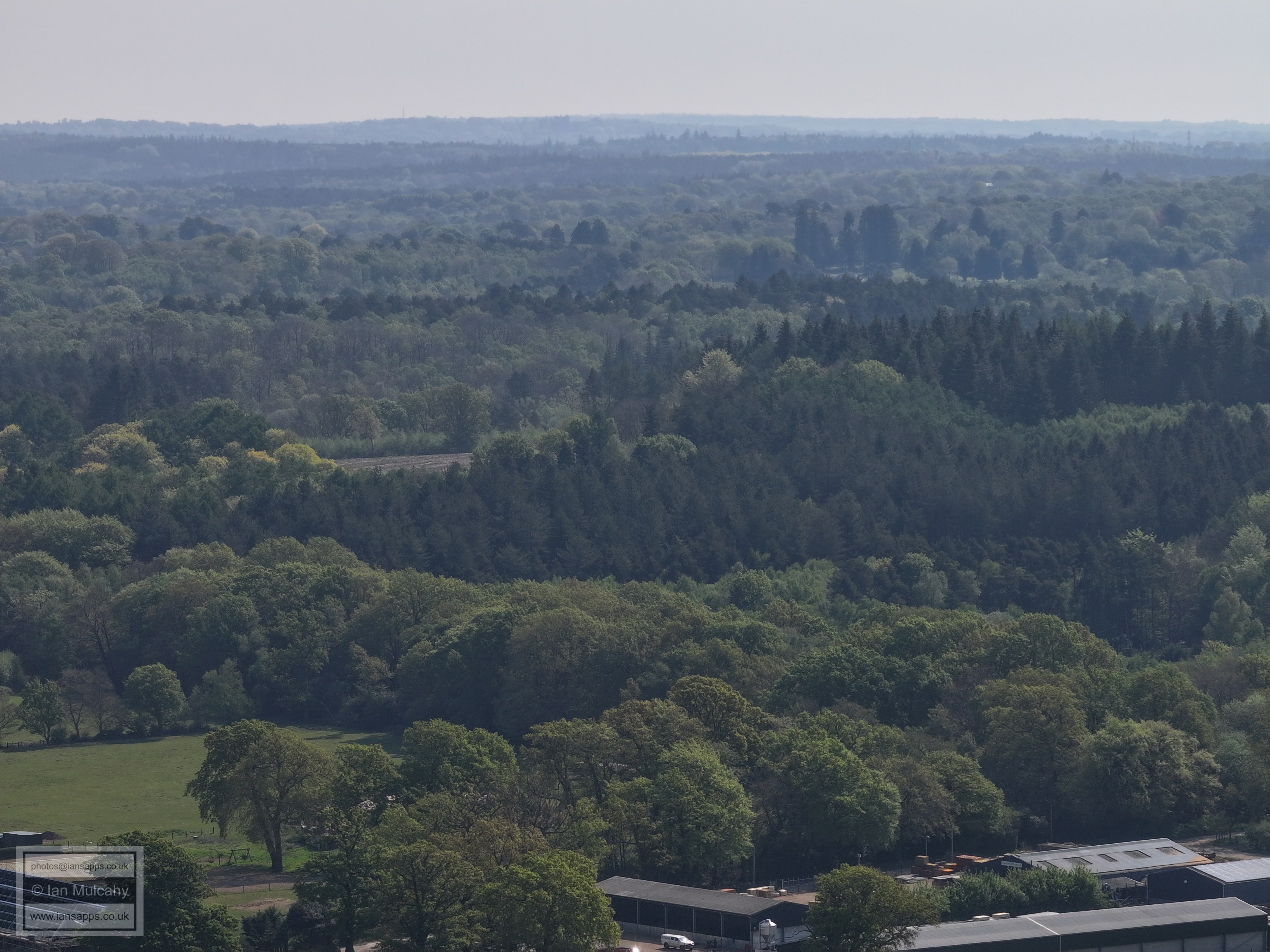
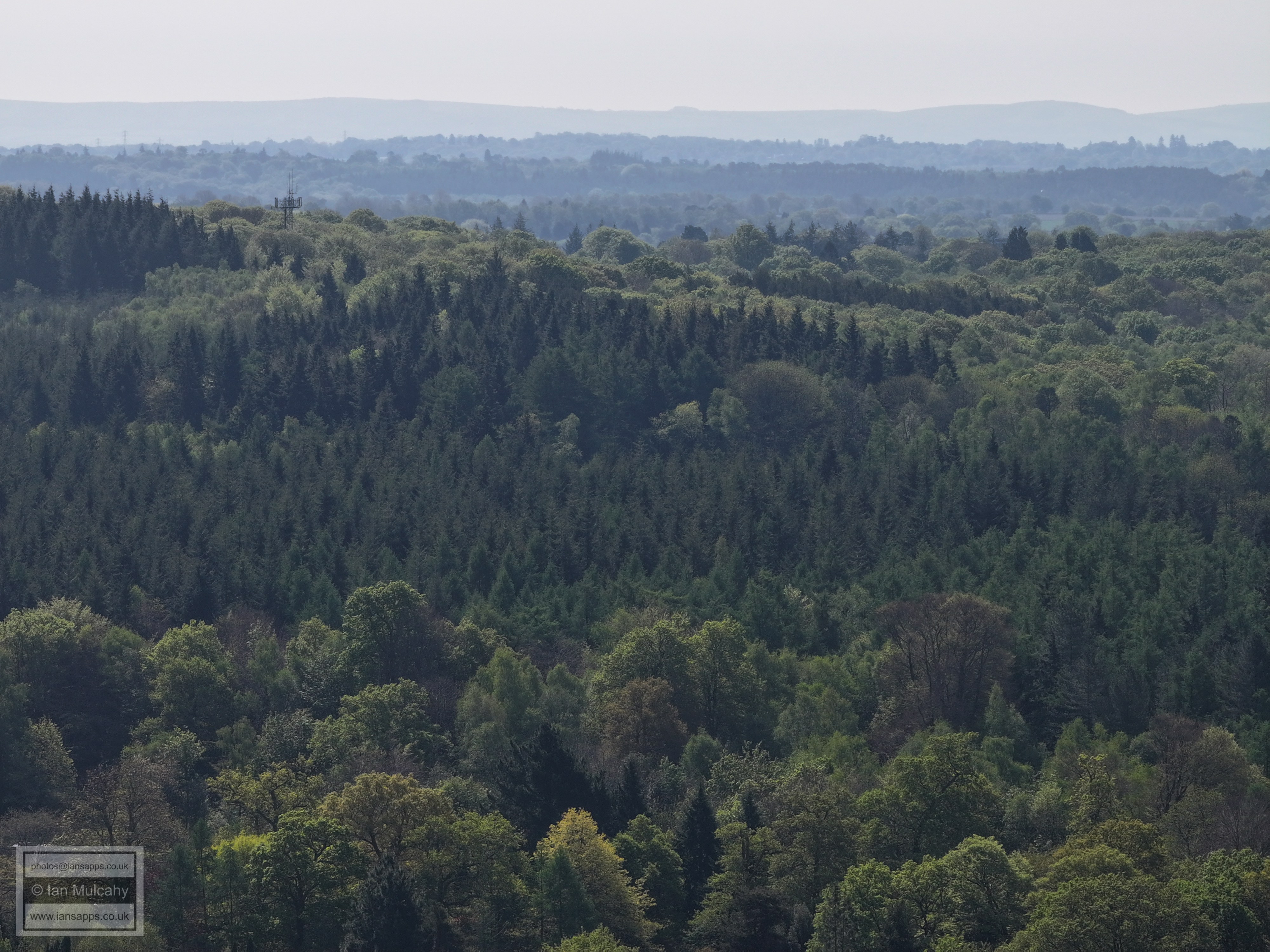
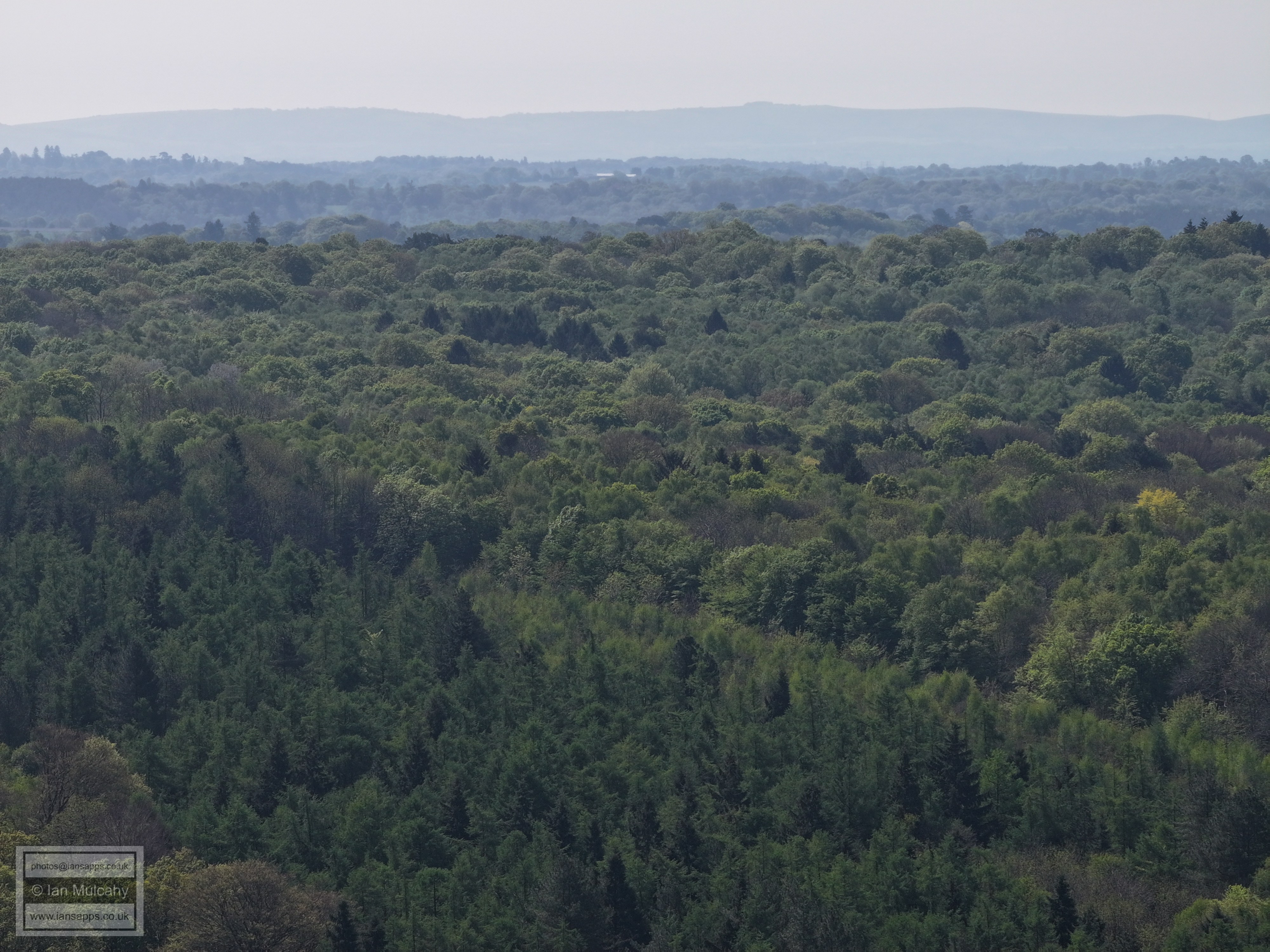
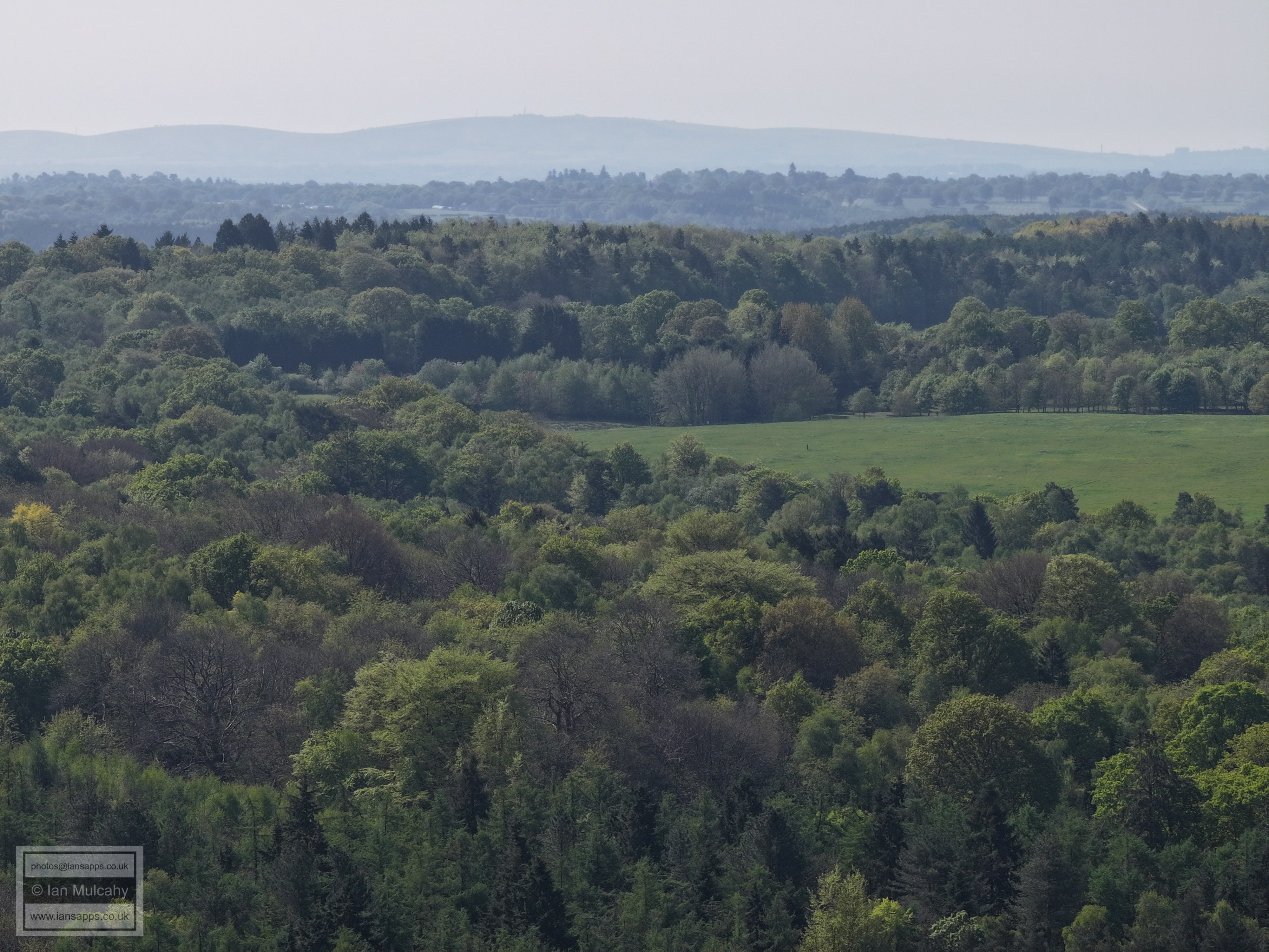
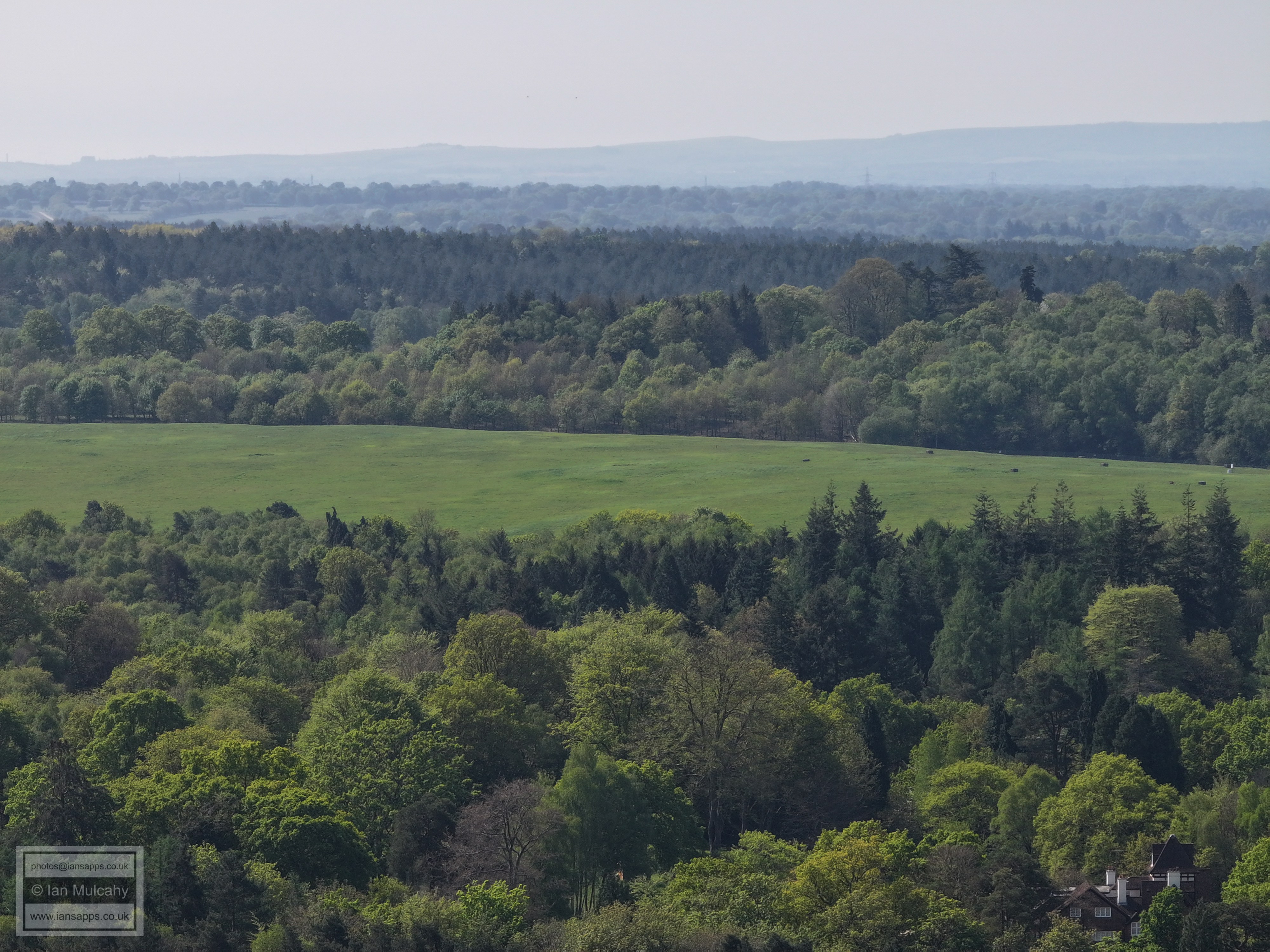
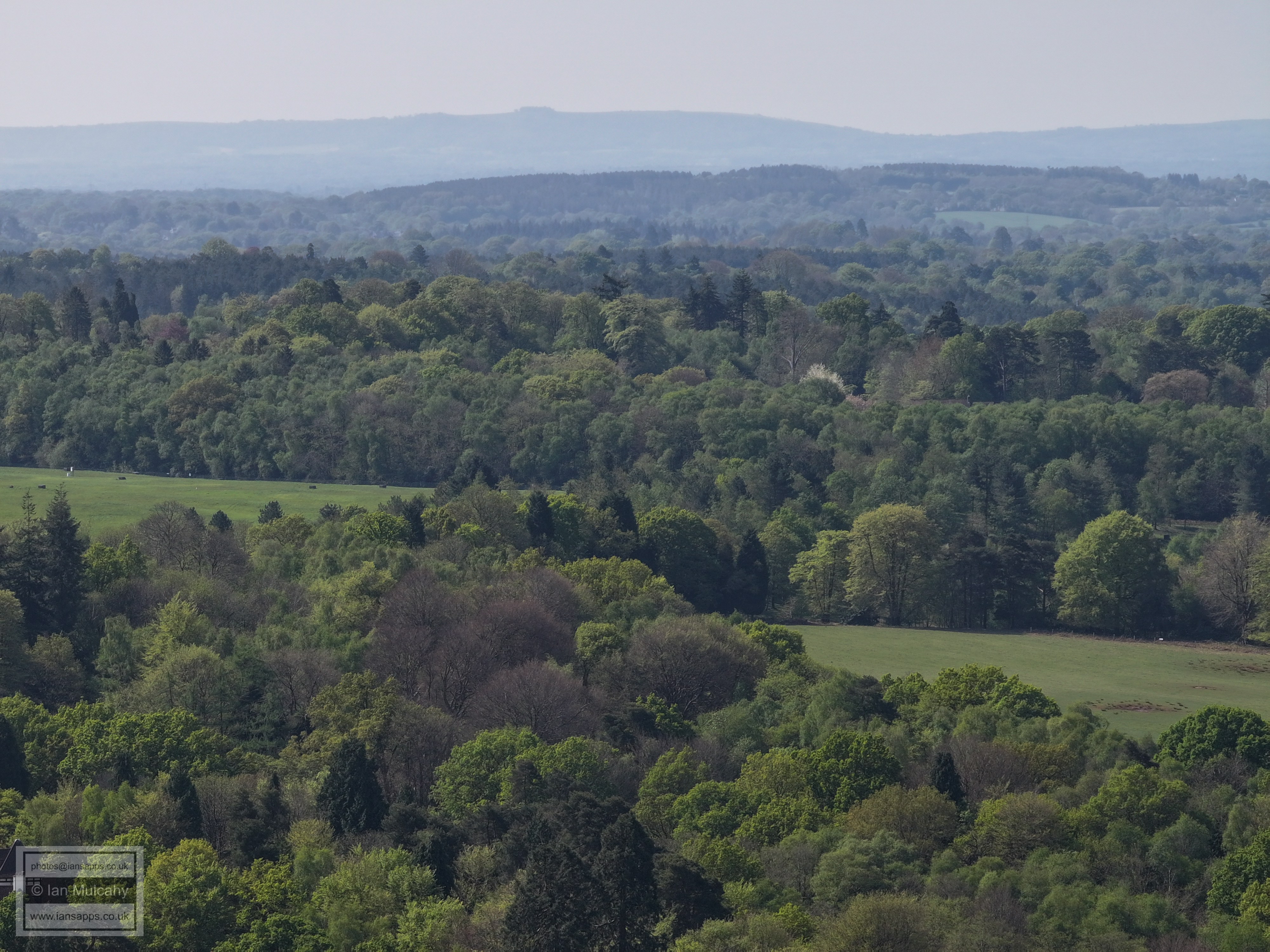
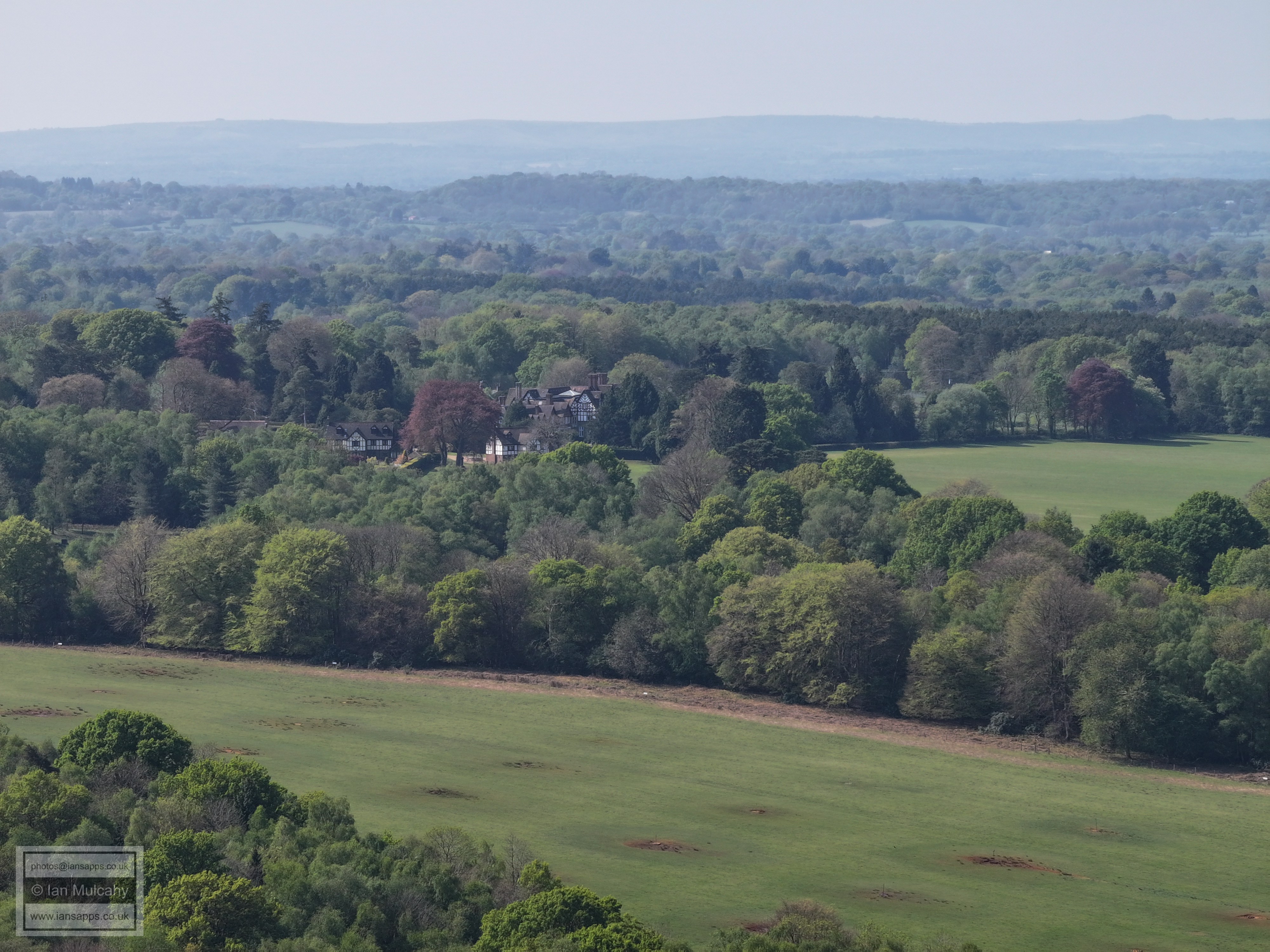
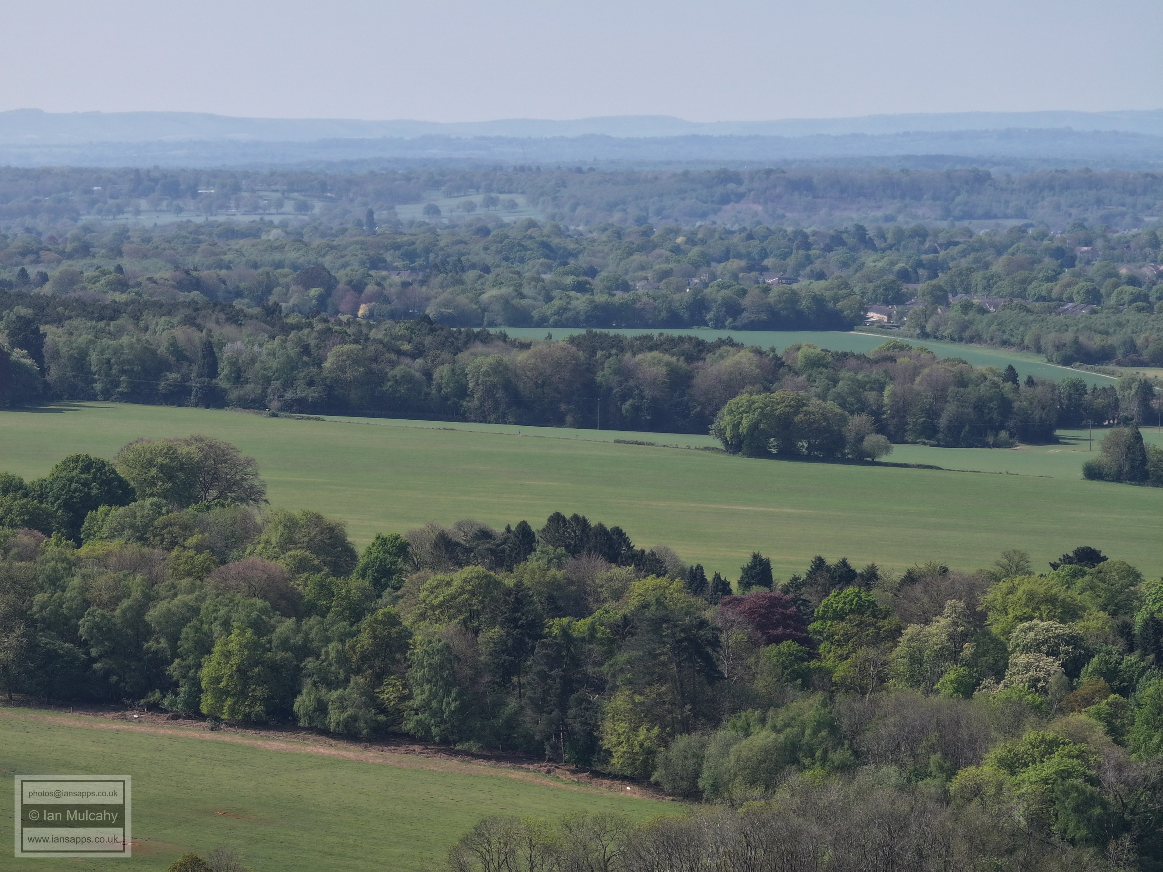
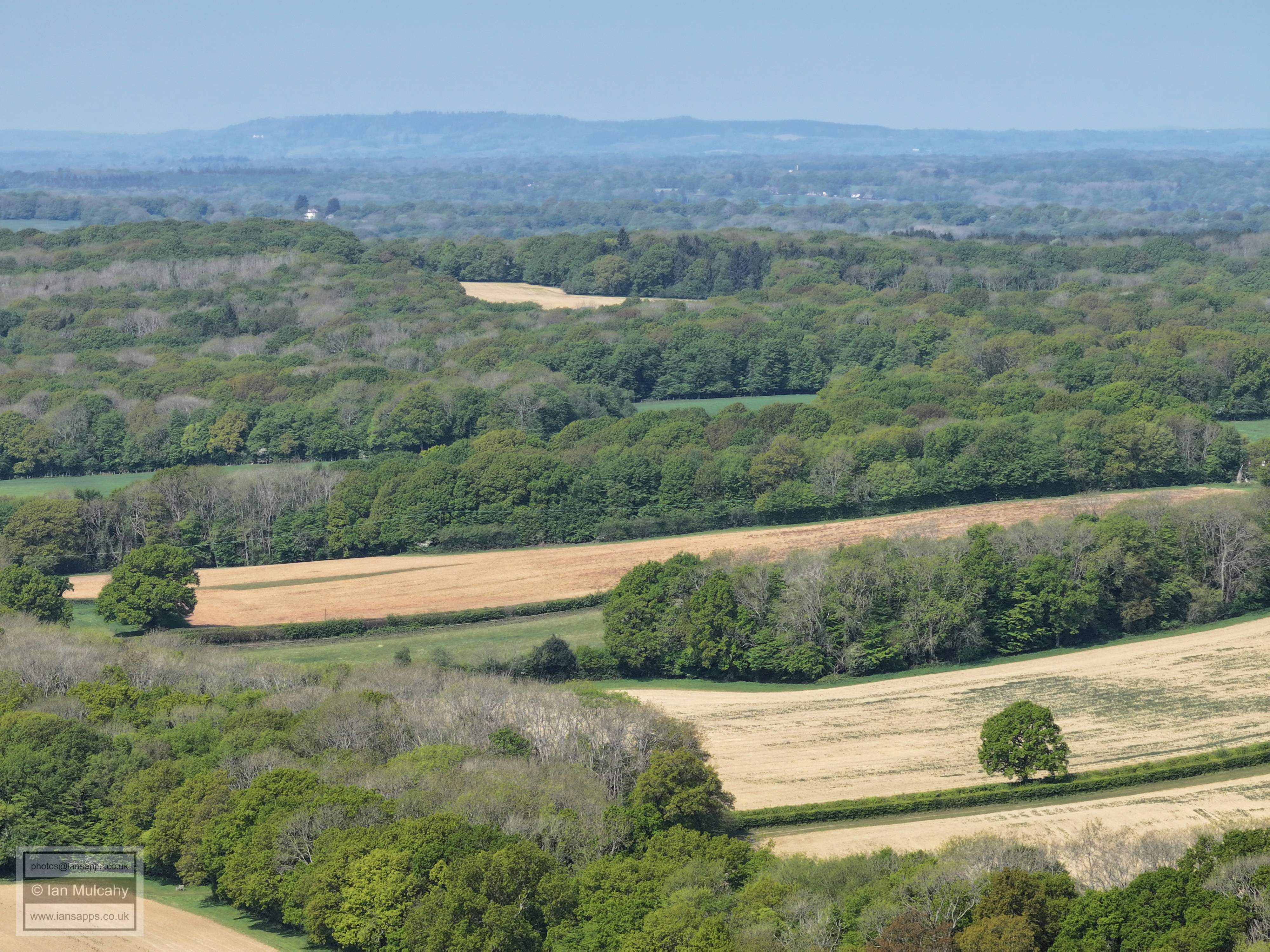
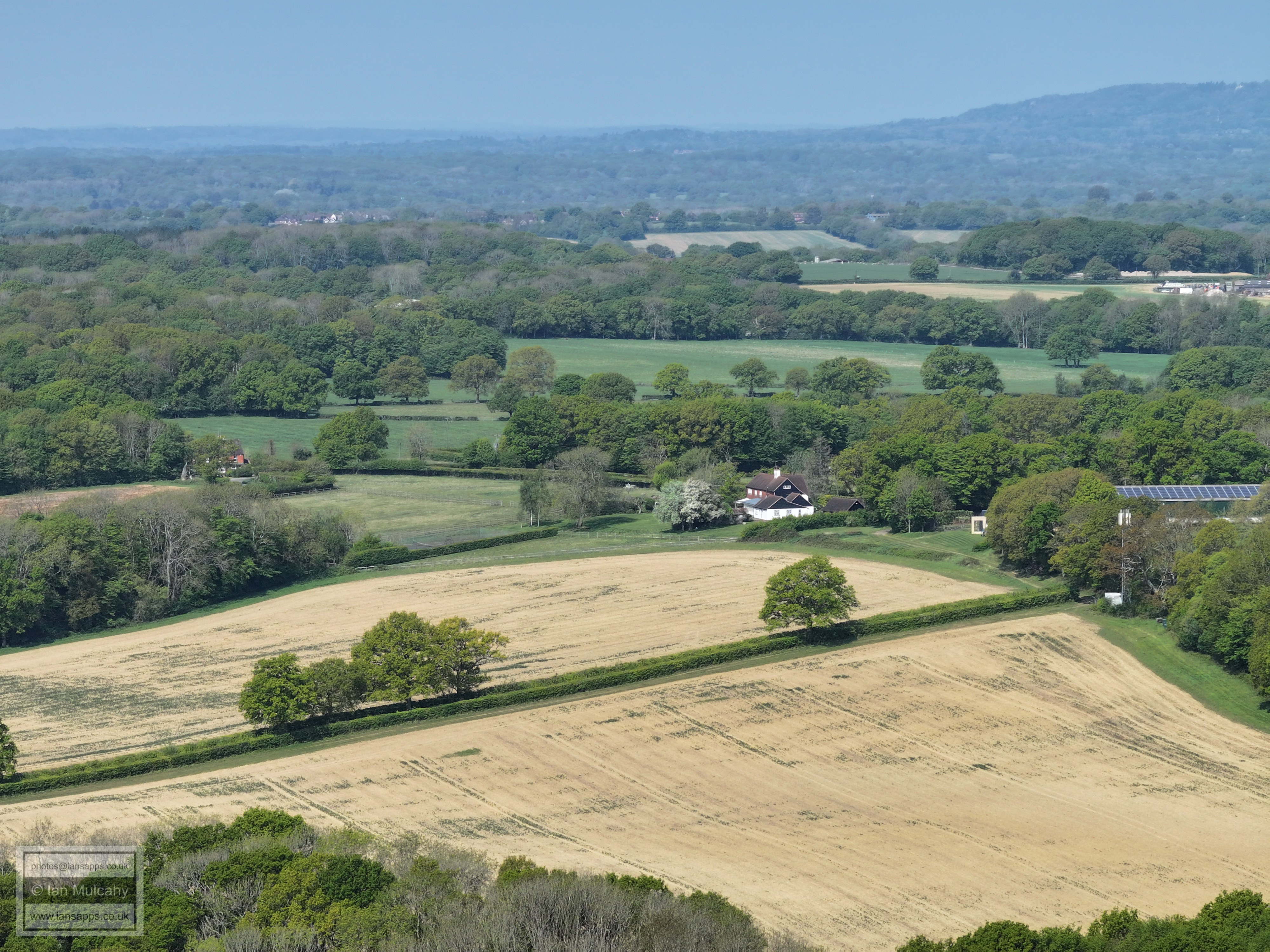
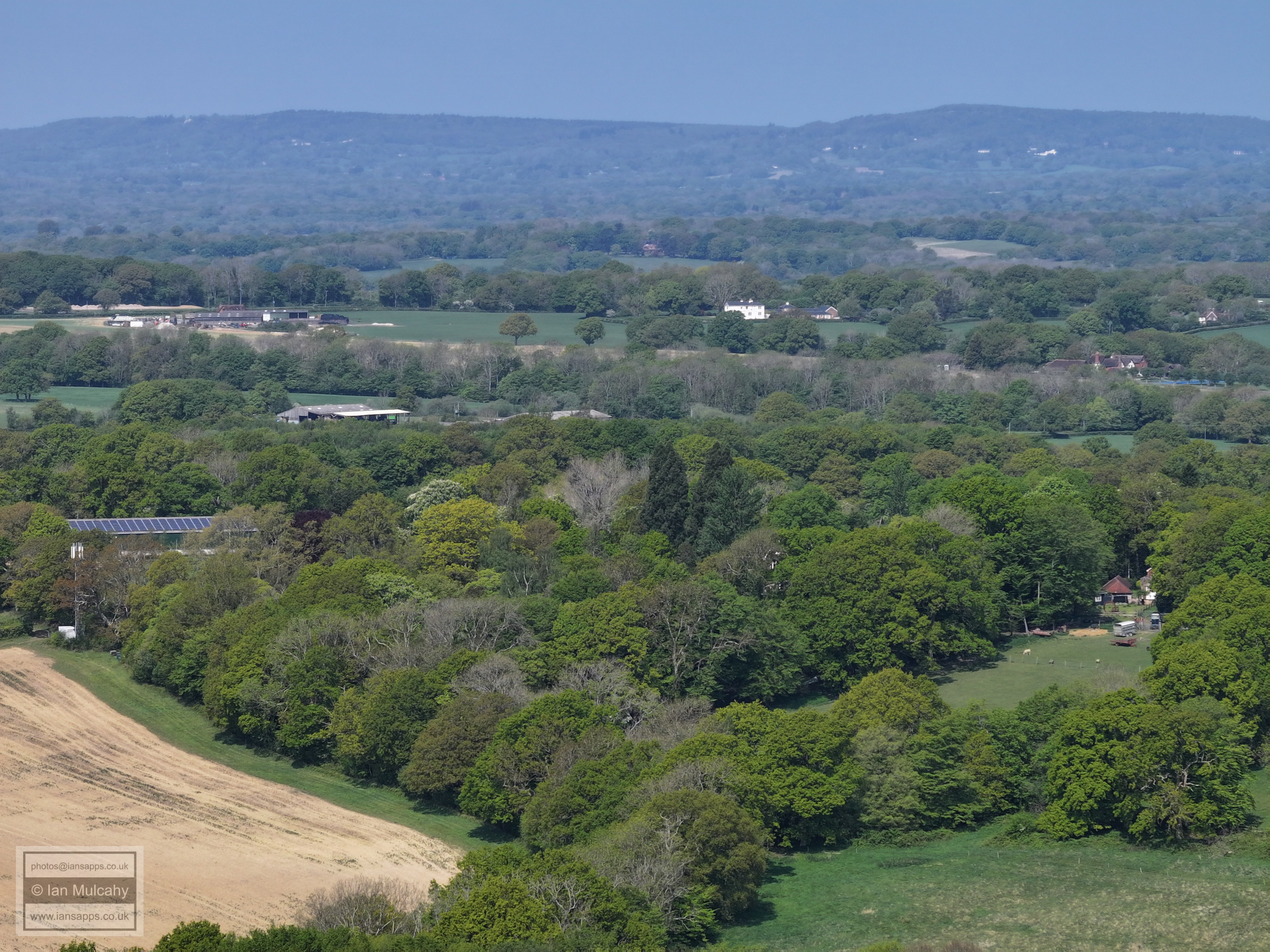
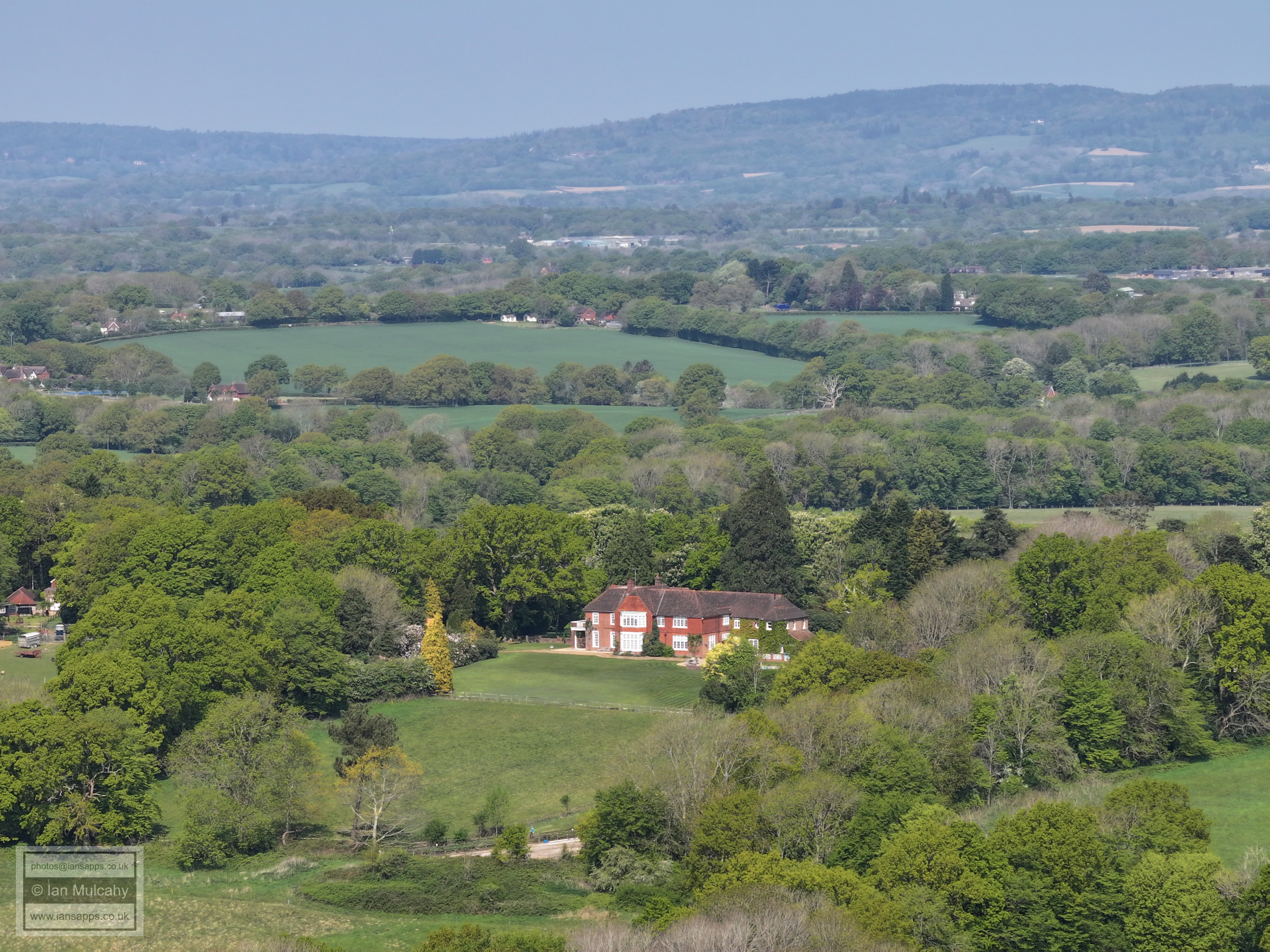
66 aerial images of varying focal length taken during a morning flight on 27 April 2025 from Faygate playing fields, West Sussex. Views include Rusper, Crawley & Horsham.
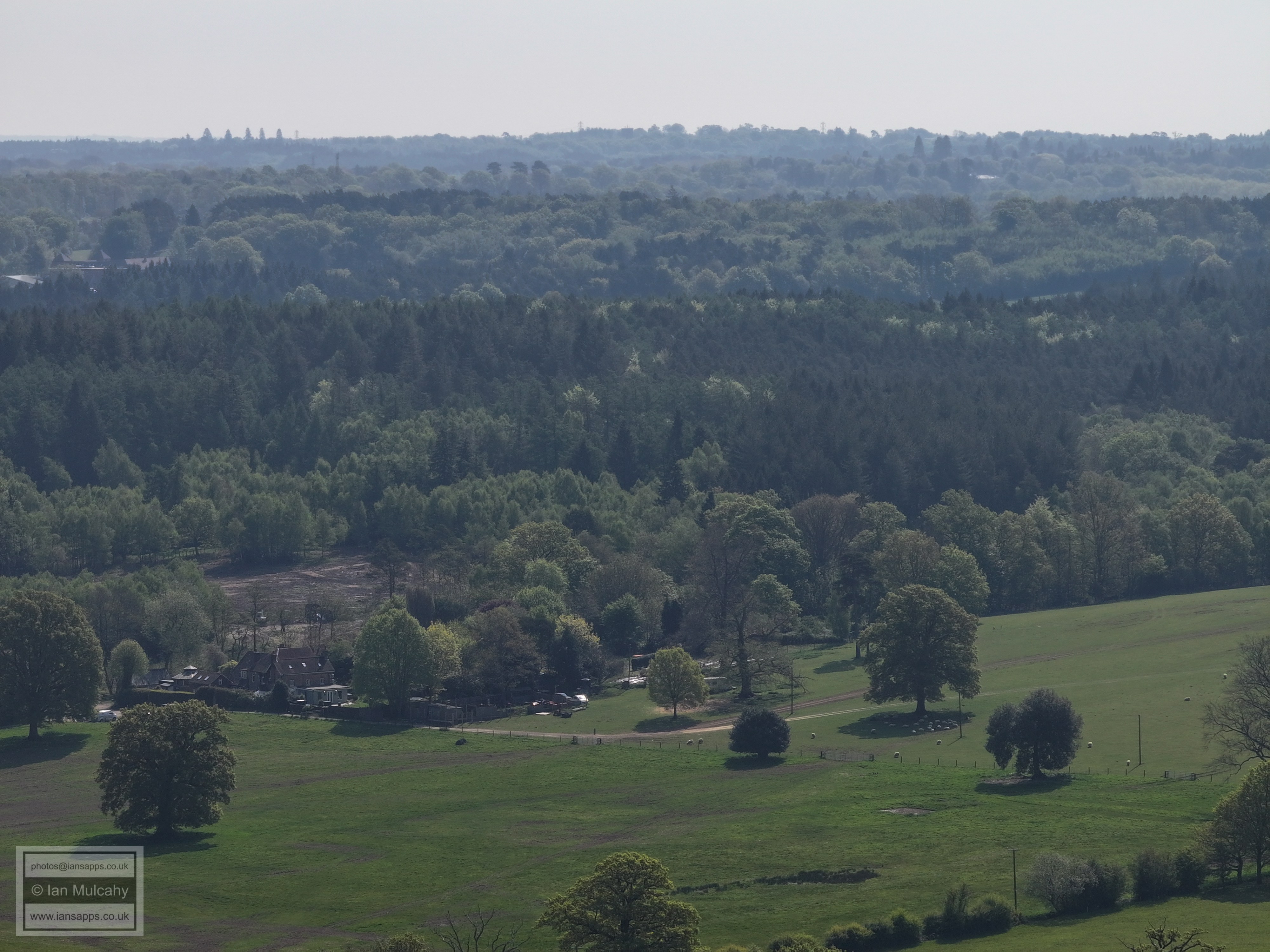
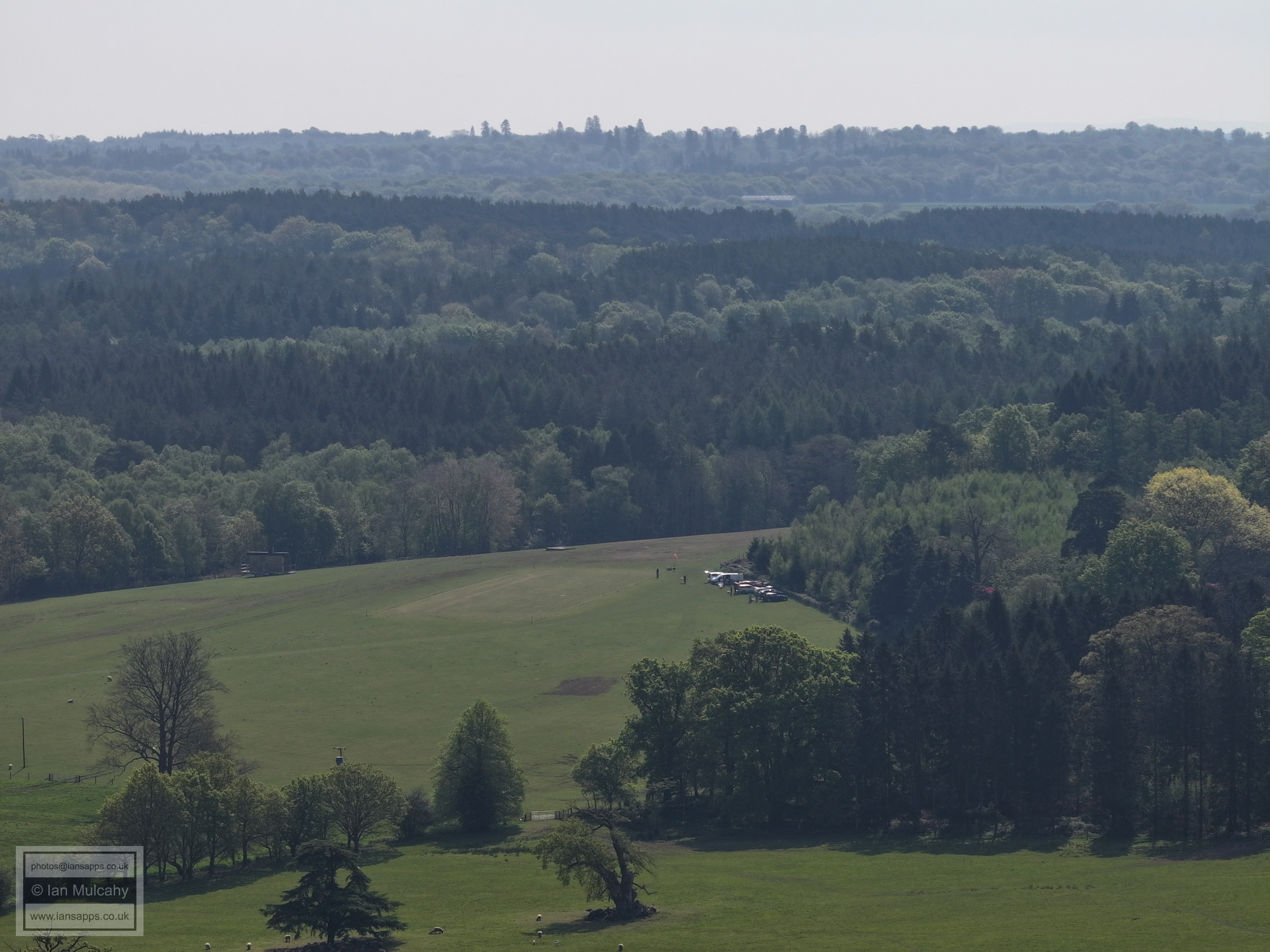
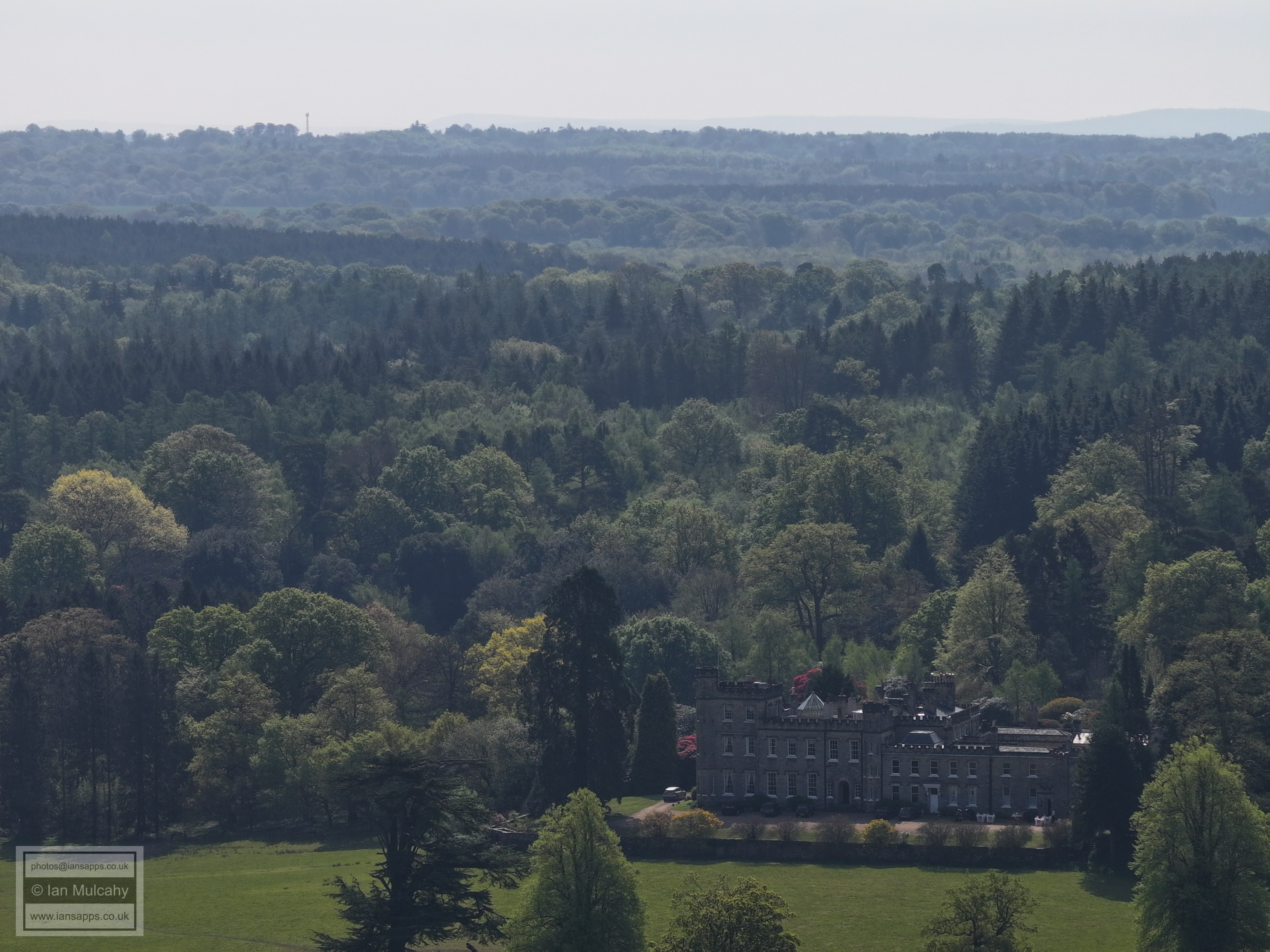
I have annotated some of the photos.
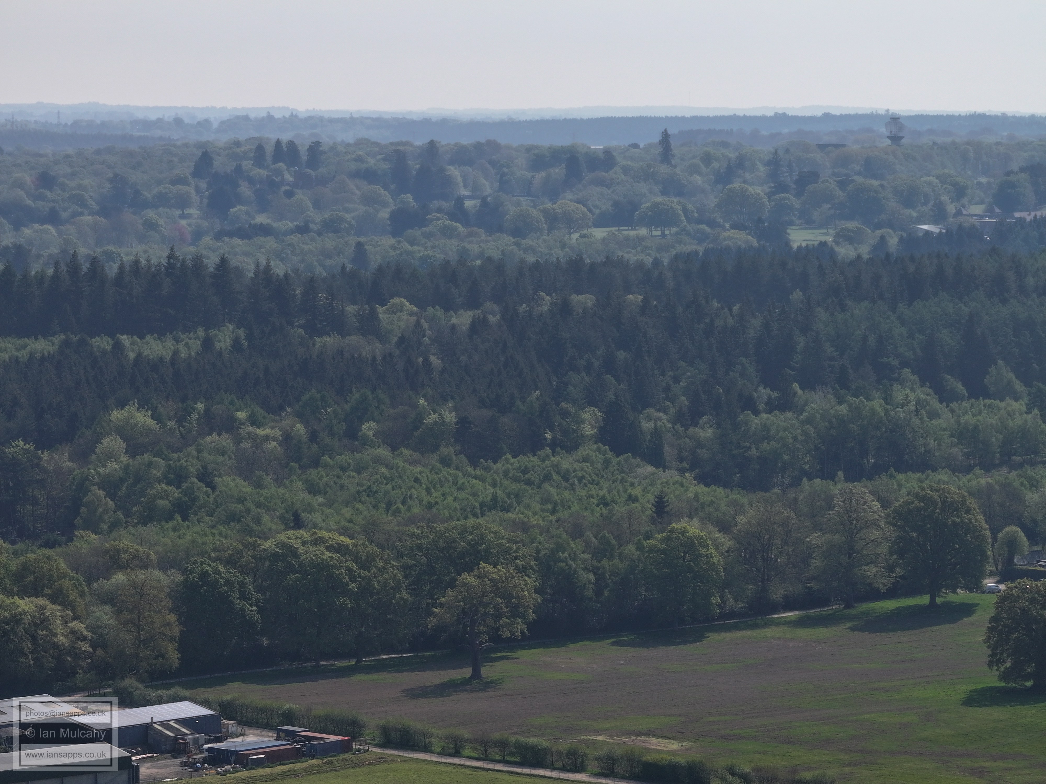
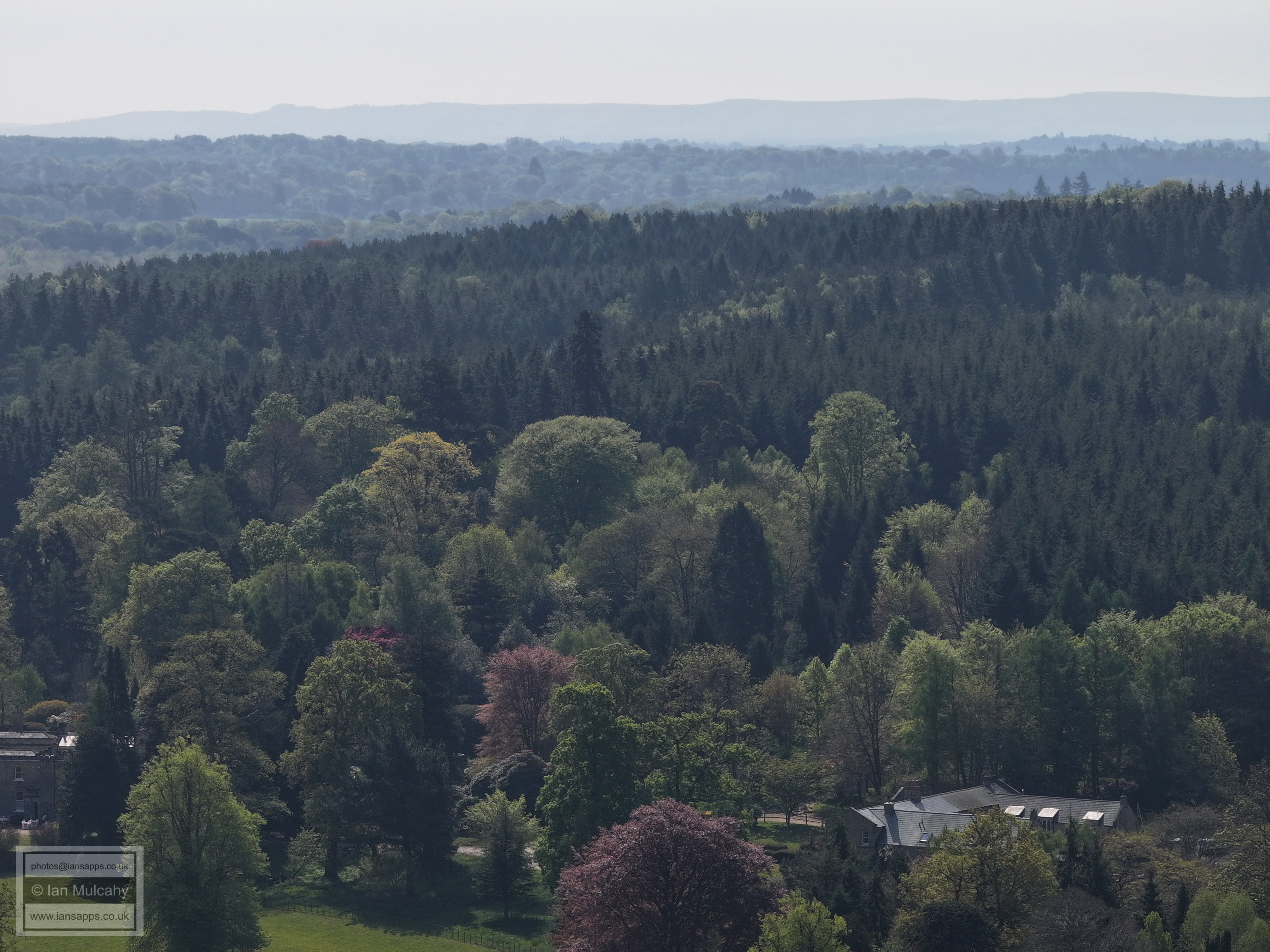
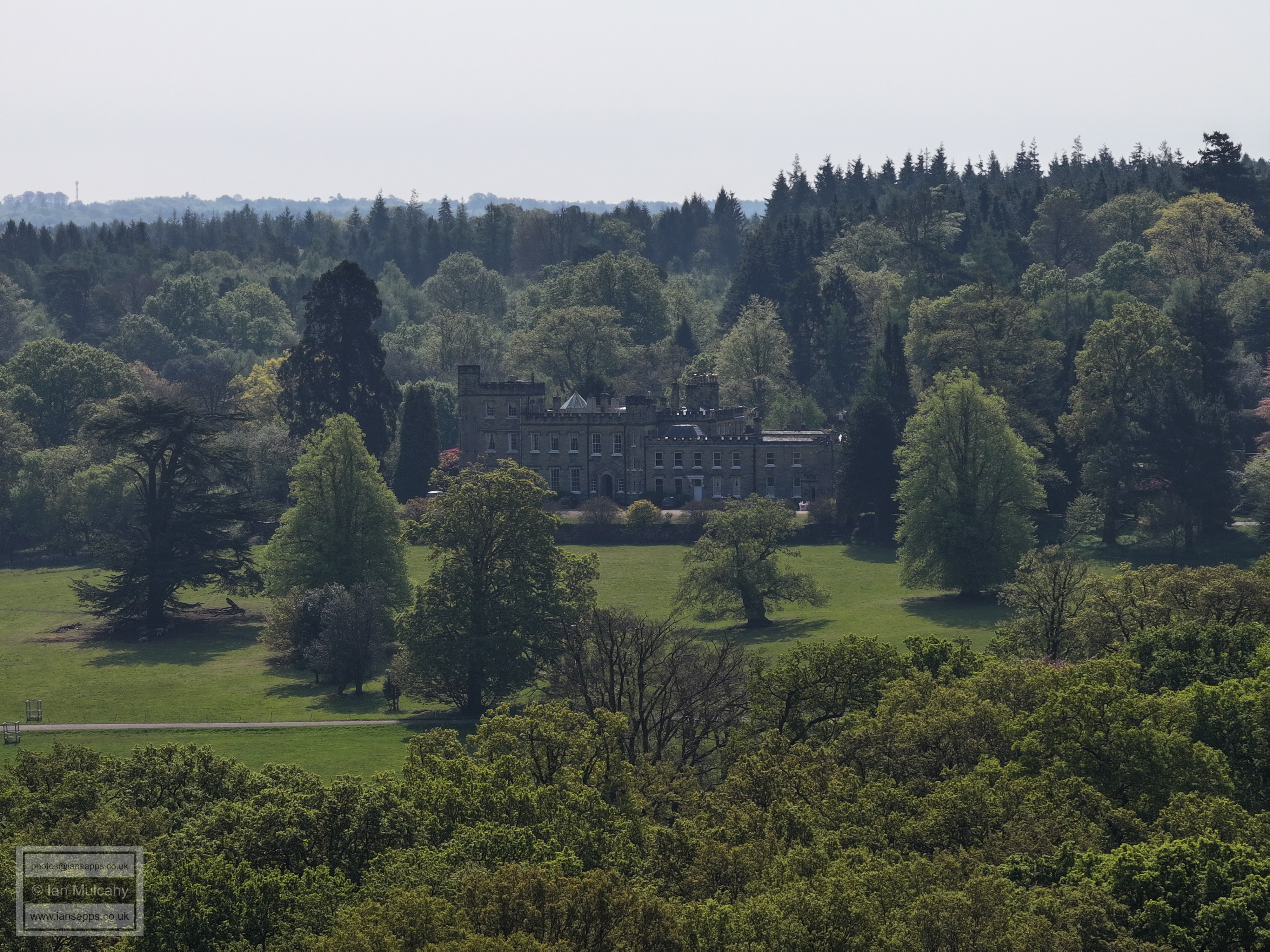
Holmbush
Holmbush
Rusper
In the top right quarter is The Mount in Ifield Wood
The gables of Bonwyckes Place are visible just left of centre, about a third of the way down, with the modern barns a little to the right
On the far left, roughly half way down, is Kilnwood House. Druids, at Ifield Court, is just below the aircraft hangar. St Margaret's Church at Ifield is in the top right quarter
The white weatherboards of Ifield Mill are visible in the top right quarter.
Crawley Town Hall and College are the prominent features, but other town centre landmarks will be picked out by the observant.
The radar at Cottesmore is clear in the top right quarter.
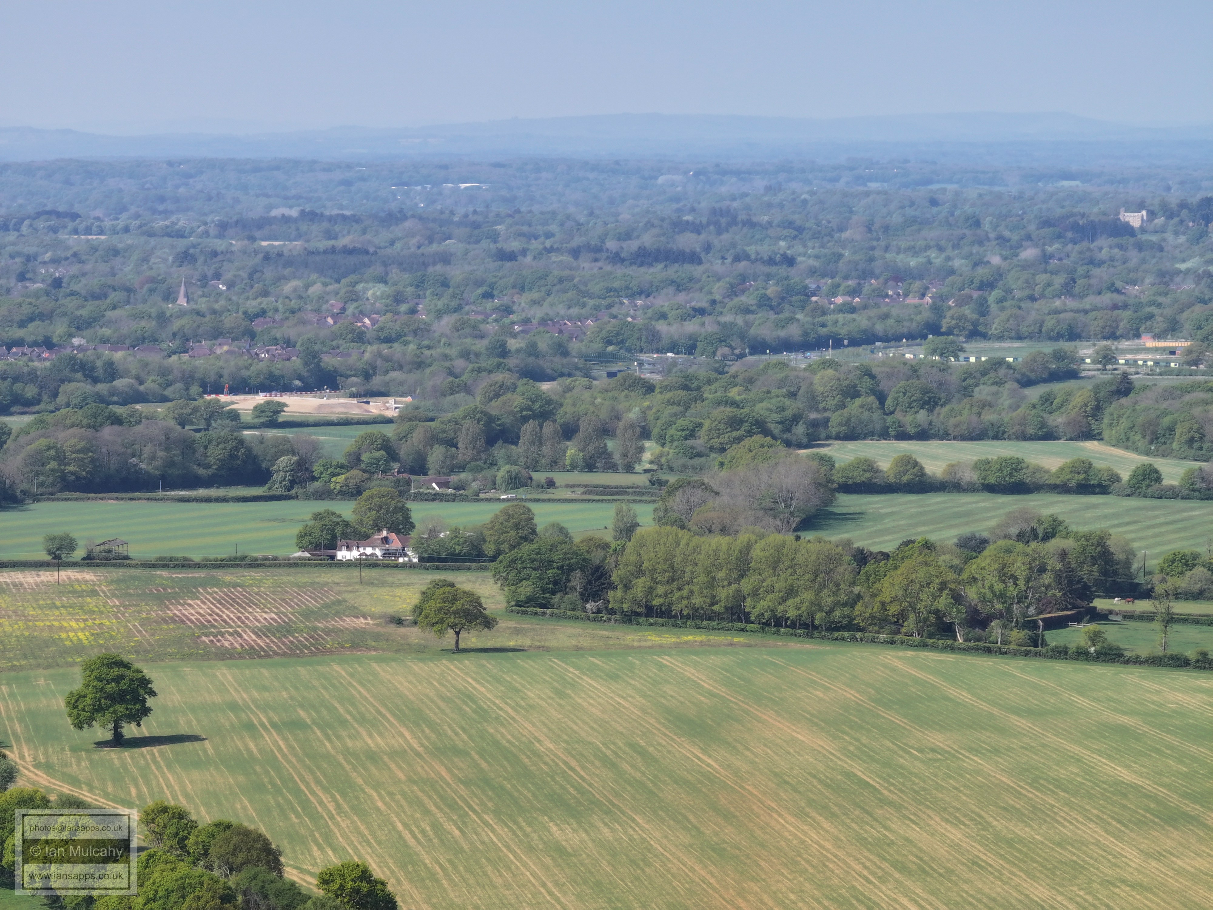
Roffey Park, just left of centre
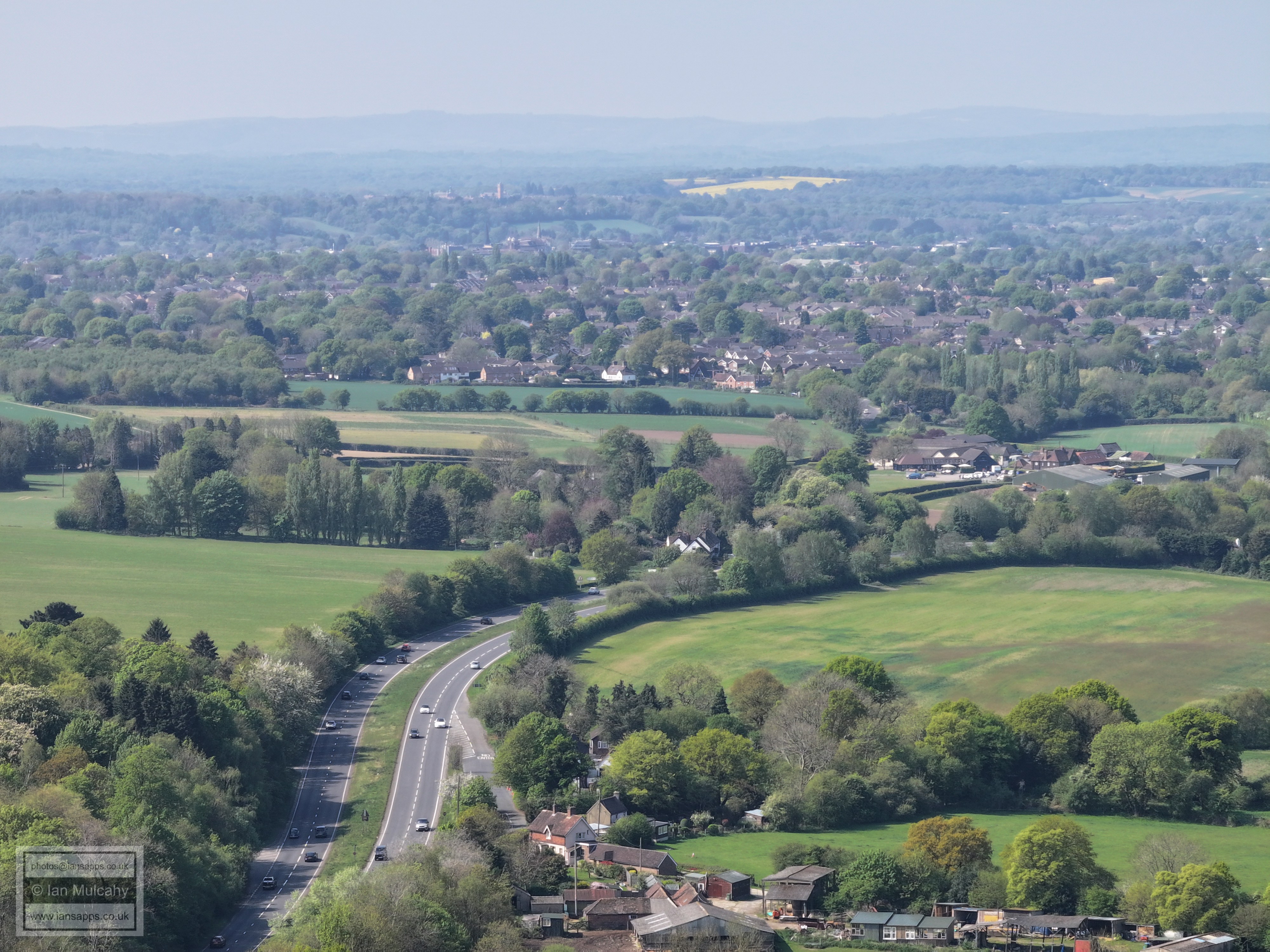
The A264 from Faygate to Moorhead is in the foreground. Beyond, in the top left quarter, Christs hospital is visible behind the spires of St Mary's (left) and St Marks.
Rusper Road Roundabout just right of centre
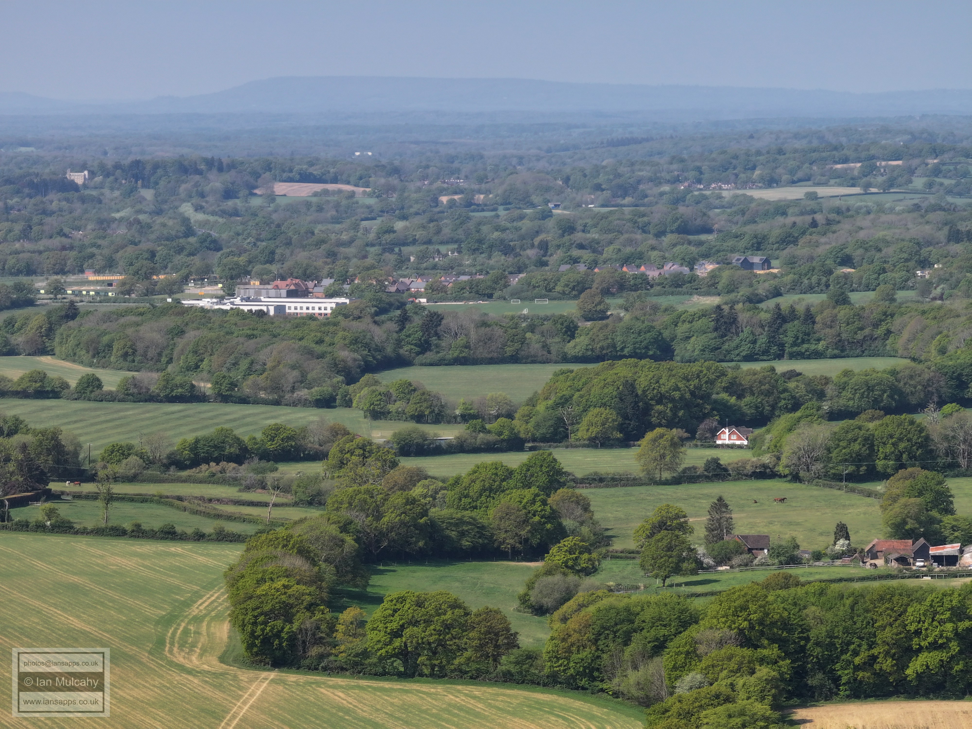
Bohunt and Mowbray in the top half. Budds Farm in Wimlands Road is in the bottom right quarter.
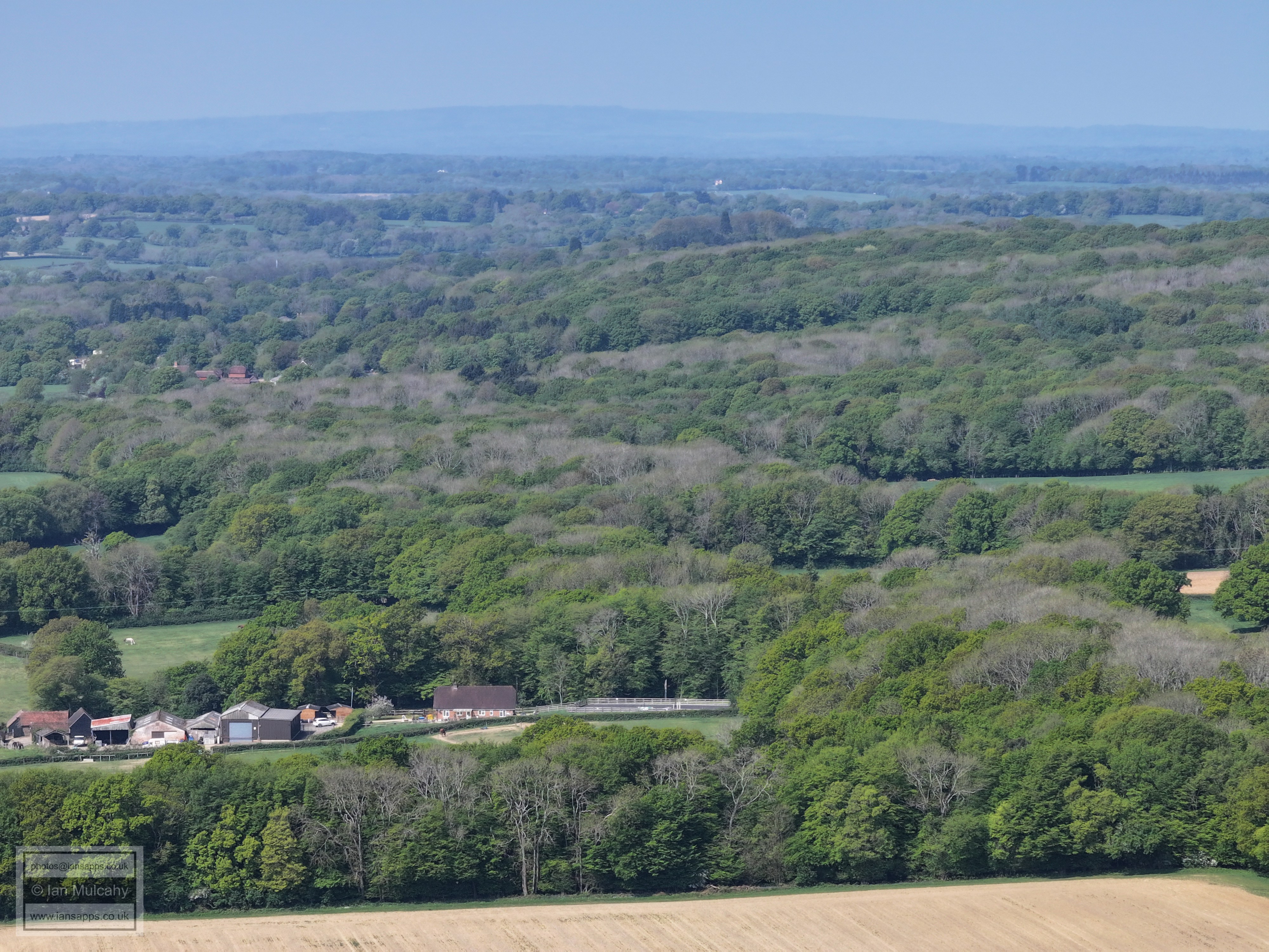
Hurst Hill
Wimlands Farm
The white building is Old Park on the Rusper to Horsham Road
Culross Manor, Wimlands Lane.
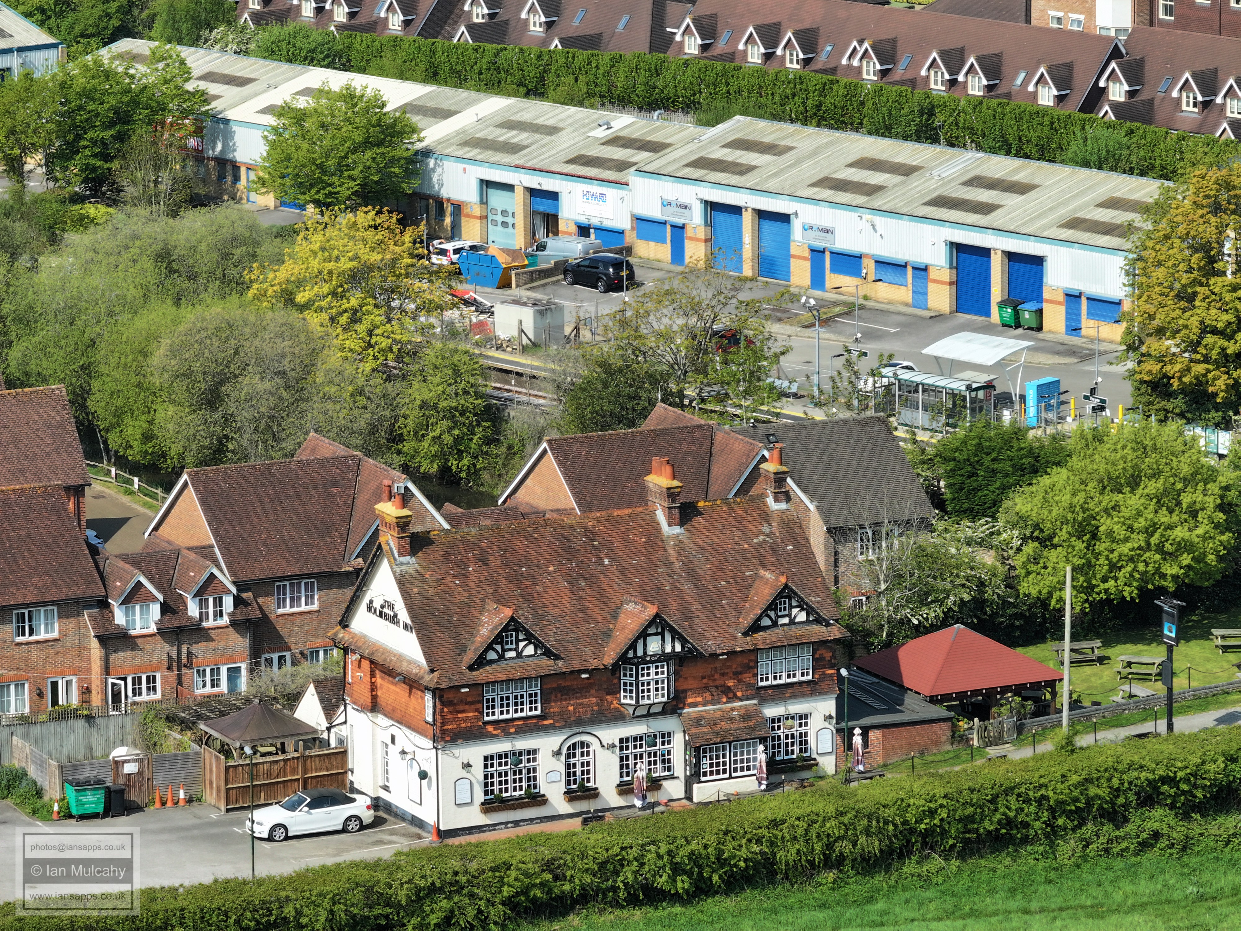
Holmbush
The Holmbush Inn and Faygate Station
Kilnwood Lane
Text & photographs © Ian Mulcahy. Contact photos@iansapps.co.uk or visit my 'Use of my photographs' page for licensing queries (ground level photographs only). |