Near Porters Farm in the Parish of Rusper, West Sussex
2 May 2025
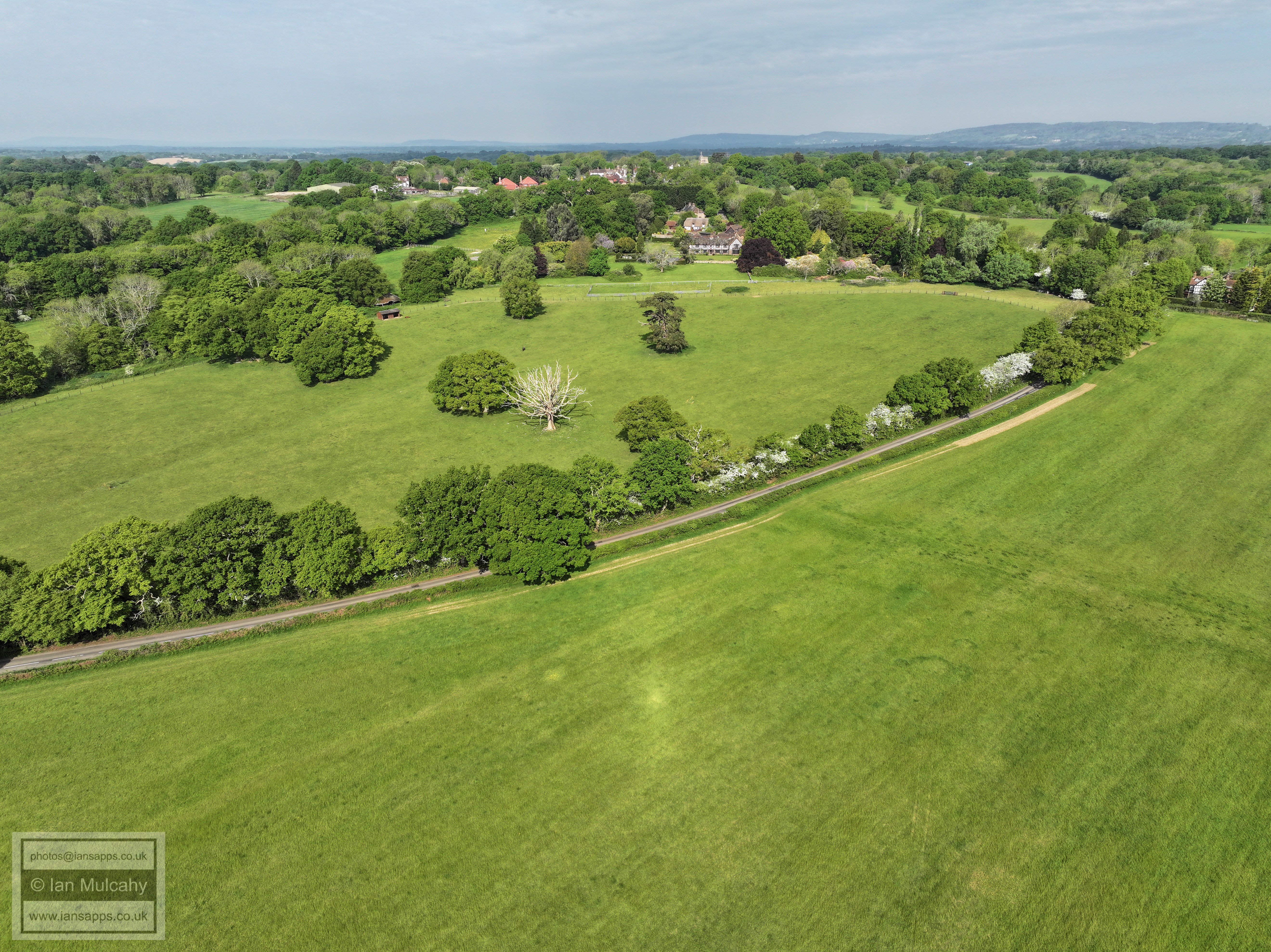
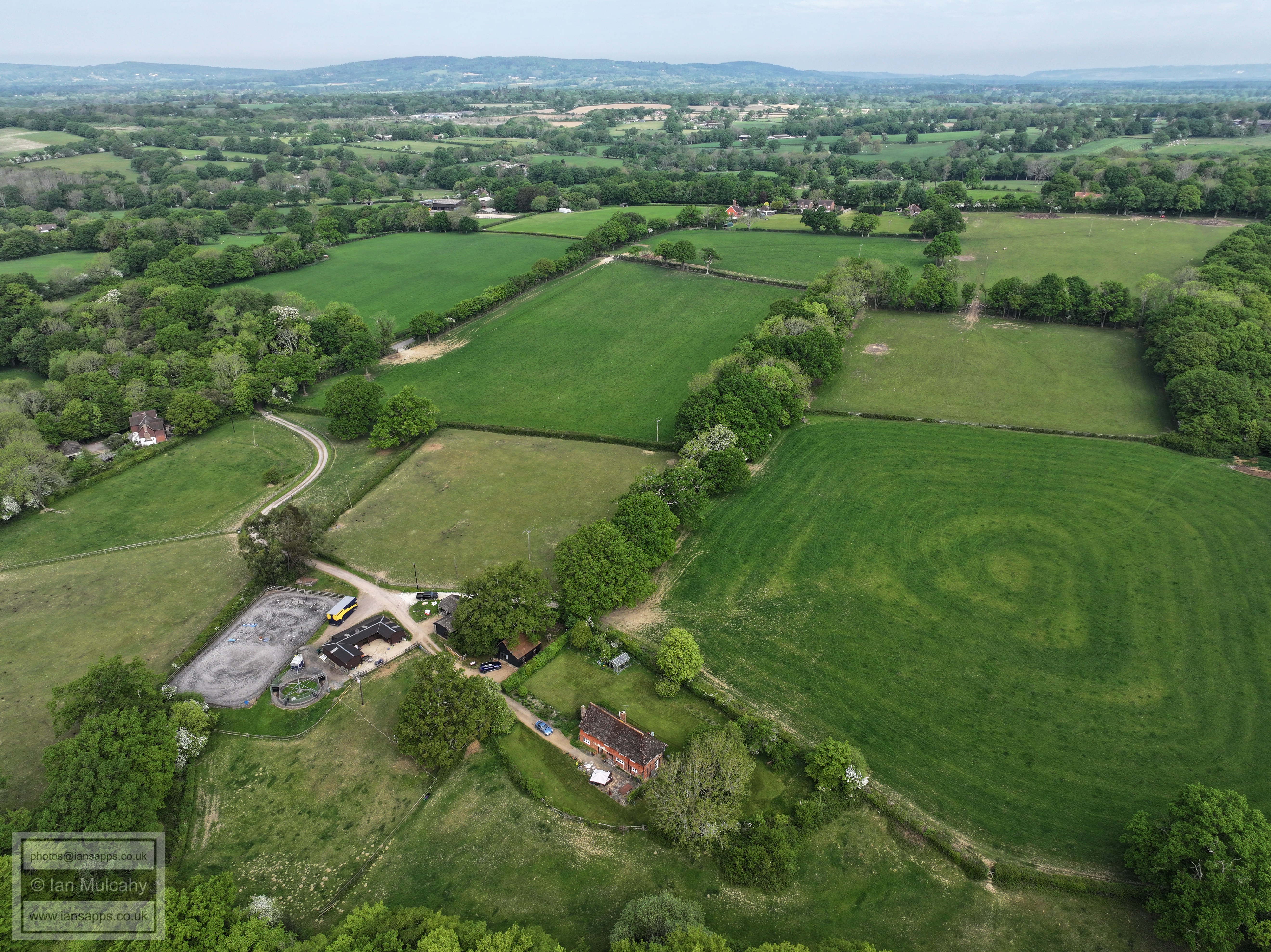
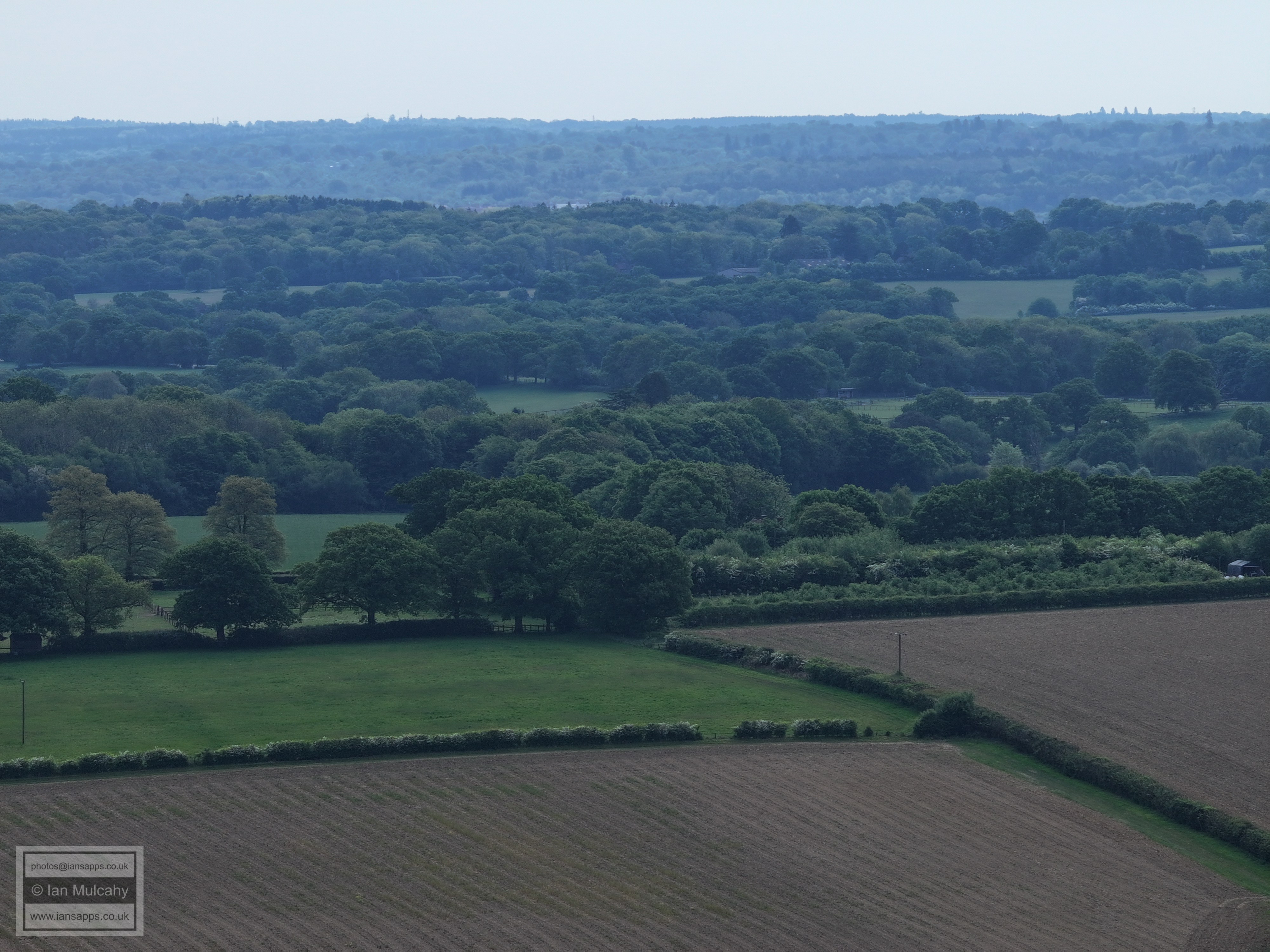
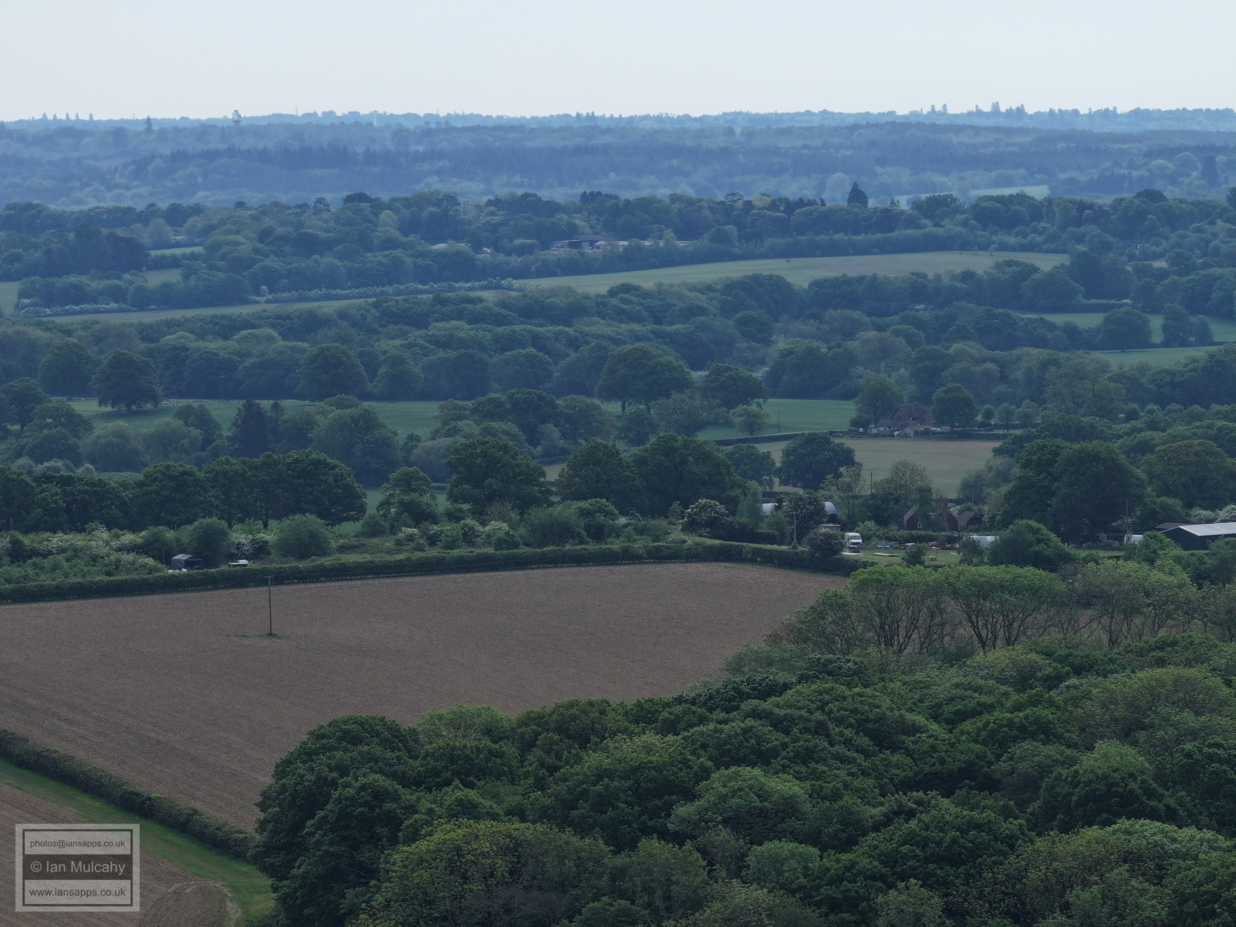
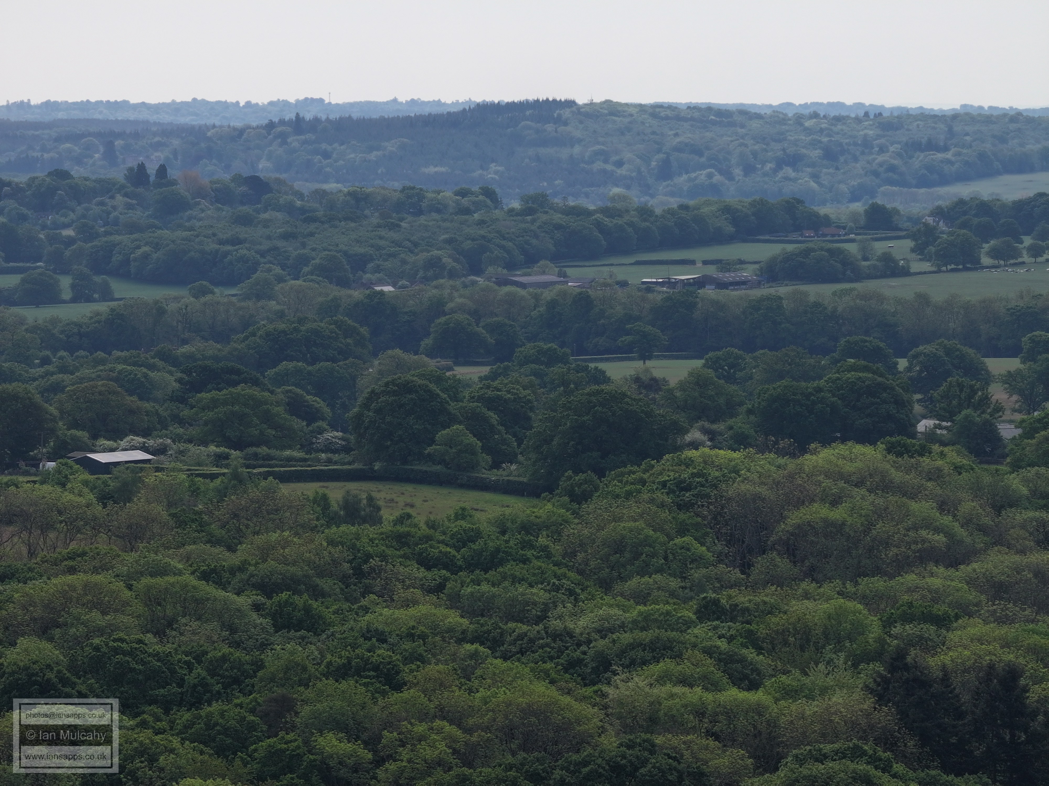
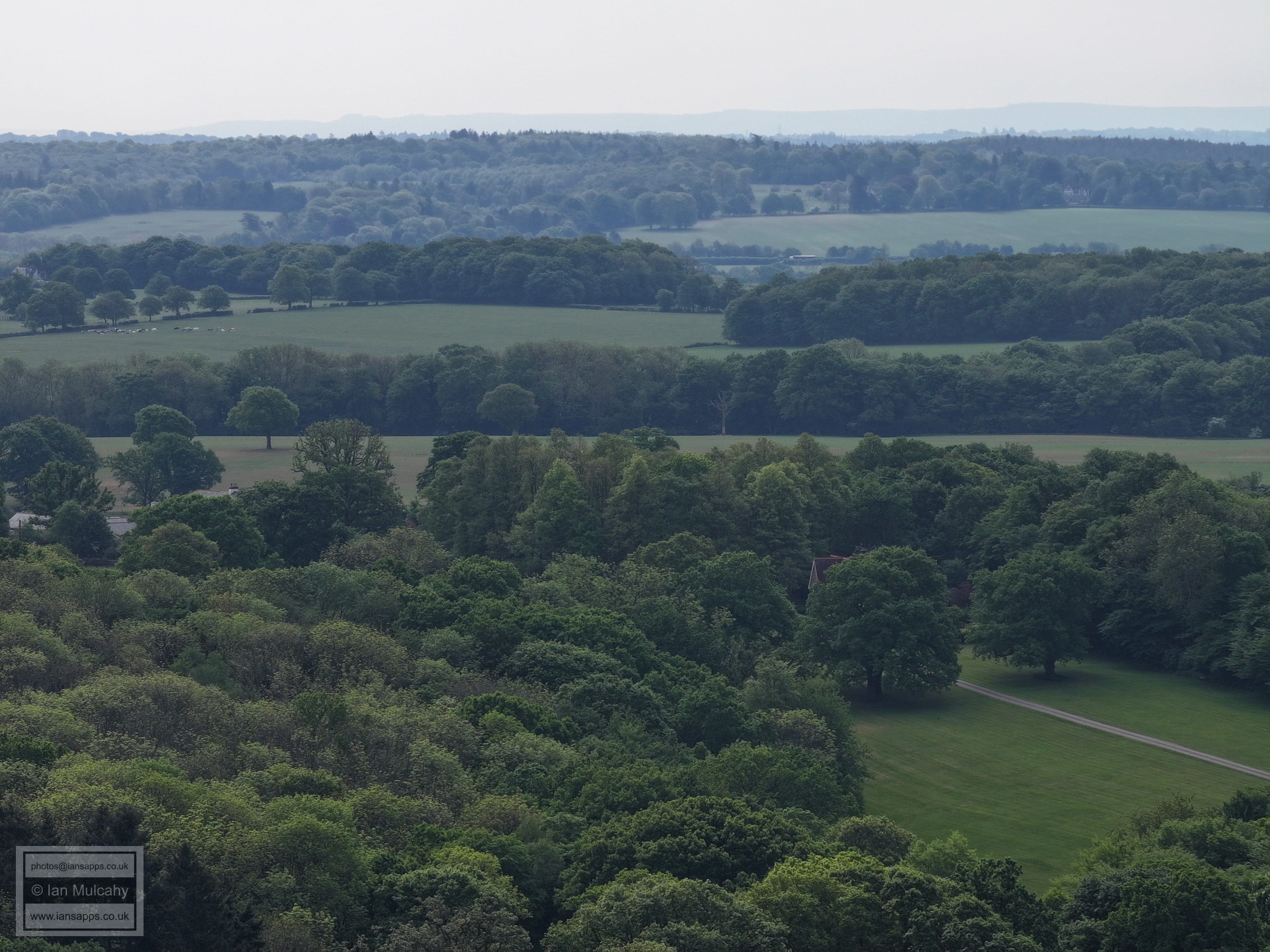
65 aerial photos of varying focal length
|
65 aerial images of varying focal length taken on 2 May 2025 from the footpath south of Porters Farm in the west of Rusper Parish in West Sussex, as well as 3 images of Normans and Mary Magdalene Church in Rusper taken from the path between Lambs Green and Faygate Lane. The long distance visibility wasn't great, unfortunately.
I have annotated some of the photos.
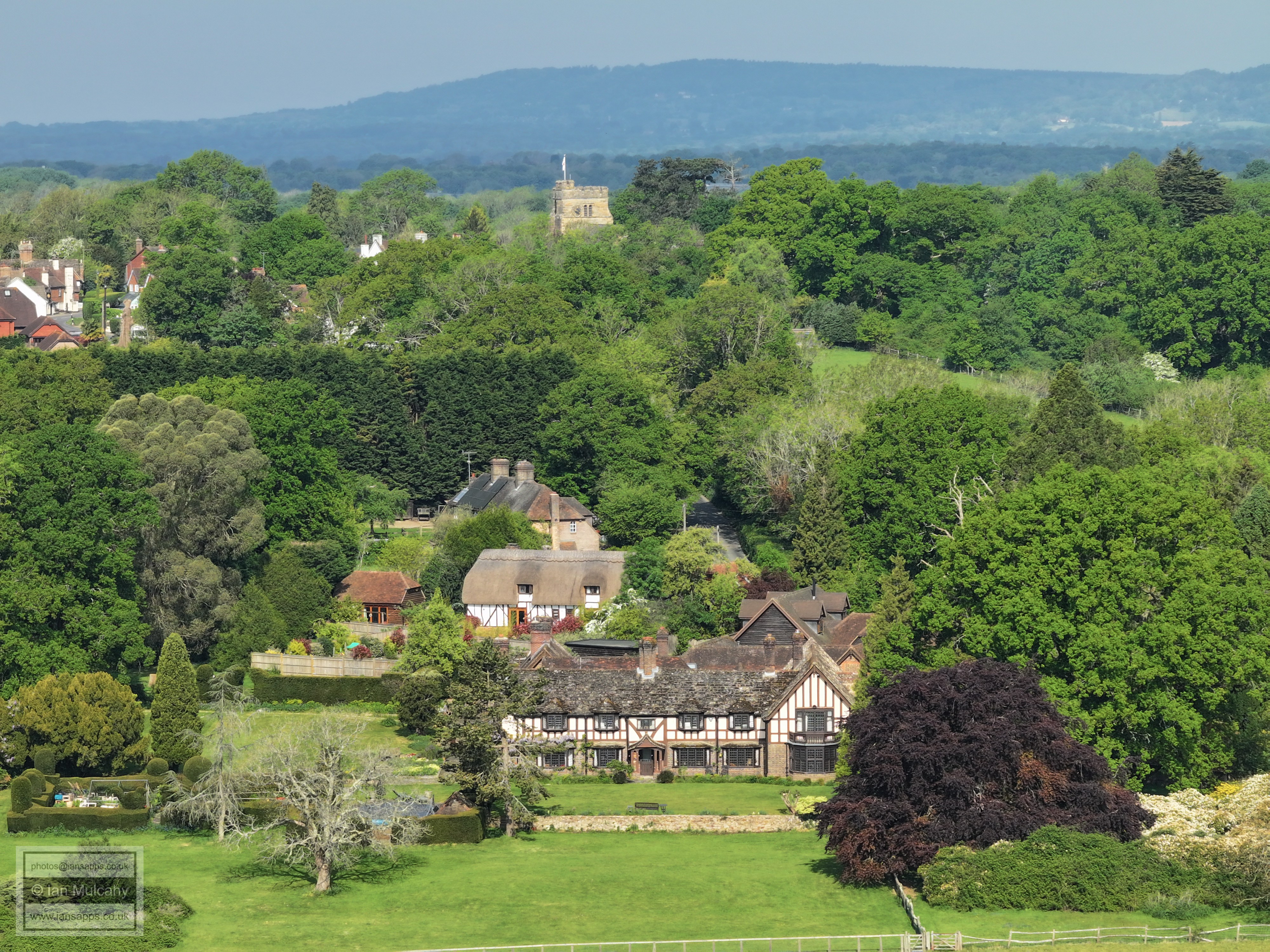
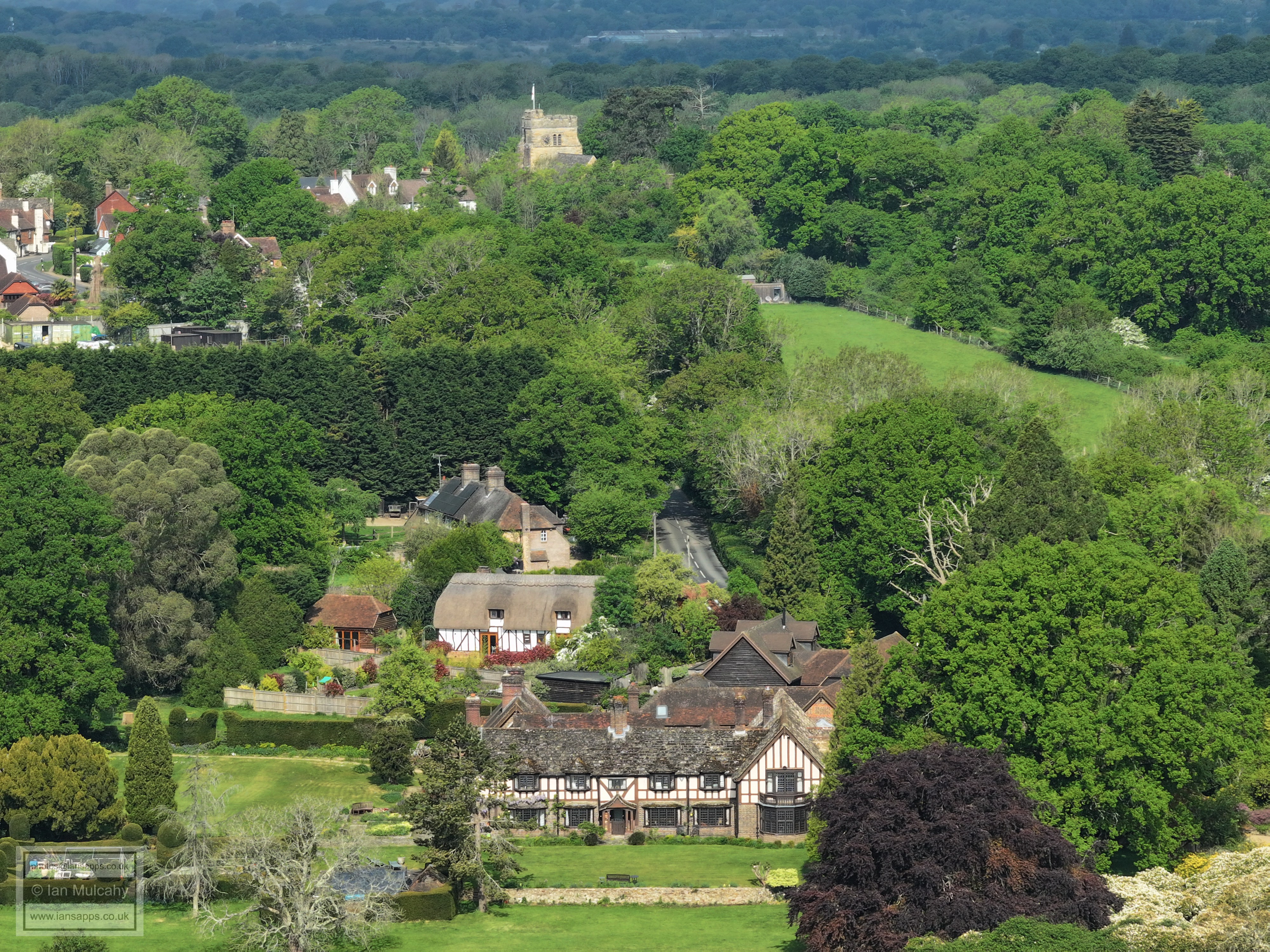
Normans, the former home of Paolo Gucci, and the church of St Mary Magadelene
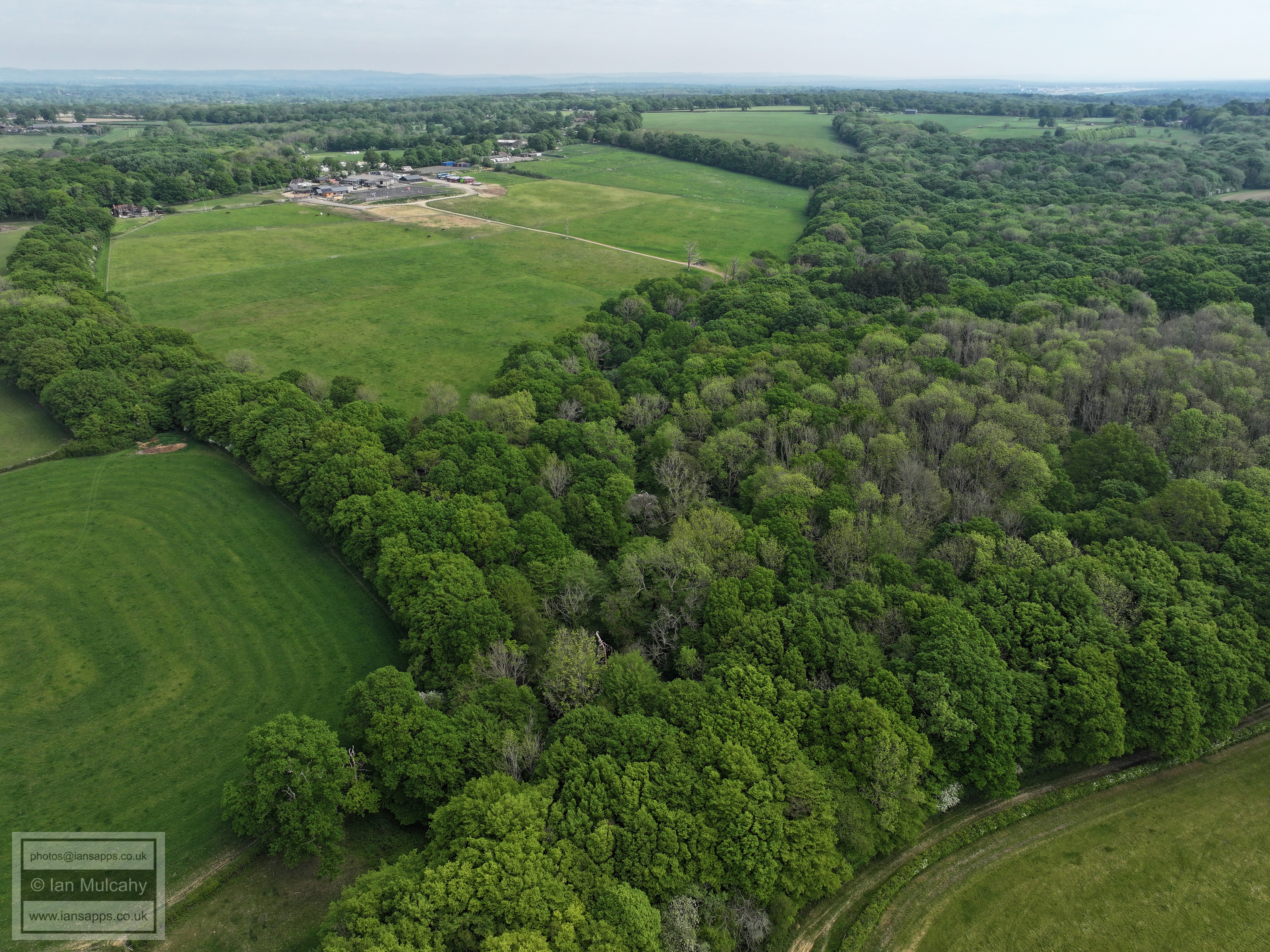
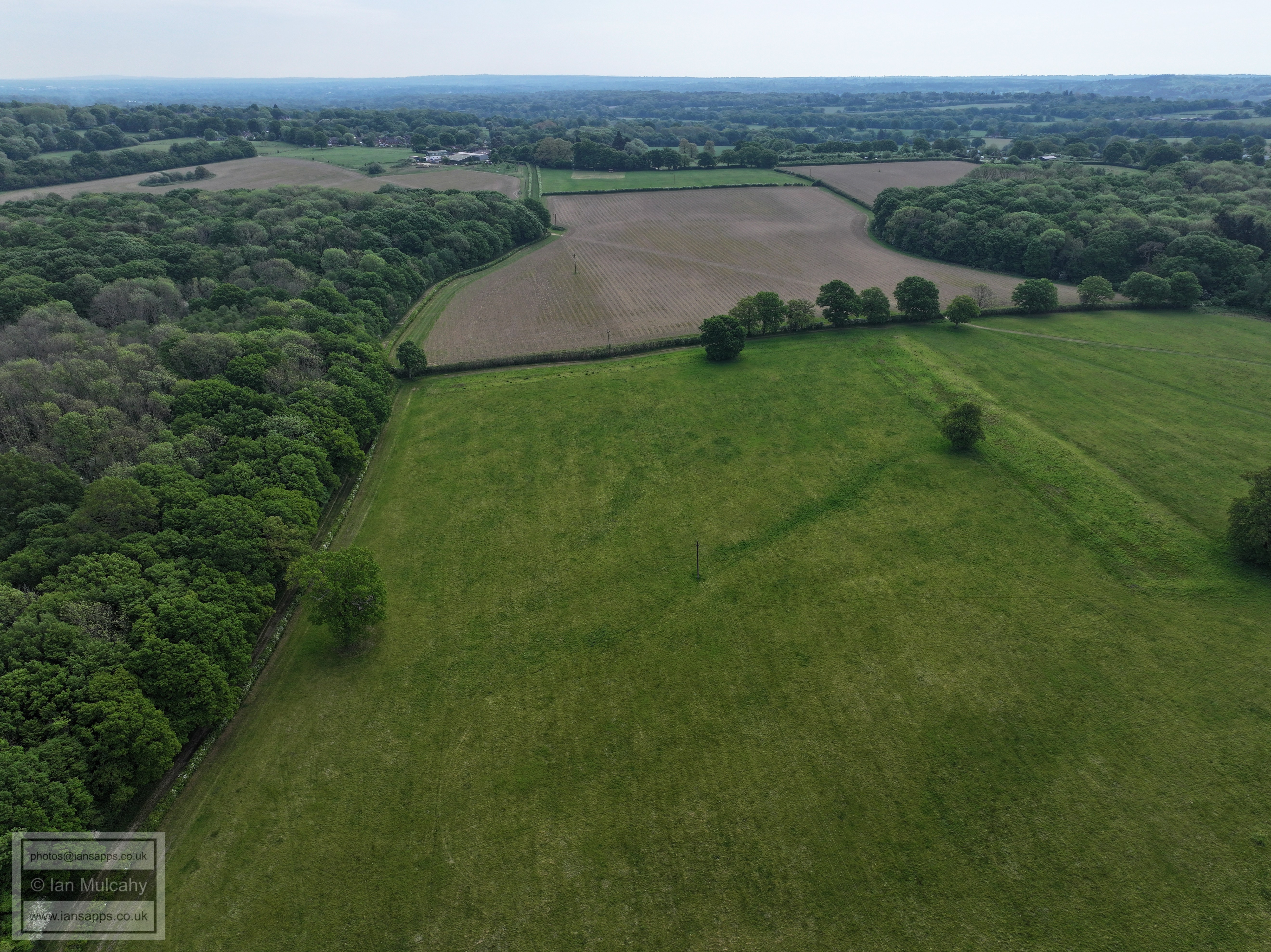
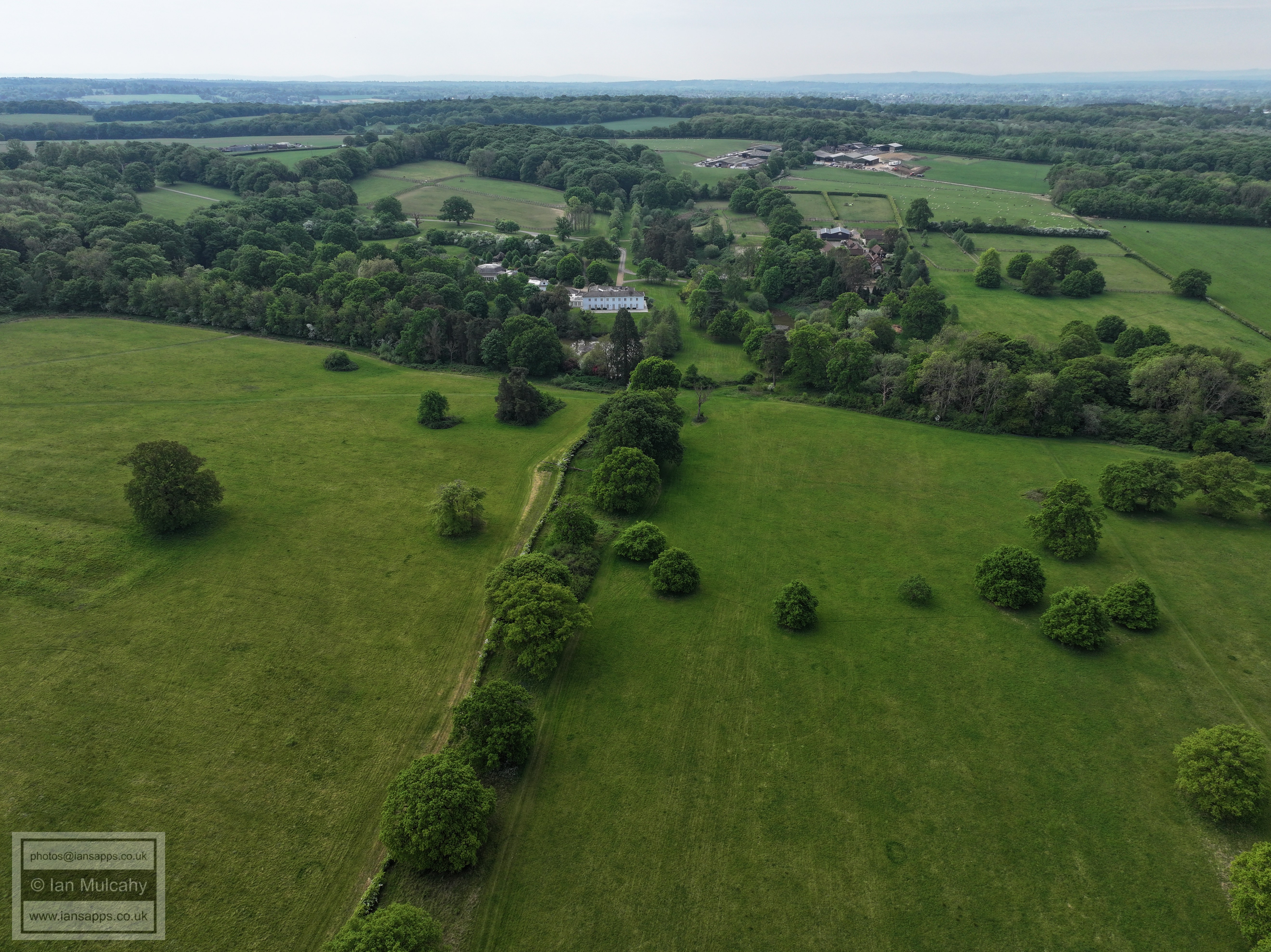
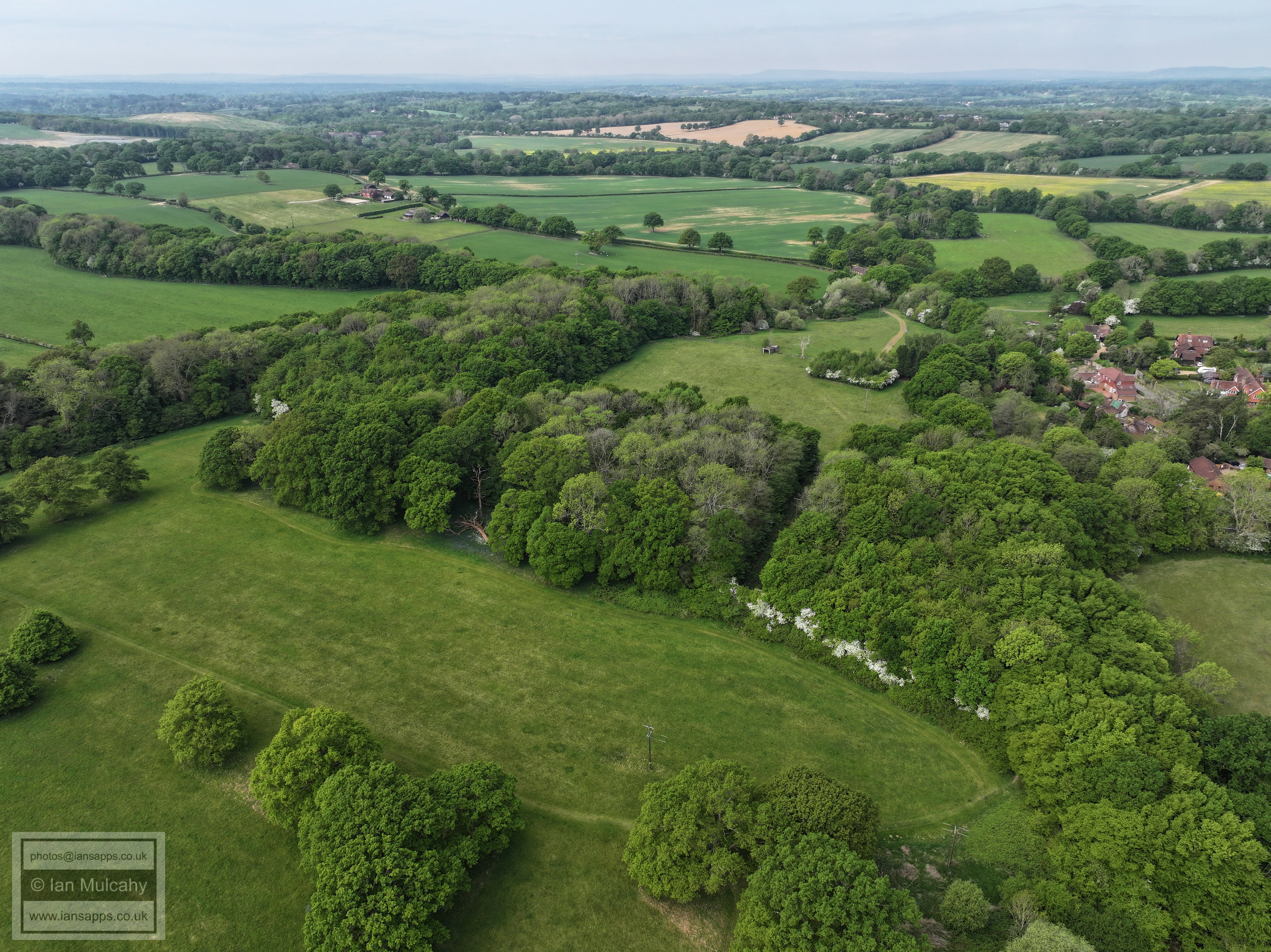
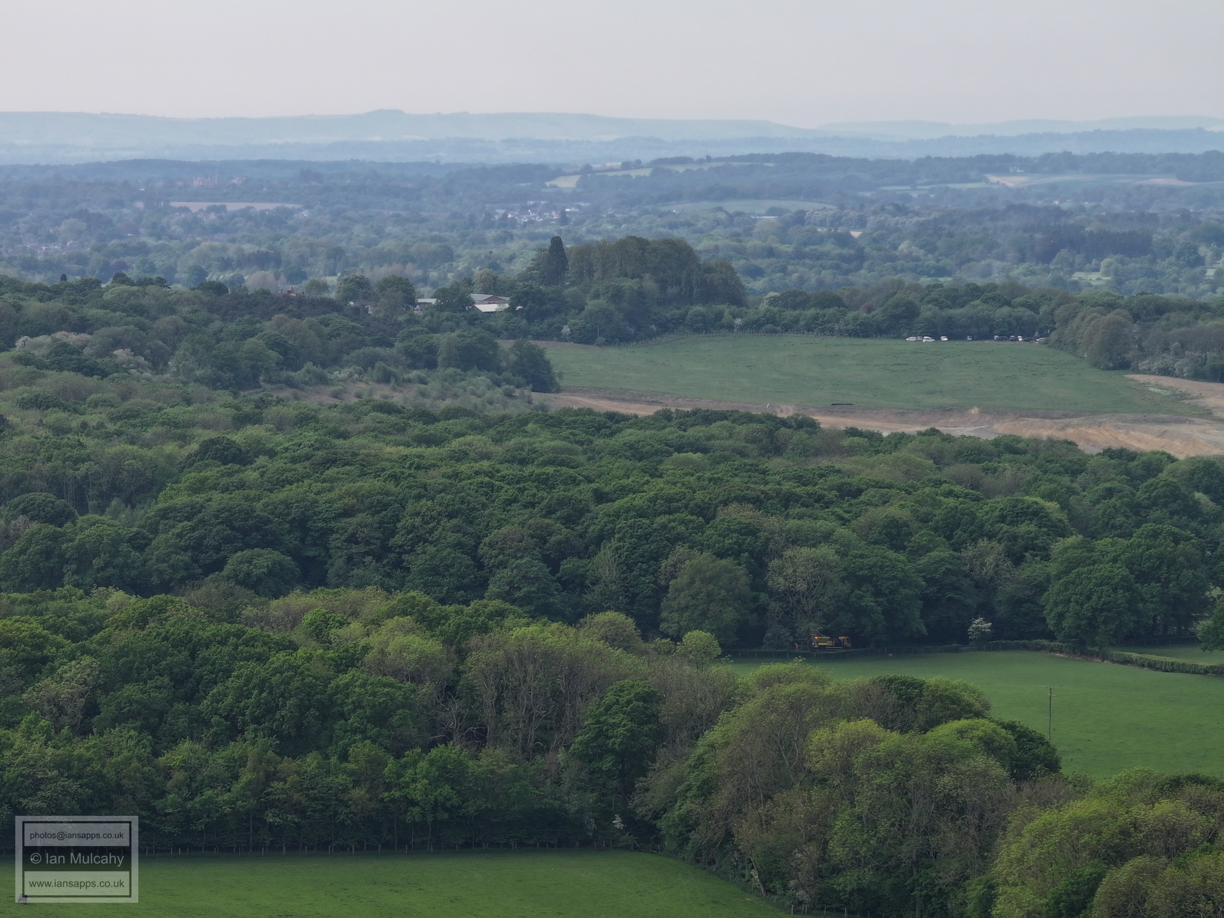
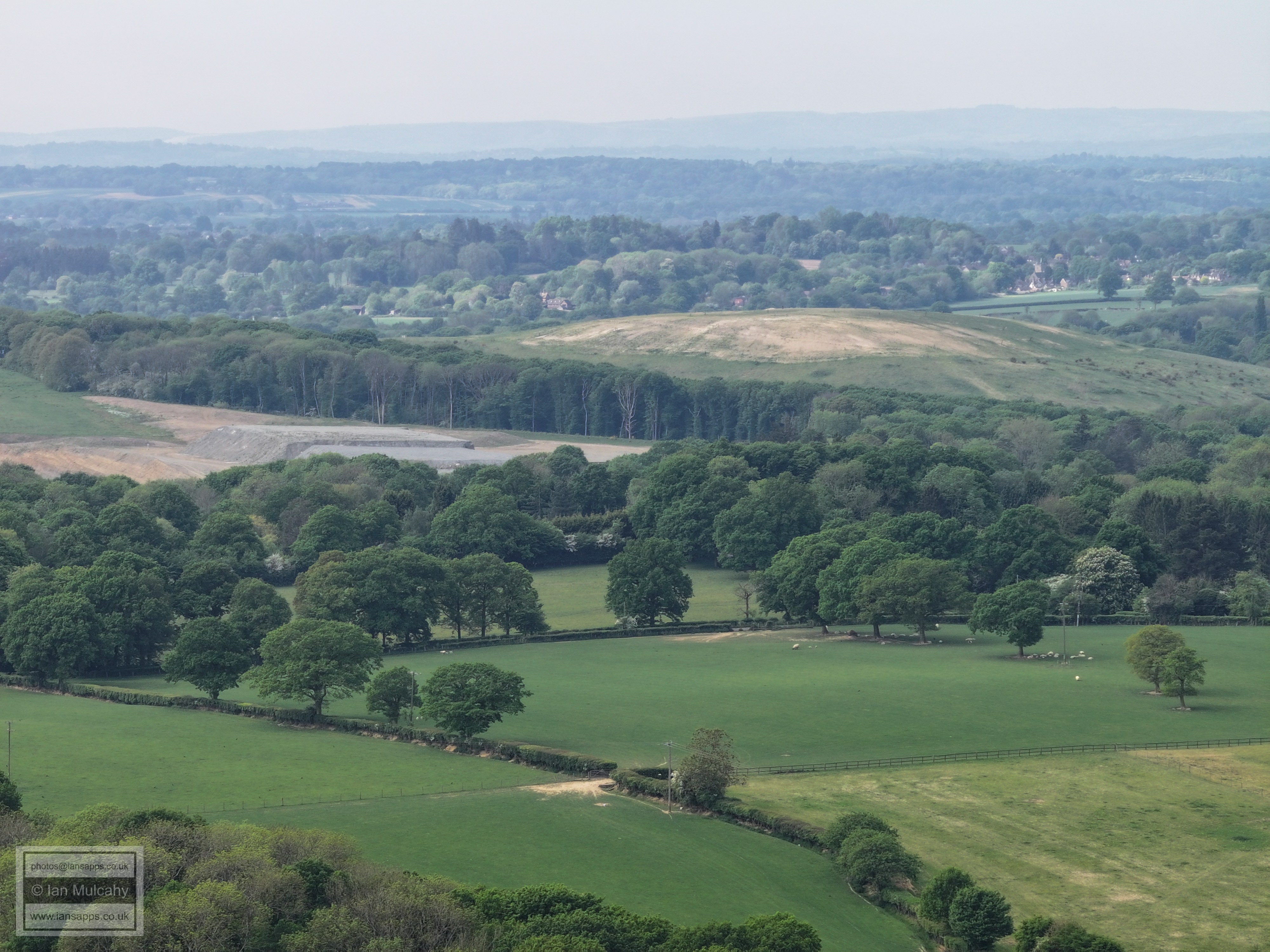
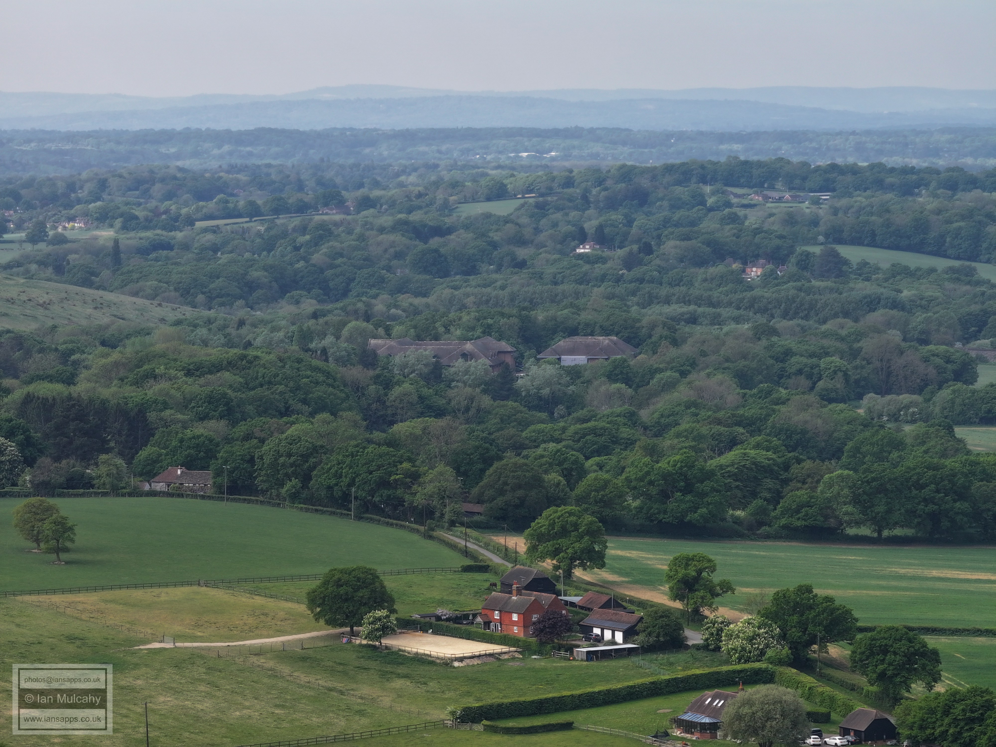
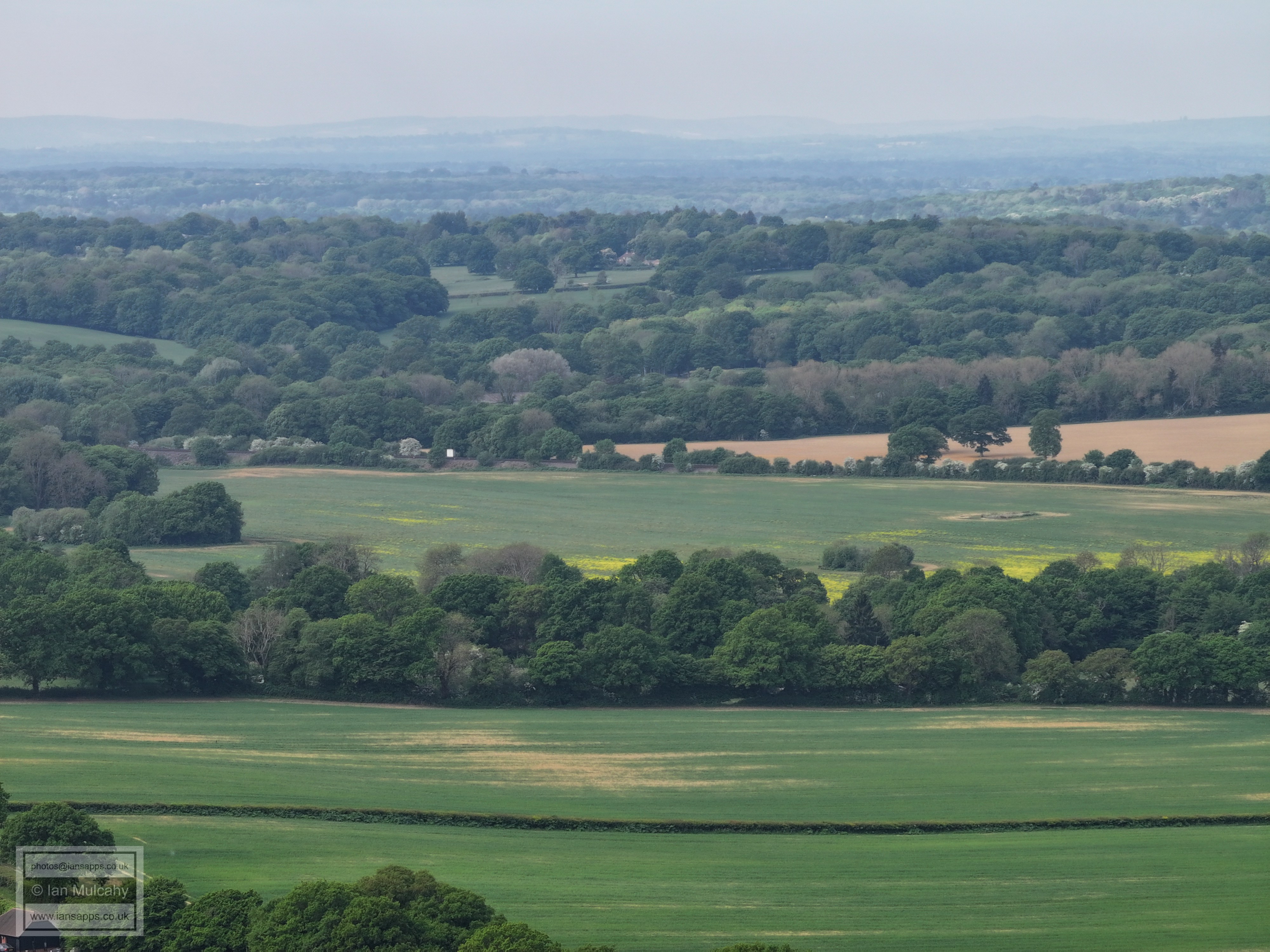
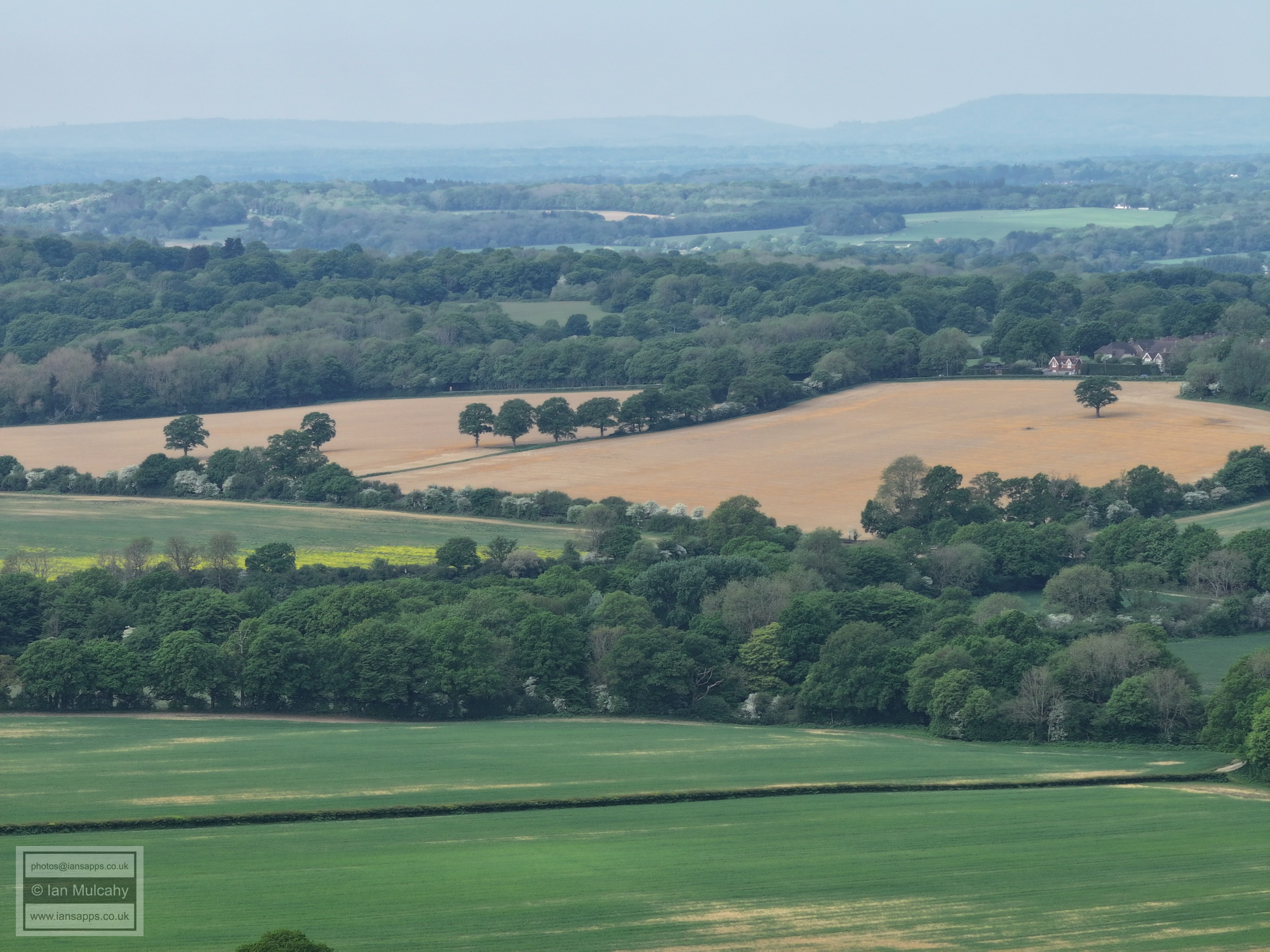
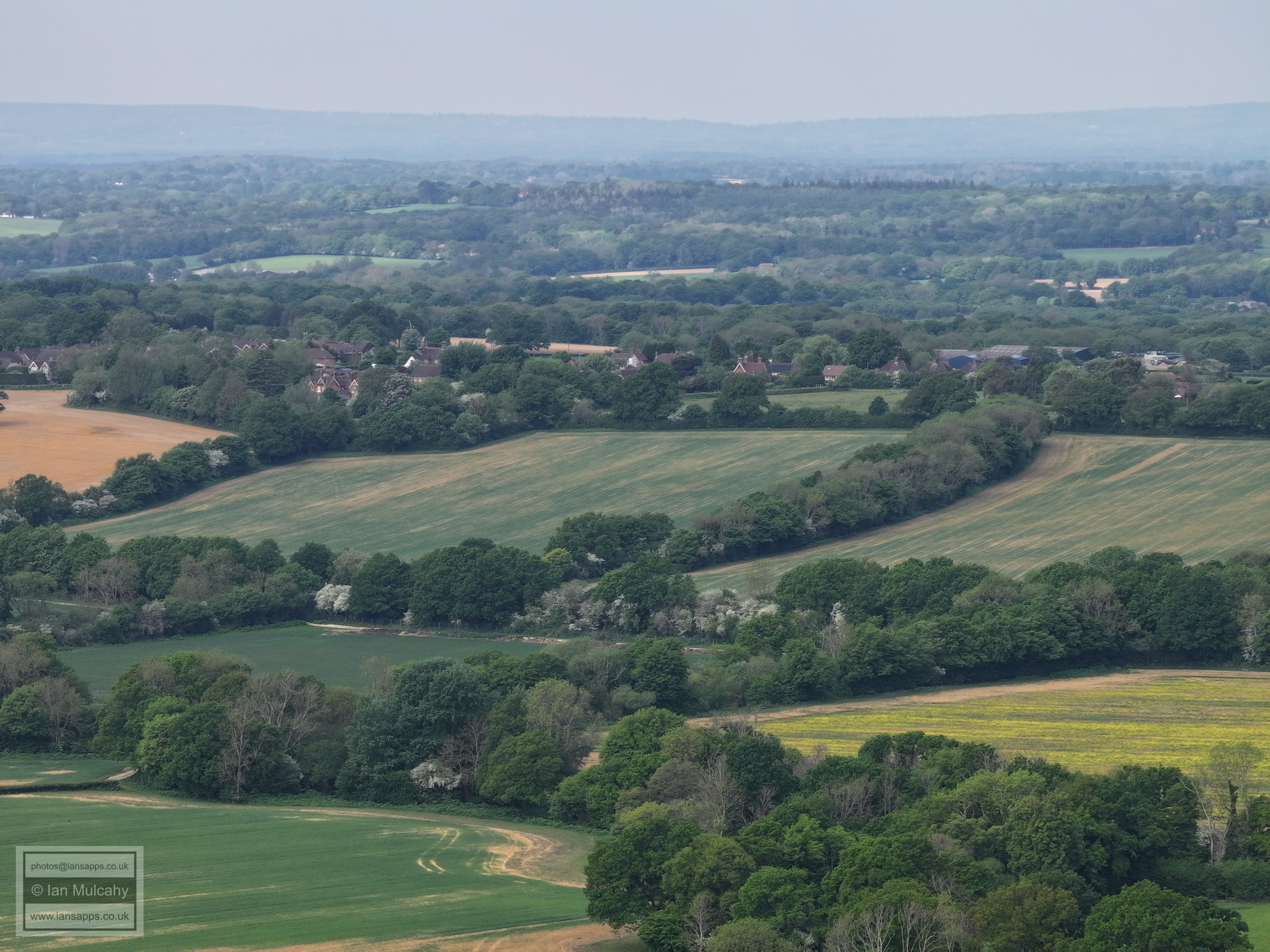
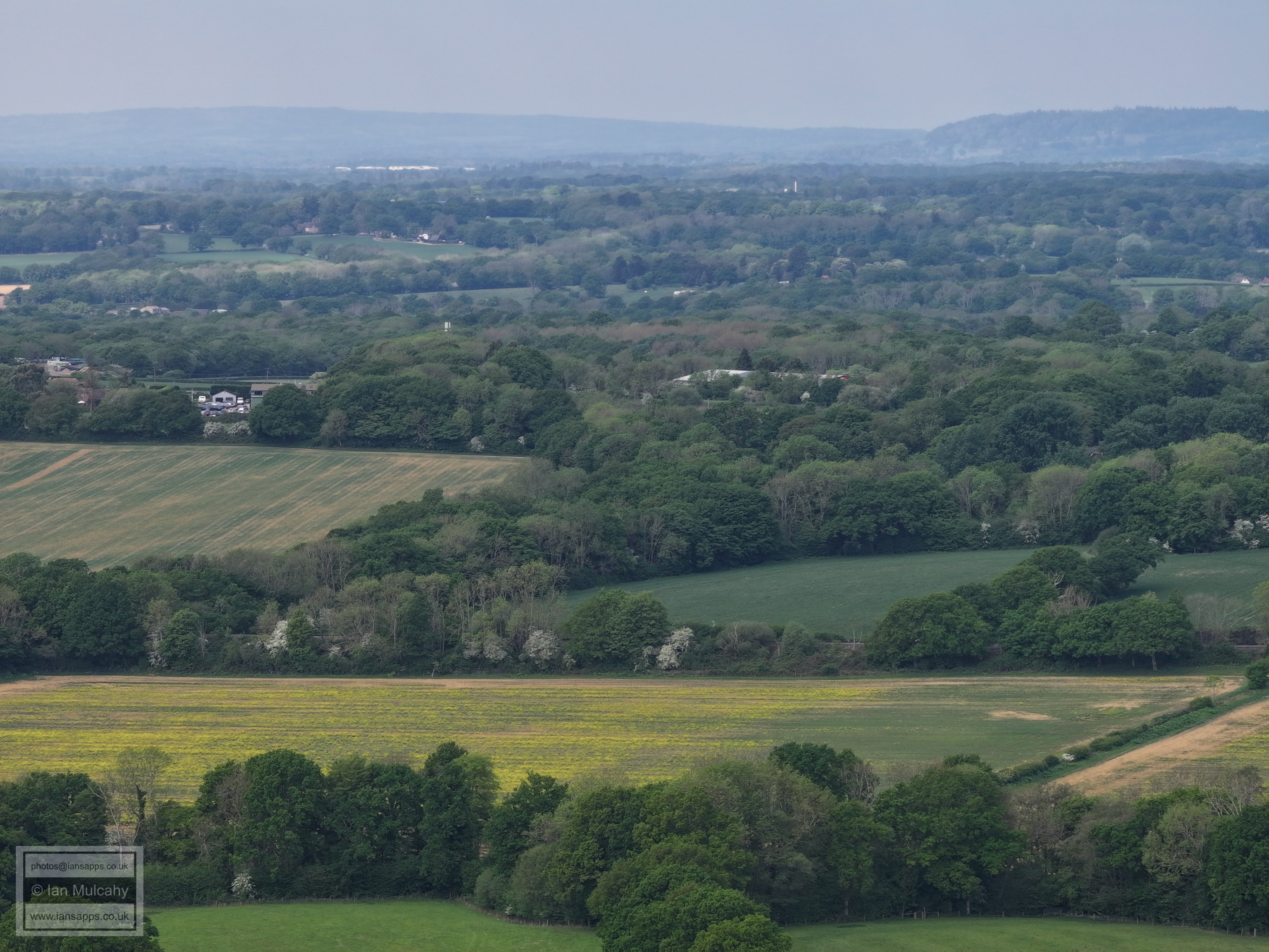
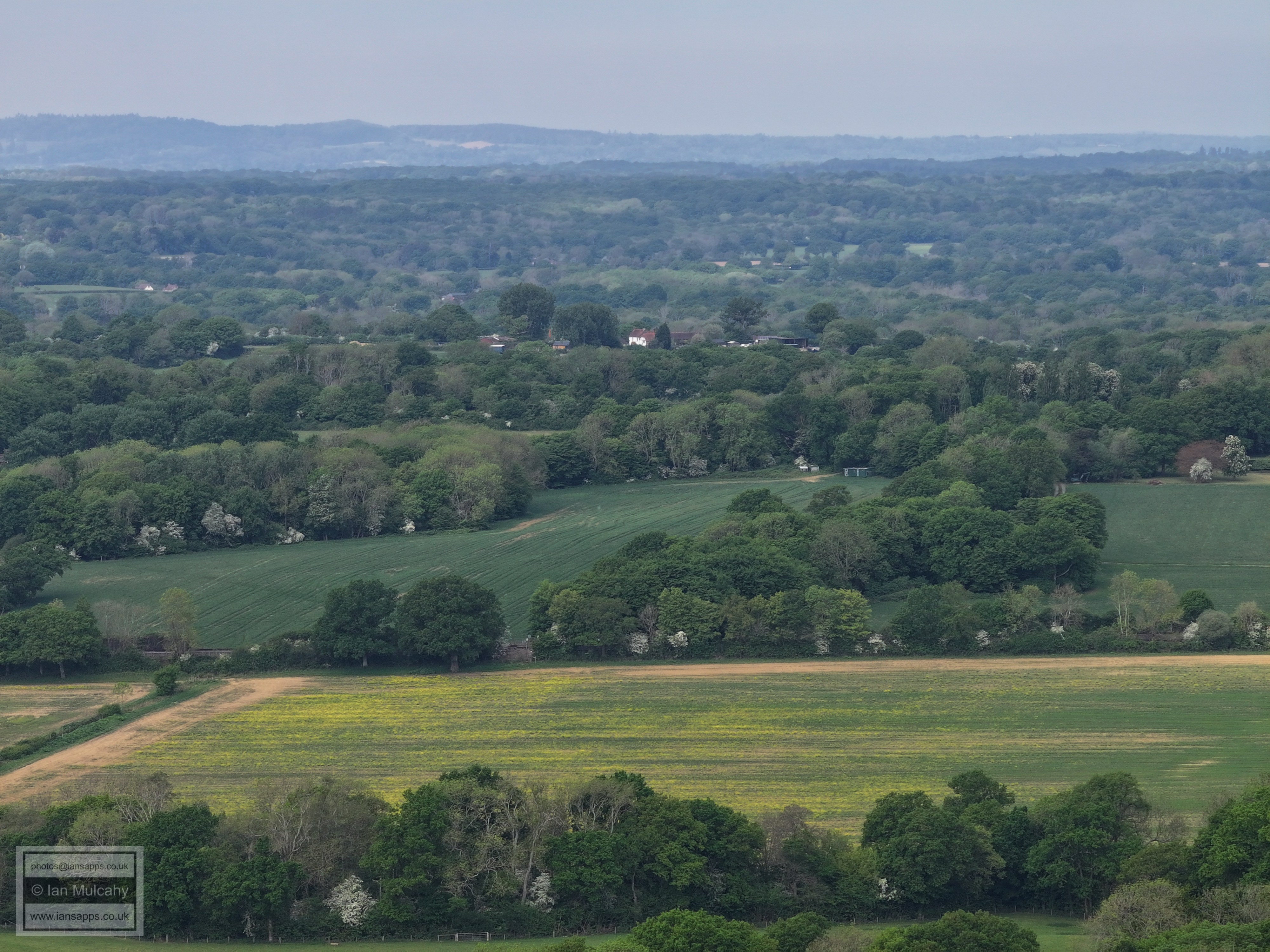
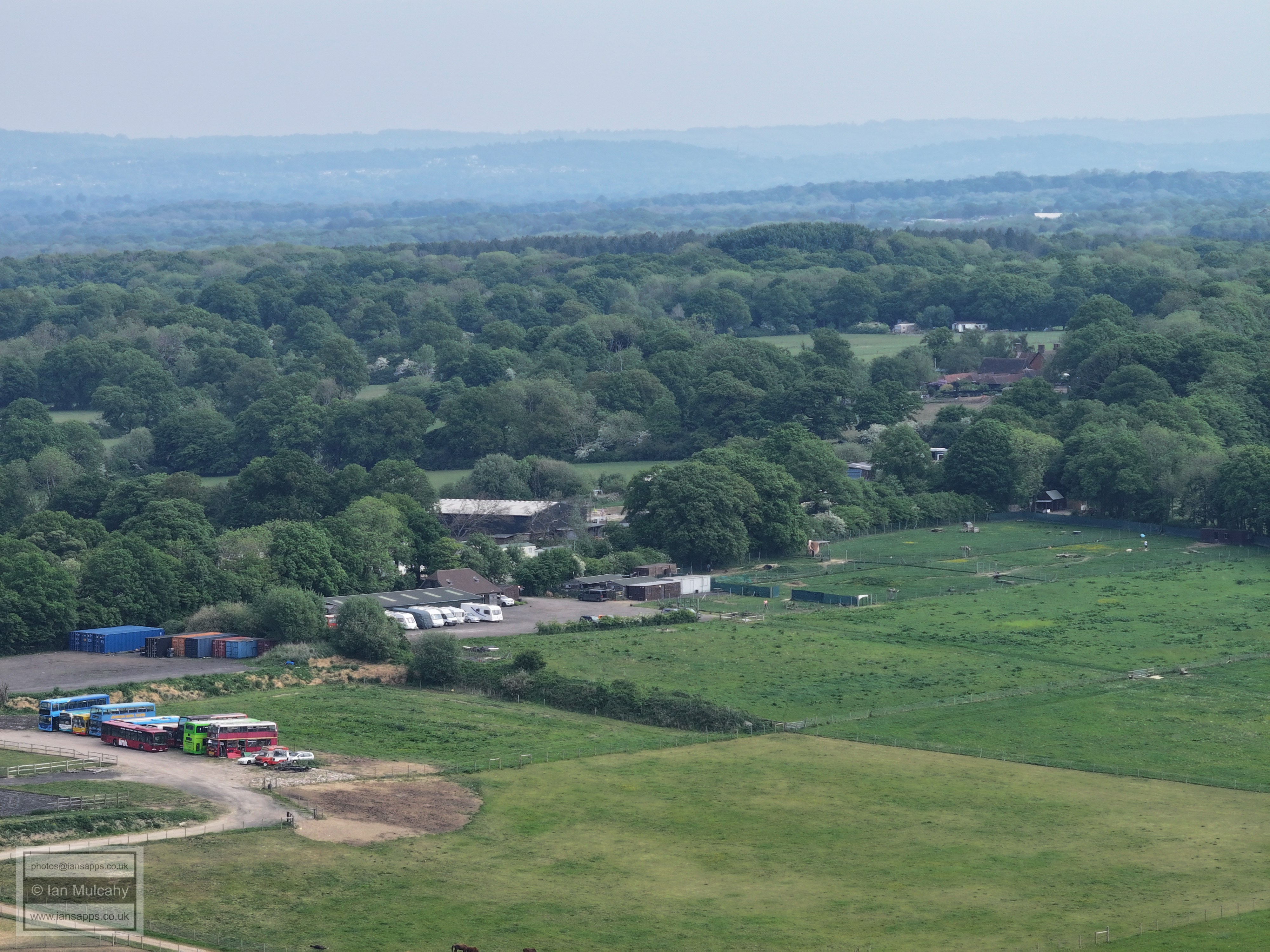
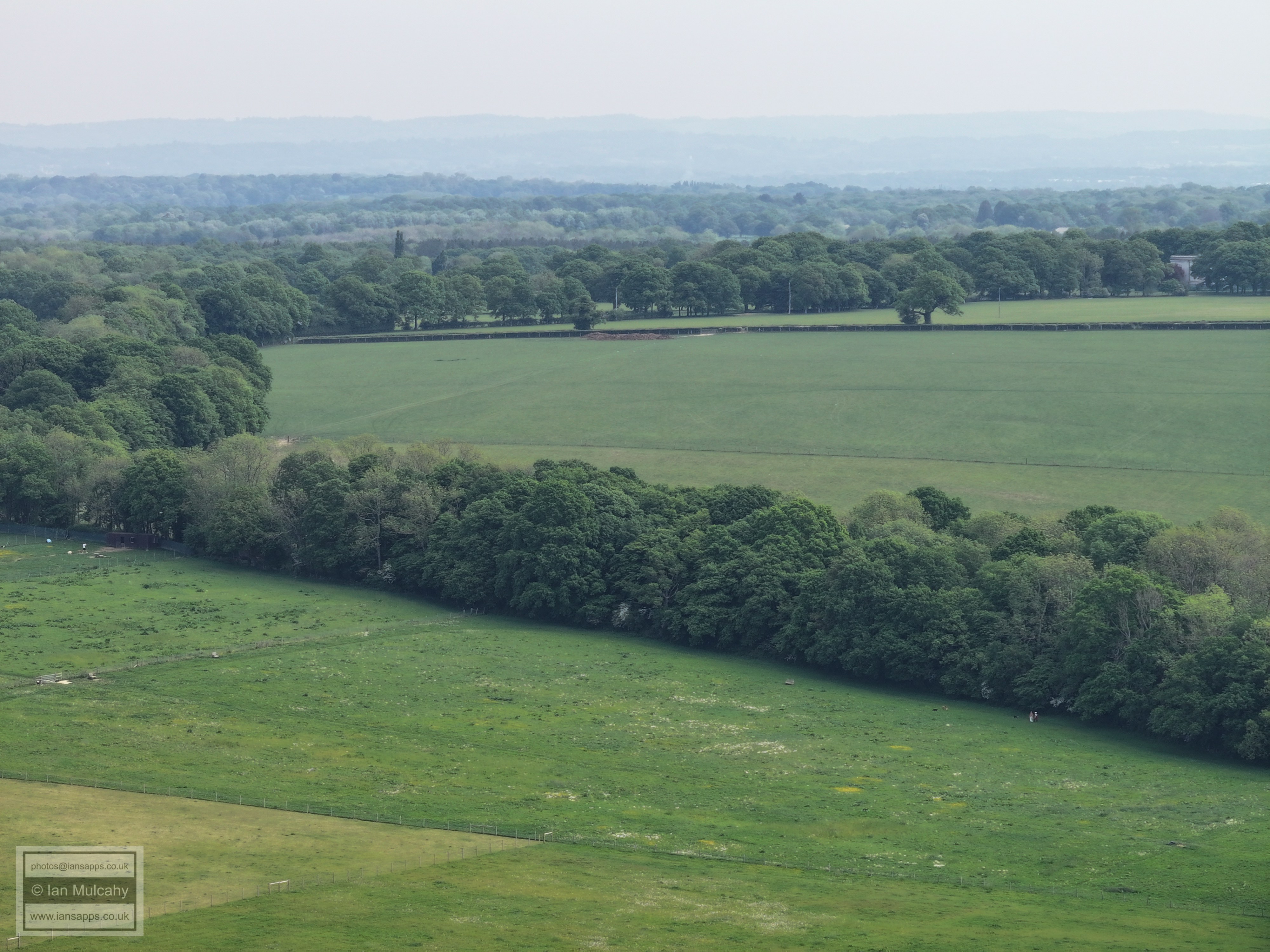
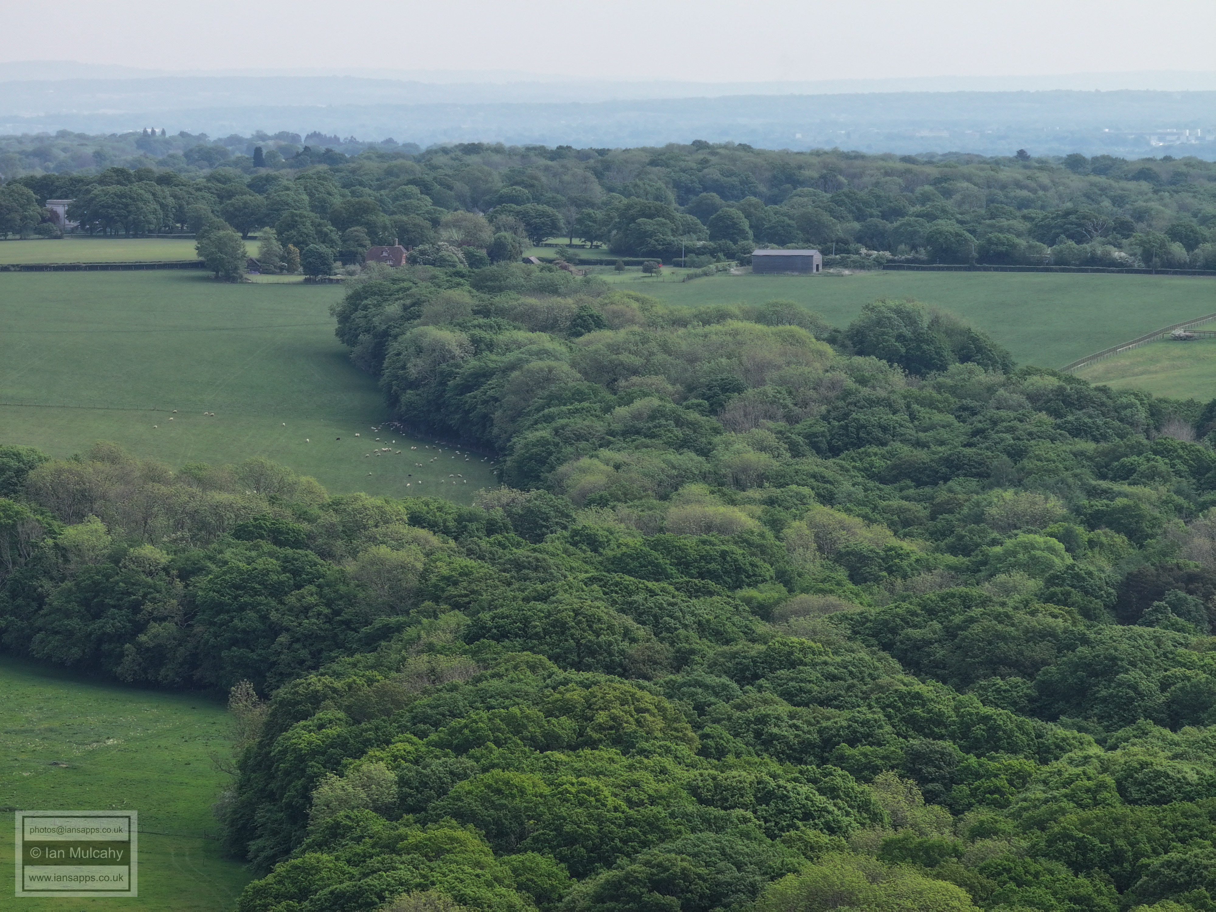
The following photos are from the footpath South of Porters Farm linking Dial Post Farm with Friday Street
Porters Farm in the foreground
Note Gatwick, top right
The Nunnery, Nunnery Farm and Curtis's Farm. Horsham is beyond
On the right is the small hamlet on Friday Street where once was the Royal Oak.
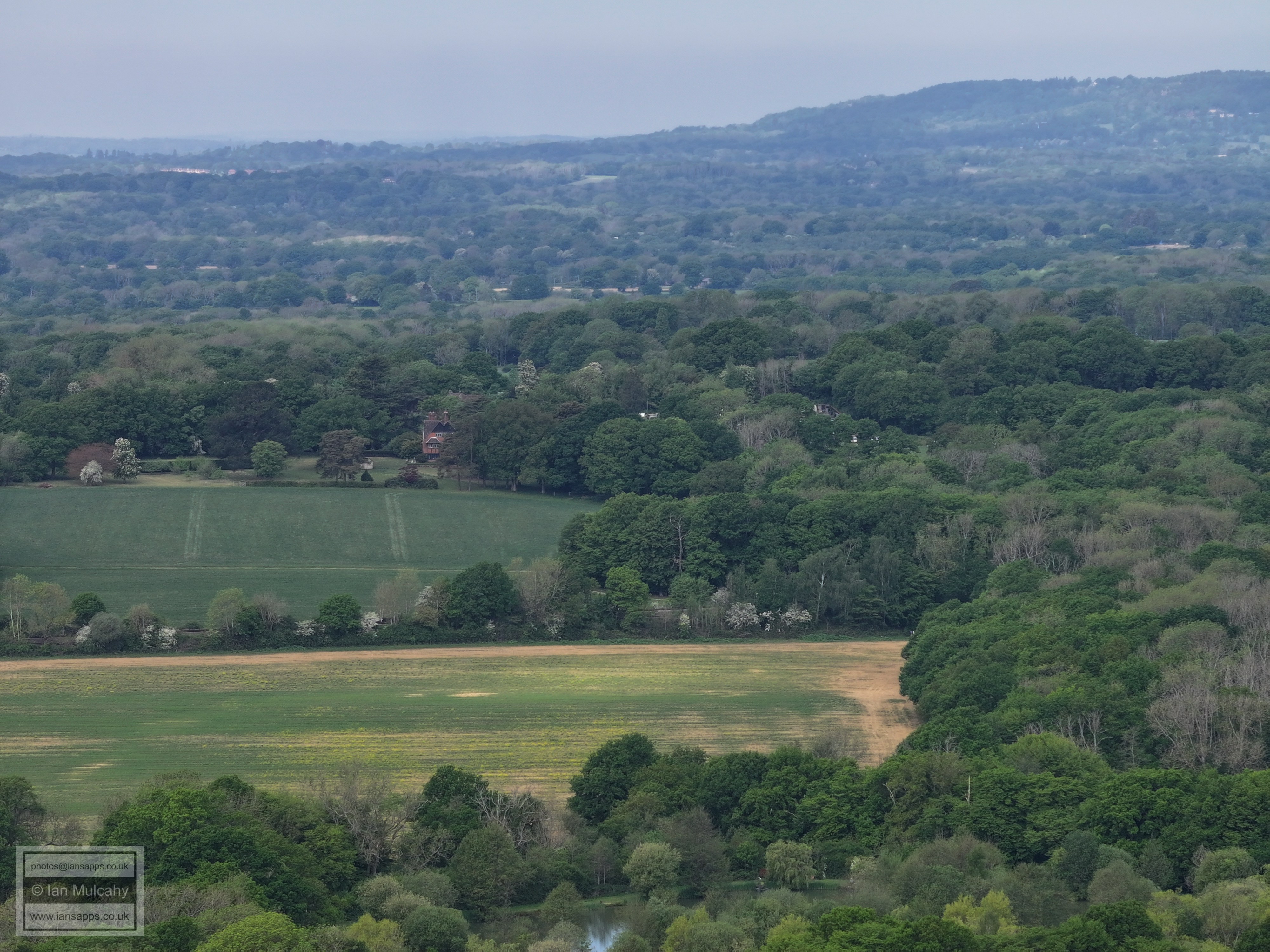
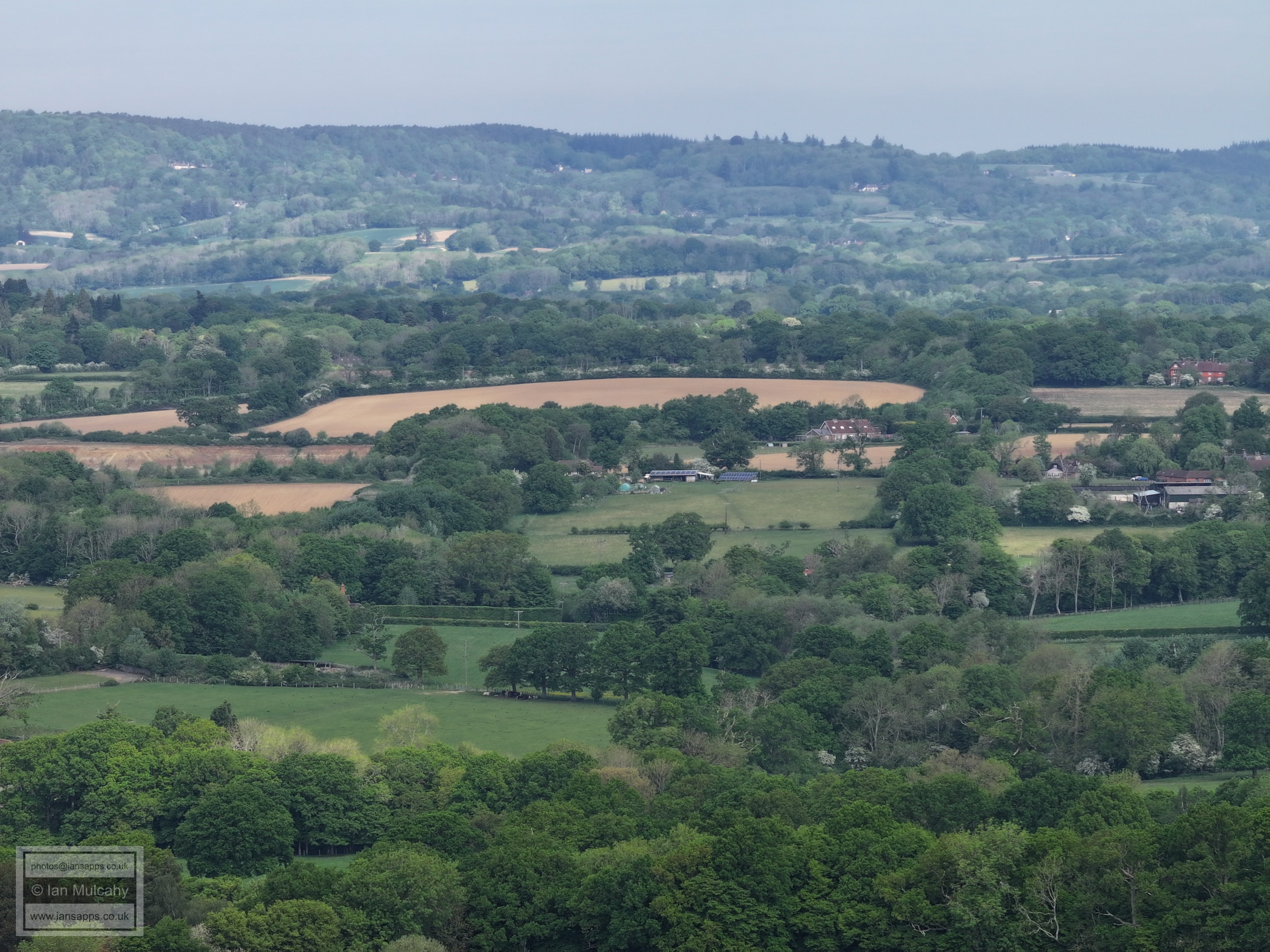
Looking north towards Box Hill
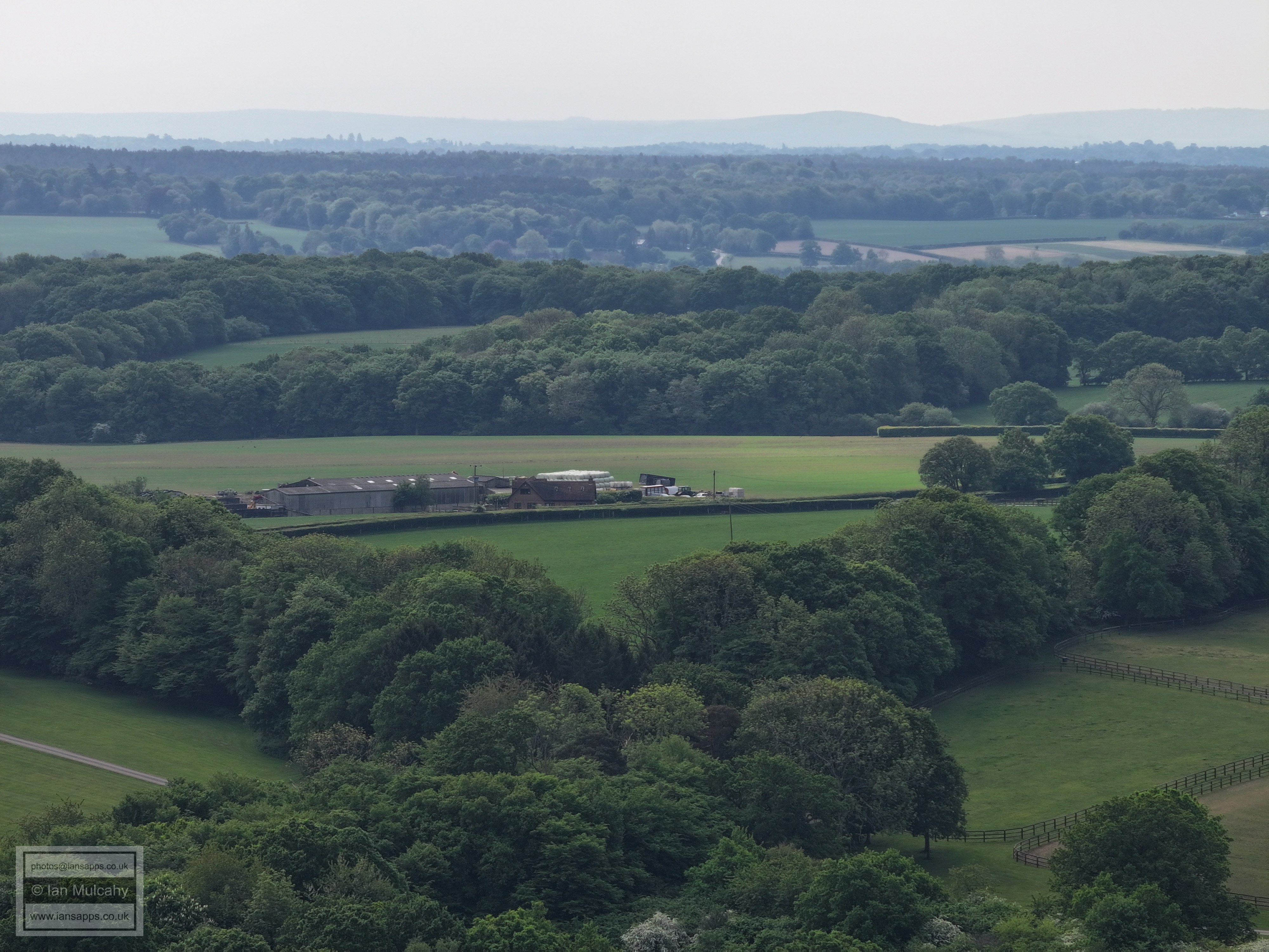
New Barn Farm on Capel Road
Note Gatwick, top left
Dial Post Farm
The Nunnery
Nunnery Farm and Curtis's Farm. Horsham is beyond
The new build bottom right is the site of the former Royal Oak
Lipscombs Corner, on the Capel Road
The small hamlet on Friday Street where once was the Royal Oak.
The Nunnery
Nunnery Farm
Curtis's Farm
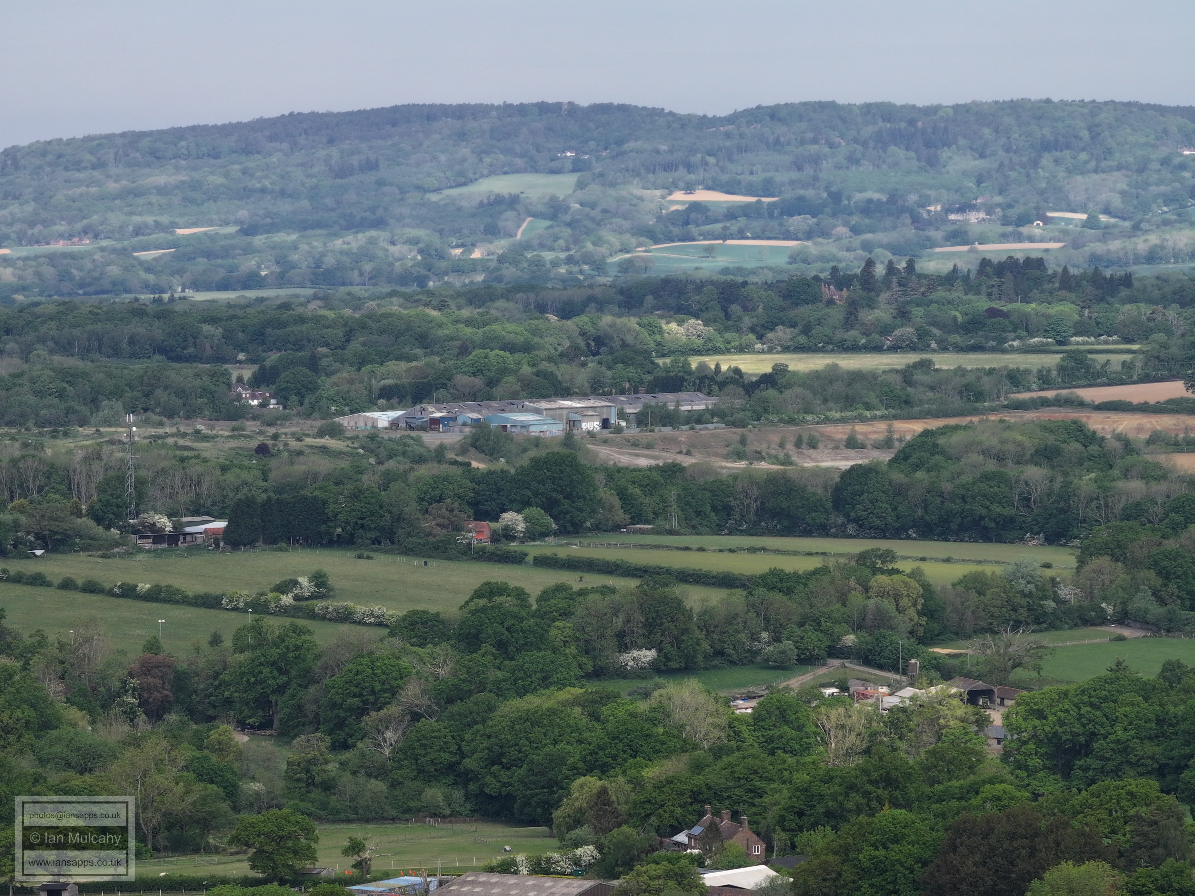
Clay pit and landfill on Langhurstwood Road. Warnham is in the top right quarter.
From bottom, Great Benhams, Cripplegate (to left) and Broadlands Business Park (centre)
Kingsfold across the centre
Just left of centre is 'Bonnetts', an old, and large, 16th century house in the southern reaches of the Parish of Capel
Clockhouse Brickworks and, if you look closely, Leith Hill Tower
In the top left quarter, towards the right, is the spire of Capel church
Just left of centre, almost totally hidden behind the trees above the cows, is Lyne House.
Newdigate church can be seen in the top left quarter.
New Barn Farm again
In the top left quarter is 'Highams' on the Capel Road out of Rusper.
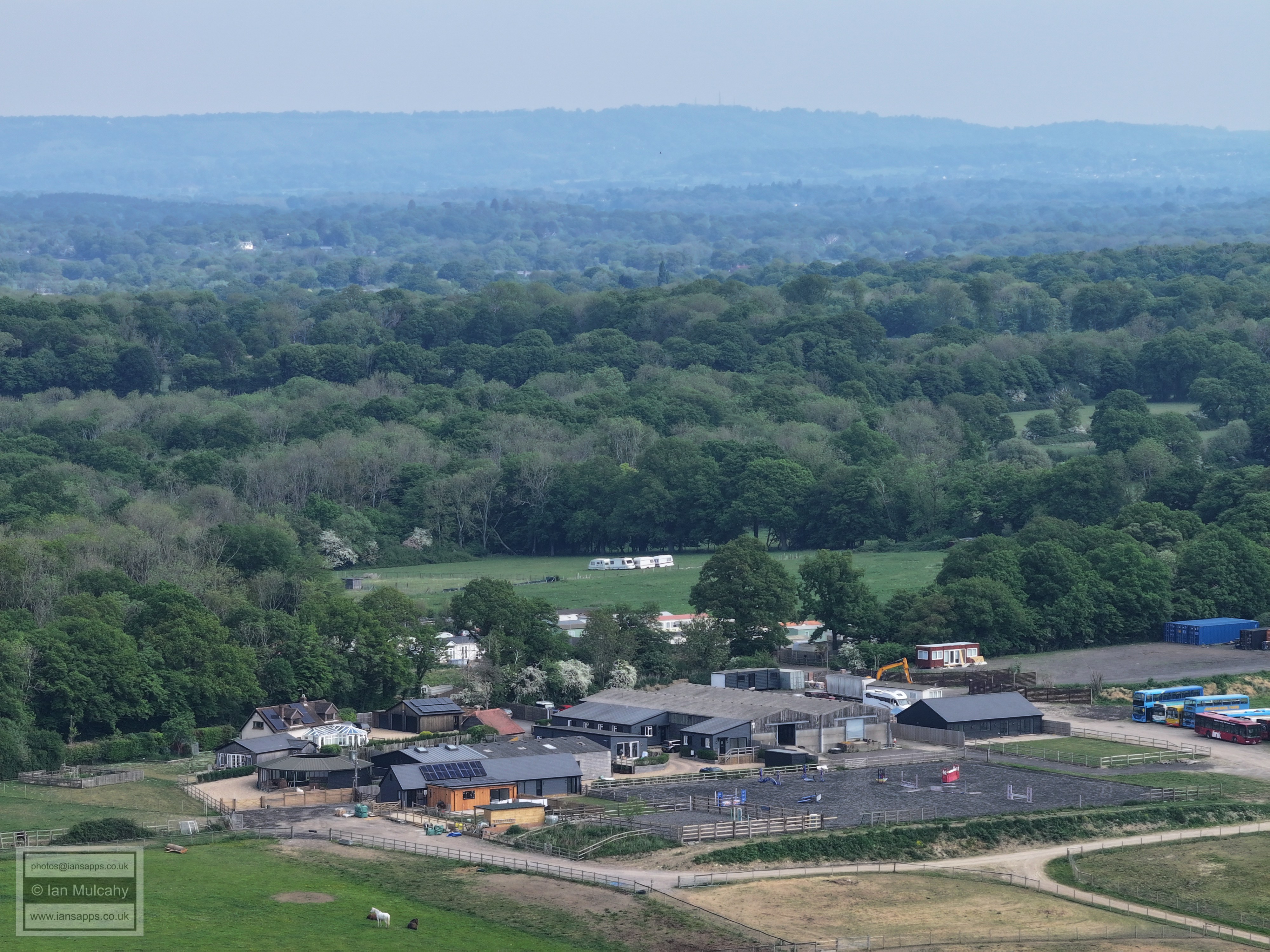
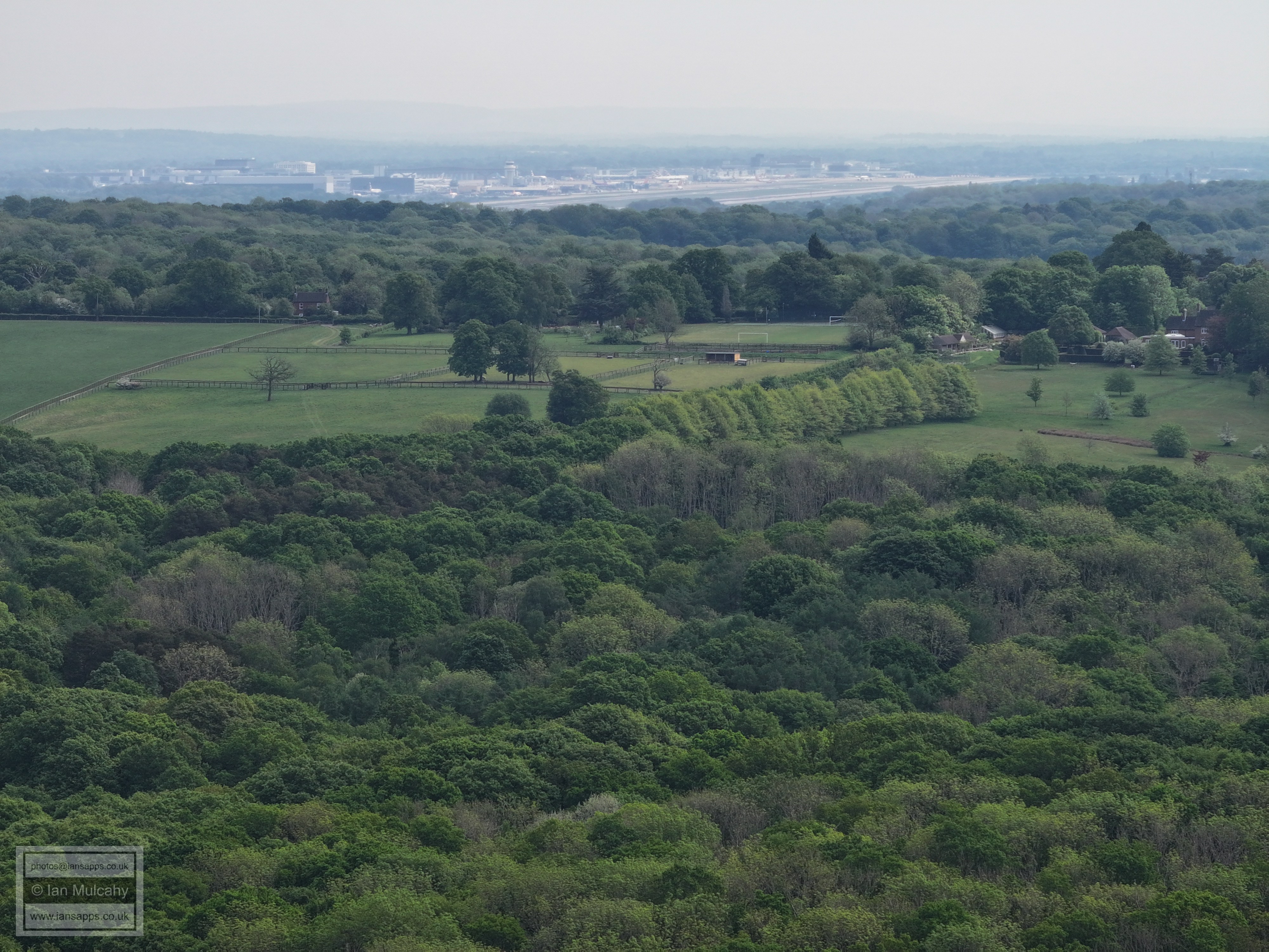
Rusper playing field dwarfed by Gatwick.
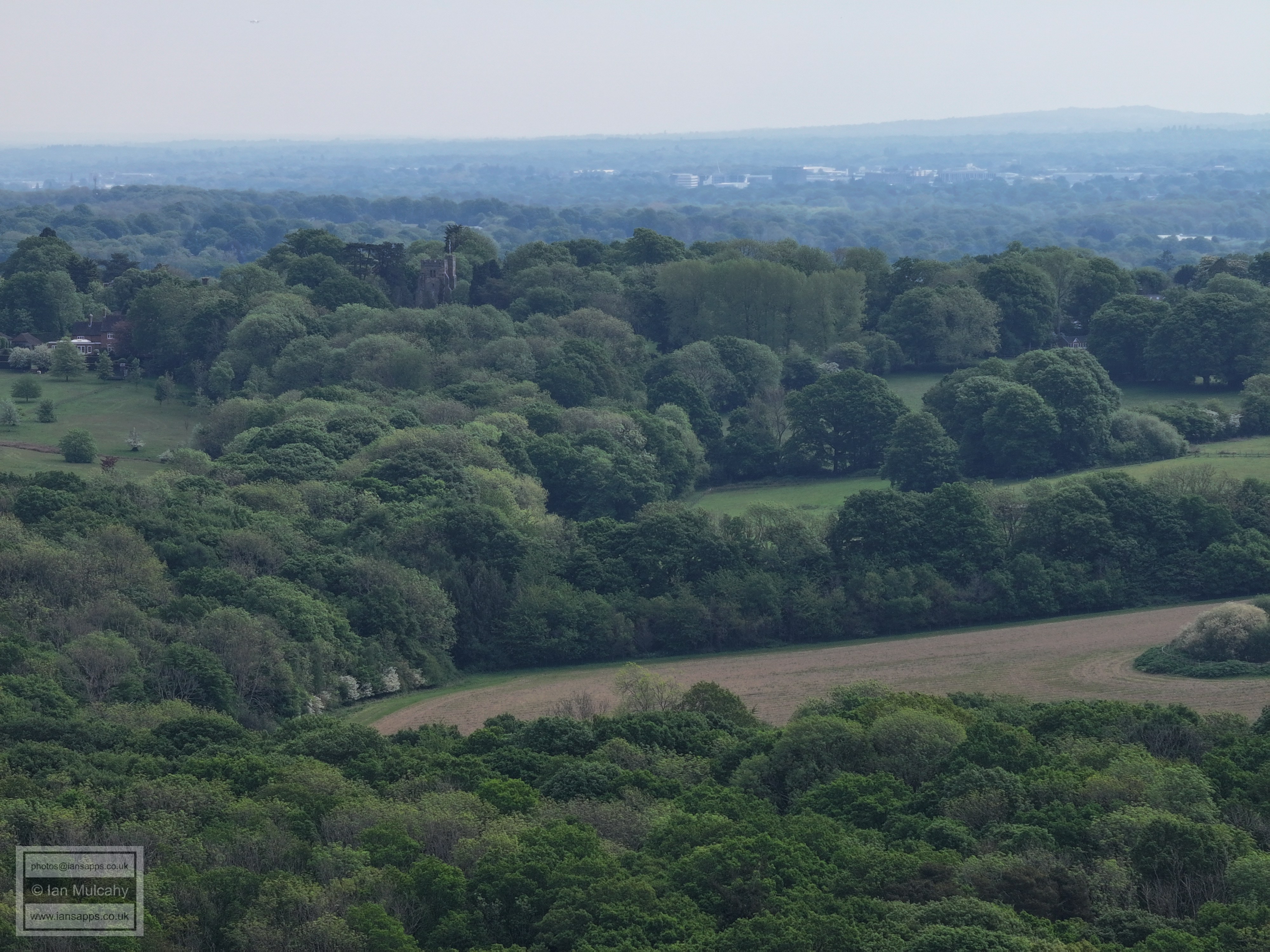
The church of St Mary Magdalene in the top left quarter. Crawley industrial estate is beyond, in haze.
Dial Post Farm, with Crawley Town Centre in the haze in the top left quarter.
In the top left quarter, Southgate West, on Hogs Hill, is just visible.
The radar at Cottesmore, pease Pottage, can be seen atop the ridge in the top left quarter.
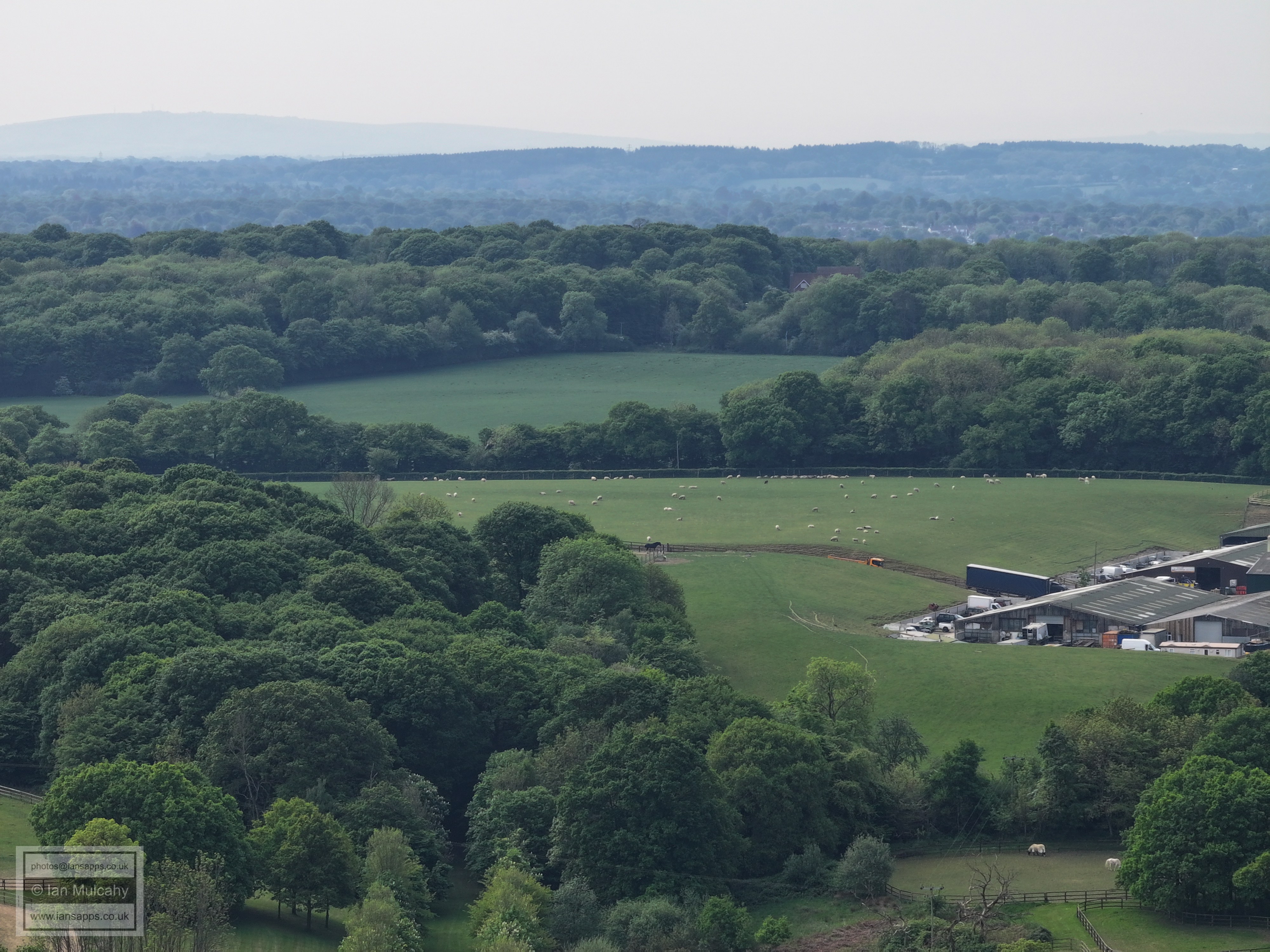
In the top right quarter is Roffey Park
Old Park Farm in the centre. The road roughly in the centre a little way down from the top is, i believe, the driveway of Owlscastle Farm onto Bush Lane
Text & photographs © Ian Mulcahy. Contact photos@iansapps.co.uk or visit my 'Use of my photographs' page for licensing queries (ground level photographs only). |