South of Old Park Farm (plus some extras)
The Parish of Rusper, West Sussex
2 May 2025
77 aerial photos of varying focal length
|
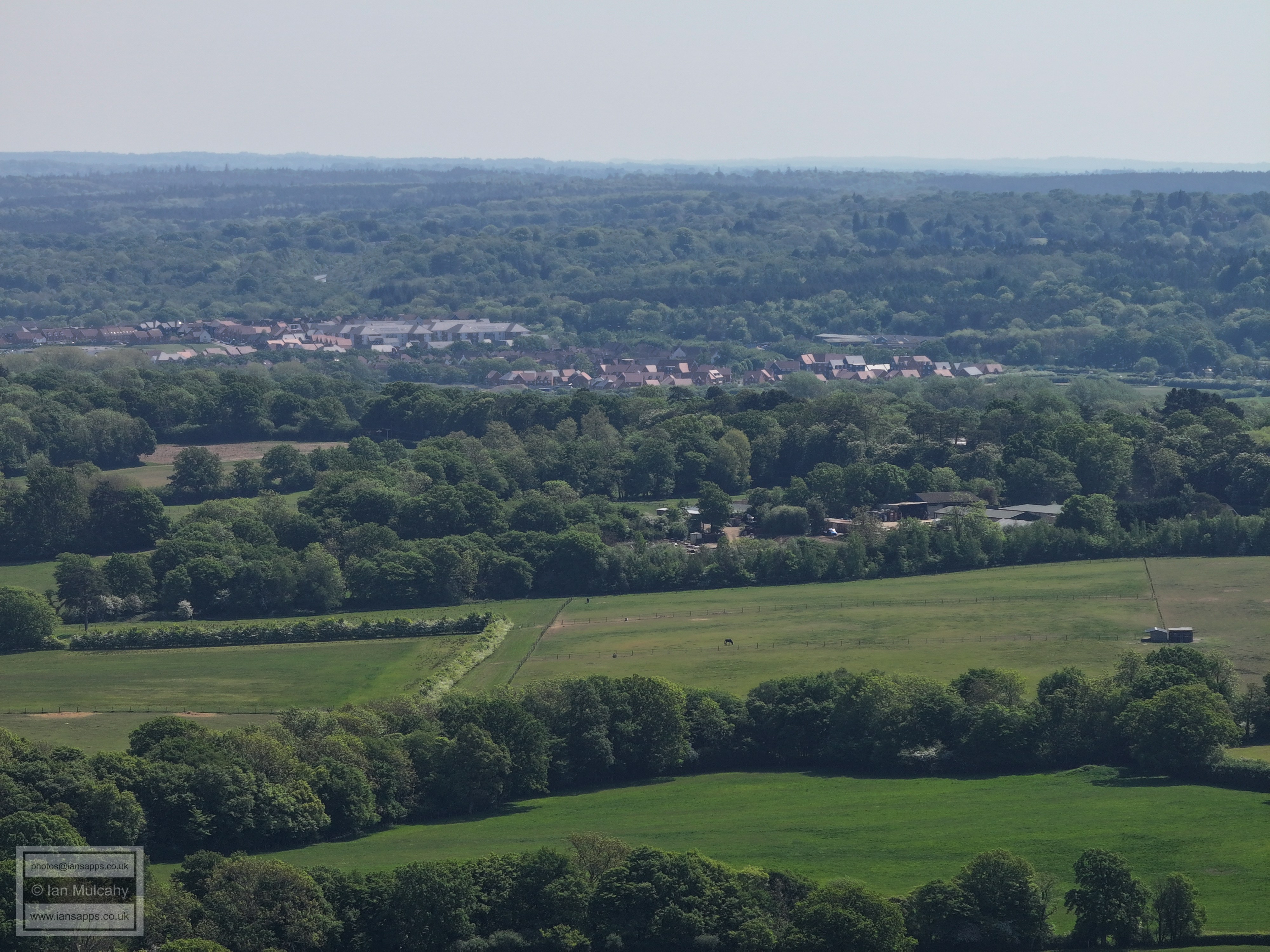
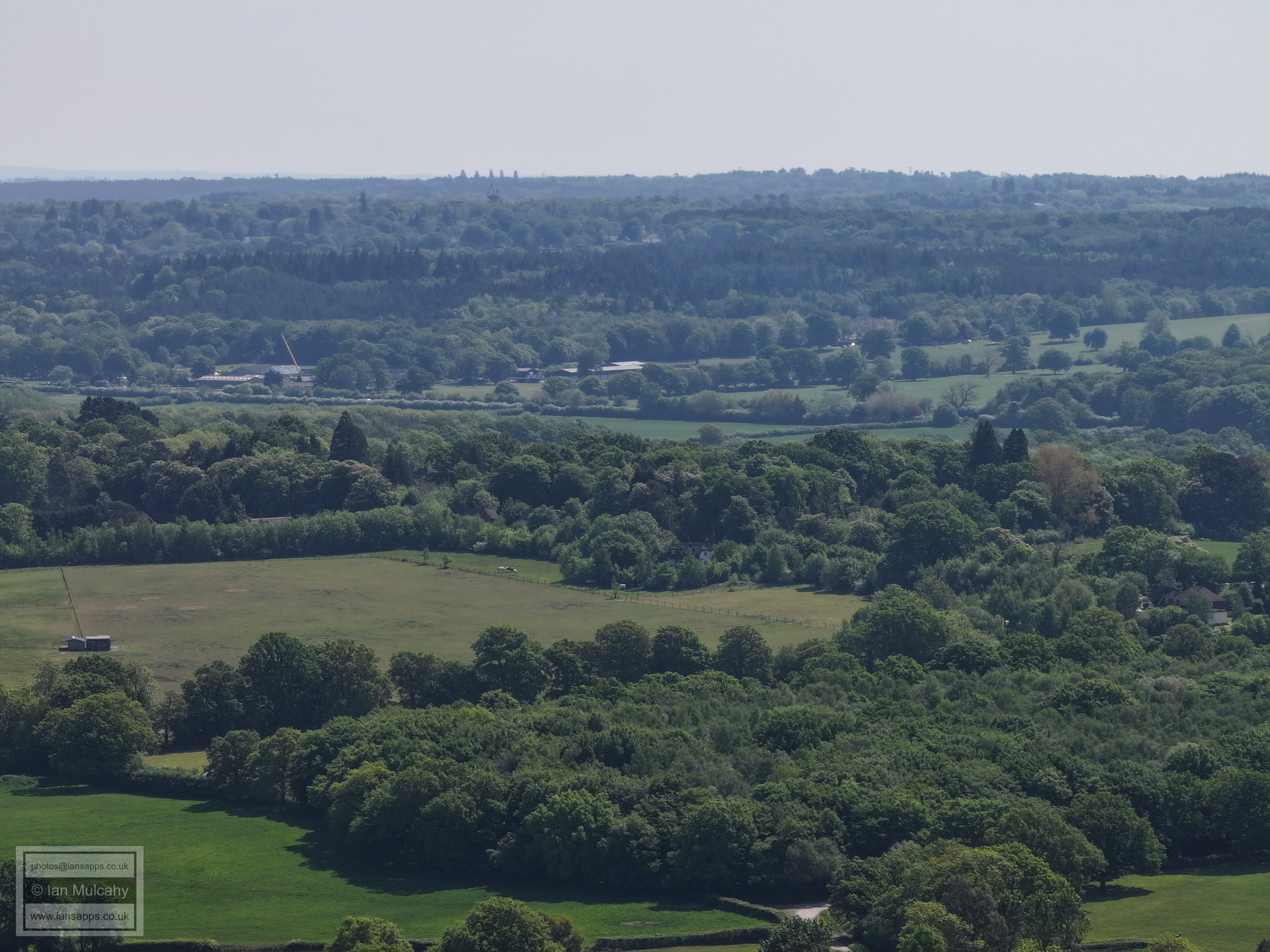
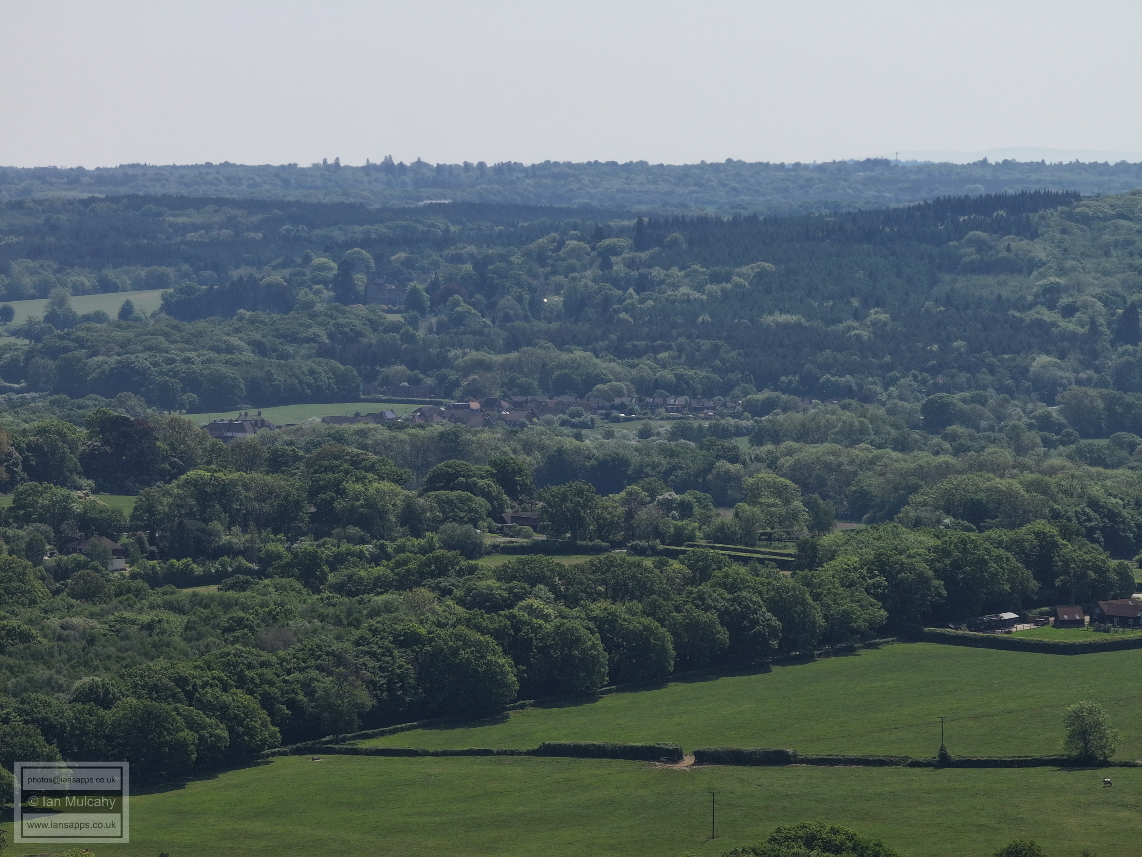
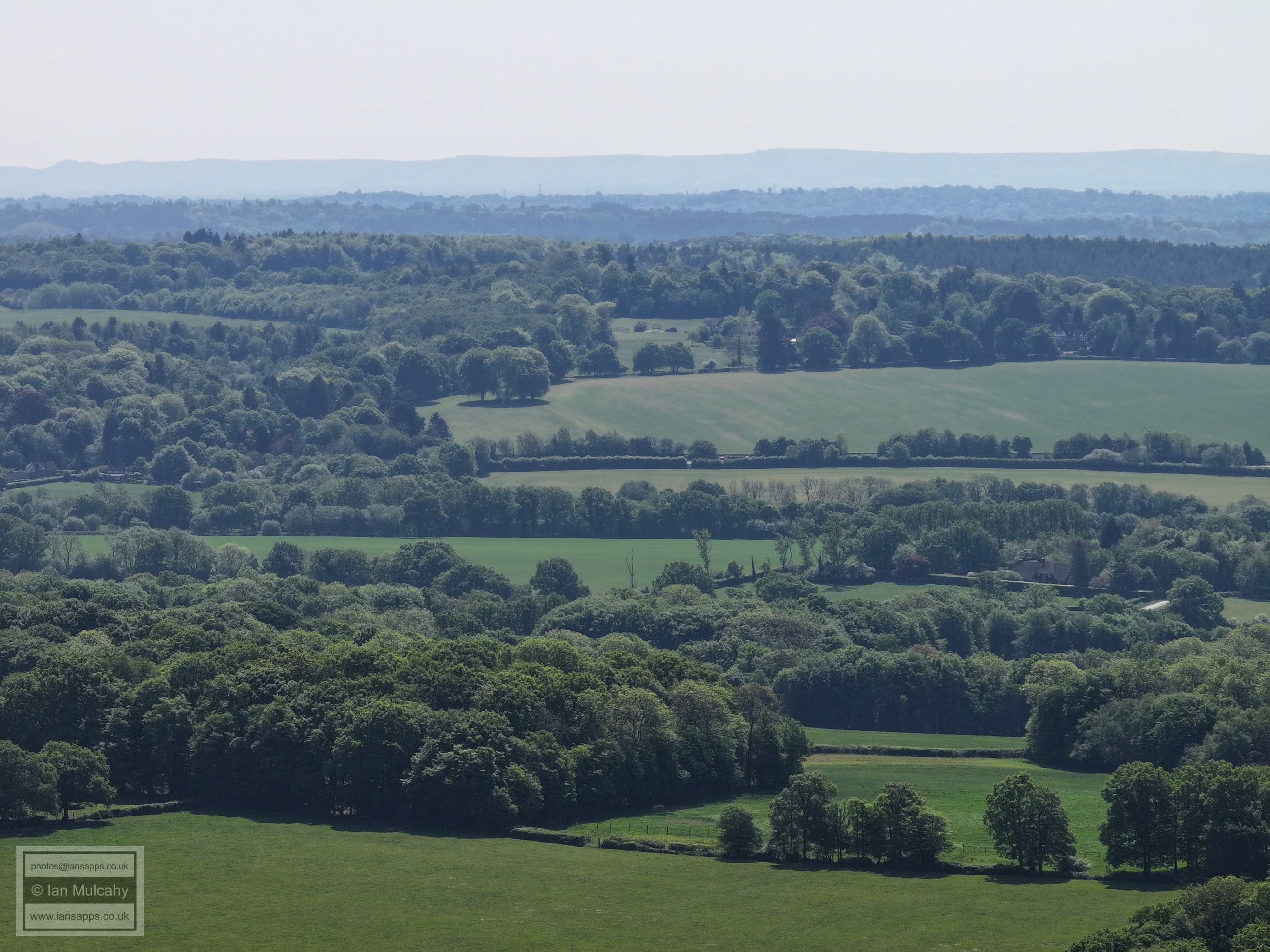
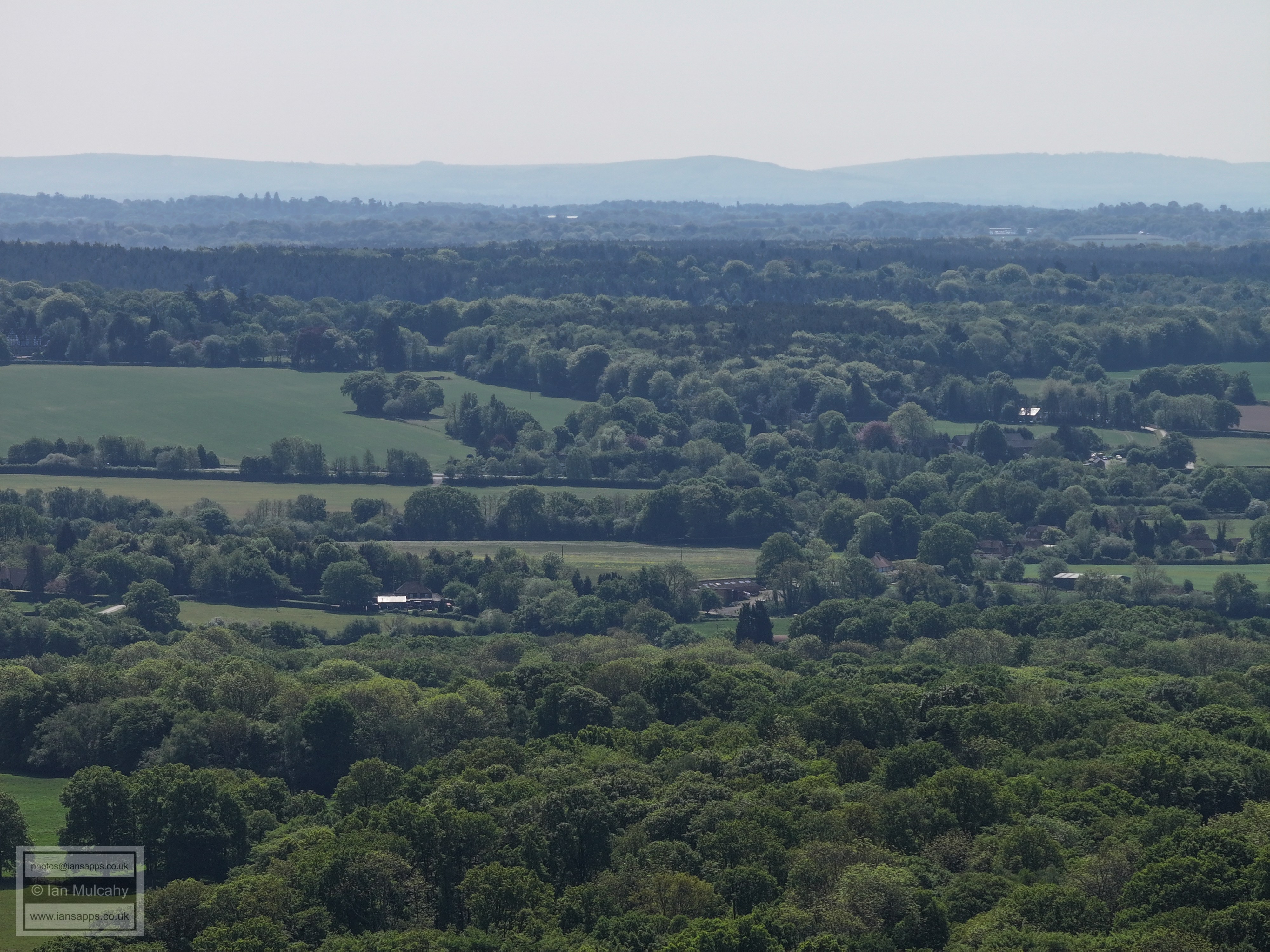
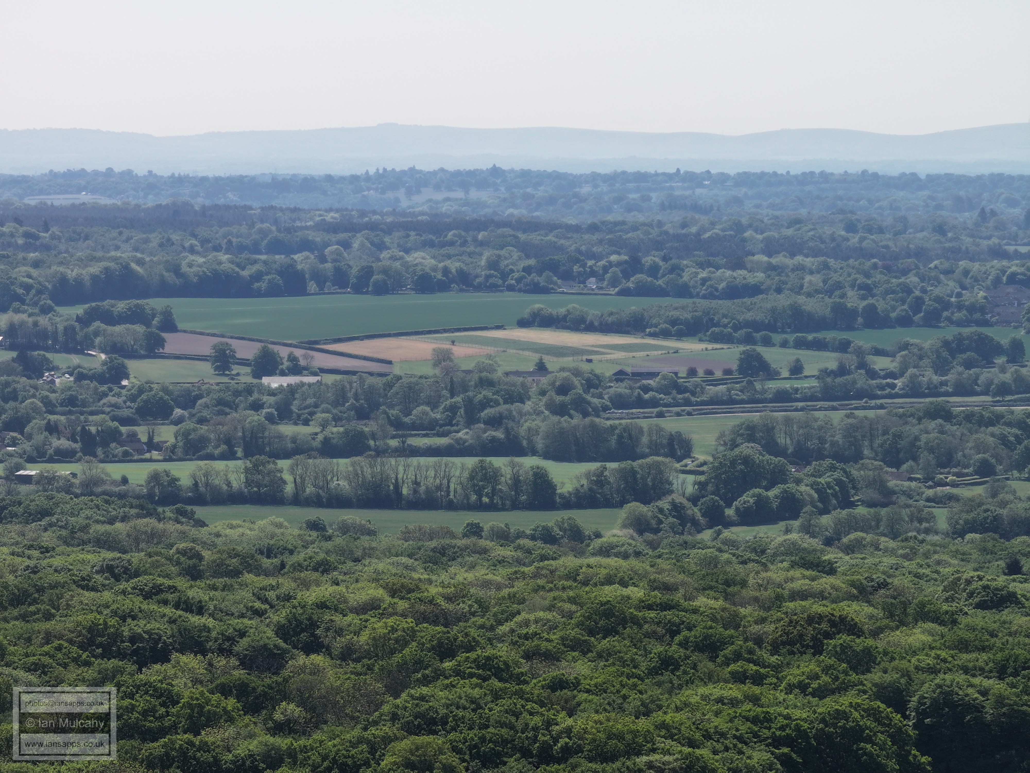
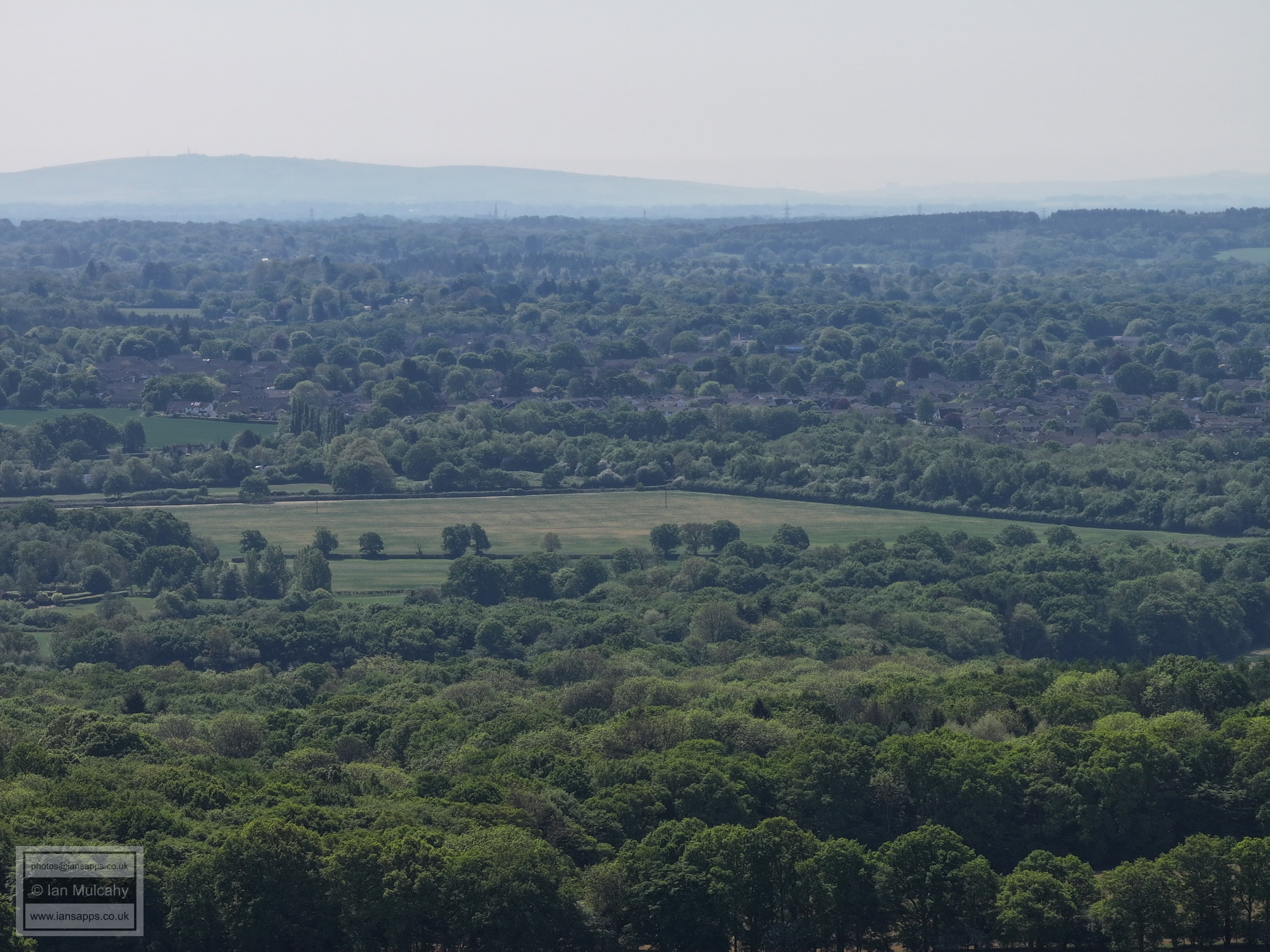
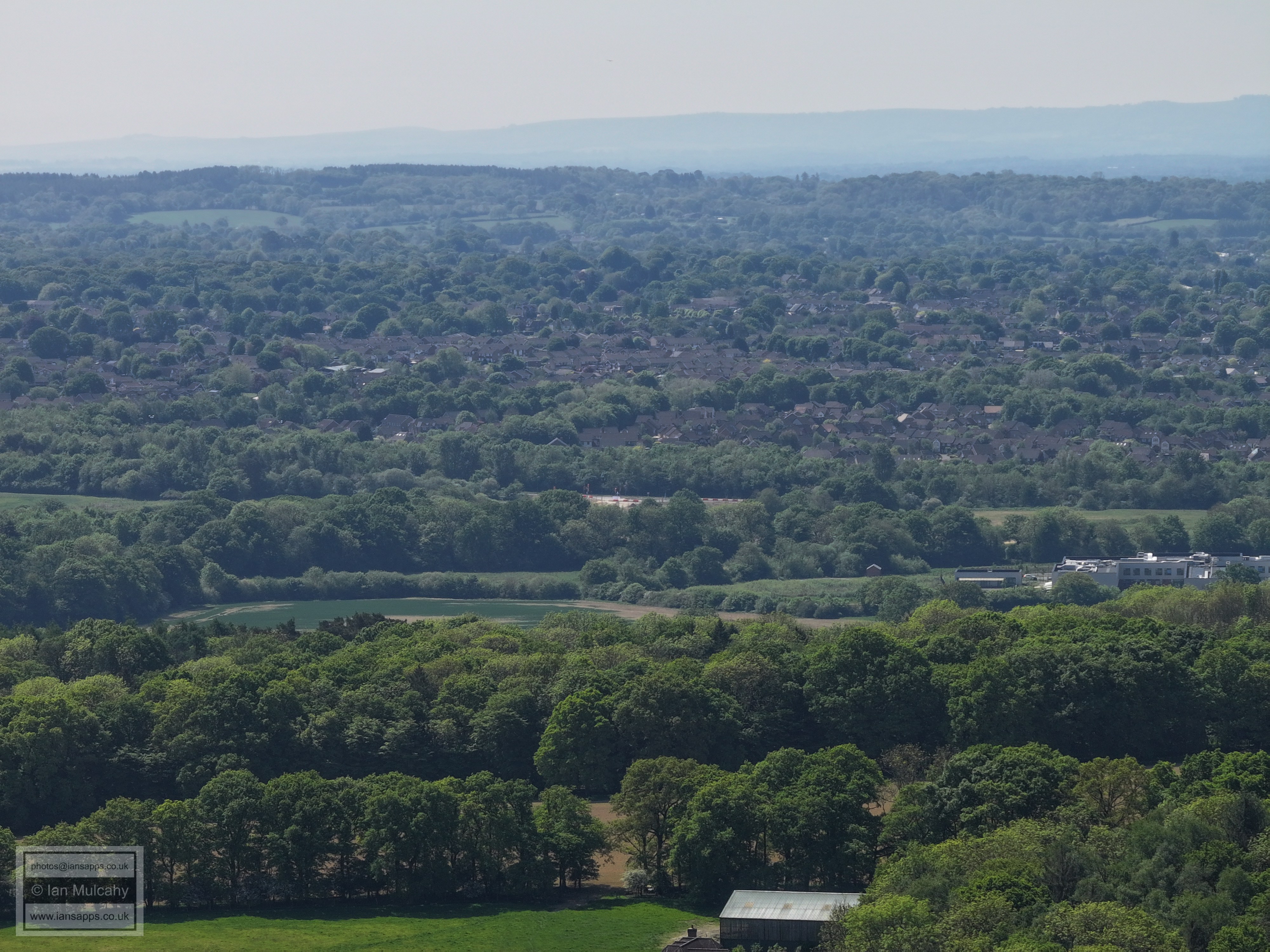
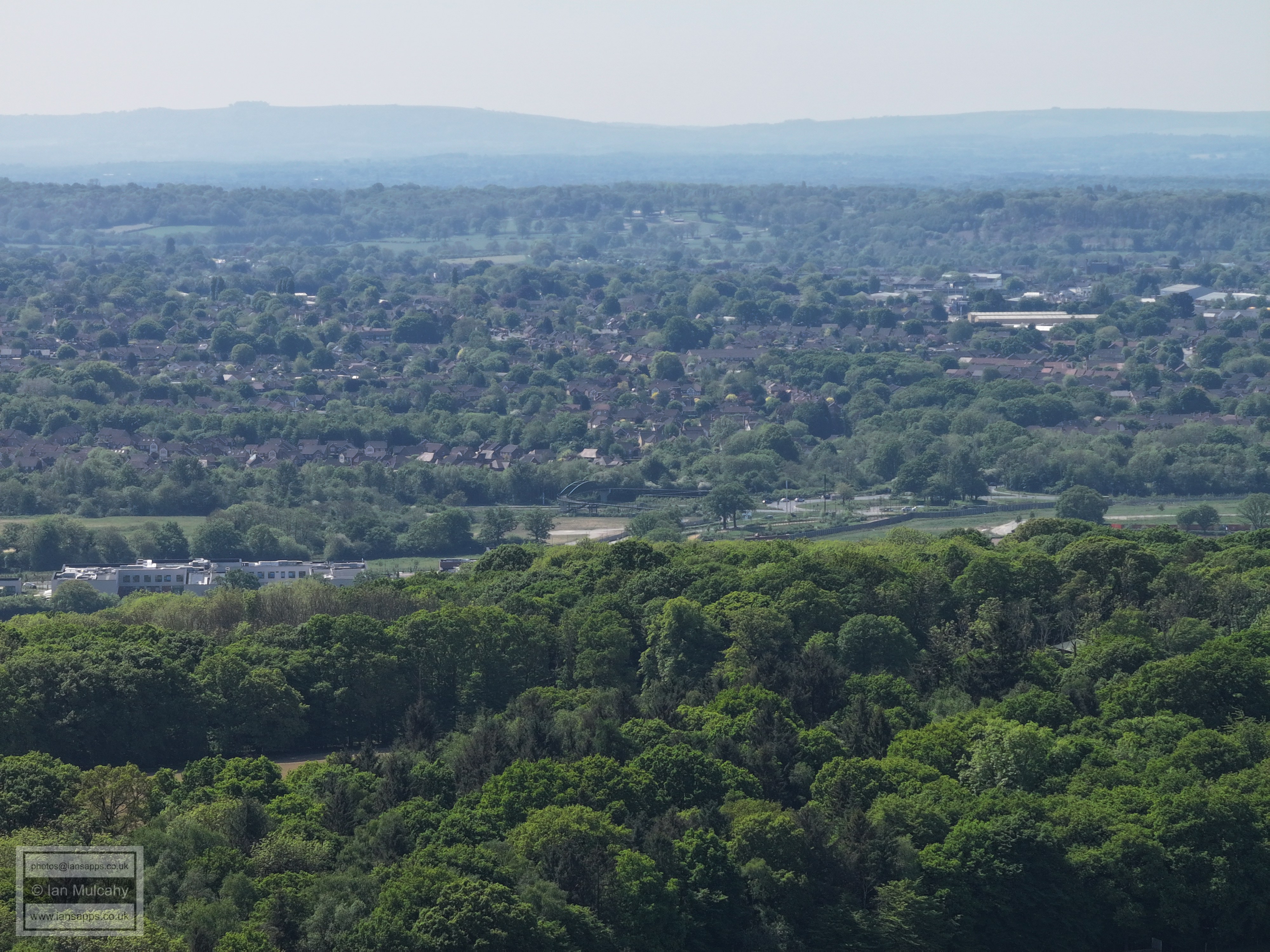
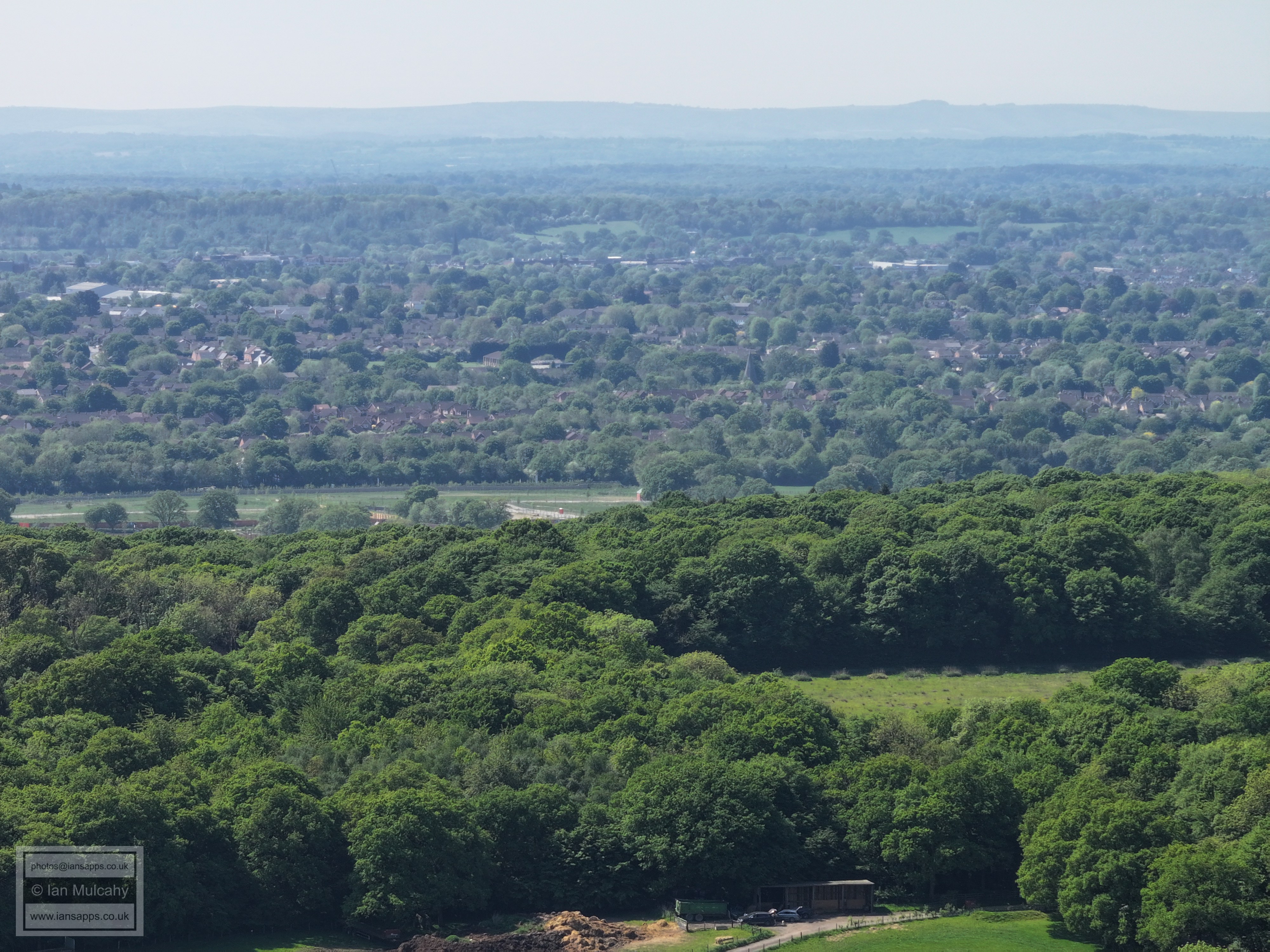
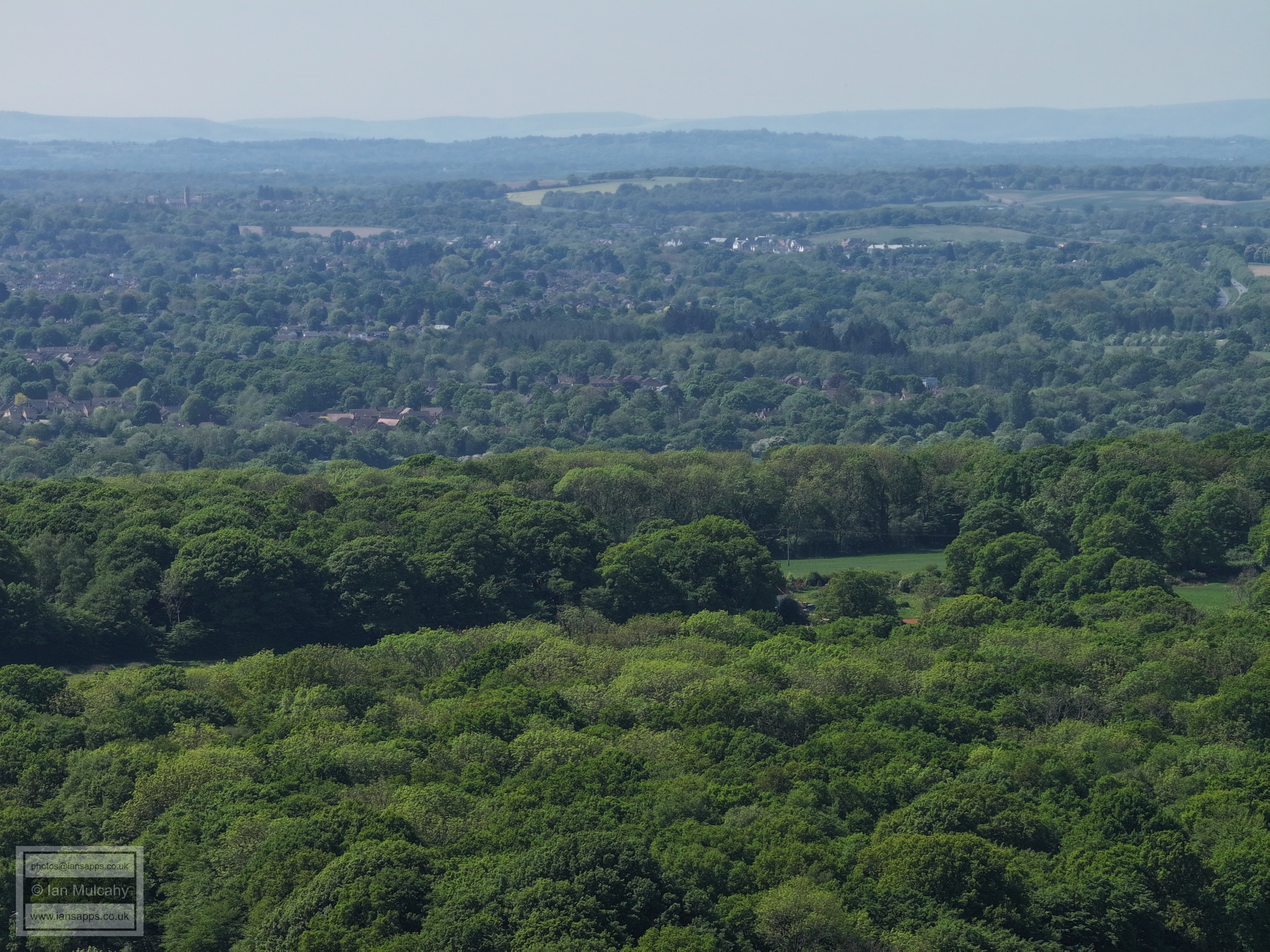
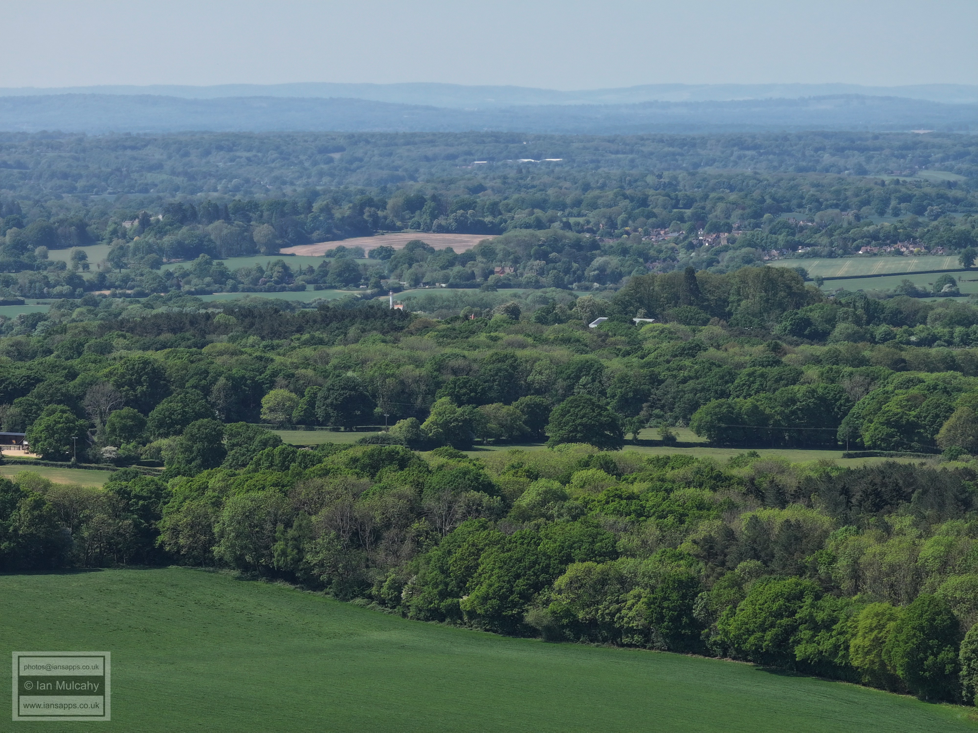
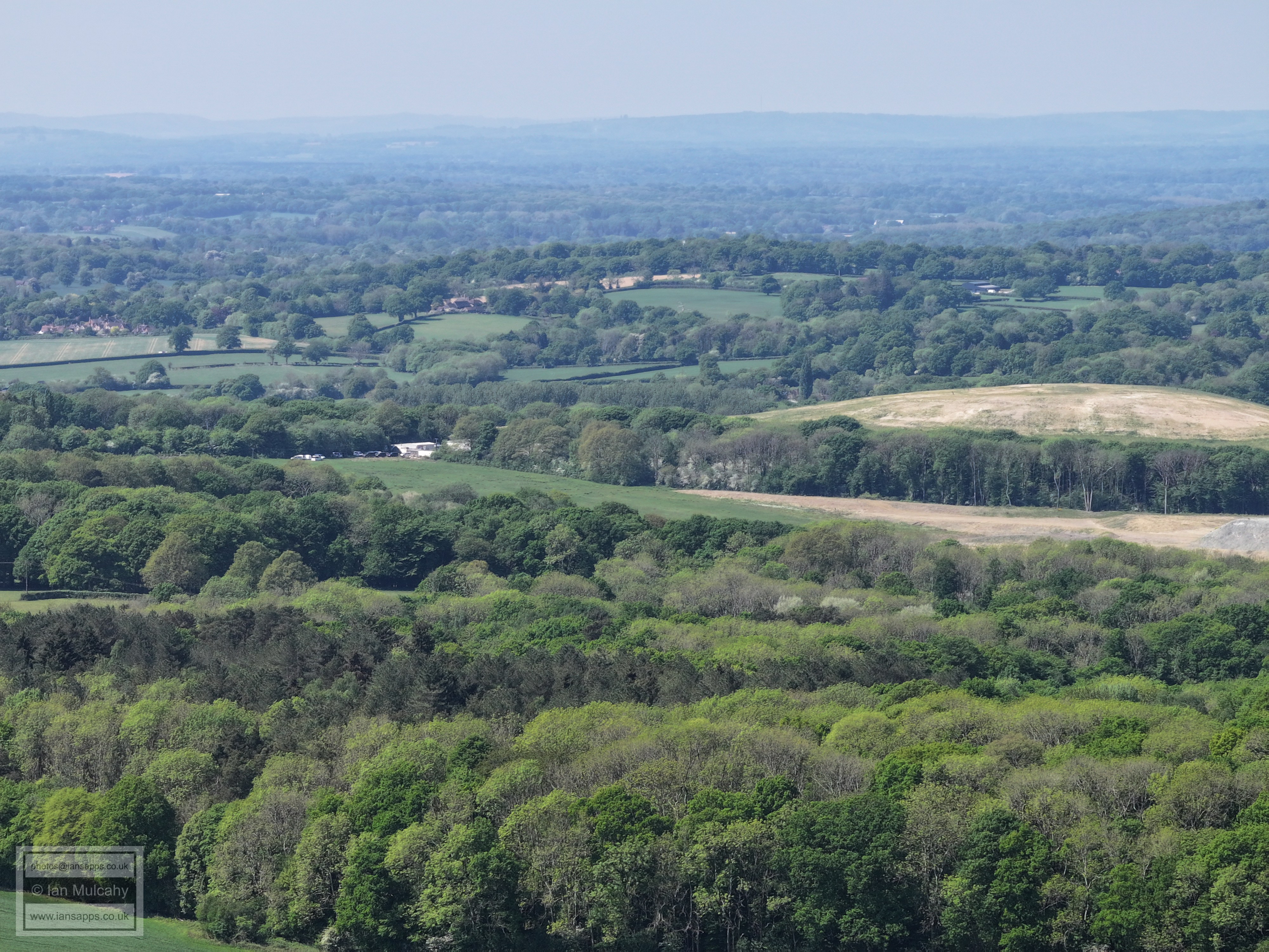
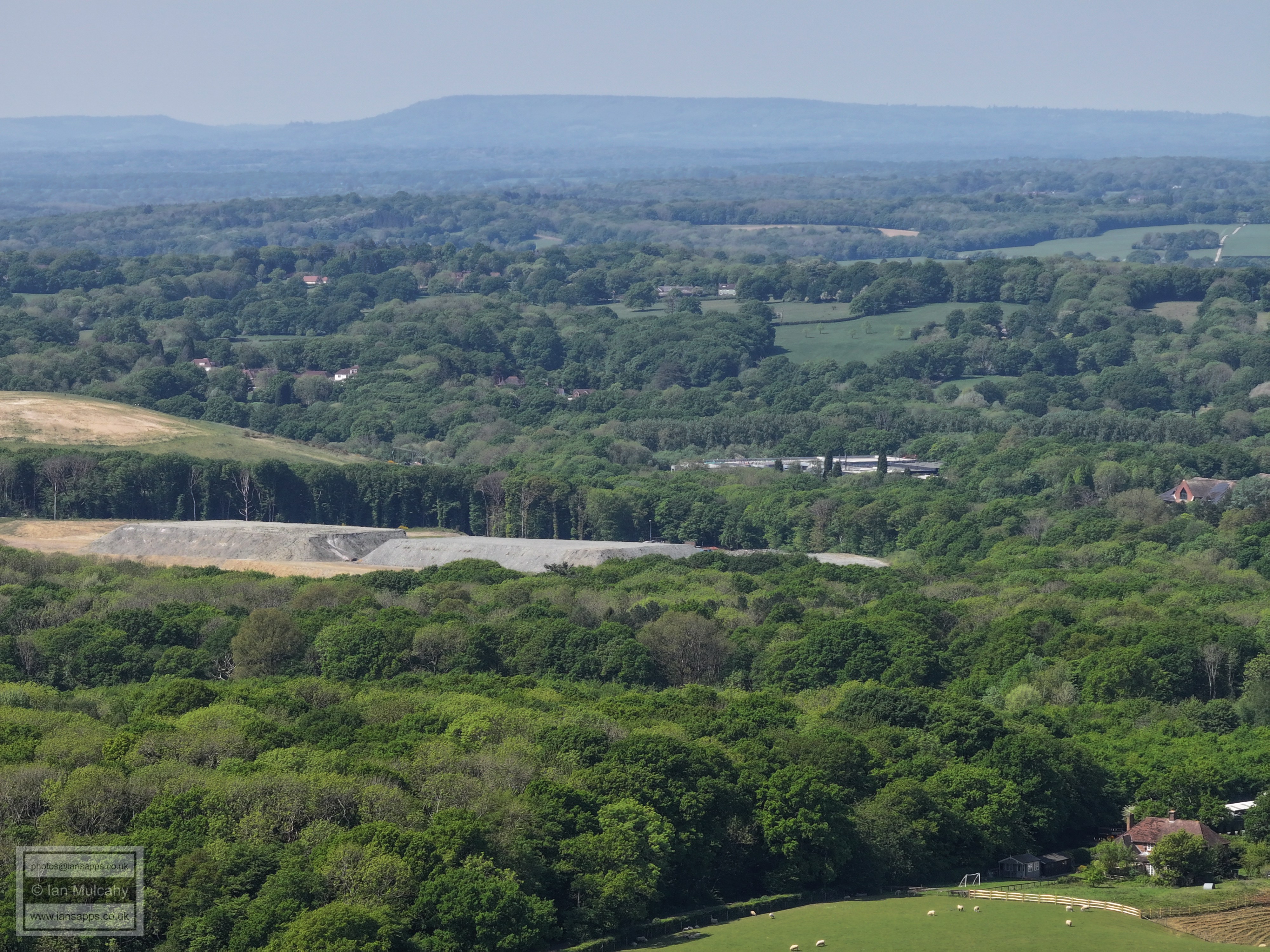
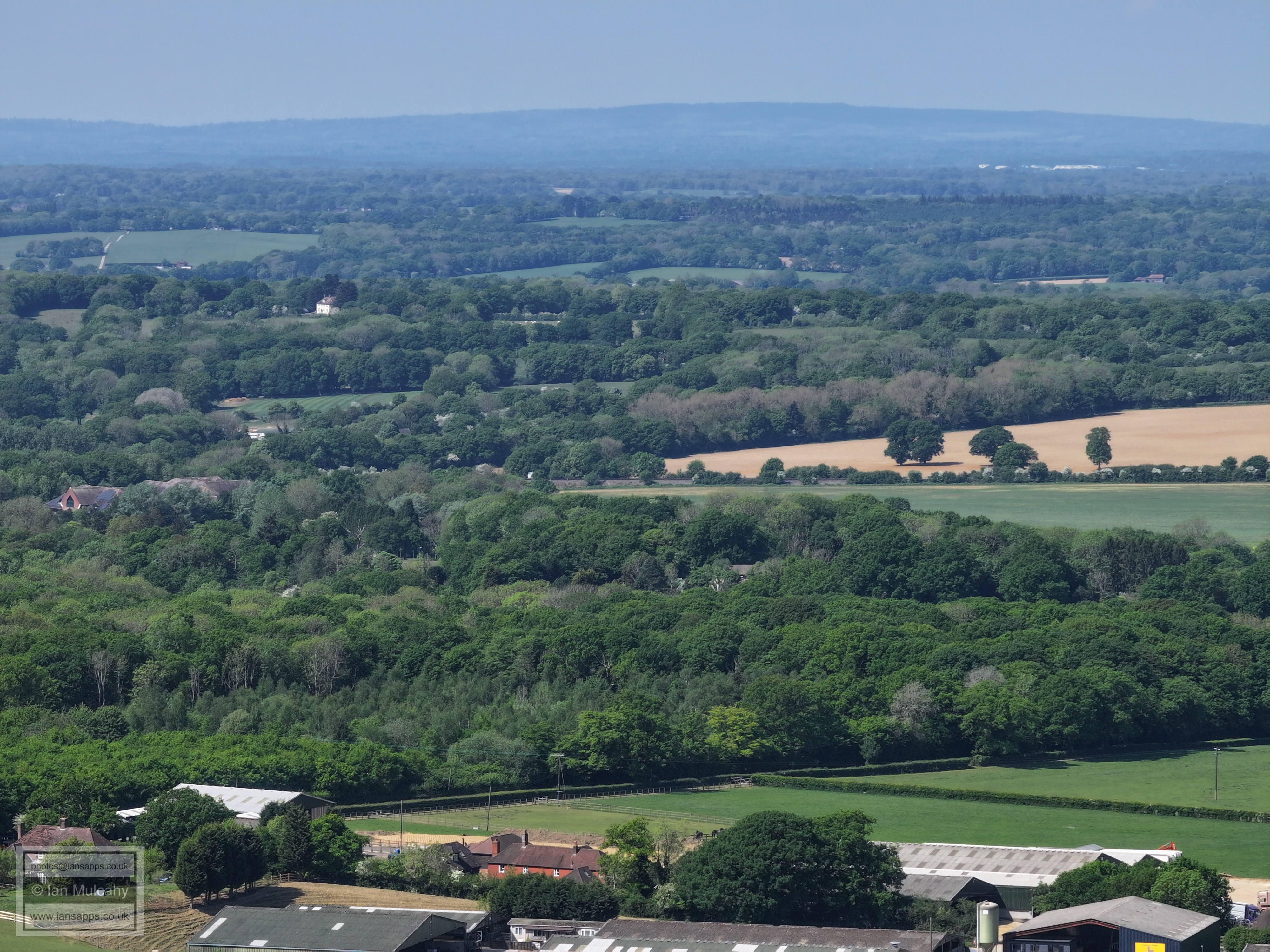
77 aerial images of varying focal length taken on 2 May 2025 from the footpath south of Old Park Farm in Rusper Parish in West Sussex, as well as 18 images taken from 3 other places on the walk between here and Ifield West. I have annotated some of the photos.
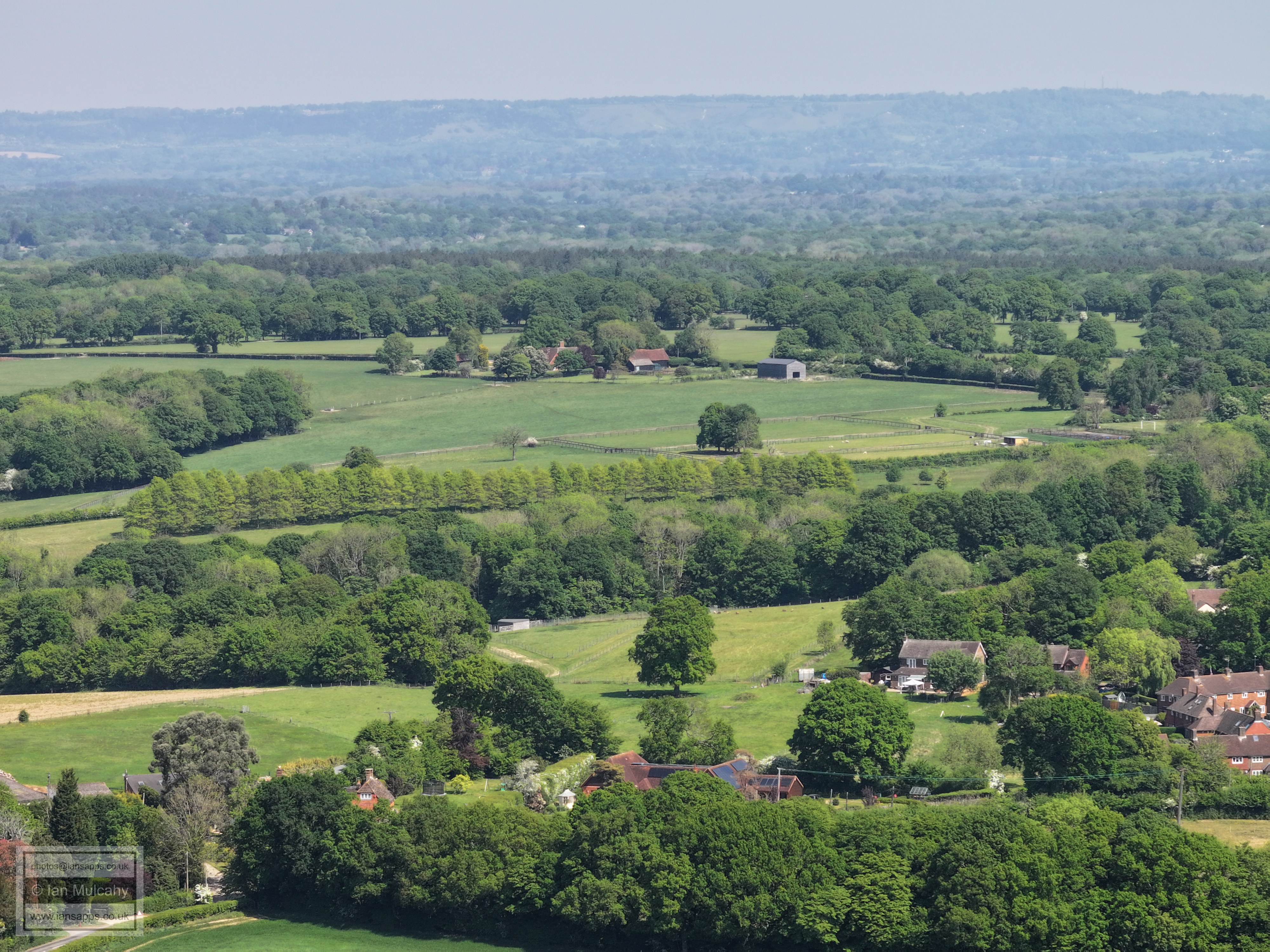
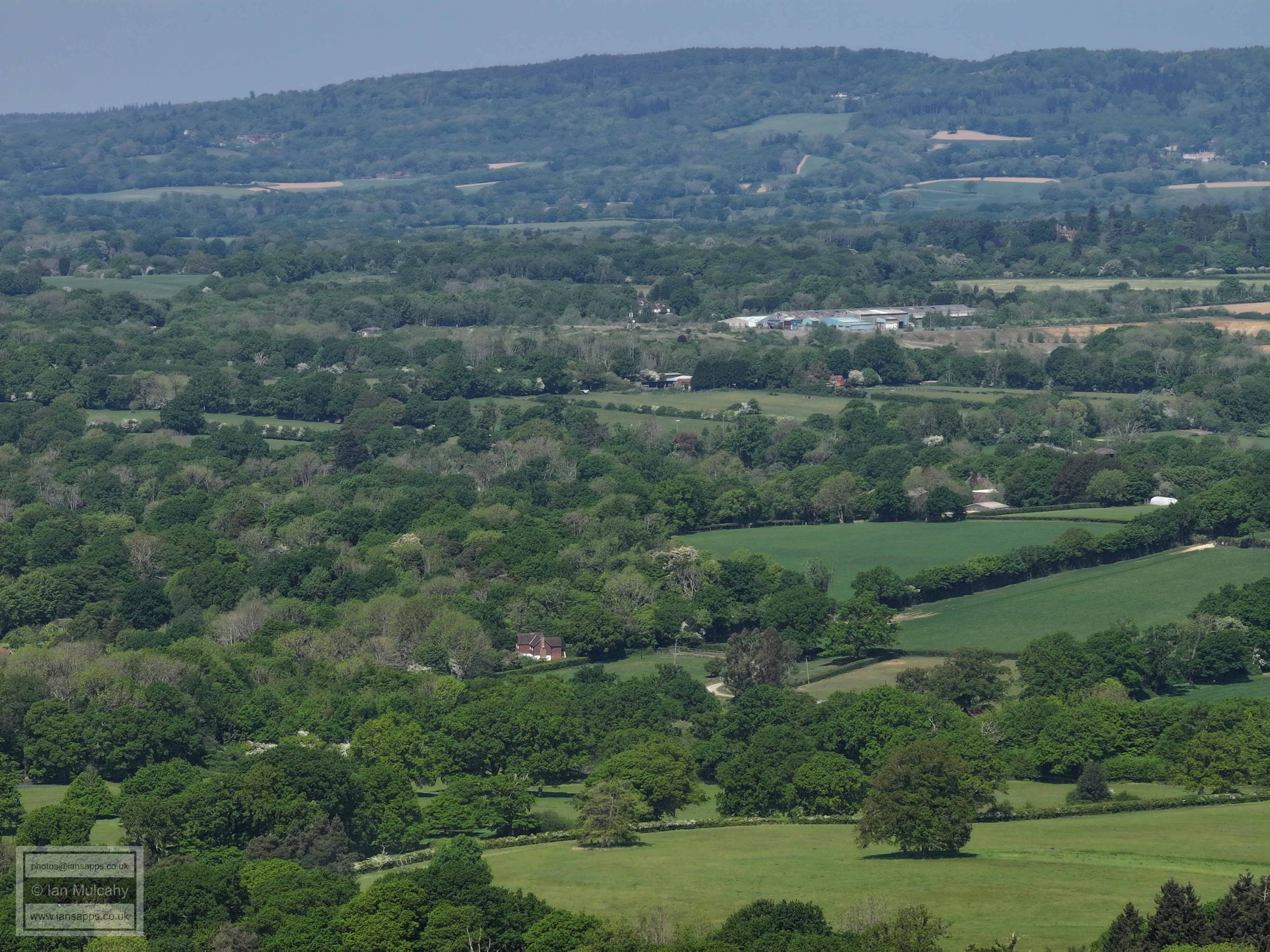
Old Park and Old Park Farm Cottage. In the background is New Barn Farm, on the Capel Road, and Lyne Farm beyond that.
Right of centre is the junction of Wimlands Road and Horsham Road
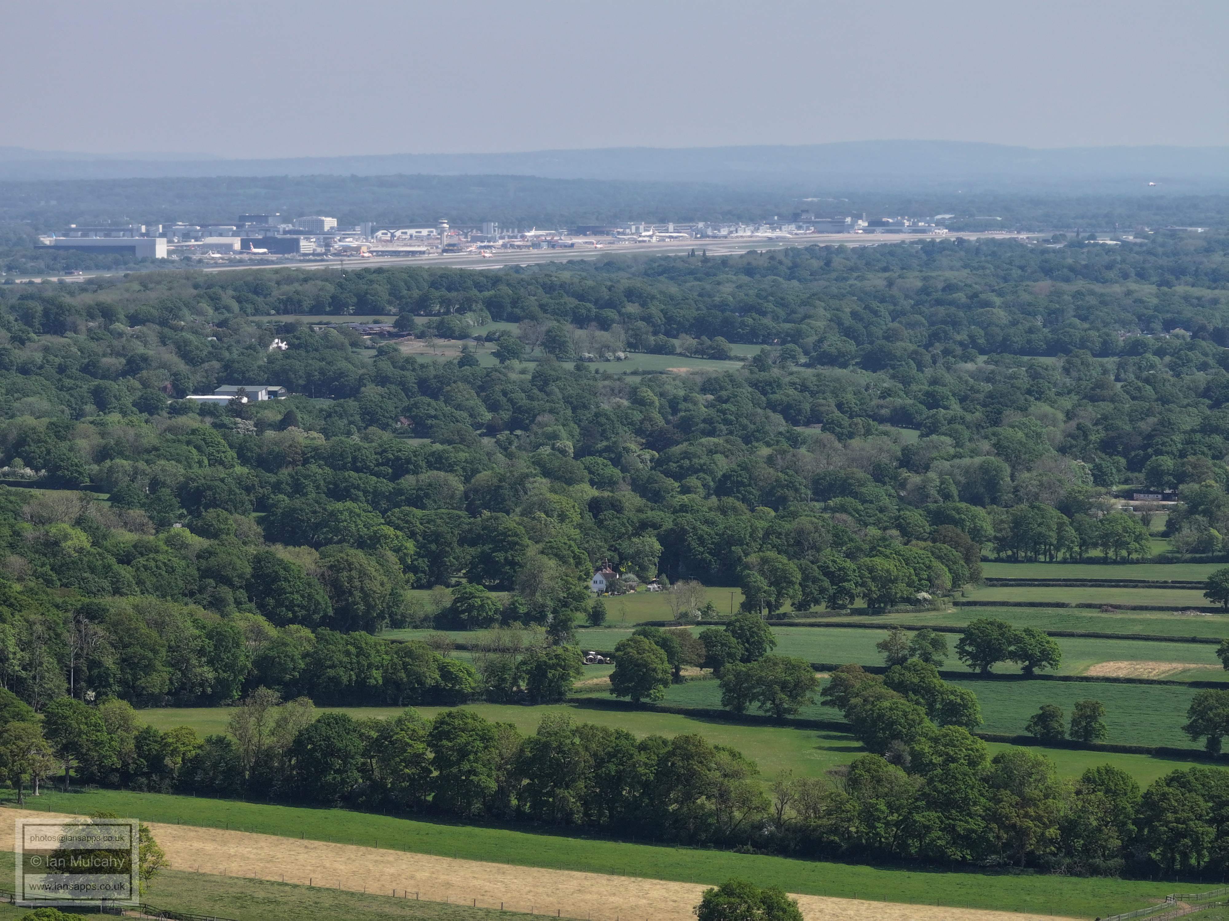
Westons & Baldhorns Park. Gatwick beyond
Horsham in the top right quarter.
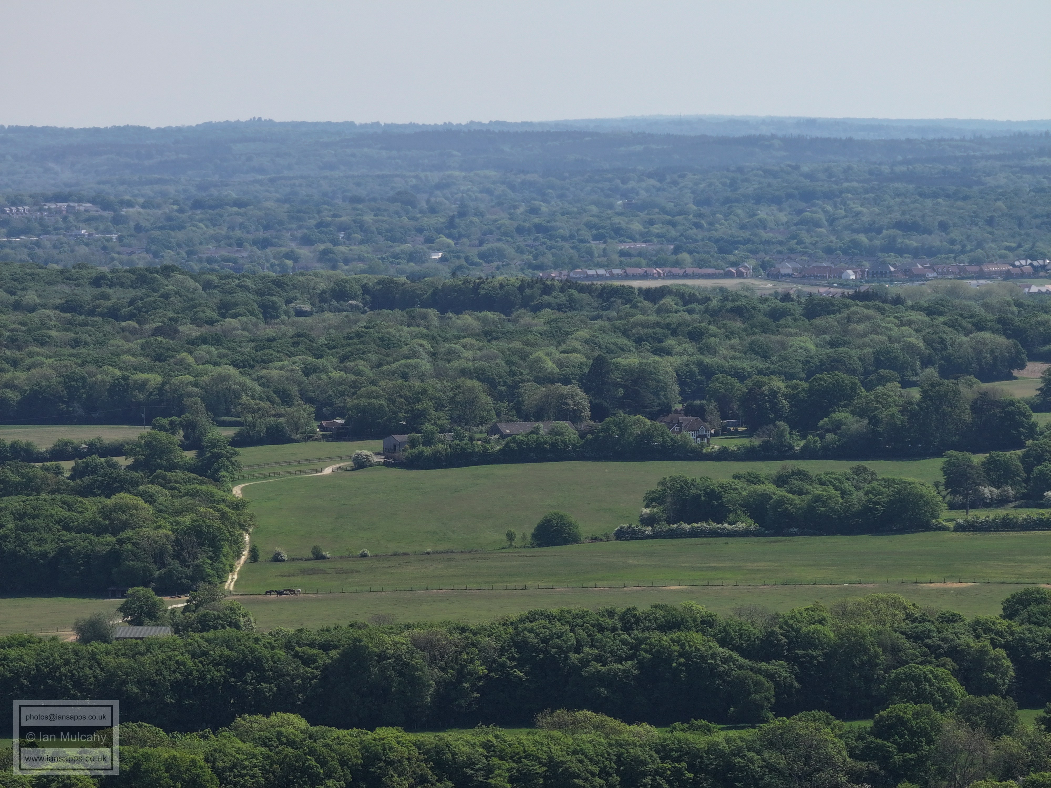
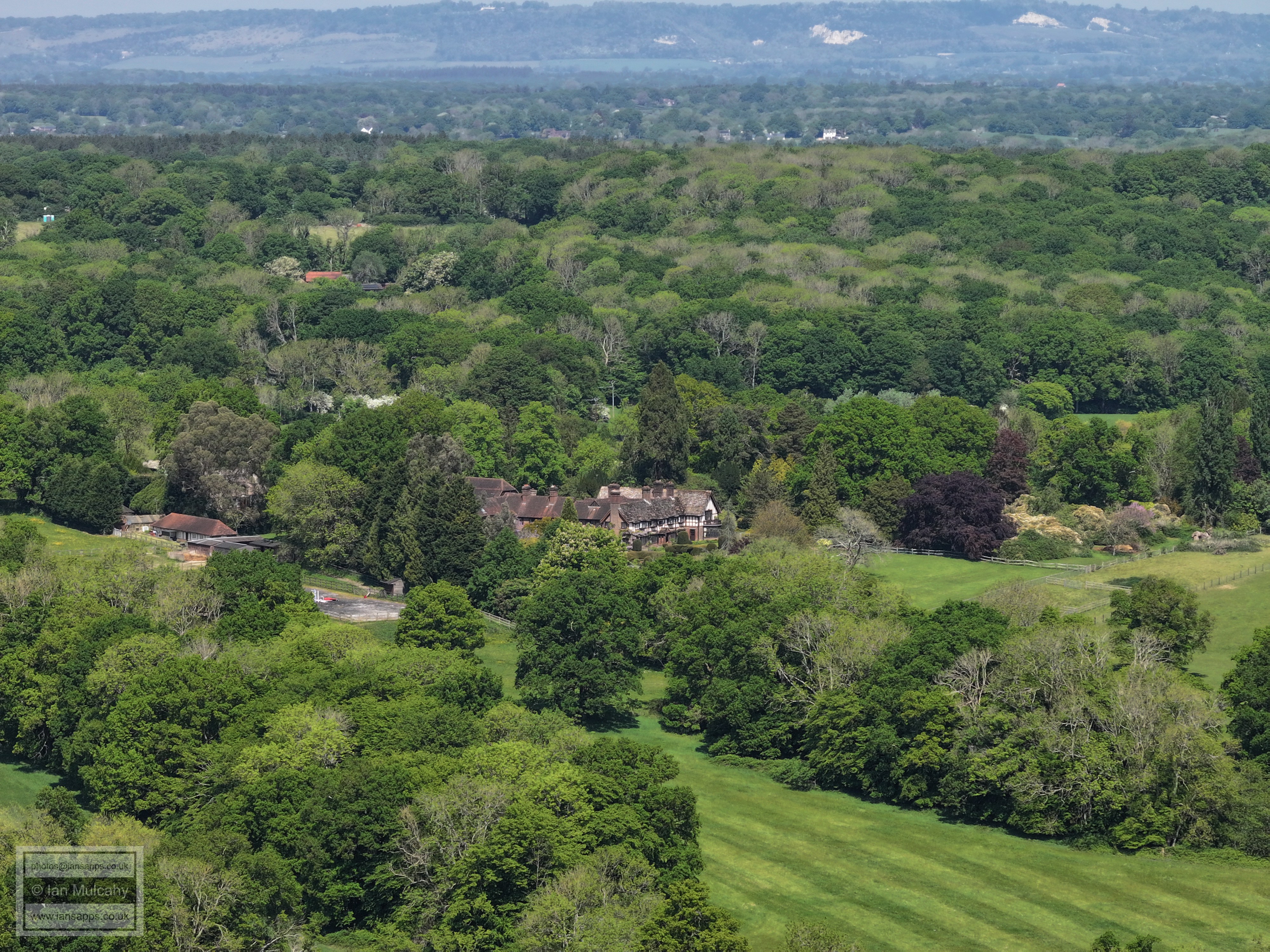
Old Park Farm with Curtis's Farm beyond
The junction of Wimlands Road and Horsham Road is in the bottom right corner.
Southern area of Rusper. The Wimlands Road and Horsham Road junction is in the bottom left corner
Baldhorns Park. This photo shows how the public footpath from Westons to Rusper Court (marked by the line of trees going from bottom right up the right side of the picture, with a slight turn right half way along) is atop a small ridge which demonstrates the possible antiquity of the route.
Coombers Farm
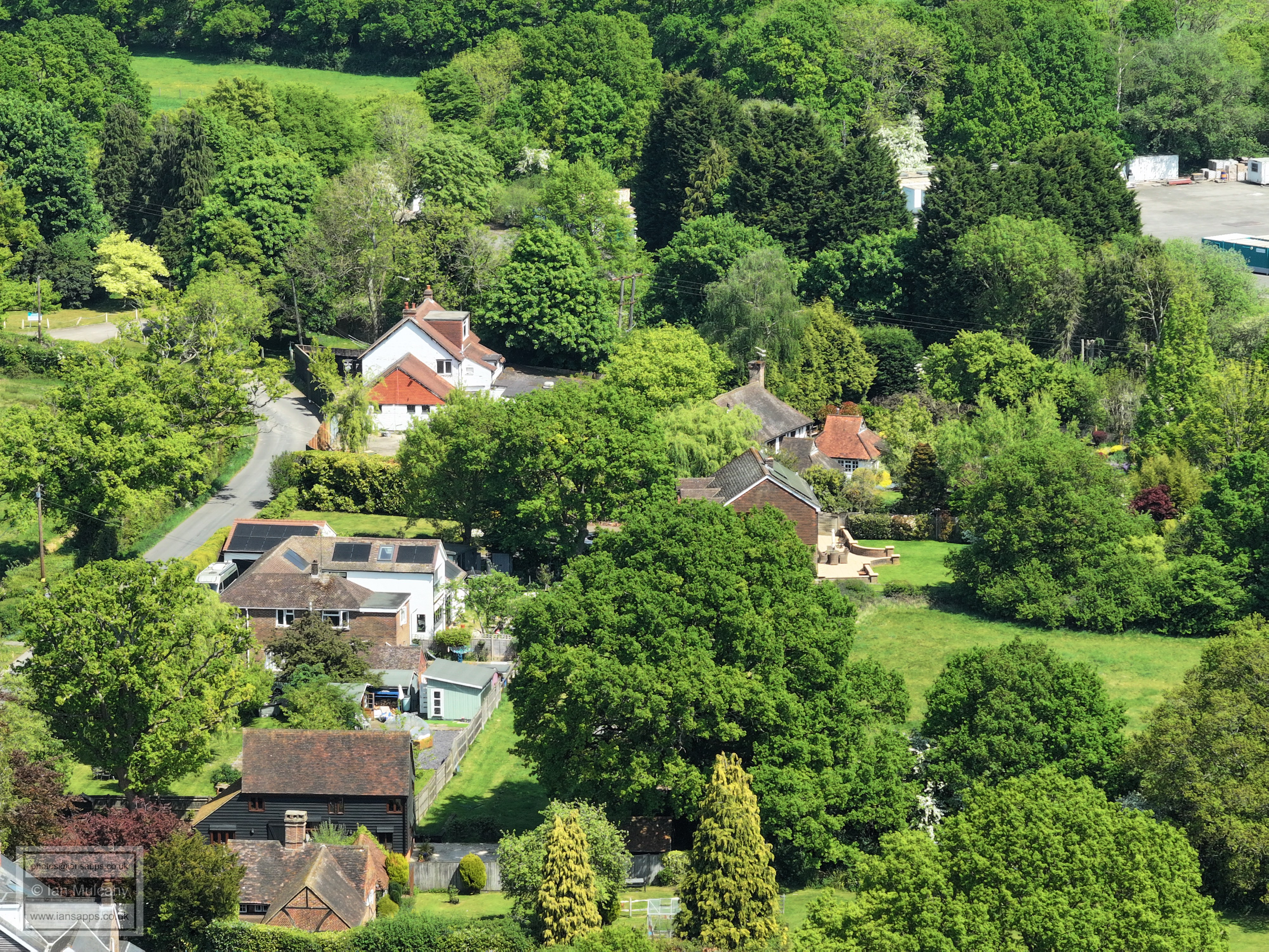
The buildings in the top left quarter are Bakehouse Barn and Wimlands Cottages at the junction of Wimlands Lane and Wimlands Road.
Allingham Farm just left of centre with Horsham across the top
The houses in the bottom right are on the Horsham Road on the left just before heading into the wood on Hurst Hill when travelling from Rusper.
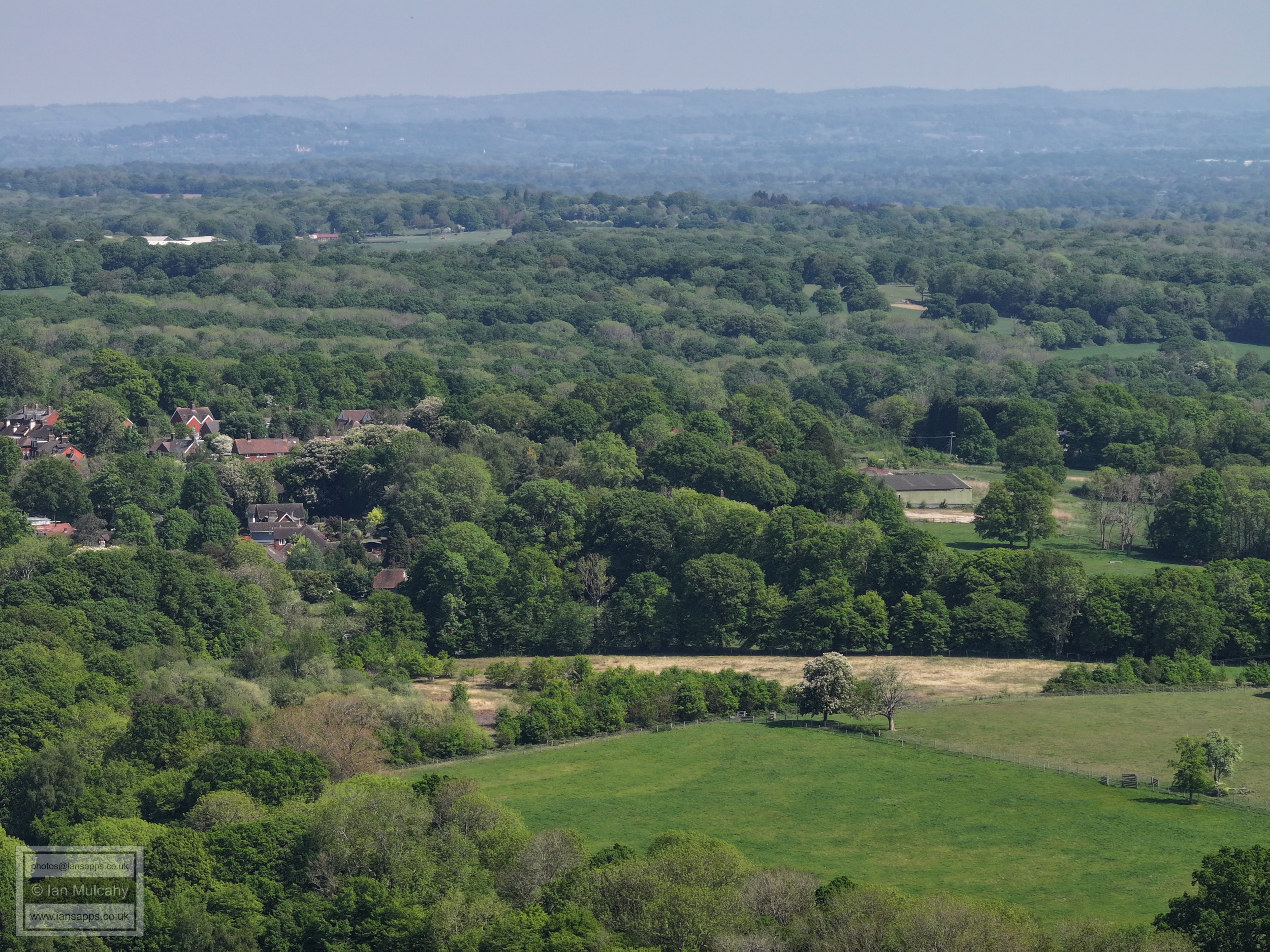
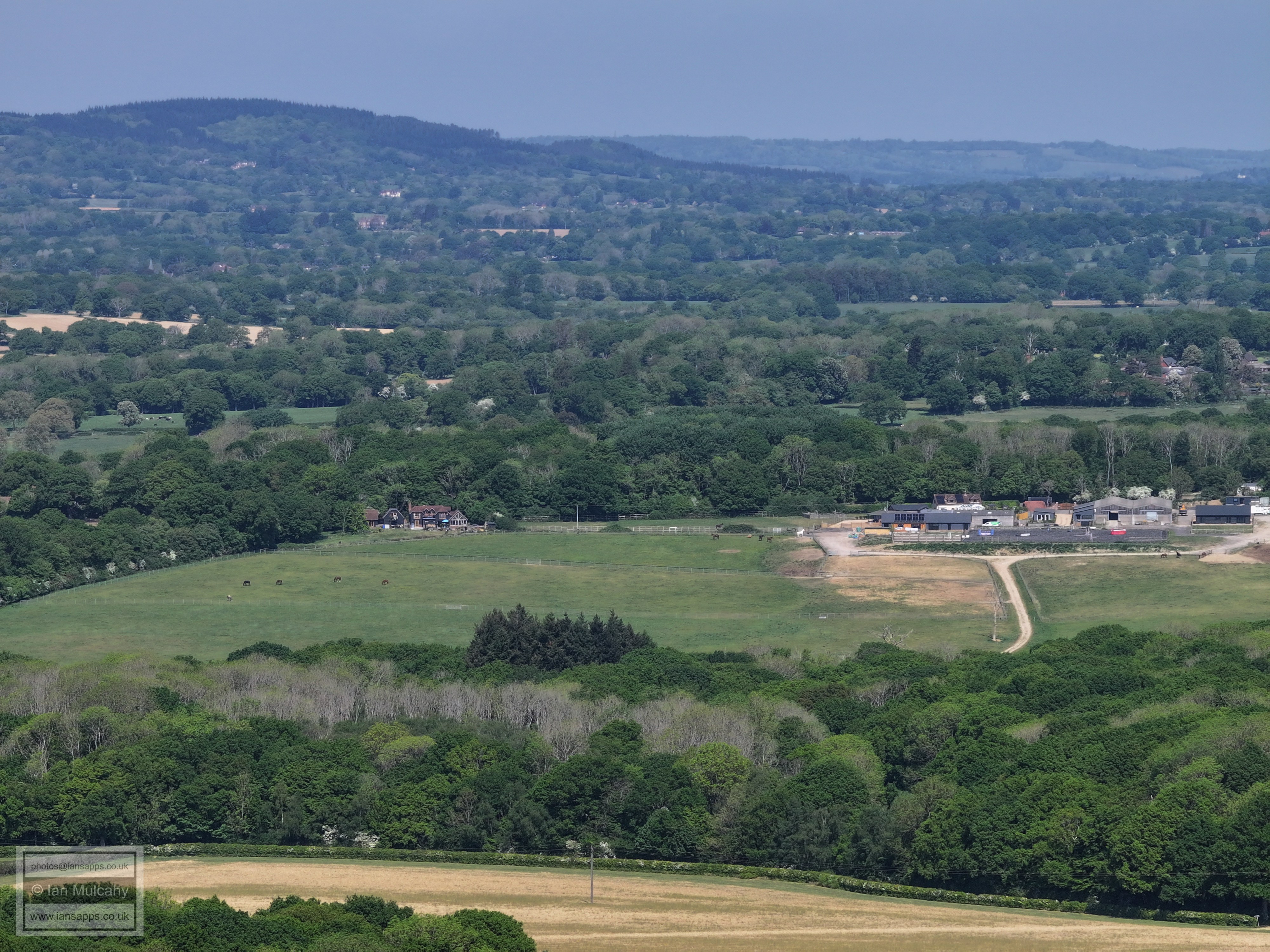
Curtis's Farm
Nunnery Farm on the far right. Left of, and above centre, is Great Benhams on Friday Street.
The Nunnery, left of centre
Just above centre is Highams on the Capel Road. to the right you'll see a goalpost on Rusper Rec.
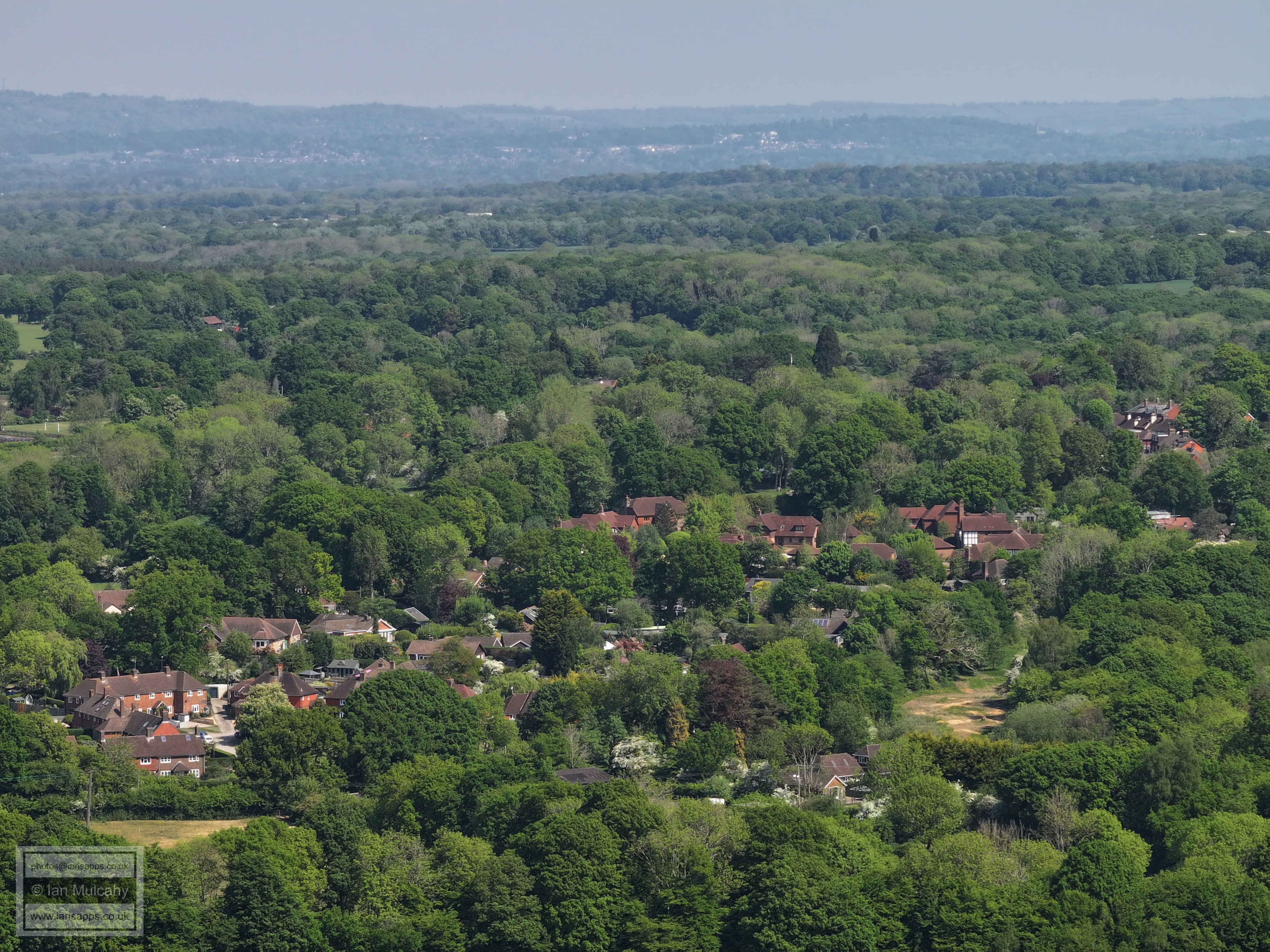
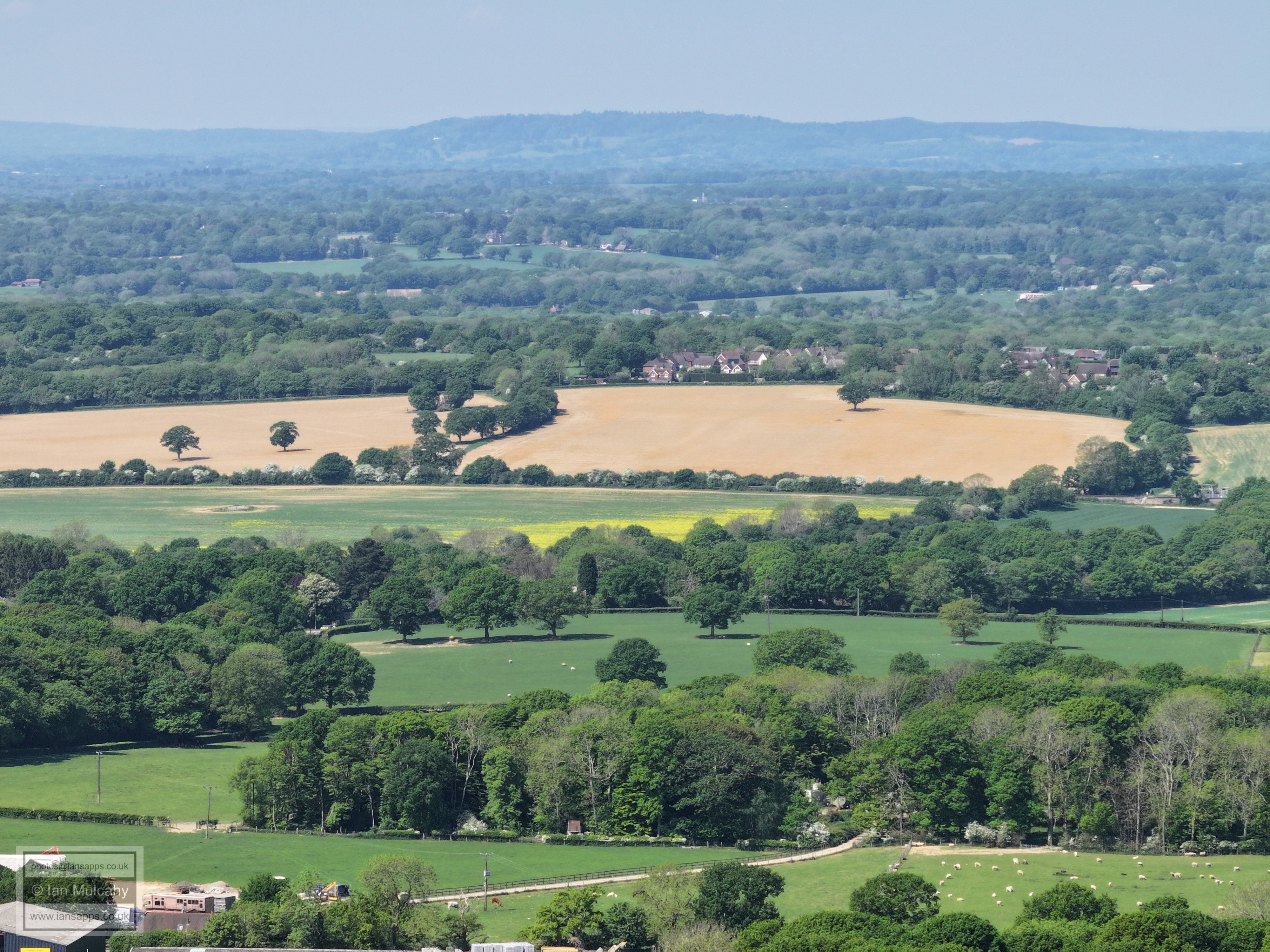
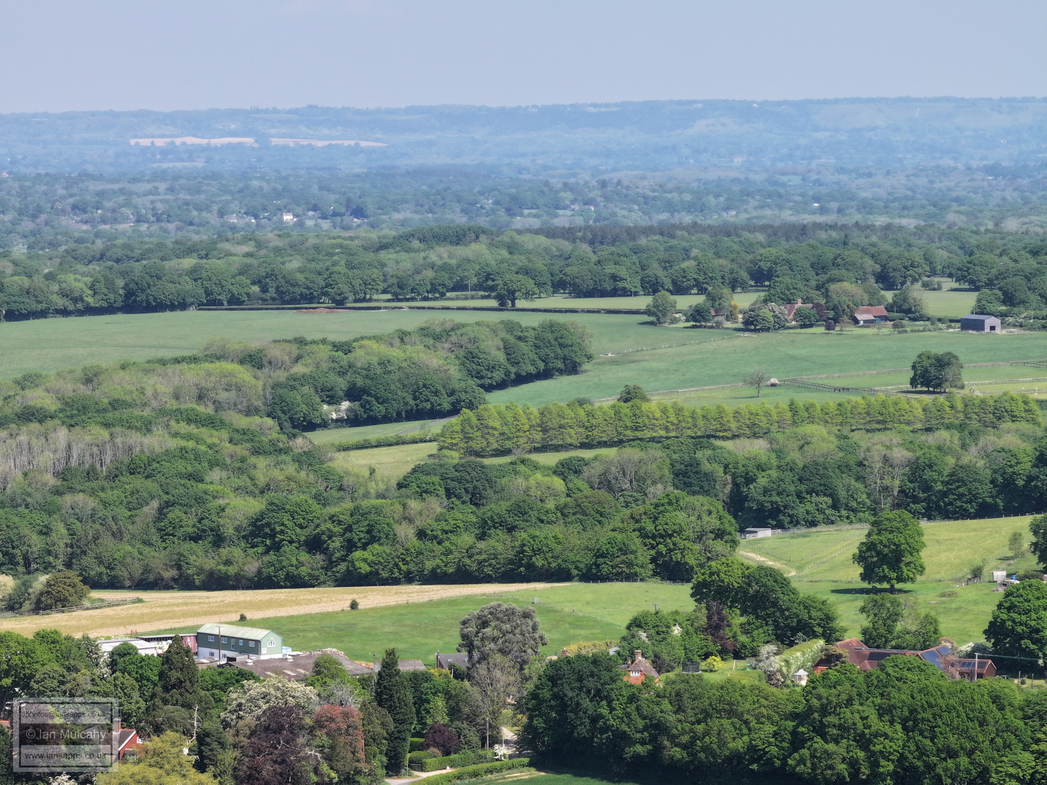
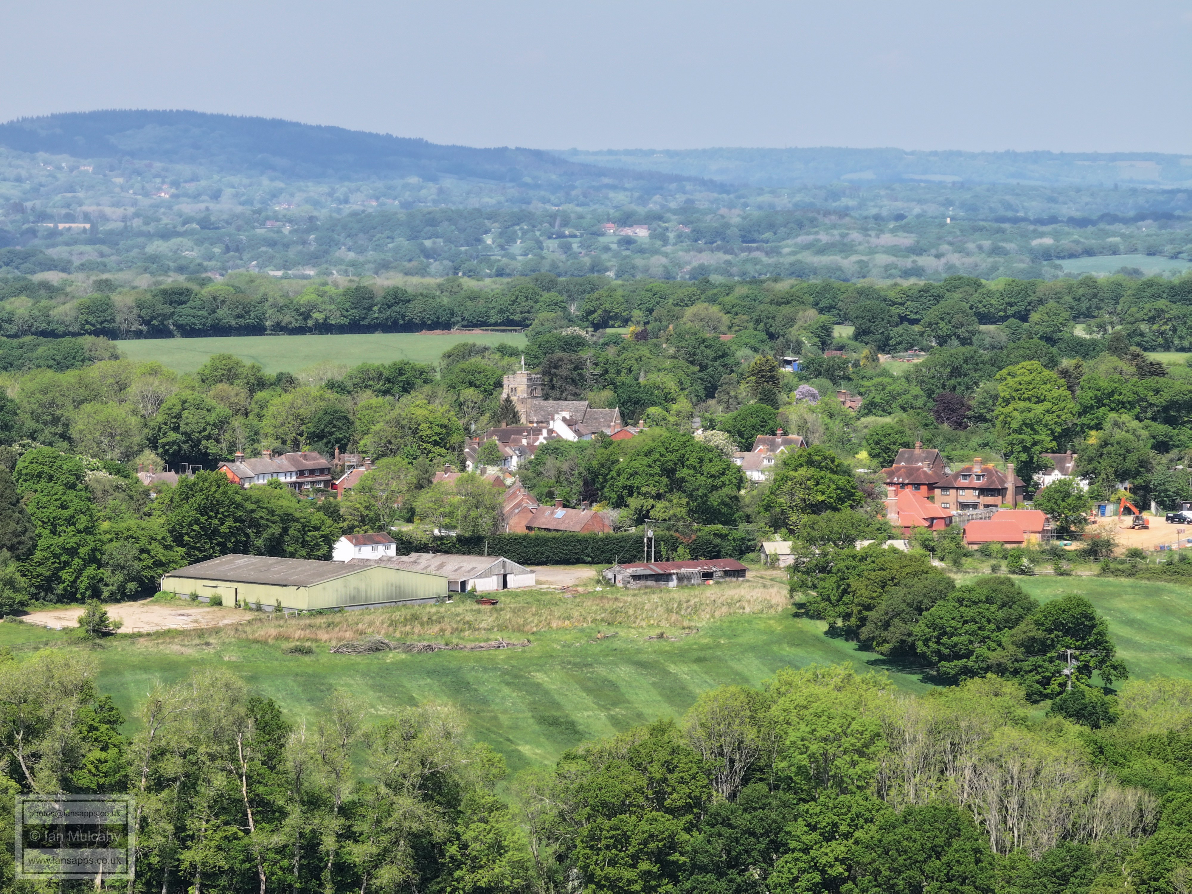
Gardeners Green & Steeres Hill area of Rusper.
Rusper Village centre is far left of centre and just to the right of centre is the barn at Millfields.
Gatwick
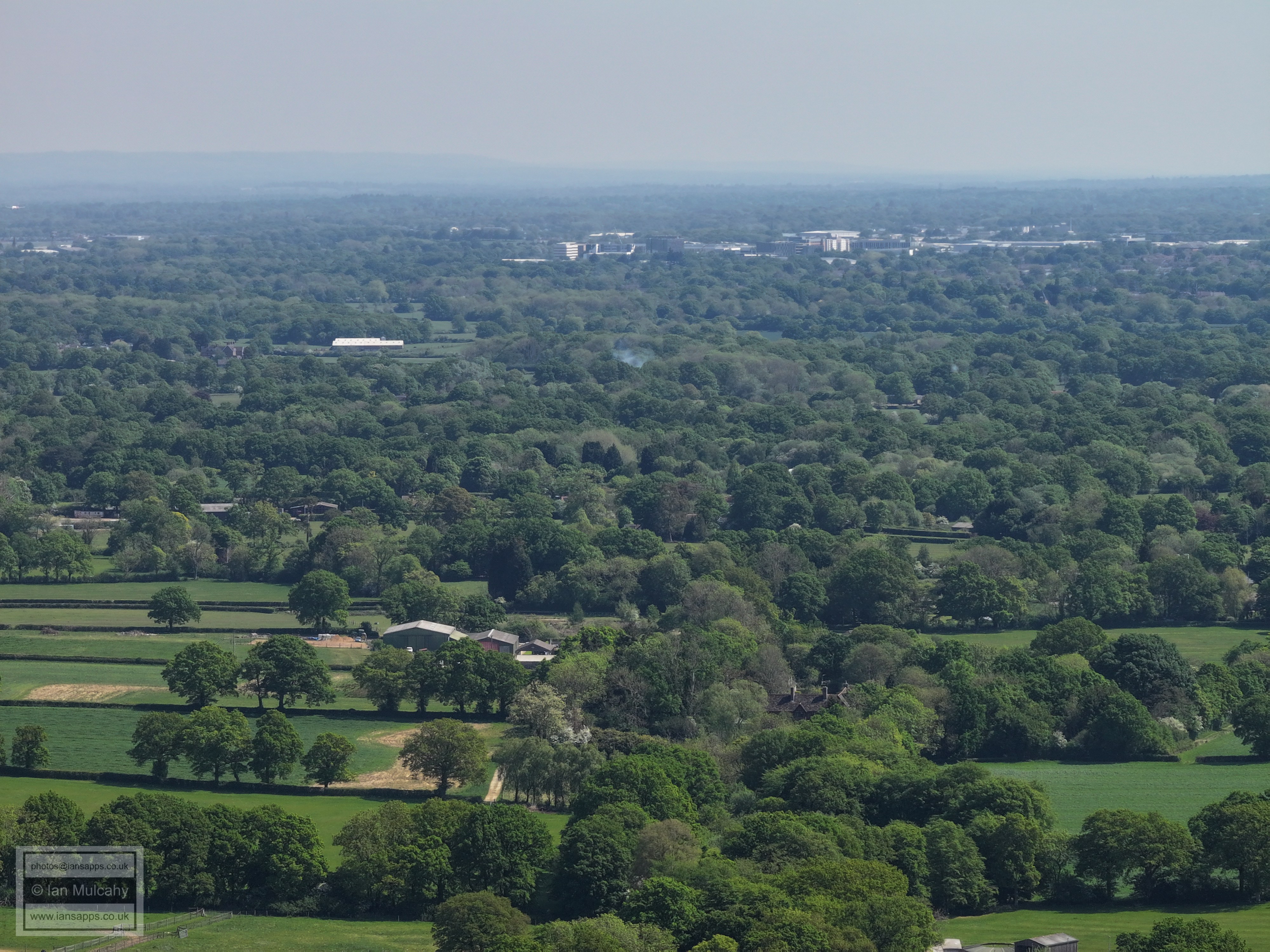
The big white roof a little way left of centre and about a third down from the top is at Bonwyckes in Ifield Wood. Bonwyckes Place is just to its left. About 10% in from the right, at a slightly higher height is St Margaret's Church at Ifield. Manor Royal is across the top.
A few features here above the trees. The white building right of centre is ICC and above the houses to the left of ICC (which are on the old ICC site) is the Sandman Hotel at Hazelwick. the Crowne Plaza at Tushmore is to the left of this and a little lower.
Top left quarter is Crawley Town centre. To the left of centre just above the tree line is the Windmill Pub and Gossops Green Parade. In the top right quarter is Southgate West and on the ridge in the top left quarter is the Ferris Wheel at Tulleys Farm.
Carylls Country House on Faygate Lane is in the centre and Kilnwood Vale is in the top right quarter.
Kilnwood Vale
Holmbush Farm, left of centre.
Faygate in the centre. Holmbush house is visible above Faygate to the left, though is well camouflaged in the haze and trees.
The buildings in the bottom left quarter are Bakehouse Barn and Wimlands Cottages at the junction of Wimlands Lane and Wimlands Road.
Roffey Park is in the top right quarter. The building far right of centre is Bensons House on Wimlands Road near the Frog & Nightgown.
Left of centre, with the sun reflecting off the roof an outbuilding, is the Frog & Nightgown with Wimlands Road and the properties along it (Bensons Farm, Brook House, Kings Farm etc.) head right from the pub.
Horsham
Horsham (Bohunt is right of centre)
Horsham. The long yellow buildings to the right are at Parsonage Farm
Horsham. The Sun Alliance buildings around the old St Marks Church, along with St Mary's Church, are in the top left quarter.
West of Horsham and Highwood. Christs Hospital is in the top left quarter.
Warnham Court is in the top left quarter, with the village right of centre.
The quarry (landfill to the far left) on Langhurstwood Road
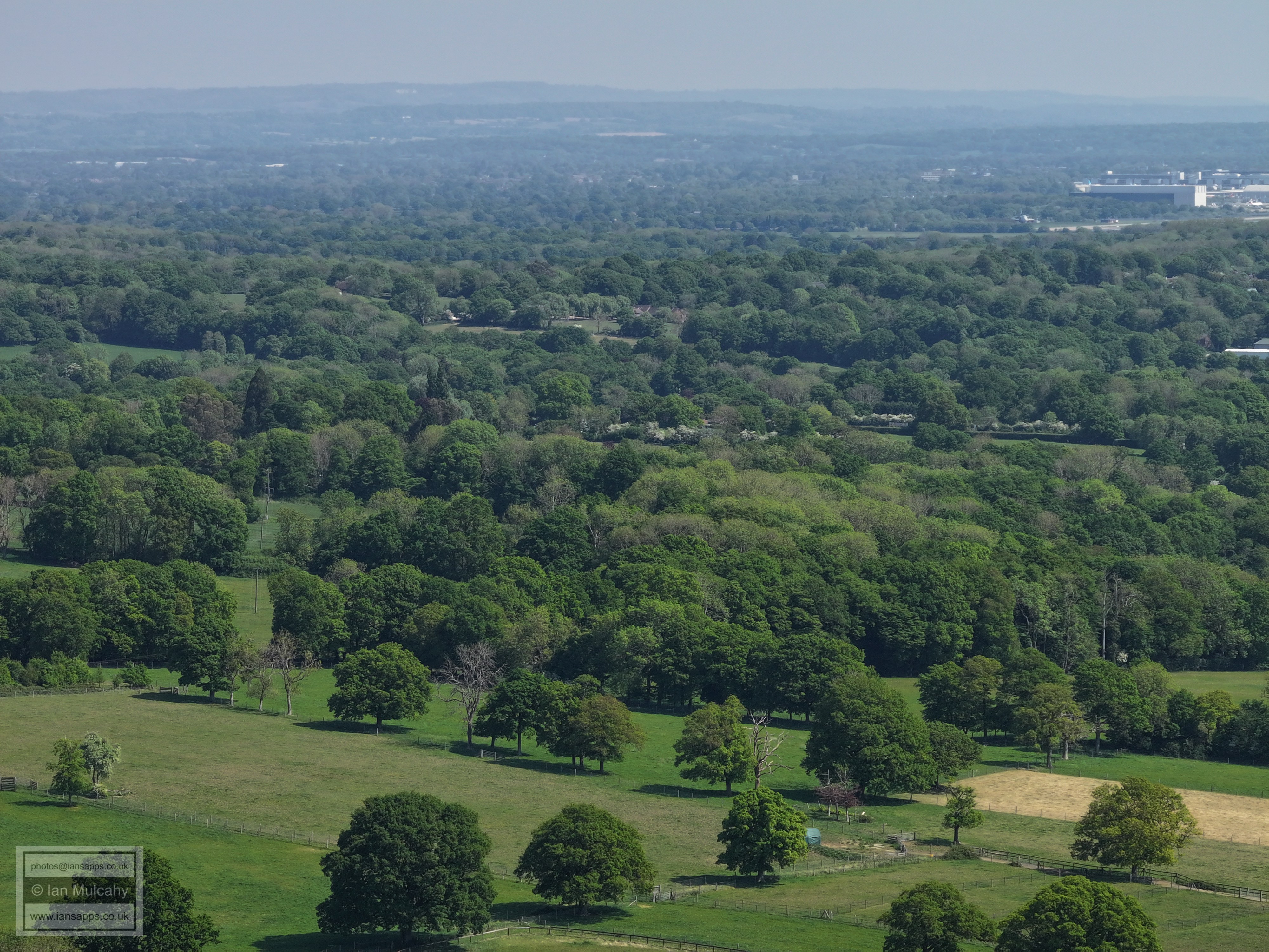
Curtis's Farm at the foot of the pic.
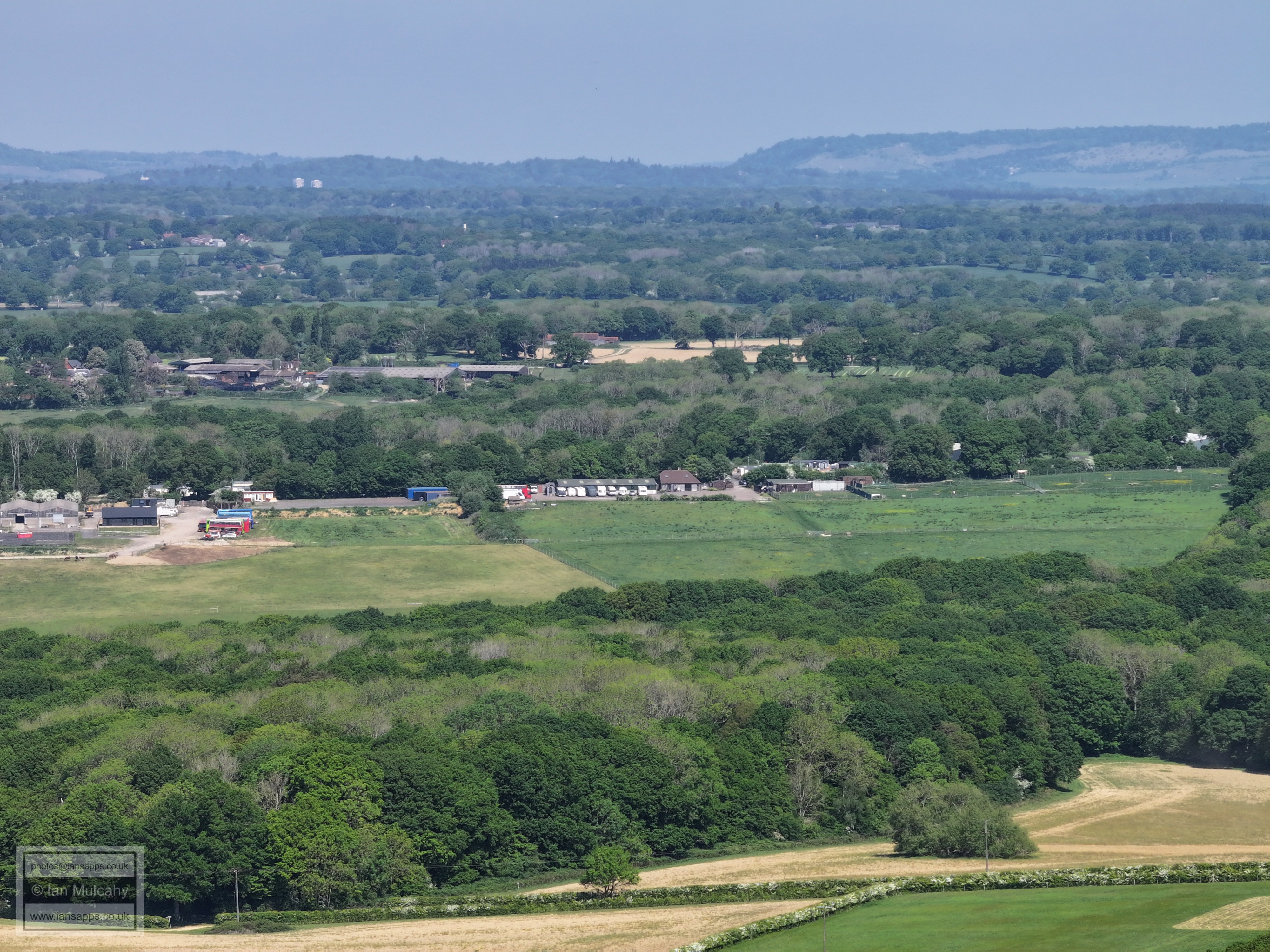
Kingsfold to the right of centre
Great Benhams on Friday Street below centre.
Nunnery Farm at the foot of the photo.
Clockhouse Brickworks right of centre.
The houses left of centre at at Lipscombes Corner, where Friday Street meets the Capel Road.
New Barn Farm. Lyne House hidden in the trees beyond.
Boxhill top right.
Newdigate Church above centre.
Sitting in the shade of a tree, The line of trees going bottom left to top right mark the ancient parliamentary boundary between New Shoreham (above) and Horsham (below)
The following photos have been taken from various places on the walk back to Ifield West from the main fly spot.
From south of Rusper Court
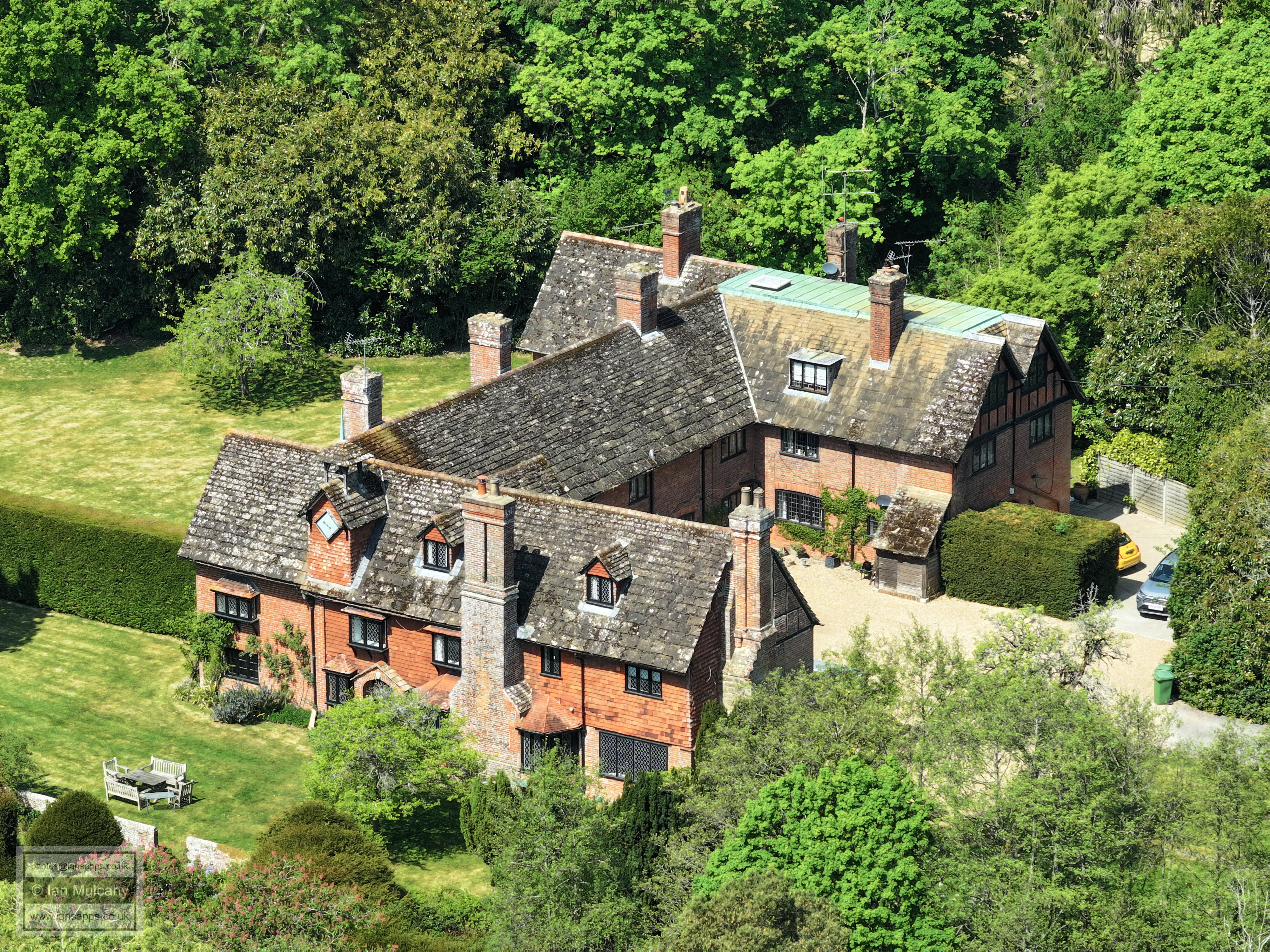
Rusper Court
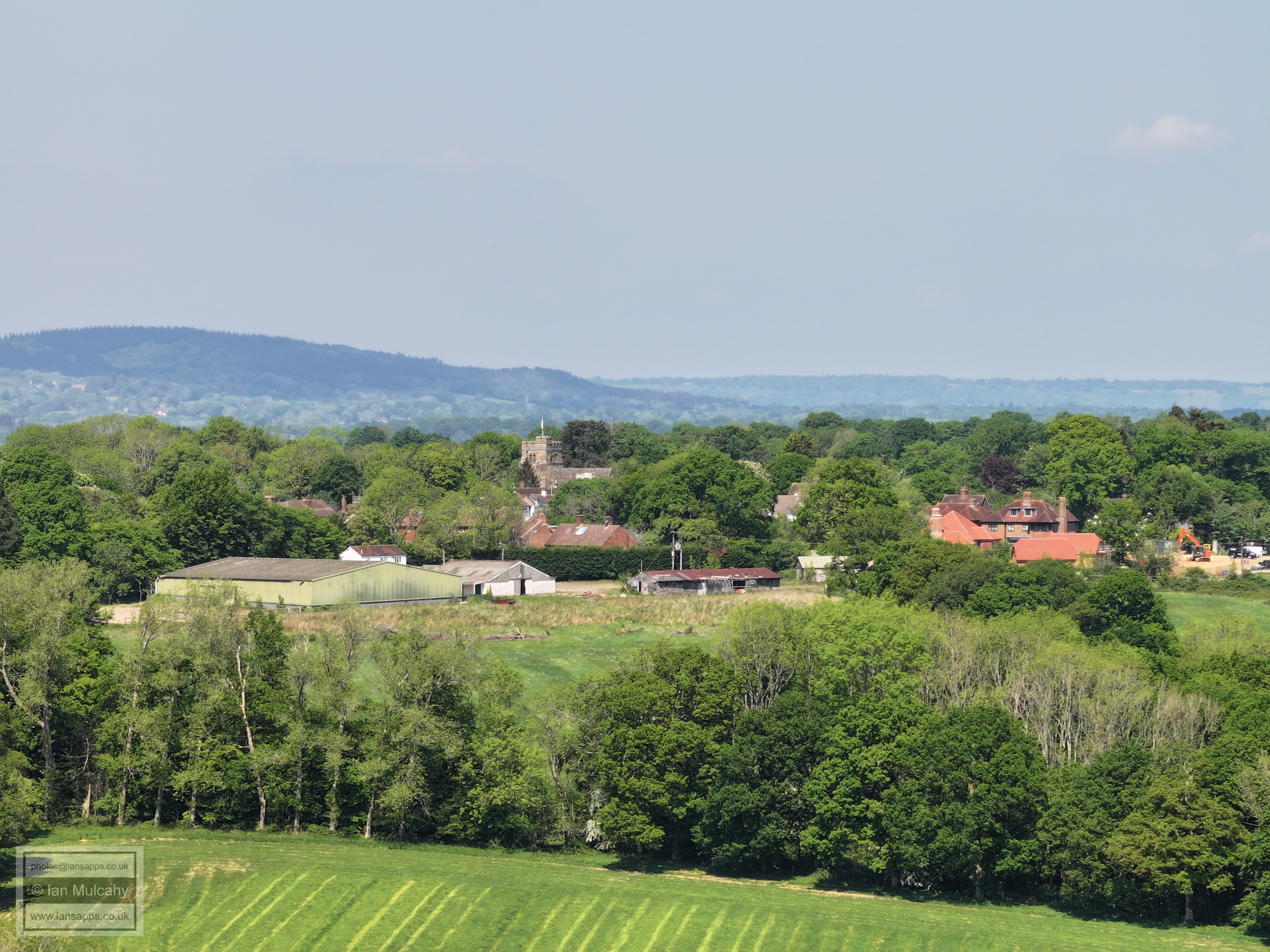
Rusper, with Millfield in the foreground.
Normans. I've not positively identified the line of buildings visible above the treeline, but I believe them to be at the western end of Cudworth Lane, south east of Newdigate.
Rusper, with Millfield in the foreground
Lambs Green (from near the junction with Faygate Lane)
The following photos are taken from a field on the footpath from Ifield West to Lambs Green north of House Copse. The first few show an old sandstone pit
Looking towards Ifield Church and the Brook Meadows. You'll see snippets of the golf course across the middle of the photo.
St Margaret's Church, Ifield in the centre. Golf course at the bottom.
Gatwick. Druids, in Ifield Wood, is far left of centre. On the right of centre you'll spot the temple at the Apple Tree Centre in Ifield Green.
Ifield Golf course. Manor Royal is across the top.
From bottom, Ifield West, Gossops Green, Crawley Town centre. The tent like structure above the Town Hall is a temporary roof at Puond Hill Junior School in Crawley Lane
Ifield West, Ifield, ICC, West Green, Leisure Park, Sandman Hotel, Milton Mount.
Text & photographs © Ian Mulcahy. Contact photos@iansapps.co.uk or visit my 'Use of my photographs' page for licensing queries (ground level photographs only). |