From above the peak of Hurst Hill
The Parish of North Horsham, West Sussex
11 May 2025
60 aerial photos of varying focal length
|
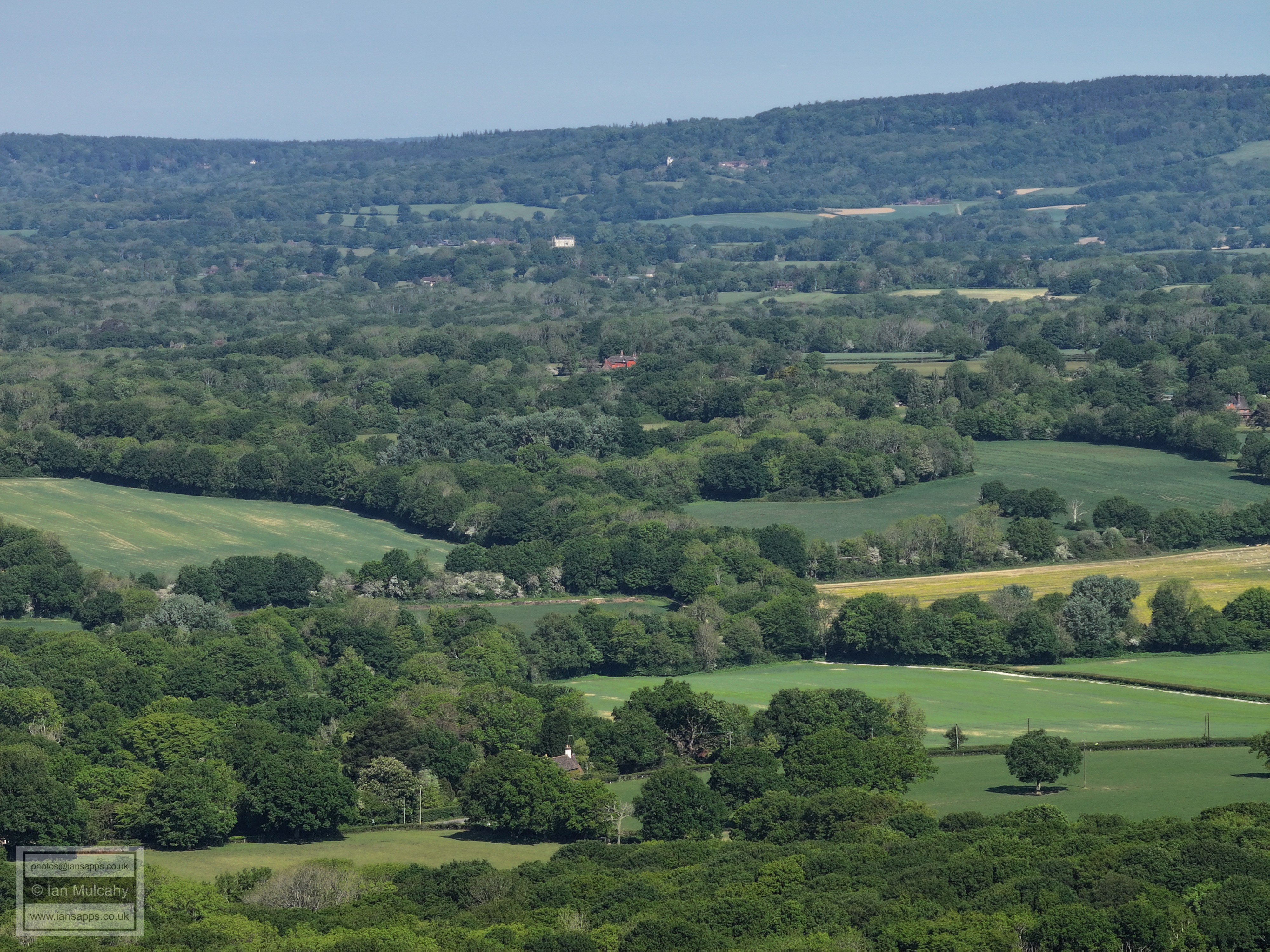
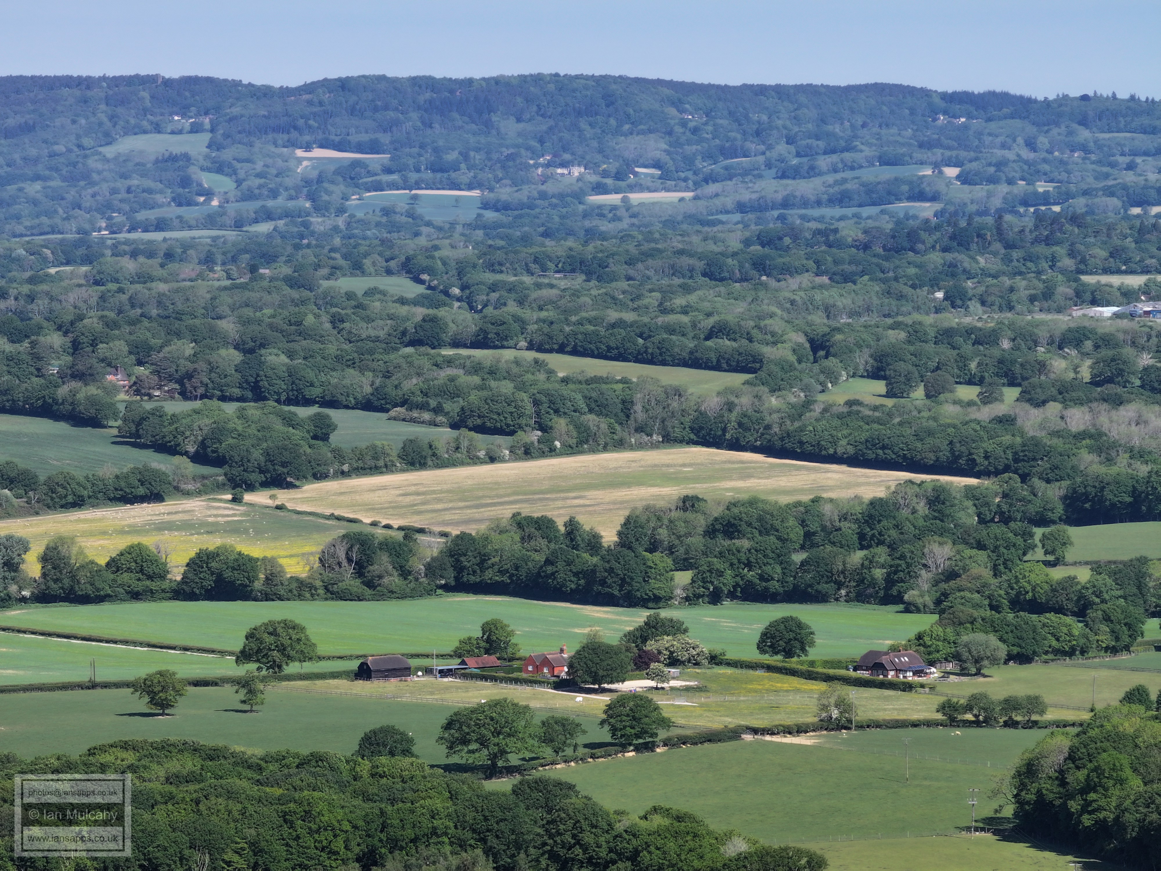
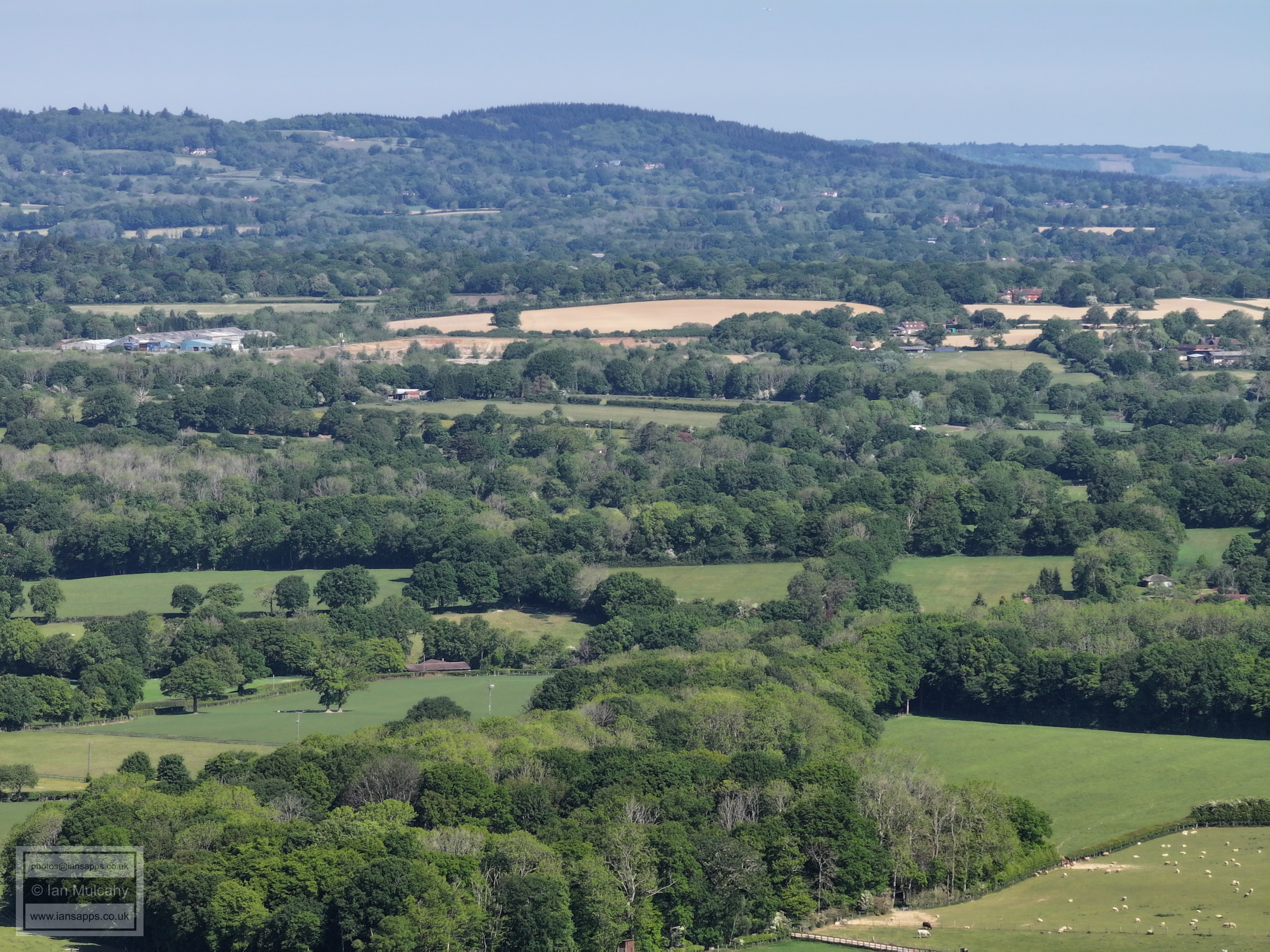
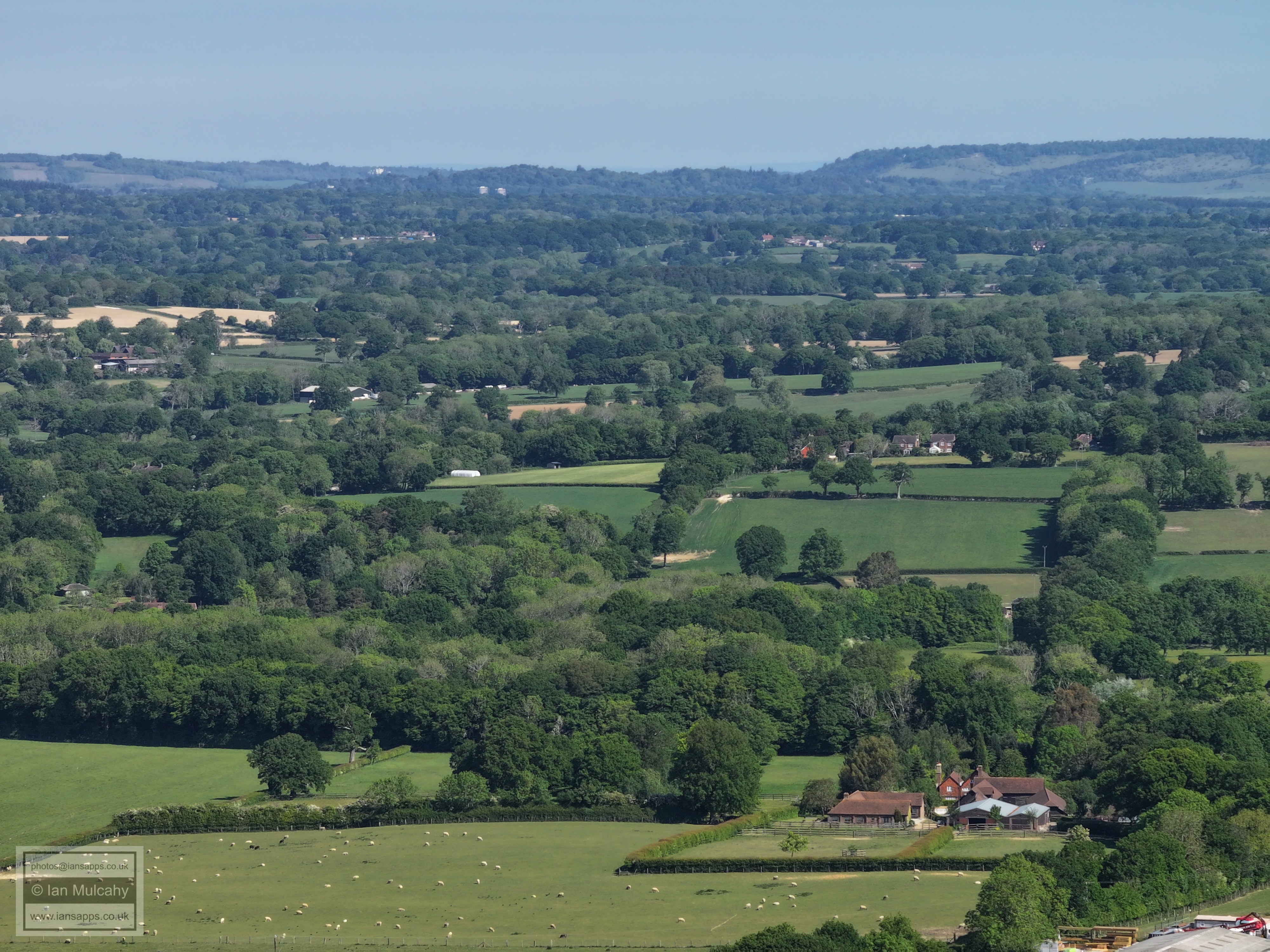
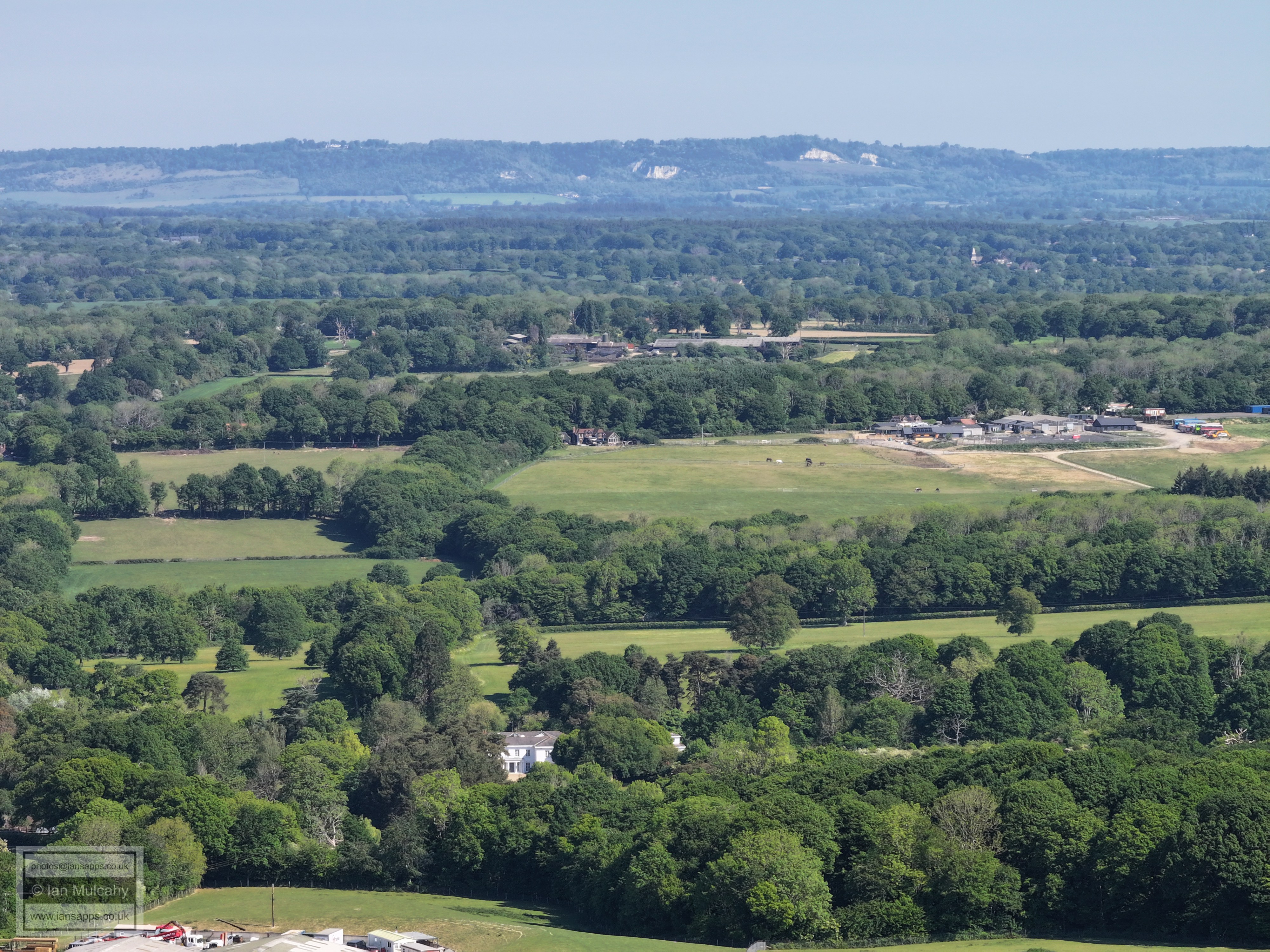
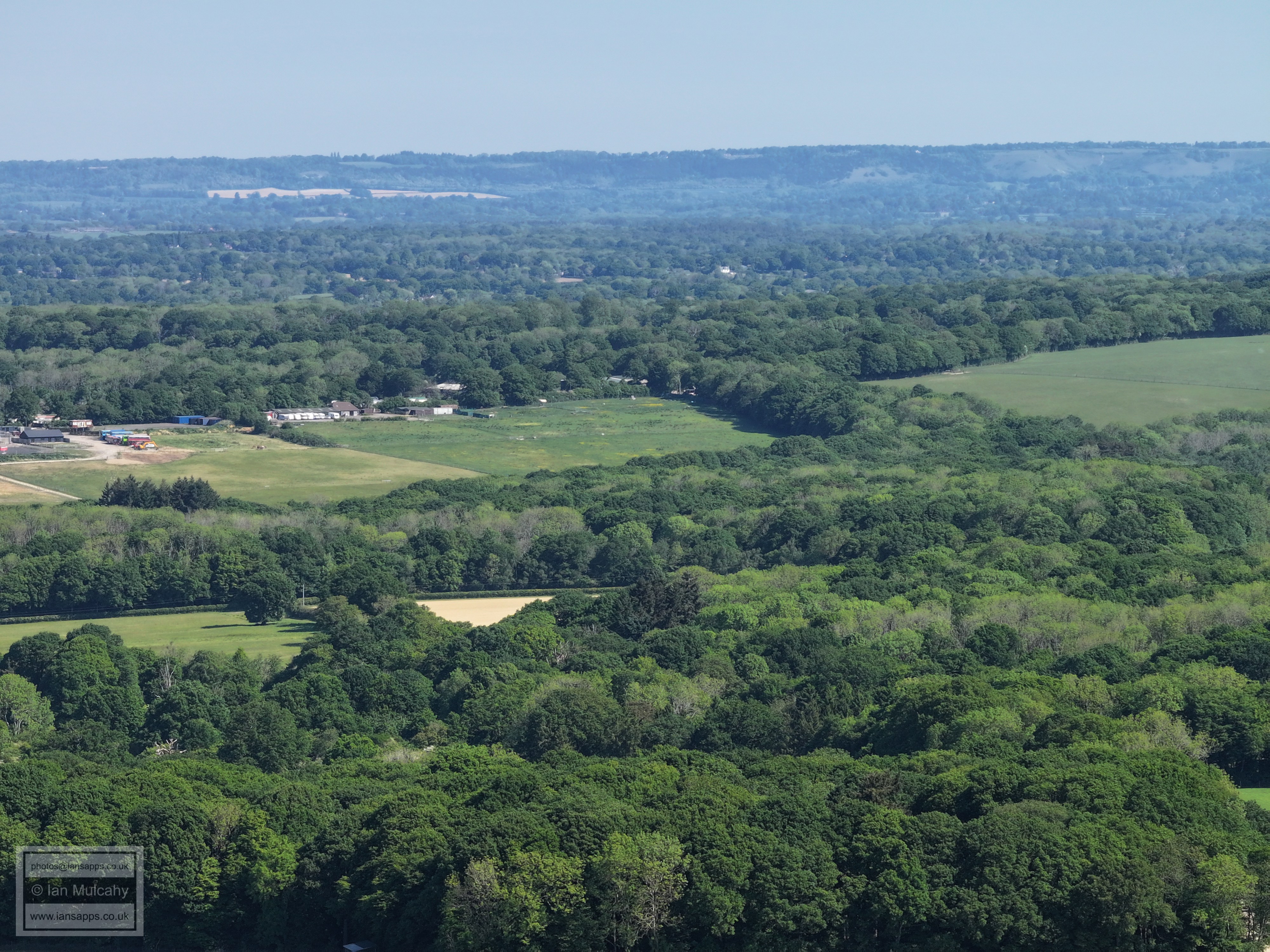
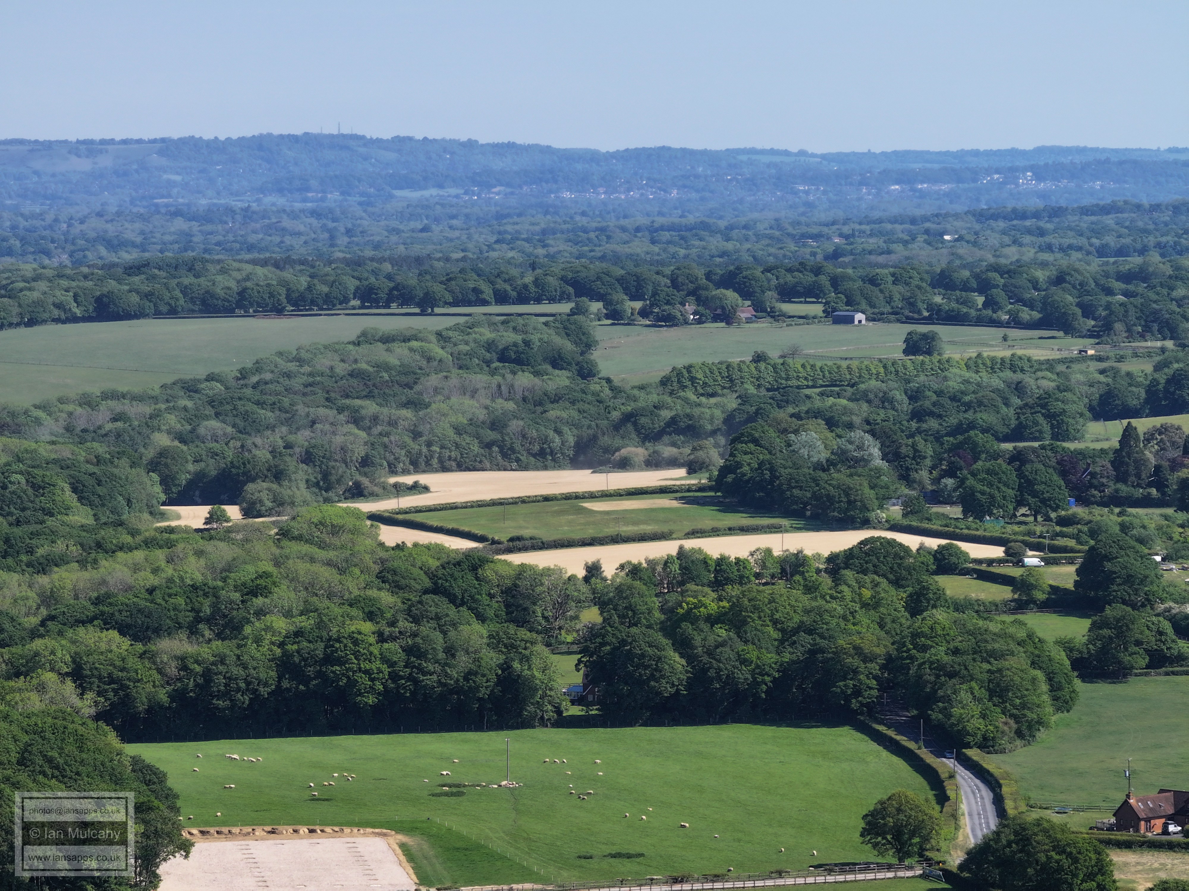
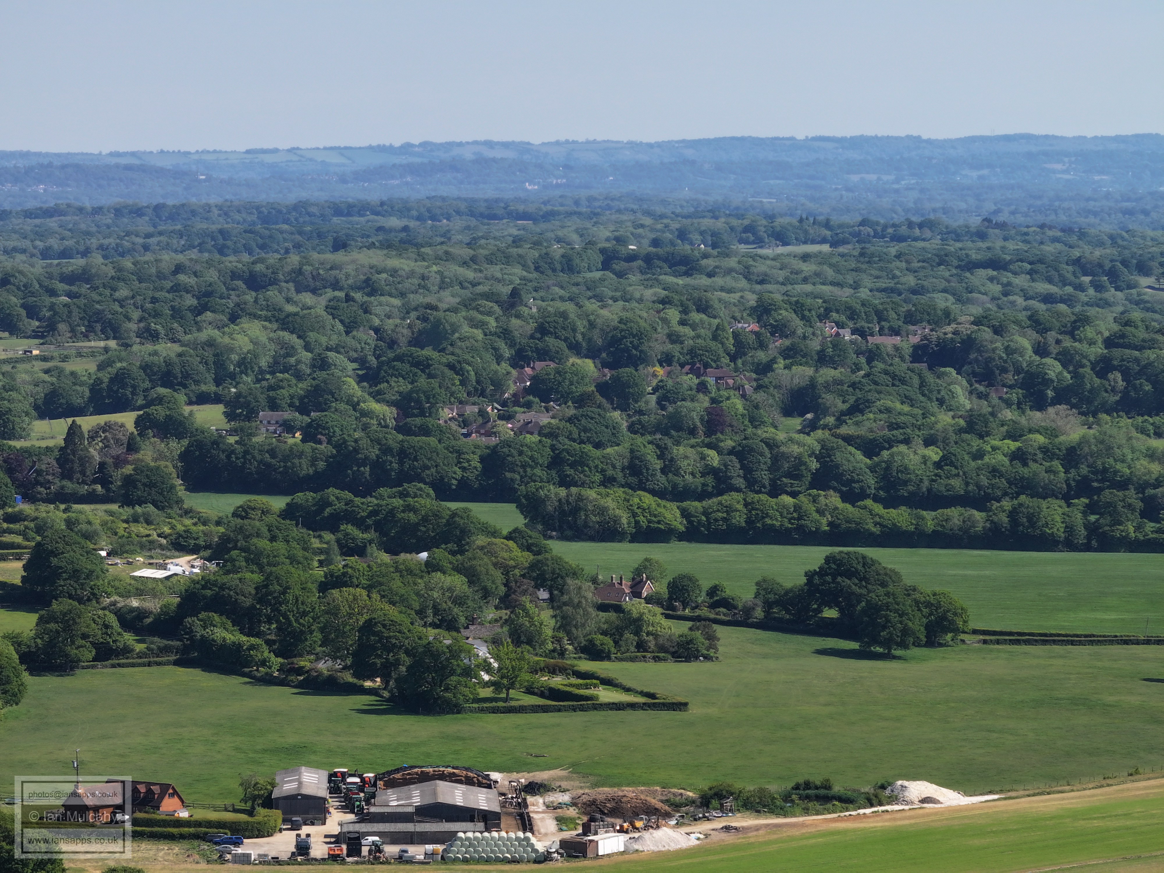
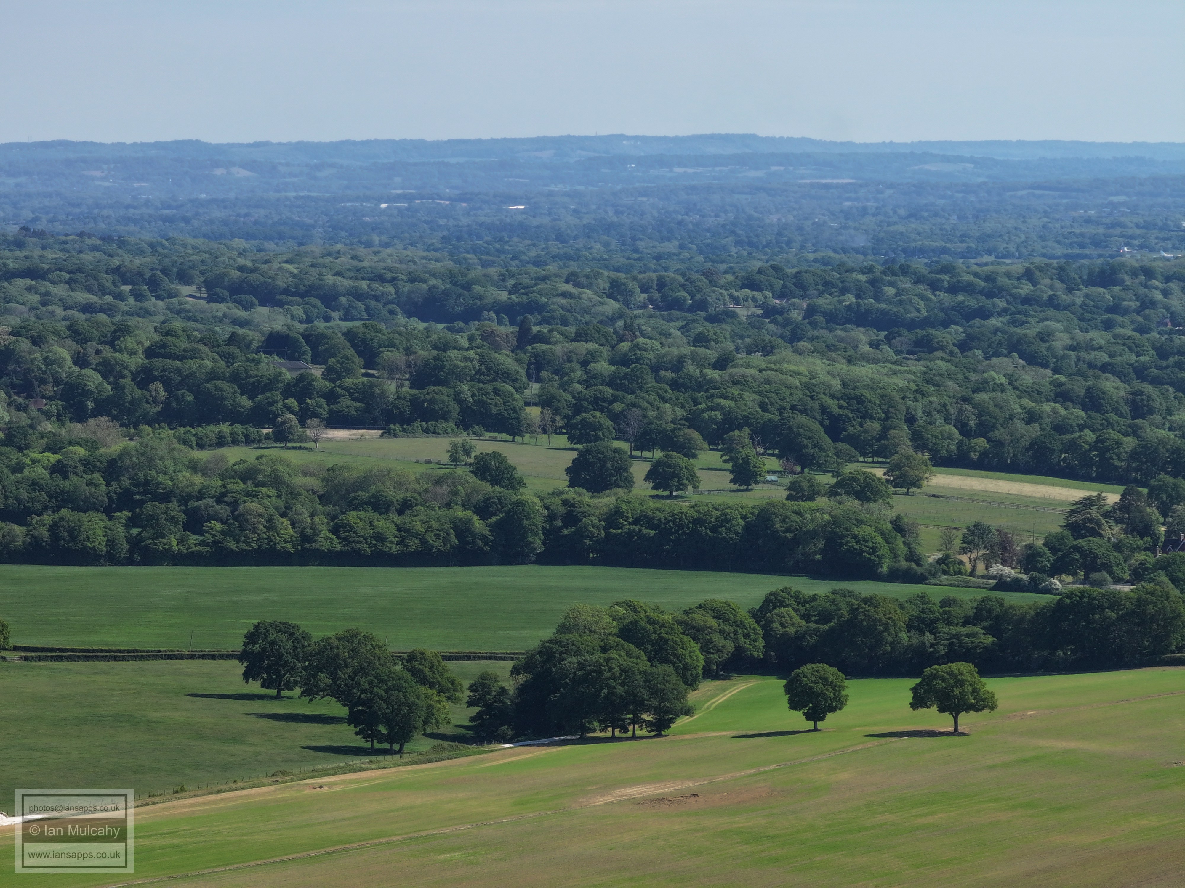
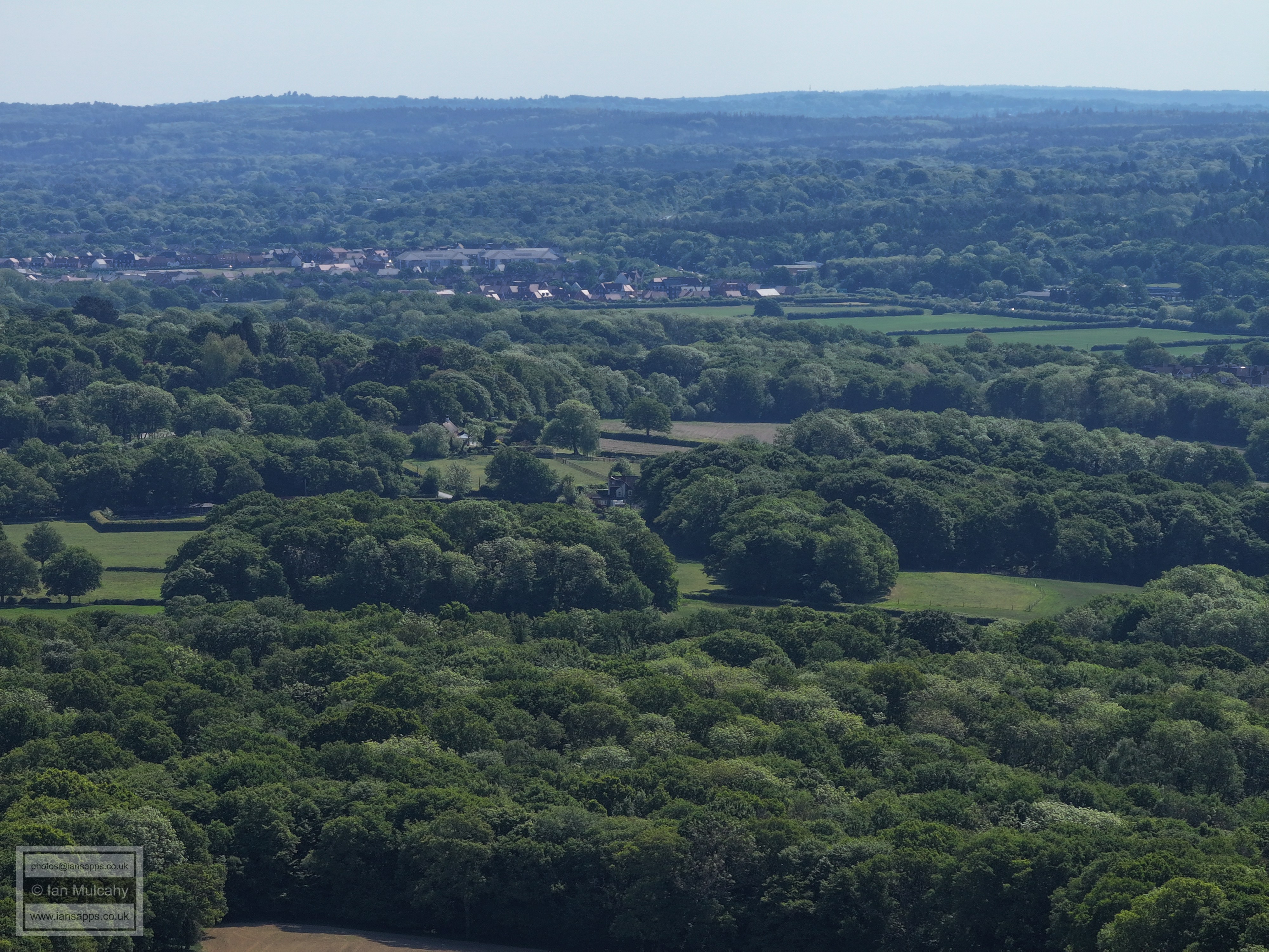
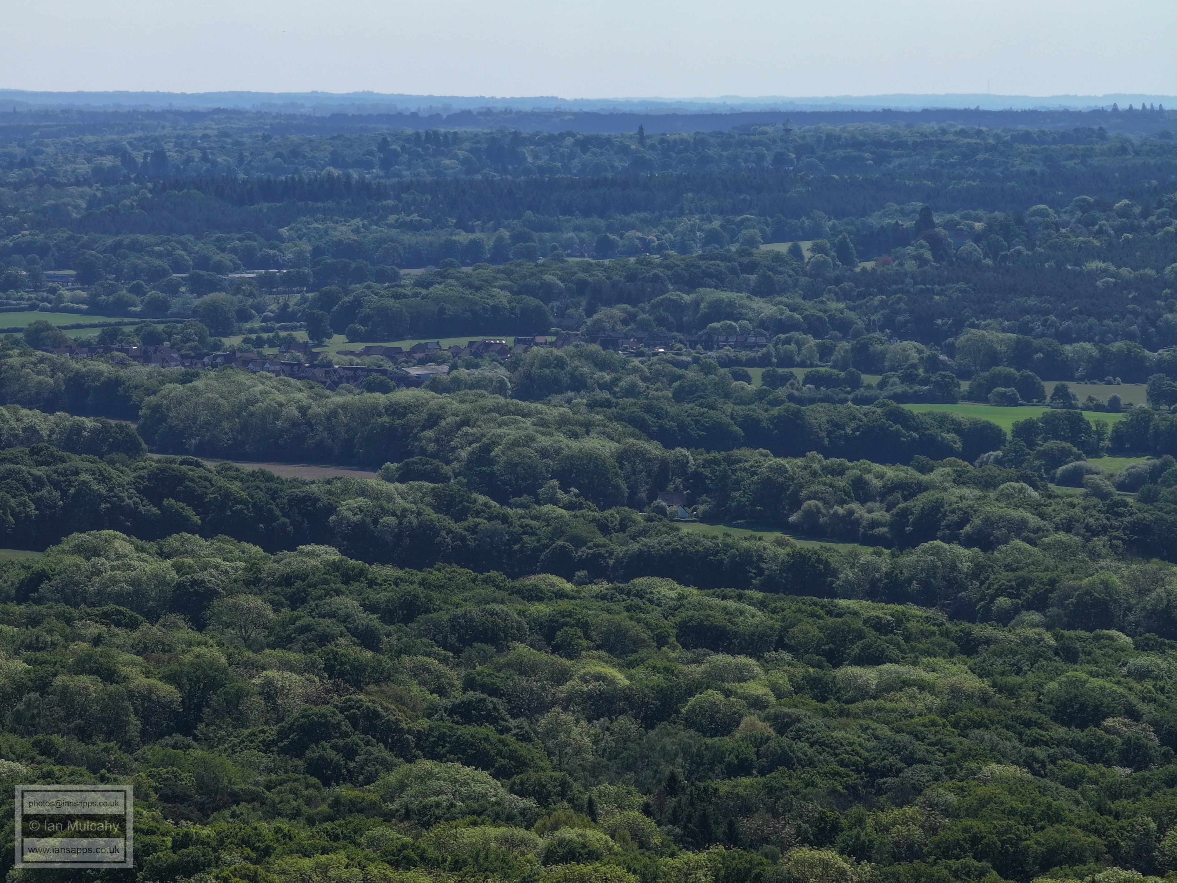
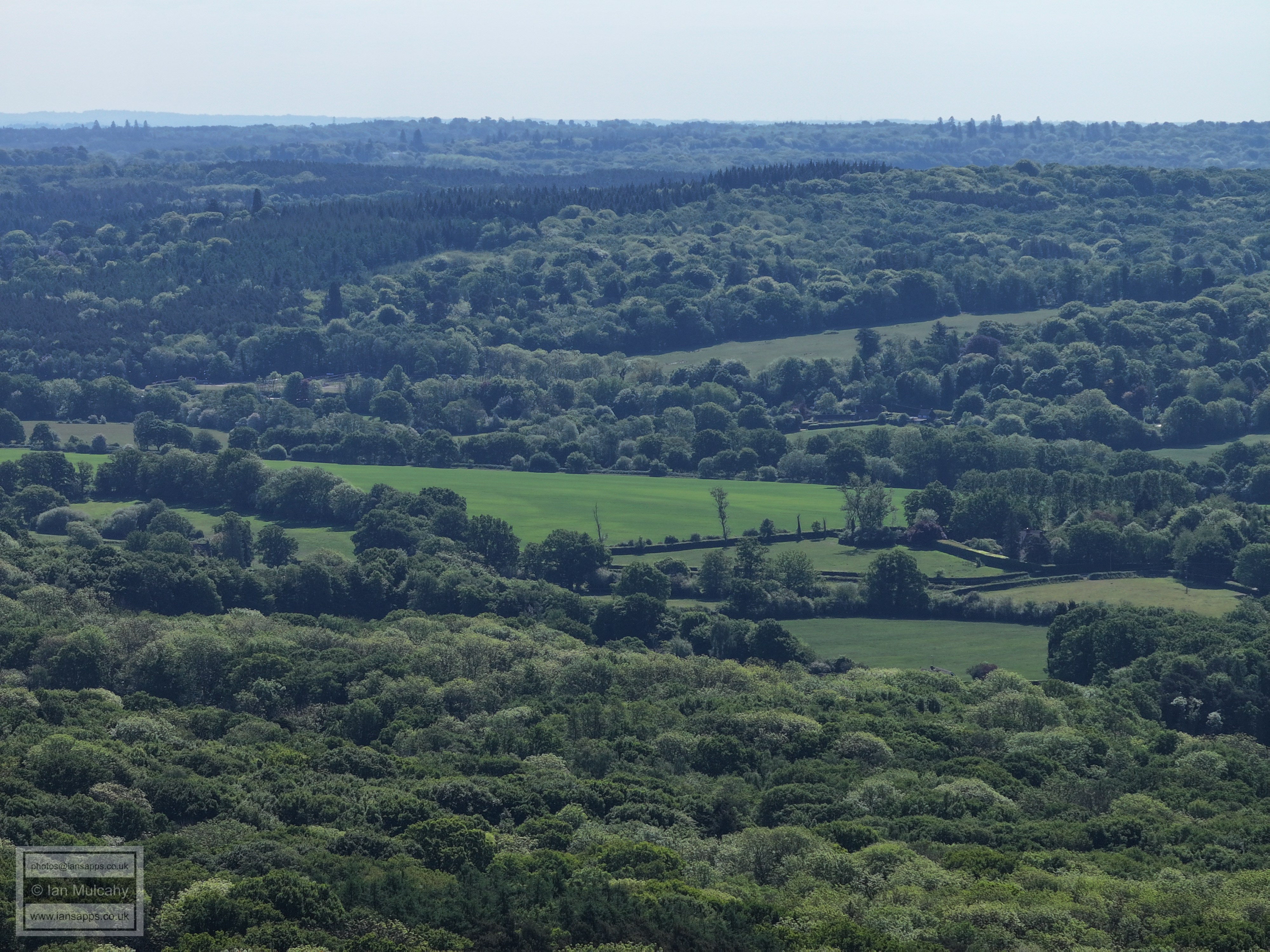
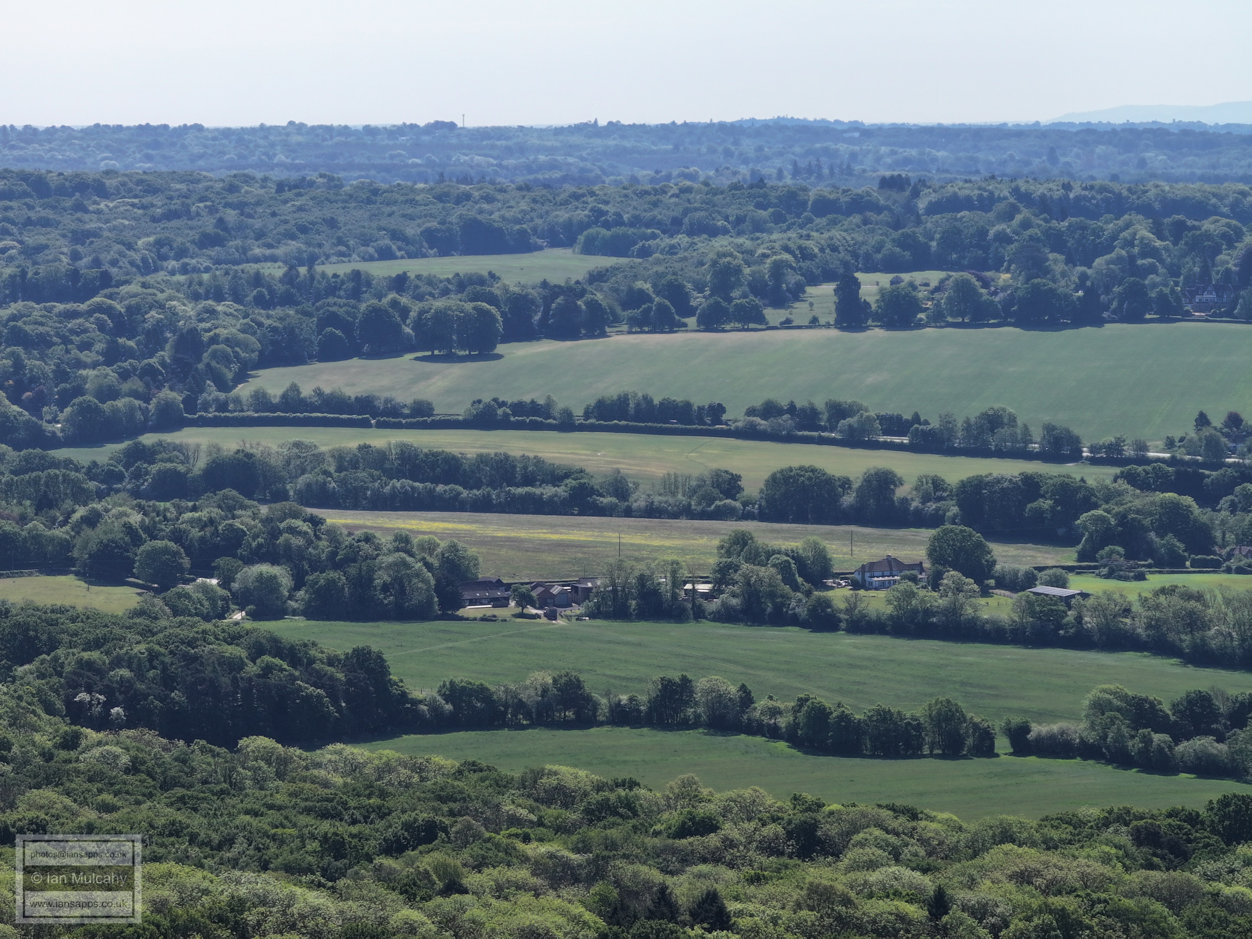
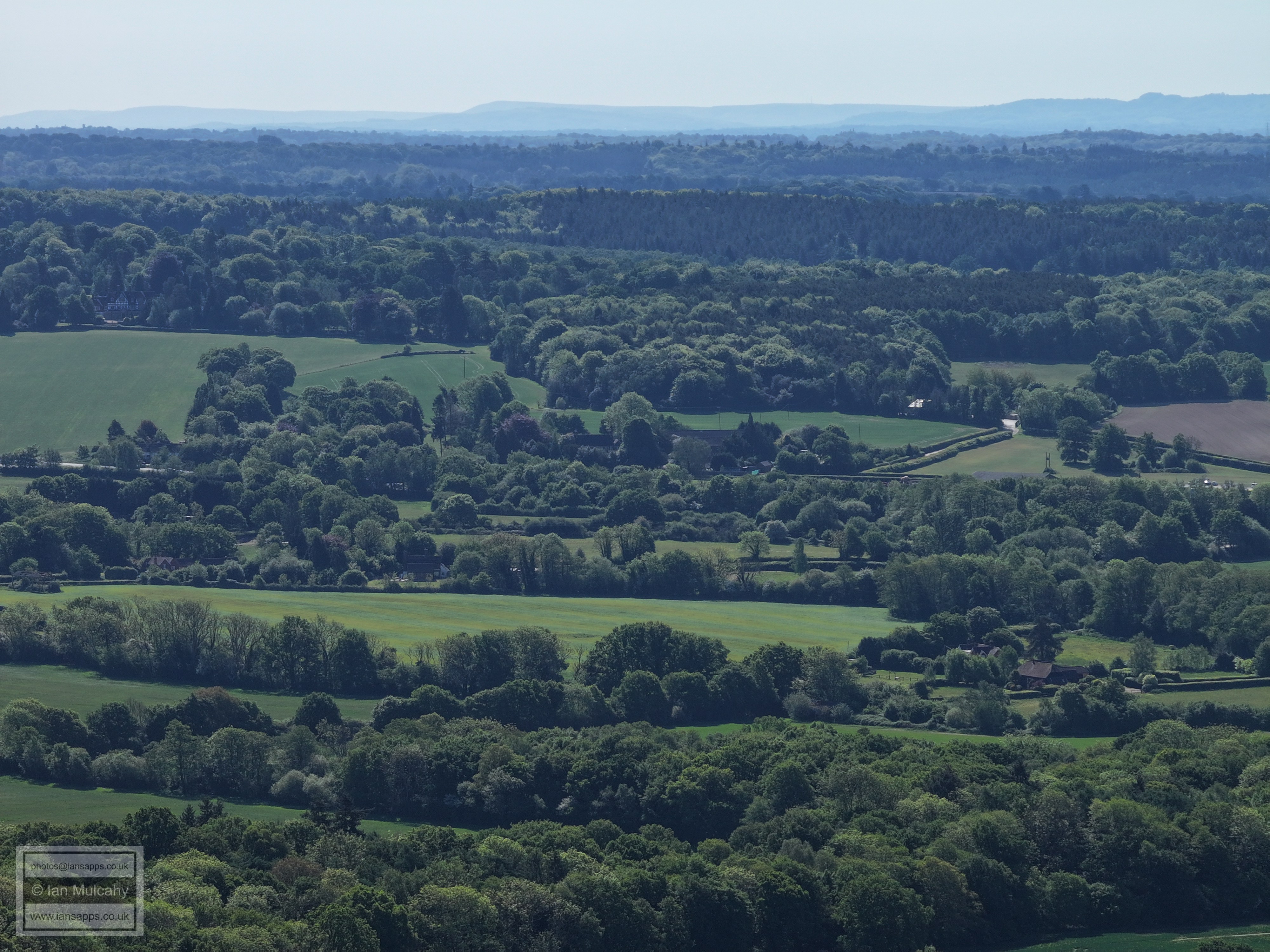
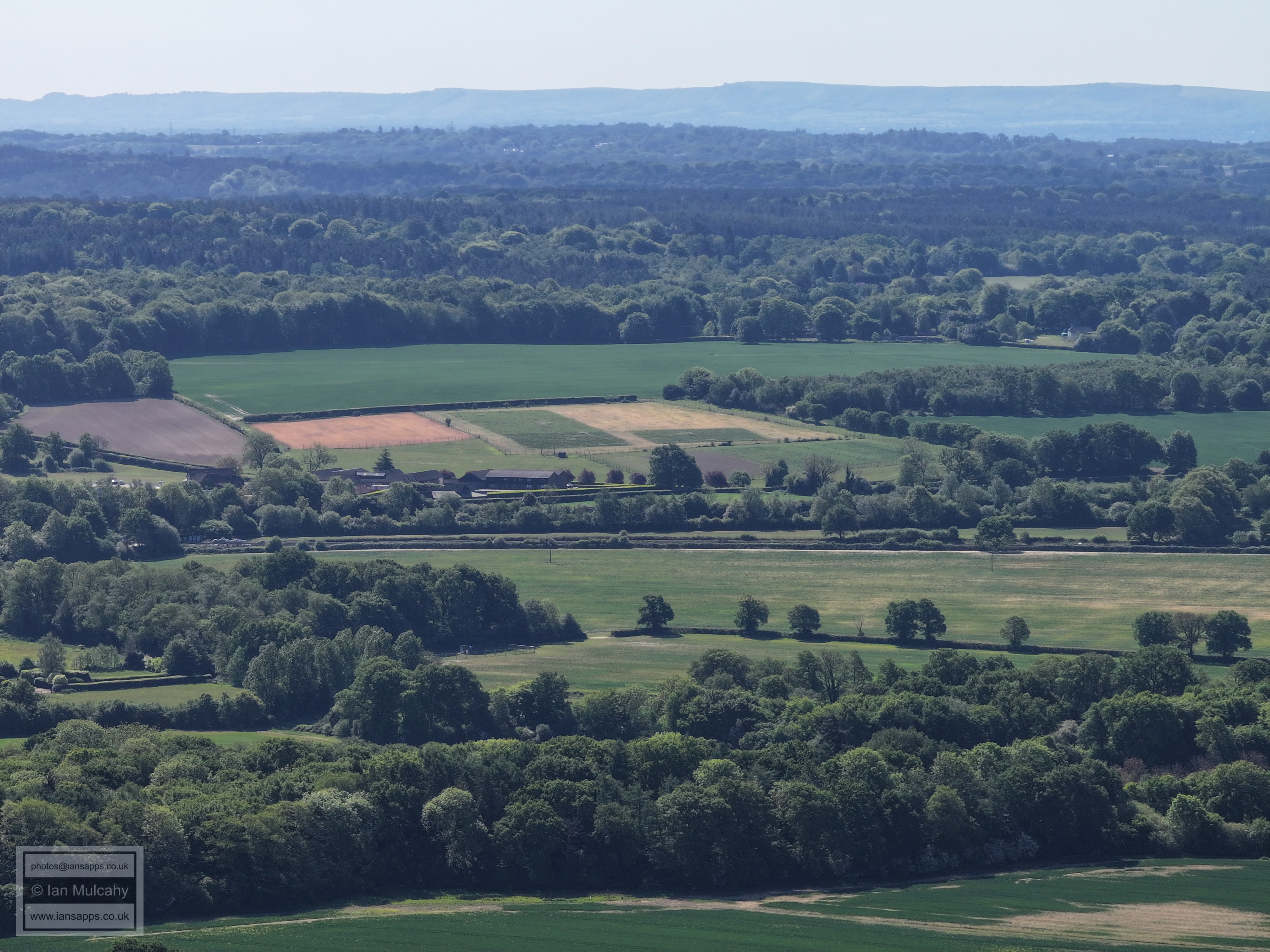
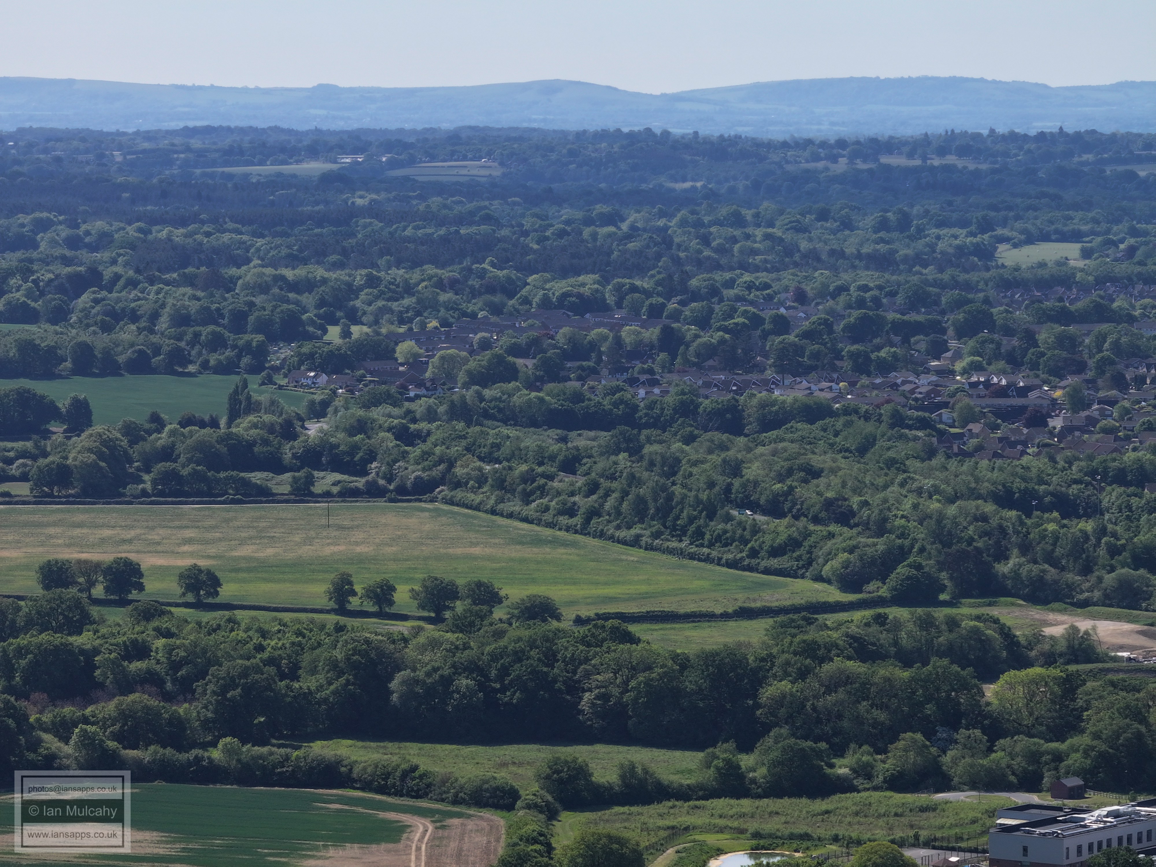
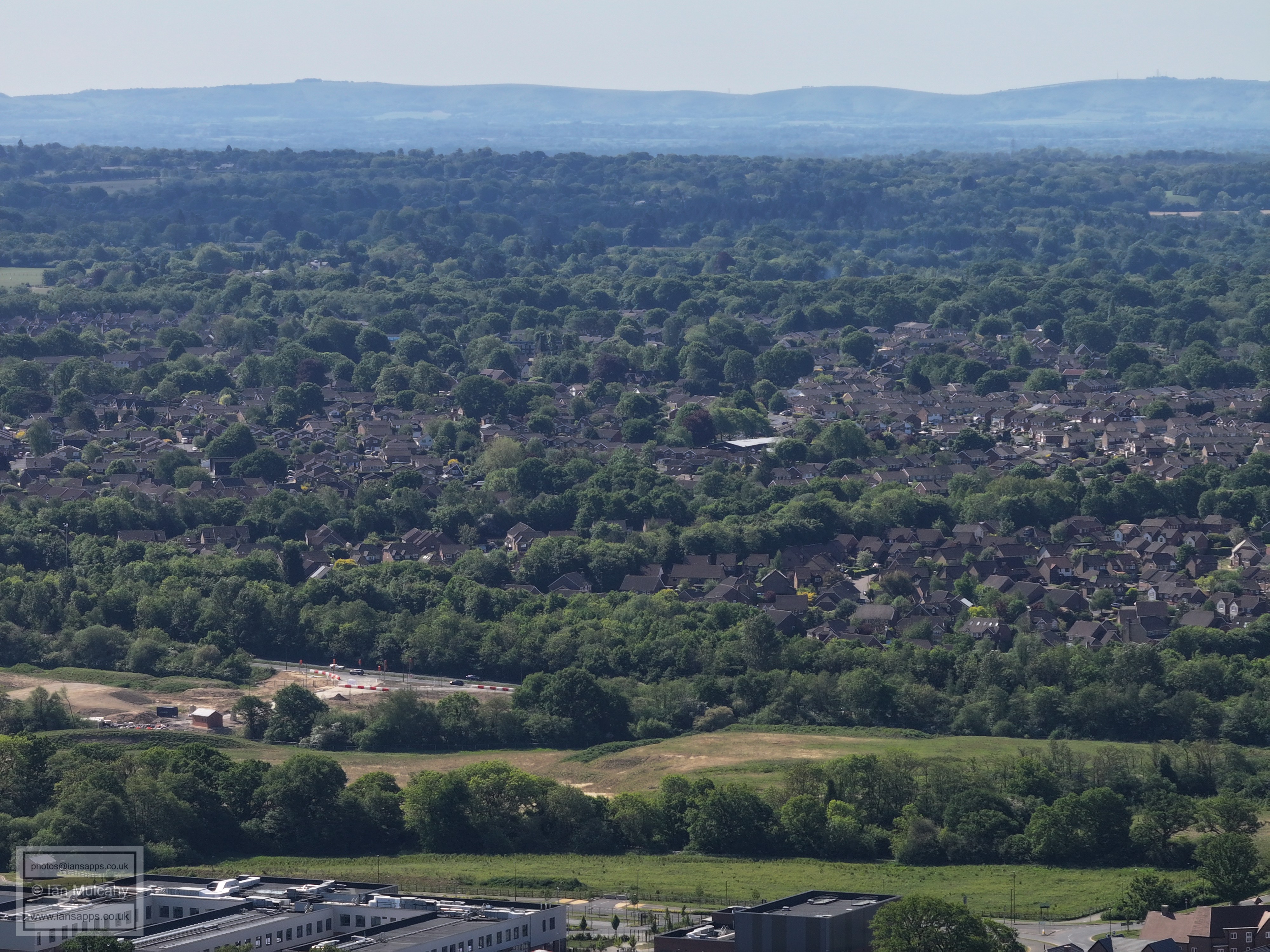
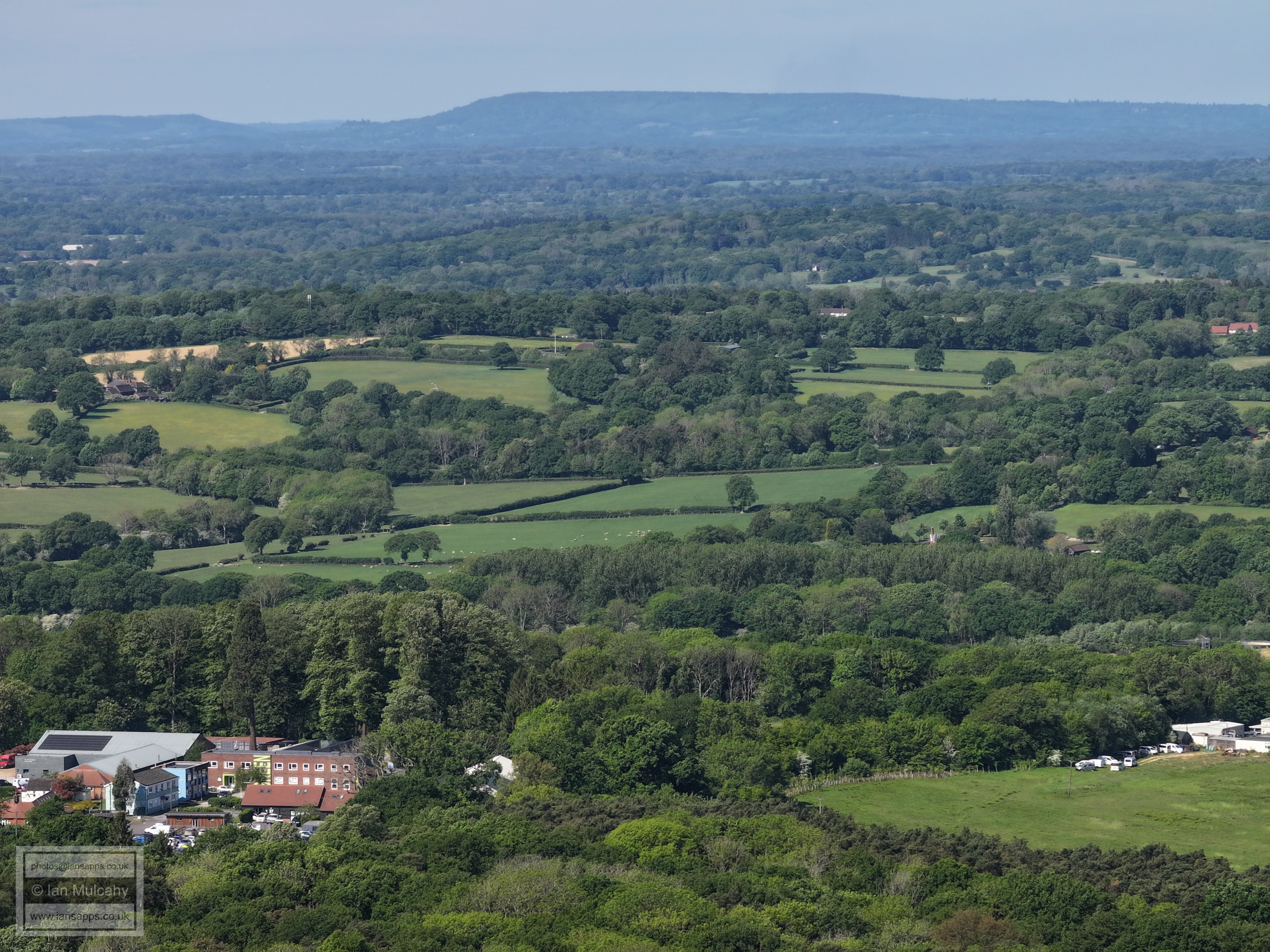
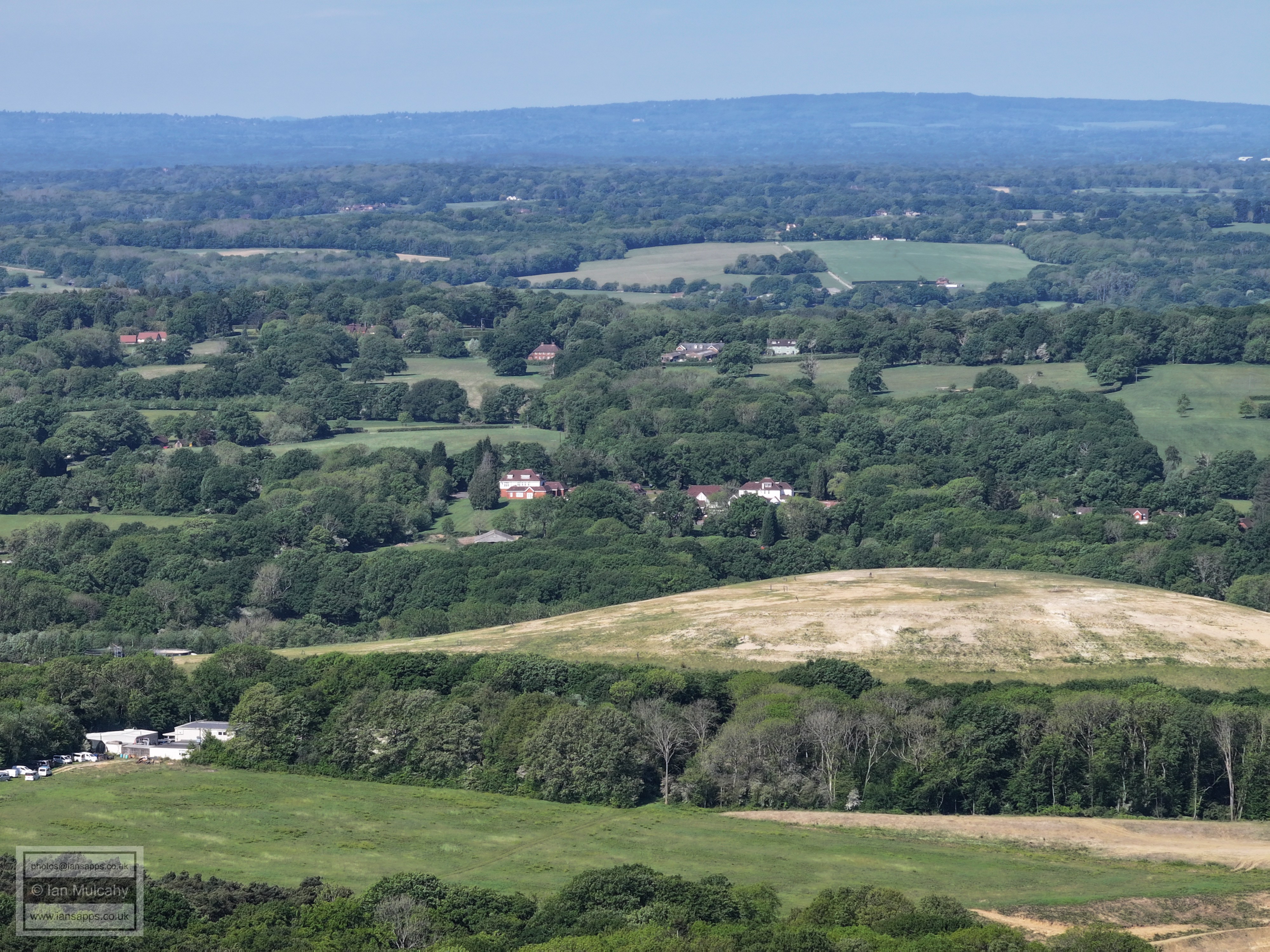
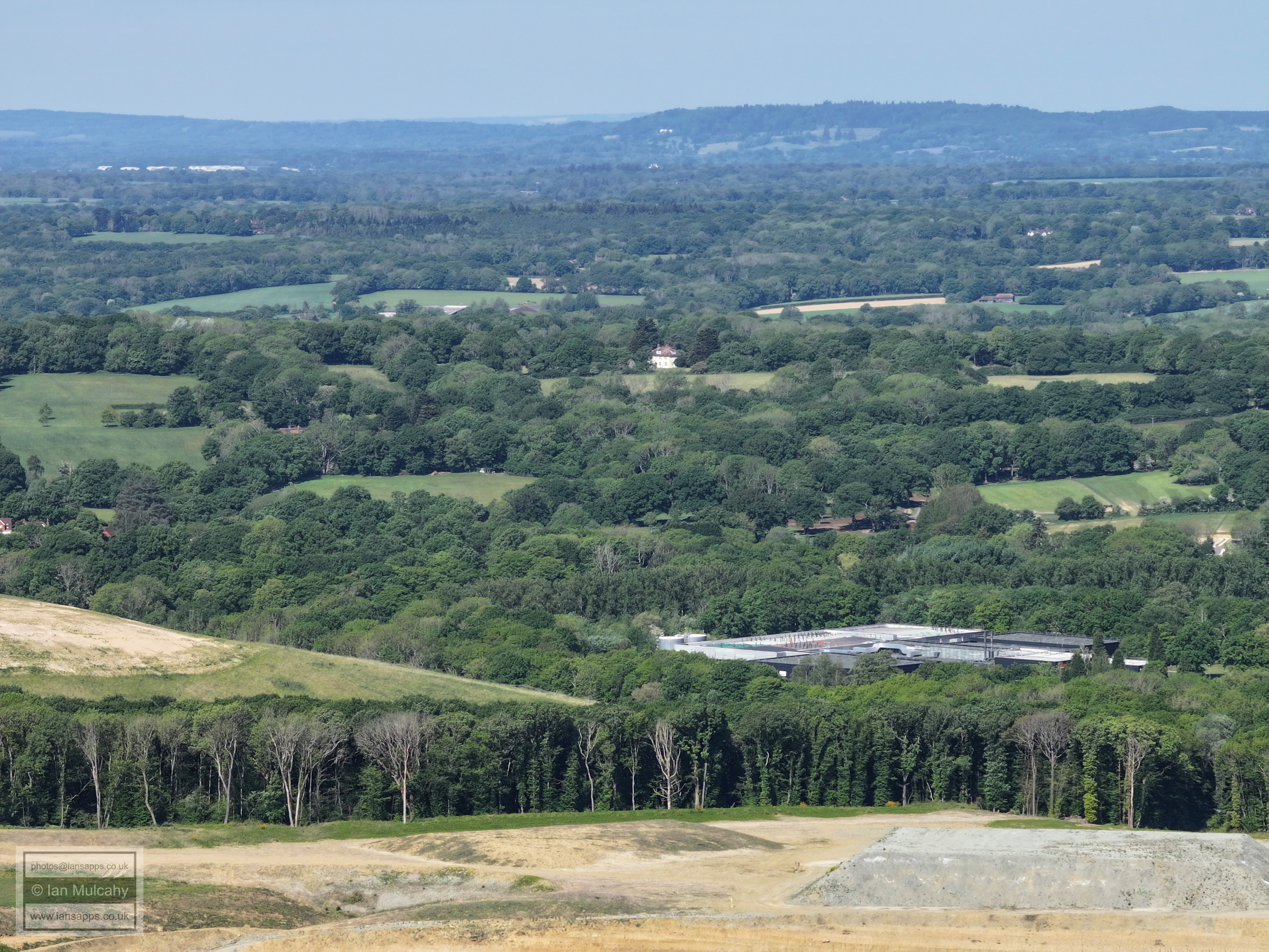
60 aerial images of varying focal length taken from the peak of Hurst Hill between Hill Farm and Northlands Farm in the Parish of North Horsham, West Sussex on 11 May 2025; a gloriously sunny day which afforded clear and detailed views of Leith Hill, the North Downs, Gatwick, Crawley, The ridges of the High Weald, Horsham, Christs Hospital, Warnham the South Downs and even the windfarm in the English Channel off the coast of Shoreham. I have annotated some of the photos.
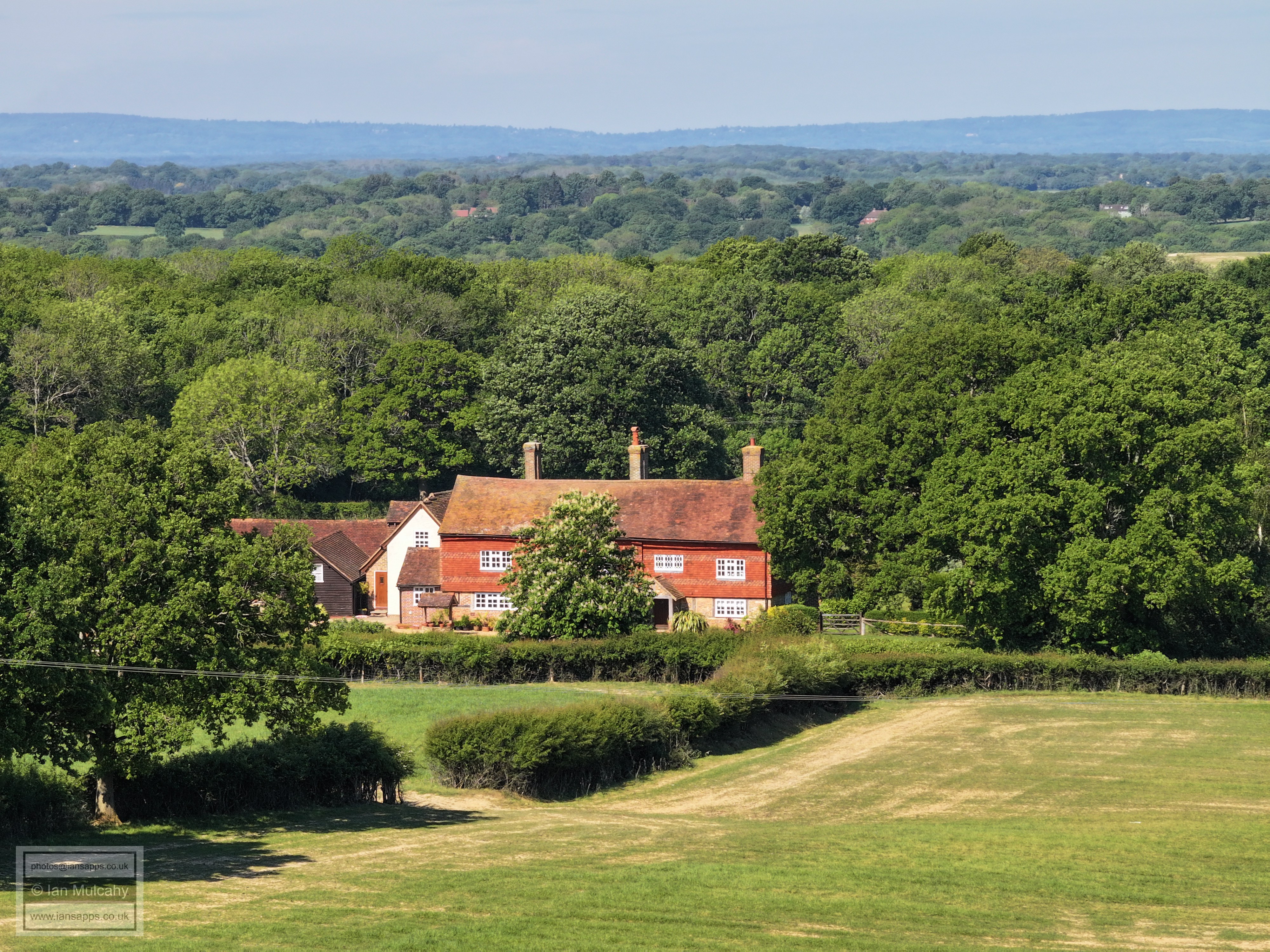
Northlands Farm
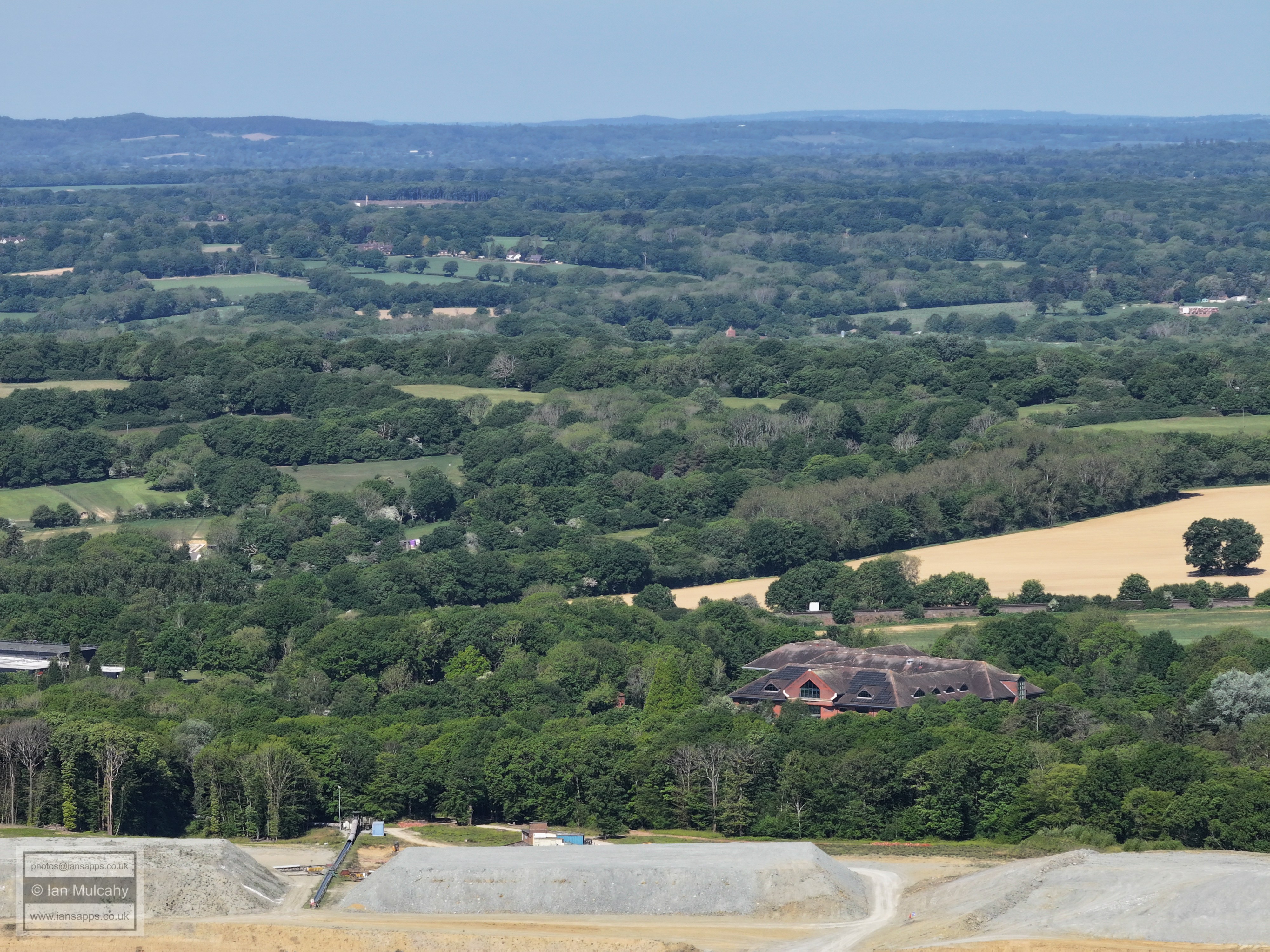
Langhurstwood Road quarry and landfill
Box Hill, top right, with Nunnery Farm and Curtis's Farm also in the top right quarter
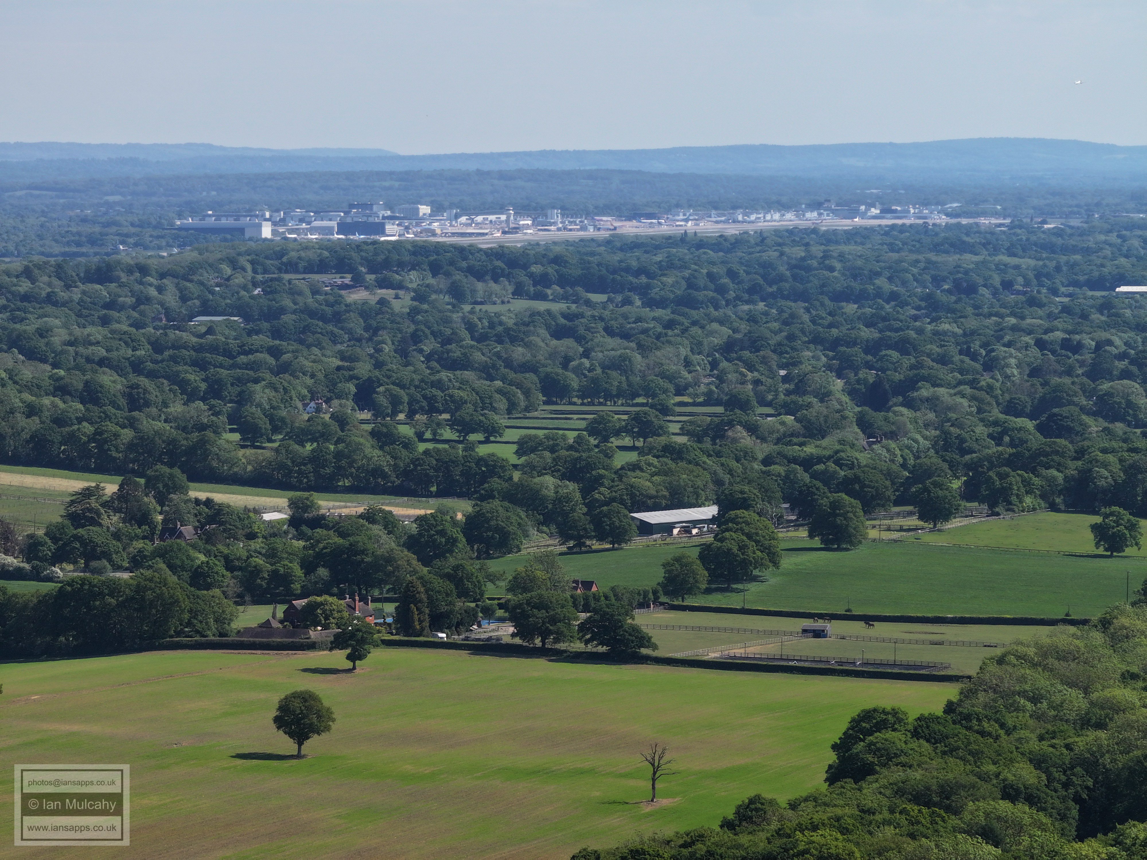
Gatwick is in the top right quarter. The road across the centre towards the top quarter is the Horsham to Rusper Road
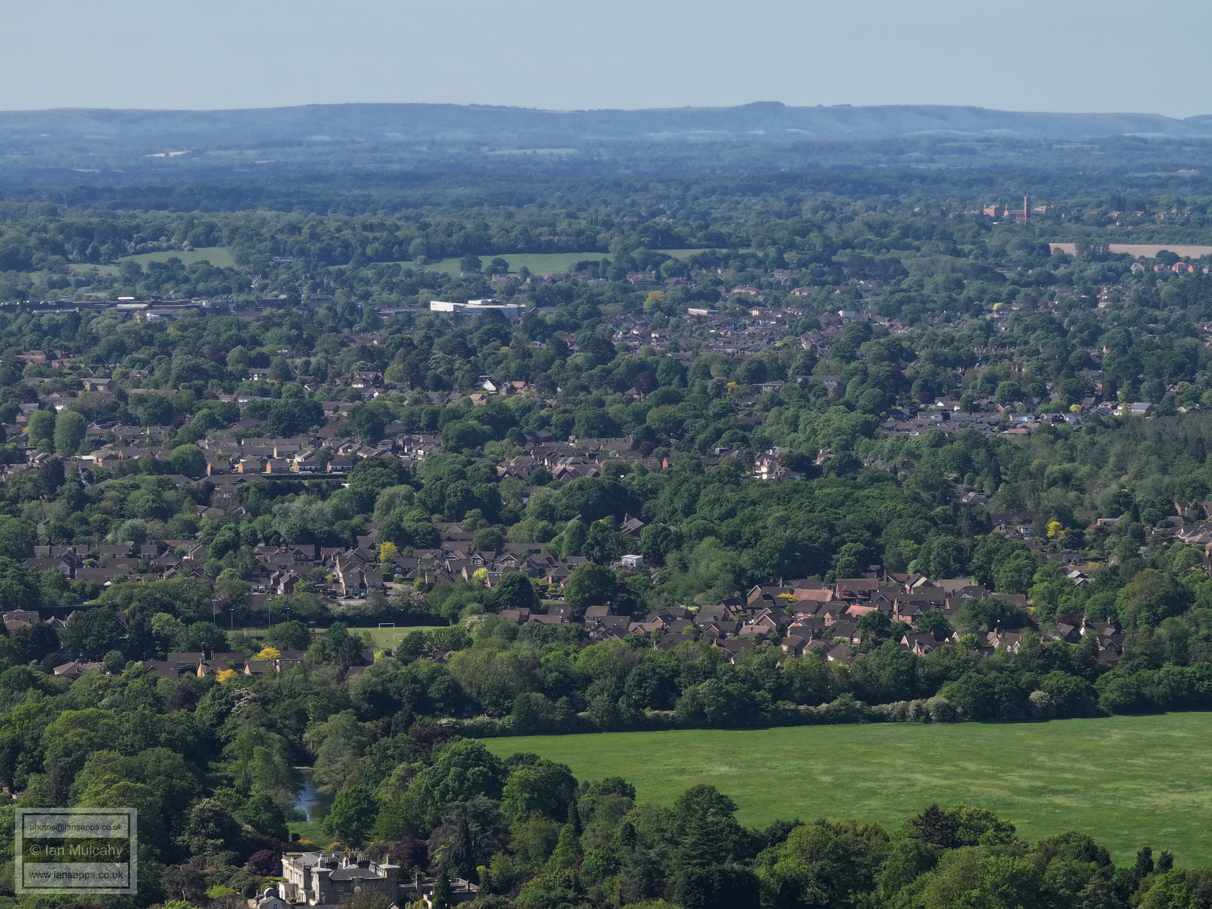
Mowbray and Horsham
Graylands to teh right with the brickworks and Biffa site beyond.
Quarry & Landfill
Broadlands Business Park behind the quarry. Kingsfold in the top right quarter
Leith Hill
Box Hill, top right. Nunnery Farm and Curtis's Farm are once again below, on the far right towards the vertical centre.
Old Park Farm and the Horsham to Rusper Road. Rusper is above the farm, and a small part of the church tower (and the flag) are just visible.
Gatwick, top left.
Bohunt and the Roffey area beyond.
Mowbray & Horsham
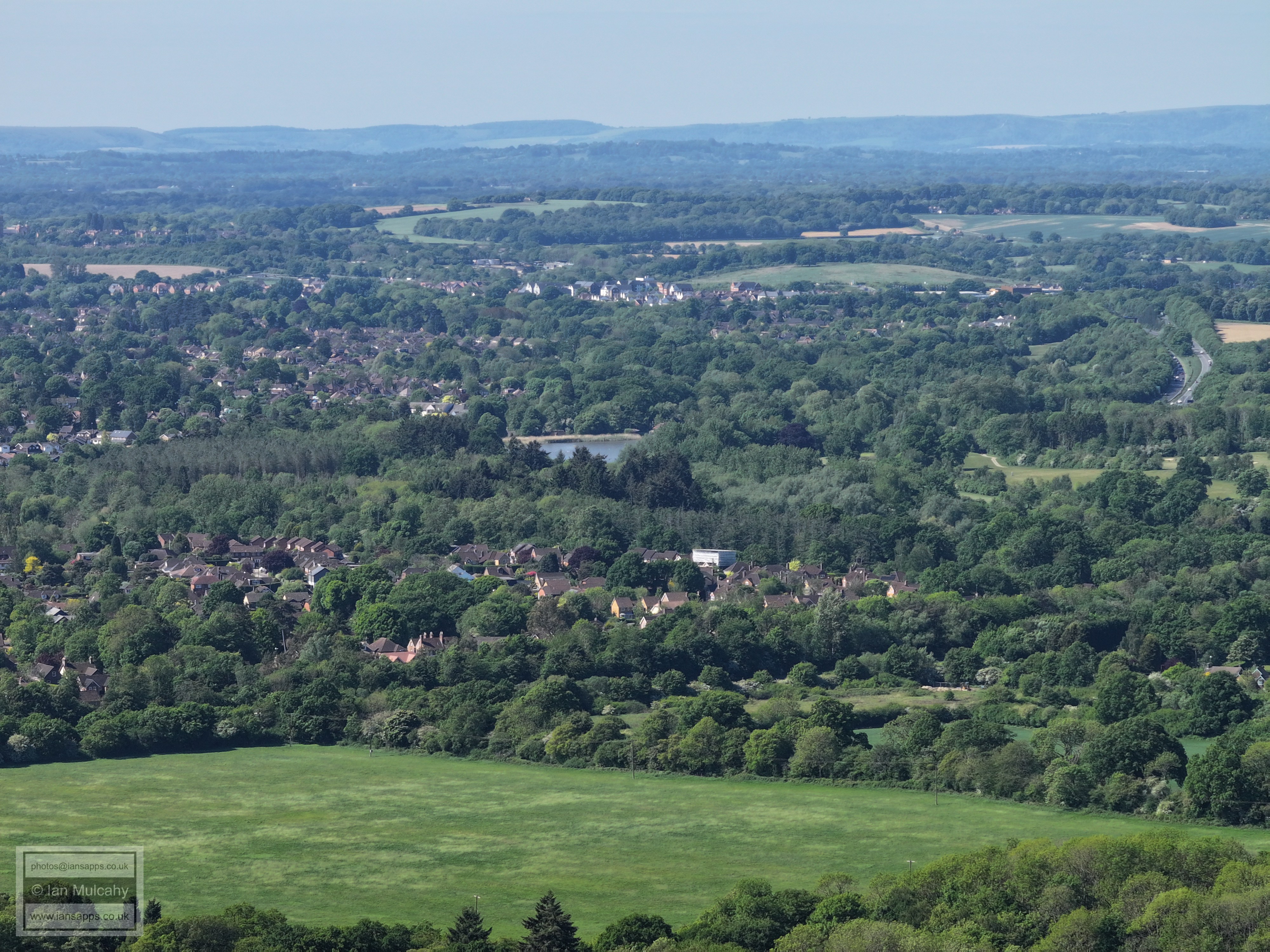
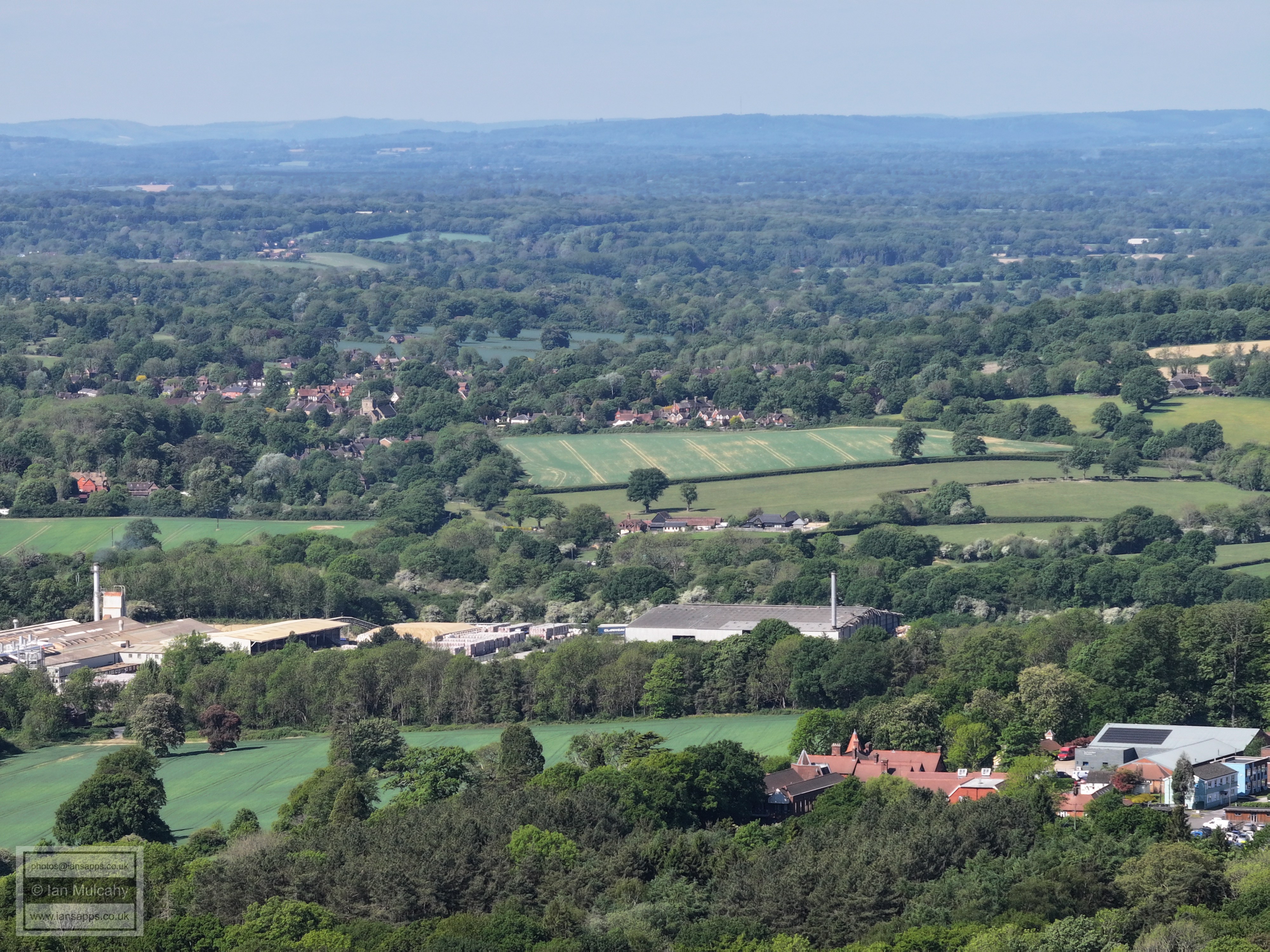
Old Holbrook in the foreground, Horsham beyond. Warnham Millpond is in the top right quarter.
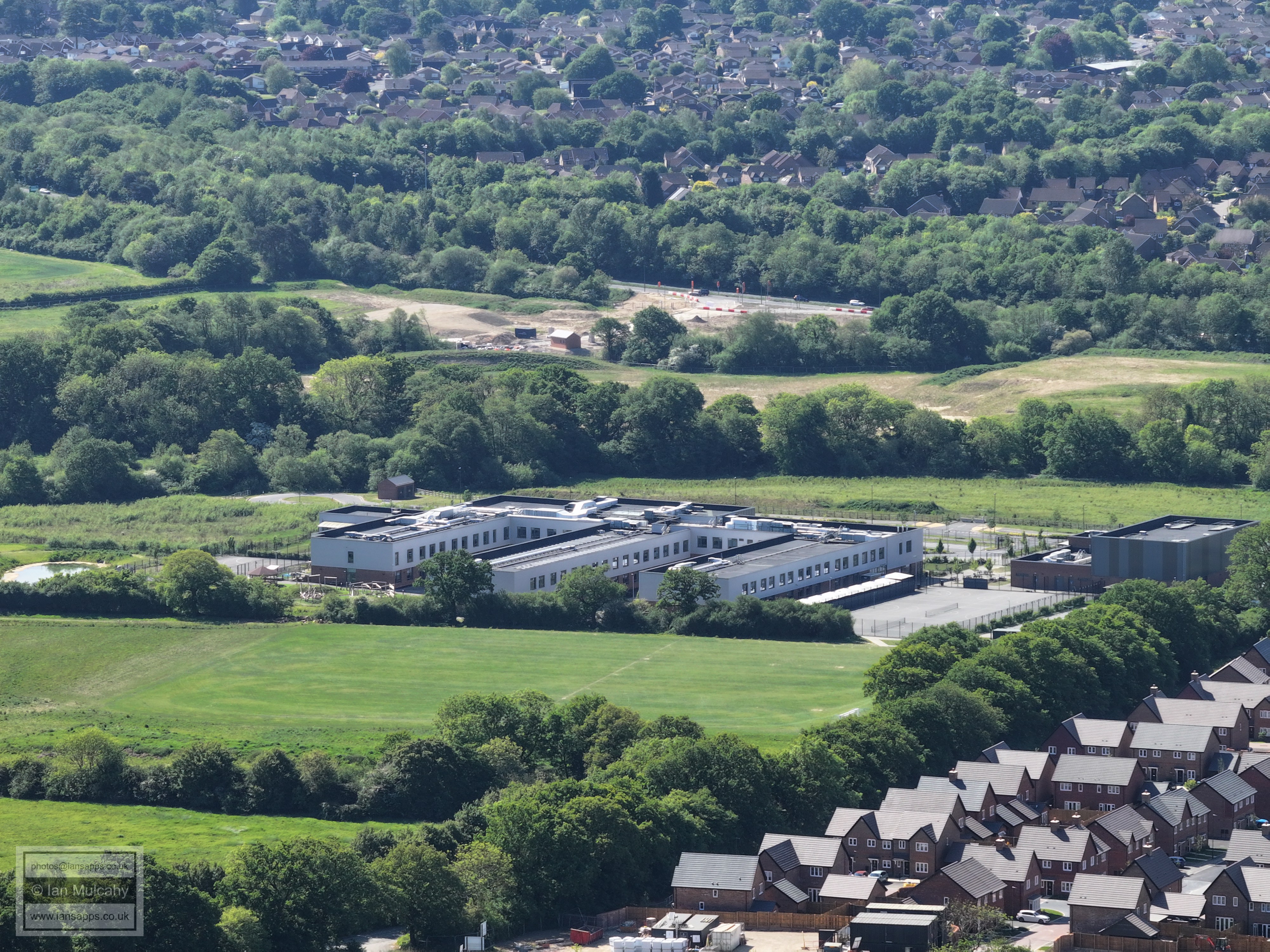
Holbrook Park
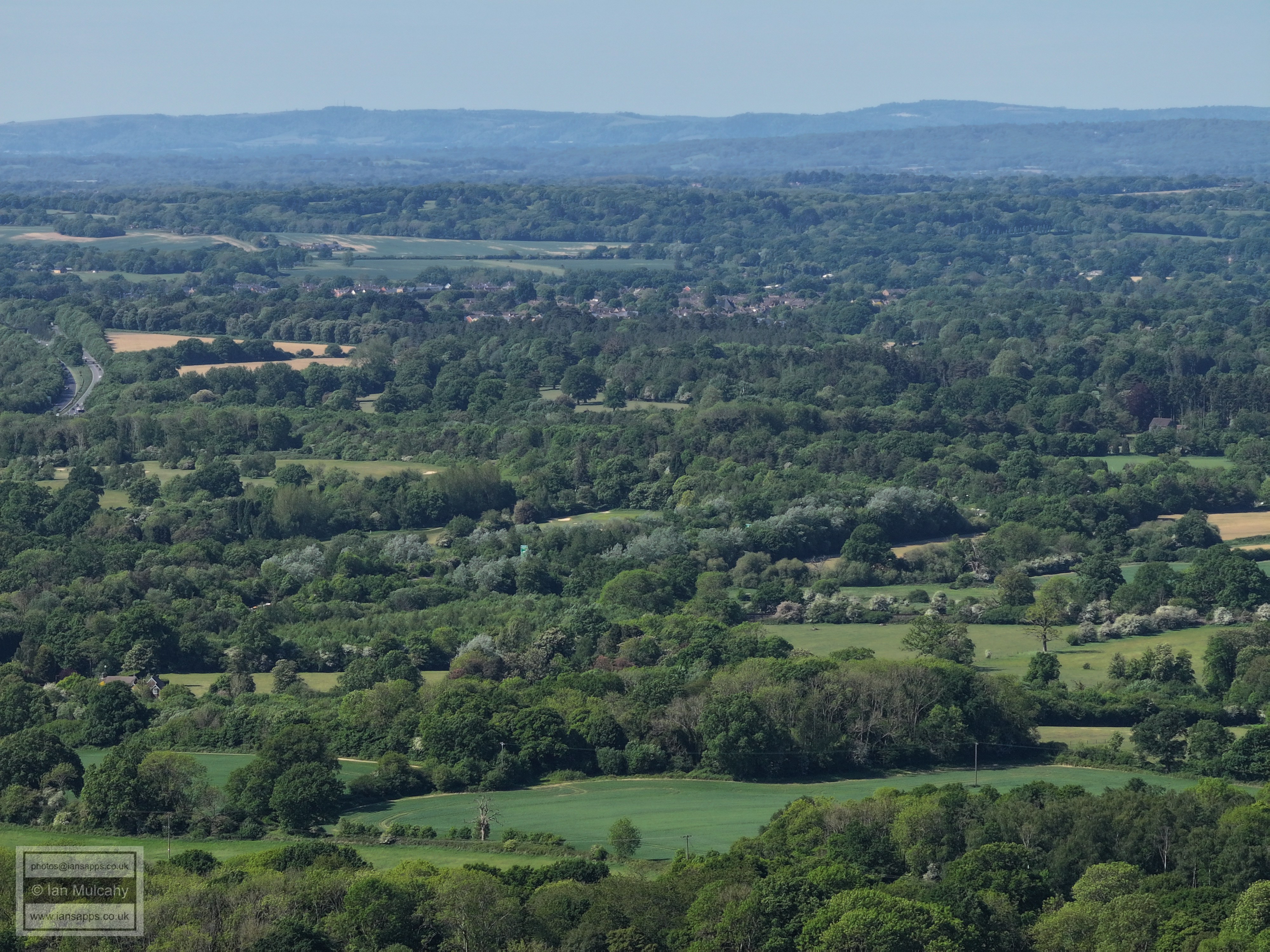
Broadlands Business Park
Kingsfold
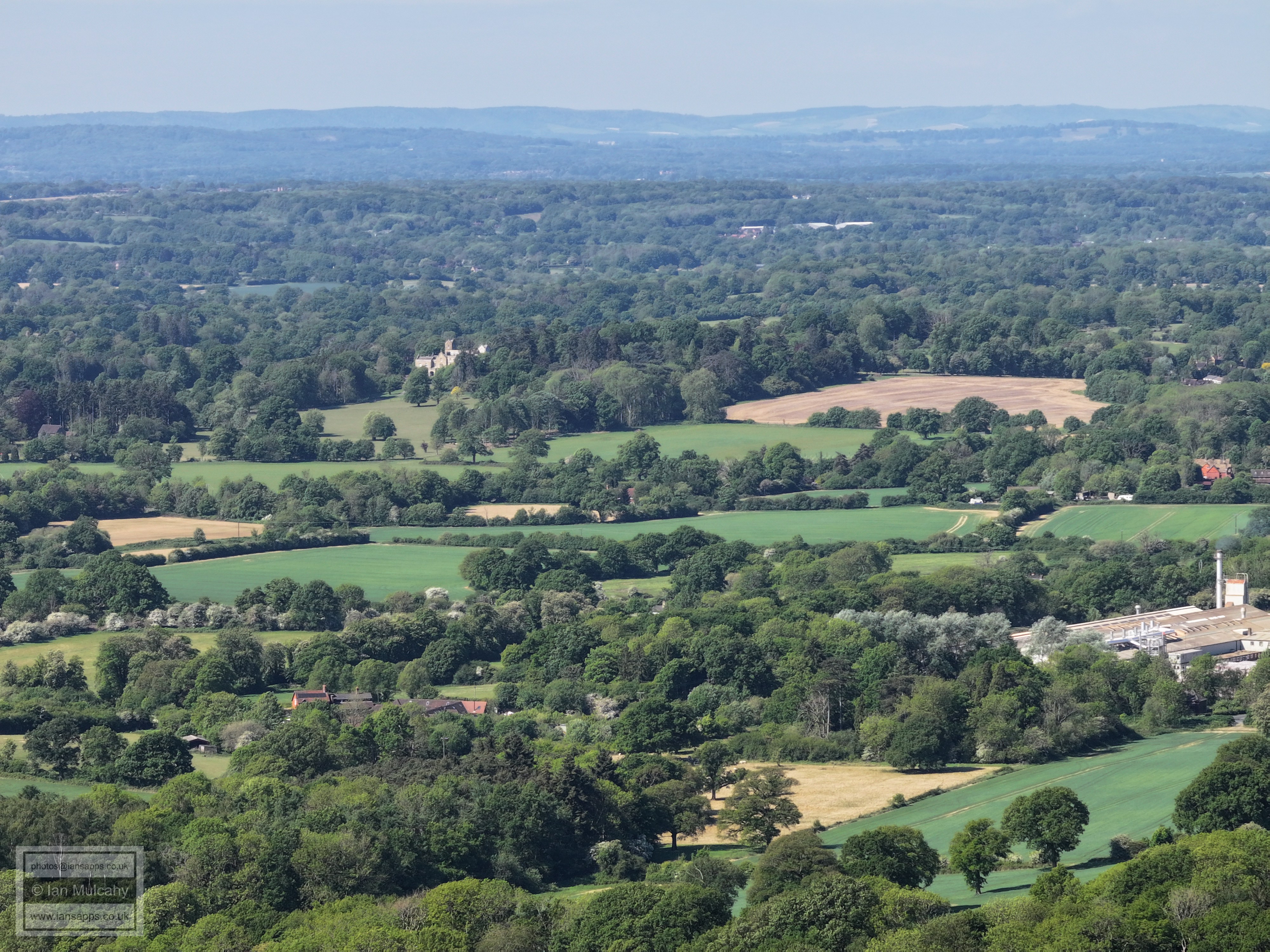
In the centre of the pic is 'Bonnetts', a large 16th century house in the southern area of Capel Parish.
Leith Hill. The tower is just in from the left. At the bottom is Great Benhams in Friday Street.
Clockhouse Brickworks on the left, above centre
Boxhill top right and the tower blocks on the Goodwyns Estate in Dorking are in the top left quarter. I'm not entirely sure what the large white house is on the ridge beyond and I am open to suggestions.
In the bottom right is Nunnery Farm and above, just right of centre, is Lipscombs Corner on the Capel Road from Rusper.
Lots going on here. On the top of Box Hill on the left is Brockham Warren and in the top right quarter is Newdigate Church. In the centre is Lyne Farm, with Lyne House hidden behind the trees to the left (one turret is visible). Right of centre is New Barn Farm, and bottom centre is the Nunnery.
Right of, and just above, centre is Highams on the Rusper to Capel Road. In the bottom right quarter is the Rusp to Horsham Road, and the entrance to Old Park Farm. In the distance is Reigate.
Rusper Village in the centre. The church tower and flag are just visible. Old Park Farm is at the foot of the image and the Horsham stone roof of Old Park Farm Cottage is visible in the trees just above.In the top left quarter is St Johns Church at the eastern end of Earlswood Common. Towards the centre near the top is Nutfield Priory.
Gatwick. In the bottom left quarter is Westons and Baldhorns on Wimlands Road.
Manor Royal Industrial Estate. St Margaret's Church at Ifield is just to the right of the vertical centre line.
Coombers Farm, with Crawley Town centre beyond. About 20% down from the top. Right of centre is Carylls Country House in Faygate Lane.
On the far left in the top left quarter is The Windmill at Gossops Green. Top centre are the town houses of Caburn heights in Southgate West and in the top right quarter is the Ferris wheel at Tulleys Farm. On the right towards the top is Kilnwood Vale.
Just to the left of centre of the picture is the Wimlands Lane/Road junction and Wimlands Farm. Kilnwood Vale is beyond.
Faygate centre and left with multiple ridges of the High Weald beyond. The Cottesmore radar is a little right of centre on the first ridge.
To the right of centre, with a neat hedge to it's left, is Bensons House on Wimlands Road.
Out of sight on the left of centre is the Frog & Nightgown. In the centre is Bensons Farm
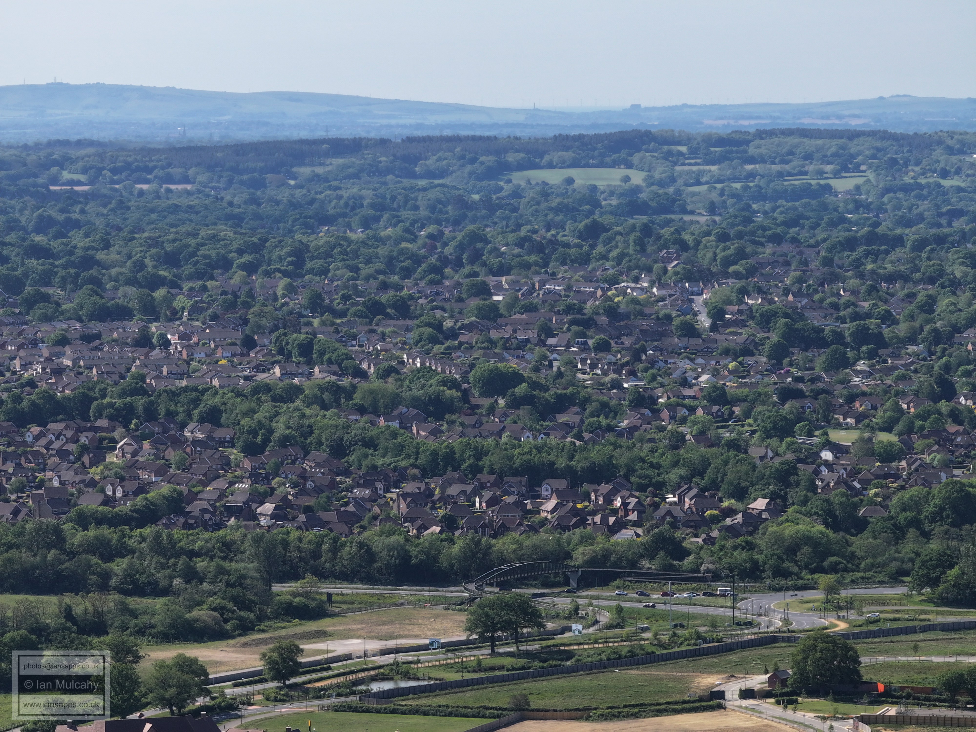
In the top left quarter is Roffey Park. Far left of centre is Brook House on Wimlands Road with Kings Farmhouse a little to the right. Down in the bottom right corner is Owlscastle Farm on Bush Lane. The houses on the Old Crawley Road are in the centre. Take a minute here to gaze at the ridges of the High Weald, and South Downs, beyond.
Newhouse Farm is left of centre and below, on the far left, is Wimlands Road (Roffey Road Halt) level crossing.
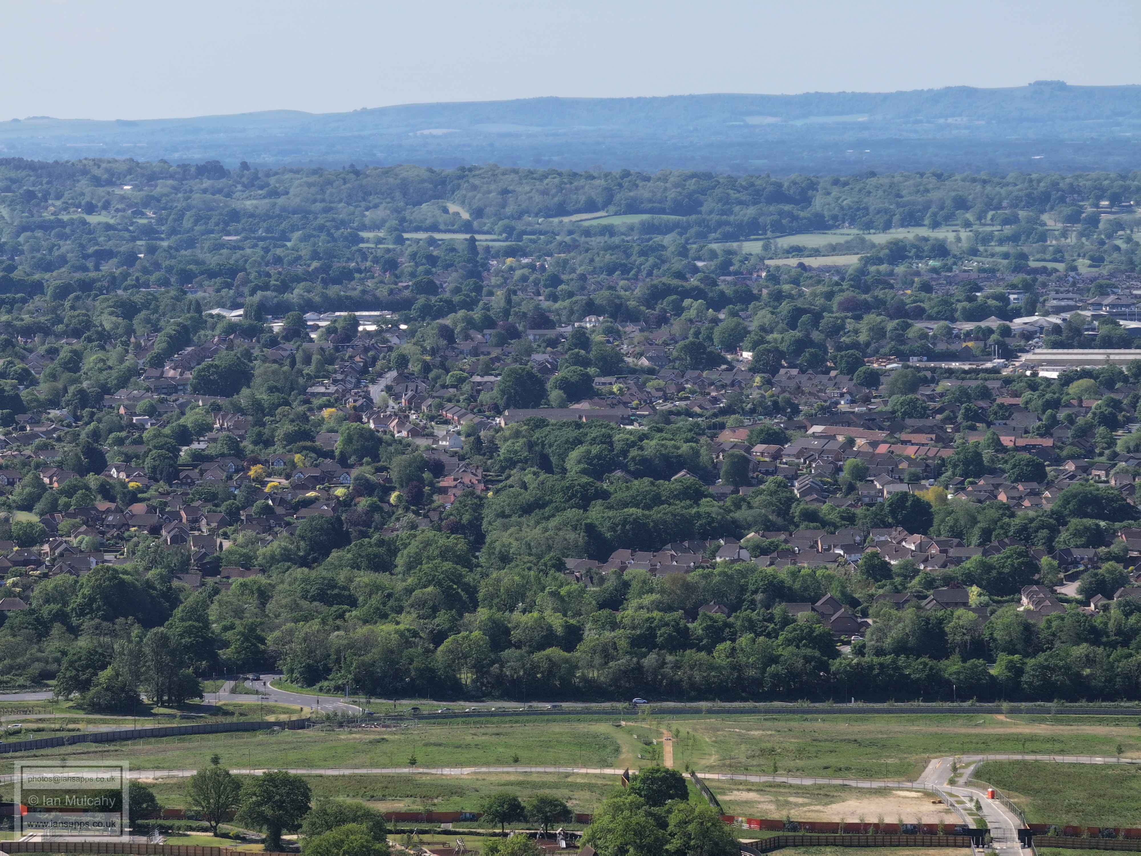
Moorhead roundabout is obscured by trees to the left of centre and eastern Horsham - Church Road/Earls Meadow area, are across the centre and to the right. Bohunt is bottom right.
Just visible on the far left, above the roadworks area on the A264, are the floodlights at Roffey FC. Beyond is the Lambs Farm Road area and Lemmington/Bartholomew way towards the bottom right. Just to the left of centre is the spire of All Saints Church in Crawley Road, but you need to look closely to distinguish it from the trees.
Bohunt
Rusper Road roundabout in the foreground. On the horizon in the centre, guarding the Adur valley, are the chimney at Shoreham Cement Works to the left and Lancing college to the right. Through the valley you can see the wind turbines in the English Channel and the Channel itself. Across the centre are Roffey & Littlehaven. The straight, almost vertical, road to the right of centre with a two windowed white house at the end is Littlehaven Lane, with the white house being on Crawley Road.
Rusper Road winding it's way up the picture just to the left of the centre, visible from the junction with Lower Barn Close. The white buildings above are Redkiln Way and on the far right of Centre is Parsonage Farm, with Foundry Lane just above.
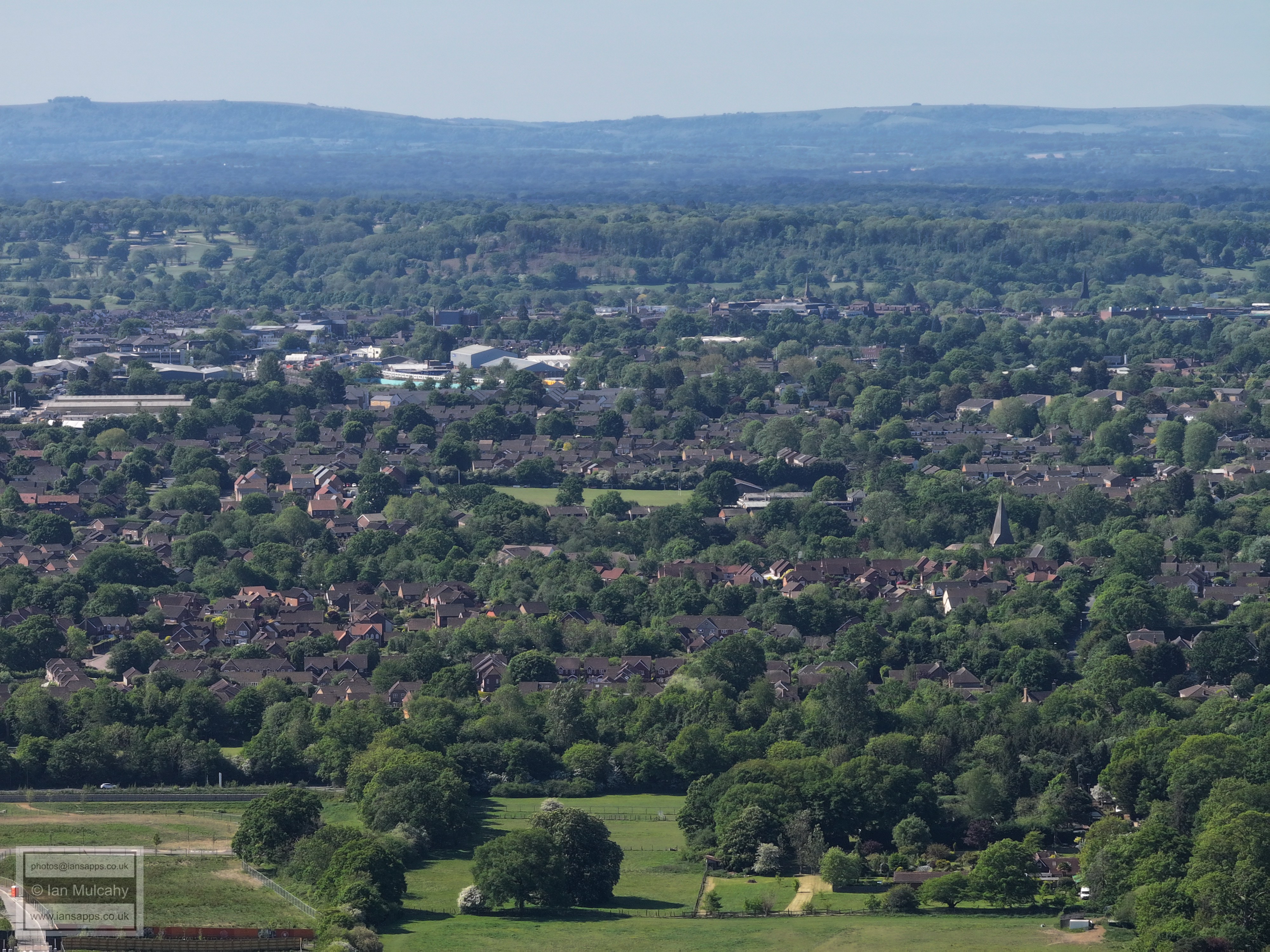
In the centre is the Holbrook club with (new) St Marks Church spire to the right. Above and to the left of centre is Nightingale Road area (spot the train on the Dorking Line) and a little further to the left the covered footbridge at Horsham station is visible. A little higher and to the right of centre is (old) St Marks and all the old Sun Alliance buildings. In the top right quarter is St Mary's with Swan Walk car park just below
The big white building just above and left of centre is Waitrose/John Lewis. At the foot of the photo is Holbrook Park and in the top right quarter is Christs Hospital
Warnham Millpond in the centre and the A24 to the far right, leading to Broadbridge Heath Roundabout. Highwoods is above the millpond and trees with Wickhurst Green and then Tescos further to the right.
Broadbridge Heath above centre
Warnham Court left of centre. On the far right, just above the brickworks, is Westons Place.
Warnham, in the centre and to the left. Graylands and the brick works in the foreground.
Landfill!
Broadlands
Text & photographs © Ian Mulcahy. Contact photos@iansapps.co.uk or visit my 'Use of my photographs' page for licensing queries (ground level photographs only). |