From Graylands Copse and a little way east of Old Holbrook
The Parish of North Horsham, West Sussex
11 May 2025
65 aerial photos of varying focal length
|
65 aerial images of varying focal length taken from two locations; Graylands Copse and a little way east of Old Holbrook, in the Parish of North Horsham, West Sussex on 11 May 2025; a gloriously sunny day which afforded clear and detailed views of Horsham and southwards towards the Downs.
I have annotated many of the photos.
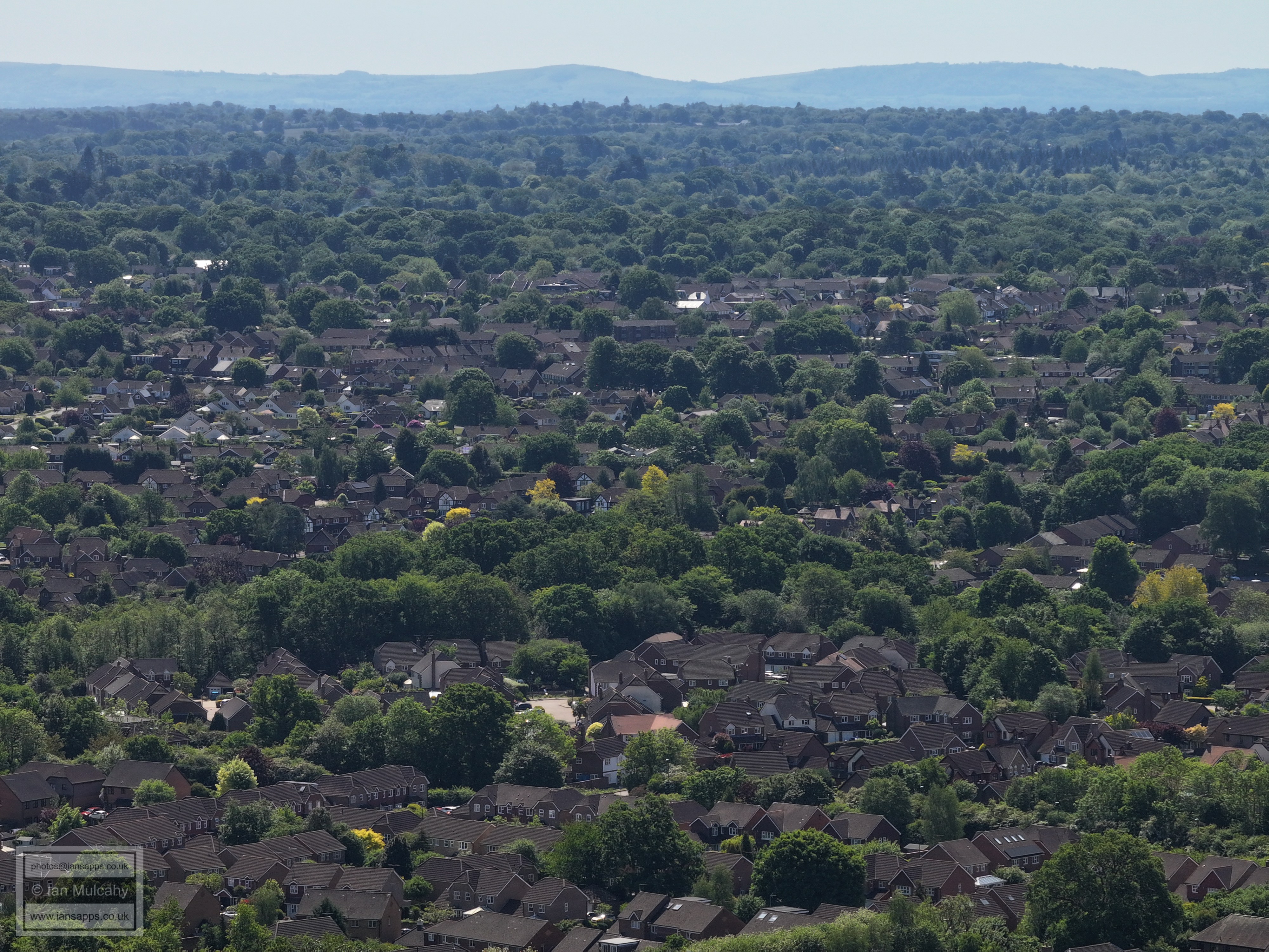
The first group of photographs are taken from the Graylands Copse area between Langhurstwood Road and Old Holbrook
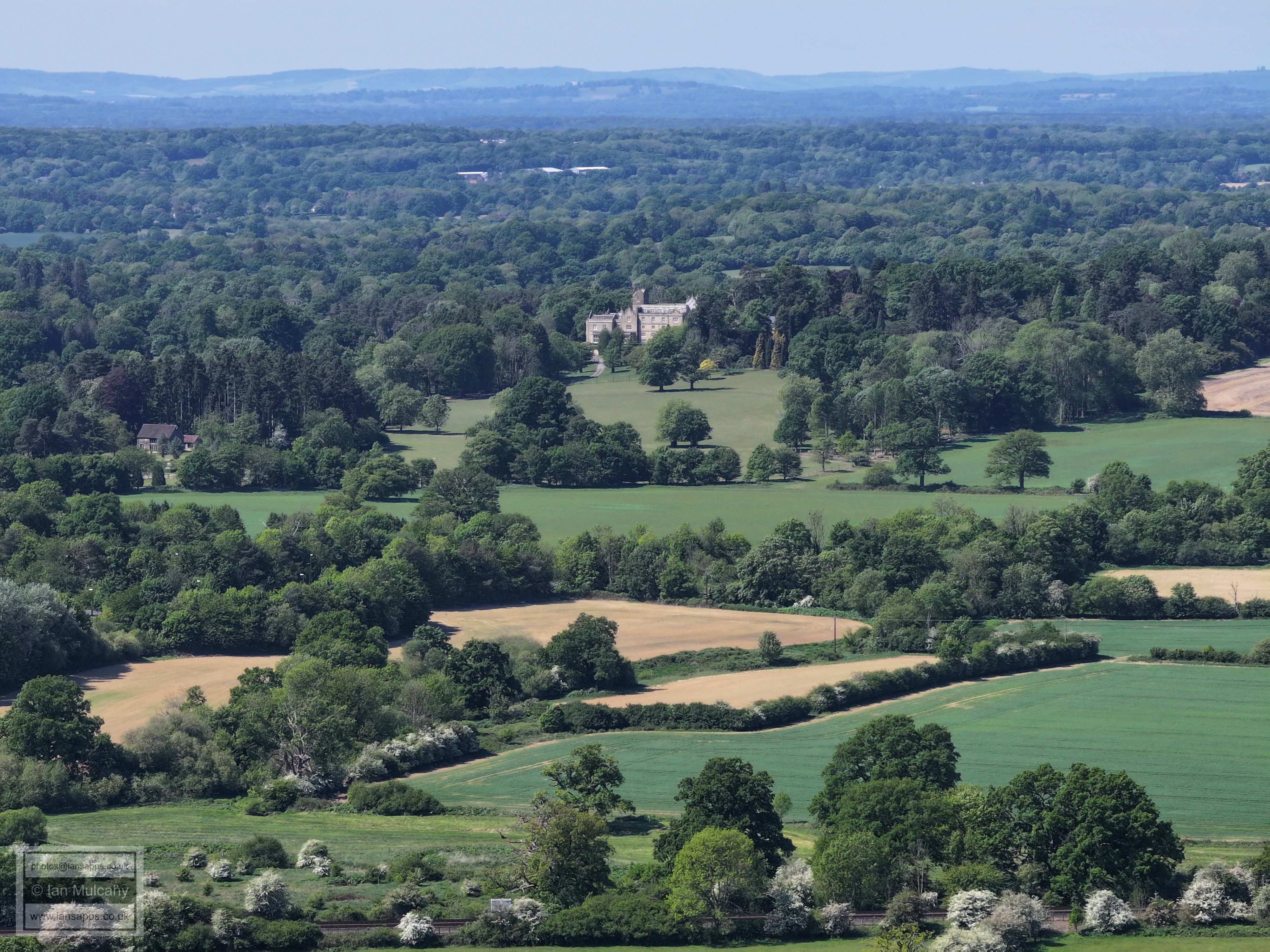
The western Aspect of Holbrook Park
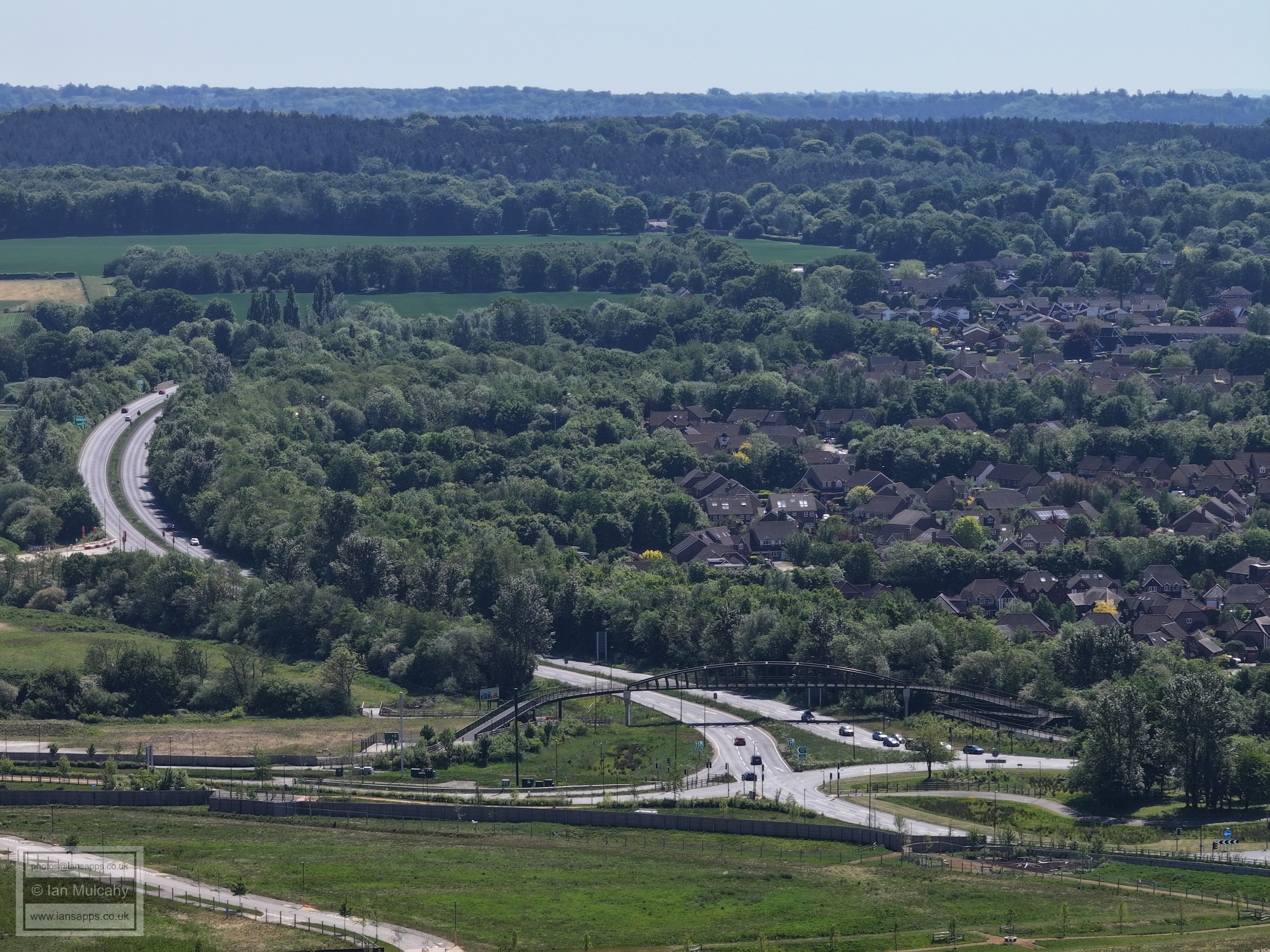
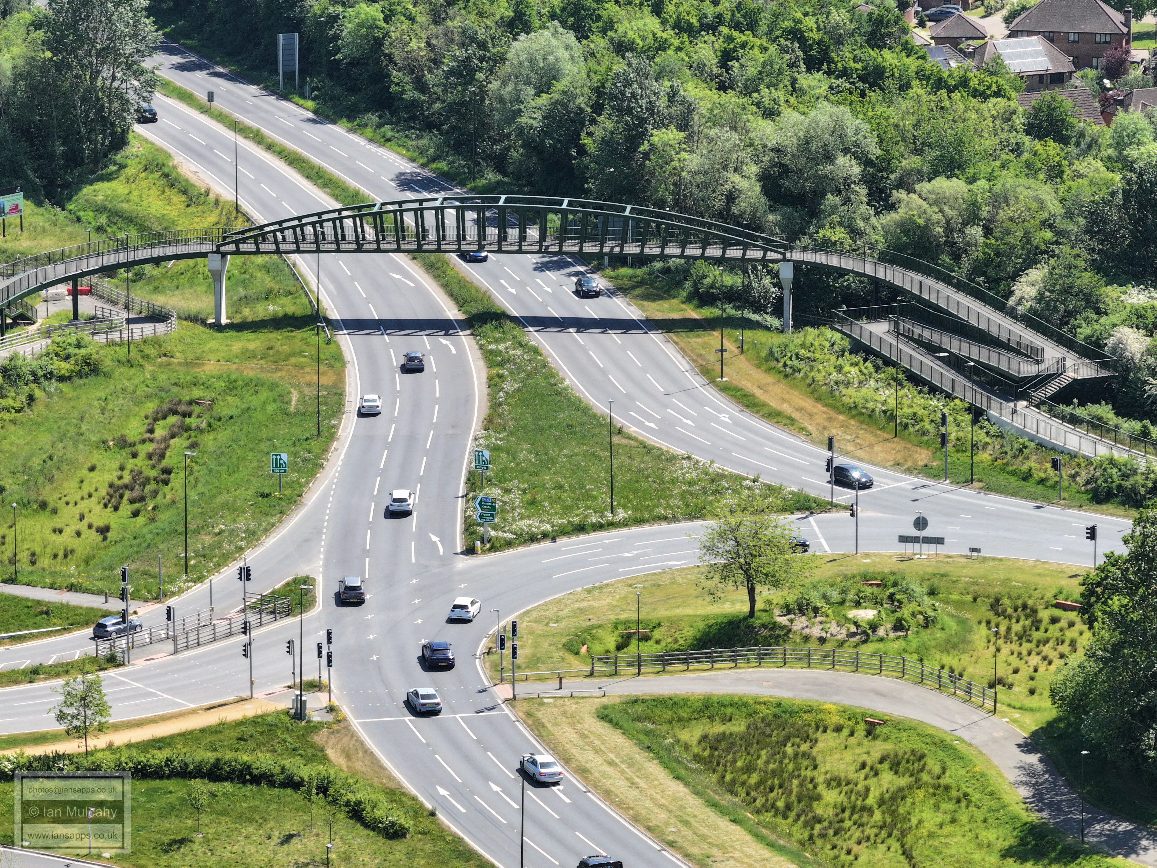
Rusper Road Roundabout and the stretch of A264 leading to Moorhead Roundabout
Chennelsbrook Castle and the Lemmington Way area
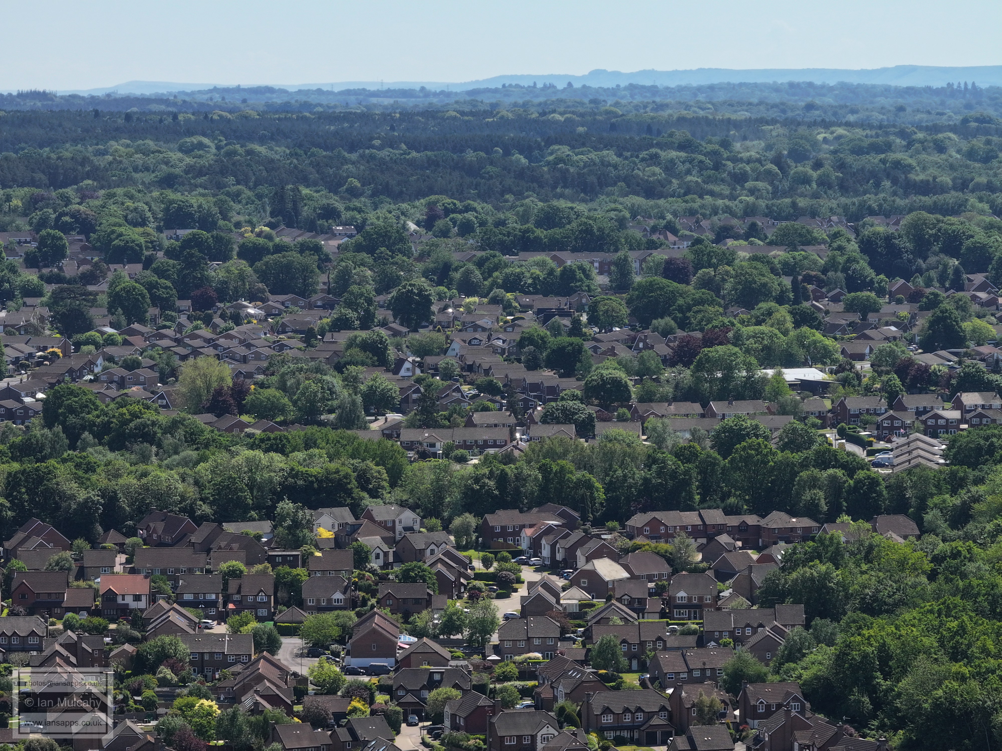
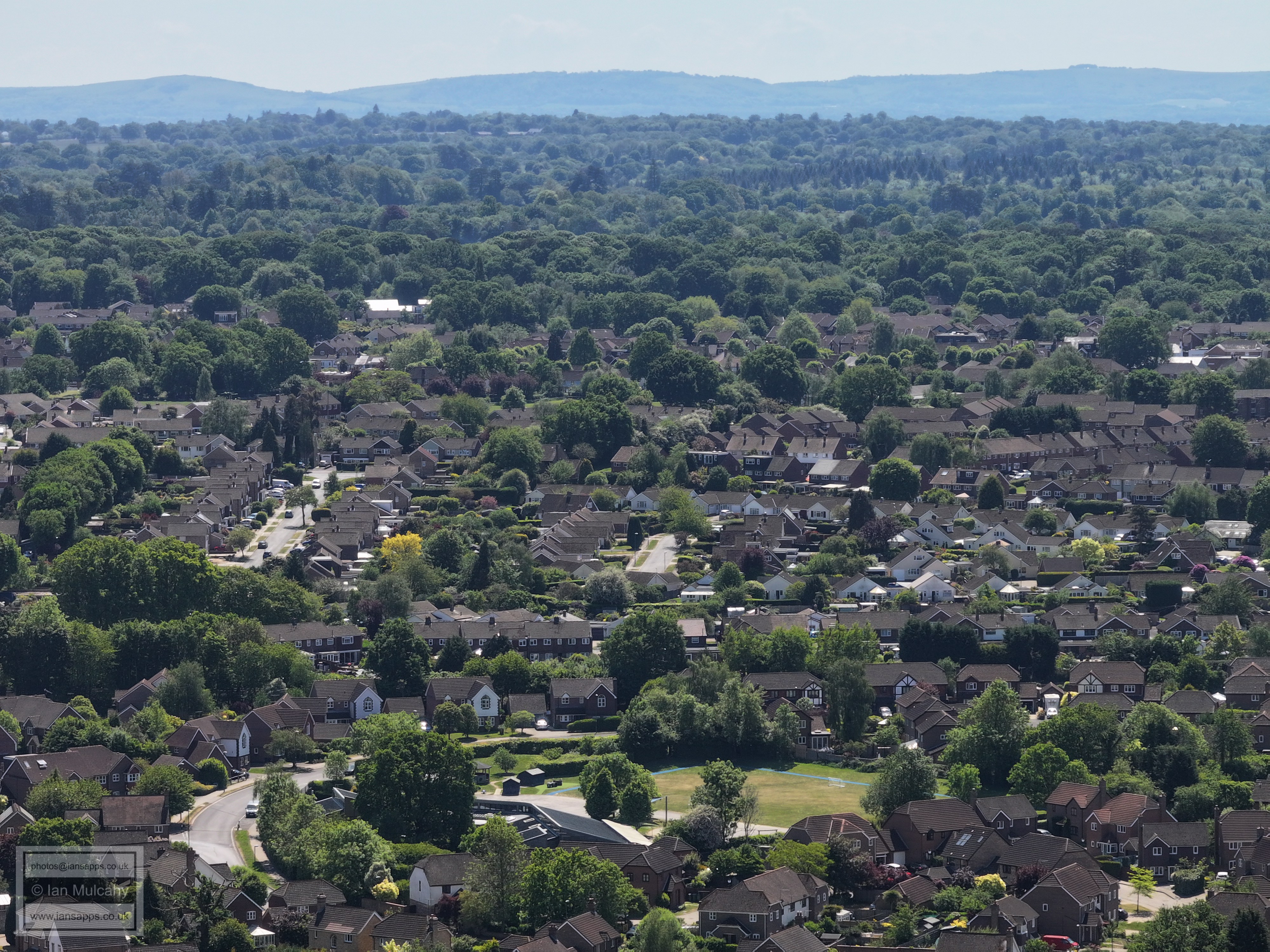
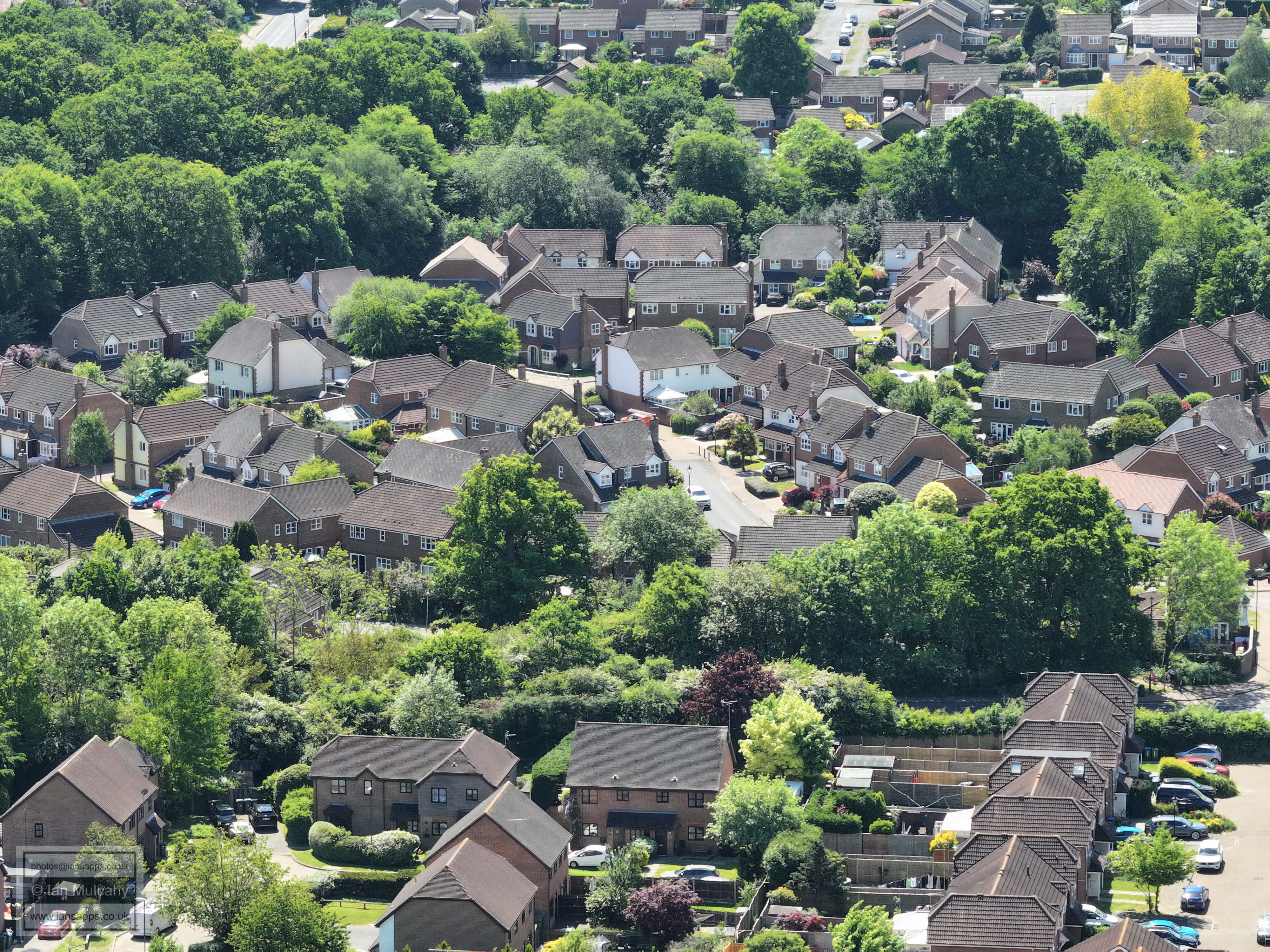
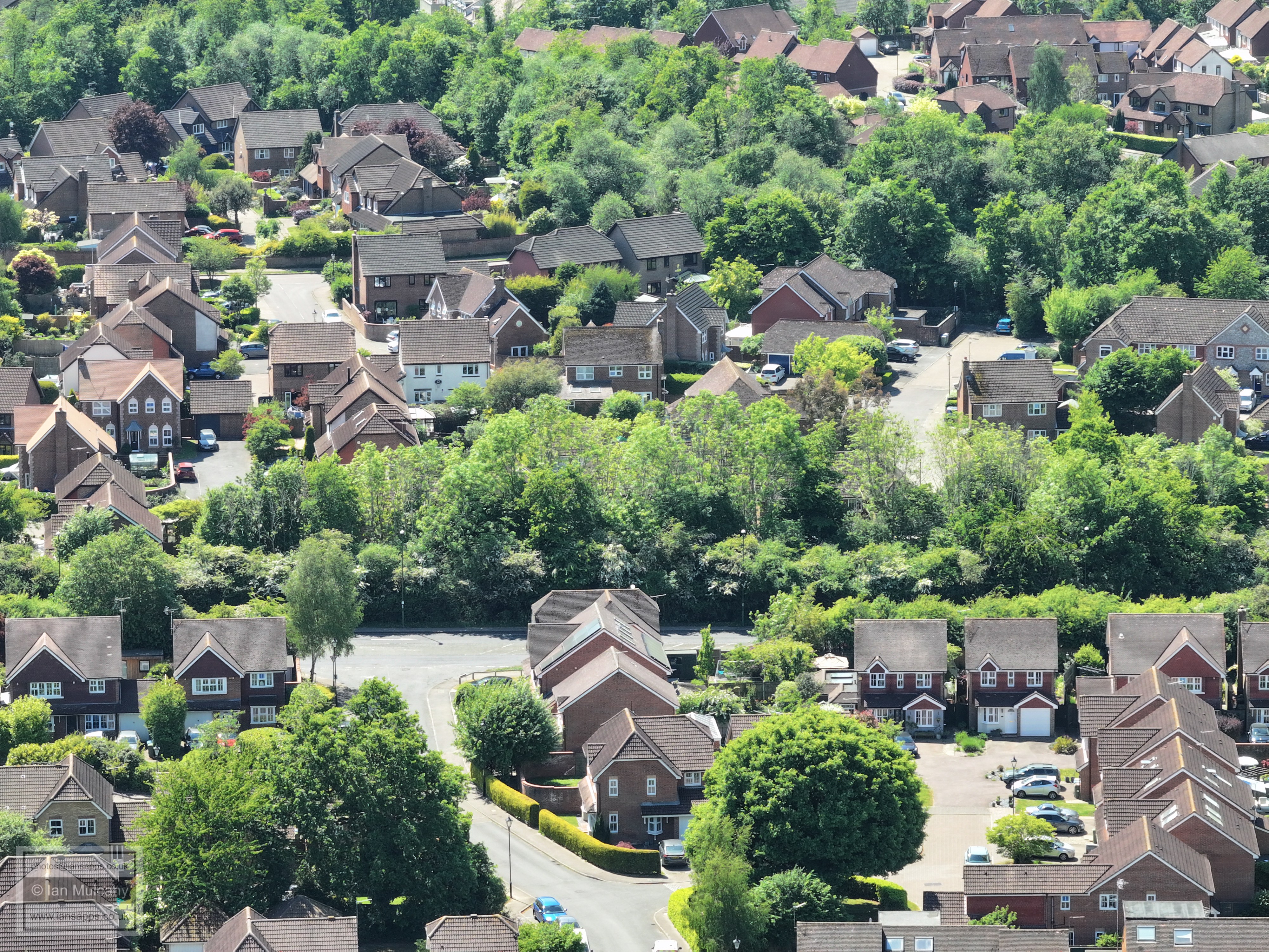
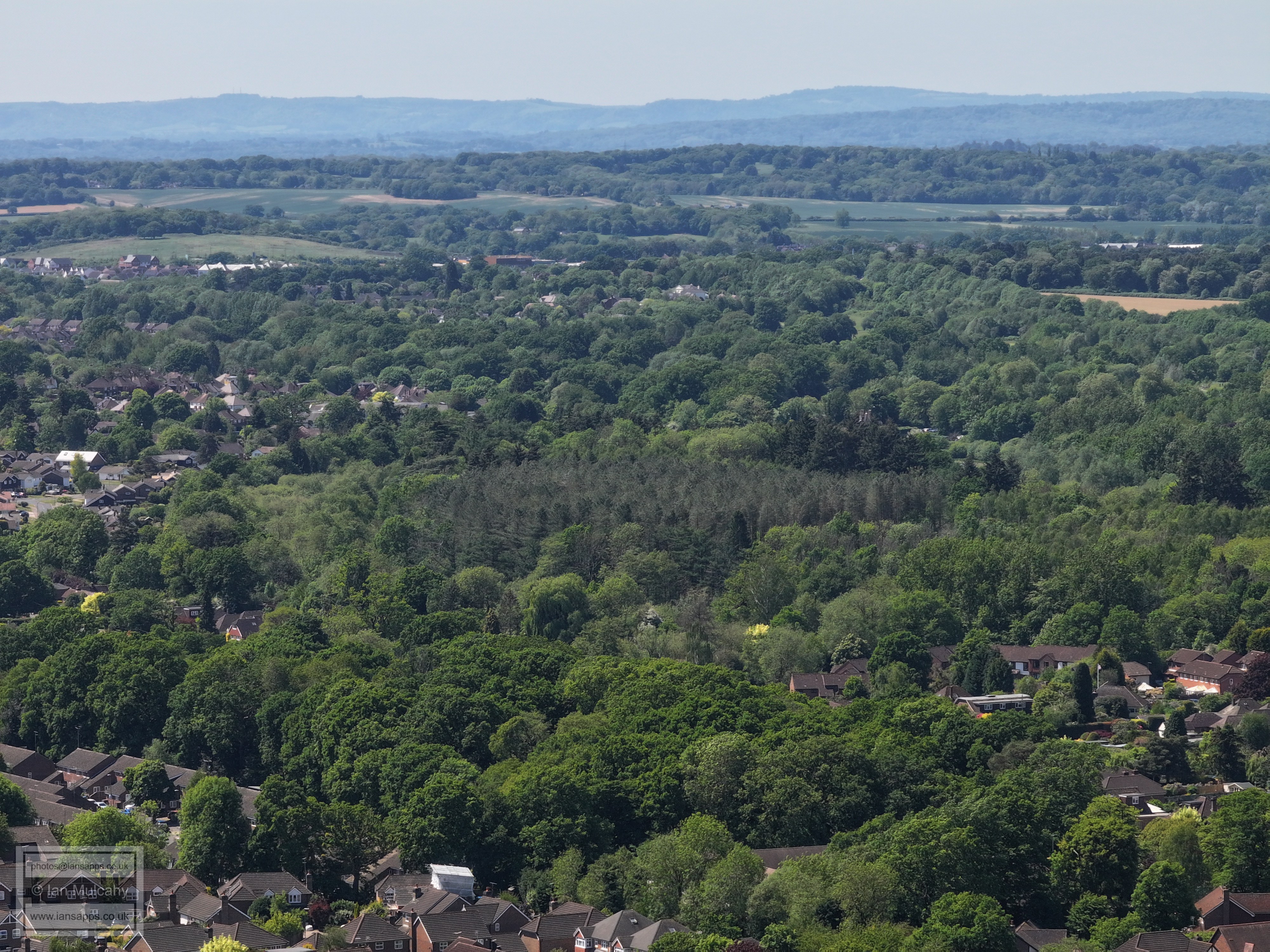
Dutchells Copse in the foreground. Tylden Way area is just above, with Lambs Farm Road area above centre.
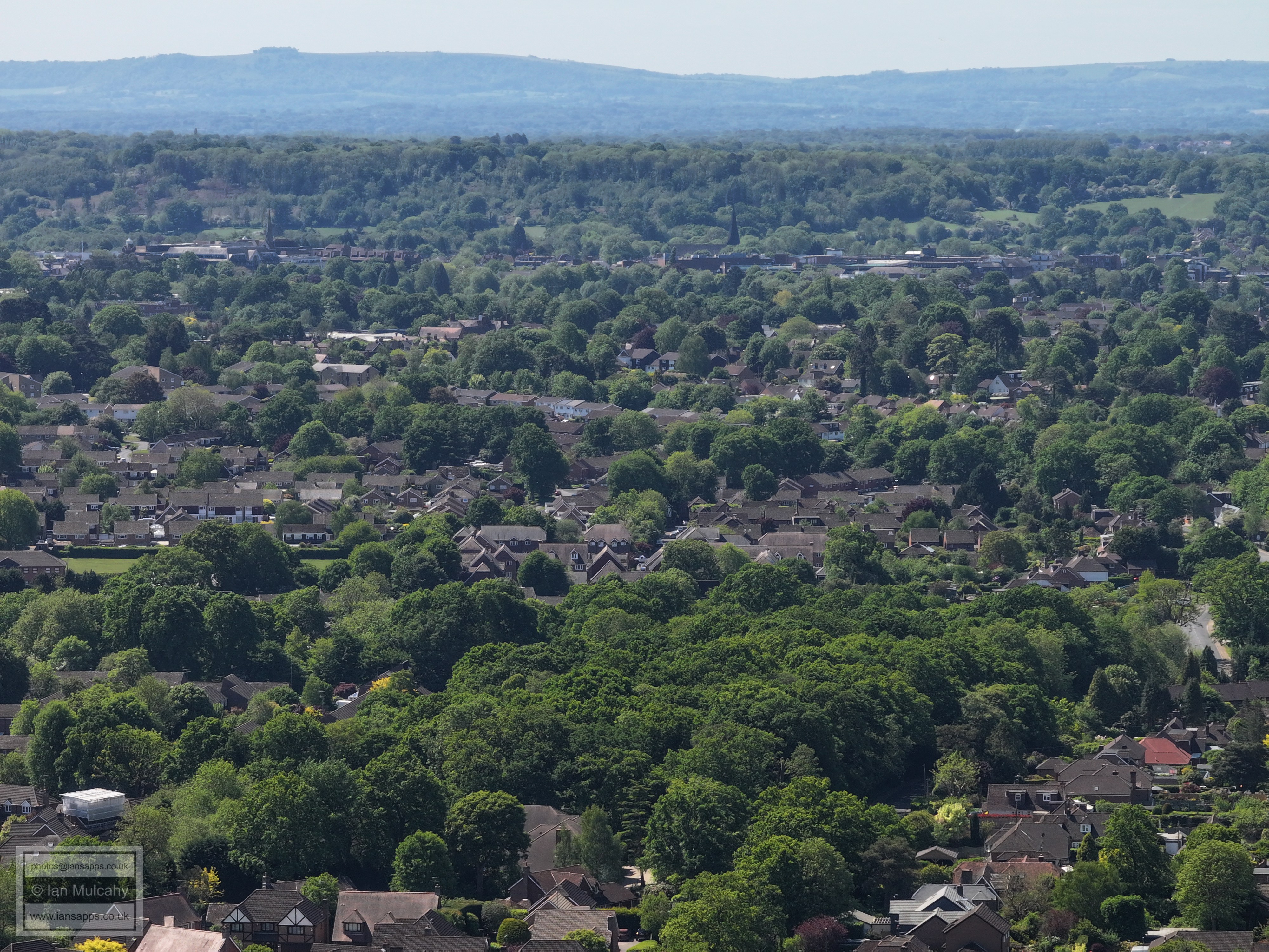
The Holbrook Club is in the green area in the centre with the (new) St Marks spire on the right. Parsonage Farm is beyond
Just above centre is Mightingale Road and the covered footbridge at the station is just above that,
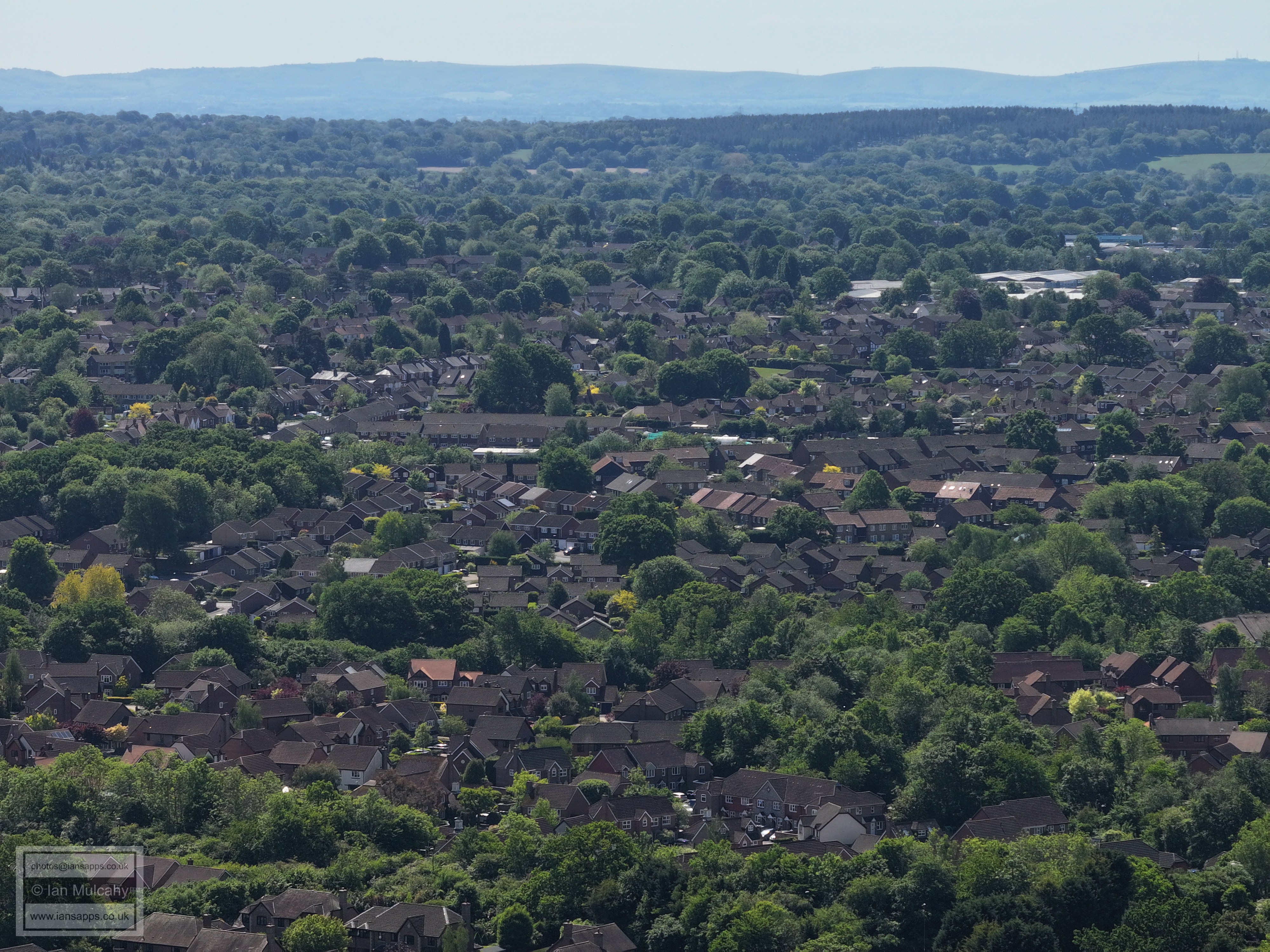
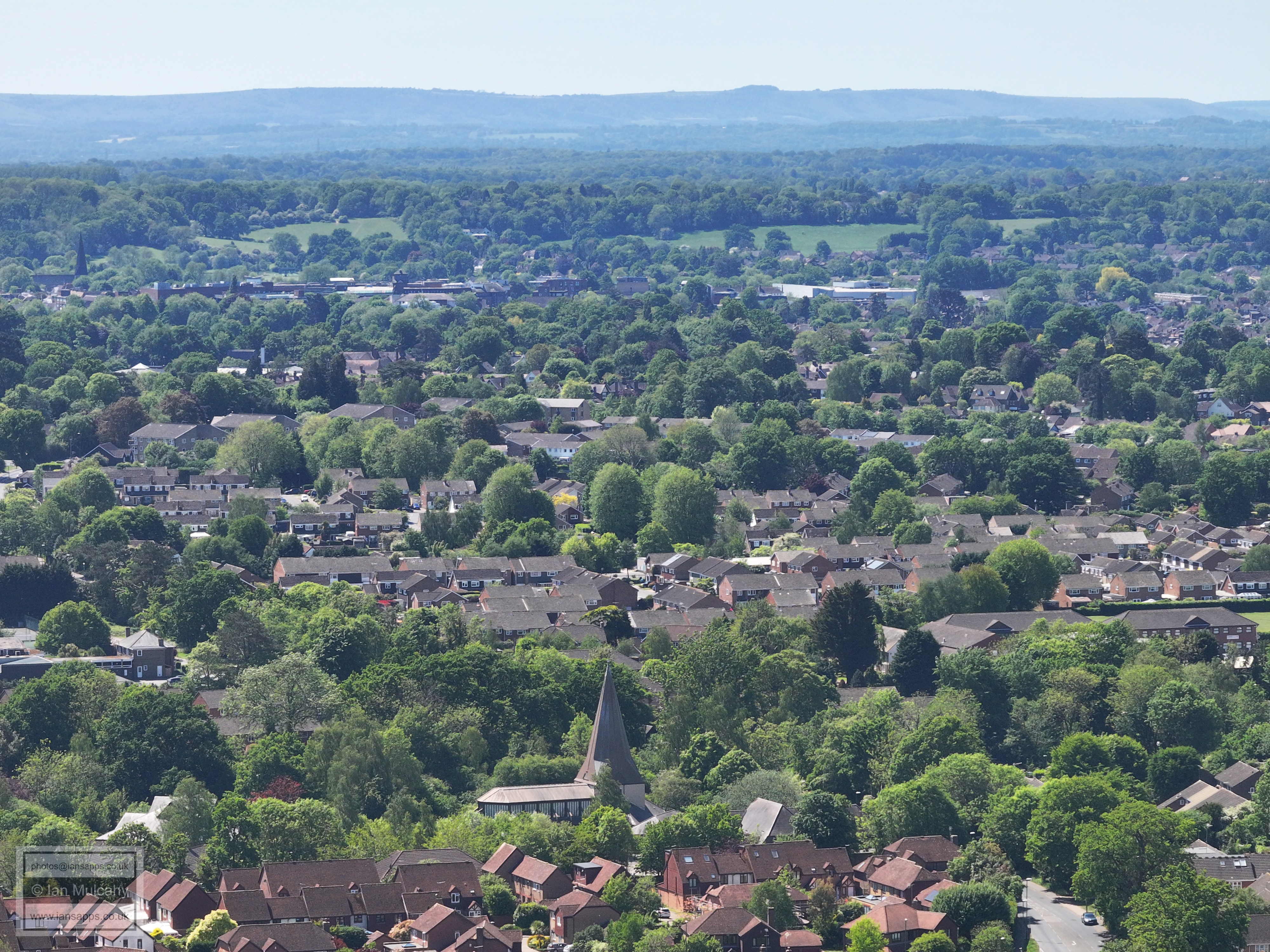
In the top left quarter Chanctonbury Ring looms over the old Sun Alliance Buildings and the spire of the (old) St Marks Church. A little to the right is St Mary's with Swan Walk multi storey car park just below.
The white building in the top left quarter is John Lewis/Waitrose. The straight road heading vertically up the centre at the bottom is, I believe, Cavendish Close (off of Cottingham Avenue) with the Millpond Plantation above.
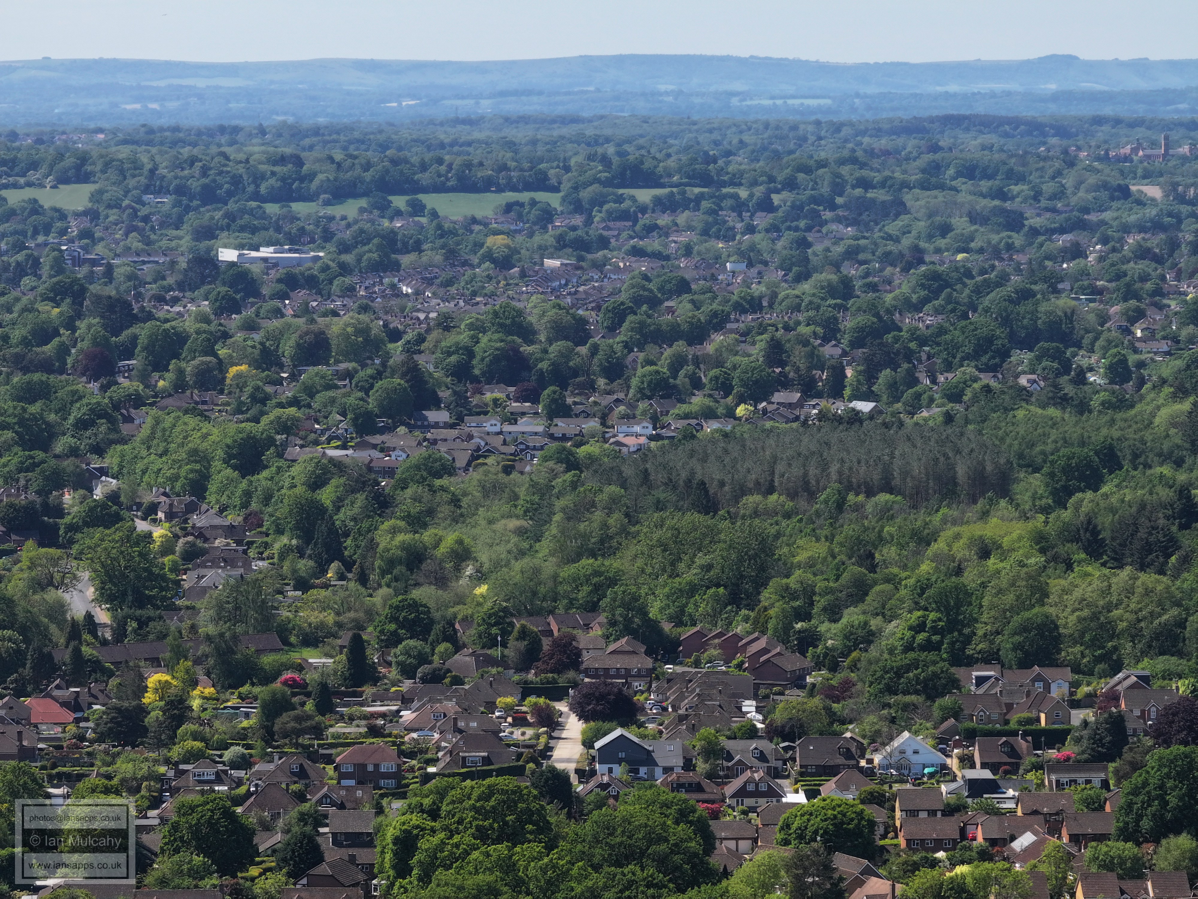
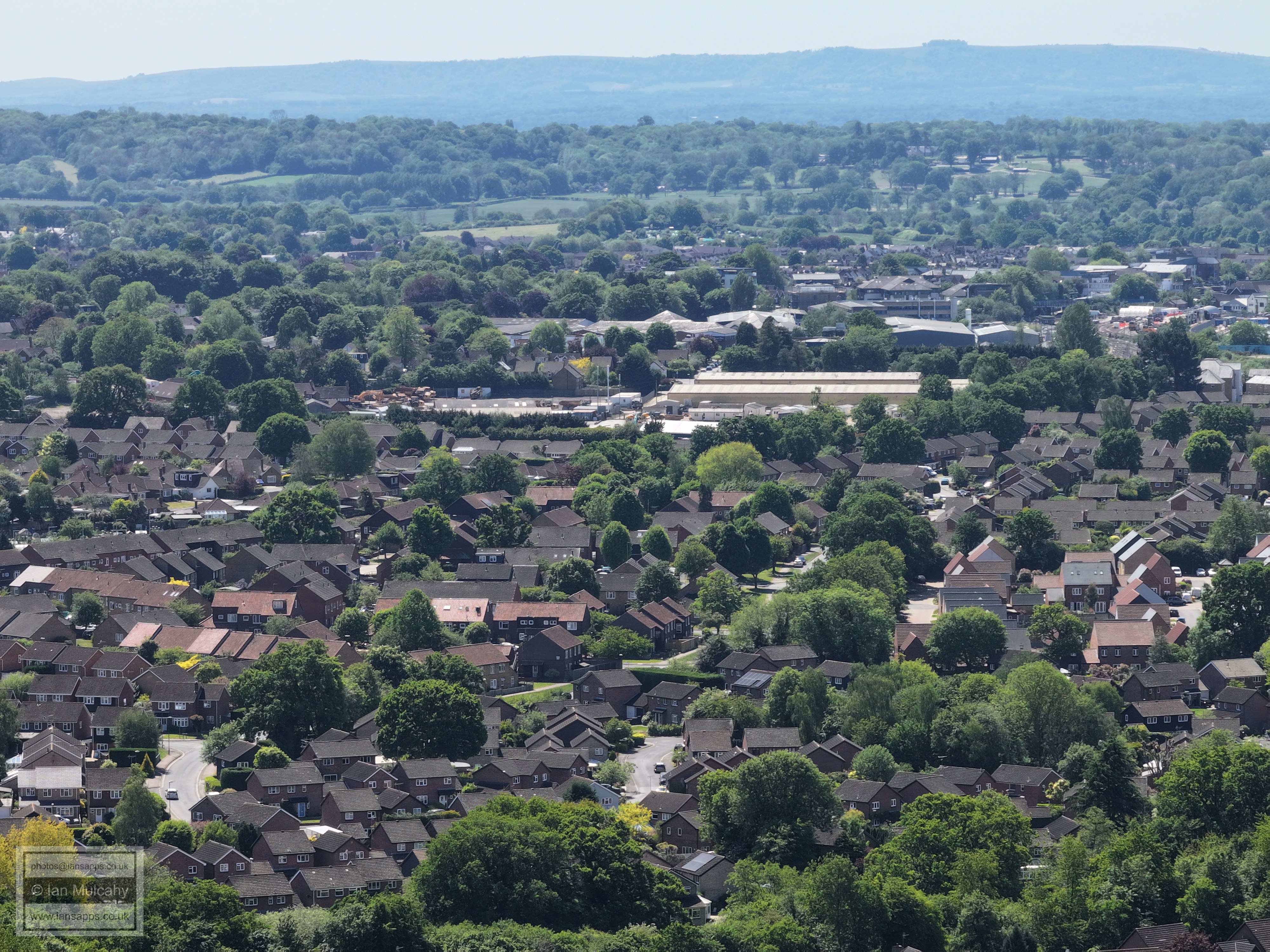
Warnham Millpond (centre) and Christs Hospital in the top left. Highwood is in the top right quarter.
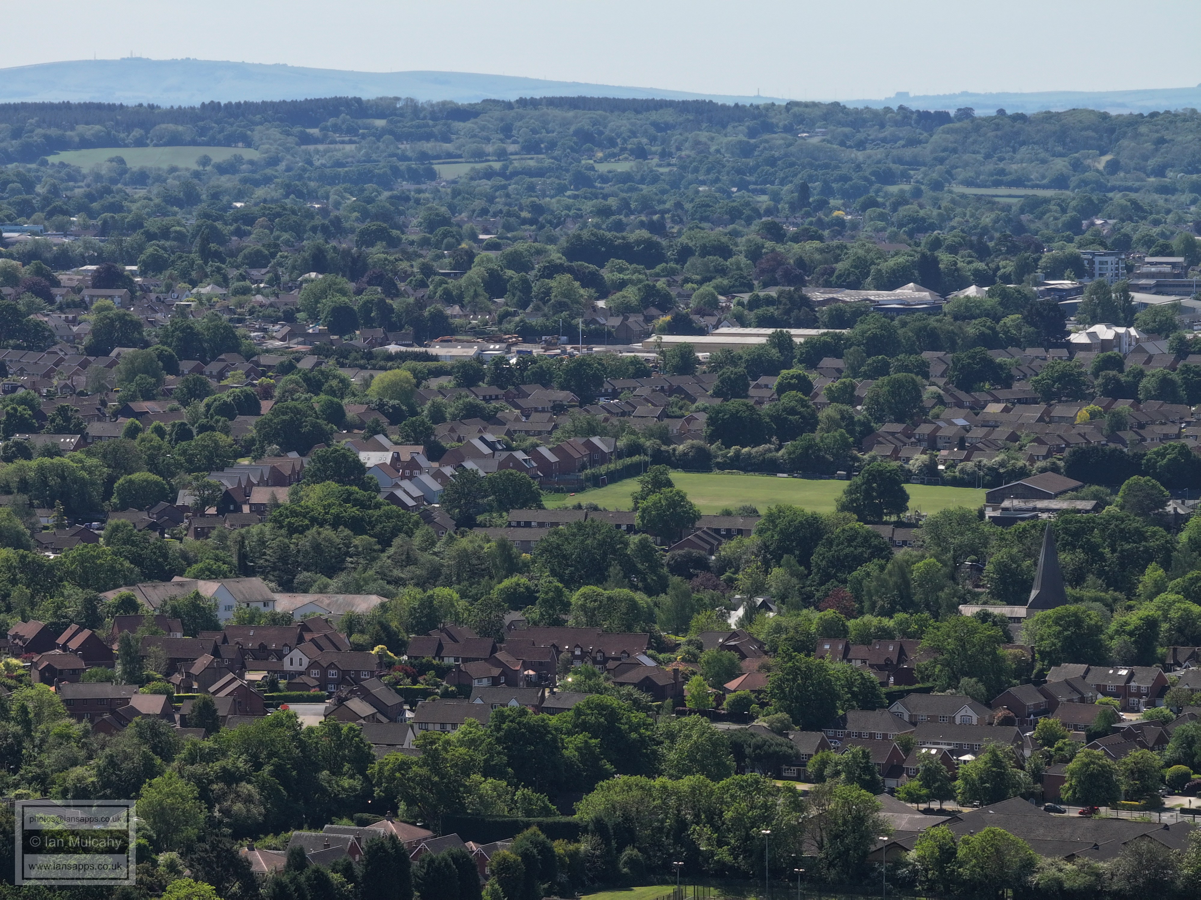
Rookwood Golf Course and the A24. The A264 makes a brief cameo in the bottom right.
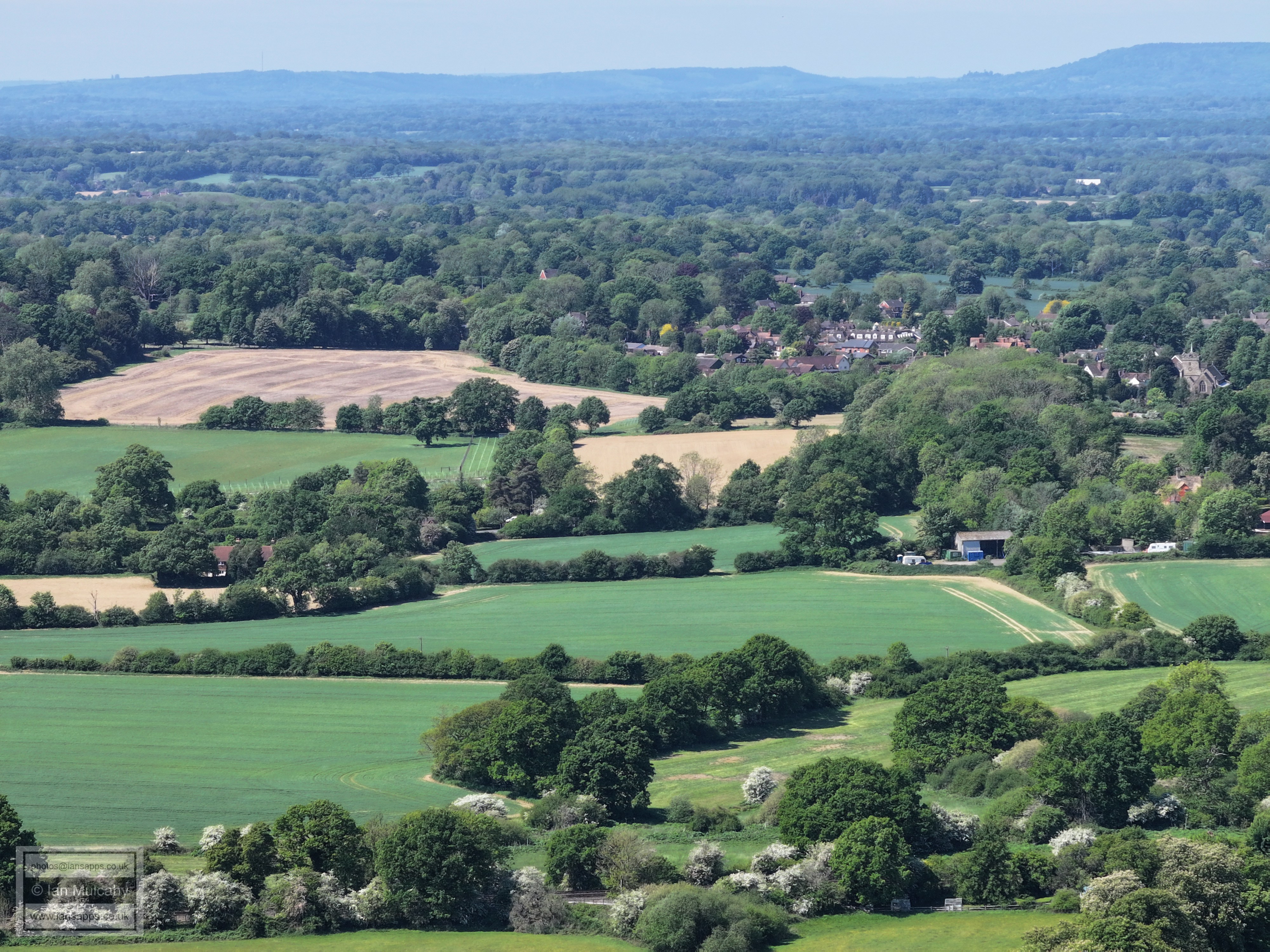
Broadbridge Heath in the top left quarter.
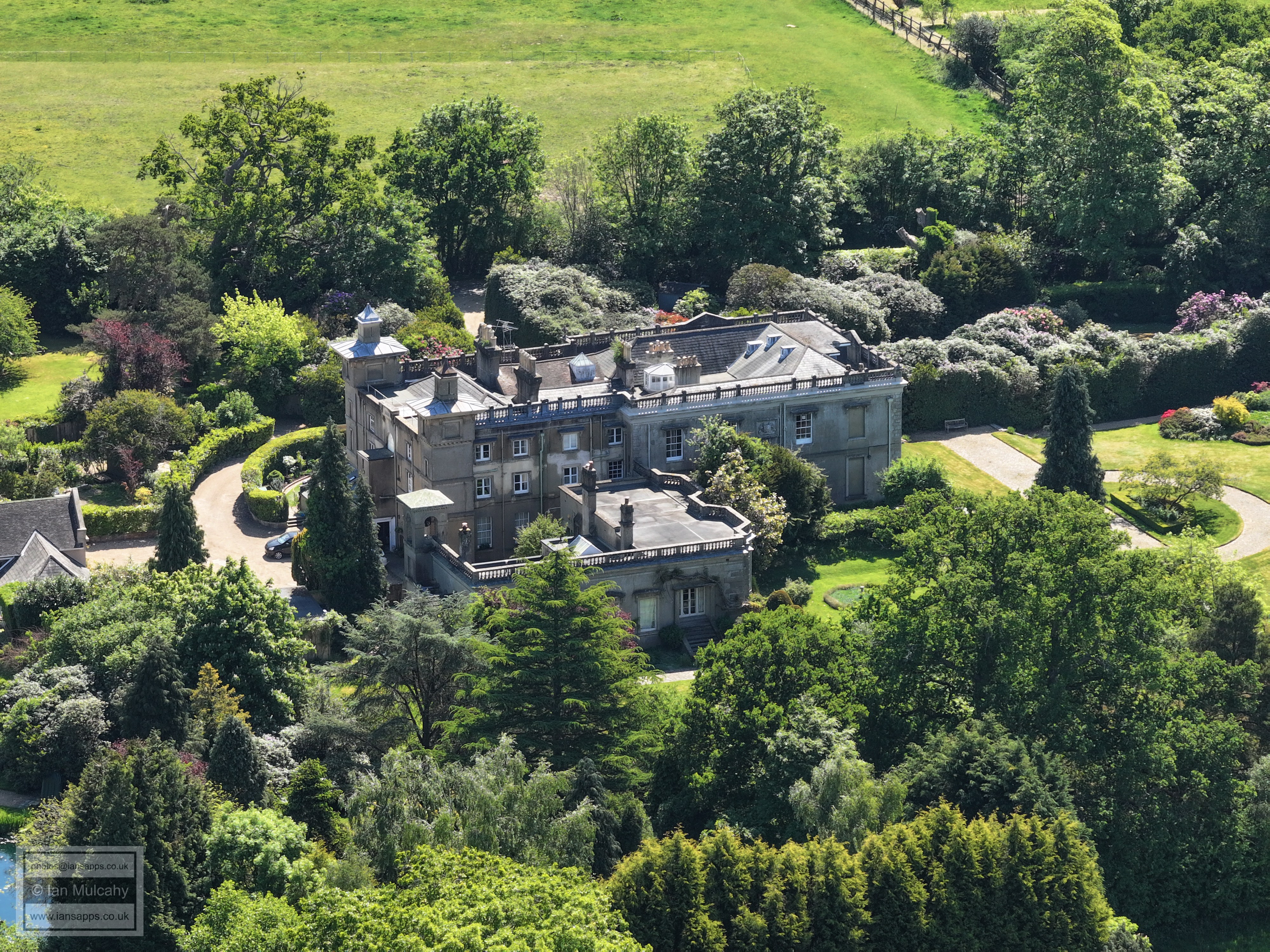
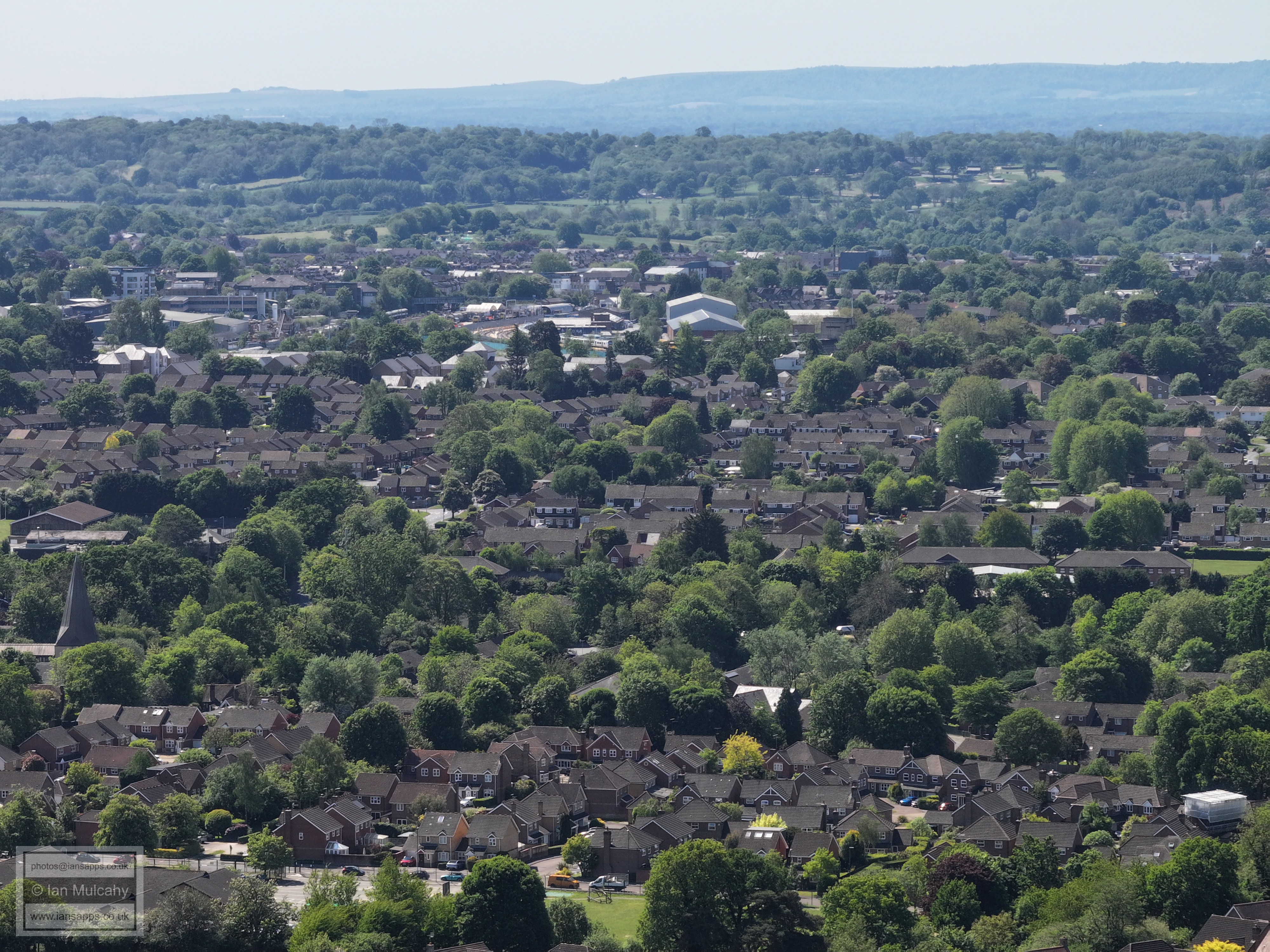
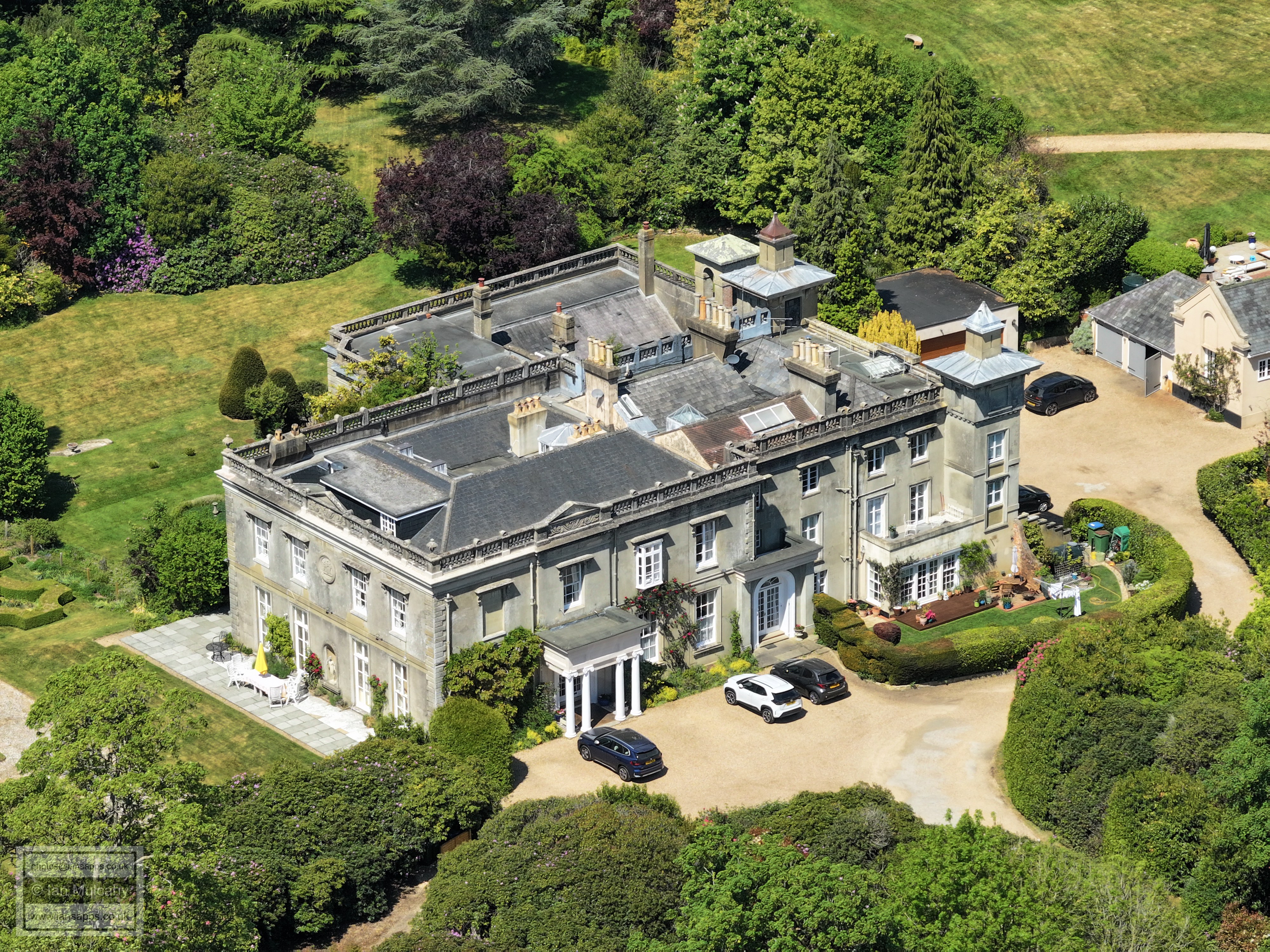
Warnham Court
Warnham
Warnham Station at the bottom. The northern part of Warnham in the centre.
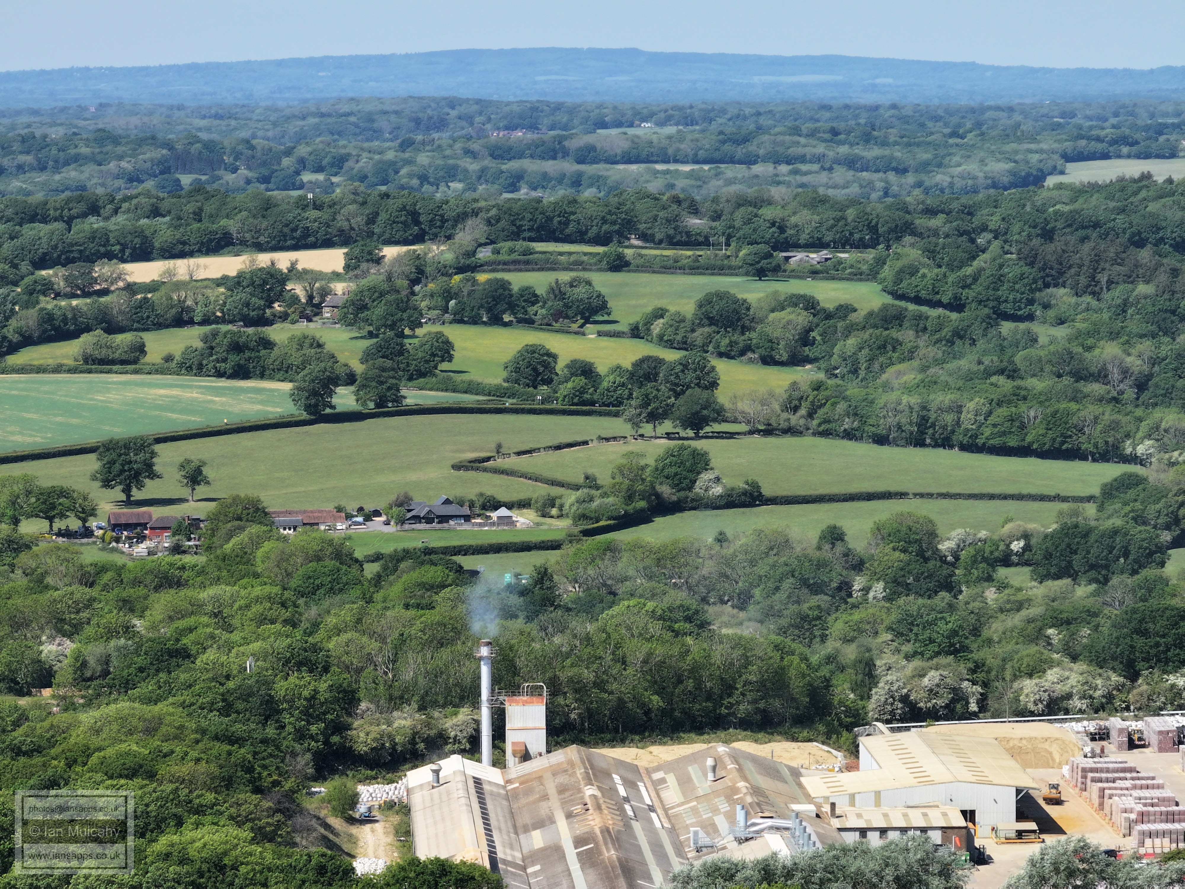
Lots of bricks!
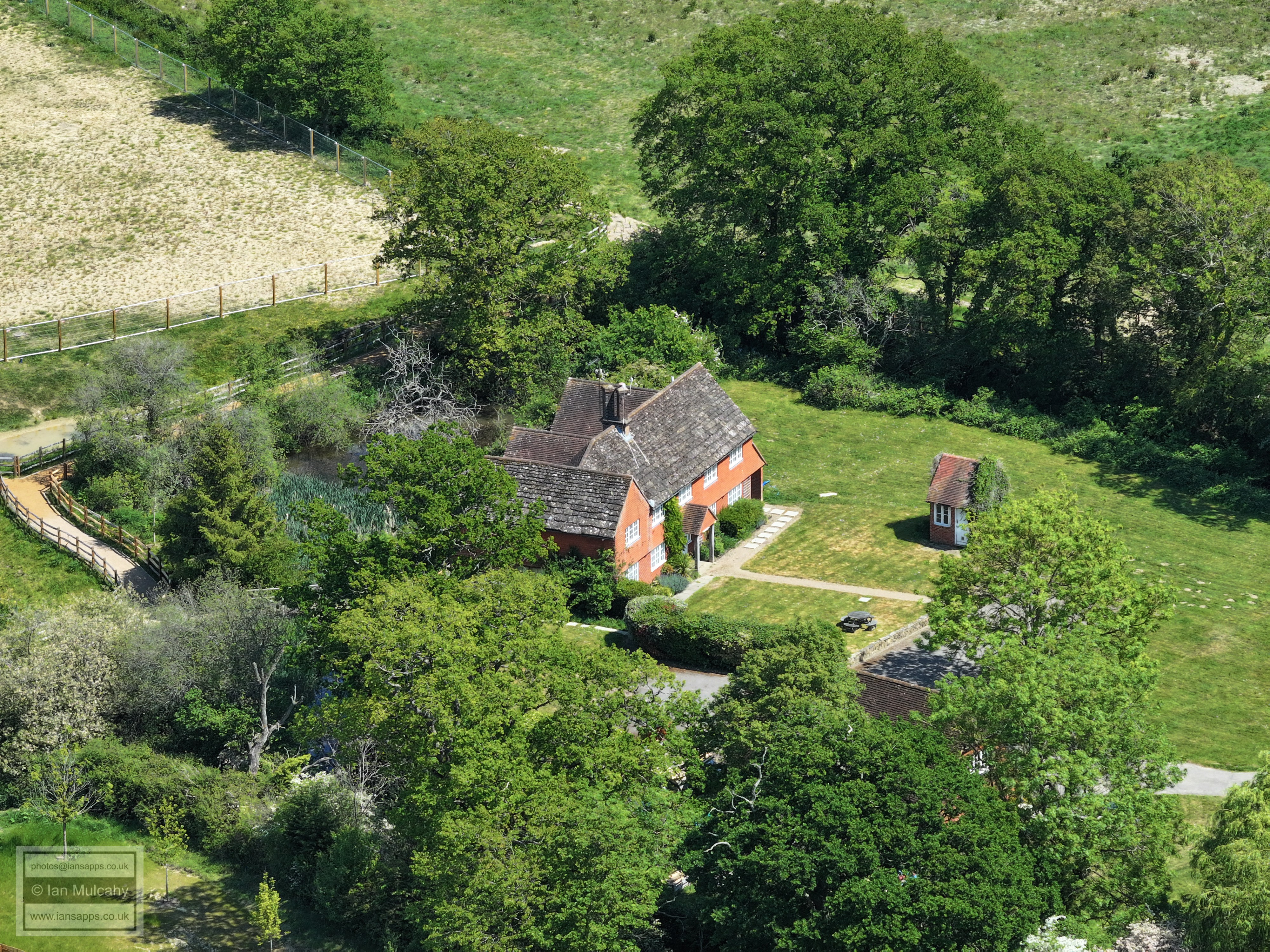
The Medieval Moated site (trees, centre) that provided the purpose for the 13.2 mile walk during which these photos were taken
A closer view of the Medieval Moated site
Graylands
Graylands and Leith Hill Tower
The second set of photos were taken from above the fields between Old Holbrook and the Moated House
The now delisted Moated House, slowly being surrounded by the Mowbray development.
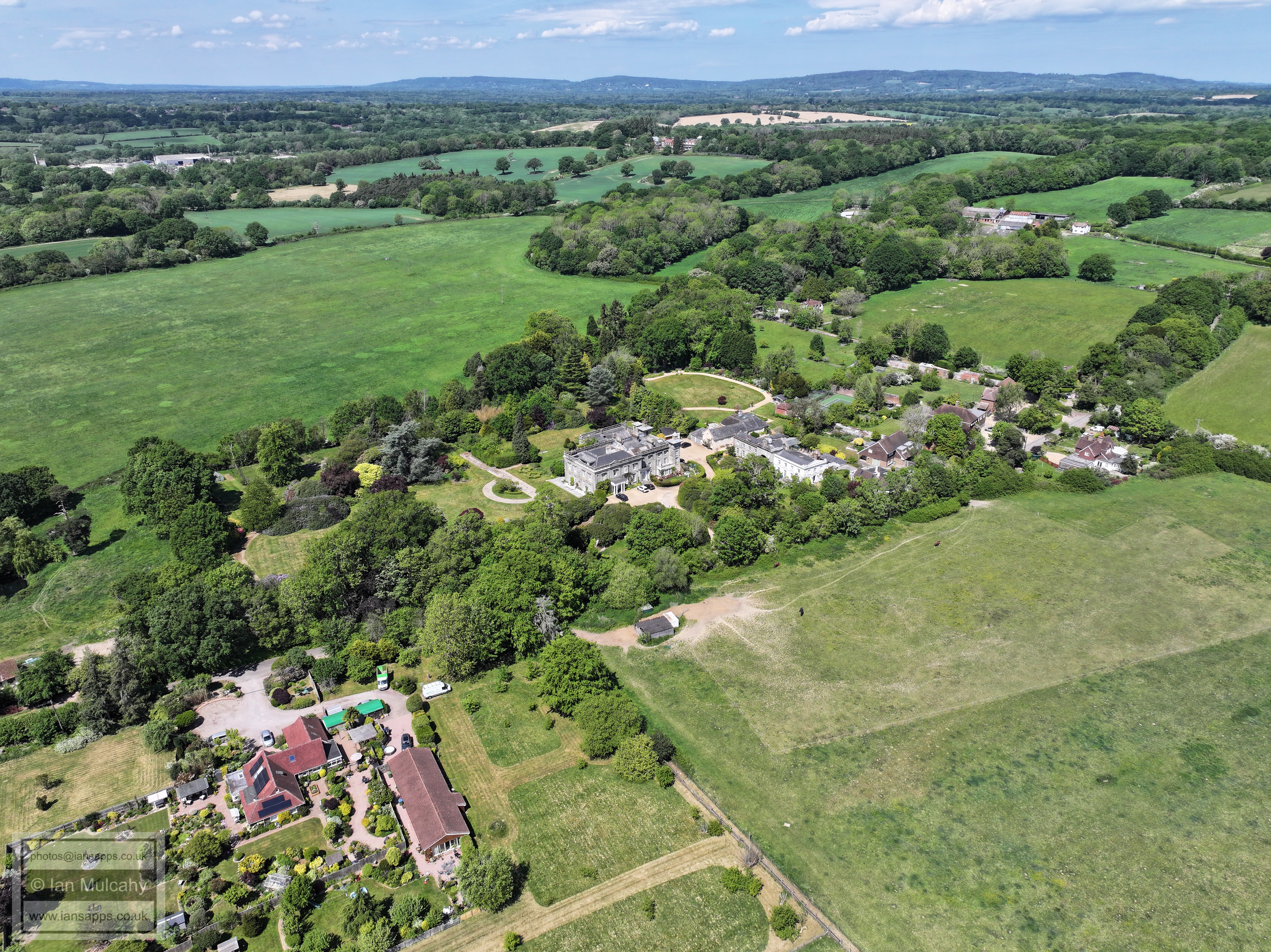
Holbrook Park. Graylands Copse, from where the first group were taken, along with the Medieval Moated Site are in the top left quarter.
The eastern aspect of Holbrook Park
Rusper Road Roundabout (and next)
The A264 heading up to Moorhead Roundabout. Roffey Football Club is just above centre.
In the top right quarter is Lemmington Way and its T-junction with Bartholomew Way
In the bottom right quarter is Lemmington Way and its T-junction with Bartholomew Way. Beyond the second line of trees, which marks the railway line, is Earles Meadow and Lambs Farm Road. The T-junction visible in the lower part of the top right quarter is Lambs Farm Road joining Crawley Road. The Norfolk Arms can is the white building opposite the junction.
Bartholomew Way (bottom) and Lambs Farm Road beyond. The low white roof to the right of centre is the Robert Southwell RC School.
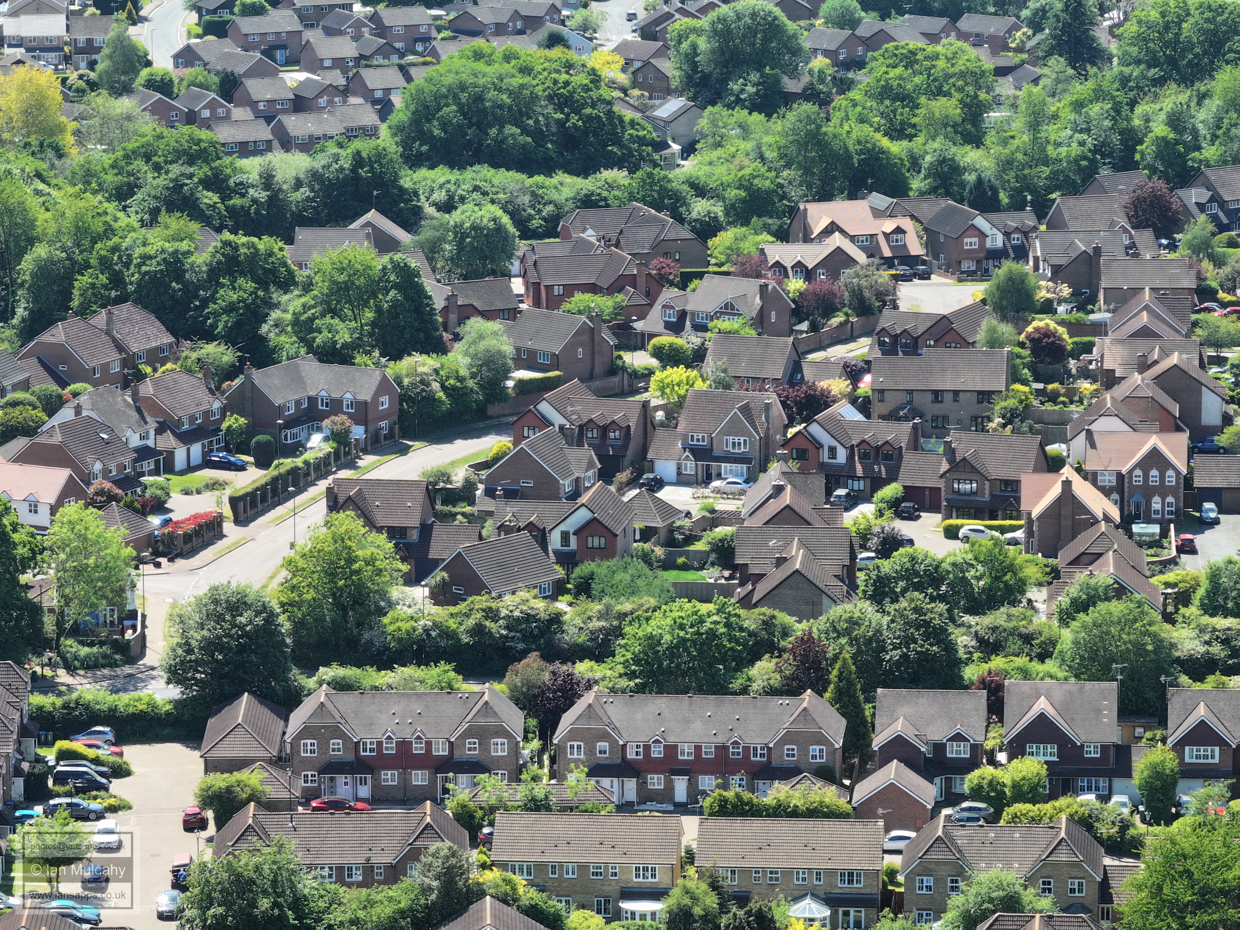
Lemmington Way area. The junction to the right of centre, just above Chennelsbrook Castle, is Winterbourne.
The castle (bottom) and Tylden Way/Bartholomew Way area beyond.
Left of centre is a road ending in a t-junction with a bungalow behind a fence behind it. This is Greenfields Way, the the T-junction being that of Lambs Farm Road. On the far right of centre is another vertical road - this is Greenfields Road
At the bottom of the picture is All Saints Primary School. The straight vertical road towards the left of centre is Farhalls Crescent and it's junction with Lambs Farm Road.
The Lemmigton Way exit from the roundabout on Rusper Road at the bottom and Channelsbrook Farm in the centre. All Saints Primary School is at the very top.
Giblets Way/Lemmington Way roundabout bottom left, with Giblets Lane and Keats Close centre and right
Rusper Road, bottom right and Tylden Way and Gateford Drive bottom centre and left. Beyond the railway line, marked by a tree line about a quarter of the way up, is the western end of the Lambs Farm Road area.
Rusper Road on the left of the picture with Littlehaven Station behind the trees. Redkiln Way is above centre. Just above Redkiln Way Millais School is visible through the trees. To the right is the Agate Lane area
Ryders Way at the bottom, Keats Close above, Brook Road at the top
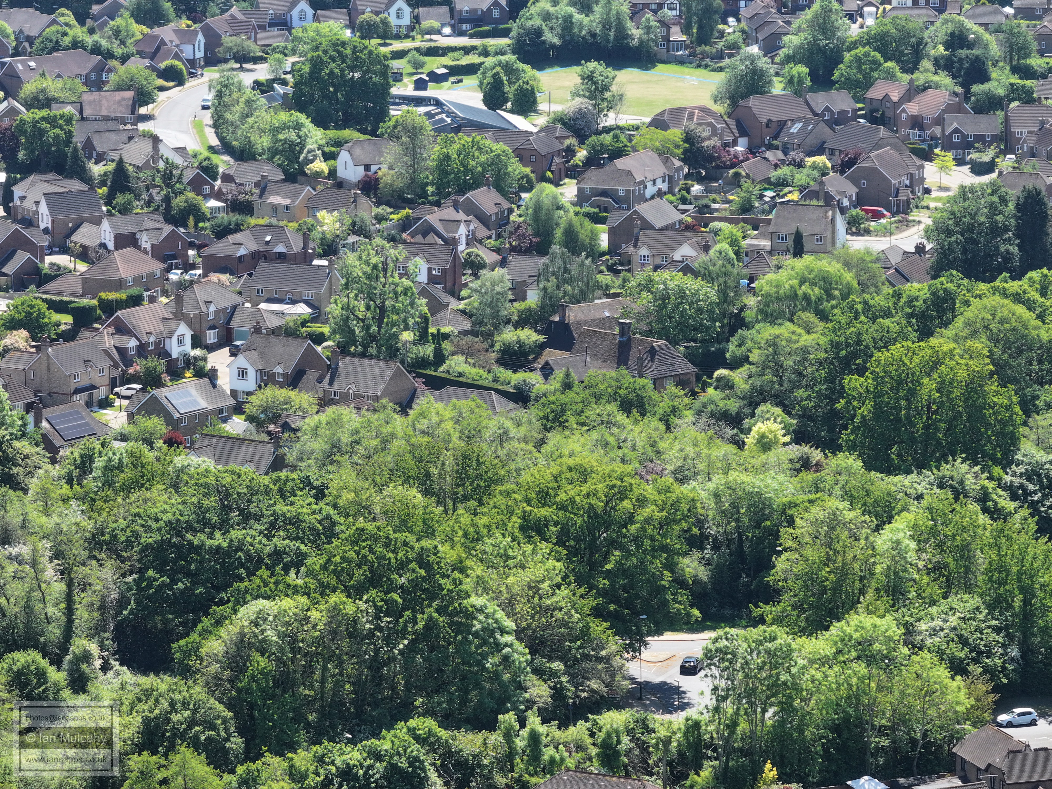
Ropeland Way (bottom) and Dutchells Copse
Parsonage Farm, centre. In the top right quarter is the North Street road bridge across the railway and immediately above (and slightly right) is the covered footbridge within the station.
The Holbrook Club (Centre) and Nightingale Farm top left quarter. In the top right is St Mary's Church, with the (old) St Marks Spire and former Sun Alliance buildings to the left. Below the Sun Alliance buildings, the curves of the roof of The Pavilions are visible. A little below and right of that is the old Ciba/Novartis building.
Ropeland Way and Wordswoth Place, above. The western end of Dutchells Copse is in the top right.
North Heath Lane in the top right corner. The Castle is bottom right with Wordsworth Place and then Burns Close, above.
The (new) St Marks Spire. Waitrose/John Lewis is the white building in the top right quarter. Swan Walk multi storey is in the top left quarter, just to the right of St Mary's.
Christs Hospital in the top left quarter. The green area on the far left of centre is Pondtail Park. In the top right quarter is Highwood.
Fivens Place, centre, and Holbrook Primary above. The Primrose Copse area is at the top
Haybarn Drive at the bottom and Holbrook Tithe Barn and the Bowling Club above. The fields of Holbrook Primary are at the top.
The Millpond is hidden behind the trees. Broadbridge Heath is beyond and to the left of centre is the Redford Avenue area.
The Cottingham Avenue area in the foreground. In the top left quarter is the northern end of Broadbridge Heath.
Bakehouse Barn Close at the bottom and Park Farm Close above. The grey coloured house, top centre, is on the corner of Cavendish Close and Cottingham Avenue.
Durfold Close, bottom, and the Pondtail Road mini roundabout is far left of centre.
Warnham Court, far left near the top, and Great Daux roundabout left of centre.
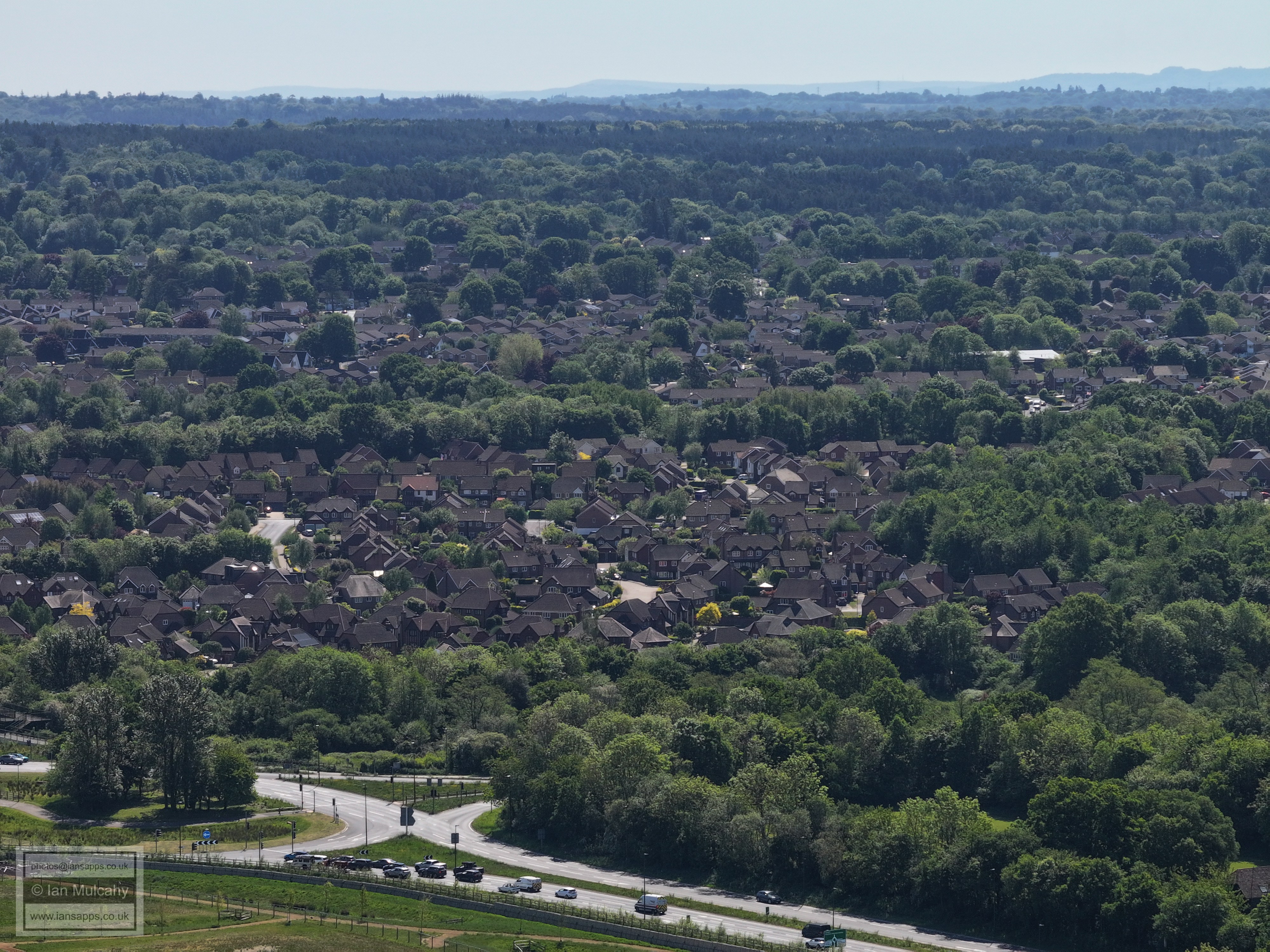
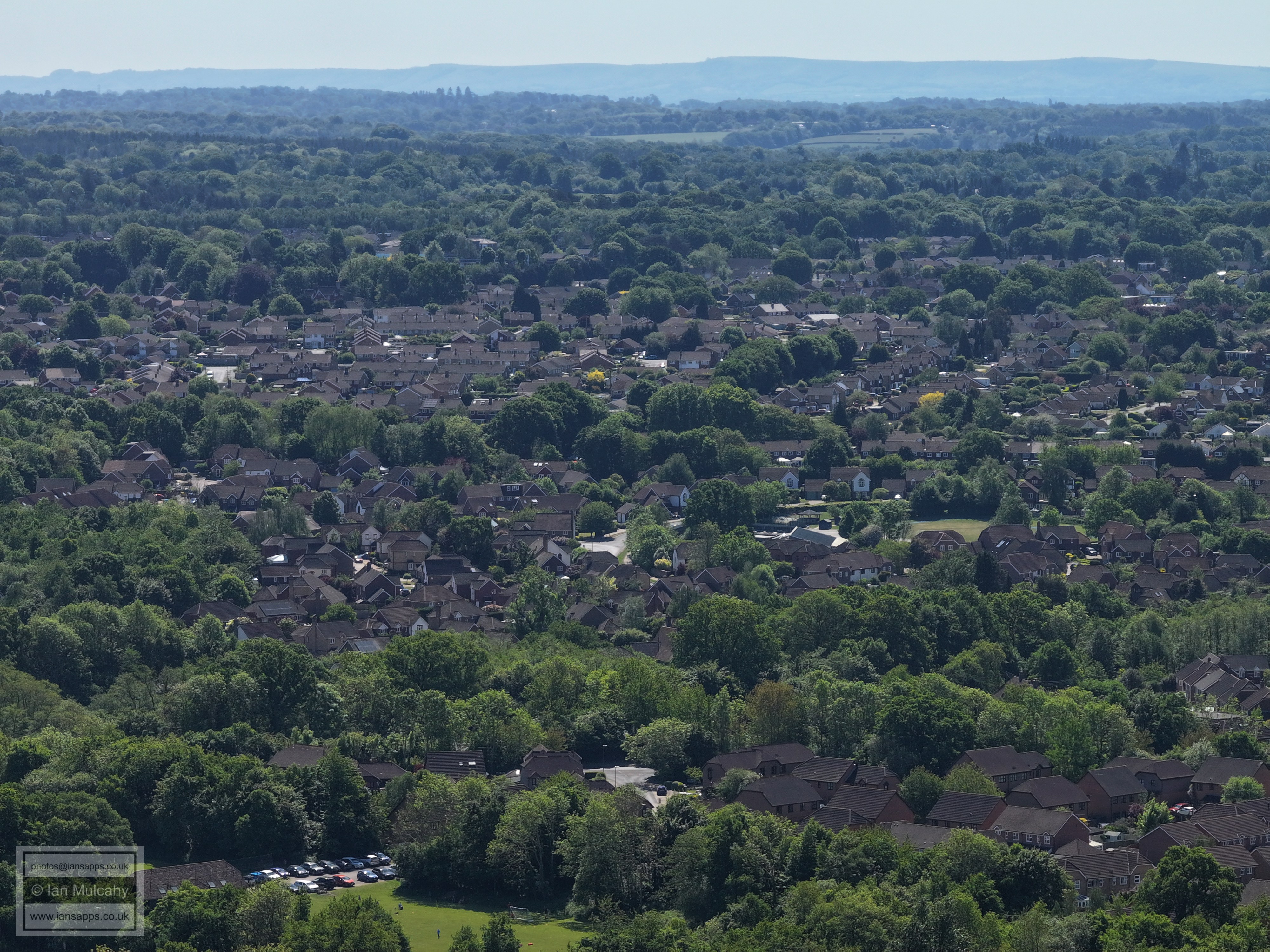
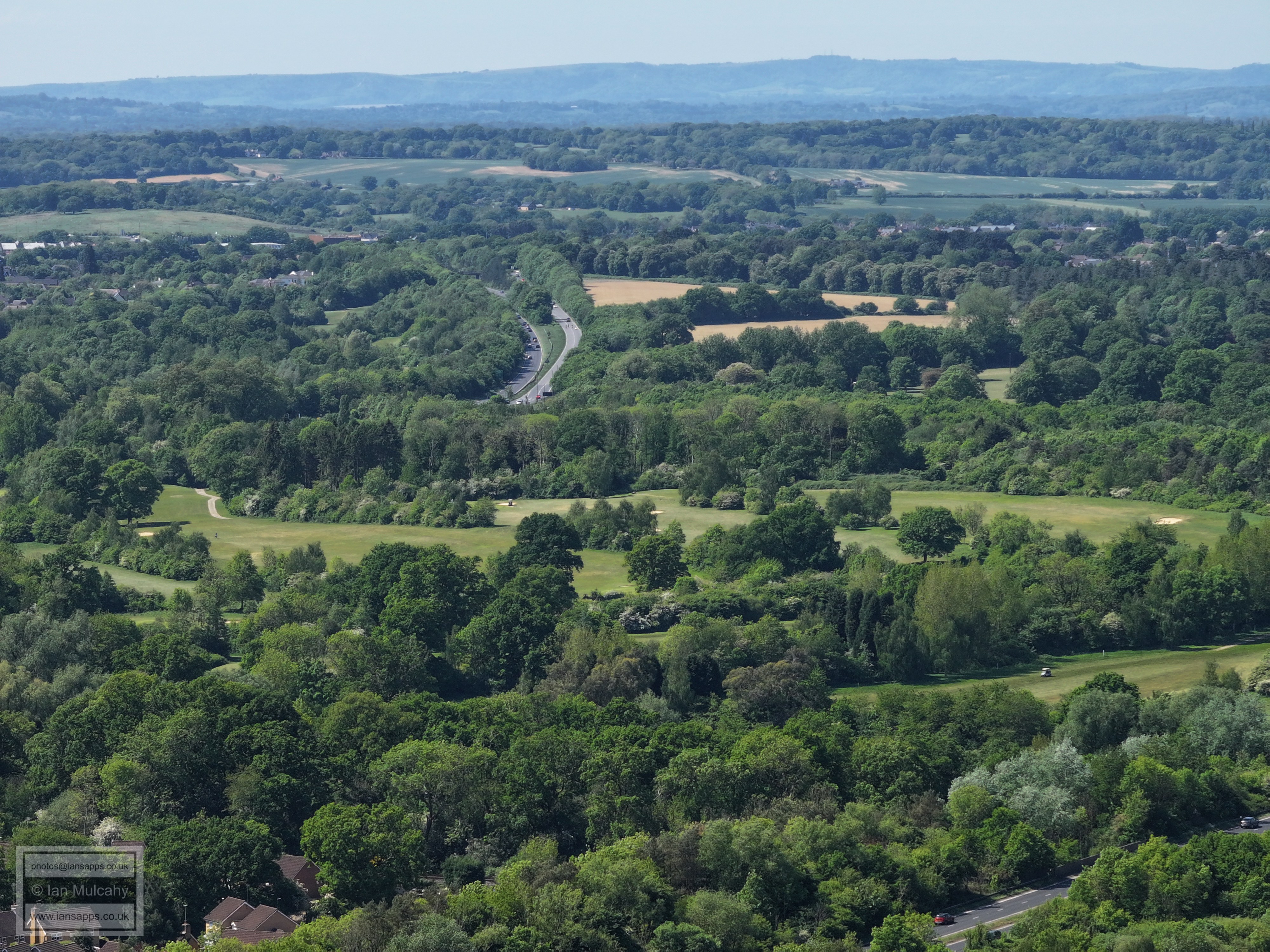
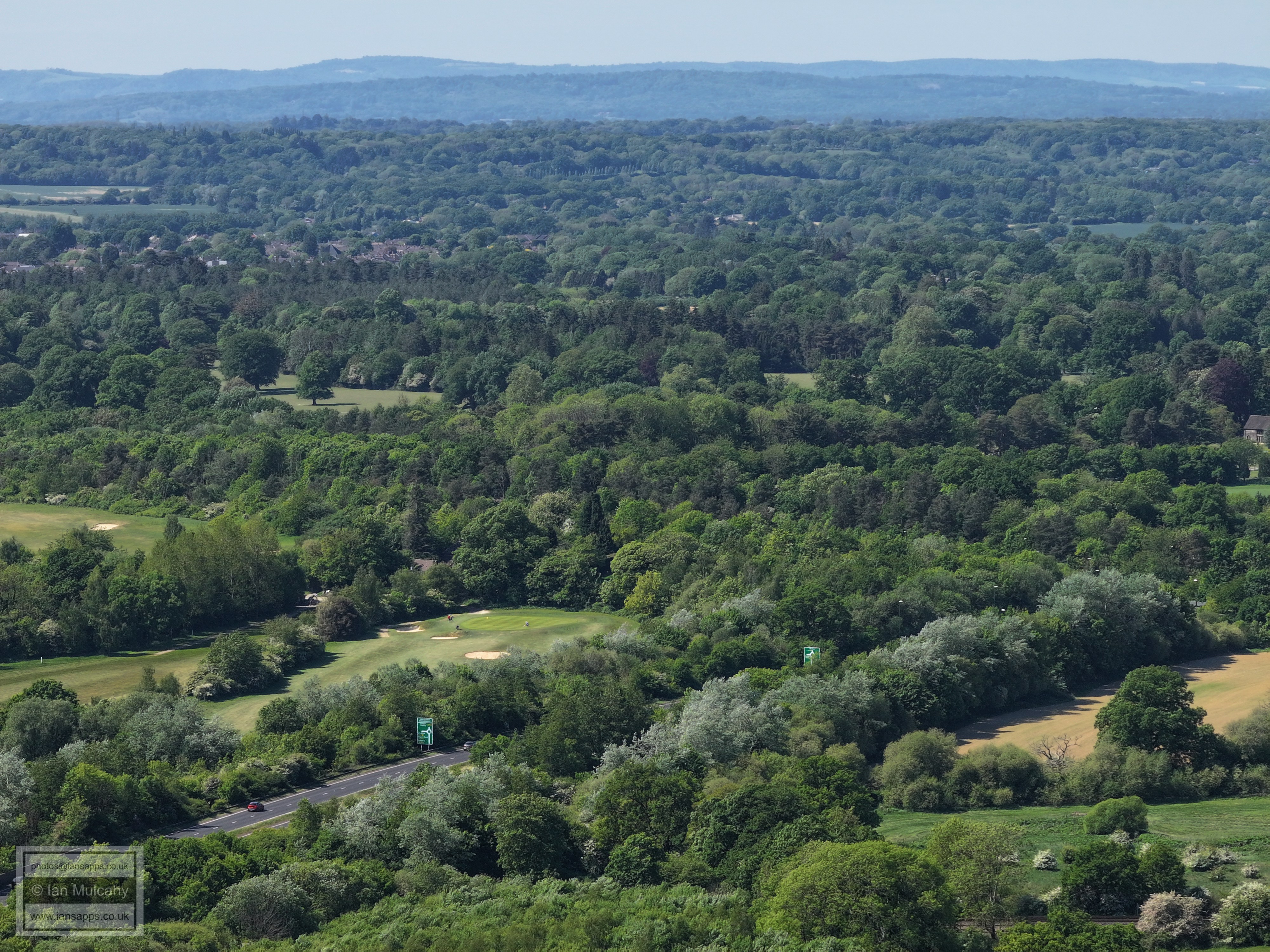
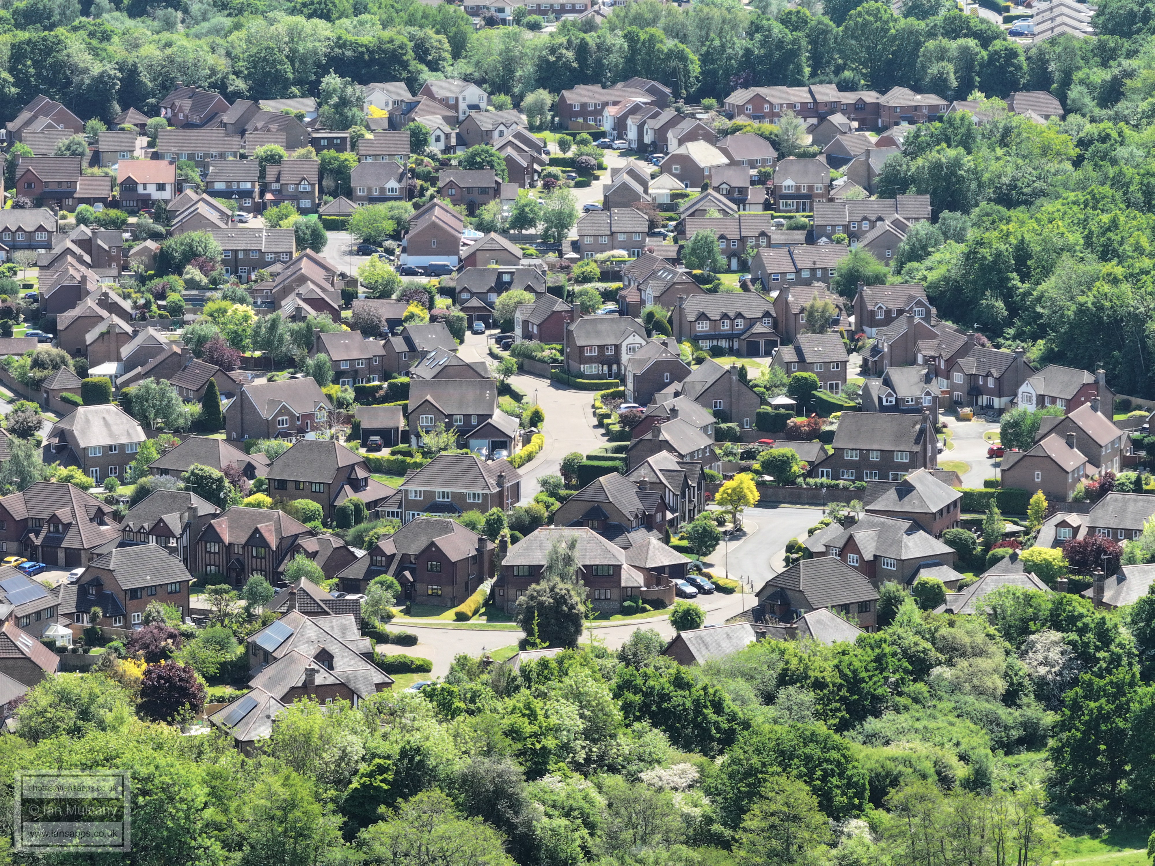
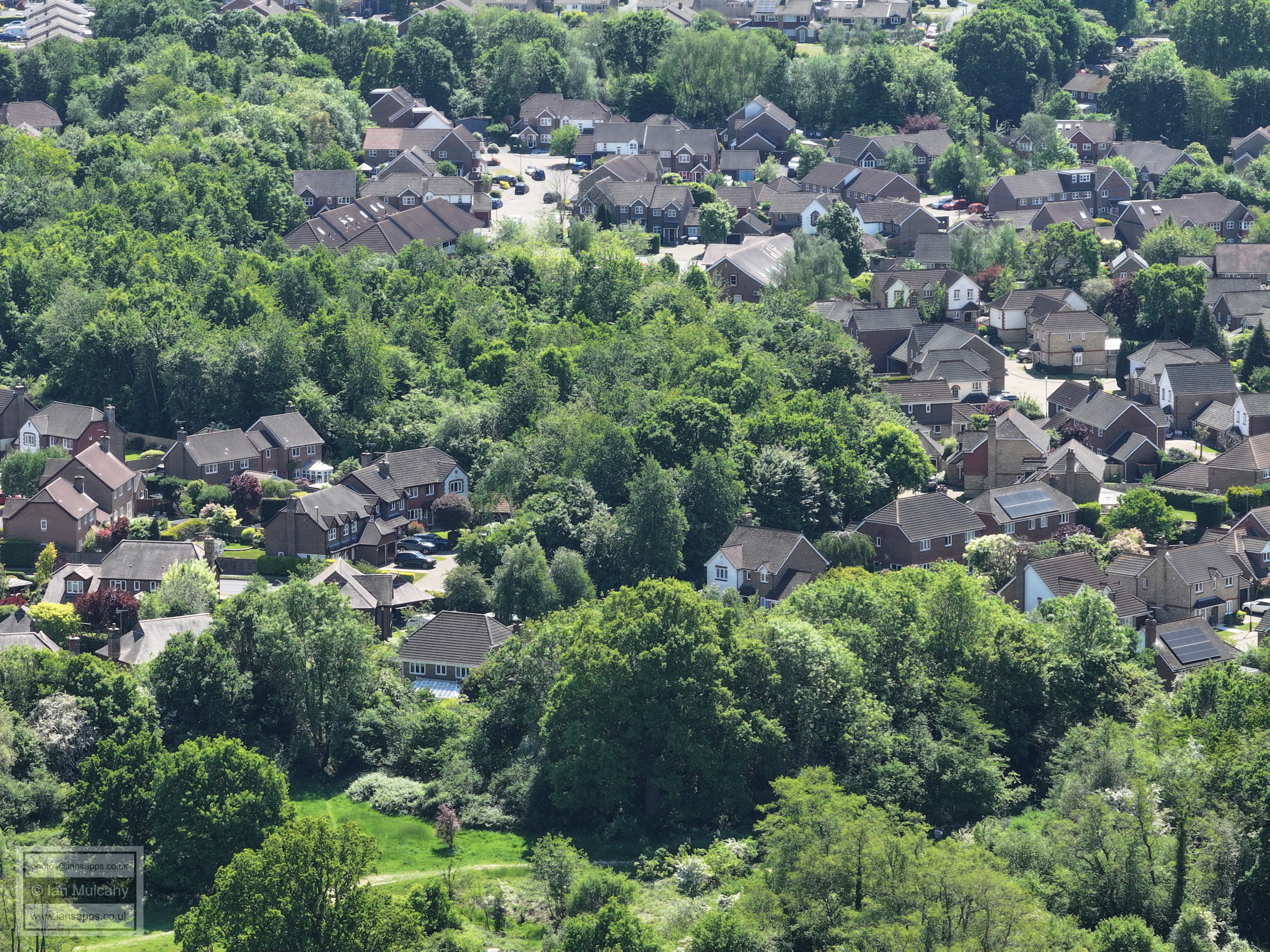
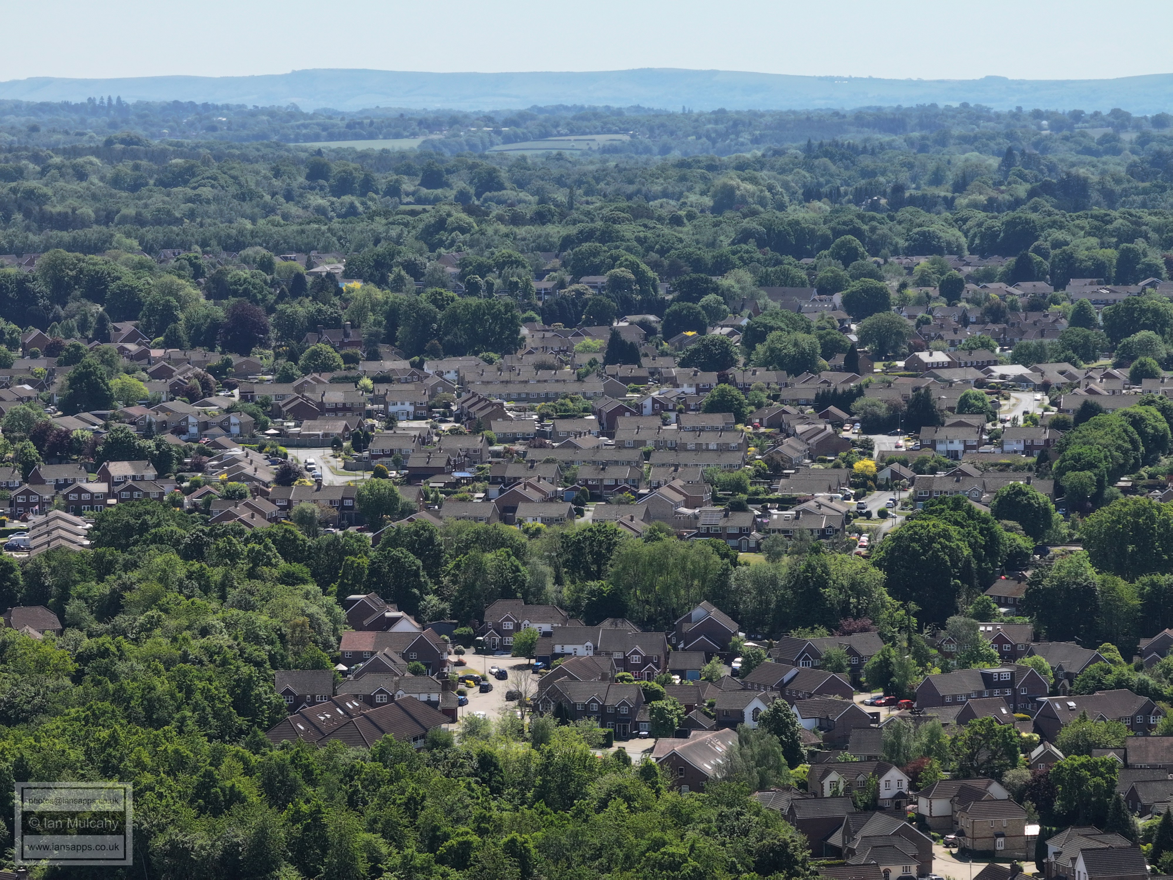
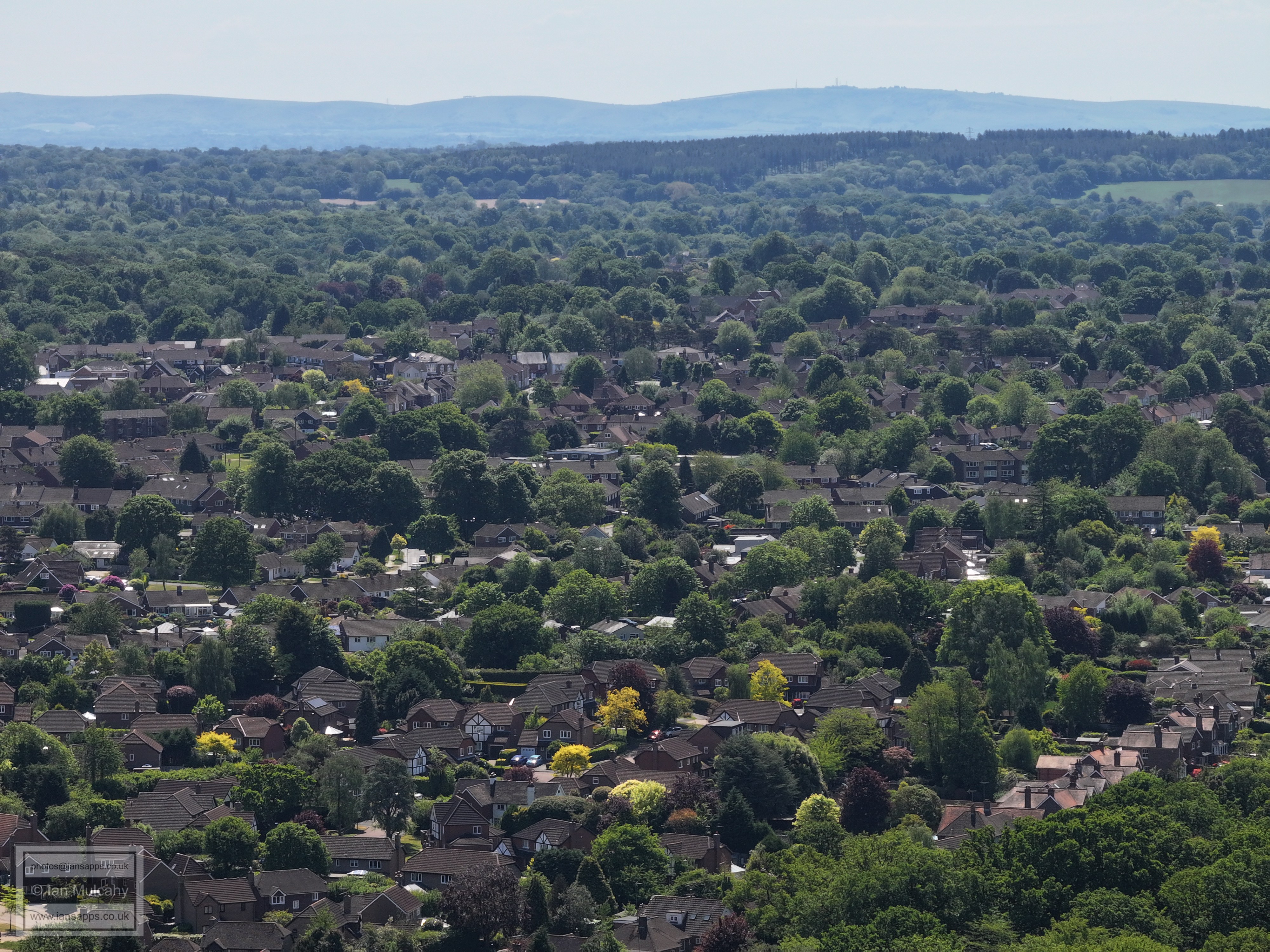
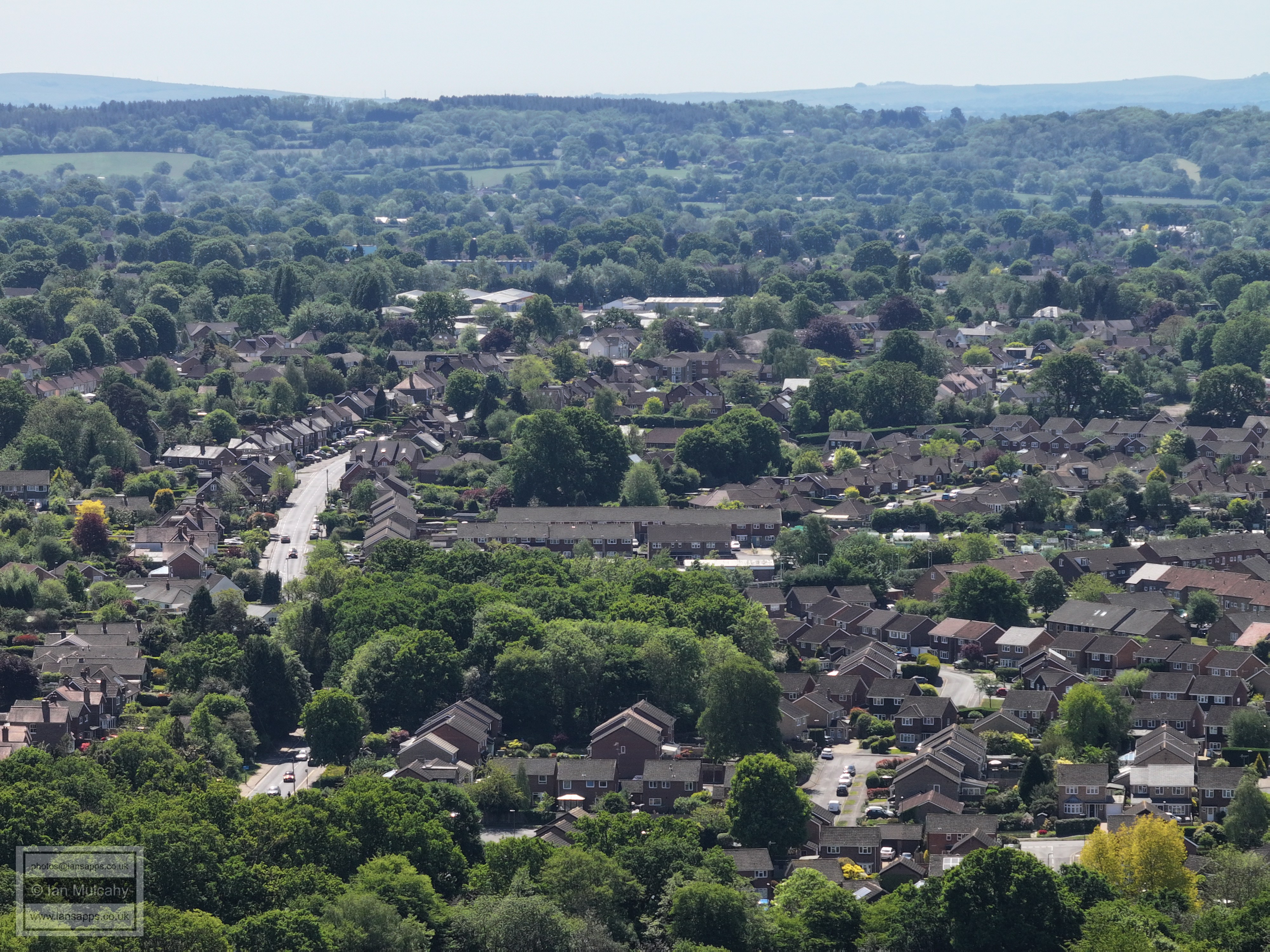
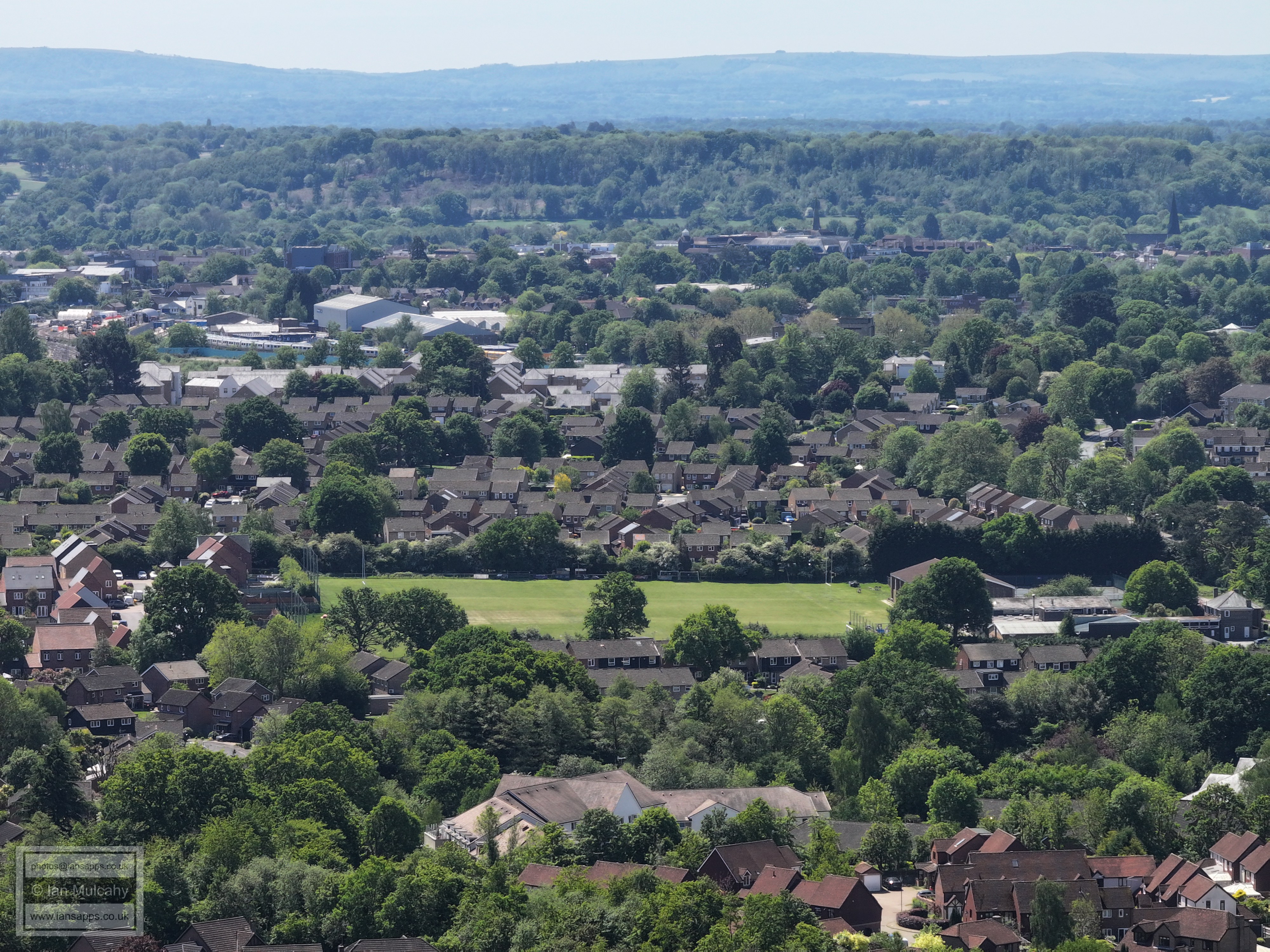
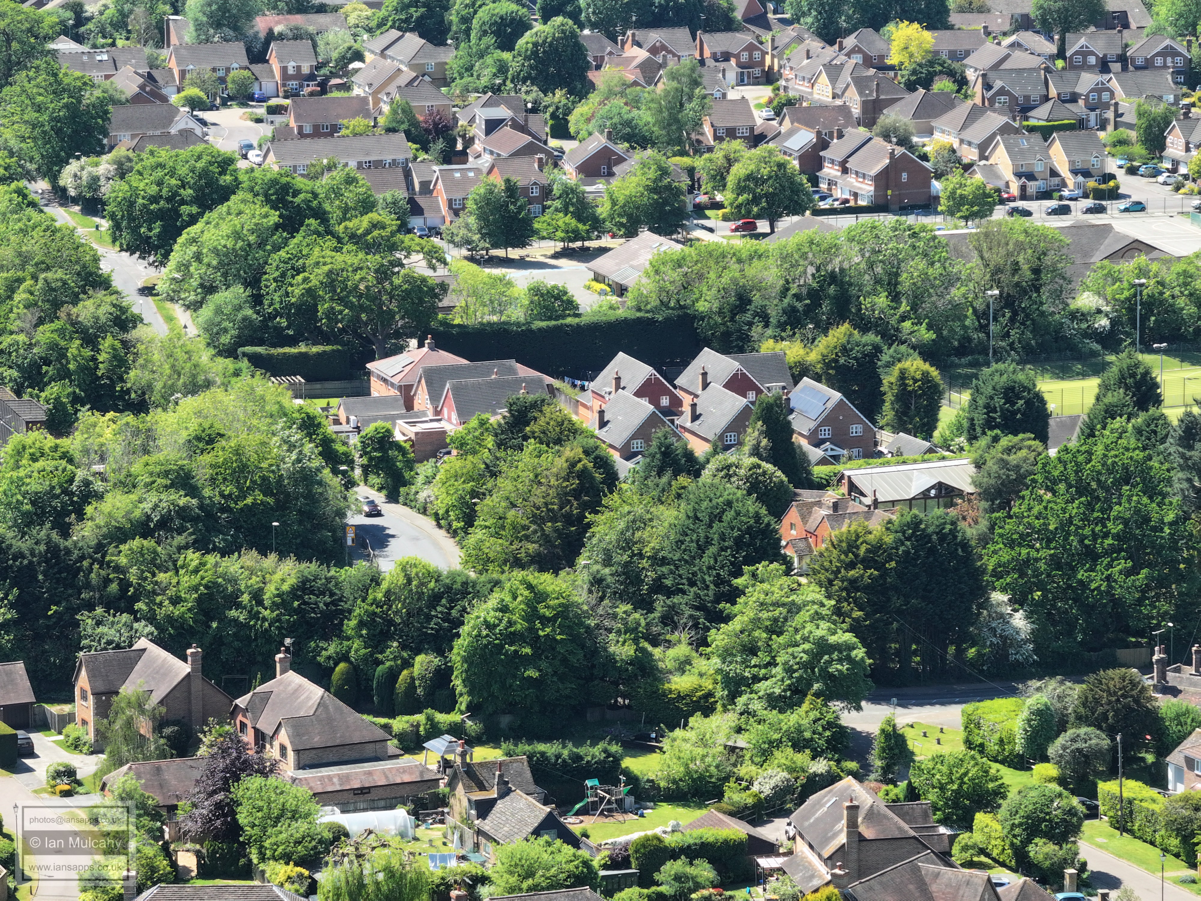
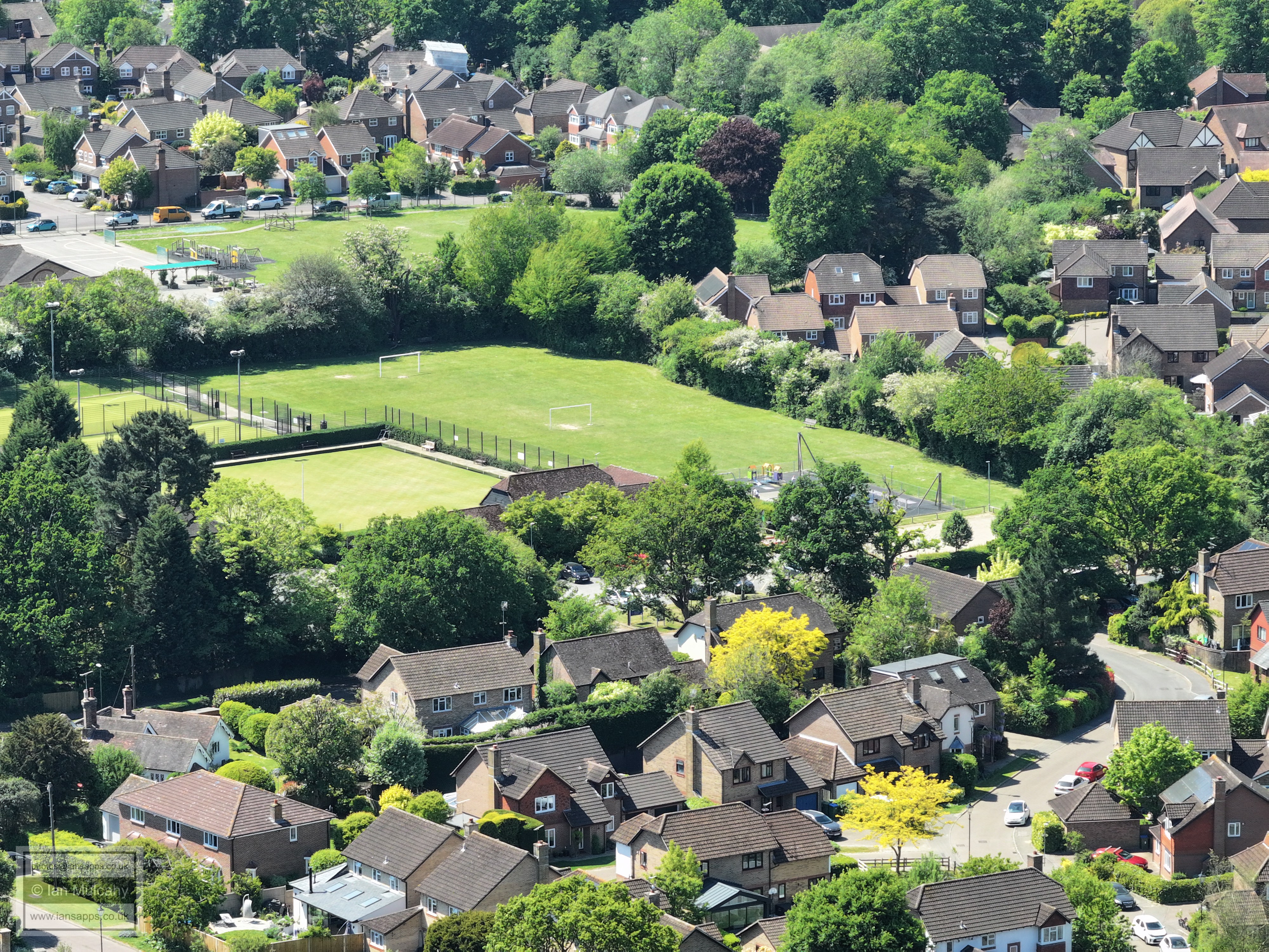
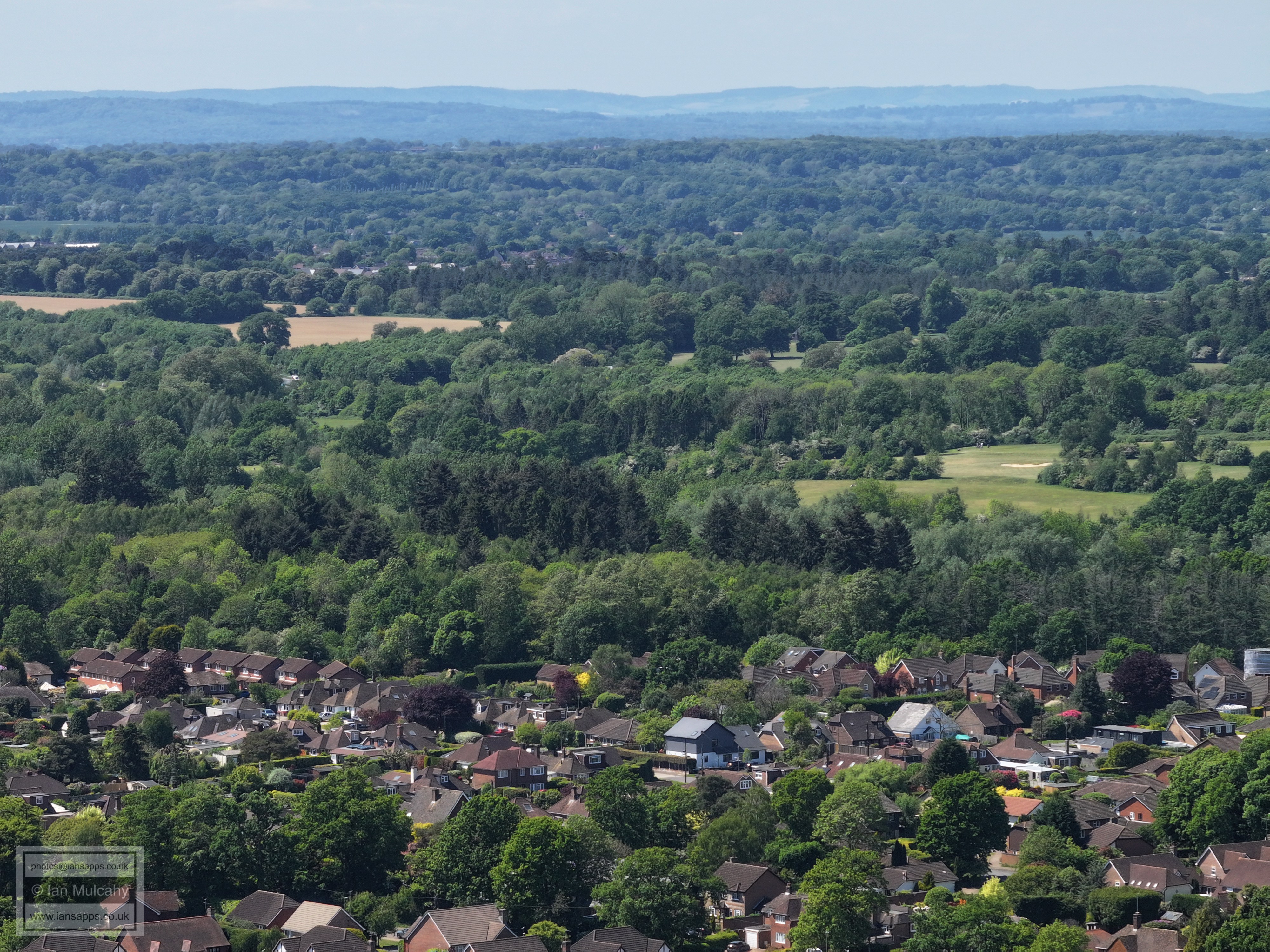
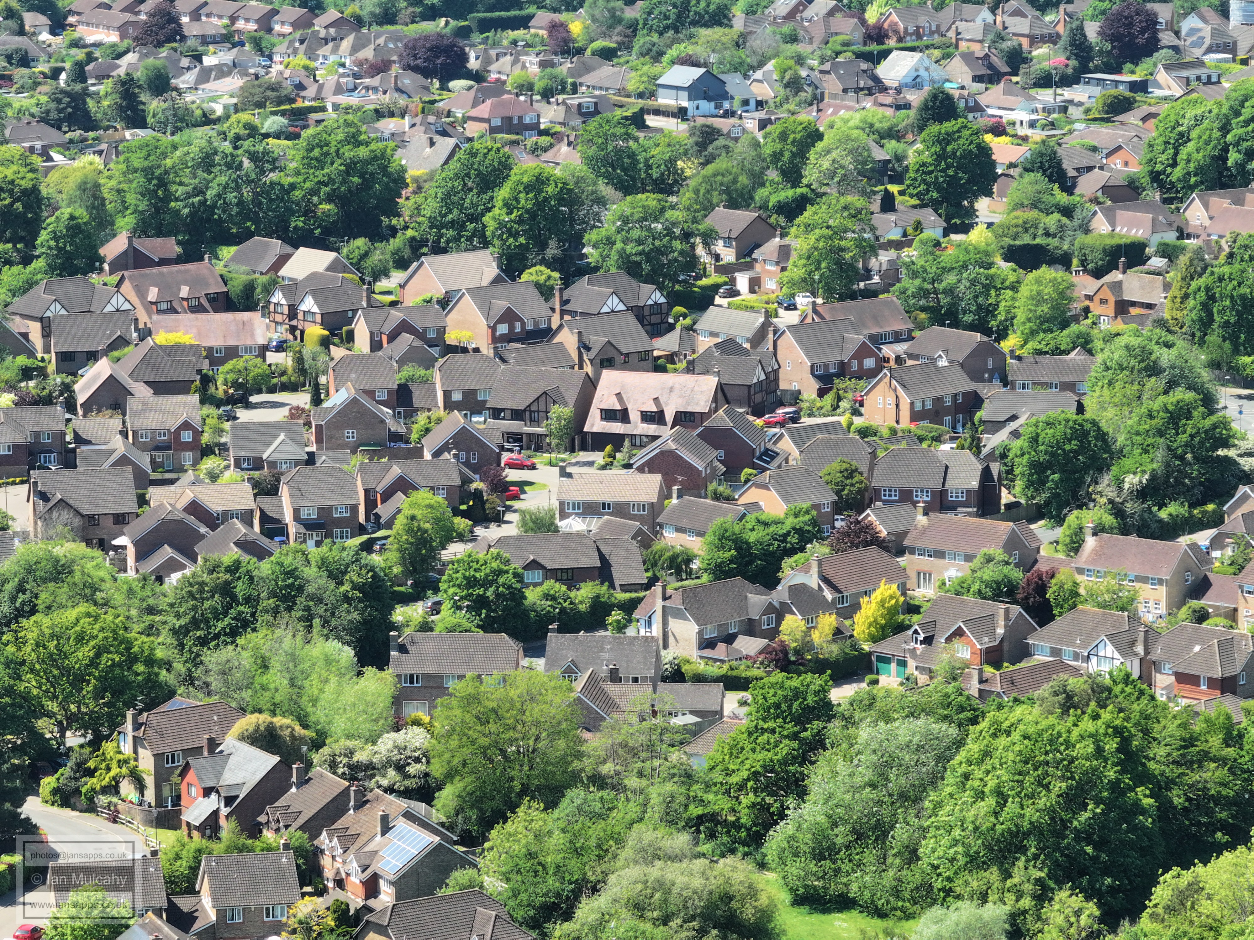
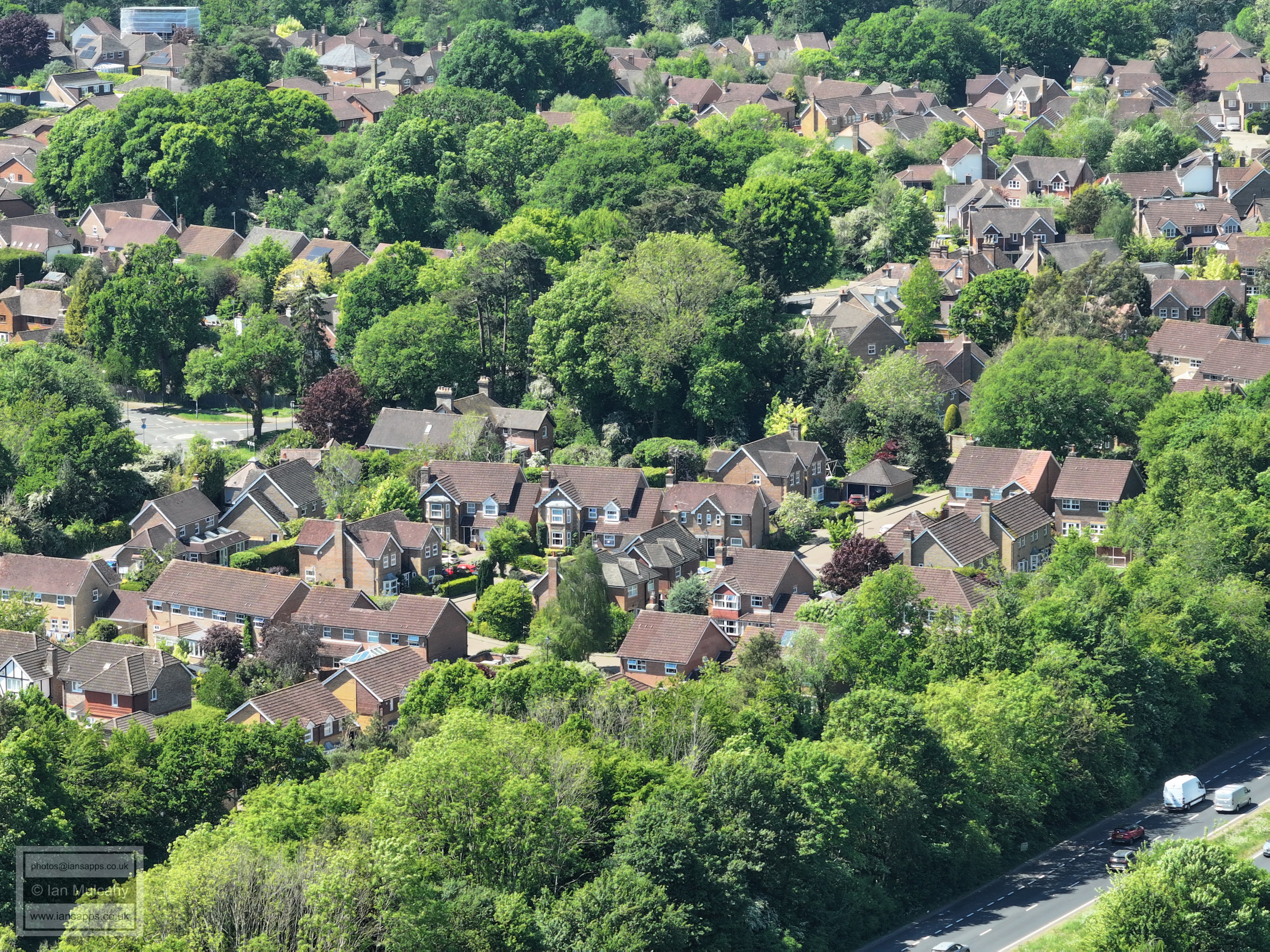
The following pictures are from the same position, but with a shorter focal length, sweeping back across town in an anti clockwise direction. I will not re-annotate all of these.
Text & photographs © Ian Mulcahy. Contact photos@iansapps.co.uk or visit my 'Use of my photographs' page for licensing queries (ground level photographs only). |