From Dobbins Pond in Ifield West
16 May 2025
74 aerial photos of varying focal length
|
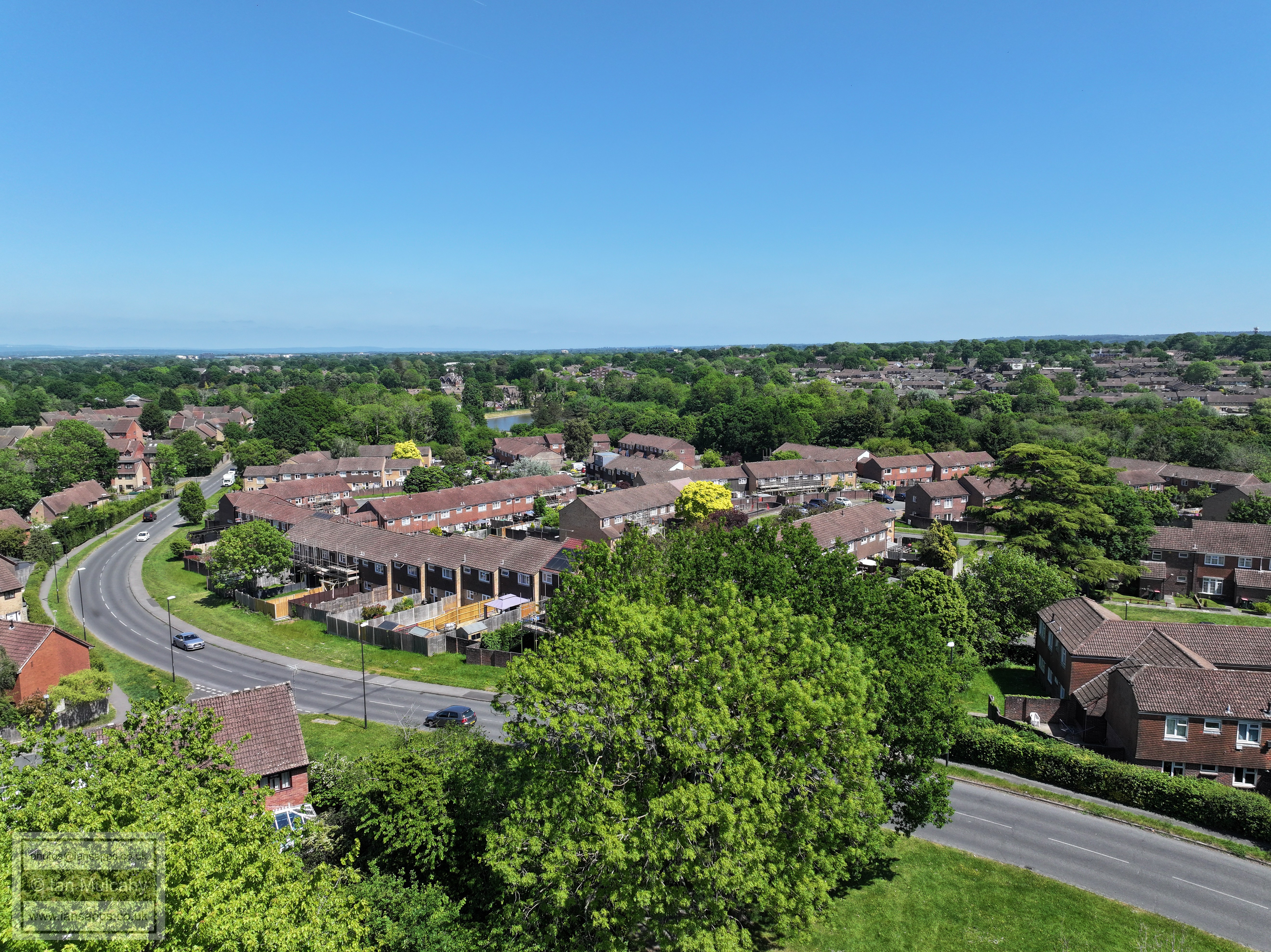
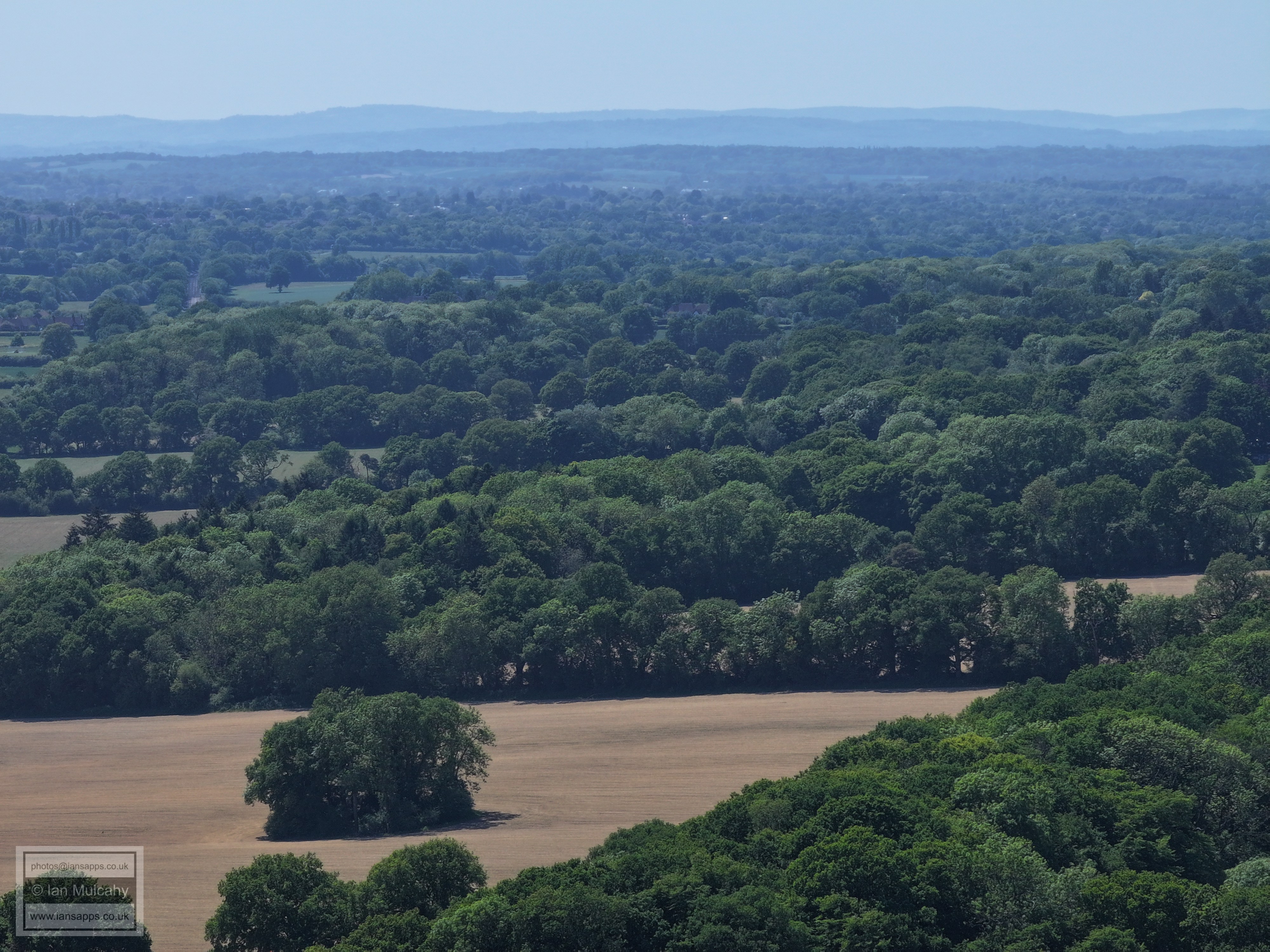
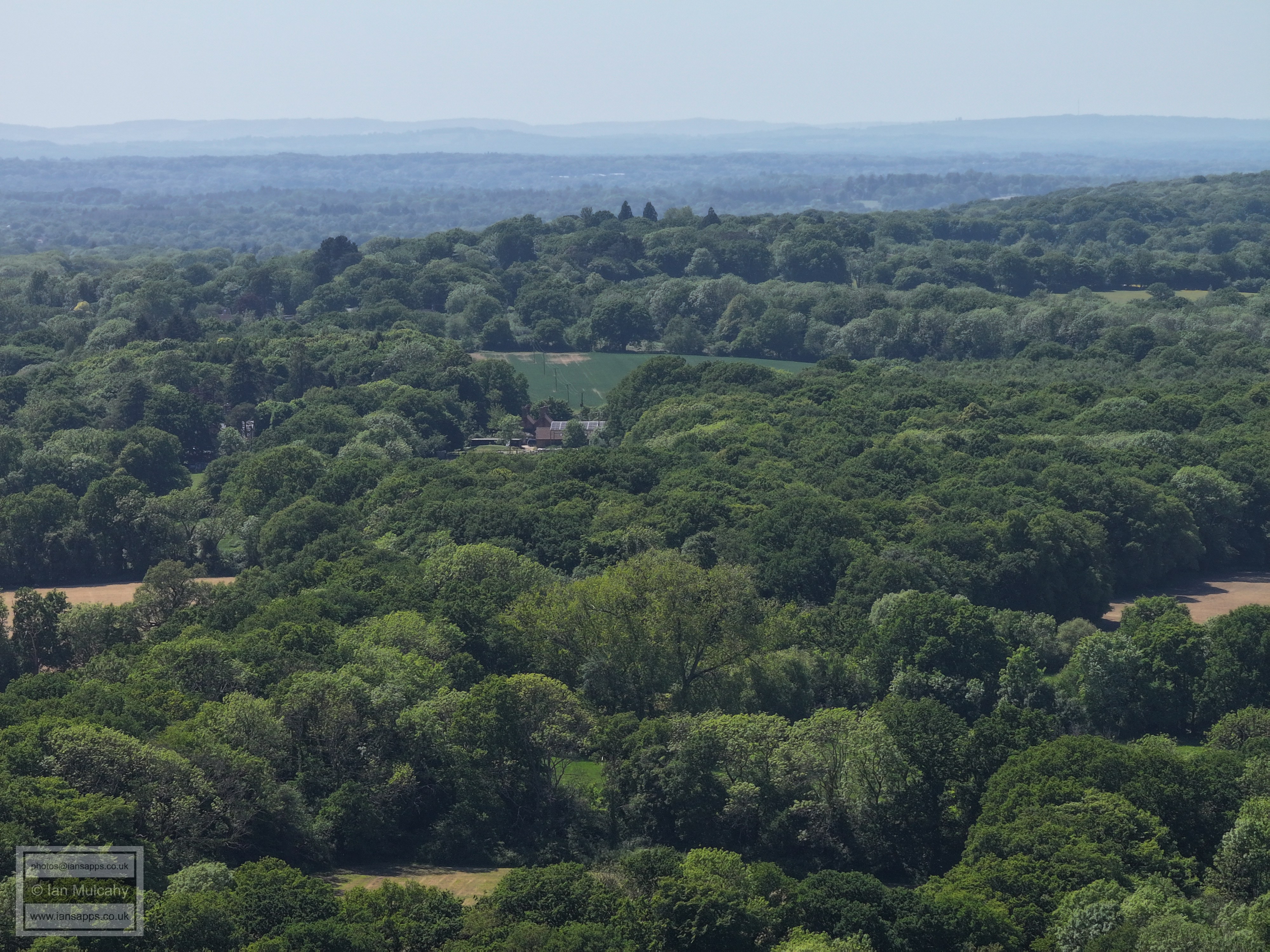
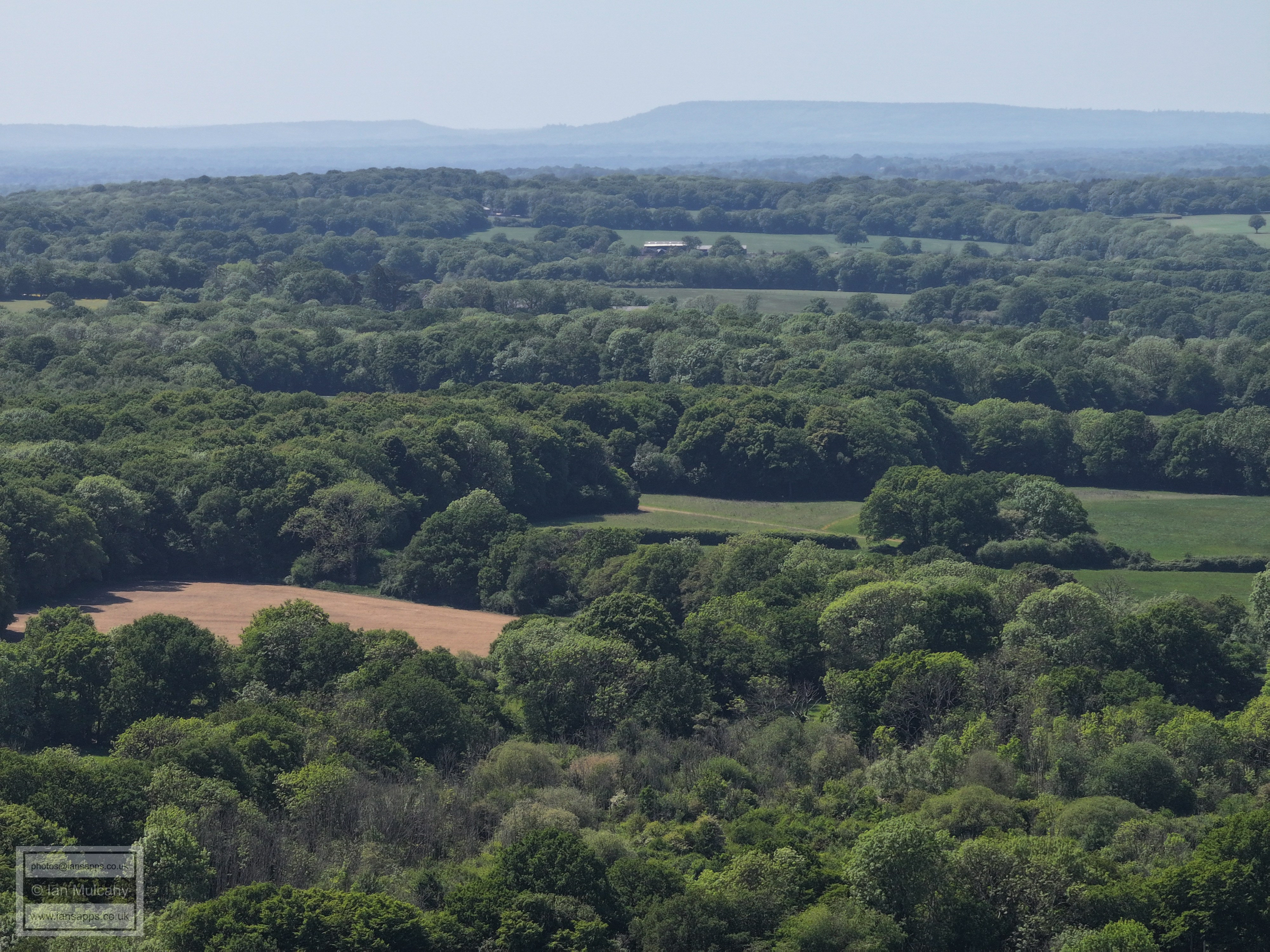
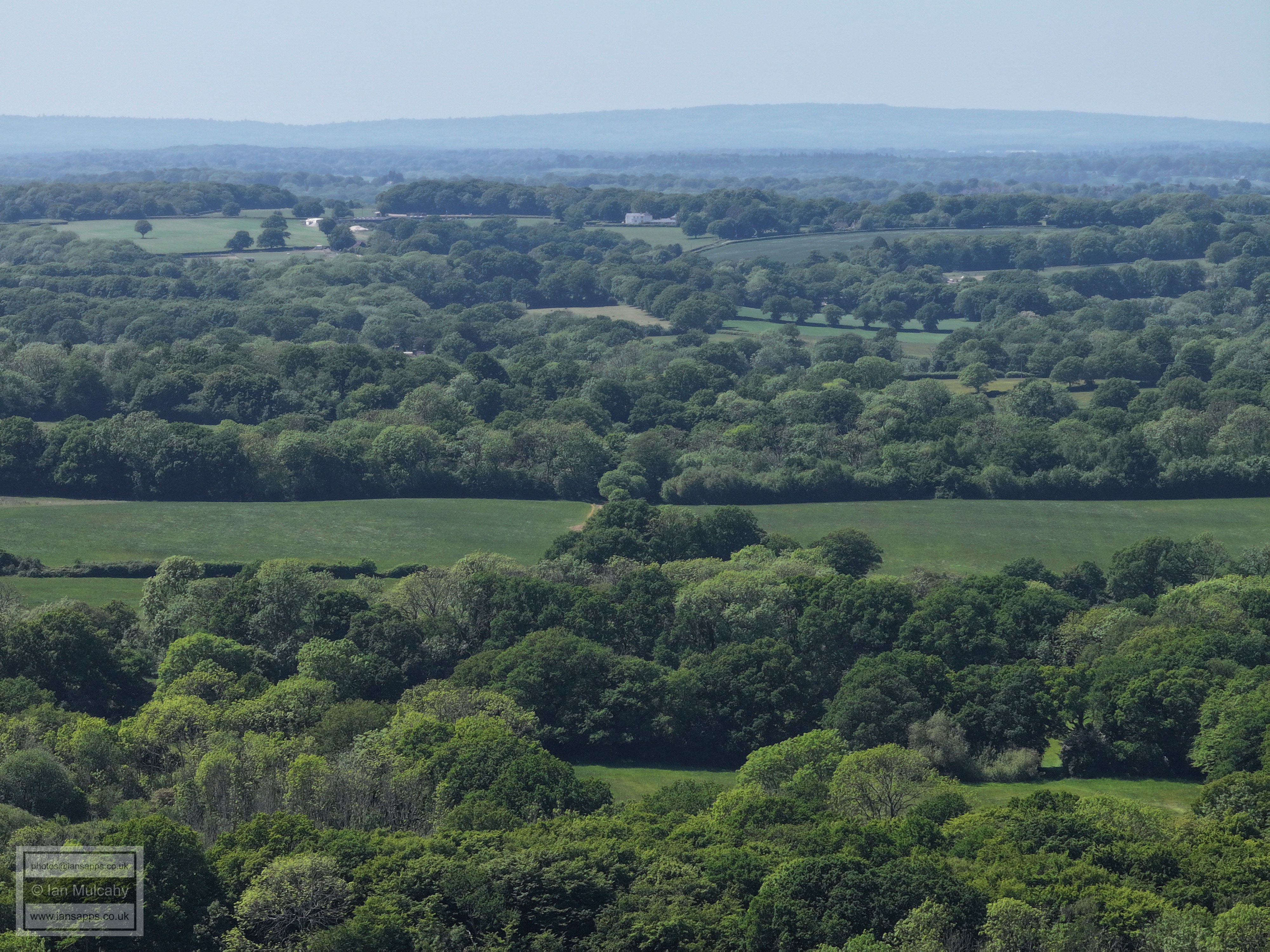
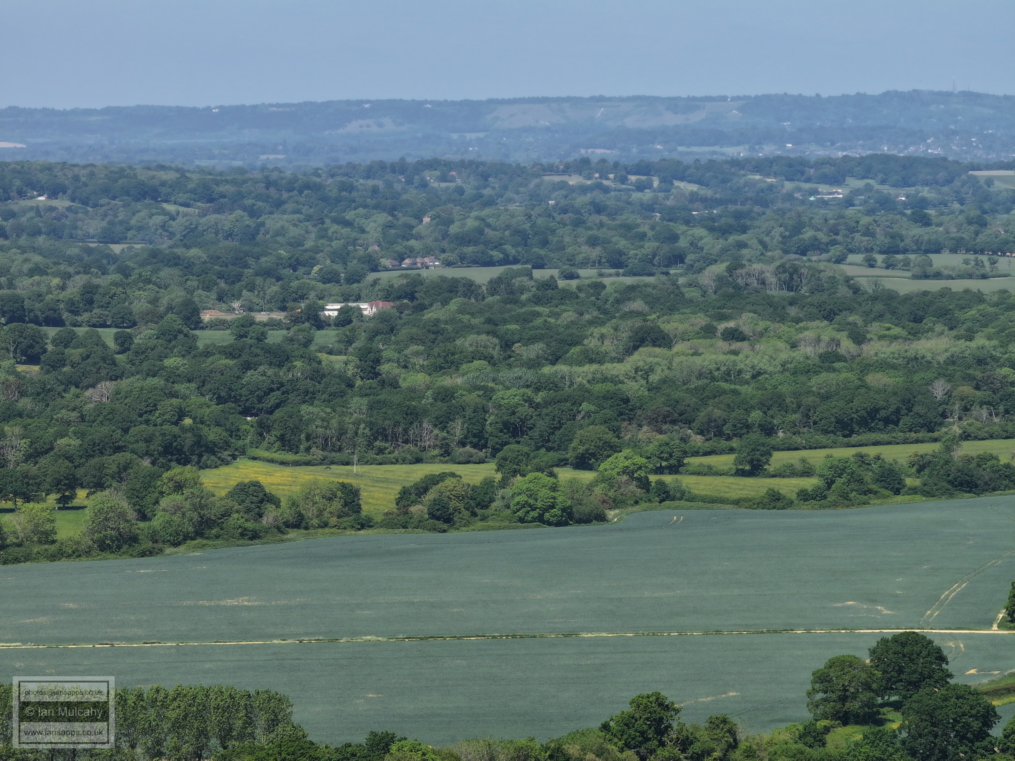
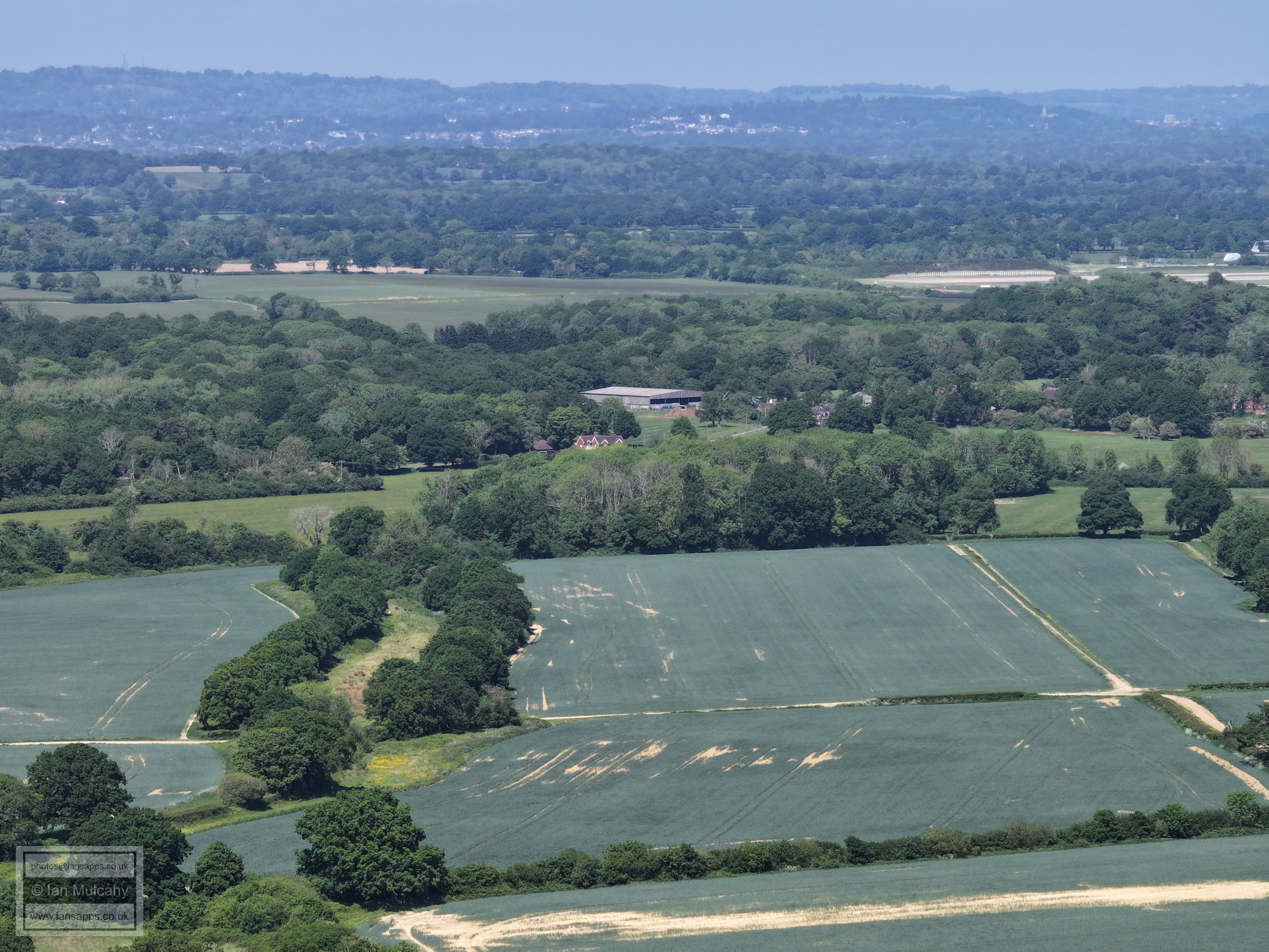
It was another really clear day on 16 May 2025 and what was planned to be a quick 5 minute flight at Dobbins Pond in Ifield West during my lunch break to take a few long range pics of my house and work out my position for some sunrise over the mill photos from a different angle to last summer ended up with me also taking 74 detailed aerial images of Crawley and the surrounding countryside.
I have annotated many of the photos.
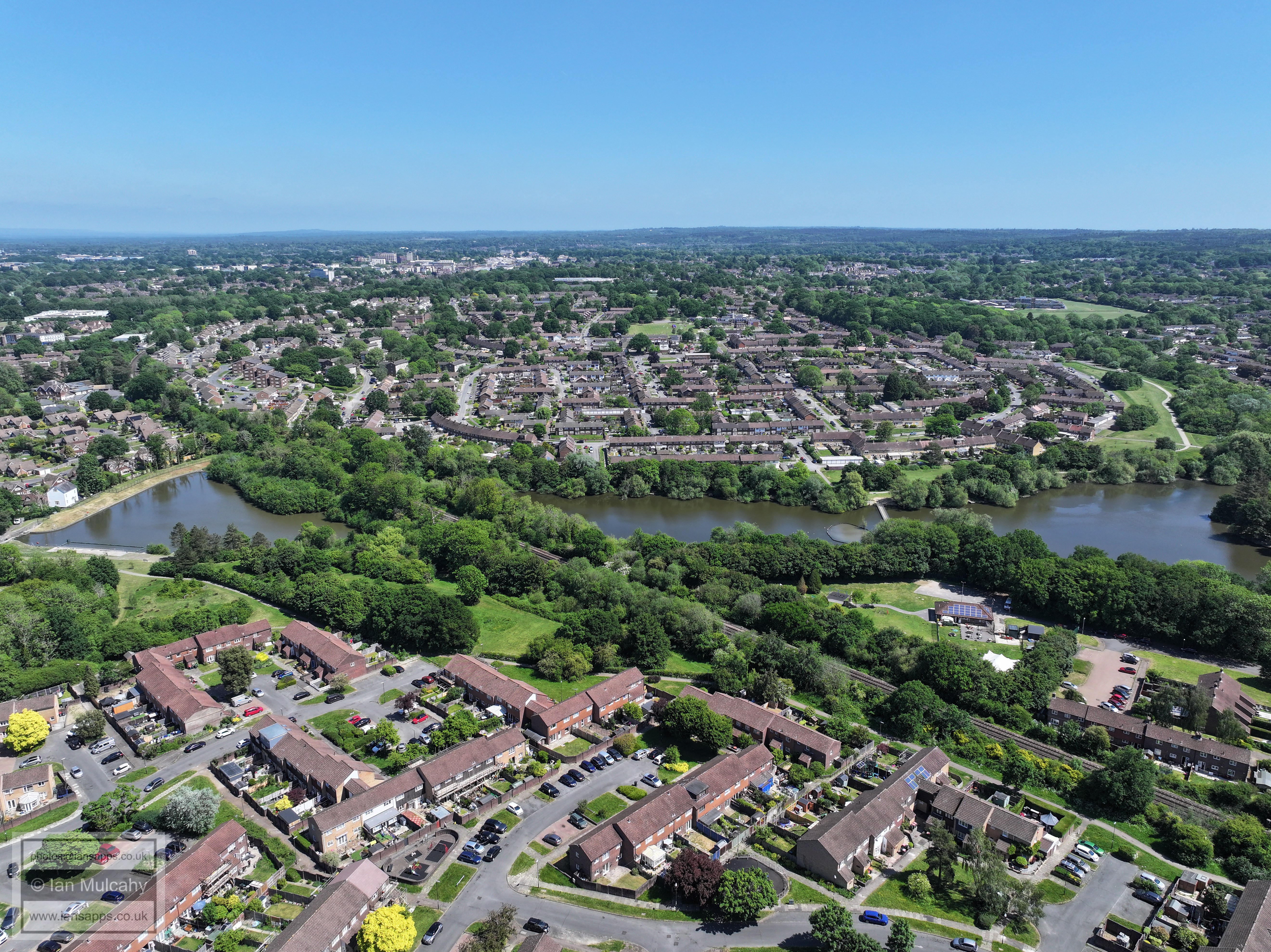
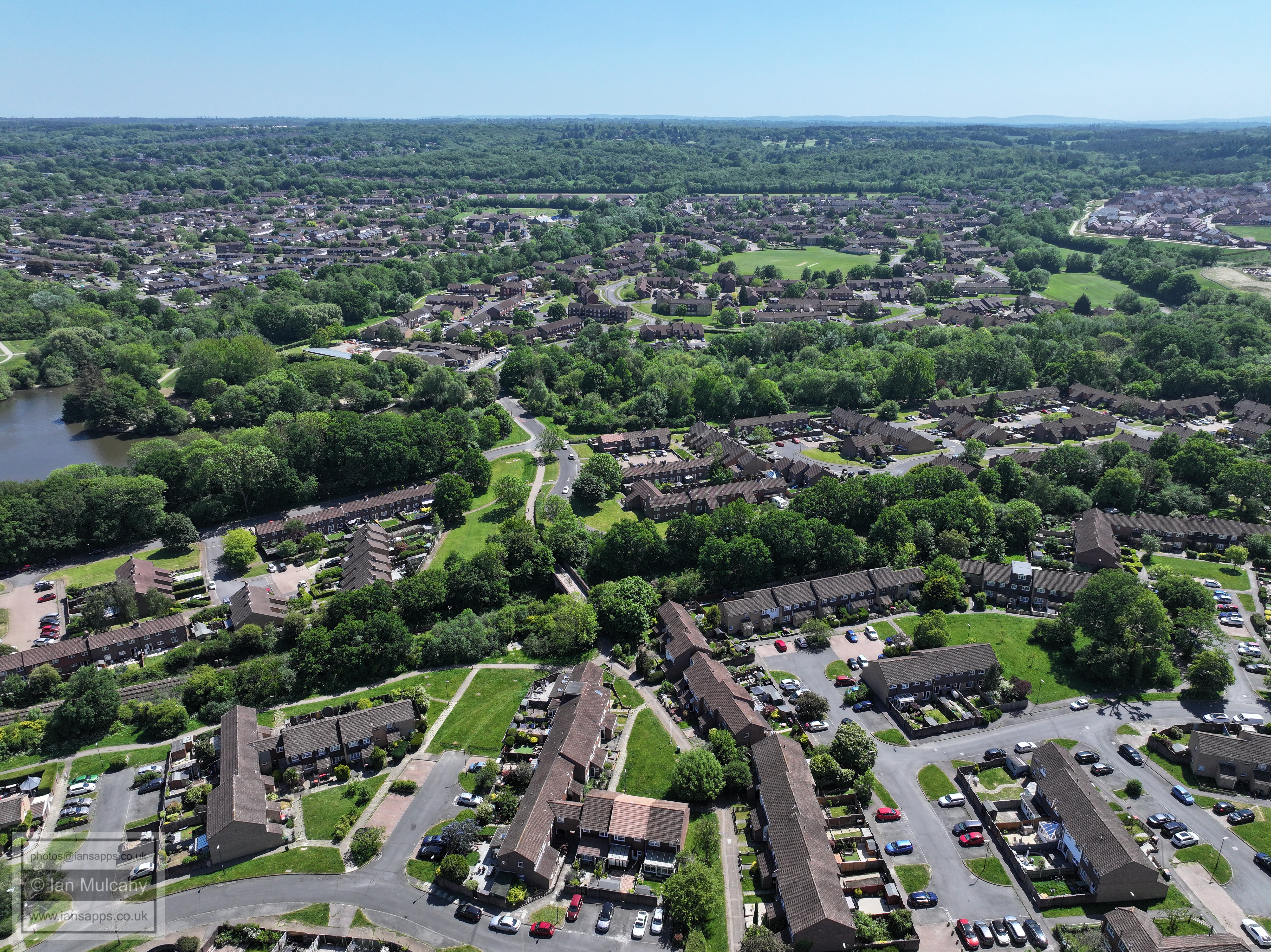
Almost in a line, from Bottom, Ifield Mill, Ifield Park, The Mill Primary, ICC, the Crowne Plaza Hotel
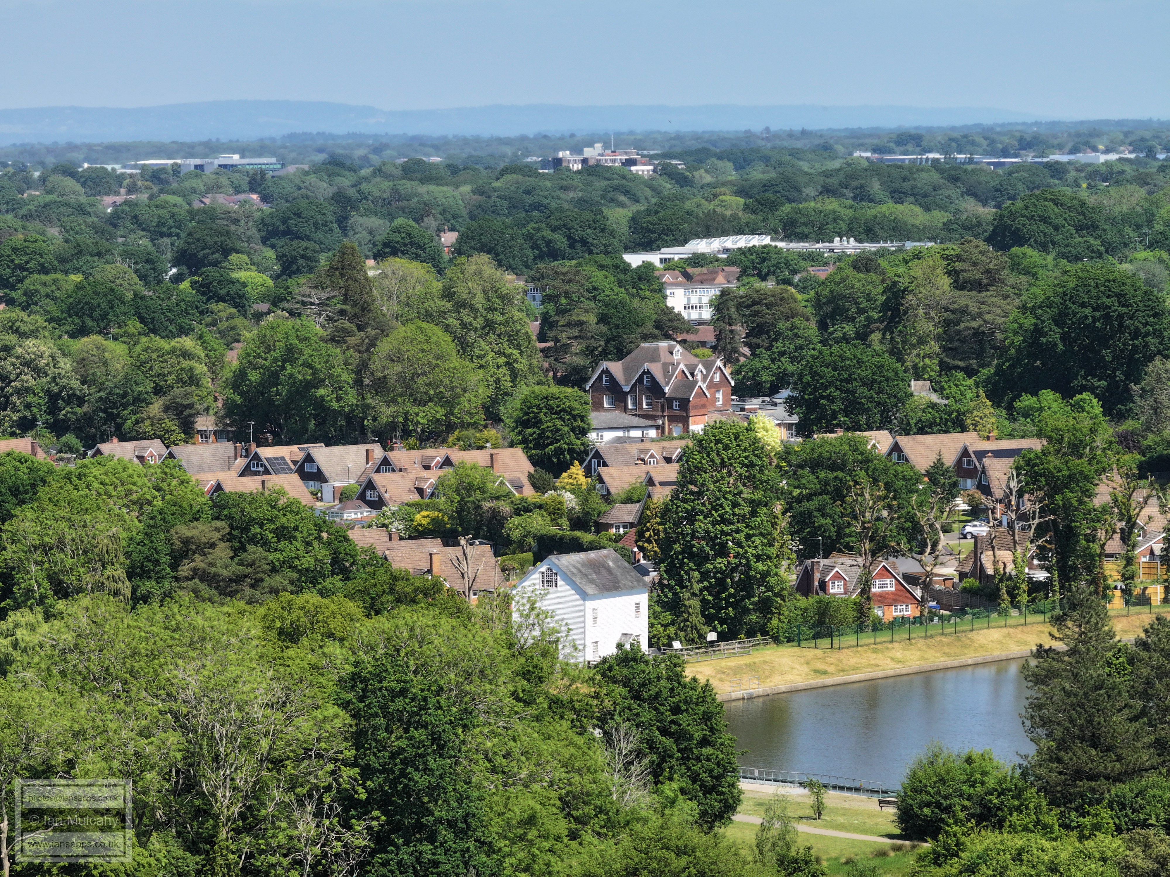
Ifield Park, centre. The Mill Primary,& ICC are top, separated by Southwater Close, and Ifield Station is in the top right quarter. In the foreground is the Millbank.
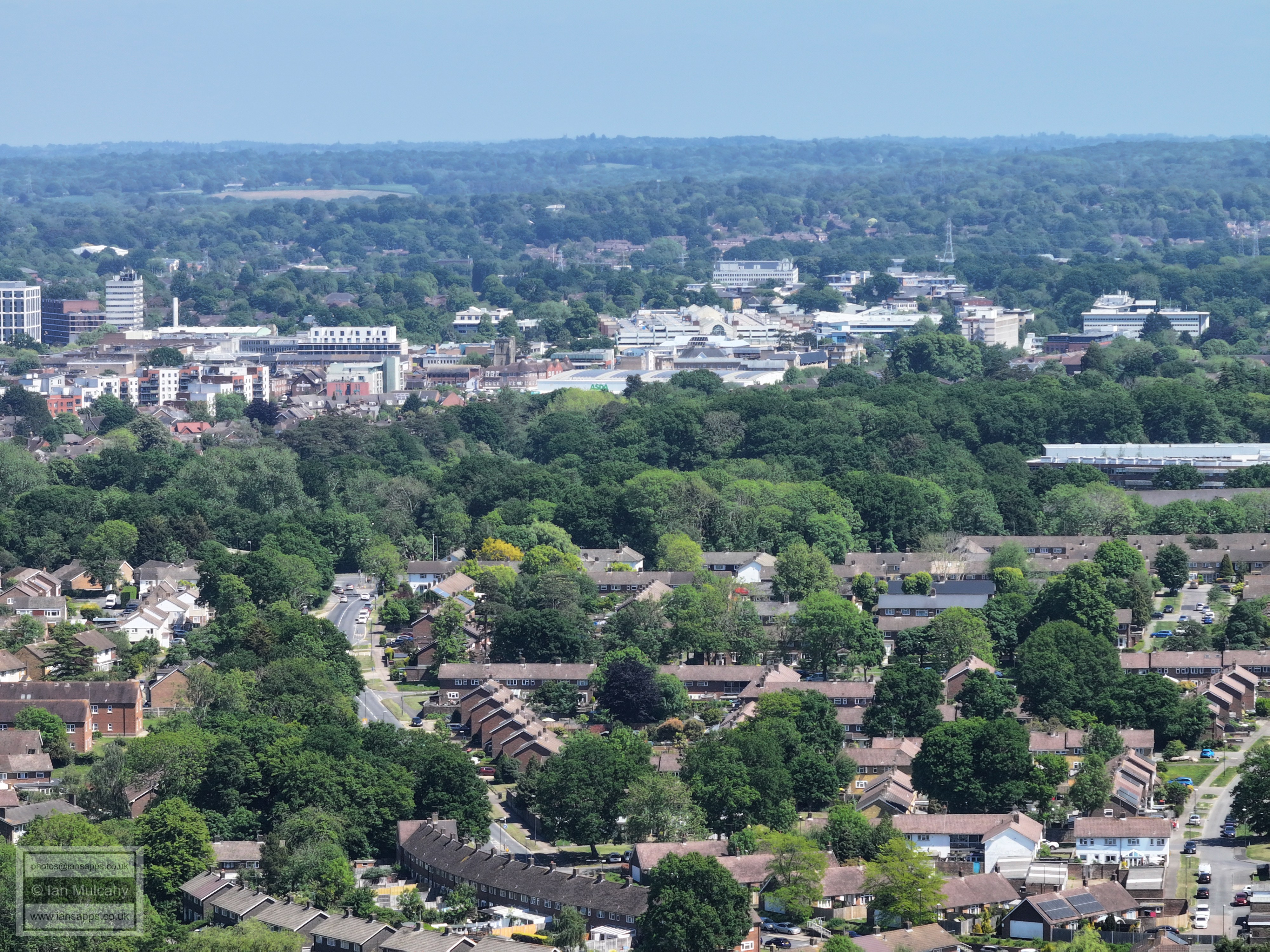
Town Centre. In the bottom right hand quarter is Gossops Drive and the lighted junction with the A23.
County Mall, centre, with Sutherland House (Paymaster building) behind. In the top right quarter is the spire of St Nicholas at Worth. Right of centre is St Wilfreds.
Left of centre is the temple at the Apple Tree Centre. The houses to the right are the Parham Road and Trist Way area, with Aldingbourne Close to the left
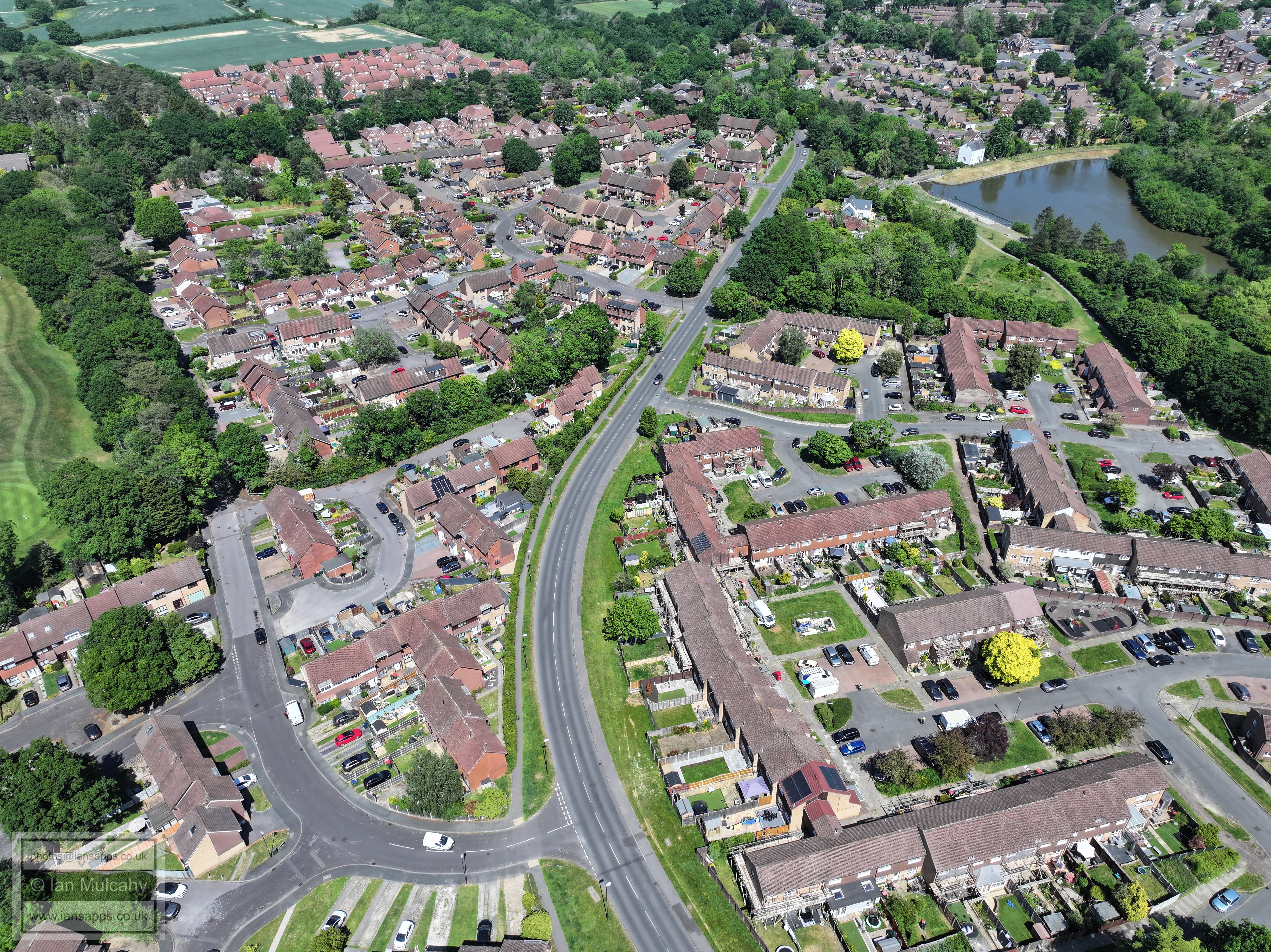
In the top left quarter is the spire of St Michaels at Lowfield Heath. In the bottom left quarter is Ifield Drive and Ifield Parade, with Langley Green above. The bottom left quarter is Rusper Road playing fields. On the far right, just below Astral Towers, is Langley Parade.
Manor Green School is in the centre, and the timbers of Ewhurst Place (in Ifield Drive) can be seen just above. The Mill Primary is in the bottom right quarter. In the top left quarter, the globes of Tinsley Green sewage works can be seen and just below, the line of buildings across the entire image is Manor Royal.
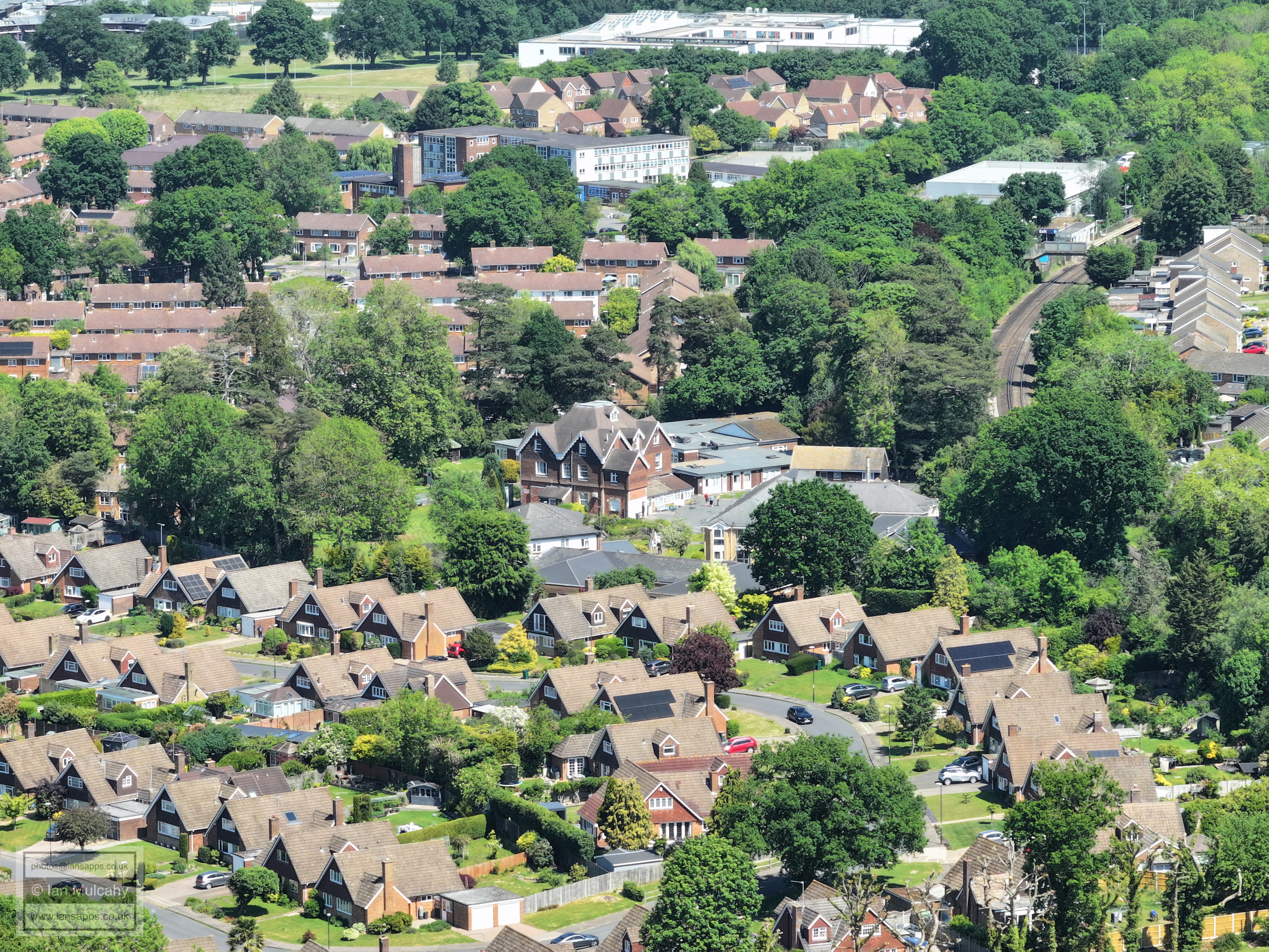
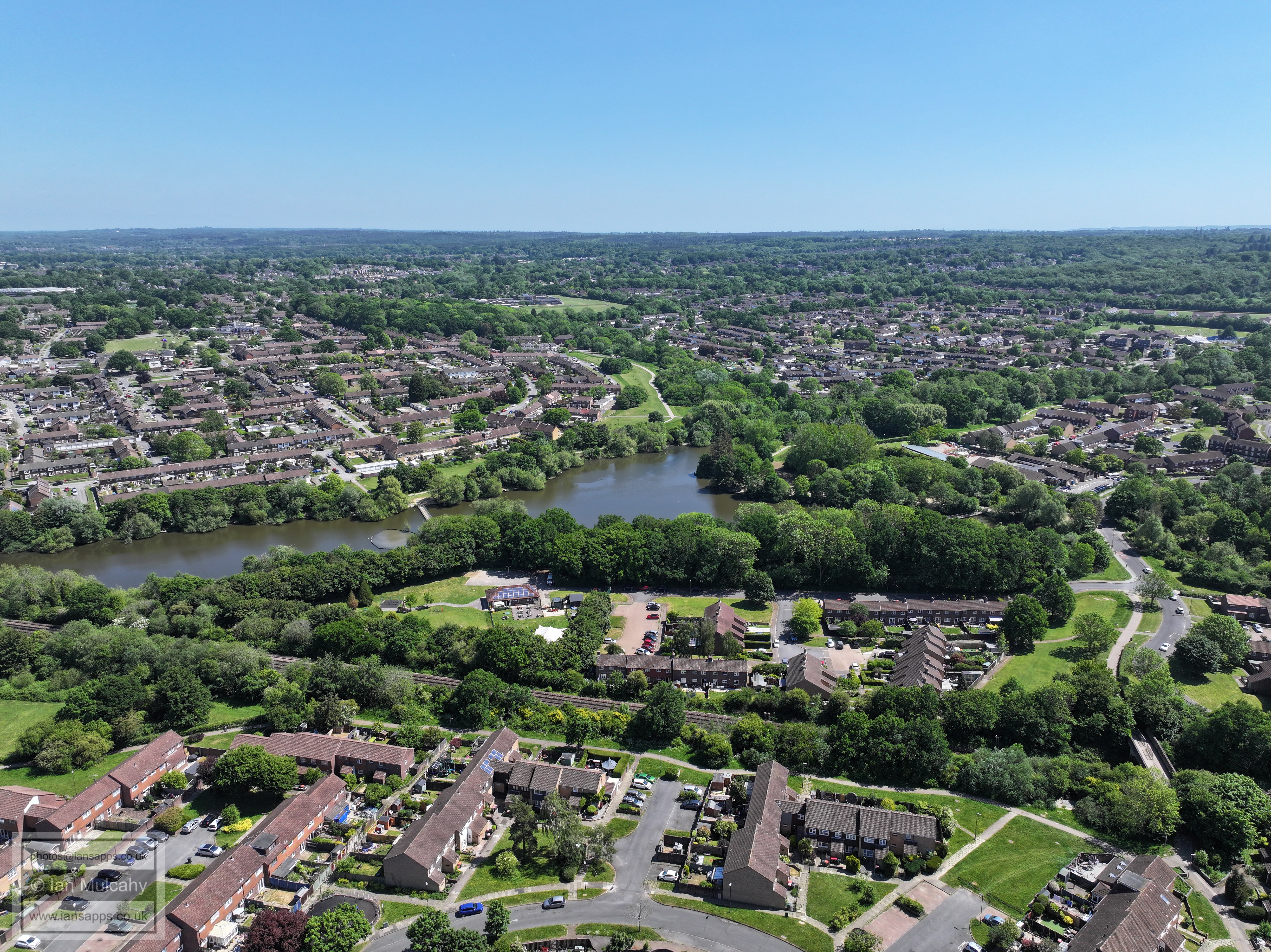
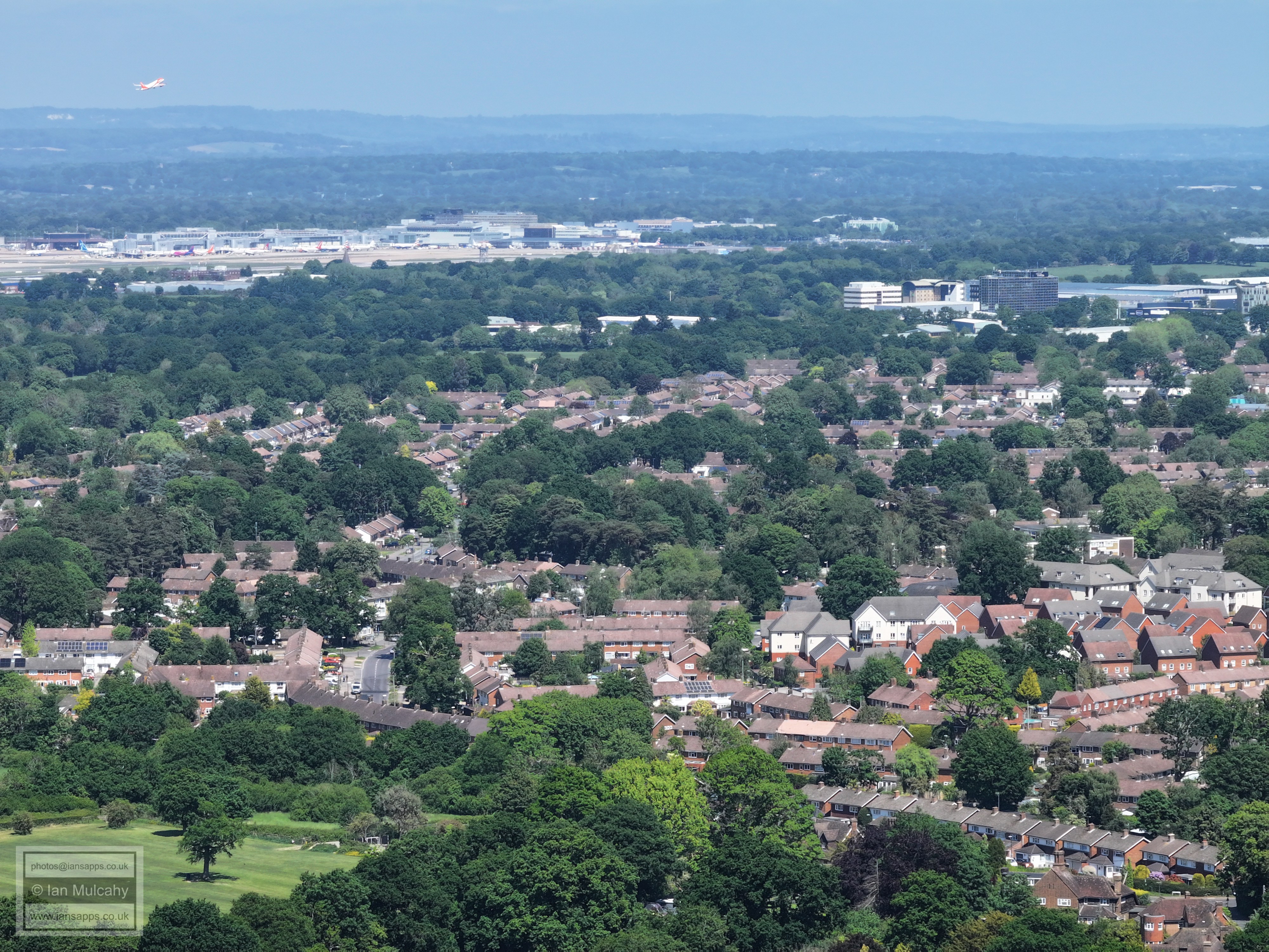
In the bottom left quarter are The Mill primary, Southwater close and ICC and bottom centre is Ifield Station. Above ICC is West Green and in the top left quarter is the Crowne Plaza Hotel. Just to the right of the hotel is Sainsburys, with the roof sign prominent when the pic is viewed full size. In the top right quarter is the Sandman Hotel with Crawley Leisure Park below.
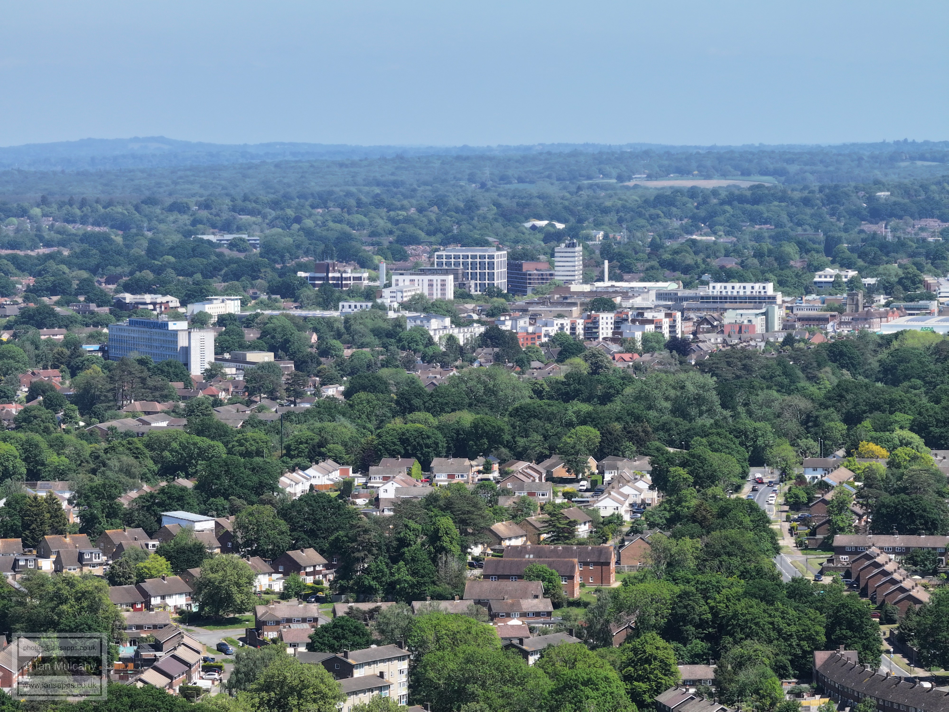
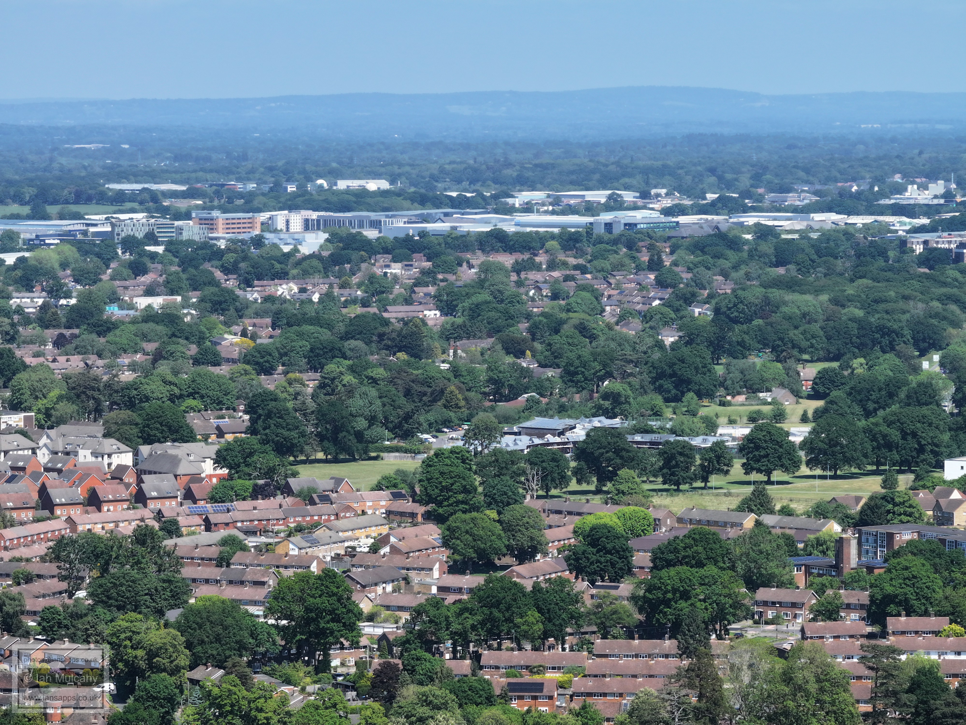
Hospital centre, with West Green immediately below and Gossops Green at the bottom. The town centre is in the top right quarter and to the left and above the telephone exchange is the UK Power Networks Building in Hazelwick Avenue. The really observant will notice St Peter's Church in West Green, just to the right and below the red brick flats on the far right, level with the hospital. In the top left quarter are Milton Flats Flats.
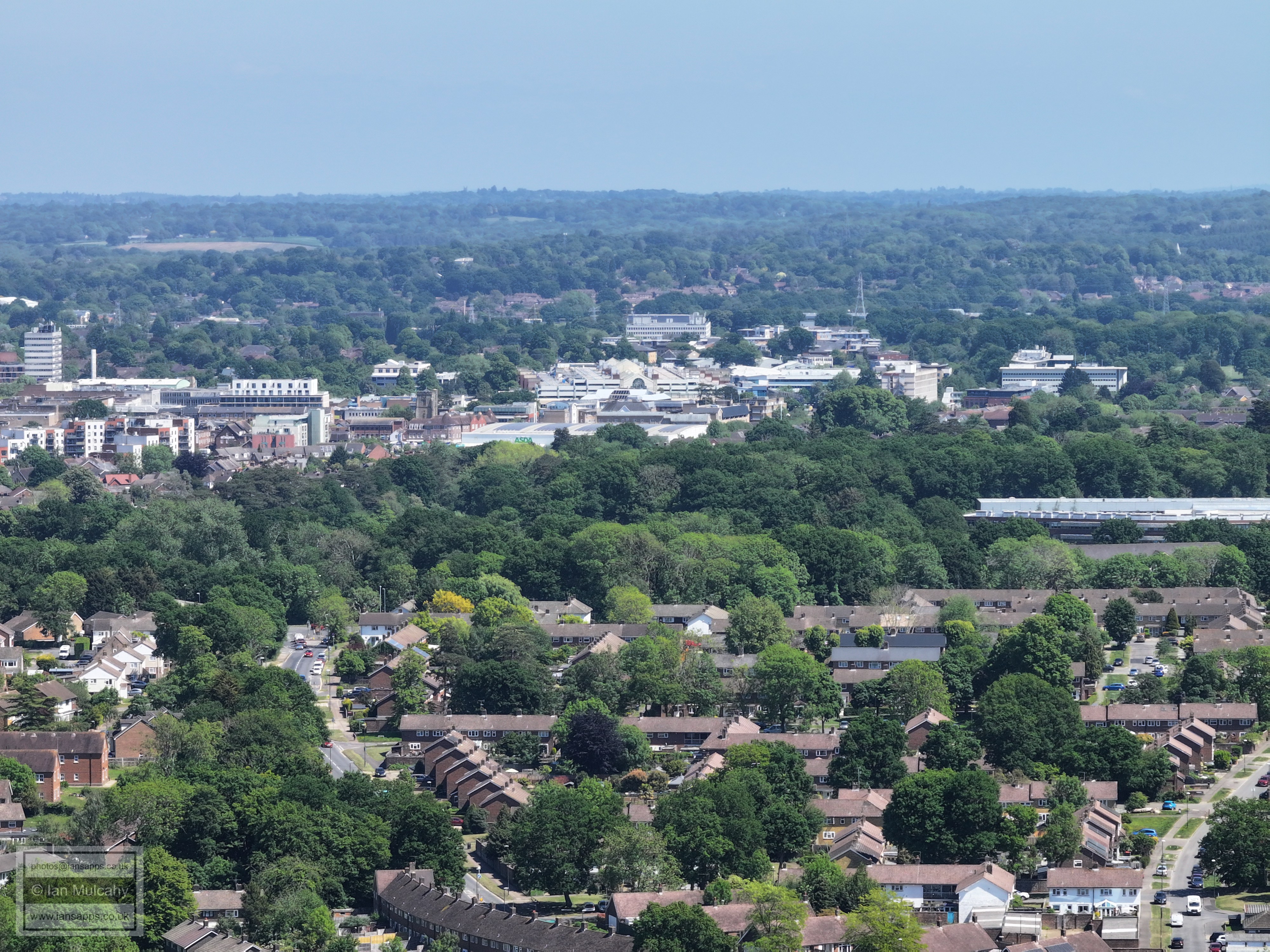
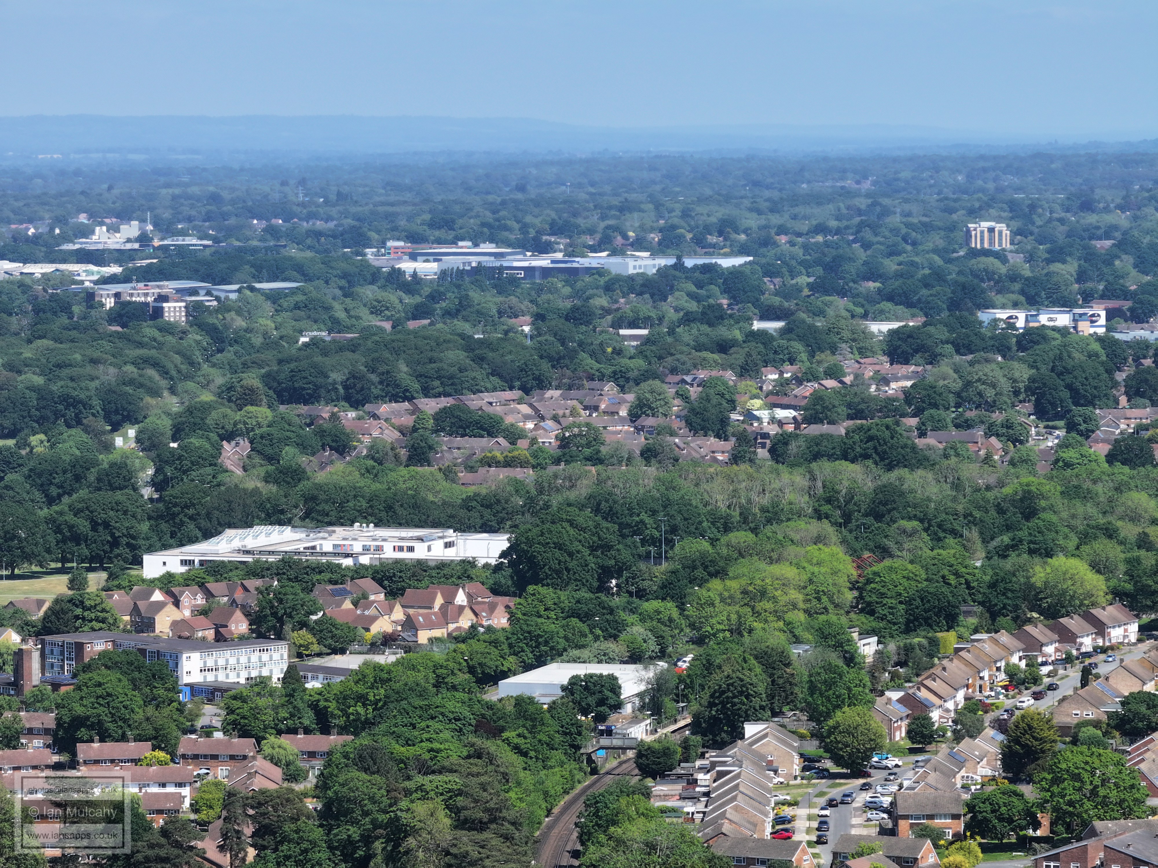
Asda and County Mall with St Johns Church to the left and Paymaster beyond. Just above the college is the first block of flats in Station Hill on the old Target Ford site, and the apparent marquee in the top left quarter is the temporary roof covering Pound Hill Junior School while the real roof is repaired. In the bottom left quarter is the Gossops Drive/A23 junction.
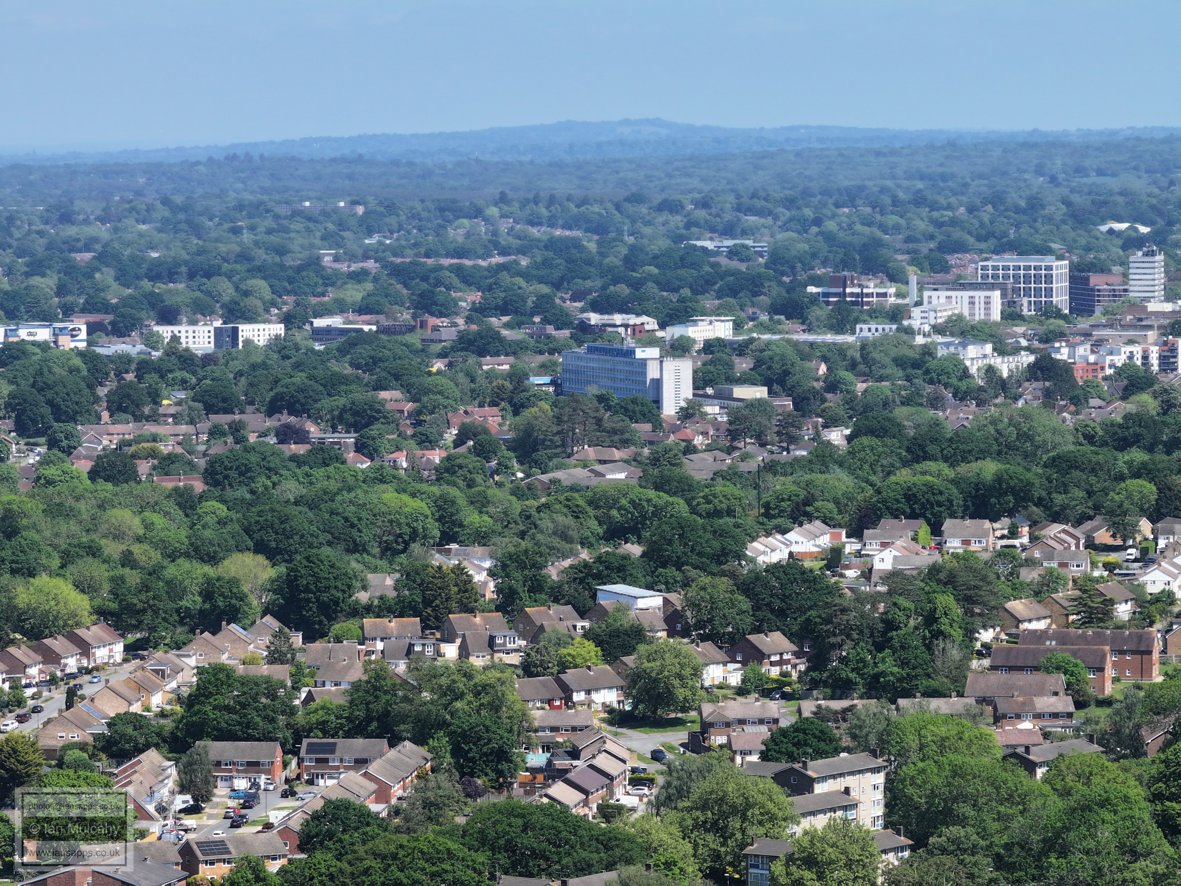
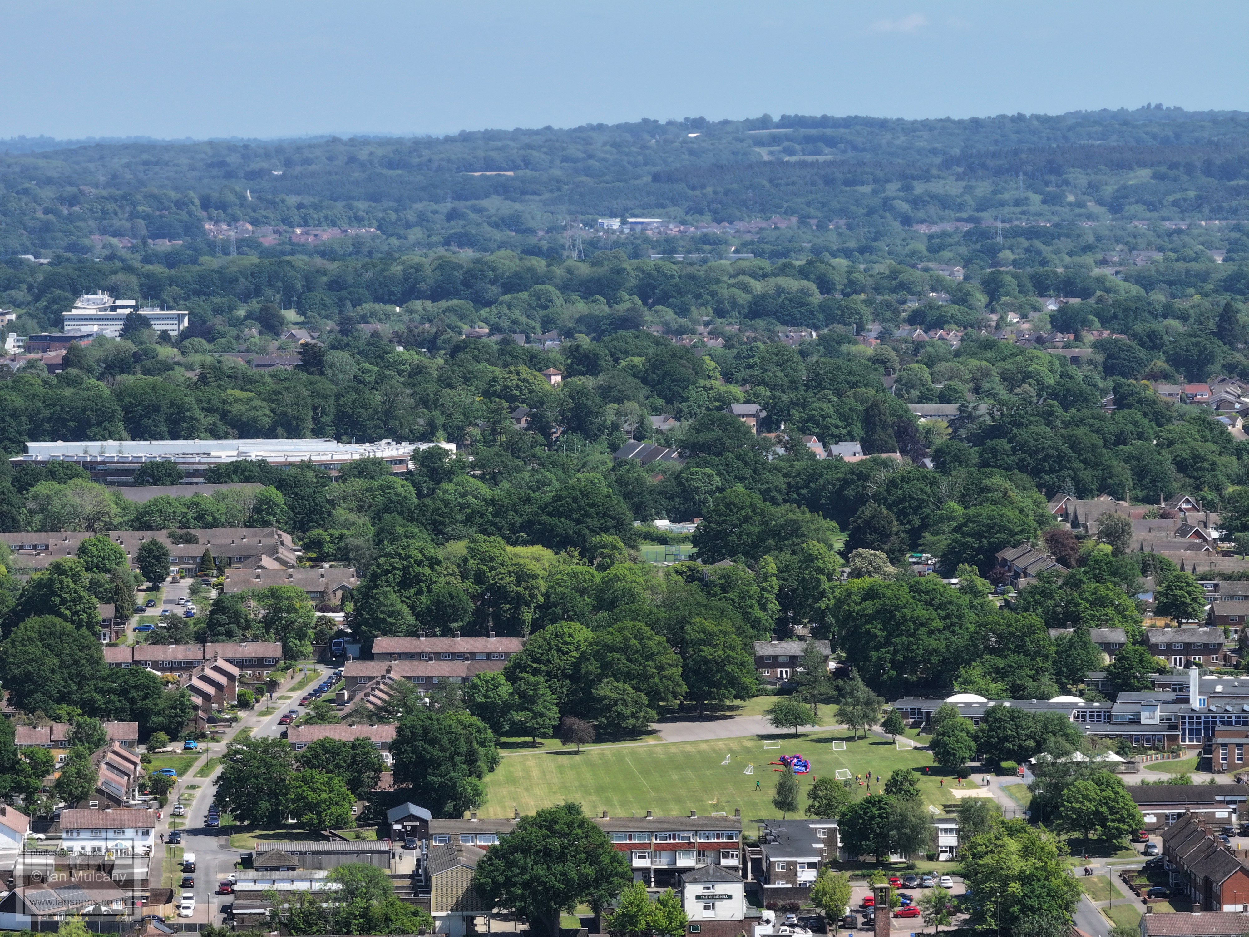
In the top left quarter is the spire of St Nicholas Church in Worth with Maidenbower below. Left of centre is St Wilfreds School, and to the right of the school and up slightly is the tower of Masons Hall in Goffs Park Road. Gossops Green primary and Gossops Green parade at the bottom.
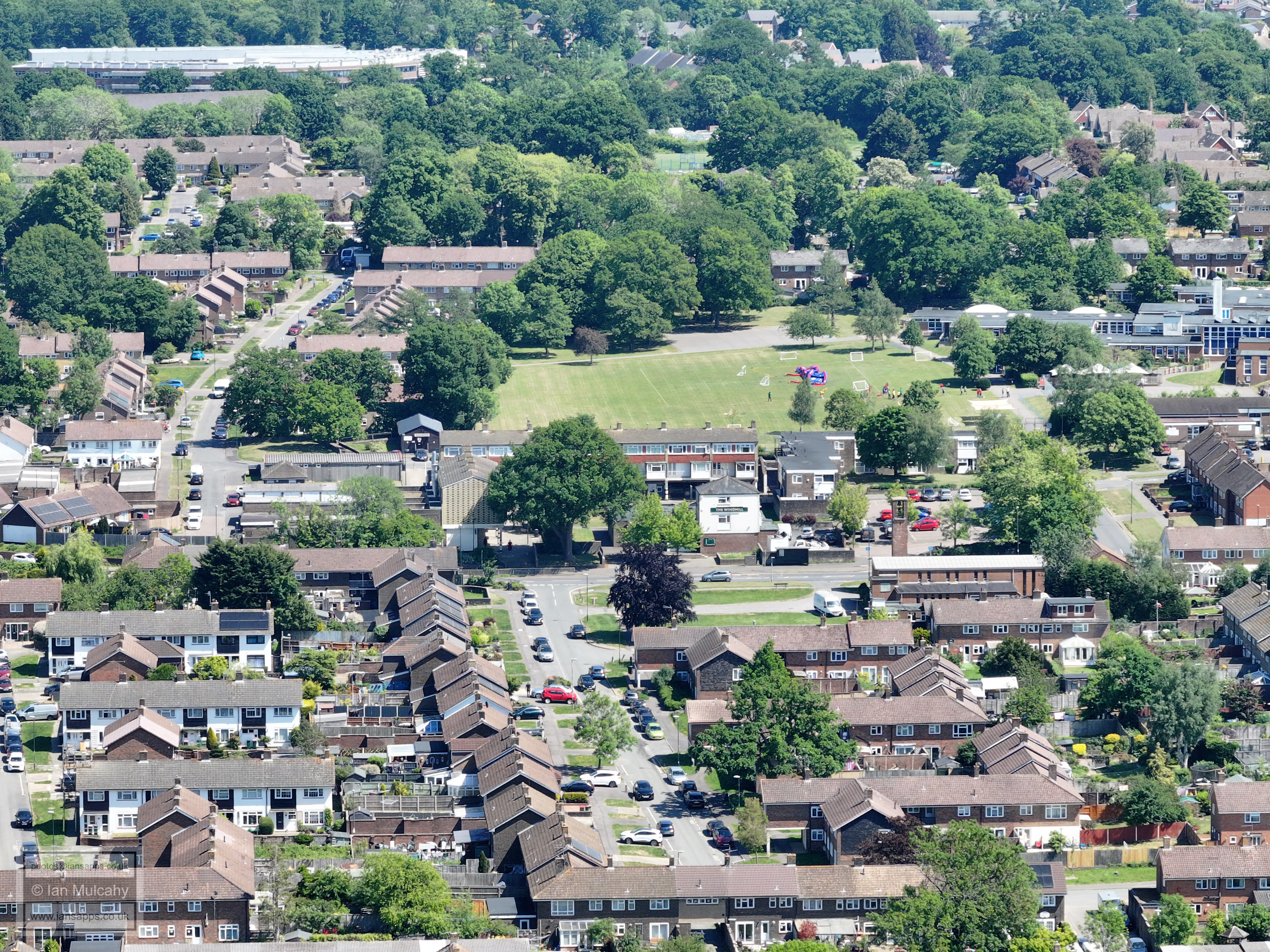
Gossops Parade and St Albans Church
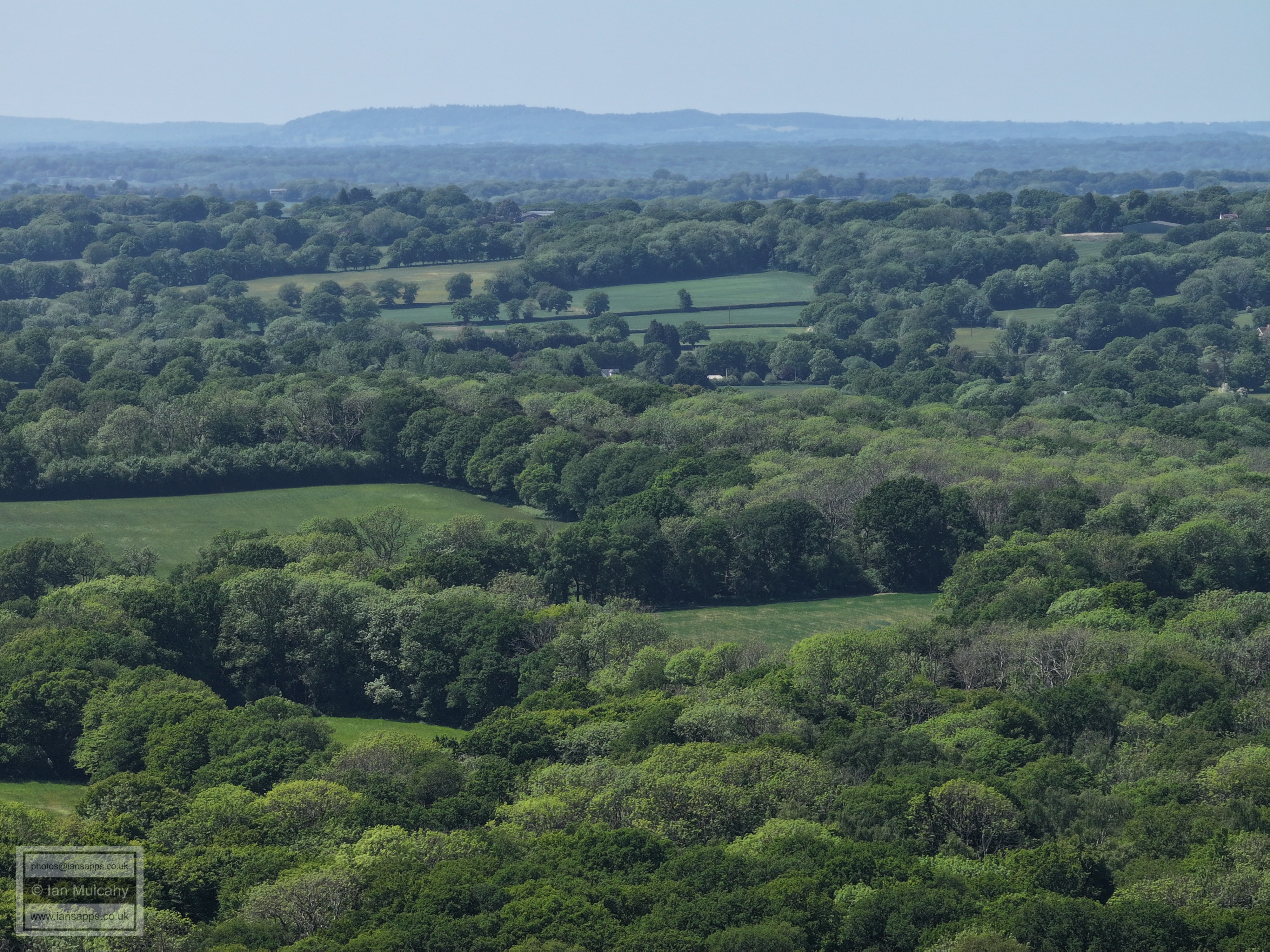
Right across the centre is Southgate West. The phone mast is on the hill at Woldhurstlea. In the top left quarter is the spire of St Mary's Church in Wakehurst Drive, Southgate. In the top left quarter on the top of the hill is the water tower at Selsfield Common. The roofs above to the right of Southgate West are those of Tilgate and the southern parts of Maidenbower are at the foot of the High Weald across the top.
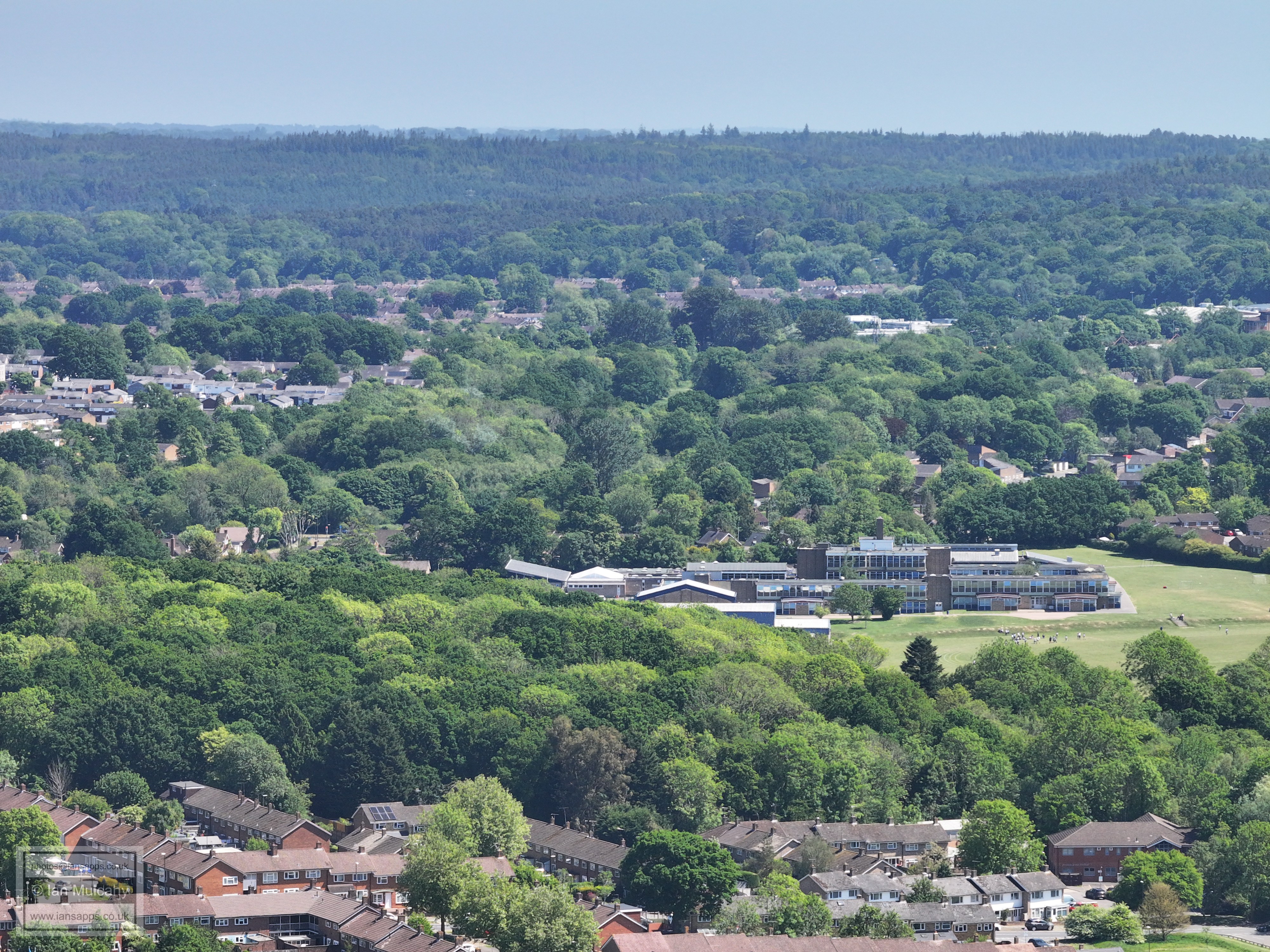
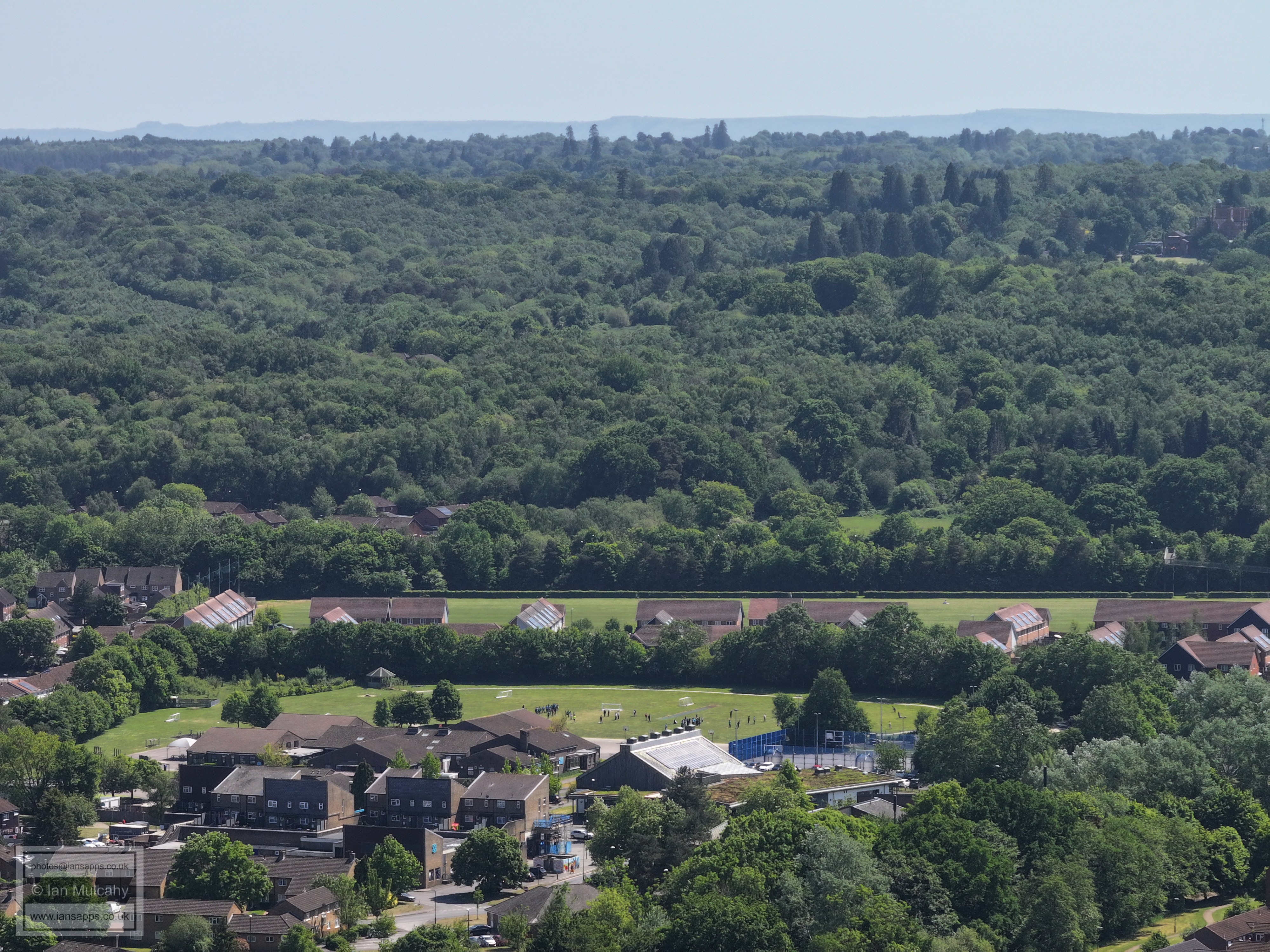
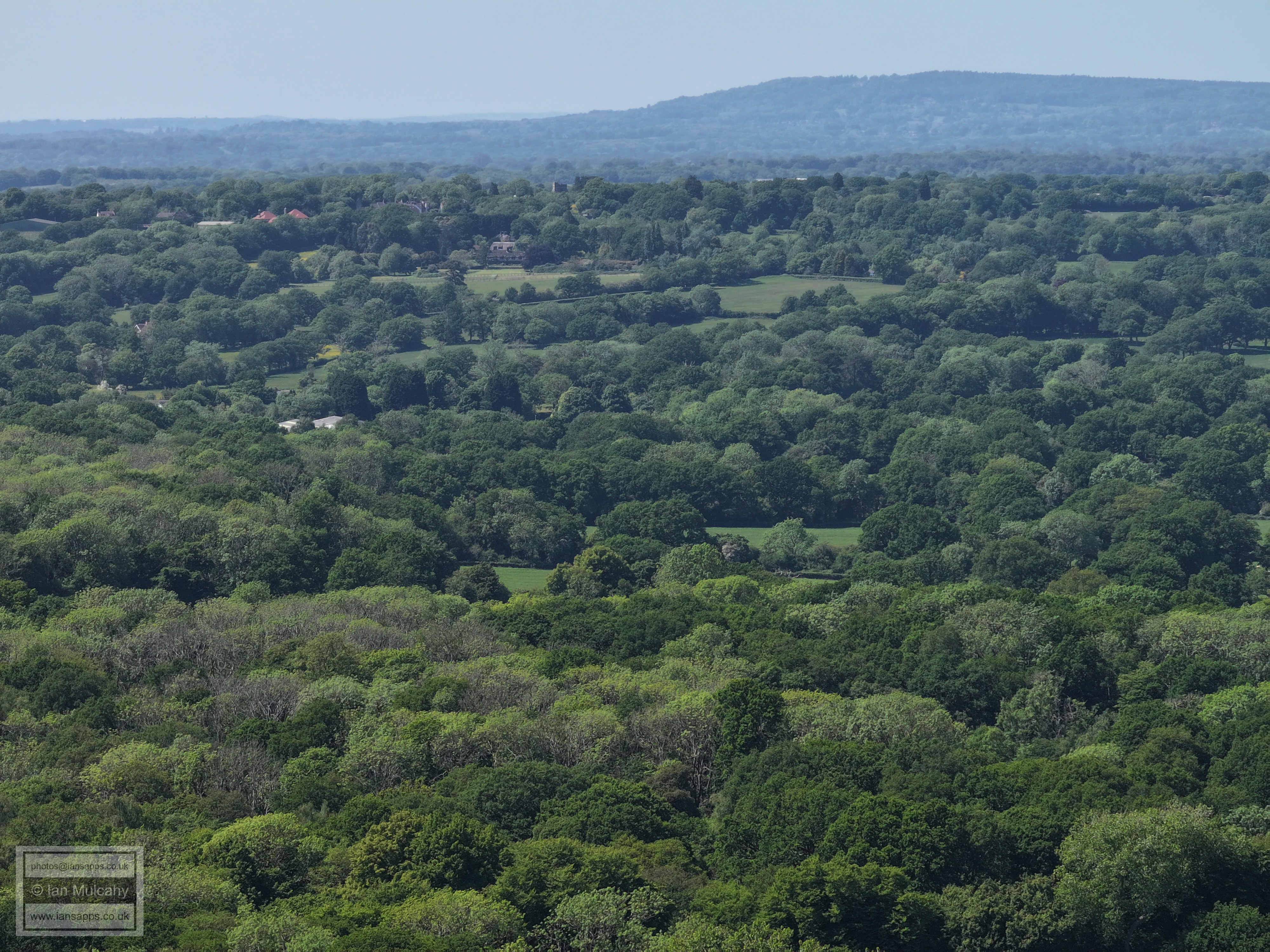
Two secondary schools in one; Holy Trinity in the centre and Thomas Bennett above, beyond the trees of the Rathlin Road area. To the right of Thomas Bennett some of the red steelwork of the Broadfield Stadium can be seen with K2 just above. The triangular roofed houses above Holy Trinity are in Colonsay Road, Broadfield.
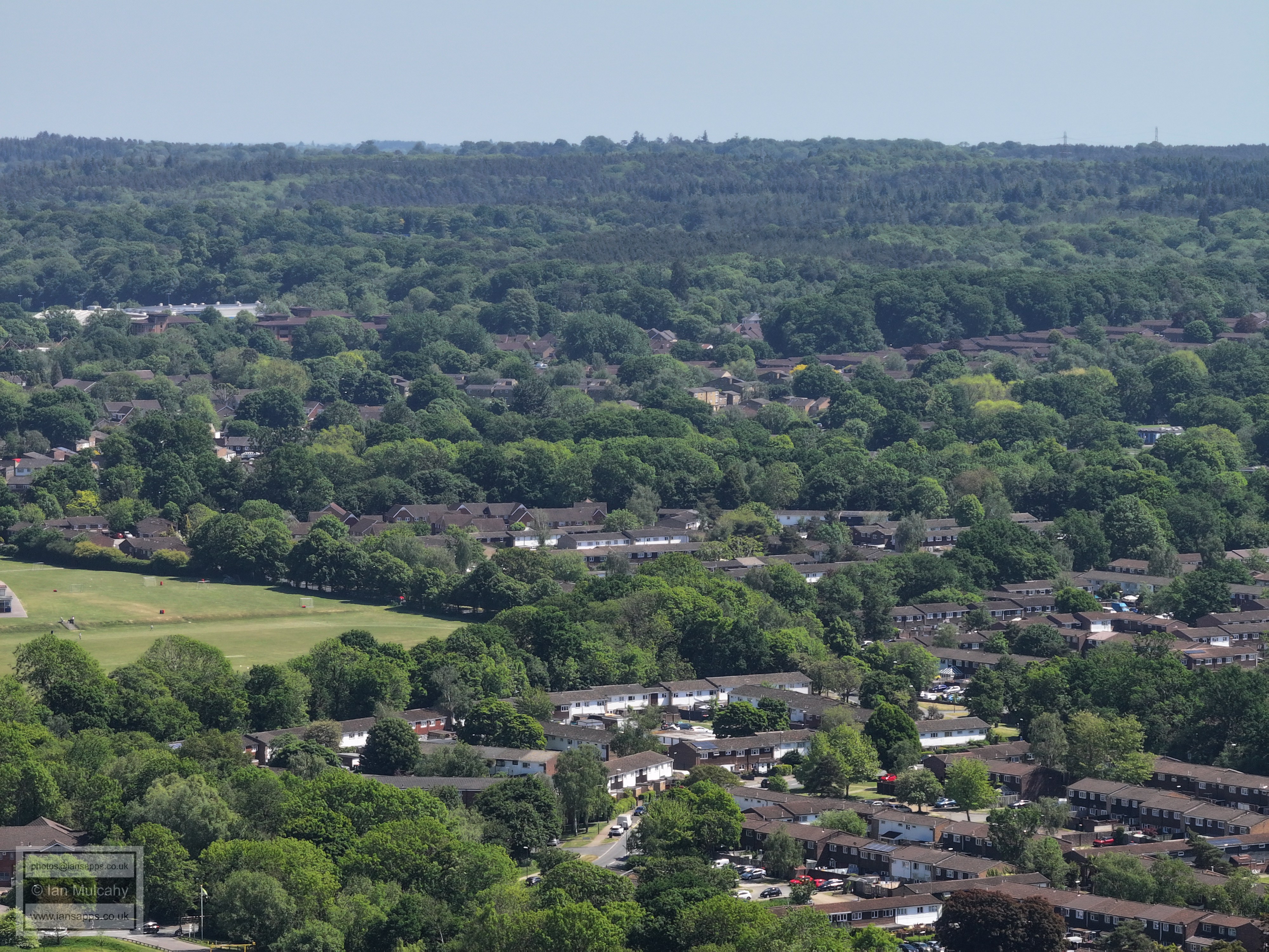
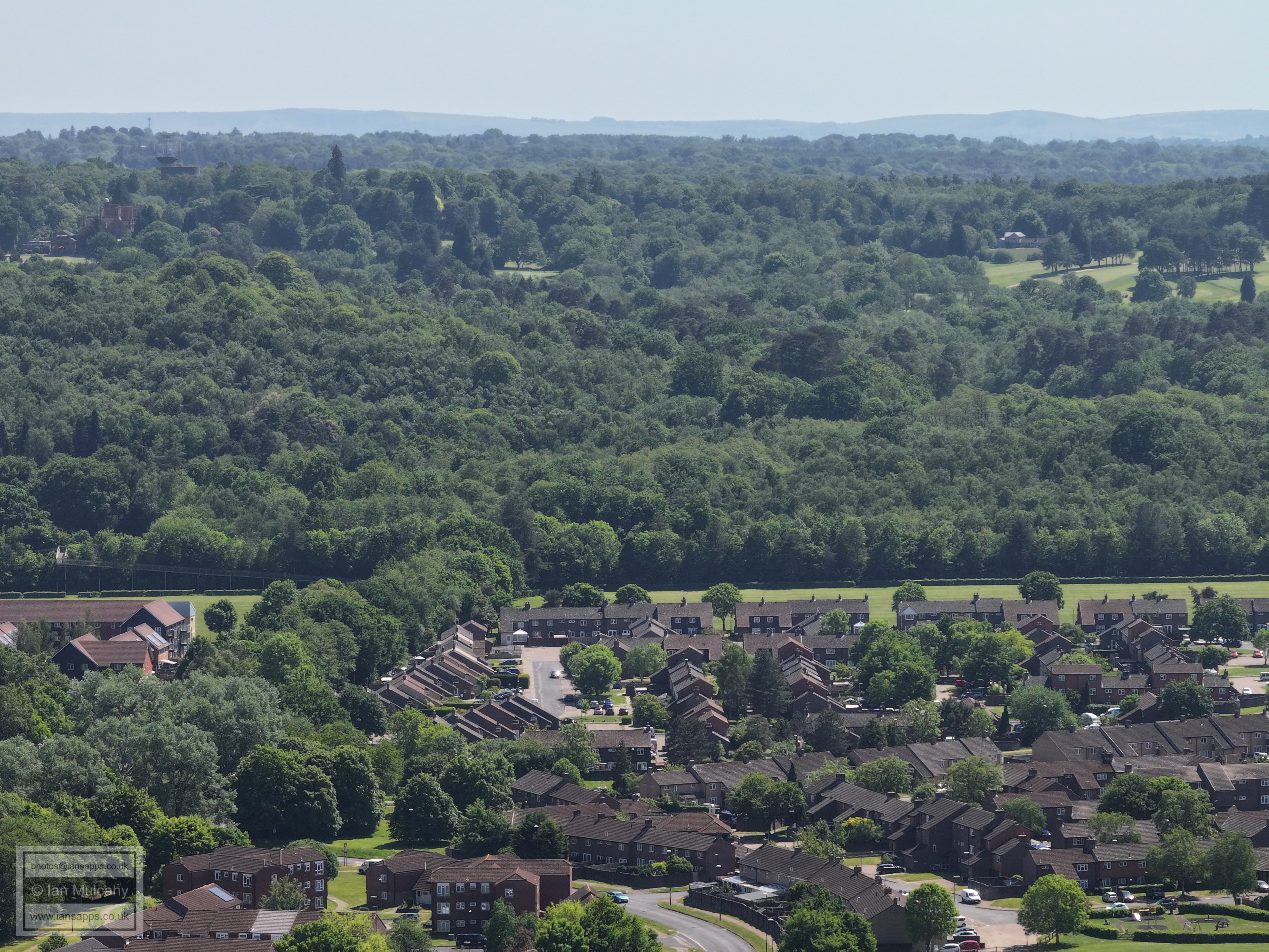
Bewbush and Broadfield. Just to the right of centre, about a quarter of the way down, the top of a white house stands out at the very top of the developed area. This is Broadfield House.
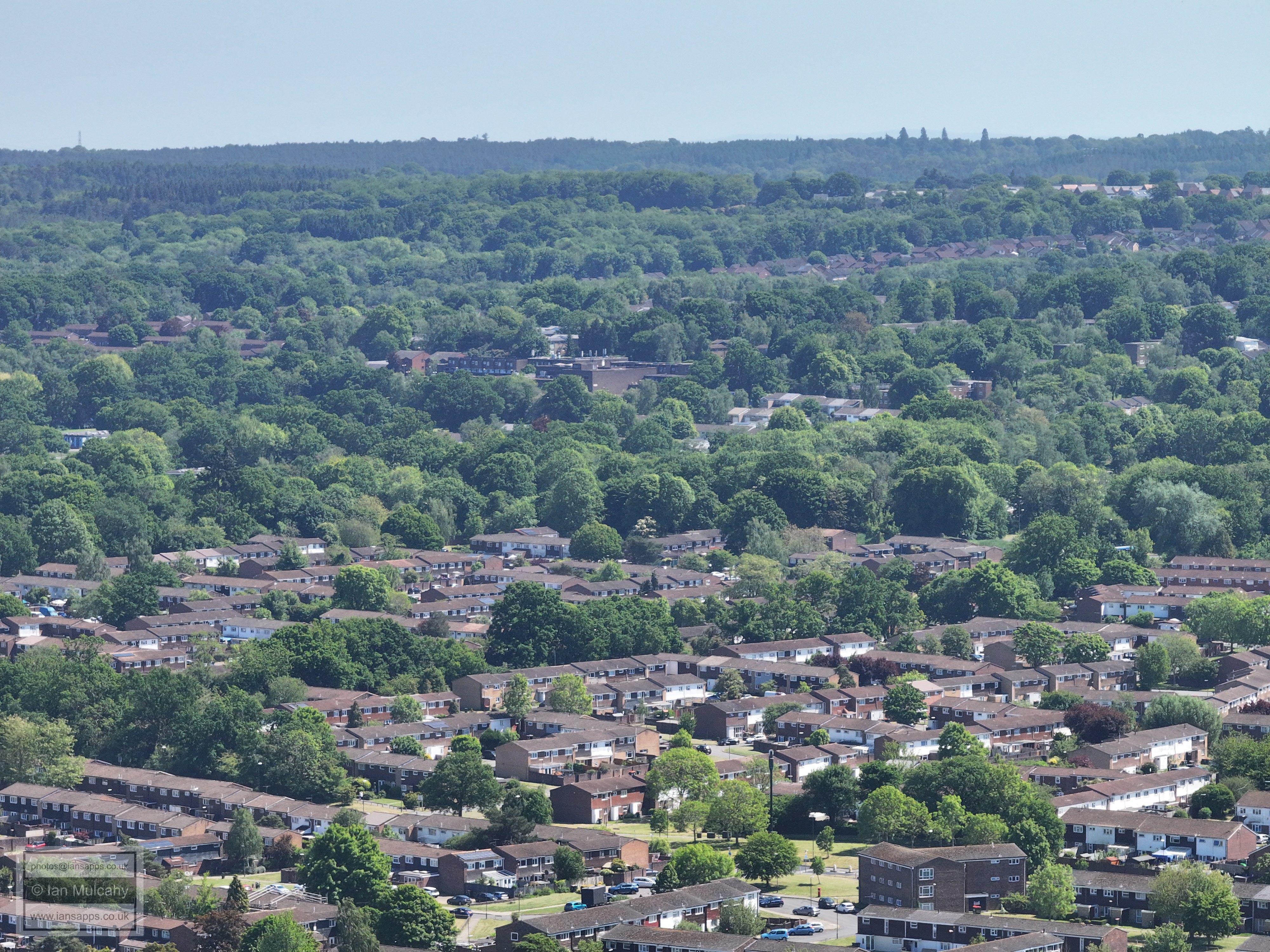
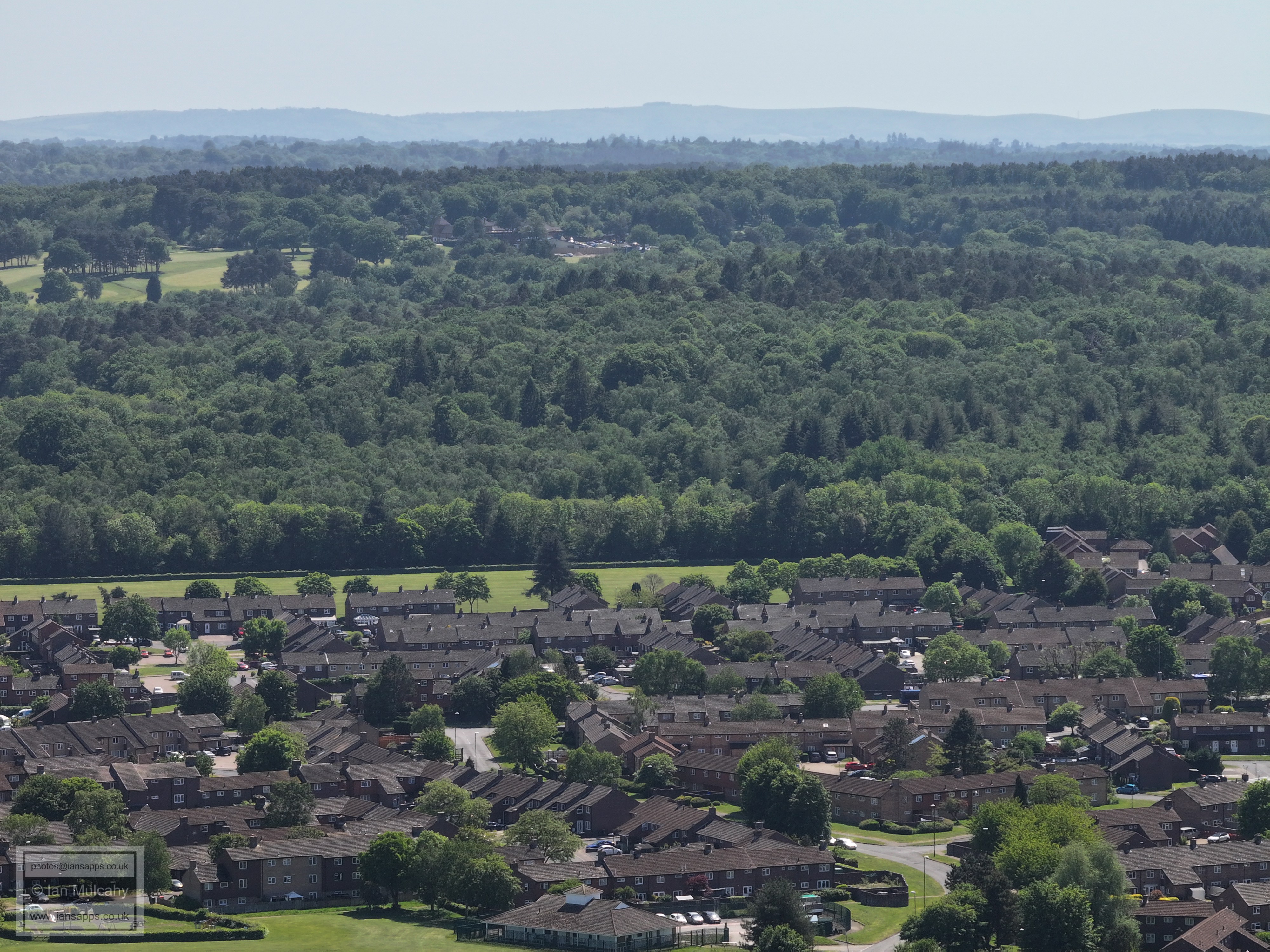
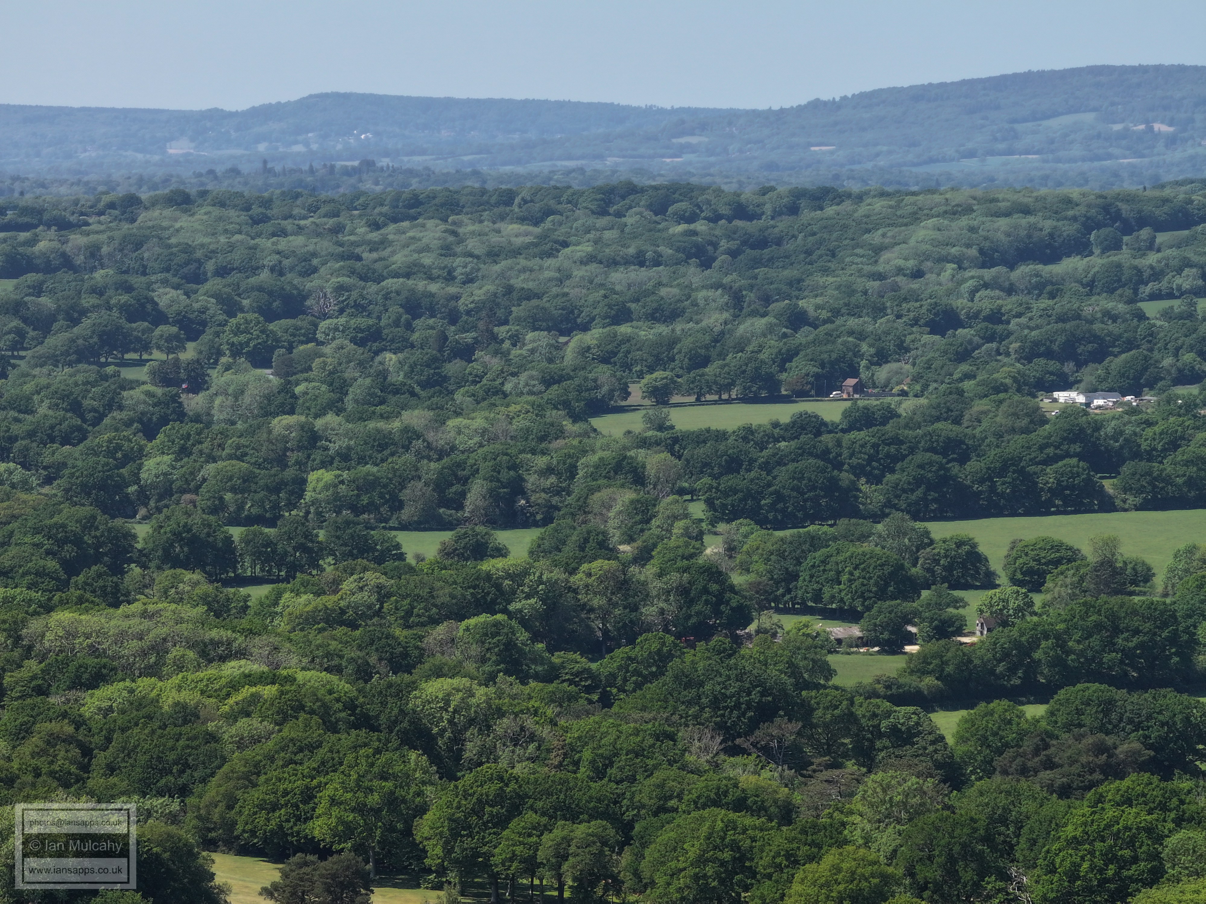
Bewbush in the foreground, Broadfield Barton just above centre and Tolgate Hill in the top right quarter with Woodgate at Pease Pottage just beyond.
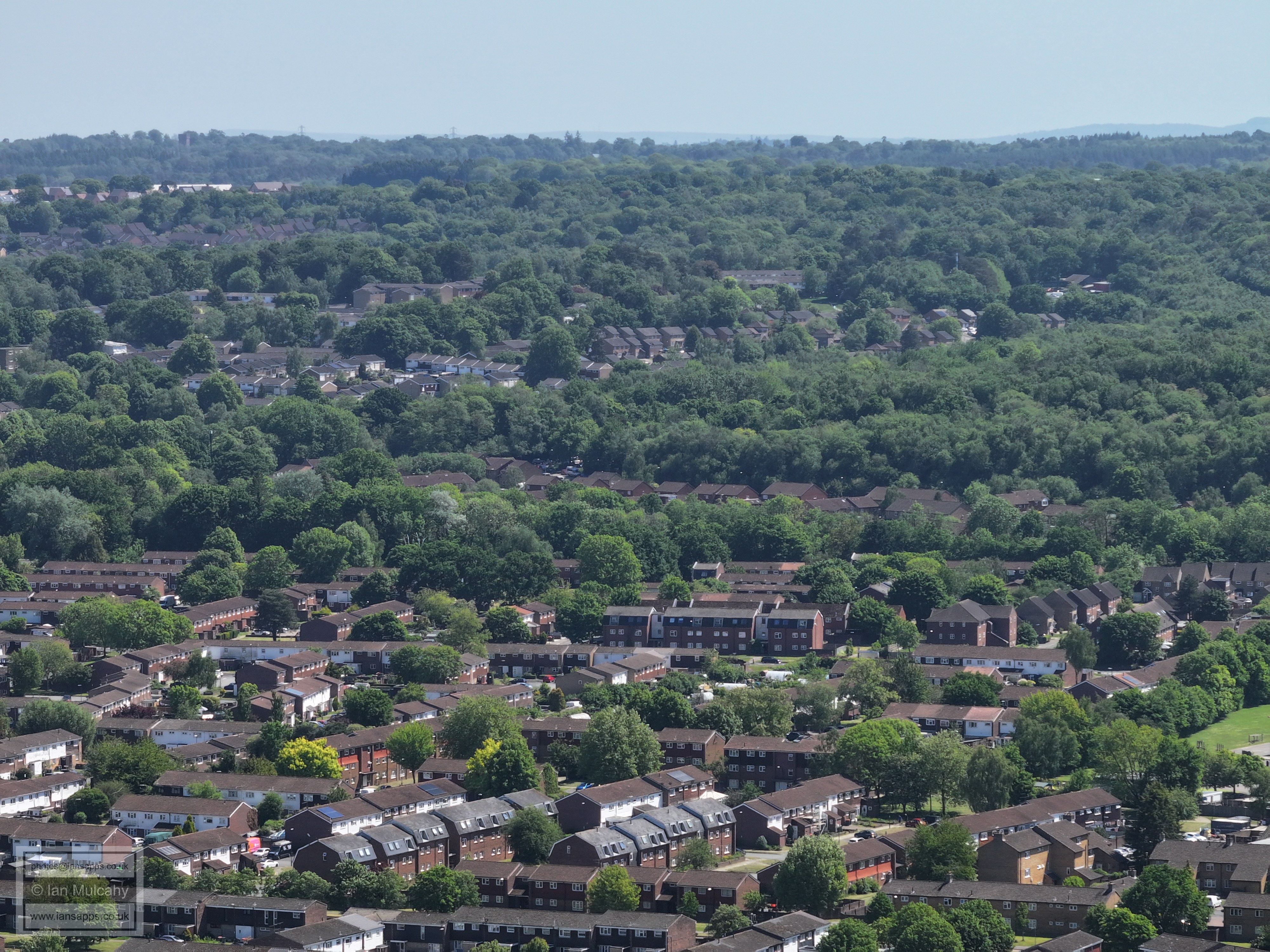
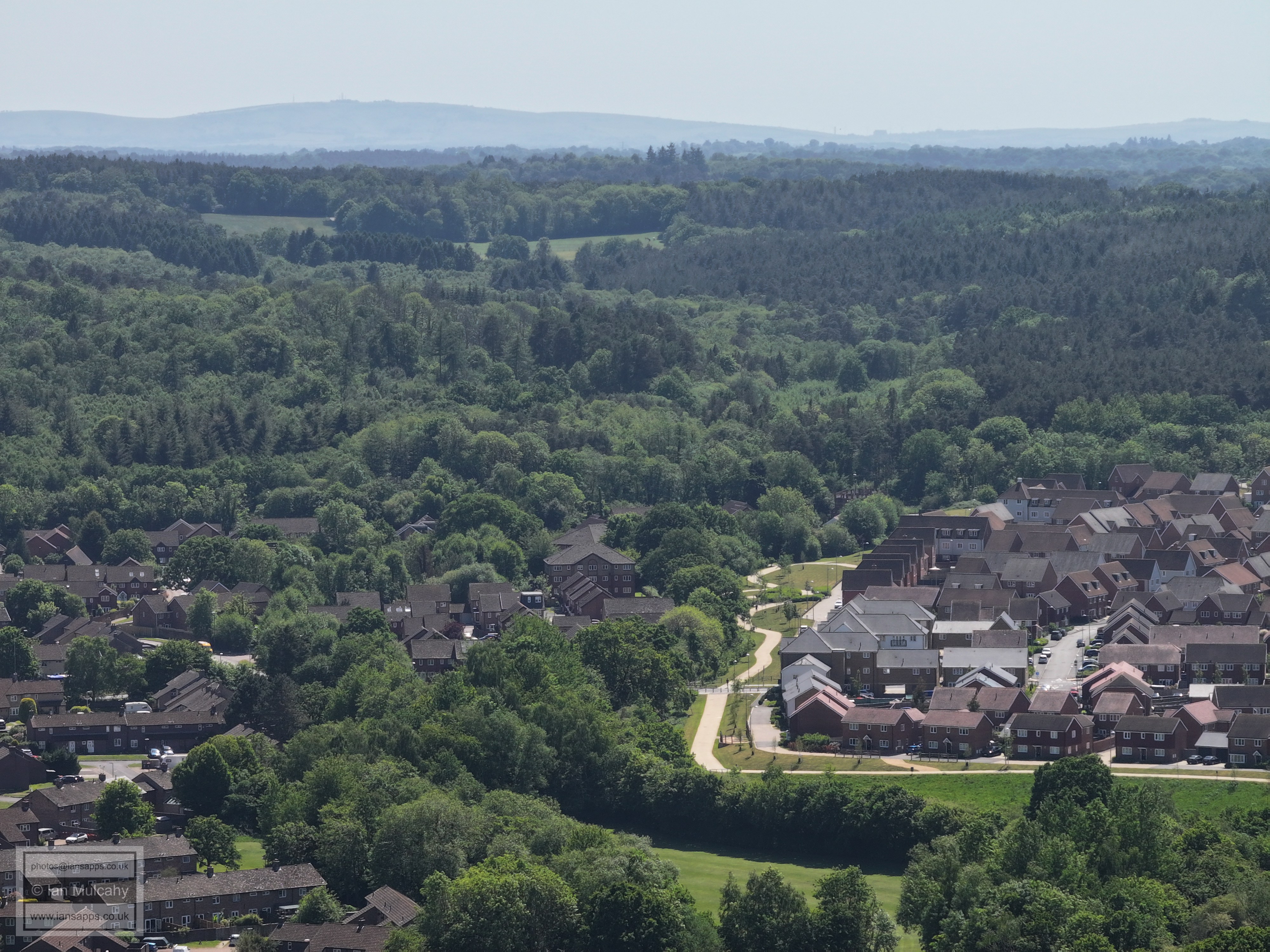
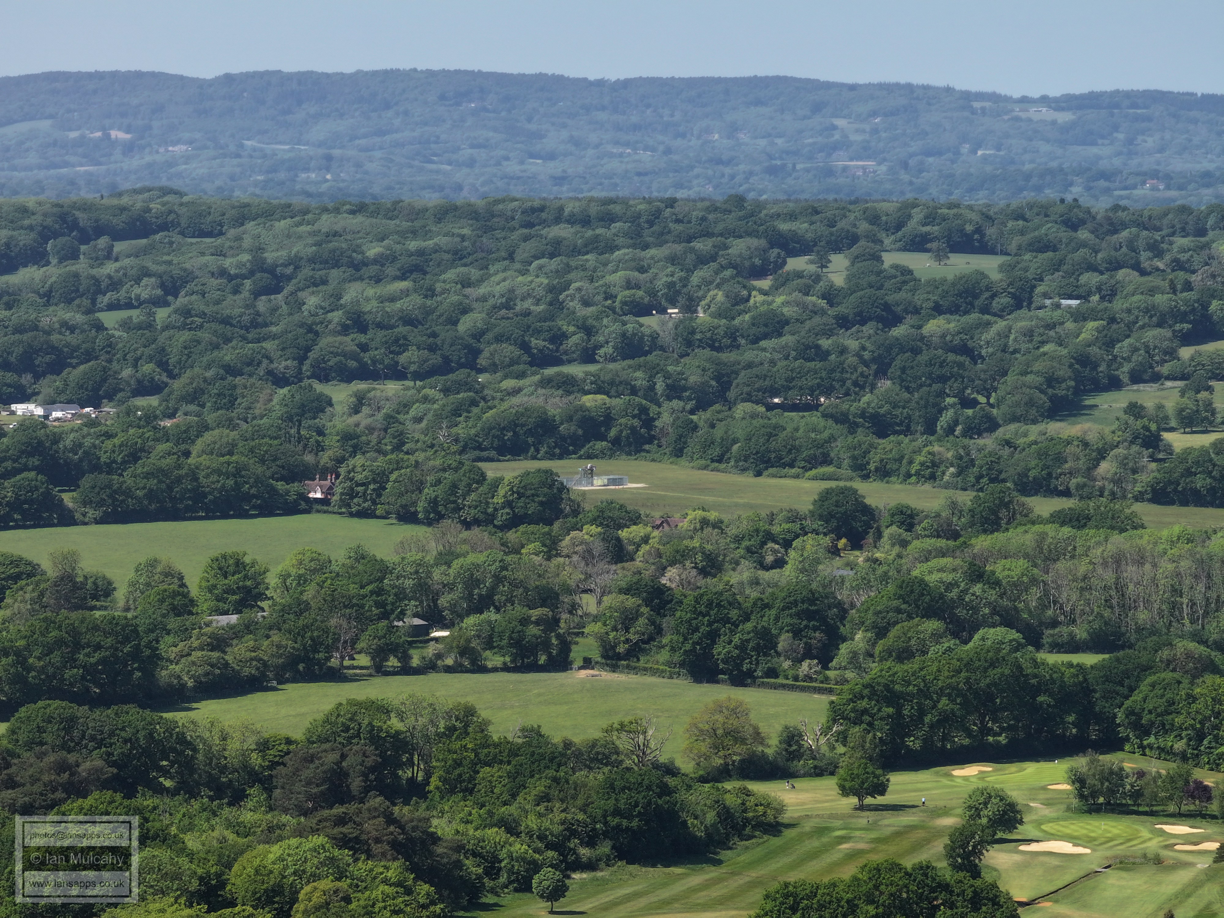
Bewbush in the foreground and Broadfield beyond. Creasys Drive play area is in the top right quarter. On the hill in the top left quarter, just above Woodgate at Pease Pottage, is Slaugham Water tower in High Beeches.
Bewbush Shops and Academy at the bottom. with the old leisure centre site beyond. Buchan House (Cottesmore School) is in the top right.
The bridge from Bewbush to Buchan Park is left of centre and Skelmersdale Playing Fields run the entire width of the picture immediately below. The water tower and radar station at Cottesmore are top left and what is now called Buchan House, next to the House Pond on Cottesmore Golf Course, is top right.
Bewbush Green pavilion is right at the bottom with the Sullivan Drive (Bewbush Manor) area behind. Cottesmore Golf Club is top centre.
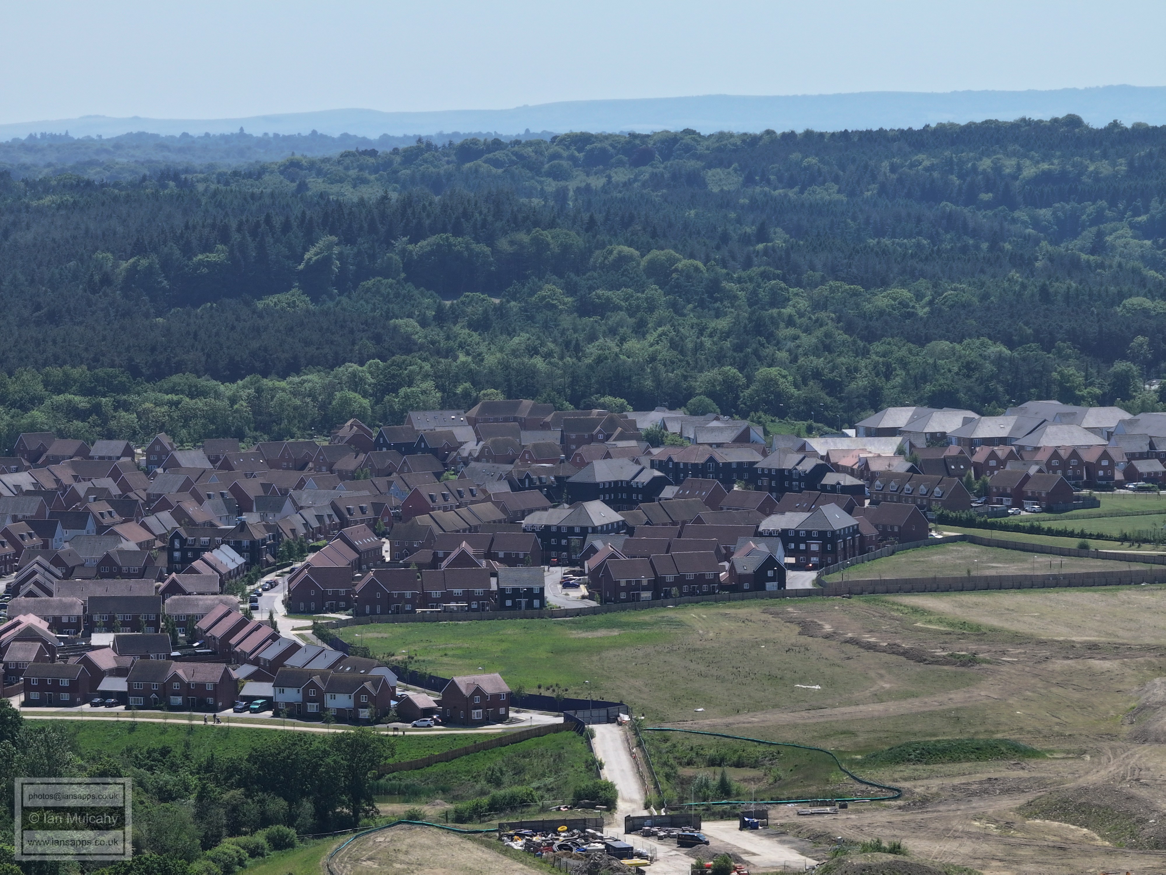
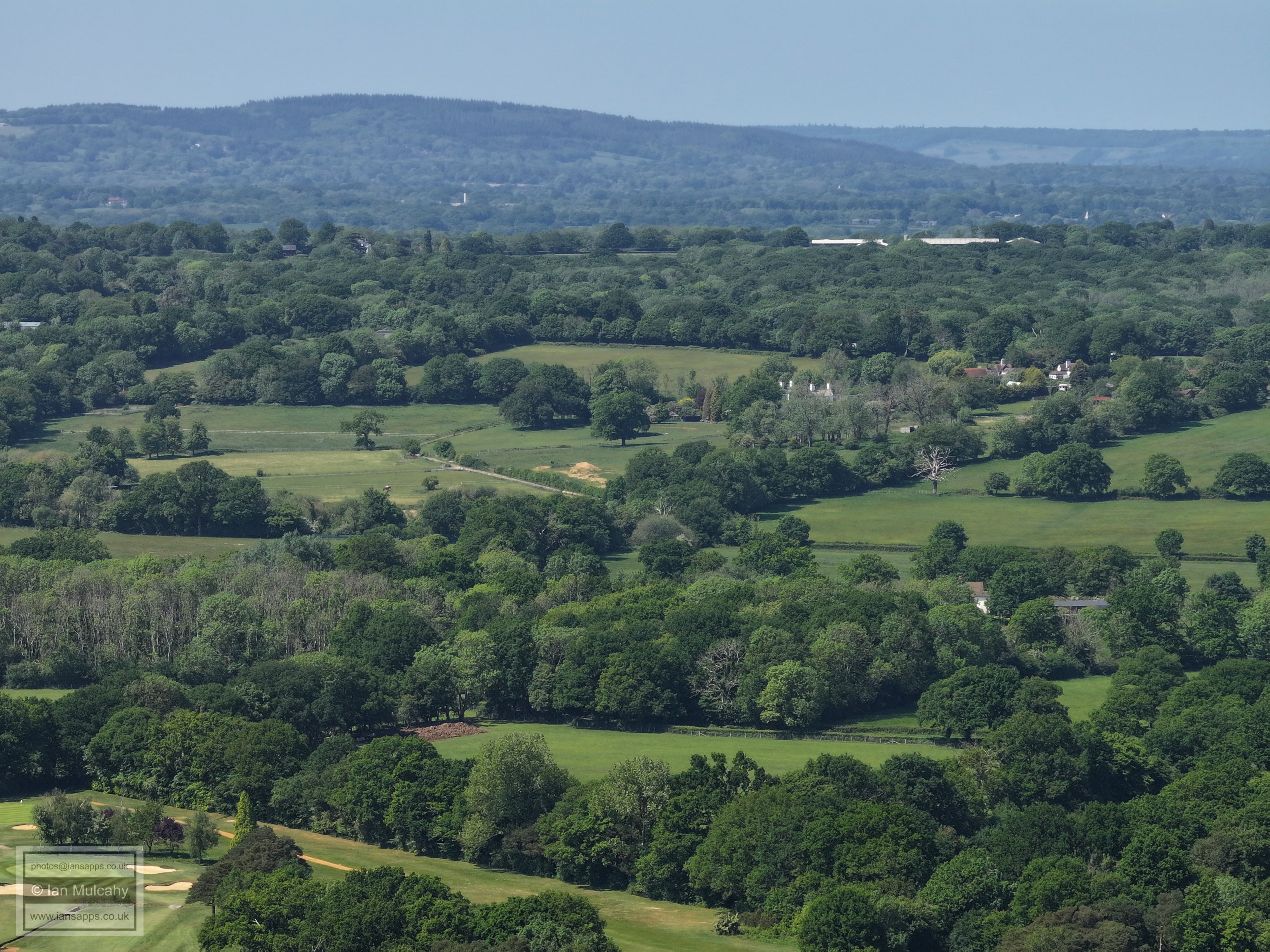
Bewbush left and Kilnwood Vale right, with Bewbush 'castle' a little right of centre. On the horizon, in the dip in the downs towards the right, the chimney at Shoreham cement works and Lancing College can be seen. The wind farm in the English Channel can just been seen in silhouette.
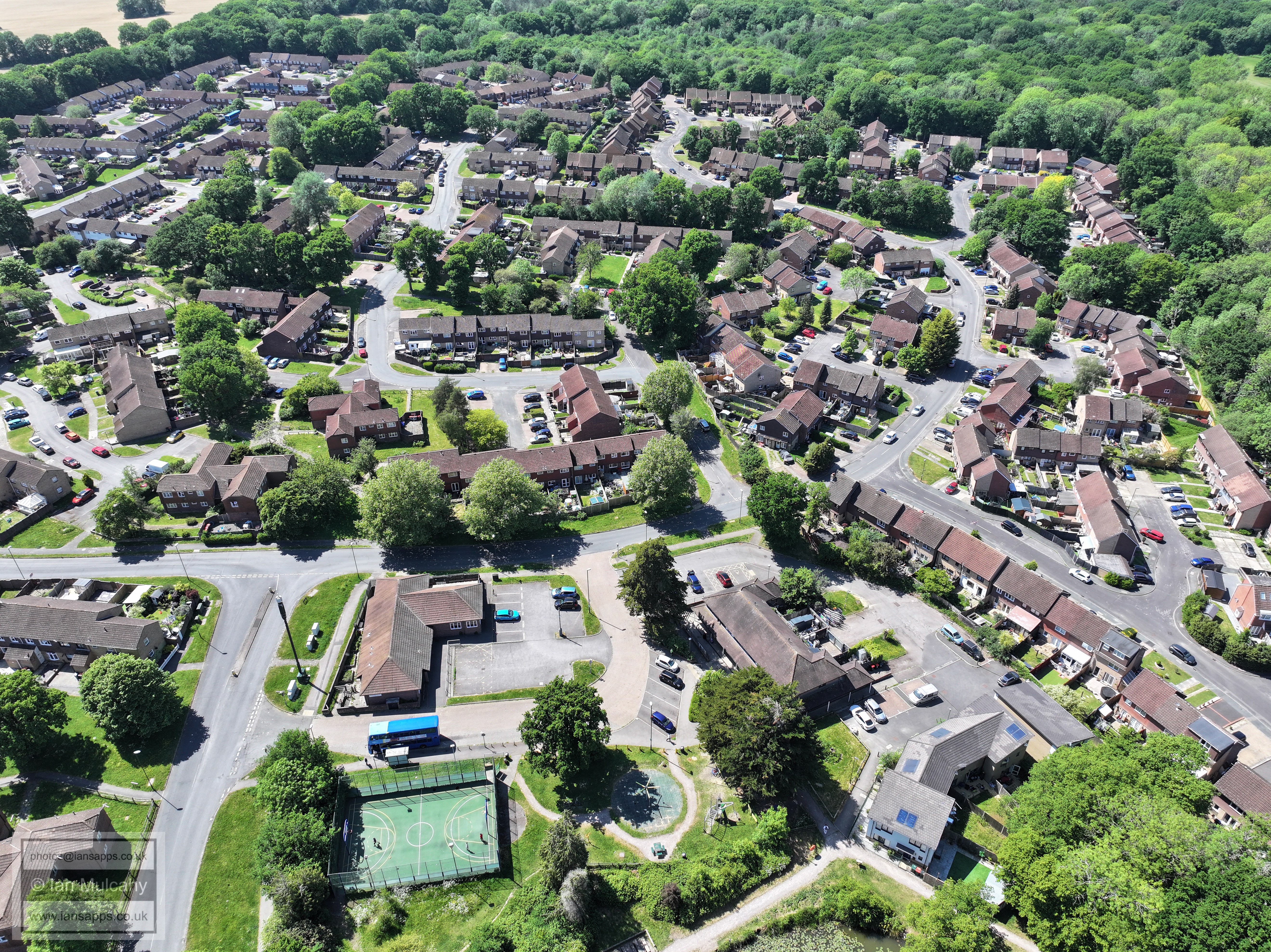
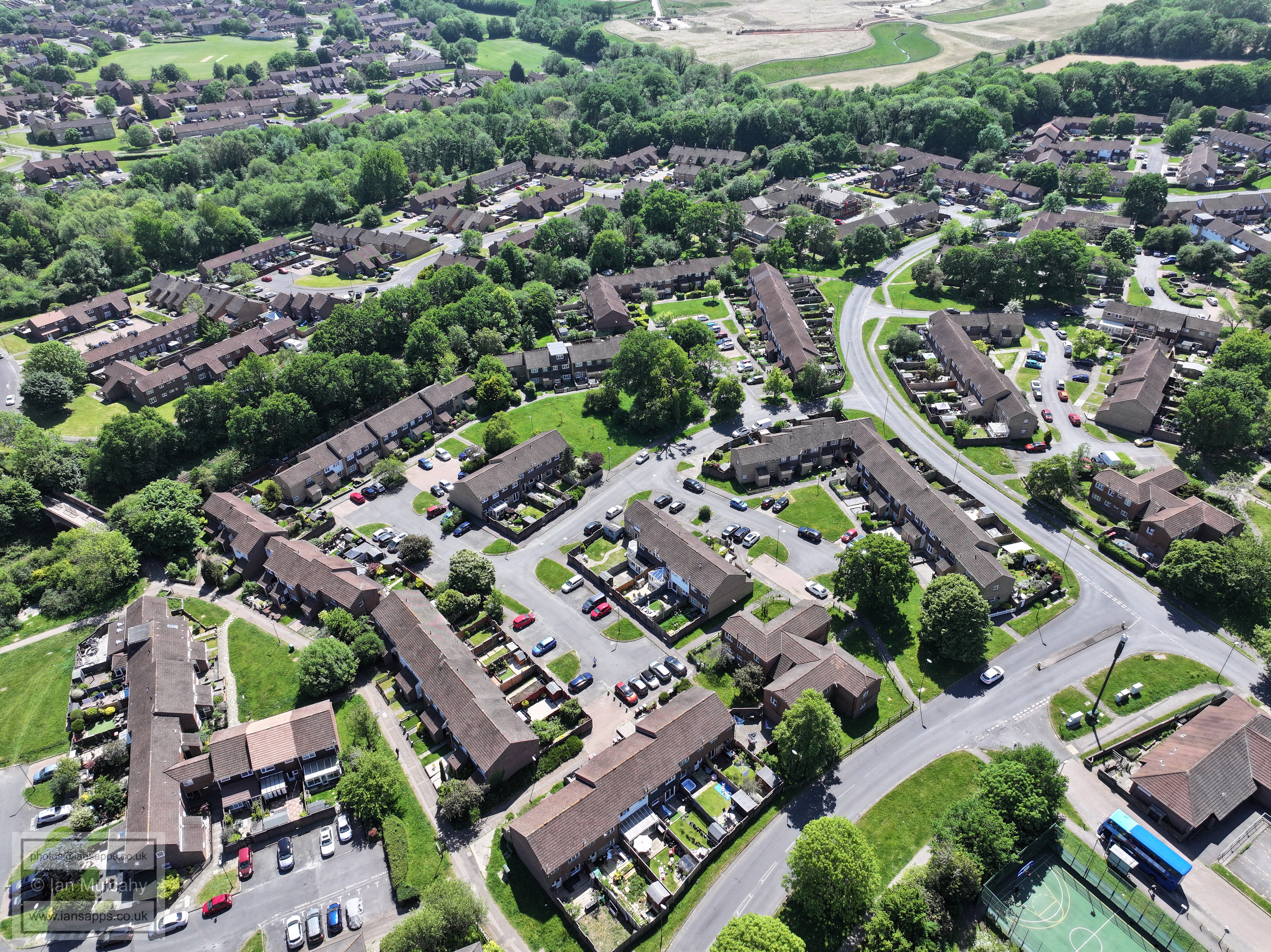
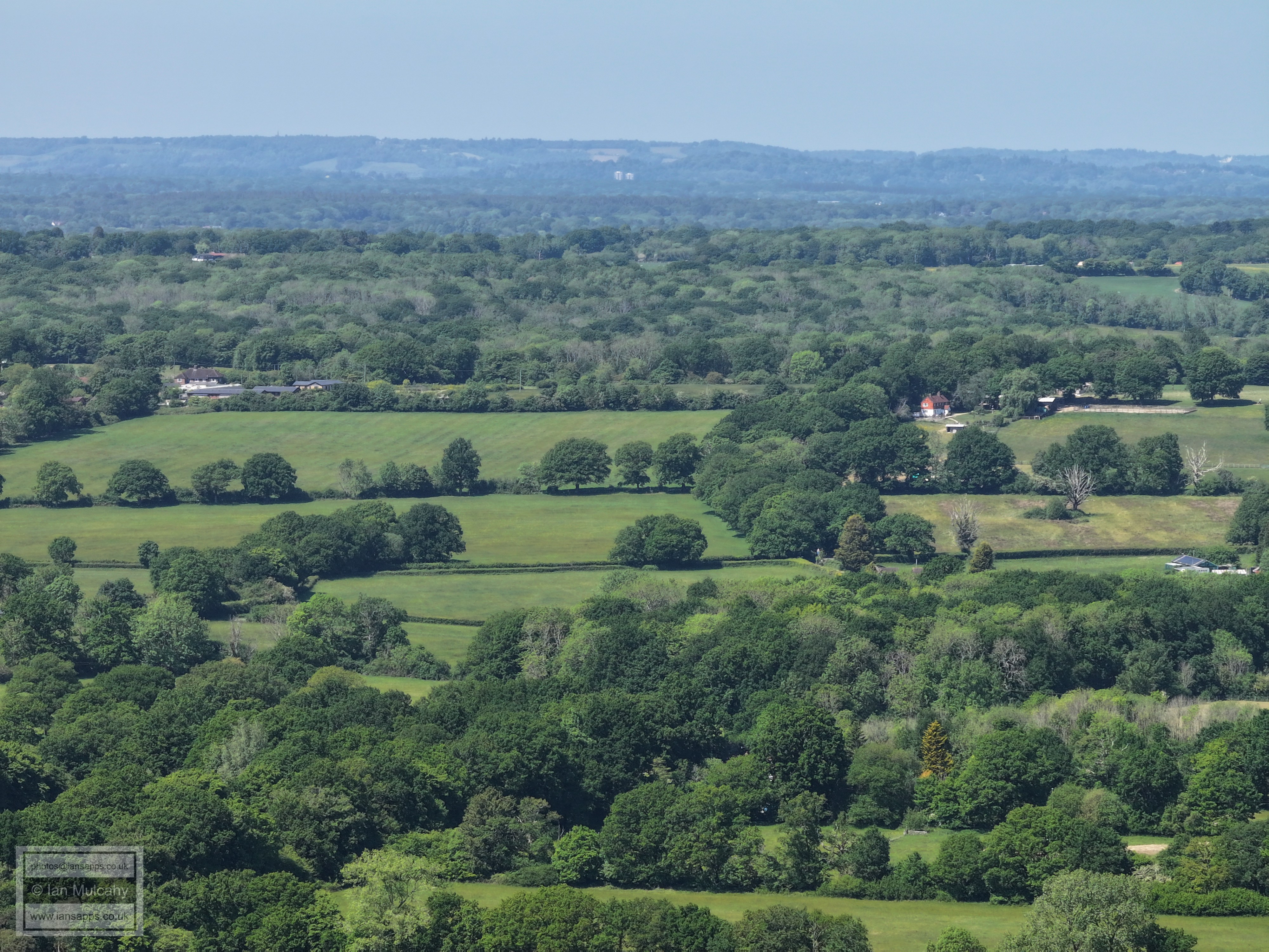
Kilnwood Vale
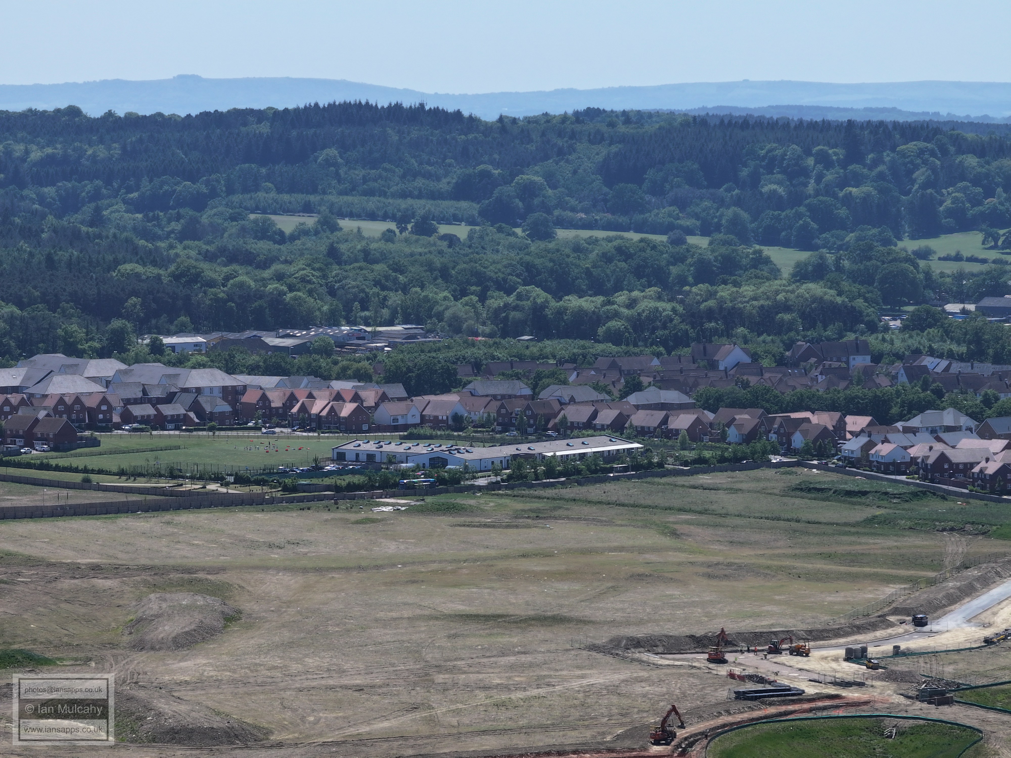
Kilnwood Vale
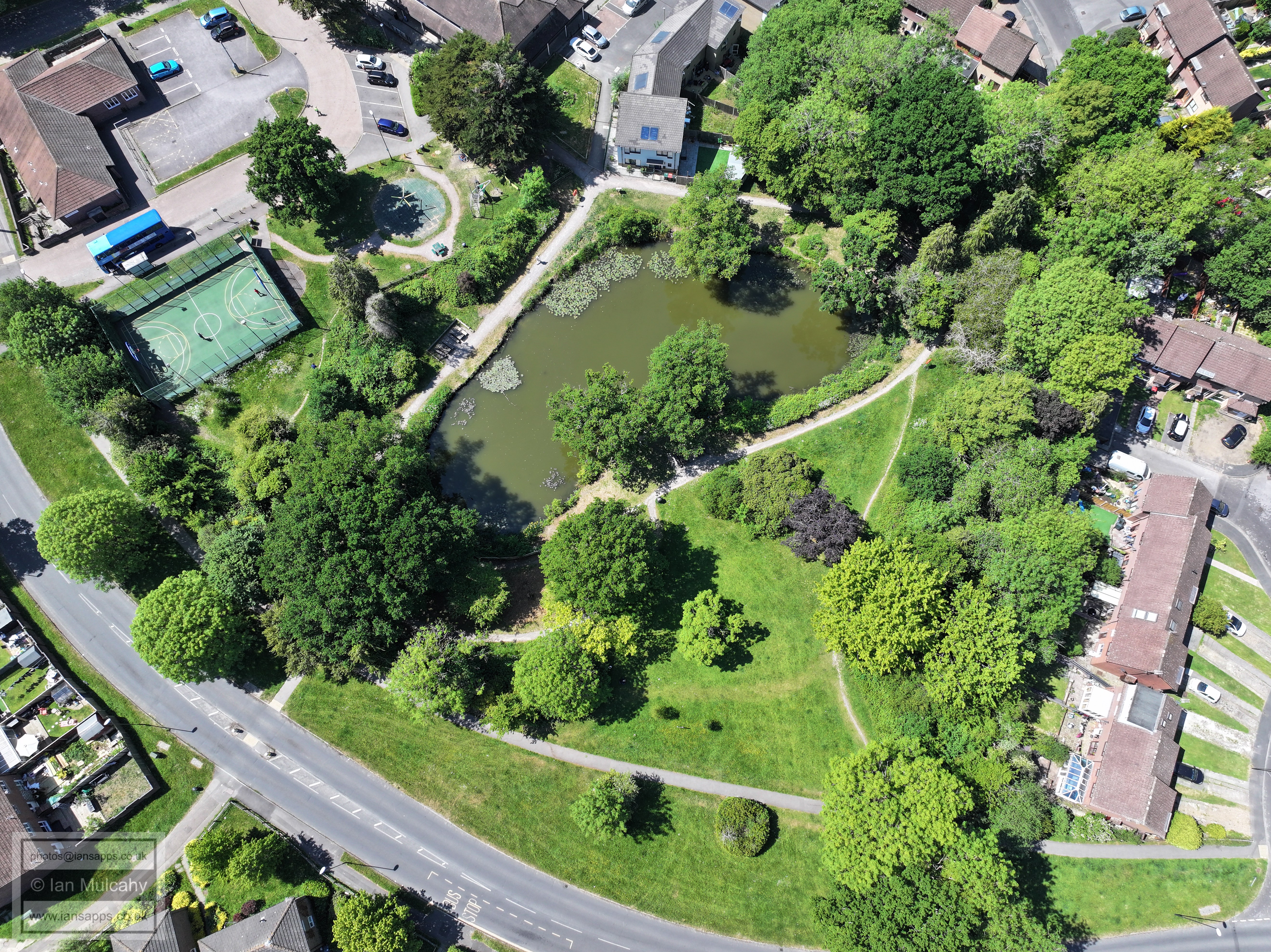
Kilnwood Vale, with the apparent canyon now hosting Bewbush Brook demonstrating just how much the land has been built up on the old Mill Pond site. Holmbush is in the top left quarter, with it's gardens stretching across much of the top half of the picture.
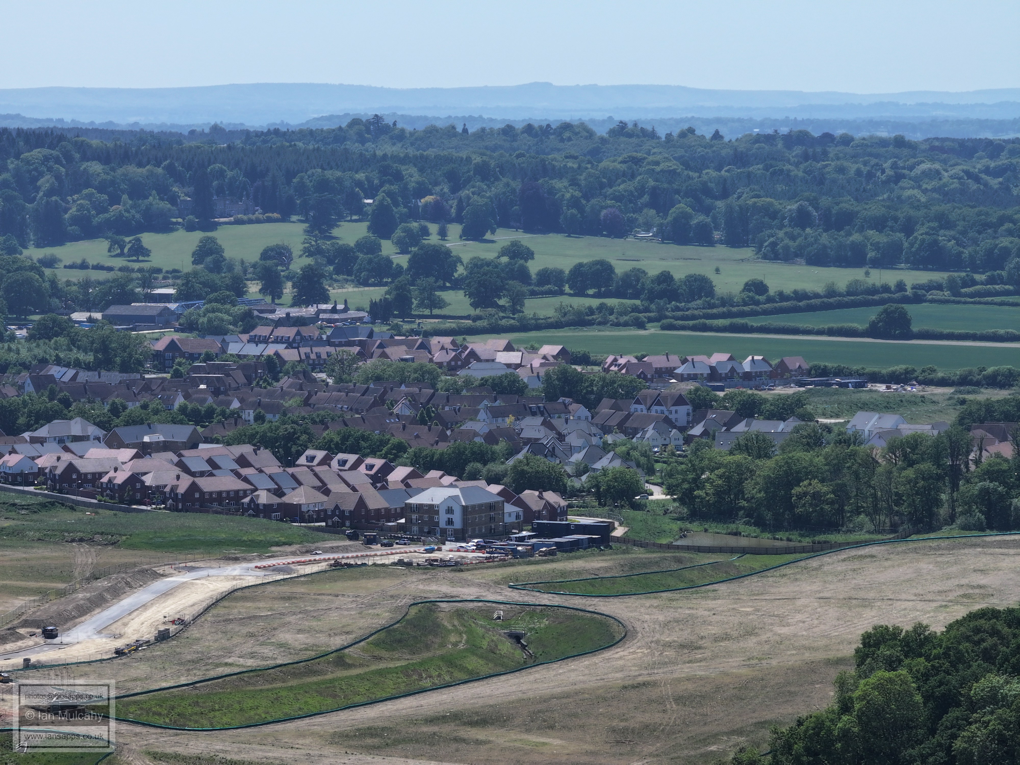
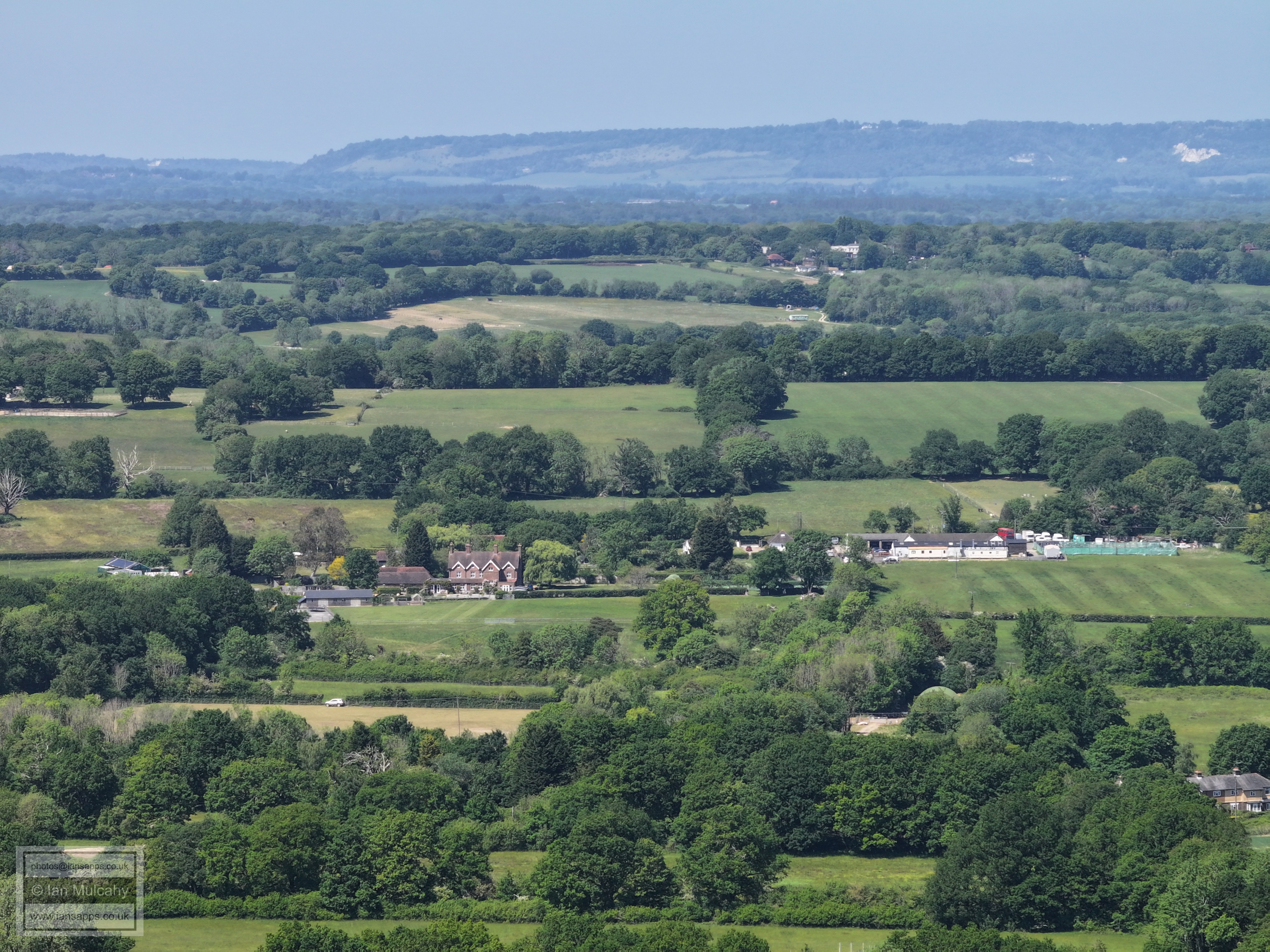
In the lower part of the top right quarter is Faygate and the playing fields. Higher up is Horsham and just visible in the haze, directly above the mechanics at Faygate, is the tower at Christ's Hospital. The Arun Valley line runs diagonally across the bottom right third of the picture. The ramp in the bottom left quarter is to facilitate access, via a still to be built bridge, to the section of Kilnwood Vale to be built north of the railway tracks.
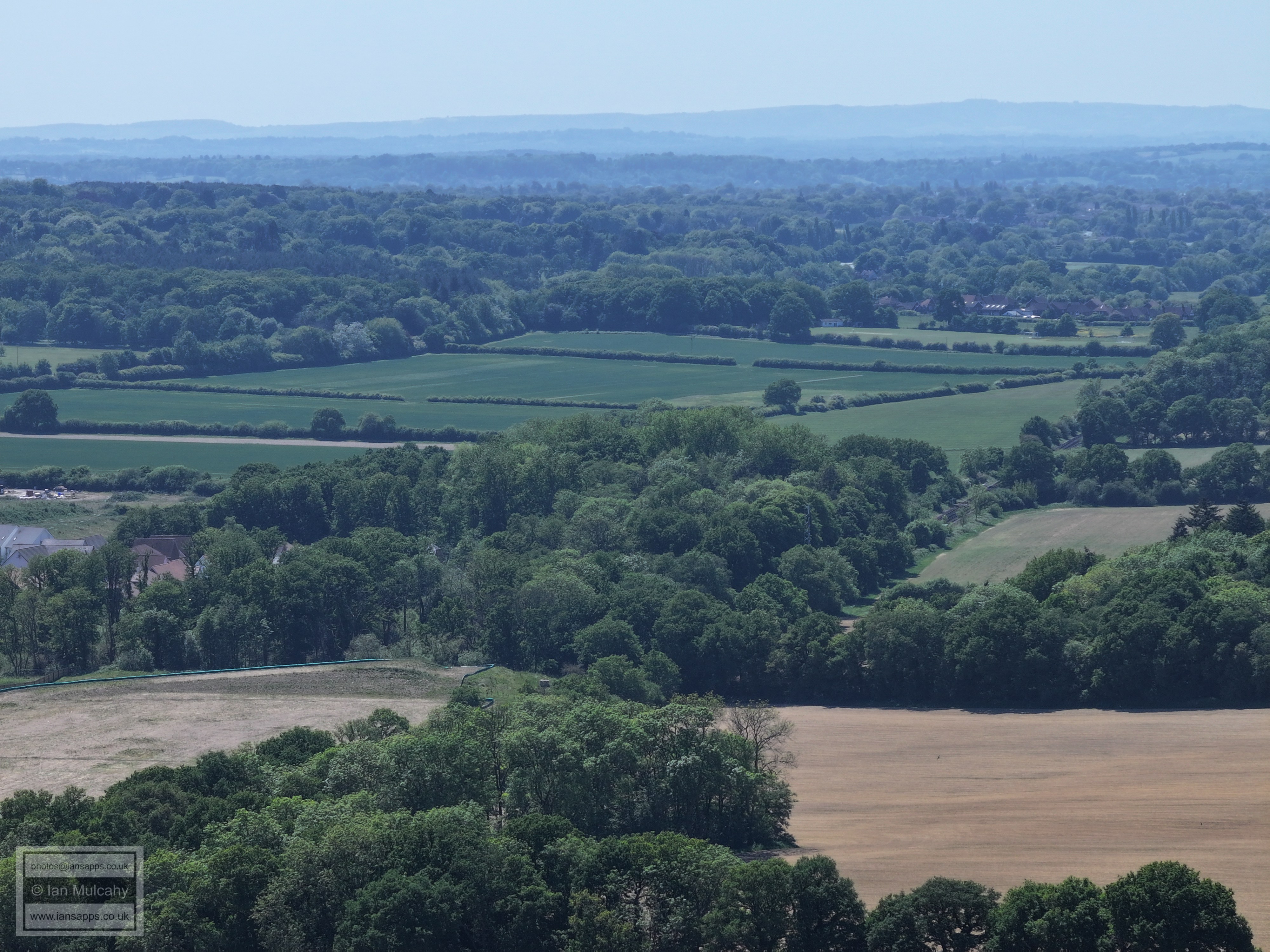
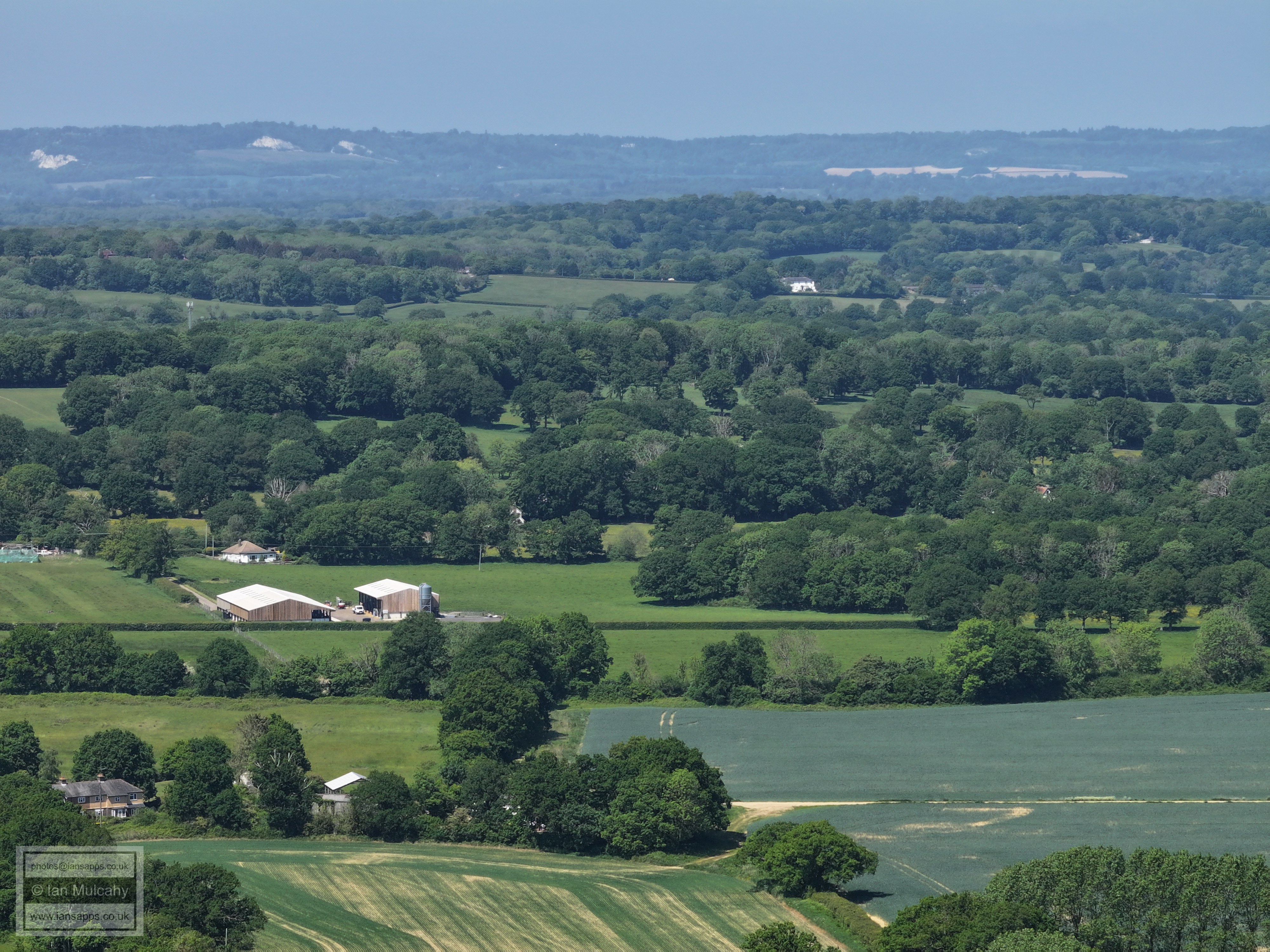
Horsham in the distance. St Mary's Church in the Causeway is fairly clear in the top left quarter when viewed full size.
Kilnwood Farm in Kilnwood Lane, centre. Kilnwood House is just visible a little way to the left through the trees.
The barn, top centre, is at Carylls Country House on Faygate Lane.
Old Park, on the Rusper to Horsham Road, top centre (the white house). Old Park Farm to the left. To the right, the curved field marks Wimlands Lane
Millfield in Rusper, top right
Rusper Village. Normans, on East Street, is just below the church tower.
Just right of centre above a field is Burnthouse Cottage at the junction of Rusper Road, Langhurst Lane and Burnhouse Lane. In the bottom right quarter are the outbuildings at Stumbleholm Farm.
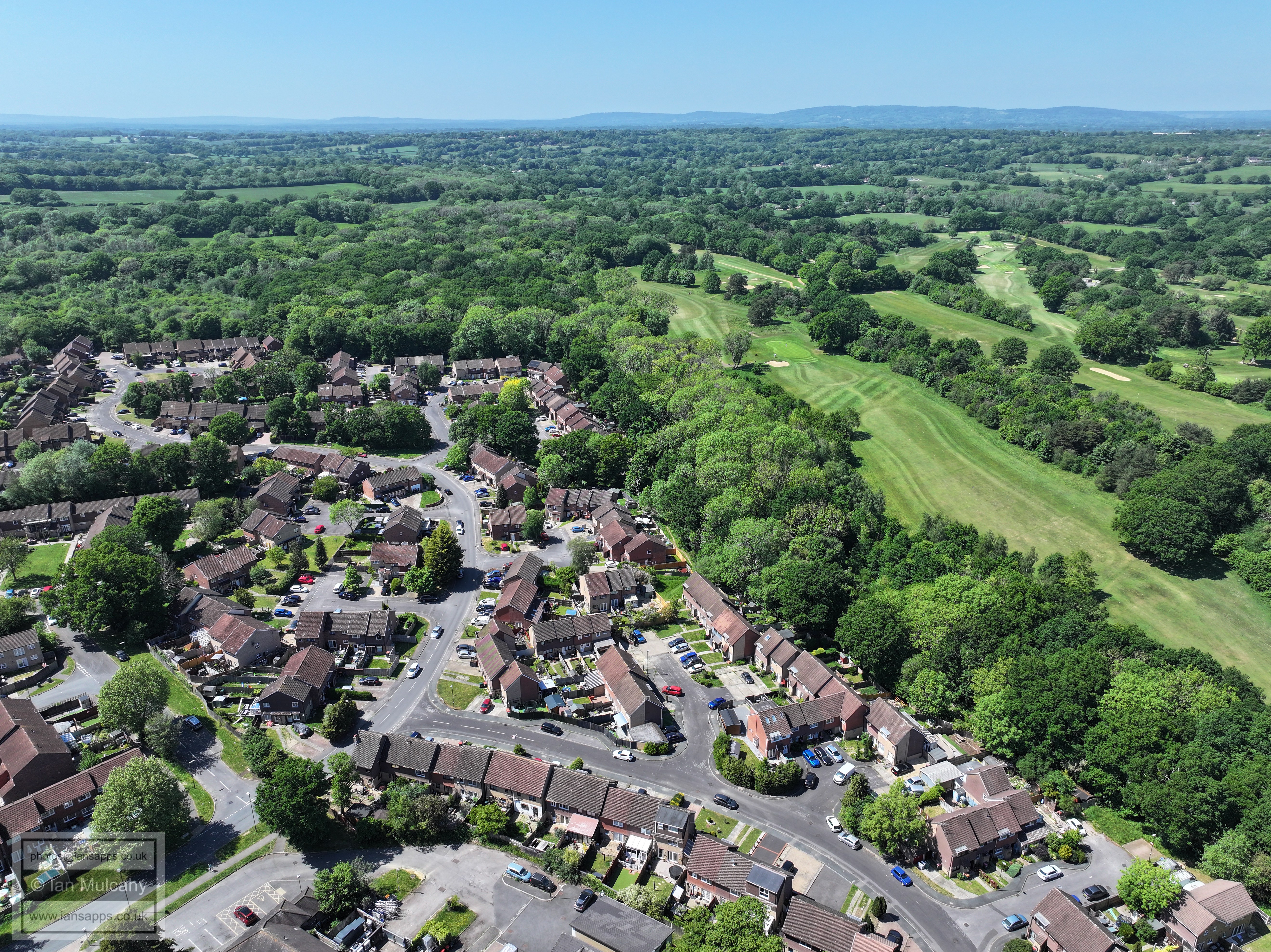
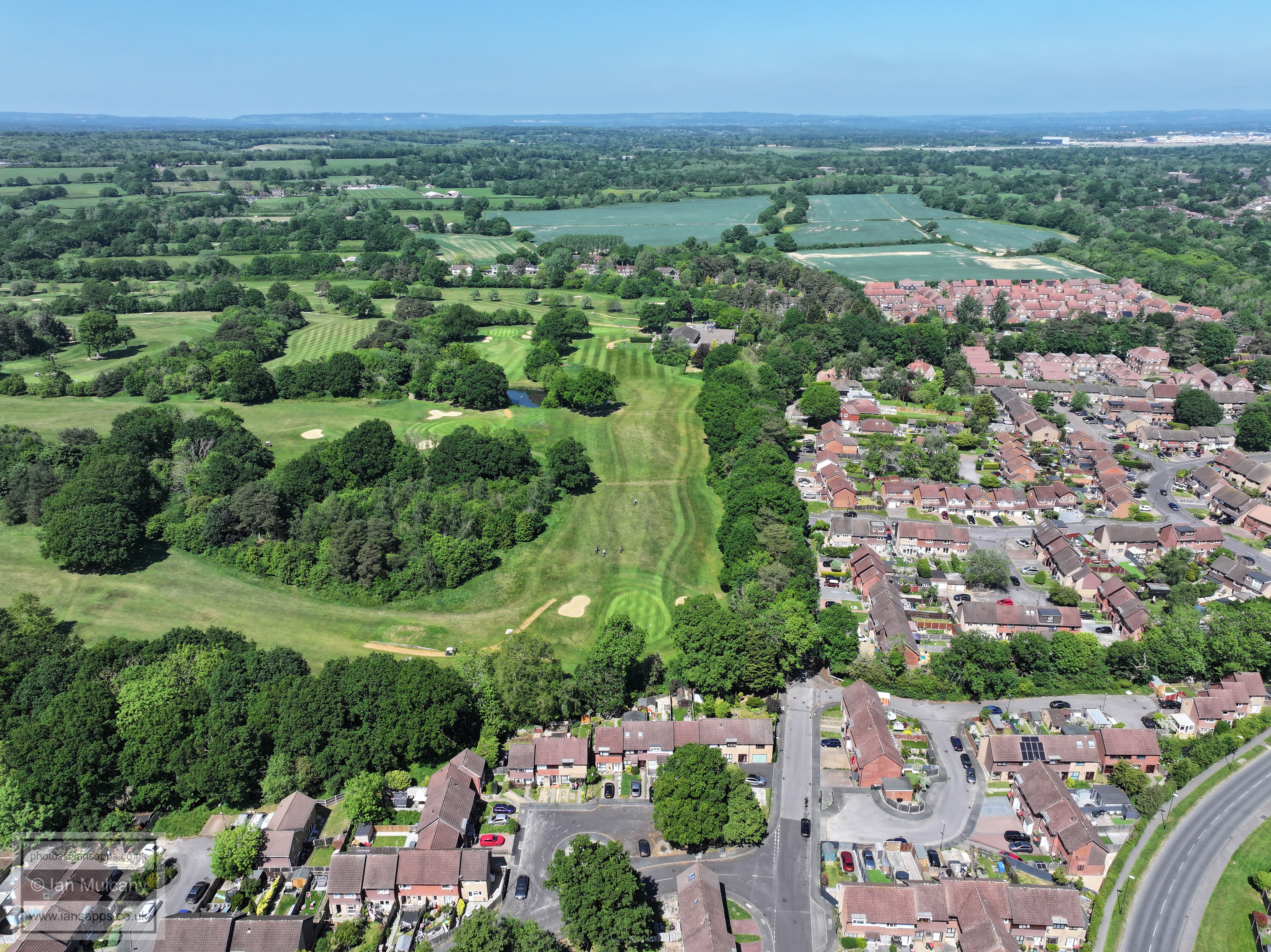
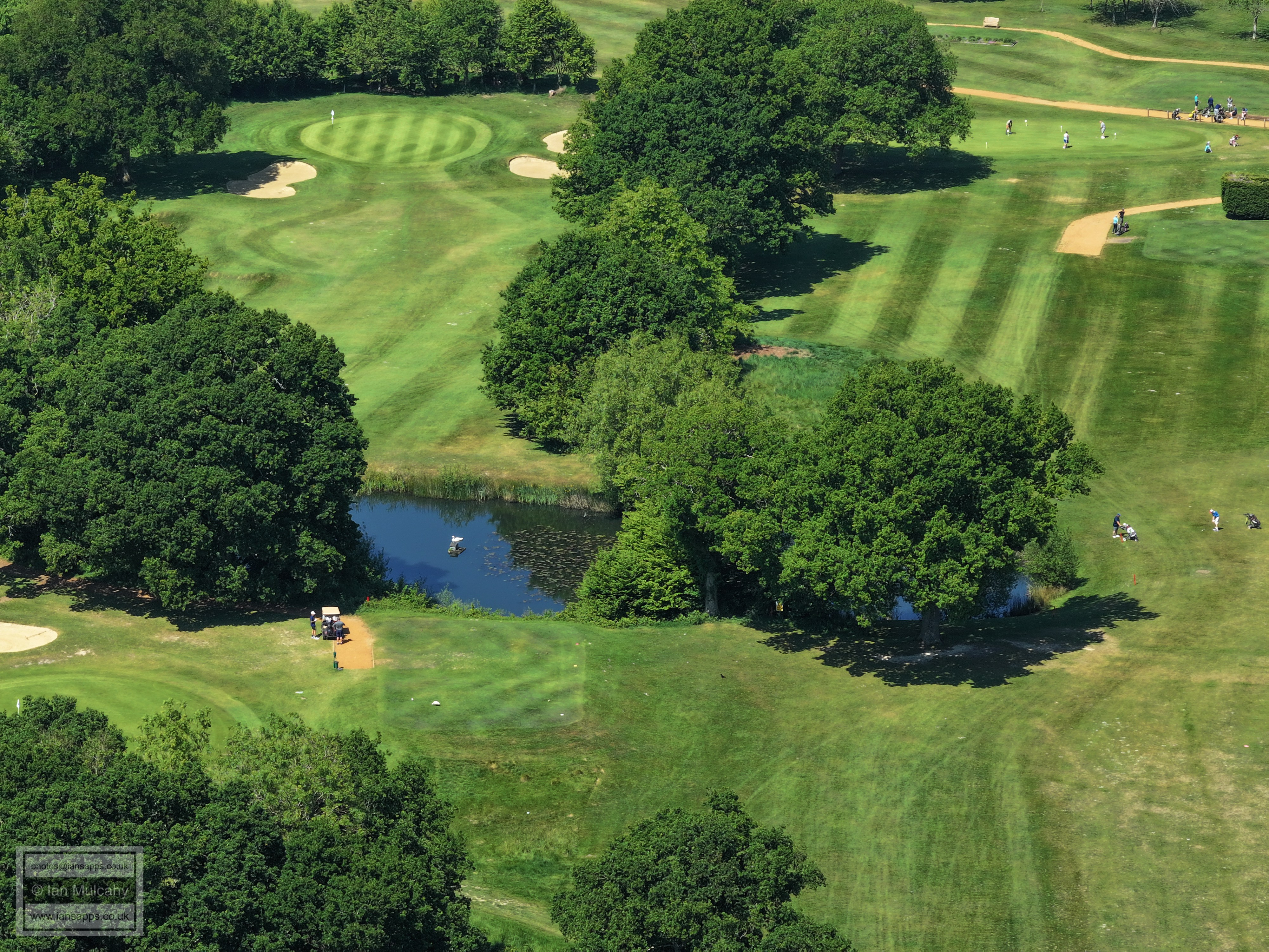
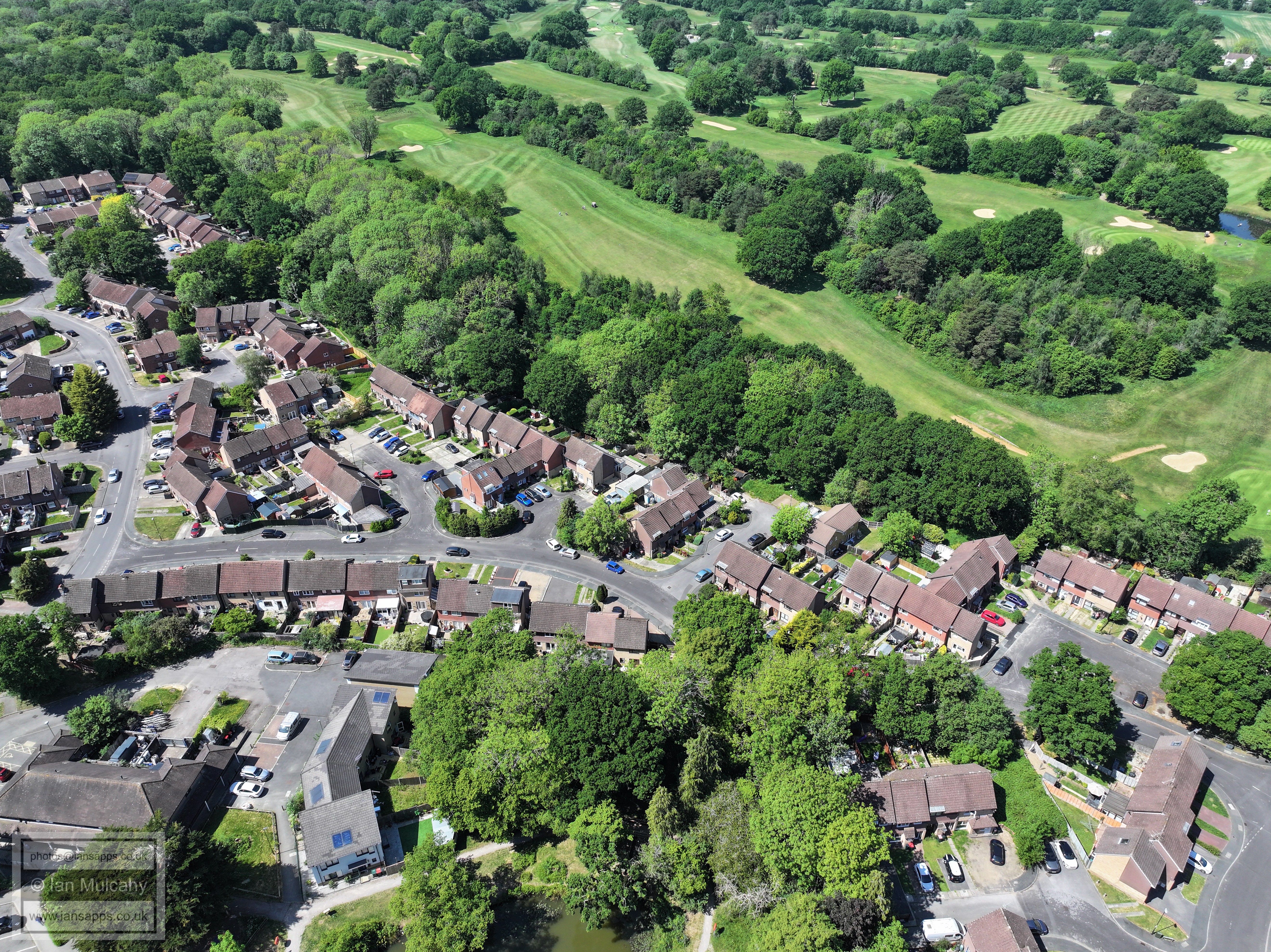
In the centre is the communications mast behind the former Gate Public House on Rysper Road (left). Bottom right is Ifield Golf Course.
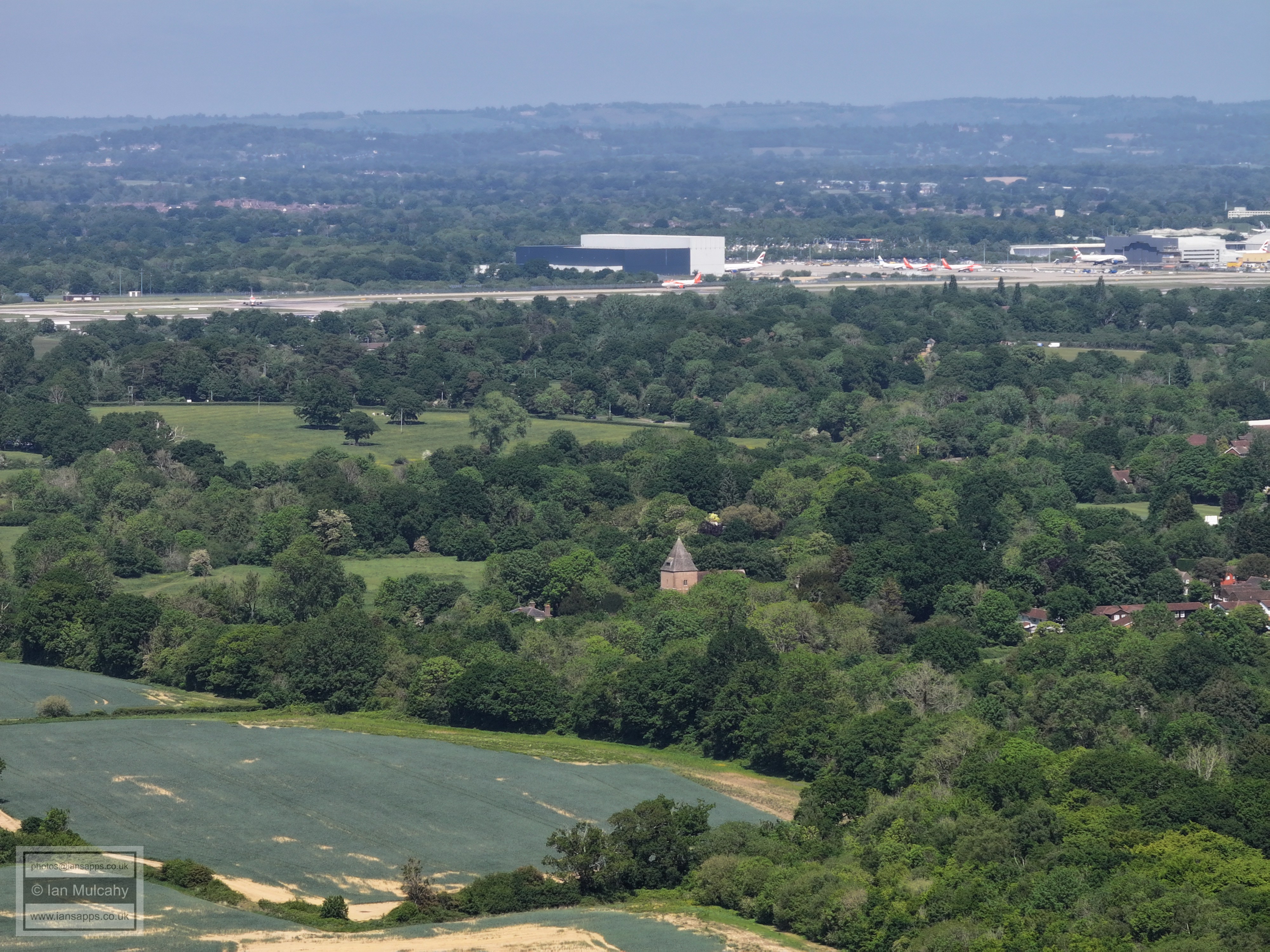
In the top left quarter is a chimney which I'm 95% certain is at the Ibstock Brickworks between Beare Green and Newdigate. In the top right quarter, the large white roofs are the barns at Ivy House Farm on partridge Lane and just to the right is the spire of St Peter's Church in Newdigate. Right of centre are the chimney's of The Mount.
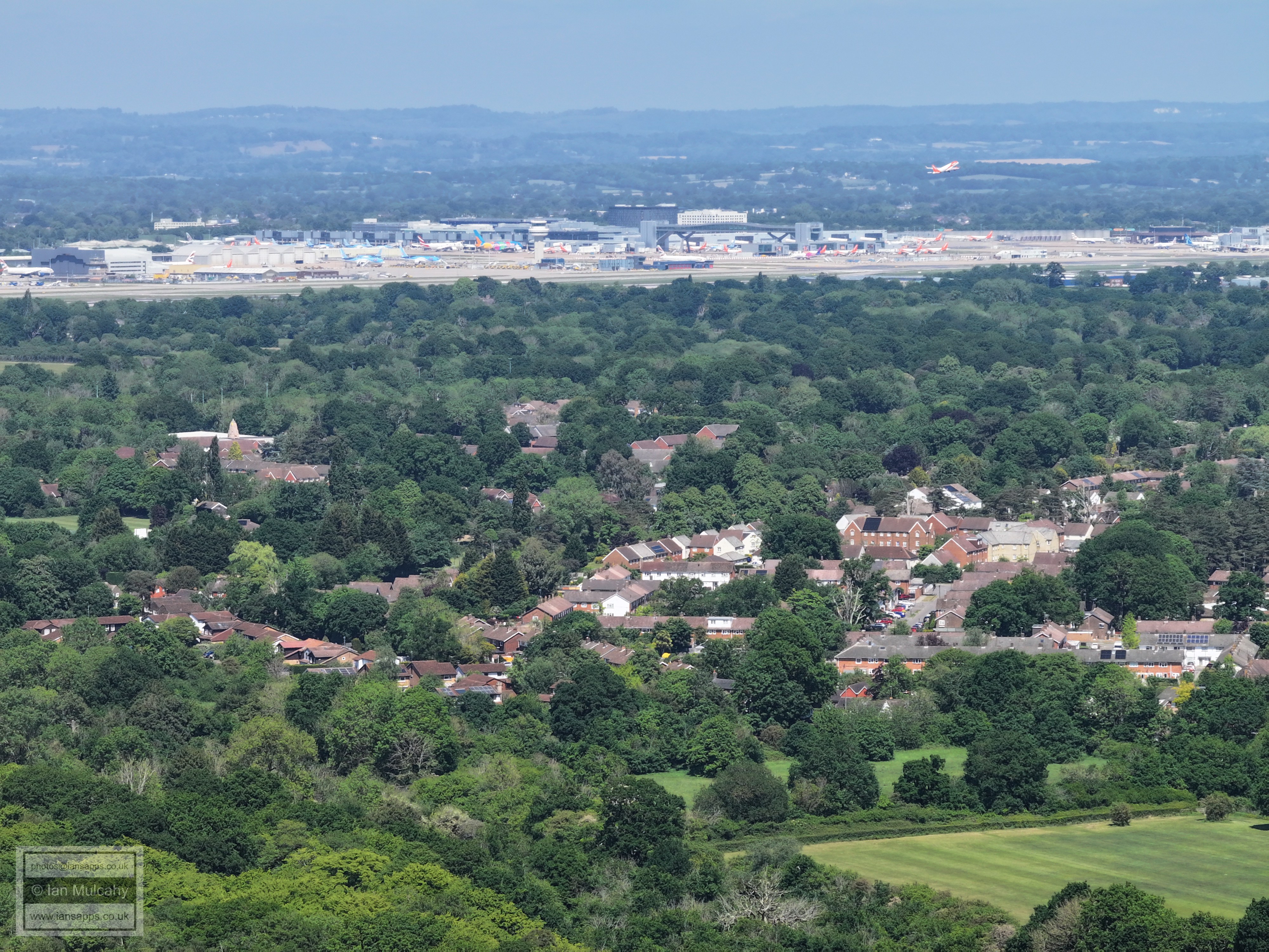
Right of centre is Hillybarn Farm in Ifield Wood. Top centre are Alwyns tower blocks at Dorking.
Bonwyckes Place and farm in Ifield Wood in the foregroundand Box Hill beyond. The white building on the first ridge in the top right quarter is the Russ Hill hotel and immediately above on top of the North Downs is Brockham Warren. In the bottom right corner are Pound Cottages on Rusper Road.
The white house right of centre is 'Windacres' on Russ Hill, near the Lowfield Heath Windmill. The barns, left, are at Bonwyckes.
Above centre and slightly left is the tower of St Nicholas Church at Charlwood. Left of centre the three barns and double gabled house are at Greenfield Farm on the Charlwood Road, just before Prestwood Lane. In the top right quarter is Reigate.
Druids and Ifield Court in the centre. Reigate at the top and St Johns on Earlswood Common on the hill in the top right quarter.
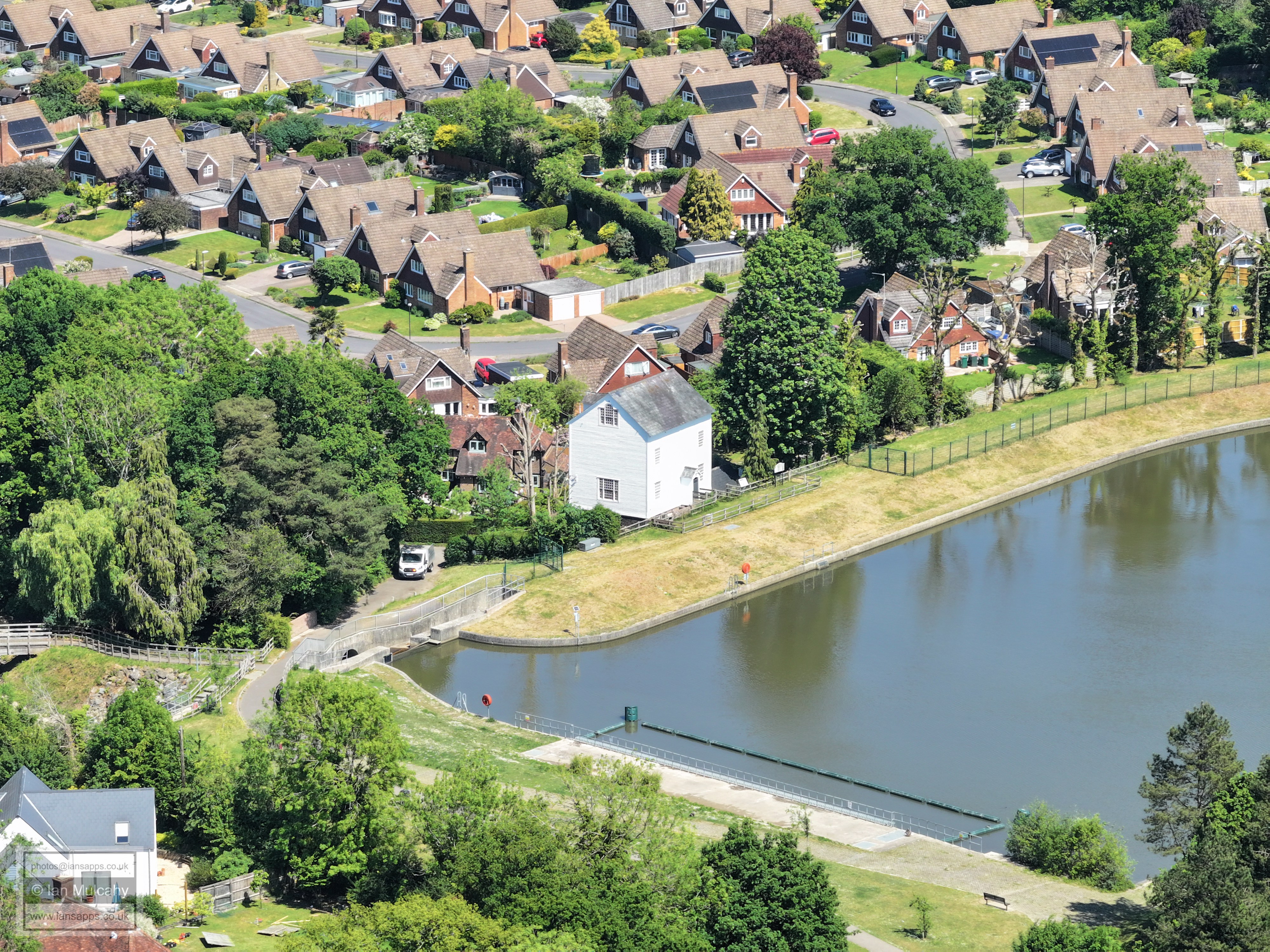
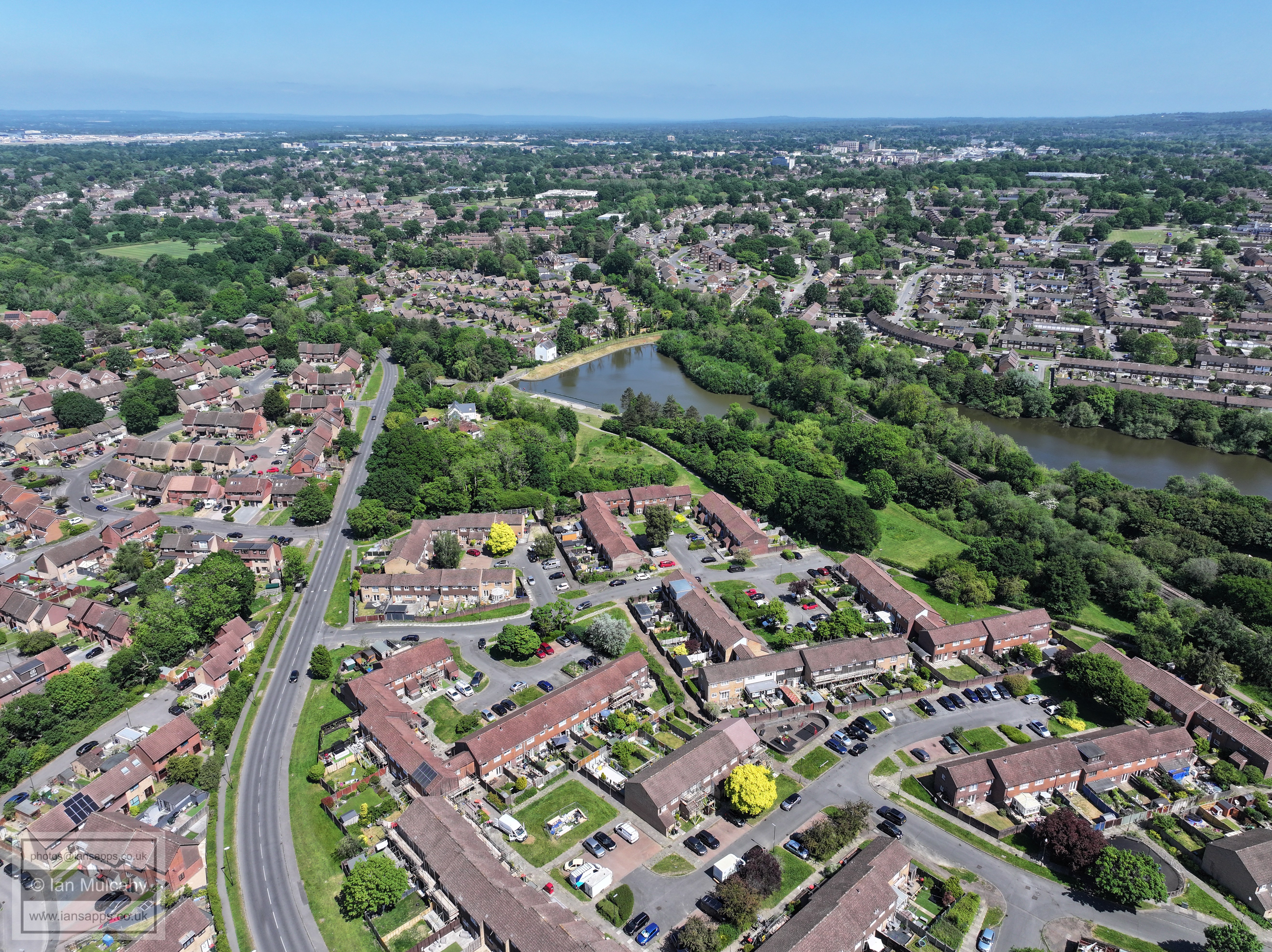
St Margaret's Church, Ifield, and Ifield Brook meadows. In the top right is Nutfield Priory.
Text & photographs © Ian Mulcahy. Contact photos@iansapps.co.uk or visit my 'Use of my photographs' page for licensing queries (ground level photographs only). |