Falmer (Lewes District) South of the Falmer Stadium
31 May 2025
66 aerial photos of varying focal length
|
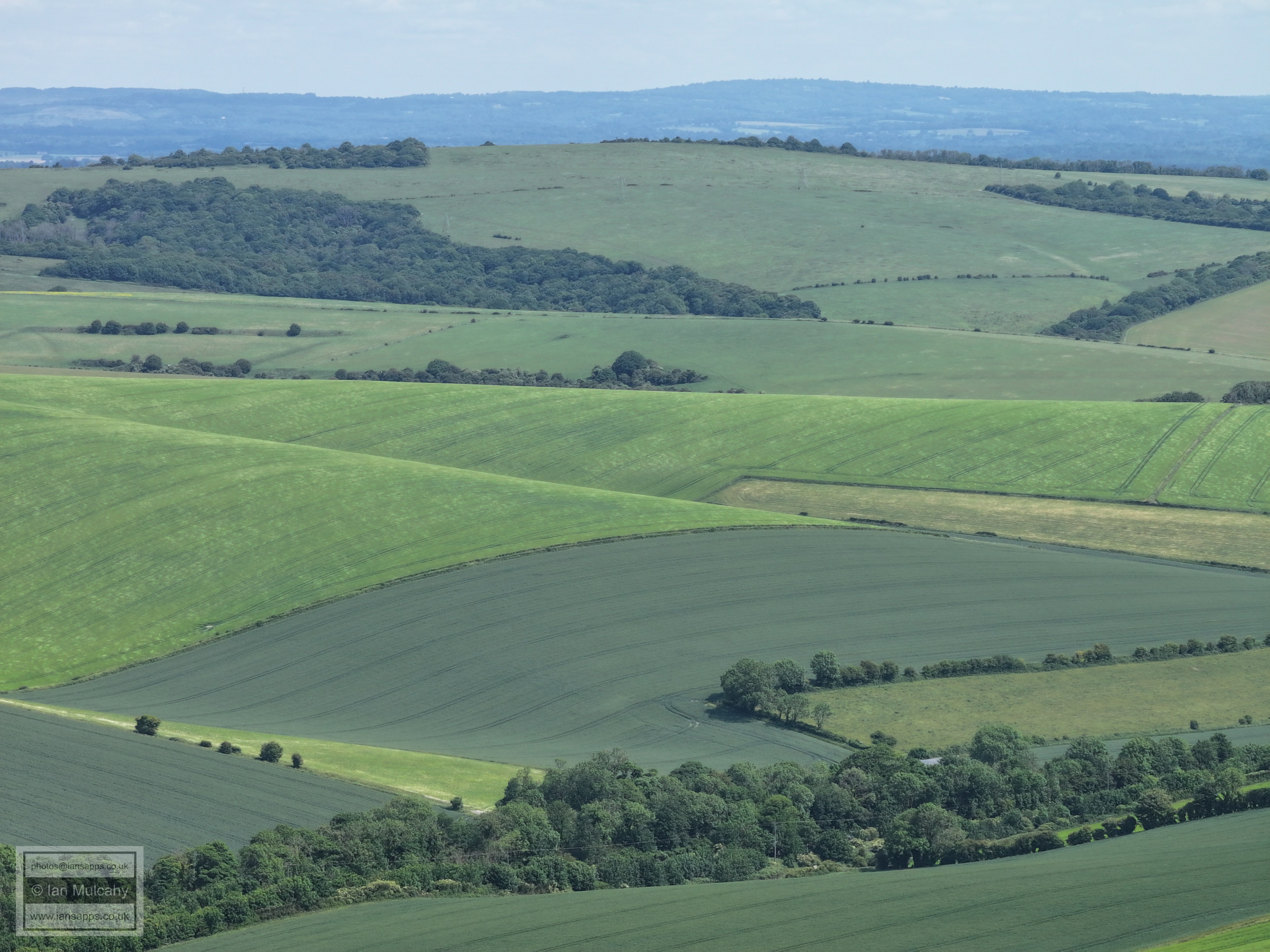
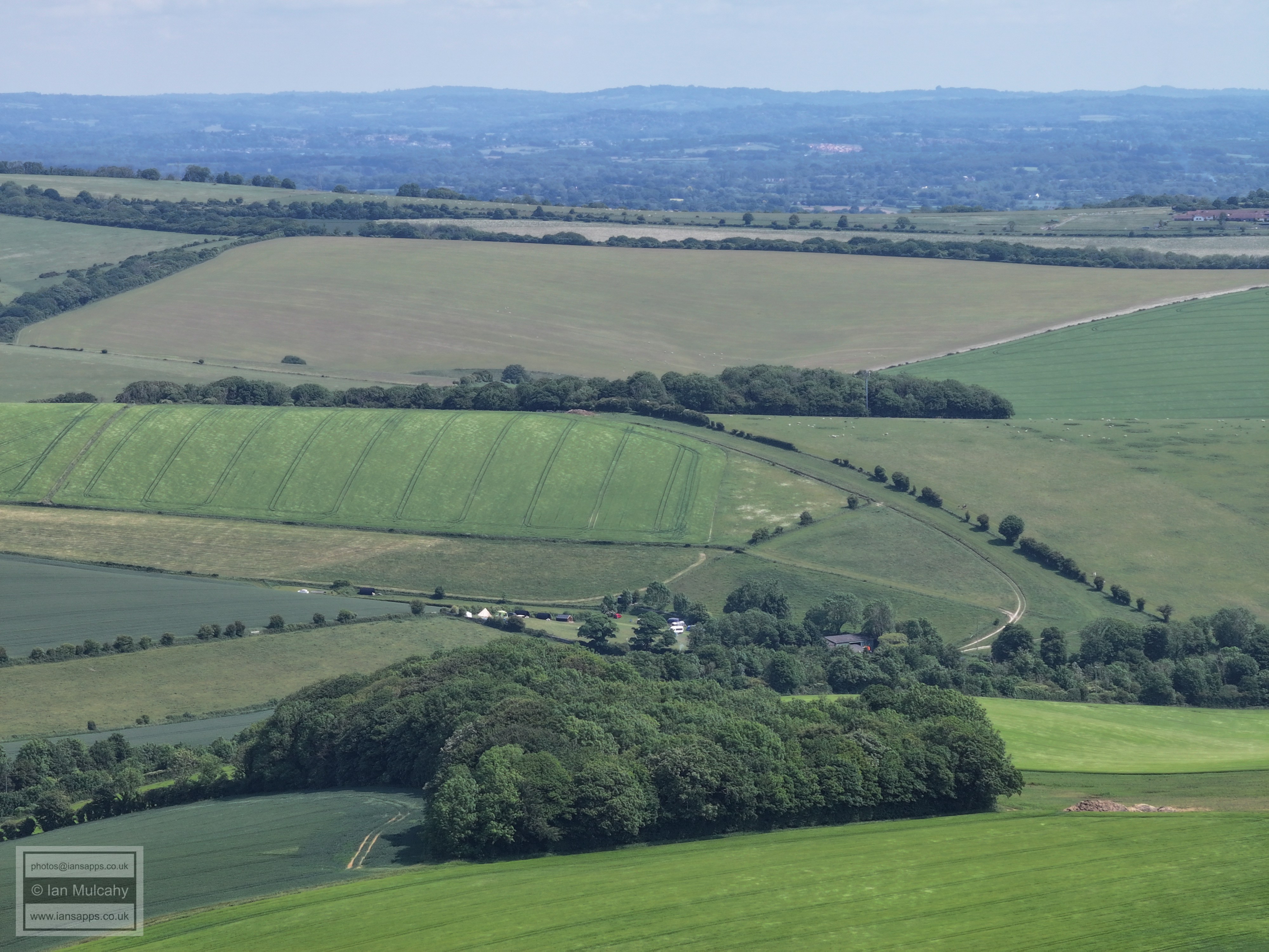
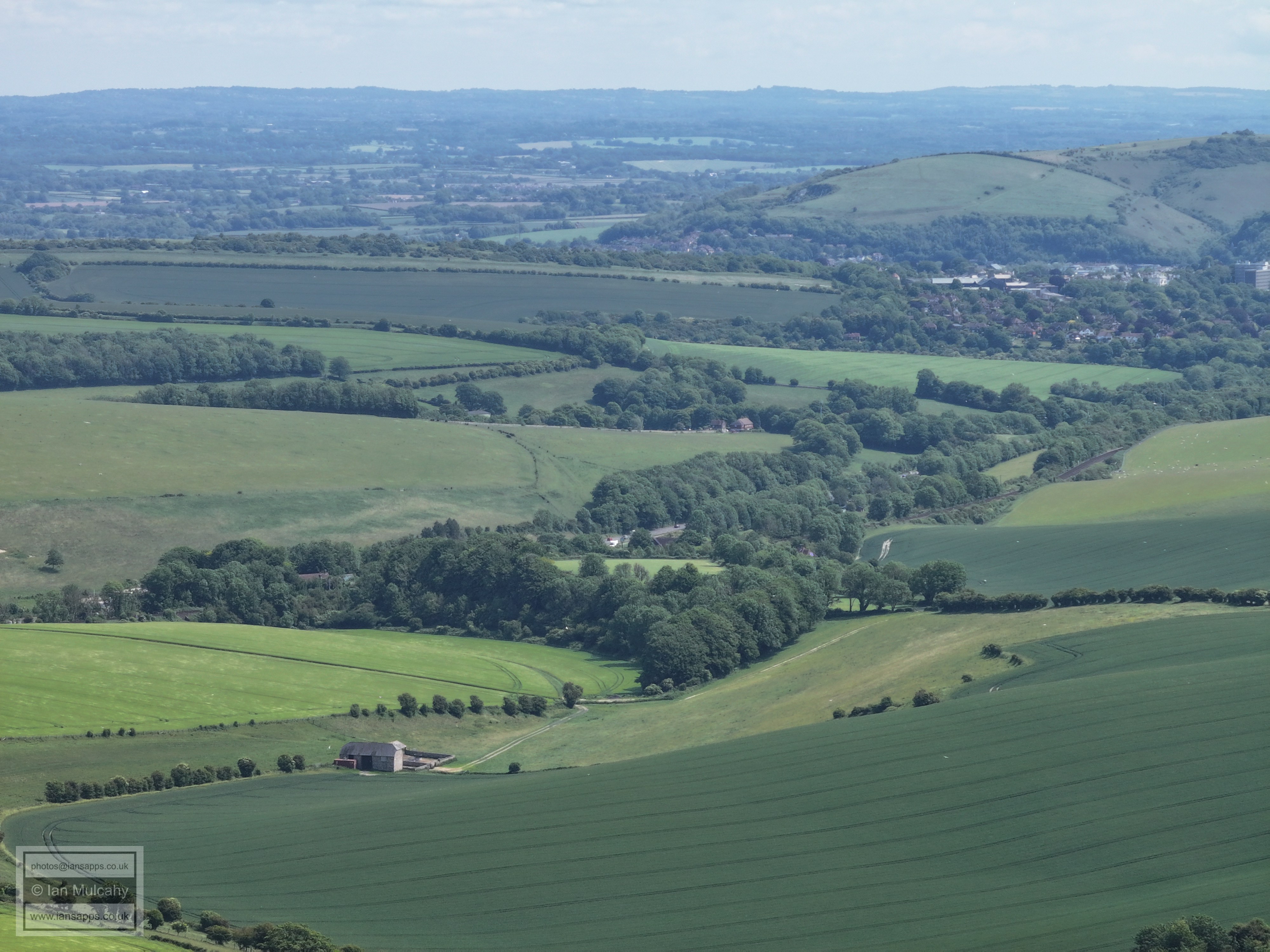
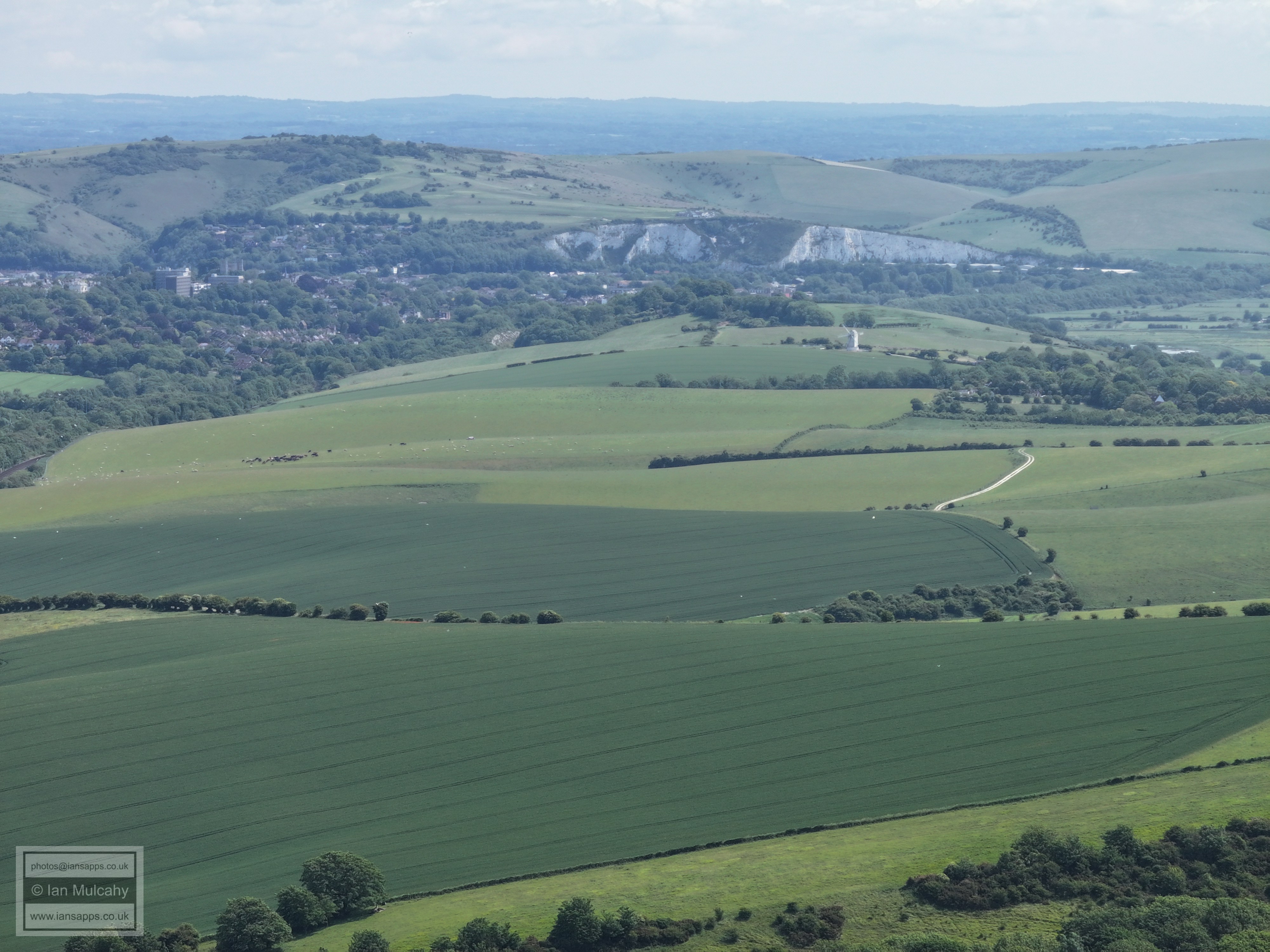
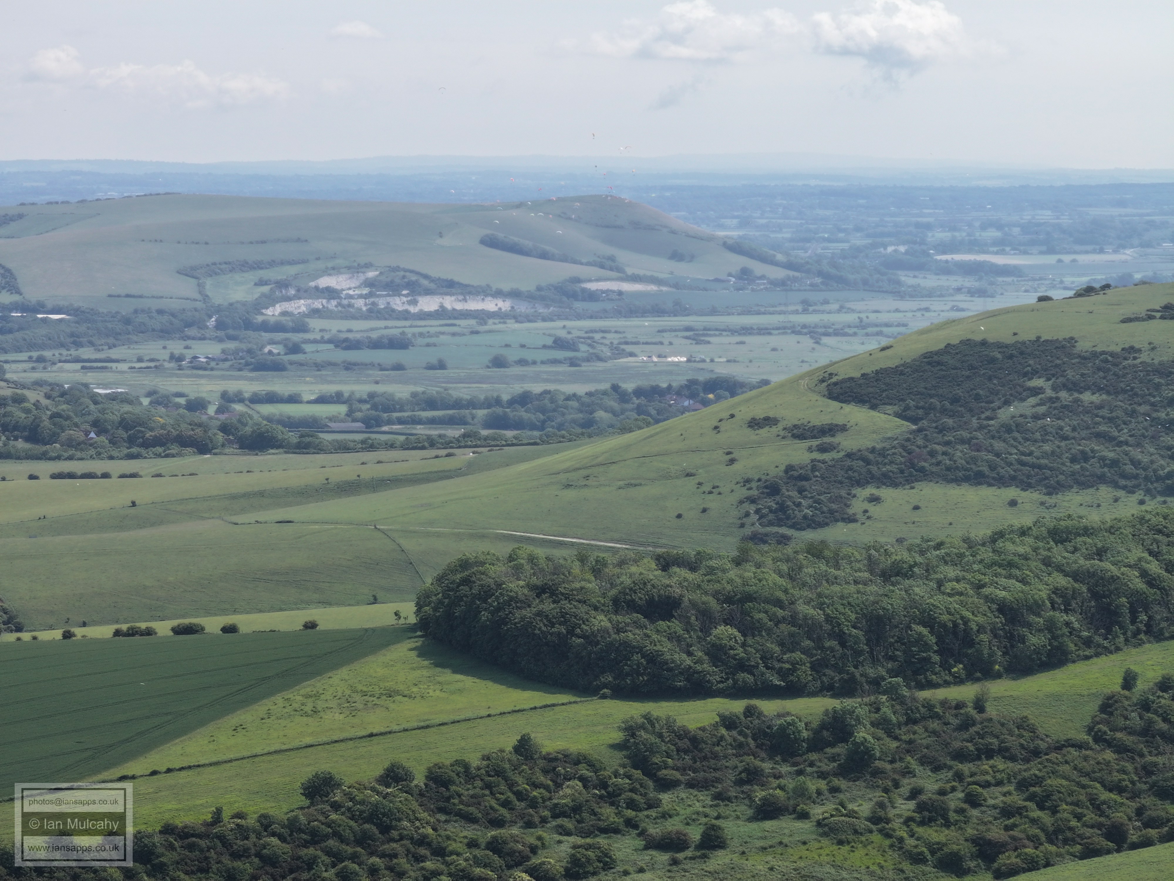
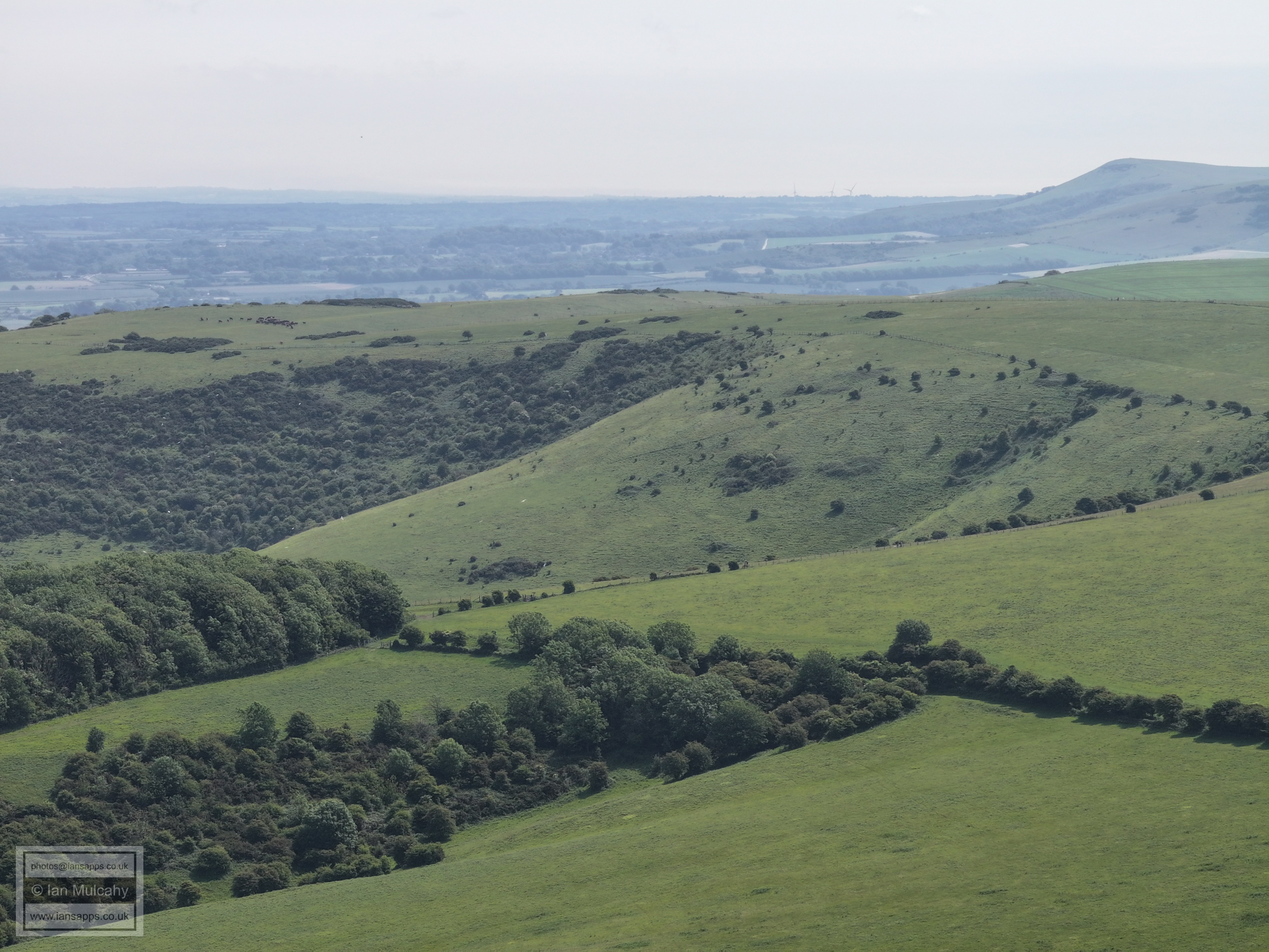
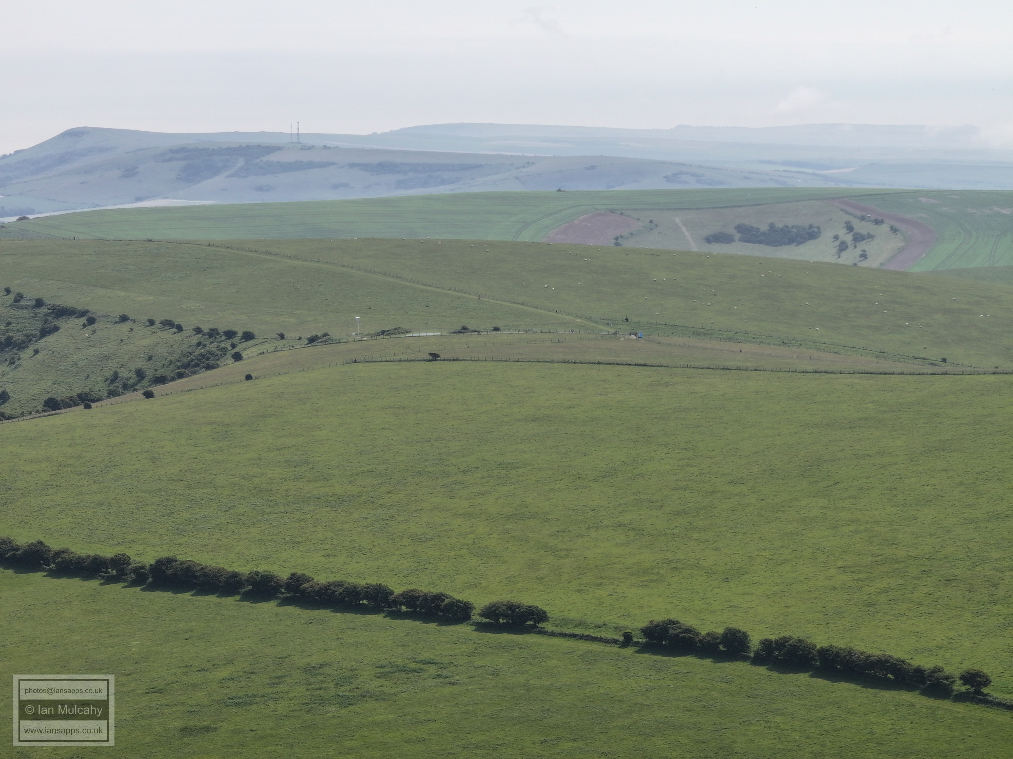
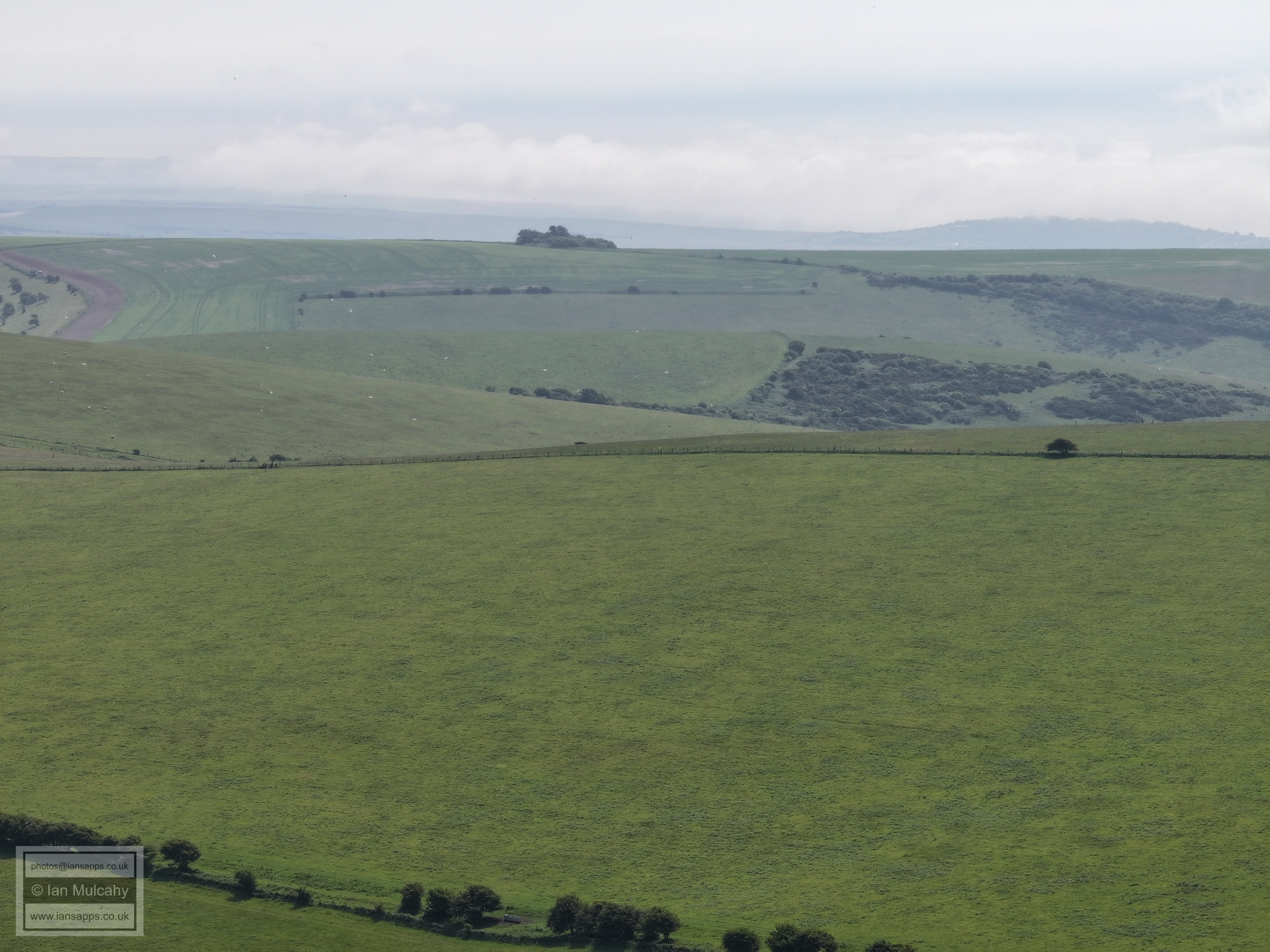
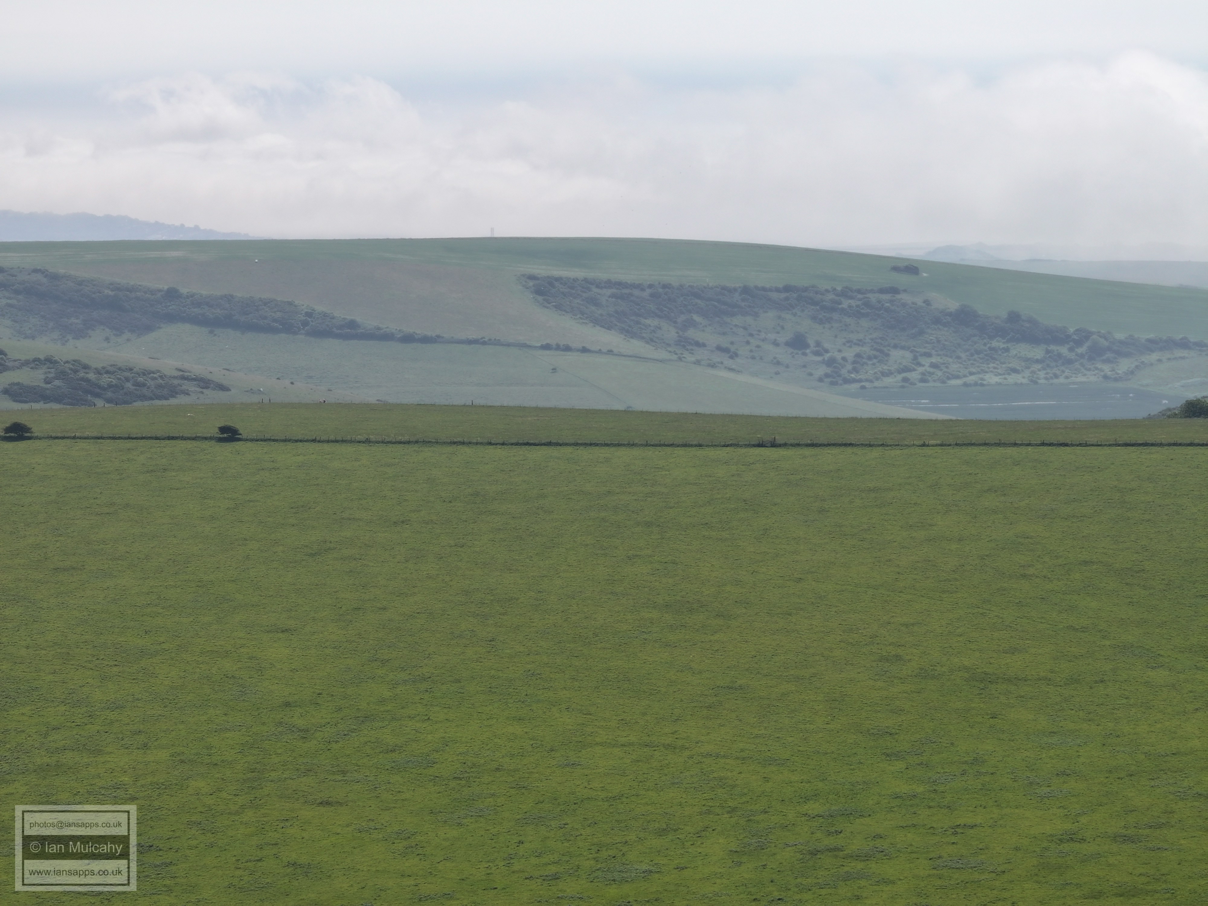
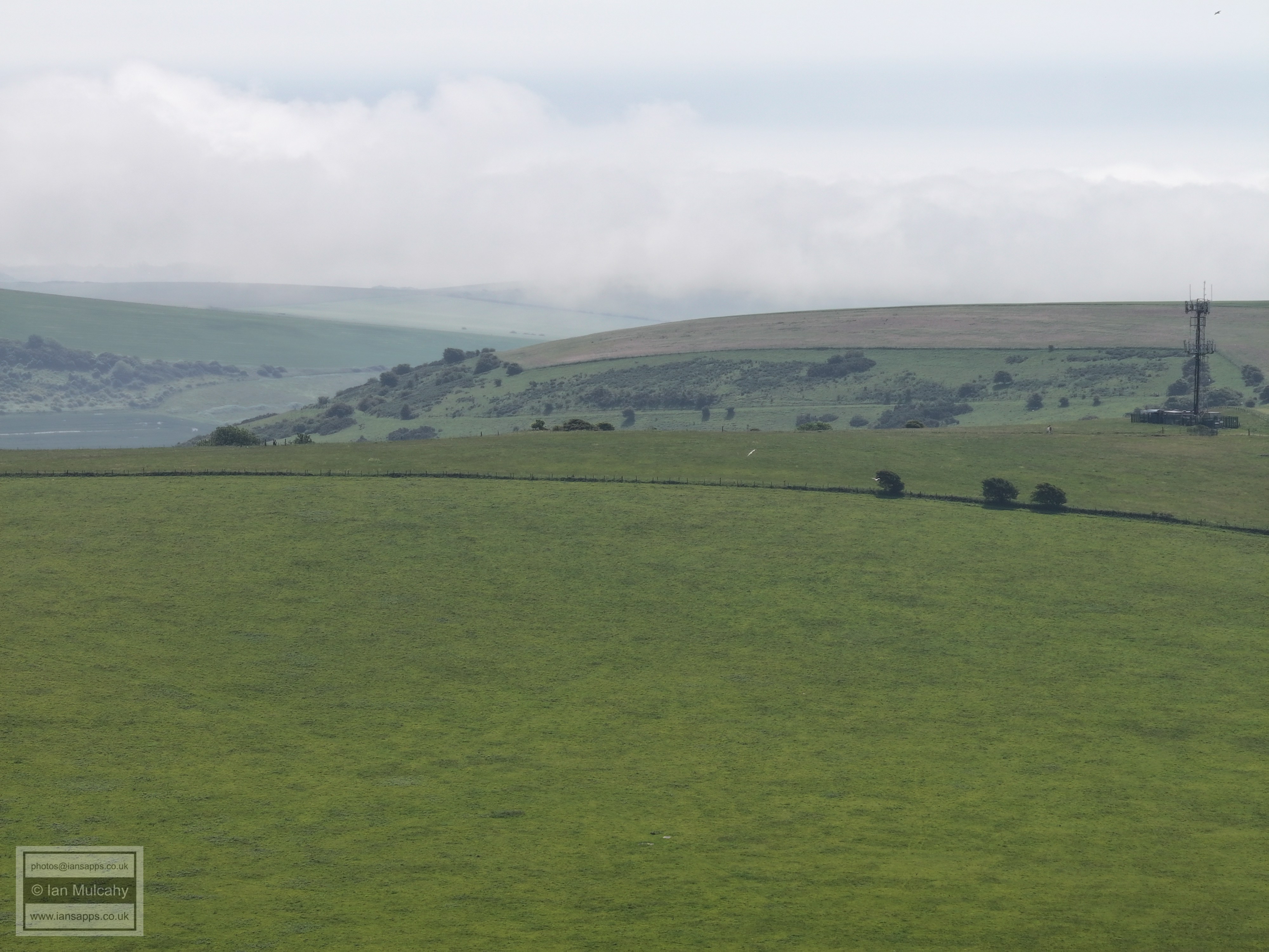
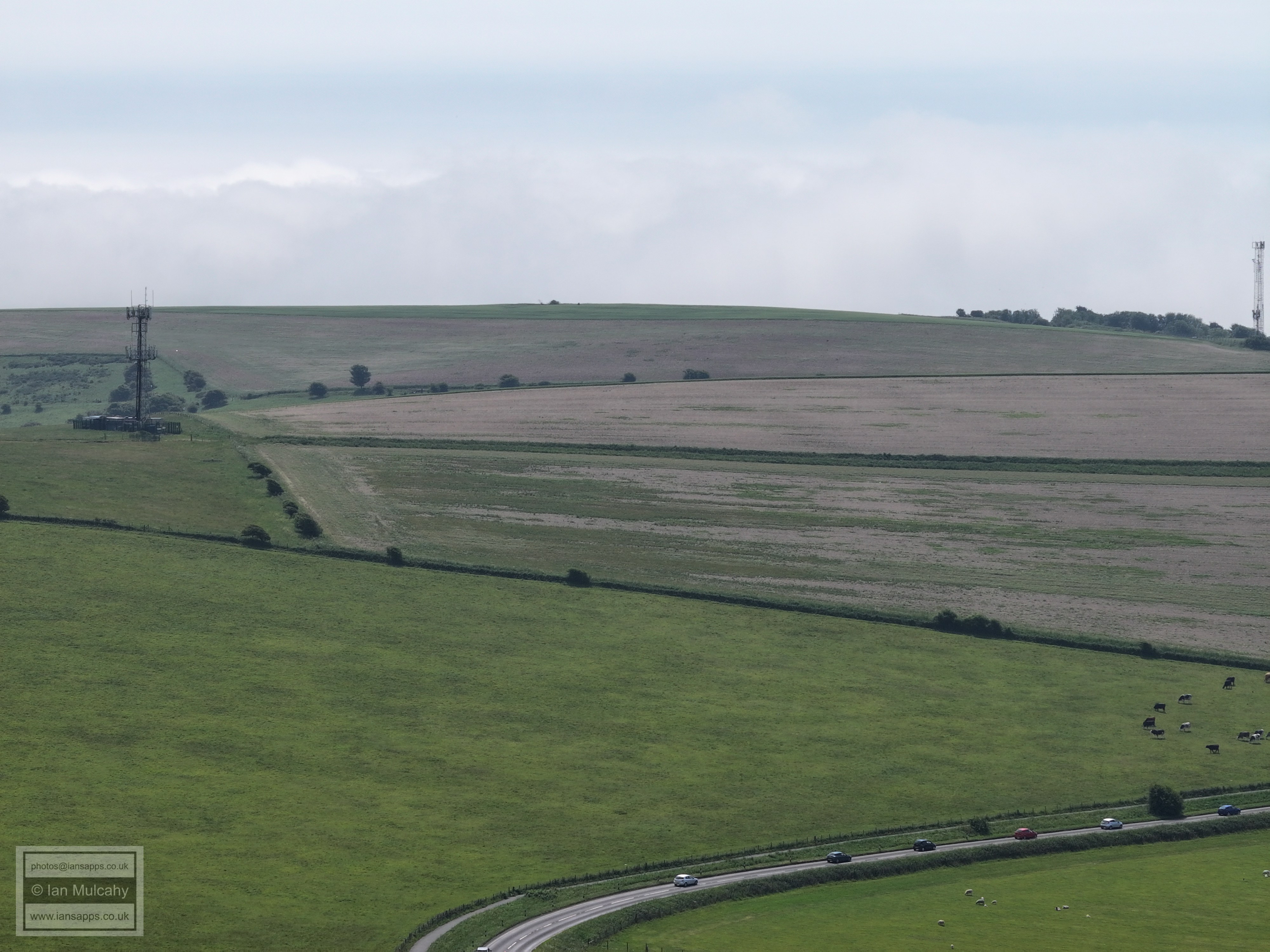
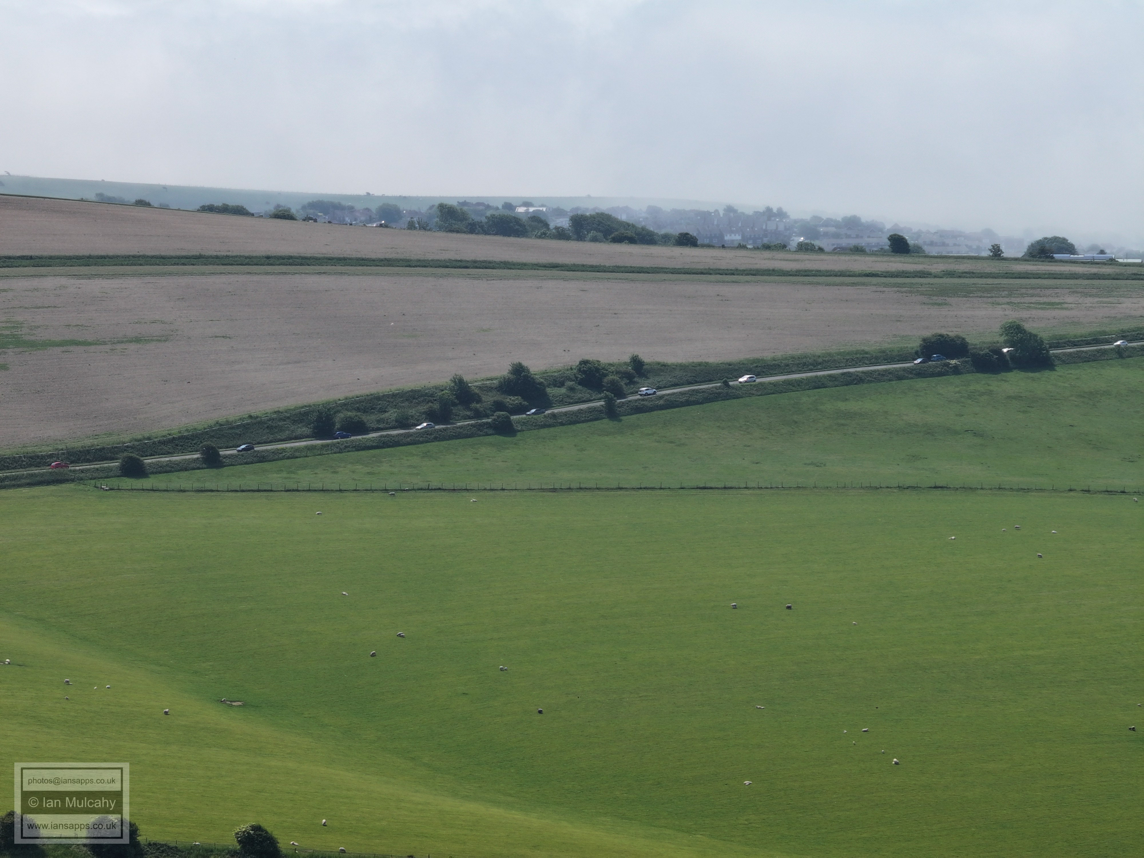
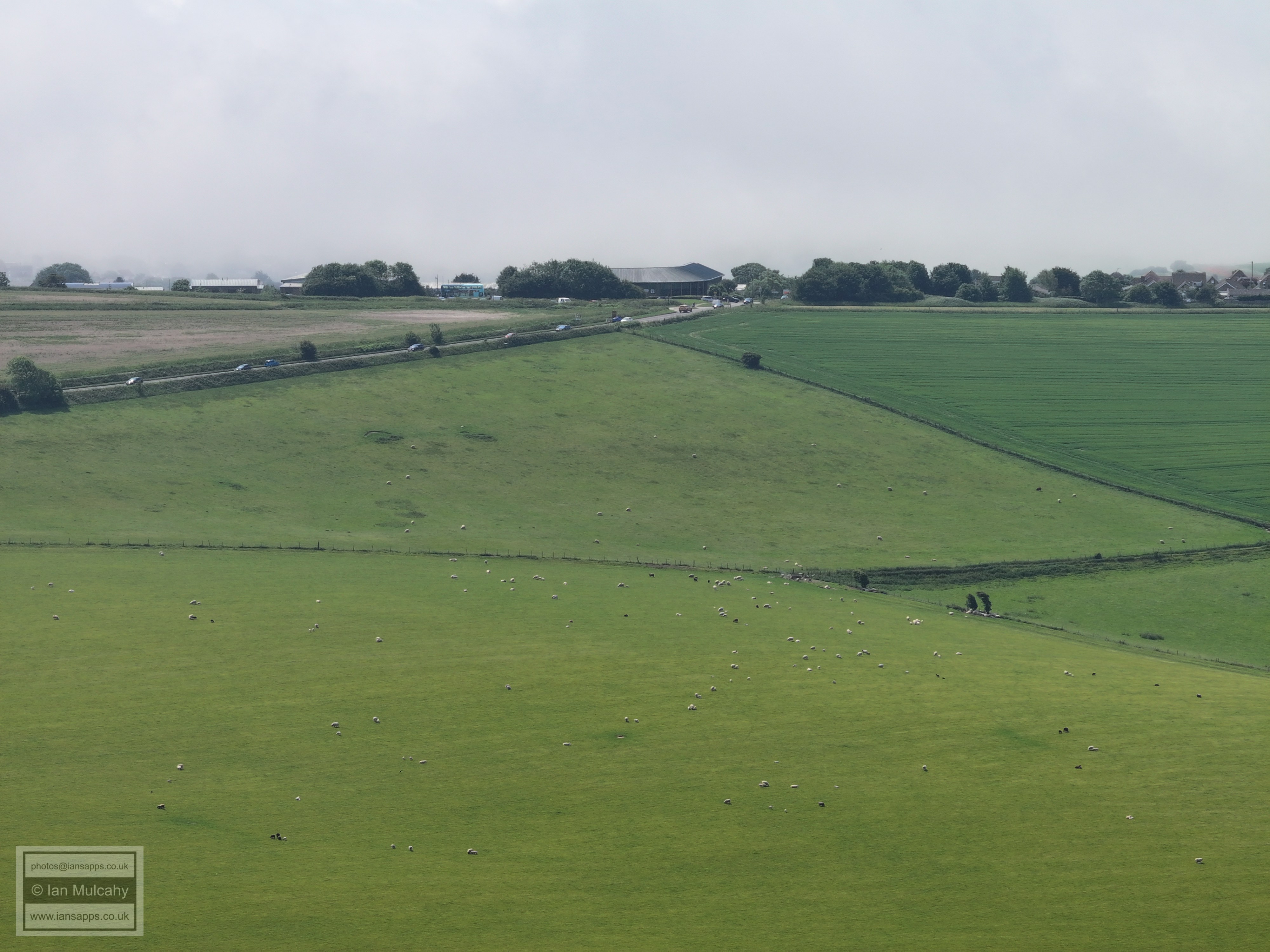
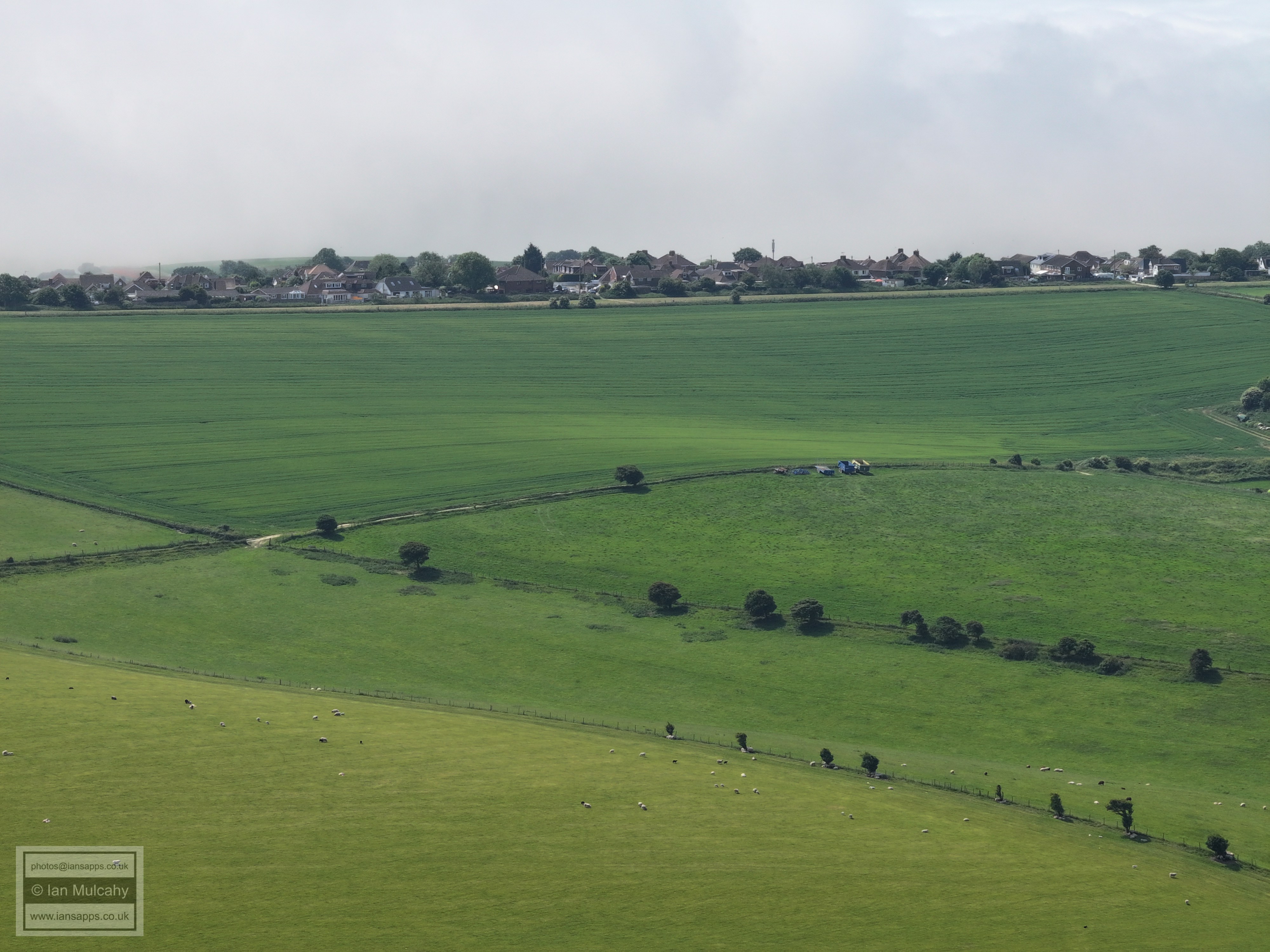
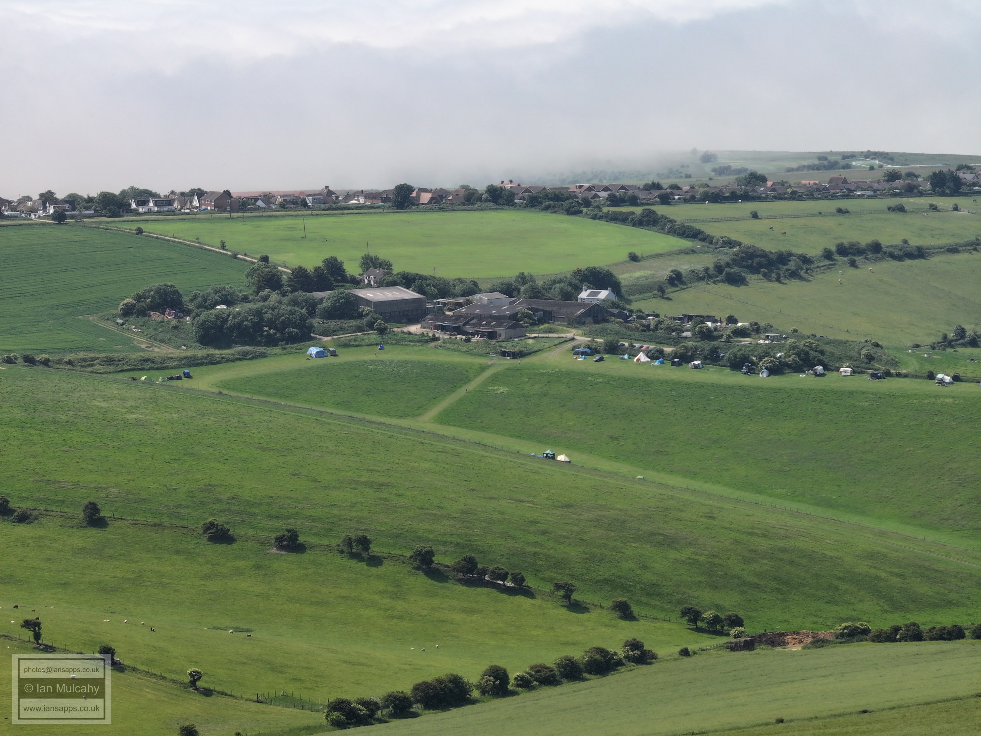
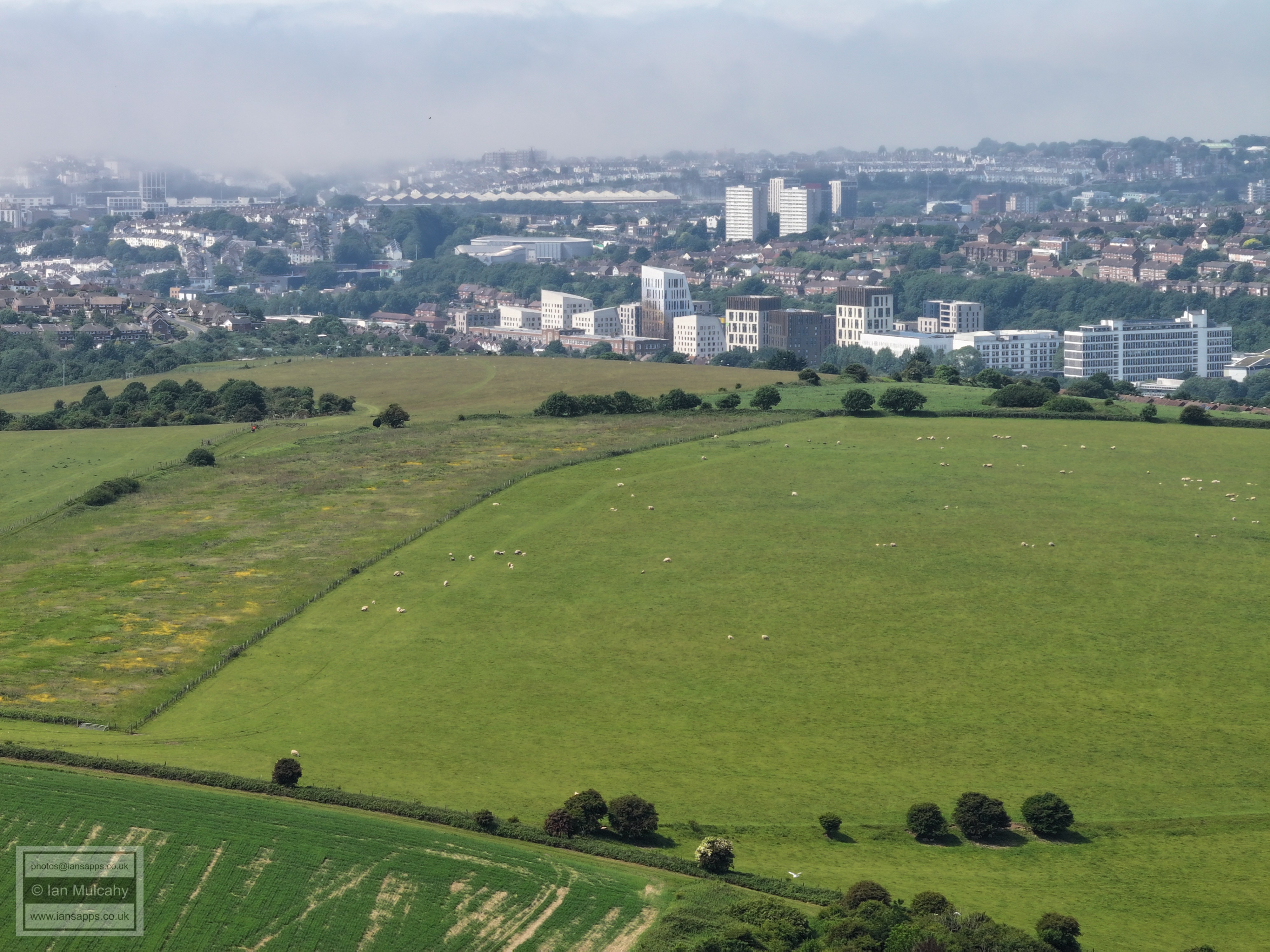
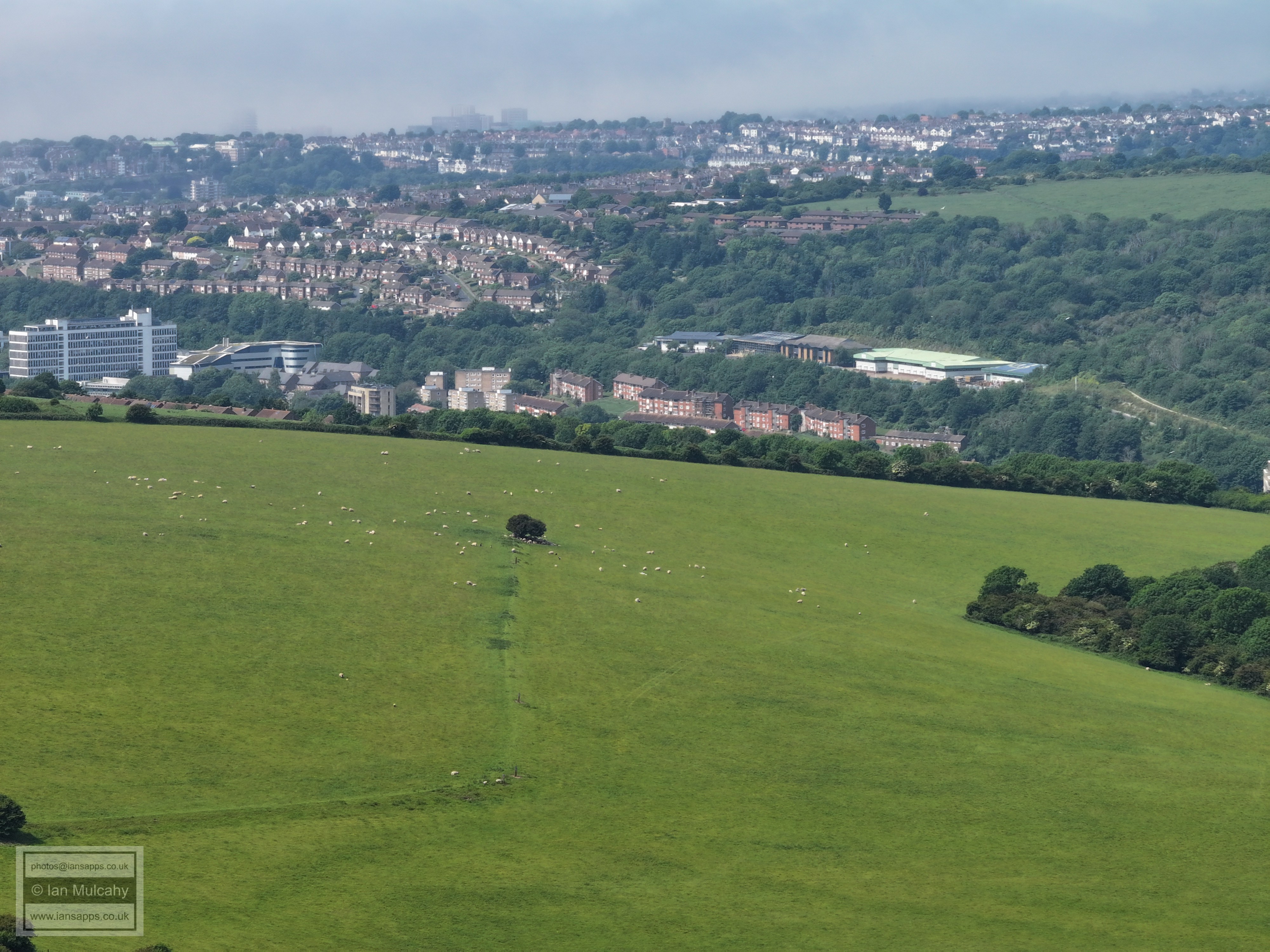
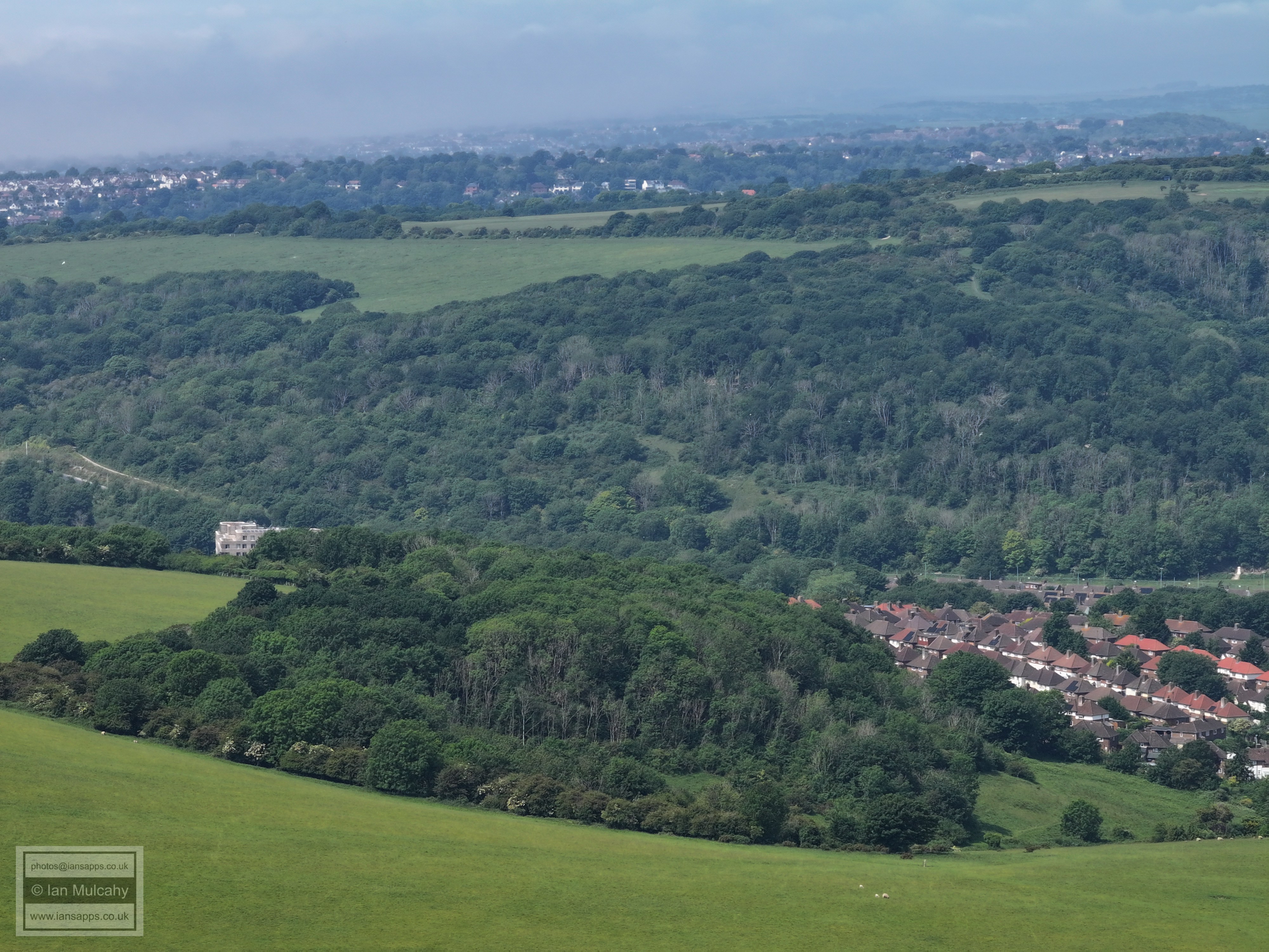
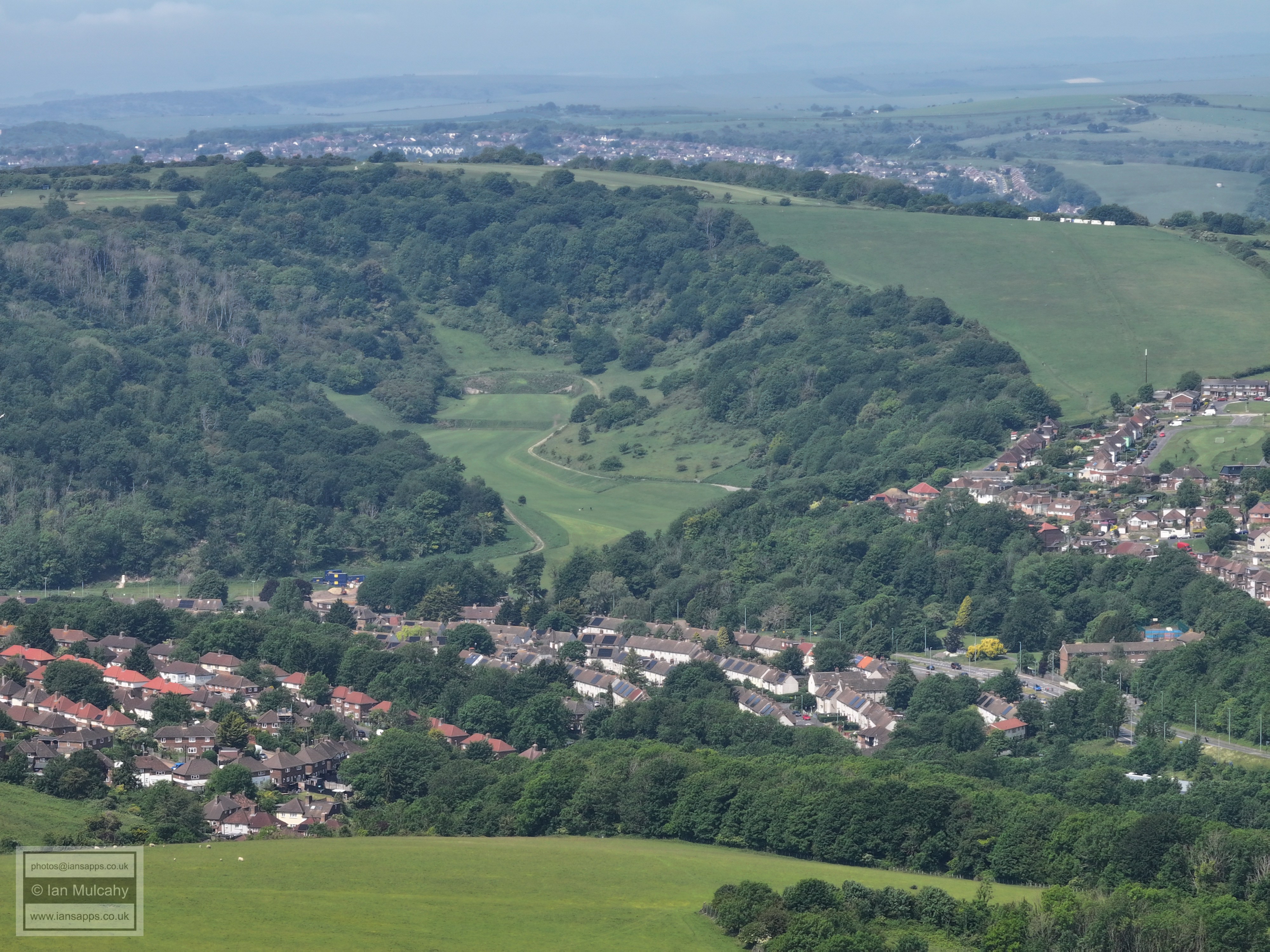
66 aerial images of varying focal length taken on 31 May 2025 from Juggs Road, a bridleway a few hundred metres south of the Falmer Stadium in Falmer (Lewes District) in East Sussex. There was a sea fog hugging the coastline which unfortunately rendered Brighton invisible, but made for an interesting view nonetheless.
I have annotated some of the photos.
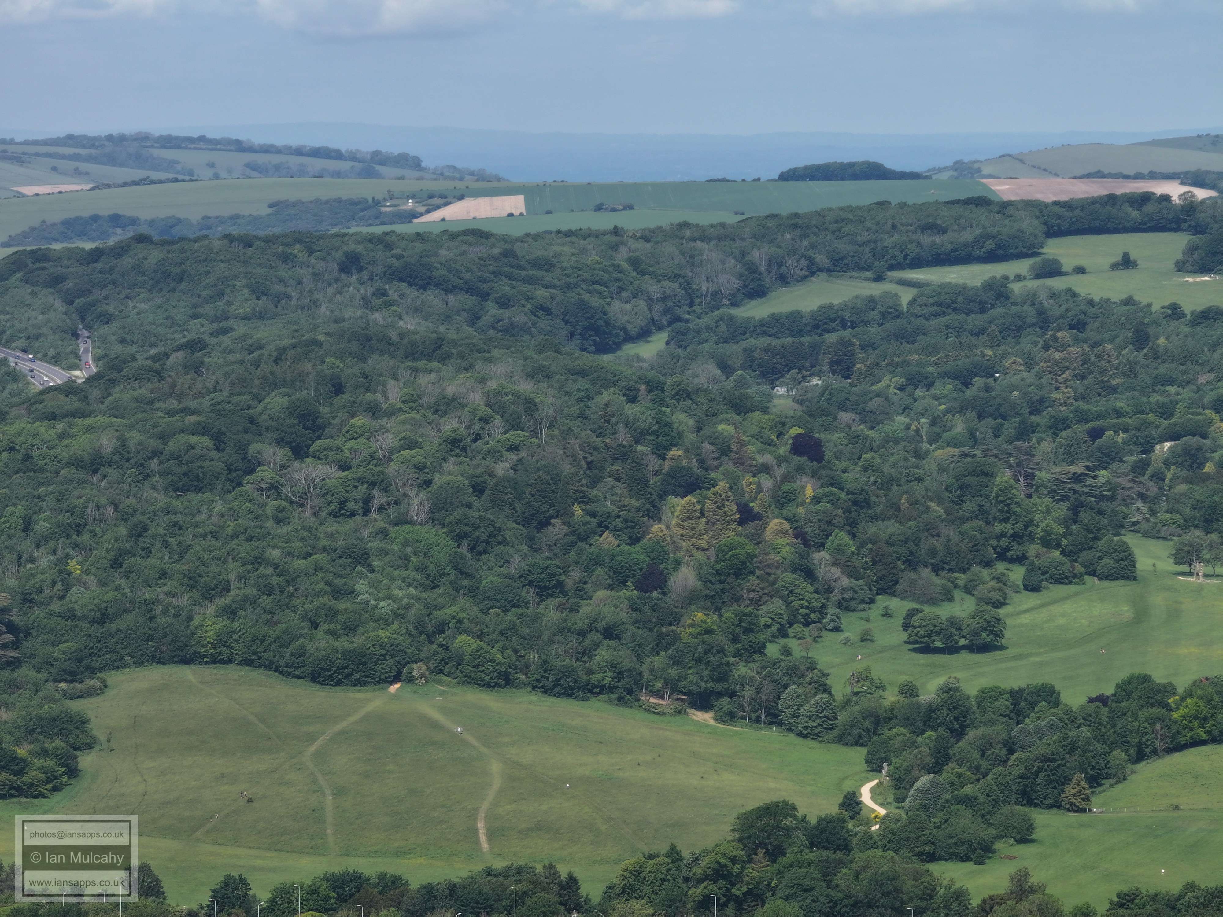
The n shaped earthwork in the near field is a medieval enclosure of unknown purpose and is a Scheduled Monument
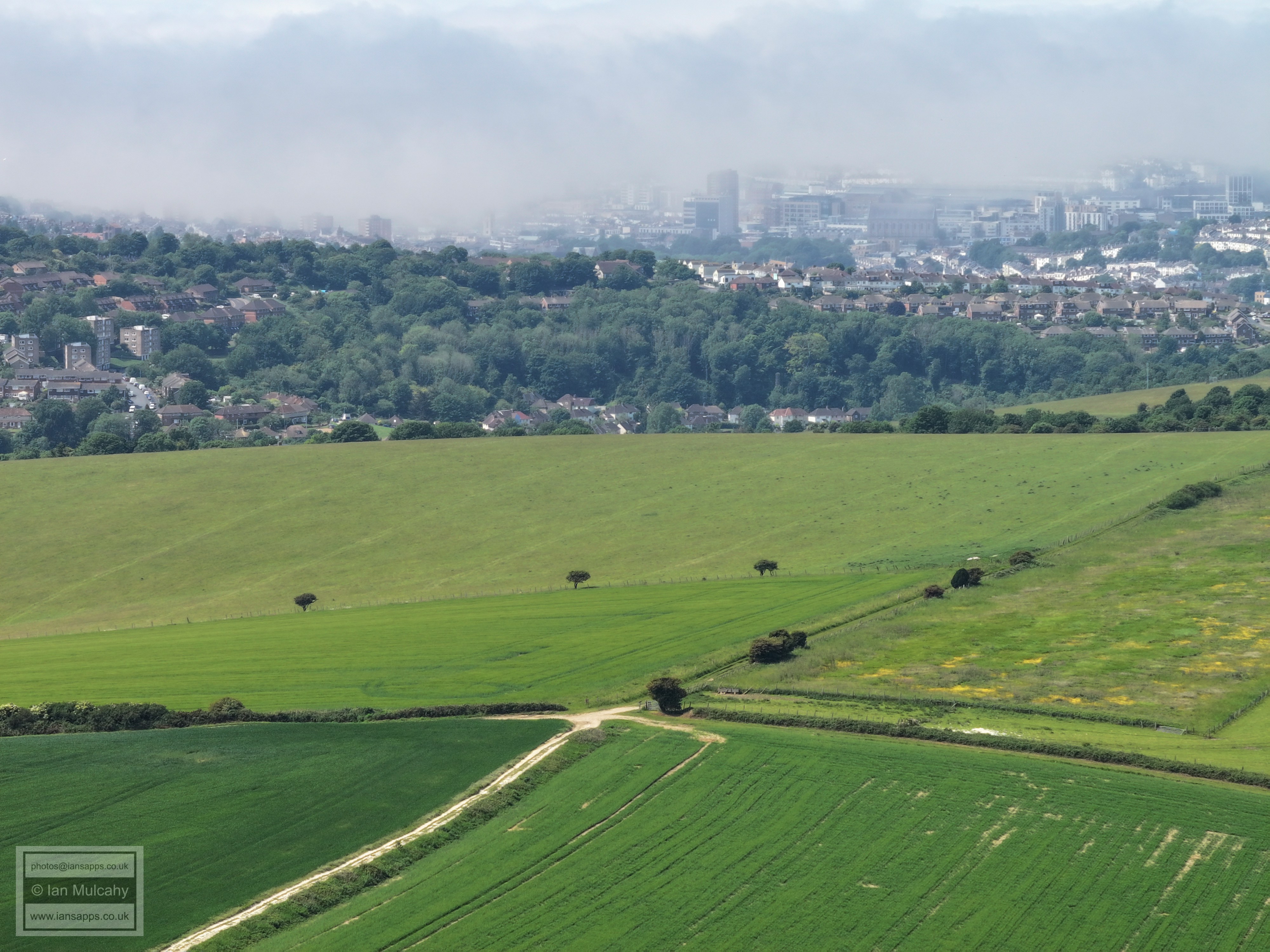
A sea fog over Brighton
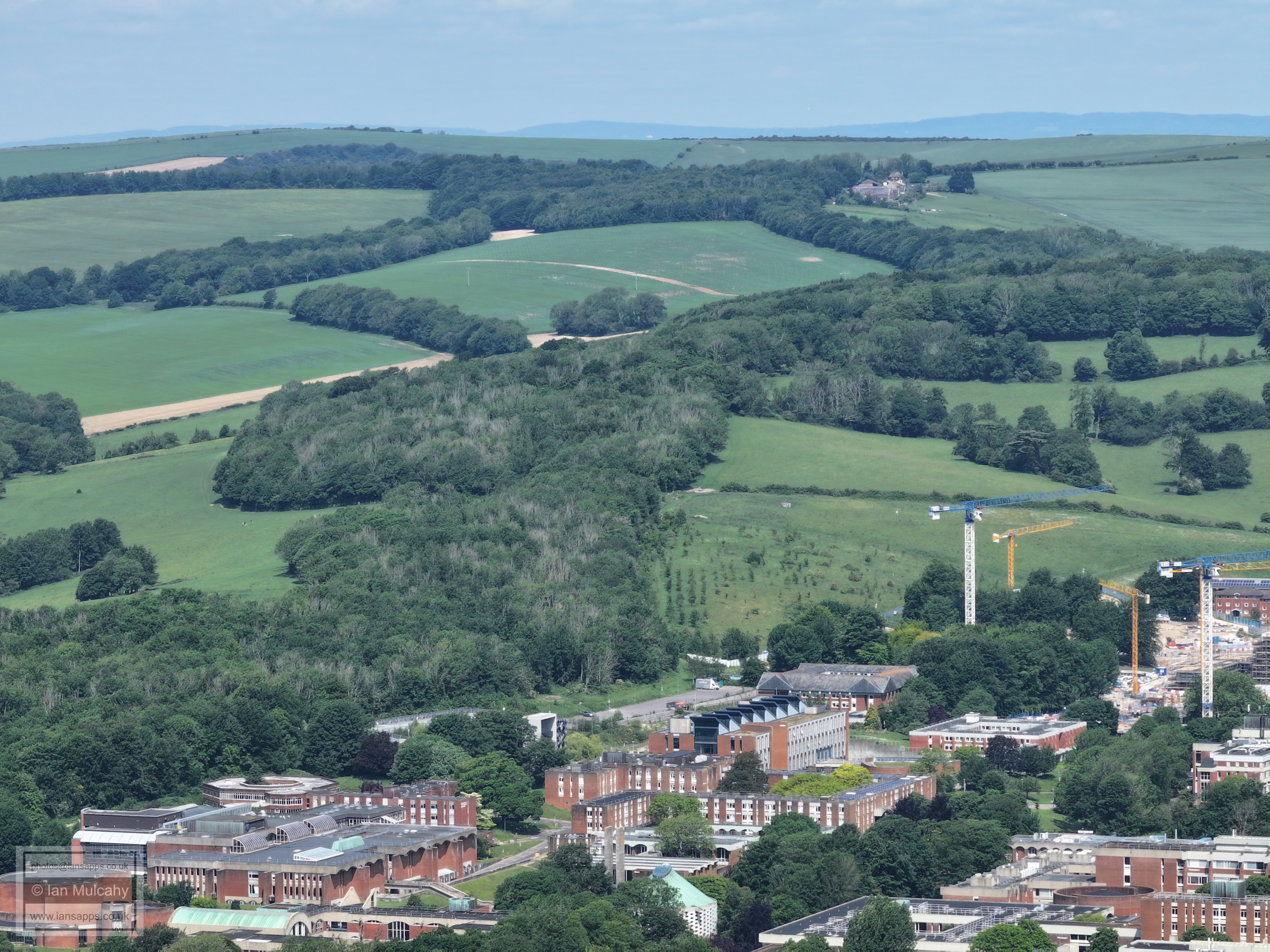
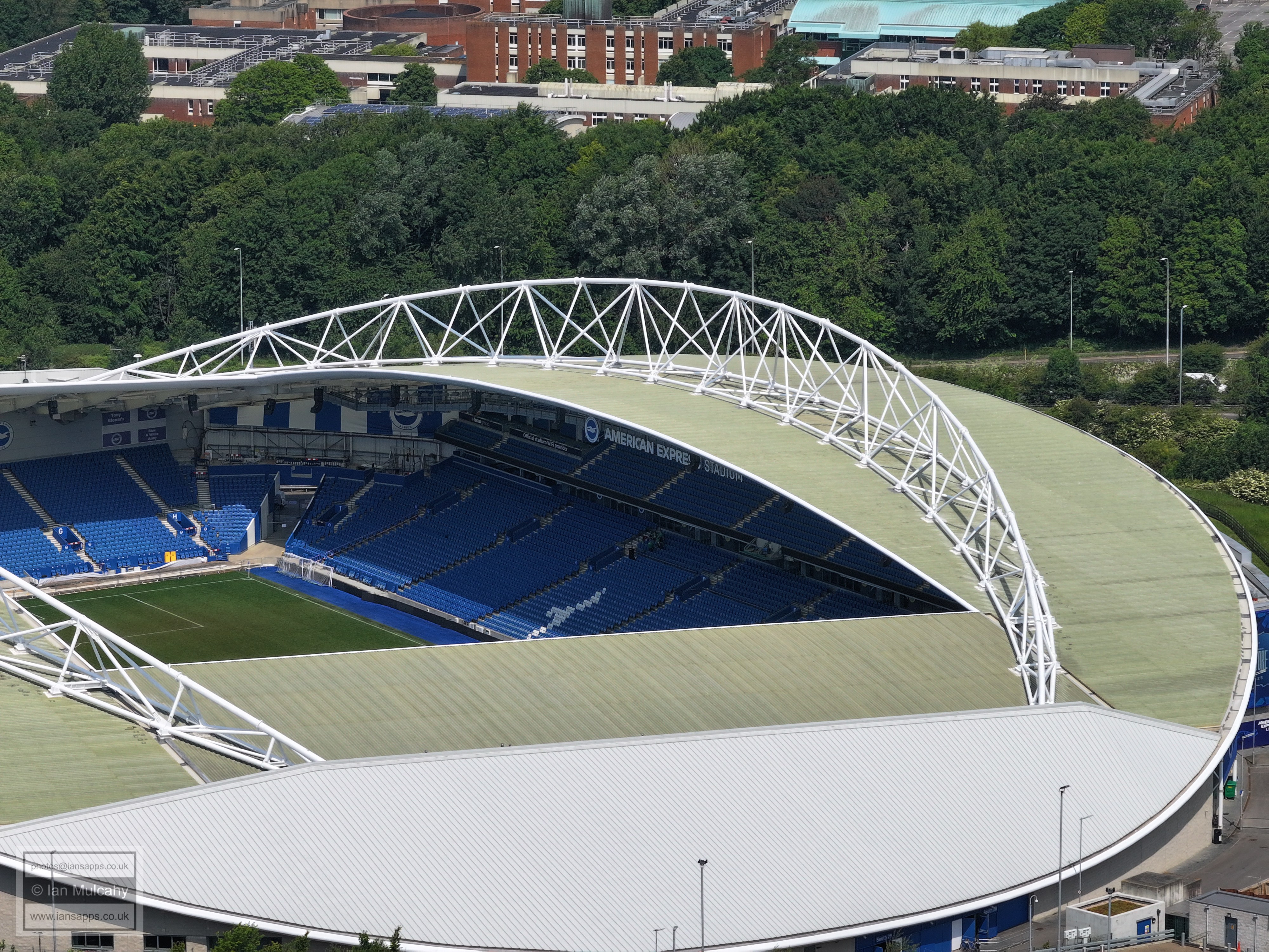
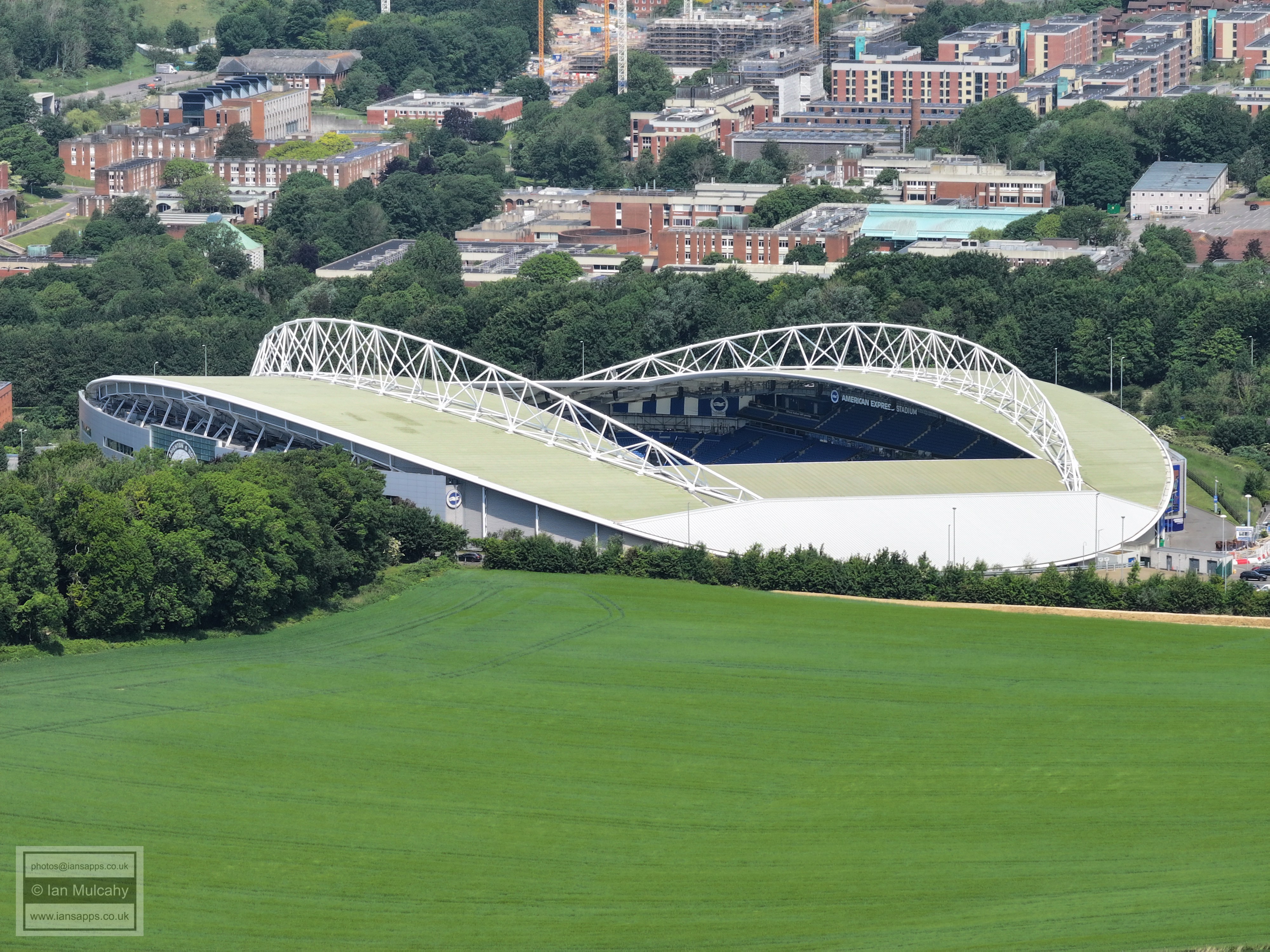
Falmer Stadium and The University of Sussex
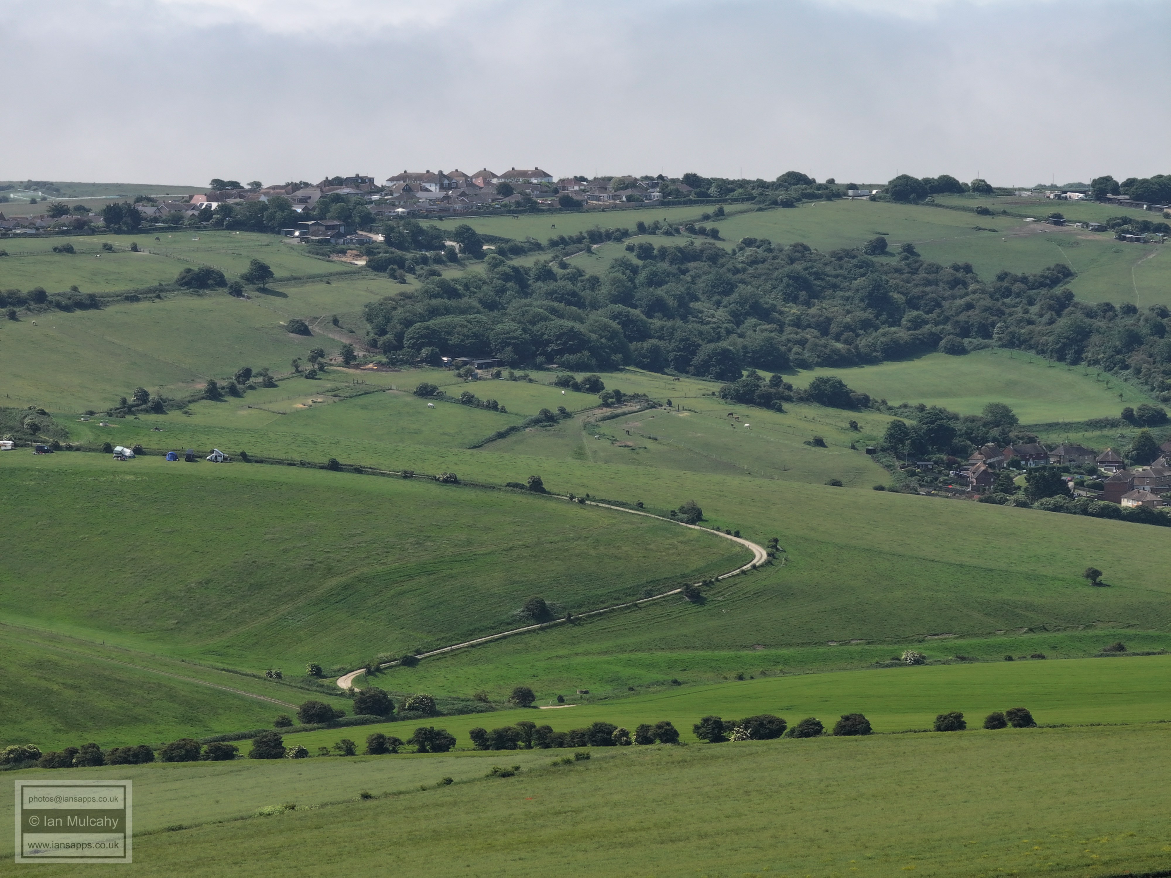
Falmer Village
Falmer Village
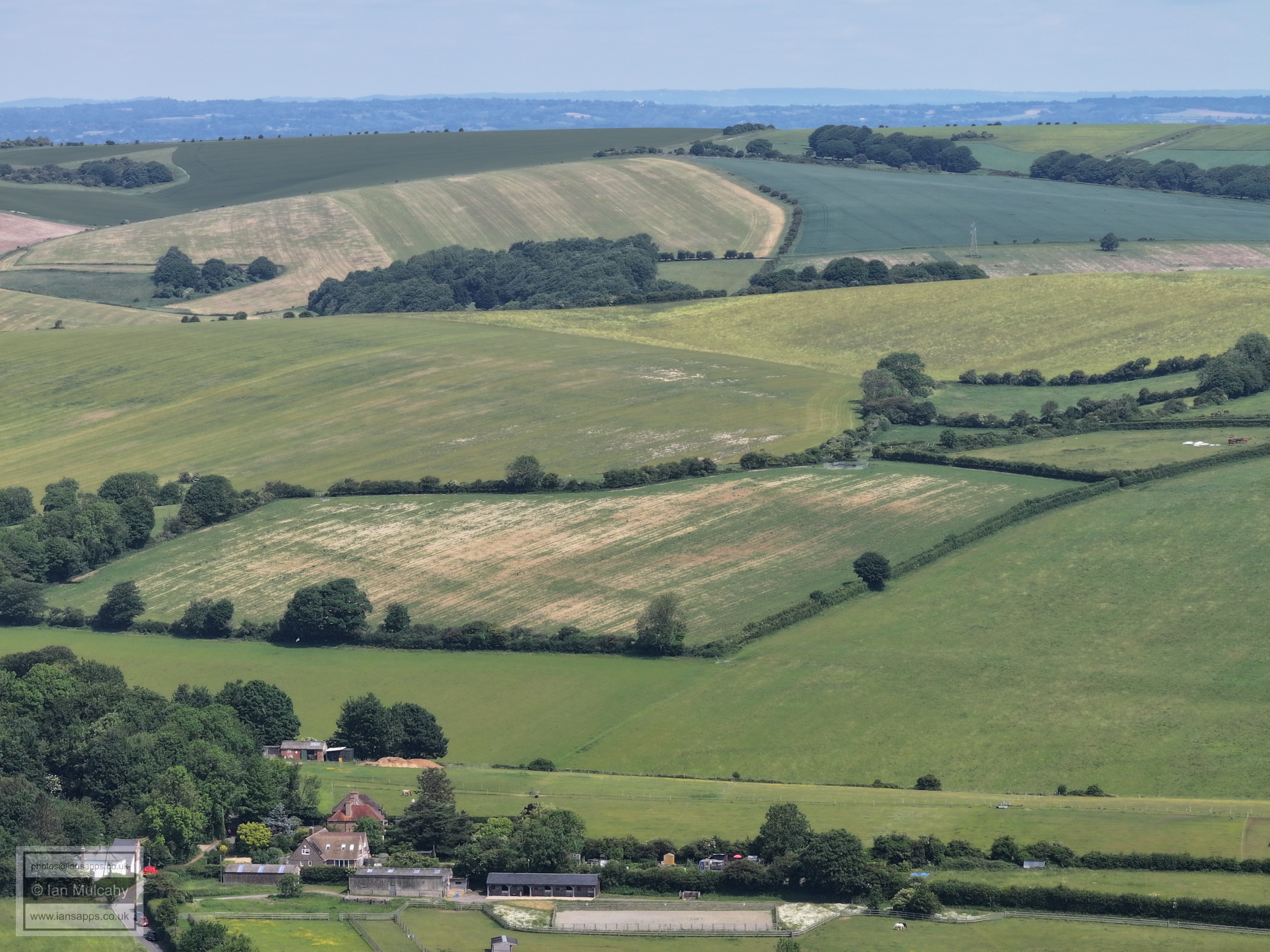
Balmer Farm
A27 and the Railway line to Lewes run diagonally from left to right across the centre.
Lewes, with Ashcombe Windmill at Kingston to the right of centre.
Lots of paragliders at Mount Caburn.
The three wind turbines to the right of centre on the horizon are north of the A27 at Polegate
Woodingdean enveloped in fog.
The building top centre is Castle House Care Home in the far north of Woodingdean, next to the B2123 Falmer Road
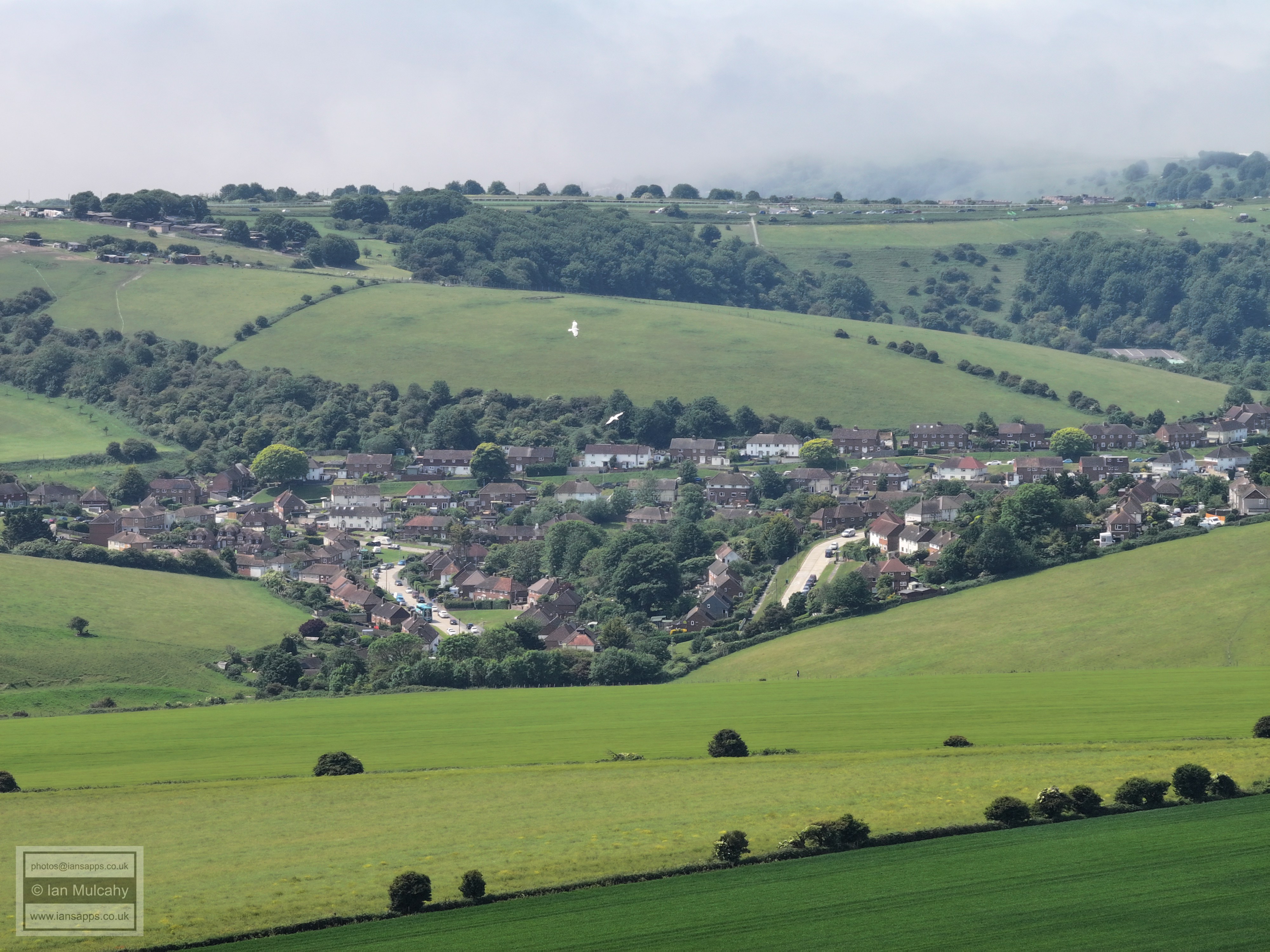
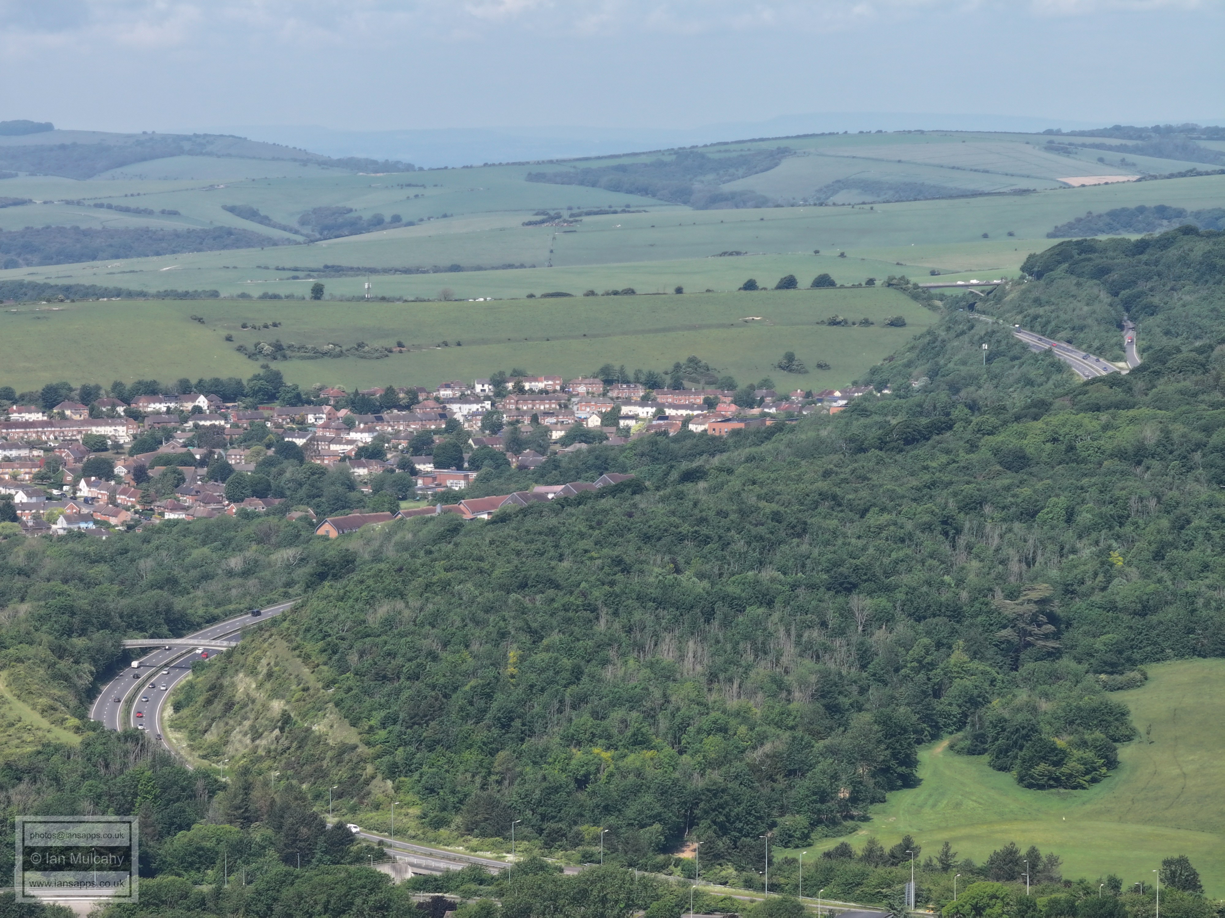
The Norwich Drive & Heath Hill Avenue area of Bevendean
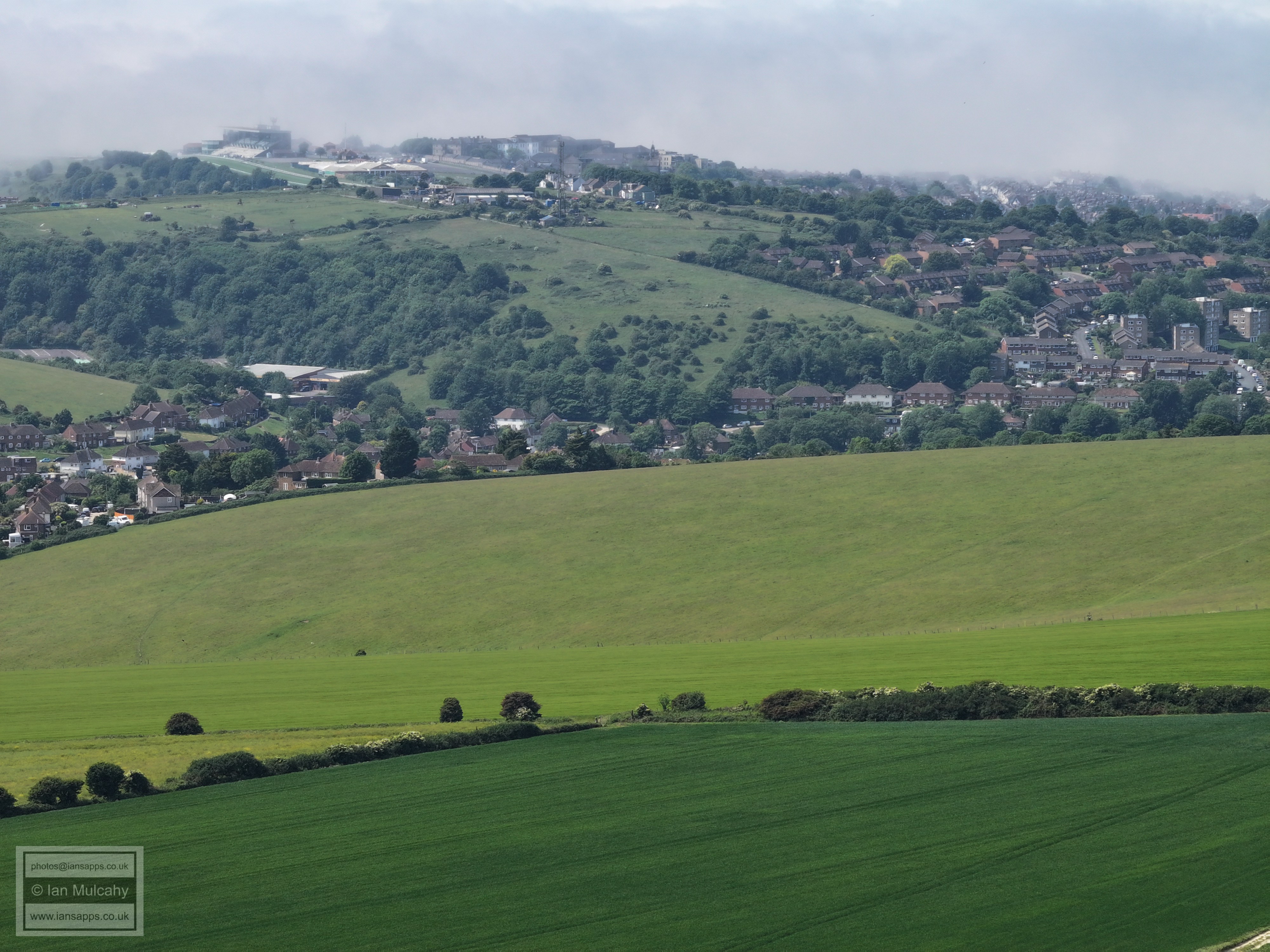
The Racecourse grandstand is just visible before the fog starts in the top left corner
The Parish Church of St Bartholomew, a little way east of Brighton Station is visible roughly in the centre of the top right quarter.
The multi gabled roof just left of centre is the Brighton Station Repair Workshop. The nearest set of tower blocks are on Lewes Road between Aldi and Moulsecoomb Station. The other group of tower blocks are a little to the north east of London Road Station
North Moulsecoomb
Coldean
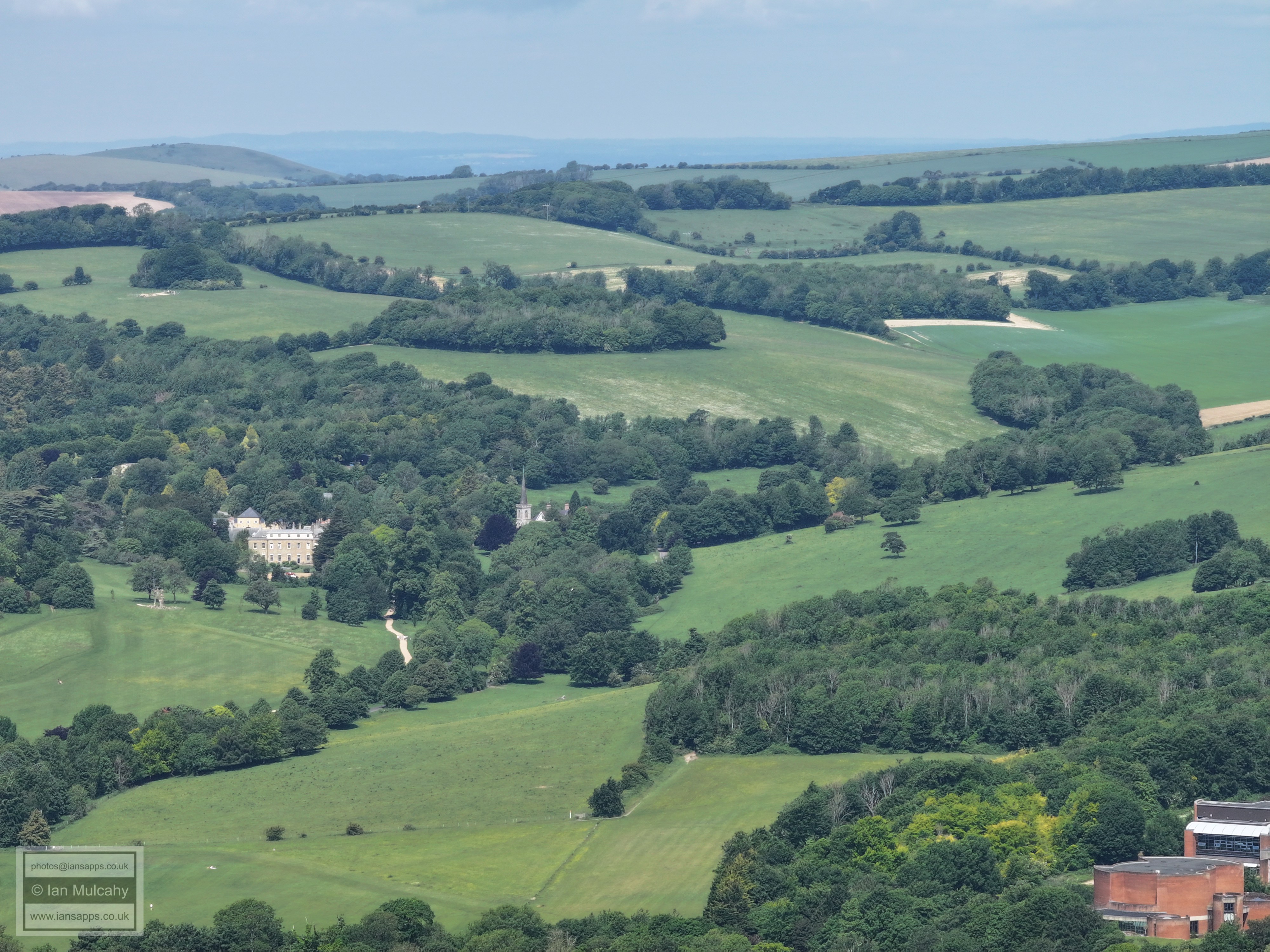
Stanmer House and Church
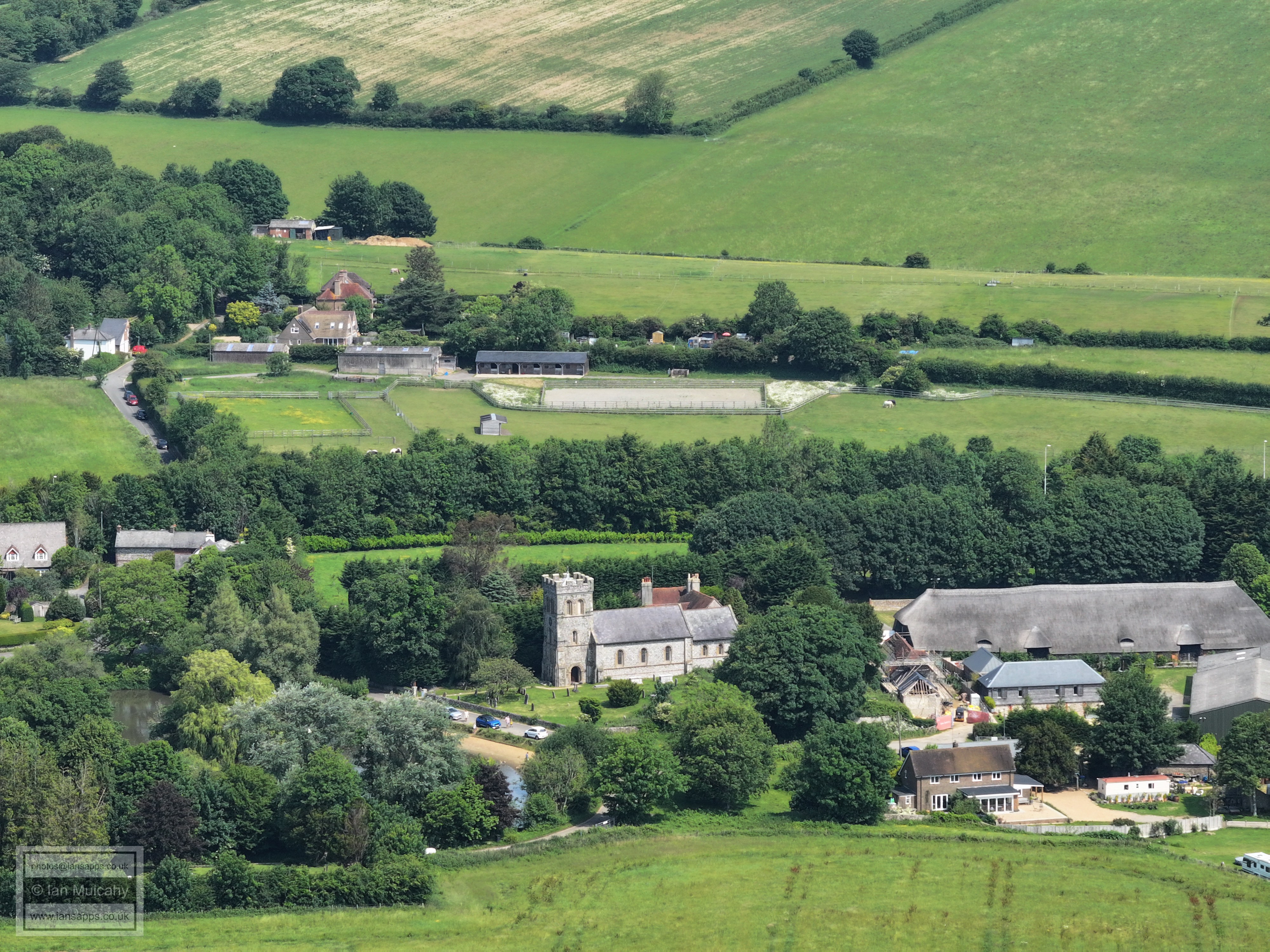
Falmer Church and the 16th century barn at Court Farm
Text & photographs © Ian Mulcahy. Contact photos@iansapps.co.uk or visit my 'Use of my photographs' page for licensing queries (ground level photographs only). |