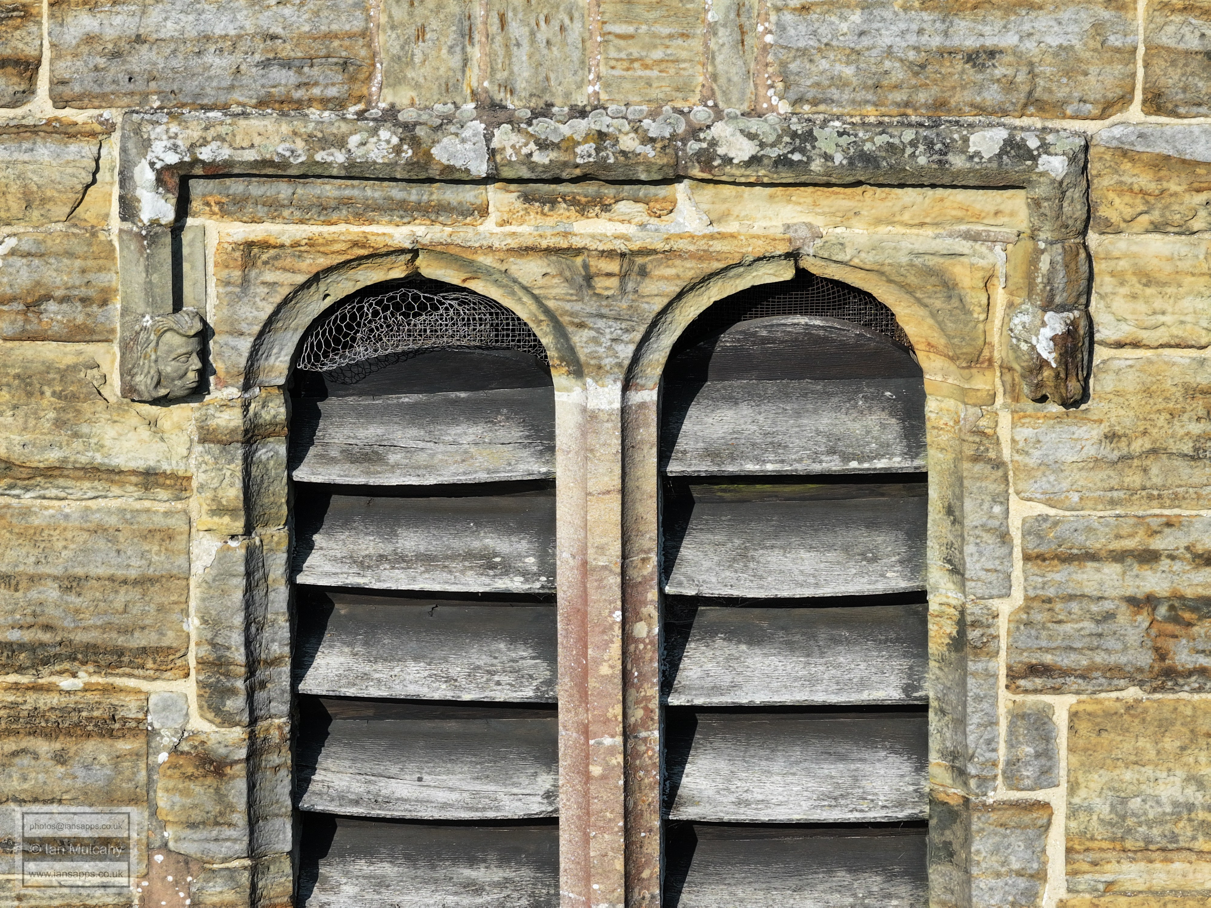
St Mary Magdalene Church
Rusper
West Sussex
18 June 2025
72 aerial photographs from behind the churchyard
|
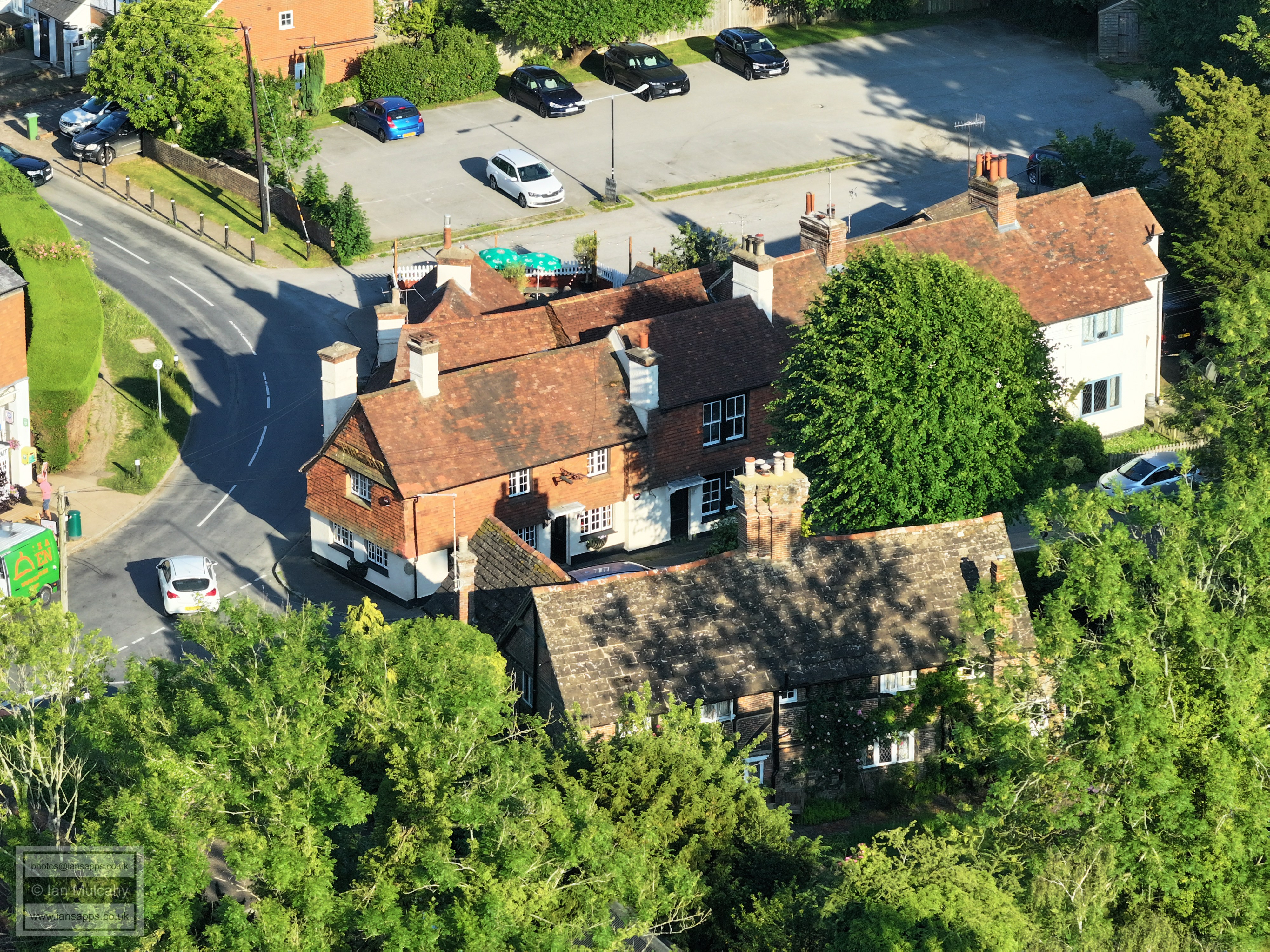
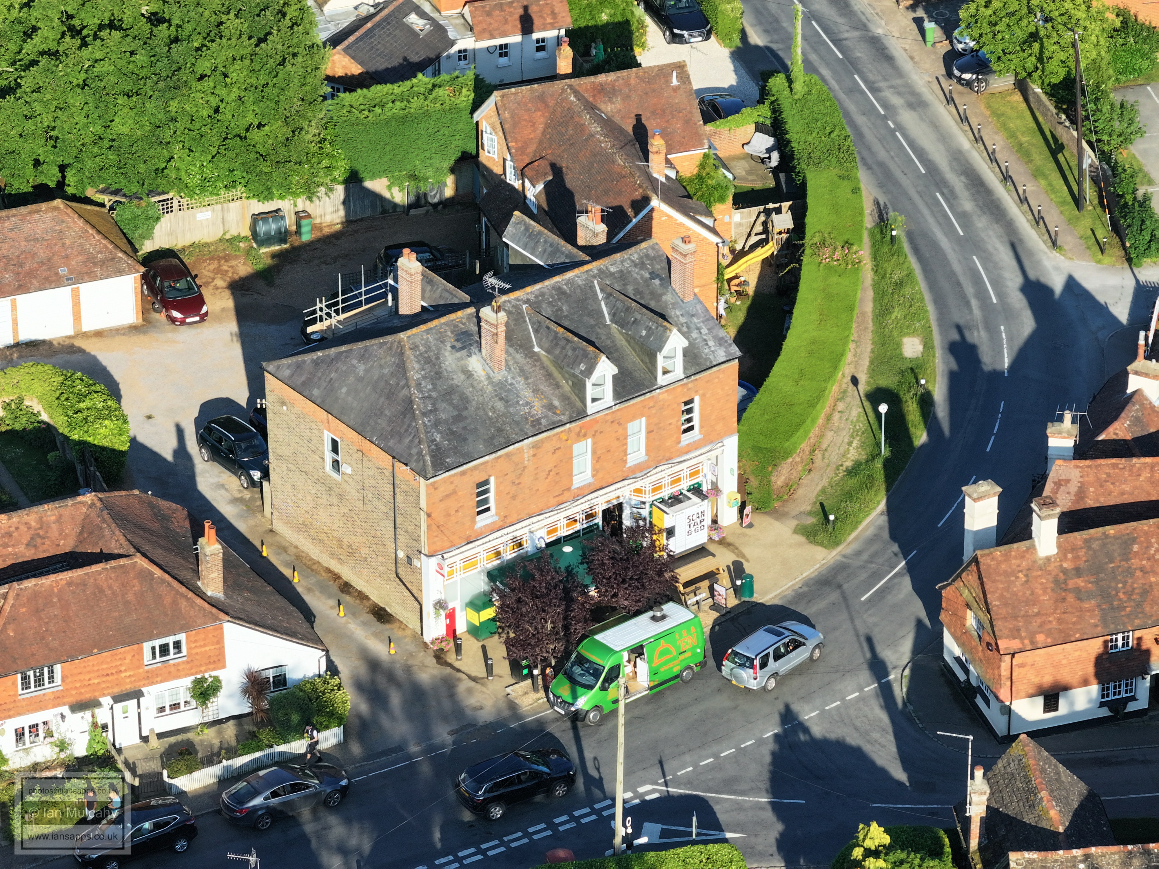
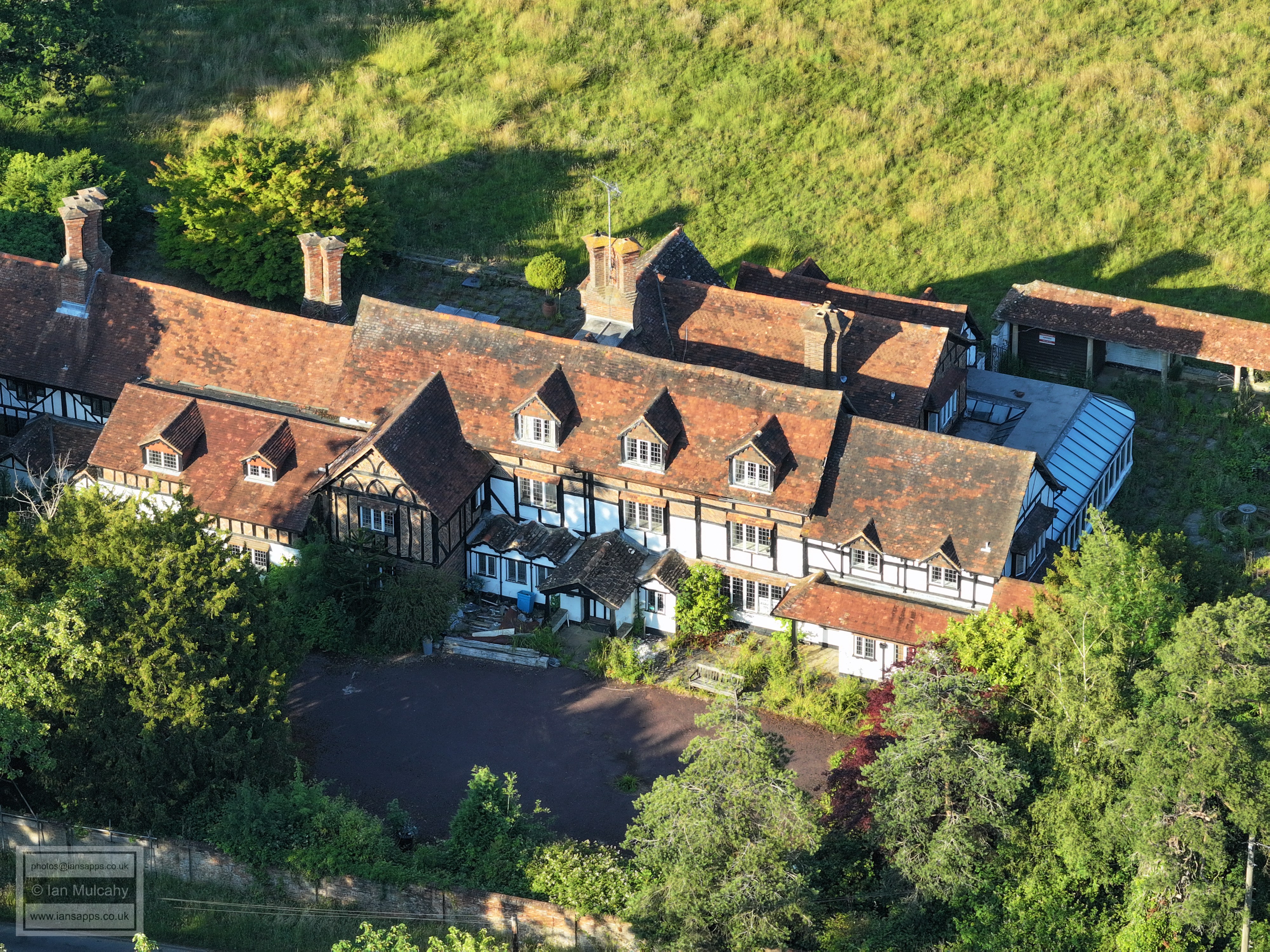
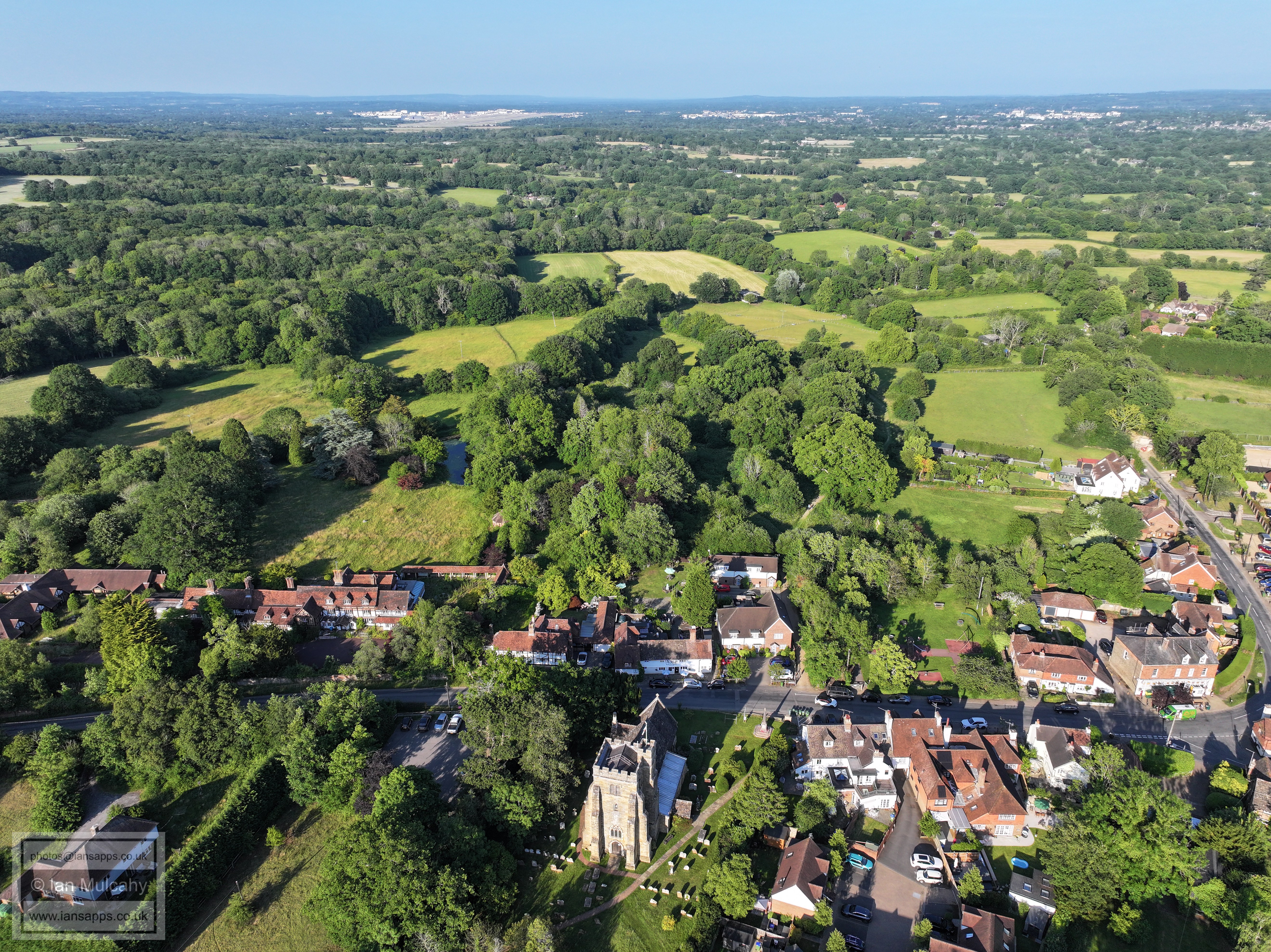
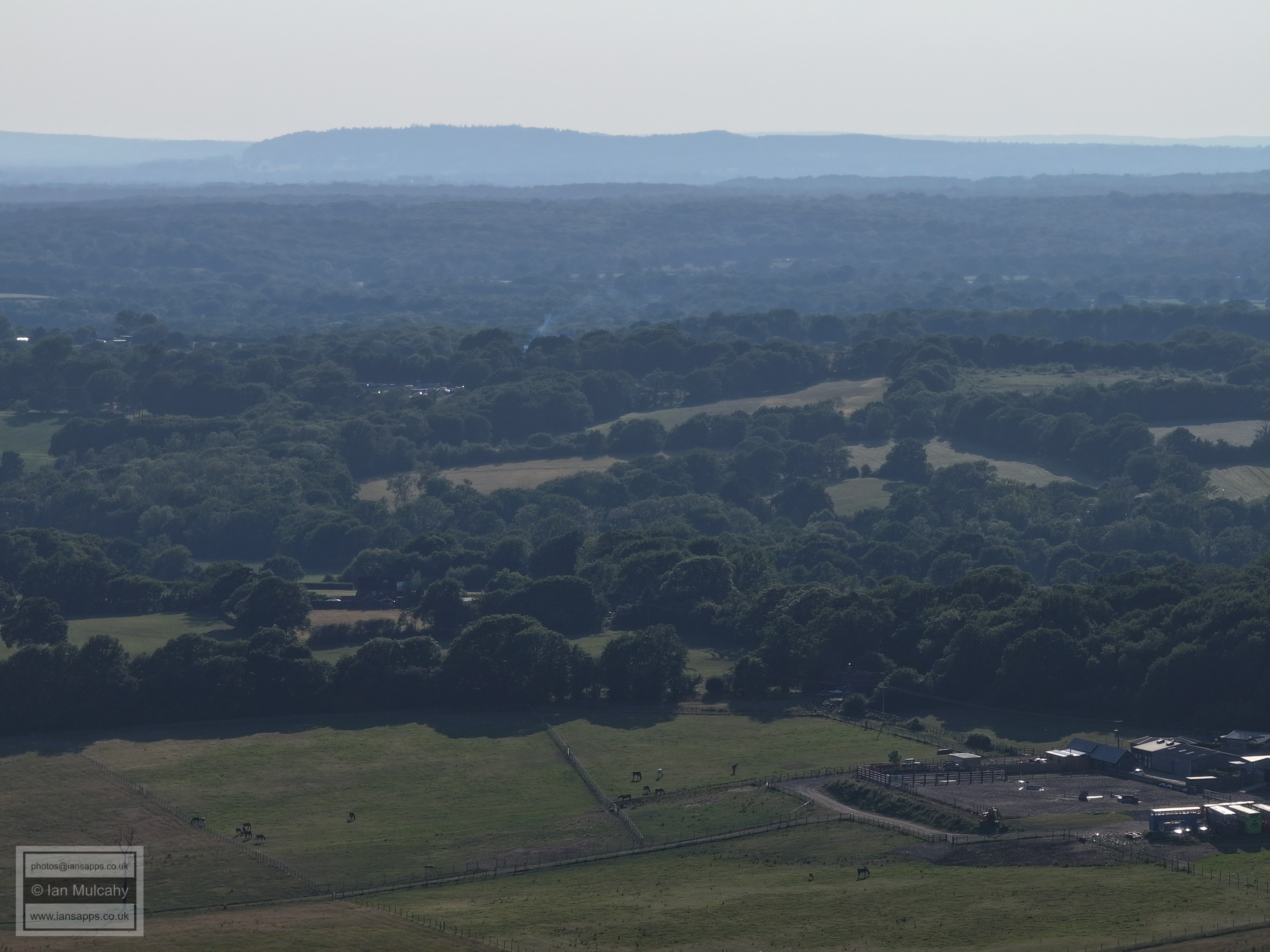
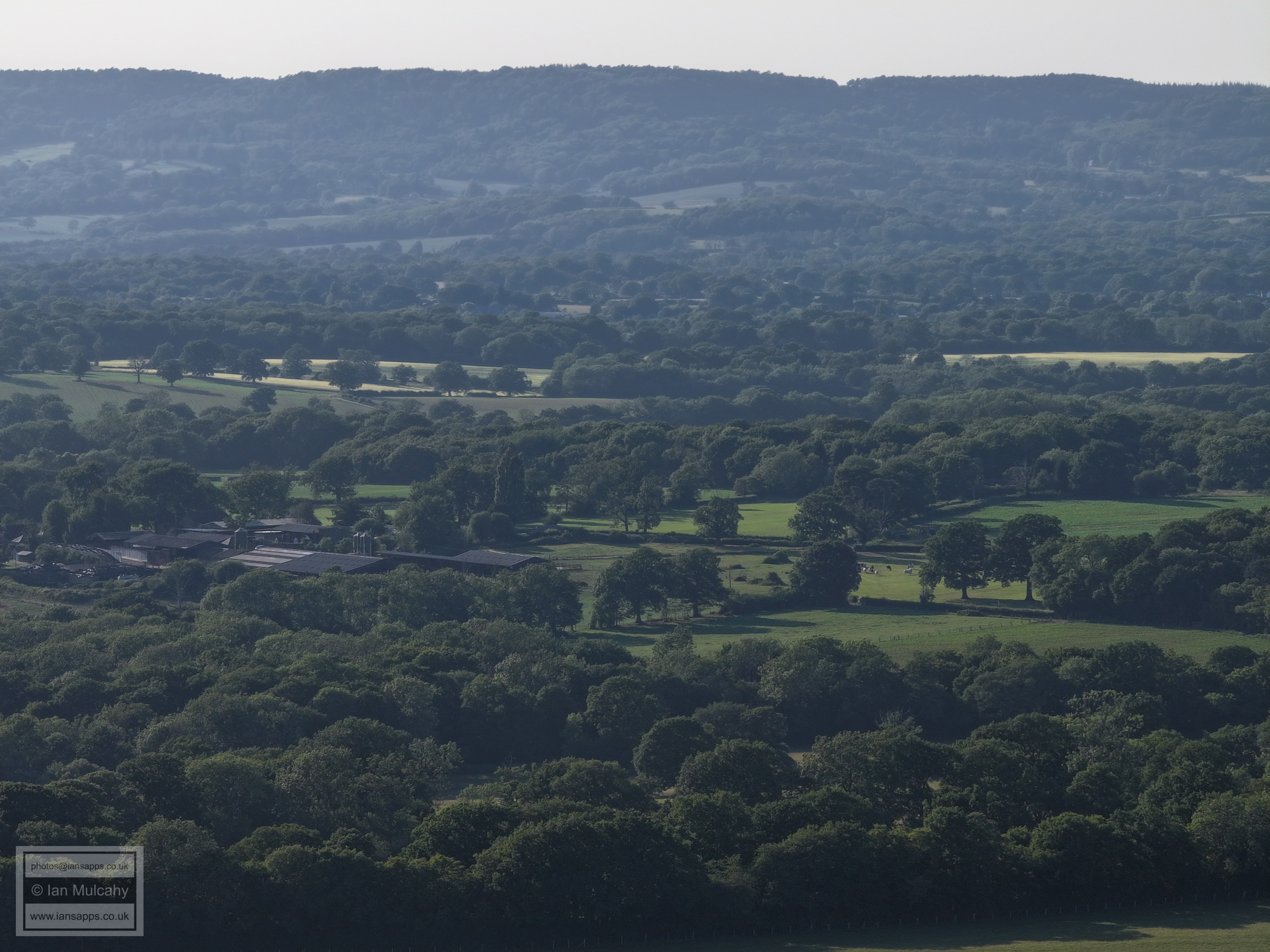
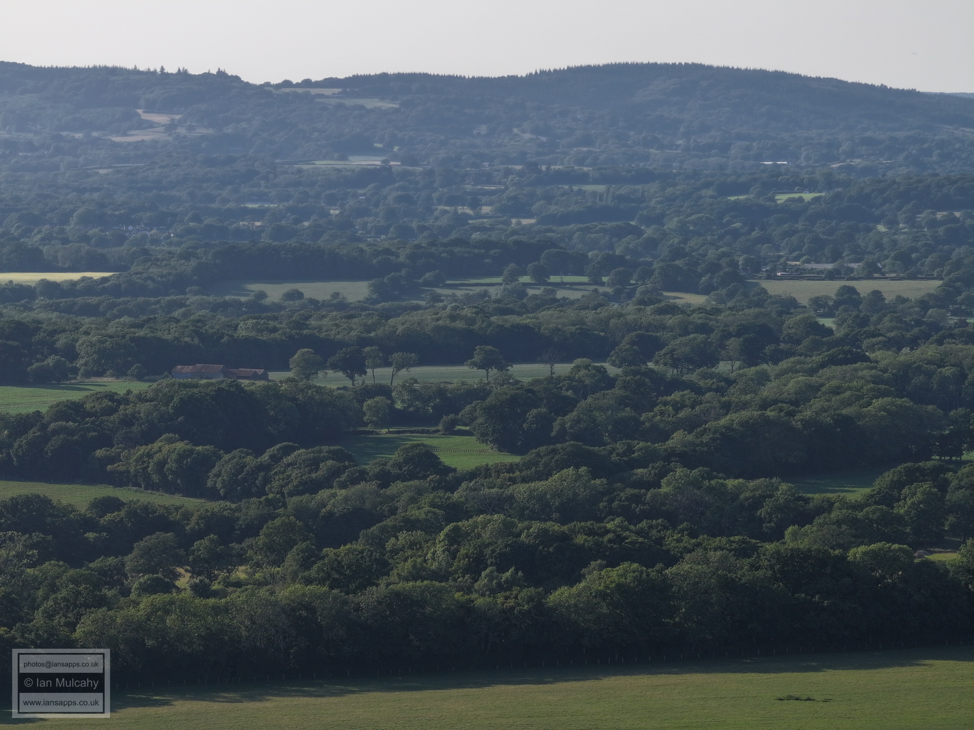
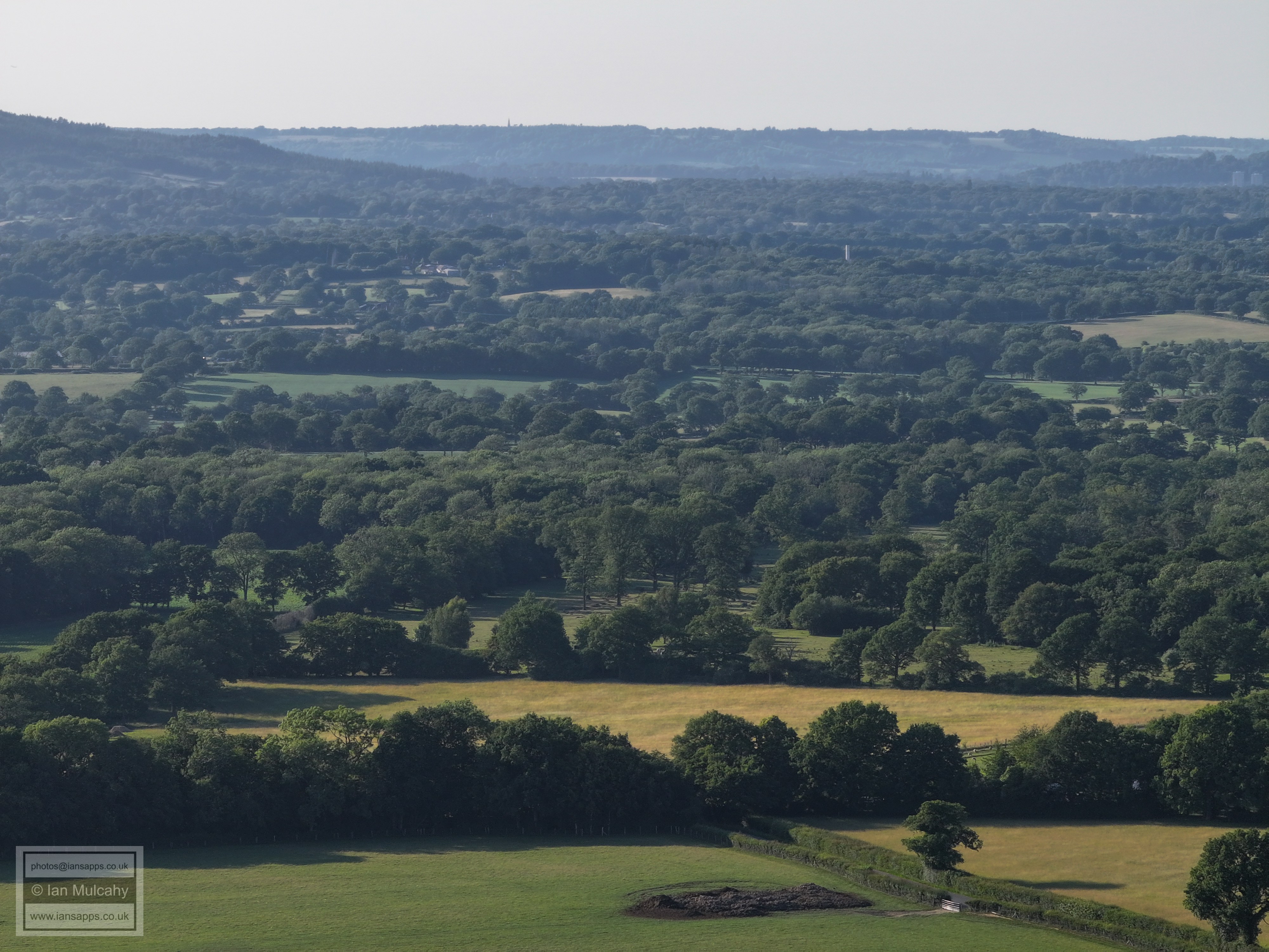
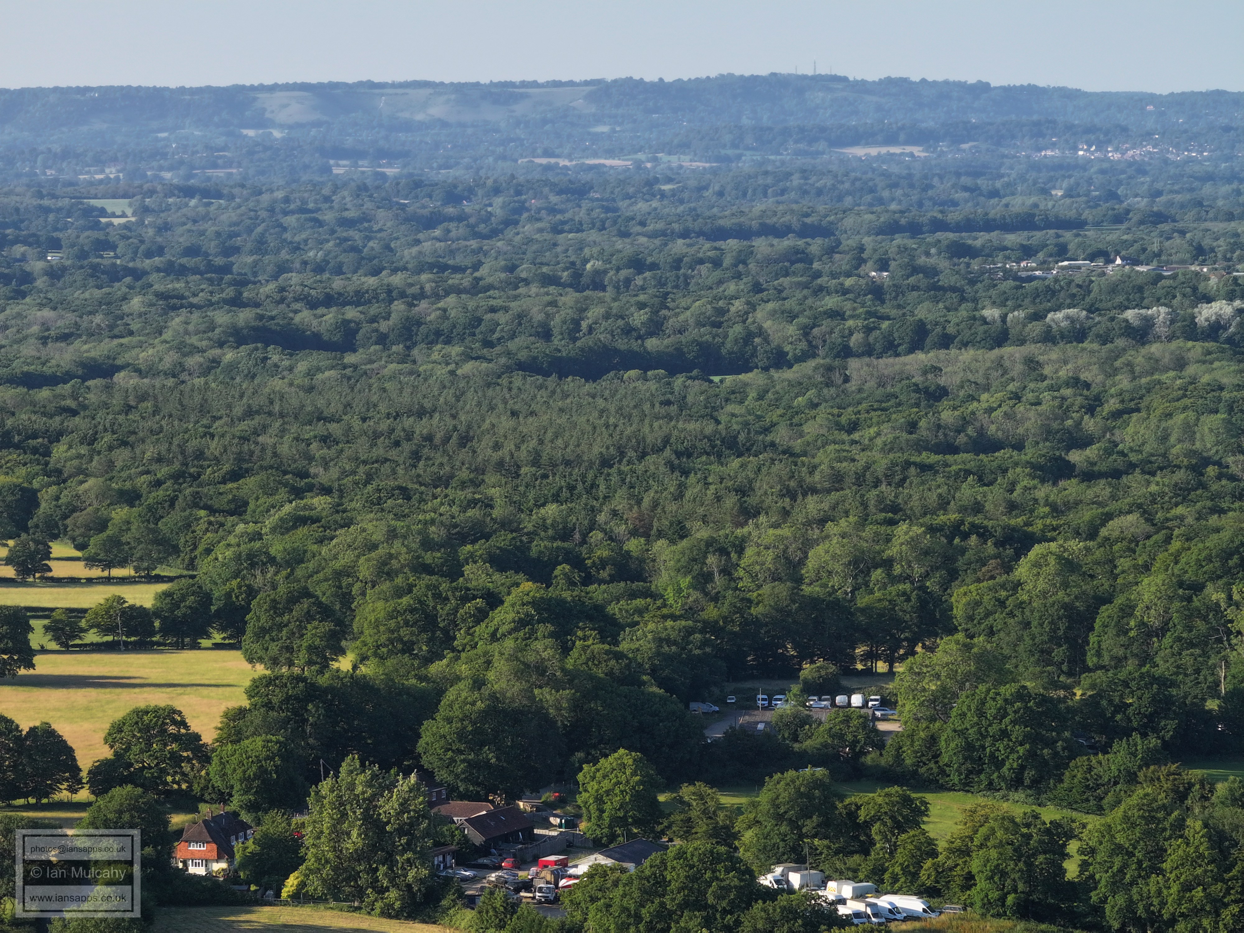
72 aerial photographs, of varying focal lengths, taken behind from the churchyard of the 14th century St Mary Magdalene in Rusper, West Sussex on the evening of 18 June 2025.
I have annotated some of the photos.
Rusper School
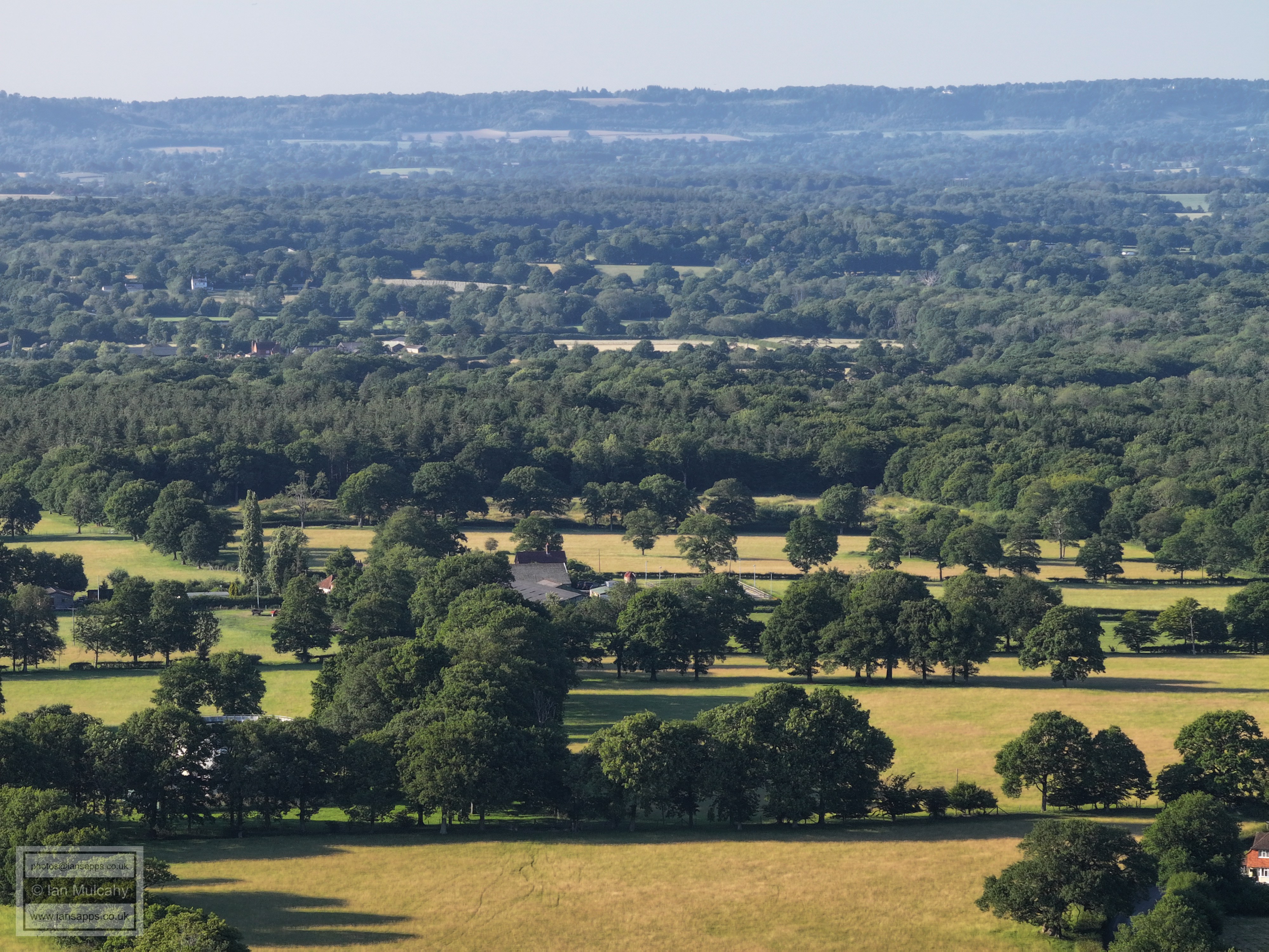
Ghyl Manor
Highams
Peters Farm, near the junction of Langhurst Lane, Orltons lane and The Mount, is just left of centre. The barn/warehouse type structure a little way above is in Prestwood Lane.
Spot Lowfield Heath church in the top left quarter
Just right of centre at the bottom is Chowles, in East Street. Bonwyches House in Ifield Wood is just left of centre. The spire of St Margaret's at Ifield is also visible in the top right quarter. At the top right, East Grinstead is visible.
Stumbleholm Farm is on the far right of centre with Ifield Golf Course above.
Most of the houses across the centre are in Gossops Green. Southgate West is just above on the far right.
Lambs Green is in the bottom left. Most of the houses across the top are in Bewbush & Broadfield
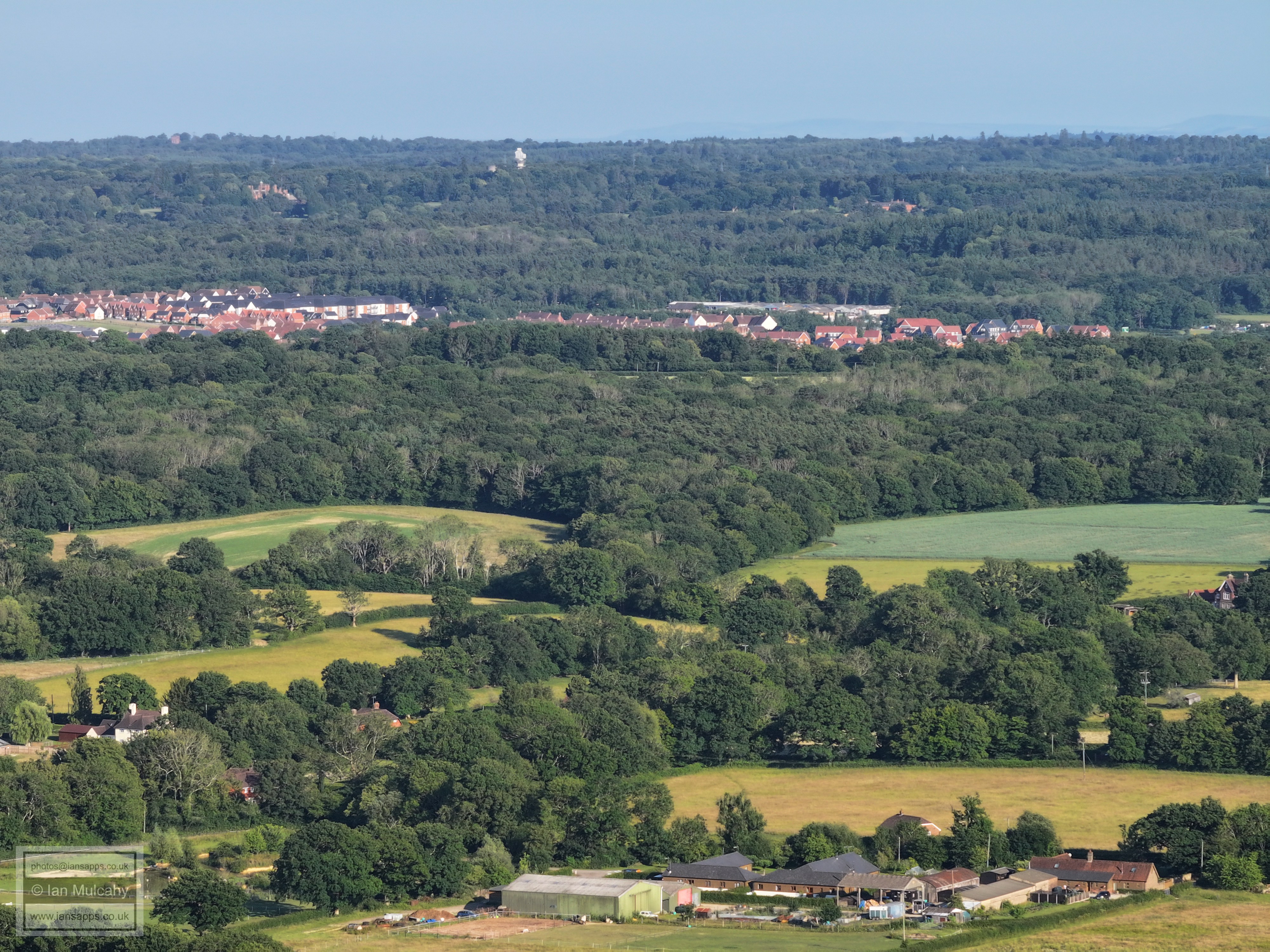
Kilnwood Vale. The wood immediately below KV in the centre is House Copse, a SSSI in Kilnwood Lane.
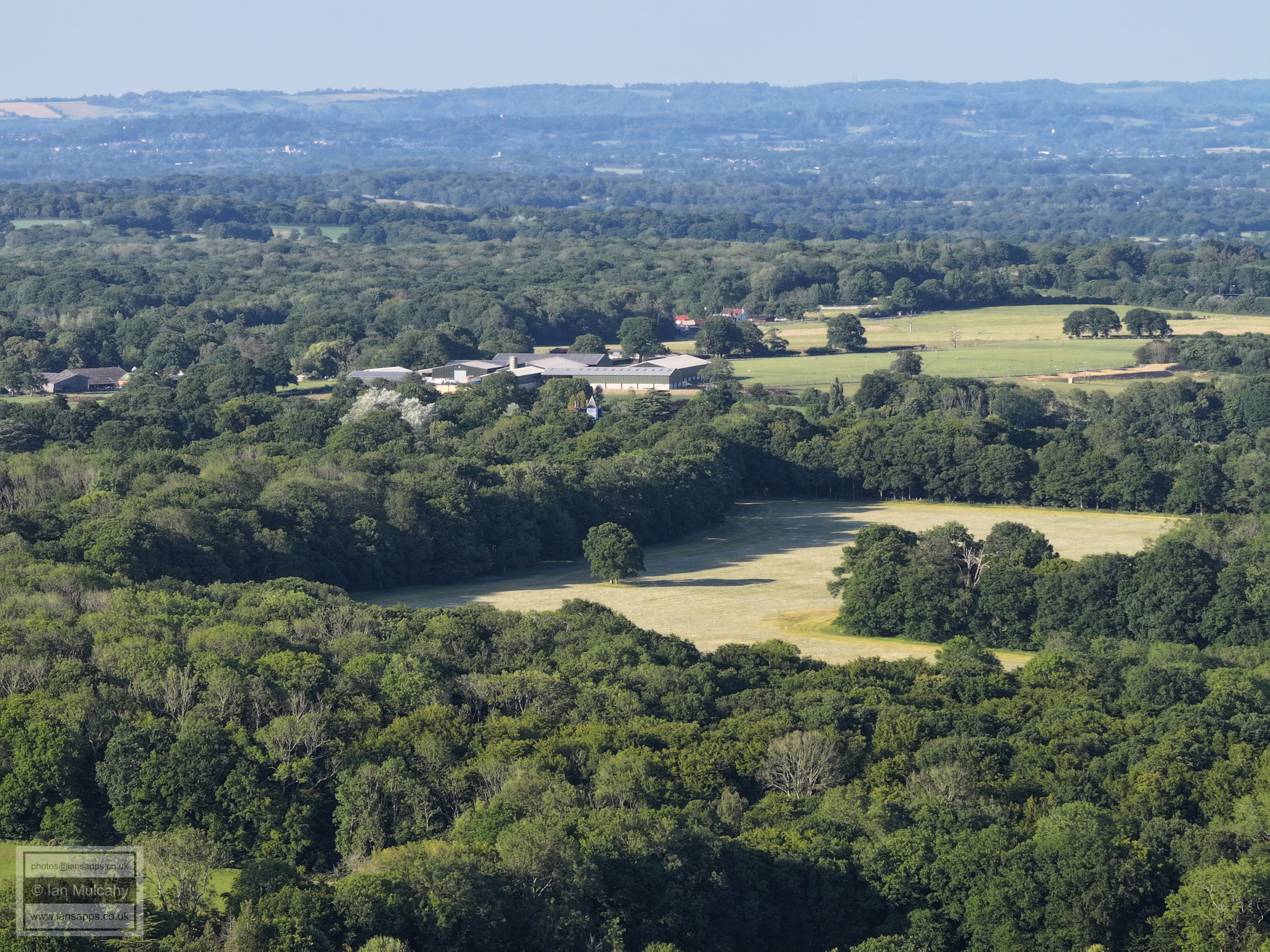
Kilnwood Vale, with Cottesmore School and the radar station & water tower. At the foot of the photo is Rusper Court Farm.
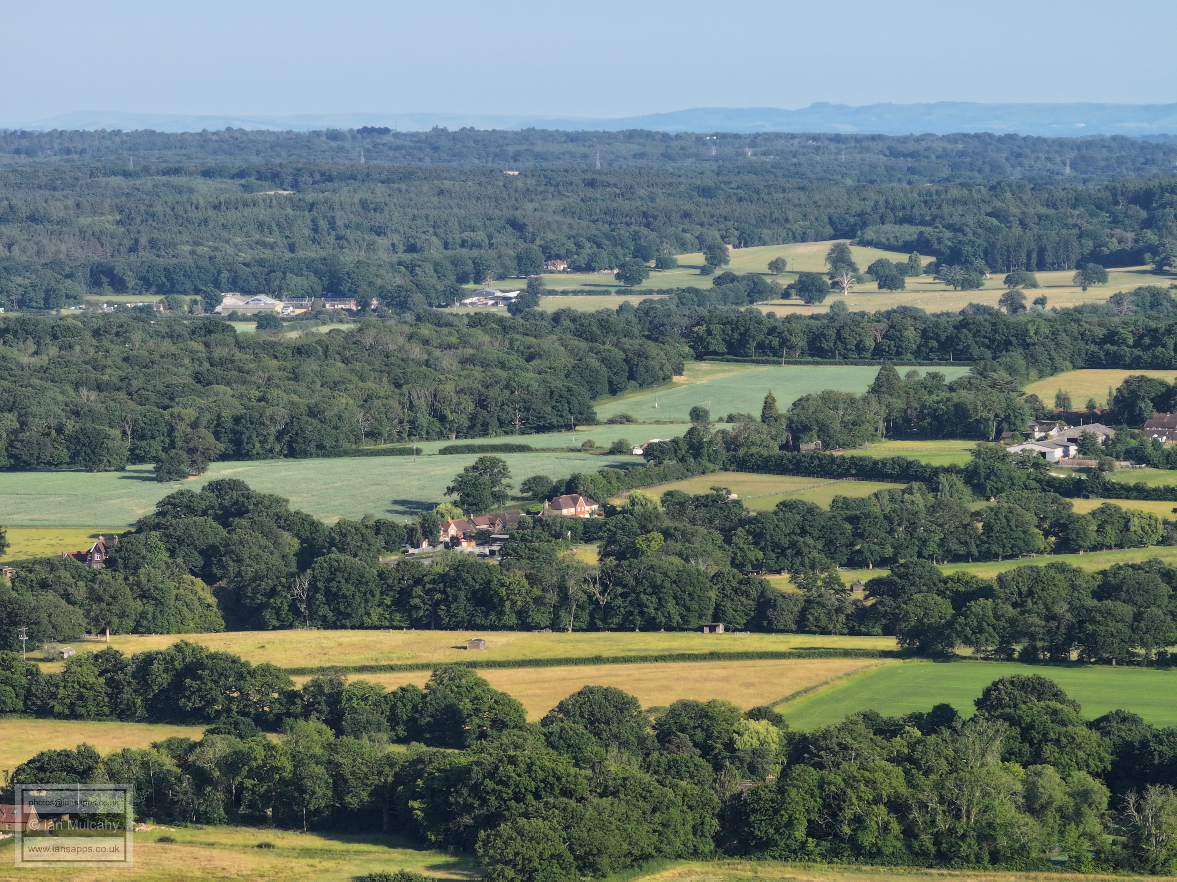
A chmney at Rusper Court can just be seen right at the foot of the photo. Just below cetre are Fay Cottages on Faygate Lane
On the far left of centre is Carylls Country House on Faygate Lane. Holmbush is in the top left quarter. In the top right quarter on top of the downs are Jack & Jill windmills.
Left of centre at the foot is Baldhorns. Left of centre is Coombers Farm on Wimlands Road. Horsham is at the top.
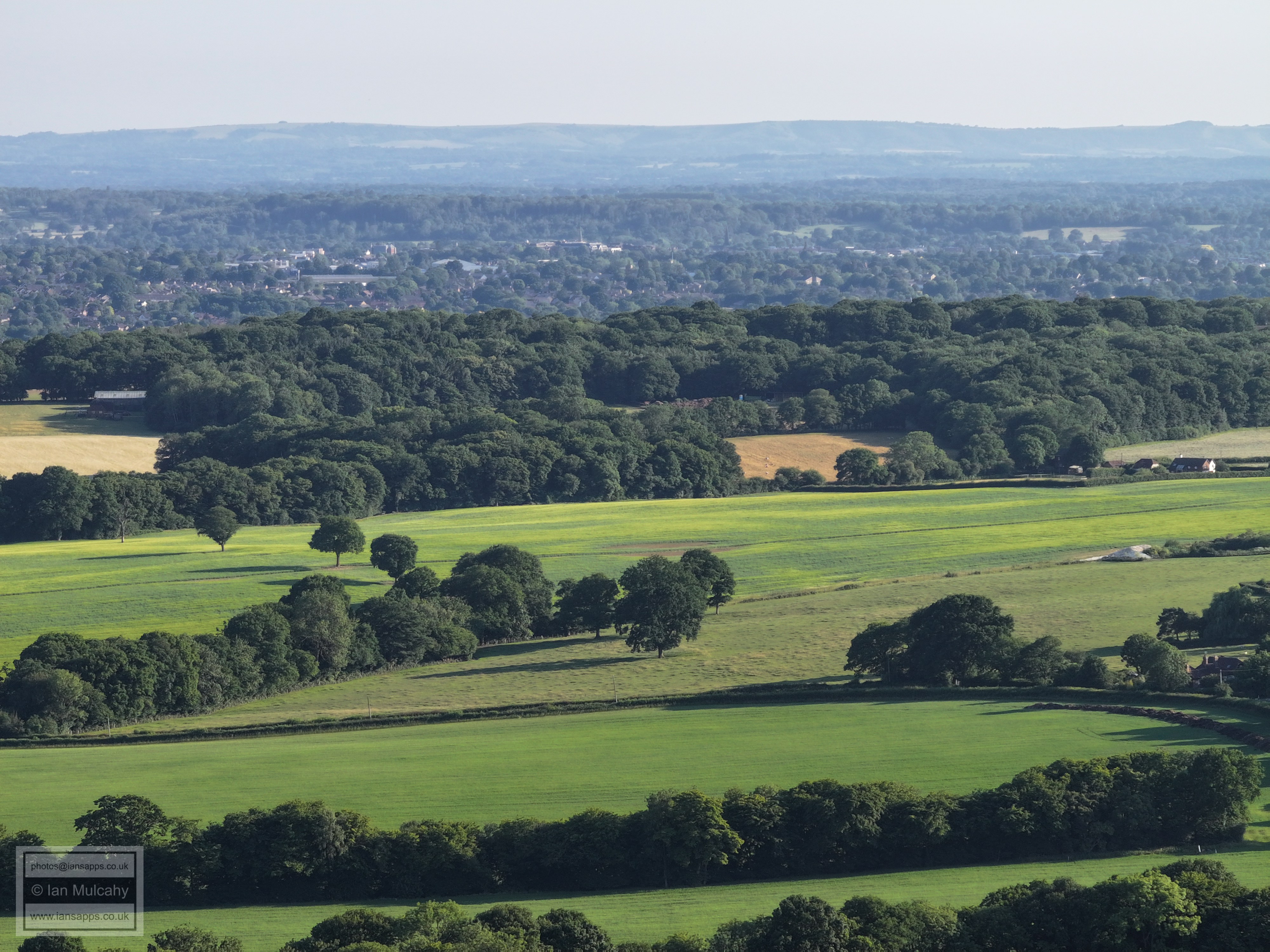
Westons on Wimlands Road is left and below centre. Horsham across the top.
Horsham across the top. The spires of St Marks and St Marys are clear in the centre and at the top of Horsham.
Manns Farm below centre and odl Park farm above.
A barn at Curtis's Farm on Green lane can be seen just right of centre.
New Barn Farm on the Capel Road at the bottom
Lyne House right of centre.
Line Farm, left of centre.
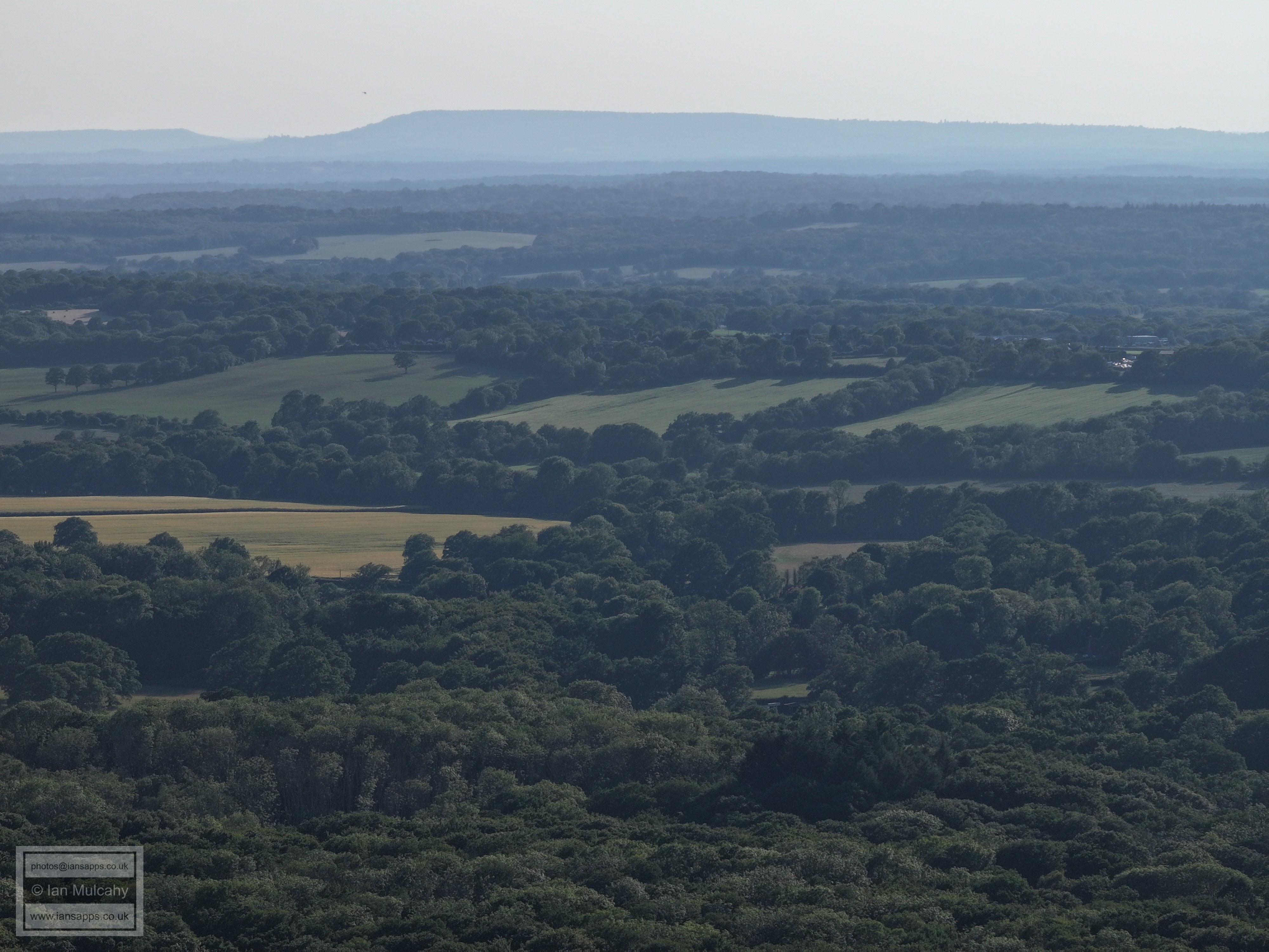
Newdigate is in the top right quarter (allow the church spire to guide you) with Box Hill beyond
Ivy House Farm above centre with the tower at Orltons just below.
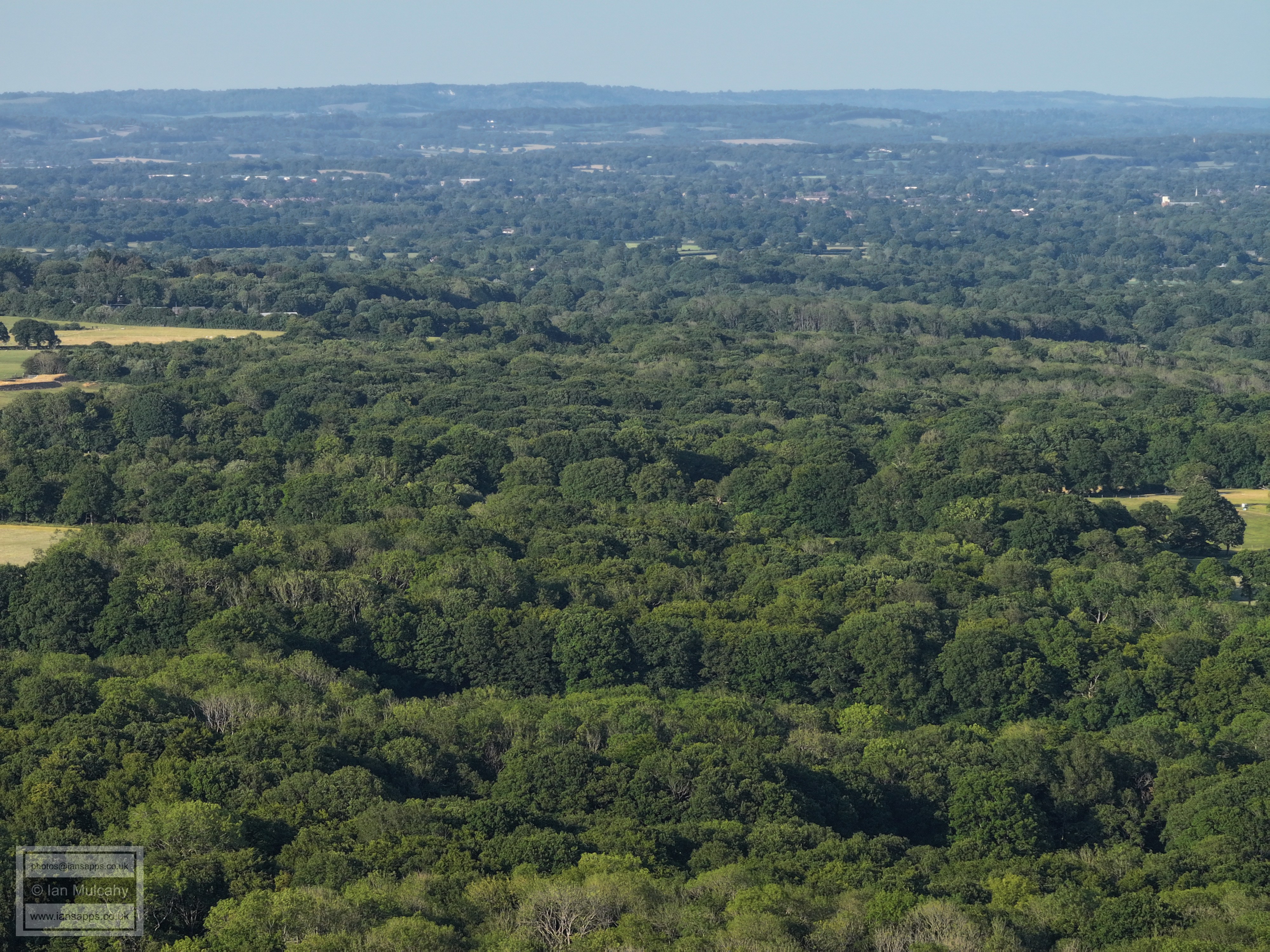
Crawley
Text & photographs © Ian Mulcahy. Contact photos@iansapps.co.uk or visit my 'Use of my photographs' page for licensing queries (ground level photographs only). |