Close to Peters Farm
Rusper
West Sussex
18 June 2025
61 aerial photographs
|
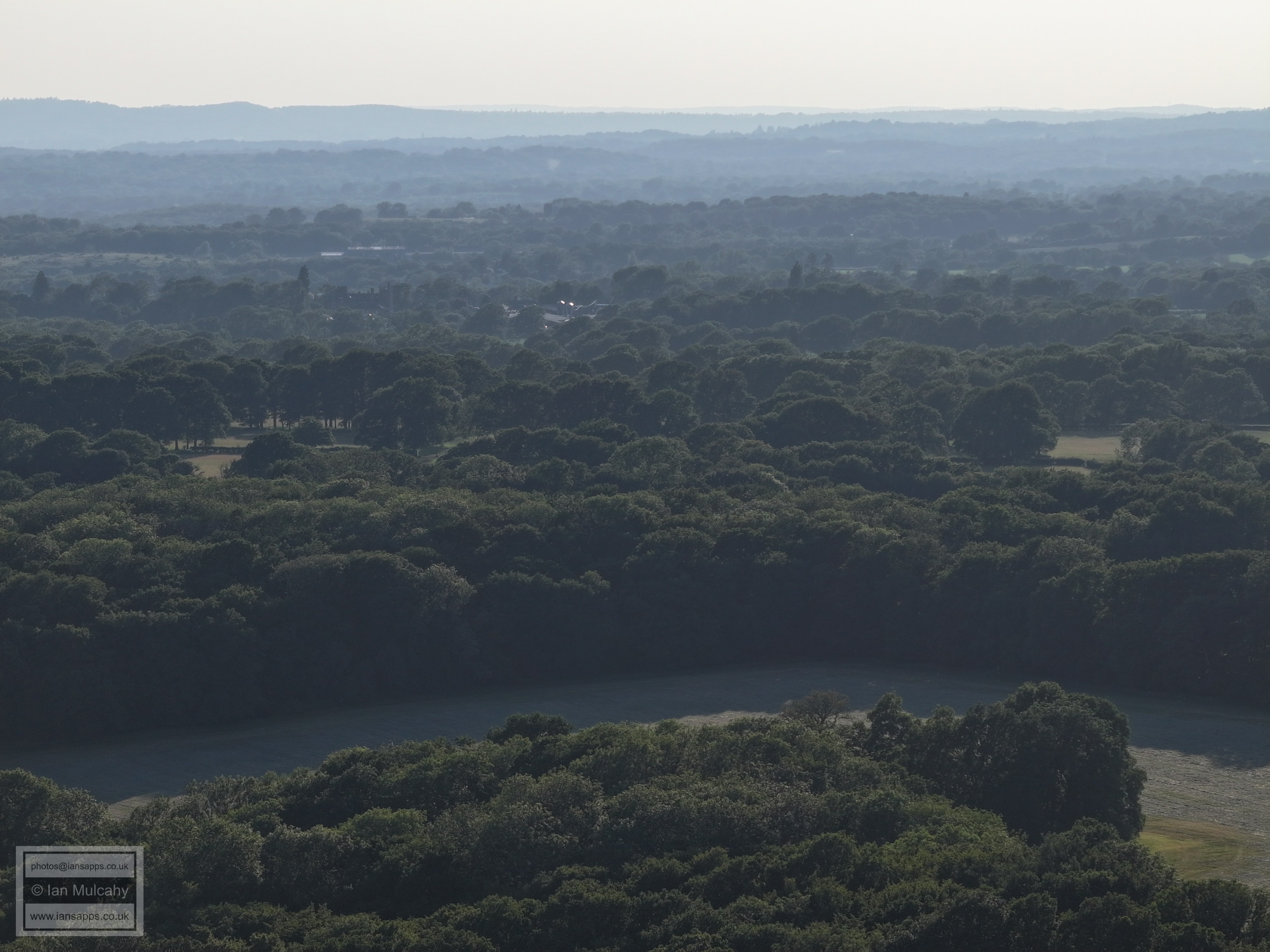
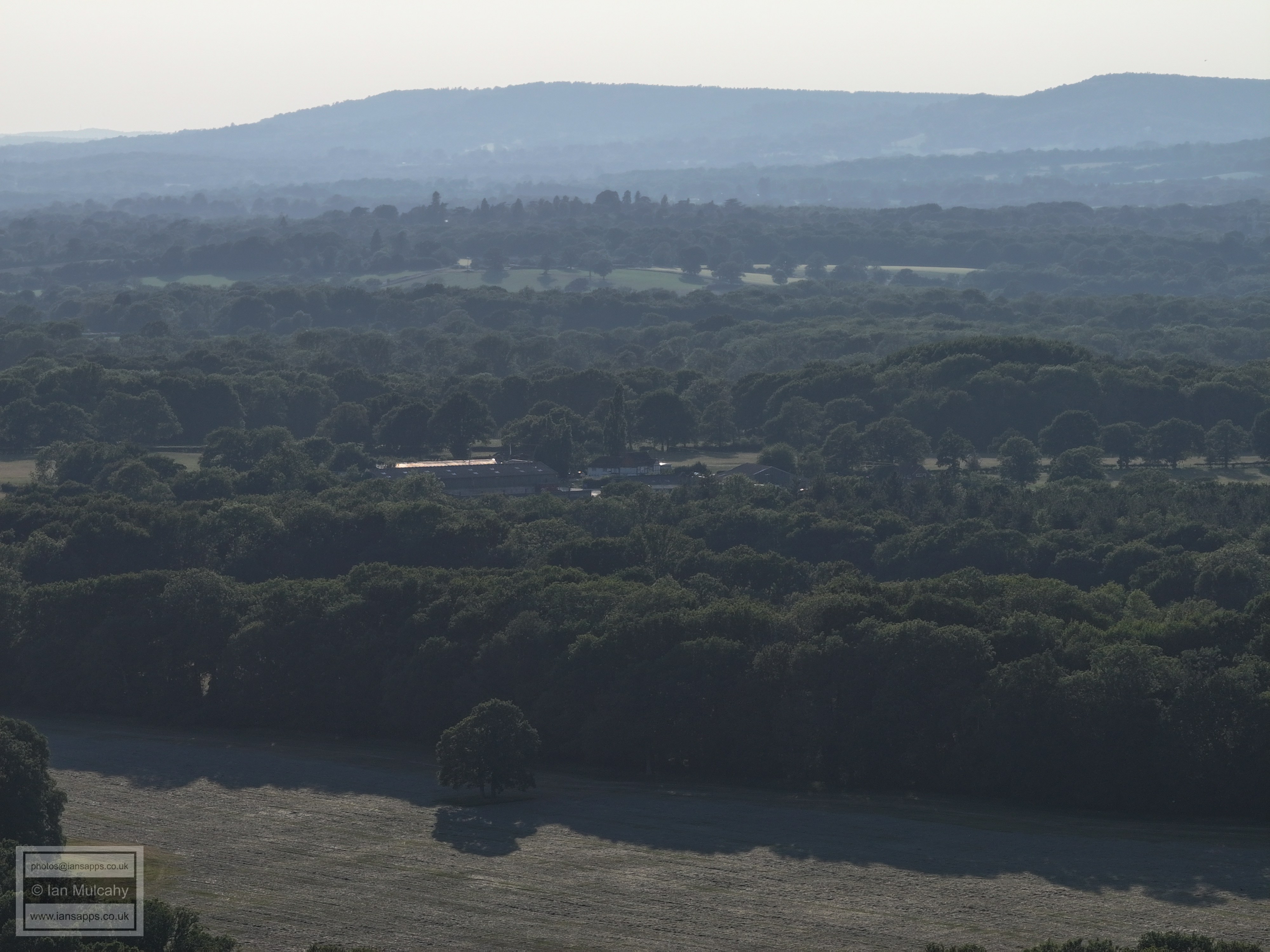
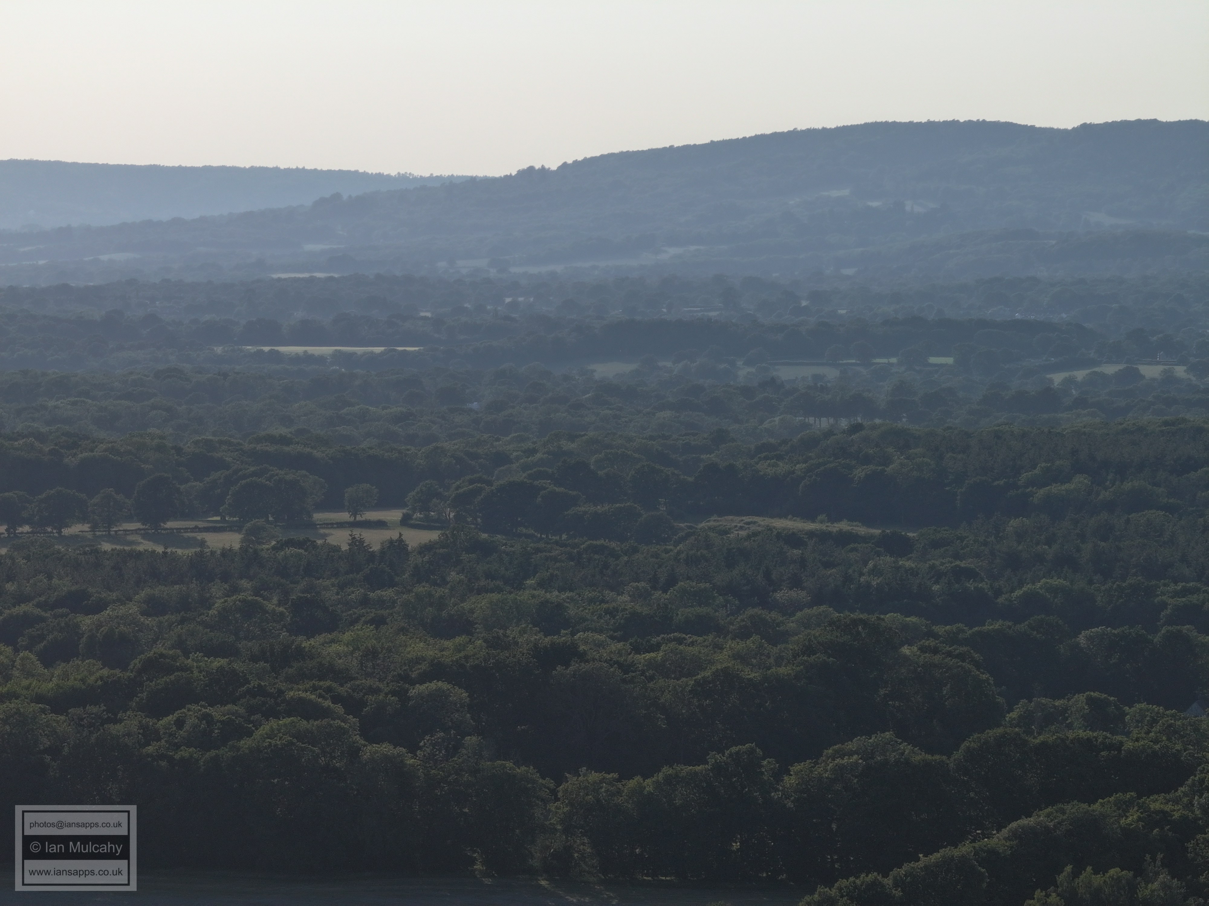
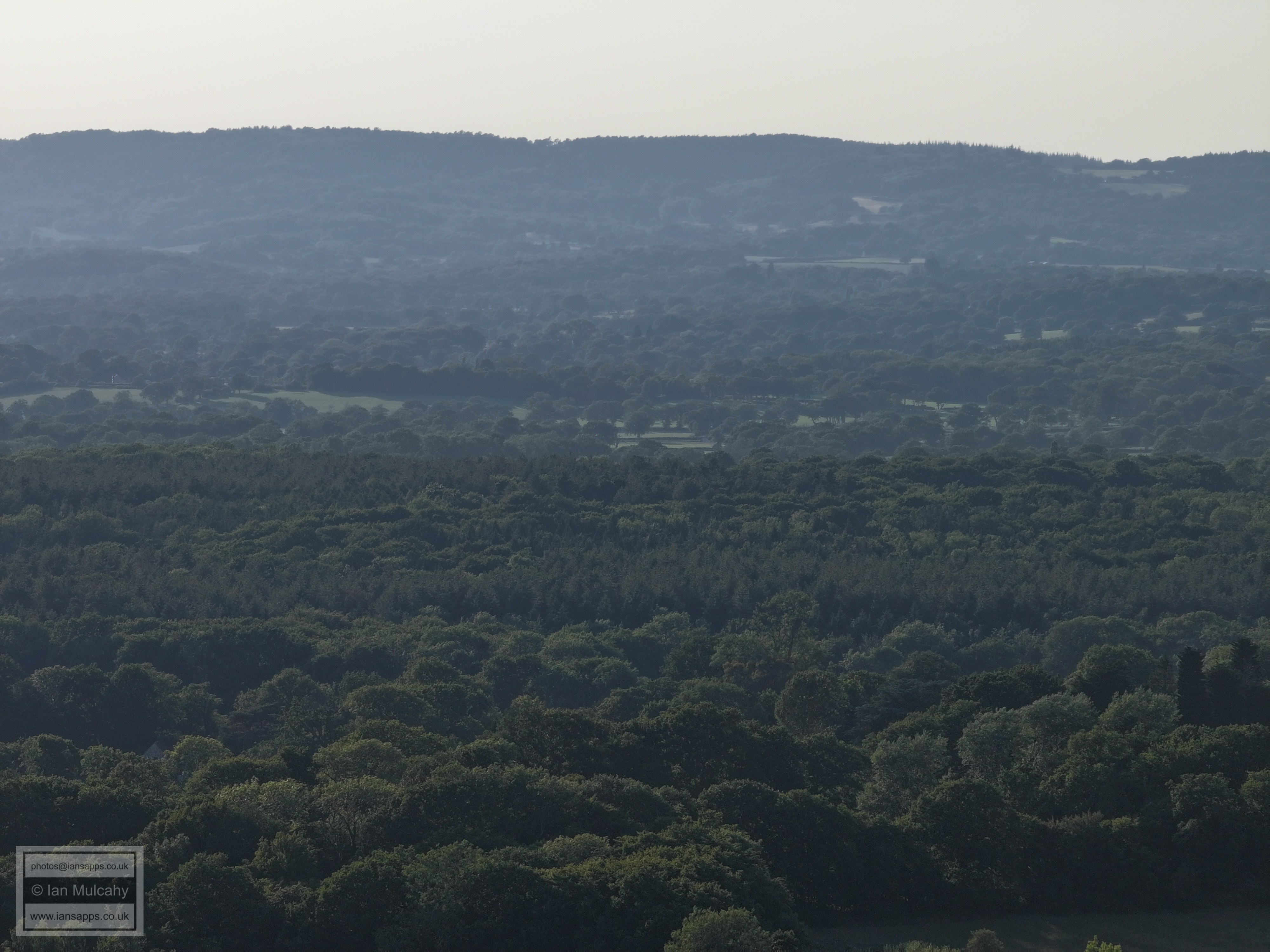
61 aerial photographs, of varying focal lengths, taken behind from a field west of Langhurst Lane close to Peters Farm in Rusper, West Sussex on the evening of 18 June 2025. I have annotated some of the photos.
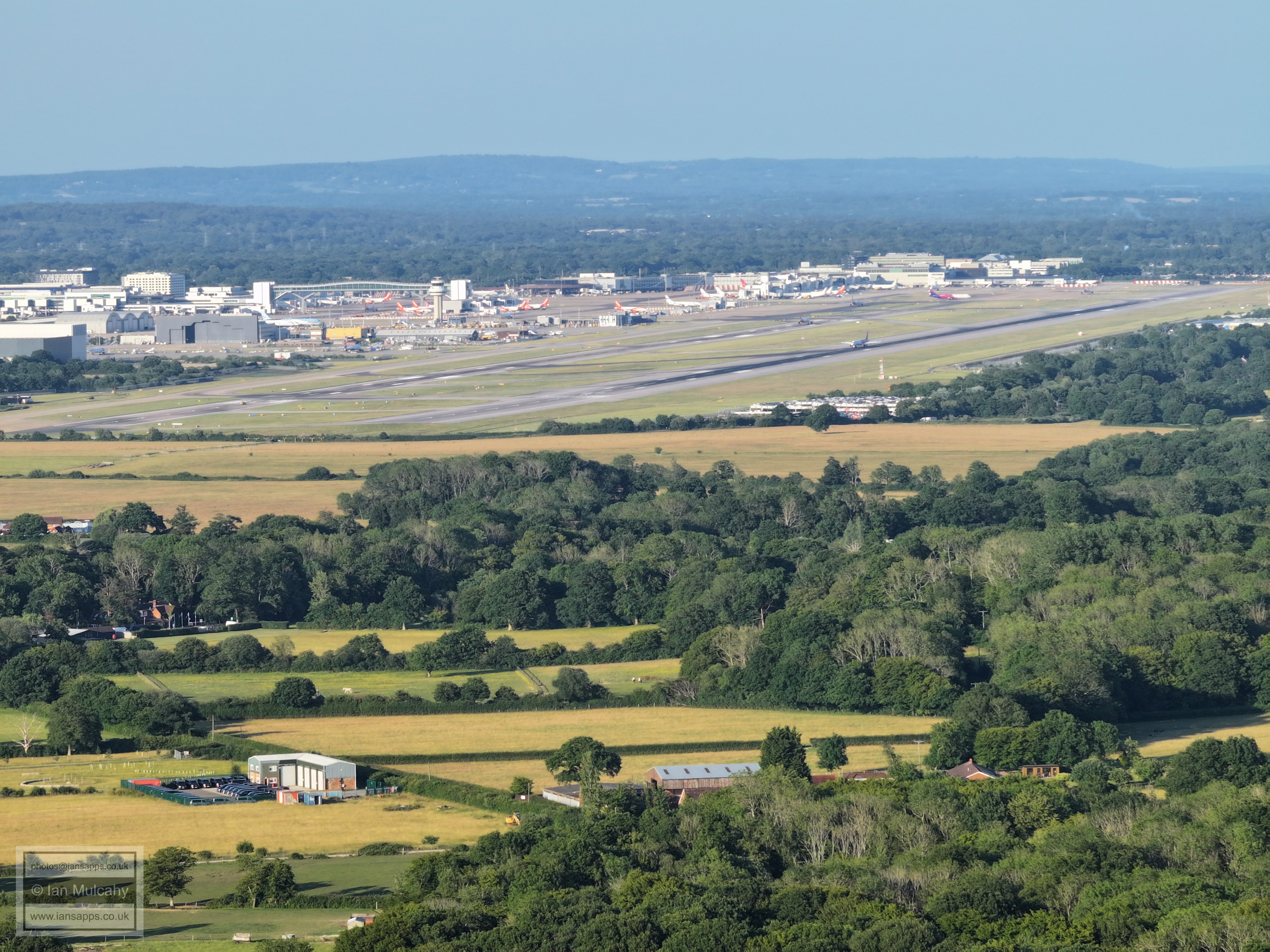
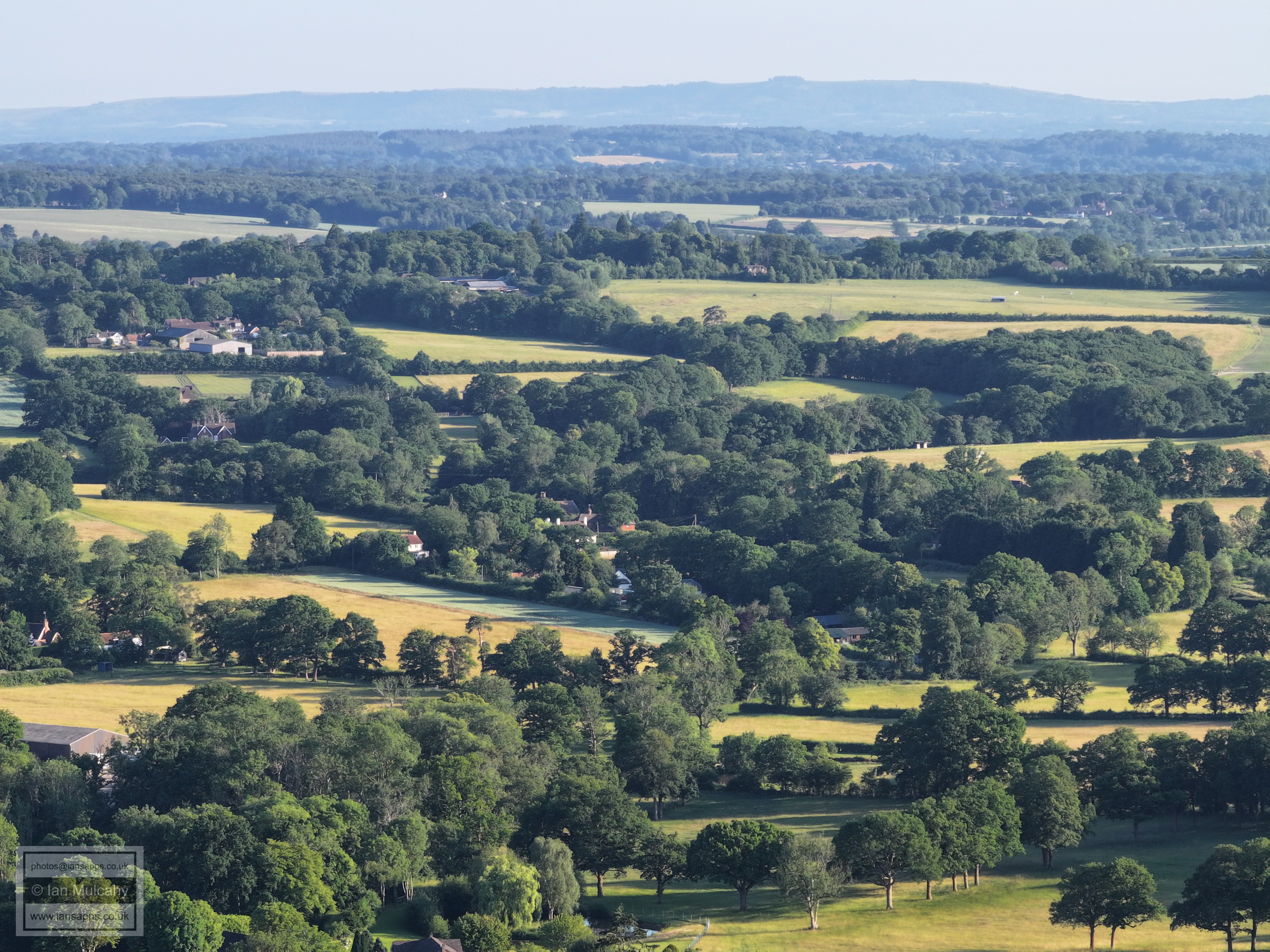
Quite a lot going on in this photo, taken earlier this evening (18/6/25) from a little way west of Peters Farm by the junction of Langhurst Lane, Orltons Lane and The Mount (just outside of the Flight Restricted Zone, before anyone pipes up).
In the foreground on the left is The Mount and a fair way above is St Margaret's Church, Ifield. To the right of the barns at Bonwyckes Farm, just below the church, are the chimneys of Bonwyckes Place. To the right of St Margaret's are the fields of Ifield Court Farm, currently under serious threat of development courtesy of Horsham District Council and Homes England.
Crawley Town Centre fills the top part of the picture and the white walls with lots of windows, below Overline House, is ICC.
Finally, on top of the hill immediately above the left side of the Hospital, is the water tower on Selsfield Common (between Turners Hill & West Hoathly), but you really need to zoom in for that.
Gotwick Farm, in Orltons Lane
The barn/warehouse in the bottom left quarter is in Prestwood Lane. A little way above it is Waterhall Country House.
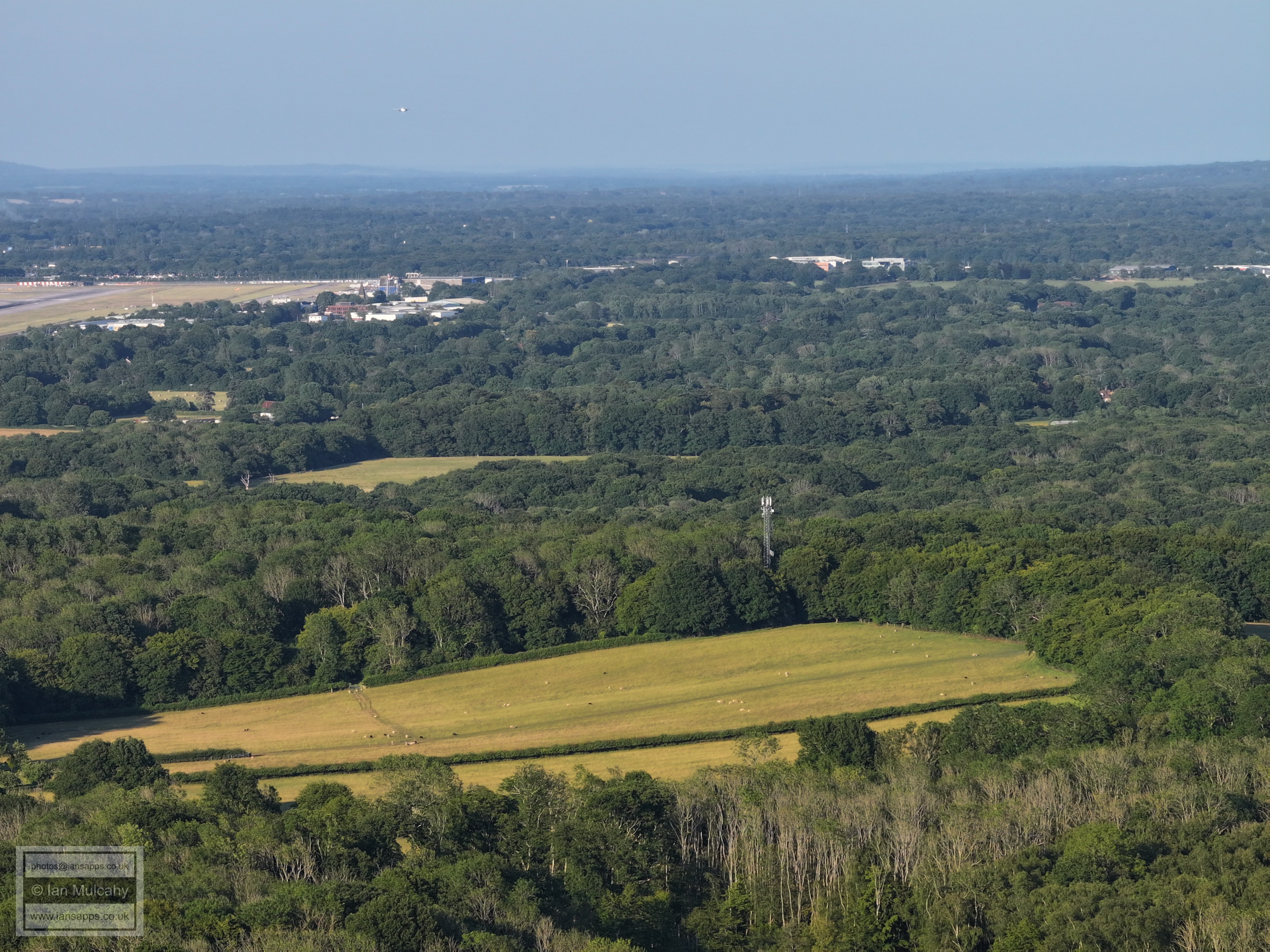
The phone mast is in Burlands Copse in Ifield Wood. Lowfield Heath church spire can be seen in the top left quarter.
The floodlights below Manor Royal are those of Crawley Rugby Club at Willoughby Fields on Ifield Avenue. Copthorne Church is visible near the top and just to the left of centre.
Acros sthe centre of the photos is mainly Langley Green. The Sandman Hotel at Hazelwick and Milton Mount Flats at Worth Park stand out and above Milton Mount is East Grinstead.
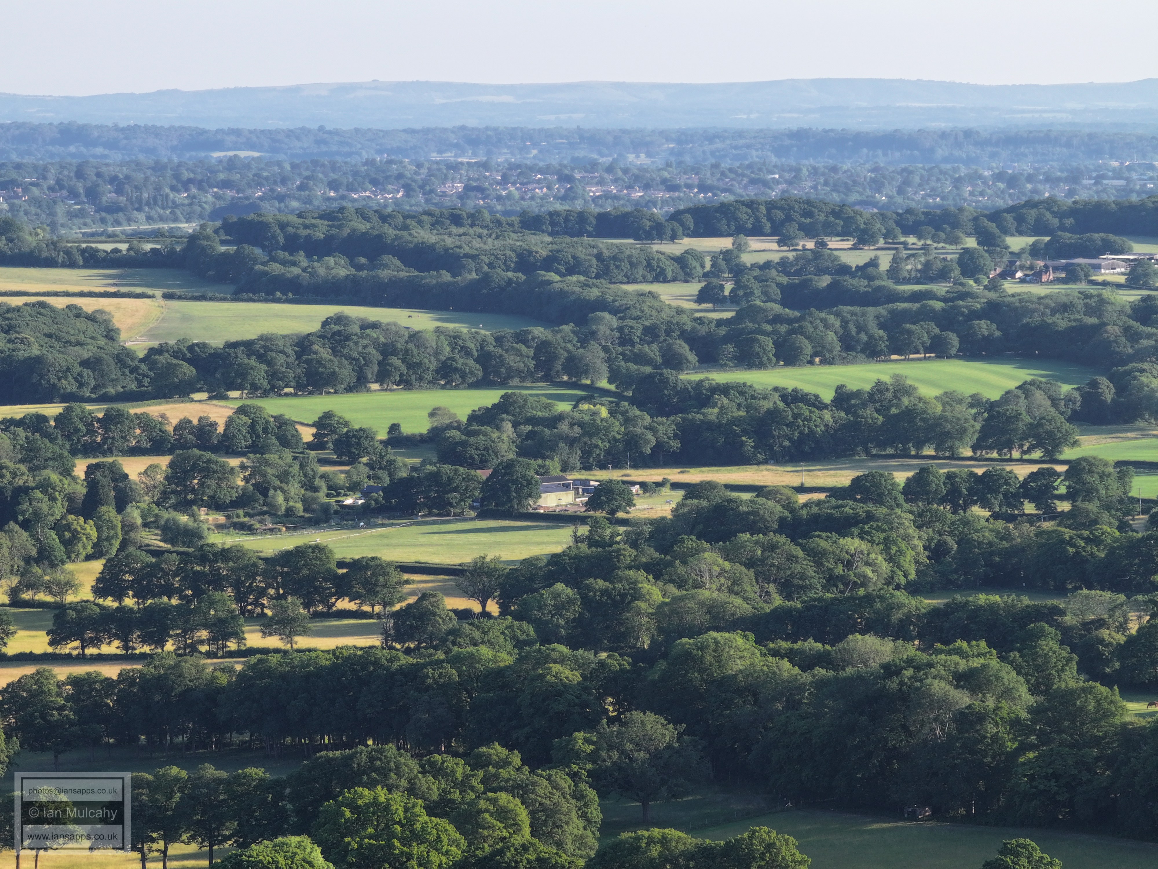
Bonwyckes in the foreground, Ifield & Crawley beyond.
ICC is the white building to the left with lots of windows just above the fields of Ifield Court Farm. The new builds to the far right are opposite the entrance to Ifield Golf Club. In the top right quarter is the spire of St Mary's Church in Southgate.
In the centre is the clubhouse at Ifield Golf Club.
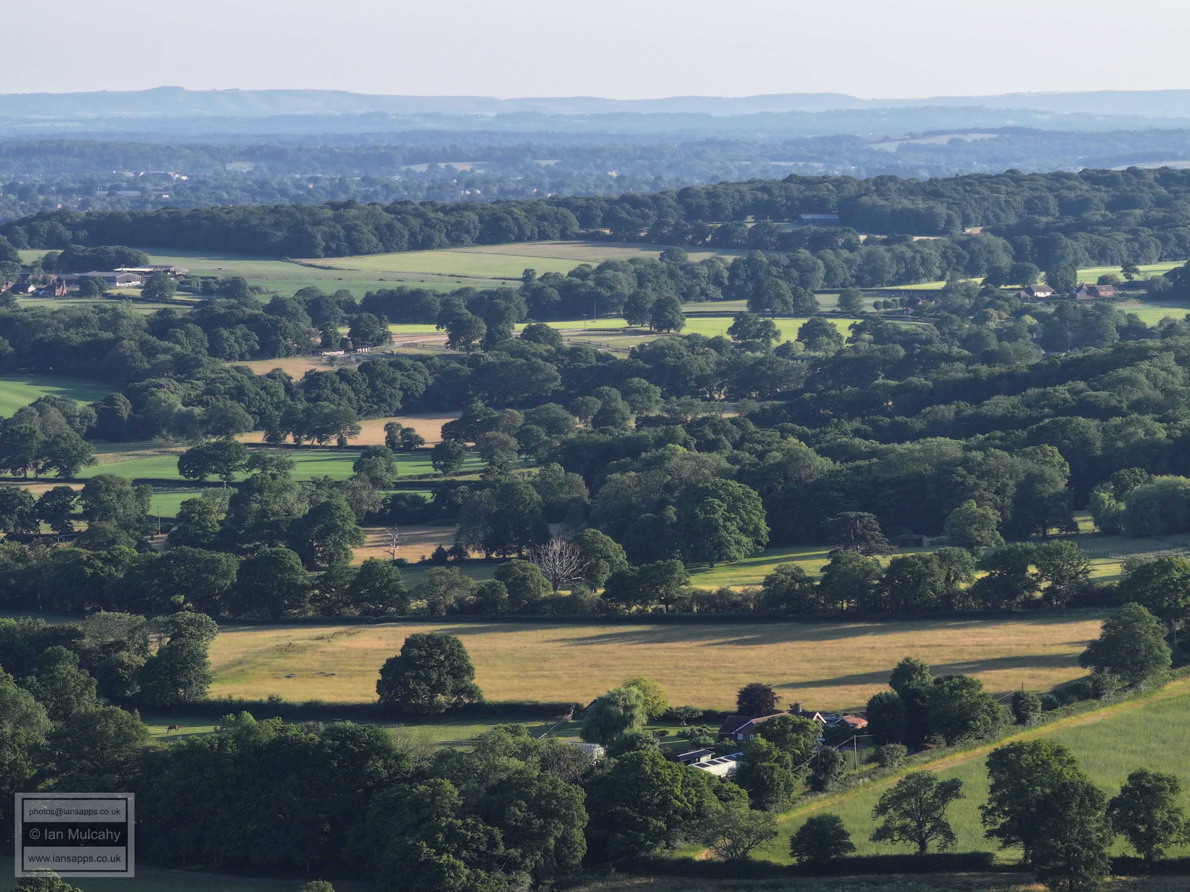
Ifield Golf Course in the centre. The drive to Stumbleholm Farm is bottom right. Bewbush & Broadfield are beyond. Slaugham Water Tower is on top of the ridge in the top right quarter.
In the bottom left quarter is Stumbleholm farm. Bewbush (left( and Kilnwodo Vale (right) span the photo just above centre and above are Cottesmore School (Buchan House) and the radar and water tower.
The fields of Kilnwood and Stumbleholm Farms fill the bottom two thirds of the photo with Kilnwood Vale above. Just below Kilnwood Vale, a little left of centre, is Upper Bewbush farm. Cottesmore Golf Club is above.
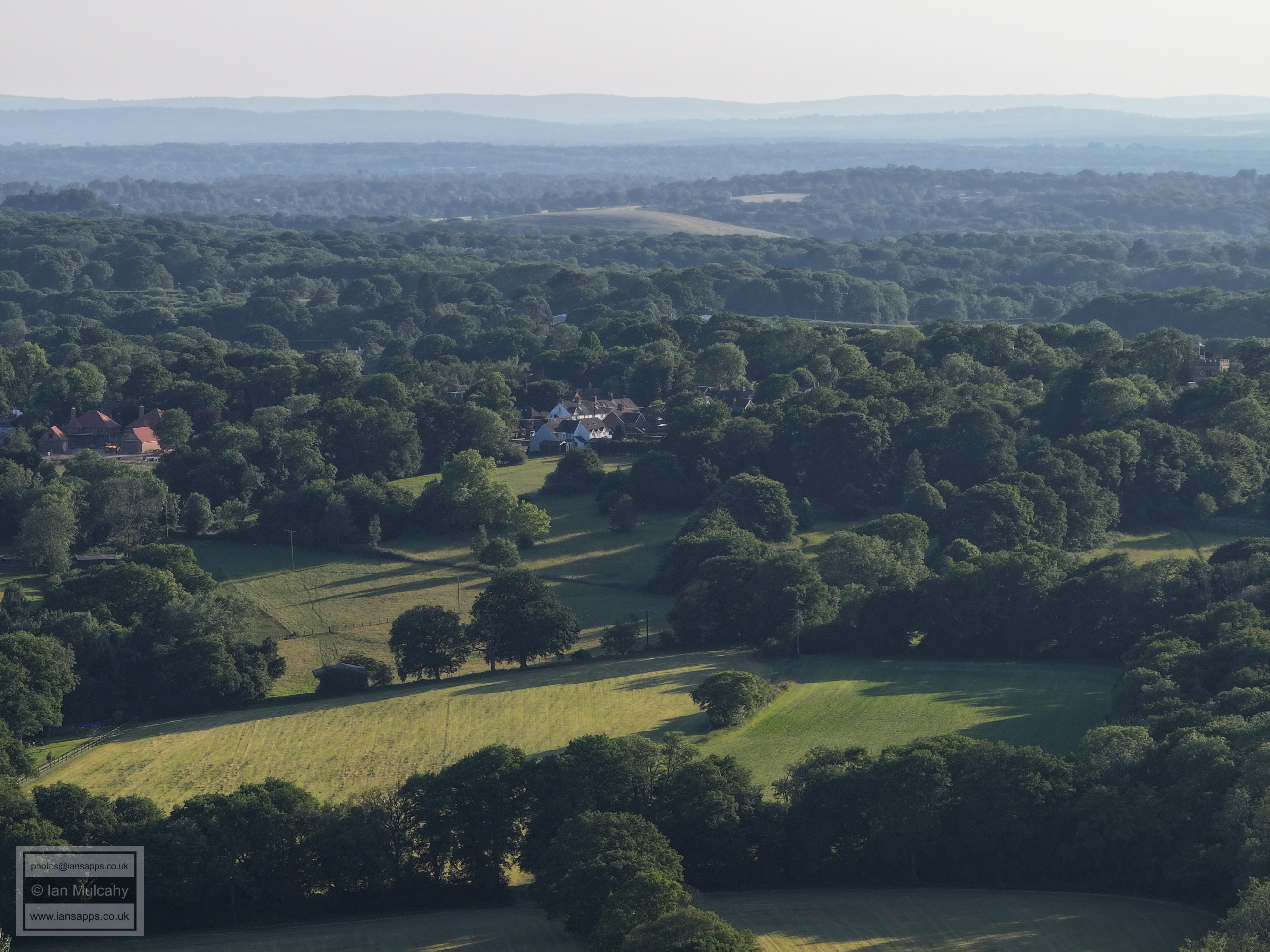
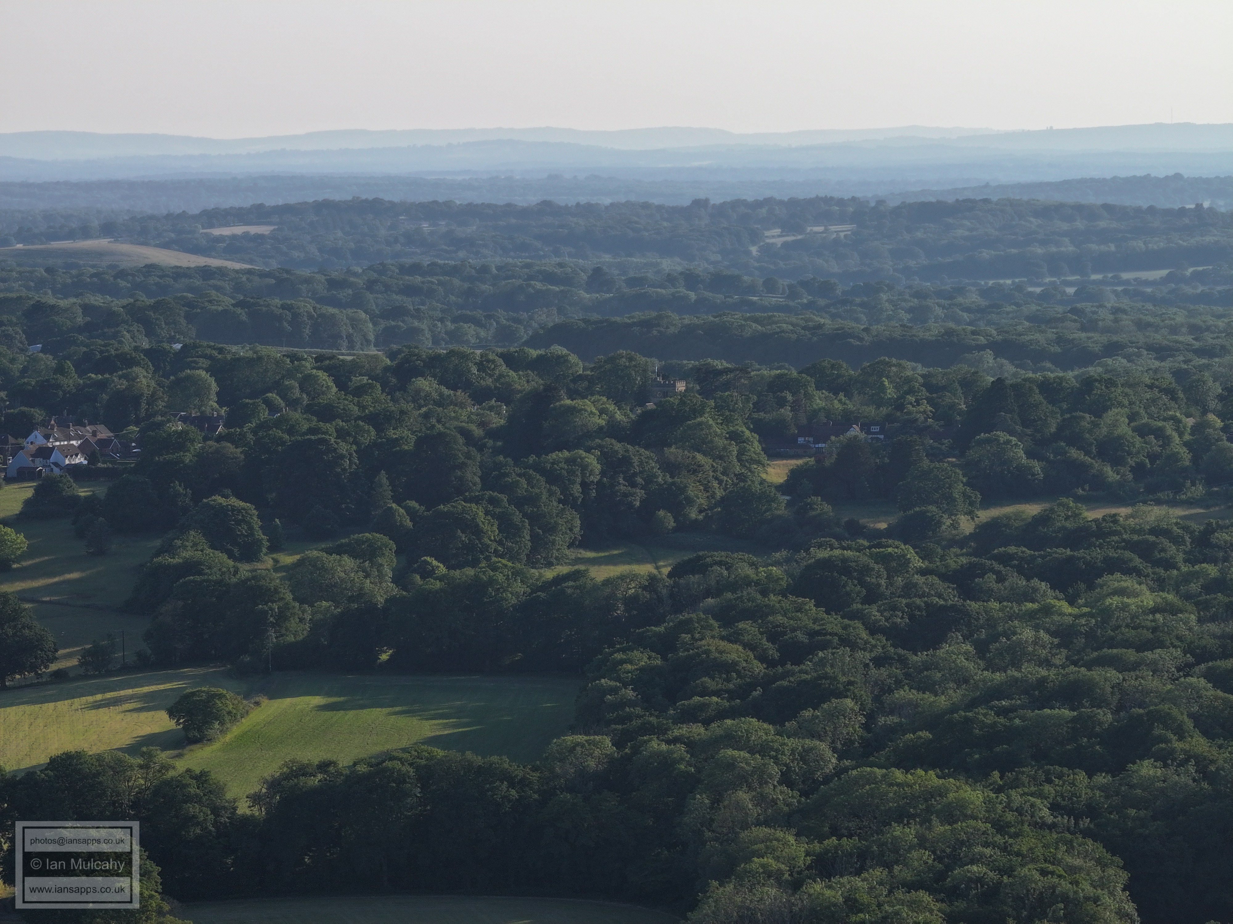
Holmbush is near the top, just left of centre, and Croudace at Lambs Green is in the bottom right quarter.
Lambs Green
Horsham in the distance
East Street in the centre
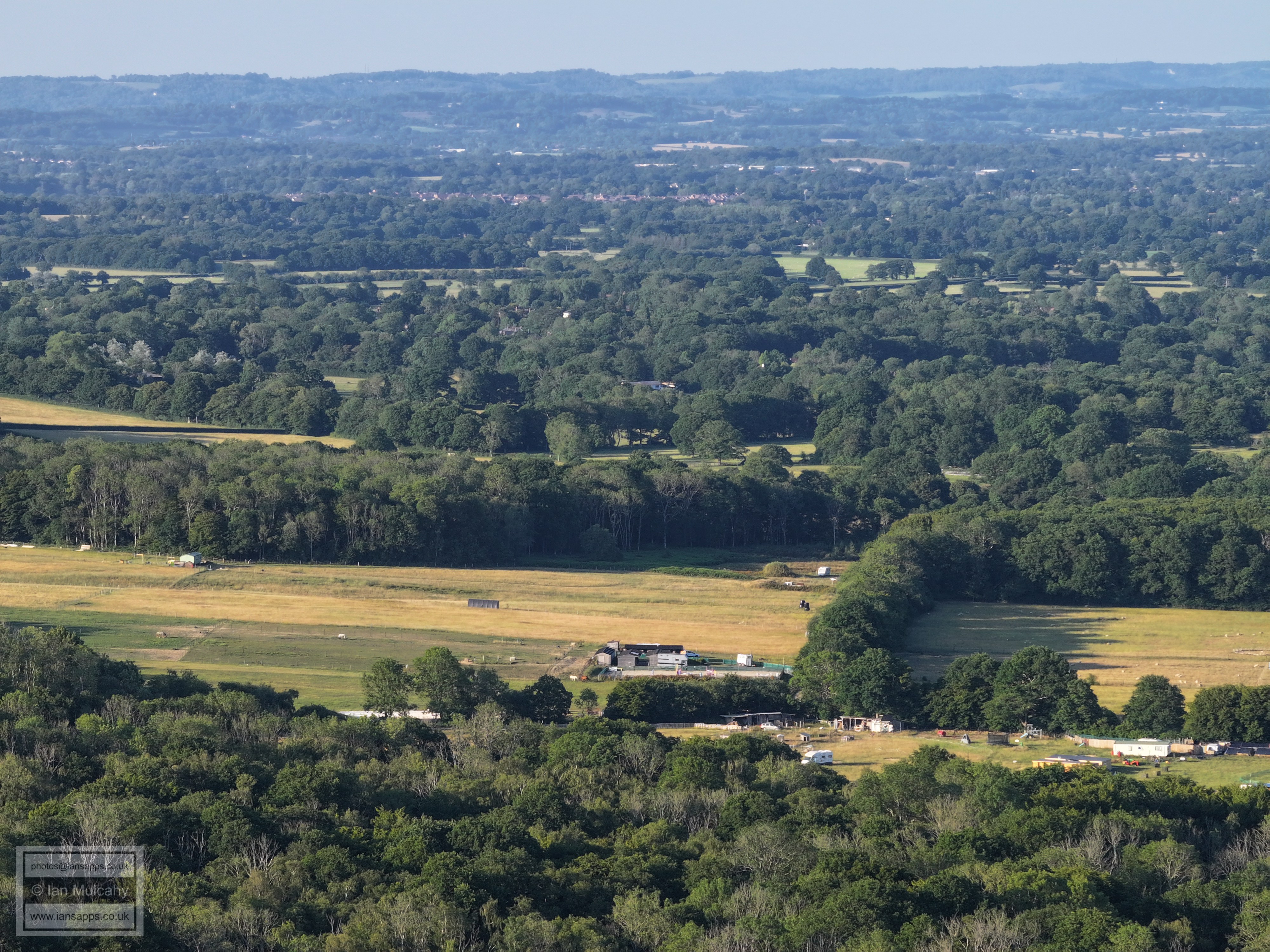
Ivy House Farm on Partridge Lane
Westlands Farm on Russ Hill
Russ Hill Hotel to the right of centre
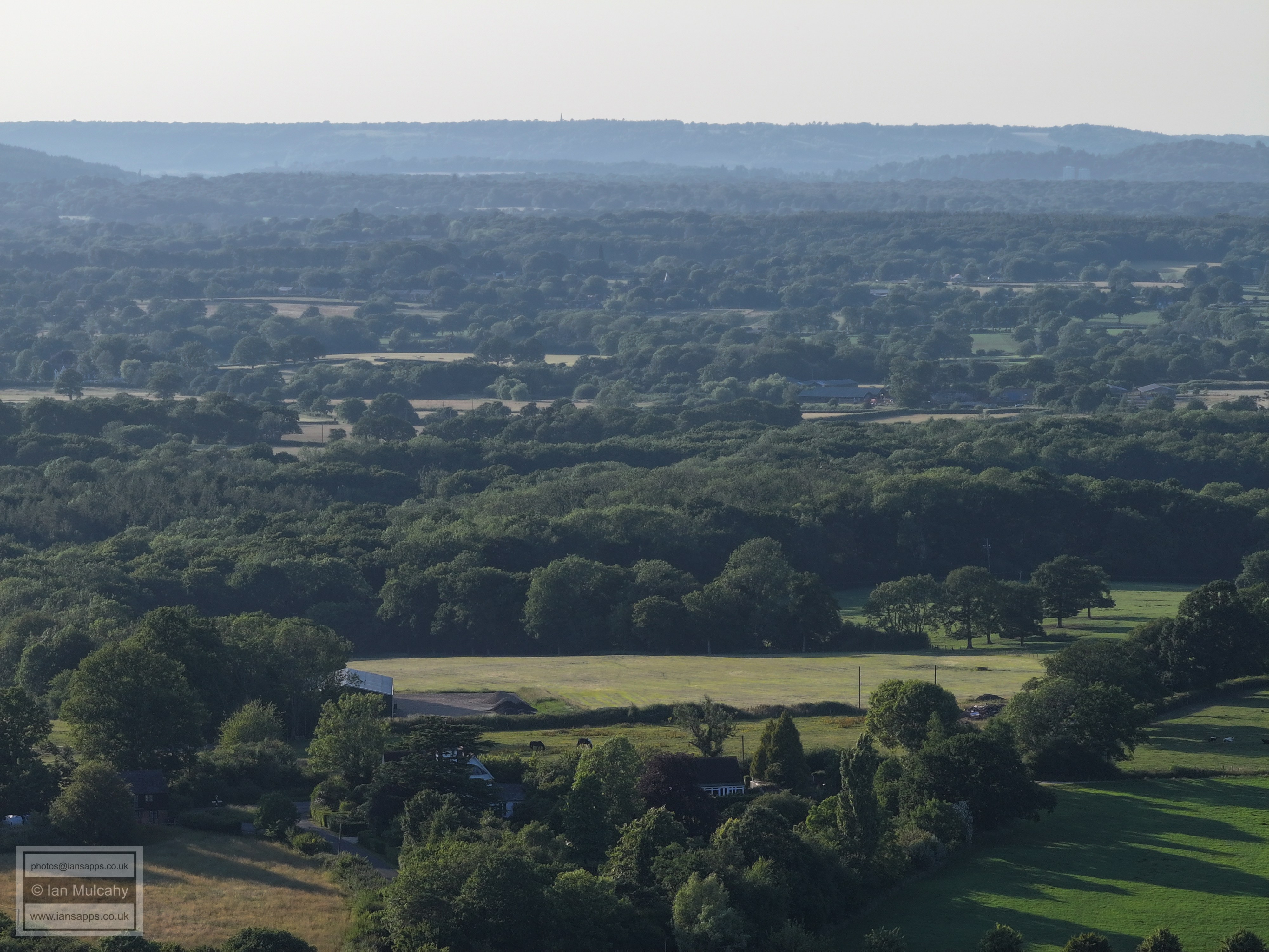
In the centre is St Mary Magdalene's Church, Rusper
Text & photographs © Ian Mulcahy. Contact photos@iansapps.co.uk or visit my 'Use of my photographs' page for licensing queries (ground level photographs only). |