Ifield Golf Course
Crawley
West Sussex
25 June 2025
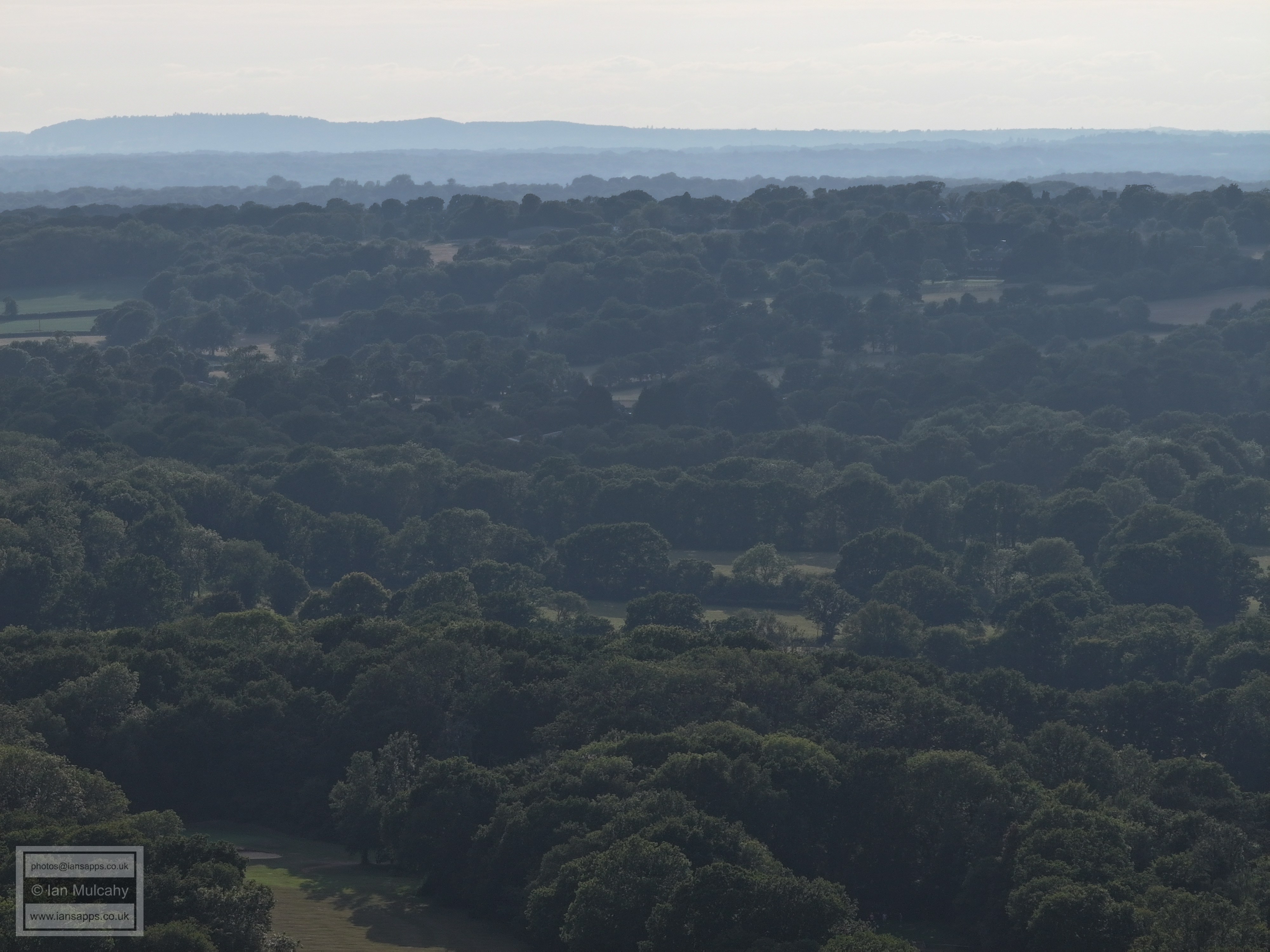
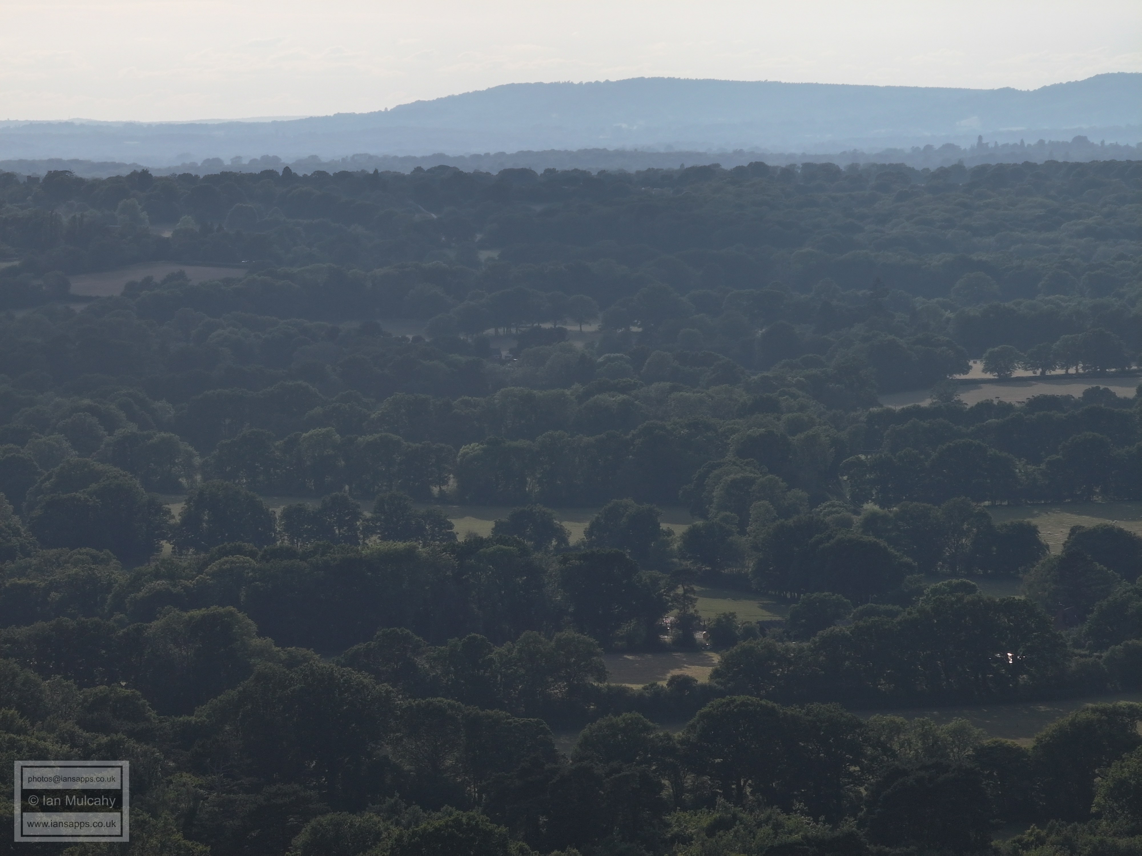
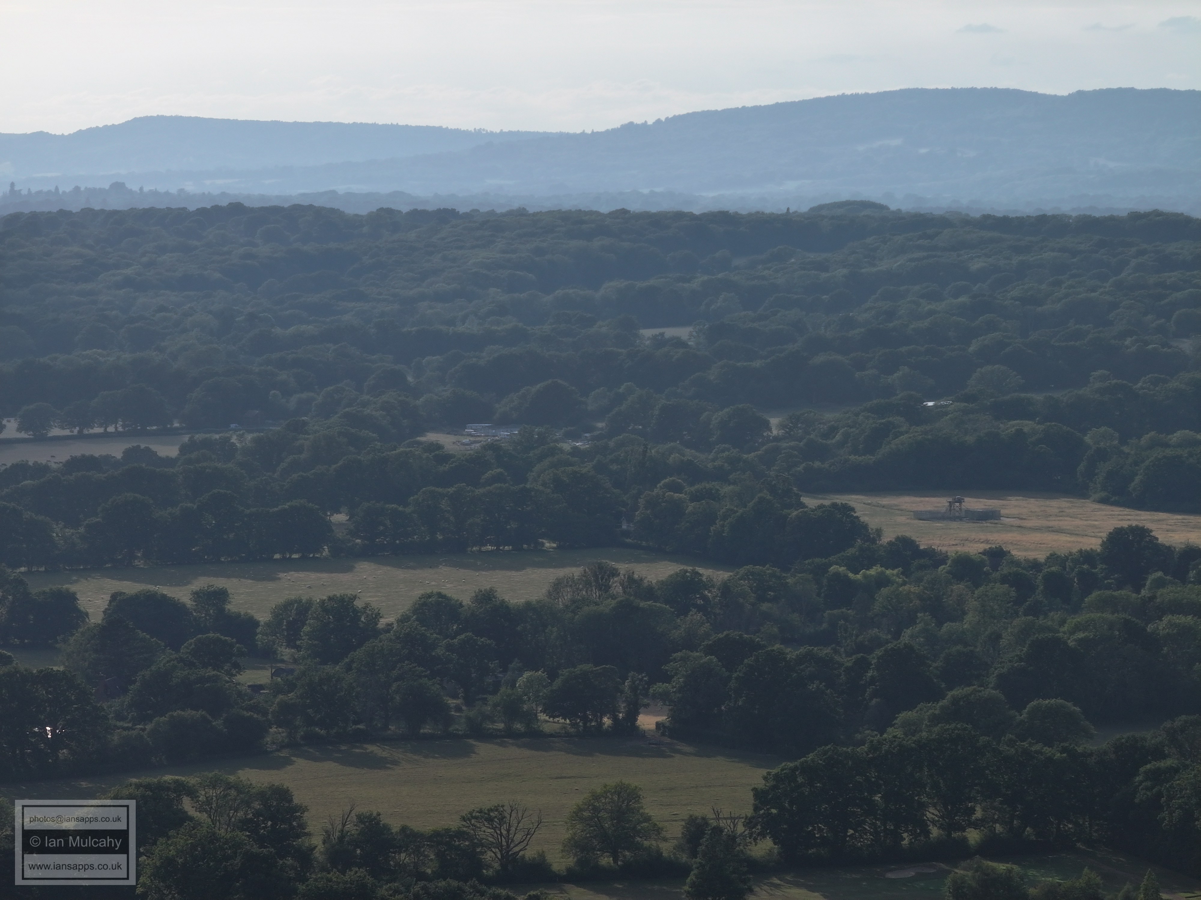
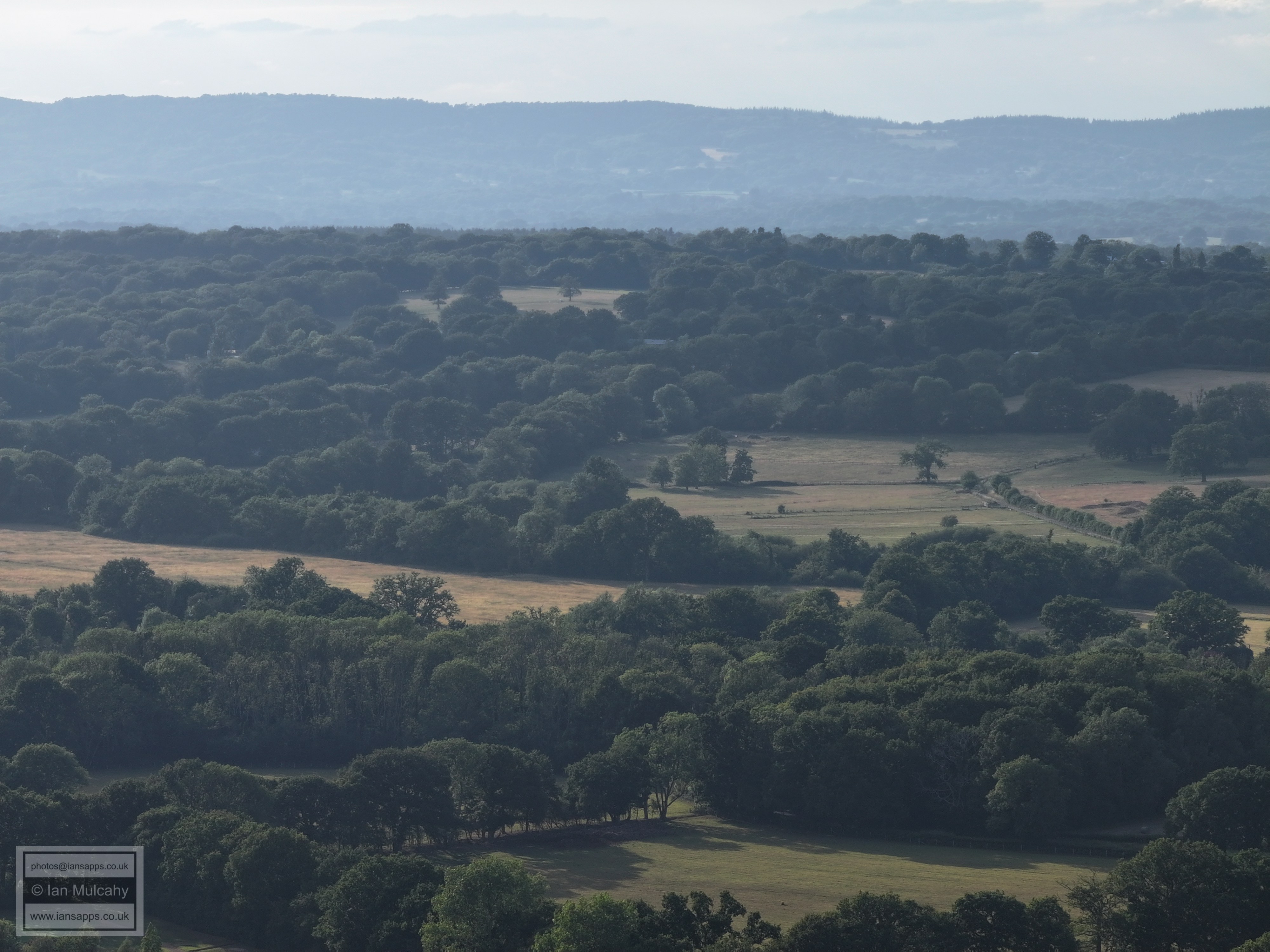
63 aerial photographs from the 11th tee
|
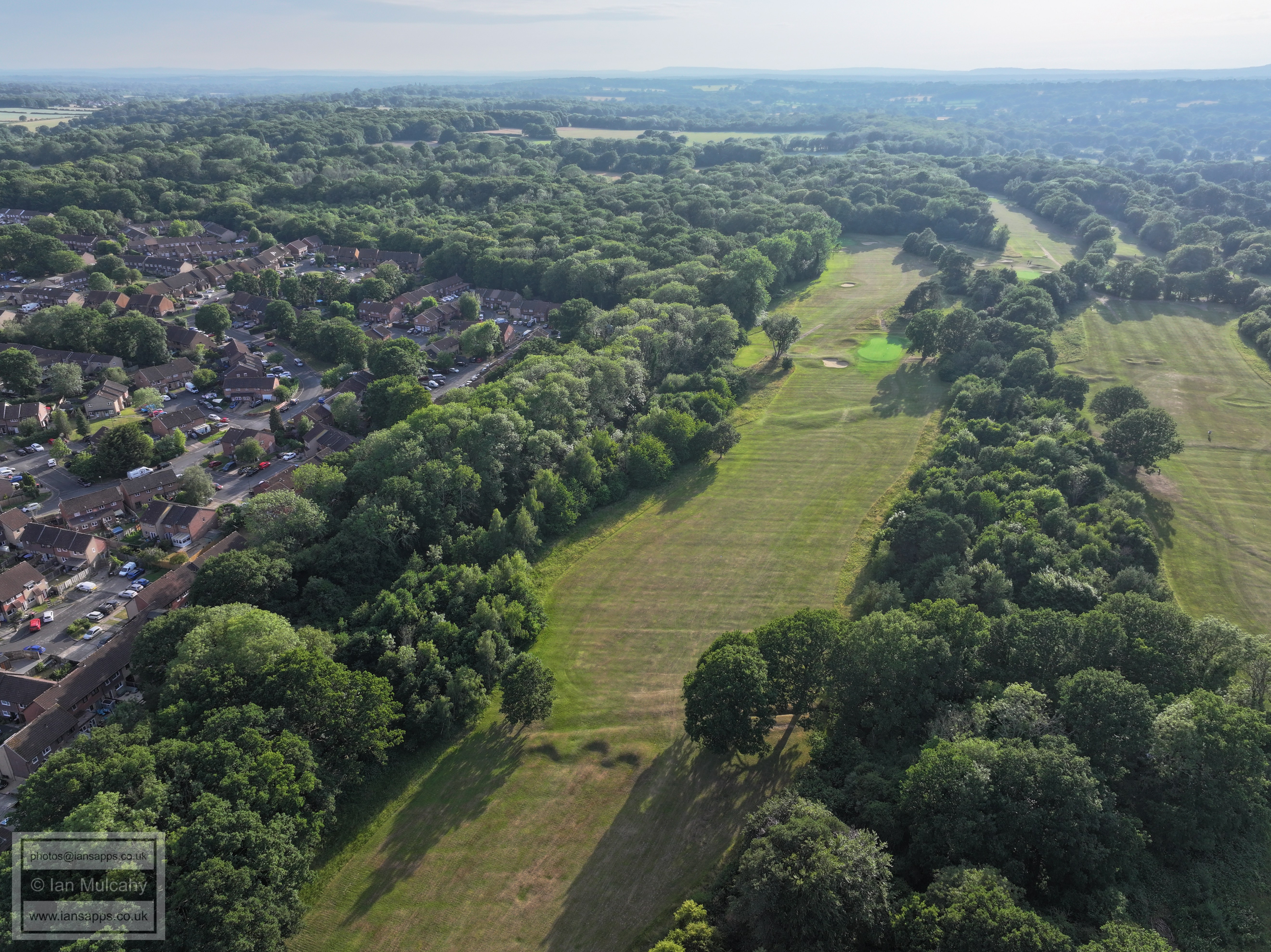
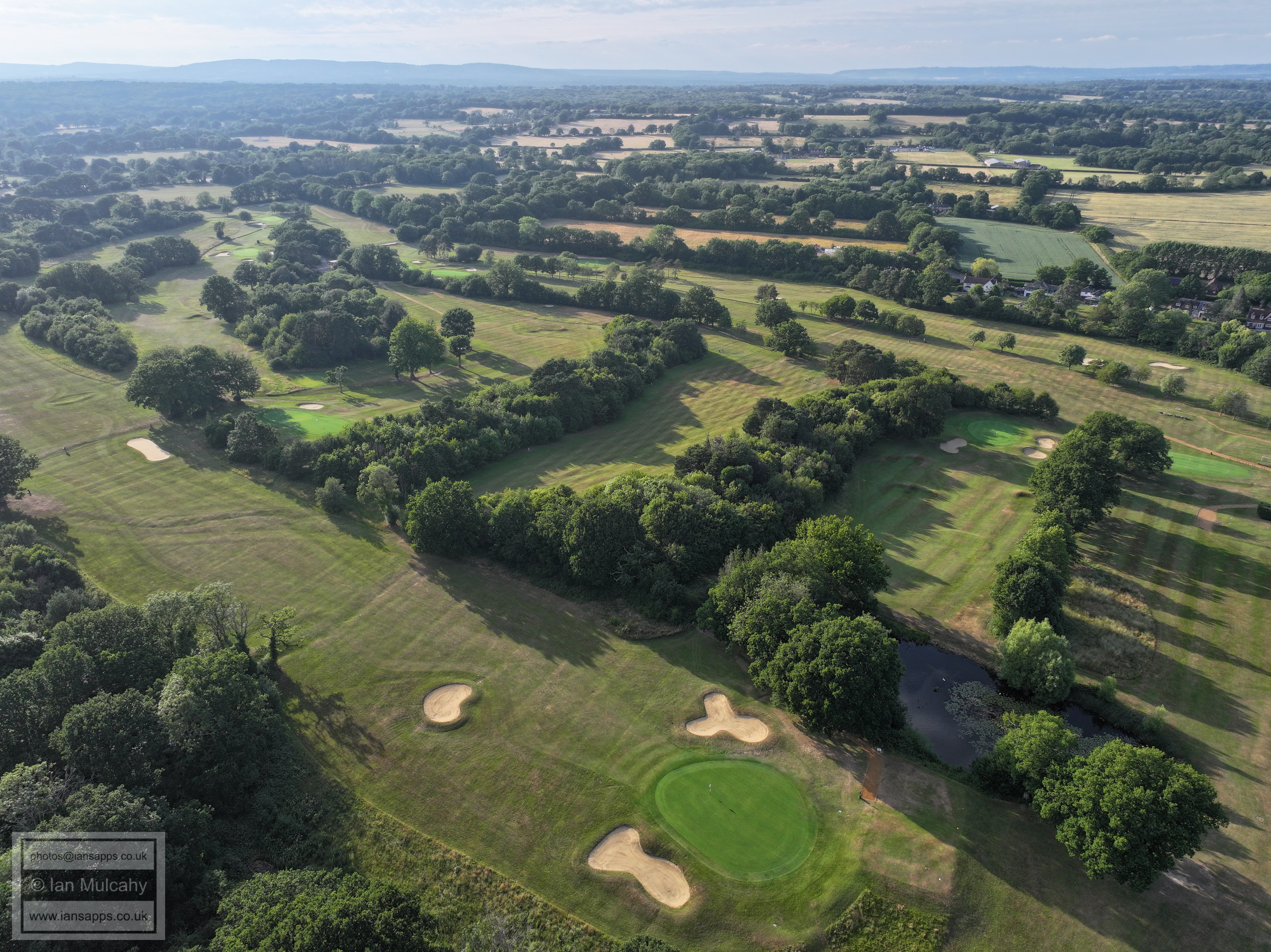
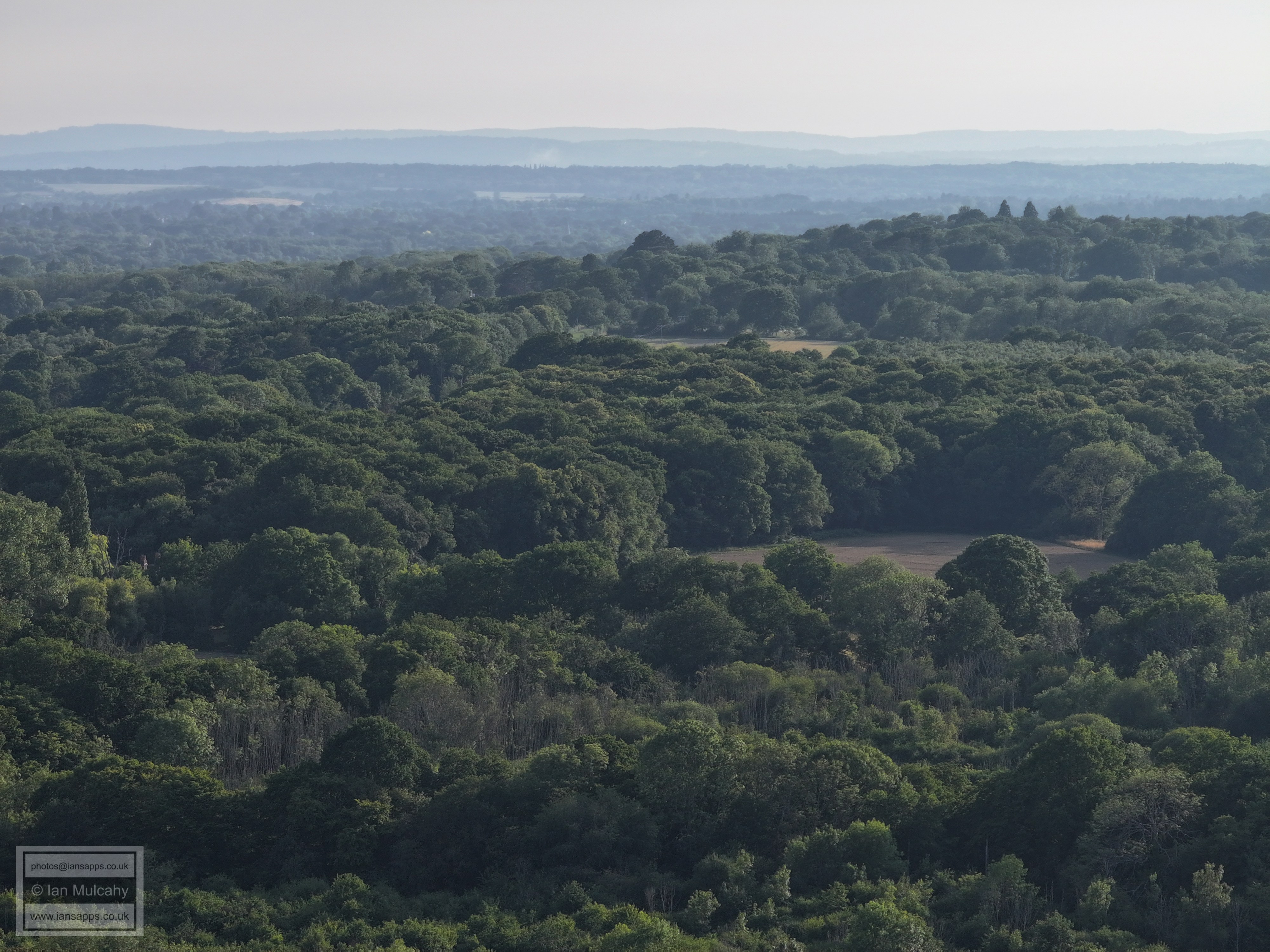
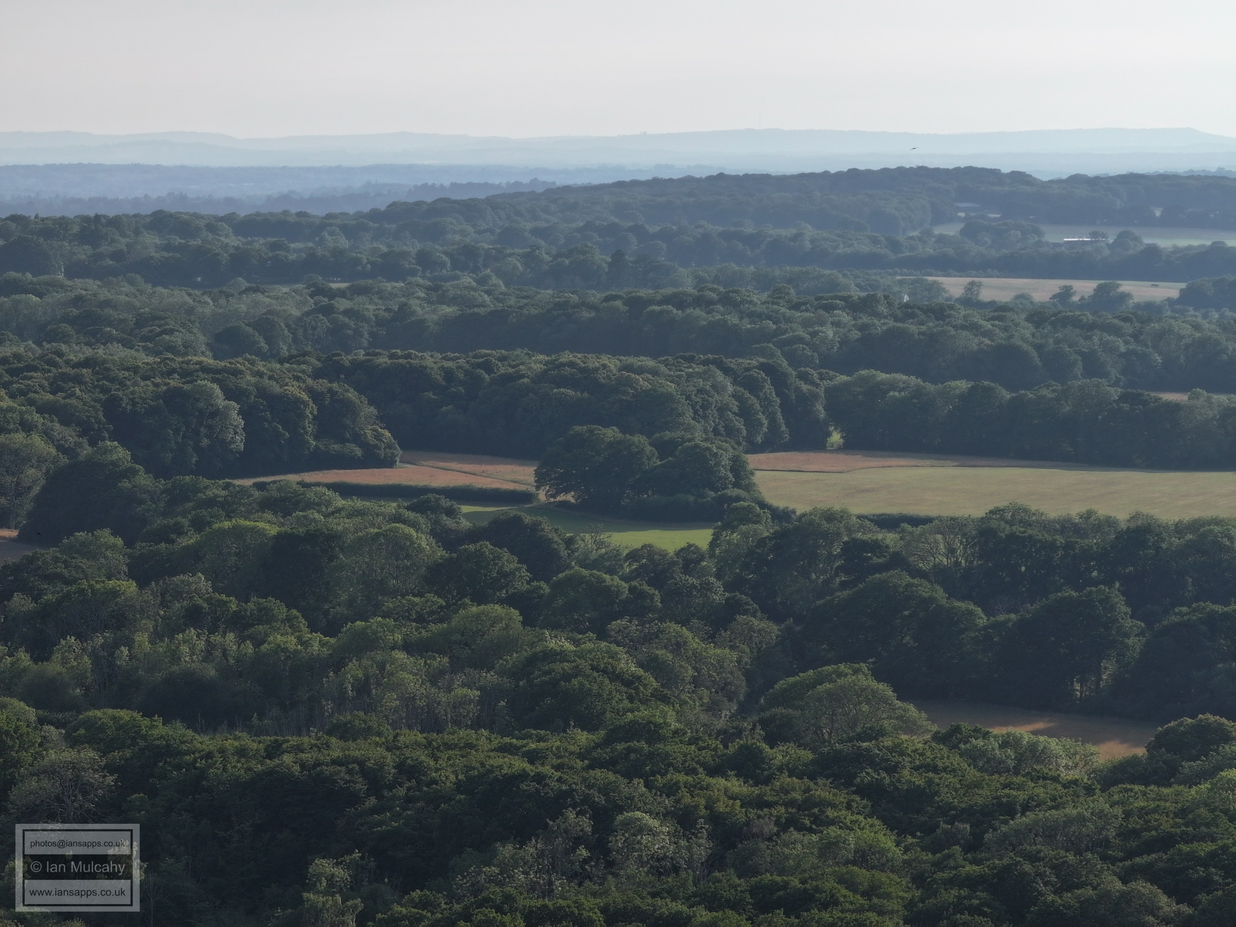
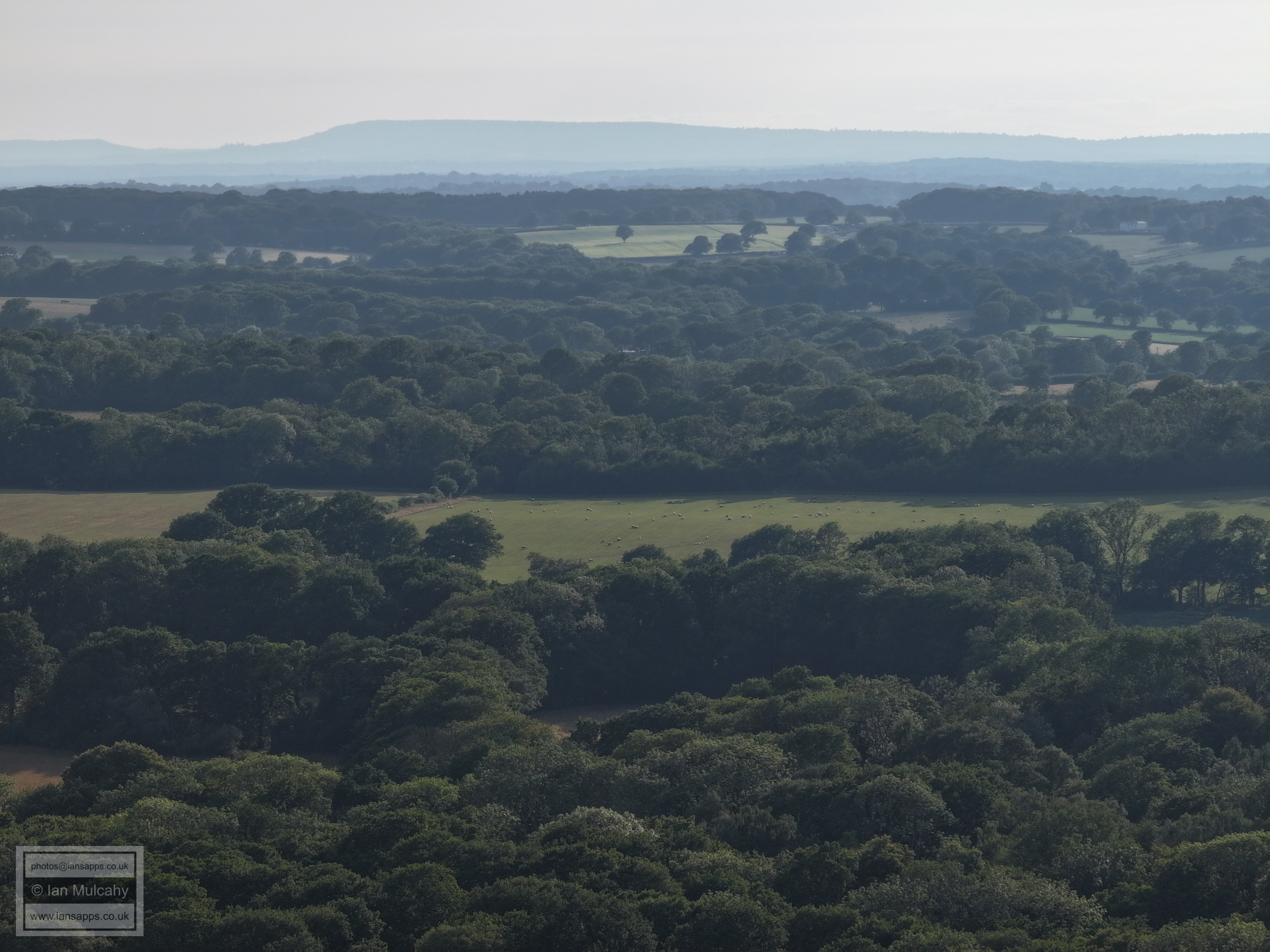
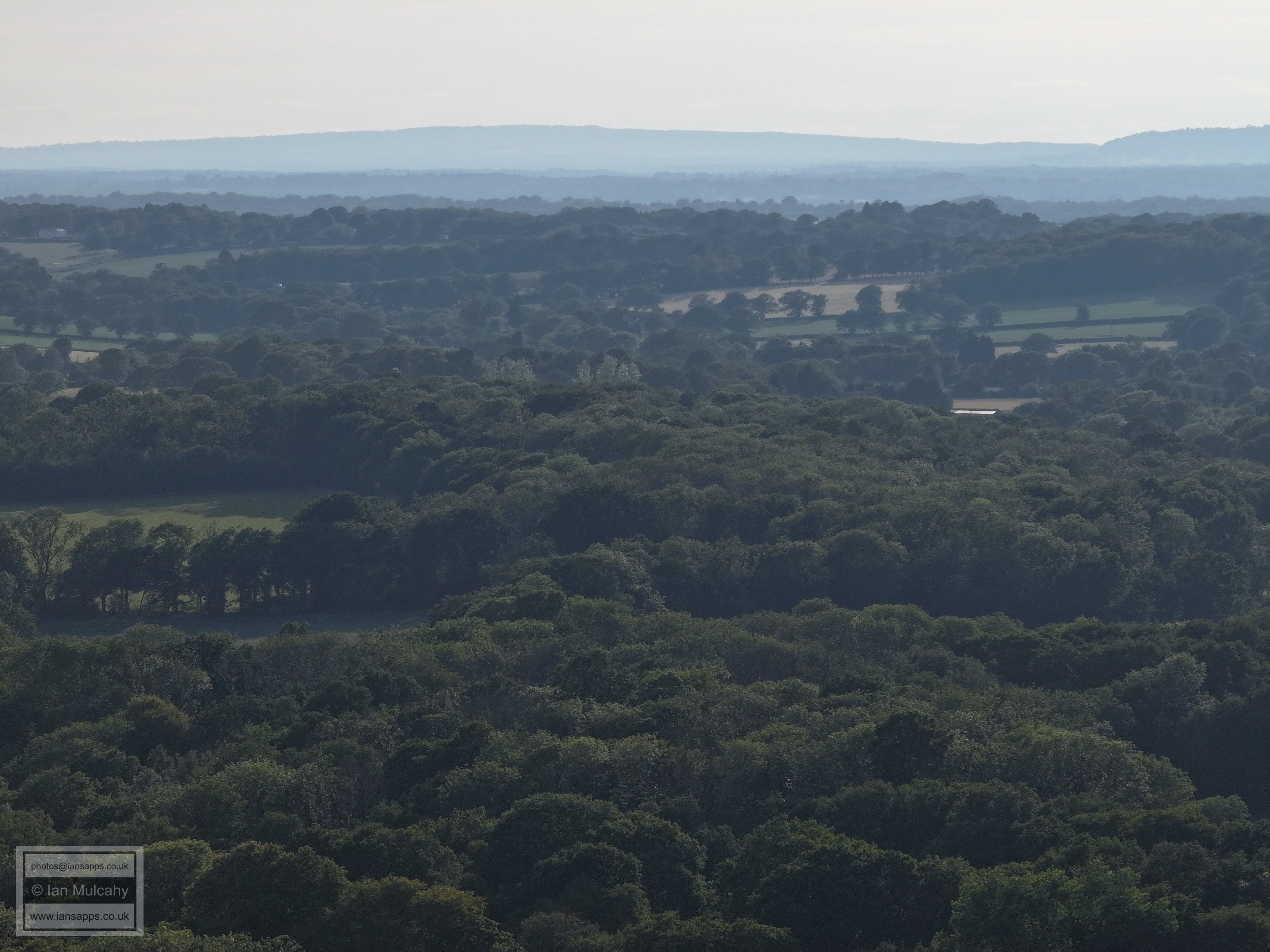
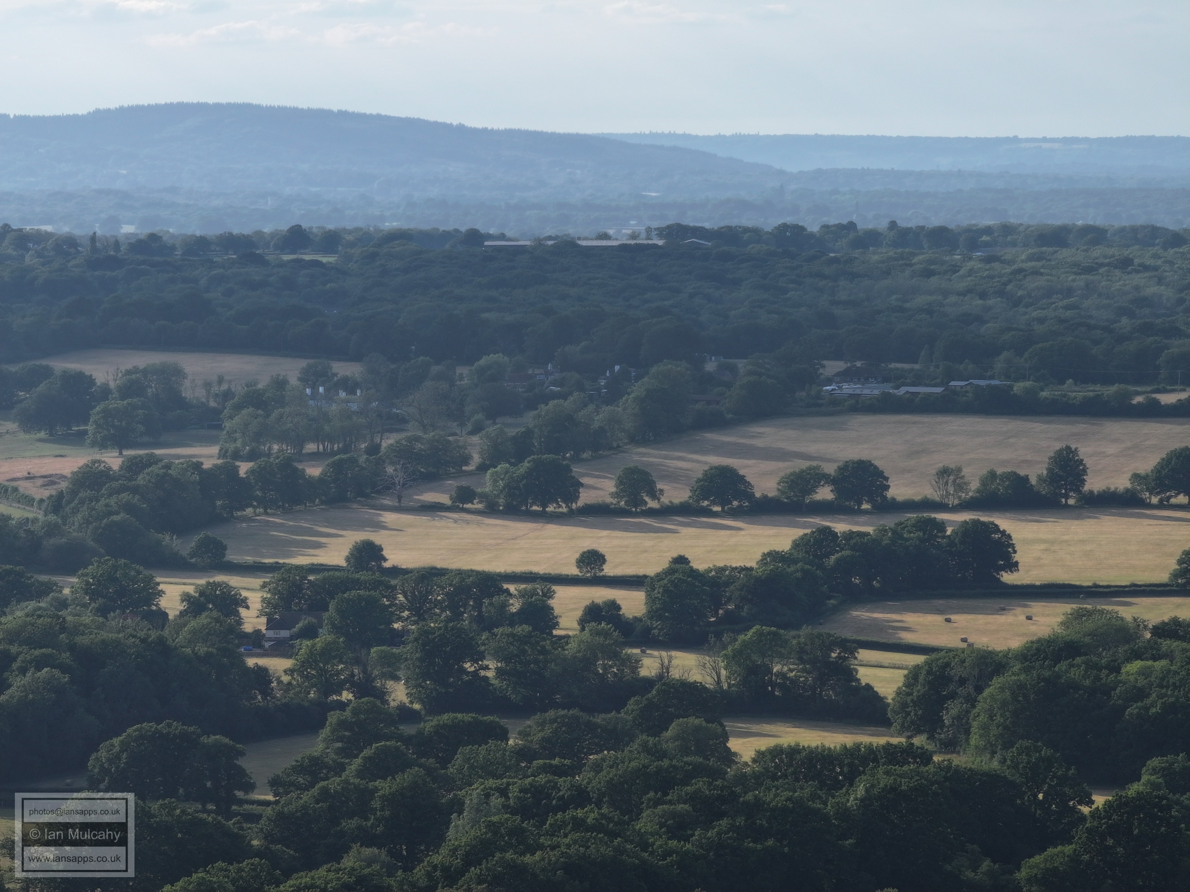
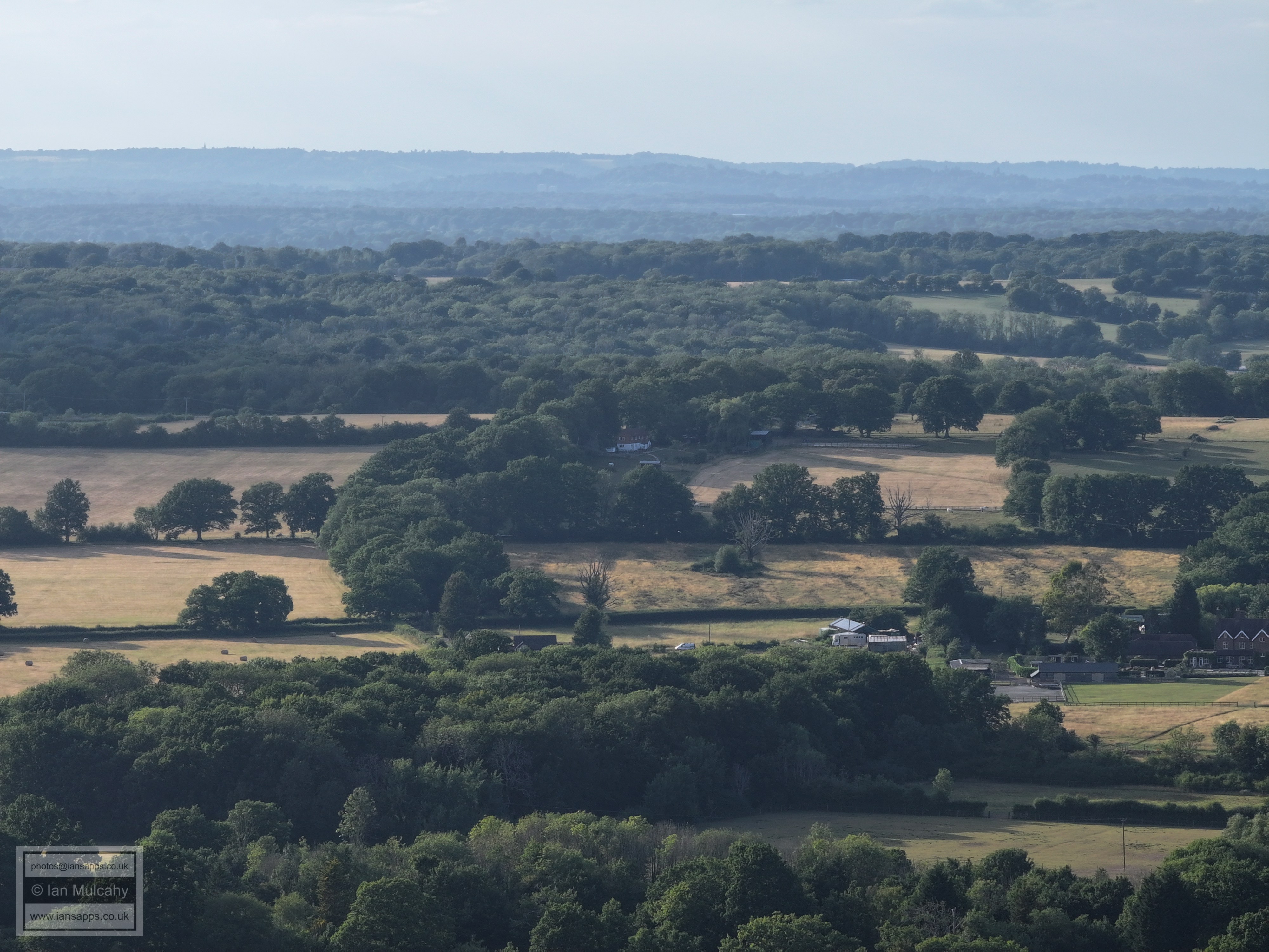
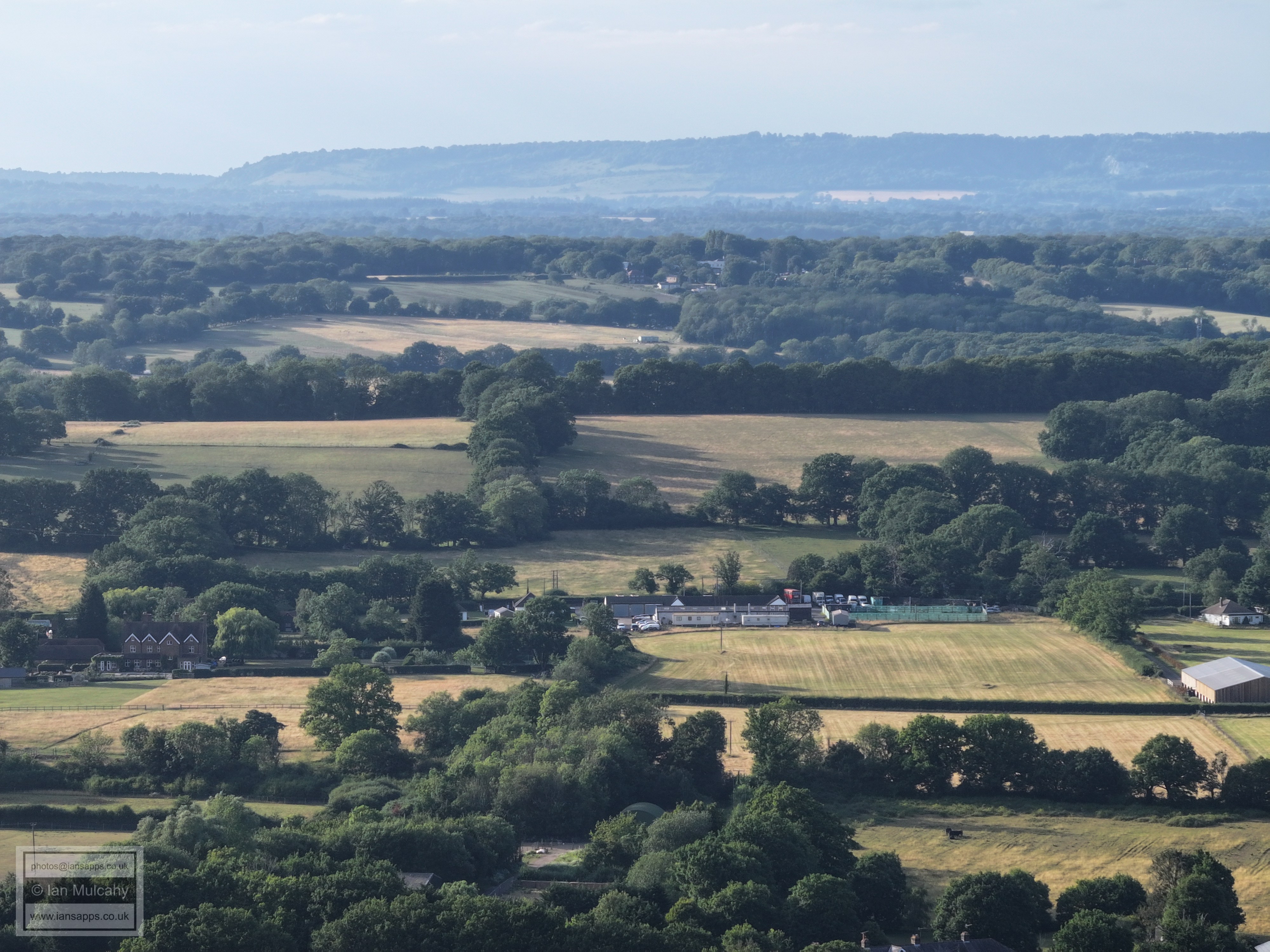
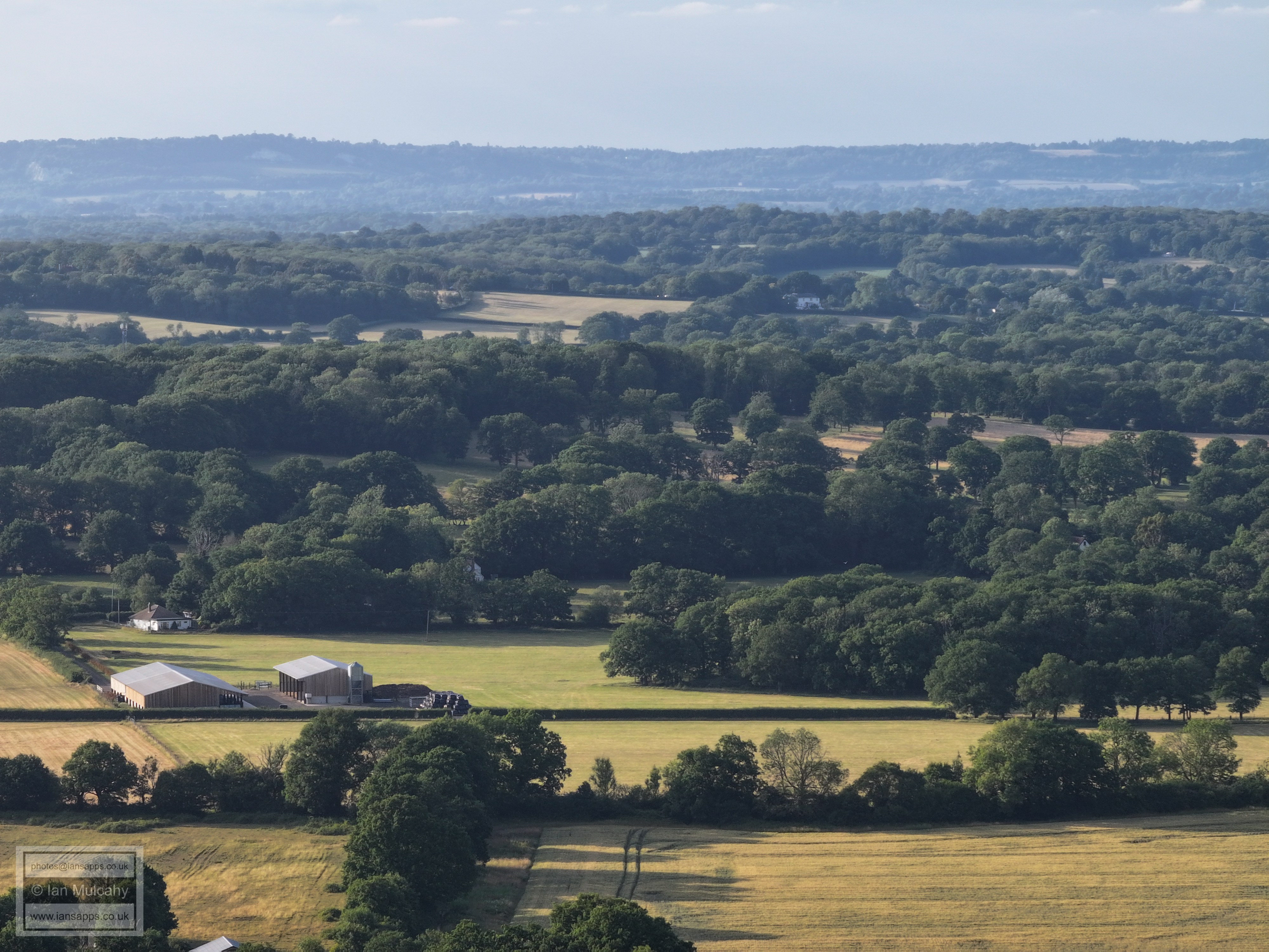
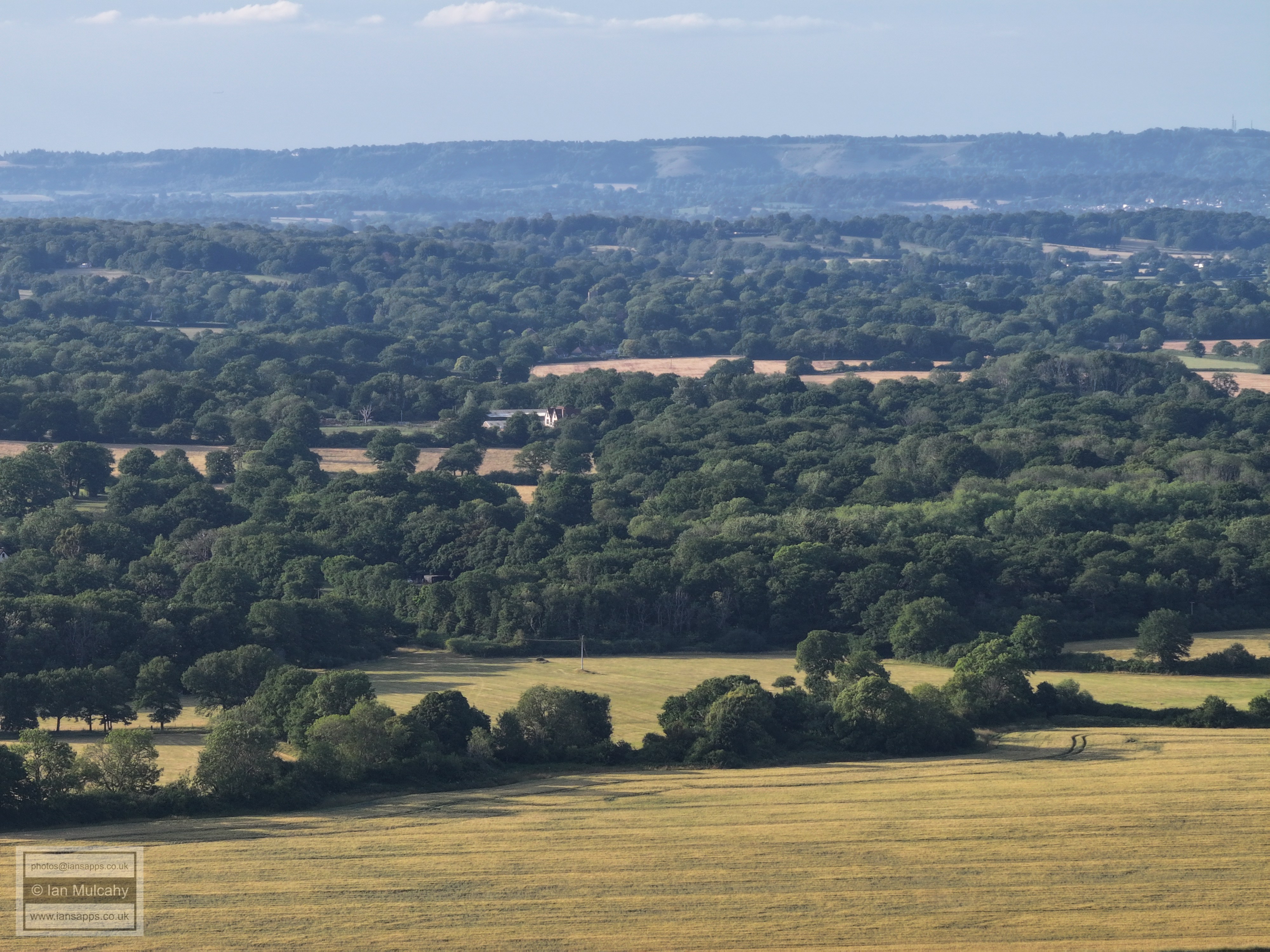
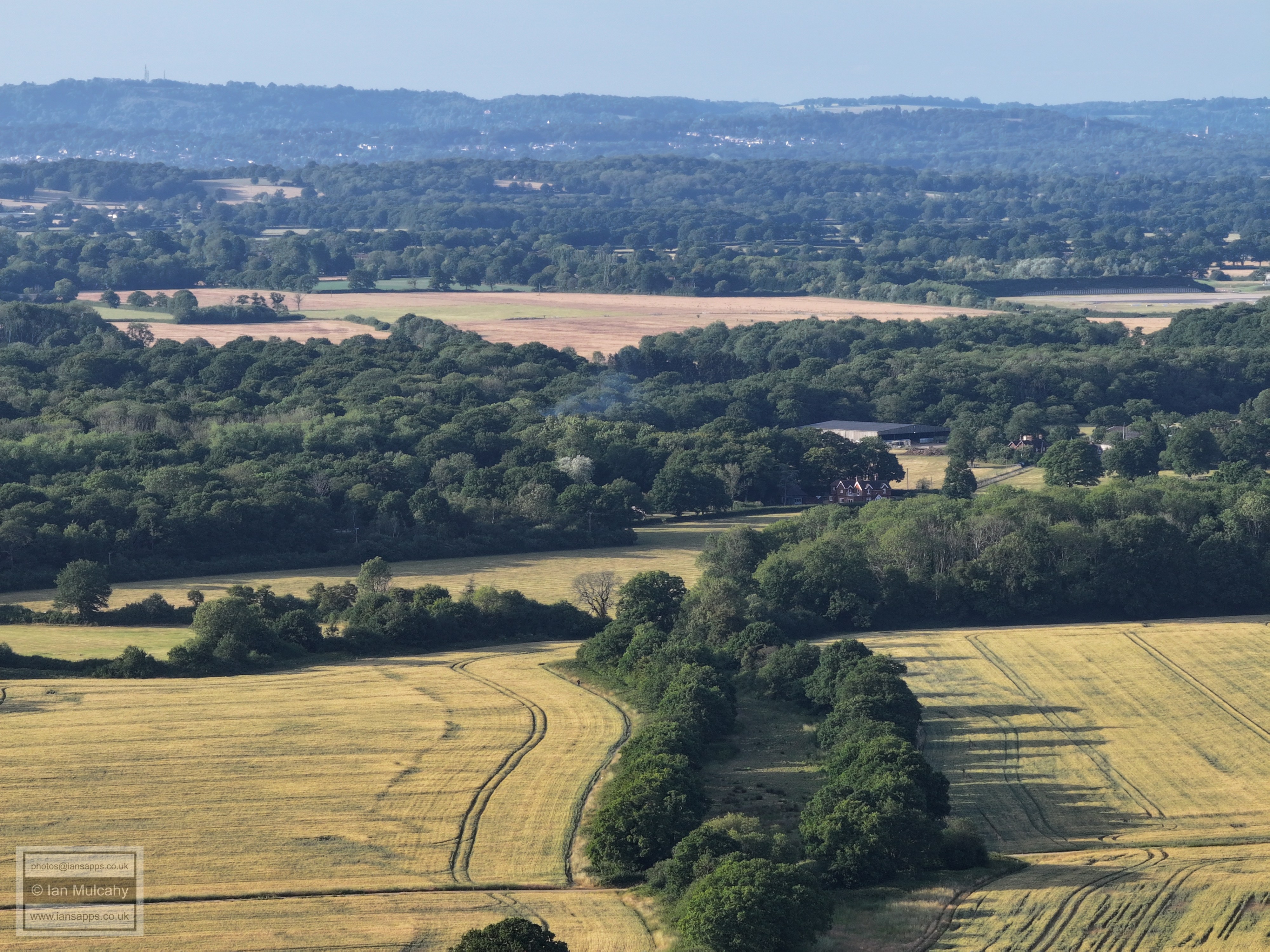
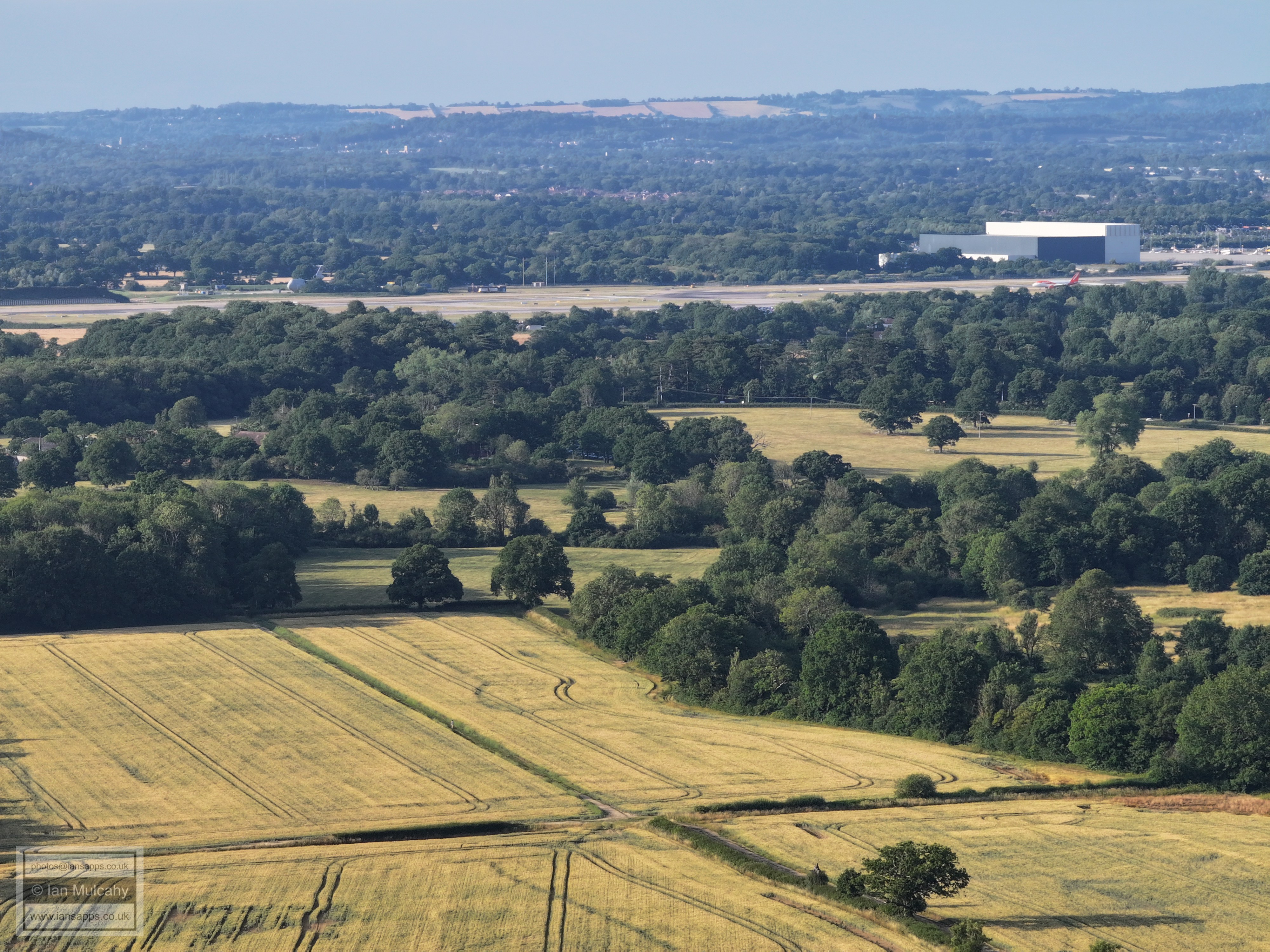
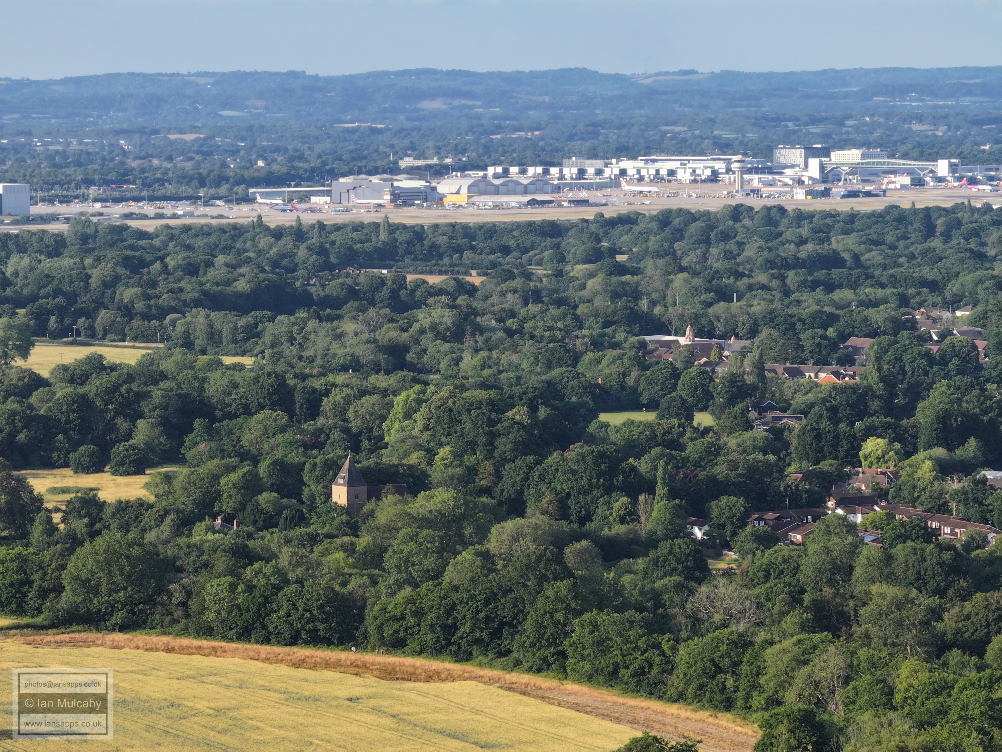
63 aerial photographs, of varying focal lengths, taken behind from the 11th tee on Ifield Golf Course on the evening of 25 June 2025. I have annotated some of the photos.
Ifield Mill
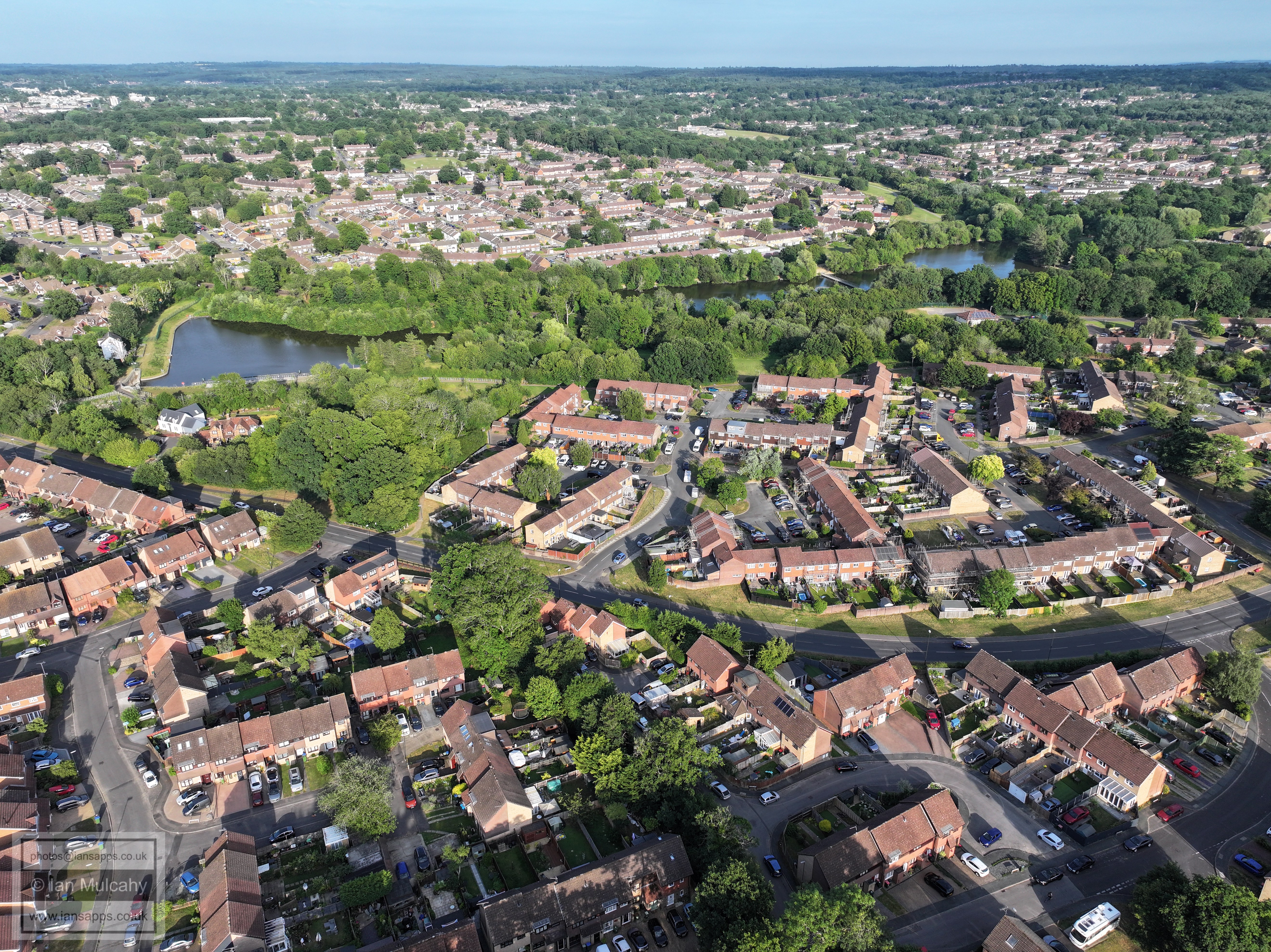
Ifield Mill, Millpond (north) & Millhouse. Gossops Green shops are in the top right quarter
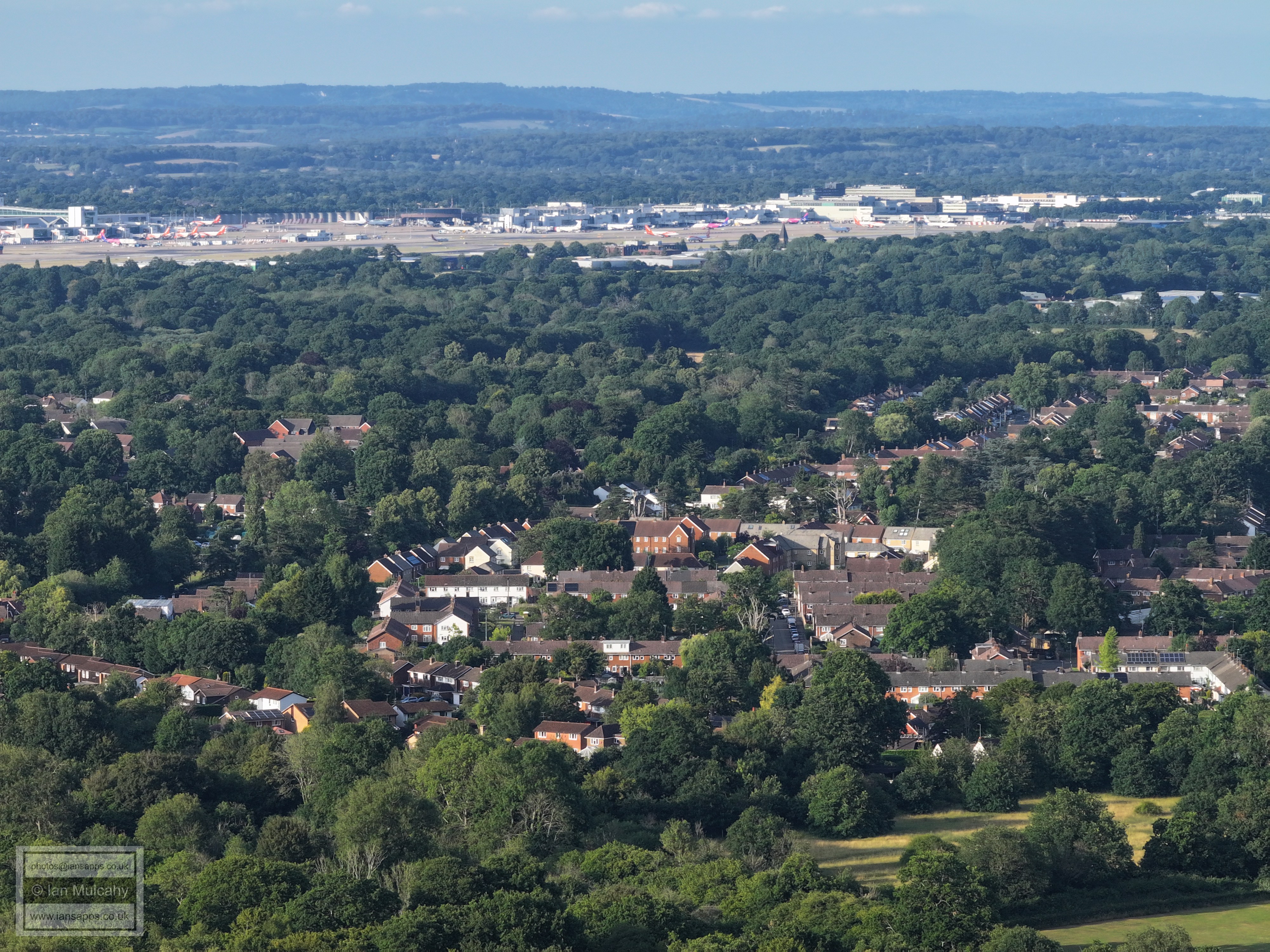
Bottom right is the Maples Estate opposite the entrance to Ifield Golf Club. St Margaret's church is in the centre and Gatwick is beyond.
St Margaret's Church. To the right of centre is the Hindu Temple at Apple Tree Farm and to the right of the green space below the temple is the Steam Mill and cricket pavilion on Ifield Green.
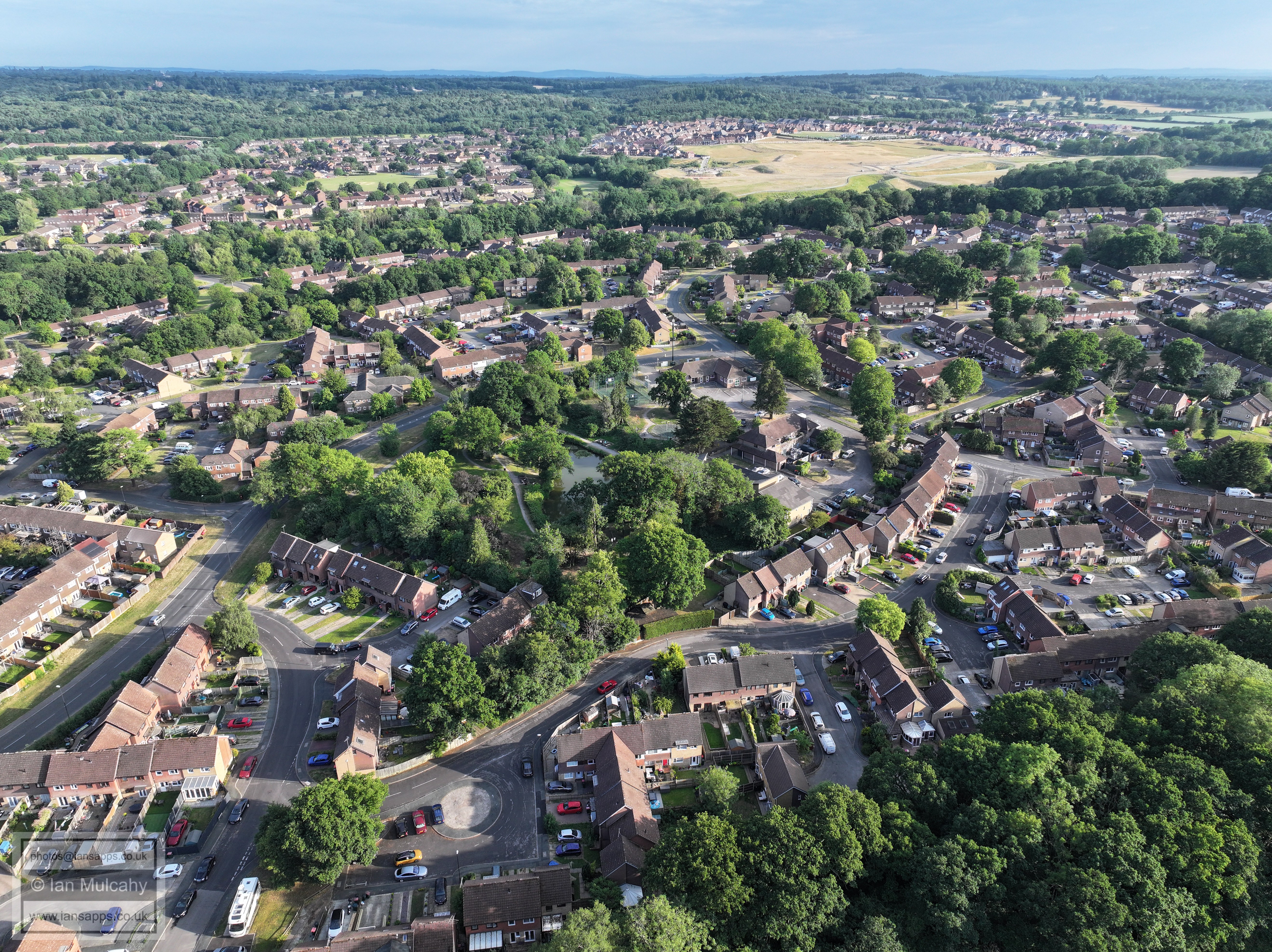
Ifield West at the bottom, Ifield Millpond, Gossops Green beyond to the left and Bewbush to the right.
Dobbins Pond in the centre. Kilnwood Vale top right and Bewbush top left, with the cricket pitch at Bewbush Green in the centre of the quarter.
Rusper Road playing fields in the centre.
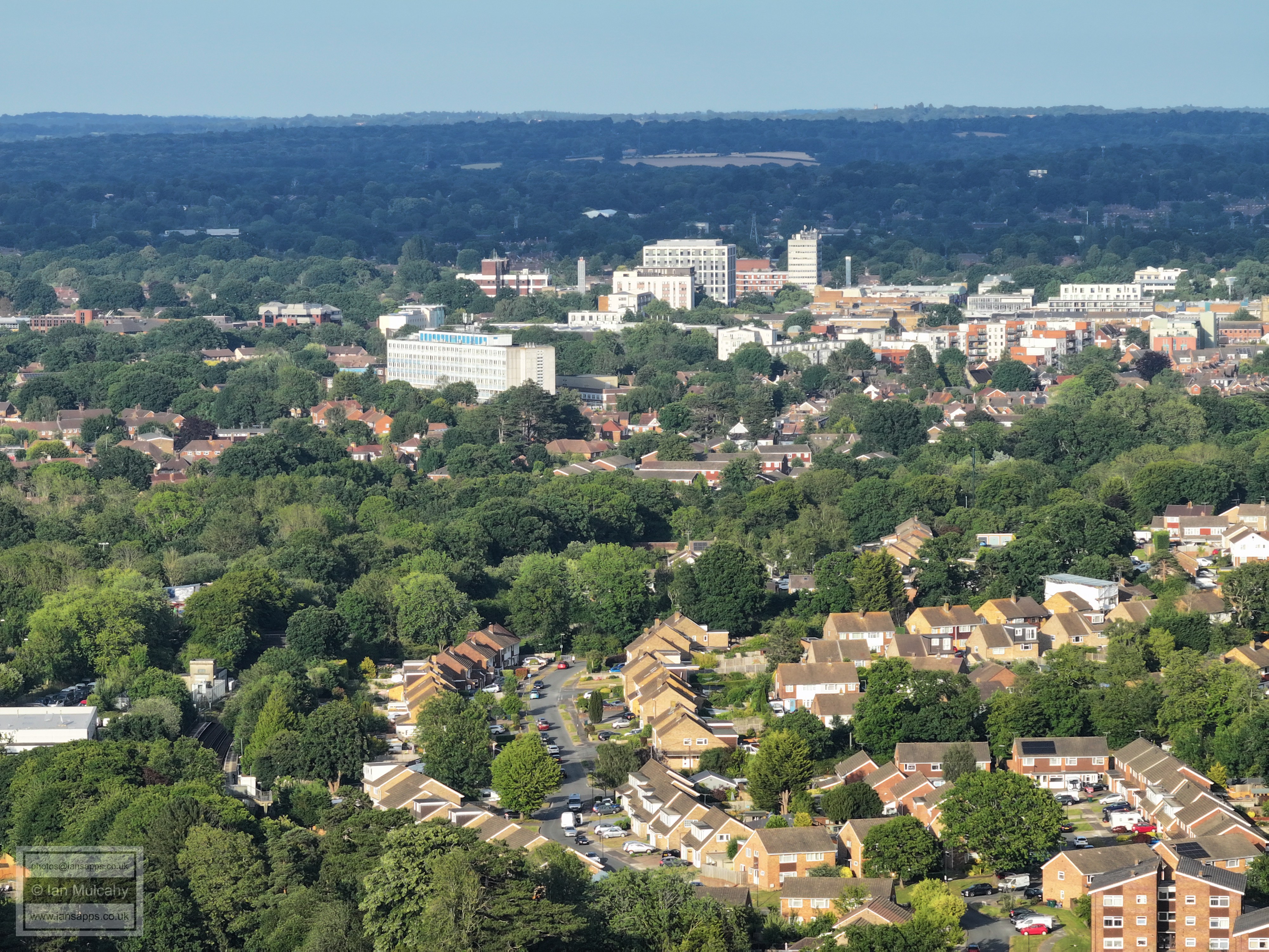
Town Centre. The road in the bottom left quarter is The Croft, off Craigans, in Gossops Green.
St Wilfreds right of centre. St Nicholas church spire in Worth can be seen in the top left quarter.
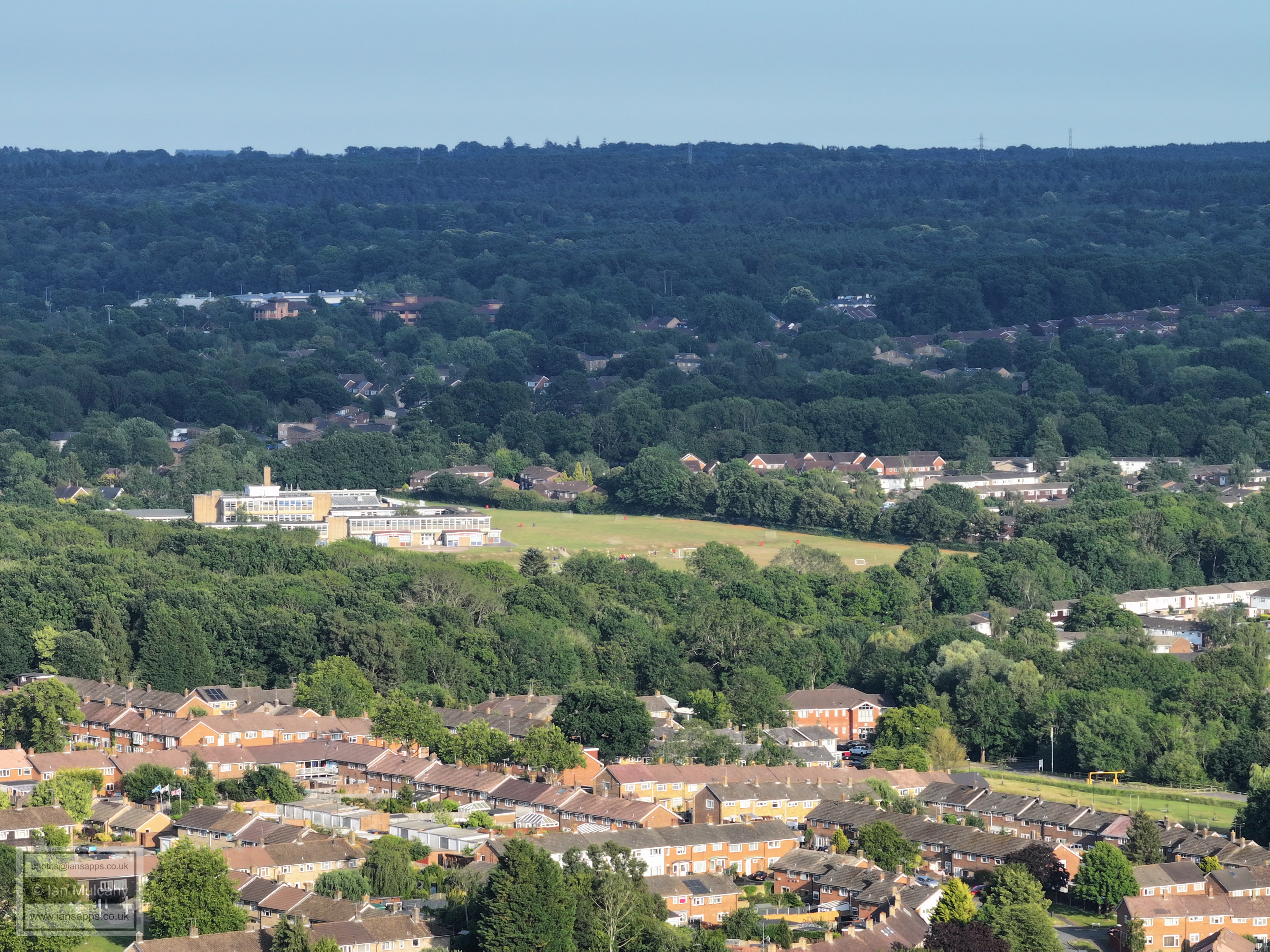
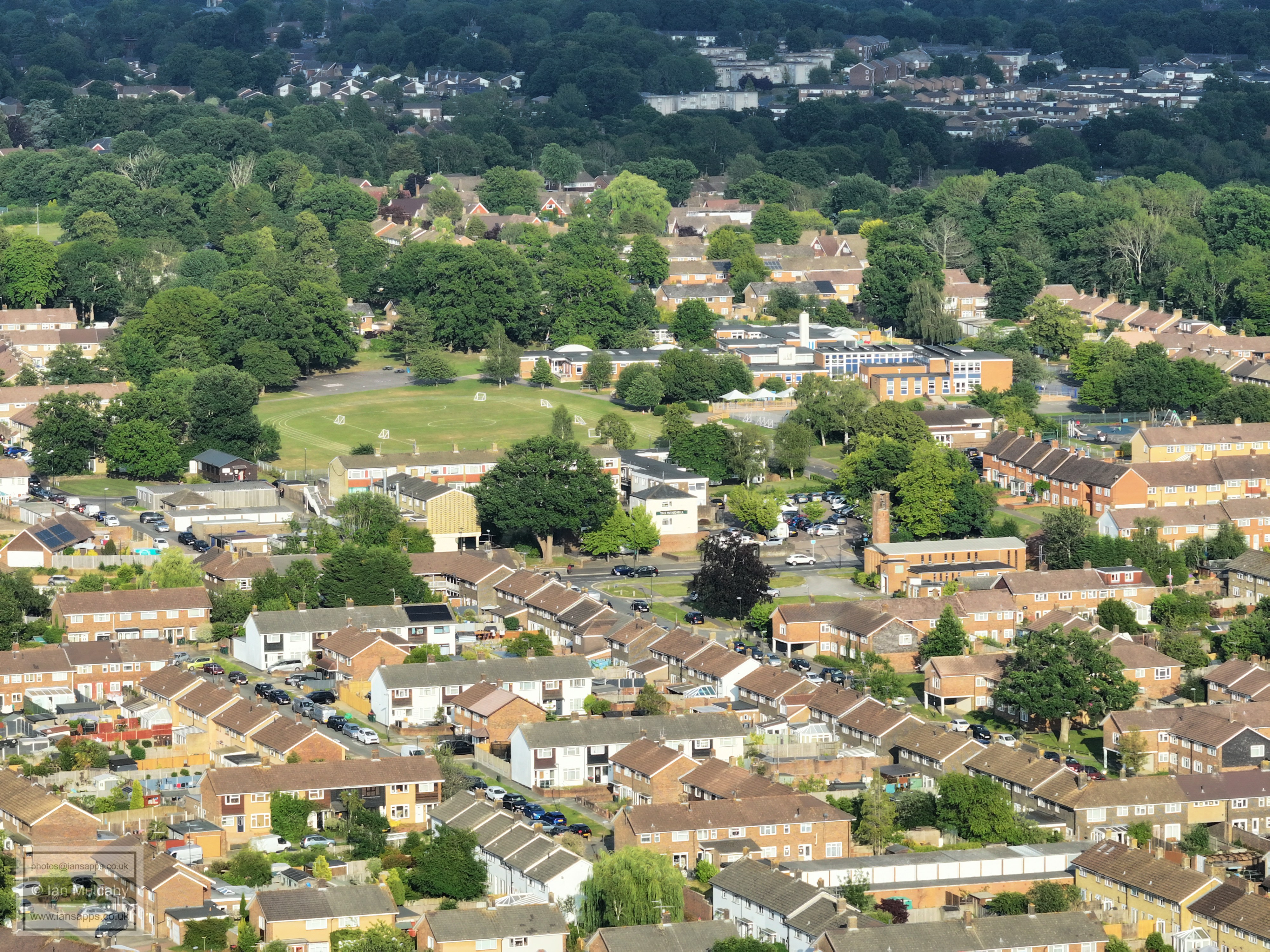
The playing fields at Gossops Green primary are just above teh shops and Windmill.
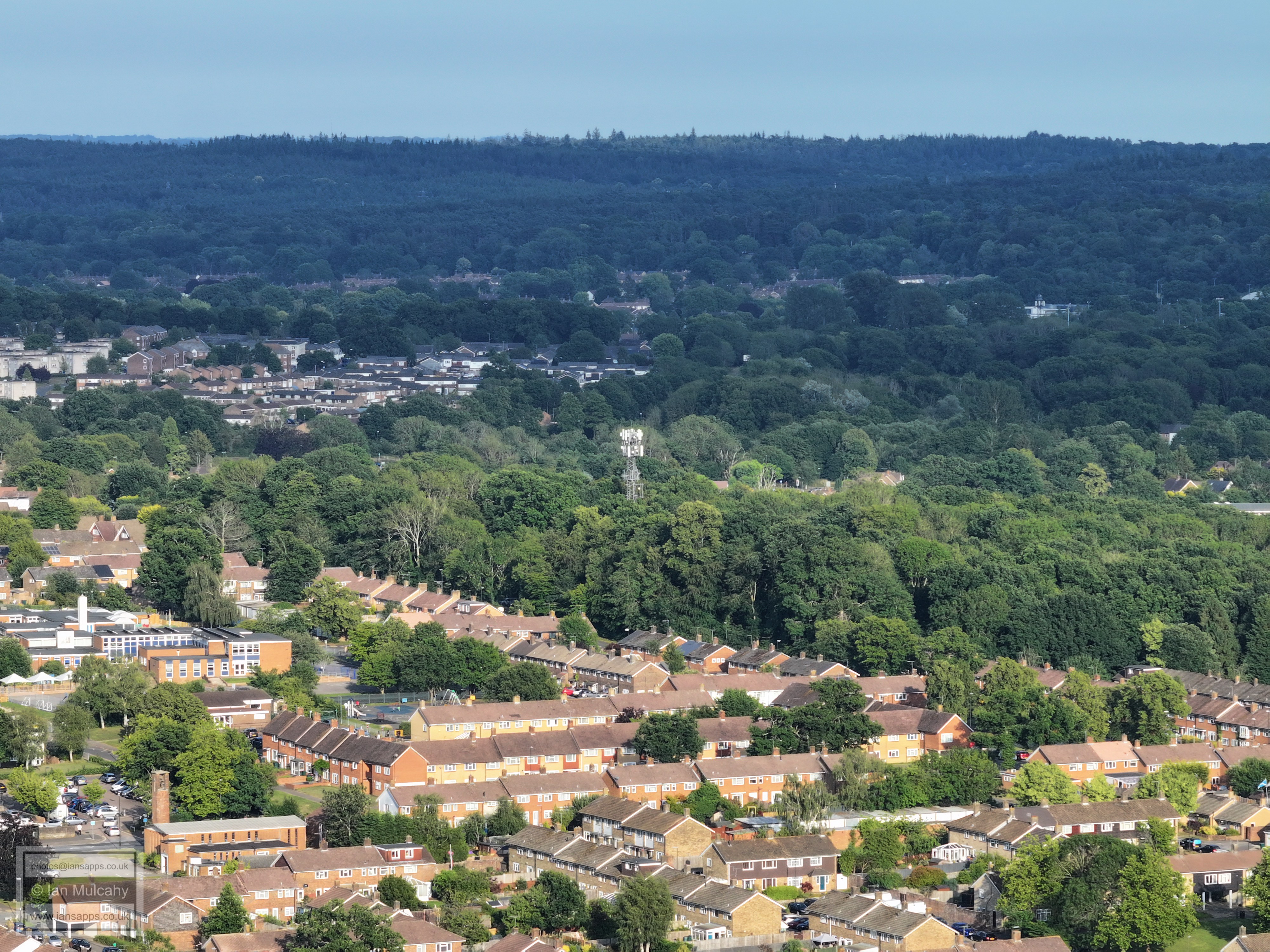
Woldhurstlea phone mast. Southgate West is above and to the left.
Holy Trinity across the centre. The steelwork of the Broadfield Stadium can be seen in the top left quarter. Bottom right is the millpond car park at the bottom of Gossops Drive.
Broadfield Barton just above centre. Woodgate (Pease Pottage) is in the top right quarter with Slaugham Water Tower poking out from the trees above.
Bewbush (foreground) and Broadfield
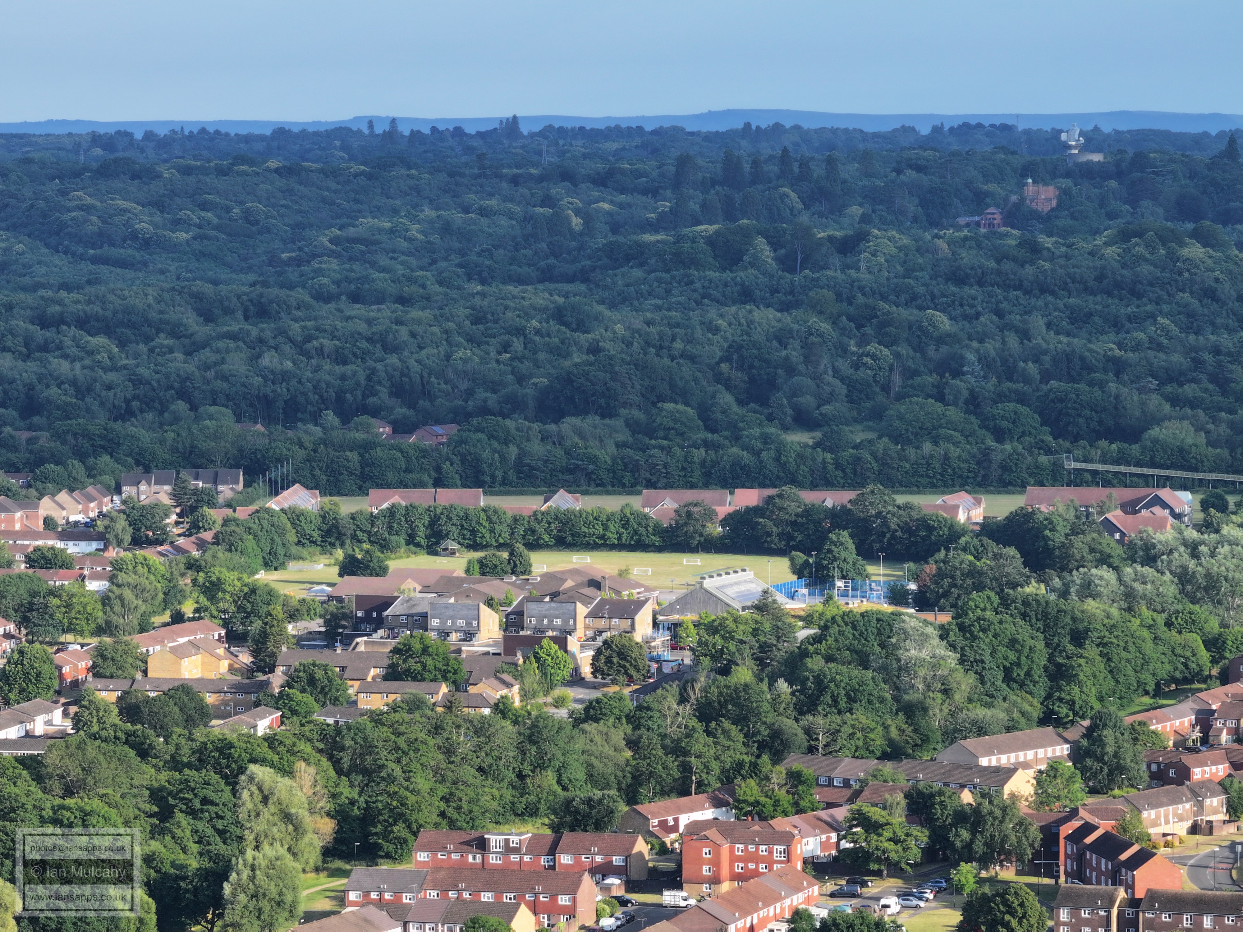
Bewbush Shops and Academy. The bridge into Buchan Park is far right and in the top right quarter is Cottesmore School (Buchan house), the Radar and the water water tower.
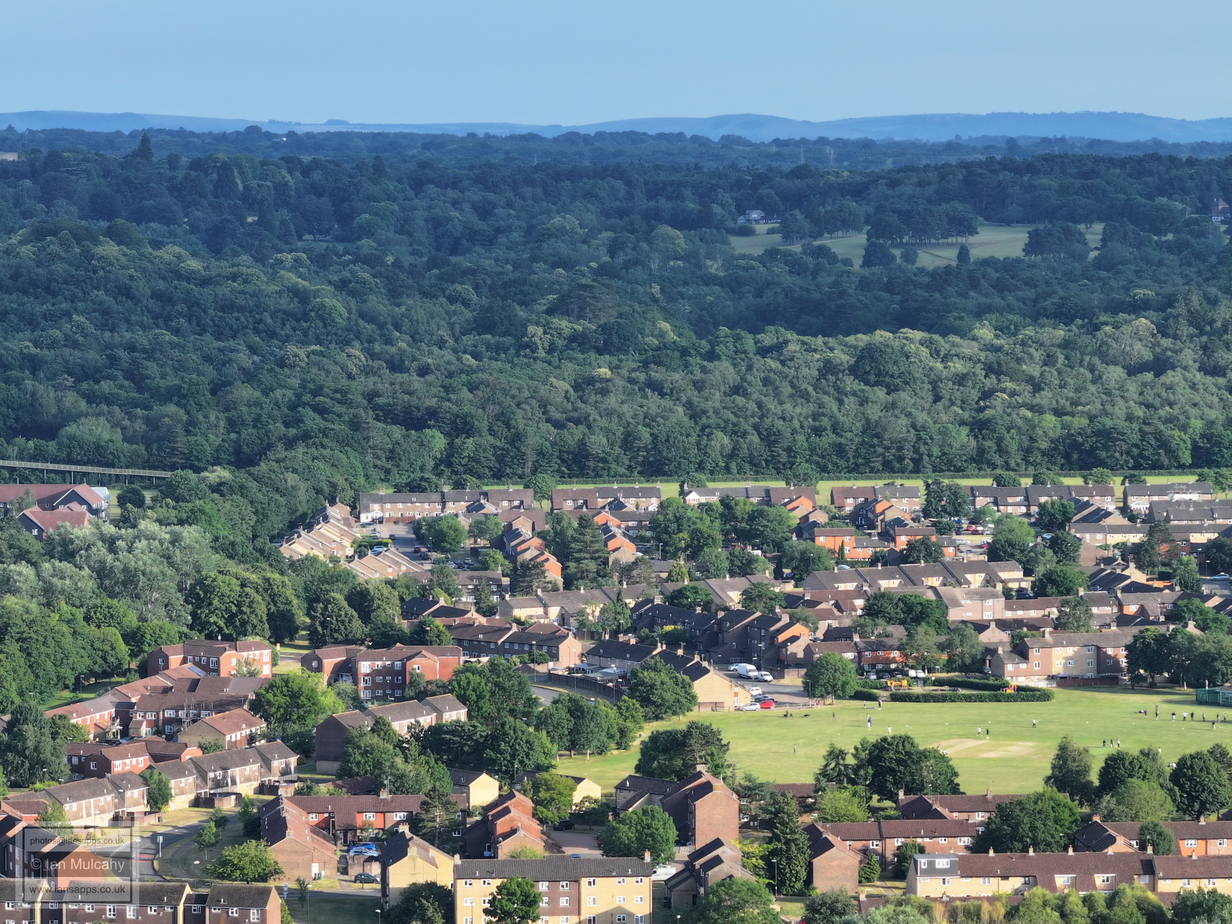
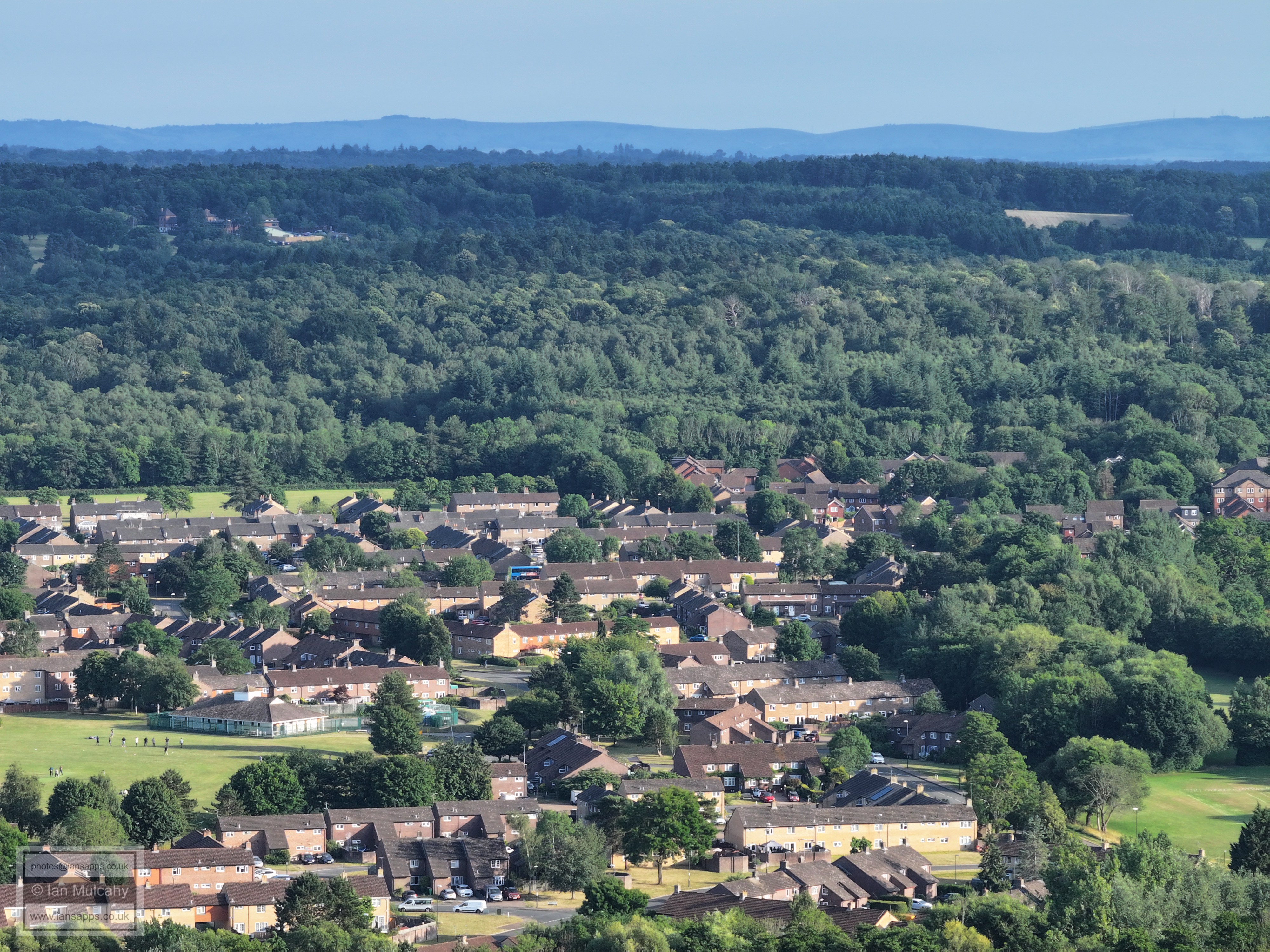
Bewbush Green cricket pitch
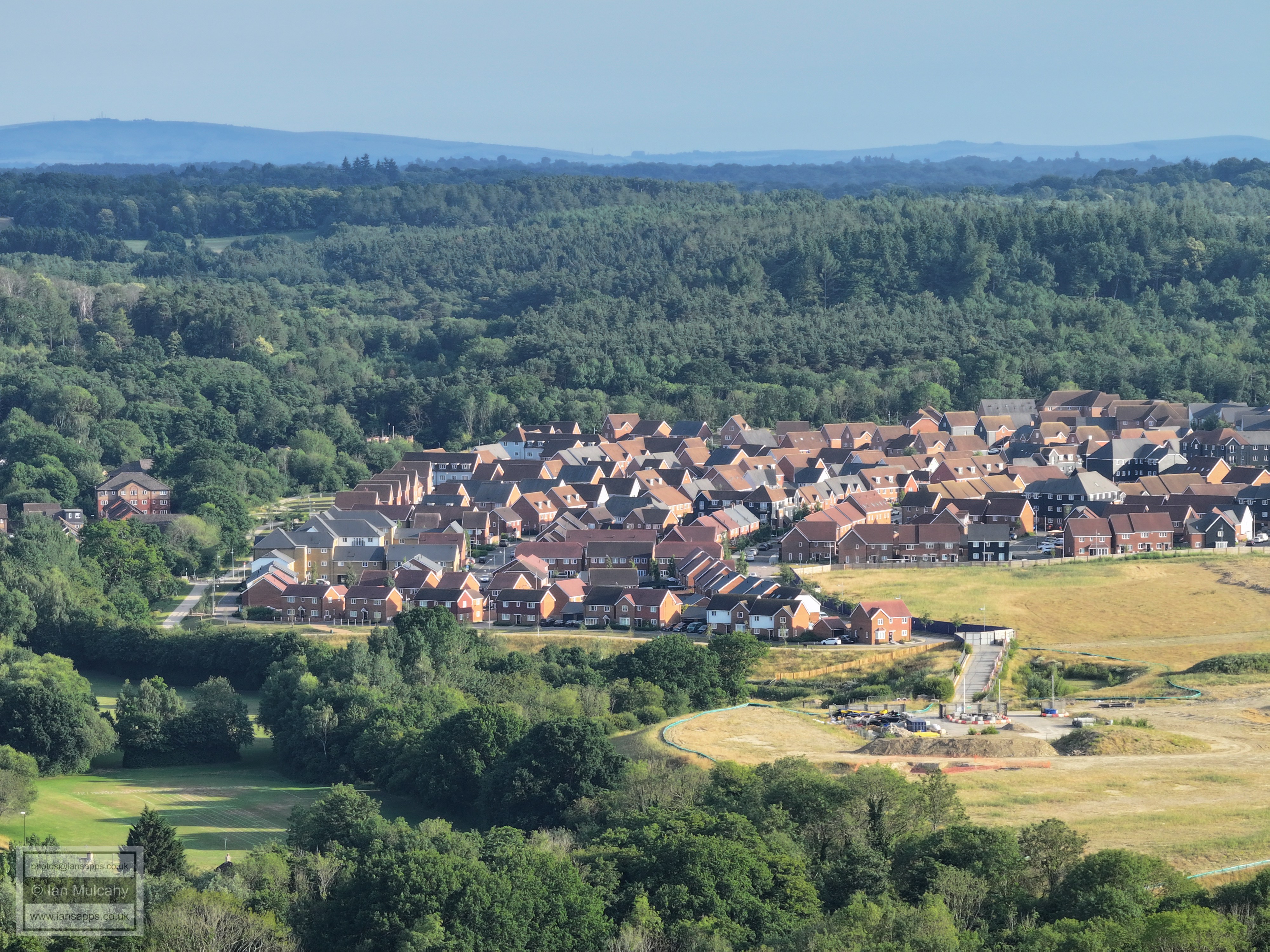
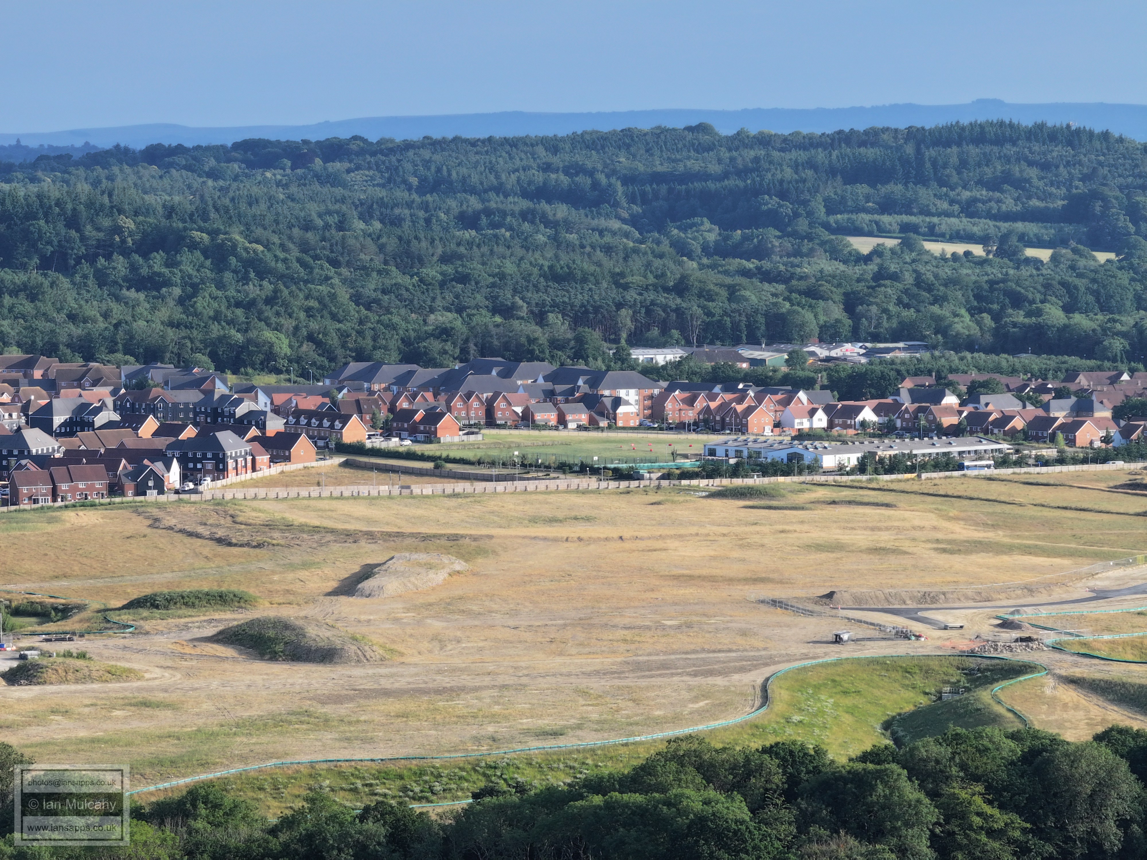
Bewbush West playing field, bottom left, and Kilnwood Vale
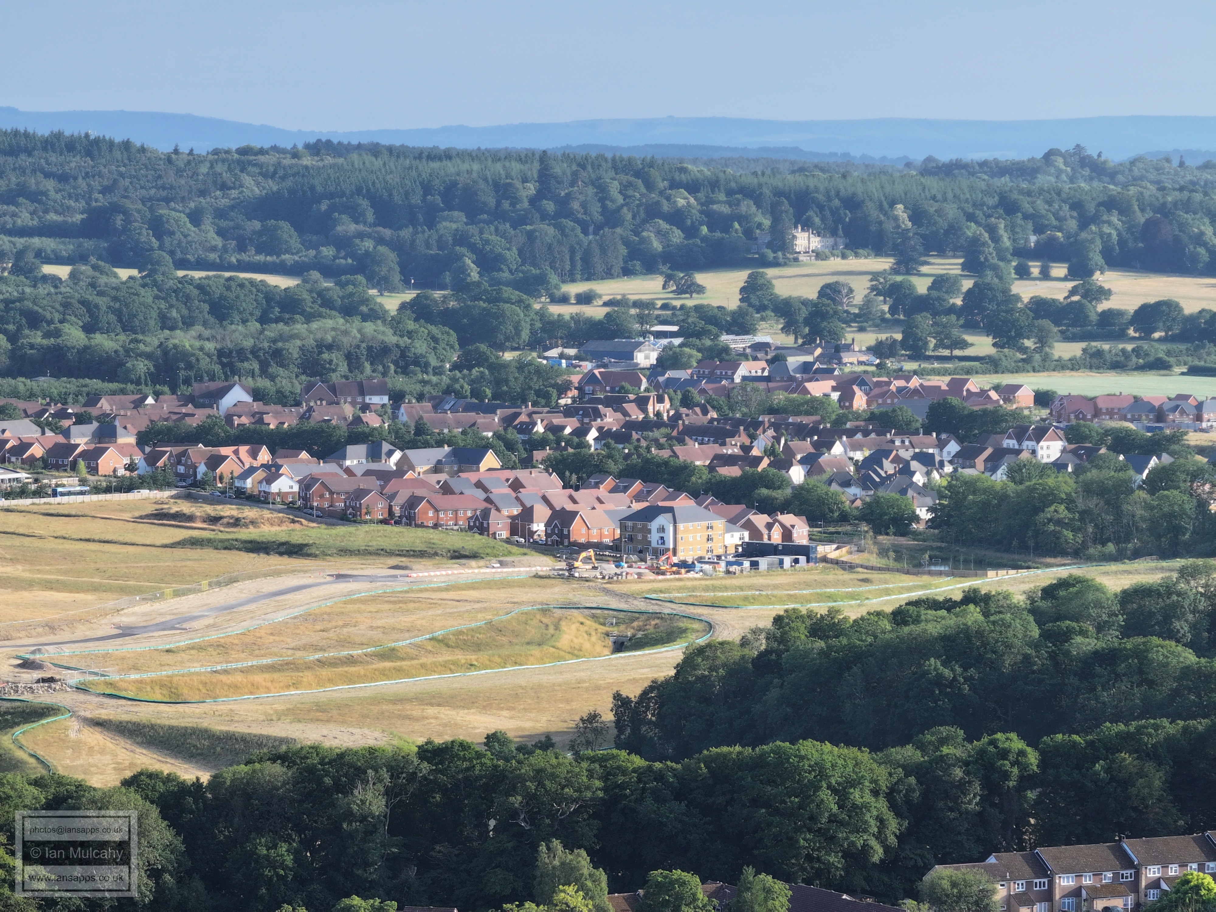
The ramp, bottom left, is to enable contsruction of a road bridge across the railway line to serve the yet-to-be-built northern part of Kilnwood Vale. In the top right quarter is Holmbush.
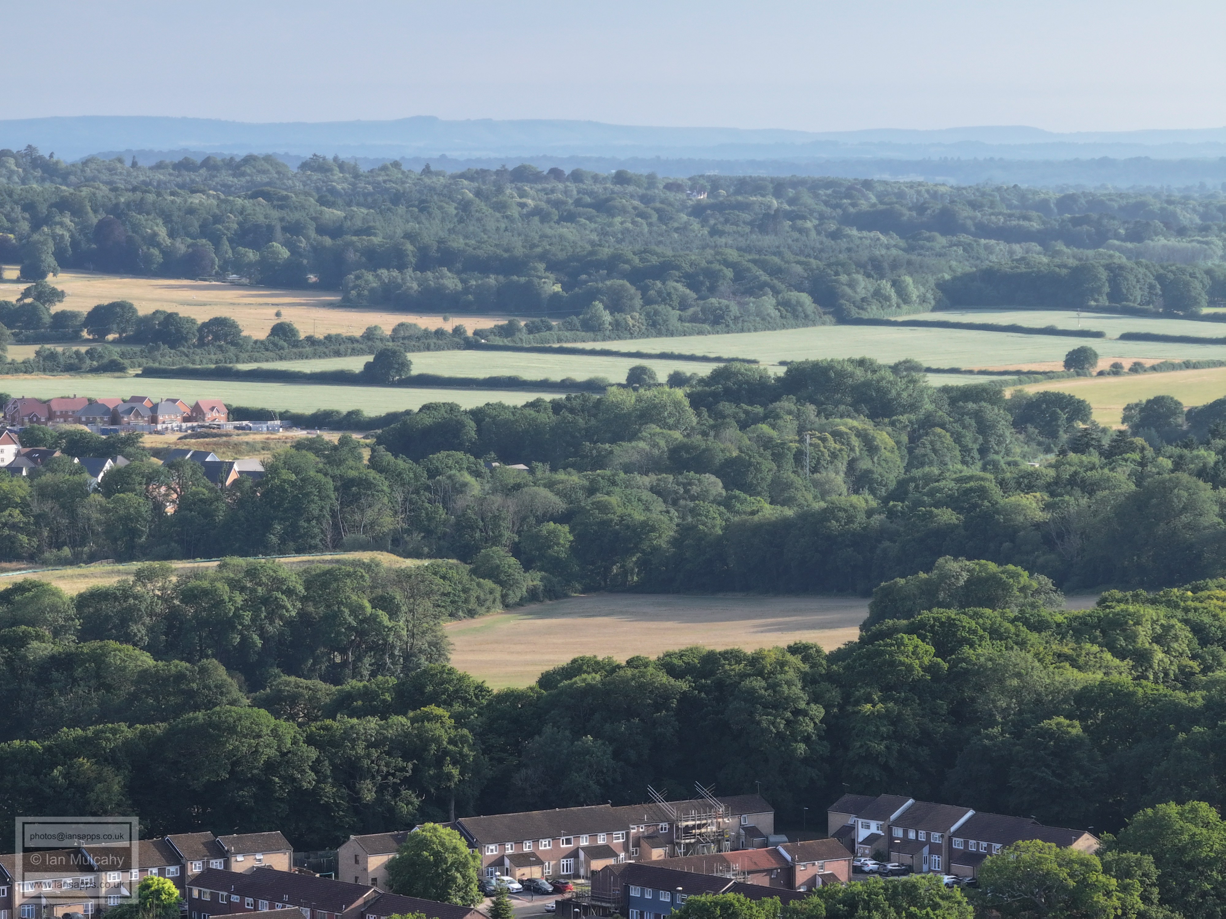
The houses in the top left quarter are Faygate.
The buildings across the centre are The Mount and nearby properties.
Bonwyckes Place and Bonwyckes Farm across the centre.
Just right of centre is 'Druids', near Ifield Court
The straight road just below and to the right of centre is Lavington Close
Ifield Parade is in the bottom left quarter and Langley Parade is just above and to the right of centre. The green area just above the industrial estate is Rowley Farm.
Manor Green school in the centre, Ewhurst Place can be seen to the left and up a bit and the Crowne Plaza is above the trees beyond the school.
Bottom centre is the Tangmere Road and Ifield Drive Junction with The Mill Primary, Southwater Close and ICC above. The Sandman hotel at Hazelwick is clear and Milton Mount flats are to the right of it. Below Milton Mount is Cineworld at the Leisure Park.
Ifield Station is in the bottom left quarter. The buildings of the Town centre need no introduction.
Gossops Green parade and St Albans Church
Dobbins Den and the Wybourne Centre.
Text & photographs © Ian Mulcahy. Contact photos@iansapps.co.uk or visit my 'Use of my photographs' page for licensing queries (ground level photographs only). |