Ringmer Village Green
East Sussex
12 July 2025
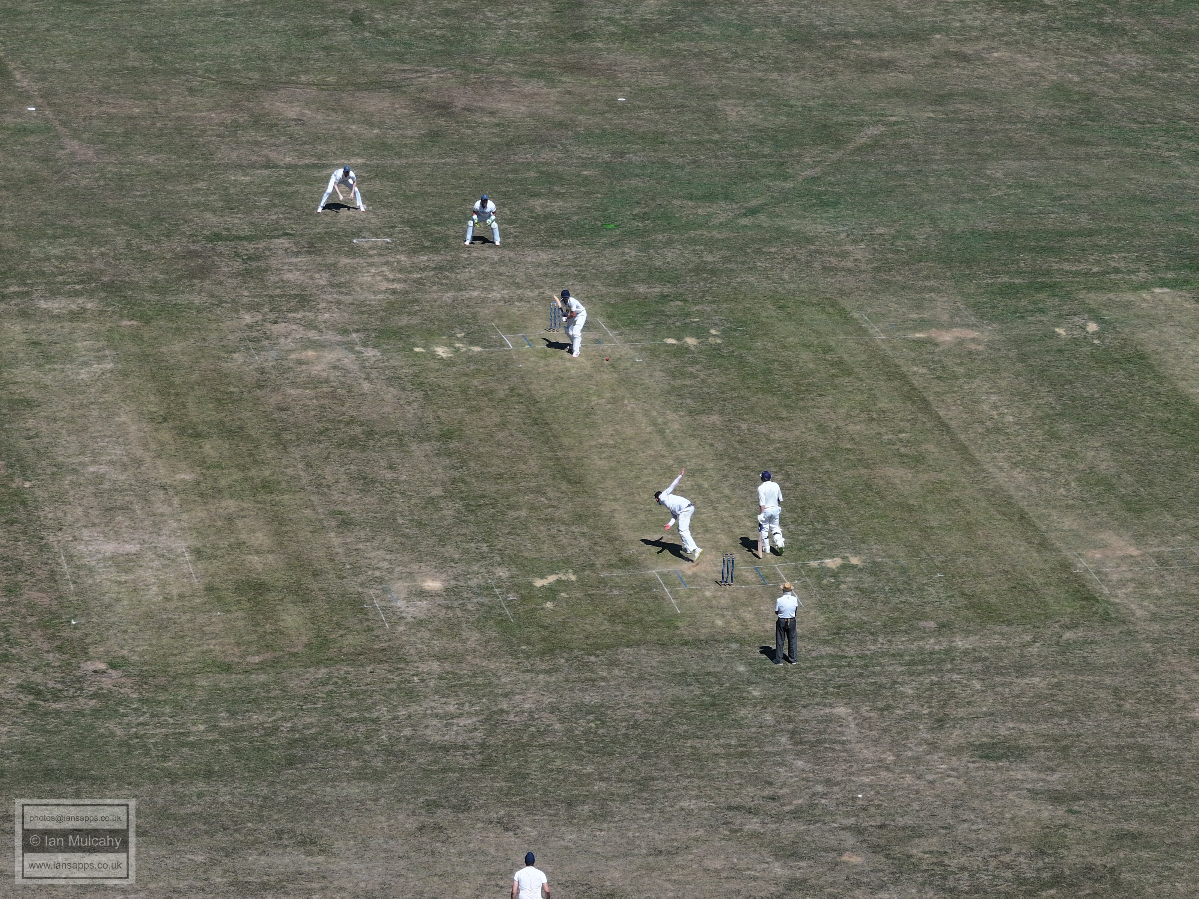
74 aerial photographs of the village, Downs and surrounding countryside
|
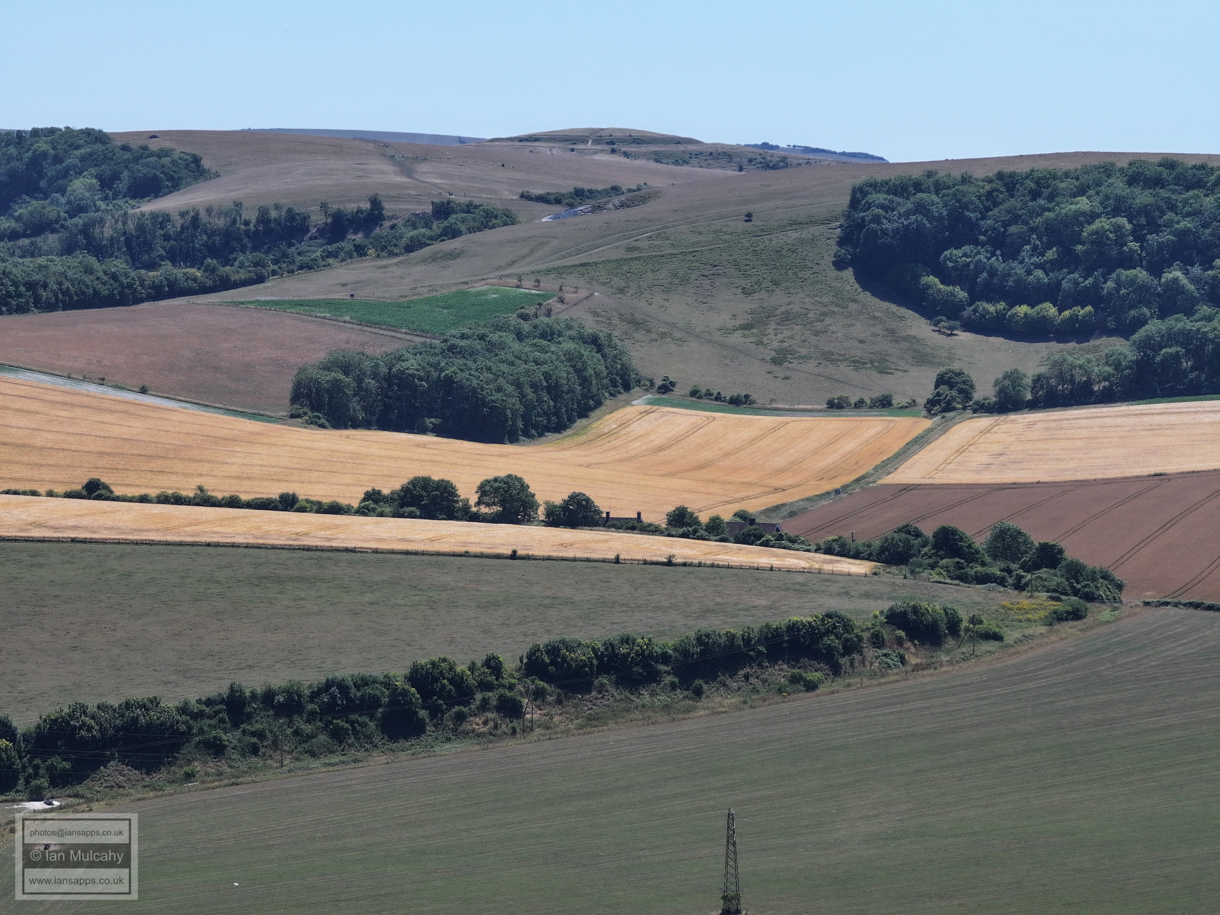
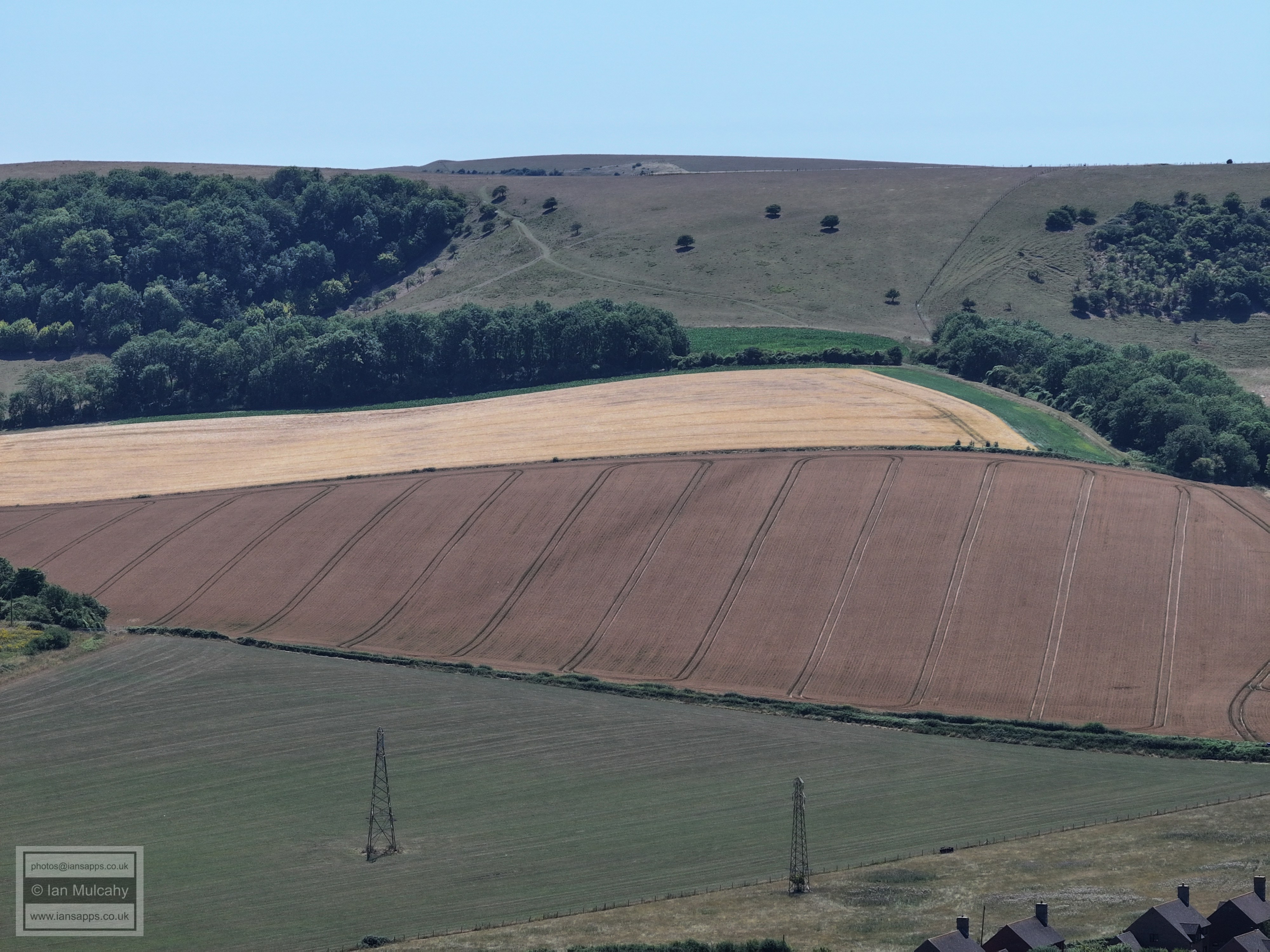
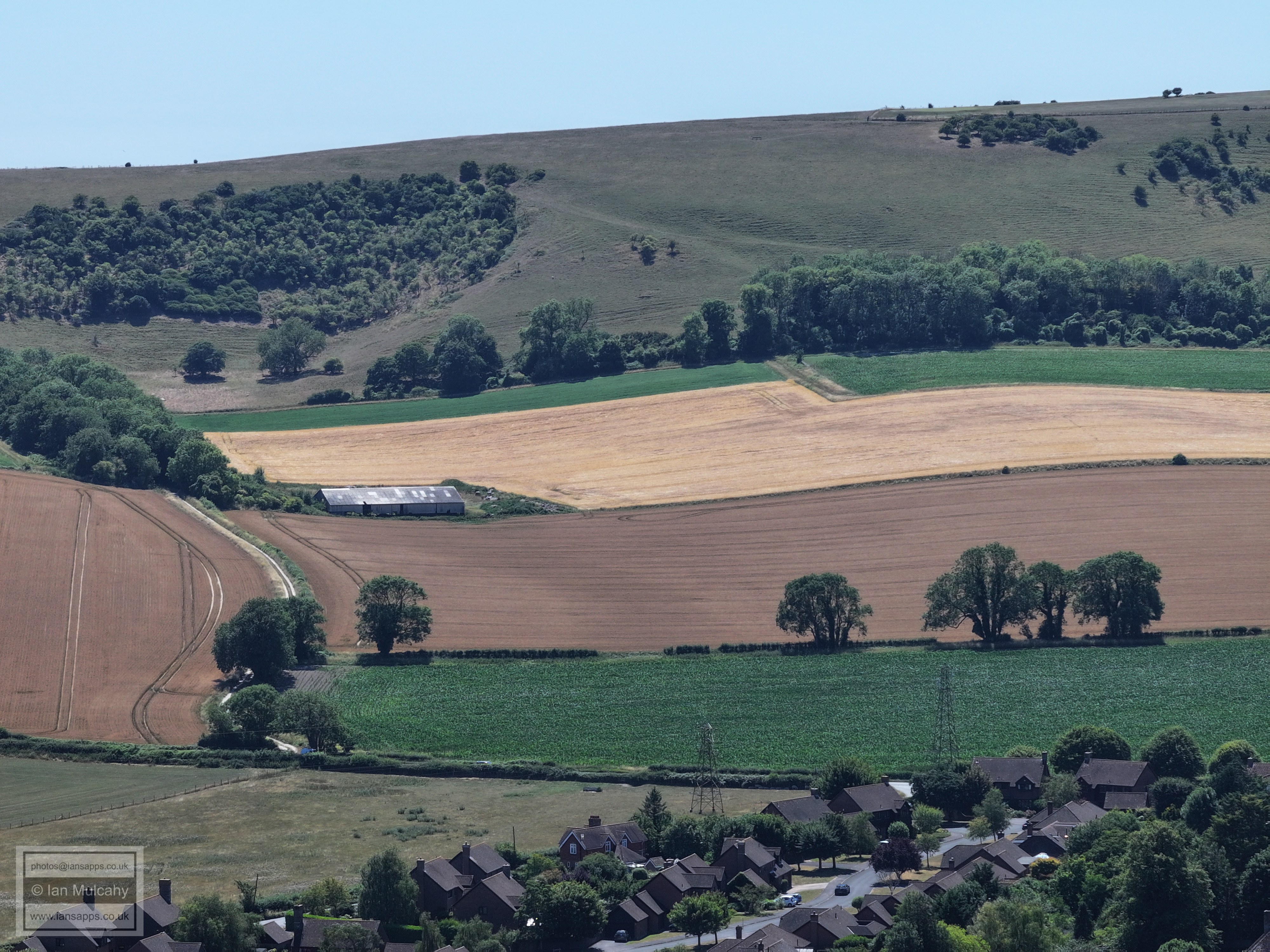
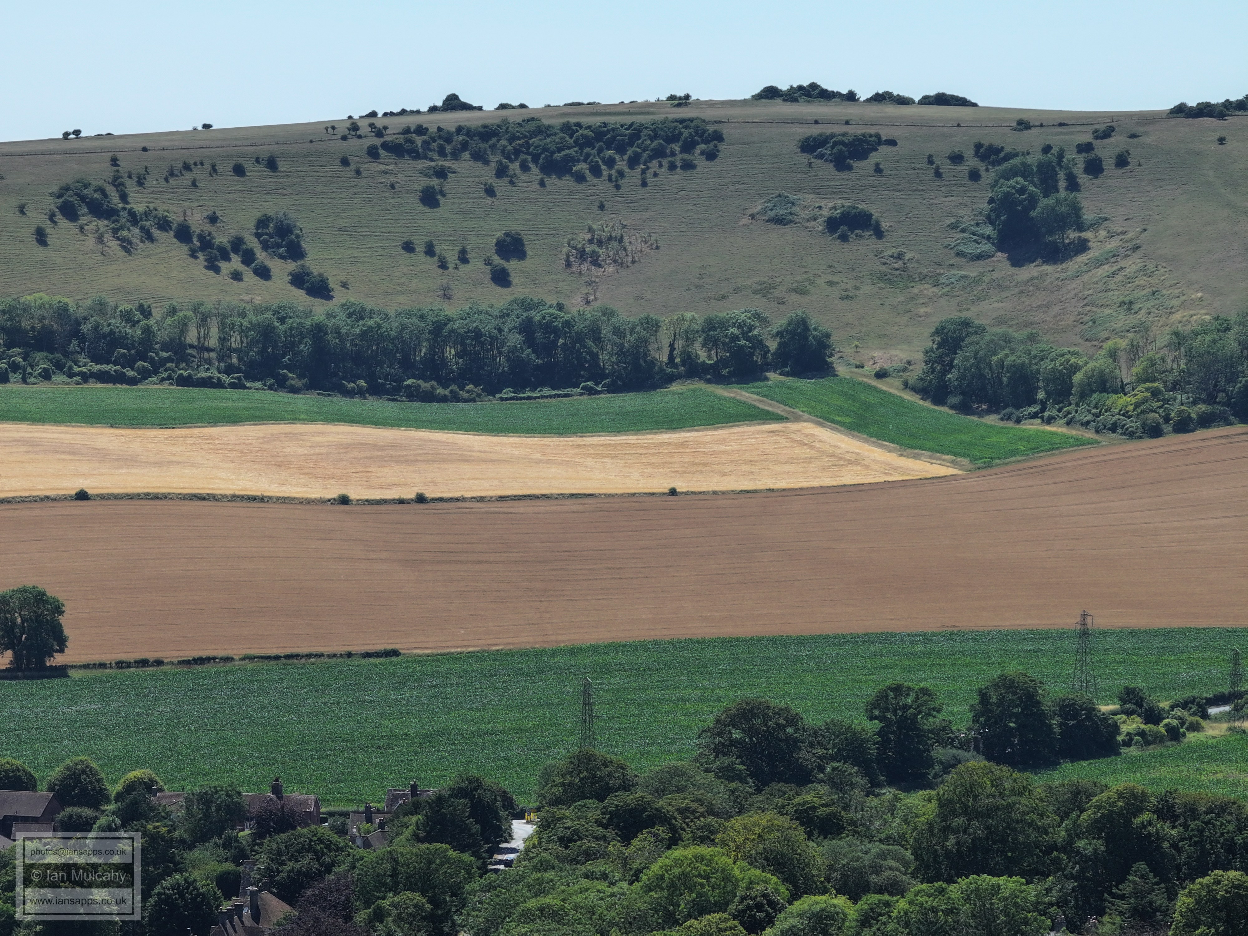
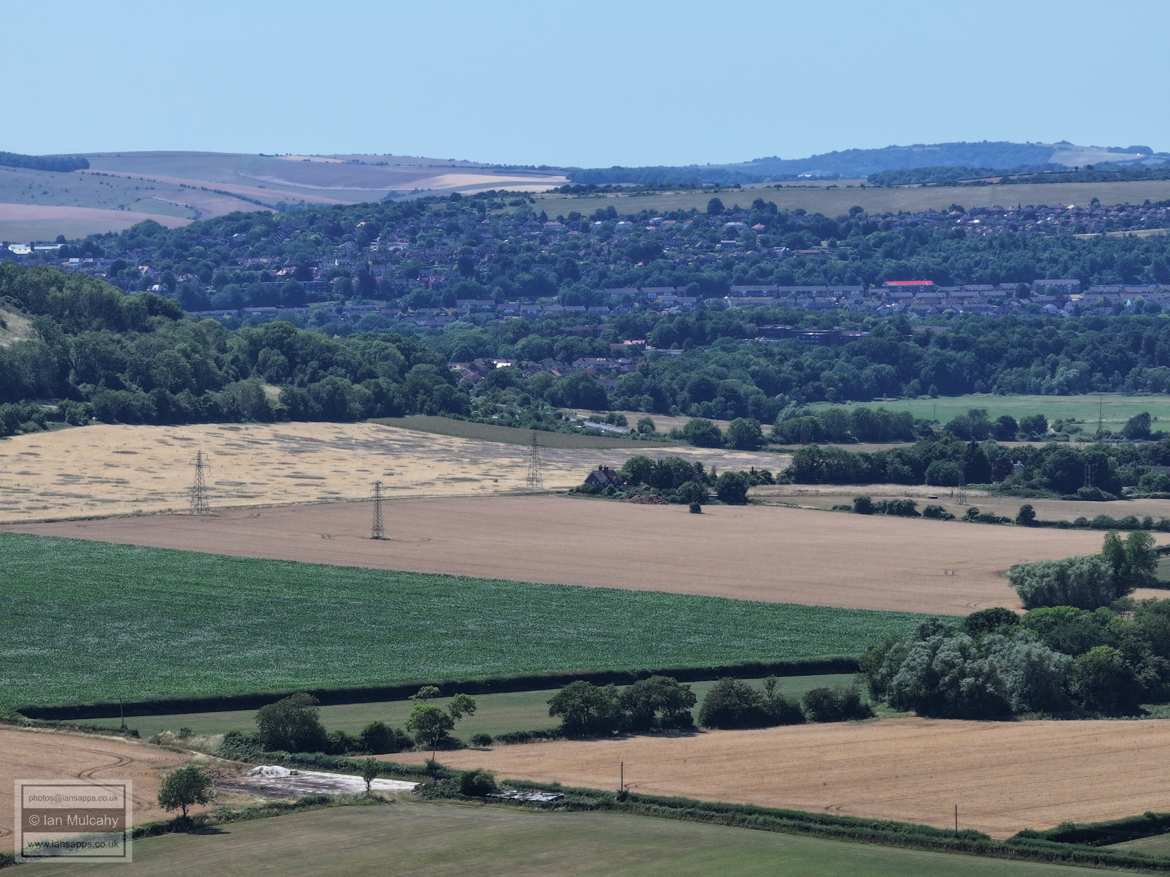
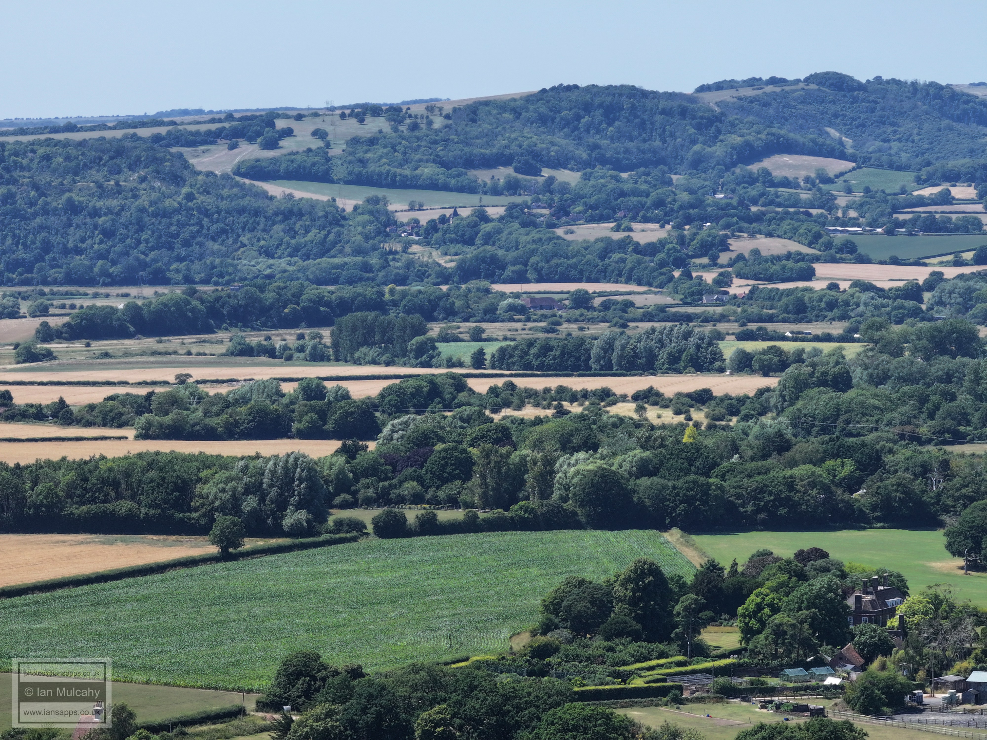
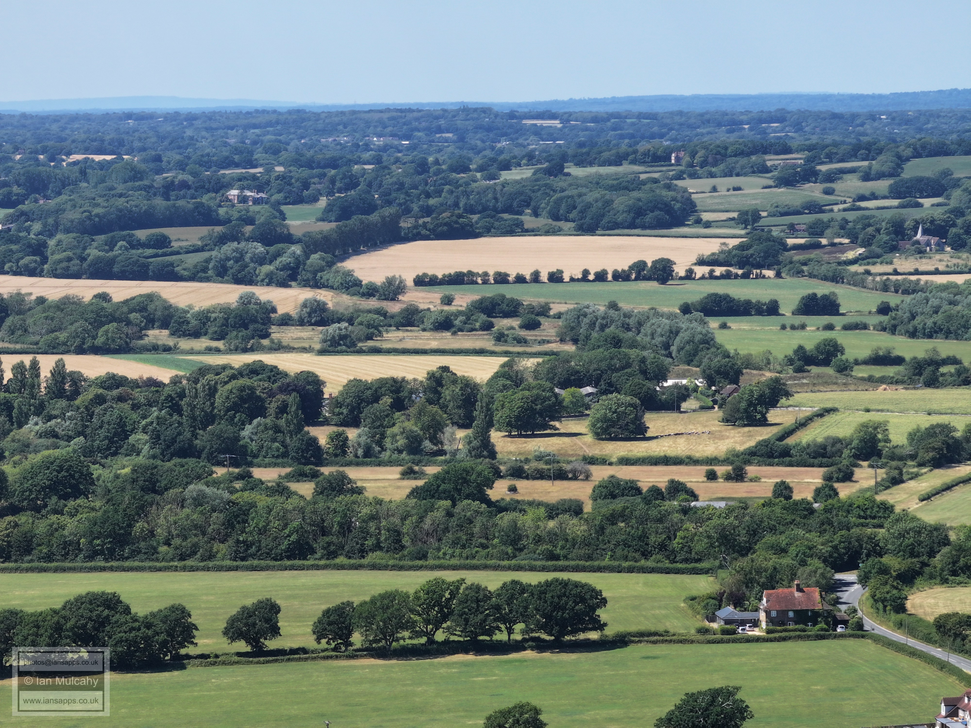
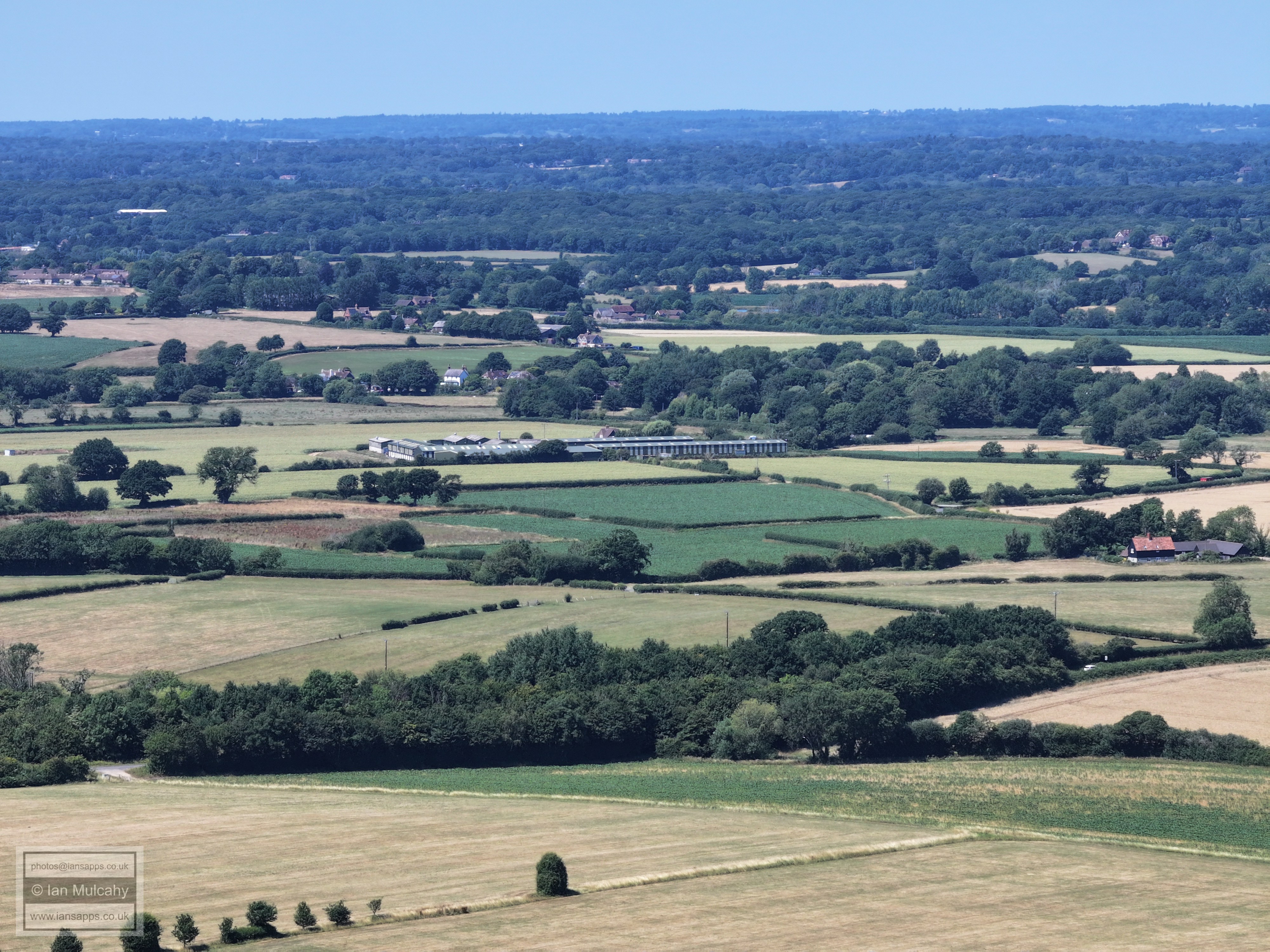
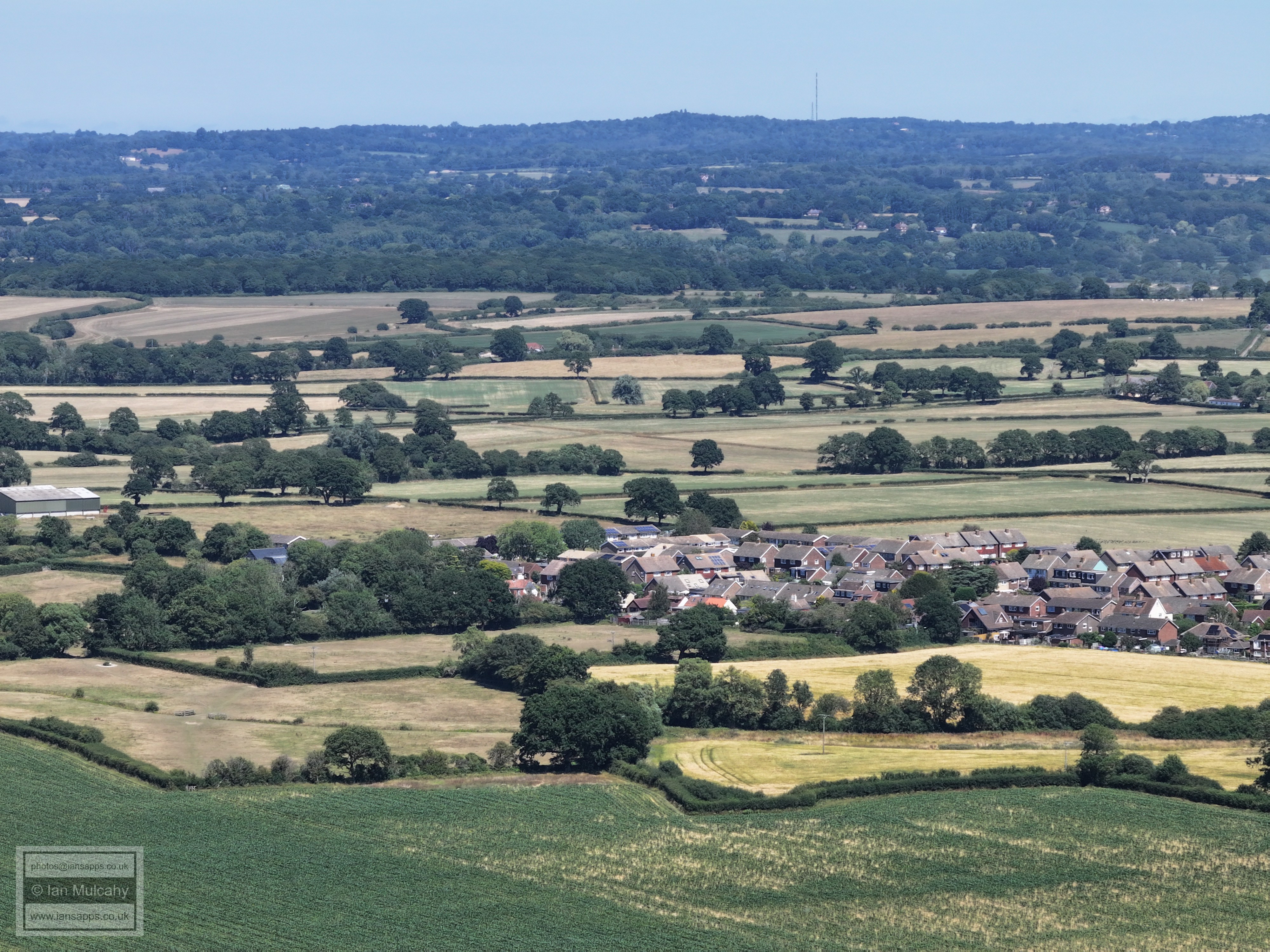
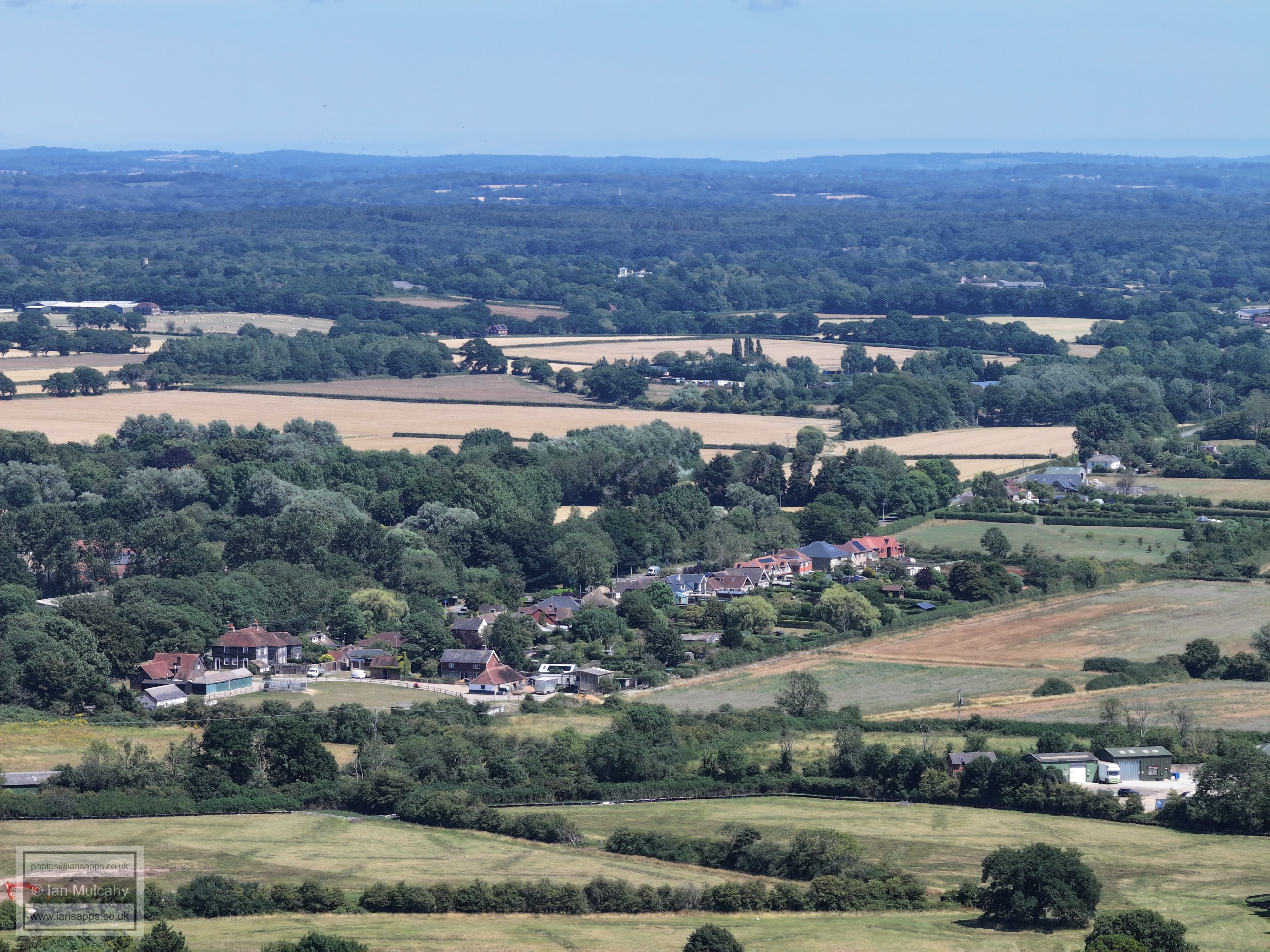
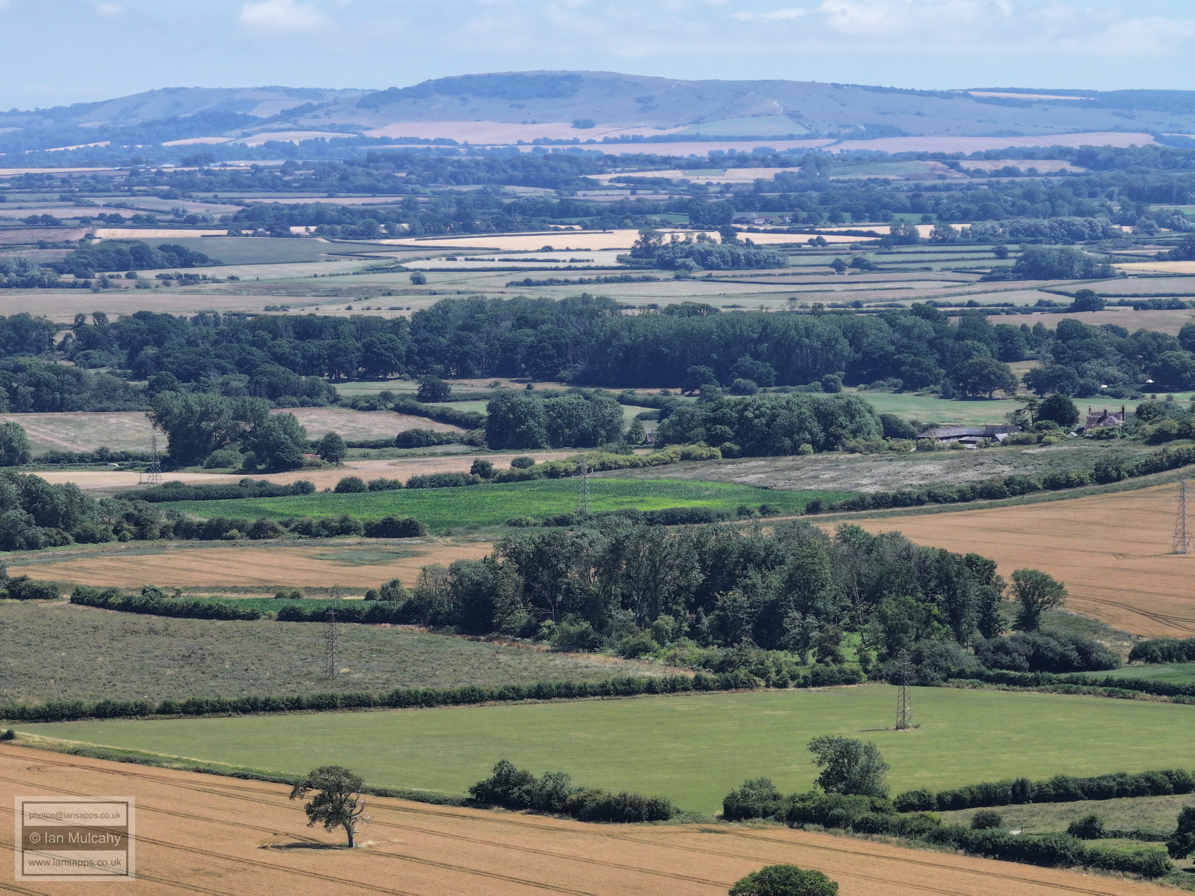
74 aerial photos of varying focal length taken from above the western end of Ringmer Village Green in East Sussex, and a handful around the church with the Mini 4, on 12 July 2025.
I have annotated a few of the photos, but I don't have sufficient knowledge of this area to do a detailed commentary.
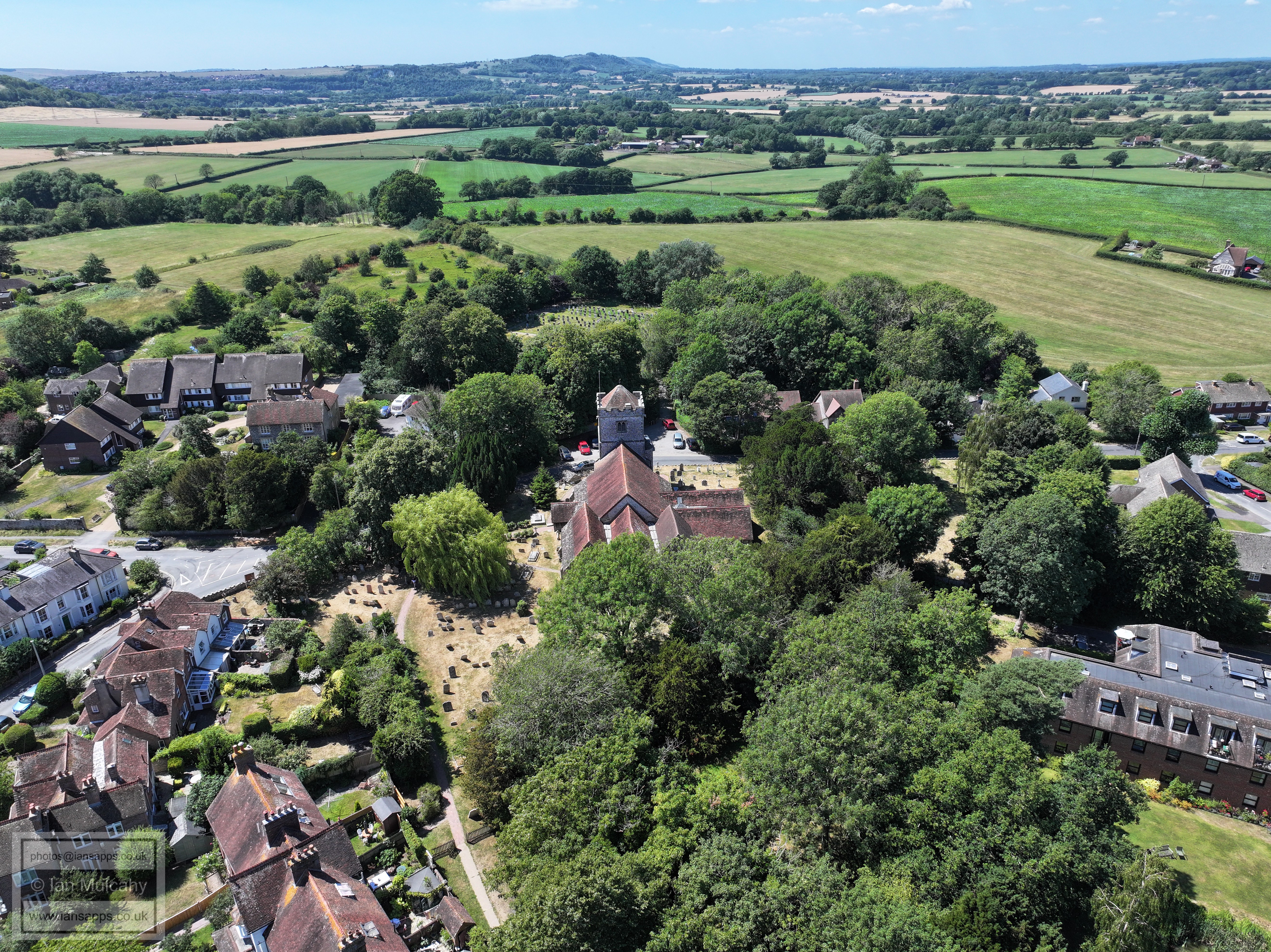
The Parish Church of St Mary the Virgin, Ringmer's (mainly) 15th & 16th century Parish Church, just west of the Village Green.
The Caburn Sports Ground, home to Ringmer AFC
The wind turbine near Glyndebourne with Beddingham Hill behind.
Malling Down, obscuring most of Lewes.
In the top right quarter, towards the centre of the photo, the steelwork on the roof of the Falmer Stadium is visible.
Top left hand quarter is looking along the north face of the Downs, Ditchling beacon being the prominent section.
Surrey Hills in the far distance
On the far right, towards the top, is St Mary's Church at Barcombe. In the bottom right is Ham Lane approaching the junction with the A26. In the centre of the top right quarter is the house at Shelleys Folly and in the centre of the top left quarter is Conyboro House near The Rainbow
Barcombe Reservoir
The road and houses in the centre are in Norlington Lane. Near the top in the centre is the East Sussex National Hotel Golf Resort & Spa near Uckfield.
In the top right quarter are the wind turbines on the Pevensey Levels.
Text & photographs © Ian Mulcahy. Contact photos@iansapps.co.uk or visit my 'Use of my photographs' page for licensing queries (ground level photographs only). |