Fords Green
Nutley
East Sussex
12 July 2025
58 aerial photographs of the village and surrounding countryside.
|
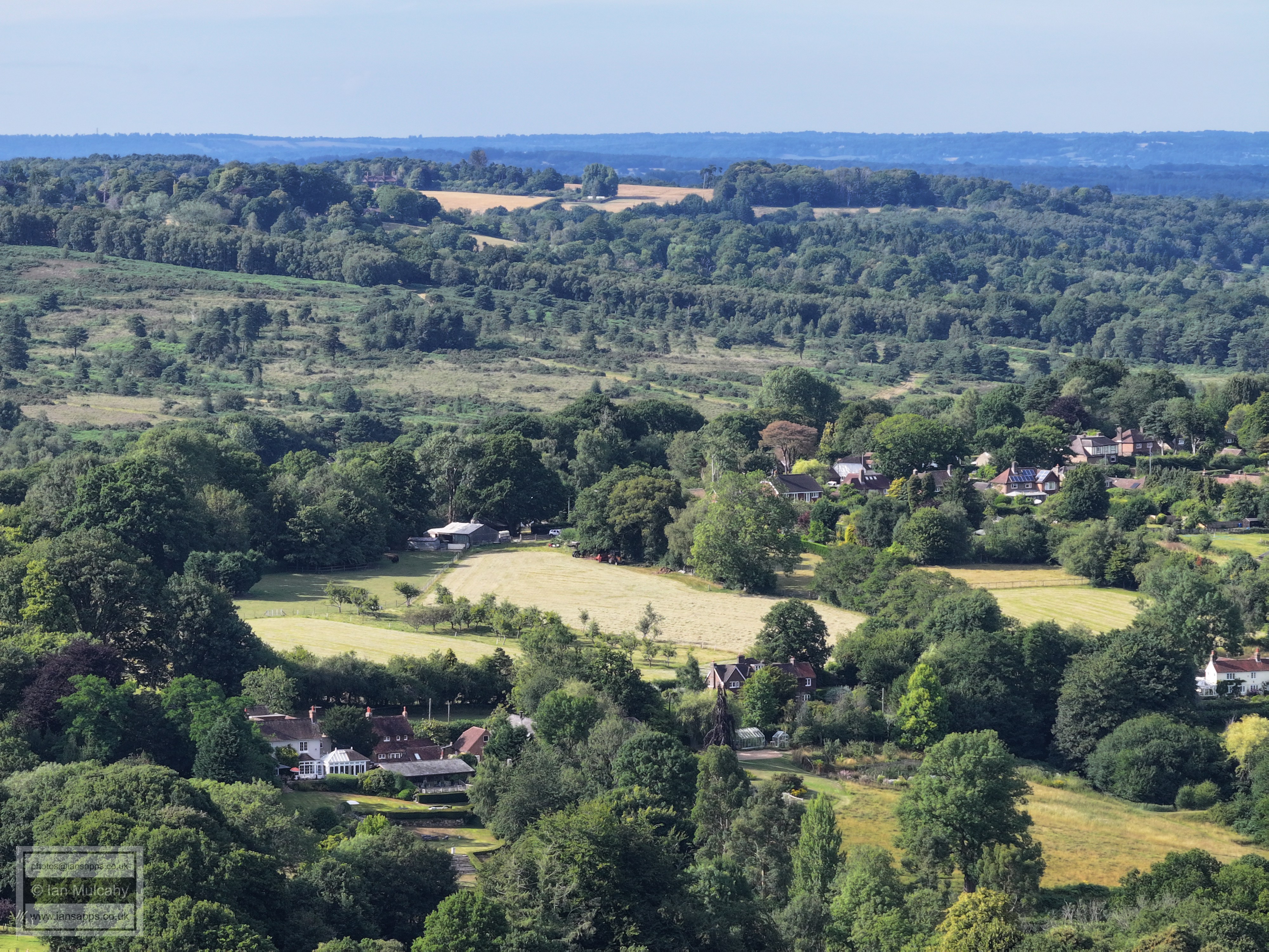
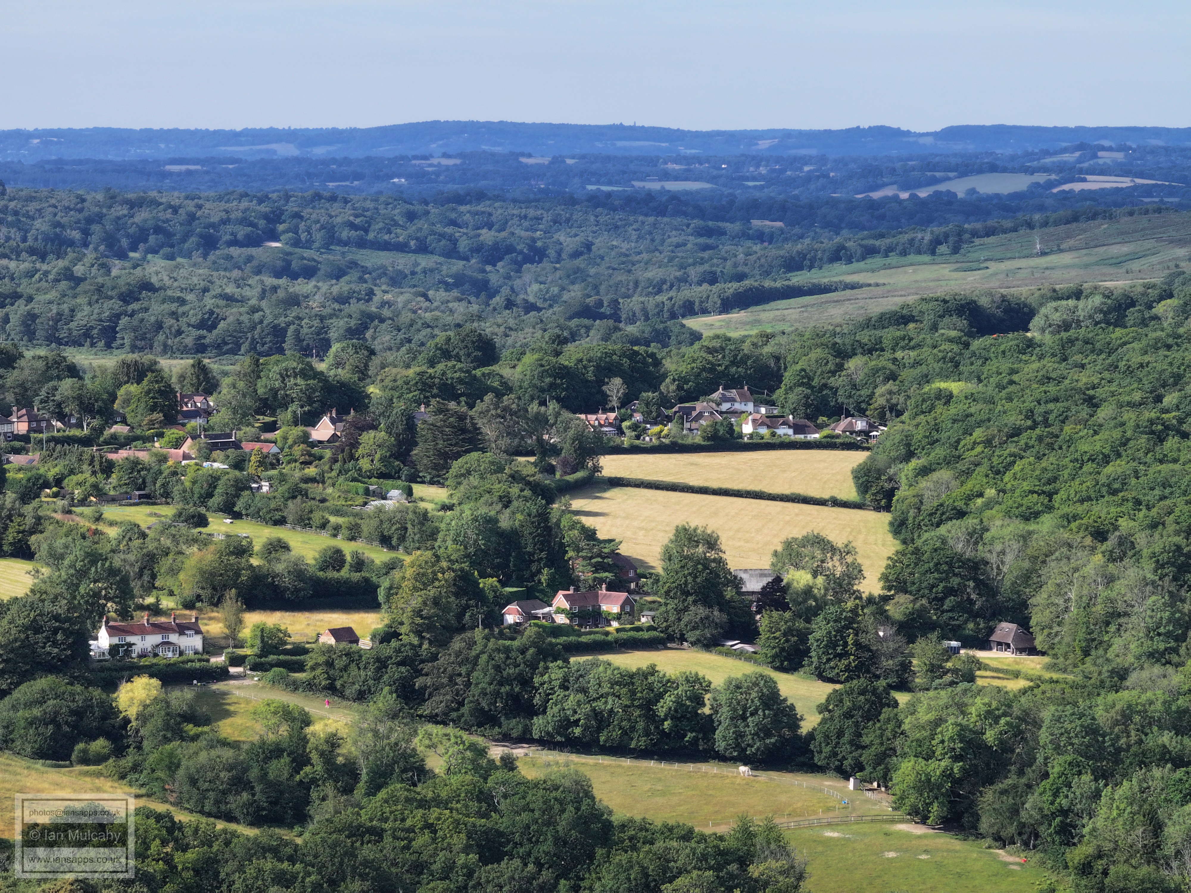
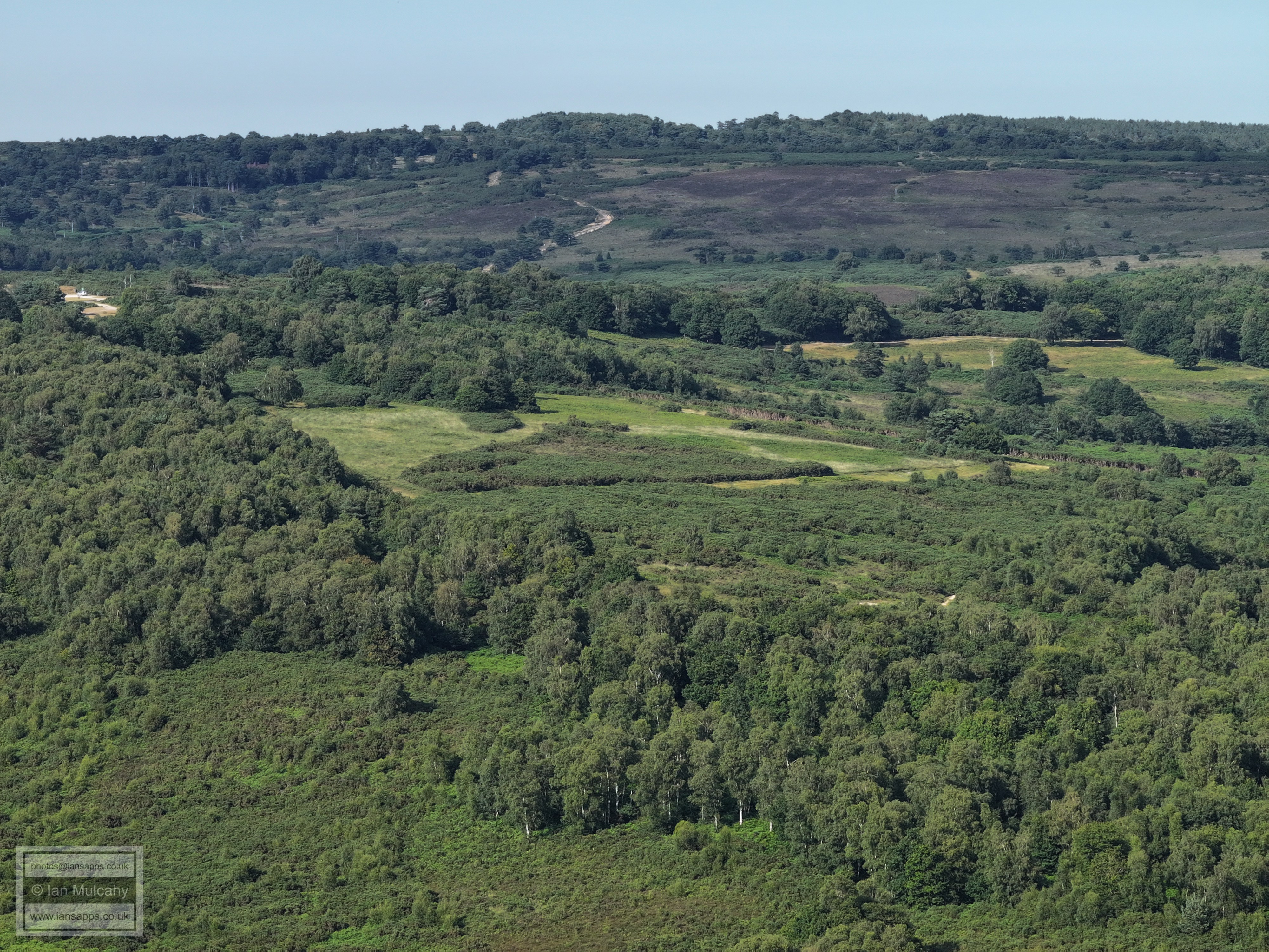
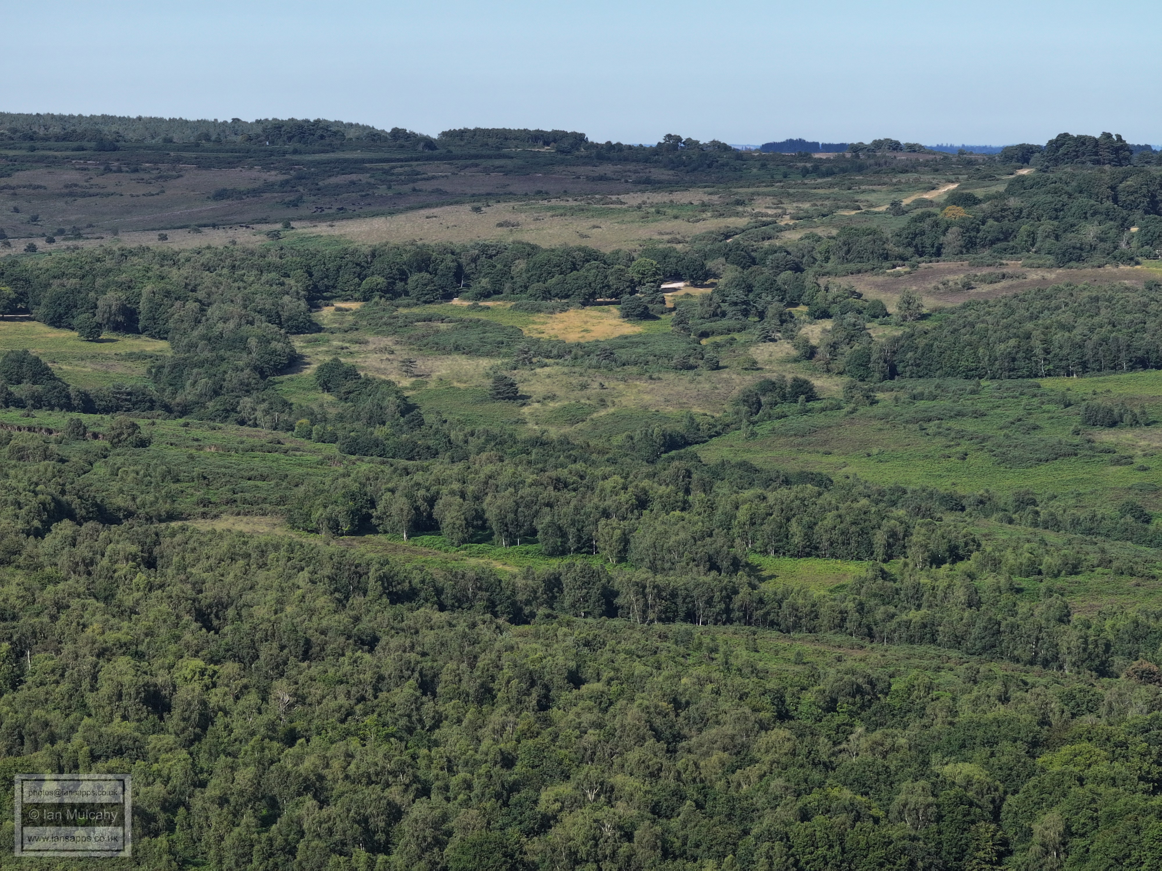
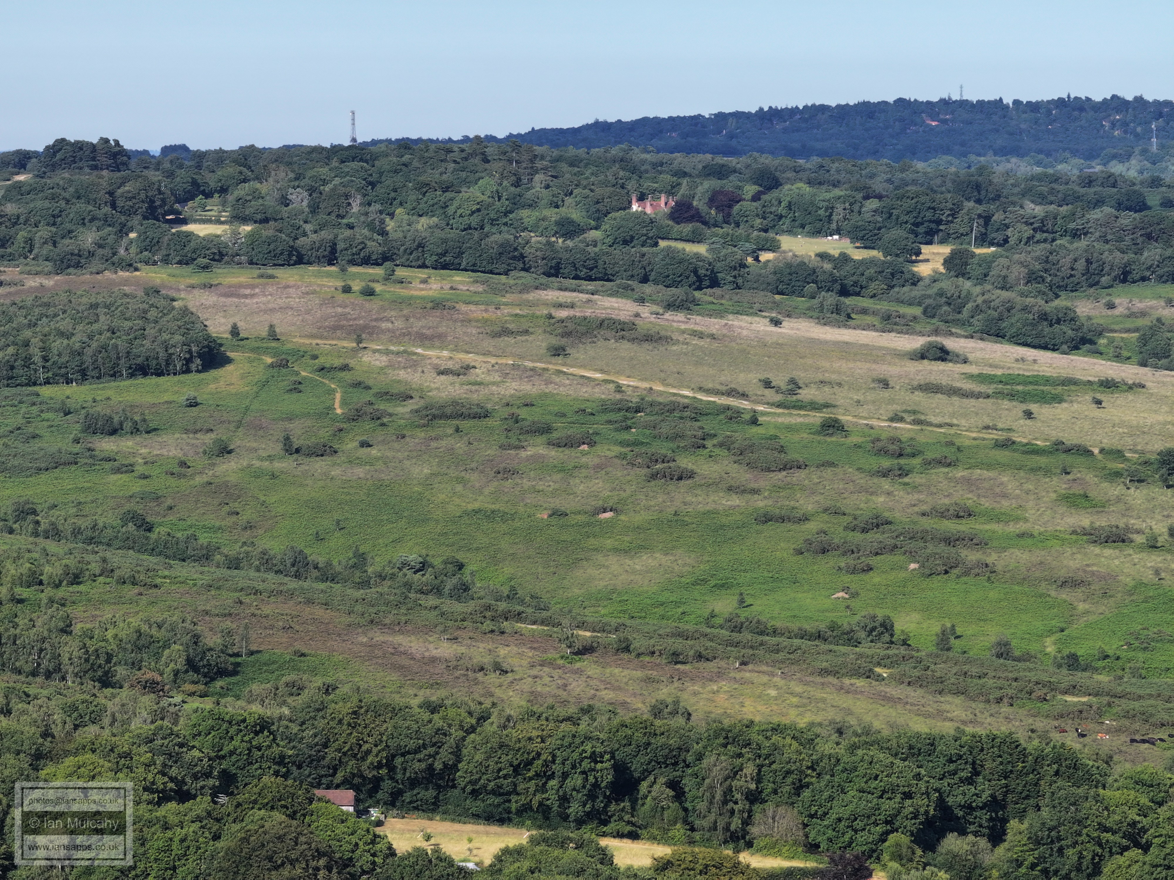
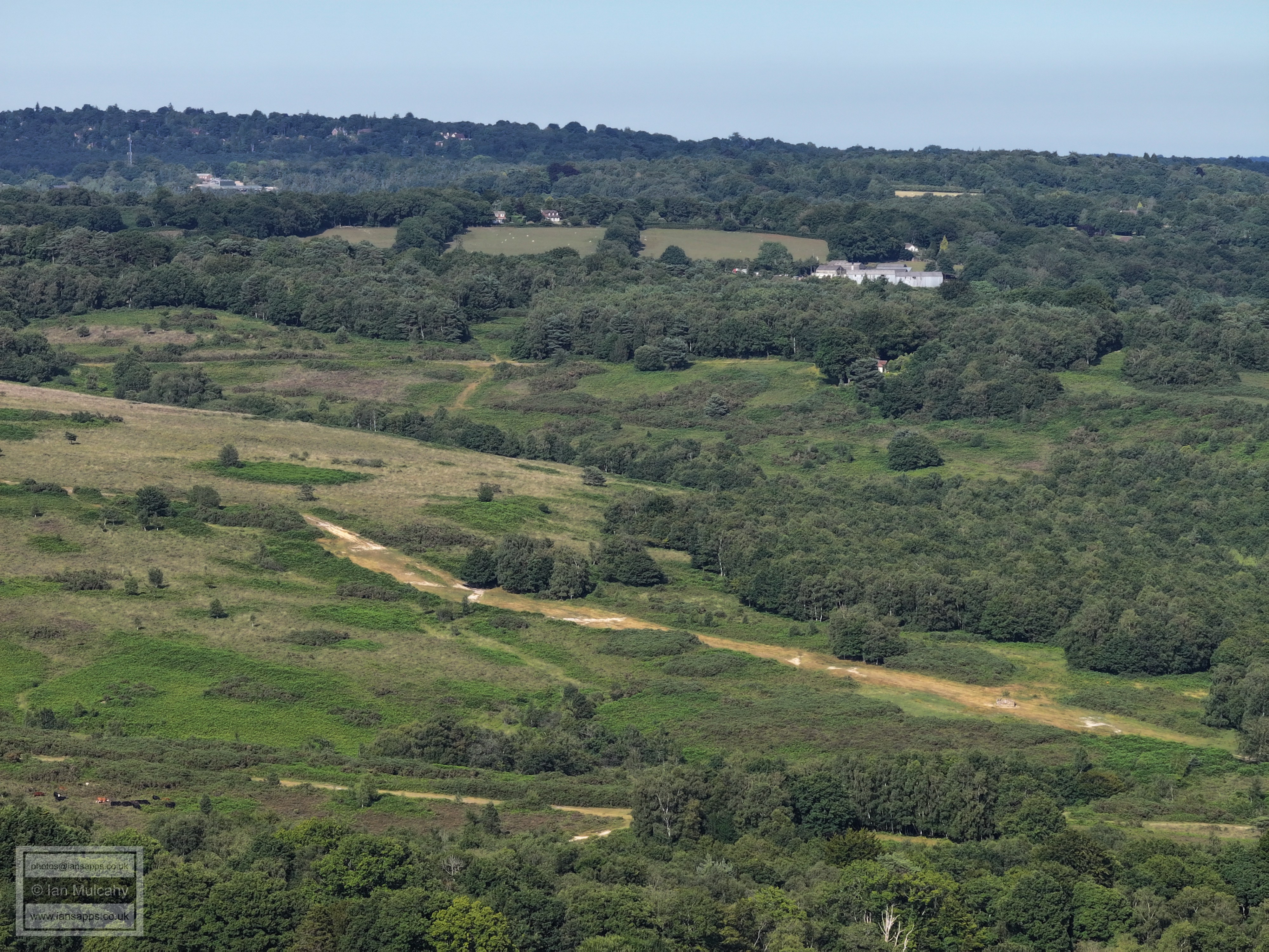
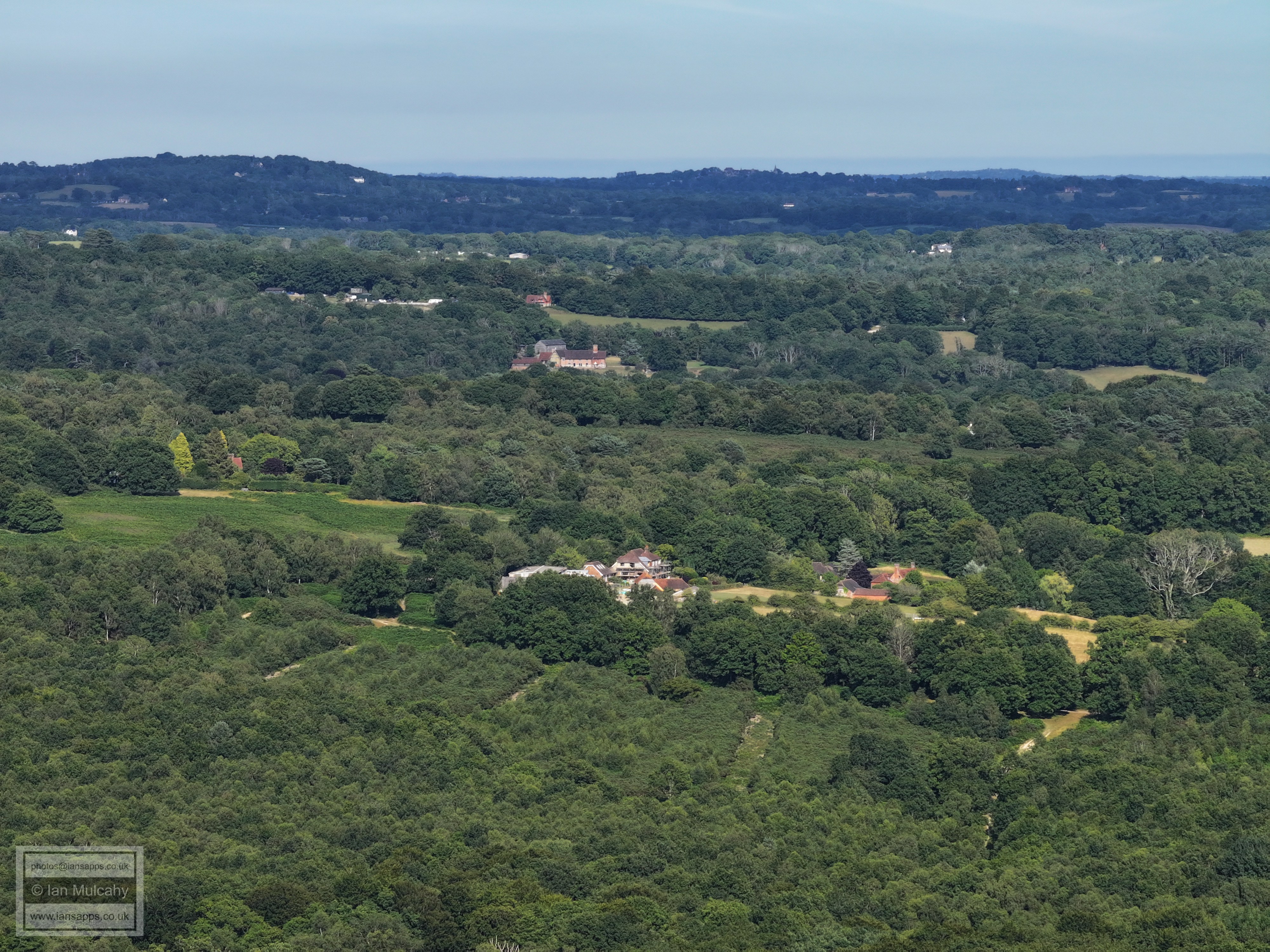
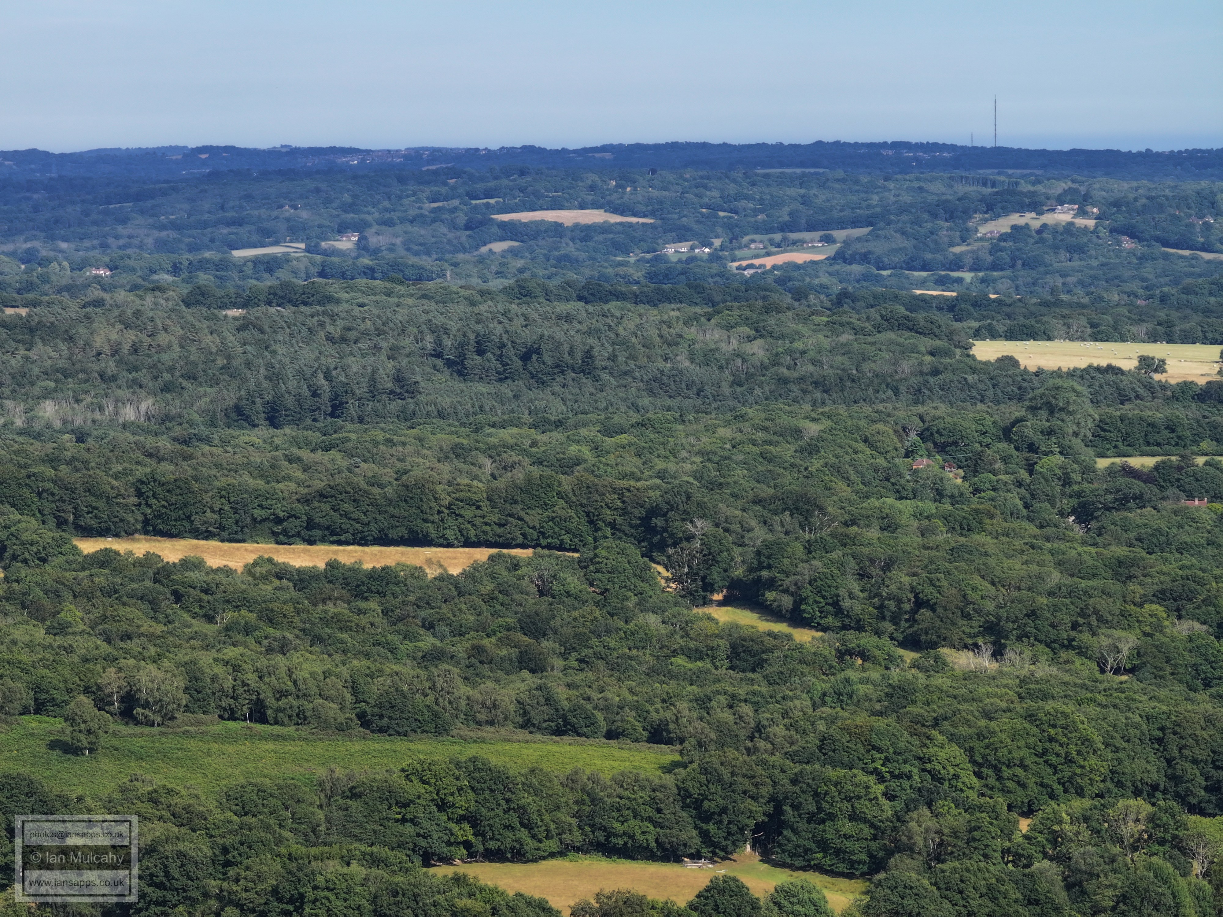
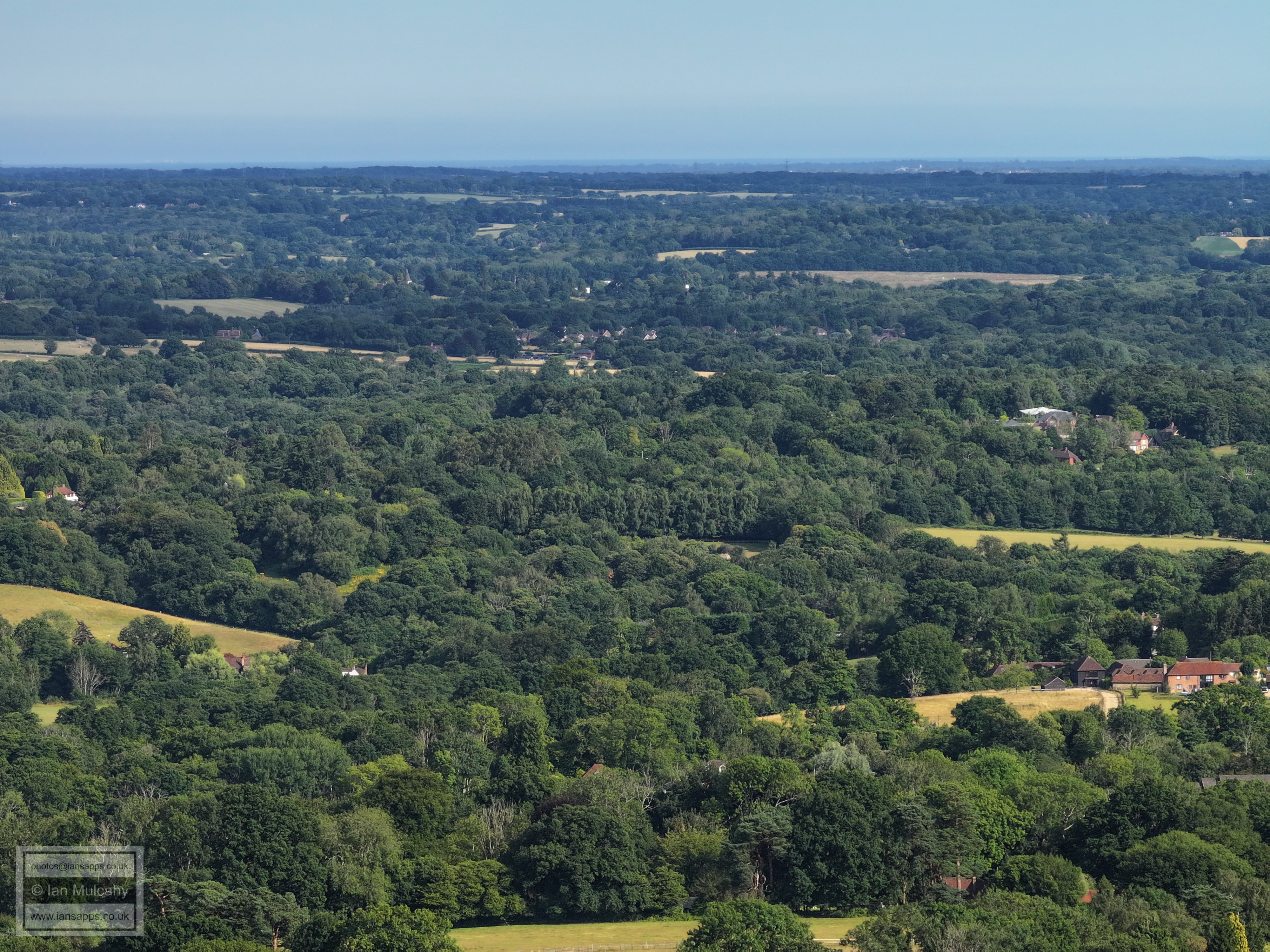
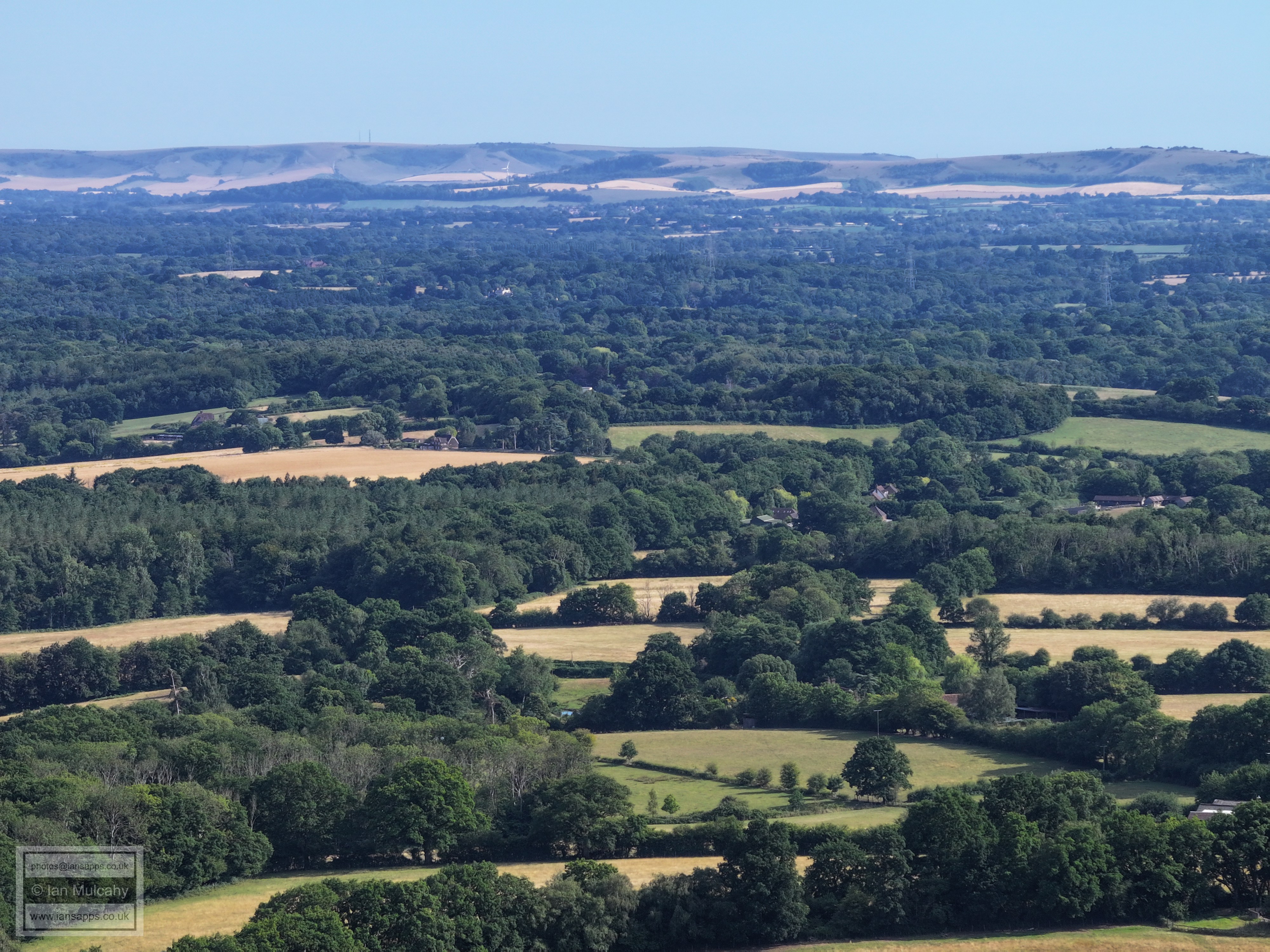
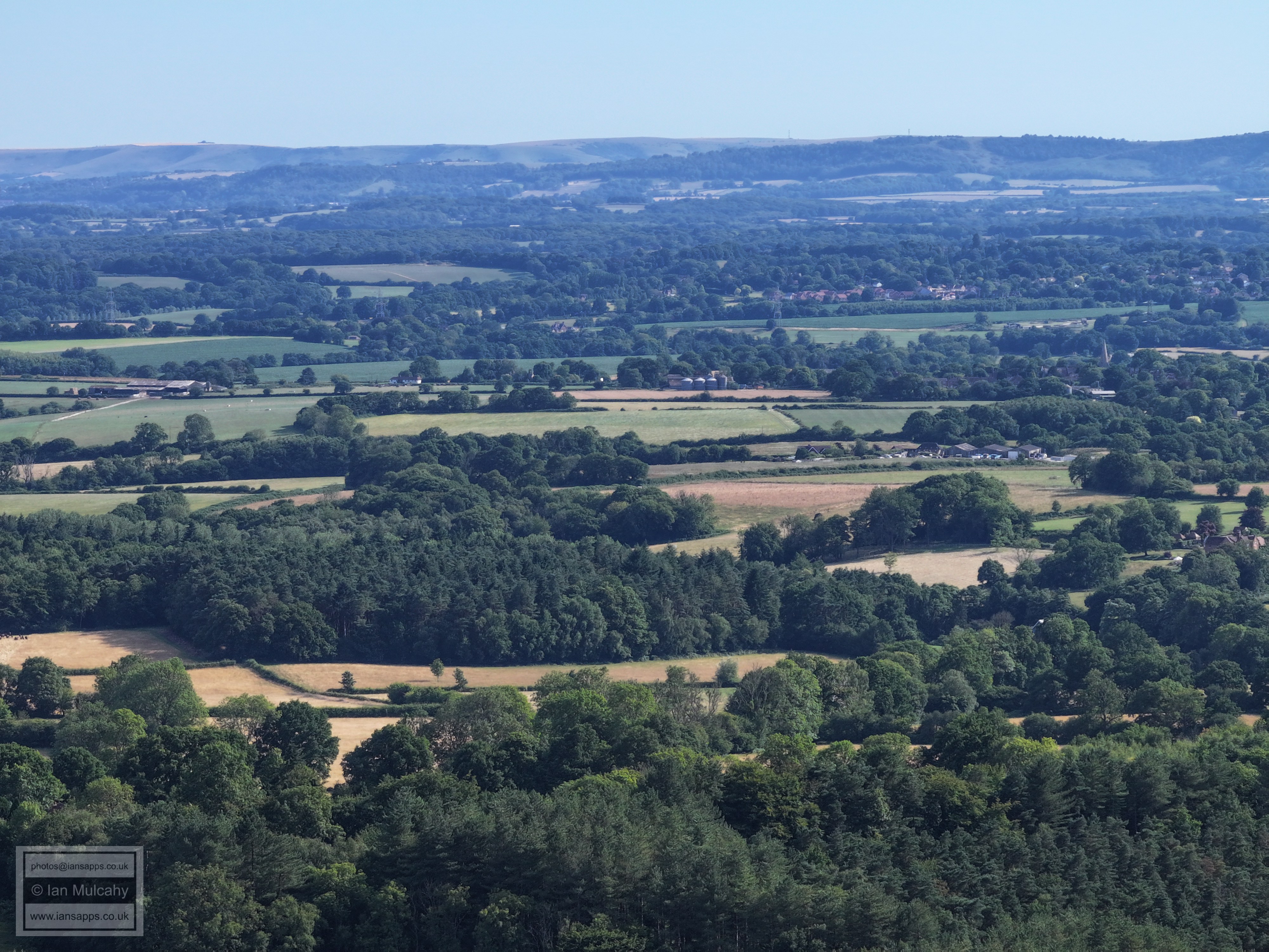
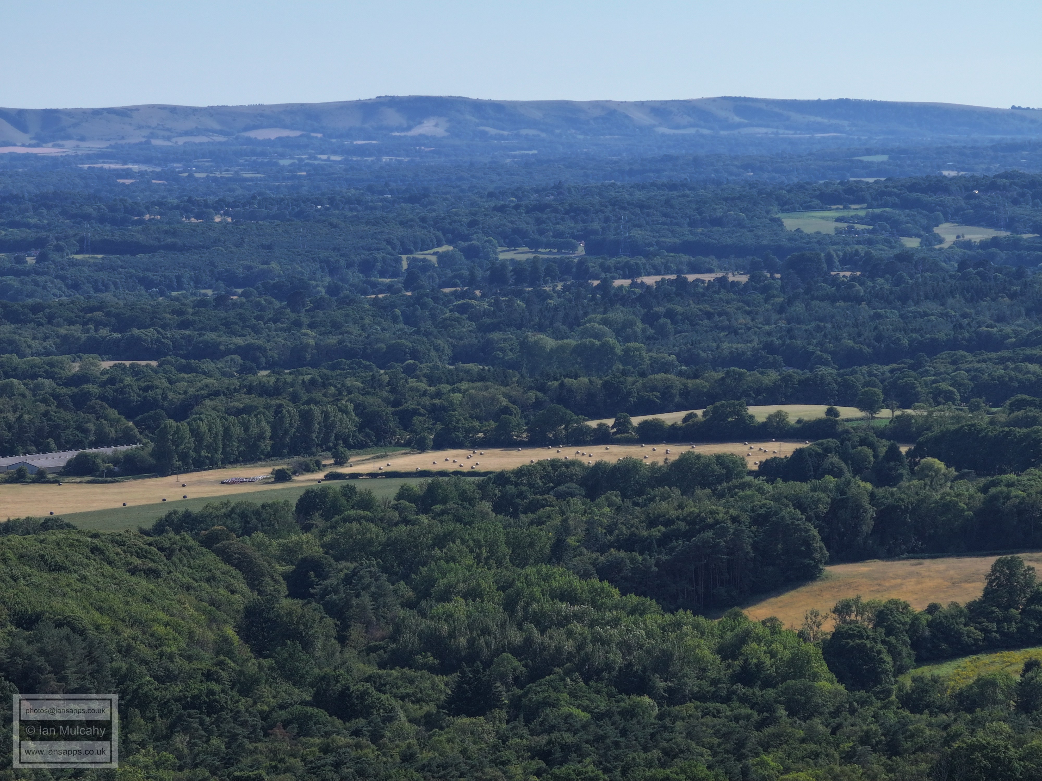
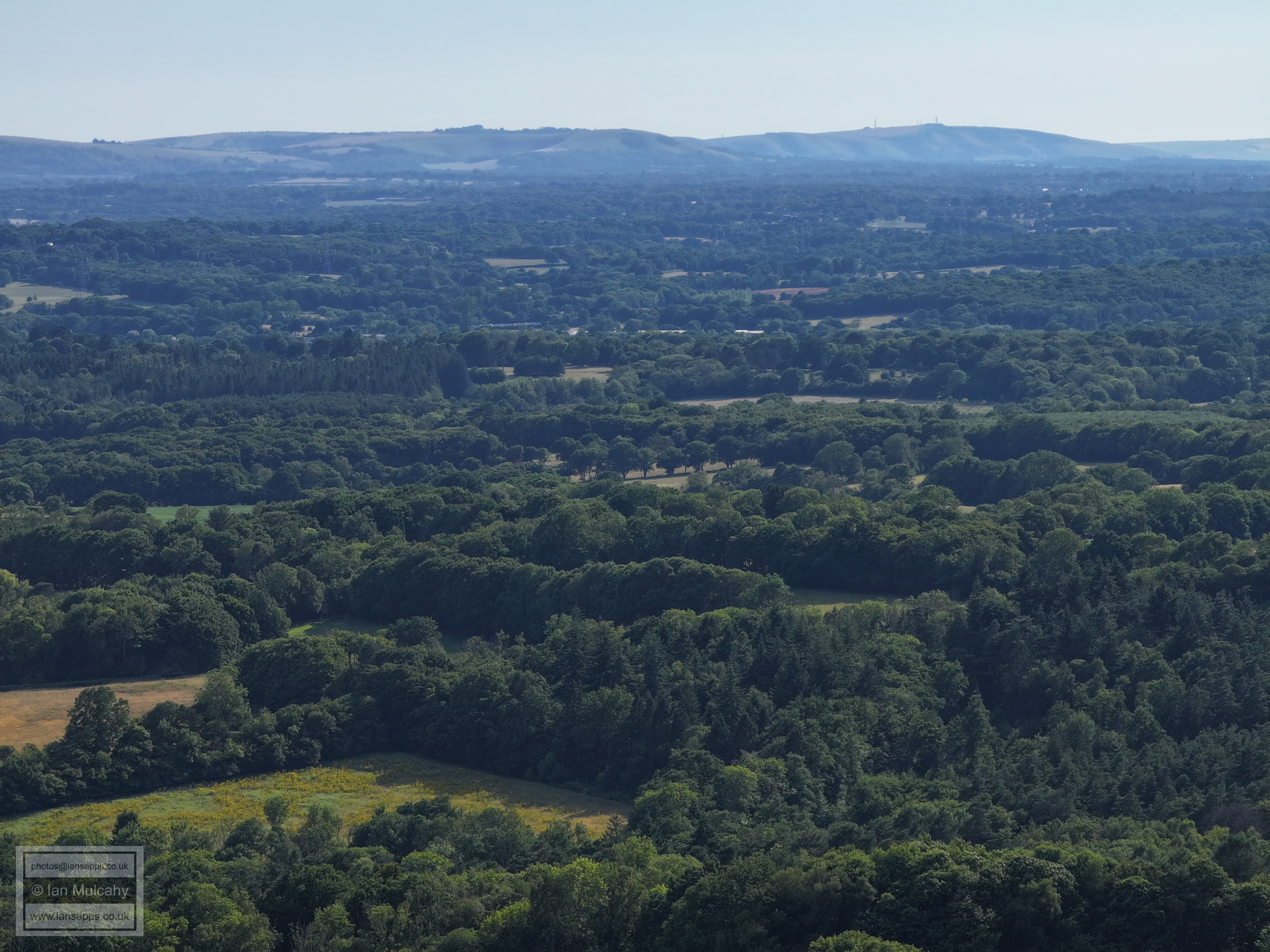
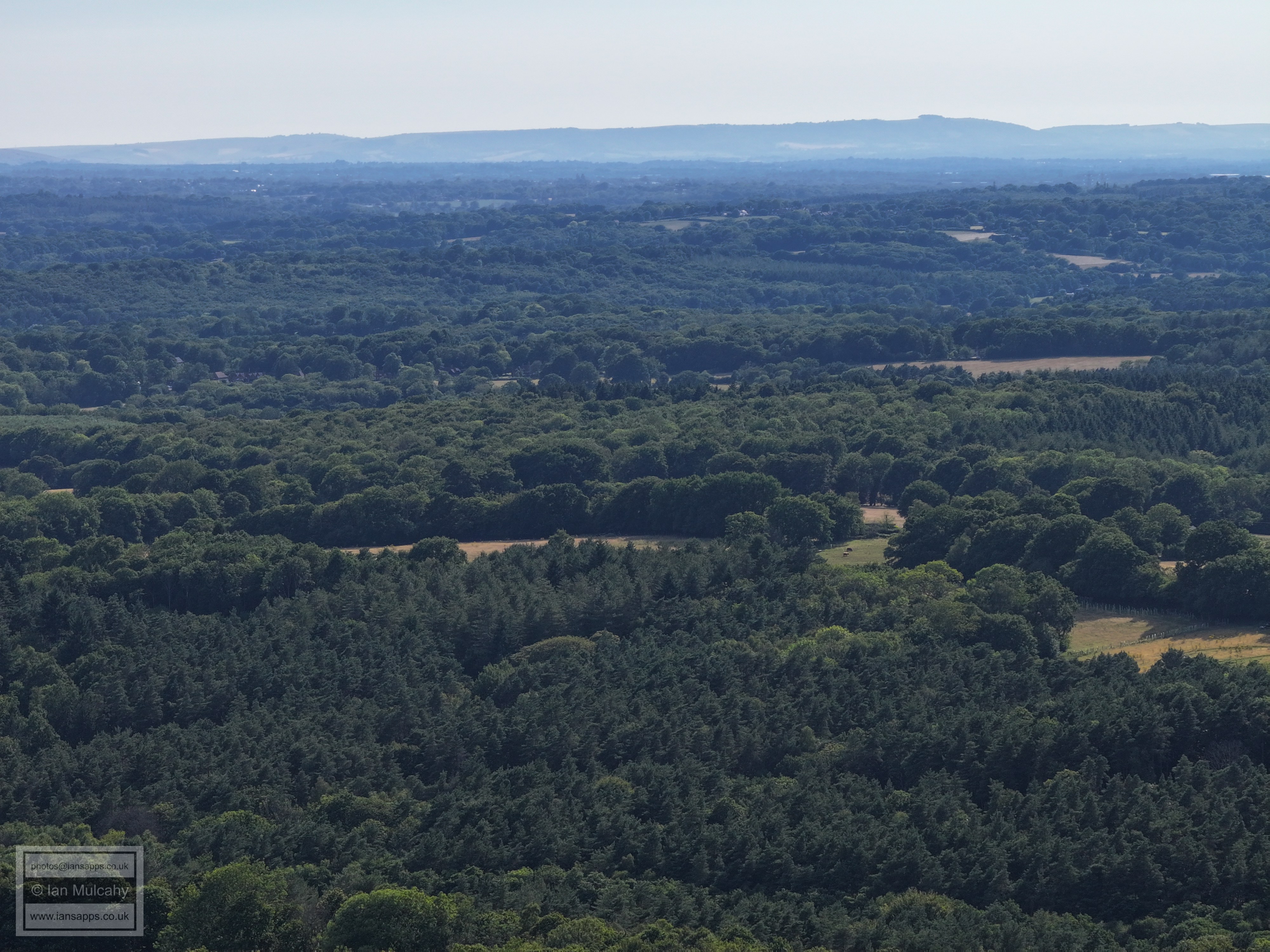
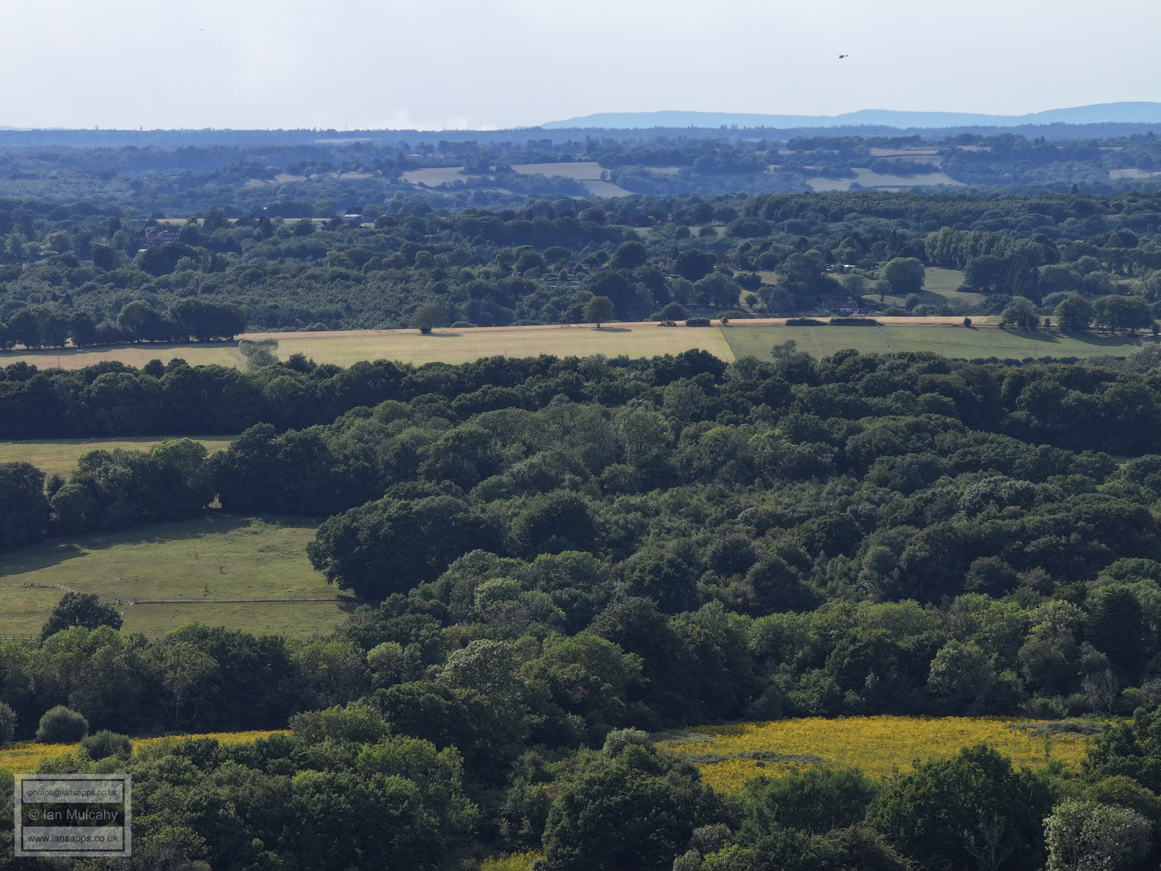
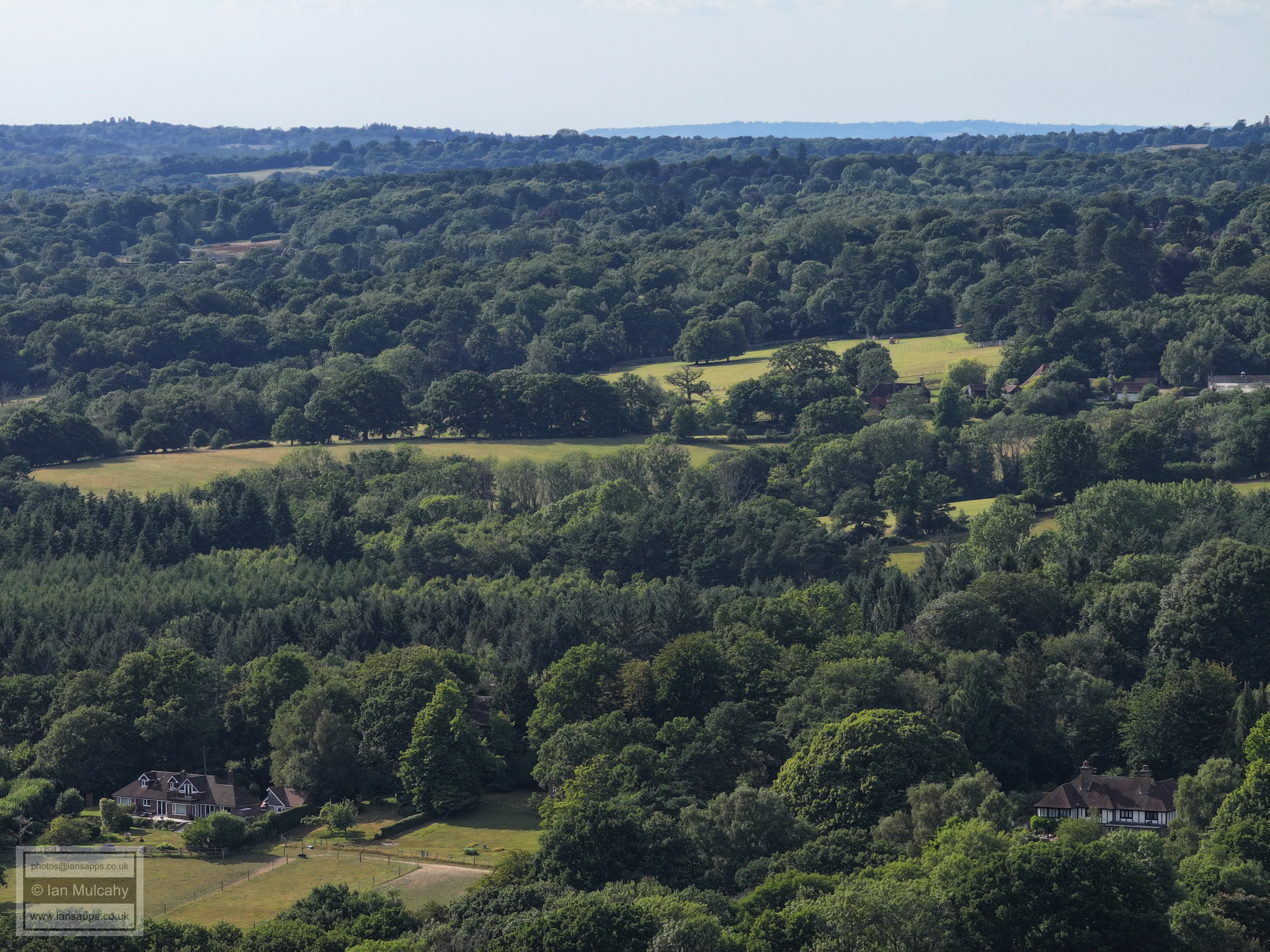
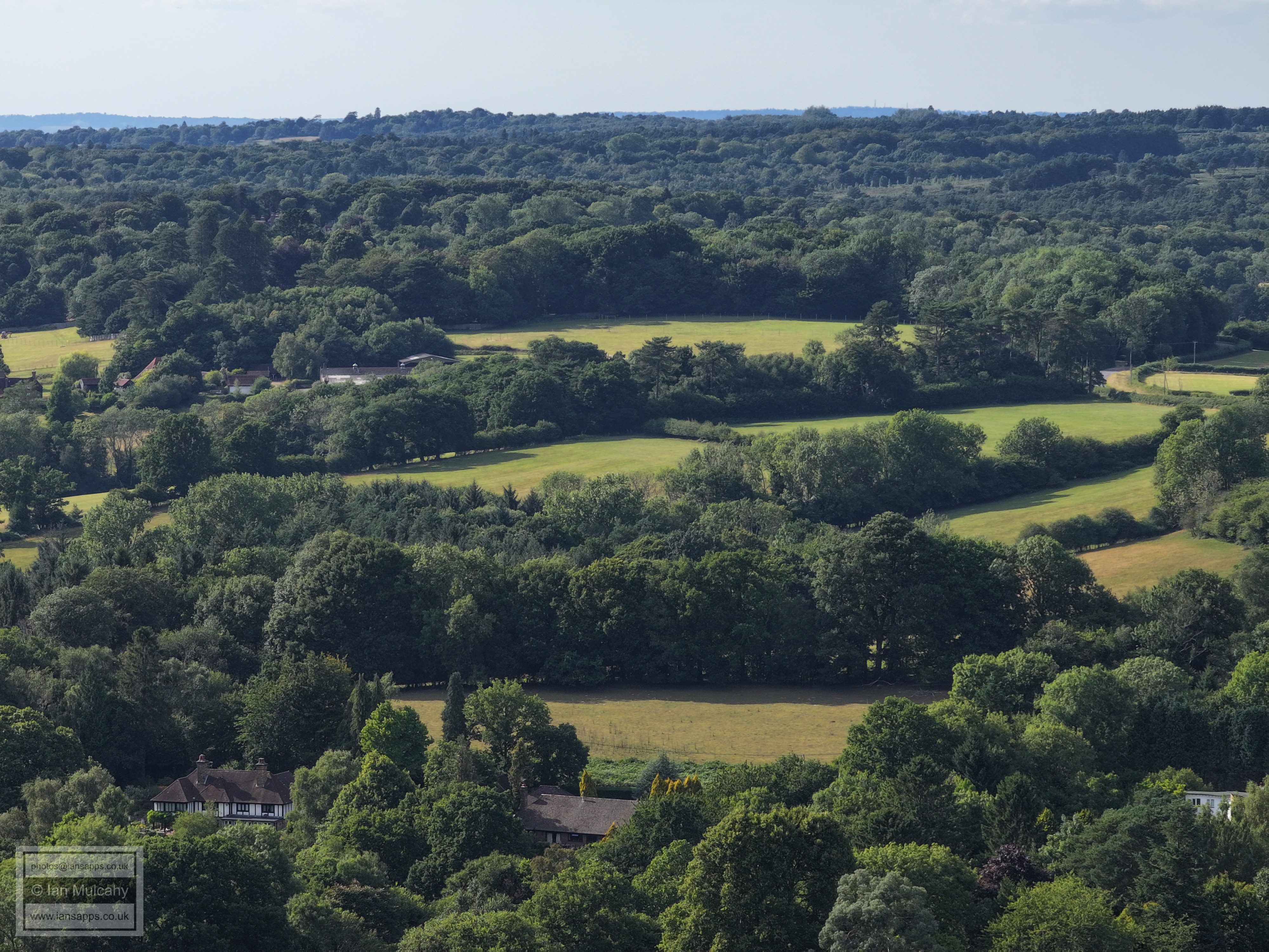
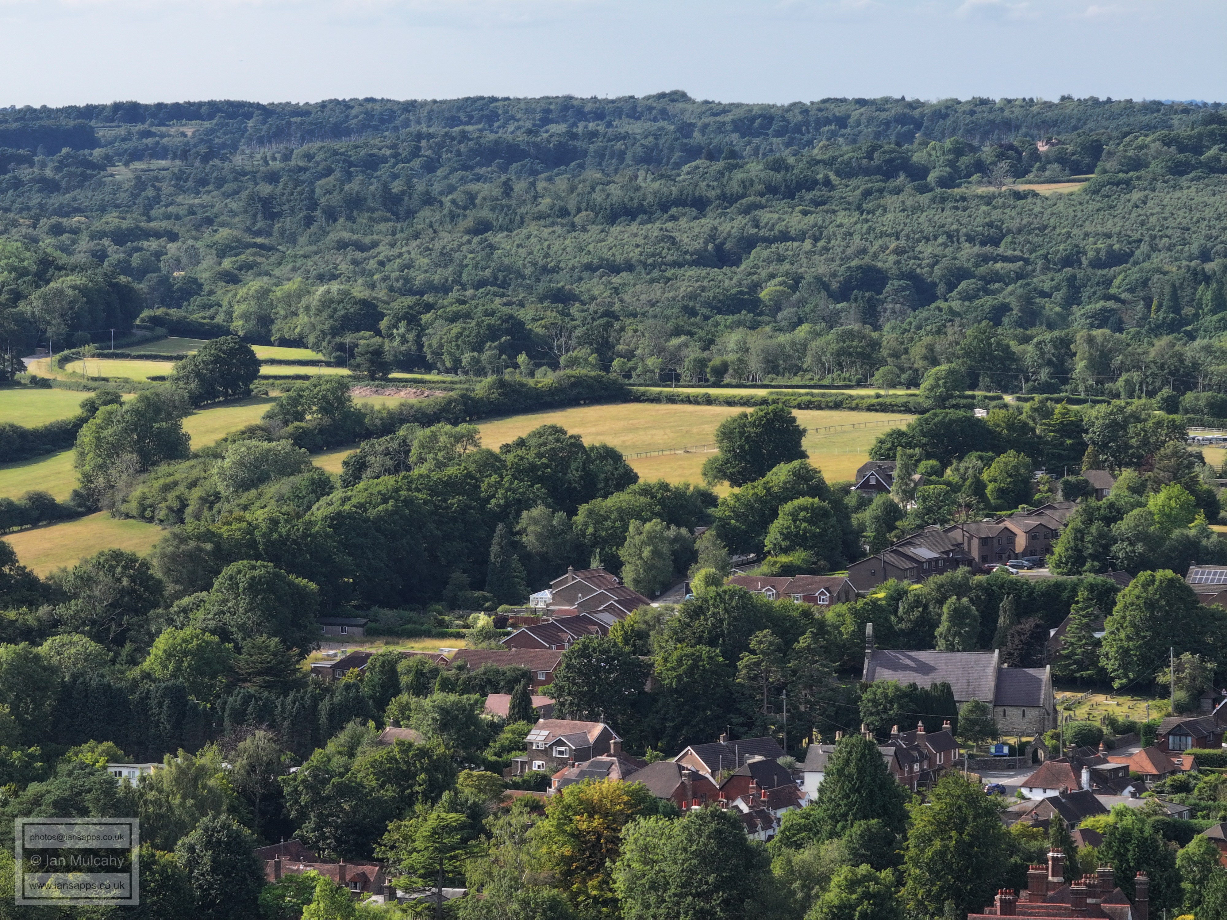
58 aerial photos of varying focal length taken from above Fords Green in Nutley, East Sussex on 12 July 2025. I have annotated a few of the photos, but I don't have sufficient knowledge of this area to do a detailed commentary.
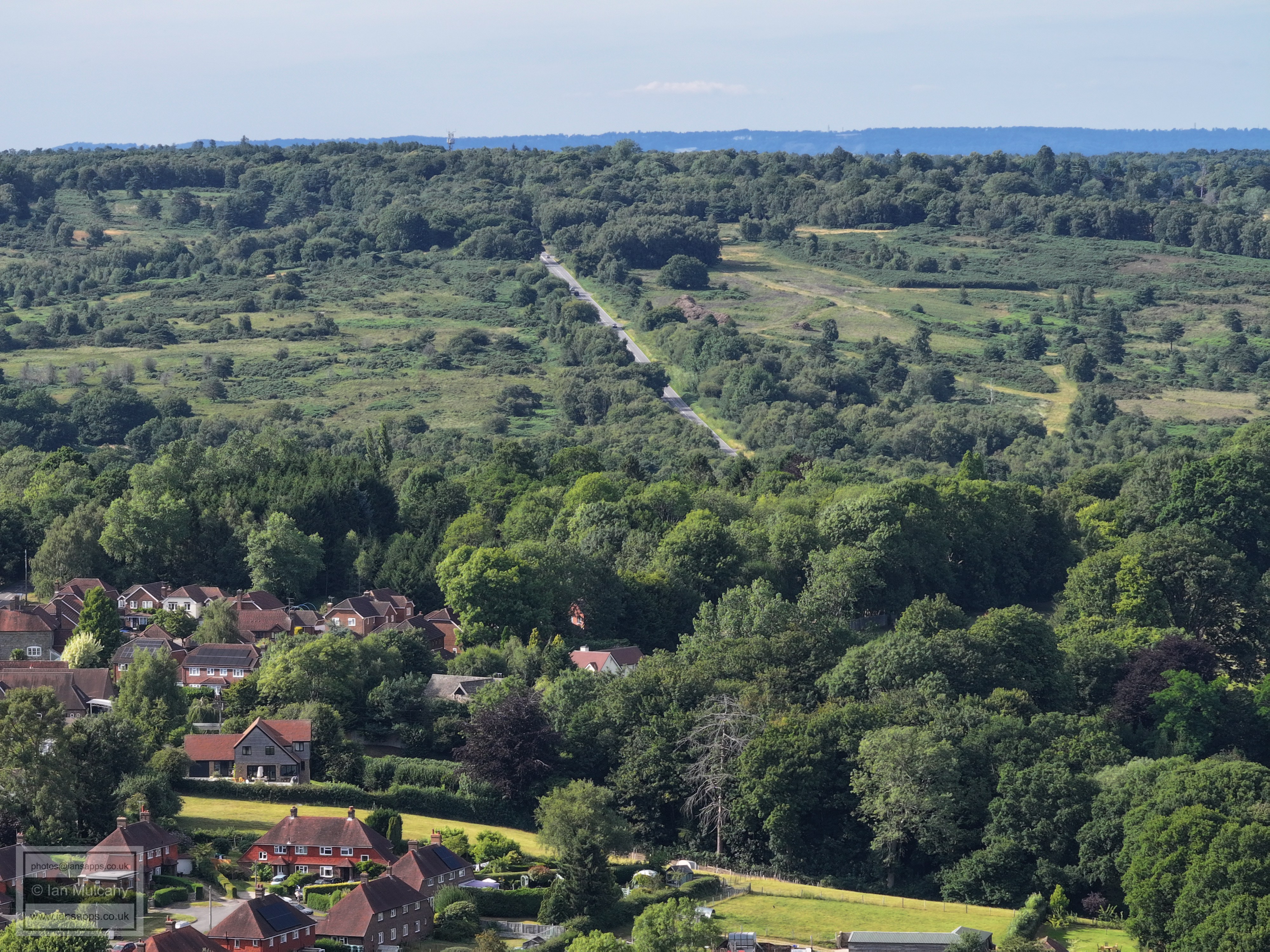
The A22 working it's way northwards through the village from the bottom right.
In the centre is St James The Less Church at Nutley.
The A22 climbing to the Millbrook car parks
Nutley Windmill, just above centre and slightly to the left.
Old Lodge in the top left quarter
In the top right quarter is Crowborough Hill, the second highest point in East Sussex and host to the eponymous town.
In the top left quarter is Crowborough Hill, the second highest point in East Sussex and host to the eponymous town.
In the top left quarter is Buxted.
In the top left quarter is the spire of St Margaret The Queen in Buxted Park.
Top centre the higher buildings of Eastbourne can be seen, and in the top left quarter are the wind turbines on Pevensey Levels. In the centre of the photo is Uckfield, with the Water Tower on Browns lane being particularly prominent.
Just left of centre in front of the Downs is the wind turbine a little way south of Ringmer.
In the top left quarter is Malling Down with Lewes just to the right.
In the top right quarter is the Jubilee Plantation a little east of Ditchling Beacon; 3,000 trees planted in a V shape to commemorate the Golden Jubilee of Queen Victoria in 1887.
Ditchling Beacon just left of centre.
Jack & Jill Windmills above Hassocks are in the trees on top of The Downs on the far left
Chanctonbury Ring towards the right
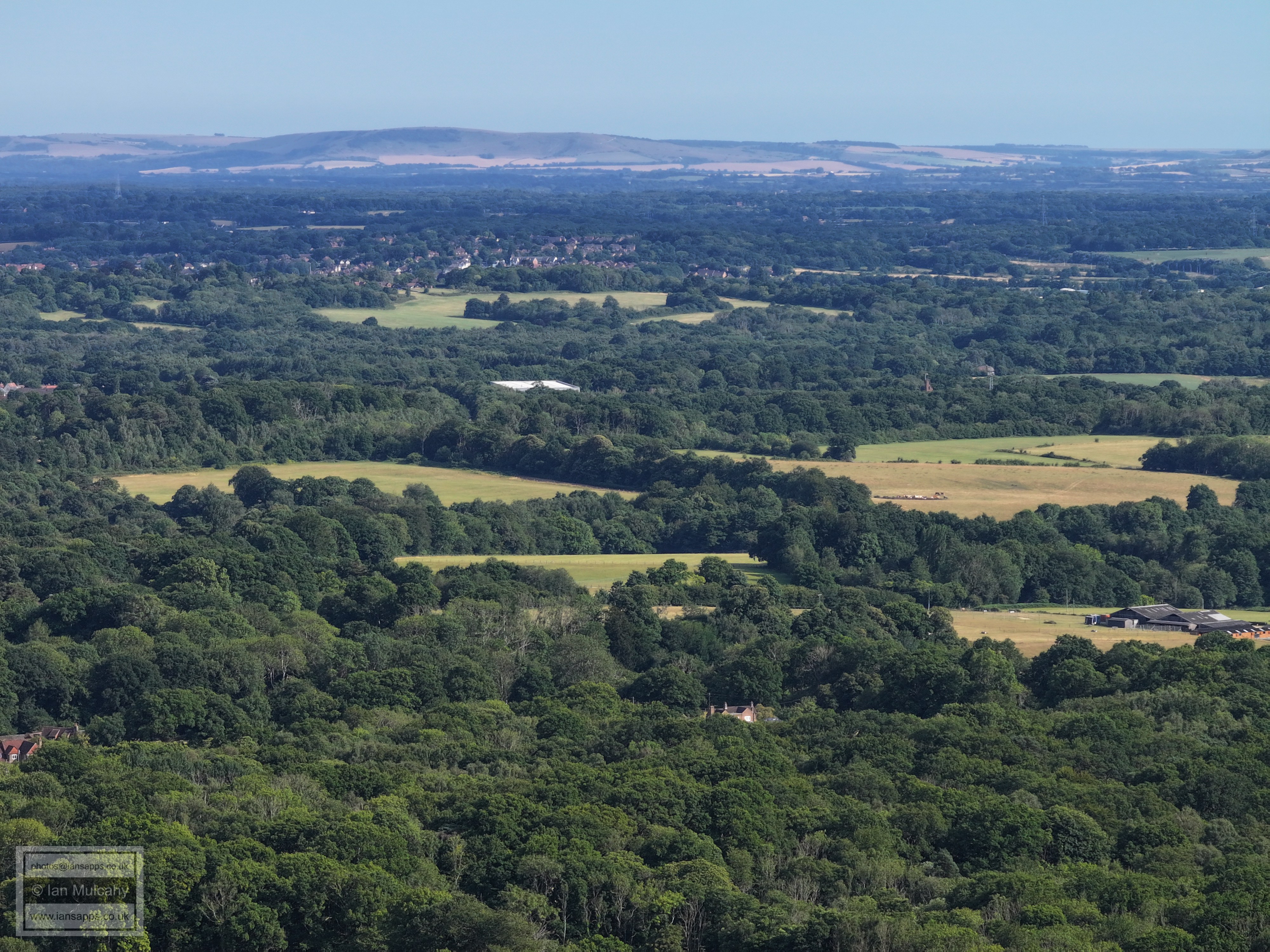
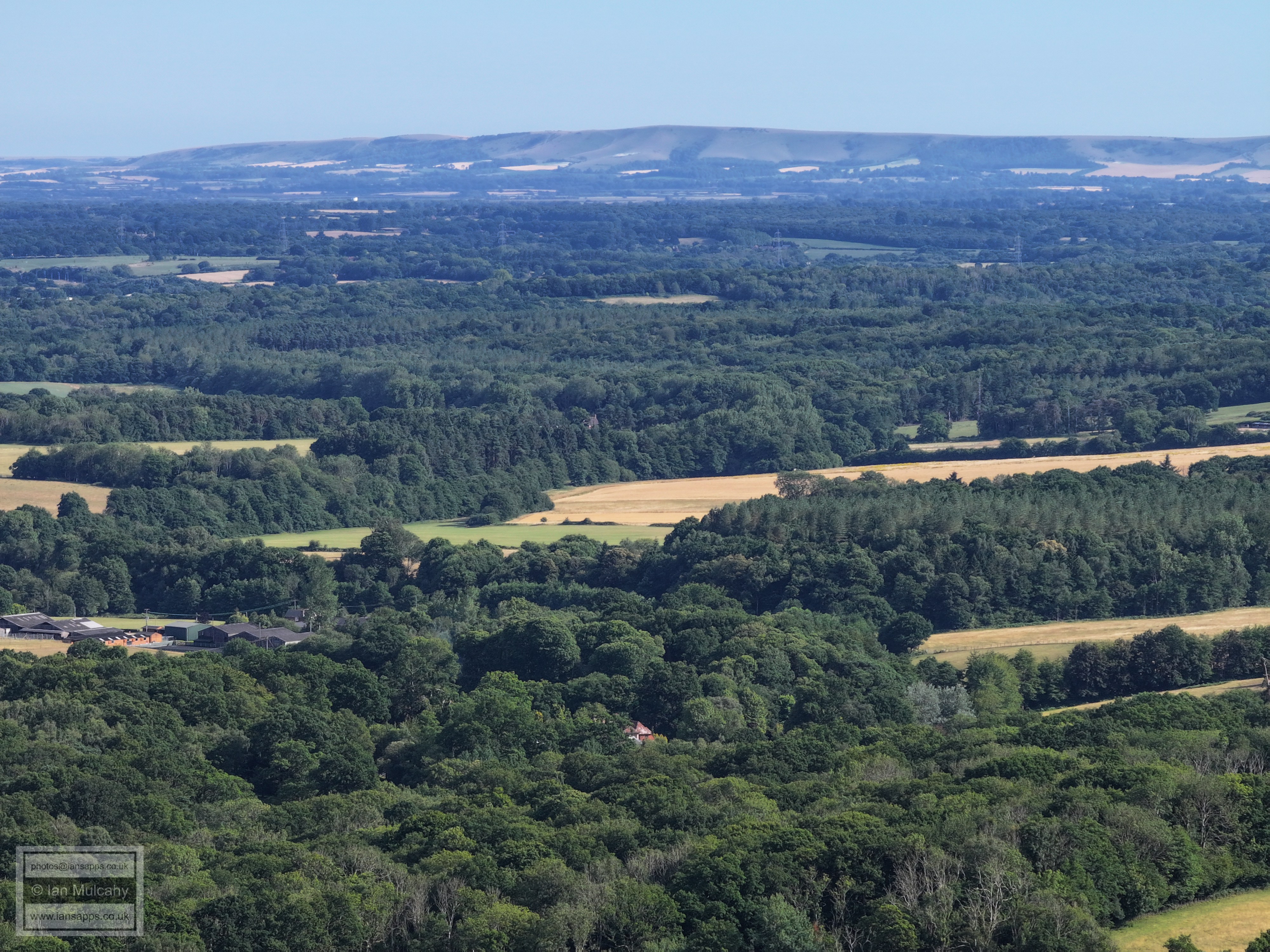
Leith Hill on the horizon
Text & photographs © Ian Mulcahy. Contact photos@iansapps.co.uk or visit my 'Use of my photographs' page for licensing queries (ground level photographs only). |