Leigh Cricket Ground and Newdigate Church
Surrey
9 August 2025
63 aerial photographs of varying focal length
|
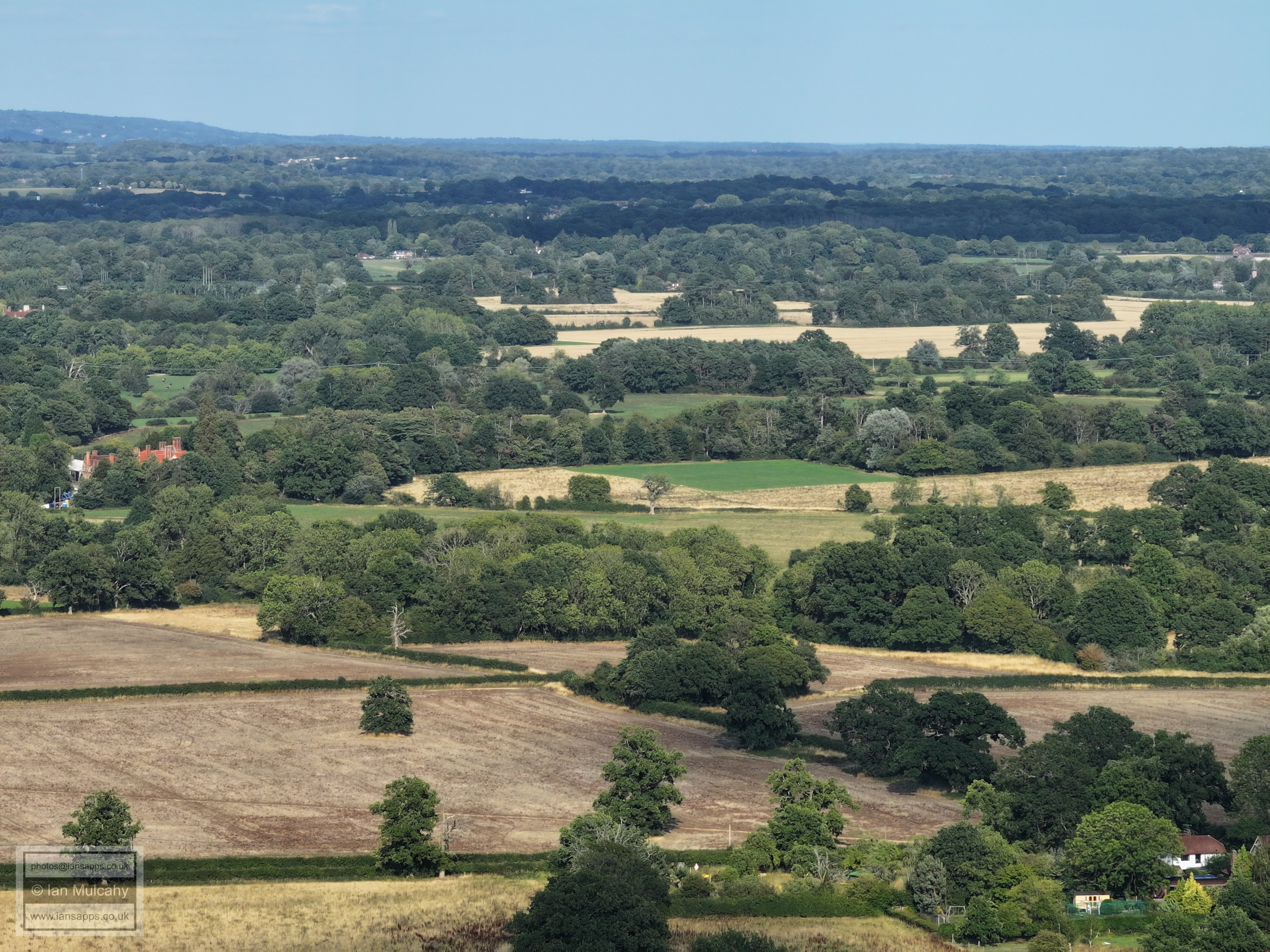
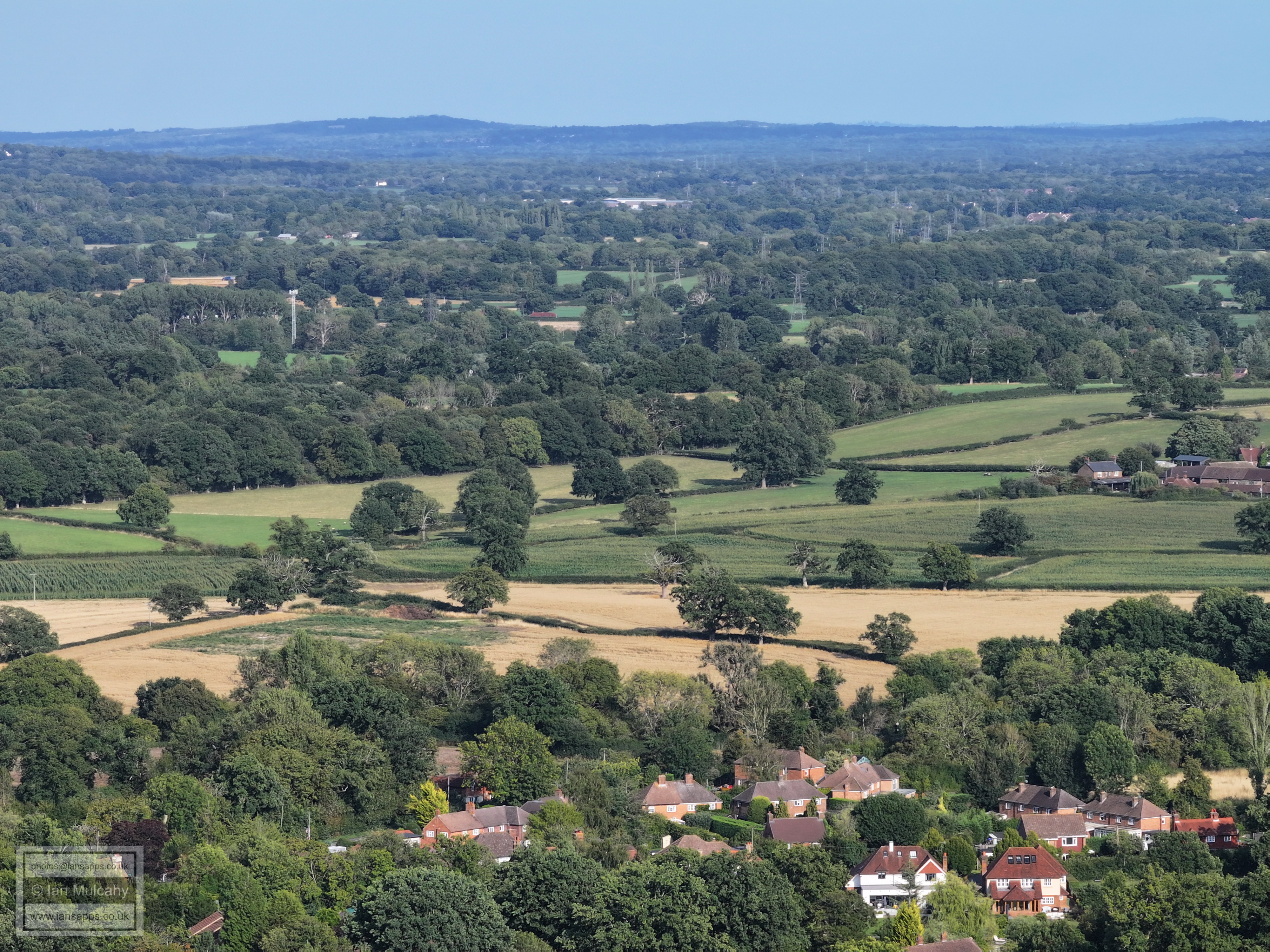
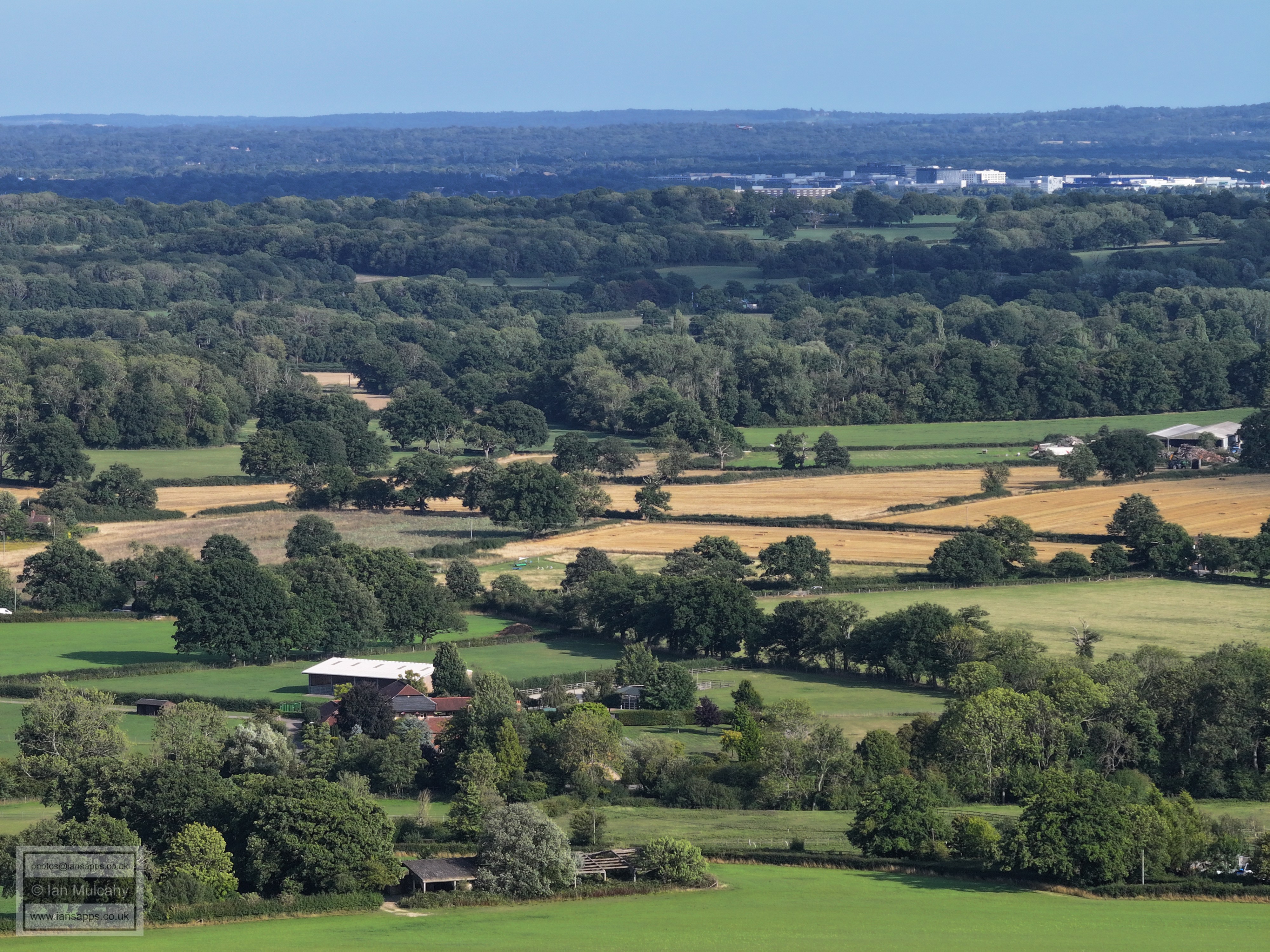
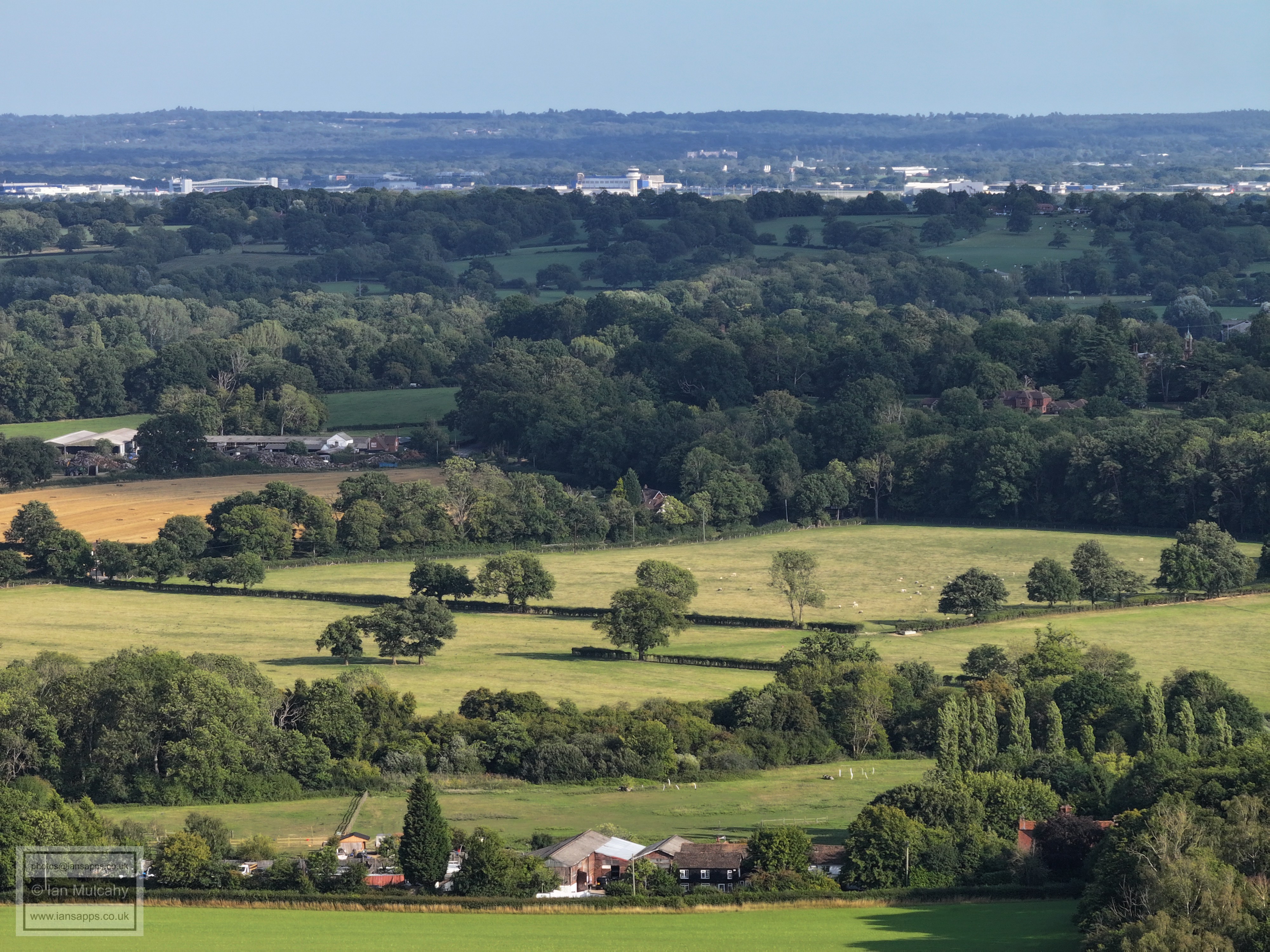
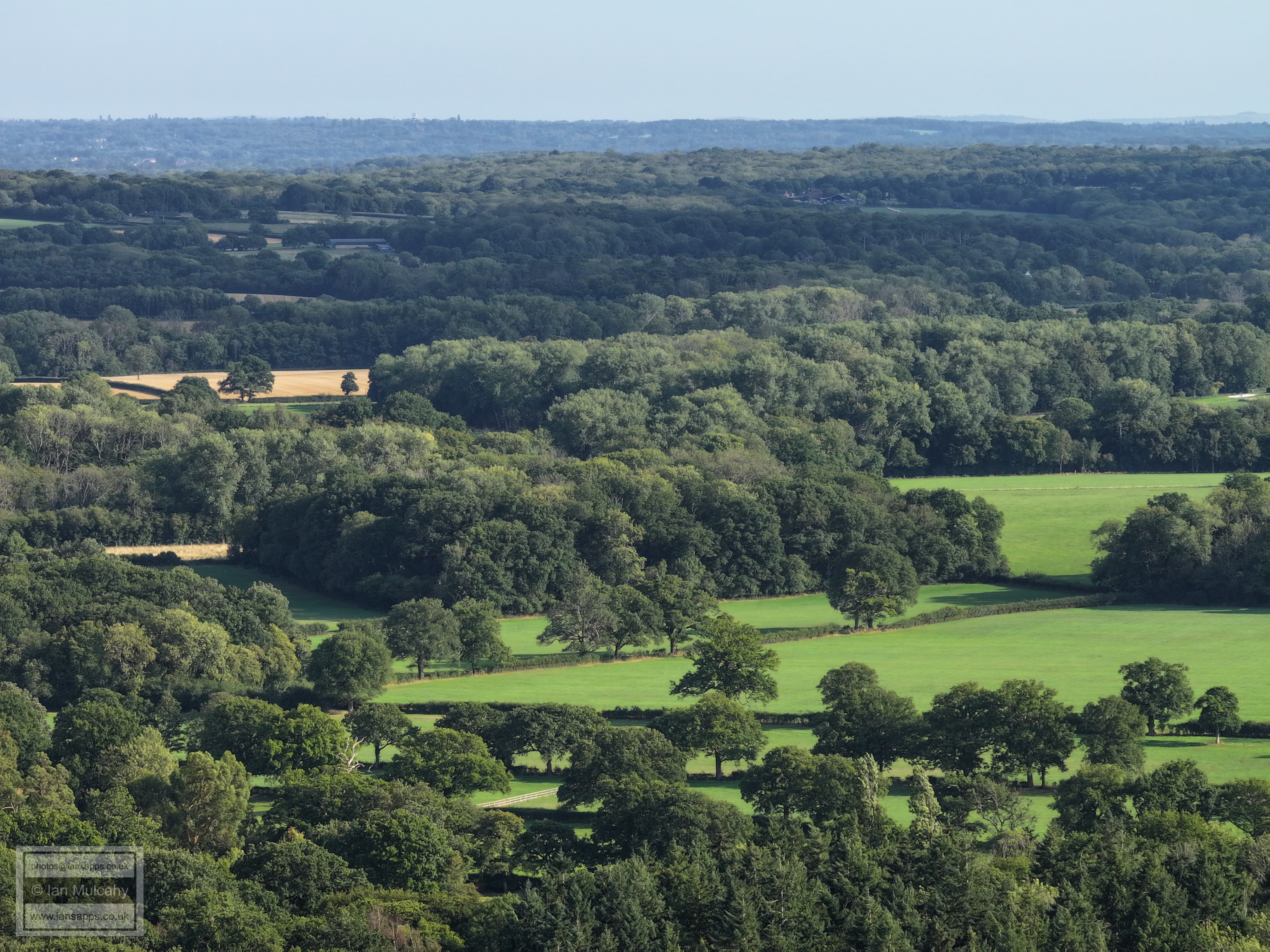
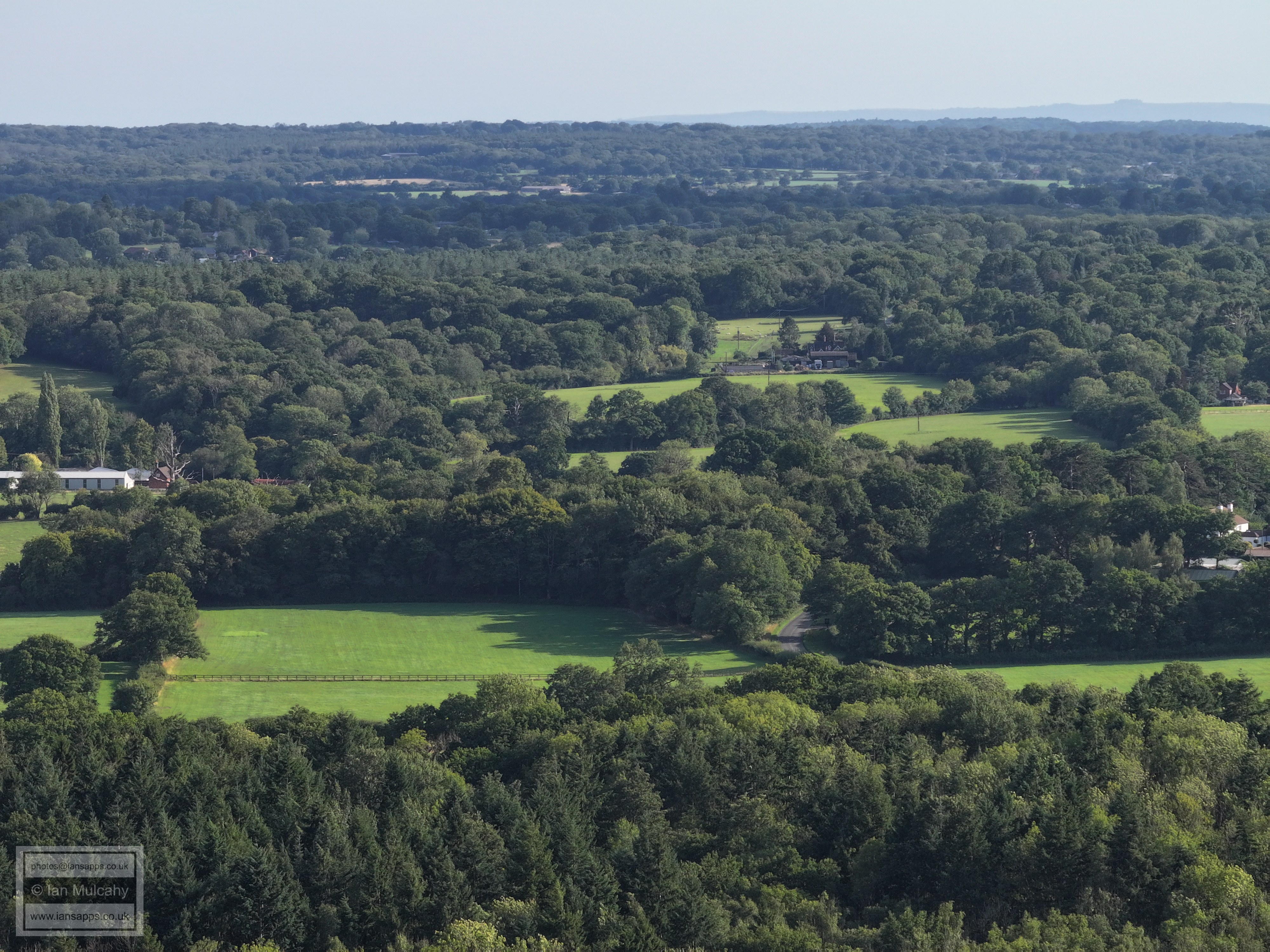
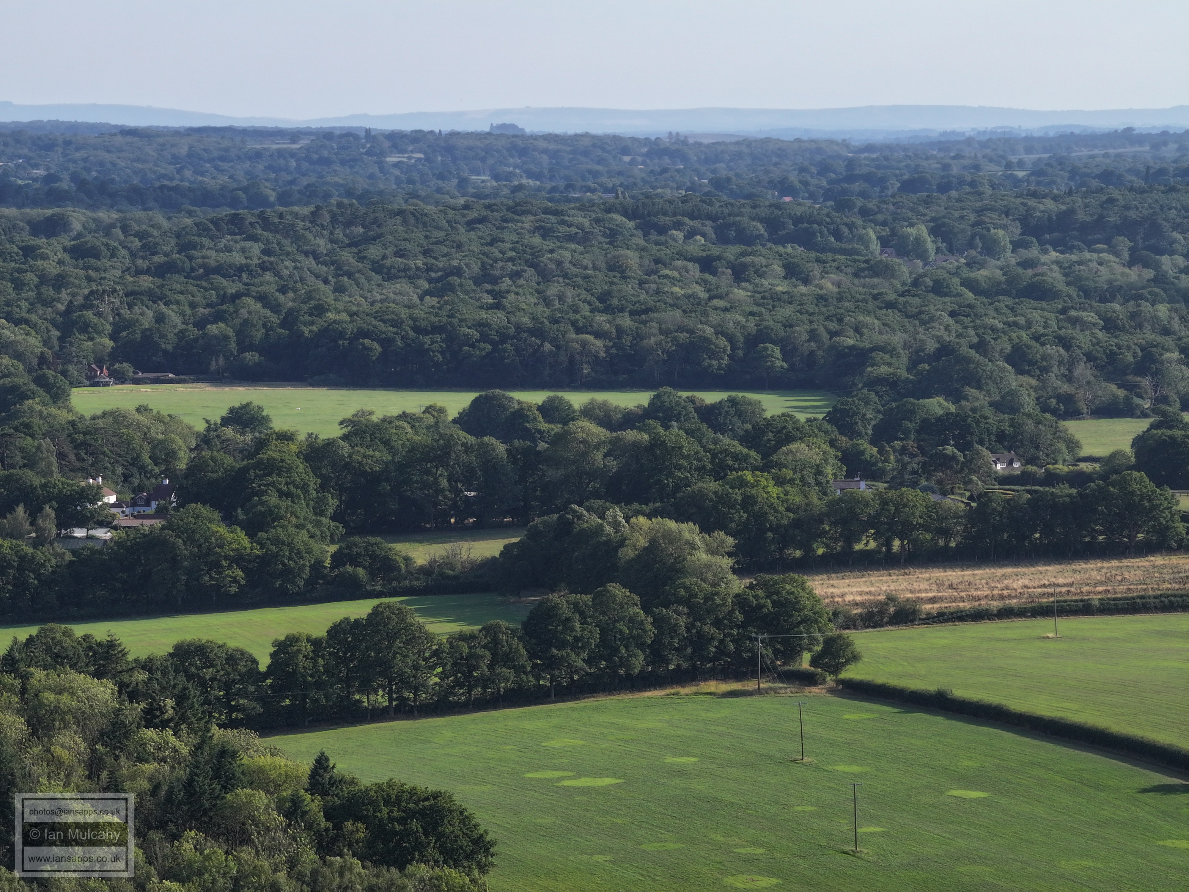
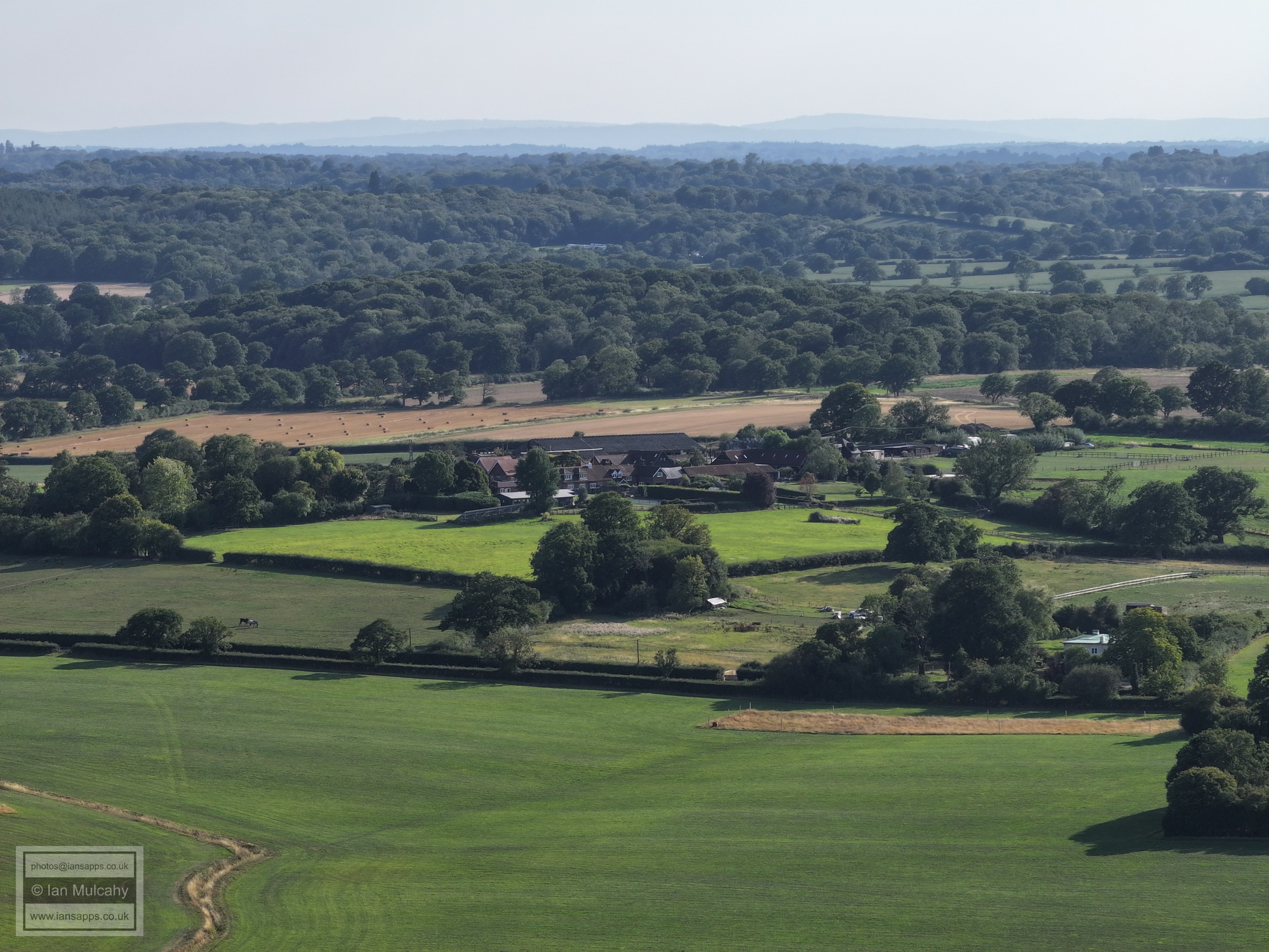
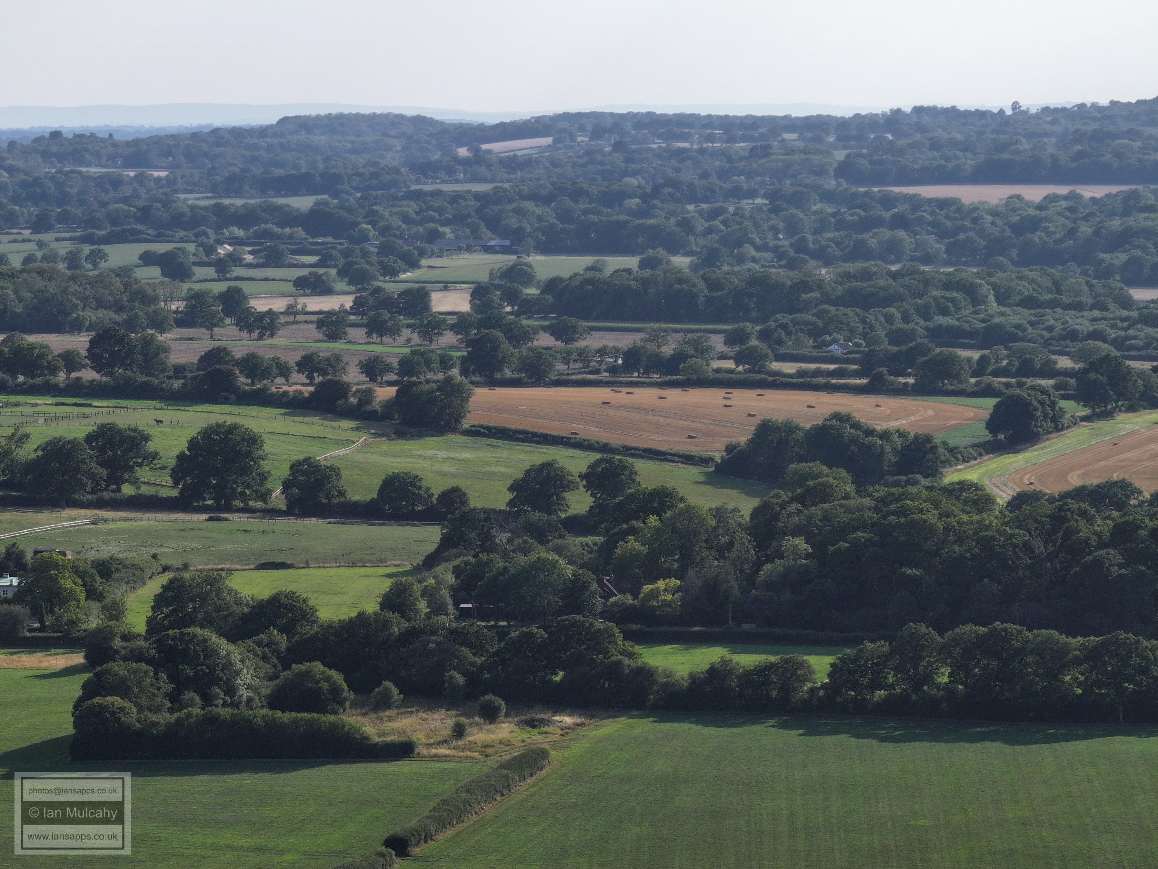
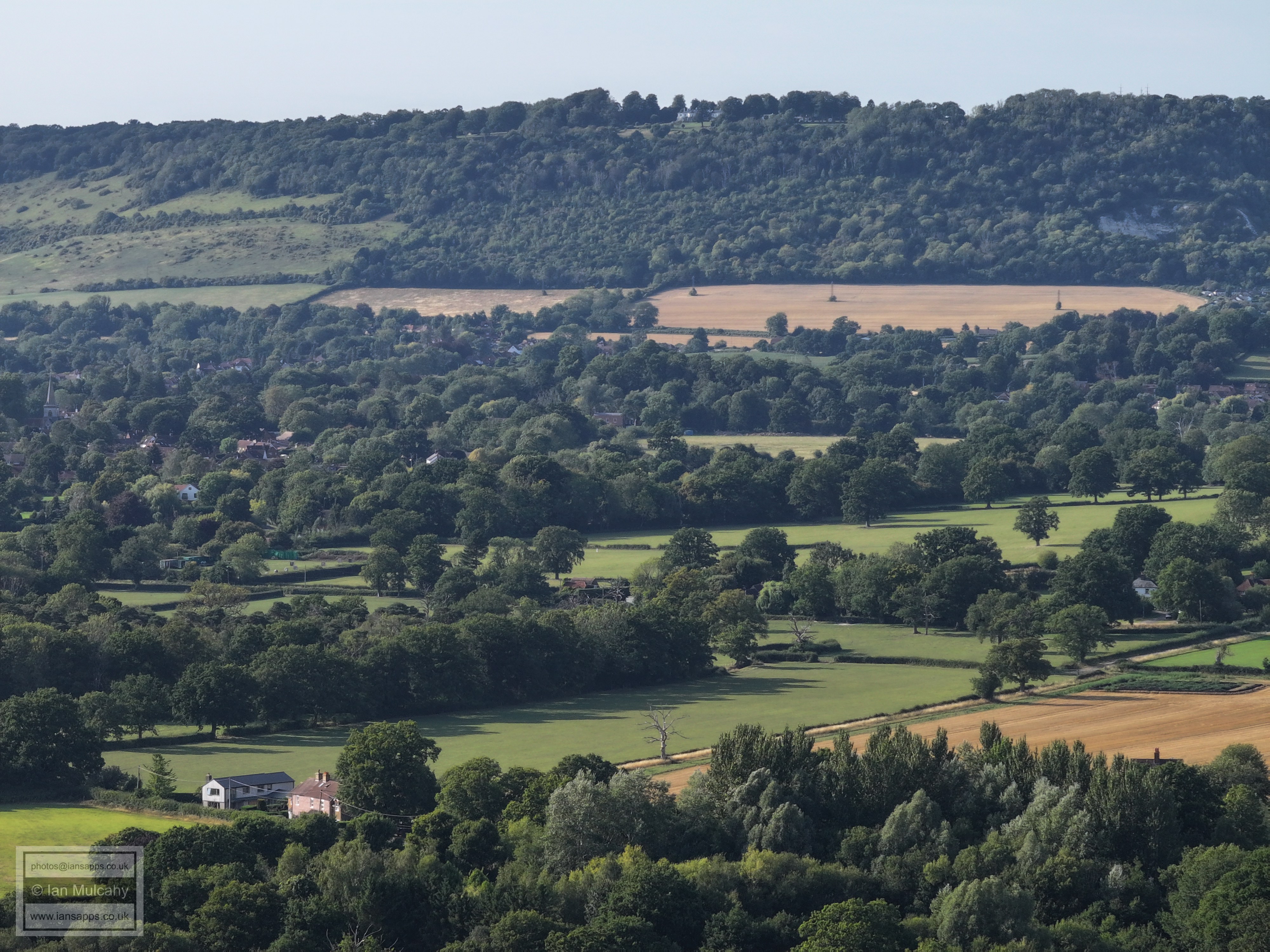
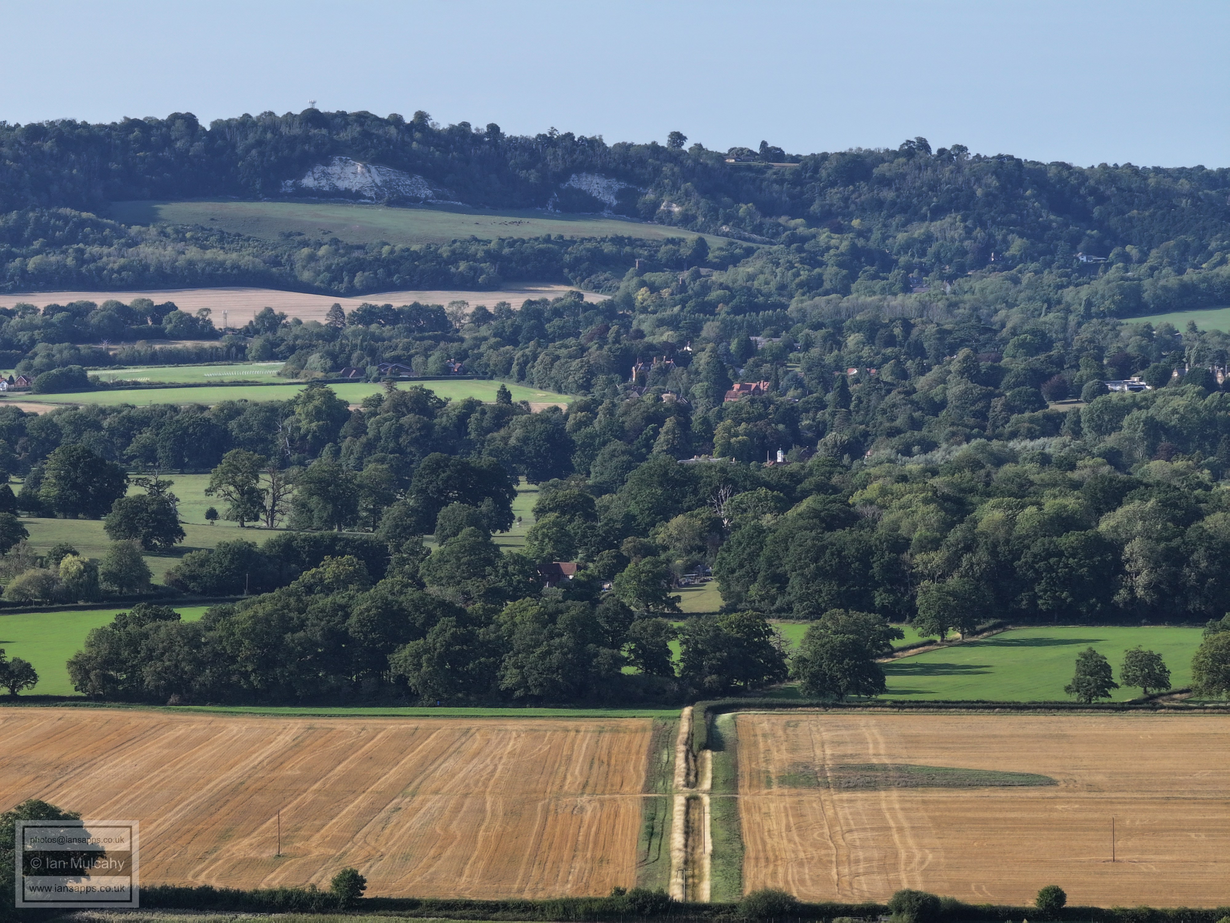
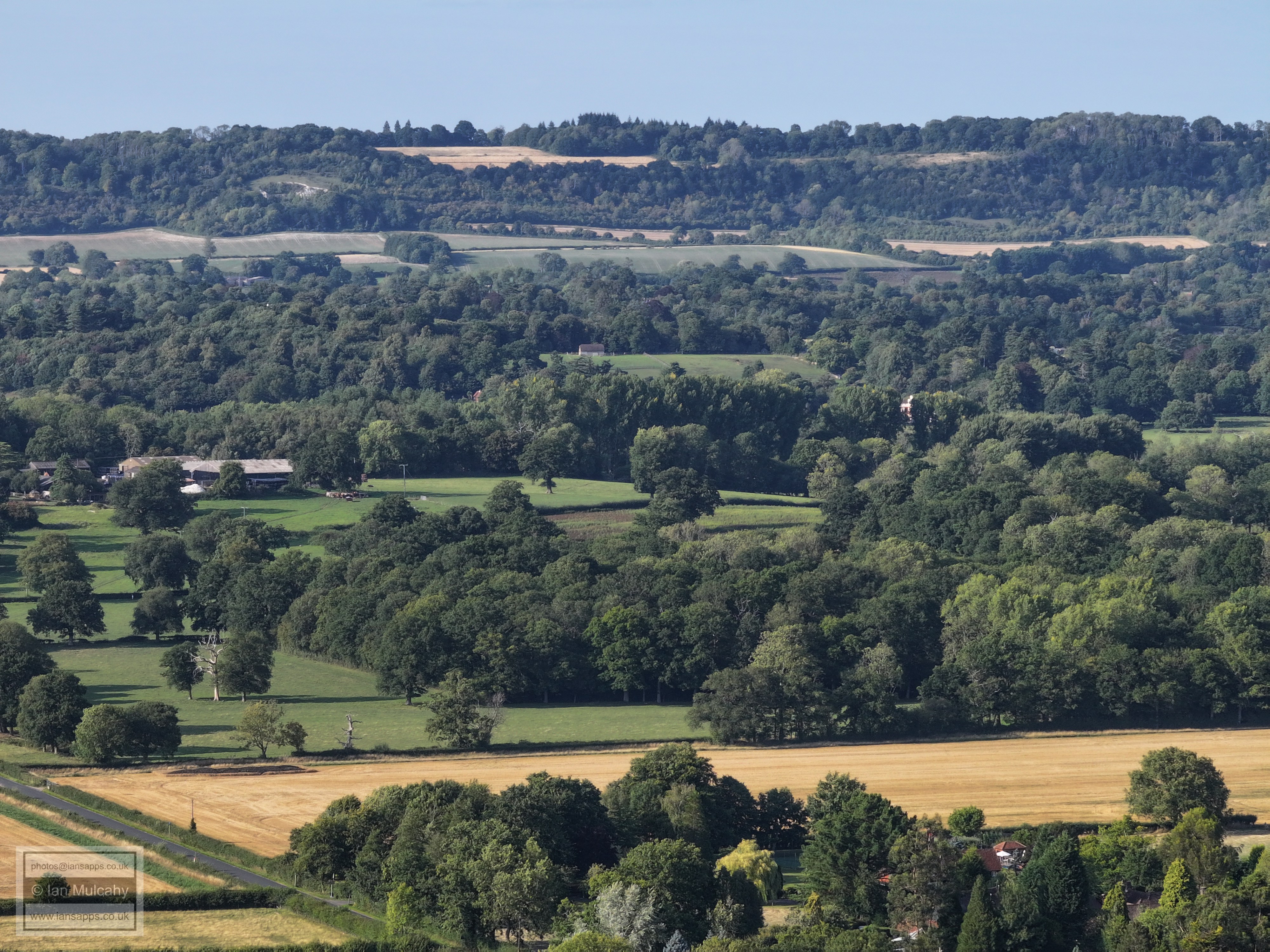
58 aerial photos of varying focal length taken from Leigh Cricket Ground in Surrey on 9 August 2025. Views include Box hill, Reigate, Redhill, Gatwick, Crawley and the villages and countryside surrounding Leigh. Also included at the end are 5 aerial images of St Peter's Church at Newdigate taken shortly after the main set.
I have annotated some of the photos.
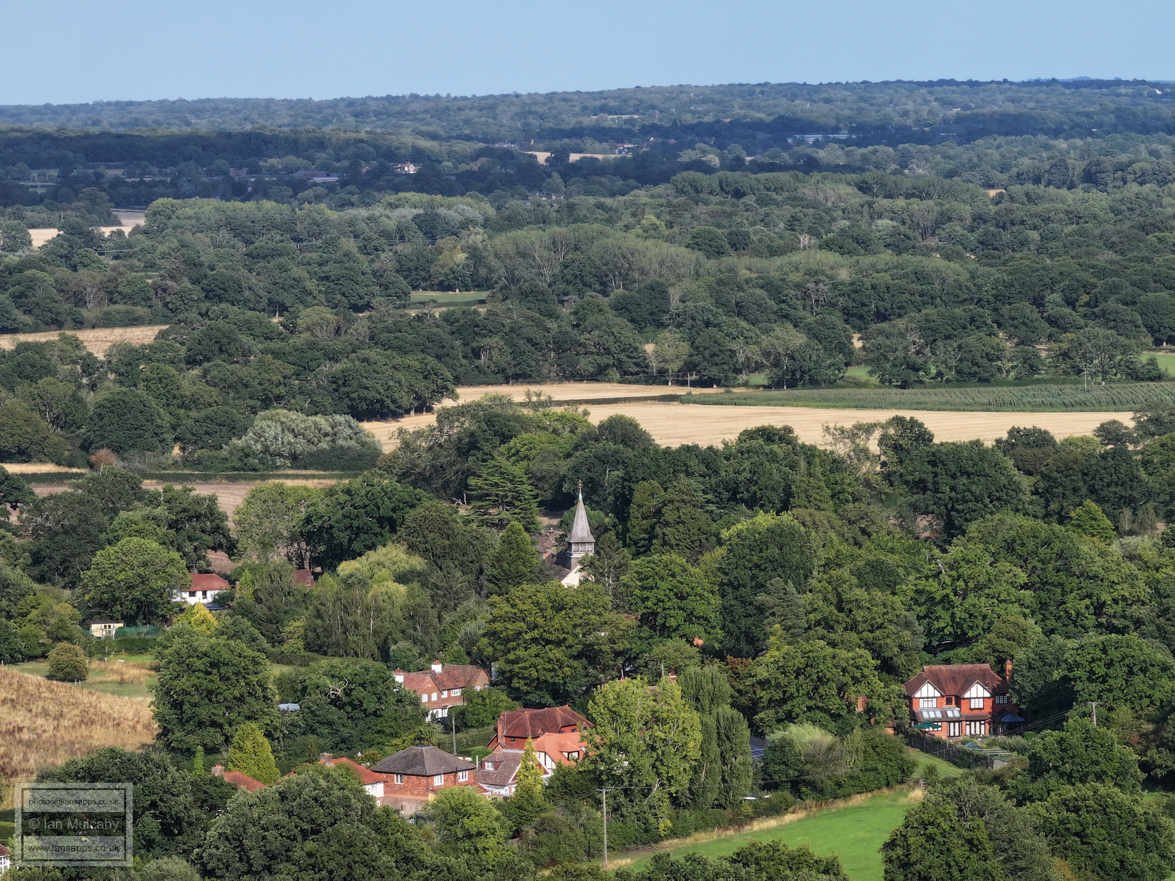
St Bartholomew's Church
Boxhill, with Strood Green & Brockham below
The South Park, Woodhatch & Doversgreen area of Reigate and St Michaels church on Earlswood Common. The tower in the trees in the centre near the top of the first ridge is the Dunnotar School west of Redhill Common. South Park Football Club can be seen left of centre, about 25% down from the top. The spire in the top left quarter is on a large building on Hill House Drive off the A217, just north of Surrey CC, which I do not know the name of.
Church of St. Bartholomew at the foot of the image.
Top centre is East Grinstead, identified by the water tower and the tower of St Swithun's Church.
The eastern end of Gatwick Airport, with a plane on its final approach.
Gatwick Airport. The sky bridge & control tower stand out, and Milton Mount flats at Worth Park, Pound Hill, can be seen in the trees above and to the right of the control tower. If you trace the runway right from the control tower to the first large white unit, the spire of St Michael's church at Lowfield Heath can be seen immediately before the unit.
From left: The western end of Gatwick, with the Sandman Hotel above, Manor Royal, Crawley Town Centre. The building high on the hill above the College tower is Greentrees on High Beeches. I believe the other buildings on the ridge, to the right, are at Mount Pleasant Farm off Parish Lane
The western side of Crawley Town Centre and the hospital. Below the hospital and trees in the open area camera side of the ridge is Rickettswood Farm at Norwood Hill. In the top right quarter, the Tollgate Hill area of Broadfield and Woodgate (at Pease Pottage) can be seen. Ifield Community College is also visible.
Left of centre at the top is the radar station at Pease Pottage.
Just left of centre, low down on the far ridge, is Holmbush.
The hedge lined road running left to right about a third of the way up the picture is Shellwood Road, and the buildings in the centre are at Shellwood Manor
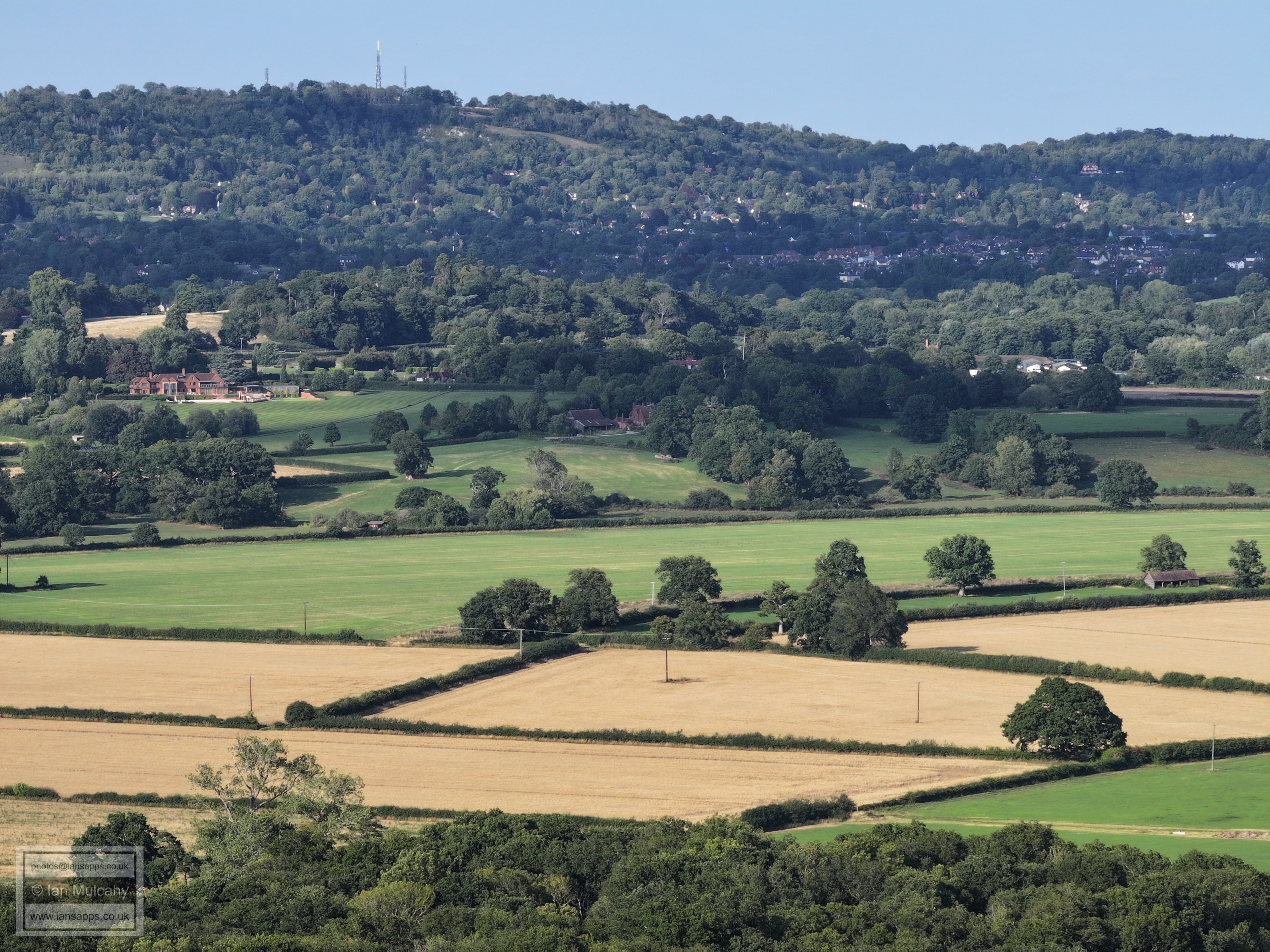
Goodwyns Towers in Dorking in the top right quarter.
Brockham Park in the foreground
Strood Green
Box Hill, with Strood Green (left) and Brockham (right) across the middle.
Brockham Warren, top centre
Left of centre is the Nutwodo Avenue area east of Brockham and south of Kiln Lane. Brockham Quarry is beyond.
Betchworth on the trees (centre)
The house right of centre at the top with the 4 chimneys is on Juniper Hill
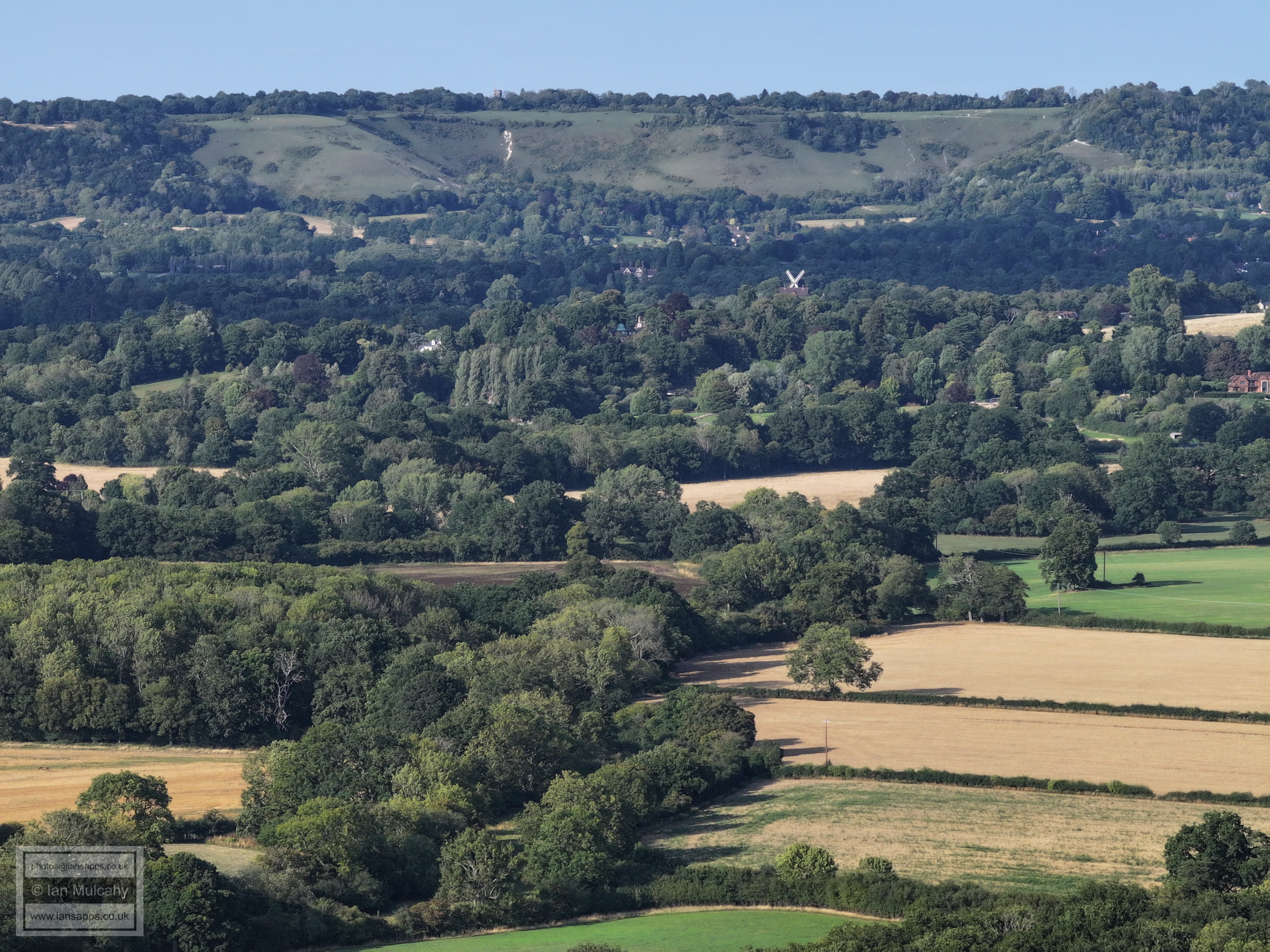
Just left of centre at the very top is Colley Hill Water Tower. Lower down to the right is the windmill on Reigate Heath.
Western Reigate
St Peter's Church, Newdigate
Text & photographs © Ian Mulcahy. Contact photos@iansapps.co.uk or visit my 'Use of my photographs' page for licensing queries (ground level photographs only). |