South of Gulledge Farm
East Grinstead
West Sussex
10 August 2025
59 aerial photographs of varying focal length
|
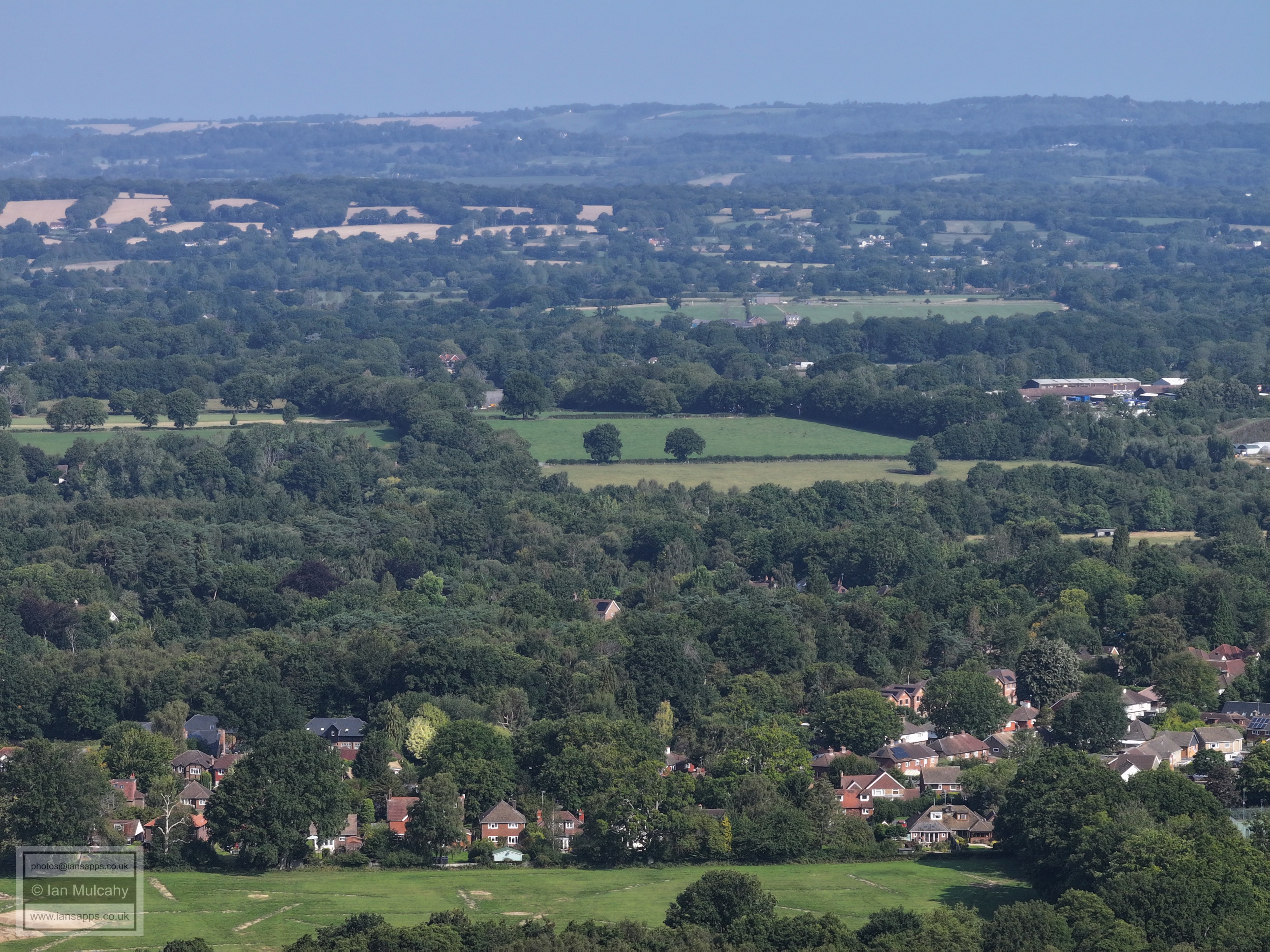
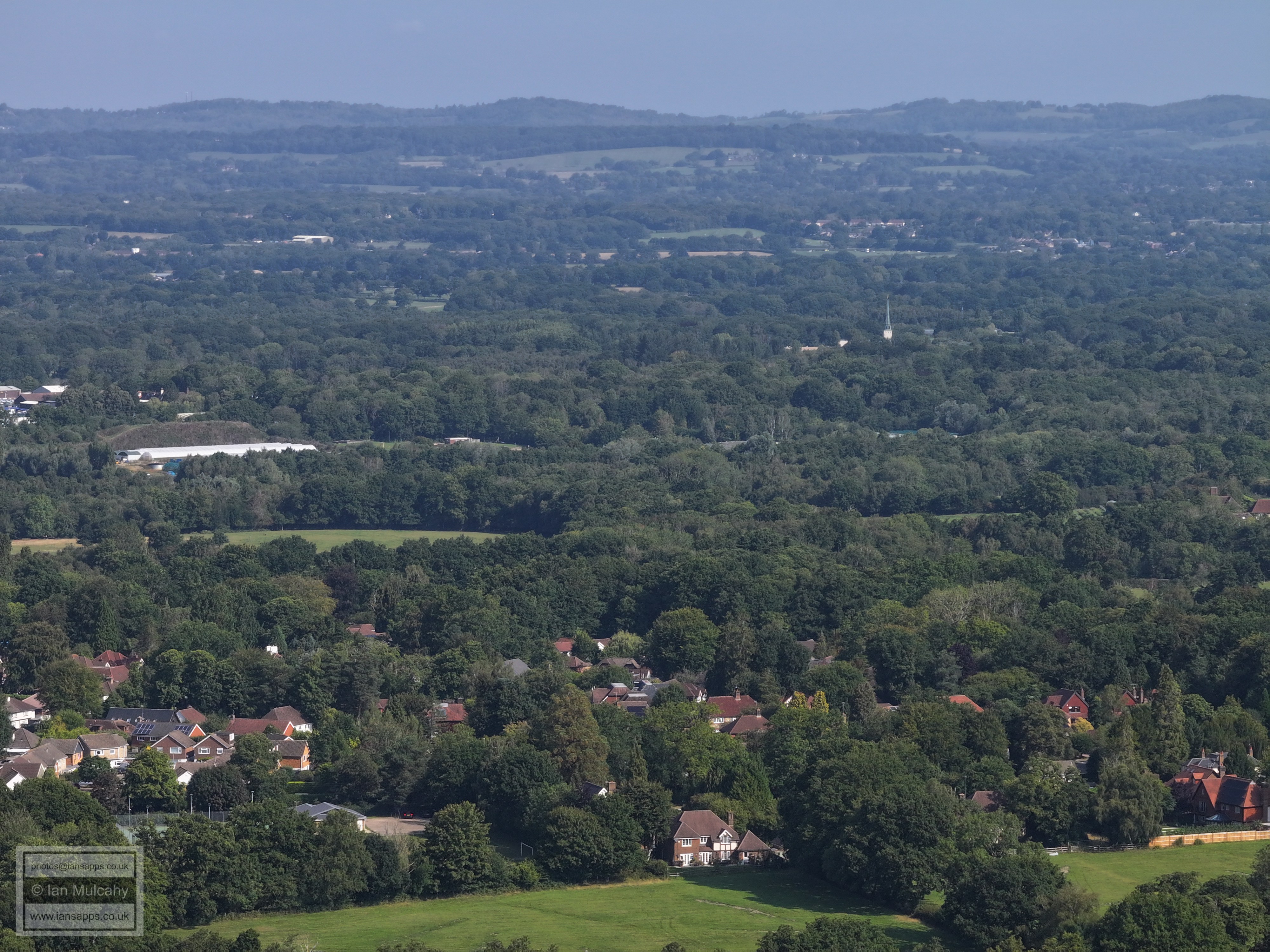
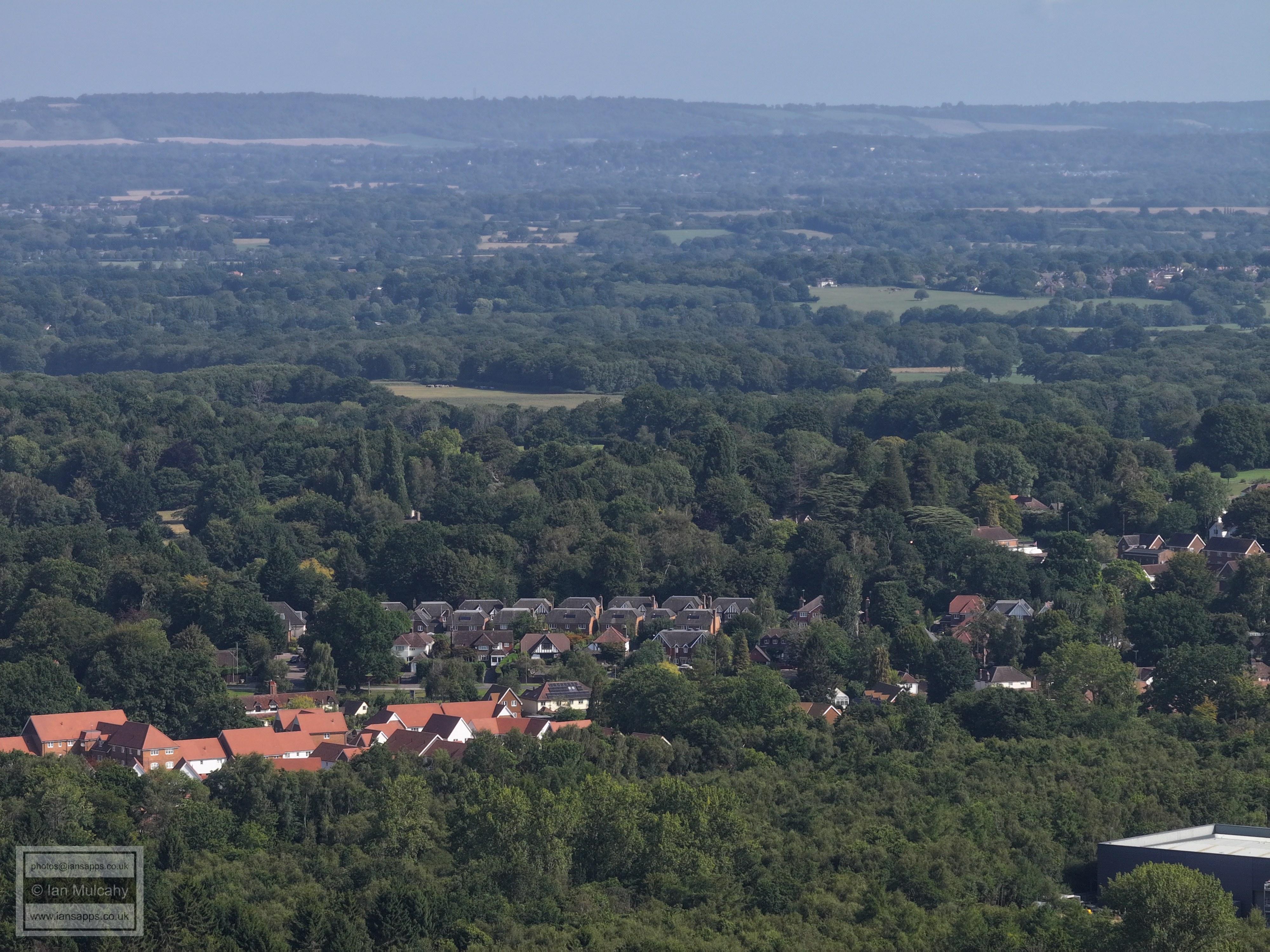
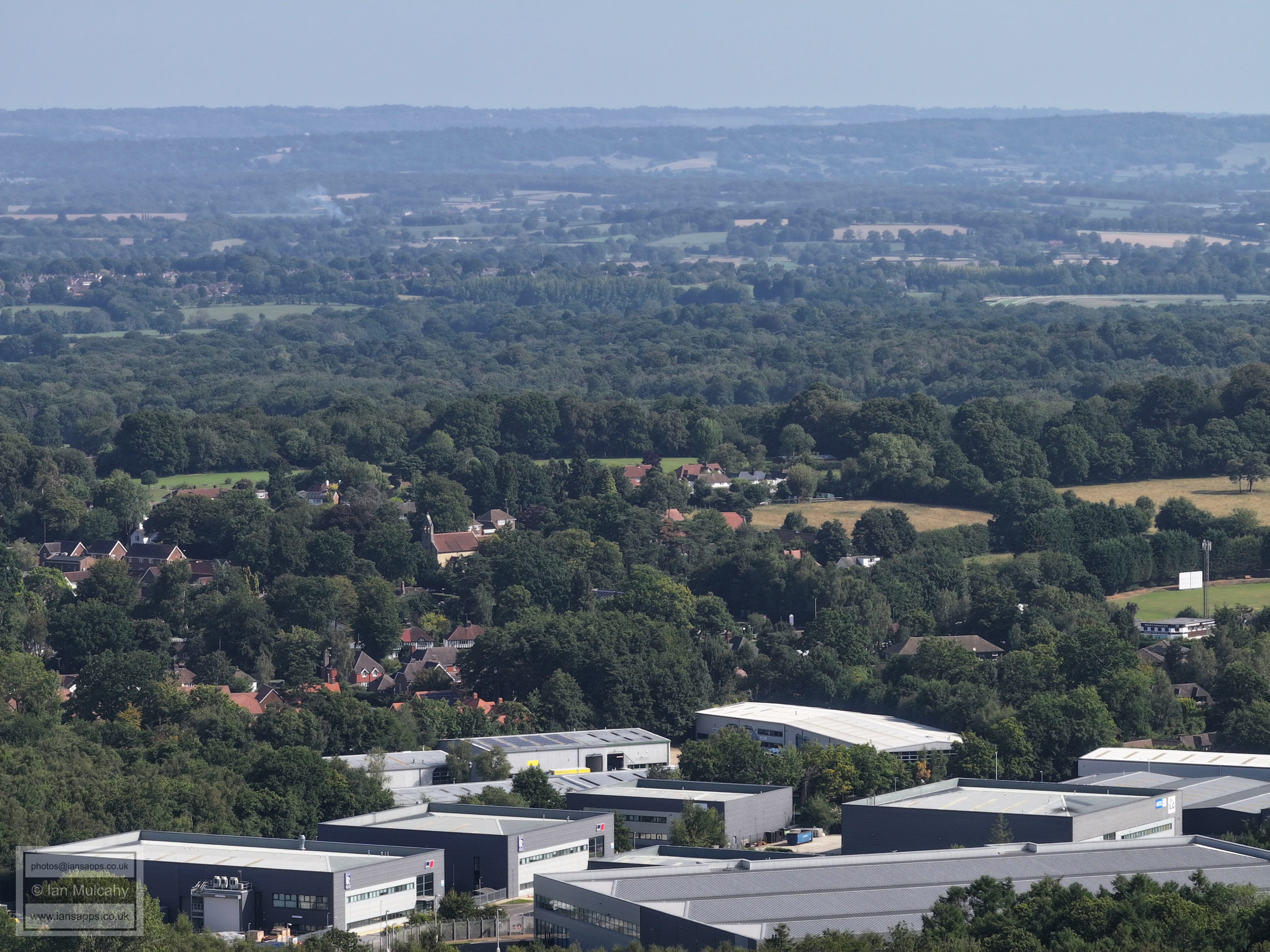
59 aerial photos of varying focal length taken from south of Gulledge Farm, East Grinstead, West Sussex on 10 August 2025. Views include East Grinstead, Crawley, Gatwick, Crawley Down, Turners Hill, West Hoathly & Sharpthorne. I have annotated many of the photos.
Gulledge Farm, a 16th century house with 17th century stone fronting.
Crawley Down, with Crawley beyond. In the top left quarter is Kilnwood Vale with what appears to be Warnham Court, visible down the valley, beyond. Very zoomed in, you'll see the phone mast at Woldhurtslea in Gossops Green immediately above the Arora Hotel, and to the right of the hotel is Overline House & County Mall. To the right of the mall, in a small gap between the white buildings, is St Johns Church. The College, Town Hall, Telephone Exchange and Hospital will all be noticed too.
The northern parts of Crawley. Visible from left to right are the Cinema, the Crowne Plaza at Tushmore, the Sandman Hotel at Hazelwick, Milton Mount flats at Worth Park and Manor Royal
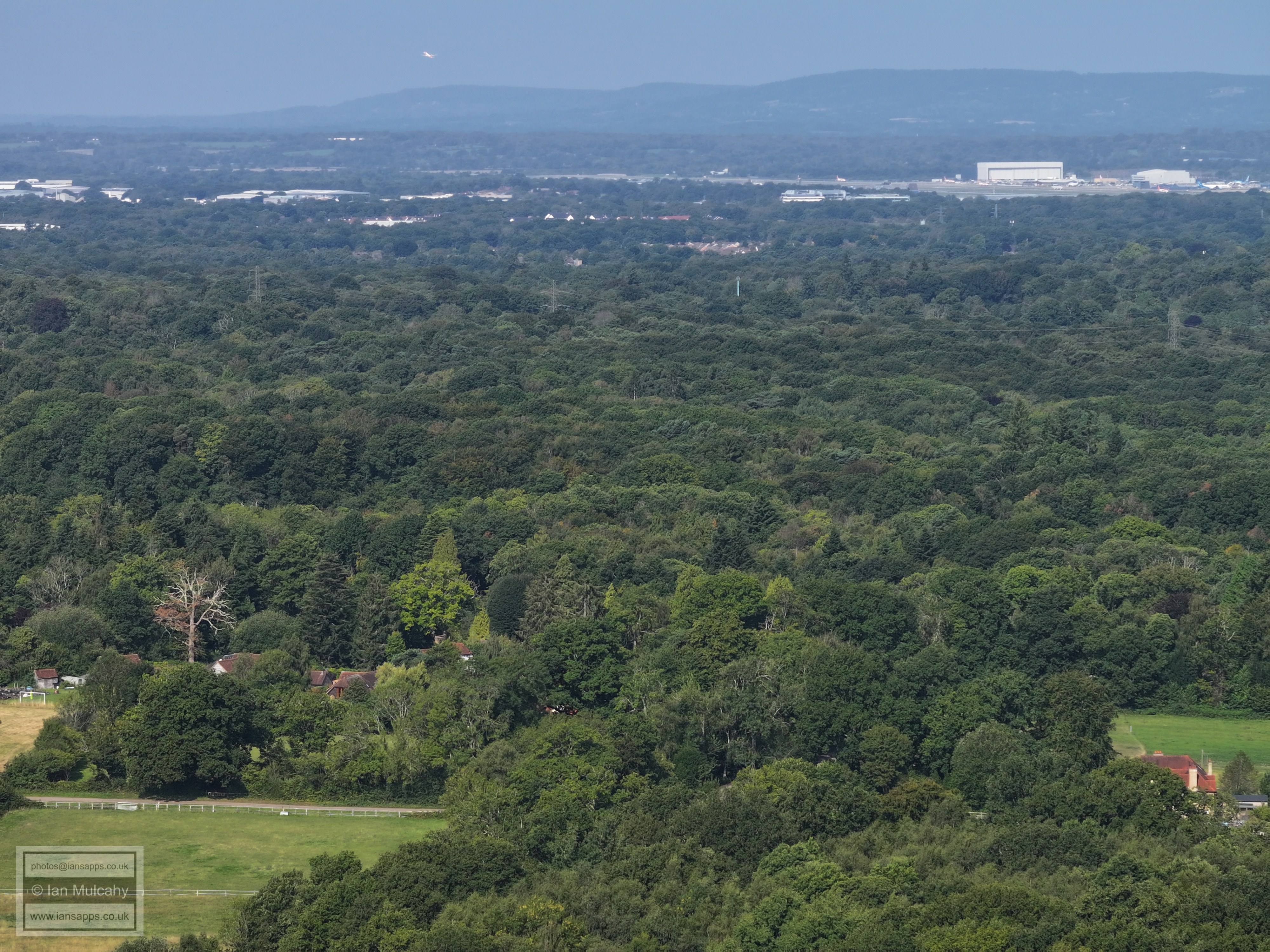
Manor Royal & Gatwick
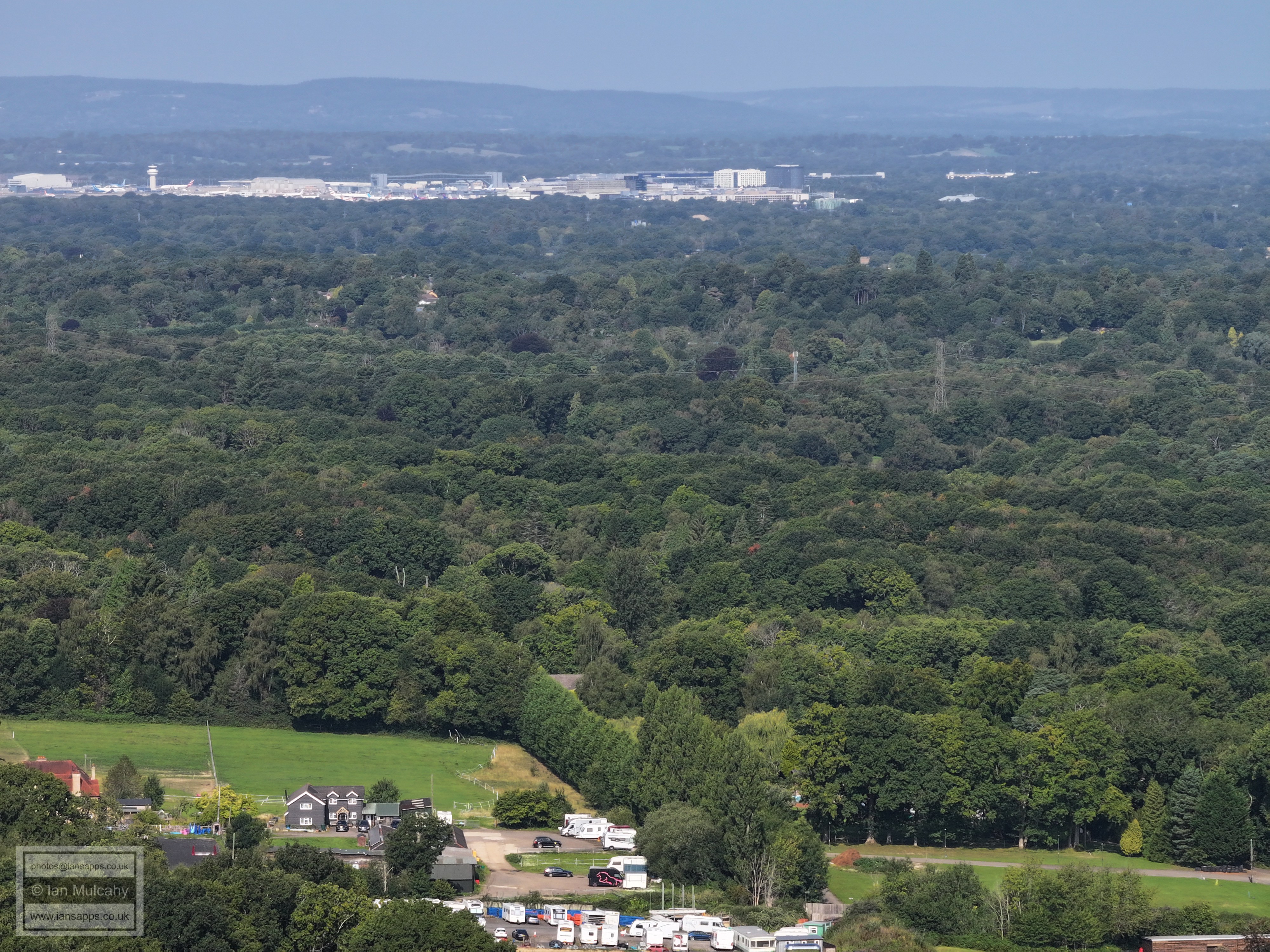
Gatwick
The church on the hill to the left of centre close to the top is St Michaels at Earlswood, and the building to the right and below is the Royal Earlswood. A white cimney of East Surrey Hospital can just be seen.
To the right of centre is the spire of the Latter Day Saints temple at Newchapel.
The new buildings in the bottom left quarter are in Mortain Road, off of Crawley Down Road in Felbridge
The units at the bottom are in Hills Road & Willard Way.
To the left of centre is Felbridge Cricket Club.
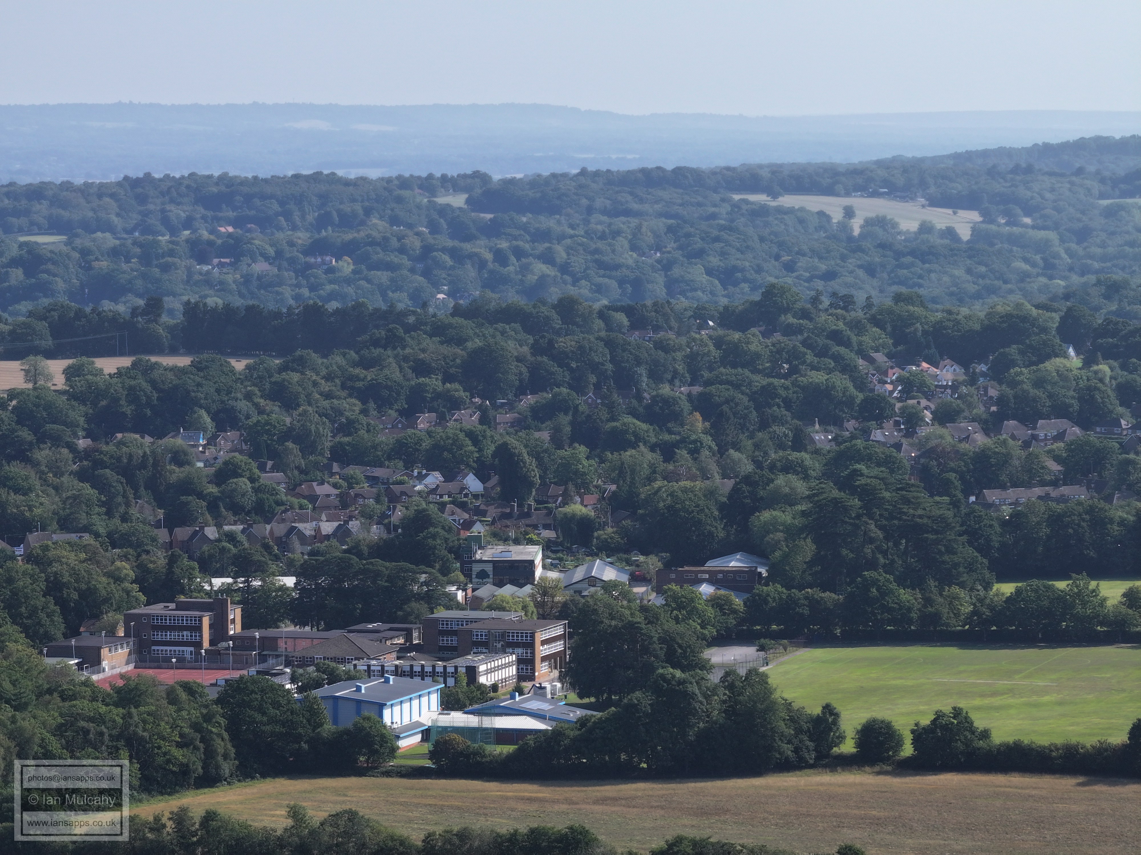
Imberhorne School in the bottom left quarter.
The road on the right side of the pic, leading to the church of Our Lady & St Peter in the London road is, I believe, Campbell Crescent, Crossways Avenue & Park Street.
East Grinstead Town centre, with St Swithun's and the Water Tower showing prominently.
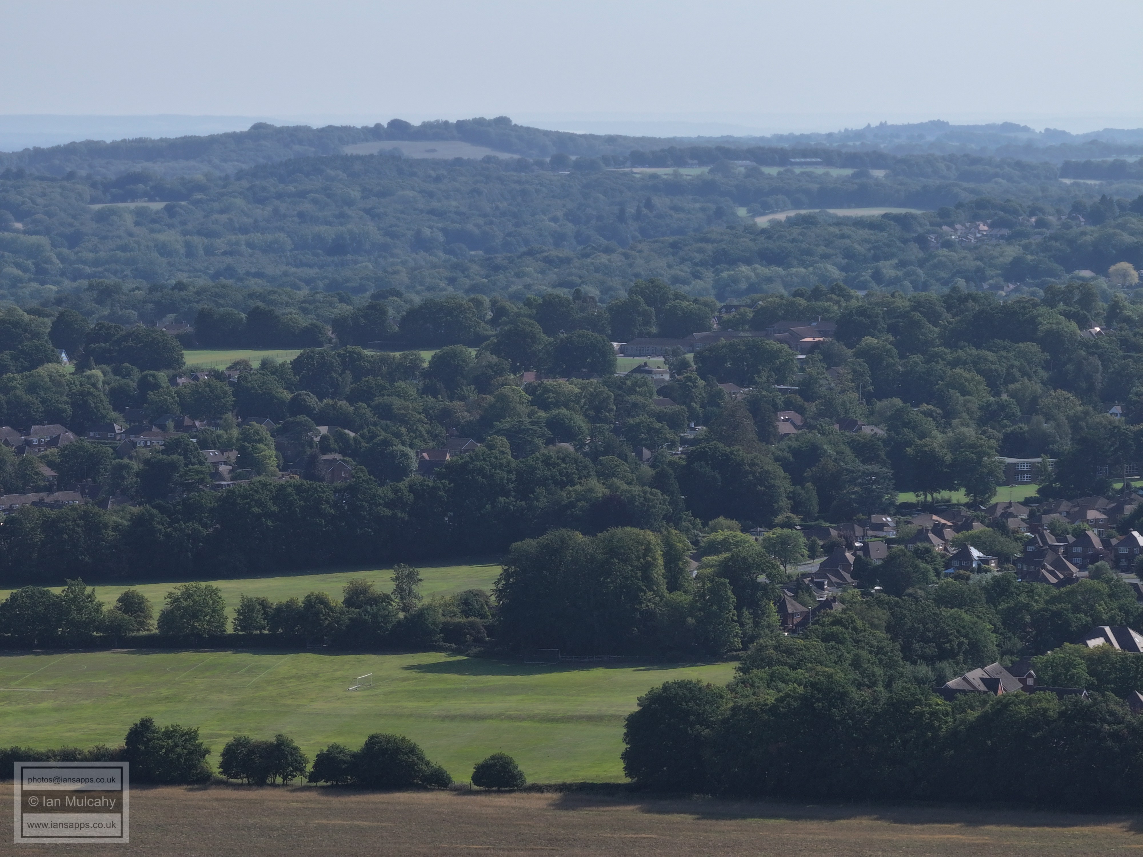
The Imberhorne Viaduct is in the centre of the picture, mostly hidden behind trees.
The roofs of the new 'Butlers Way' development on the Turners Hill Road are visible across the centre
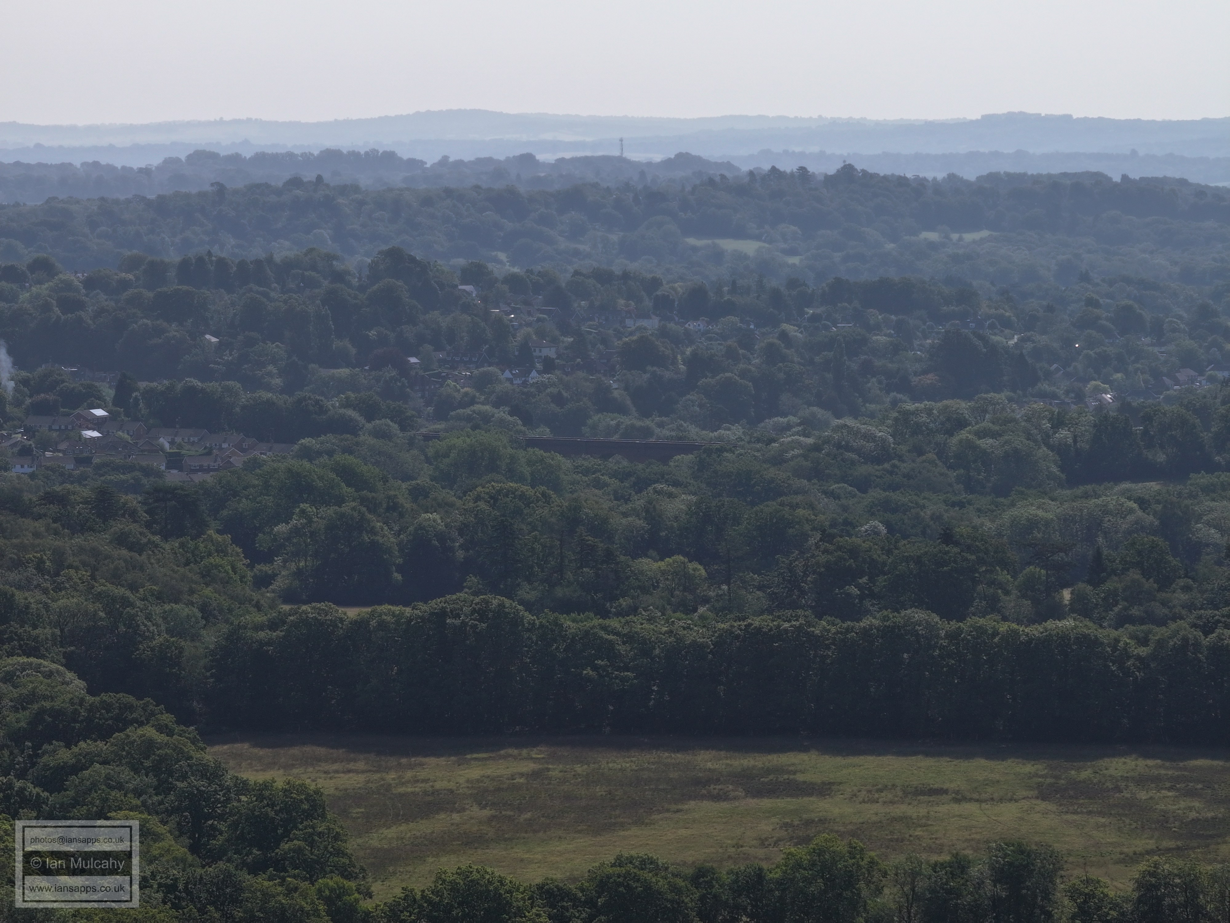
I don't know what the tower is far left of centre, but its off Imberhorne Lane close to Tilkhurst (The white house to the right of centre). Weirwood is in the valley beyond.
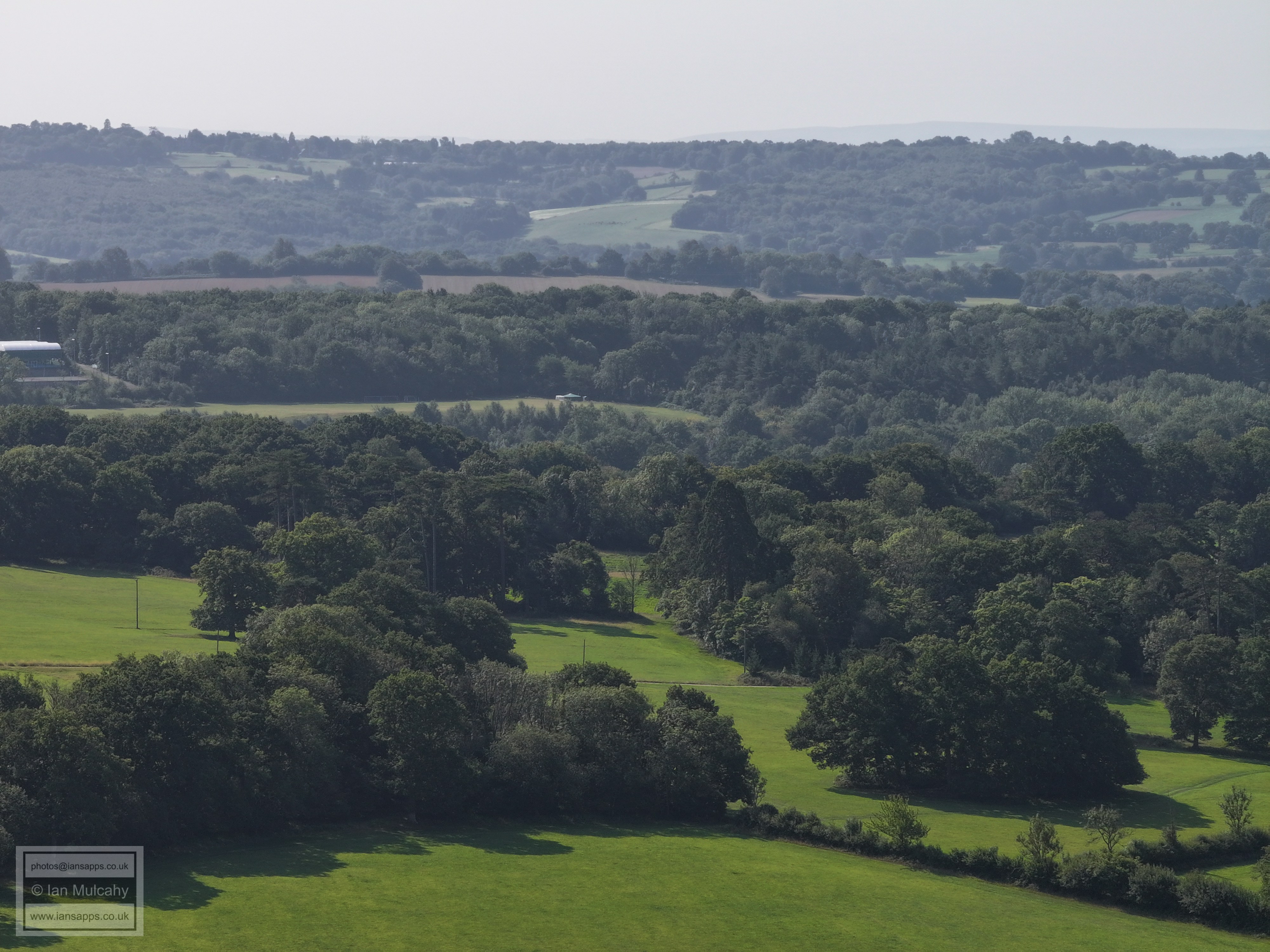
The half white/half brown roof with floodlights to the right is East Grinstead Sports Club on Saint Hill Road. I believe that the 4 white barrel roofed buildings to the far right are covered tennis courts on the same complex, that aren't yet on Google Earth!
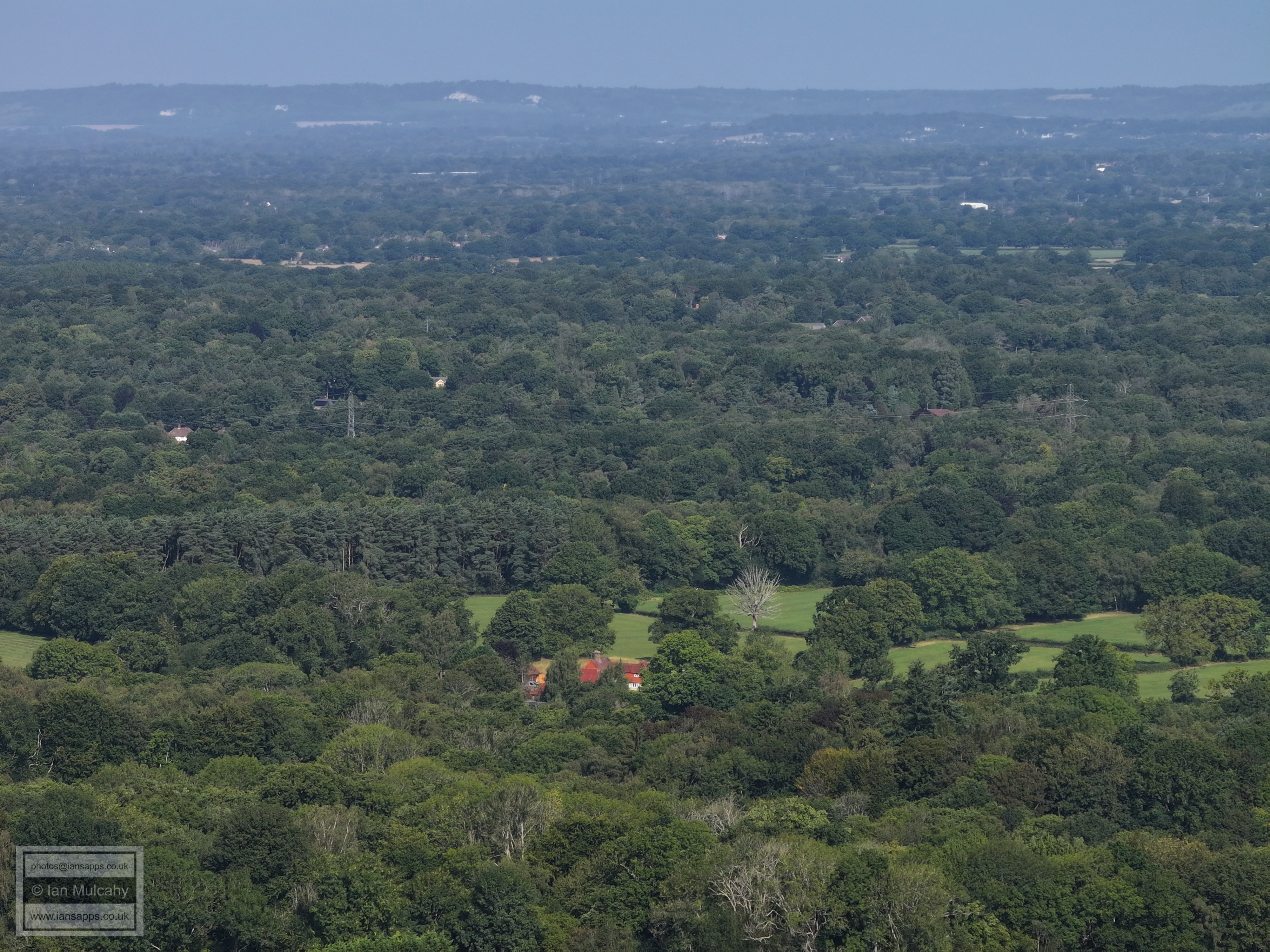
Tilkhurst Farm in the bottom right quarter
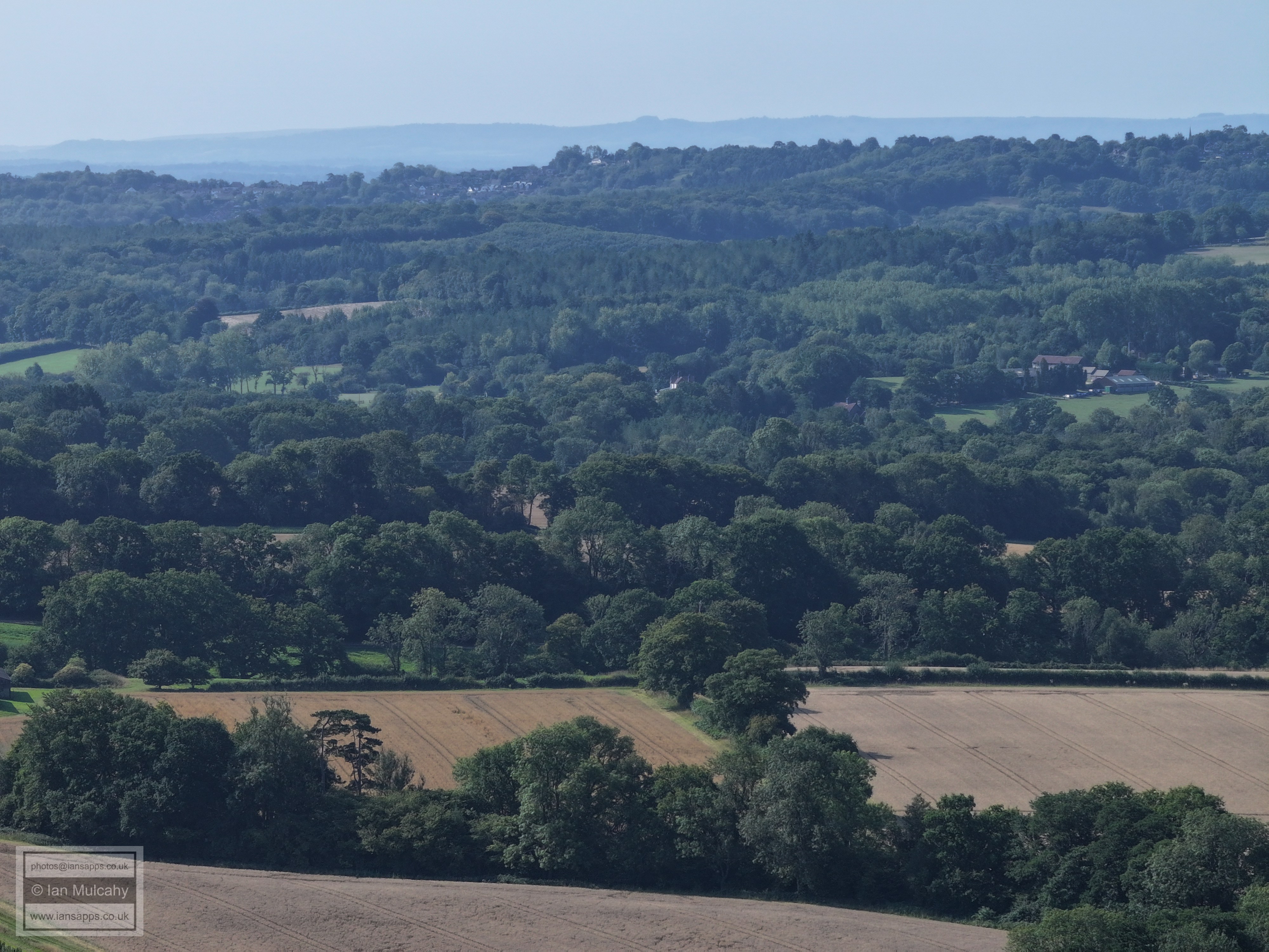
Sharpthorne on the hill, top centre
In the top left quarter is West Hoathly, the spire of St Margaret's being the obvious reference point.
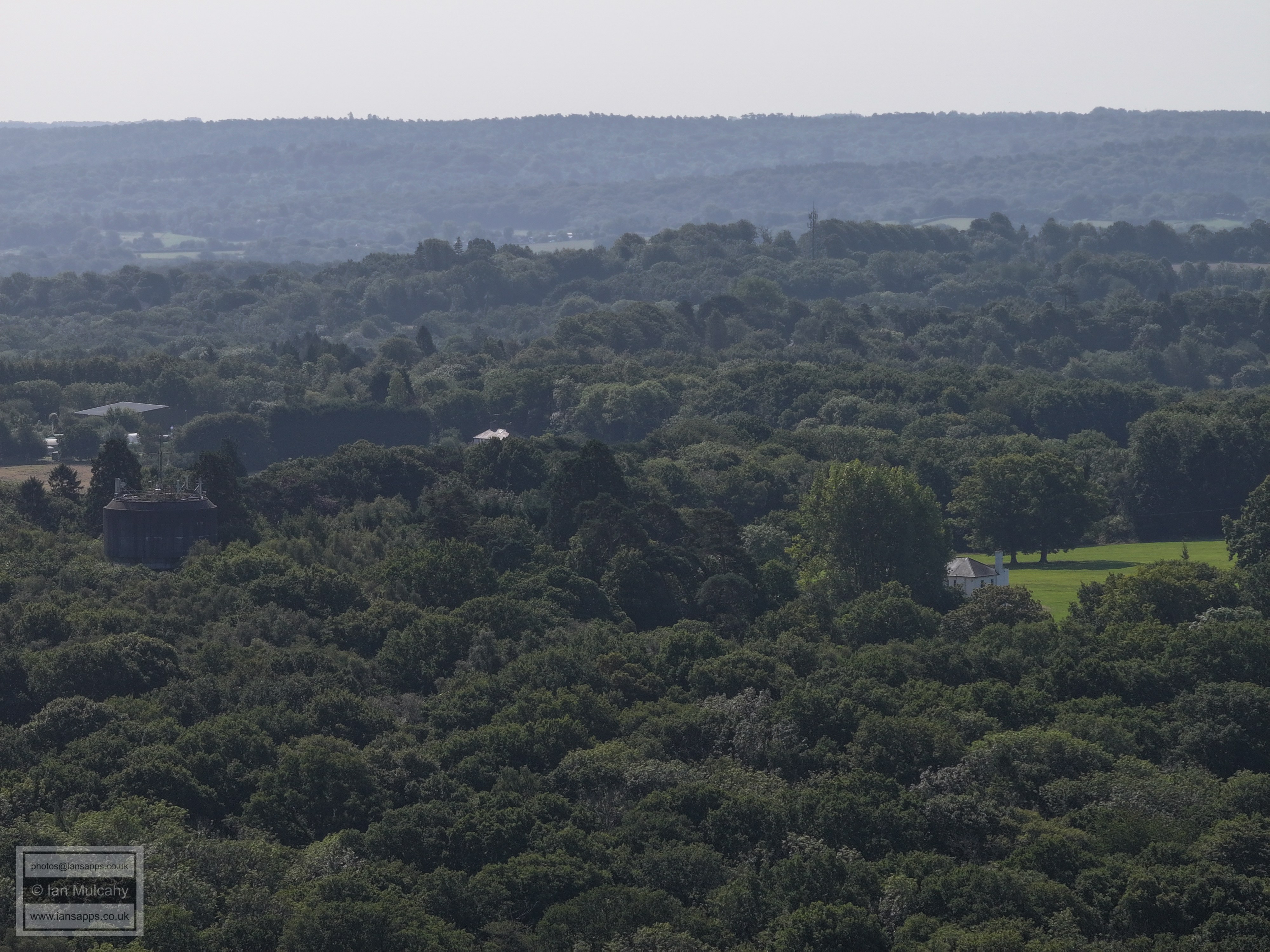
Selsfield Common Water Tower in the top right quarter.
Right of and above centre is the Alexander House Hotel in East Street, Turners Hill
Turners Hill in the top right quarter.
Turners Hill (and St Leonard's Church) in the top left quarter and across towards the centre.
In the centre is the newly built Rushetts Lane, off Hazel Close in Crawley Down.
Crawley Down. In the top left quarter are the radar station and water tower at Pease Pottage. Just right of centre, near the top, is the spectator stand at K2 Leisure Centre with parts of Broadfield visible just above.
Text & photographs © Ian Mulcahy. Contact photos@iansapps.co.uk or visit my 'Use of my photographs' page for licensing queries (ground level photographs only). |