The sunken bridge near Worth Lodge Farm
Worth
West Sussex
10 August 2025
61 aerial images of varying focal length
|
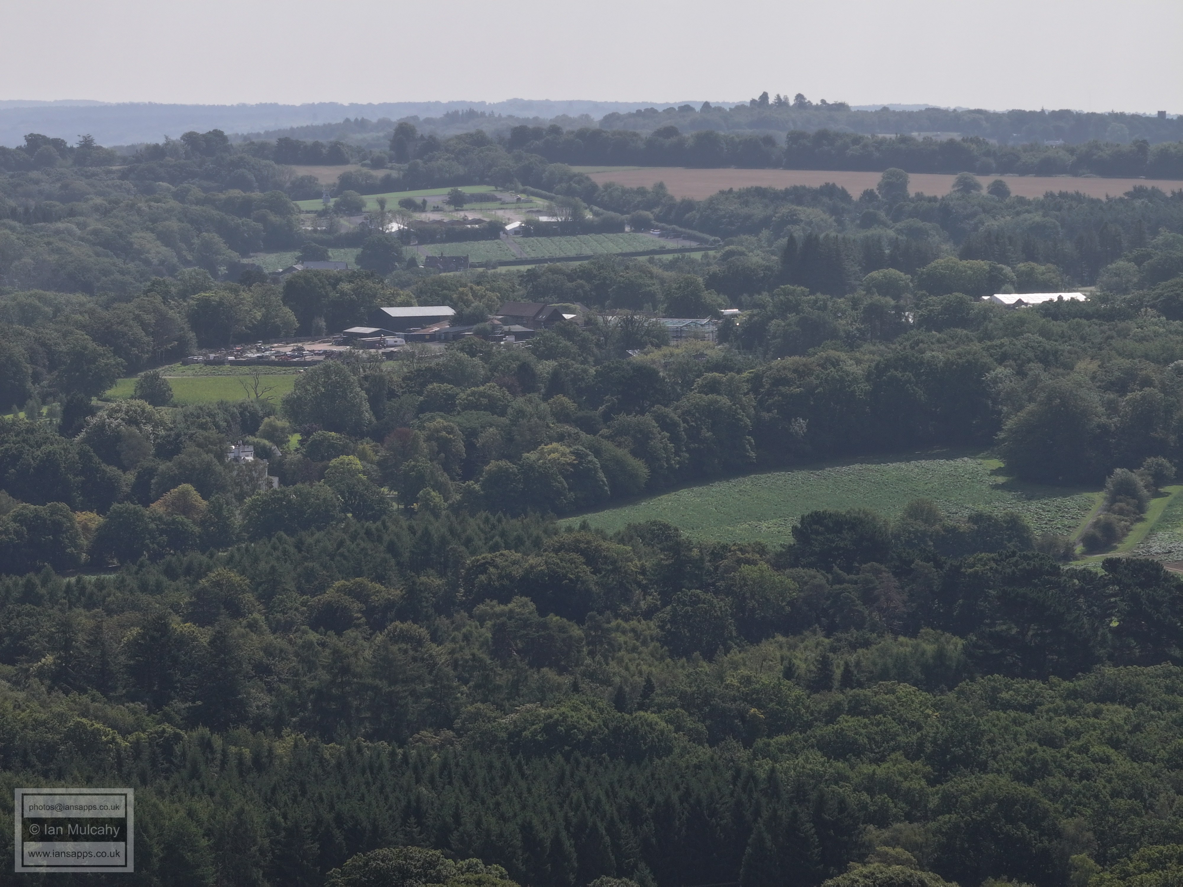
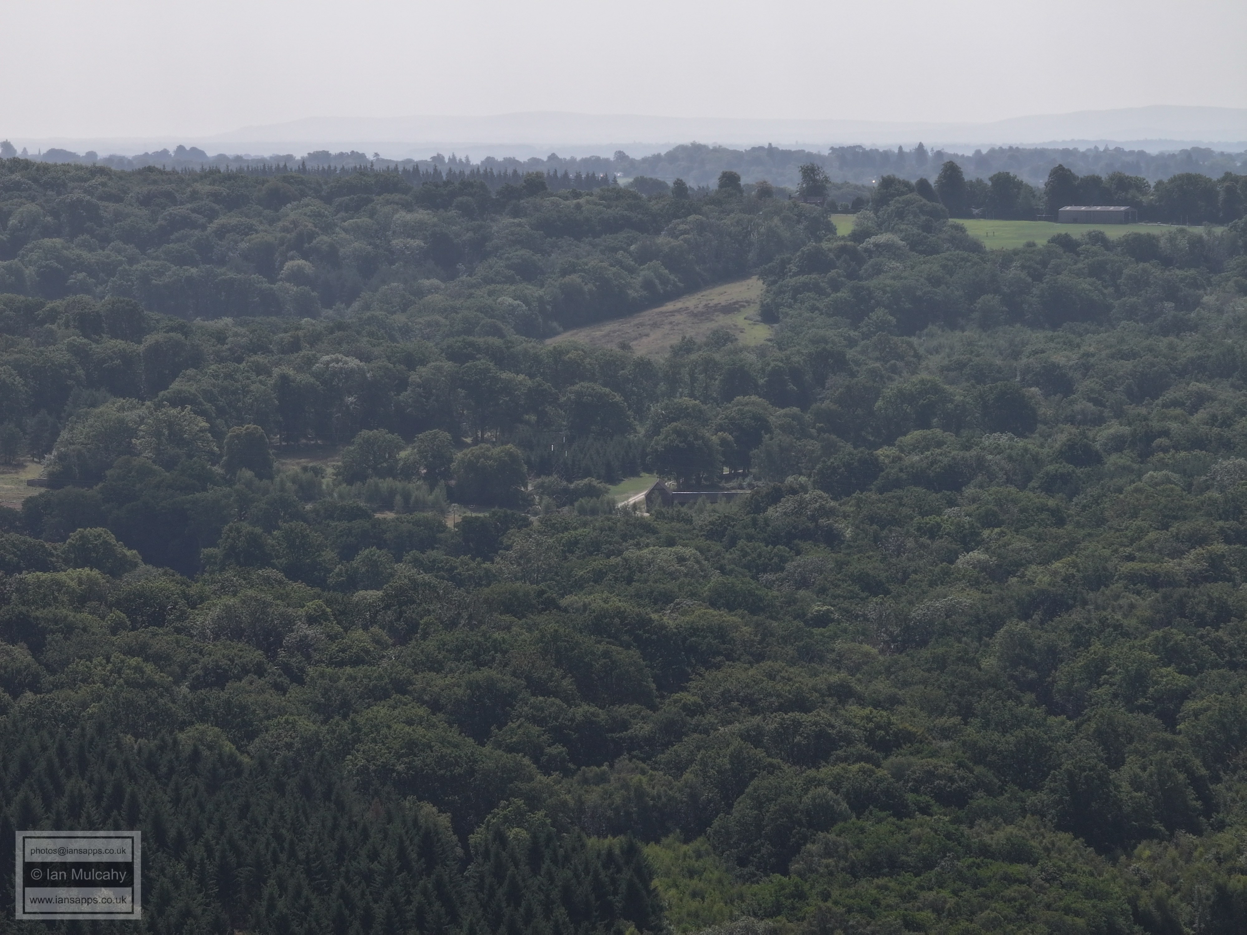
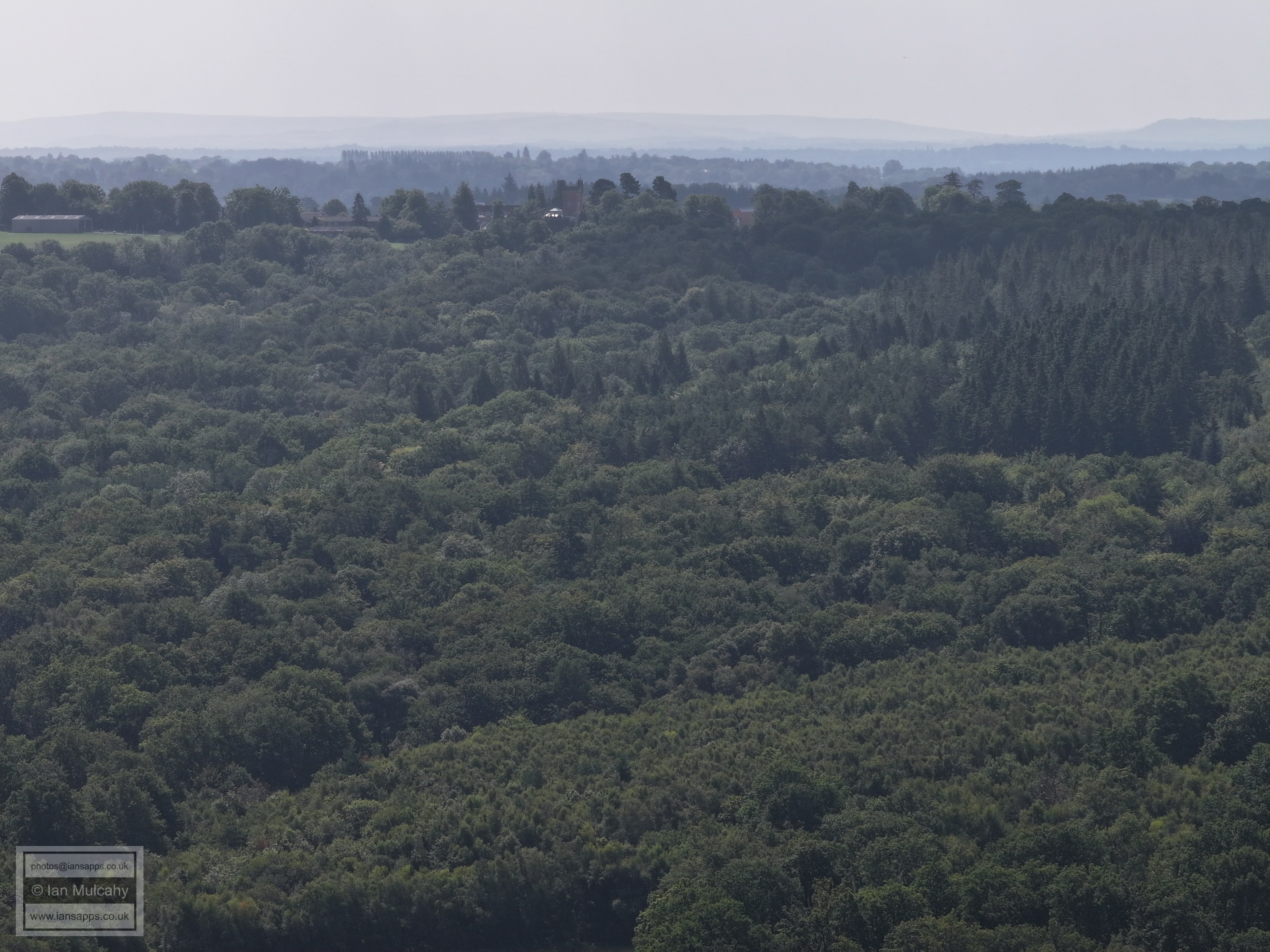
61 aerial images of varying focal length taken from the sunken bridge near Worth Lodge Farm. The bridge, carrying the farm track from Turners Hill Road, used to span the Three Bridges to East Grinstead railway line until its closure on 1 January 1967. The cutting across the field was filled with inert landfill and the whole area returned to pasture which gives the bridge the appearance of being sunken. An old raised pipeline to the west of the bridge provides further evidence of the lands previous use.
I have annotated many of the photos.
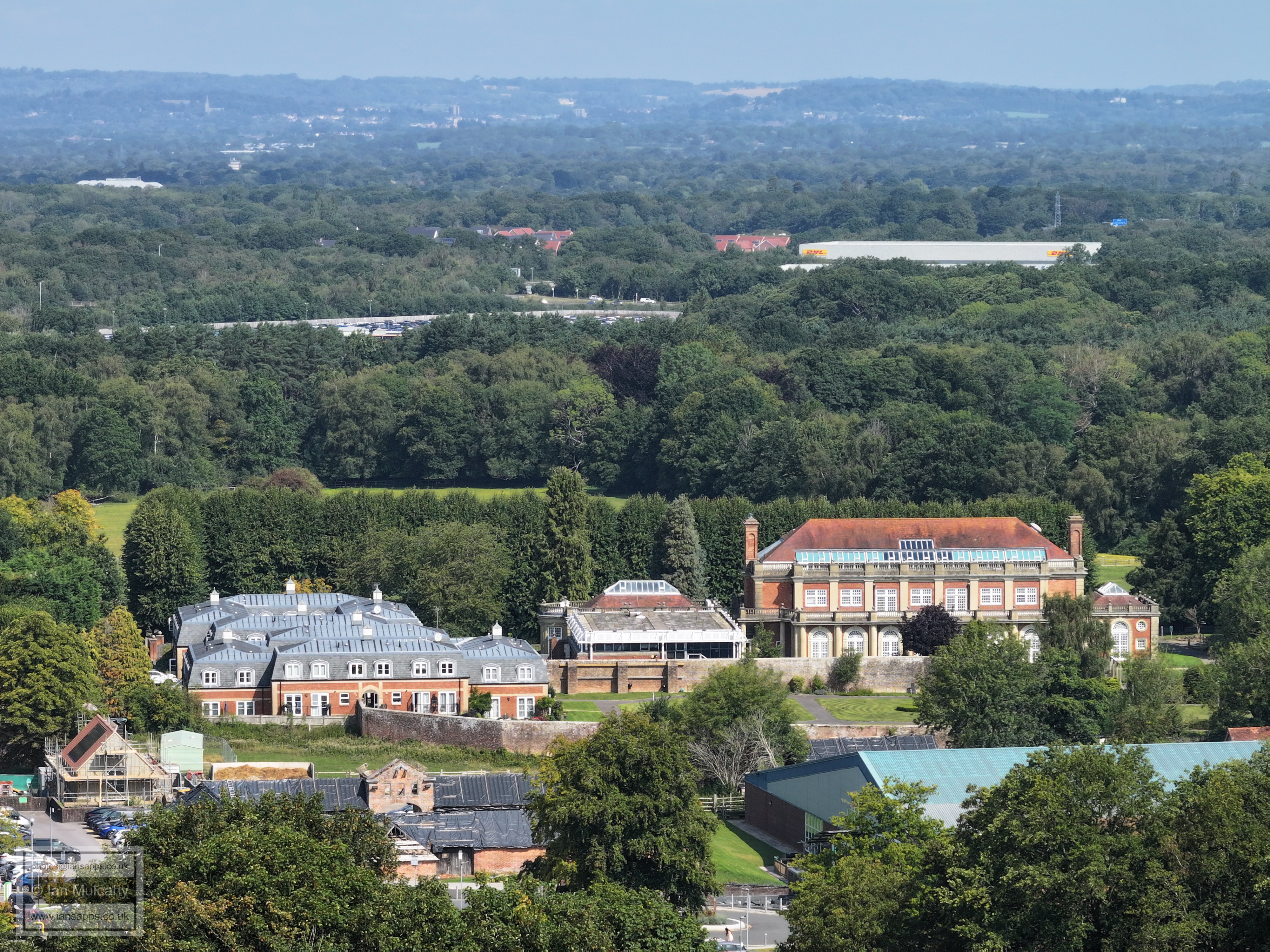
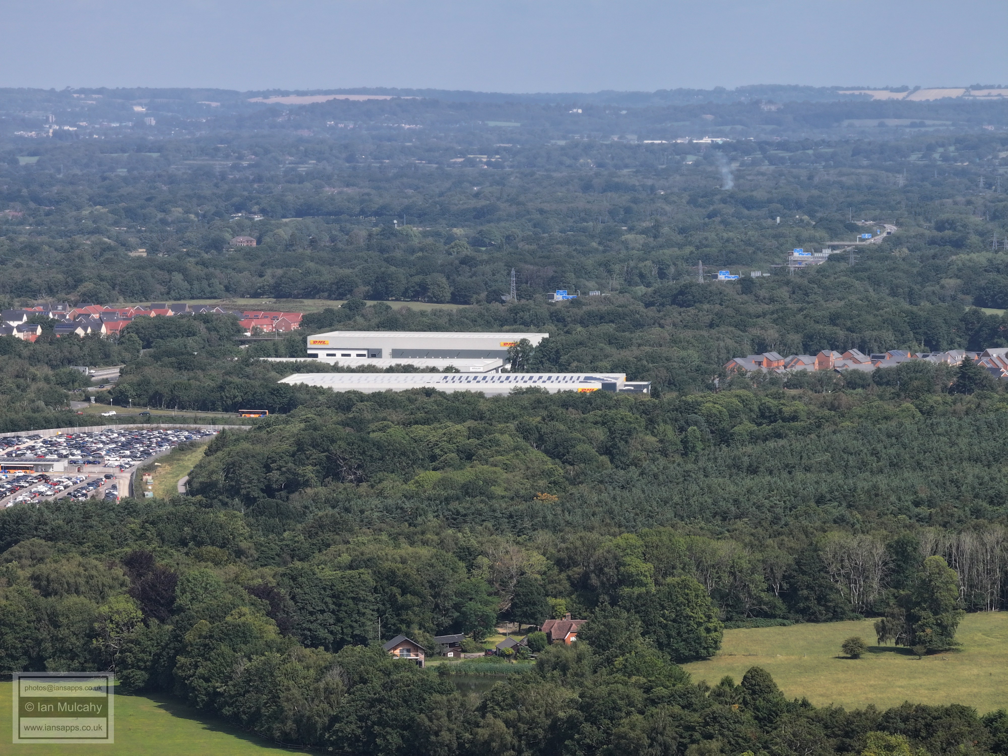
The Orangery at Crabbet Park, with the DHL warehouse at Copthorne and the roofs of Forge Wood beyond. In the top left quarter the spire belongs to St Johns on Earlswood Common
Crabbet Park House
St Nicholas, Worth, with Maidenbower beyond
Worth Lodge Farm
Just left of centre is Oakfield Lodge, now known as Worth Training Centre or Worth Corner, previously Notre Dame School.
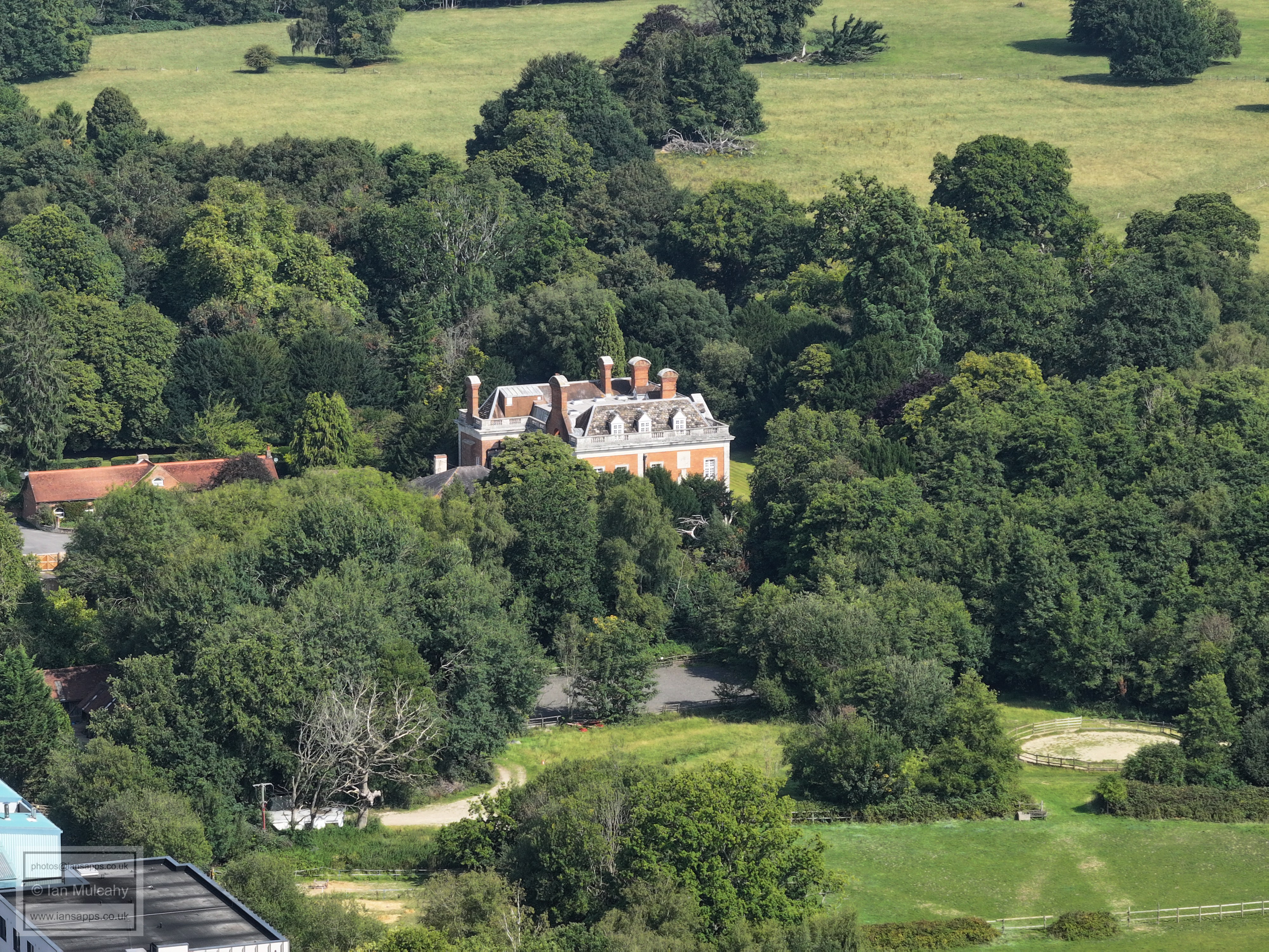
Crabbet Park House, centre
St Nicholas & Maidenbower. In the bottom right quarter is Alfred Close and Saxon Road
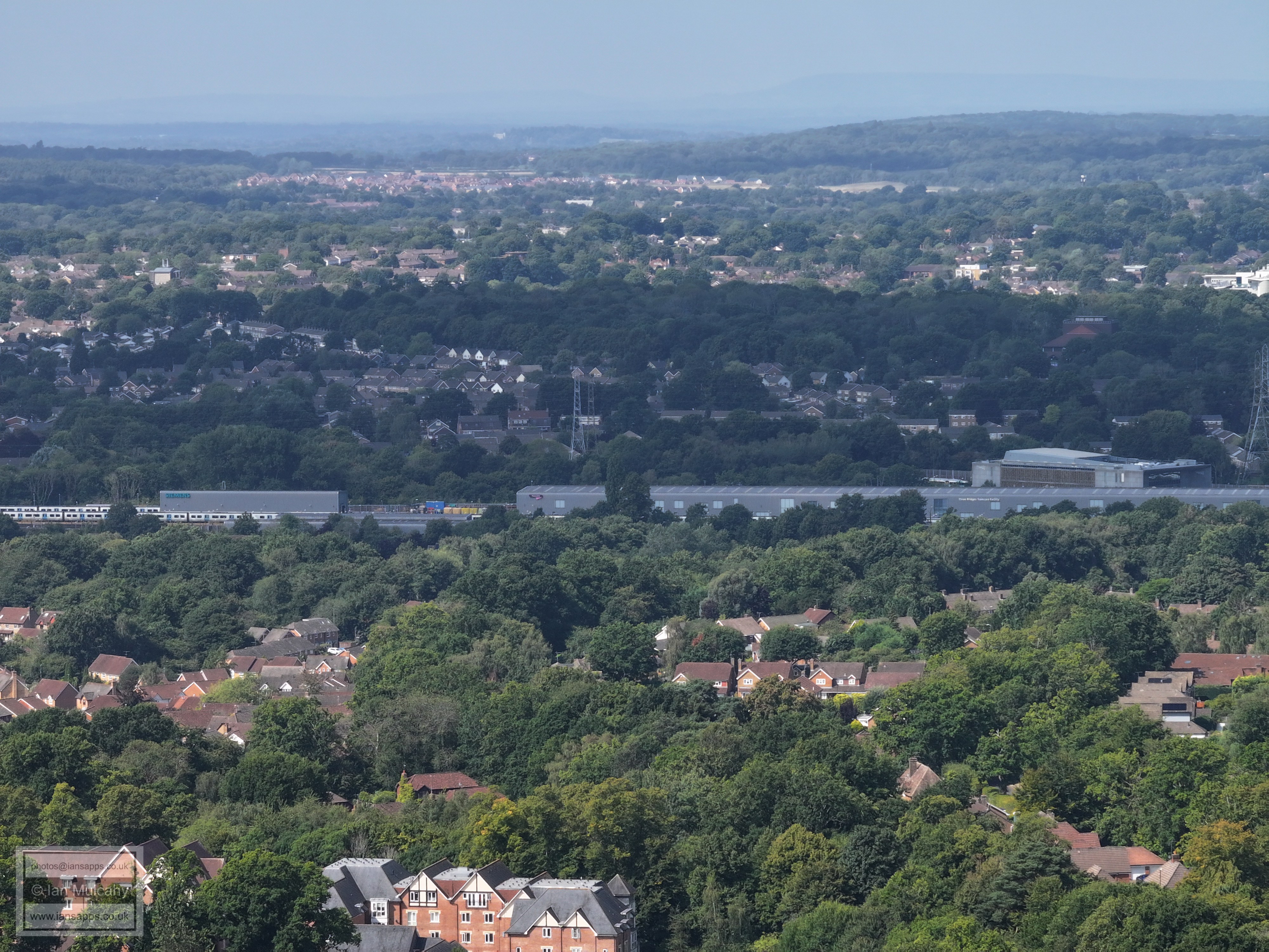
The Town Hall and hospital are clear. Left of centre is Three Bridges Football Club with Stephenson Way below. (part of) Three Bridges Station is far right.
Left of centre is 'old' Three Bridges, including the lodge to Tilgate Mansion if you are eagle eyed. Just below centre are the flats on the site of the old Ford Garage at the foot of station Hill. In the bottom right quarter is Oakfield Lodge, now known as Worth Training Centre or Worth Corner, previously Notre Dame School. Just above centre is B&Q & Tapi with Sainsbury's just beyond. The Crowne Plaza is in the top right quarter. A hazy Leith Hill is at the top.
To the right of centre is Tesco and Hazelwick School. In the bottom left quarter is the large canopy keeping Pound Hill school dry.
Sandman hotel on the left with Manor Royal beyond.
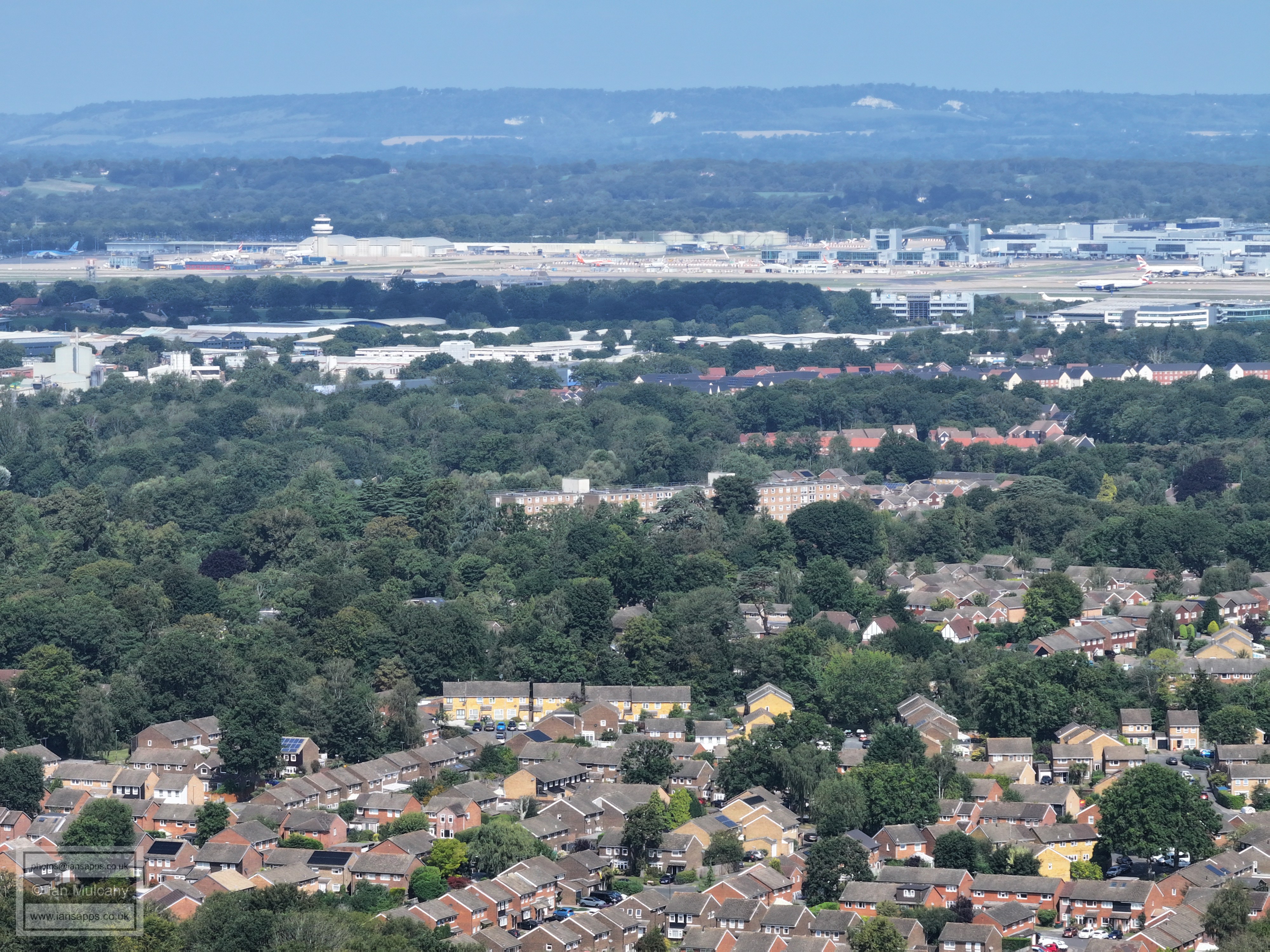
Milton mount flats are tree obscured in the centre, with Gatwick beyond.
Copthorne Road crossing the M23 in the bottom right quarter. The sewage works are above centre.
Just above centre is the archway welcoming drivers to Gatwick as they enter from the M23 spur. Across the centre is Forge Wood. Right of centre is Junction 10 of the M23 with APH parking below. In the top right quarter, towards the centre, is the spire of St Johns at Earlswood.
DHL centre, with the M23 approaching the well signposted Gatwick junction in the top right quarter.
More M23 near the top, just left of centre, and a plane coming into land top right!
Copthorne
Copthorne
Ley House, near Rowfant Mill (not visible) in the bottom right quarter. Just above and left of centre is a segment of Copthorne Golf Club
Rowfant Millpond is obscured by the line of trees below centre
In the top left quarter is East Grinstead. Right of centre is Rowfant business Park.
In the bottom left corner is Compasses Corner on the Turners Hill Road.
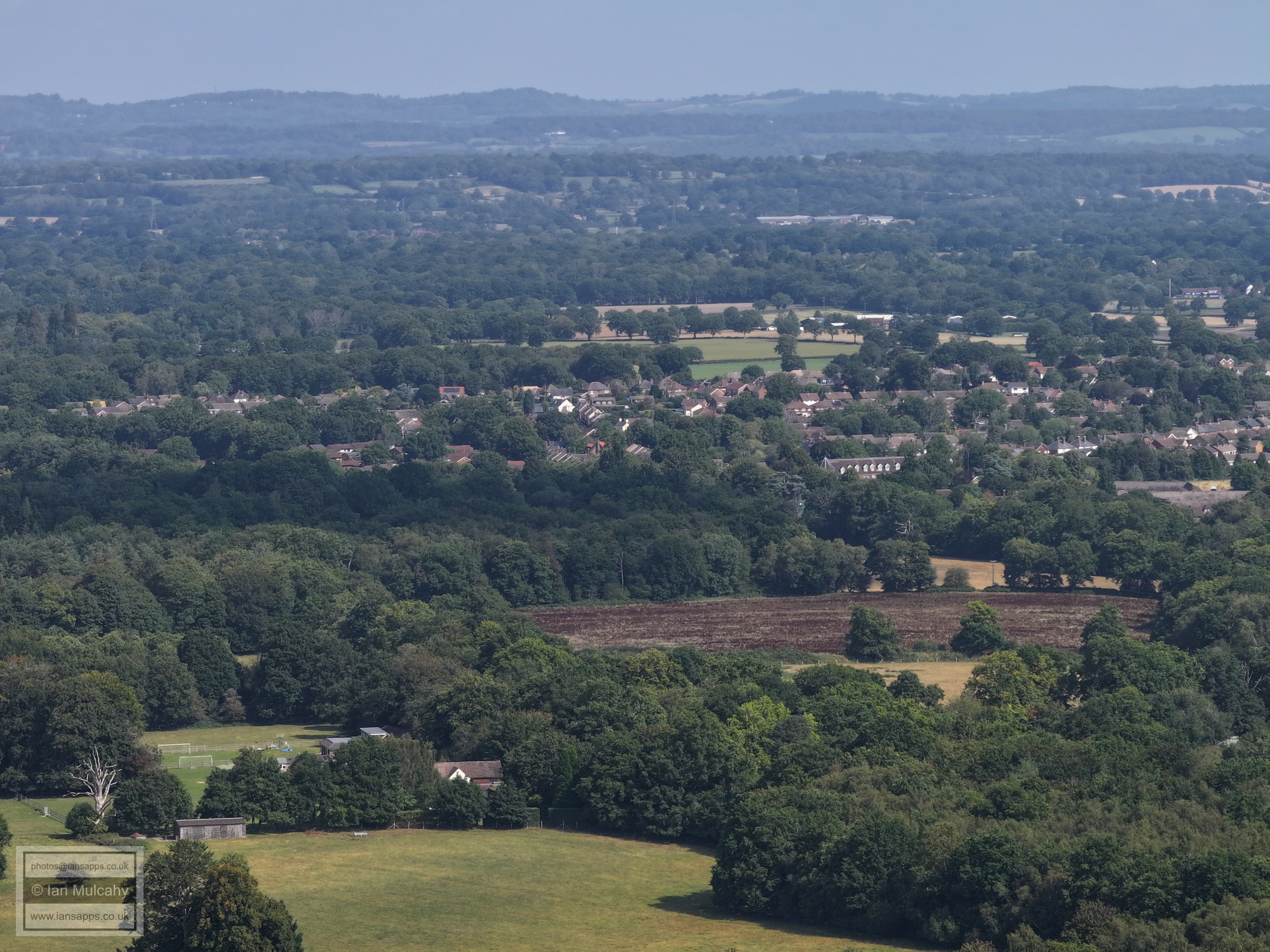
Tulleys Farm
Selsfield Common Water Tower is in the top left quarter.
In the top right quarter the spire of St Margaret's at West Hoathly can just be seen.
Top centre is Worth Abbey
M23 junction 10a and Storage King at Maidenbower
Maidenbower with Tilgate Forest beyond.
The green area across the centre is Maidenbower Playing Fields. In the top right quarter is Woodgate at Pease Pottage.
Just right of centre is Oriel with Forestfields estate in Furnace Green immediately above and, beyond that. Tilgate. K2 is on the far right near the top. Top centre is the radar station at Pease Pottage and Broadfield is beyond and left of K2. Also visible, in the top right quarter, are the towers at Buchan House (Cottesmore School). Below Oriel in the community centre, shops etc. at Maidenbower.
Mainly, from bottom, Maidenbower, Furnace Green, Tilgate & Southgate (far right). In the top left quarter is Broadfield and above centre is the West Stand roof at the Broadfield Stadium with Broadfield Barton above.
In the top left quarter is St Mary's at Southgate Parade with Furnace Green below. Top centre is Kilnwood Vale and, amazingly for such a hazy day, Warnham Court can be seen above. In the top right quarter is the communications mast at Woldhurtslea.
Stephenson Way, sutherland house and Town Centre. The white house at the top, just left of centre, is Old Park on the Rusper to Horsham road near the Nunnery.
St Nicholas, Worth.
Text & photographs © Ian Mulcahy. Contact photos@iansapps.co.uk or visit my 'Use of my photographs' page for licensing queries (ground level photographs only). |