Ifield
25 August 2025
227 aerial photographs of the village, neighbourhood, Church, Crawley, Gatwick and the surrounding countryside.
|
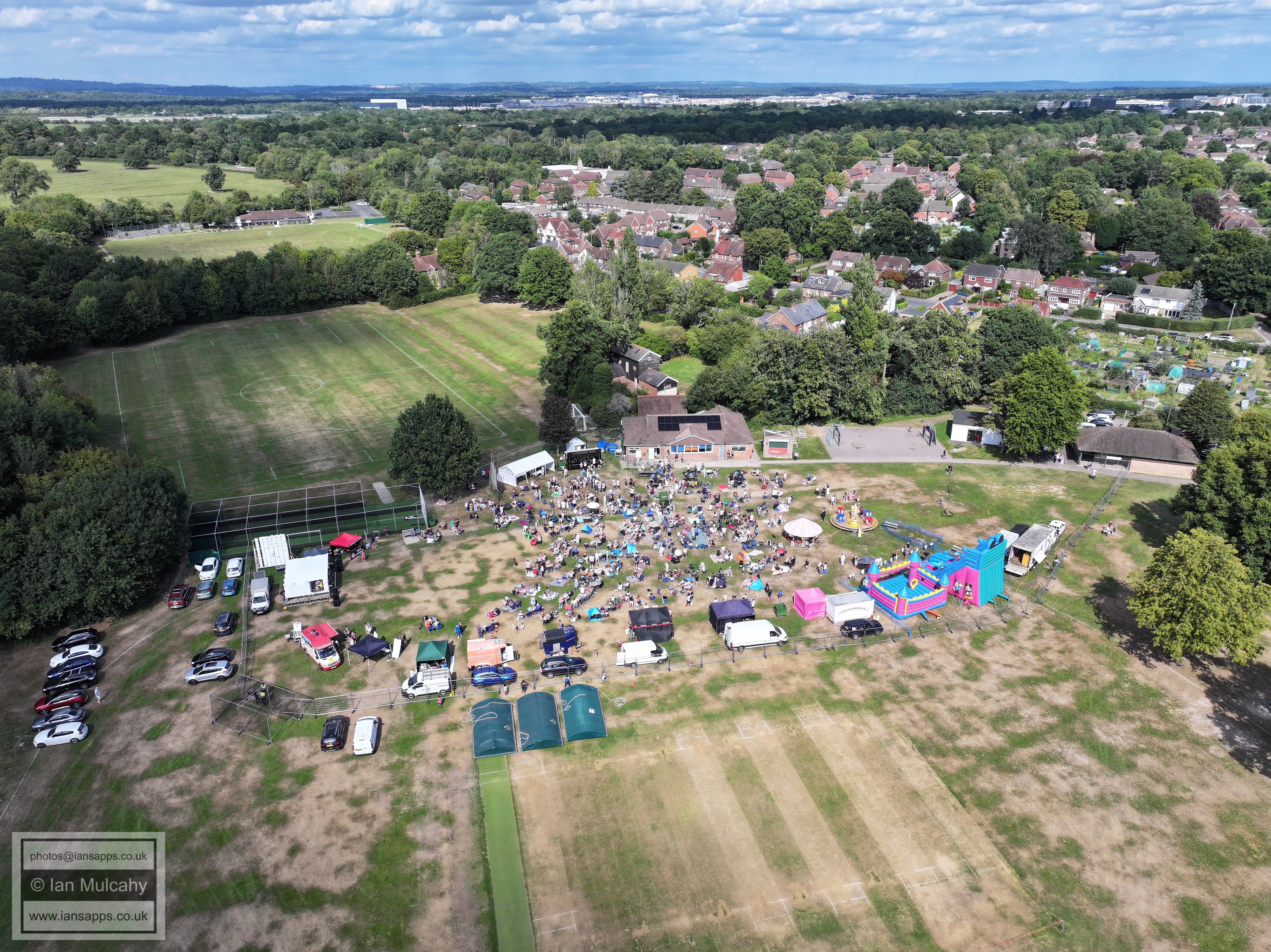
On Sunday 25 August 2025 I had an all day permission from ATC at Gatwick to fly to a maximum height of 60 metres within a 350m radius of the entrance to Dempsey Walk. The primary purpose was to cover the iFest on Ifield Green, but I requested a centre point and radius which enabled me to also fly in Ifield Green (the road), Langley Lane, Ifield Village and Ifield Parade.
Below are 227 of the photographs taken during the day. The photos specific to the iFest can be found here.
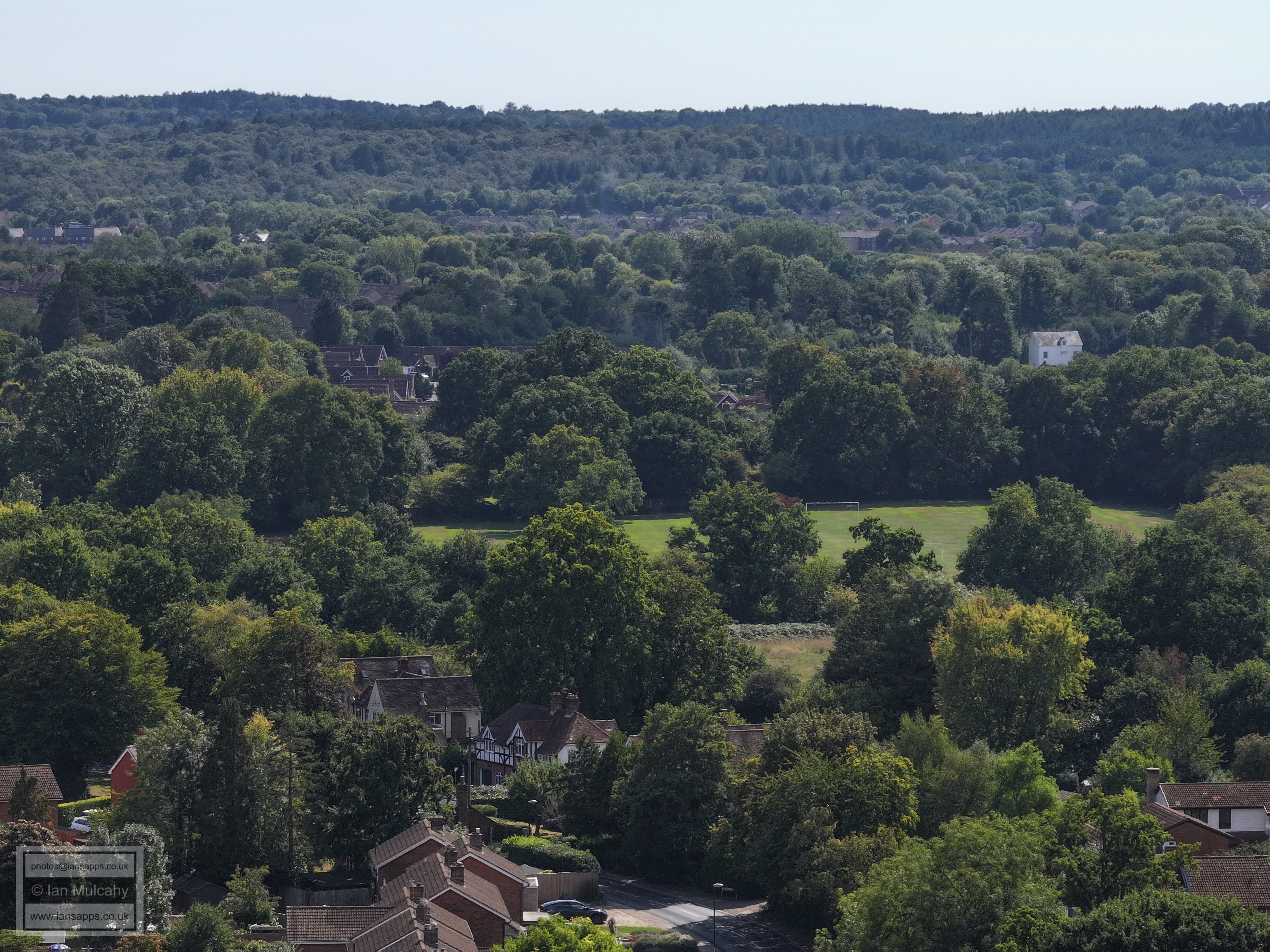
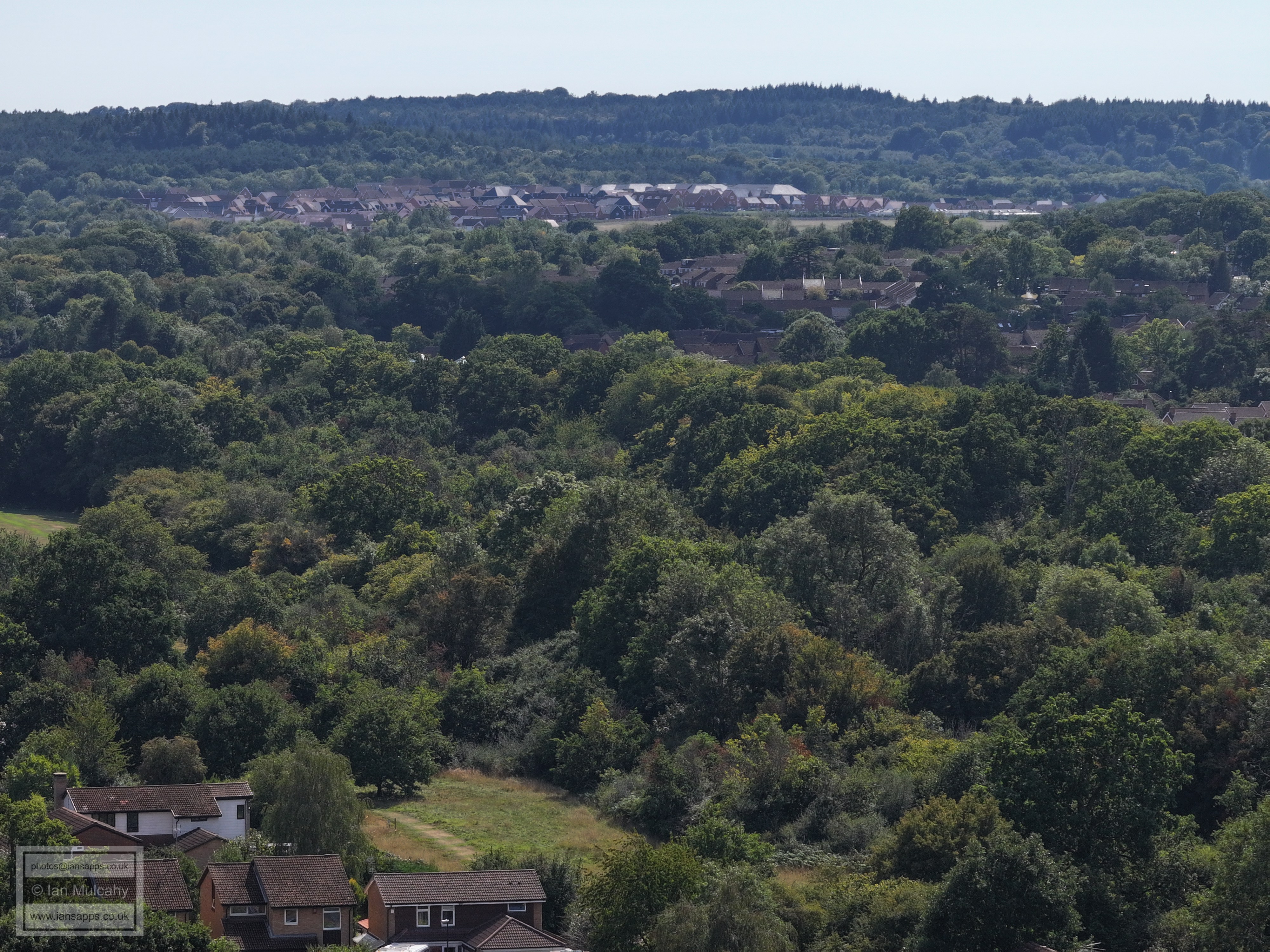
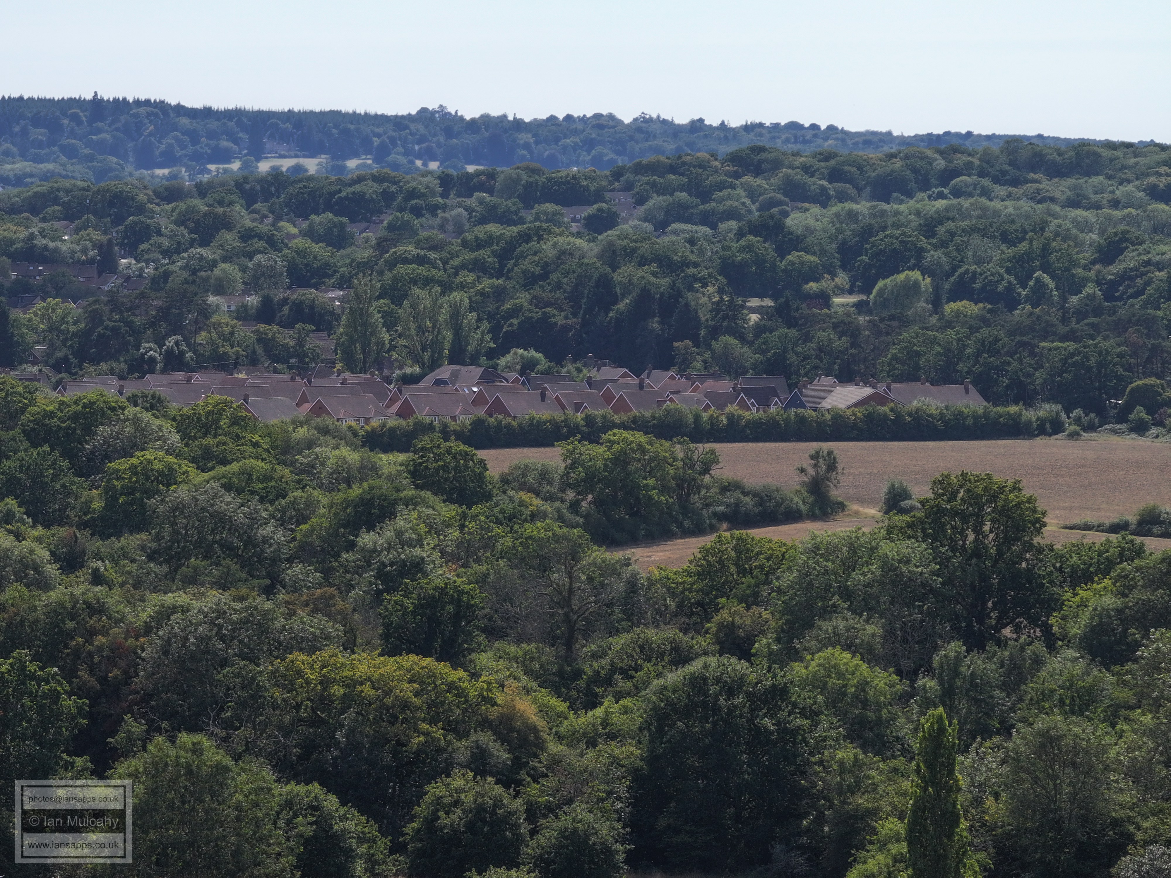
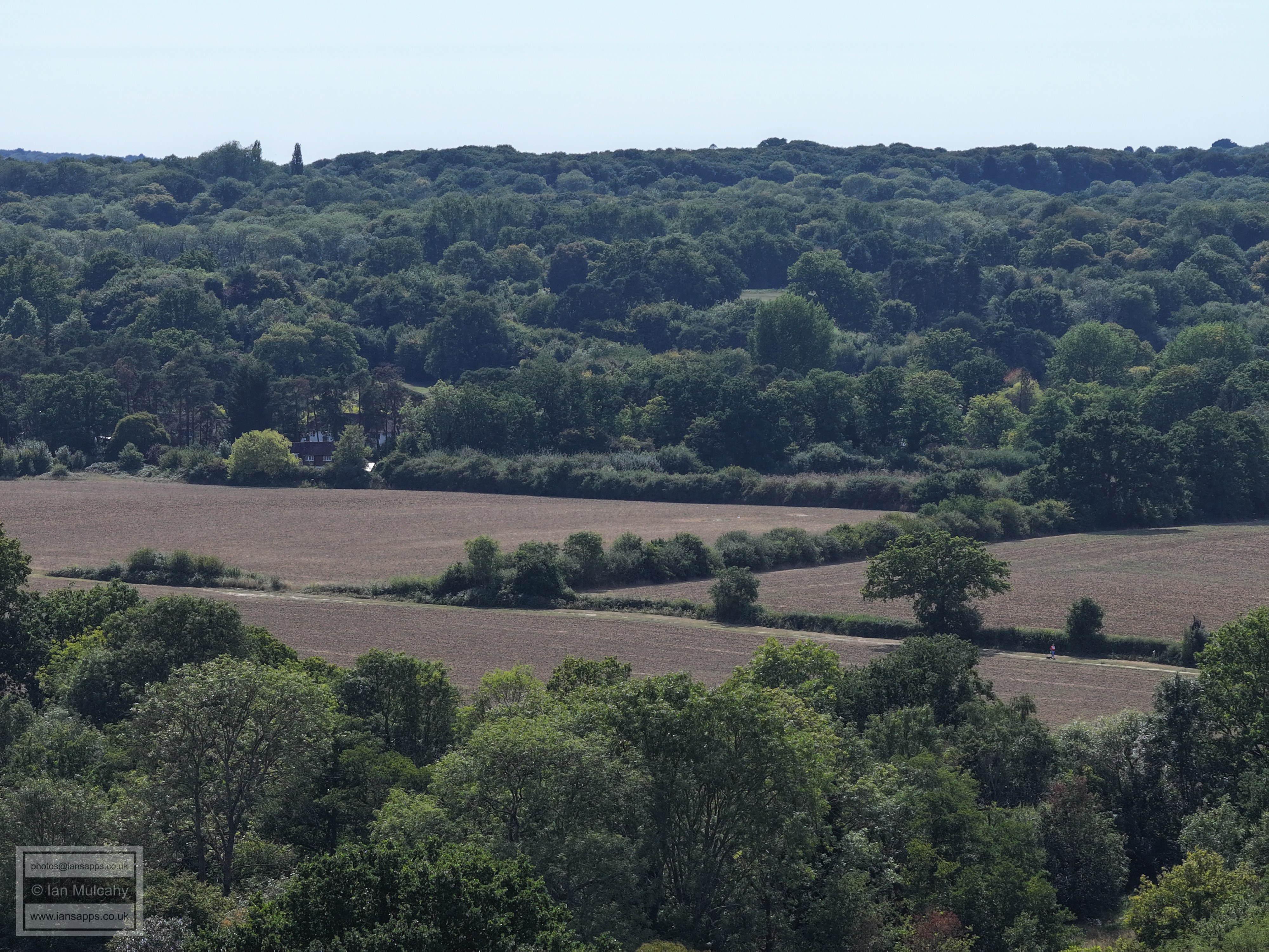
The photographs cover the historic buildings around the Church, Ifield village & Ifield Green as well as Ifield Parade and wider views of Crawley, Gatwick and the surrounding countryside. I have placed the photos in chronological order and added links to many of the annotations to guide you to further information about the features being photographed.
I have also done my usual 360 degree panorama using all three lenses of the Mavic 3 pro from the southern end of Ifield Green and there are three such sets; morning, early afternoon and evening, to present with different angles of light. I have annotated many of the photos.
I have annotated many of the photos.
CONTENTS
FLIGHT ONE - Ifield Green, Langley Lane, Ifield Parade
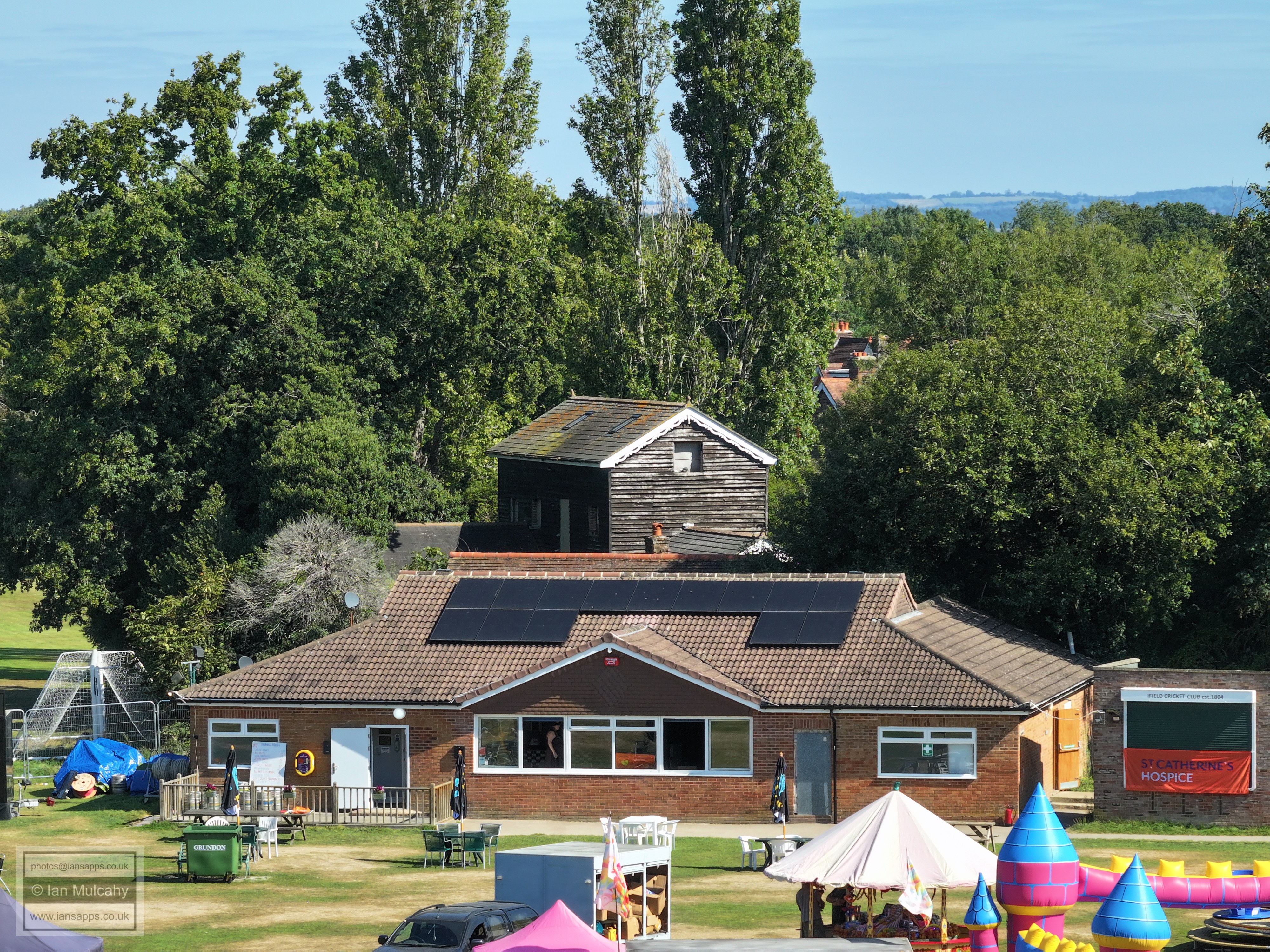
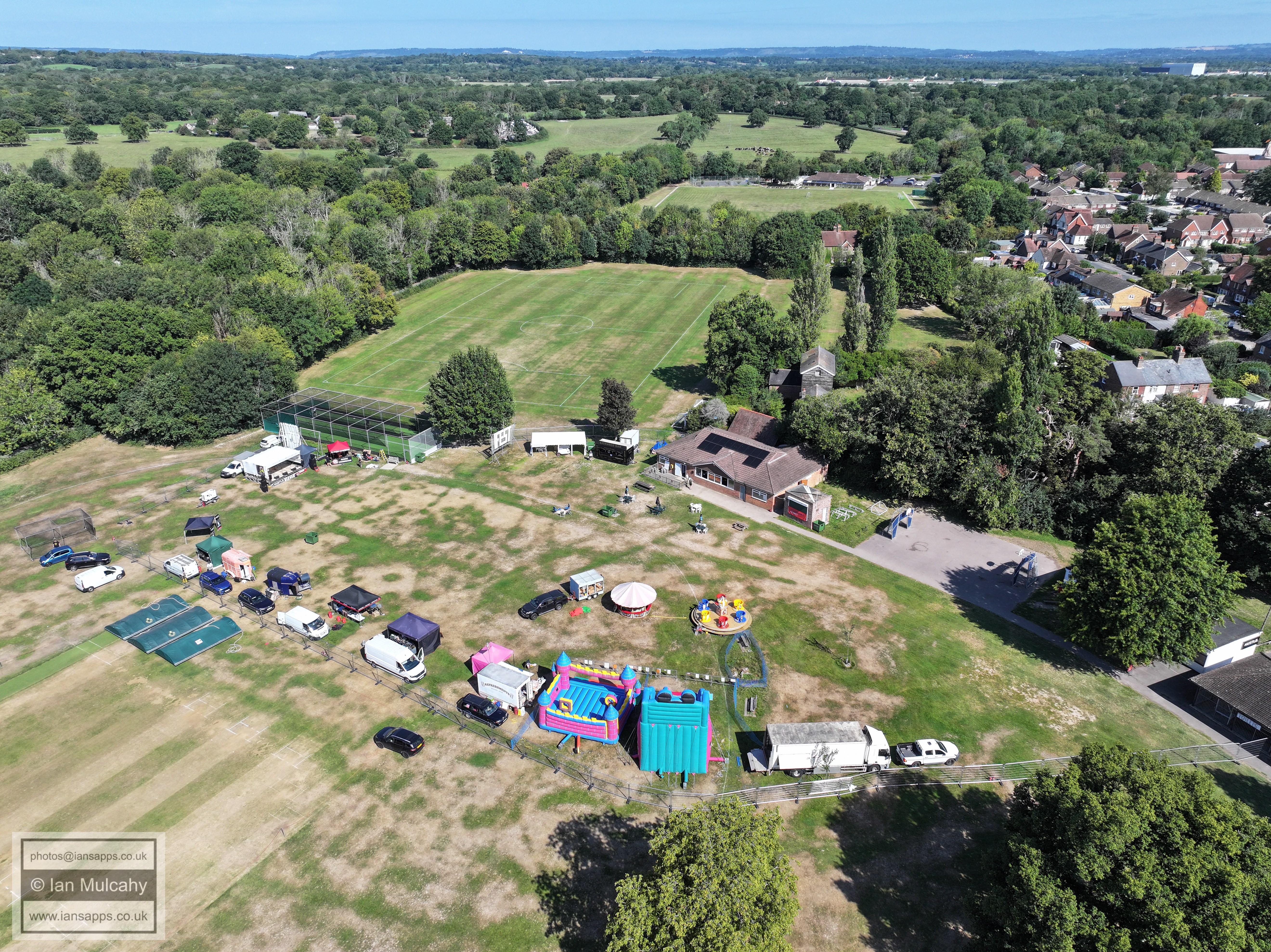
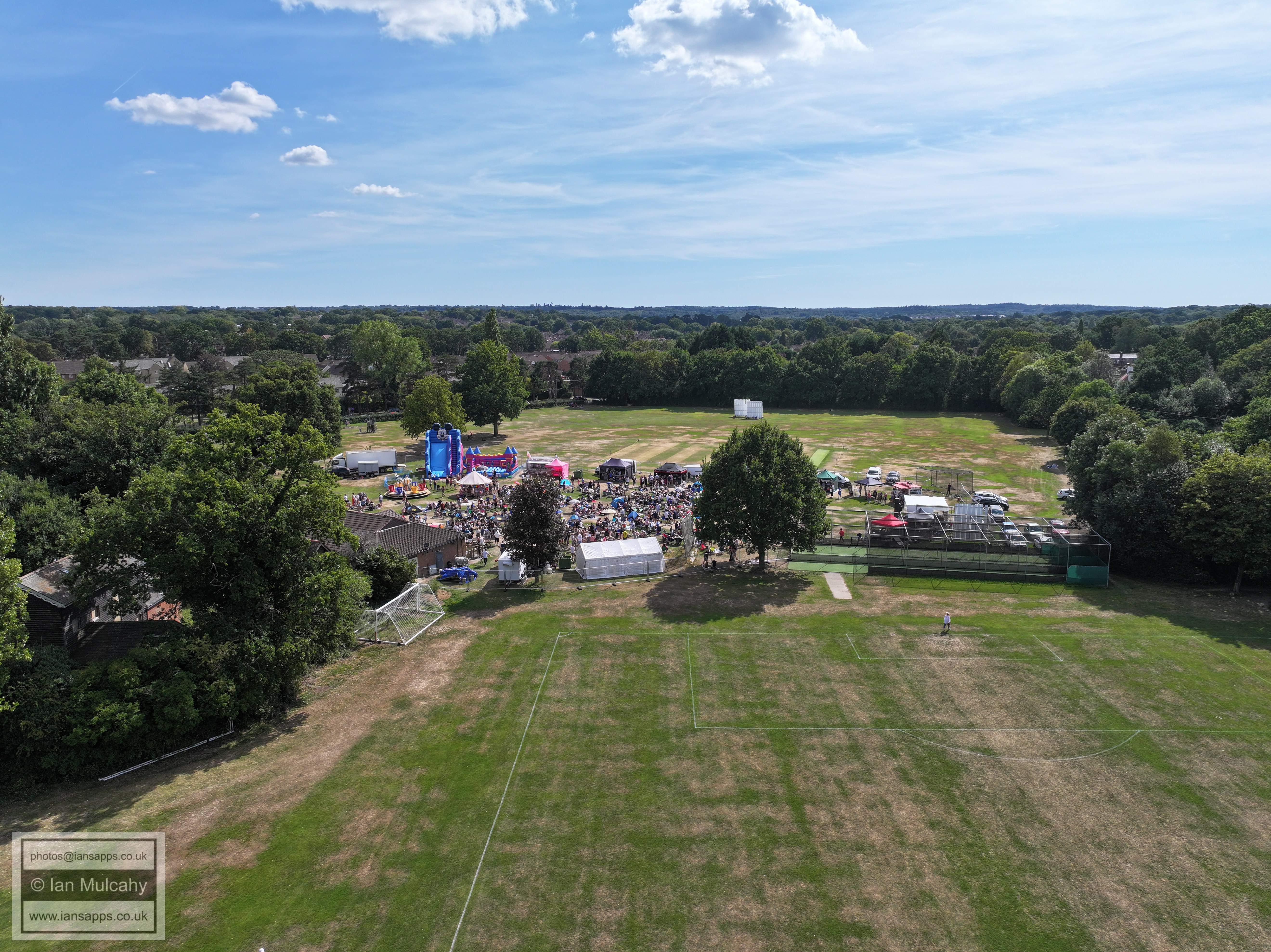
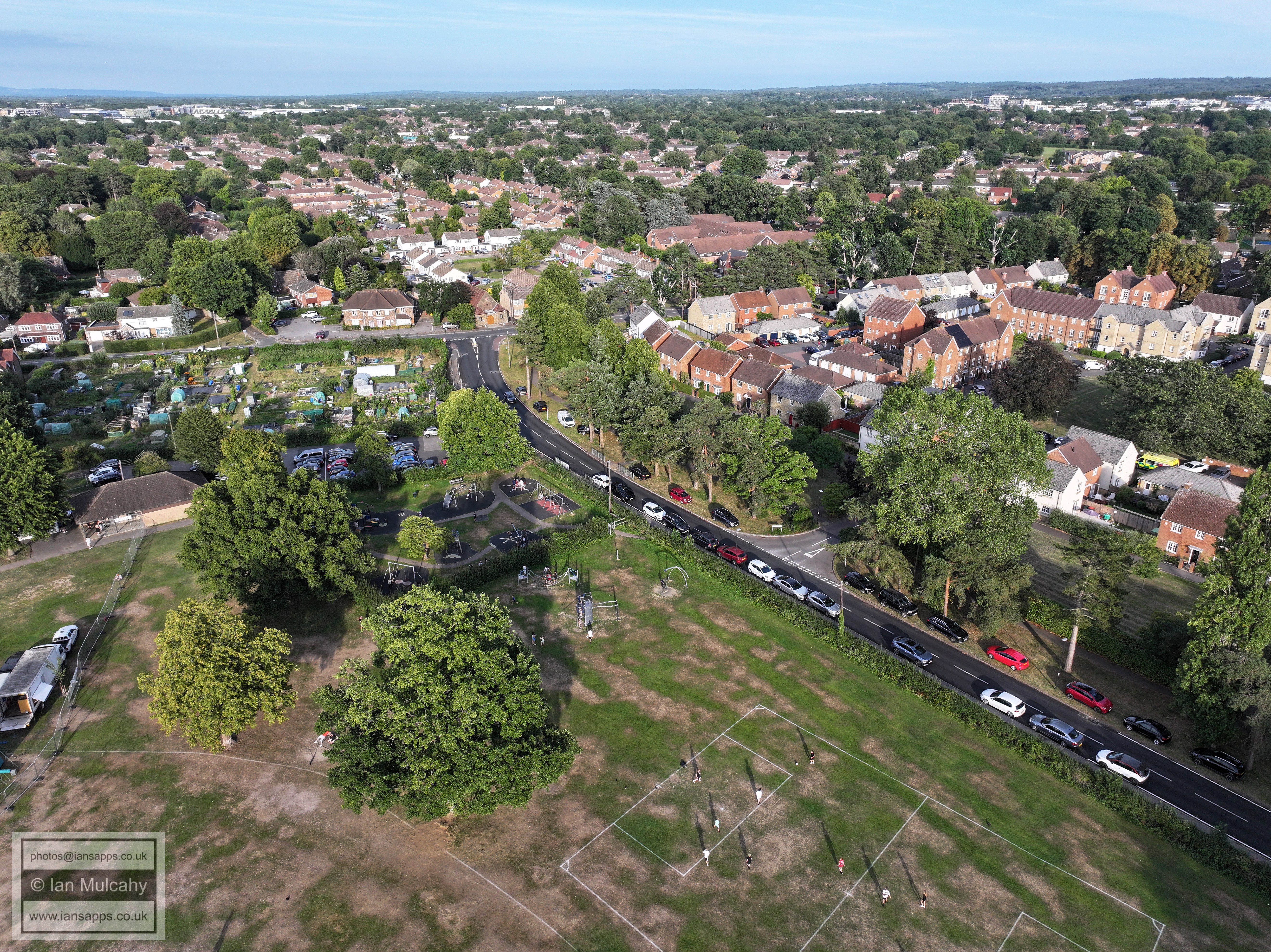
Ifield Cricket Club, with Ifield Steam Mill behind
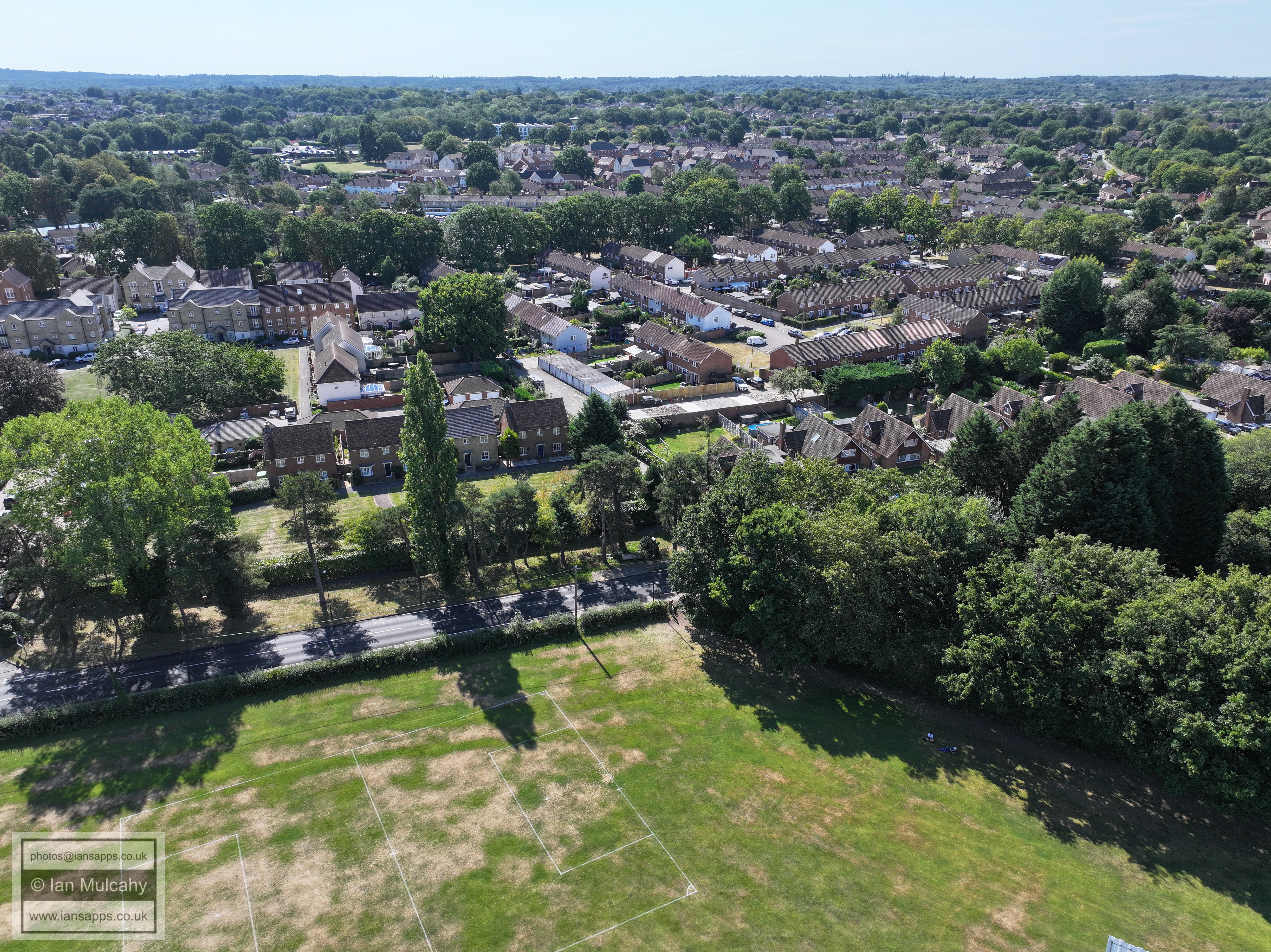
Ifield Green
Ifield Green
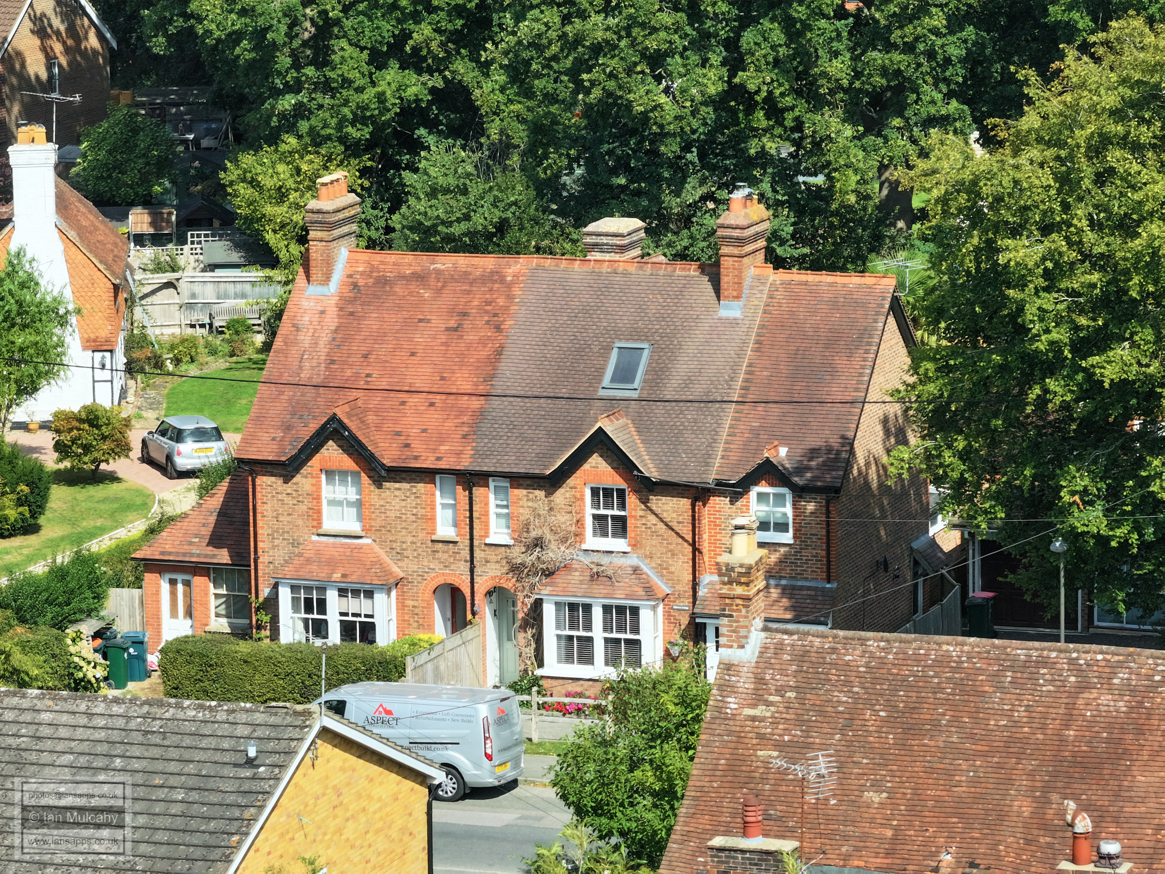
The Friends Meeting House & Meeting House Cottage
Ifield Parade
Ifield Parade
The Pelham Buckle and Ifield Parade FLIGHT TWO - Ifield Green
Ifield Cricket Club, with Ifield Steam Mill behind
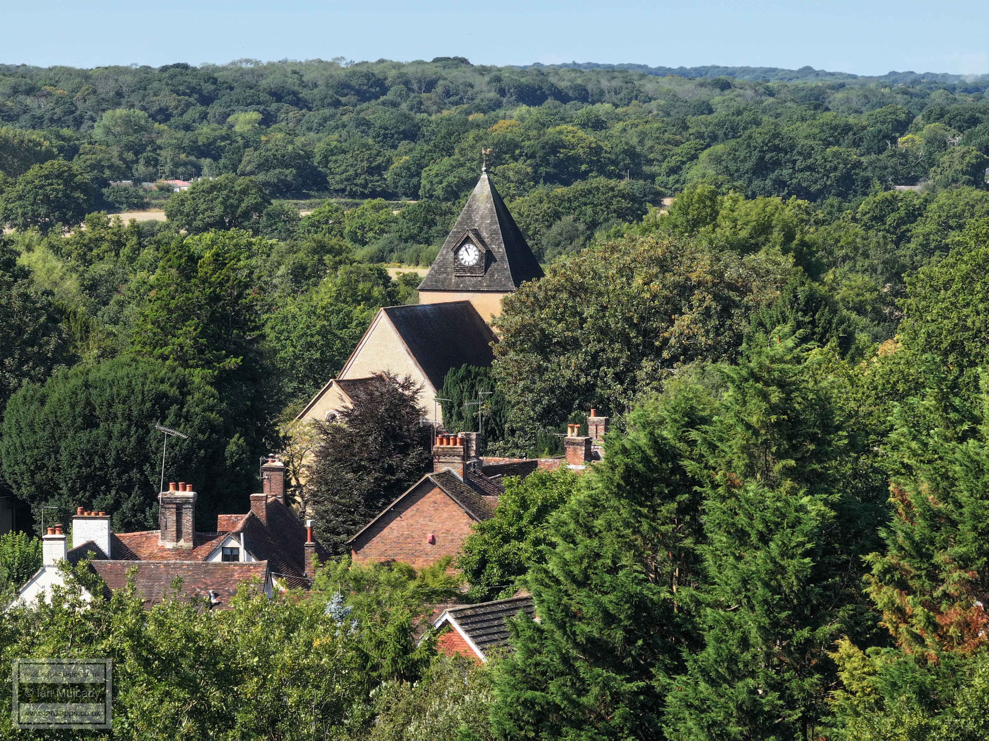
Ifield Village, including St Margaret's Church and The Plough Inn
The Friends Meeting House & Meeting House Cottage
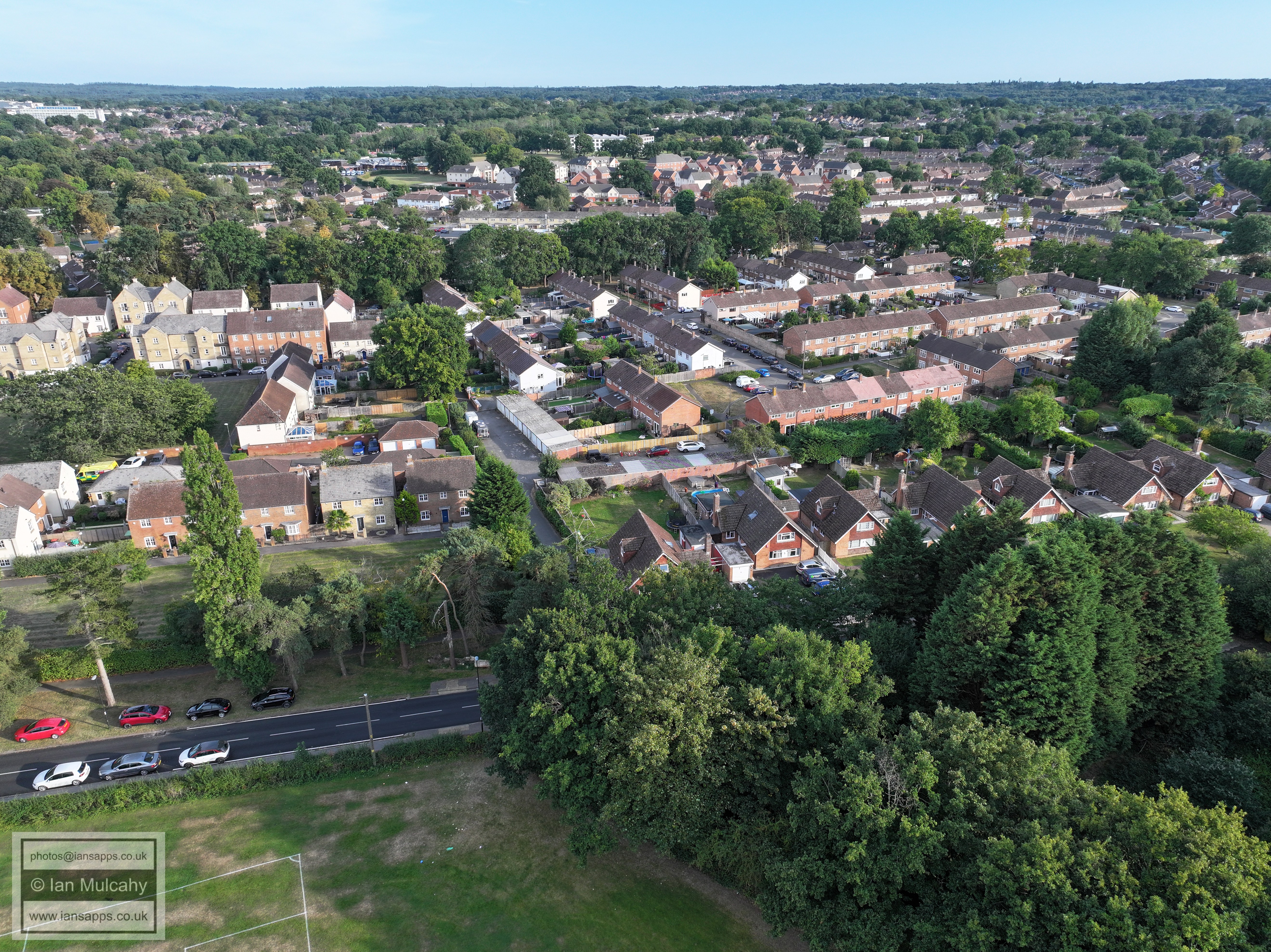
Left of centre is the site of the old Ifield Infants and Junior School site. Right of centre is Loxwood Walk and Lavington Close
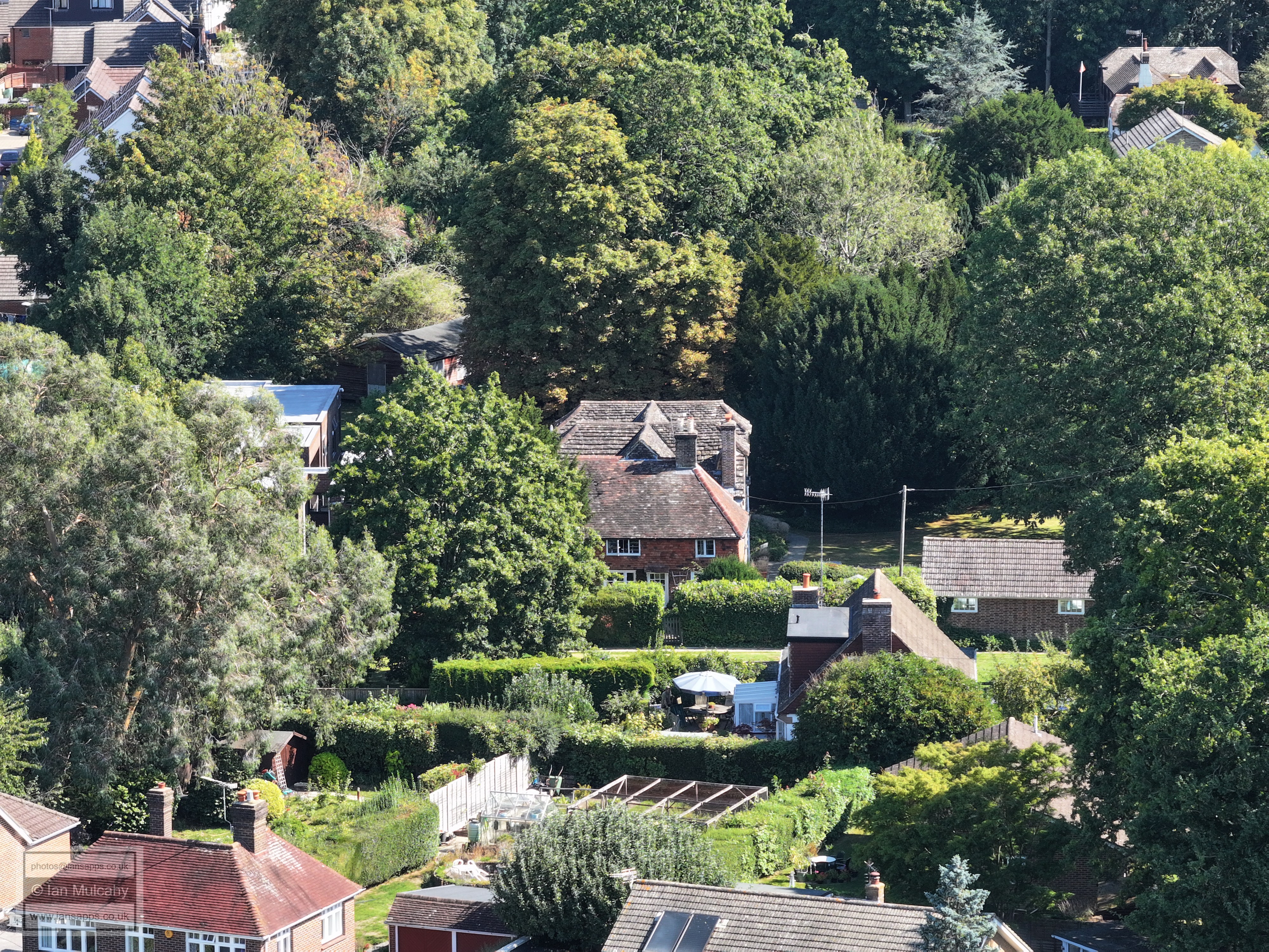
In the top left quarter is Rusper Road, between Ifield Street and Ruspers Keep with Aldingboune Close and Plough Close to the right of it. Ifield Village is in the centre and in the bottom left corner, hidden behind the watermark, is a lazy drone operator laying down in the shade...
Left of centre is the Old Rectory.
Rusper Road, between Ifield Street and Ruspers Keep with Aldingboune Close and Plough Close to the right. Spot the old school bell tower in the bottom right corner.
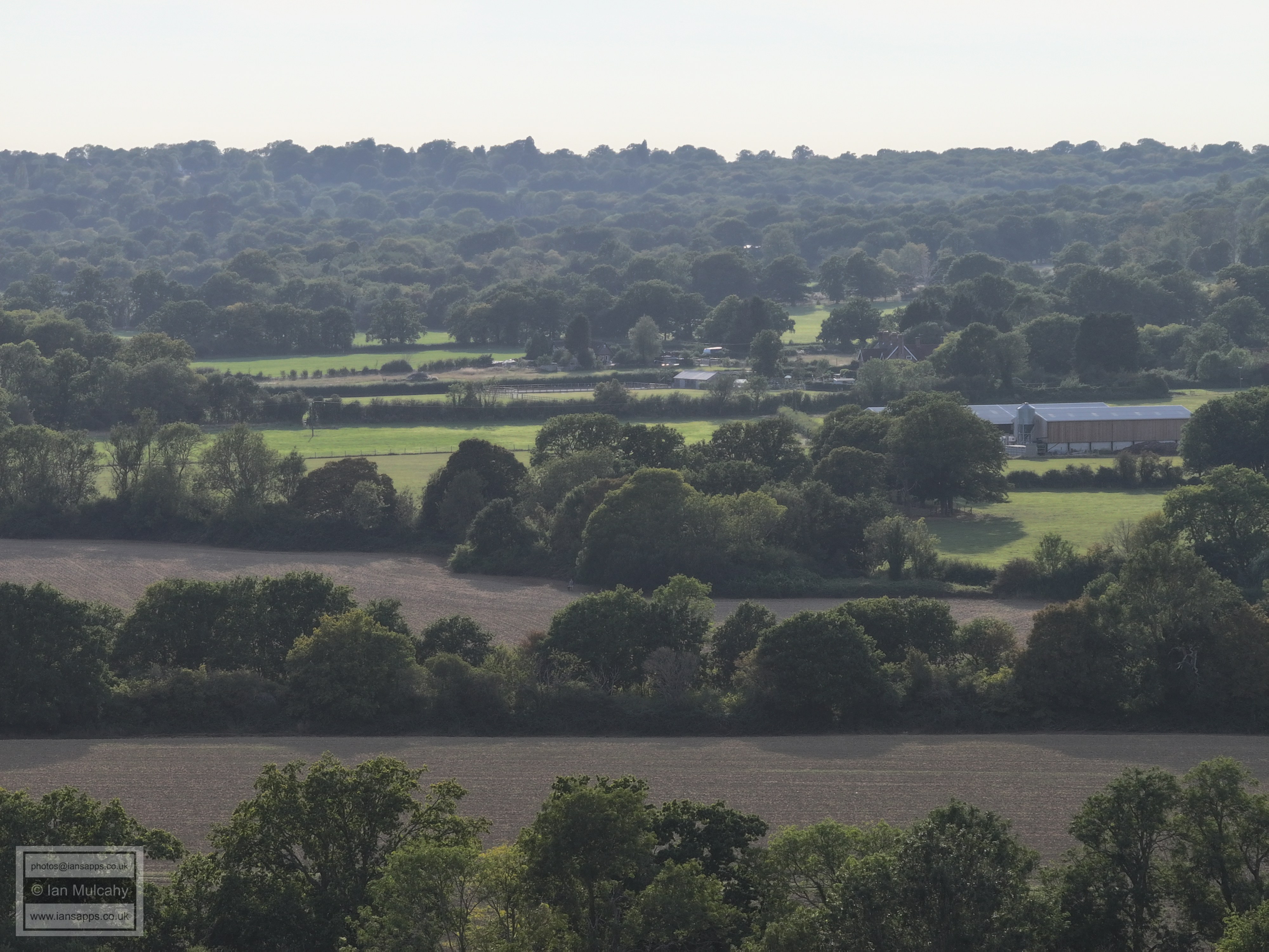
Ifield Village, with the fields of Ifield Court Farm beyond and Hyde Hill at the top.
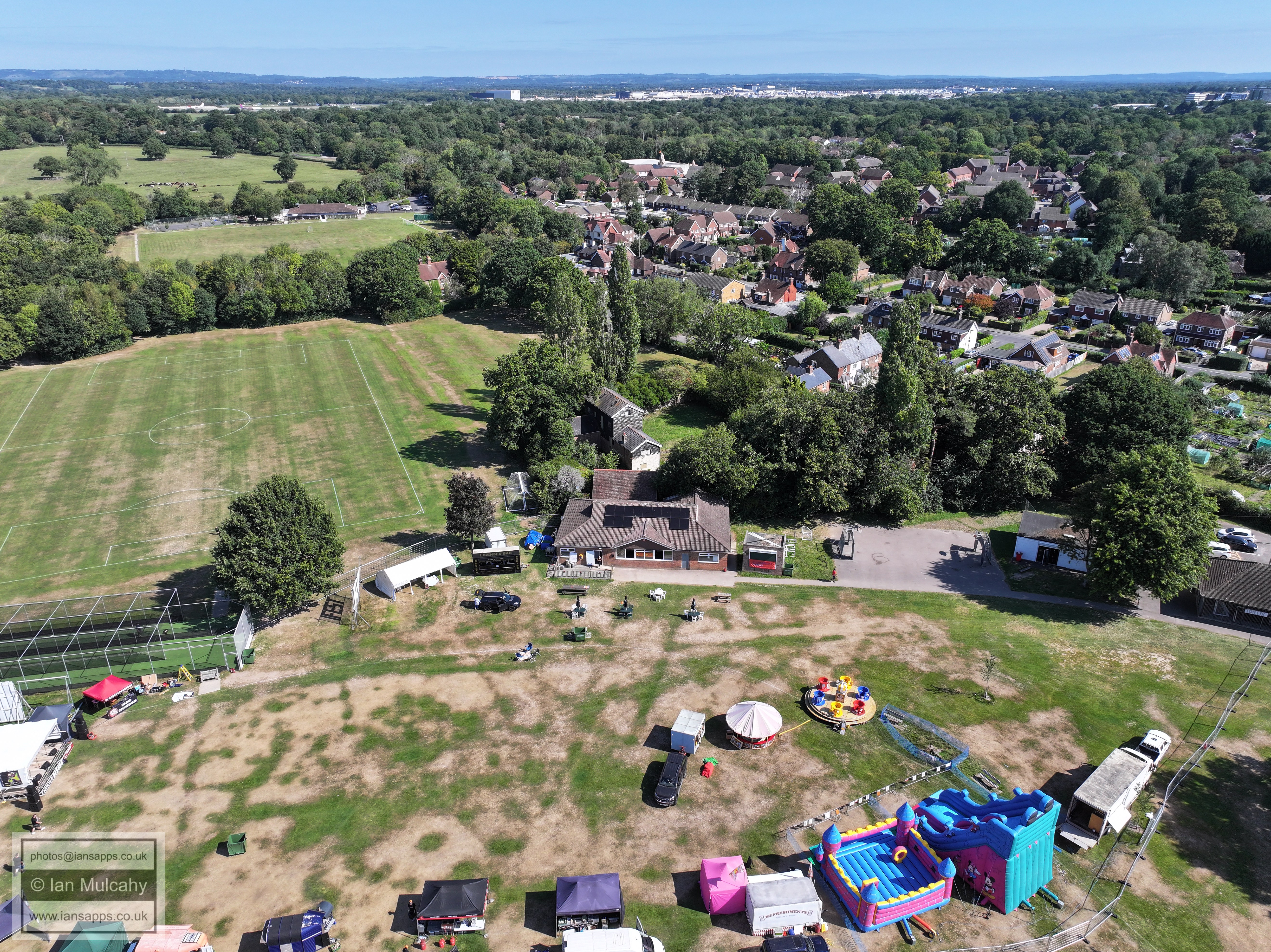
Ifield Mill, with Rusper Road playing fields below. At the foot of the image is the junction of Ruspers Keep and Rusper Road. Top right is Kilnwood Vale and top left is Bewbush. Ifield West is hidden in the trees below Kilnwood Vale and to the right of the Mill
The original path of the River Mole, still visible as it snakes it's way across the field below Ifield Court and beyond the former Edward Sports & Social Club. In the top right quarter is the Bonnetts Lane and Charlwood Road junction.
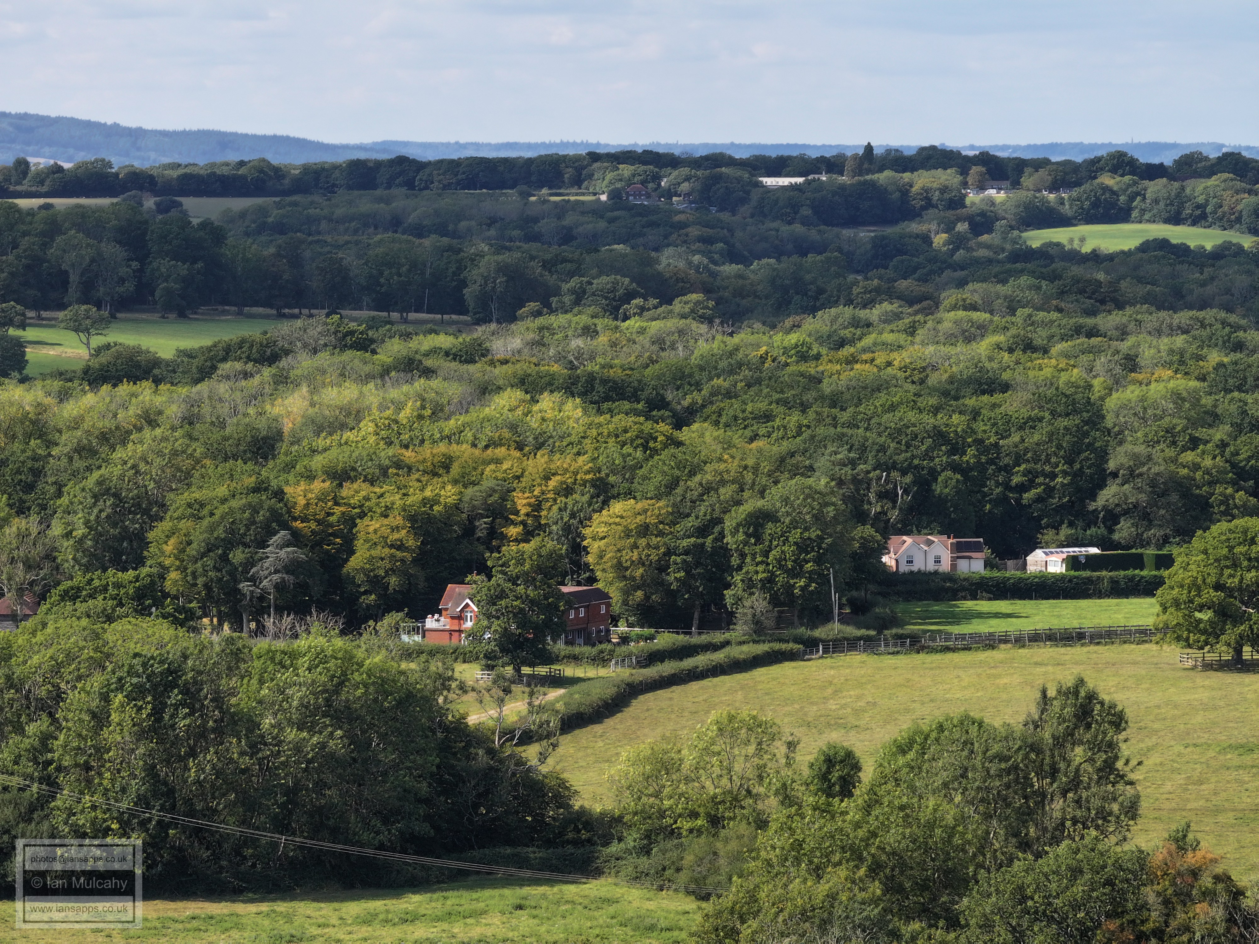
Ifield Court Moat and Farm. In the background, beyond Russ Hill and Norwood Hill, is Box Hill and the white house in the top left quarter is on Russ Hill near the Lowfield Heath Windmill.
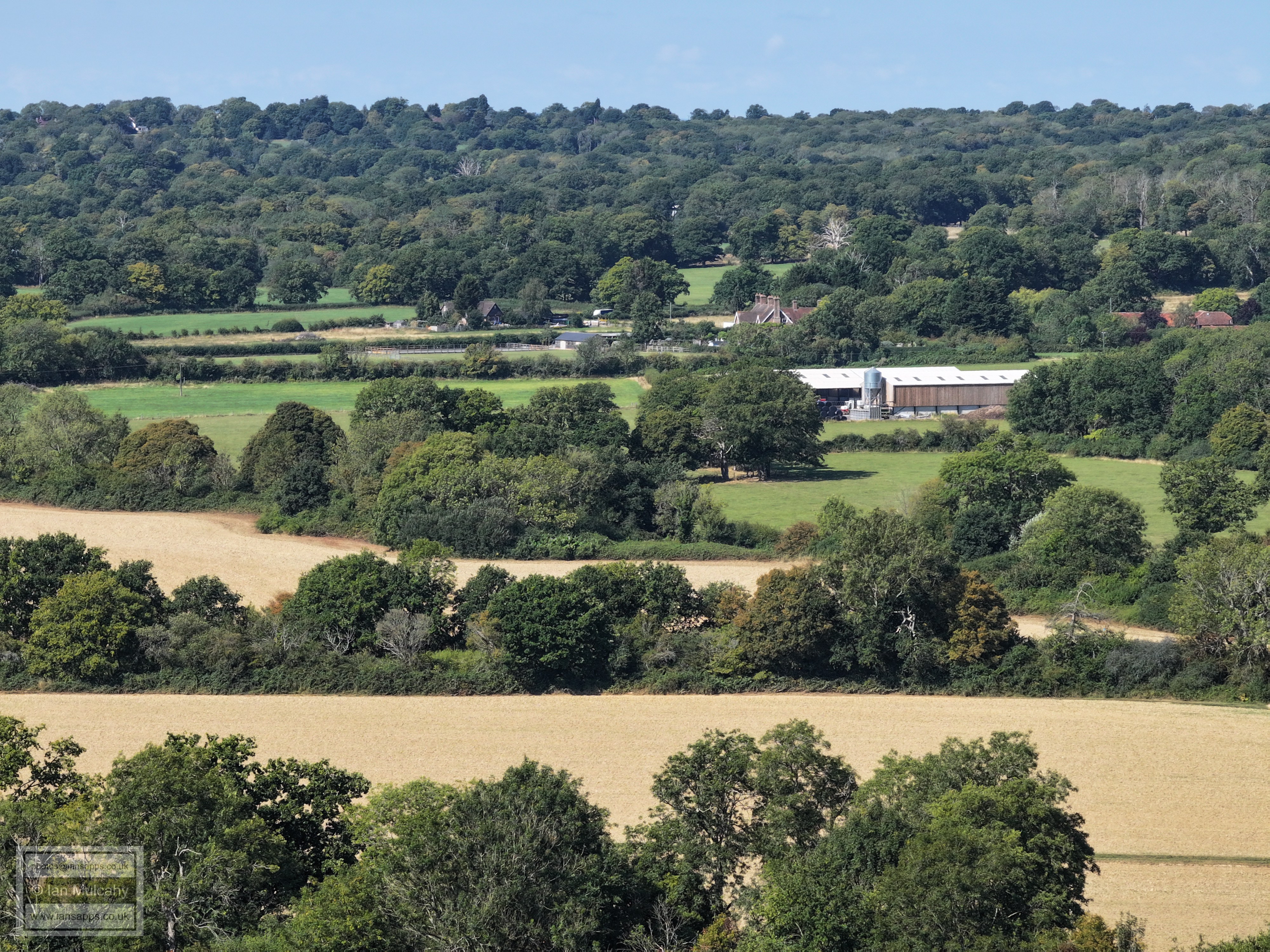
the fields of Ifield Court Farm beyond the church and Hyde Hill at the top. Furlong Farm on Rusper Road is in the centre.
Pound Cottages and New Barn, centre.
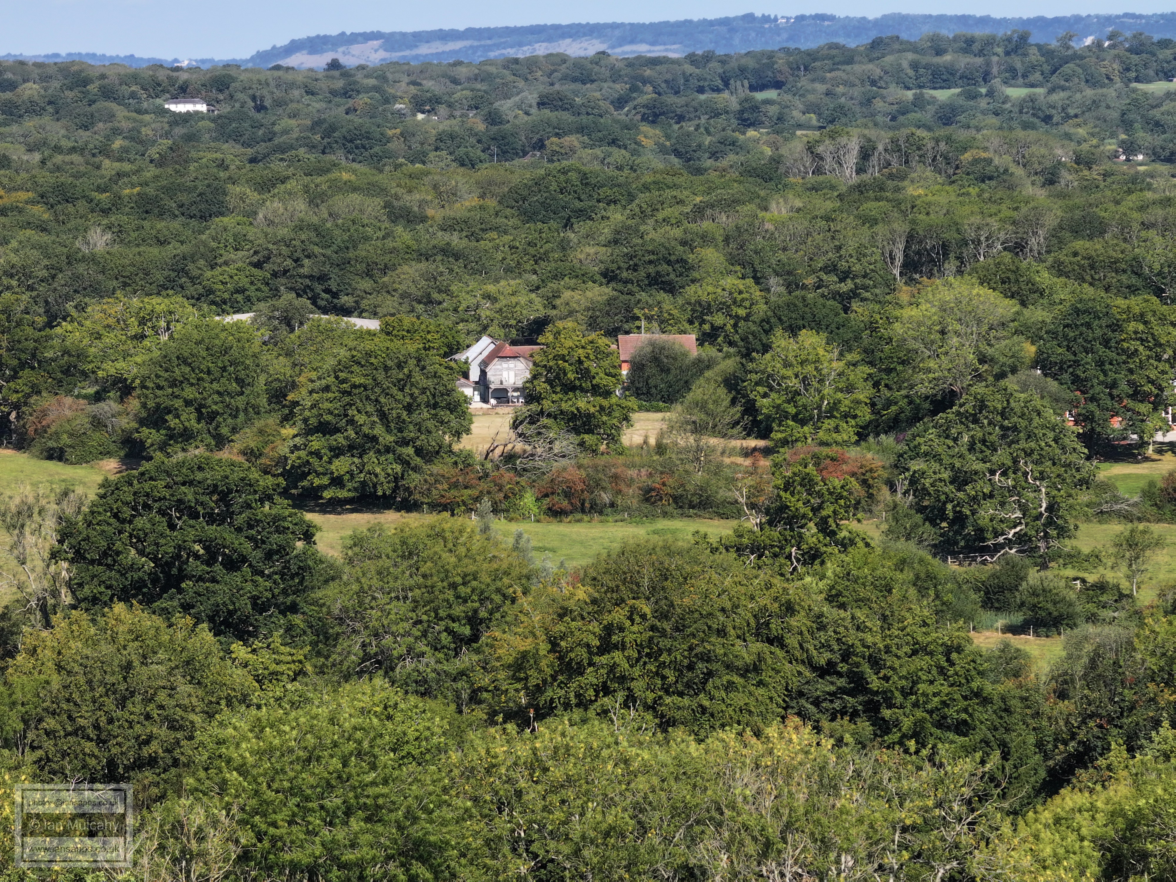
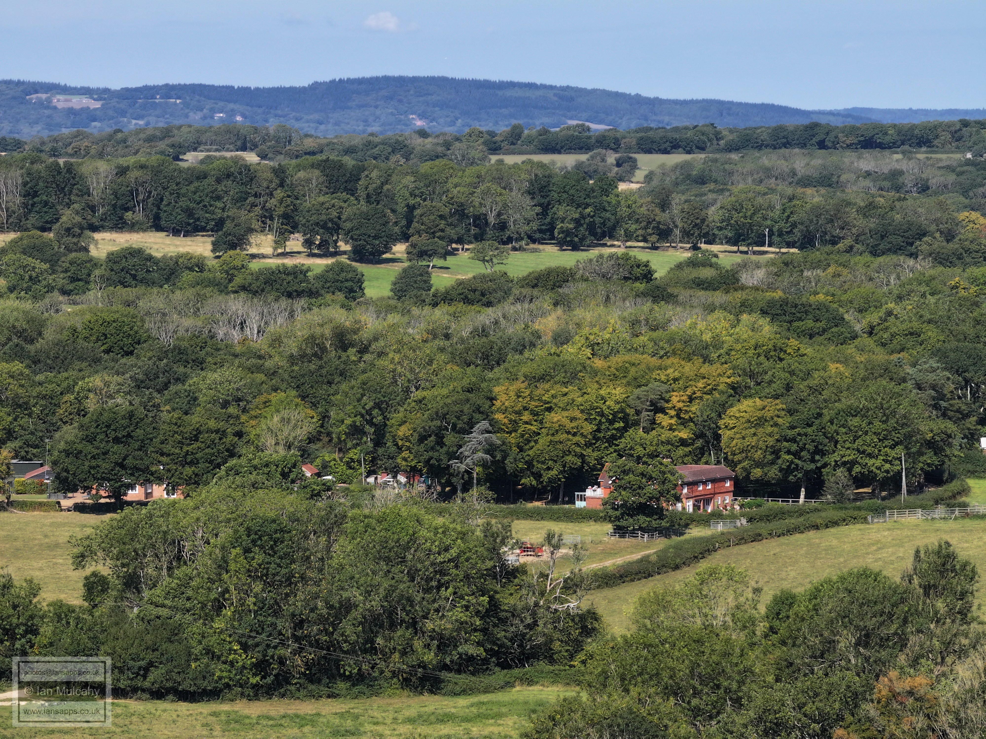
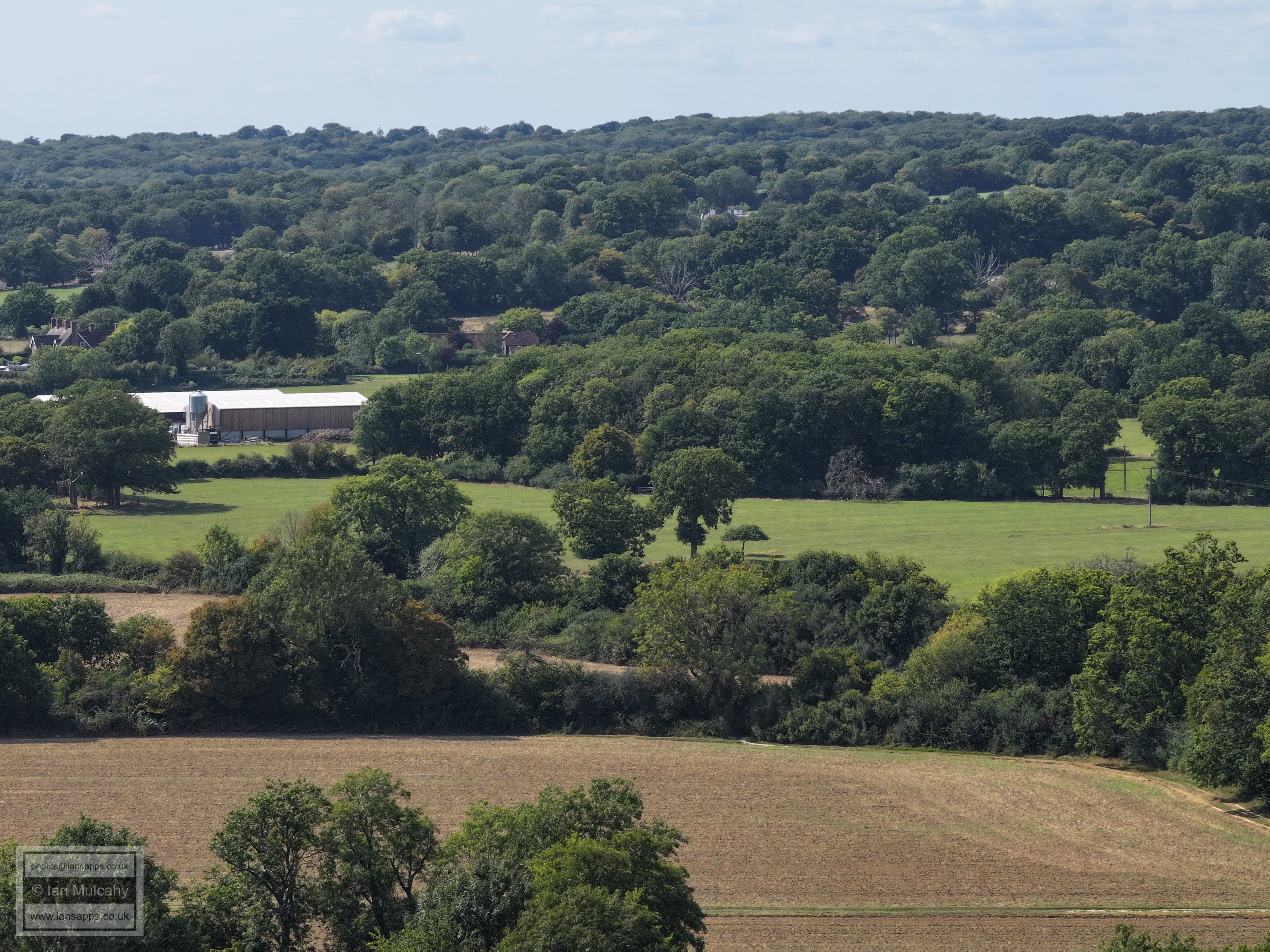
Bonwyckes Farm and Place in Ifield Wood
In the top left quarter are the white chimneys of The Mount and in the top right quarter is Hillybarn Farm
Burlands Copse is on top of the near ridge, identified by the communications mast sited there (centre)
Druids
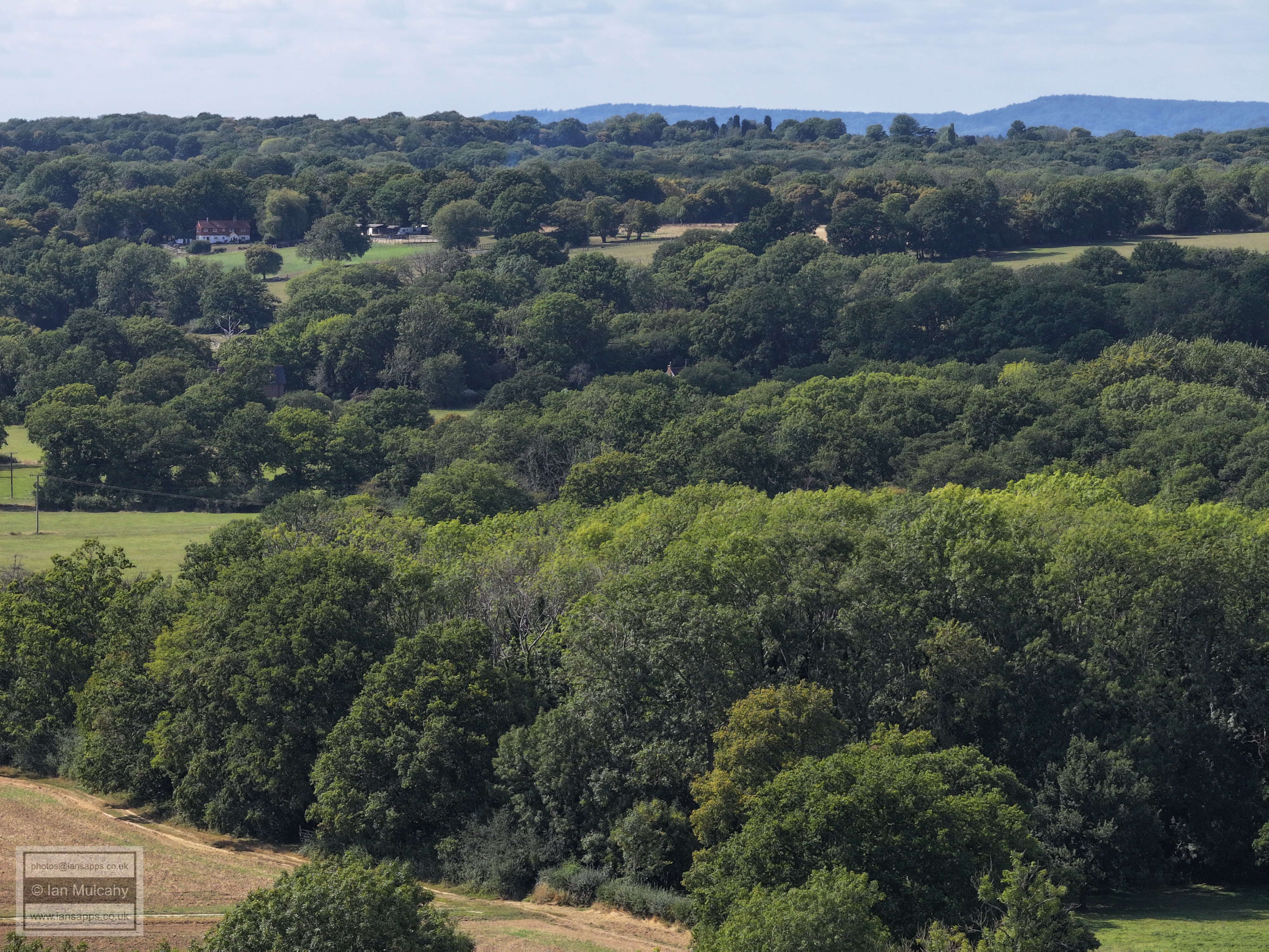
Russ Hill Hotel is in the top left quarter.
Ifield Court Farm. The white building, top centre below Box Hill, is near the Lowfield Heath Windmill on Russ Hill
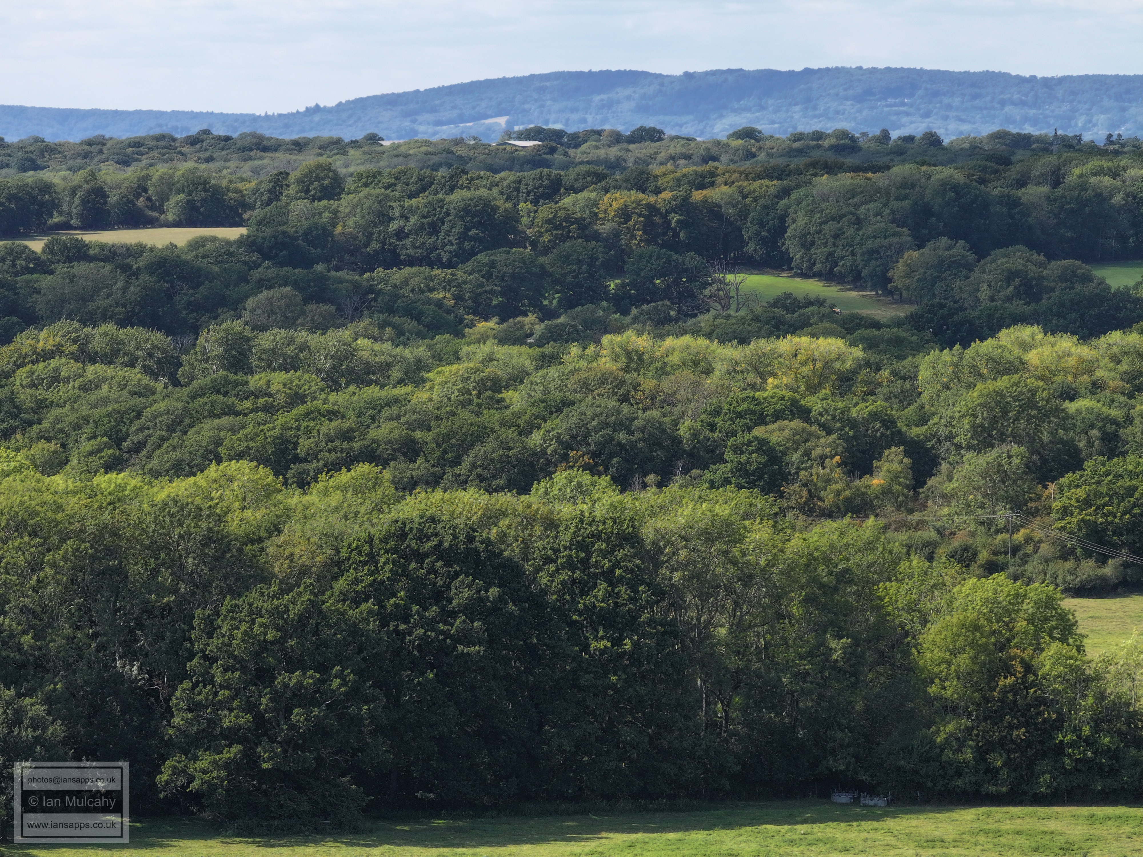
Ifield Court Hotel is in the centre and the Oxbow Pond below Ifield Court, left behind when the River Mole was canalised in the late 1700s, is in the centre at the bottom.
The original path of the River Mole, winding it's way across the field below Ifield Court
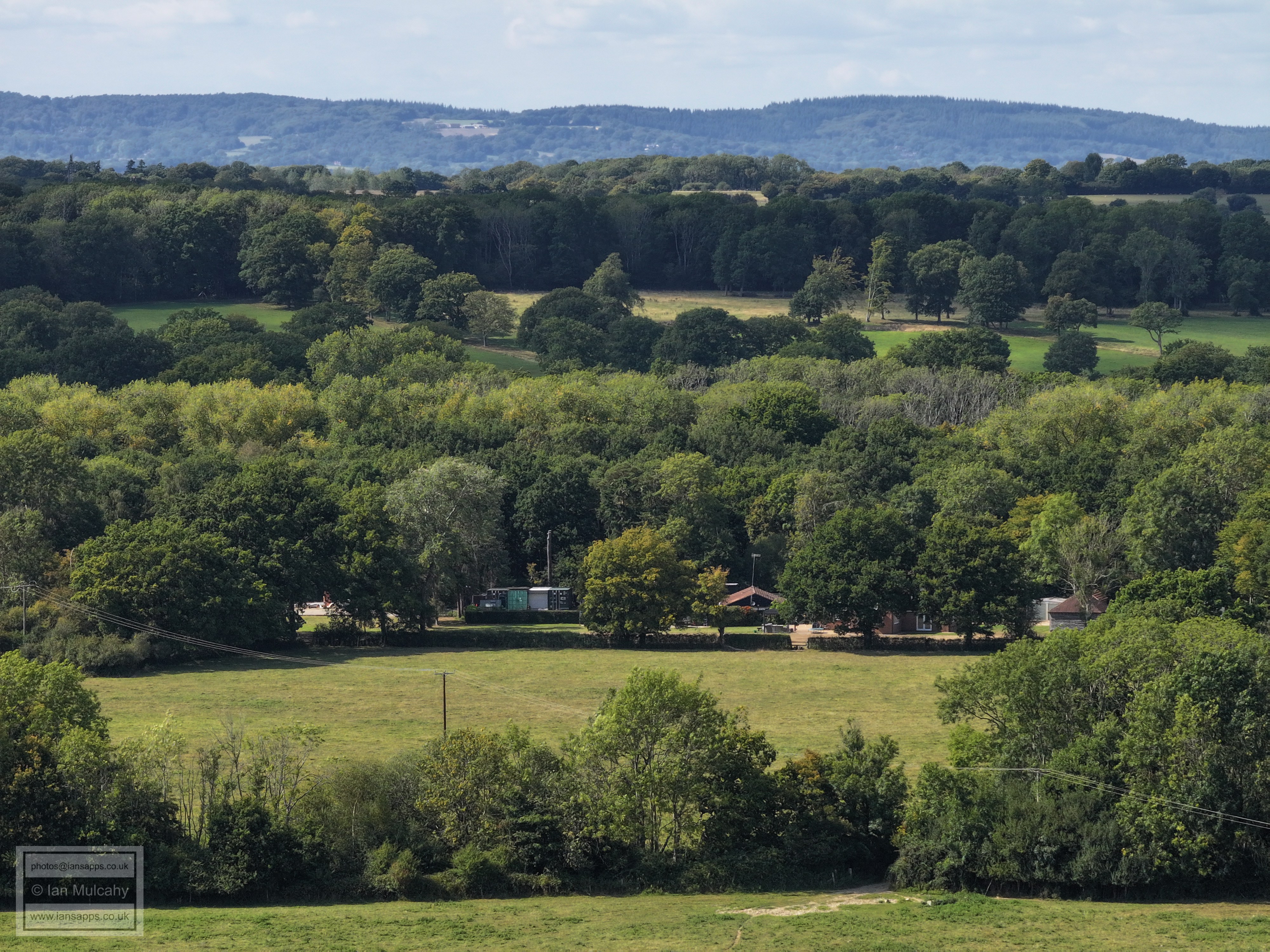
Bonnetts Lane Junction with Charlwood Road, left of centre.
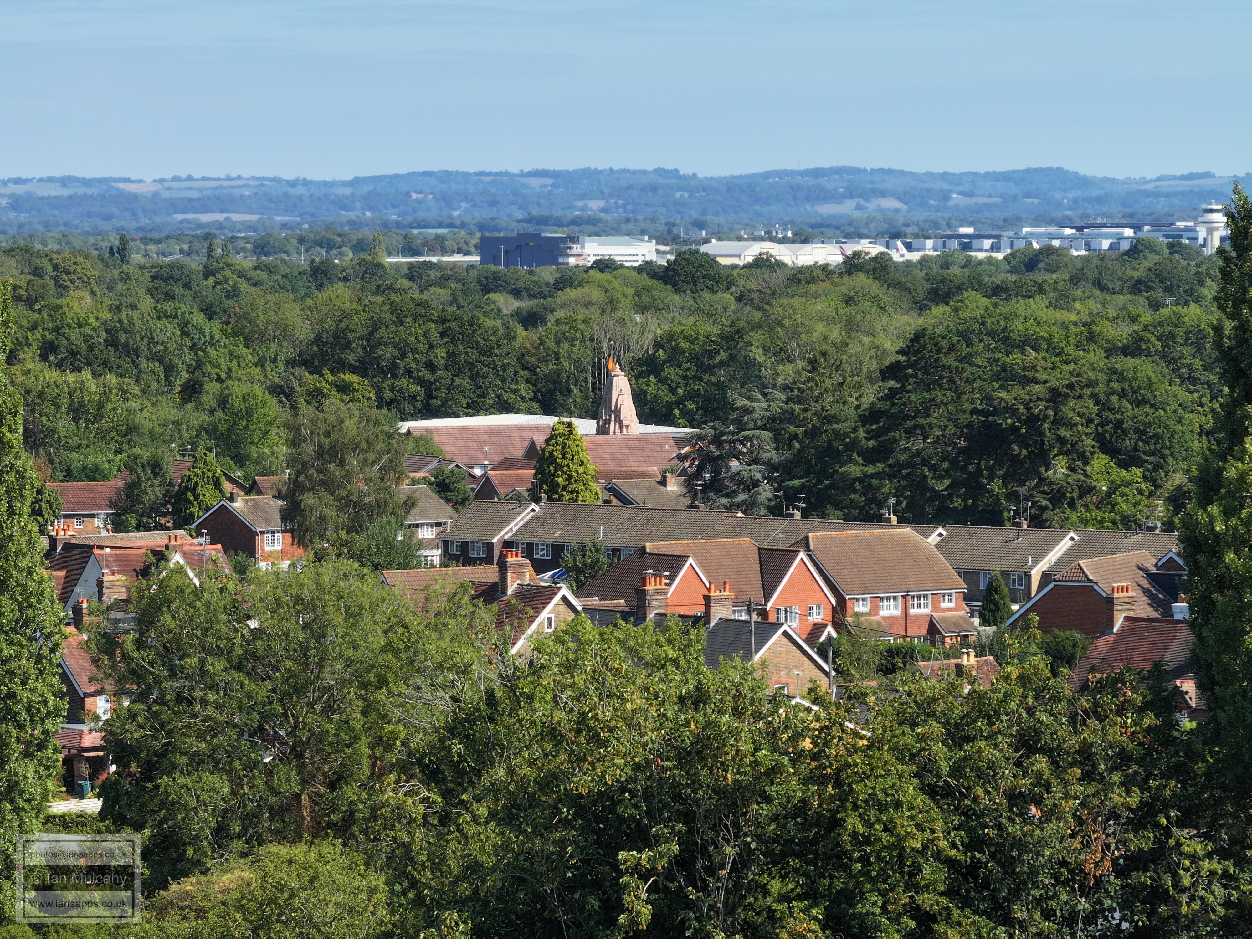
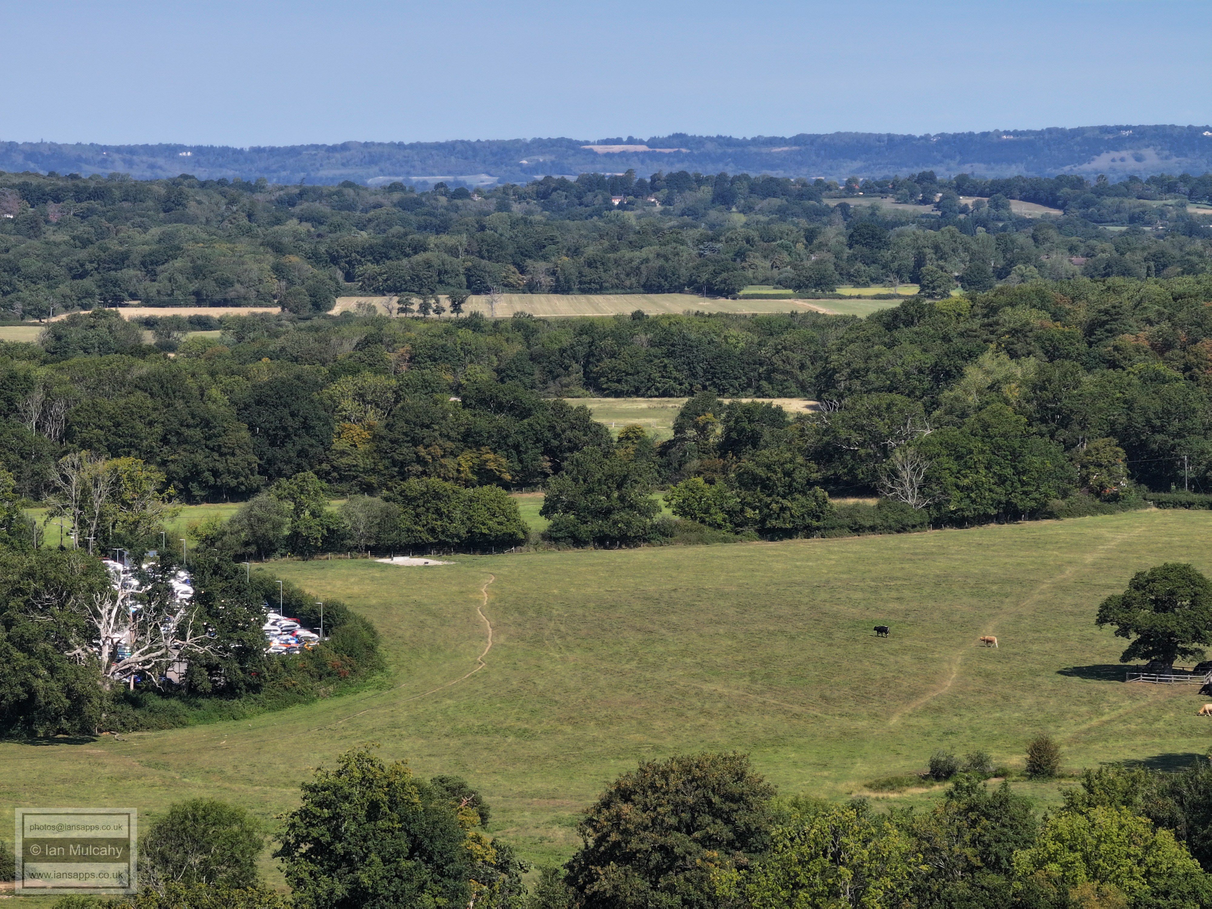
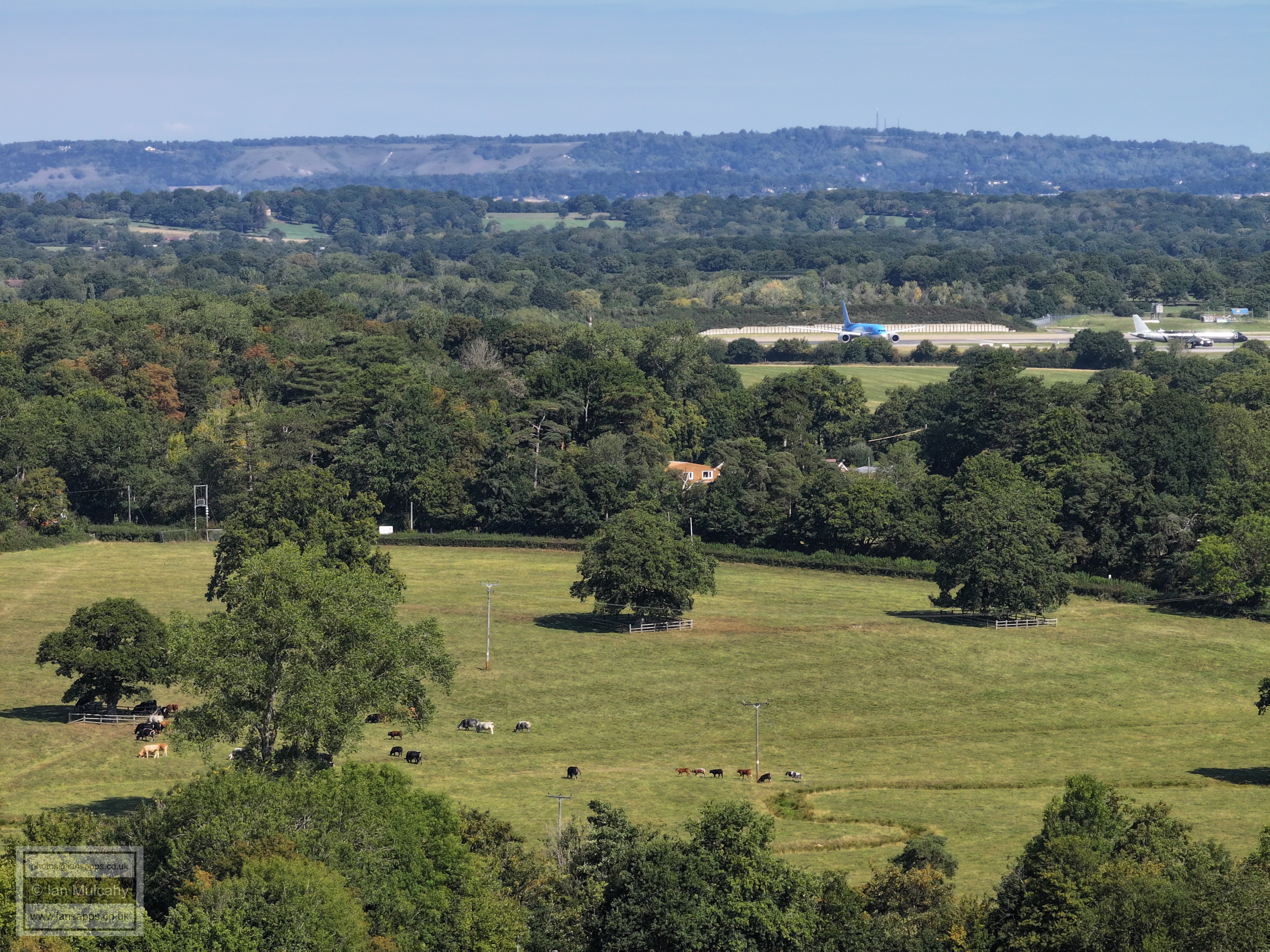
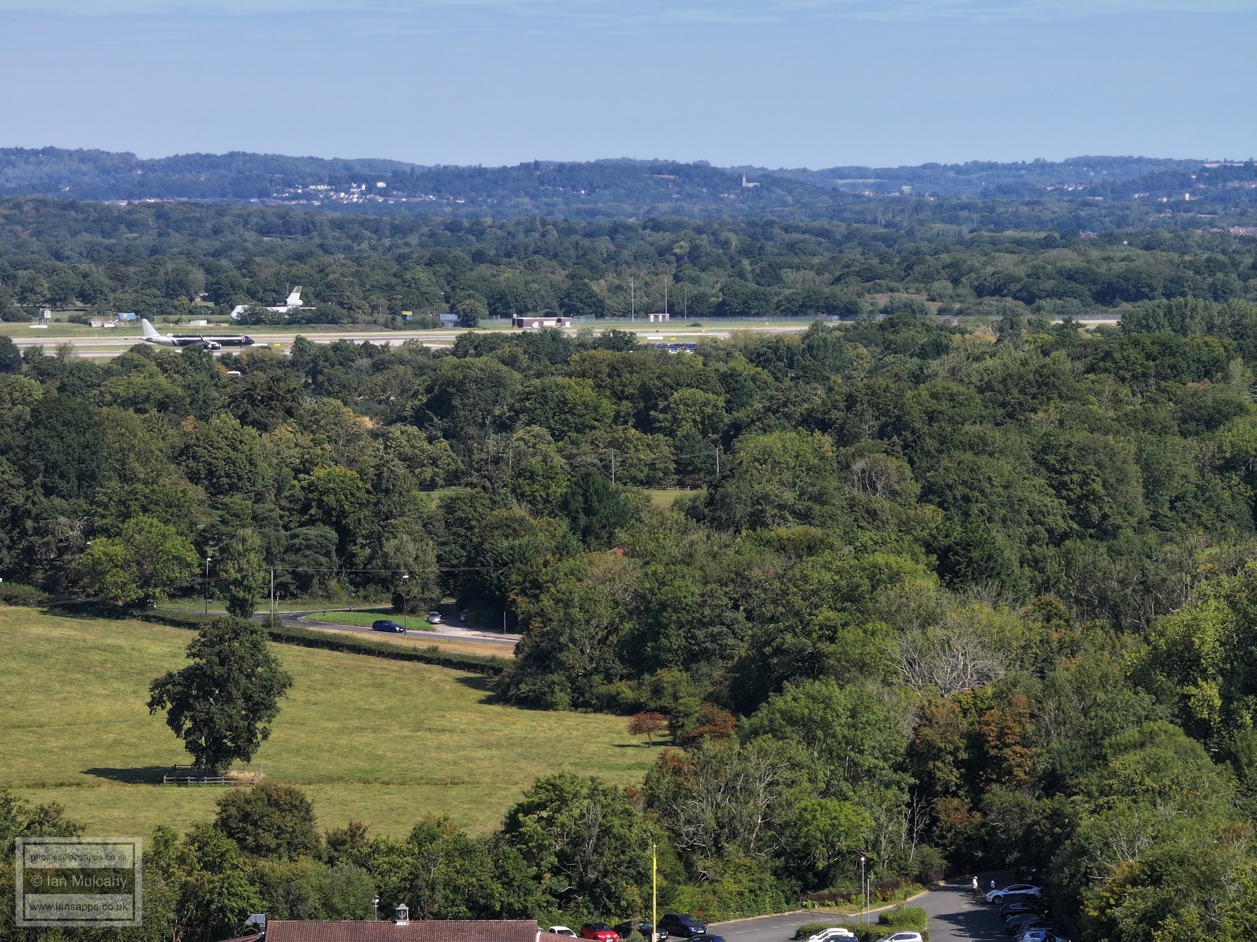
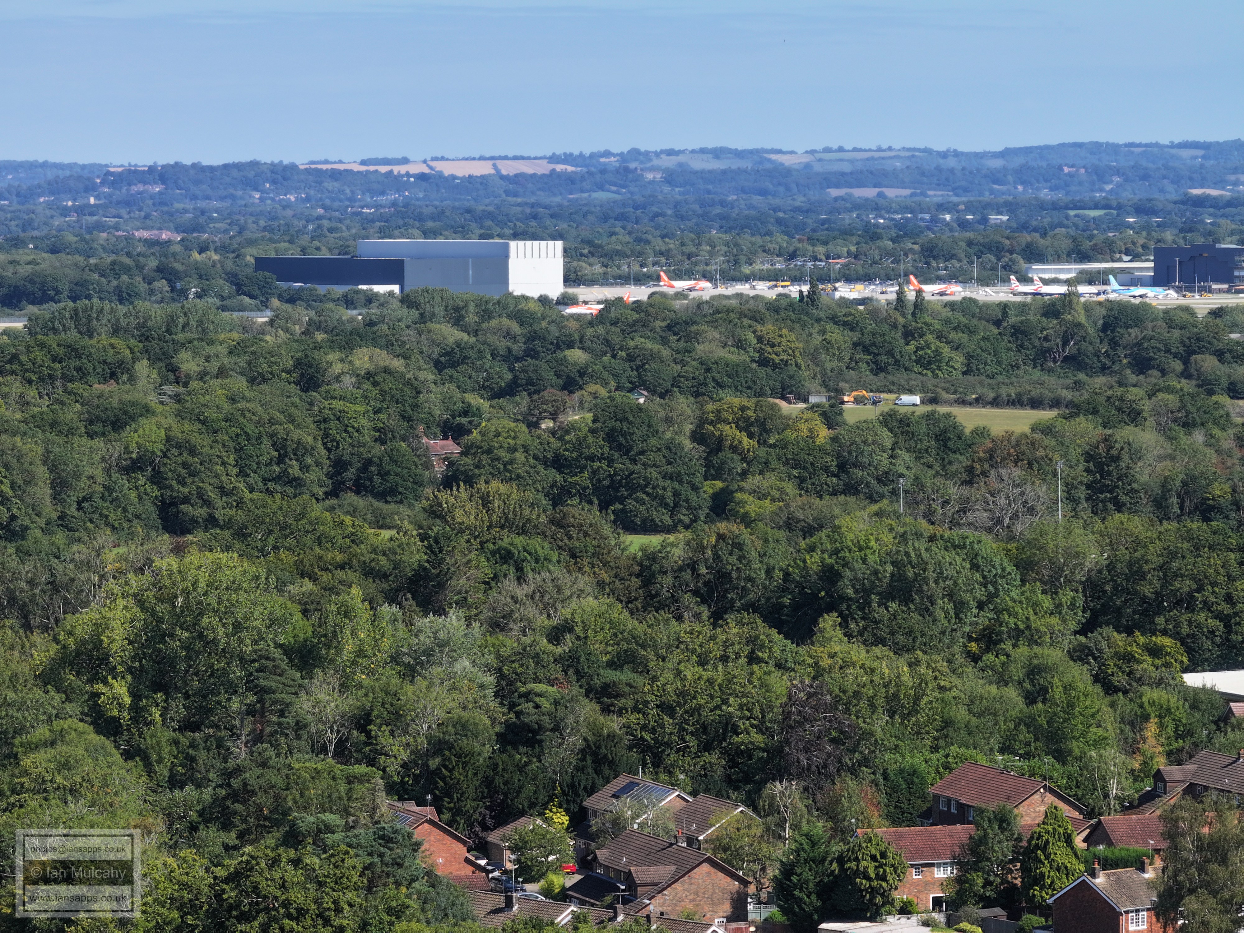
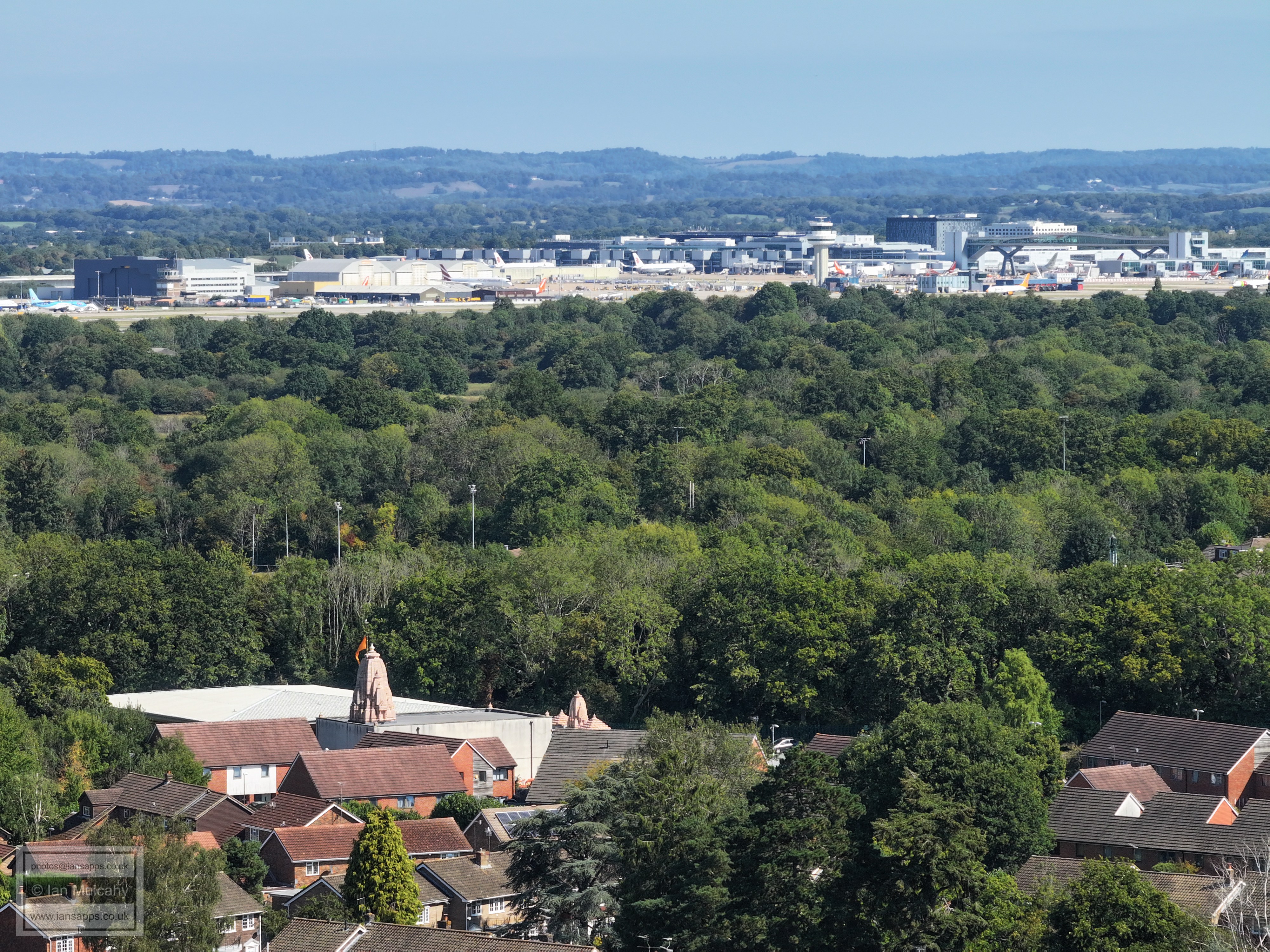
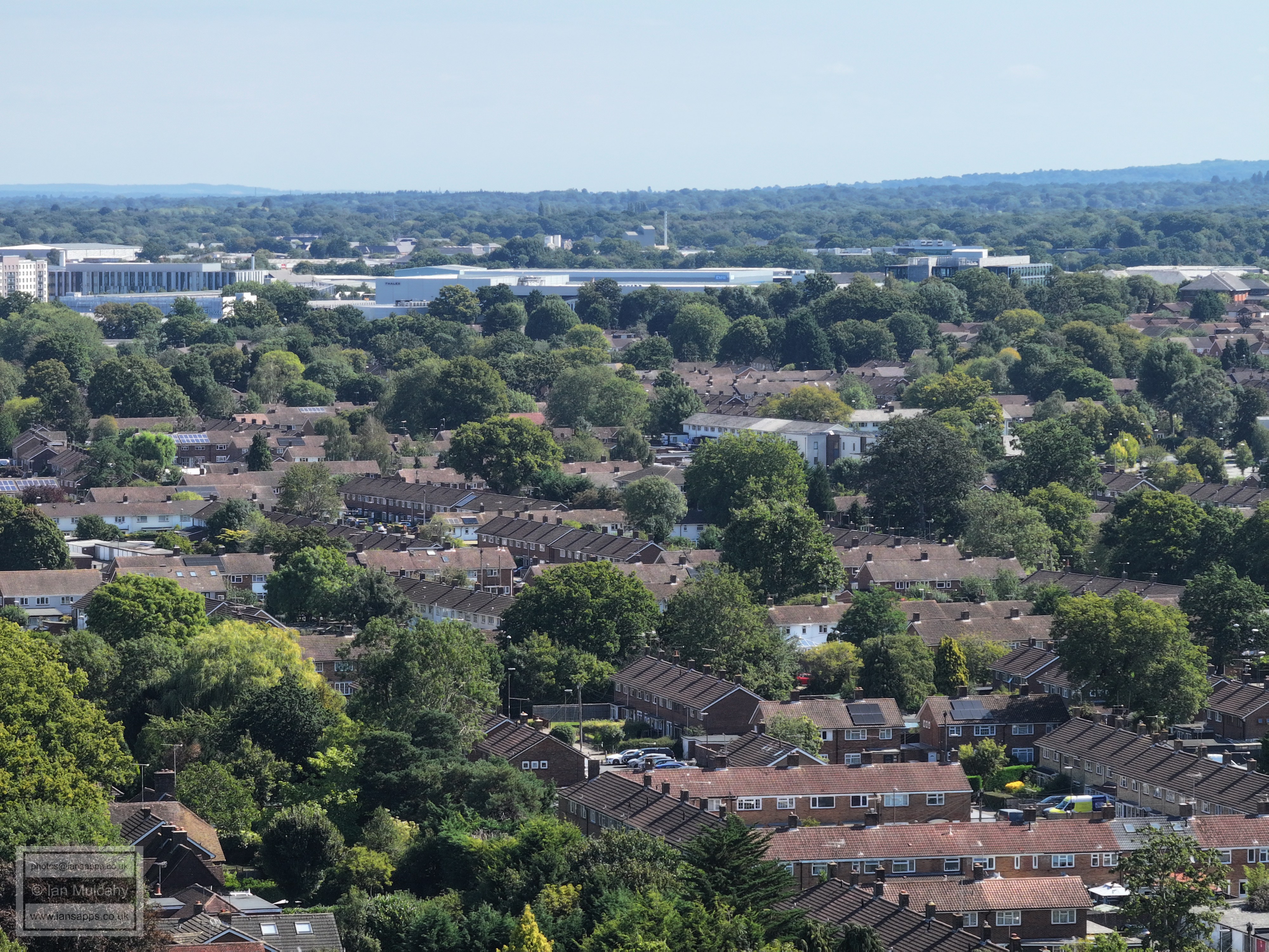
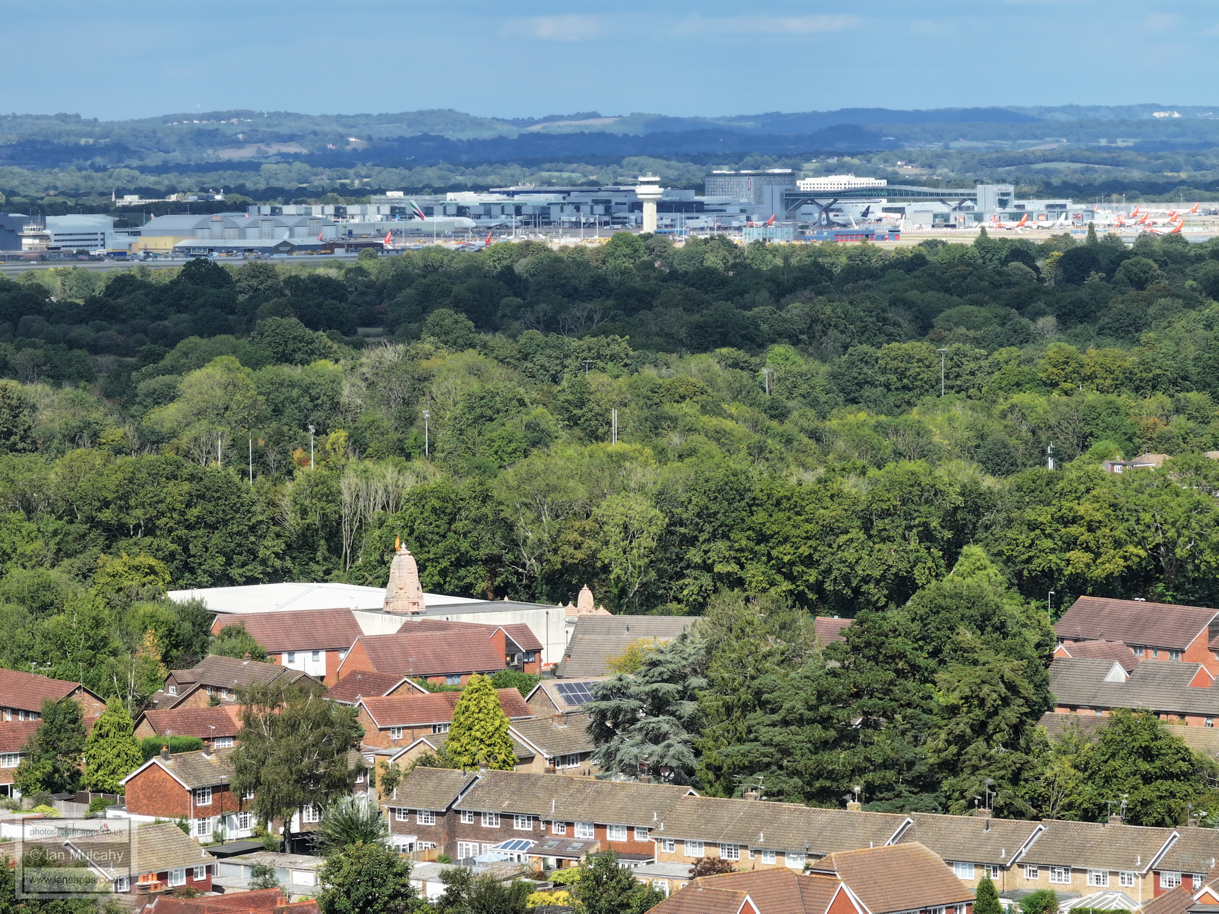
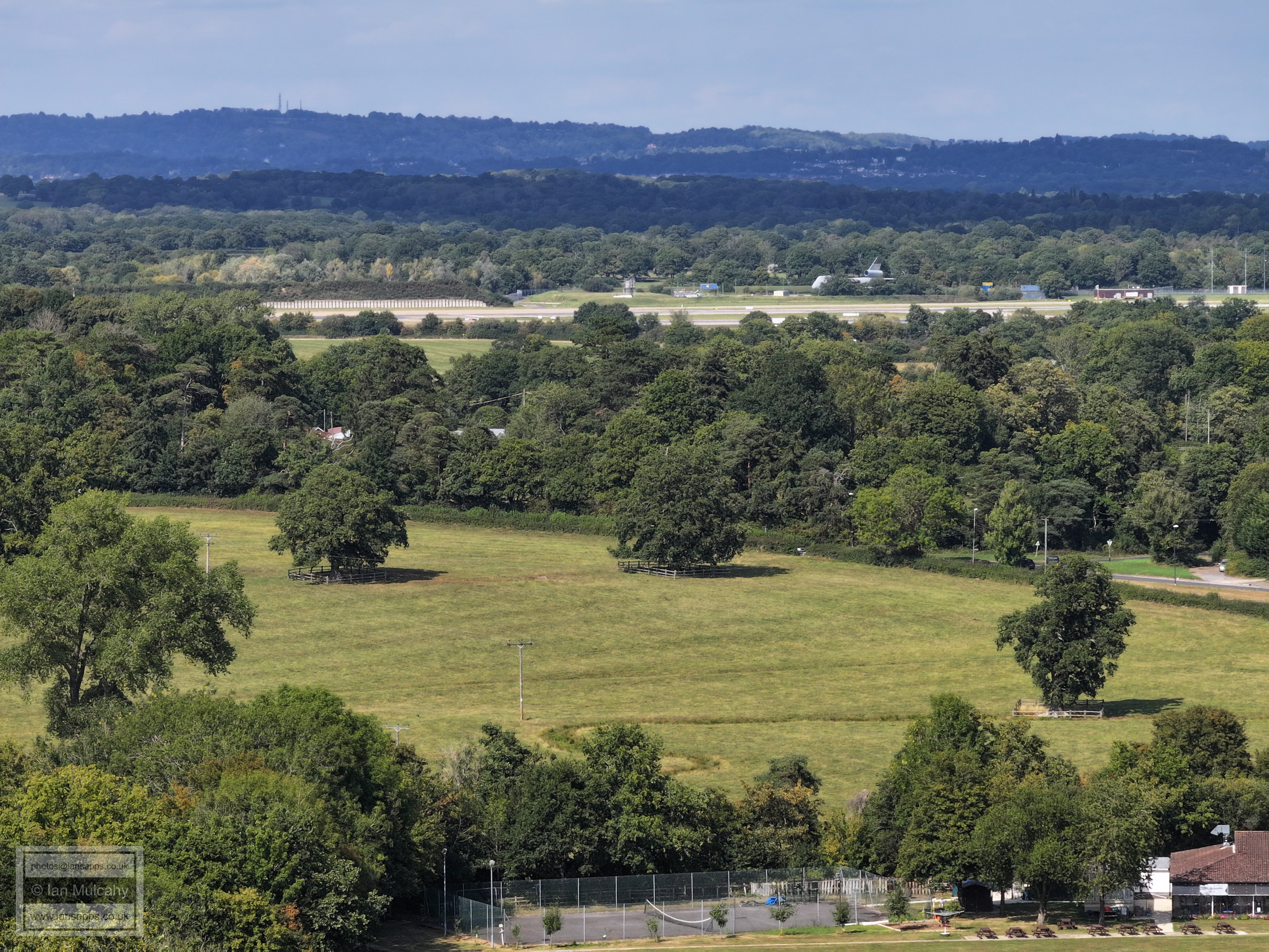
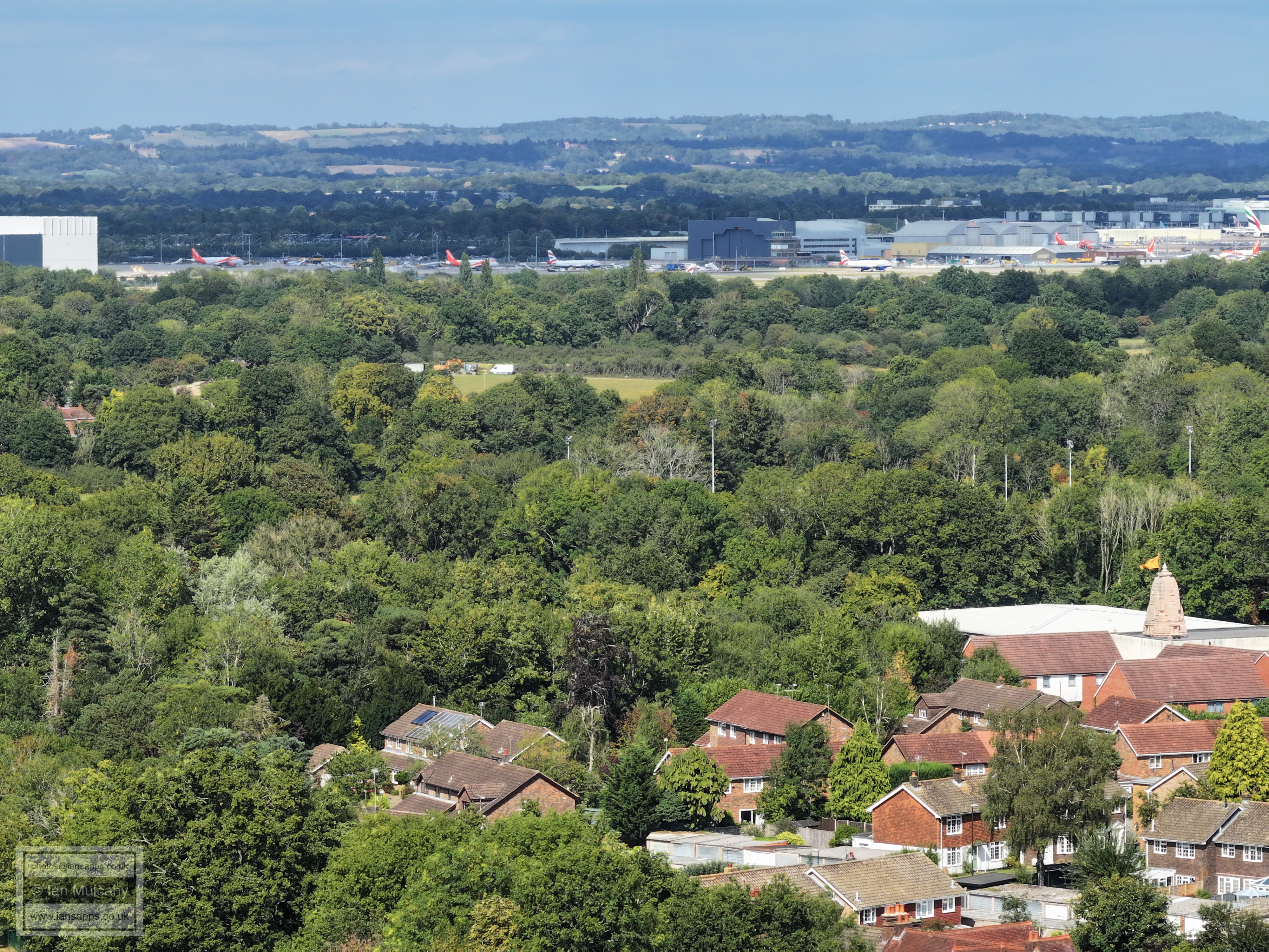
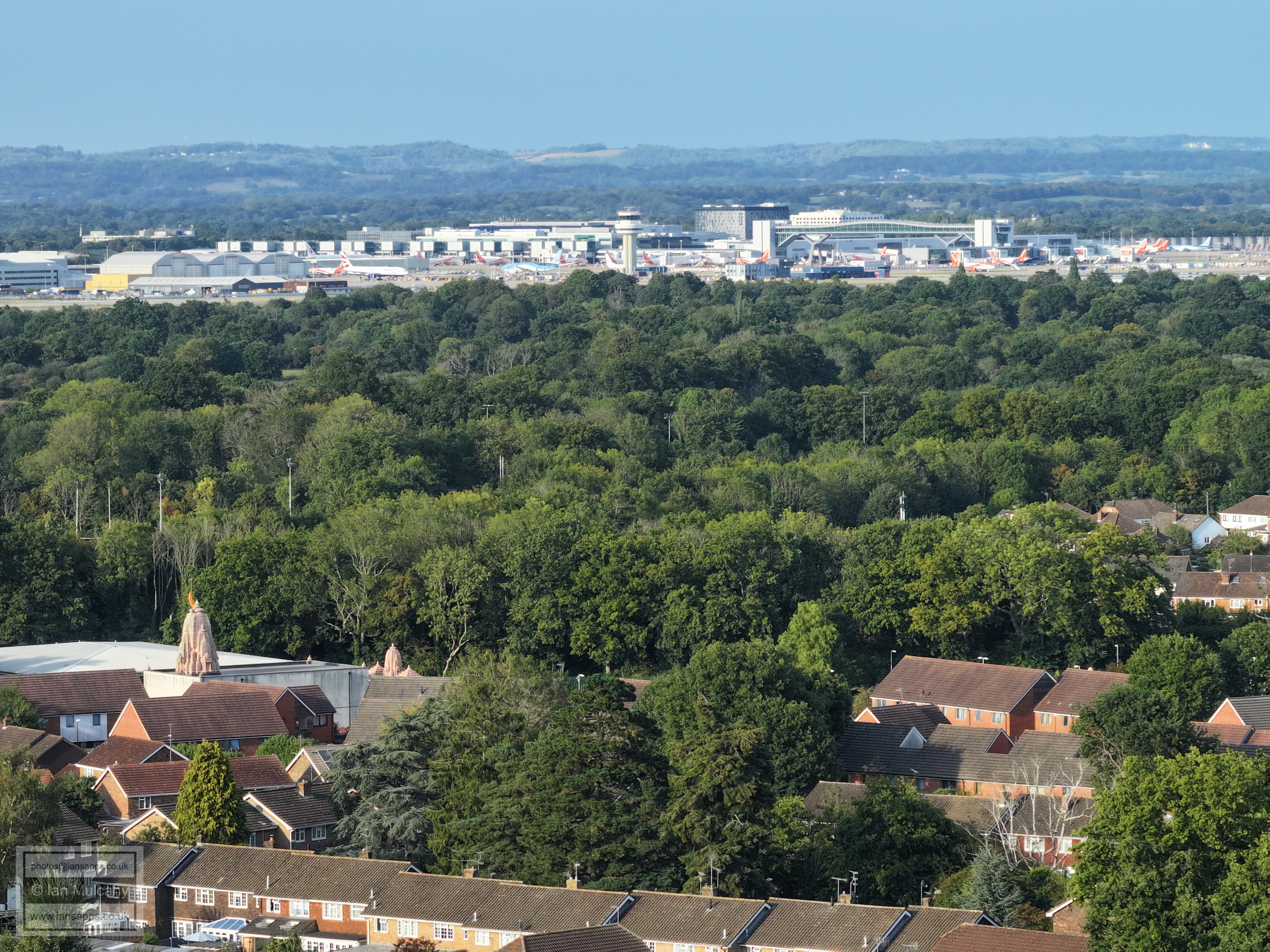
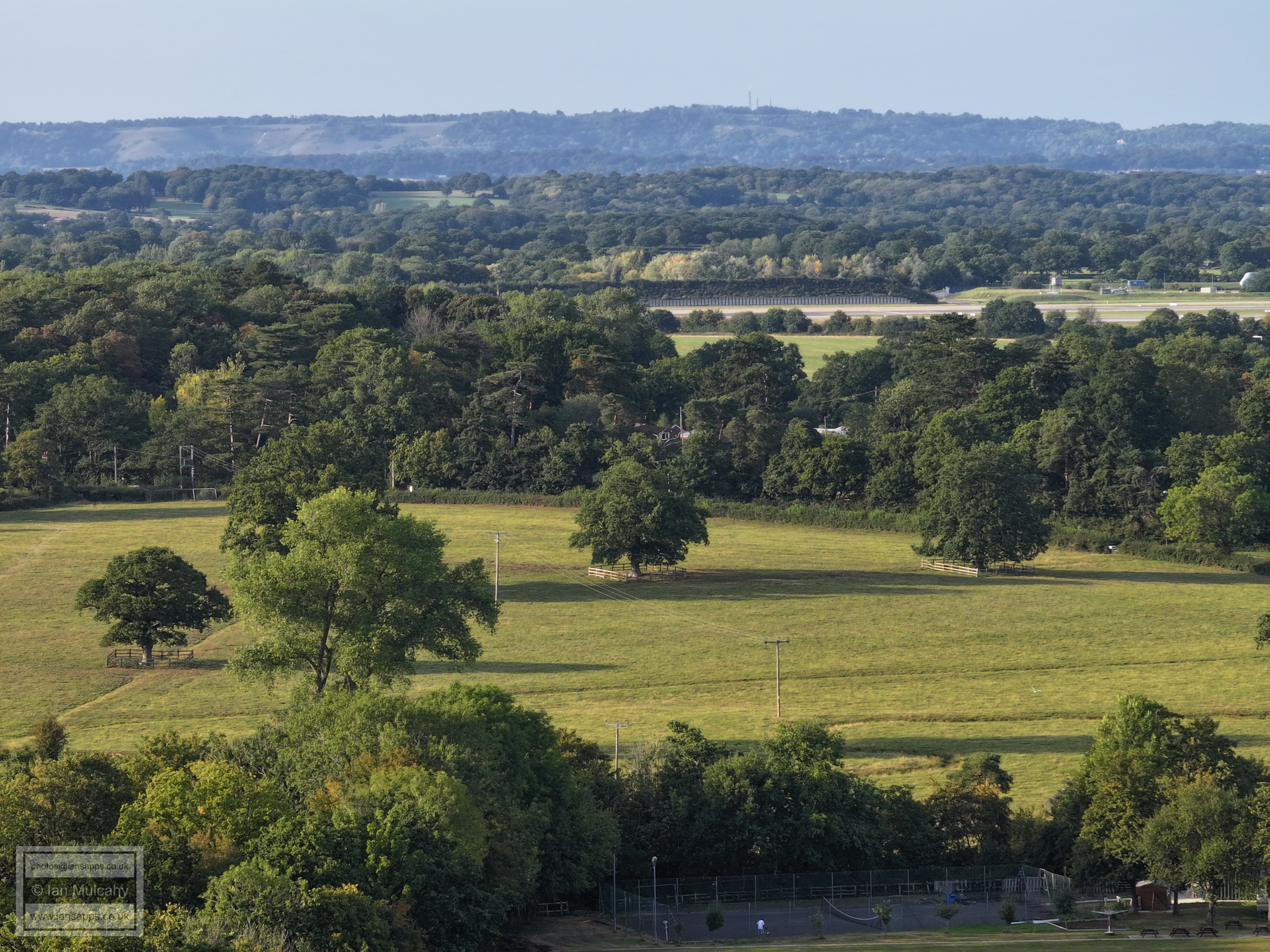
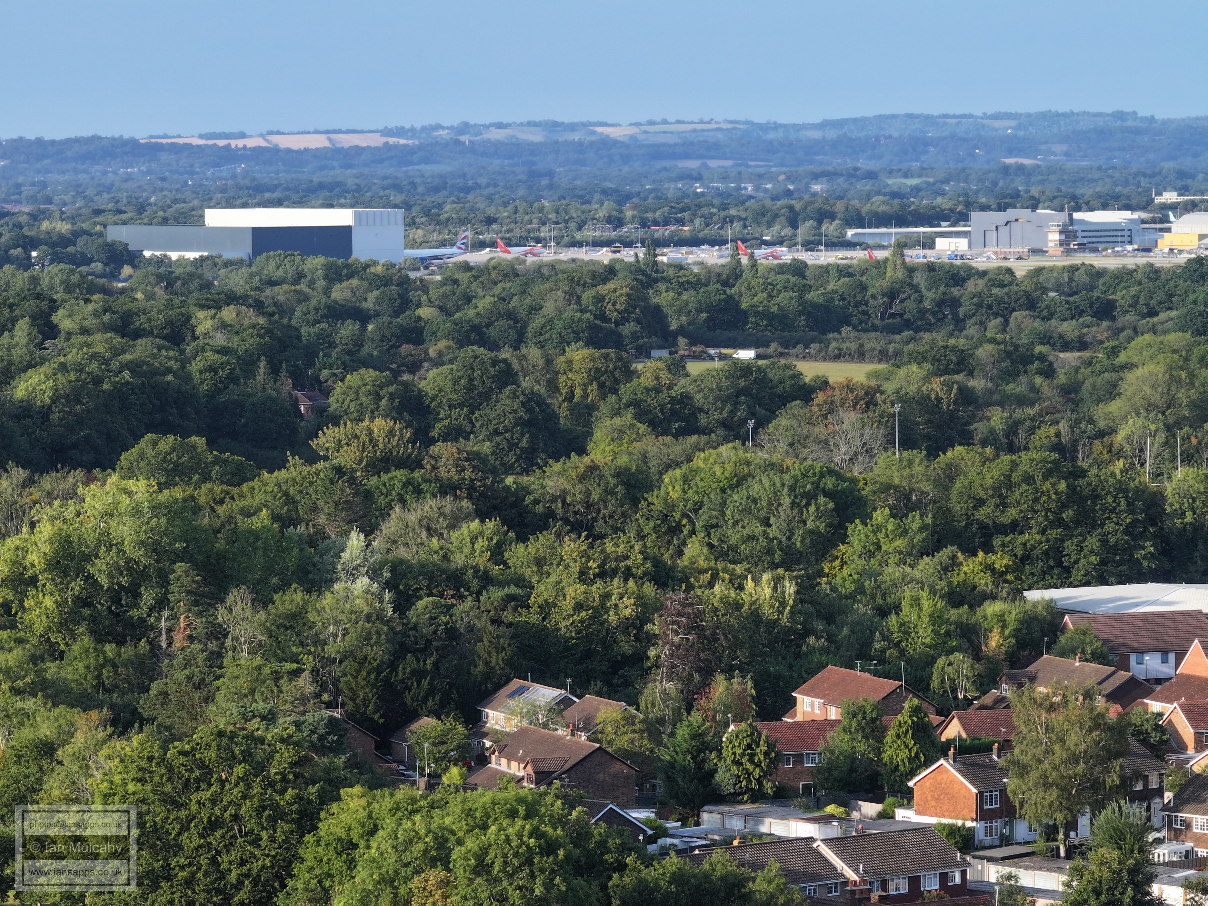
Sanatan Mandir Temple at Apple Tree Farm, bottom left with the Rugby Club floodlights visible immediately behind. Gatwick Airport beyond.
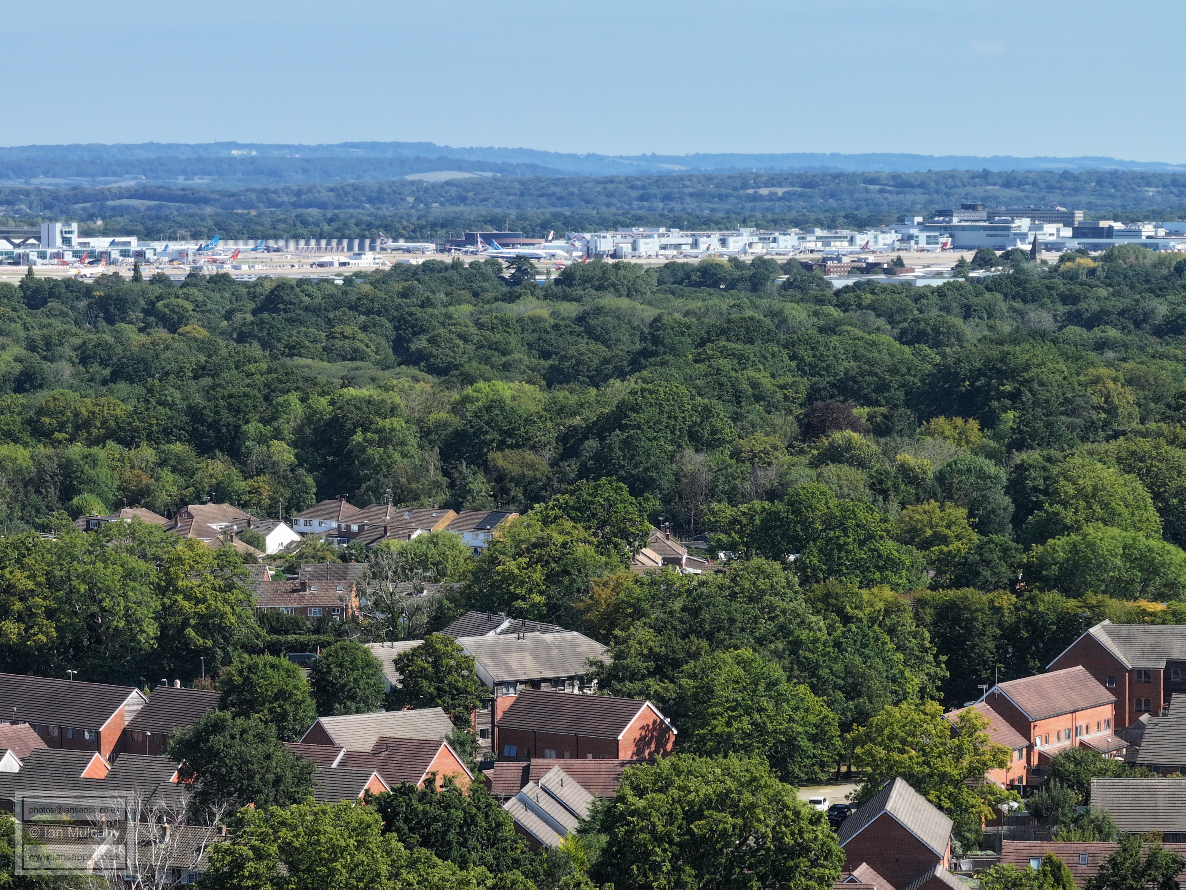
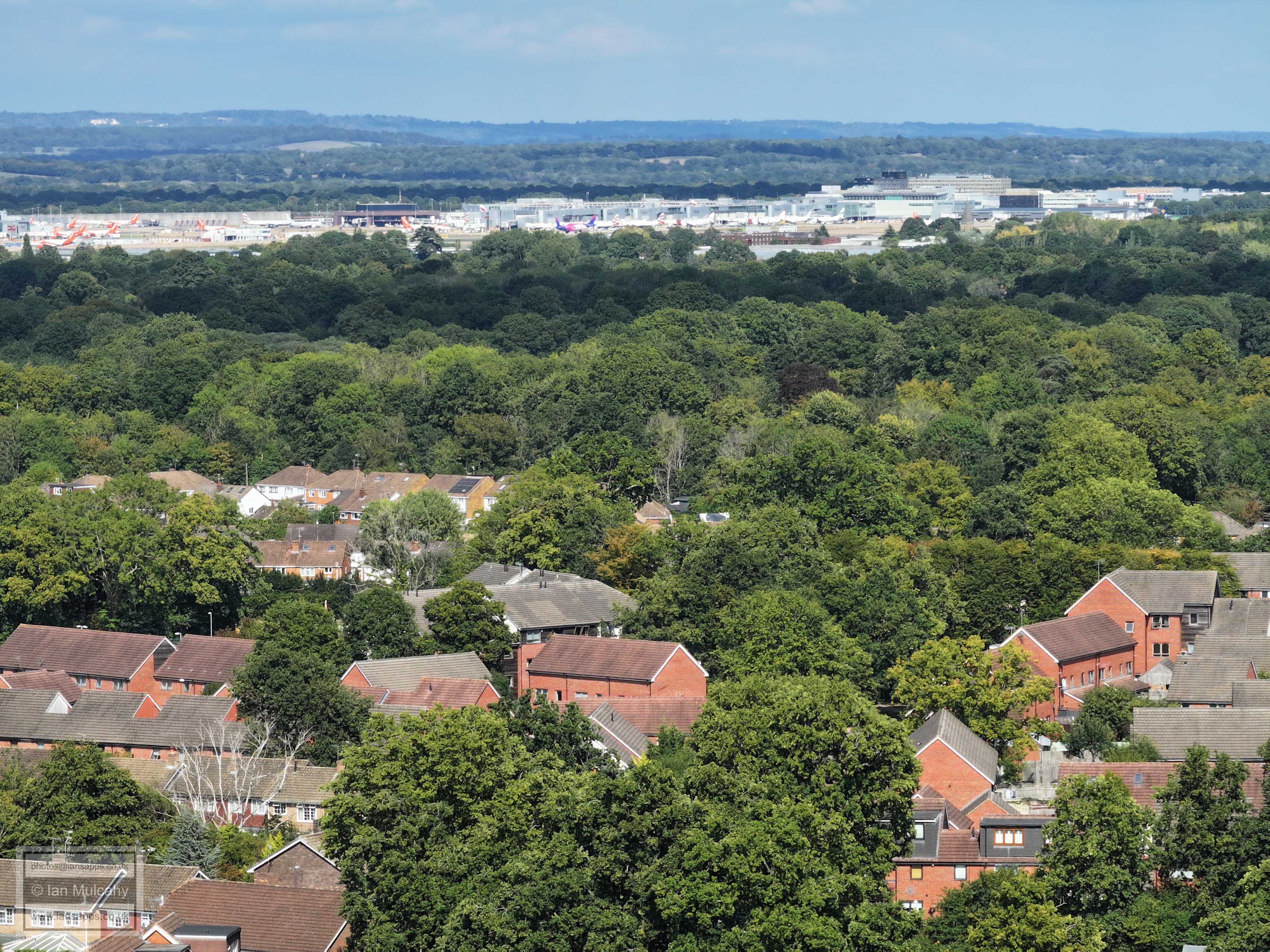
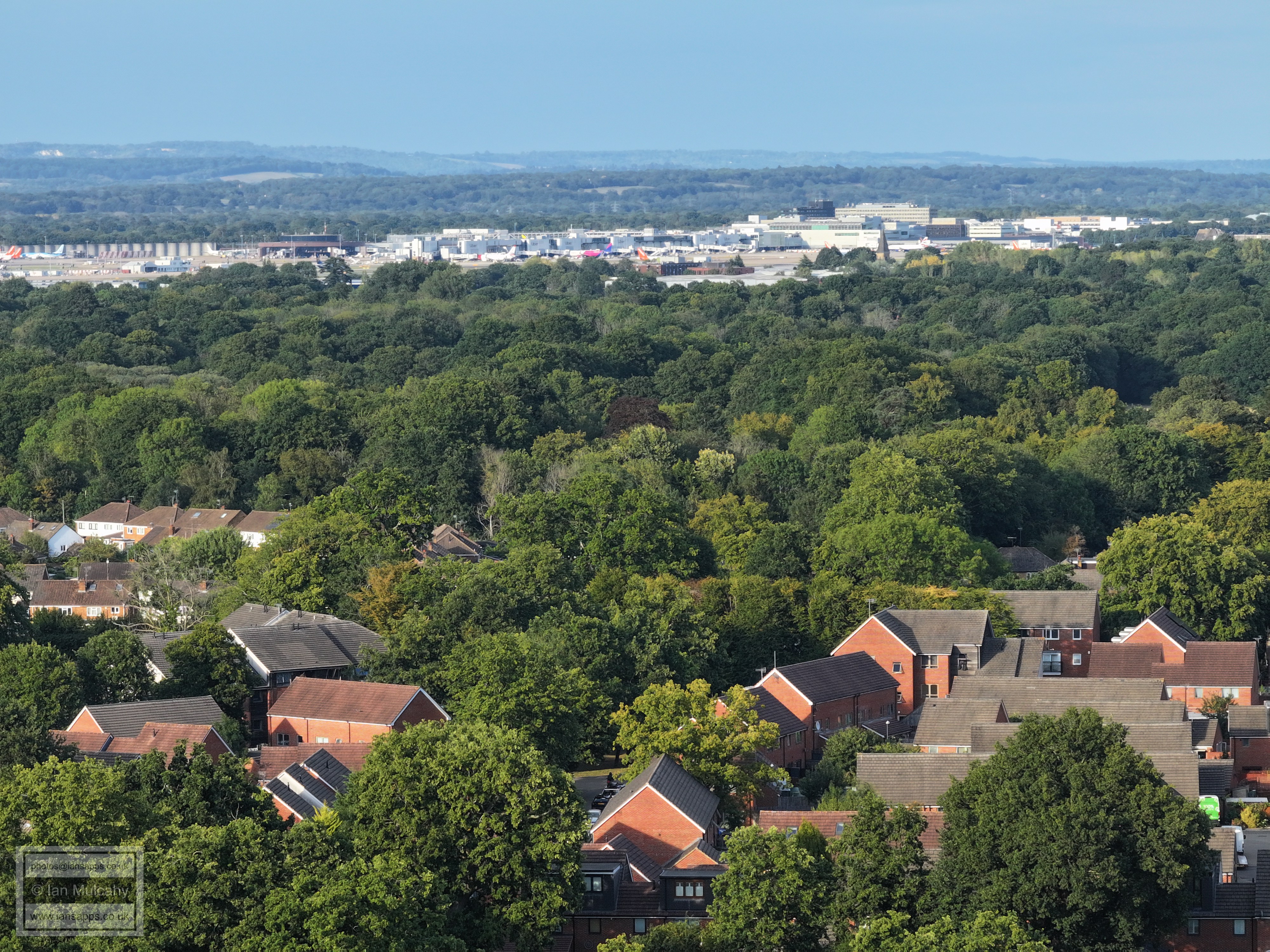
Gatwick. In the top right quarter is the spire of St Michaels at Lowfield Heath.
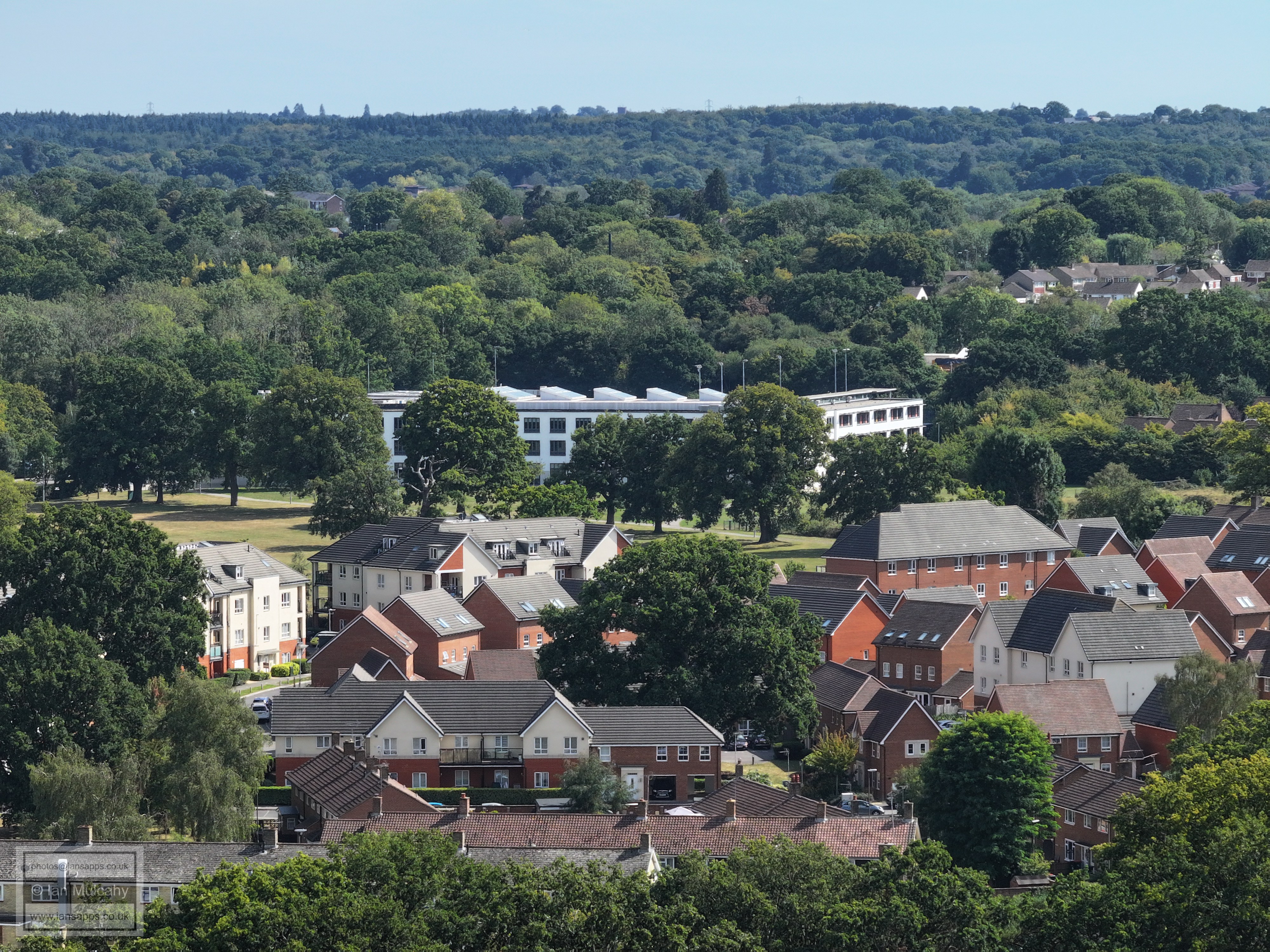
Left of centre is Langley Walk. Acros sthe tp is the northern part of Manor Royal. Astral Towers is clear, and the curved roof of the dump, sorry 'Recycling Centre', at County Oak is just visible in the top right quarter.
Langley Green Parade is just right of centre.
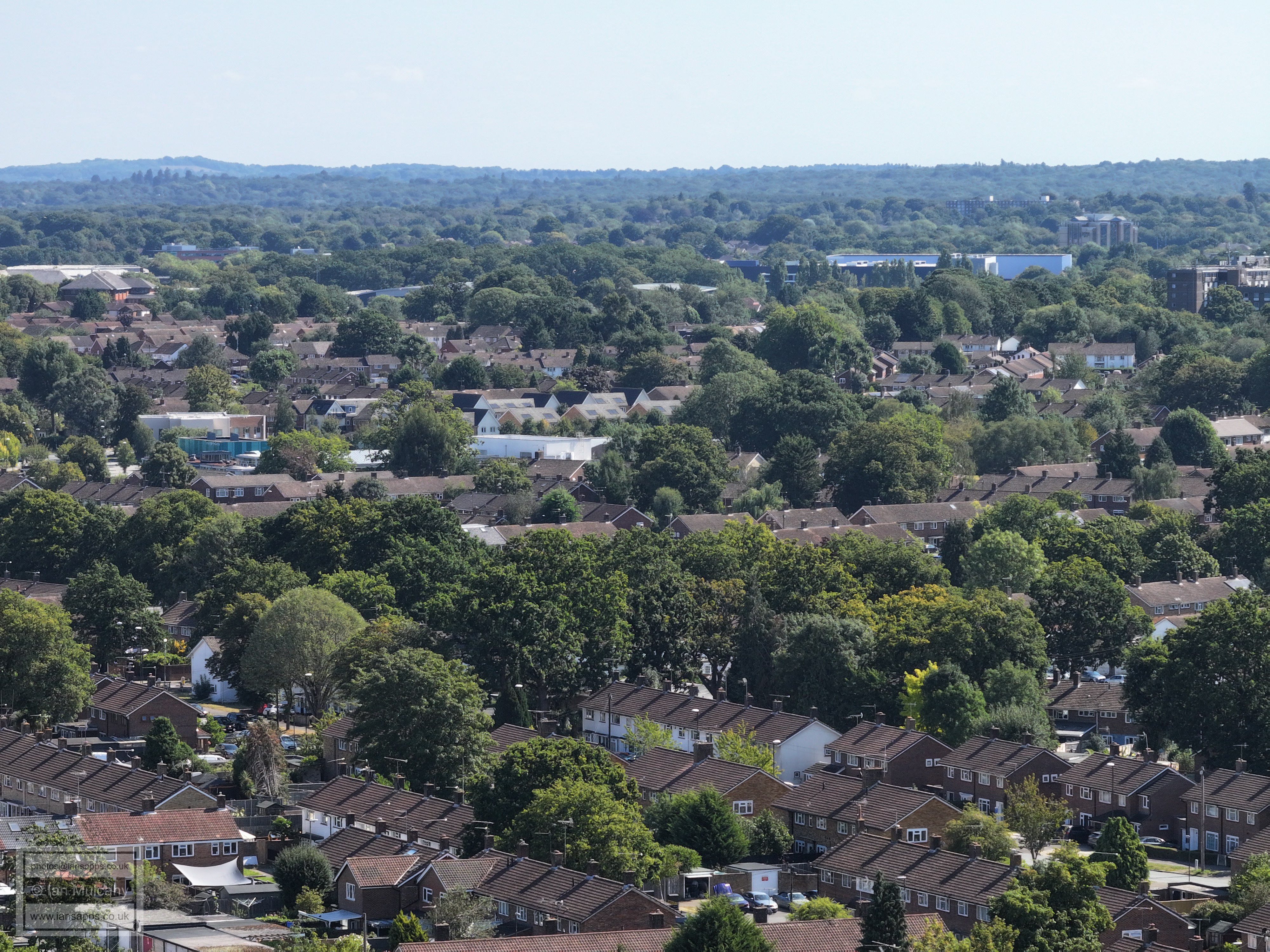
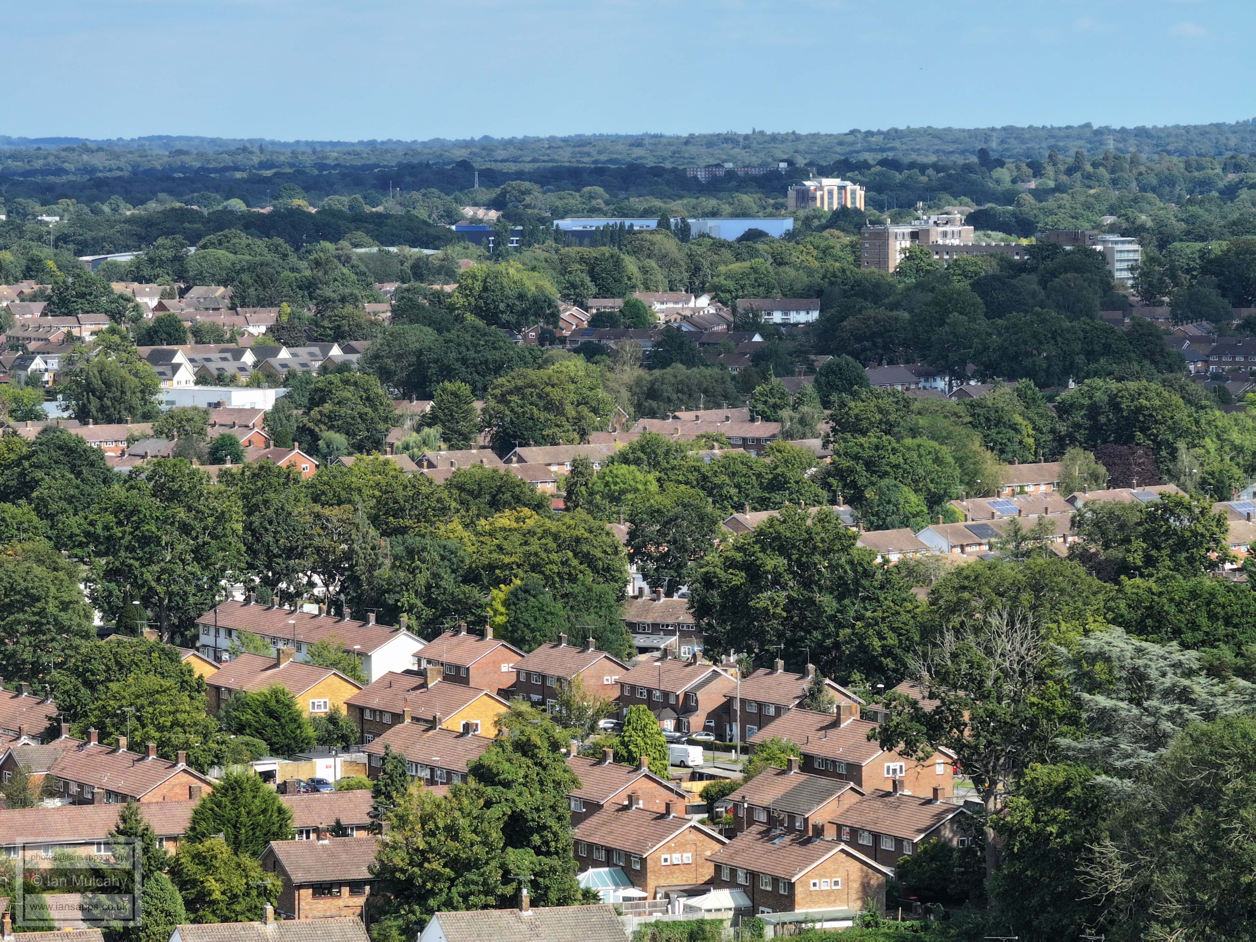
Far left of centre is Langley Green Primary School. In the top right quarter is The Sandman Hotel at Hazelwick, with Milton Mount Flats at Worth Park immediately above.
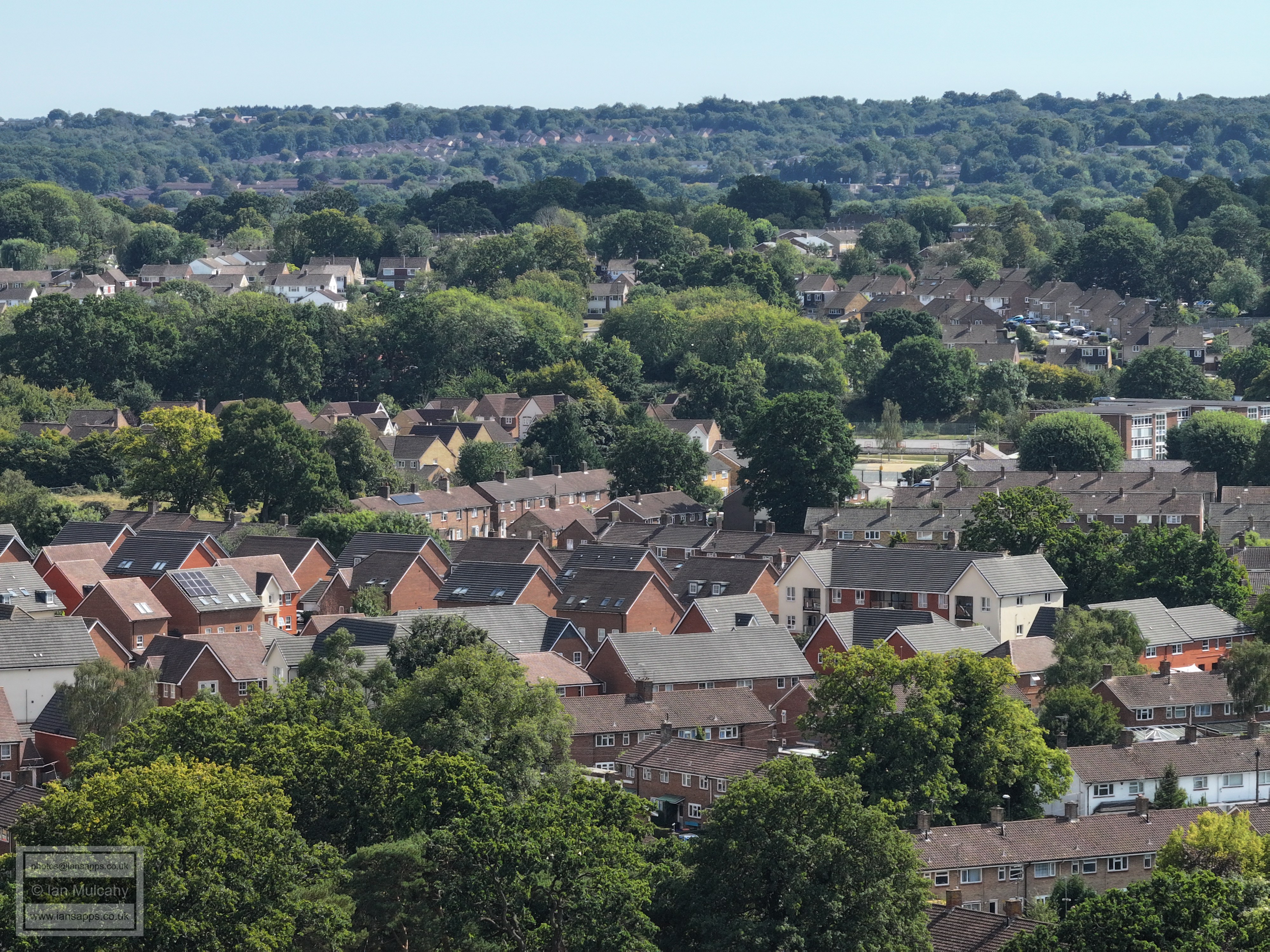
In the top left quarter is the Crowne Plaza at Tushmore.On the far right of the bottom right quarter, the relatively open bit showing the road an multiple cars is Elsted Close off Findon Road
The small green with the tree on just below centre is on the S bend of Findon Road between Elsted Close and Fernhurst Close. At the top, right of centre, is the cinema at Crawley Leisure Park
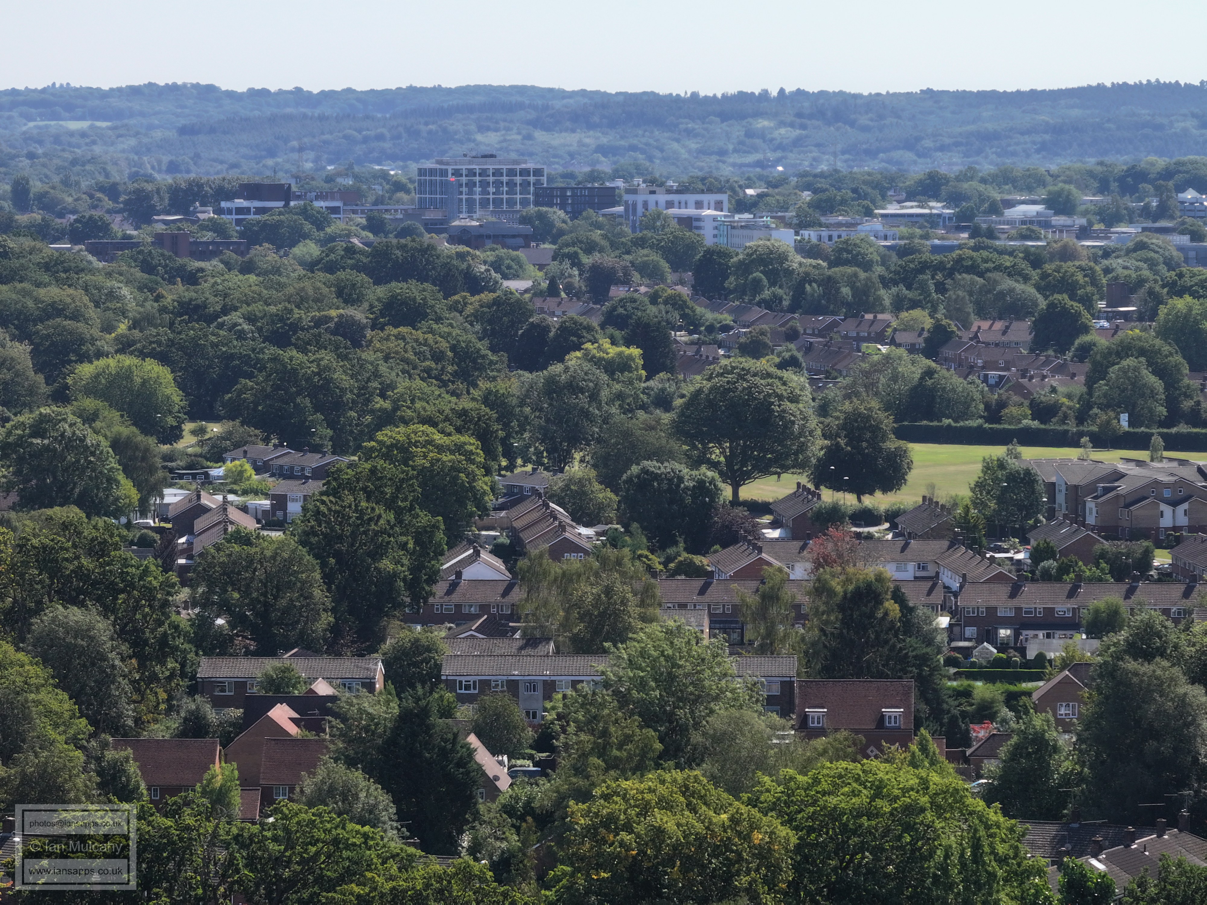
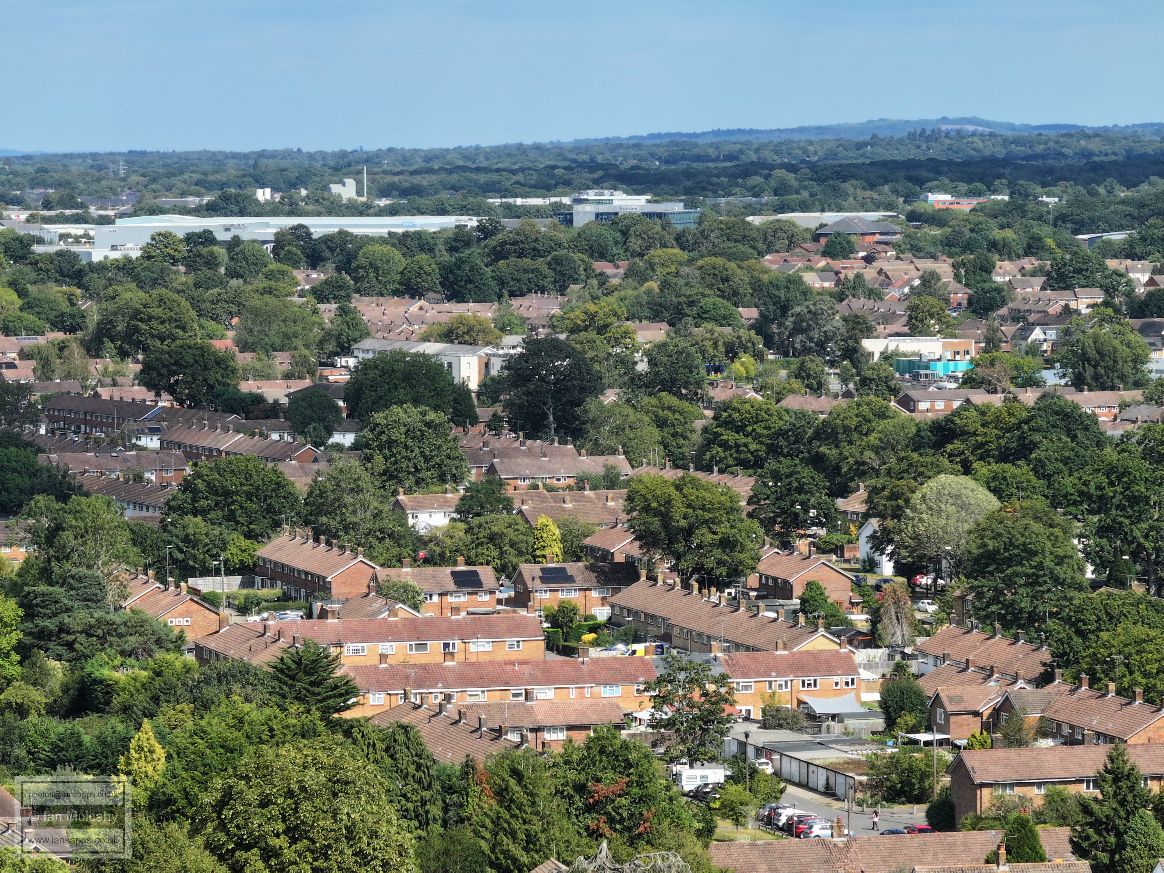
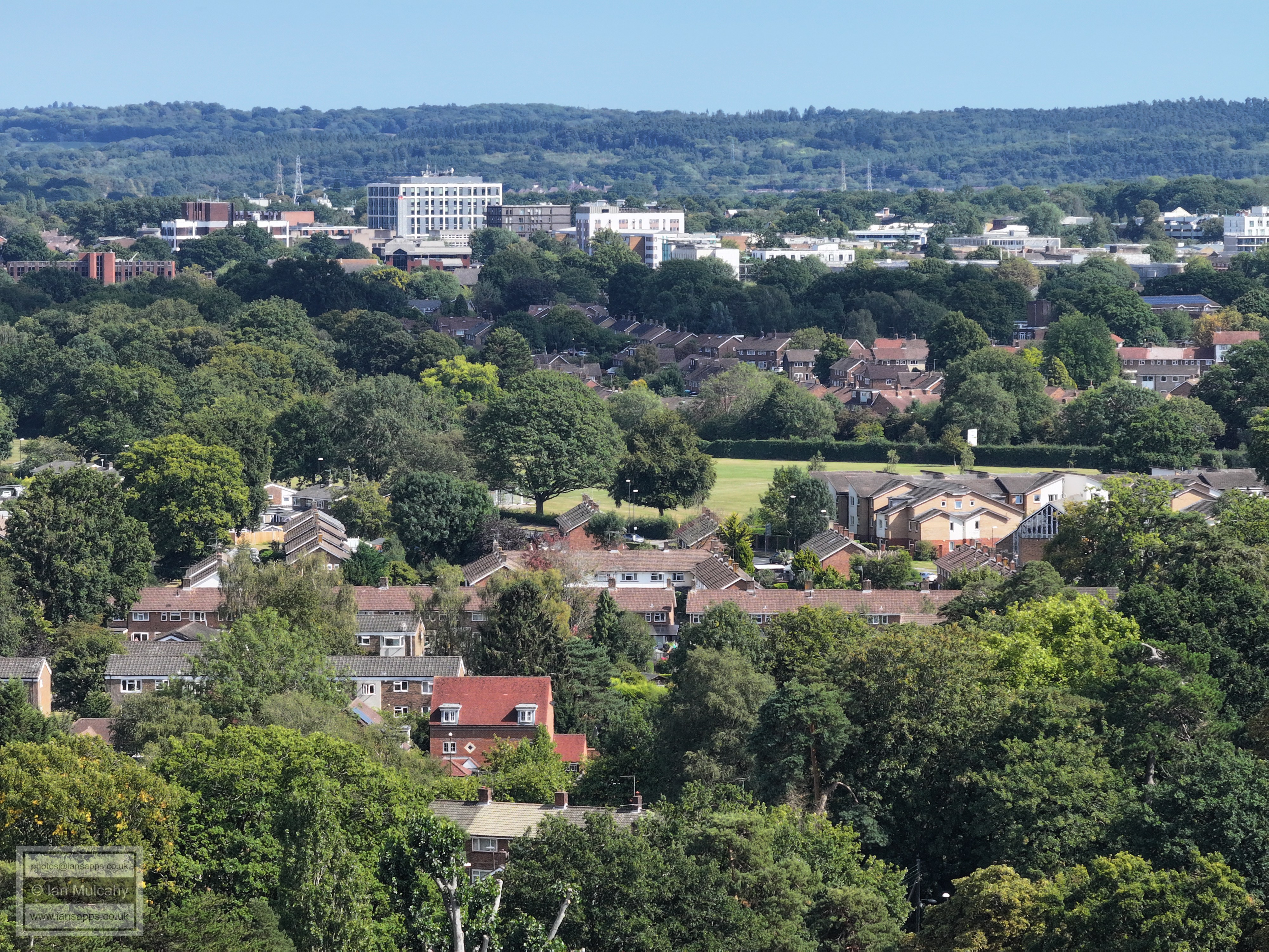
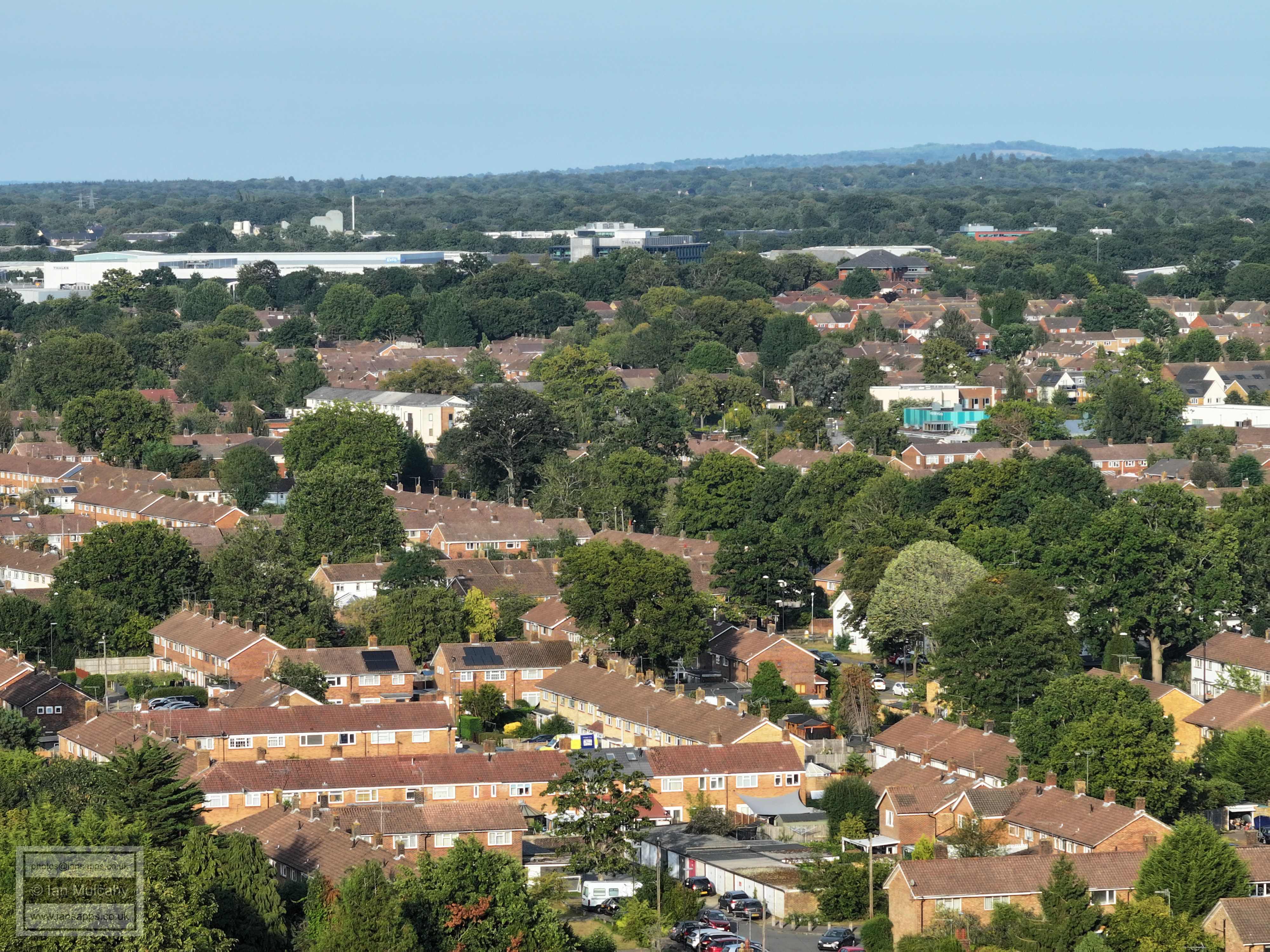
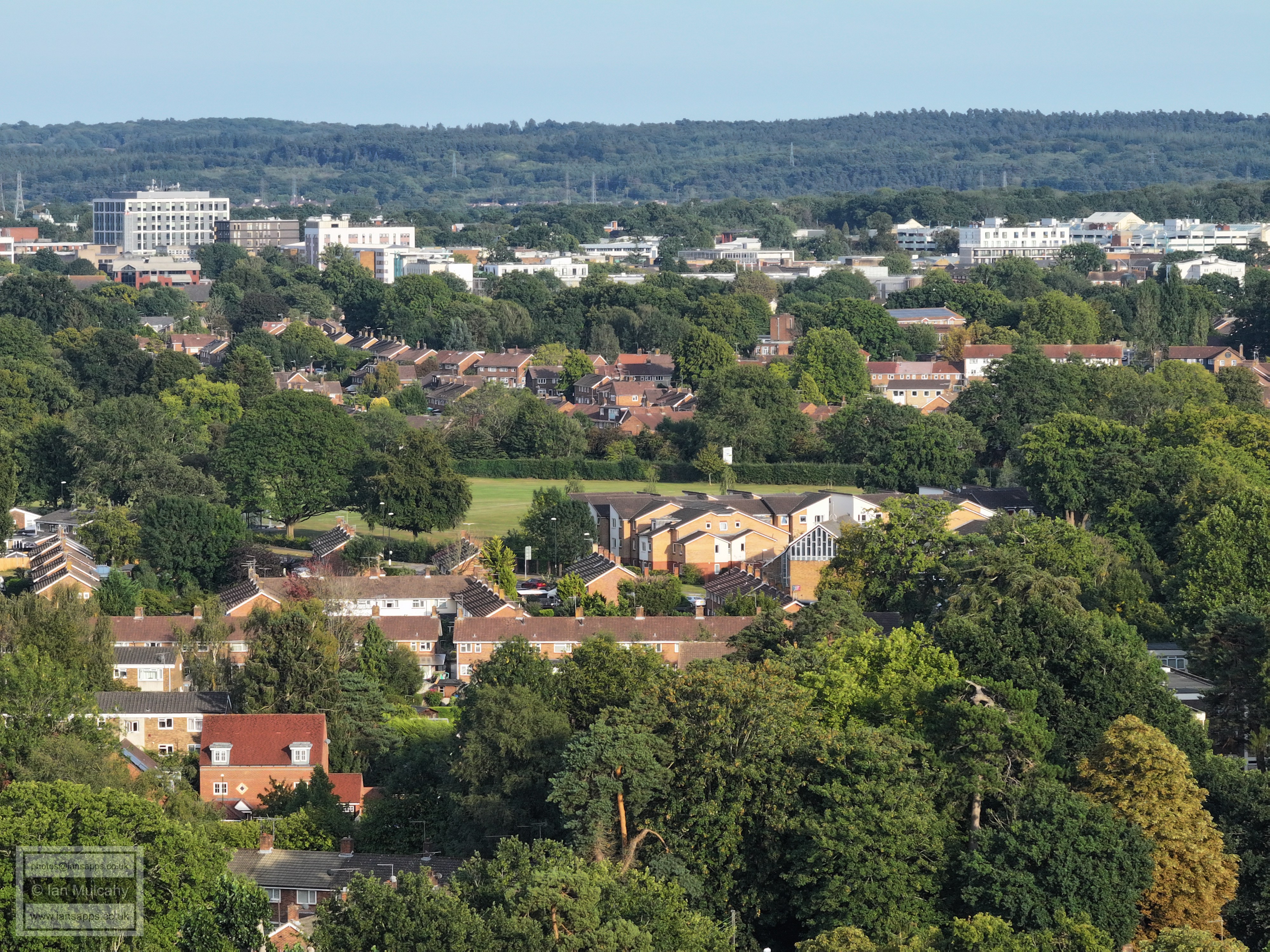
To the right of centre is Ewhurst Playing Fields. The Town Centre is, of course, across the top
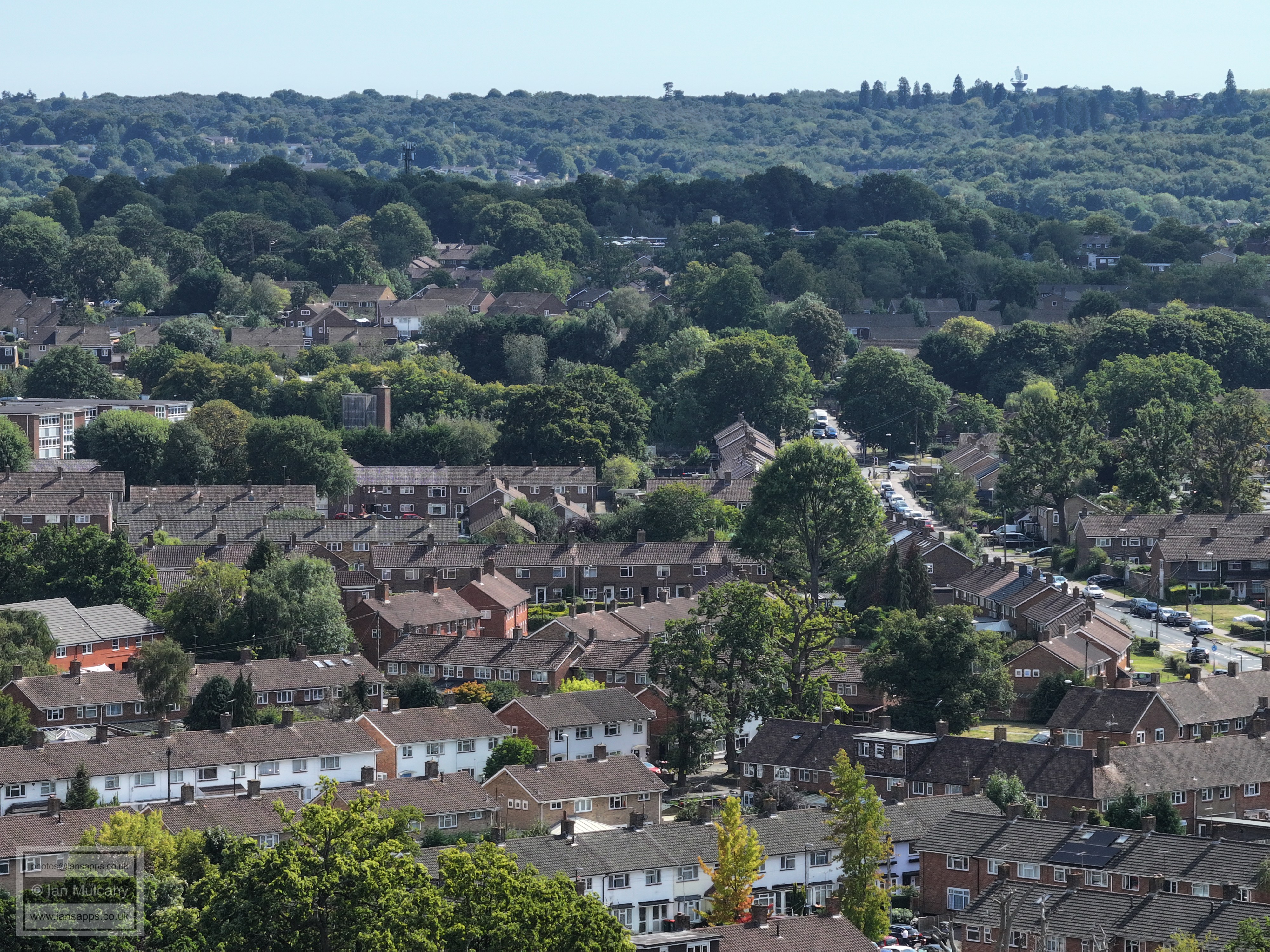
Across the top is the Mall and the eastern side of the Town centre. Left of centre is the Elim Church and Millfield Court on Ifield Drive and Deerswood Court is in the bottom right quarter. A little way above Millfield Court is West Green parade (the higher white 'houses' - the maisonettes above the shops) with the Apple Tree to the right.
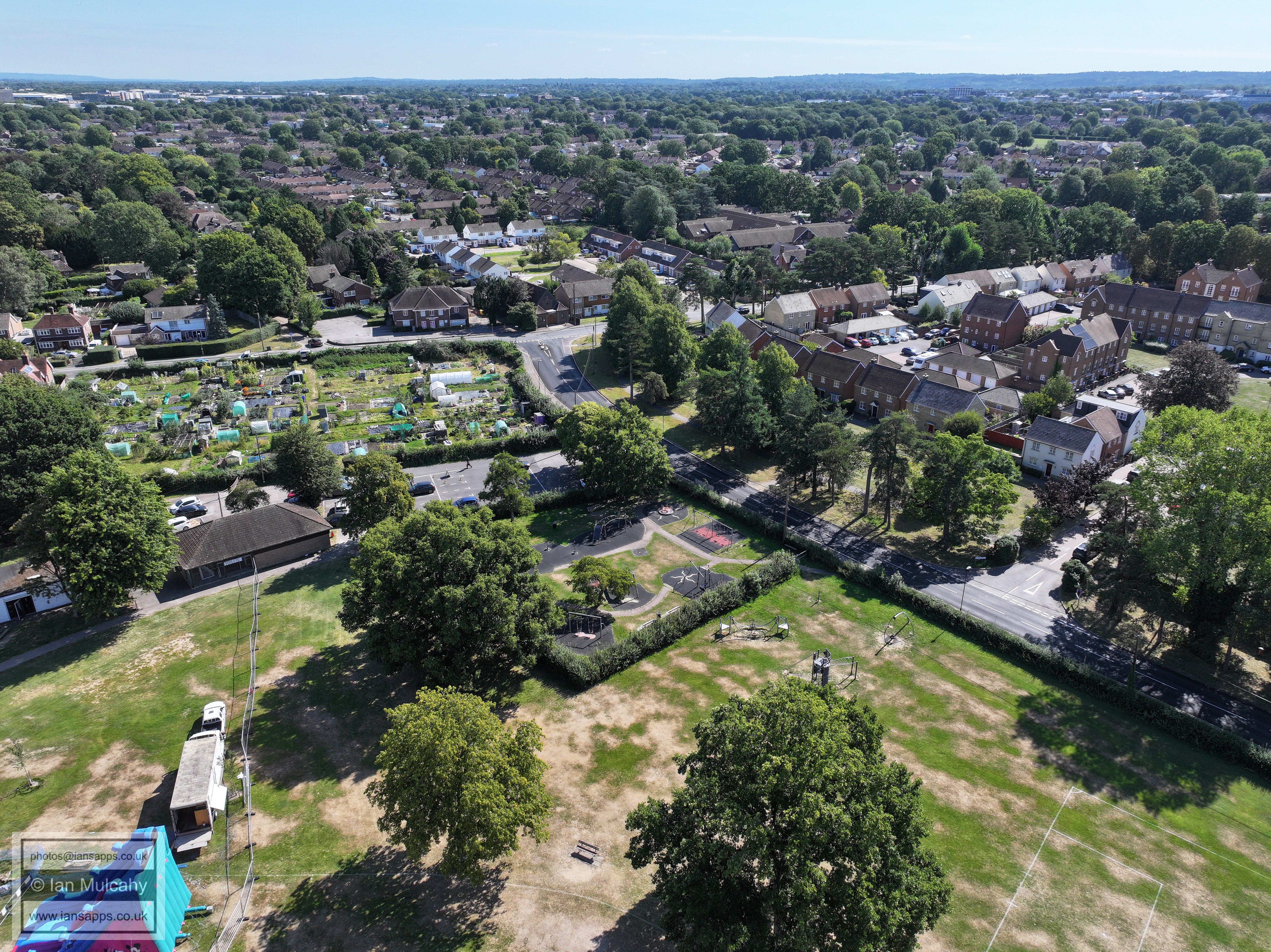
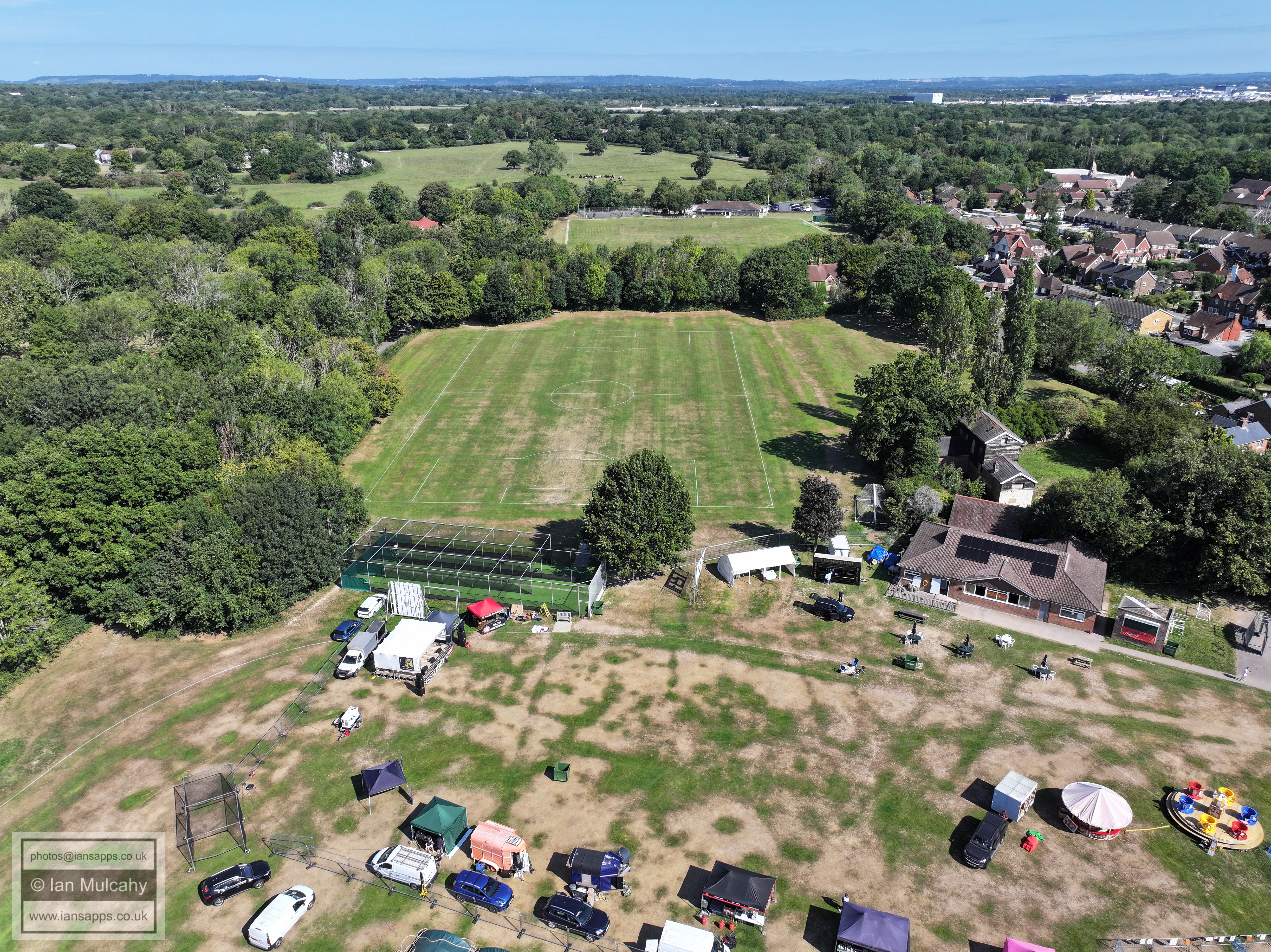
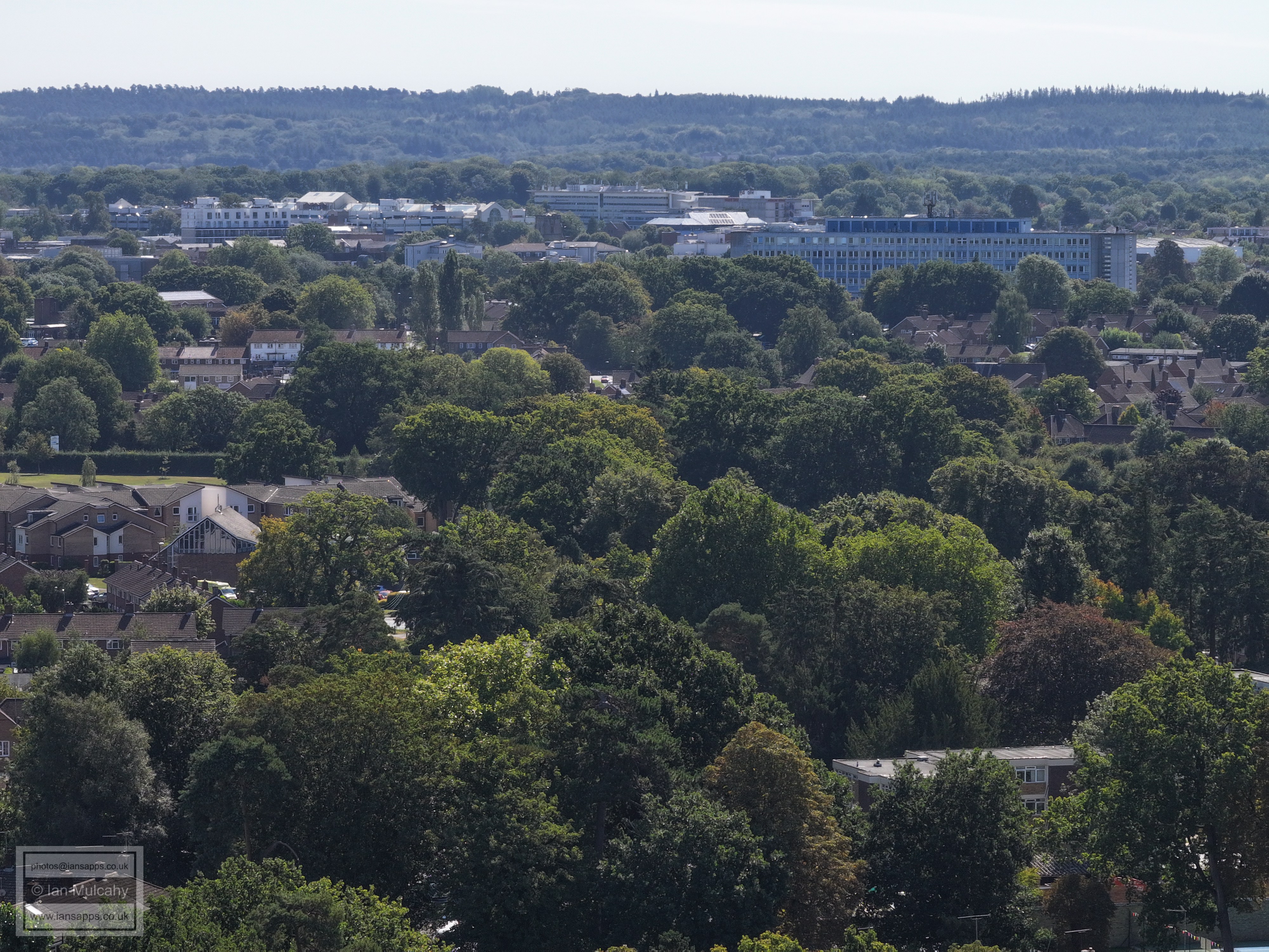
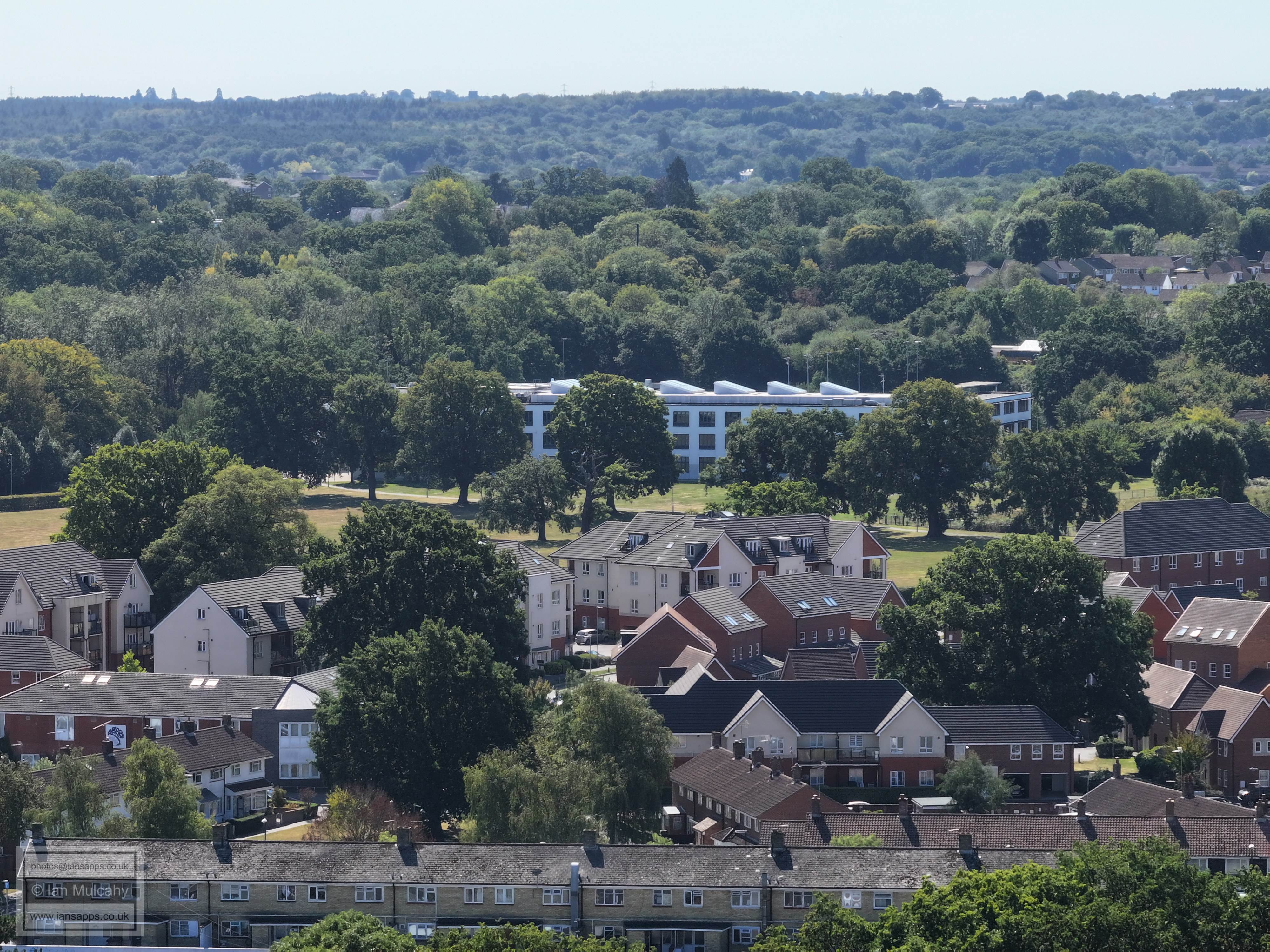
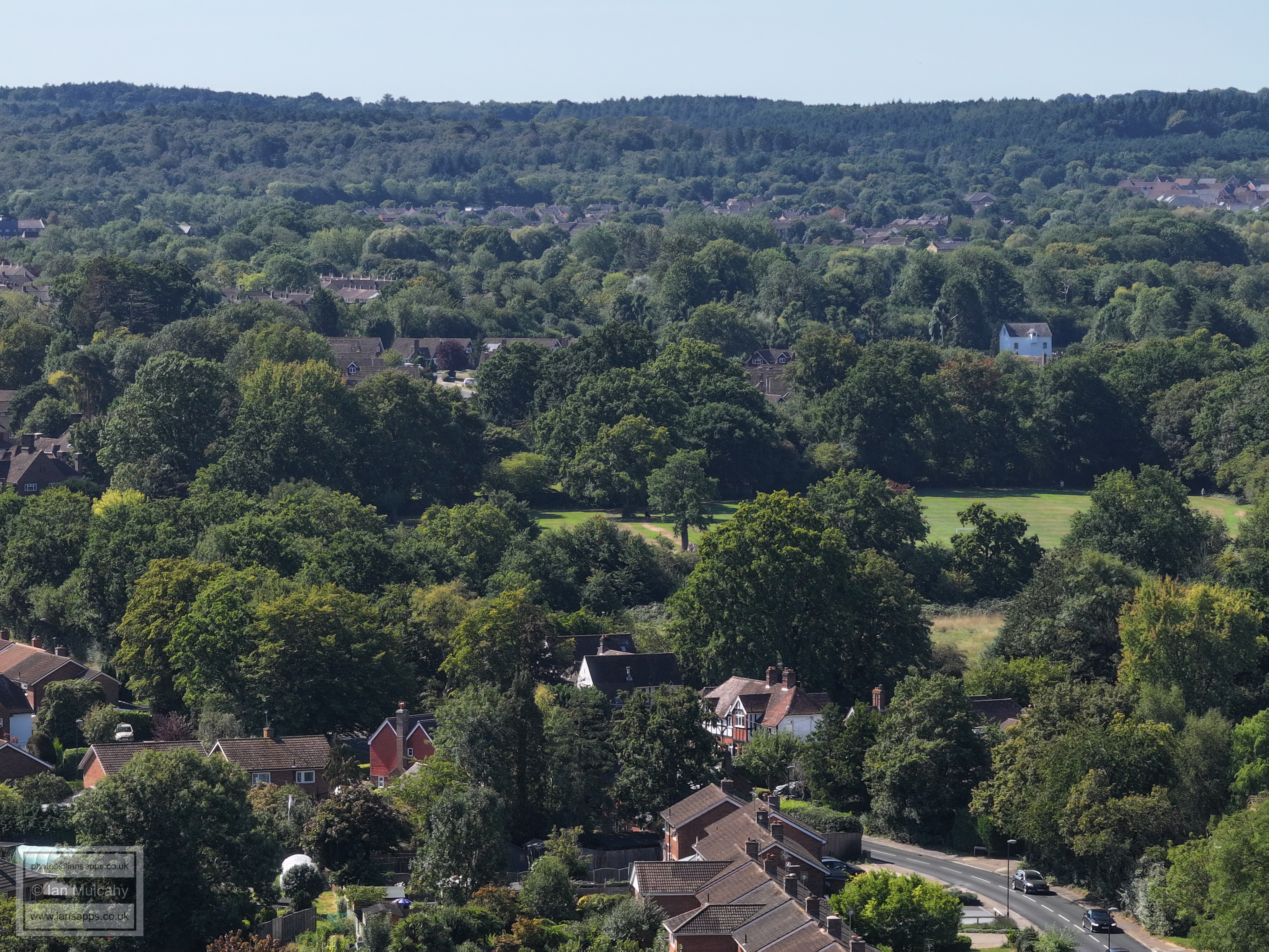
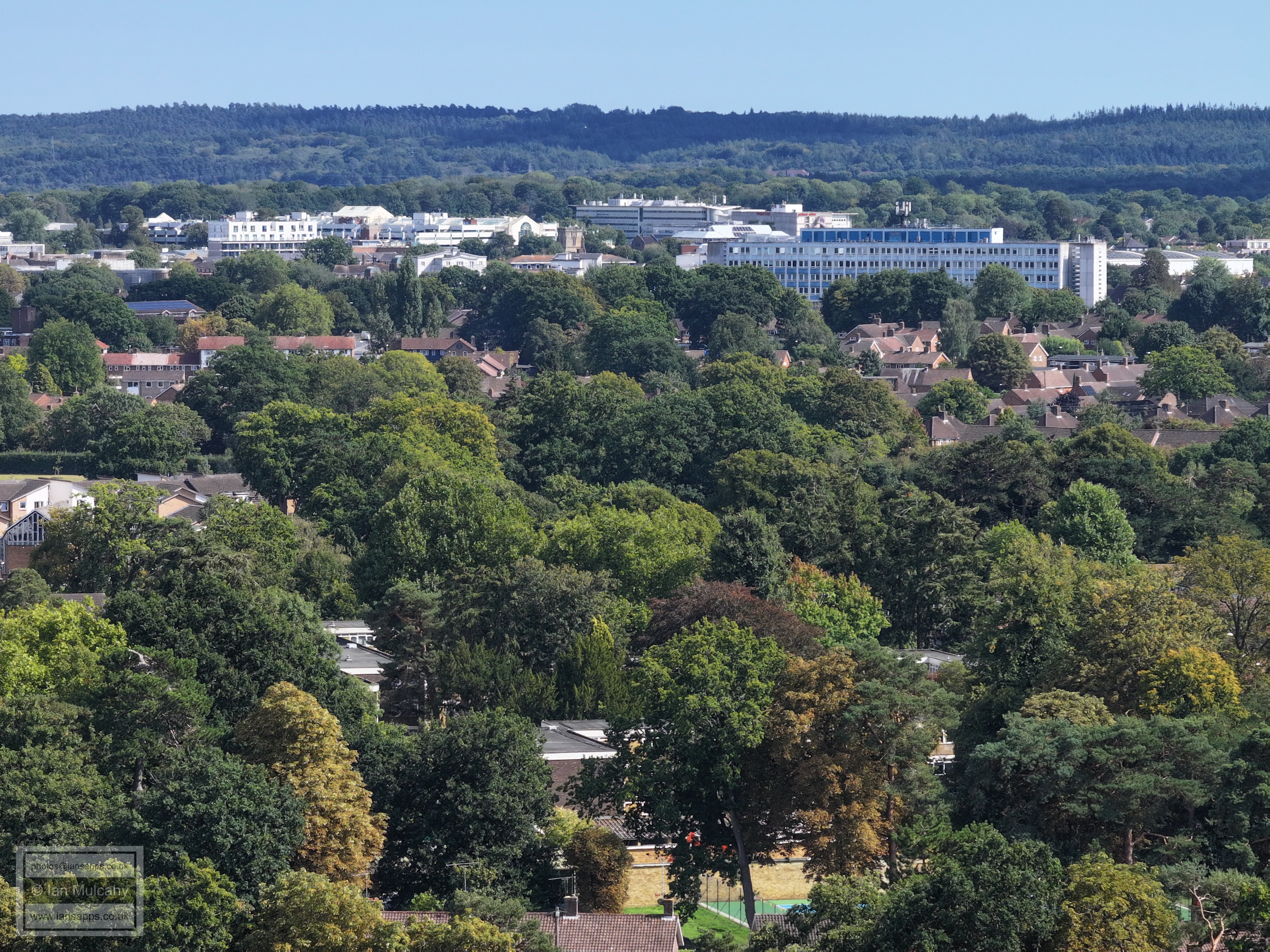
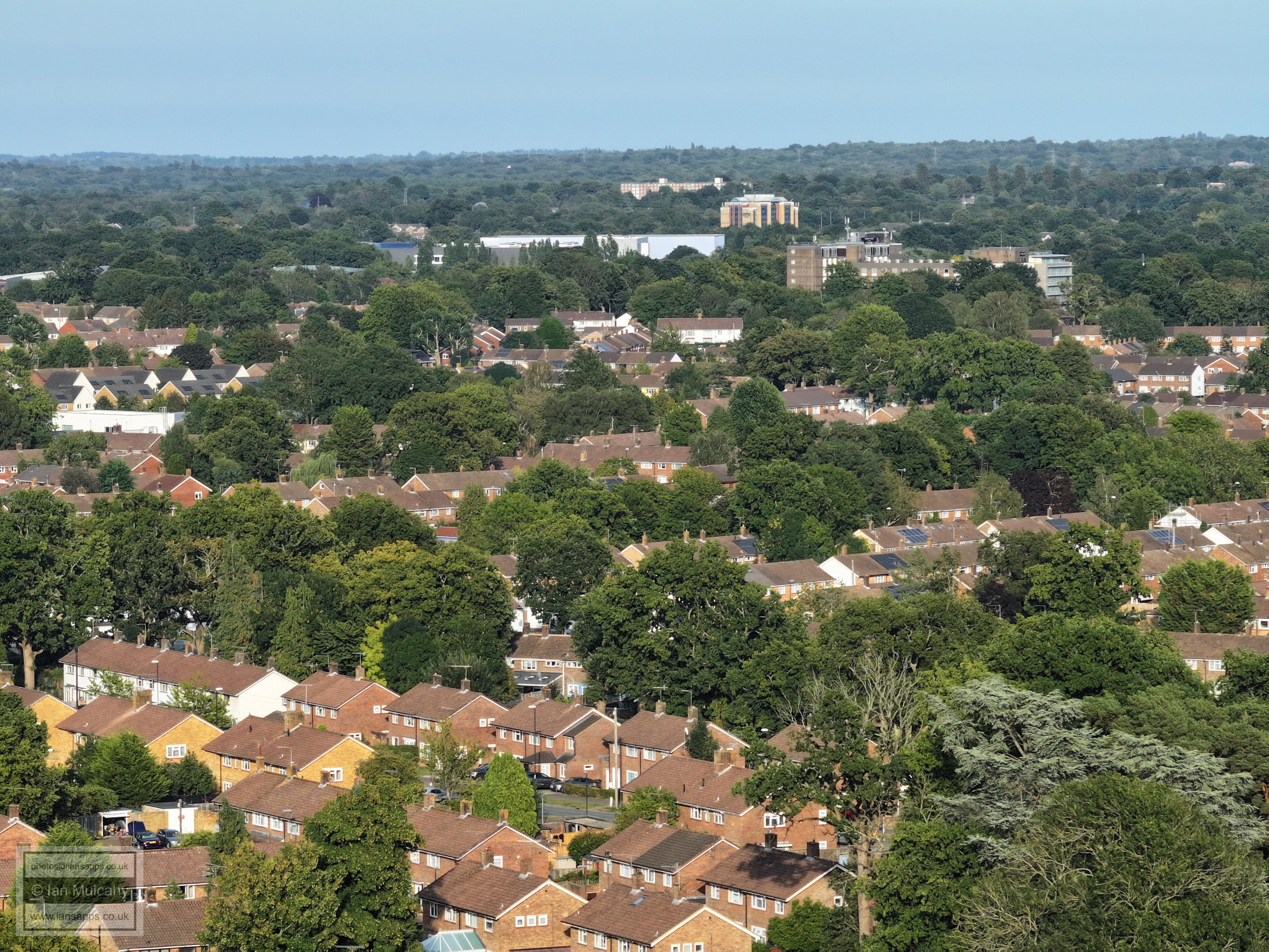
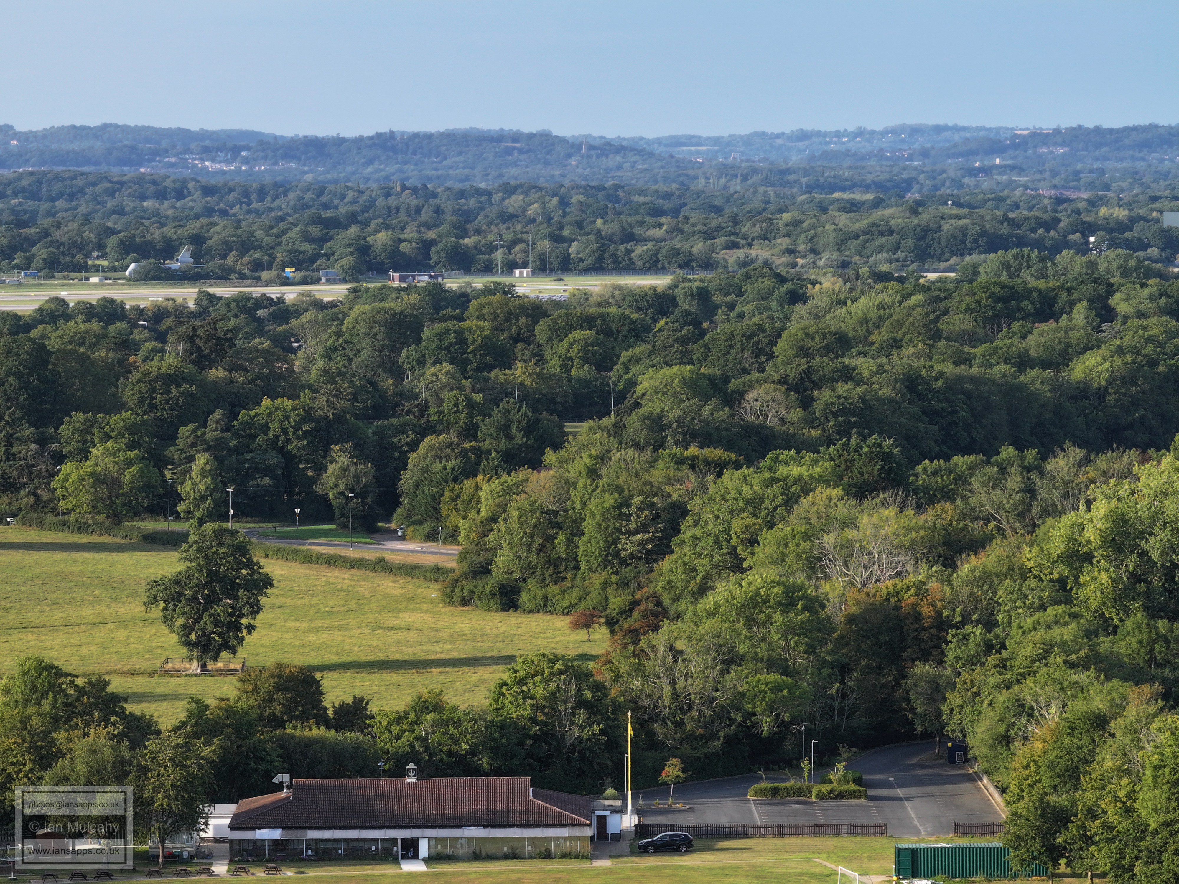
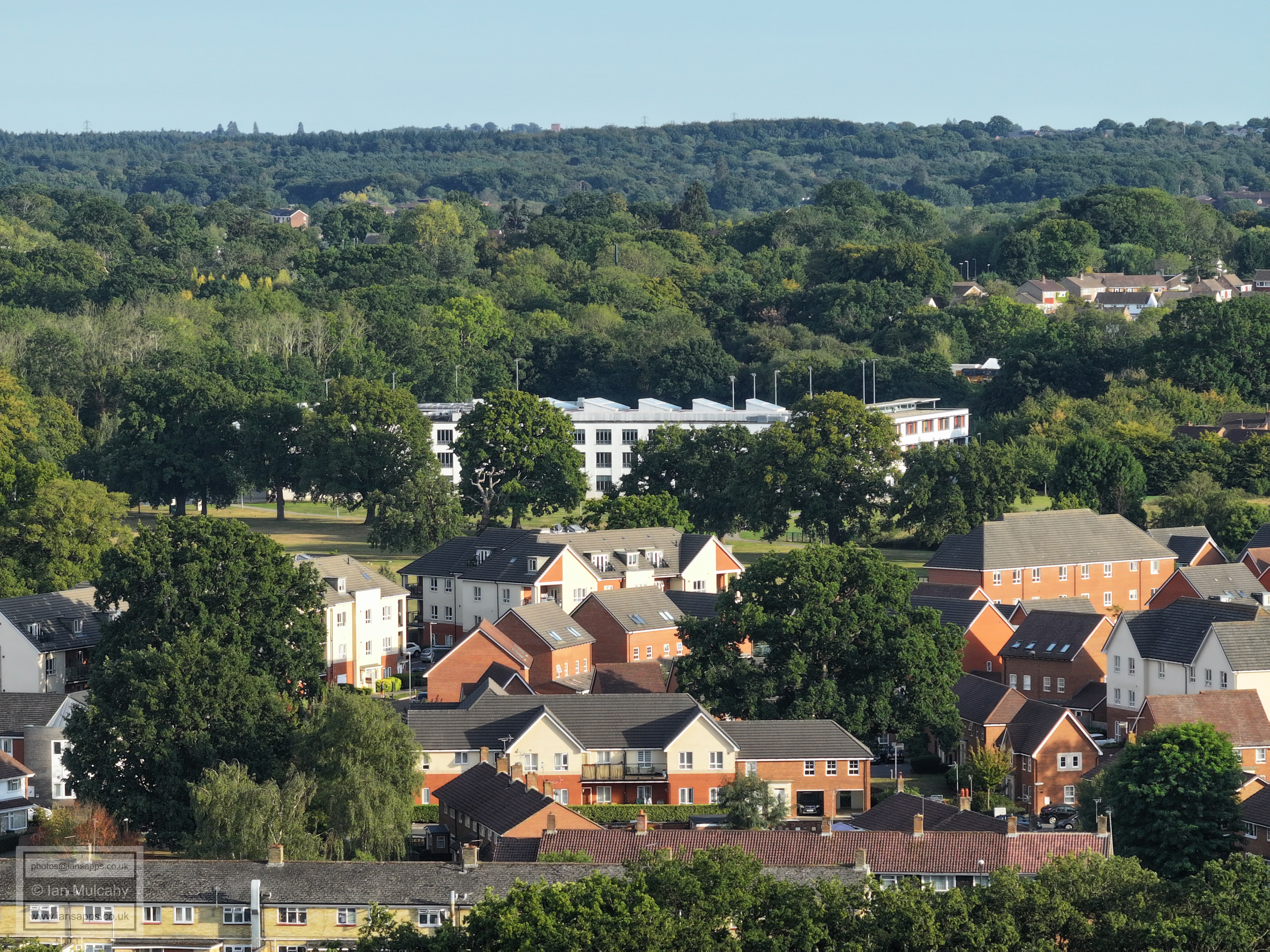
Manor Green School is the curved building right of centre and the row of Scots Pines across the bottom are along the path behind Lancing Close, marking the culverted Polesfleet Stream. In the very bottom left you can just see part of the tennis courts behind Ifield Community Centre
The other half of Manor Green in the centre, with the exit from the schools onto the A23 above. Ifield Chemists and Doctors are in the bottom right quarter. Just visible in the trees in the top right quarter is St Wilfrid's School.
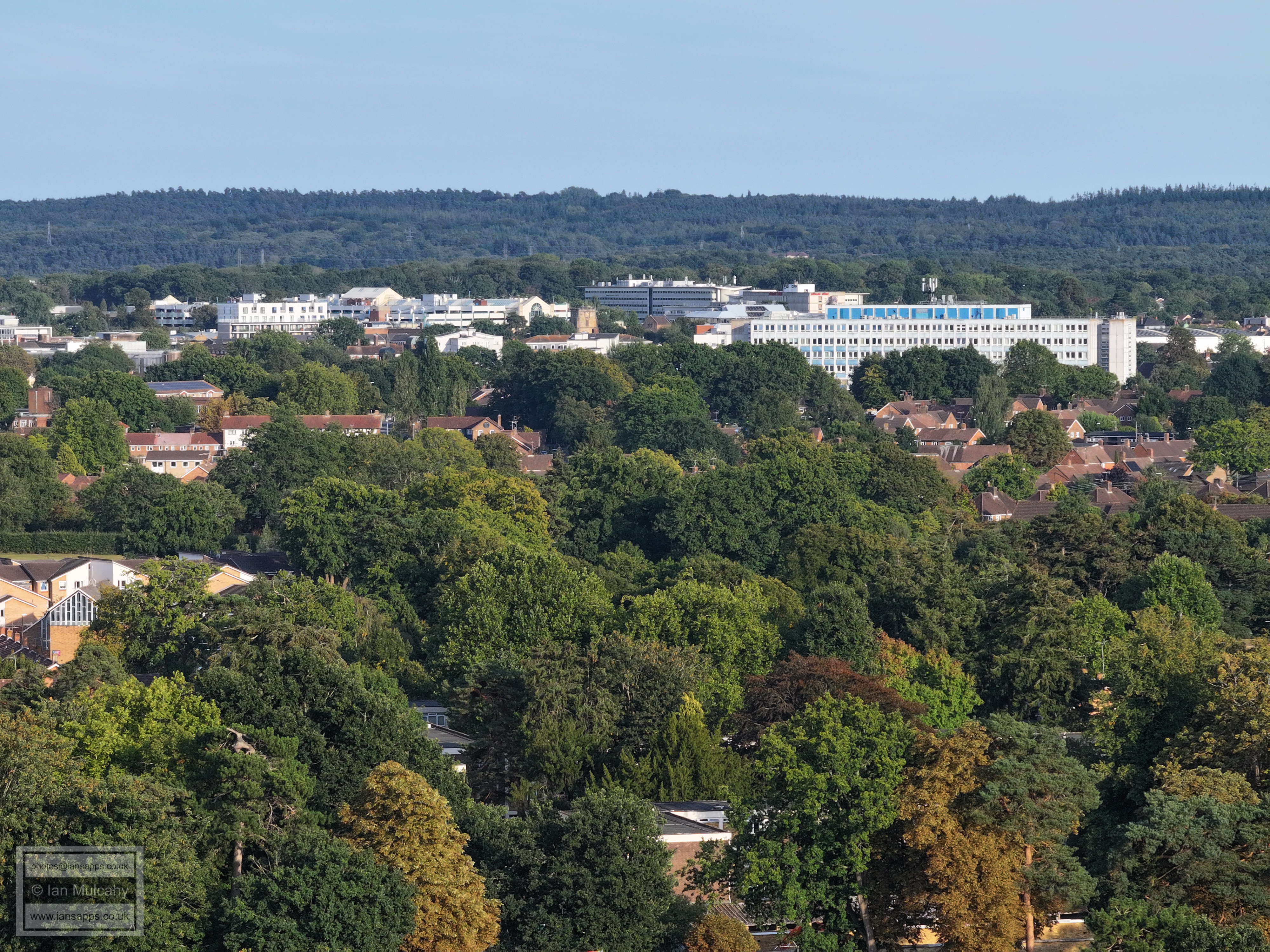
Ifield Parade across the foot of the image, the old ICC site above and the new ICC in the centre.
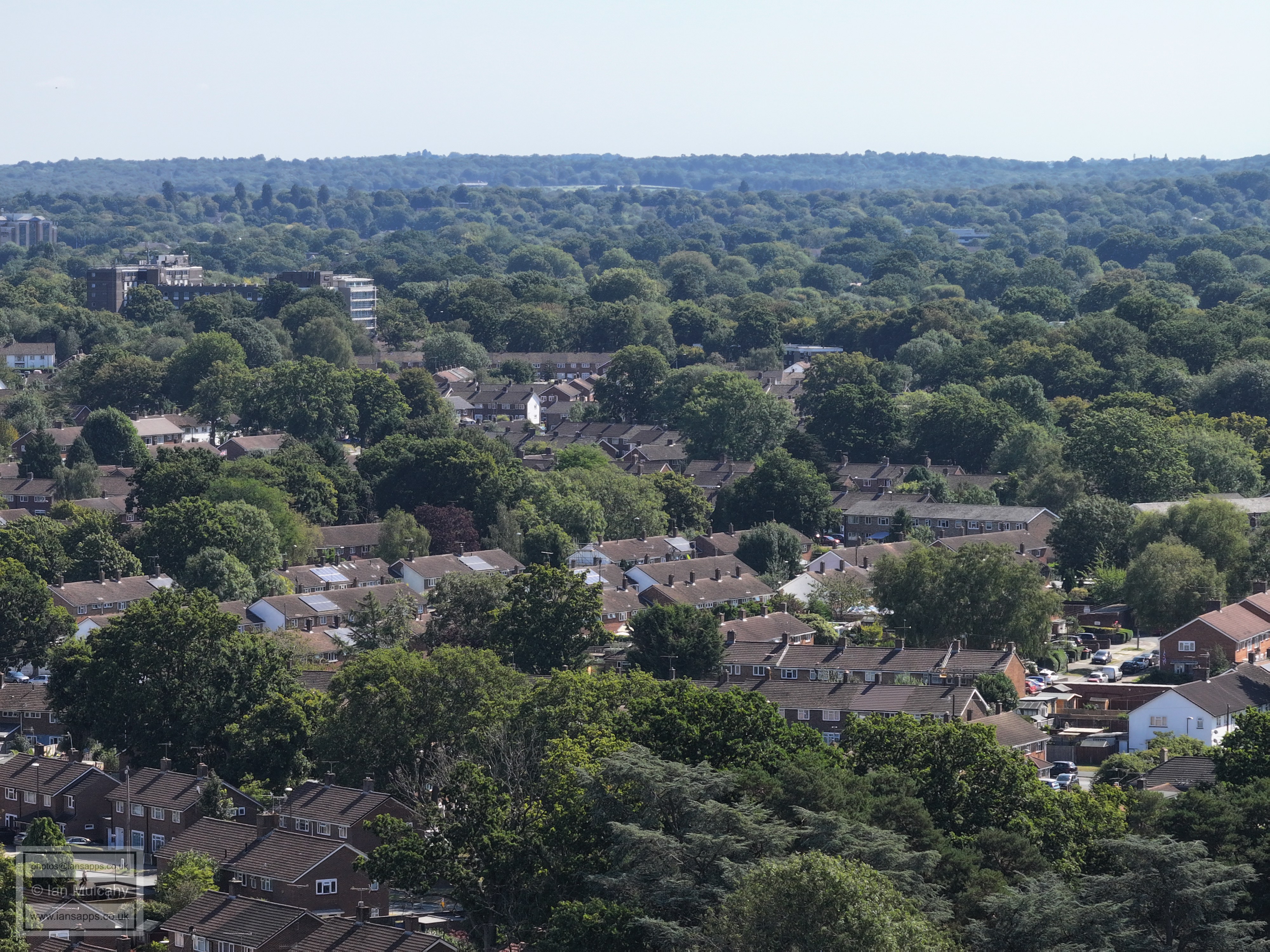
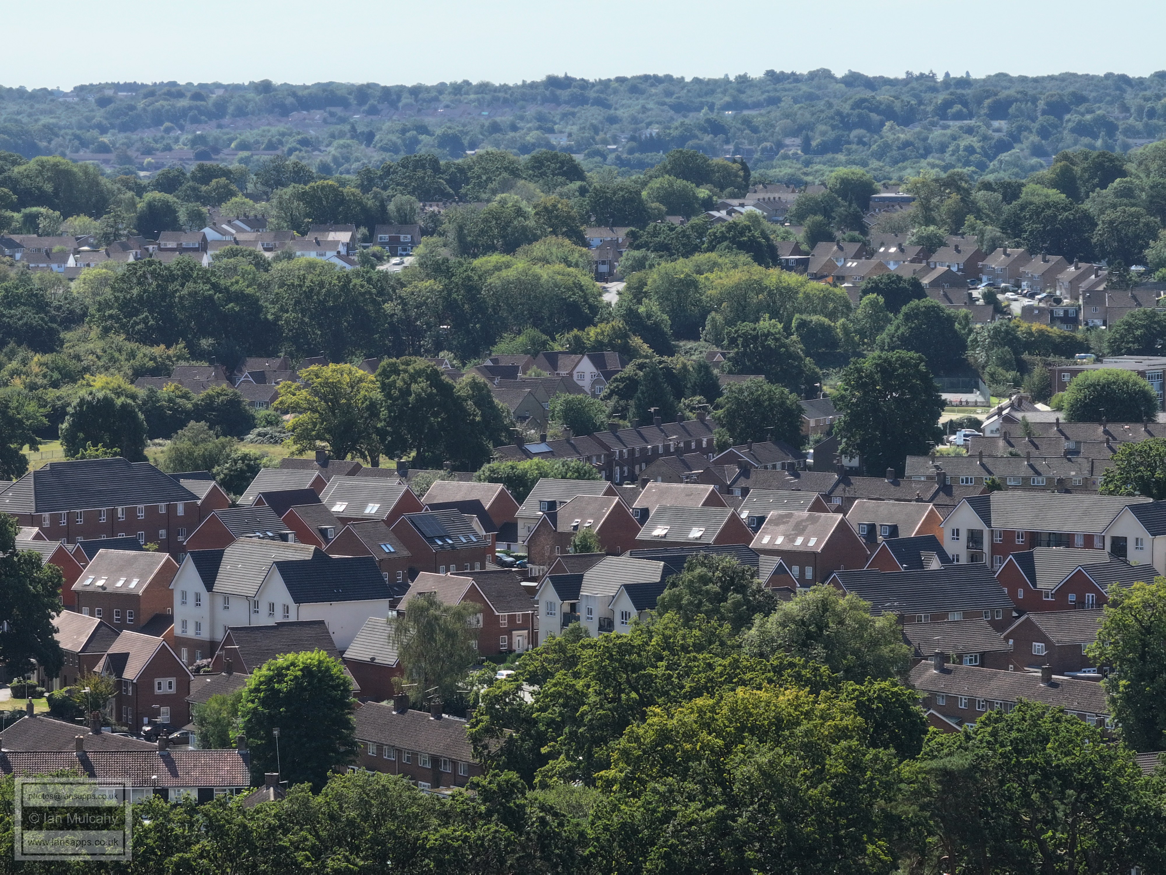
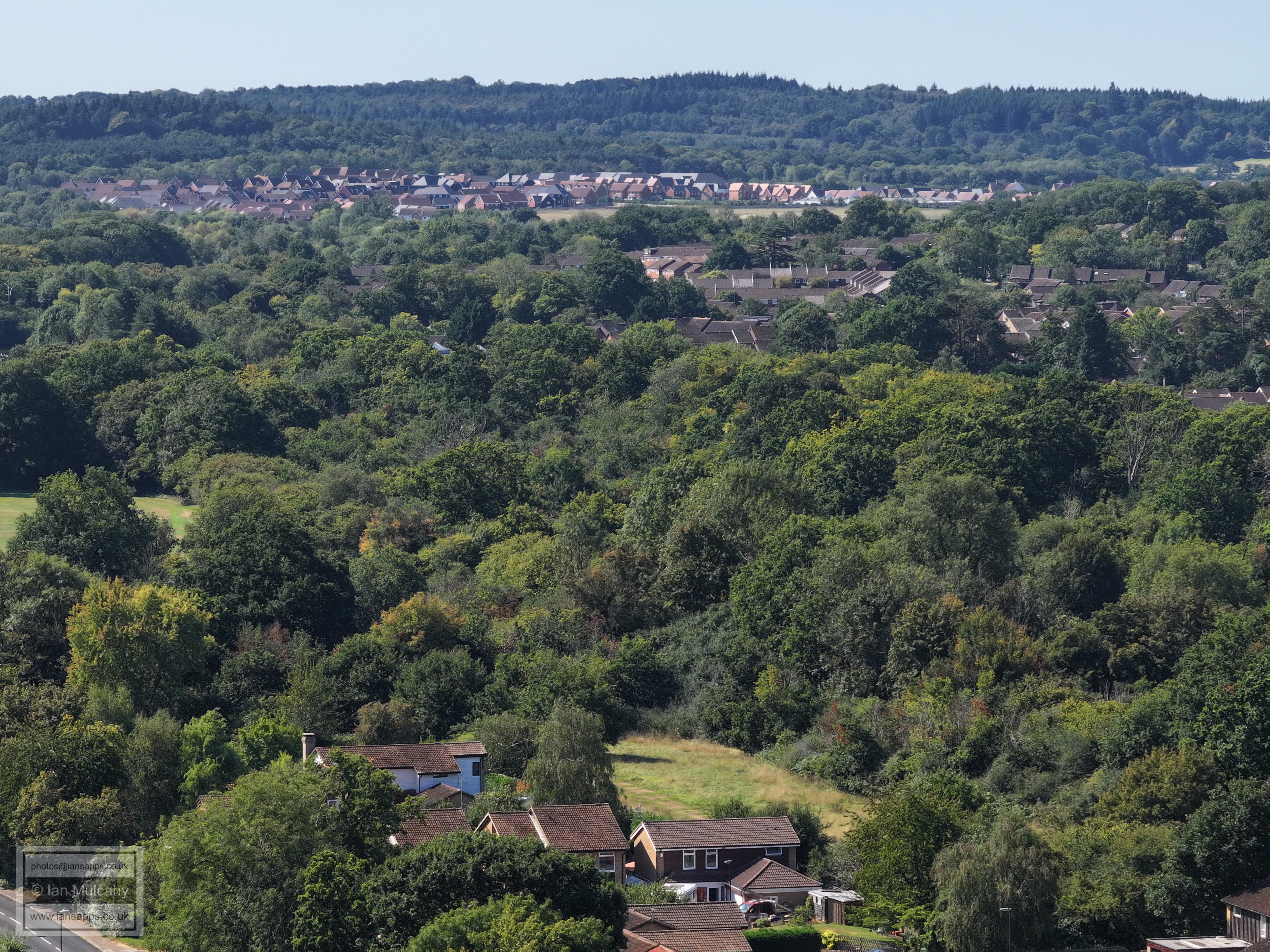
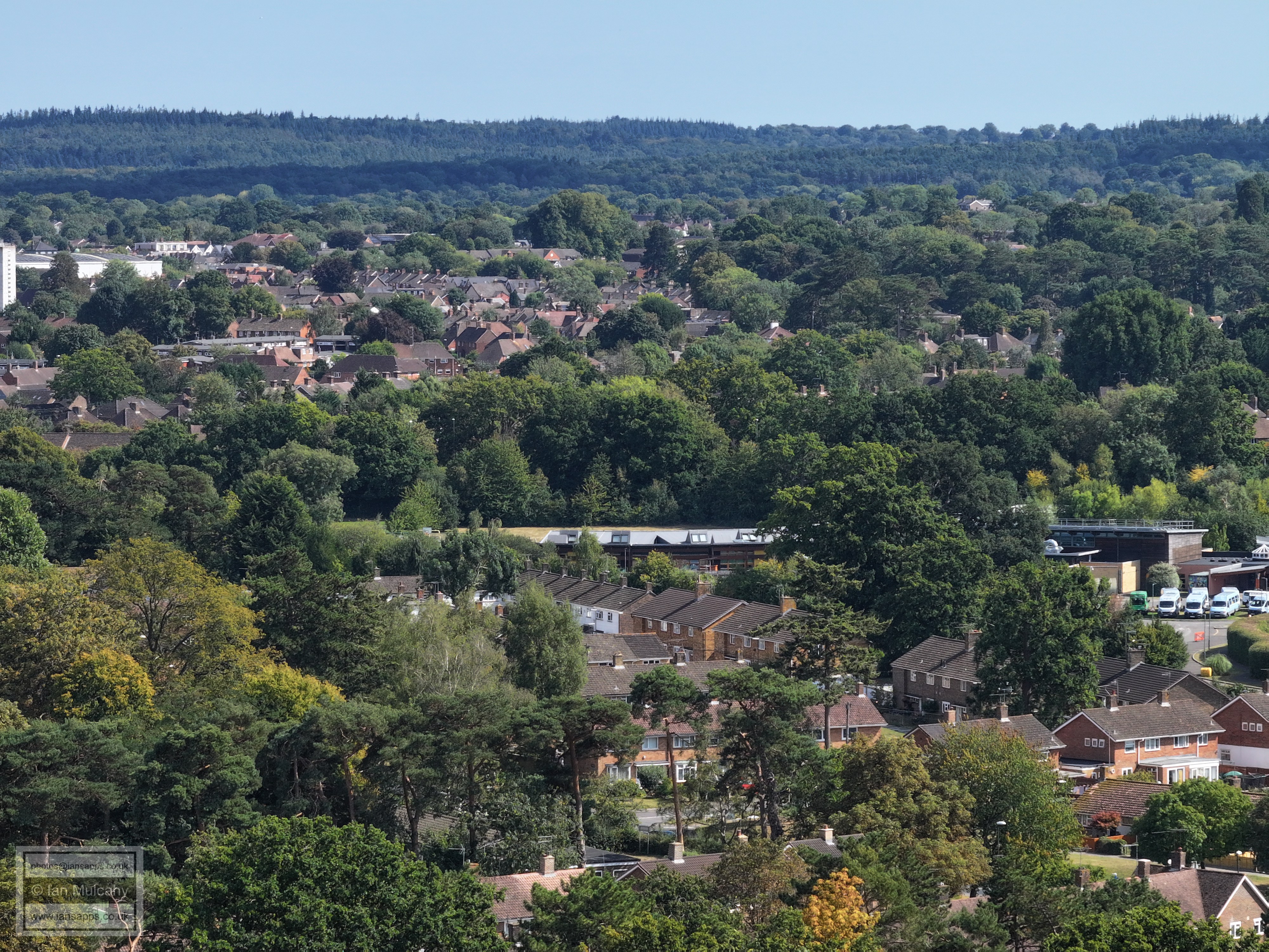
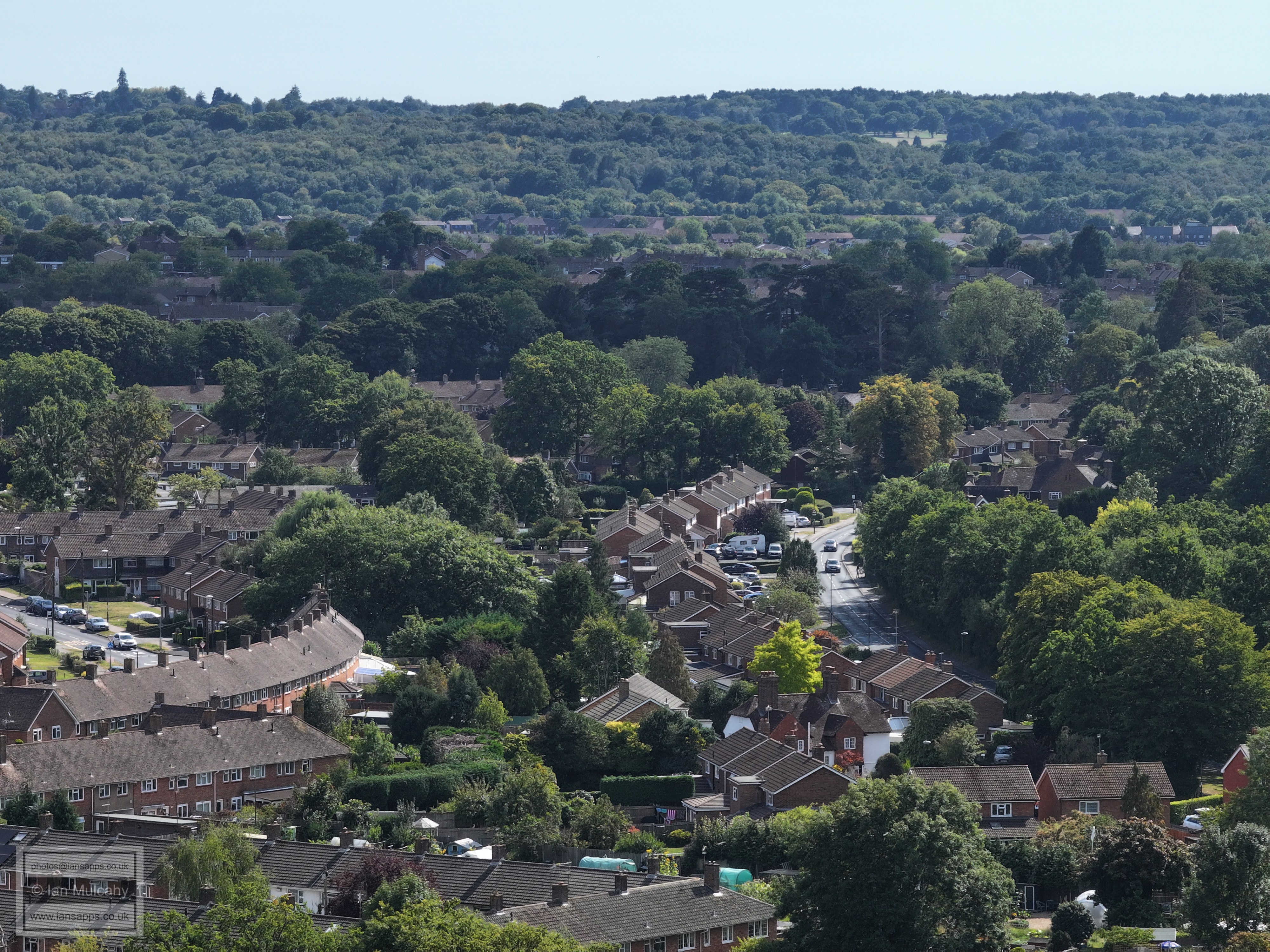
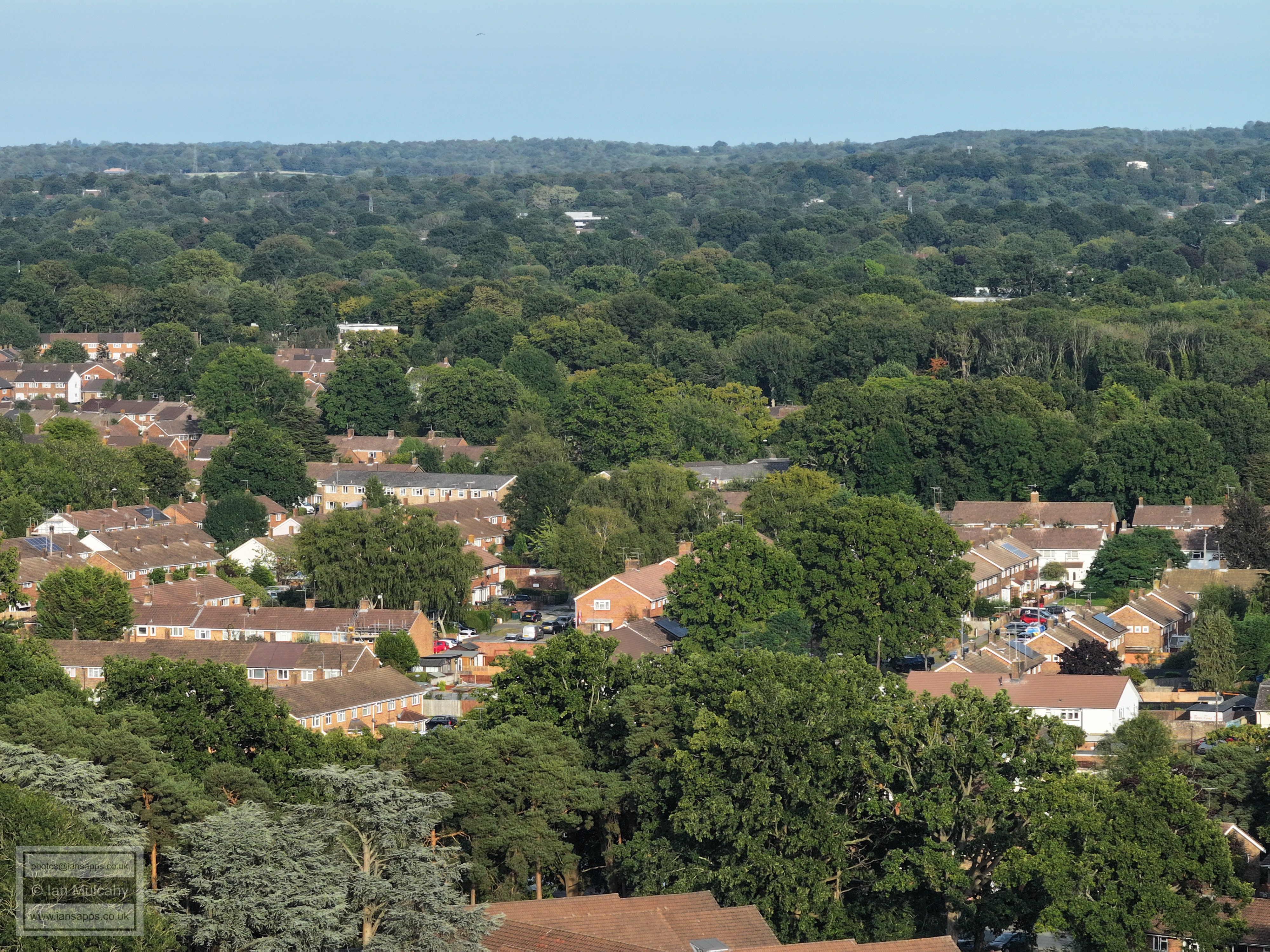
Beaufort Place at the bottom with the Southwater Close and Shipley Road area above. To the far right of centre are the playgrounds of The Mill Primary and above the tree line to the left is the Filbert Crescent area and to the right, above the school, is Nurserylands, both in Gossops Green.
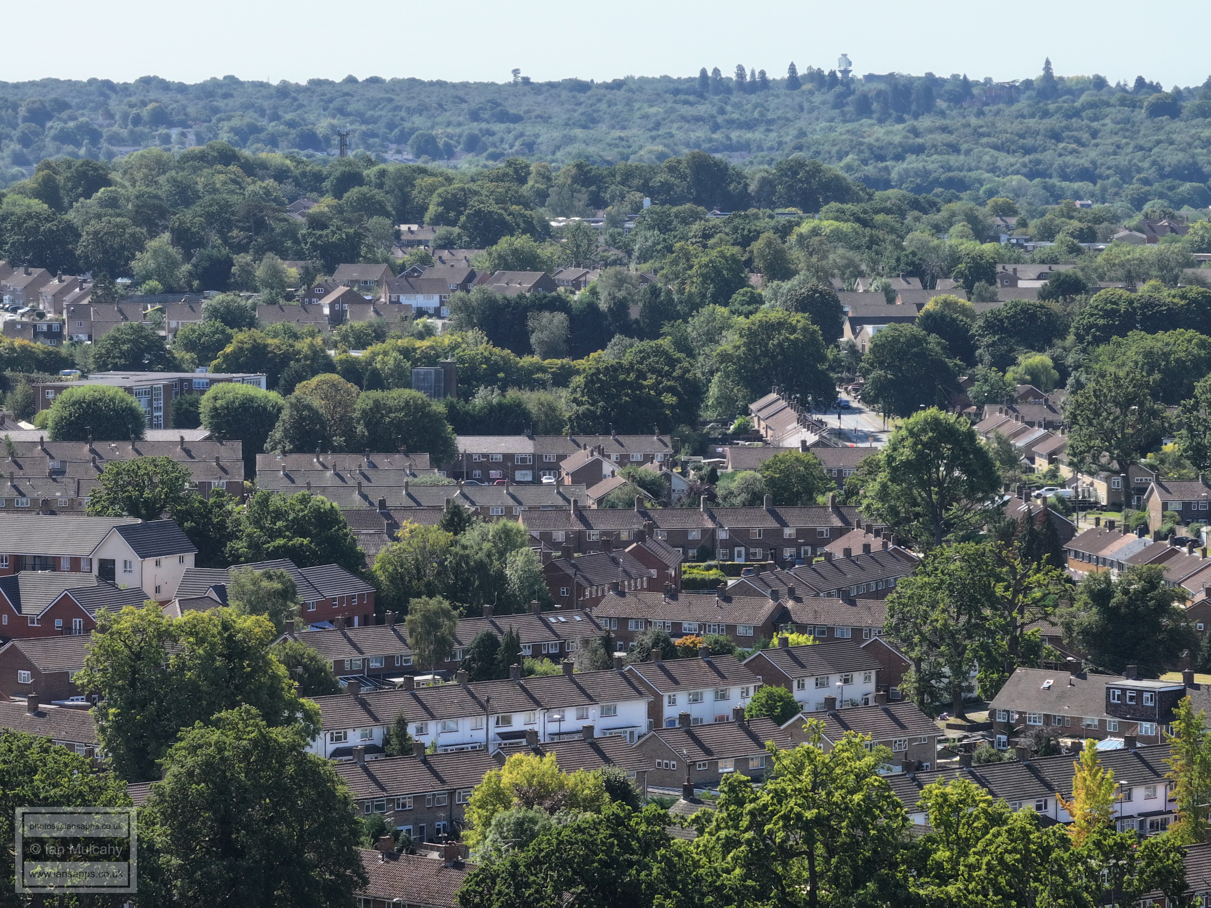
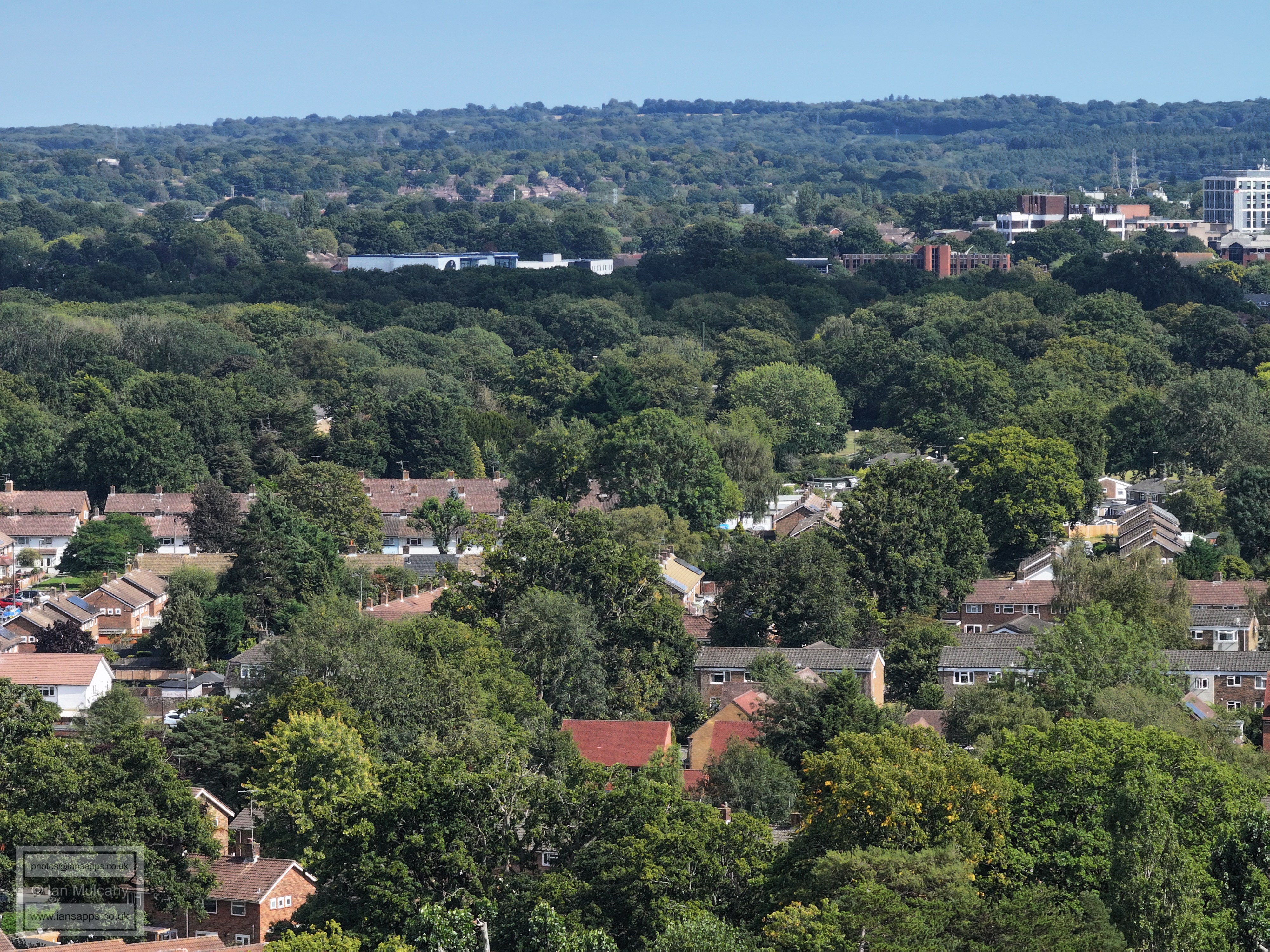
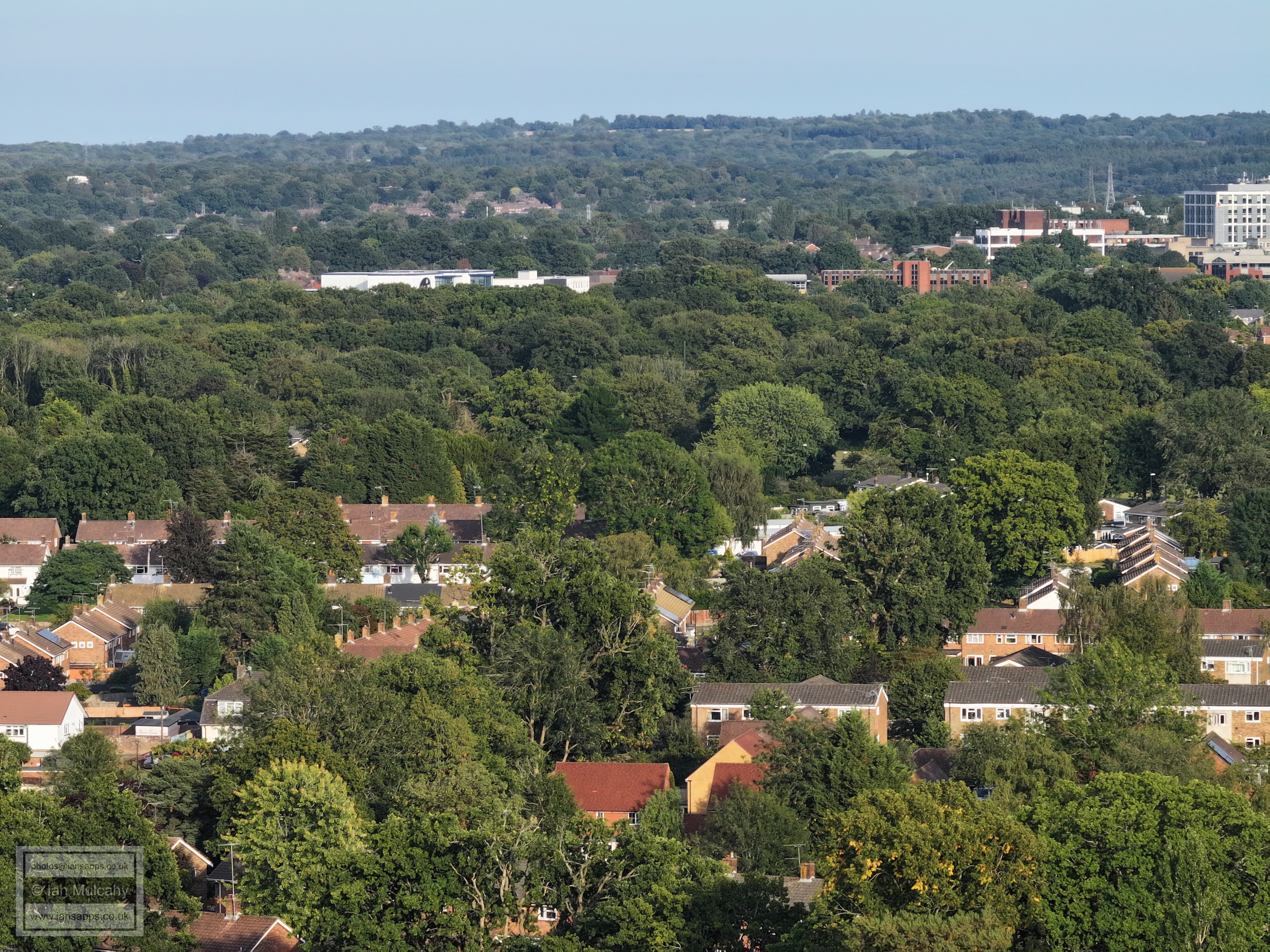
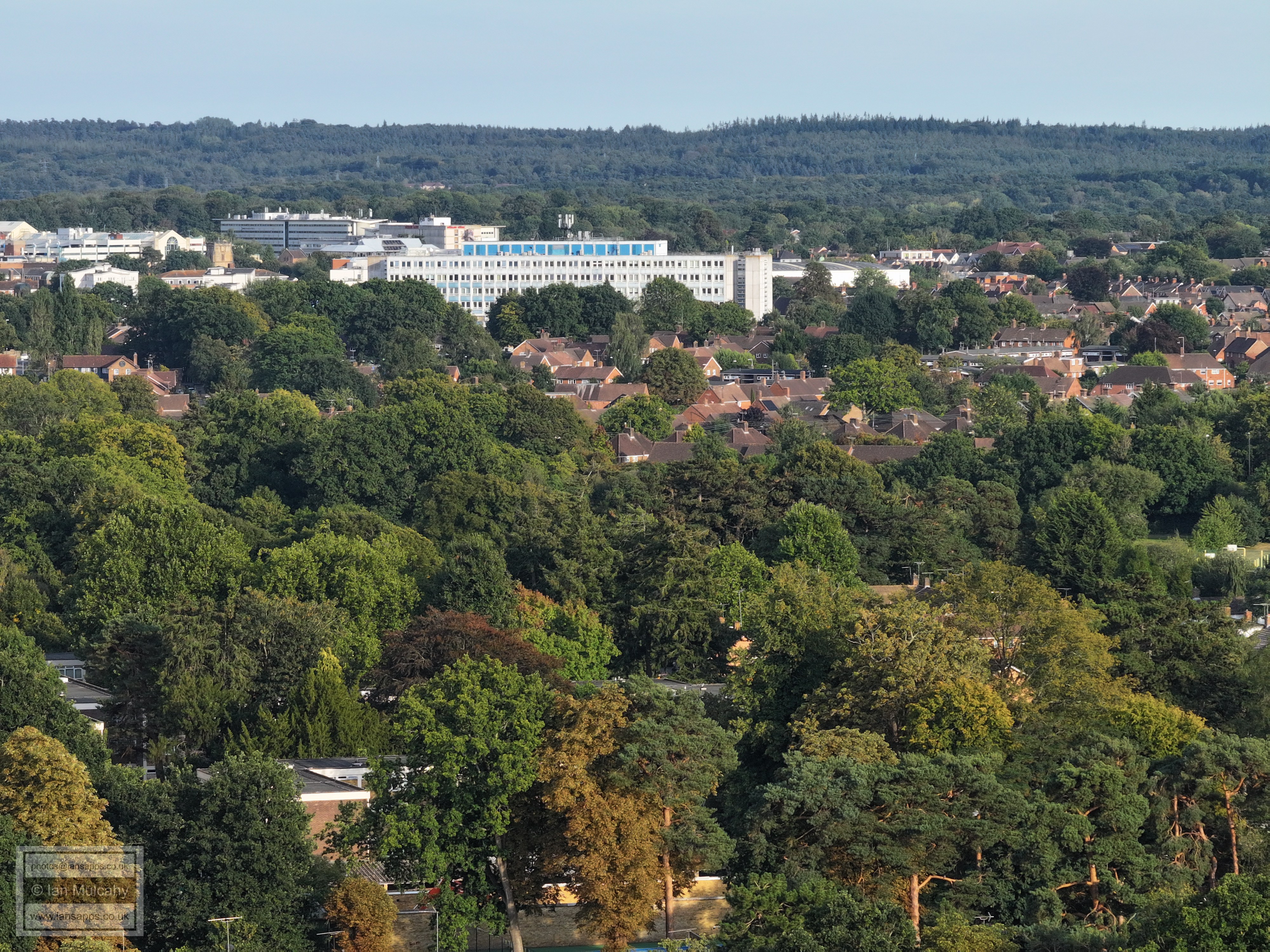
At the top towards the right is the radar station and water tower at Pease Pottage, as well as Buchan House (Cottesmore School). In the bottom half of the picture is the Shipley Road Area with The Mill Primary above to the left and the Ifield Drive/Tangmere Road light controlled junction to the right. The white chimney in the trees, high centre on the first ridge, is Gossops Green Primary School.
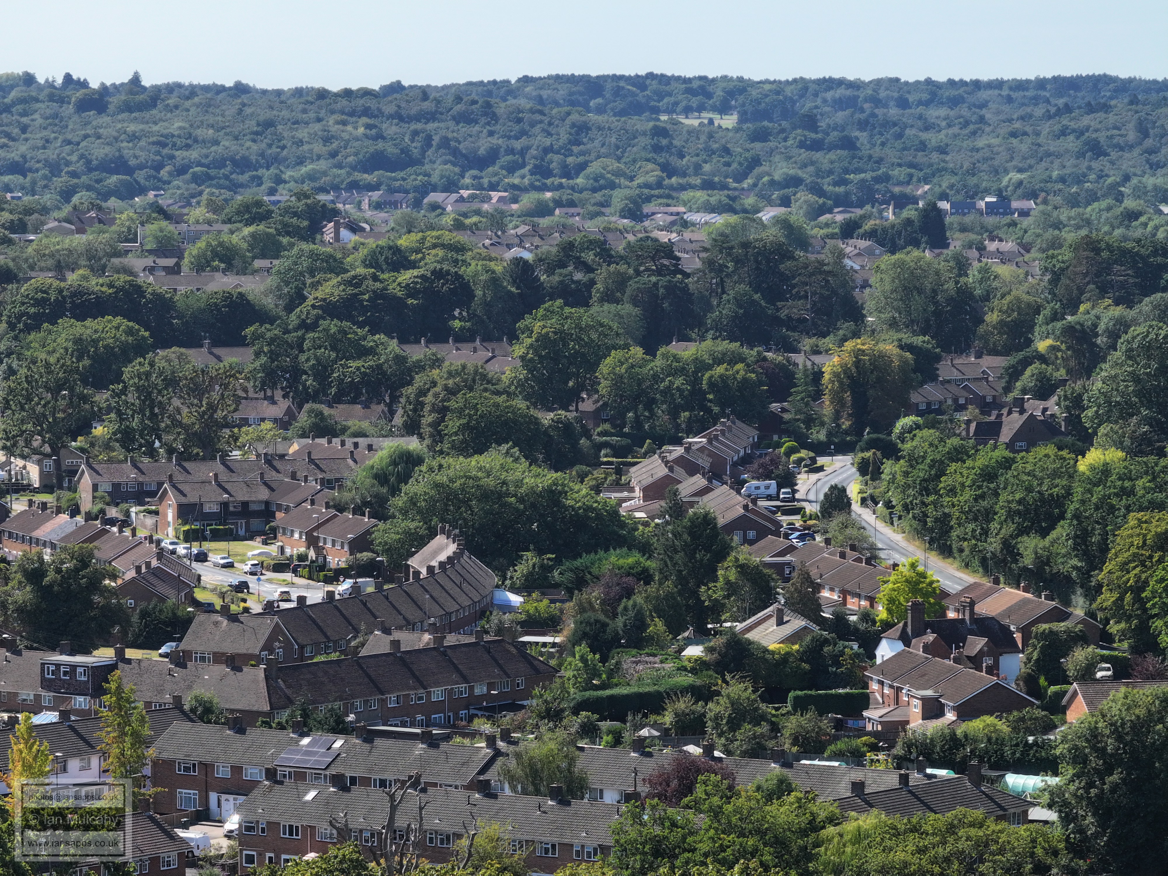
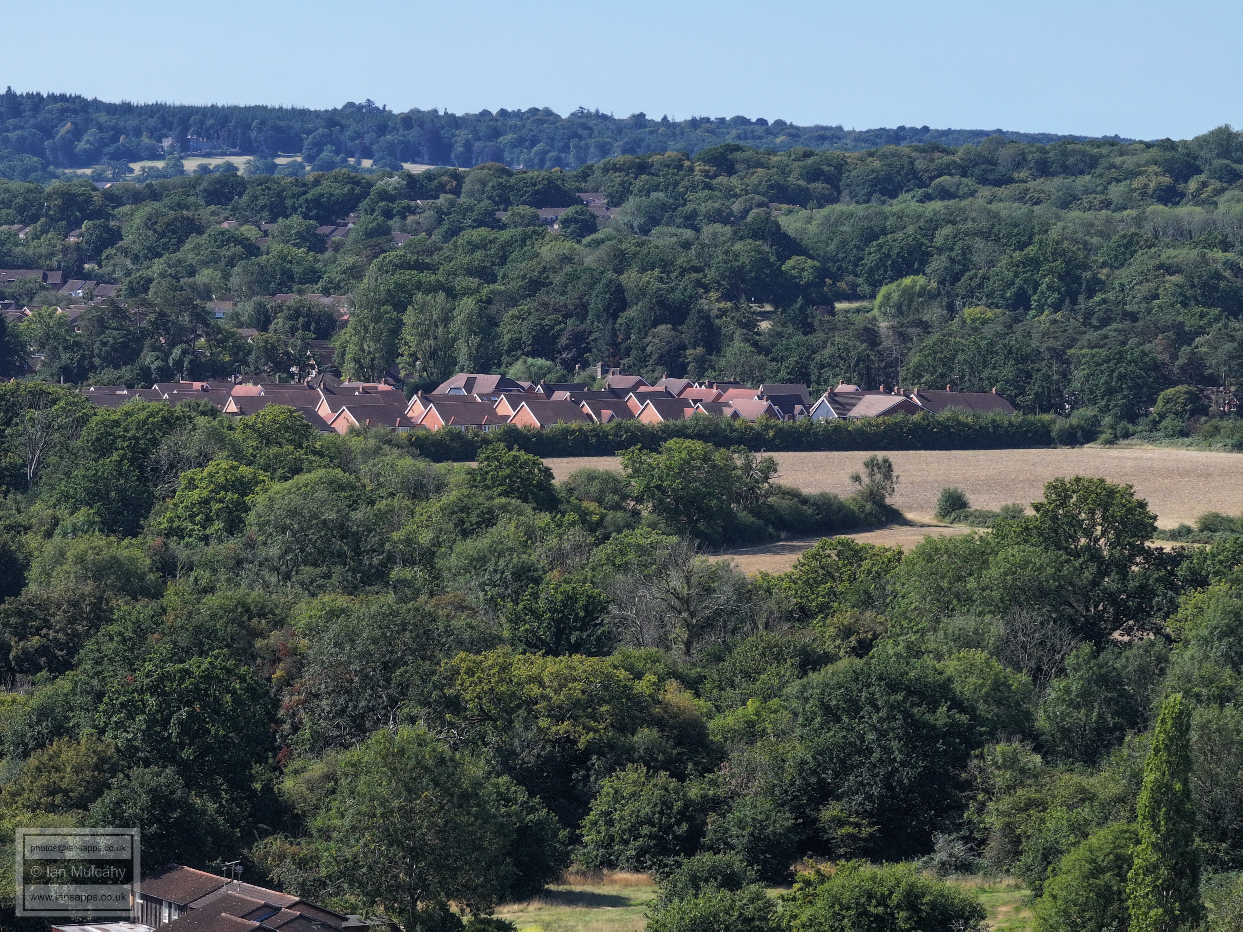
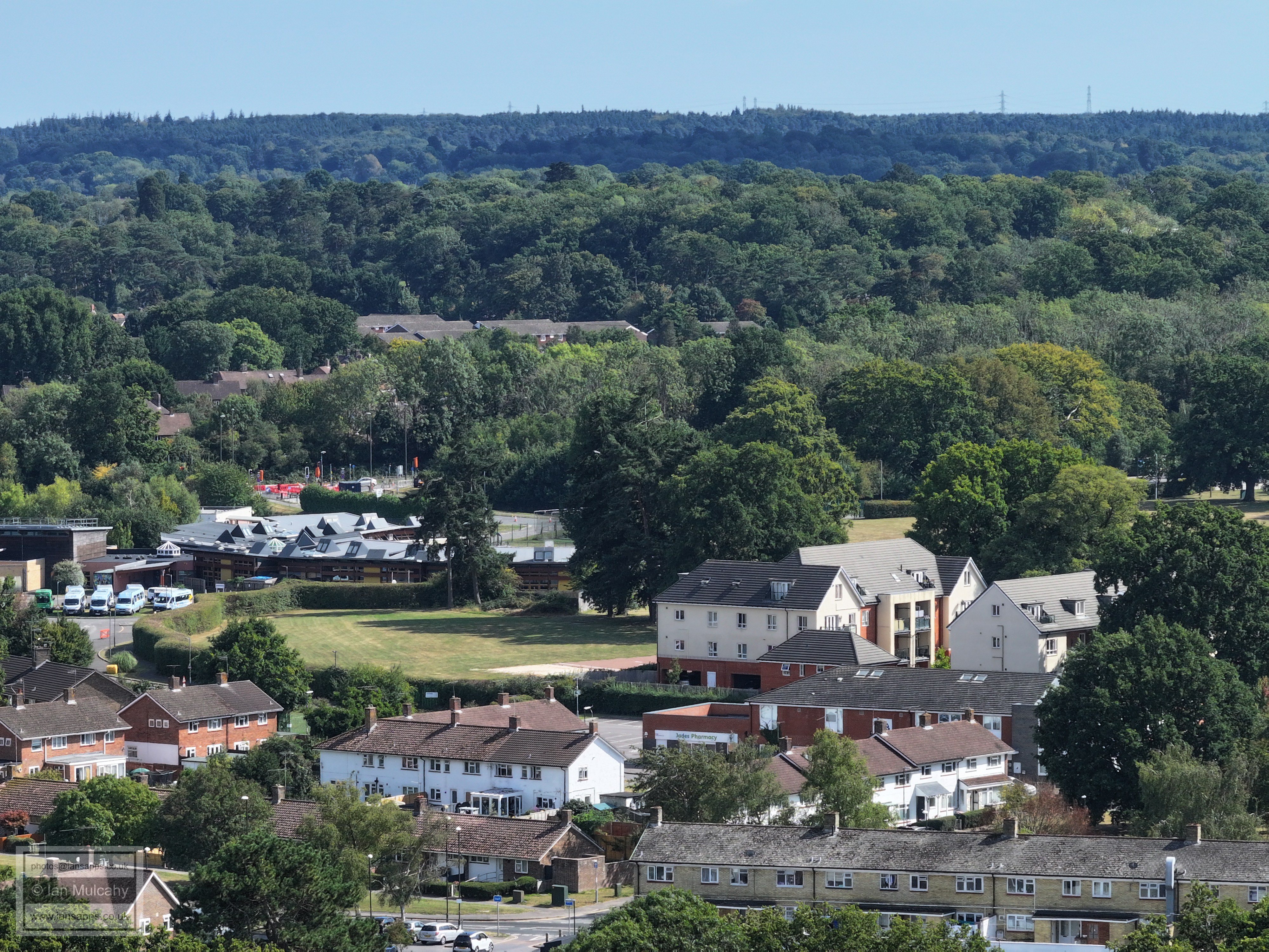
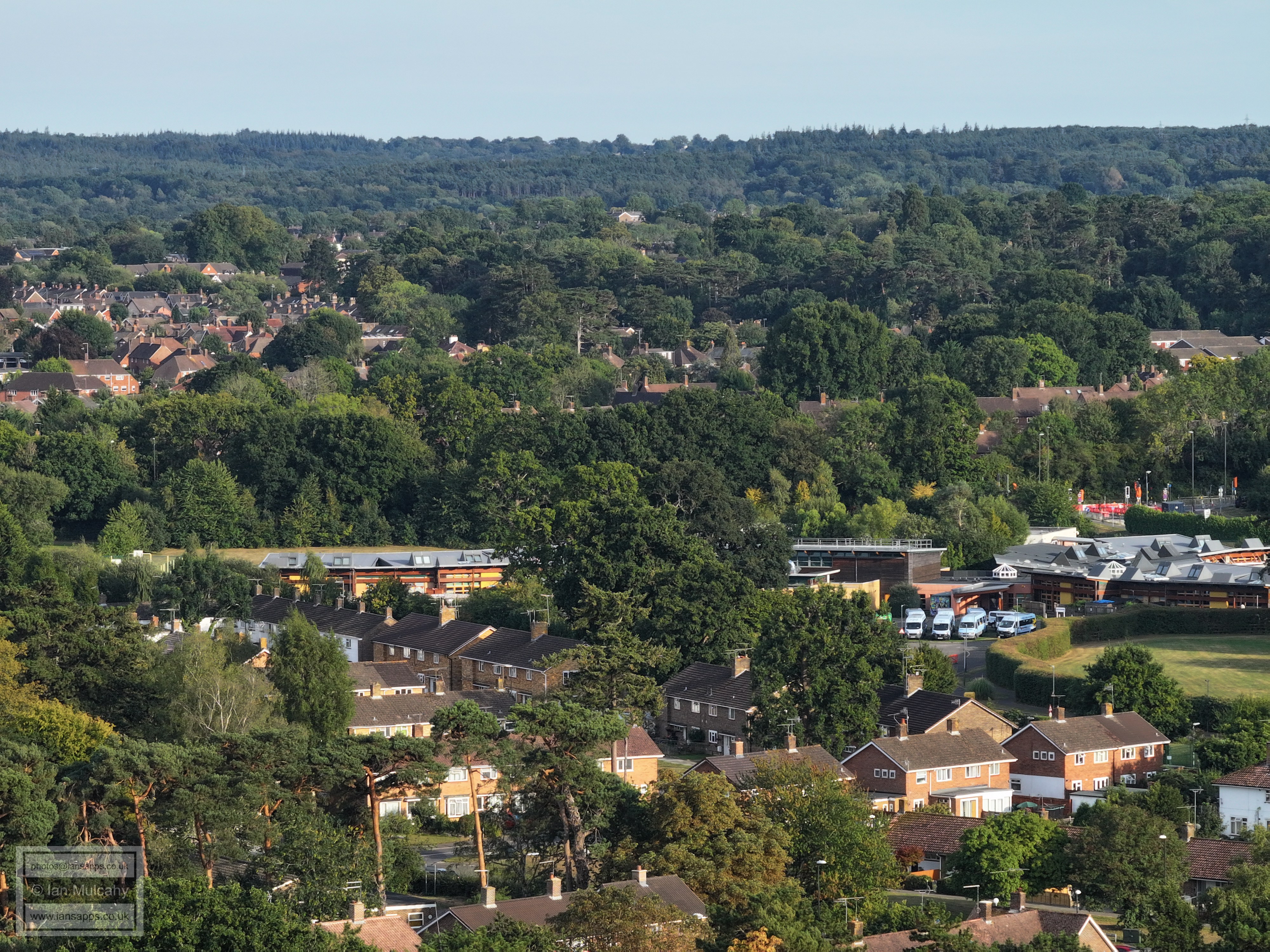
In the top left quarter Gossops Green shops and St Albans Church are just visible and in the top right quarter are Bewbush Shops. Right of Centre is Rusper Road, and the junction with Tangmere Road, and to the left of and and below centre is the crescent of houses on Ifield Drive between the shops and Rudgwick Road. The mini roundabout as just visible left of the end of the crescent.
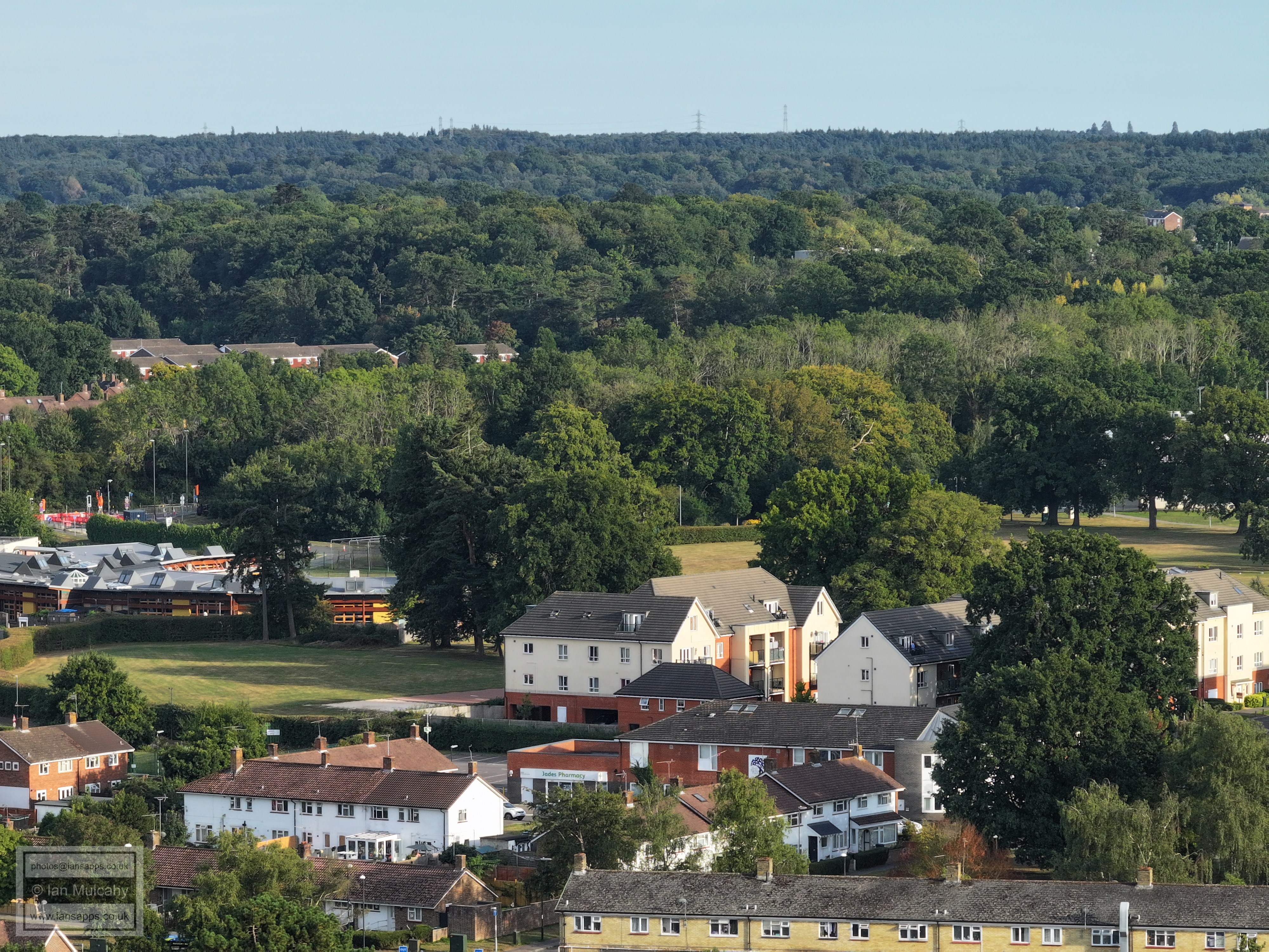
Ifield Mill, with Rusper Road playing fields below. In the bottom right quarter is the junction of Ruspers Keep and Rusper Road. Top right is Kilnwood Vale and across the top centre, below the ridge, is Bewbush. Ifield West is hidden in the trees and just above the left side of the playing field is The Millbank, with Gossops Green beyond.
Kilnwood Vale at the top and parts of Ifiedl West below, to the right
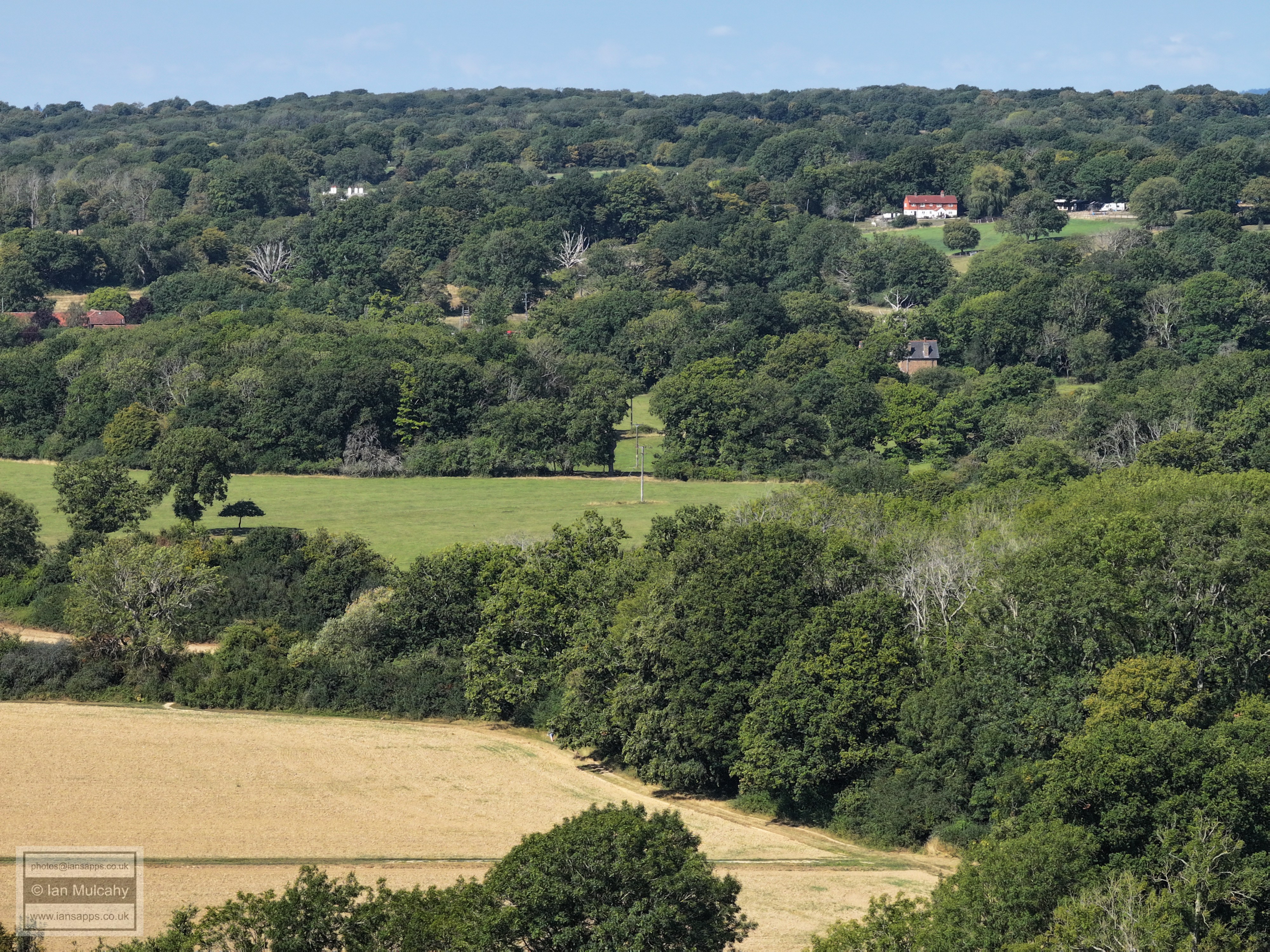
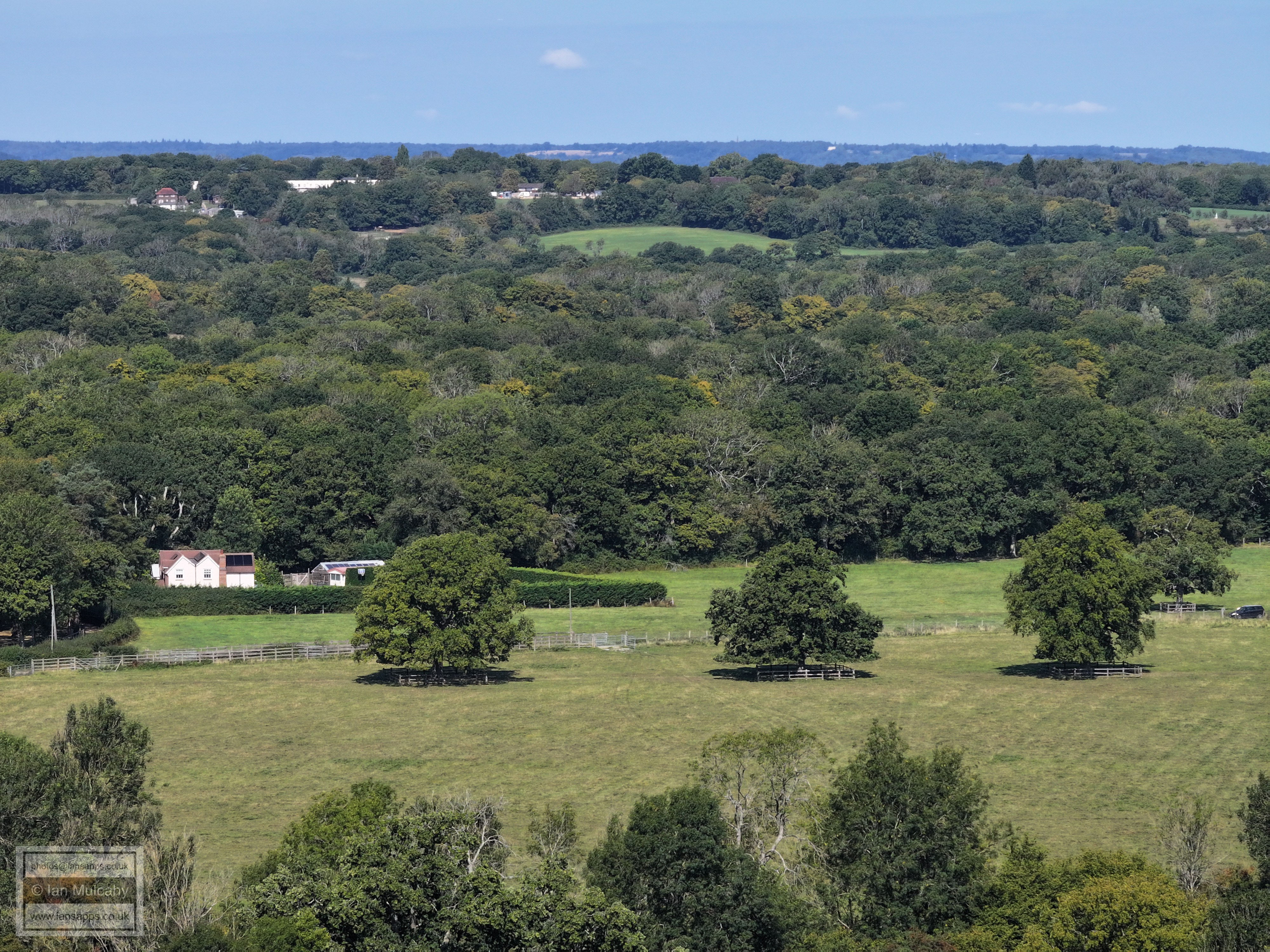
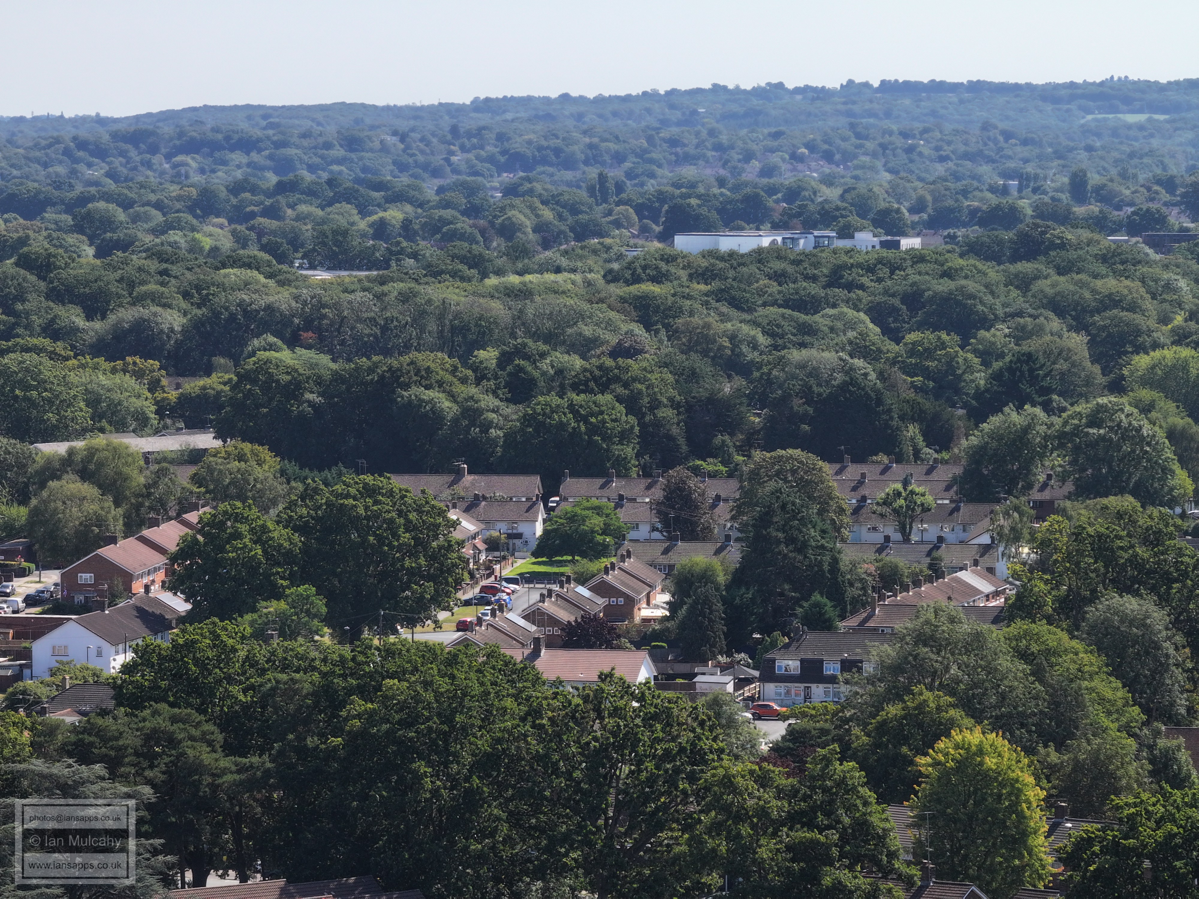
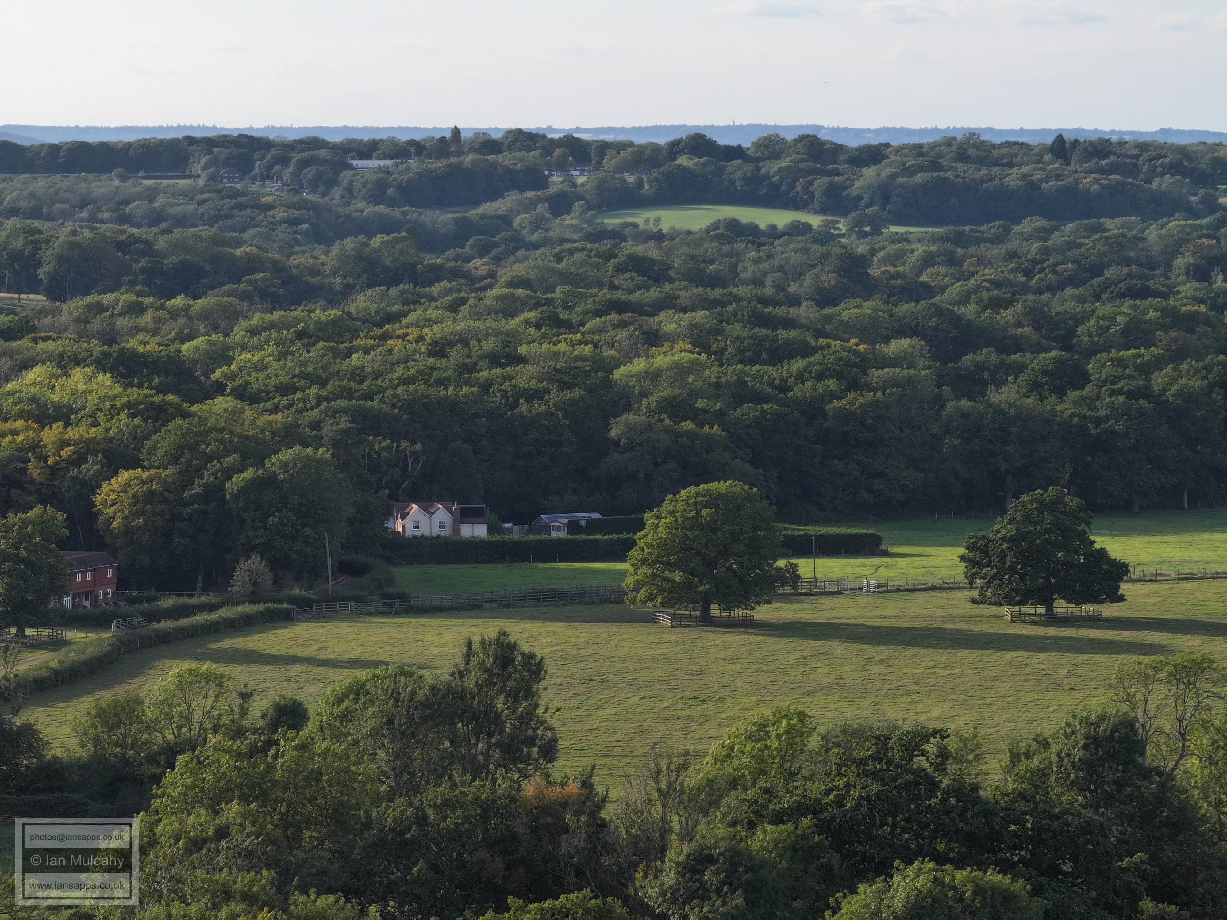
In the top left corner is Holmbush. The houses across the centre are The Maples with Hyde Hill behind.
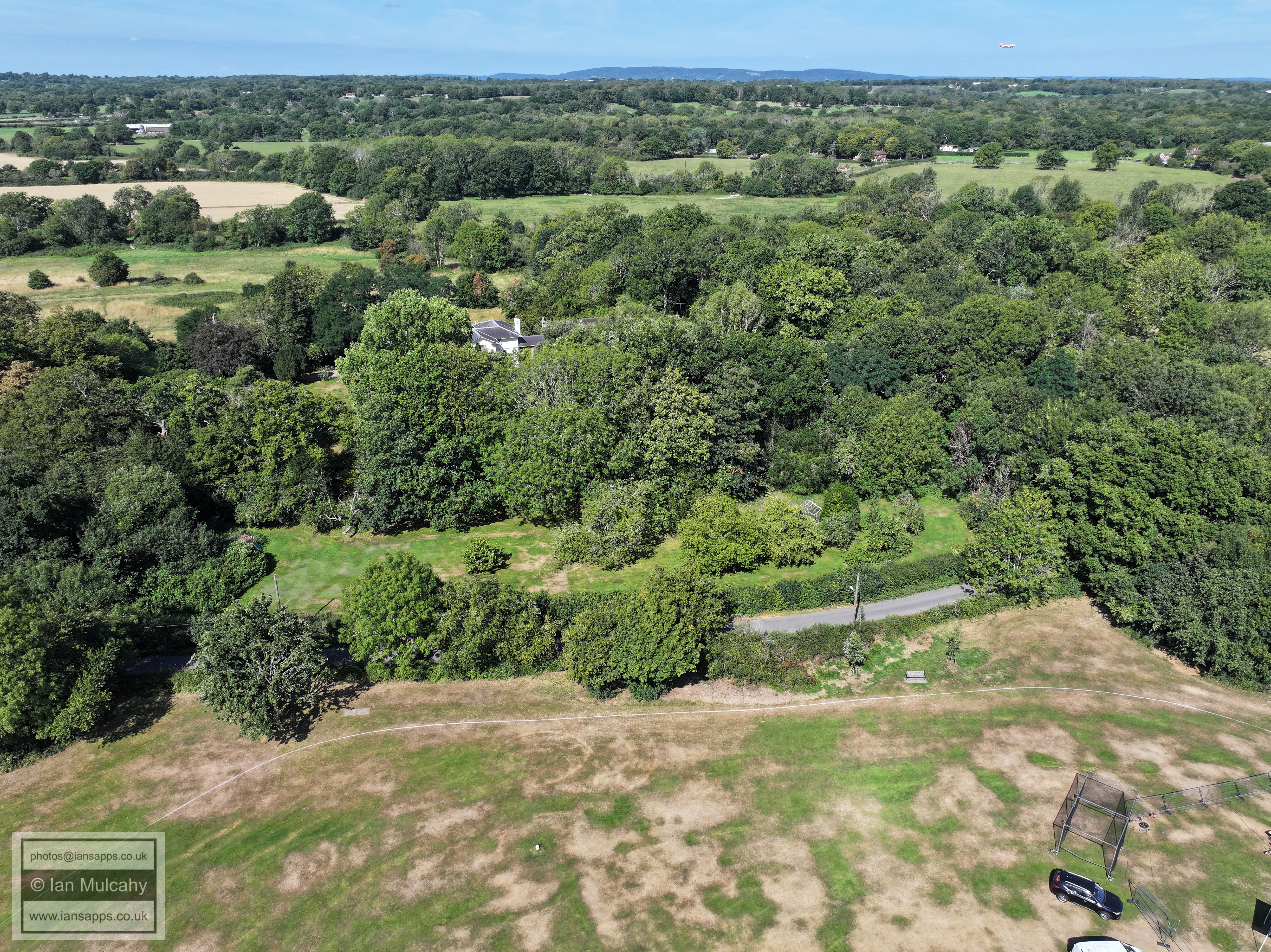
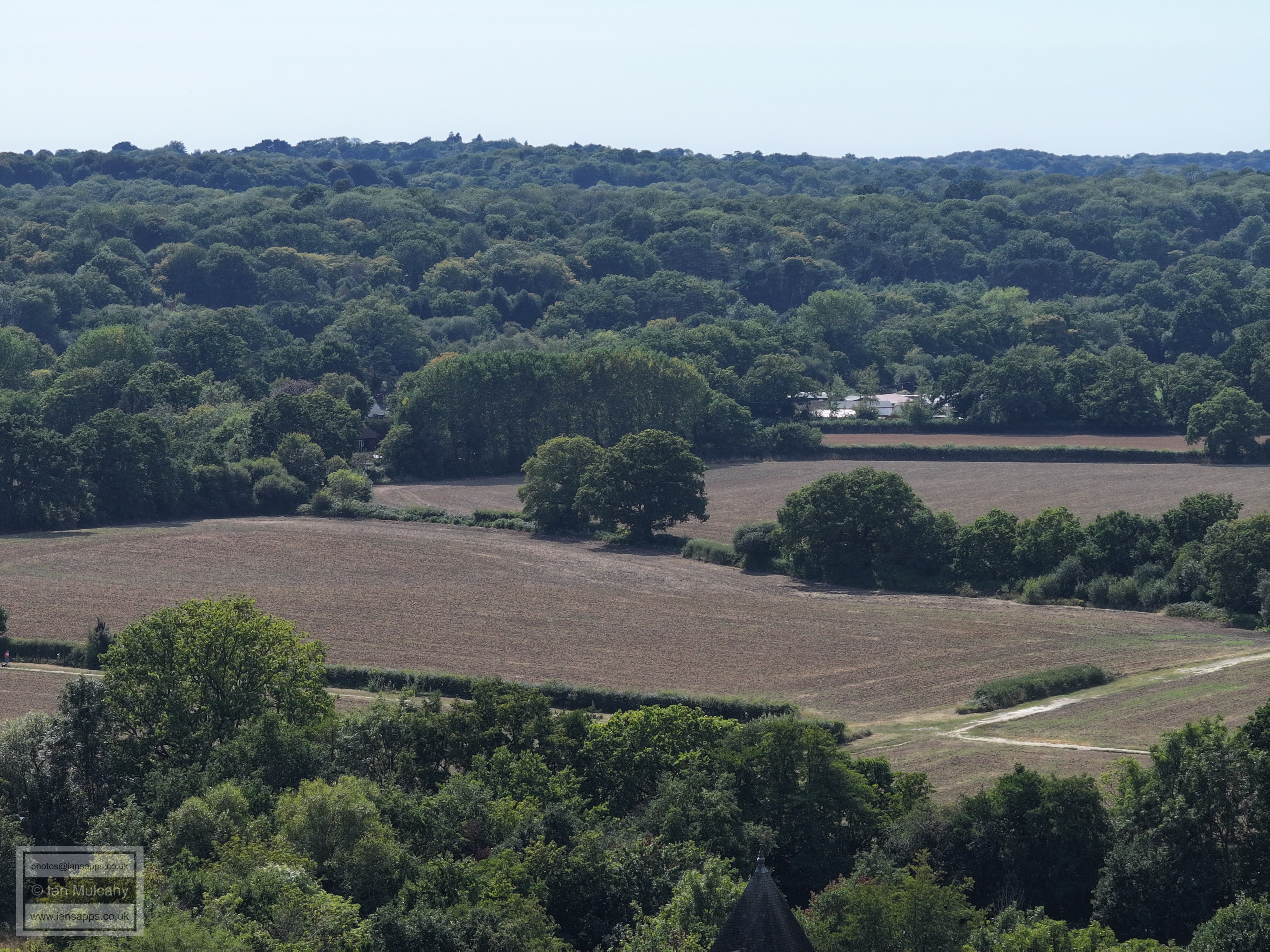
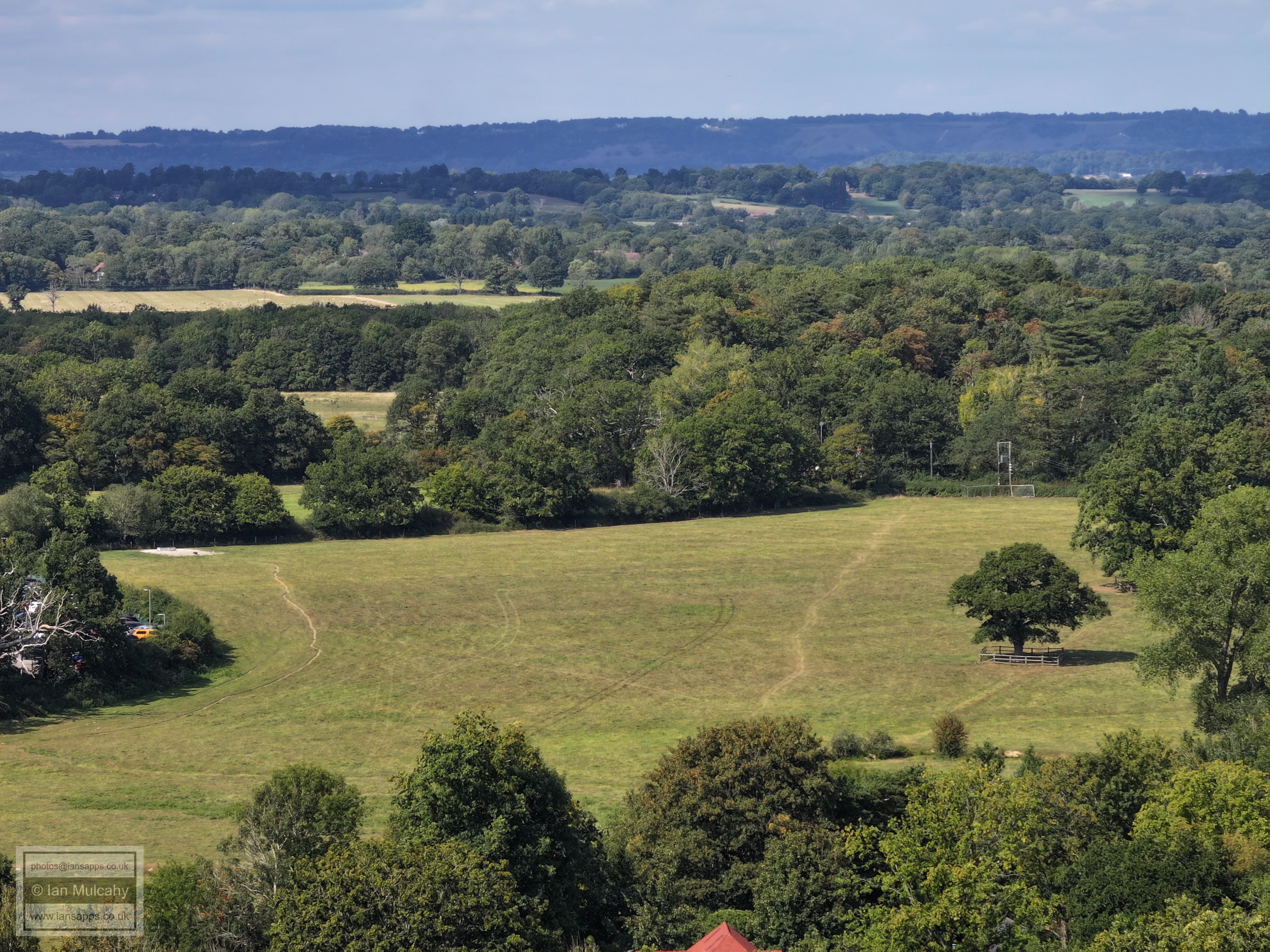
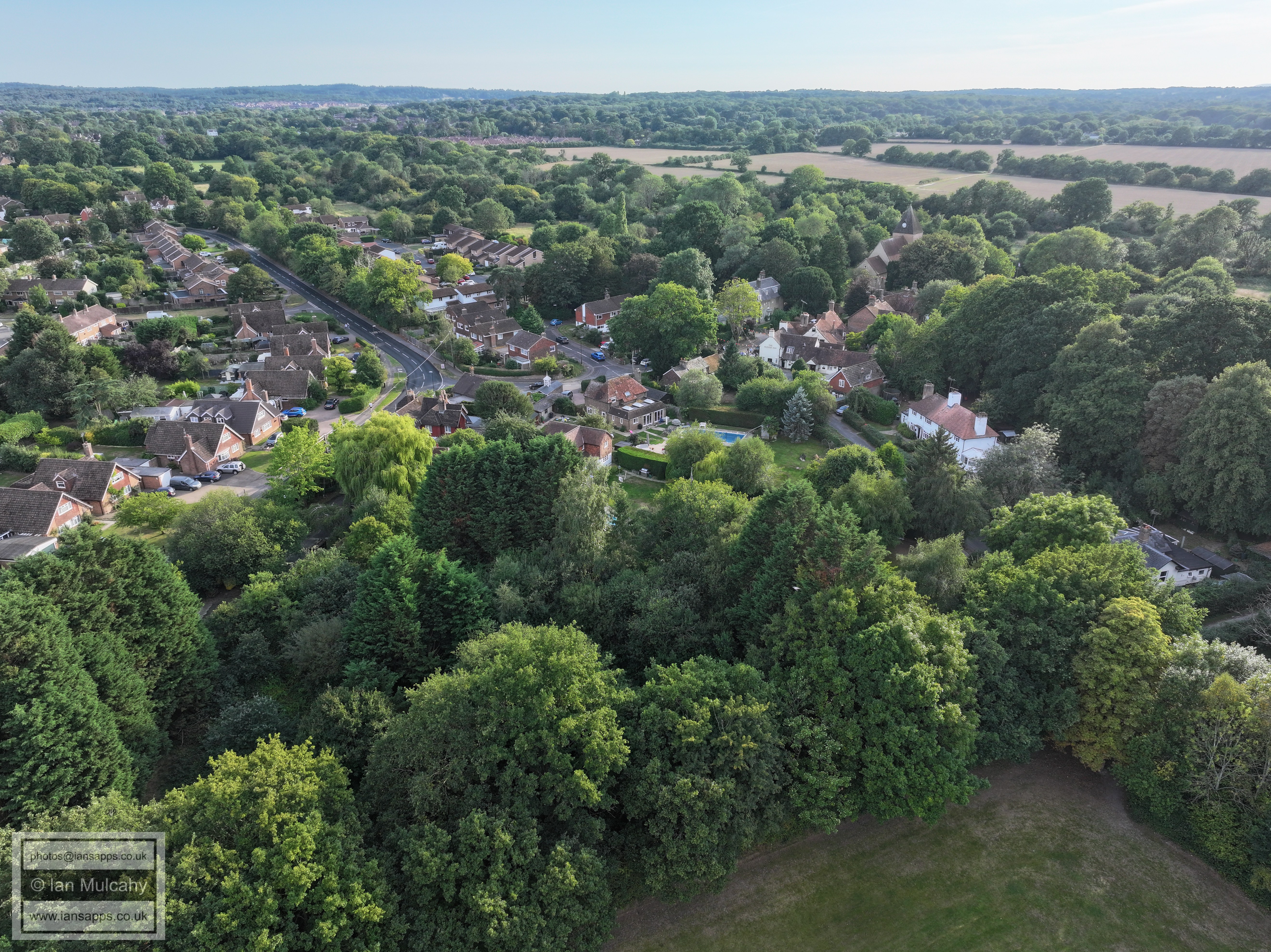
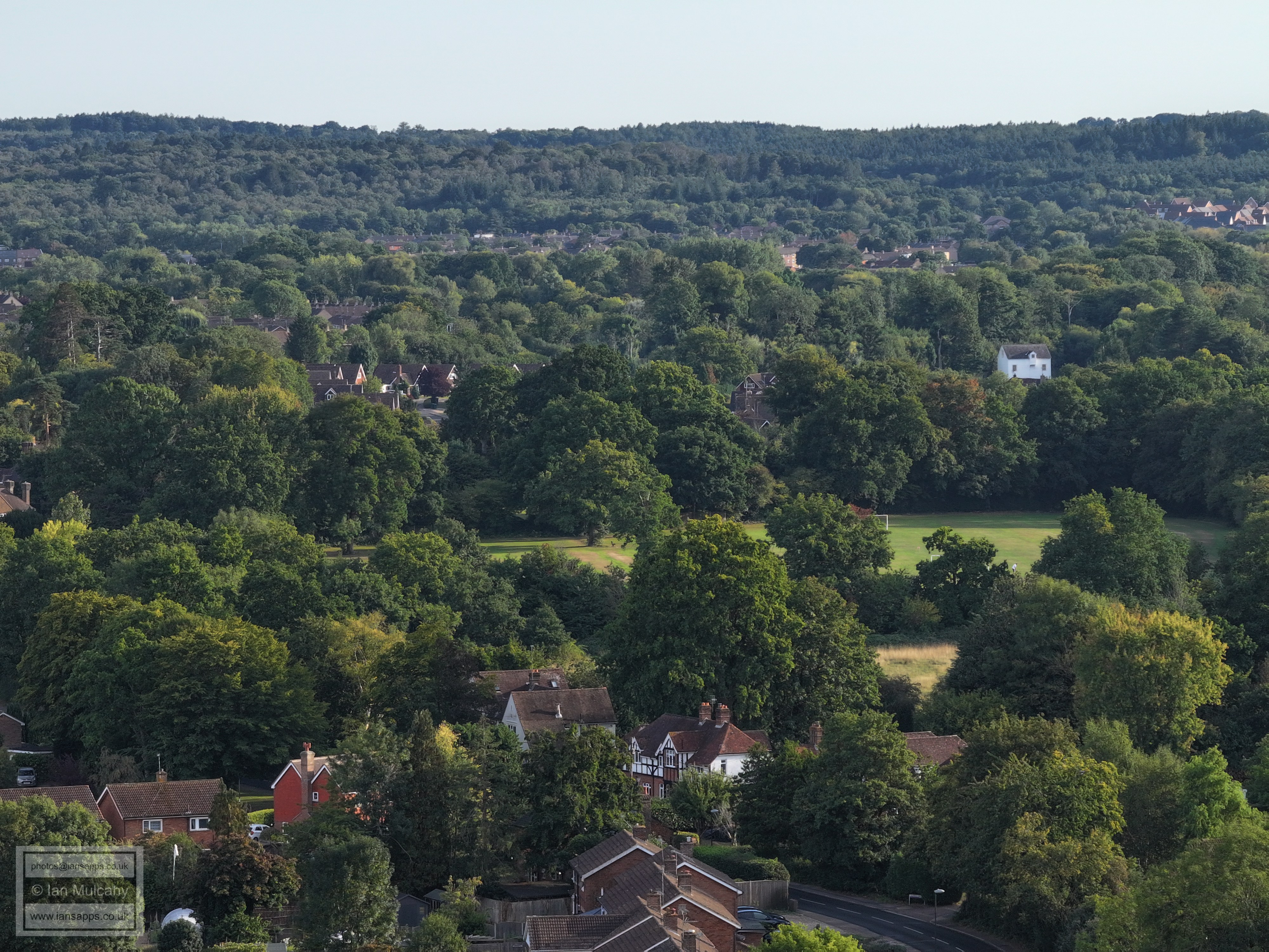
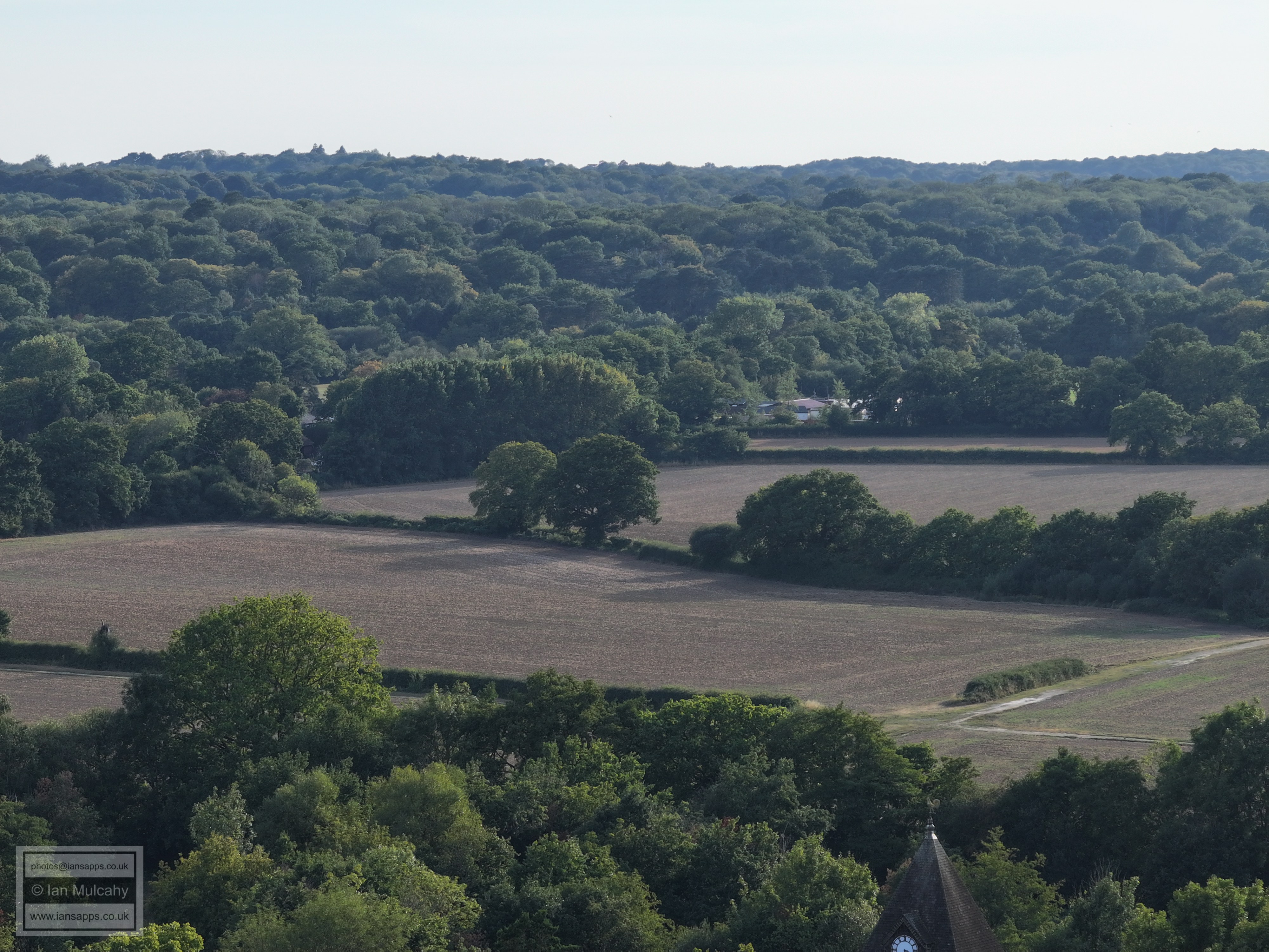
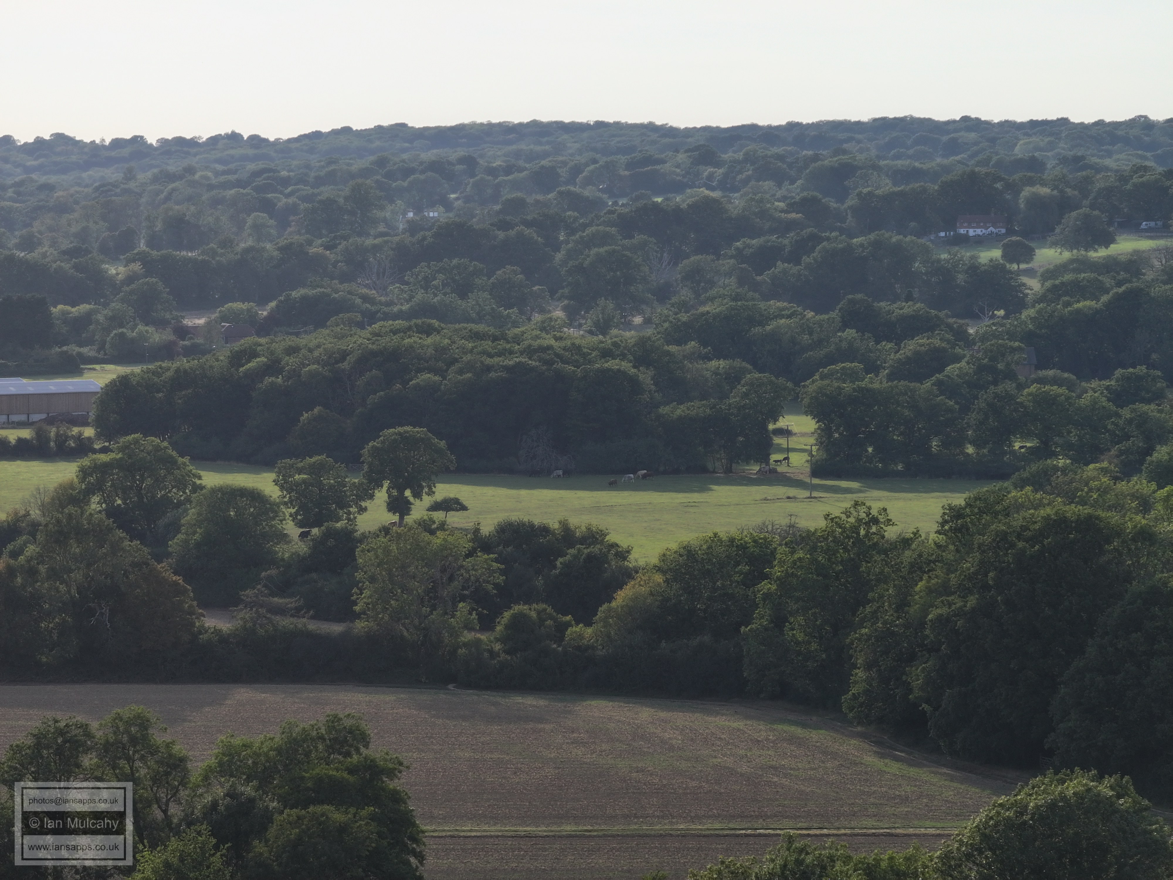
Hyde Hill and Ifield Golf Course beyond the arable fields.
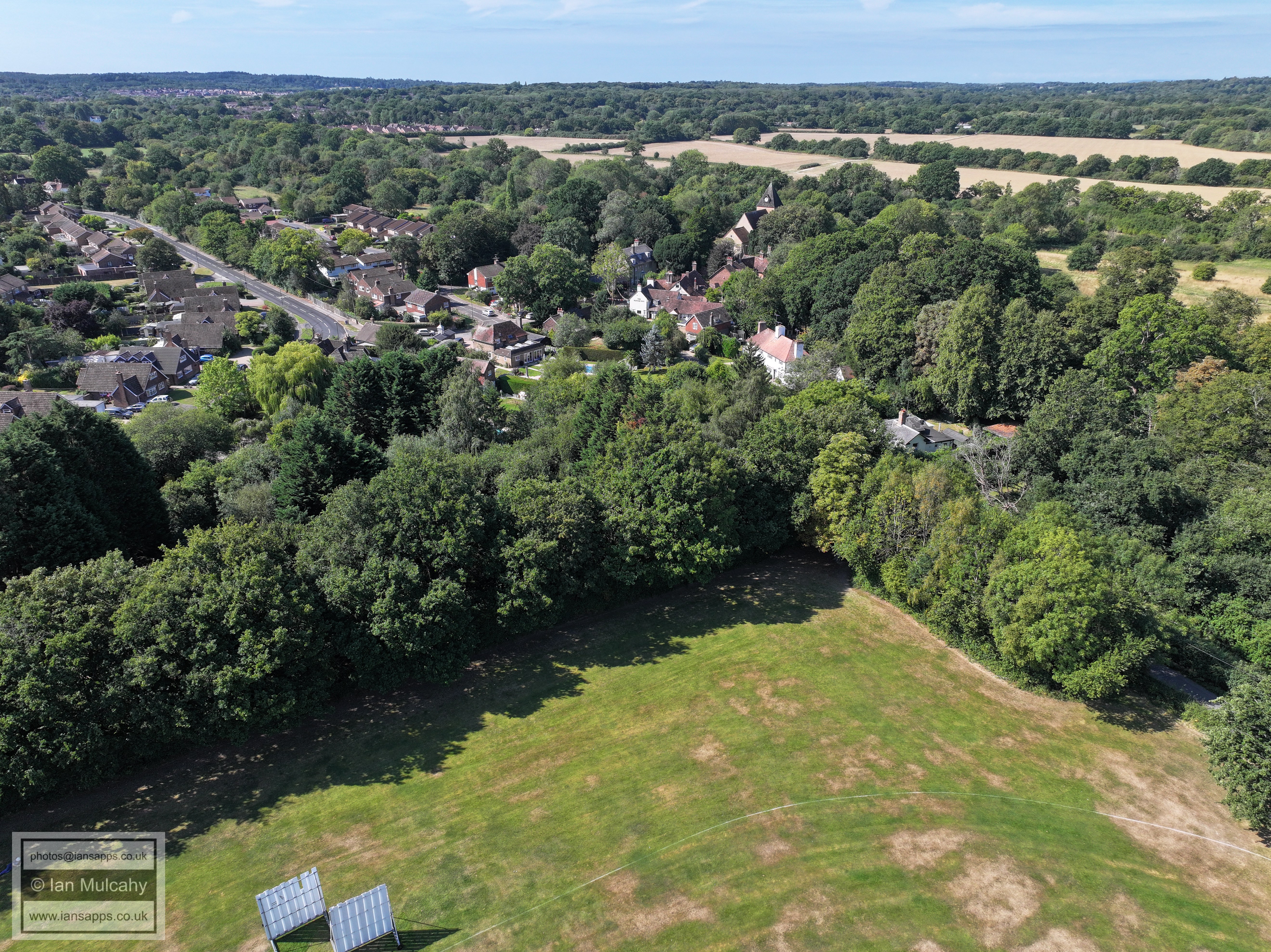
Ifield Village
Ifield Green
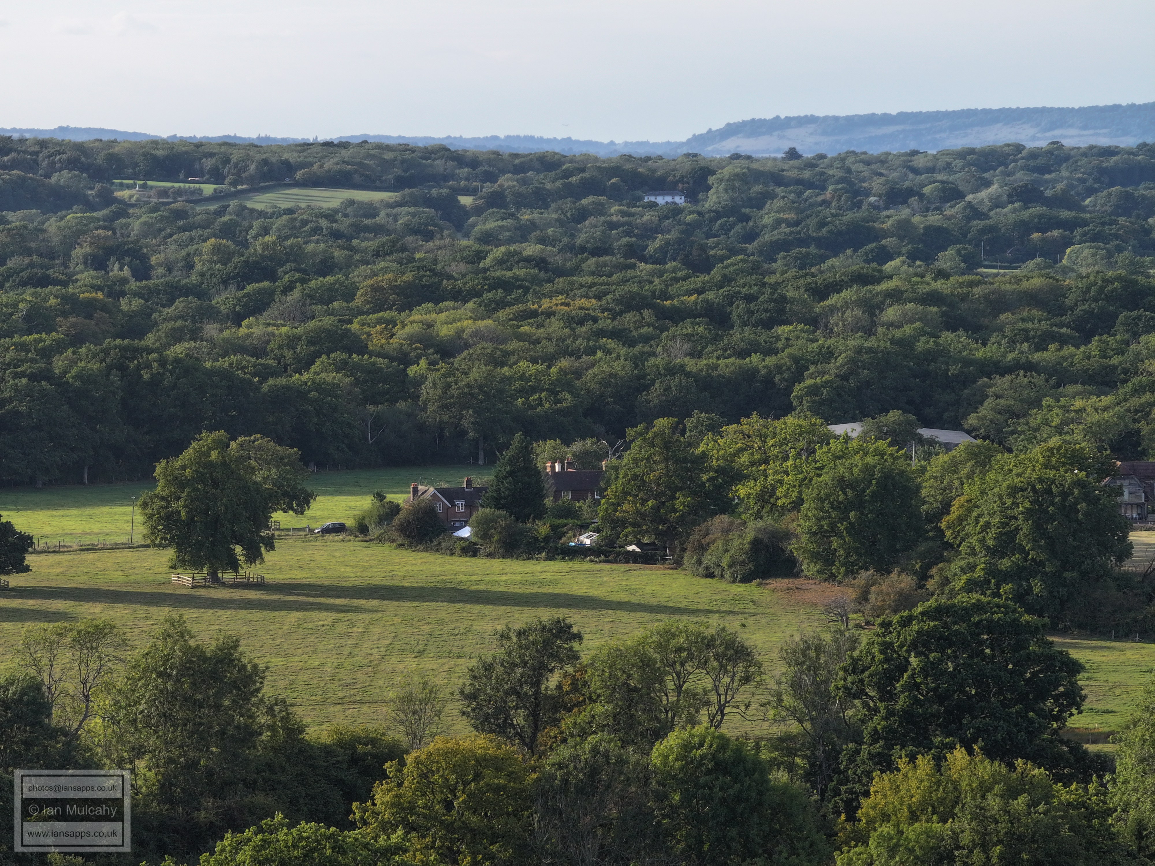
Tweed Lane, with the Parish Workhouse in the centre
Ifield Village
FLIGHT THREE - Ifield
Village
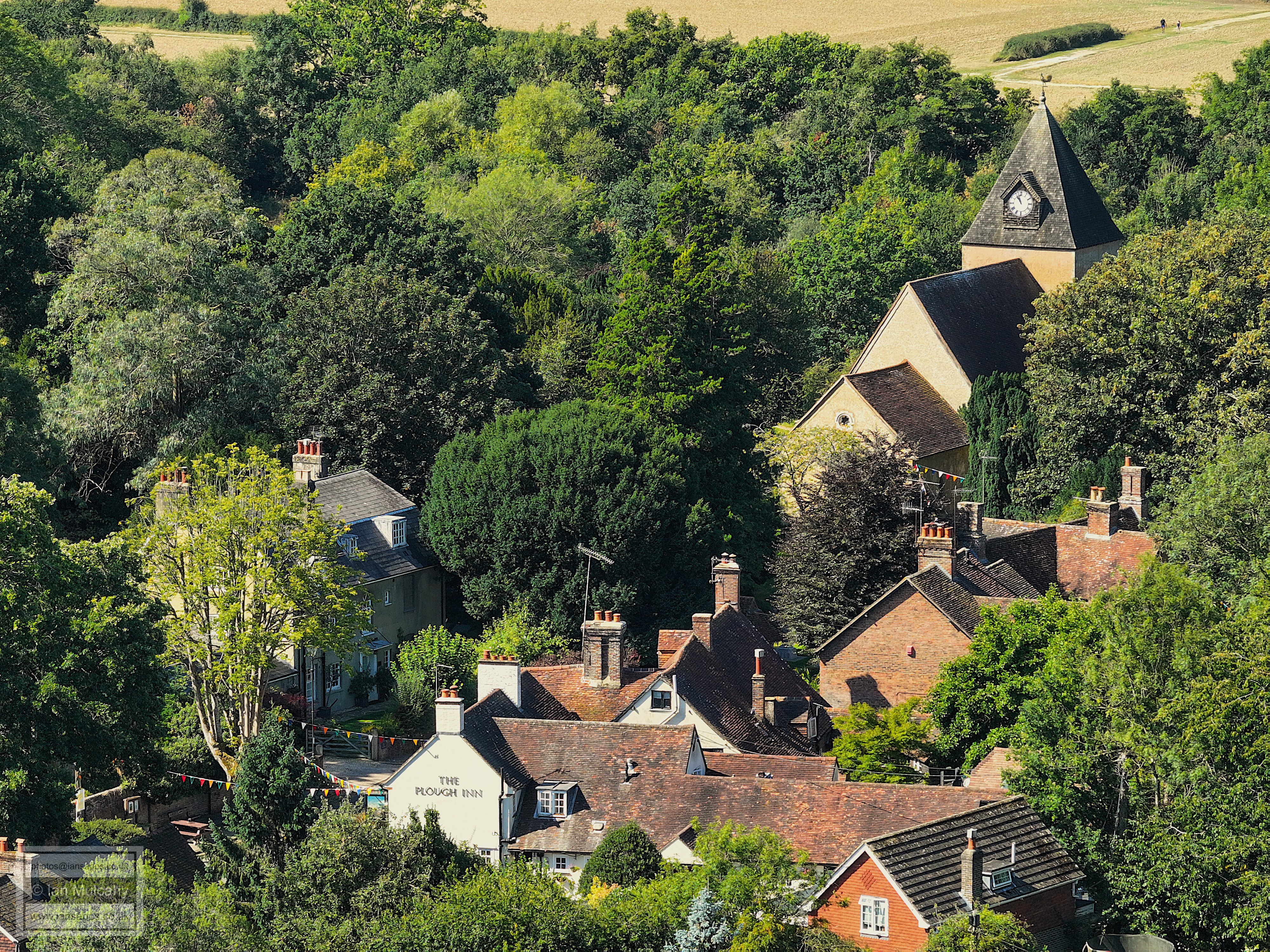
The Plough Inn, Old Plough Cottage & Harrow Cottage
Old Plough Cottage & Harrow Cottage
The Plough Inn & Old Plough Cottage
The Vicarage
FLIGHT FOUR - Ifield
Parade, Langley Lane and Ifield Green
The Pelham Buckle
The Pelham Buckle and Ifield Parade
The Pelham Buckle
Ifield Parade
The Friends Meeting House & Meeting House Cottage
The Friends Meeting House & Meeting House Cottage
Michaelmas Cottage
The Old Post Office (left)
FLIGHT FIVE - Ifield
Green
The Old Post Office (left)
Ifield Cricket Club, with Ifield Steam Mill behind
The Old Rectory, centre, and Rectory Lane at the bottom. Russ Hill is visible beyond Druids and Norwood Hill beyond Ifield Court.
The Rusper Road and Ifield Green Junction is below centre with the Masonic Hall, formerly St Margaret's Church Hall, immediately above.
Sanatan Mandir Temple at Apple Tree Farm, bottom left with the Rugby Club floodlights and posts visible immediately behind. Gatwick Airport beyond.
In the bottom left quarter (towards the top right corner of that quarter) is an interesting capture, which I wasn't expecting, of Finches Cottage, a grade 2 listed 17th century cottage (with the tall, thin chimney) that is now hemmed in on 3 sides by the Apple Tree Farm Estate.
Astral Towers in the top left quarter. In the bottom right quarter is Langley Lane.
Langley Green shops are just left of centre, and the school (bright turquoise cladding) is to the right. The garage block in the bottom right quarter is in Kirdford Close.
Right of centre near the top is The Sandman Hotel at Hazelwick with Milton Mount flats behind and The Crowne Plaza at Tushmore below and slightly right. At the bottom of the image is Warren Drive
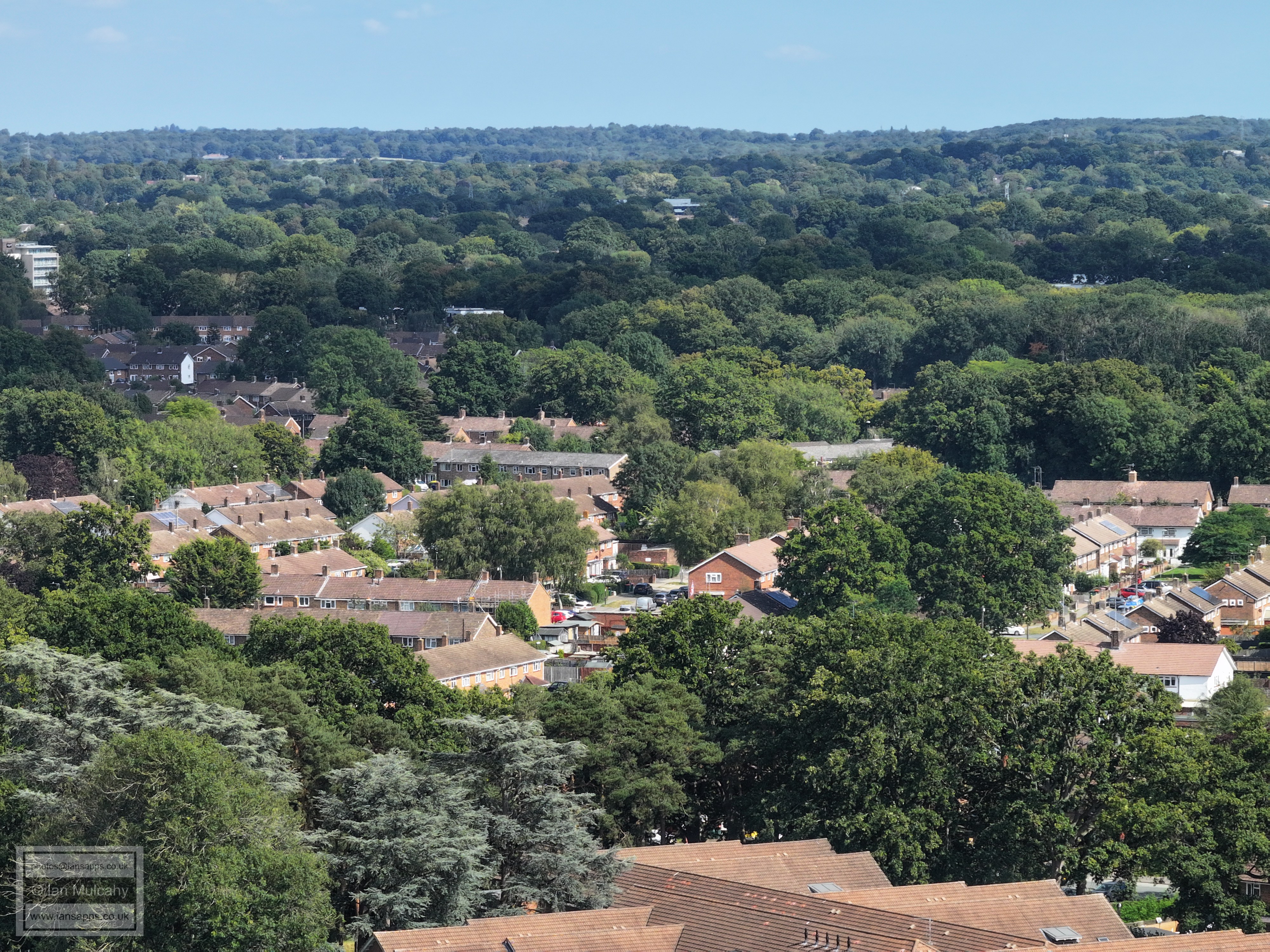
In the bottom half of the picture is the Findon Road area of Ifield.
In the bottom half of the picture is the Findon Road area of Ifield again. The houses on higher ground beyond the cinema are in the Worth Road area of Pound Hill. The Telephone Exchange is in the top right quarter.
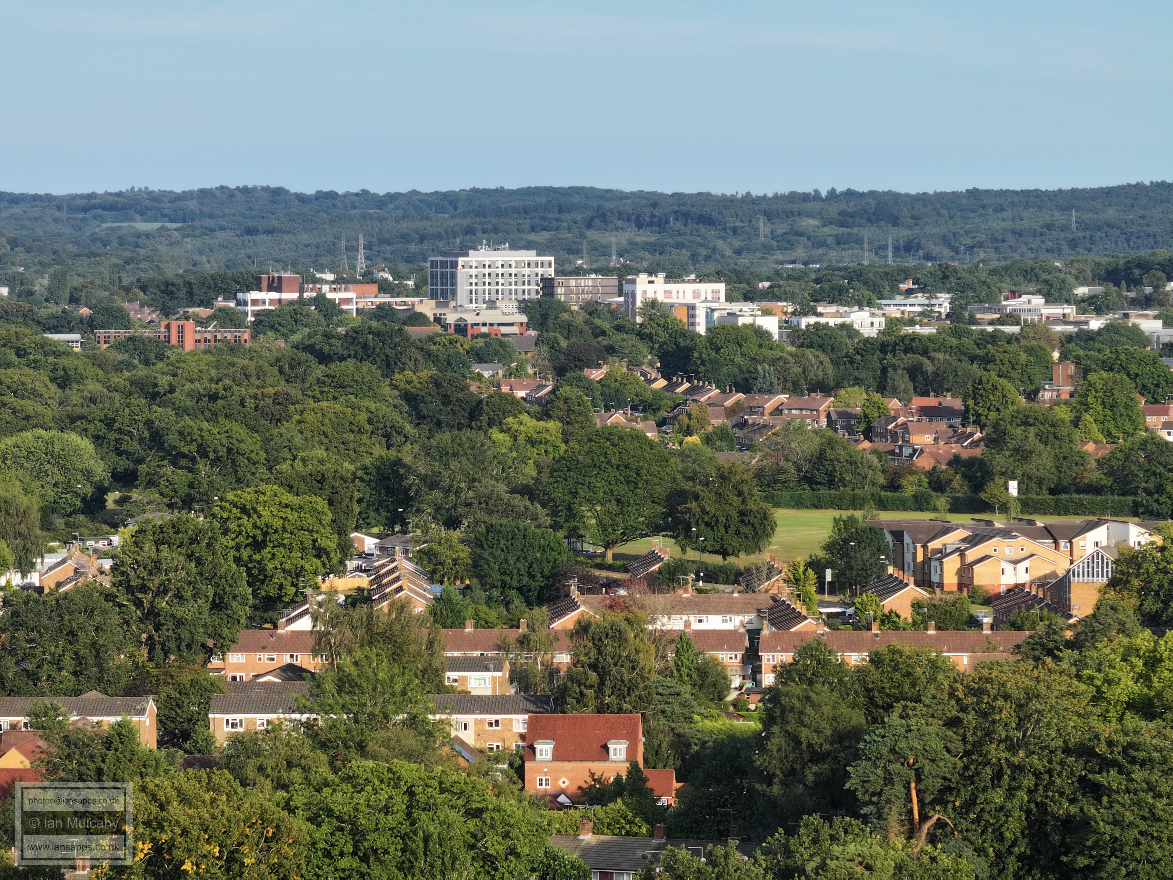
In the centre is Ewhurst Playing Fields with Millfield House and the Elim Church on Ifield Drive to the right and Town Centre beyond.
Deerswood Court is hidden in the trees at the bottom of the image. Just to the right of County Mall is a nice clear shot of St Johns Church. Above the Elim Church (far left, centre) is West Green Parade and The Apple Tree.
Manor Green School across the middle and 'old' West Green beyond.
Manor Green School is left of centre with the A23 exit above. In the bottom right quarter is Ifield Doctors.
Beaufort Place at the bottom with the Southwater Close and Shipley Road area above. To the far right of centre are the playgrounds of The Mill Primary and above the tree line to the left is the Filbert Crescent area and to the right, above the school, is Nurserylands, both in Gossops Green.
At the top towards the right is the radar station and water tower at Pease Pottage, as well as Buchan House (Cottesmore School). In the bottom half of the picture is the Shipley Road Area with The Mill Primary above to the left and the Ifield Drive/Tangmere Road light controlled junction to the right. The white chimney in the trees, high centre on the first ridge, is Gossops Green Primary School.
In the top left quarter Gossops Green shops and St Albans Church are just visible and in the top right quarter are Bewbush Shops. Right of Centre is Rusper Road, and the junction with Tangmere Road, and to the left of and and below centre is the crescent of houses on Ifield Drive between the shops and Rudgwick Road.
Ifield Mill, with Rusper Road playing fields below. Bottom centre is the junction of Ruspers Keep and Rusper Road. Across the top centre, below the ridge, is Bewbush. Just above the left side of the playing field is The Millbank, with Gossops Green beyond.
Kilnwood Vale at the top and parts of Ifield West below, to the right
In the top left corner is Holmbush. The houses across the centre are The Maples with Hyde Hill behind.
Hyde Hill and Ifield Golf Course beyond the arable fields.
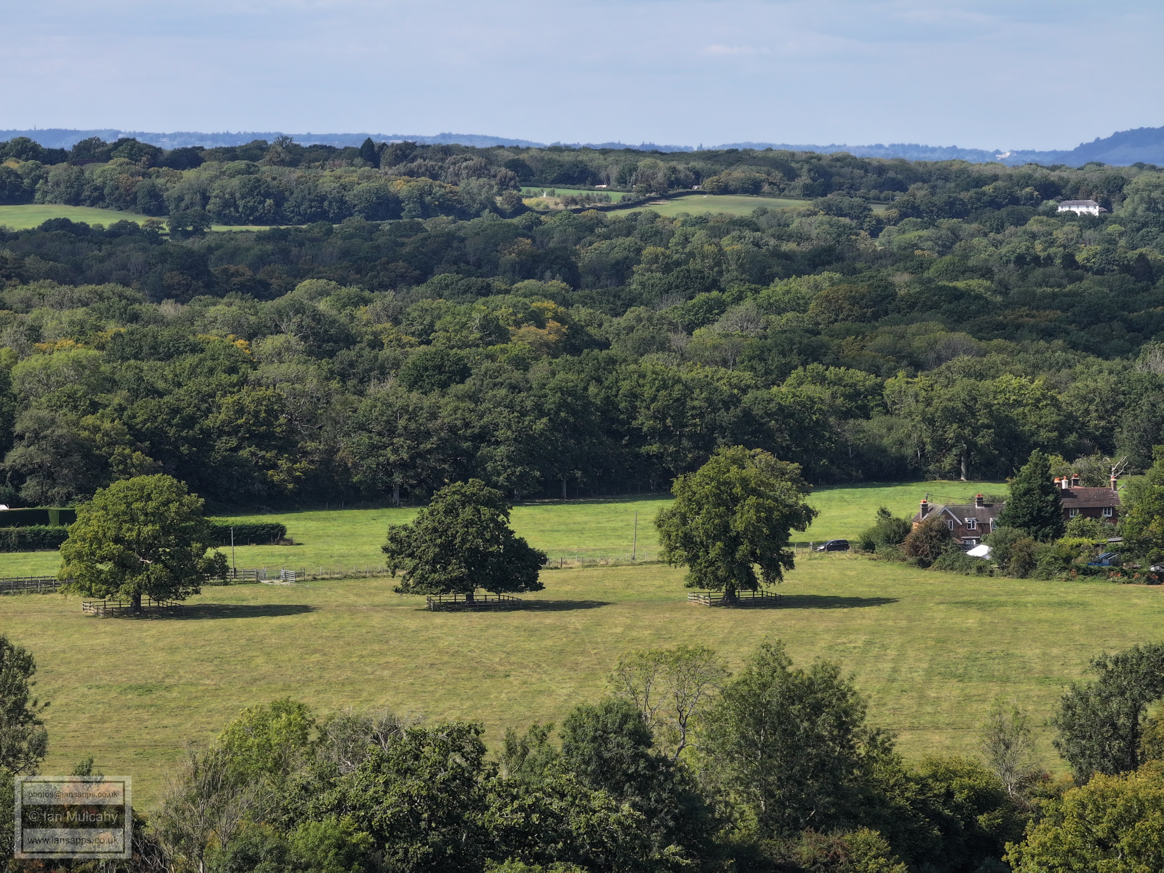
The fields of Ifield Court Farm beyond the church and Hyde Hill at the top. Furlong Farm on Rusper Road is right of centre.
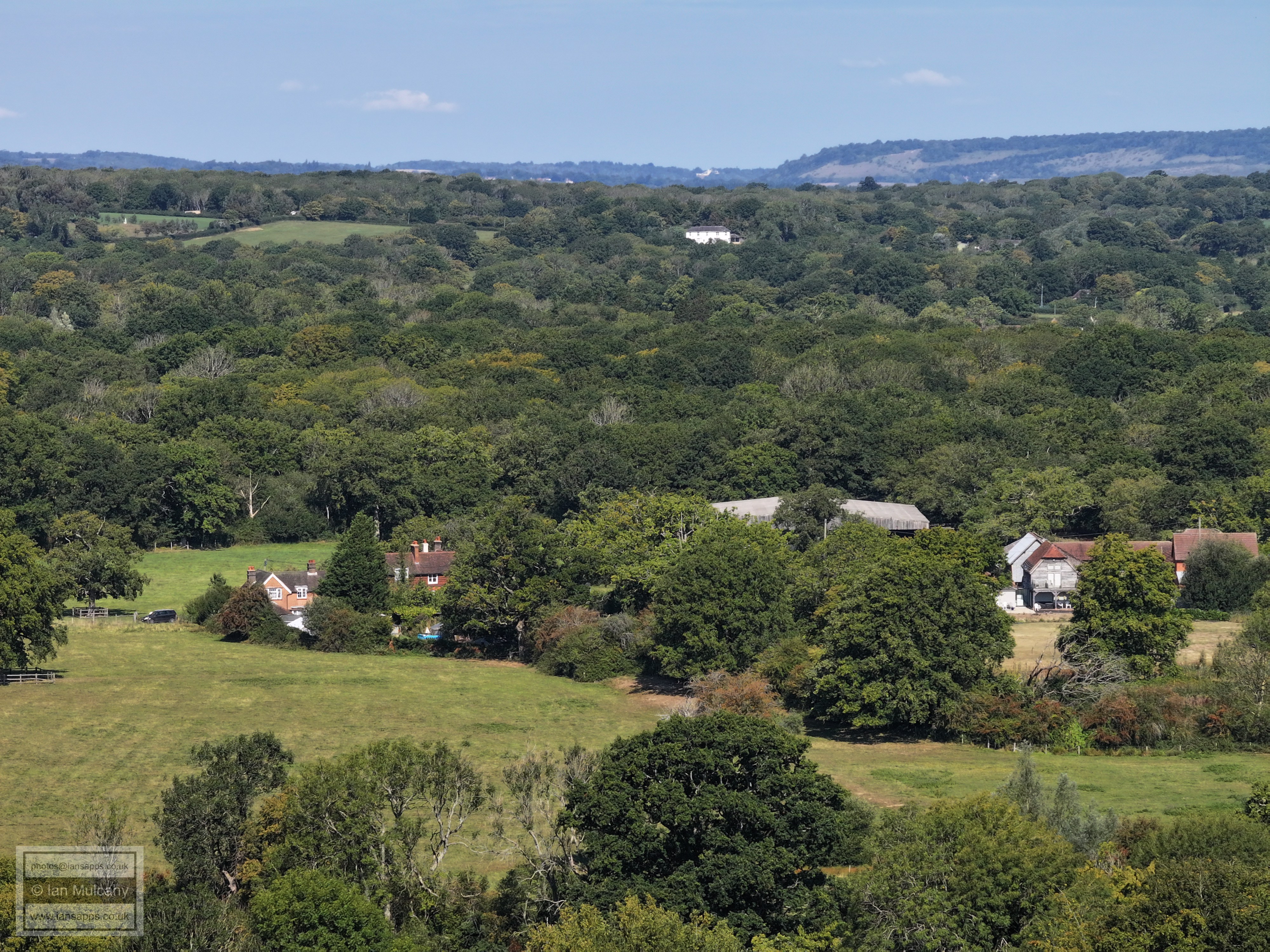
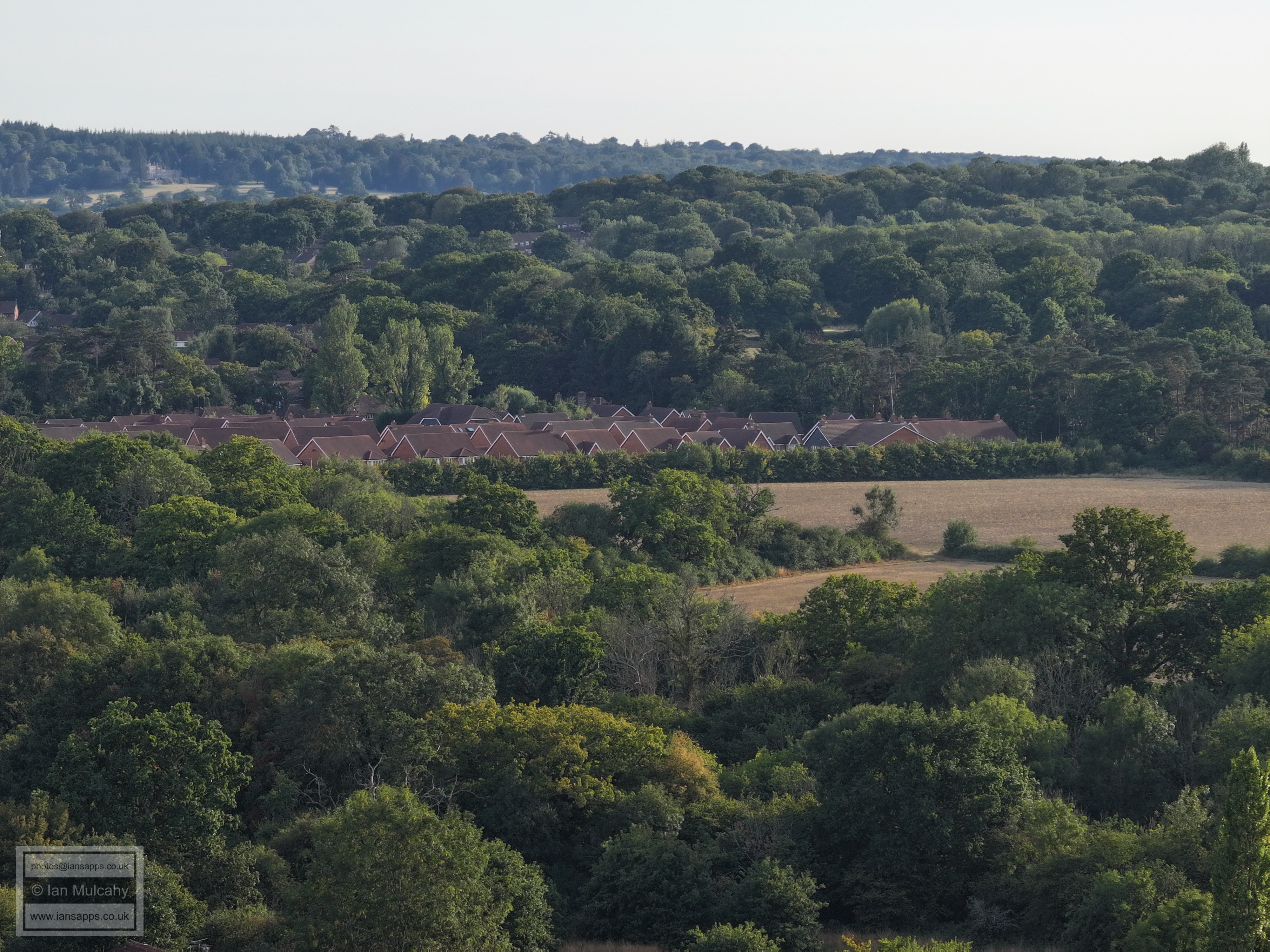
Pound Cottages and New Barn, centre
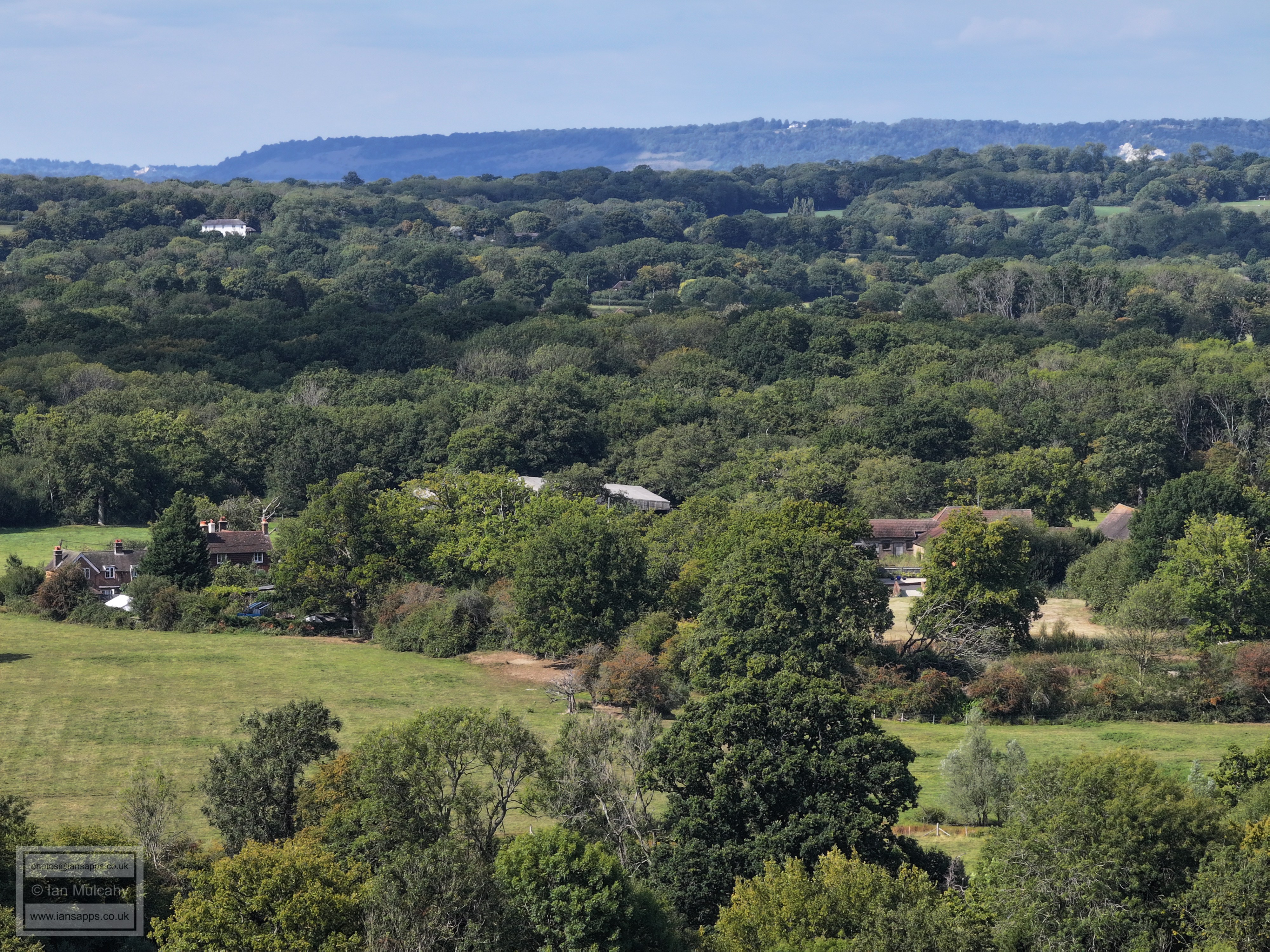
Bonwyckes Farm and Place in Ifield Wood on the left. In the centre towards the top are the white chimneys of The Mount.
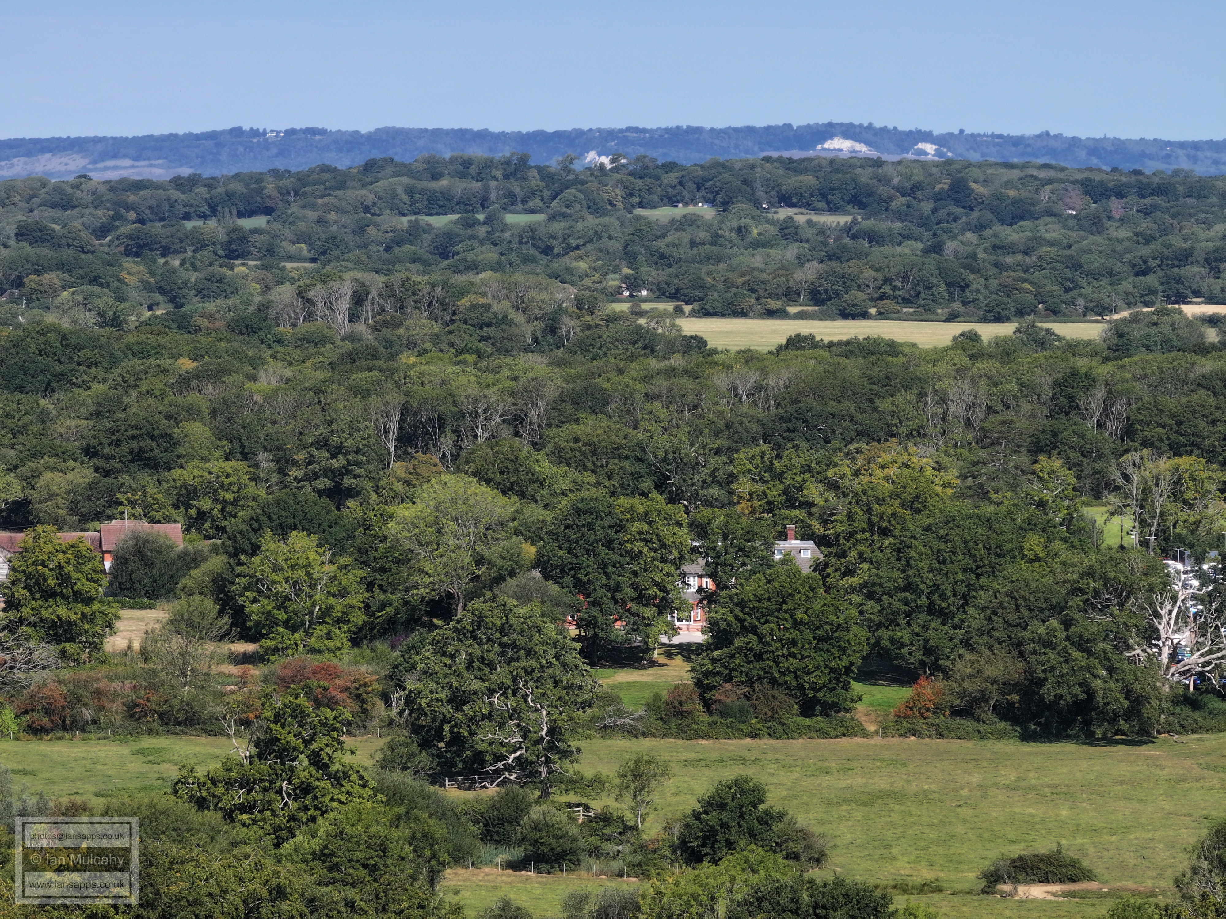
in the top left quarter is Hillybarn Farm
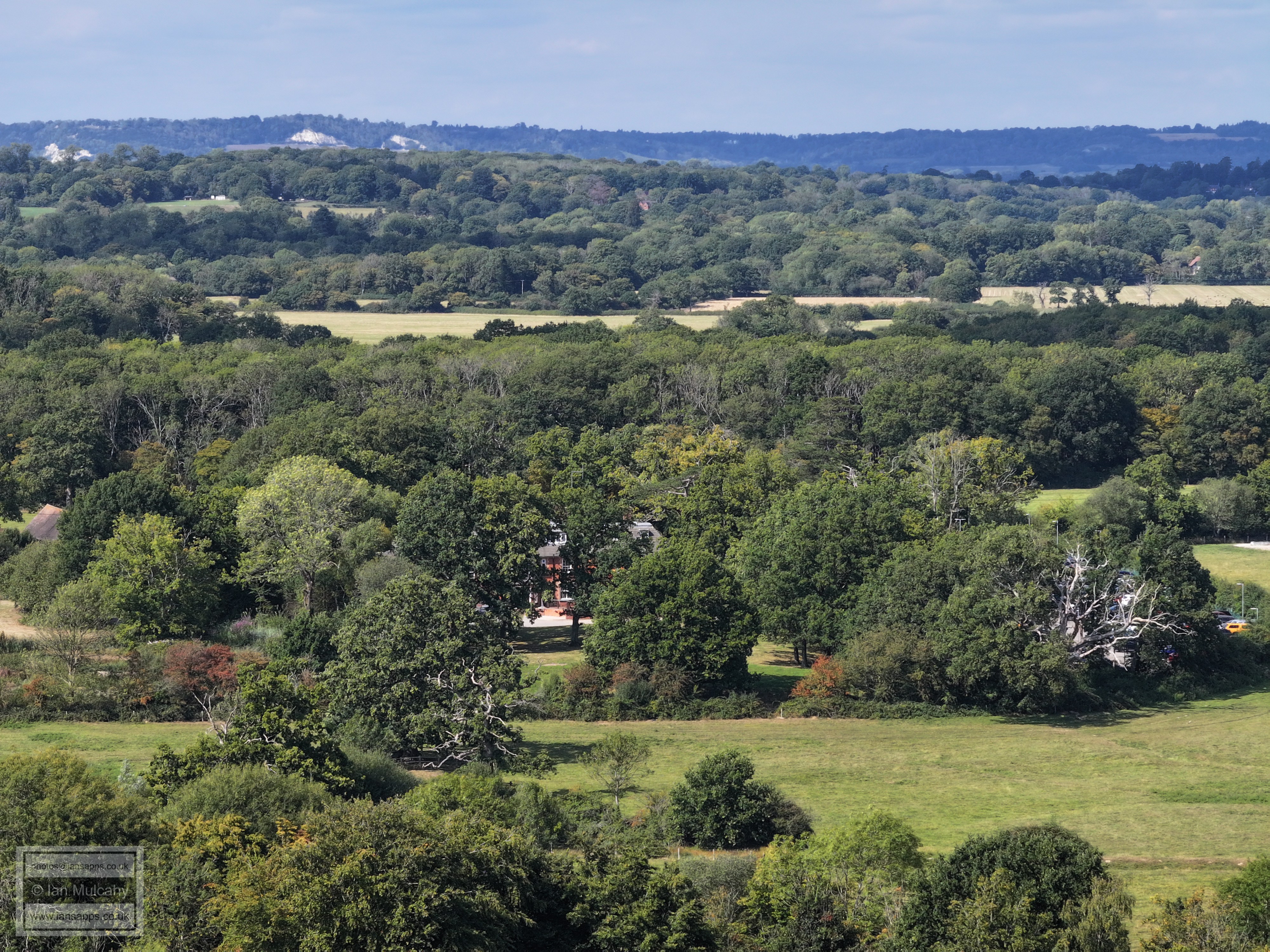
Druids, left of and below centre. Russ Hill Hotel is at the top, just right of centre.
The white building, top right, is near the Lowfield Heath Windmill on Russ Hill
Ifield Court Farm. Box Hill is in the distance.
Ifield Court Hotel, centre.
The original path of the River Mole, winding it's way across the field below Ifield Court
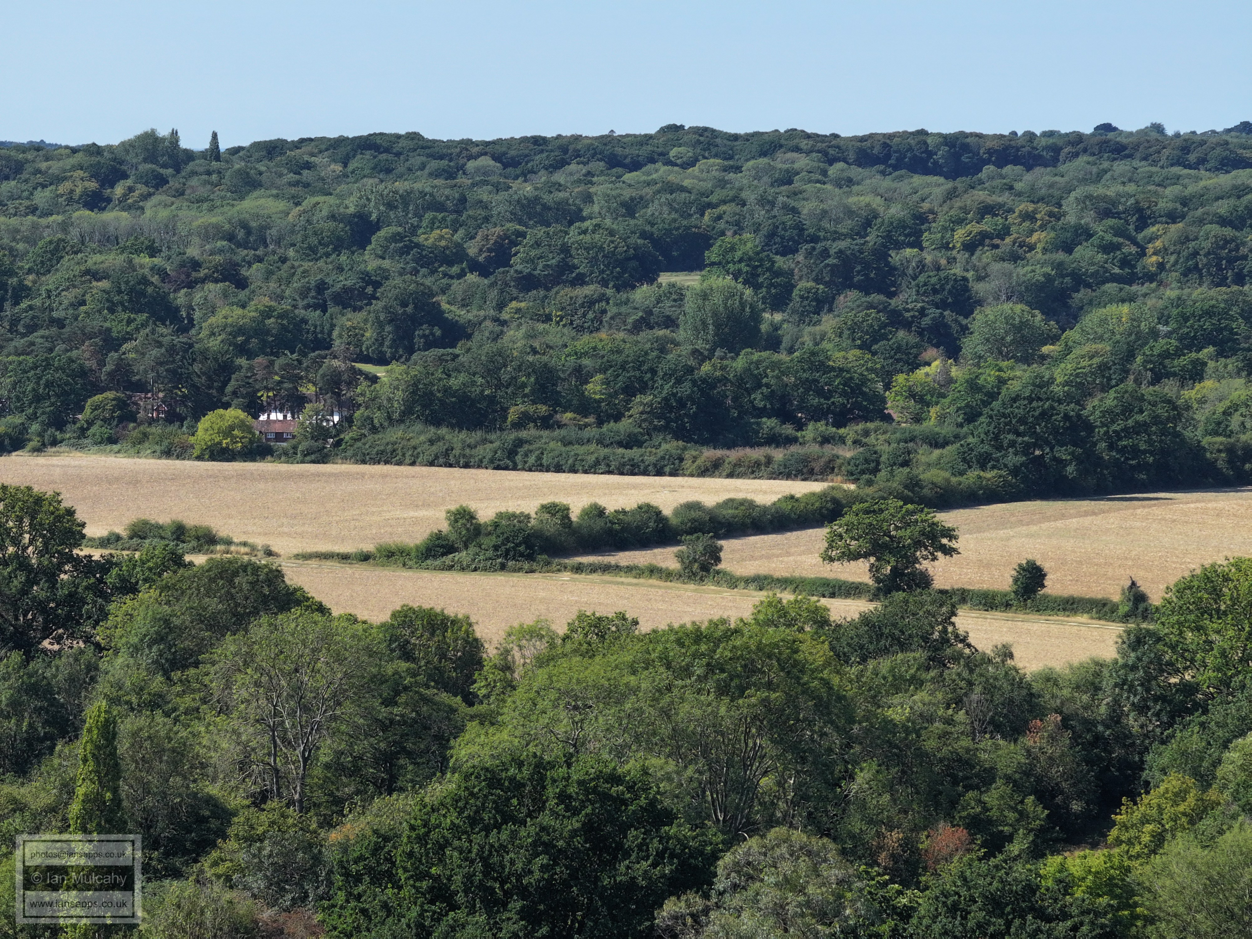
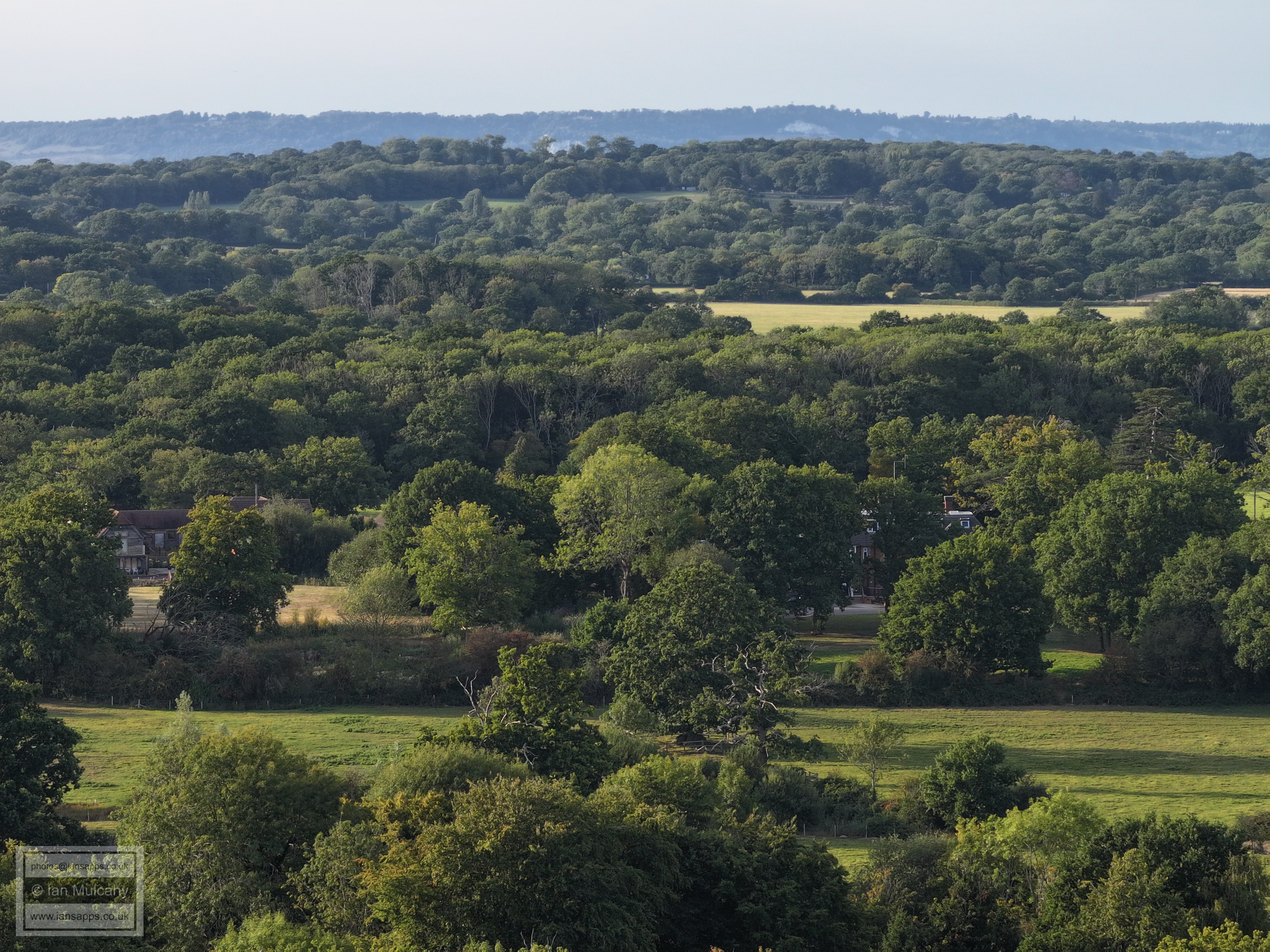
The former Edwards Sports & Social Club. In the distance and sunshine is Redhill. St Johns on Earlswood Common is in the shade on the left.
In the top left quarter is Nutfield Priory, east of Redhill.
Sanatan Mandir Temple at Apple Tree Farm
FLIGHT SIX - Ifield Green
& Ifield Parade
Ifield Parade
FLIGHT SEVEN - Ifield
Green I will note annotate these particularly well, except to highlight features that haven't been highlighted on the previous two panoramic sets
Rusper Road, between Ifield Street and Ruspers Keep with Aldingboune Close to the right
Ifield Court Moat and Farm just above centre and to the left.
Gatwick
Finches Cottage again in the bottom left quarter
The white building in the trees near the top right is the block of flats on the south eastern side of Worth Corner.
In the top left quarter is the communications mast at Woldhurstlea.
Text & photographs © Ian Mulcahy. Contact photos@iansapps.co.uk or visit my 'Use of my photographs' page for licensing queries (ground level photographs only). |