Ewhurst Playing Fields
Ifield, Crawley
30 September 2025
72 aerial images of varying focal length
|
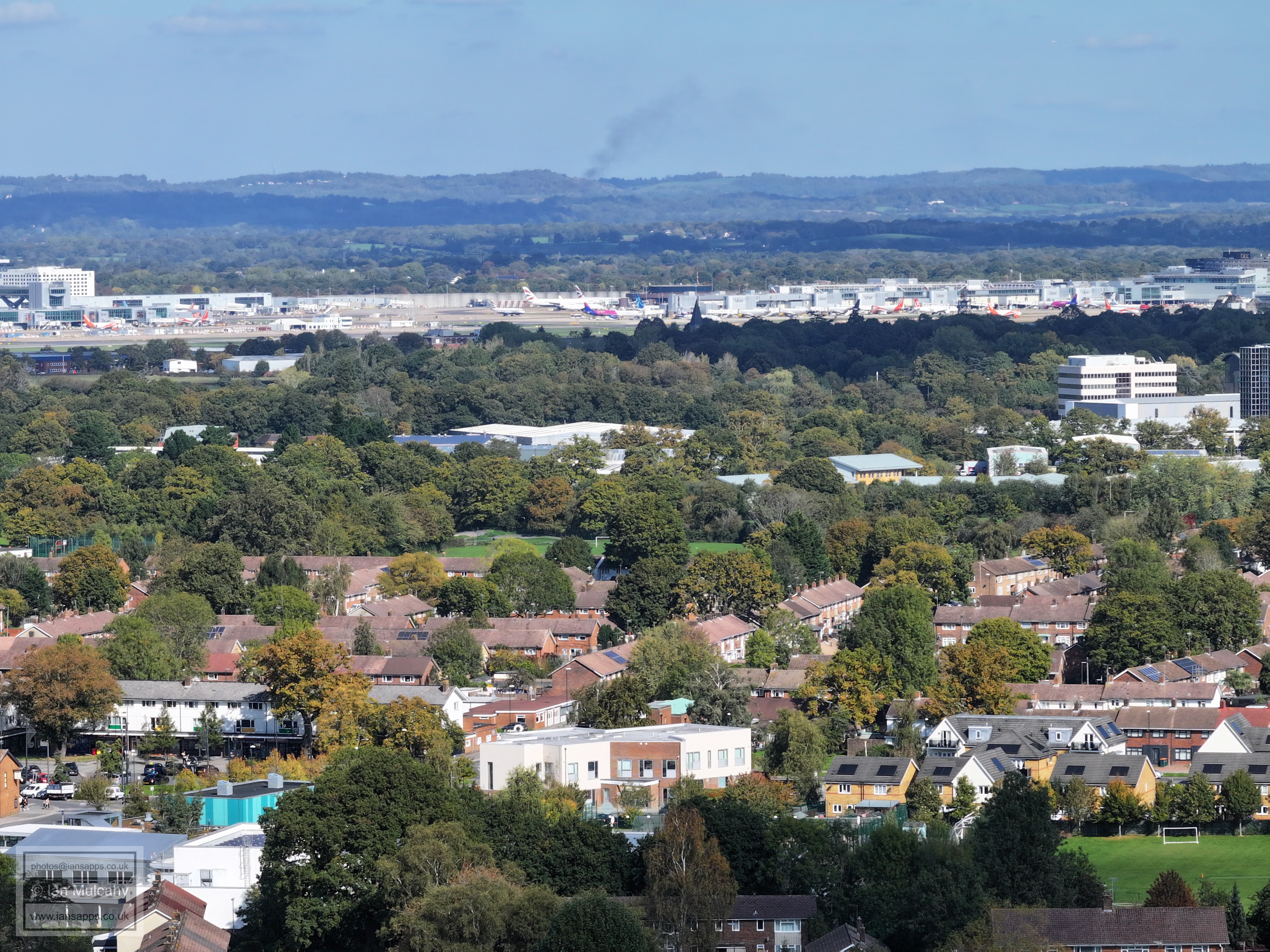
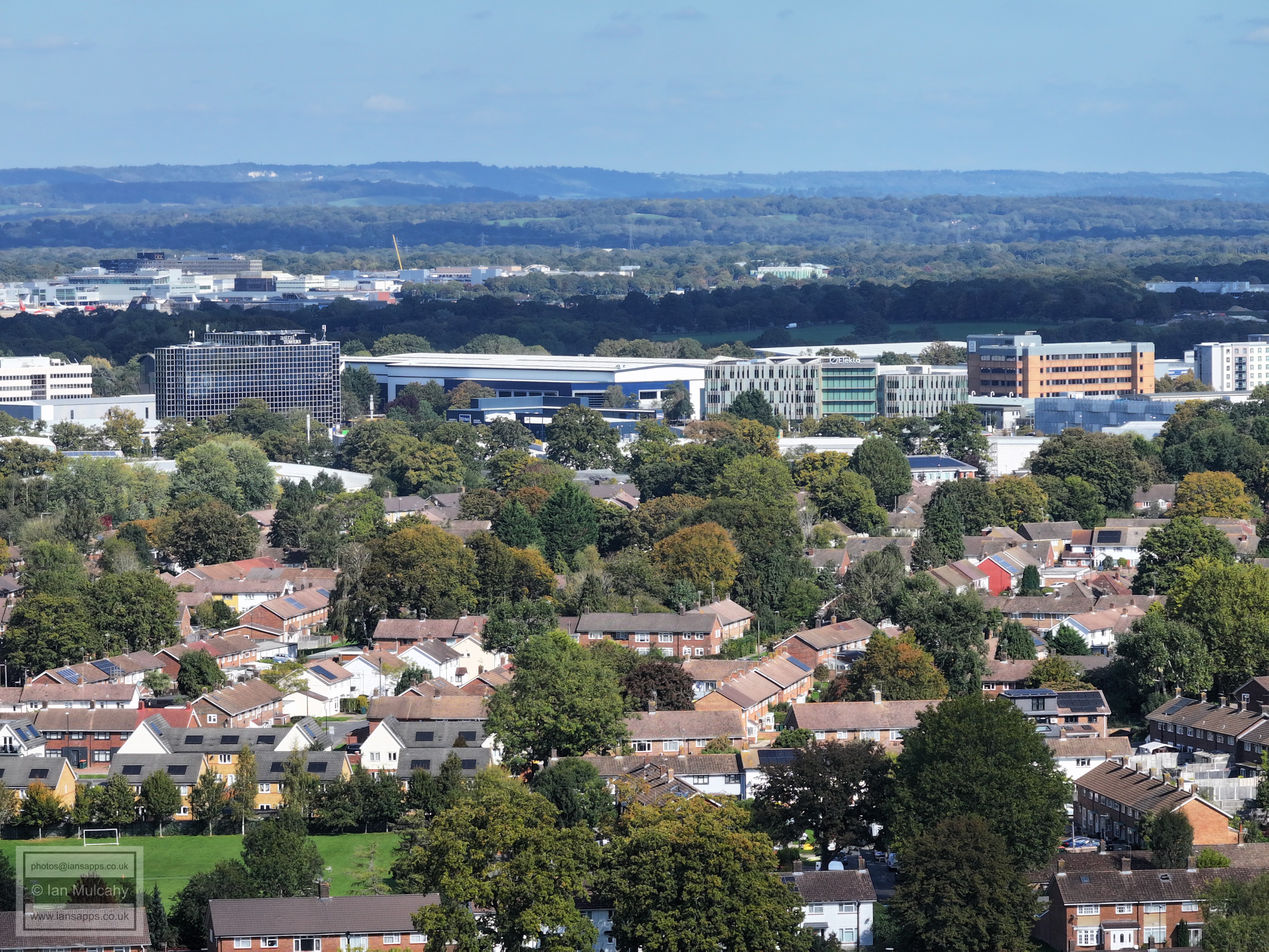
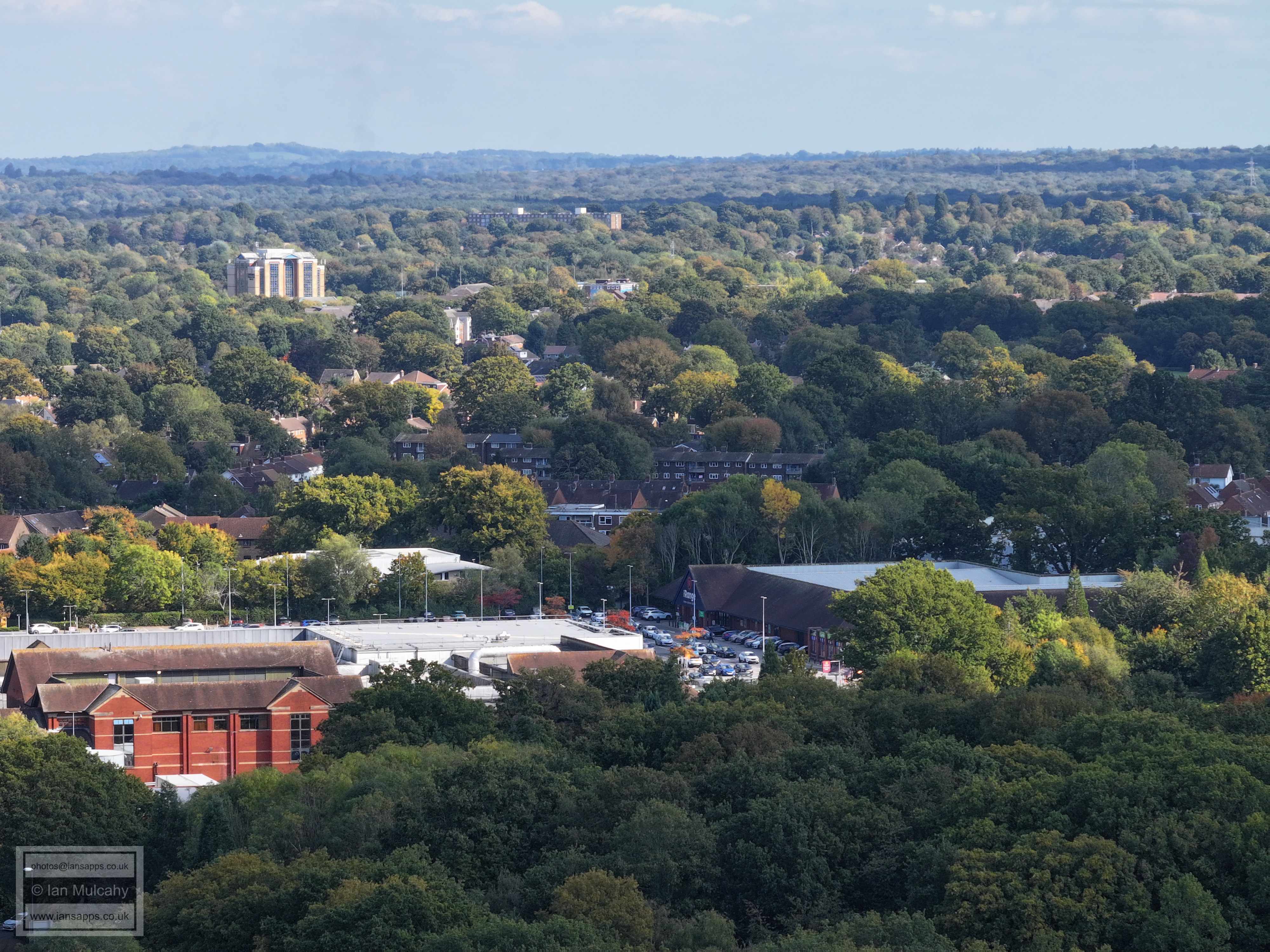
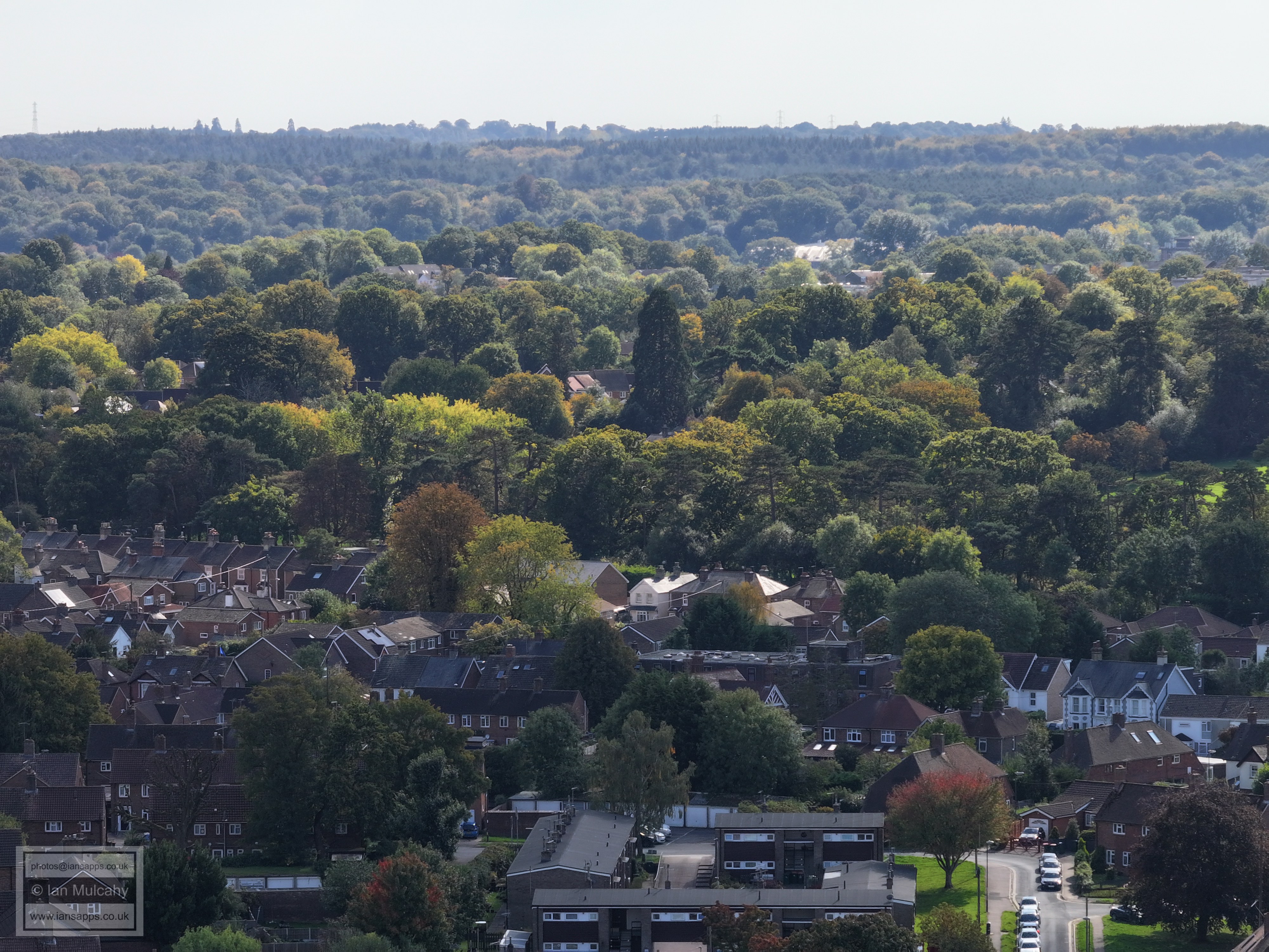
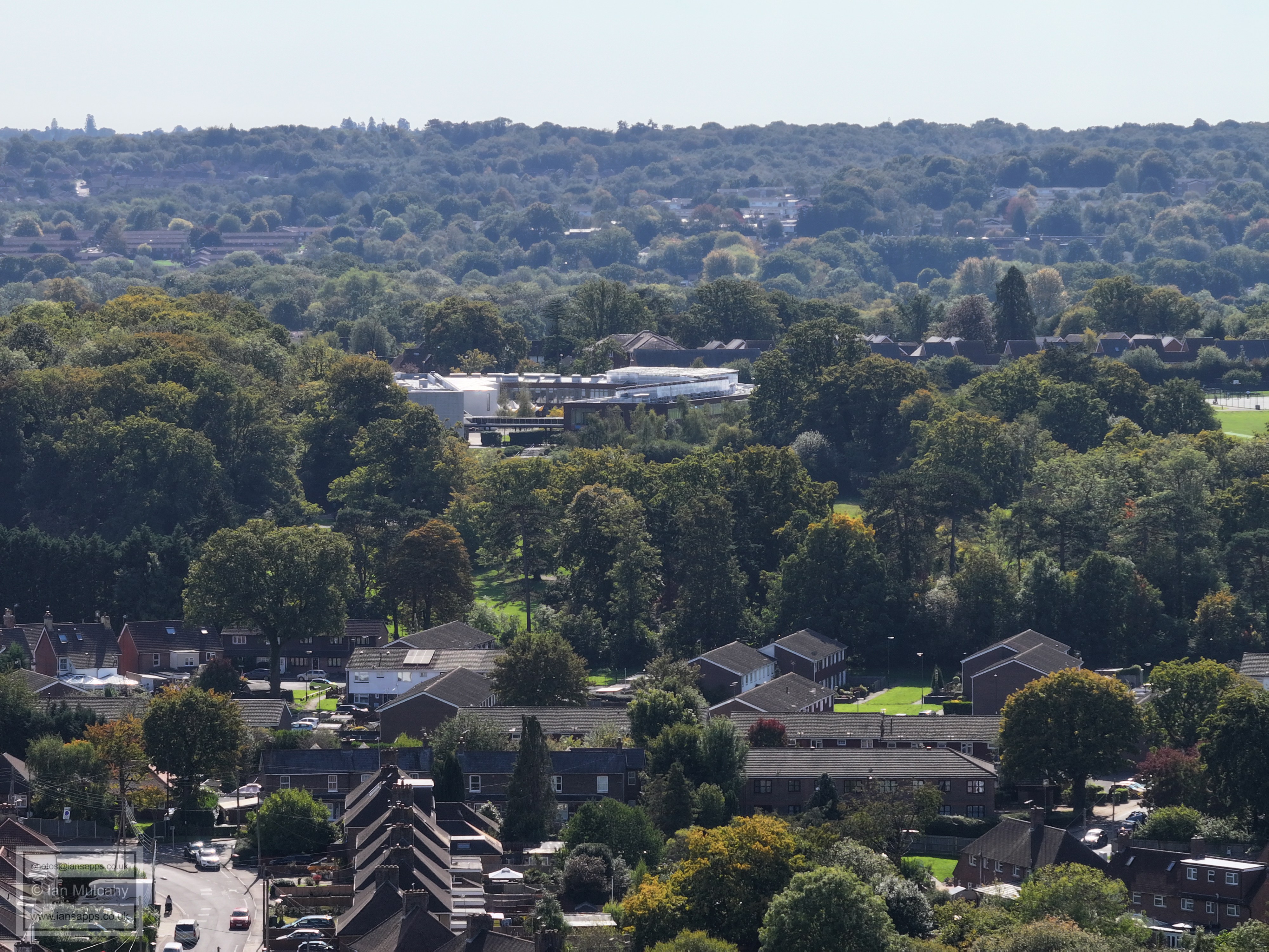
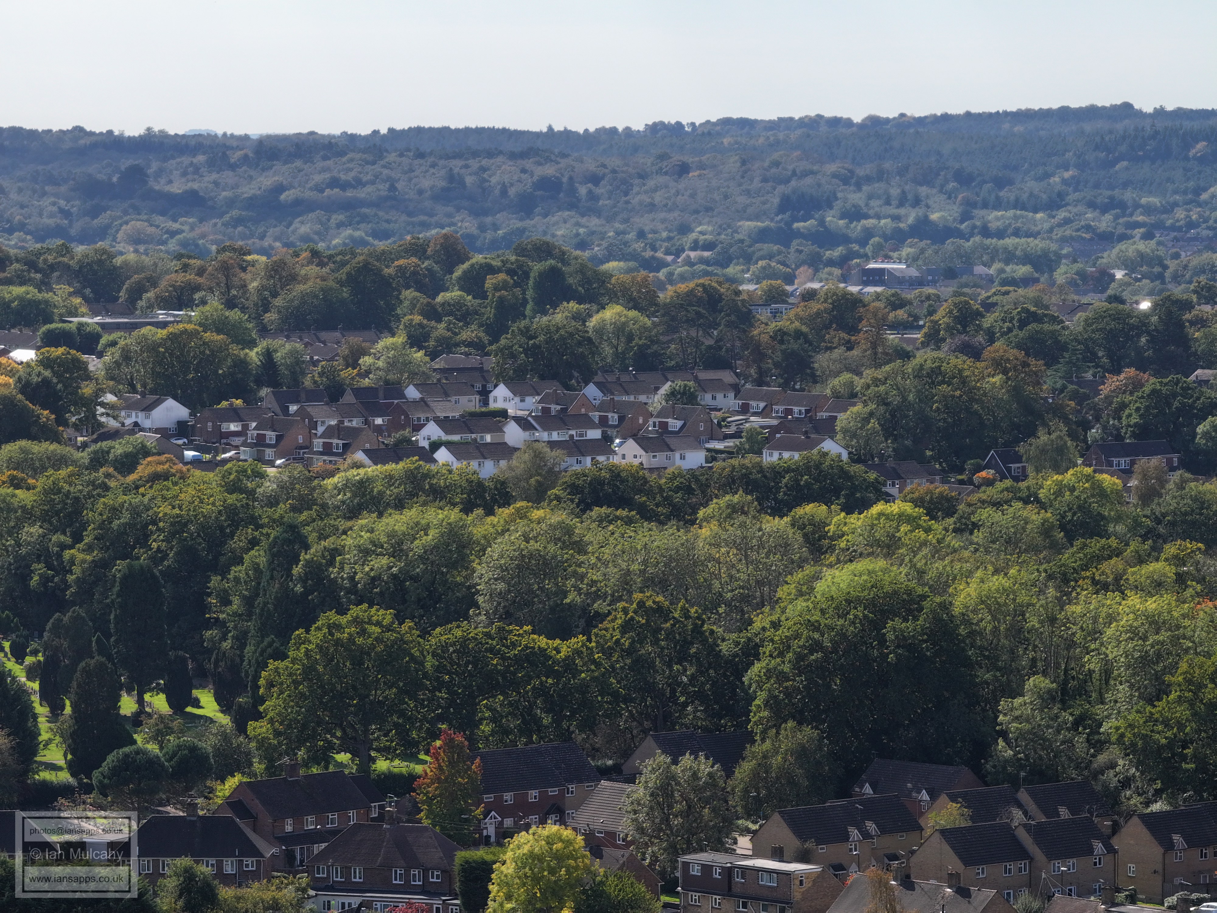
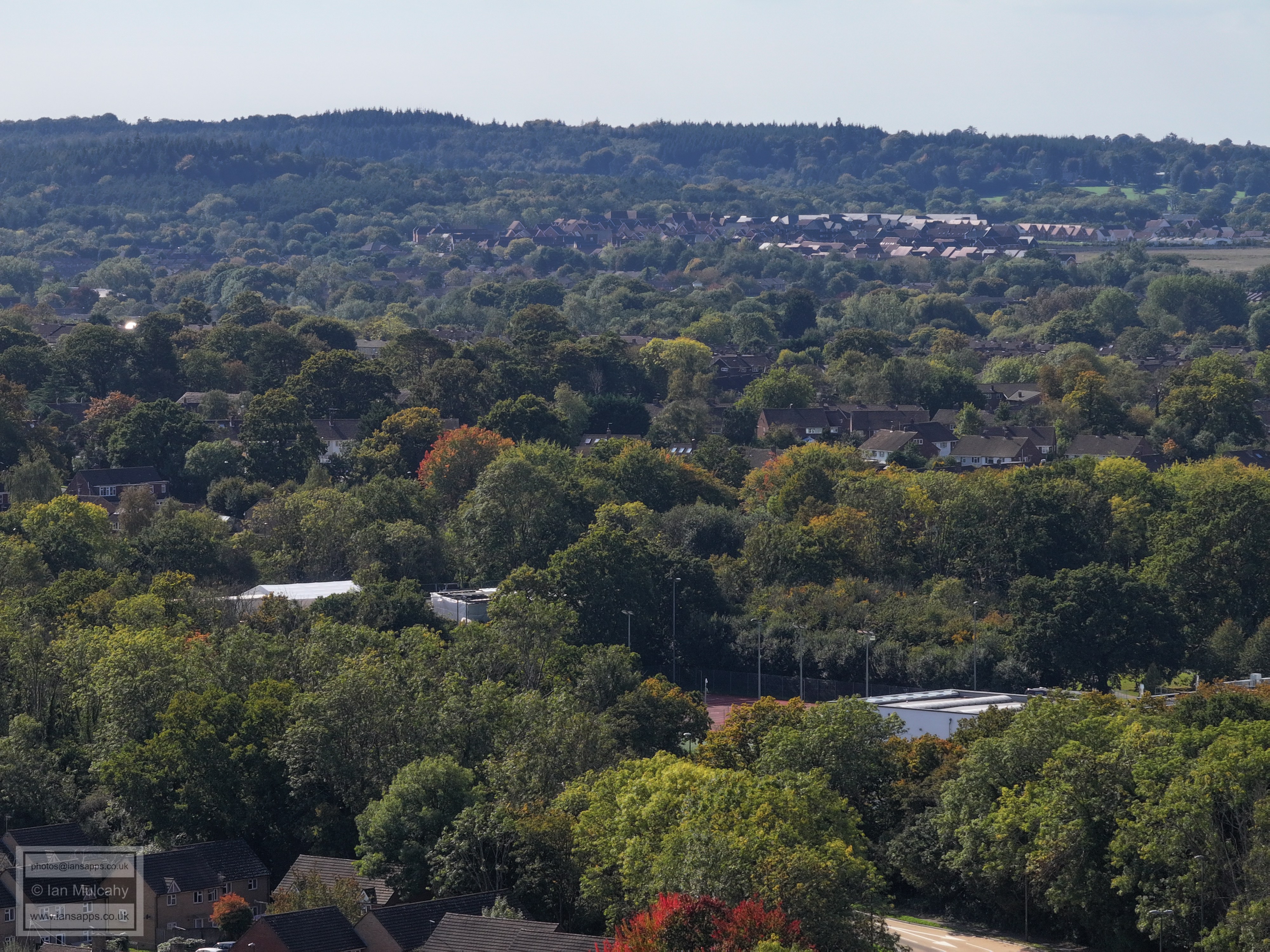
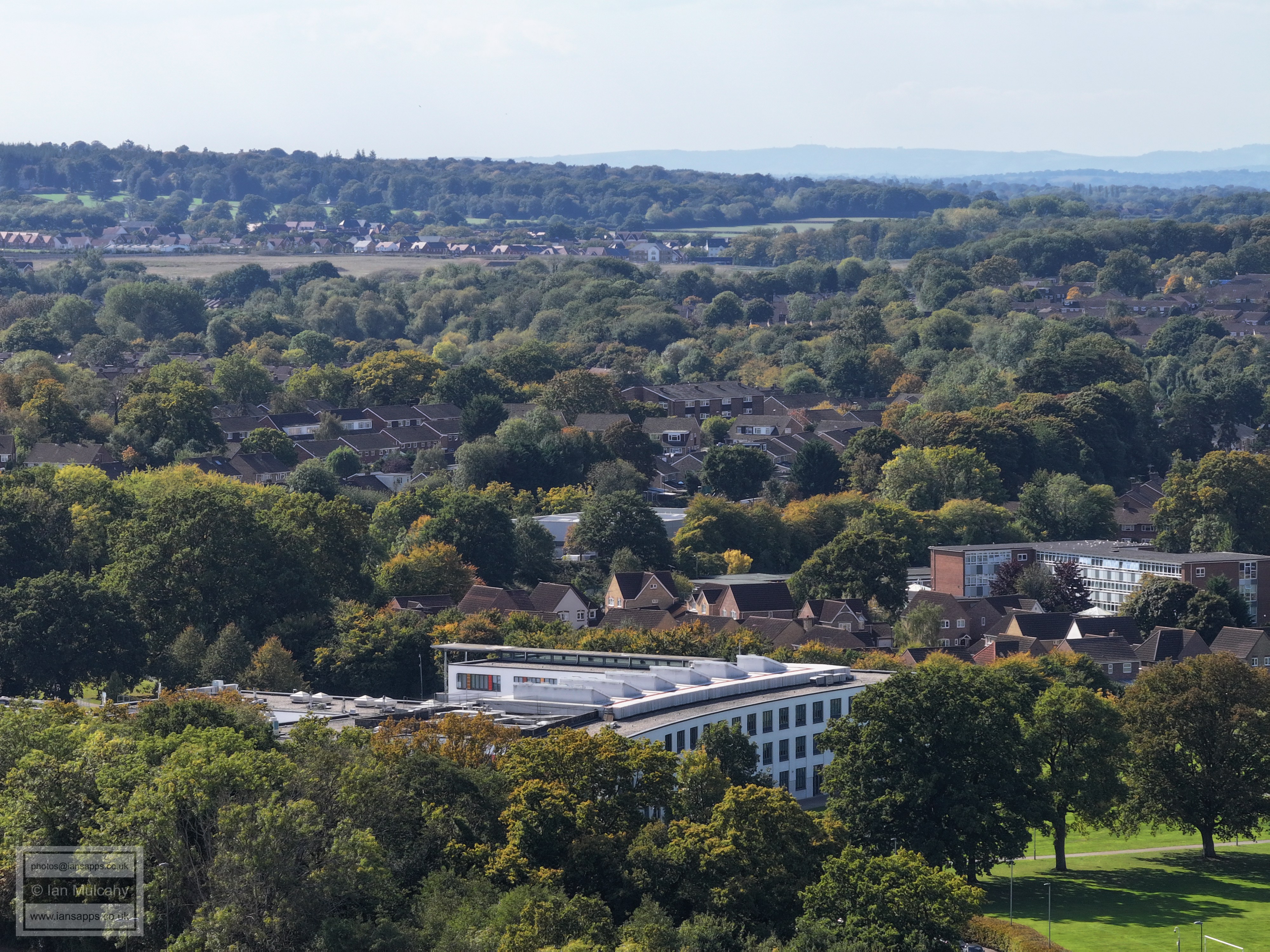
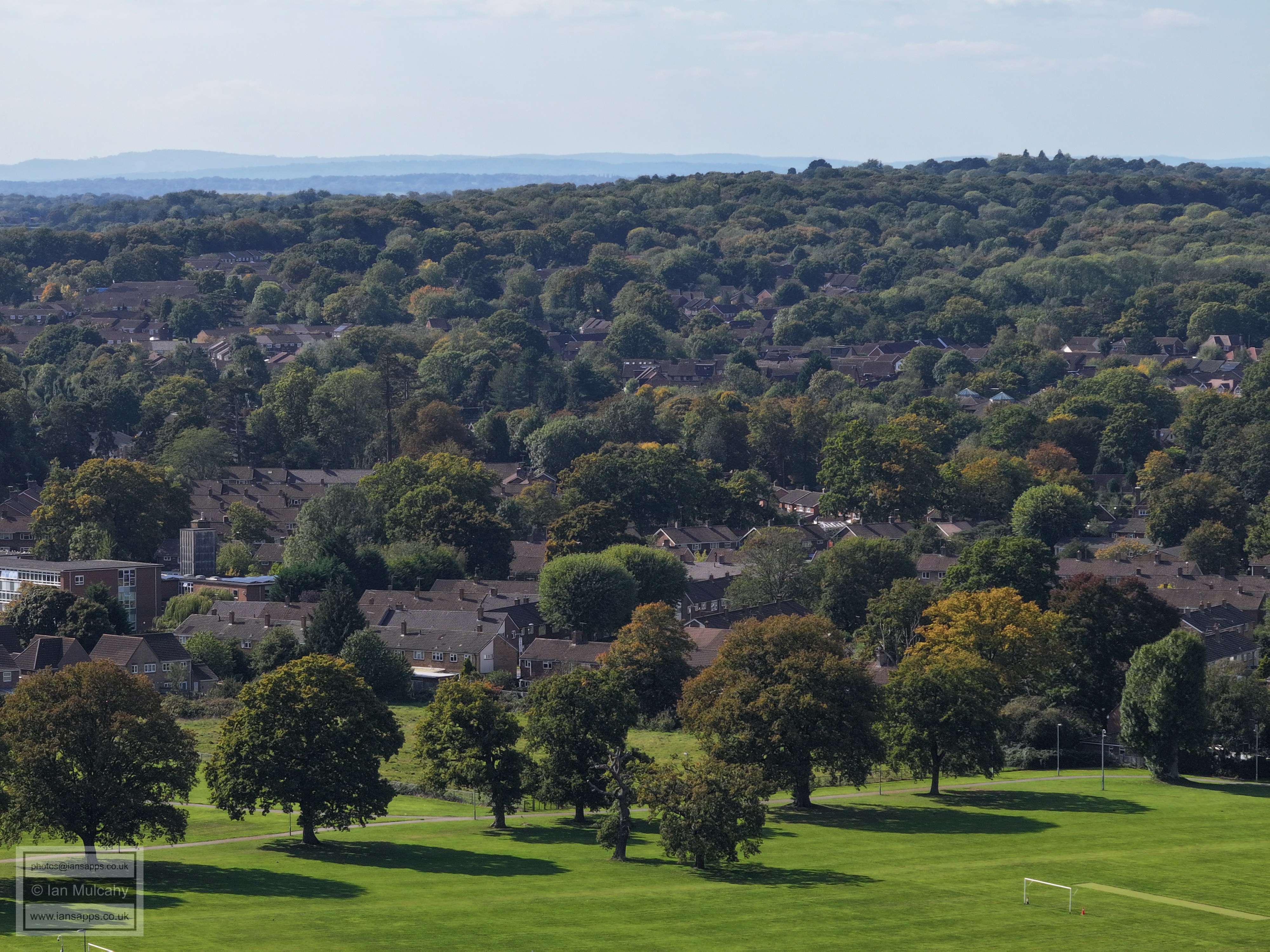
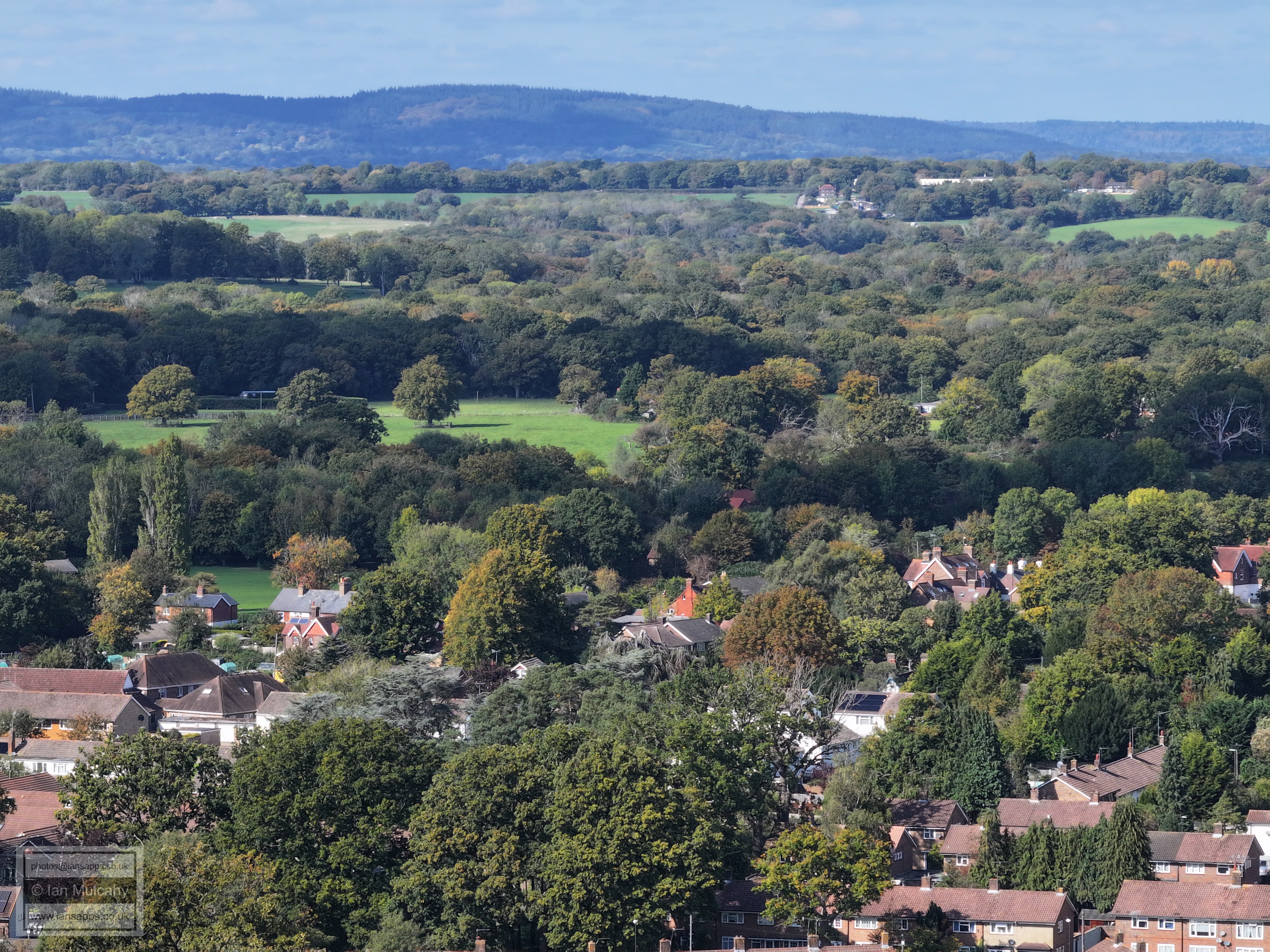
72 aerial images of varying focal length taken during an ATC approved flight above Ewhurst Playing Fields in Ifield on 30 September 2025.
I have annotated many of the photos.
Ewhurst Place
Ewhurst Place
Ewhurst Place
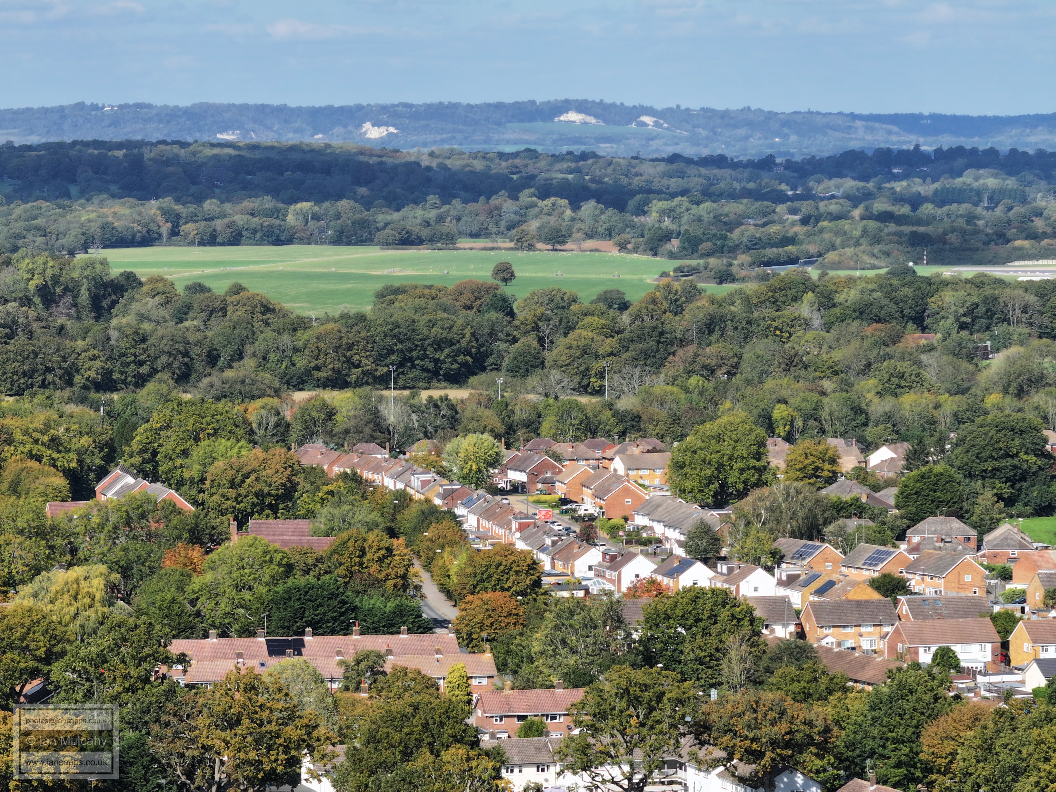
Ewhurst Place. Ardingly Close is just visible to the right, Ifield Drive is at the foot of the photo and the Findon & Climping Roads area is beyond.
Curly Wurly bridge.
Curly Wurly bridge and Ifield Roundabout
Deerswood Court
Ifield Parade, bottom centre. Bonwyckes Place in Ifield Wood is in the top right quarter.
Millfield Court and the Elim Church in Ifield Drive ar ein the centre of the photo.
Findon & Climping Roads area
Ewhurst Place. Langley Green dominates the top half of the image.
West Green, with the Town Centre beyond.
The Ifield Road area of West Green. Snell Hatch Cemetery is near the top in the centre.
ICC is in the top left quarter. Manor Green School just below and St. Margaret's School right of centre.
ICC, centre.
Manor Green School left of centre and St. Margaret's School in the bottom right corner.
Ifield Parade is in the centre and Deerswood Court in the bottom right quarter.
Just above centre is Ifield Green - spot the cricket sight screen and the nets. In the foreground is Ferring Close and Little Paddocks Close, off Friston Walk, is in the centre.
Findon Road is in the centre and Ifield Court is in the top right quarter. In the top right quarter is the tower at the Sanatan Mandir Temple.
The Climping Road area fills the bottom half with the Rushetts/Stafford Road area of Langley Green above. Our Lady Queen of Heaven school is far right of centre.
This picture mostly shows the Rusheets/Juniper Roads area of Langley Green. The clear road right of centre is Stagelands, which can be followed to Langley Green Parade.
The straight vertical road to the left of centre is Nightingale Close. In the centre is the playing field at Langley Green Primary School.
The road to the left above the town houses of Ardingly Close is Lark Rise. Ewhurst Woods dominate the right side of the image.
Ifield Road roundabout with Sainsbury's (left) and West Green Playing fields (right) beyond the north-eastern section of Ewhurst Woods, In the top right is the Leisure Park.
Furzefield & Deerswood Road at the bottom, with Crabtree road vertical just to the right of centre.
West Green parade and The Apple Tree are just to the right of centre. West Green primary School and The Charis Centre are to the left of, and slightly above, centre.
In the extremes of the bottom right quarter is Deerswood Road. Ginhams Road to the right of centre.
Deerswood Road to the left and Ifield Road to the right. In the centre close to the top is St Wilfrid's School.
Snell Hatch & The Dingle area. In the top right quarter, the white houses are in Filbert Crescent, Gossops Green.
Langley Green Parade in the bottom right quarter. Cherry Lane Playing Fields across the centre. Nutfield Priory atop the hill below the North Downs, just to the left of centre.
The spire of St Michaels at Lowfield Heath is in shade just in front of the airport a little right of centre. Langley Green Parade and Primary School are bottom left. In the centre is Pitch 7 at Cherry Lane Playing Fields.
In the bottom half of the pic is the Langley Drive and Honeysuckle Lane area.
Swallow Road runs from left to right diagonally across the bottom of the image. The Honeysuckle Lane and Denchers Platt areas are beyond. A little left of centre and slightly up the minaret of the mosque can be seen, immediately below one of the Thales signs on their building. In the distance, just above the area in shade and slightly left of centre, is a dome at Tinsley Green Sewage Works.
Right of centre is the Crowne Plaza. Maiden Lane and Ewhurst Woods are at the bottom.
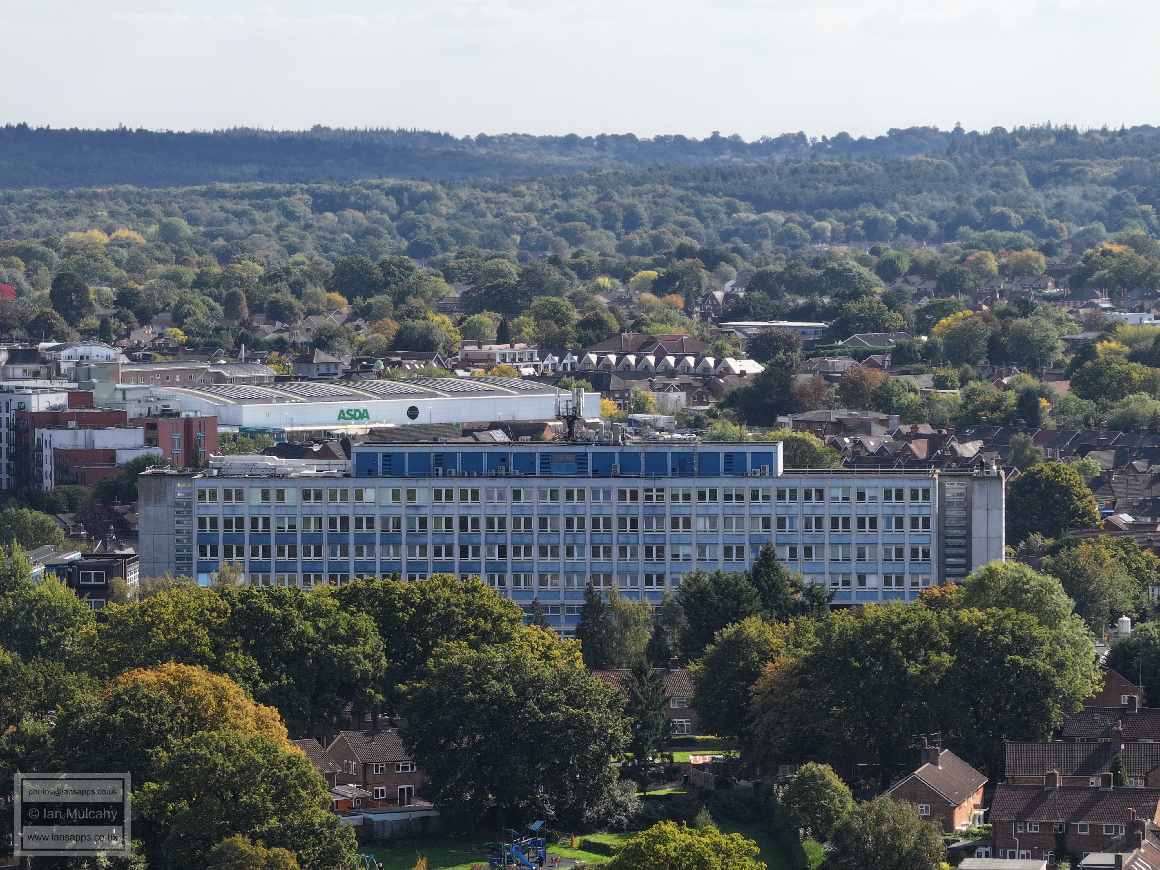
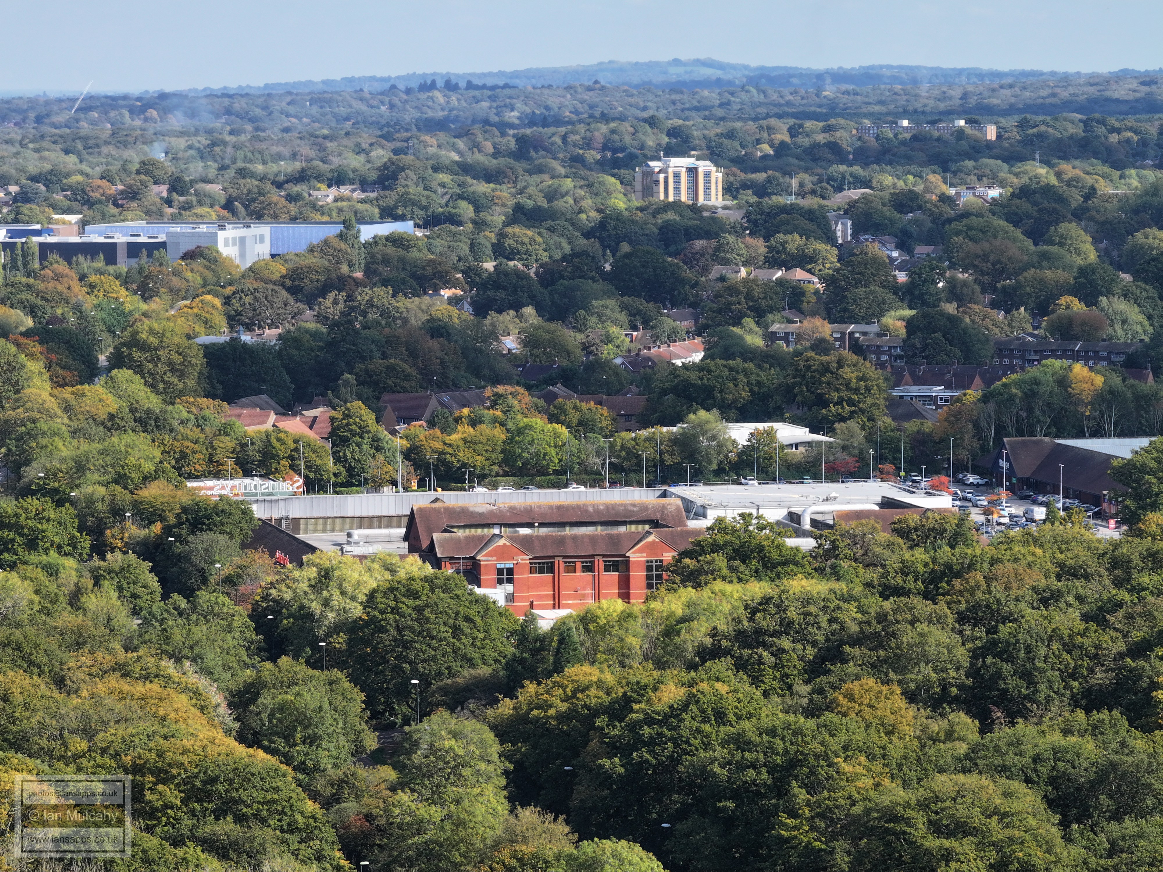
Sainsbury's, bottom right.
Sainsbury's and The Range. In the top left quarter is the Sandman Hotel and to the right of that are Milton Mount Flats.
West Green Park and the Leisure Park.
Ifield Avenue in the bottom left quarter and the Firestation training tower is just below centre. The telephone exchange is on the far right in the top right quarter and at the top, just right of centre, is the tower of St Leonard's Church in Turners Hill.
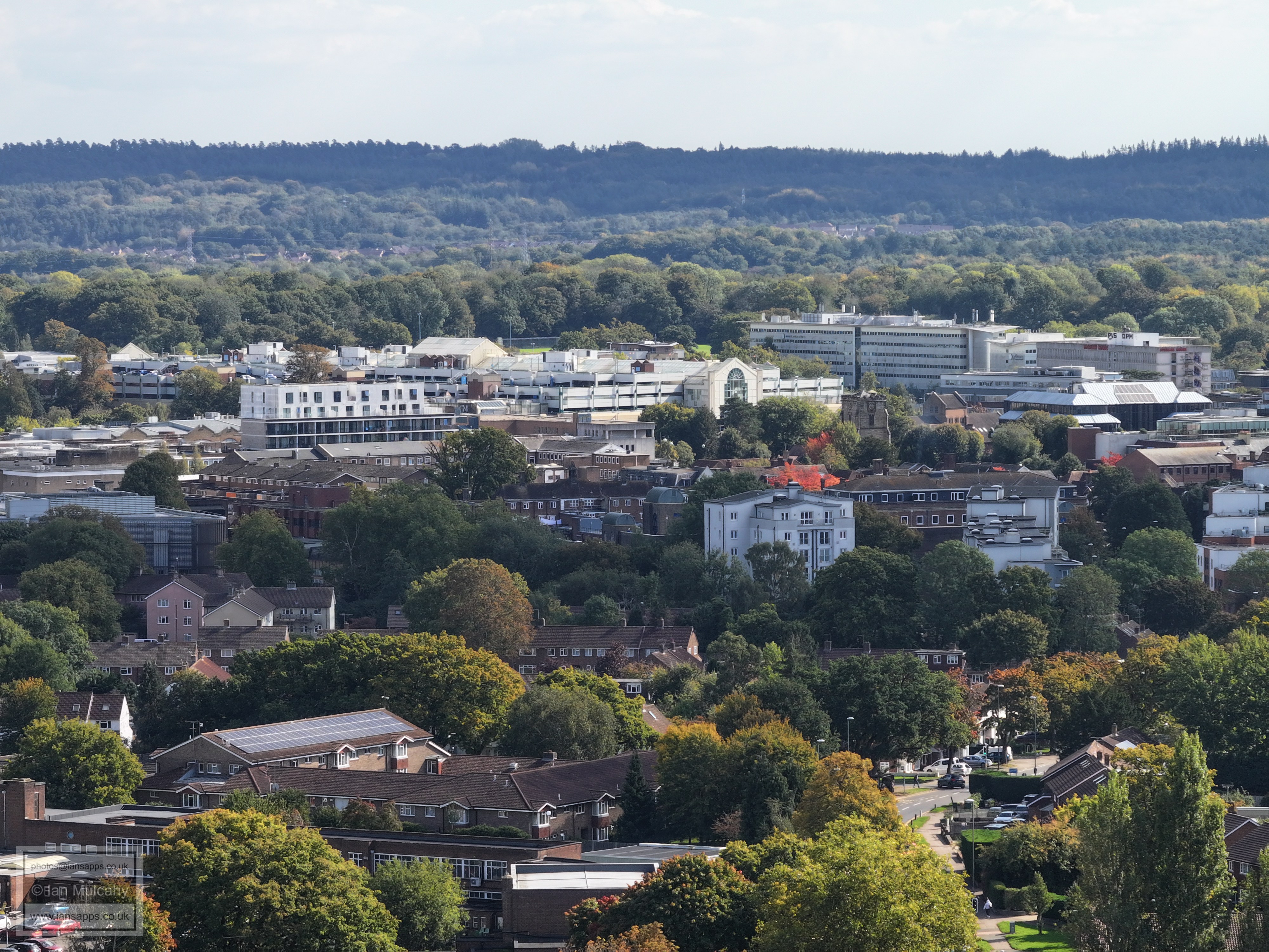
Crabtree Road at the foot of the image. The Town Hall, Geraint Thomas House and Woodhall Duckhams are the most prominent features across the centre. The college tower is obscured by the Town Hall.
The Charis centre is bottom right and in the centre is the Queens Square area with most of County Mall visible above. The grey, cube like building left of centre is Decathlon, to aid bearings.
St John's church is just above centre, with County Mall, The Arora Hotel and Overline House above. West Green primary School is right at the bottom.
Just above Asda is the coned roof of The Rocket (or Railway) and to the right of The Rocket is the domed roof of Nightingale House.
The spire of St Mary's at Southgate is just about visible in the top left quarter, albeit heavily camouflaged by trees. Left of centre near the top, just above a little open green area, is the main car park at Tilgate Park. Between this and the spire, Southgate Parade can be identified. The dead end in the bottom right quarter is Ewhurst Close.
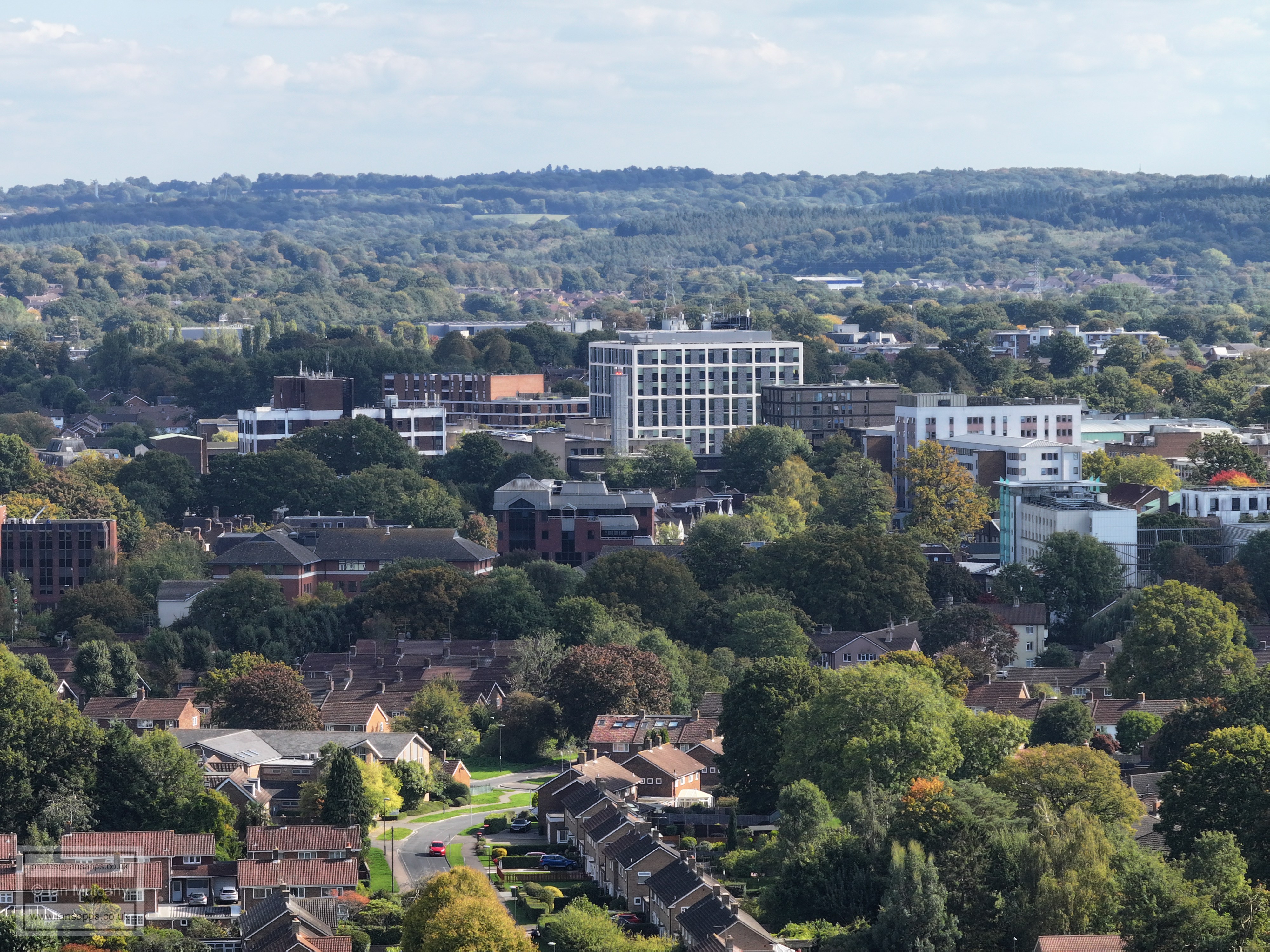
Just left of centre at the top is Slaugham Water Tower on high Beeches and below and to the right is the roof of K2. In the foreground is Ginhams Close with the Ifield Road and Albany Road area above.
In the bottom left quarter is the Ifield Road and Albany Road junction and in the centre is Goffs Park. In the top left quarter is the Caburn heights area of Southgate West on Hogs Hill with Broadfield Park business centre immediately above and left of centre to the right of the previous are the white walls of Broadfield House. Top centre is Woodgate at Pease Pottage and Tollgate Hill is in the top right quarter.
In the bottom left quarter is the Ifield Road and Goffs Lane junction with St Wilfrid's School in the centre. Broadfield Dominates the top third of the image with the Barton visible on the right.
To the right of and below centre is the footbridge over the railway at the end of Goffs Lane with Snell Hatch Cemetery below. Top centre is the radar station at Pease Pottage.
Snell hatch Cemetery is at the bottom of the image and right of centre is the Oatlands area of Gossops Green. Peeking over the near ridge in the very top right is Chanctonbury Ring
Filbert Crescent in the centre and the western part of The Dingle at the bottom. In the top right quarter are Bewbush shops.
The tennis courts at ICC are just visible below centre. Beyond are The Croft & Nurserylands in Gossops Green. Kilnwood Vale and Holmbush House are in the top right quarter.
ICC & The Mill Primary at the bottom, with Southwater close in between the two schools. The Croft & Nurserylands in Gossops Green are above ICC and Bewbush is on the far right near the top. In the top left quarter is the western end of Kilnwood Vale
At the top of the photos is Ifield West and Hyde Hill, with a little bit of Bewbush muscling in on the far left. In the foreground are the ICC playing fields and the Shipley Road area of Ifield.
Te odd bit of Ifield Golf Course can be seen between trees just above centre and the green area just below centre is Rusper Road Playing Fields. The road junction is the (northern) Shipley Road and Ifield Junction and the new houses bottom right are on the old ICC site.
The white house left of centre near the tp is Old Park on the Rusper to Horsham Road. The foreground is the development on the old ICC site, with Ifield Doctors in the bottom right corner. Ifield Drive and Rusper Road are immediately above, with Ifield Brook Meadows and the fields of Ifield Court Farm across the centre.
Ifield parade, bottom right. Patching Close is in the centre. Ifield Brook Meadows and the fields of Ifield Court Farm are across the centre and Rusper is top centre, though no recognisable buildings can be seen through the trees.
A third of the way down the centre is Bonwyckes Place and right of centre is the weather vane of the spire of St Margaret's Church. Ifield Parade, Linchmere Place and Lancing Close are at the foot of the image.
In the top left quarter is Hillybarn Farm and in the top right as a barn at Ivy House Farm on Partridge Lane. Right of centre is one of the sight screens on Ifield Green. The white house in the bottom right corner is next to the junction of Warren Drive and Ifield Green.
The cricket nets and cricket club on Ifield Green are to the right of and just below centre. In the top right quarter is 'Druids', on the path to Ifield Court. At the bottom is Warren Drive and above that, to the right, is Old Manor Close.
Ifield Green and Langley Lane area across the bottom of the image. Ifield Court is across the centre and Russ Hill Hotel is in the top right quarter.
Kirdford Close is in the bottom left quarter and Hardham close in the bottom right. The Apple Tree estate is above, and the grazing fields at Ifield Court are beyond. The white house on the hill in the top right quarter is close to the Lowfield Heath Windmill on Russ Hill.
The Sanatan Mandir Temple, centre, with Graffham Close below and Box Hill on the Horizon.
Stafford Road is in the centre with Crawley Rugby Club beyond. Th etop 2 or 3 feet of the tower of St Nicholas Church in Charlwood is visible in the top left quarter just where the shade meets the light above the open fields, but you'll do well to spot it.
Rushetts Road and Langley Walk
Hare Lane at the very foot of the image and to the left. Brock Road and Rushetts Road beyond.
Brock Road, Rushetts Road and Squirrel Close
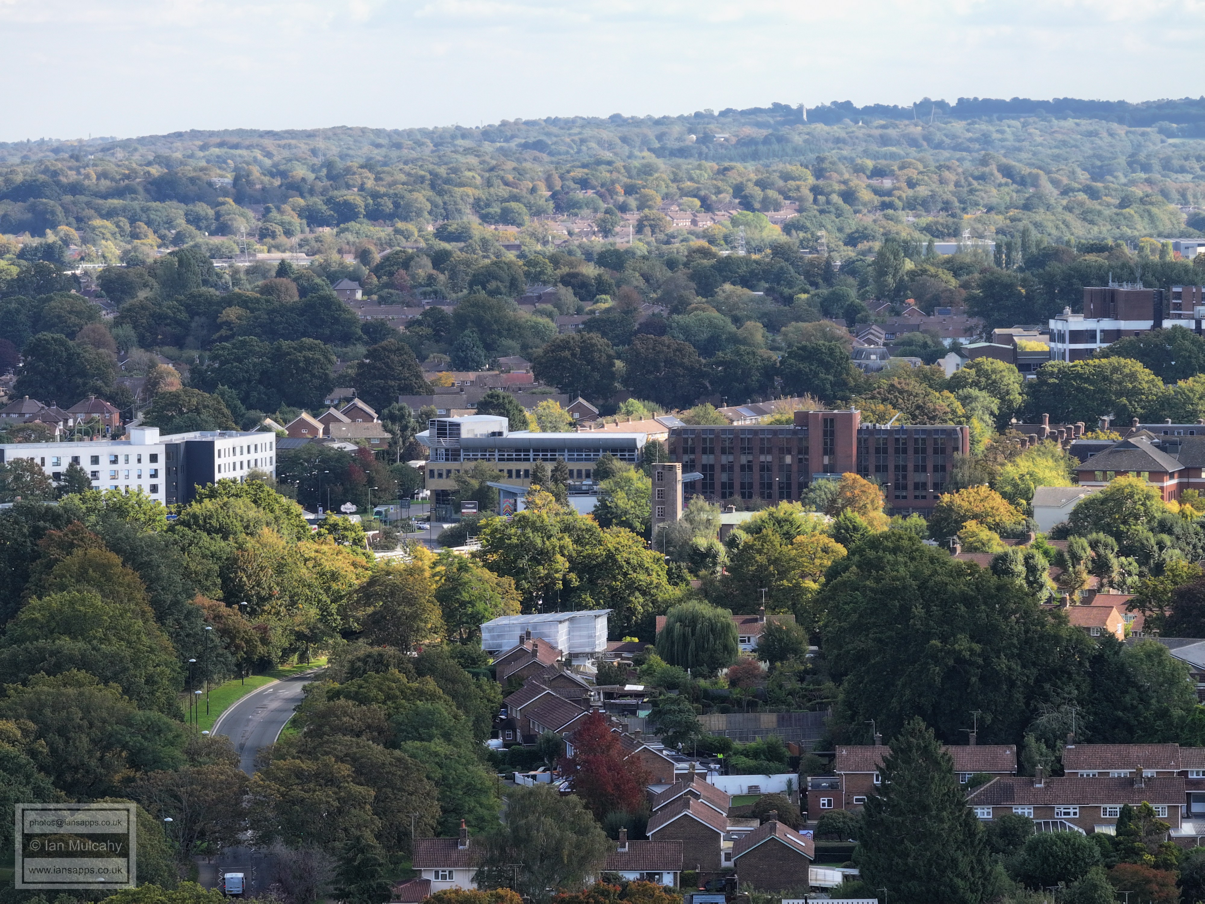
Crawley Hospital
County Mall, with St John's Church immediately to the right of the front.
Crawley Town Hall
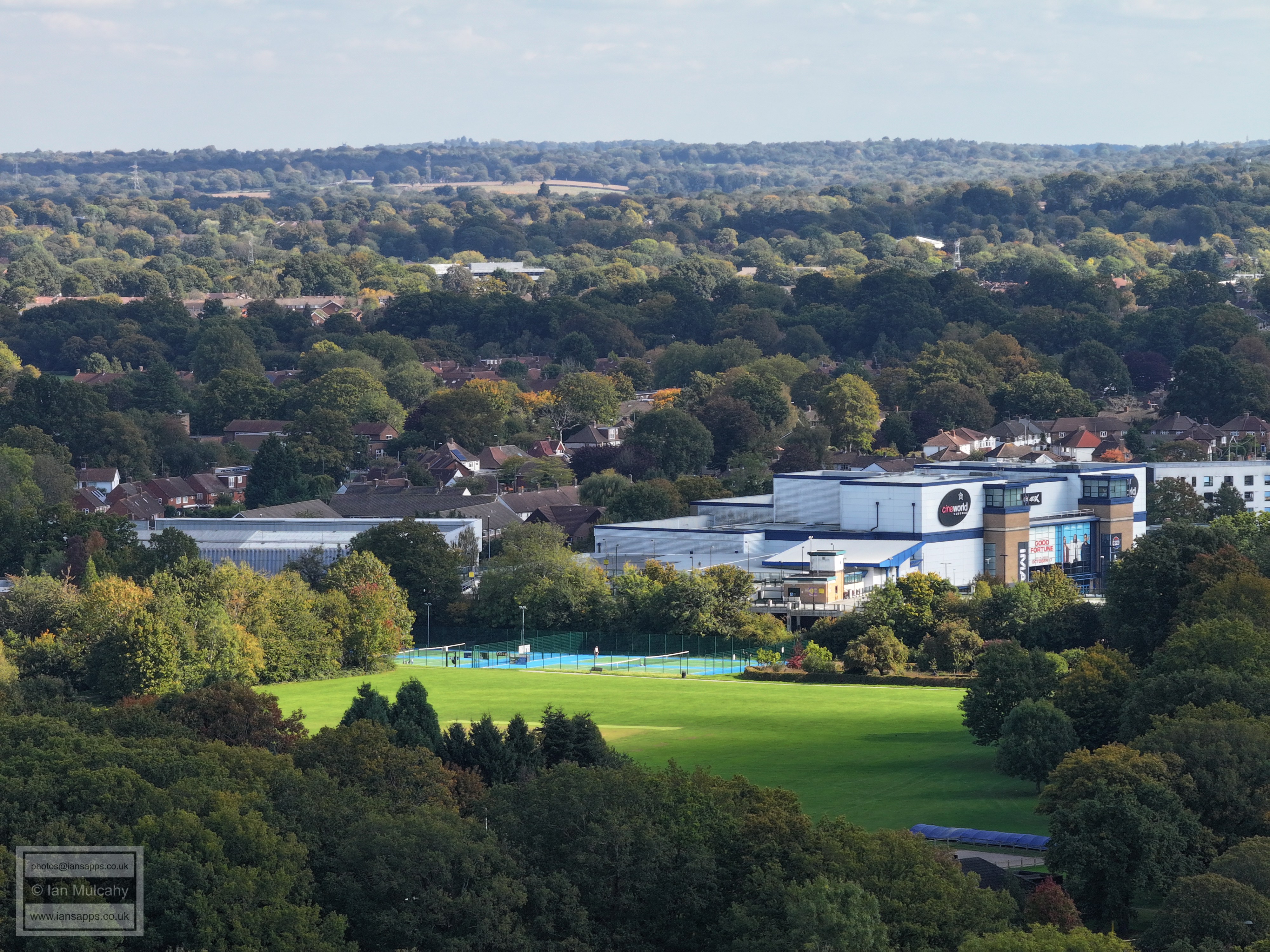
Crawley Leisure Park
Sainsbury's
A lower view of Deerswood Road, Crabtree Road and Crawley Town Hall.
Text & photographs © Ian Mulcahy. Contact photos@iansapps.co.uk or visit my 'Use of my photographs' page for licensing queries (ground level photographs only). |