Palatine Park
Worthing
West Sussex
8 November 2025
64 aerial photos
|
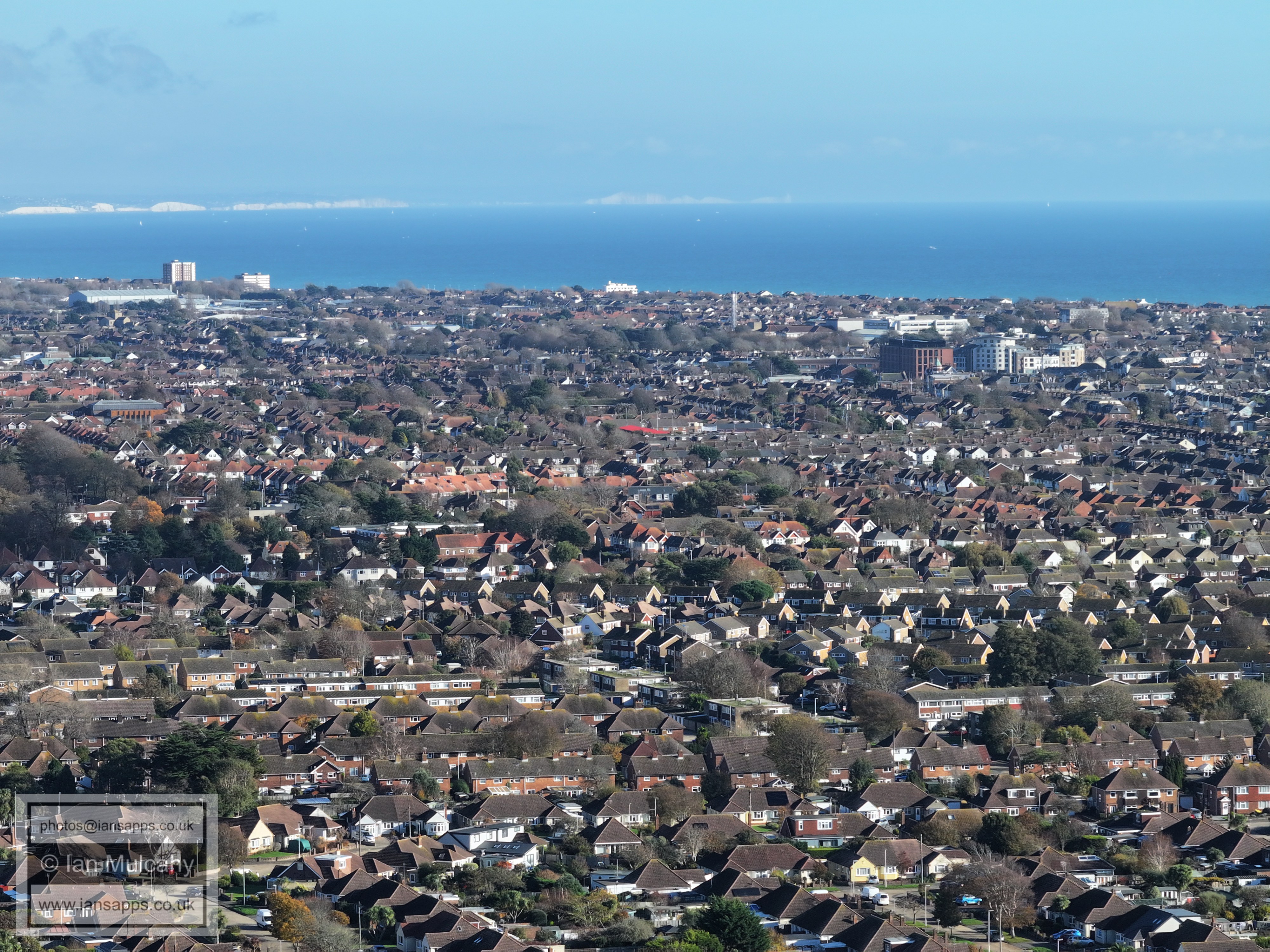
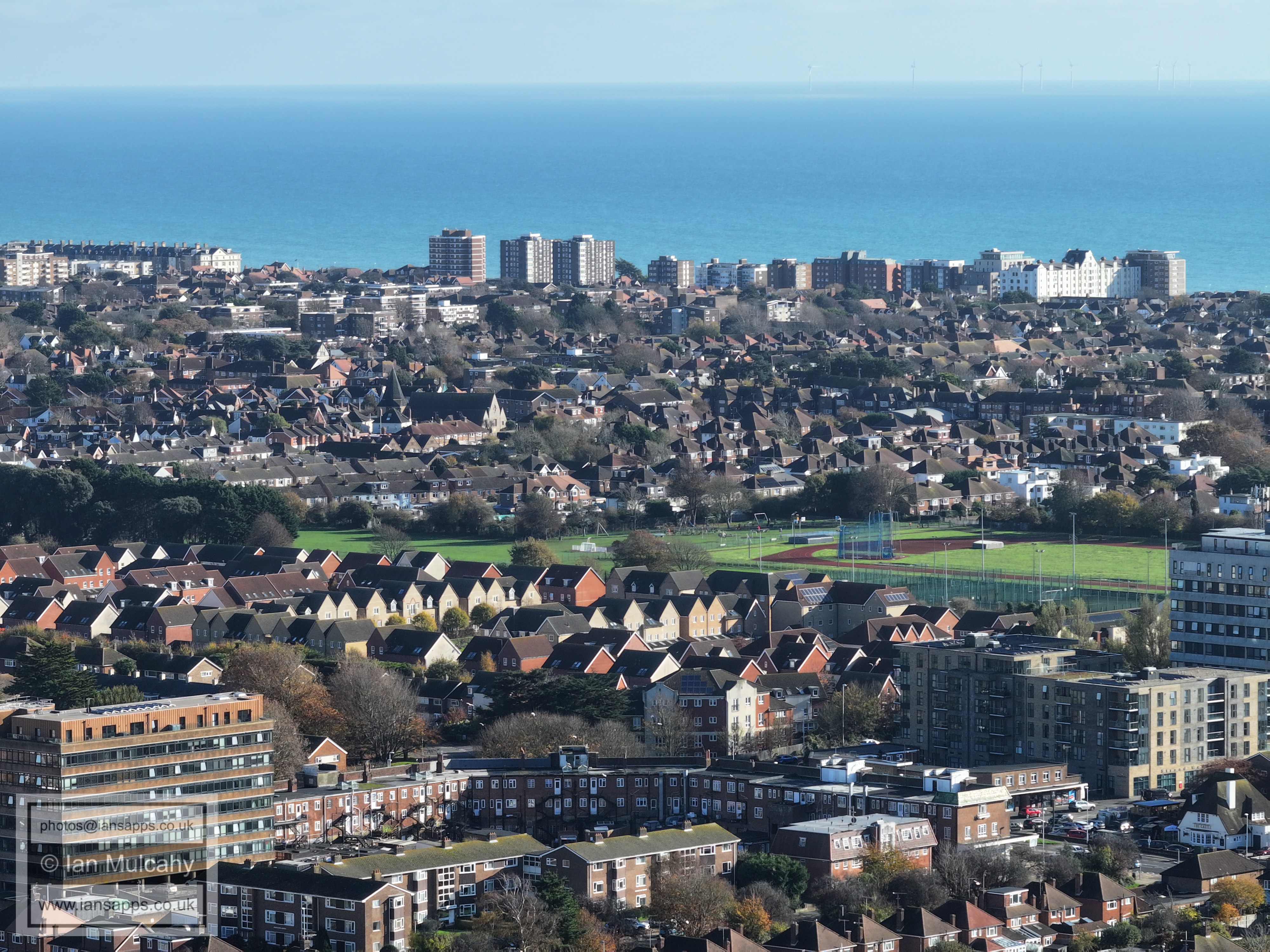
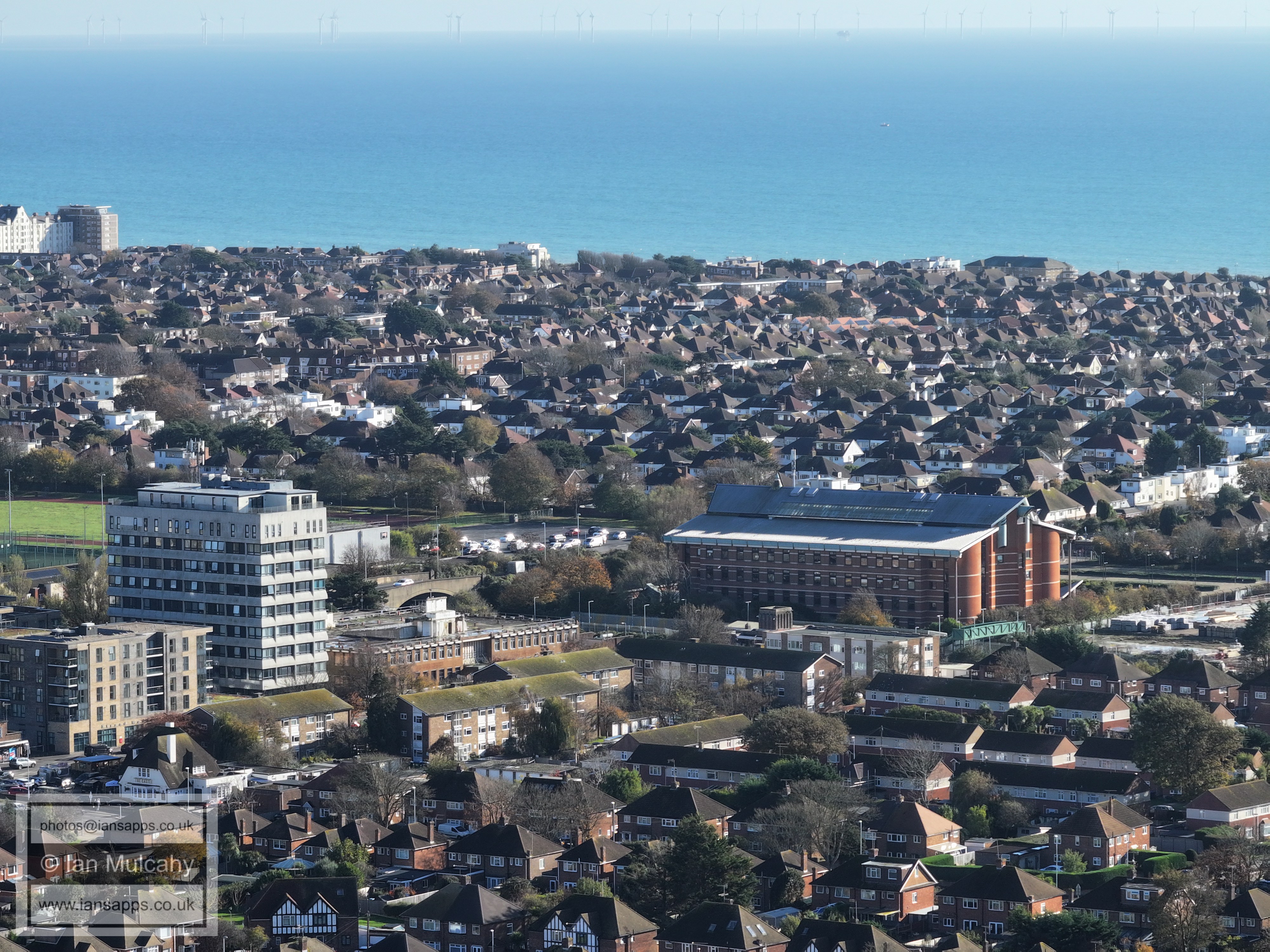
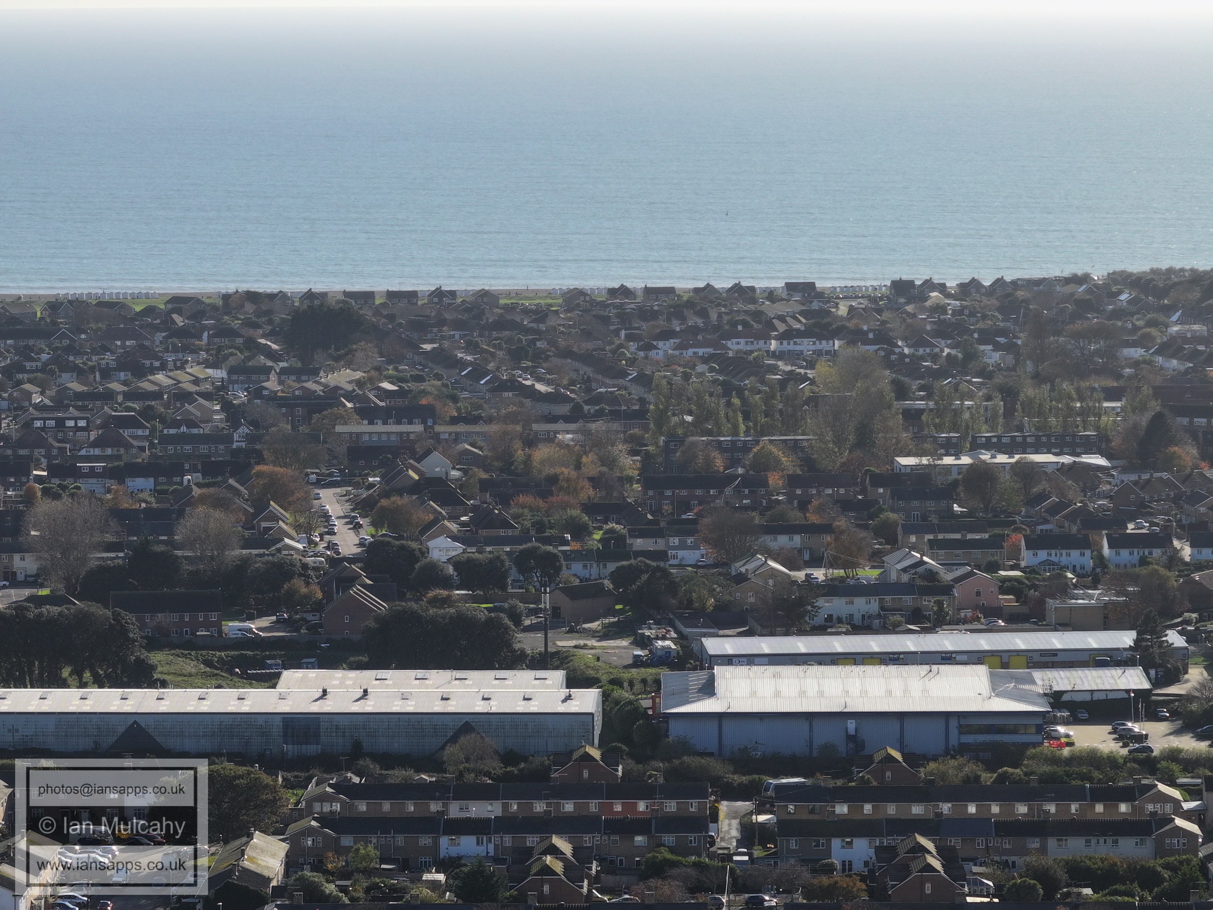
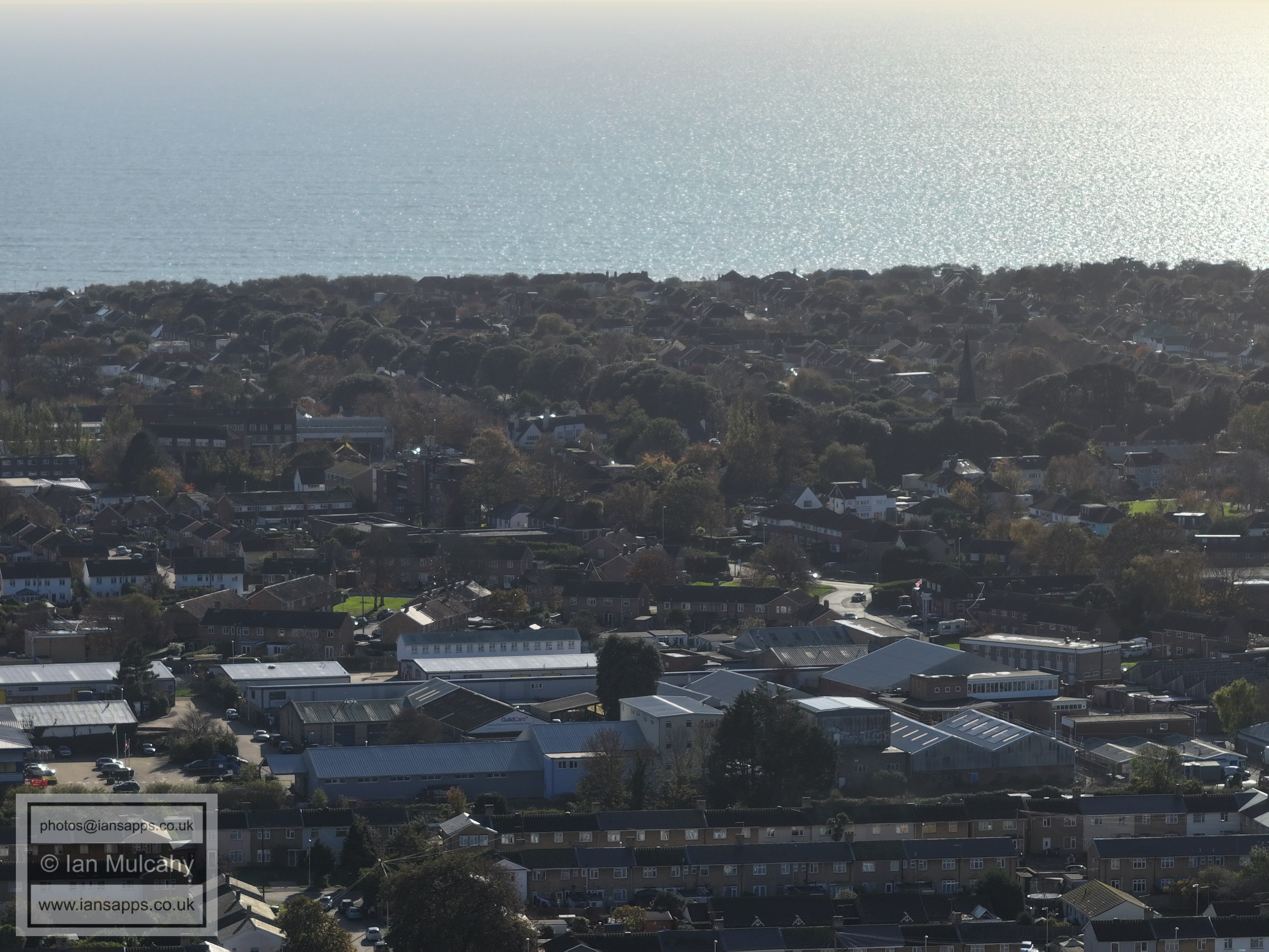
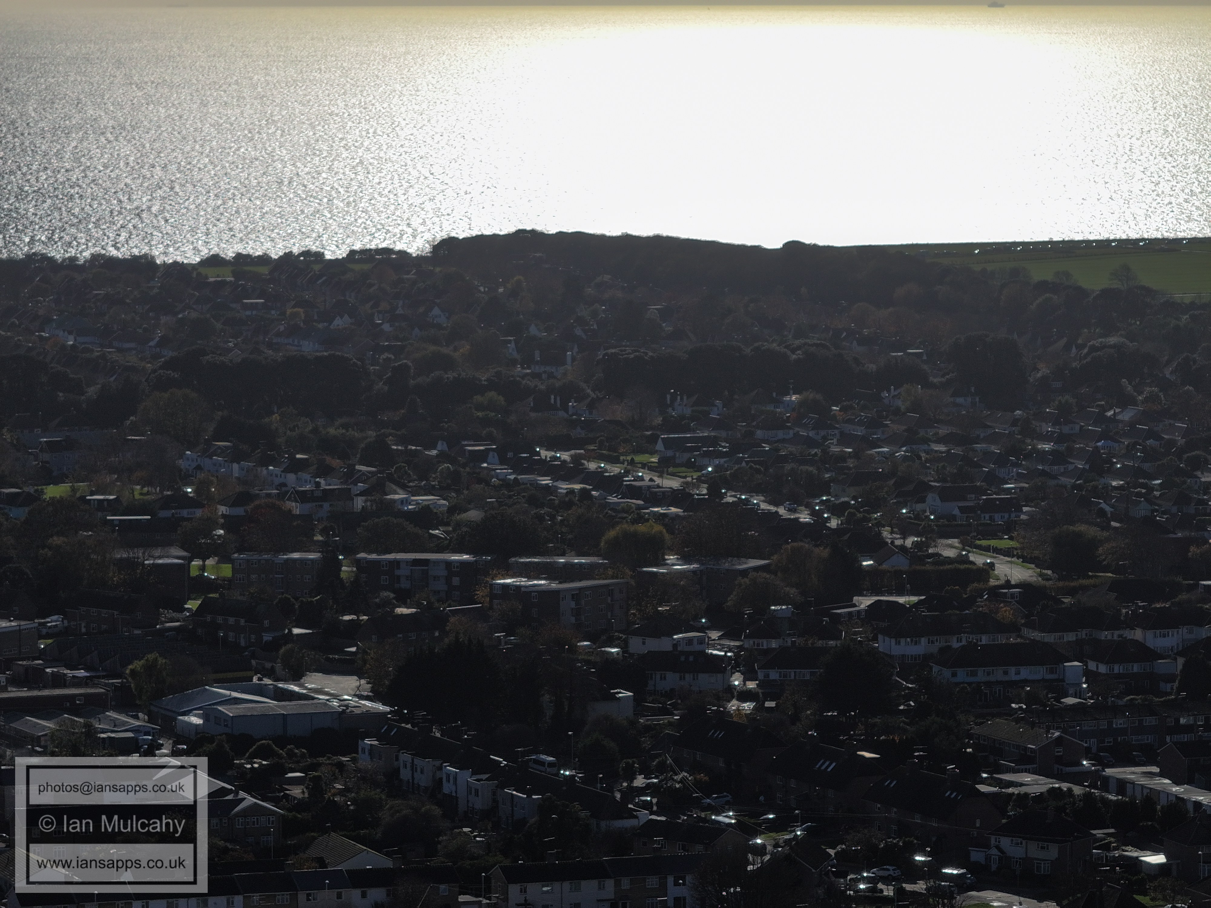
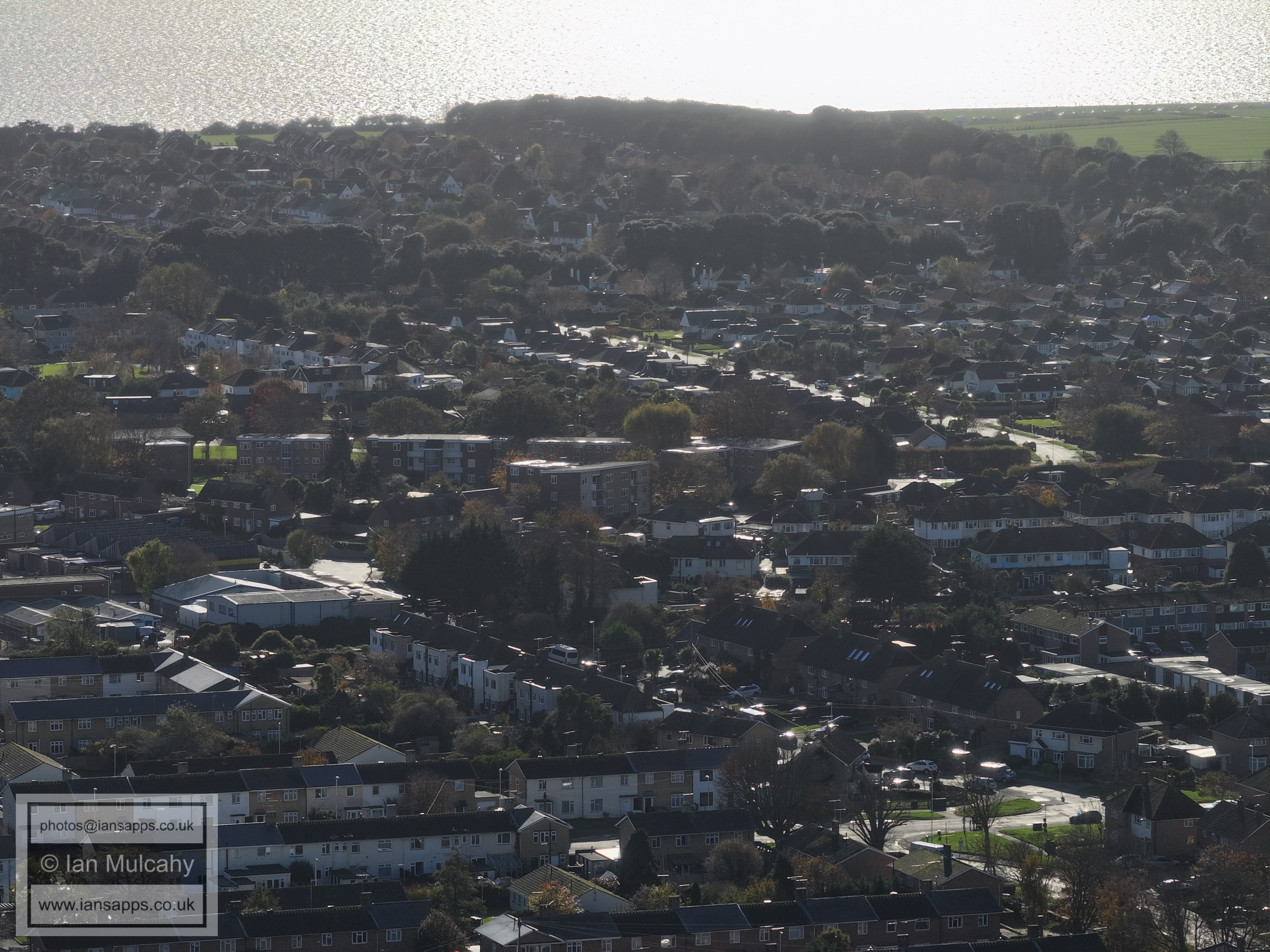
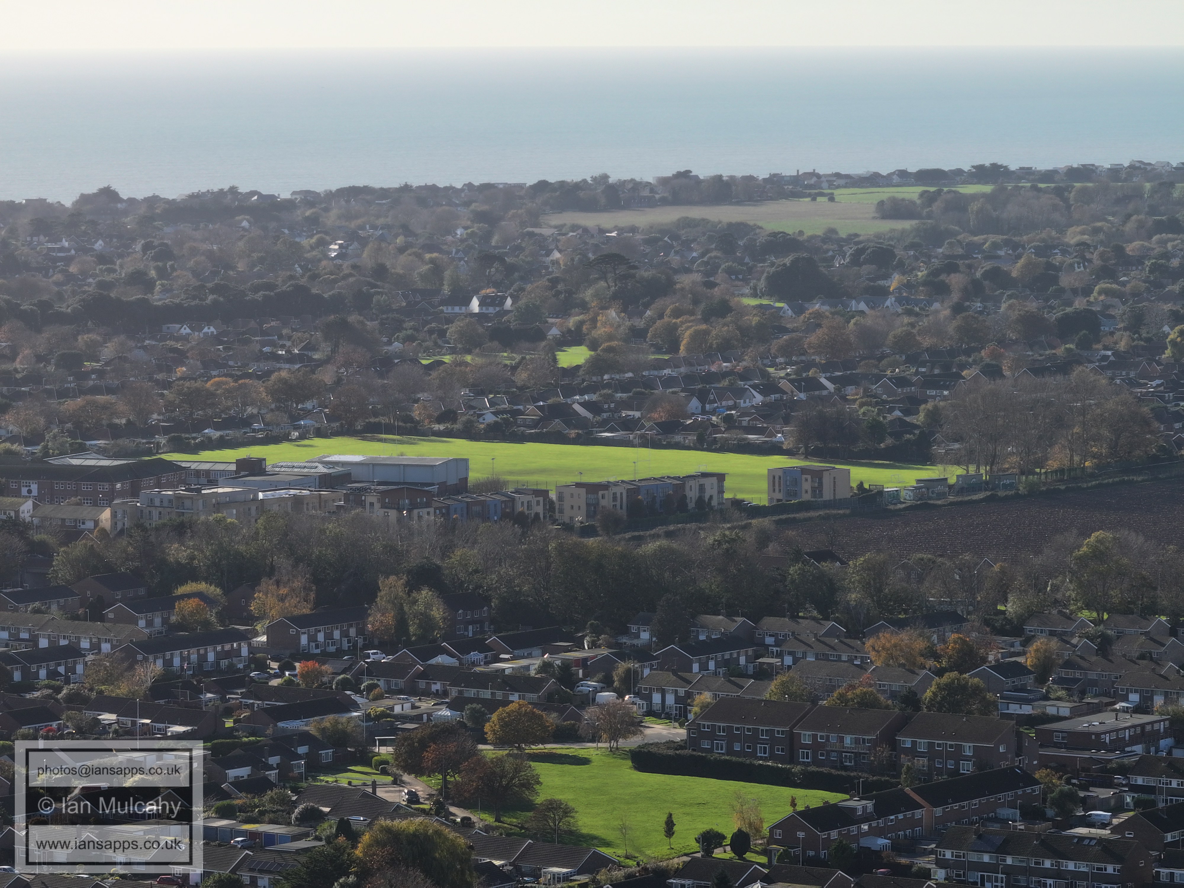
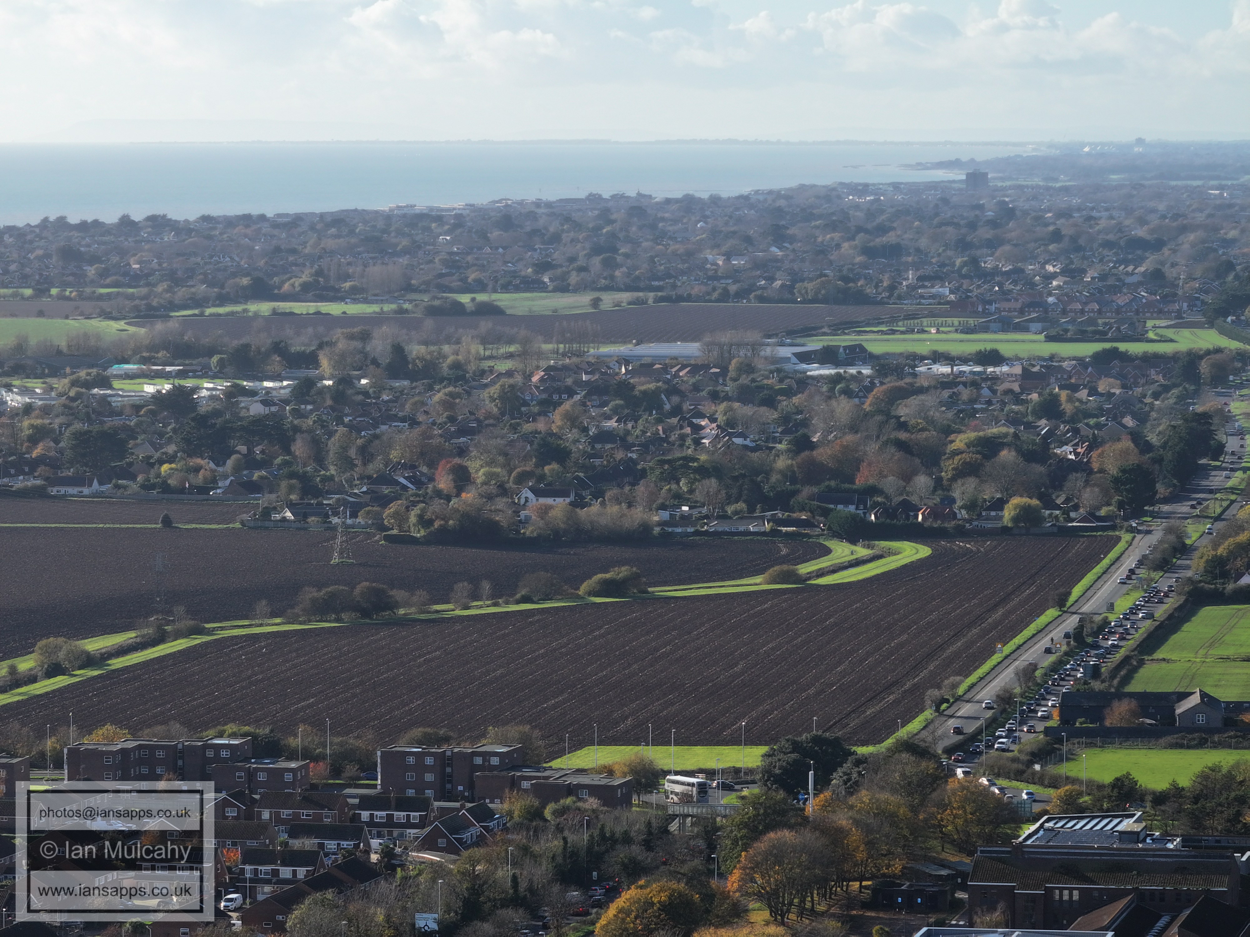
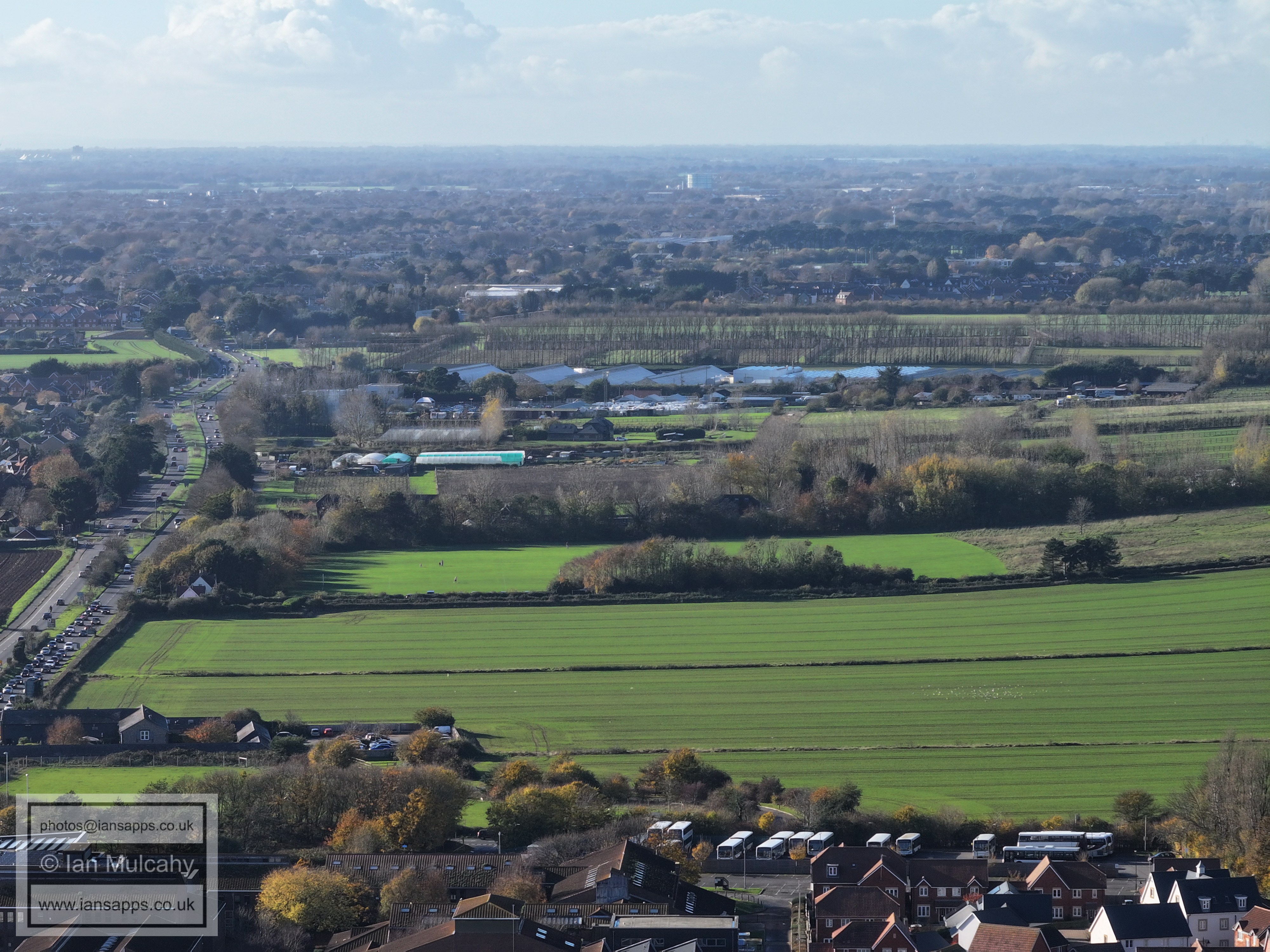
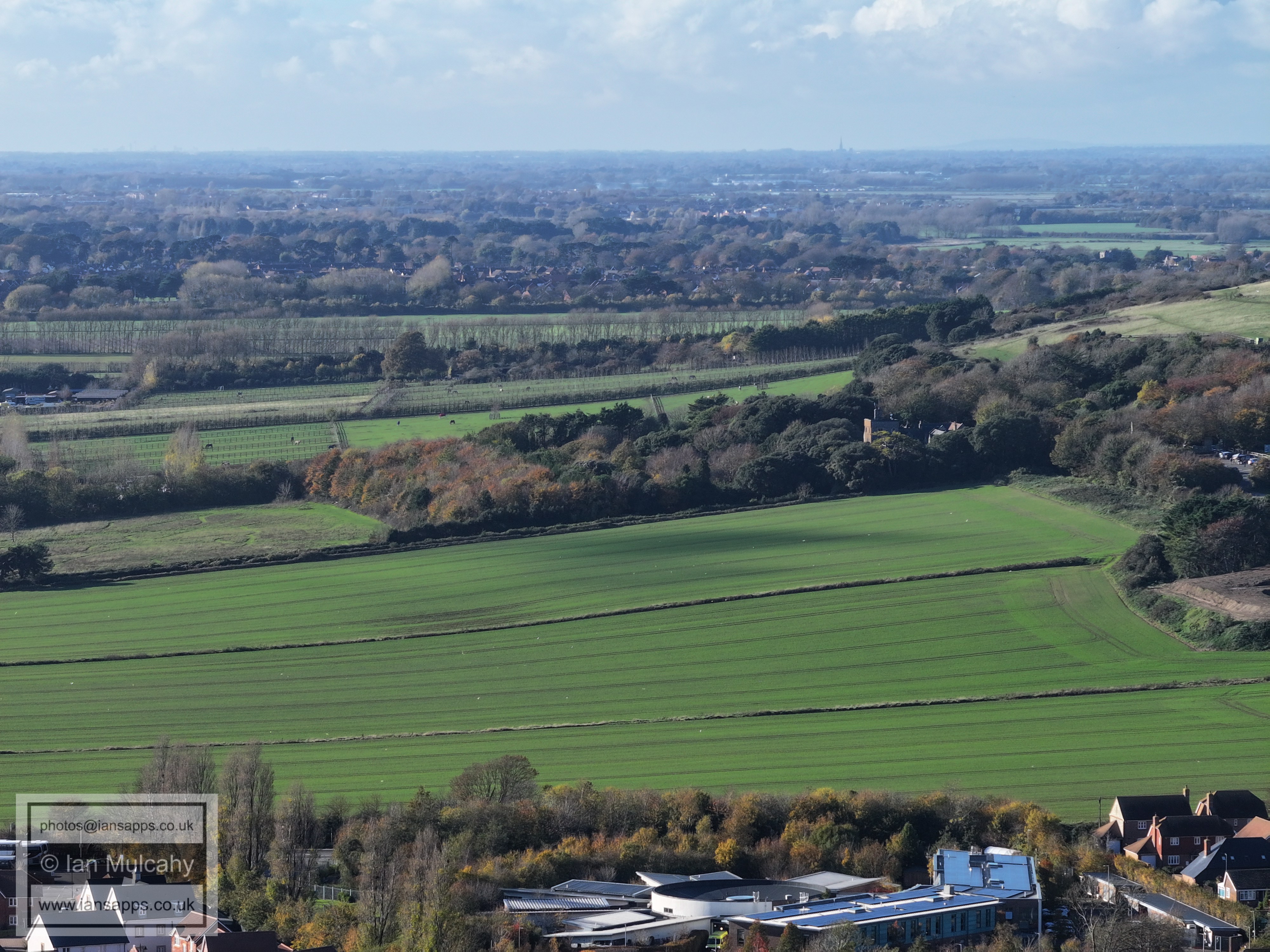
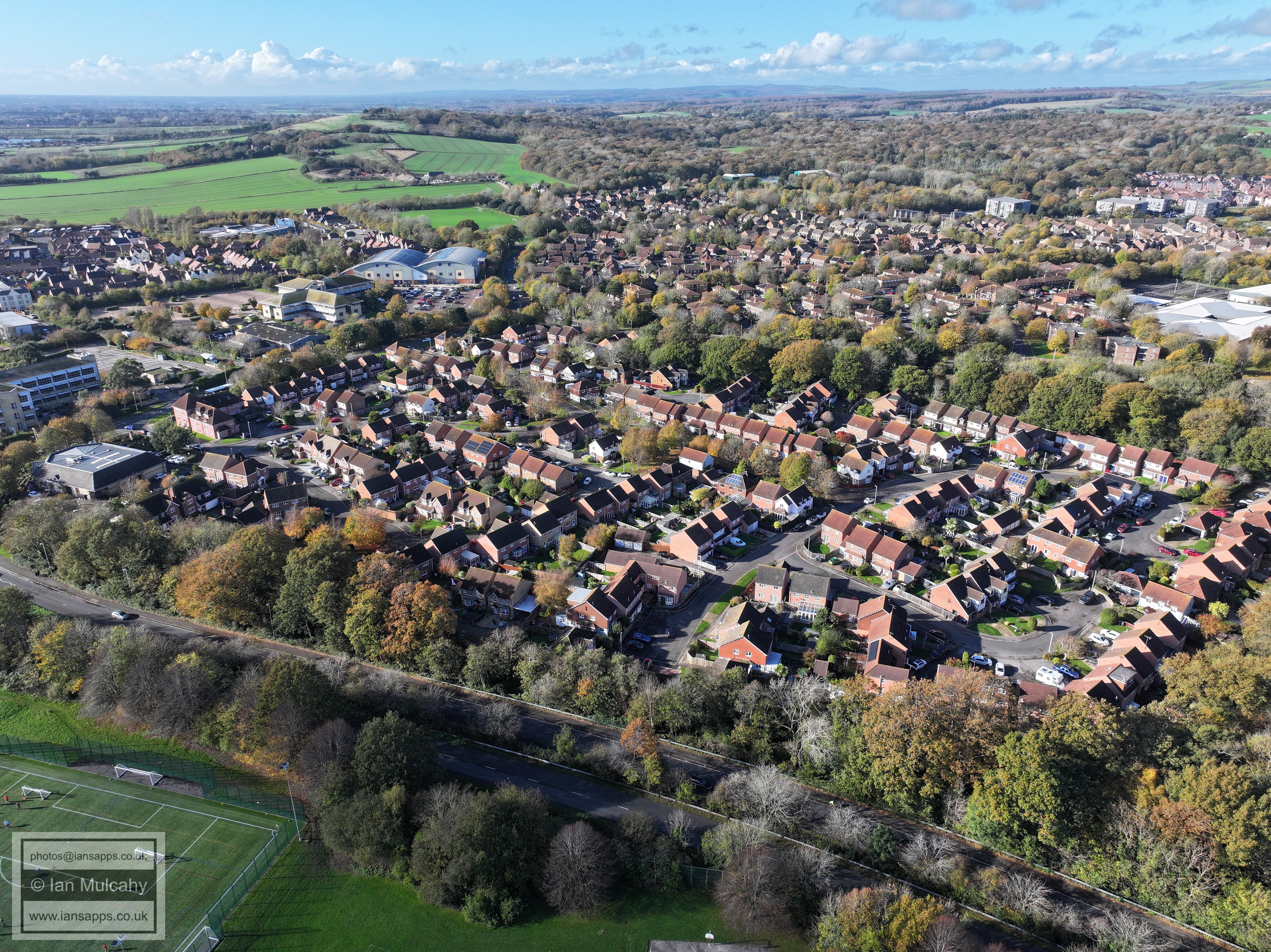
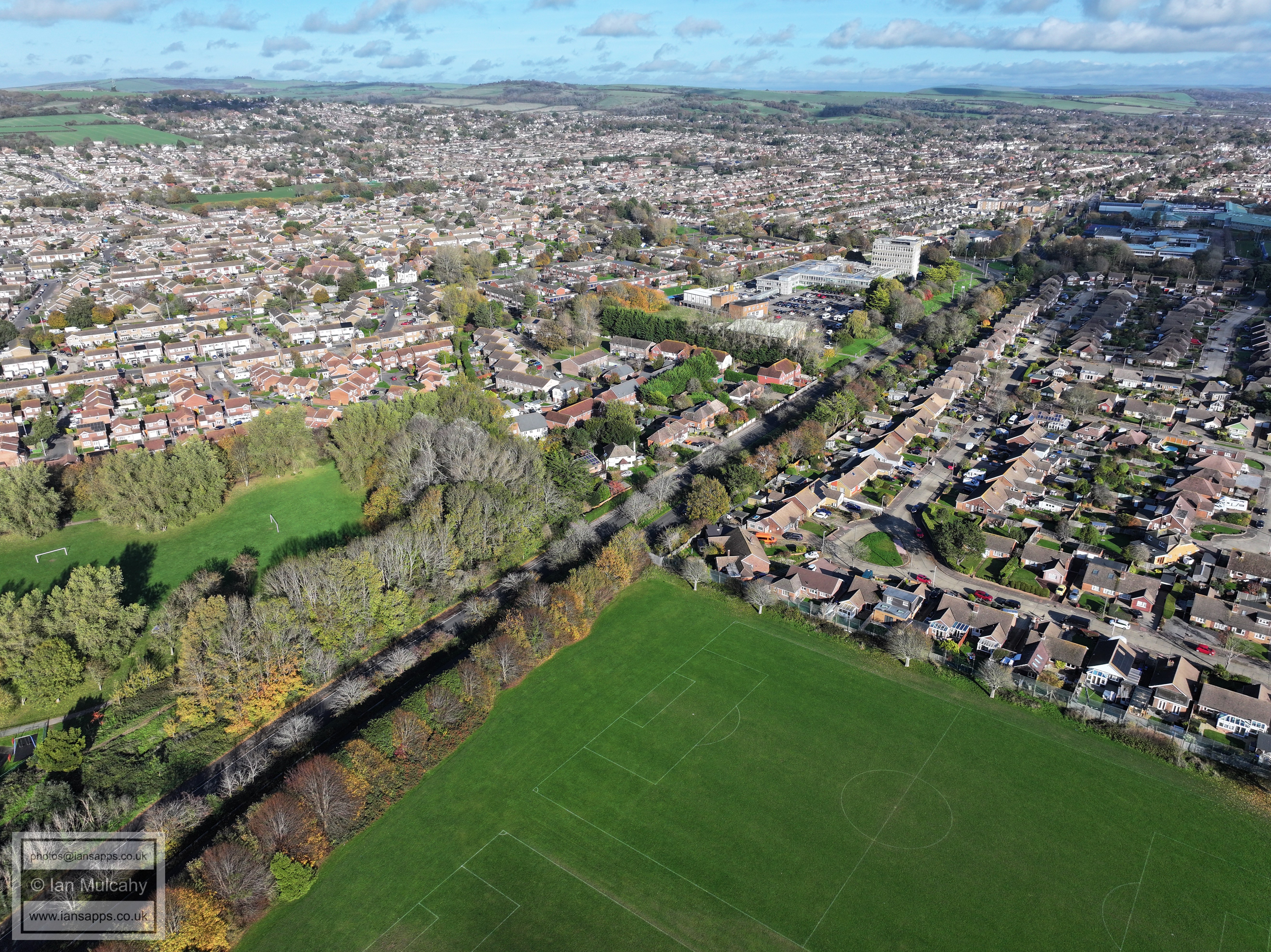
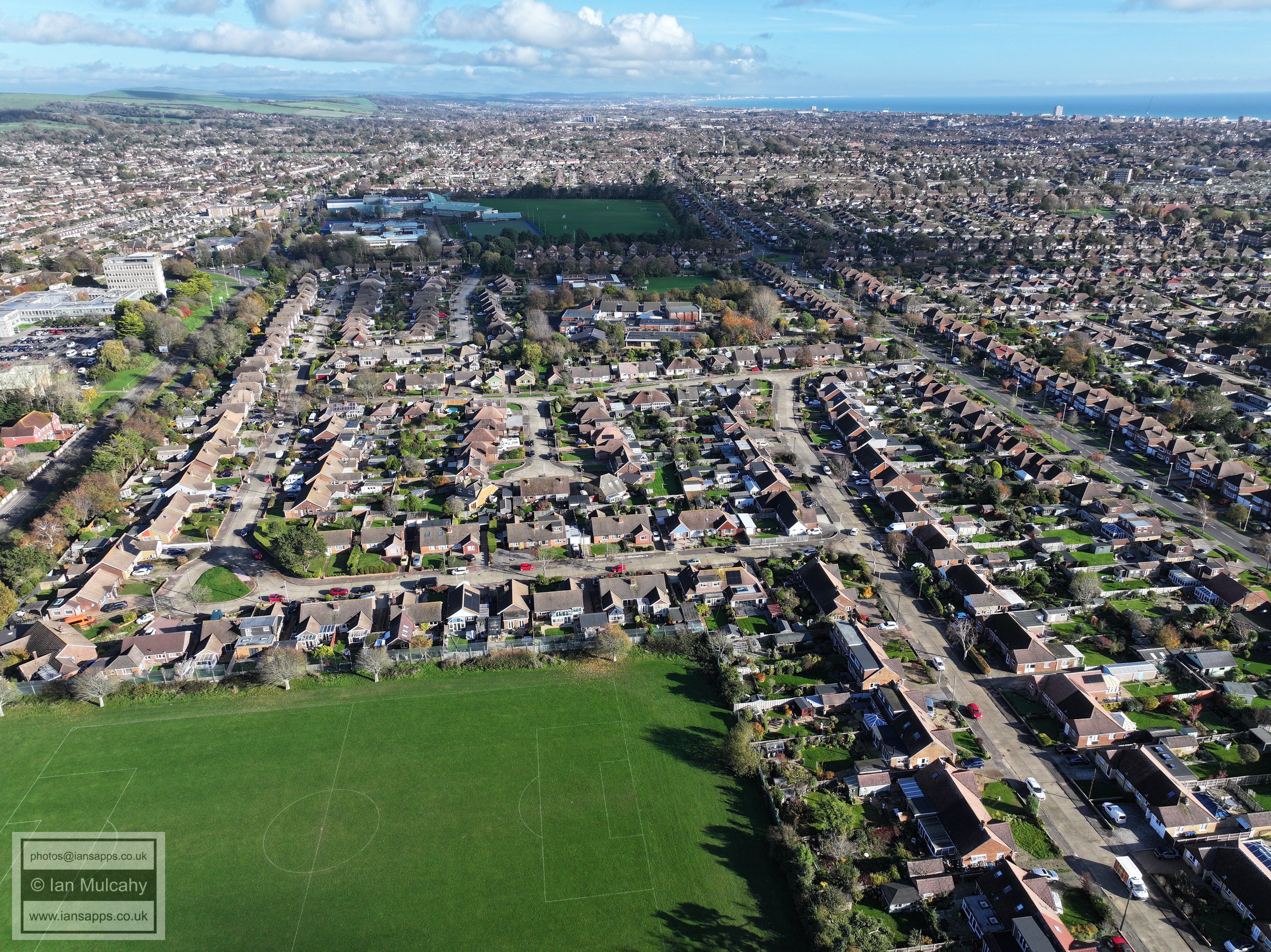
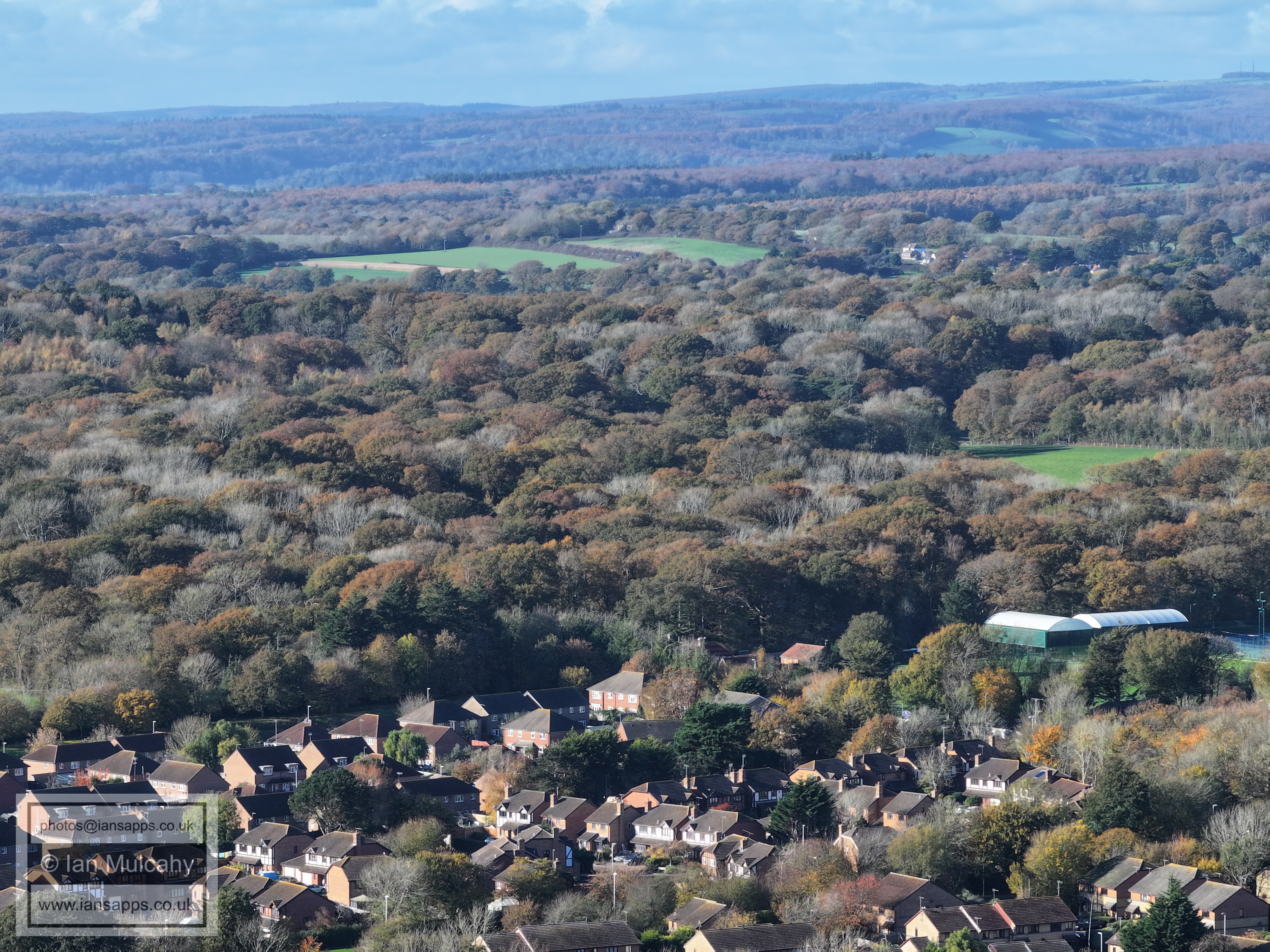
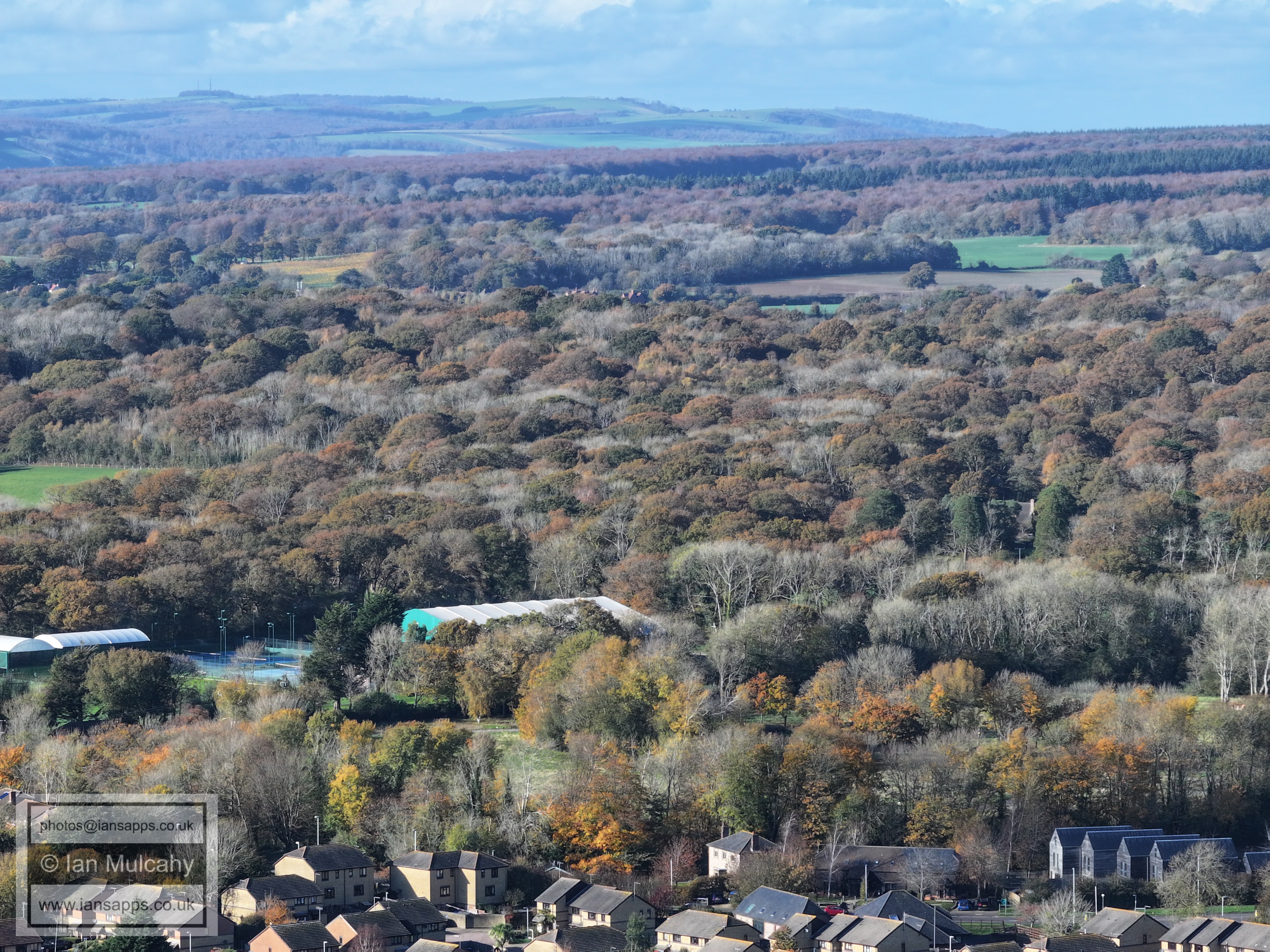
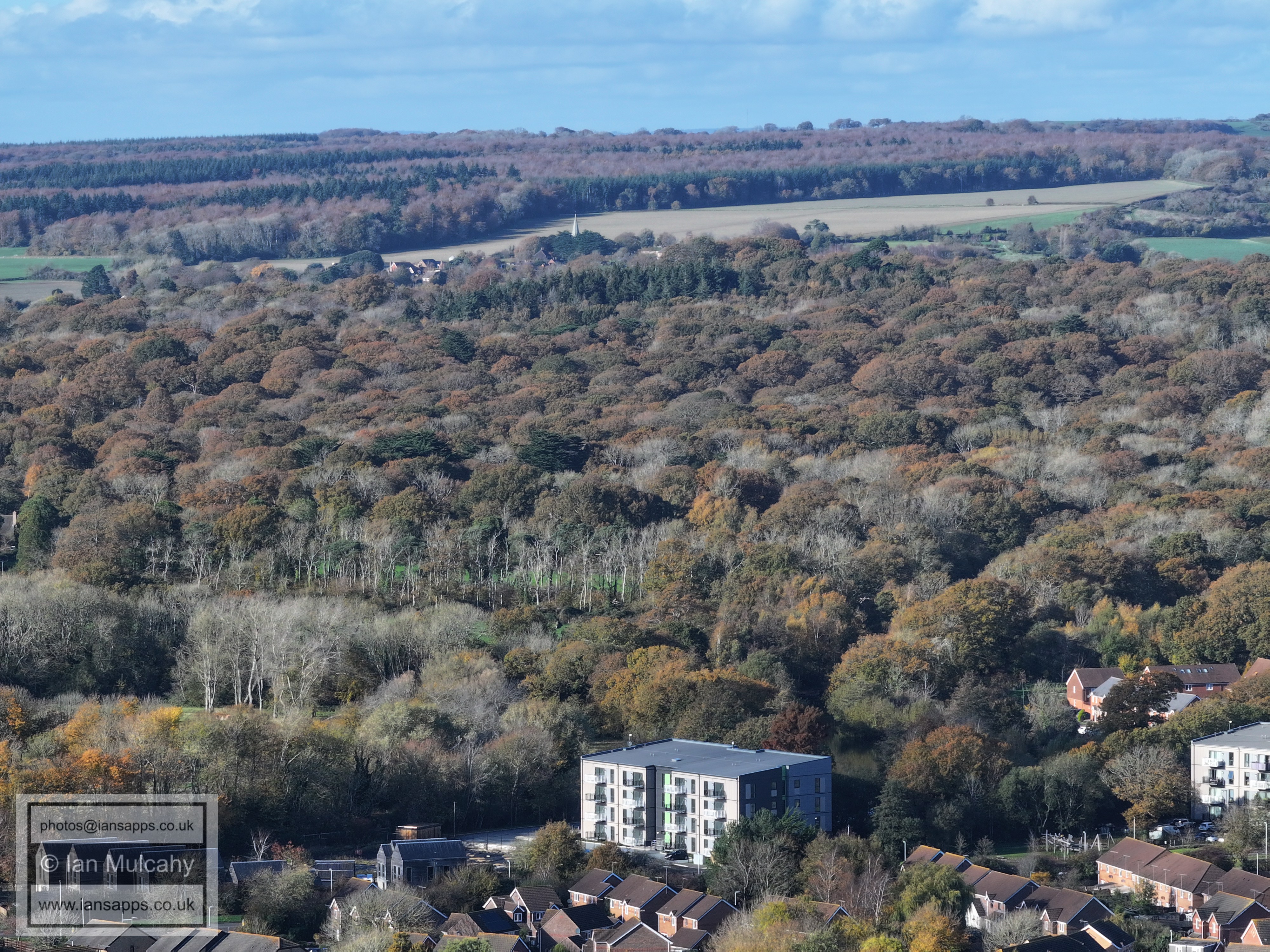
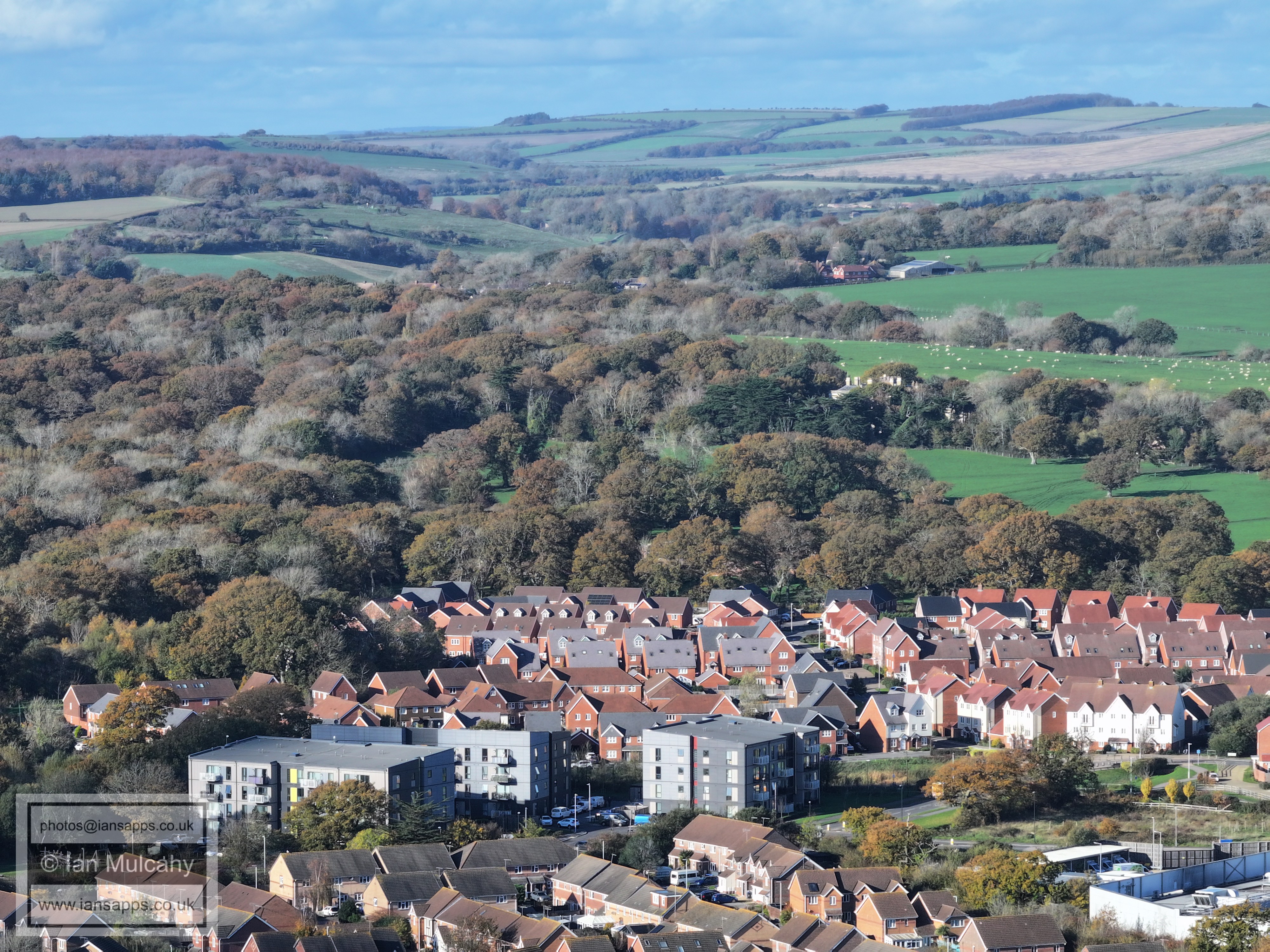
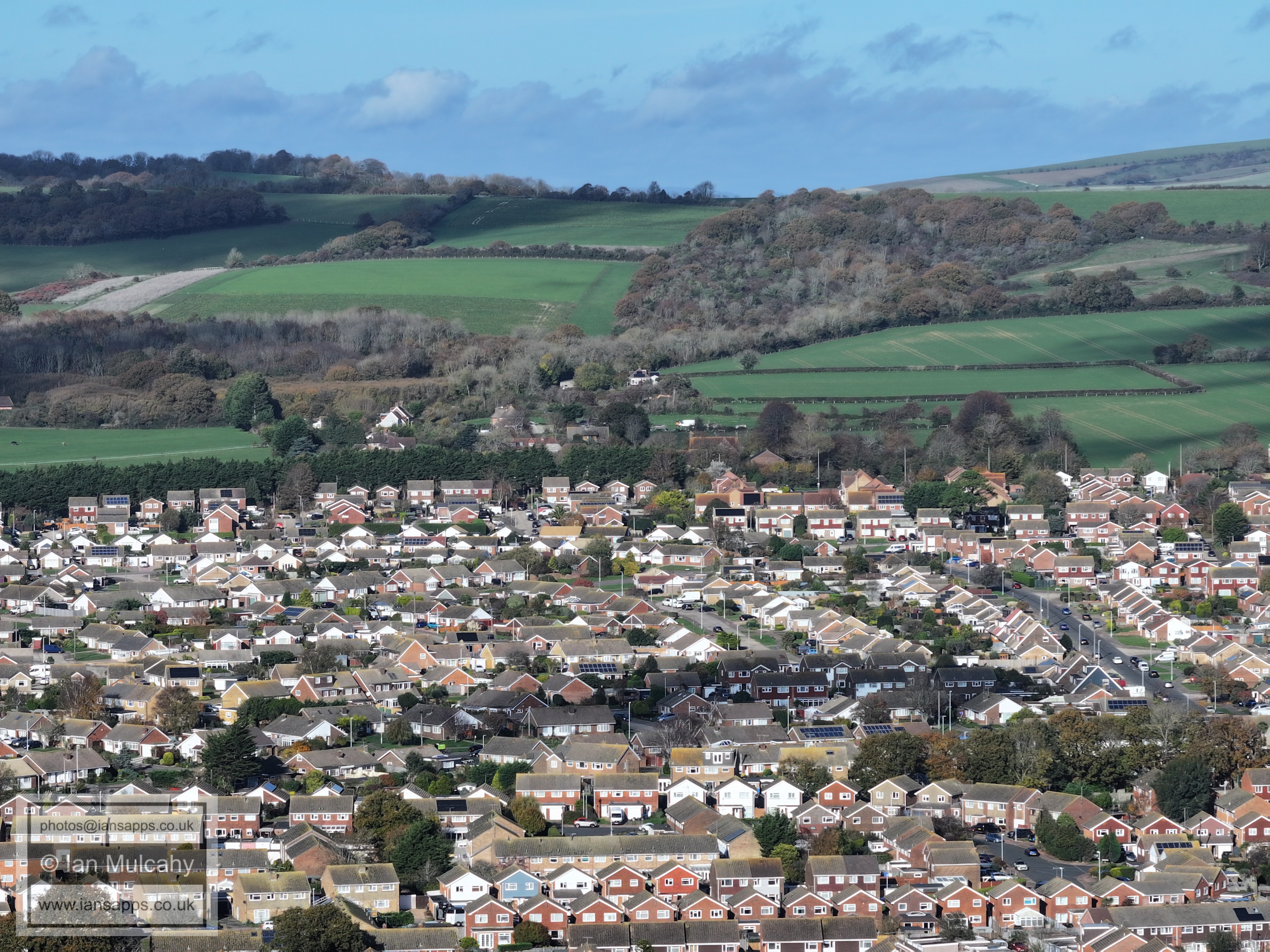
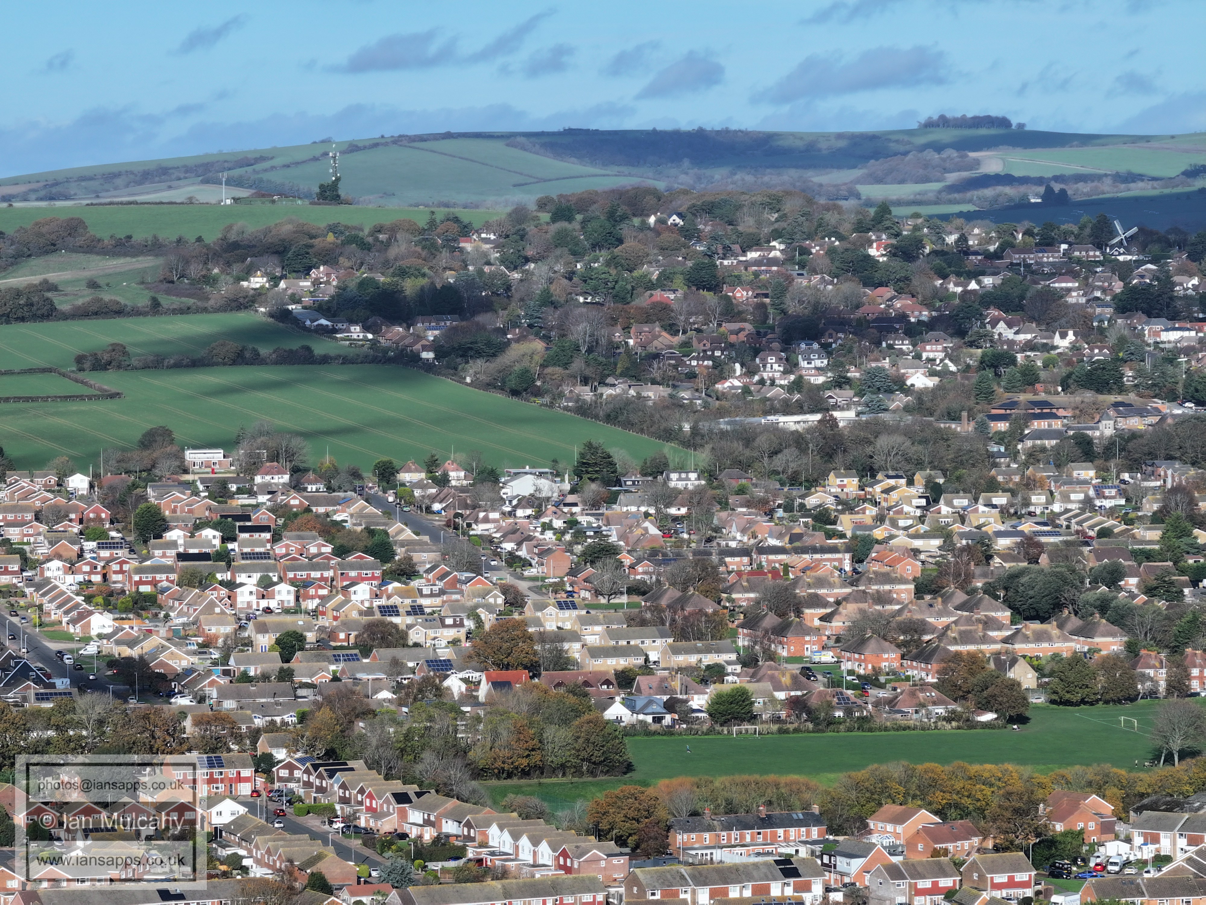
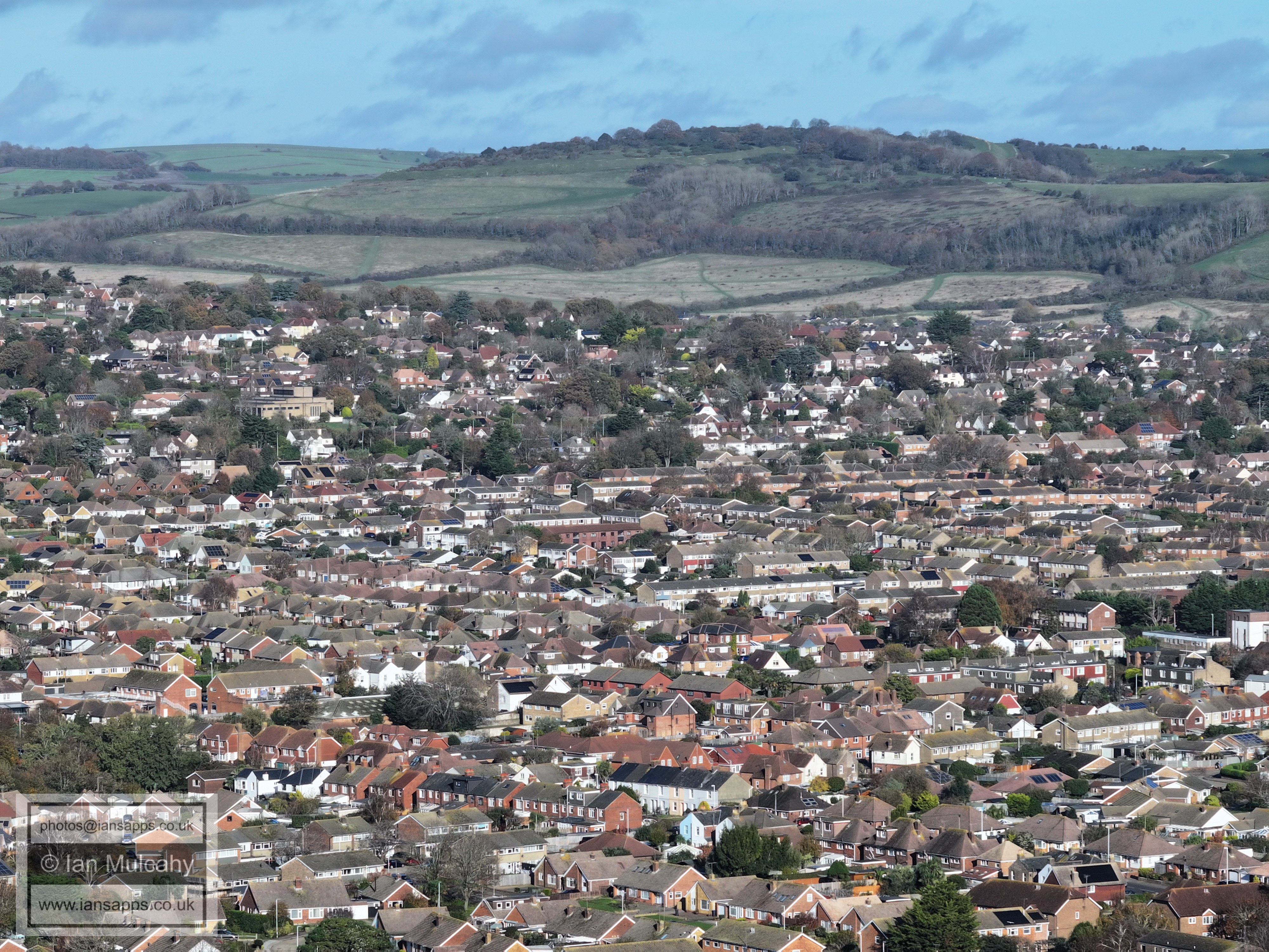
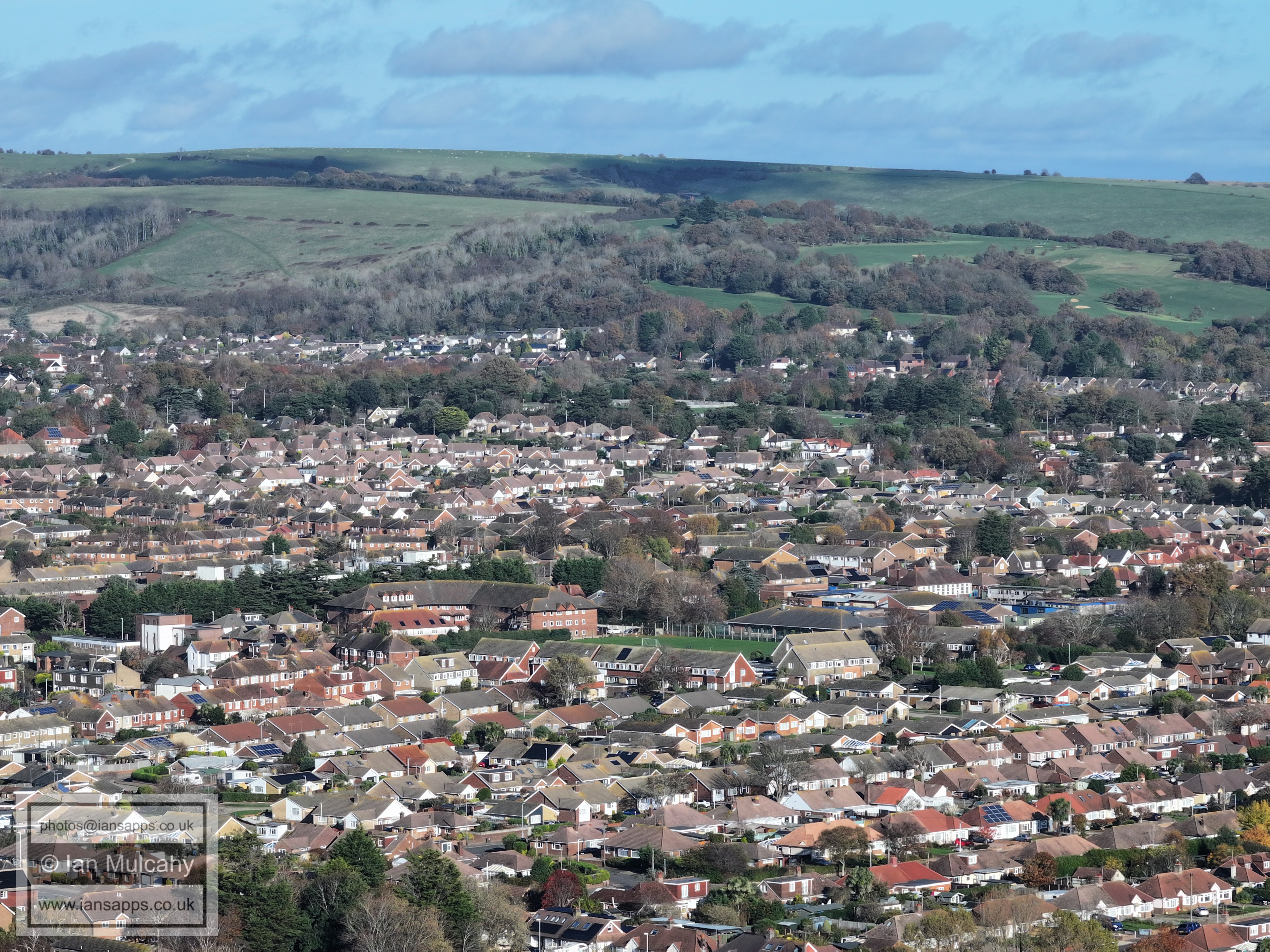
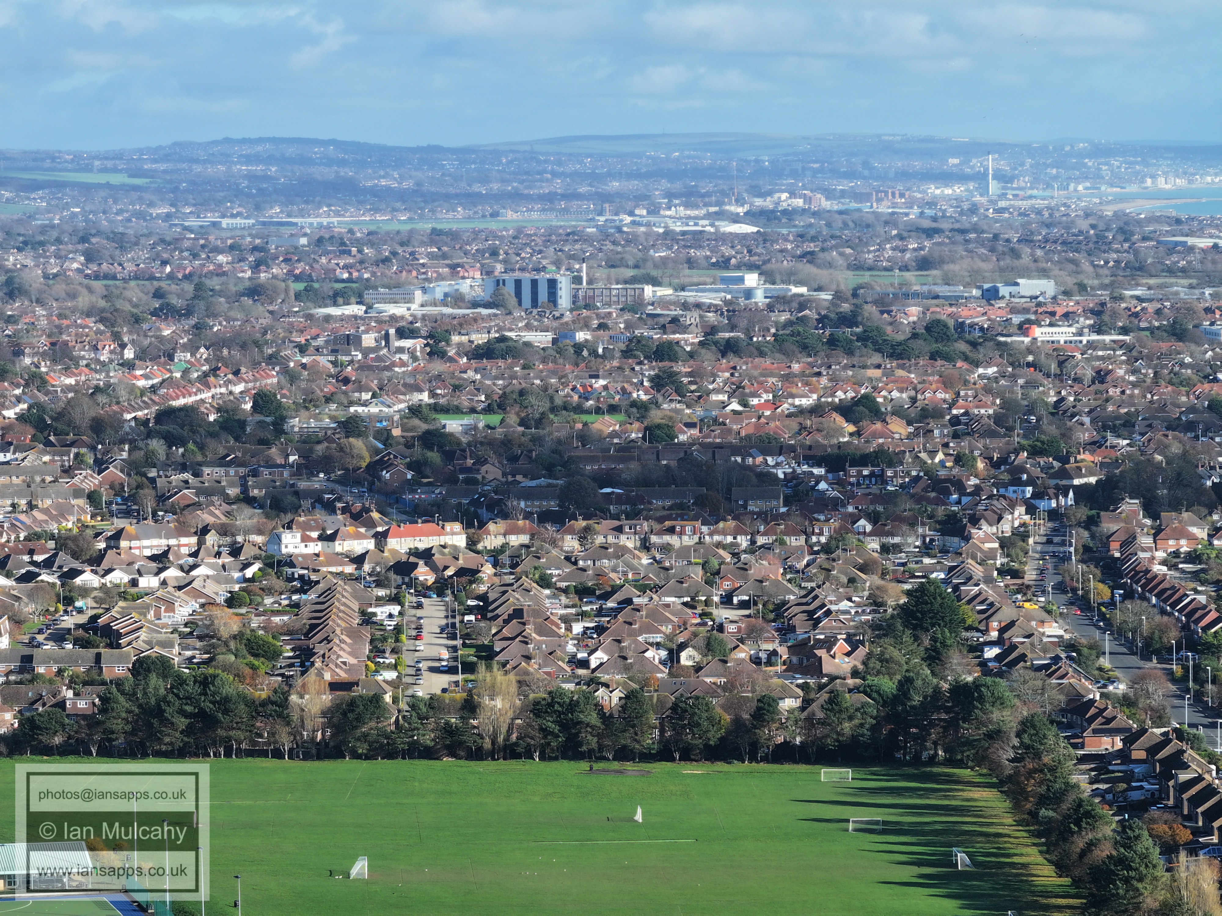
64 aerial images taken from Palatine Park in Worthing, West Sussex on 29 November 2025.
I have annotated some of the photos, which include views of Highdown Hill, Cissbury Ring, Shoreham/Hove/Brighton and the Seven Sisters.
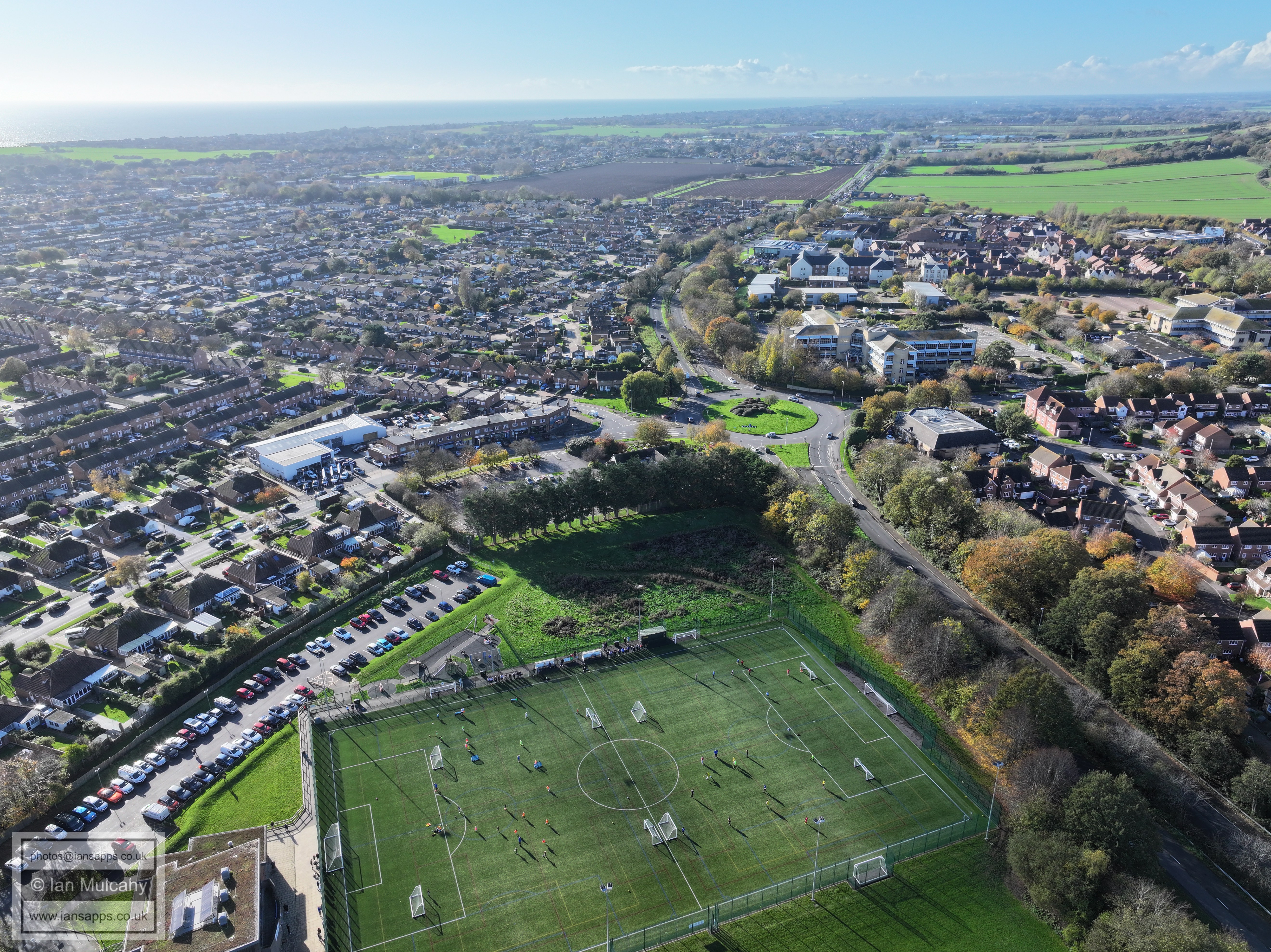
Worthing Town FC
Highdown Hill. In the top right quarter is Arundel castle
Chanctonbury Ring is in the top left quarter and Cissbury Ring is in the centre
Highdown Hill
Arundel is in the top right quarter
The Spire of St John the Divine at Patching is in the centre near the top
Chanctonbury Ring is in the top right quarter
Cissbury Ring, with Durrington, Salvington and Findon valley below. Left of centre is St Michaels Catholic Church.
Just above centre is the GSK building at Broadwater. Beyond is Shoreham, sorry Brighton City Airport.
In the centre is the spire of St Andrews at West Tarring. Beyond is Lancing, Shoreham, Hove & Brighton.
This is the original version of the previous photo.
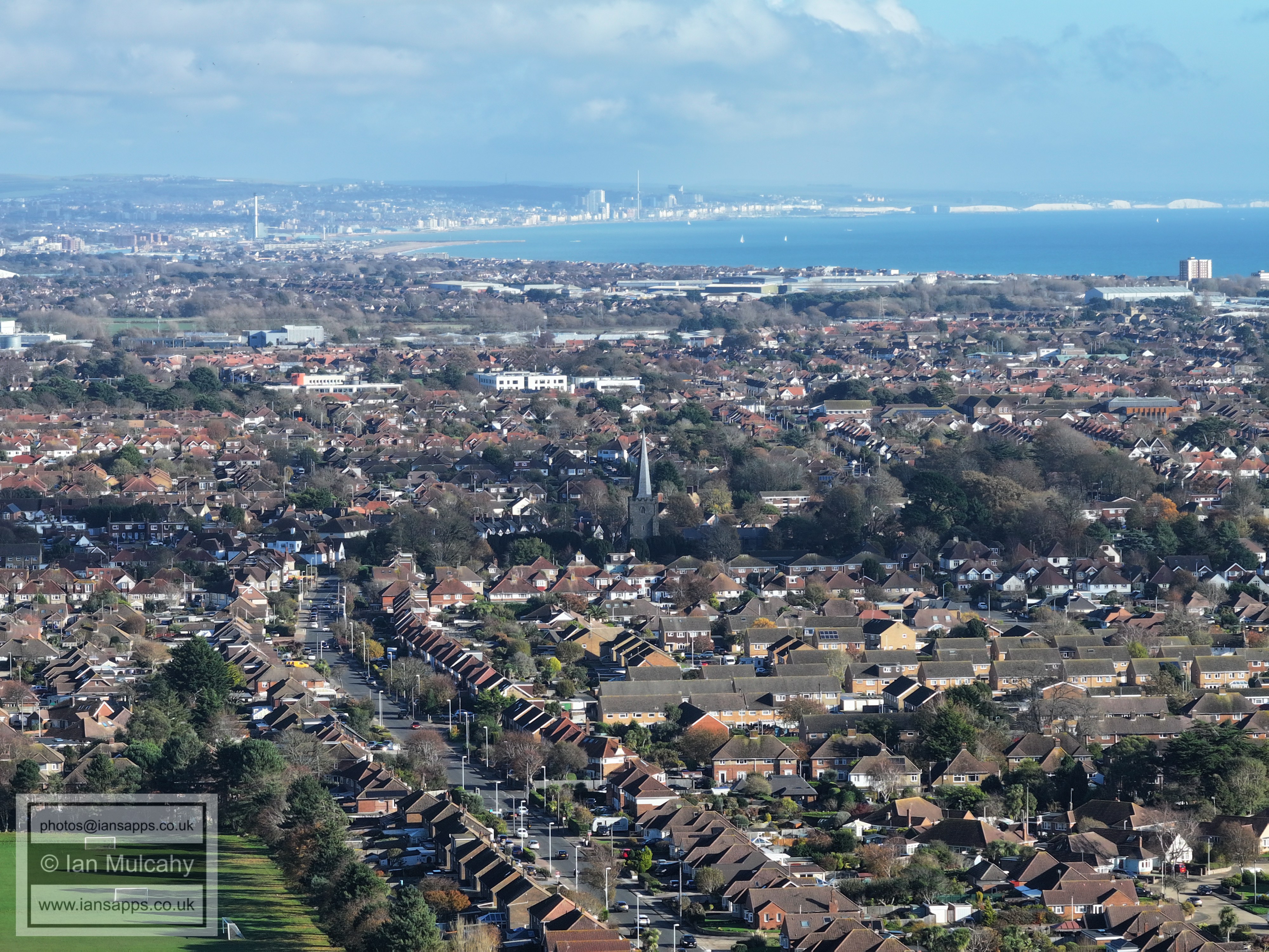
In the distance, and in the centre at the top, are the Seven Sisters.
The tall block left of centre is the new 'Bayside Apartments'
The tall brown and grey block to the right of centre is 'Manor Lea' on Rowlands Road. The spire a similar distance to the left of centre is of St Botolph's church
On teh far left by the sea is Heene Terrace. The three blocks to the left of centre are 'Balcombe Court' and 'Seabright'. The athletics track to the right of centre is at Worthing Leisure Centre.
Skyline apartments, left, and Bridge House, right.
To the right of centre is West Park Primary School
Martlets Way in the foreground.
The Fields of Chatsfield Farm
In the top right quarter is the 'tent' at Butlins, Bognor Regis. The spit of land across the top is Selsey Bill
To the right of centre is Sterns, on Highdown hill. The worlds best ever nightclub.
Text & photographs © Ian Mulcahy. Contact photos@iansapps.co.uk or visit my 'Use of my photographs' page for licensing queries (ground level photographs only). |


.JPG)