Ifield Millpond area
21 November 2025
25 aerial photos of varying focal length
|
A small set of 25 aerial images of varying focal length taken in the Millpond area on 21 November 2025. Photos are from the path leading to the pond from Lea Close in Gossops Green, the path beside the Dowster Brook behind Hawksmoor Road in Bewbush and in Hanbury Road in Ifield West. I have annotated some of the photos.
From the path besides the Dowster Brook behind Hawksmoor Road in Bewbush
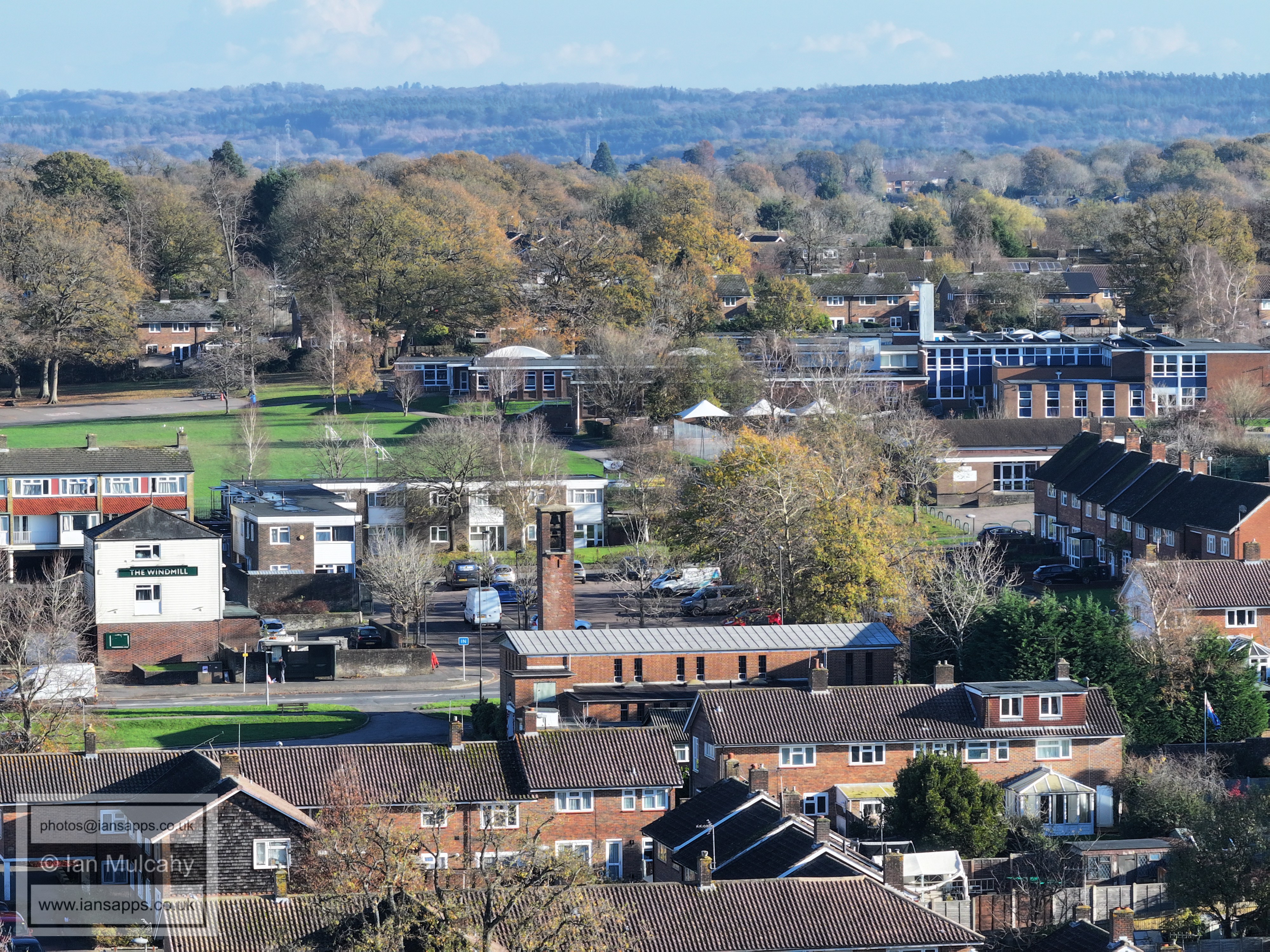
Gossops Green
Bewbush. Holy Trinity is top centre.
Bewbush shops in the centre
Bewbush Green with Kilnwood Vale beyond
Bewbush West (left) and Ifield West (right) Kilnwood Ridge, House Copse and Hyde Hill Woods are beyond.
Bewbush North and Ifield West. Watersfield School at the bottom
From Hanbury Road in Ifield West
Ifield Golf Course
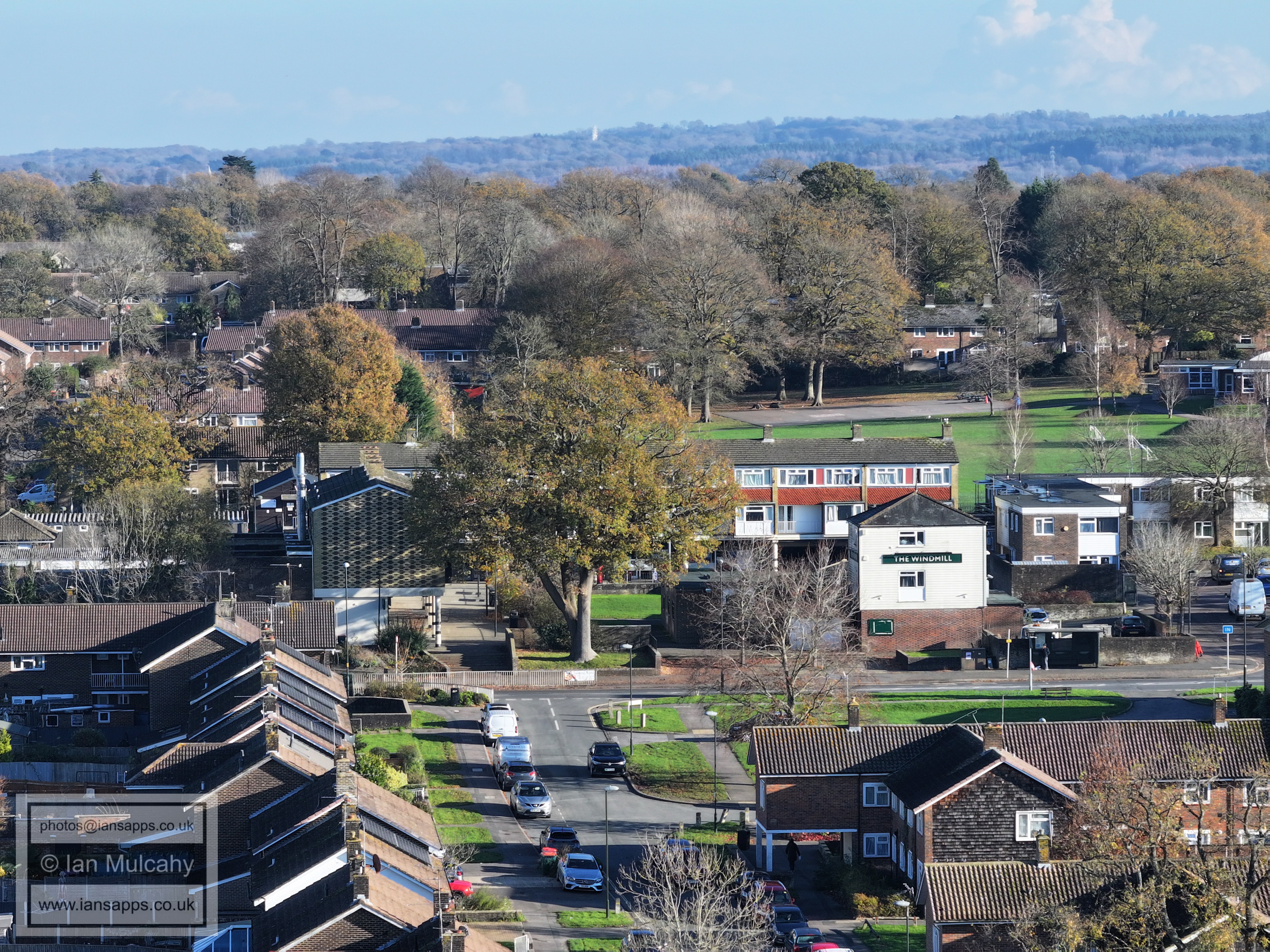
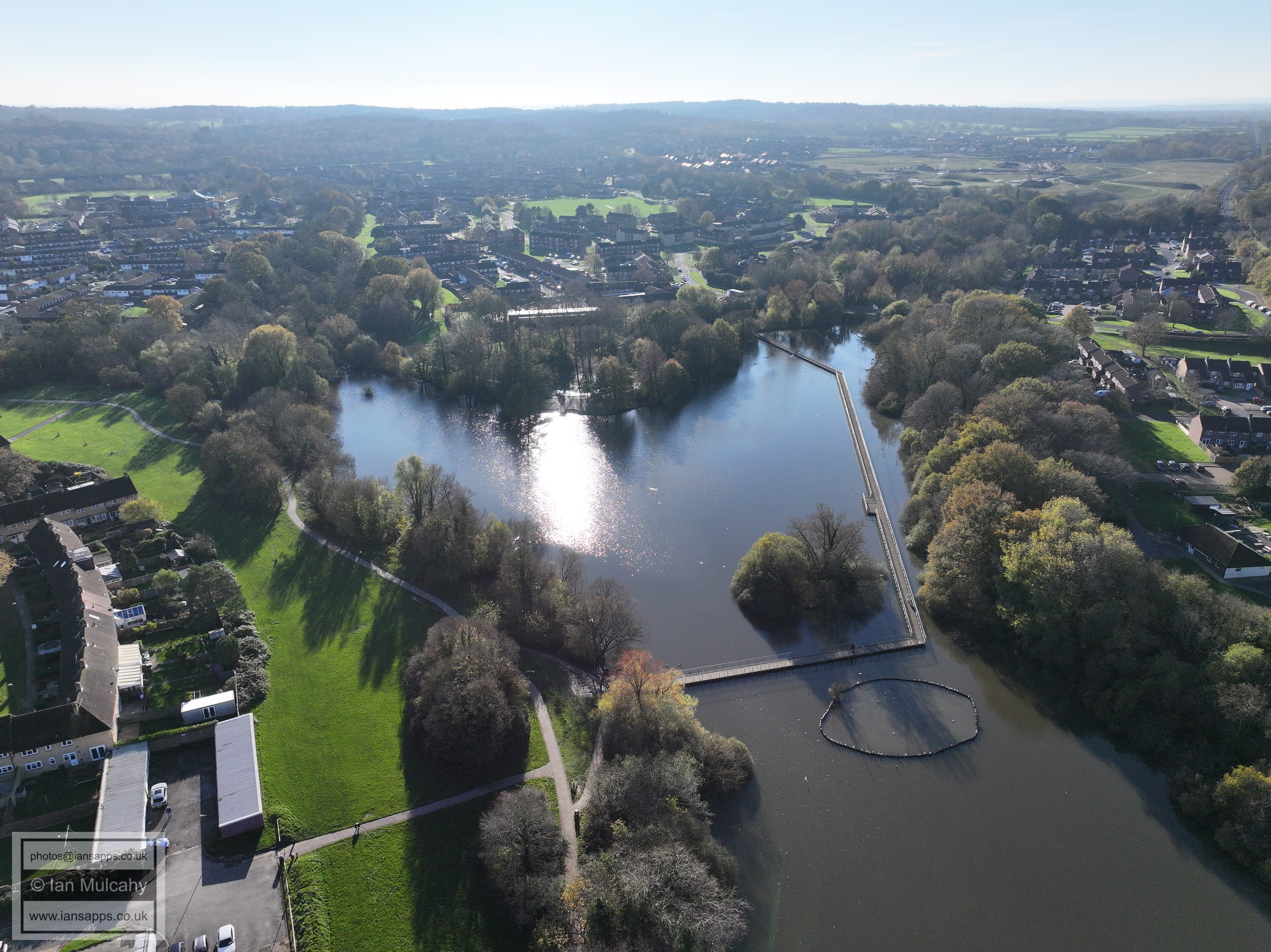
The Millpond, Railway and Gossops Green
From the path from Lea Close to the Millpond in Gossops Green
St Albans Church, Gossops Green
Gossops Green Parade
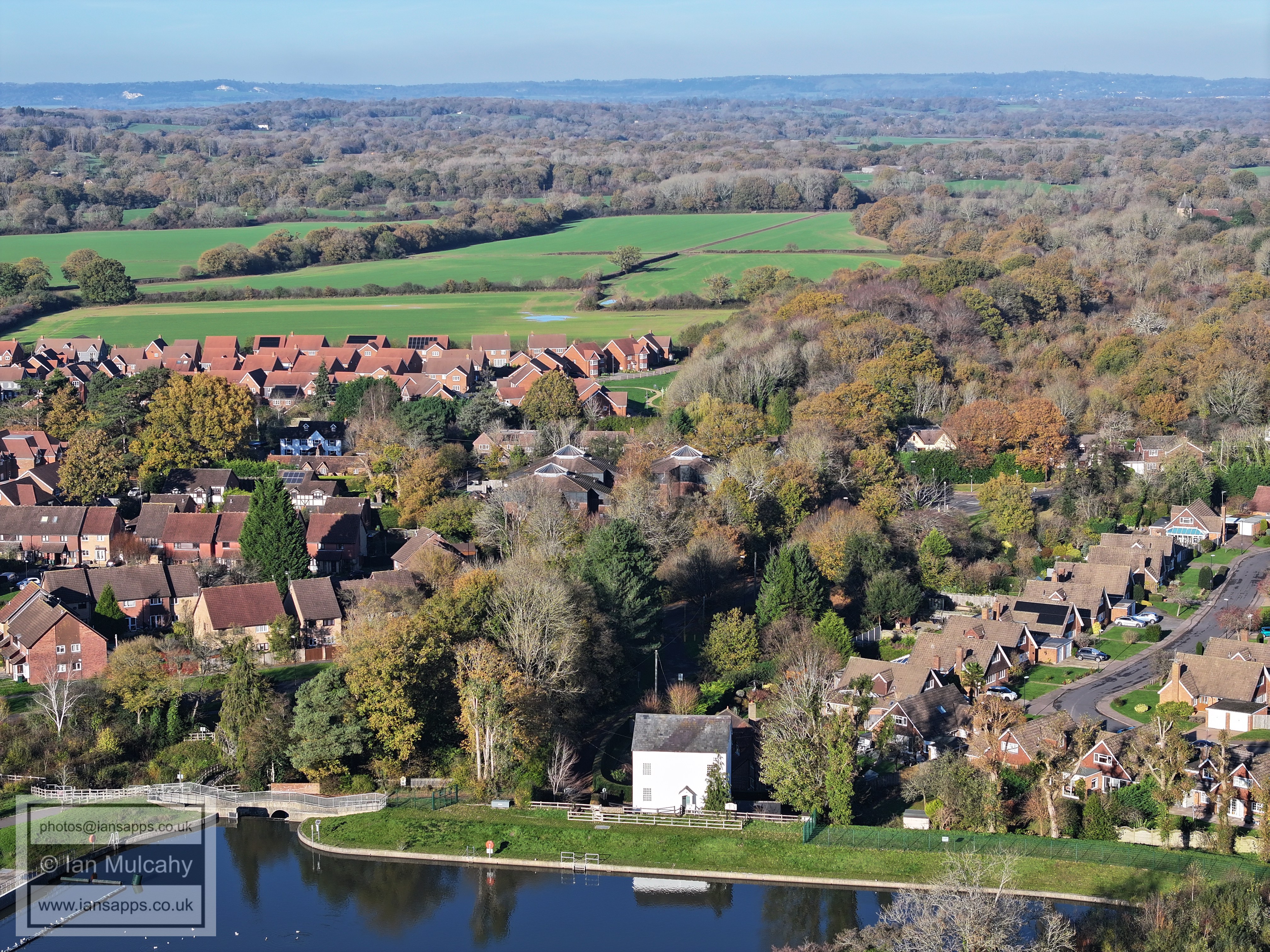
Ifield Mill
Ifield Mill, with the Millbank to the right.
The Maples development in Rusper Road and the fields of Ifield Court Farm.
St Margaret's Church, Ifield
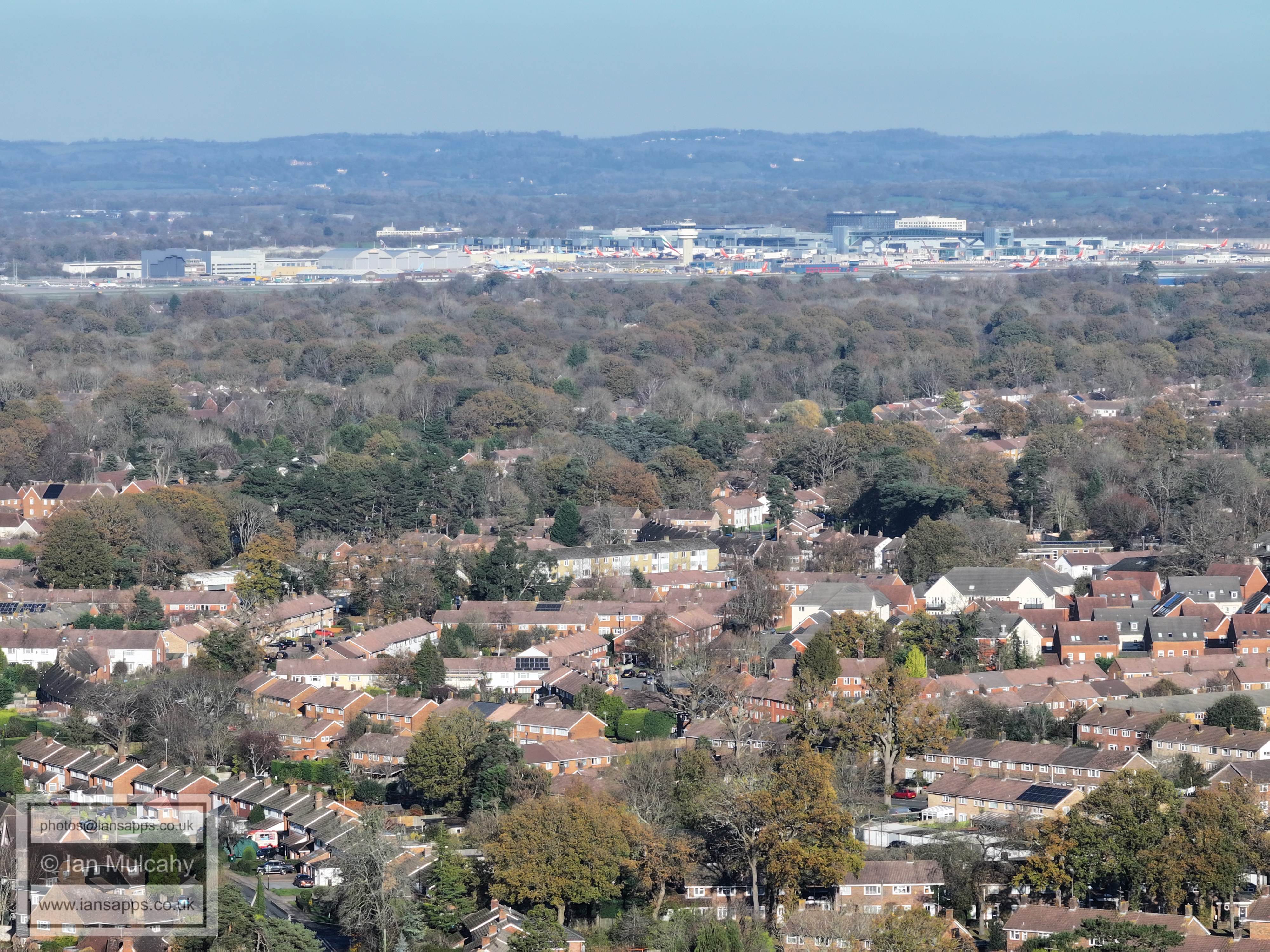
Gatwick. Ifield Parade is just below centre
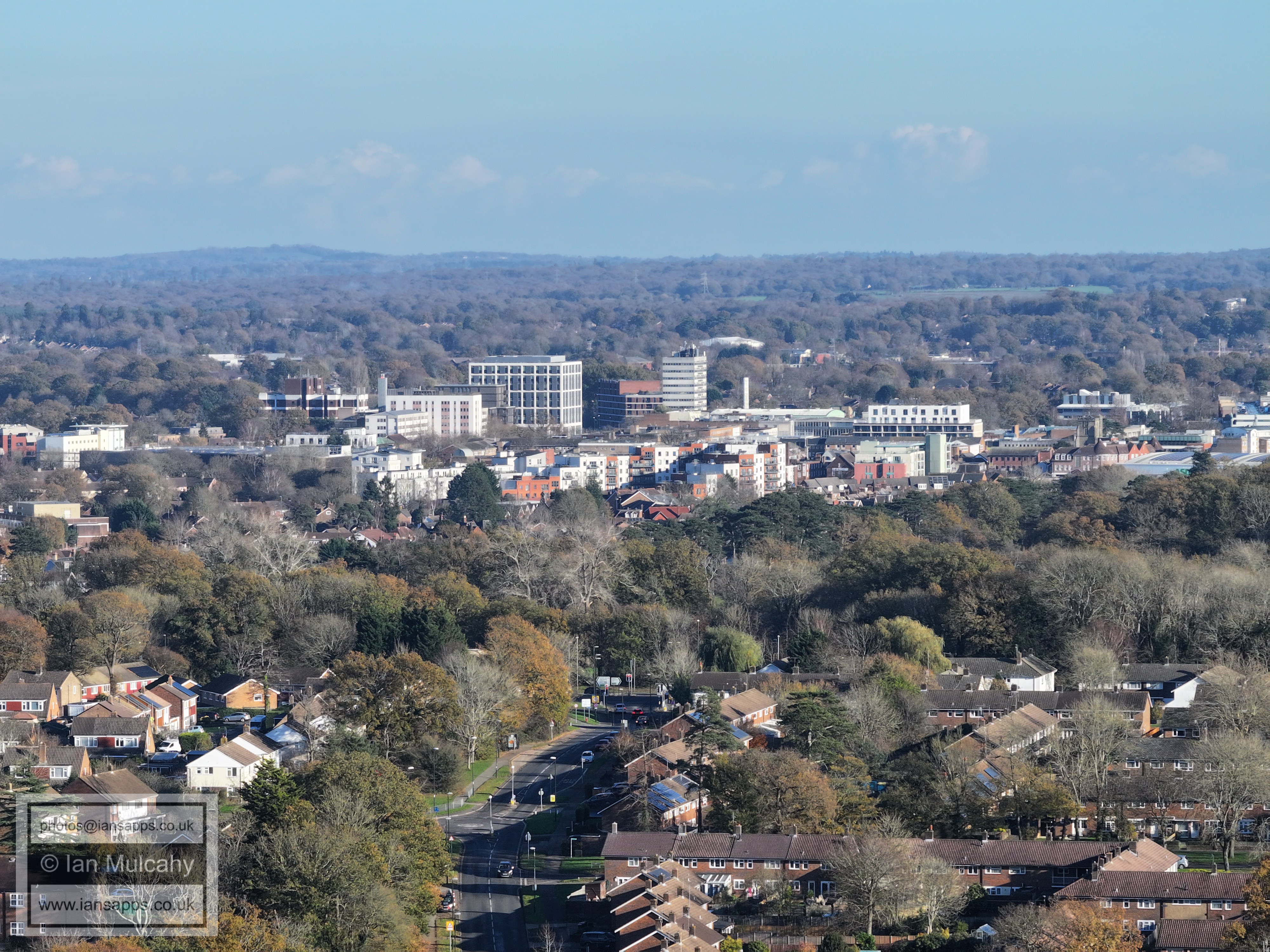
The northern half of Crawley Town Centre. The Gossops Drive/Crawley Avenue junction is just below centre.
The southern half of Crawley Town Centre. County Mall is left of centre and St Johns Church a little further left.
The Tower at the first house in Goffs Park Road is in the centre. The big wheel at Tulleys Farm is top centre and the spire of St Nicholas at Worth is in the top left quarter. Dormans Park is below centre at St Wilfrid's is to the left.
Text & photographs © Ian Mulcahy. Contact photos@iansapps.co.uk or visit my 'Use of my photographs' page for licensing queries (ground level photographs only). |