West of Hyde Hill Woods
Rusper
West Sussex
21 November 2025
66 aerial photos of varying focal length
|
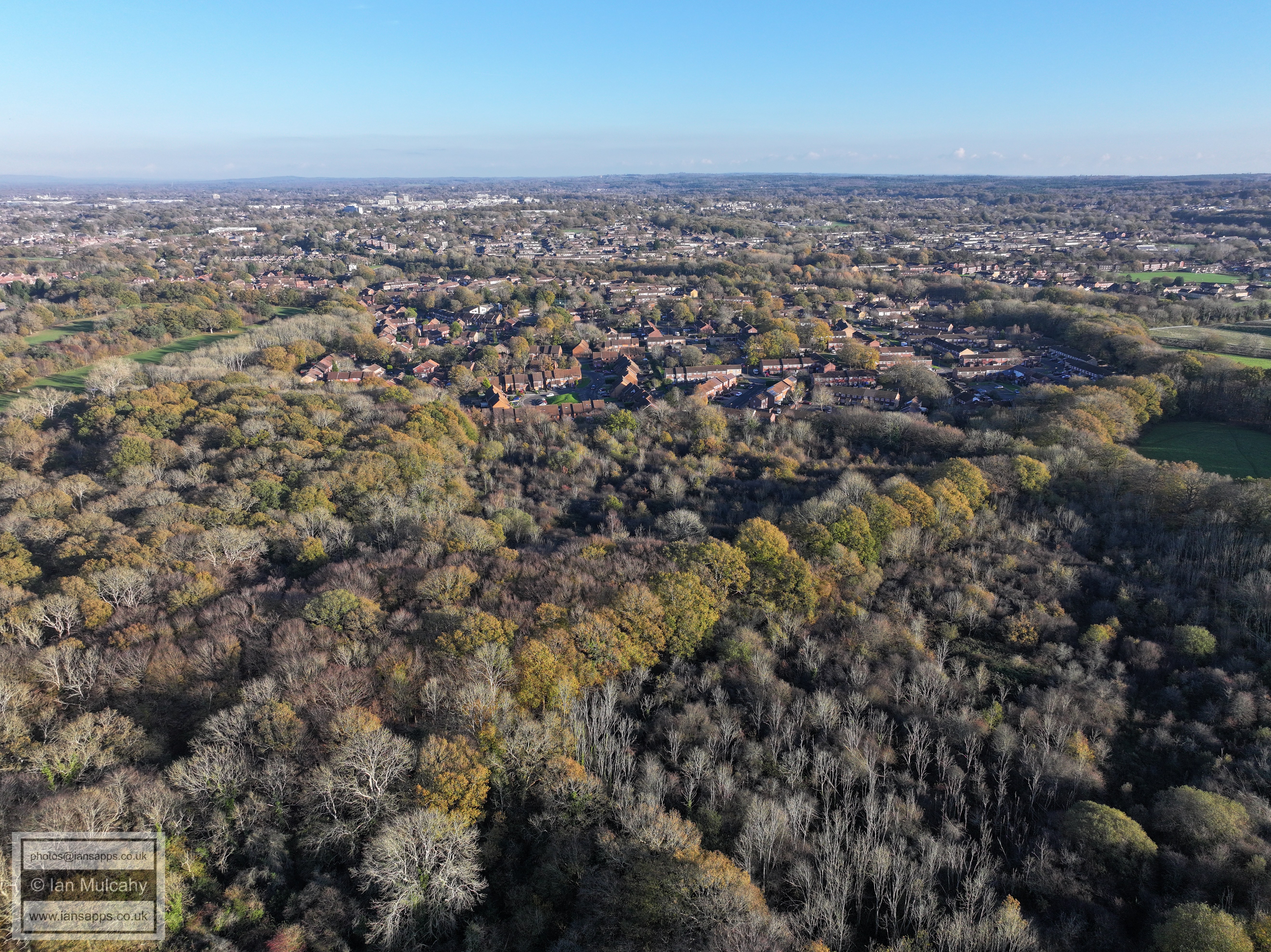
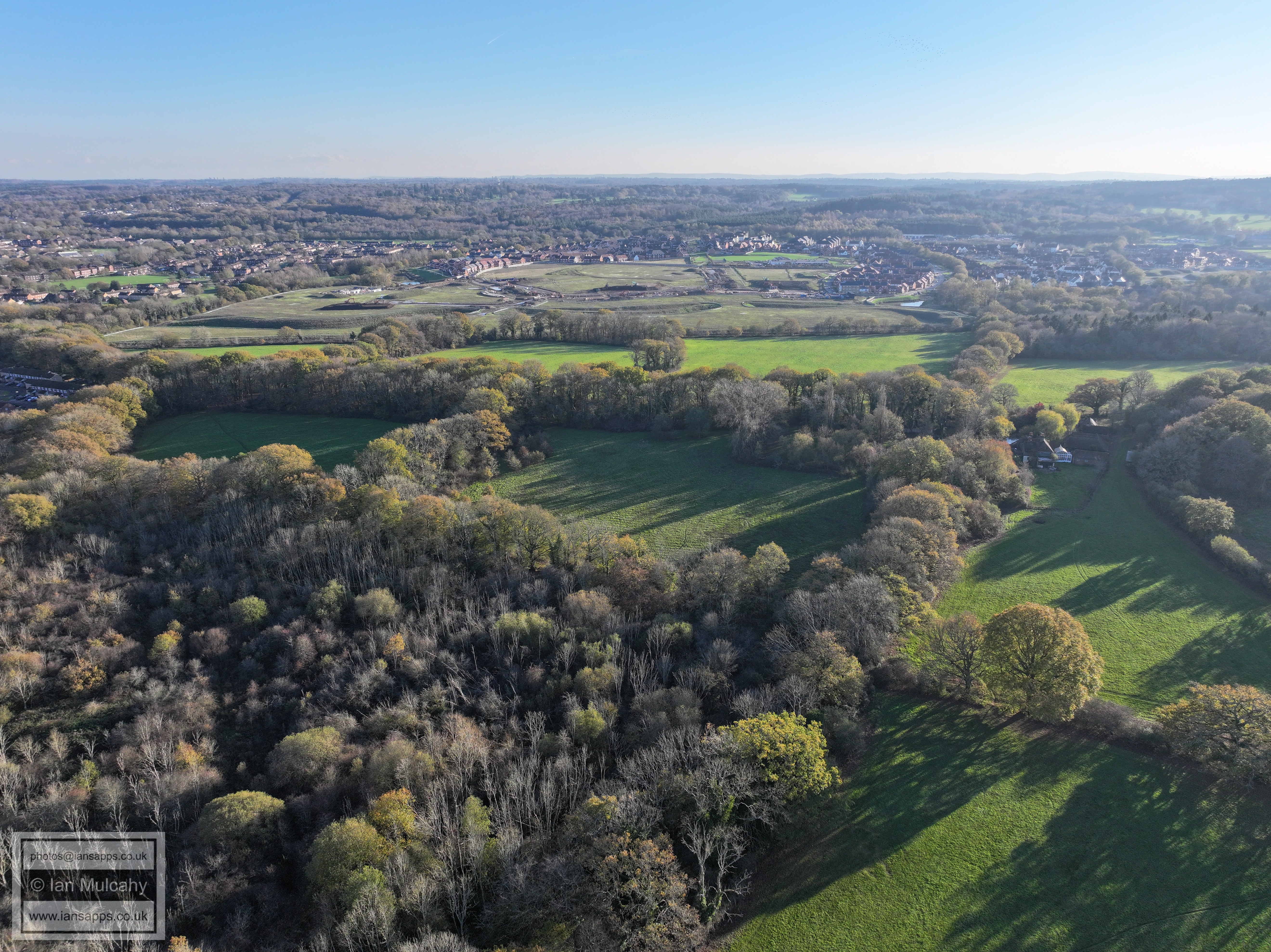
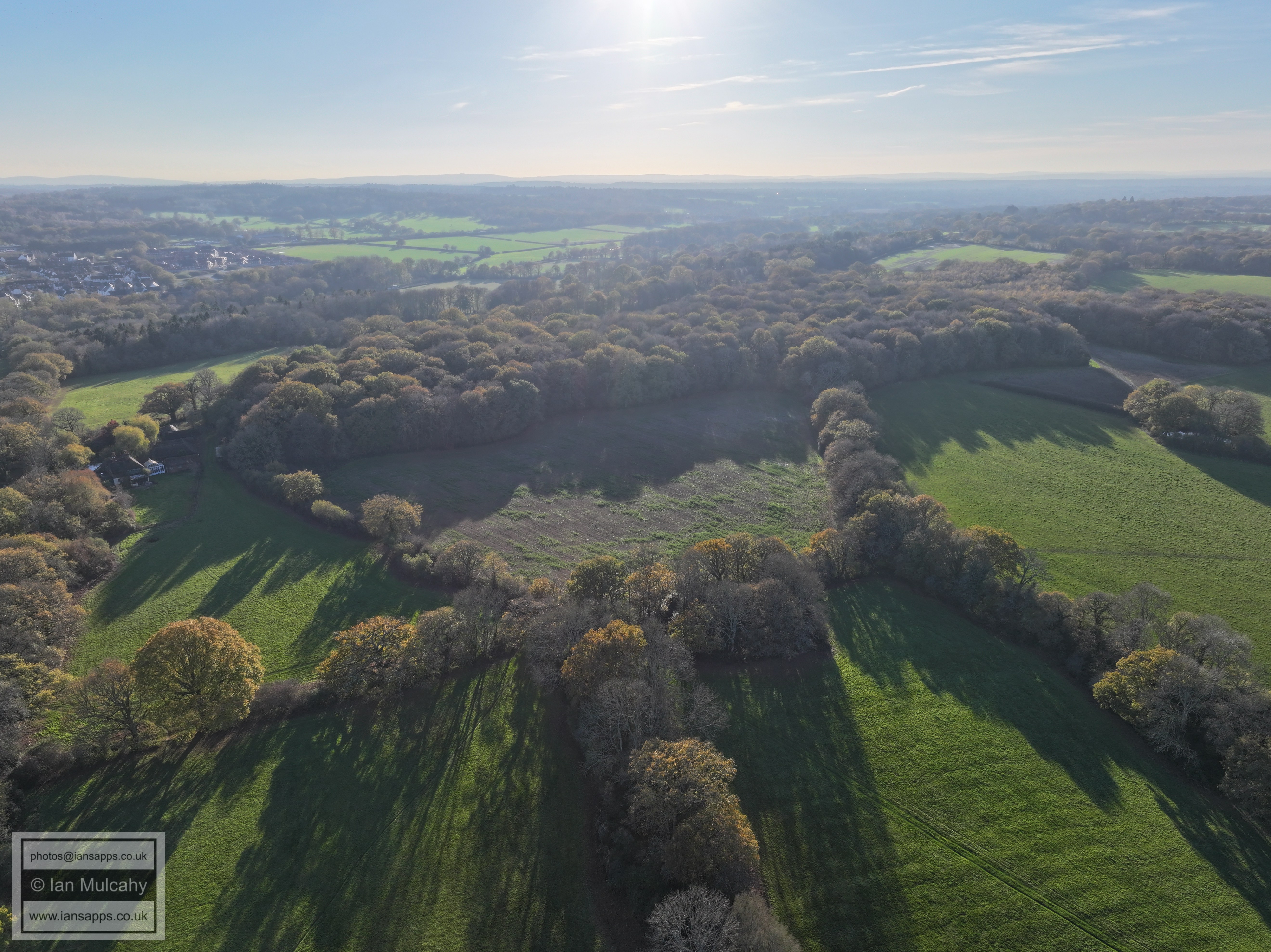
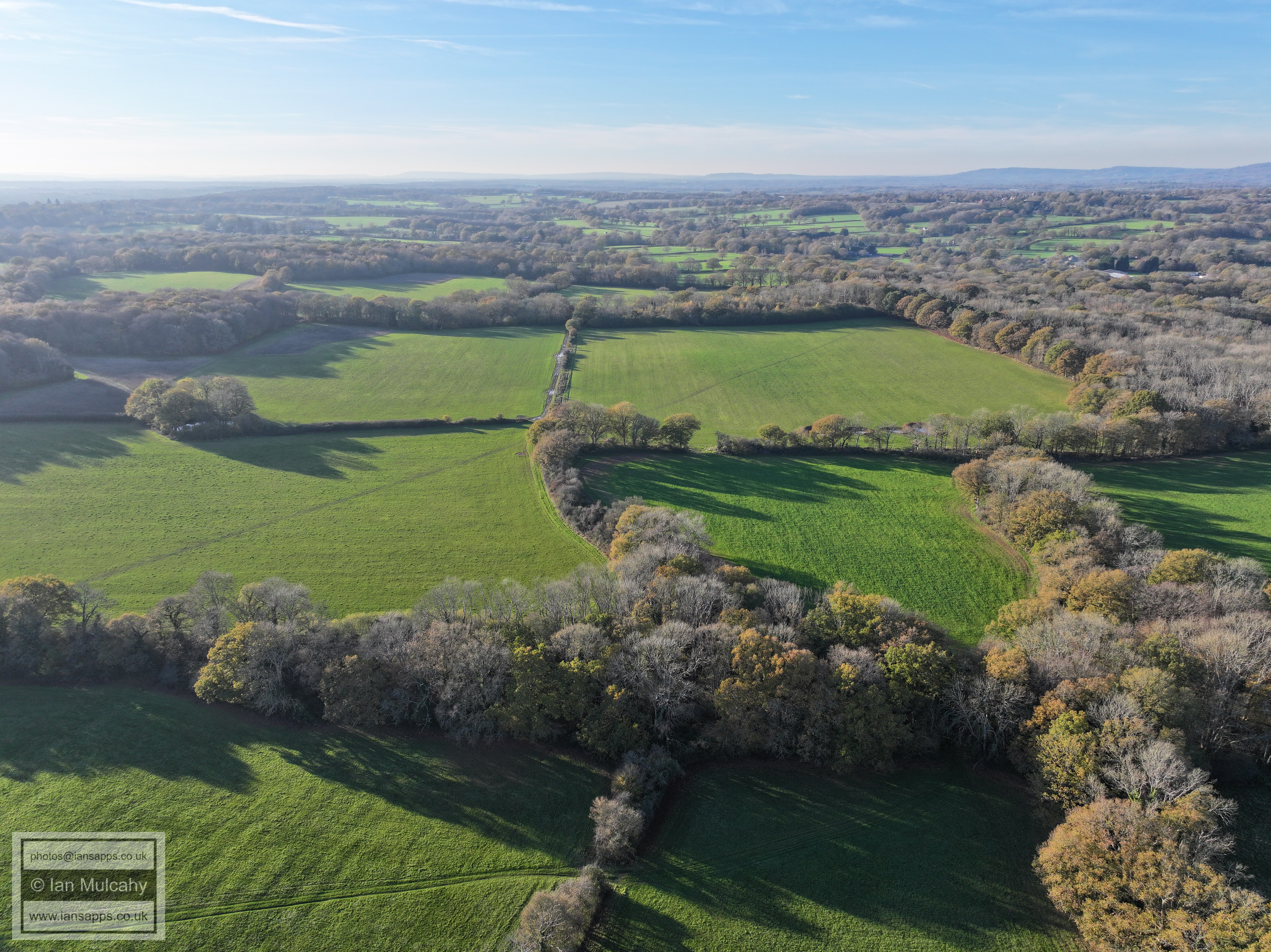
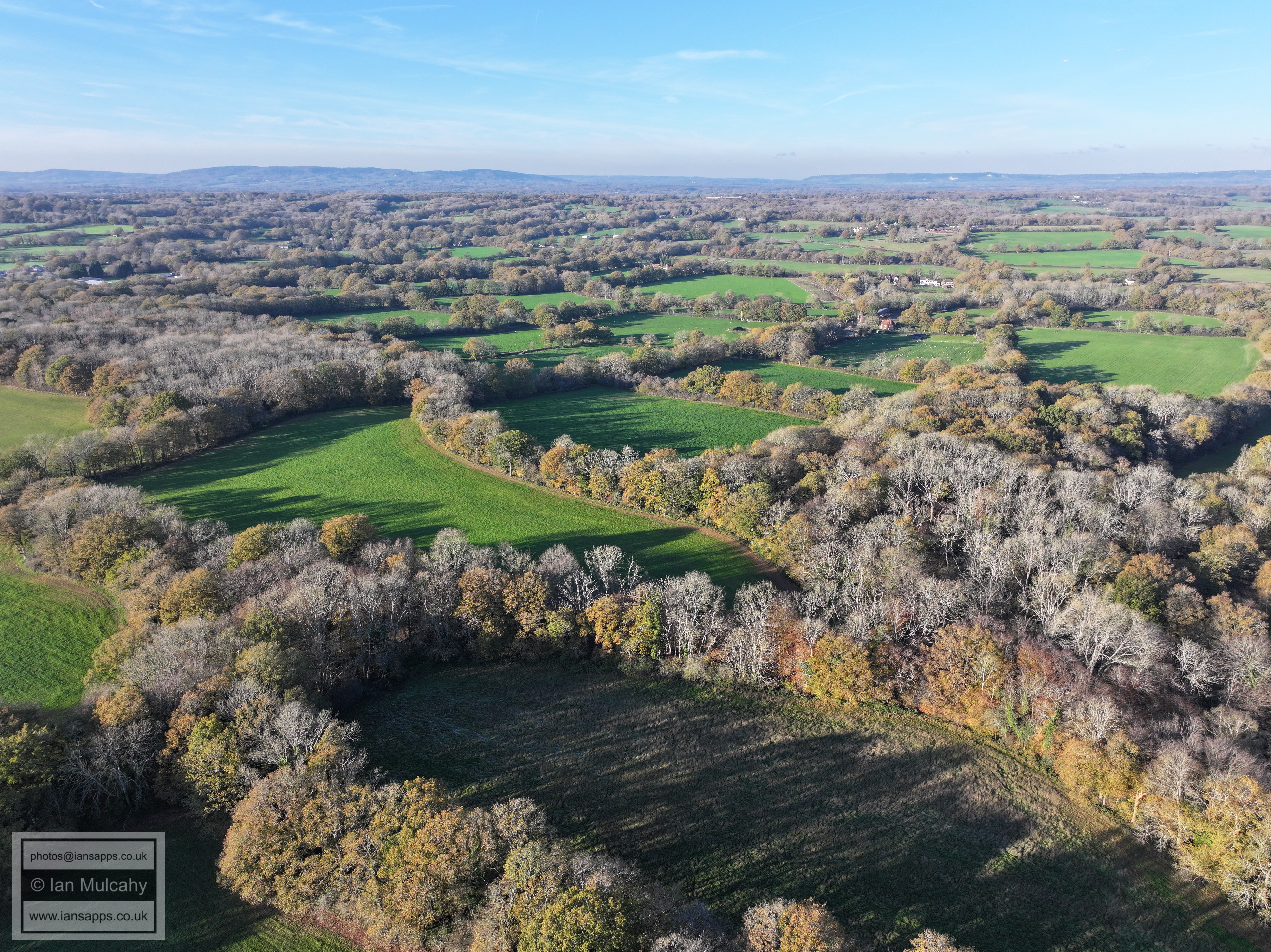
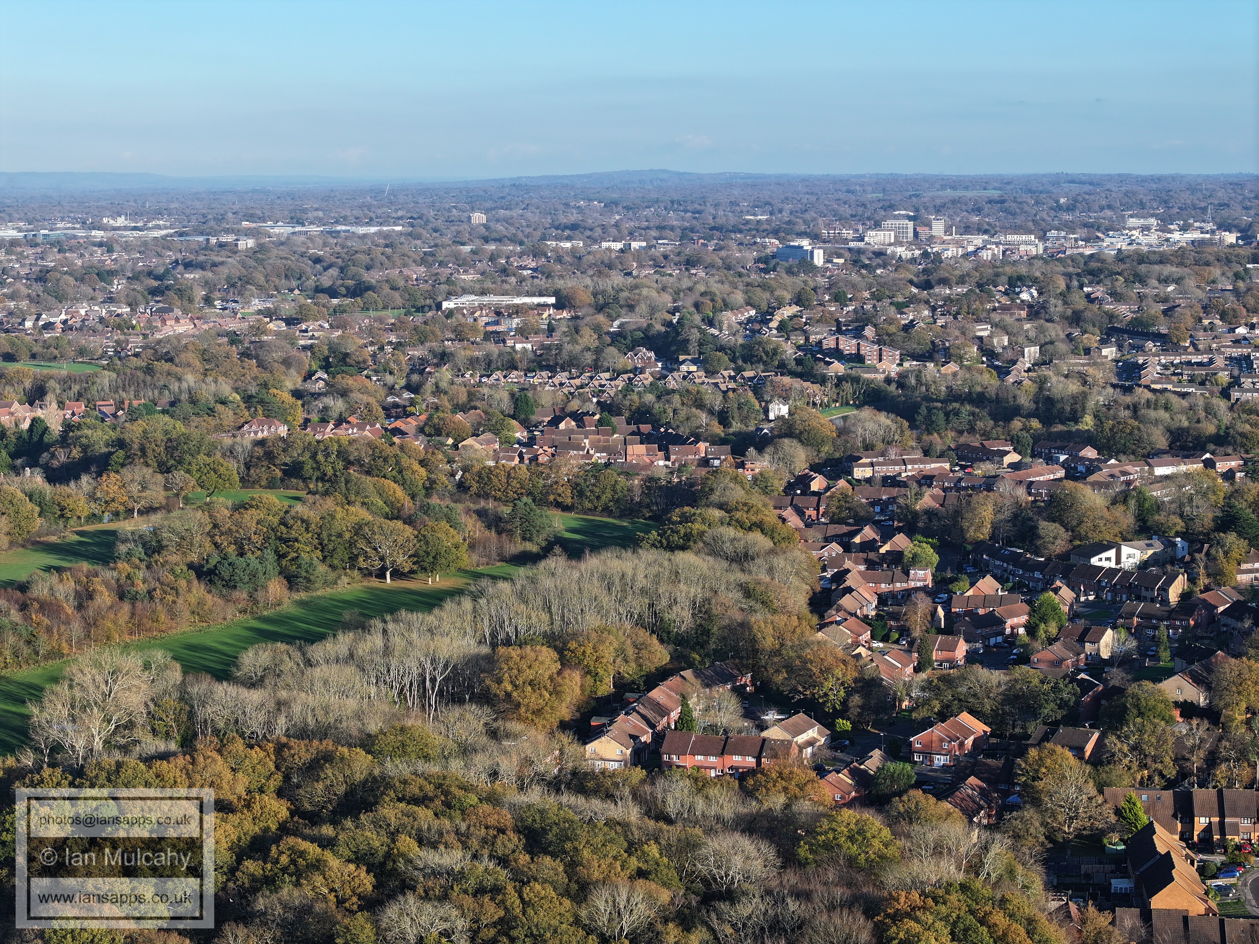
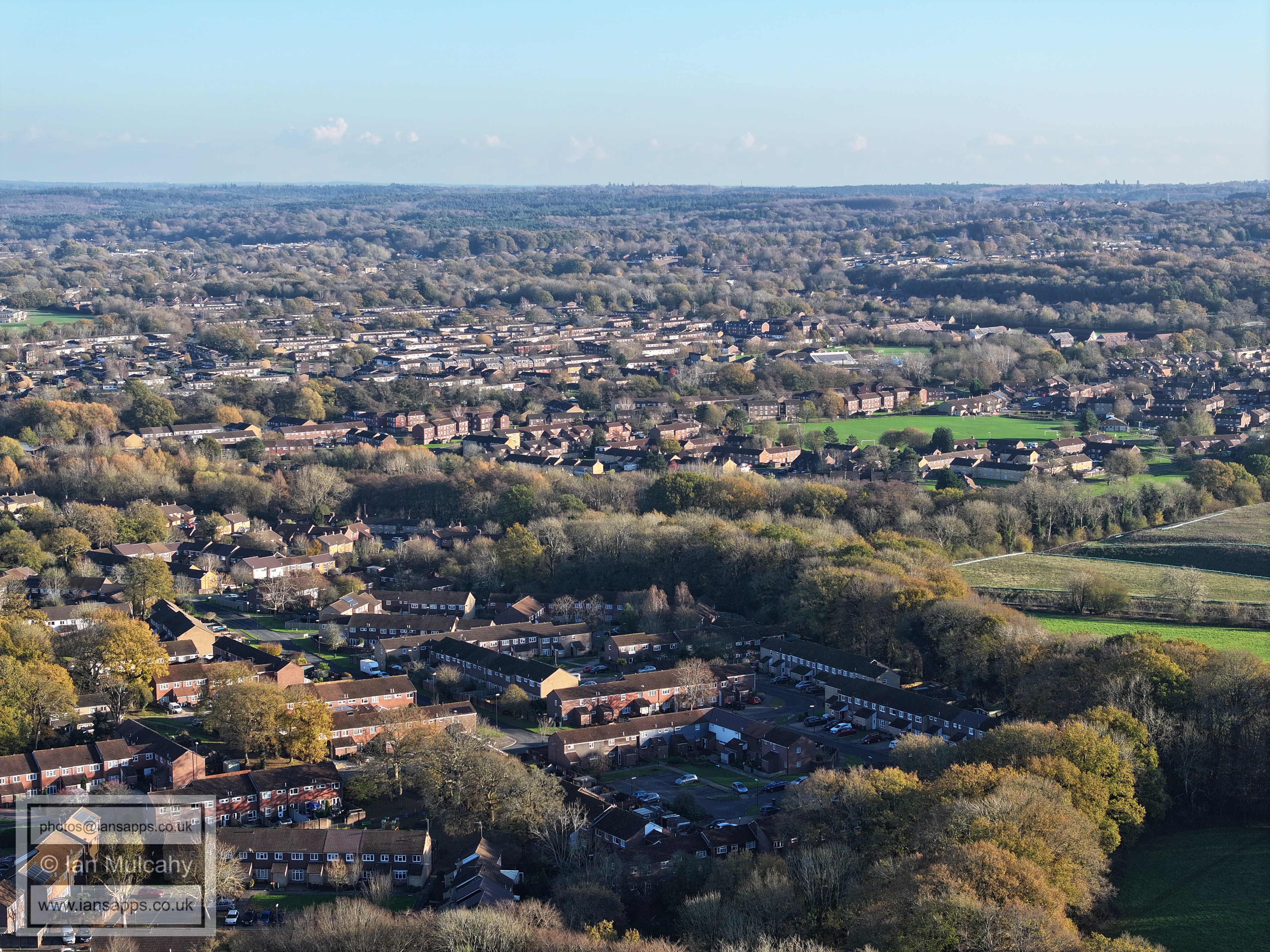
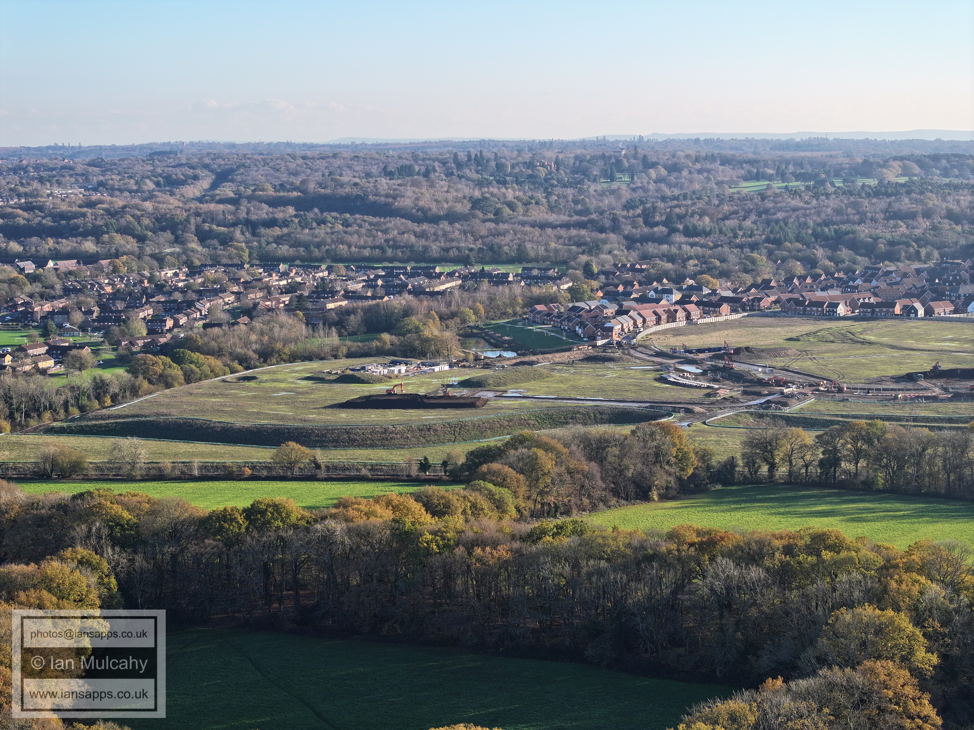
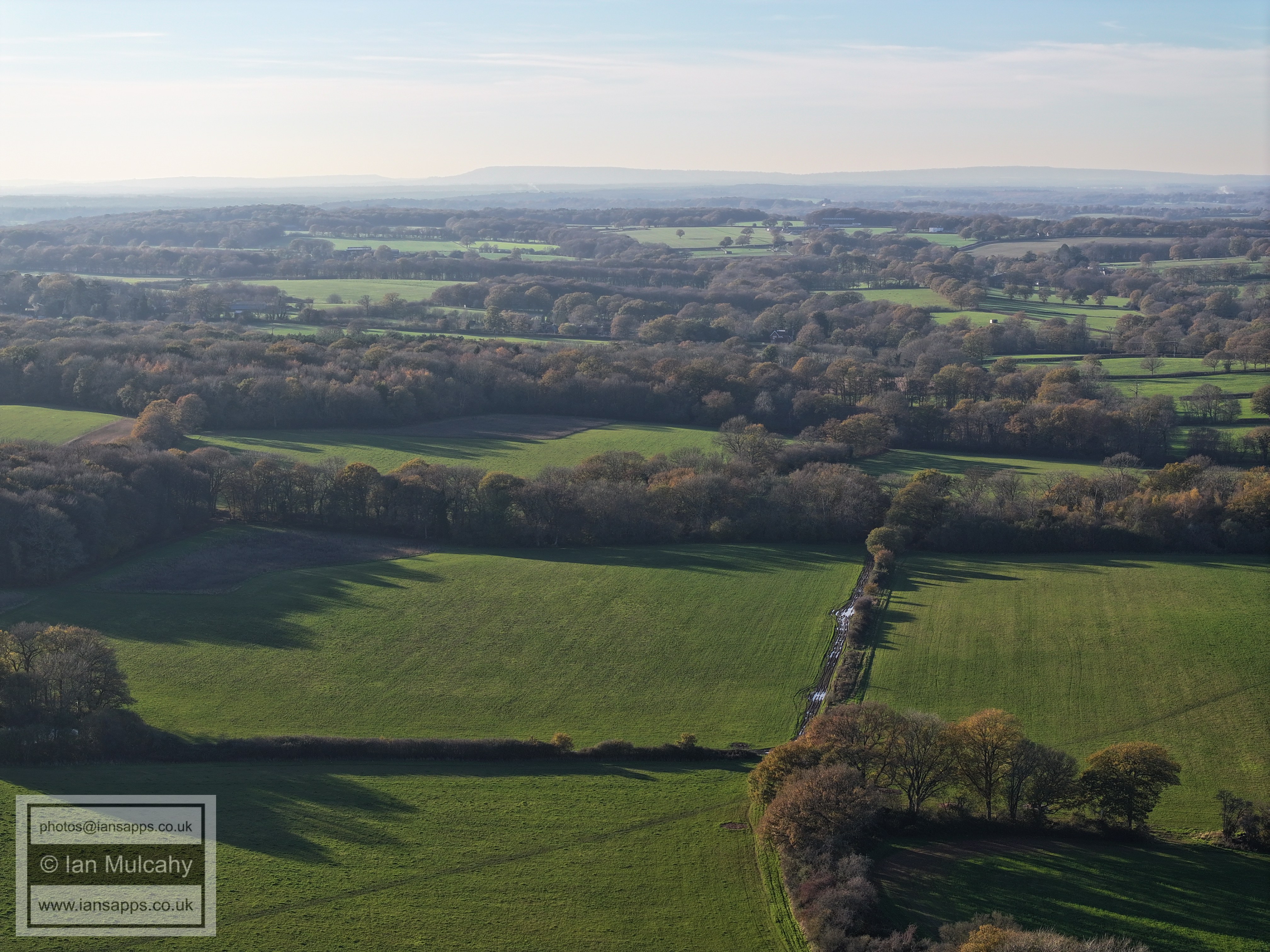
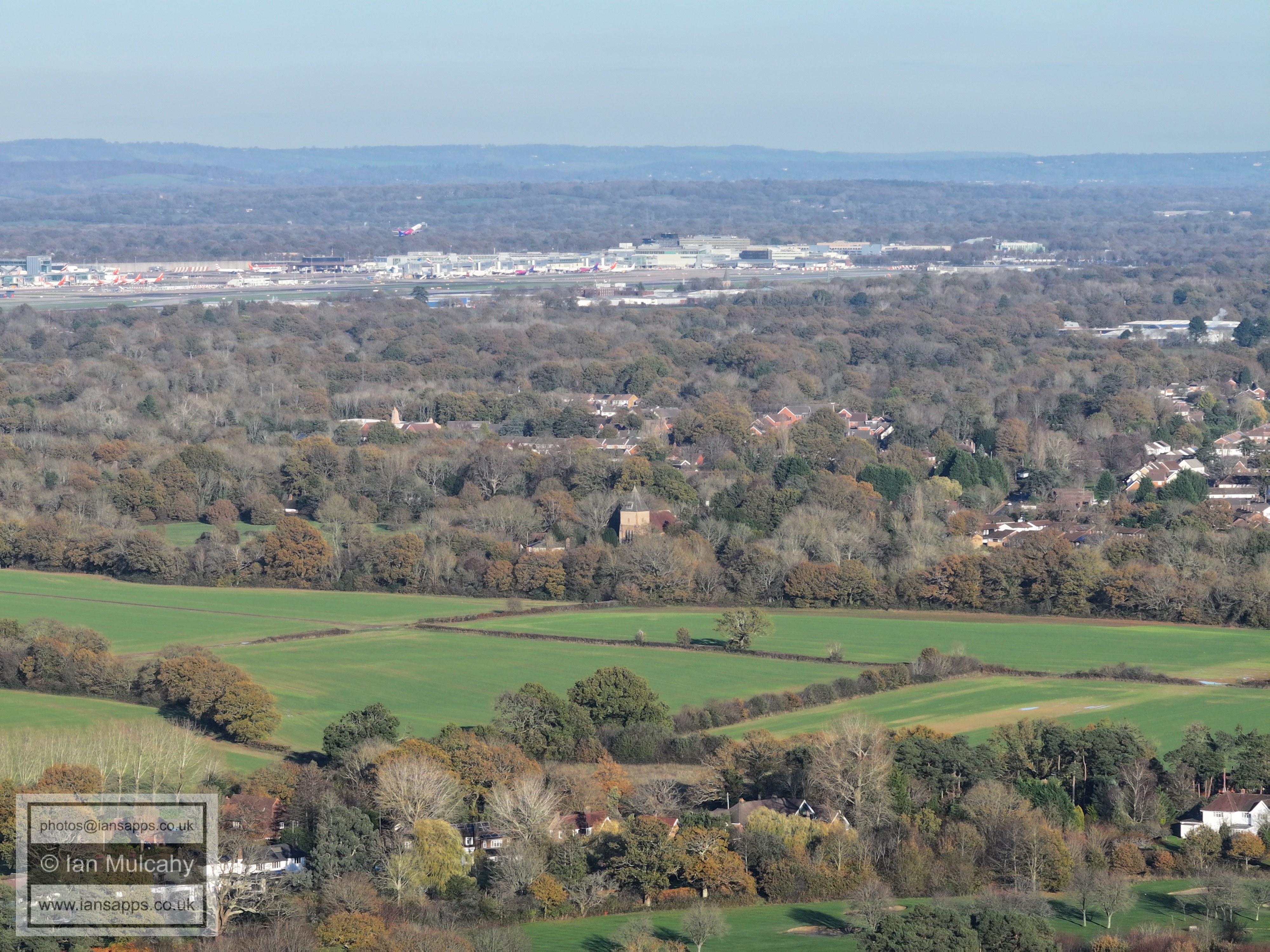
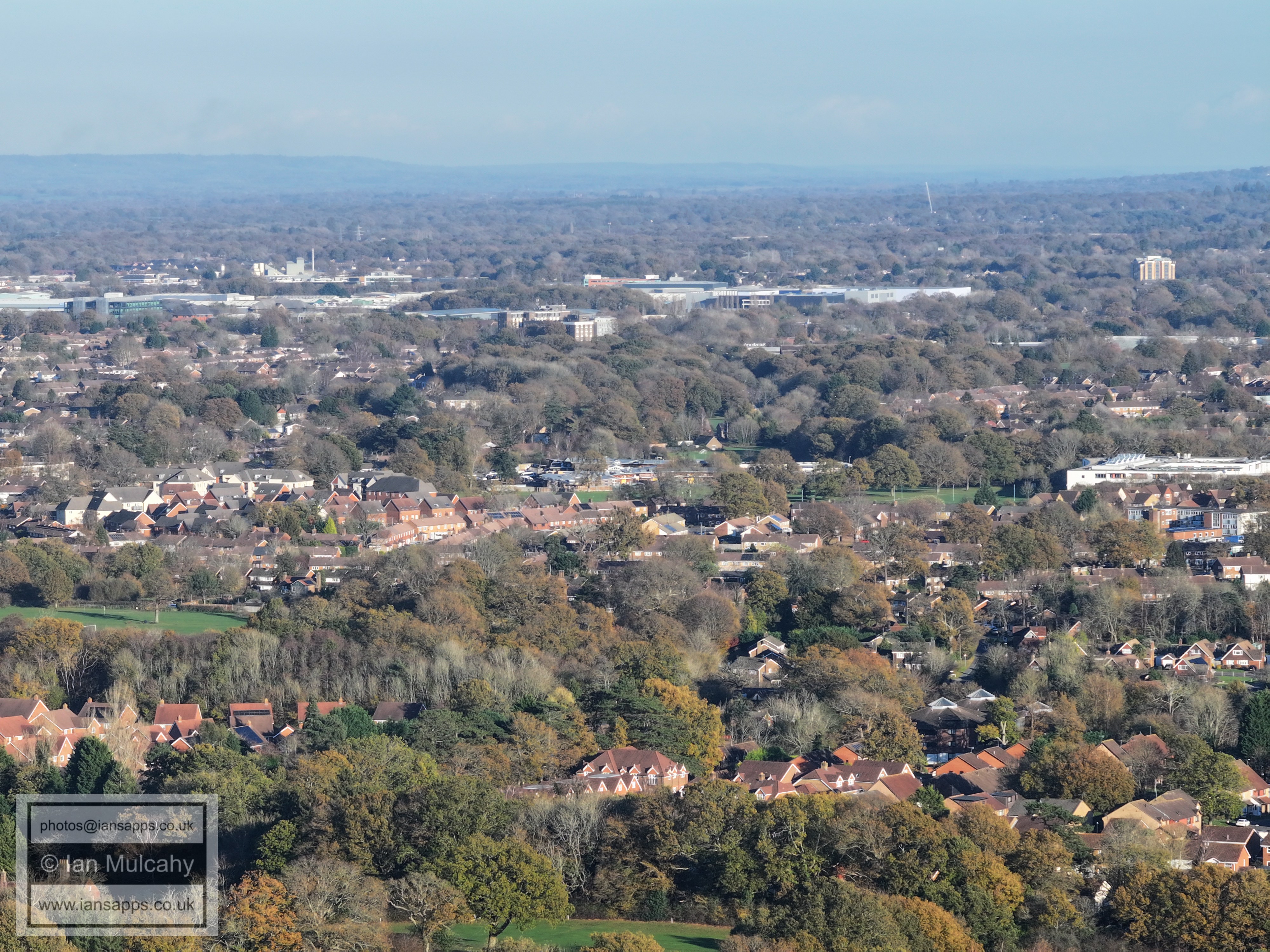
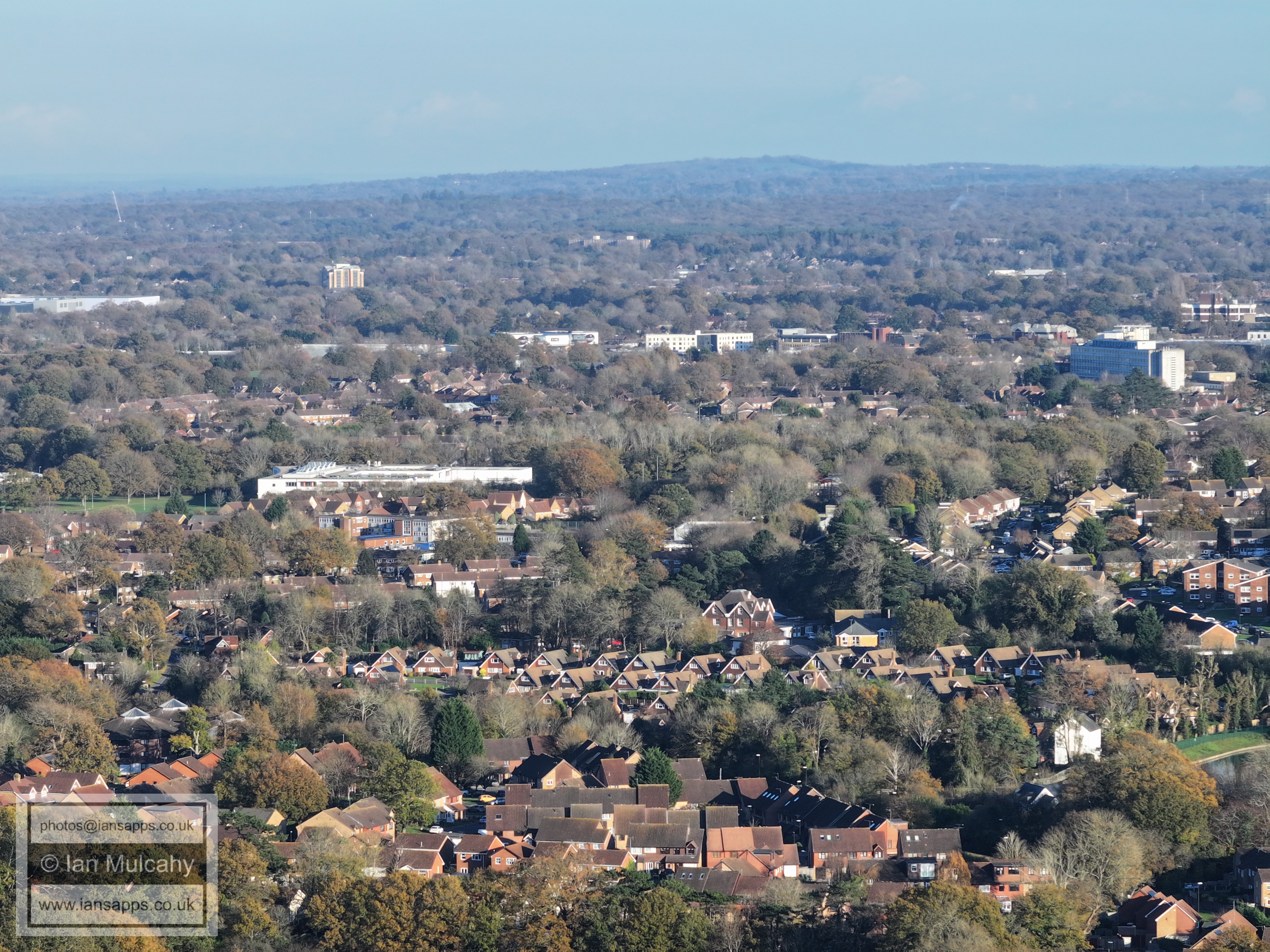
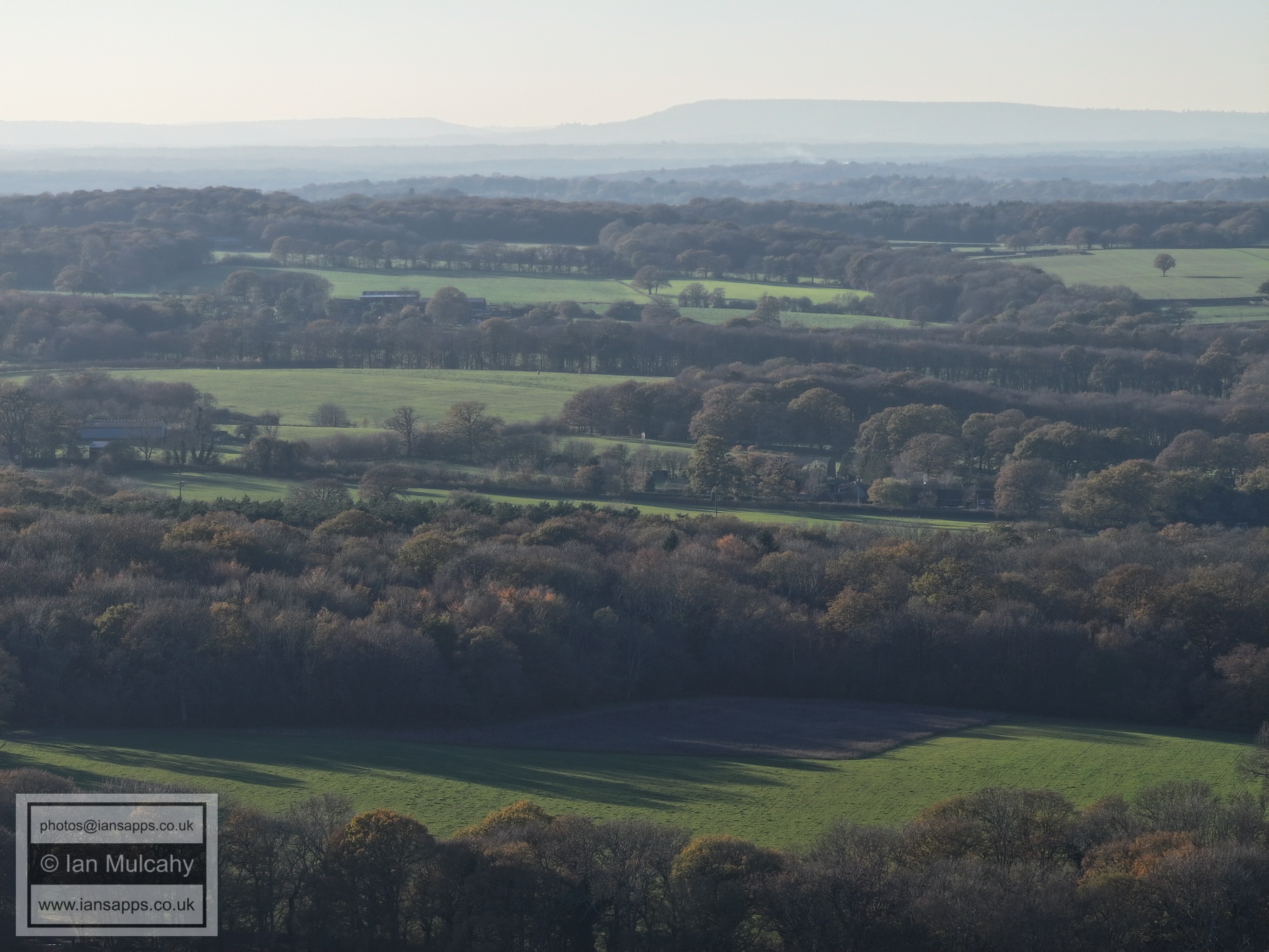
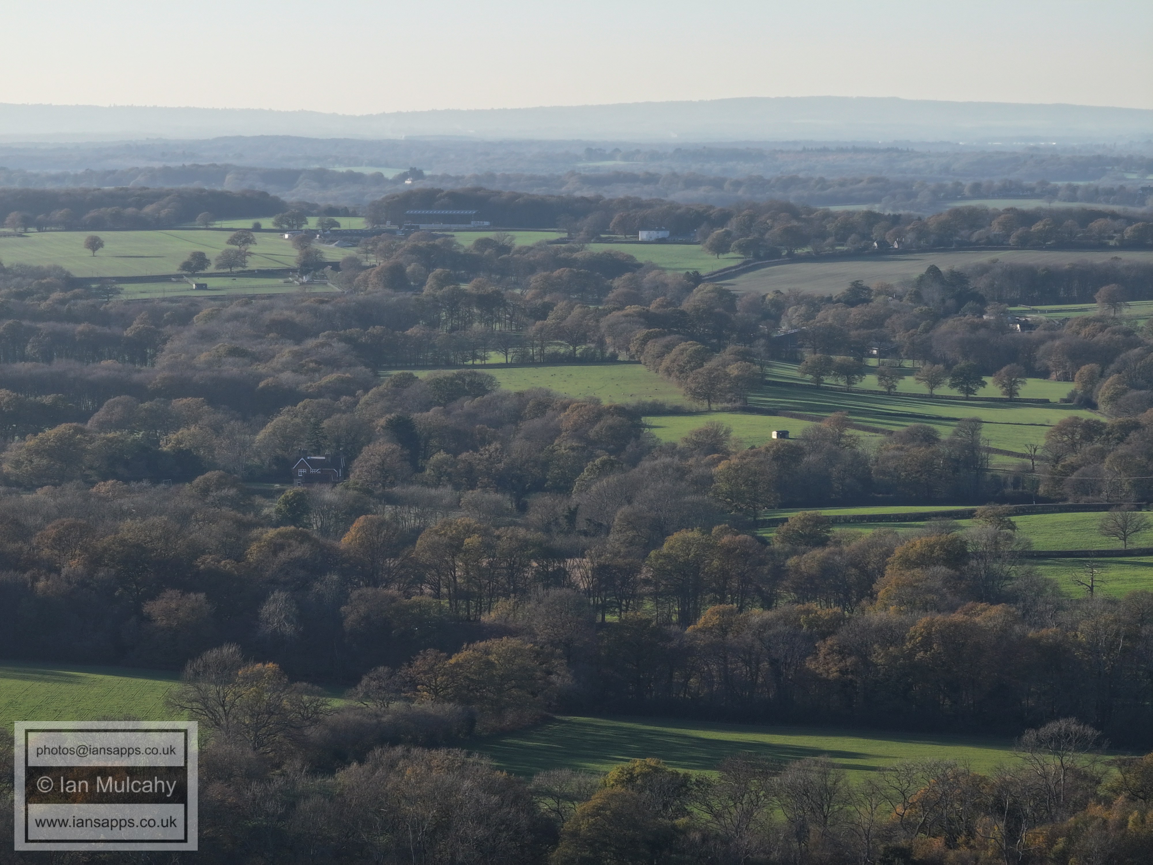
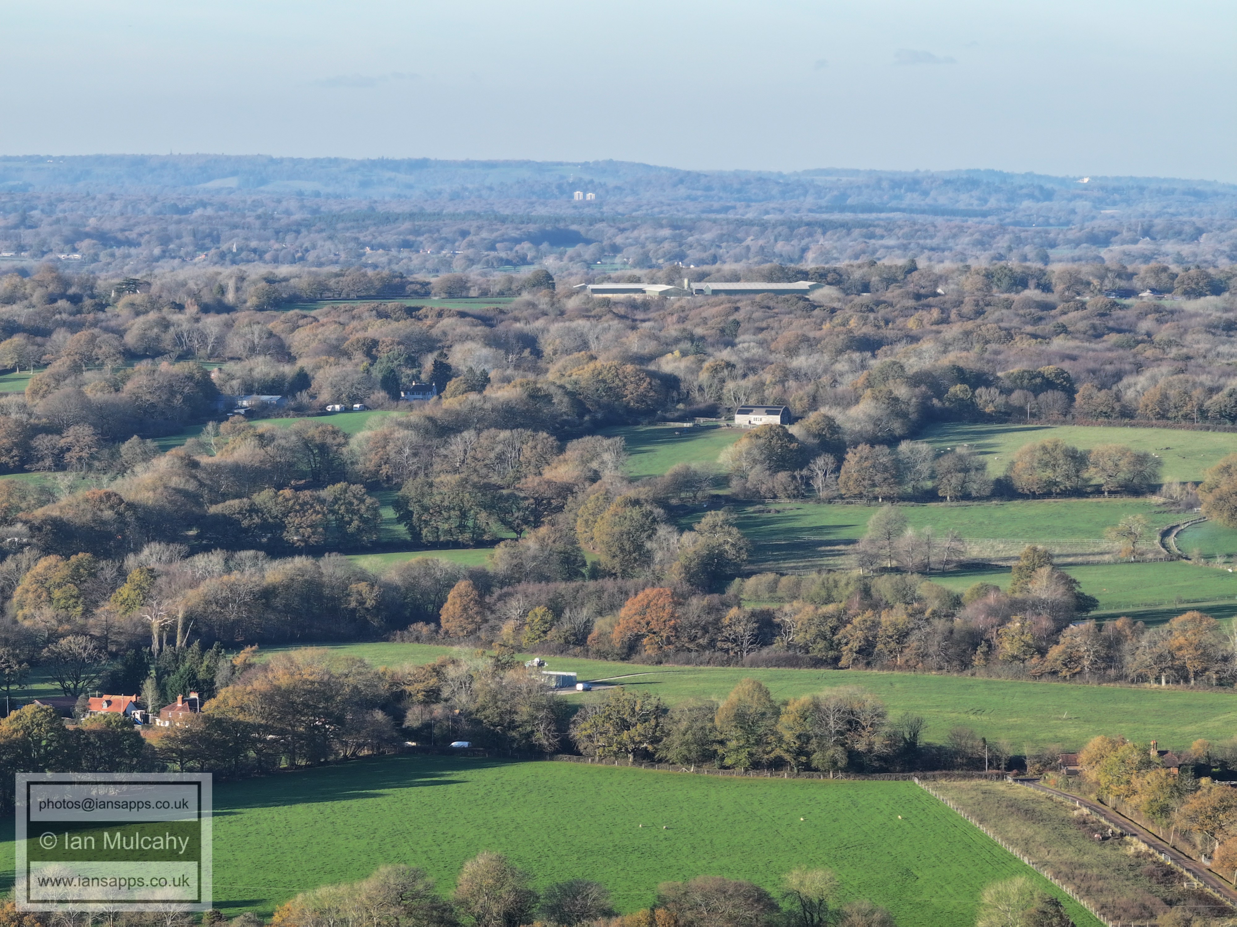
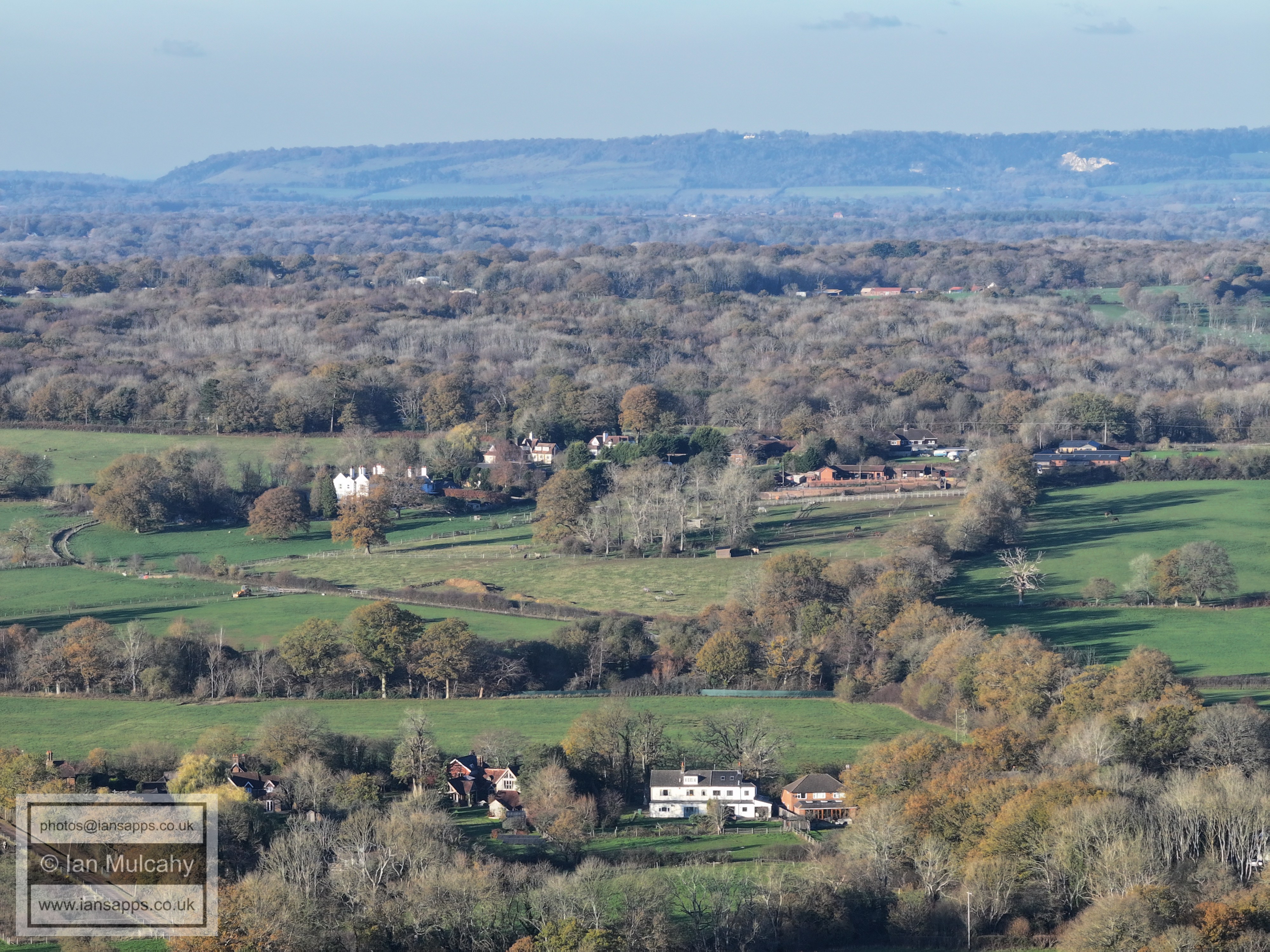
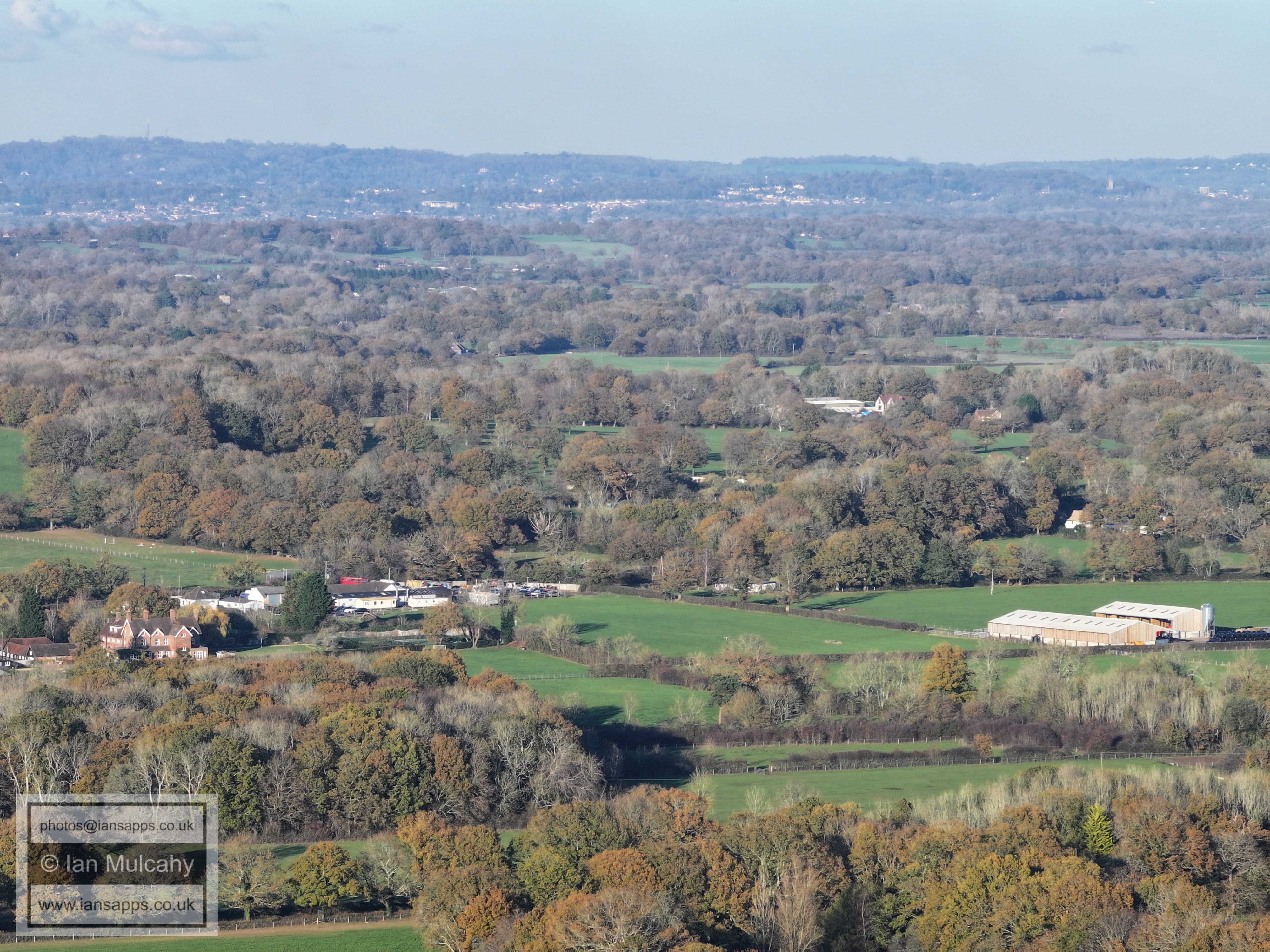
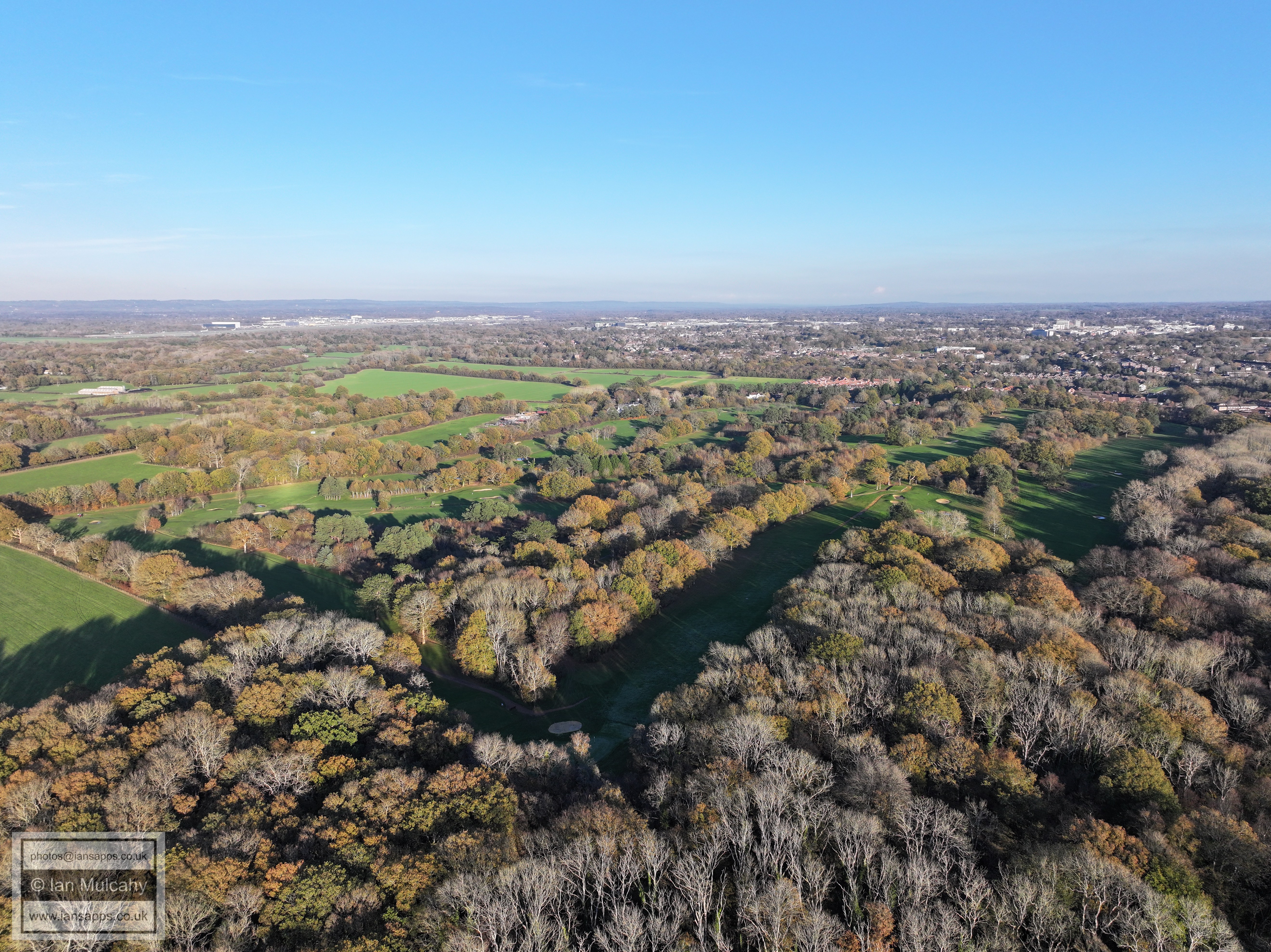
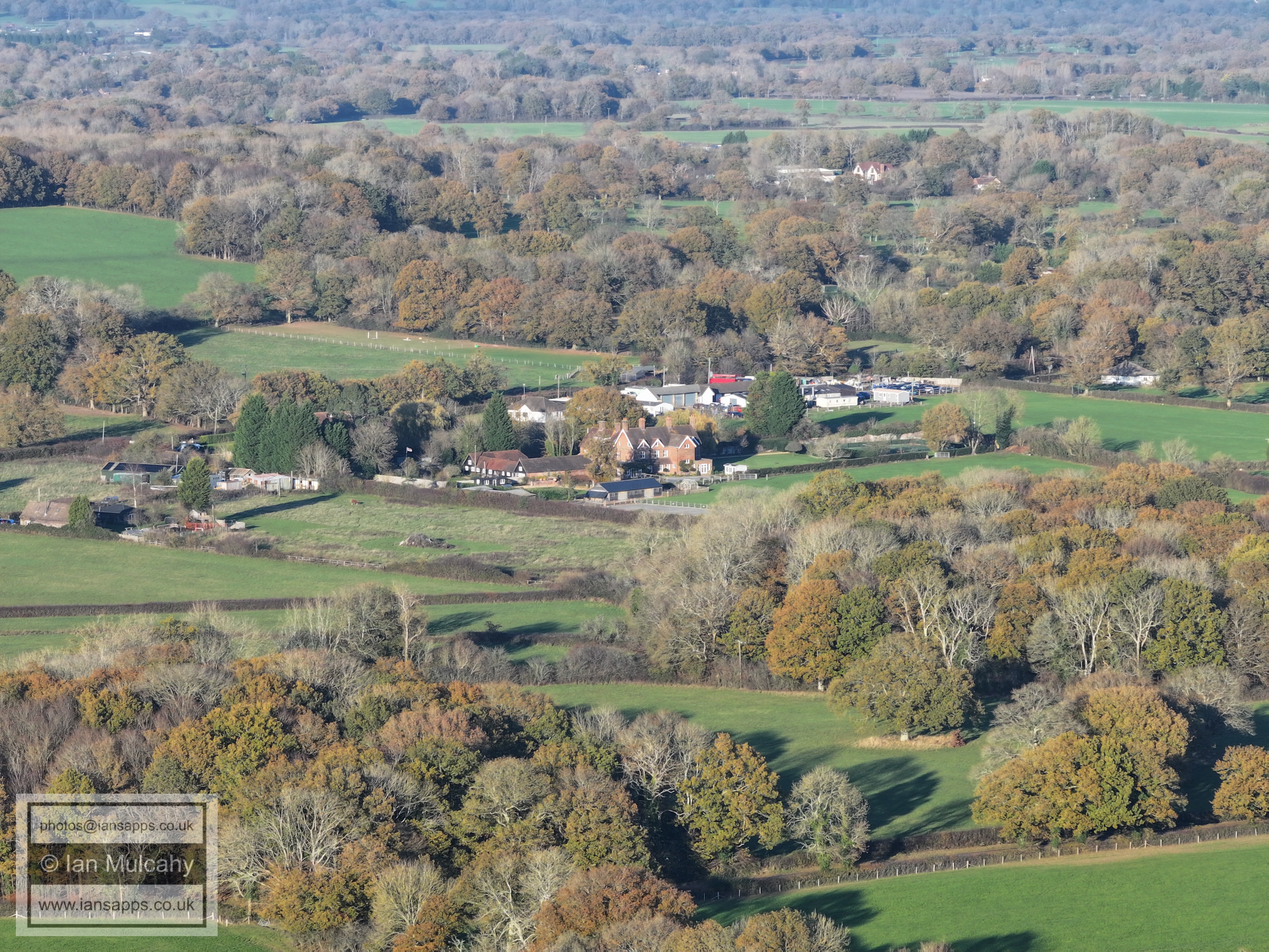
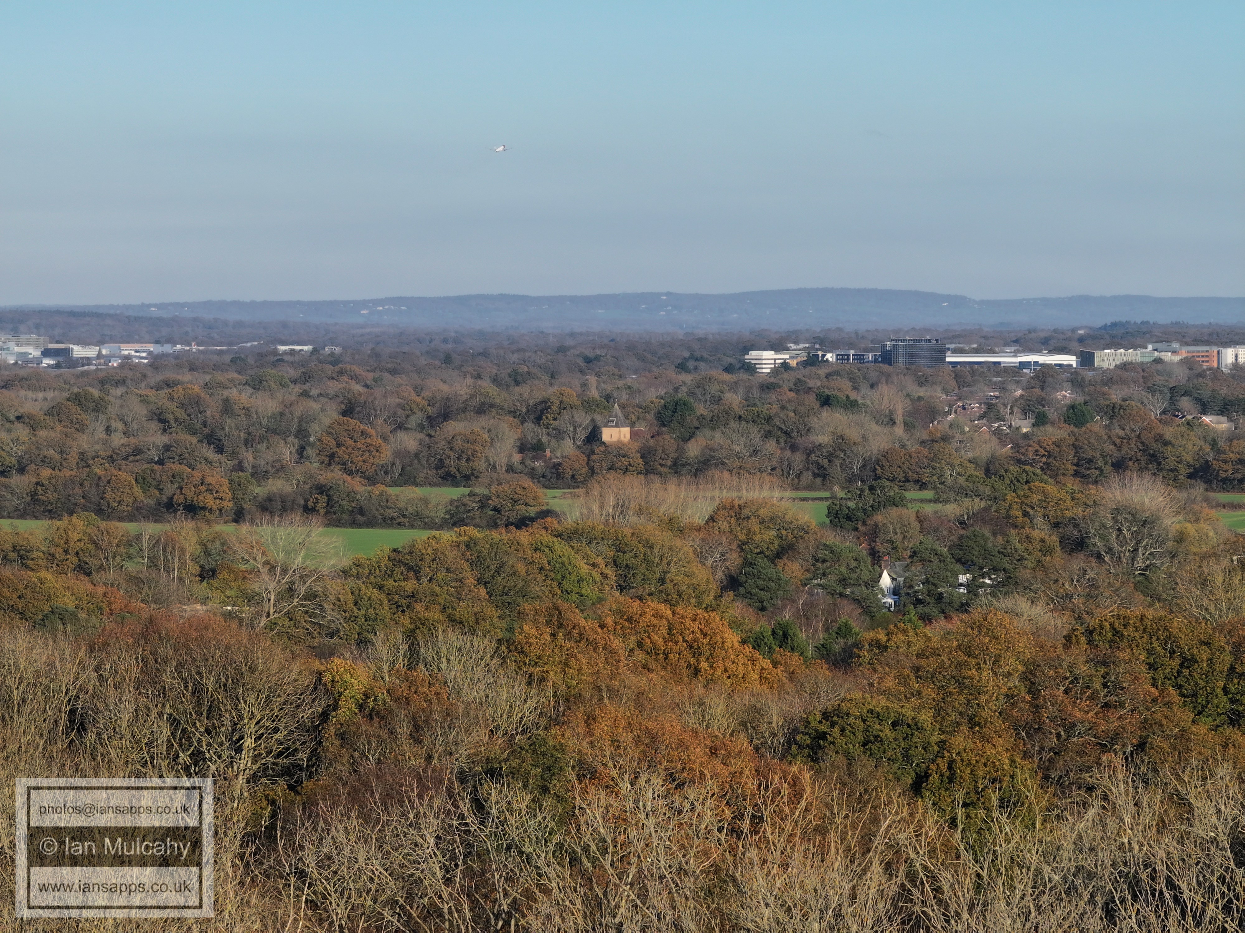
66 aerial images of varying focal length taken from fields west of Hyde Hill Woods in the Rusper, close to the boundary with Ifield, on 21 November 2025. The photos looking south are a bit hazy, but in other directions are clear views of Crawley, Gatwick & Rusper as well as across the Low Weald to the North Downs. I have annotated some of the photos.
Hyde Hill Woods & Ifield Golf Course.
House Copse SSSI
St Margaret's Church, Ifield. The temple at Apple Tree Farm and St Michaels Church at Lowfield Heath are also visible. Just above St Margaret's and slightly to the right is the top of the Steam Mill on Ifield Green.
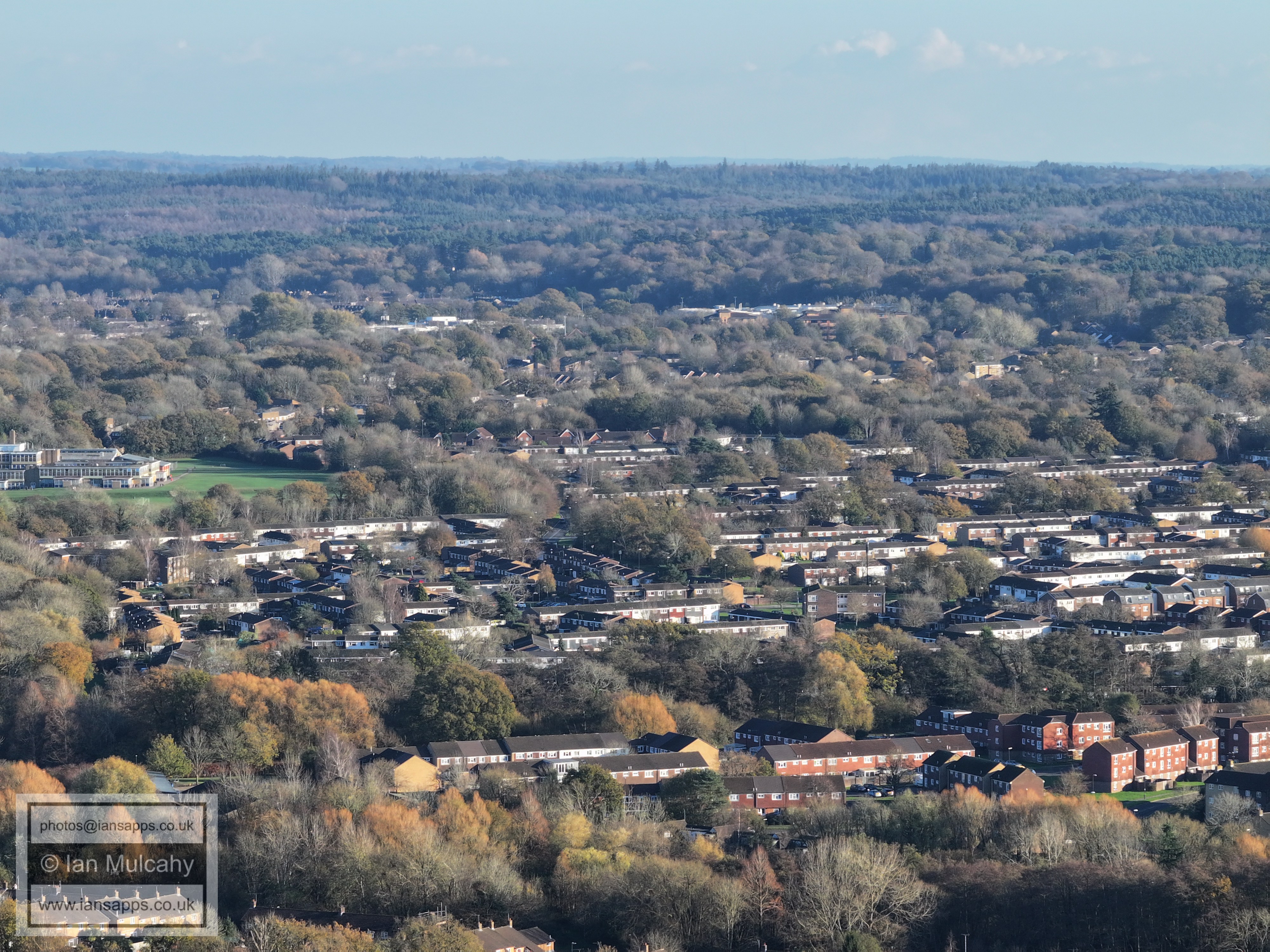
Ifield, Langley Green (the parade is just above centre, to the right of the pronounced higher white building) and the Industrial Estate.
Ifield, Langley Green (the Crowne Plaza is just above centre to the left) and the Industrial Estate. ICC is far right of centre and the Sandman Hotel is in the top right quarter. The observant eye will spot Ewhurst Place in Ifield Drive to the left of centre about a quarter of the way across the image.
ICC is left of centre and the Mill at Ifield is in the bottom right quarter, with The Millbank to the left of it. The hospital and telephone exchange are in the top right quarter at Milton Mount Flats are near the top in the centre.
Gossops Green and Town Centre. Sutherland House next to the Squareabout is in the centre of the top right quarter. Look out for St Johns Chuch to the left of County Mall
The big wheel at Tulleys Farm is top centre and the top left quarter is the spire of St Nicholas at Worth. Gossops Green Parade and Primary School are in the centre and the Rother Crescent area is below.
Southgate West i son the ridge just above centre and Holy Trinity is to the right of centre. To the left of Southgate West is St Mary's in Wakehurst Drive. At the foot of the picture is Gossops Green and the Millpond is hidden by the trees. The little band of house near the top of the green is Maidenbower.
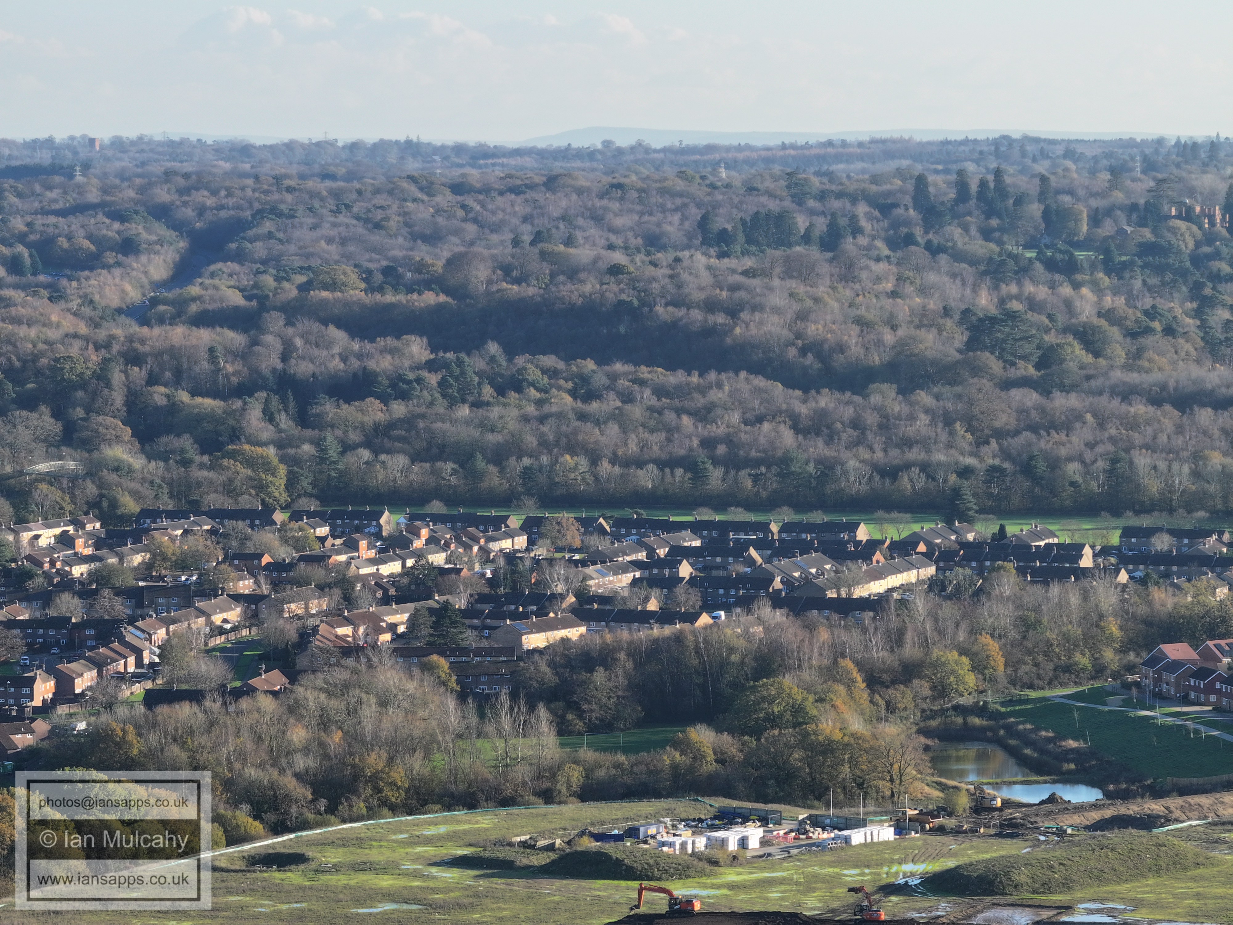
Bewbush and Broadfield North. Above centre are Thomas Bennett, K2 and the Broadfield Park Business Centre.
Above centre is Broadfield Barton and in the bottom right quarter are Bewbush Shops and Bewbush Green Playing Fields.
Bewbush Green Playing Fields fill the bottom of the image. At the top is Woodgate at Pease Pottage with Tolgate Hill just below. In the top right is Slaugham Water Tower on High Beeches.
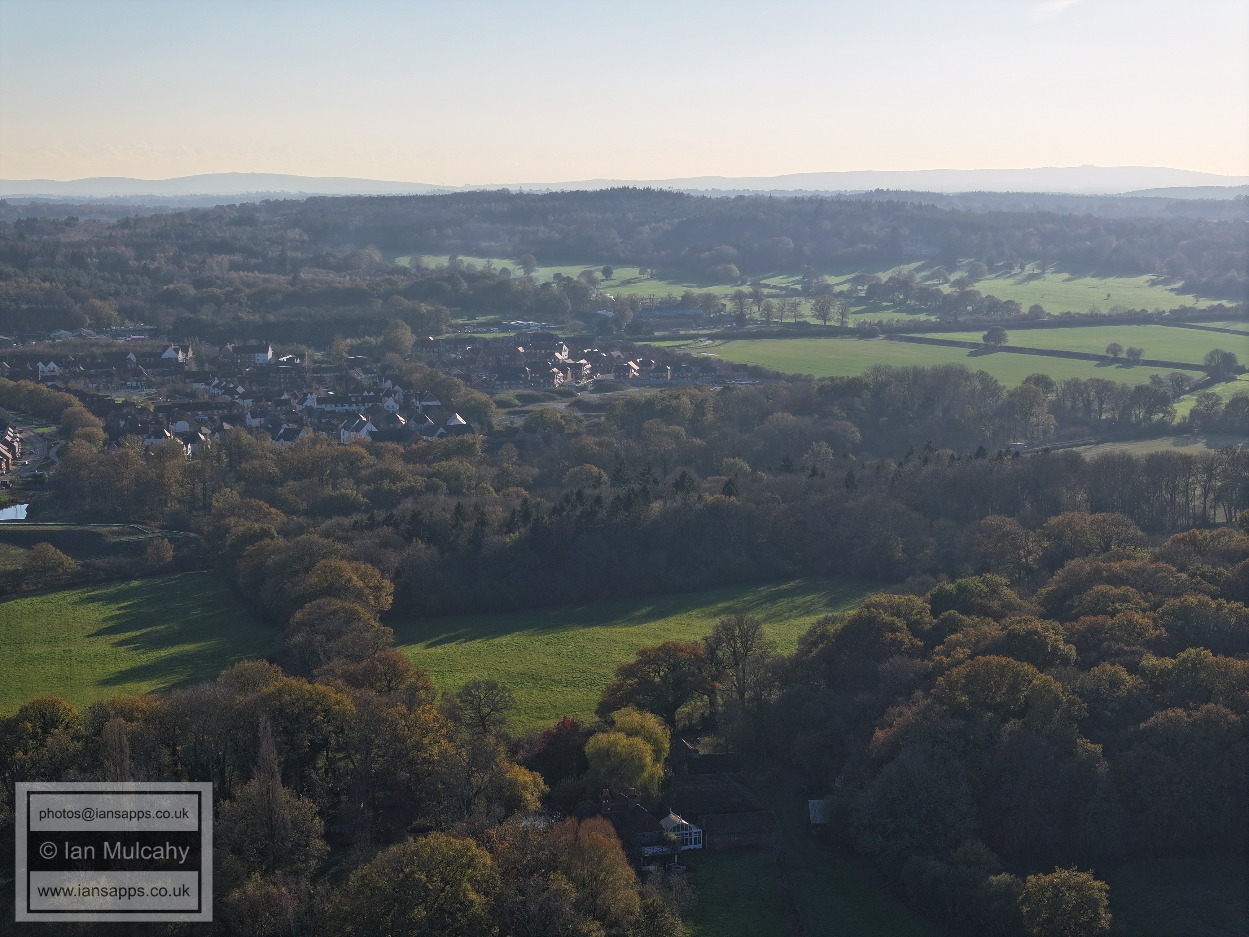
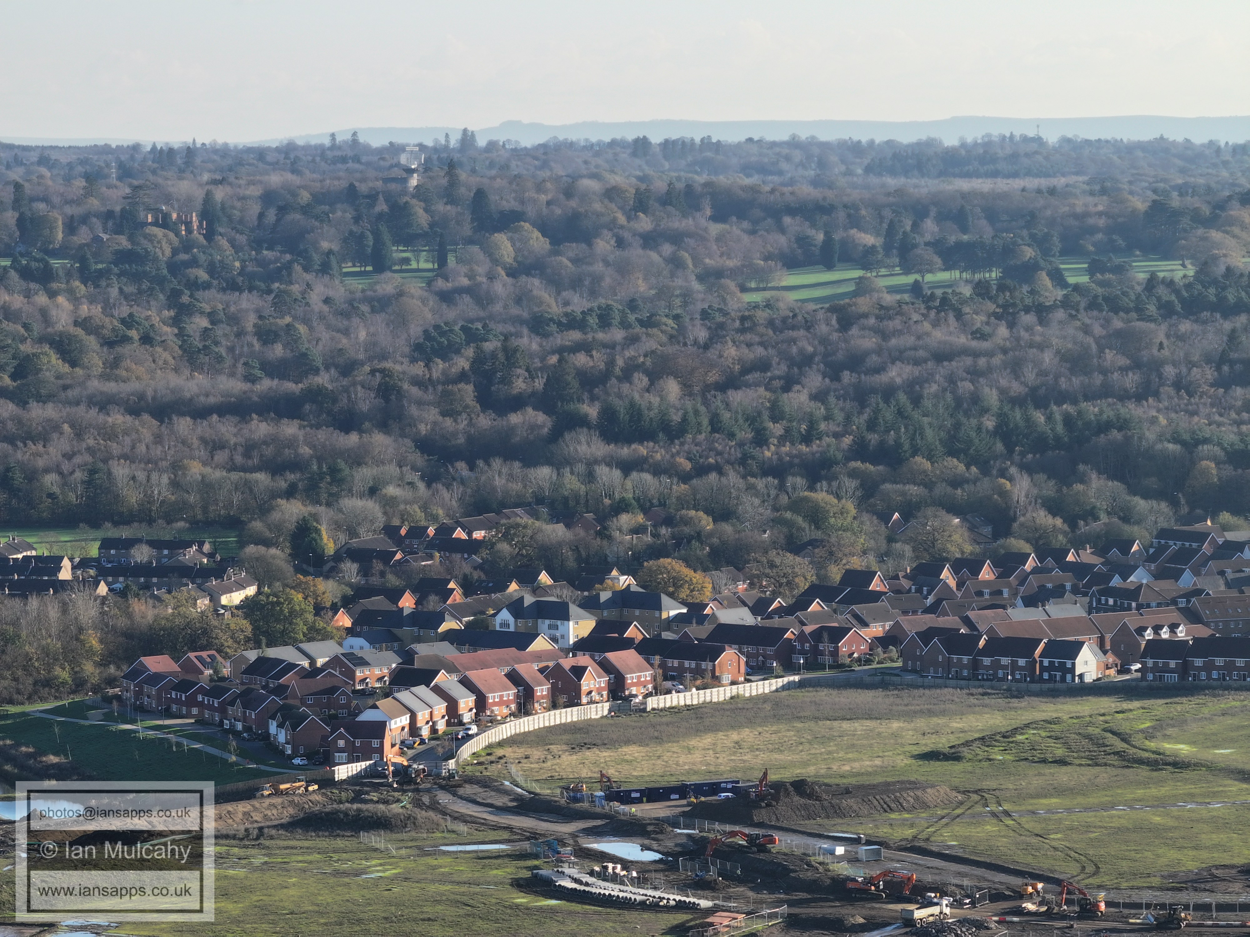
Bewbush Manor and Buchan Park
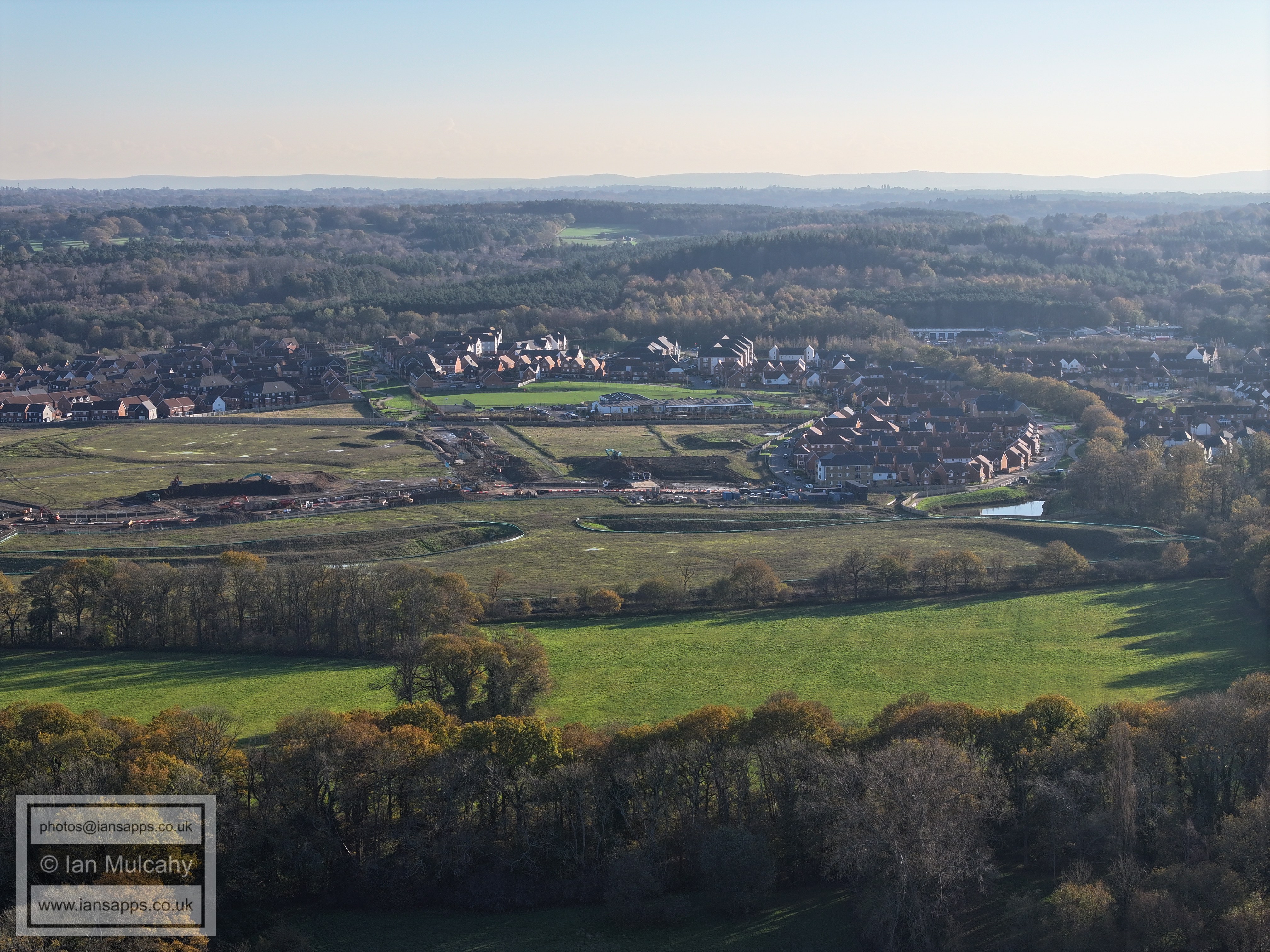
Kilnwood Vale. In the top left quarter is Buchan House (Cottesmore School) and the radar station and water tower.
Kilnwood Vale
Kilnwood Vale
Kilnwood Vale
Kilnwood Vale
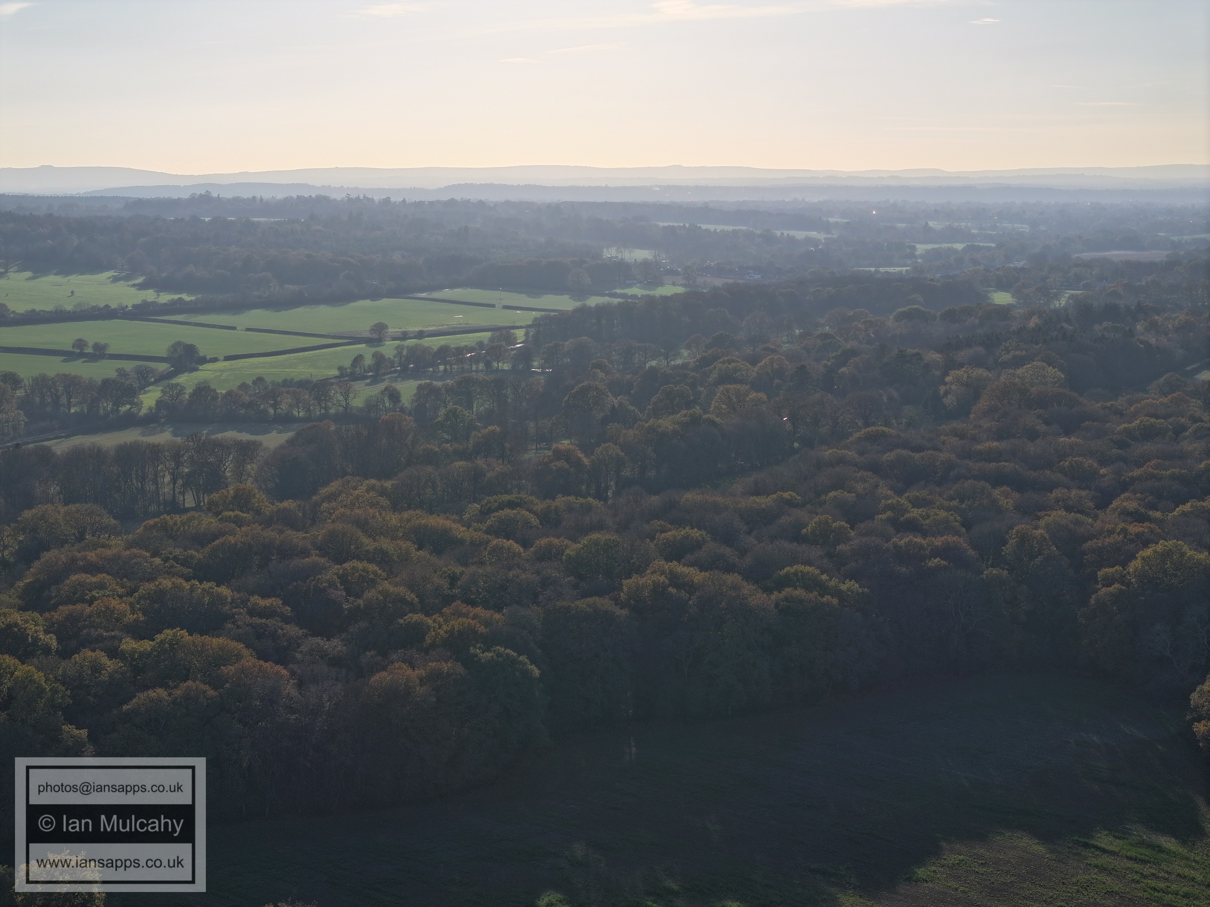
Lost in the haze and low sun just above centre is Holmbush House.
Lost in the haze and low sun just above and to the left of centre is Faygate
Horsham, barely visible.
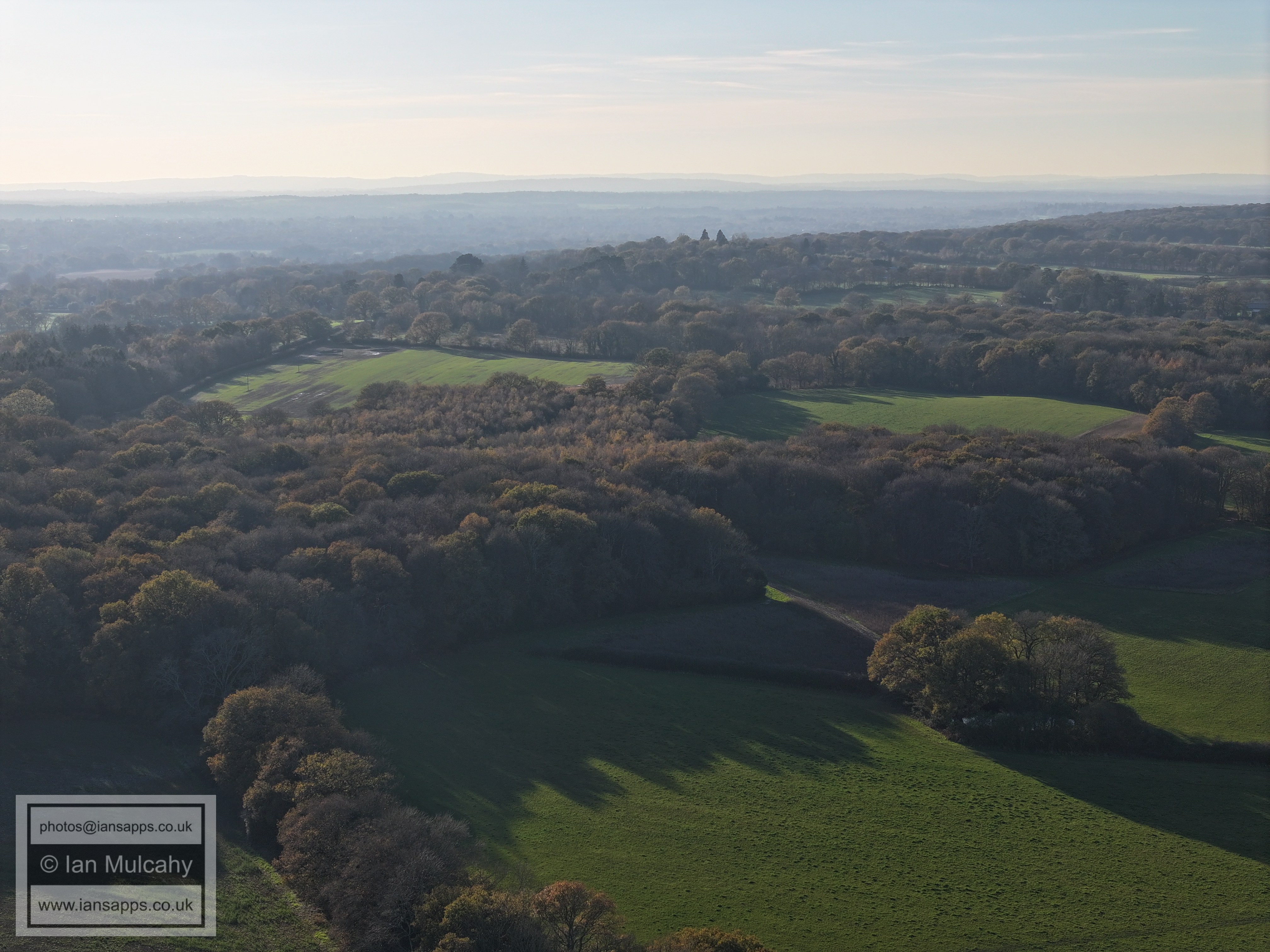
The hedgerow to the left of the field right of centre marks Kilnwood Lane where the public footpath leaves the road for Faygate Playing Fields.
The woods across the centre are Furzefield and Burnt Stubbs off Kilnwood Lane
The woods across the centre are the northern sections of Furzefield and Burnt Stubbs off Kilnwood Lane. The buildings above are at Carylls Country House on Faygate Lane
Faygate Lane runs across the centre of the image.
The White building above centre is Old Park on the Horsham Road out of Rusper and Old Park Farm is to the left. The hedgerow below right of Old Park is Wimlands Road.
Just above centre is Rusper and below centre is Lambs Green
The houses right of centre are where Langhurst Lane, Burnt House Lane and Rusper Road meet.
Above centre is a chimney at the brickworks between Newdigate & Beare Green
The modern barns above centre are at Ivy House Farm on Partridge Lane. The tower blocks south of Dorking are above. In the bottom left corner is the Old Forge, next to the former Gate Public House on Rusper Road.
The Mount is in the centre. Thehouses along the bottom are between the former Gate Public House and CCM Mechanics on Rusper Road
Mount Cottages in Ifield Wood at the bottom and Russ Hill Hotel above centre.
Bonwyckes Farm in the far left of the bottom left quarter and the new barns at Bonwyckes Farm on the far right. In the top left quarter, in a line up from Bonwyckes Place, is the tower of St Nicholas at Charlwood. Reigate & Redhill are below the North Downs at the top.
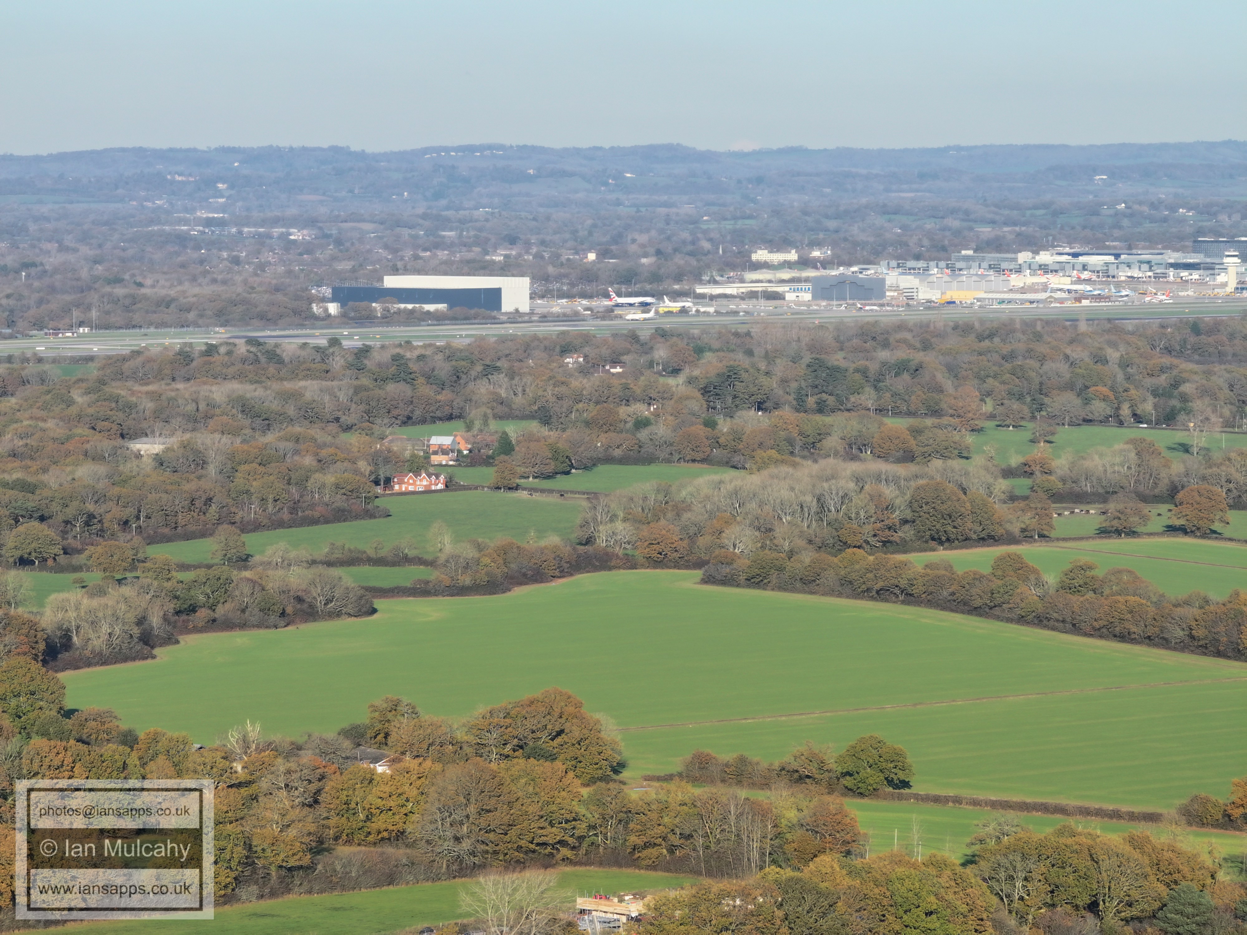
Druids and Ifield Court in the centre and Gatwick beyond.
Crawley Town Centre
95% of the proposed West of Ifield development site.
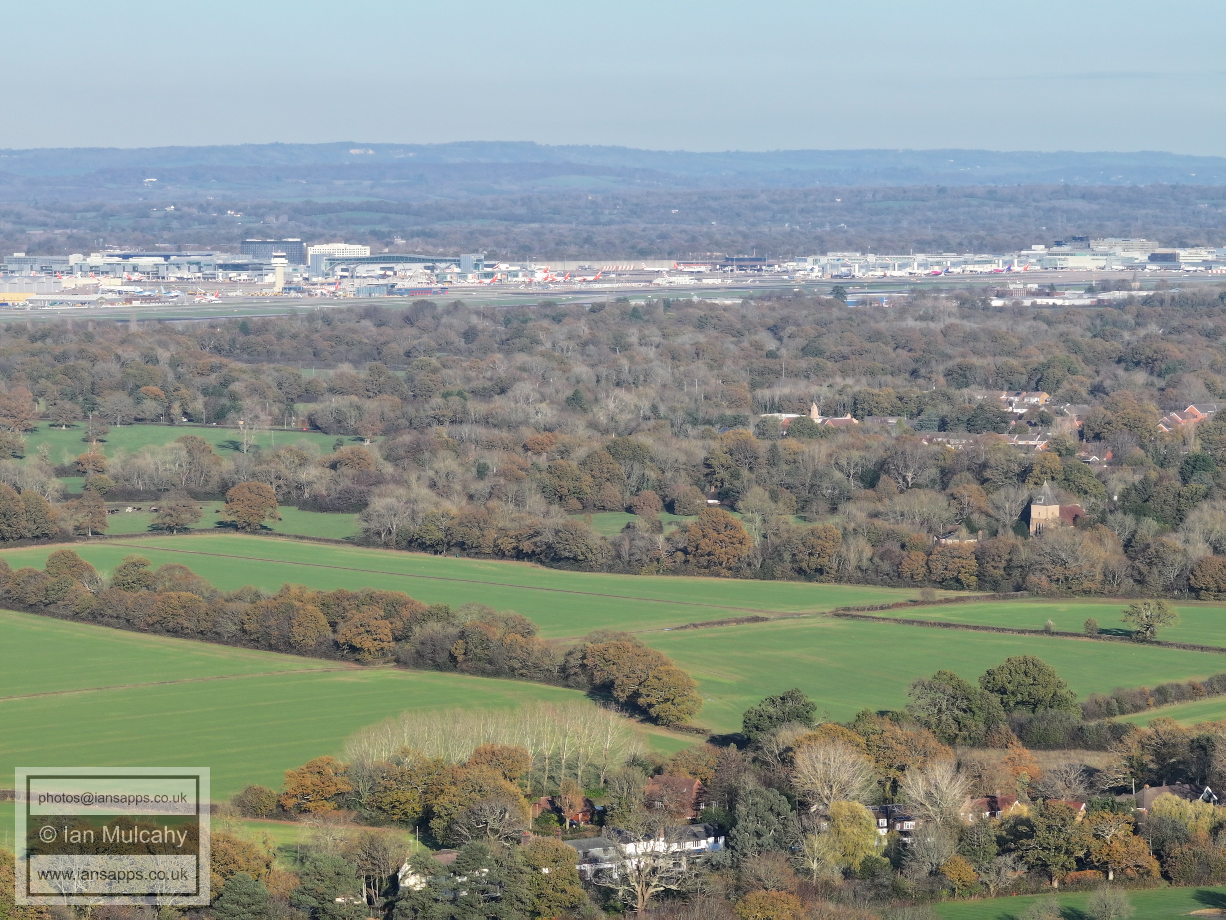
St Margaret's Church, Ifield
Bonwyckes Place
St Margaret's Church and some autumn colours.
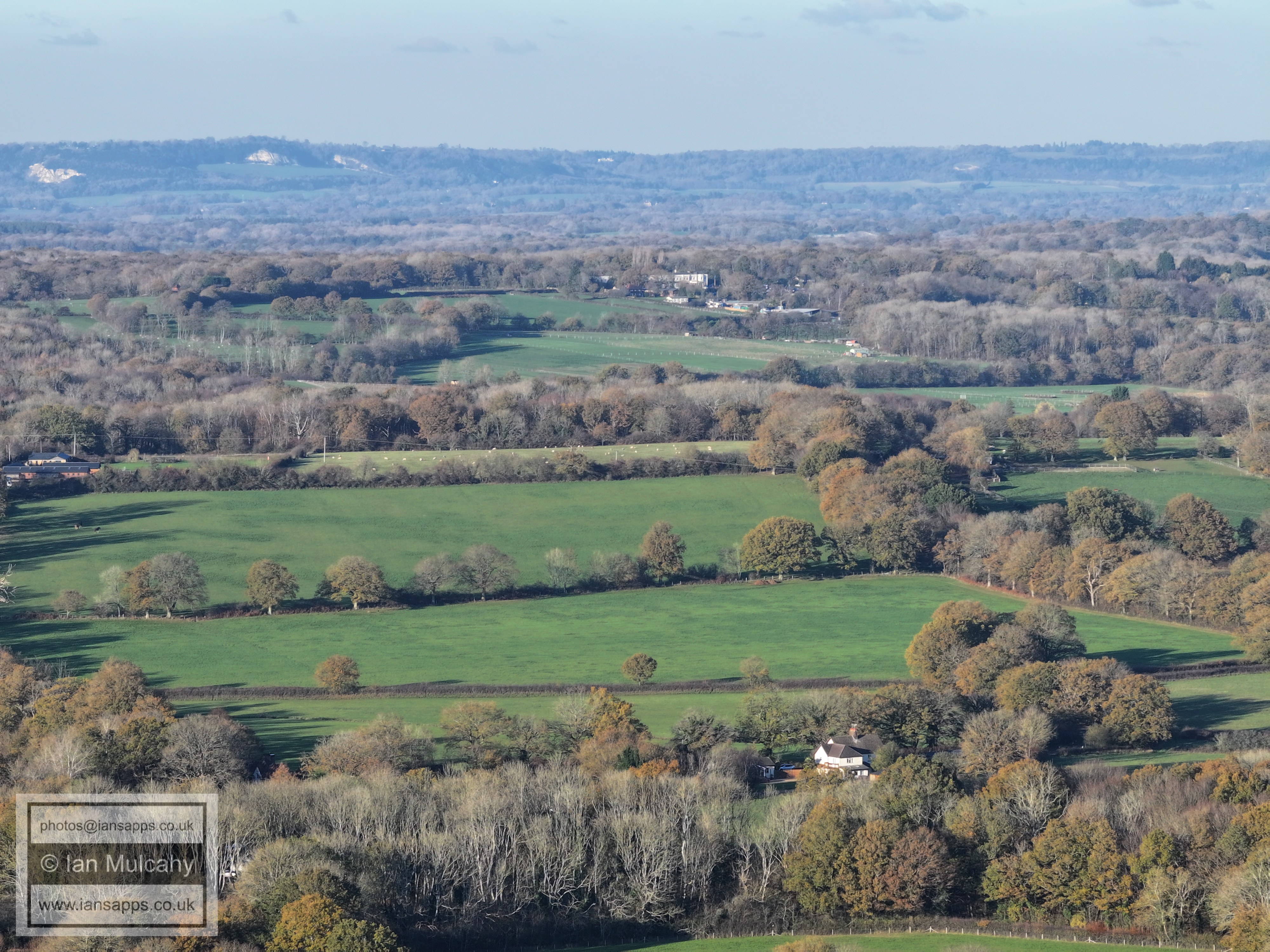
Our green and pleasant land!
Text & photographs © Ian Mulcahy. Contact photos@iansapps.co.uk or visit my 'Use of my photographs' page for licensing queries (ground level photographs only). |