Bramber Brooks & Village
13 December 2025
78 aerial photos of varying focal length
|
78 aerial images of varying focal length taken from Bramber Brooks and around the village and Castle on 13 December 2025 I have annotated some of the photos.
St Mary's
St Mary's
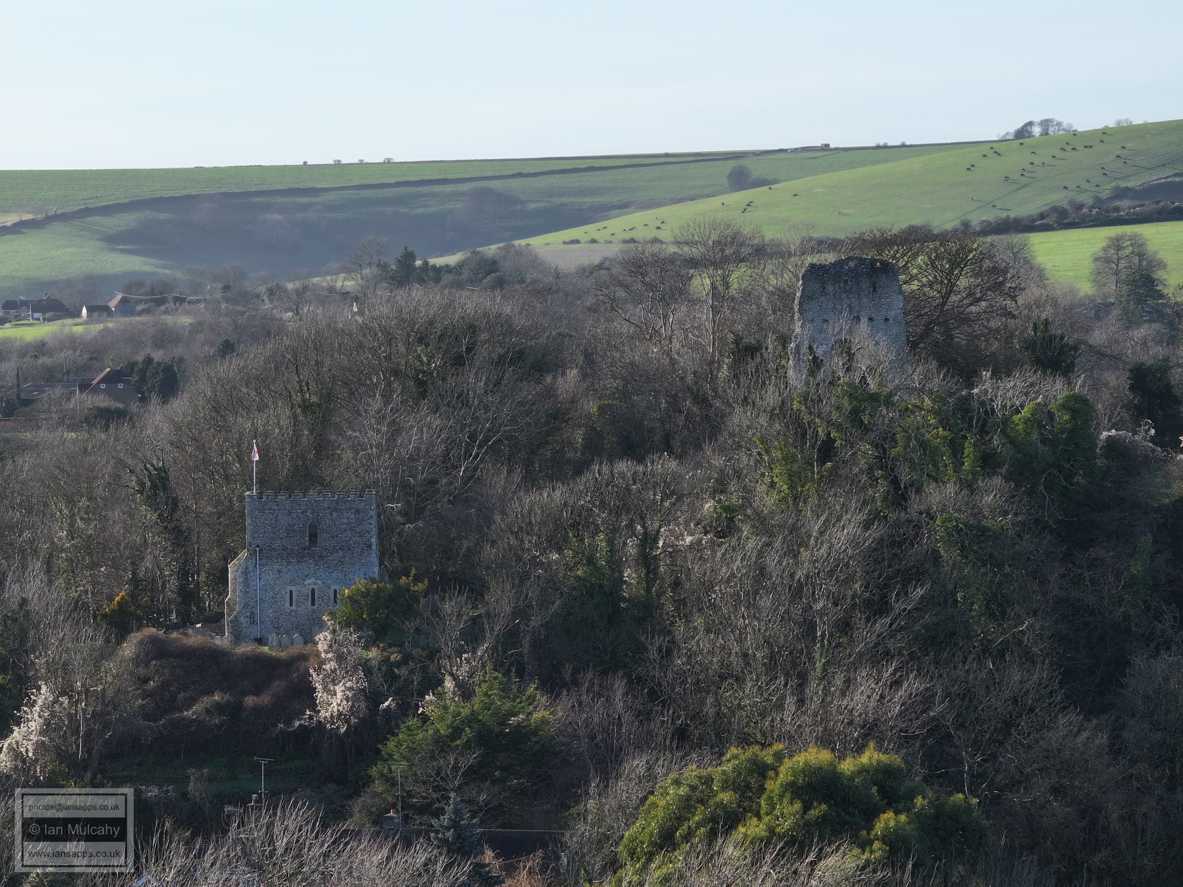
The (Norman built) Parish Church of St Nicholas and the remains of the Norman Gatehouse to Bramber Castle
The Motte at Bramber Castle
The southern part of the Bailey at Bramber Castle
The remains of the curtain wall of Bramber Castle
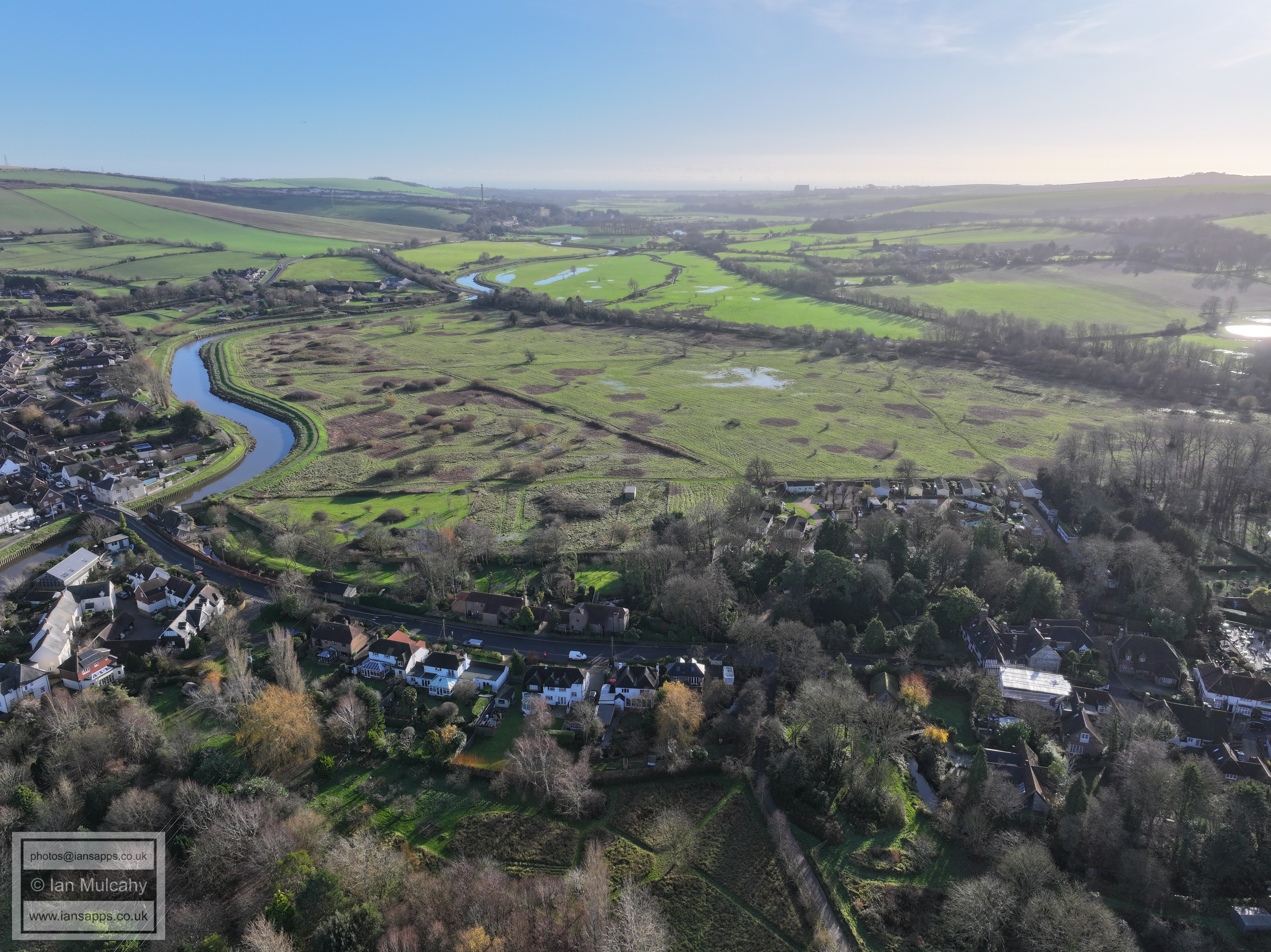
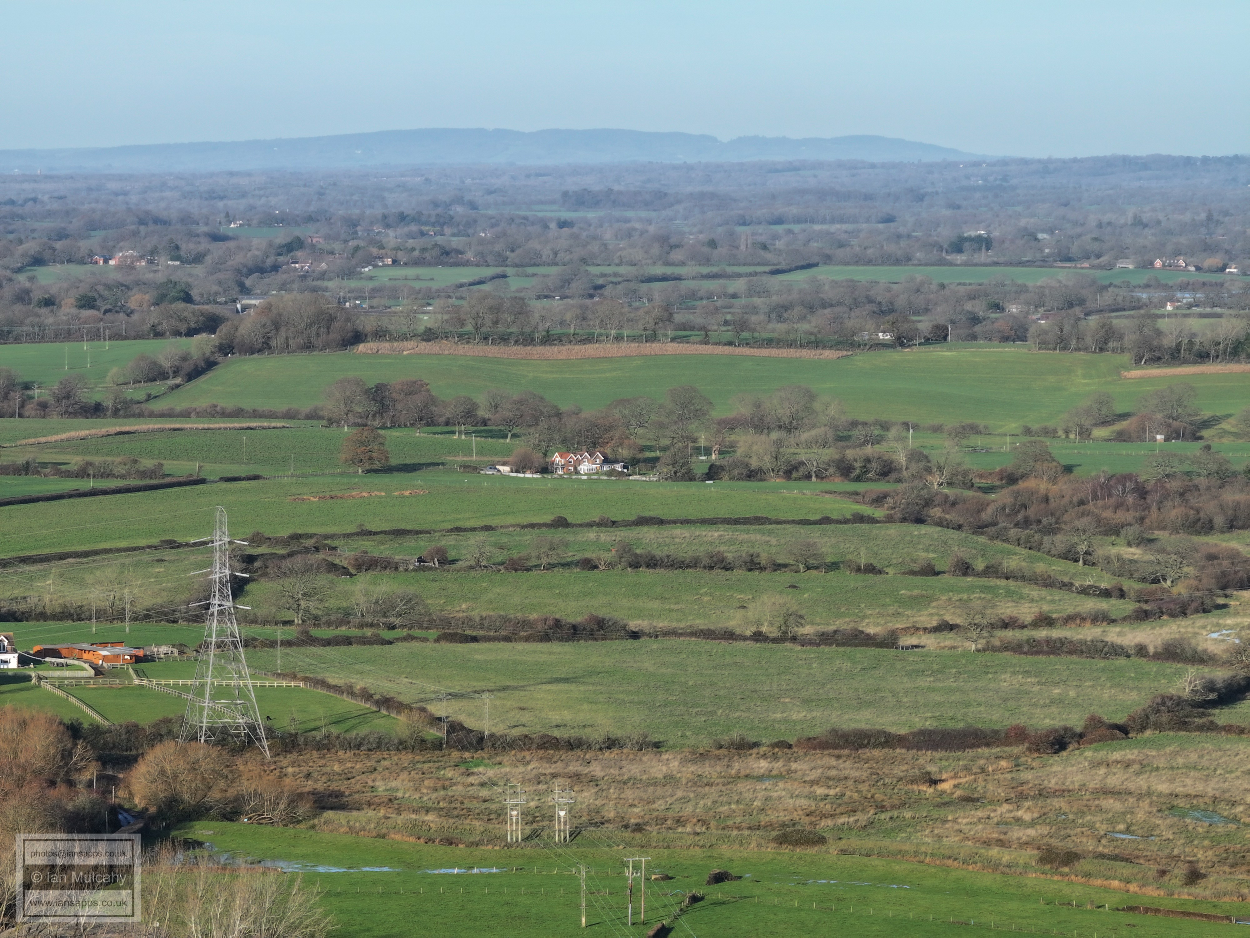
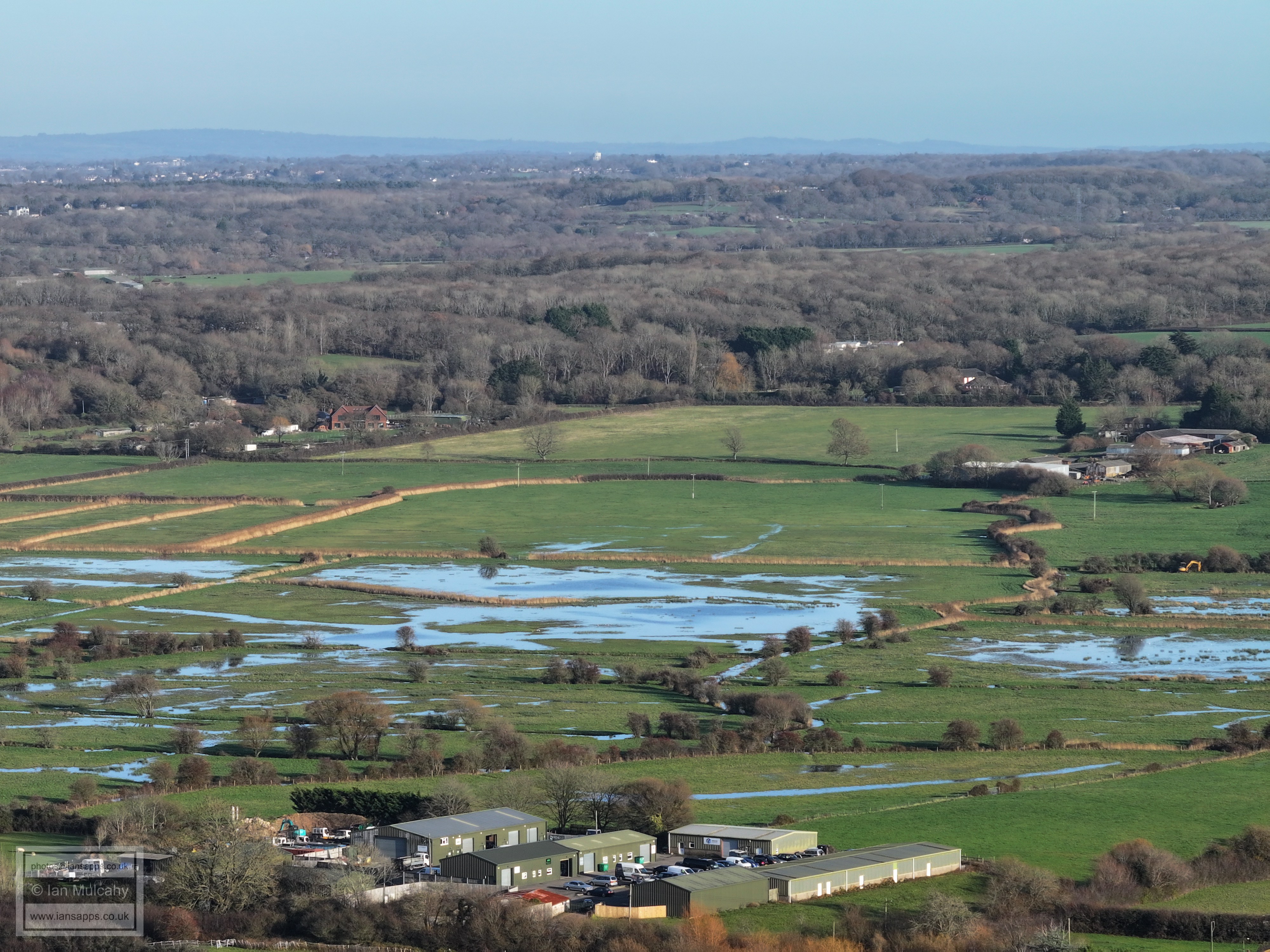
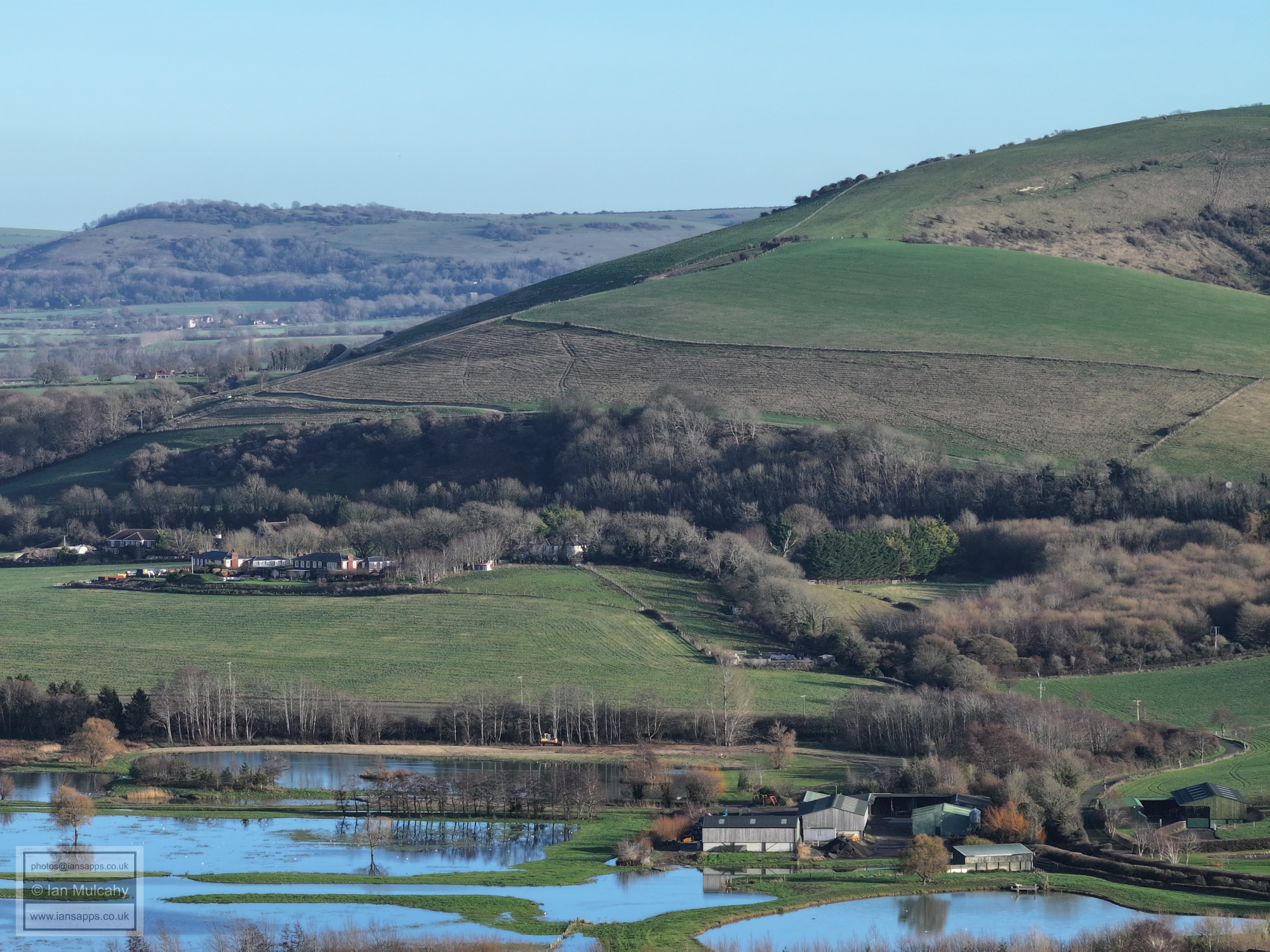
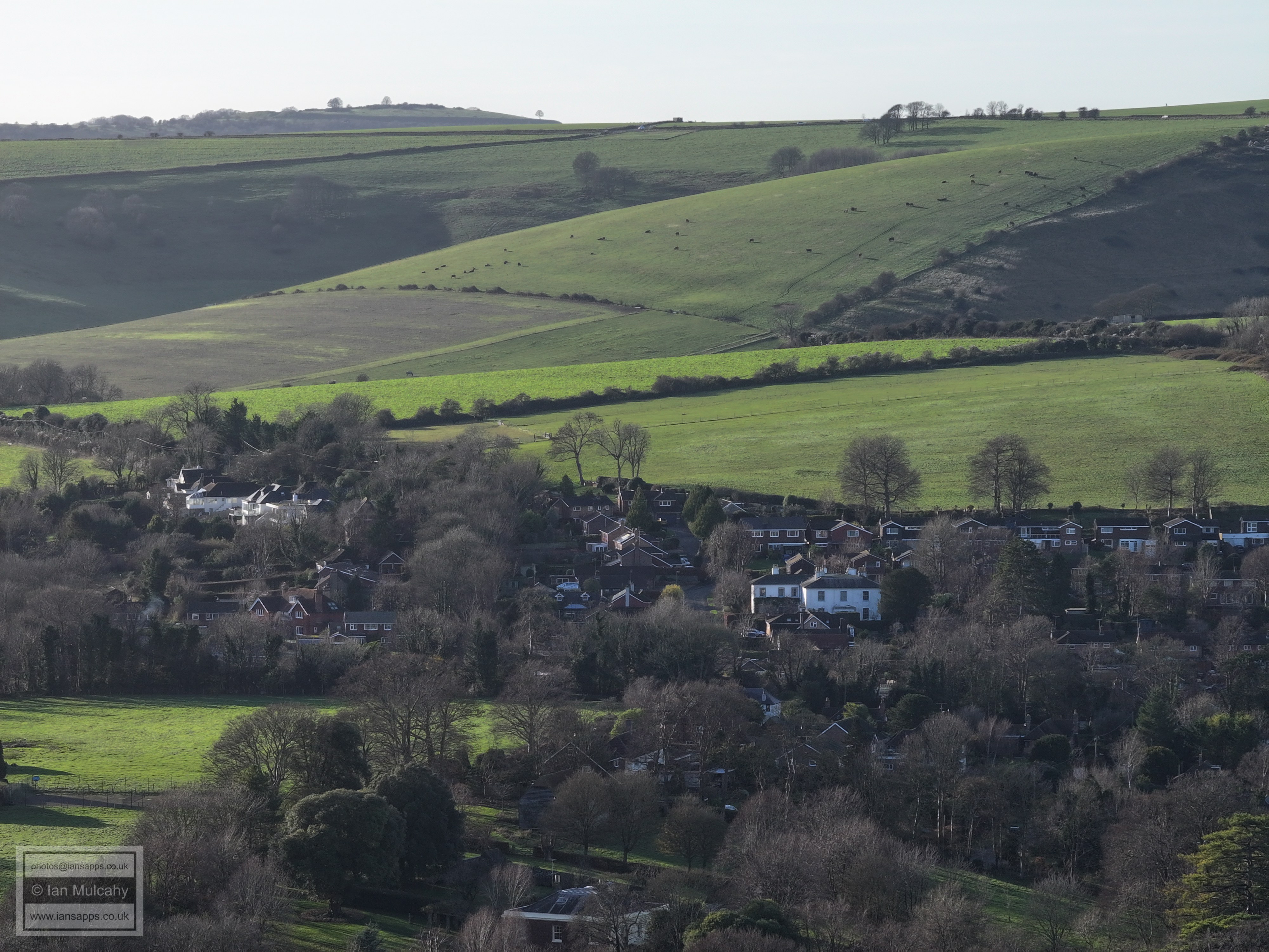
The following are from Bramber Brooks
Church (left) and castle gatehouse, with the Downs beyond Steyning in the background
The castle site.
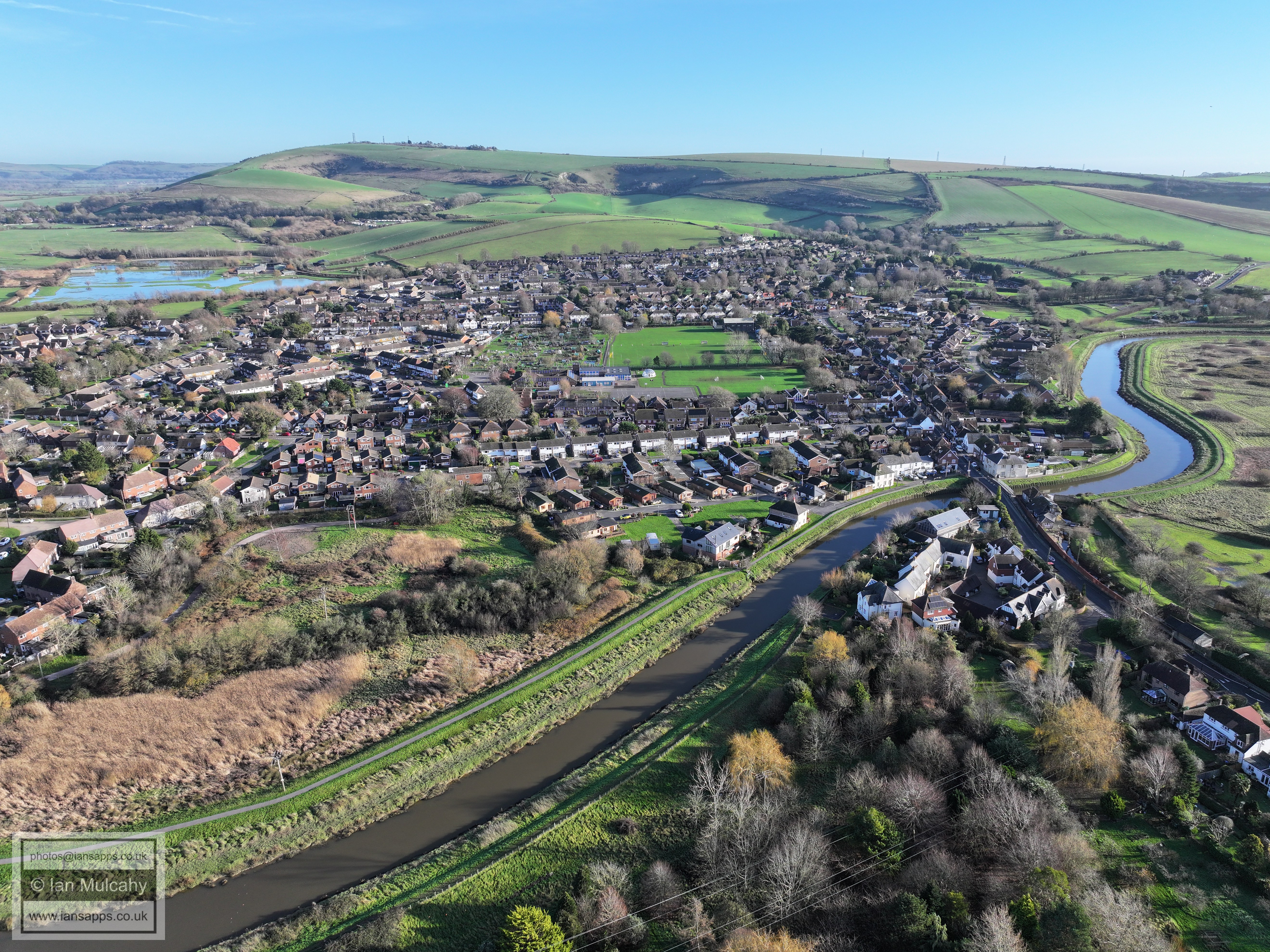
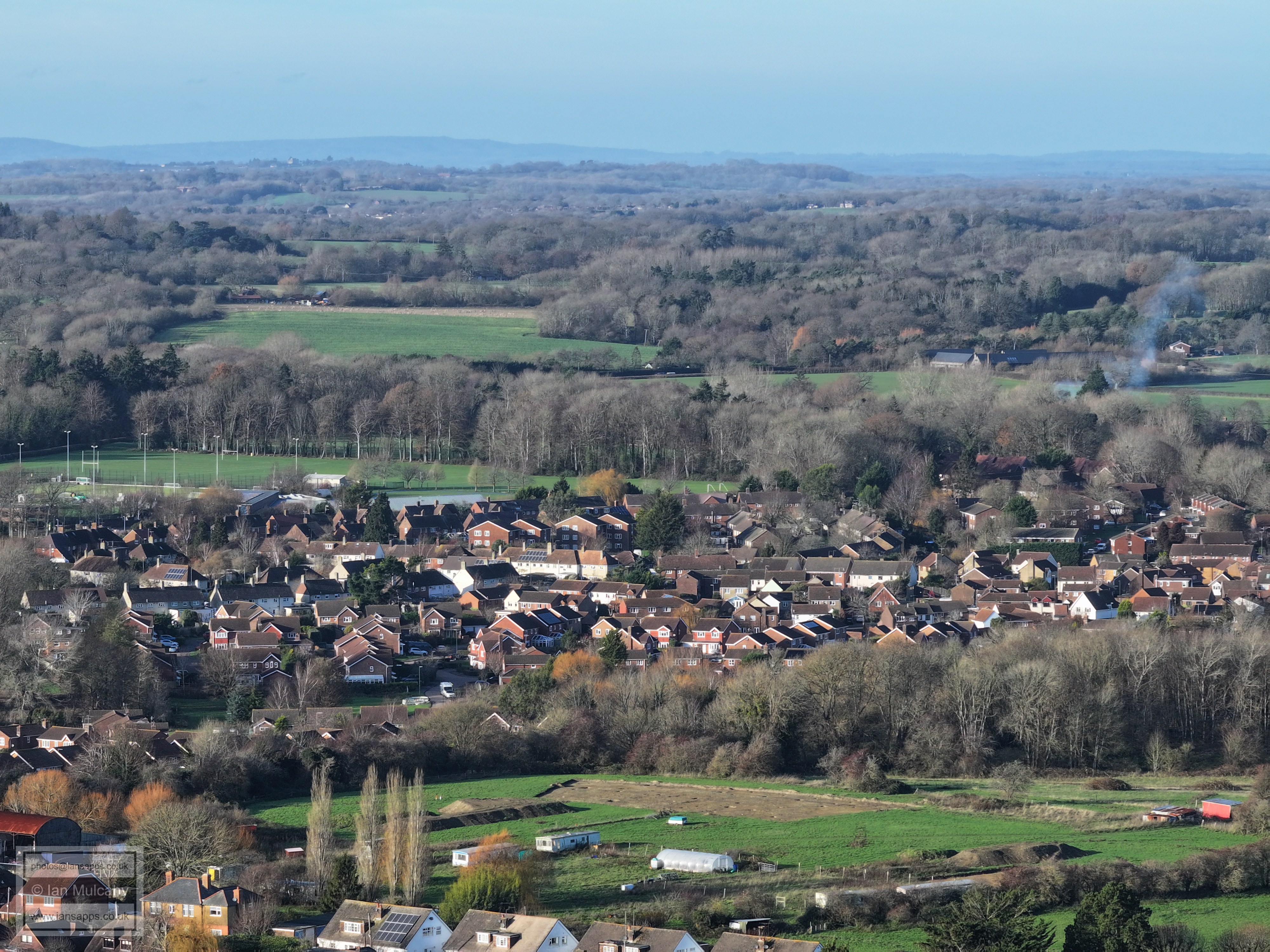
Upper Beeding Rec.
Upper Beeding
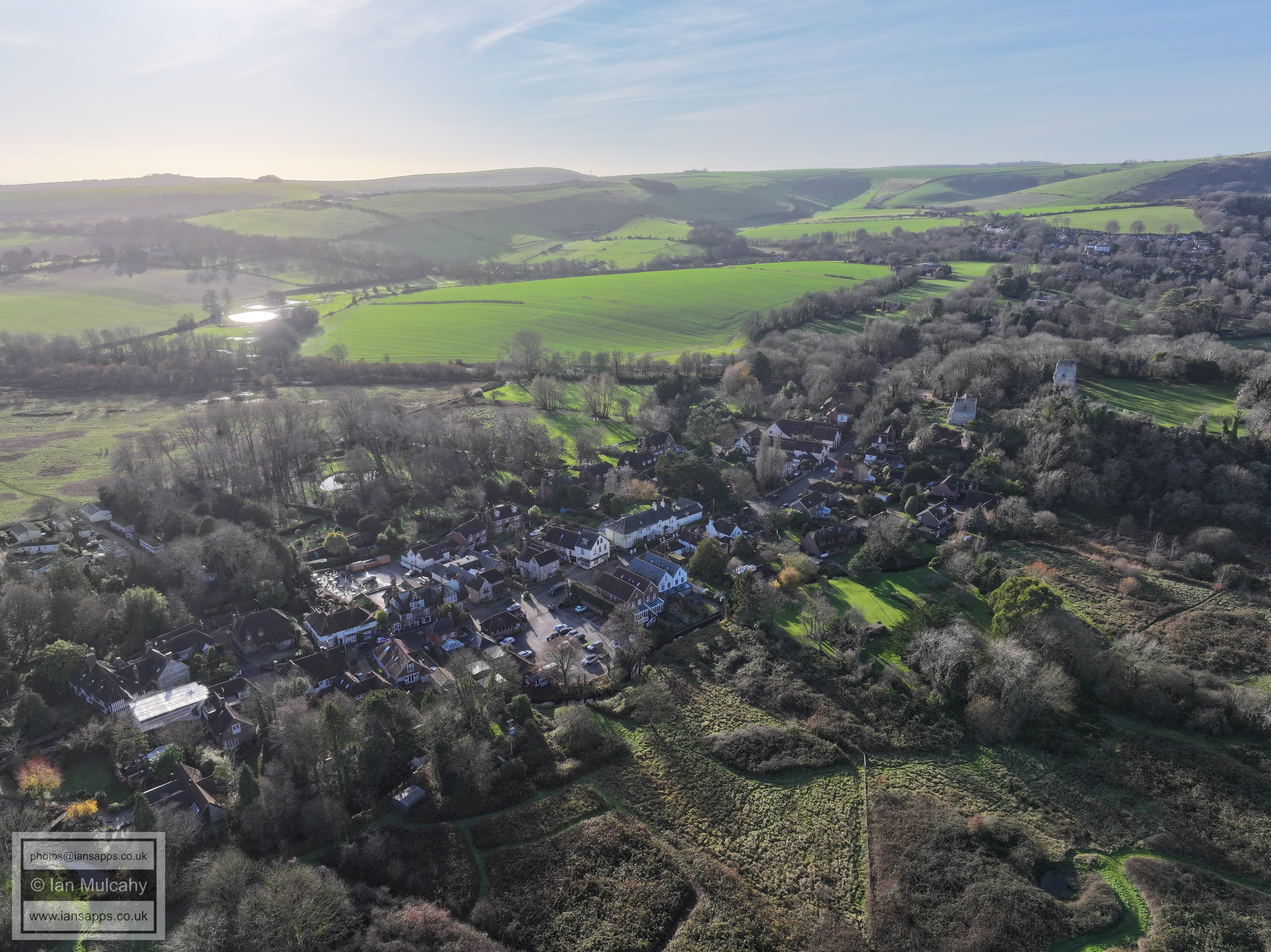
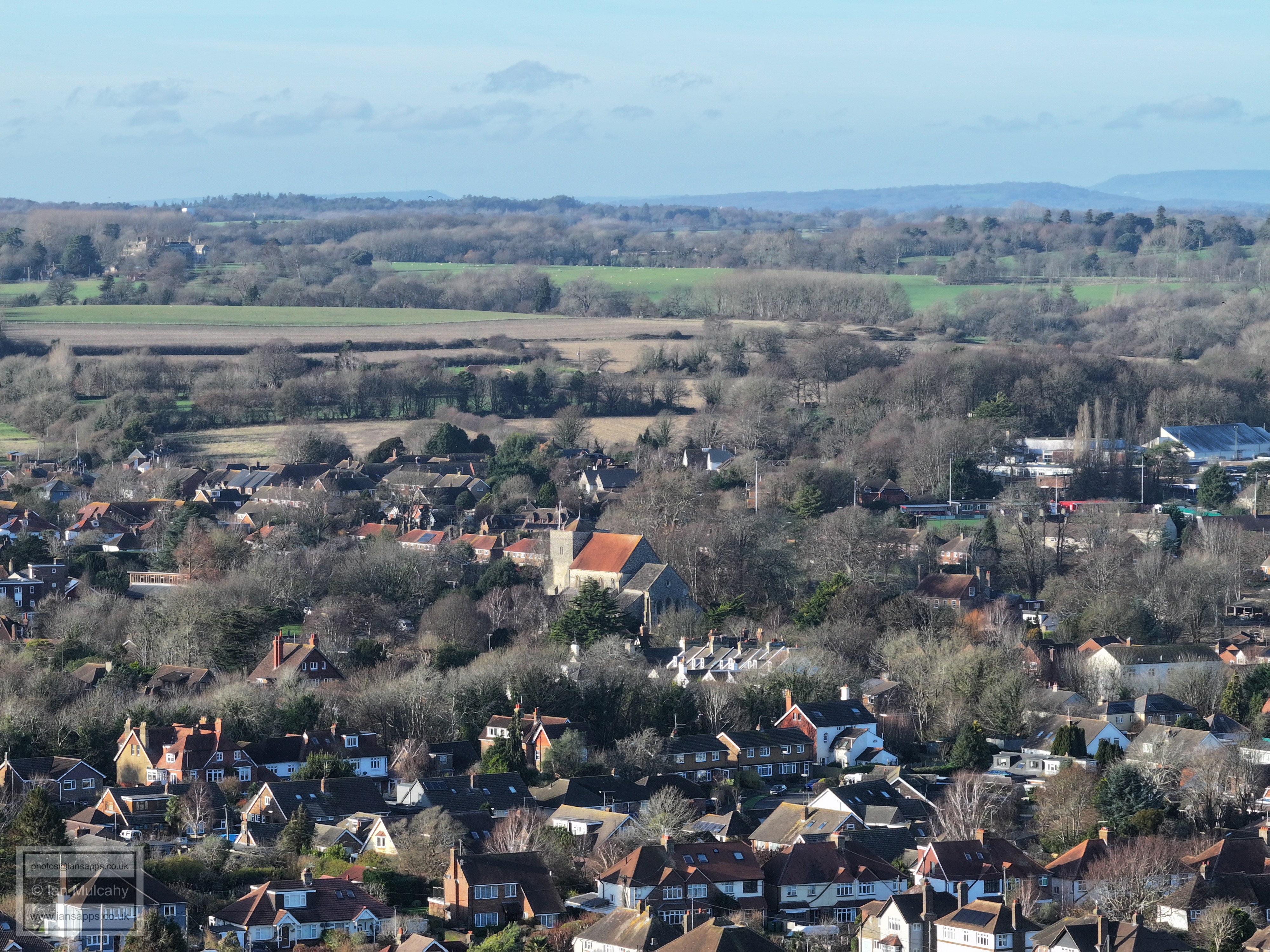
Bramber
Bramber & Steyning
Steyning
Upper Beeding Rec & Primary School
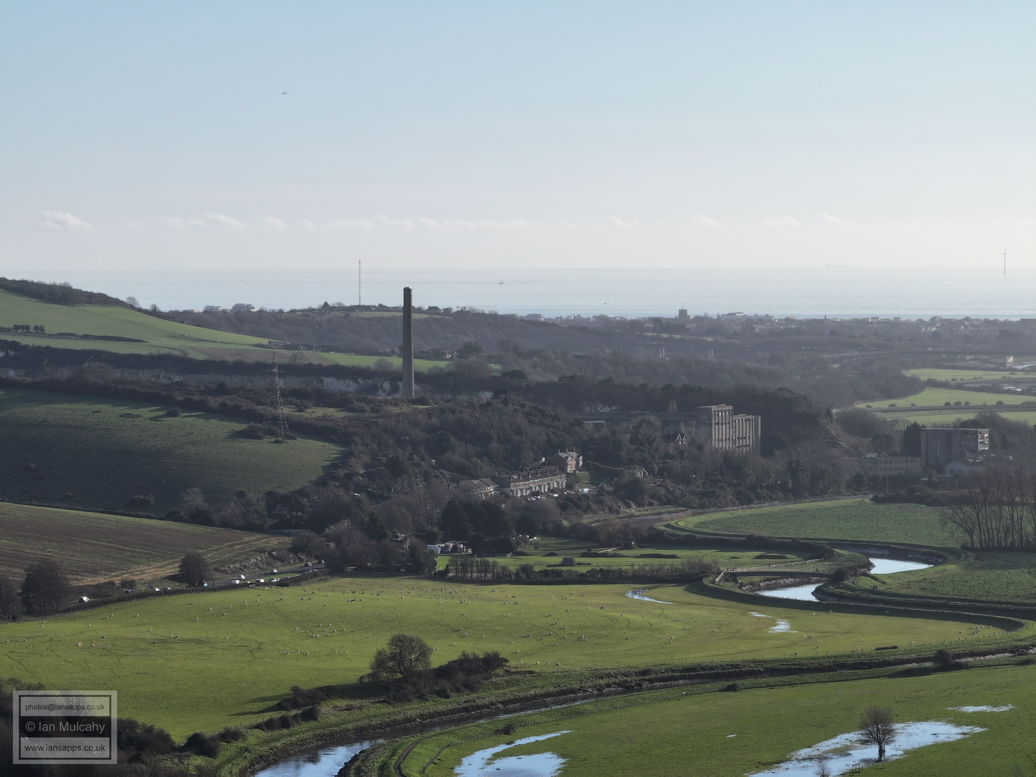
Shoreham Cement Works
Lancing College, in the top right quarter
Bramber Church and Castle at the bottom. Maudlyn House is almost directly above the castle gatehouse
Bramber Church and Castle
Steyning
Steyning, including St Andrews Church to the right of centre and the Football Club a little further up and right.
Chanctonbury Ring. Steyning High Street and the junction with Church Street is in the centre about 20% up from the bottom
St Andrews Church, Steyning, far right of centre.
Steyning Football Club in the centre
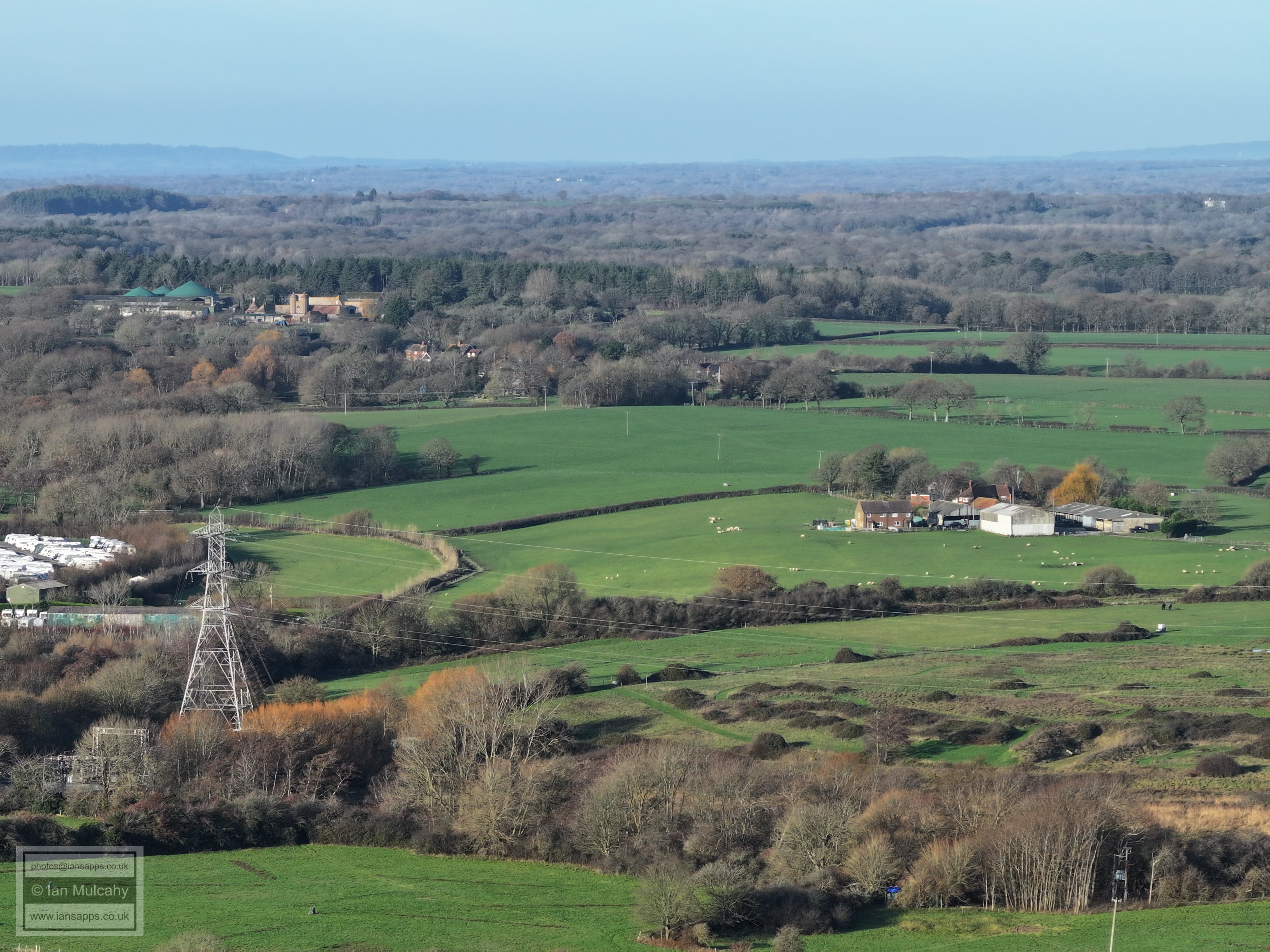
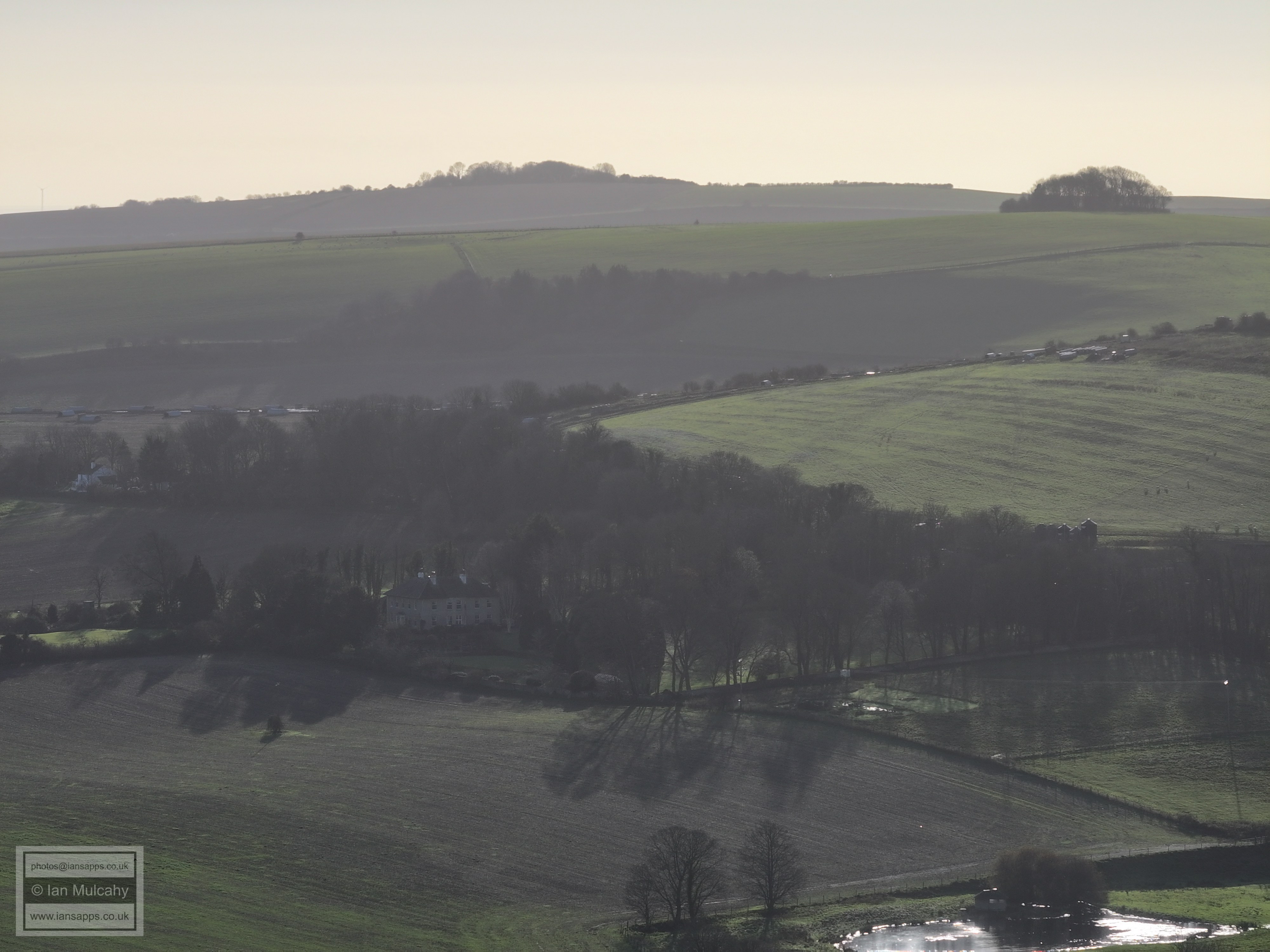
Wappingthorn Farm is in the top left quarter.
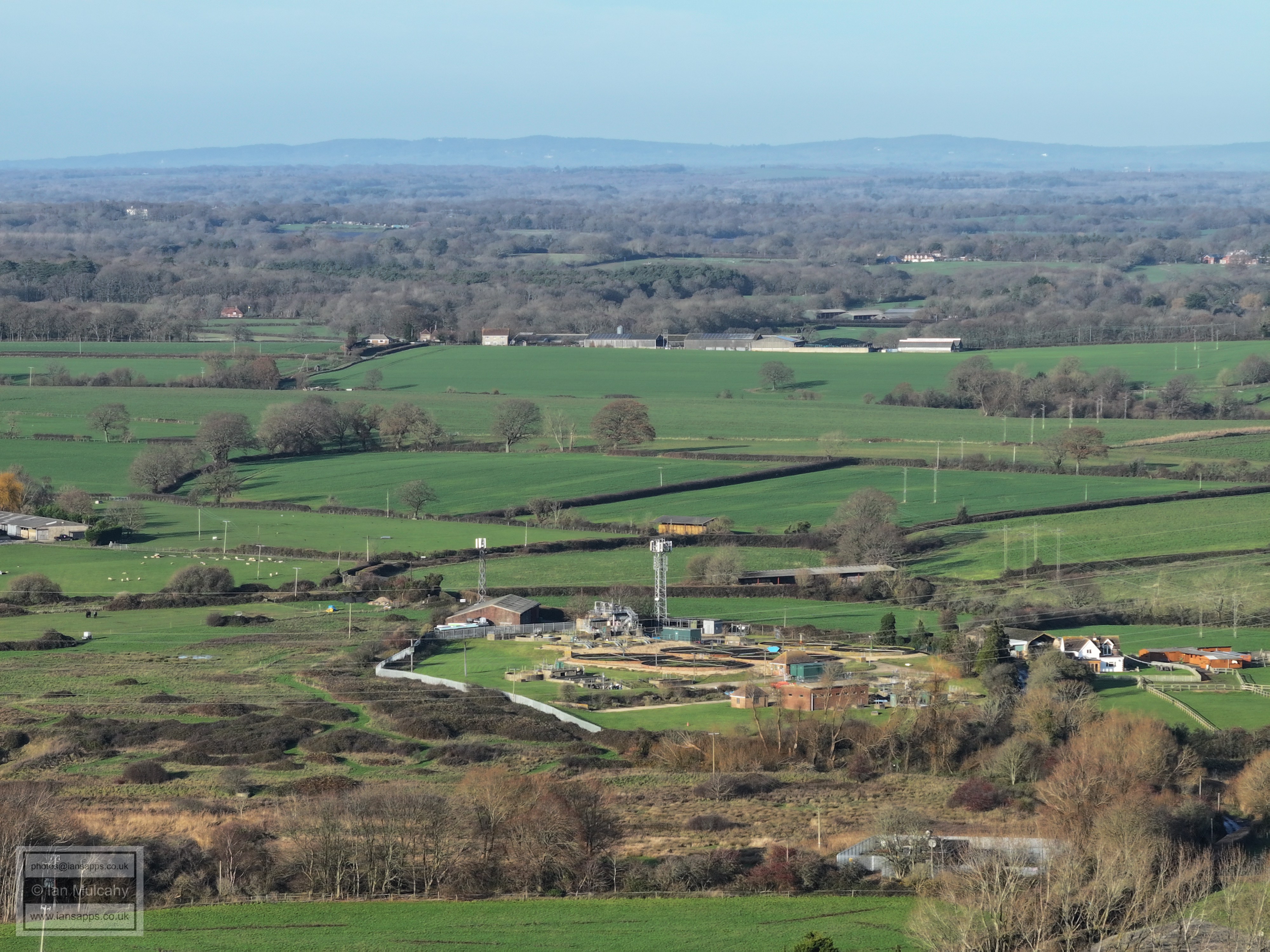
The sewage works is just below centre.
In the top left quarter is St Hugh's Charterhouse near Cowfold. To the right of St Hugh's, and up a little, is South Lodge near LOWER Beeding.
The white houses in the top right quarter are those of South View Terrace in Henfield.
In the top left quarter is a settlement on a hill with a tall thin white chimney in the centre of it. The chimney is at The Princess Royal Hospital in Haywards Heath and a little way to the left of it, on a very high zoom, is the water tower in the hospital grounds.
Top centre is Burgess Hill Water Tower, south of the town and 9 miles from the drone position.
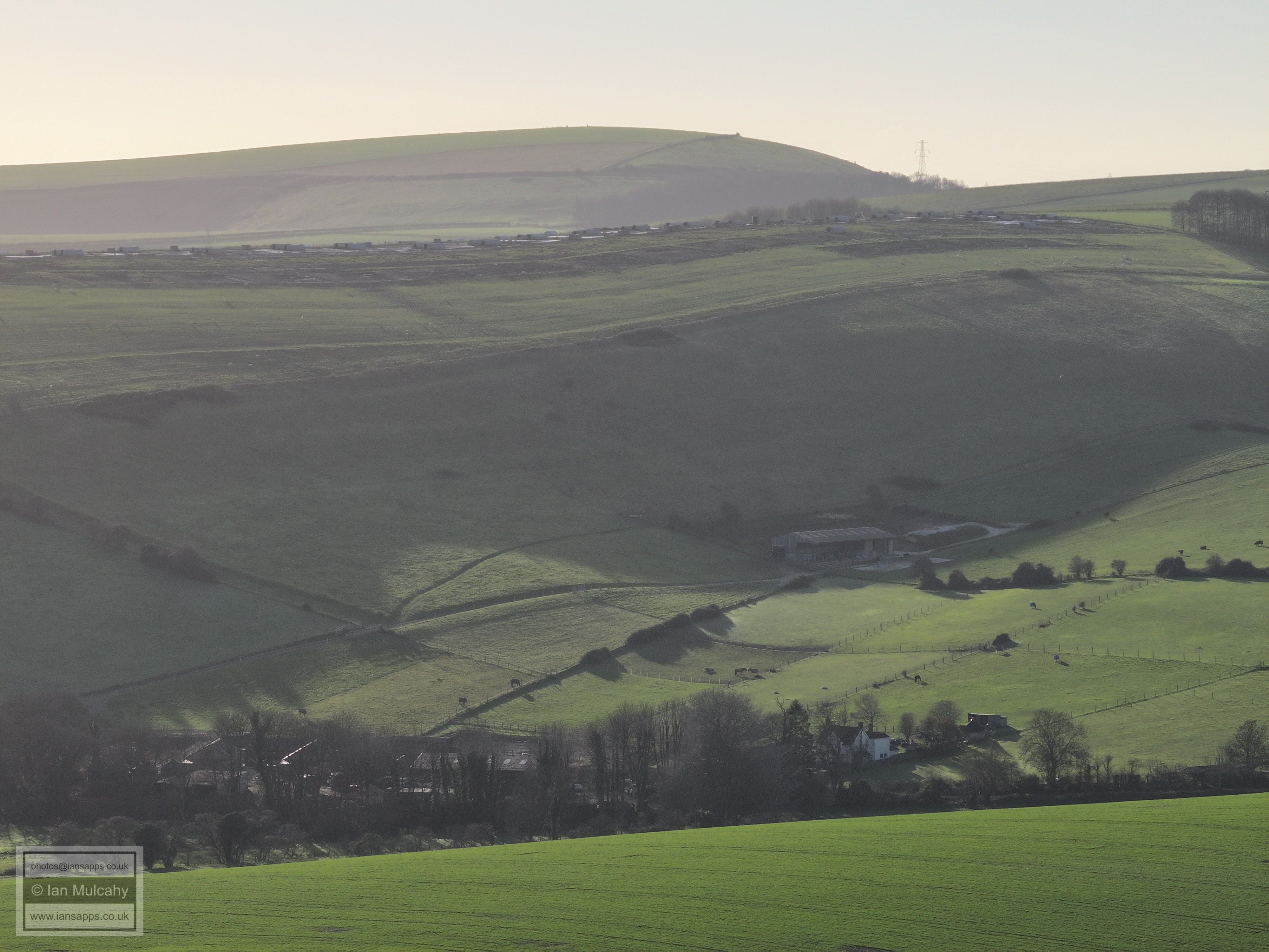
Wolstonbury Hill, top centre
Truleigh Hill, right
Truleigh Hill
Truleigh House in the top left corner
Shoreham Cement Works
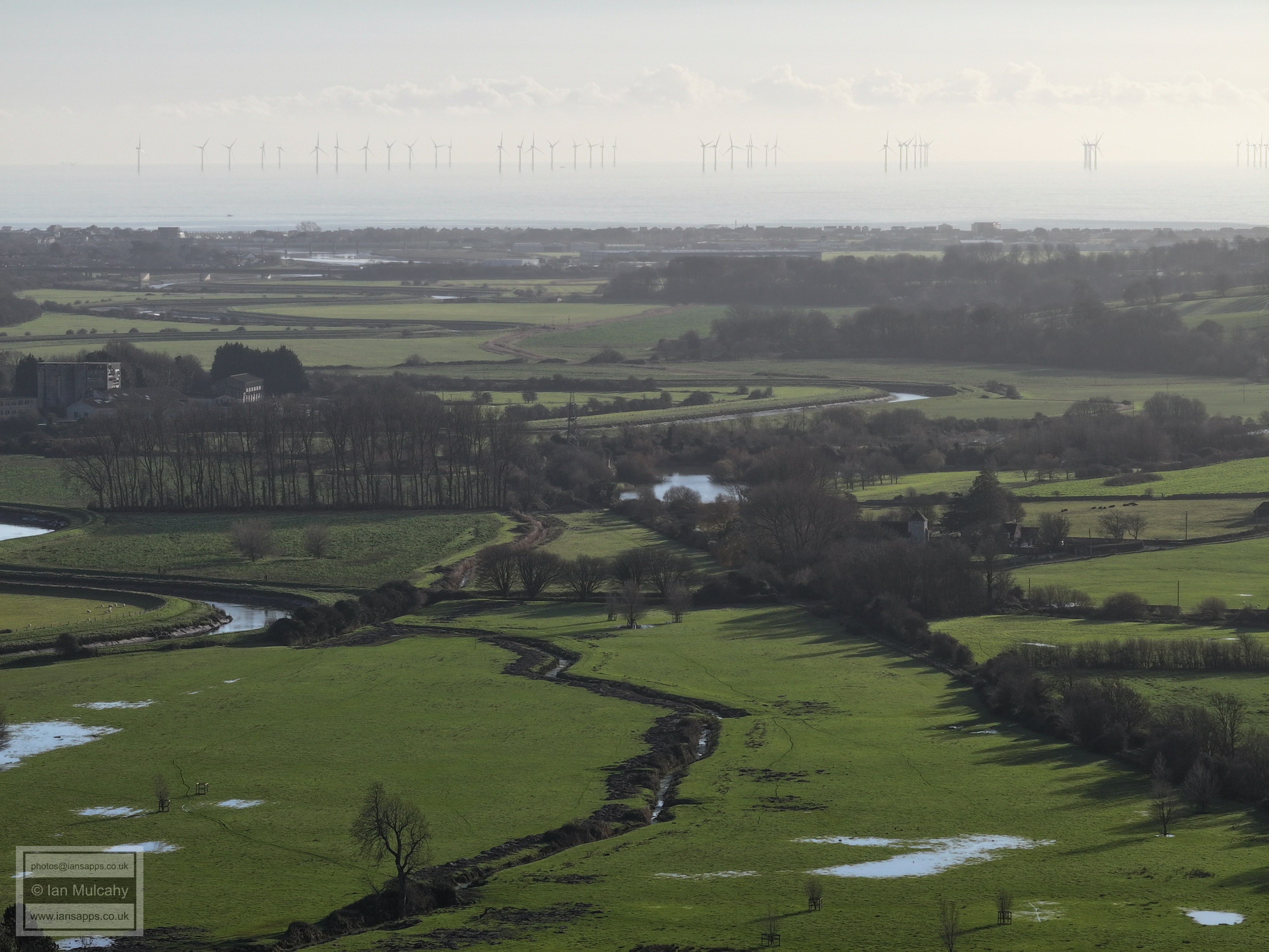
March of the wind turbines, with Shoreham airport just below the visible coastline! St Botolph's Church is right of centre.
Lancing College
Left of, and below centre is Annington House in Botolphs
Maudlyn House, right of centre.
St Andrew's Church, Steyning.
Text & photographs © Ian Mulcahy. Contact photos@iansapps.co.uk or visit my 'Use of my photographs' page for licensing queries (ground level photographs only). |