Skelmersdale Walk Playing Fields and Bewbush Shops
4 January 2026
75 aerial photos of varying focal length
|
73 aerial images of varying focal length taken from the western end of Skelmersdale Walk Playing Fields in Bewbush plus 2 at the shops with the mini, on 4 January 2026. I have annotated some of the photos.
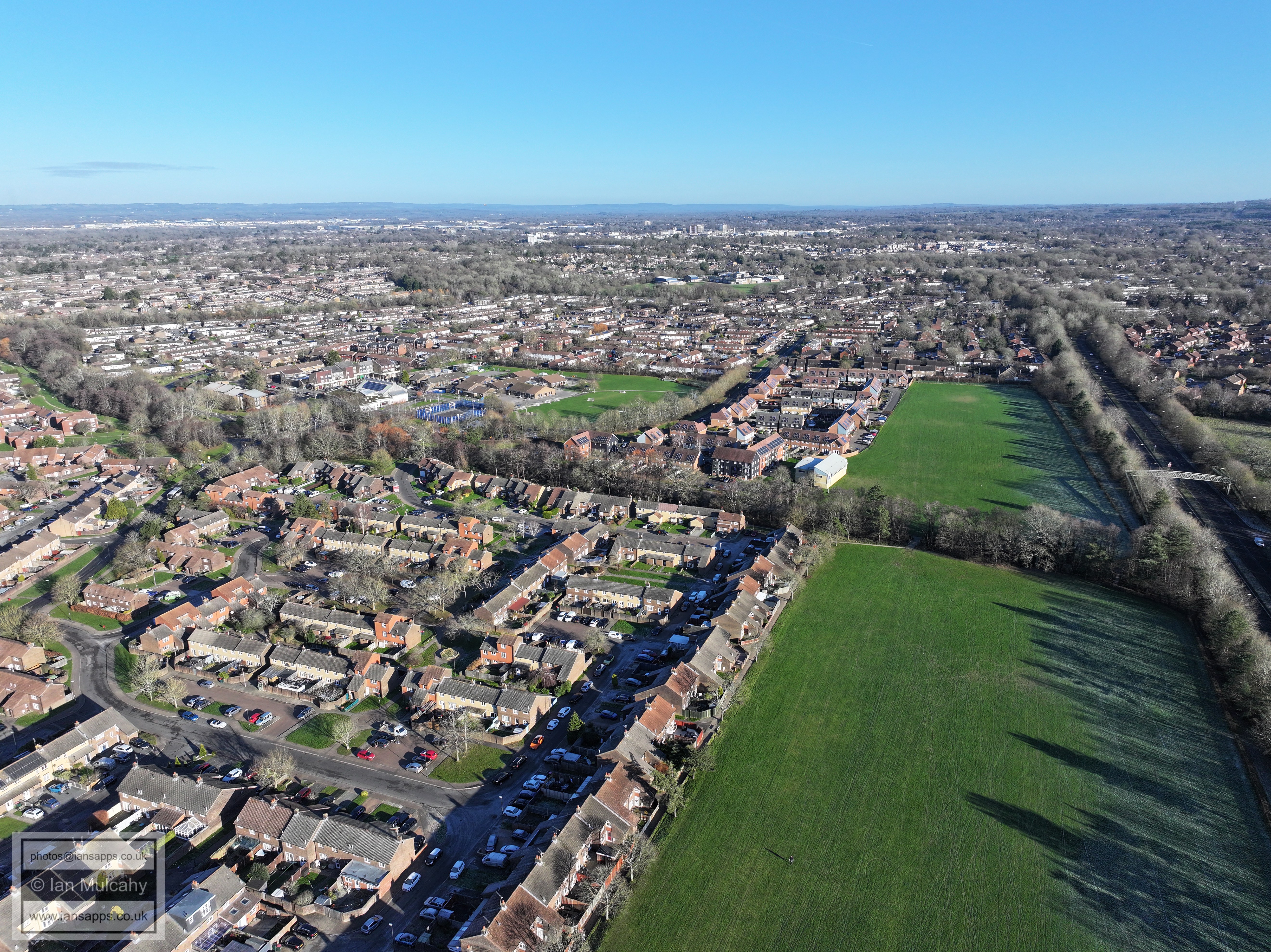
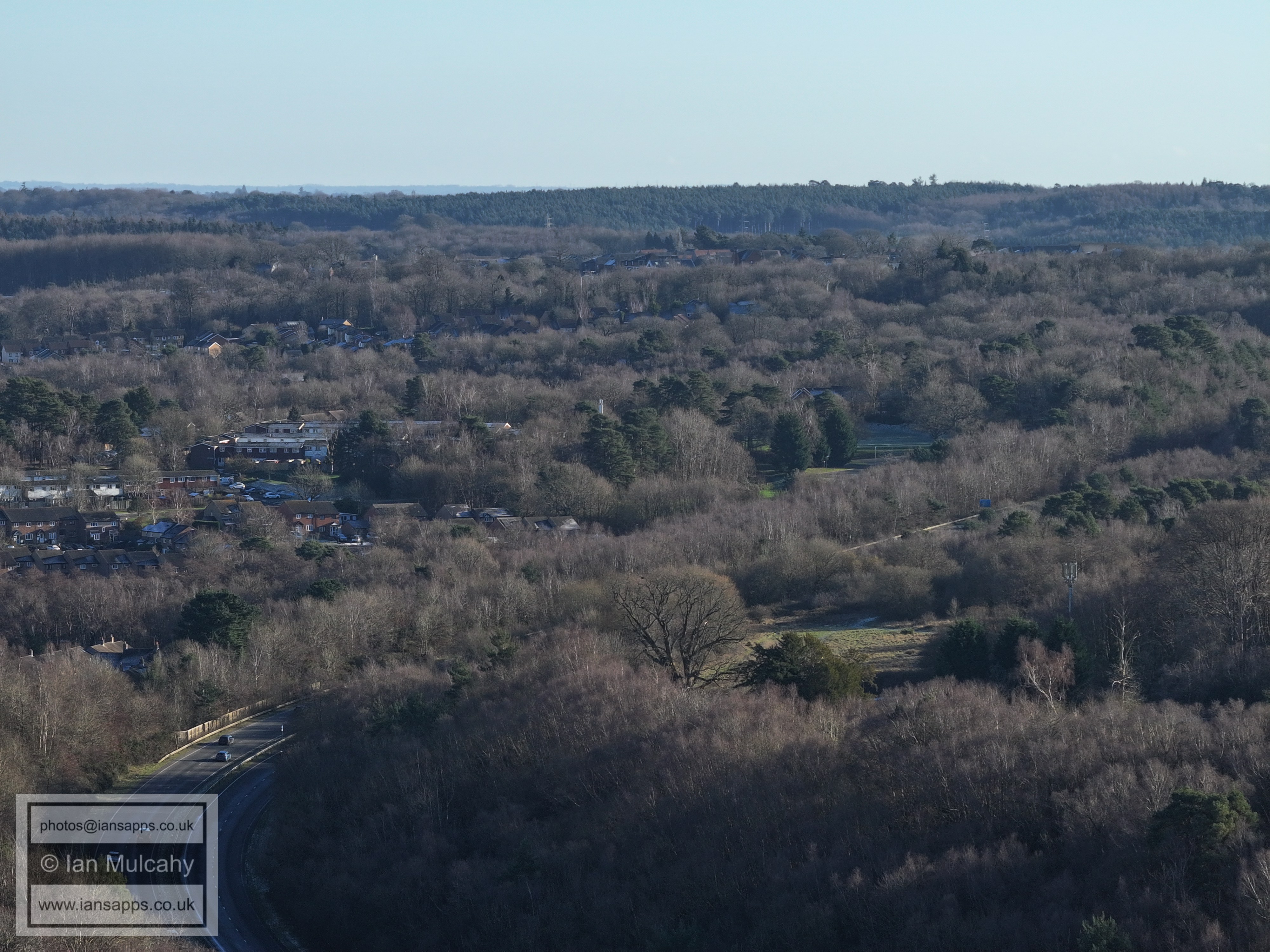
Bewbush Shops
Bewbush Shops
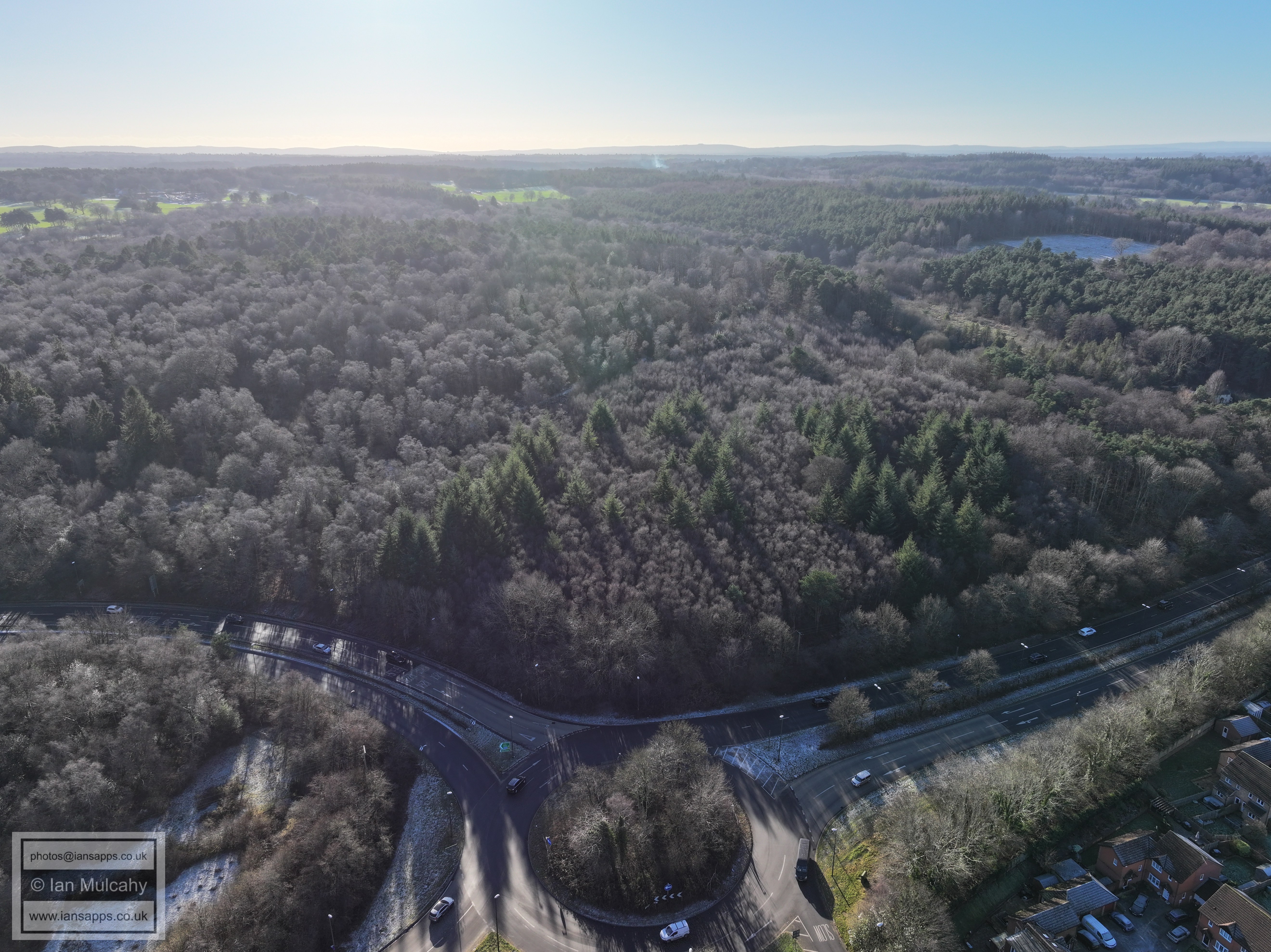
Bewbush Manor roundabout
Bewbush Barn, a 17th or 18th century barn to Bewbush Manor
Bewbush Manor, a timber framed house dating to the late 15th or early 16th century which was encased in brick in 1850.
Bewbush shops.
Bewbush Manor Car Park & Spruce Hill & Silver Hill within Buchan Park
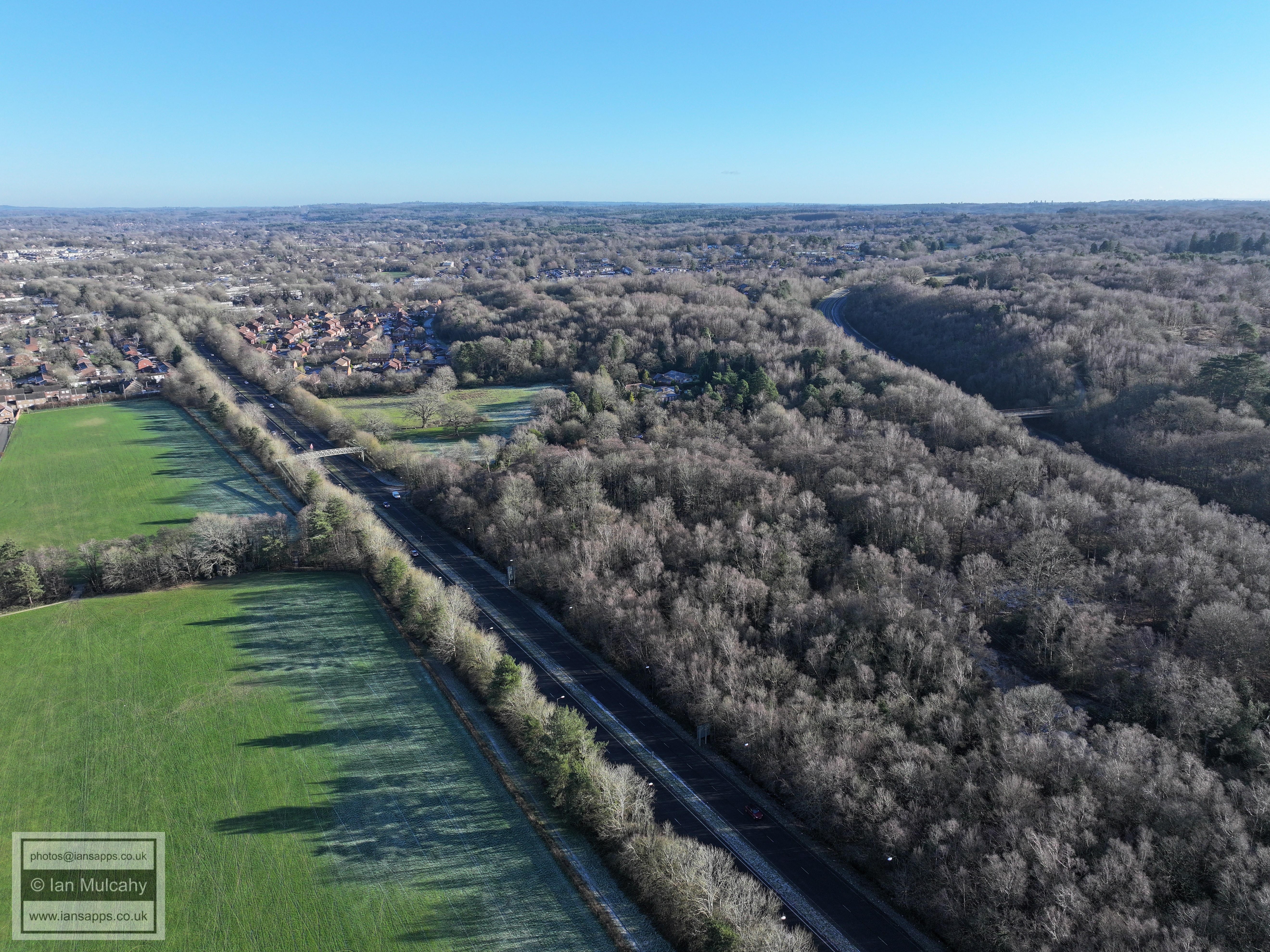
A264 to Horsham.
Kilnwood Vale
Bewbush Green & Ifield West
Looking back towards Crawley
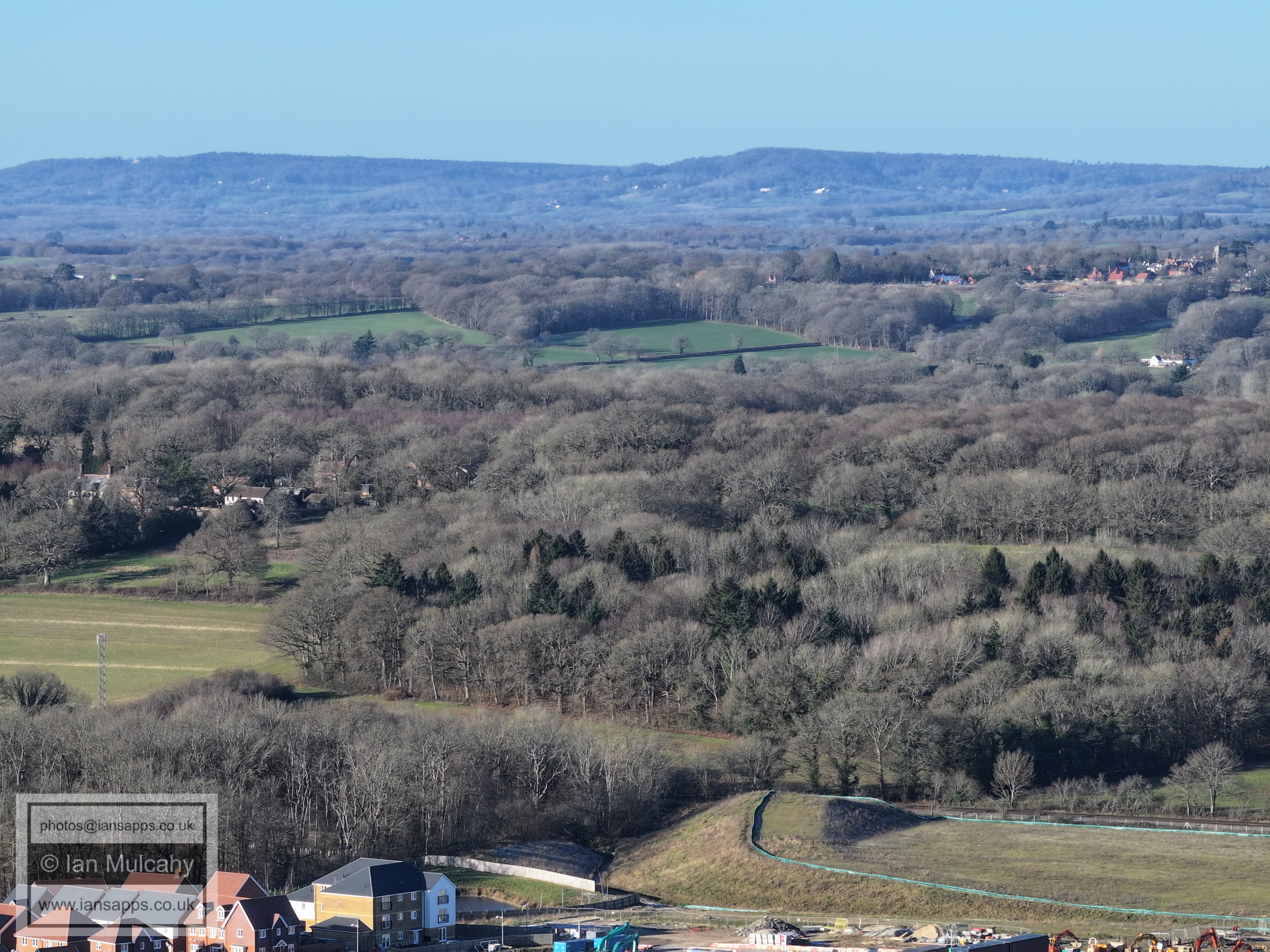
Target Hill
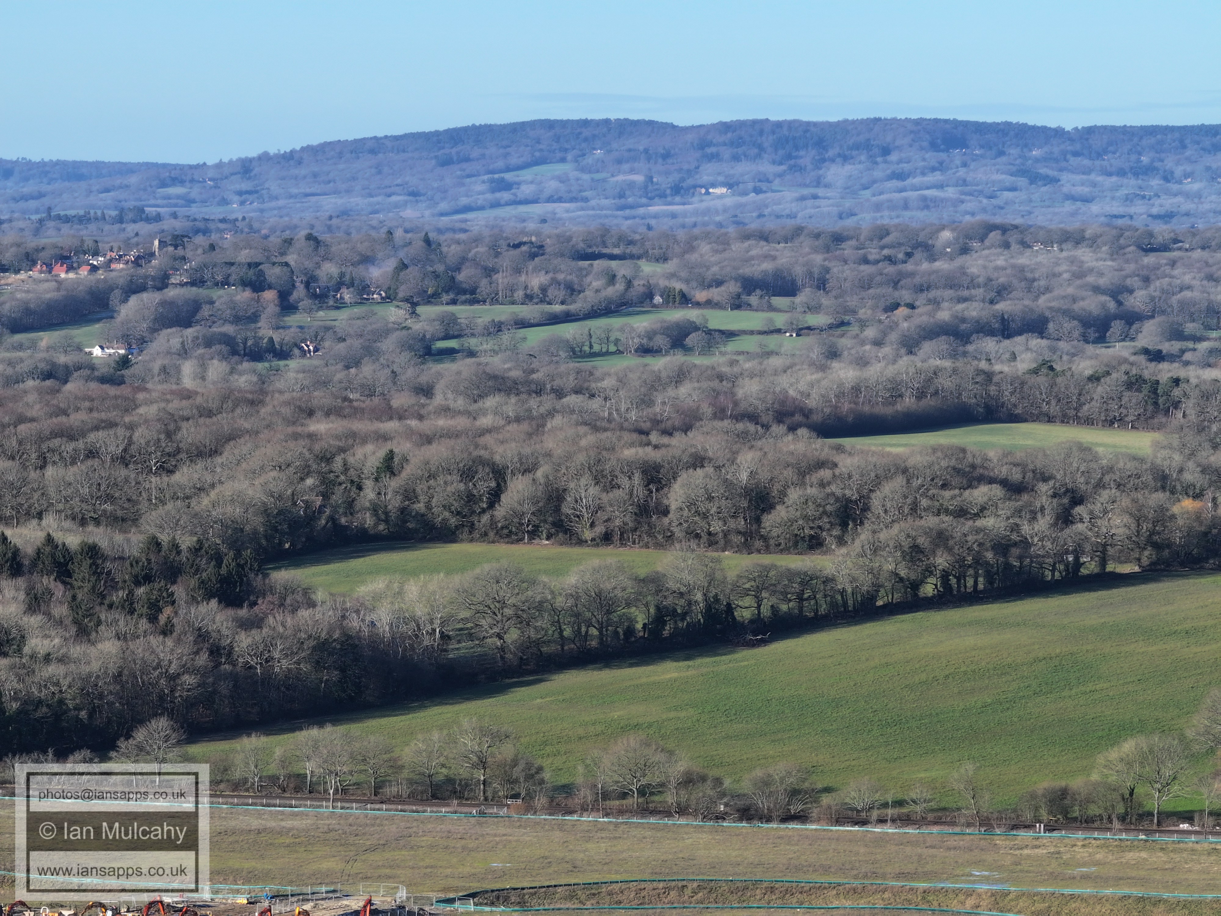
Buchan Park & Cottesmore
Kilnwood Vale and the ramp for one of the two in-construction bridges across the railway to enable access to the northern areas of Kilnwood Vale
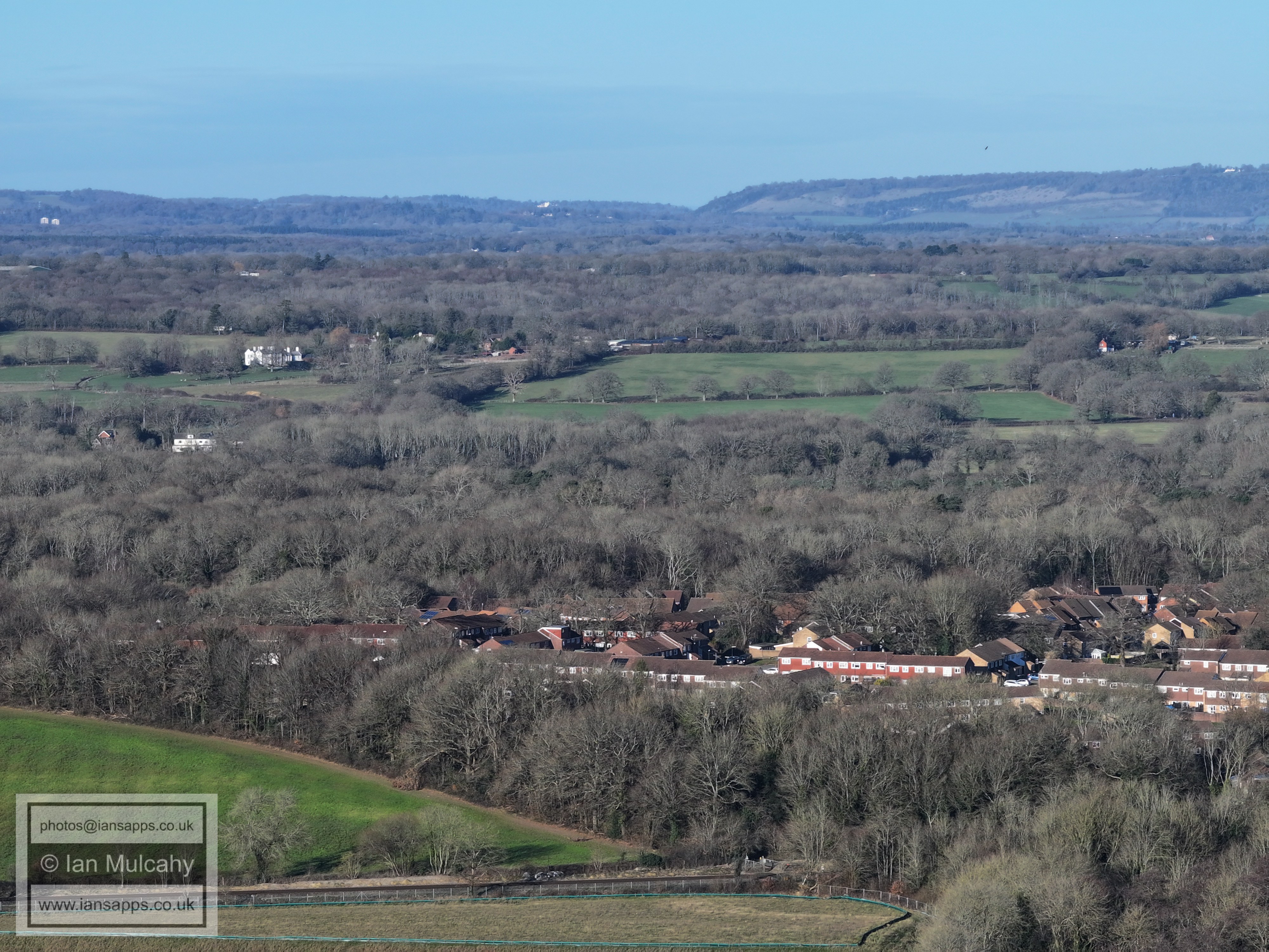
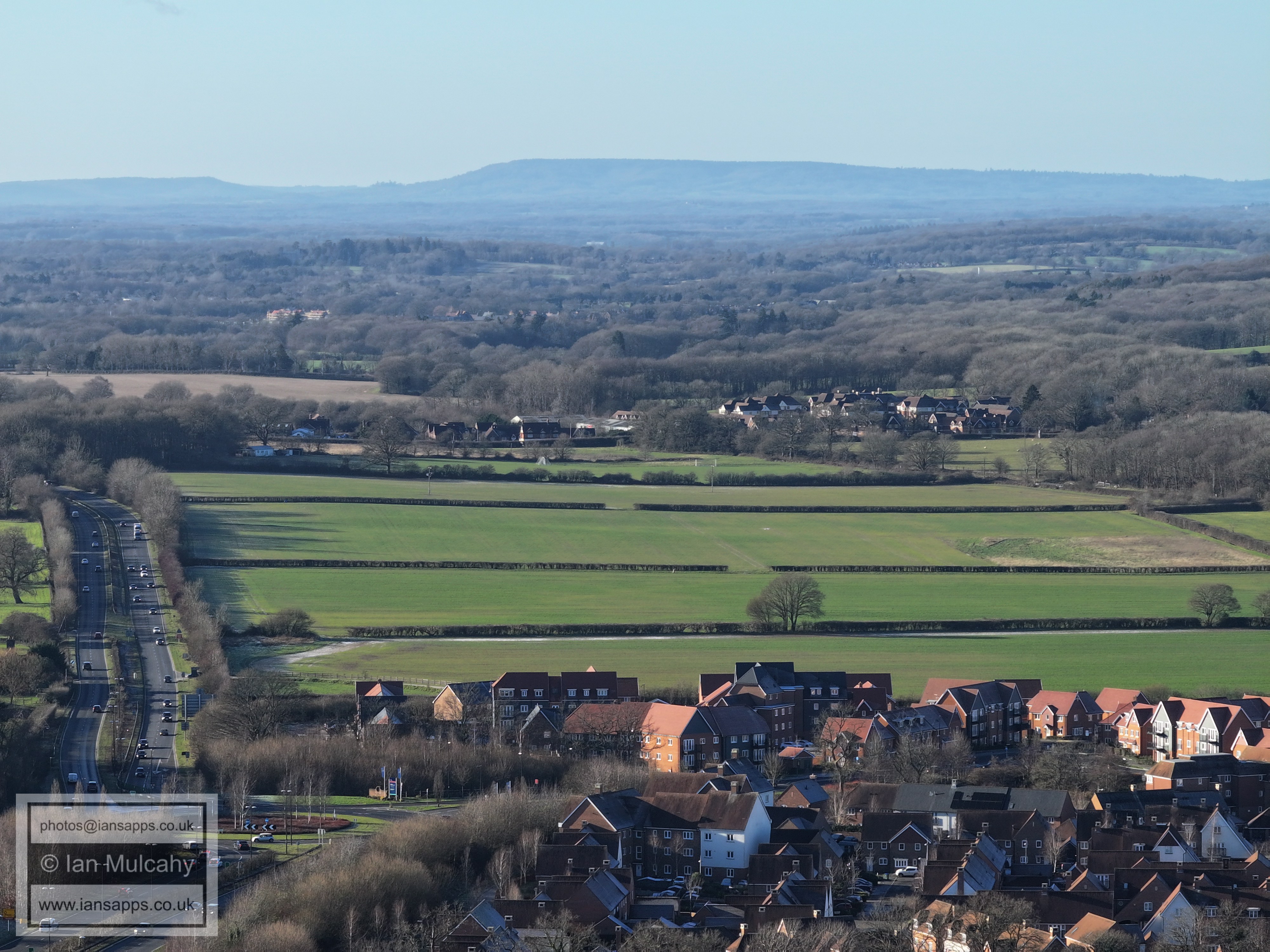
Bewbush West playing field below centre. Box Hill in the distance.
Bewbush Green
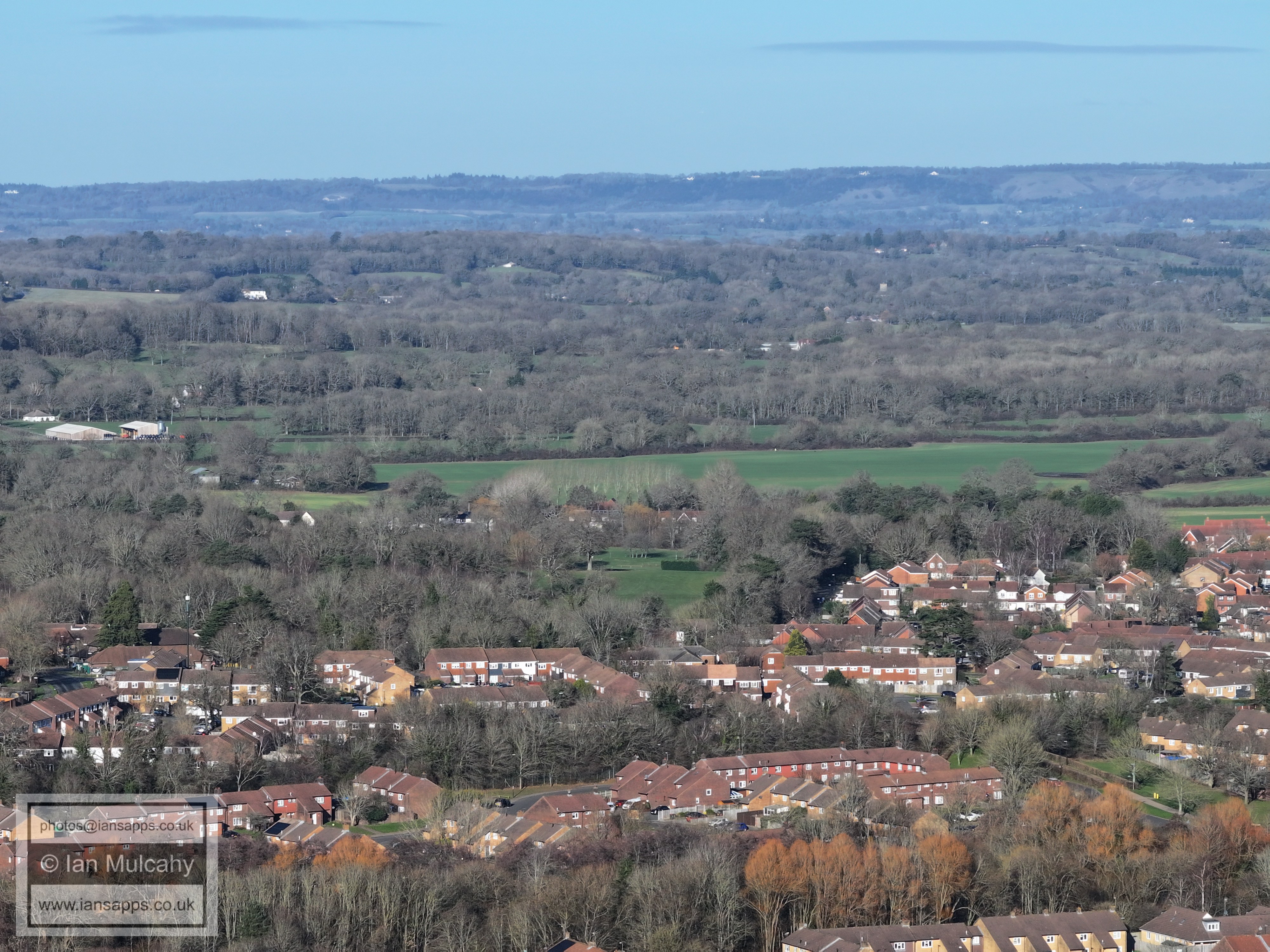
Gossops Green above centre
Town Centre towards the top
Southgate West above centre on Hogs Hill
Broadfield
Broadfield and the south-western bypass cutting through Target Hill
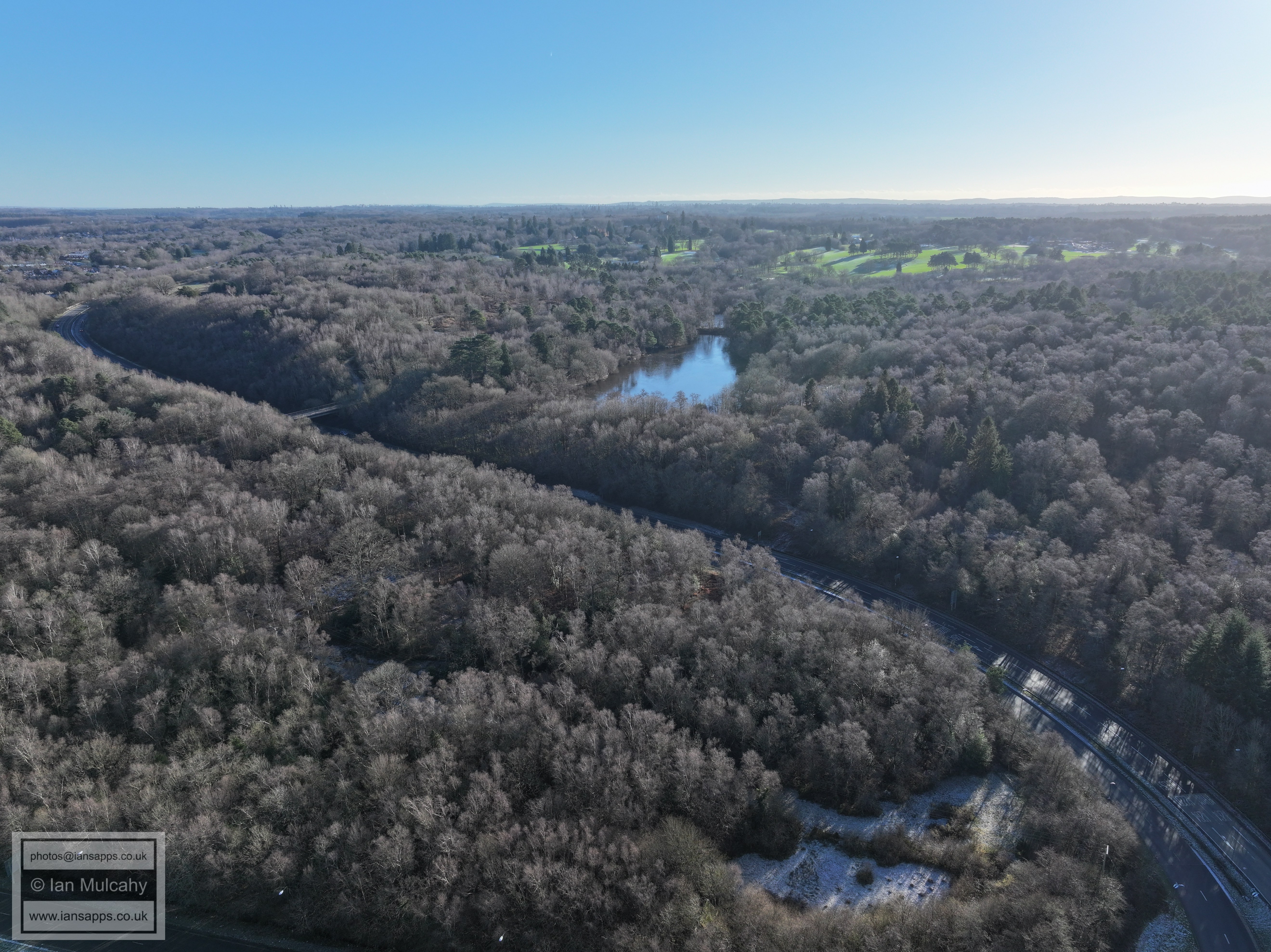
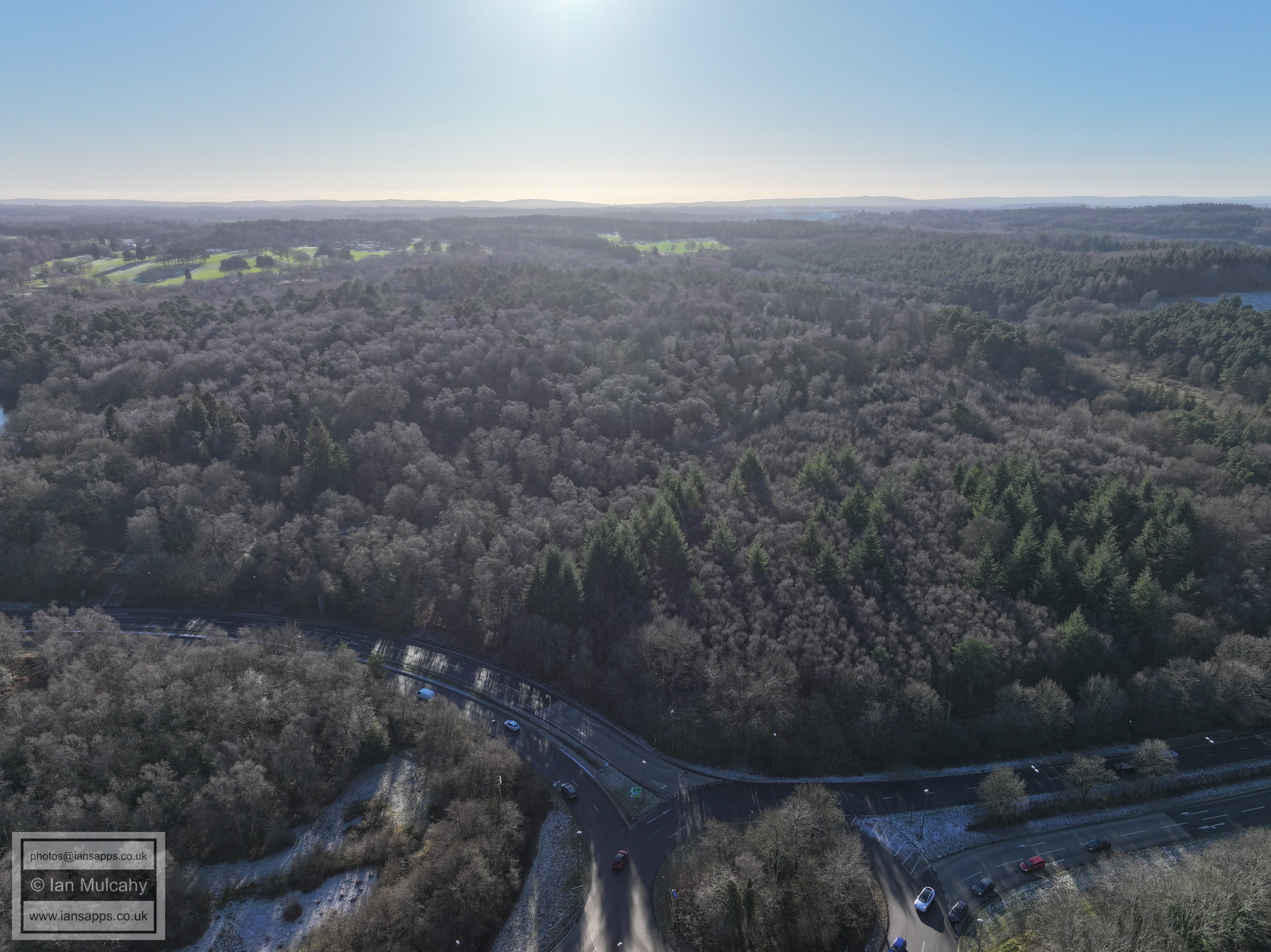
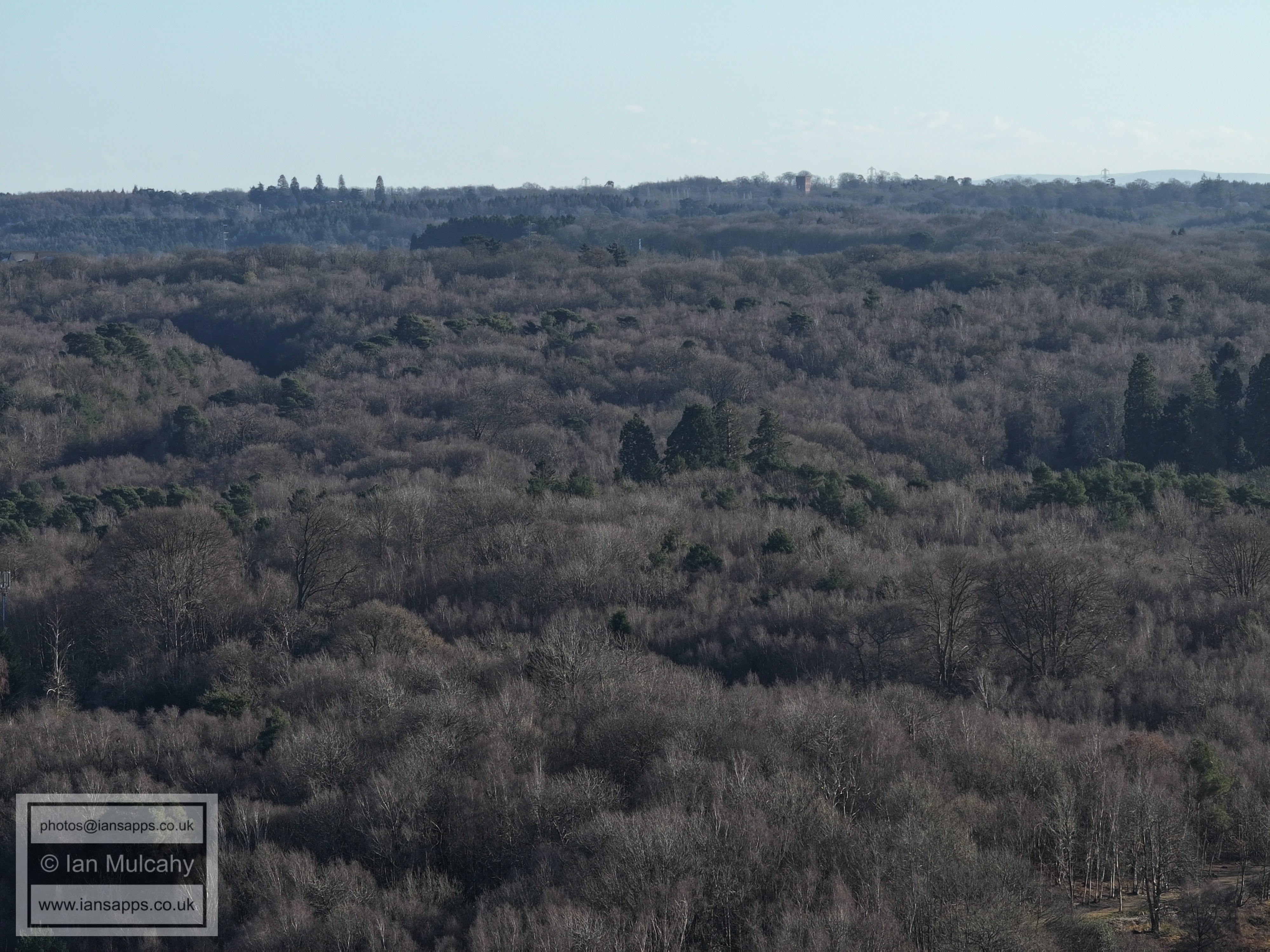
Buchan Park
Buchan Park
Hopper Farm & Holmbush Industrial Estate
Kilnwood Vale
Kilnwood Vale
The two houses right of centre are where Rusper Road, Burnthouse Lane and Langhurst Lane meet, close to the Lambs Green turn off from the road to Rusper. The railway is across the bottom of the image
In the top right quarter are the barns at Ivy House Farm on Partridge Lane close to Russ Hill and above are the two tower blocks in the southern area of Dorking
In the top left quarter is The Mount and in the top right quarter is Hillybarn Farm. Ifield West is at the bottom and right at the bottom, just right of centre, is the foot crossing over the railway that joins Mill Lane to the Watergardens area.
Russ Hill Hotel is in the top left quarter, Bonwyckes Place in Ifield Wood is to the left of centre and Ifield West is at the bottom, with Tescos and the community centre on the far right.
Ifield West. The golf course is left of centre. Above ifield west are the farm fields to the west of Ifield Church.
In the bottom right quarter is The Millpond and watermill. St Margaret's Church at Ifield is above the mill. At the top spreading up the North Downs is Reigate
The Millpond, Gossops Green and Ifield. The gable end of the steam mill on Ifield Green can just be seen to the right of the dark green conifers that can be seen just right of centre.
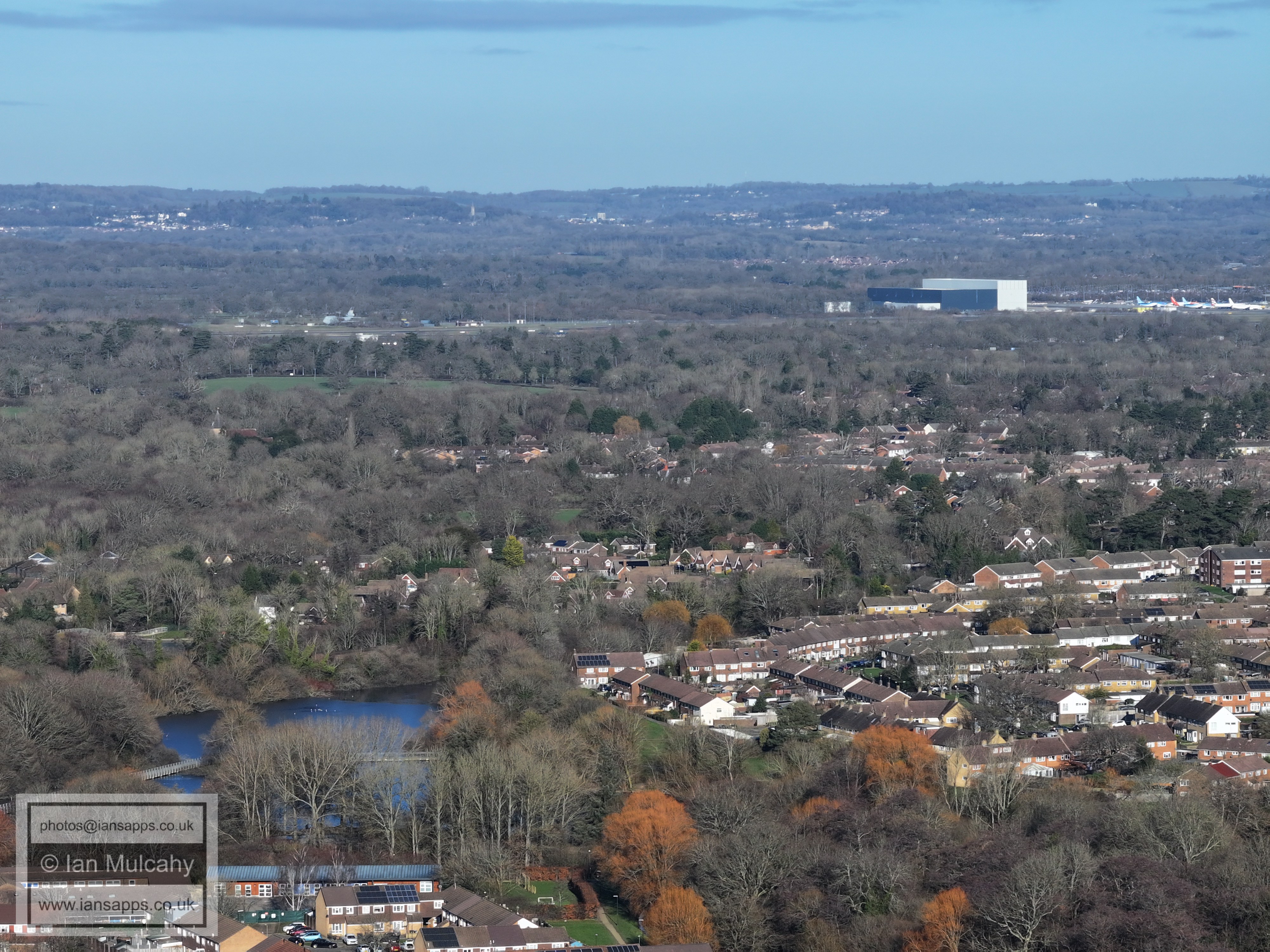
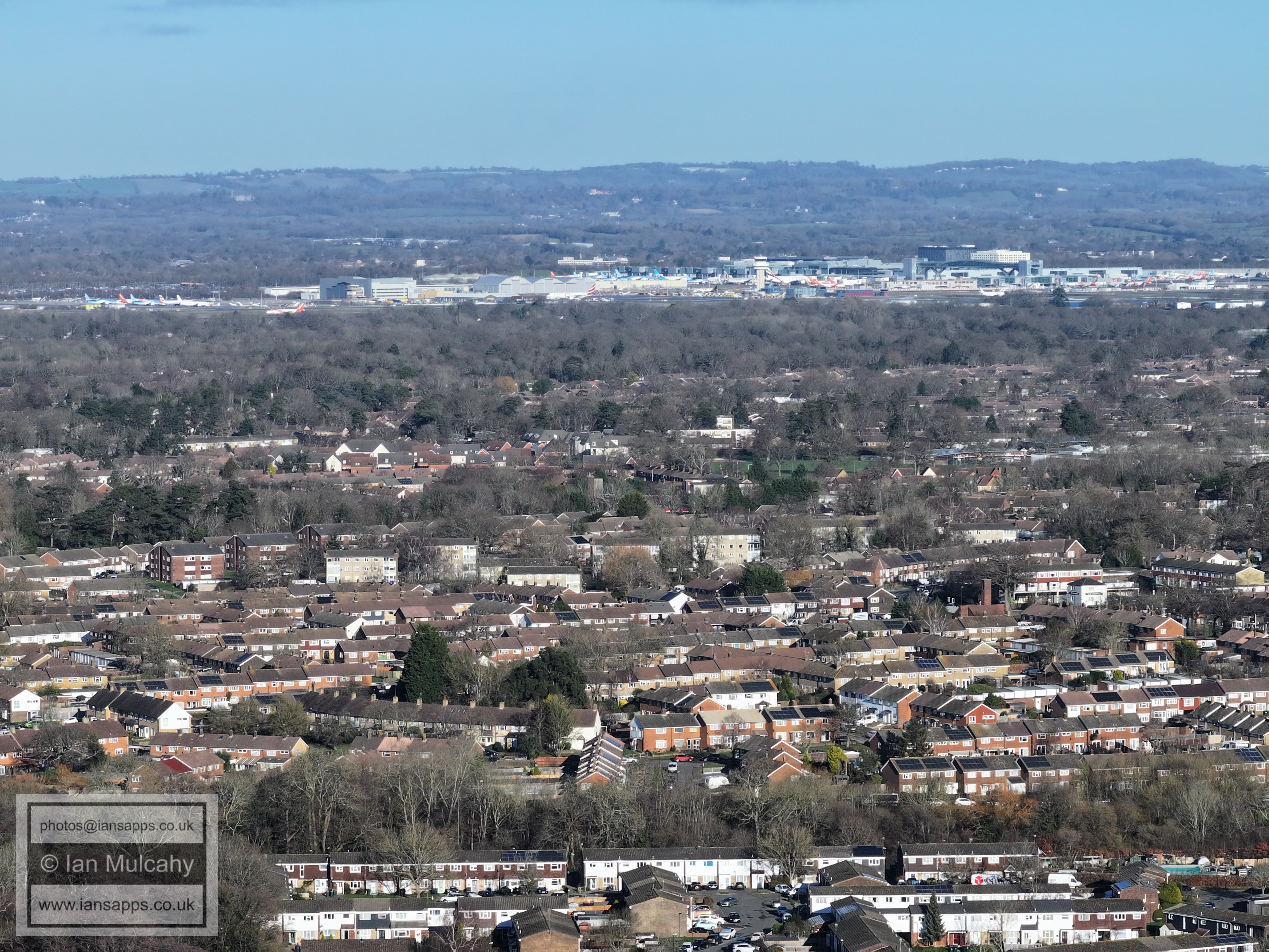
Gossops Green in the foreground with the shops to the far right a little below centre. The green area to the right of centre is ICC's playing field with Deerswood Court on Ifield Drive just behind. Gatwick Airport is, of course, at the top.
Gossops Green primary School is to the right of centre. Manor Royal and the airport at the top. The domed roof of the dump can be seen just below Astral Towers which is in the centre towards the top.
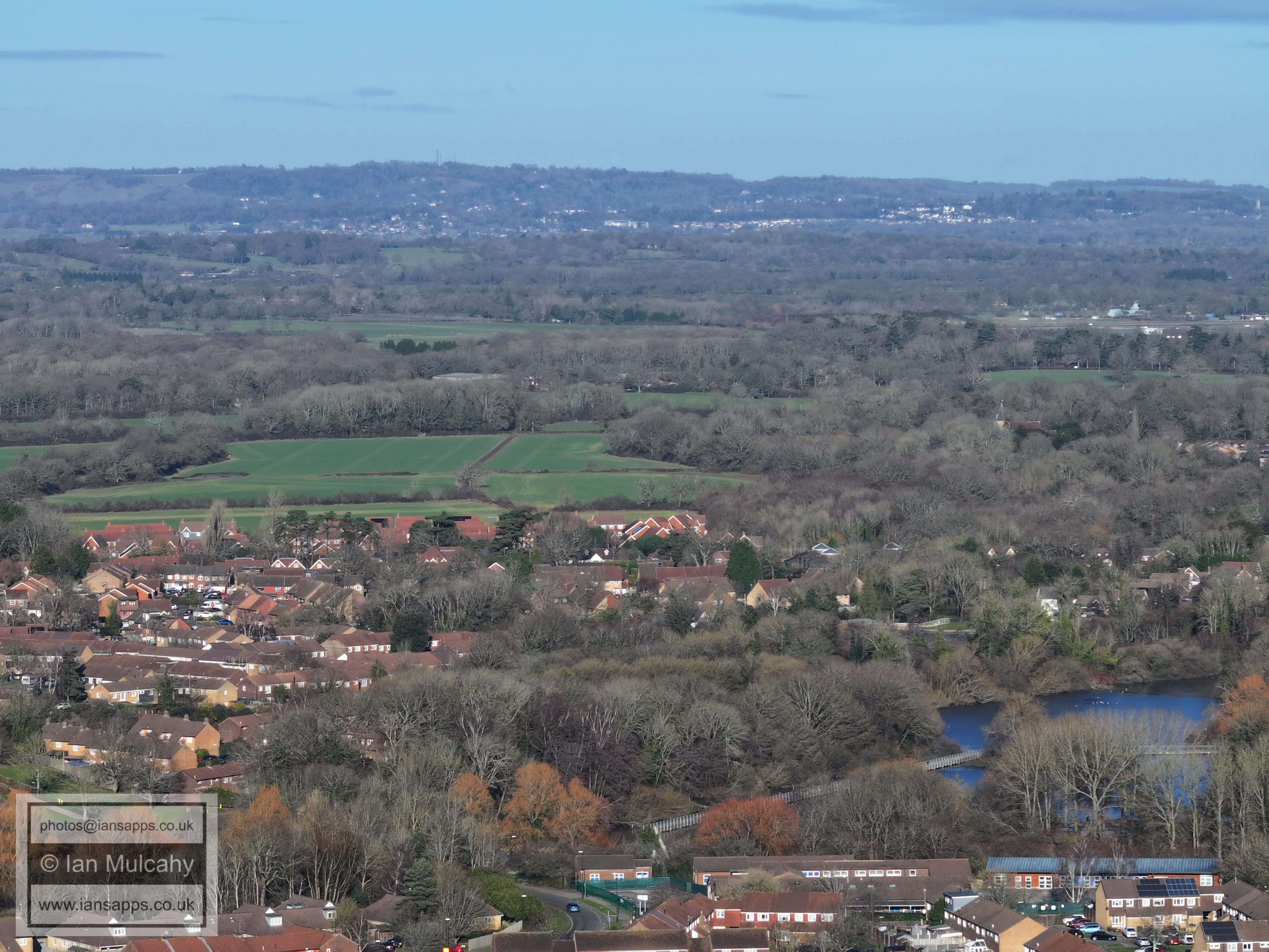
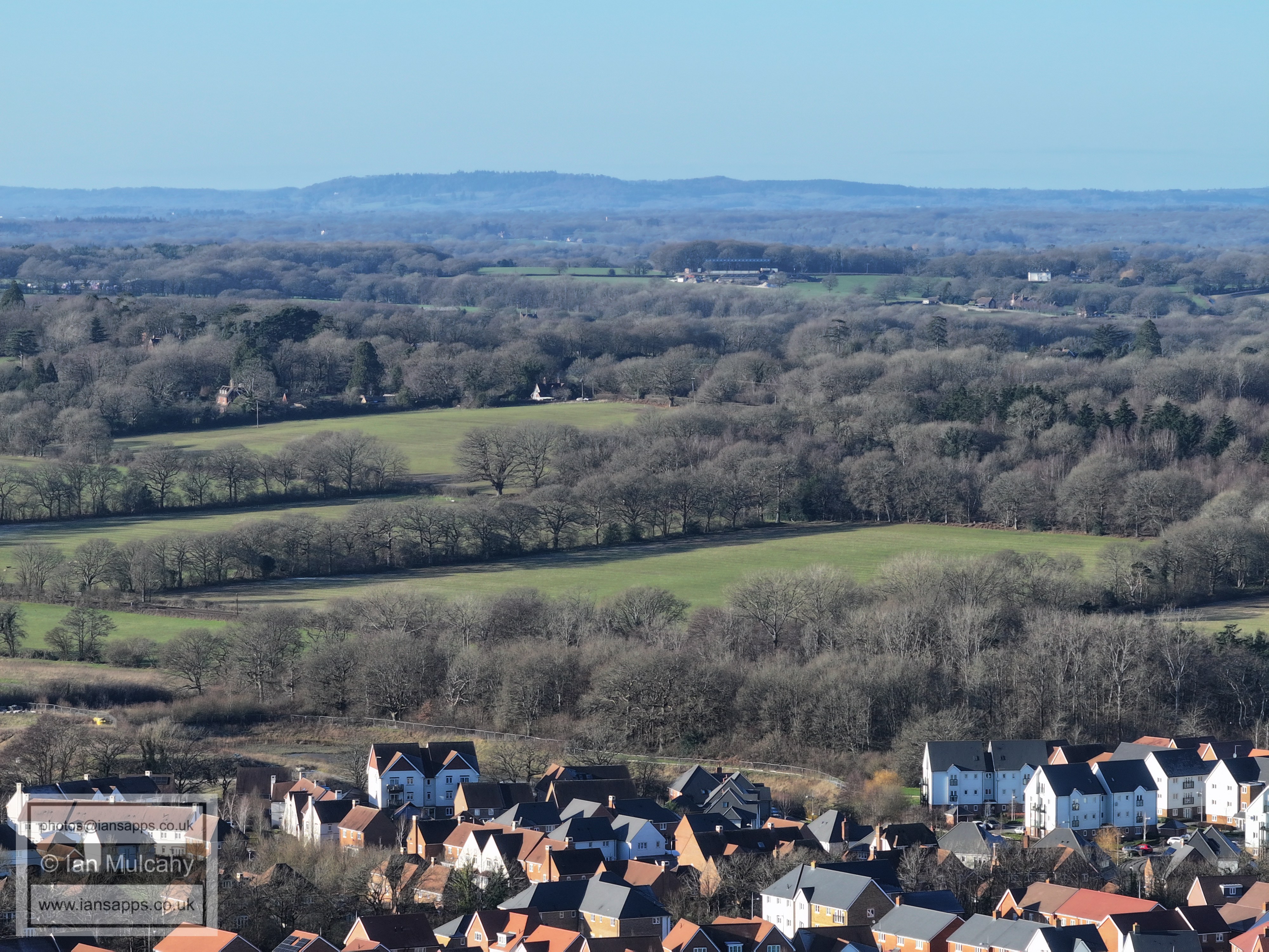
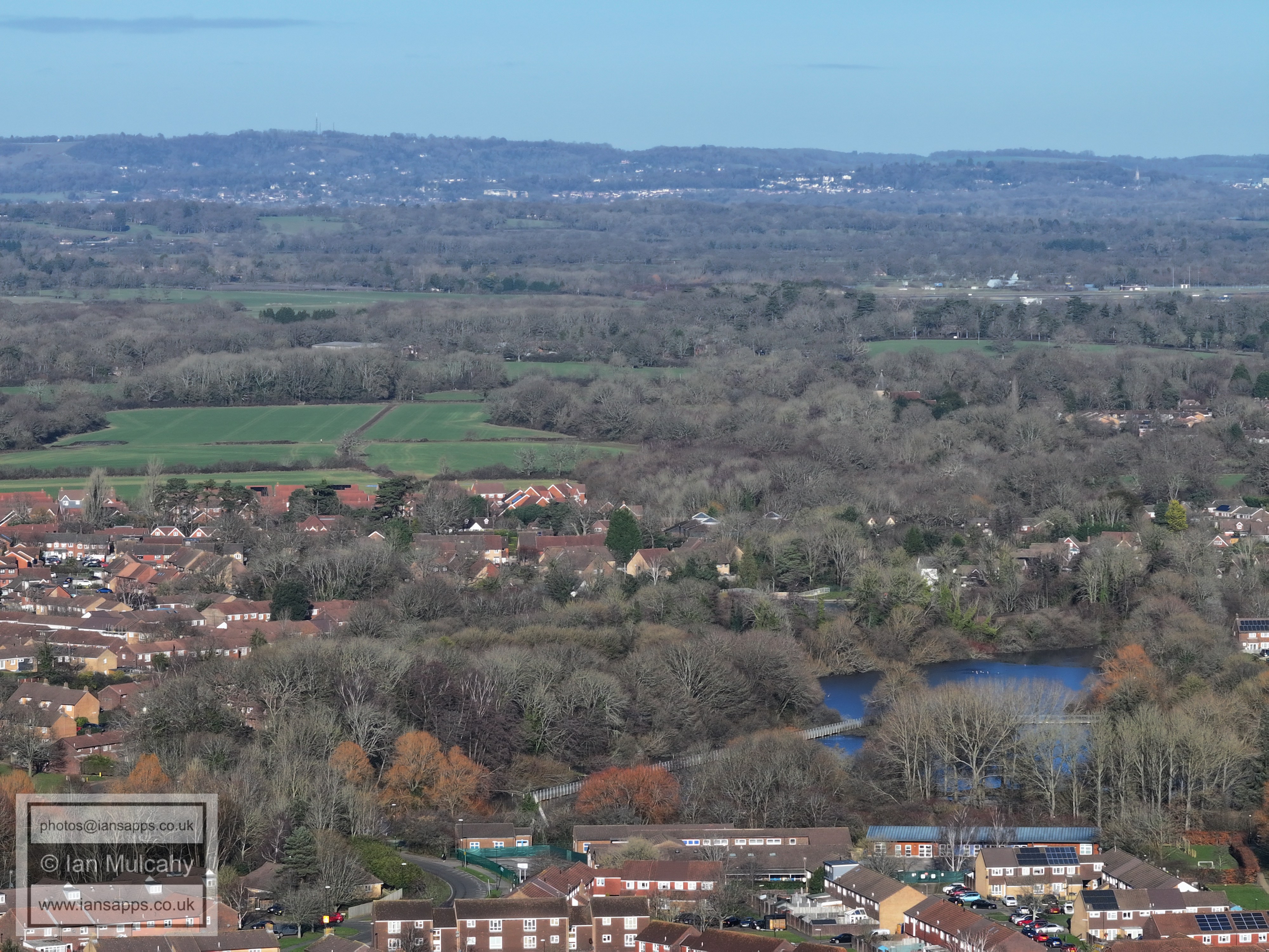
Woldhurstlea is left of centre and the hospital & Cinema are above to the right.
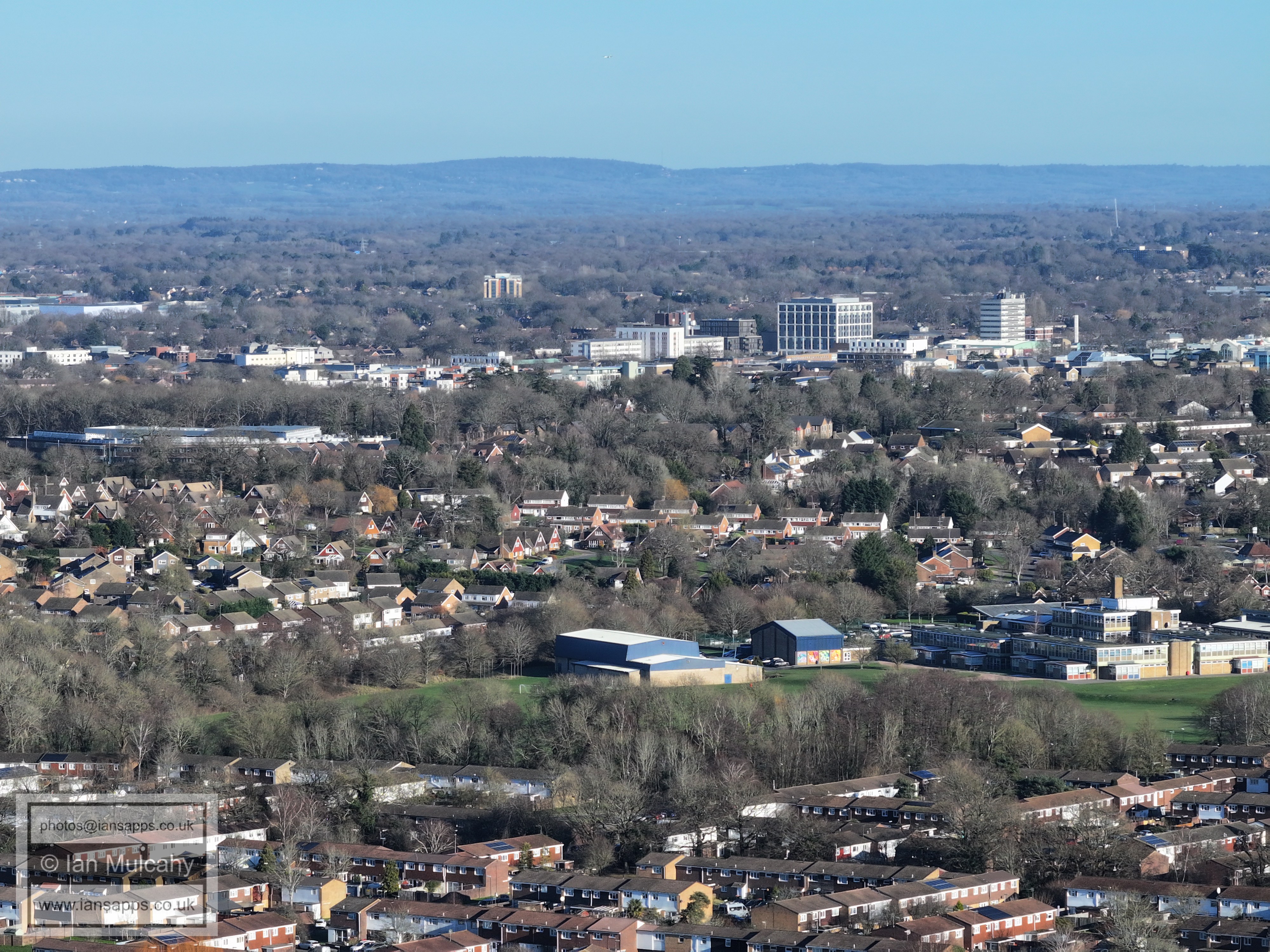
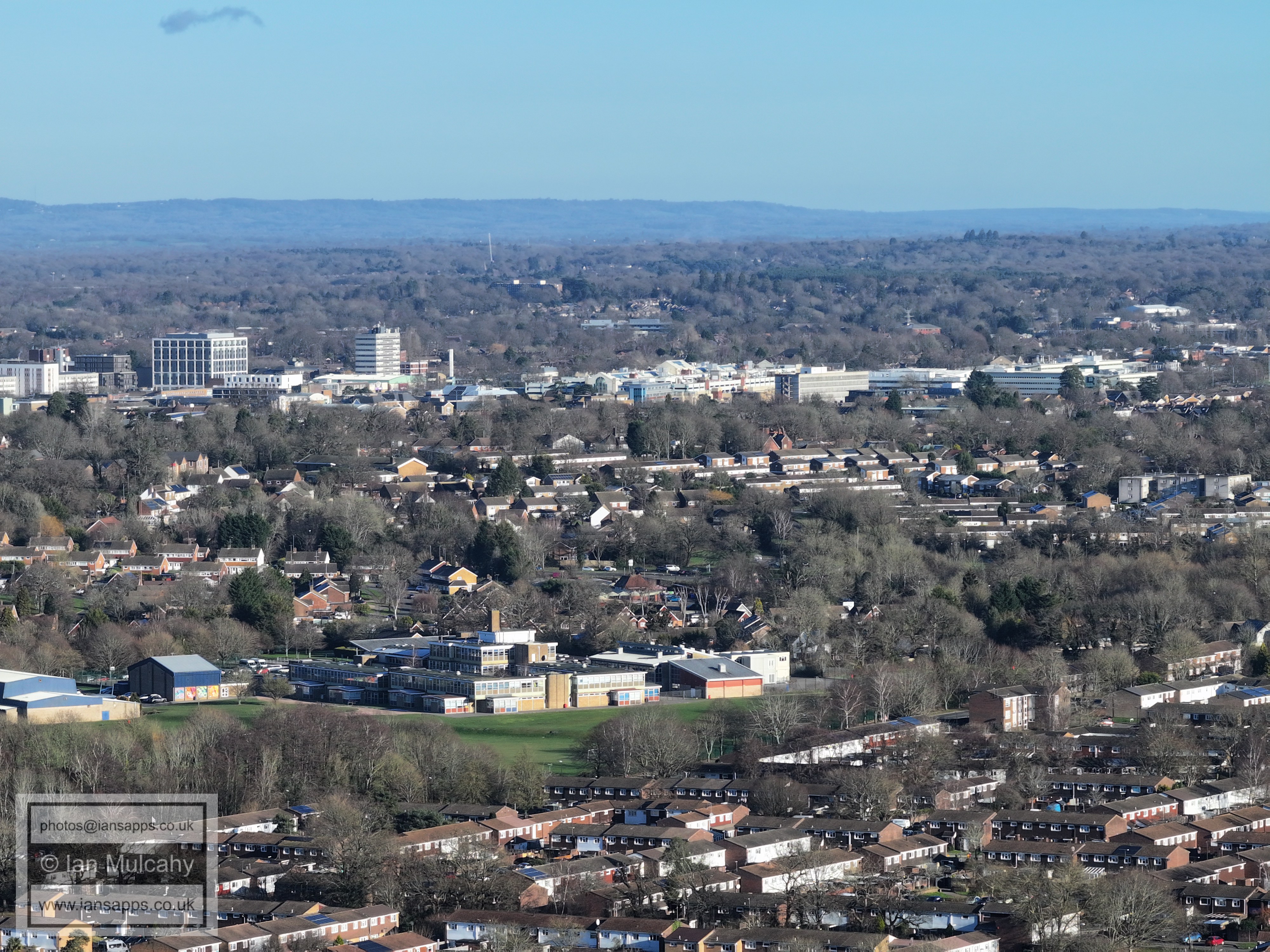
Holy Trinity School to the right, Town Centre beyond. Milton Mount flats are in the top right quarter.
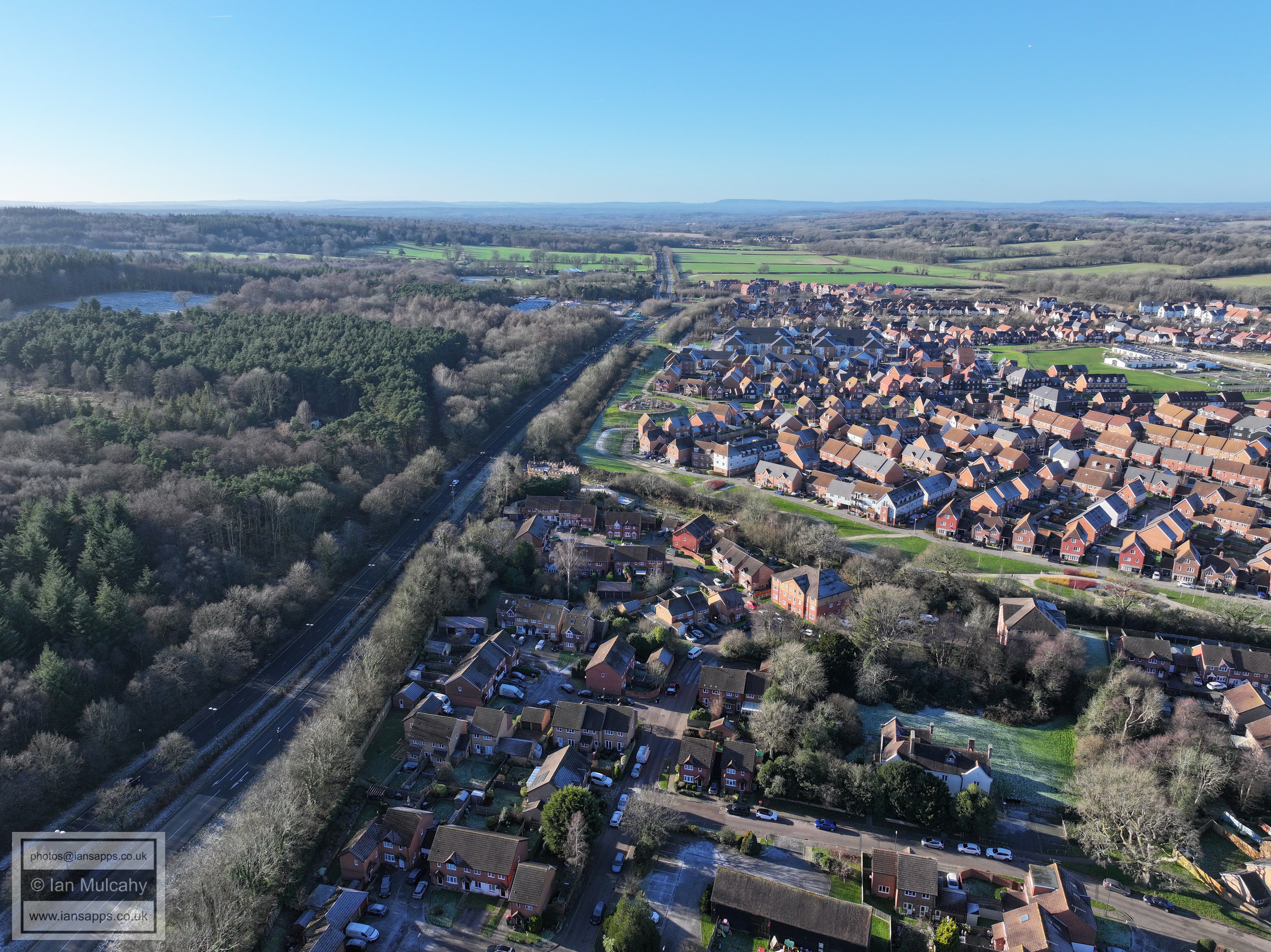
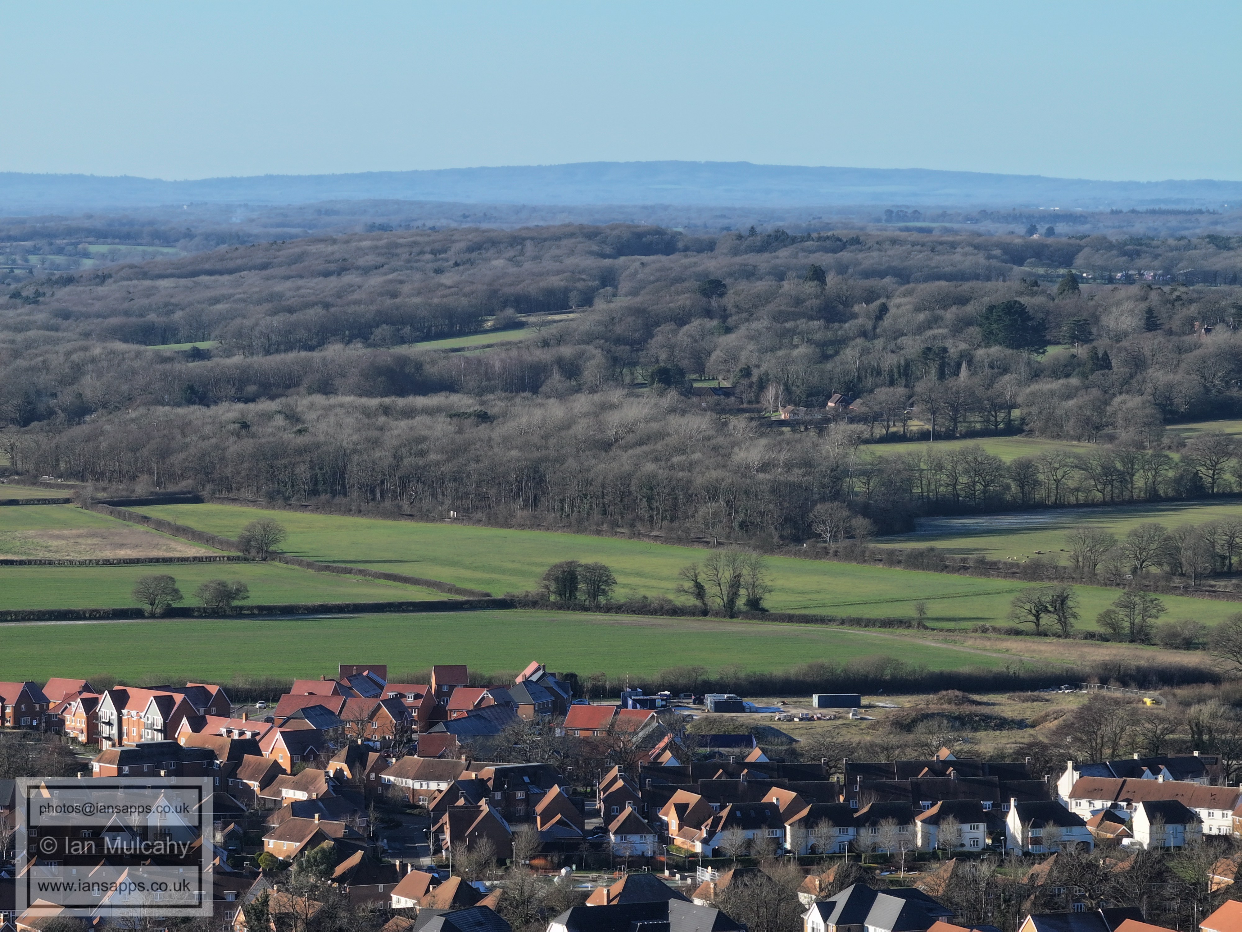
Bewbush at the bottom, Southgate West across the middle.
Bewbush at th ebottom with a thin line of Broadfield above. Across the middle is Southgate West on Hogs Hill
In the top right quarter is Tulleys Farm (big wheel) and in the top left quarter is the spire of St Nicholas at Worth. Below centre is the Plantain Crescent area of Broadfield and to the far right of centre is the Broadfield Stadium with Tilgate above it.
Just above centre, from left, is Thomas Bennett, Broadfield Business Park and K2. Broadfield Barton is right of centre. The road bottom centre is St Clement Road in Broadfield.
Seaford Road, Broadfield, area
Creasys Drive, Broadfield, area.
Top centre is the Woodgate development at Pease Pottage
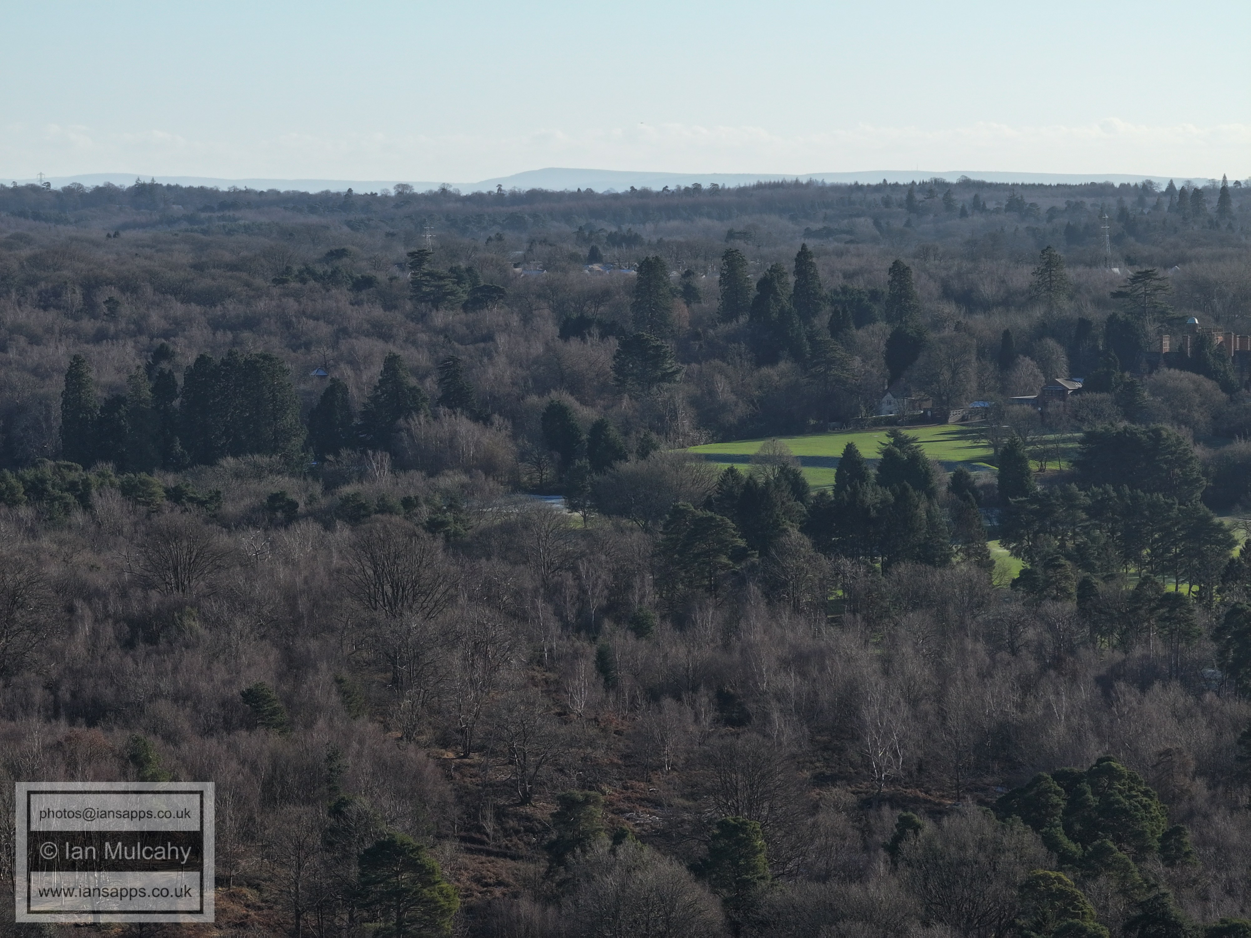
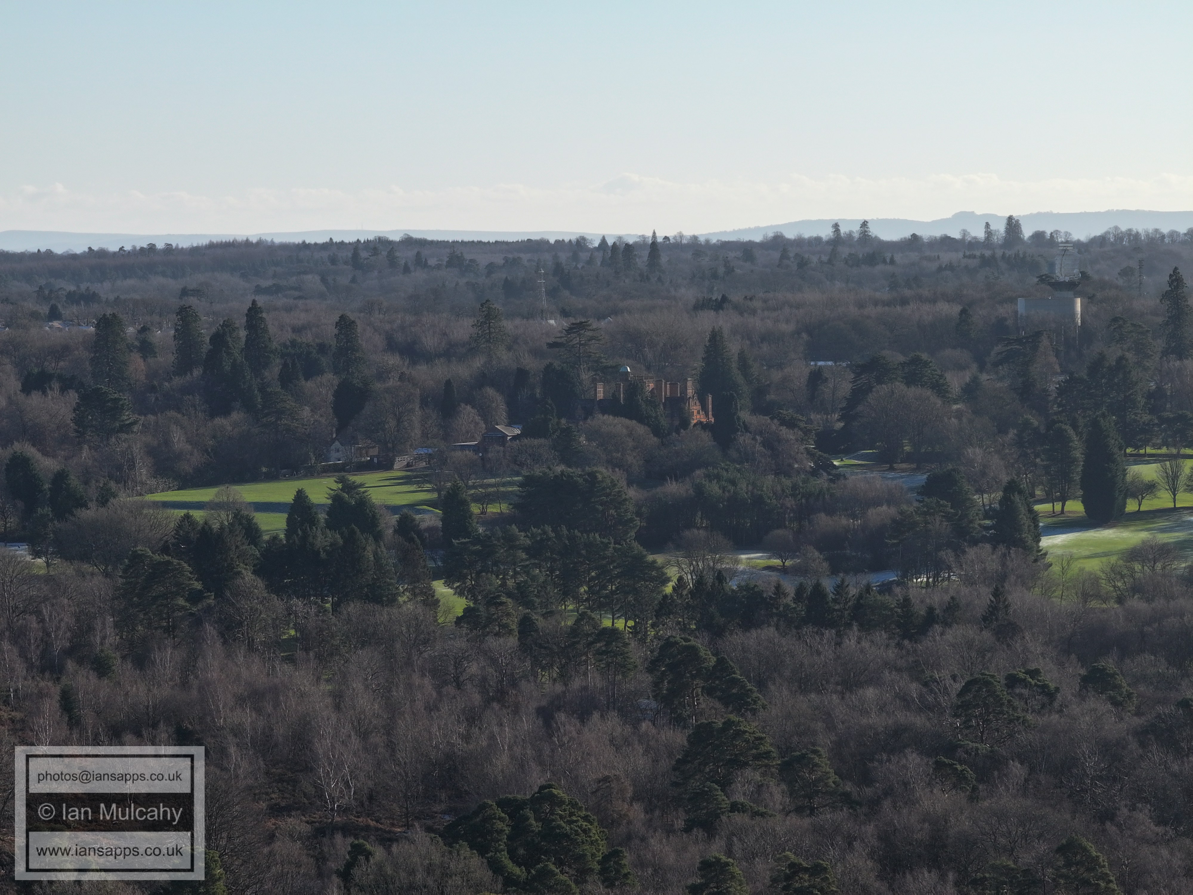
Buchan House (Cottesmore School), the water tower and the radar station.
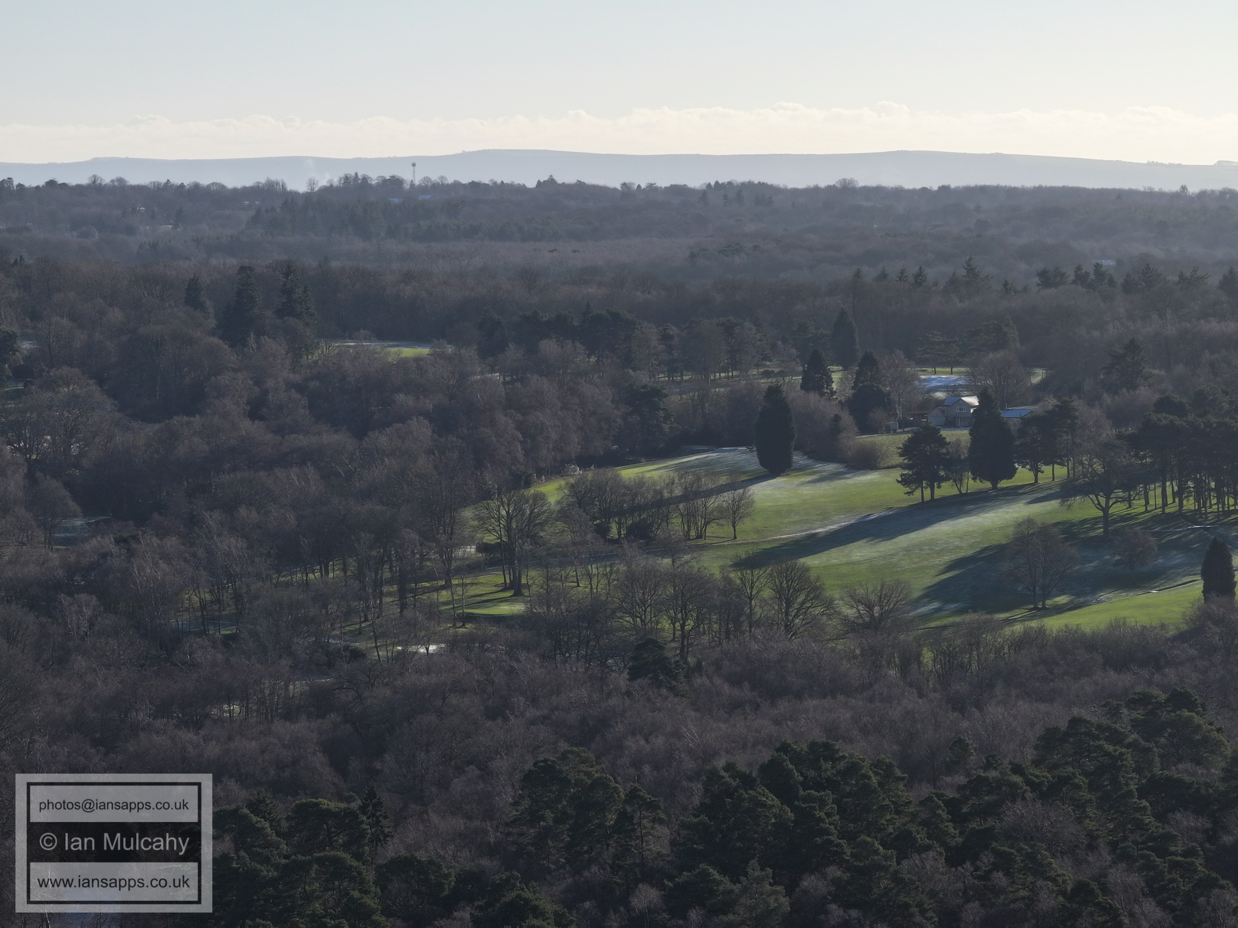
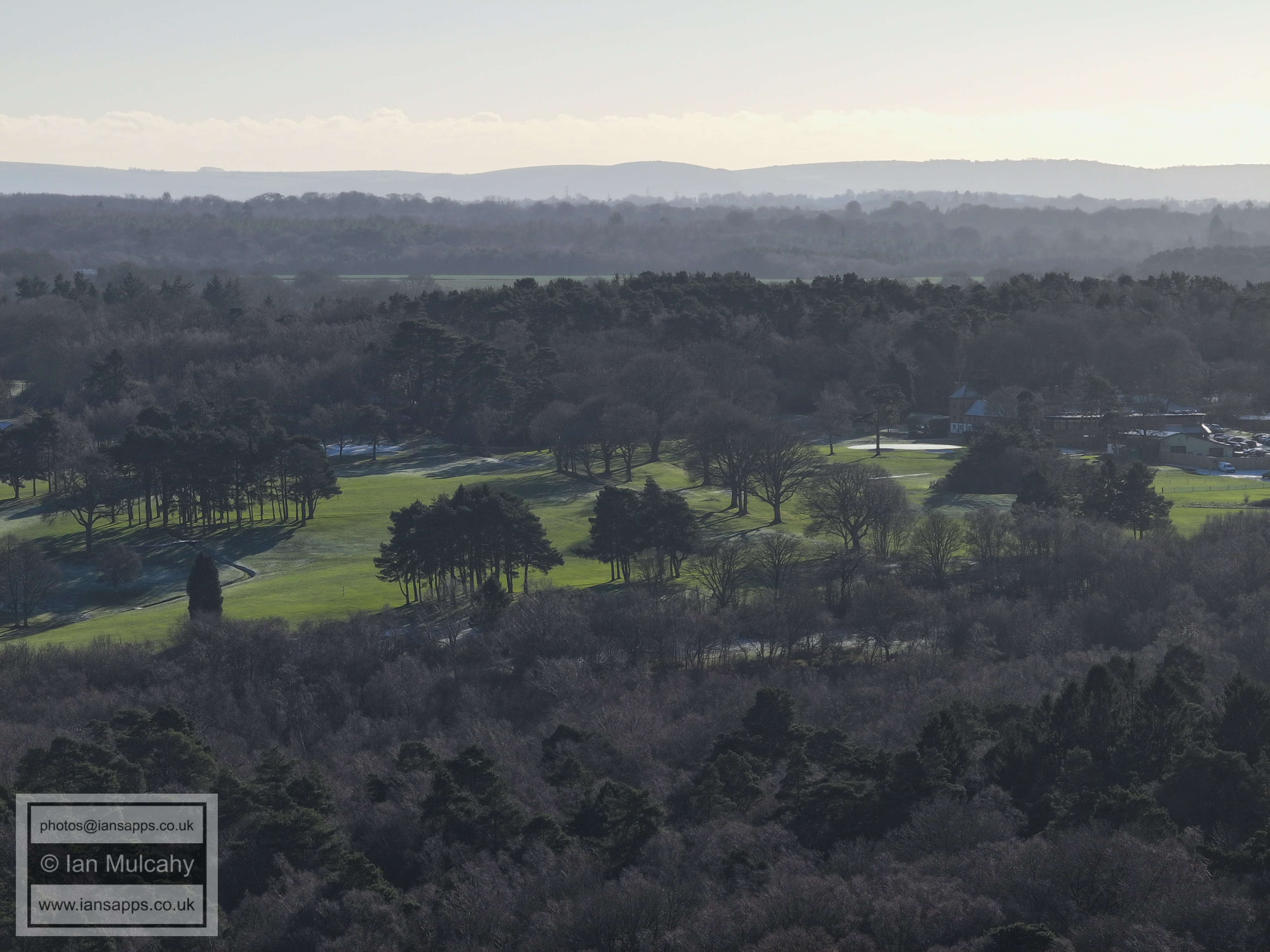
Cottesmore Golf Club
Holmbush is to the right of centre.
The Kilnwood Vale roundabout is in the bottom right corner.
Kilnwood Vale at the bottom, Faygate across the centre
The large barn near the top to the right of centre is at Old Park Farm on the Horsham Road from Rusper. The white building to the right is Old Park.
To the far right of centre is Kilnwood, on Kilnwood Lane.
Rusper is in the top right quarter. At the bottom, to the right of centre, is a ramp to facilitate a second road bridge over the railway into what will become Kilnwood Vale North. The white house beneath Rusper on the far right is Rusper Court Cottages on a little unnamed road off of Faygate Lane, between East Street and Lambs Green and below Normans.
Rusper is in the top left quarter with Normans to the right and down a little. Leith Hill Tower is just visible on the peak of the ridge virtually in the centre.
Ifield Millpond and Mill, St Margaret's Church, Ifield Court Farm fields and the site of Ifield Court.
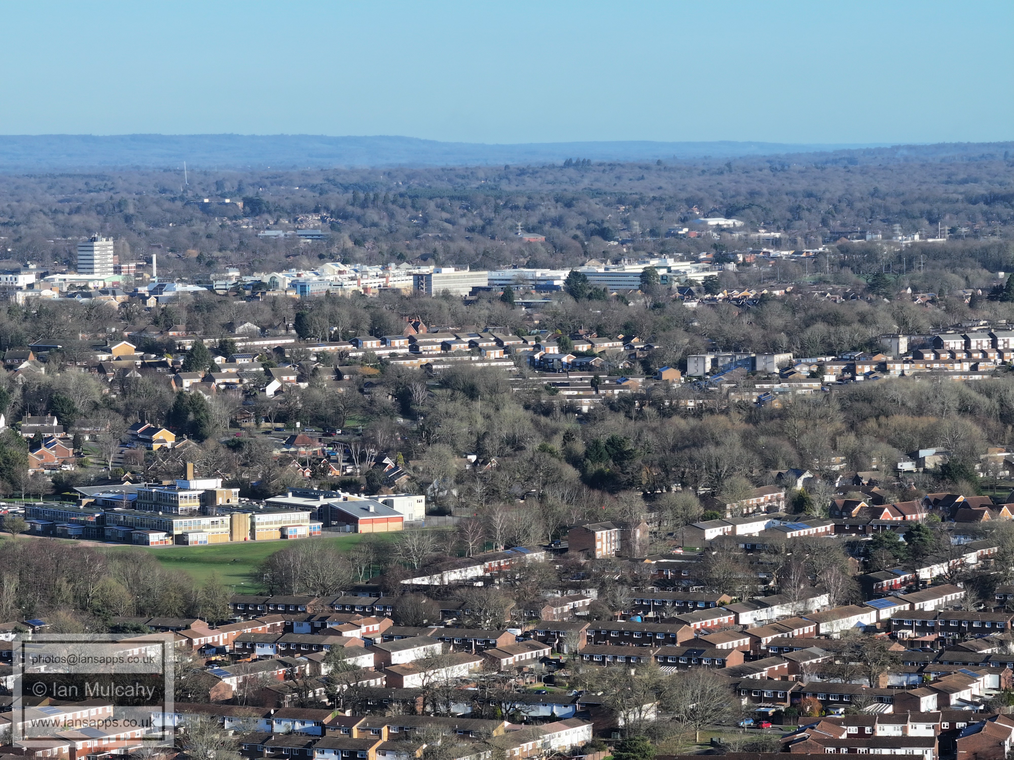
Crawley Town Centre
Bewbush Shops
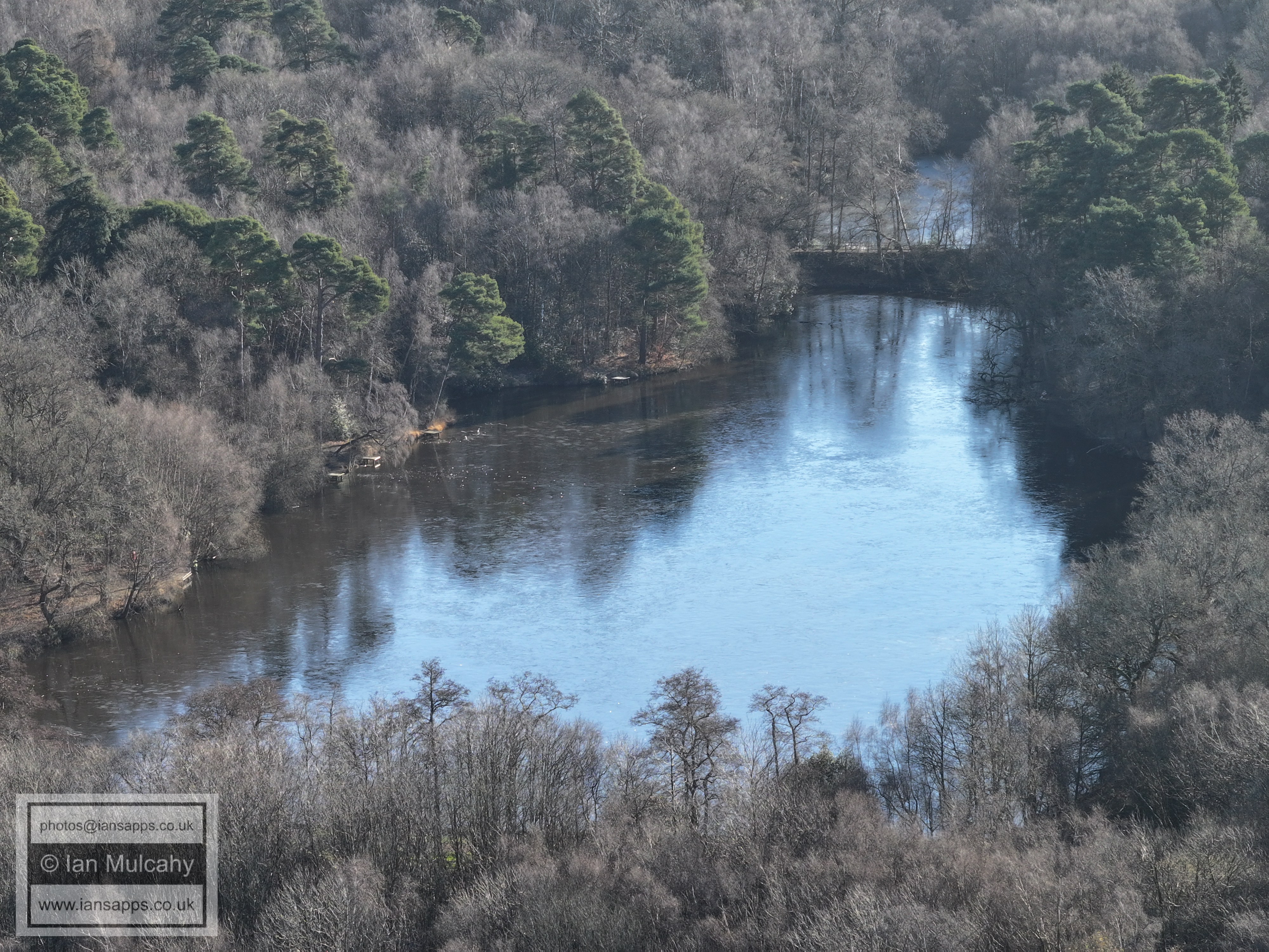
Buchan lake
Buchan House (Cottesmore School), the water tower and the radar station.
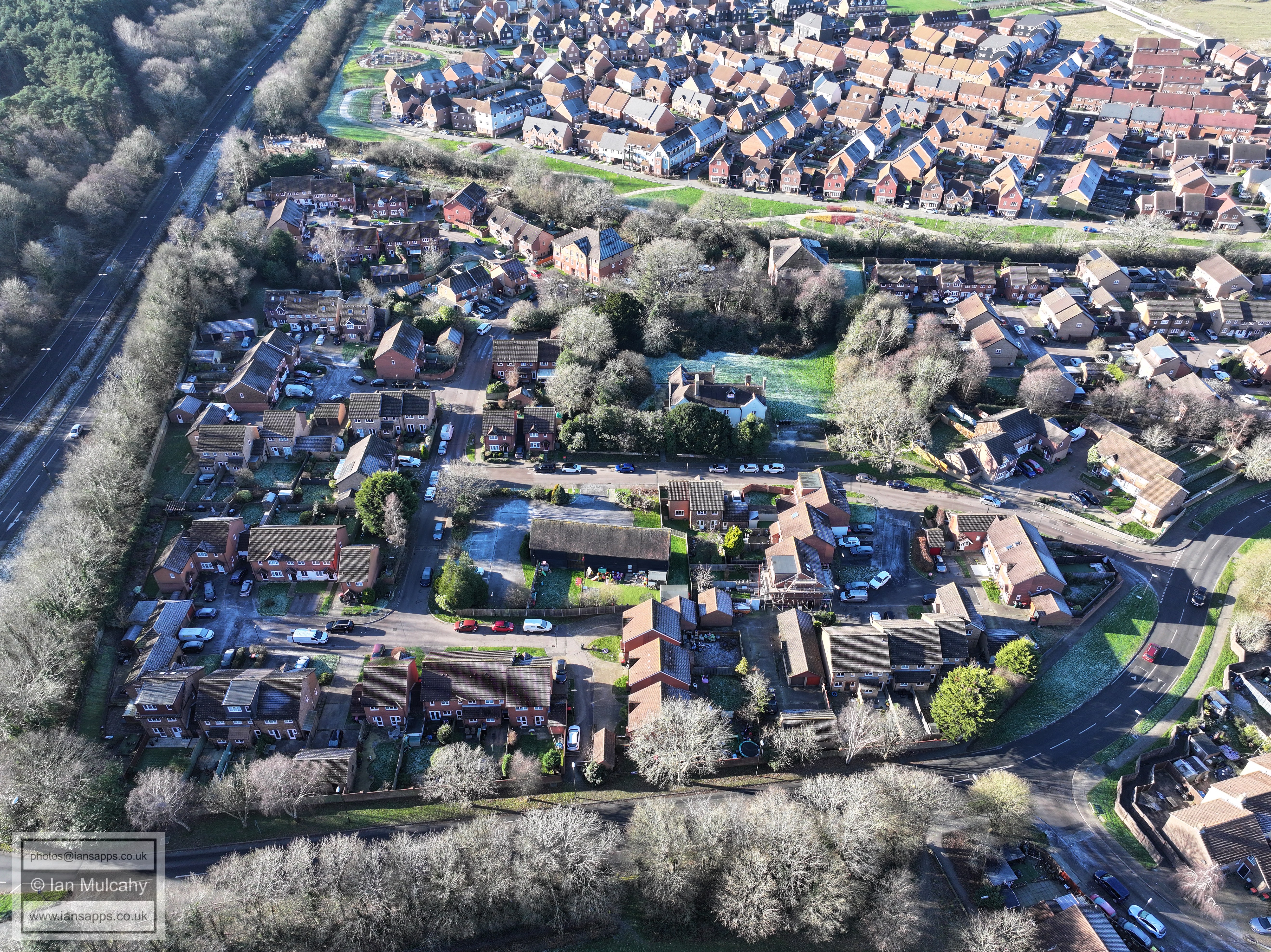
Bewbush Manor estate
Text & photographs © Ian Mulcahy. Contact photos@iansapps.co.uk or visit my 'Use of my photographs' page for licensing queries (ground level photographs only). |