The footpath halfway between Ifield West and Lambs Green in the field known as Orchard Meadow
5 January 2026
64 aerial photos of varying focal length
|
64 aerial images of varying focal length taken from a field known as Orchard Meadow, just off the path from Ifield West to Lambs Green below Upper Bewbush Farm, on 5 January 2026.
I have annotated some of the long lens photos.
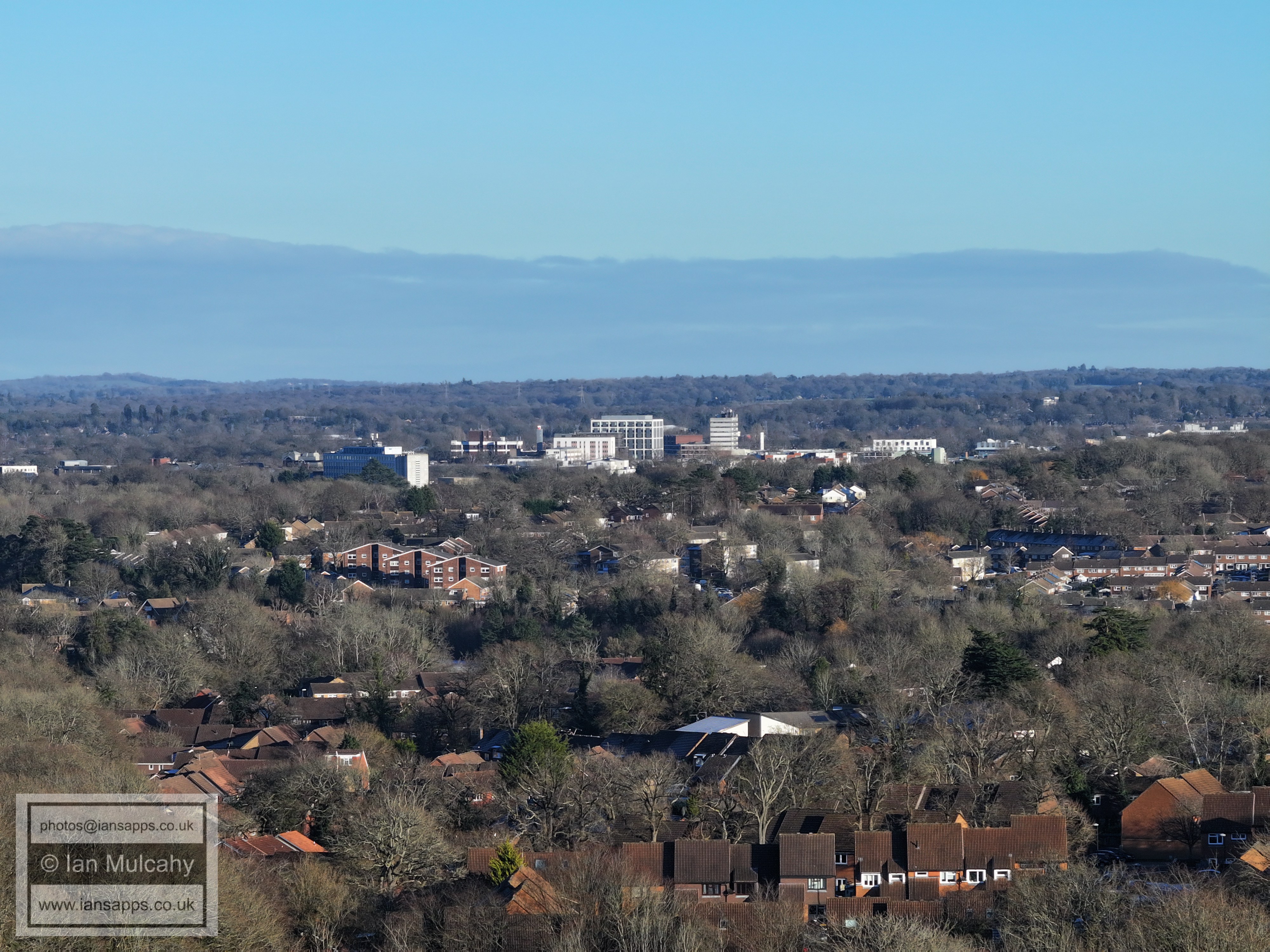
Crawley Town Centre. The white area in the bottom left quarter just above the watermark is a frozen and snow covered Ifield Millpond. The tall white building beyond town in the centre is on Worth Corner. On the far right at the same height on the photo is the spire of St Nicholas at Worth. Right of centre is Gossops Green Shops with St Wilfrids being the white building a little way above.
Tulleys Farm Ferris Wheel is top centre. Woldhurstlea Woods (and communications mast) is to the right of centre
Holy Trinity in the centre, with Southgate West above to the left
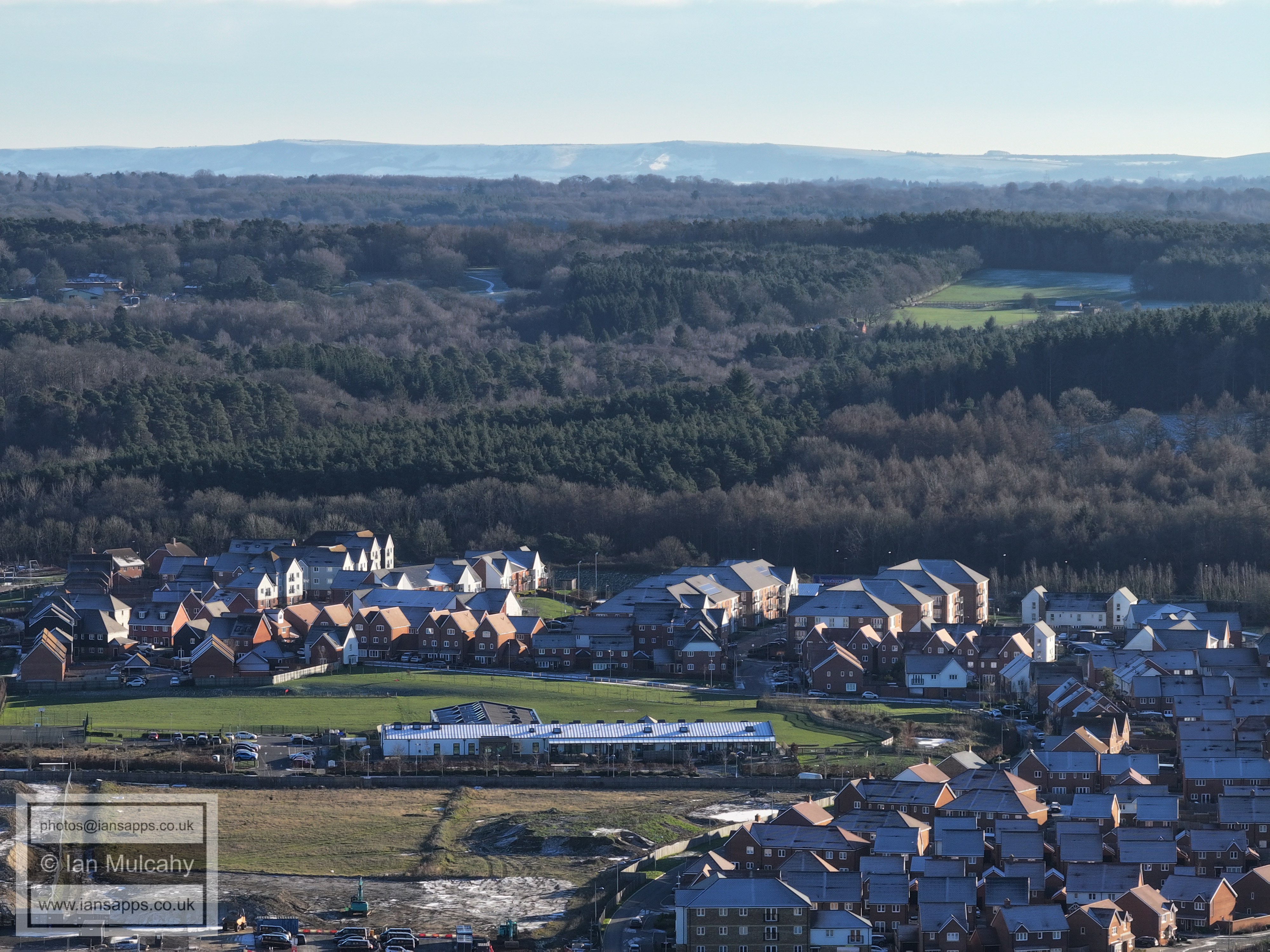
#Bewbush and Broadfield. The Broadfield Stadium is visible if you know where to look, just below Thomas Bennett in the top left quarter.
Bewbush Green, low centre. Bewbush shops and Broadfield Barton are both on the left of the picture.
In the top left quarter is Tollgate Hill and Woodgate. The Gasson Wood Road and Sullivan Drive areas of Bewbush fill the bottom half. The V shaped gap in the trees to the right is the south western bypass.
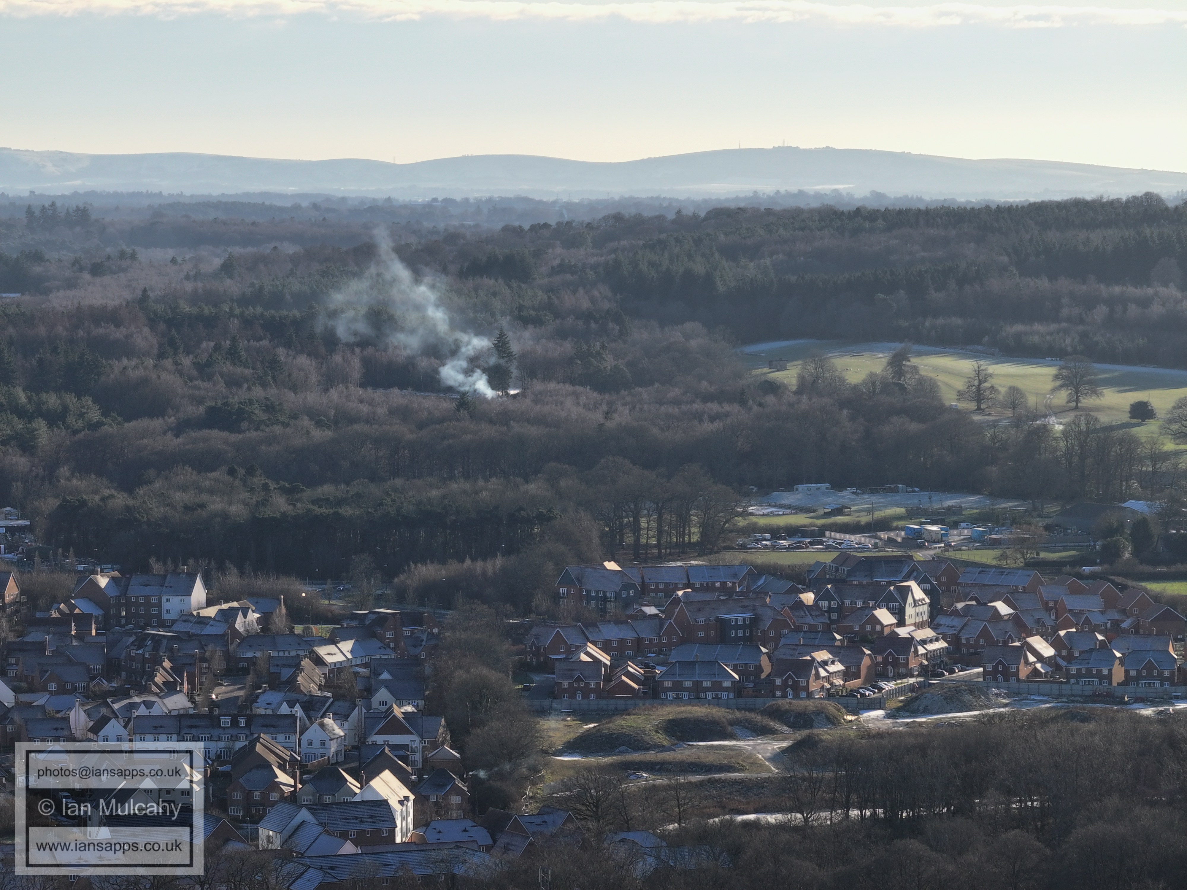
To the right in the bottom half is Kilnwood Vale with Bewbush Manor area above. Towards the top is Buchan House (Cottesmore School), the water tower and the radar station.
Kilnwood Vale (bottom) Cottesmore Golf Club (top right quarter)
Kilnwood Vale (bottom)
Kilnwood Vale (bottom) with Holmbush Potteries Industrial Estate above.
Kilnwood Vale (bottom)
Holmbush is in the top right quarter. In the top left quarter is Shoreham Cement Works, Lancing College and the channel windfarm!
Chanctonbury Ring towards the right
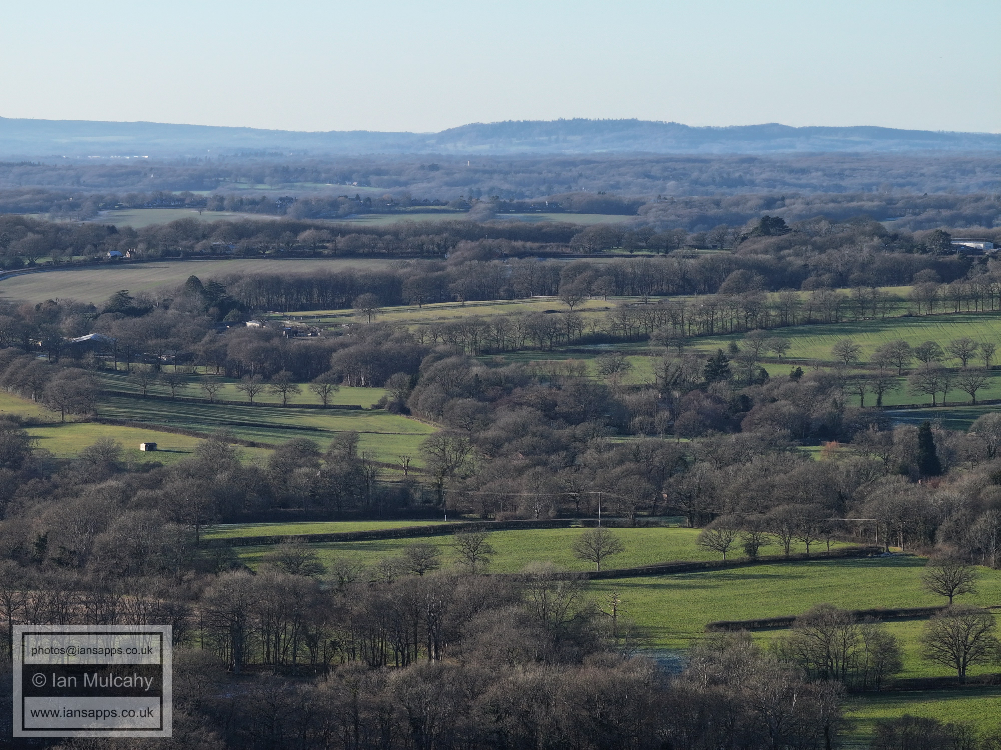
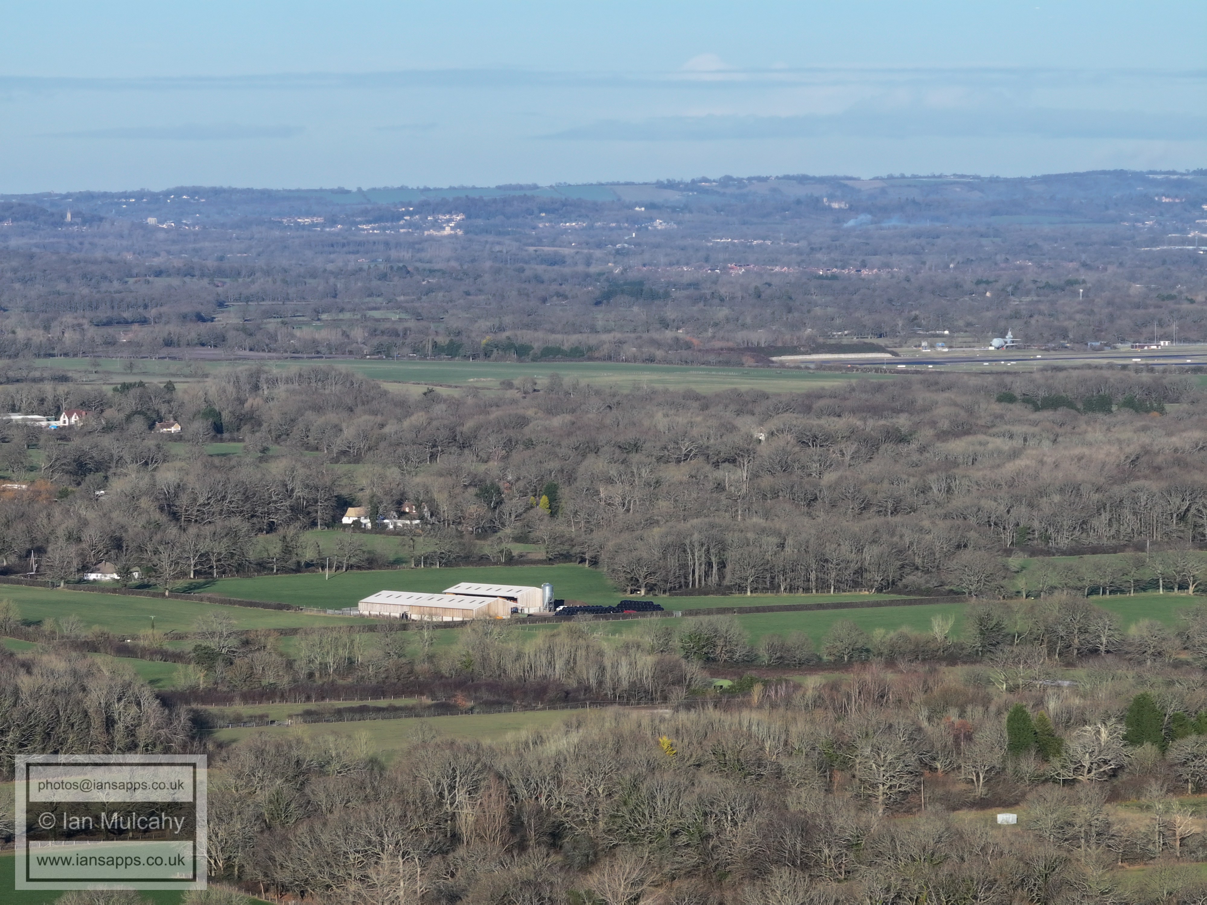
Not very clear due to looking towards a low sun, but Faygate is across the centre
In the centre near the top is Warnham Court. Towards the right, just below centre, is Carylls Country House on Faygate Lane.
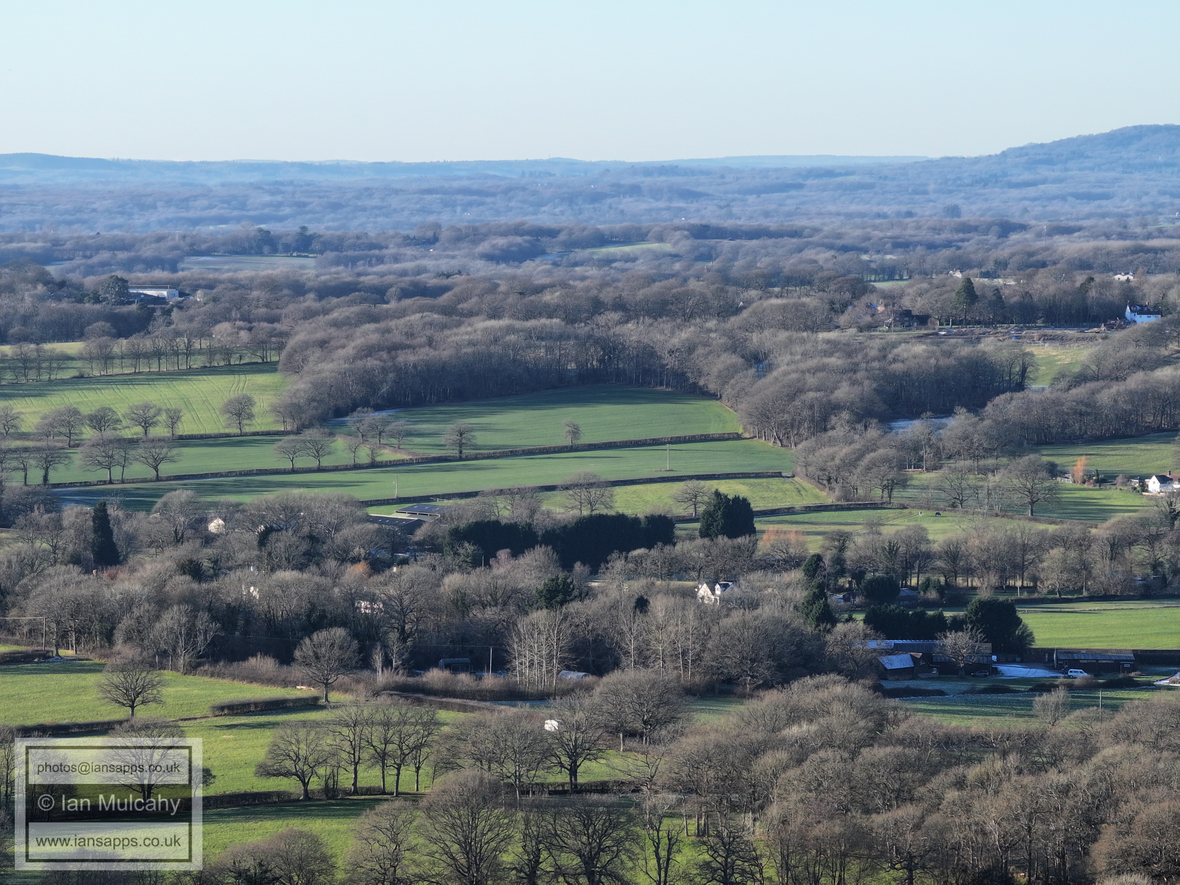
Just above centre is Old Park Farm
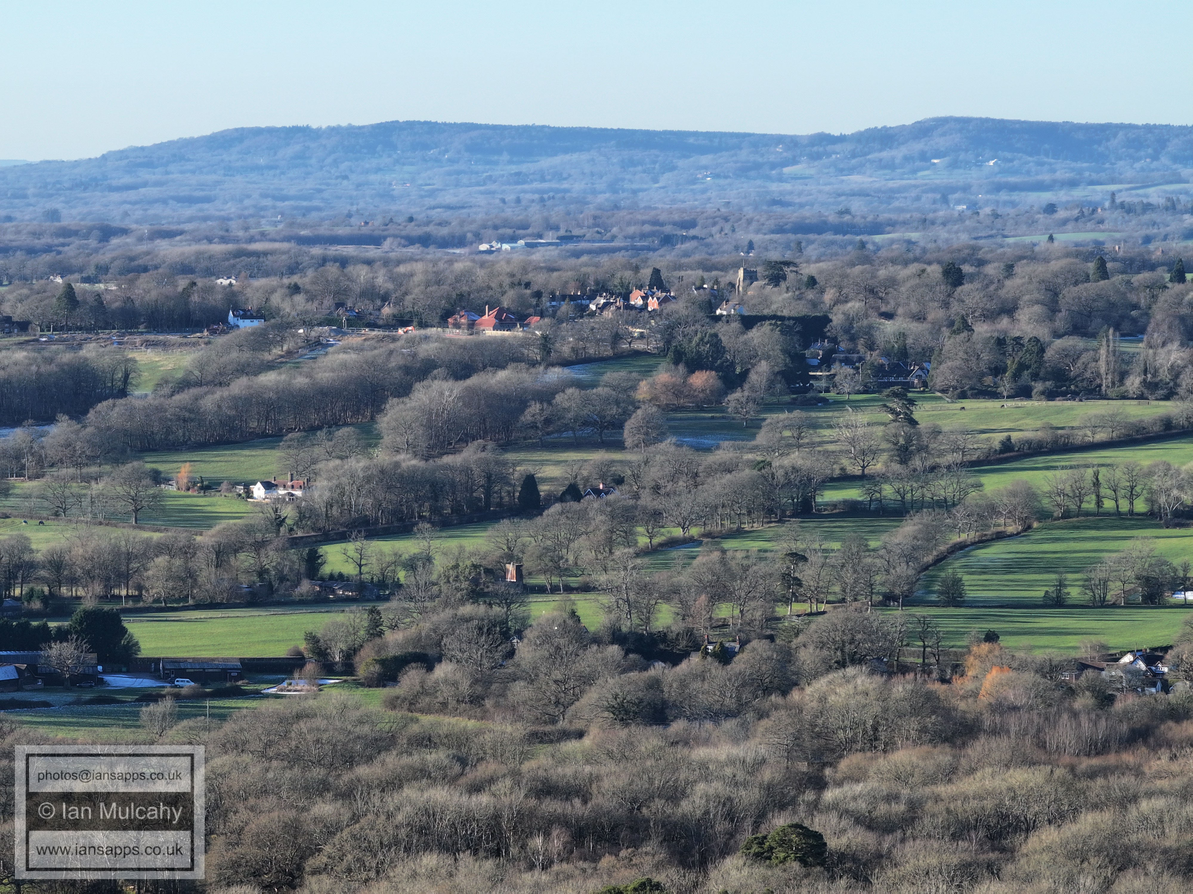
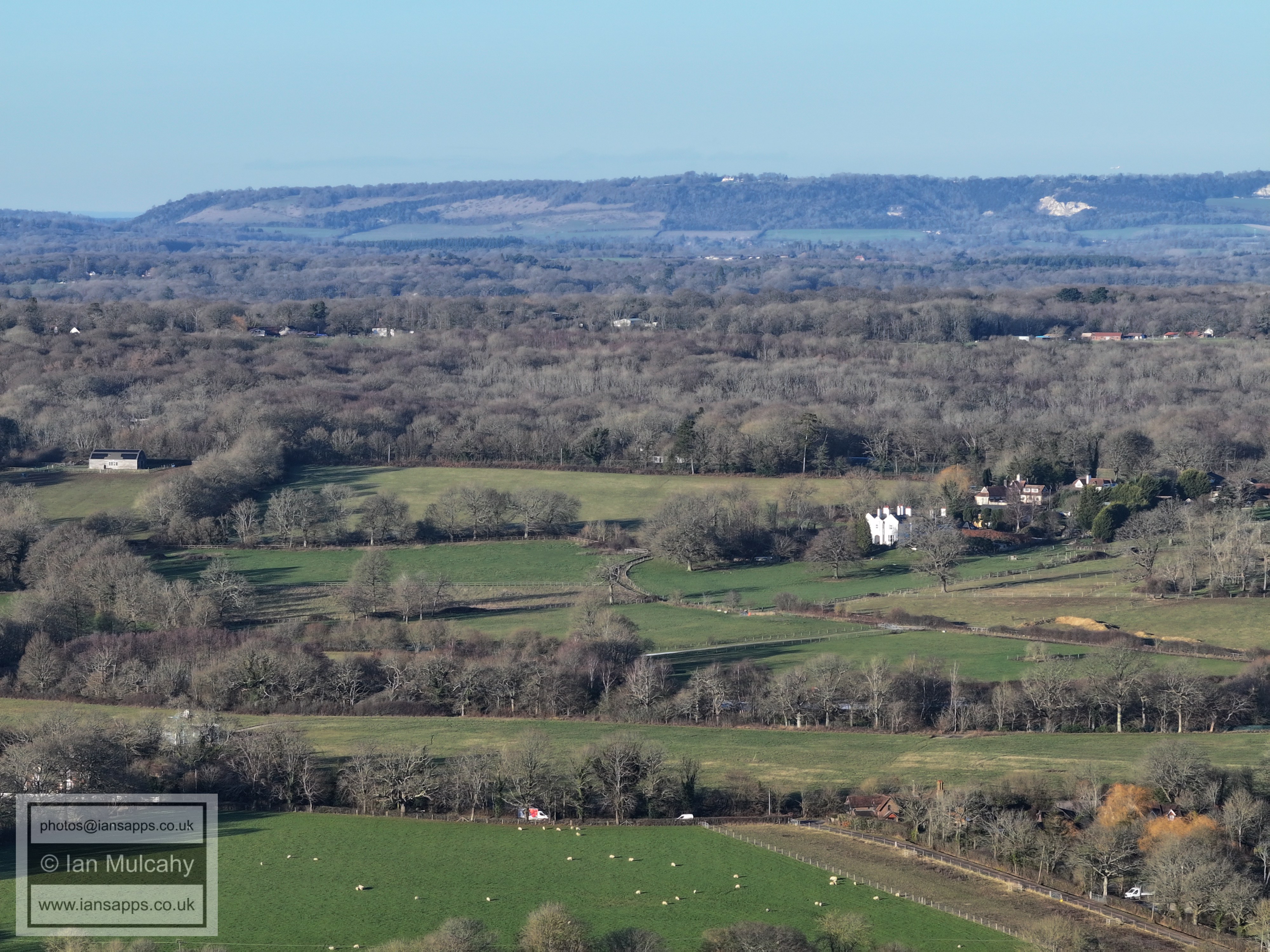
Rusper is just above centre.
Lambs Green is across the bottom of the photo.
The houses just below and to the left of centre are where Rusper Road/Burnthouse Lane/Langhurst Lane join.
In the top right quarter is Ivy House Farm on Partridge Lane near Russ Hill. In the bottom right corner is the former Gate Public House on Rusper Road. The south Dorking tower blocks are top centre.
Box Hill in the distance and The Mount right of centre.
The Russ Hill Hotel is in the top right quarter.
Bonwyckes Place low centre. Reigate in the distance, with Earlswood Common to the right in the distance
Druids is just above centre with Ifield Court Medieval Moated site to its right.
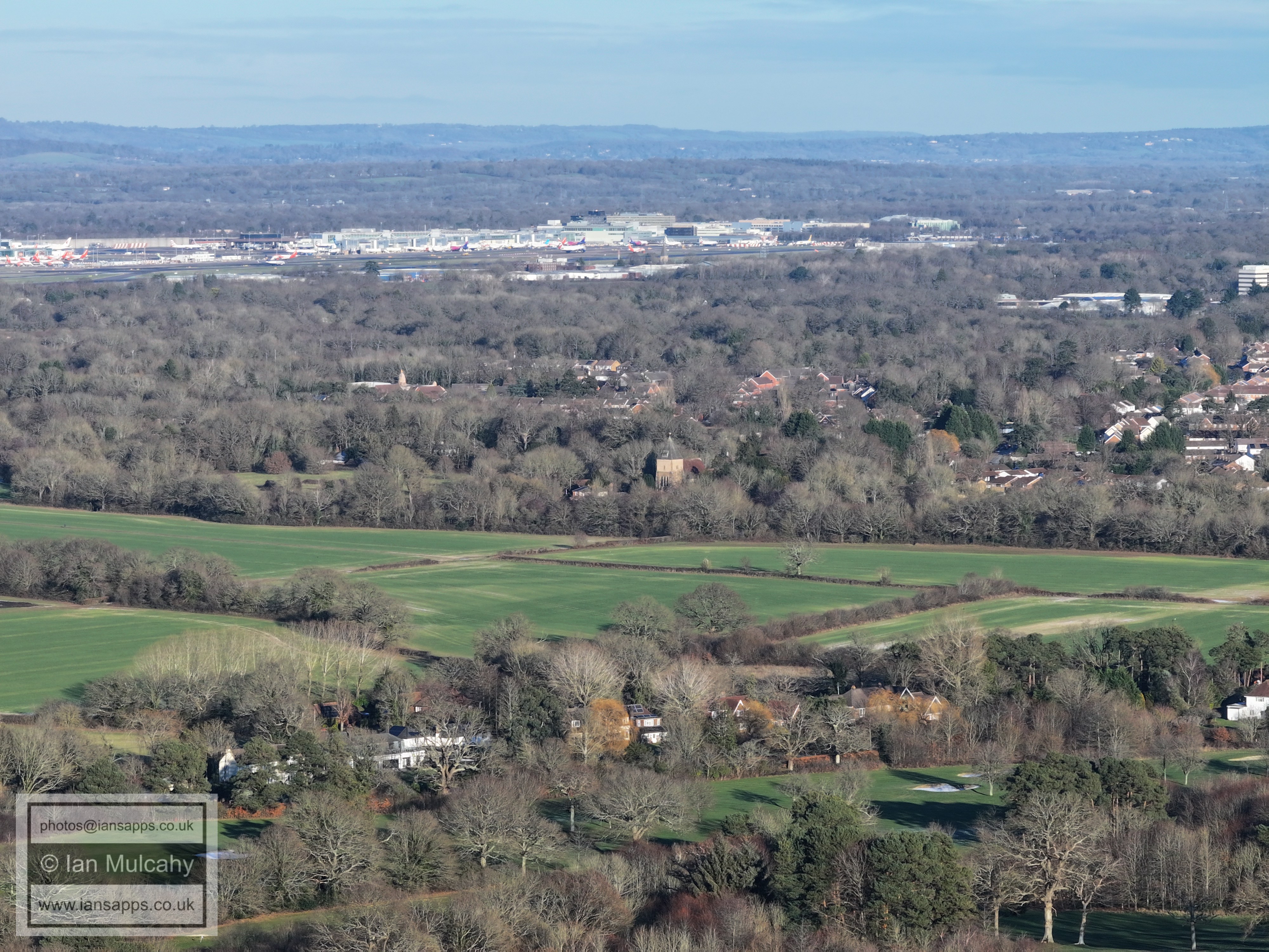
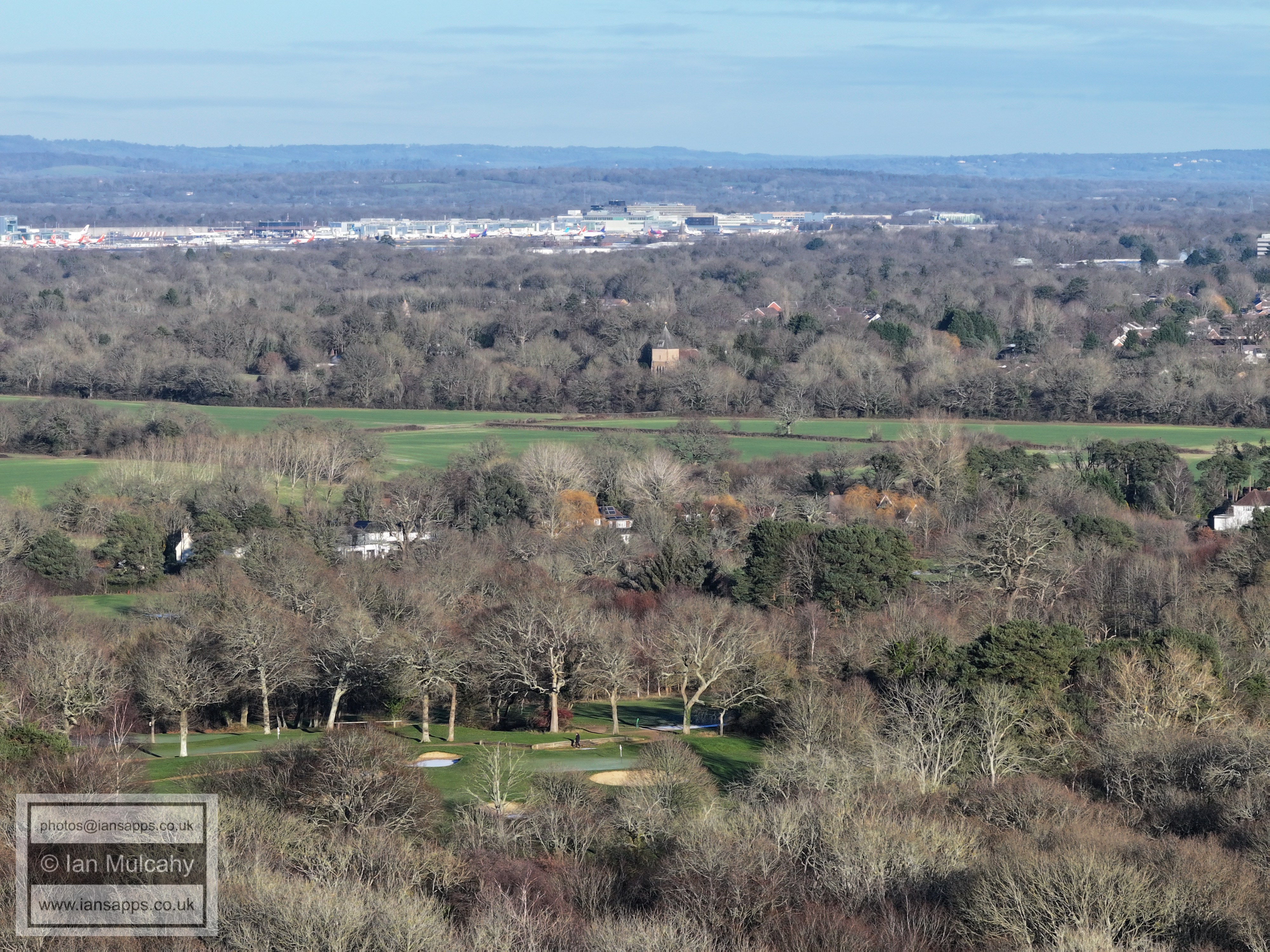
Ifield Court Farm fields, St Margaret's Church and Gatwick. The Temple on the Apple Tree estate is just right of centre. The spire of St Michaels at Lowfield Heath is also visible in the top right quarter.
Ifield Parade is far left of centre, and almost dead centre the timbers and tiles of Ewhurst Place in Ifield Drive are visible. At the bottom is the Maples development opposite Ifield Golf Club (which is across the bottom) and Rusper Road playing fields above.
ICC is left of centre with teh Sandman Hotel directly above towards the top. To the right of the hotel, and up a little, are Milton Mount flats. To the far right is Crawley Hospital. In the bottom right quarter is Ifield Water Mill and a frozen millpond.
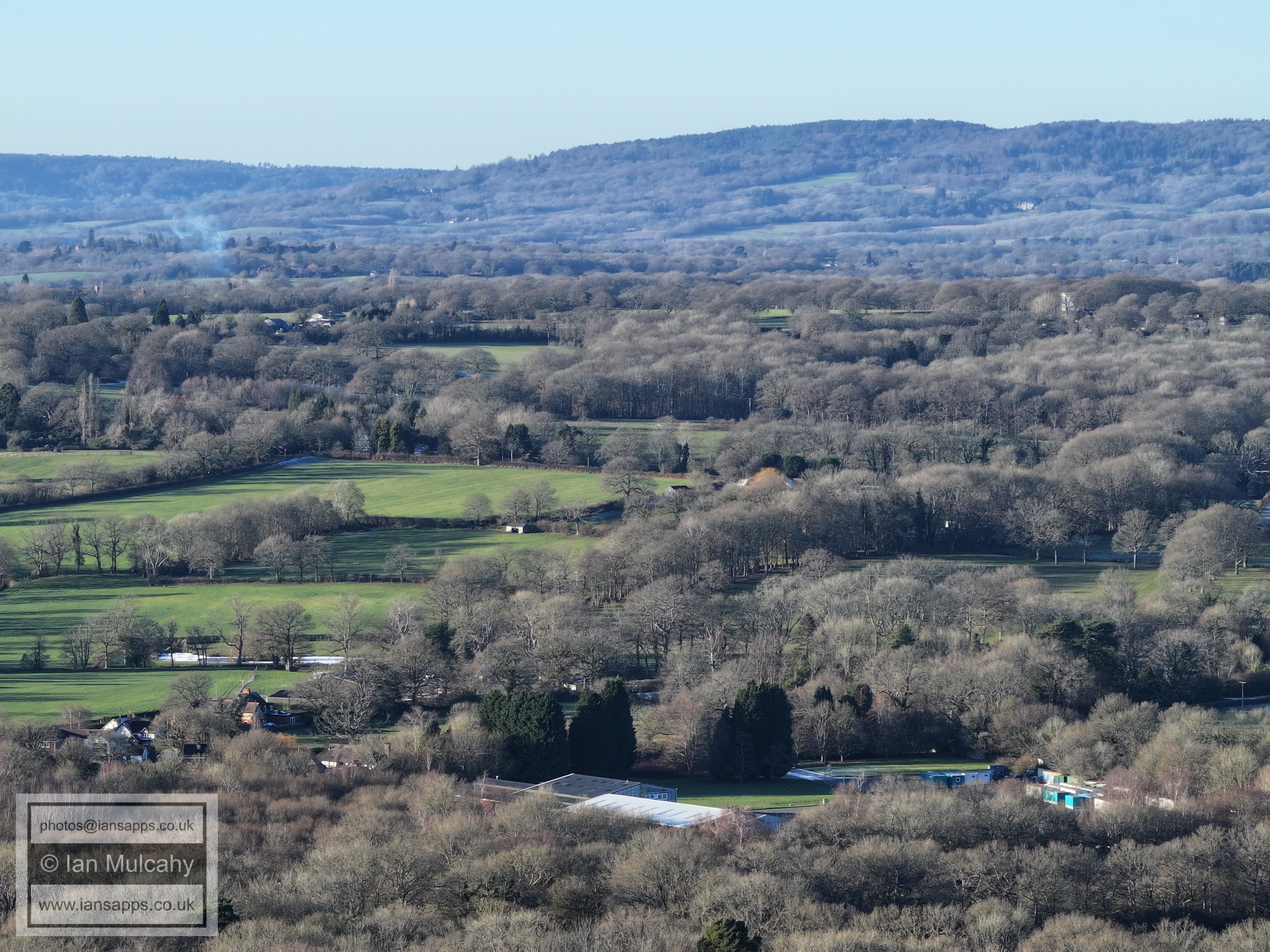
Rusper.
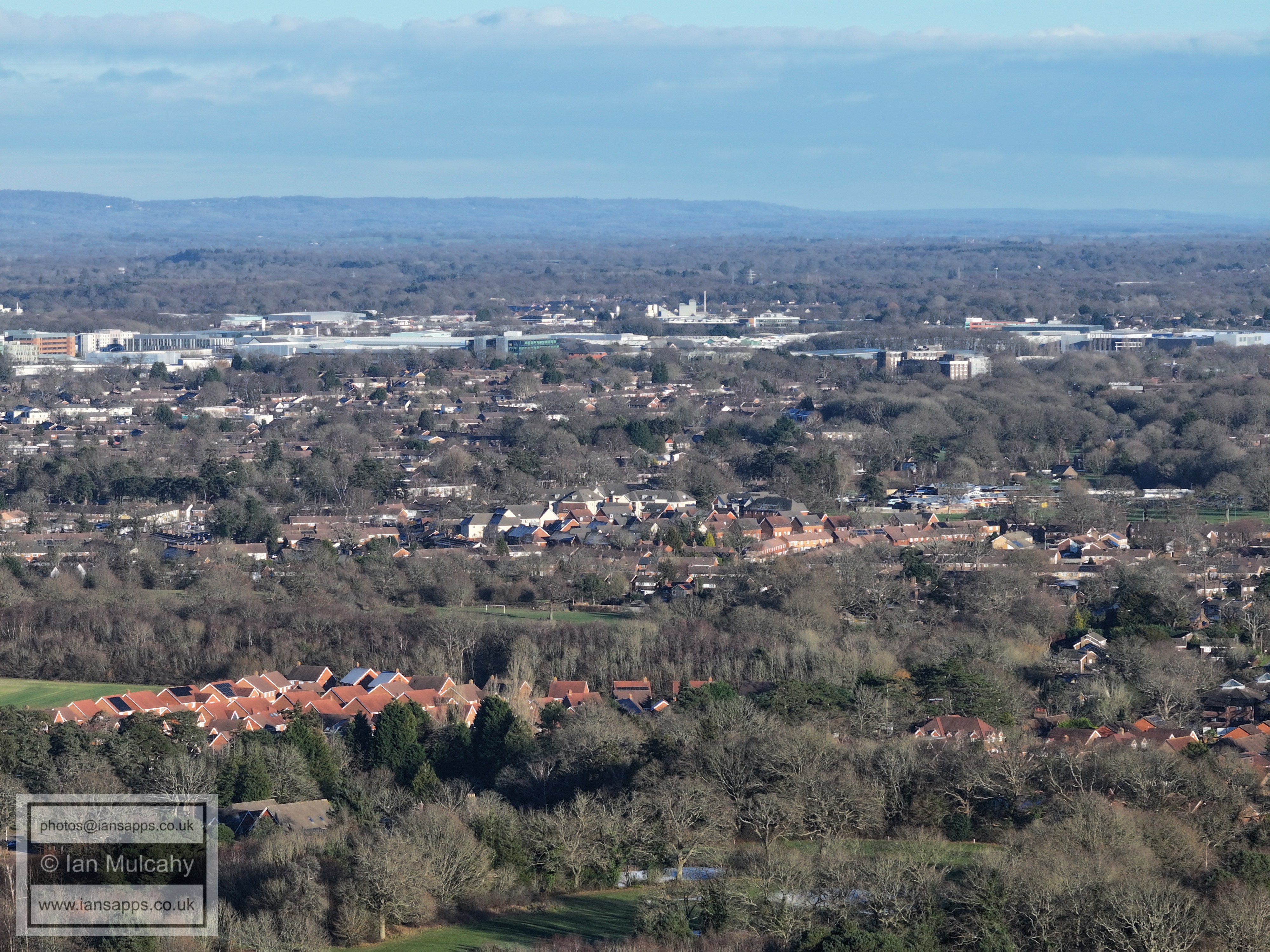
Crawley Town Centre from a lower height.
St Margaret's Church above centre and the ridge at Ifield Golf Club at the bottom.
Text & photographs © Ian Mulcahy. Contact photos@iansapps.co.uk or visit my 'Use of my photographs' page for licensing queries (ground level photographs only). |