Barn Cottage Recreation Ground
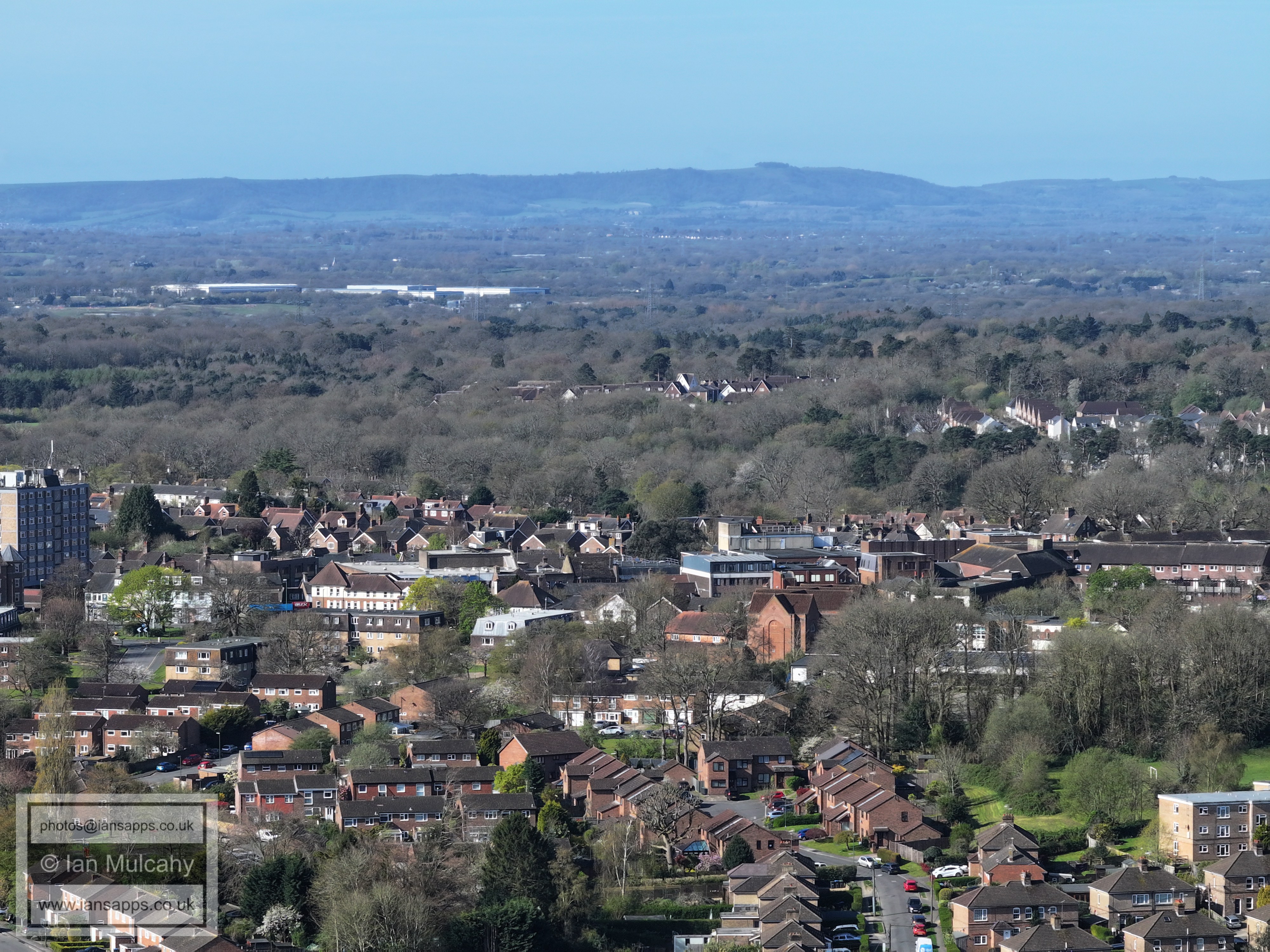
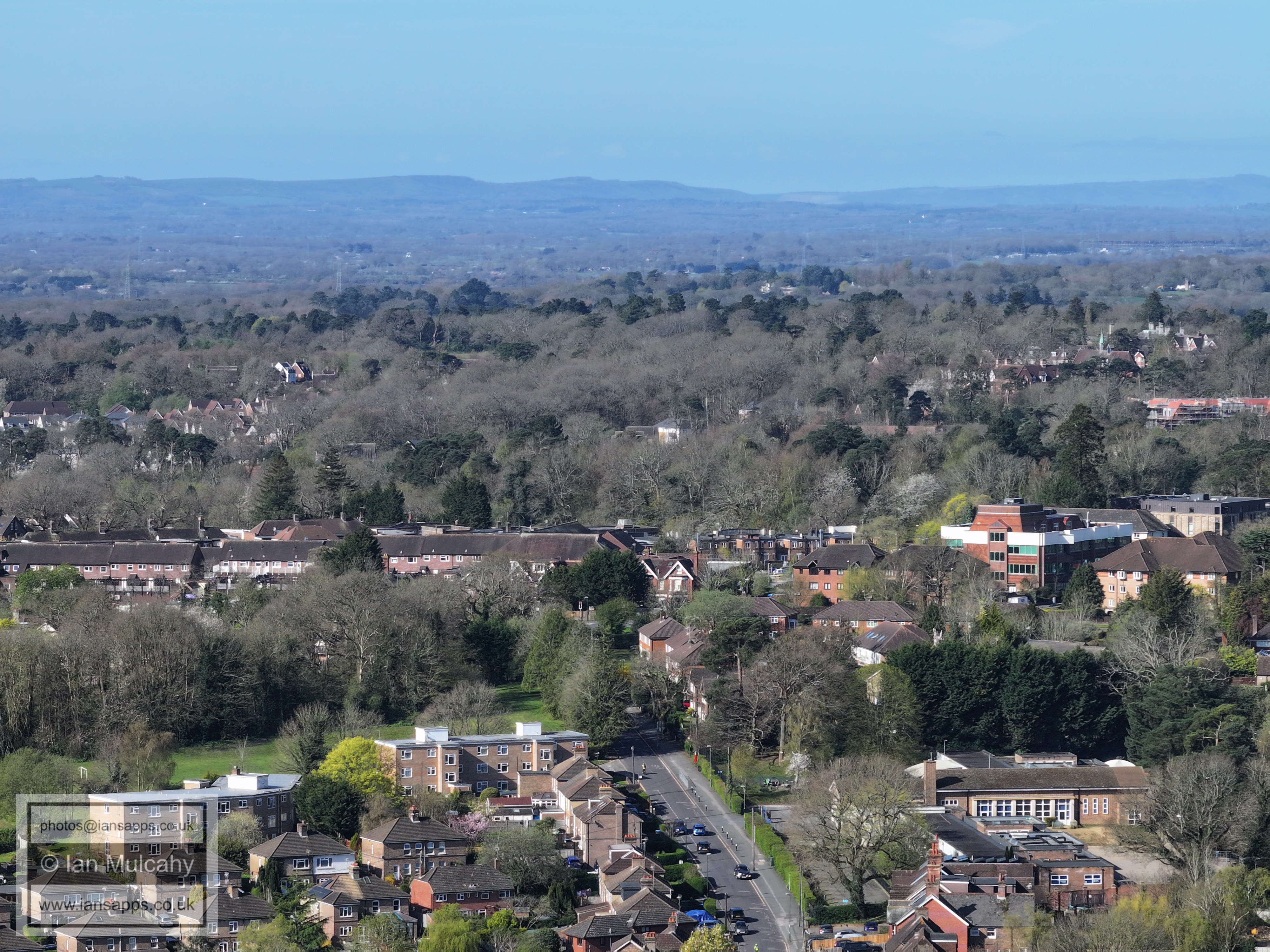
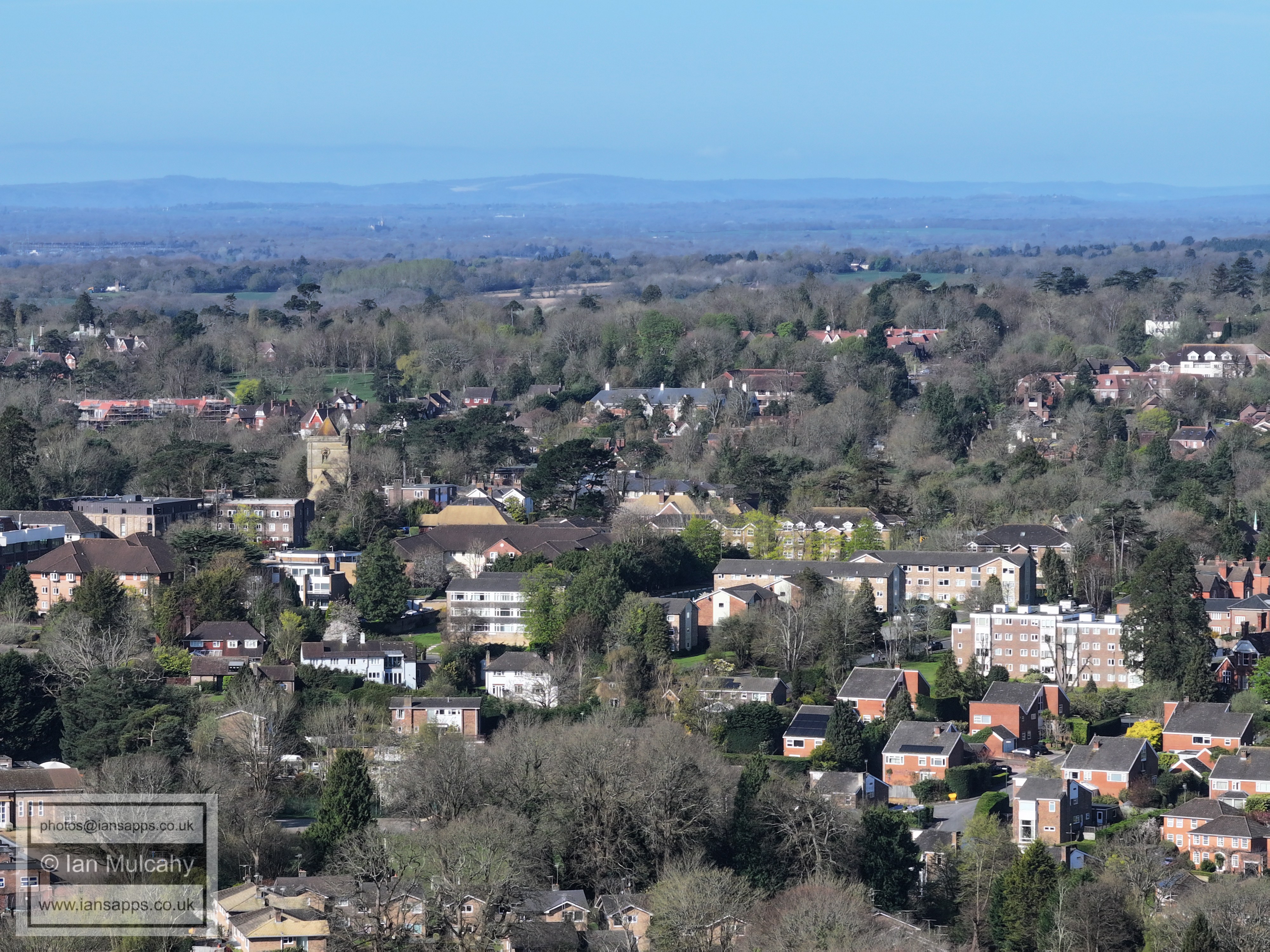
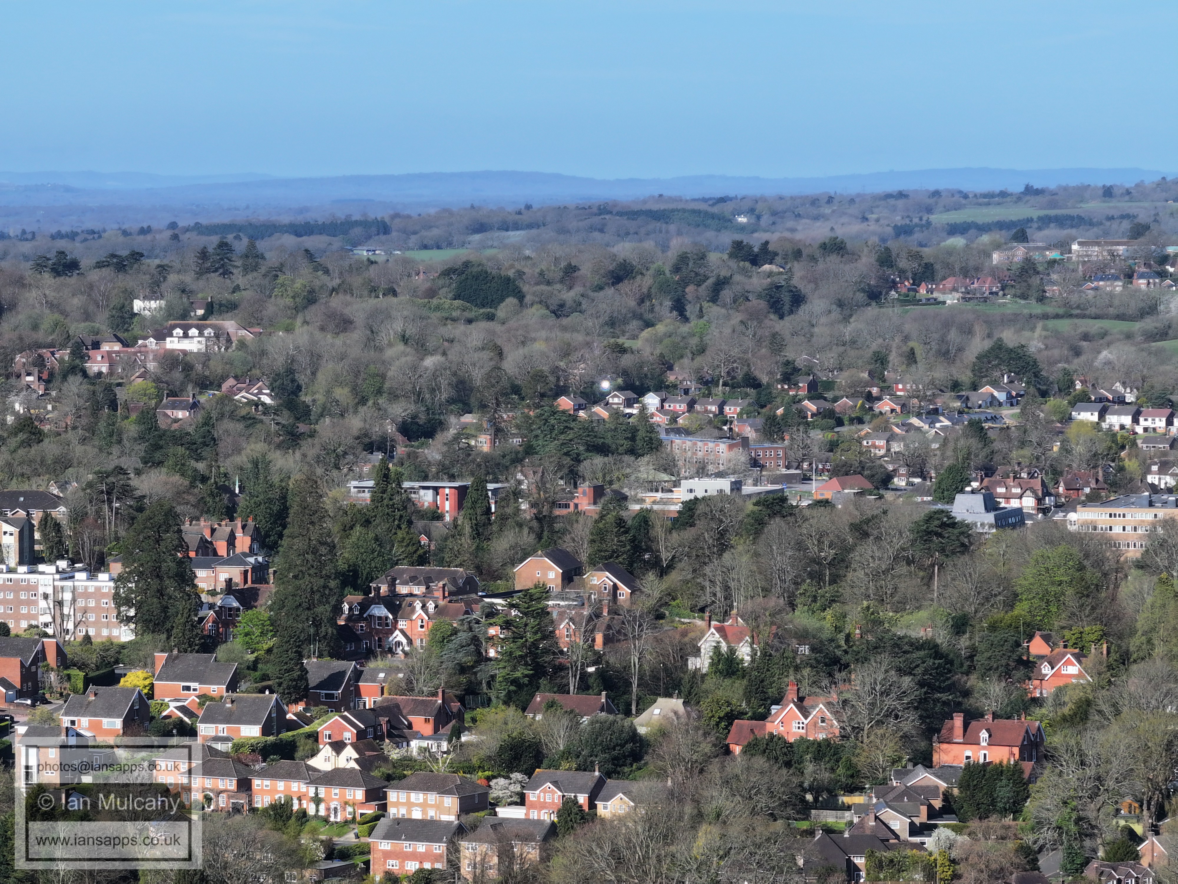
Haywards Heath
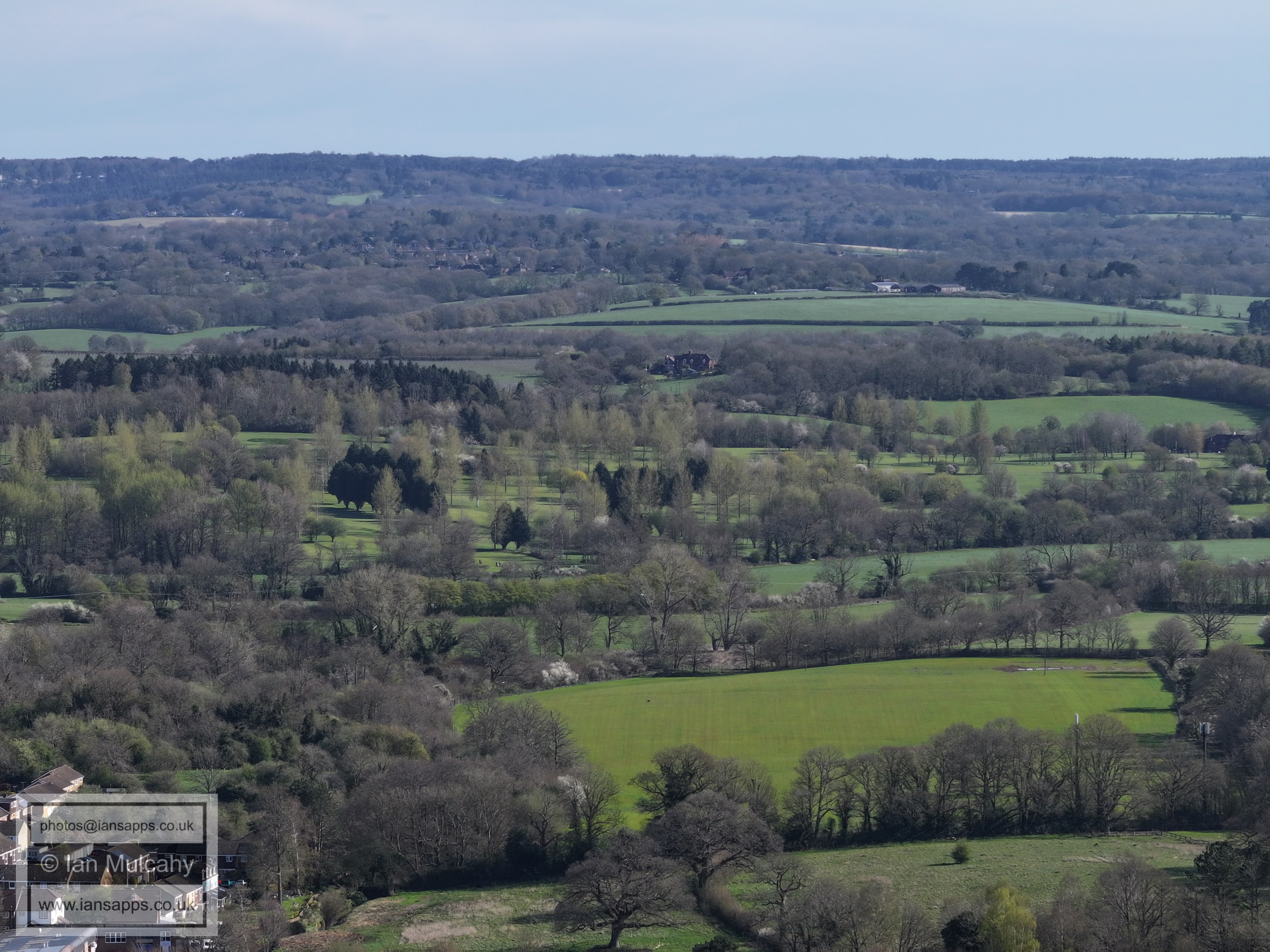
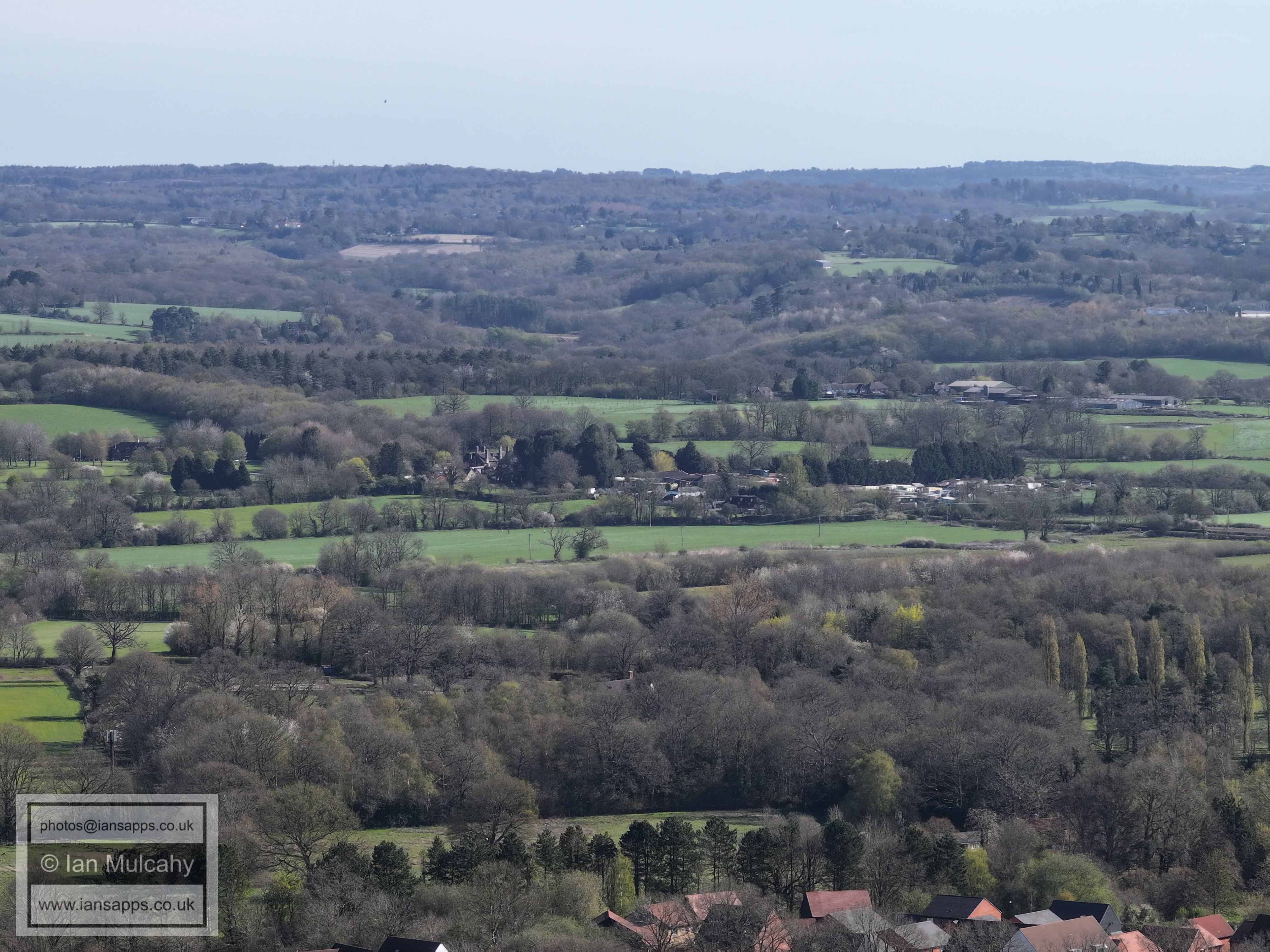
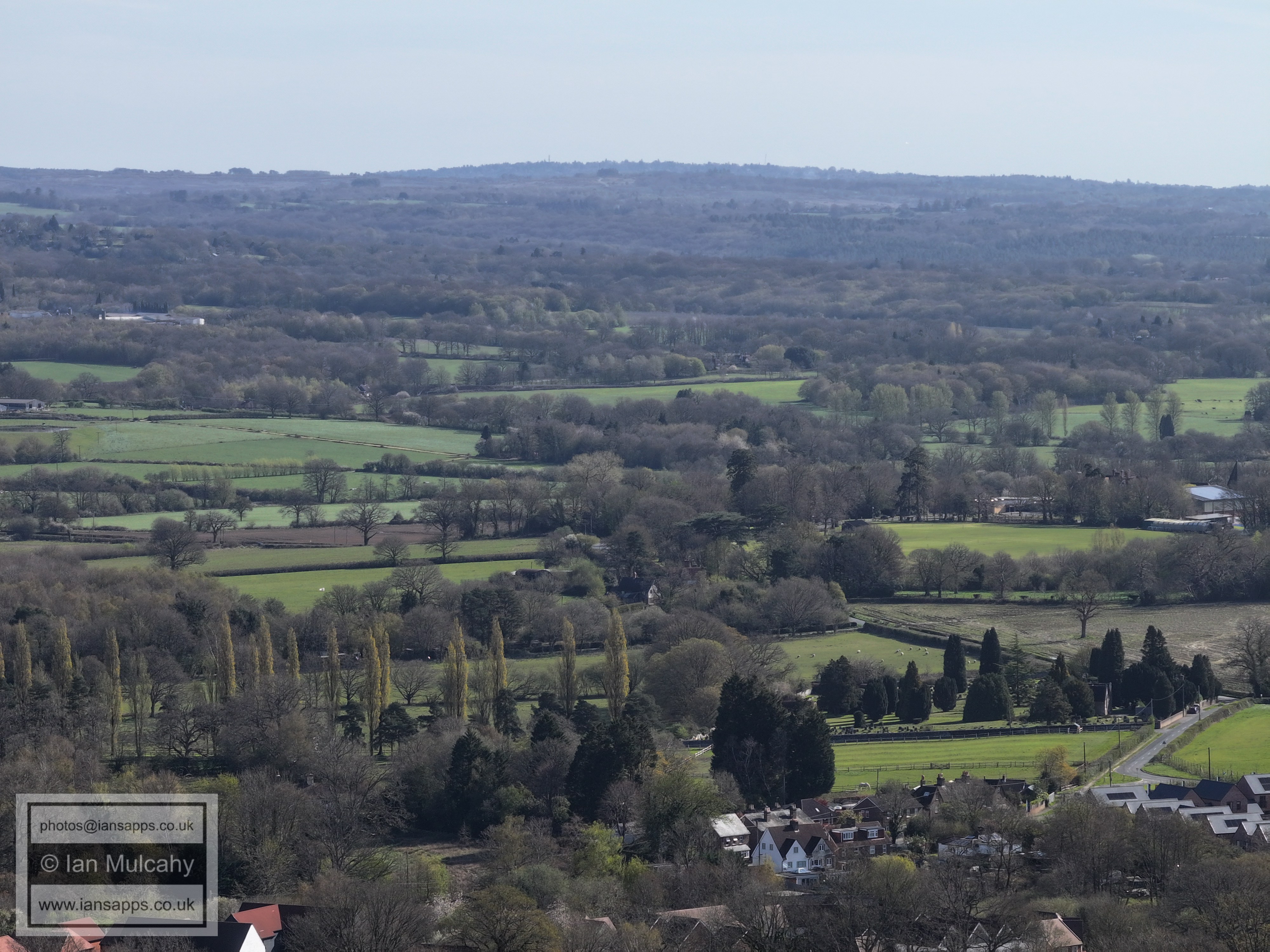
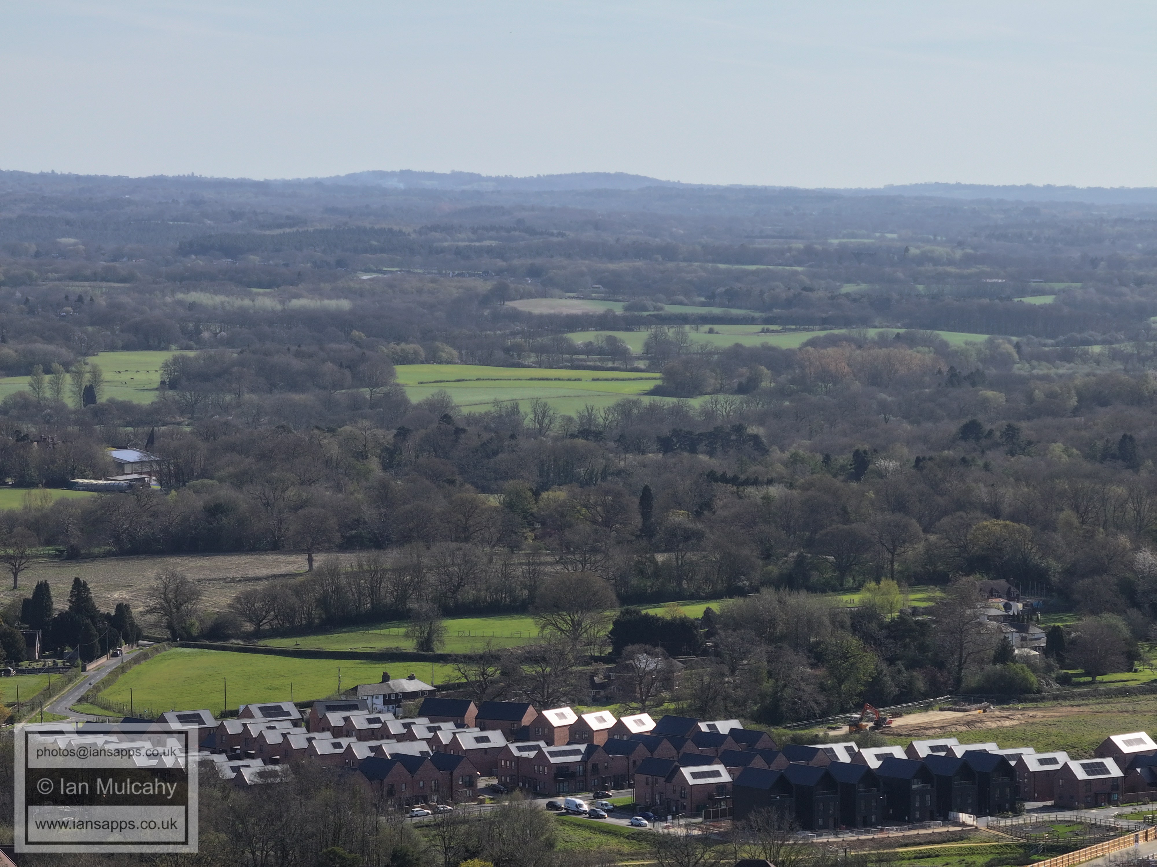
61 aerial images taken on 6 April 2026
|
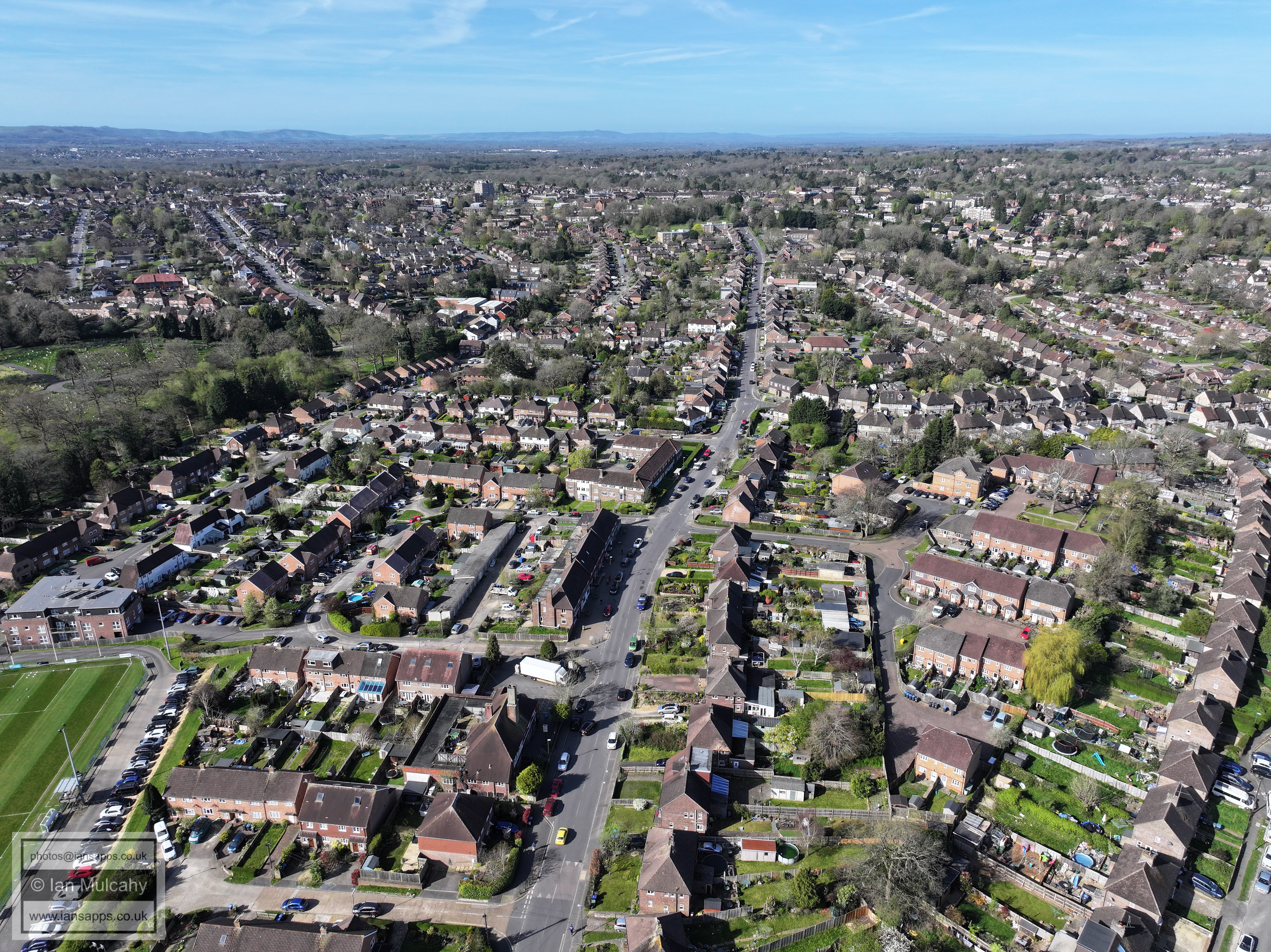
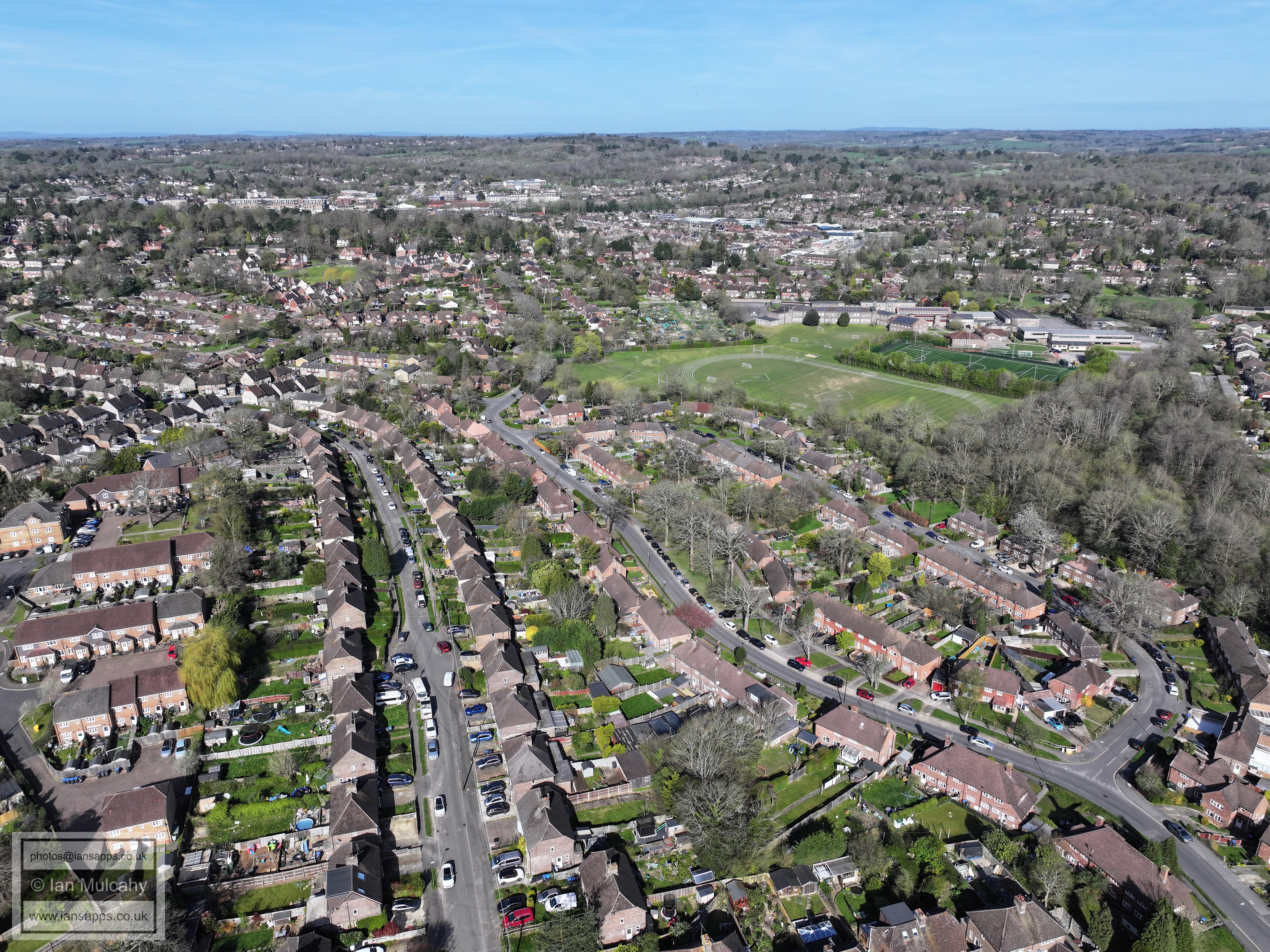
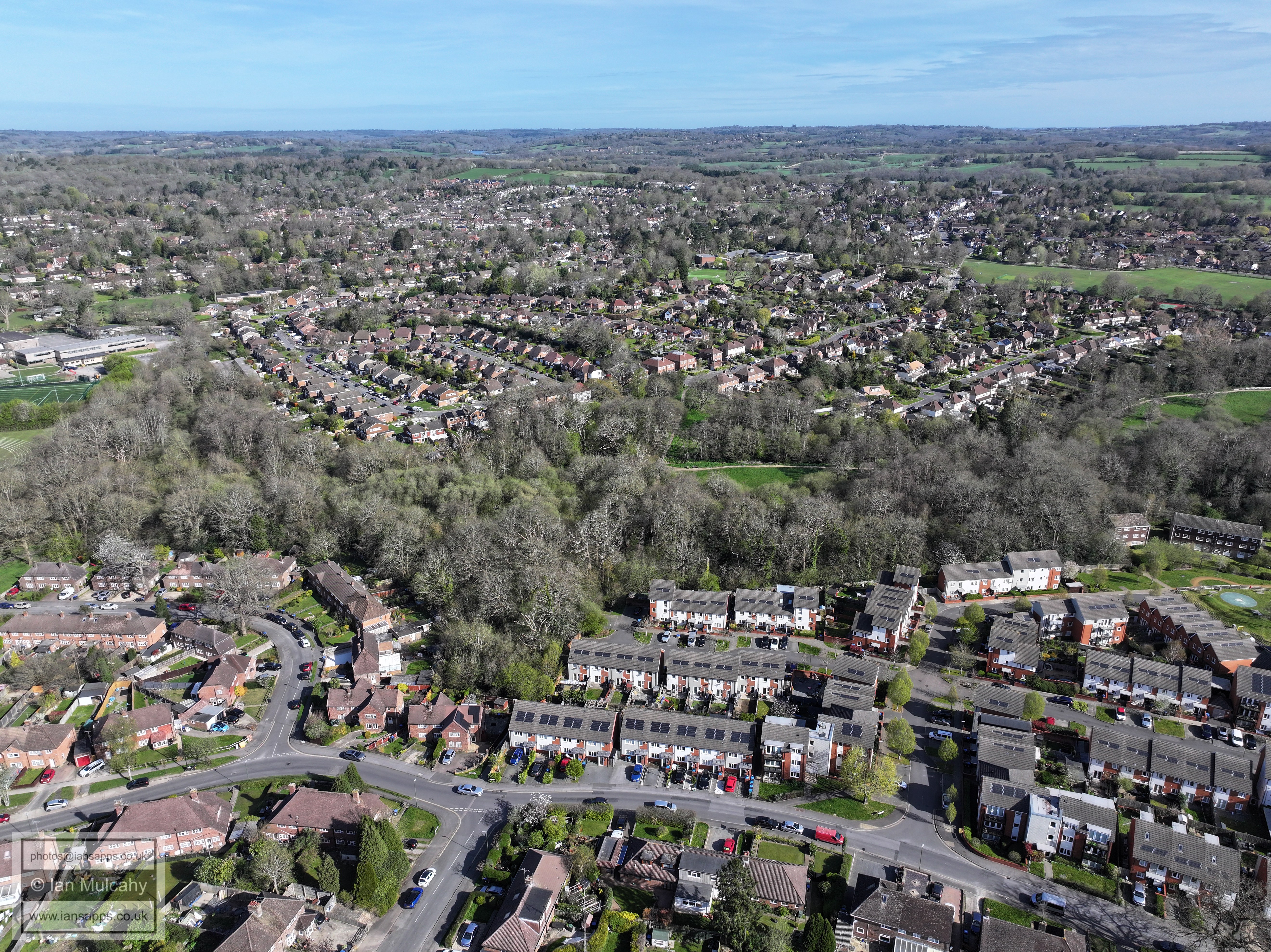
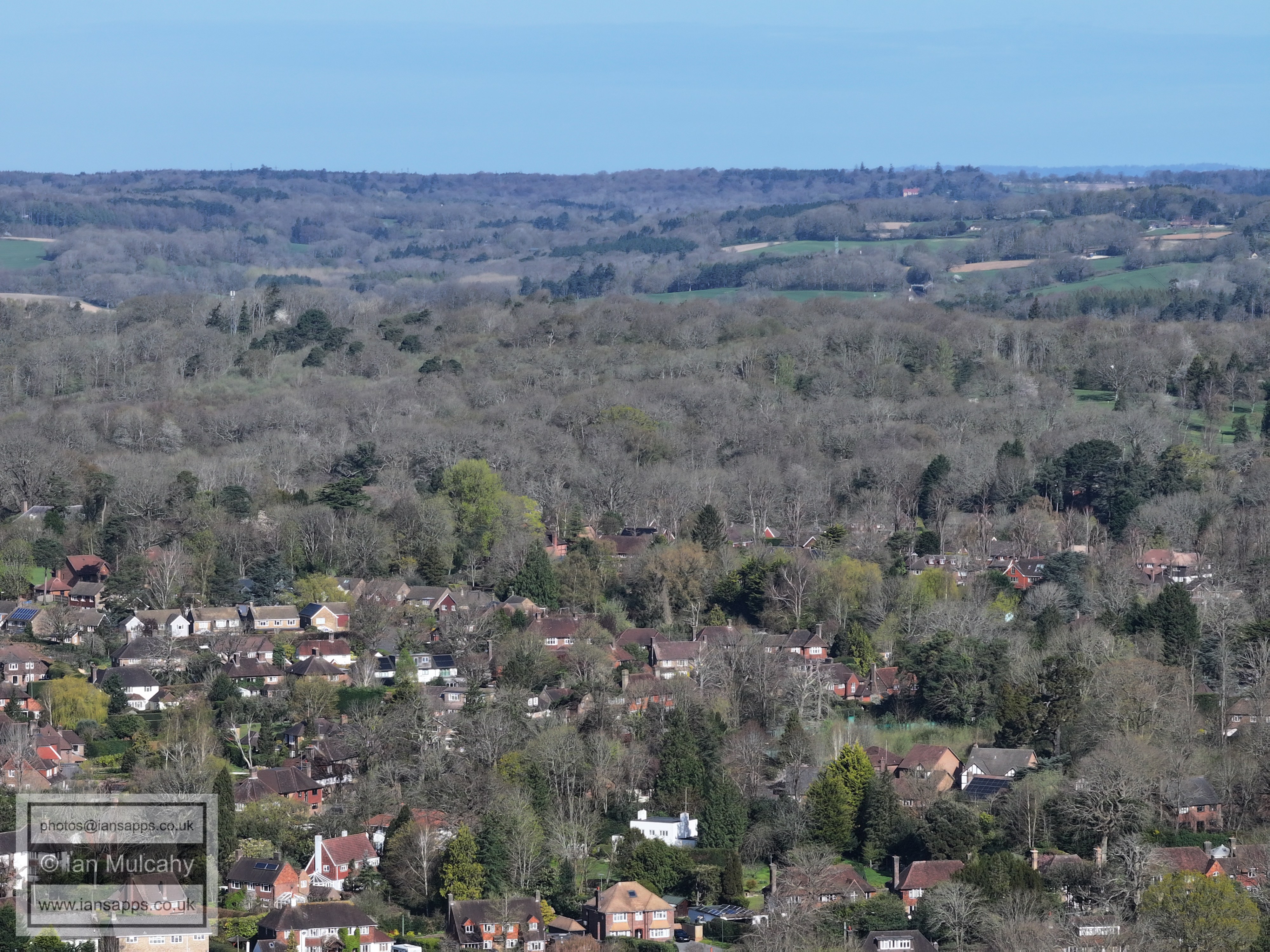
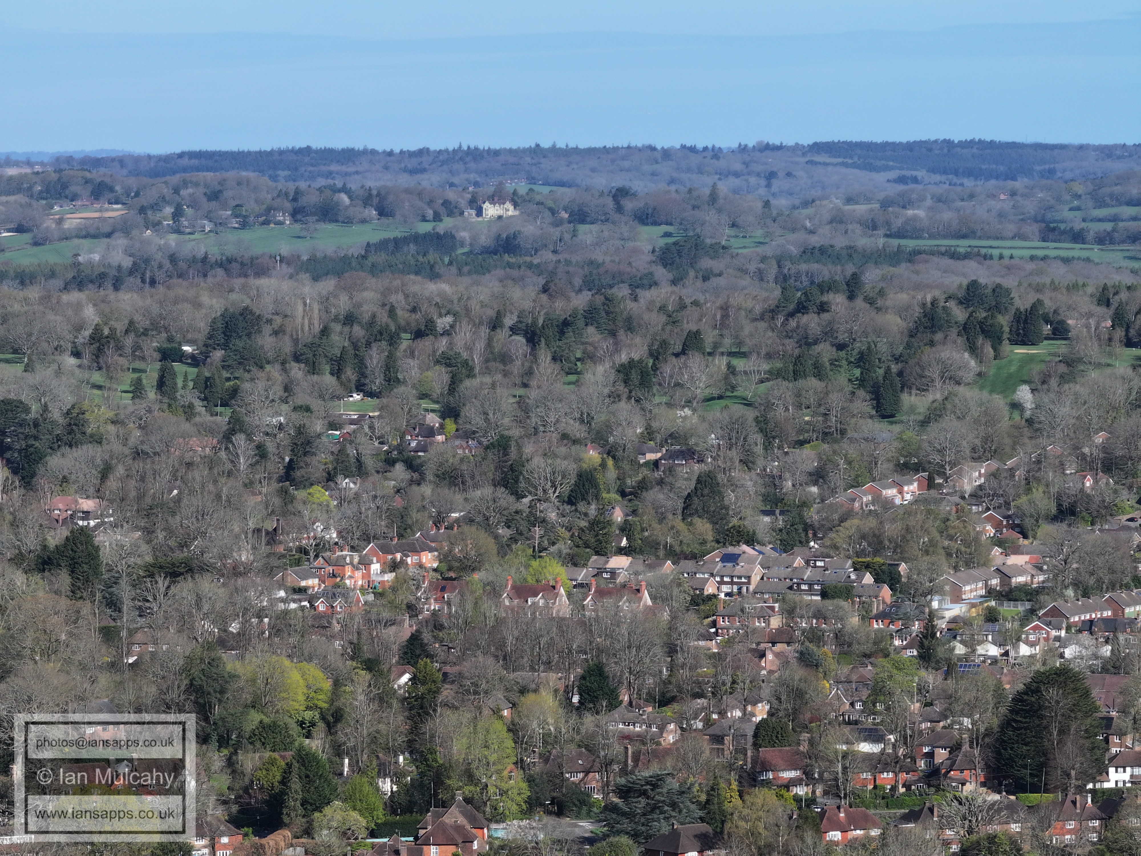
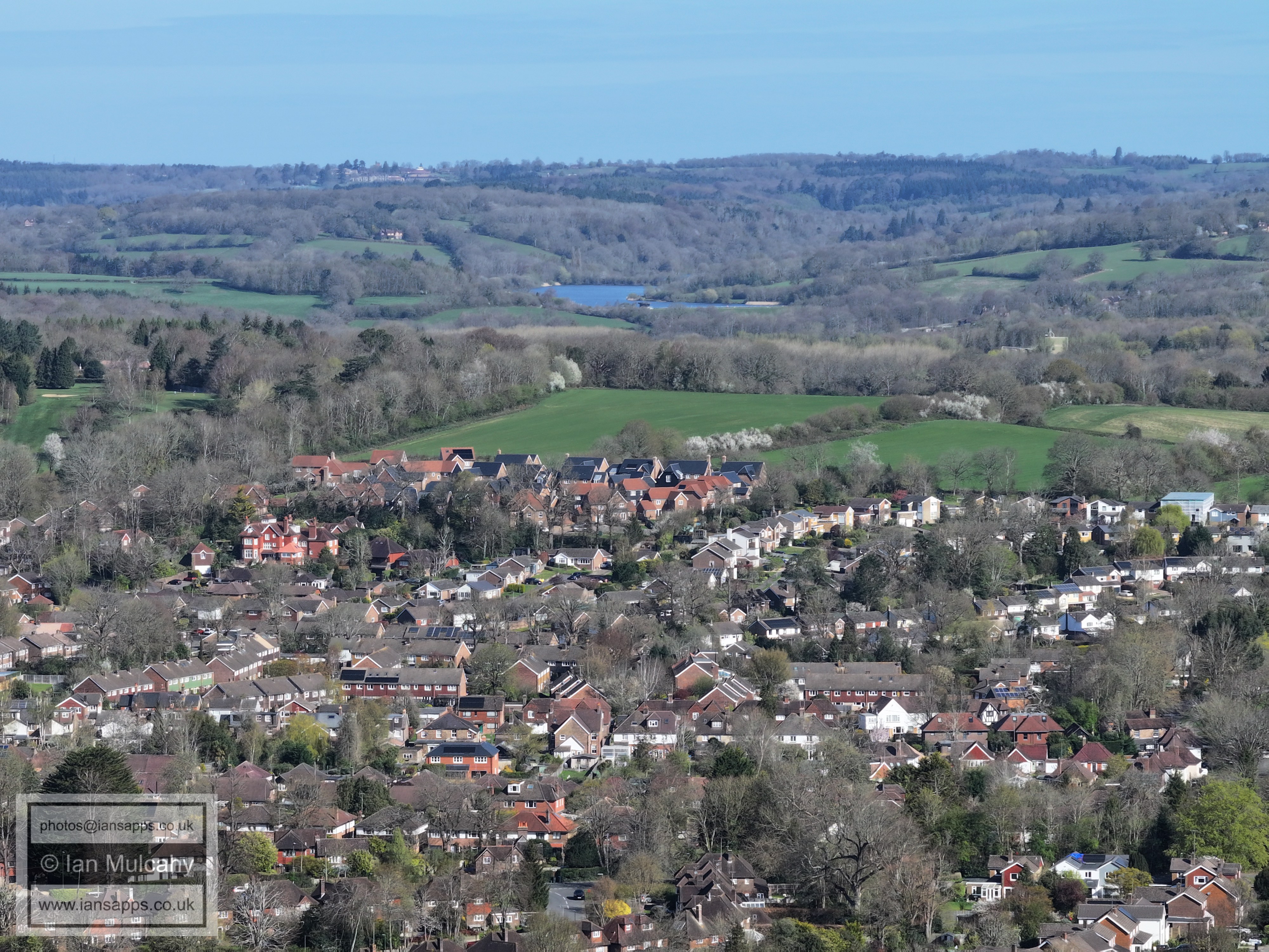
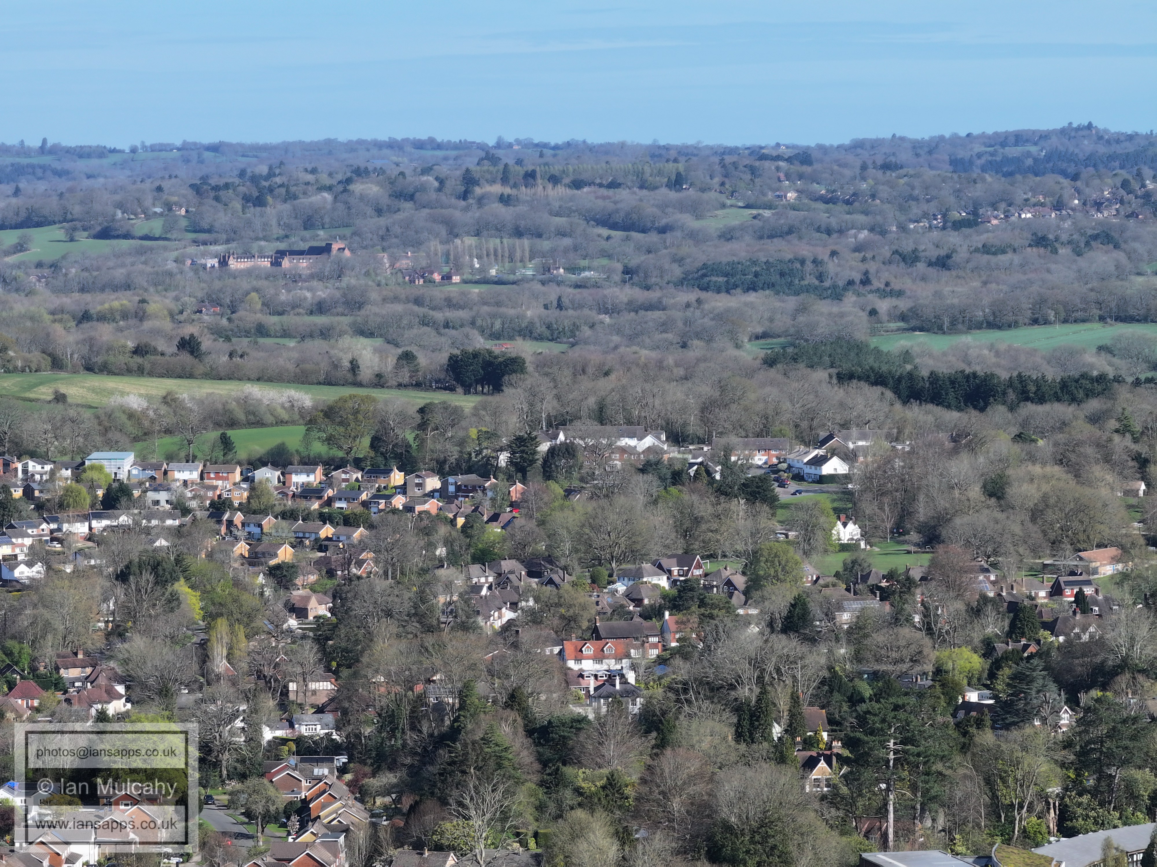
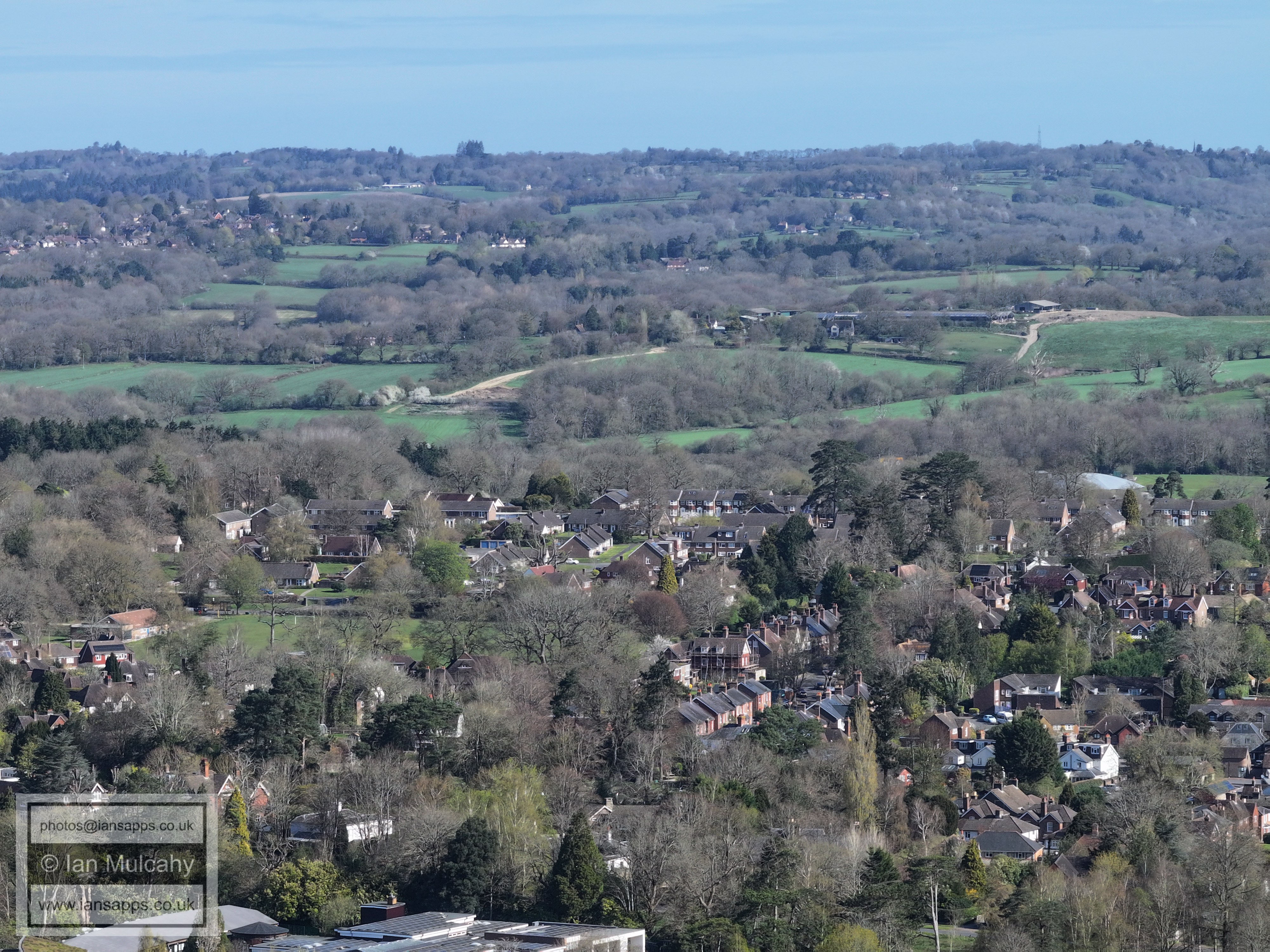
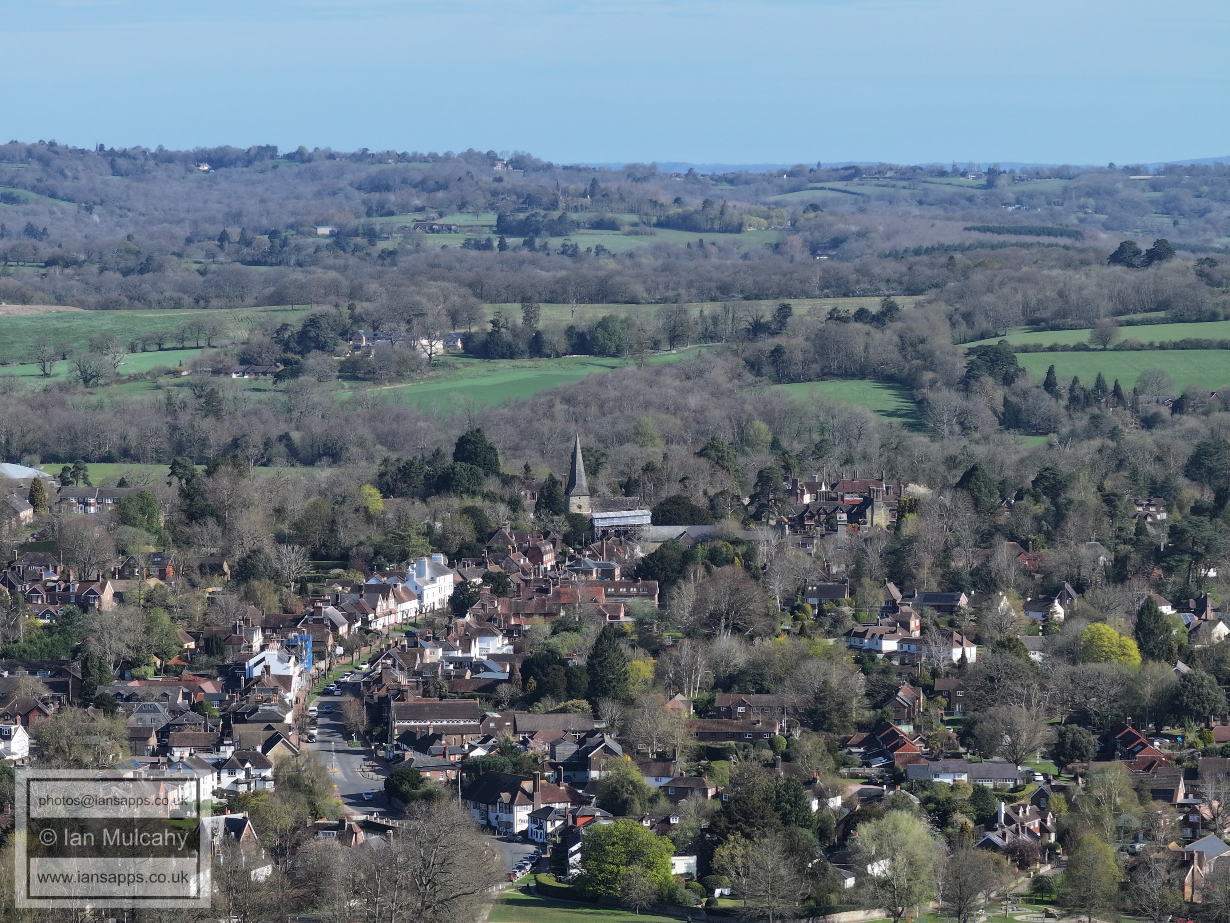
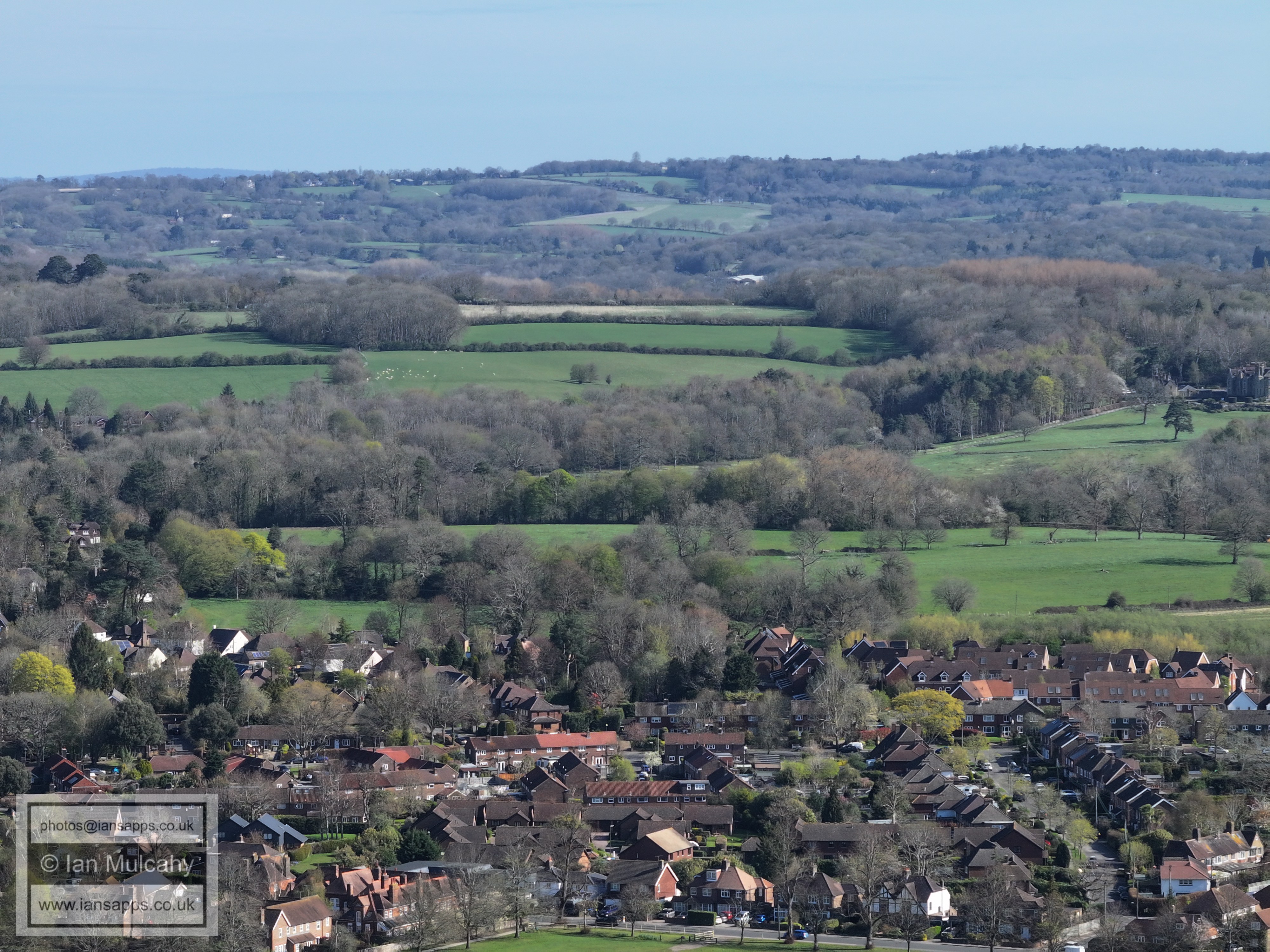
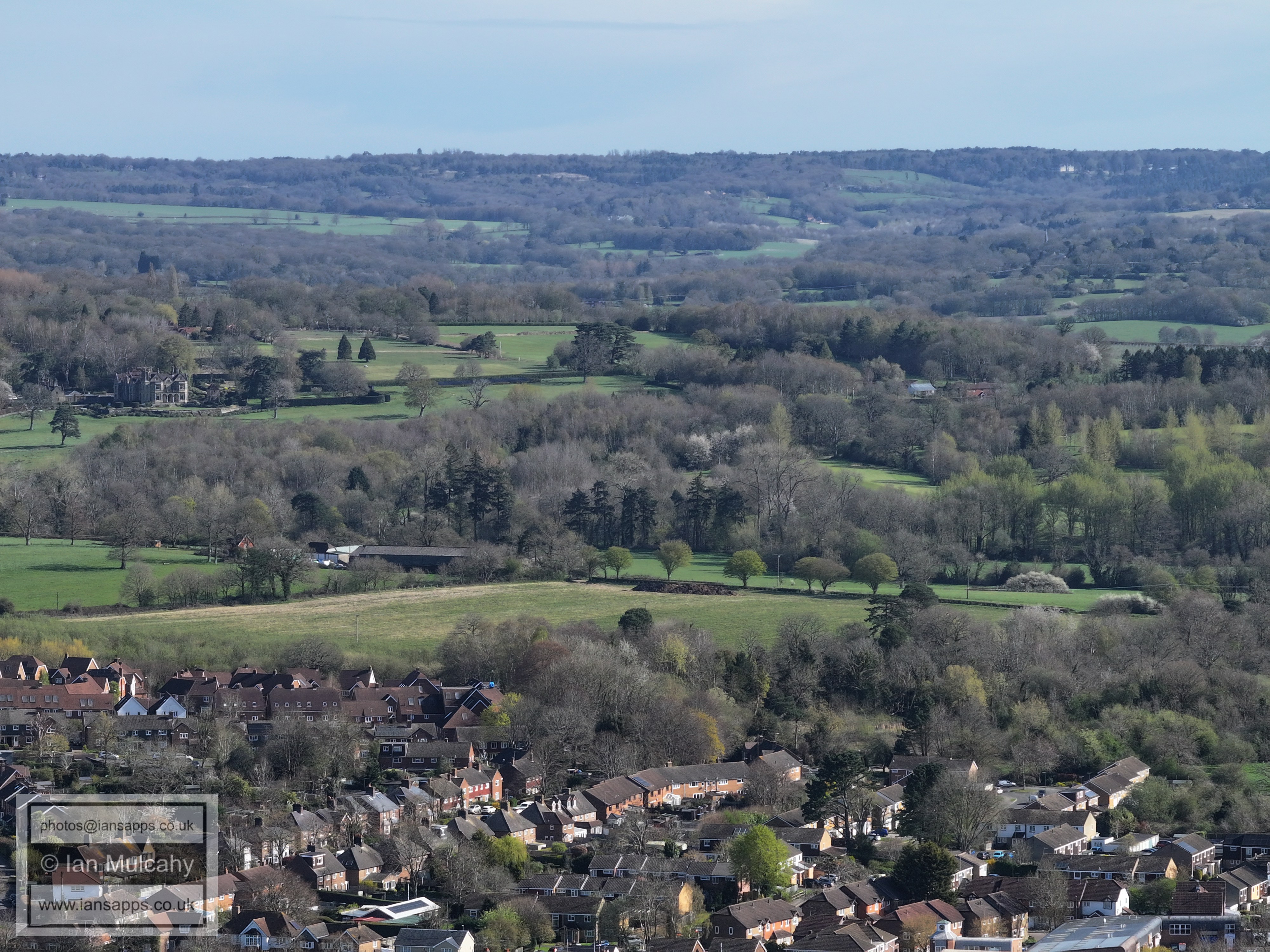
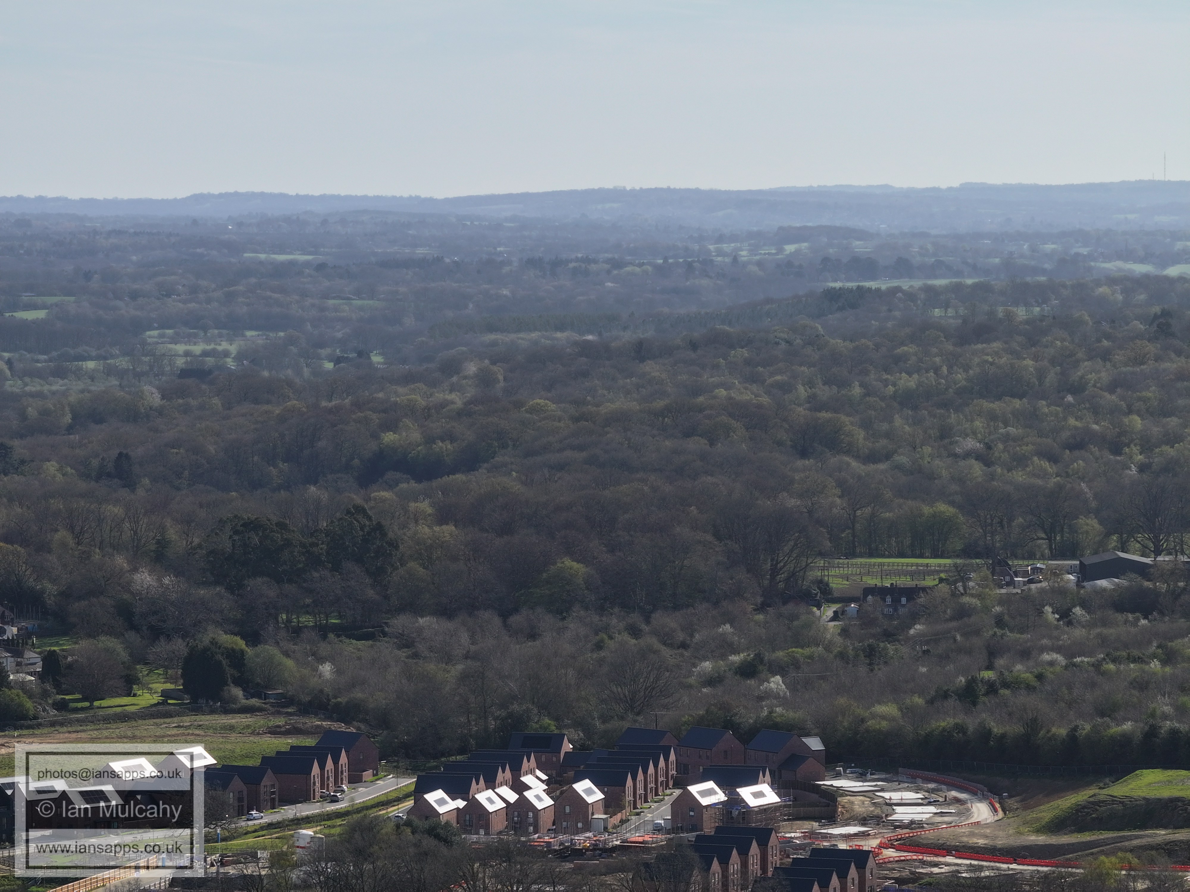
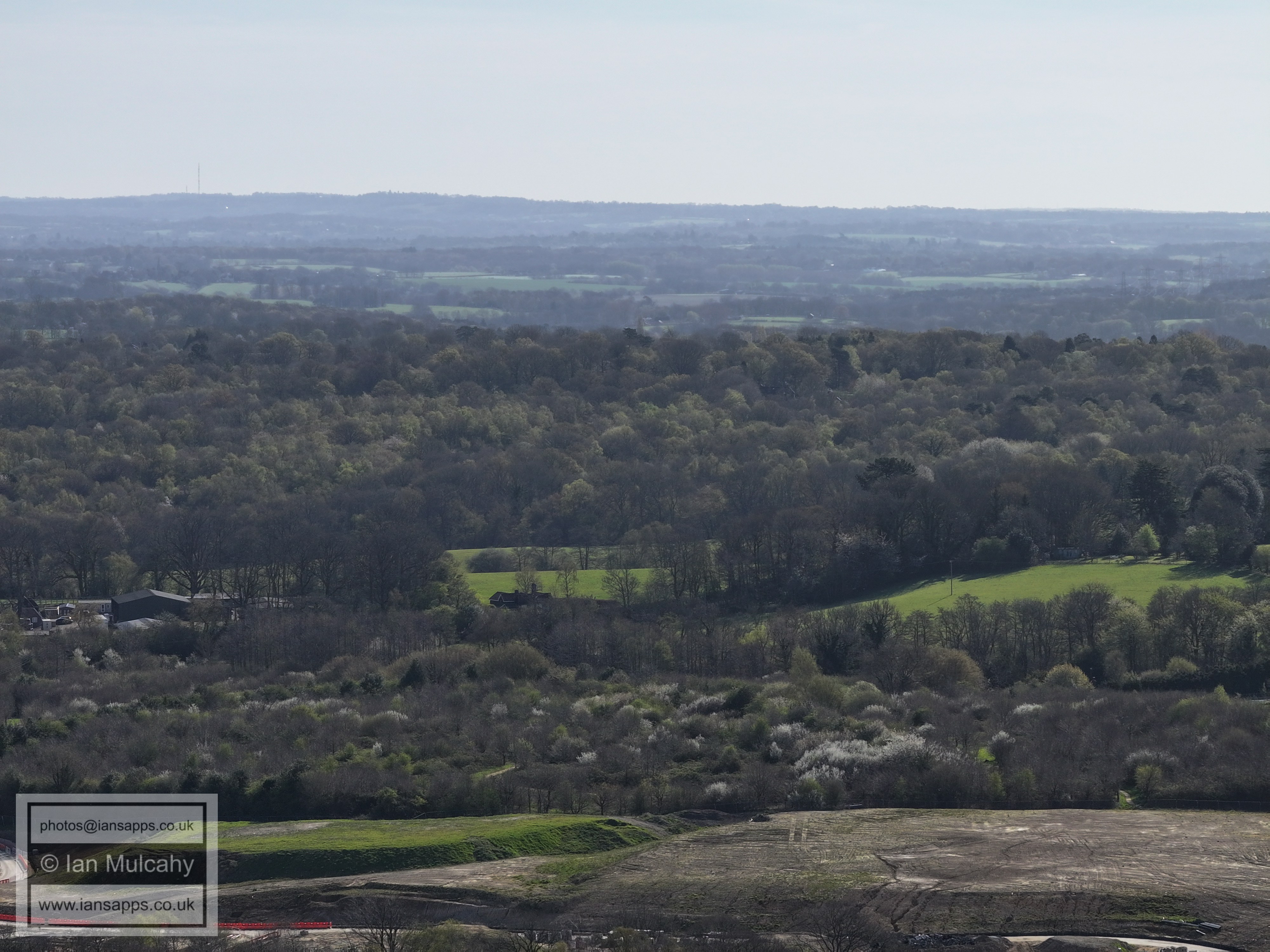
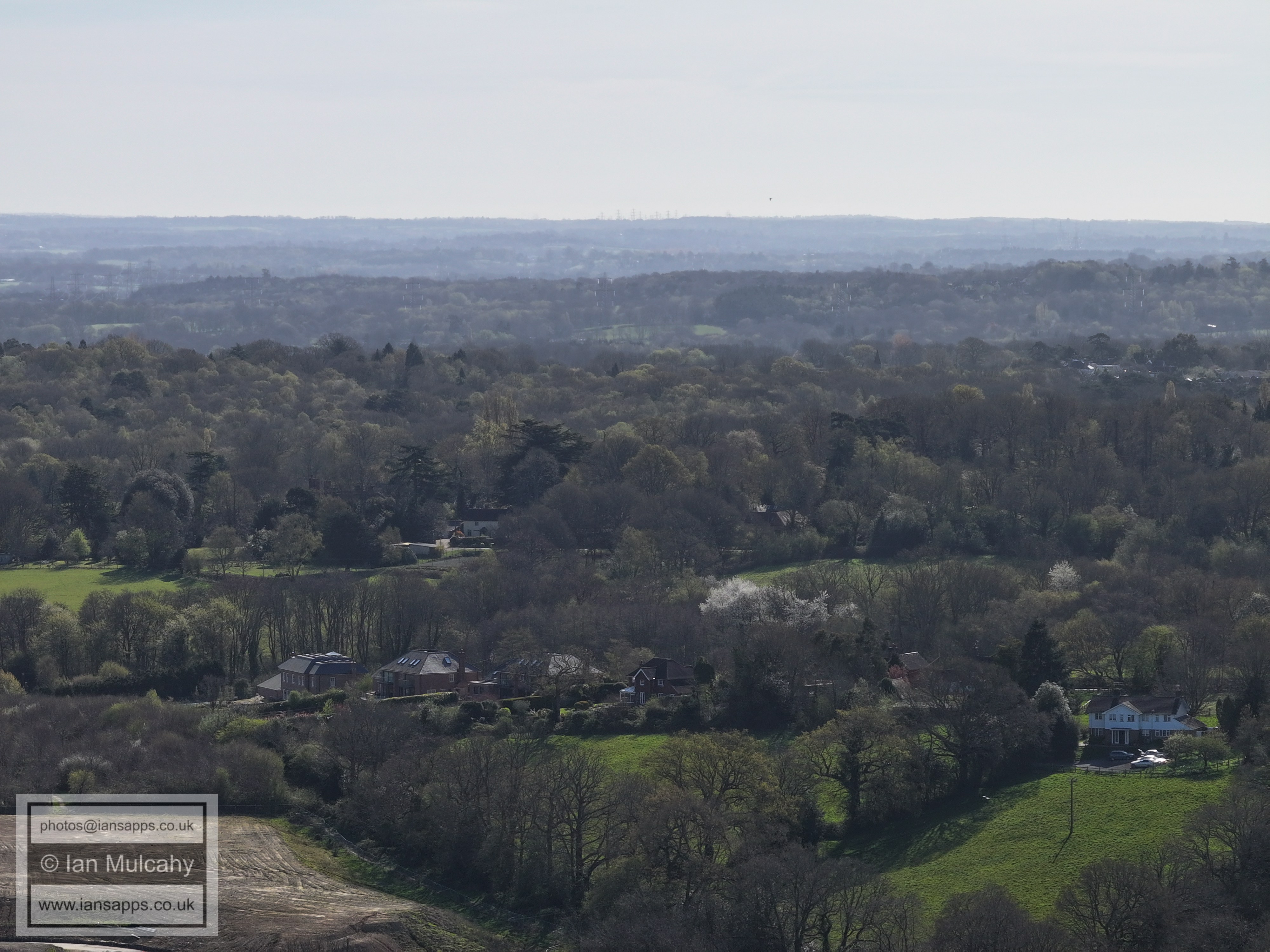
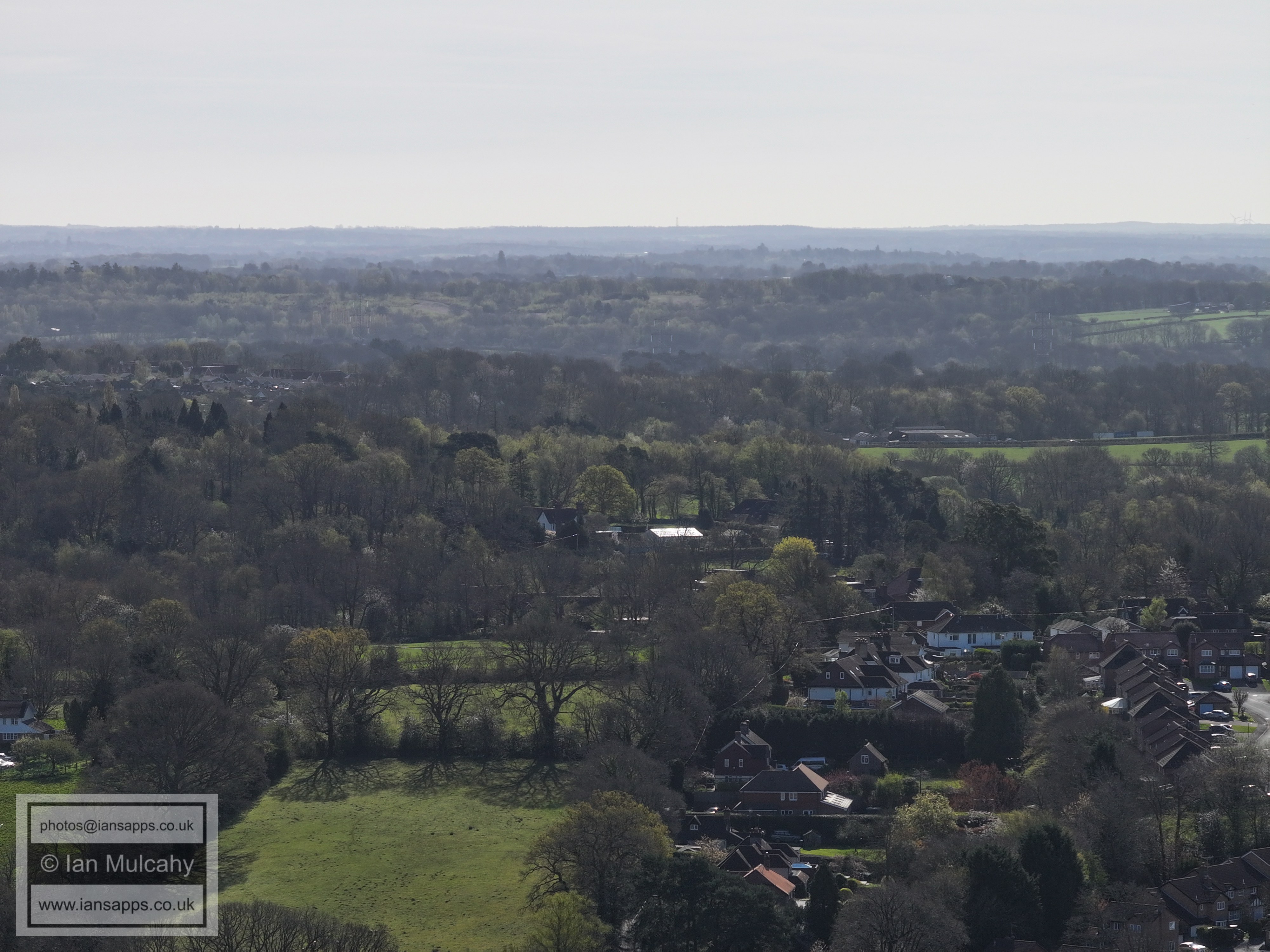
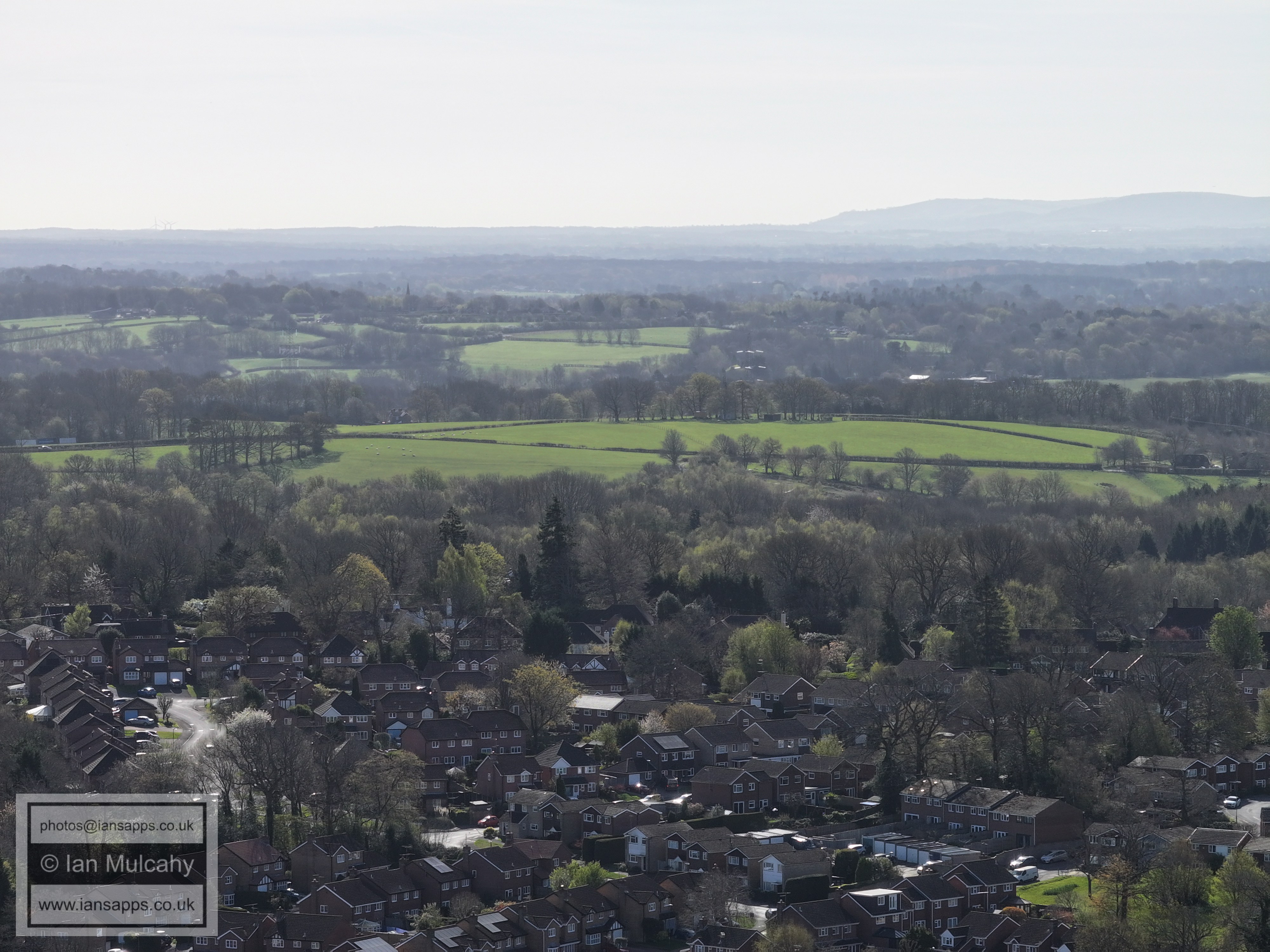
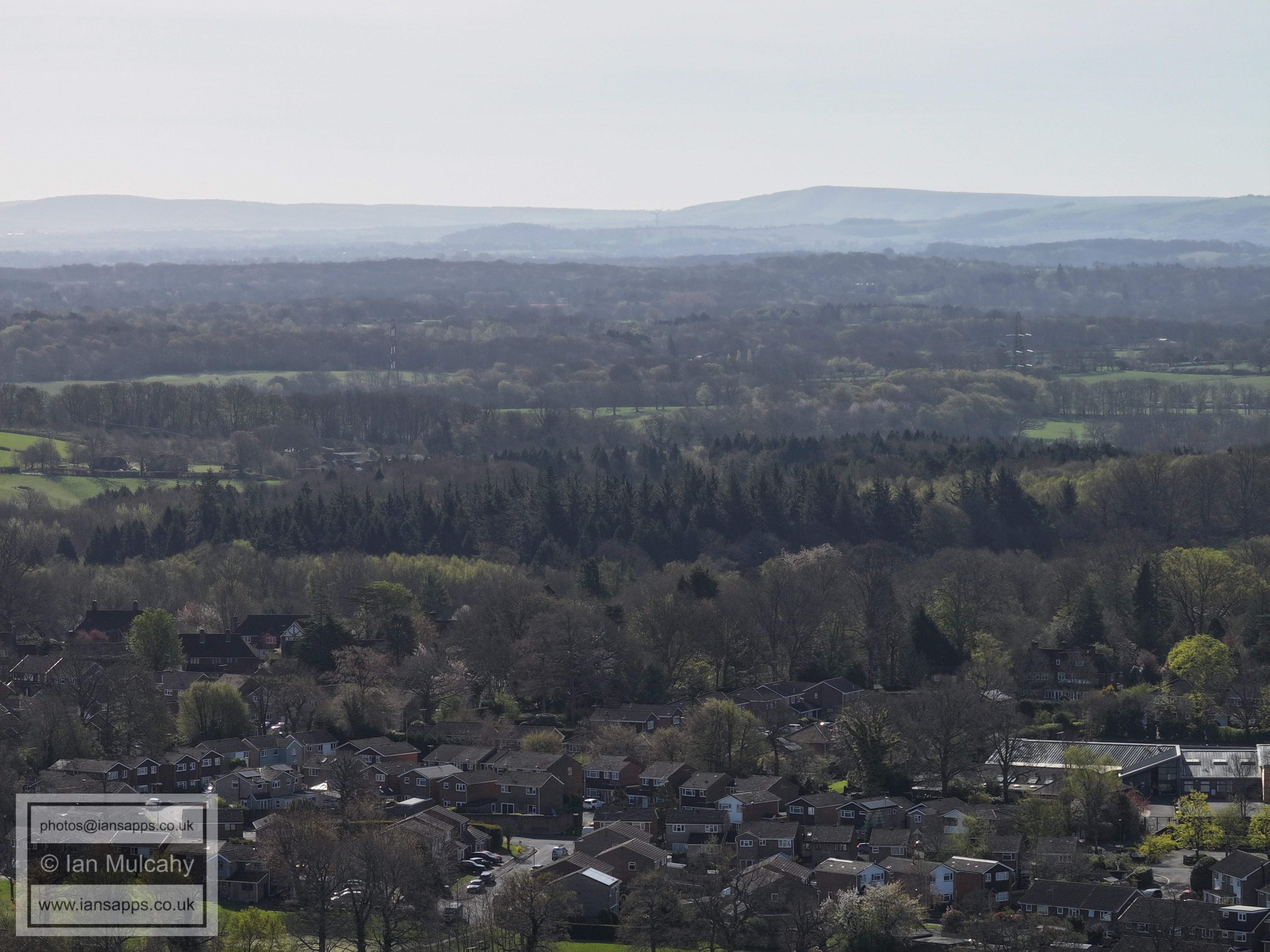
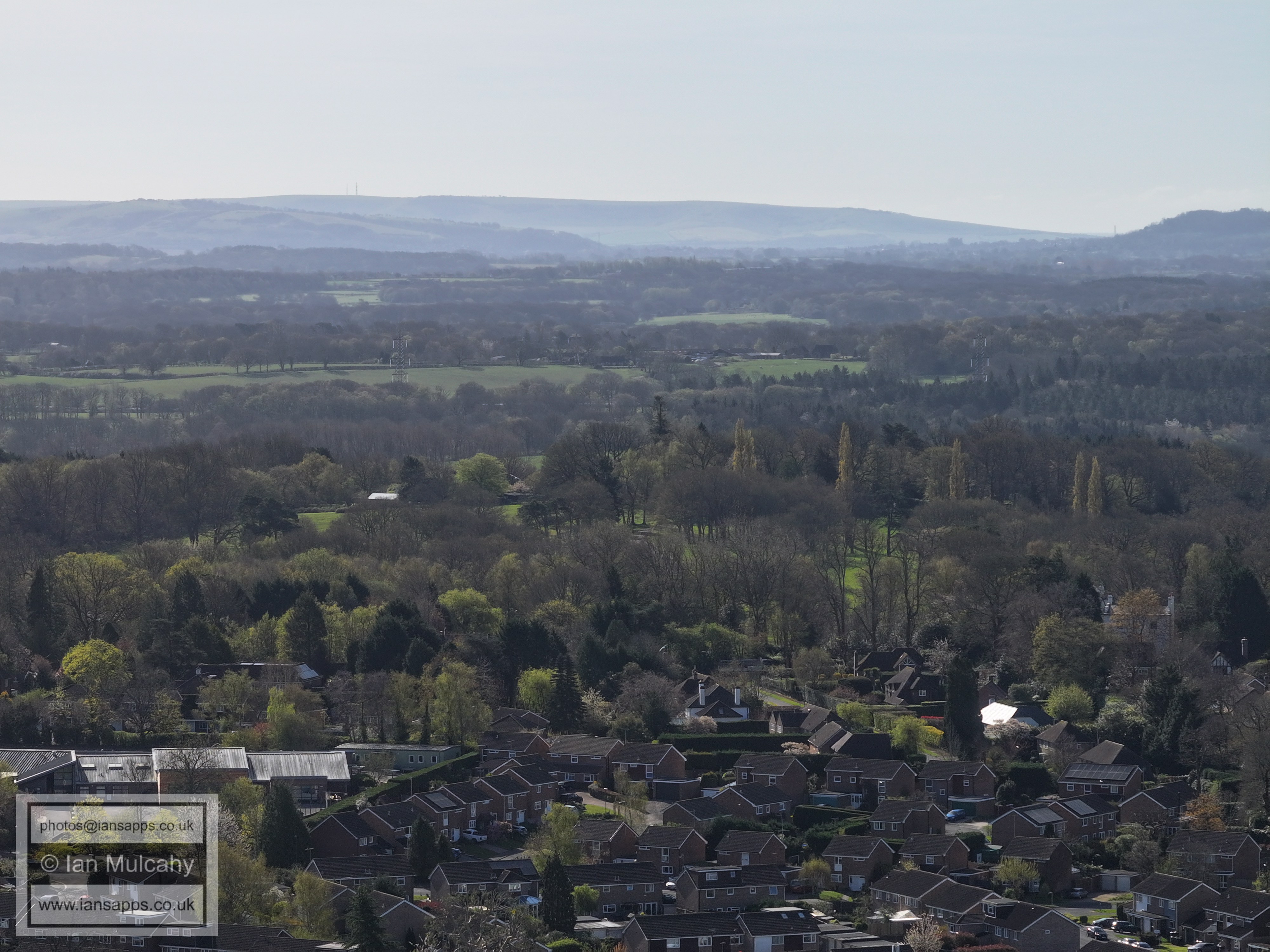
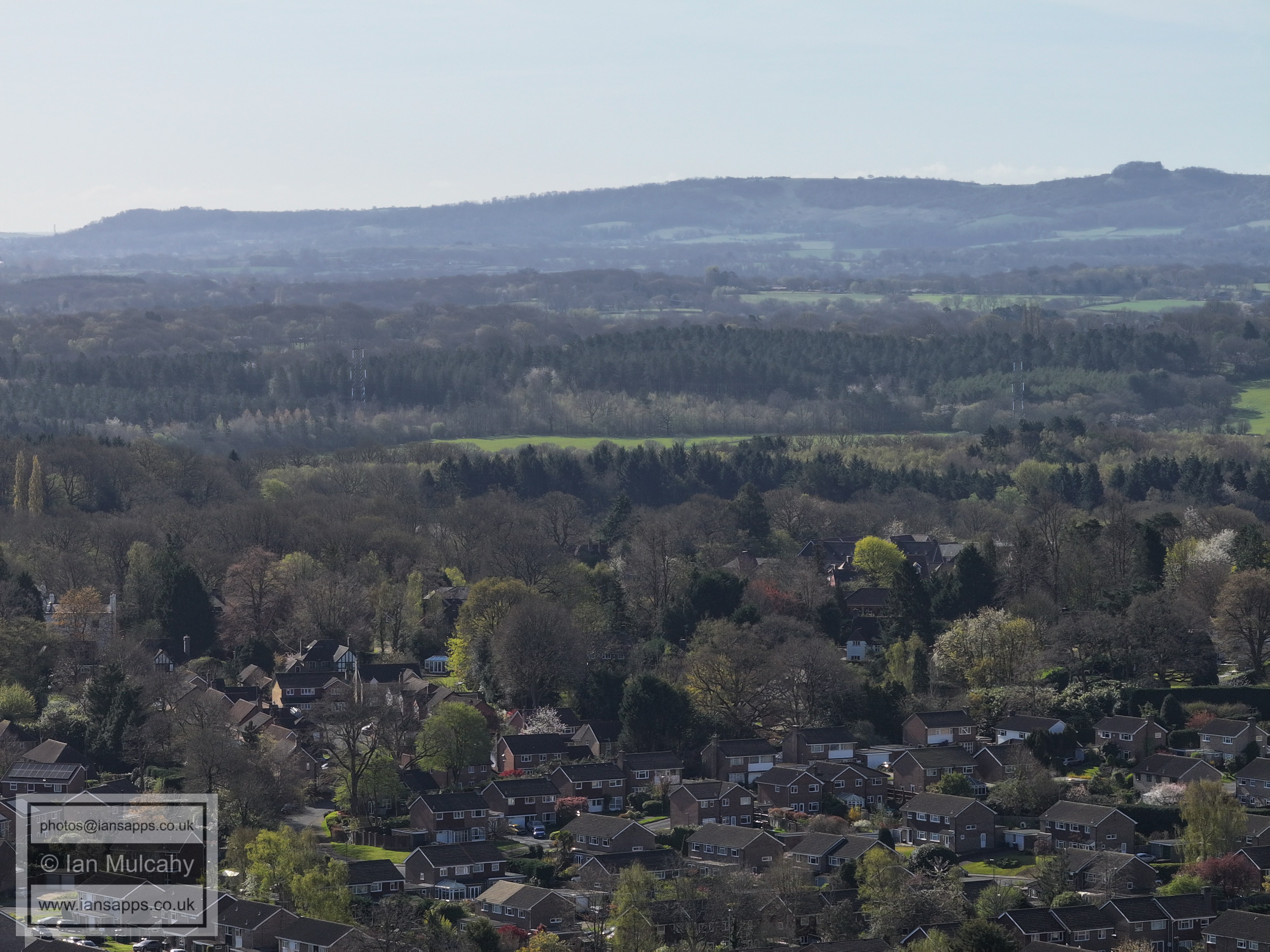
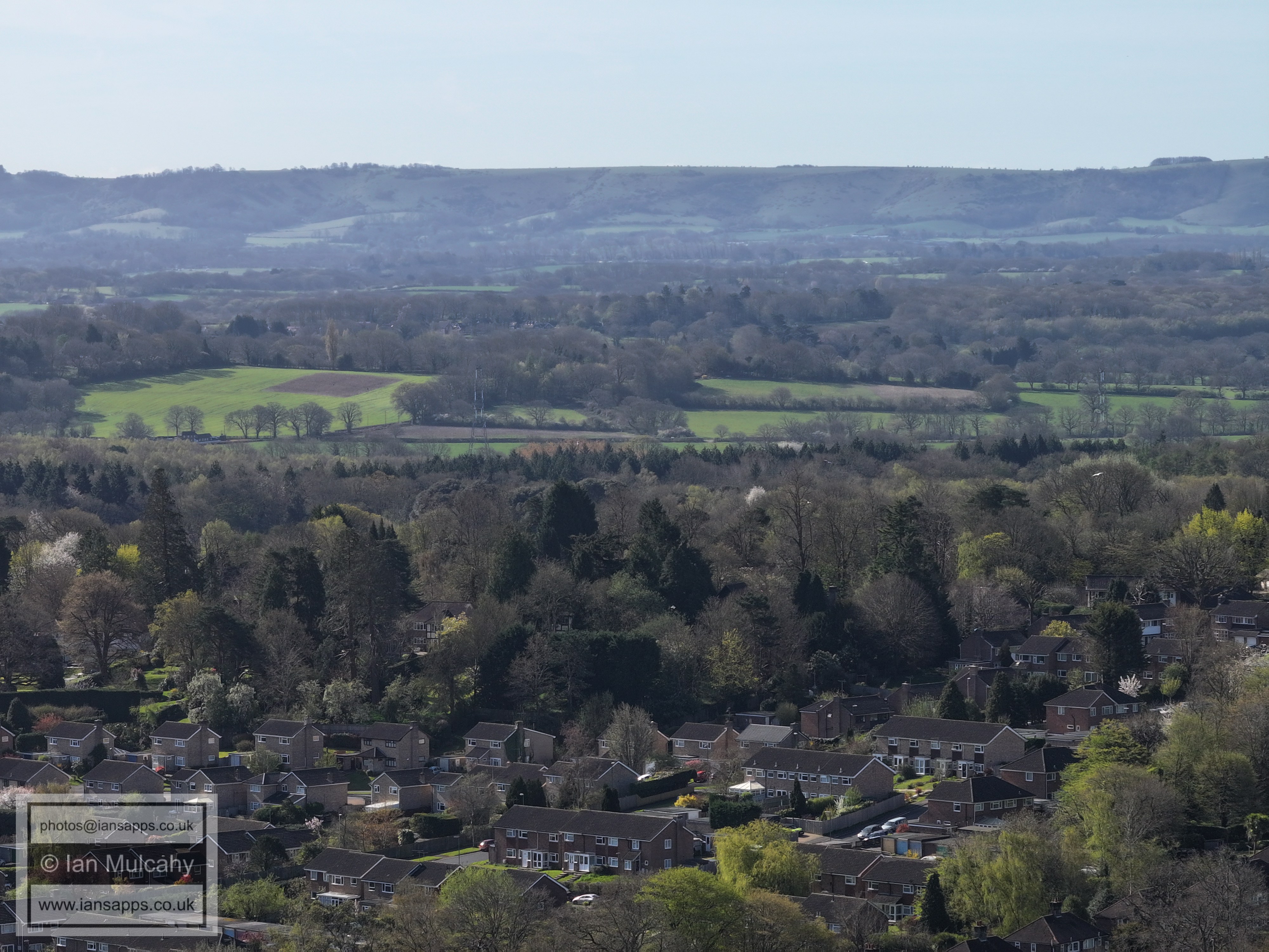
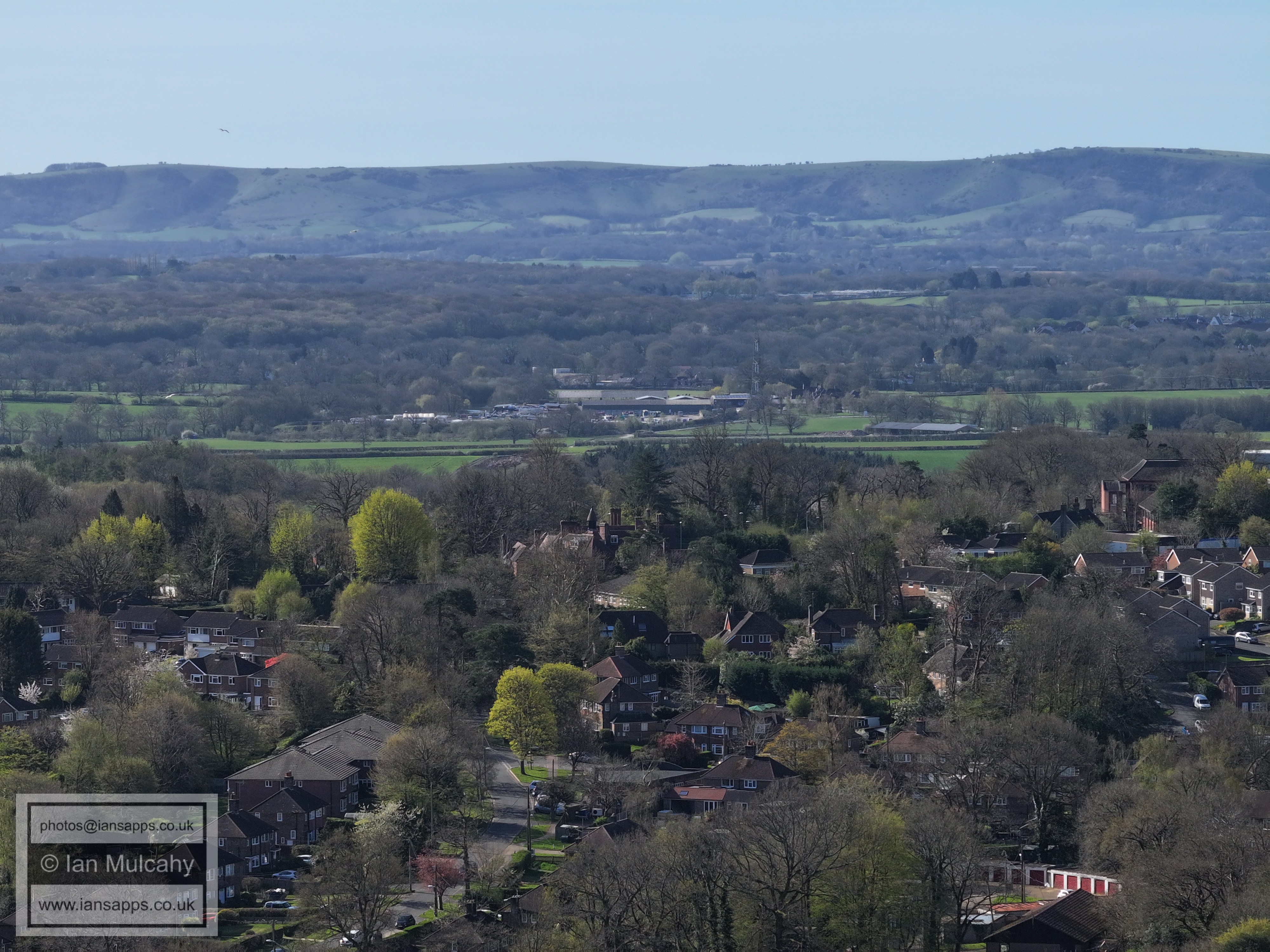
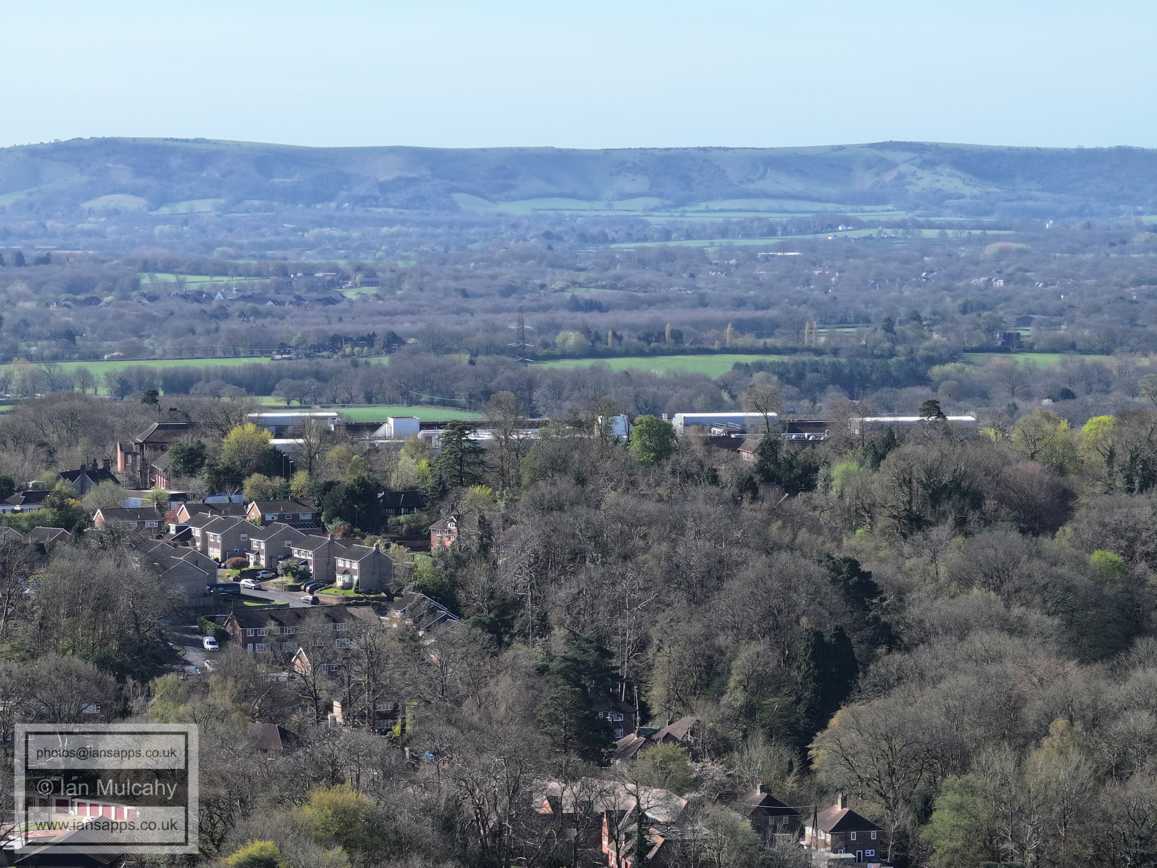
61 aerial images of varying focal length taken from Barn Cottage Recreation Ground in Haywards Heath on the morning of 6 April 2026. Some of the photos are annotated.
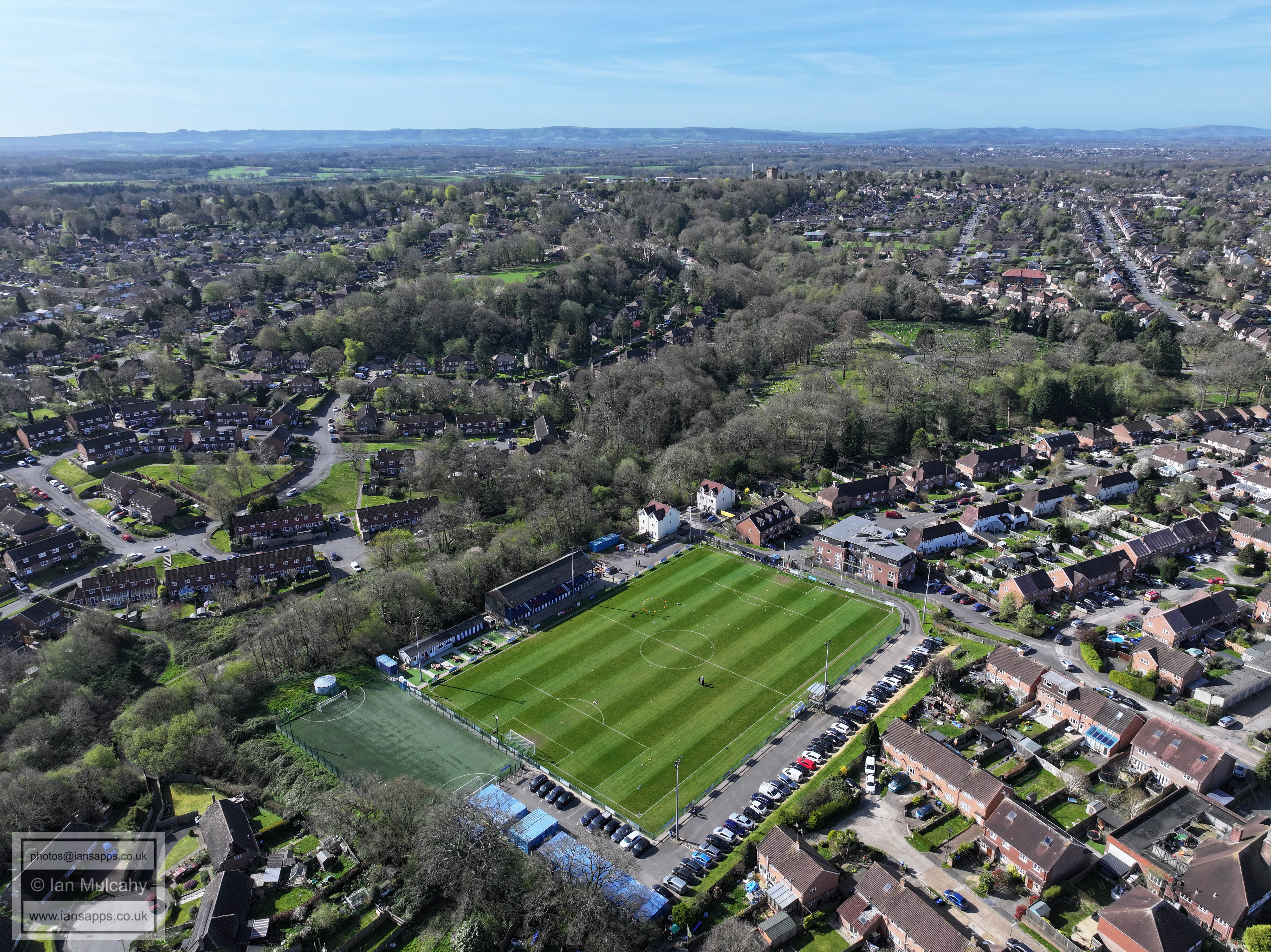
Haywards Heath Town FC (from America Lane with the Mini)
Haywards Heath Town FC (from America Lane with the Mini)
Haywards Heath Town FC
Haywards Heath Town FC
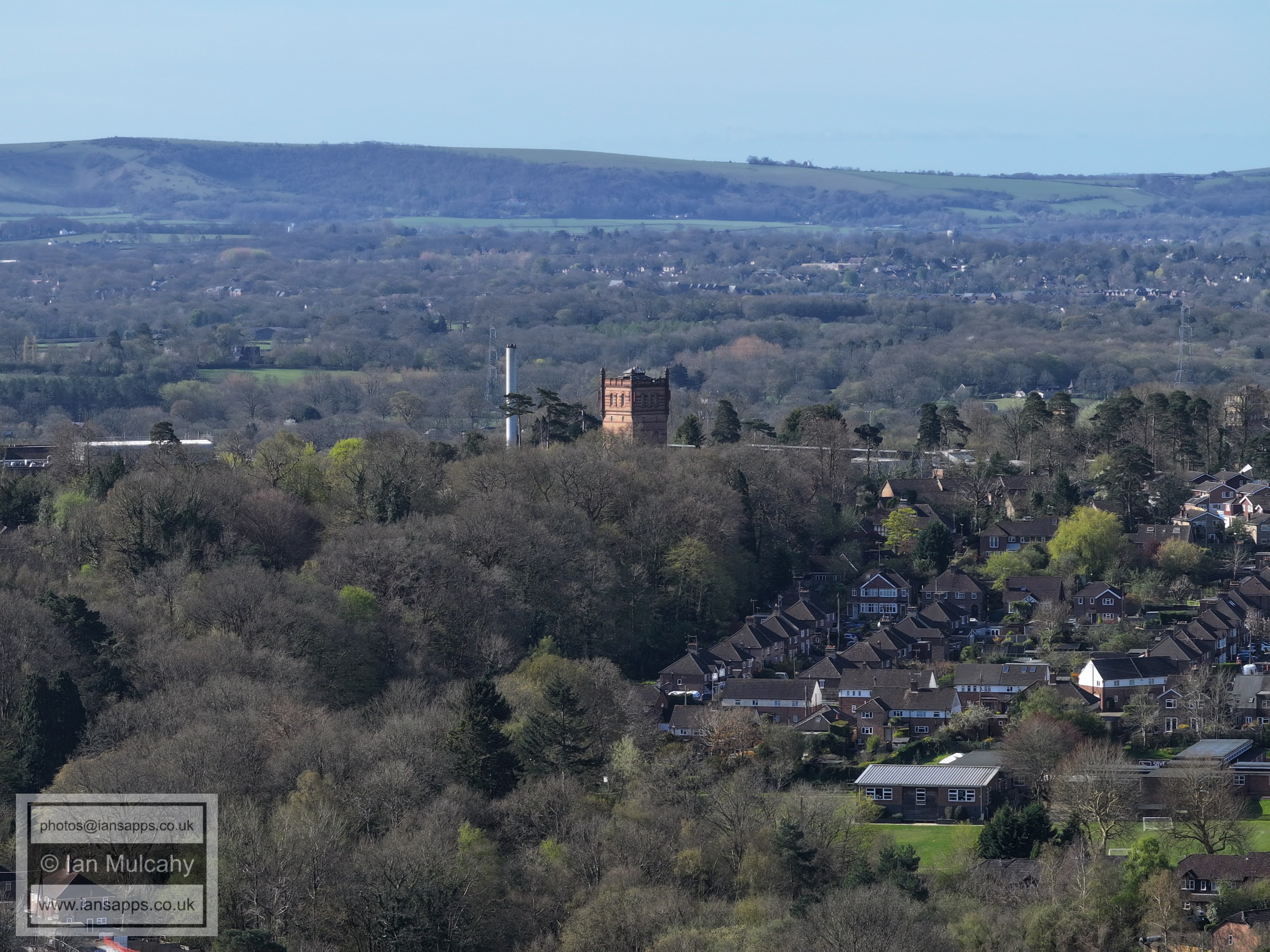
St Francis Hospital Water Tower. Jack and Jill Windmills are visible on the Downs beyond.
The two sets of towers to the left are at, what was once labeled on Ordnance Survey Maps, "The County Lunatic Asylum (East Sussex)'
Western Road is the main (close by) feature. In the centre near the top is Hurstpierpoint College, just above Burgess Hill, and the Holy Trinity Church in Hurstpierpoint.
The tower block to the right is STockwell Court on the corner of Sussex Road and Gower Road
The large white warehouse type buildings to the top left are at Goddards Green. Note Chanctonbury Ring to the right of centre on the Downs.
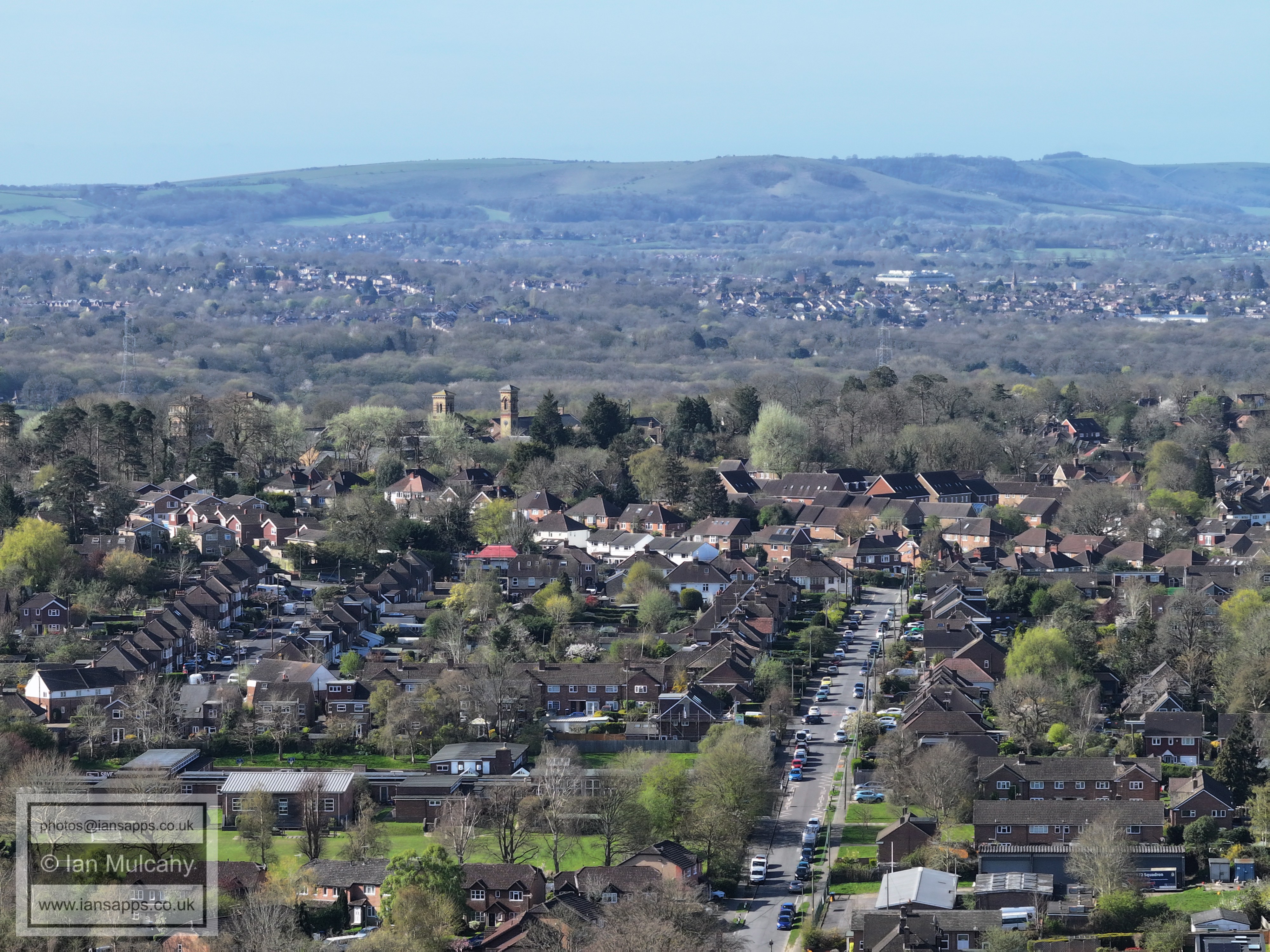
The church to the left of centre is St Wilfrids
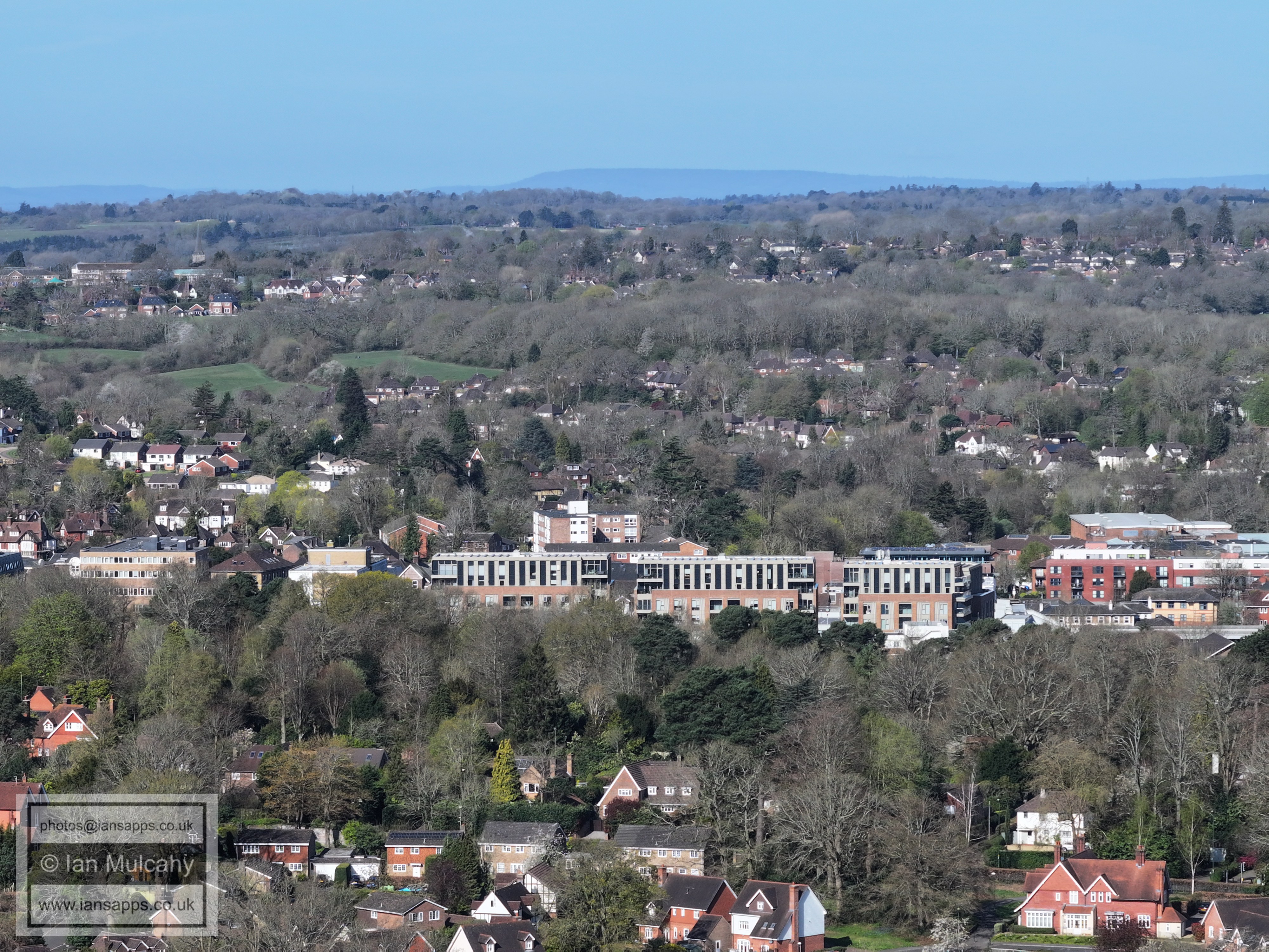
The large buildings below centre are in Perrymount Road, adjacent to the railway station. Also note Box Hill on the horizon.
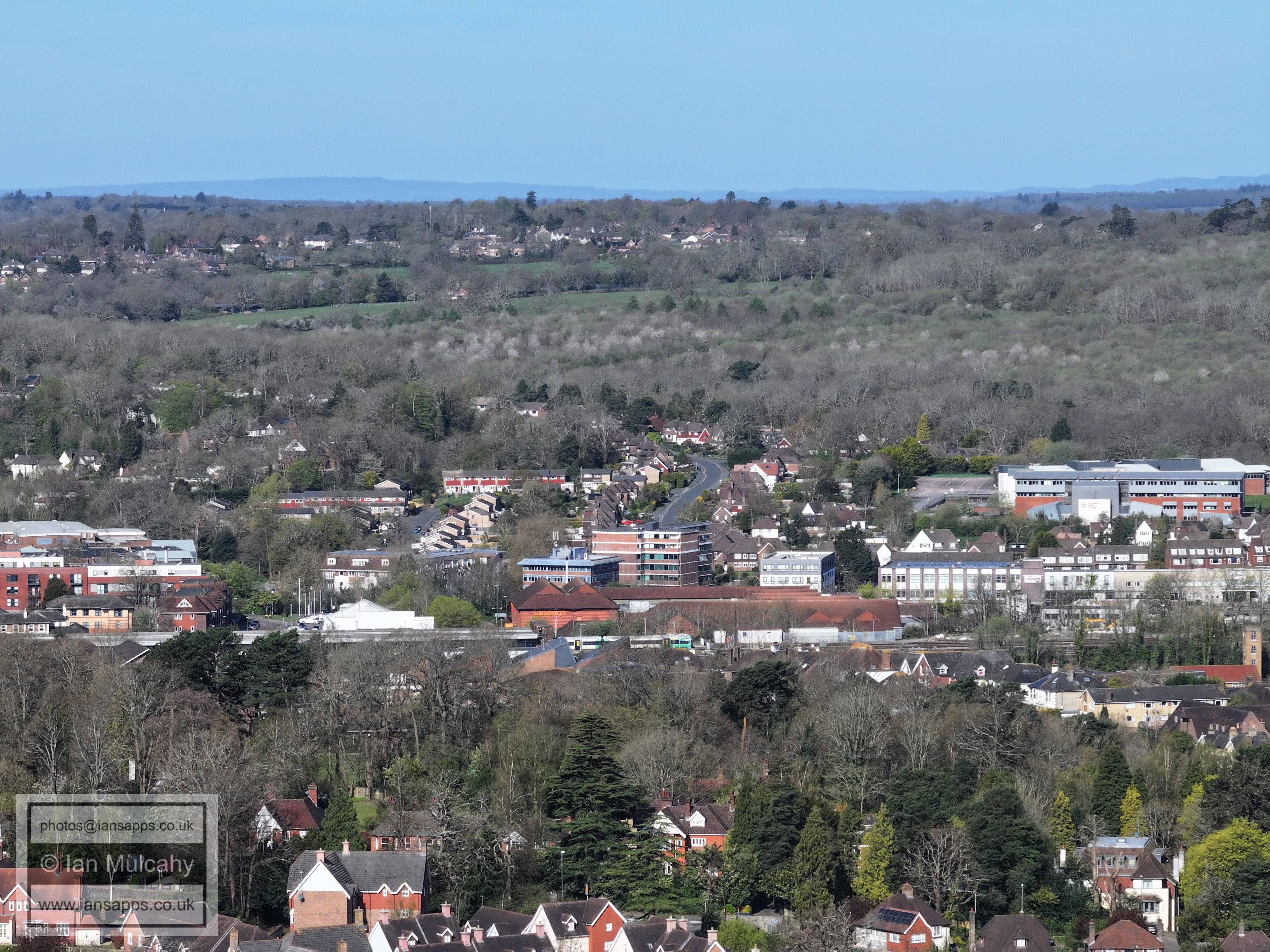
The winding road in the centre is Harlands Road with the northern parts of Cuckfield (Whitemans Green area) beyond.
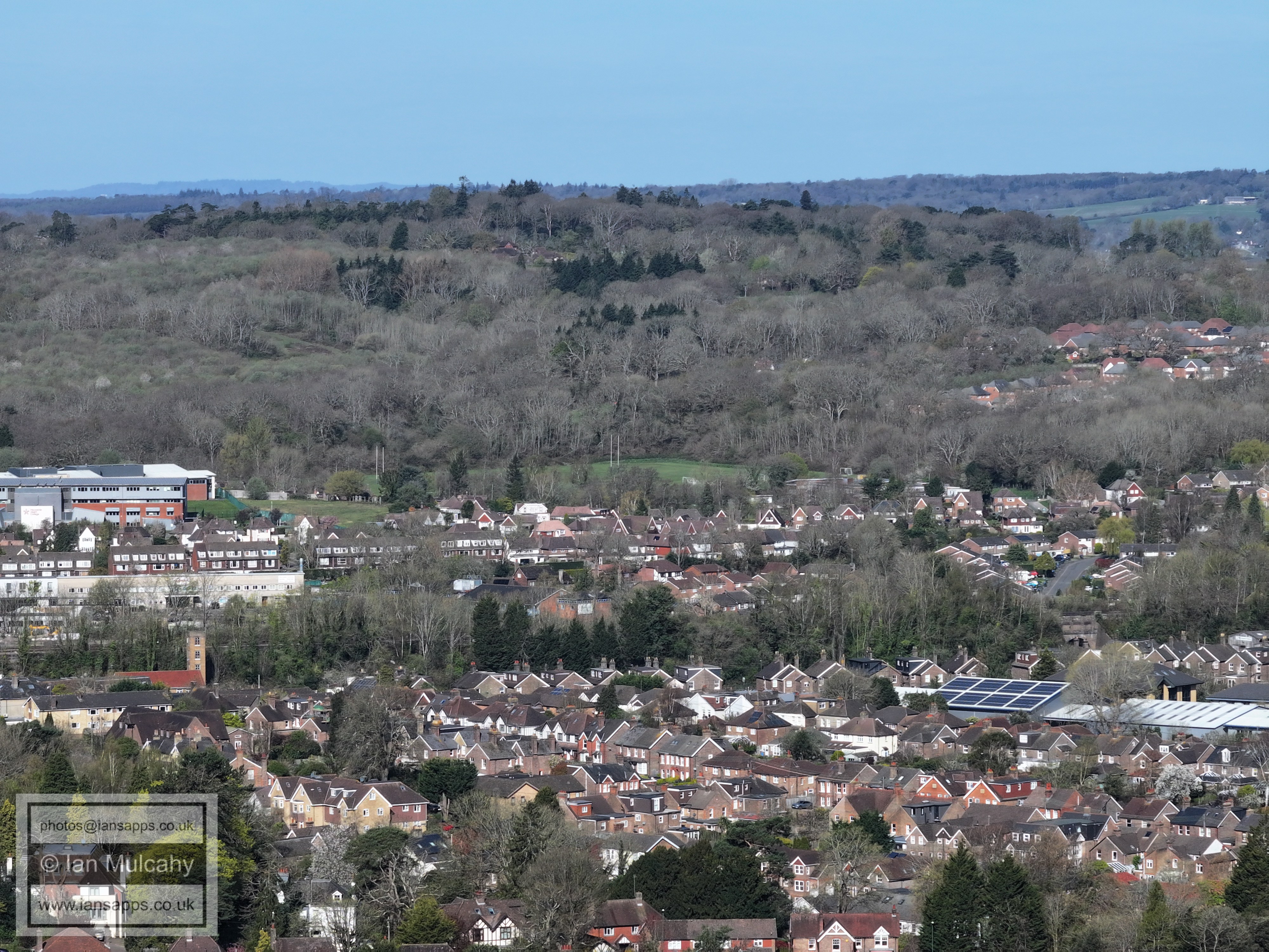
The industrial type buildings across the width of the picture near the foot are in Bridge Road
Top centre is Balcombe Place
Ardingly Reservoir. In the top left quarter on top of the ridge is Worth Abbey in the Parish of Turners Hill.
In the top left quarter is Ardingly College. At the very top of the ridge, to the left of centre, is St Leonards Church at Turners Hill (you'll need to view full size, at least!)
In the top left quarter (you'll need to view full size) is Selsfield Water Tower on Selsfield Common, between Turners Hill and West Hoathly
In the top left corner is the spire of St Margaret's Church at West Hoathly. The church in the centre is All Saints at Lindfield, with Old Place just to the right
Top centre, poking it's head from above the second last ridge, is the large wind turbine south of Ringmer.
In the top right, in the haze just before the Downs climb from the Ouse Valley, is the chimney at Newhaven waste incinerator. A little way to the left is the keep of Lewes Castle.
In the top left is the Jubilee Plantation on the Downs near Plumpton
Text & photographs © Ian Mulcahy. Contact photos@iansapps.co.uk or visit my 'Use of my photographs' page for licensing queries (ground level photographs only). |