Target Hill Heath
Buchan Park
Colgate
19 April 2026
|
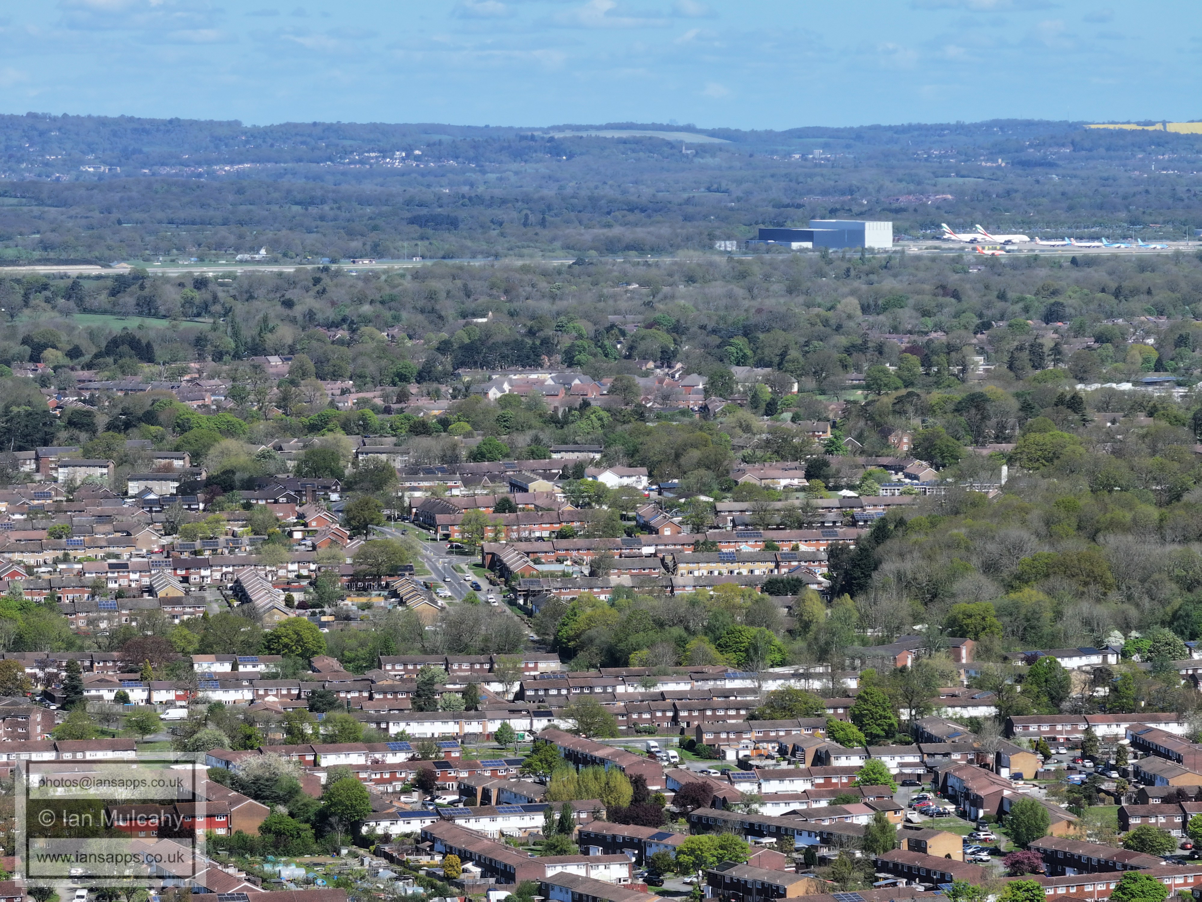
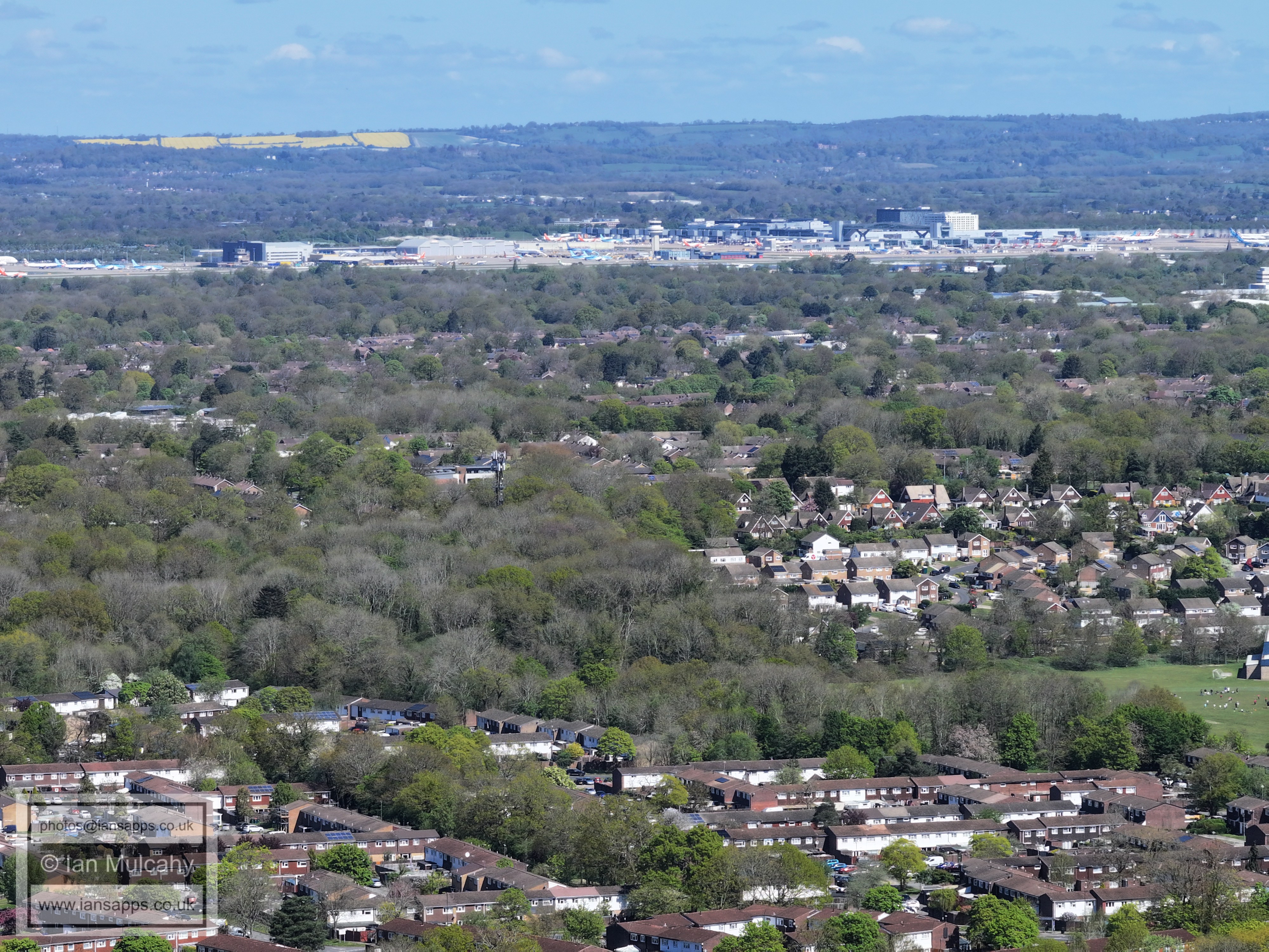
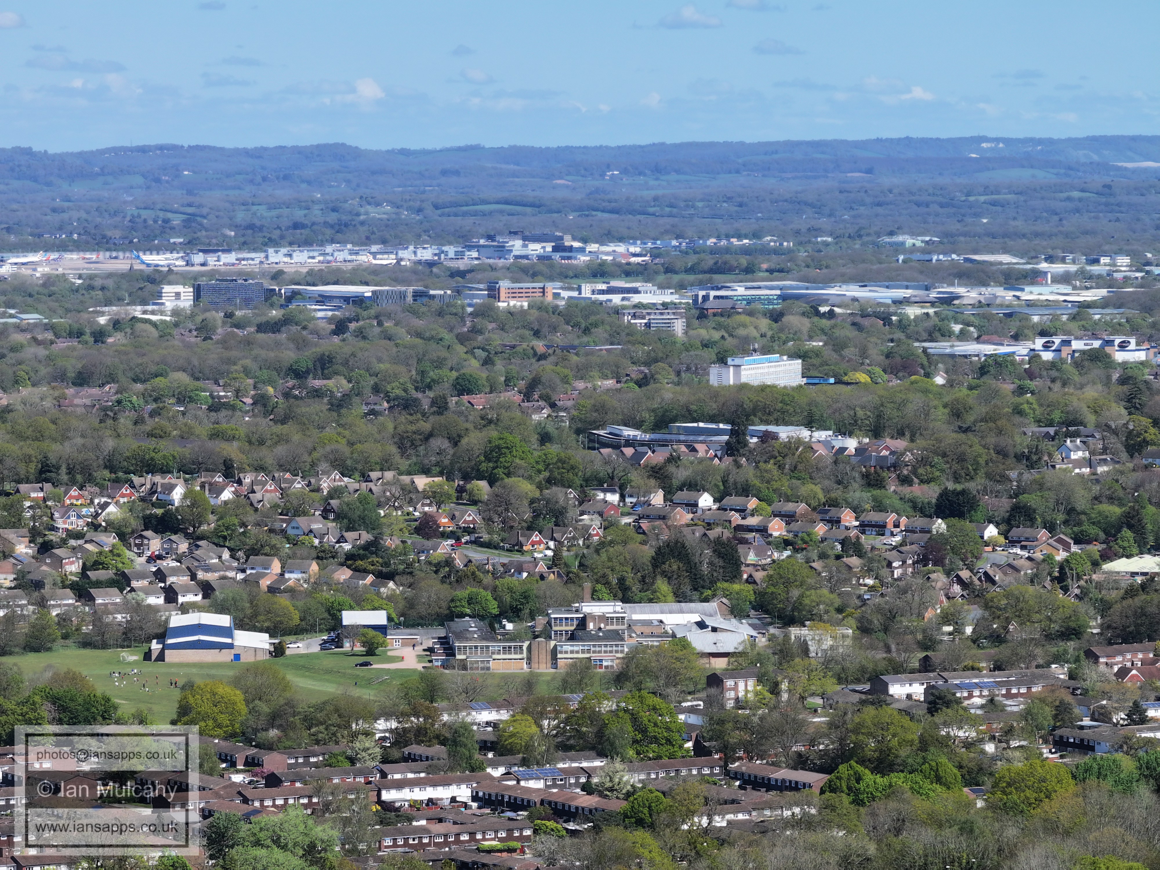
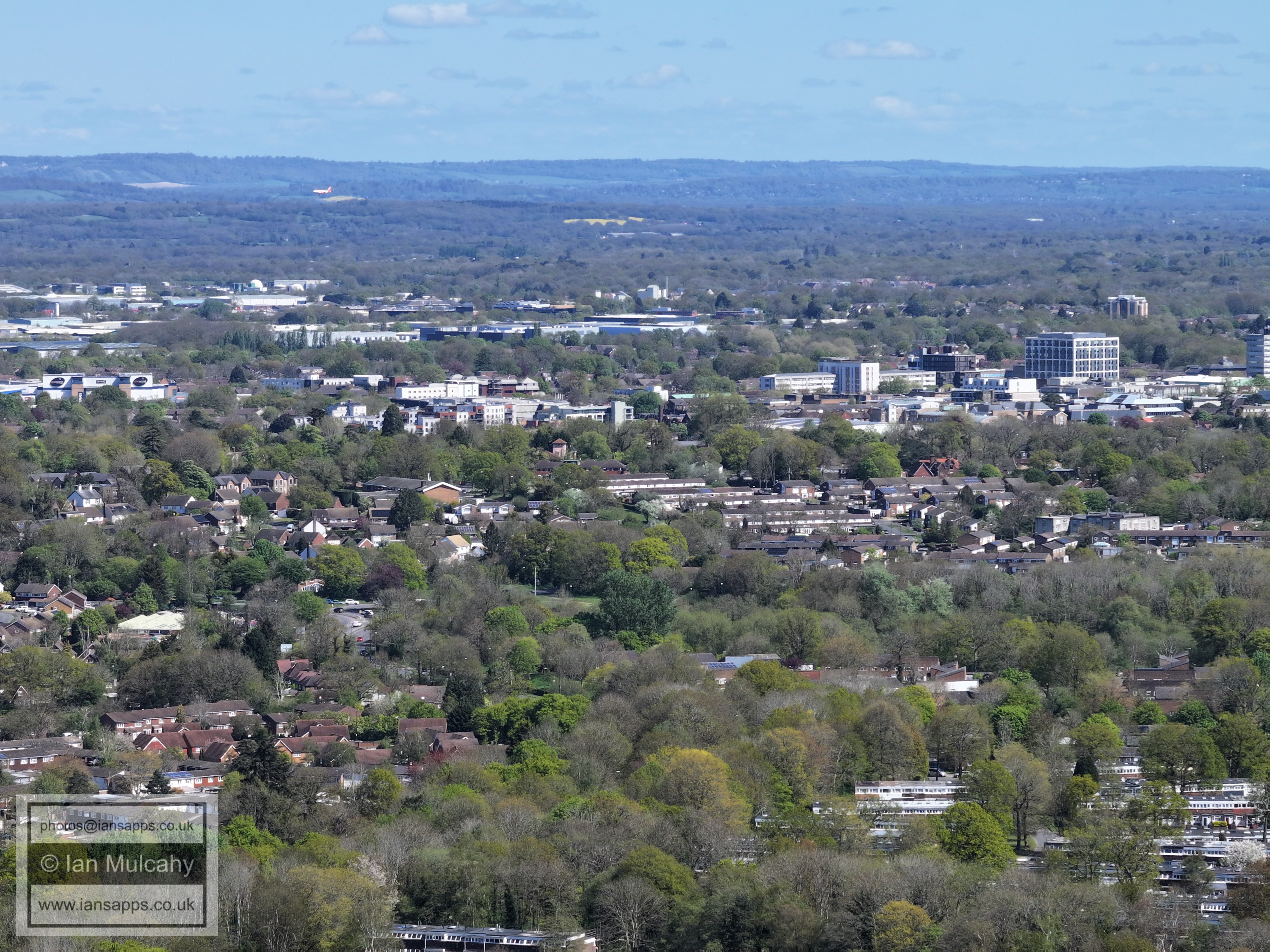
64 aerial images of varying focal length taken from Target Hill Heath in Buchan Park, Colgate on 19 April 2026. Some of the photos are annotated.
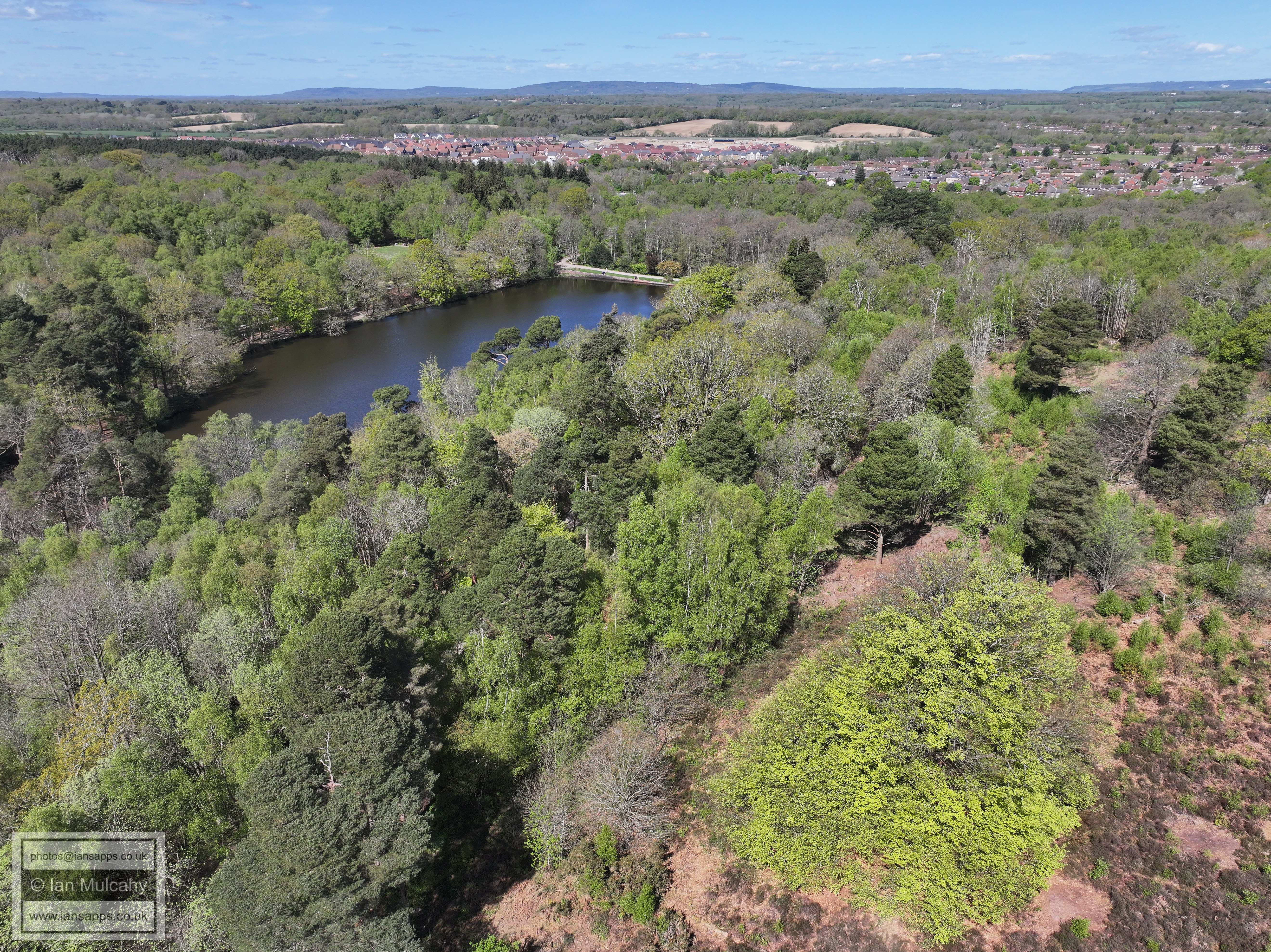
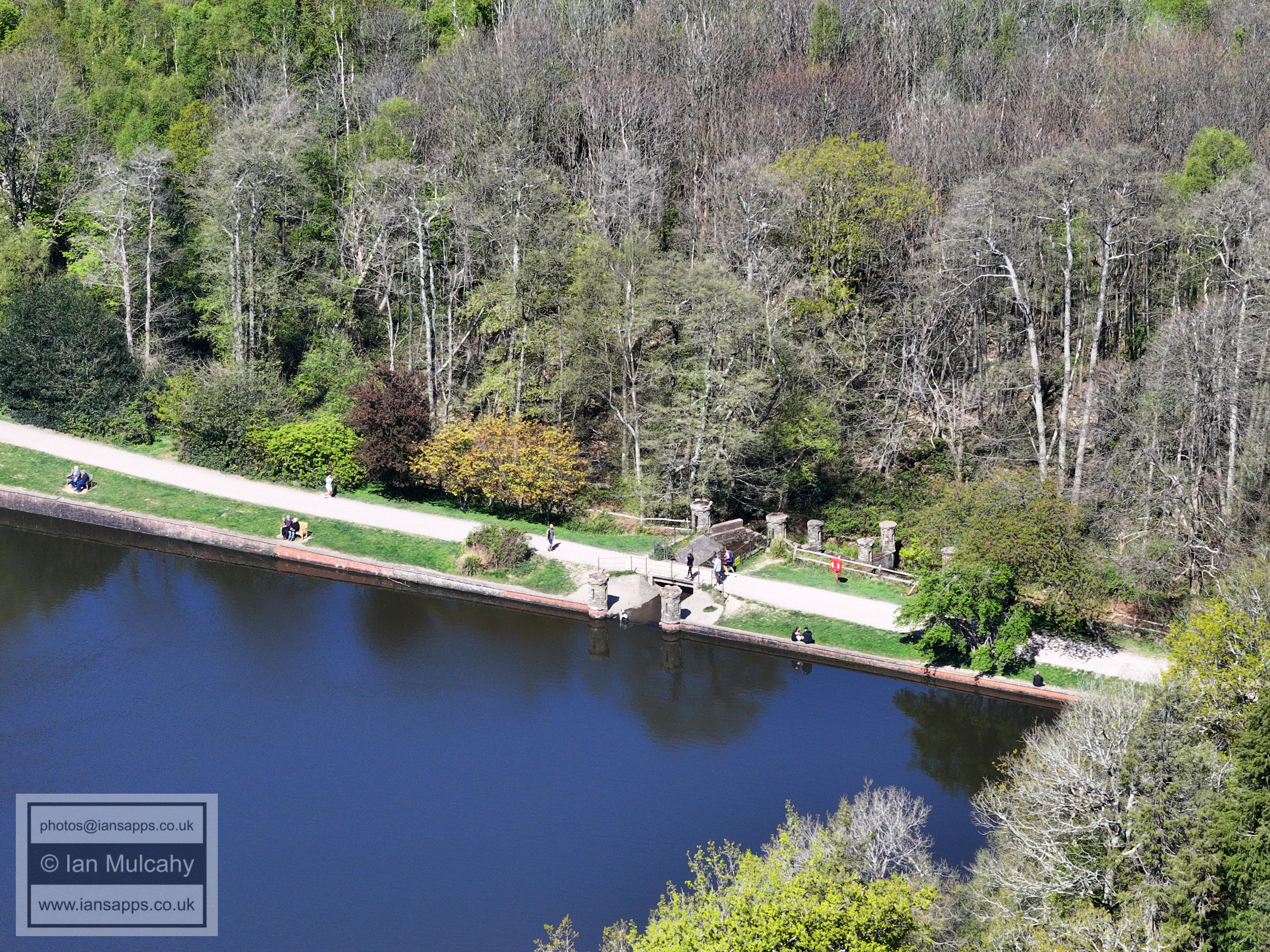
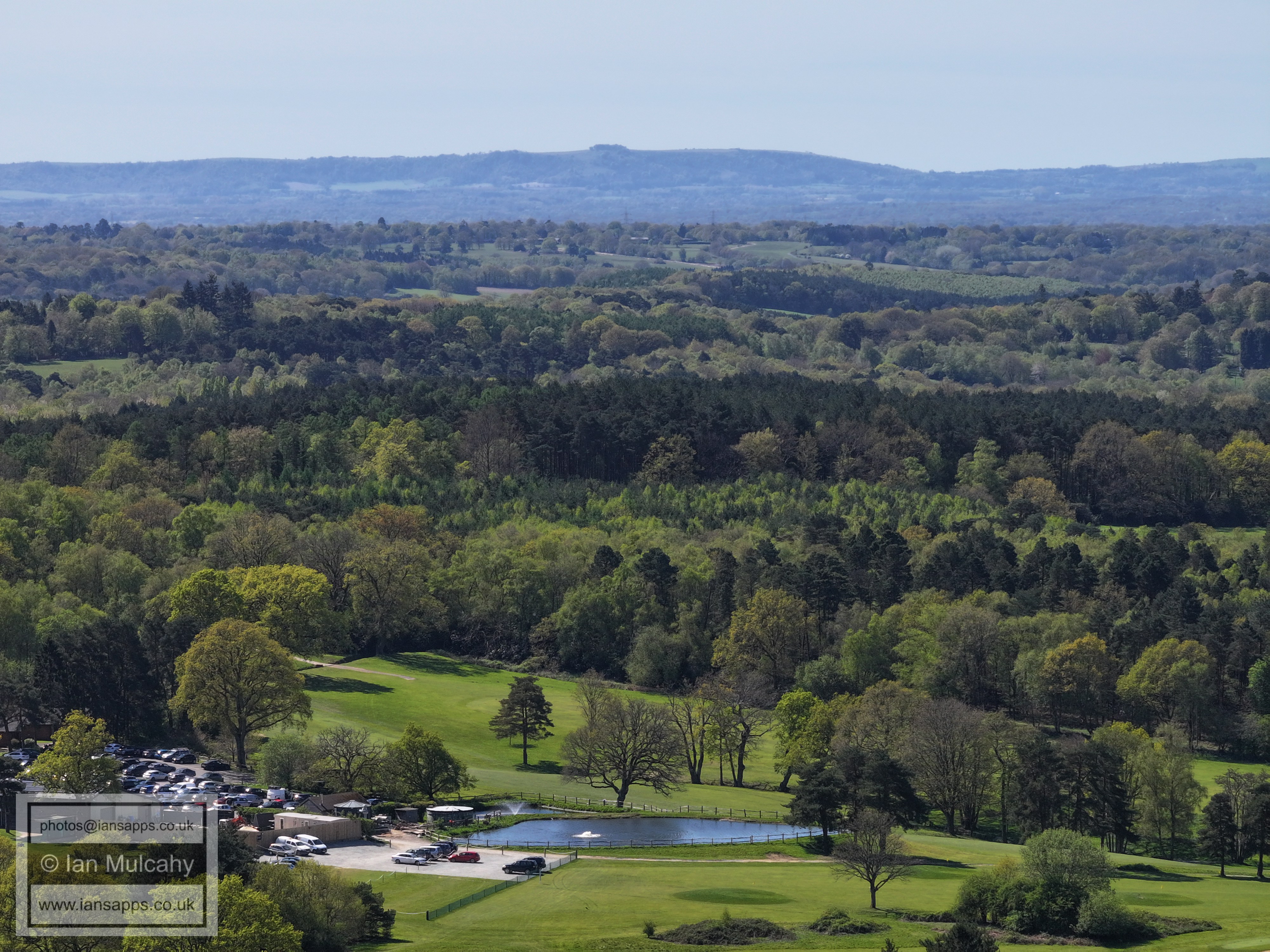
Douster Pond
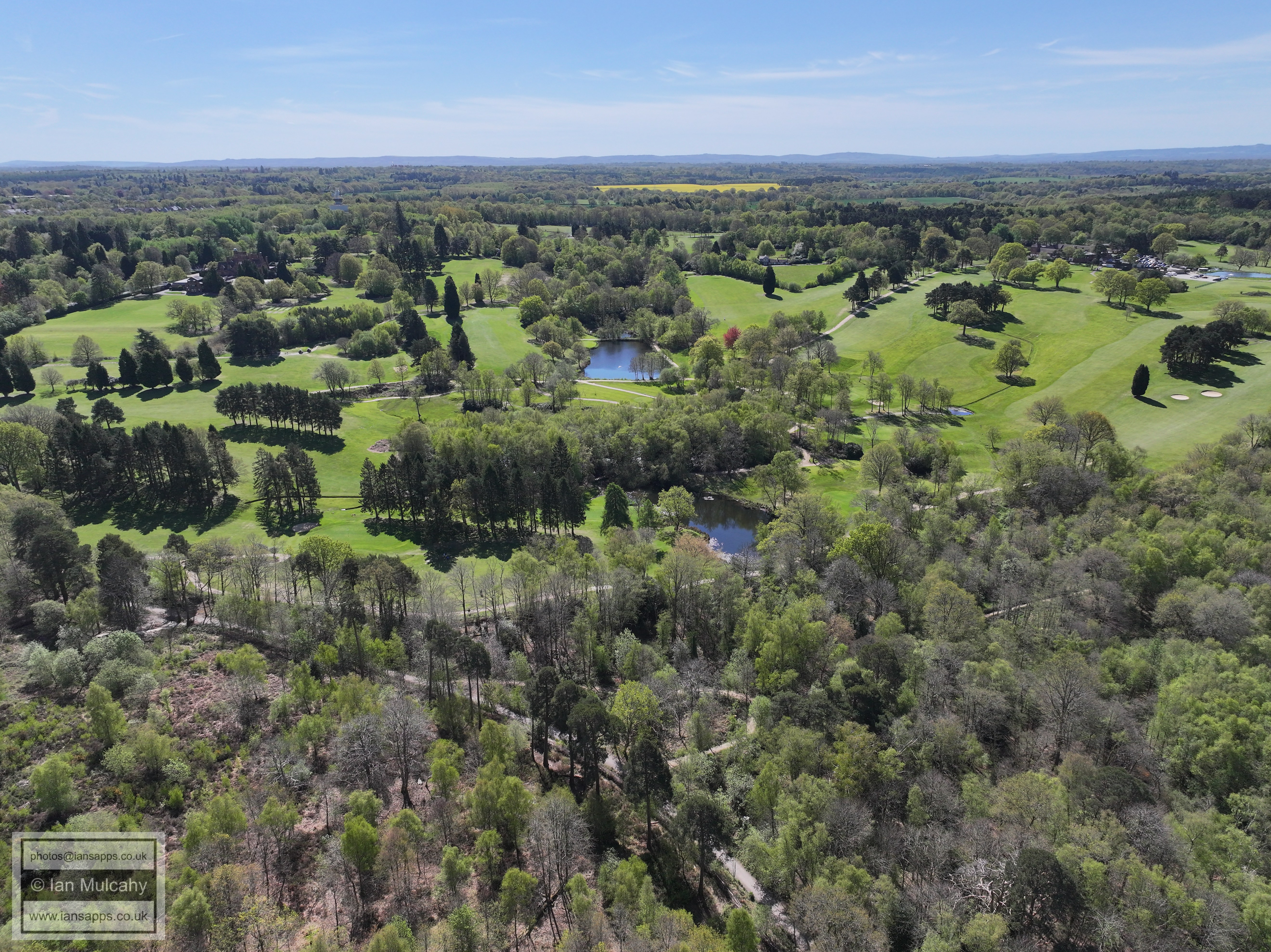
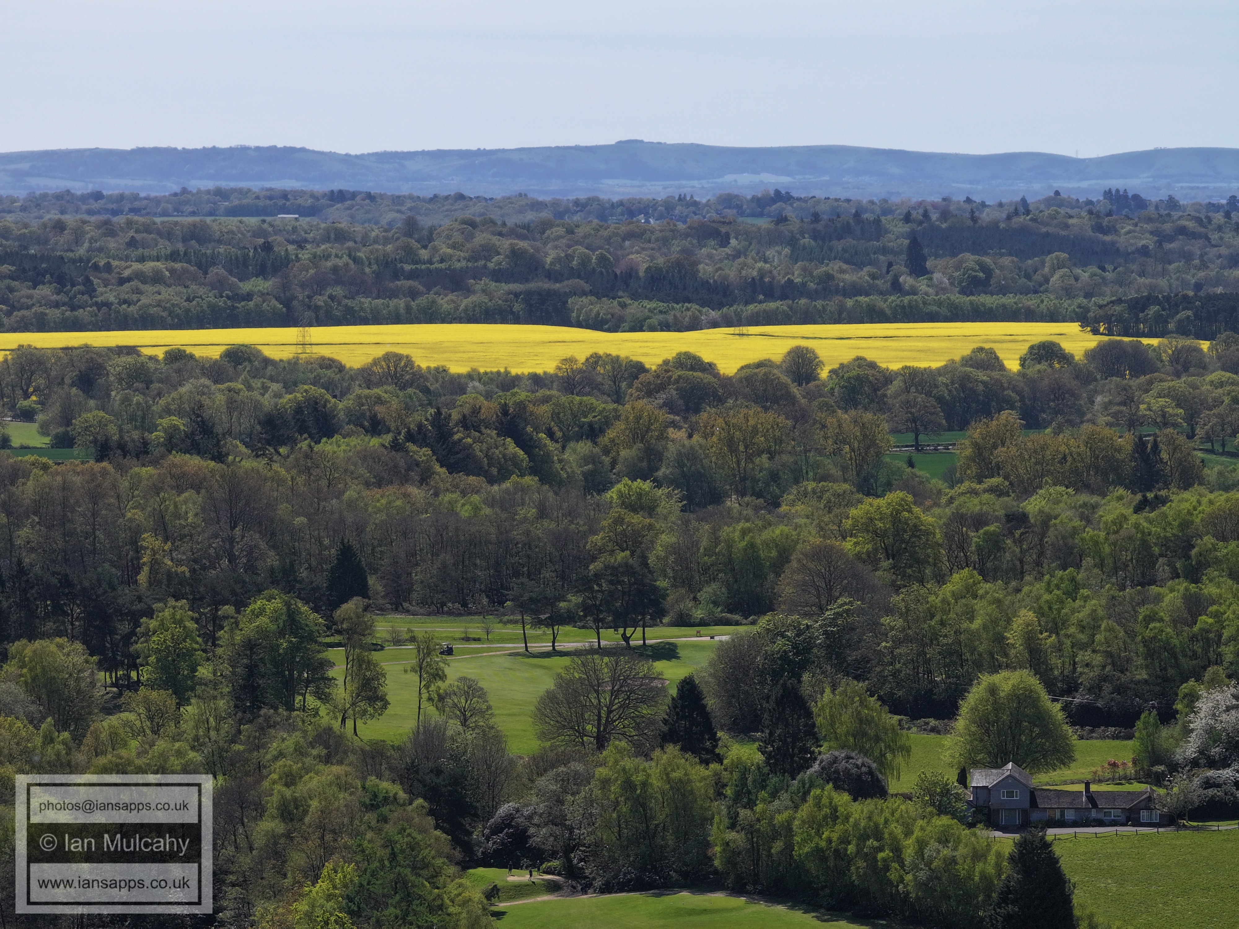
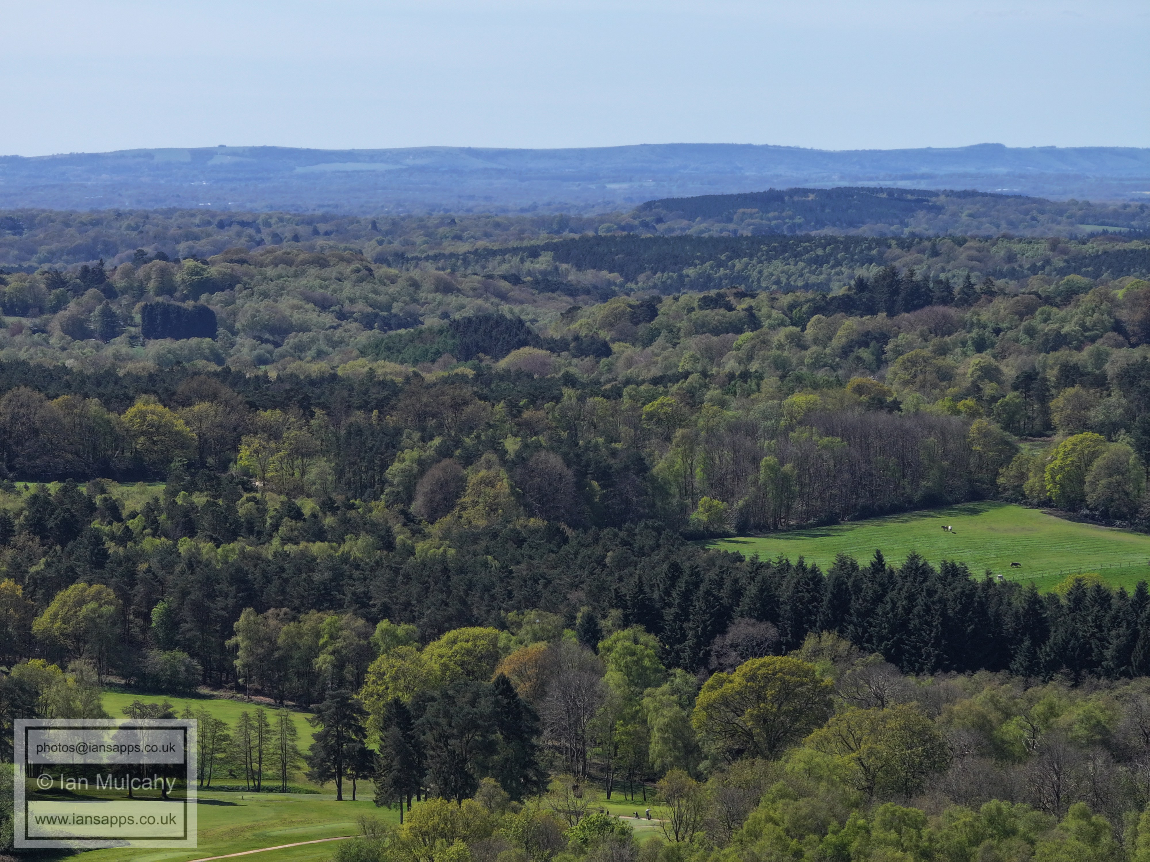
Cottesmore Golf Course
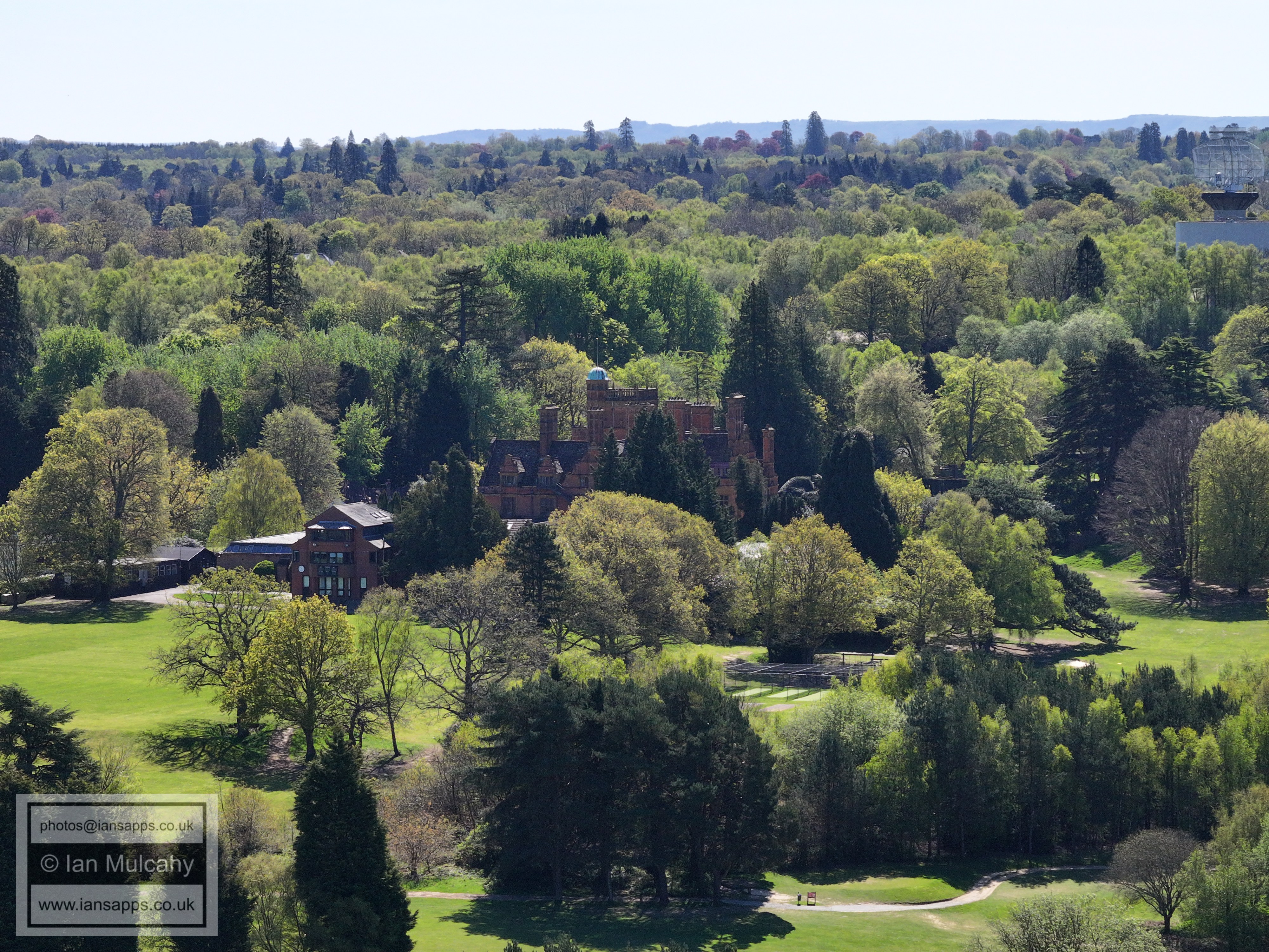
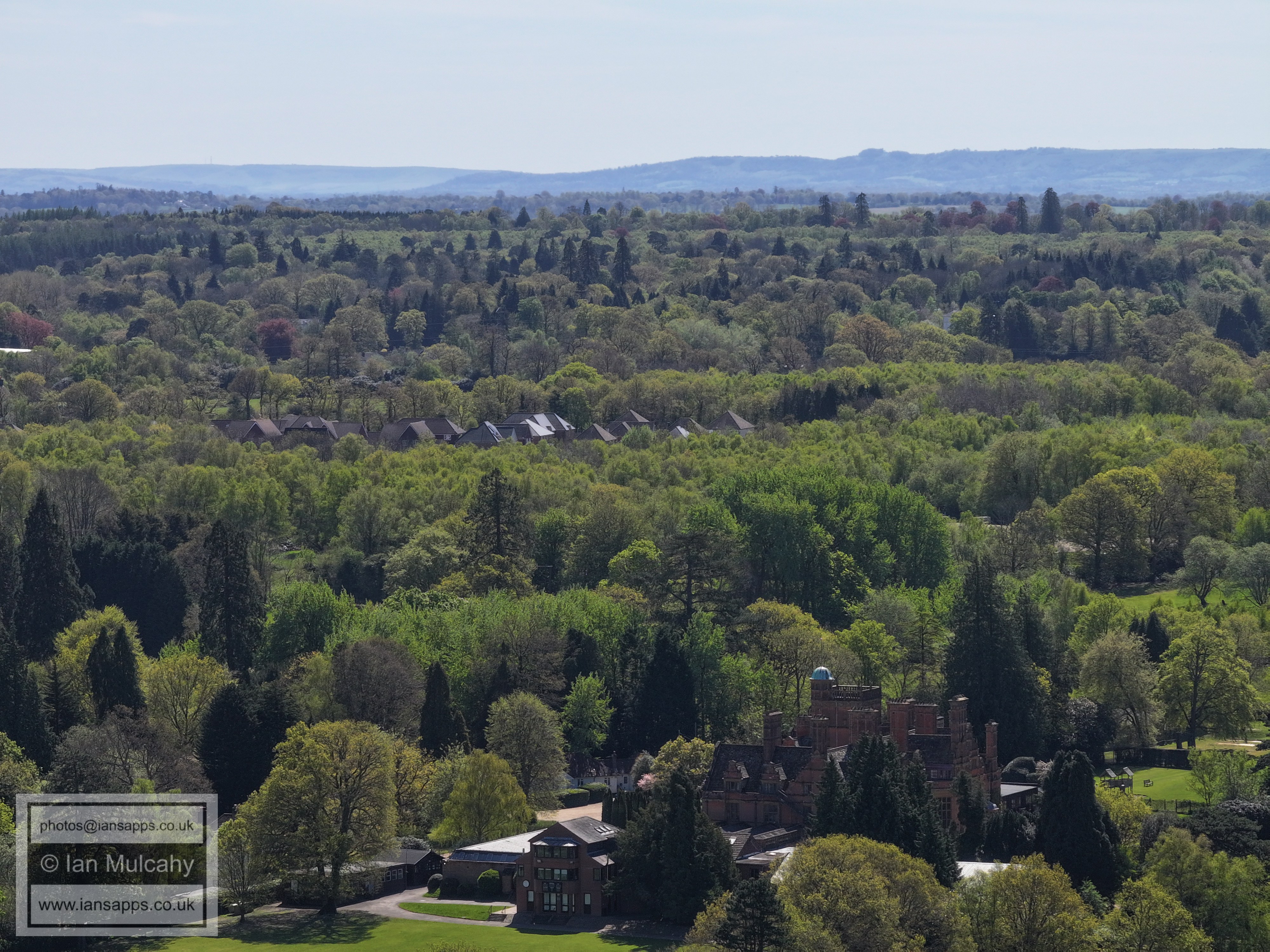
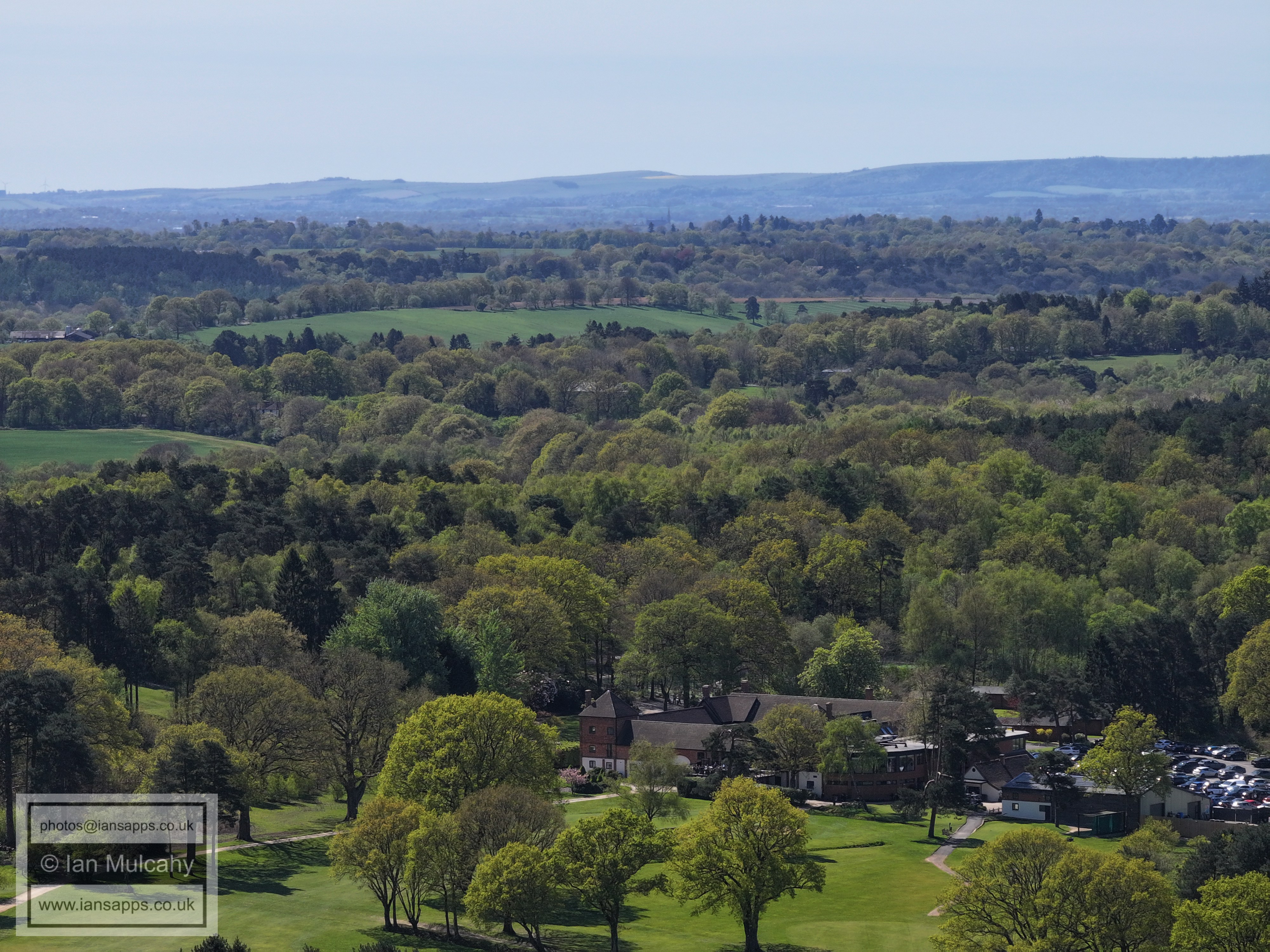
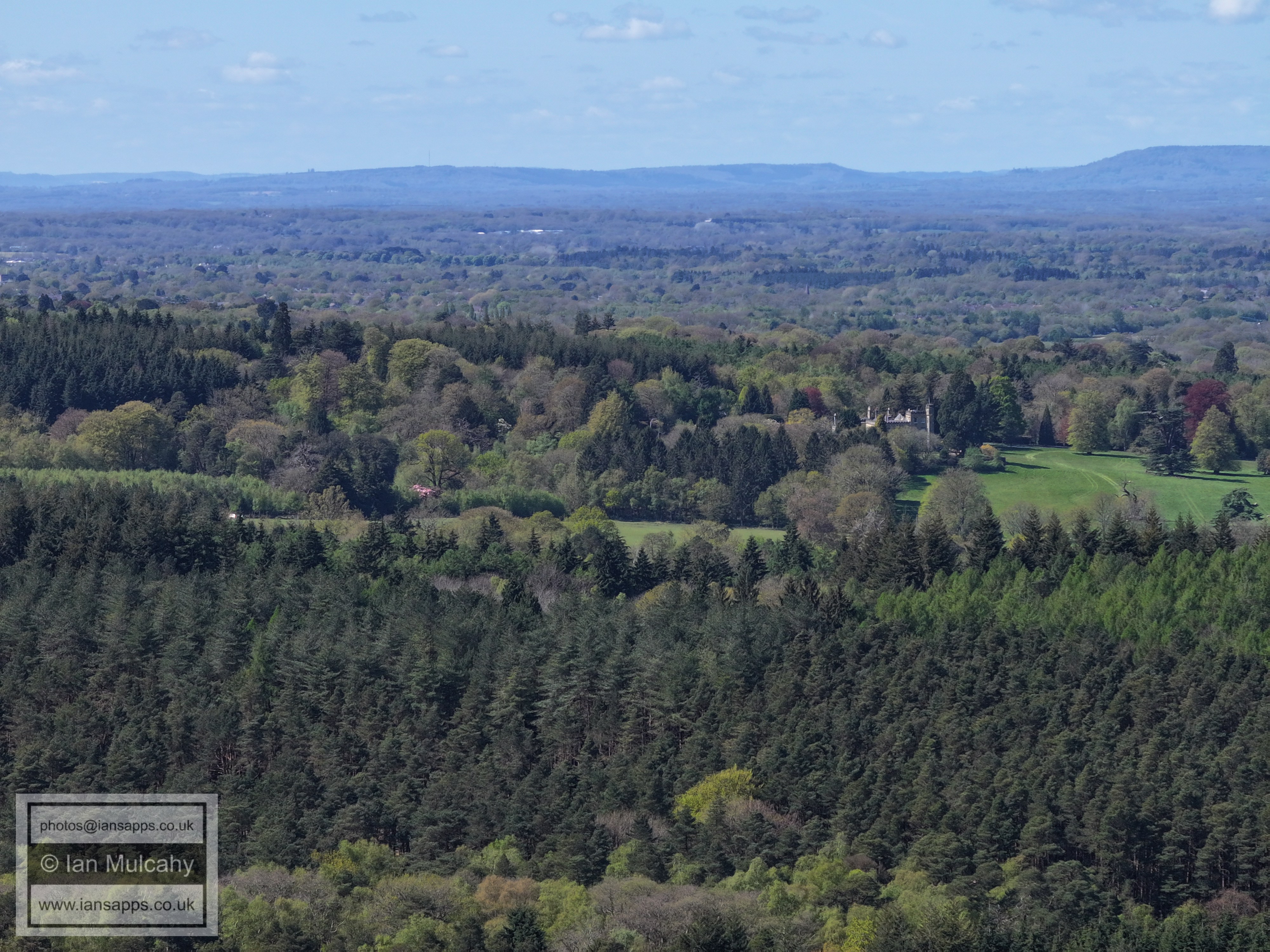
Buchan House/Cottesmore School
Douster Pond
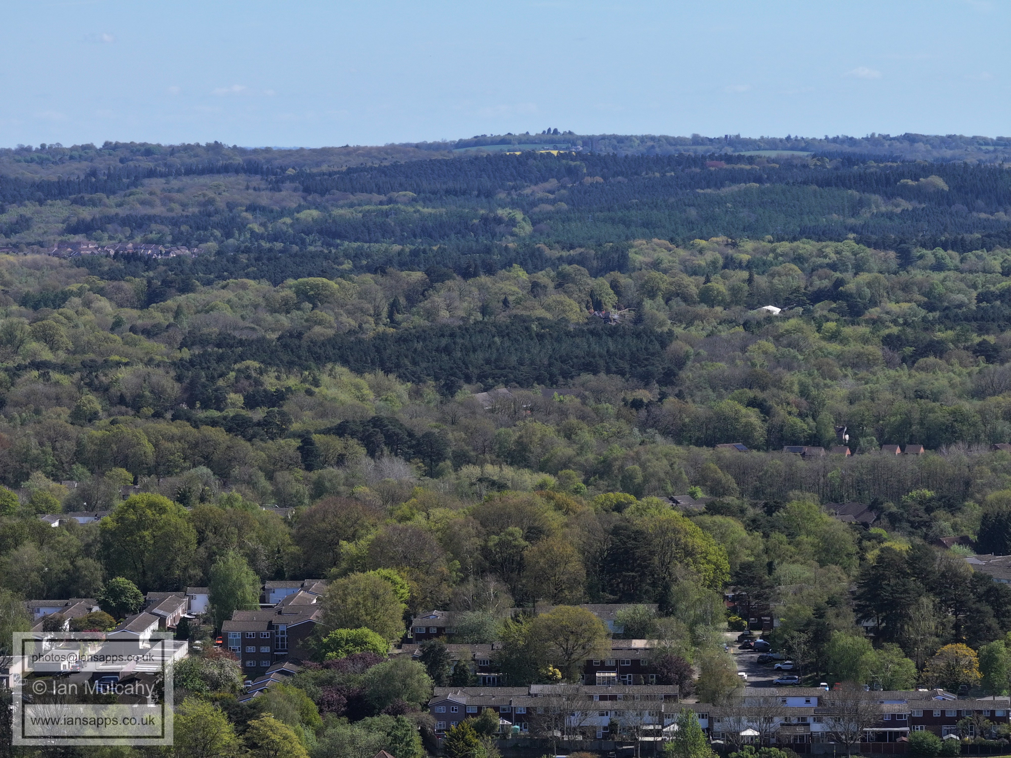
The site of the old kennels on Target Hill
Bewbush Manor Roundabout
Bewbush West
Breezehurst Pavilion and Bewbush Shops
St Clement Road at the bottom and Bebush across the middle. Note Holy Trinity to the far right, just above centre
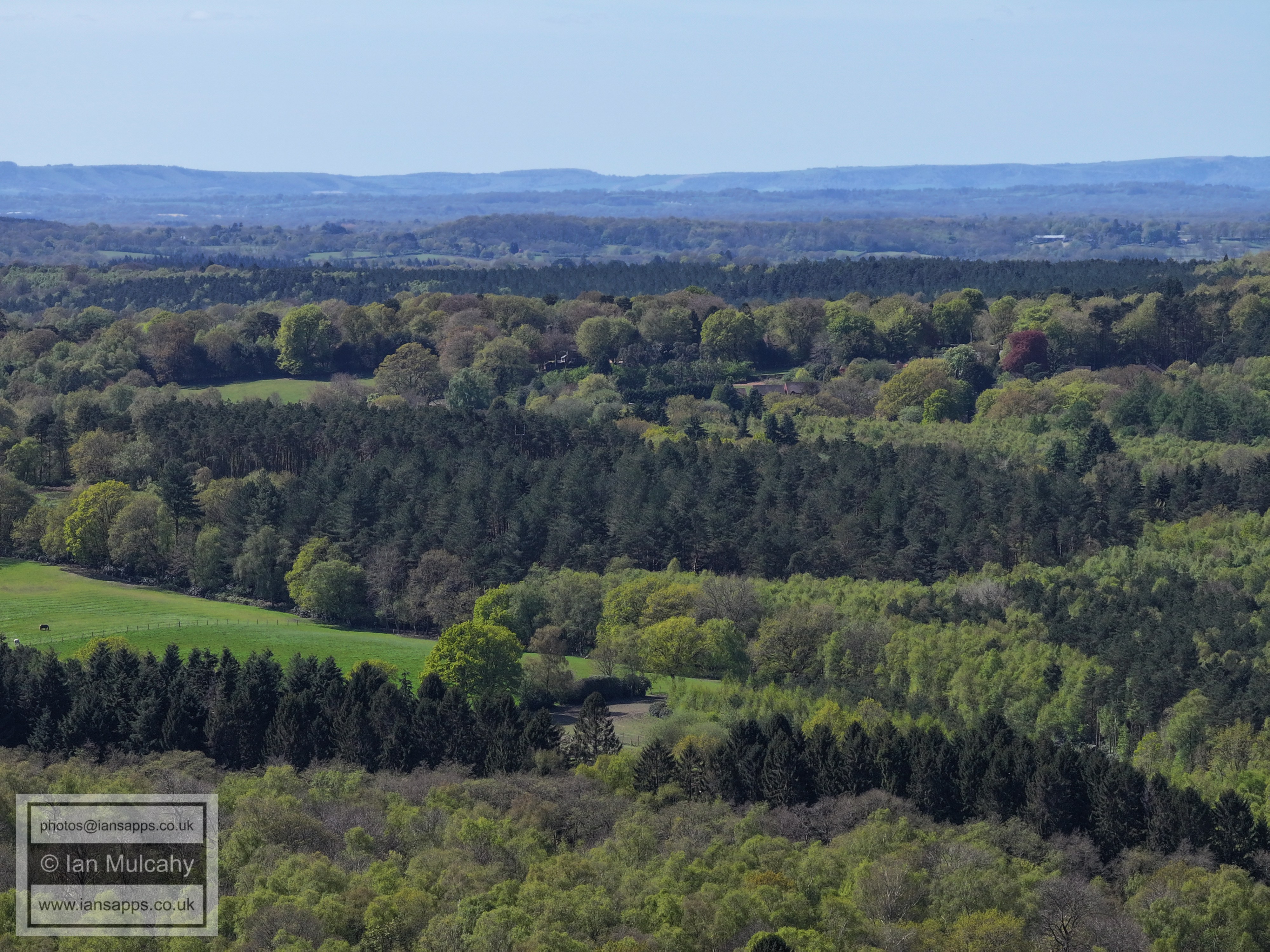
Target Hill Nature reserve at the bottom.
Broadfield
Broadfield
Woodgate at Pease Pottage (top)
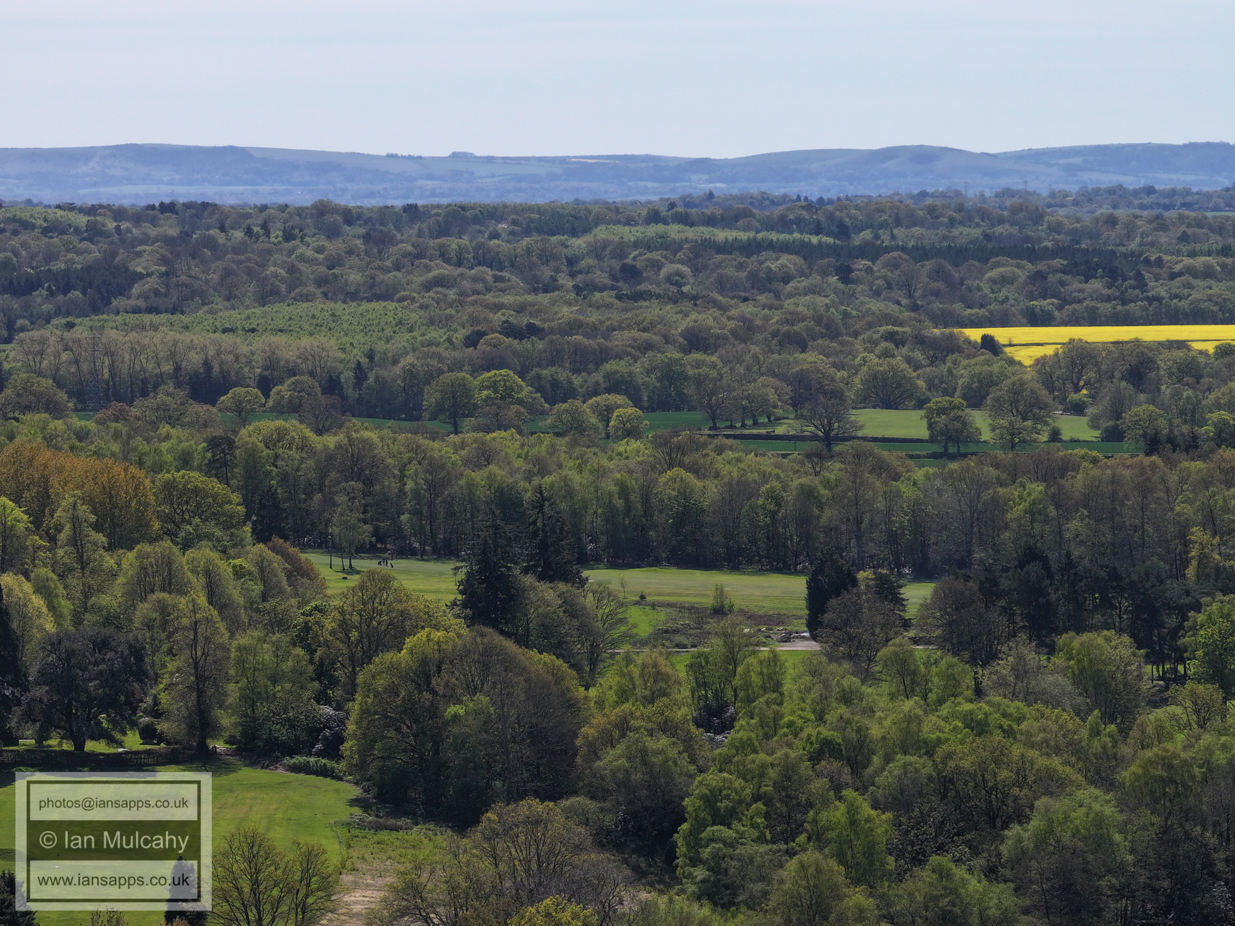
The yellow rape seed fields are Shelley Plain, once a medieval settlement that by the 1500s formed the southern end of the small Crawley detached Parish.
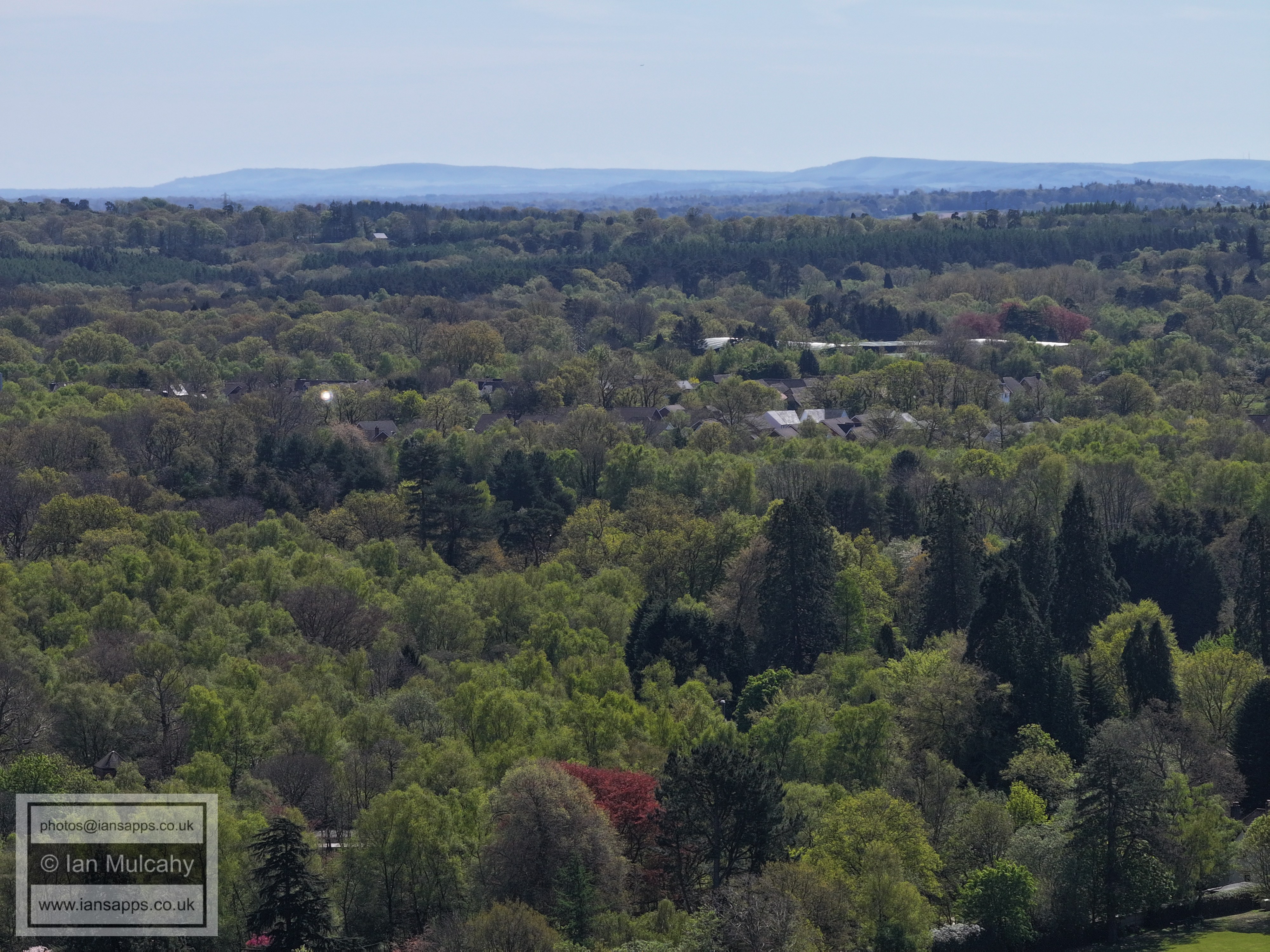
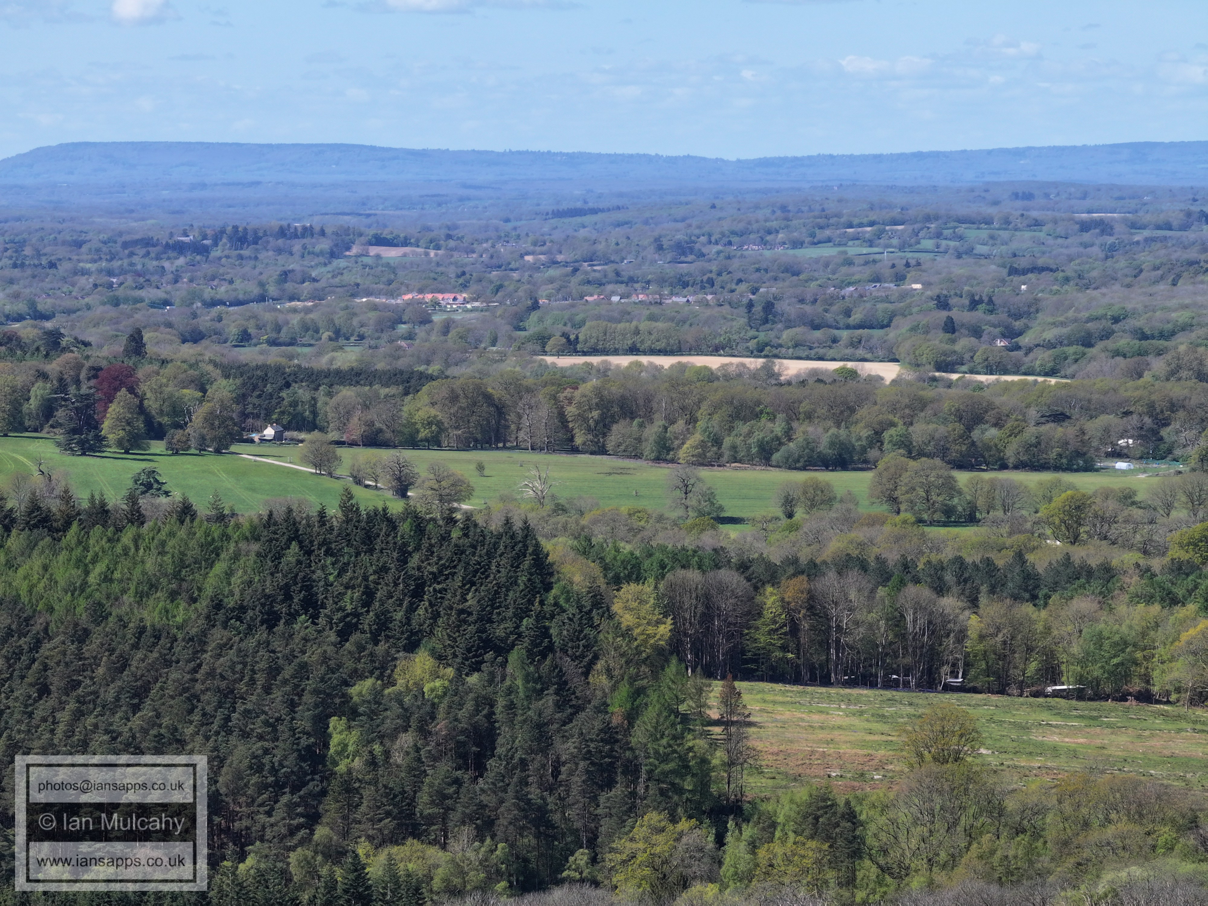
Cottesmore Golf Club
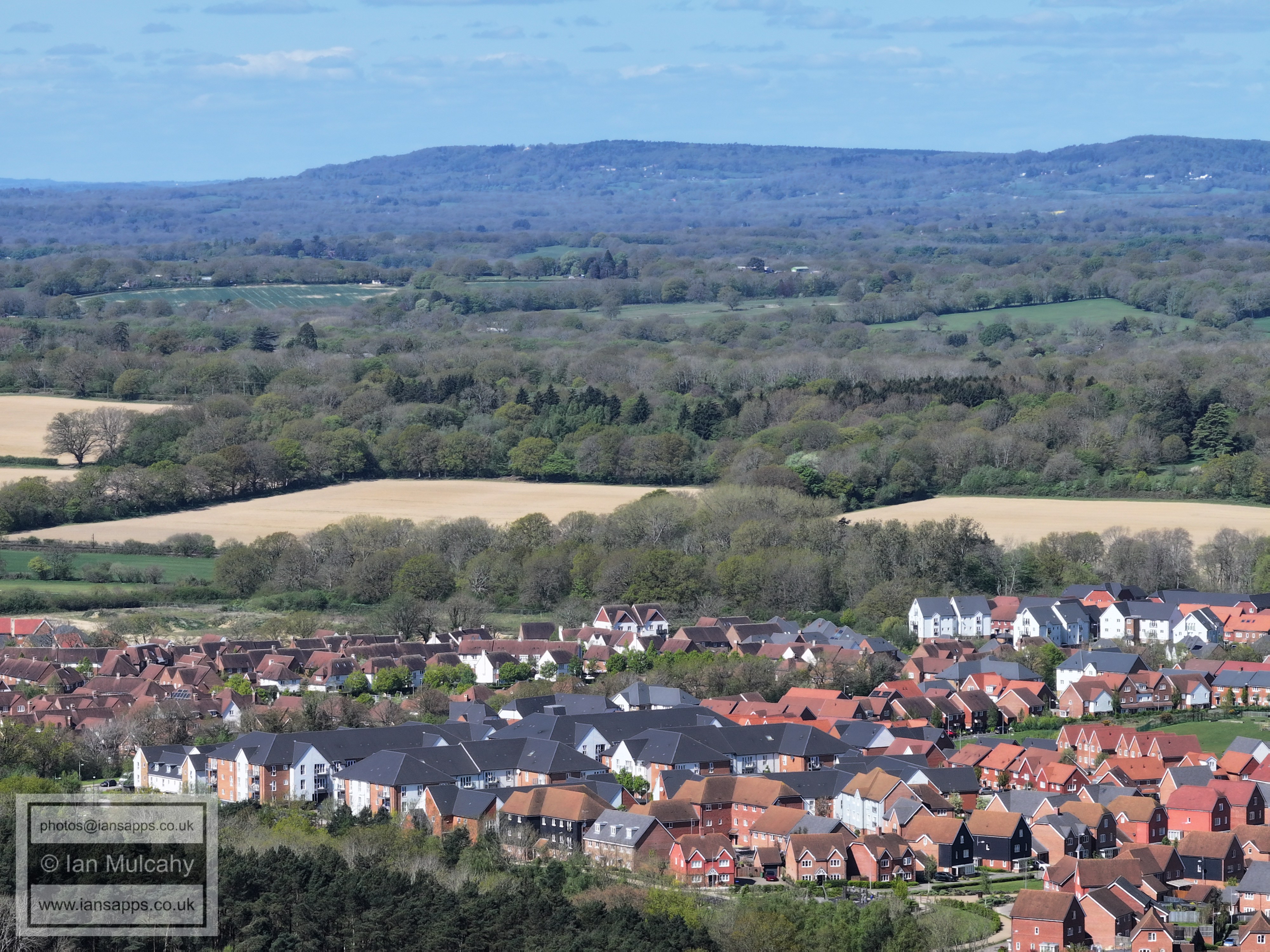
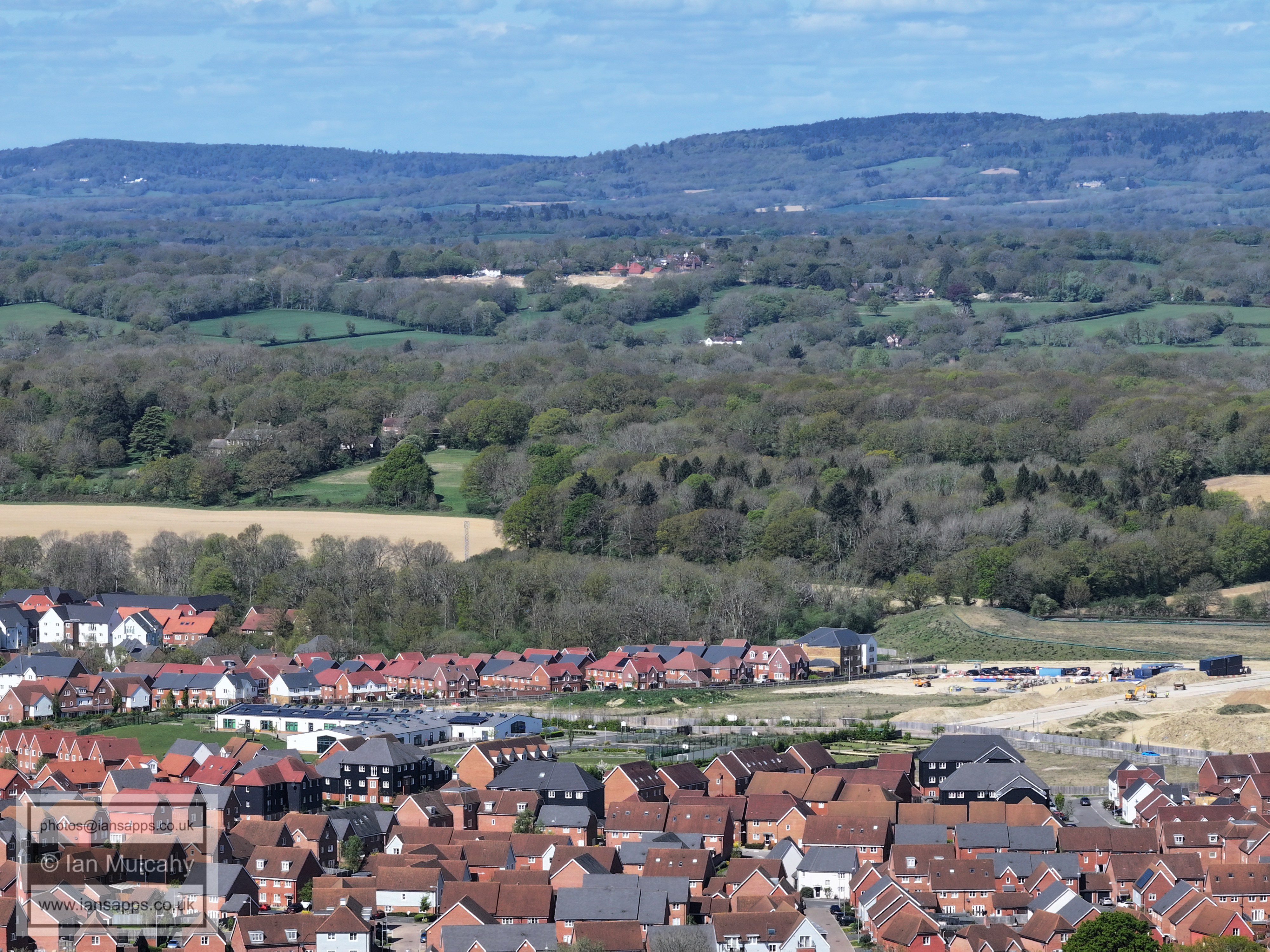
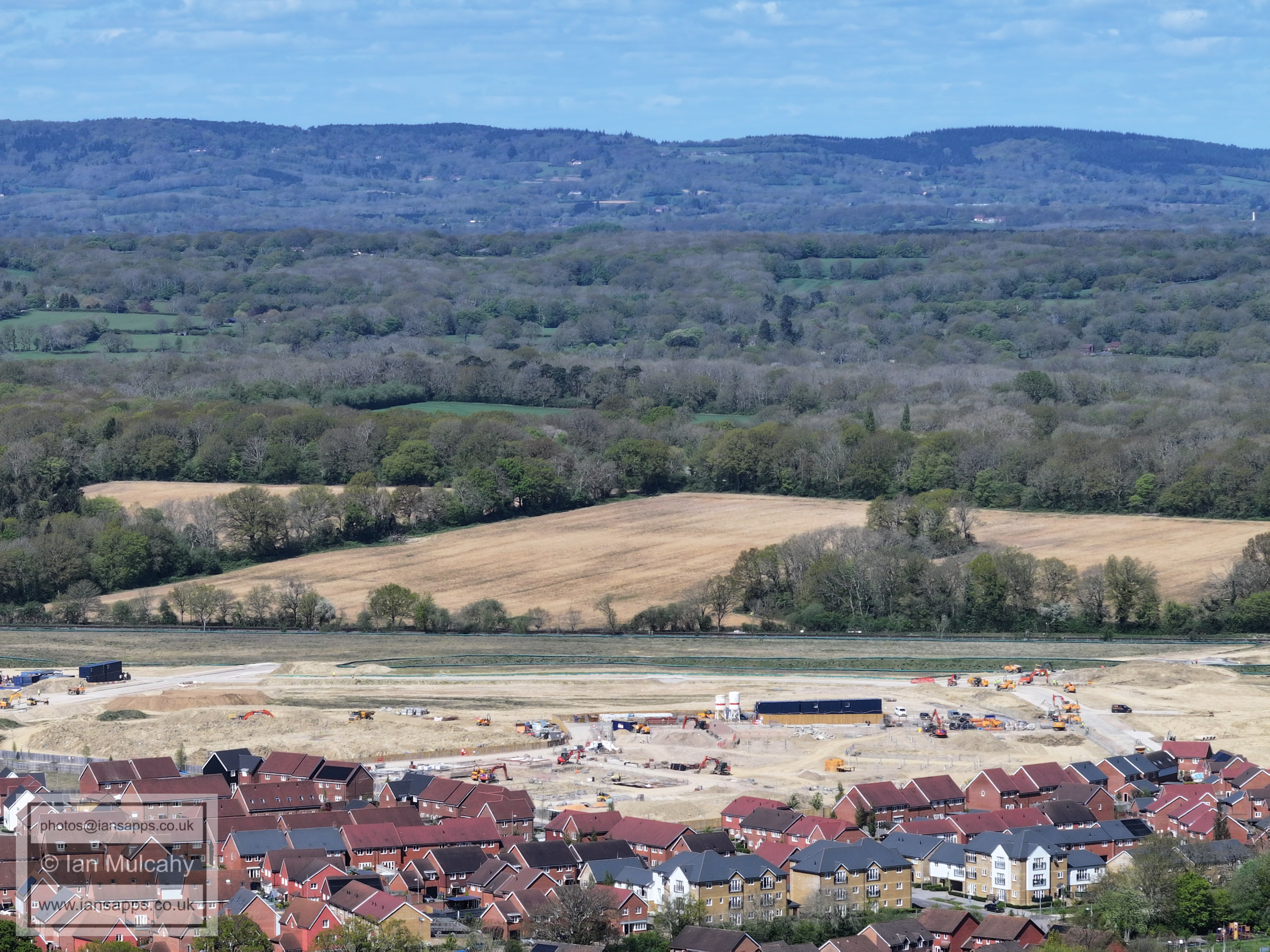
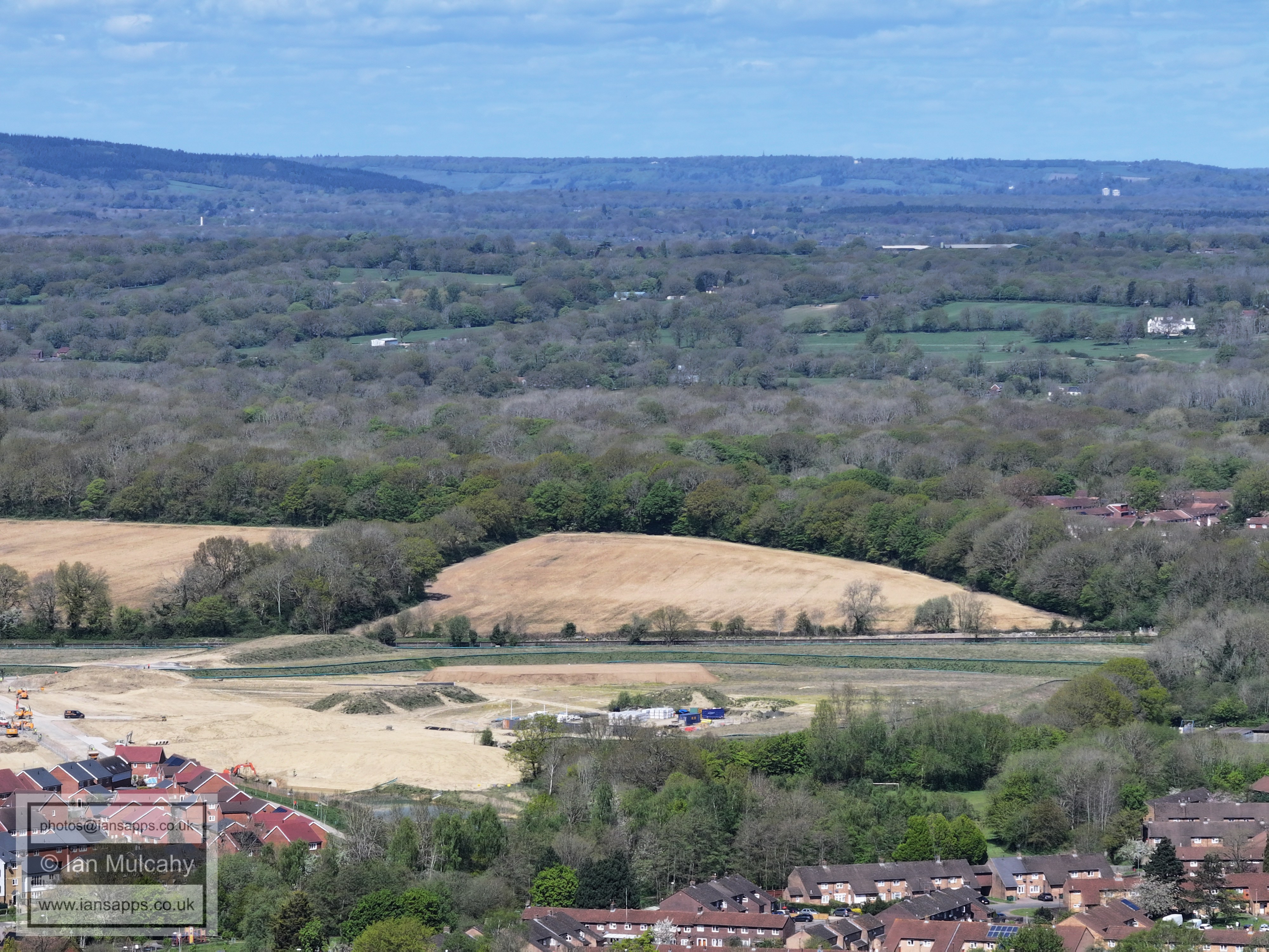
Kilnwood Vale
In a nice neat little line are Bewbush Green (bottom), Bonwyckes House in Ifield Wood (just above centre) and the Russ Hill Hotel (white building below Box Hill). On top of Box Hill, beyond the hotel, are the unmistakable white walls of Brockham Warren. Hidden in the trees between Ifield West (the phone mast marks Dobbins Place) and Bonwyckes is Ifield Golf Course. A small strip of striped fairway is visible on the very far right of the image.
Bewbush shops are in the bottom right corner and a little way above is Ifield Millpond. on the far right, beyond the relatively new rooflines of The Maples estate, are the fields of Ifield Court Farm and a little way above the fields is the tower of the Church of St Nicholas at Charlwood.
Bewbush in the foreground, separated from Gossops Green by the line of trees marking Broadfield Brook. St Margaret's Church in Ifield is clear just above and to the right of centre.
Gossops Green shops just to the left of and below centre. The top floor and roof of Ifield Parade can also be seen, above and very slightly to the right of Gossops Green shops.
Just below, and to the left of, centre is the phone mast at Woldhurstlea with Tintern Road and Buckswood Drive to the right. Above and to the right of centre the keen eye will spot Langley Paradeand the Doctor Johnsons!
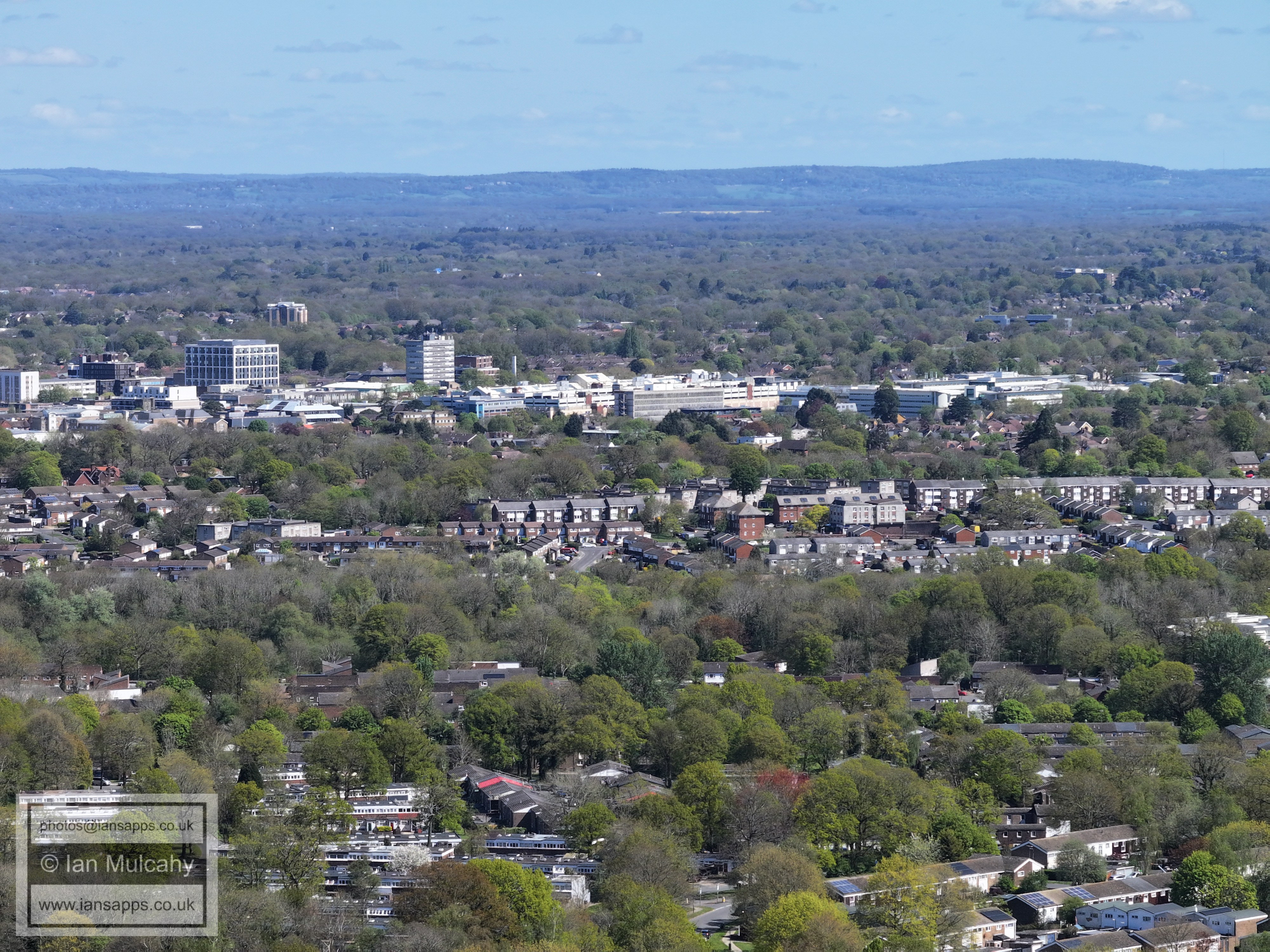
To the right of centre is Crawley Hospital and St. Wilfrid's School is just below. To the right of the hospital is Crawley Leisure Park. Holy Trinity School is in the foreground, just above the Curteys Walk area of Bewbush.
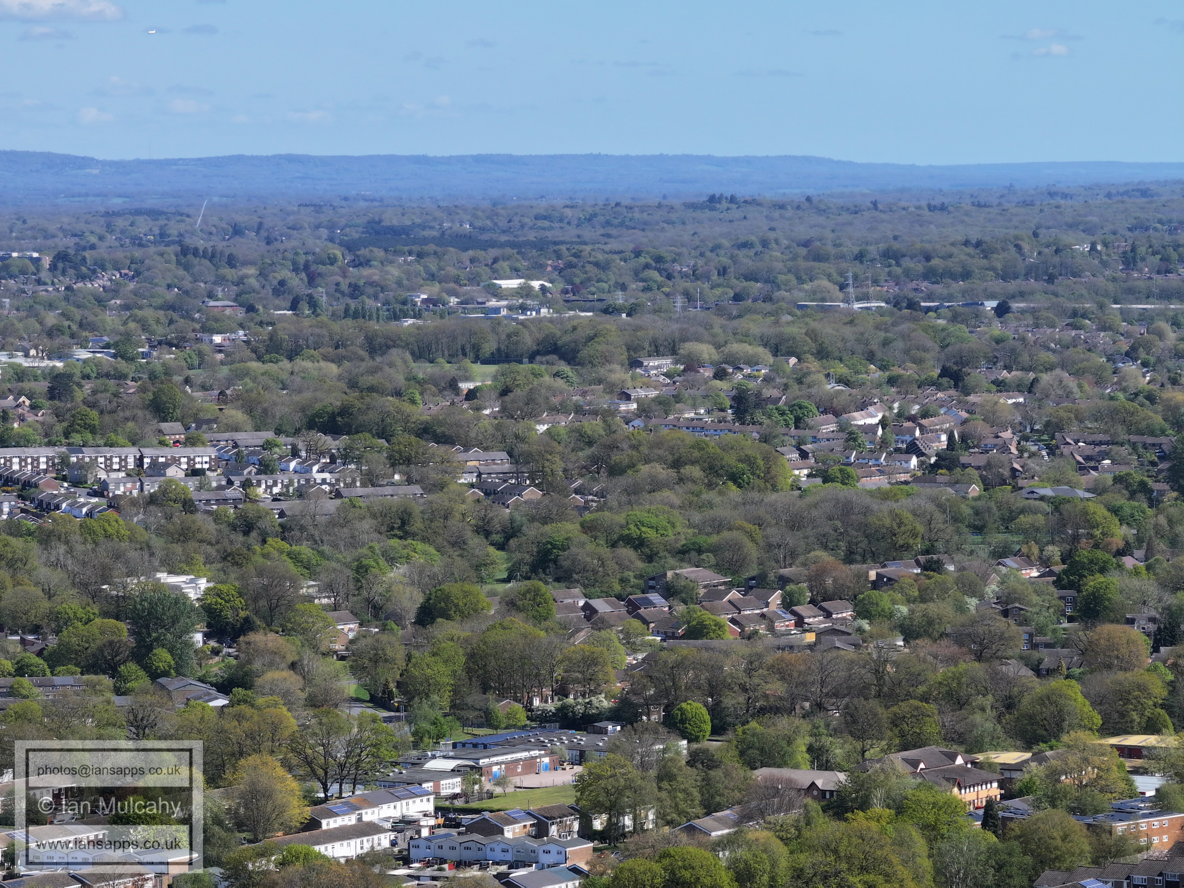
In and to the right of centre is Southgate West and just left of centre is the tower at Masons Hall on Goffs Park Road.
Broadfield in the foreground, Southgate West across the middle and The Town Entre above. The Sandman Hotel and Milton Mount flats are also visible to the left and right respectively.
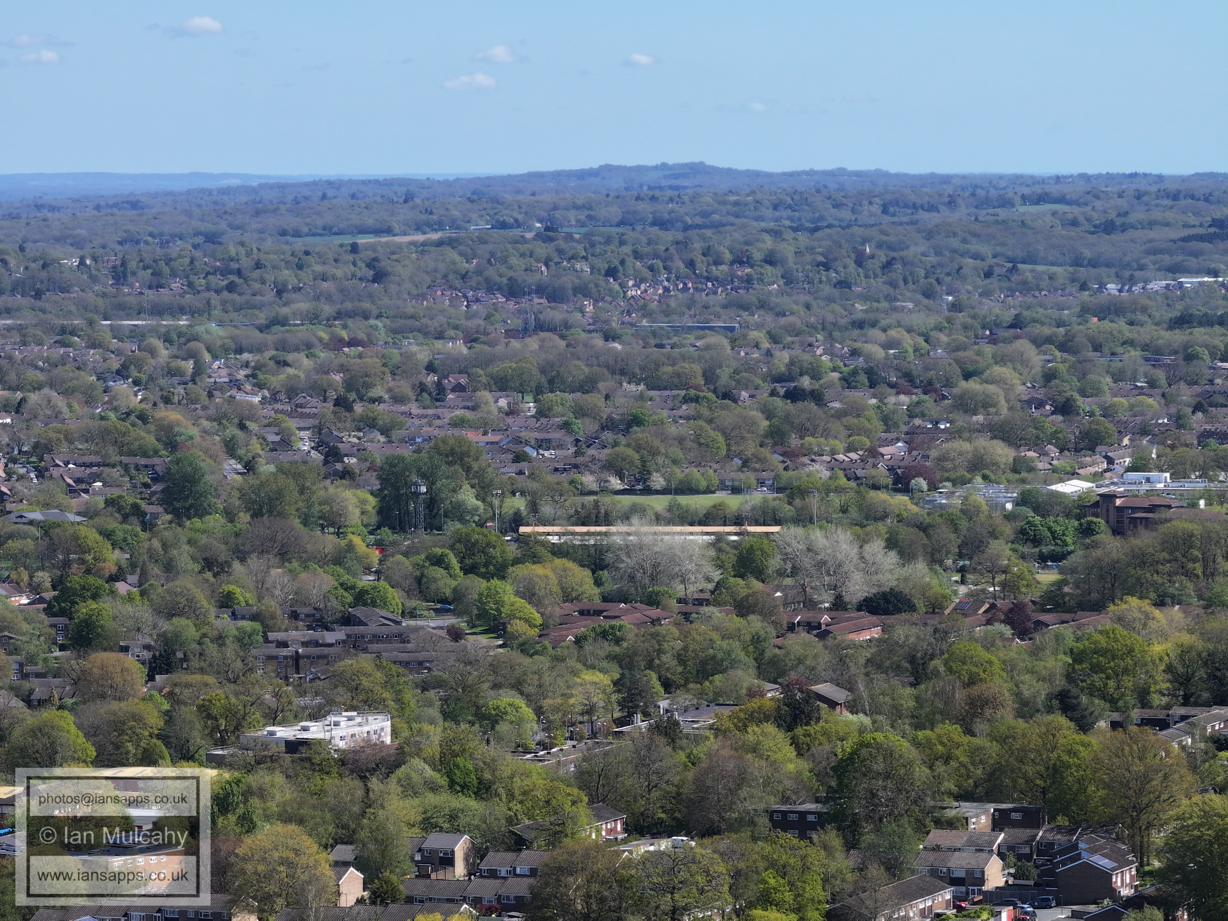
The green space to the left of and above centre is Southgate Playing Fields. The big white tent above that is the protective covering at Pound School on Crawley Lane. Immediately below the tent is Sutherland House (Paymasters)
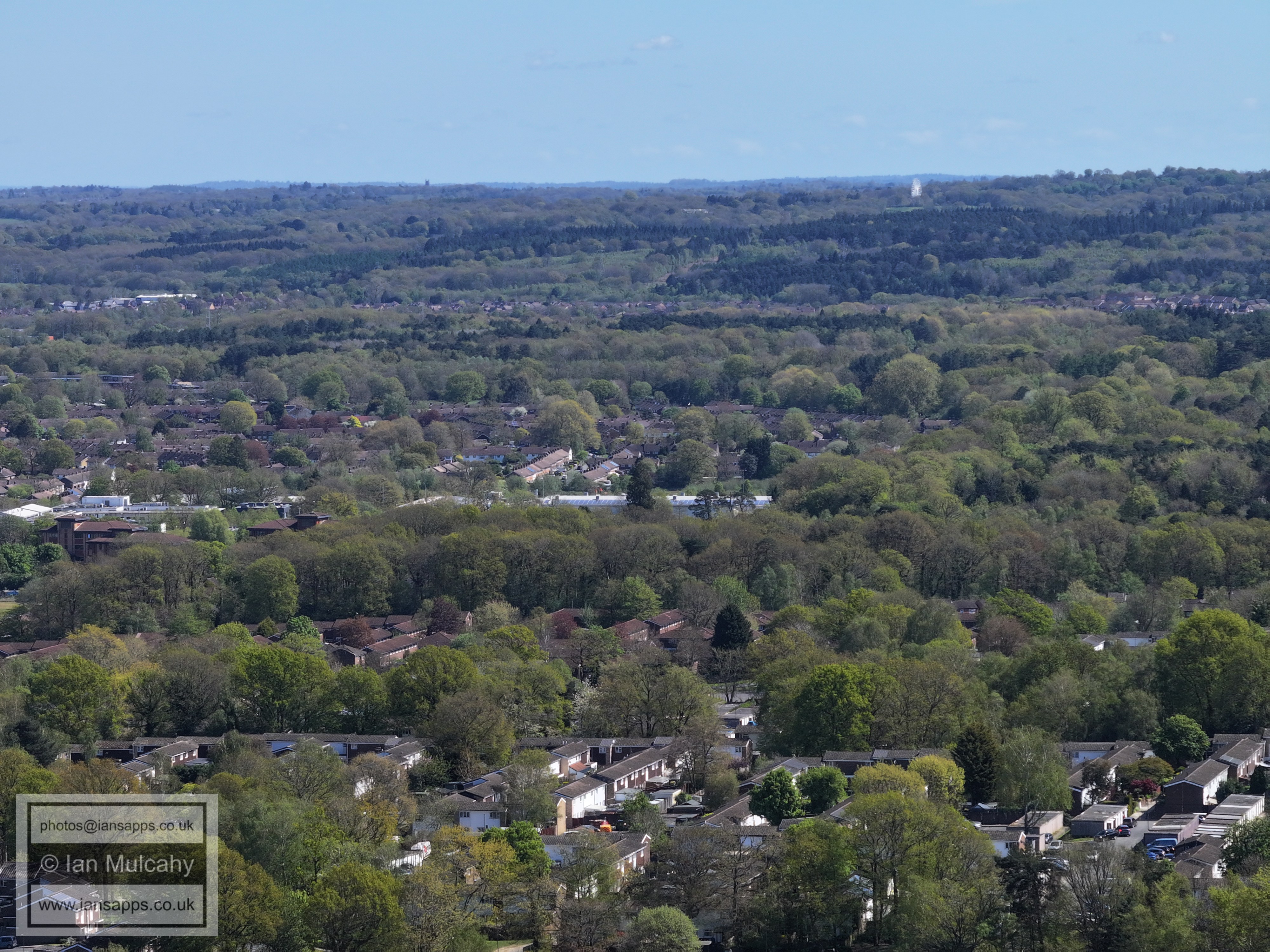
The green space in the centre is Thomas Bennett playing fields and immediately below is the faded red roof of the East Stand at the Broadfield Stadium. In the top right quarter is the spire of St Nicholas Church at Worth. Broadfield Barton is close to the bottom in the centre.
In the centre is the white roof of K2 and in the top right quarter is the ferris wheel at Tulleys Farm.
On the ridge, in the middle of the top right quarter, is the tower of St Leonards Church at Turners Hill.
Tollgate Hill across the centre of the picture.
Tollgate Hill across the centre and Woodgate above to the right.
Woodgate
Buchan House, bottom right.
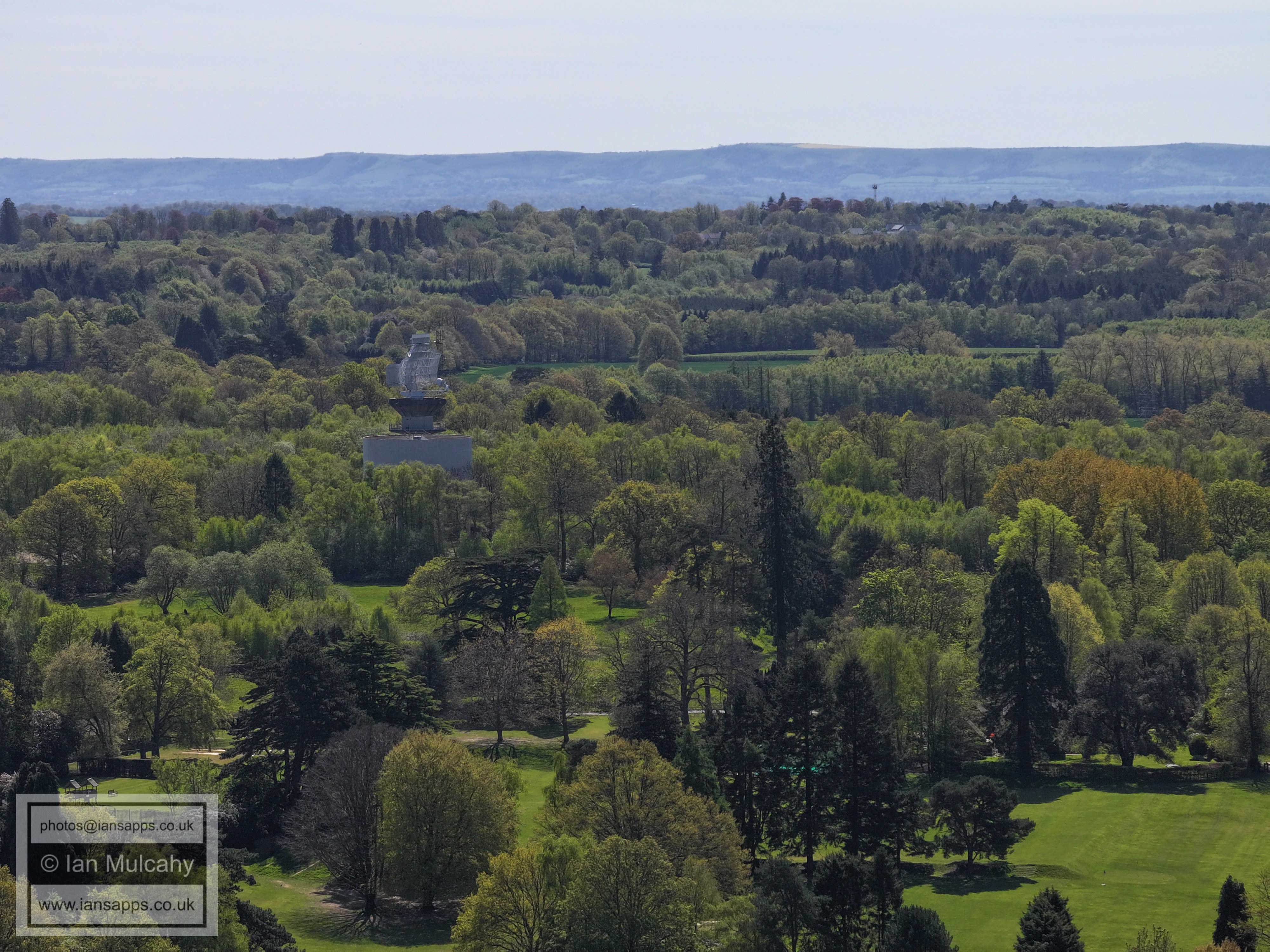
On the downs, above the radar and ever so slightly to the left, is the Jubilee Plantation, a V shaped plantation of trees planted in 1897 to mark the Diamond Jubilee of Queen Victoria's reign.
Shelley Plain, in yellow!
In the top right, through the dip in the Downs, is the wind farm in the channel off of Shoreham. Lancing College and a chimney at Shoreham Cement Works are also visible.
In the centre, appearing right in frint of the downs, is the tall thin spire at St Hugh's Charterhouse between Cowfold & Partridge Green. In the foreground is Cottesmore Golf Club.
Chanctonbury ring is top centre.
Christ's Hospital is in the top left quarter.
Horsham is beyond the trees. The spire's of St Mary's and St Mark's can be seen in the top left quarter.
Holmbush to the right of centre.
The houses across the middle, above centre, are at the Mowbray development (North Horsham). To the left of these is the Rusper Road roundabout, marked by its distinctive bridge.
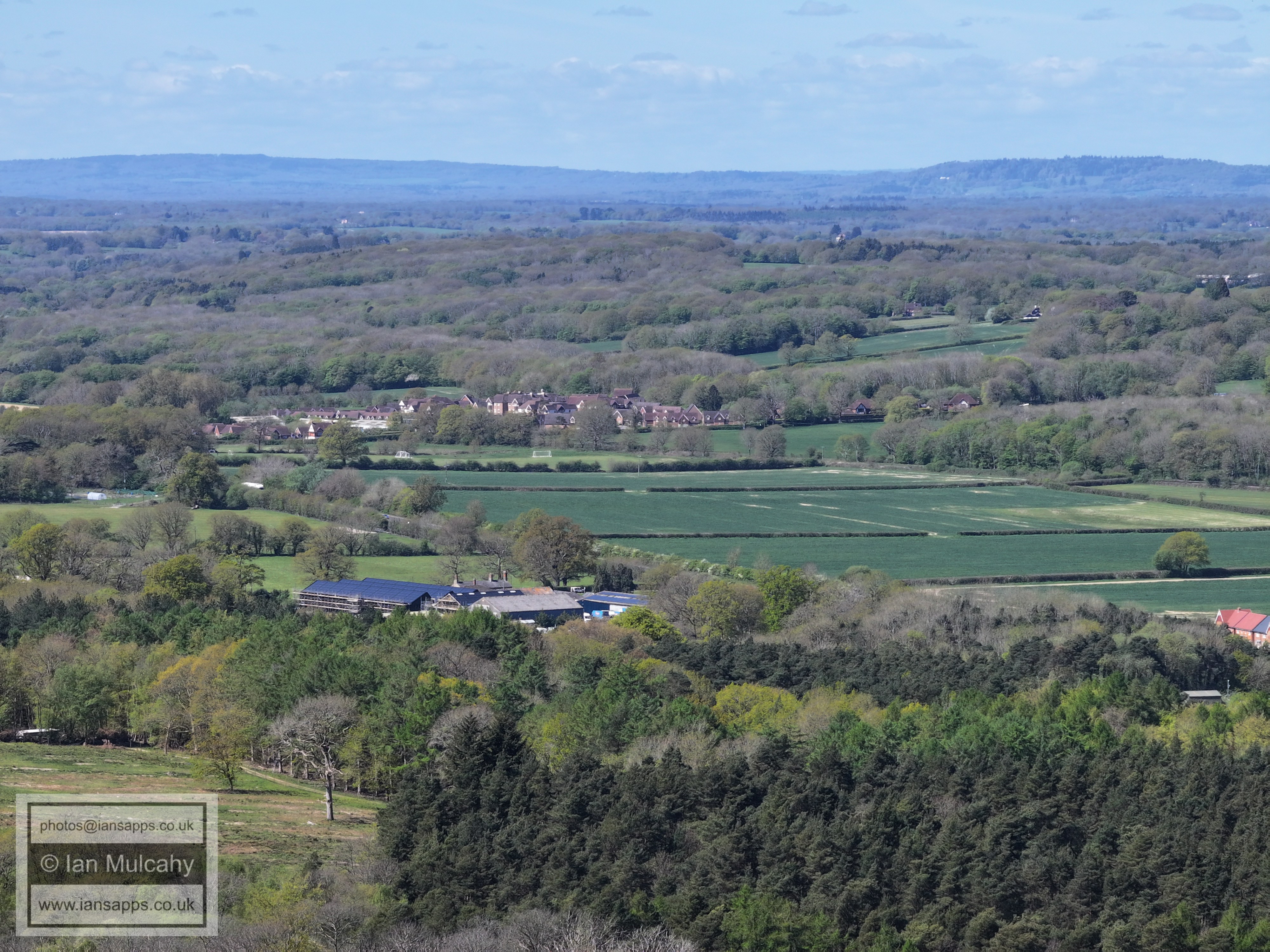
Faygate in the centre.
Kilnwood Vale in the foreground. The white building in the top right quarter is Old Park on the Horsham Road out of Rusper with Old Park Farm to the left.
Kilnwood Vale
Kilnwood Vale in the foreground. Above centre is Rusper, the bare fields marking the new development at Millfields, just to the south of the village centre. To the far left of centre is Kilnwood House on Kilnwood Lane. To the right of Rusper is Normans.
The white building to the right, above centre, is The Mount in Ifield Wood.
Text & photographs © Ian Mulcahy. Contact photos@iansapps.co.uk or visit my 'Use of my photographs' page for licensing queries (ground level photographs only). |