South of Forest Road near Cottesmore Golf Club
Colgate
19 April 2026
|
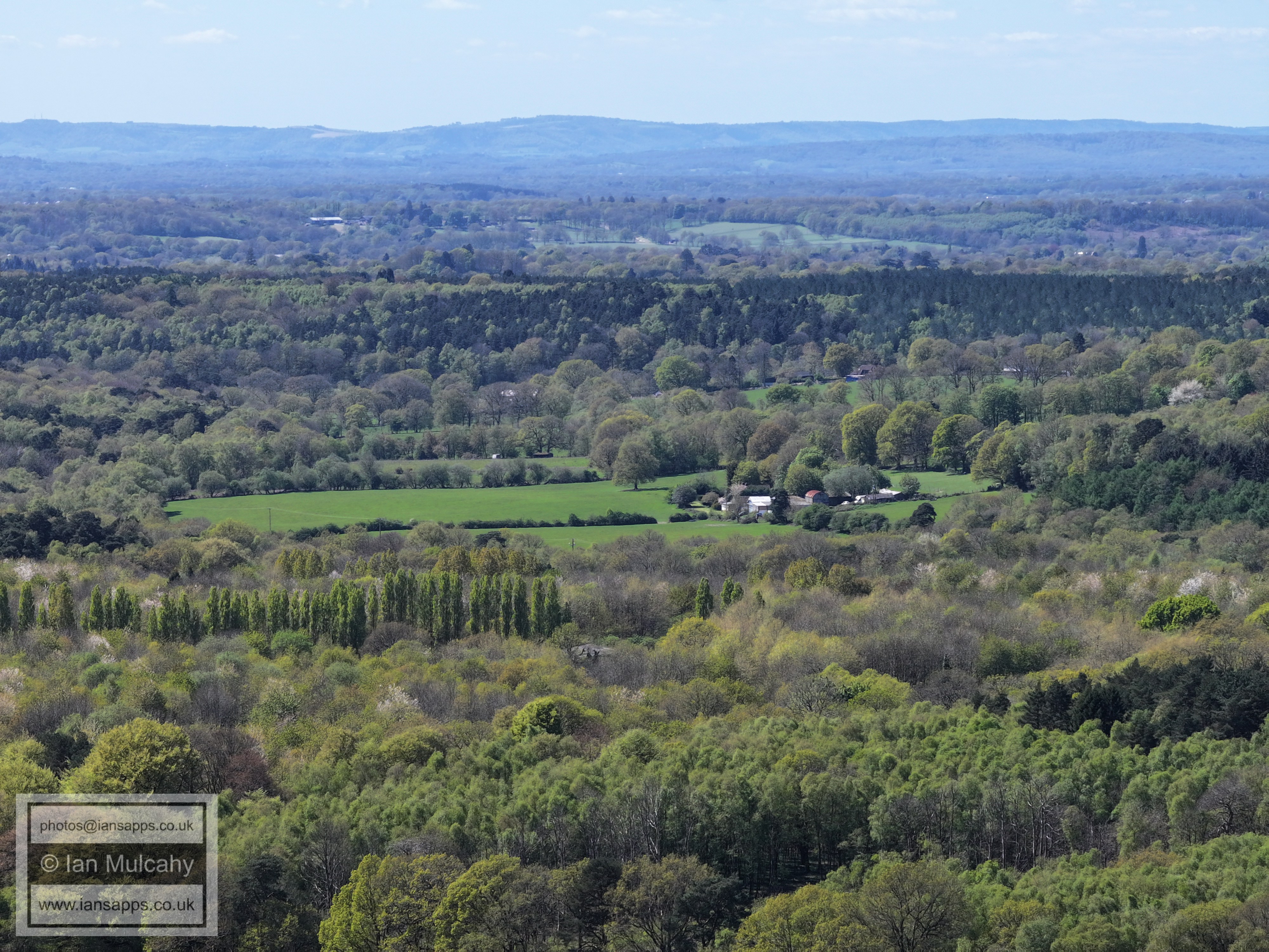
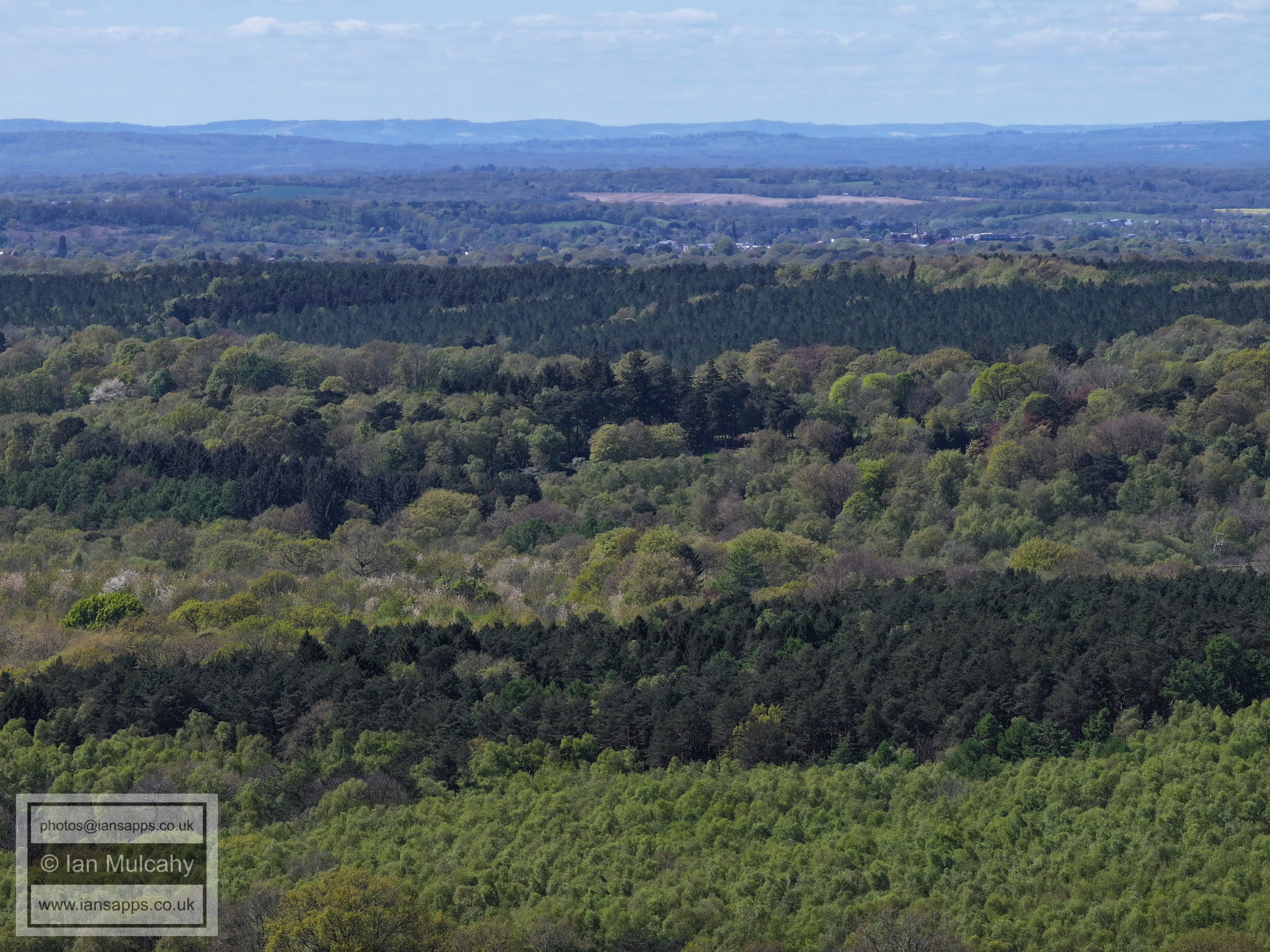
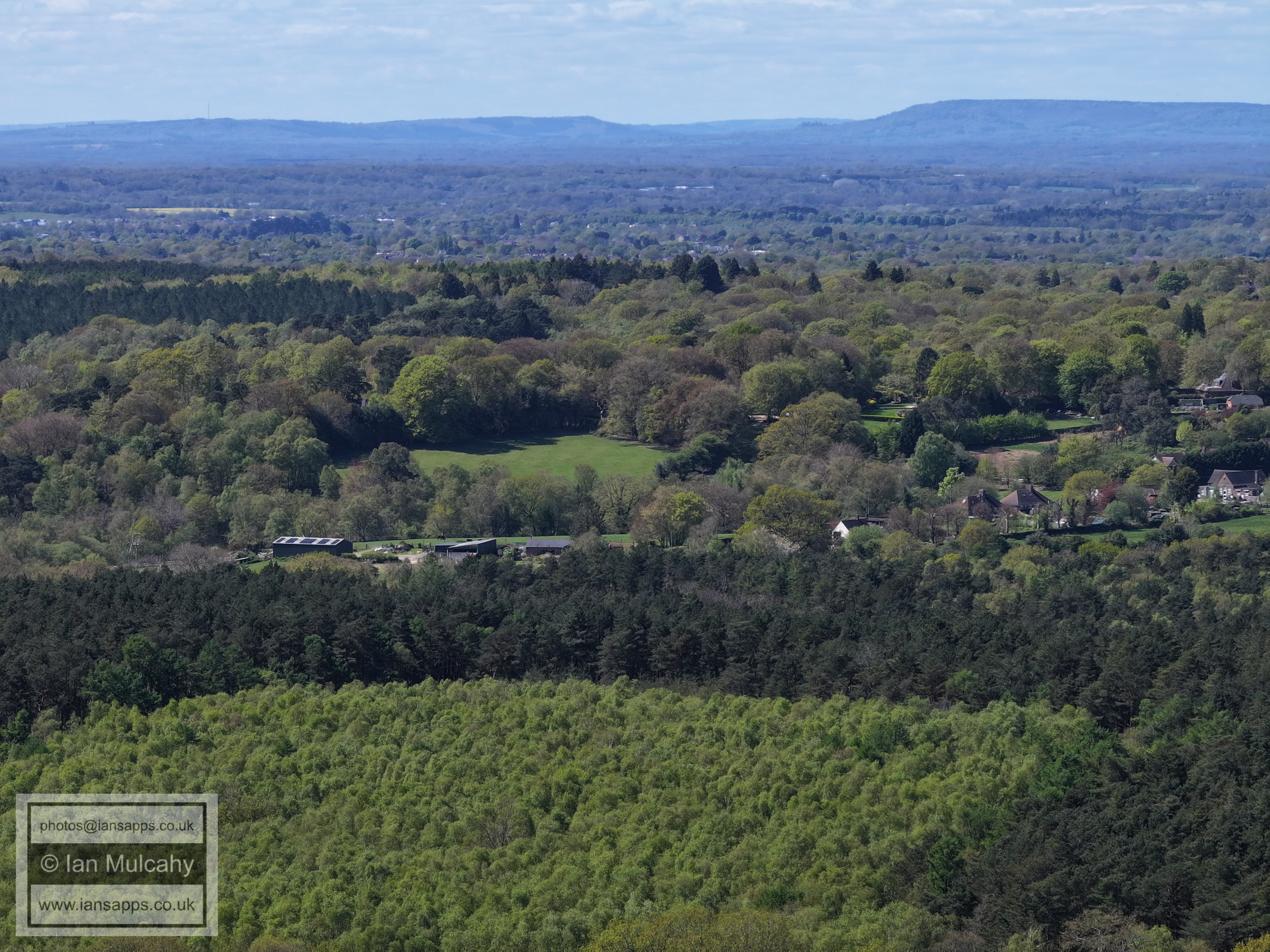
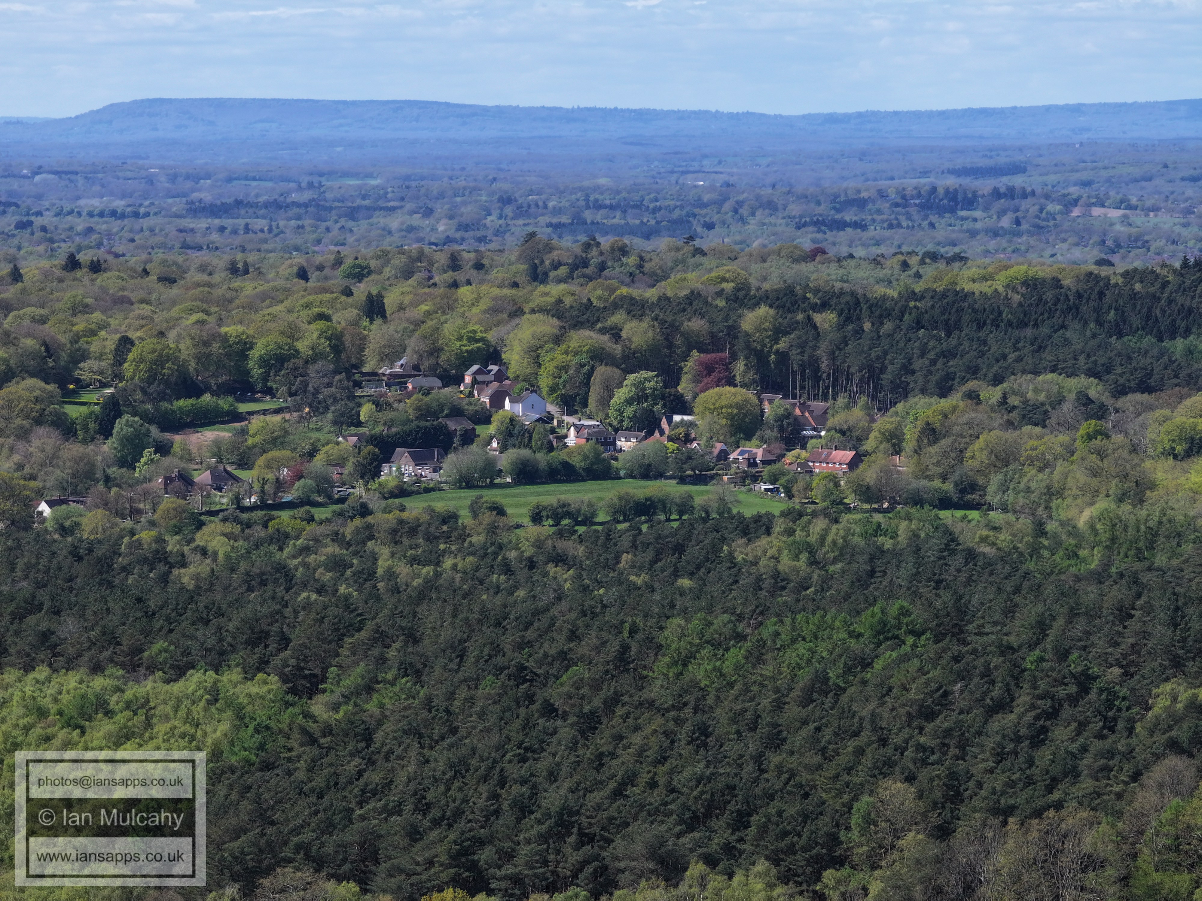
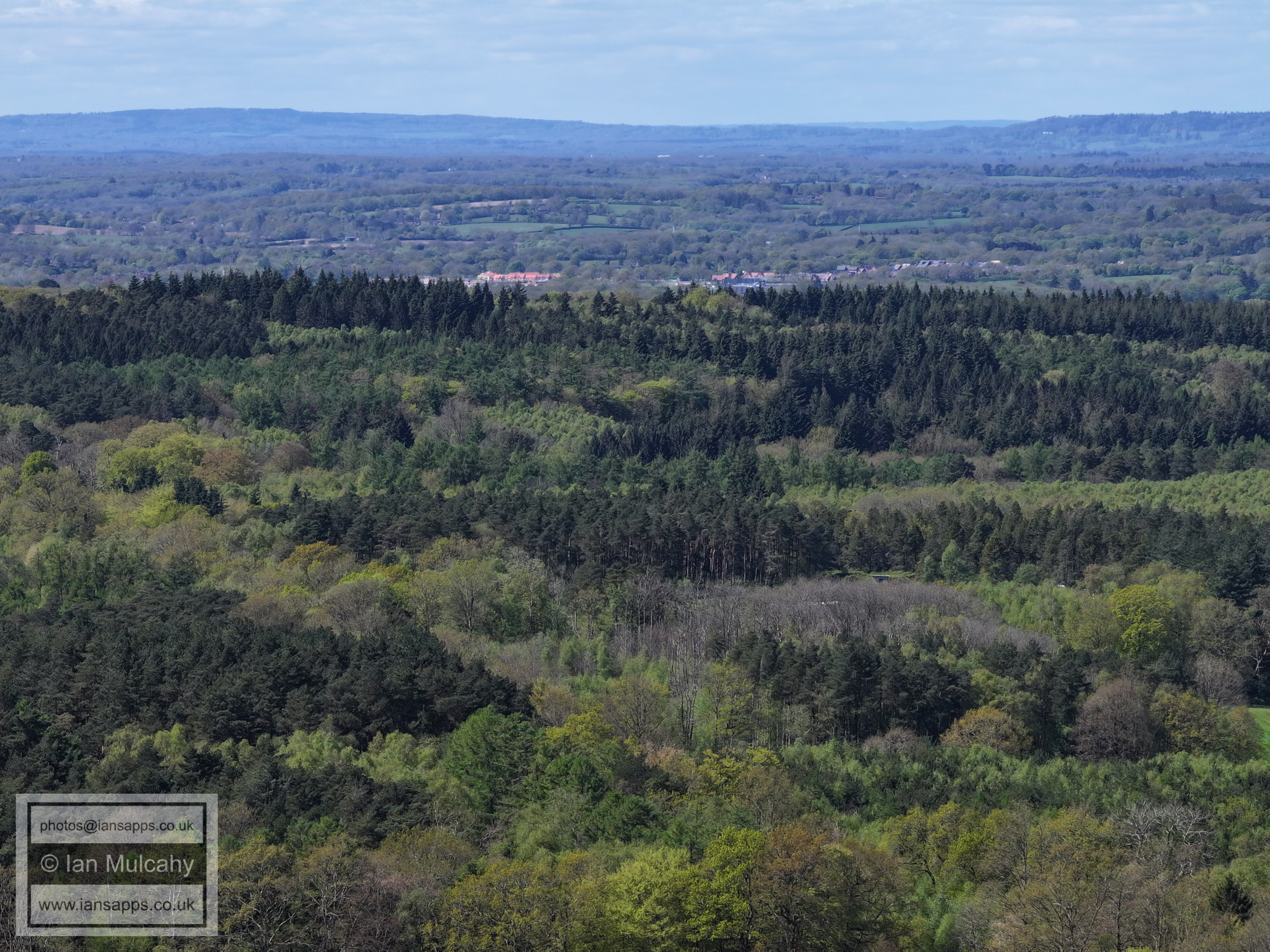
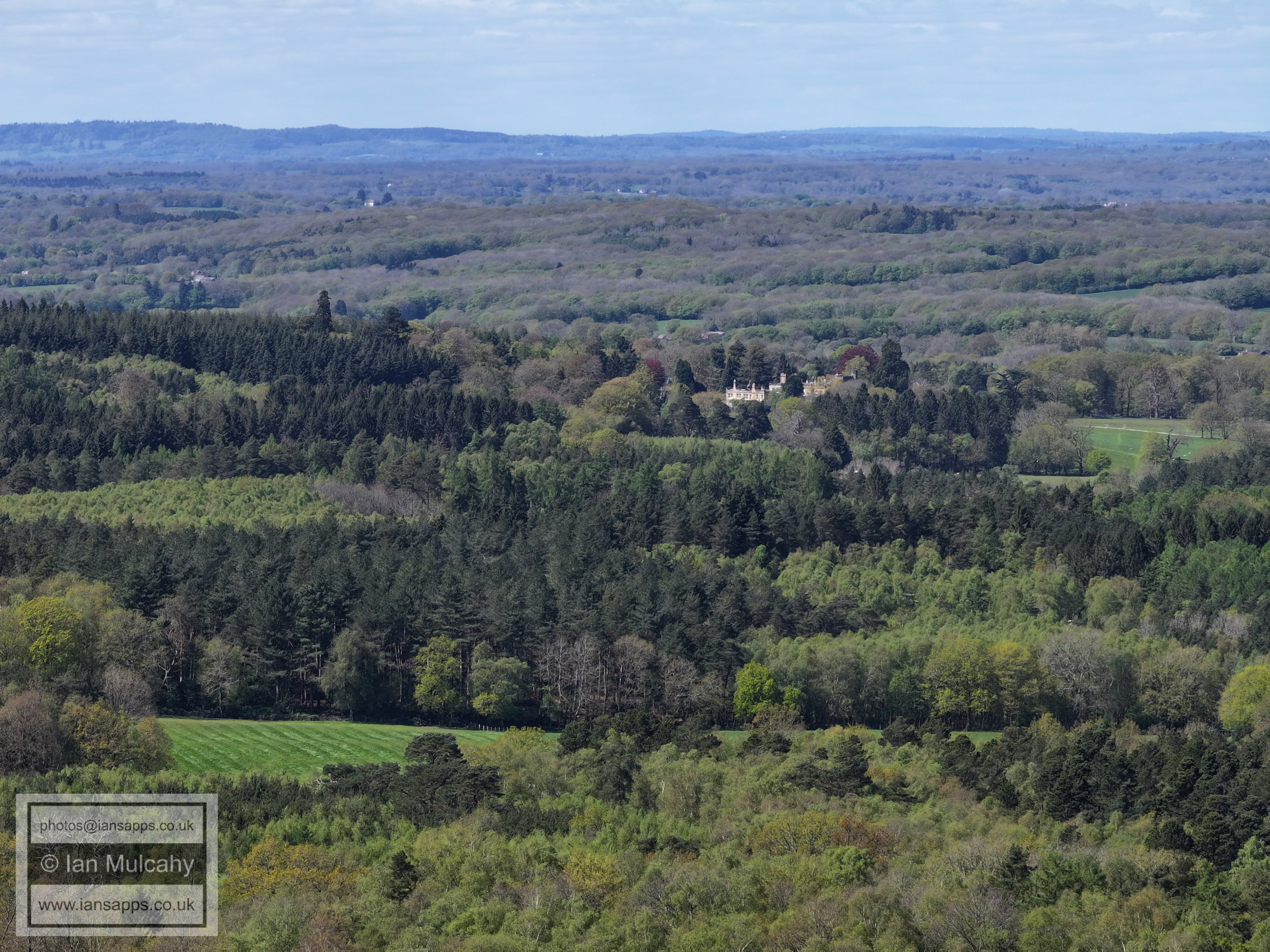
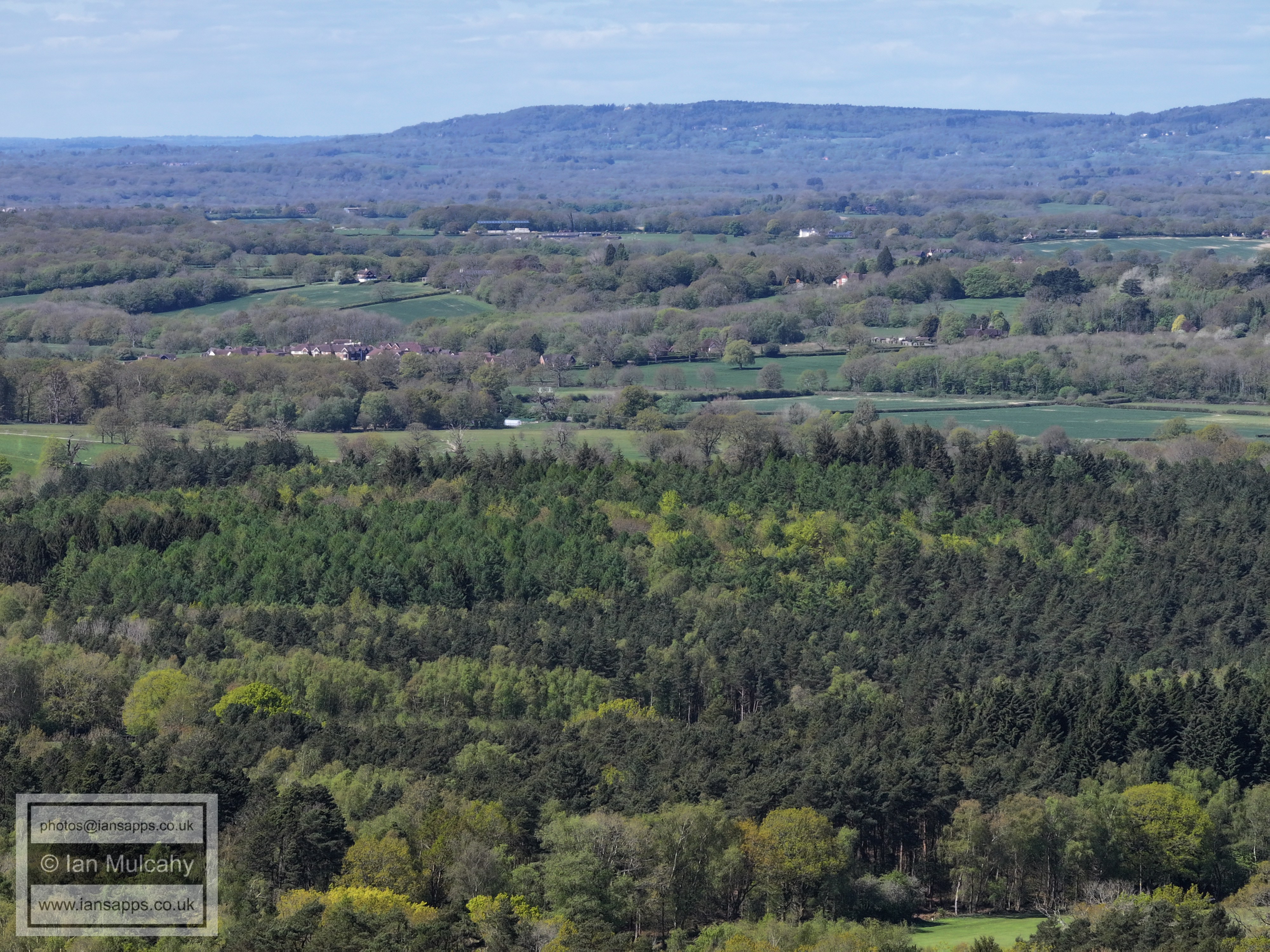
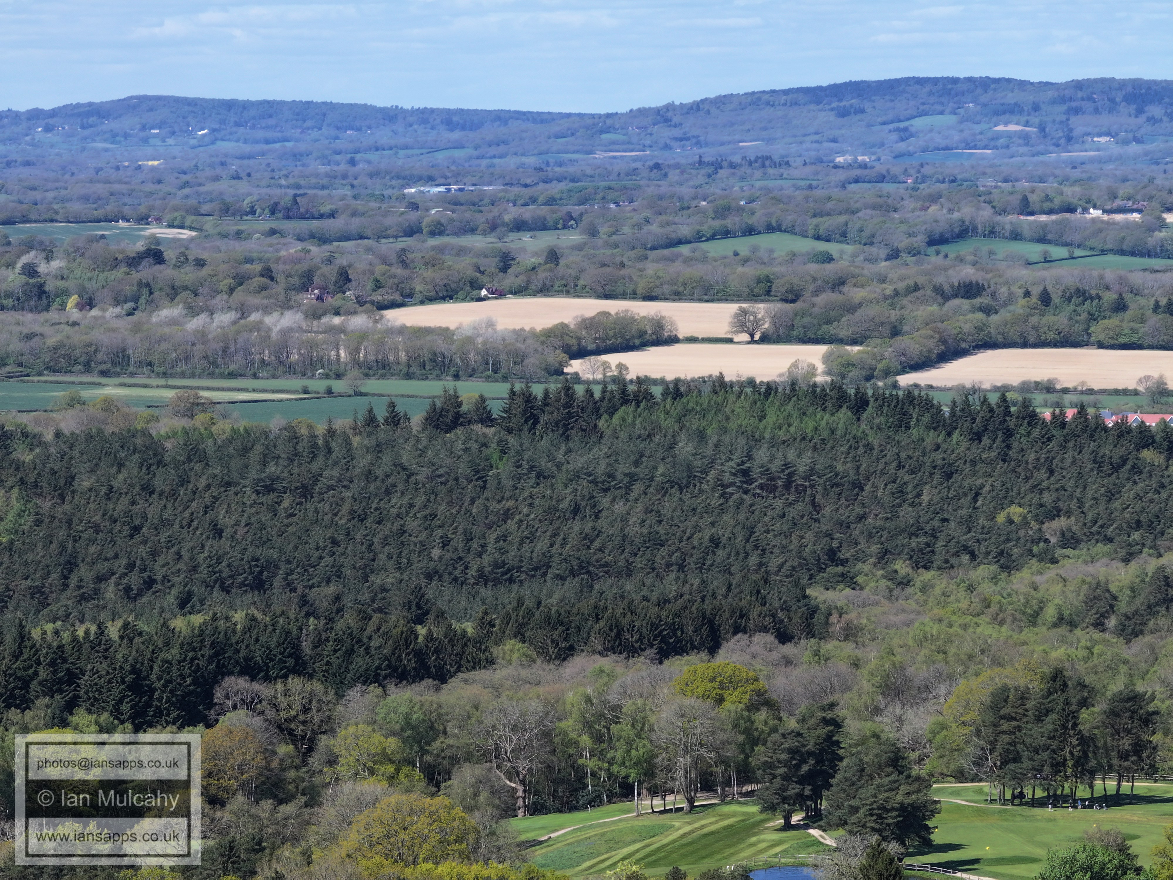
74 aerial images of varying focal length taken from a field south of Forest Road and west of Grouse Road near Cottesmore Golf Club, Colgate along with a handful taken south of Buchan House in the (no longer used) eastern section of the golf course on 19 April 2026. Some of the photos are annotated.
South of Buchan House in the (no longer used) eastern section of the golf course
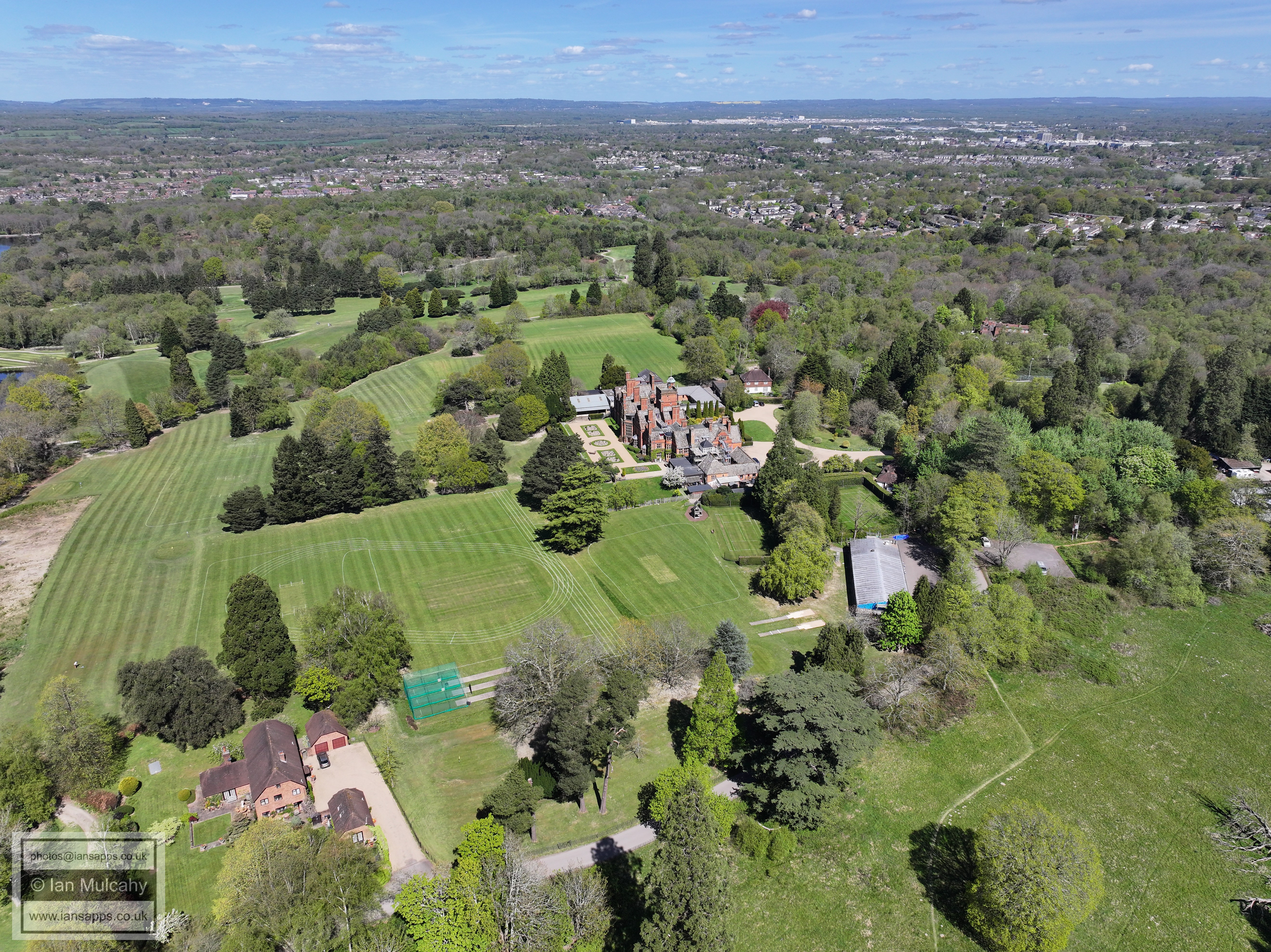
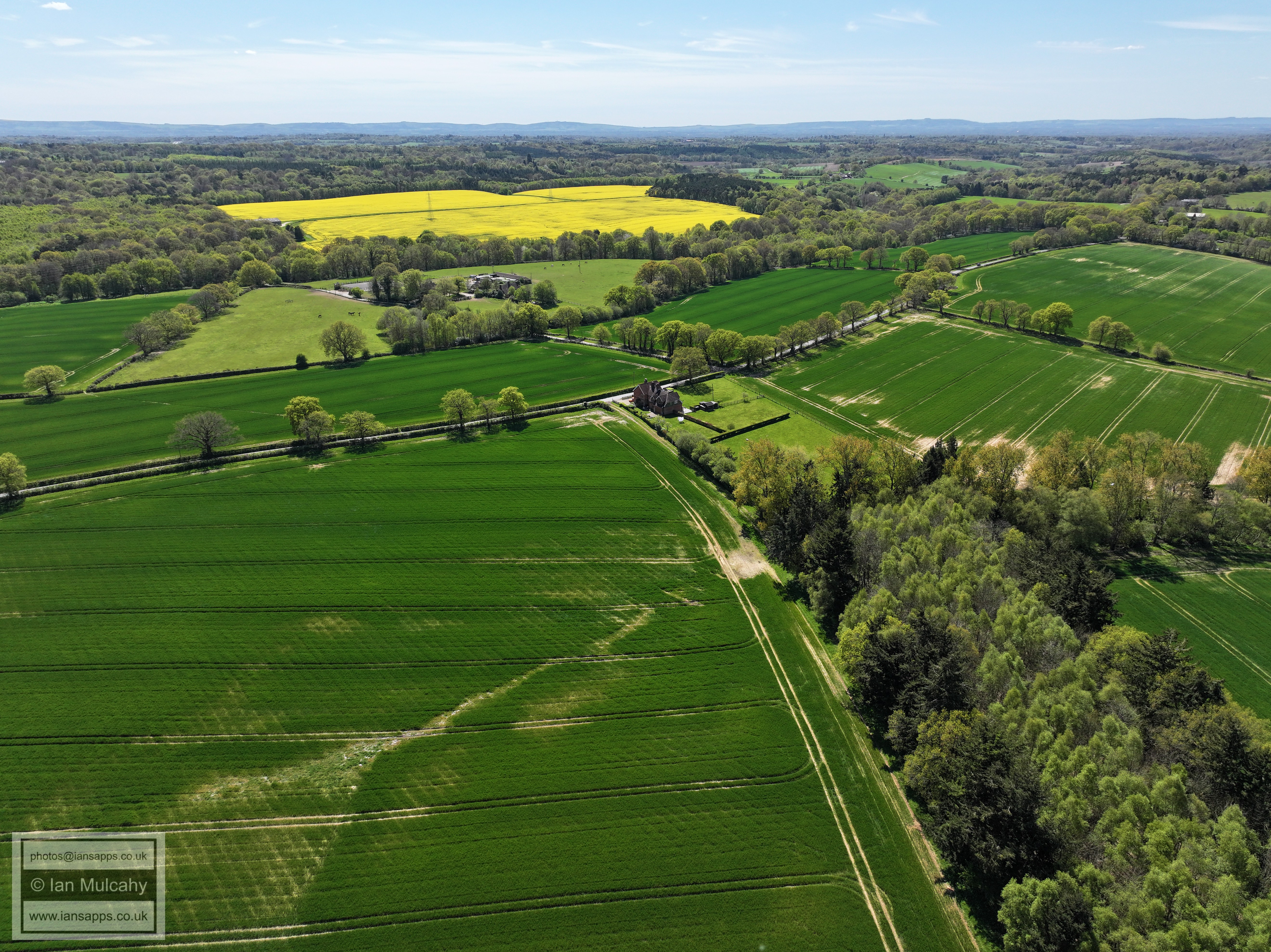
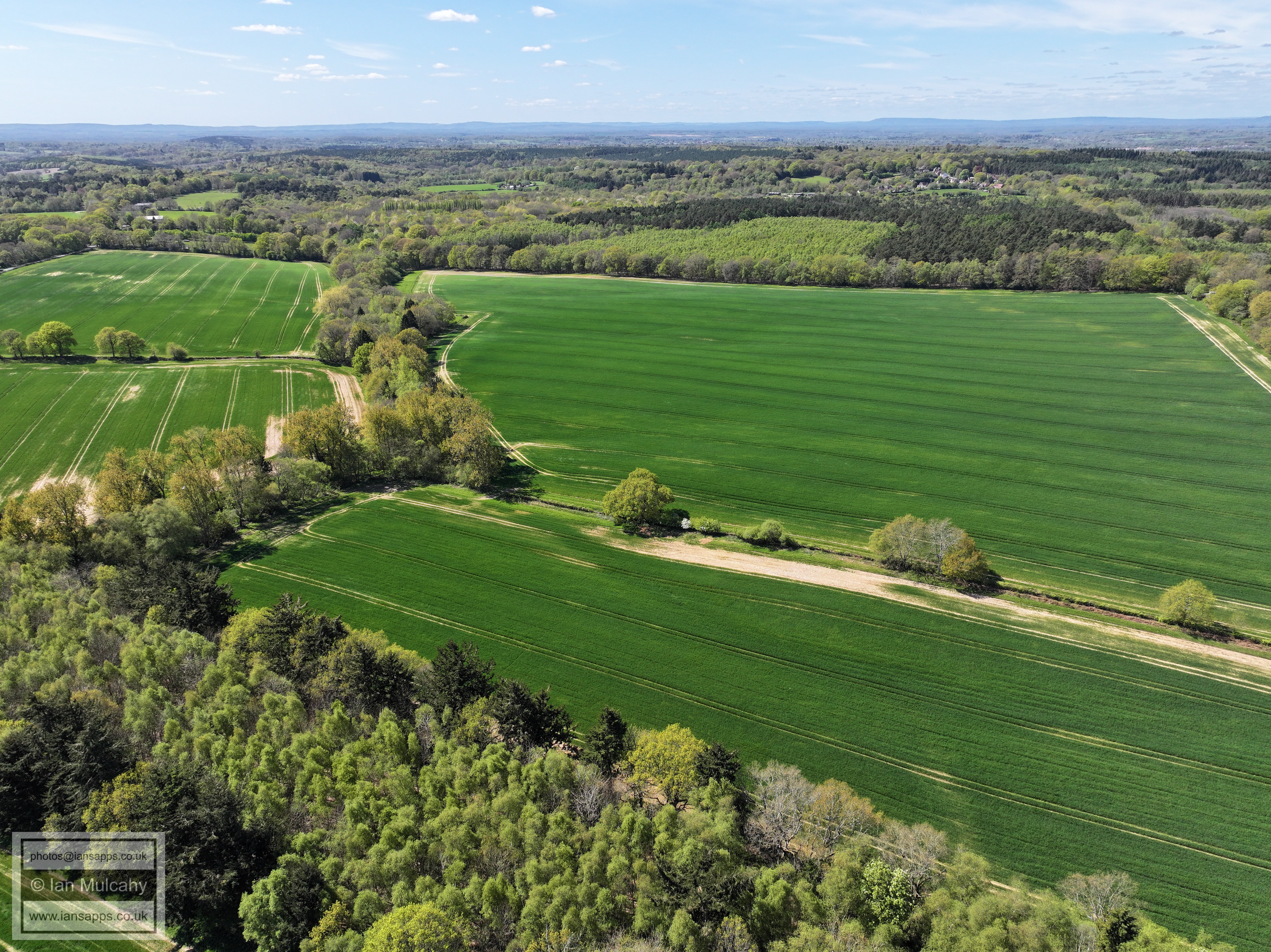
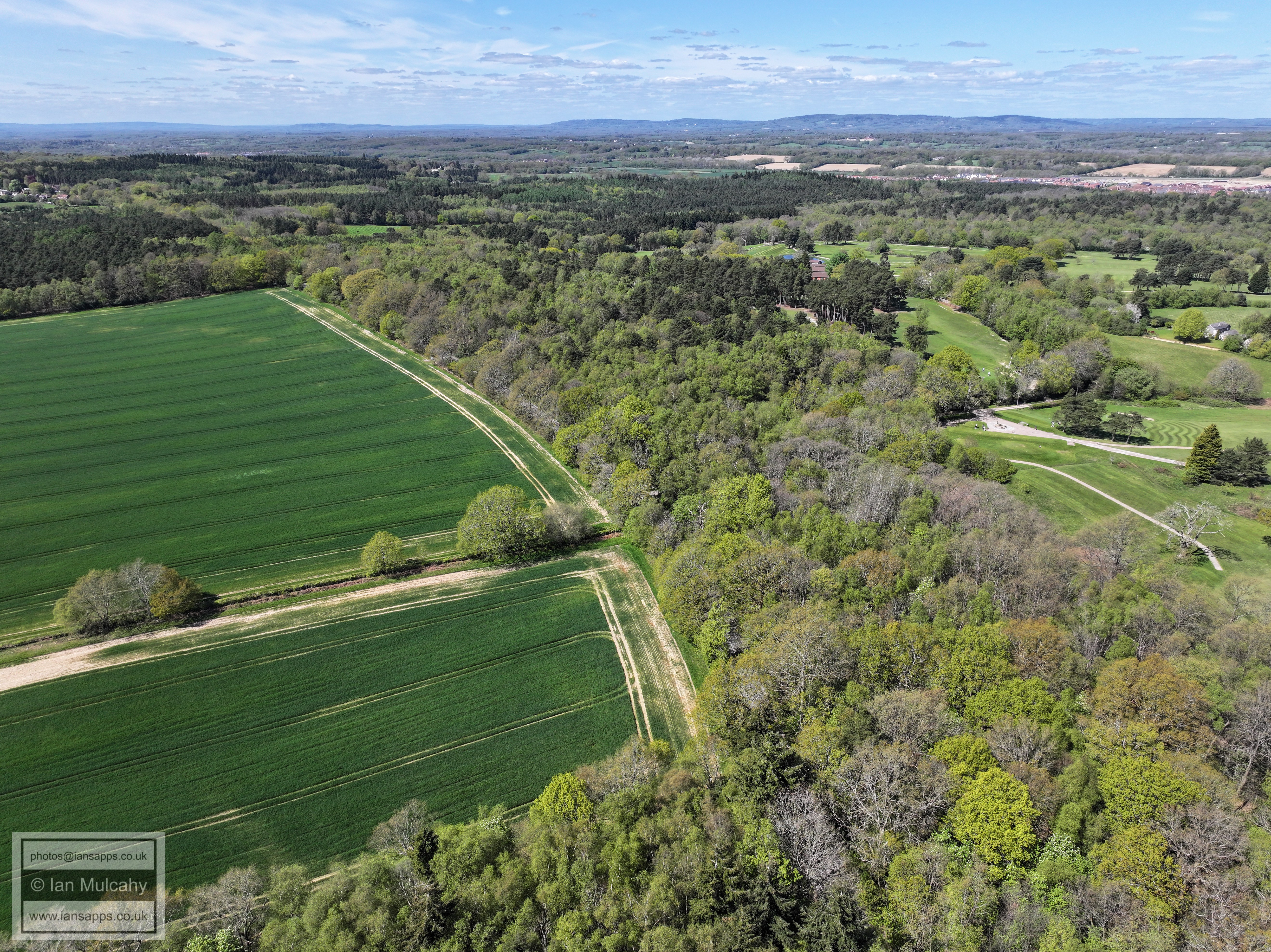
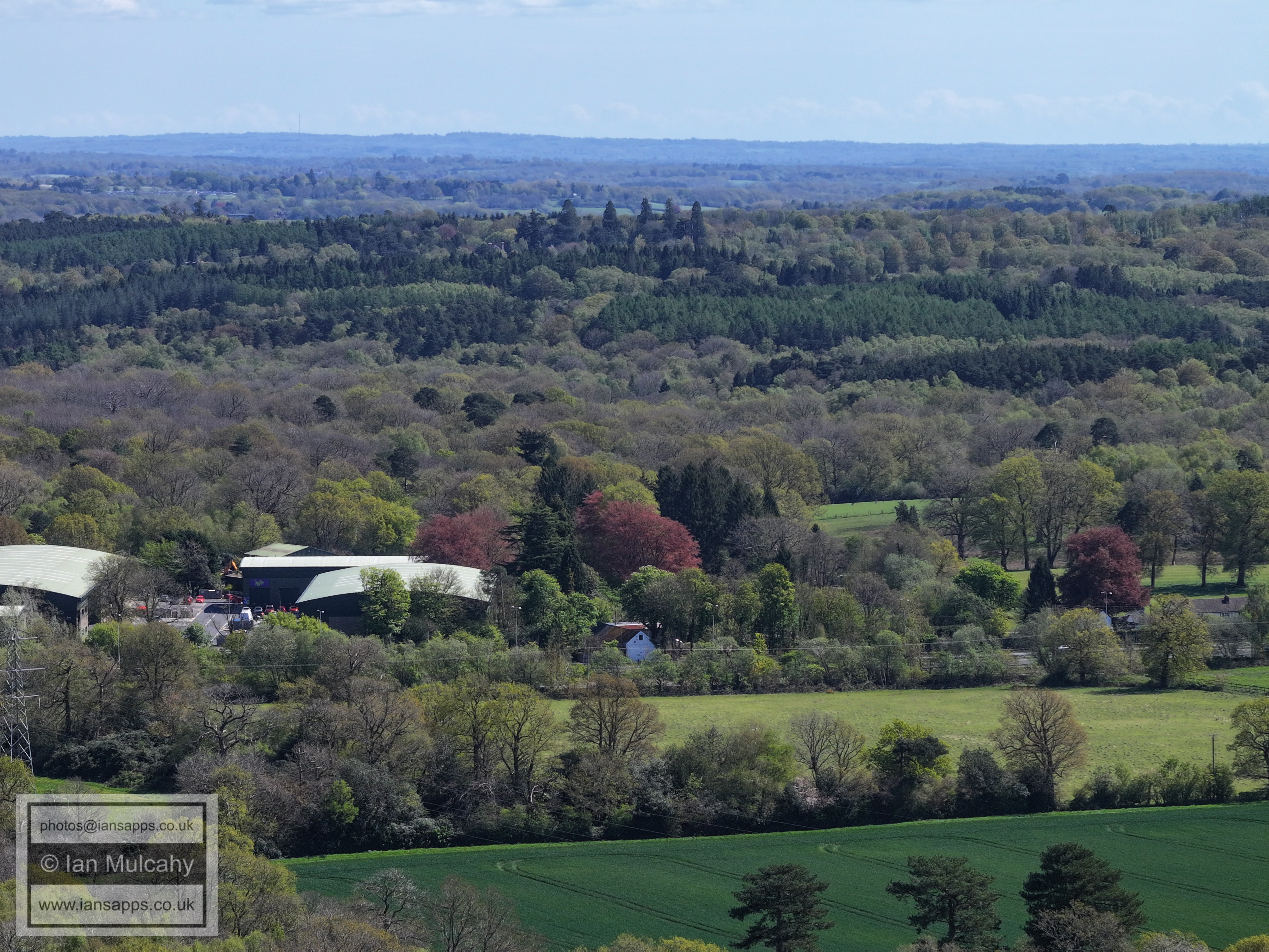
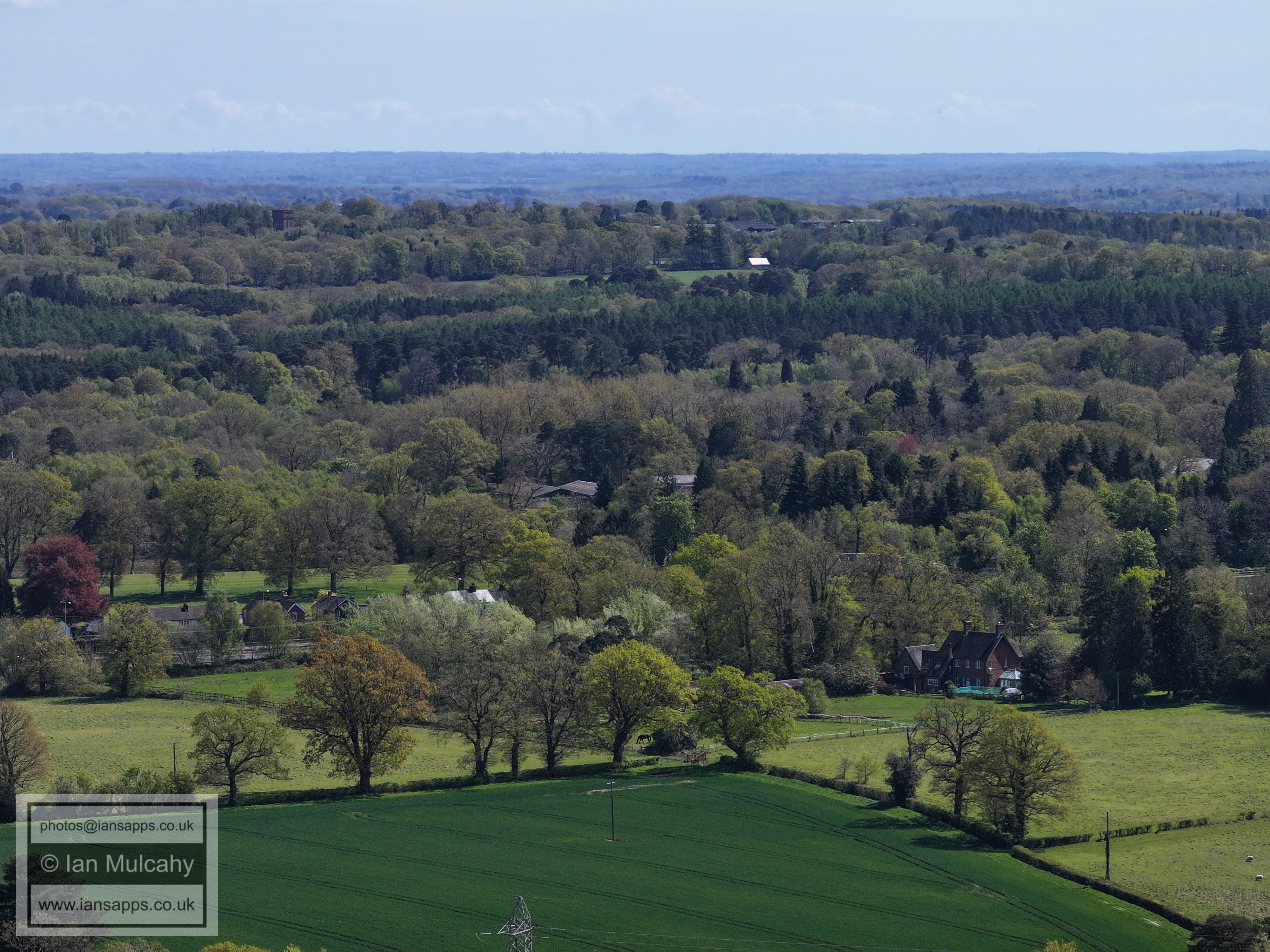
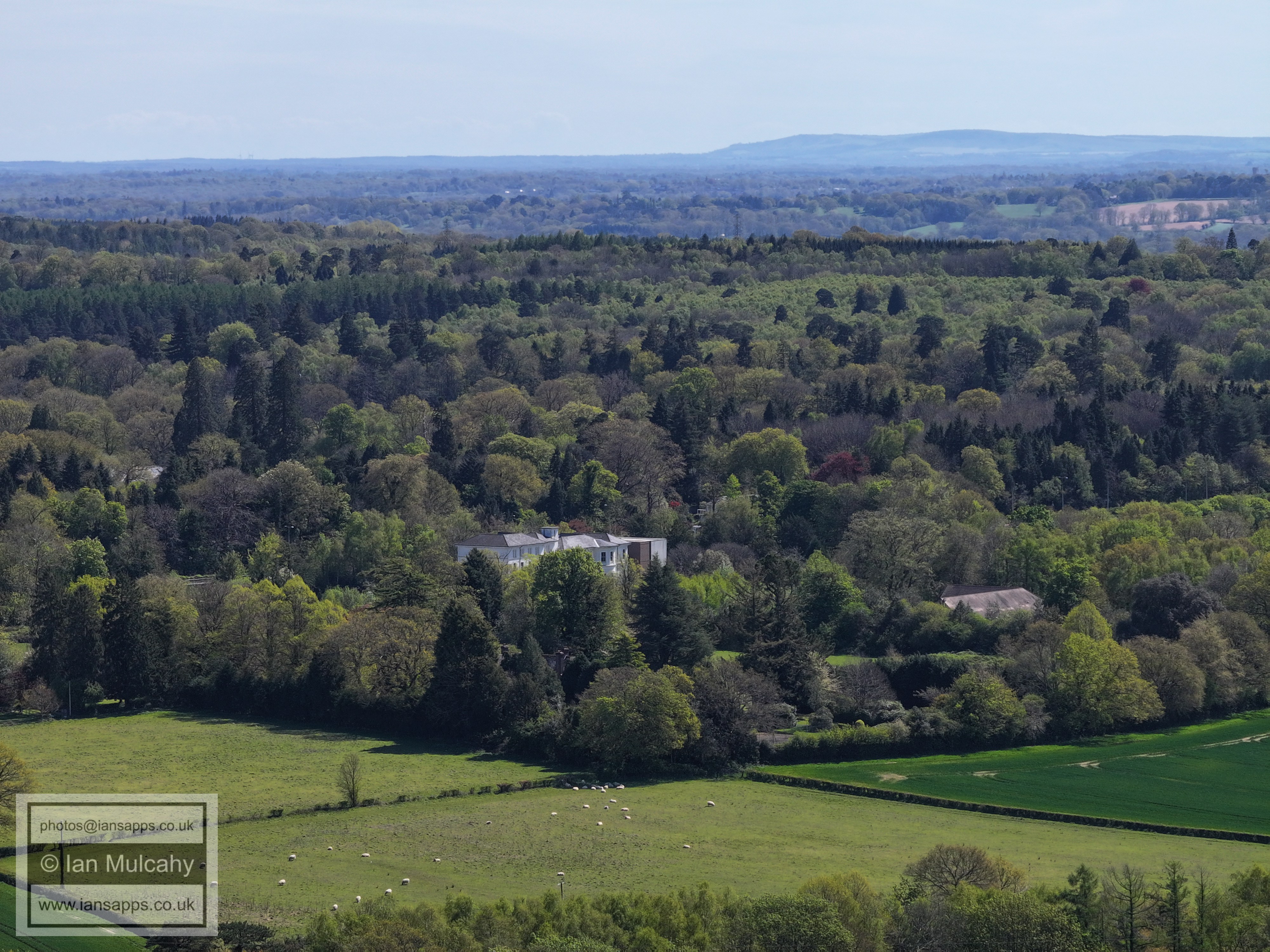
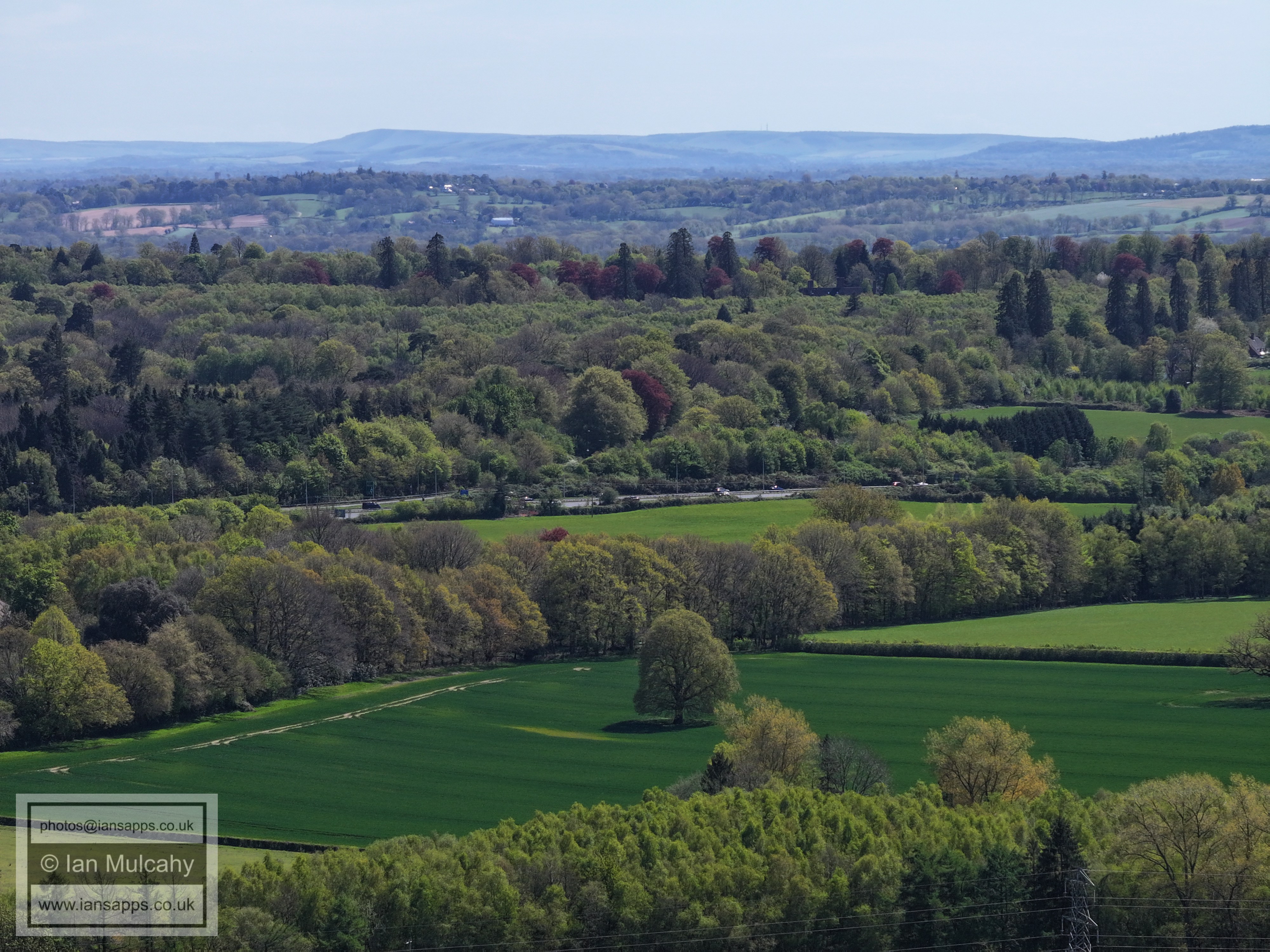
A field south of Forest Road and west of Grouse Road near Cottesmore Golf Club
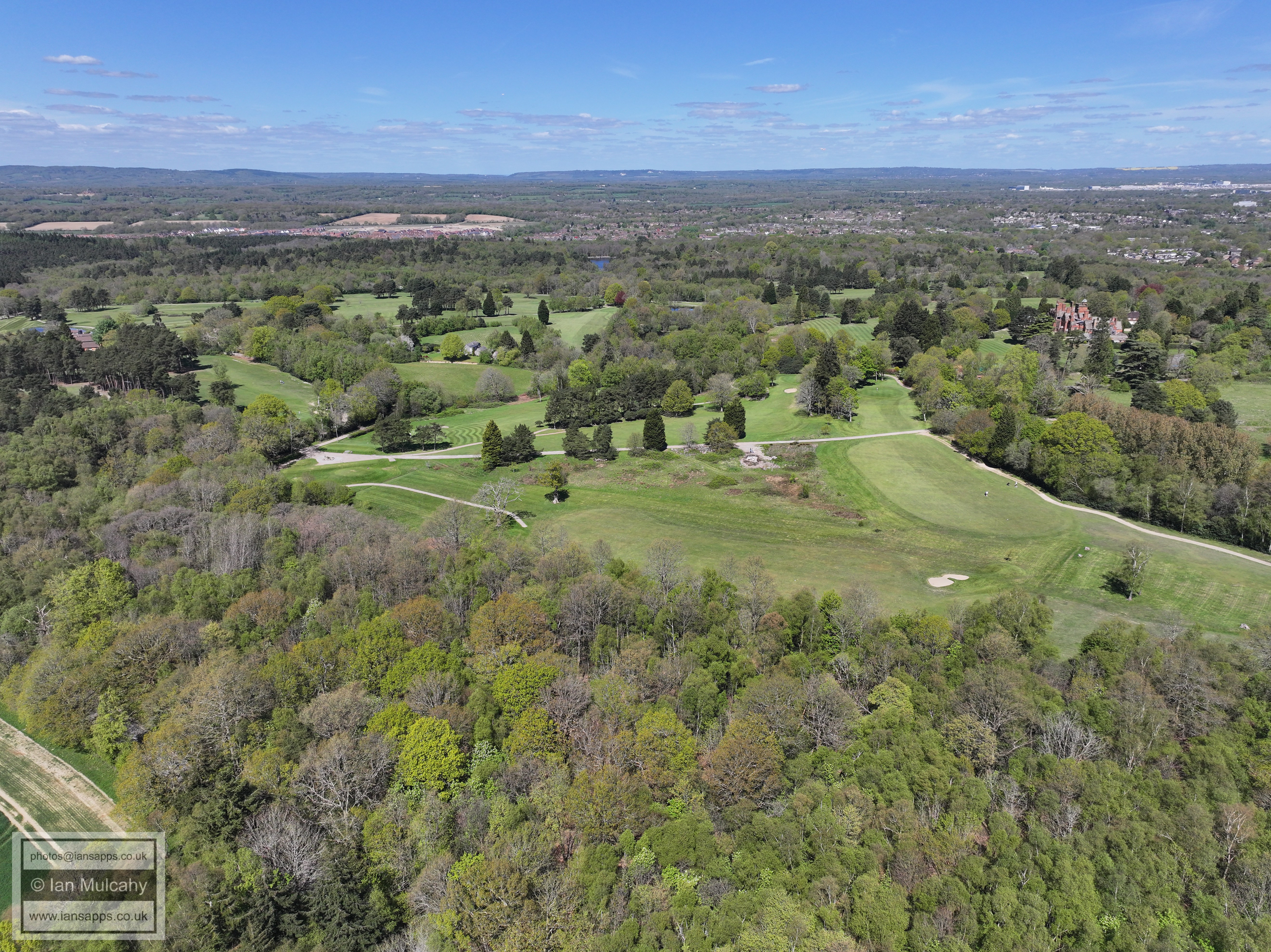
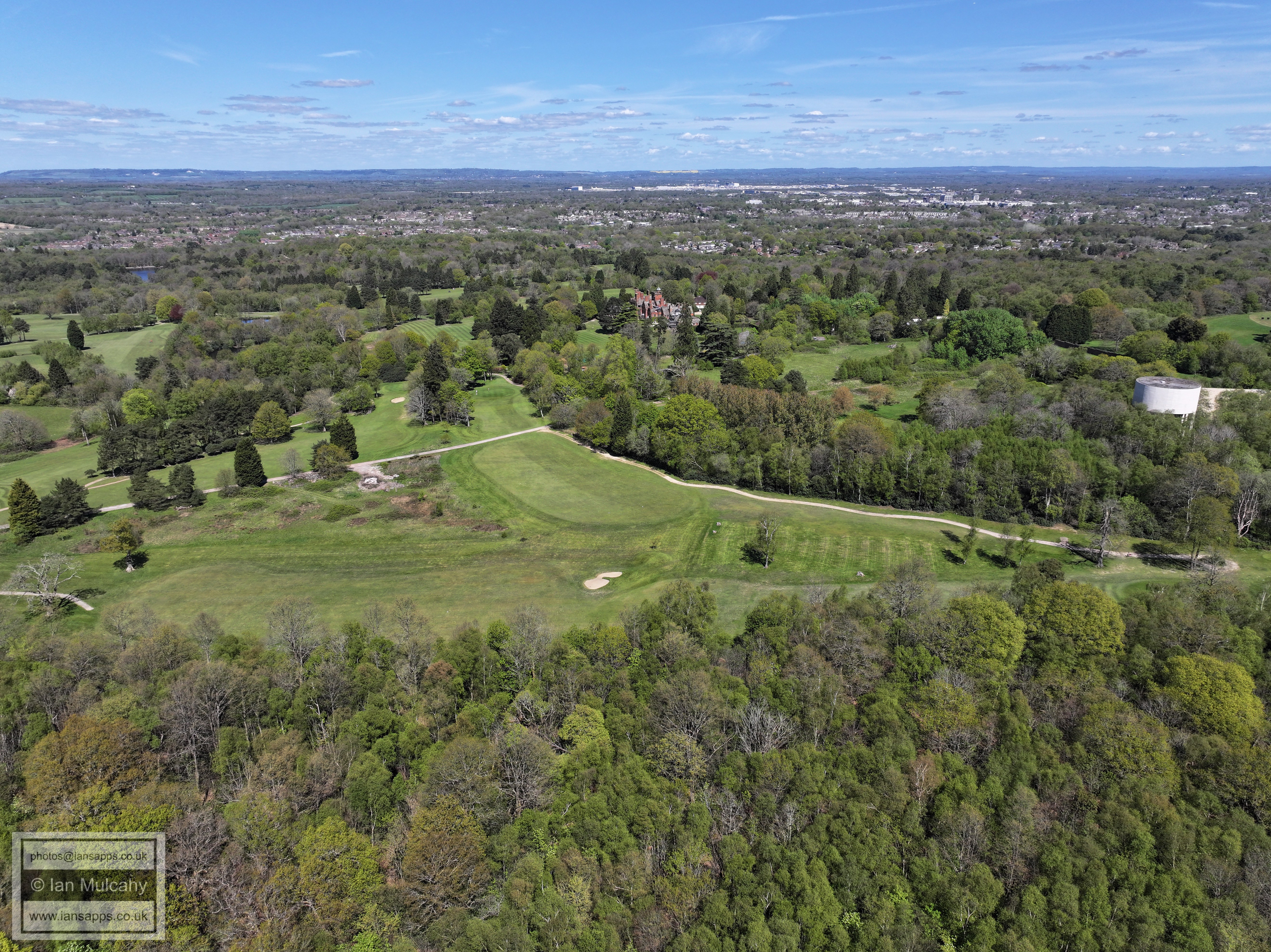
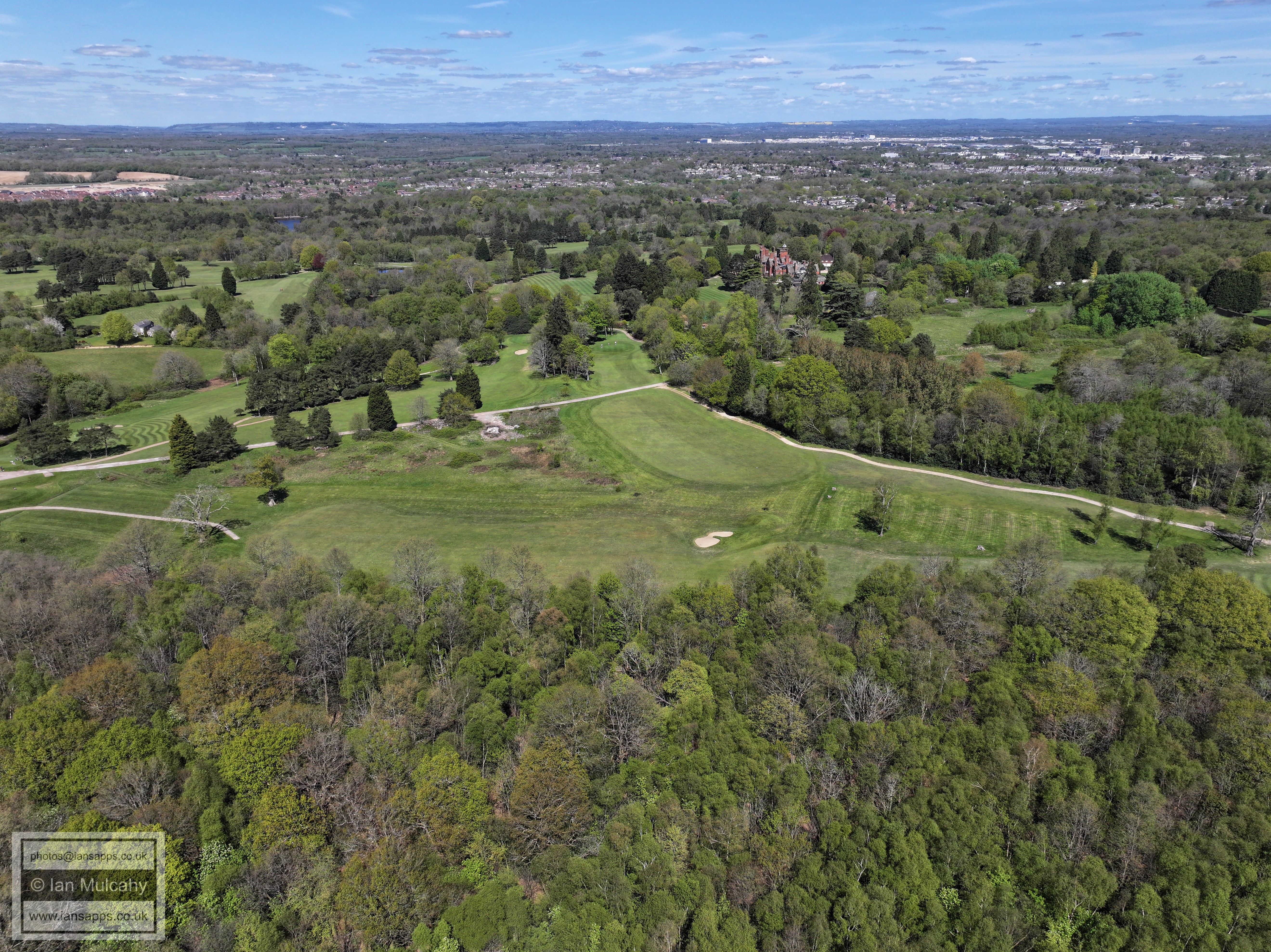
Cottesmore Golf Course
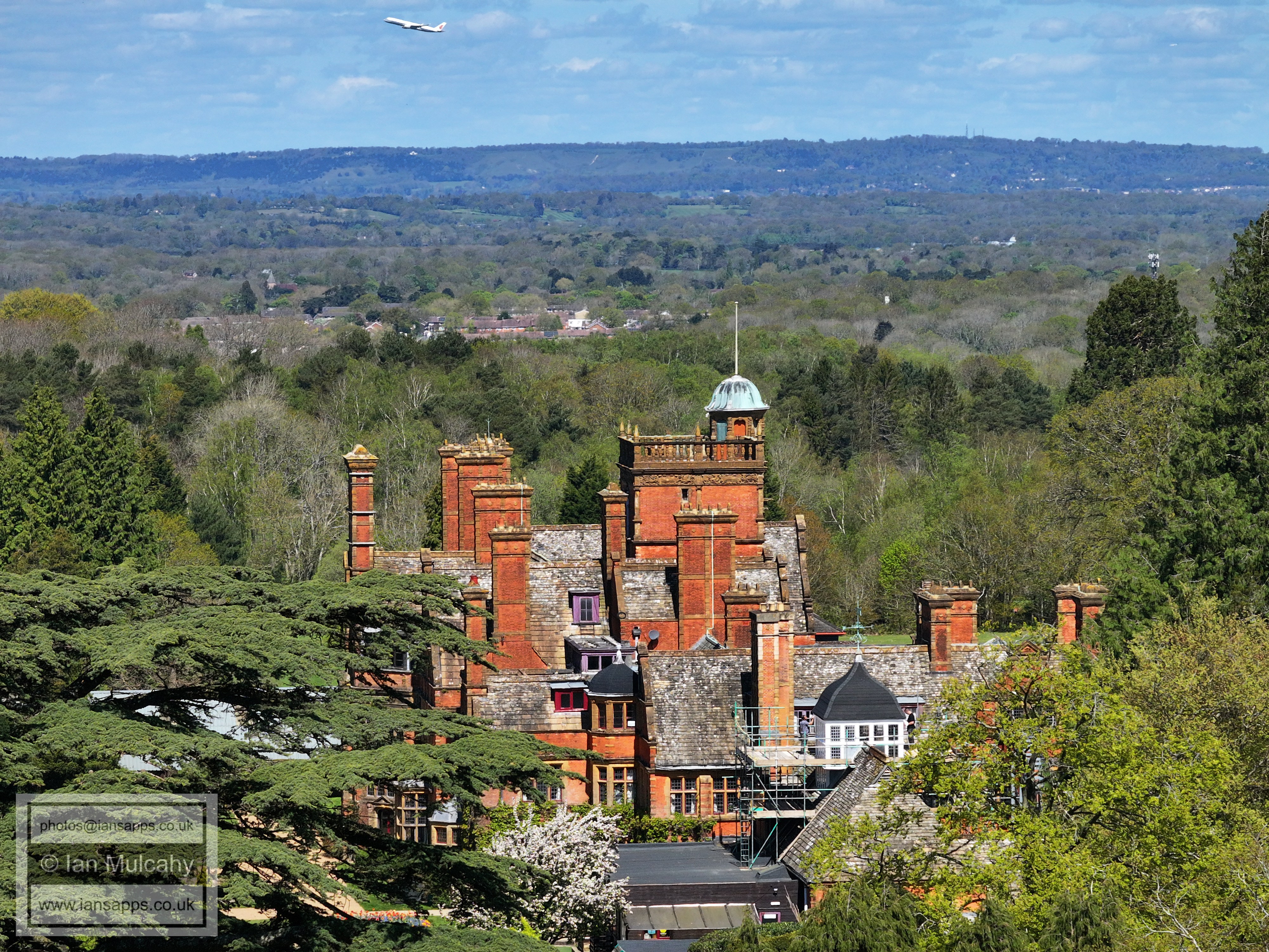
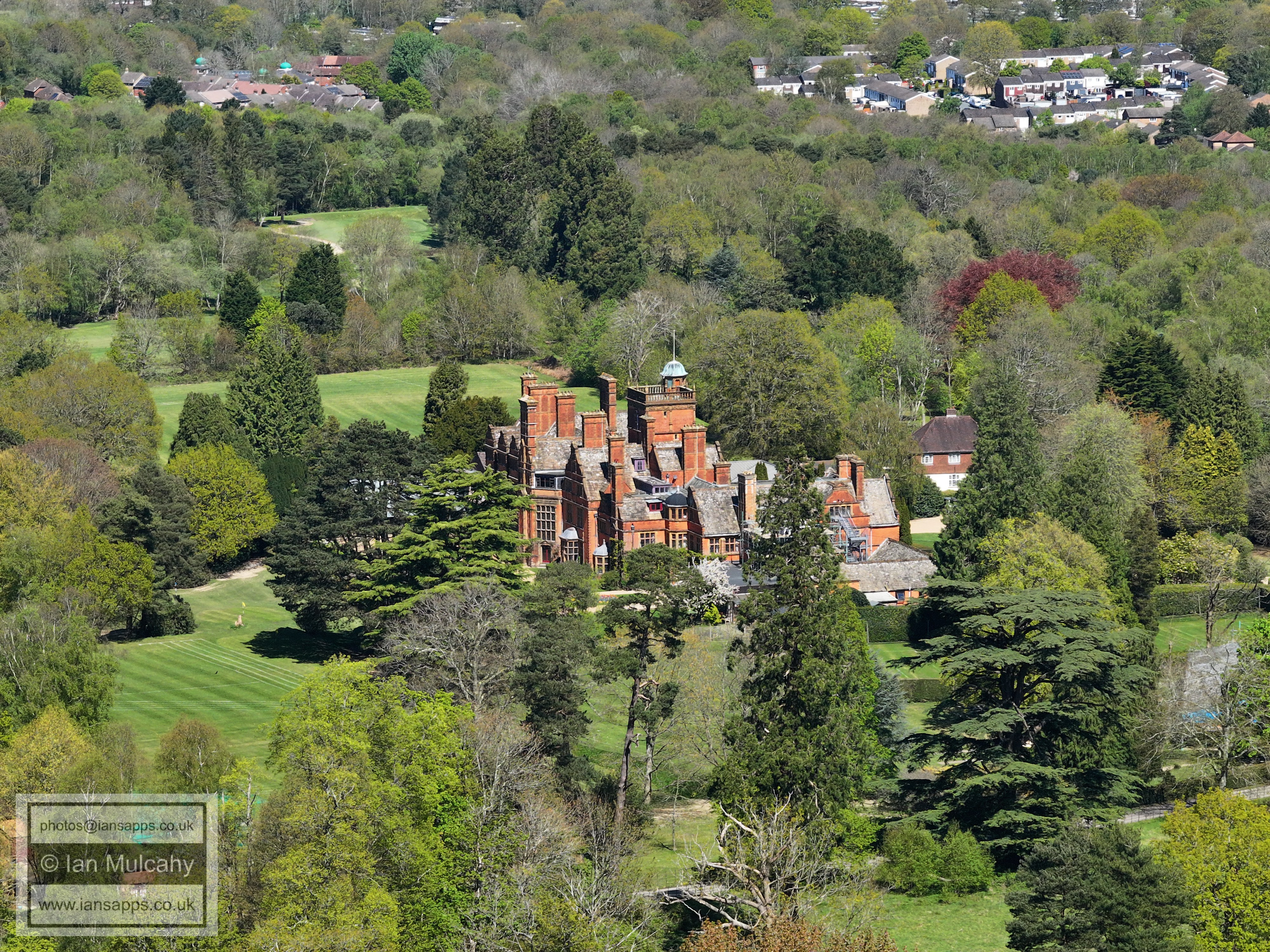
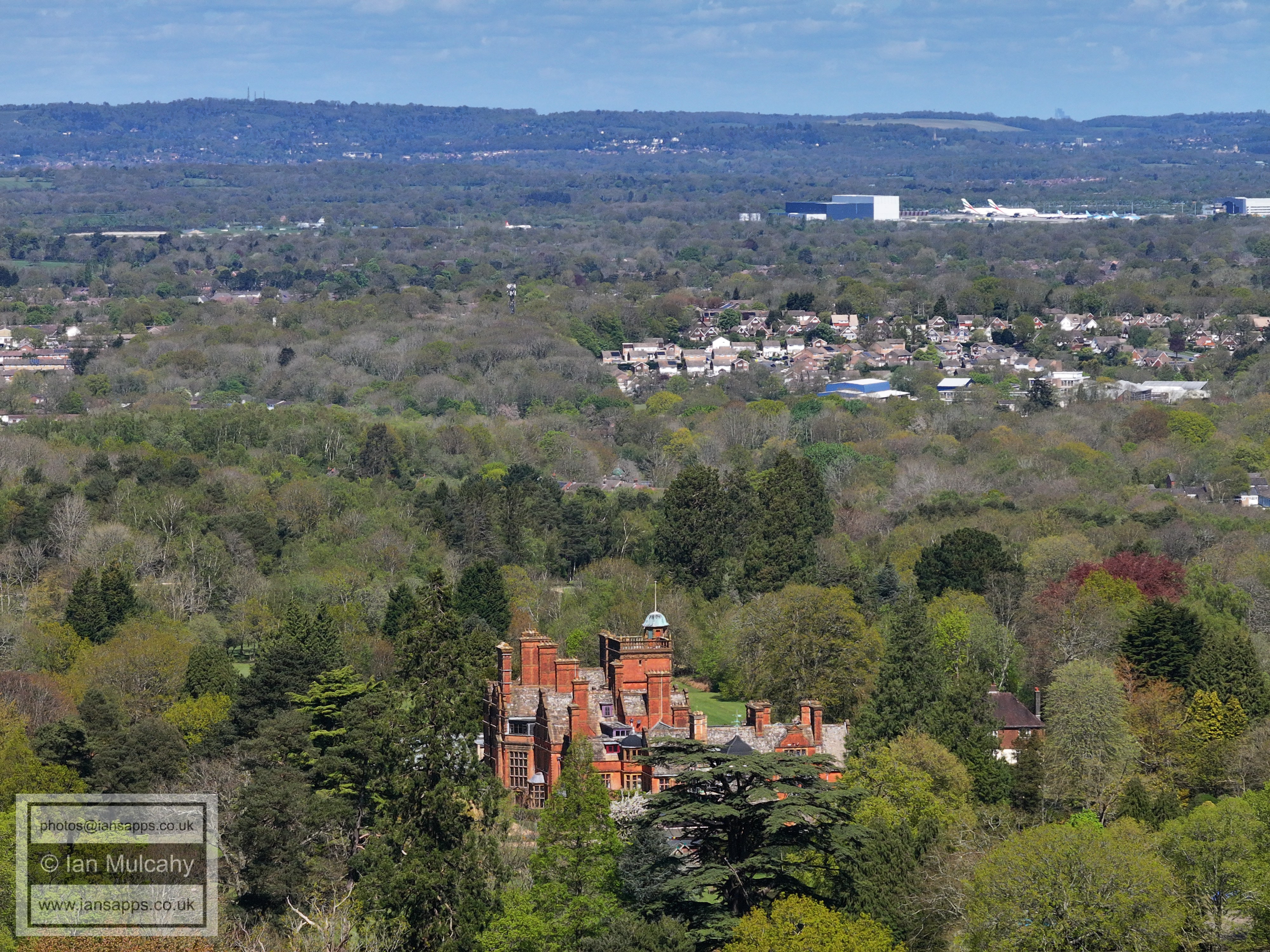
Buchan House
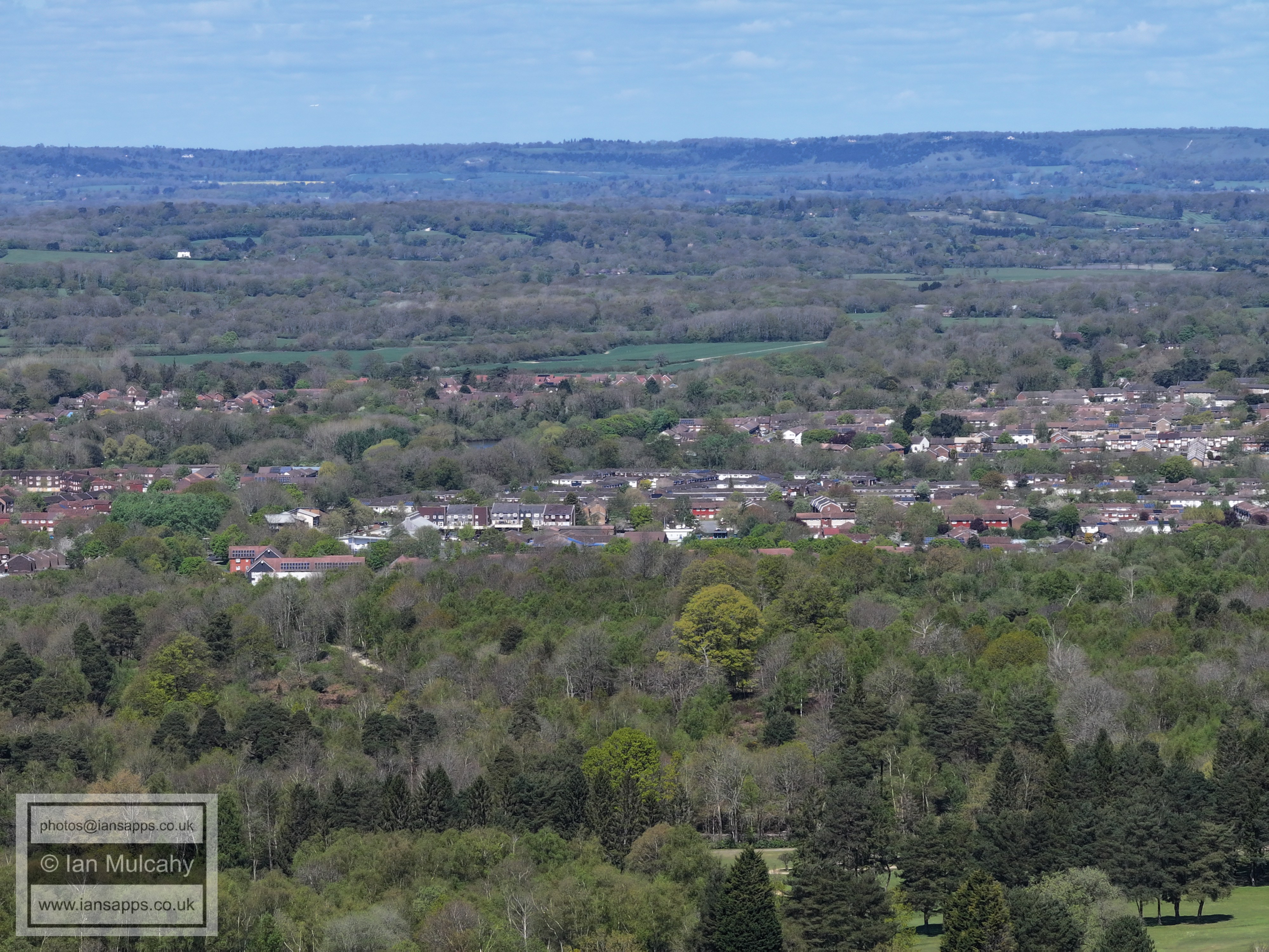
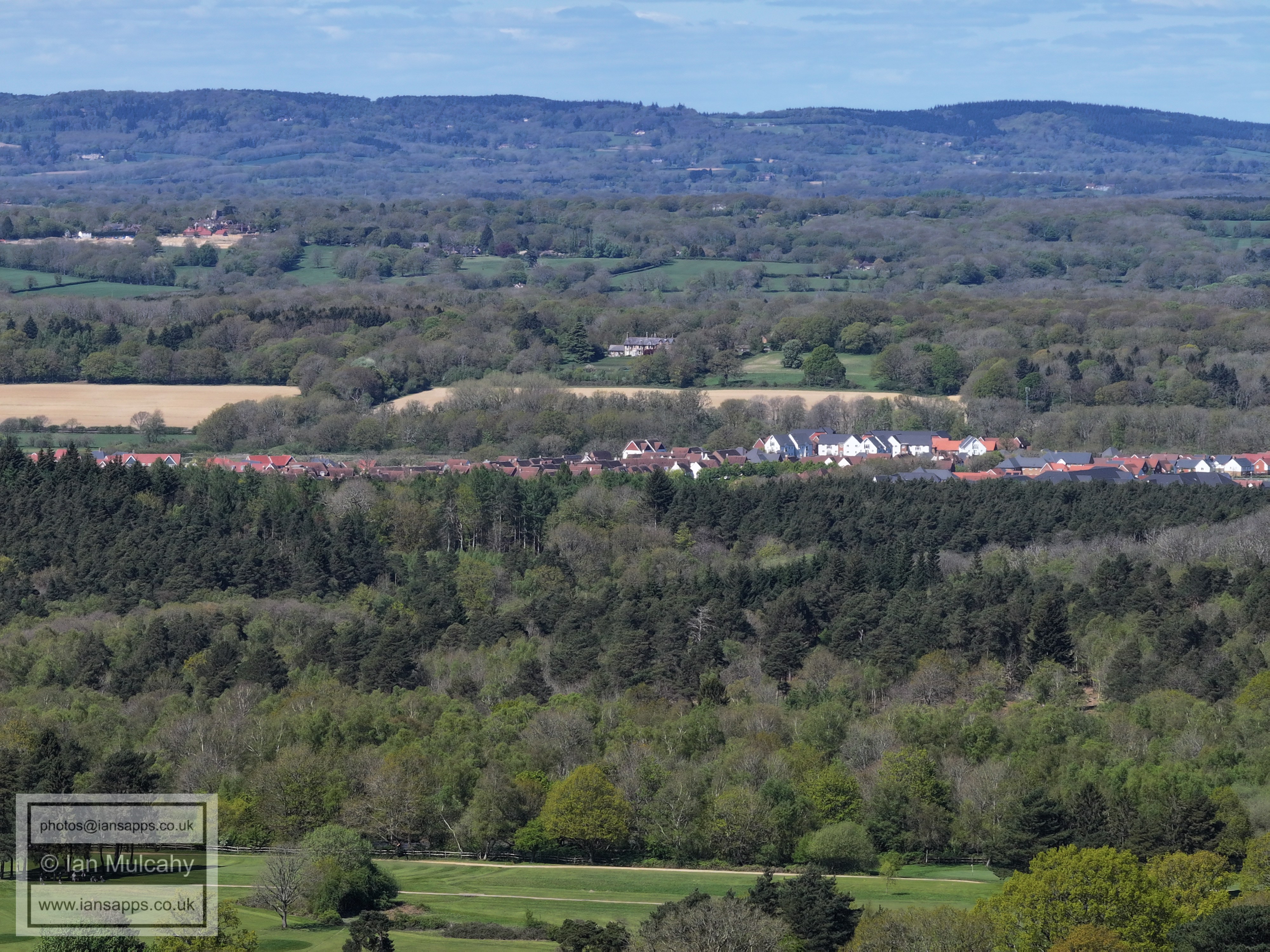
Pease Pottage & Woodgate near the top
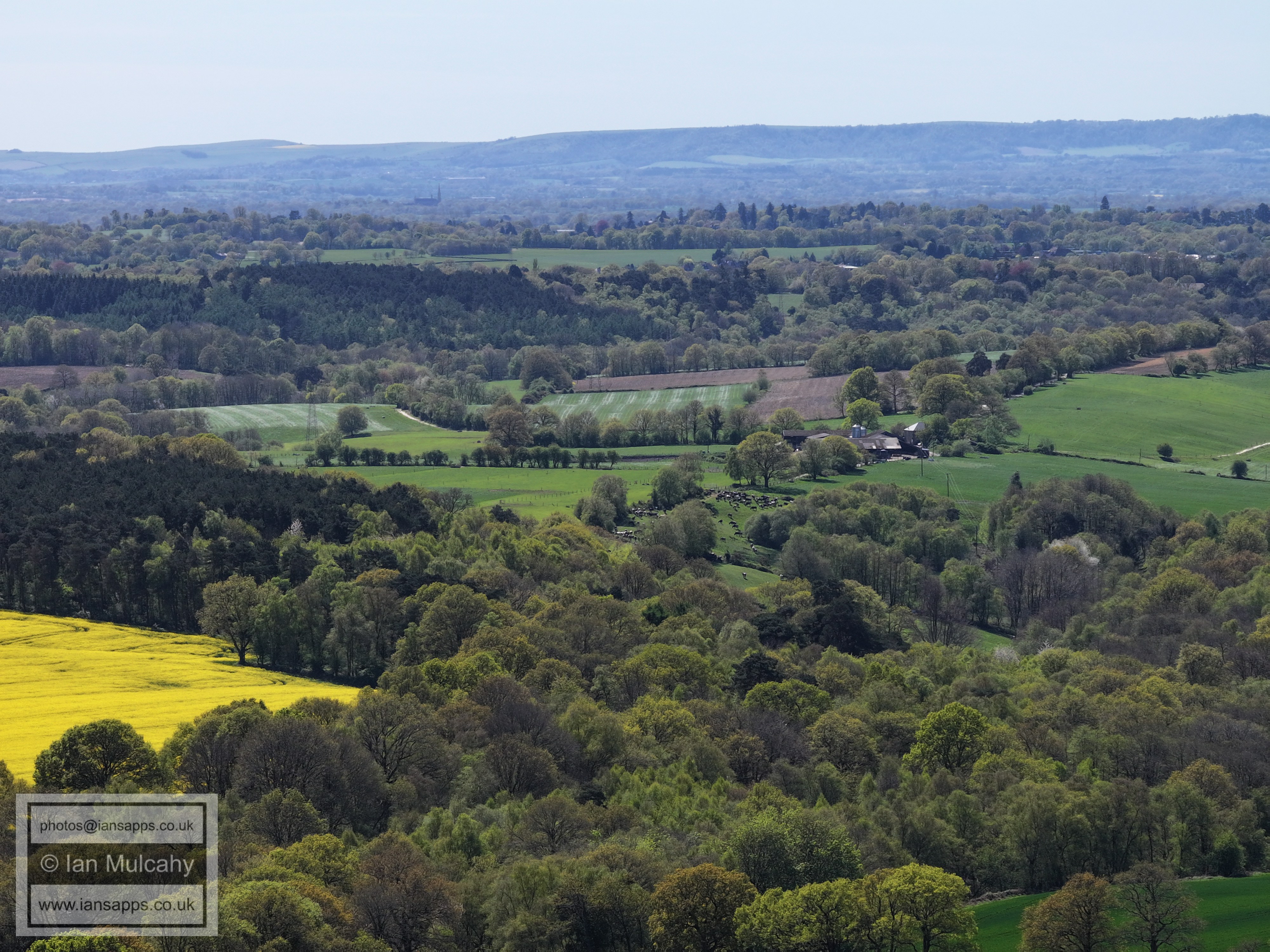
Shelley Plain, in yellow. This was once the site of a medieval settlement that, by the 1500s, formed the southern end of the small Crawley detached Parish
Pease Pottage & Woodgate
The road that passes diagonally across the bottom right quarter is Grouse Road at the entrance to Shelley Farm.
Colgate, just above centre
In a neat little line is the Douster Pond, Bonwyckes Place (above Bewbush & Ifield West) and Russ Hill Hotel
Bewbush shops are just left of centre with a part of Ifield Millpond above, St Margaret's Church at Ifield is in the top right quarter and high in the centre is St Nicholas Church at Charlwood.
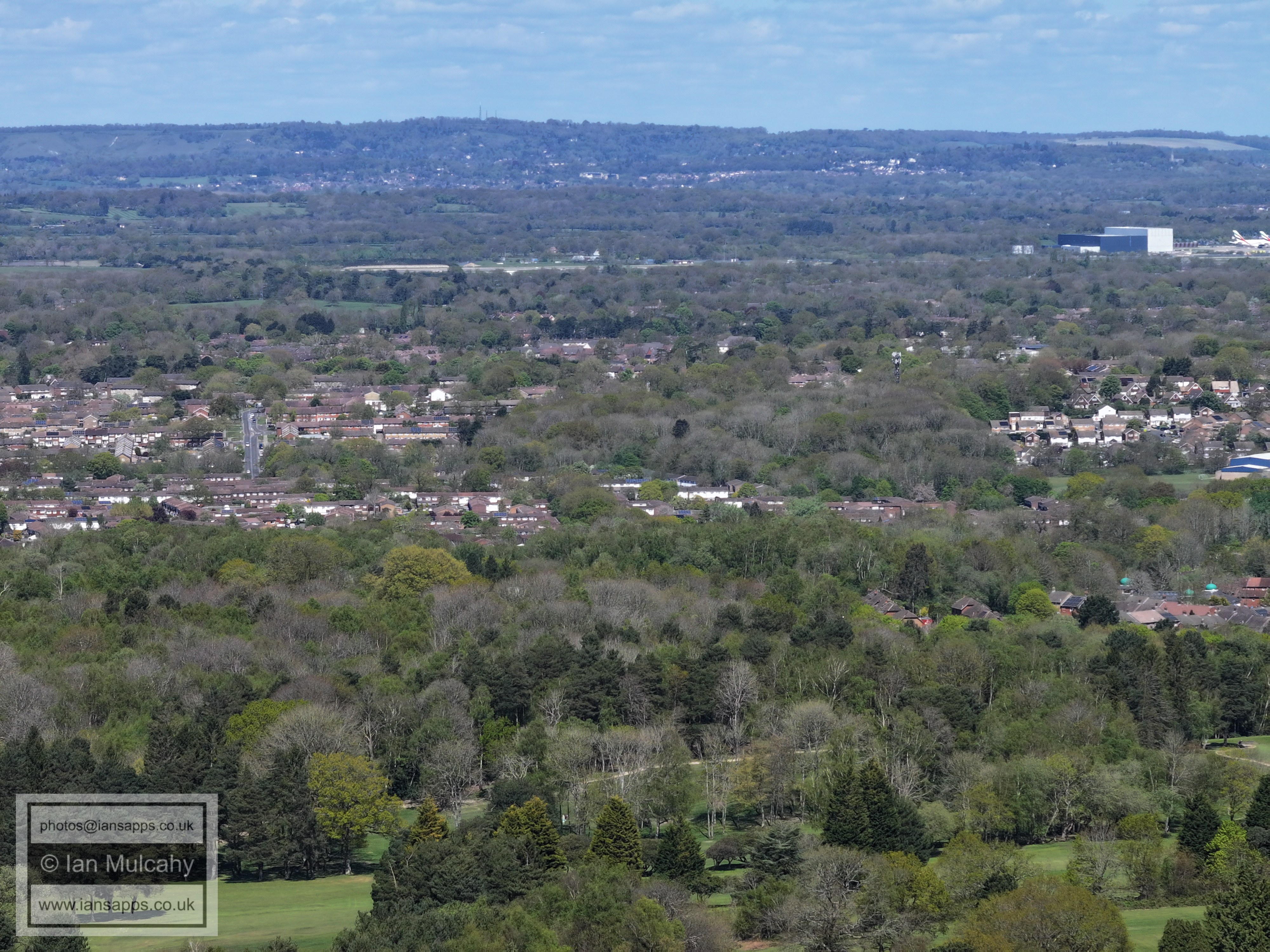
The straight vertical road left of centre is Gossops Drive, climbing the hill from Broadfield Brook to Gossops Green shops. in the centre and to the right is Woldhurstlea Woods.
Towards the top of the bottom right quarter is Seasford Road in Broadfield. To the left of centre is Holy Trinity with the Buckswood Drive area behind. Note, above the North Downs towards the left, the Shard and City of London are visible.
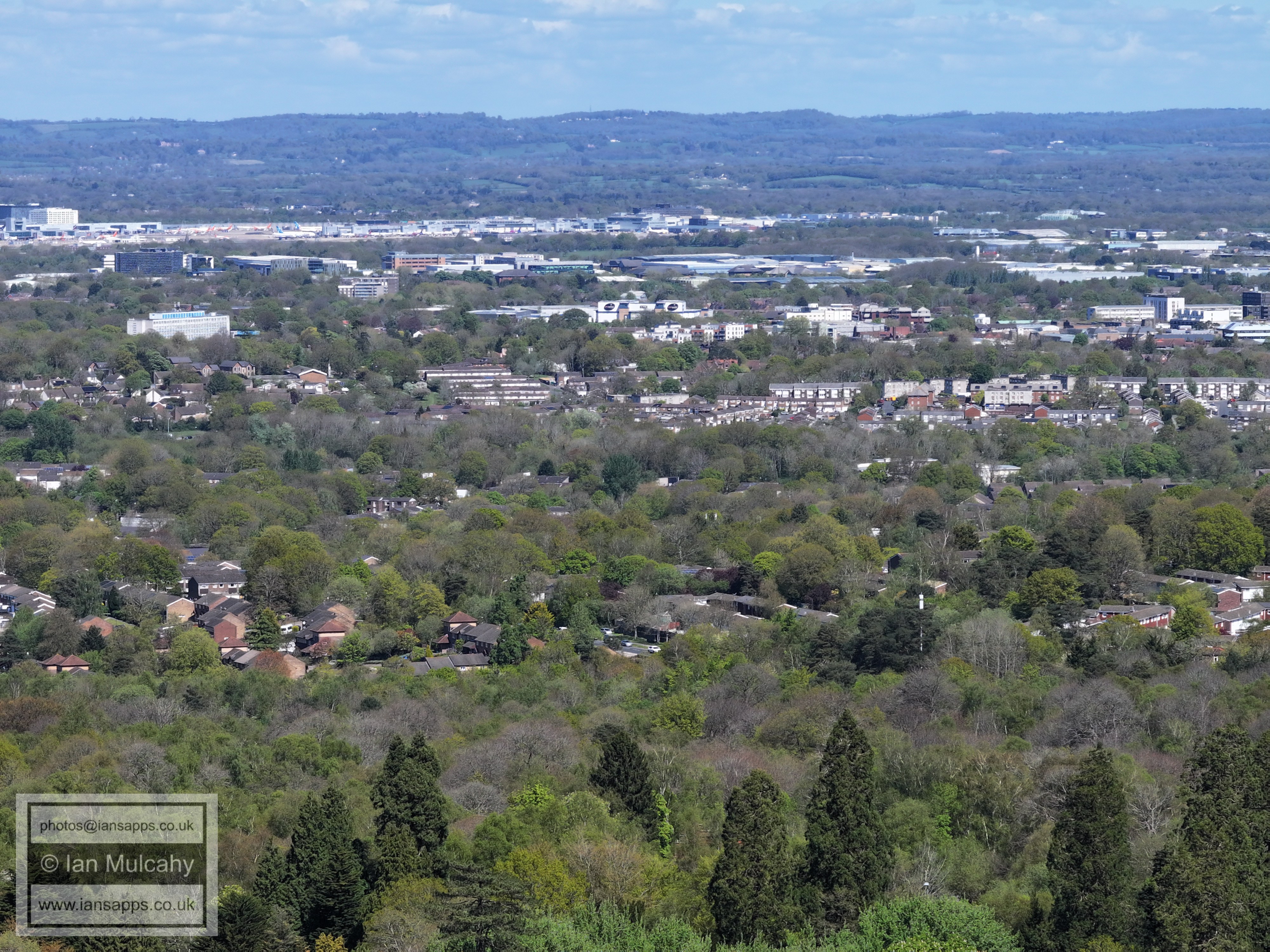
Southgate West is across the centre of the image.
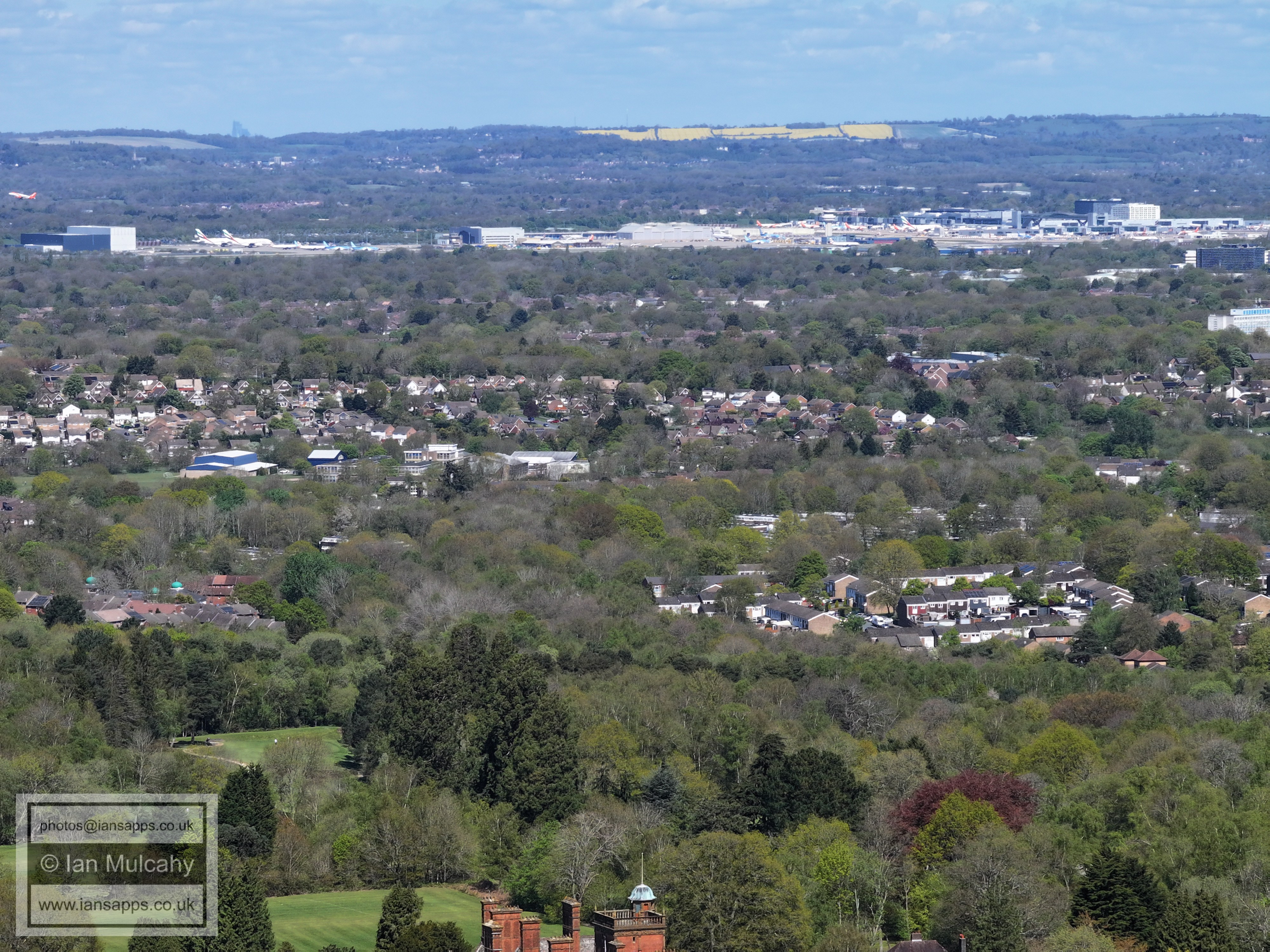
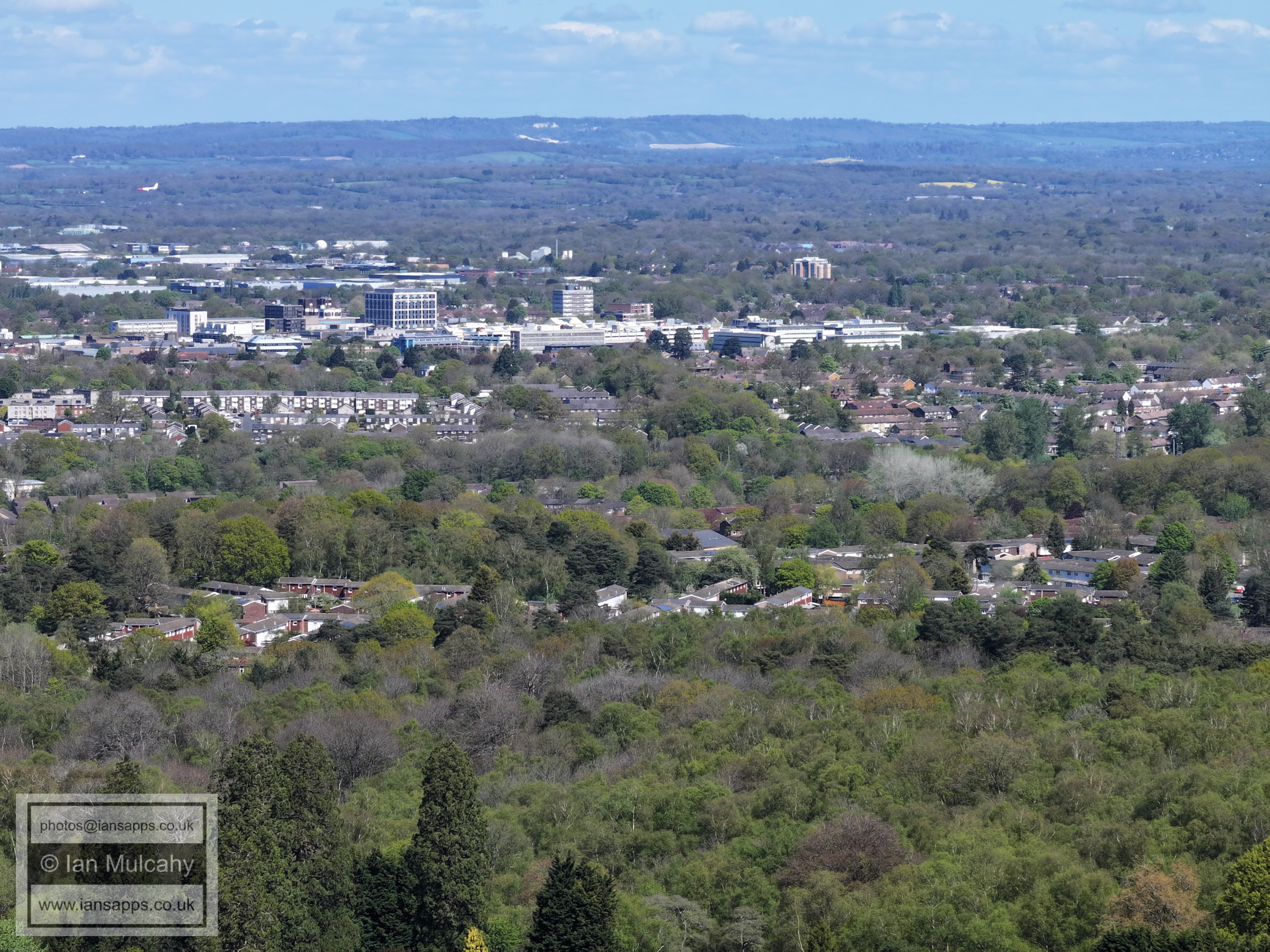
Town Centre
In the top left quarter is Southgate Playing Fields. The Paymaster Offices are just above centre and the white 'tent' like structure in the top right quarter is Pound Hill School in Crawley Lane.
Tollgate Hill below centre and Furnace green and Maidenbower above the trees of Tilgate Park. The spire of St Nicholas at Worth is in the top right quarter.
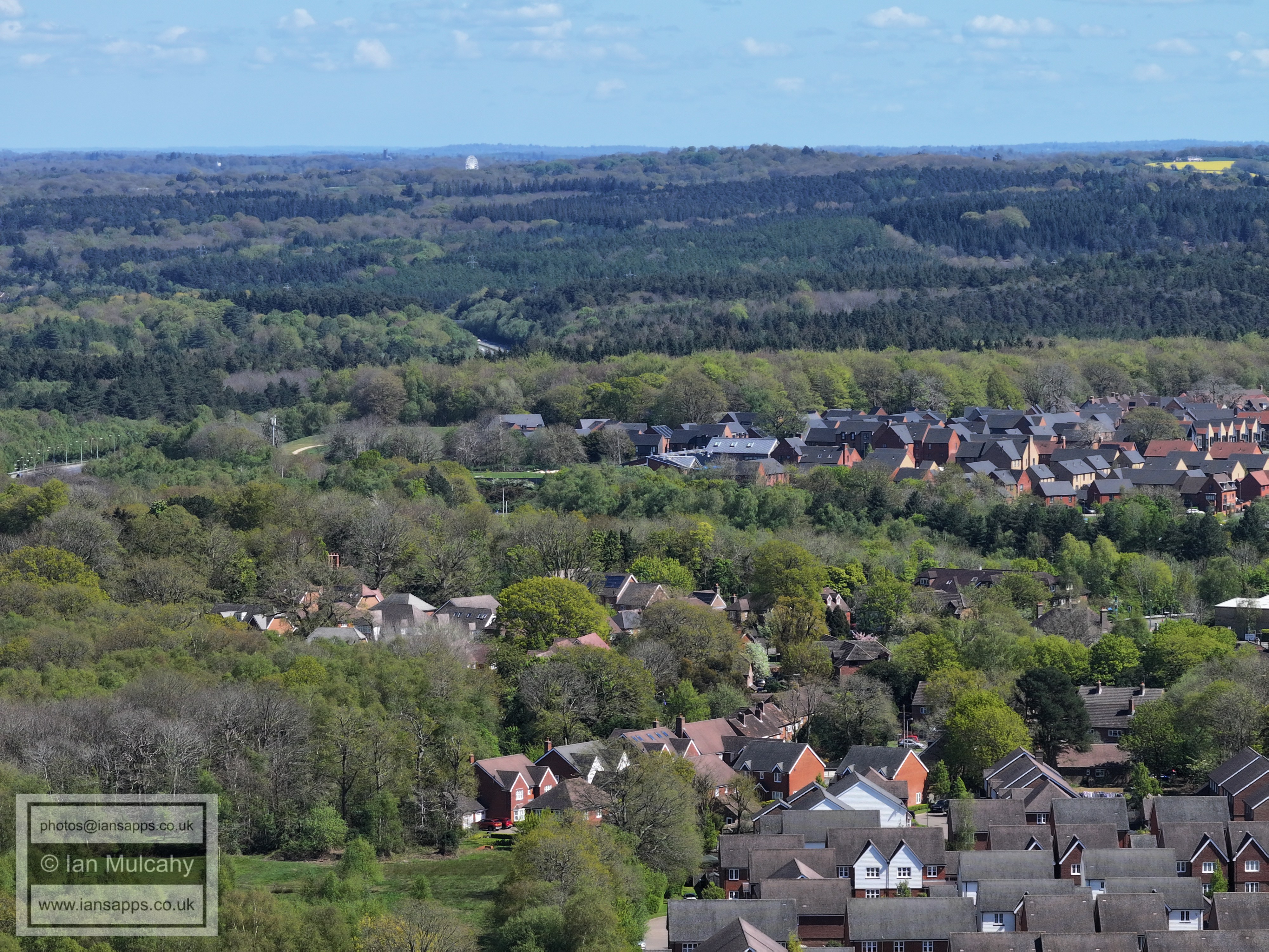
Pease Pottage and Woodgate in the foreground. The ferris wheel at Tulleys Farm is at the top.
Pease Pottage and Woodgate, including the new St Catherine's Hospice.
The large hous ein the centre near the top is Greentrees on 'High Street' (part of the road from Handcross to the Balcombe Road near the Cowdray Arms) near to Highley Manor.
Finches Field at Pease Pottage in the bottom left quarter.
Just below centre is Woodhurst Lodge, a former care home on the old Brighton Road.
the road across the centre is the A23
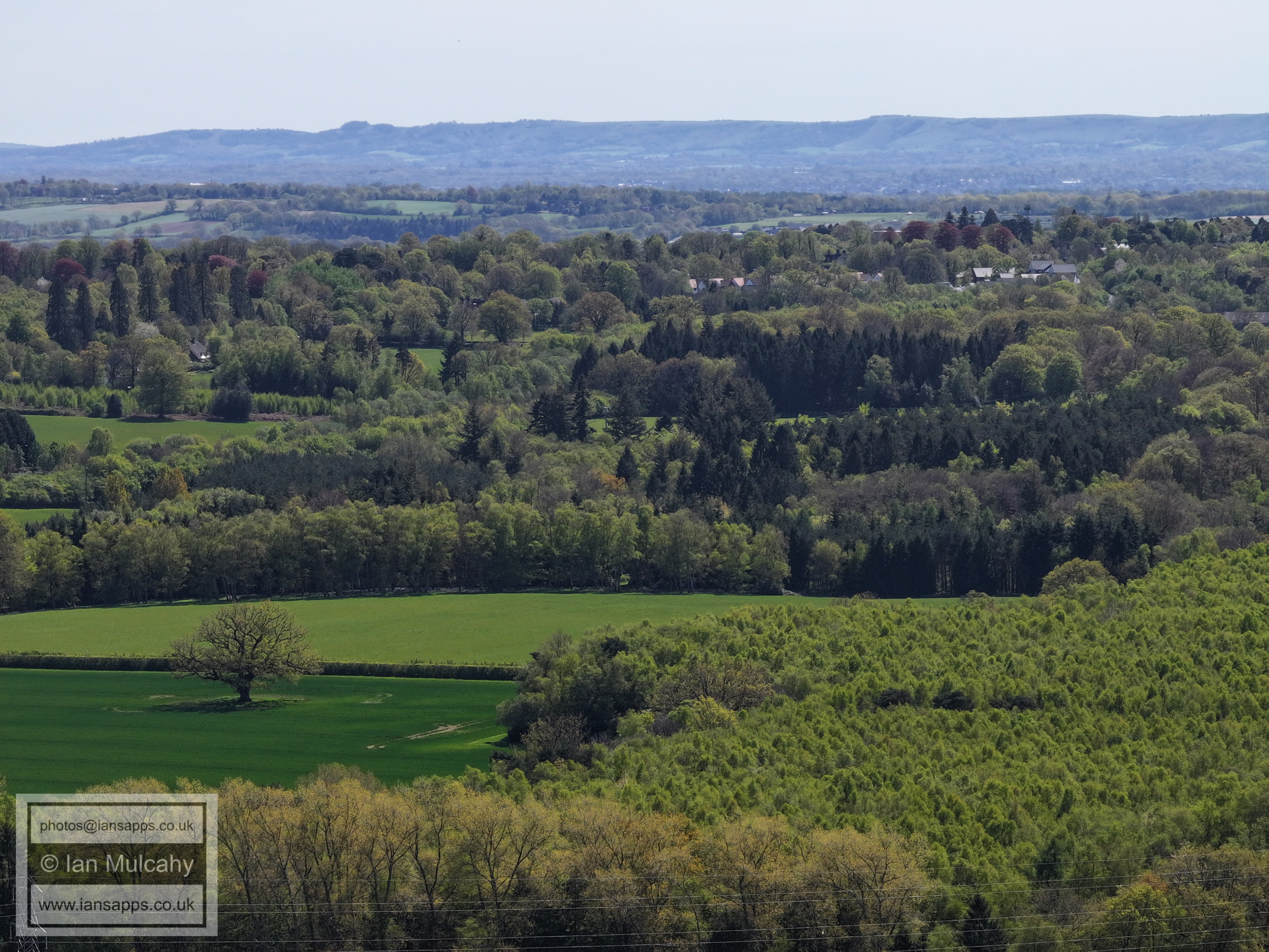
Shelley Plain
Top centre are the wind turbines in the English Channel off the coast of Shoreham, as well as Lancing College.
In the top left quarter is the spire and buildings of St Hugh's Charterhouse between Cowfold & Partridge Green.
Horsham is in the top right quarter, with the spires of St Mary's & St Mark's clearly visible.
Colgate
Mowbray (North Horsham development) beyond the ridge.
Holmbush, almost hidden in the trees of Holmbush Forest
Faygate is in the lower part of the top left quarter. Near the top to tho the right of centre the white builing is Old Park on the Horsham Road out of Rusper.
Kilnwood Vale across the centre and Rusper is in the top left quarter. Above centre is Kilnwood House on Kilnwood Lane.
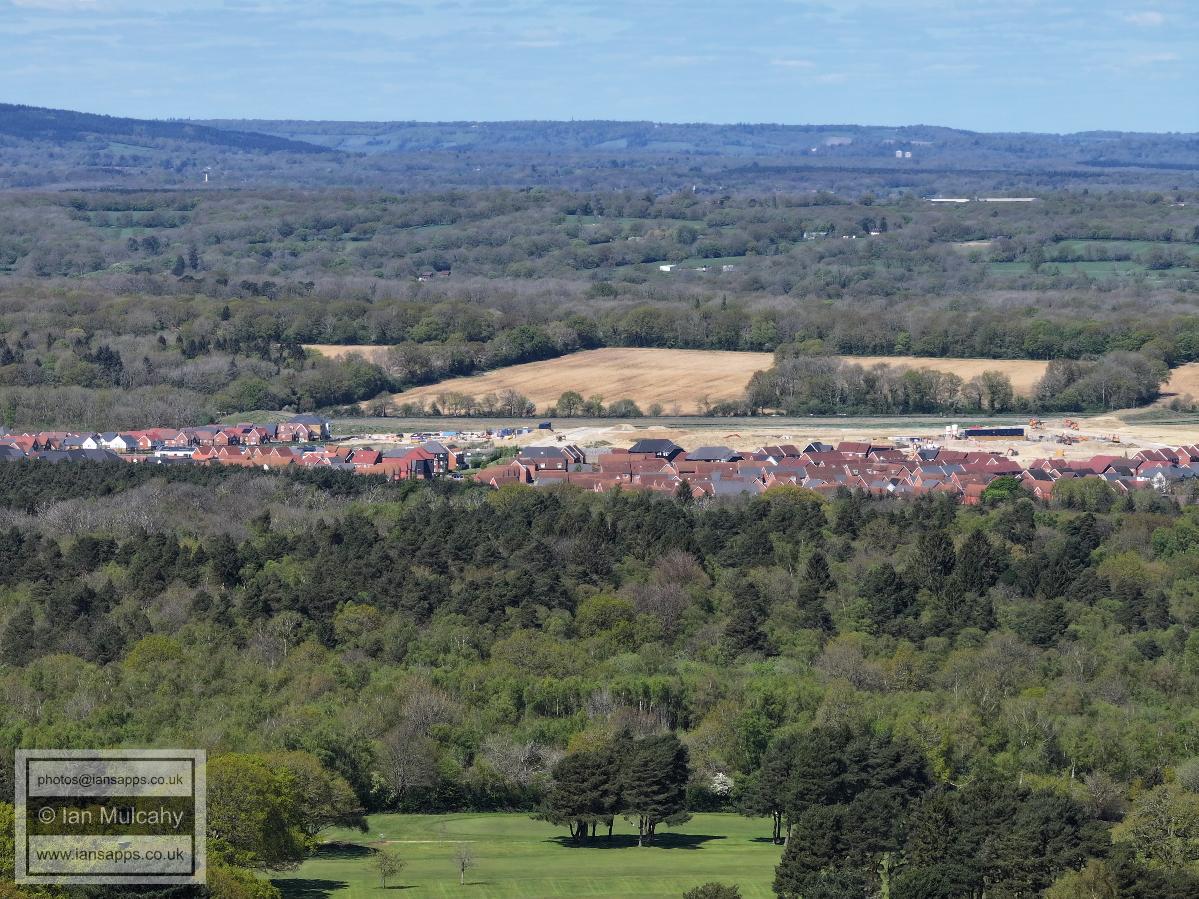
Kilnwood Vale
In the top left quarter is The Mount in Ifield Wood
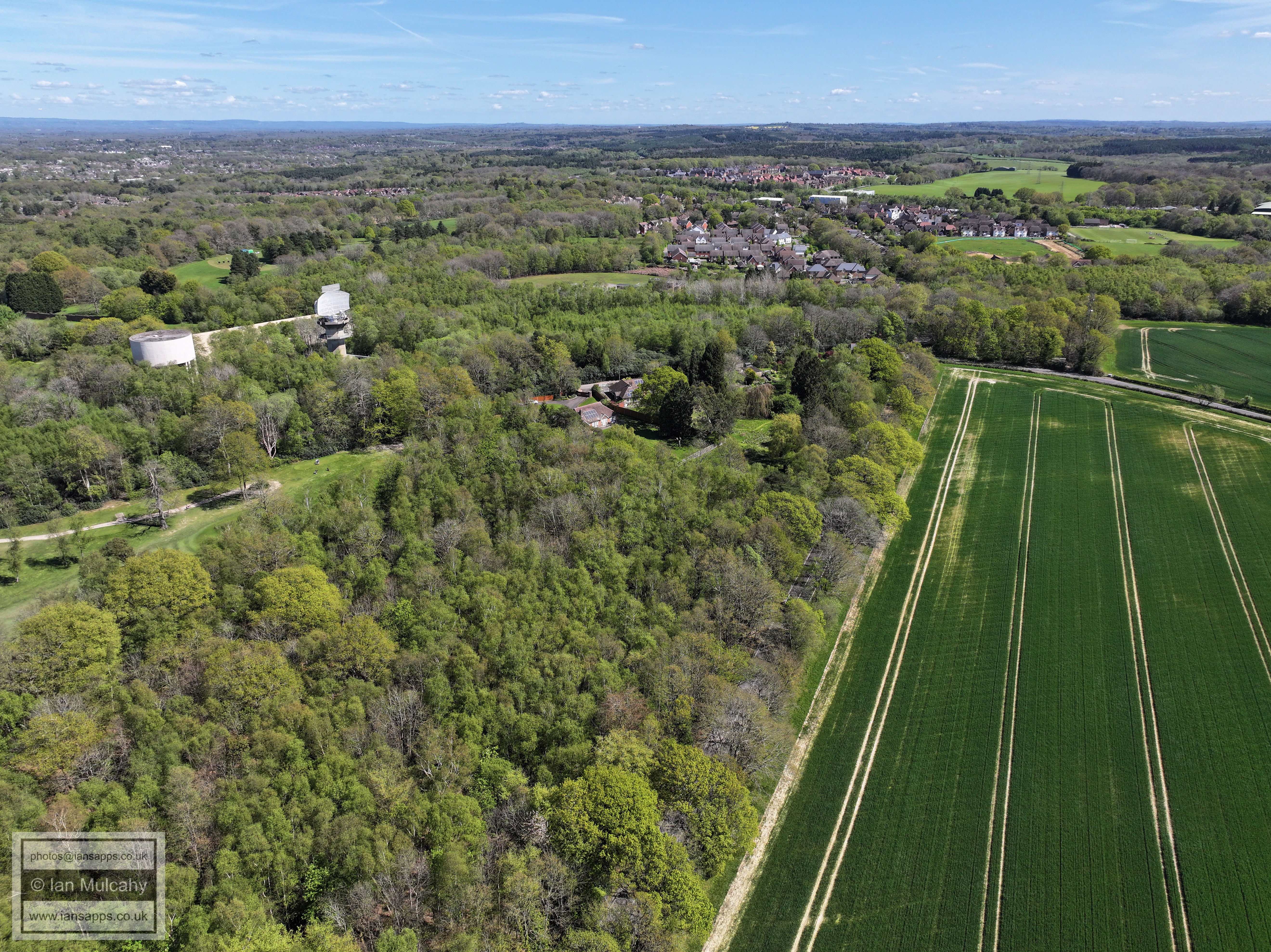
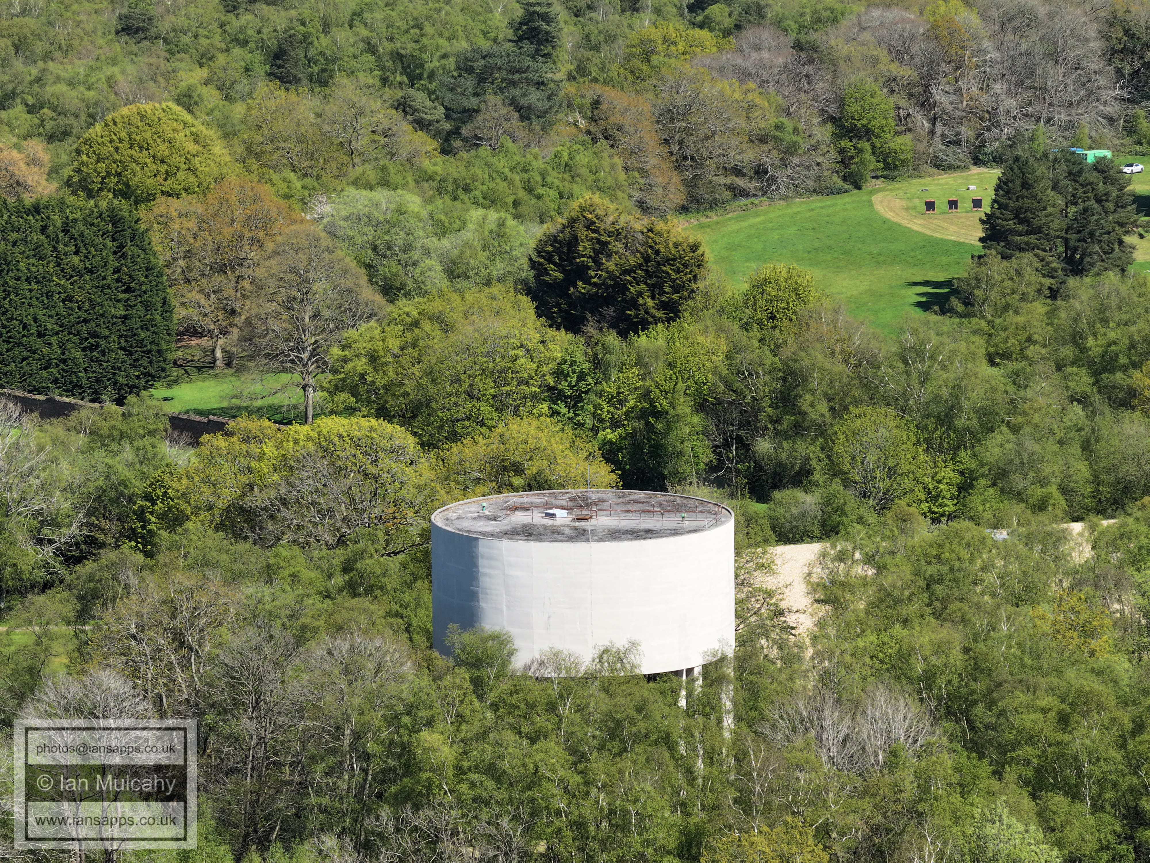
The Water Tower on Buchan Hill
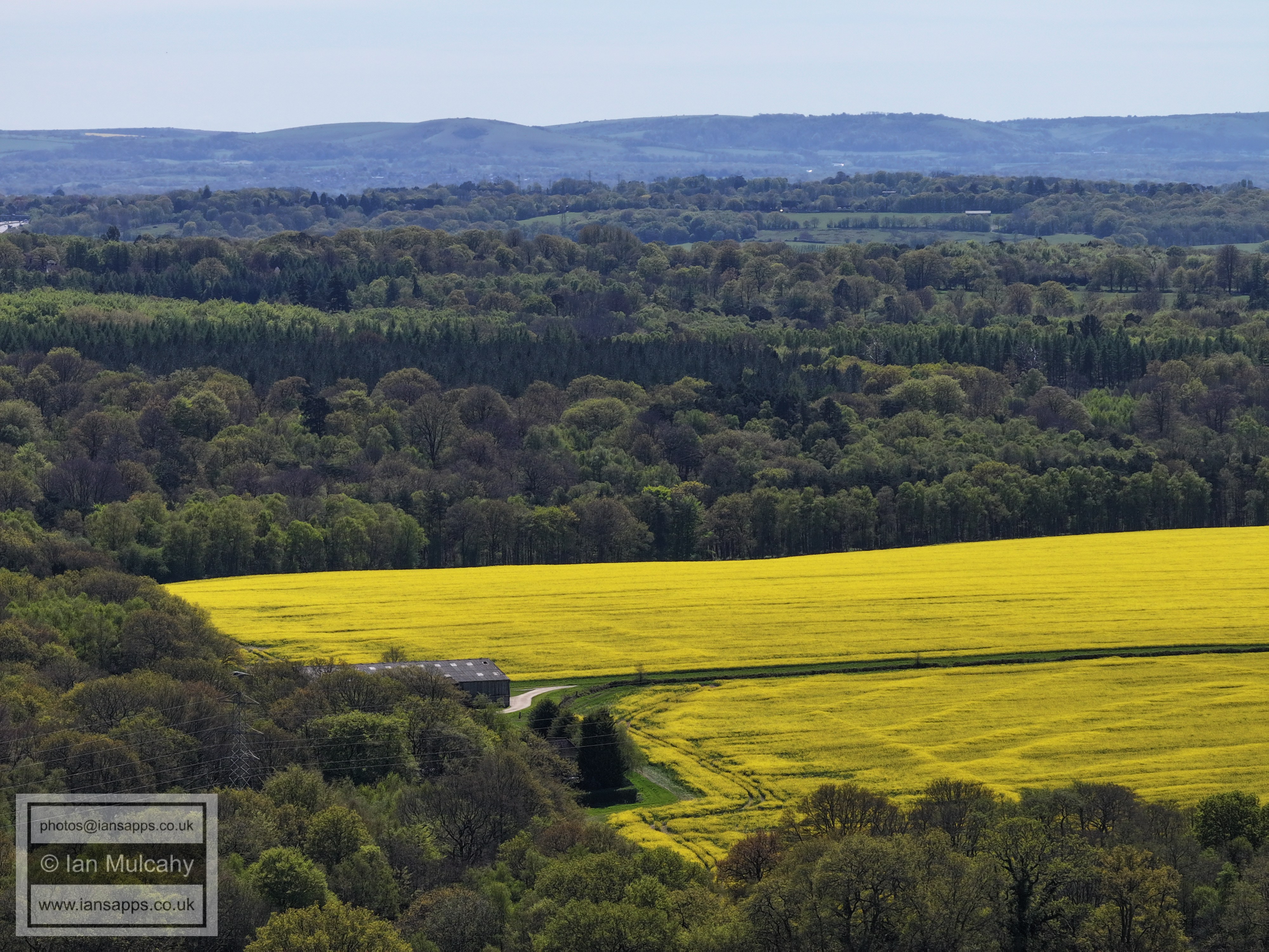
Finches Field
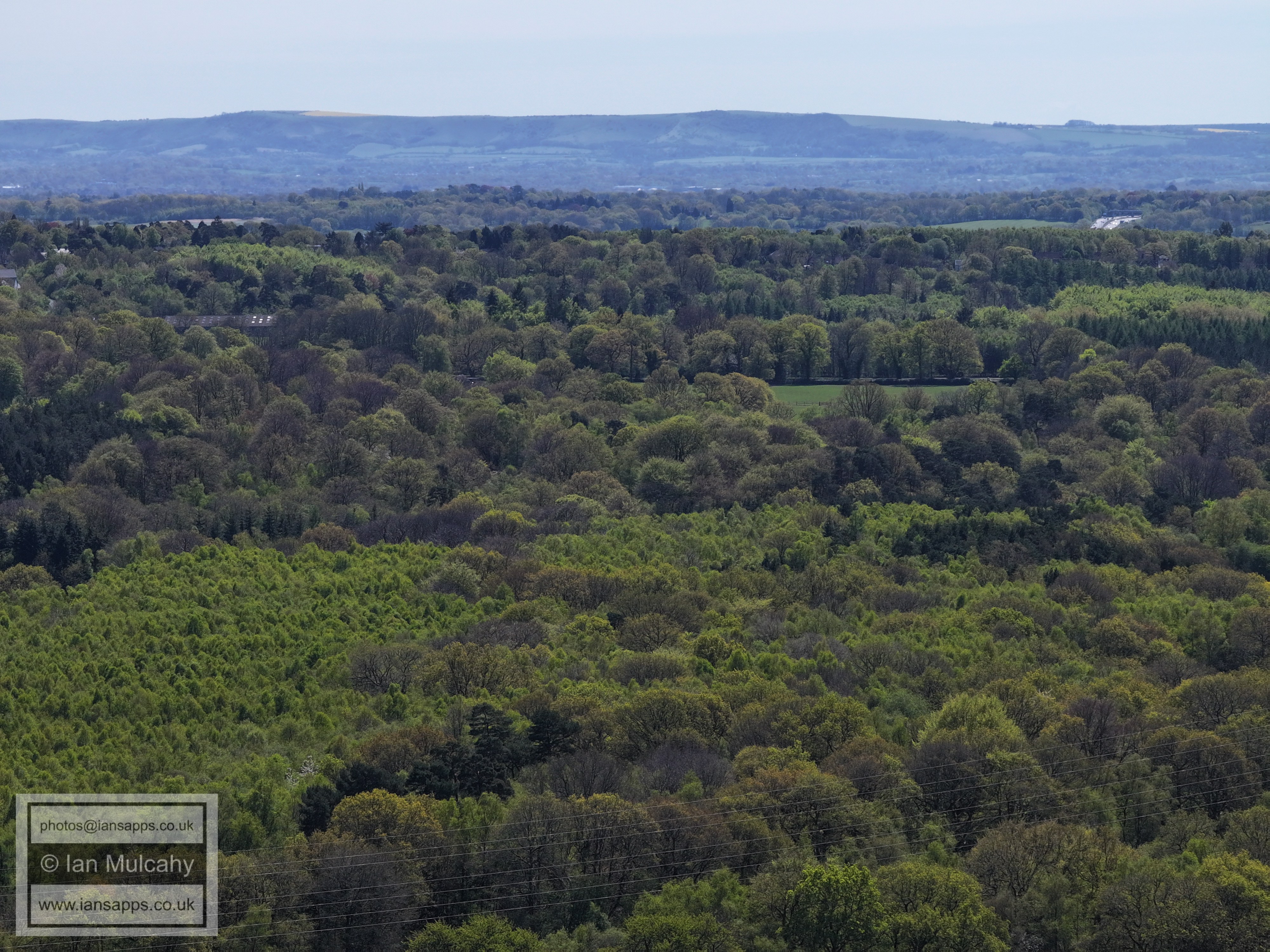
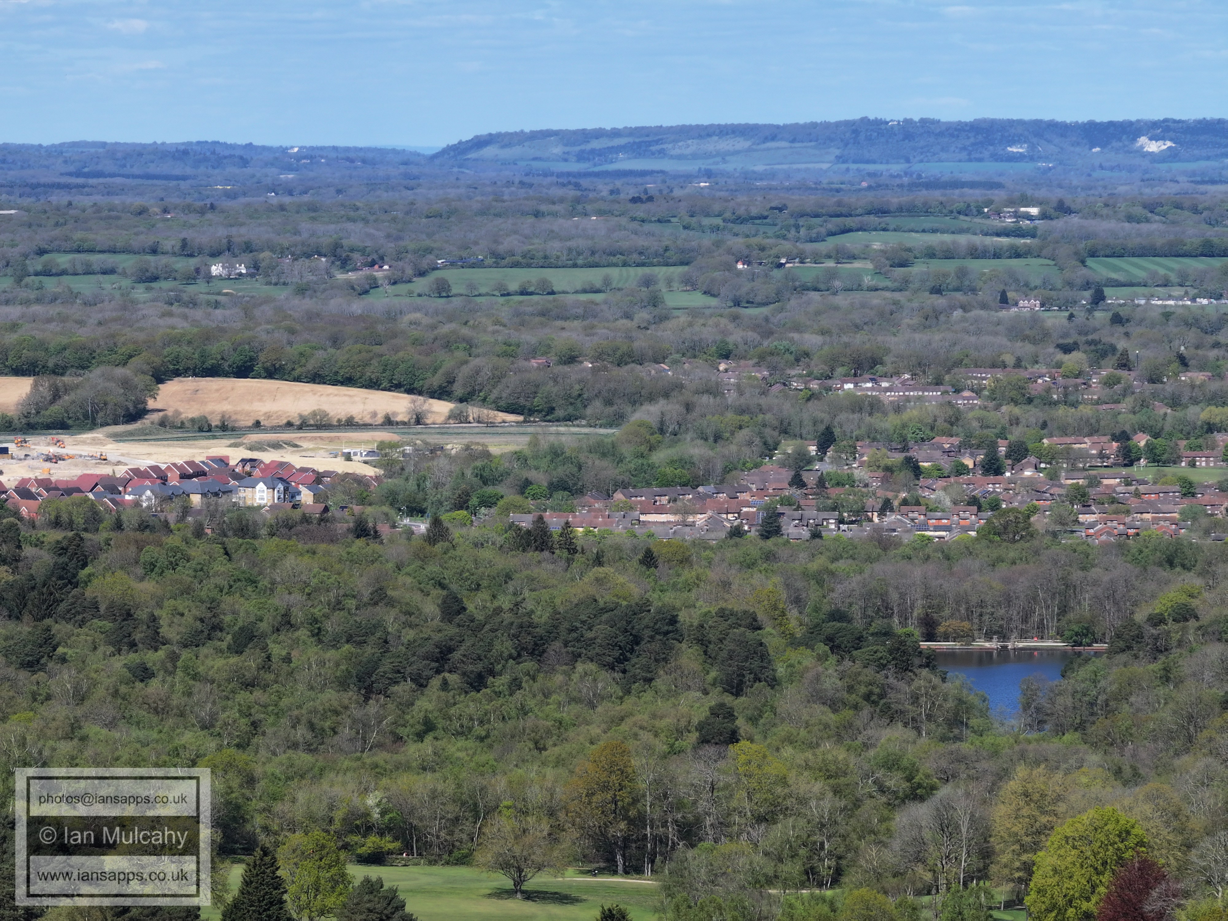
Pease Pottage
Text & photographs © Ian Mulcahy. Contact photos@iansapps.co.uk or visit my 'Use of my photographs' page for licensing queries (ground level photographs only). |