South west area of Buchan Park
Colgate
19 April 2026
|
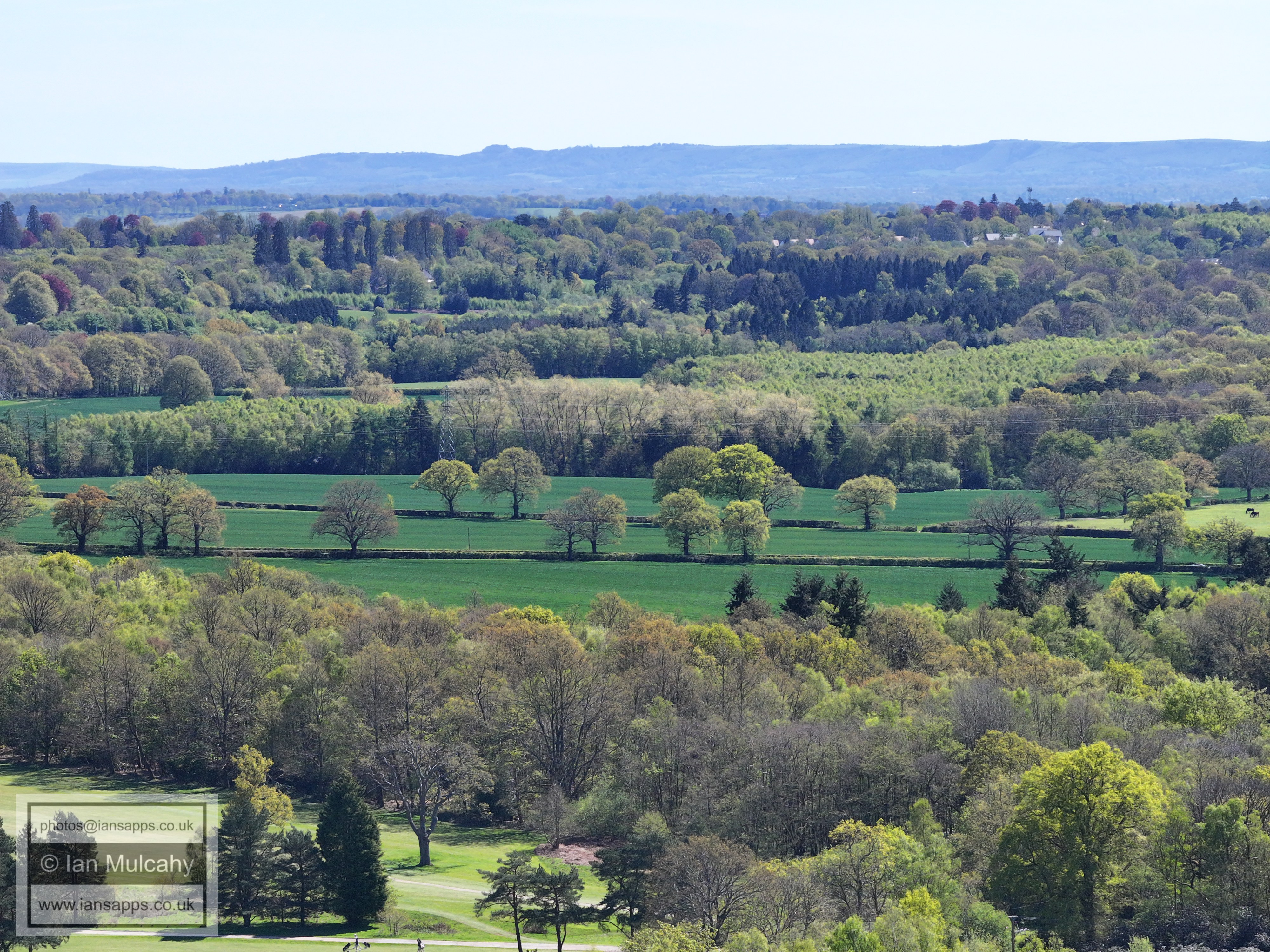
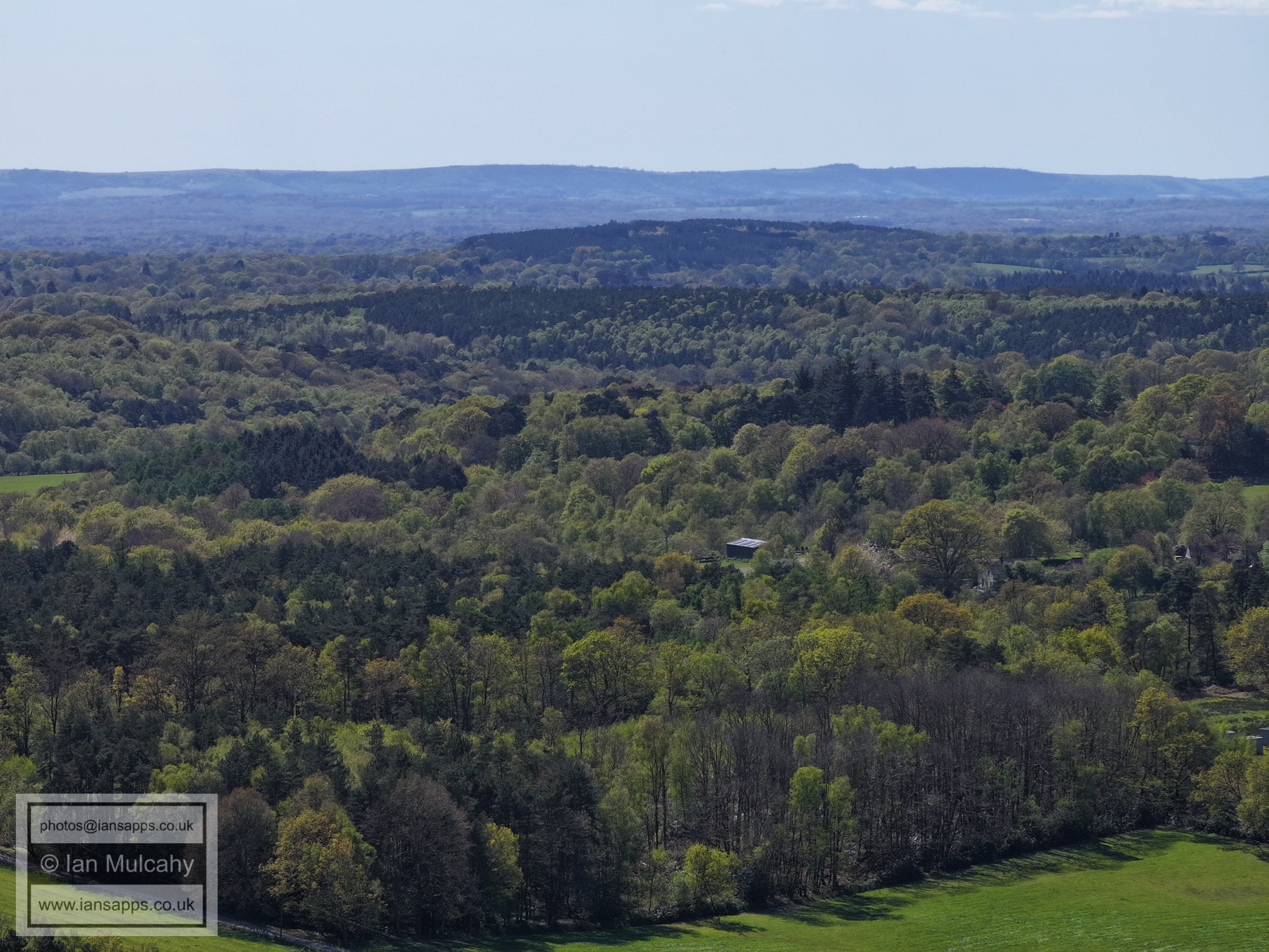
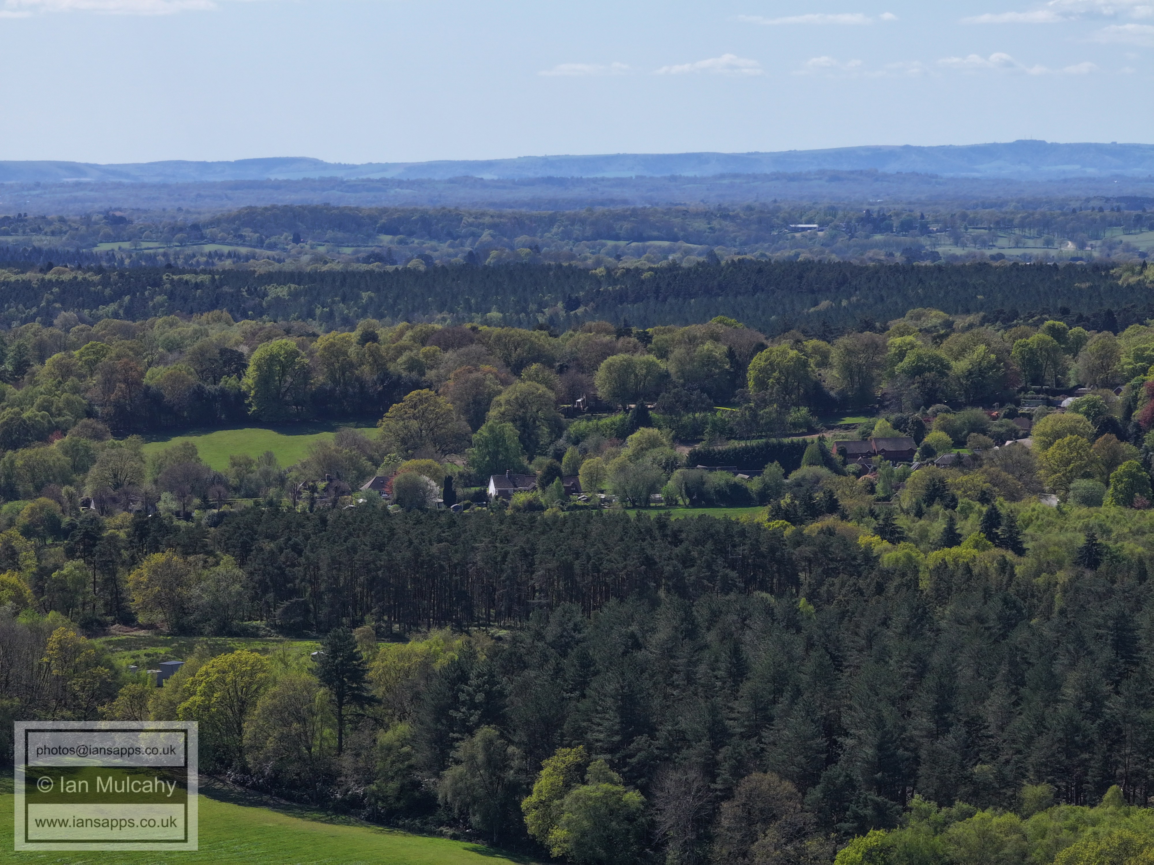
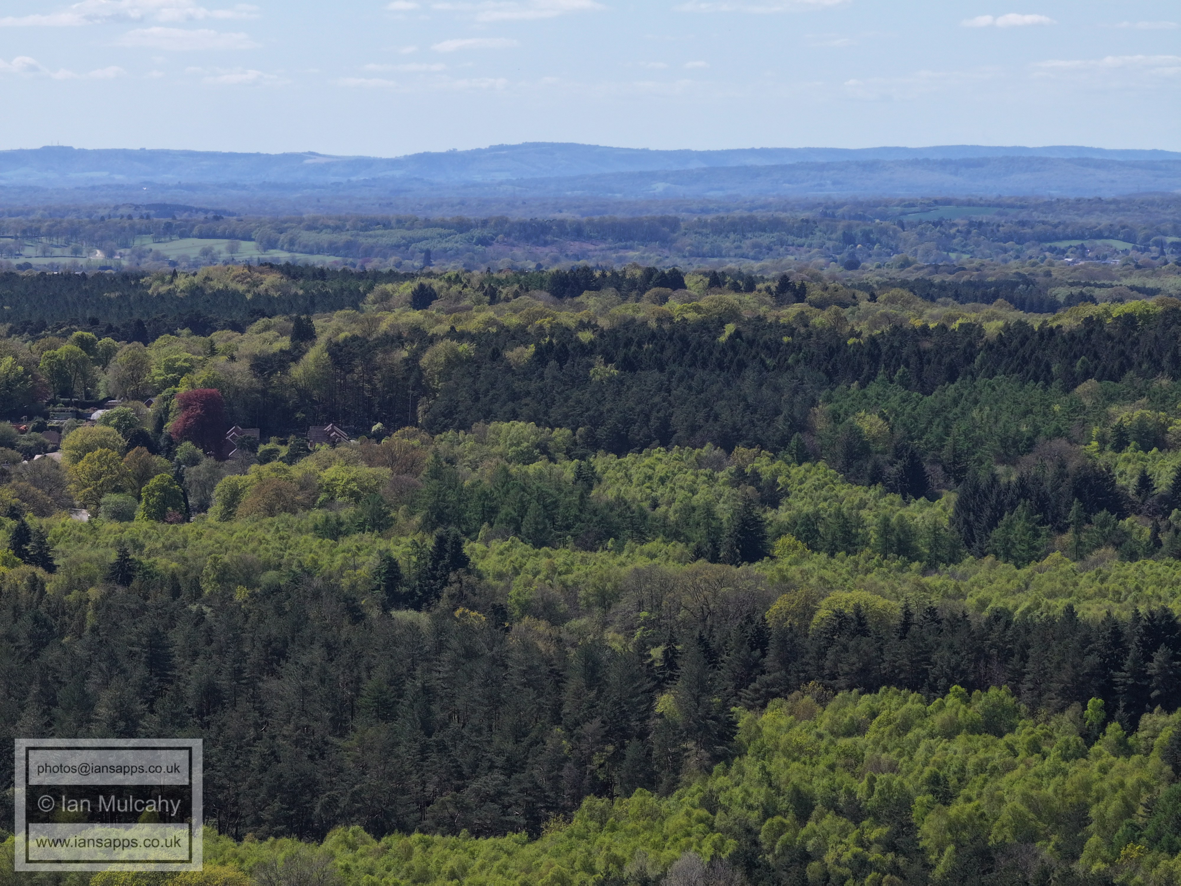
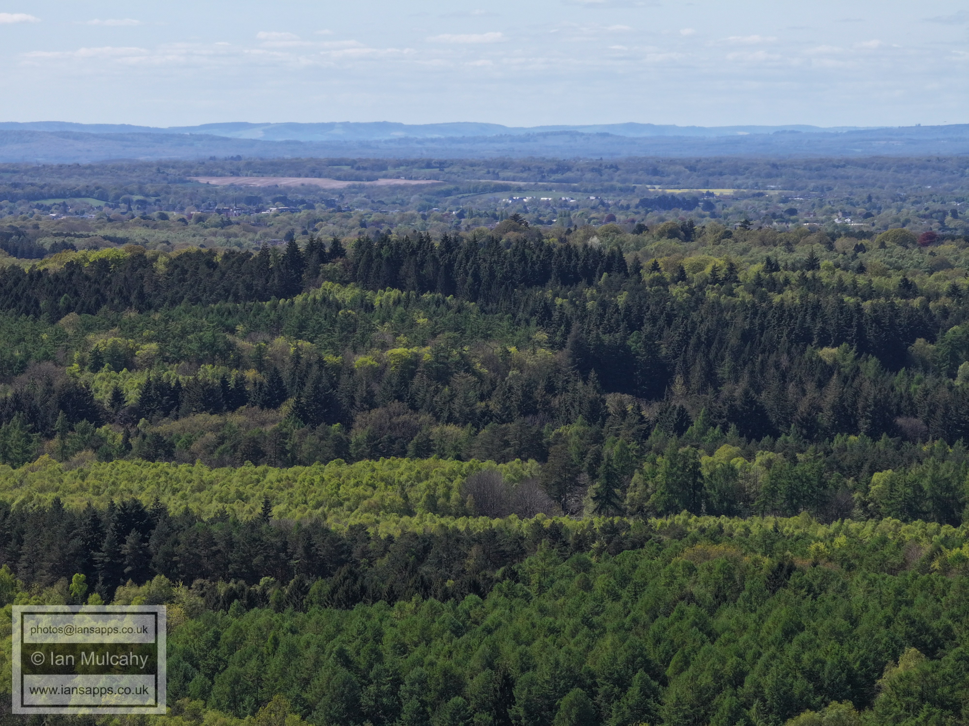
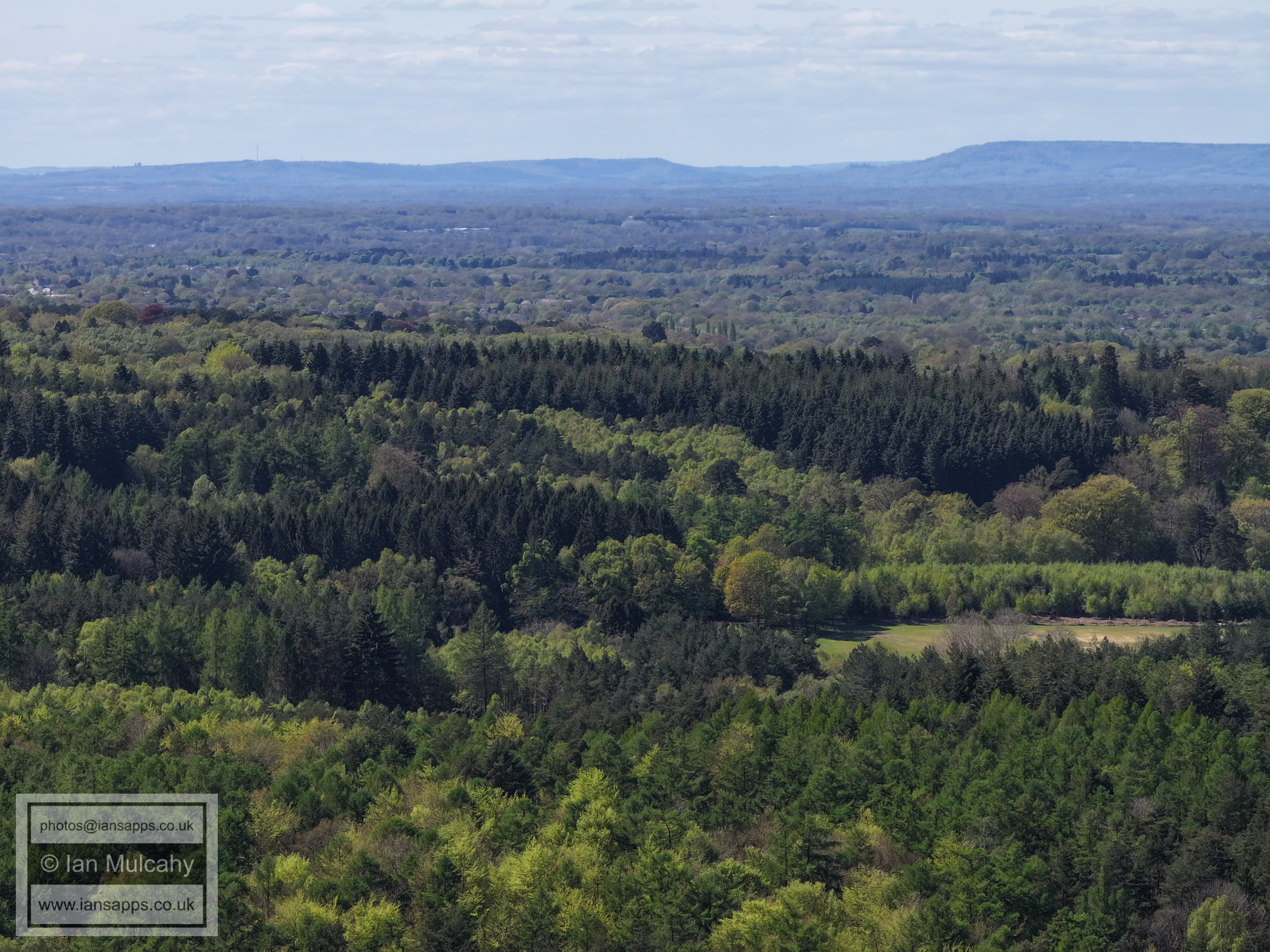
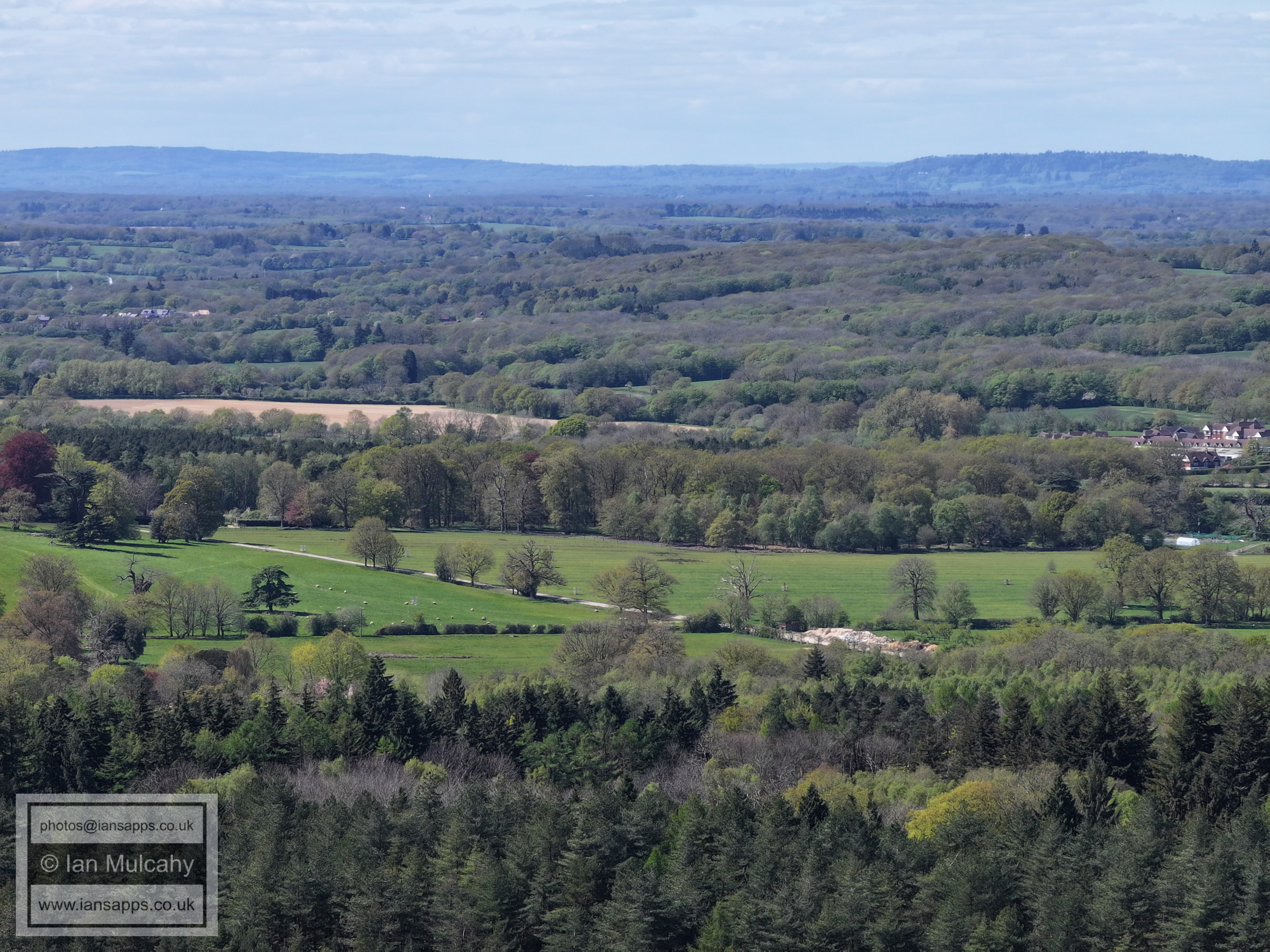
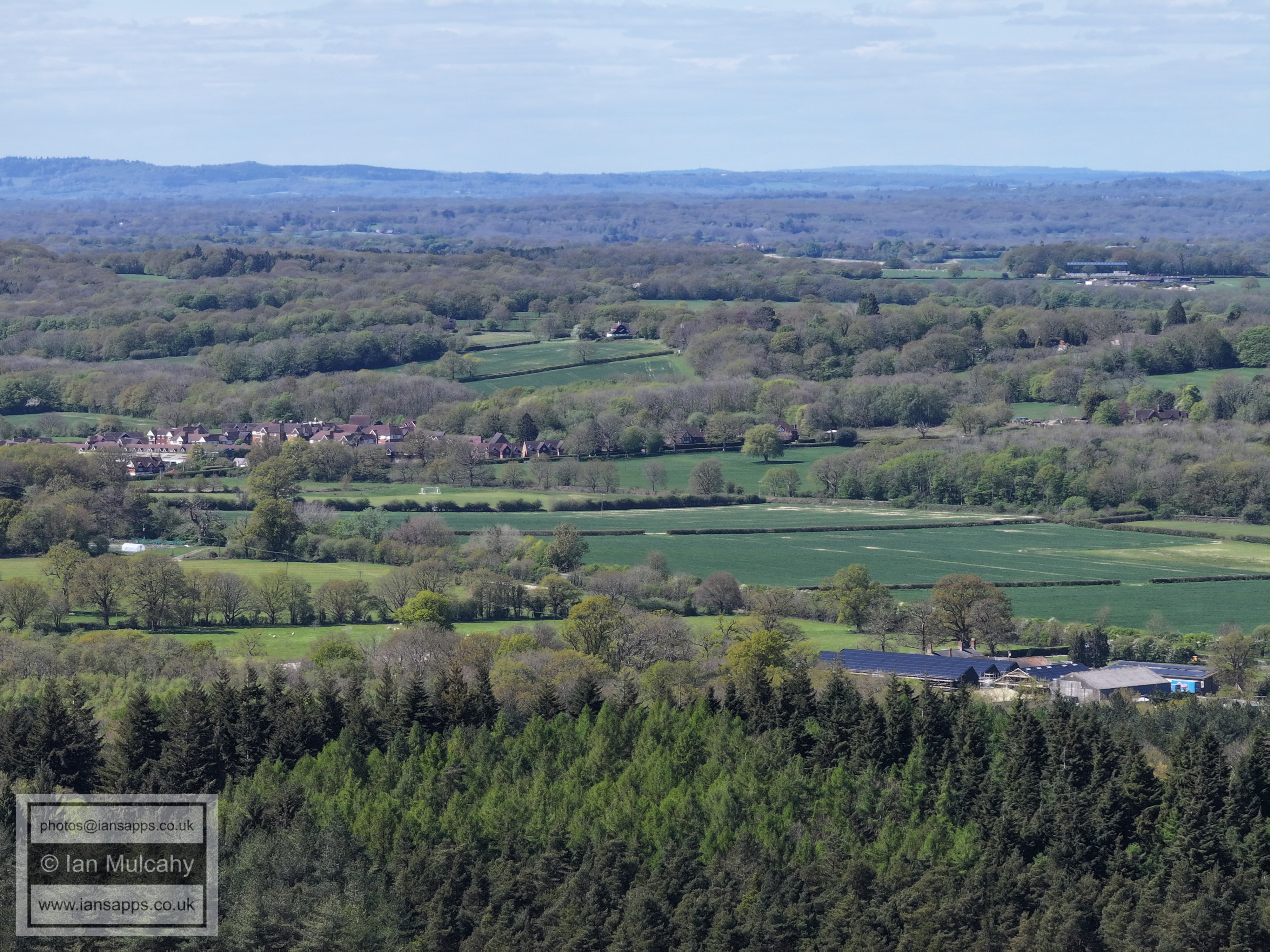
69 aerial images of varying focal length taken from the south west area of Buchan Park (near the public footpath as it exits Cottesmore Golf Course), Colgate on 19 April 2026. Some of the photos are annotated.
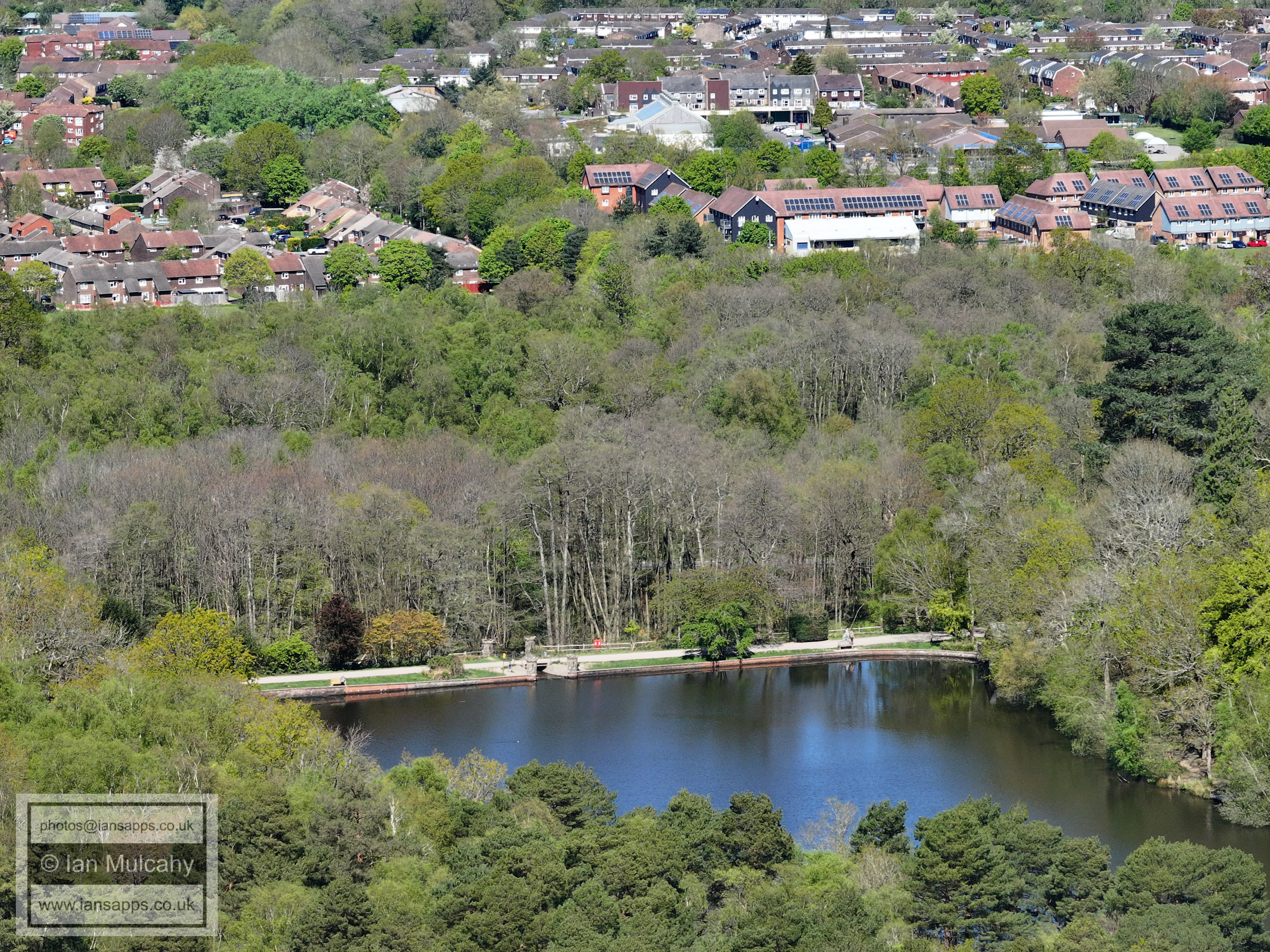
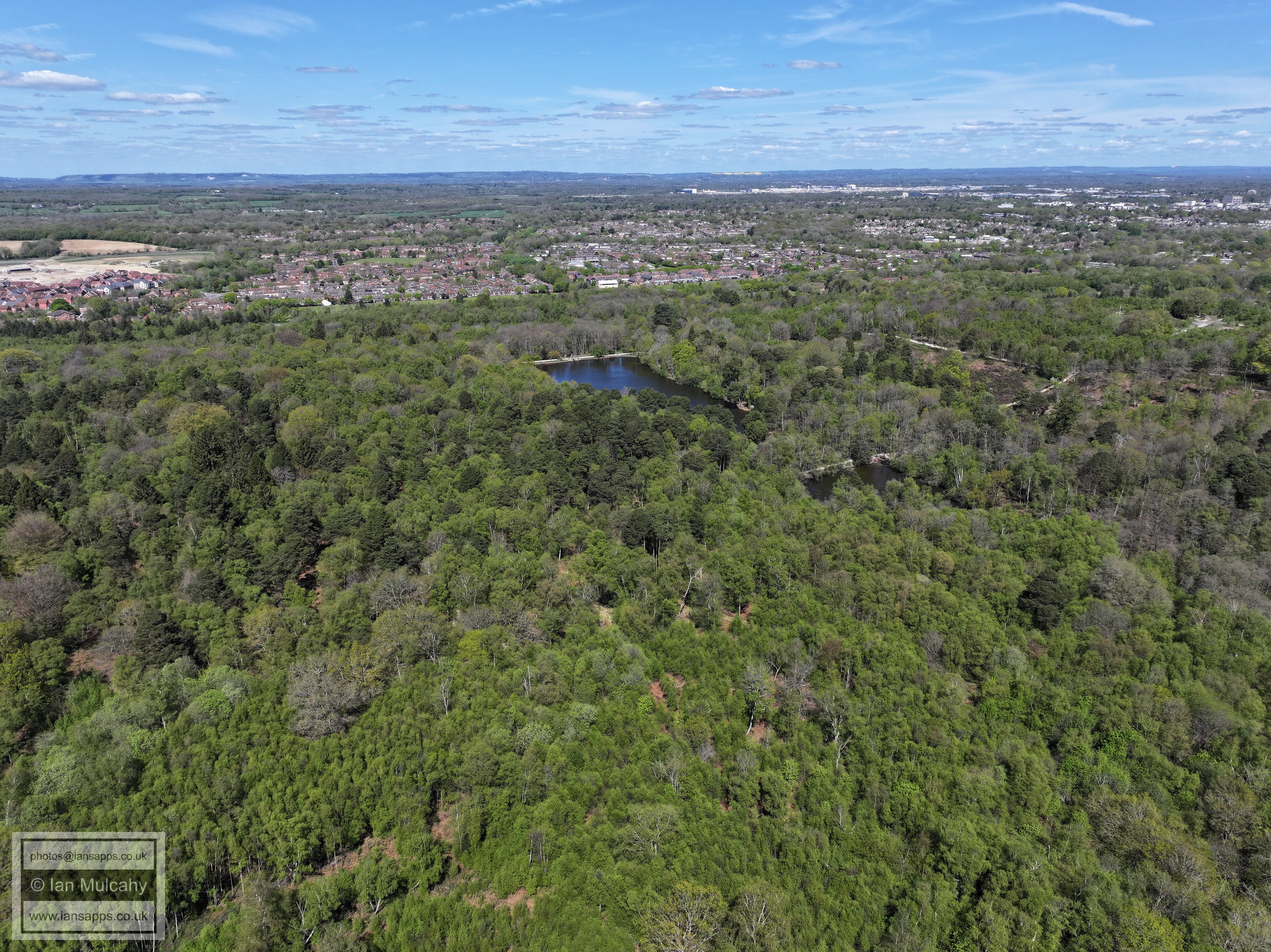
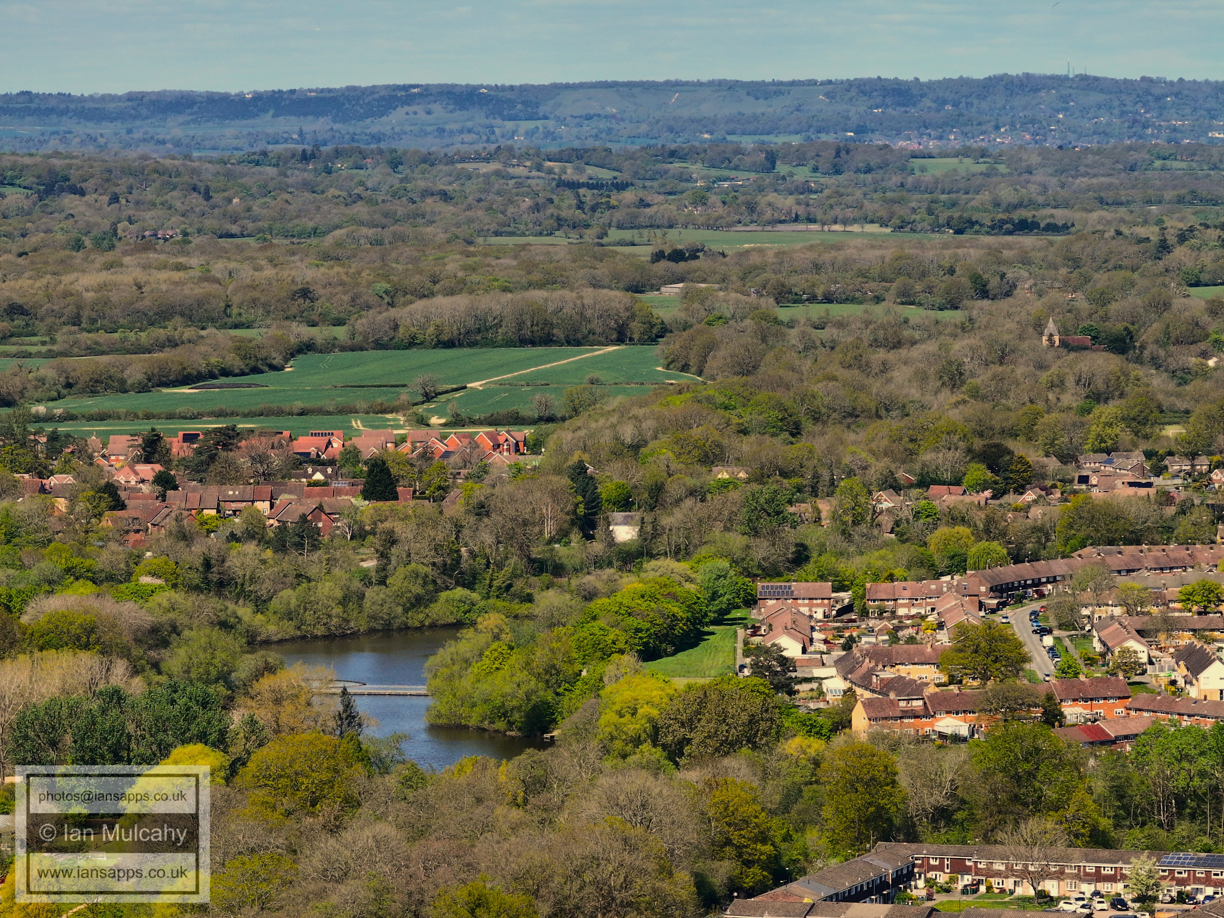
Douster Pond, with Breezehurst Pavilion and Bewbush Shops beyond.
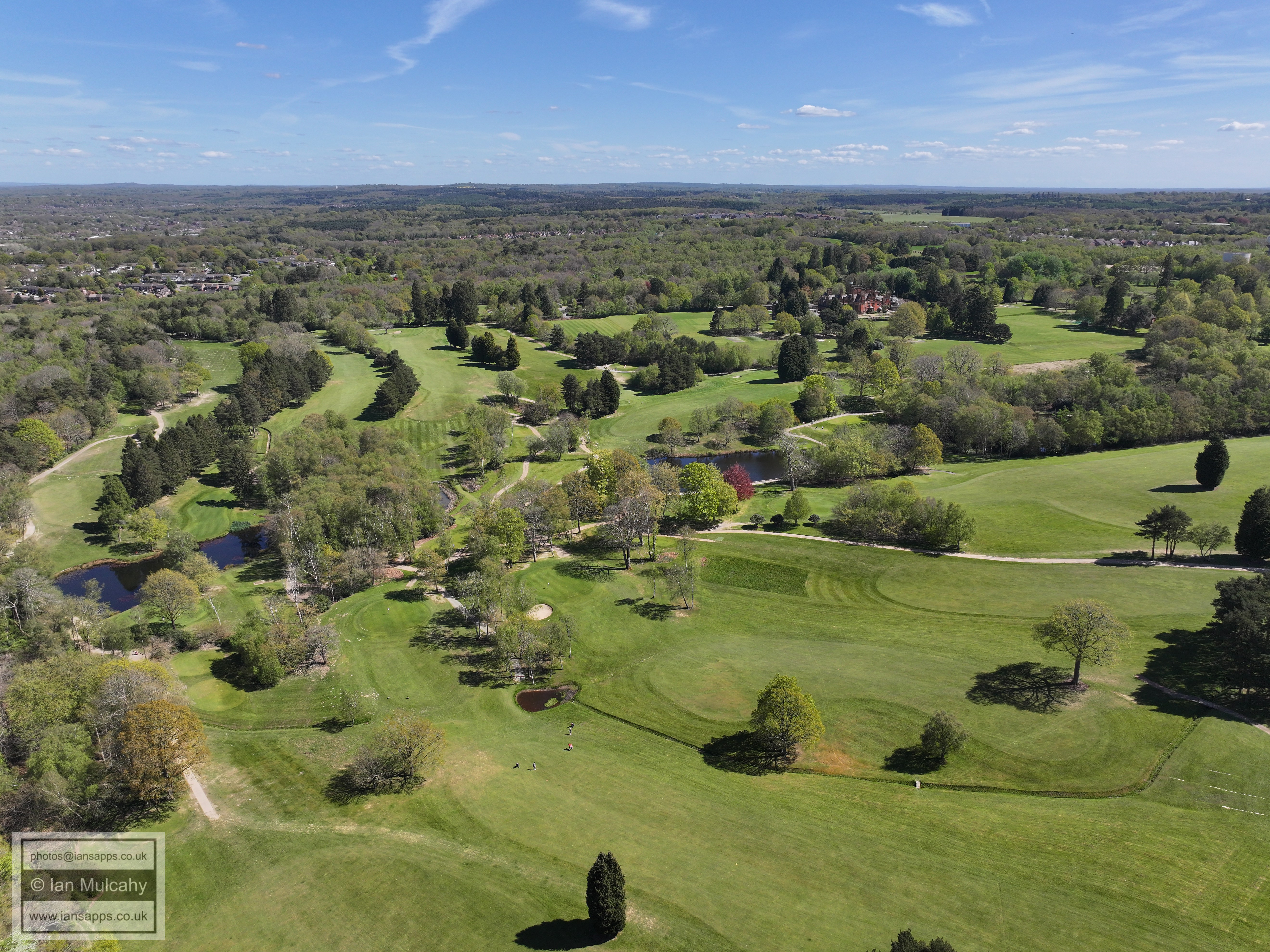
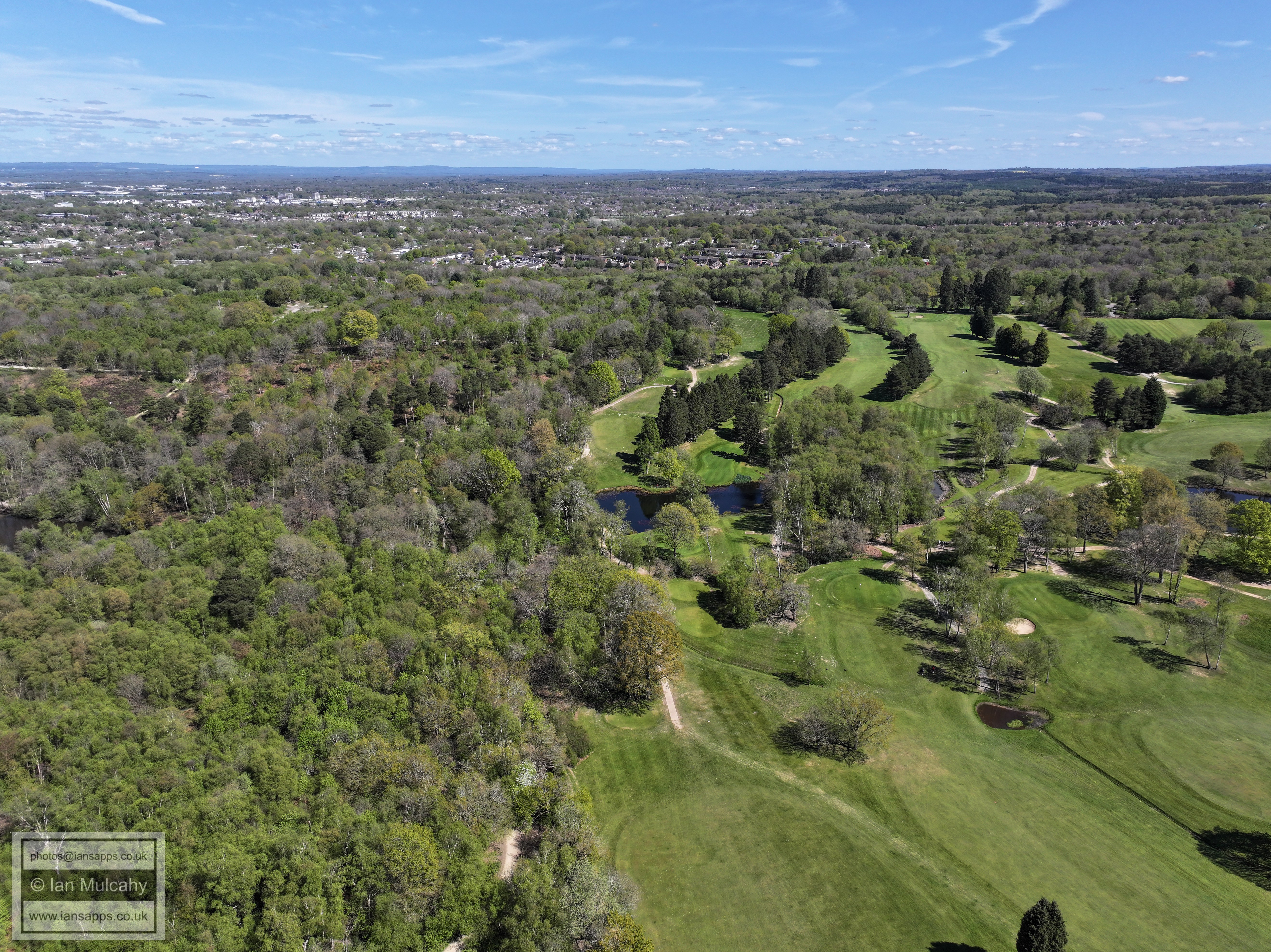
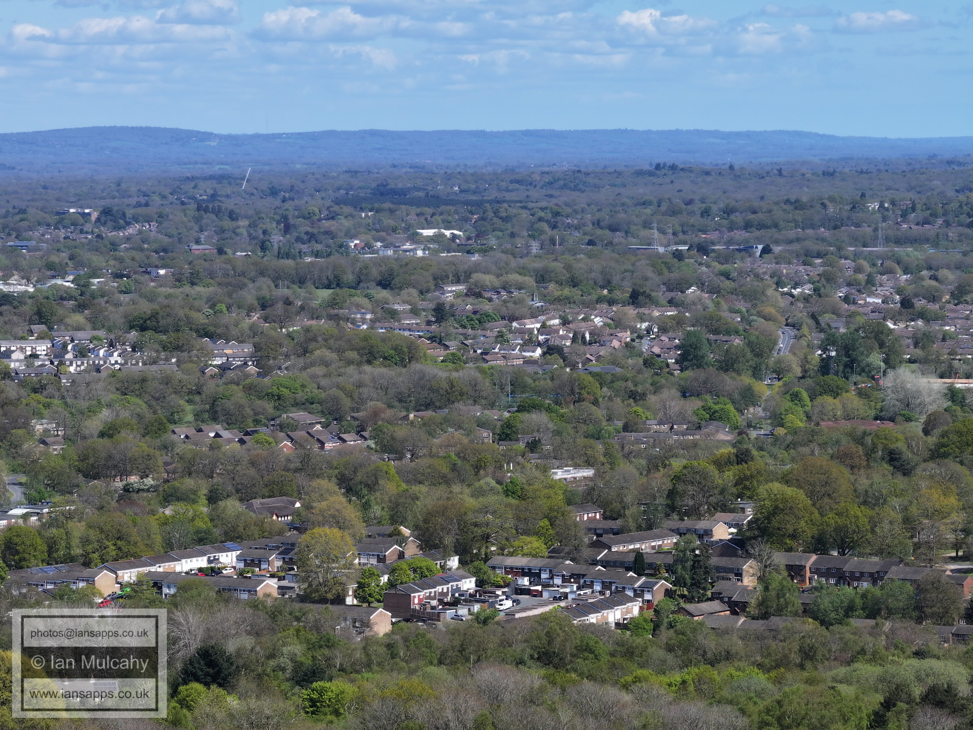
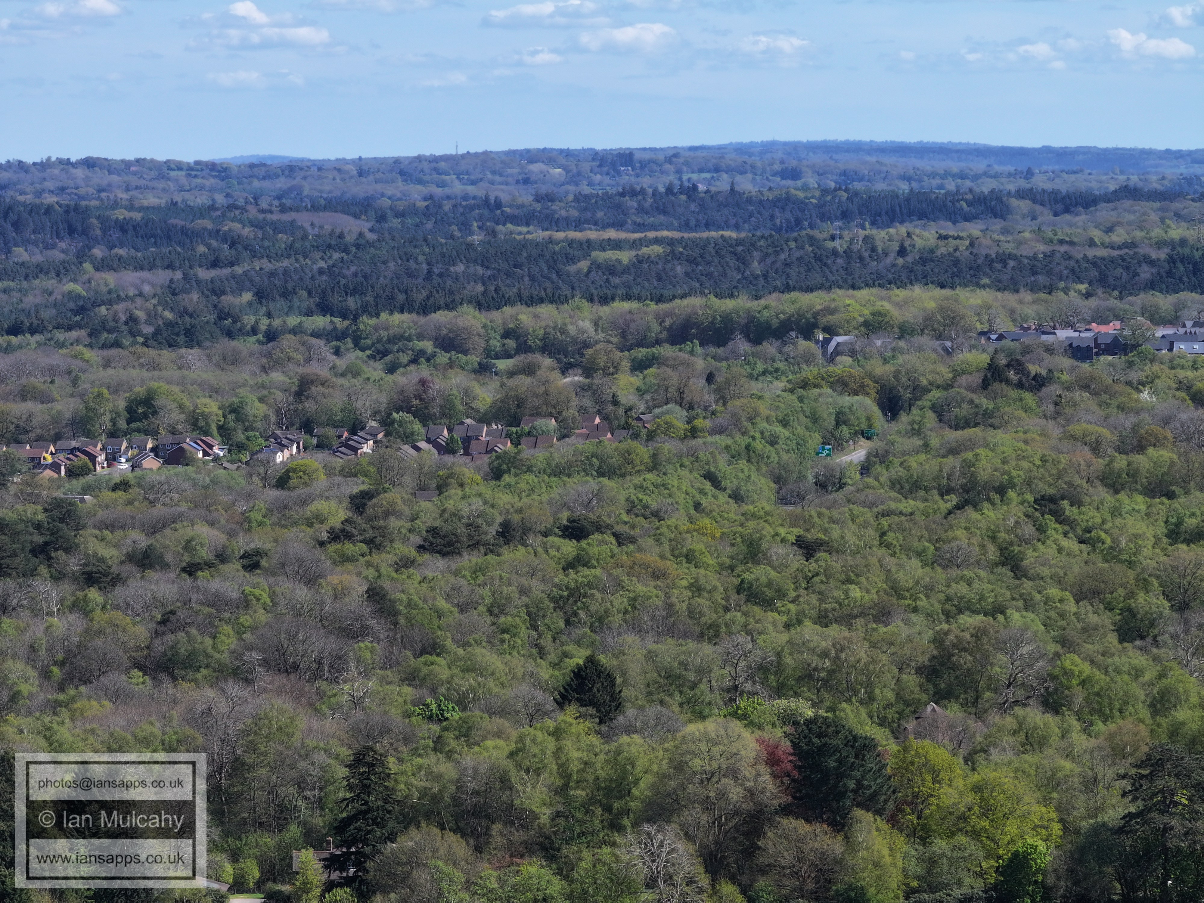
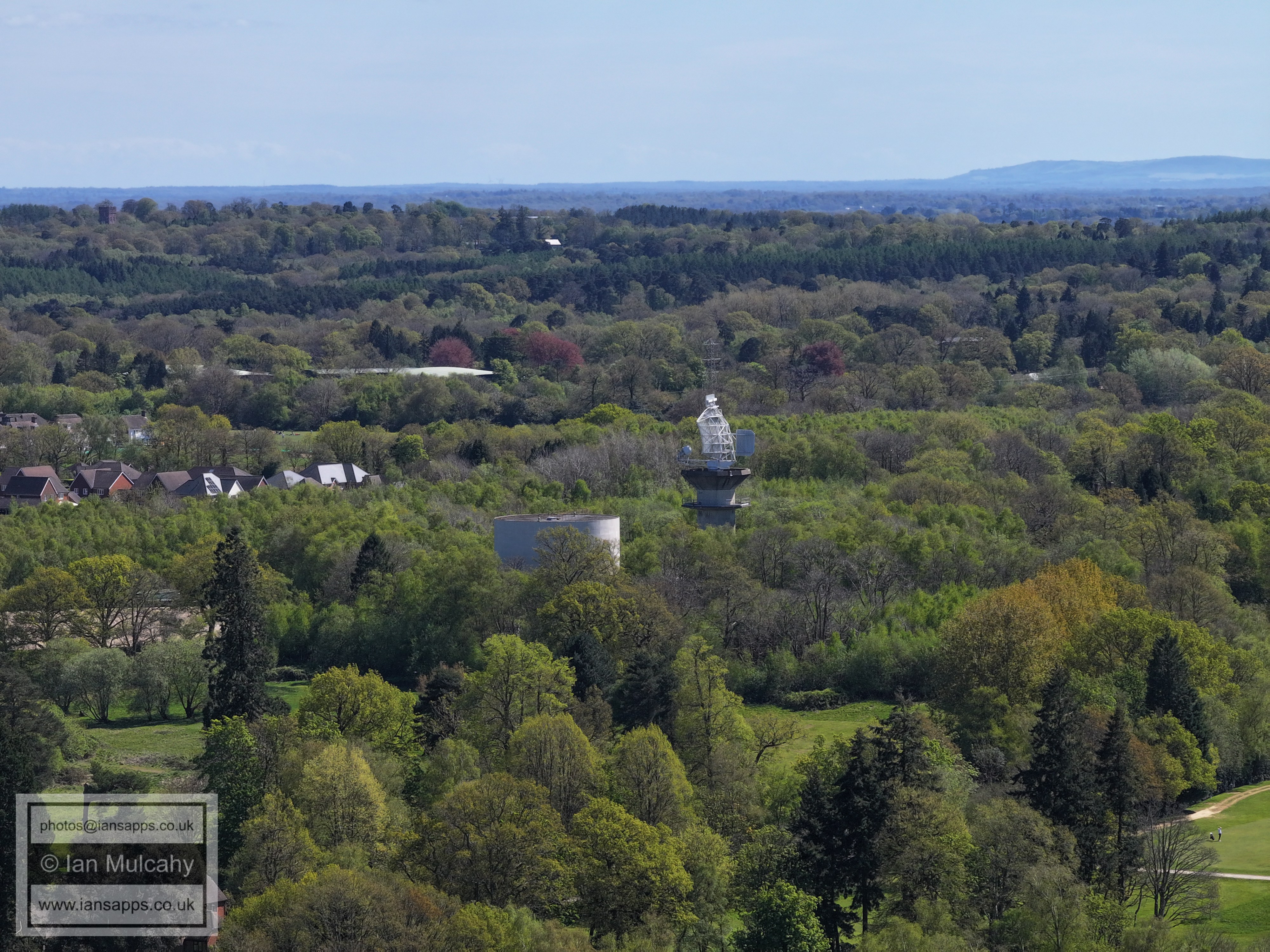
Cottesmore Golf Course with Buchan house towards the top right
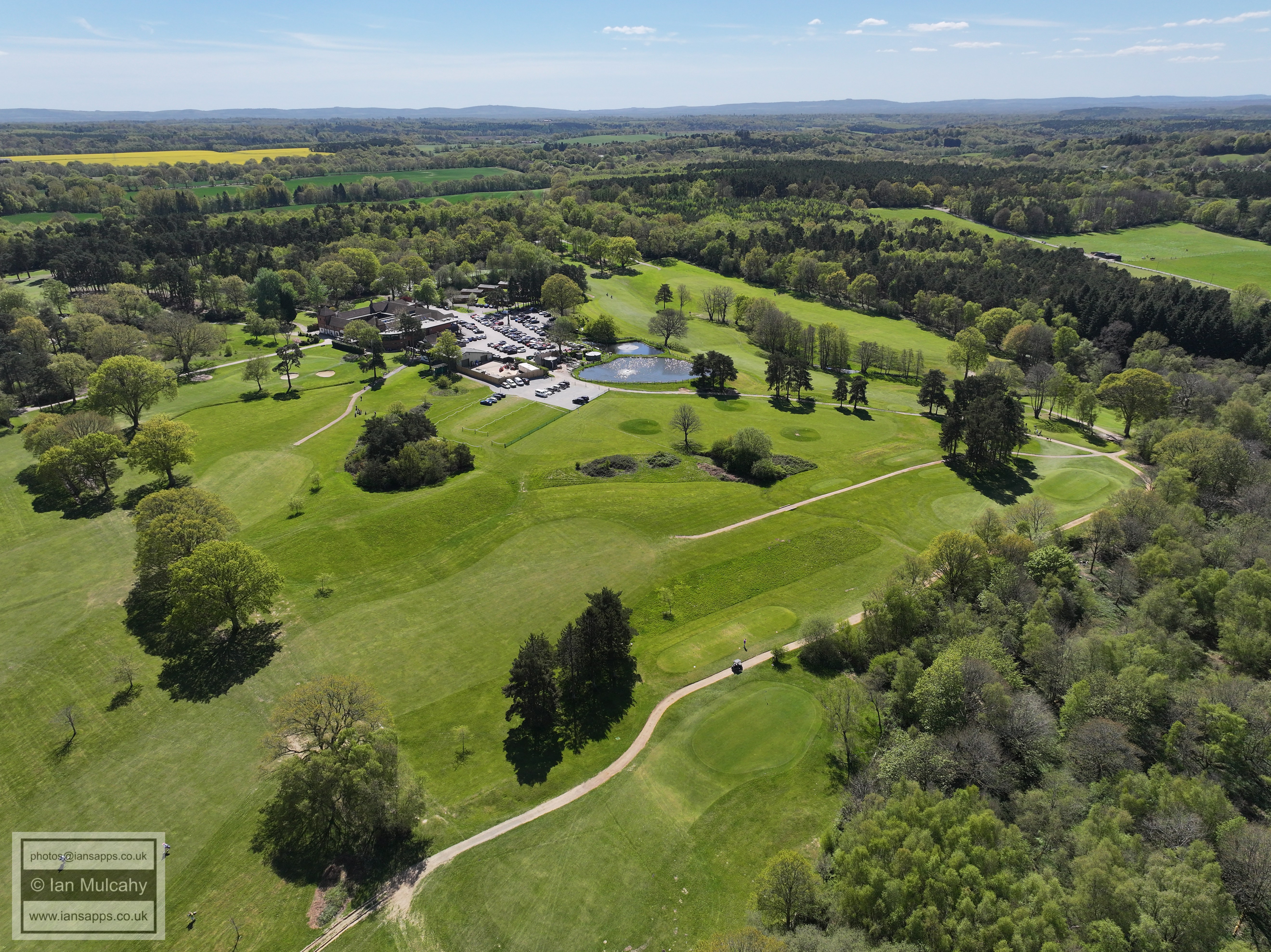
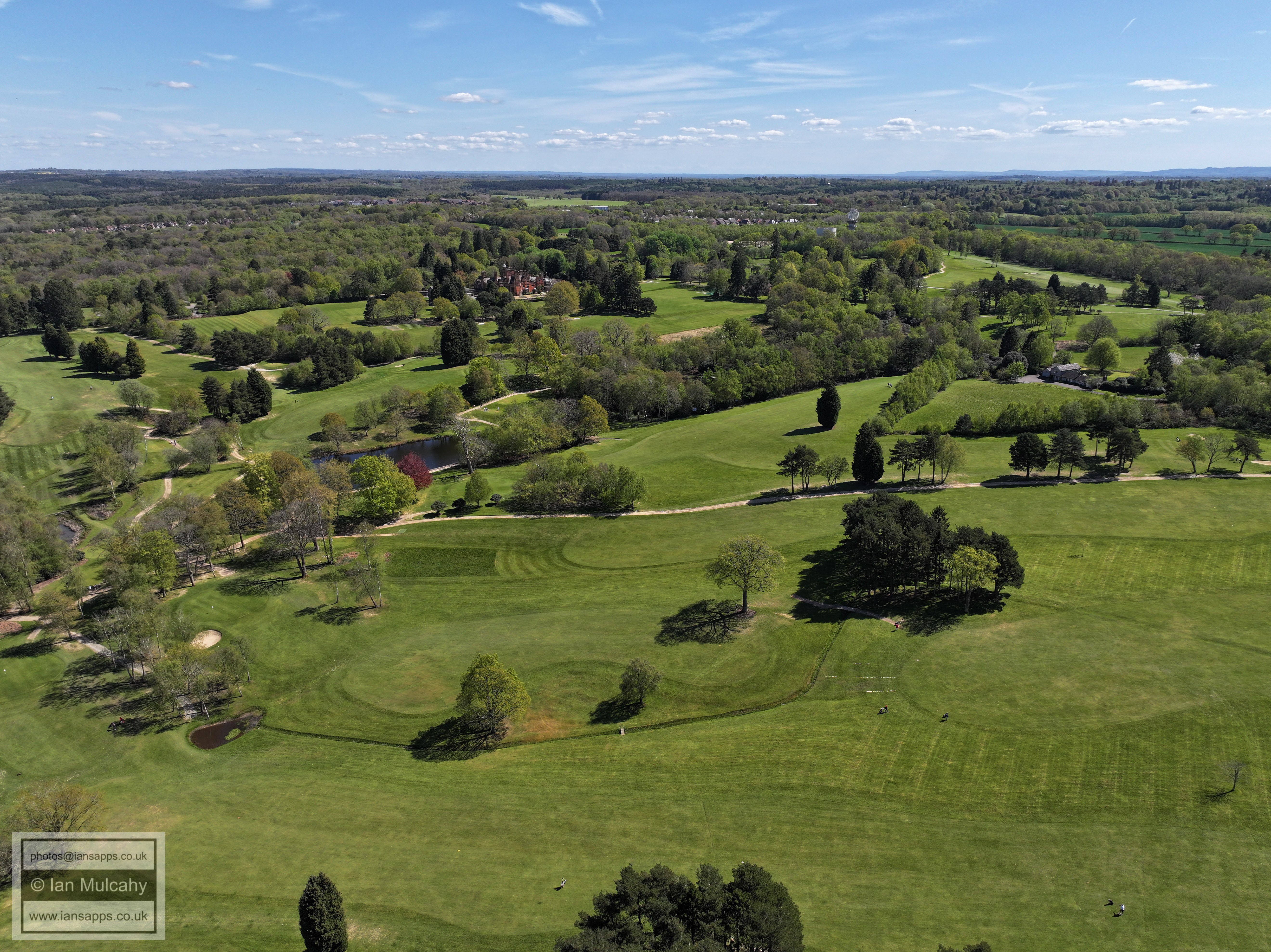
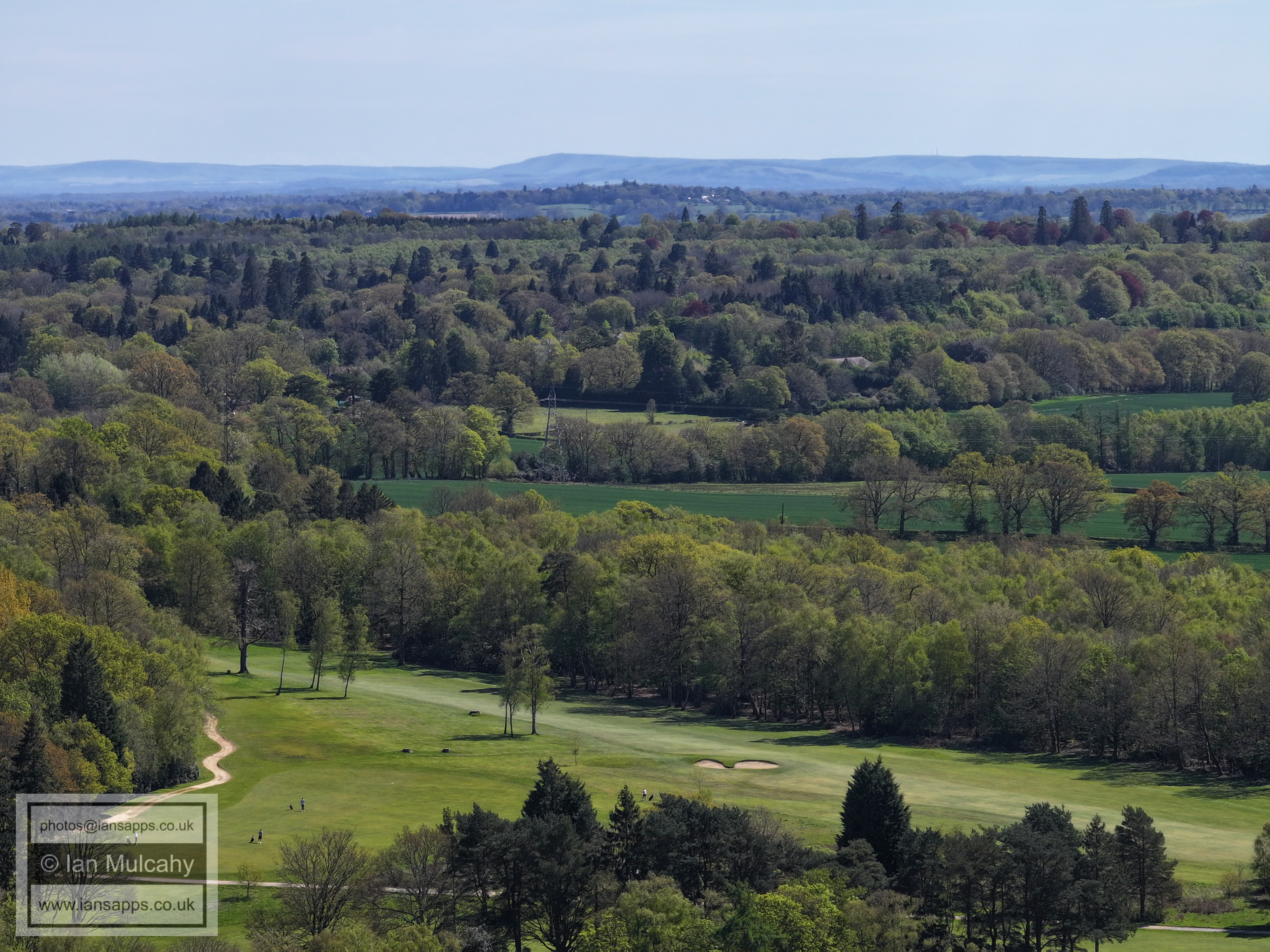
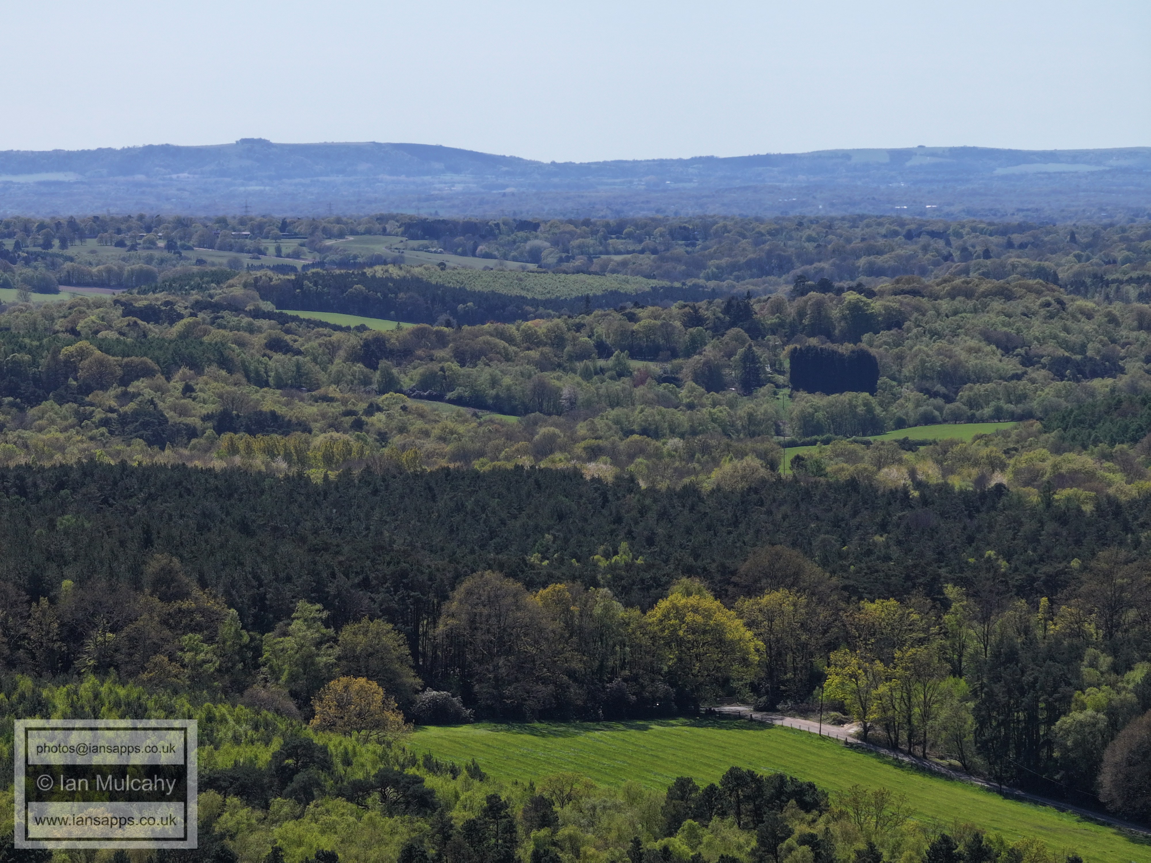
Cottesmore Golf Course
Cottesmore Golf Course
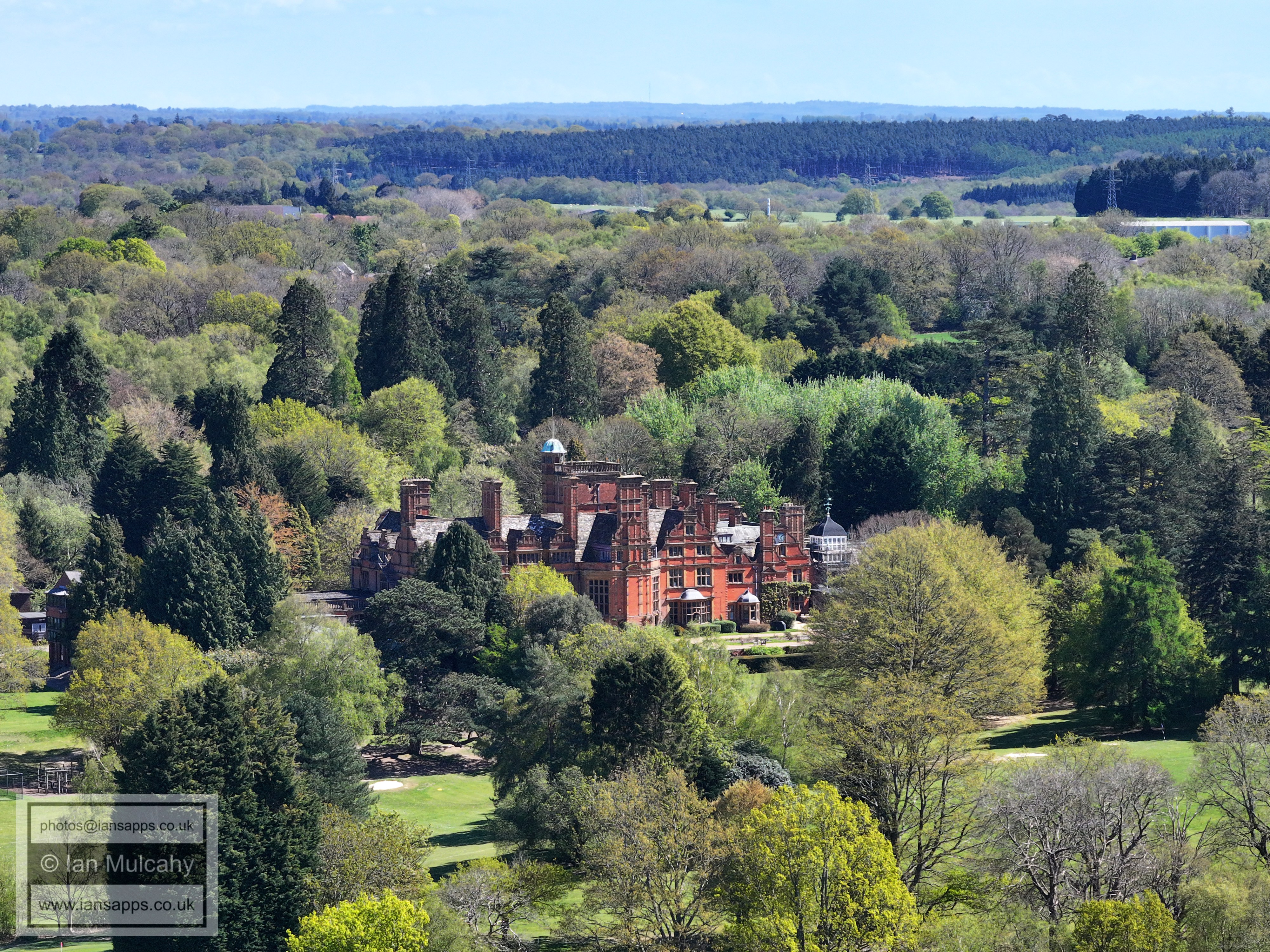
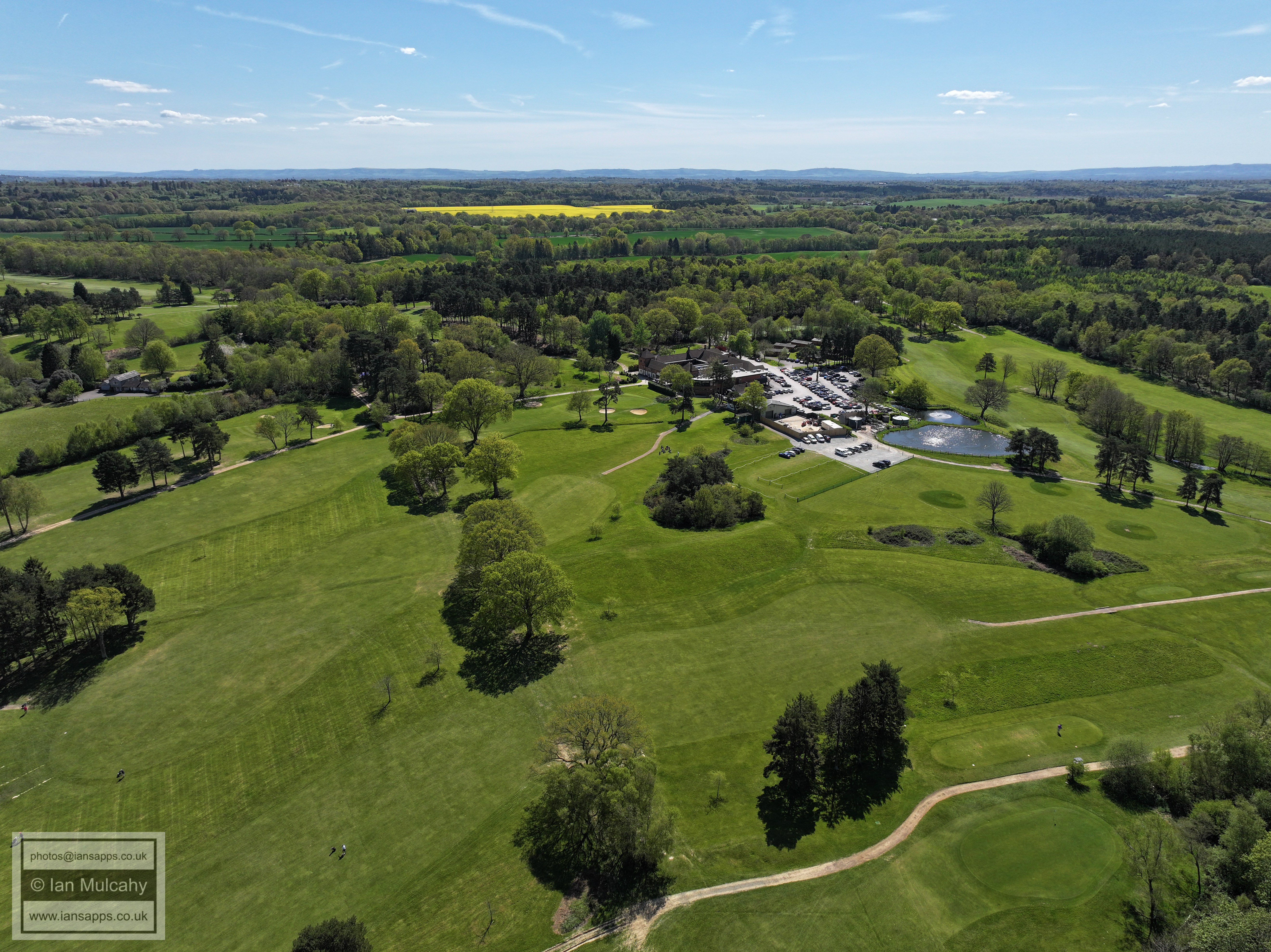
Buchan House
Target Hill Heath in the lower part of the image
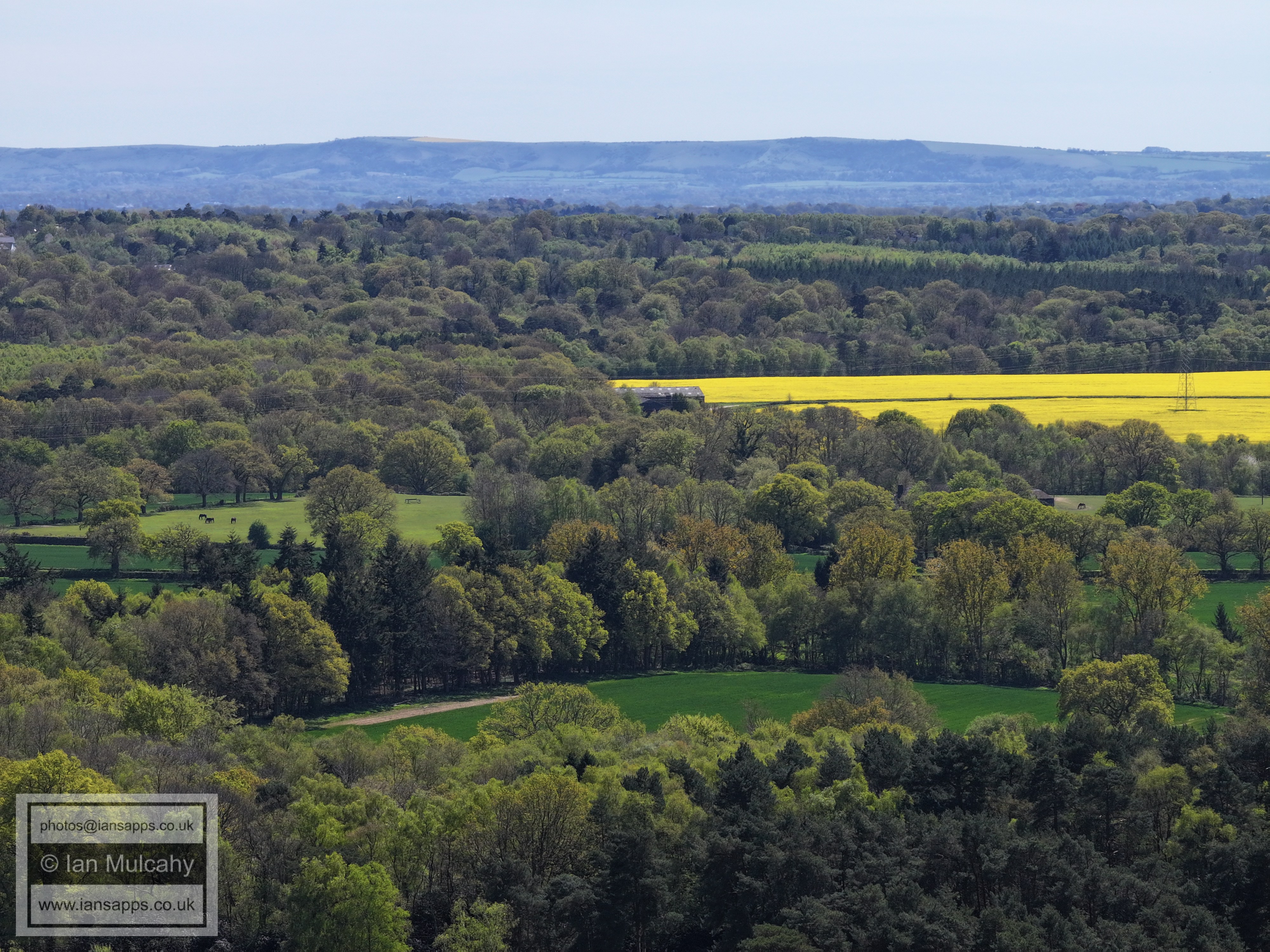
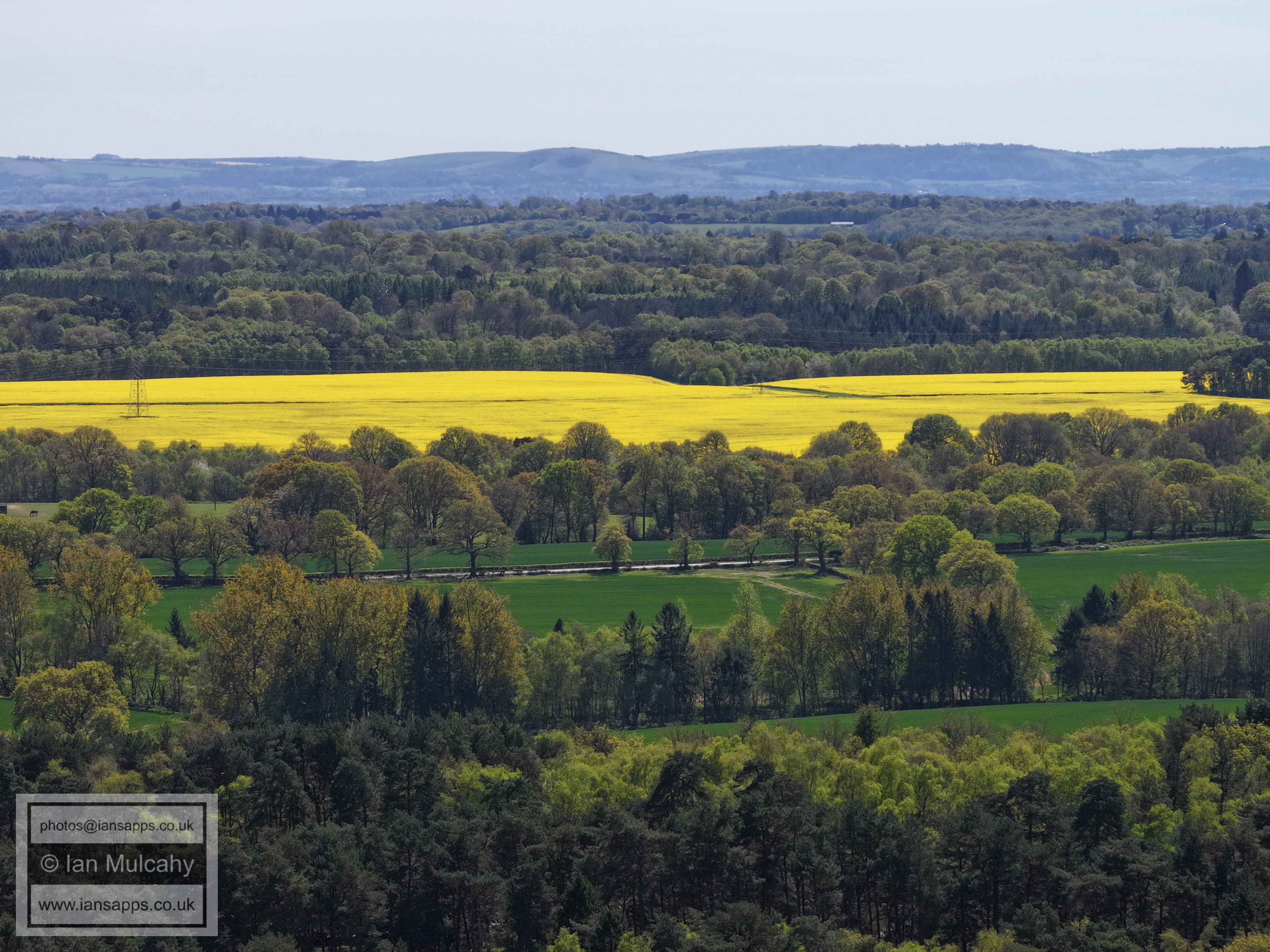
Shelley Plain, in yellow. This was once the site of a medieval settlement that, by the 1500s, formed the southern end of the small Crawley detached Parish
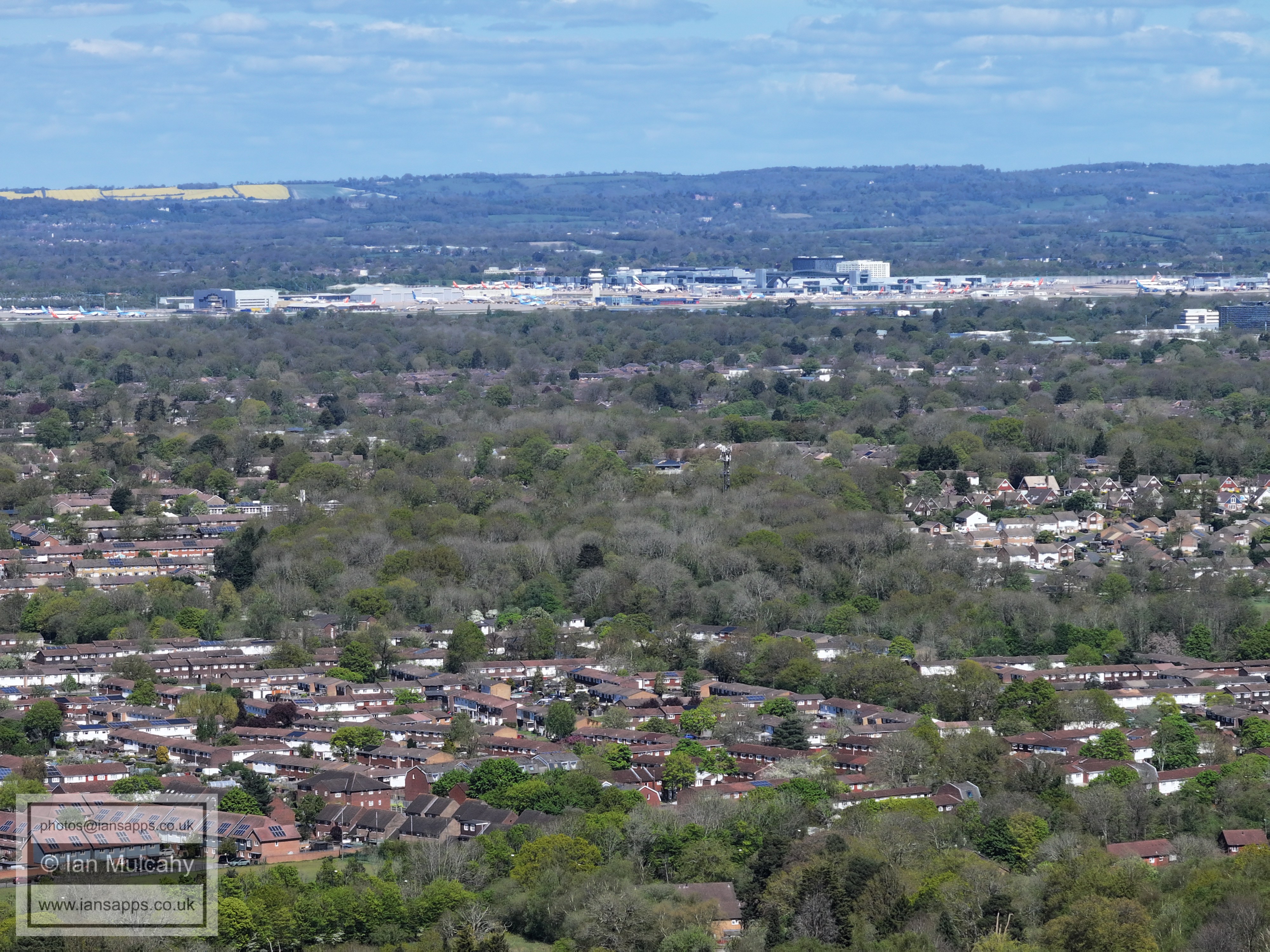
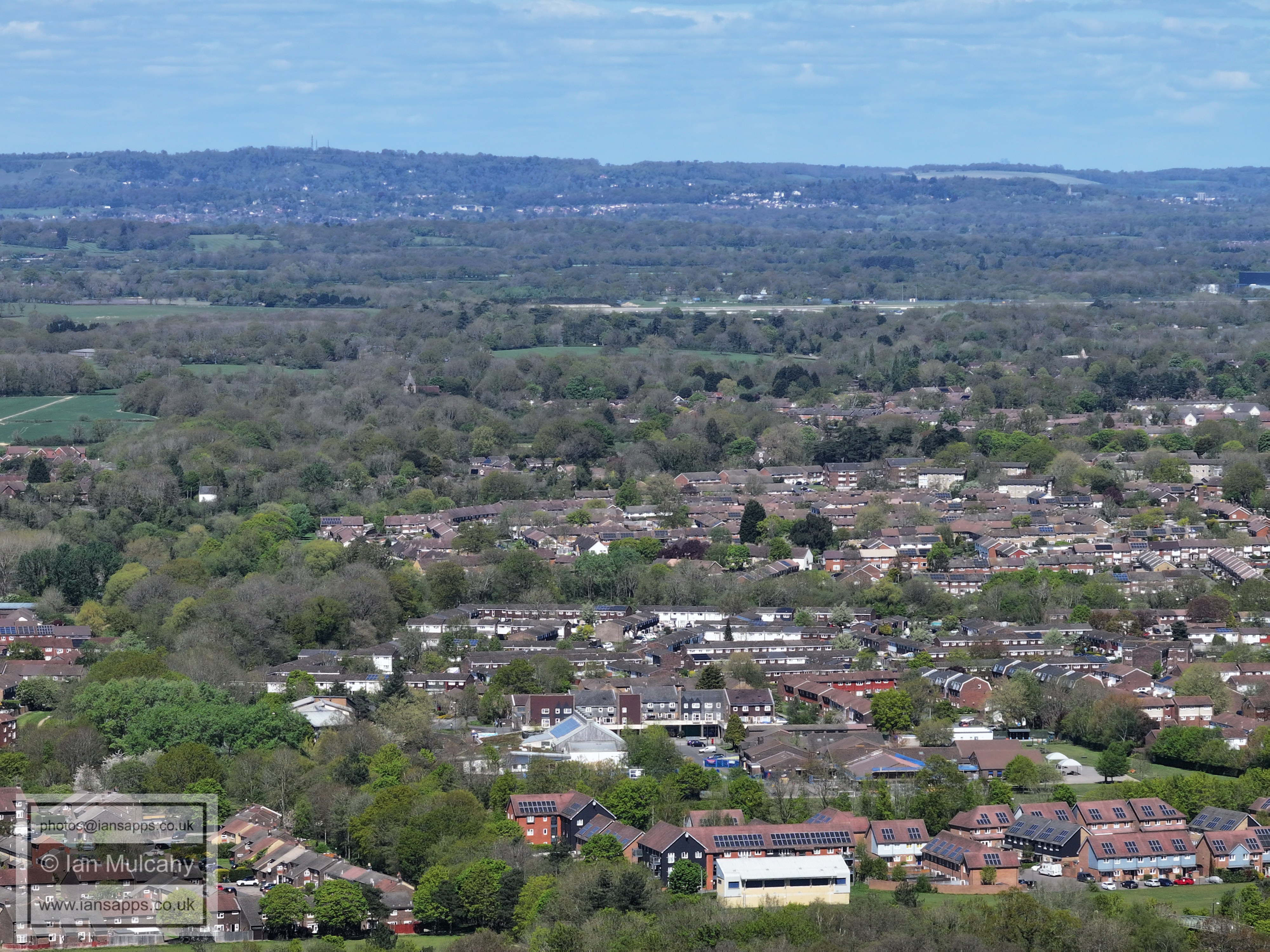
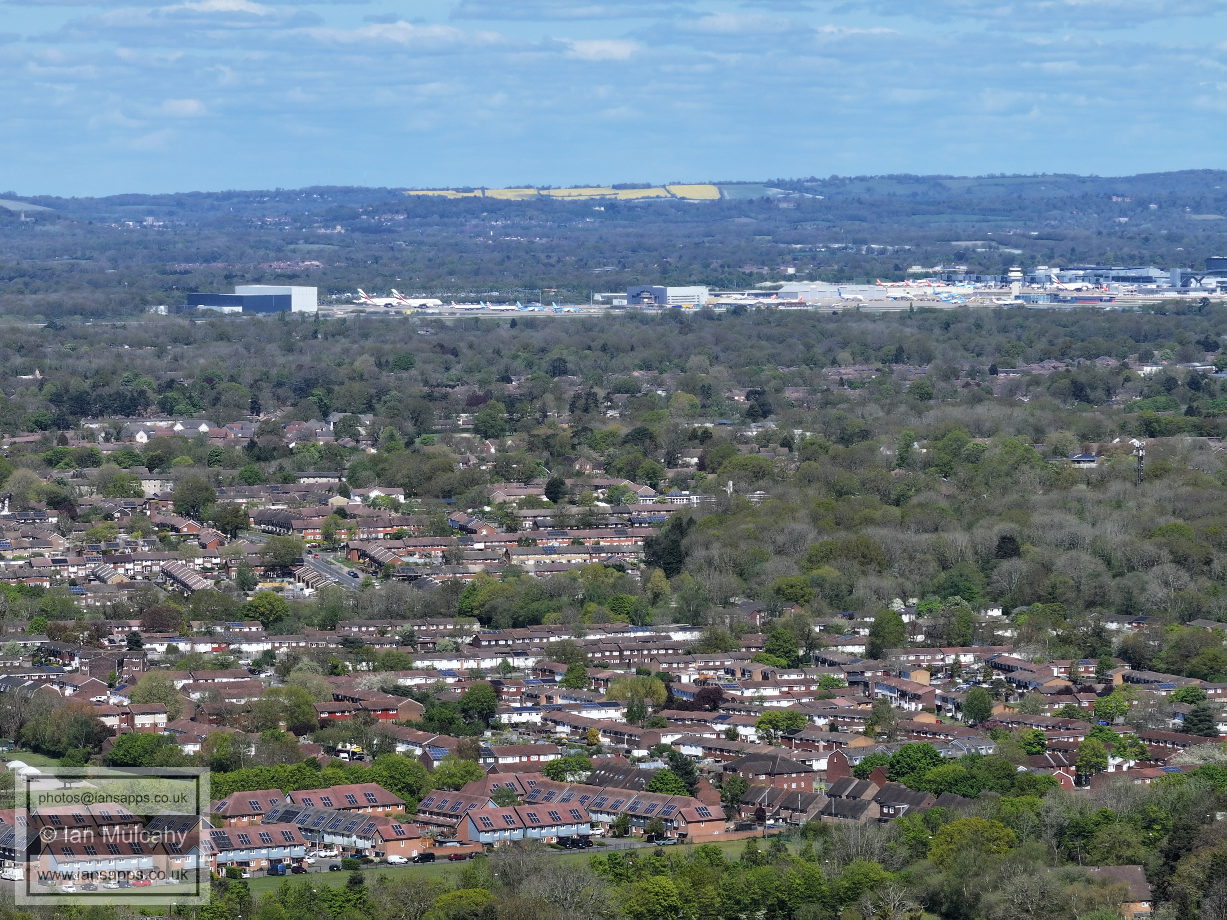
From bottom, Bewbush, Gossops Green Langley Green, Gatwick
Holy Trinity is just below centre, with Bewbush Below and Buckswood Drive immediately above. The hospital and Leisure Park are visible above centre and Manor Royal is beyond.
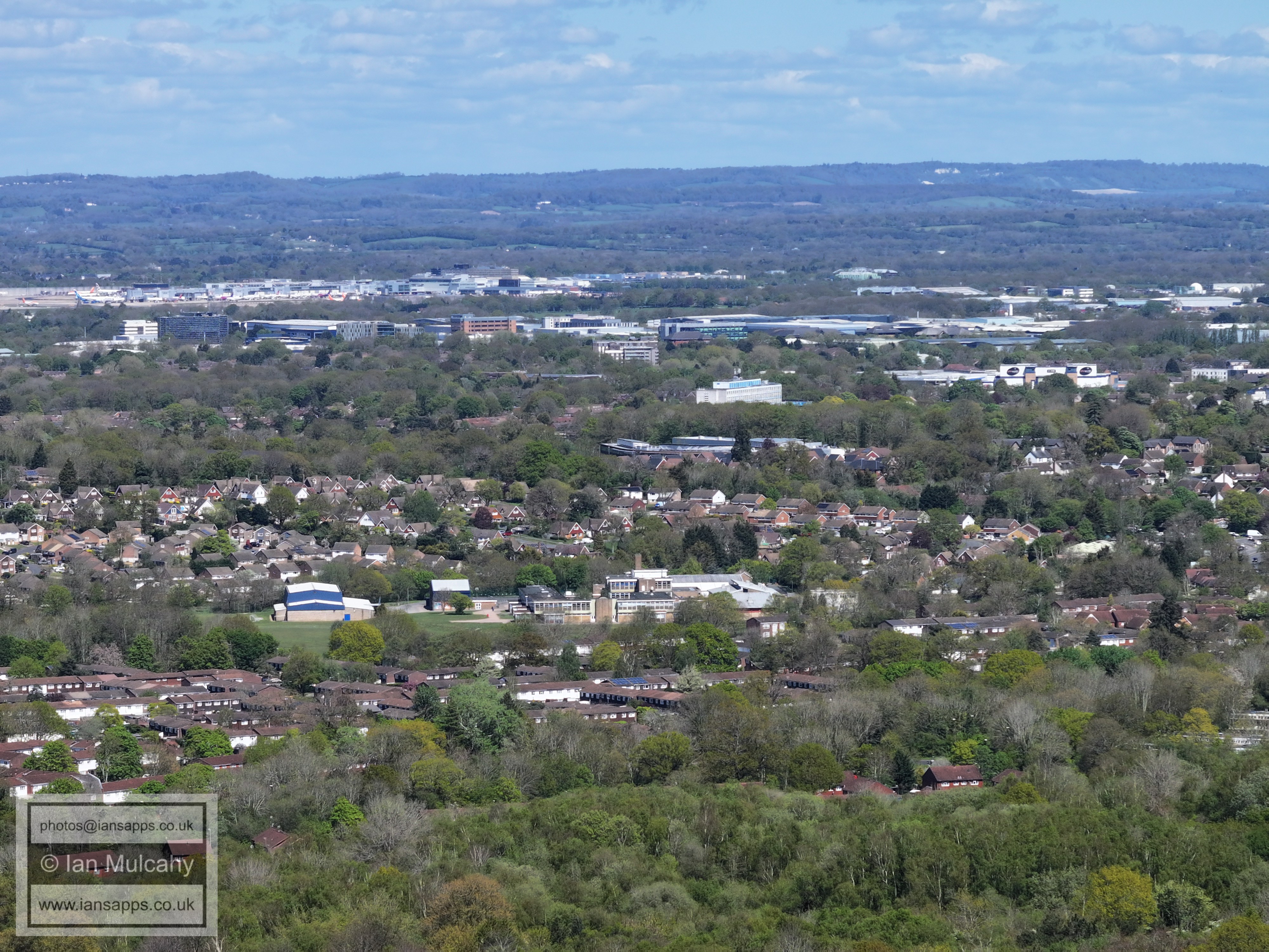
Cheals roundabout can be seen towards the left, a little below centre. Otherwise, we have Broadfield, Southgate West and the Town centre, with the Sandman Hotel between the Town Hall & College. In the top left quarter are the globes of the sewage treatment works at Tinsley Green.
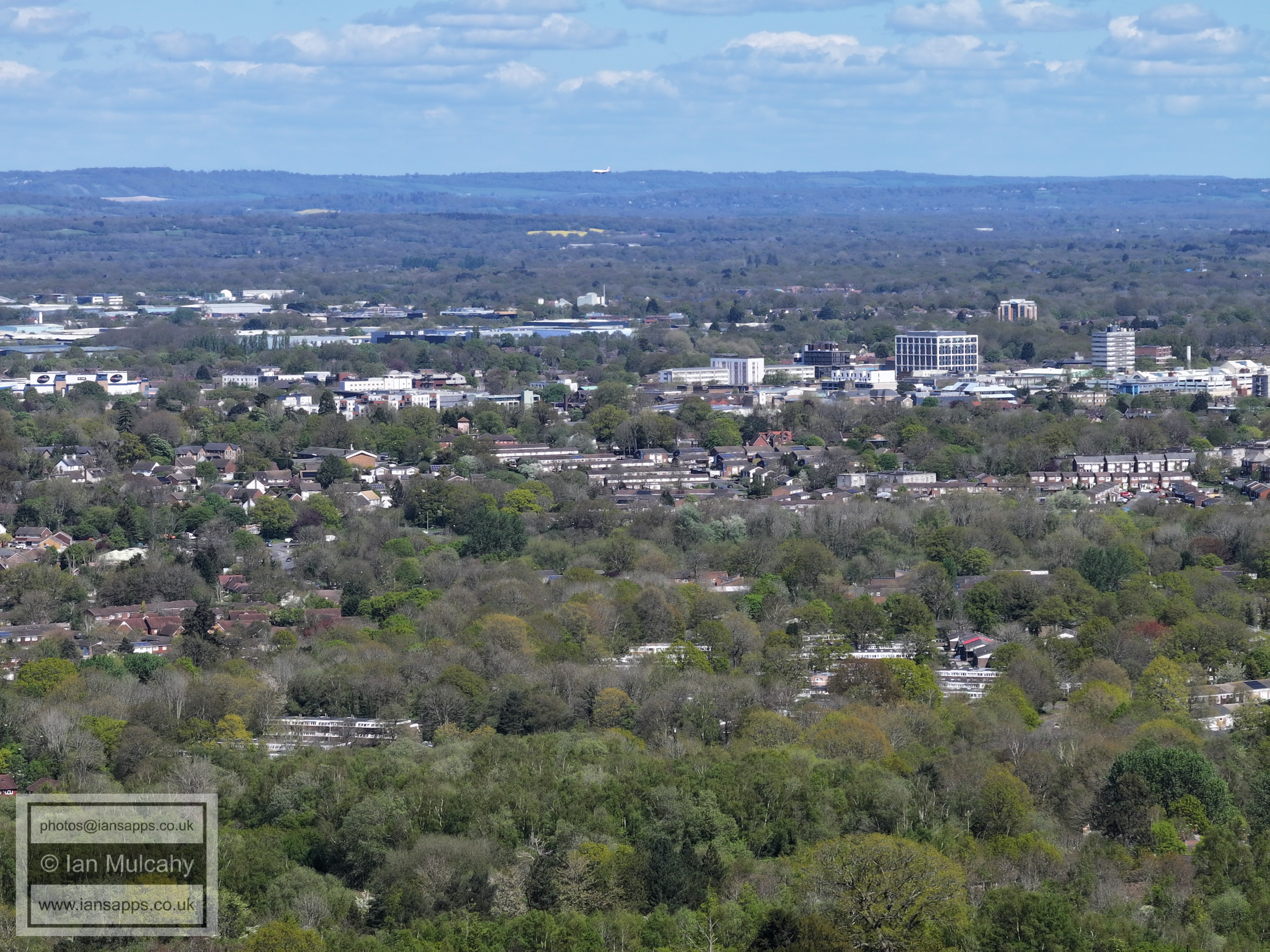
Southgate West and the Town centre across the middle with Broadfield below. Milton Mount flats at Worth Park can be seen in the top right quarter.
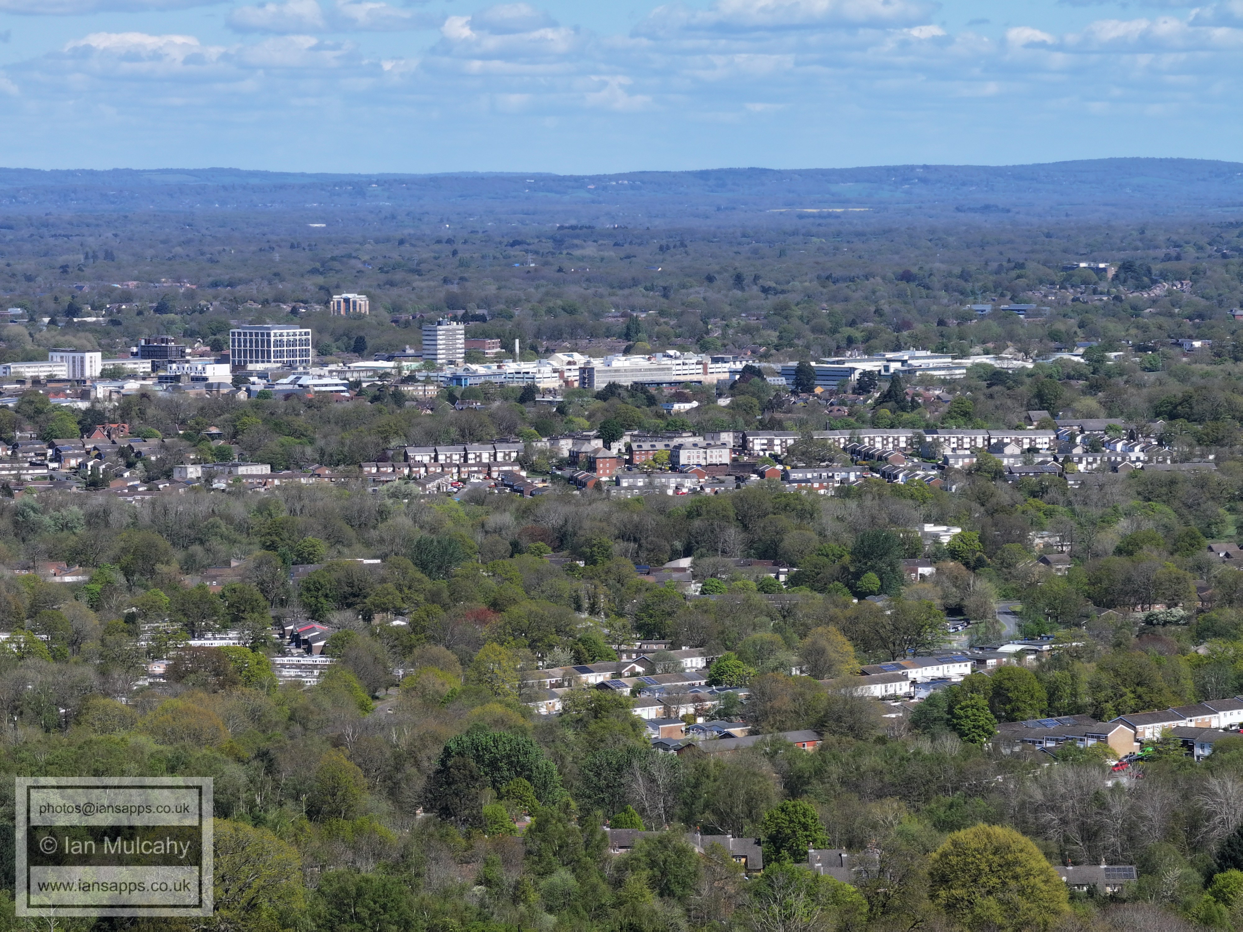
The spire of St Mary's Church in Southgate can be seen just above centre and Southgate fills most of the width of the image across the middle, demarcated by Southgate Avenue (vertically) towards the right. Seaford Road is in the bottom left quarter.
On the far left of centre is the fading red roof of the East Stand at the Broadfield Stadium with Thomas Bennett Playing Fields immediately above and Tilgate, Furnace Green and Maidenbower beyond.
The Ferris wheel at Tulleys Farm is near the top towards the right with Maidenbower forming a strip of rooftops across the width of the image below. Creaseys Drive area in Broadfield is at the foot of the image.
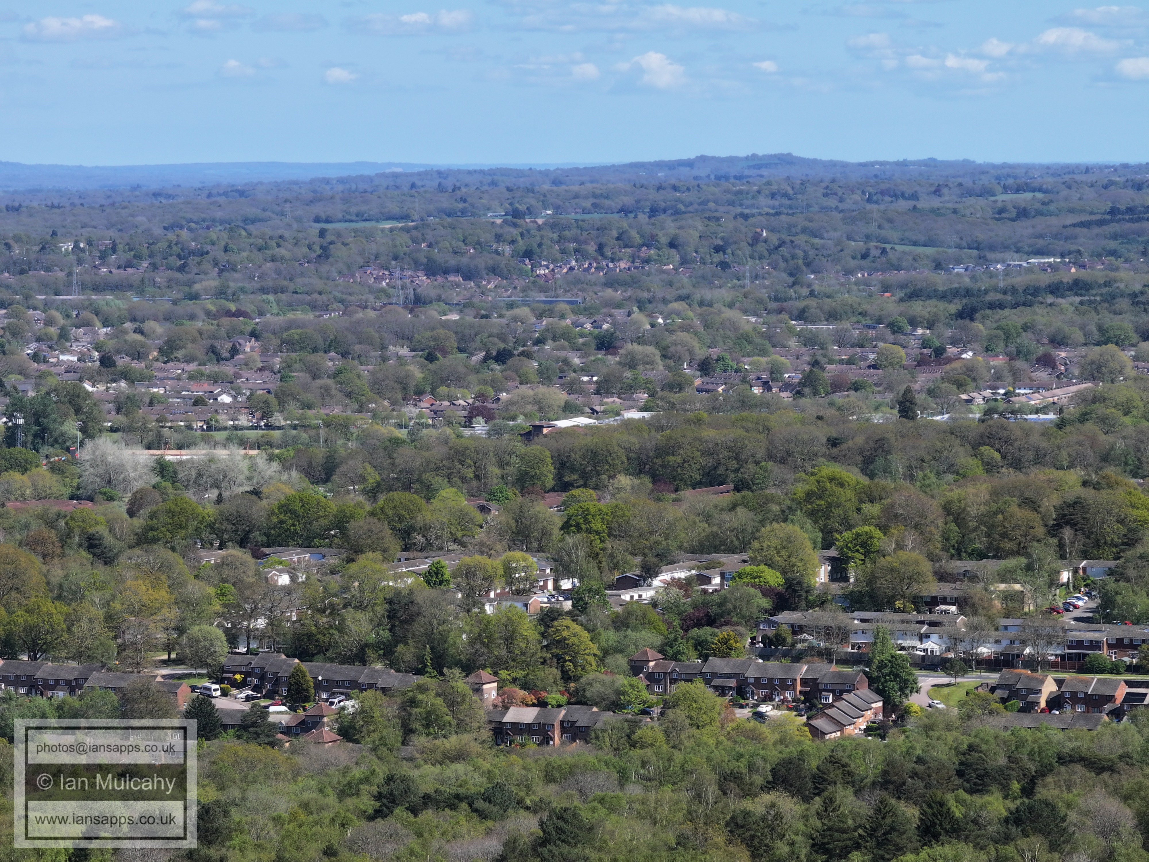
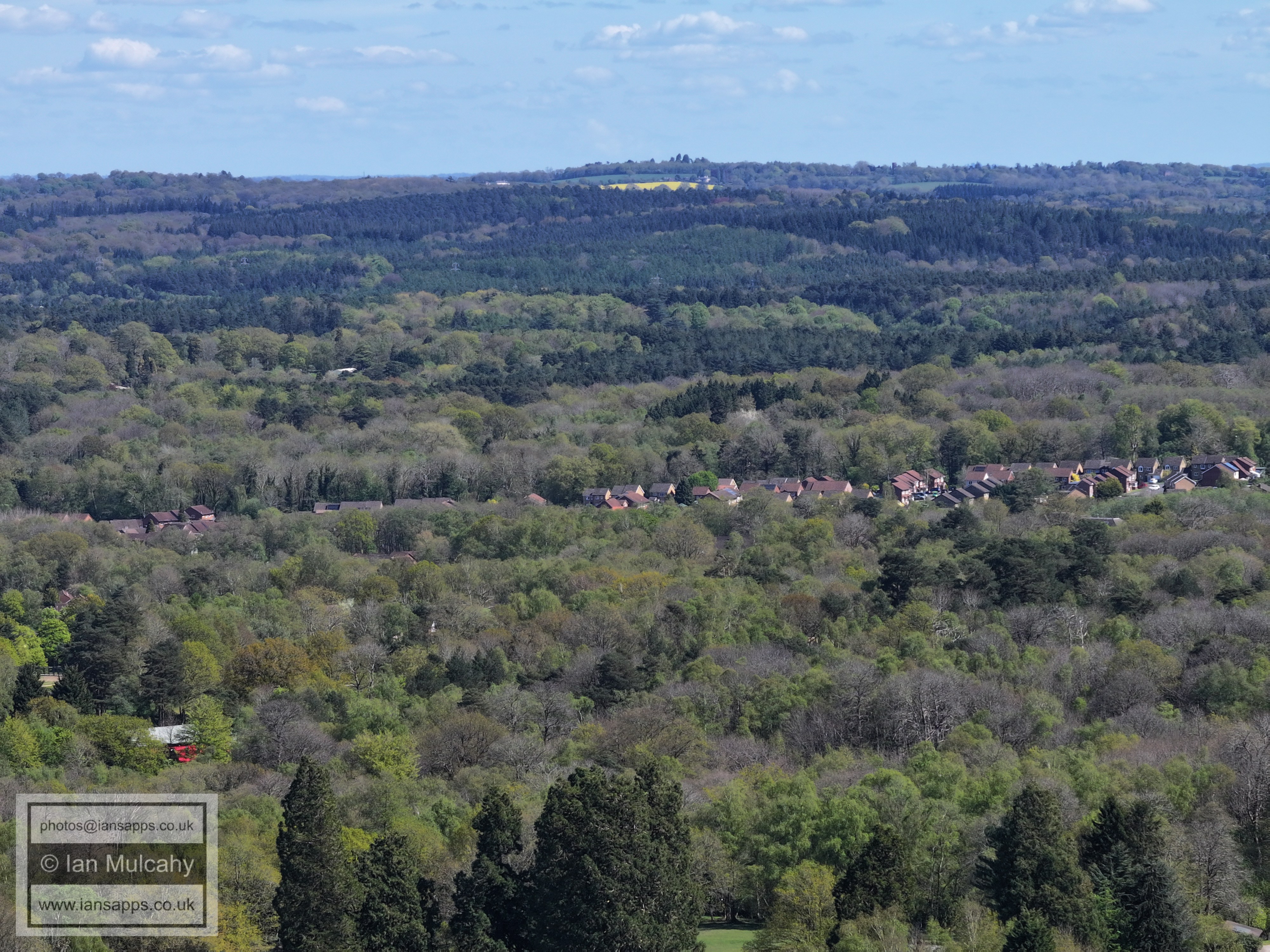
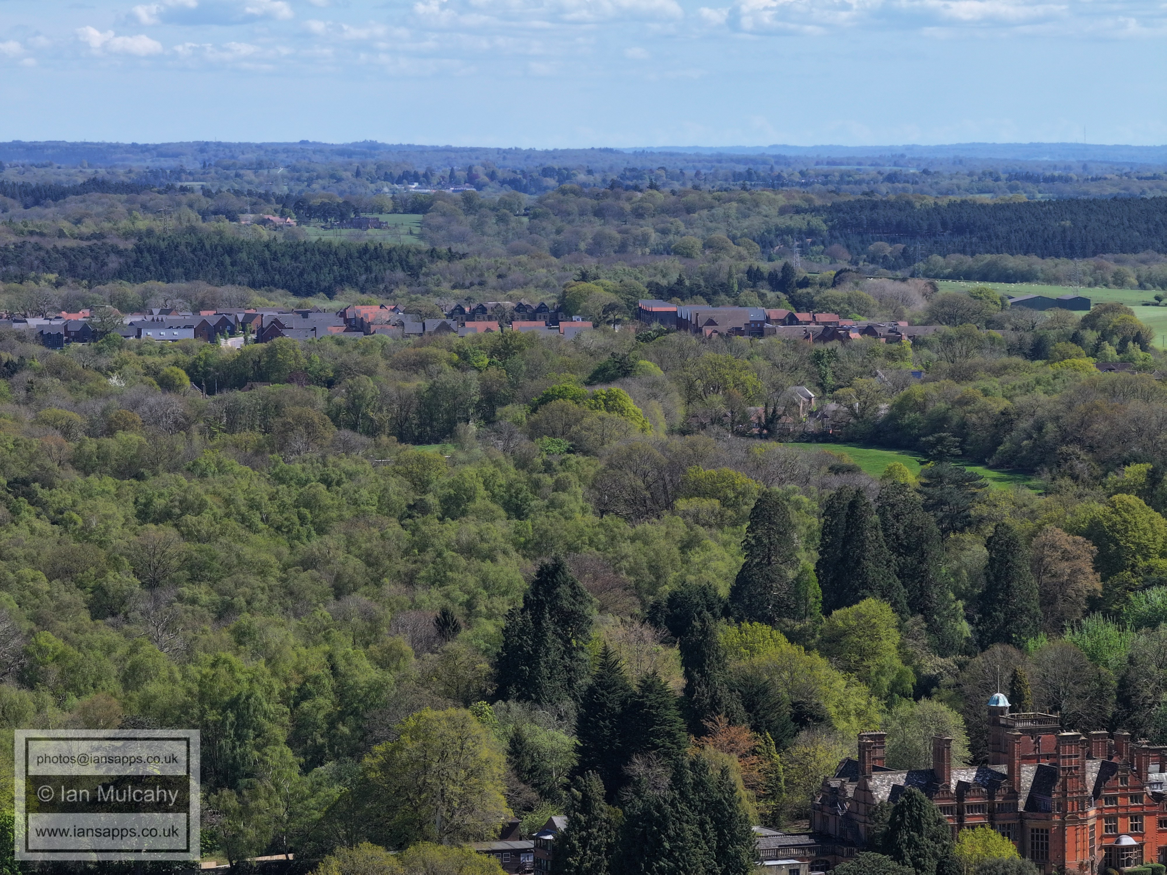
Tollgate Hill across the middle. On the ridge at the top, towards the right, is the water tower on Selsfield Common between Turners Hill and West Hoathly. I believe the house next to the yellow field to be Wyndham Croft on Selsfield Road.
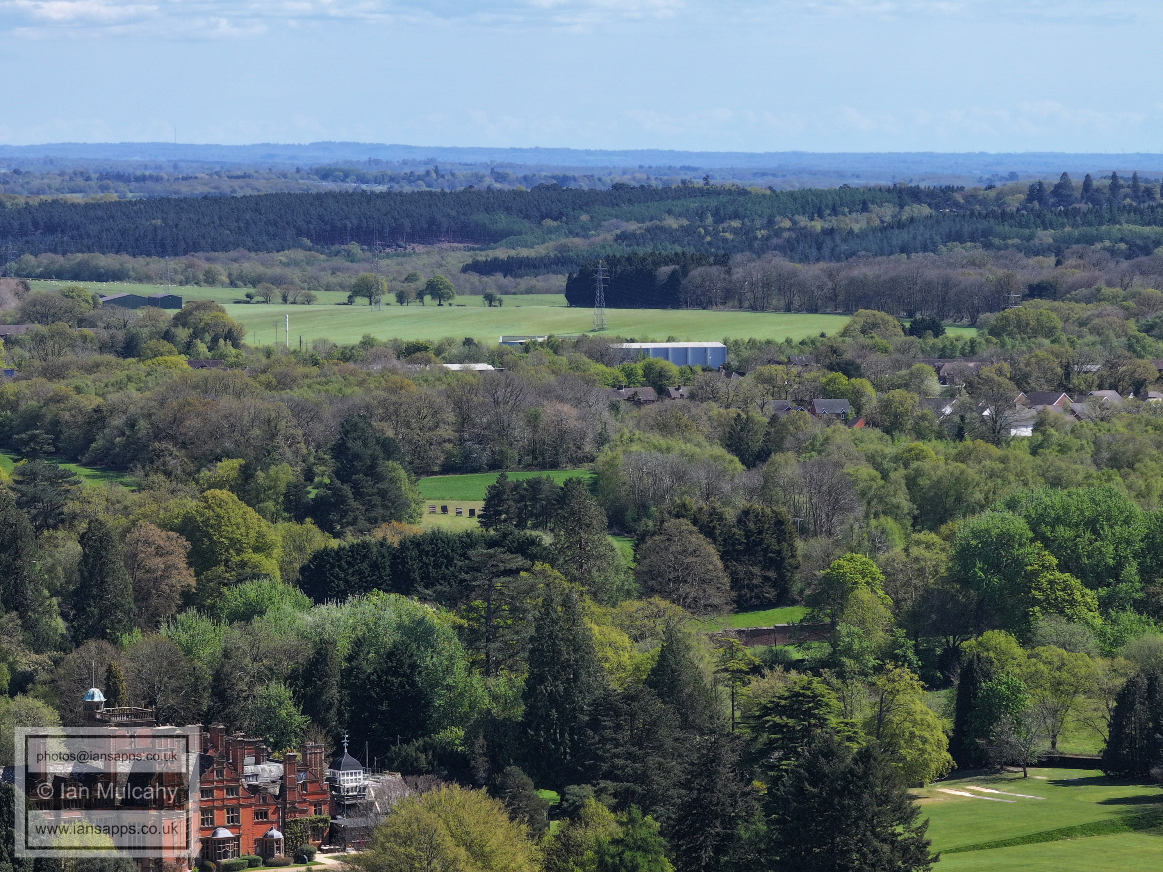
Woodgate at Pease Pottage, above centre, and Greentrees in the top left quarter.
In the top right quarter on the escarpment of the Downs is the V-shaped plantation of trees near Plumpton, planted to commemorate the Diamond Jubilee of Queen Victoria in 1897.
The wind turbines off the coast of Shoreham are visible through the dip in the Downs, along with Lancing College
Colgate is just visible across the centre, with the village centre on the far right.
Horsham is beyond the ridge, with the spires of St Mary's and St Mark's visible in the top left quarter
Holmbush to the right of centre with Mowbray beyond.
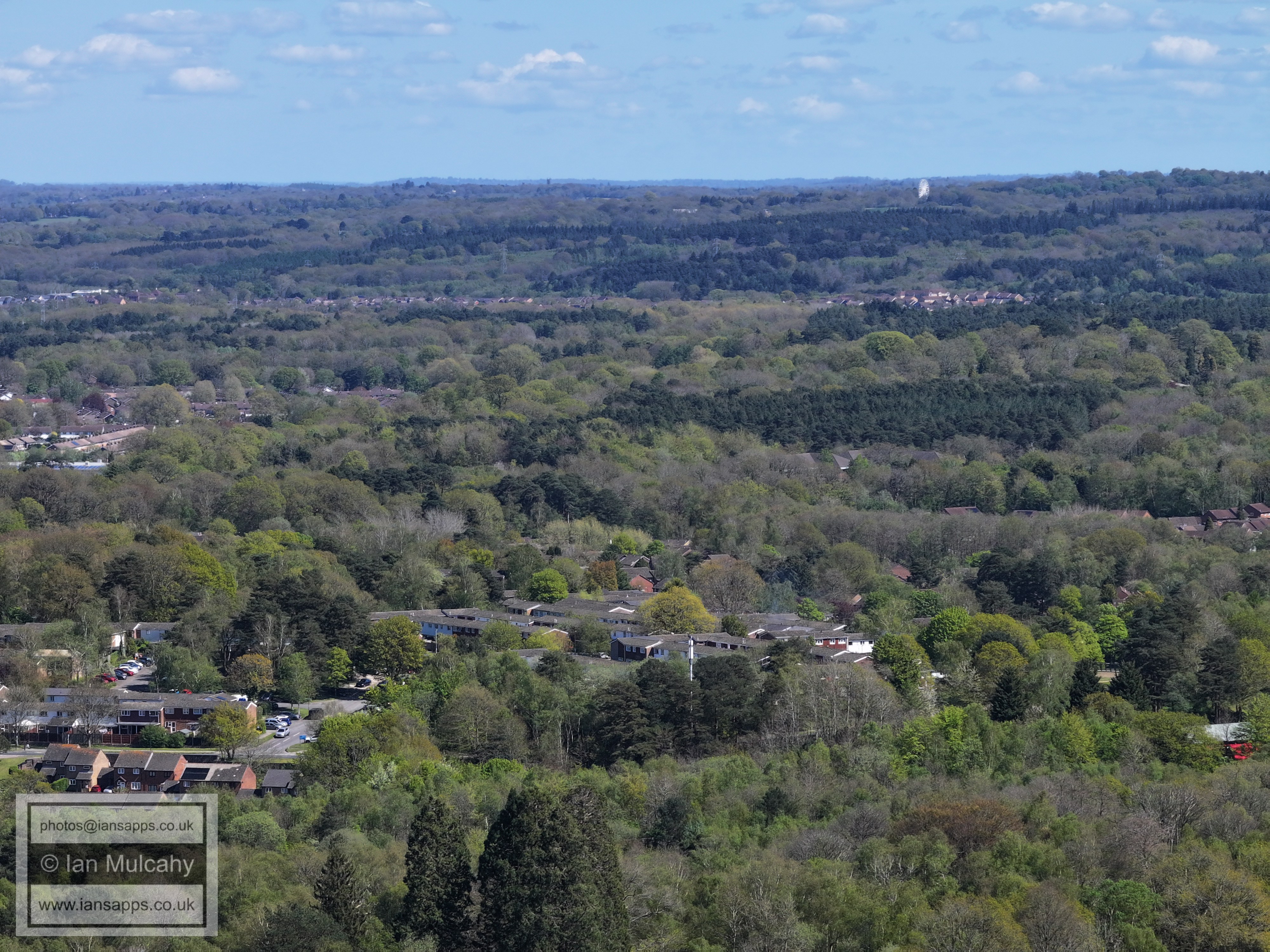
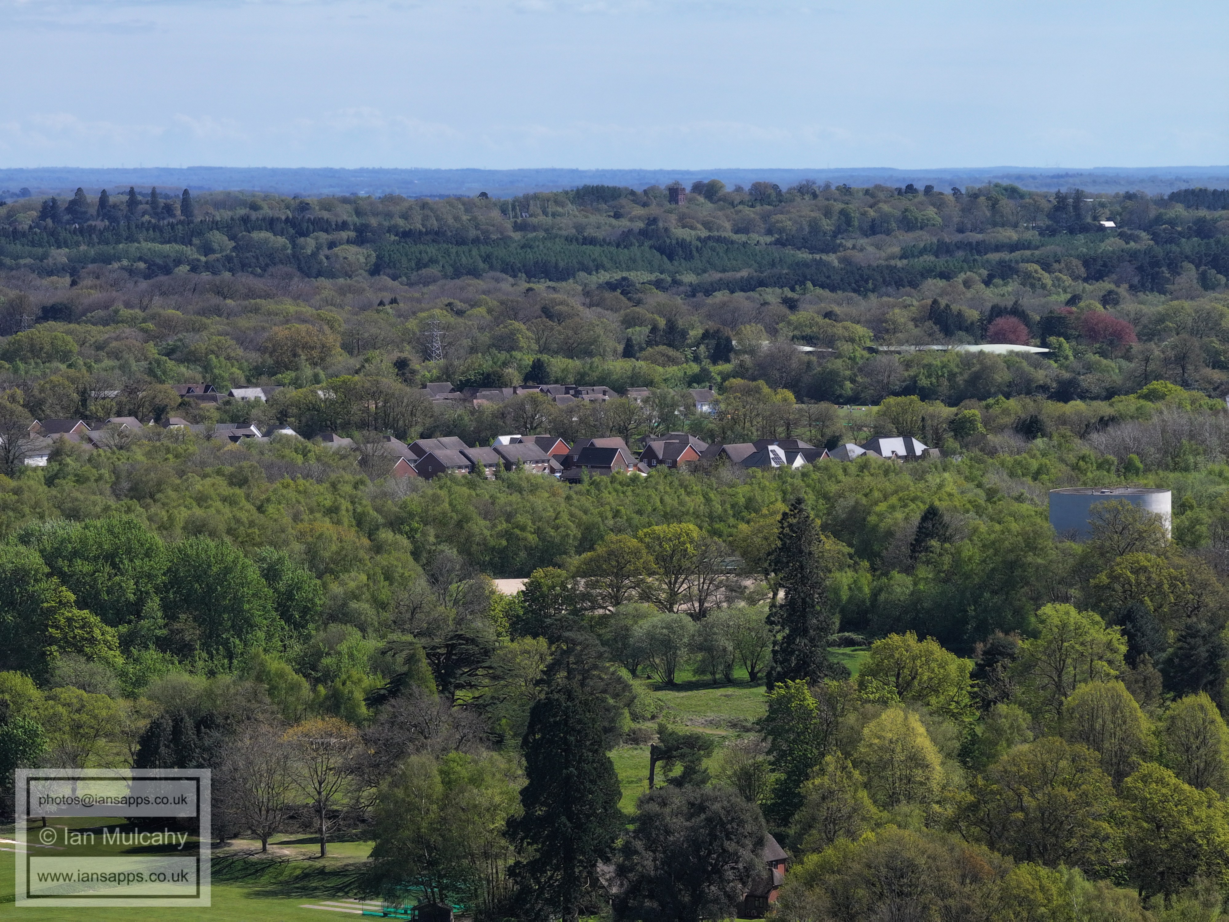
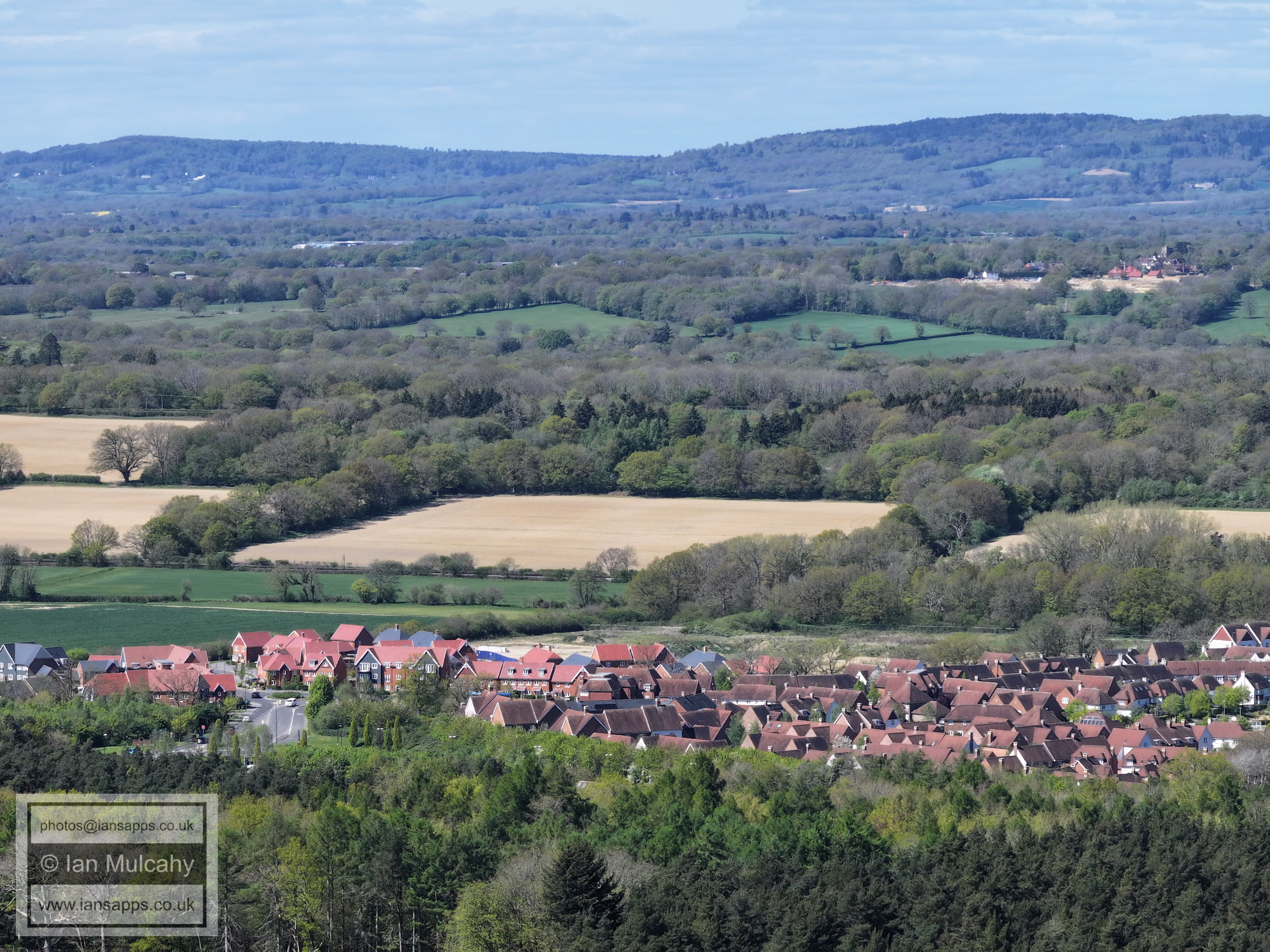
Faygate to the left
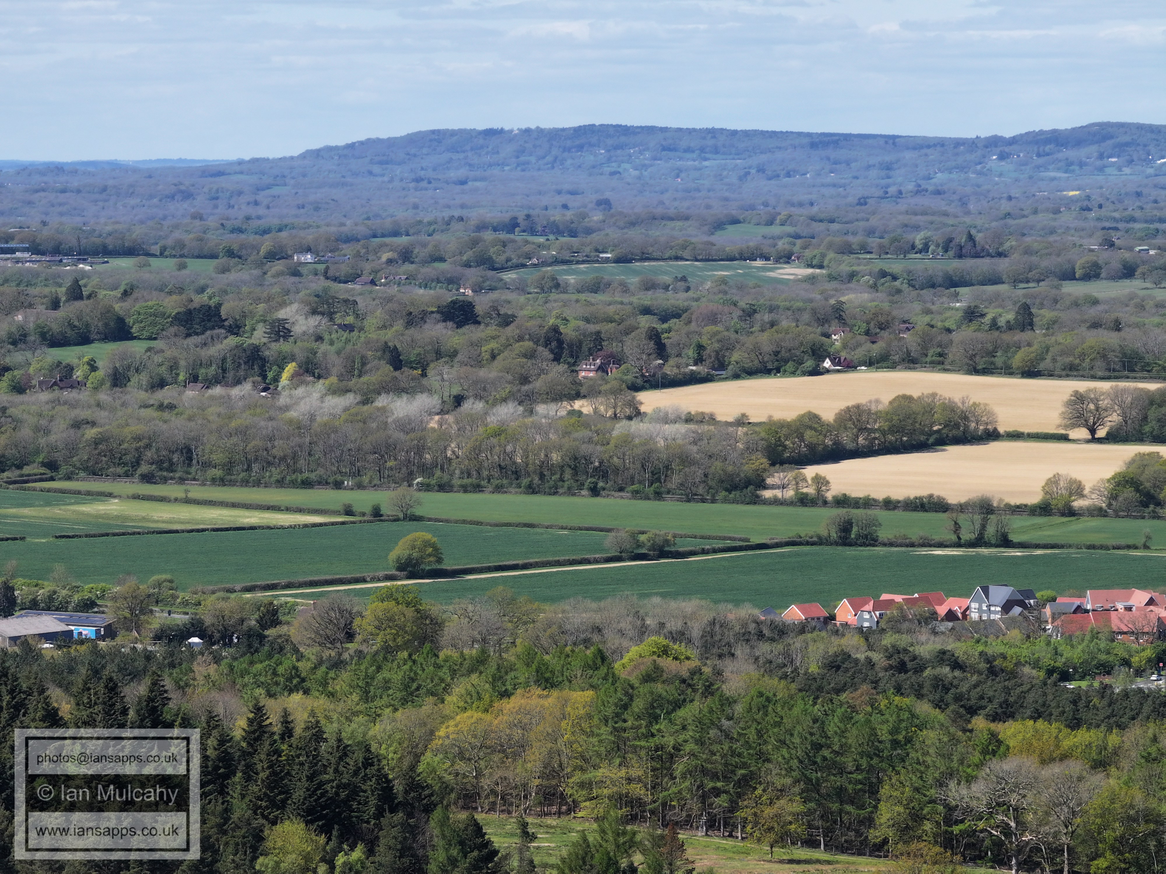
Kilnwood Vale in the foreground with Rusper in the top right quarter.
Kilnwood Vale in the foreground with Kilnwood House and Normans (at Rusper) in a neat little line above.
The pointy spire of Newdigate church is visible in the top right quarter, if your eyes are sharp, as are the two tower blocks in the southern area of Dorking.
The white building just above centre is The Mount in Ifield Wood and the large barn roofs in the top left quarter are at Ivy House Farm on Partridge Lane
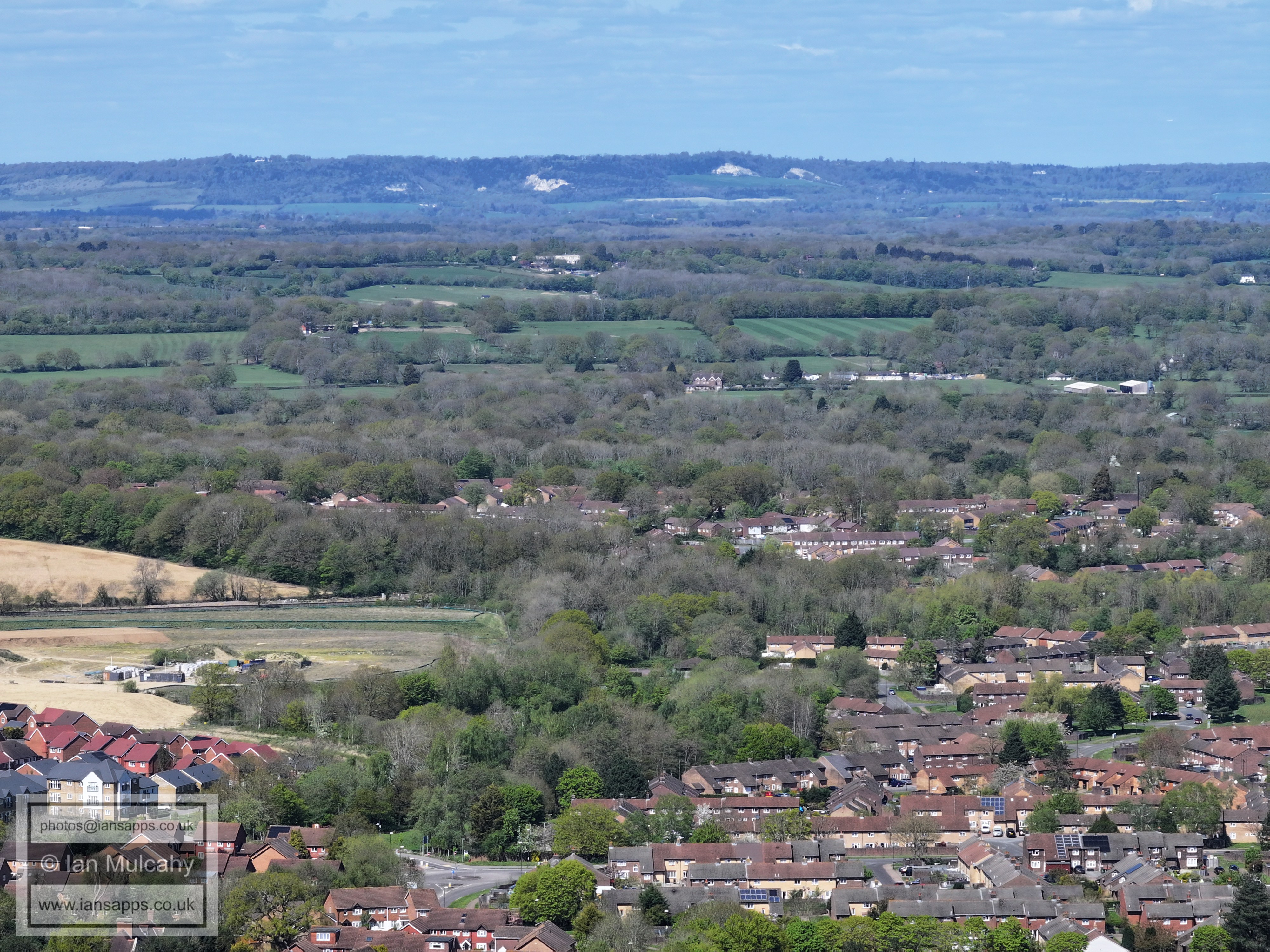
Bewbush & Ifield West, with Bonwyckes Place and the Russ Hill Hotel beyond.
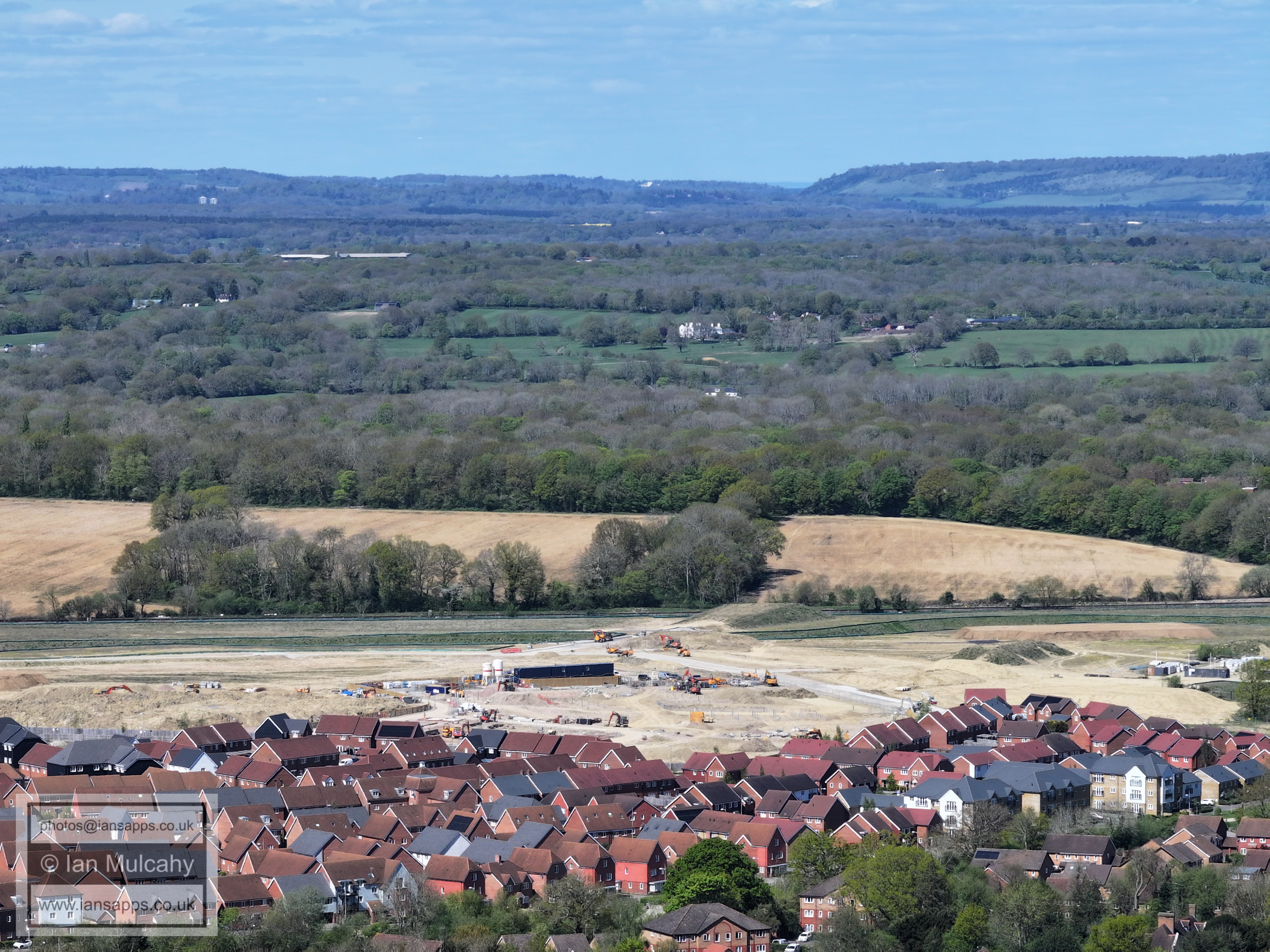
Bewbush Green below and to the left of centre. just to the right of centre, below the ridge of Norwood Hill and Horse Hill, is the tower of St Nicholas Church at Charlwood. The green area across the centre is the fields of Ifield Court Farm, which won't be green for much longer if Homes England and Horsham District Council get their way.
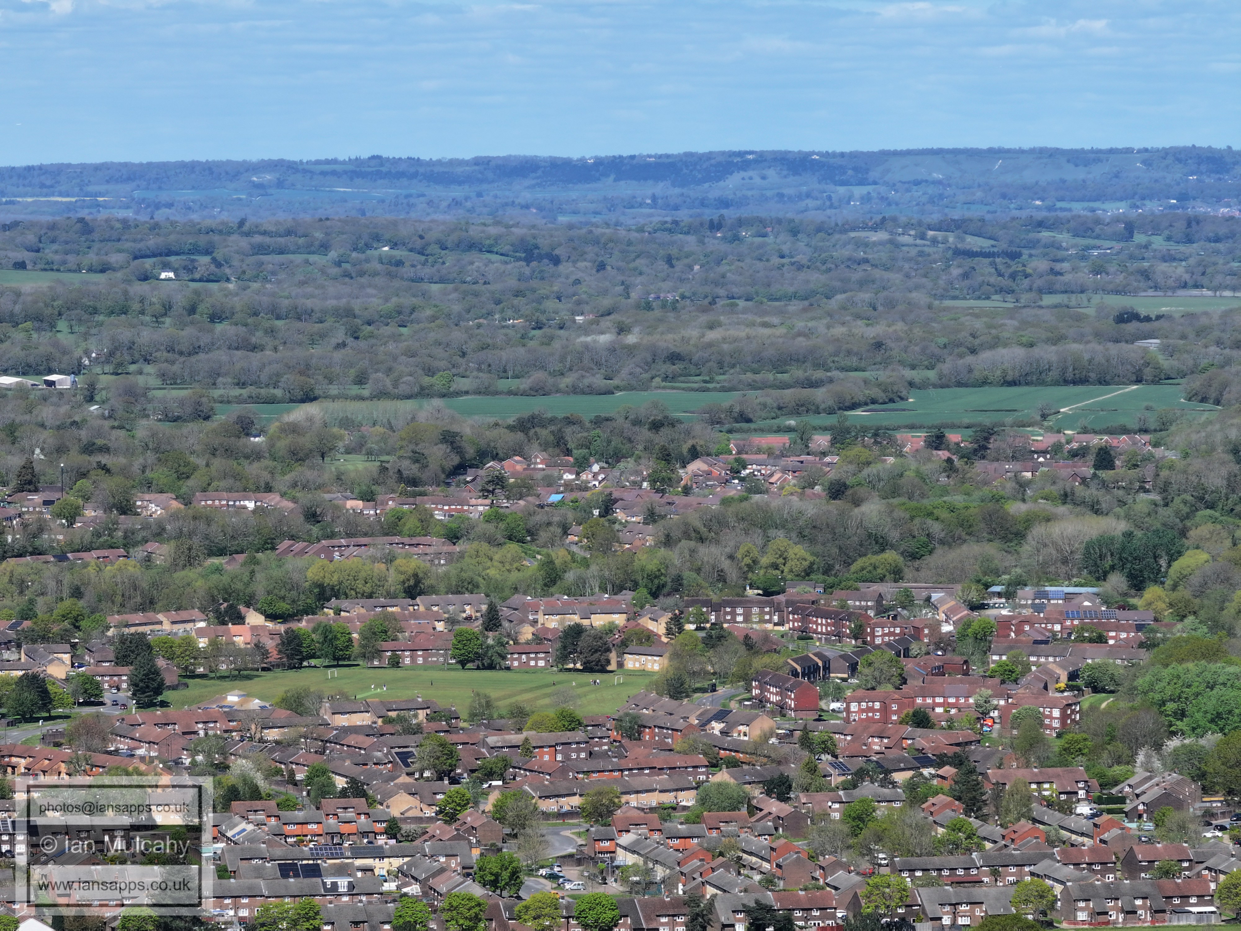
Breezehurst Pavilion & Bewbush Shops are at the bottom in the centre and above the Ellman Road area of Bewbush is Rother crescent in Gossops Green. Out to the left is Ifield Mill and above the mill, and to the right, is St Margaret's Church at Ifield
This final image was taken from Breezehurst Playing Field in Bewbush, just near the bridge from Buchan Park.
It shows almost two and a half thousand years of Ifield history in
one picture. In the bottom half of the photo is Ifield Millpond,
originally a hammer pond constructed in the 1560s to power the
finery forge on the site which was processing the pig iron from
Bewbush Furnace, and Ifield Watermill, which was built in 1817.
The sharp eye will also spot the tower of the Church of St Nicholas at Charlwood in the top left quarter, roughly central in the quarter.
Text & photographs © Ian Mulcahy. Contact photos@iansapps.co.uk or visit my 'Use of my photographs' page for licensing queries (ground level photographs only). |