Near to Granthams Bridge and Ifield Golf Course
Rusper
124 aerial images
23 April 2026
|
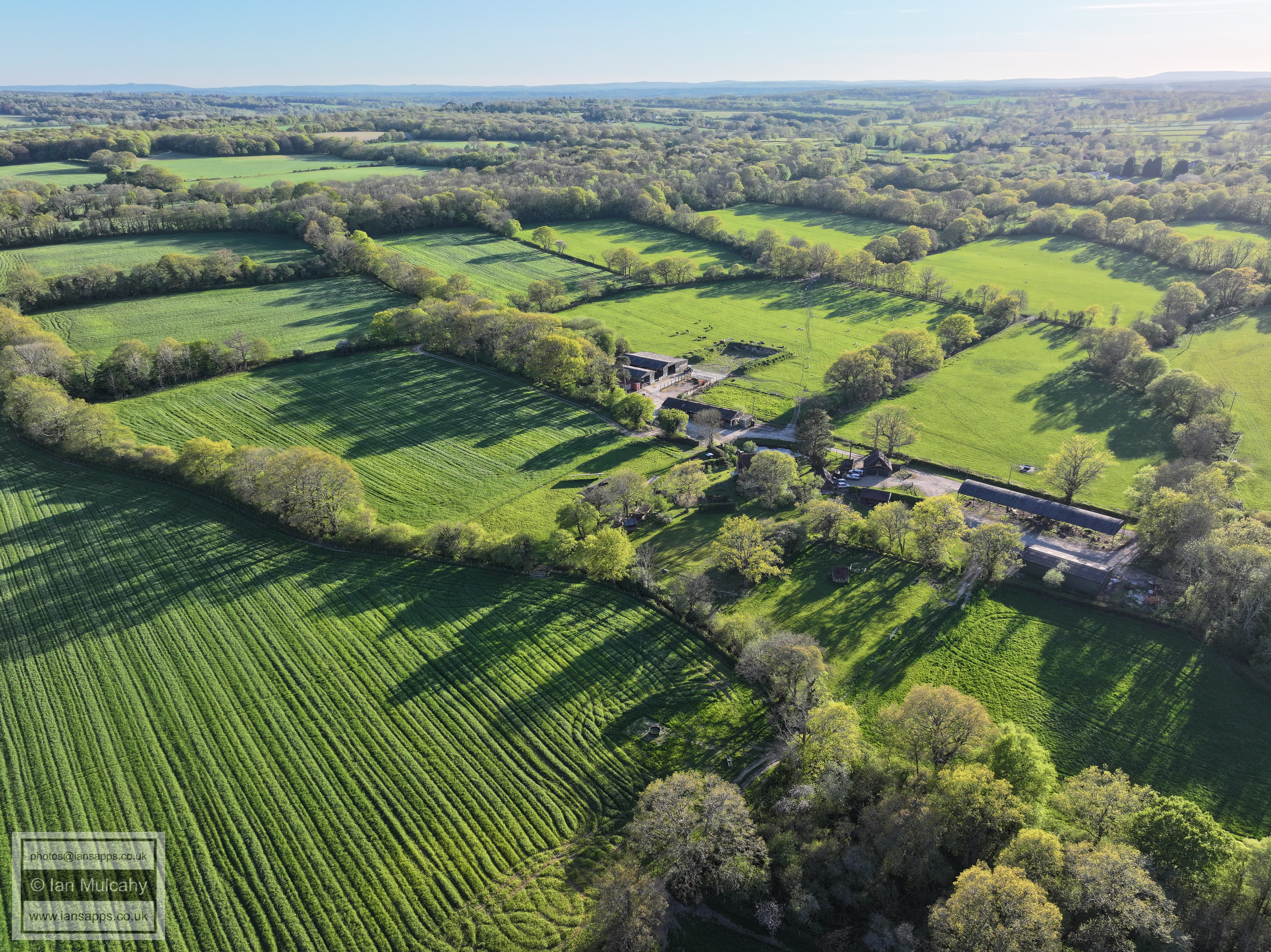
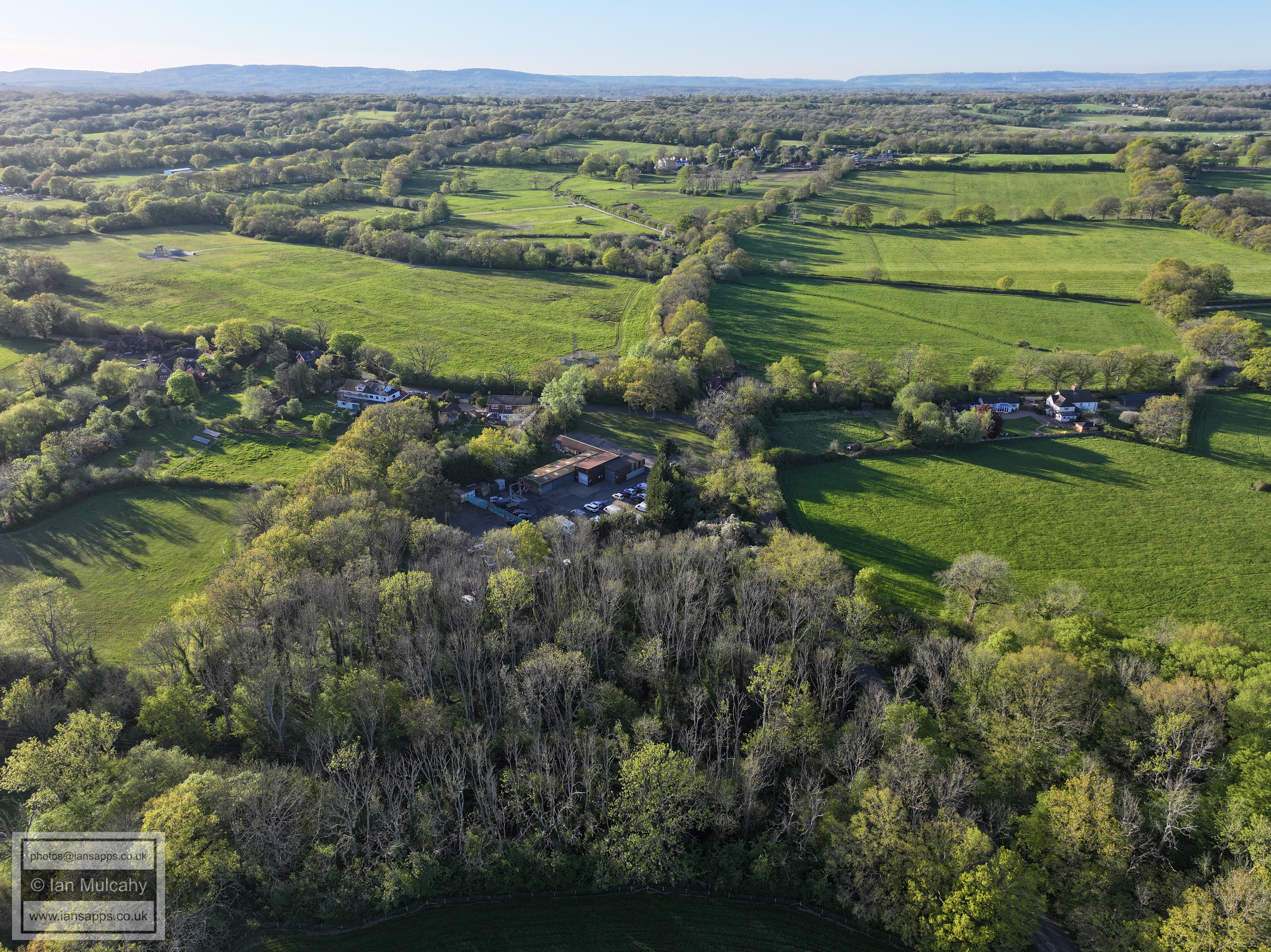
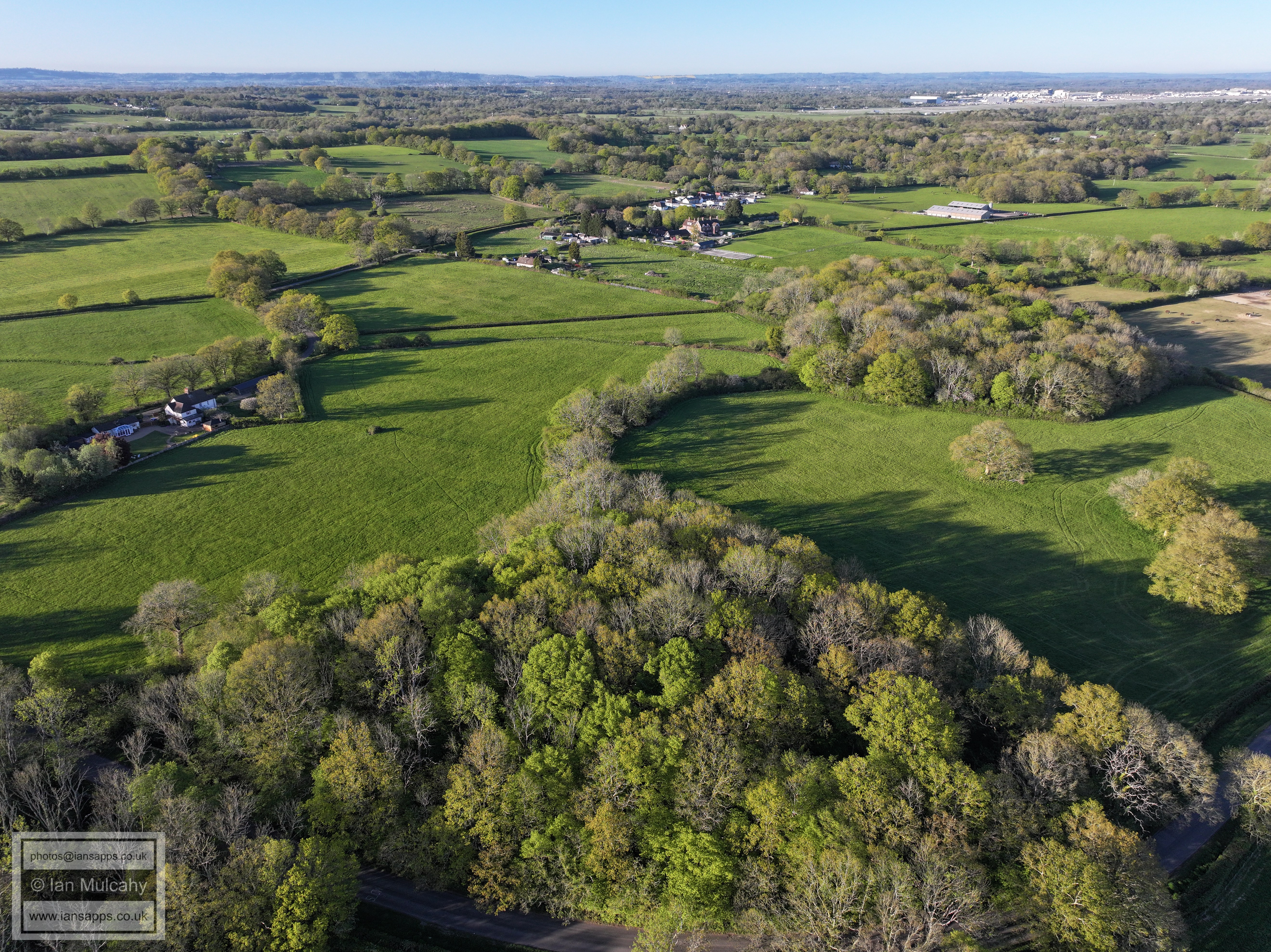
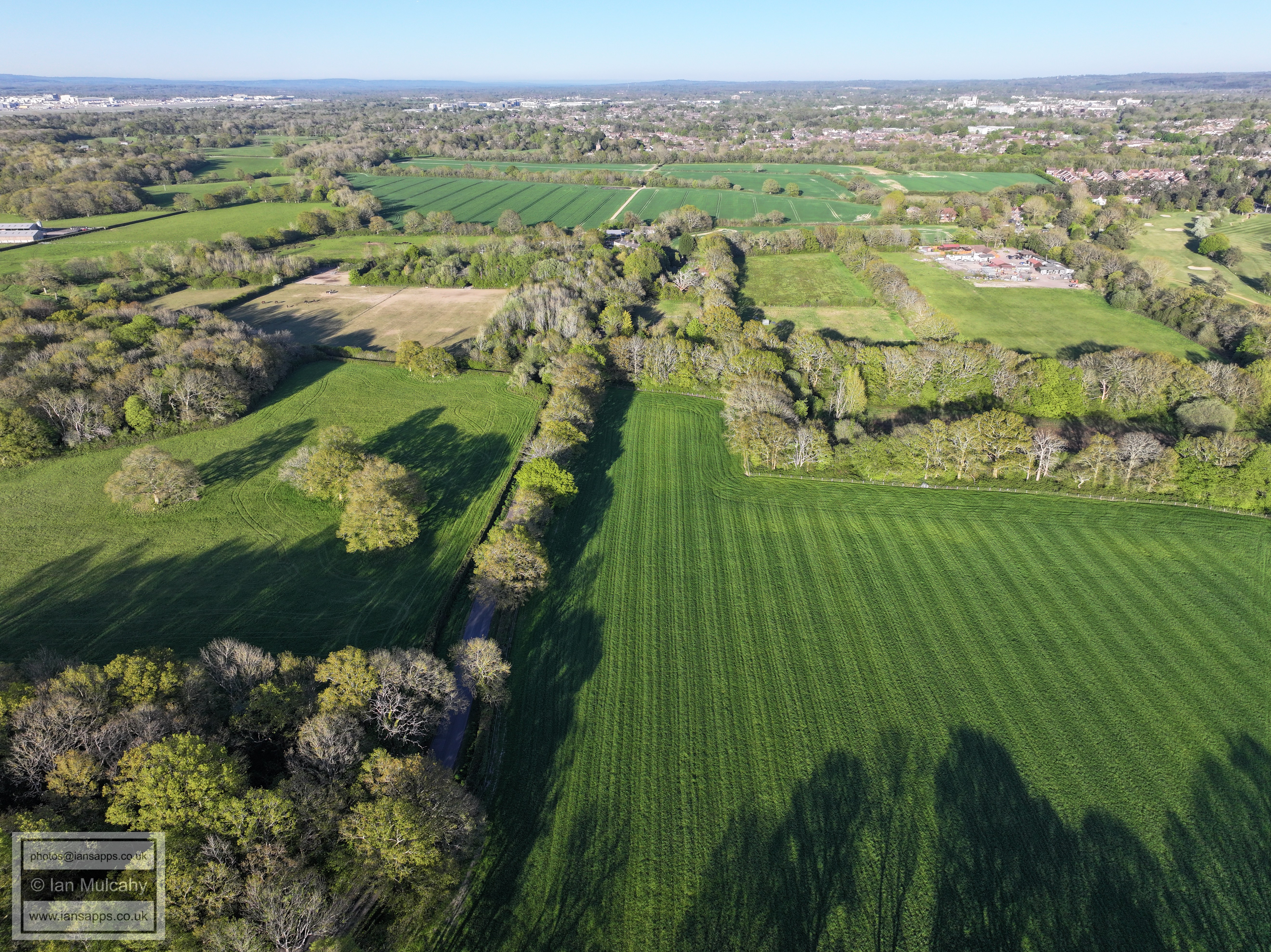
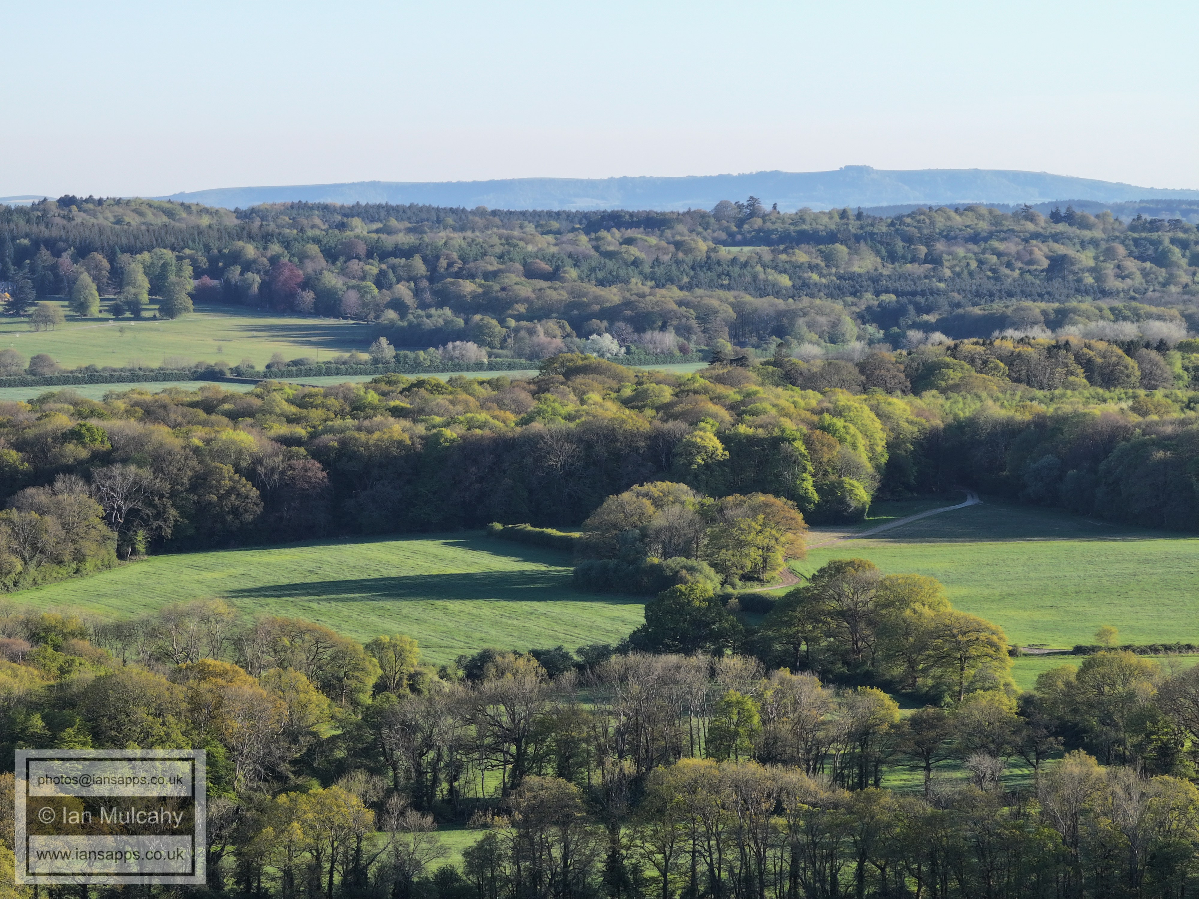
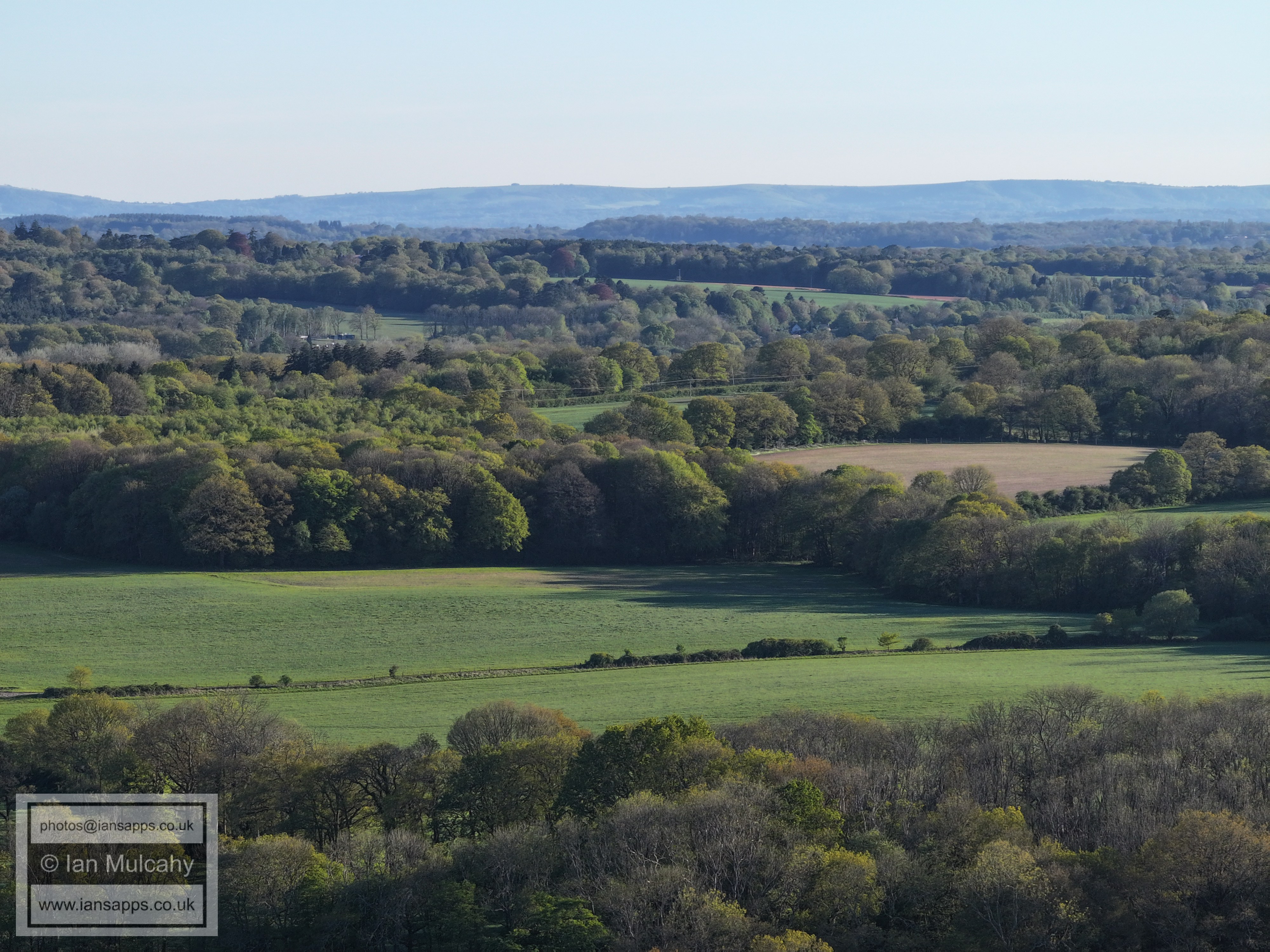
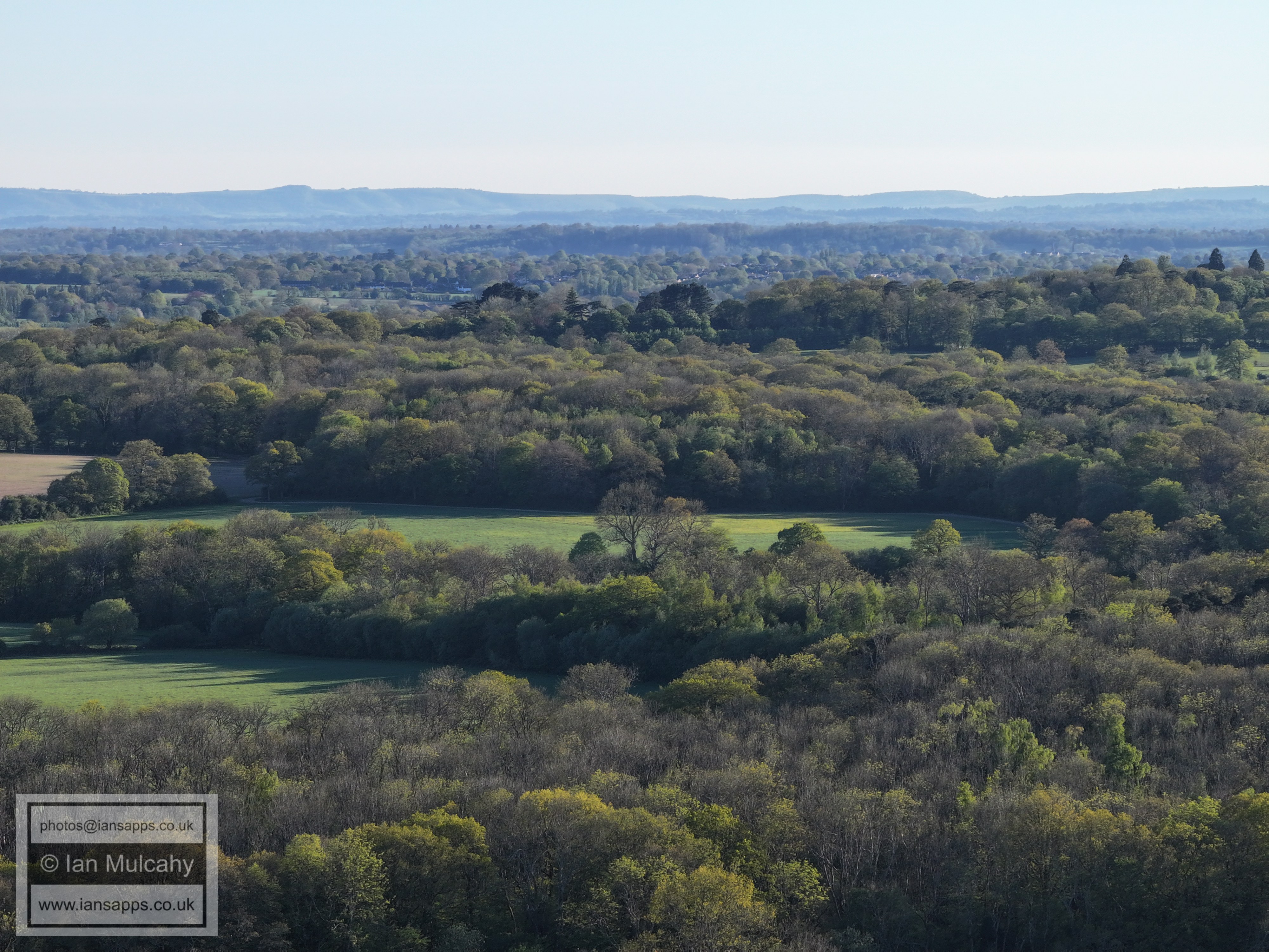
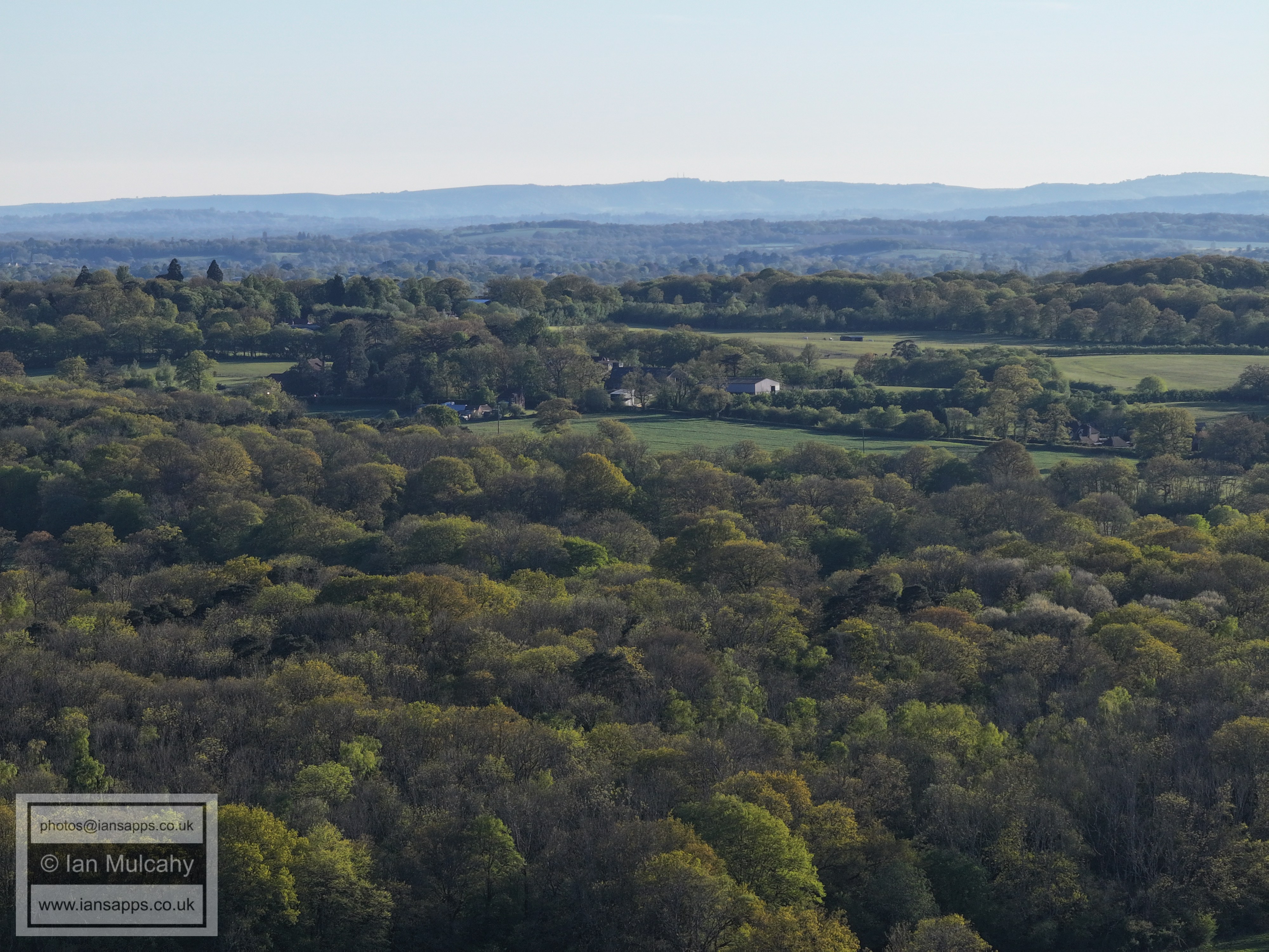
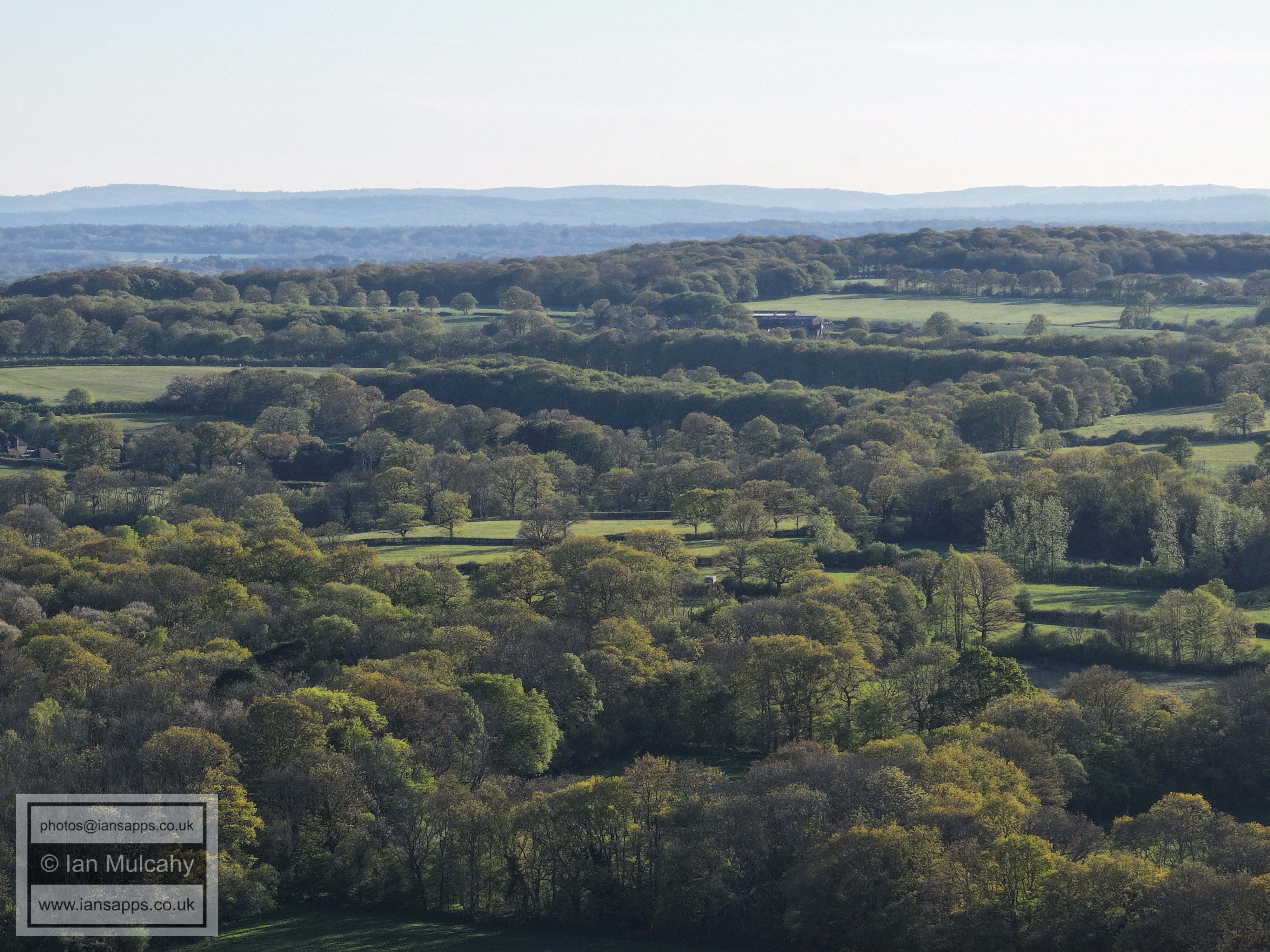
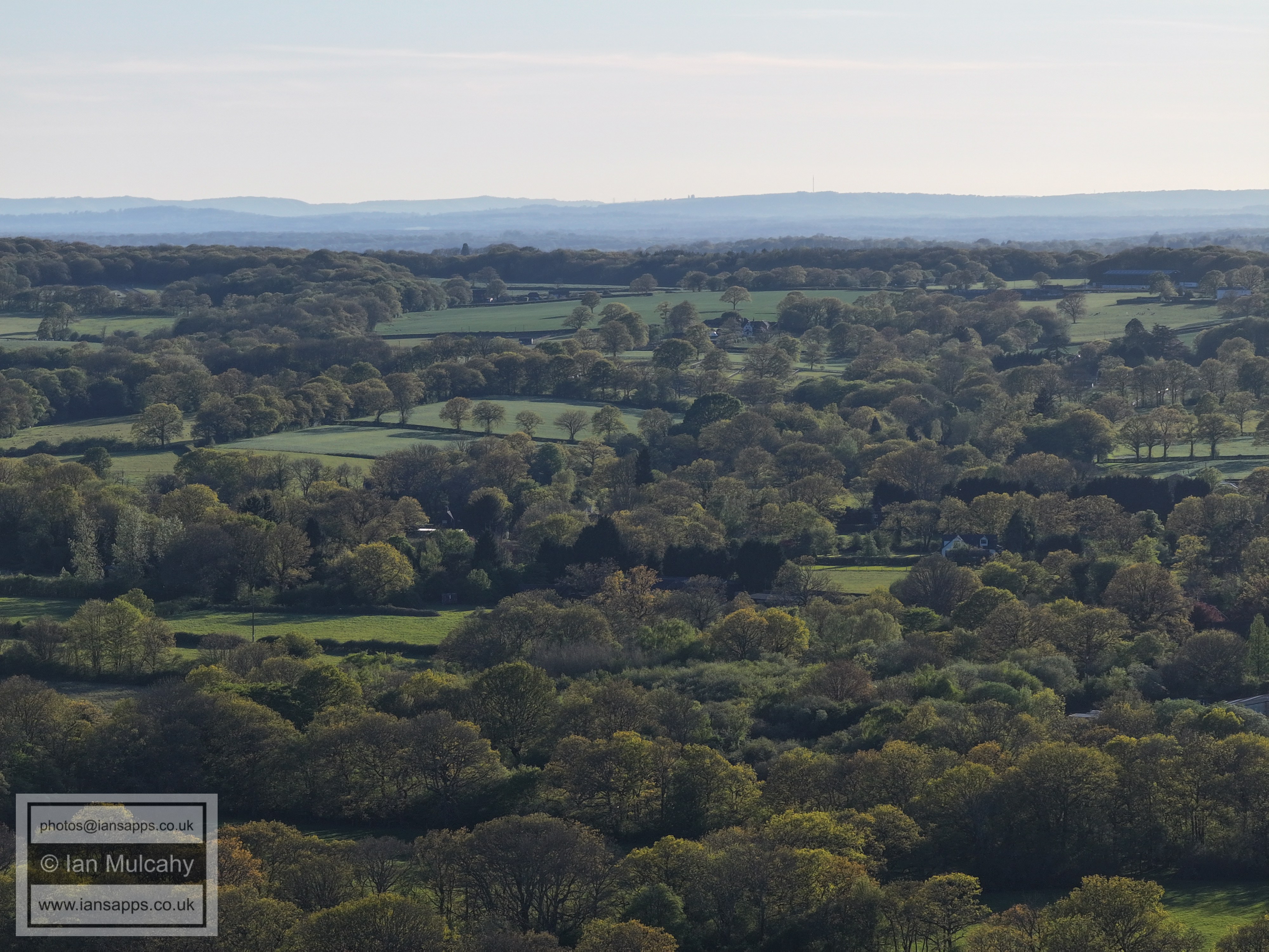
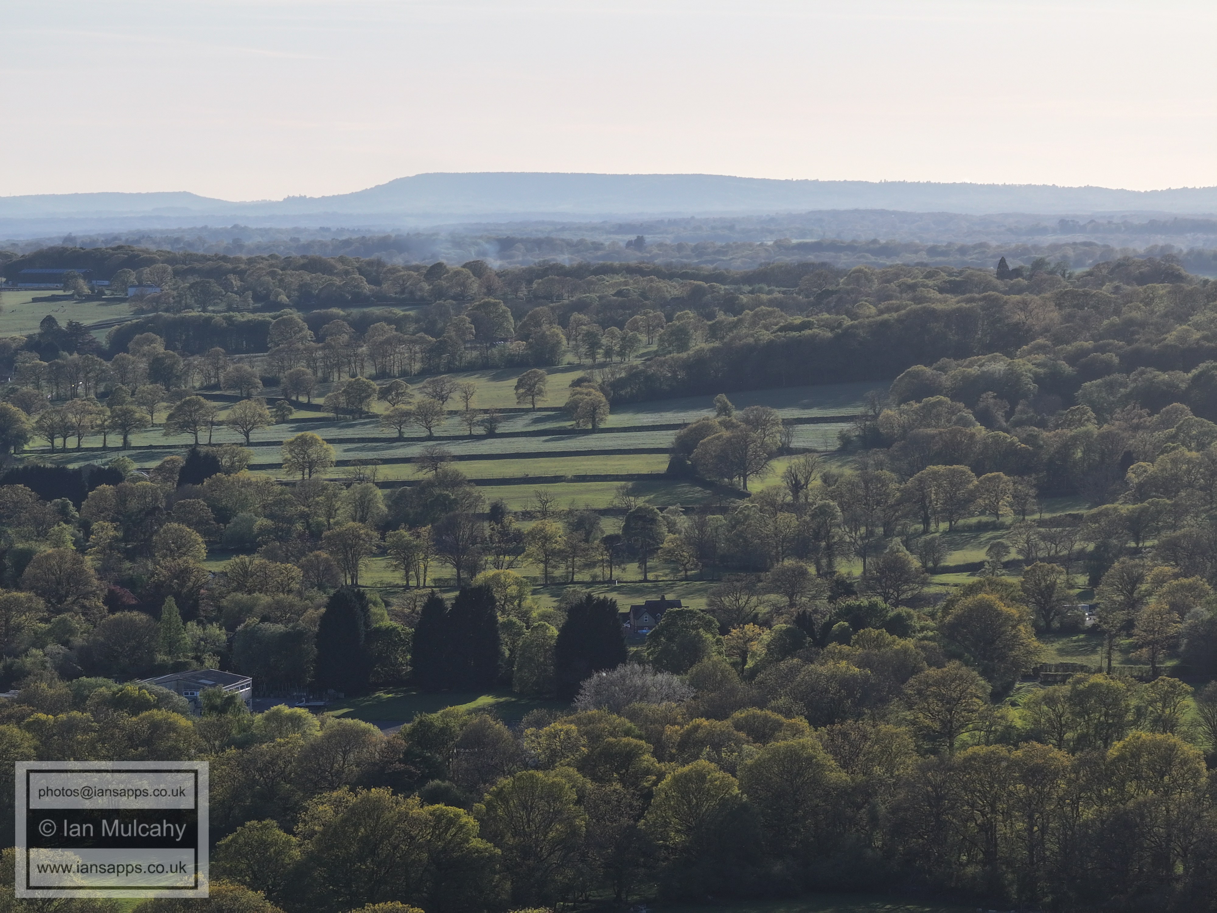
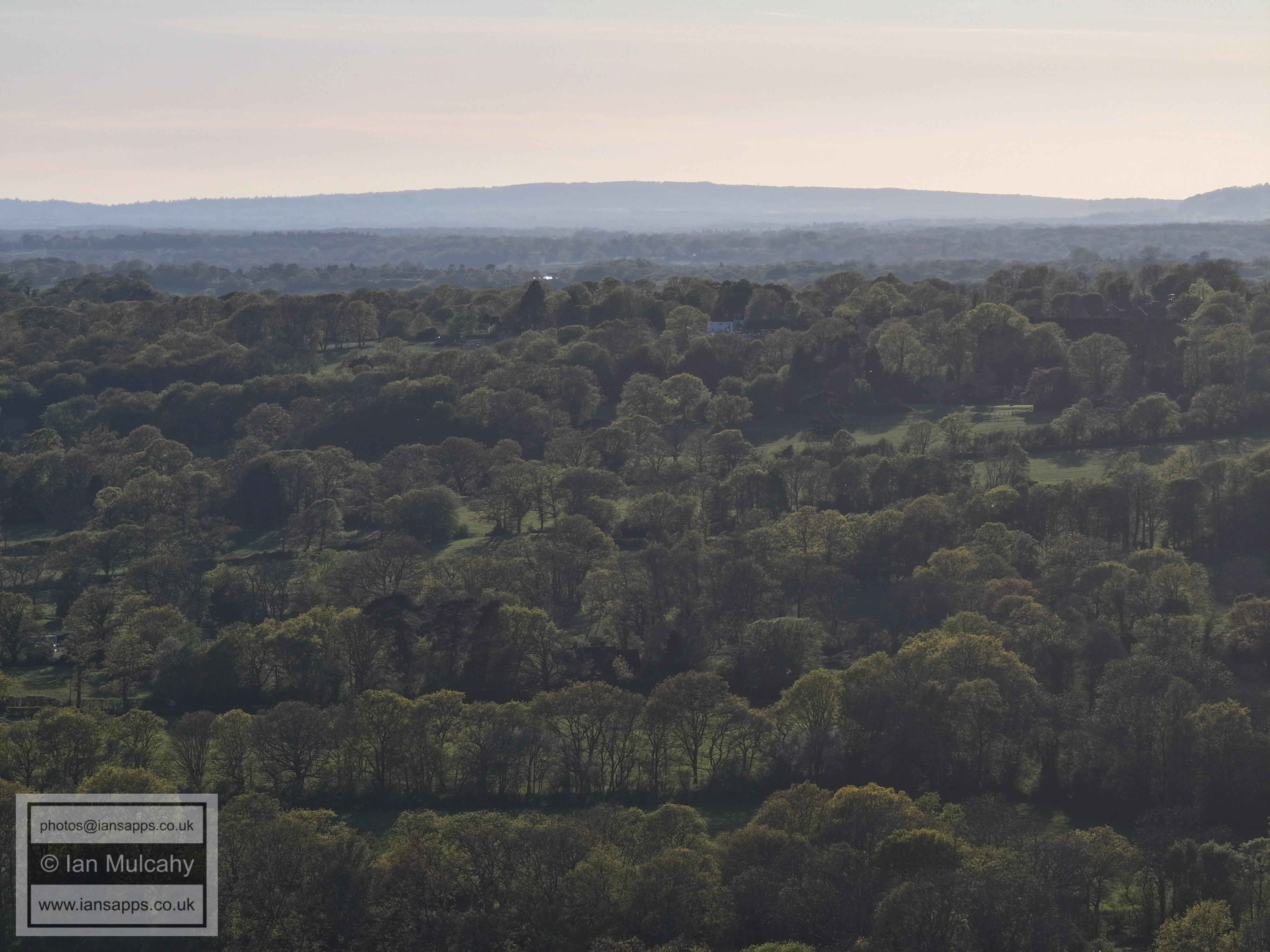
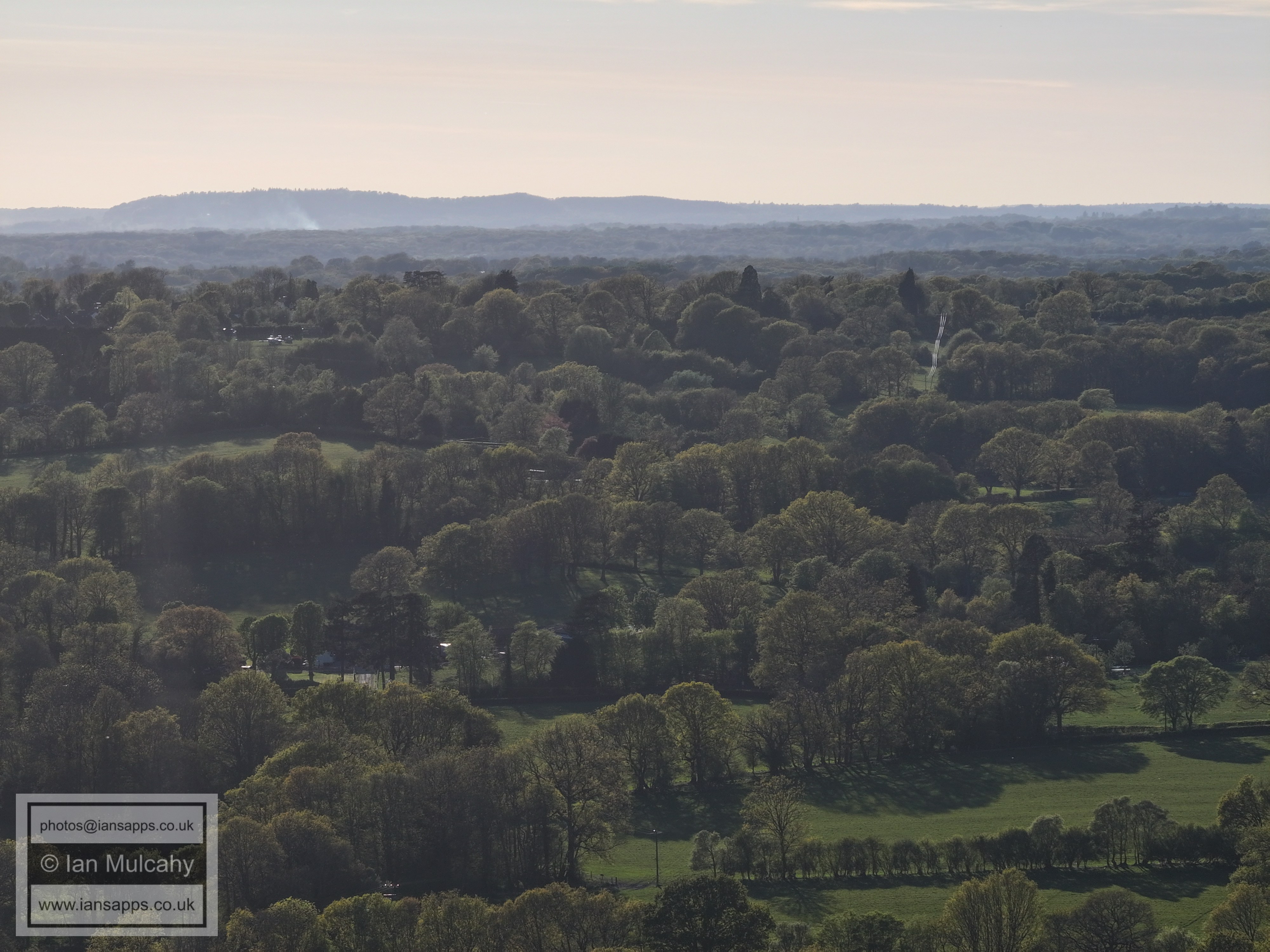
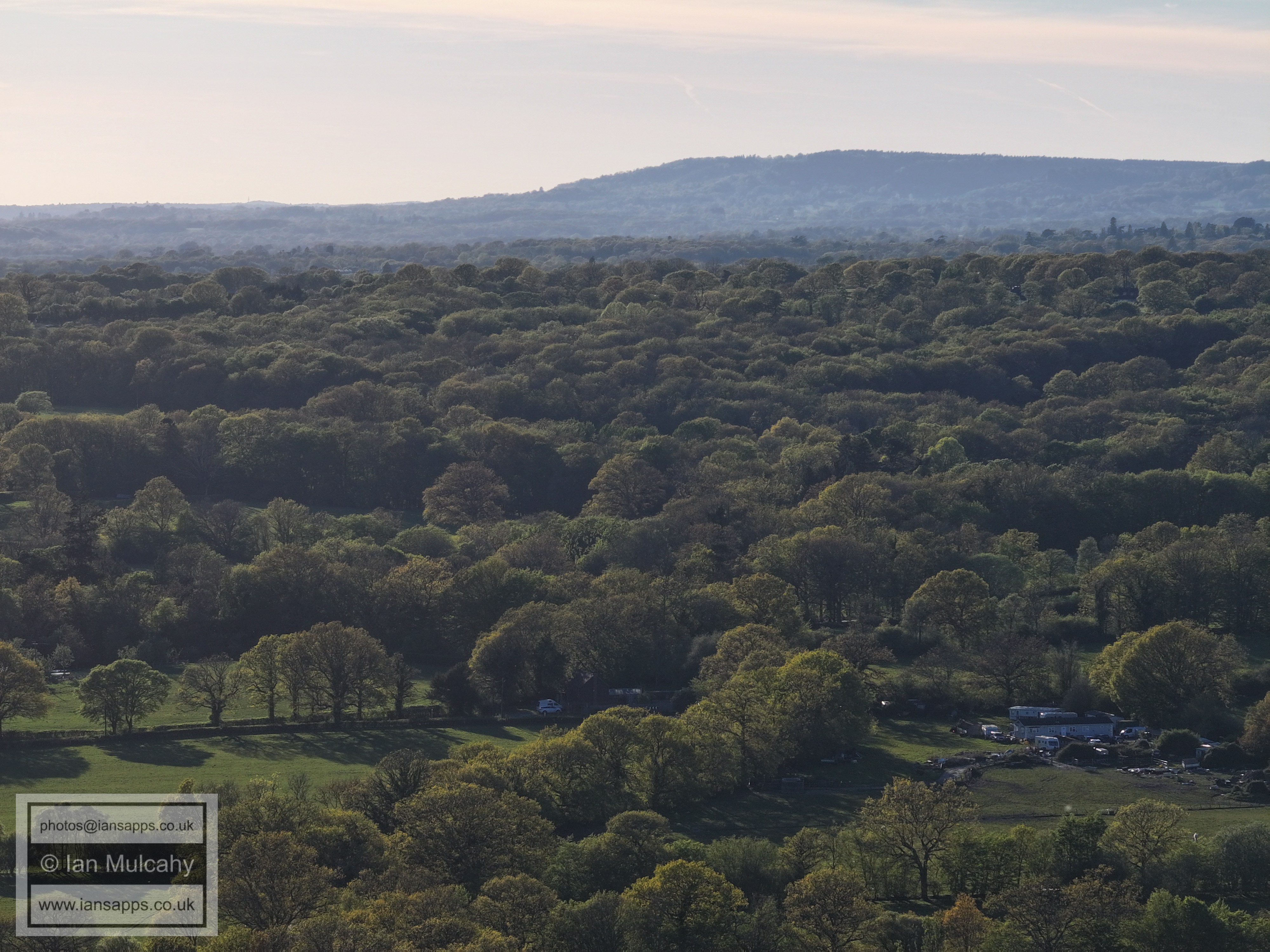
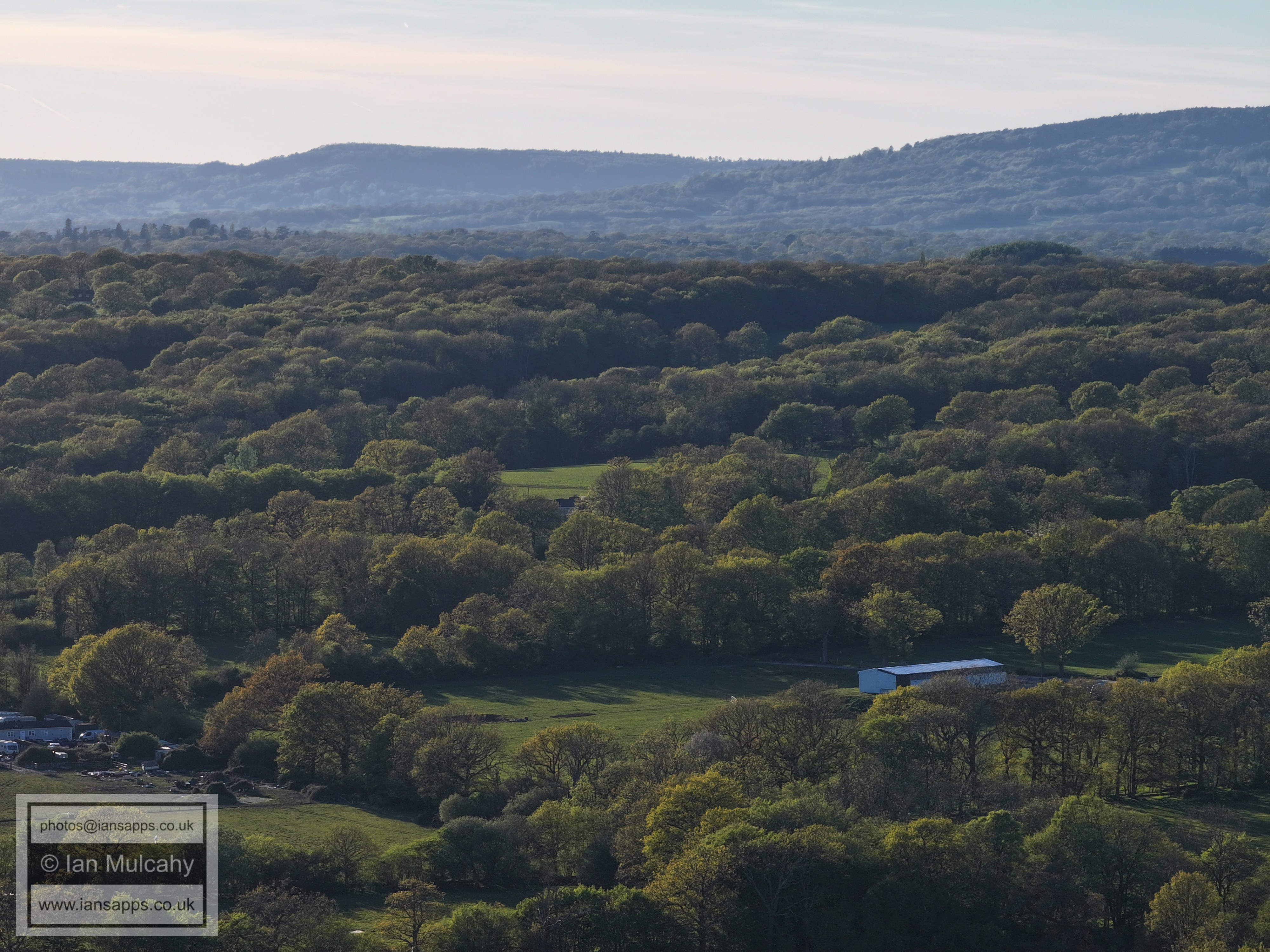
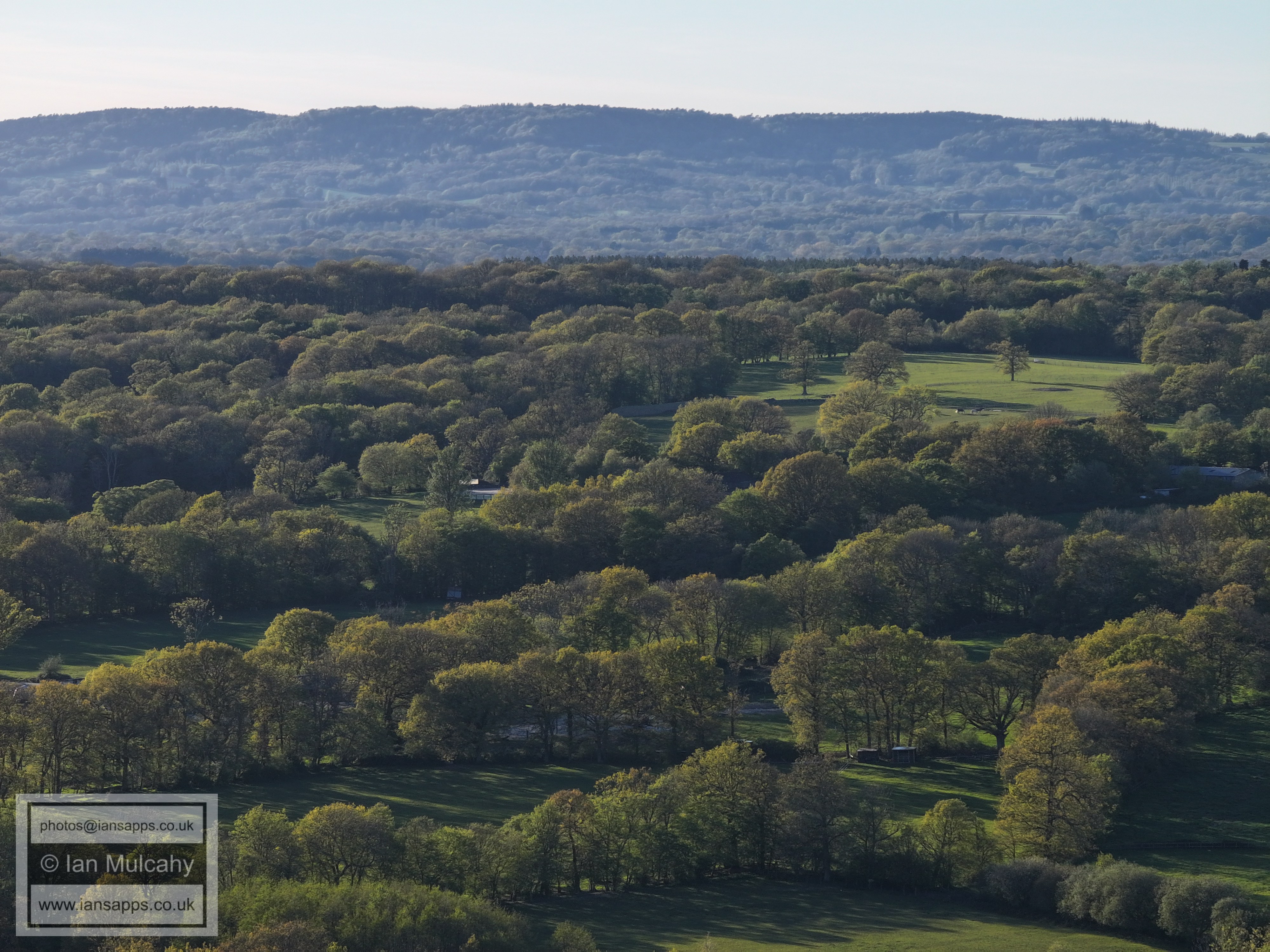
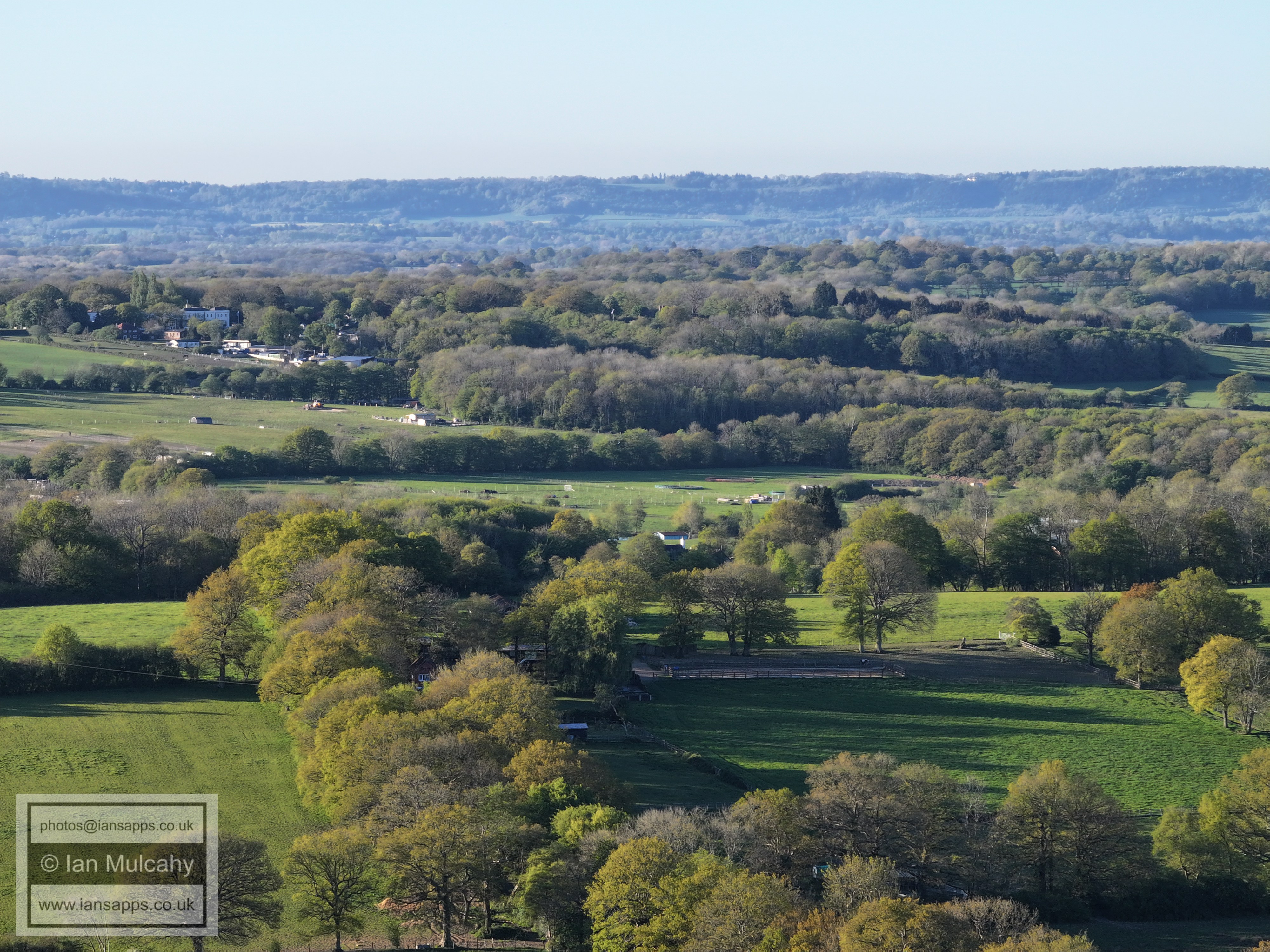
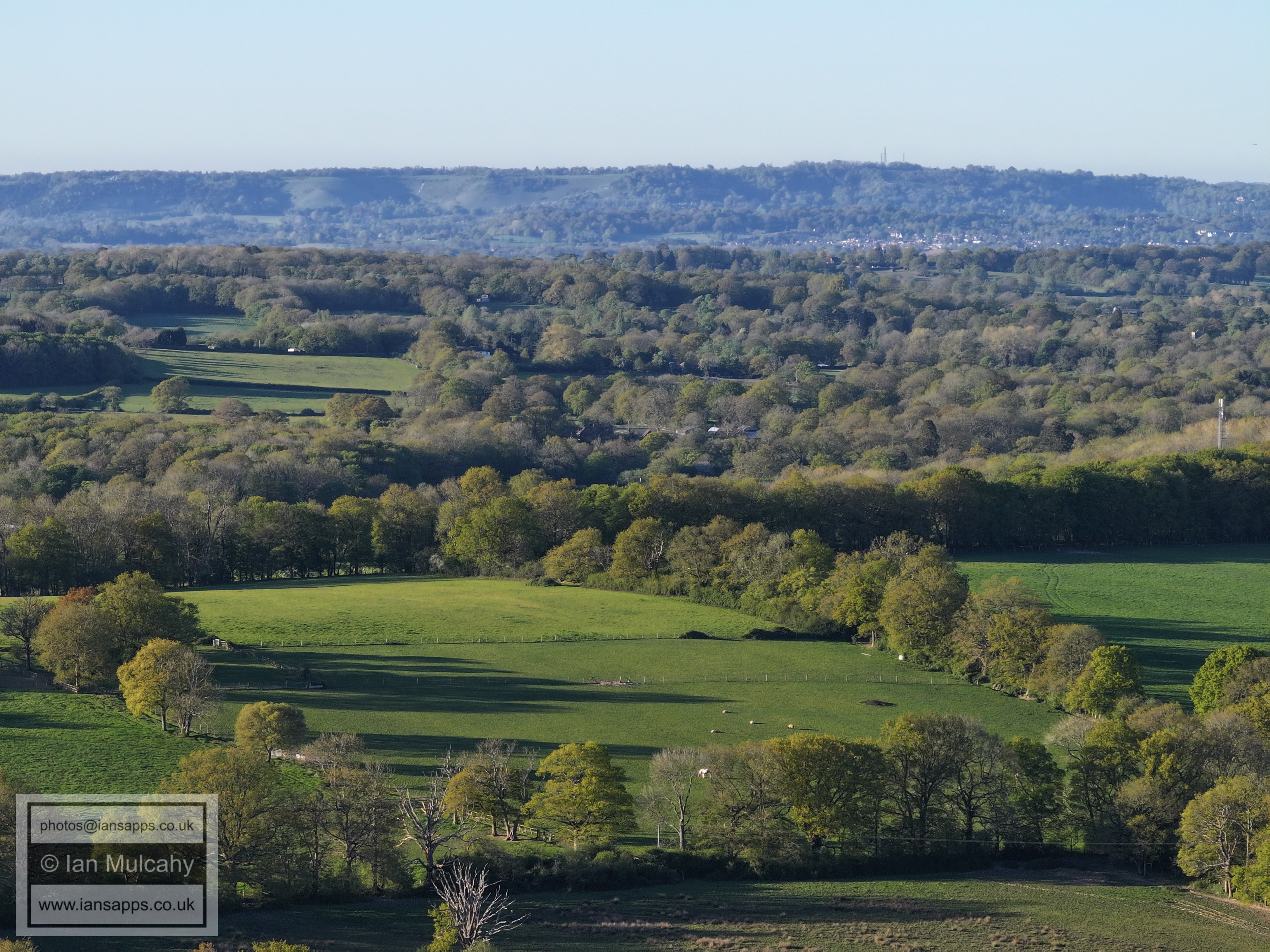
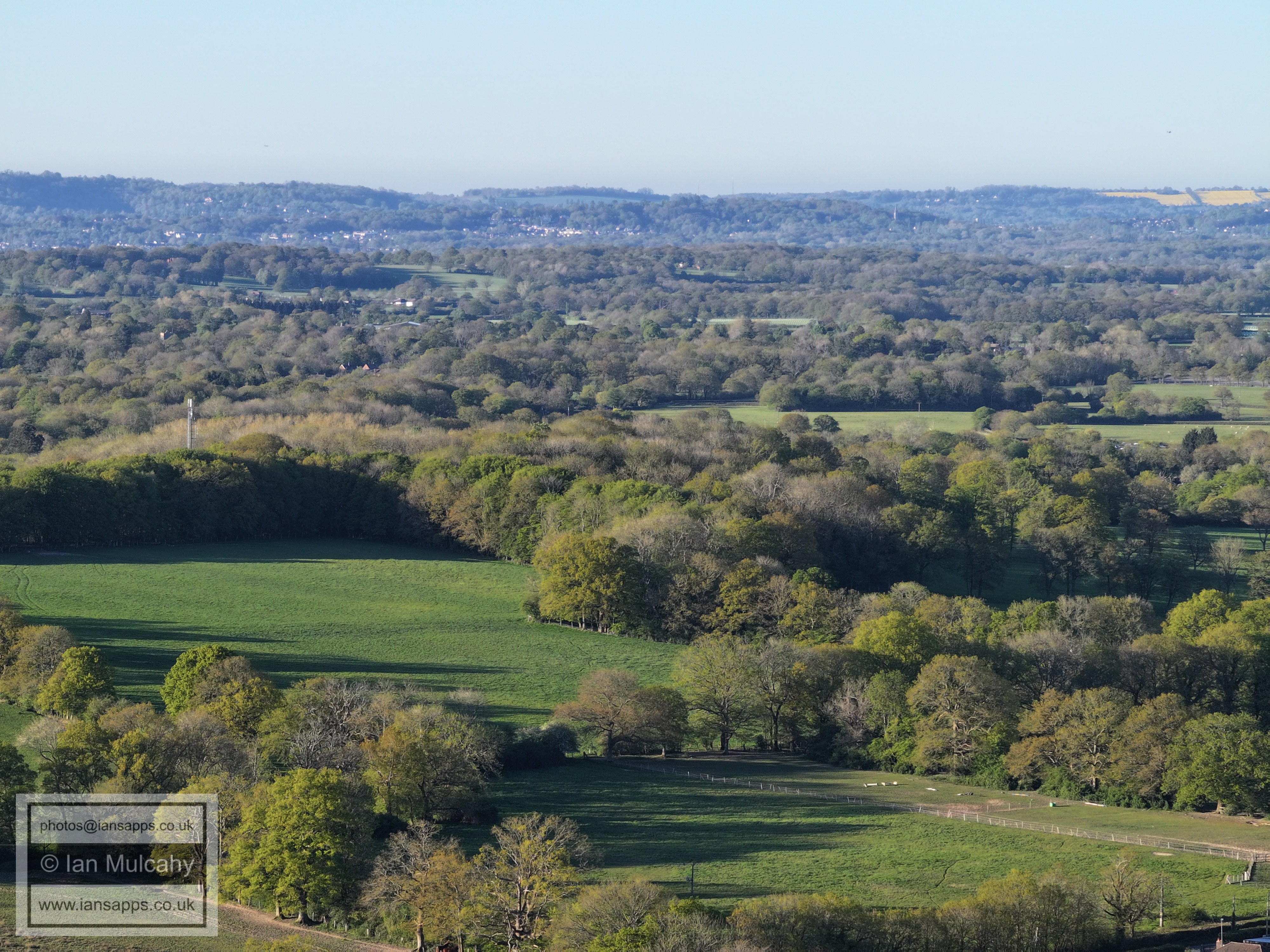
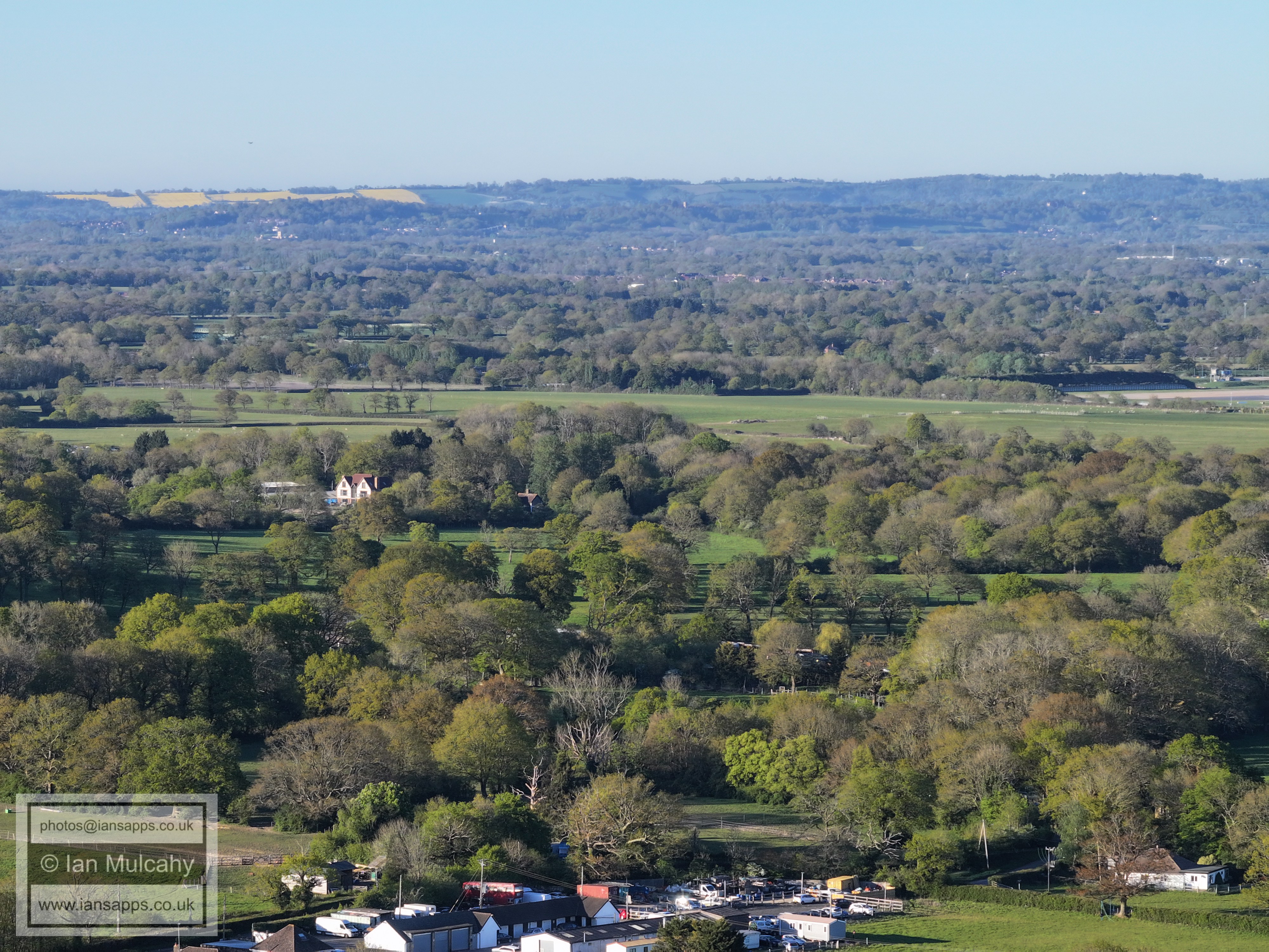
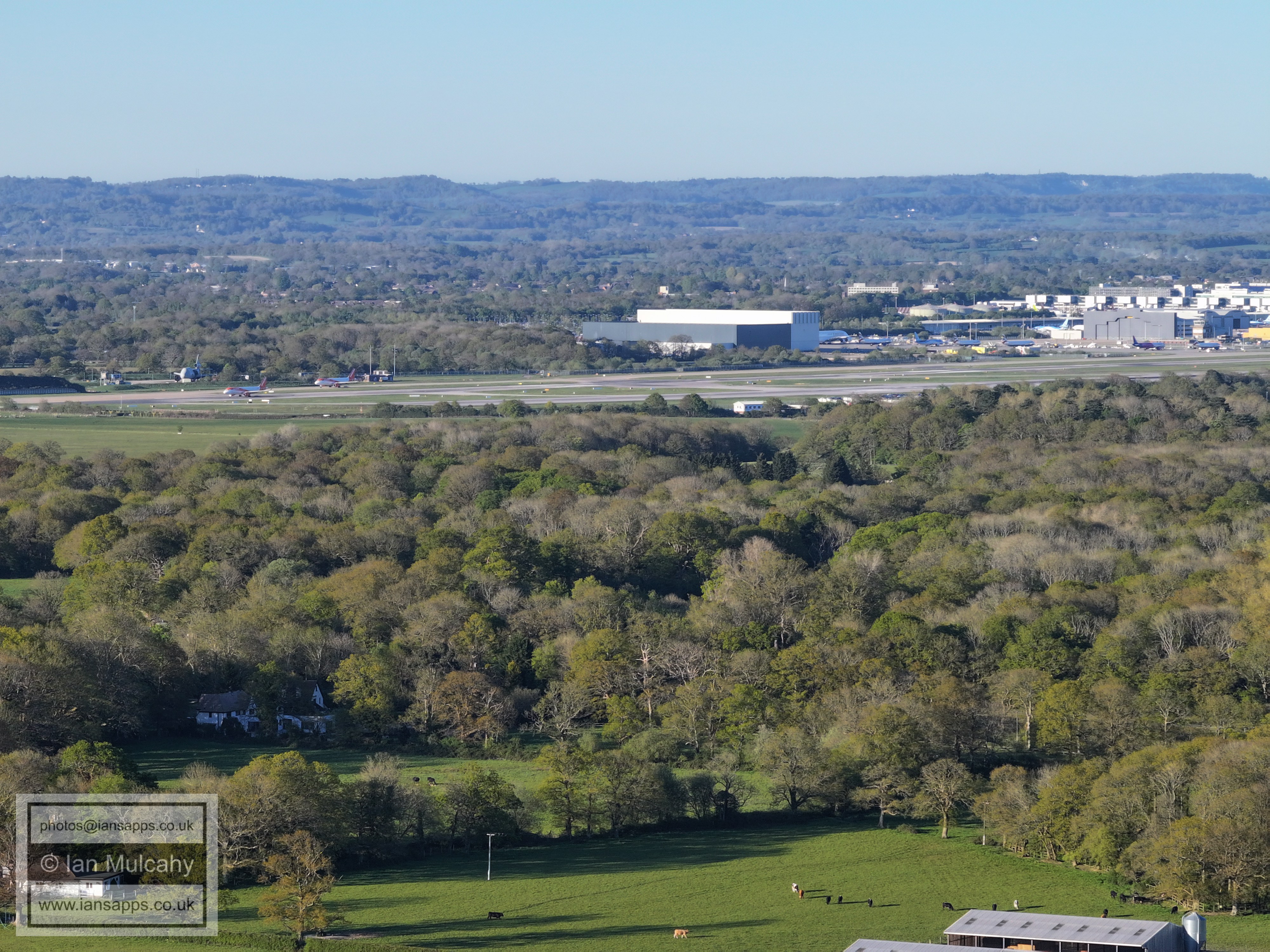
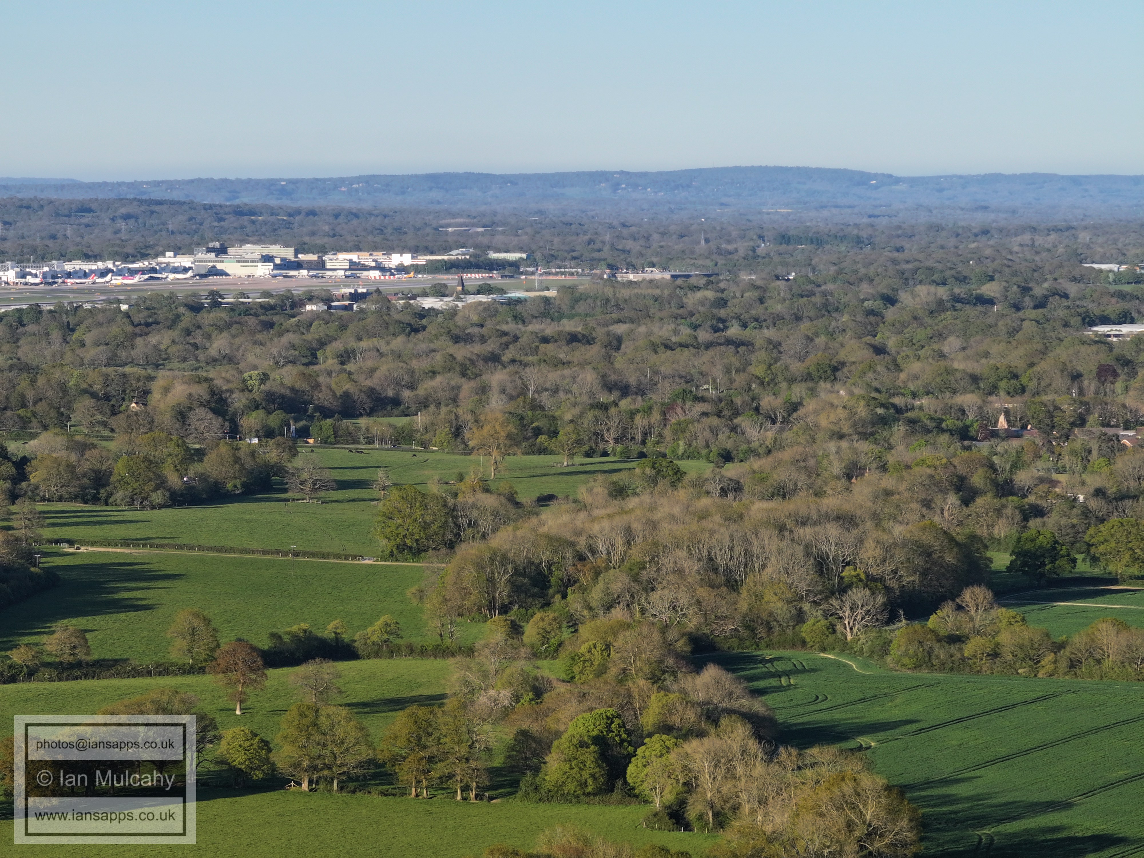
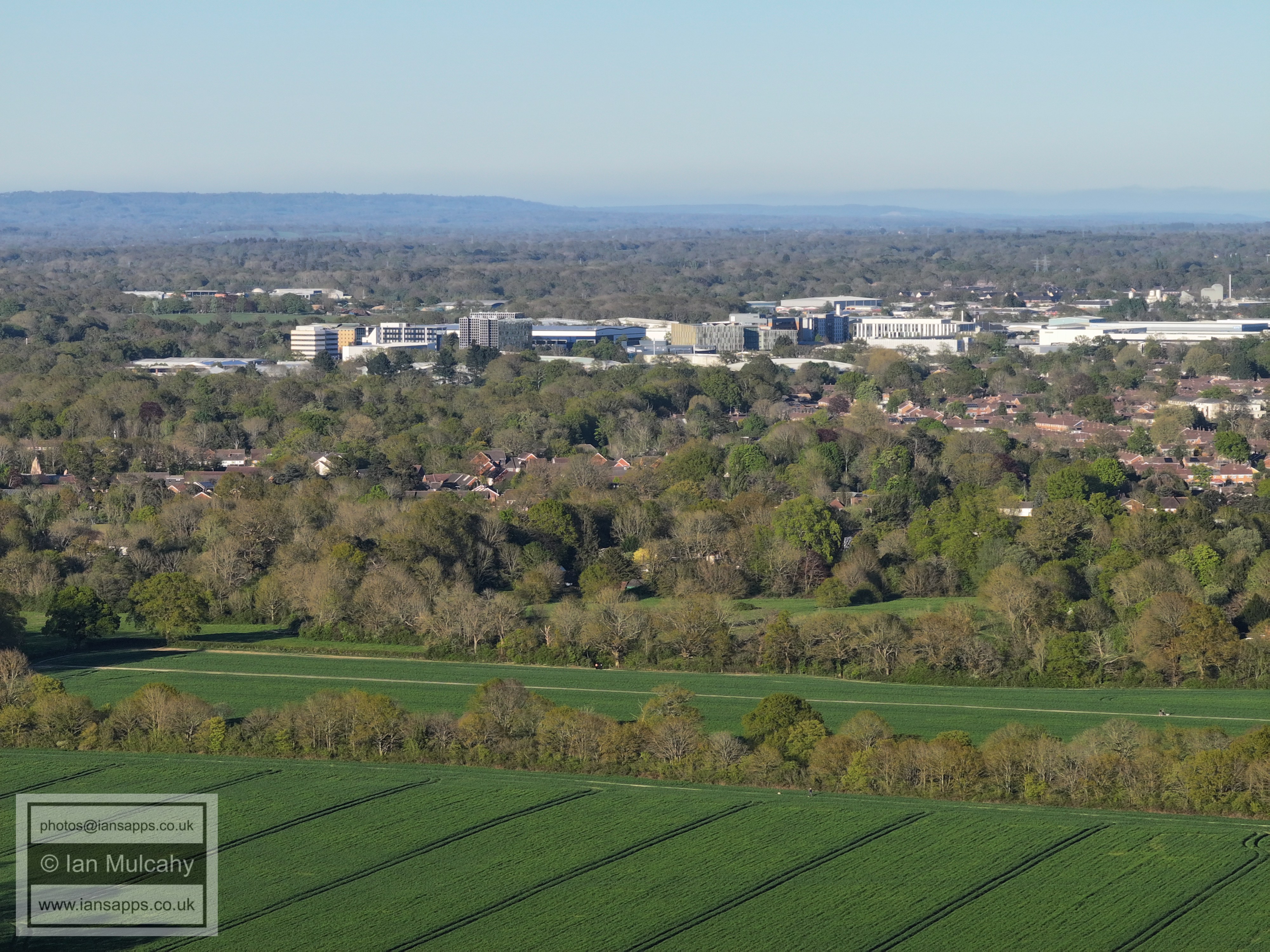
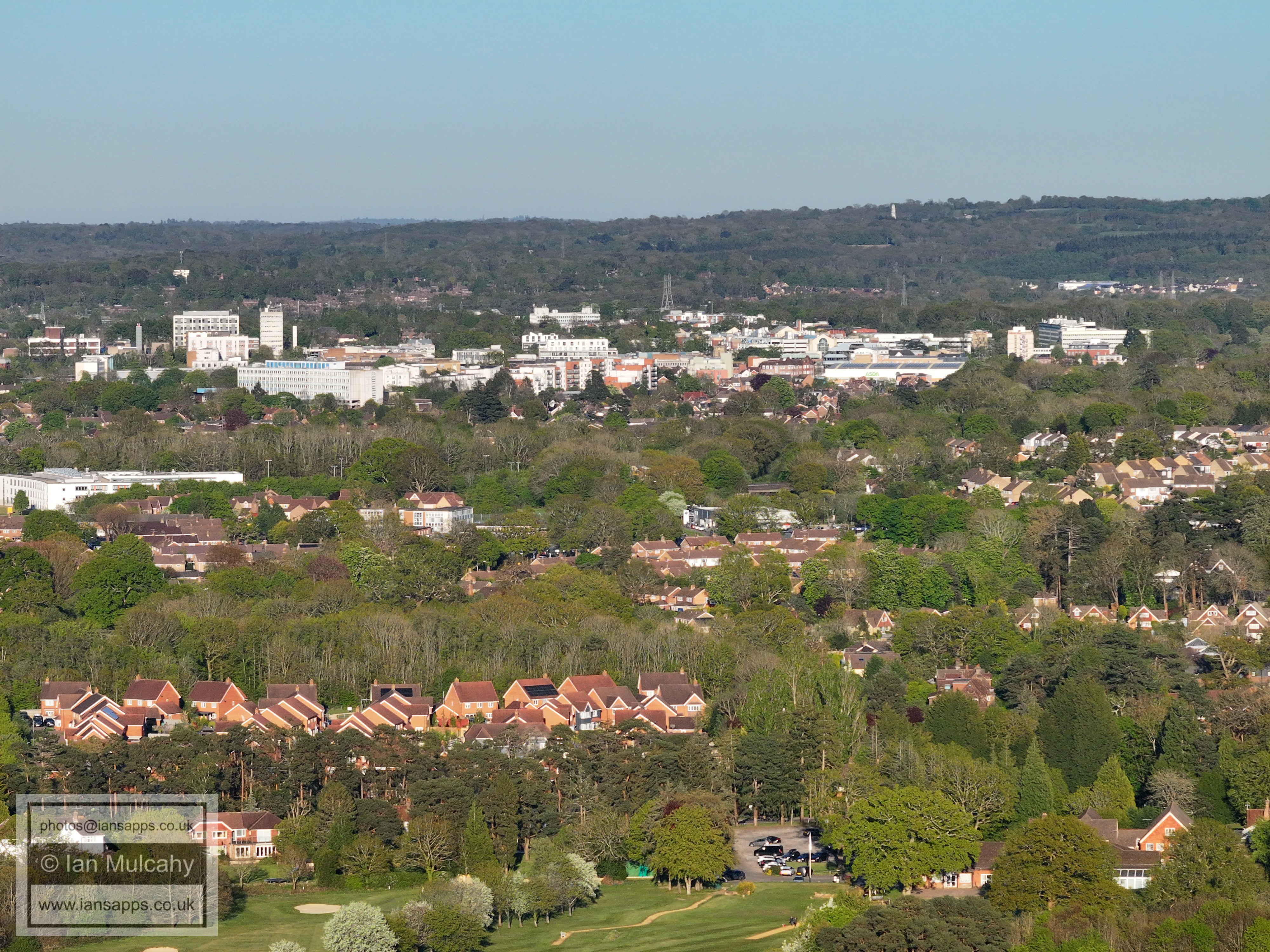
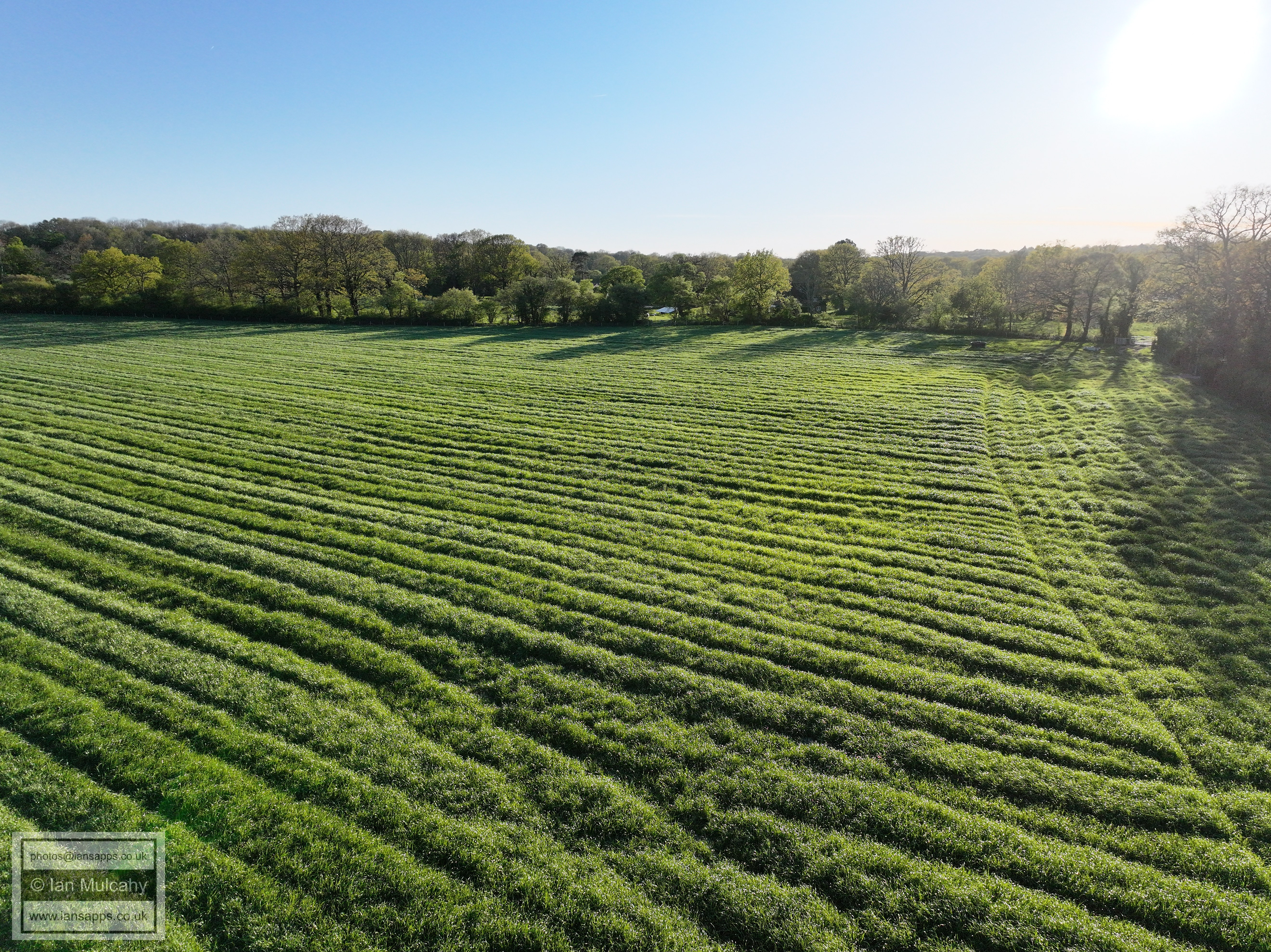
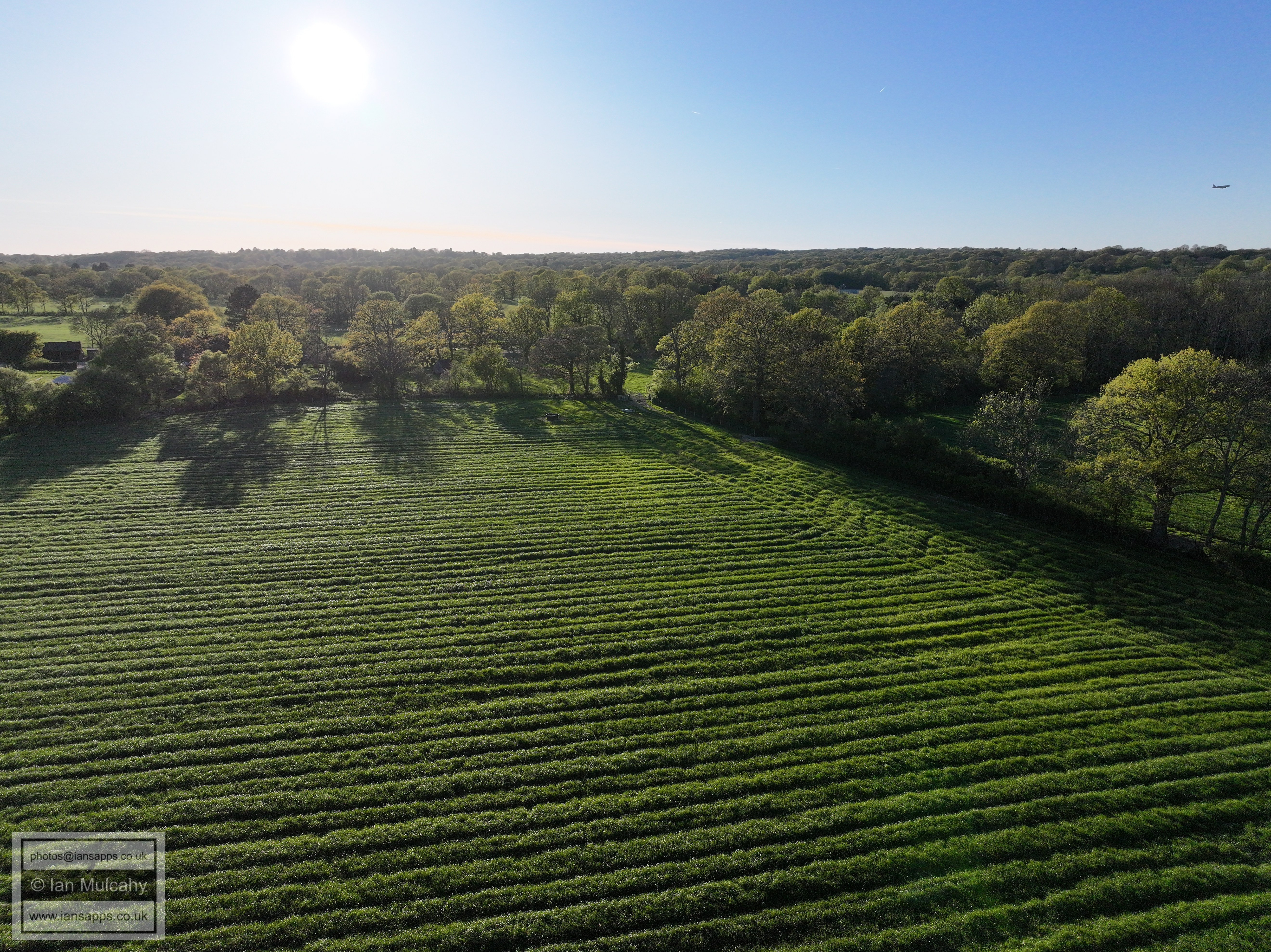
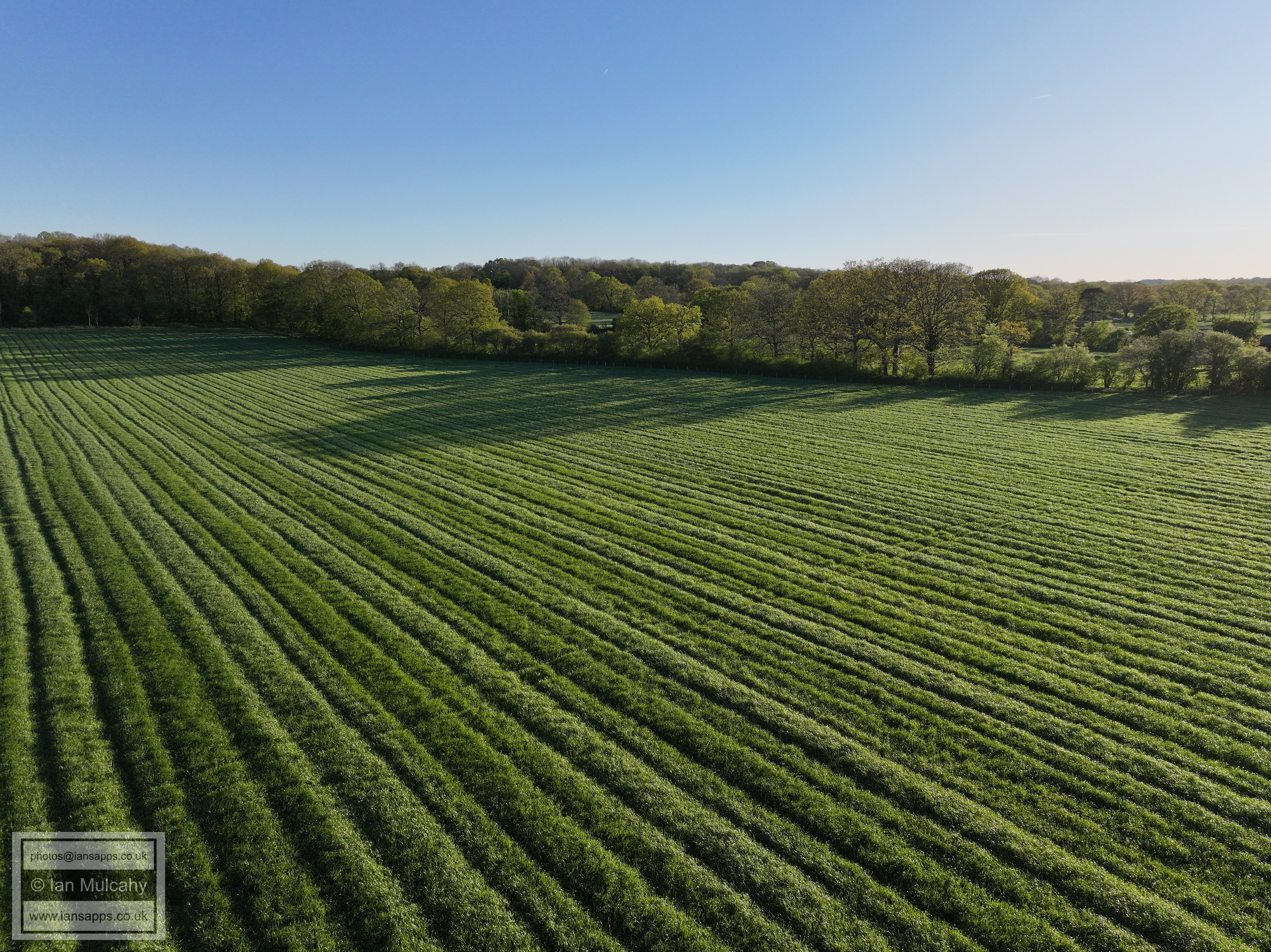
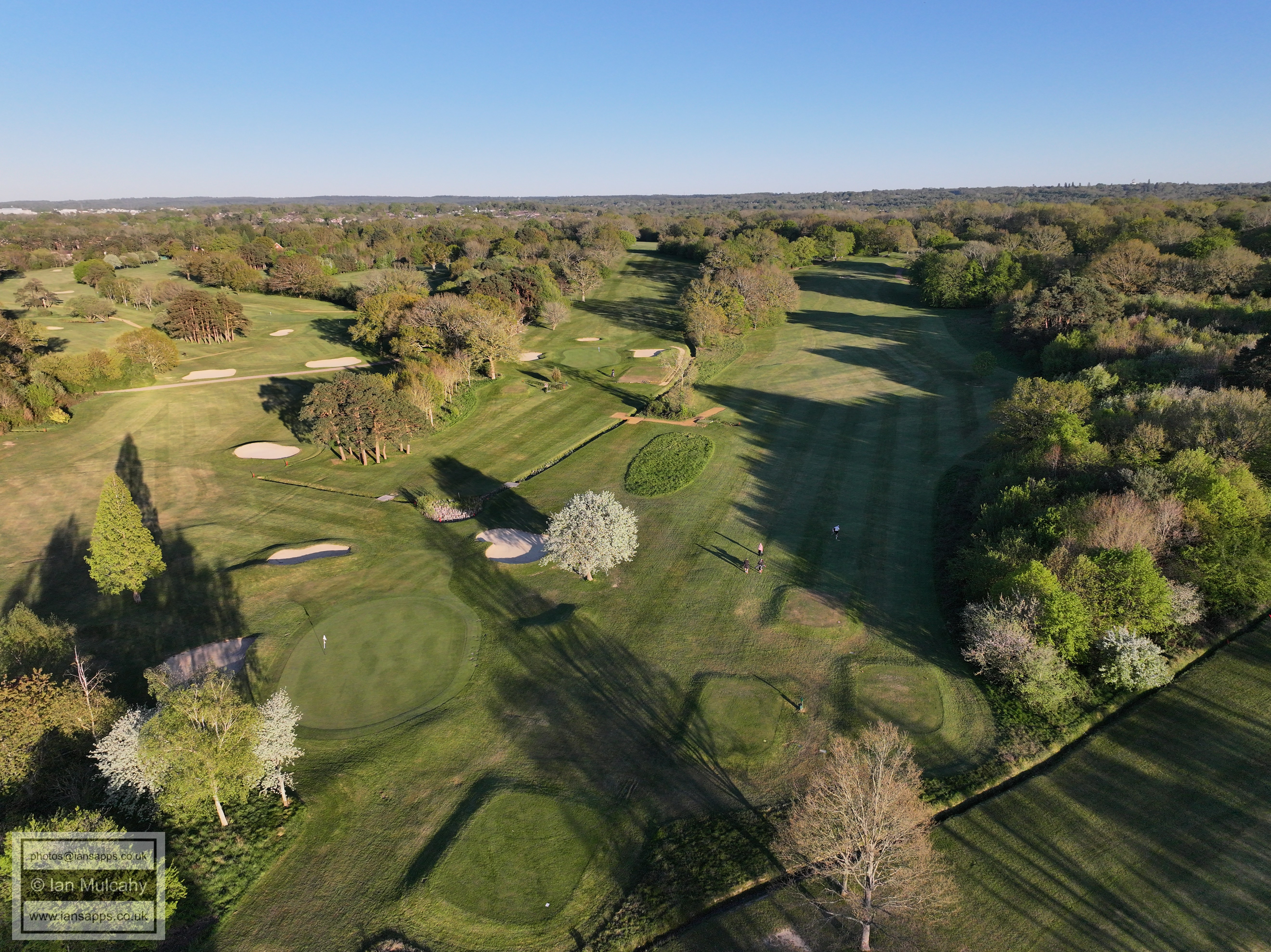
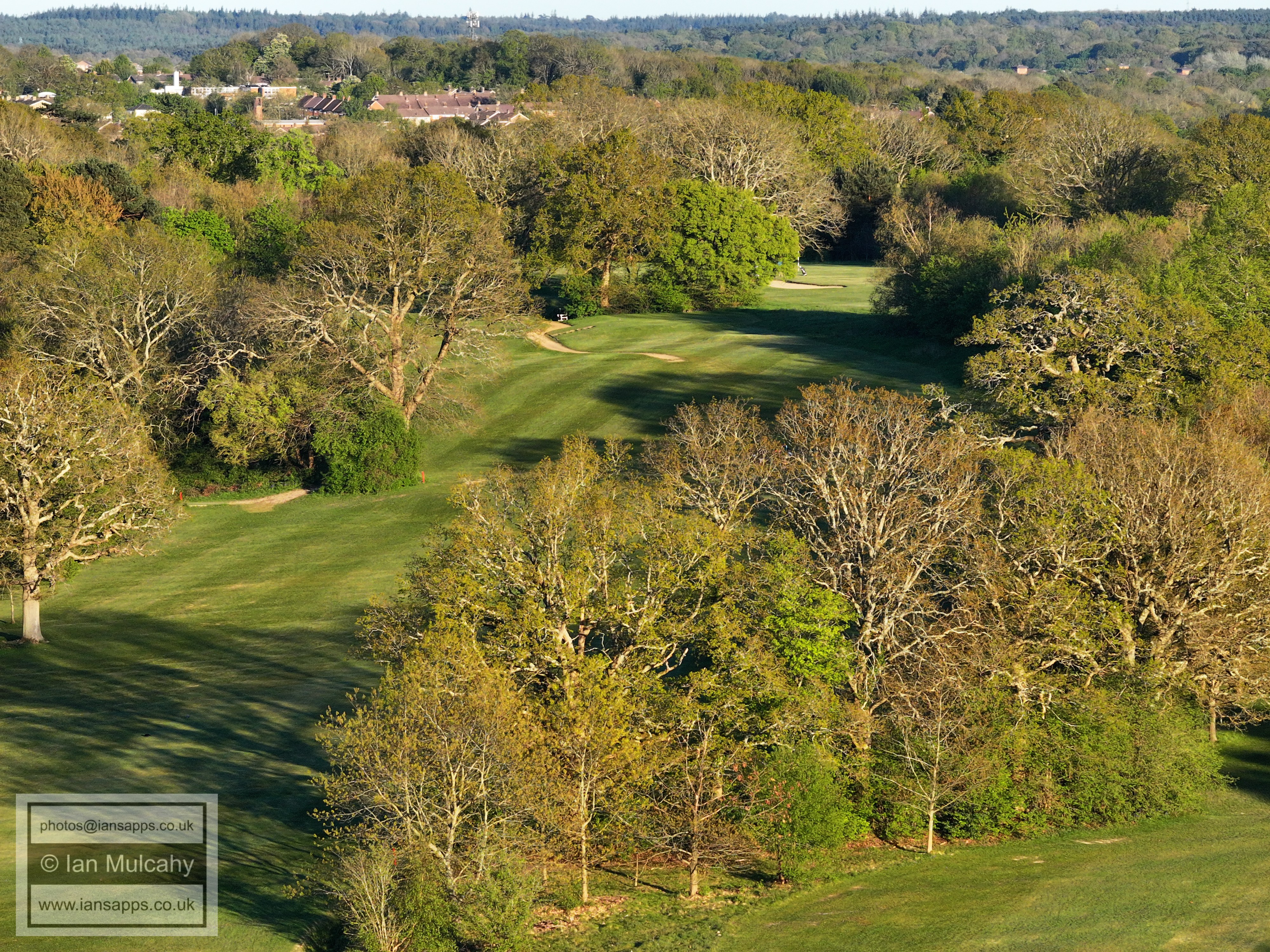
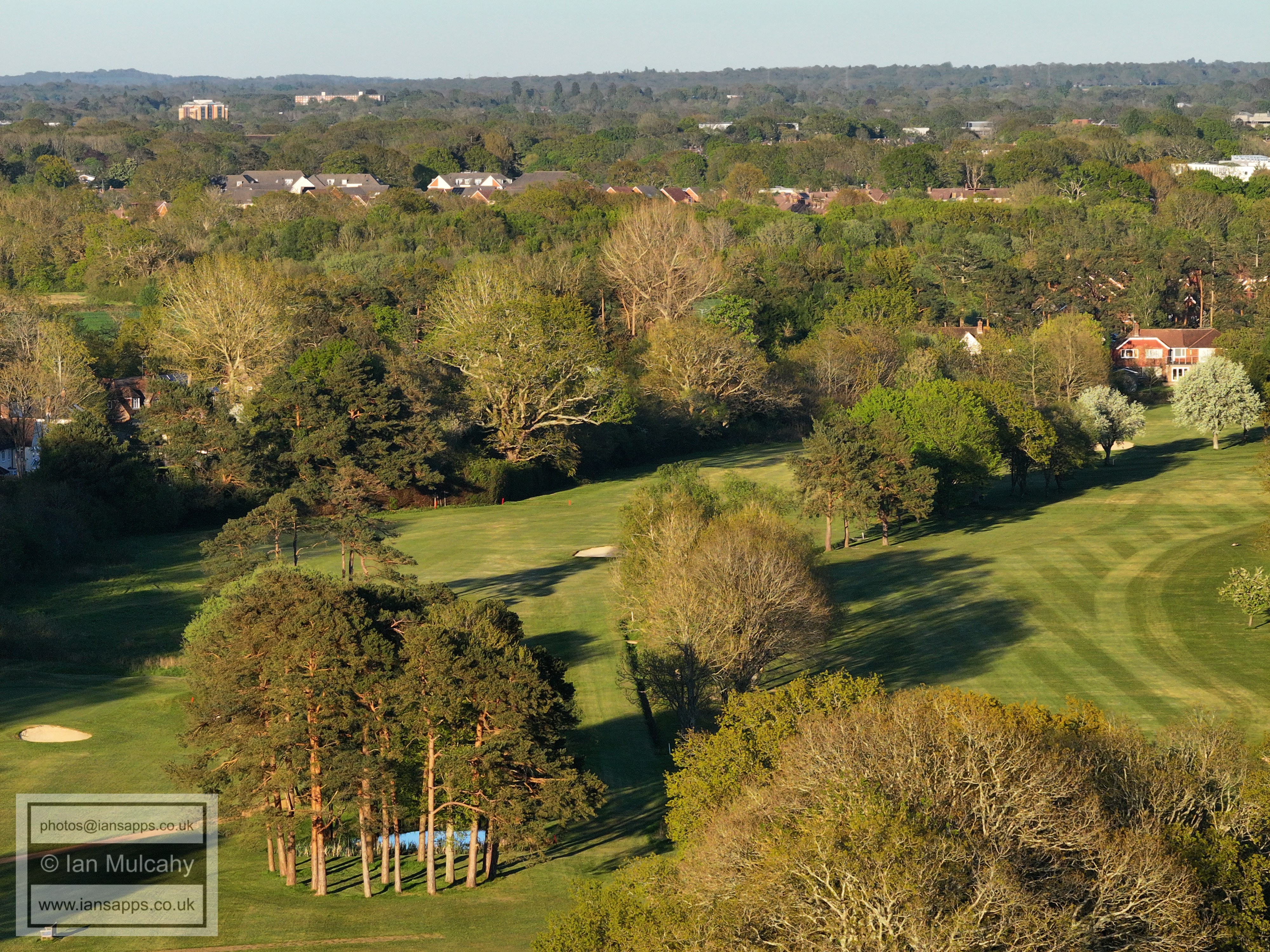
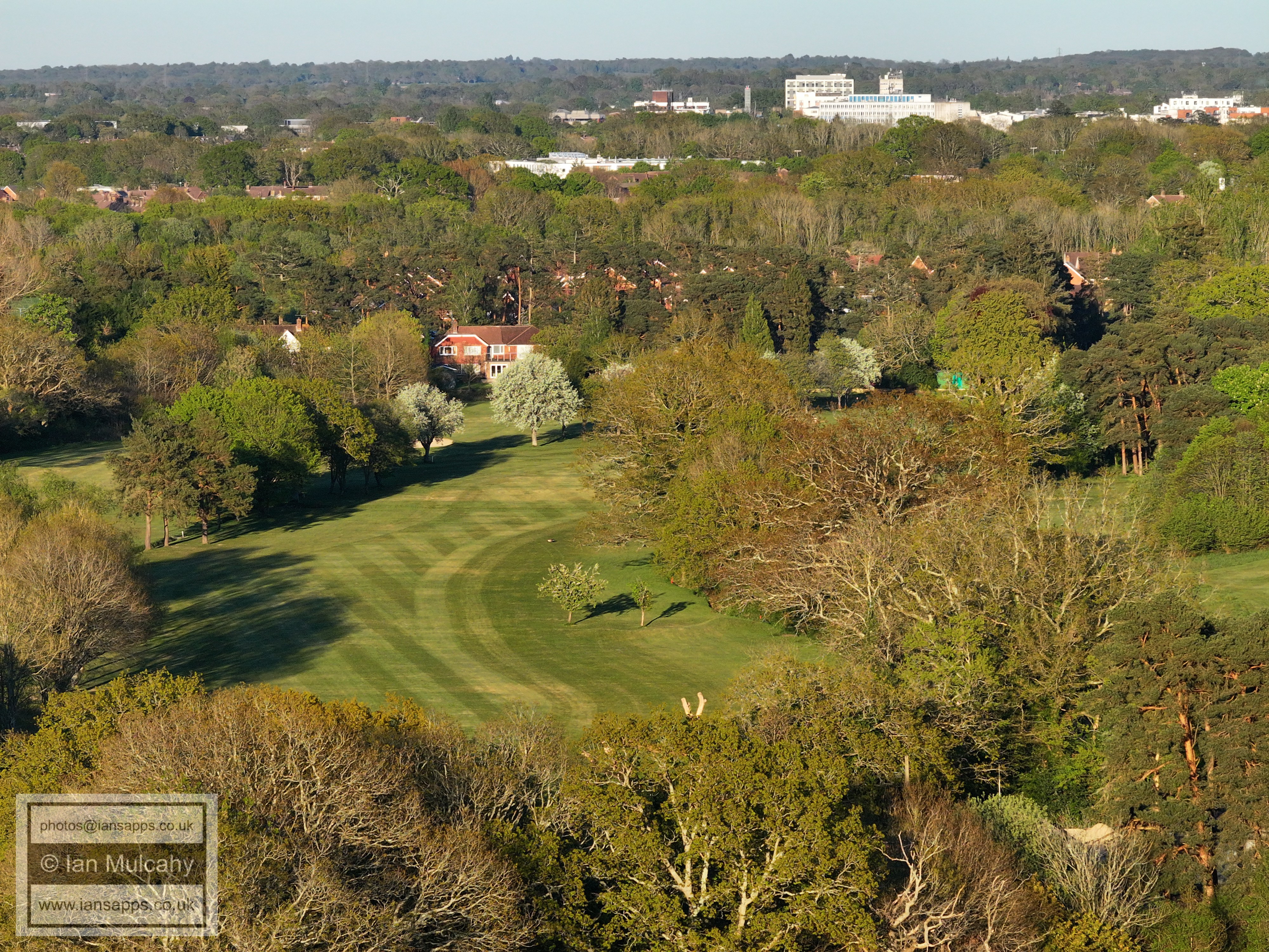
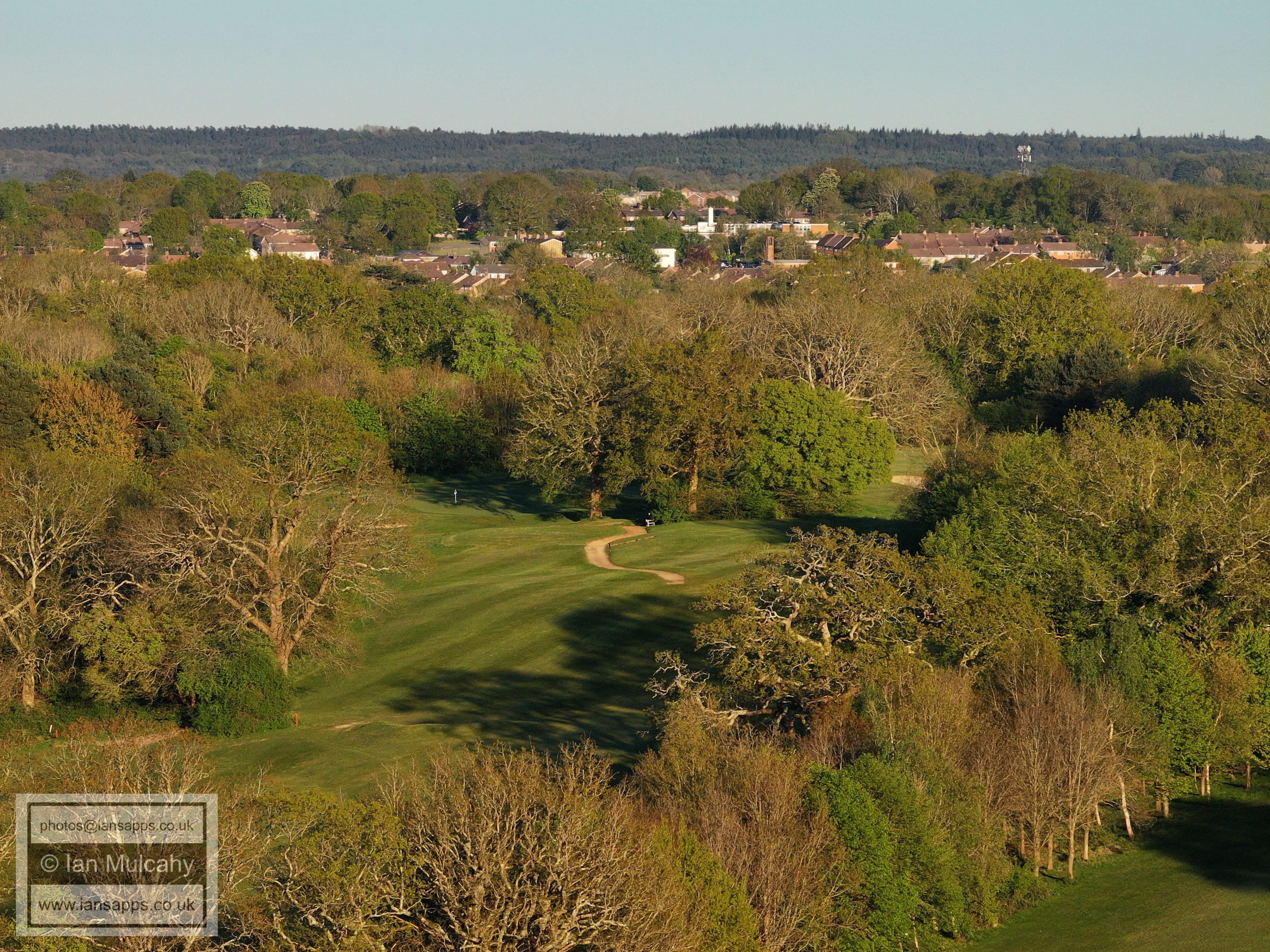
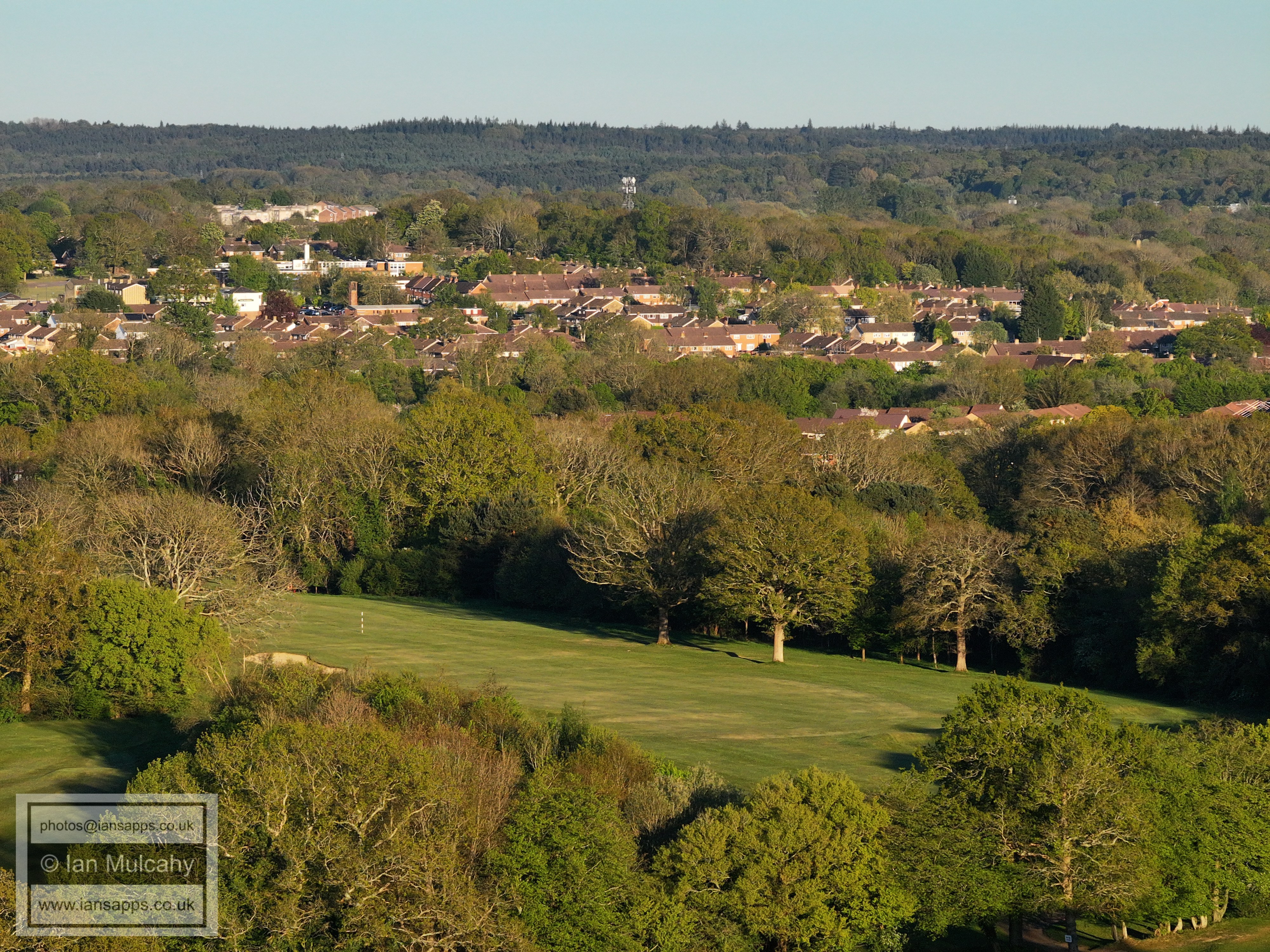
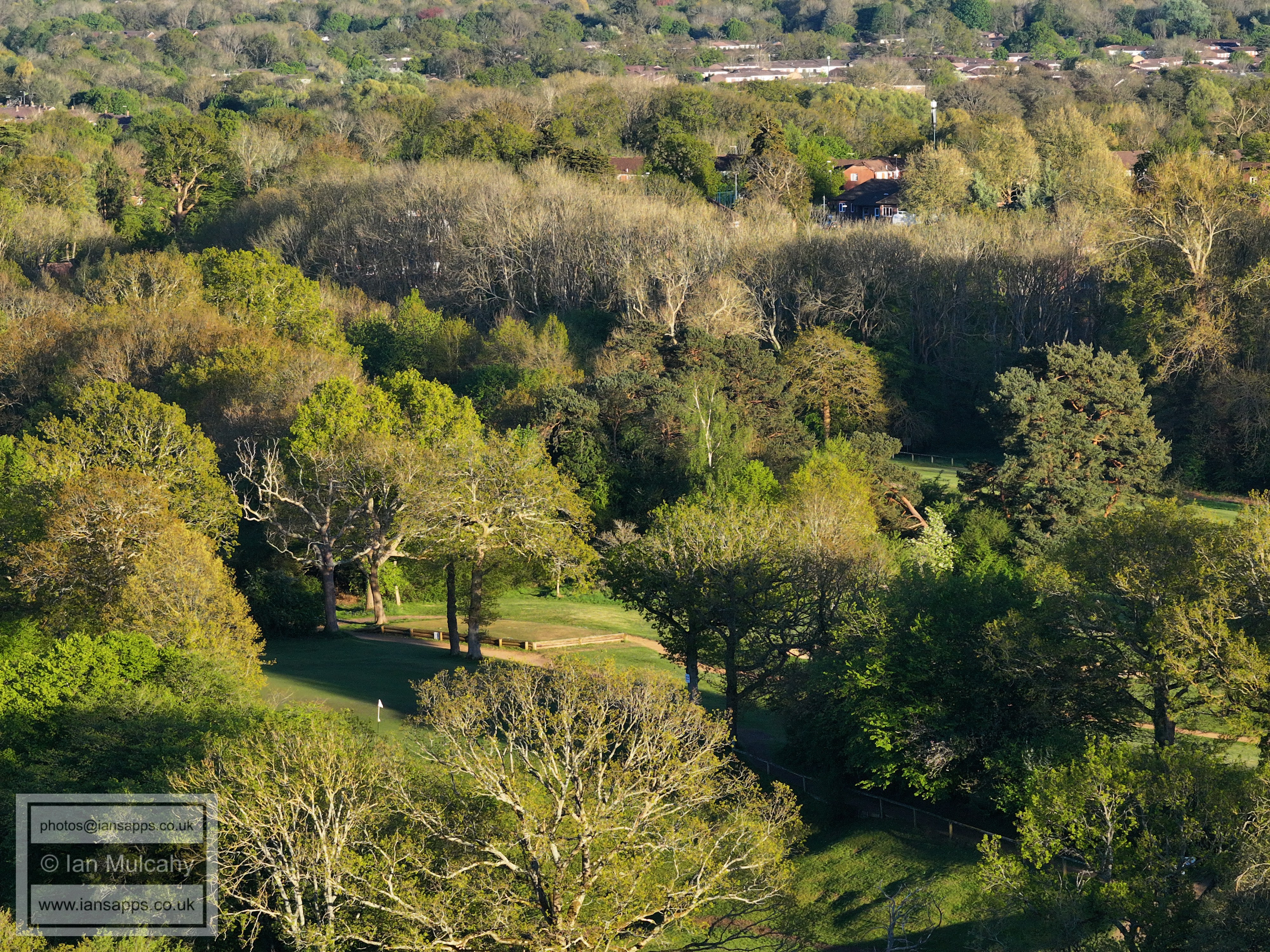
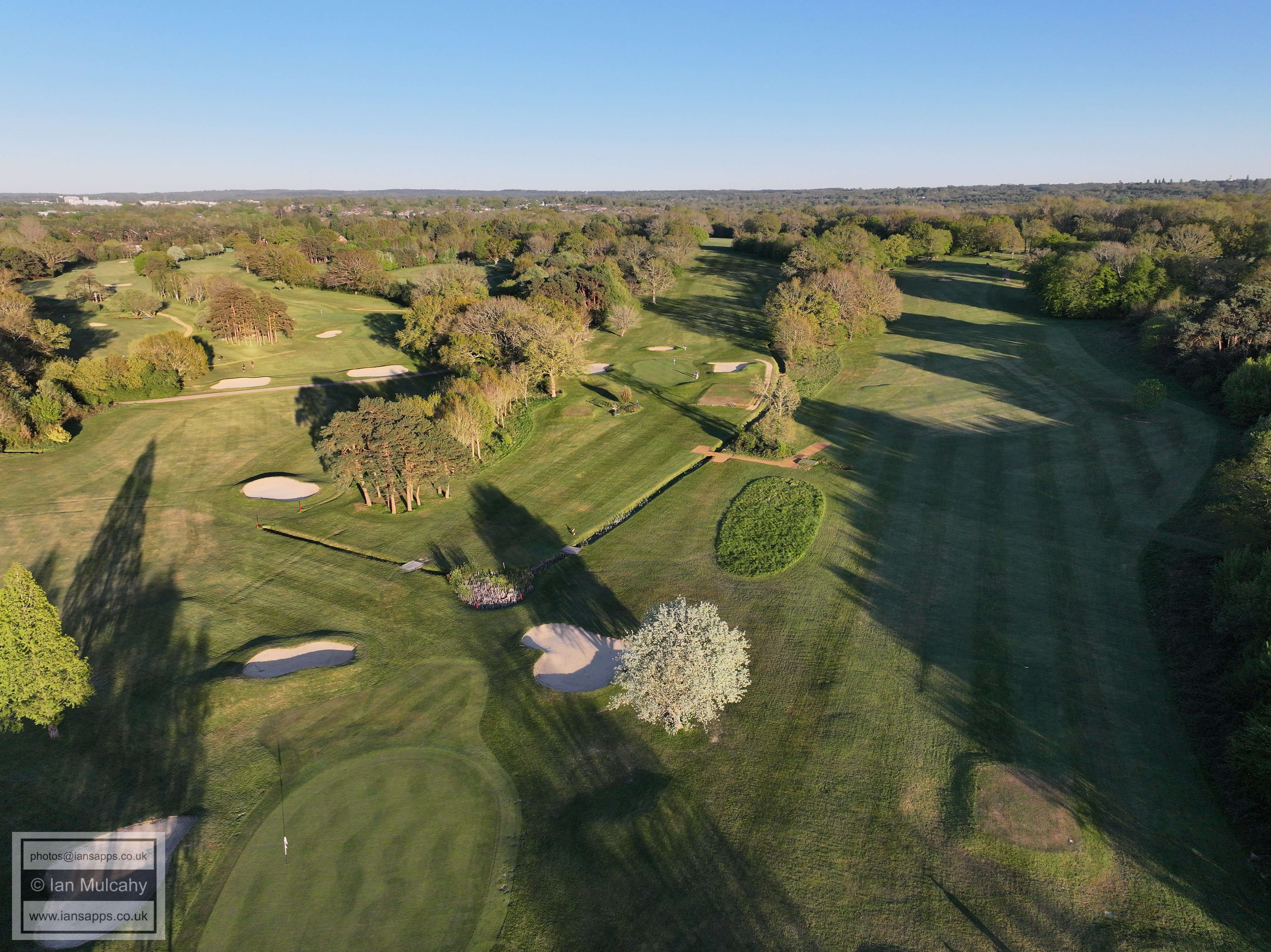
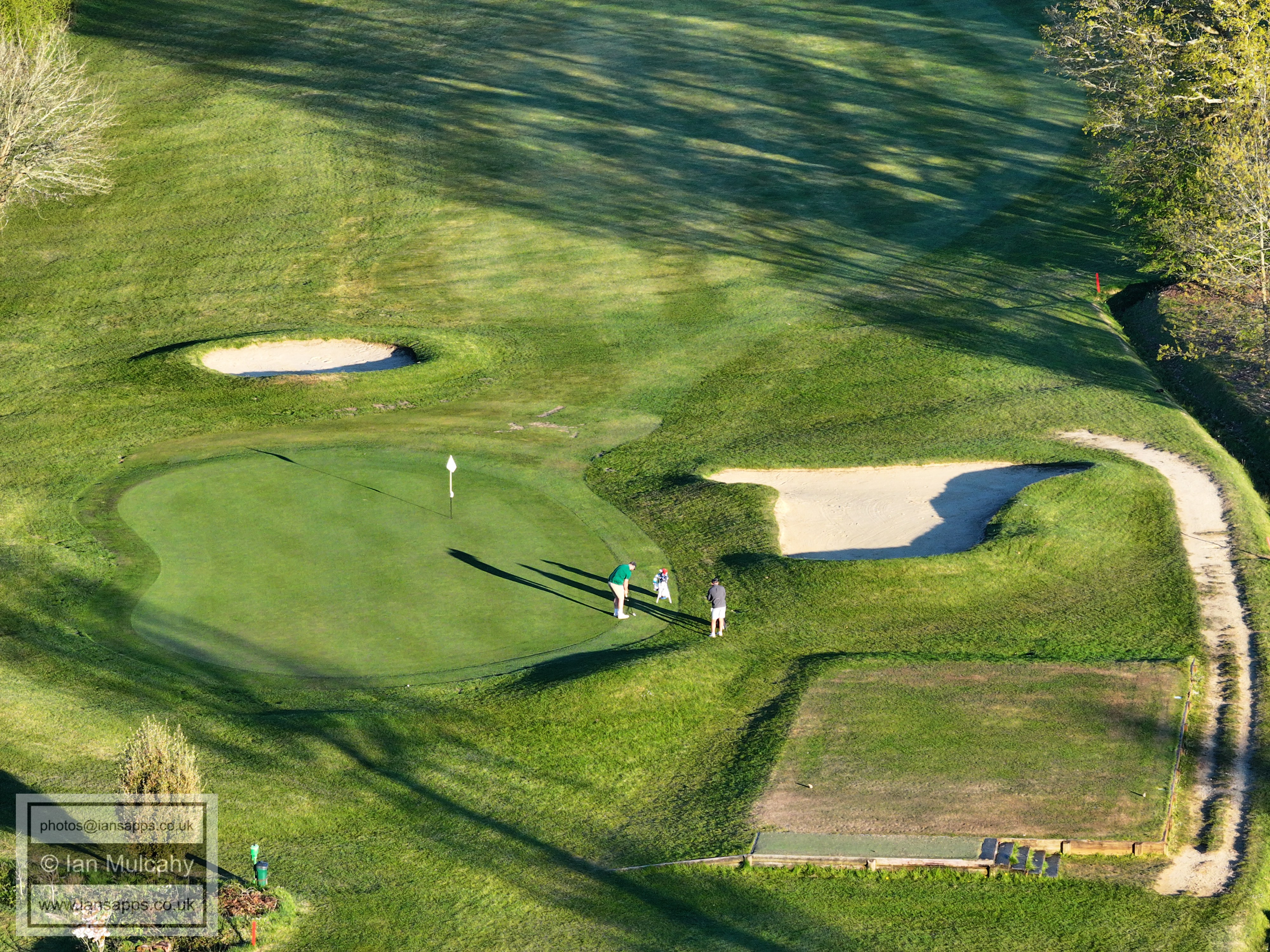
124 aerial images of varying focal length taken from close to Granthams bridge (Rusper Road, Ifield Wood) and across Ifield Golf Course, both in Rusper, on 23 April 2026. Some of the photos are annotated.
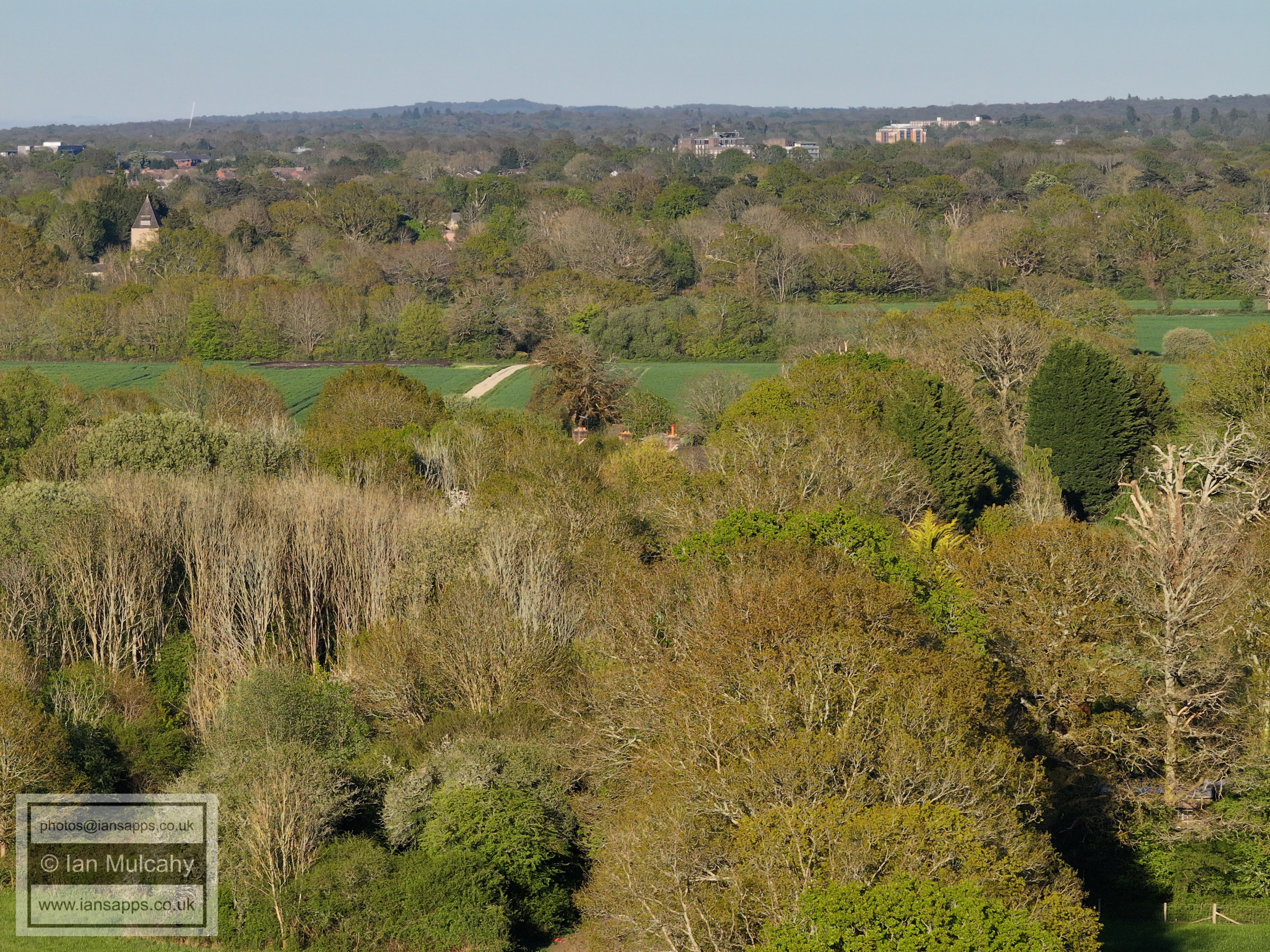
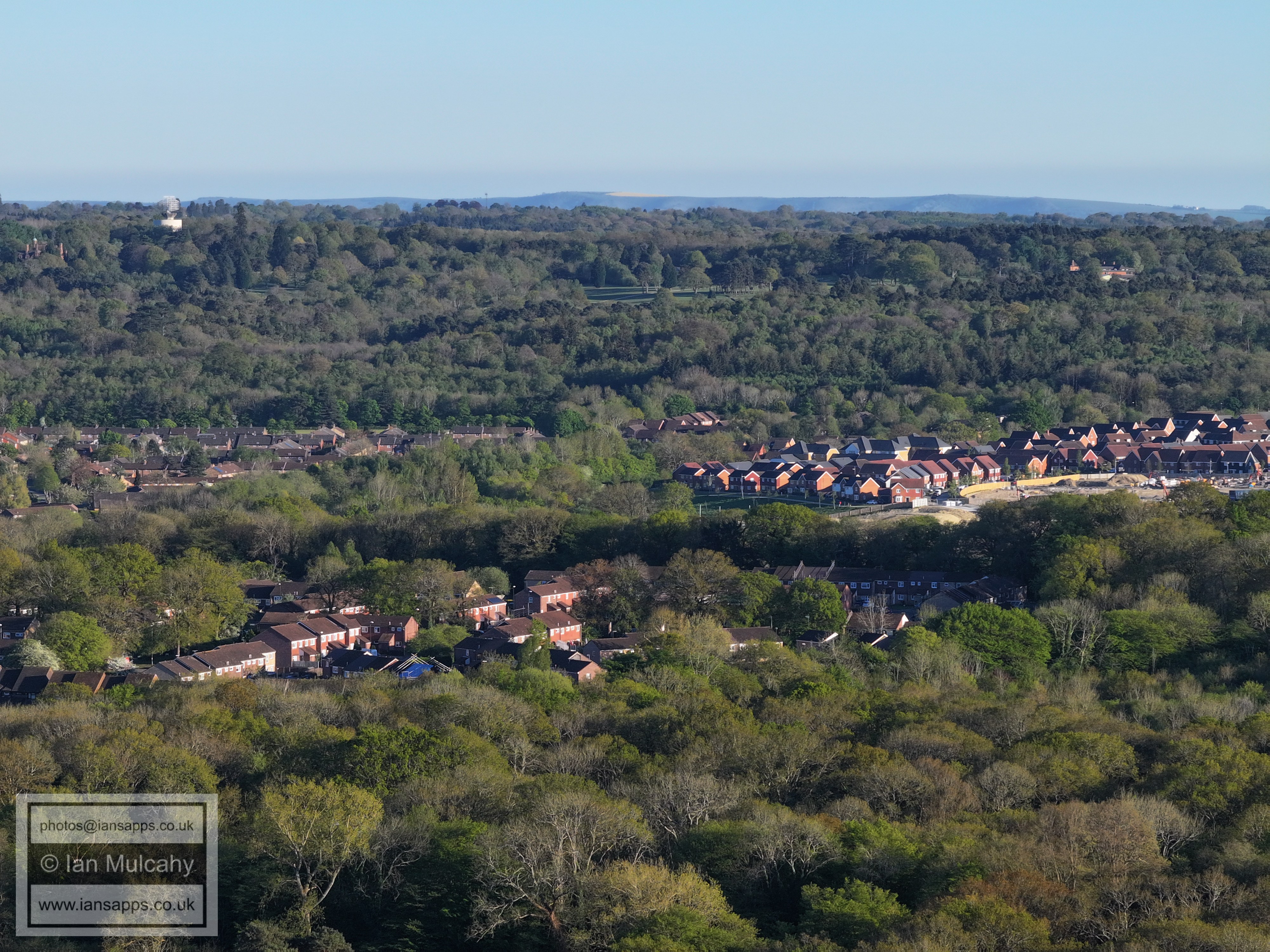
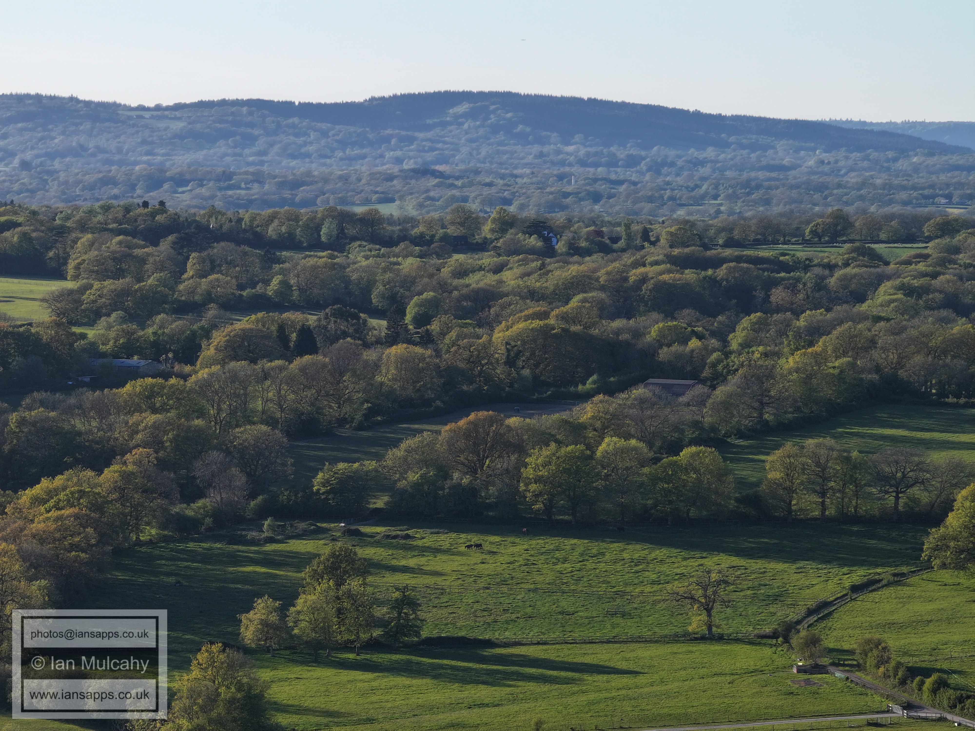
Historic Bonwyckes Place in Ifield Wood
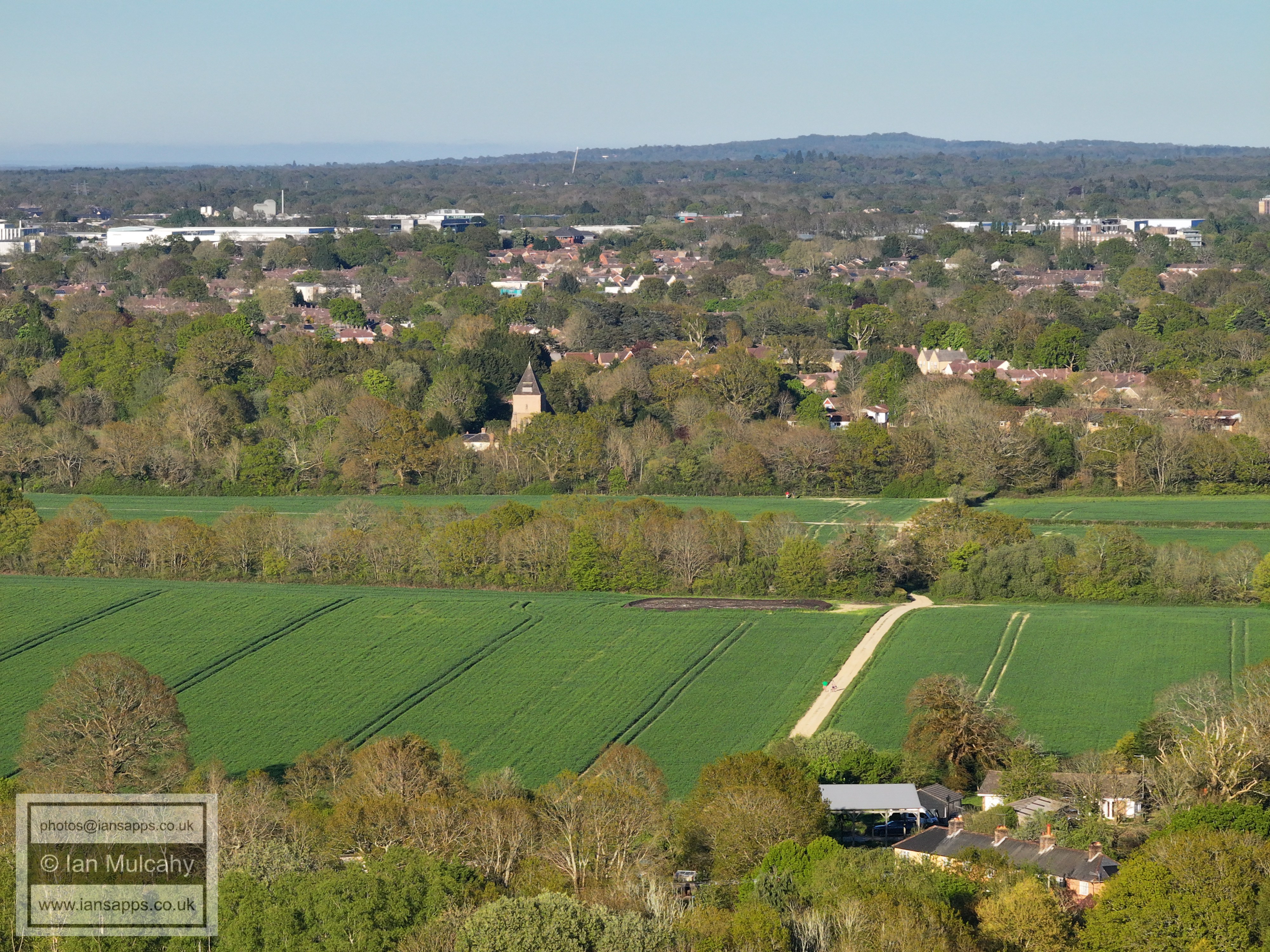
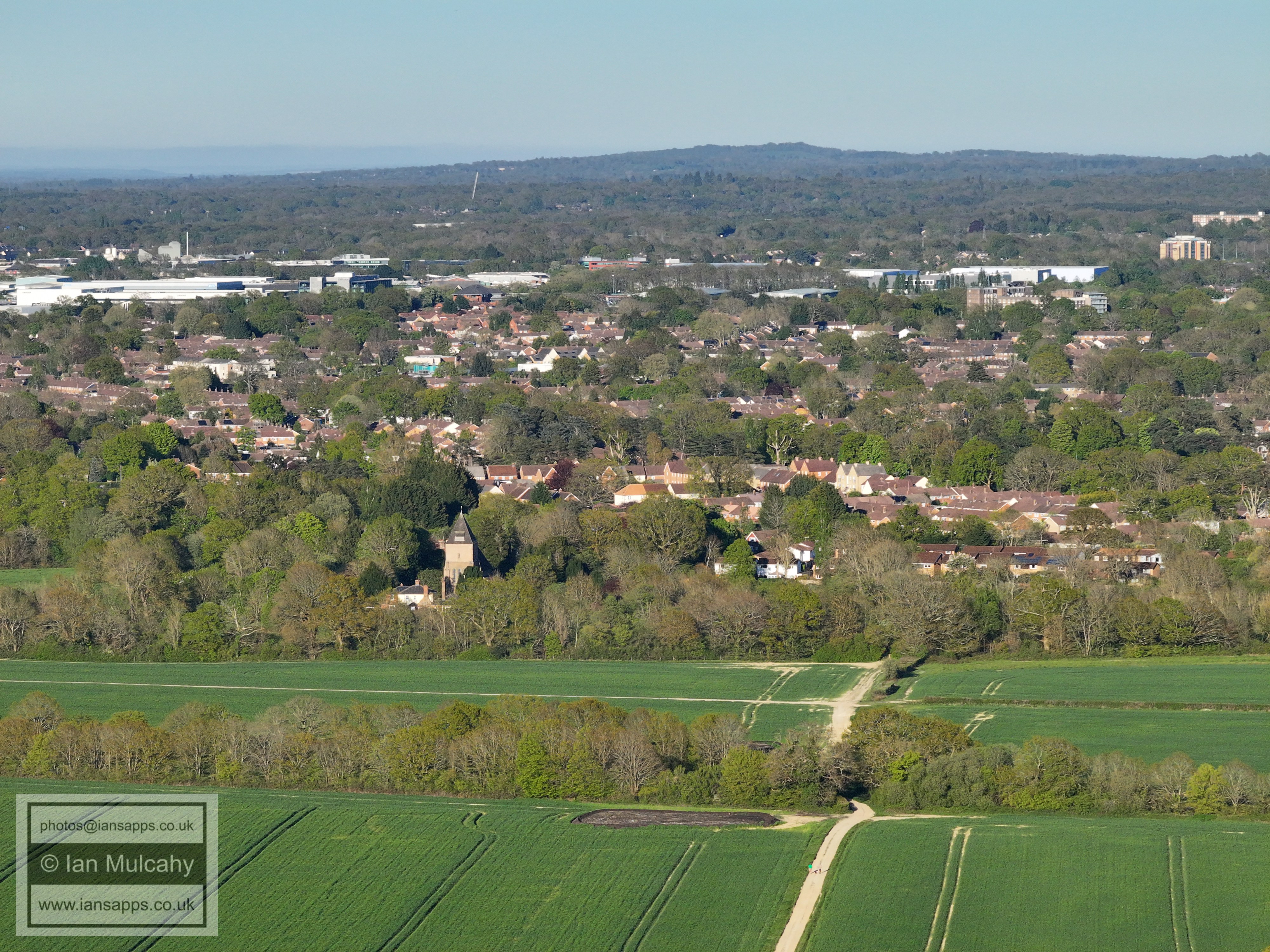
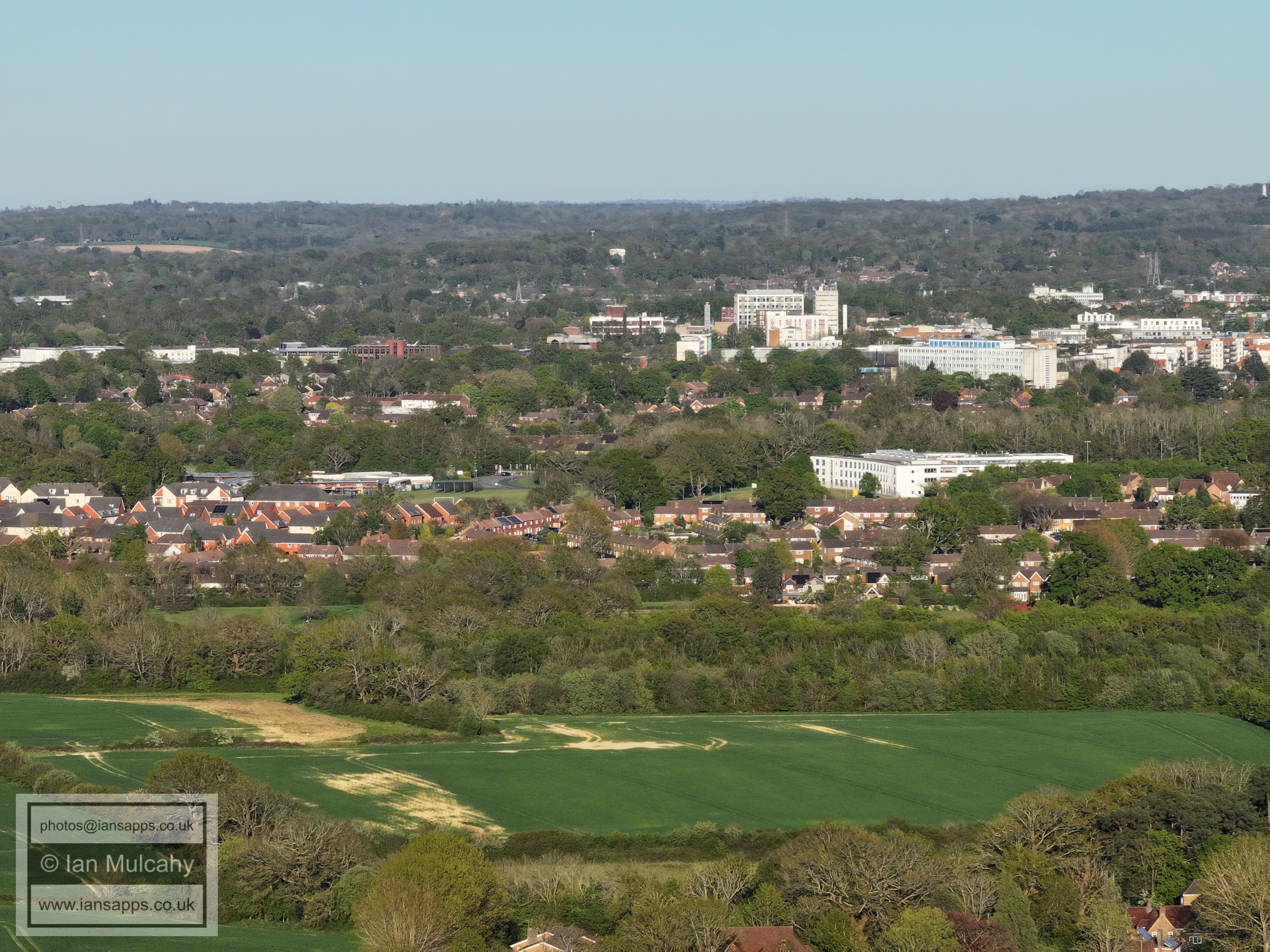
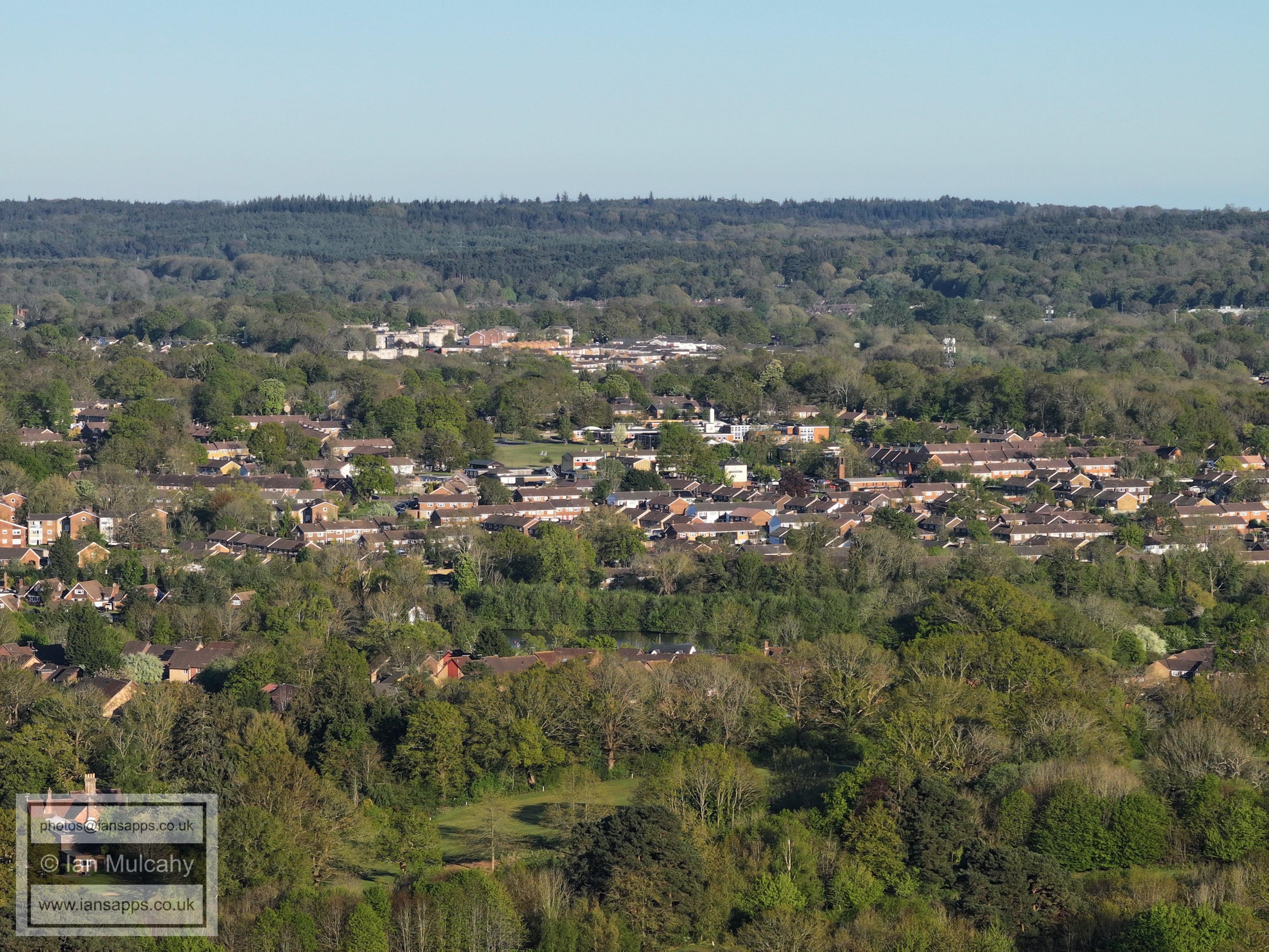
Lots of local landmarks here including St Margaret's Church, the Crowne Plaza Hotel, the Sandman Hotel and Milton Mount Flats. The turquise coloured building a little way above the church spire is Langley Green primary School and the parade can be seen to the left.
Surprisingly, given the low ground (and so lower height) that I have flown from, the tower of St Swithun's Church in East Grinstead High Street, as well as the nearby water tower, is visible in the top right corner.
The large white building near the top in the centre, above the telephone exchange, is at Worth Corner in Pound Hill.
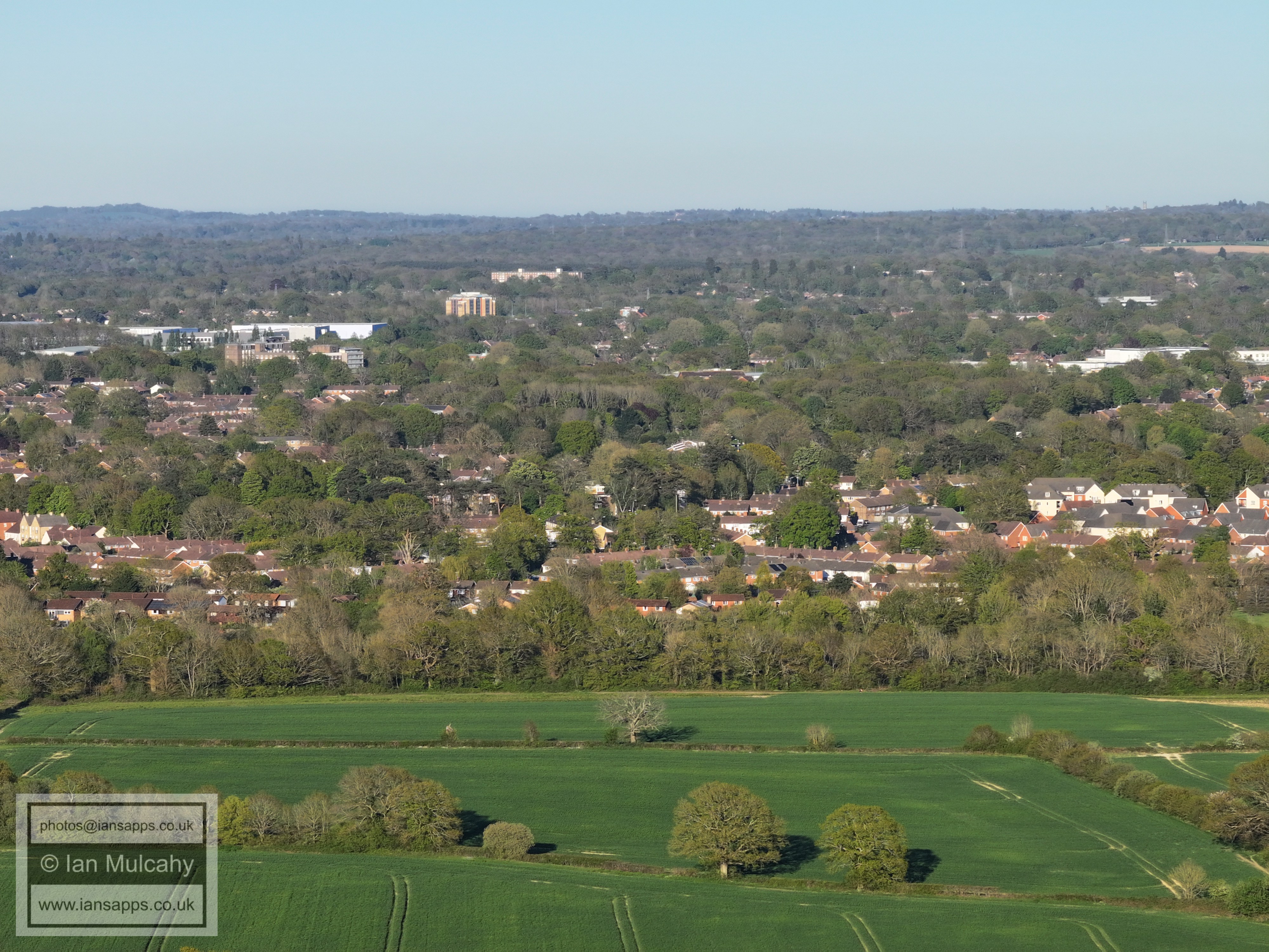
Crawley Town Centre
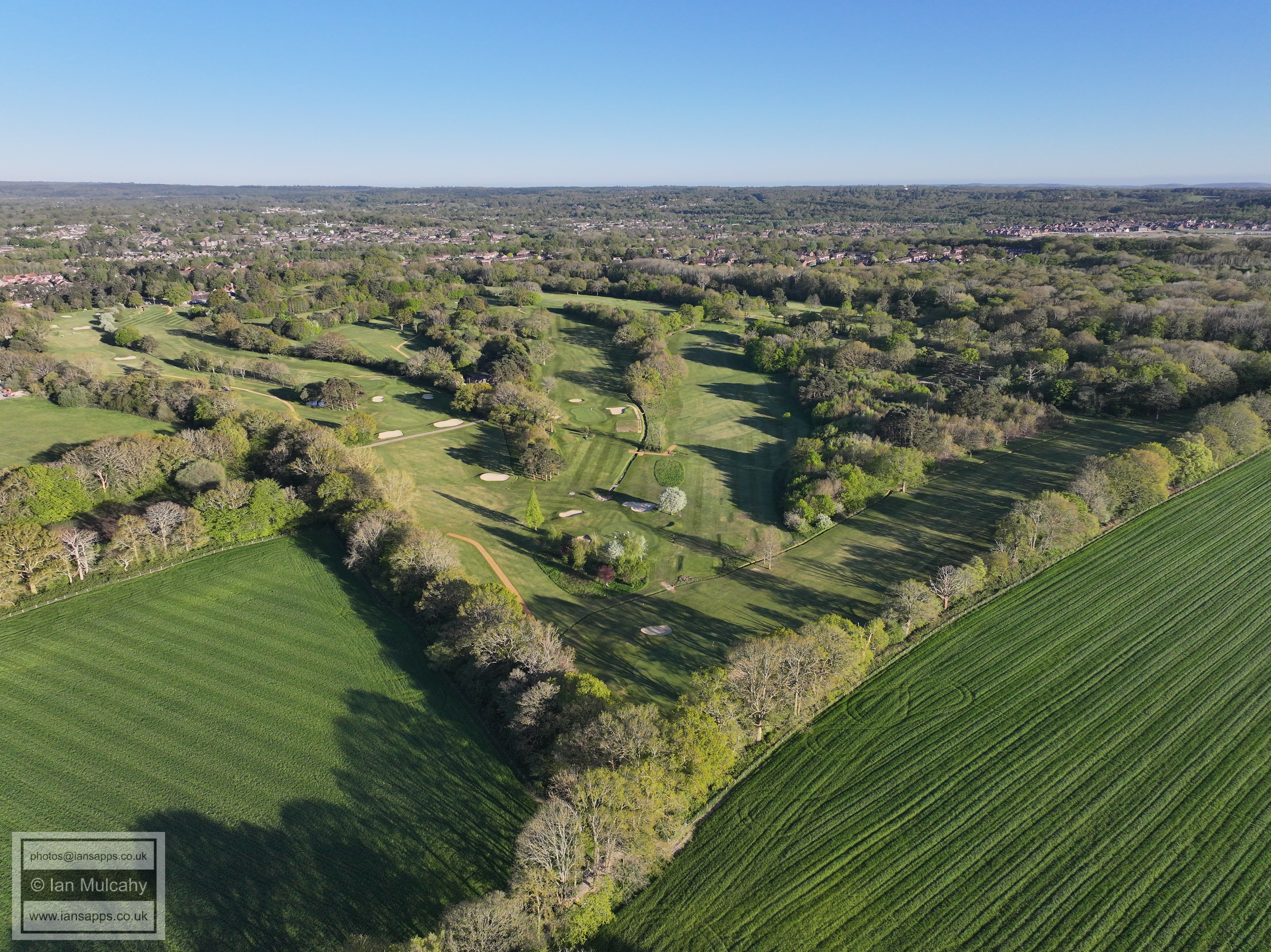
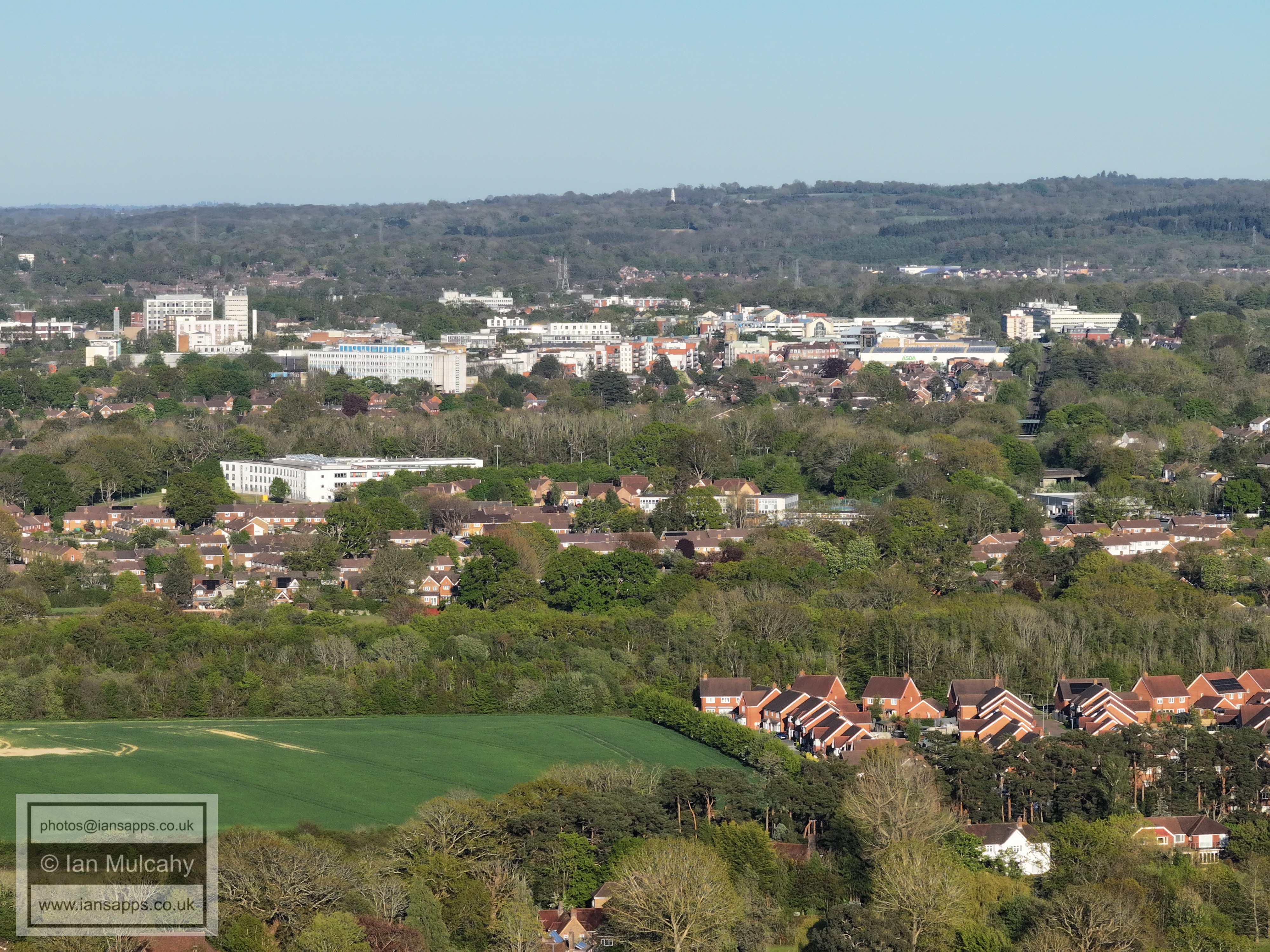
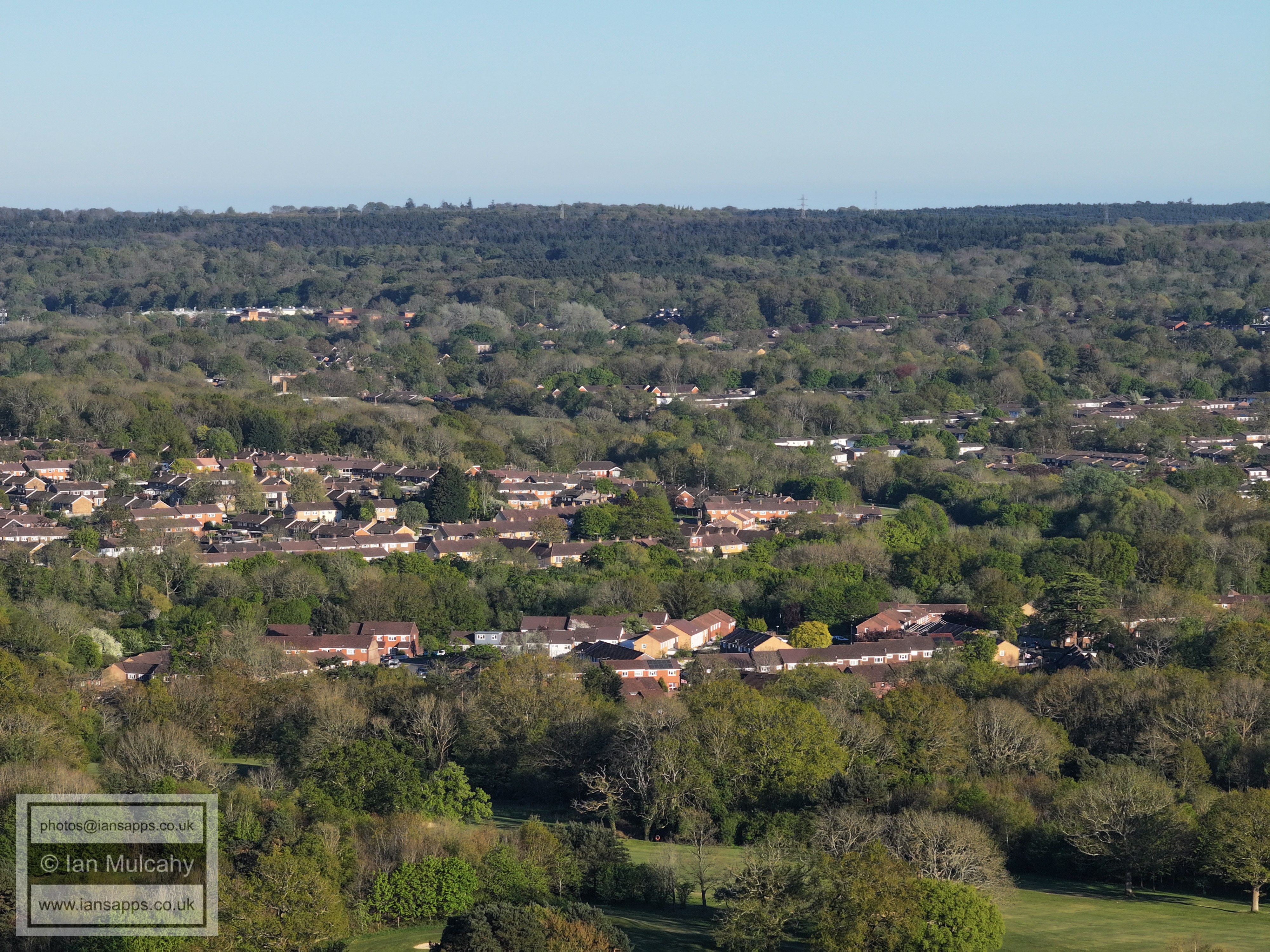
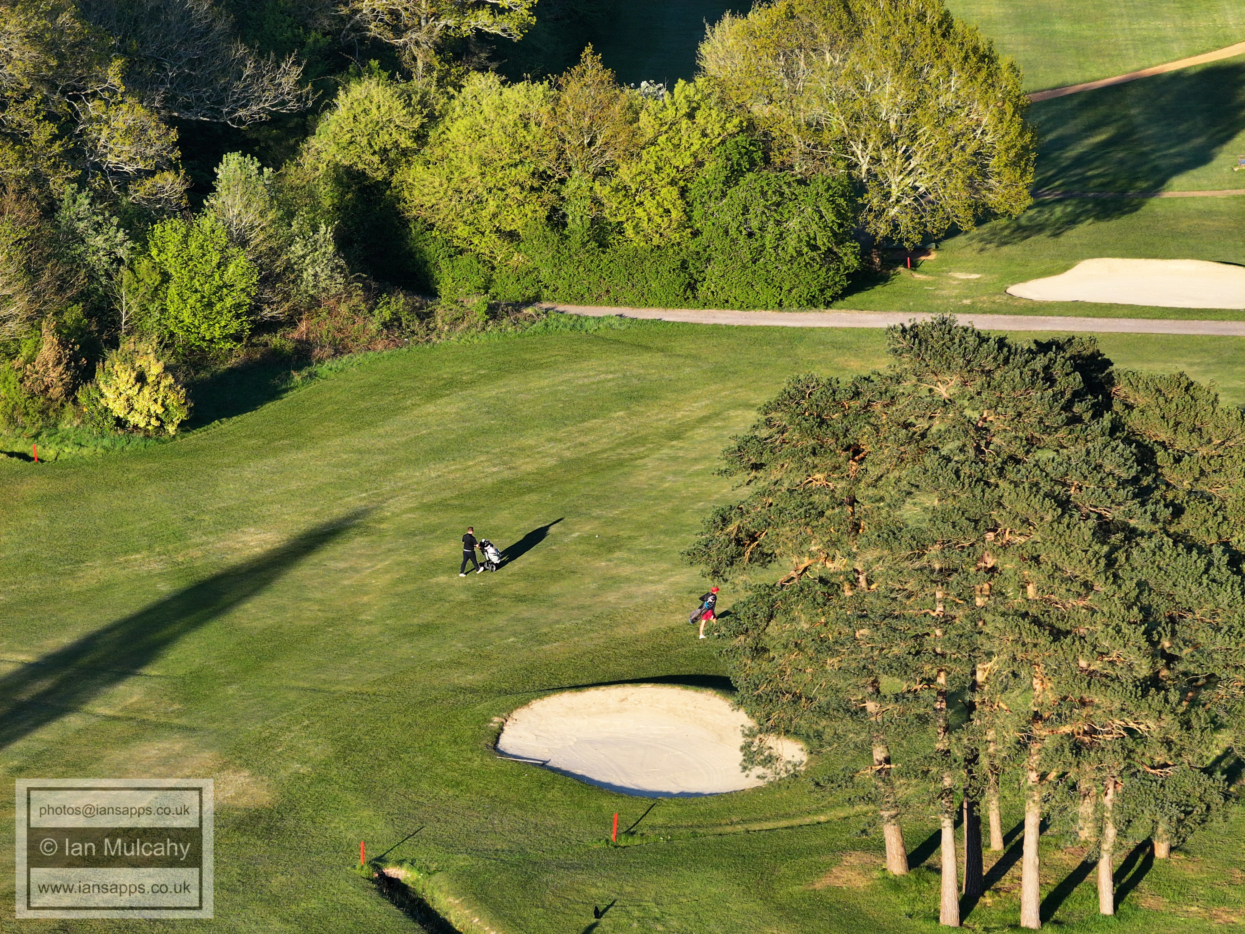
Ifield golf club car park is in the centre at the bottom and St Mary's Church in Southgate is in the middle of the top right quarter.
In the centre are Gossops Green Shops and primary School, with Southgate West above and to the left a little. Below Gossops Green Ifield Millpond shimmers and the mill can just be seen through the trees.
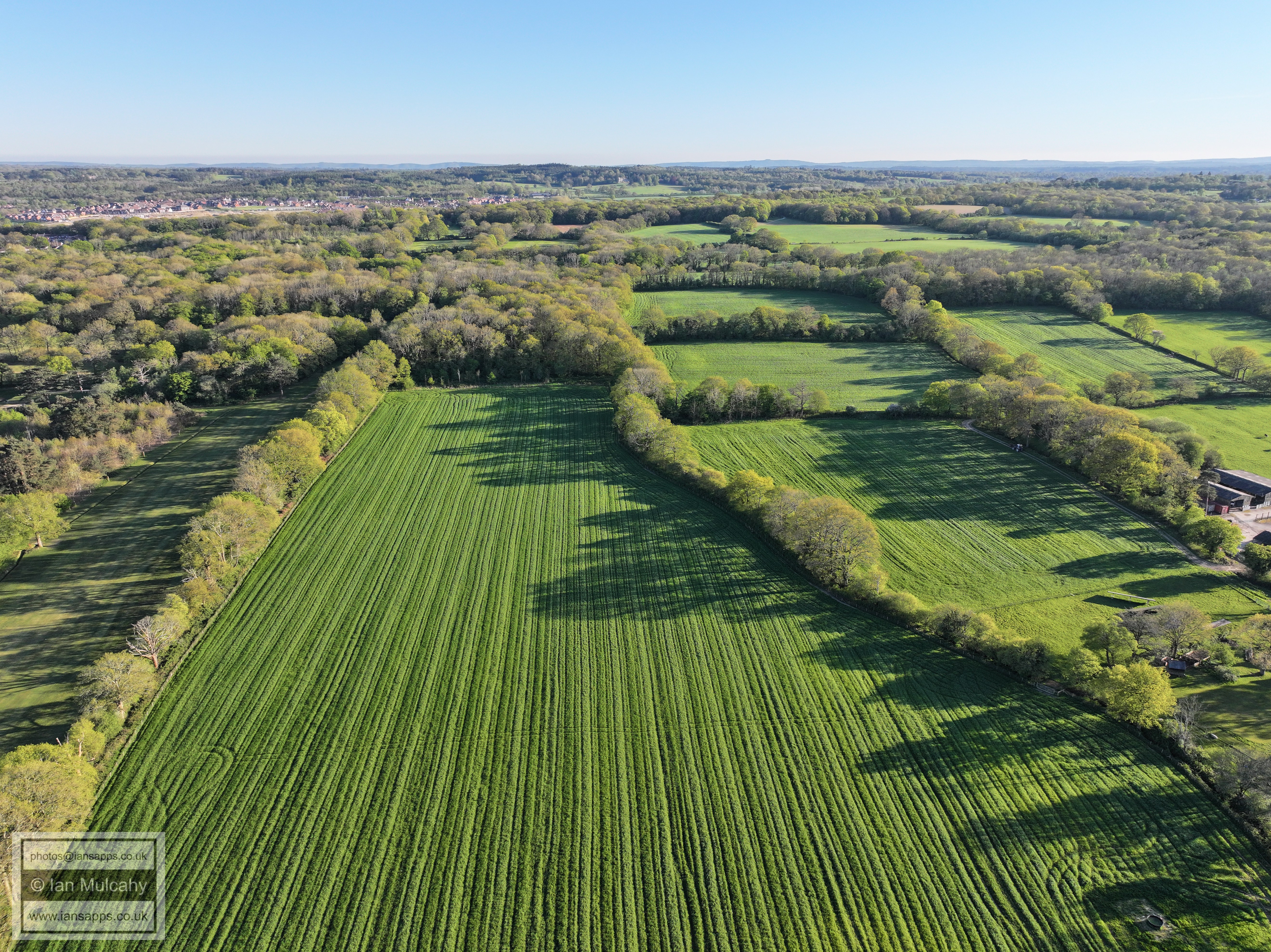
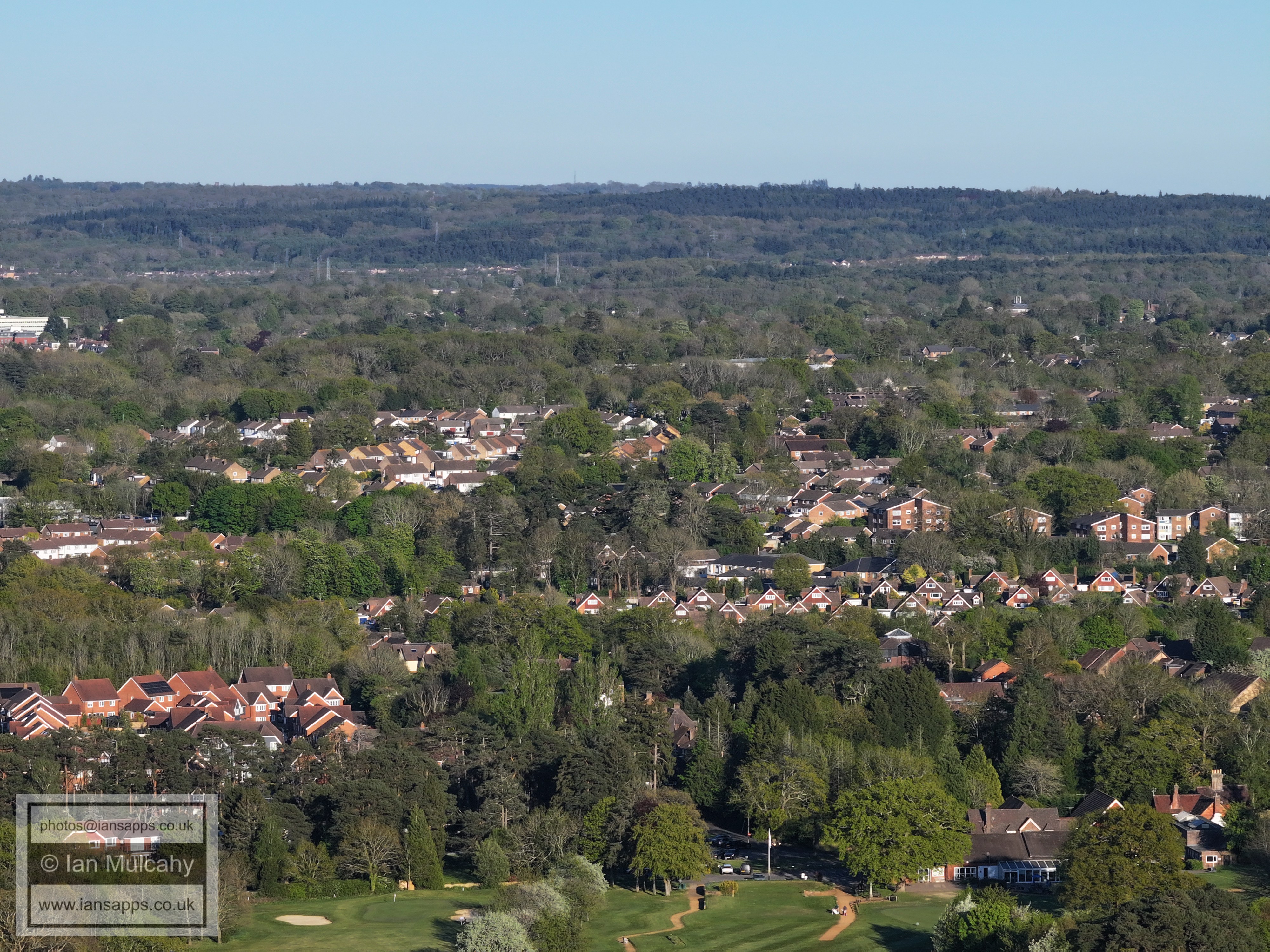
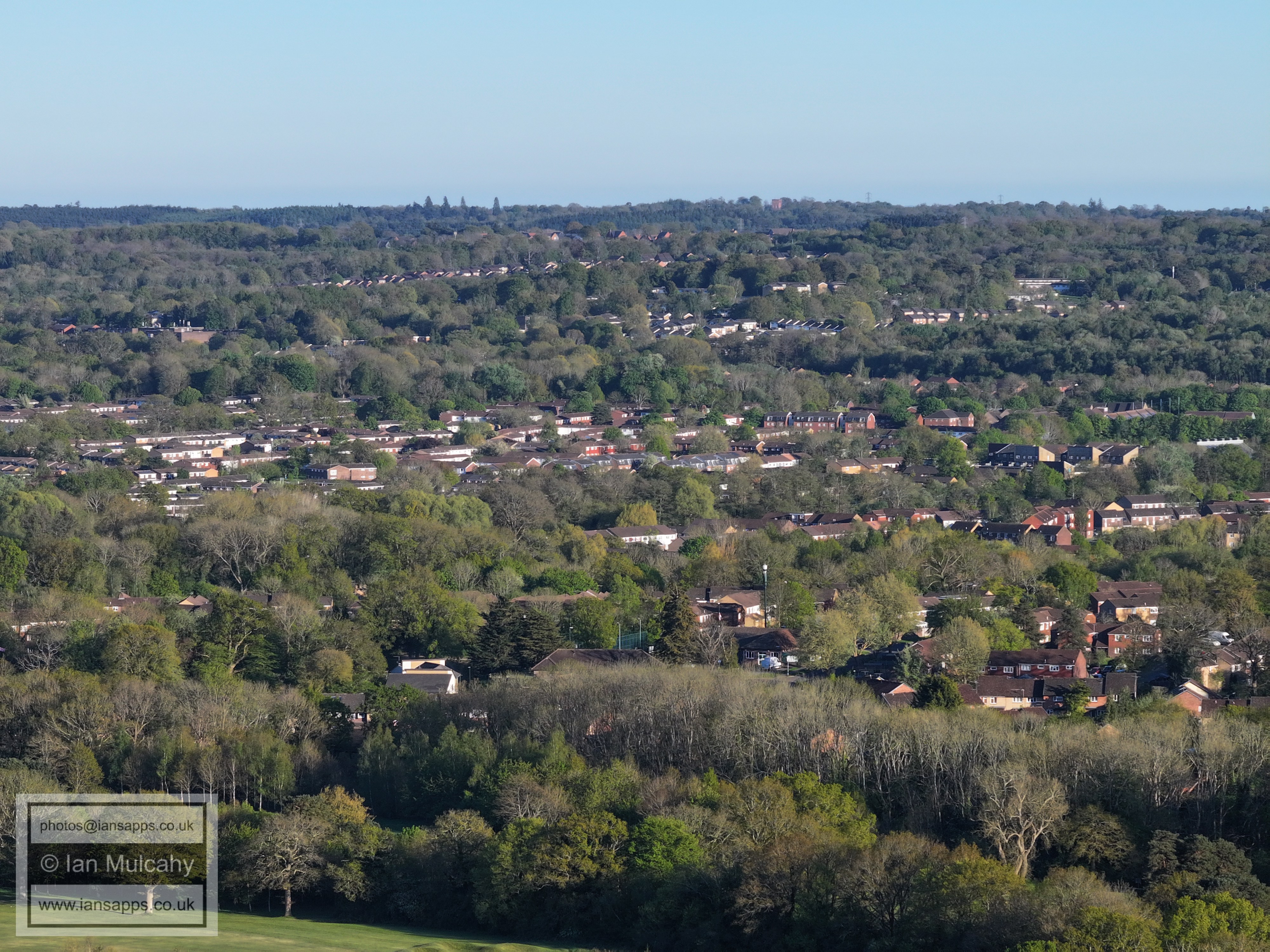
From the bottom up: Ifield West, Bewbush, Broadfield.
Dobbins Place and Tesco Express are just above the lowest tree line. Bewbush, Broadfield and Woodgate, as well as the Water Tower on High Beeches, are visible beyond.
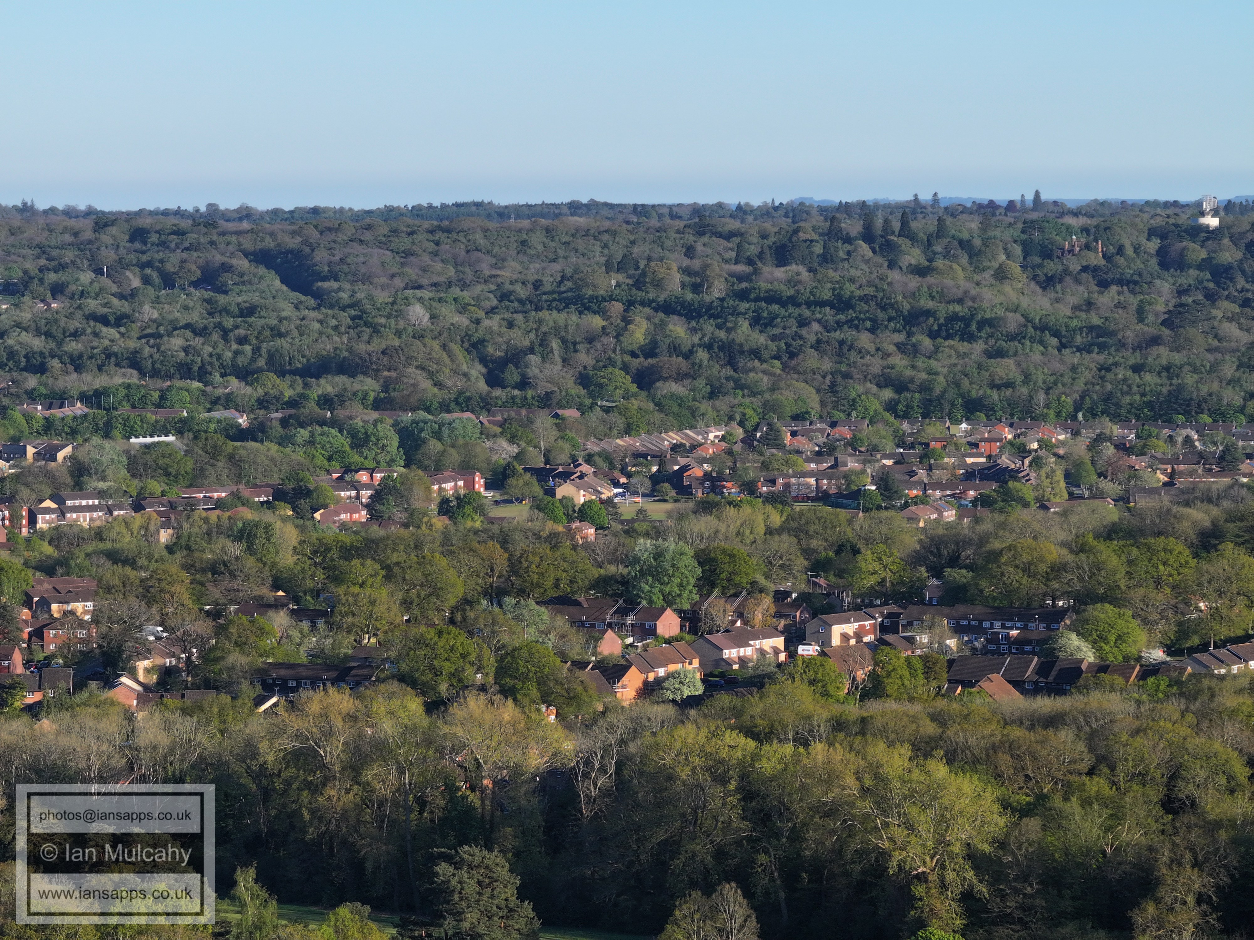
Bewbush Green is in the centre of the photo. Buchan House (Cottesmore School) and the radar station are in the top right quarter.
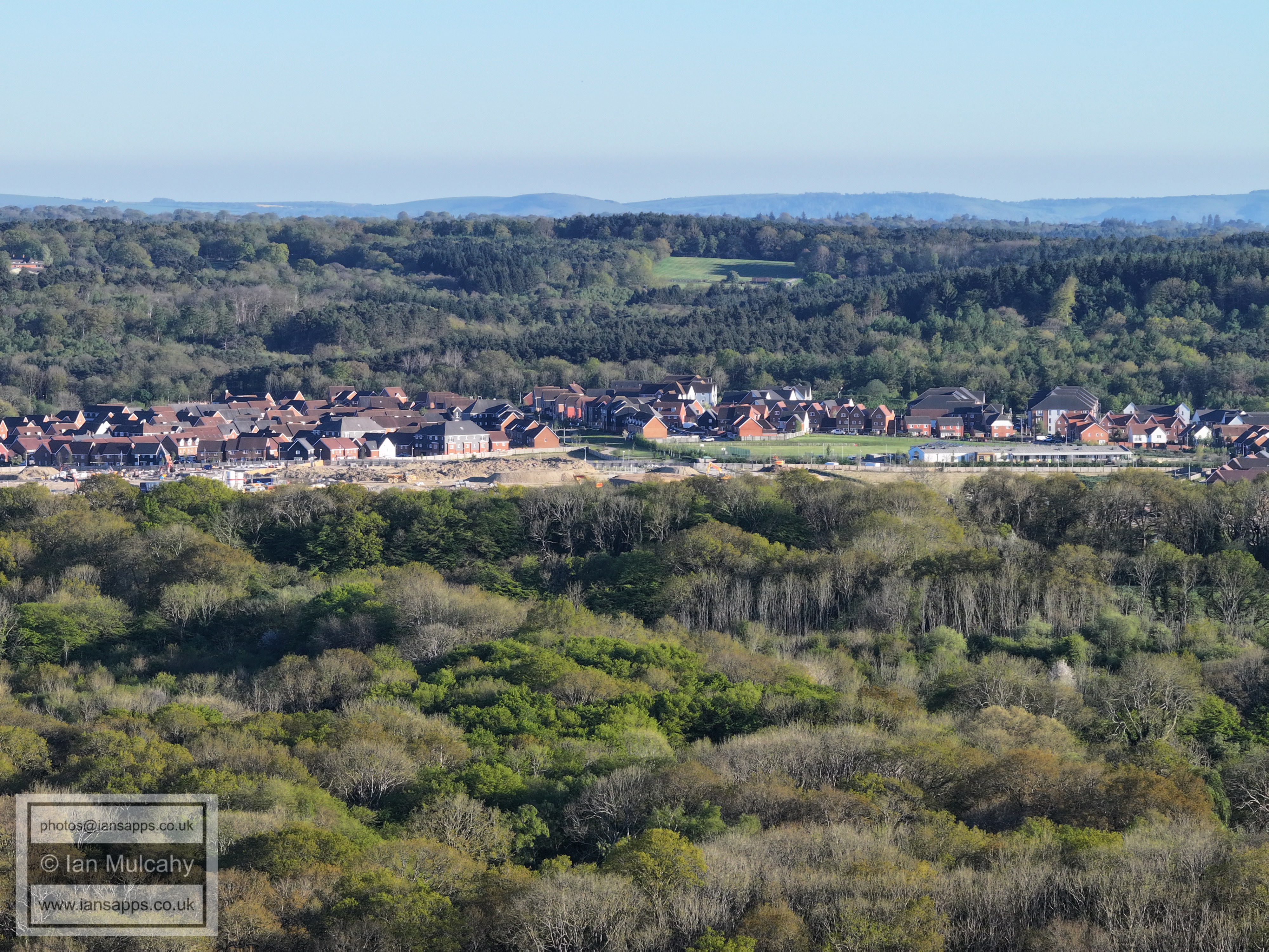
At the bottom is the very top end of Ifield West with Kilnwood Vale beyond. The open area towards the top in the centre is Cottesmore Golf Course.
(A rather bright) Kilnwood Vale. In the top left on top o fthe Downs are Jack & Jill windmills above Hassocks.
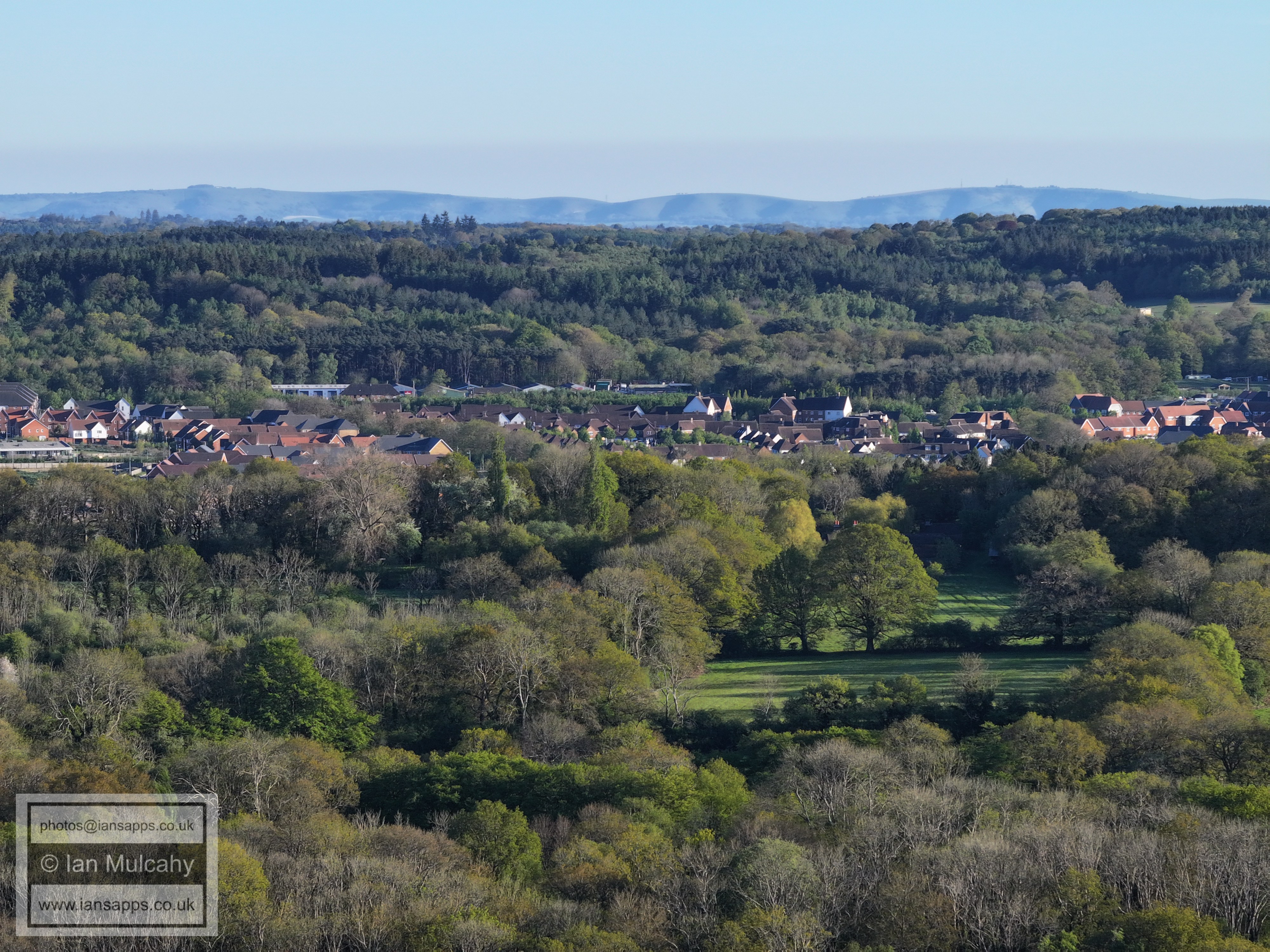
Kilnwood Vale across the centre
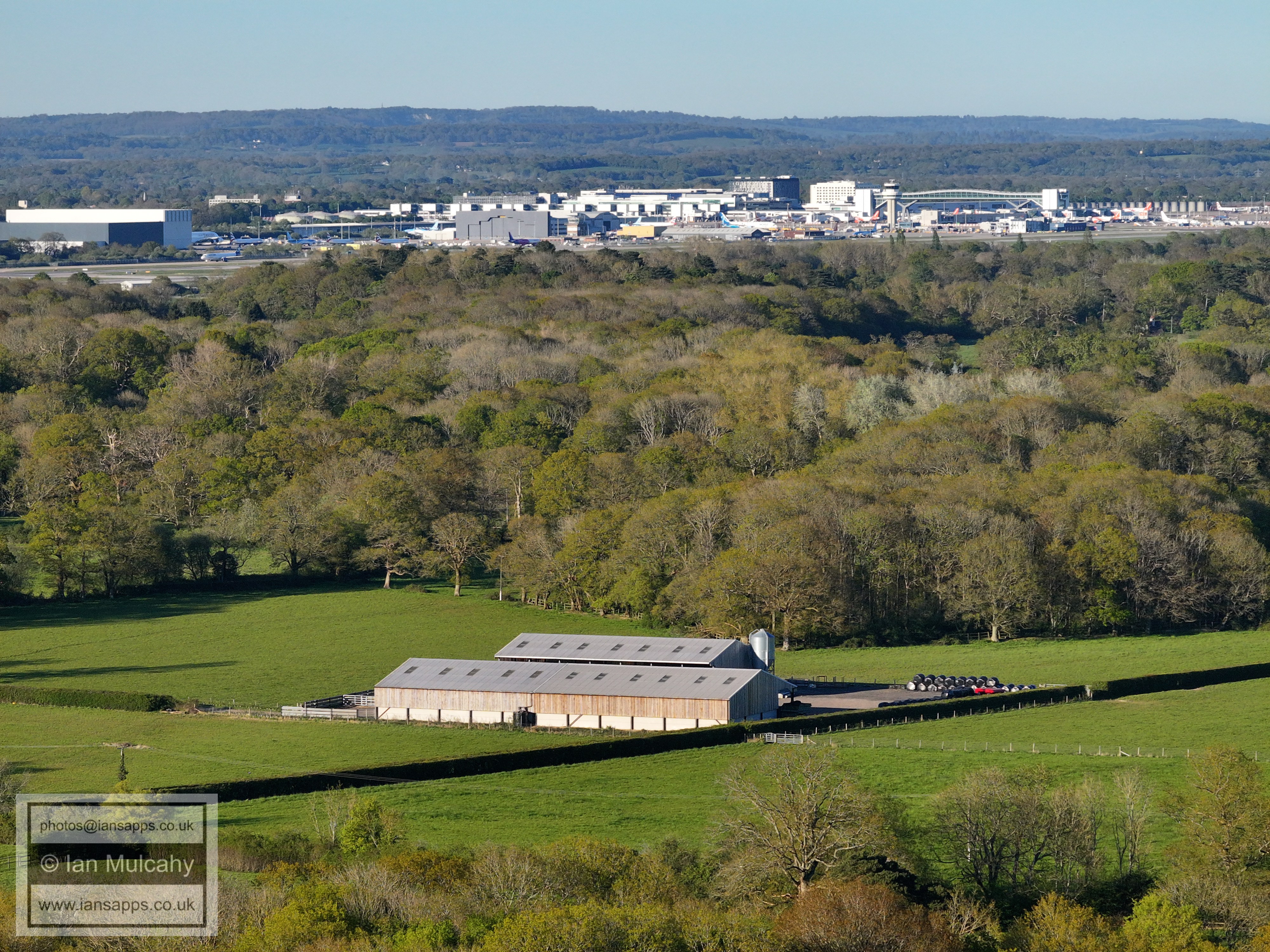
Holmbush, near Faygate, is in the top right quarter.
The trees across the centre form House Copse off Kilnwood Lane, a Site of Special Scientific Interest. Chanconbury Ring is in the top right quarter.
Horsham in the distance. The spires of St Mary's and St Mark's are visible in the top right quarter.
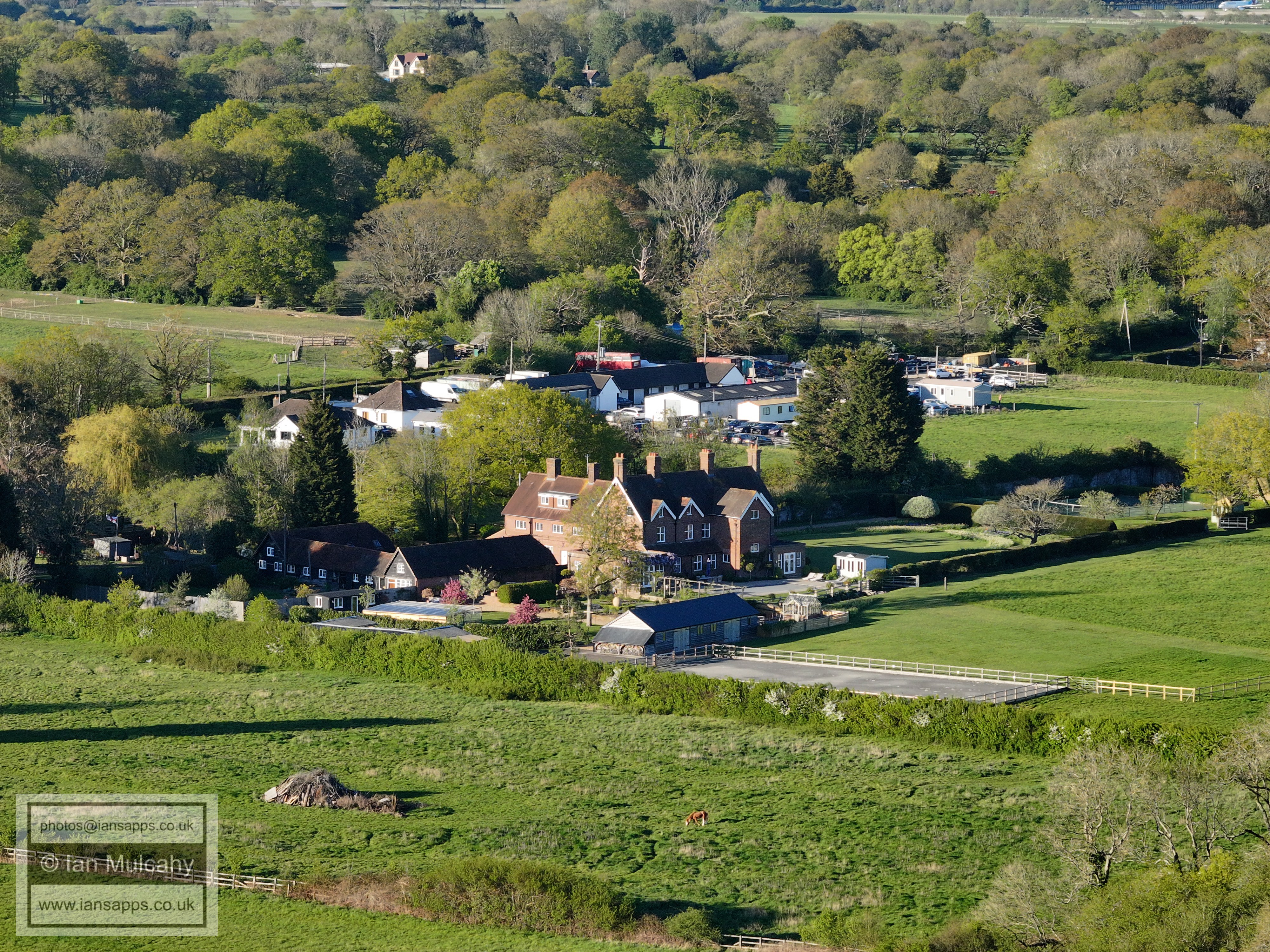
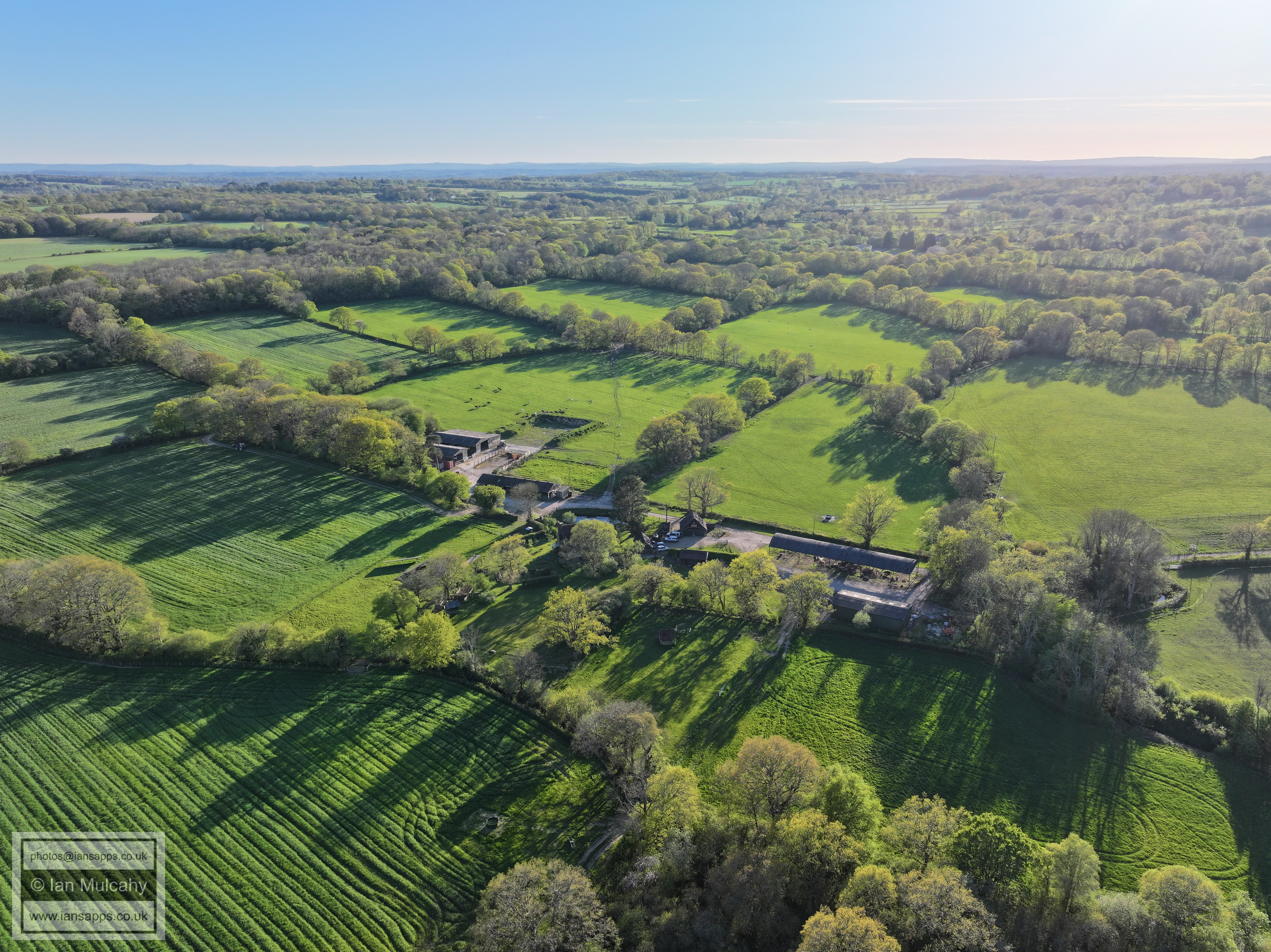
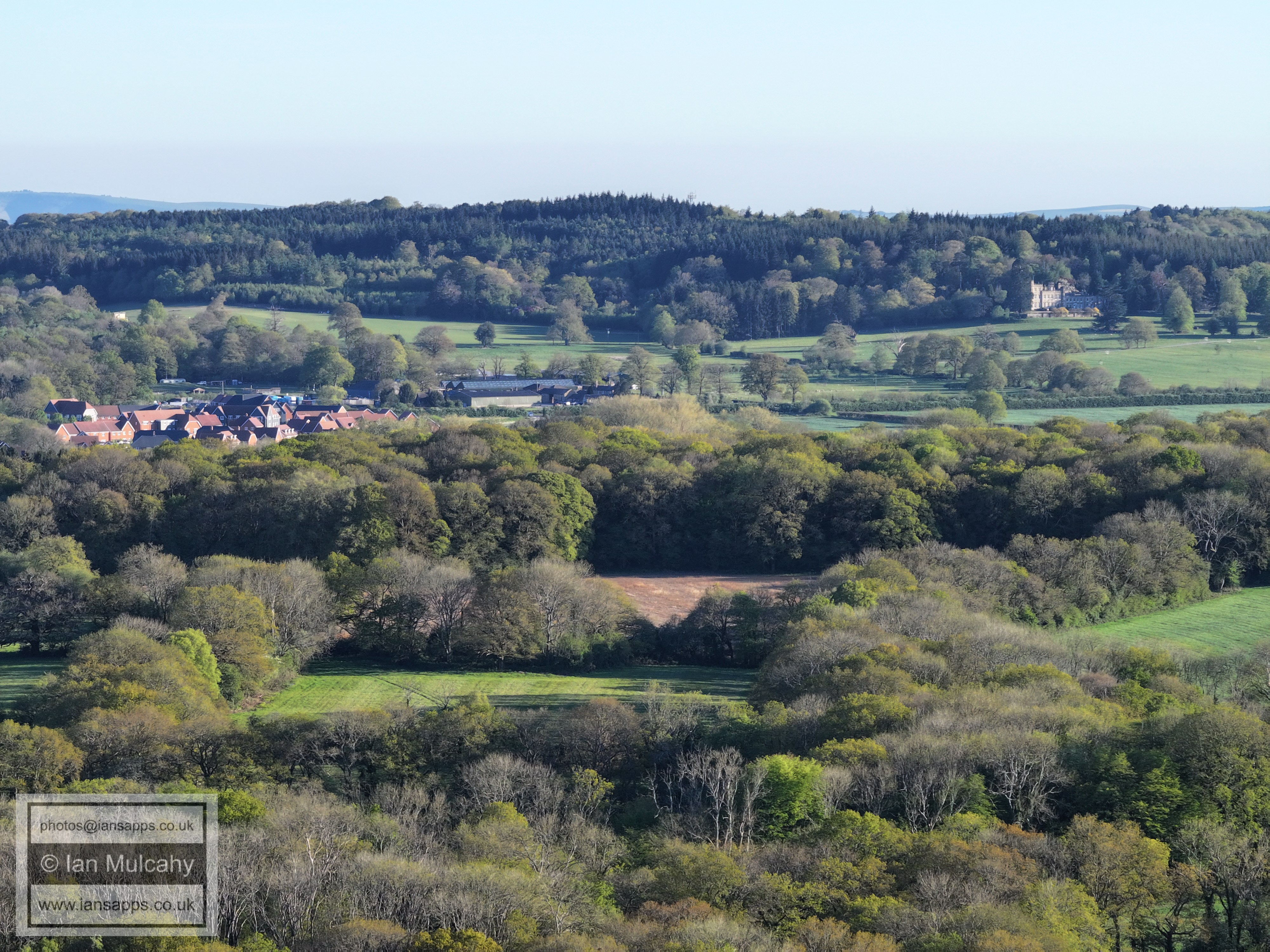
Just above centre are Carylls Country House and Carylls Farm.
The Mount
Russ Hill Hotel is in the top left quarter.
On the far right just above centre is the communications mast at Burlands Copse. A little way above is the tower of St Nicholas Church in Charlwood.
Ifield Court Medieval Moated Site is to the left of centre.
Ifield Park care home in the centre.
Text & photographs © Ian Mulcahy. Contact photos@iansapps.co.uk or visit my 'Use of my photographs' page for licensing queries (ground level photographs only). |